Reduced cold-water flow at the Serpentine Hot Springs bathhouse
Cold water brought in via a pipe helps reduce the temperature of the water in the tub. With the reduced flow, temperatures in the tub are dangerously hot.
Phone lines working intermittently
Our phone lines are working intermittently. If you are not able to reach us by phone, please email us at bela_information@nps.gov.
| Title | Bering Land Bridge |
| Park Code | bela |
| Description | Bering Land Bridge National Preserve lies at the continental crossroad that greatly influenced the distribution of life in the Western Hemisphere during the Pleistocene Epoch. It is a vital landscape for Indigenous communities who depend on the l... |
| Location | |
| Contact | |
| Activities |
|
| Entrance fees |
|
| Campgrounds | Count: 0
|
| Places | Count: 4
Imuruk Lava FieldsThe Imuruk Lava Fields are the result of volcanic eruptions from about 75 vents or openings in the earth’s surface. Covering more than 100,000 acres, the lava fields provide an opportunity to watch vegetation recapture a landscape that has been totally devastated by harsh natural processes. 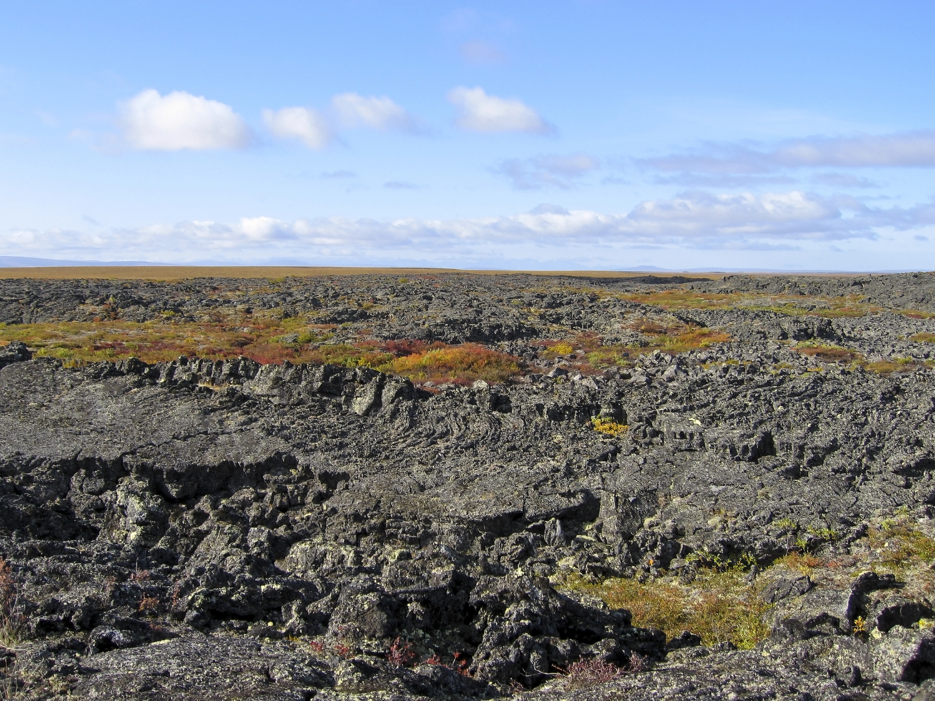
Maar LakesThey may sound like they are from a different planet, but maars are in fact broad, low-relief volcanic craters from violent eruptions created by groundwater coming into contact with hot magma. 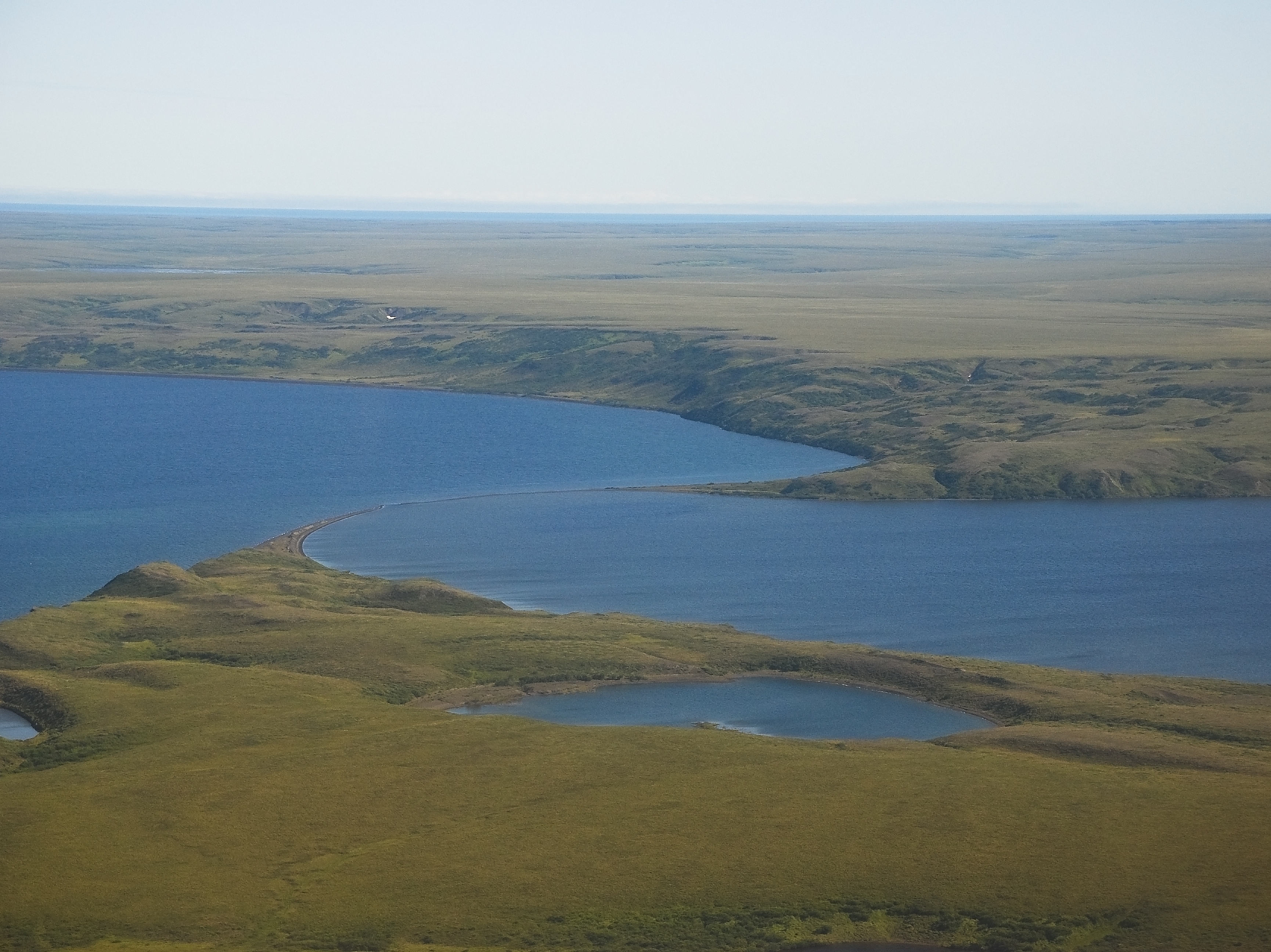
Nome Visitor CenterSpeak with local experts about things to do and places to see in and around Nome, AK. 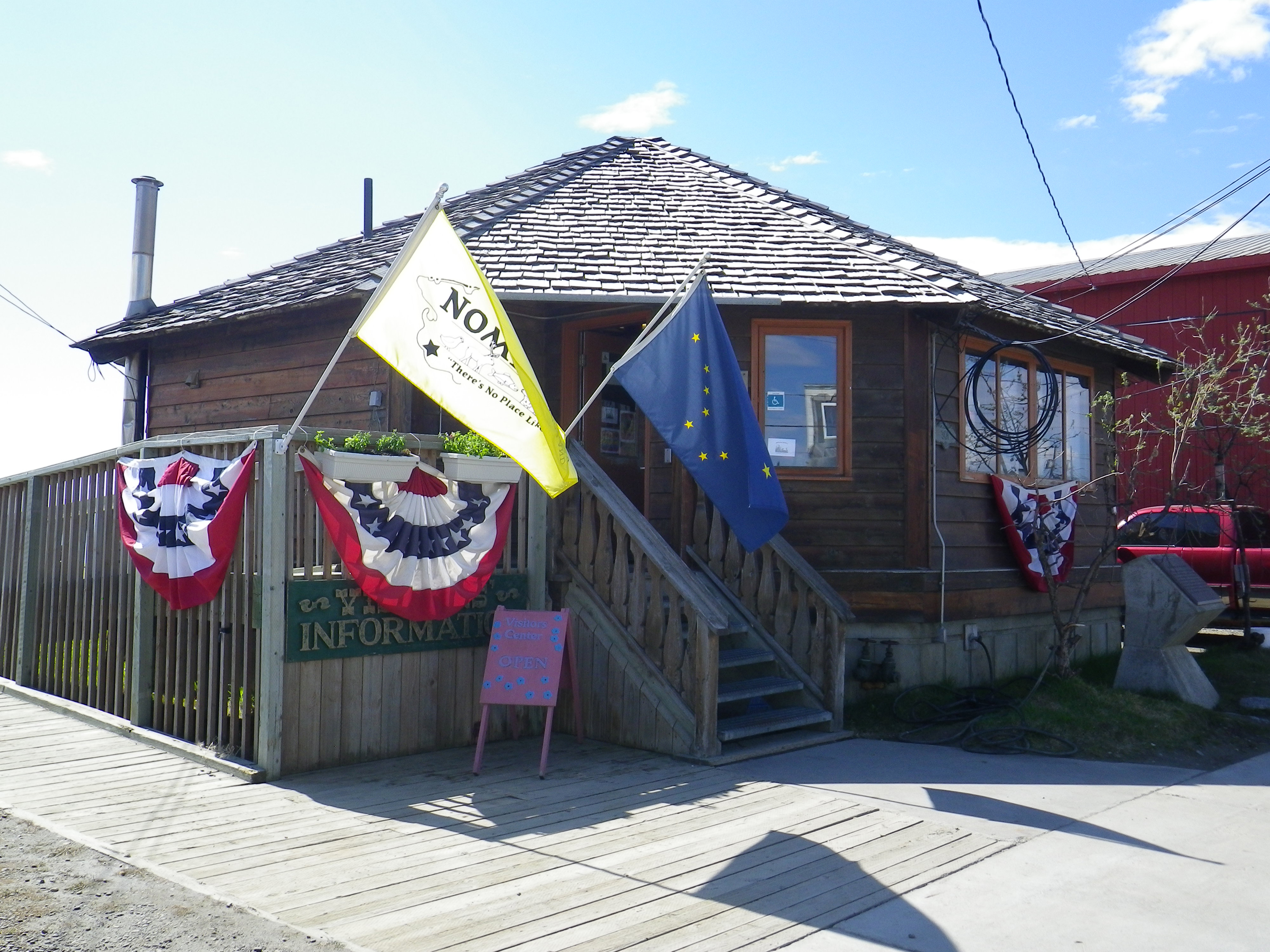
Serpentine Hot Springs: An OverviewOnce described as a “little oasis in a field of green, surrounded by a fence of granite”, Serpentine Hot Springs is a treasure that has been utilized for millennia and continues to service both traditional and recreational purposes. 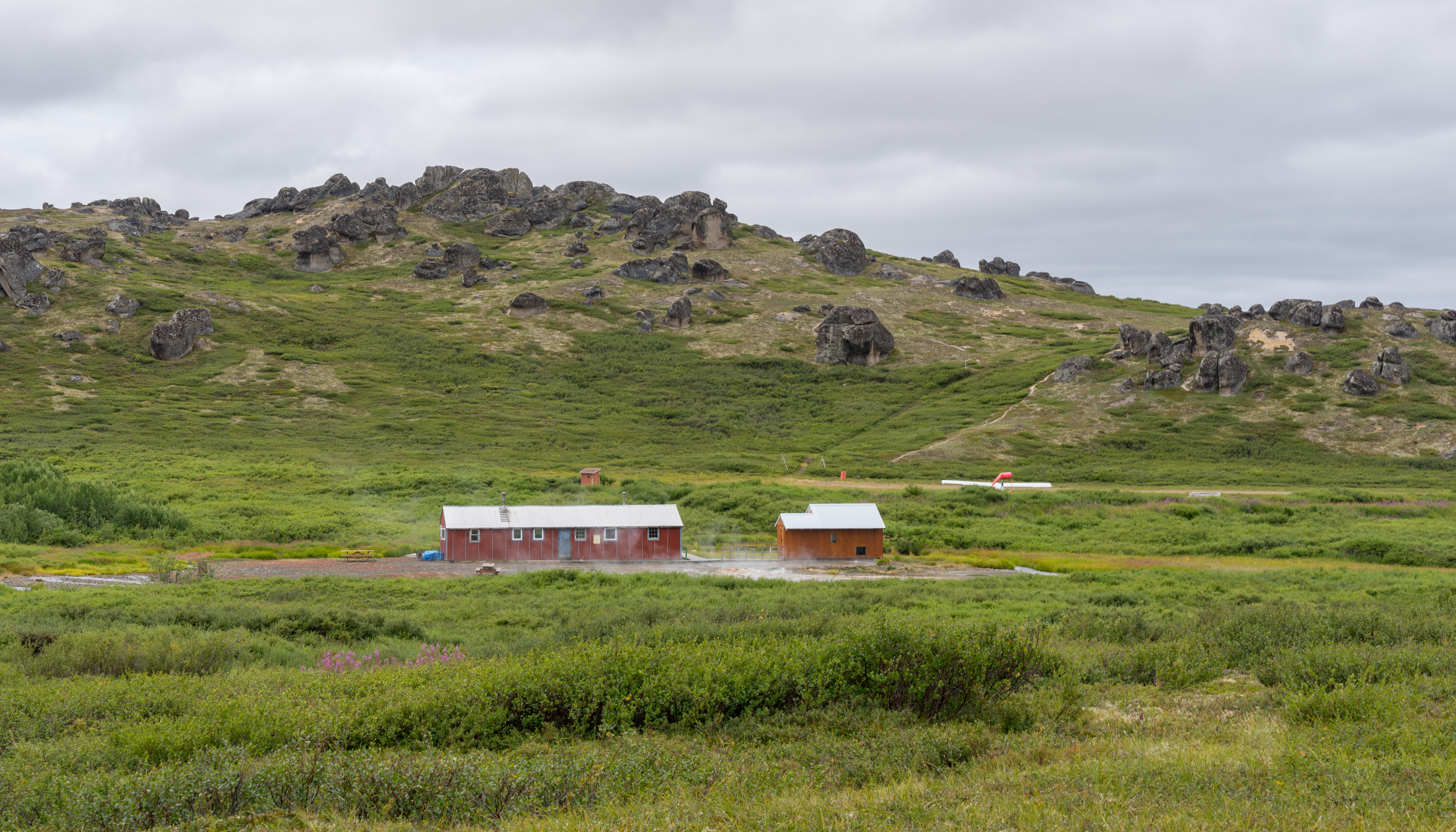
|
| Visitor Centers | Count: 1
Bering Land Bridge Heritage Center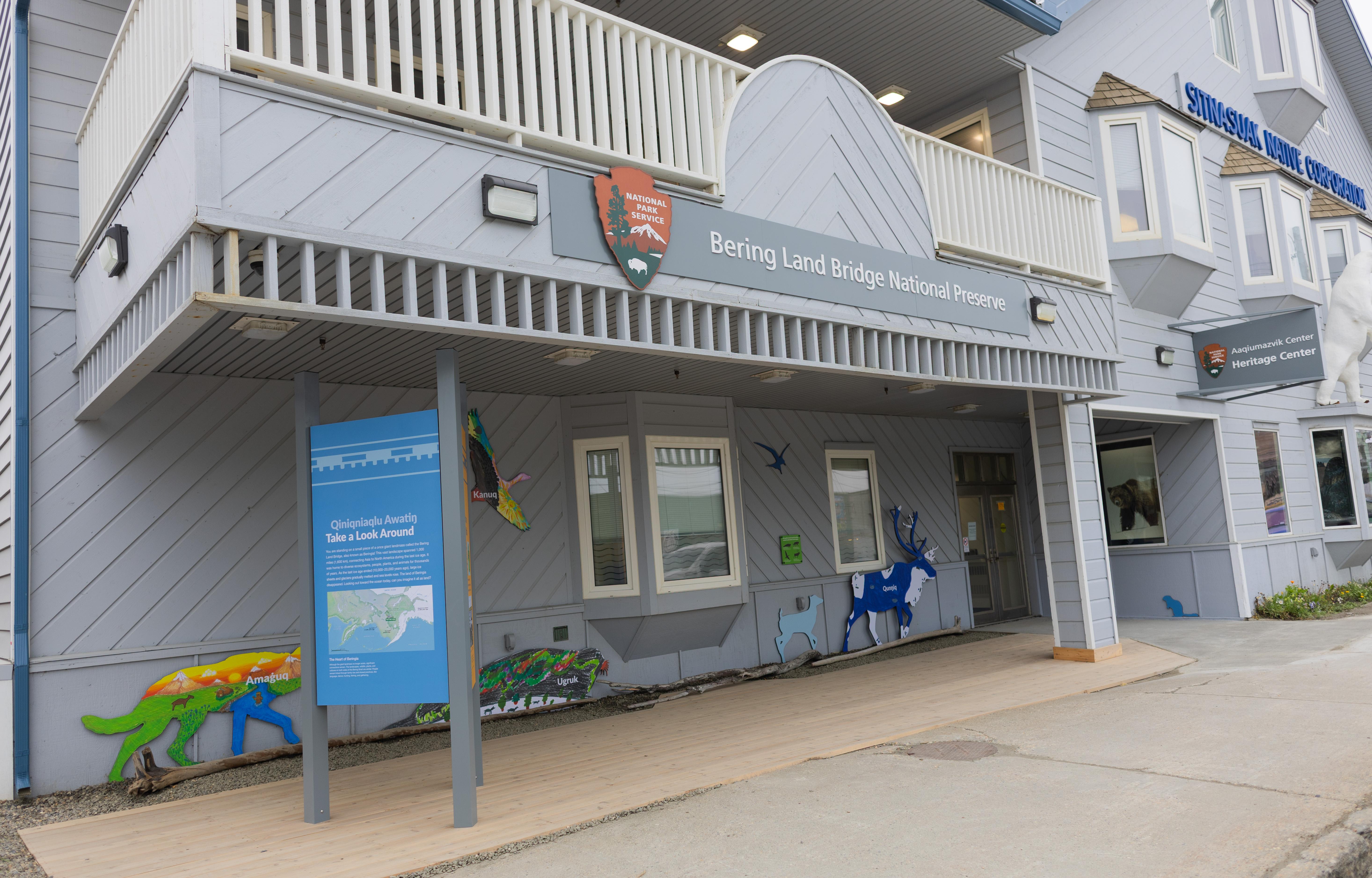
|
| Things to do | Count: 0
|
| Tours |
Count: 0
|
| Articles |
|