Park Store is Cashless
The Western National Parks store accepts credit/debit cards and contactless/mobile payments only.
Bridge Closure on Sunflower Road
Sunflower Road is closed at Big Sandy Creek for bridge replacement. Big Sandy Trail is open and accessible via Sunflower Road from Dallardsville.
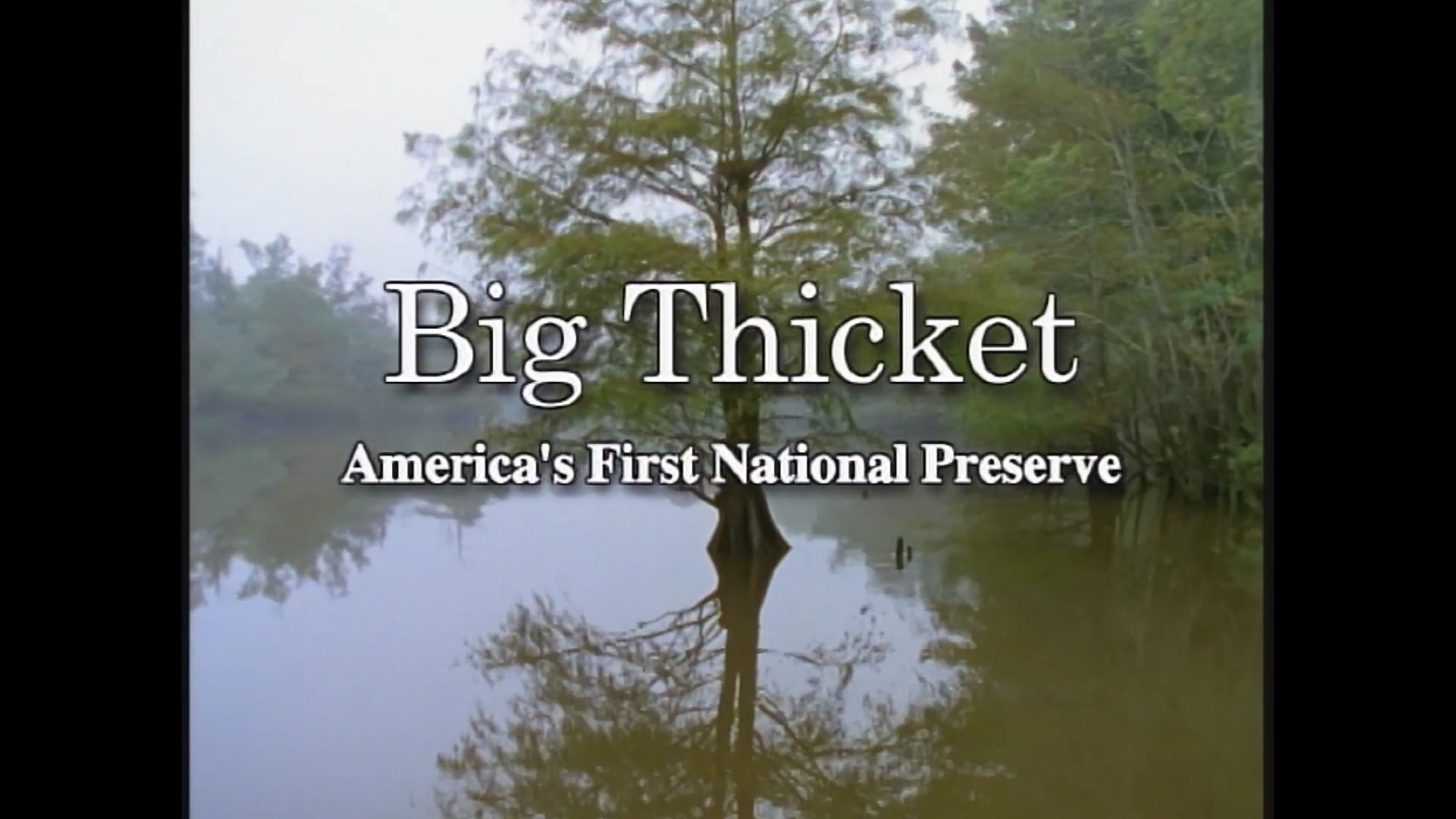
| Title | Big Thicket |
| Park Code | bith |
| Description | Life of all types abounds in the Big Thicket. This national preserve protects the incredible diversity of life found where multiple habitats meet in southeast Texas. Hiking trails and waterways meander through nine different ecosystems, from long... |
| Location | |
| Contact | |
| Activities |
|
| Entrance fees |
|
| Campgrounds | Count: 0
|
| Places | Count: 36
Beaver Slide Trail1 mile roundtrip | The Beaver Slide Trail is a hidden gem. This short hike leads hikers past several scenic ponds and sloughs. Keep an eye out for beaver dams along the way! 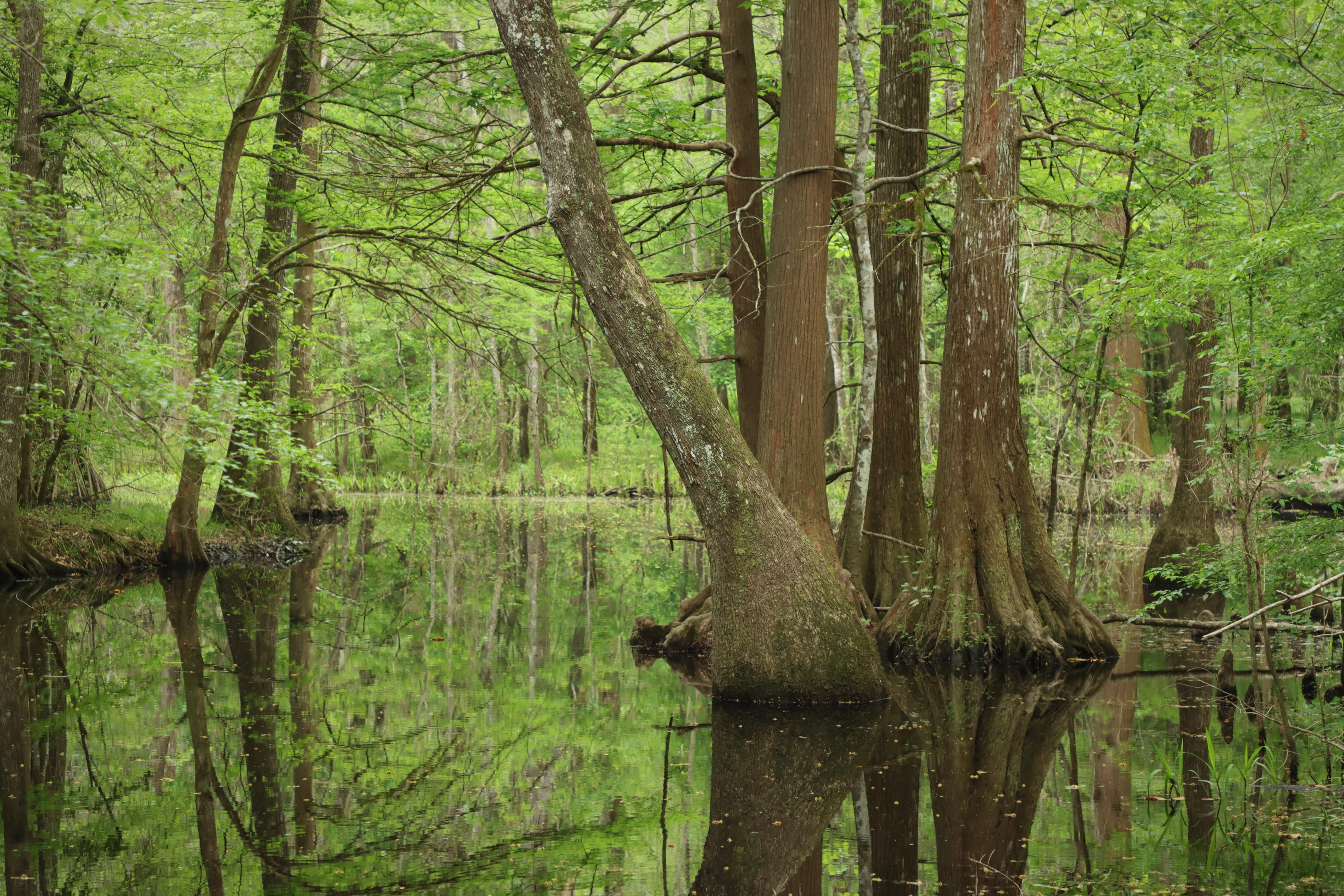
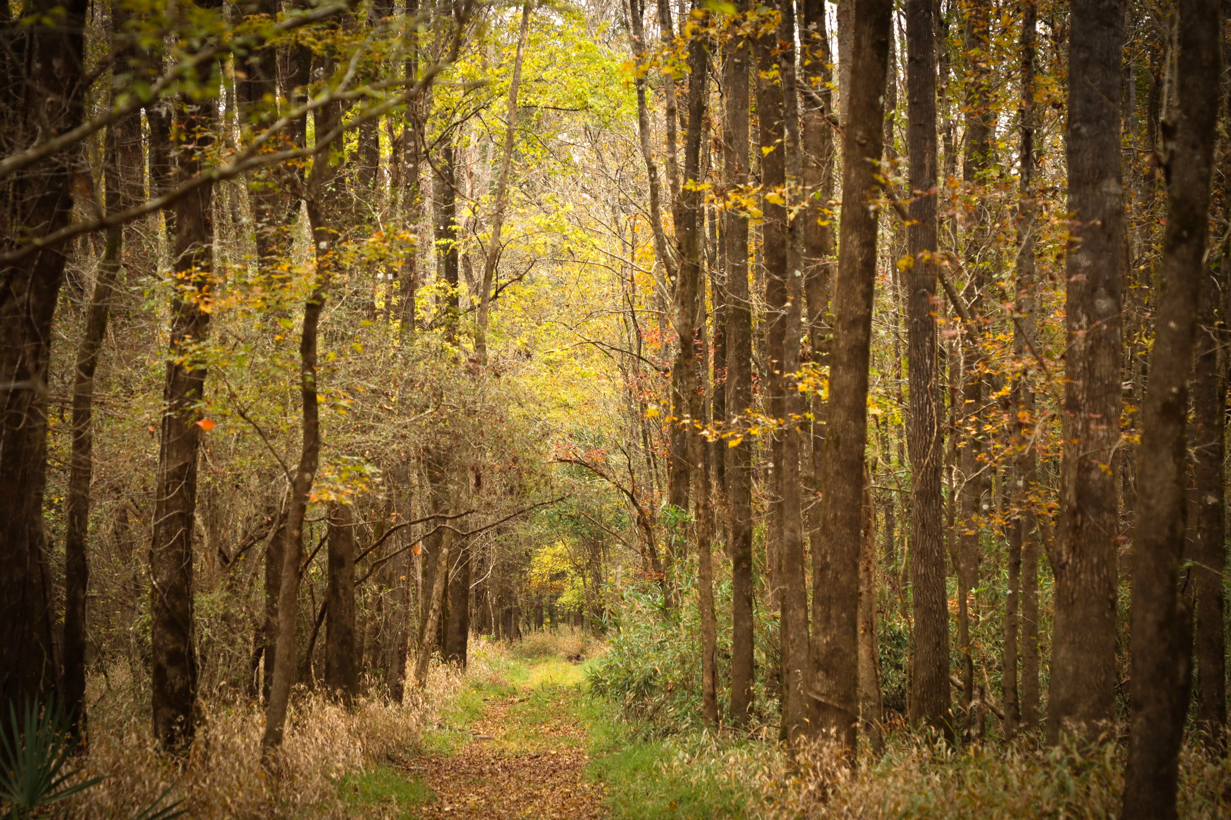
Beech Woods Trail1½ miles roundtrip | See a forest of American beeches on this pleasant loop hike in the northeastern corner of the preserve. 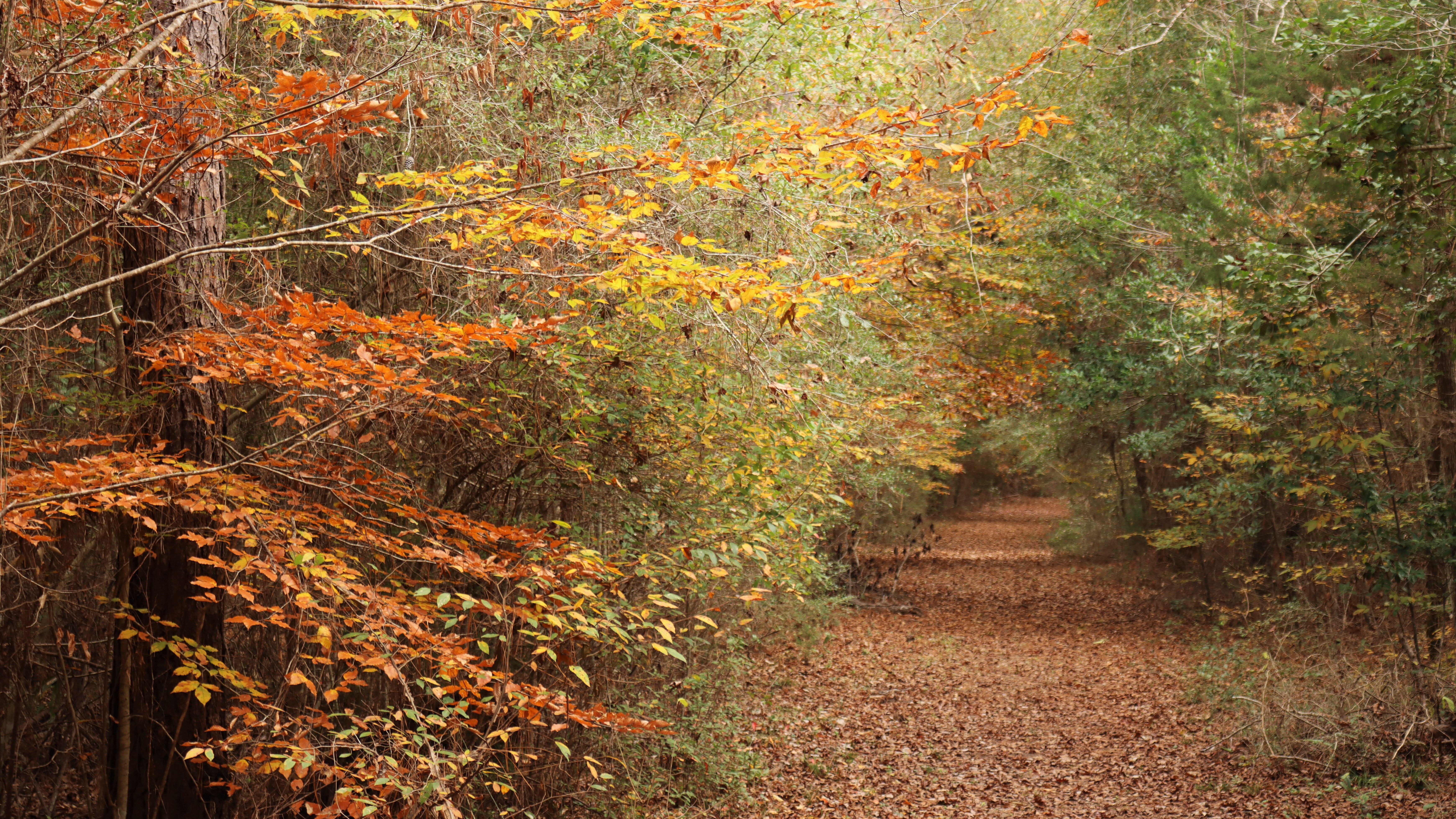
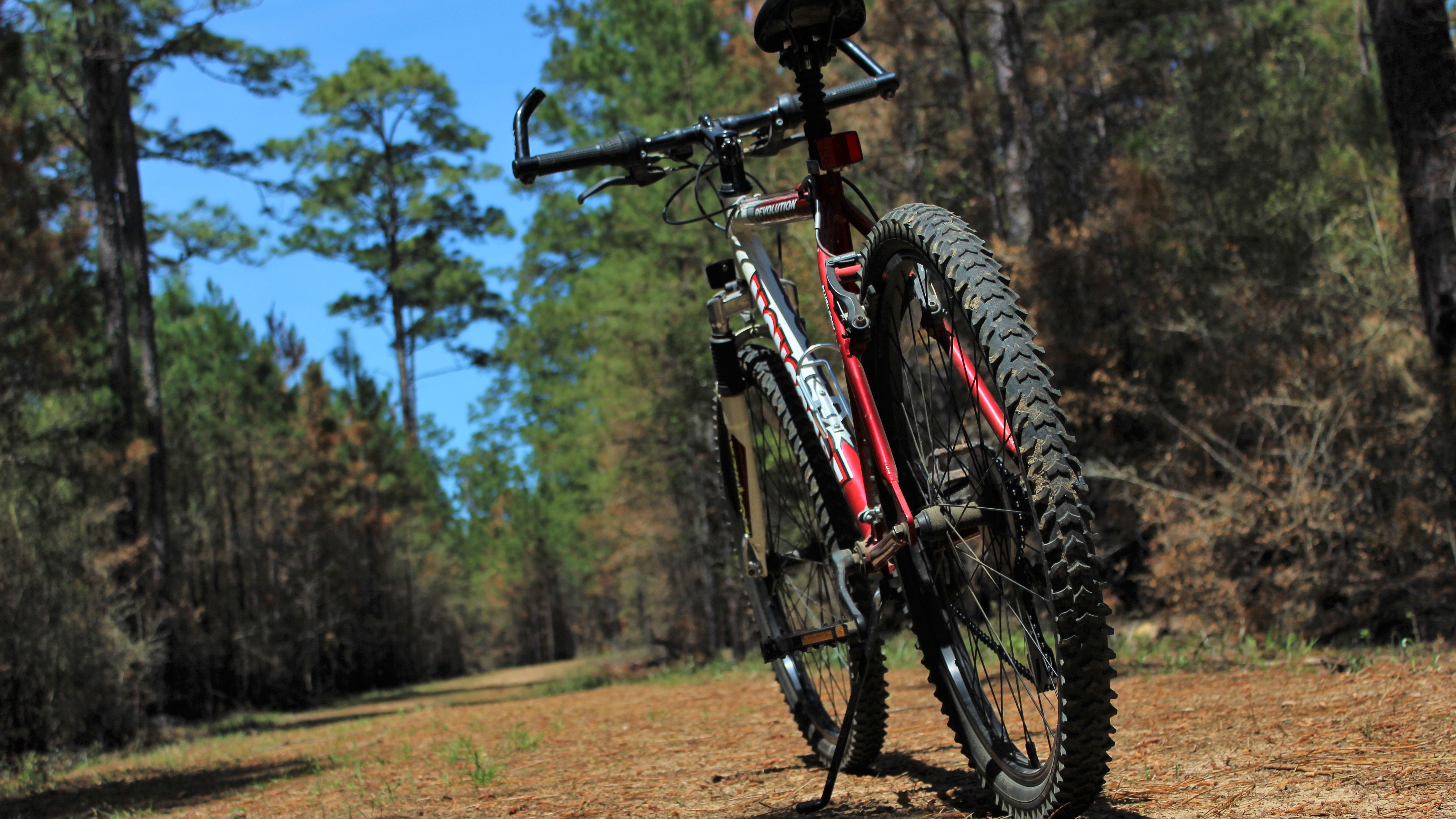
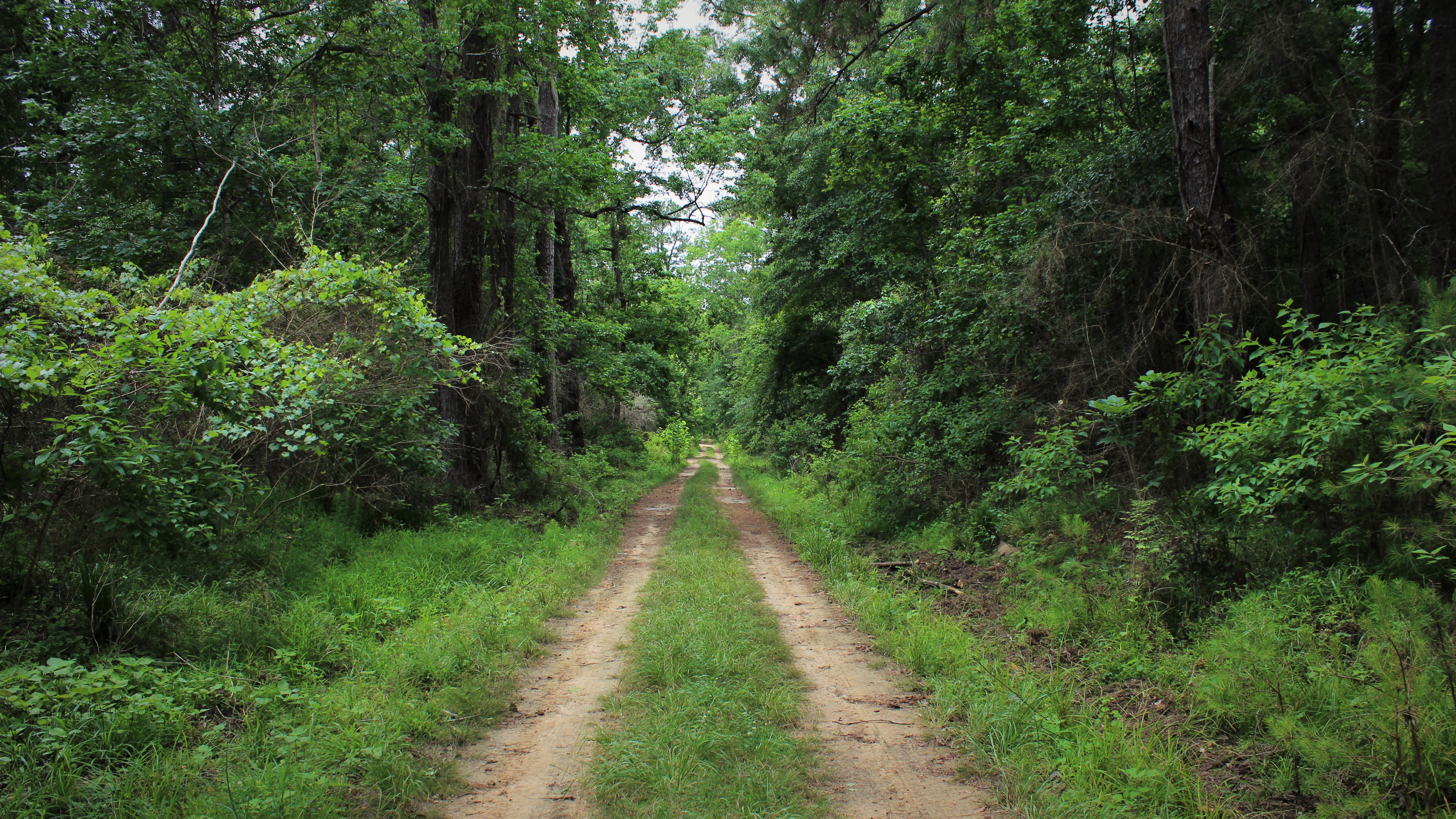
Big Sandy Trail14.7 miles roundtrip | The Big Sandy Trail follows old logging roads through the woods. This is the only trail in the preserve open to bicycles and horses. 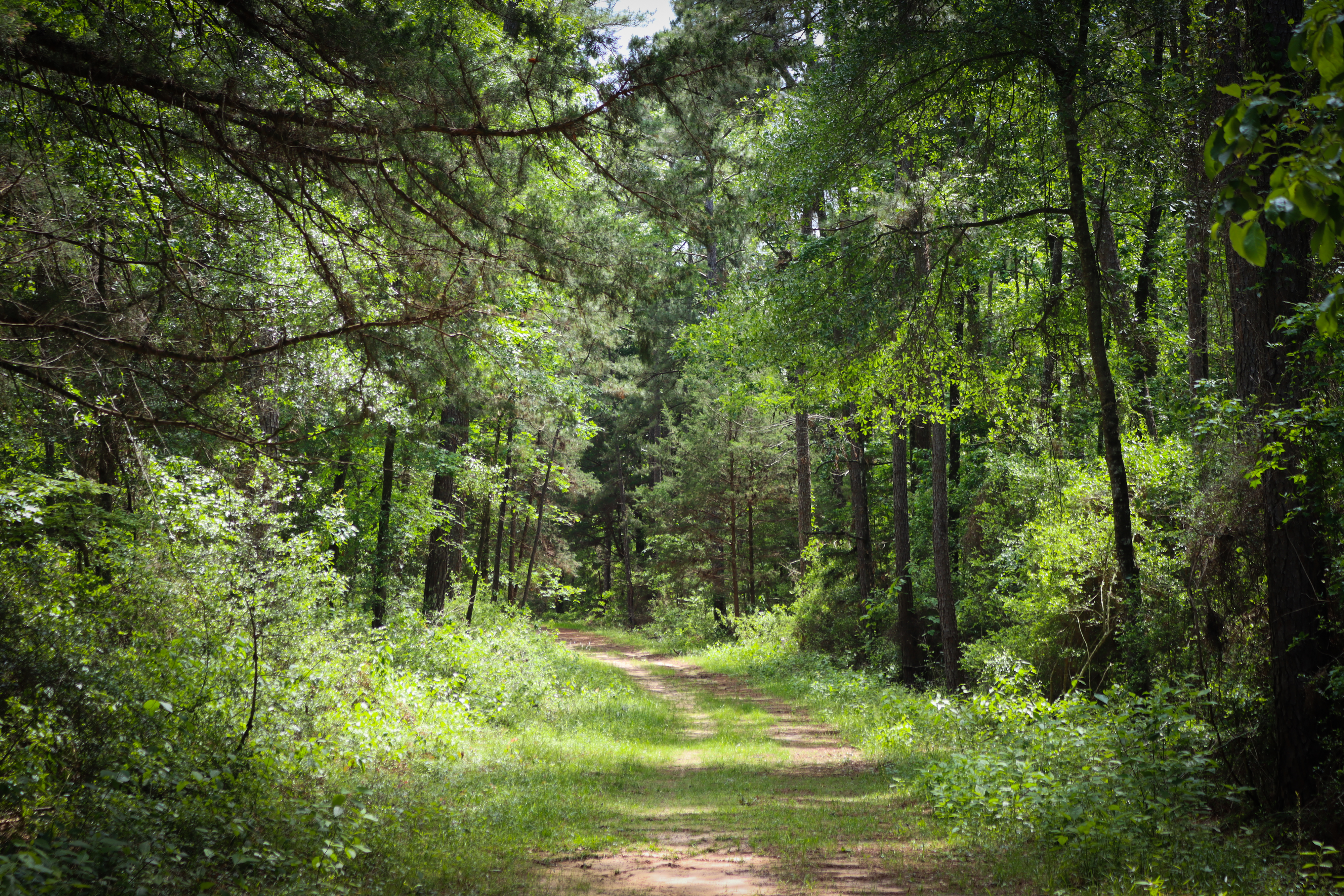
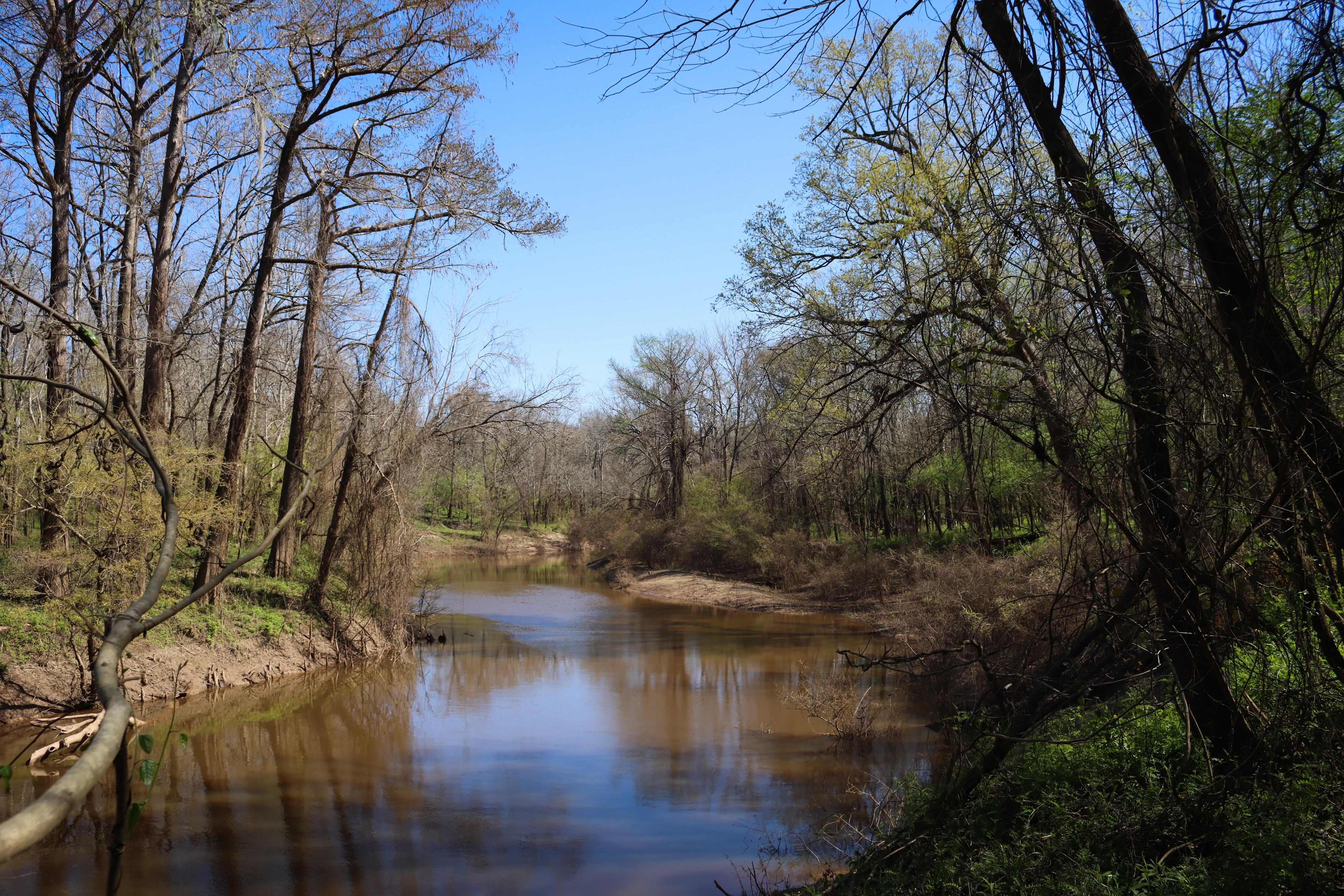
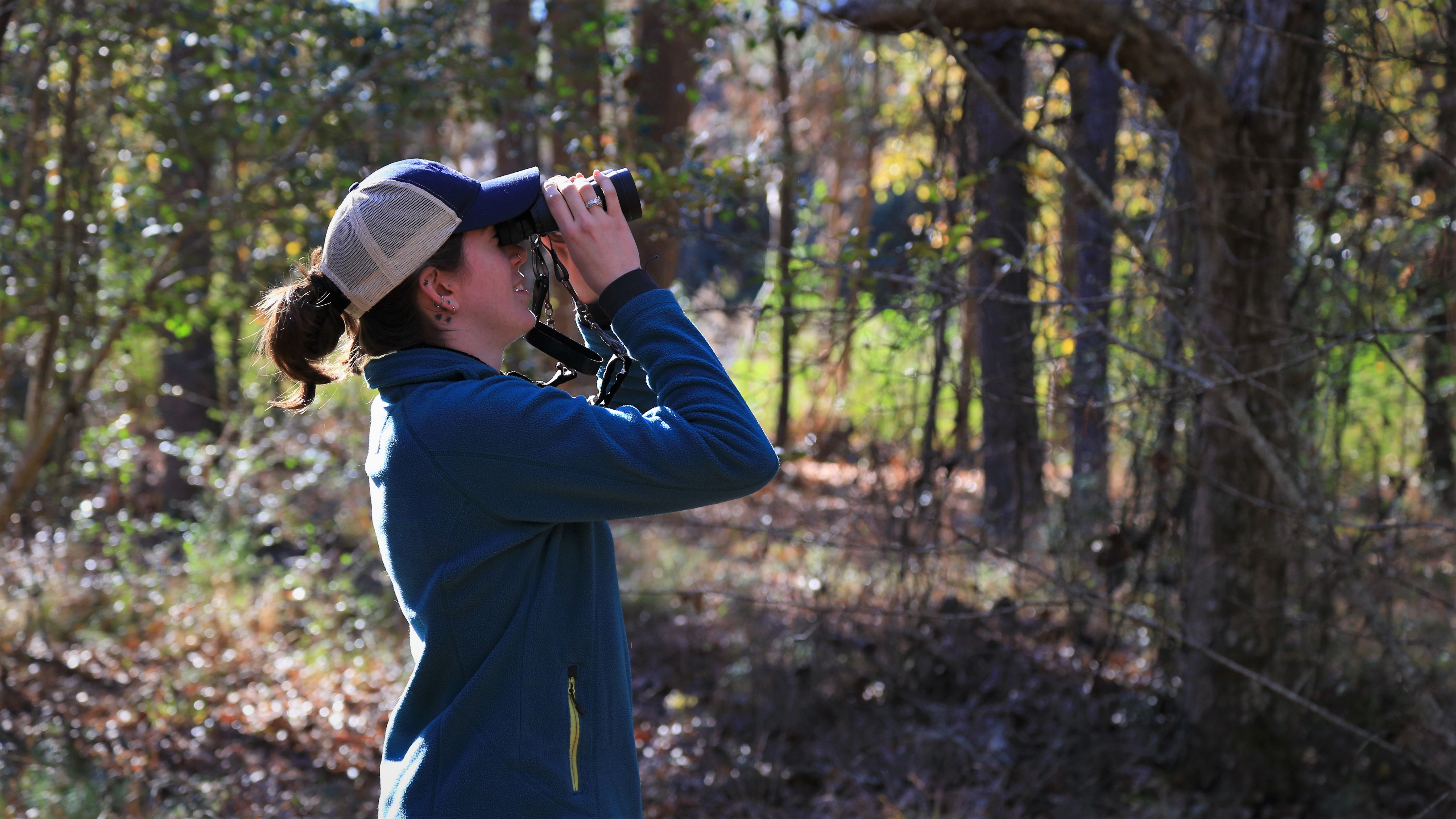
Birdwatchers Trail¾ mile roundtrip | This short hike leads to views of Menard Creek and the Trinity River, an important migration route for birds. 
Cattail MarshCattail Marsh provides habitat for many kinds of birds. A boardwalk and shaded viewing area provide opportunities for birding and scenic views. Several miles of trails go along the edge of the wetlands. 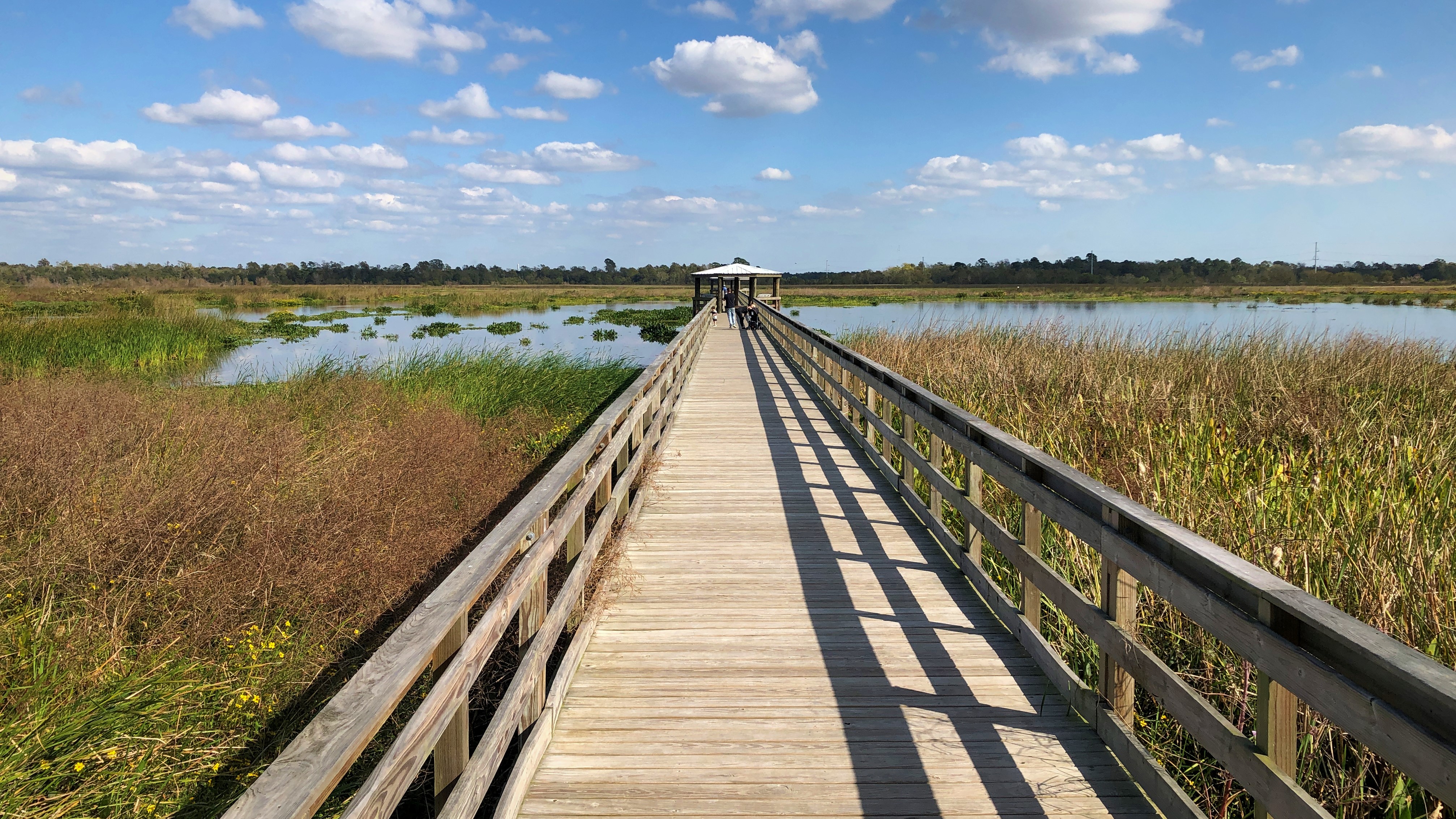
Centennial ForestIn honor of the National Park Service's centennial anniversary in 2016, this former logging site has been replanted in hopes that future generations may enjoy a thriving longleaf pine savannah. 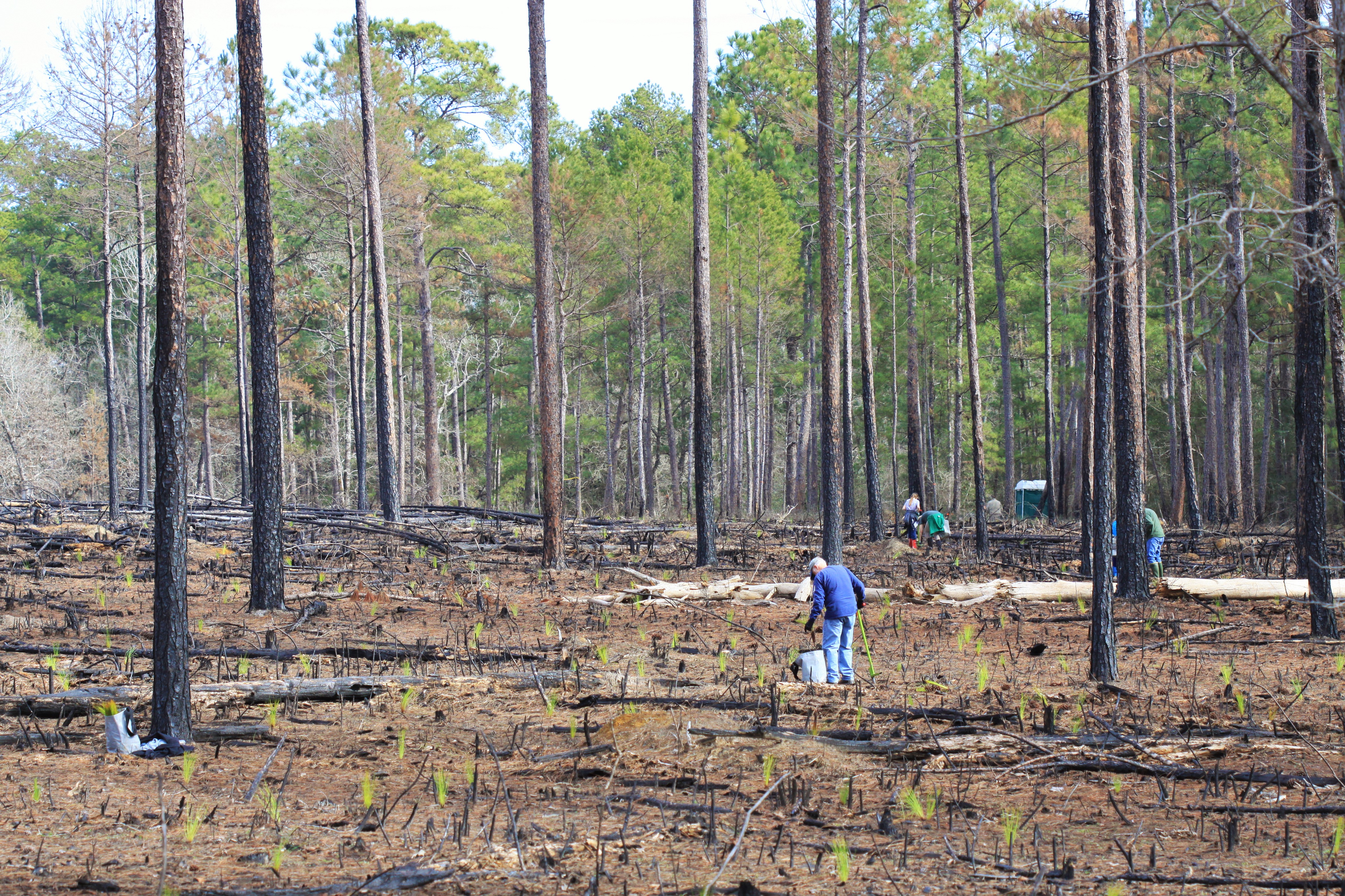
Collier's Ferry Boat RampCollier's Ferry boat ramp provides access to the Neches River. The Collier's Ferry to Lake Bayou Paddling Trail begins here. 
Confluence Boat RampThis boat launch provides access to the confluence of the Neches River and Pine Island Bayou. It's located northwest of Vidor, across the river from the Saltwater Barrier. 
Cooks Lake Day-Use AreaFind a nice view of Pine Island Bayou from Cooks Lake Day-Use Area. This is a popular spot for fishing. Located between Beaumont and Lumberton. 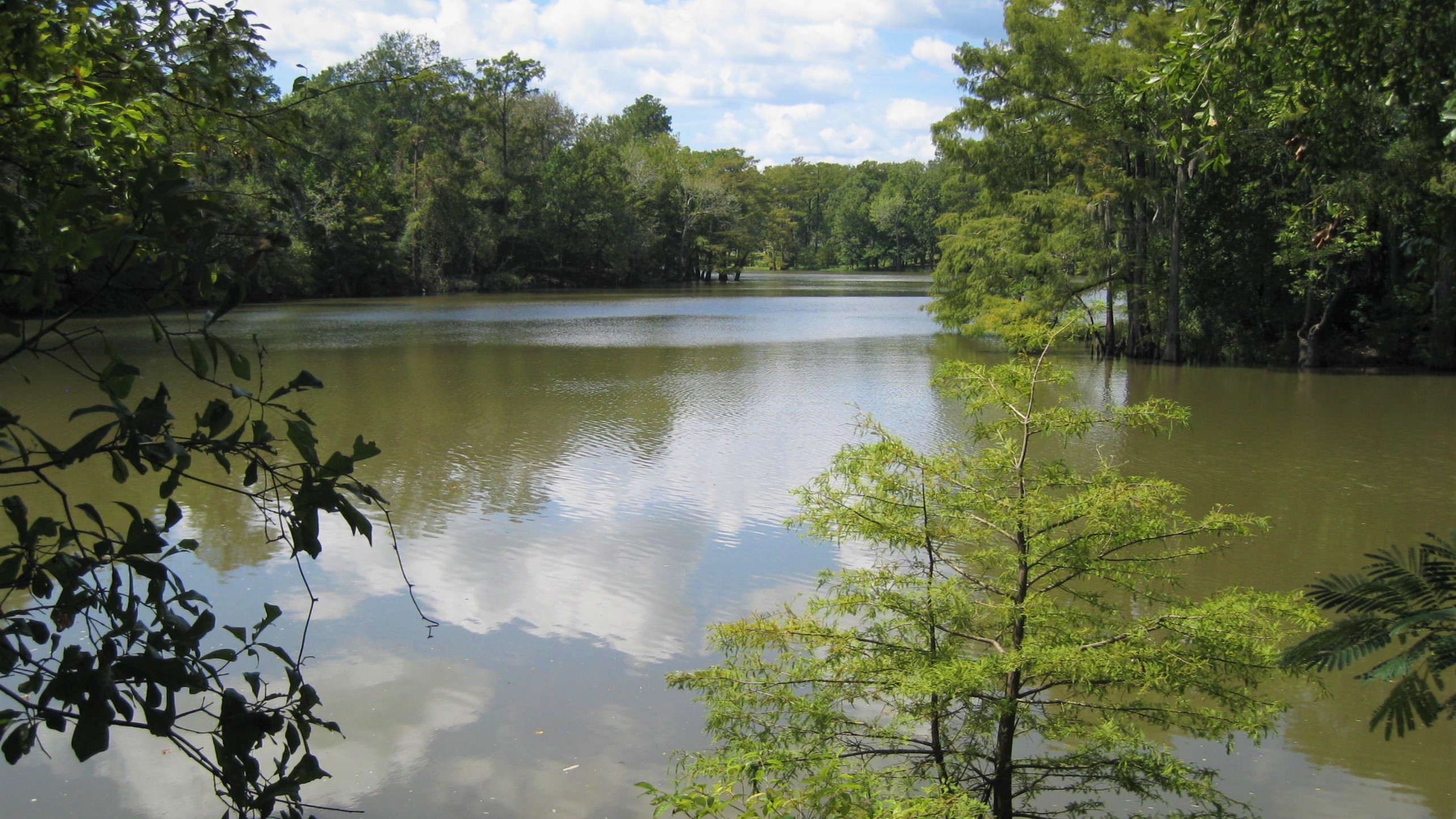
Edgewater Day-Use AreaThis pleasant picnic area sits on the bank of Pine Island Bayou. A picnic table and shaded path along the water await you. Edgewater is located north of Beaumont. 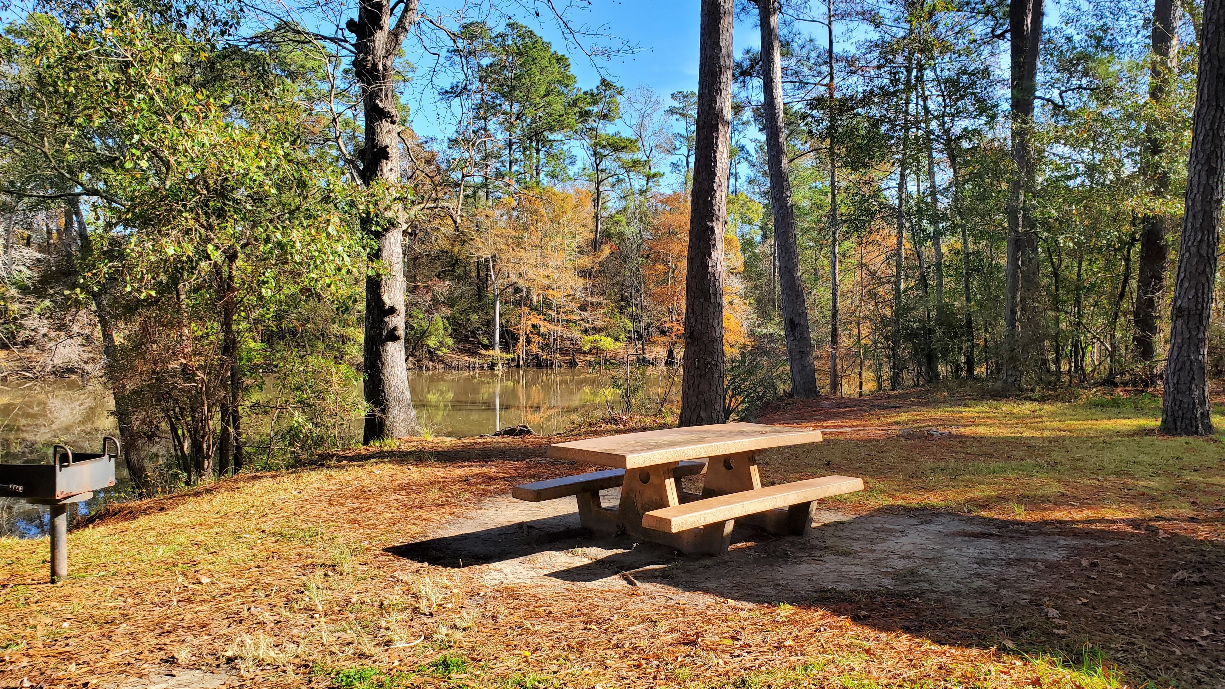
Four Oaks Day-Use AreaThis quiet spot is a nice place to have a picnic and fish along the Neches River. It's located northwest of Vidor. 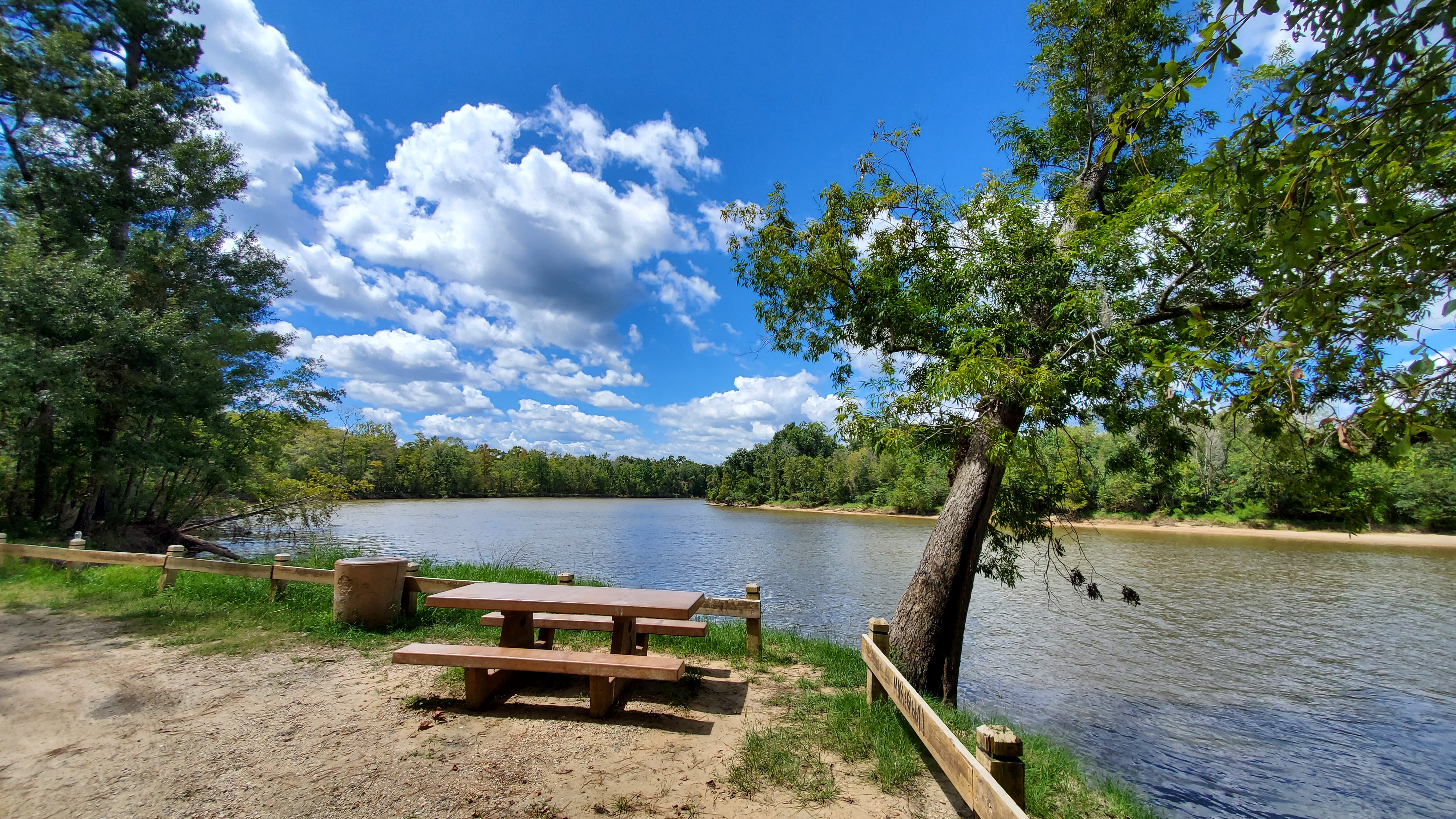
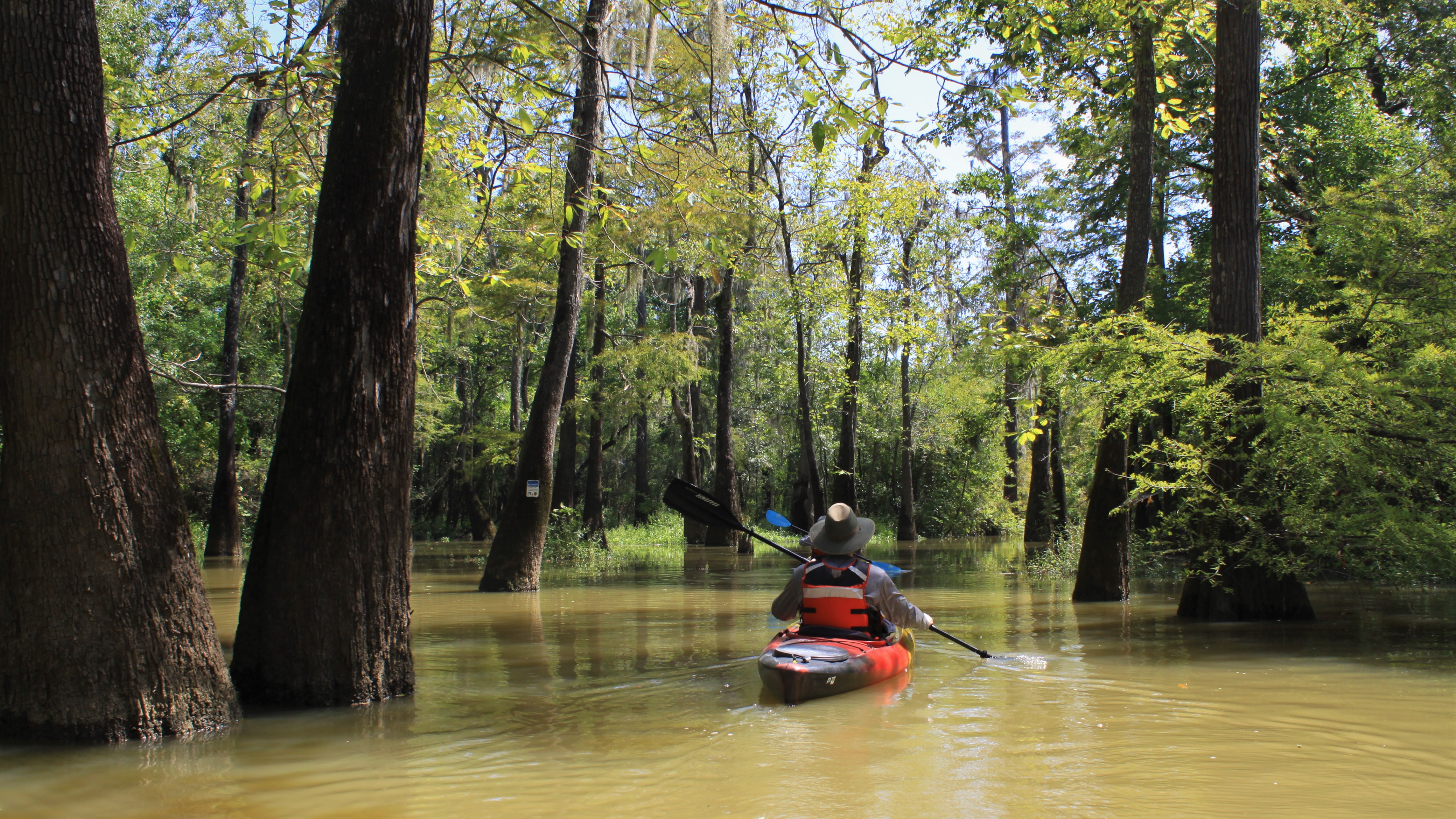
Franklin LakeThis remote oxbow lake near the Jack Gore Baygall invites paddlers to explore its cypress-tupelo forest. 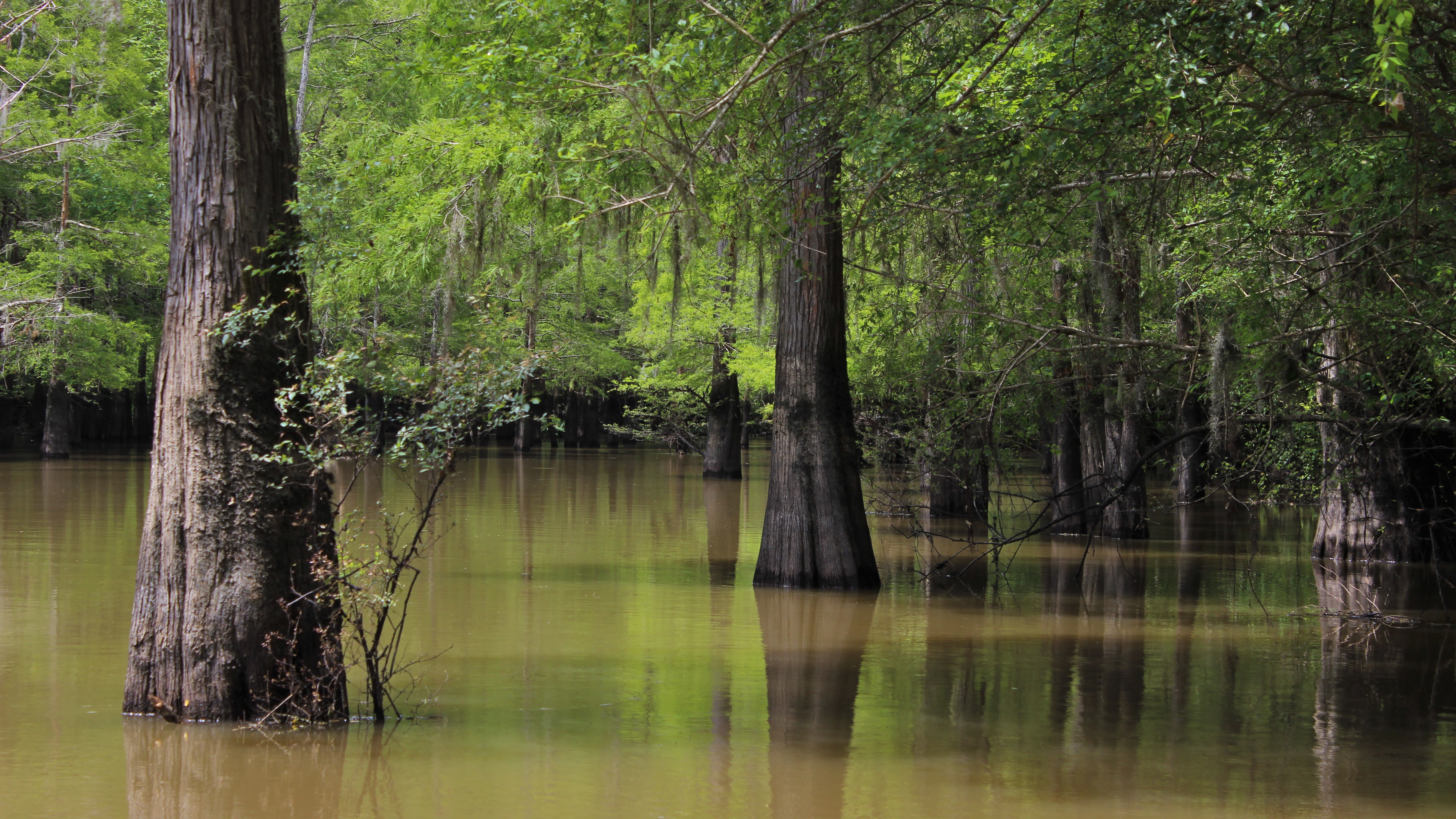
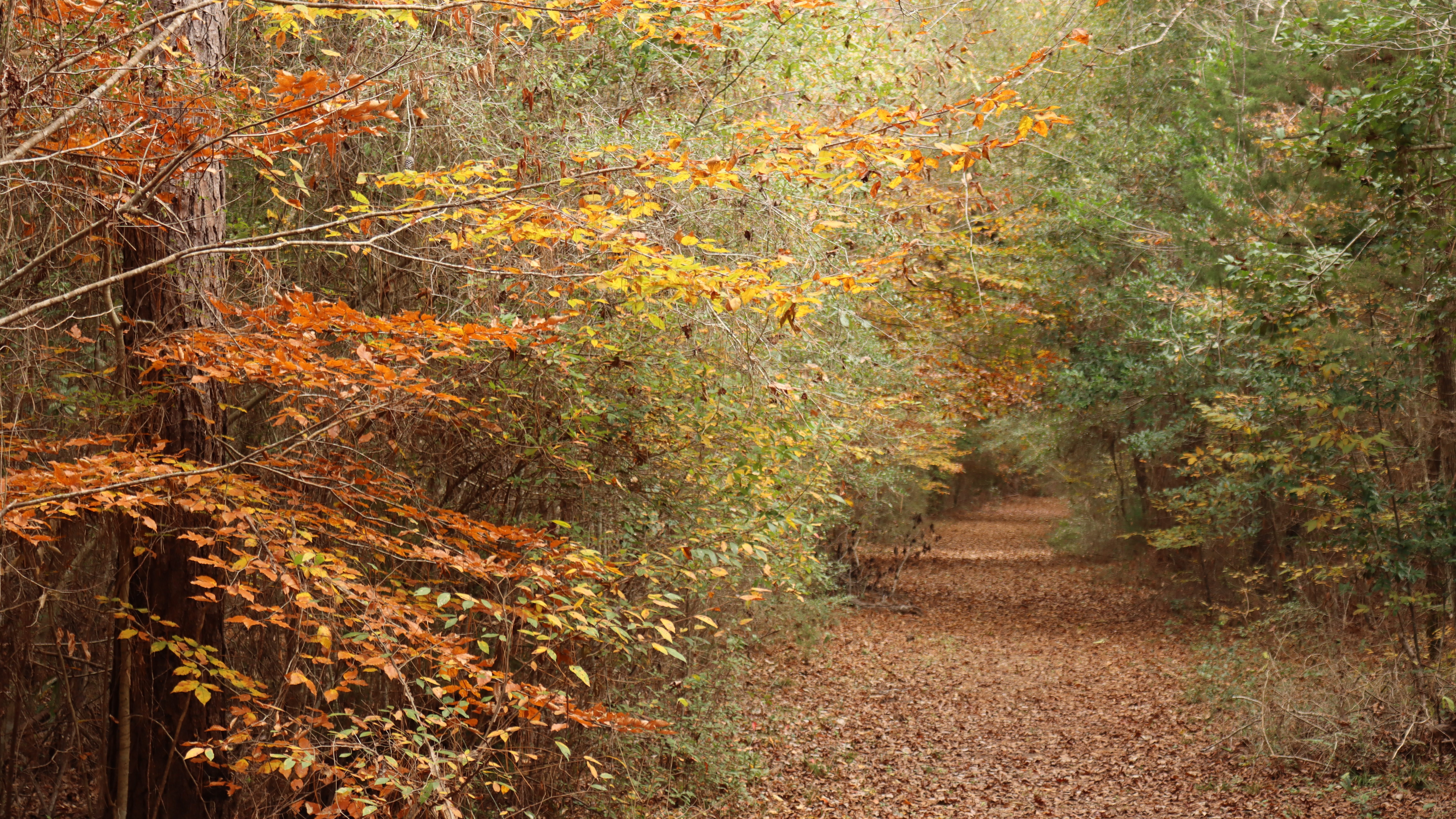
Kirby Nature Trail1½ to 2½ miles roundtrip | Experience the Big Thicket on a gentle loop hike through different kinds of forest. See majestic bald cypress trees and knees and Village Creek. 
Lance Rosier Unit SignWho was Lance Rosier and why is part of the preserve named for him? 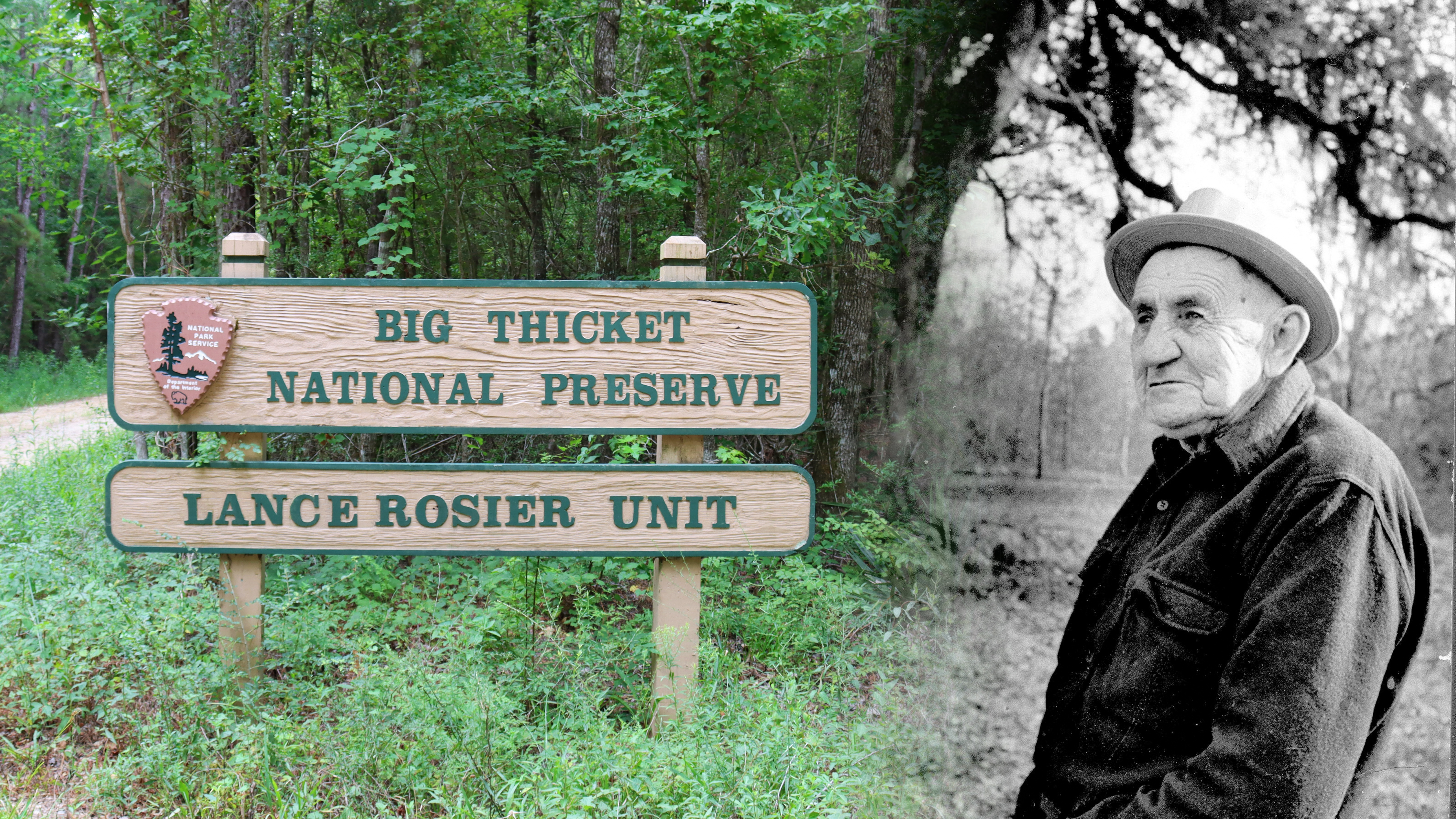
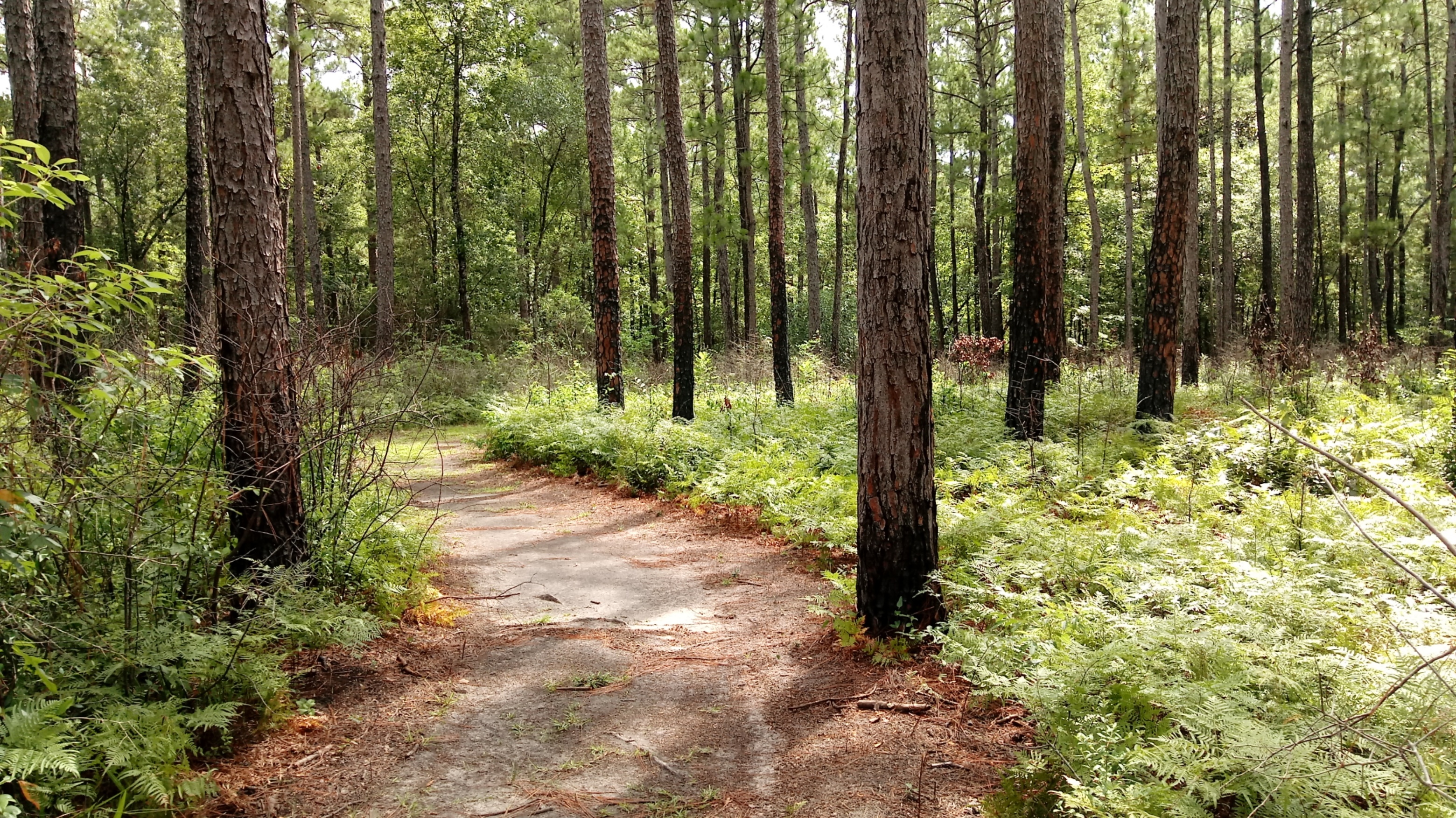
Longleaf Pine Trail1 mile roundtrip | Stroll through a longleaf pine forest near the visitor center on Big Thicket's newest trail. 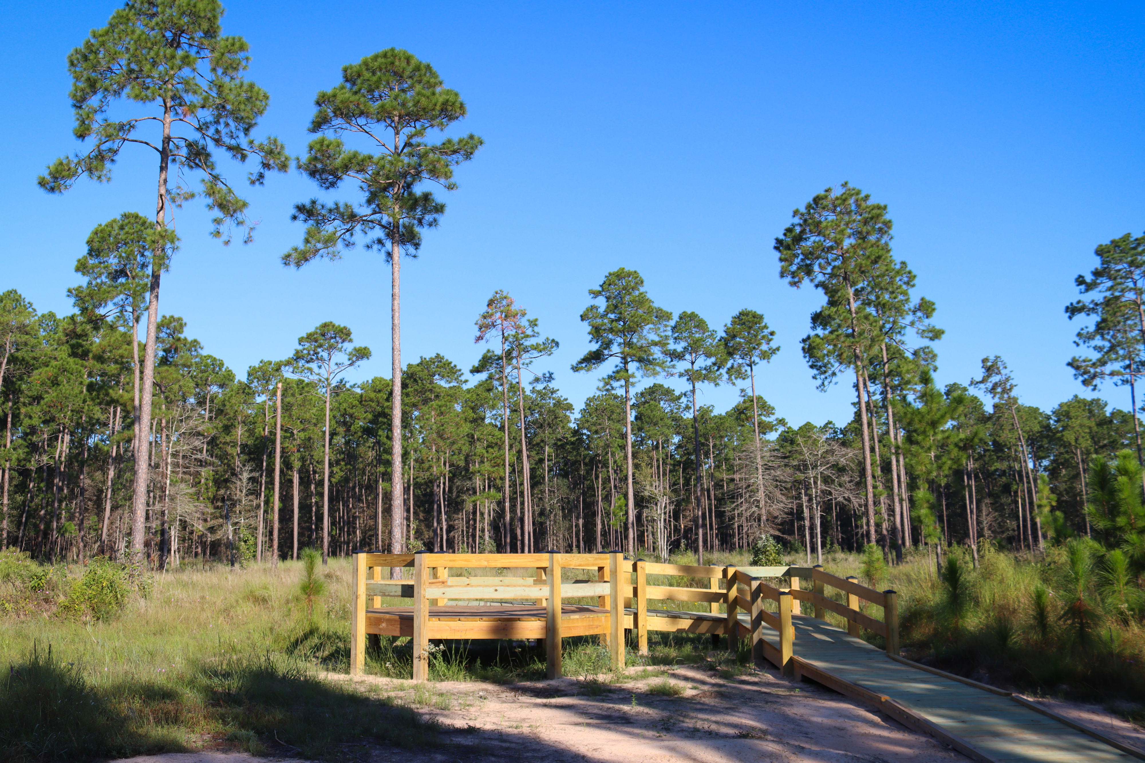
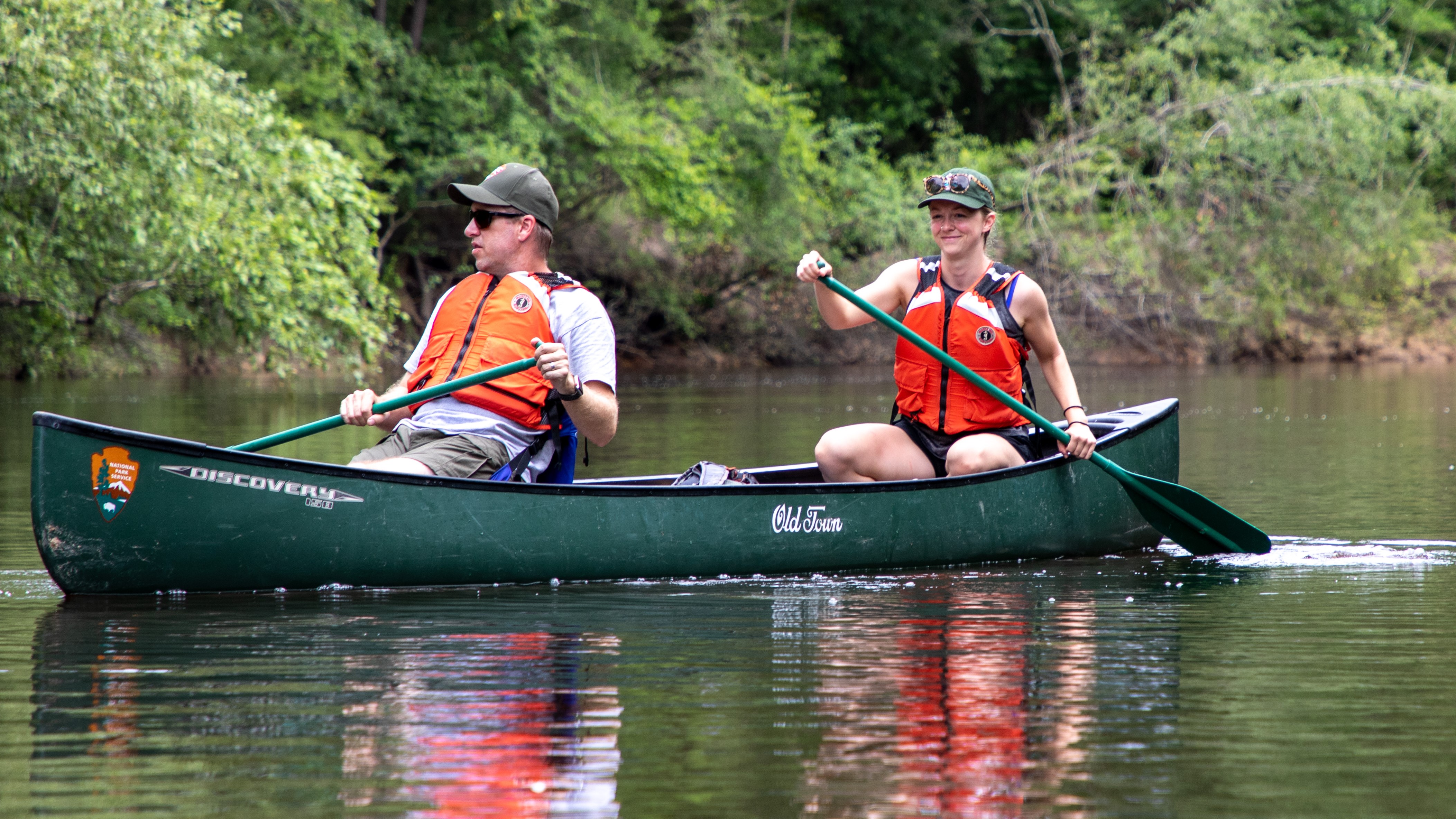
McQueens Landing Boat LaunchMcQueens Landing provides kayak, canoe, and small boat access to the Neches River. This boat launch is just south of B.A. Steinhagen Lake near Jasper. 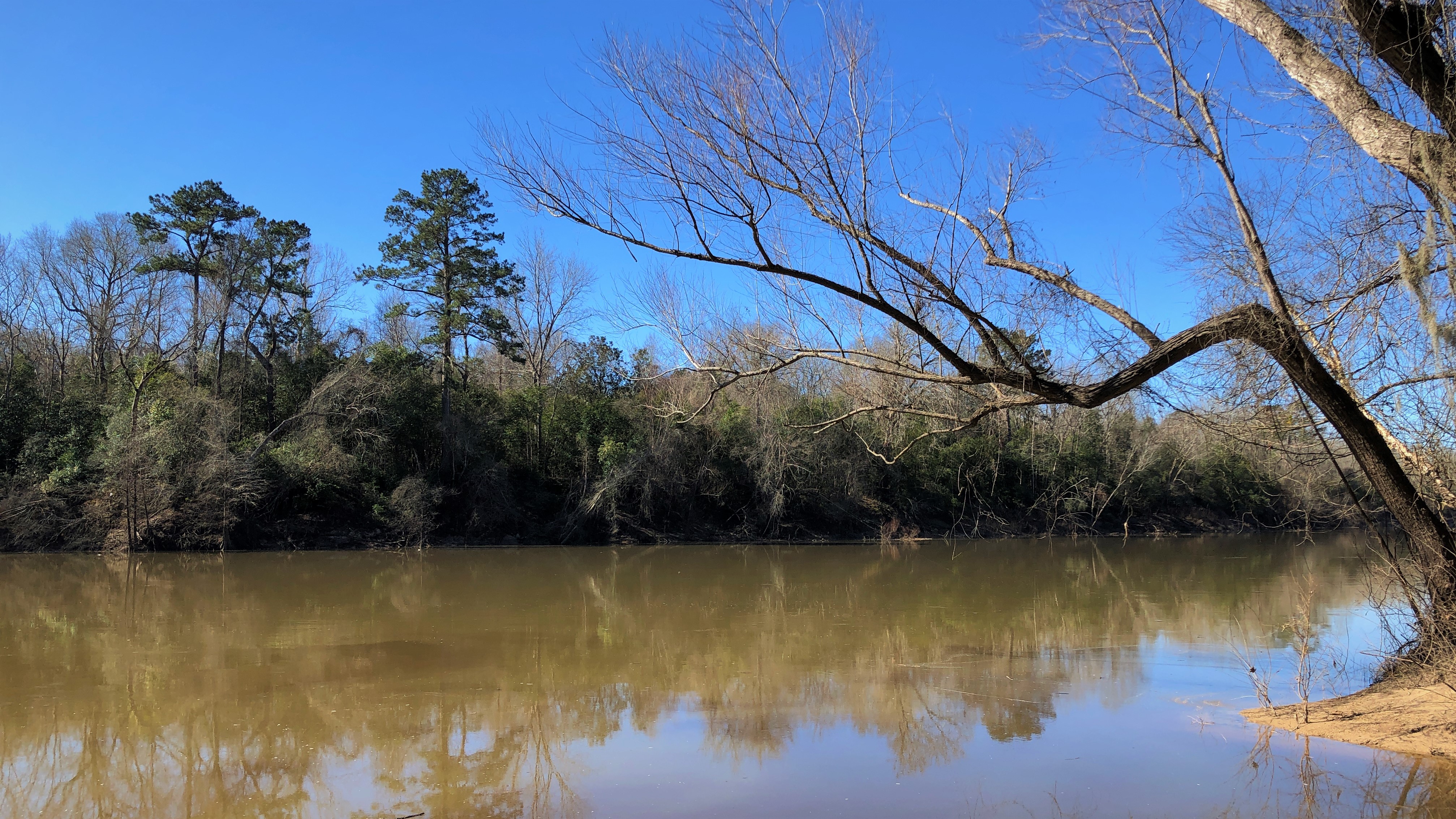
Neches River: Evadale Boat RampThis boat ramp in Evadale provides access to the Neches River. 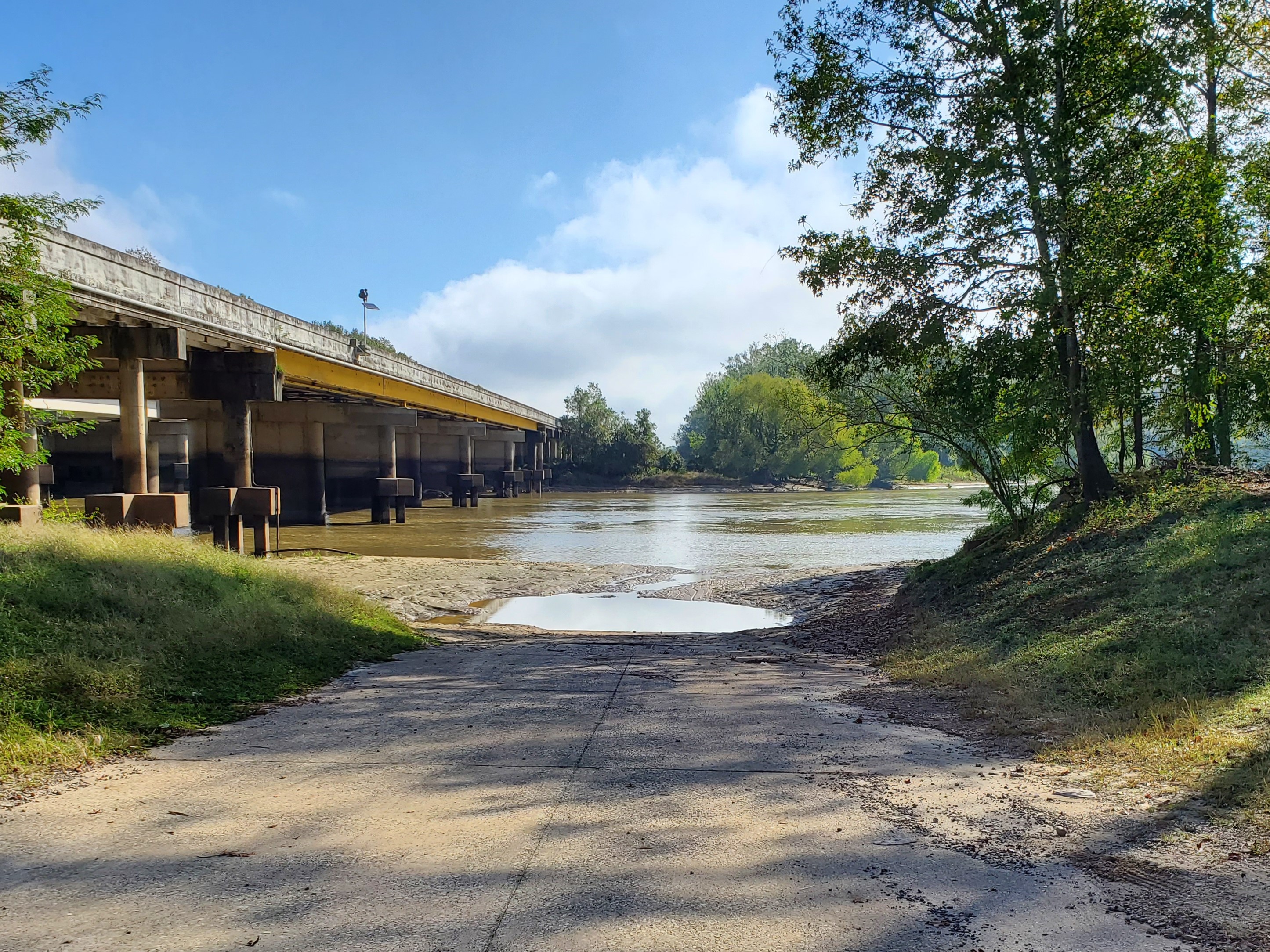
Oilfield CemeteryOilfield Cemetery is located in the Saratoga Oilfield, just outside the Lance Rosier Unit. 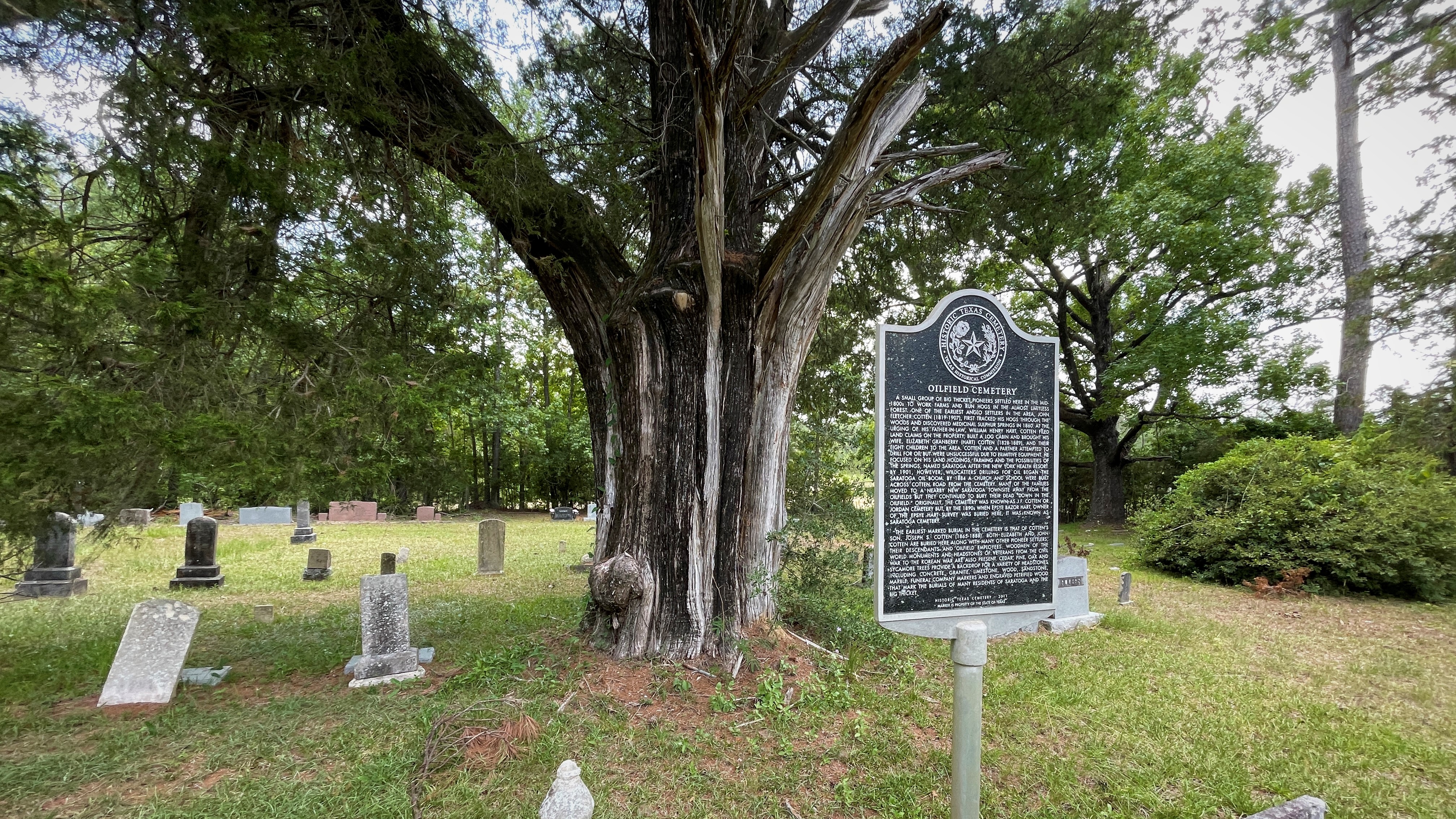
Pine Island Bayou: US 69/96/287 Boat RampThis location features a paved boat ramp and metal pier on Pine Island Bayou just south of Lumberton. 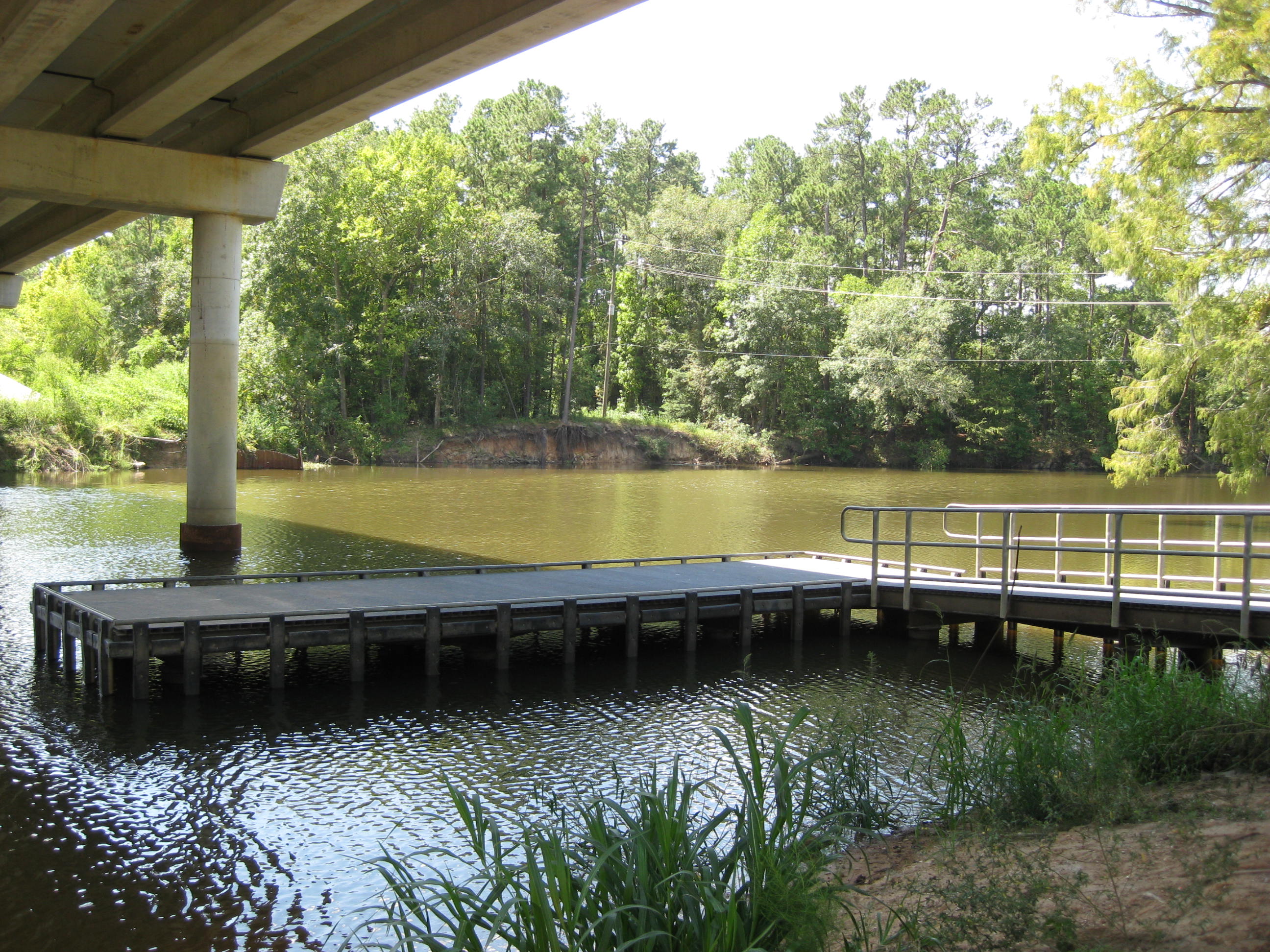
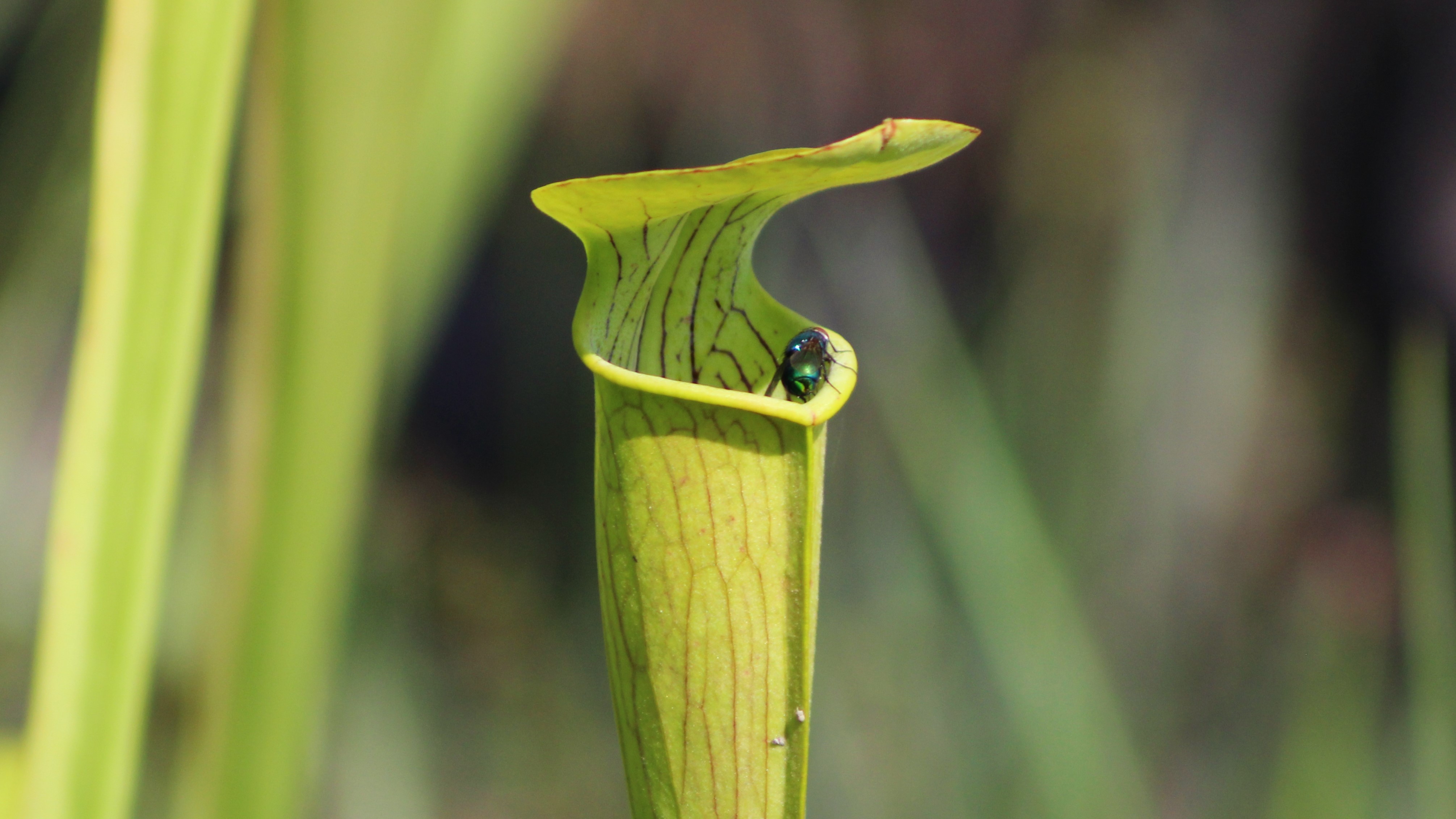
Pitcher Plant Trail1 mile roundtrip | Follow an easy loop that leads to a boardwalk through a pitcher plant bog where you can look for carnivorous plants in spring and summer. 
Roy E. Larsen Sandyland SanctuaryThis park features trails that explore an arid sandyland, an unusual feature in the rain-soaked Big Thicket because of its variety of desert plants. 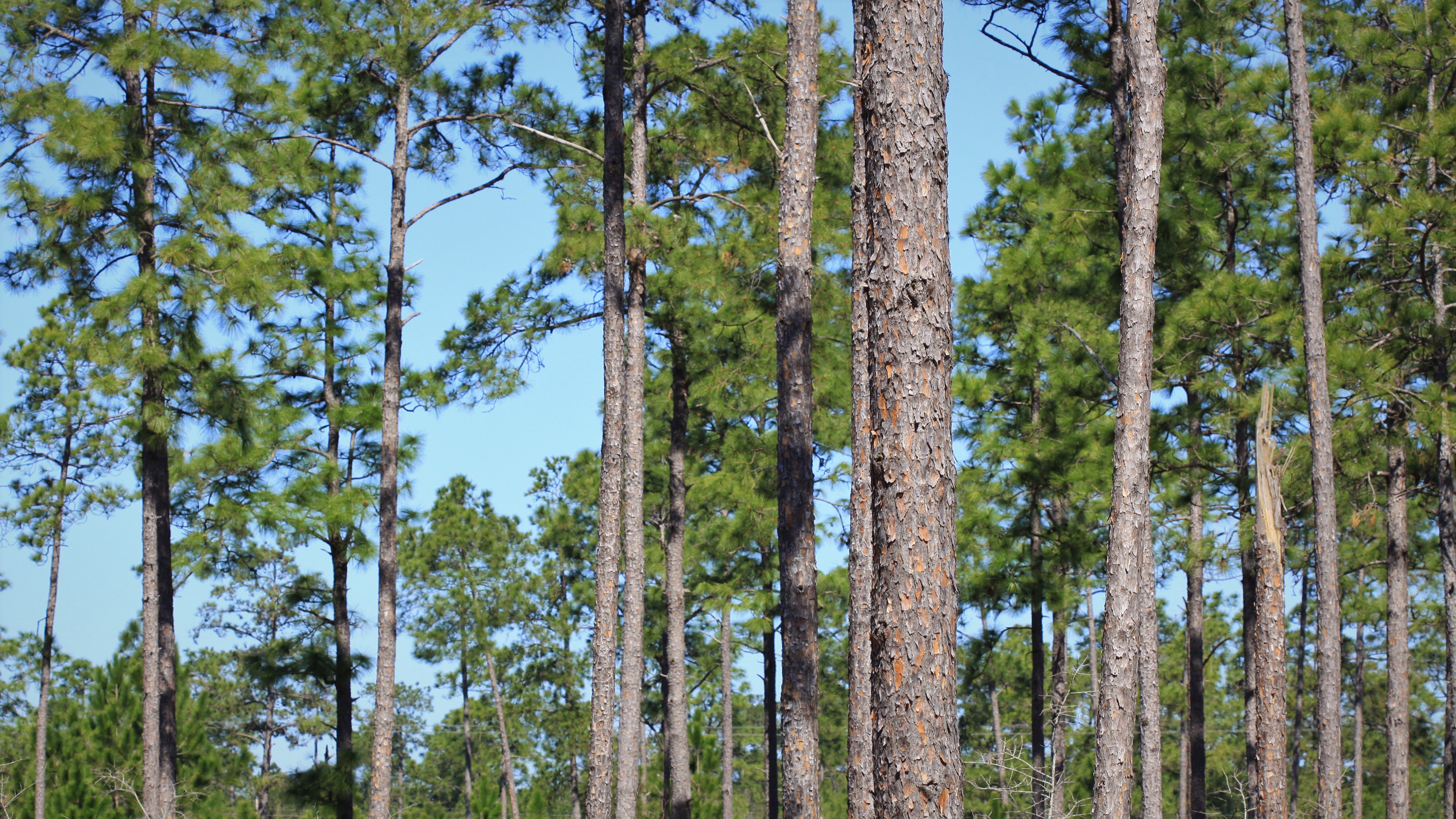
Saltwater Barrier Boat RampThis paved boat ramp provides access to the Neches River. Paddlers can start here to reach the Cooks Lake to Scatterman Paddling Trail. 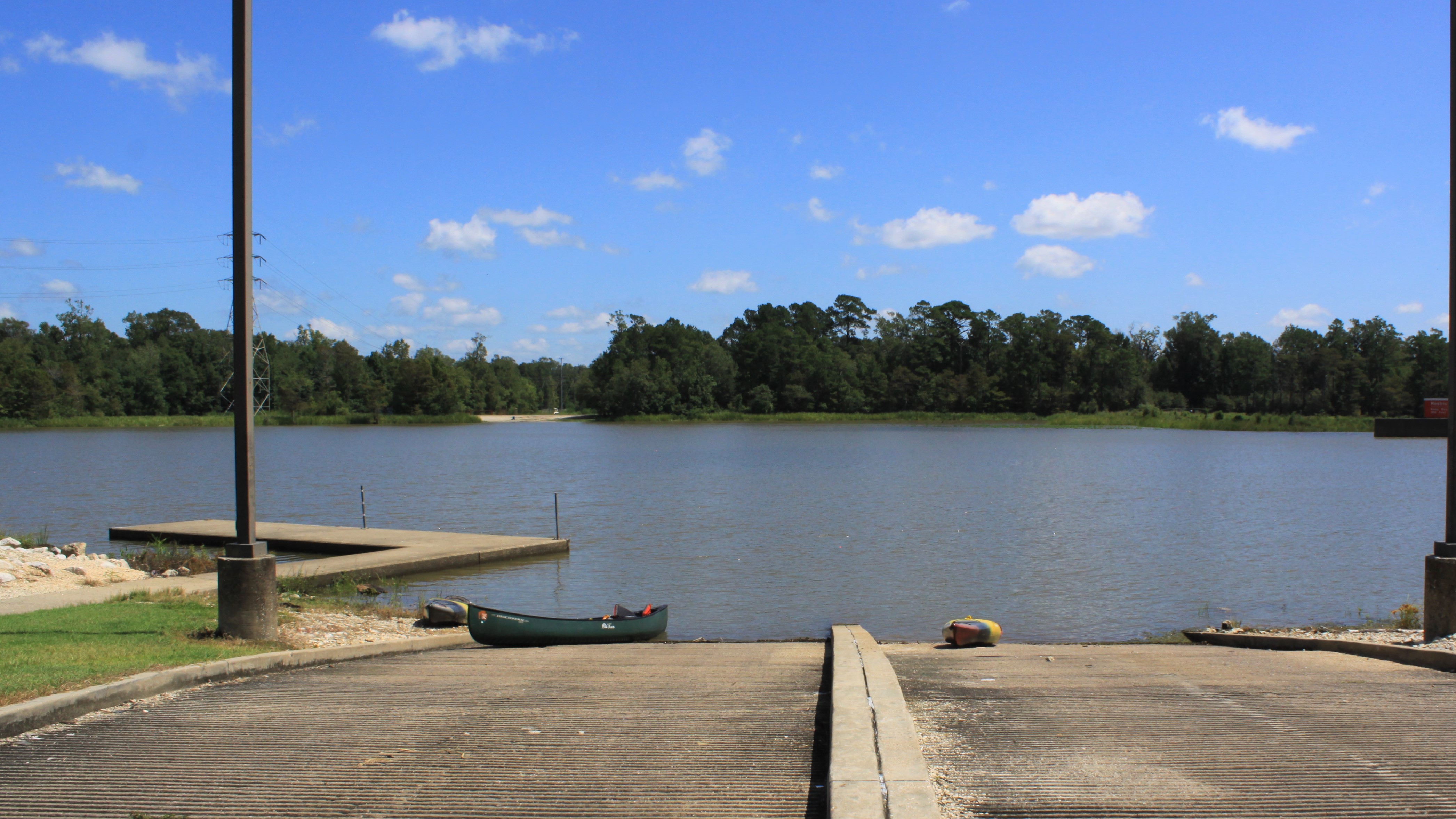
Saratoga OilfieldThe Saratoga Oilfield, just outside the Lance Rosier Unit, was home to an oil boom in the early 1900s. 
Staley CabinThis log cabin, built in 1934, was once the home of the Staley family. While the inside of the cabin is not open to the public, visitors can walk around the grounds, shaded beneath a canopy of oaks, and use the picnic tables. 
Sundew Trail0.3 to 1 mile roundtrip | Search for tiny red carnivorous plants known as sundews on an easy loop hike through a lush wetland pine savannah. 
Teel CemeteryThis small, secluded, historic cemetery dates back to the late 1800s. It lies deep in the woods of the Big Thicket. A long dirt road leads to the site. 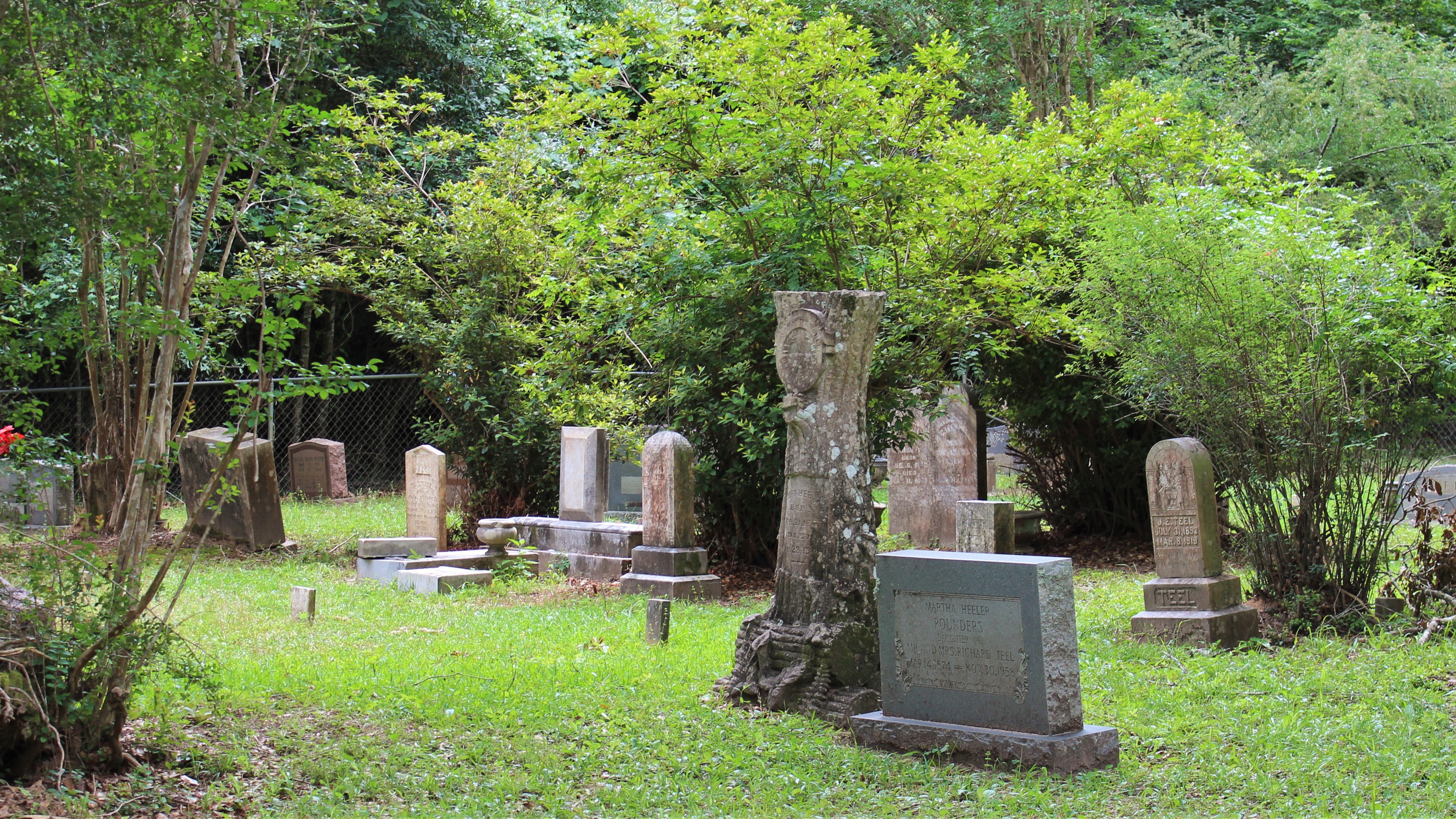
Teel Road Cypress SwampFind a bald cypress swamp full of life on the west side of Teel Road. 
Turkey Creek Trail: FM 194314 miles one-way | This is the northern terminus of the Turkey Creek Trail. The trail heads south from here and roughly follows the course of Turkey Creek. 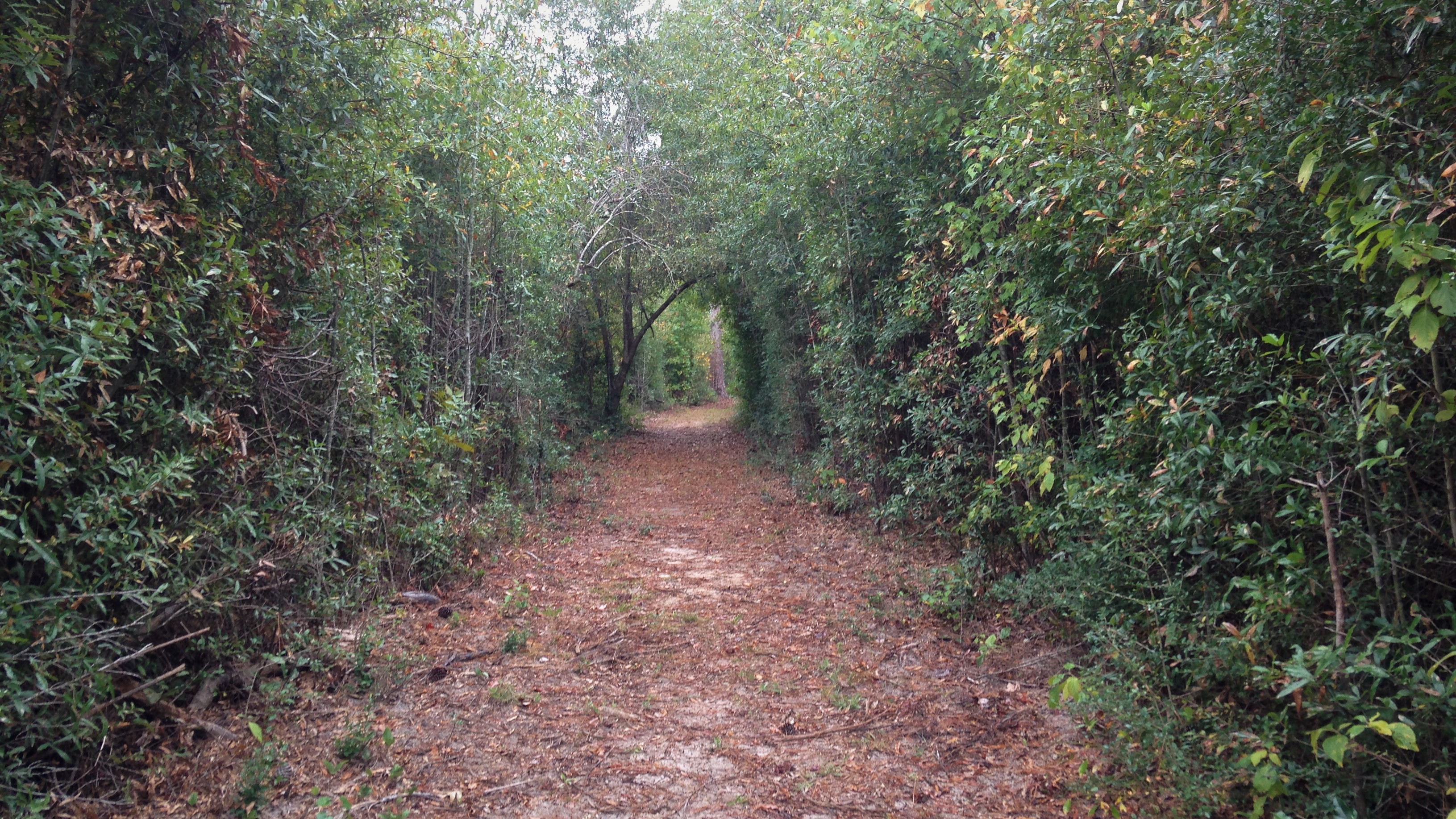
Turkey Creek Trail: Gore Store Road Northbound14 miles one-way | This is one of several trailheads for the Turkey Creek Trail. 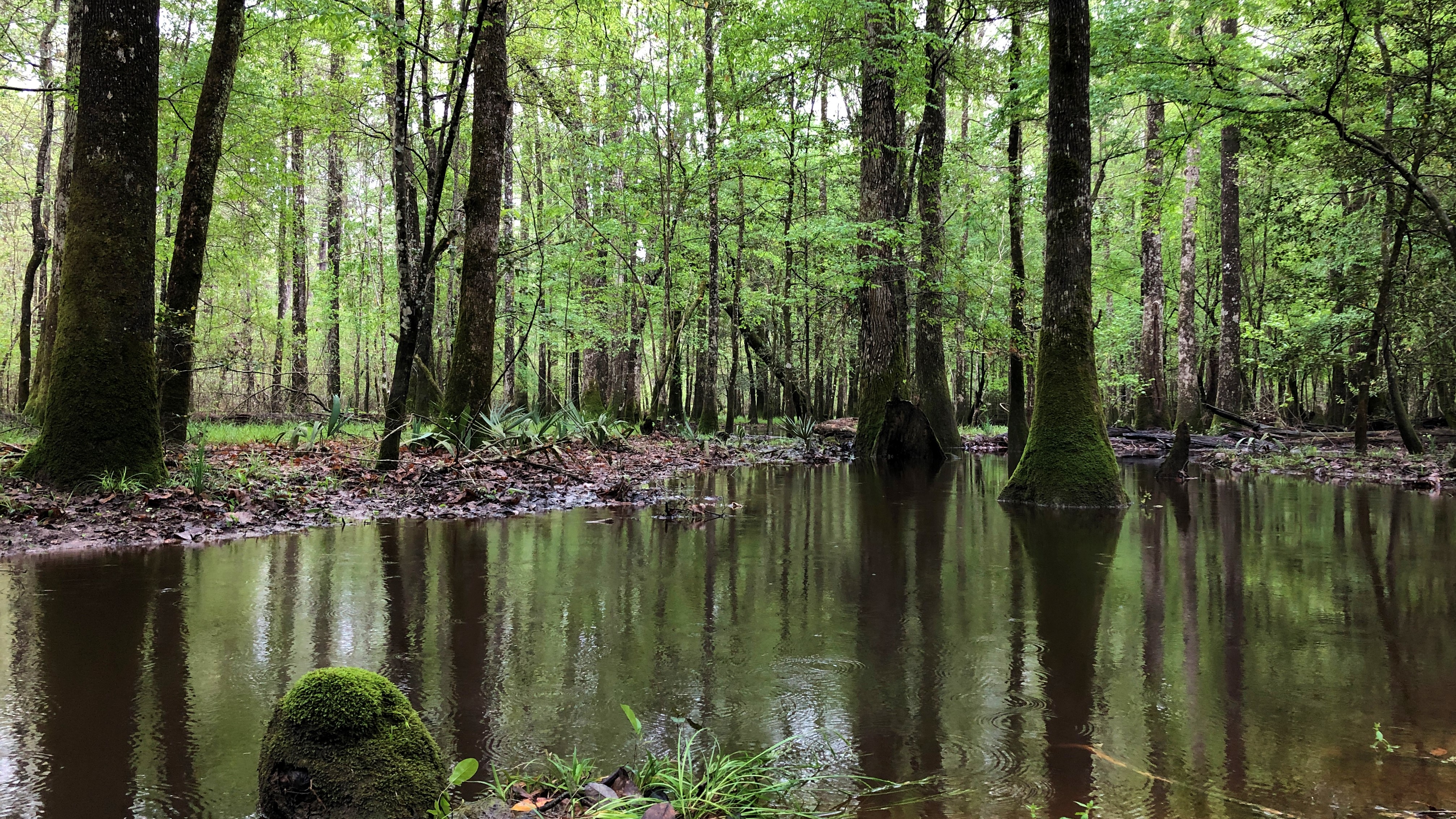
Turkey Creek Trail: Gore Store Road Southbound14 miles one-way | This is one of several trailheads for the Turkey Creek Trail. Head south from here to reach the Sandhill Loop Trail. 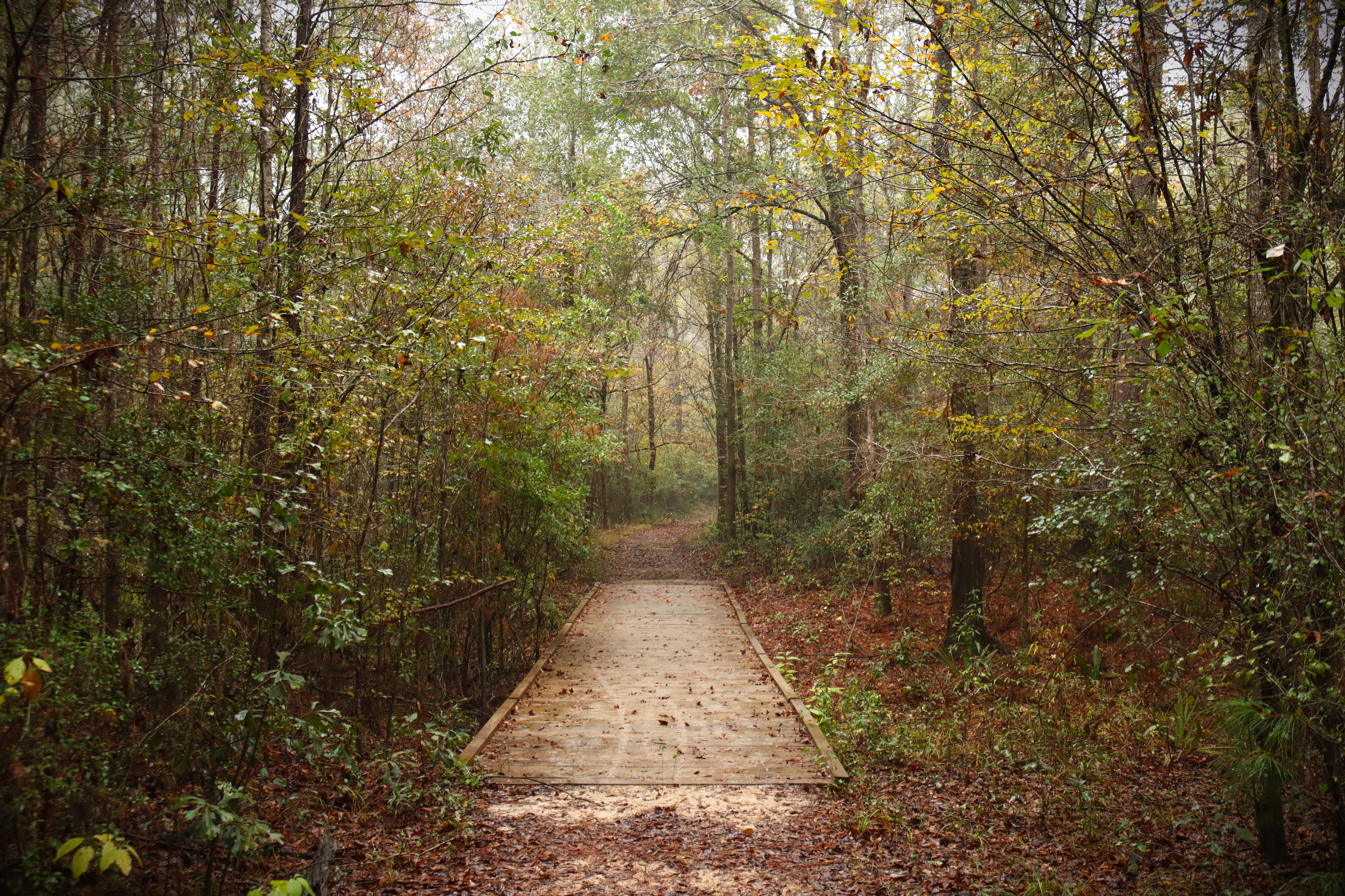
Village Creek: Baby Galvez Road Boat LaunchThis is one of several places along Village Creek where you can launch a kayak, canoe, or small boat. From here, it's 7.1 miles downriver to the boat launch on US 96. 
Village Creek: FM 418 Boat LaunchThis is one of several places along Village Creek where you can launch a kayak, canoe, or small boat. From here, it's 8.6 miles downriver to the boat launch at TX 327. 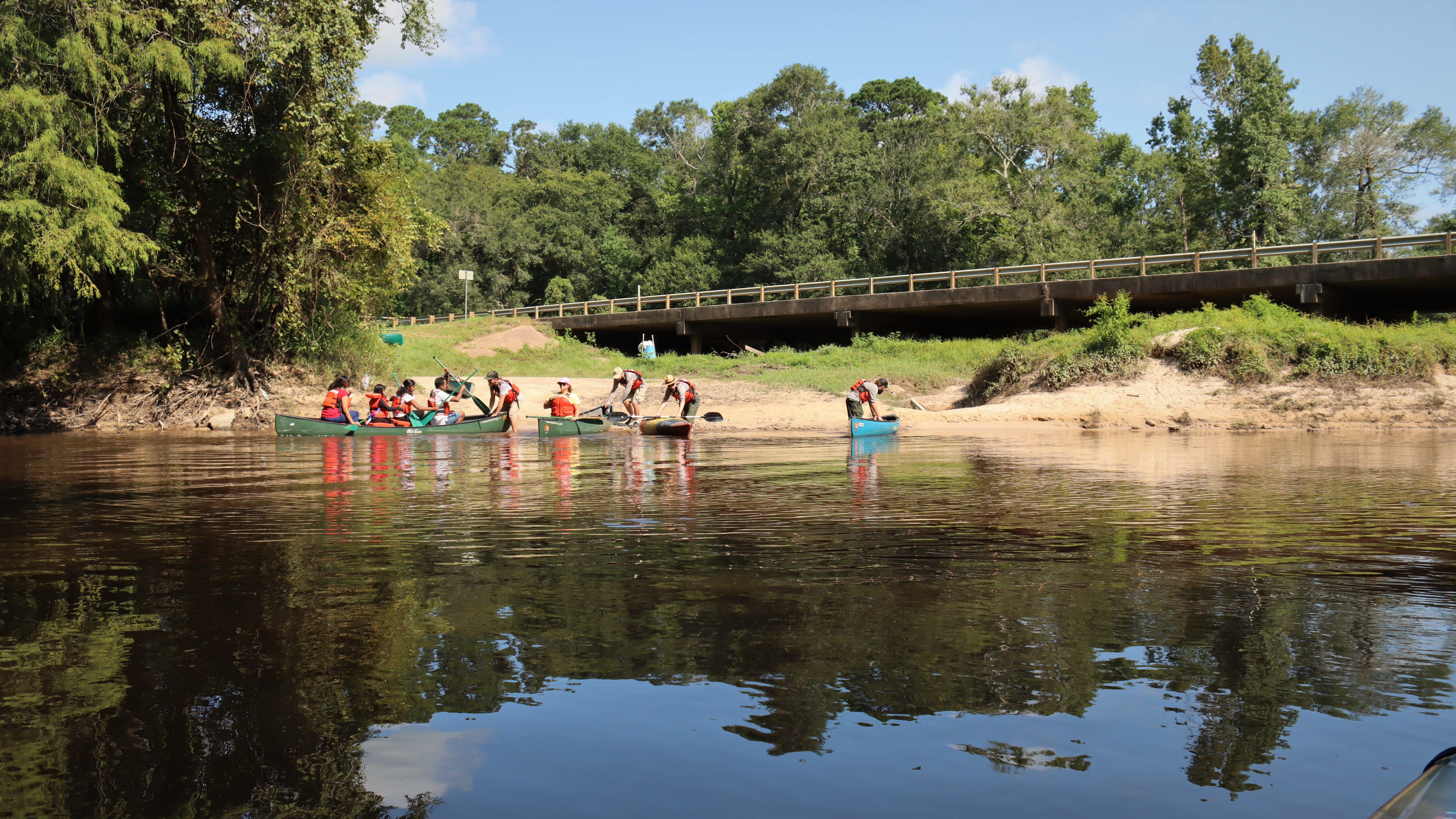
Village Creek: TX 327 Boat LaunchThis is one of several places along Village Creek where you can launch a kayak, canoe, or small boat. From here, it's 2.1 miles downriver to the boat launch on Baby Galvez Road. 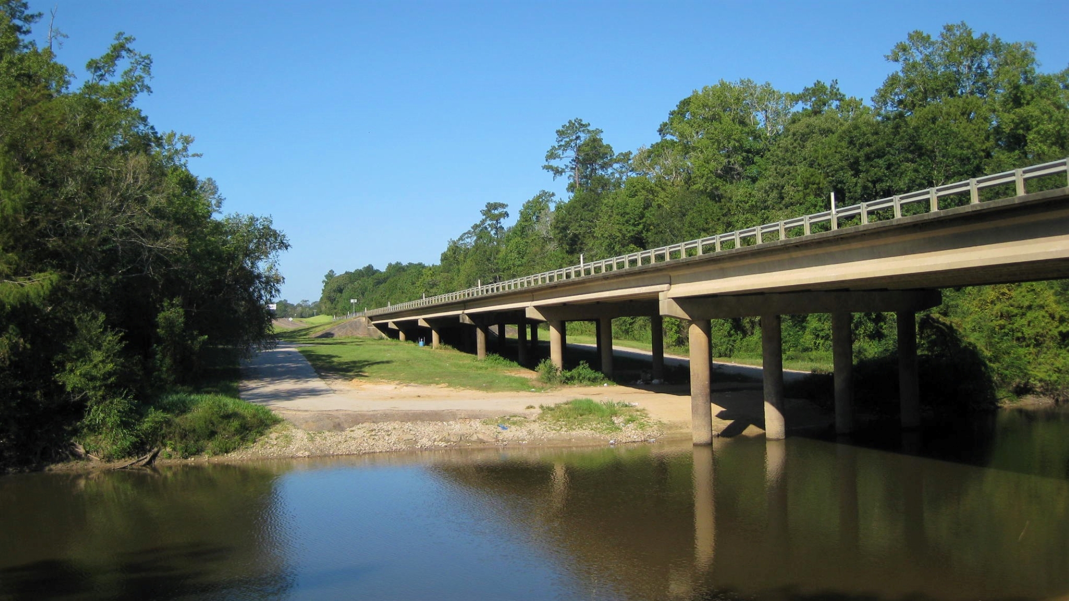
Village Creek: US 96 Boat LaunchThis is one of several places along Village Creek where you can launch a kayak, canoe, or small boat. From here, it's 3.2 miles downriver to the boat launch at Village Creek State Park. 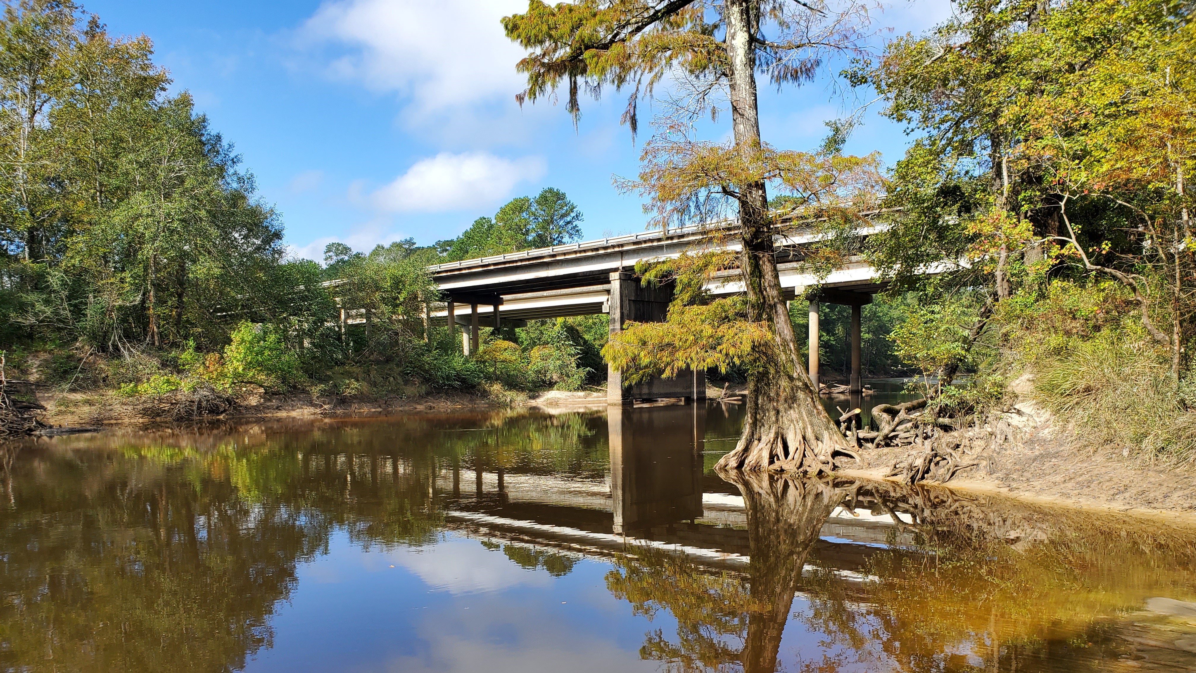
Woodlands Trail5 miles roundtrip | The Woodlands Trail loops through different kinds of forest landscapes and some hilly terrain. Find a scenic pond near the beginning of the trail. 
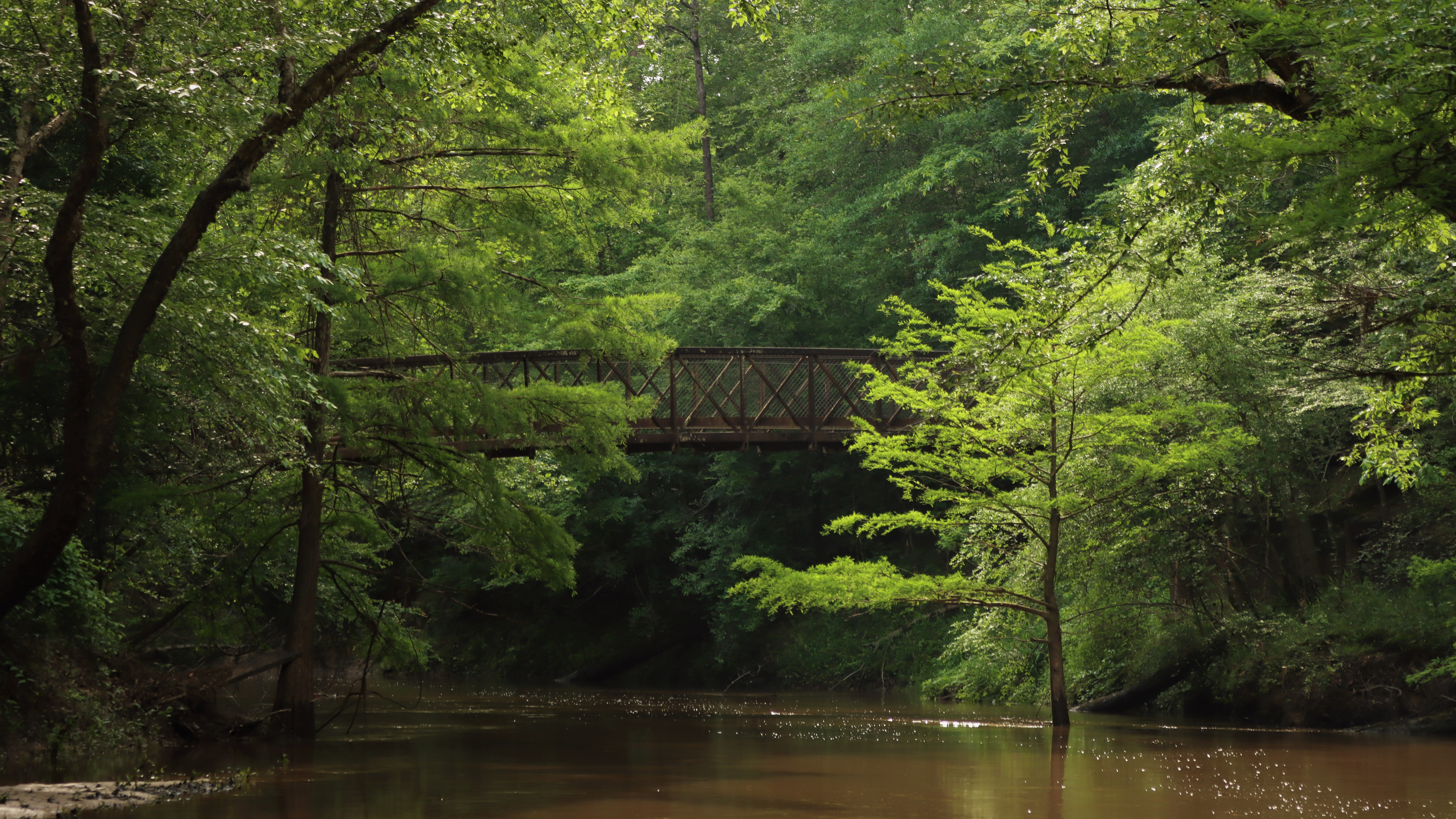
“Bridge to Nowhere”The Bridge to Nowhere is an abandoned bridge at the end of a dirt road in the Lance Rosier Unit. It's a quiet place to enjoy the scenery of Little Pine Island Bayou. 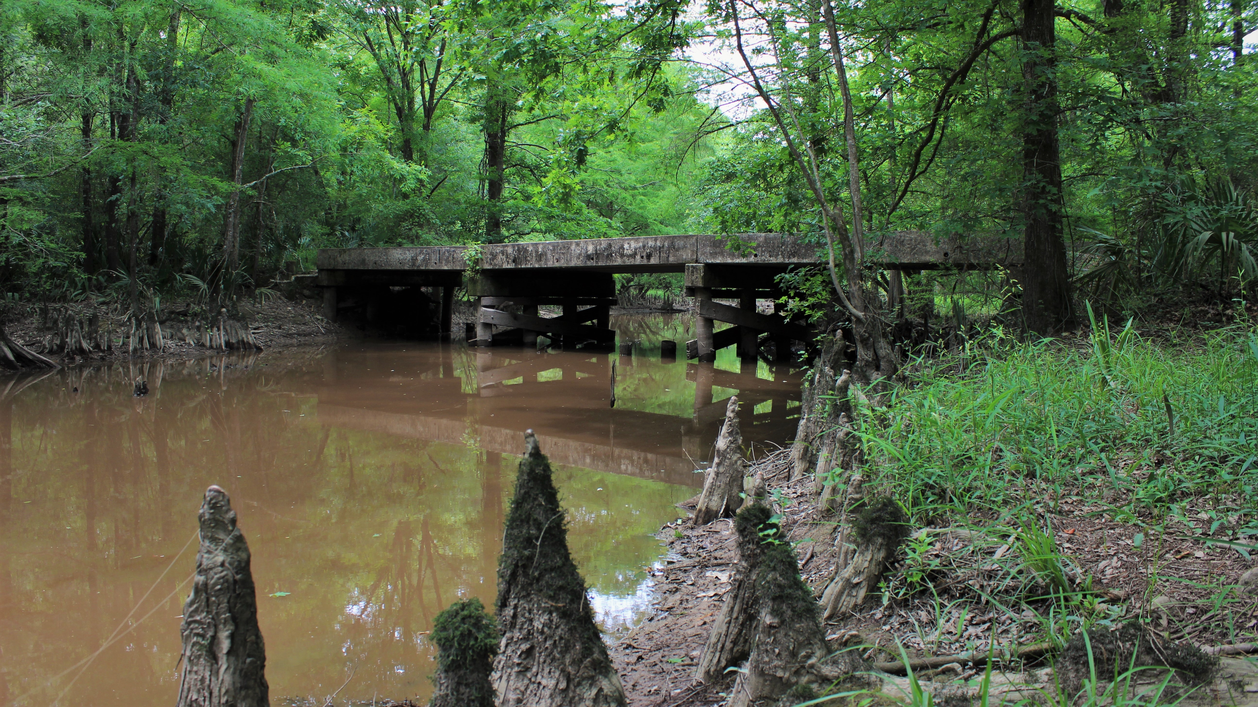
|
| Visitor Centers | Count: 1
Big Thicket Visitor Center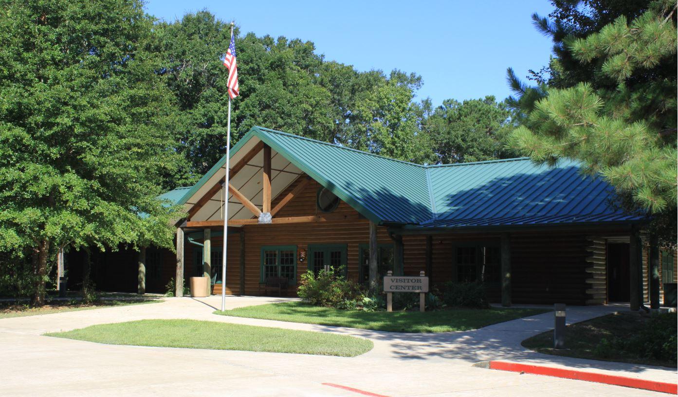
|
| Things to do | Count: 20


|
| Tours |
Count: 1
Lance Rosier Unit Driving TourGo off the beaten path on a short, unpaved driving tour into the Lance Rosier Unit, the historical heart of the Big Thicket. See historic sites and dense, jungle-like forest. The tour begins on Rosier Park Road in Saratoga, Texas. Be aware that this area does not have any typical park amenities, such as trails or restrooms. Conditions may be muddy. There are no road signs in this area. Hunting is allowed in the Lance Rosier Unit October-February. |
| Articles |
|