| Title | Cabrillo |
| Park Code | cabr |
| Description | In 1542, Juan Rodriguez Cabrillo climbed out of his boat and onto shore, becoming the first European to set foot on what is now the West Coast of the United States. Cabrillo National Monument not only tells the story of this 16th-century explorat... |
| Location | |
| Contact | |
| Activities |
|
| Entrance fees |
Entrance - Private Vehicle
$20.00
Admits one single, private, non-commercial vehicle and all its passengers.
Entrance - Motorcycle
$15.00
Admits one single, private, non-commercial motorcycle and its passenger(s).
Entrance - Per Person
$10.00
Admits one individual when entering by foot or bicycle. Groups of up to 4 people walking in or on bicycles are capped at $20 total.
Individuals 15 years old and younger are admitted free of charge.
Commercial Entrance - Sedan
$30.00
1 to 6 / ($30)
Commercial Entrance - Van
$45.00
7 to 25 / ($45)
Commercial Entrance - Mini-bus
$45.00
7 to 25 / ($45)
Commercial Entrance - Motor Coach
$100.00
26 or more / ($100)
Entrance - Non-commercial Groups
$20.00
Organized Non-Commercial Groups include church groups, college/school groups, scouts, service organizations, military, etc.
Vehicles with a capacity of 16 or less are charged the $20.00 vehicle permit fee. Vehicles with 17 or more seats will instead be charged the $10 per person individual rate for any passengers that are not free. The total fee charged for an Organized Non-Commercial Group will not exceed $100 per vehicle.
|
| Campgrounds | Count: 0
|
| Places | Count: 47
Ballast Point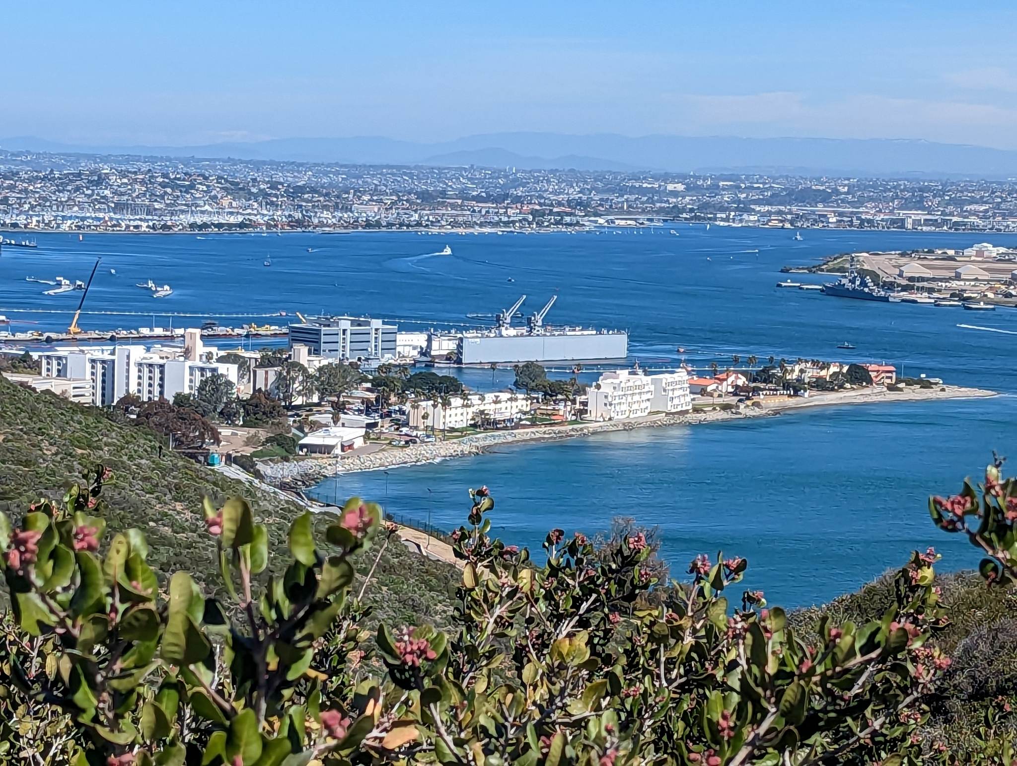
Bayside Trail - TrailheadThis Bayside Trail is a 1.86 mile round-trip hike that takes you on a scenic journey through the natural landscape that overlooks San Diego. 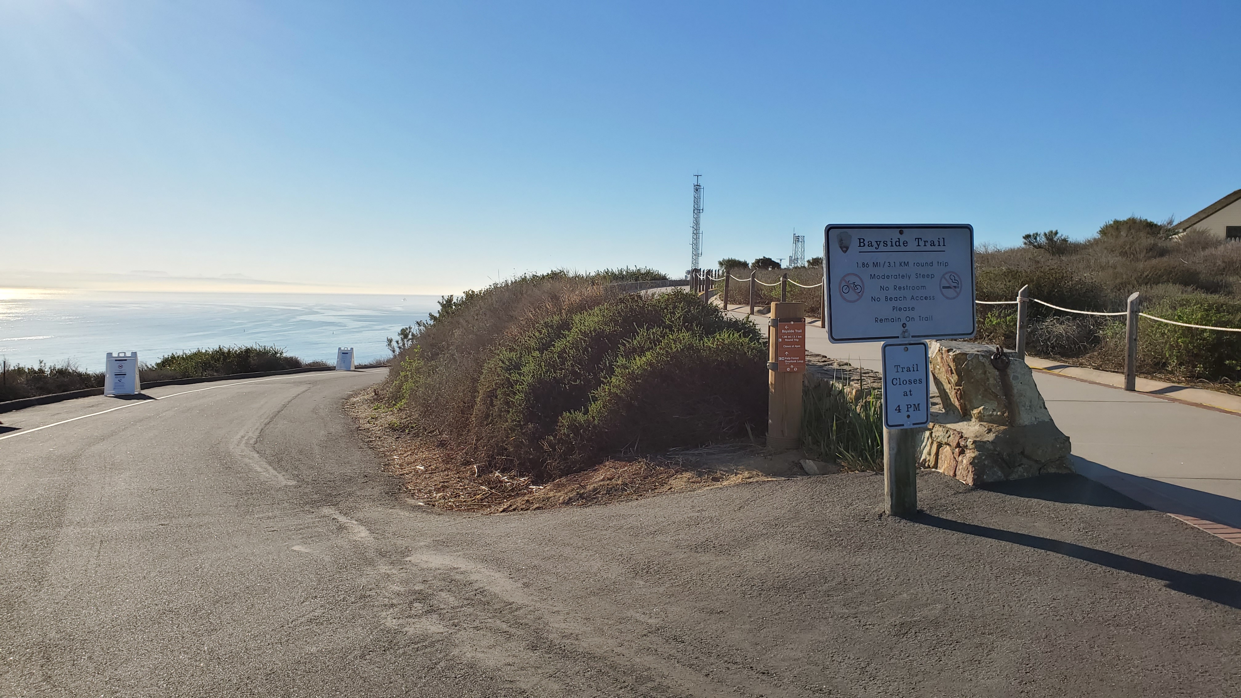
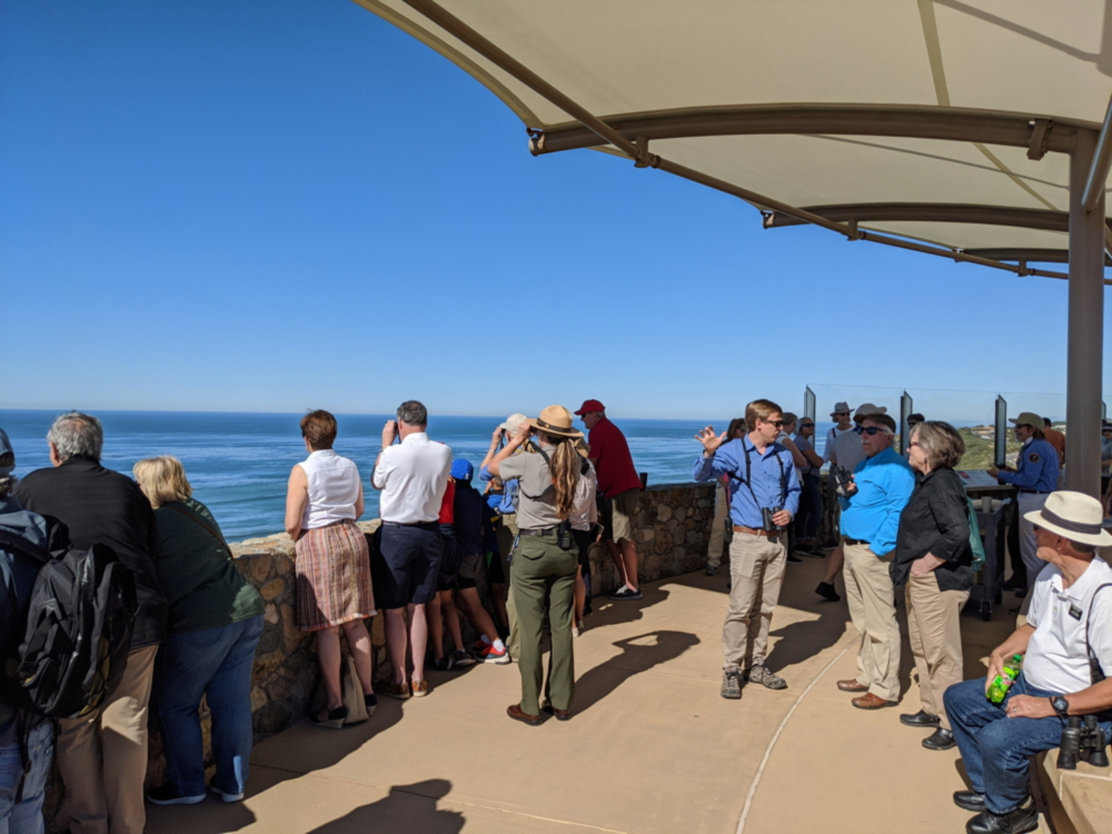
Bird Watching at Cabrillo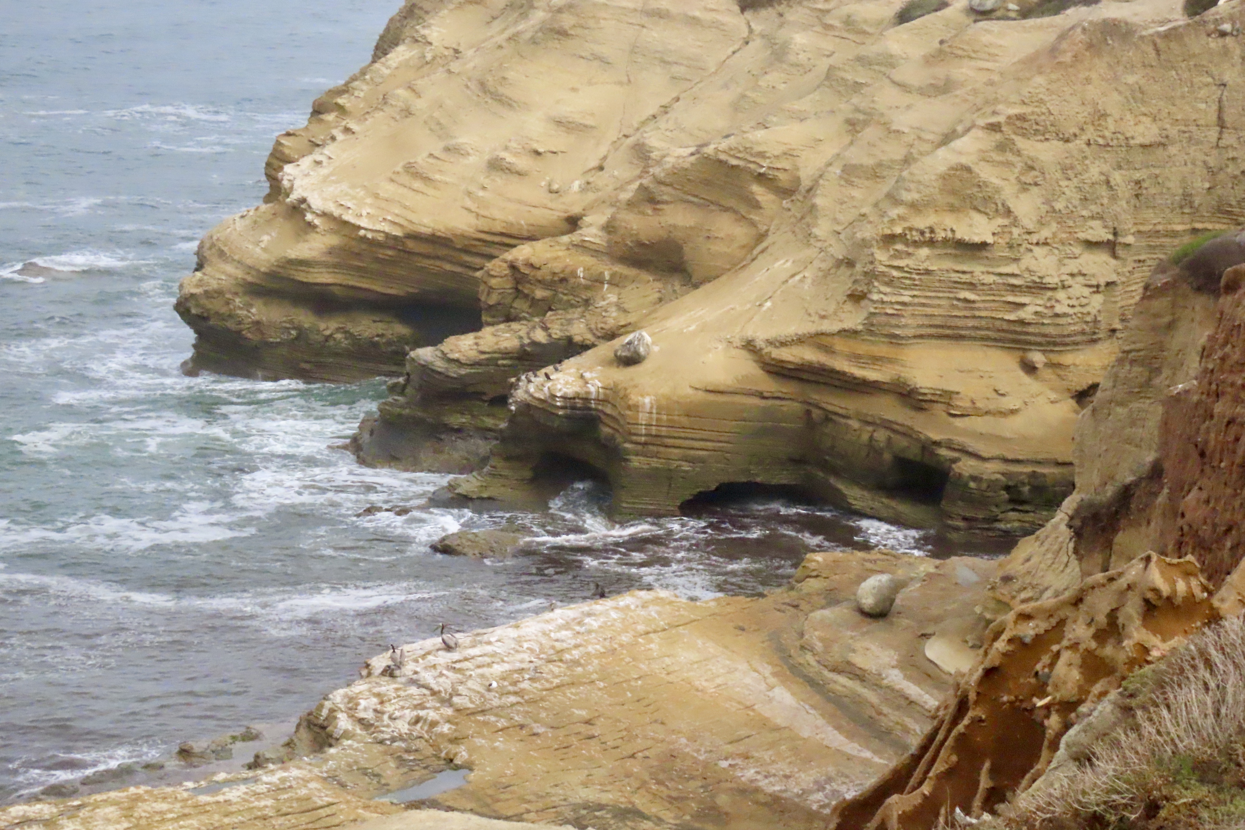
Breezeway Sign at Tidepool Trailer
Breezeway and Traffic Circle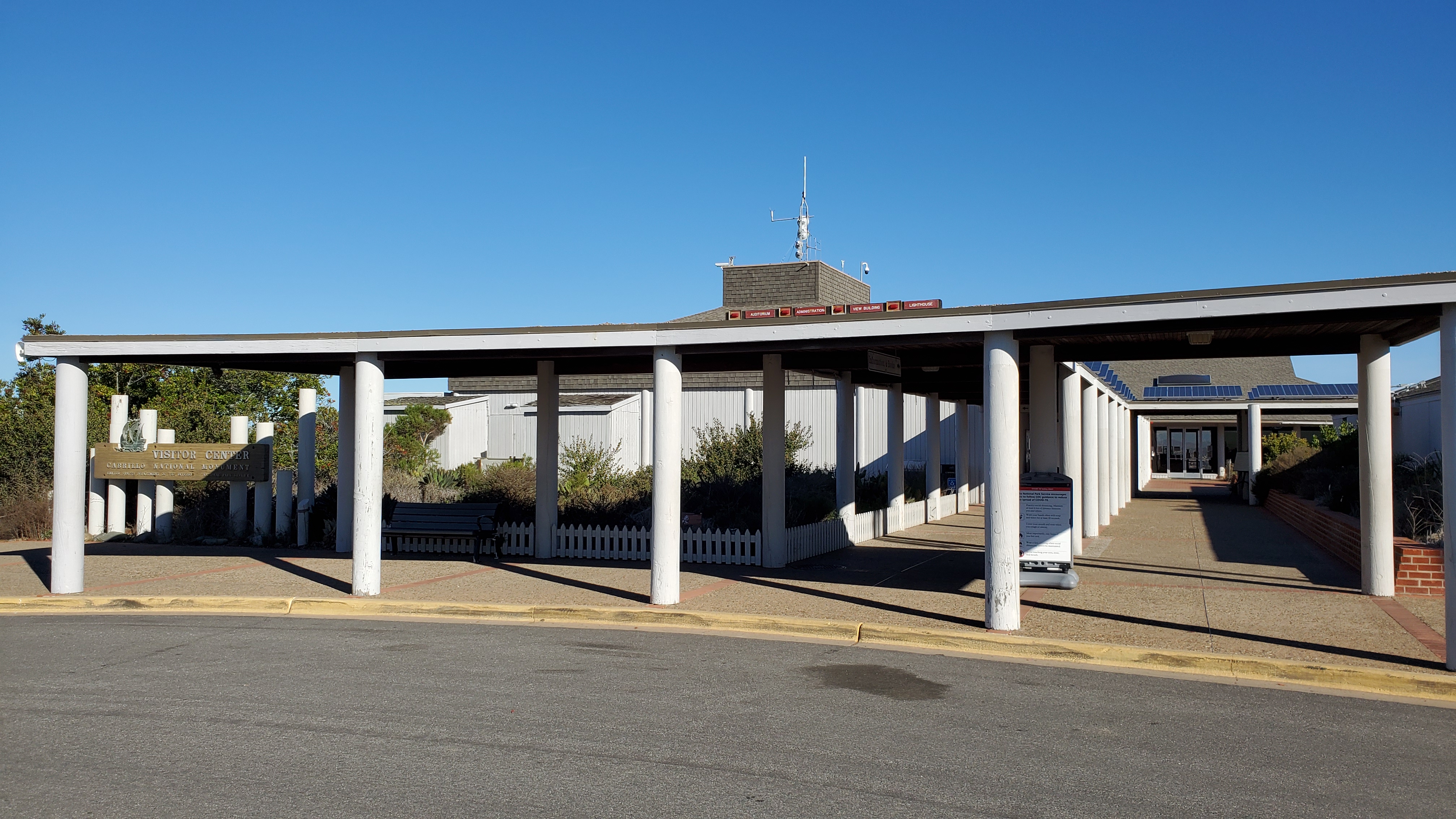
Chaparral View Between Coastal Trail Staircases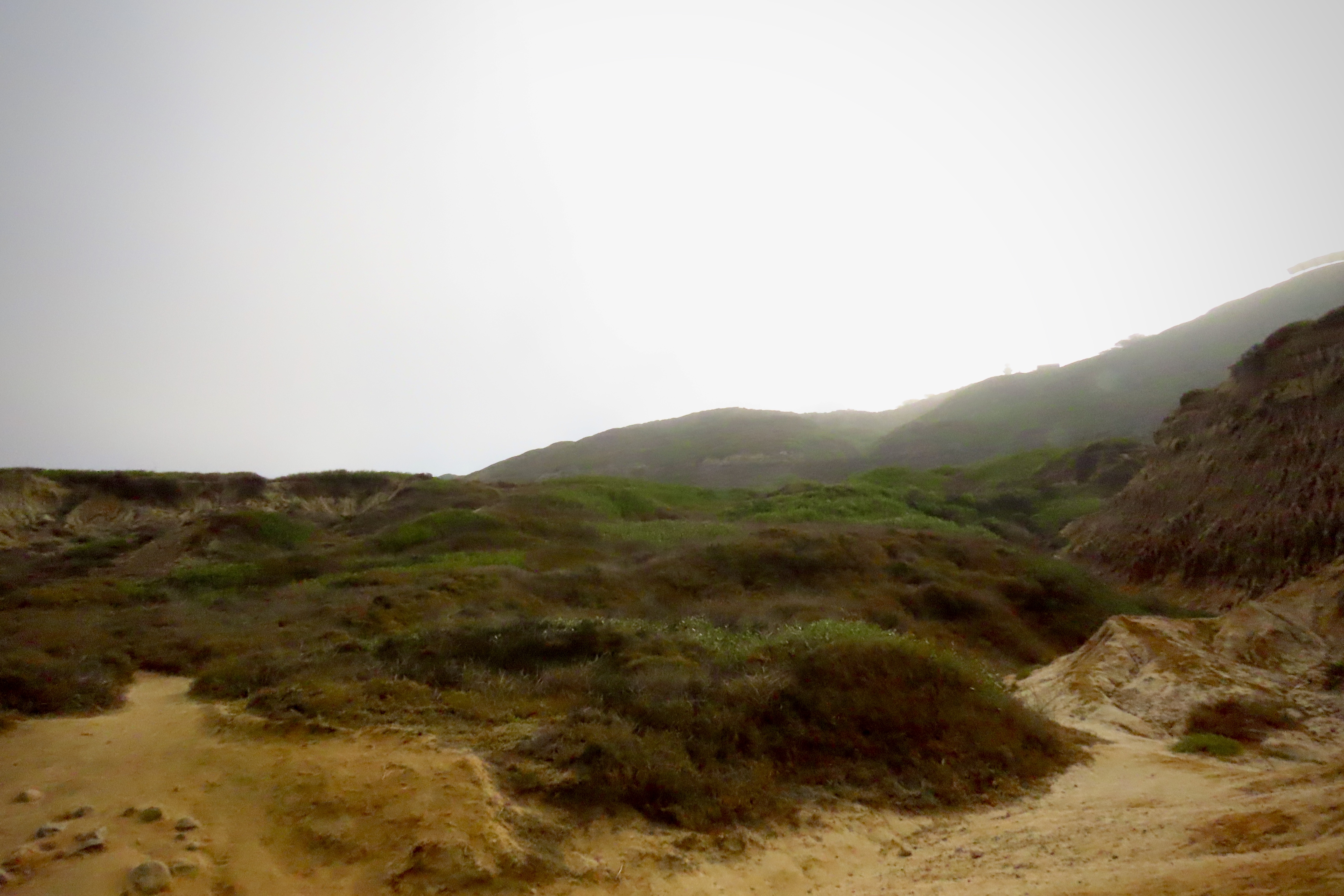
Coast Defense ExhibitThis historic radio station houses an exhibit about the World War II coastal defenses of San Diego. 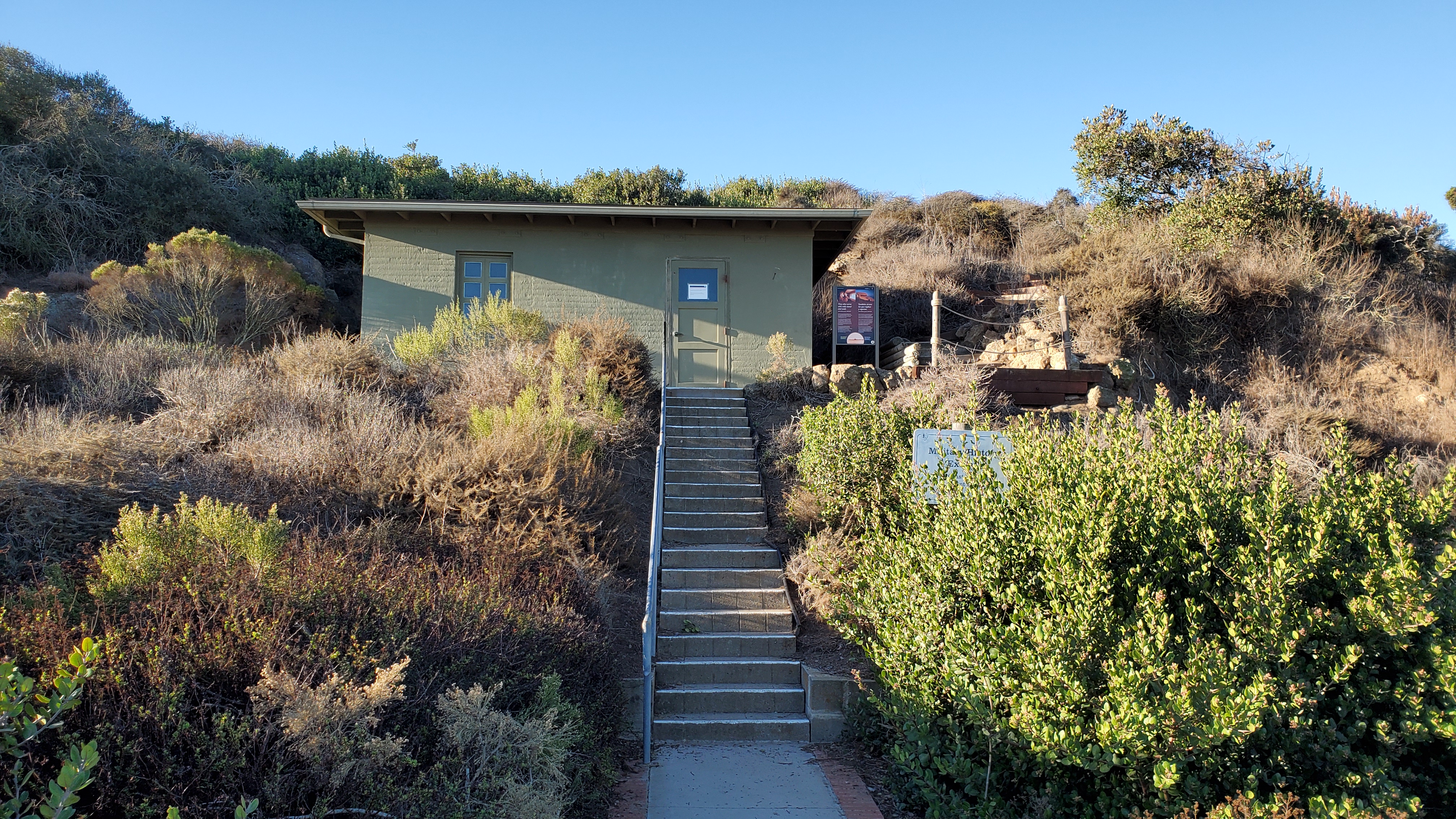
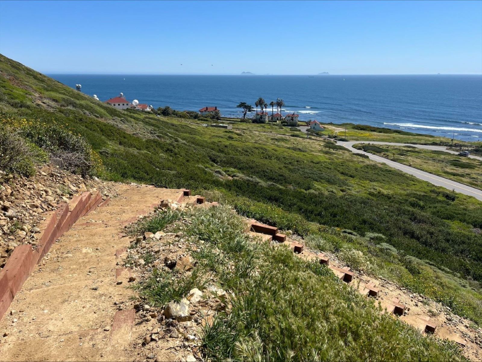
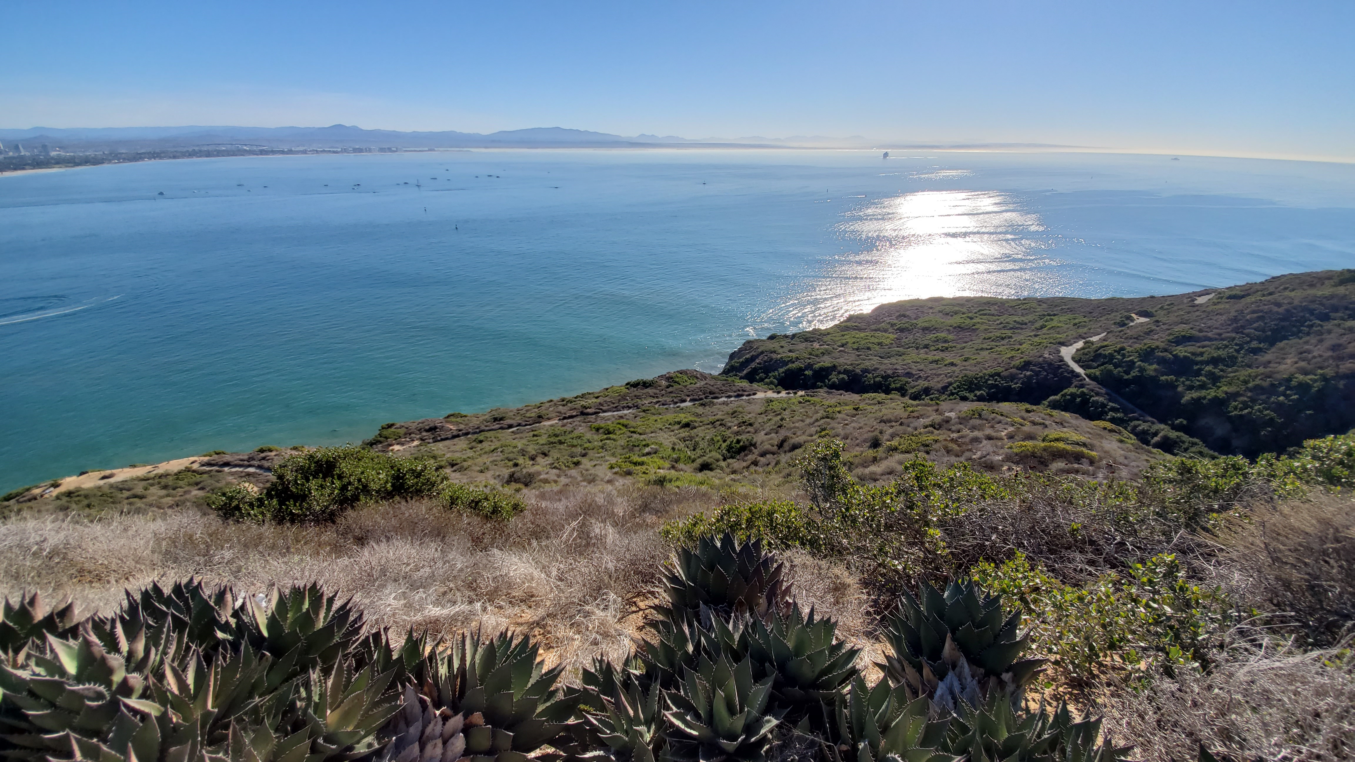
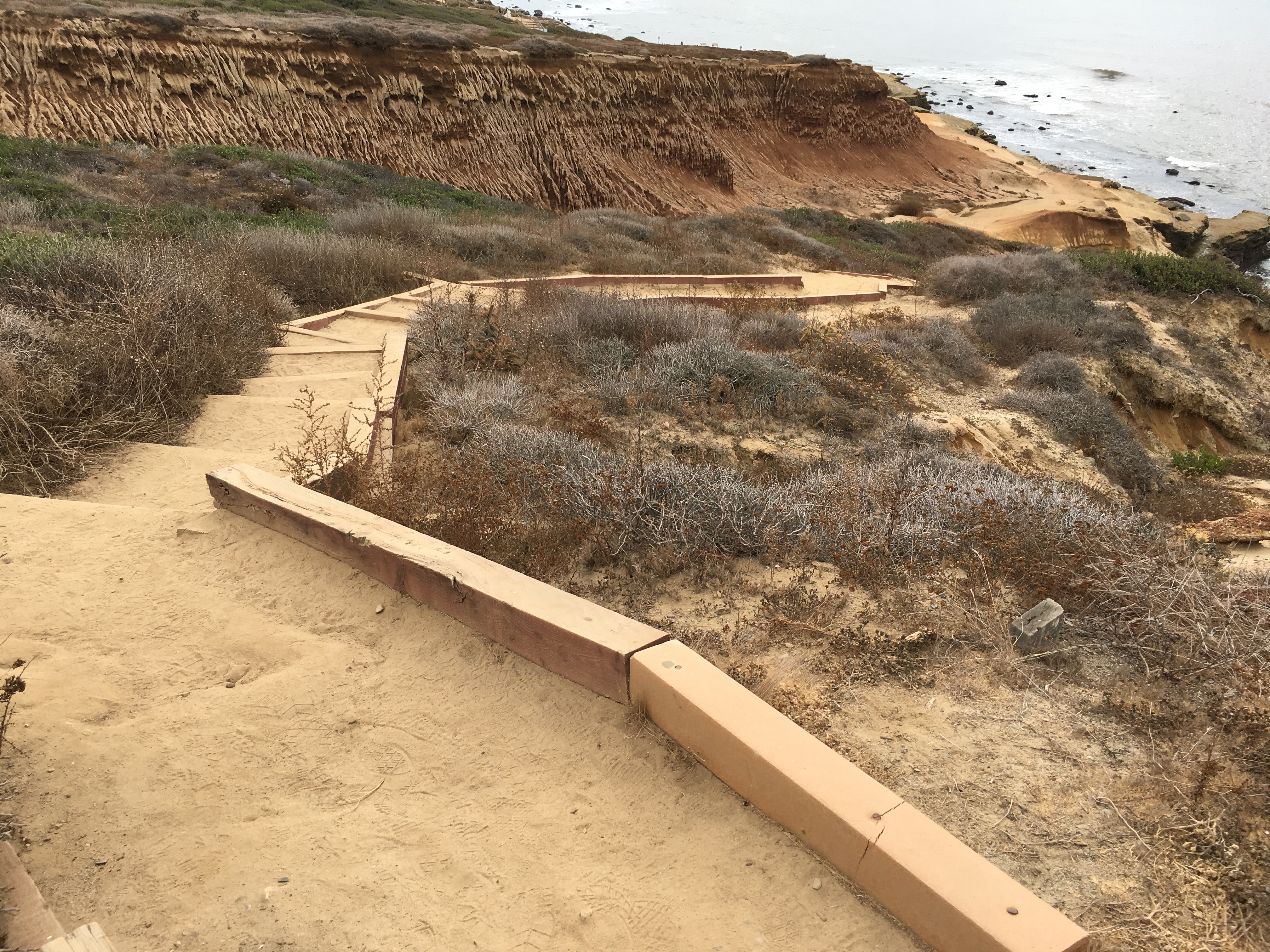
Coastal Trail (North Trailhead)The coastal trail at Cabrillo National Monument is a short one-mile round trip hike ranging from easy to moderate difficulty due to a few steep slopes. You can find this trail on the west side of the peninsula, which leads to the tidepool access area. This trail can be started from the entrances at Lot 1 or Lot 2 off of Gatchell Rd. Take Cabrillo Rd. from the main entrance of the park to Gatchell and park at either lot. 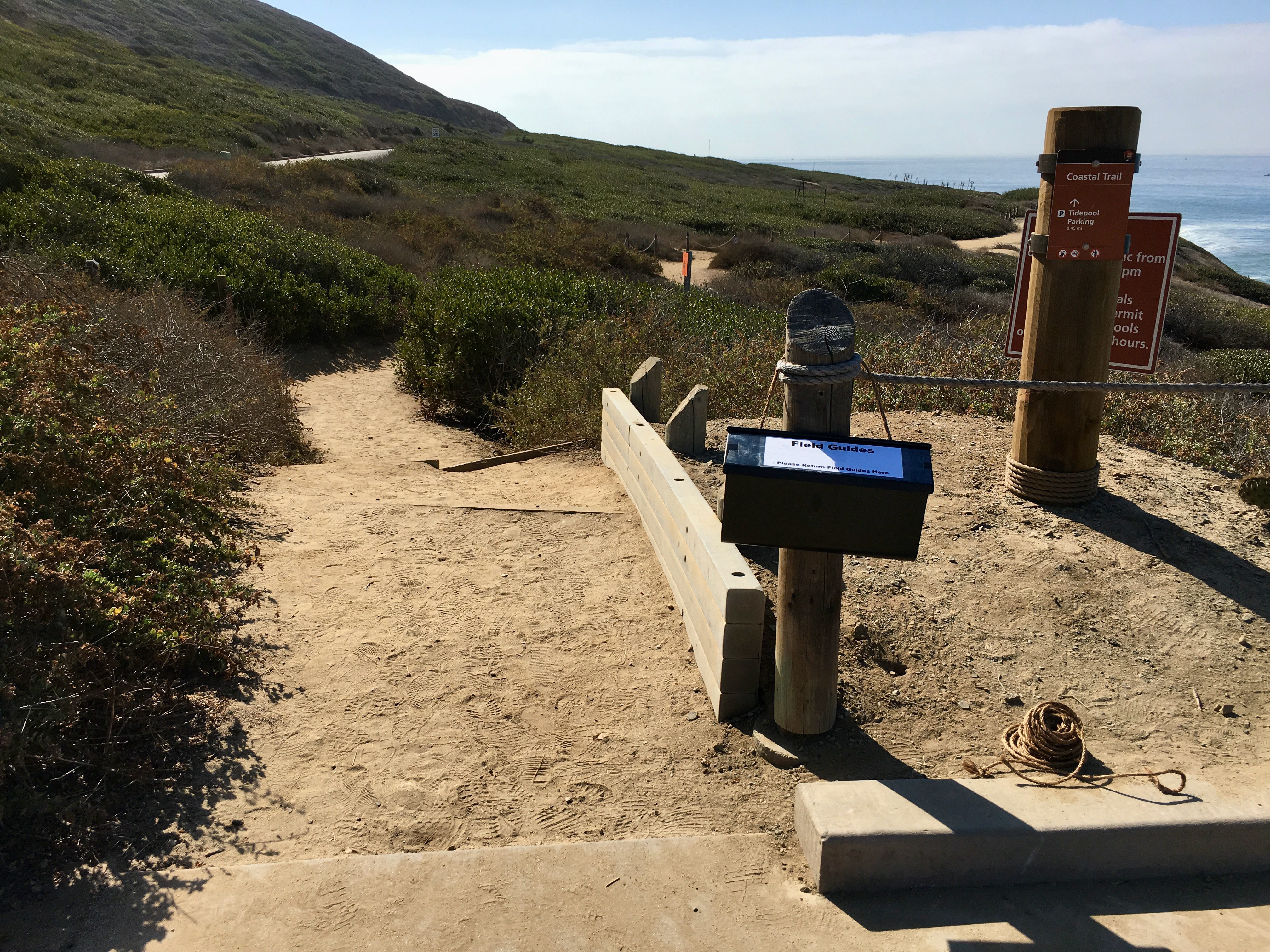
Coastal Trail (South Trailhead)The coastal trail at Cabrillo National Monument is a short one-mile round trip hike ranging from easy to moderate difficulty due to a few steep slopes. You can find this trail on the west side of the peninsula, which leads to the tidepool access area. This trail can be started from the entrances at Lot 1 or Lot 2 off of Gatchell Rd. Take Cabrillo Rd. from the main entrance of the park to Gatchell and park at either lot. 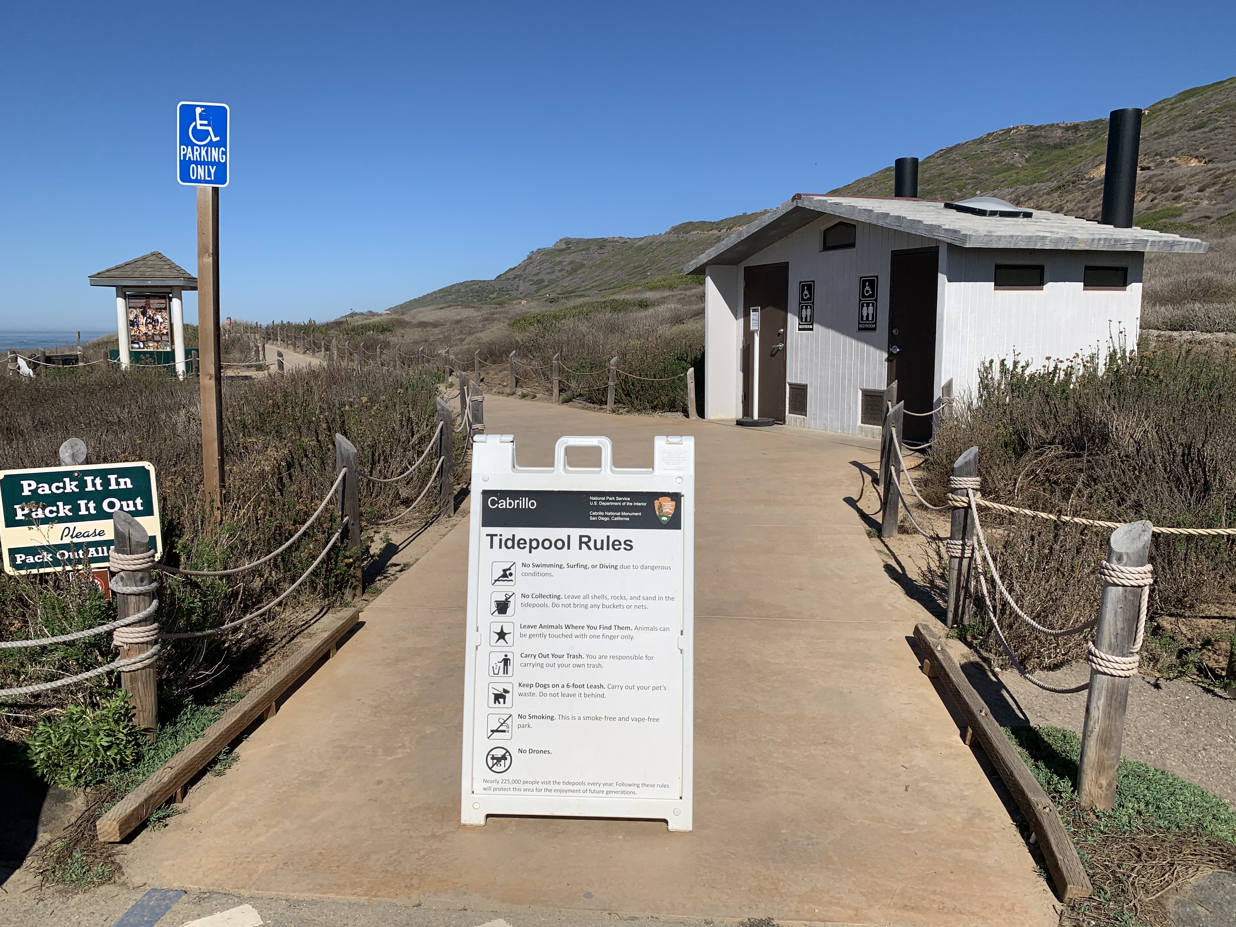
Coastal Trail Southern Clearing View
Coastal Trail View of Shaw’s Agave Patch
Coastal Trail View of the Kelp Forest
Entrance Station - CabrilloThe entrance to Cabrillo National Monument. Here you can pay for park entry and by park passes. 
Event Bluff
Fire Control Station (Battery Ashburn)The Fire Control Station bunker for Battery Ashburn preserves a piece of San Diego's World War II history. Visit during an "open bunker" session to explore the inside of the bunker and learn about San Diego's coastal defenses. 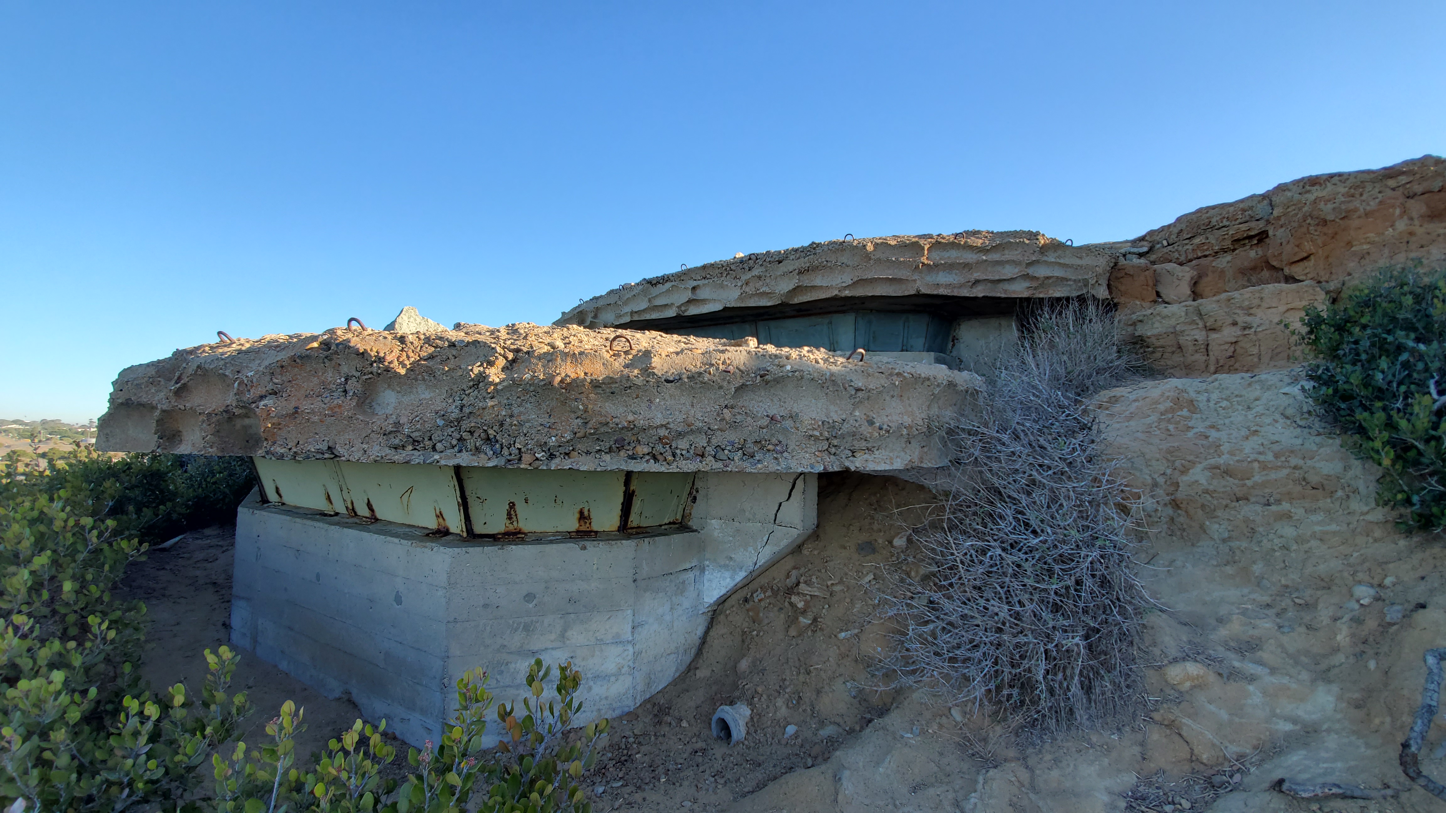
Fire Control Station (Battery Humphreys)The Fire Control Station for Battery Humphreys features an upper bunker for the battery commander an lower observation bunker. These two combined were used as part of a complex designed to aim and fire the two 6-inch coastal defense guns of Battery Humphreys. 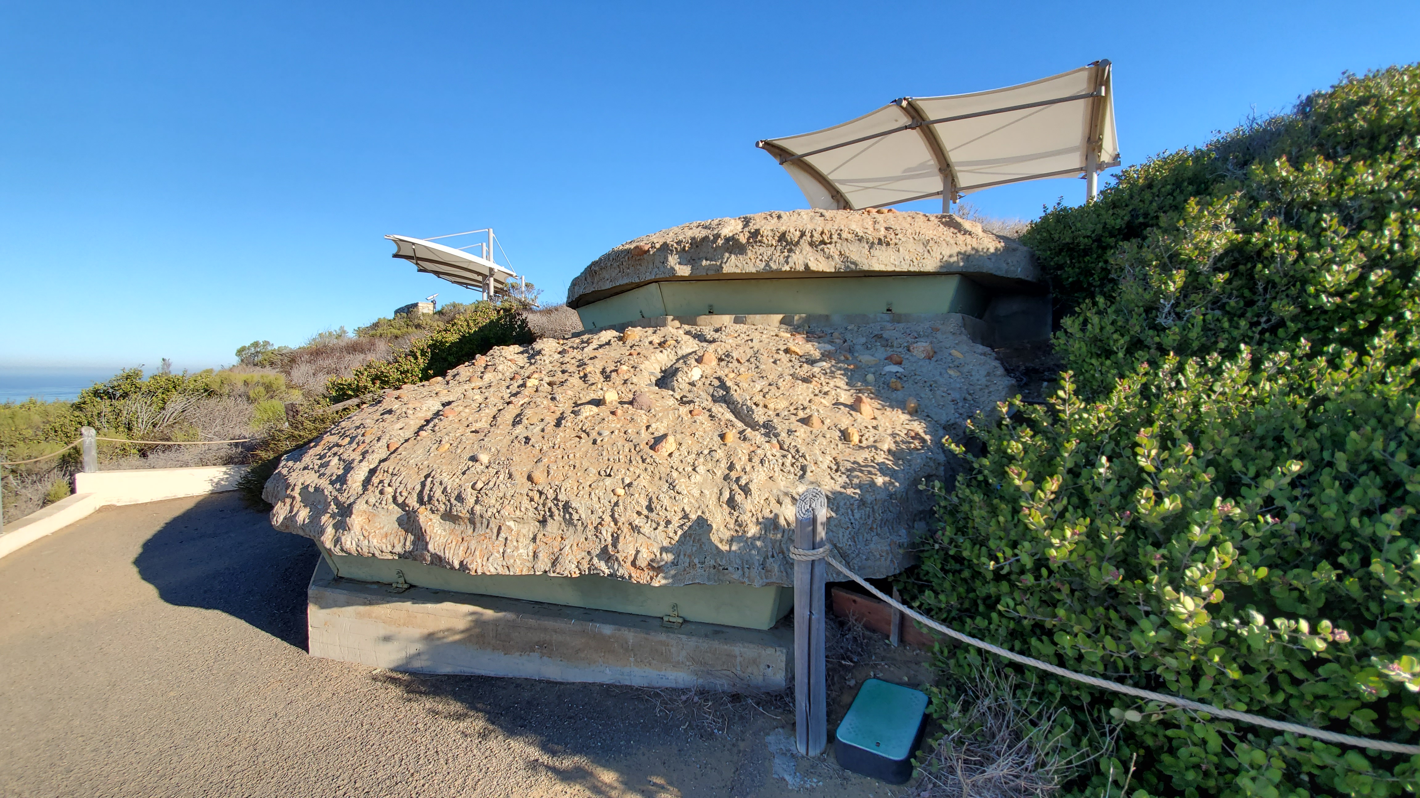
Fort Rosecrans National Cemetery
Juan Rodriguez Cabrillo StatueThis statue of Juan Rodriguez Cabrillo Cabrillo commemorates his voyage of exploration. He was the first European to lead an expedition charting the west coast of what would become the United States of America. 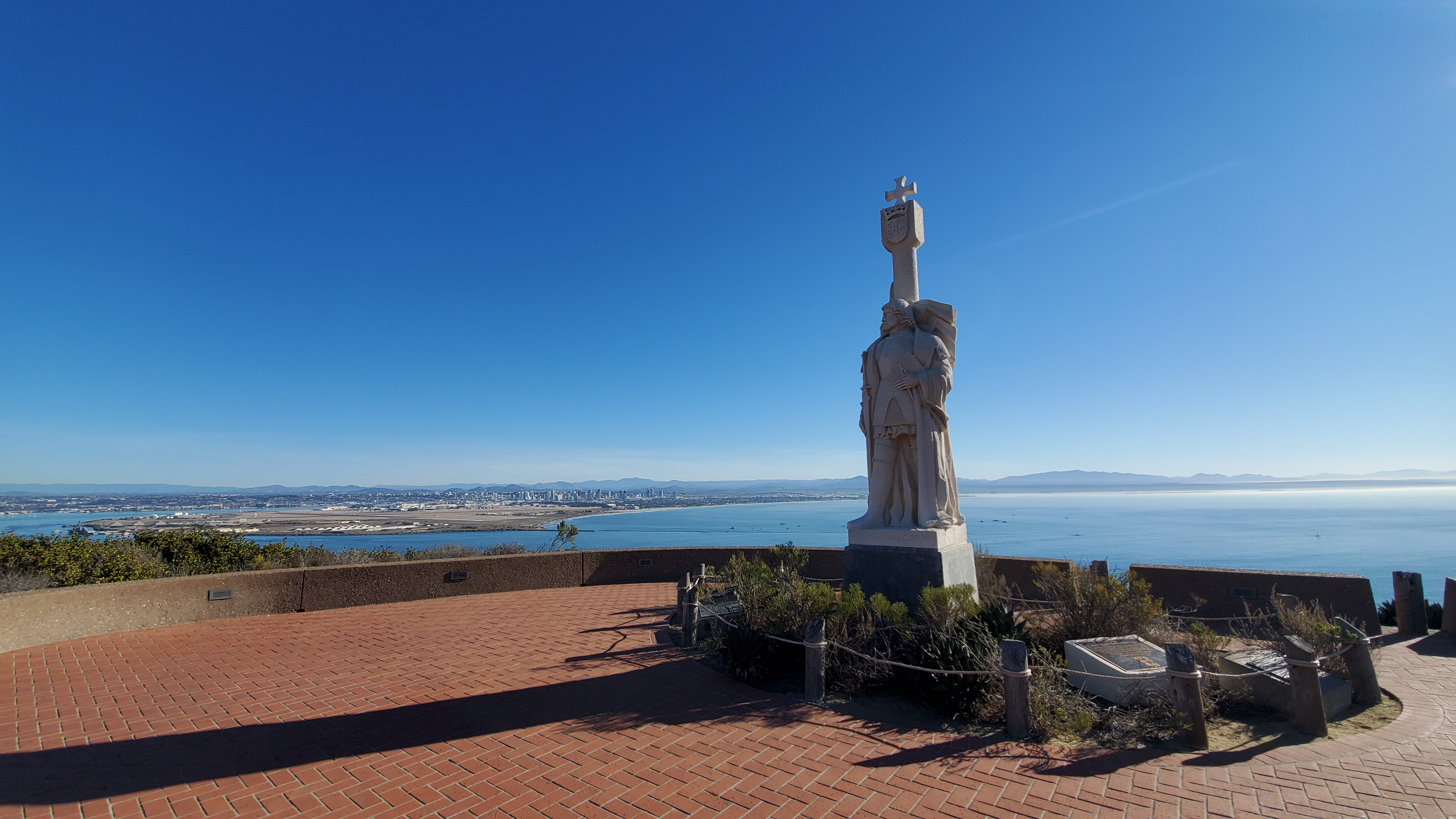
Kelp Forest and Whale OverlookThe Kelp Forest and Whale Overlook provides sweeping views of the Pacific Ocean and contains exhibits about coastal wildlife. It is also a good spot for Whale Watching during the gray whale migration season! 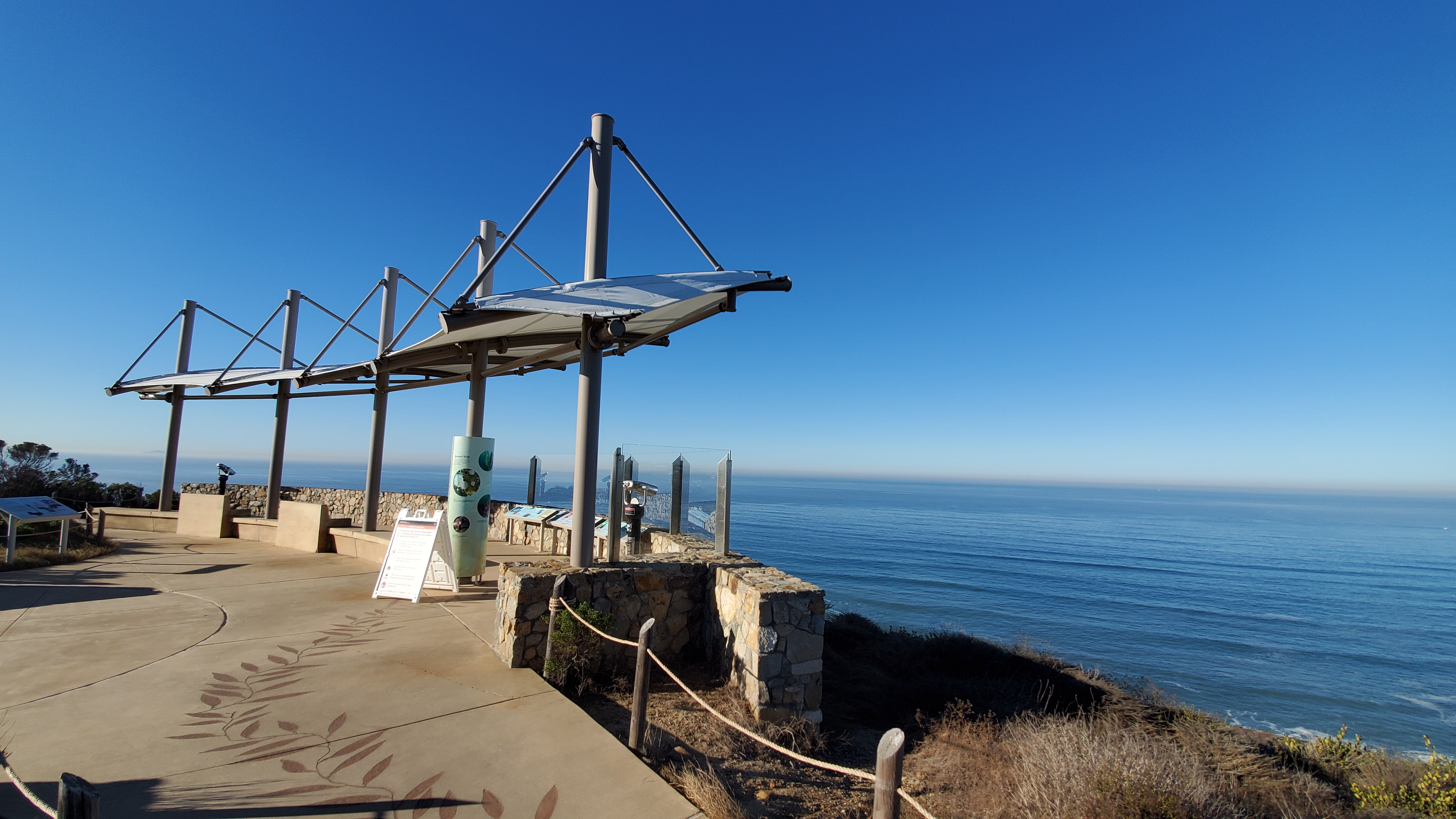
La Jolla Tidepools and The Children's Pool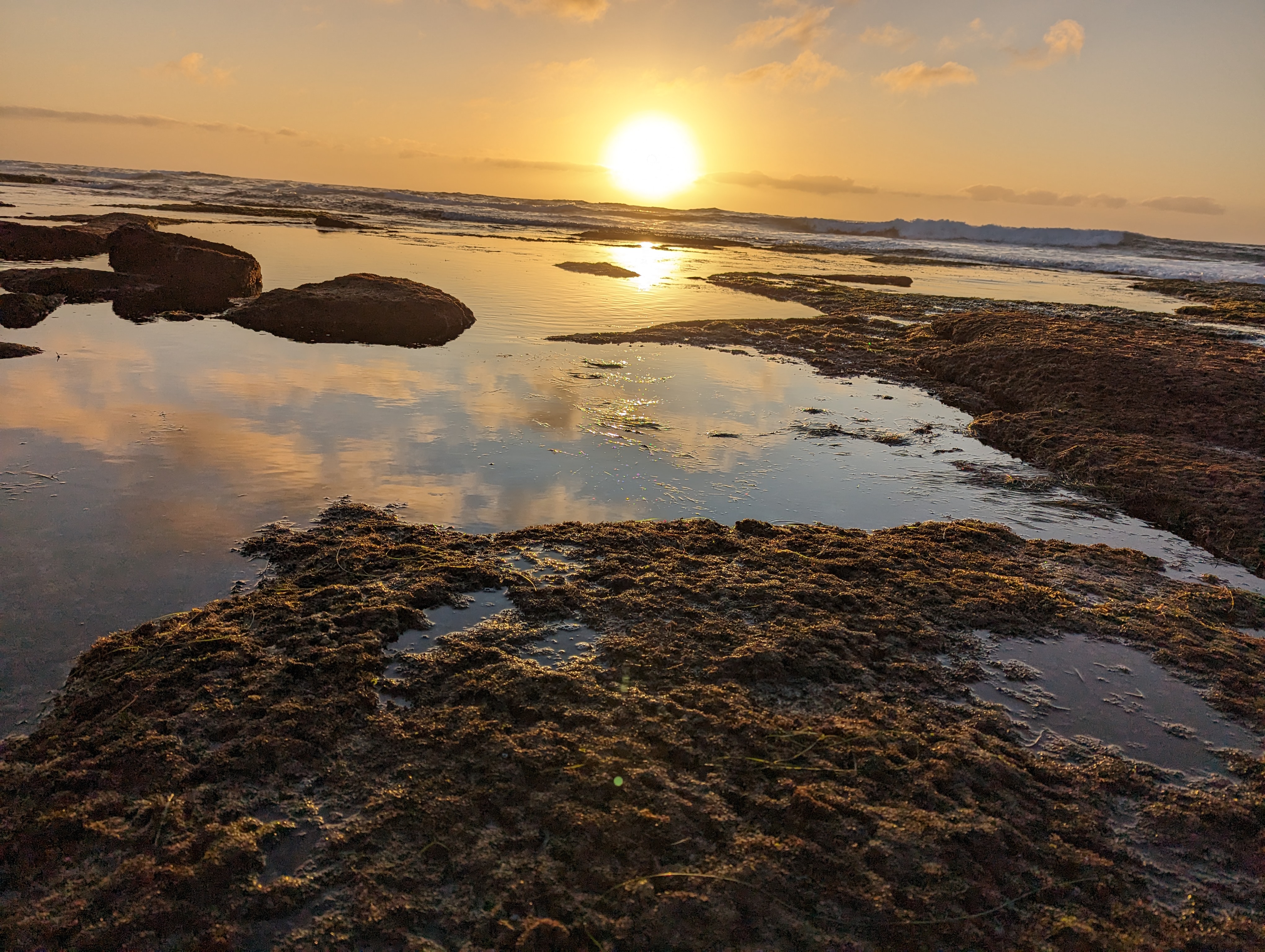
Lighthouse Parking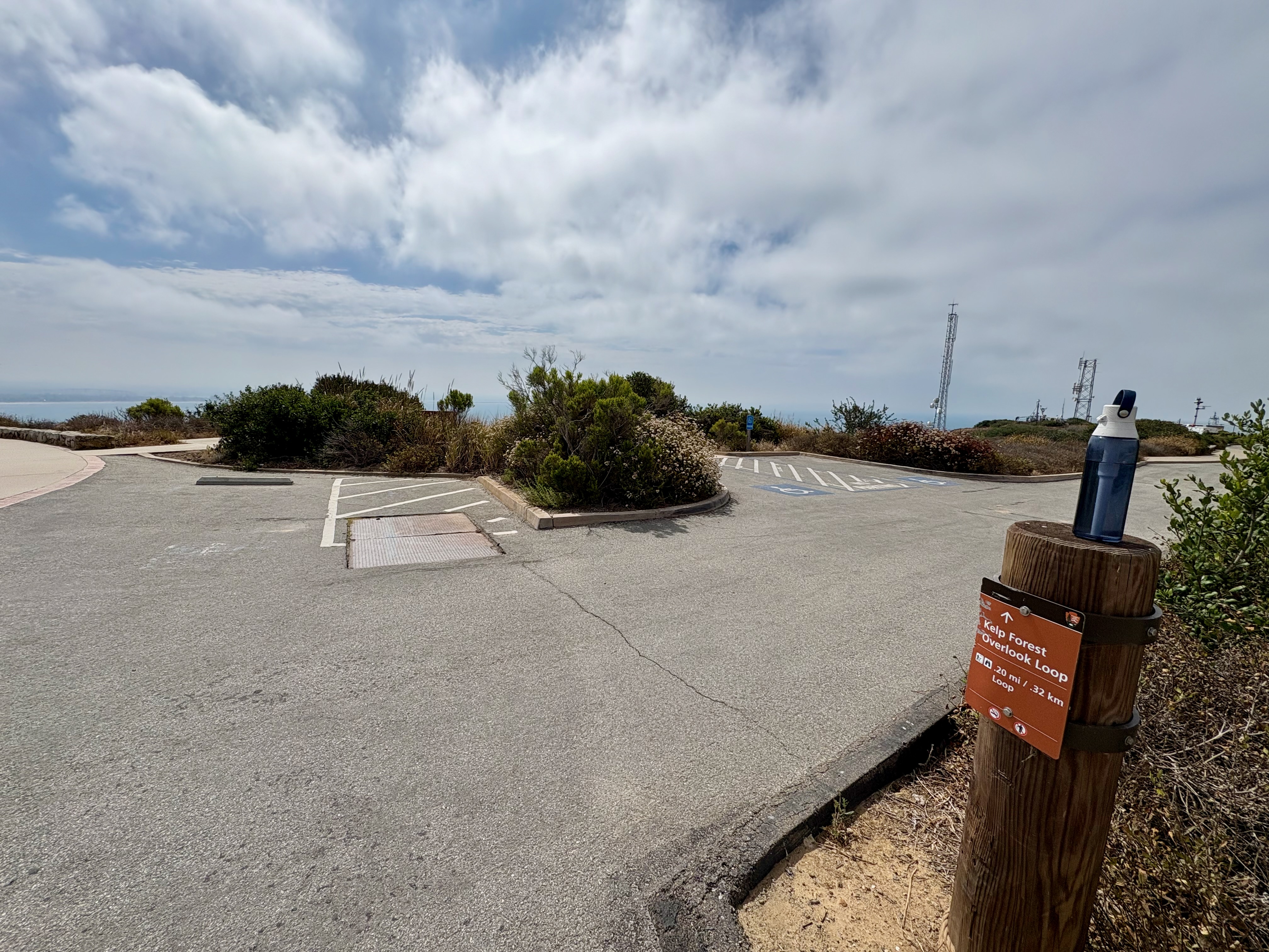
Military Disappearing Searchlight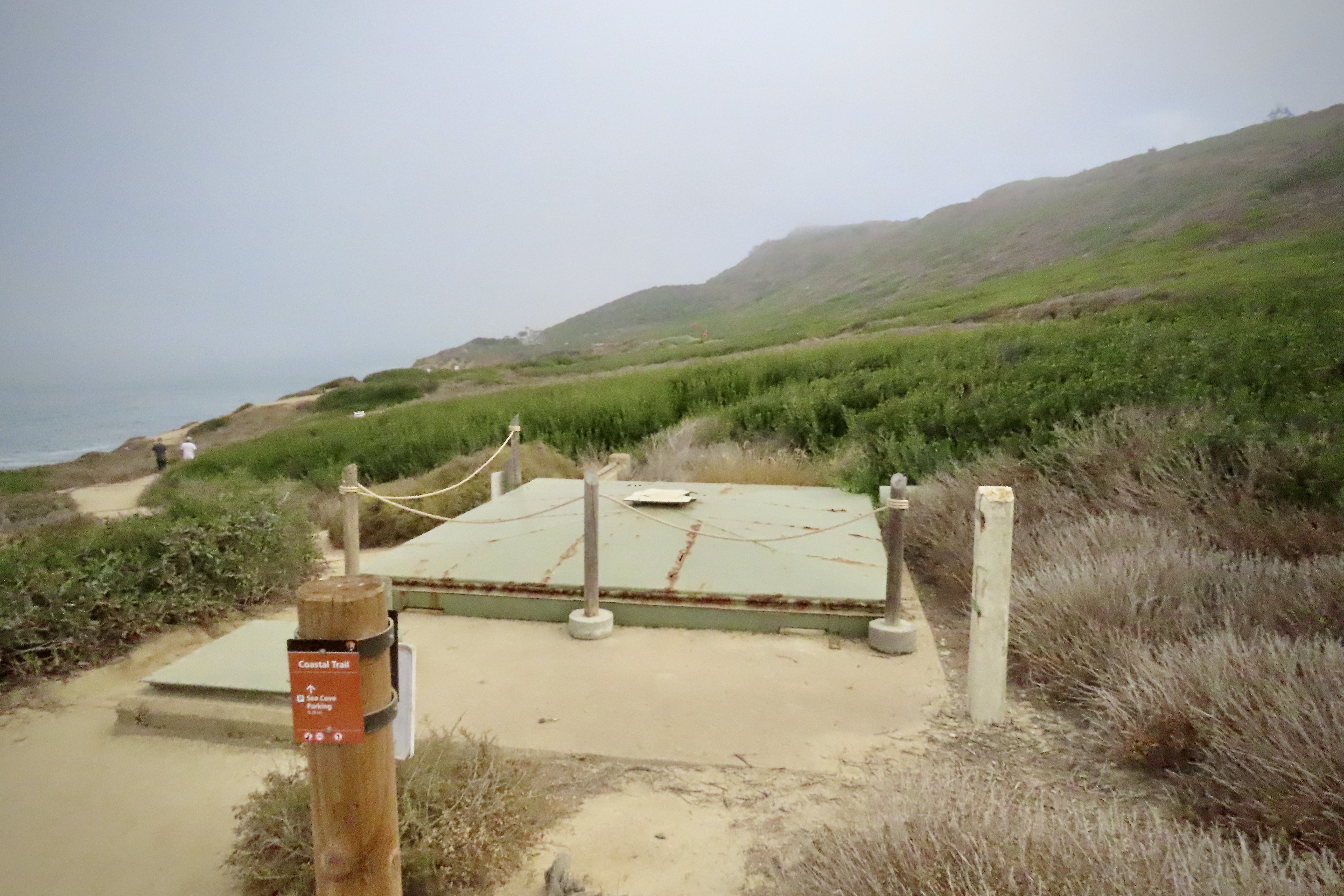
Mission Trails Regional Park
New Point Loma Lighthouse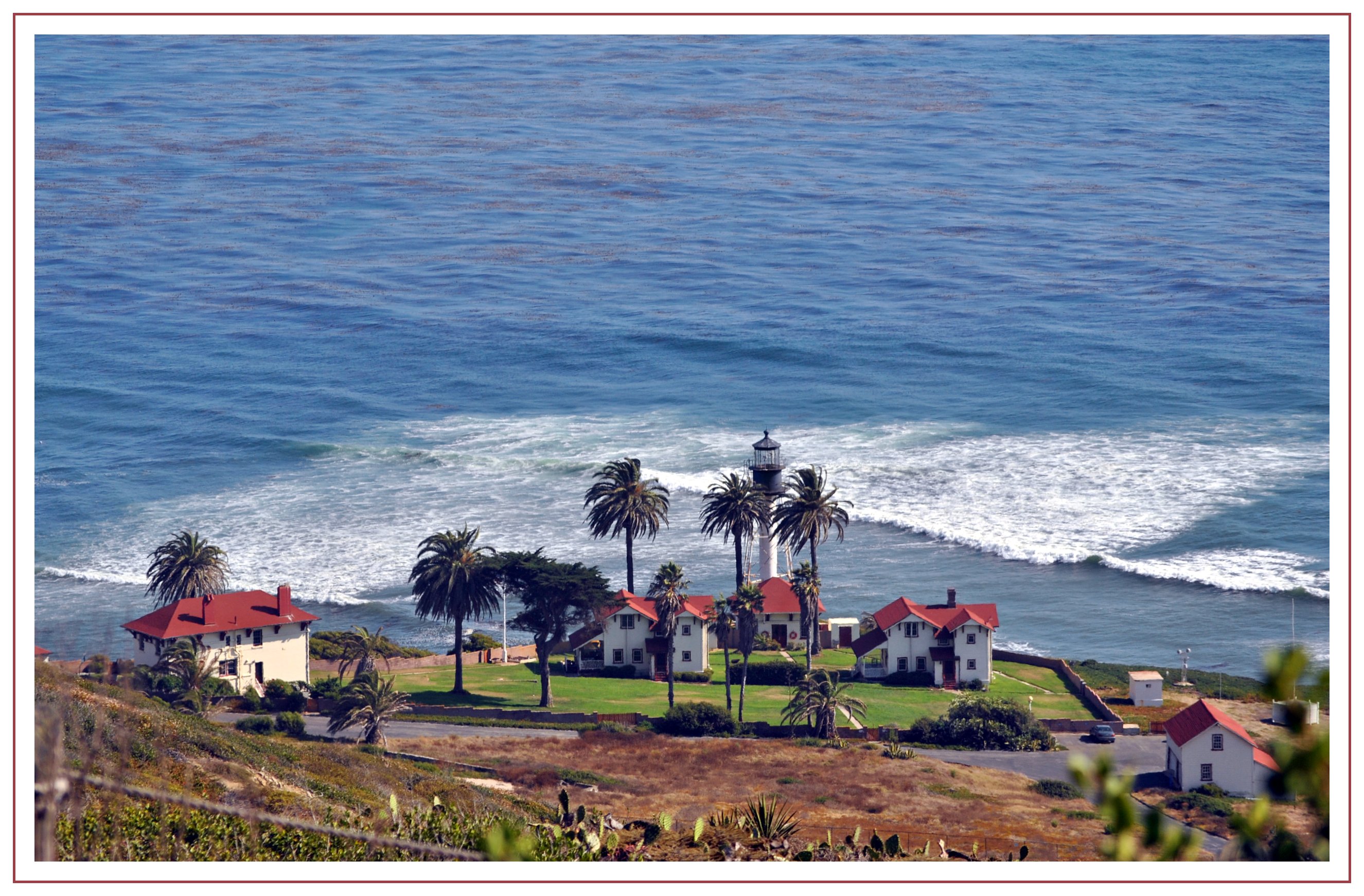
Ocean View Parking
Oceanside Trail (East Trailhead)The Oceanside Trail significantly enhances recreational opportunities at Cabrillo National Monument by adding a new trail to the park's network, increasing it by over 20%. This trail offers a car-free mode of access to the tidepool area, allowing visitors to hike with ocean views and reach the tidepools without walking along the narrow road shoulder. 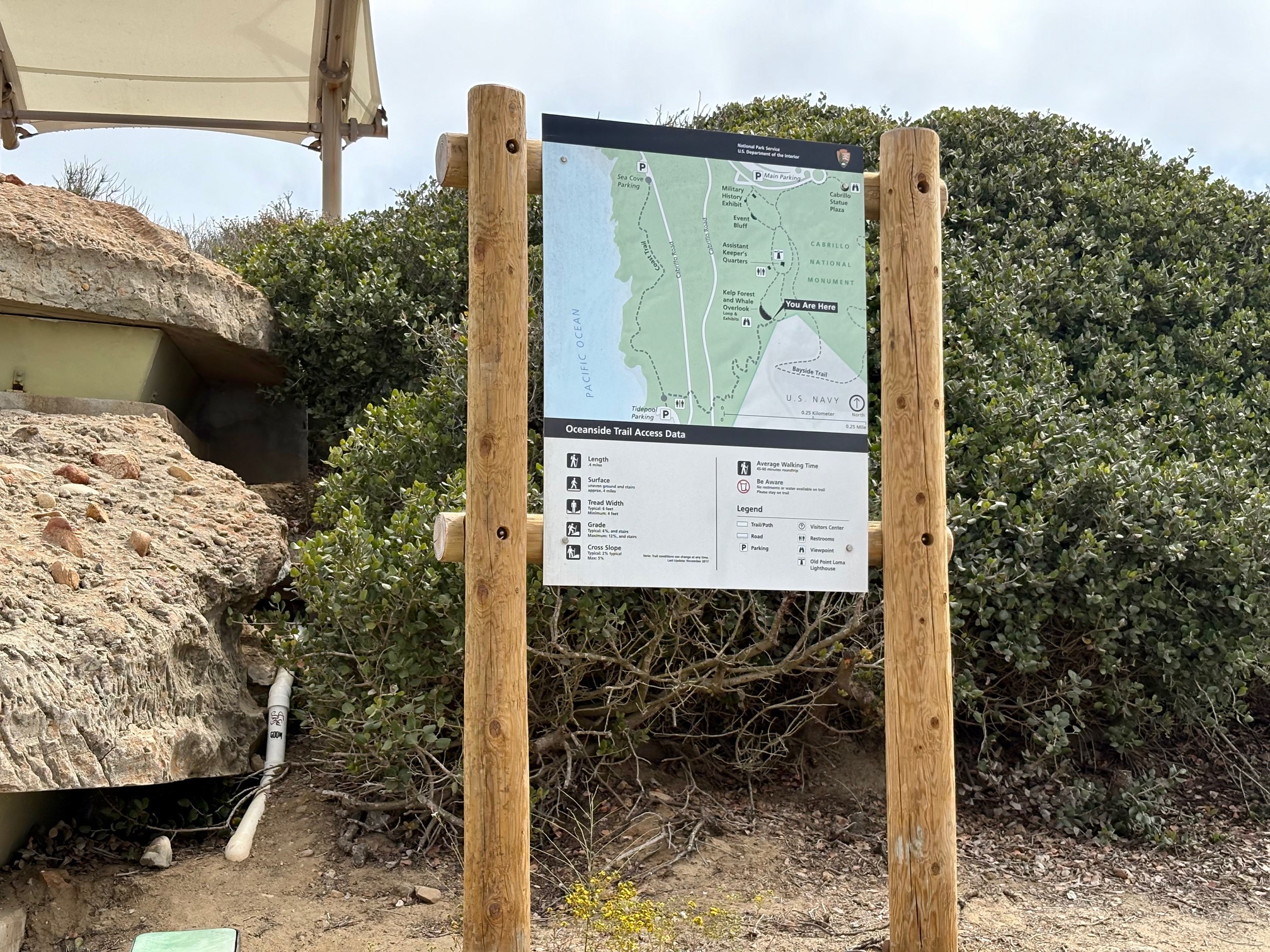
Oceanside Trail (West Trailhead)The Oceanside Trail significantly enhances recreational opportunities at Cabrillo National Monument by adding a new trail to the park's network, increasing it by over 20%. This trail offers a car-free mode of access to the tidepool area, allowing visitors to hike with ocean views and reach the tidepools without walking along the narrow road shoulder. 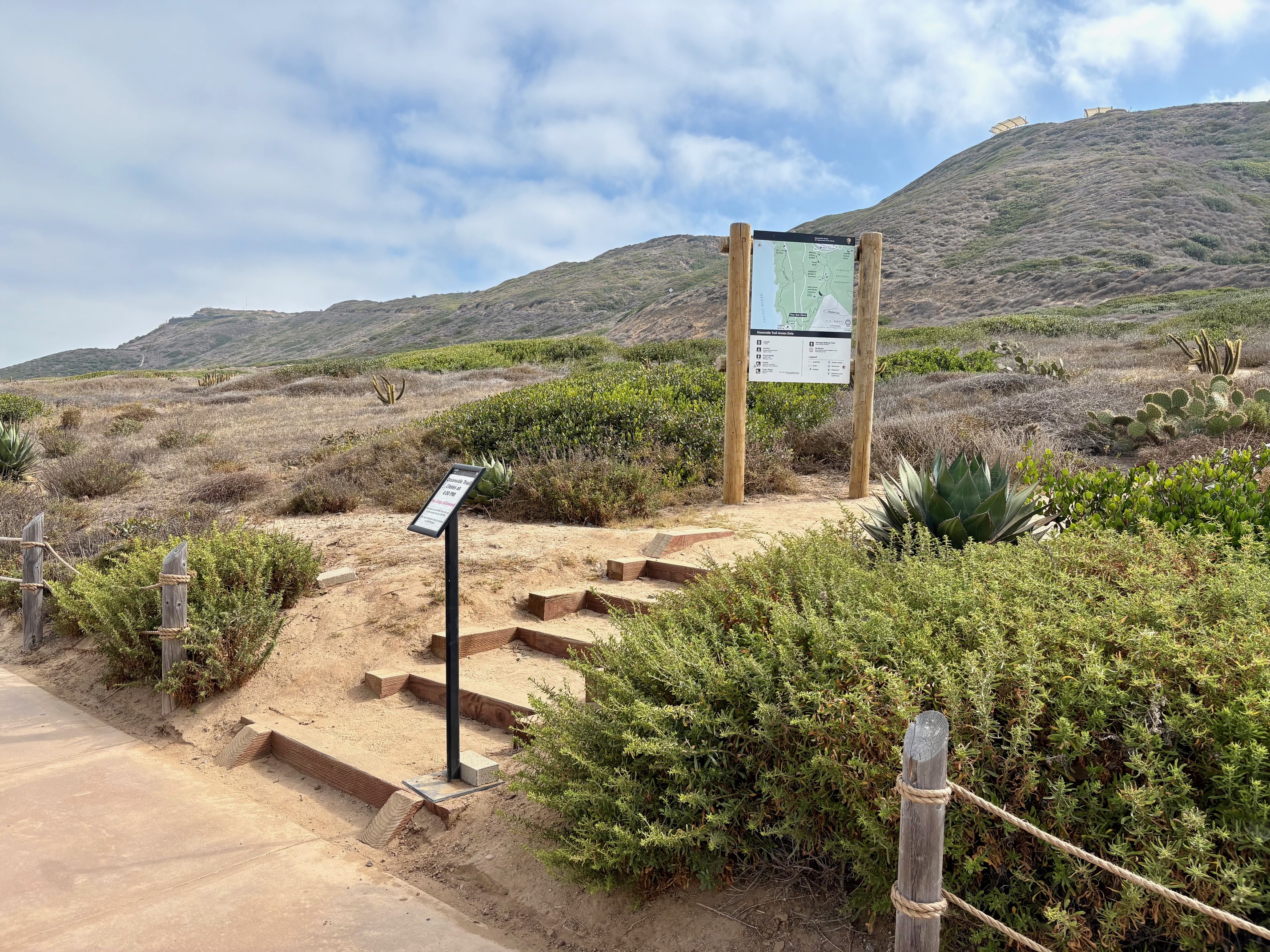
Old Point Loma Lighthouse Assistant Keeper's Quarters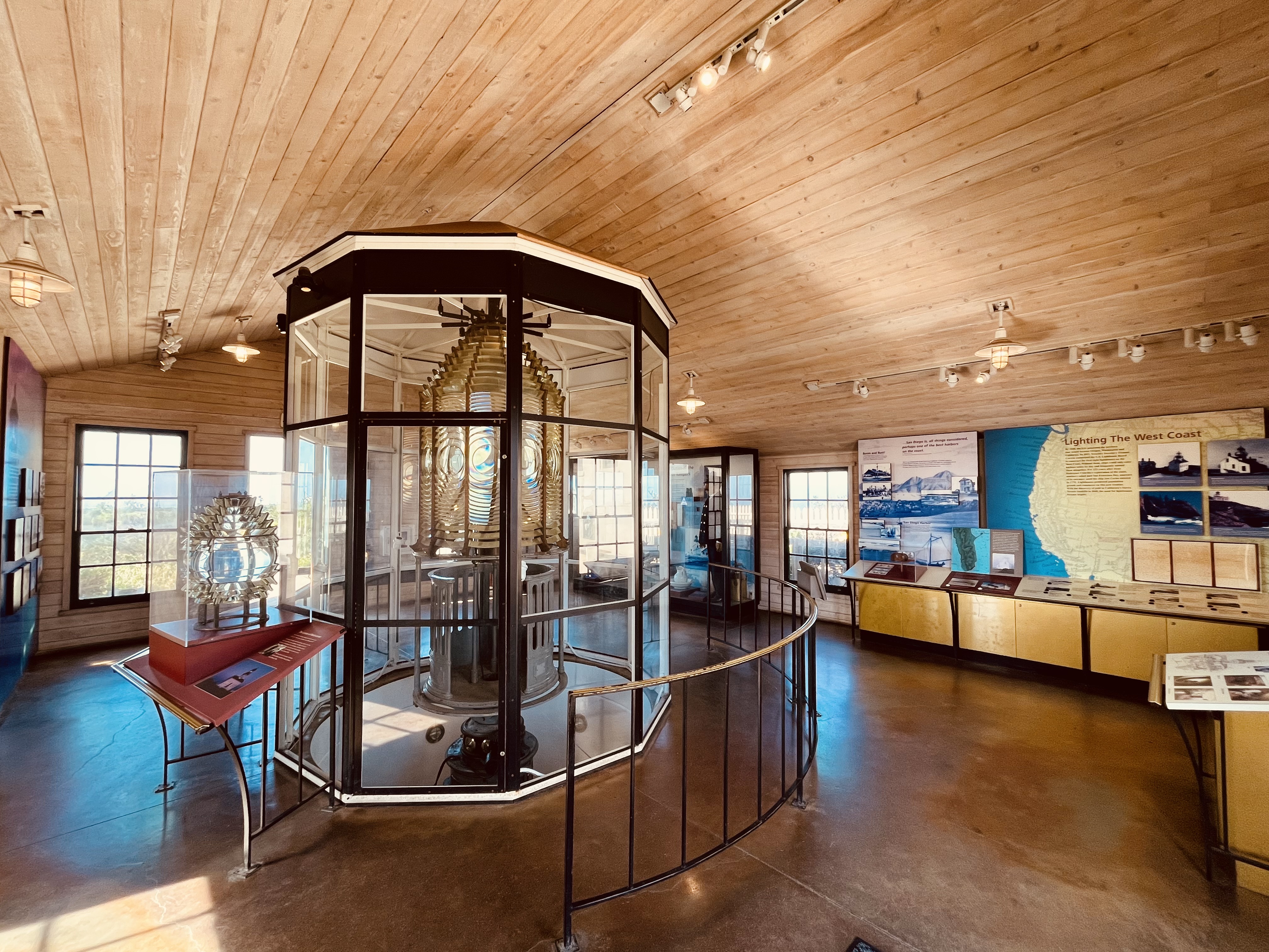
Old Point Loma Lighthouse Children's Bedroom
Old Point Loma Lighthouse Flagpole and Basement
Old Point Loma Lighthouse Front Entry
Old Point Loma Lighthouse Front Steps
Old Point Loma Lighthouse GroundsThe Old Point Loma Lighthouse illuminated the San Diego coastline from 1855 to 1891. Today, the lighthouse grounds and its exhibits provide a window to the past. 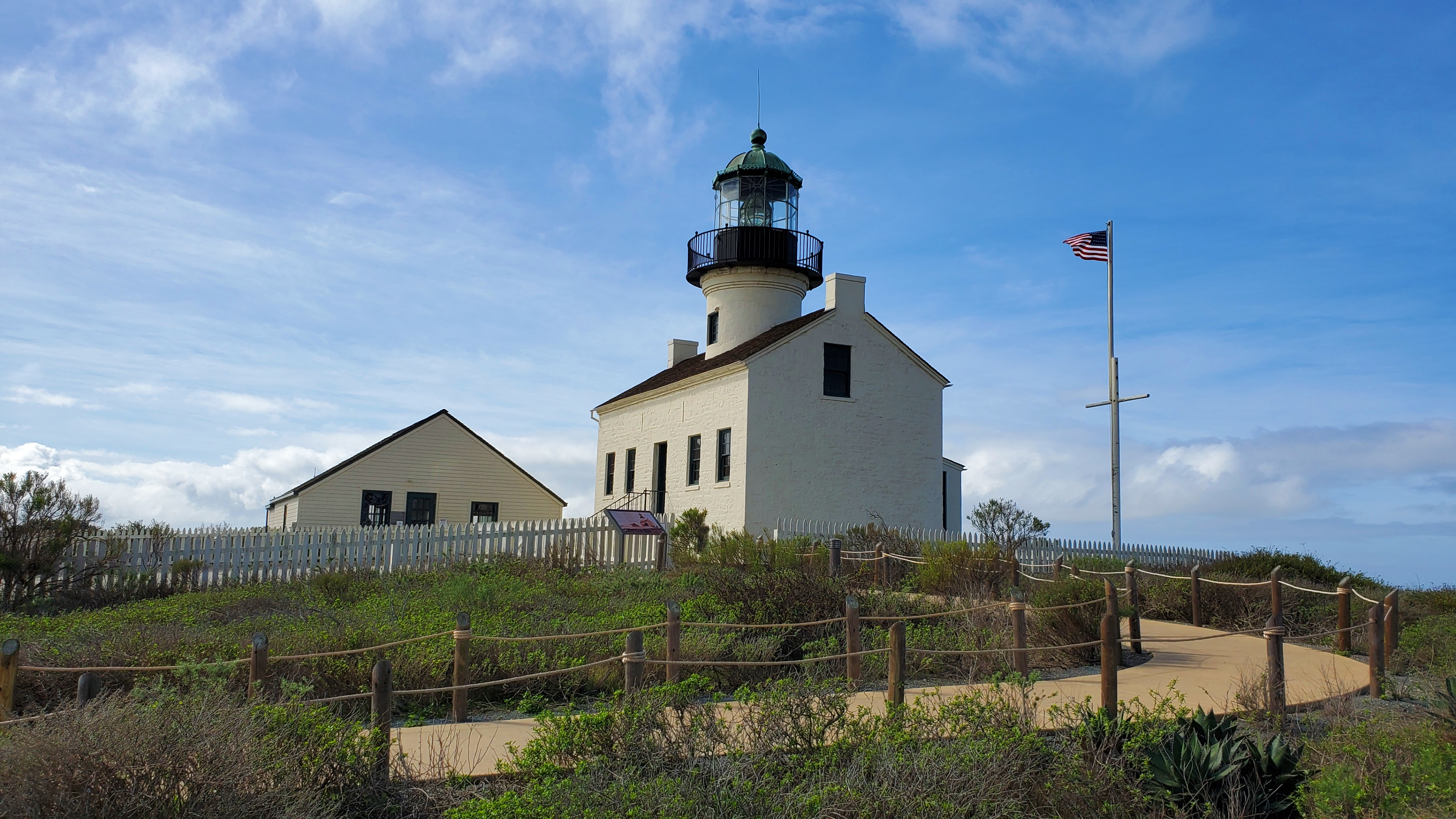
Old Point Loma Lighthouse Kitchen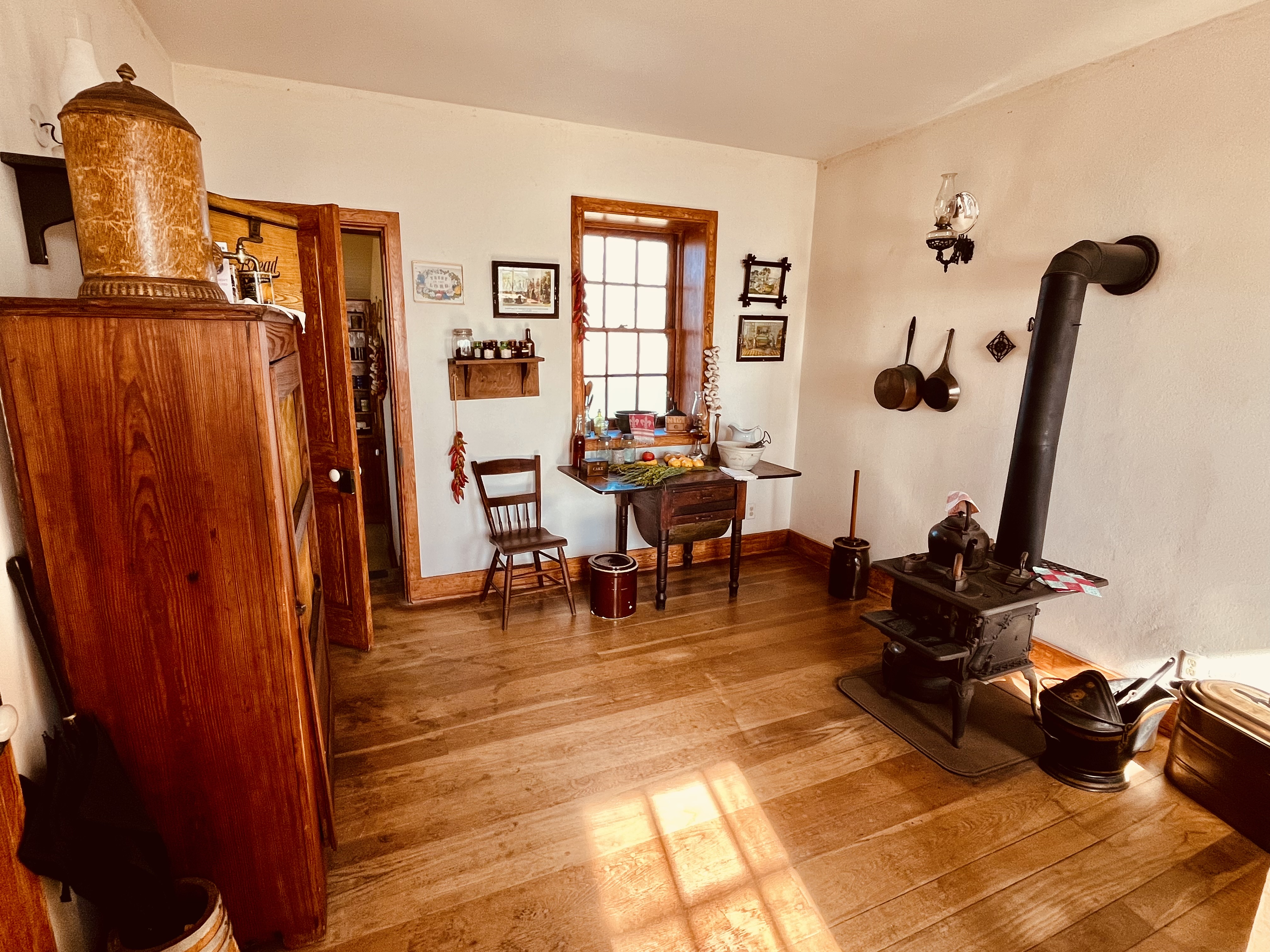
Old Point Loma Lighthouse Kitchen Garden
Old Point Loma Lighthouse Parlor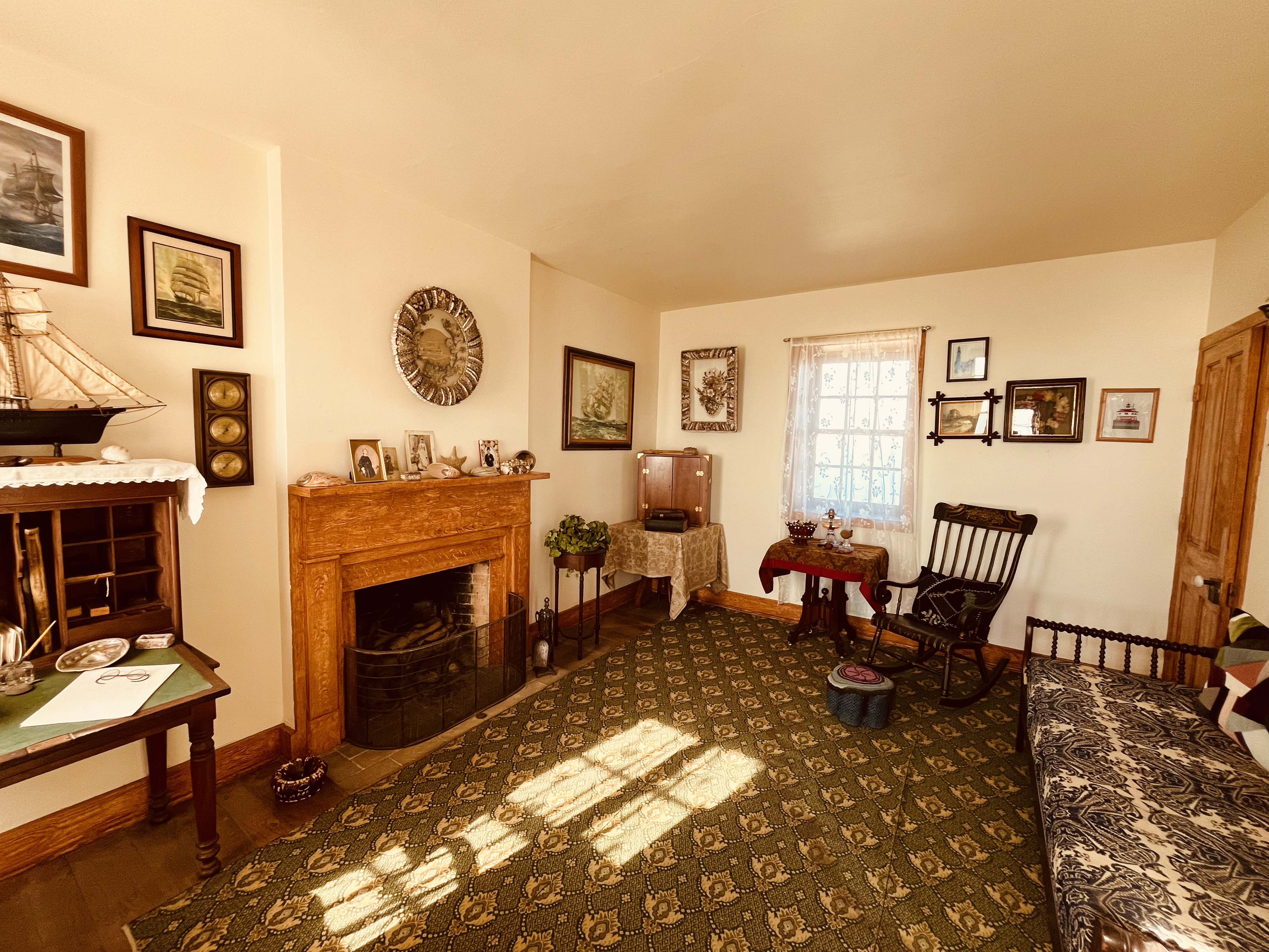
Old Point Loma Lighthouse Primary Bedroom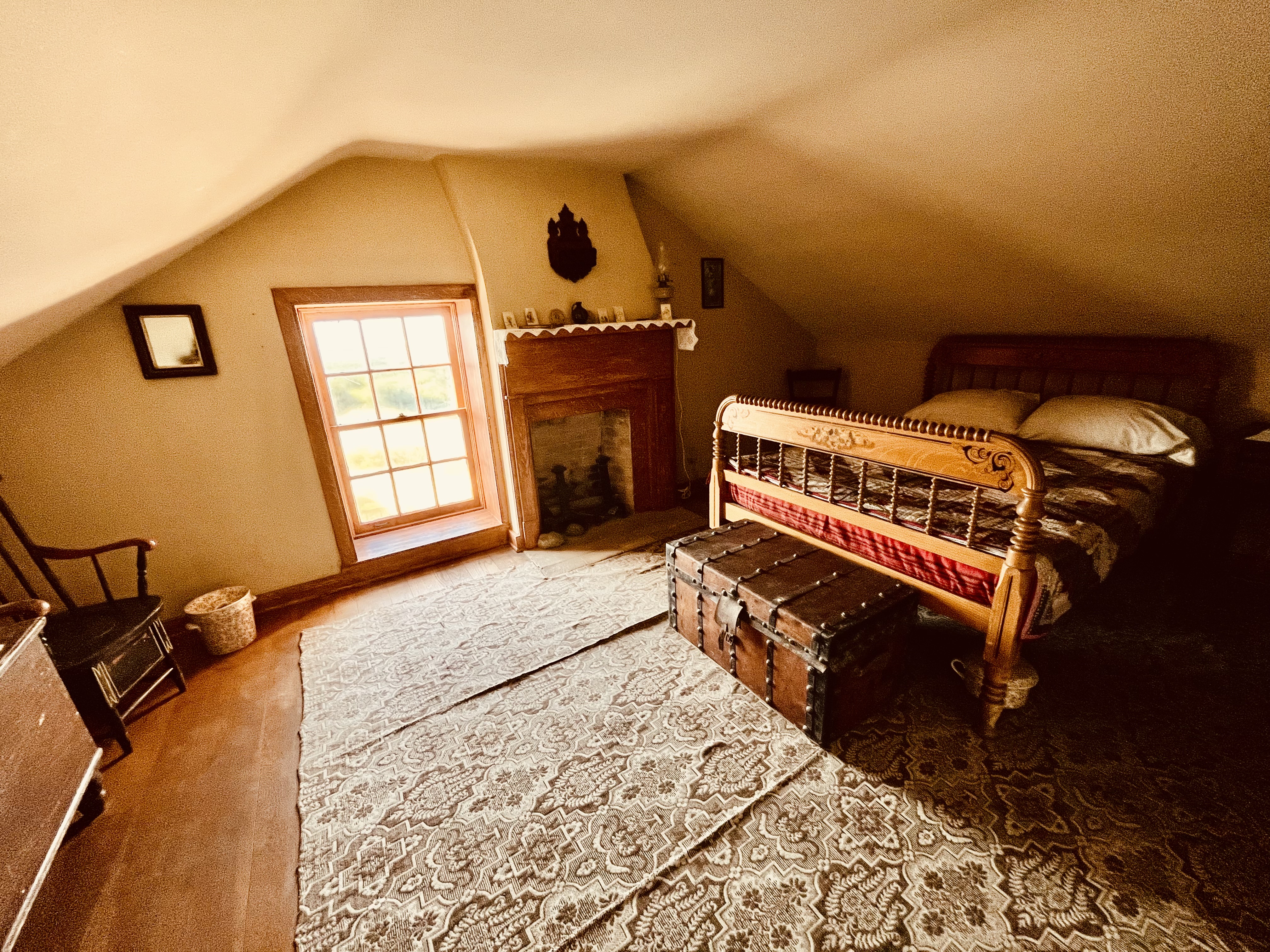
Old Point Loma Lighthouse Rain Catchment Basin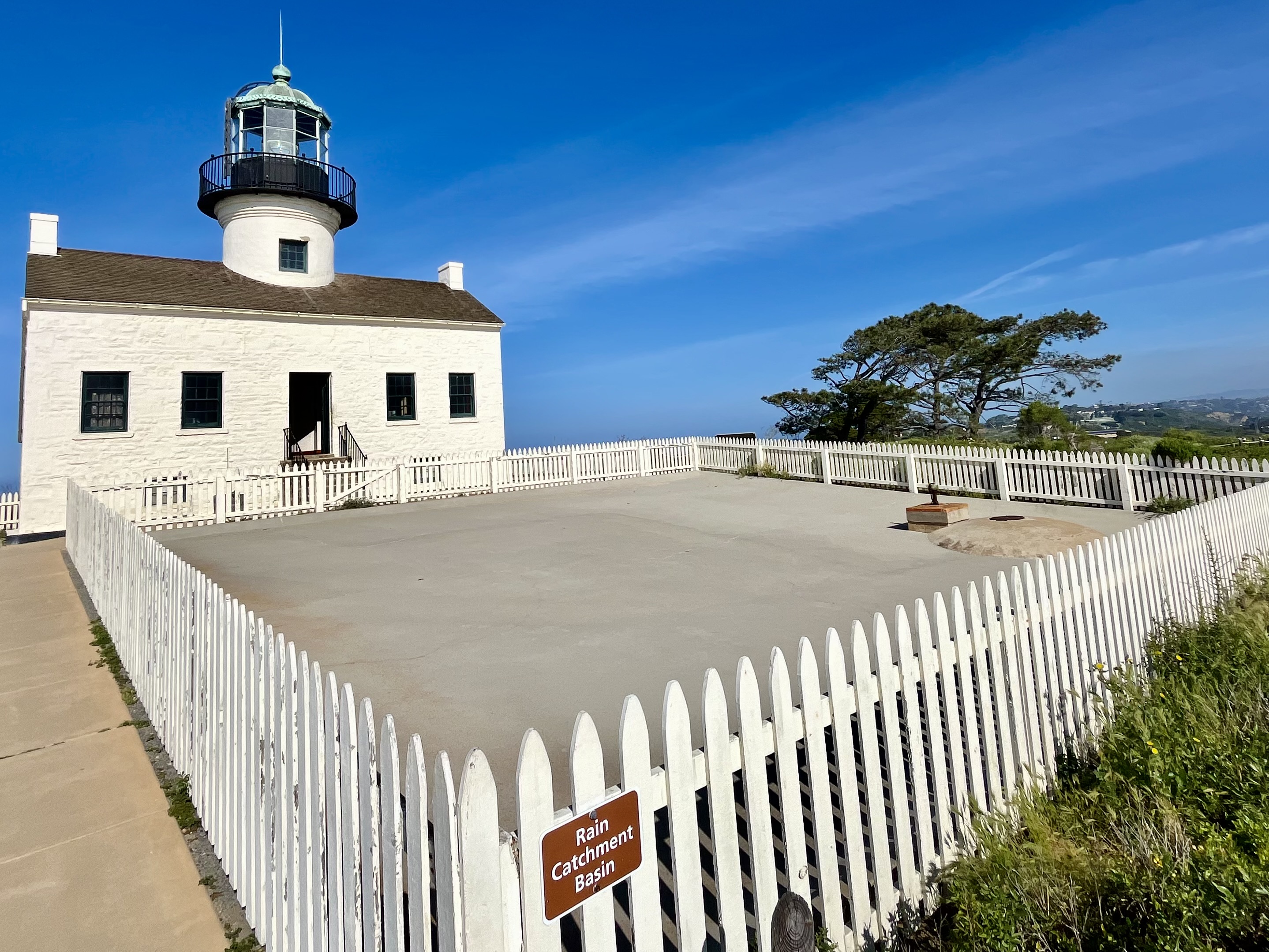
Old Point Loma Lighthouse Watch Room and Lantern Room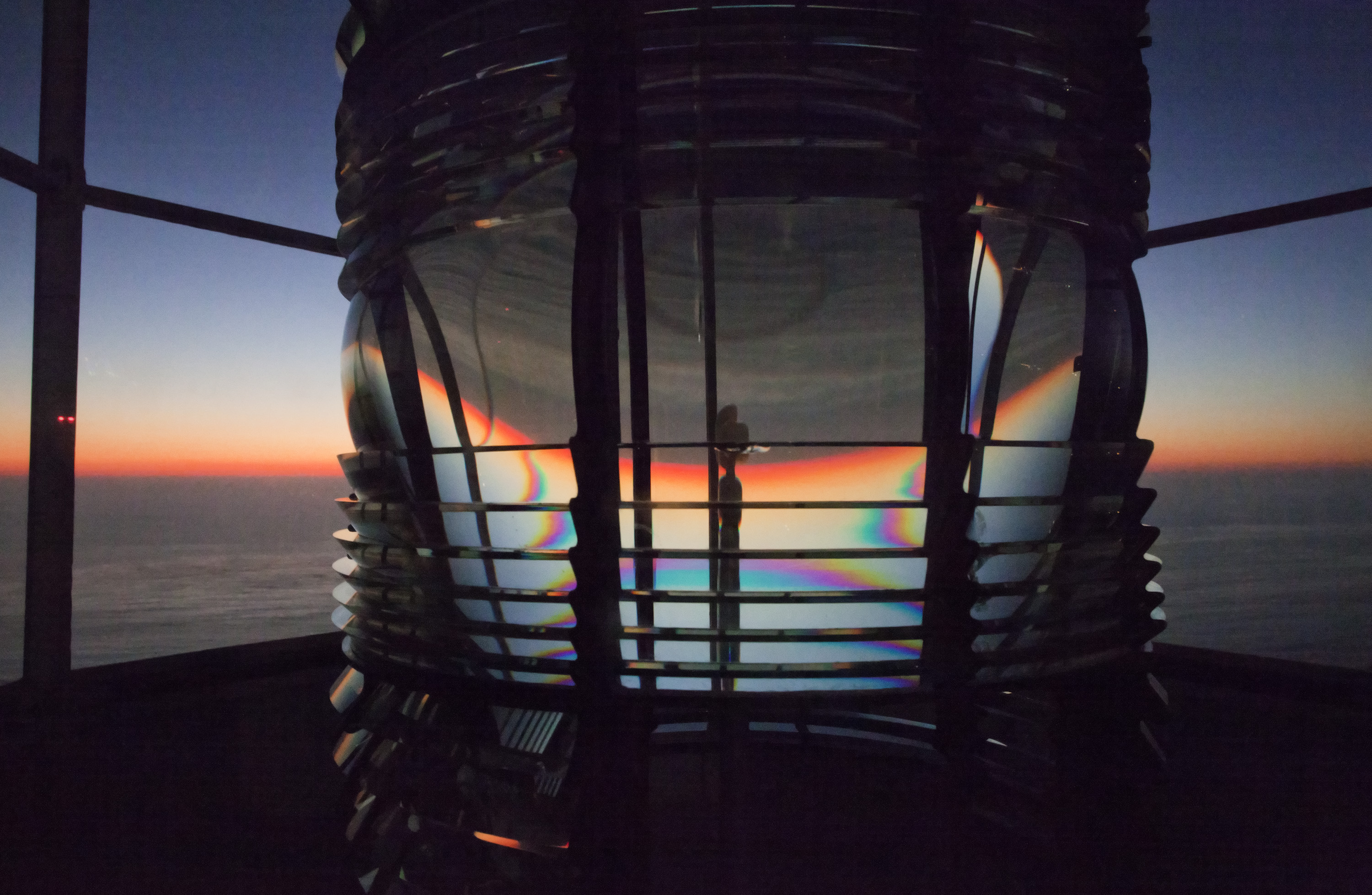
Old Town San Diego State Historic Park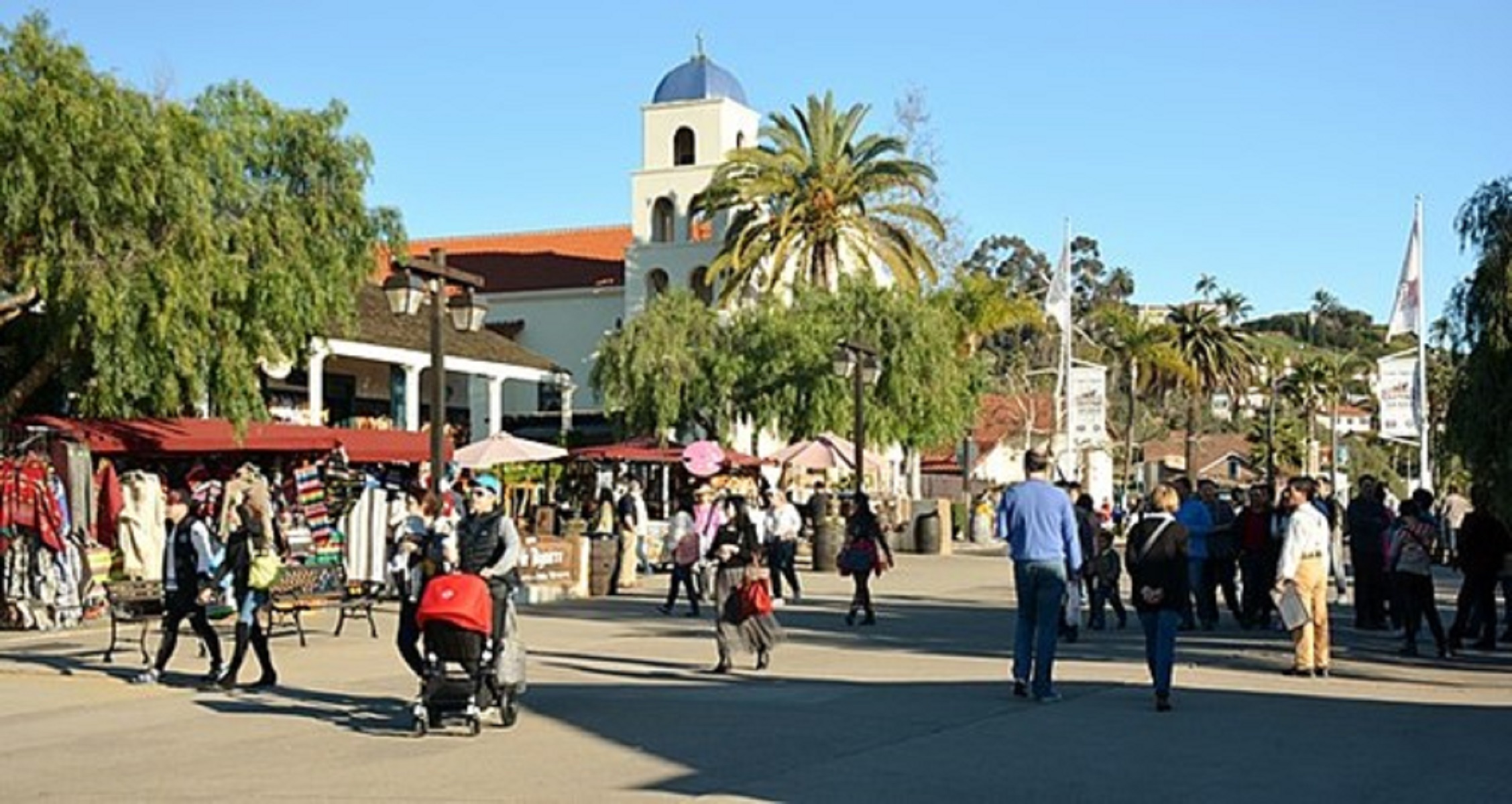
Parking Lot 2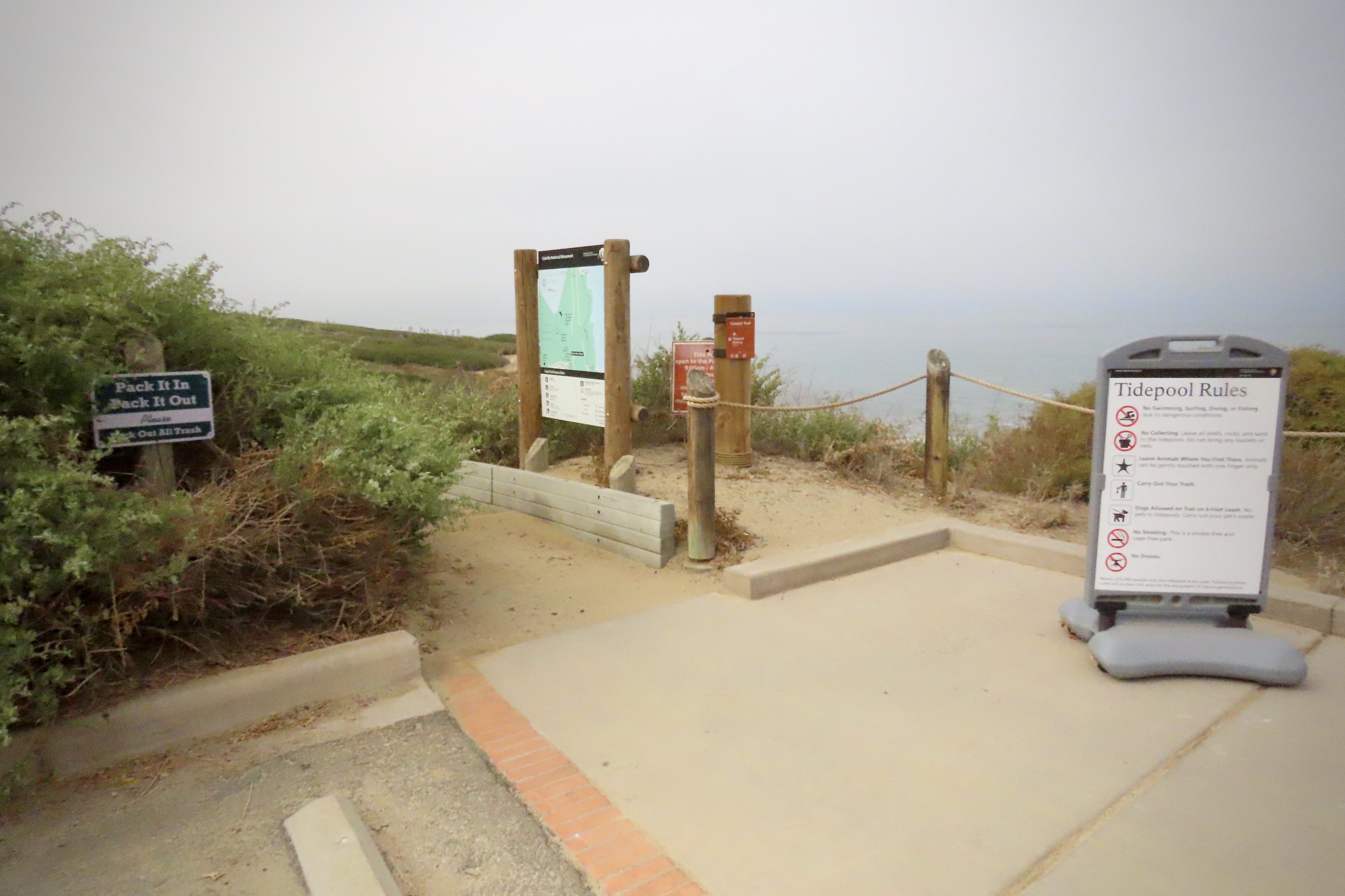
Tidepool Wayside Display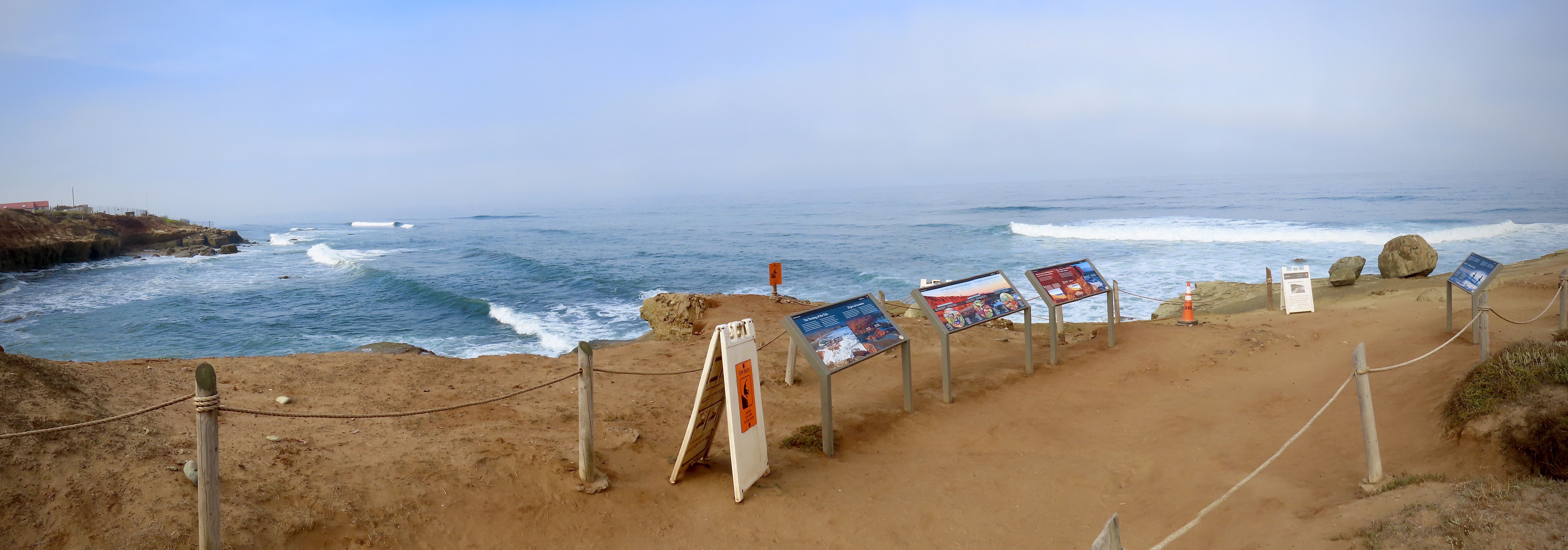
TidepoolsThe rocky intertidal area, also known as the tidepools, is a favorite spot at Cabrillo National Monument. Each year over 200,000 people visit the tidepools, one of the best protected rocky intertidal areas in California. The best time to visit the tidepools is during the fall and winter months, when we get our great low tides during park hours. During spring and summer, the tide is usually covering the tidepools when the park is open. 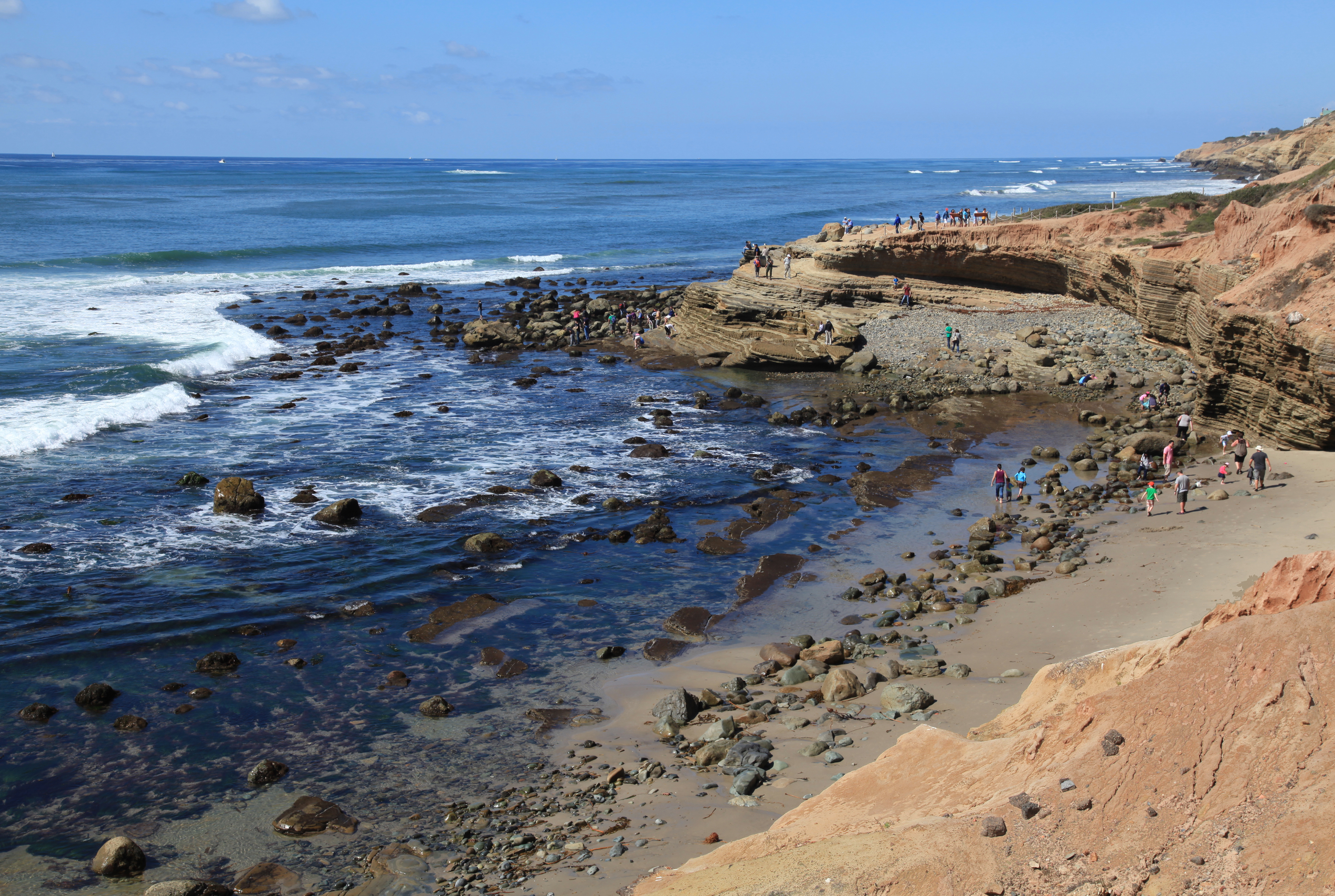
Tidepools Parking Lot 1
Tidepools Parking Lot 2
Tidepools Parking Lot 3
Visitor Center Parking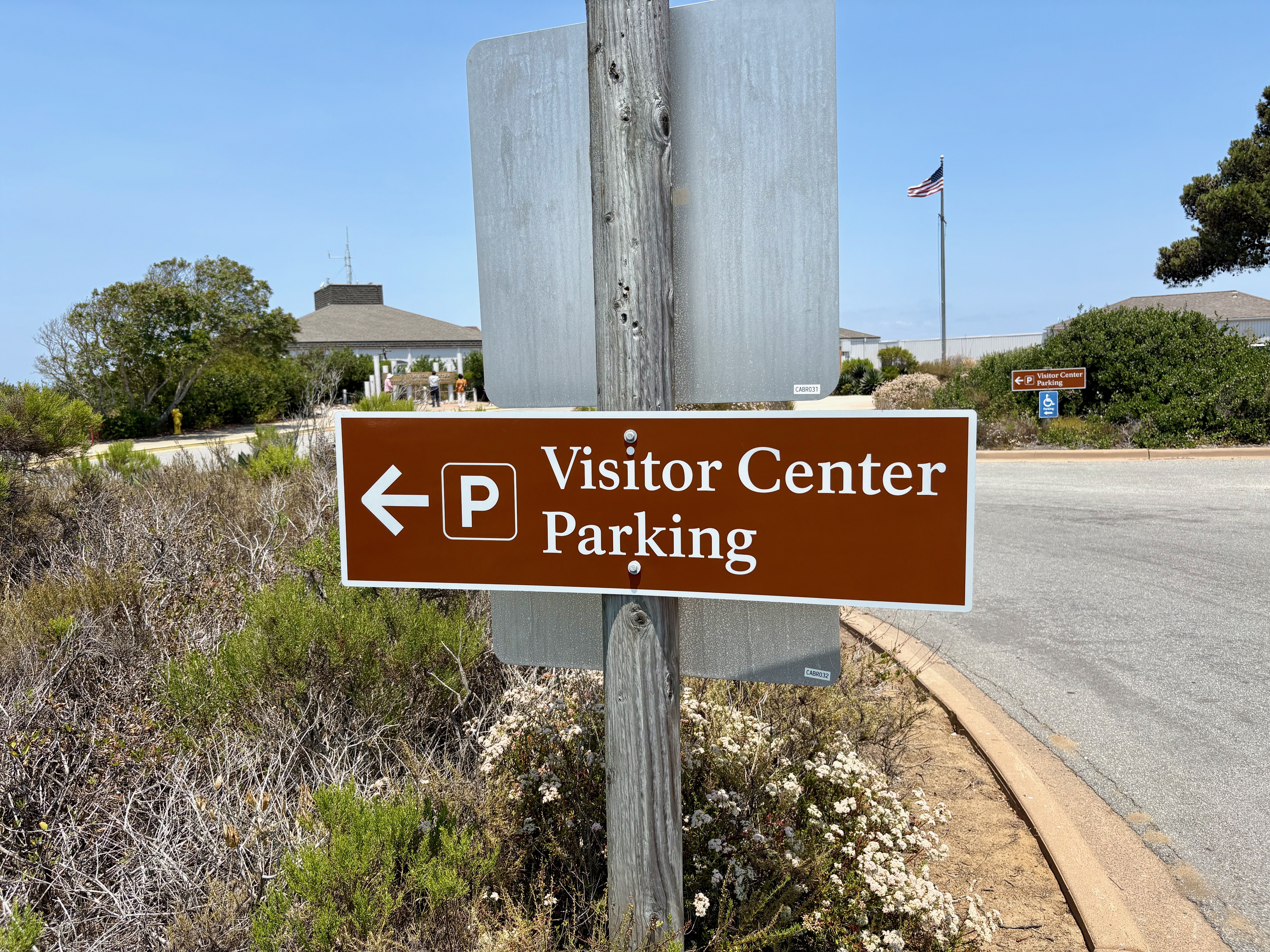
|
| Visitor Centers | Count: 1
Visitor Center and View Building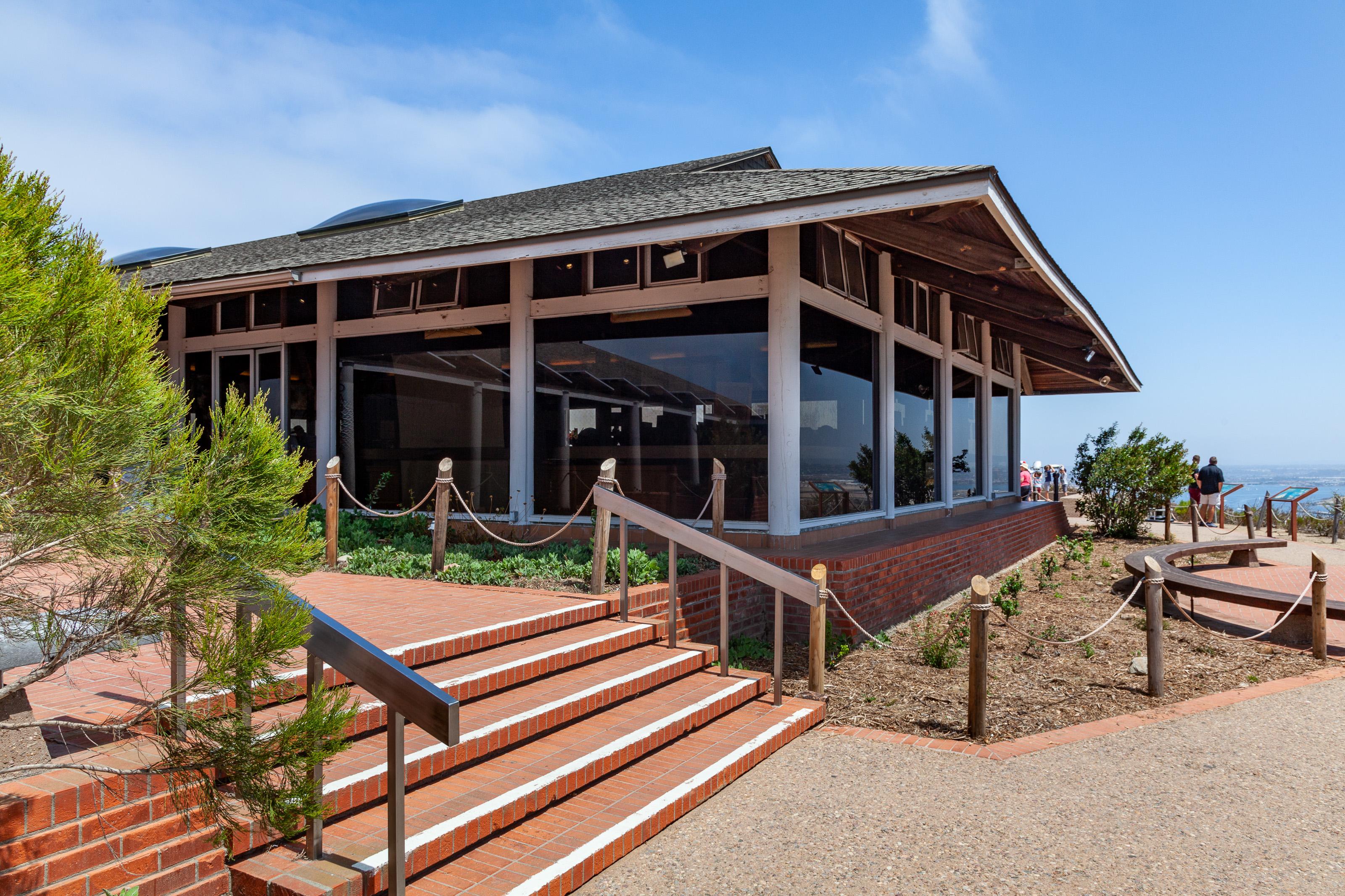
|
| Things to do | Count: 6


|
| Tours |
Count: 3
In-Depth Lighthouse TourTour the interior of the Old Point Loma Lighthouse and learn about life and work in a lighthouse. Then visit the Assistant Keeper's Quarters and learn about the lighthouse's Fresnel lens and how it worked! Each of the map points represents a space inside of the lighthouse, but unfortunately are not completely accurate. Please follow the written/verbal directions within the tour itself. Self-Guided Walking Tour of Cabrillo National Monument HilltopThis tour takes you through a short walking loop around the "upper" portion of Cabrillo National Monument - that is, the portion of the park that sits on the crest of Point Loma. Along the way you will learn about many of the major things to see at the park and be given a chance to find a greater personal meaning in them. Walking Tour of Cabrillo National Monument Coastal TrailThis tour takes you on a 1 mile walk on the Coastal Trail. This self-guided tour offers a view of many of Cabrillo National Monument’s resources. Explore the unique ecosystem the peninsula has to offer. |
| Articles |
|