Pavement Preservation Project- Playalina District Beginning 9/22/25
Playalinda Beach District will begin a Federal Highways pavement preservation project on Sept. 22nd, 2025. Visitors to the seashore should expect limited access to some parking areas and roadways to include the vistas
For entrance fees, we accept digital passes and credit/debit cards
Digital passes or credit/debit cards are the ONLY method of payment at all fee collection areas. Pre-paid digital passes are available online and may be purchased in advance.
Operating Hours
The seashore is currently operating on summer hours of 6:00 AM - 8:00 PM. Last entry into the seashore is at 7:00 pm.
Beat the Heat
Make sure to take hot weather into consideration. Carry water and use sunscreen to reduce the risk of heat injuries during your visit.
Rip Currents and Rough Surf
Remember that rough surf is dangerous & rip currents can be deadly. Please use caution when swimming at Canaveral National Seashore.
| Title | Canaveral |
| Park Code | cana |
| Description | Reflect on the barrier island which is composed of dune, hammock, and lagoon habitat. Explore ancient Timucua shell mounds. Experience the sanctuary that is provided for thousands of species of plants and animals that call Canaveral National Seas... |
| Location | |
| Contact | |
| Activities |
|
| Entrance fees |
Entrance - Private Vehicle
$25.00
Admits the passholder and passengers of a single vehicle. Good for 7 consecutive days at all park entrances.
Entrance - Motorcycle
$20.00
Good for 7 consecutive days at all park entrances.
Entrance - Per Person
$15.00
Good for 7 consecutive days at all park entrances. Admits one individual hiker, bicyclist, or pedestrian.
|
| Campgrounds | Count: 1
Canaveral National Seashore Backcountry Island Camping
|
| Places | Count: 18
Apollo Beach Entrance Station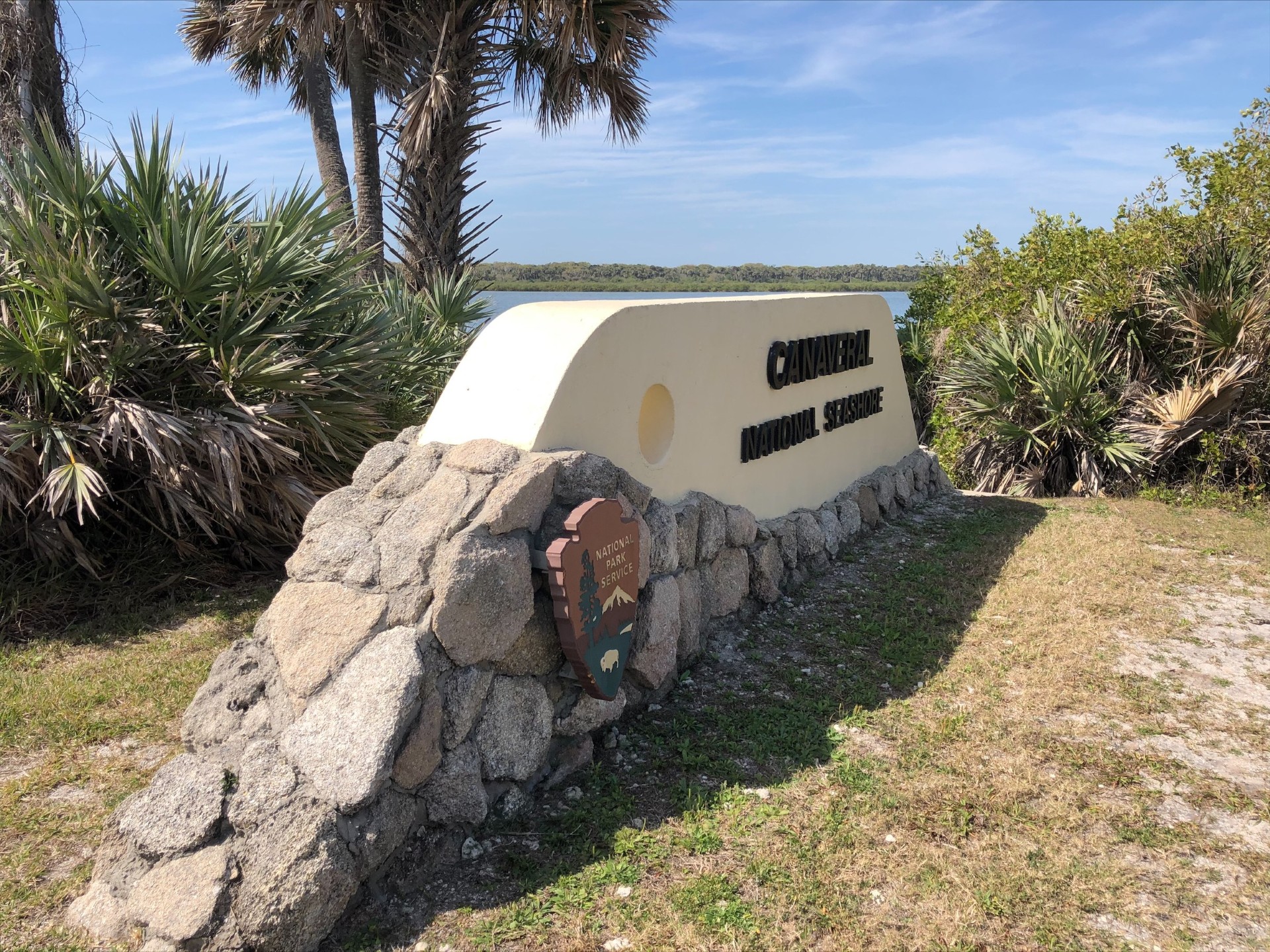
Apollo Parking Lot 2This is the Apollo Beach parking lot 2 for beach access. 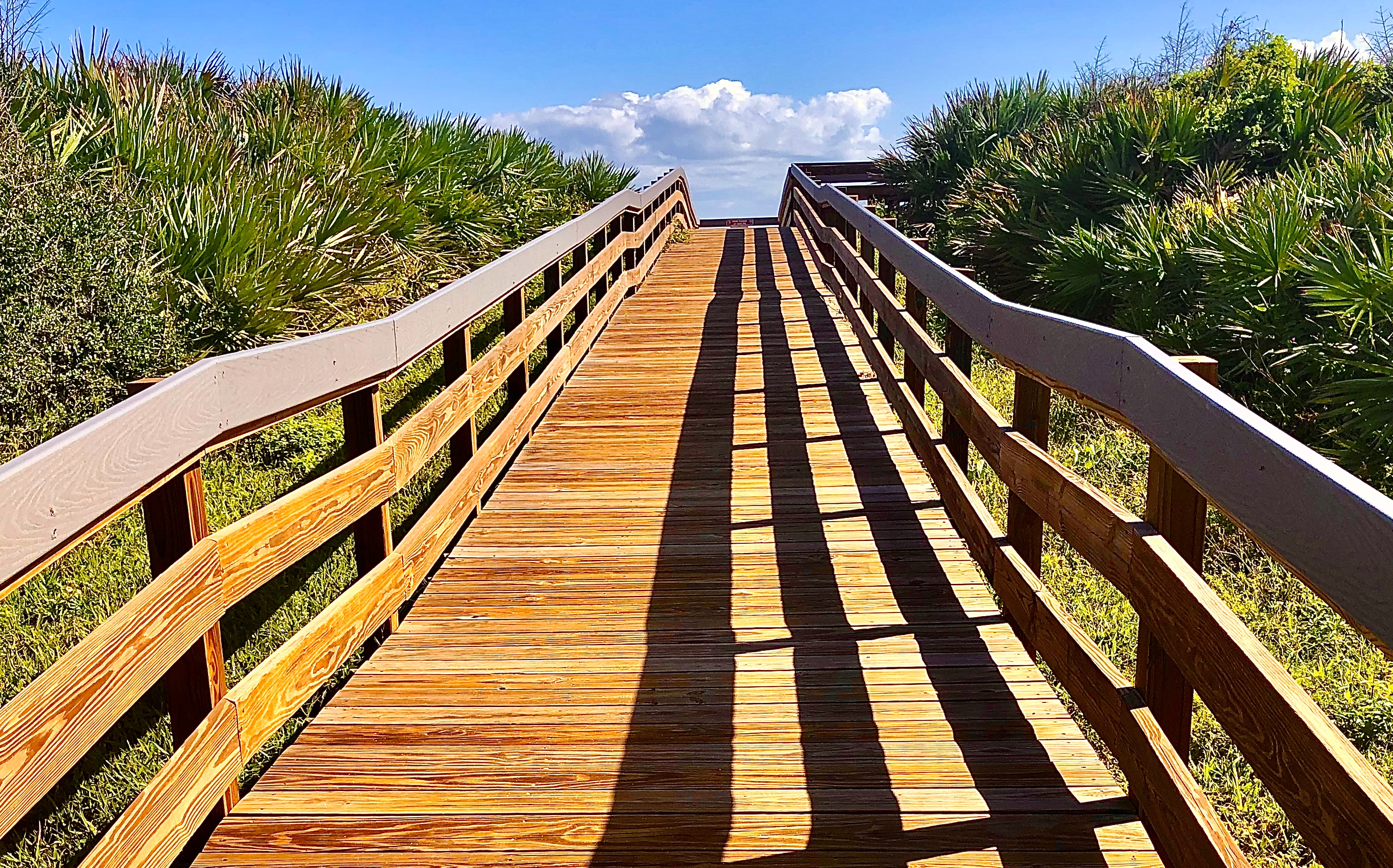
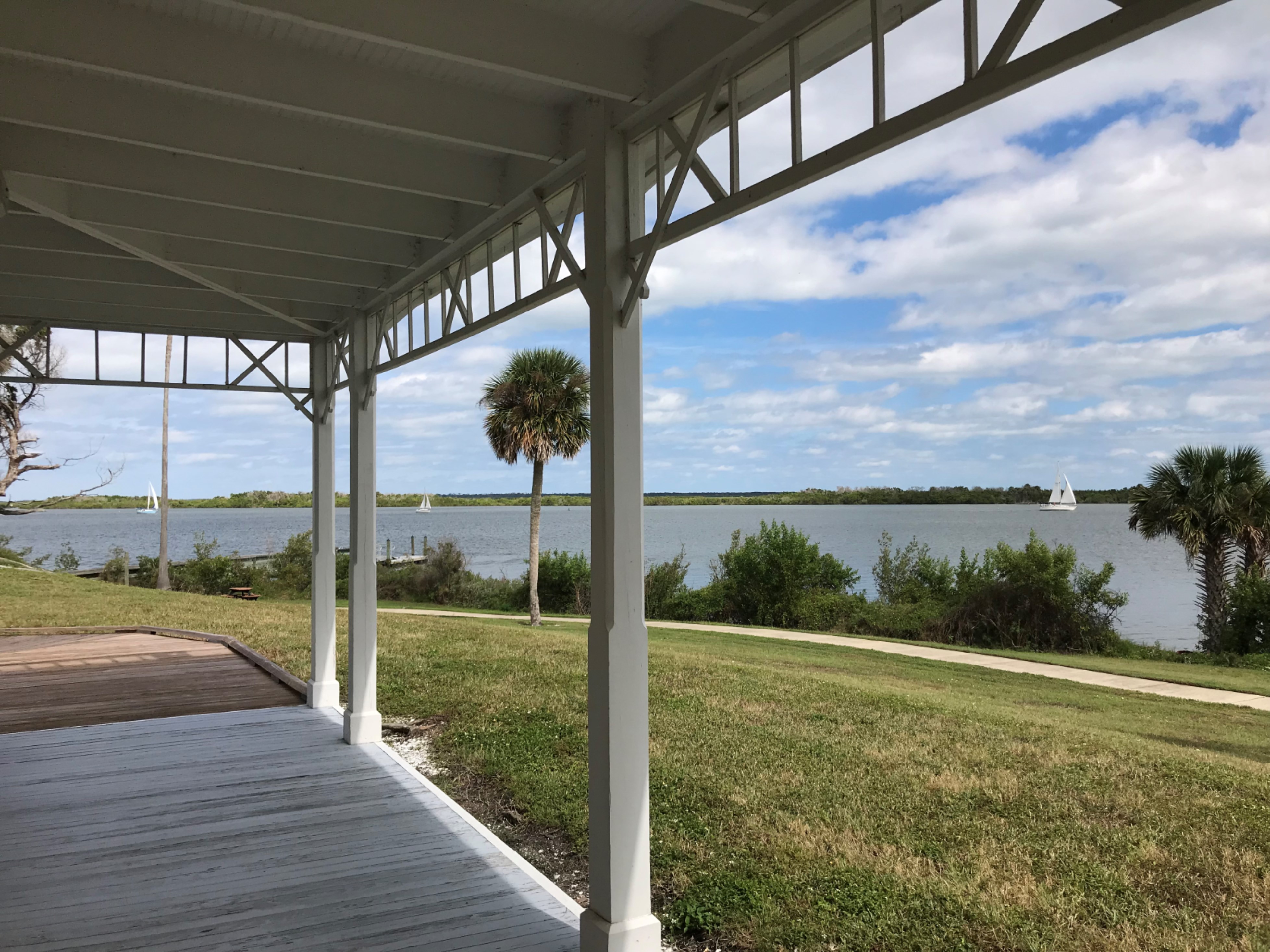
Apollo Visitor Center Dock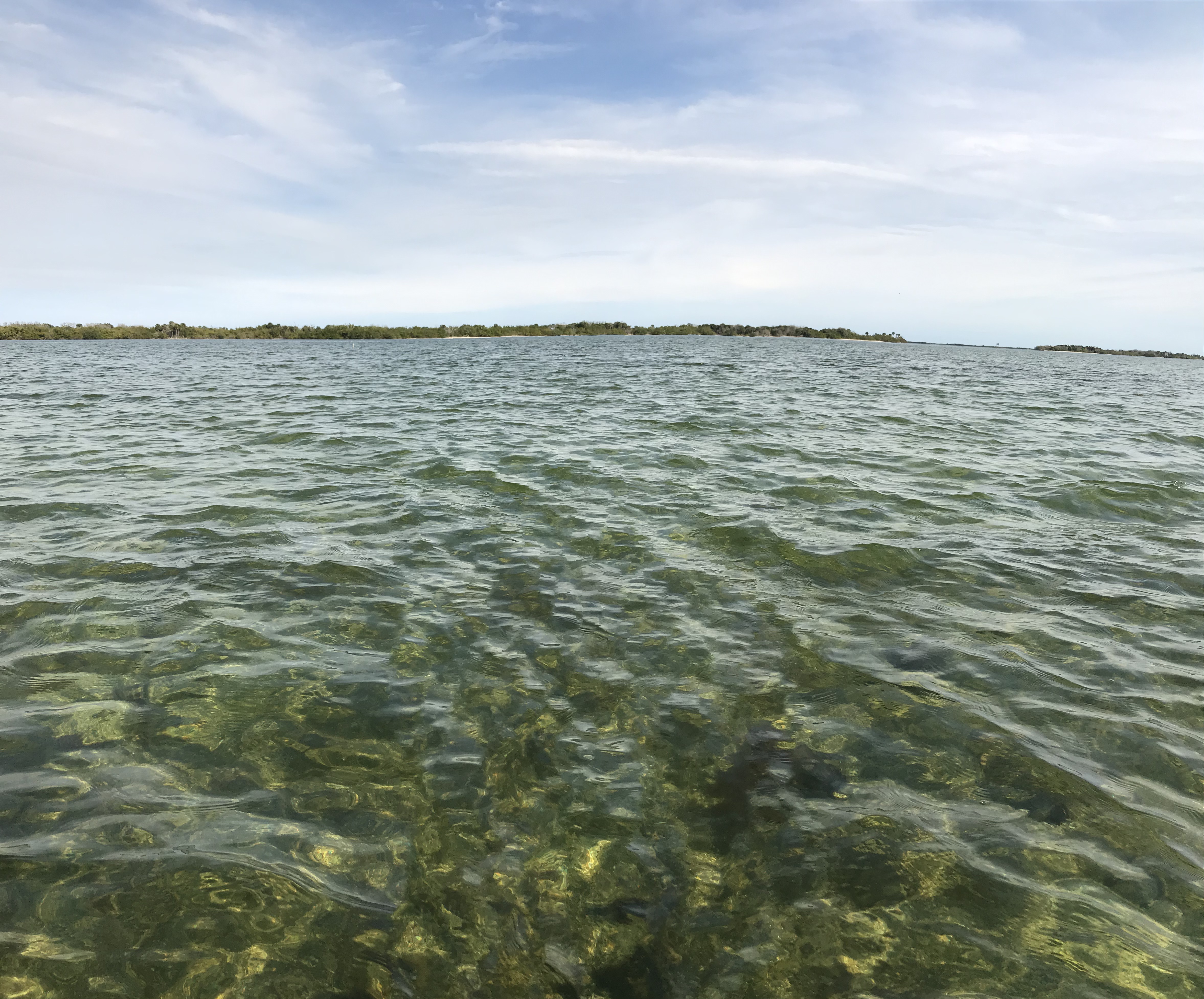
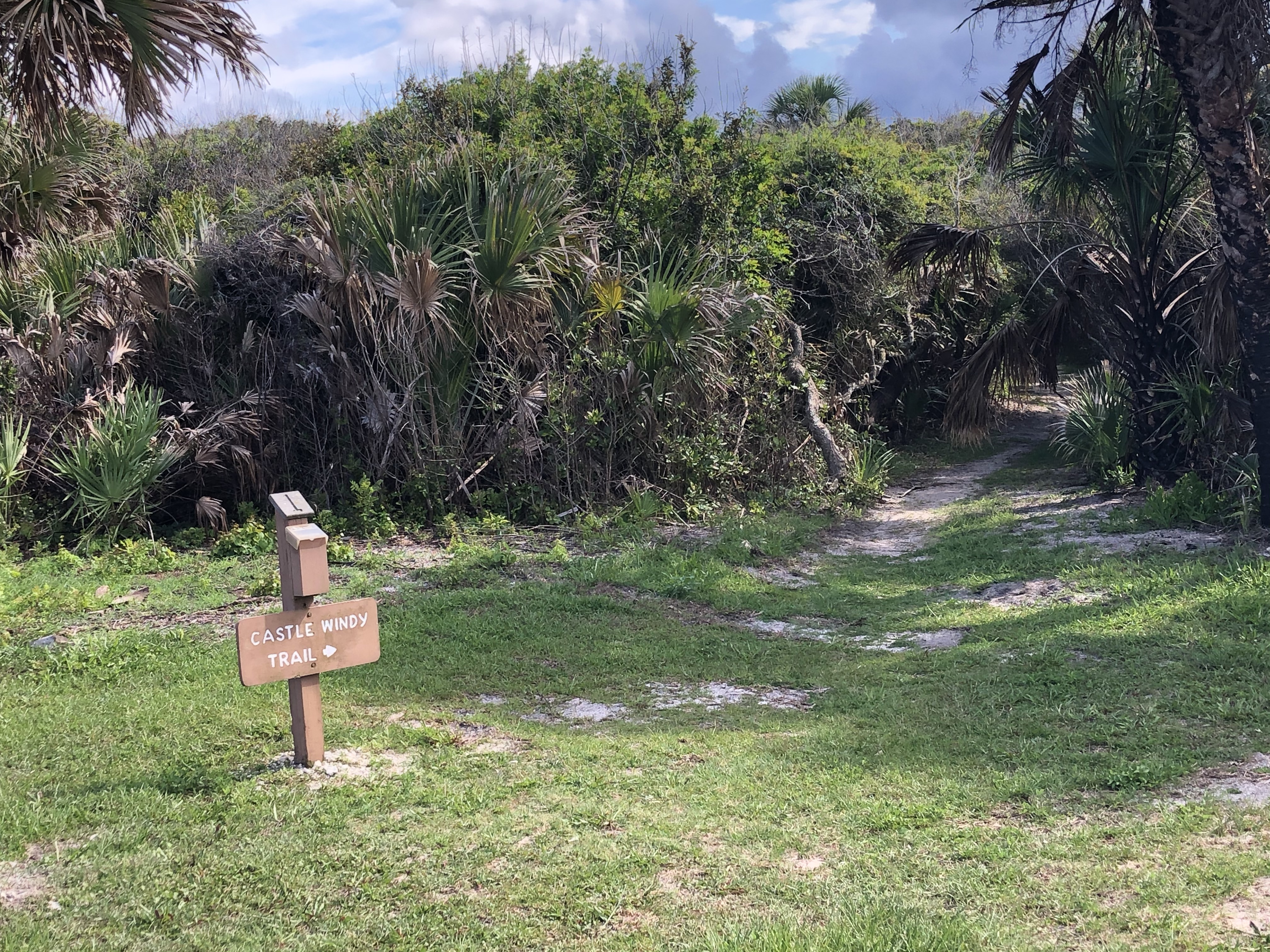
Castle Windy TrailCastle Windy is a half mile walk trail located at Canaveral National Seashore. 
EldoraExplore the historic Eldora State House built in approximately 1915 common era (CE). Stroll through centuries old oaks in the coastal hammock forest. Close your eyes as you rock on the porch and imagine the excitement of the arrival of a steamboat. 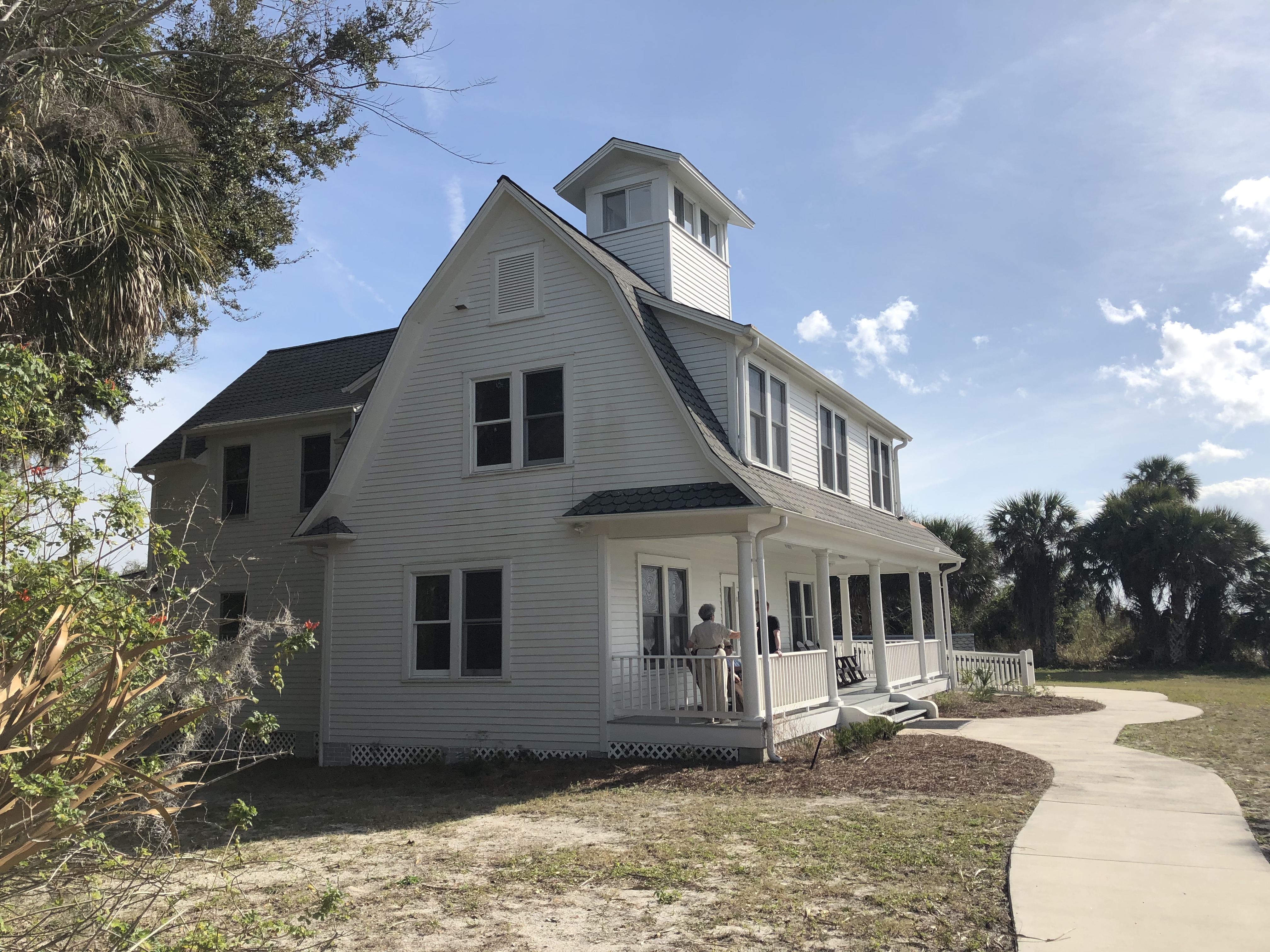
Playalinda Beach
Playalinda Beach Entrance Station
Seminole Rest EntranceSeminole Rest, a historic site, is part of Canaveral National Seashore and is located in Oak Hill, FL. 
Seminole Rest Wayside, Lost MoundsThis is the first stop while taking the tour around the Seminole Rest site's half mile trail. 
Seminole Rest Wayside, Mounds of EvidenceThis fifth stop along the Seminole Rest trail presents a wayside interpretive panel that highlights the efforts taken by archeologists during their archeological investigations. 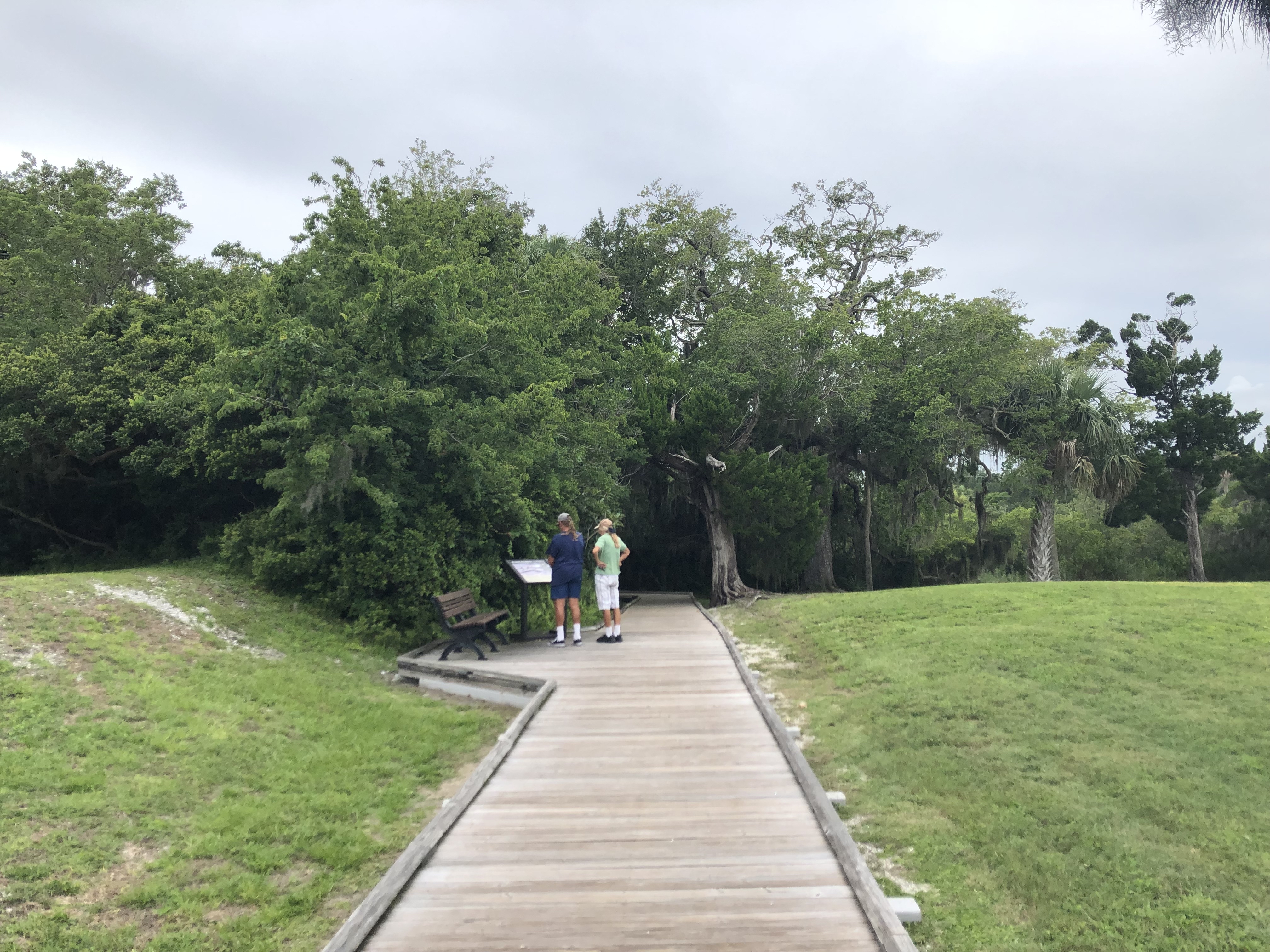
Seminole Rest Wayside, Preserving the MoundSeminole Rest kiosk three is the third informational stop along the Seminole Rest self guided tour path. 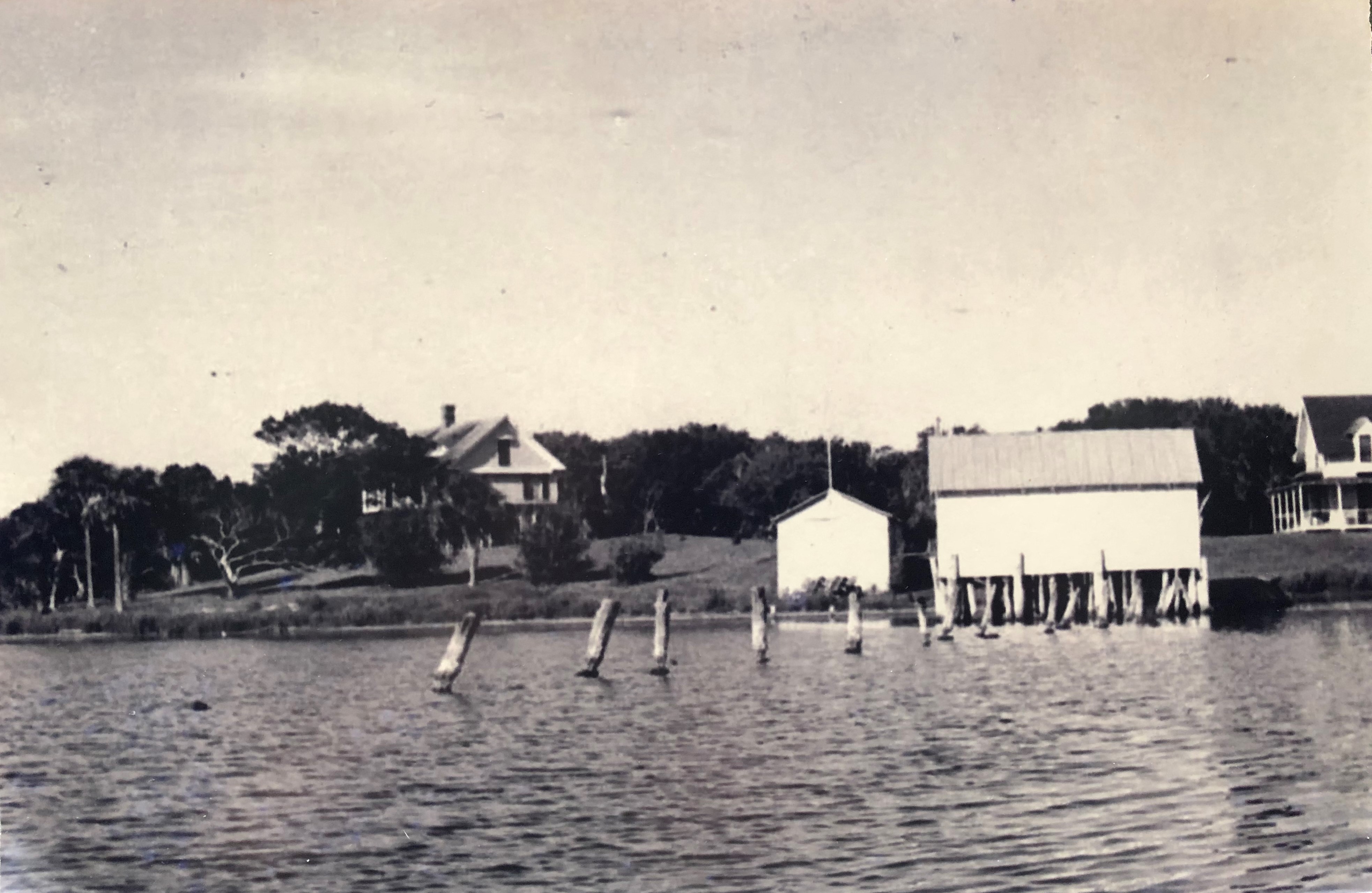
Seminole Rest Wayside, The Caretakers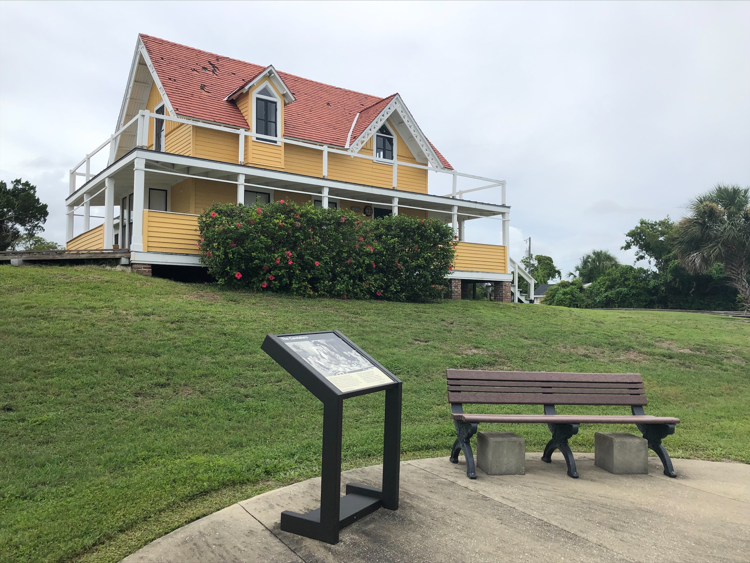
Seminole Rest Wayside, The Timucuan Way of Life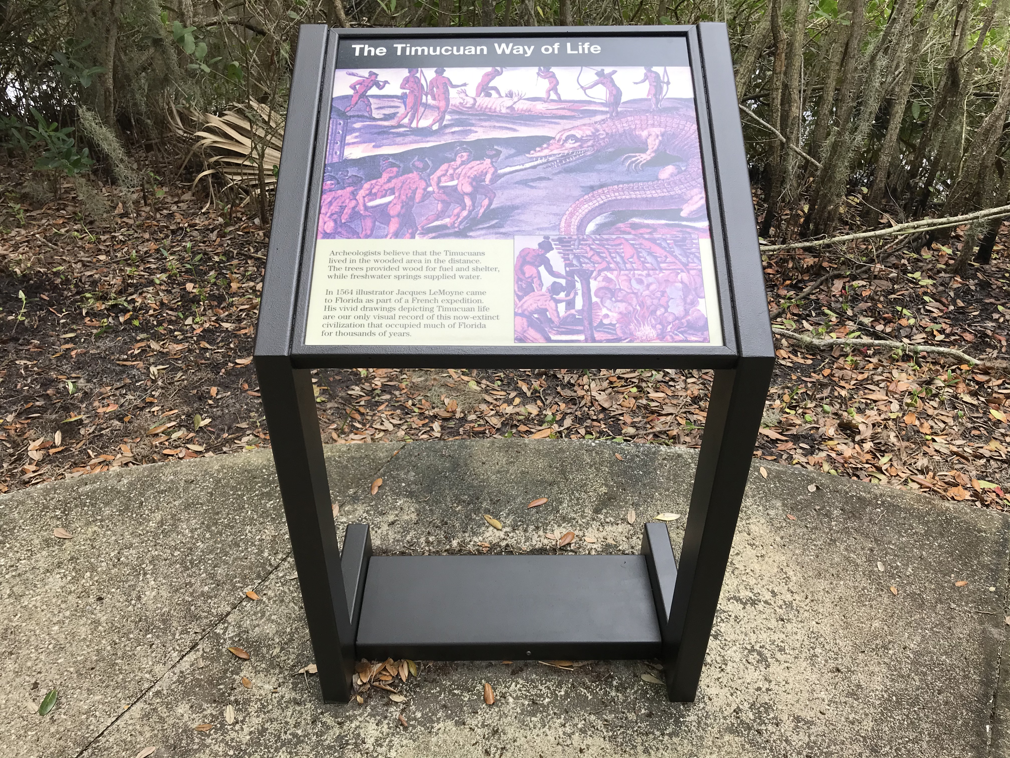
Seminole Rest Wayside, What Do You Think?The Seminole Rest wayside two explores the life ways of the Timucua and how they shellfish harvested in Mosquito Lagoon. 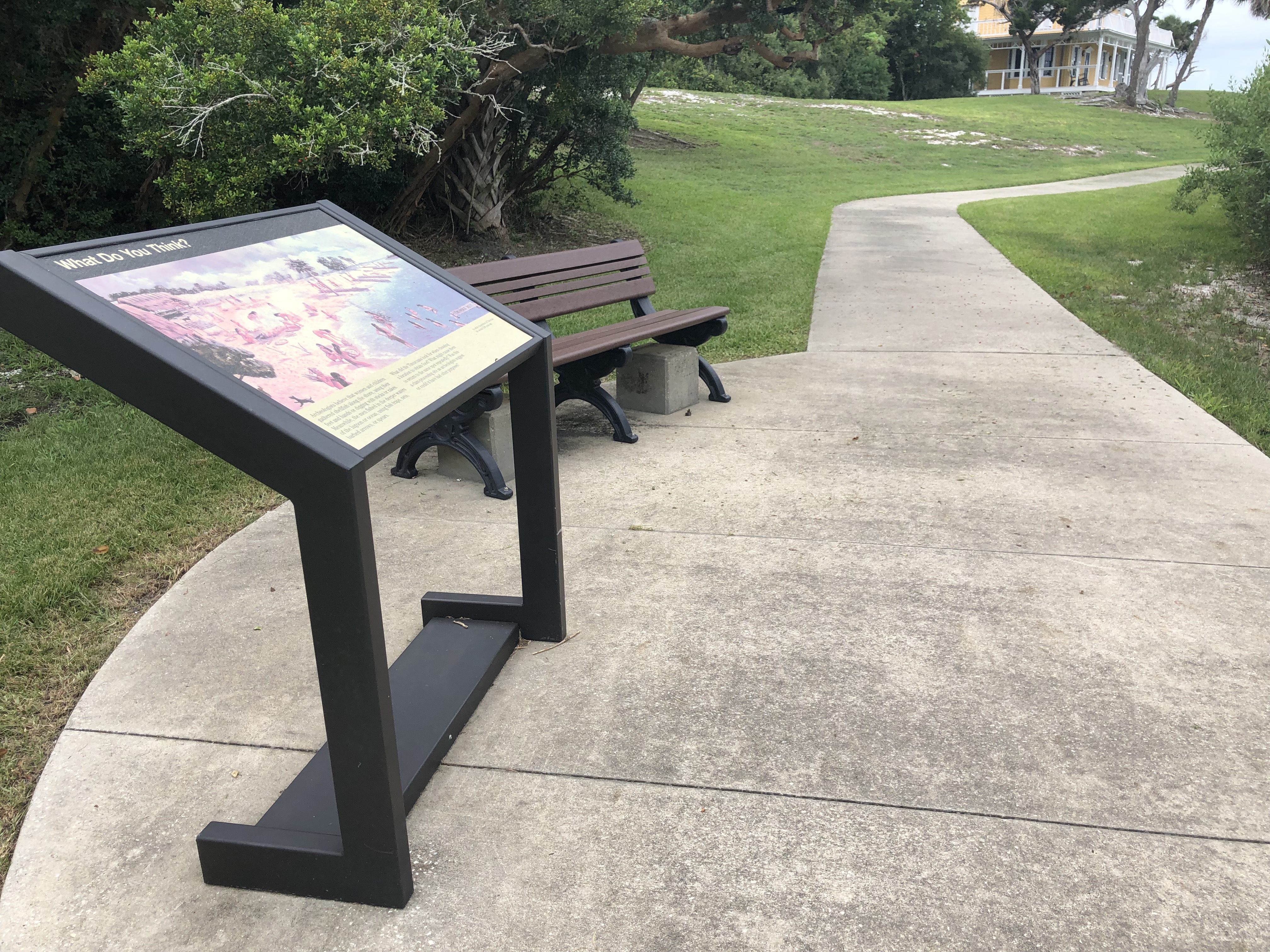
Turtle Mound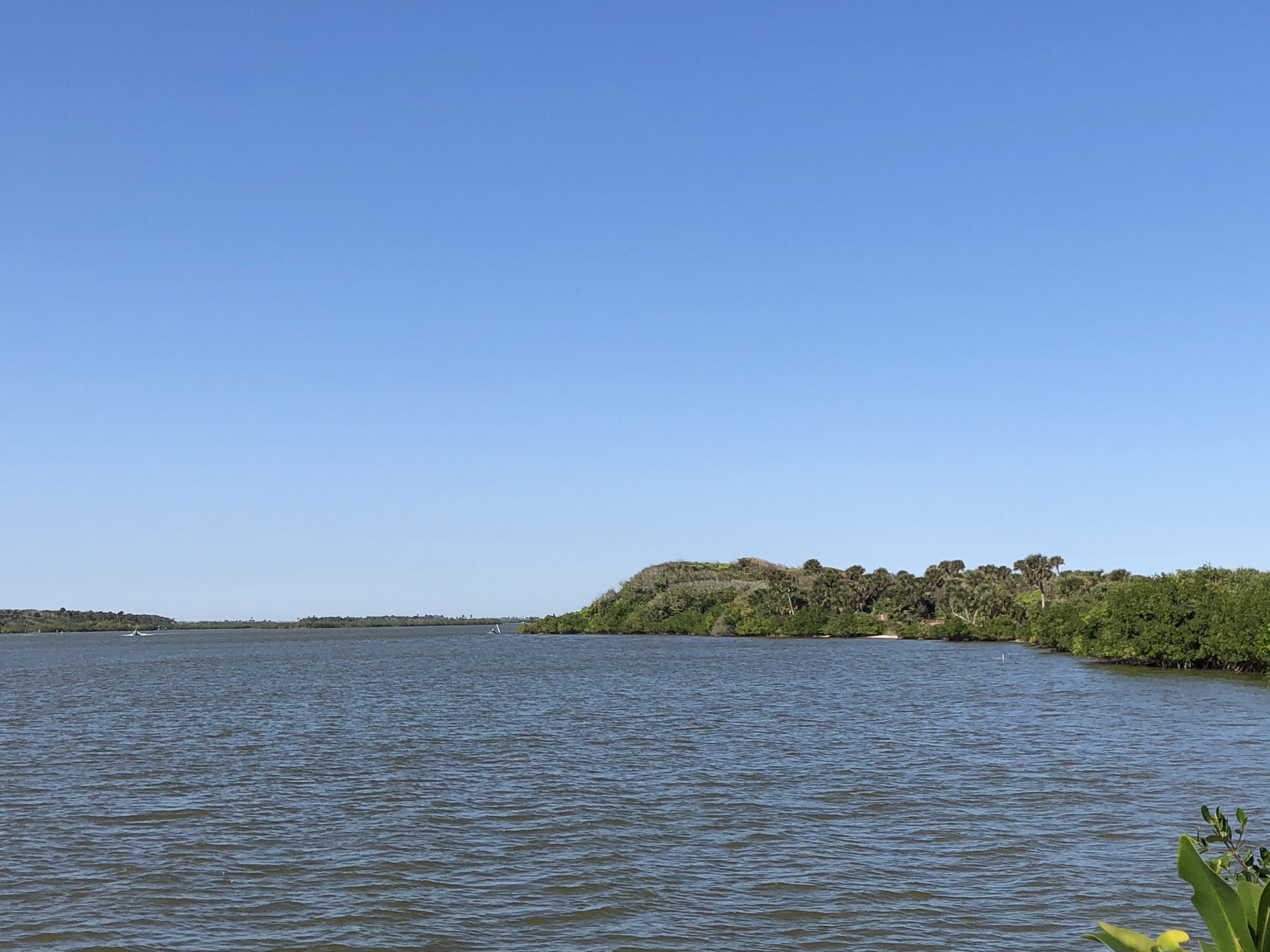
Turtle Mound's Middle Observation DeckVisit Turtle Mound. Sit back and listen to the sounds of the seashore. 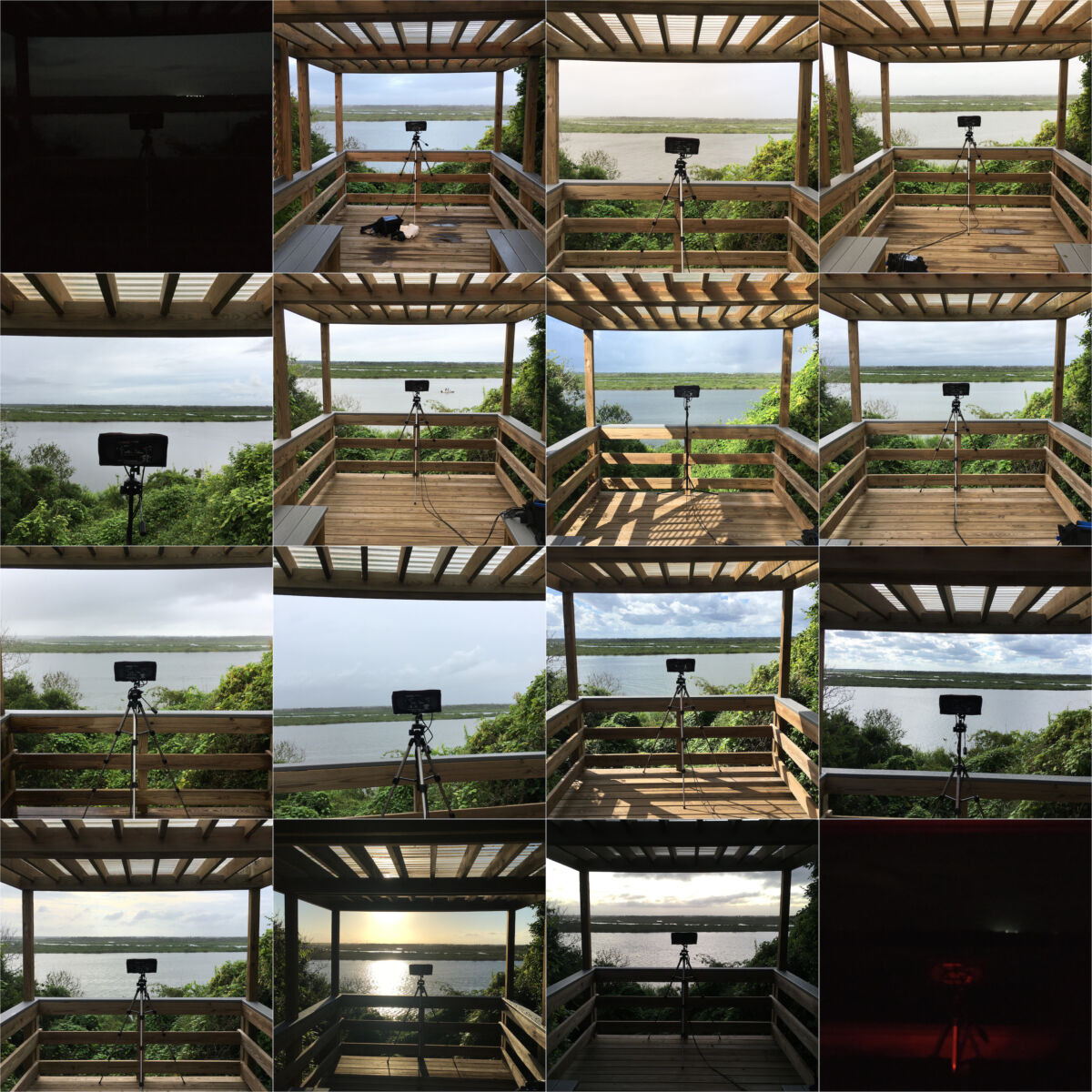
Turtle Mound's North Observation Deck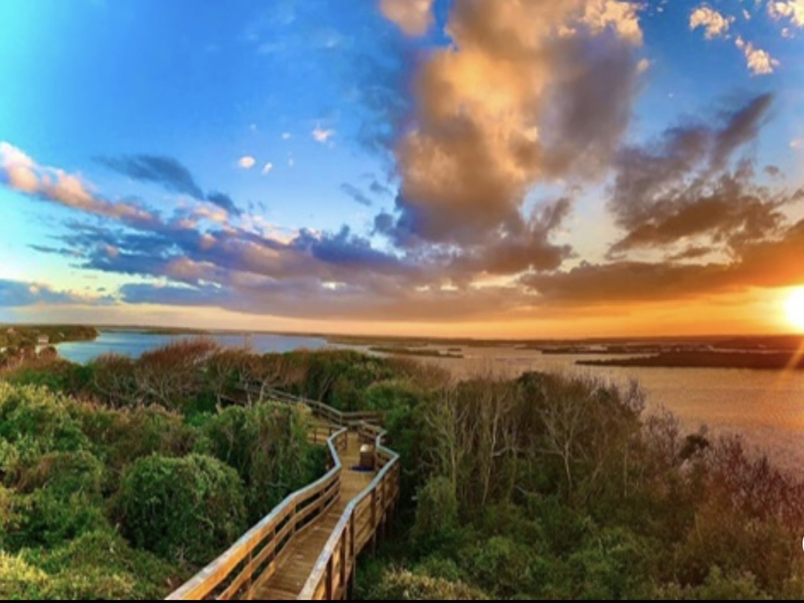
Turtle Mound's South Observation Deck
|
| Visitor Centers | Count: 1
Apollo Beach Visitor Center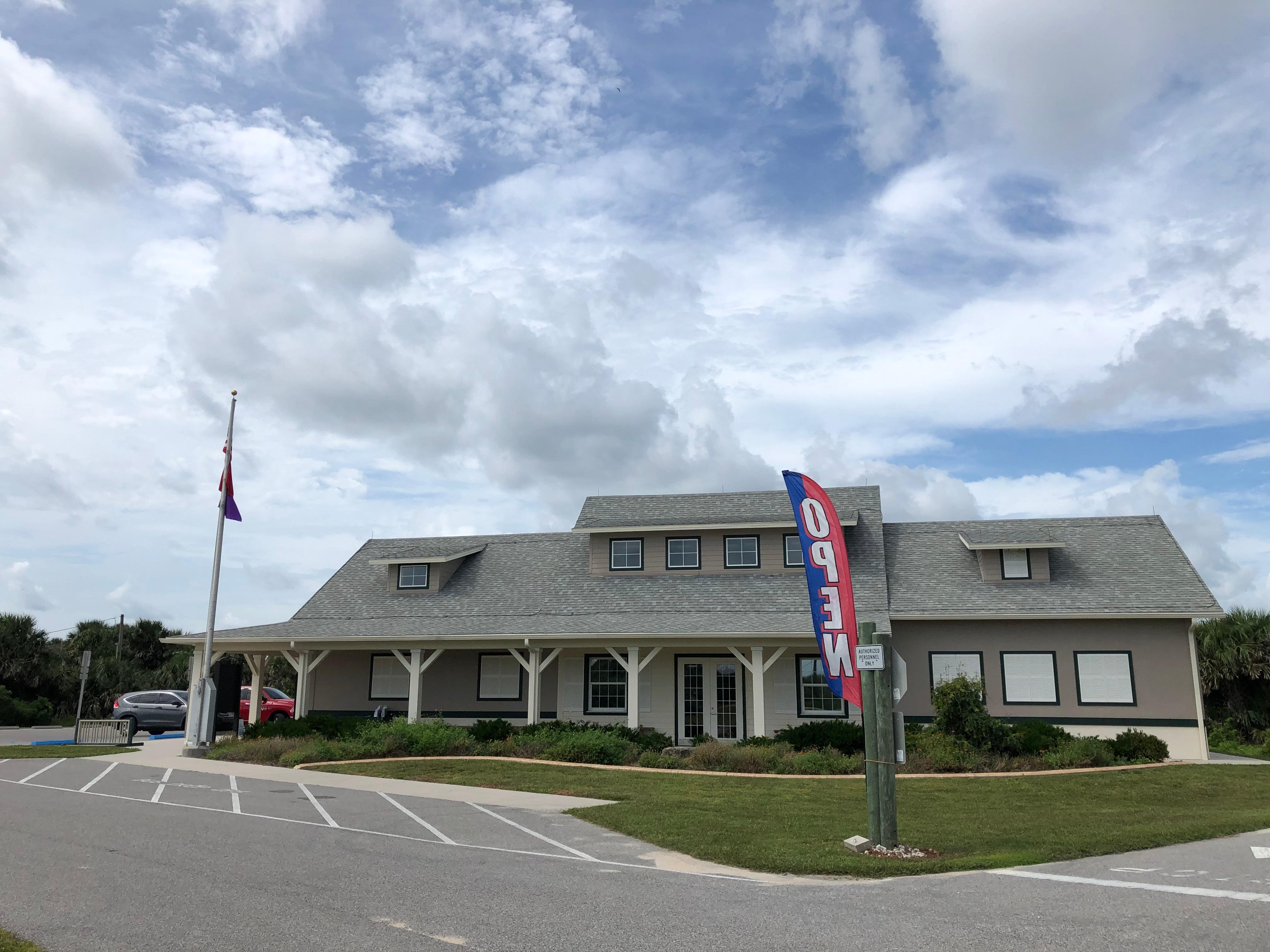
|
| Things to do | Count: 2
|
| Tours |
Count: 4
Apollo Beach Audio TourUsing your cell phone, explore the Apollo Beach District. It is recommended to visit the visitor center first. Explore two historic places, Turtle Mound and Eldora House, then visit the beach. This tour can last from one hour or more depending on how much time you would like to spend here. Natural Sounds Audio TourAll recorded sounds were recorded by Dr. Nathan Wolek the 2020 artist-in-resident. The National Park Service Natural Sounds and Night Skies Division and Atlantic Center for the Arts are partnering for this environmental arts program. Close your eyes and listen to the sounds of Canaveral National Seashore. Multiple locations are recorded throughout the park including Apollo Beach, Playalinda Beach and Seminole Rest. Seminole Rest Audio TourSeminole Rest is open daily from sunrise to sunset. There is a half mile path that is handicap accessible. Read about various snapshots of history about Timucuan and then Reconstruction Era settlers at this location on the various wayside stops along the way. This site is located in Oak Hill, Florida along the west side of Mosquito Lagoon. Enjoy the views of the lagoon, wildlife viewing and serenity during your visit. These are the very same qualities it's early inhabitants so enjoyed! Young Sound Seekers Audio Postcard TourAn environmental arts program for blind and partially sighted youth. The program encourages the appreciation of natural sounds and will help overcome barriers to access by creating a safe, undistracted outdoor space for blind and partially sighted students. A partnership between Atlantic Center for the Arts, the Center for Visually Impaired, and Stetson University, supported by the National Park Service Natural Sounds and Night Skies Division. |
| Articles |
|