New Phone Number: 540-490-9569
The new phone number for visitor information is 540-490-9569. The former number no longer works but may still be listed in some places.
| Title | Cedar Creek & Belle Grove |
| Park Code | cebe |
| Description | Virginia’s Shenandoah Valley has a long and rich heritage that still inspires today. Native Americans first shaped the land, followed by colonists and settlers. The fertile valley became an important wheat-growing region in the 1800s. It also wit... |
| Location | |
| Contact | |
| Activities |
|
| Entrance fees |
|
| Campgrounds | Count: 0
|
| Places | Count: 30
128th New York MonumentVeterans of New York's 128th Infantry Regiment dedicated a monument in memory of their comrades who died at the Battle of Cedar Creek. The monument marks the left end of the U.S. 19th Corps' position during the battle. 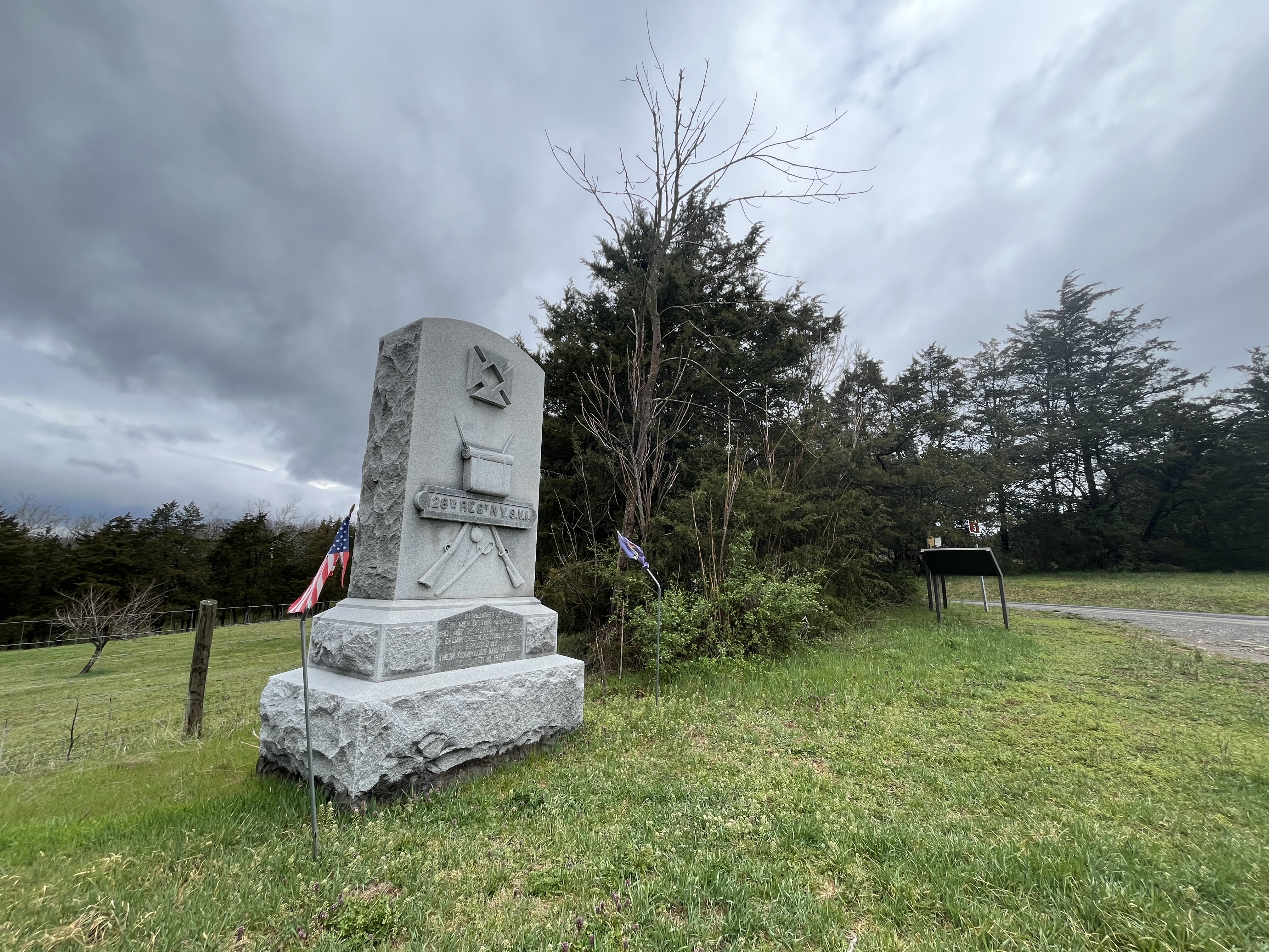
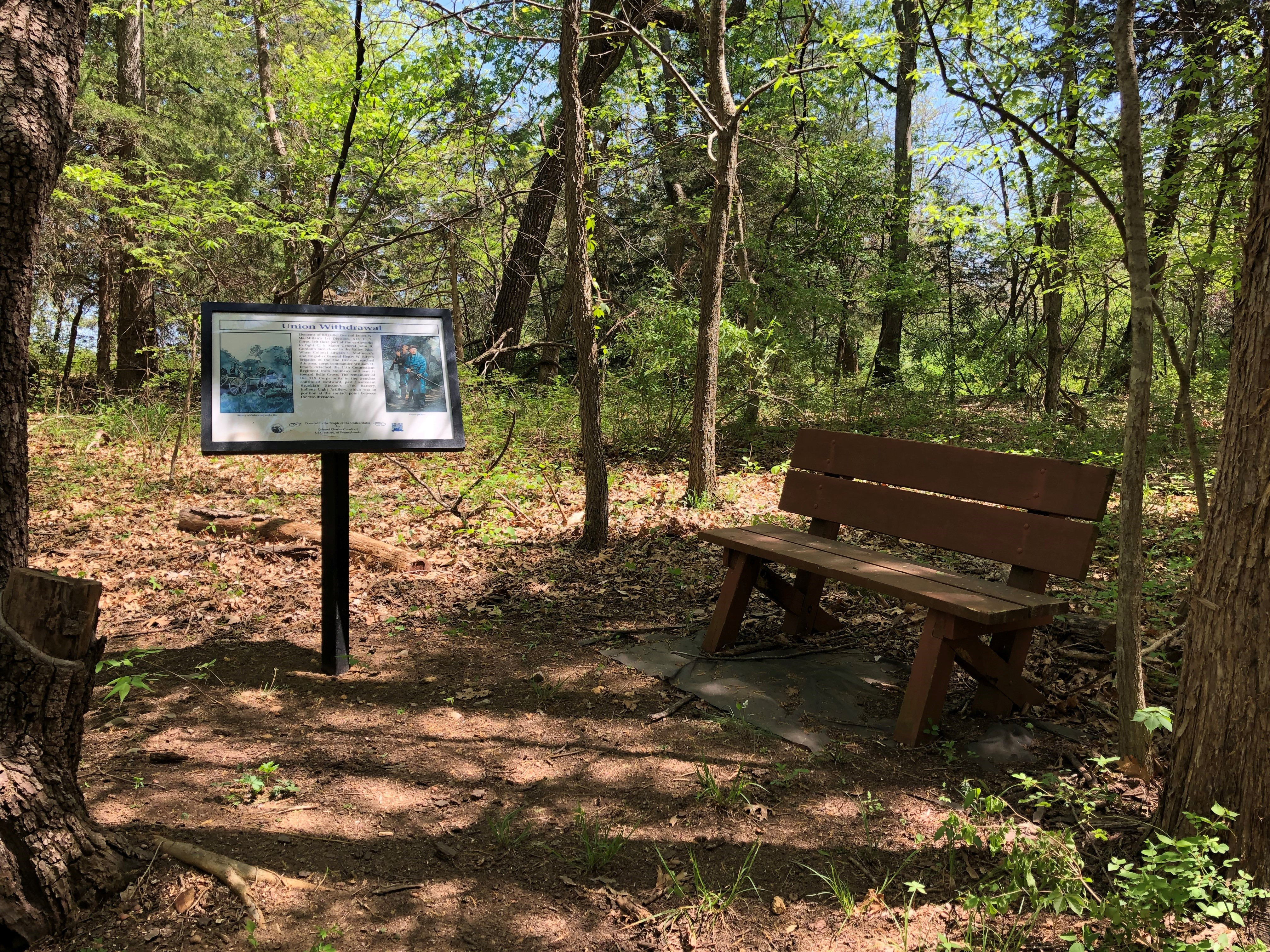
19th Corps TrenchesIn the days before the Battle of Cedar Creek, the U.S. Army of the Potomac 19th Corps dug a series of earthworks to fortify the Federal position just south of Middletown, Virginia. One hundred and fifty years later, the 19th Corps entrenchments still snake through the woods along Cedar Creek. Hiking trails with interpretive markers now follow along the entrenchments for visitors to explore. 
8th Vermont MonumentHerbert Hill, veteran of the 8th Vermont Infantry Regiment, was just 18 years-old during the Battle of Cedar Creek. Twenty years after the war ended, Hill erected a monument where the 8th Vermont made its sacrificial stand to slow the Confederate attack. 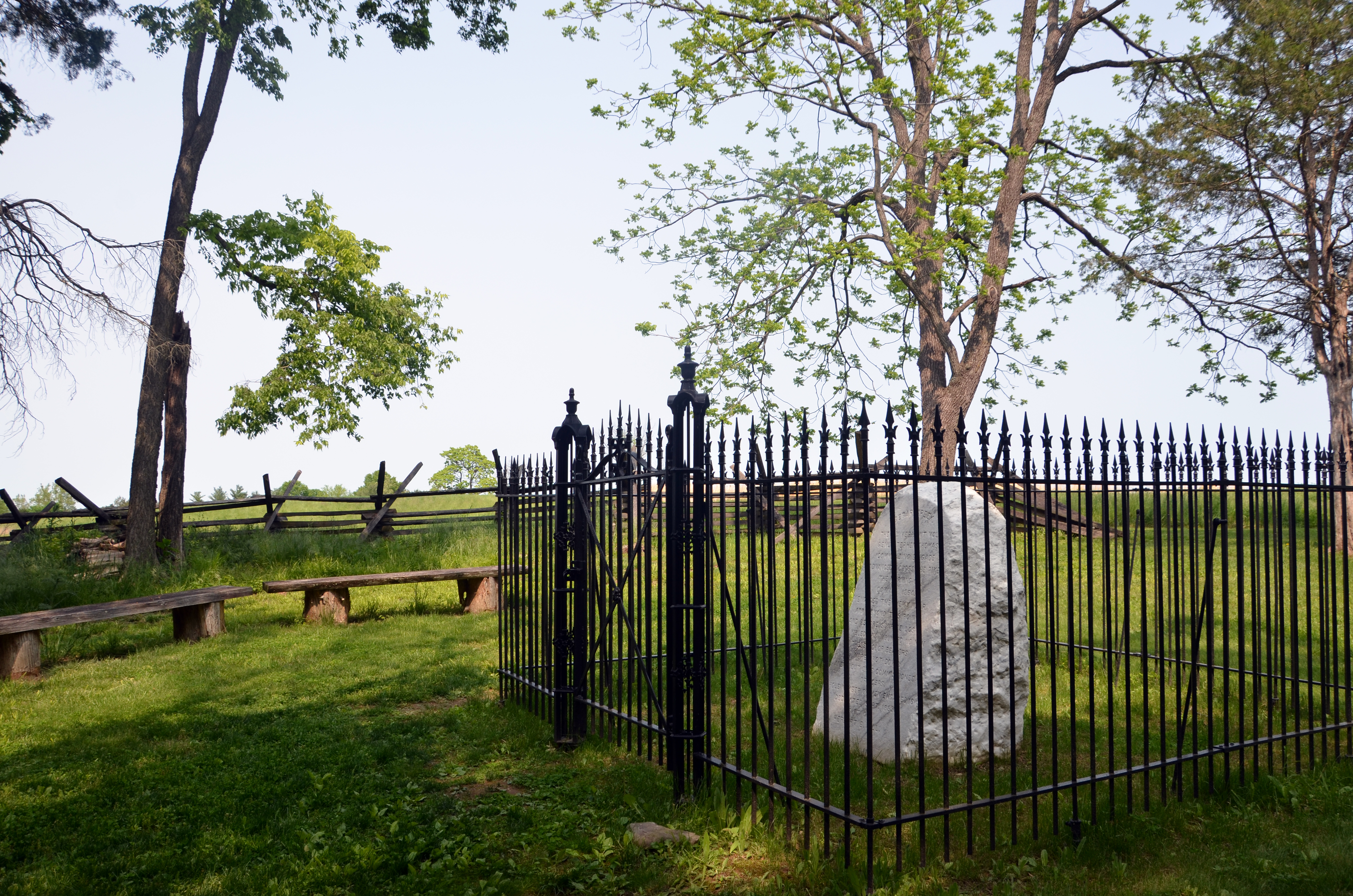
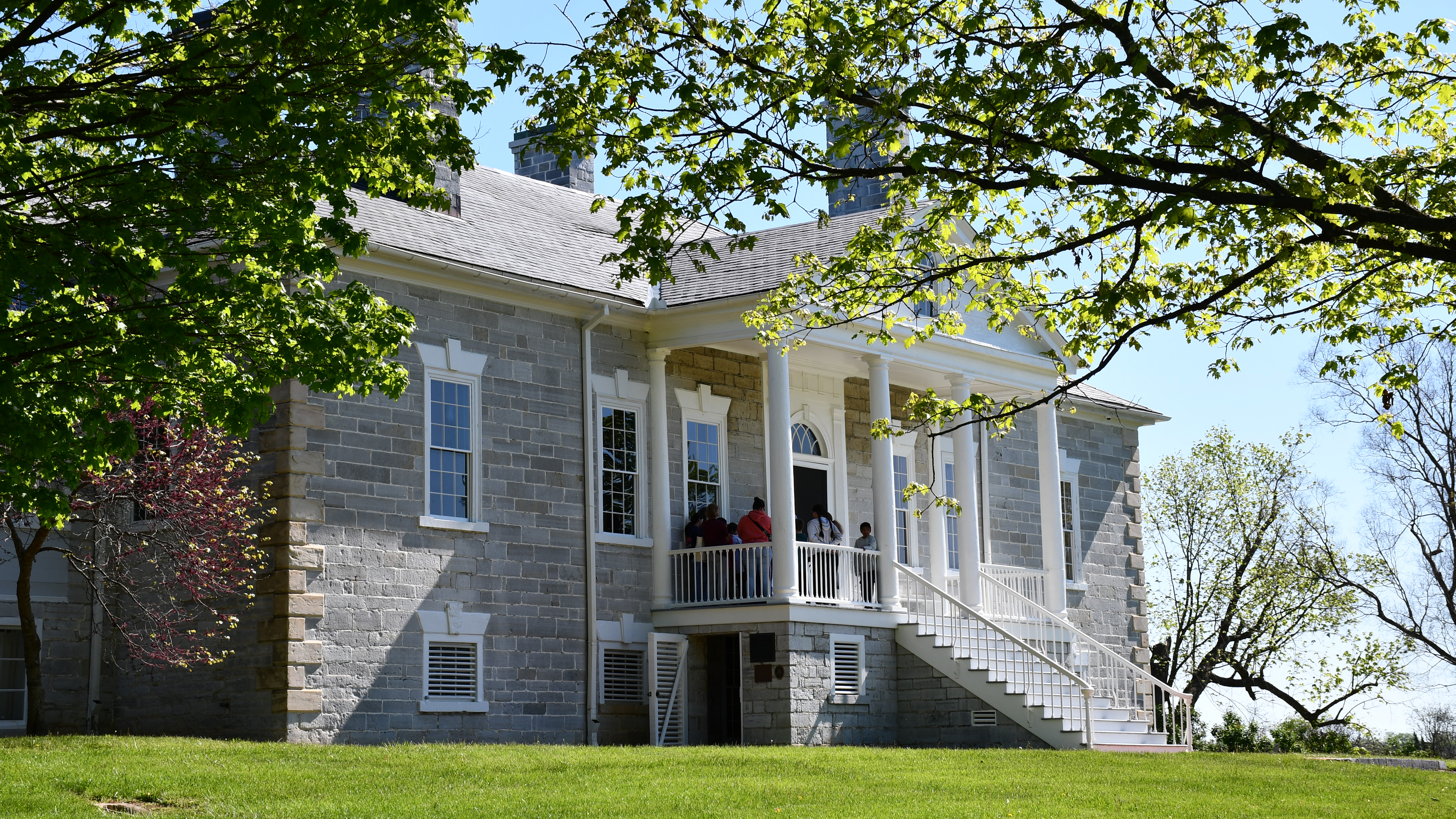
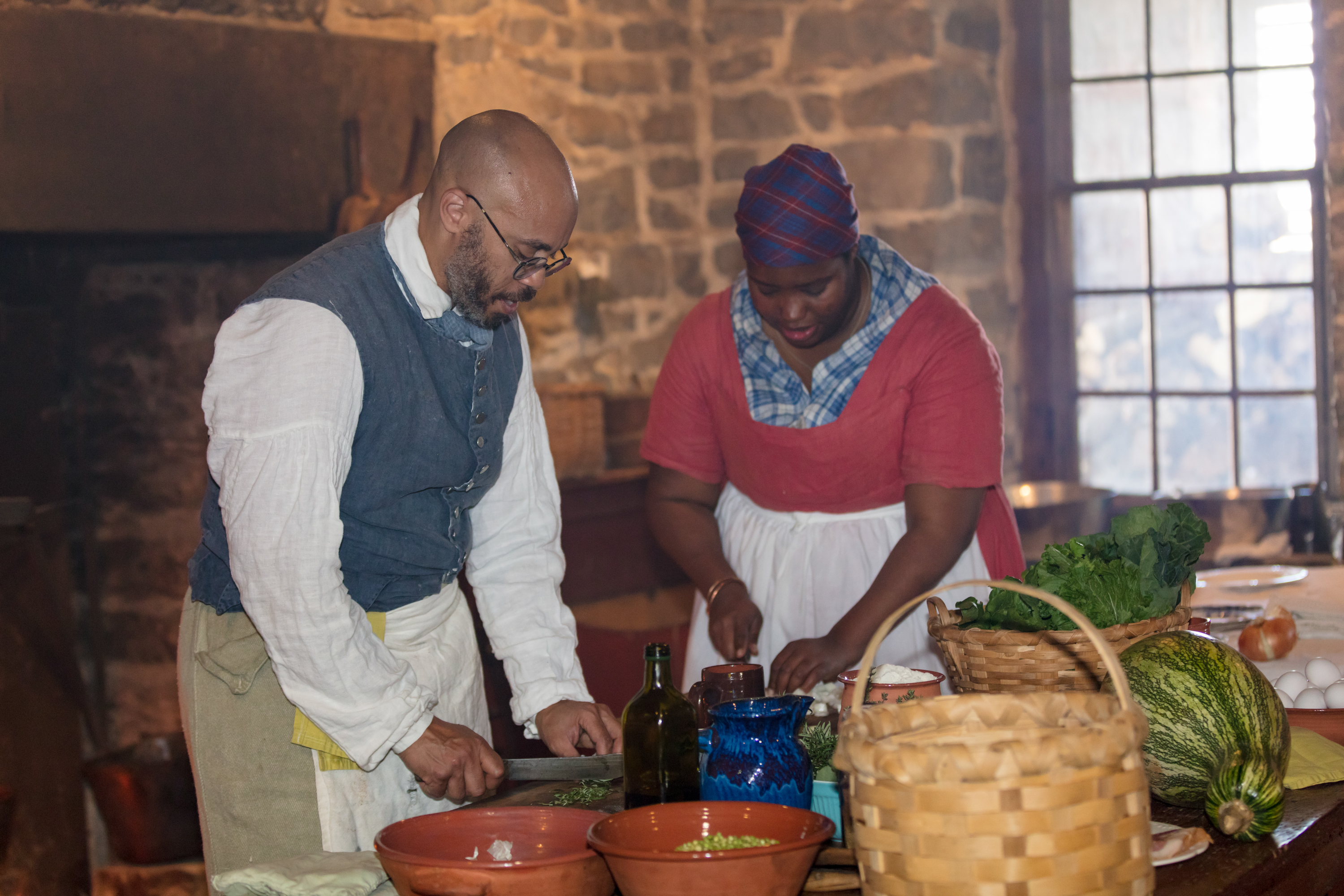
Belle Grove PlantationBelle Grove is located in the northern Shenandoah Valley near Middletown, Virginia. It was the home Major Isaac Hite and his wife Nelly Madison Hite. Major Hite used enslaved labor to expand his original 483 acres to a prosperous 7500 acre plantation, growing wheat, raising livestock, and operating a large distillery and several mills. The Manor House, completed in 1797, was the centerpiece of the property and is open for touring today. 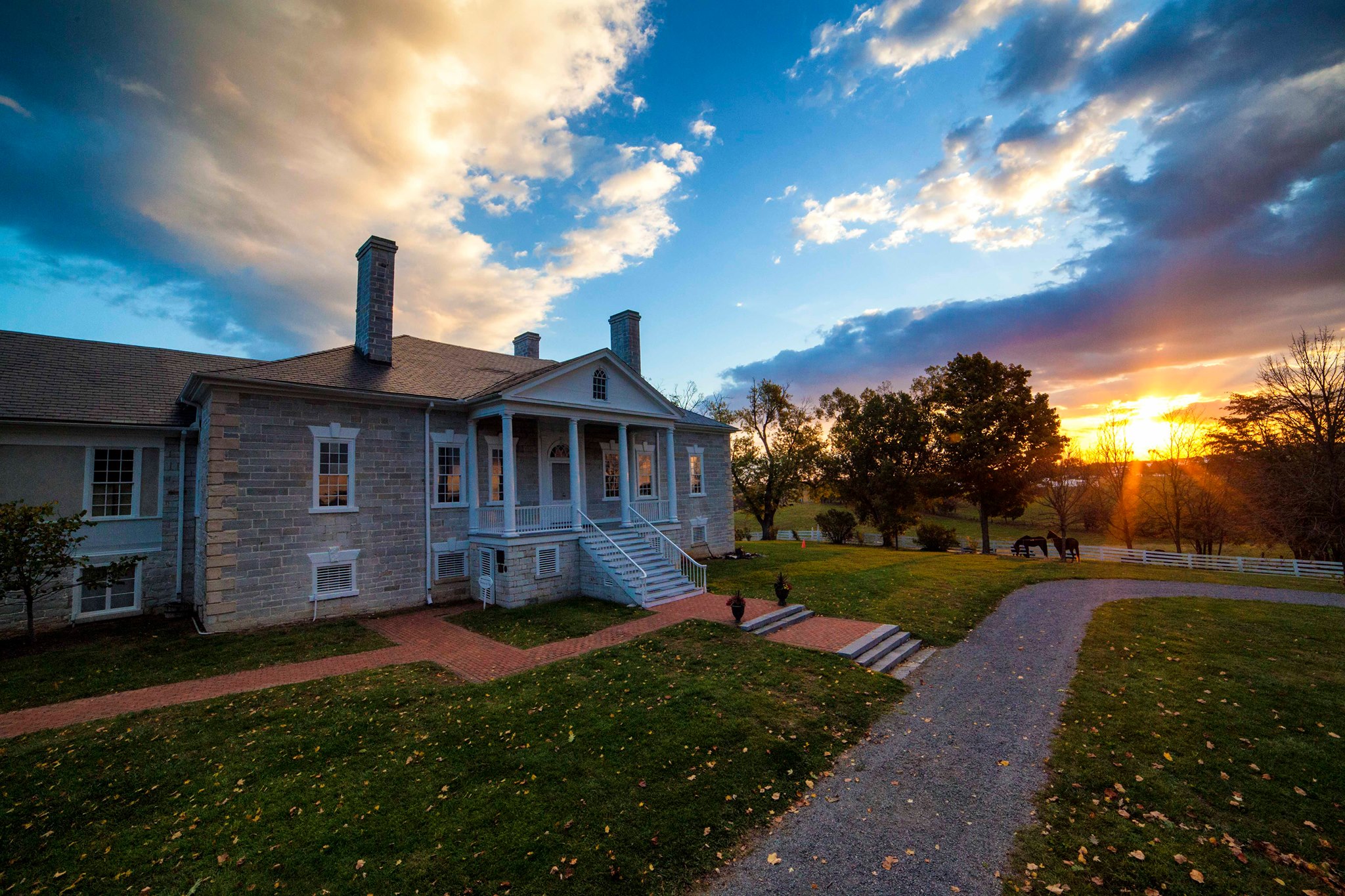
Bowman's Mill FordThree thousand Confederates crossed Cedar Creek near Bowman's Mill and marched up the road with a rising fog obscuring their movements. 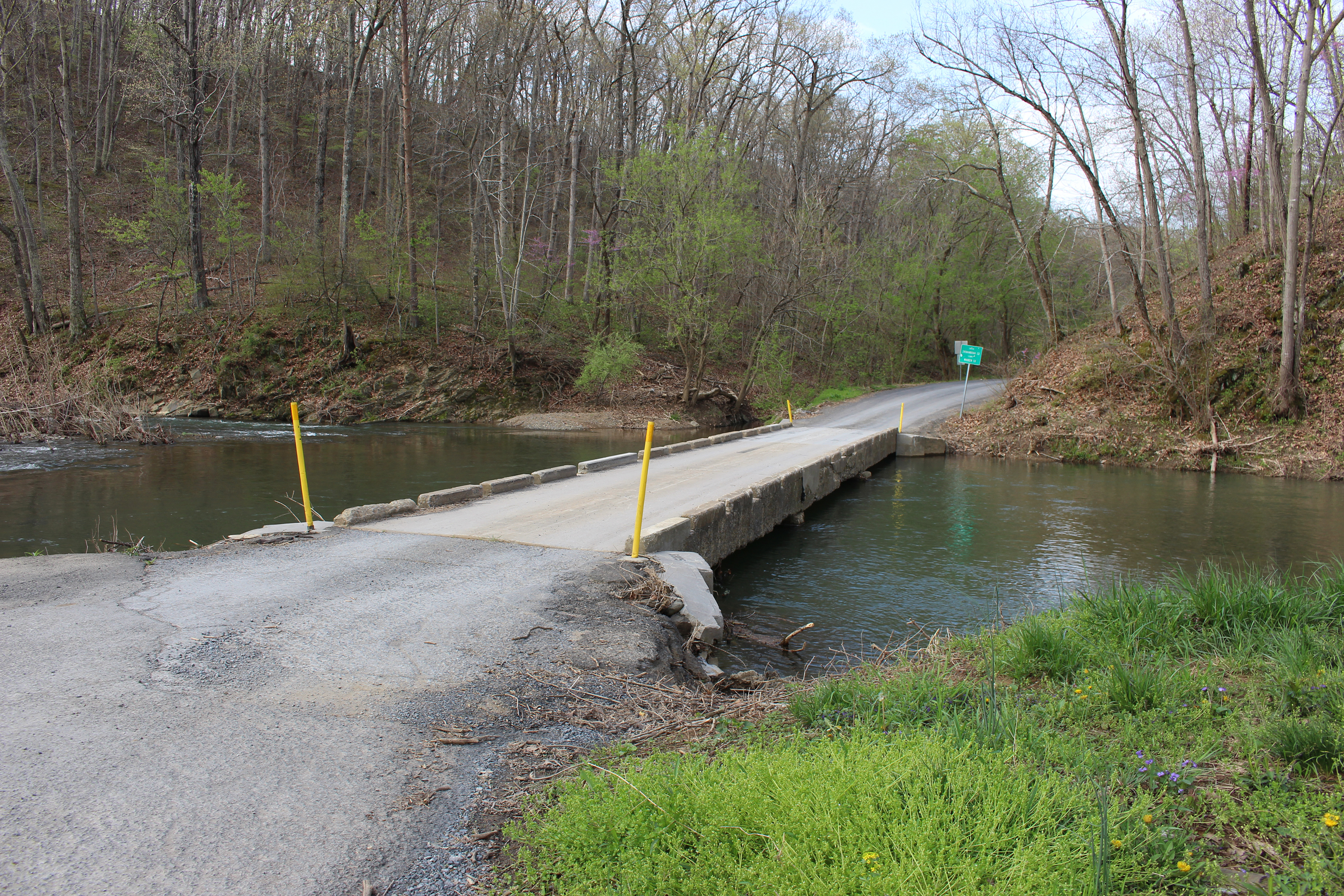
Bowman-Hite FarmCharles and Rebecca Hite built their farmhouse in the 1850s. Their farm prospered, then declined. The Bowman-Hite Farm illustrates the rise and fall of fortunes around the time of the Civil War. 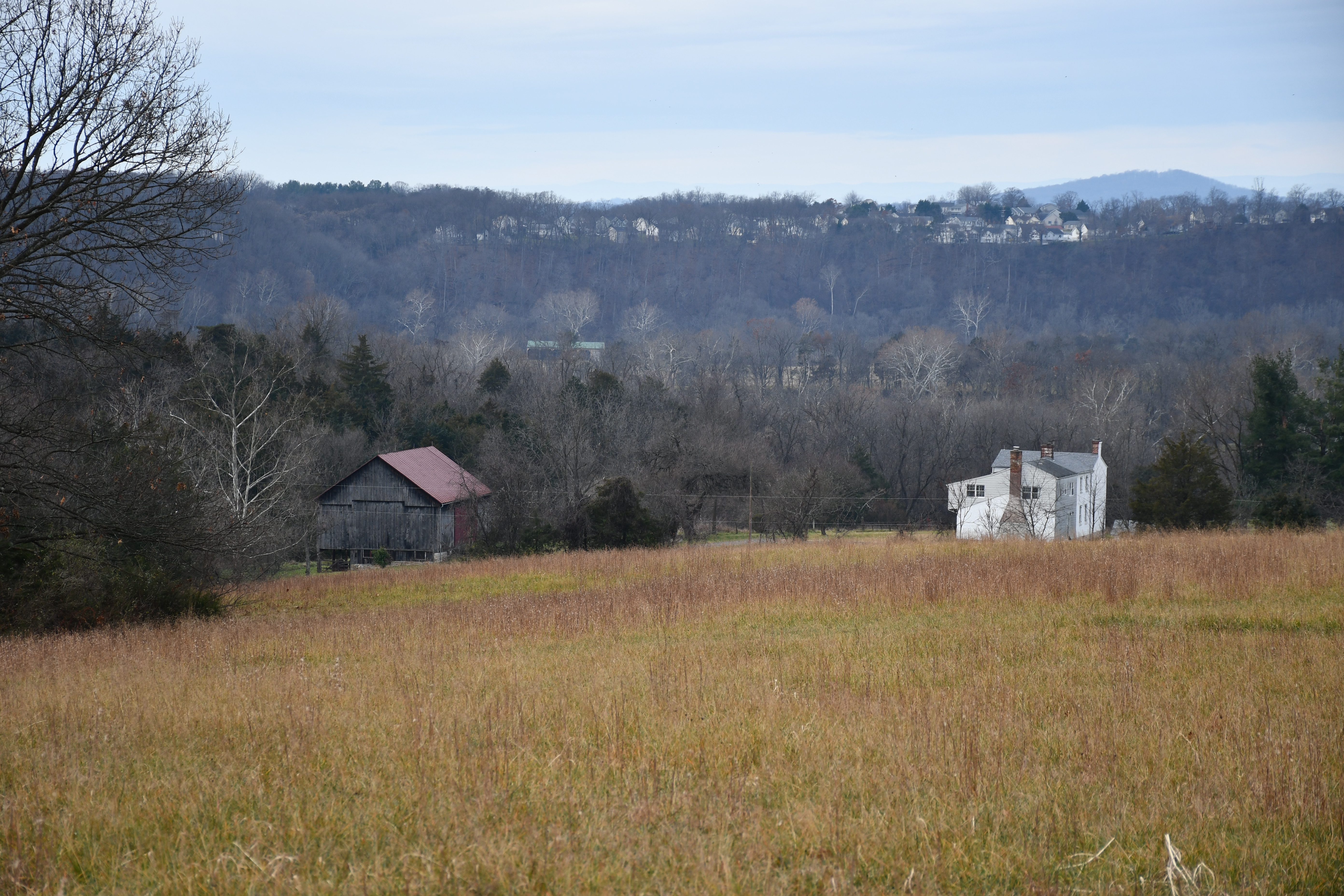
Cedar Creek BattlefieldOn the night of October 18, 1864, tents sheltering part of General Philip Sheridan’s 32,000 strong Union Army of the Shenandoah blanketed the fields south of Middletown. 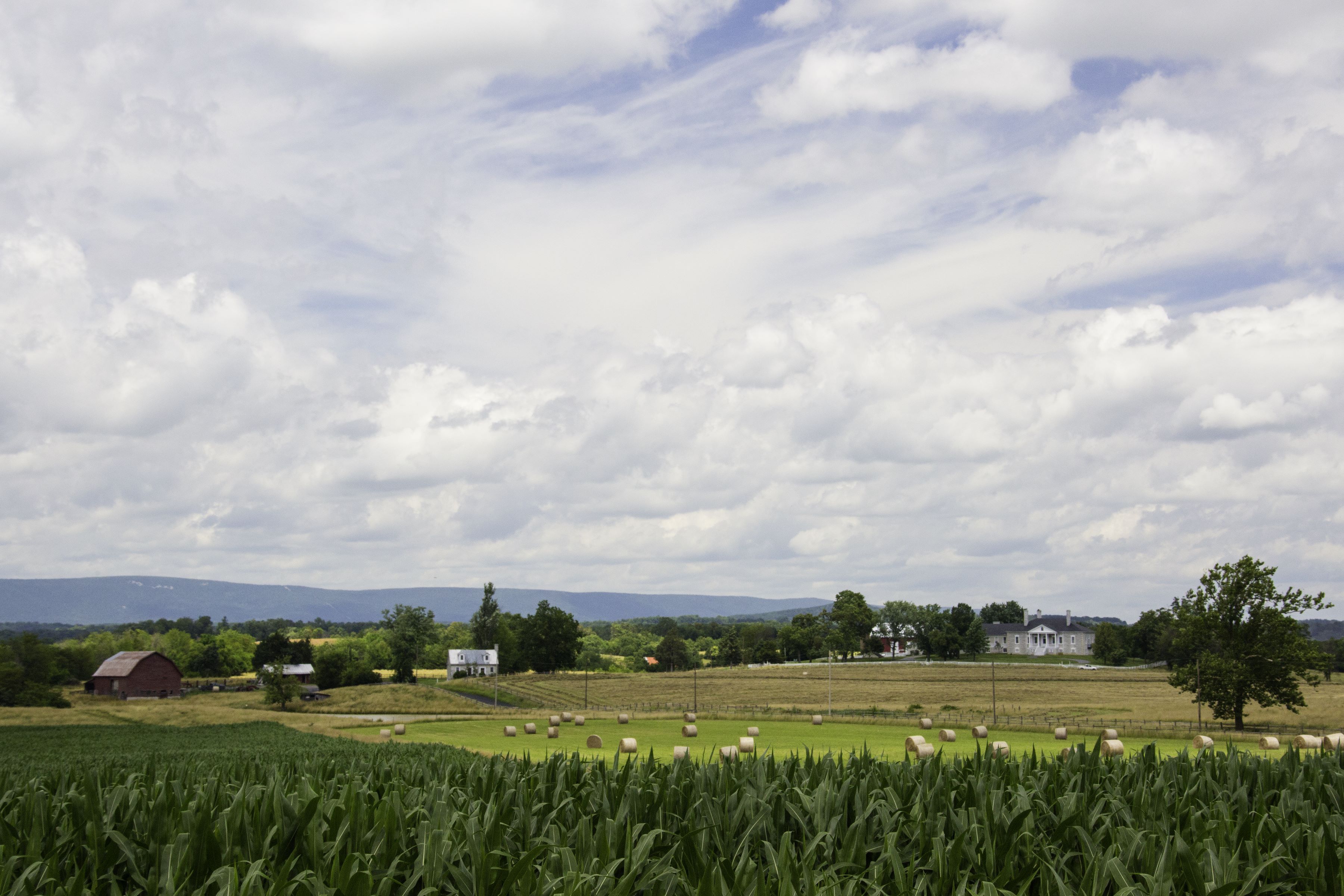
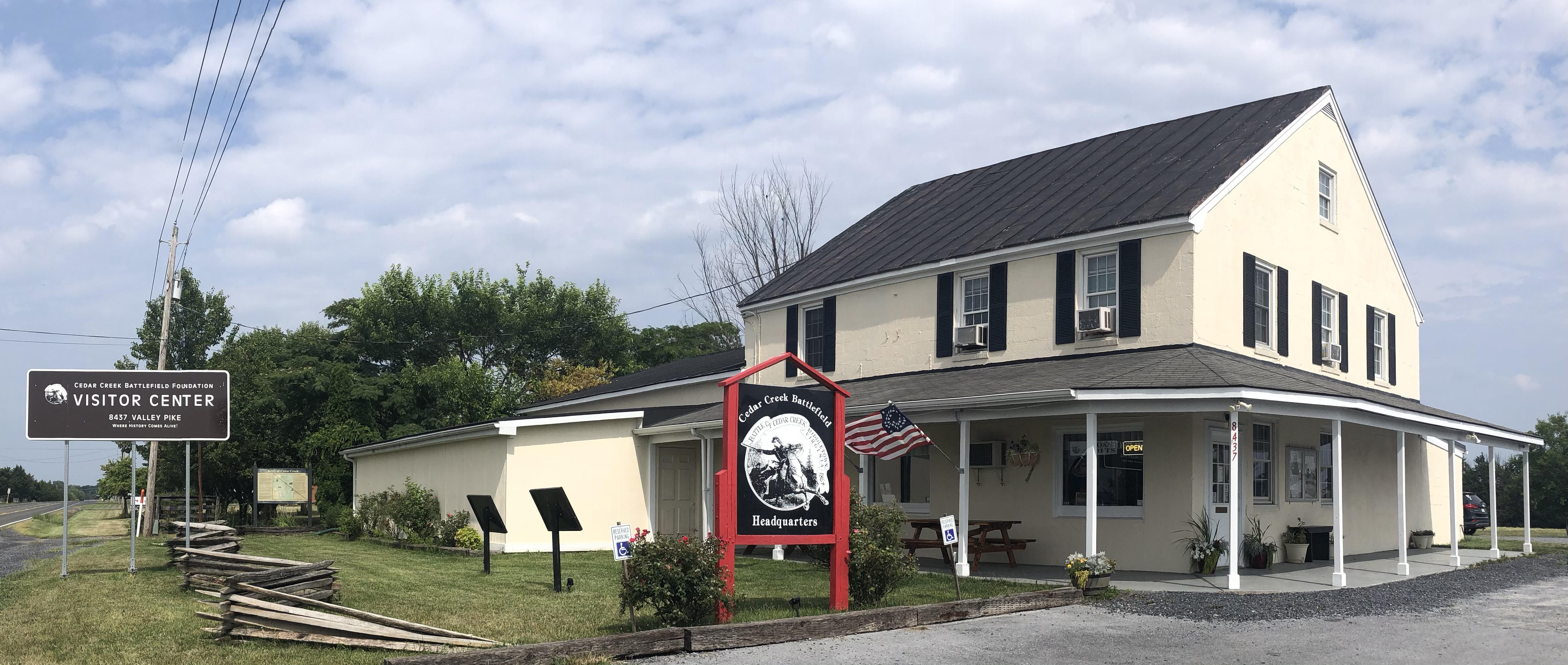
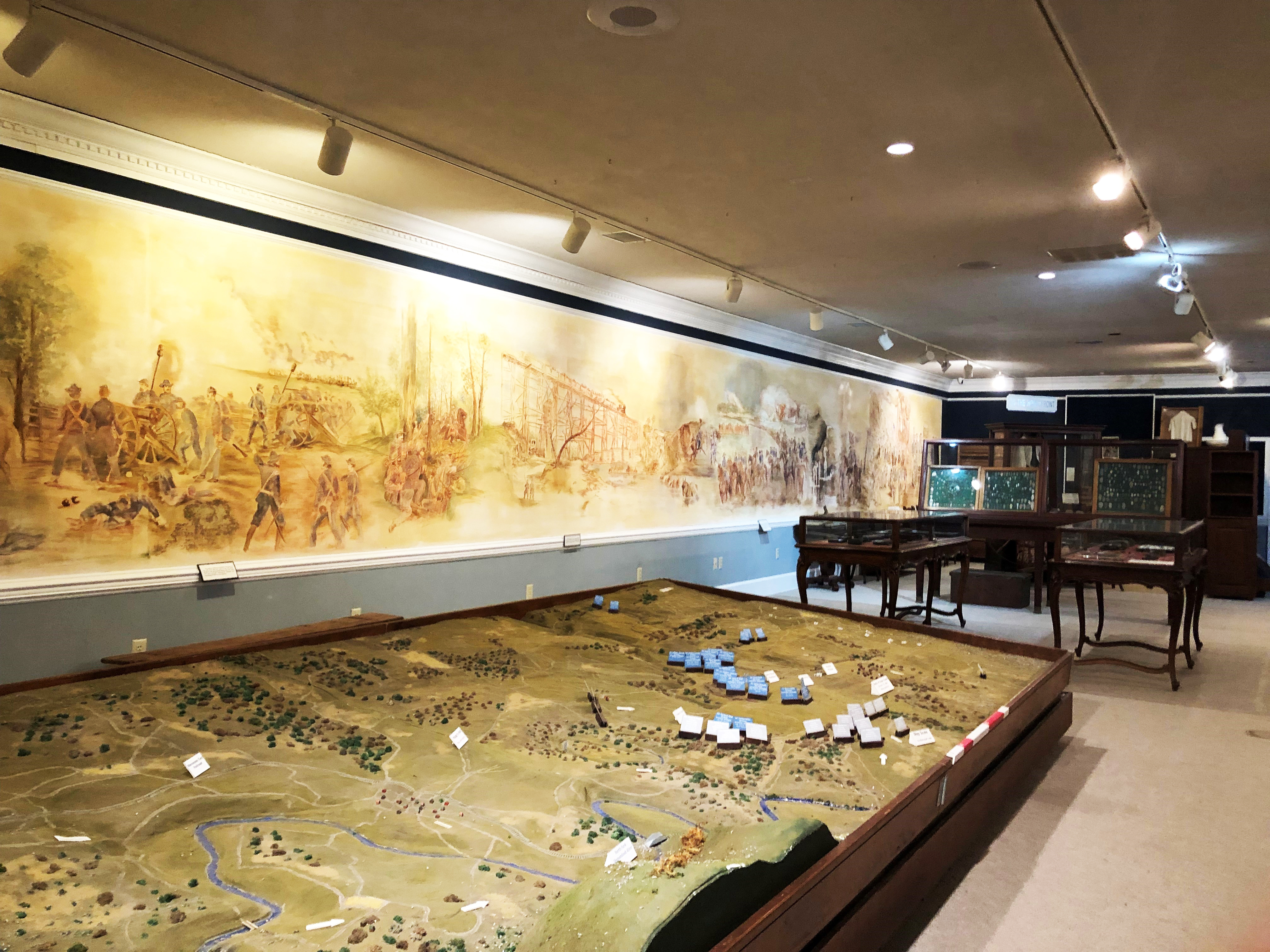
Cedar Creek Battlefield Foundation Museum & Visitor CenterThe museum and visitor center features artifacts from the Civil War and the mid-19th century Shenandoah Valley, a digital media center, research library, and conference area. 
Charles Russell Lowell MonumentA monument in downtown Middletown, Viriginia, commemorates Charles Russell Lowell, a US Army cavalry commander killed at the Battle of Cedar Creek. 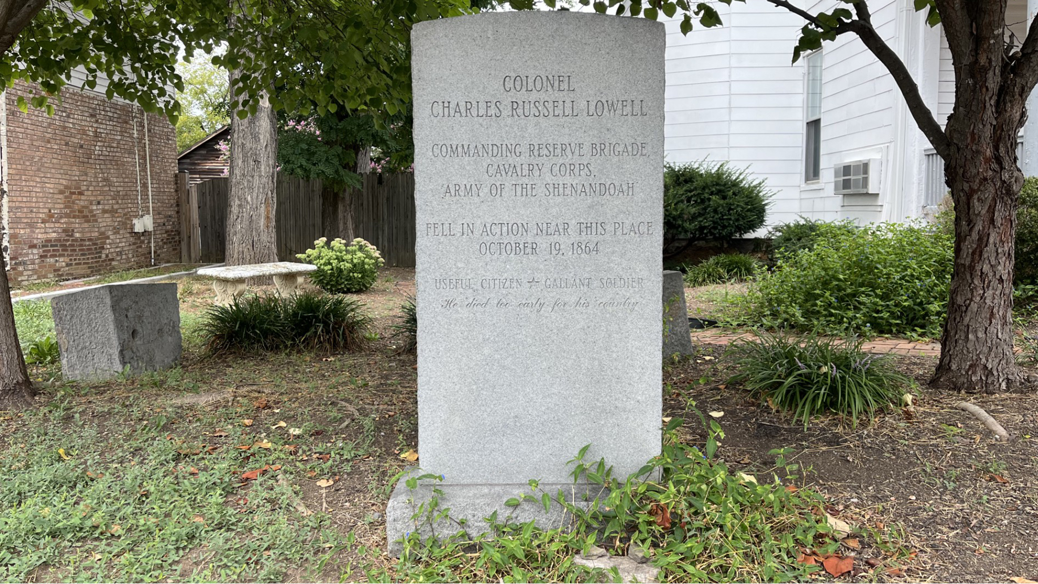
Enslaved Quarter SiteMost enslaved people at Belle Grove Plantation lived in dwellings in the field across from the 1918 Barn. 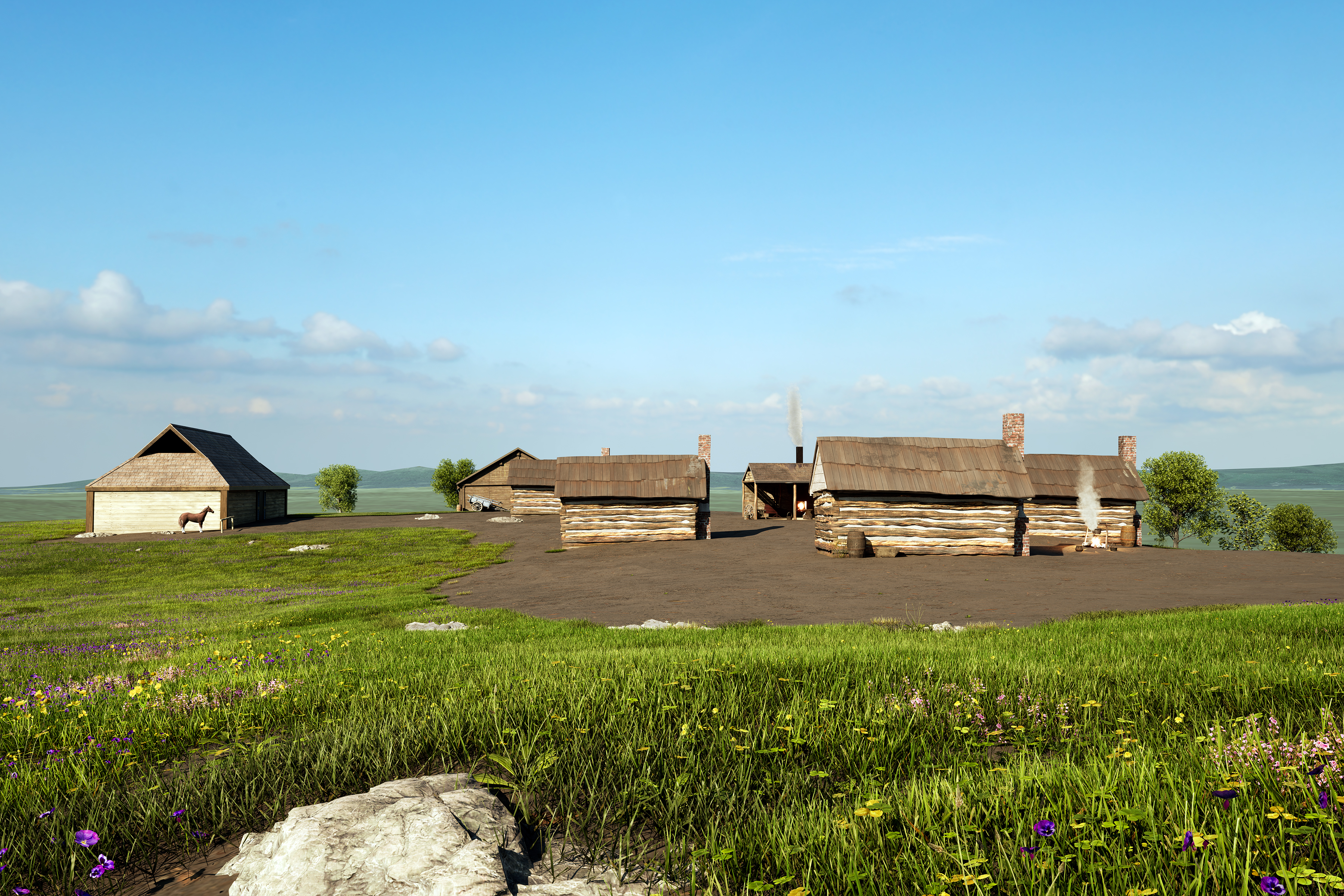
Gordon's ApproachConfederate soldiers led by Gen. John B. Gordon advanced across the field from the south and east. They included veterans of the famous “Stonewall Brigade,” many of whom were from the Shenandoah Valley. Rolling terrain, heavy fog, and early morning sunlight made it difficult to see them. They fought Thomas’s brigade in this field and, after meeting stiff resistance from the 8th Vermont, forced them to retreat across the Valley Pike. 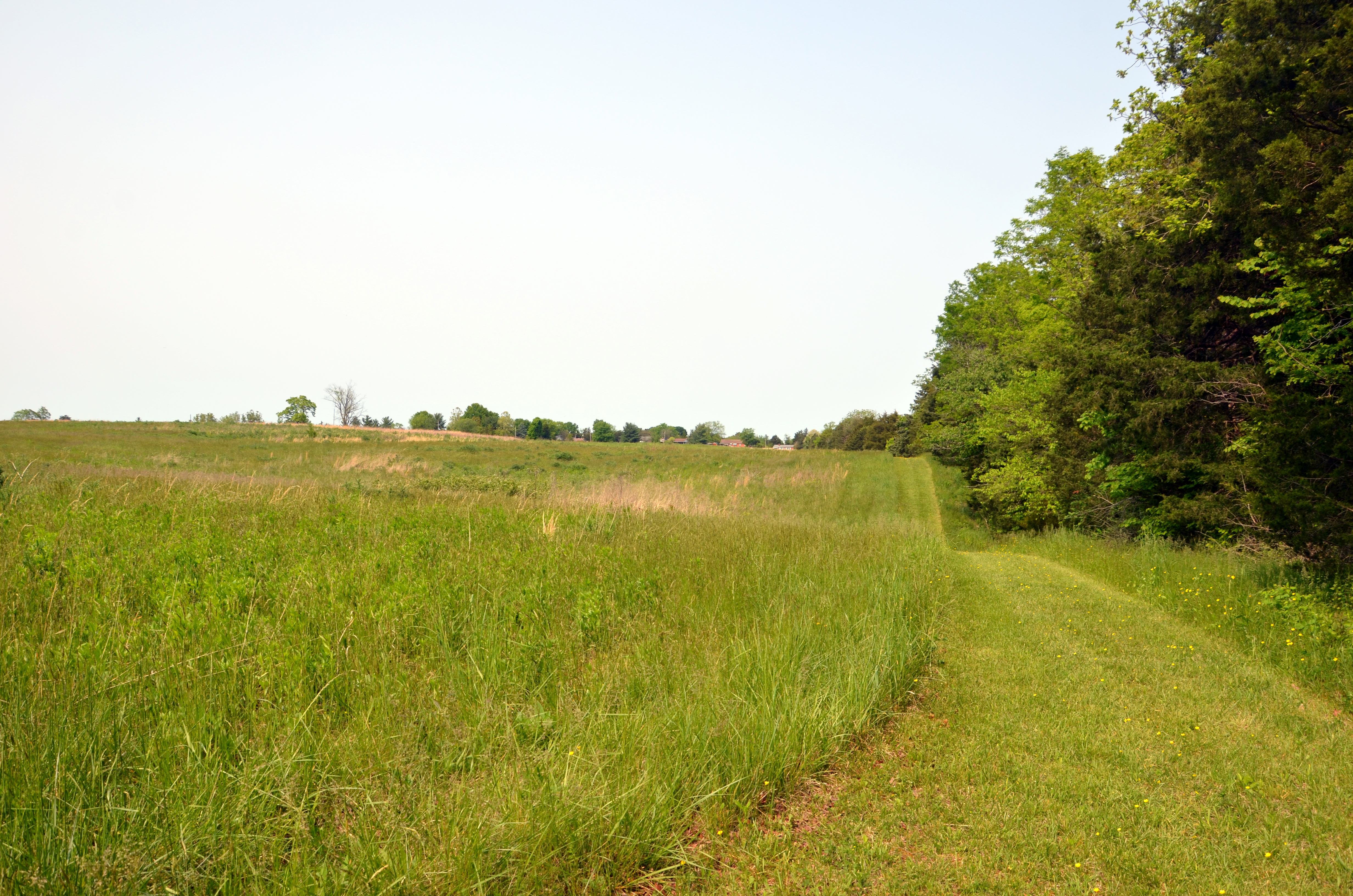
Hayes's & Kitching's LinesWith their camps overrun, Hayes’s and Kitching’s Federals withdrew toward this ridge to fight back against Gen. Stephen D. Ramseur’s advancing Confederates. The US troops here left to regroup north and west as the 8th Vermont and the rest of Thomas’s brigade crossed the nearby ravine to cover their retreat. Confederate soldiers, hungry, cold, and wet, began to leave their regiments to loot abandoned Federal campsites. 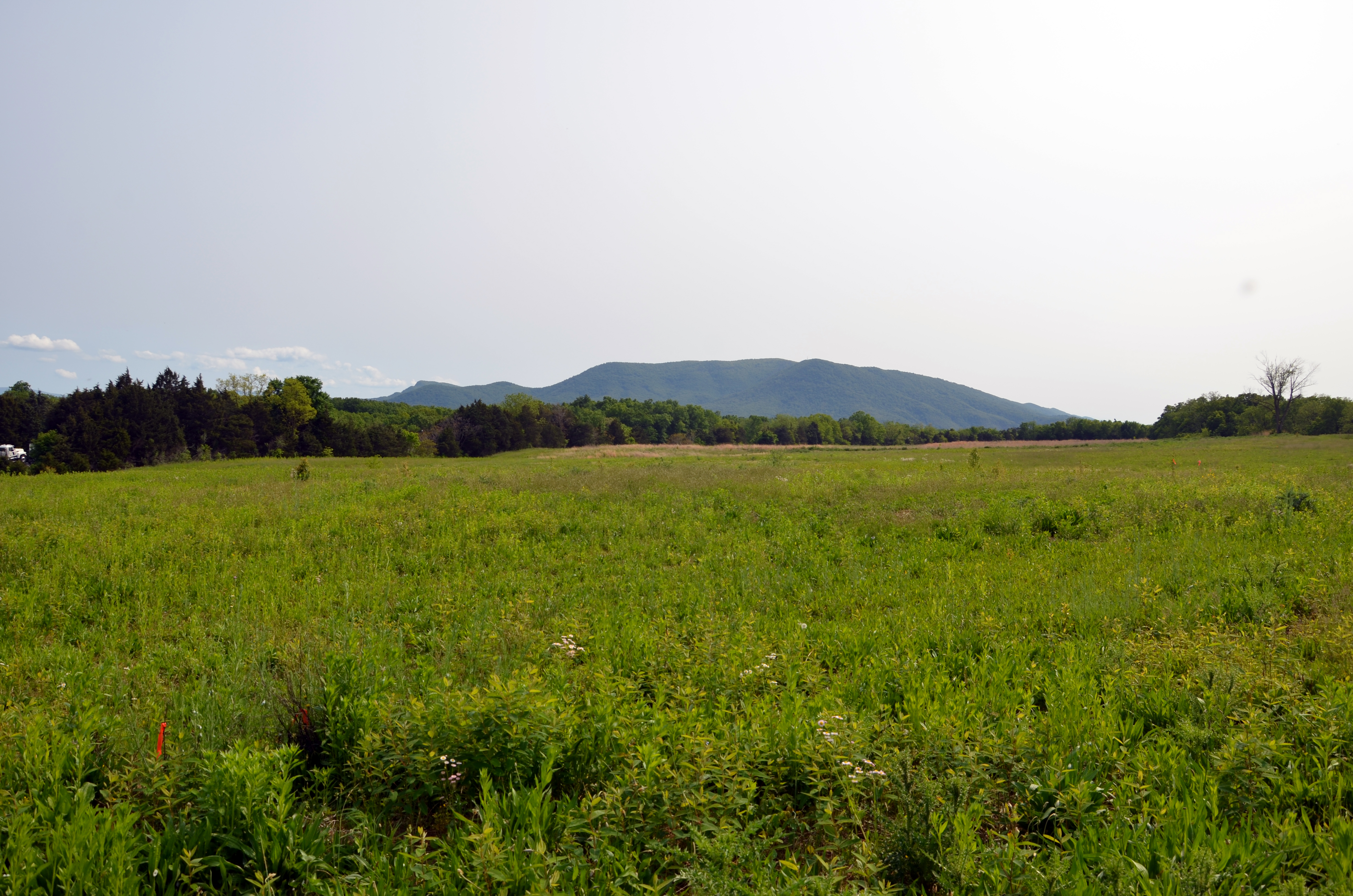
Hayes's CampIn early October, troops of the 8th Corps under Col. Rutherford B. Hayes camped along this ridge. While the army often woke up early and scouted for the enemy, they spent much time lounging in camp and reading mail from home. On October 11, these fields buzzed with activity as Ohio soldiers came to cast absentee votes in the 1864 election. Their votes and their victory at Cedar Creek a week later helped Abraham Lincoln win reelection. 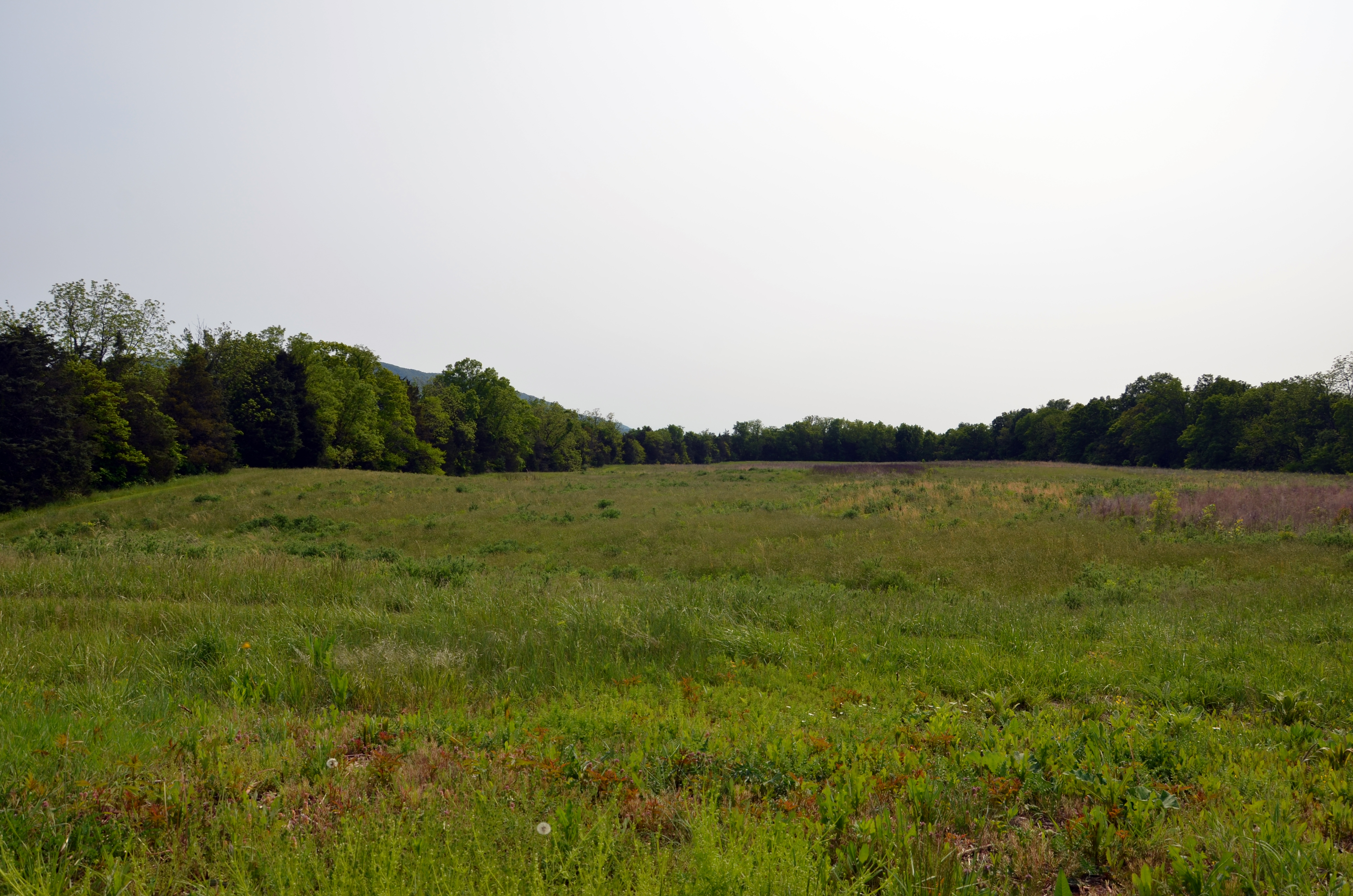
Heater HouseThe house, originally a 1700's log structure, was added to over time until it became the white clapboard farmhouse that remains today. It was owned during the Civil War by Solomon and Caroline Heater. The war divided the Heaters and their three sons. 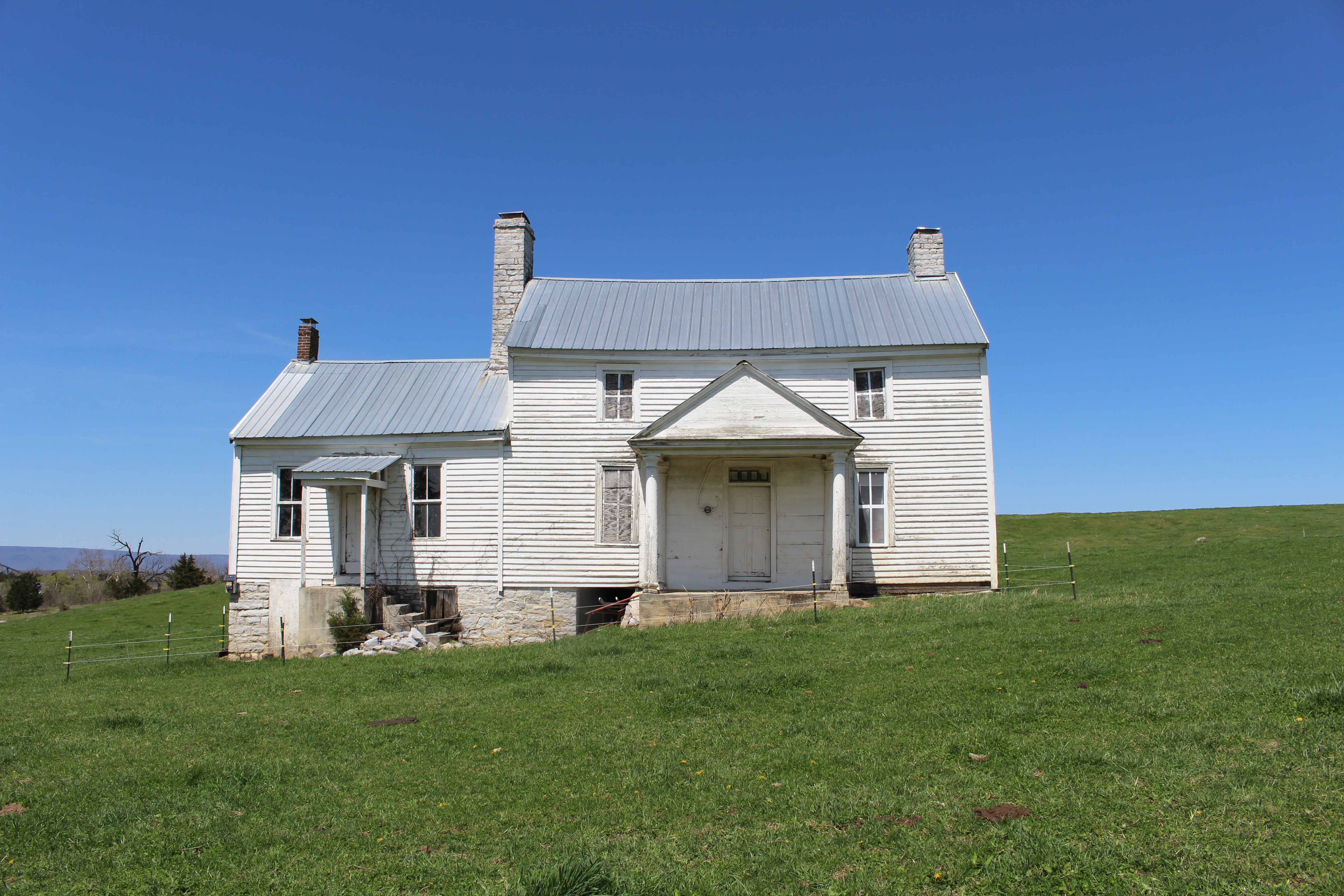
Historic Turnpike CrossingThe Valley Turnpike was the main transportation route through the Shenandoah Valley in the early 1800s. During the Civil War both US and Confederate armies used it. The armies contested the crossing at Cedar Creek during the campaigns of 1862 and 1864, with the bridge burned and rebuilt several times. 
Long MeadowLong Meadow Farm is a microcosm of the history of the entire Shenandoah Valley, being a campground for the American Indian peoples that passed through, and having ties to the first white settlers. The house at the base of the Massanutten Mountain range in Warren County, Virginia, was completed in 1848, but its story began in the early 1700's when the Valley was still the great frontier. 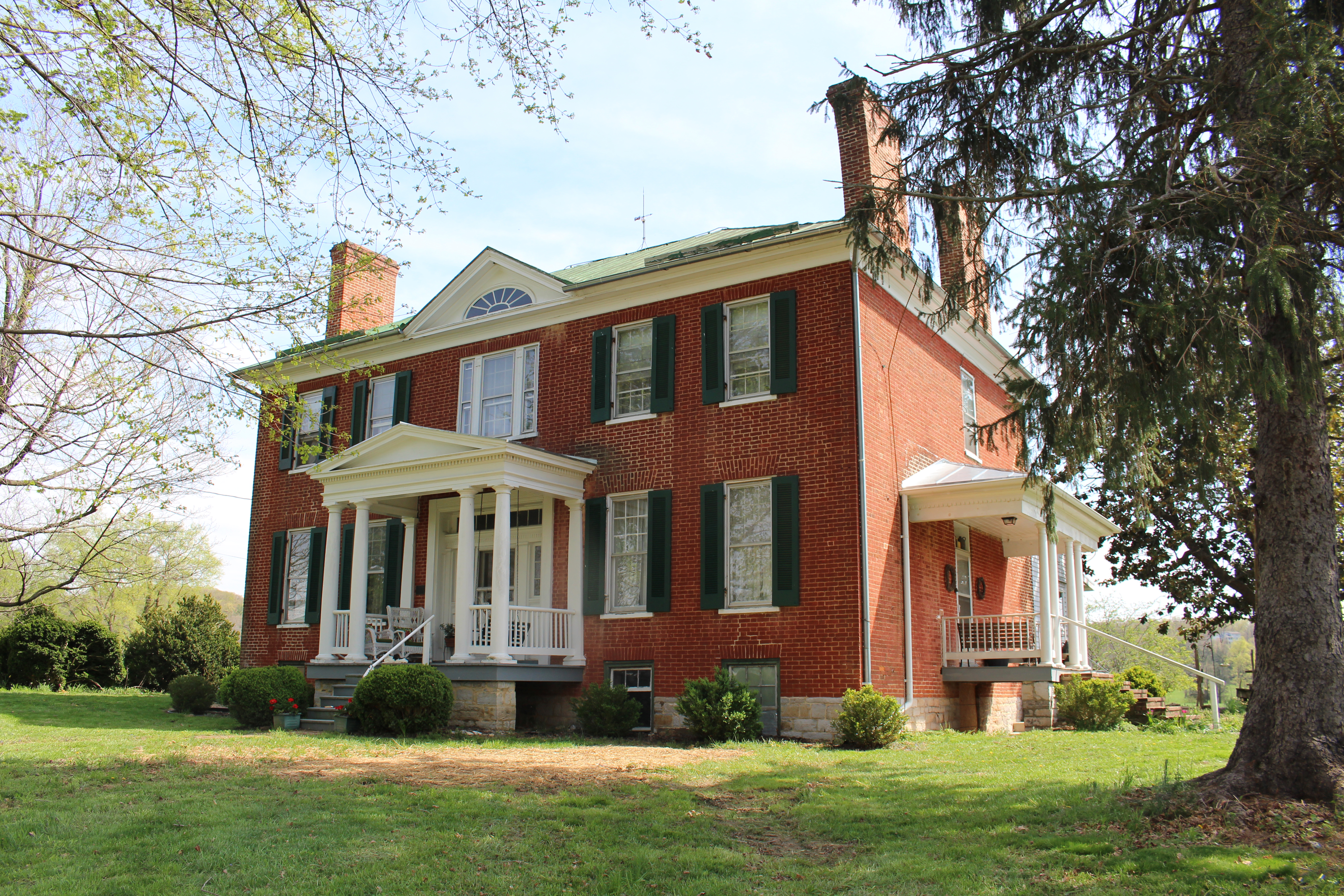
Miller's MillThe brick house at Miller's Mill marks the farthest advance of the Confederate army. Early formed his line along Miller Lane, modern Cougill Road. 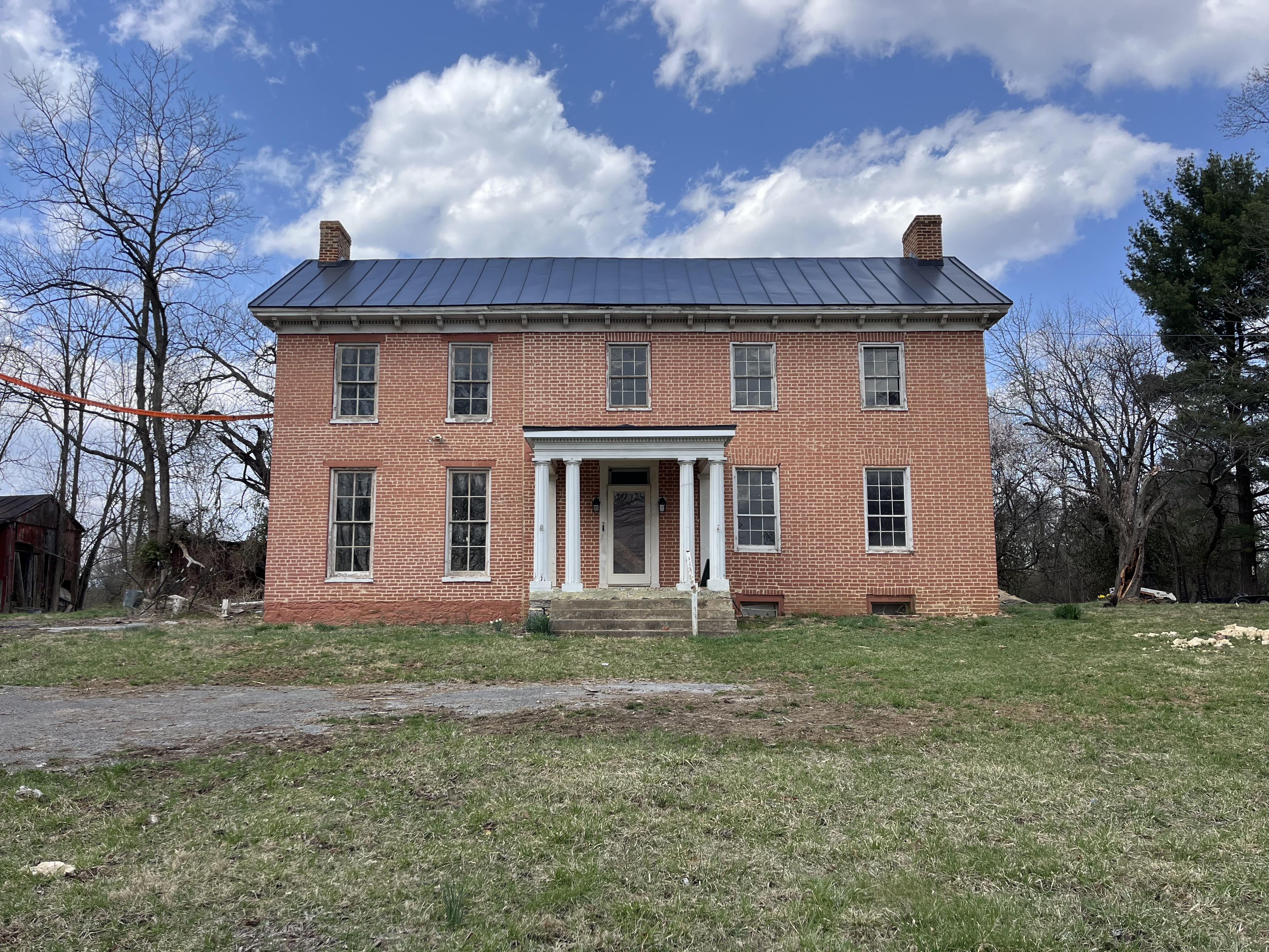
Morning Attack TrailsThe Morning Attack Trails are three connected trails through a battleground, part of a surprise Confederate attack on the morning of October 19, 1864, during the Battle of Cedar Creek. 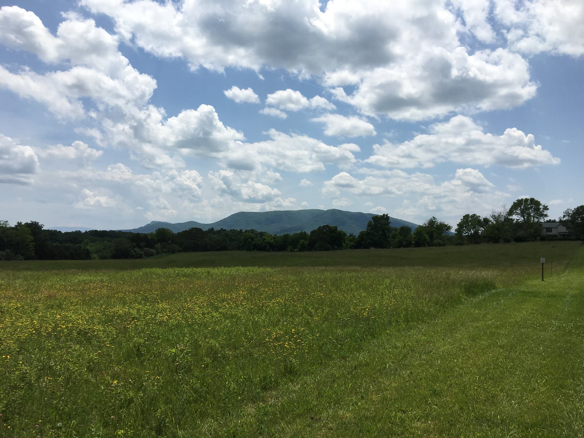
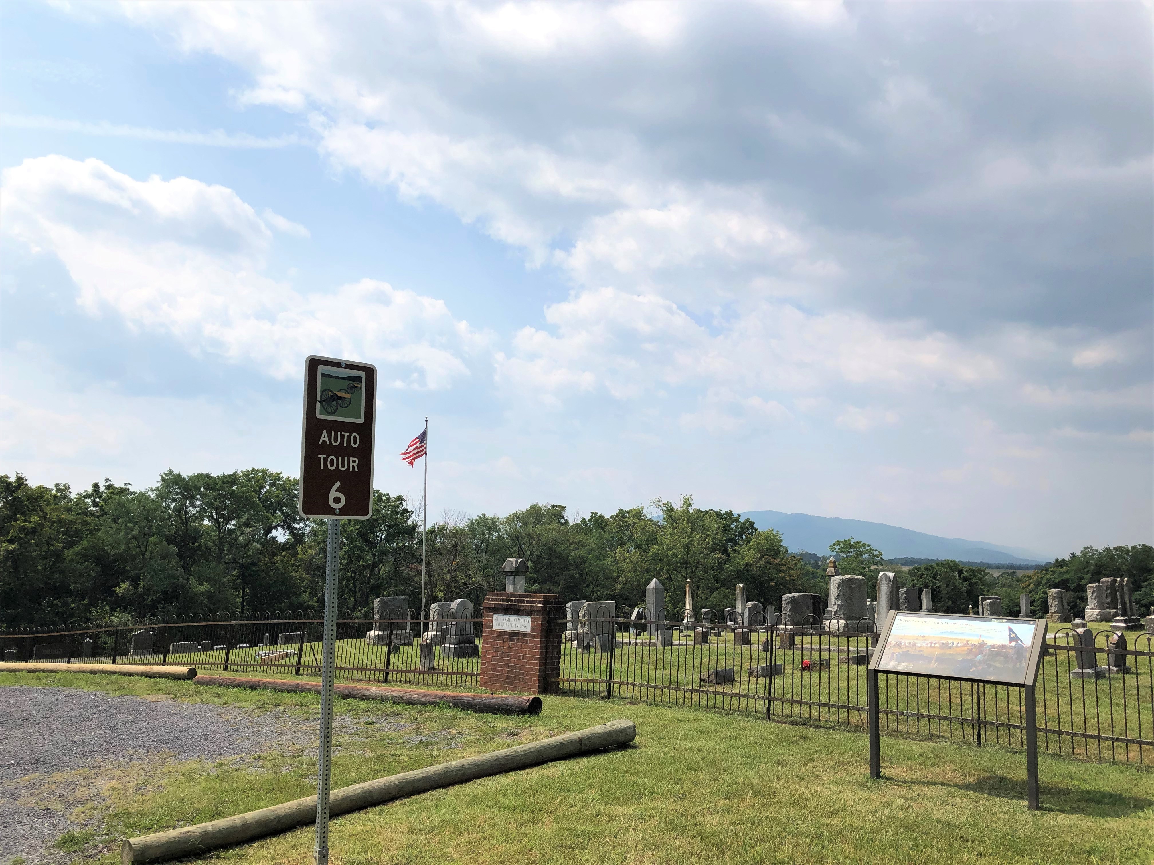
Mount Carmel CemeteryBefore the Civil War, the community of Middletown buried their dead in this cemetery above the town. The cemetery has a commanding view of Middletown to the east and Belle Grove to the south, from a ridge above the banks of Meadow Brook. In the Battle of Cedar Creek, Federal troops regrouped on the cemetery hill to try to stall the advancing Confederates. 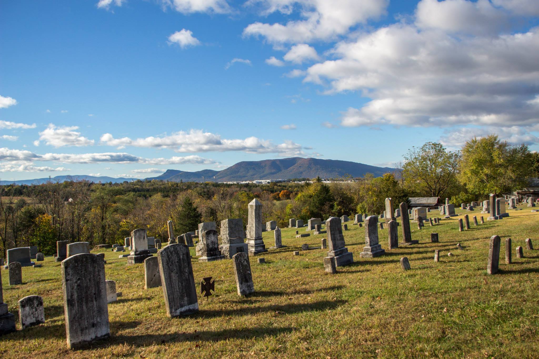
Ramseur MonumentThe North Carolina Division of the Daughters of the Confederacy erected and dedicated the monument in 1920. 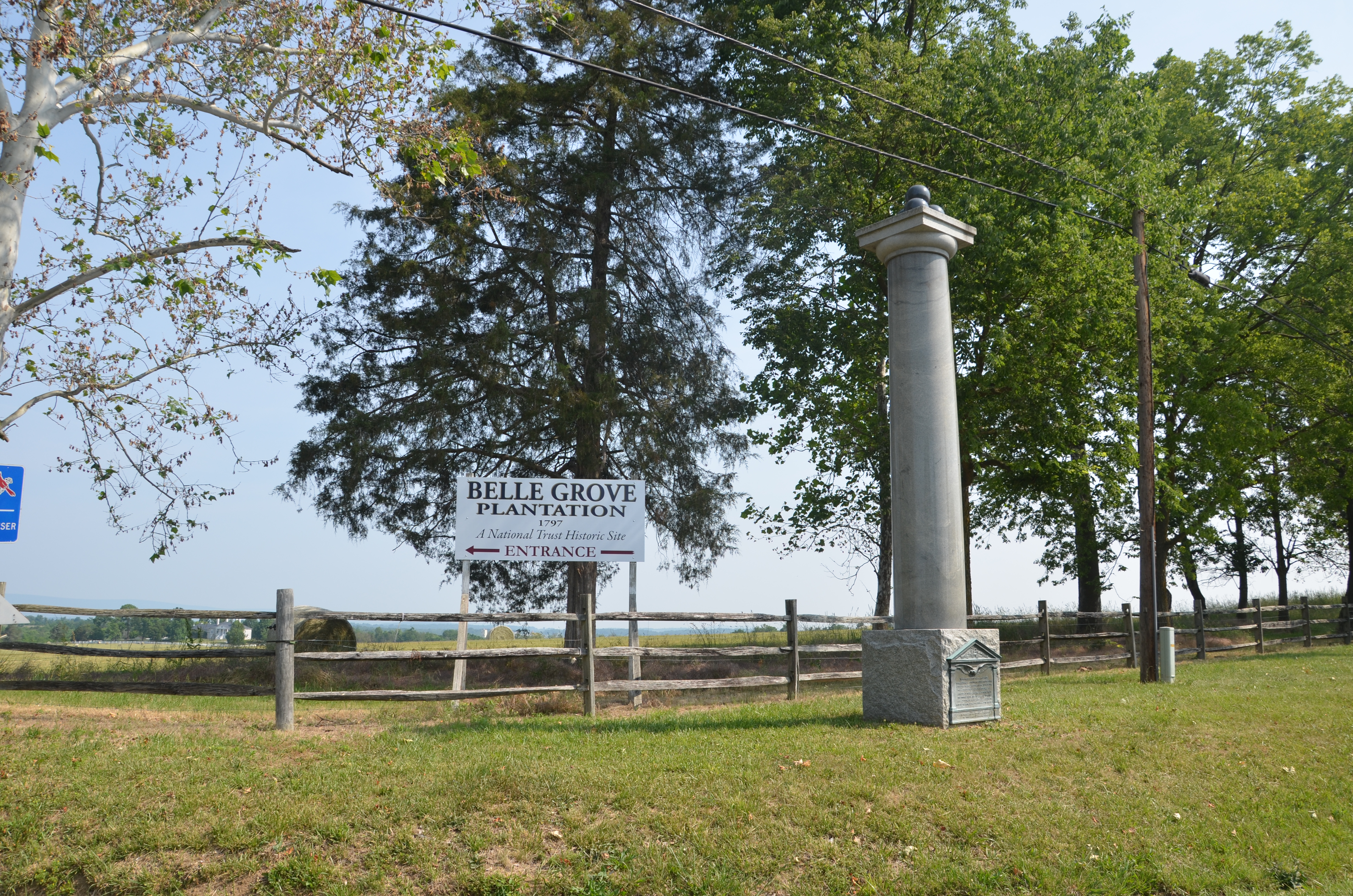
Rienzi KnollSheridan returned from Washington, arriving near this place around 10:30 a.m. The sign of Sheridan riding the length of his disorganized battle lines rallied his men. Sheridan then began preparing his counterattack for later in the afternoon. 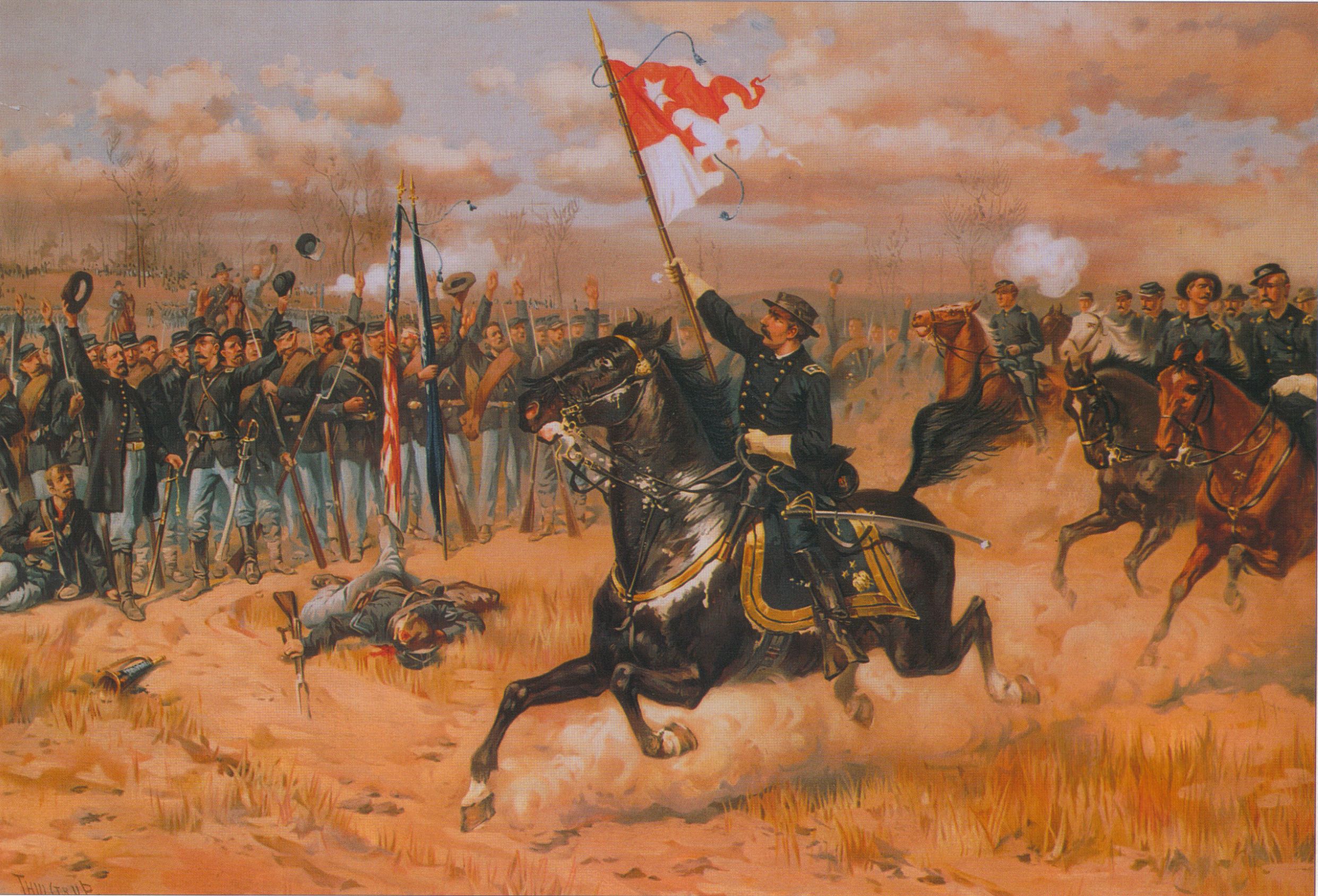
Shenandoah Valley Battlefields National Historic DistrictA place of unmatched scenic beauty where generations can gather to understand, commemorate, and draw meaning from our nation's heritage. 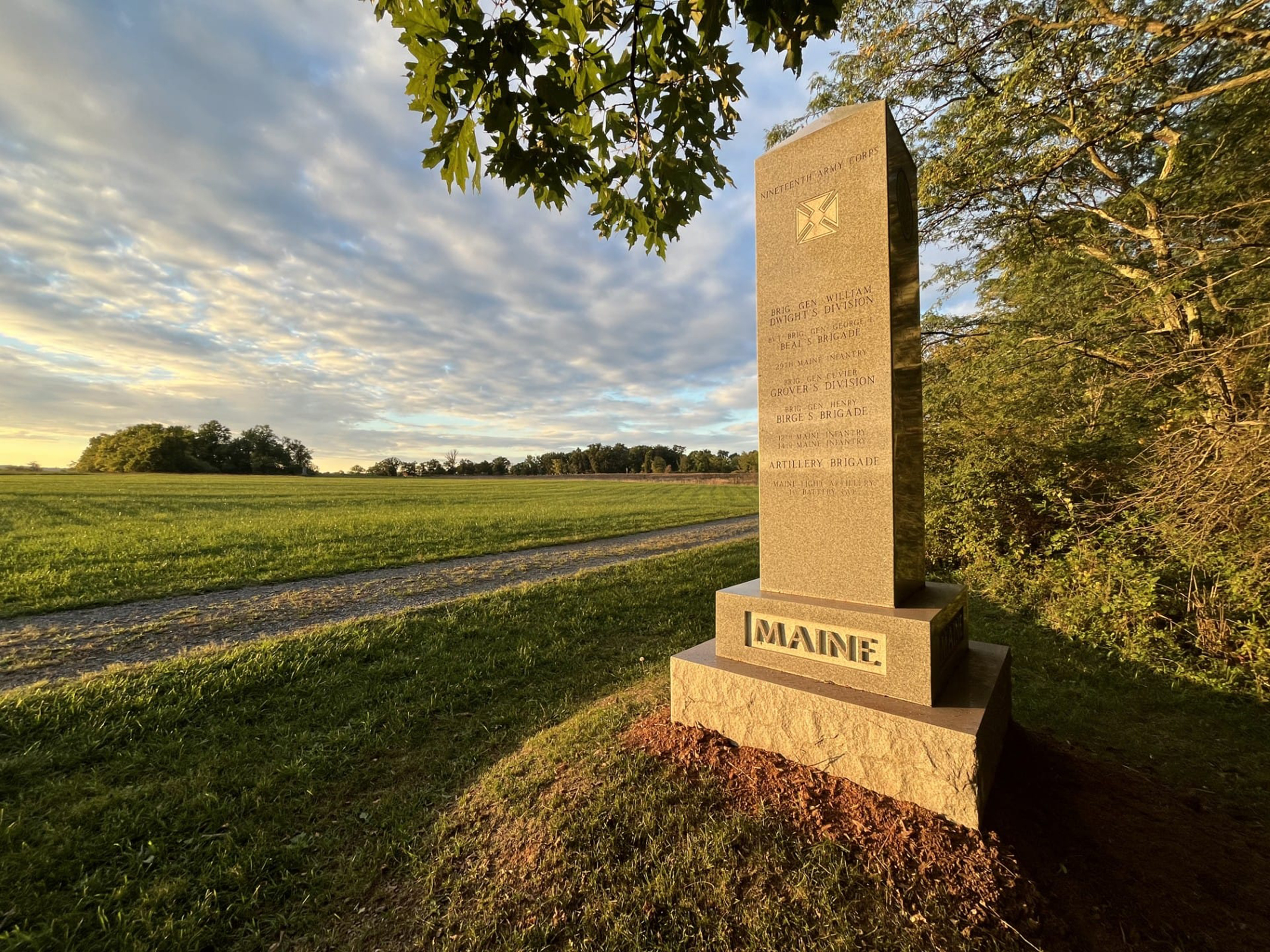
Signal KnobRising 1,500 feet above the Valley floor and marking the northern end of Massanutten Mountain is Signal Knob. 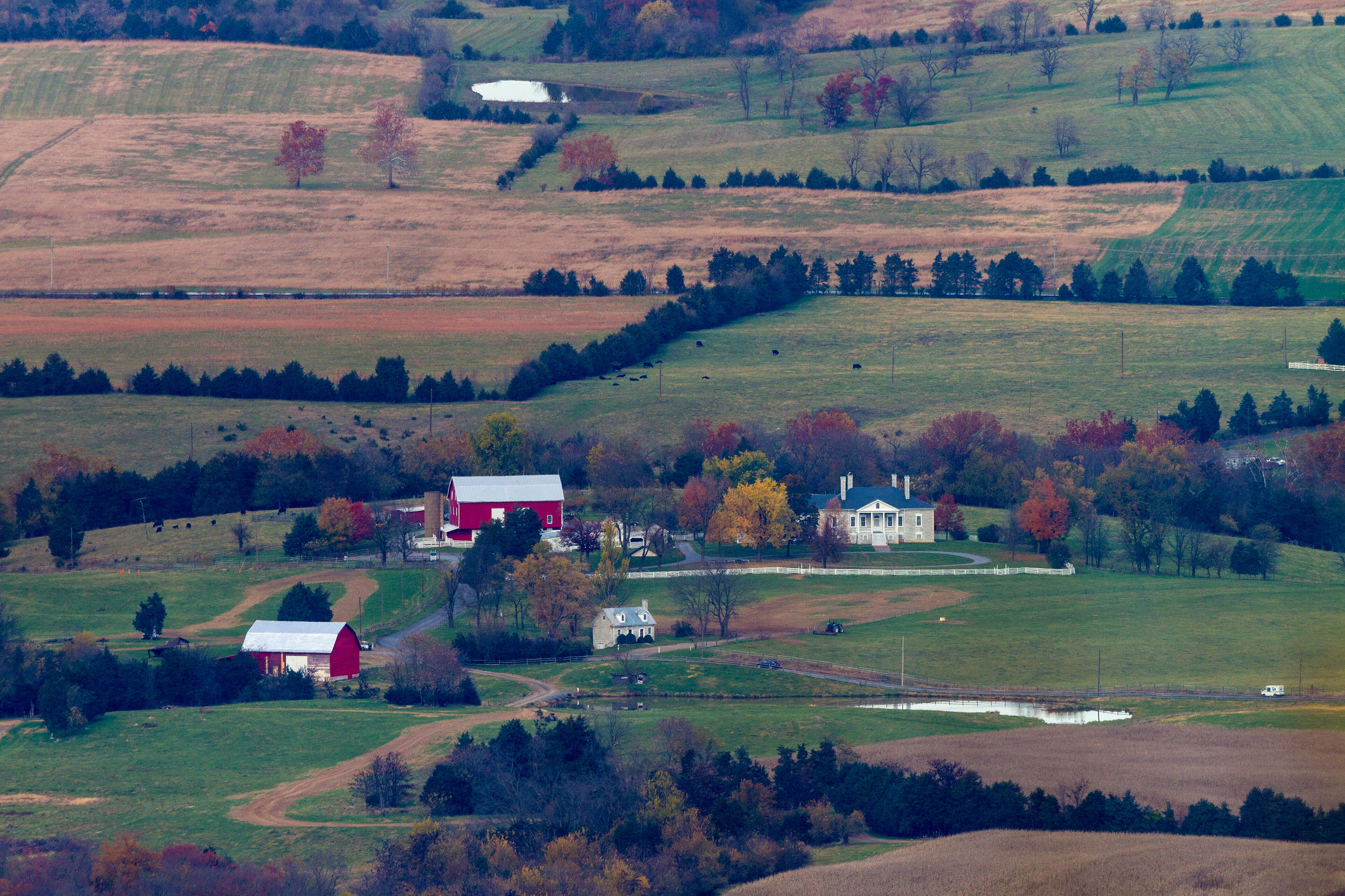
St. Thomas ChapelIn 1862, during the Civil War, US Gen. Nathaniel Banks used St. Thomas as a commissary and stable. Local doctor John Guyer used it as a hospital throughout the war. Again, during the Battle of Cedar Creek in 1864, St. Thomas became a field hospital. 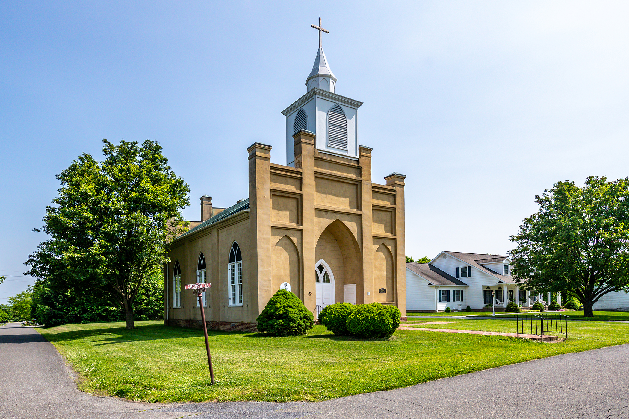
Stickley FarmUnion and Confederate armies marched back and forth past Daniel Stickley's farm during the Shenandoah Valley Campaigns. Both generals Early and Sheridan headquartered on the property; Sheridan planned his attack on Fisher’s Hill from the Stickley farm. 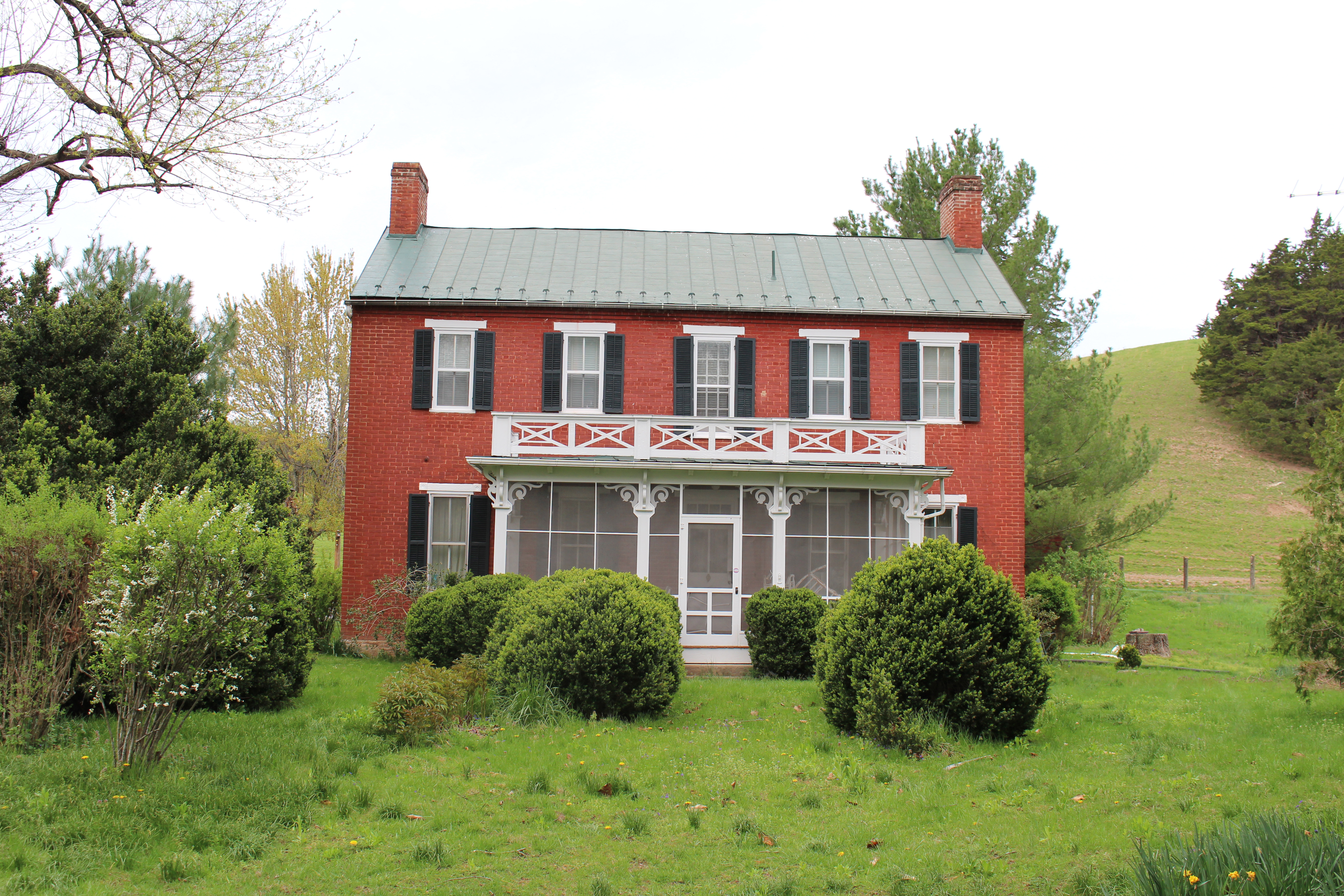
Strasburg Visitor & Information CenterWoodland trails pass earthwork fortifications left behind from the Civil War's Shenandoah Valley campaigns. The museum, inside the Strasburg Visitor and Information Center, displays artifacts curated by Shenandoah Valley Battlefields Foundation. 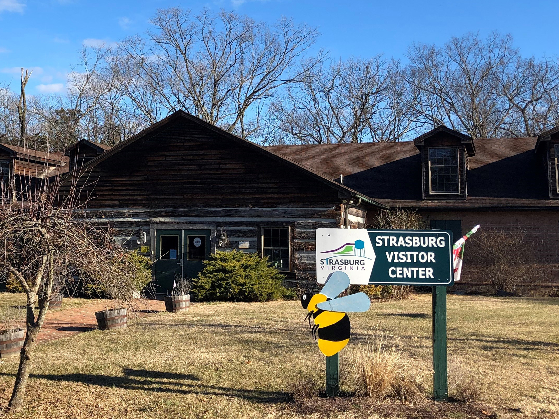
Thoburn's RedoubtThe Confederate surprise attack in the pre-dawn fog of October 19, 1864 struck here against the 8th Corps first, then drove the rest of the Federal troops from their camps around Belle Grove Plantation. 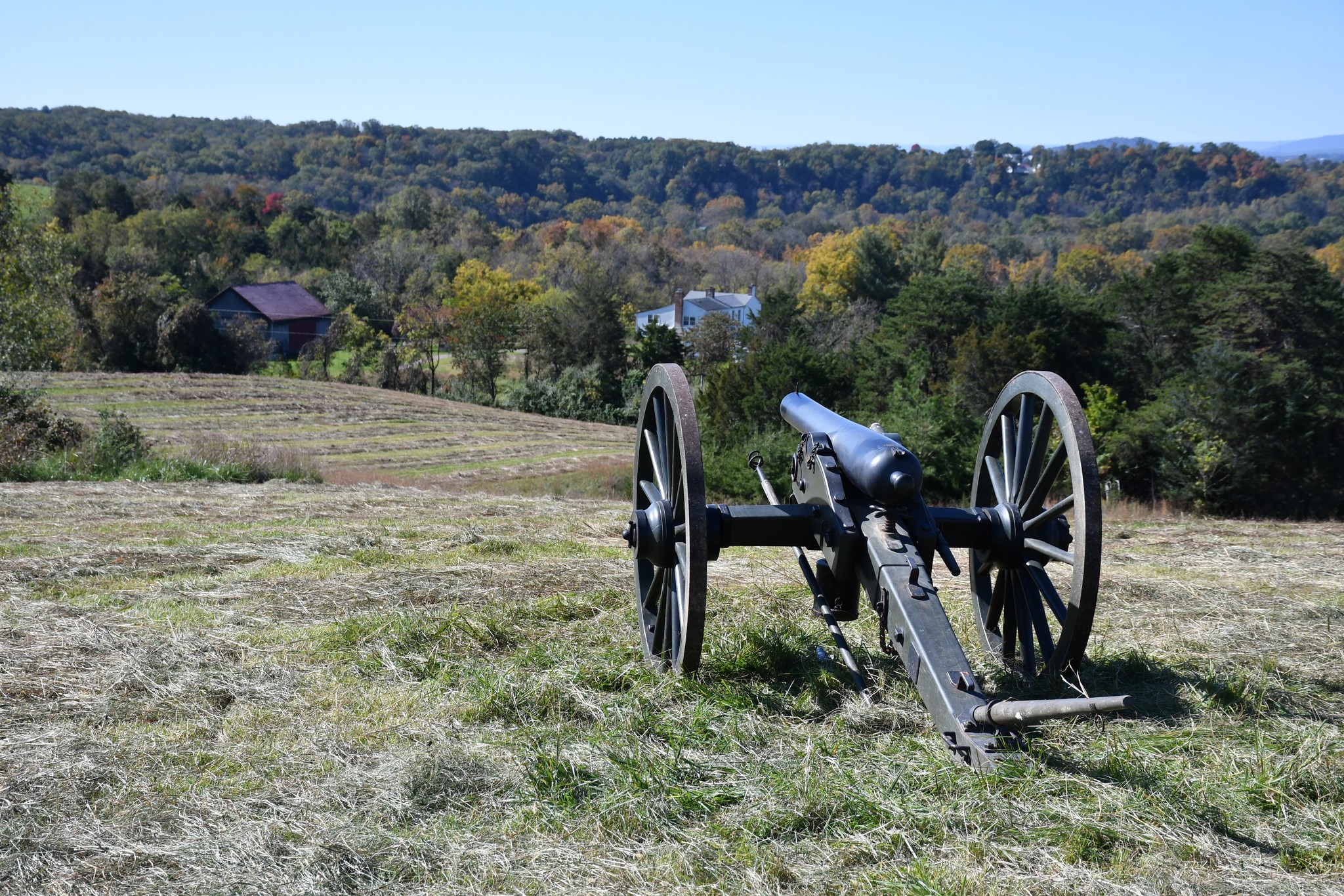
Thomas's Approach RouteUS soldiers from Col. Stephen Thomas’s brigade moved across the Valley Turnpike through this ravine to the ridge above, pushing through retreating soldiers and hoping to stop the Confederate advance. 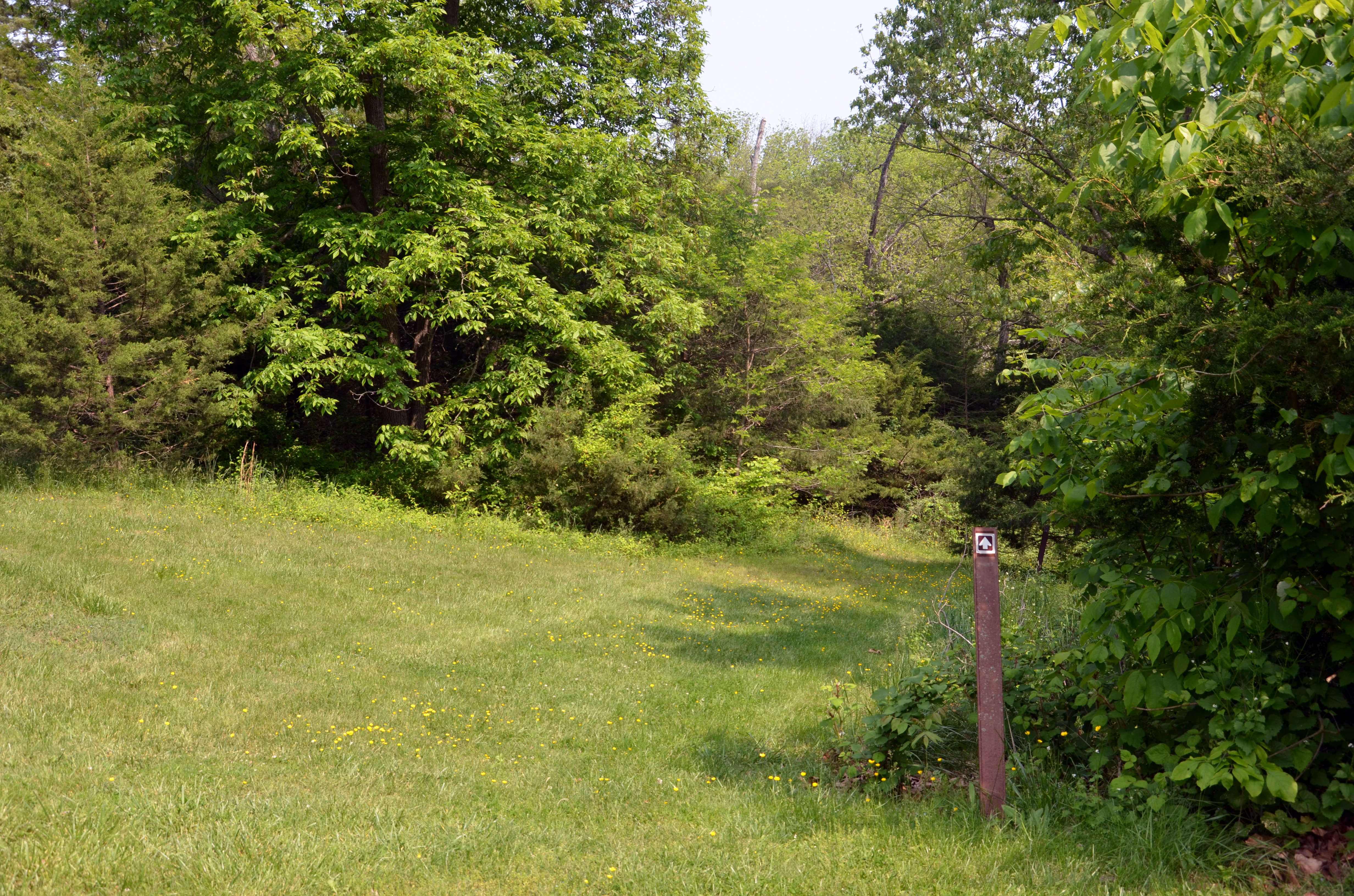
Thomas's RightThomas’s brigade made a line roughly from the present monument, starting with the 8th Vermont on the brigade’s left. To their right was the 160th New York, 12th Connecticut, and then the 47th Pennsylvania at about this place. One by one, these regiments fell to the Confederates. The 8th Vermont retreated last, after desperate hand-to-hand fighting that bought time for other US troops to regroup west of the Valley Pike. 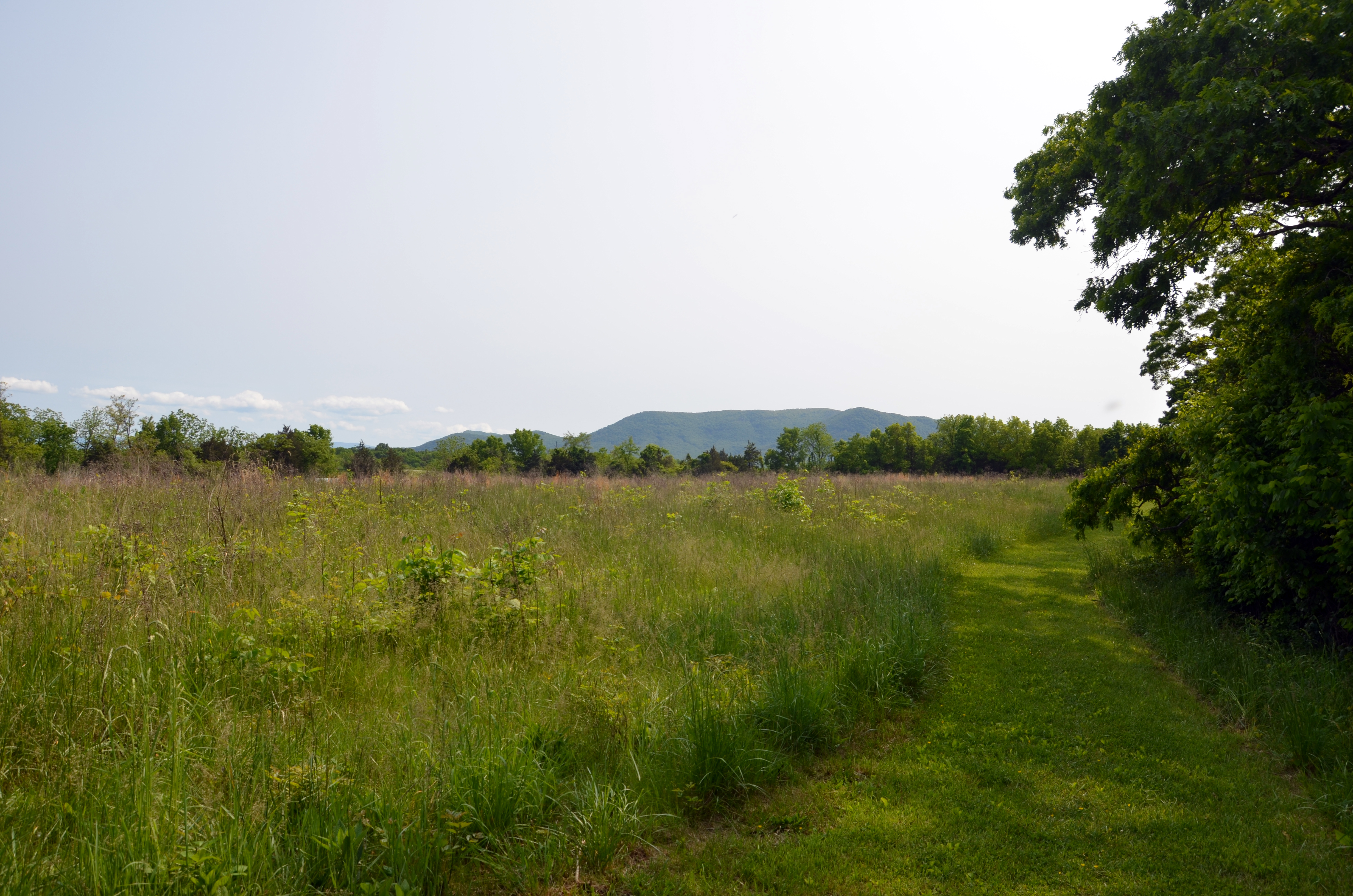
Union Counterattack FieldThe Federals’ afternoon counterattack took them back over the fields that they had earlier fled. They met determined resistance, but Union cavalry then struck hard. The Confederate line unraveled, quickly turning their retreat into a rout. 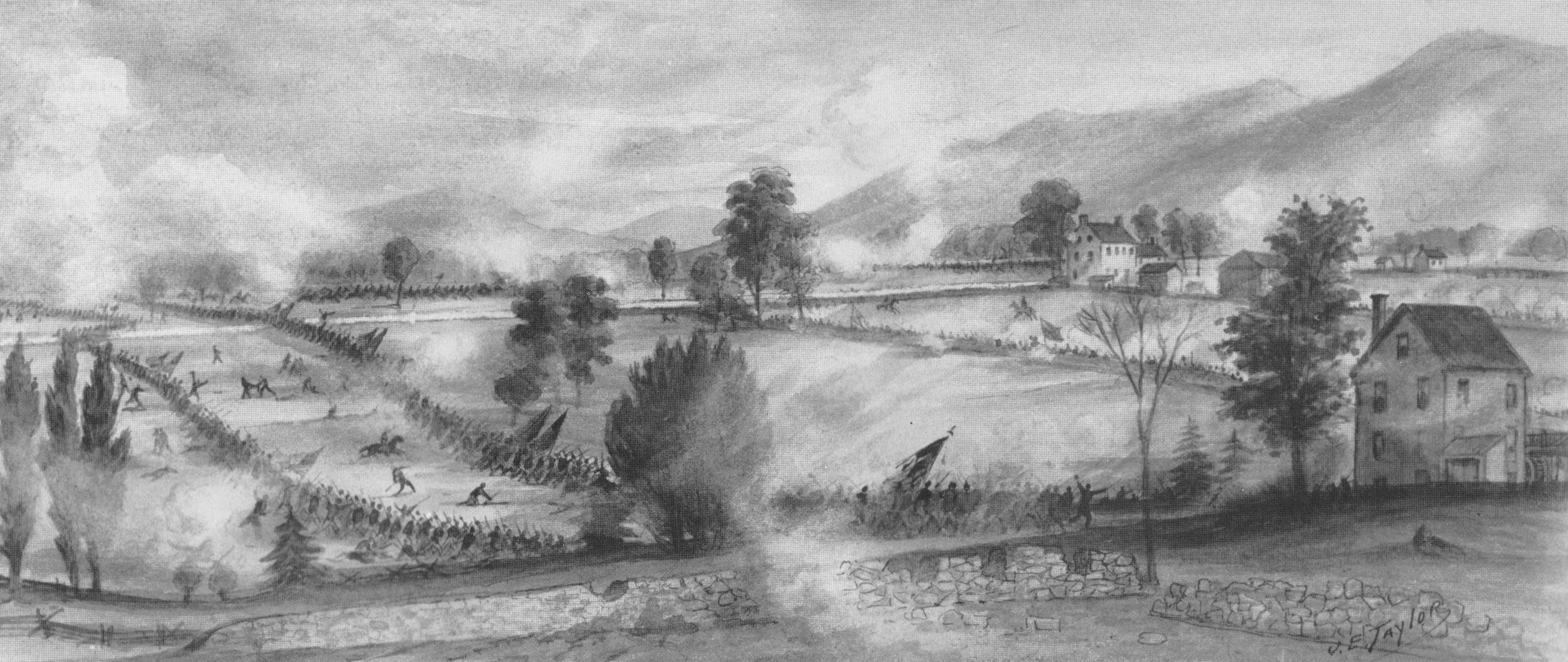
|
| Visitor Centers | Count: 4
Belle Grove Welcome Center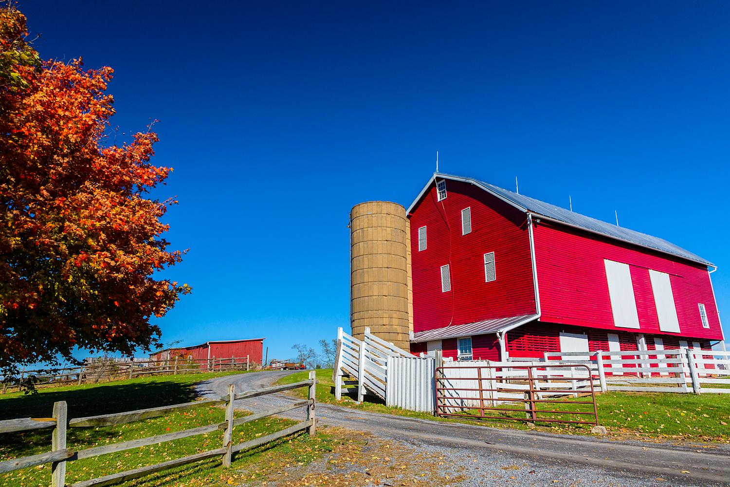
CCBF Museum & Visitor Center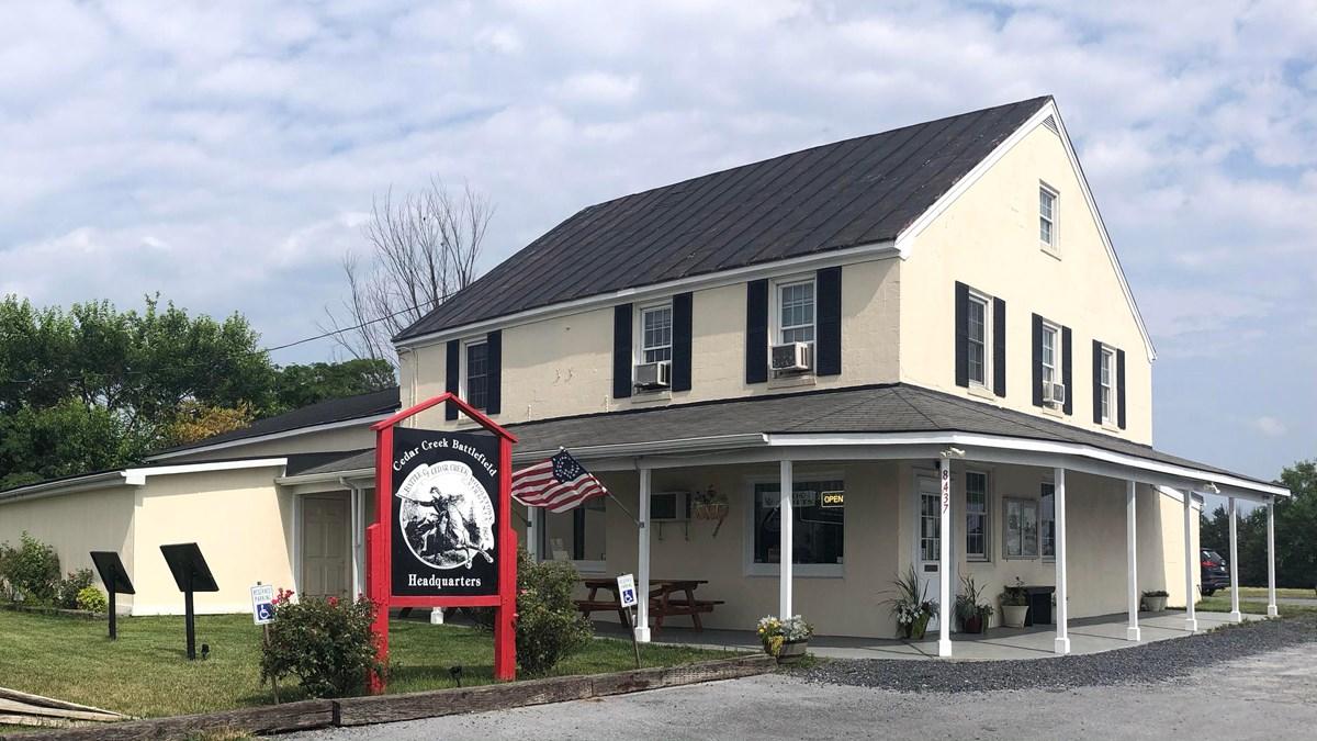
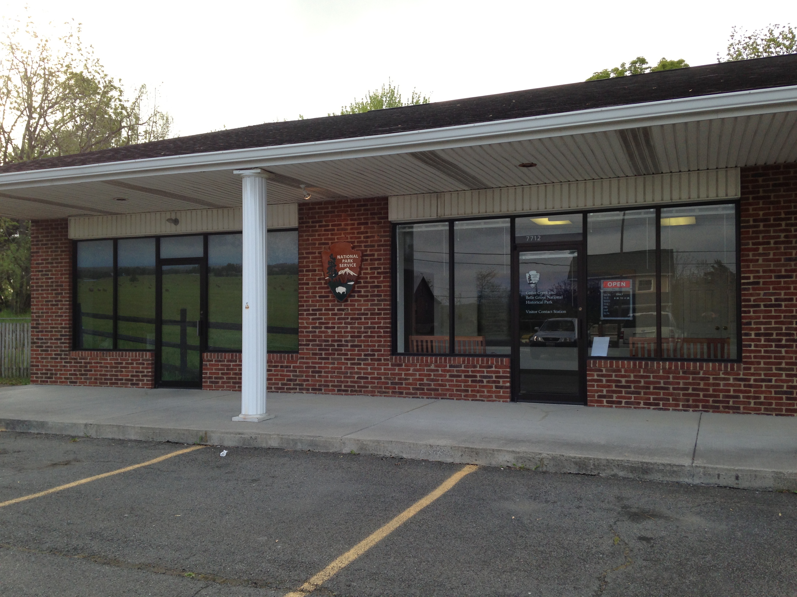
NPS Visitor Center
Strasburg Visitor & Information Center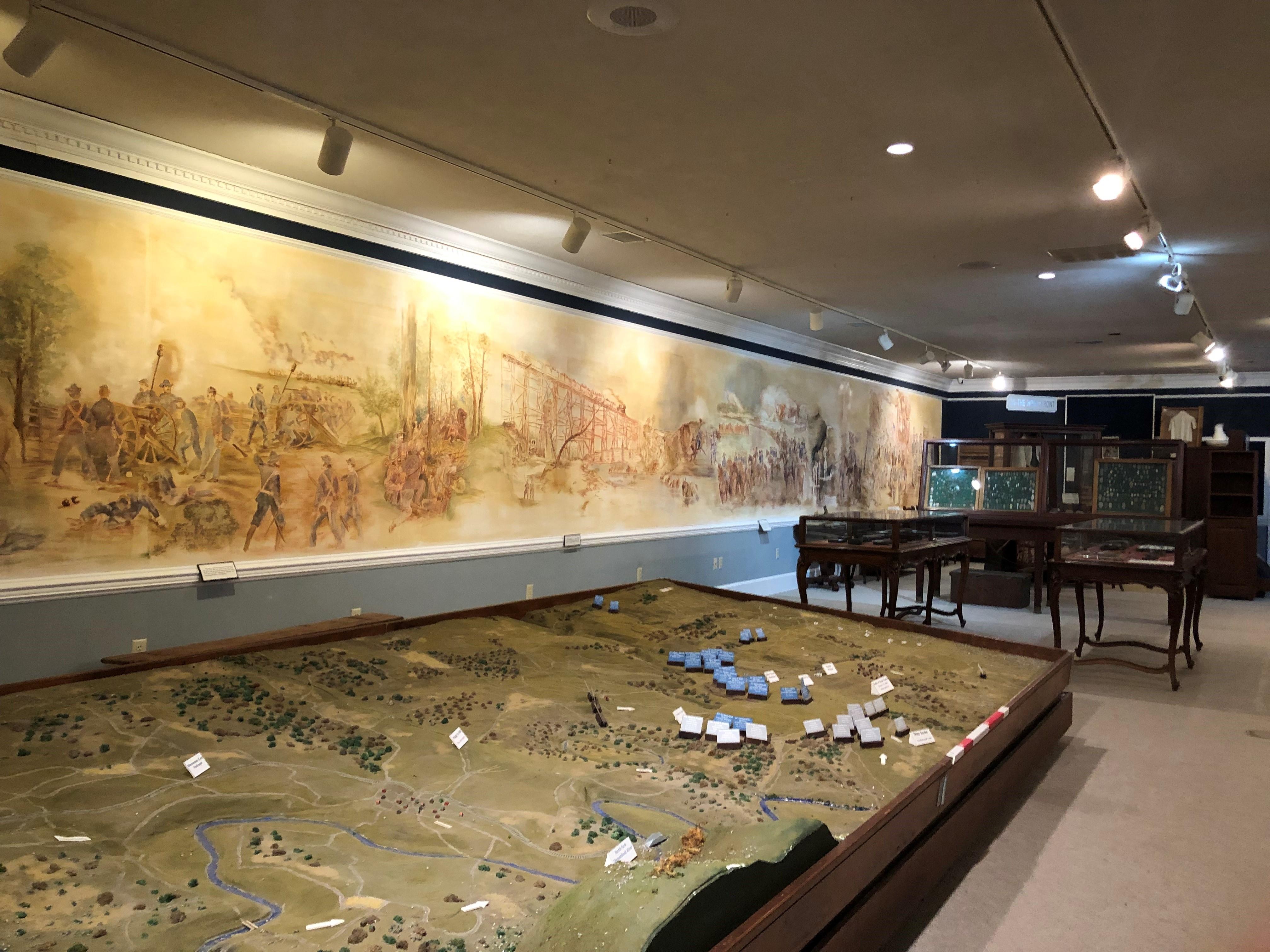
|
| Things to do | Count: 12


|
| Tours |
Count: 2
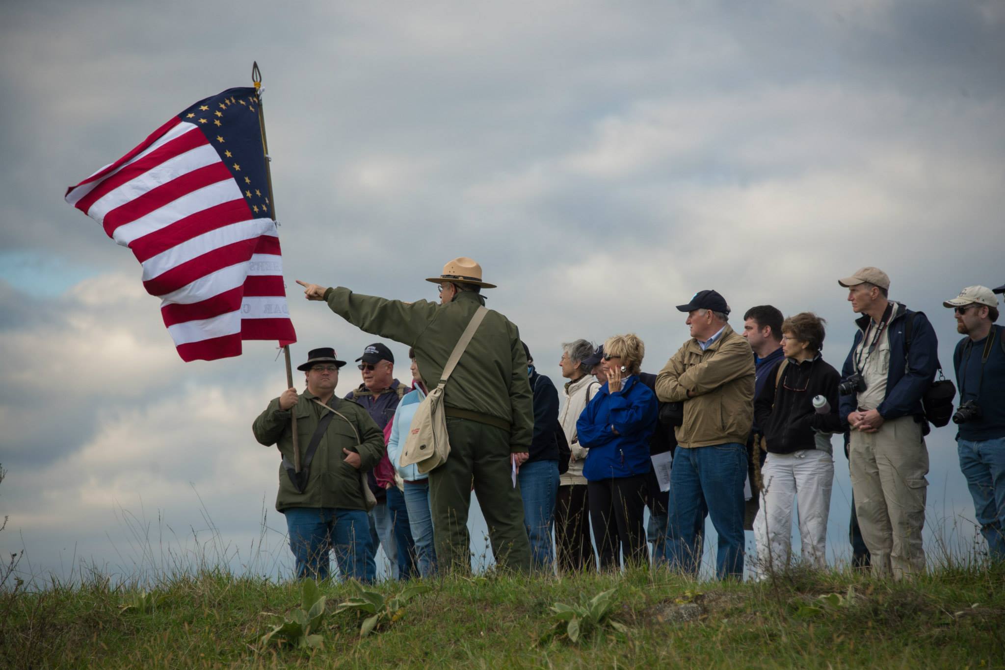
Battle of Cedar CreekFollow a self-guided driving tour of the battlefield accompanied by audio and video. This 17.5-mile tour has nine stops. and takes about two hours. Start by getting a park map and self-guide from the Visitor Center. The tour route follows public roads. Valley Pike (U.S. Route 11) is a heavily traveled route, while others are narrow county roads with low clearances. Buses and RVs should not attempt this tour. Stop 1 is a gravel pull-off on Valley Pike just south of Belle Grove Road. Morning Attack TrailsFollow the Morning Attack Trails to places where soldiers fought during the early hours of the Battle of Cedar Creek on October 19, 1864. The three trails combined are 1.5 miles long. All three are on national park land. Pick up a free trail guide at the trail entrances or at the Visitor Center. The guide follows stops marked on the trails. |
| Articles |
|