Located in Duluth, Georgia the Abbotts Bridge Boat Launch provides easy access to all river users. Your bound to see tubers landing after floating down stream while paddlers will be headed down stream and anglers in power boats headed in either direction.
The Abbotts Bridge Unit is located along the river off GA 120 in Duluth, Georgia. Follow the gravel entrance road for about one half mile to the gravel parking lot. You will see the pavilion at the edge of the field.
This is the only trailhead located in the Abbotts Bridge Unit. The trail is out and back and only about a mile in length. However there are several massive oak trees early on the trail. There are scenic views of the river since most river users take out at the boat ramp.
While the headwaters of the Chattahoochee River is in the mountains of north Georgia the Buford Dam serves as a headwaters of the Chattahoochee River National Recreation Area. For the next 48 miles you have the opportunity to enjoy the river in a natural state.
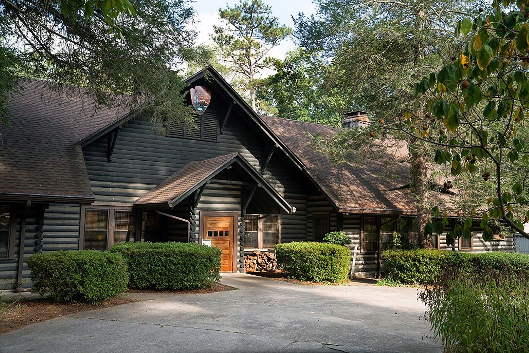
Making a purchase at the America's National Parks bookstore is a great way to support the park. The bookstore is a part of the Island Ford Visitor Center located in the Historic Hewlett Lodge at Island Ford. Books, postcards, and educational gift items related to the cultural and natural history and recreational opportunities of the Chattahoochee River are available in the bookstore.
The Chattahoochee River Environmental Education Center (CREEC) serves as the educational center for the park. Here visitors learn about the parks resources through evening programs, school programs, and summer time day camps.
This is a great place for a family to put in for a day on the river. While drivers are shuttling a vehicle down stream, the kids can play on the playground or start their picnic early in the city park.
Hewlett Field is located behind the Historic Hewlett Lodge in the Island Ford Unit. The field can be accessed by walking down a moderately steep paved walkway behind the lodge. Or take the road used by boaters to drop off your items to carry across the field. The road can be very busy on nice days with river users. There is no parking allowed along the road or at the traffic circle at the end of the road..
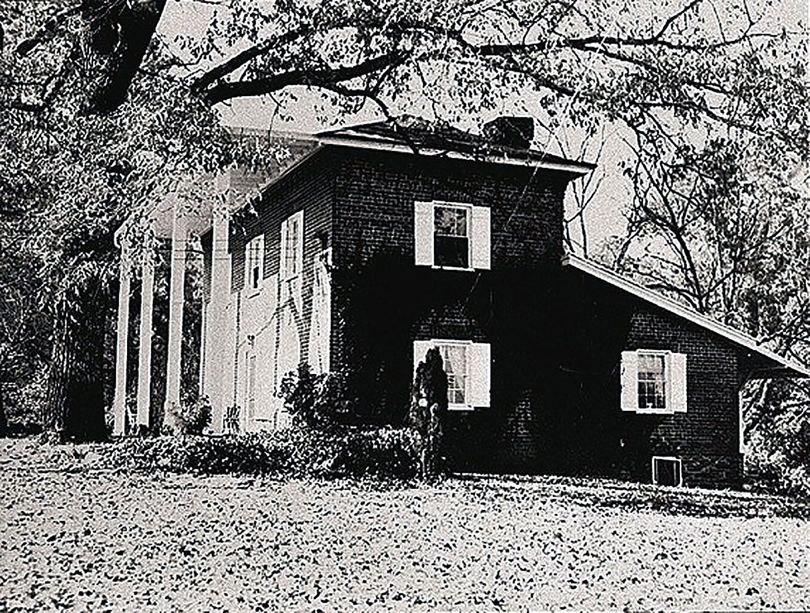
Located on the high ground northwest of the Chattahoochee River lies Hyde Farm. Land north of the Chattahoochee River was known by European settlers as the Cherokee Indian territory. The 1832 Land Lottery took the land from the Cherokee and distributed 160 acre parcels to qualified people. James Cooper Power settled on the land that would become Hyde Farm in the 1830s.
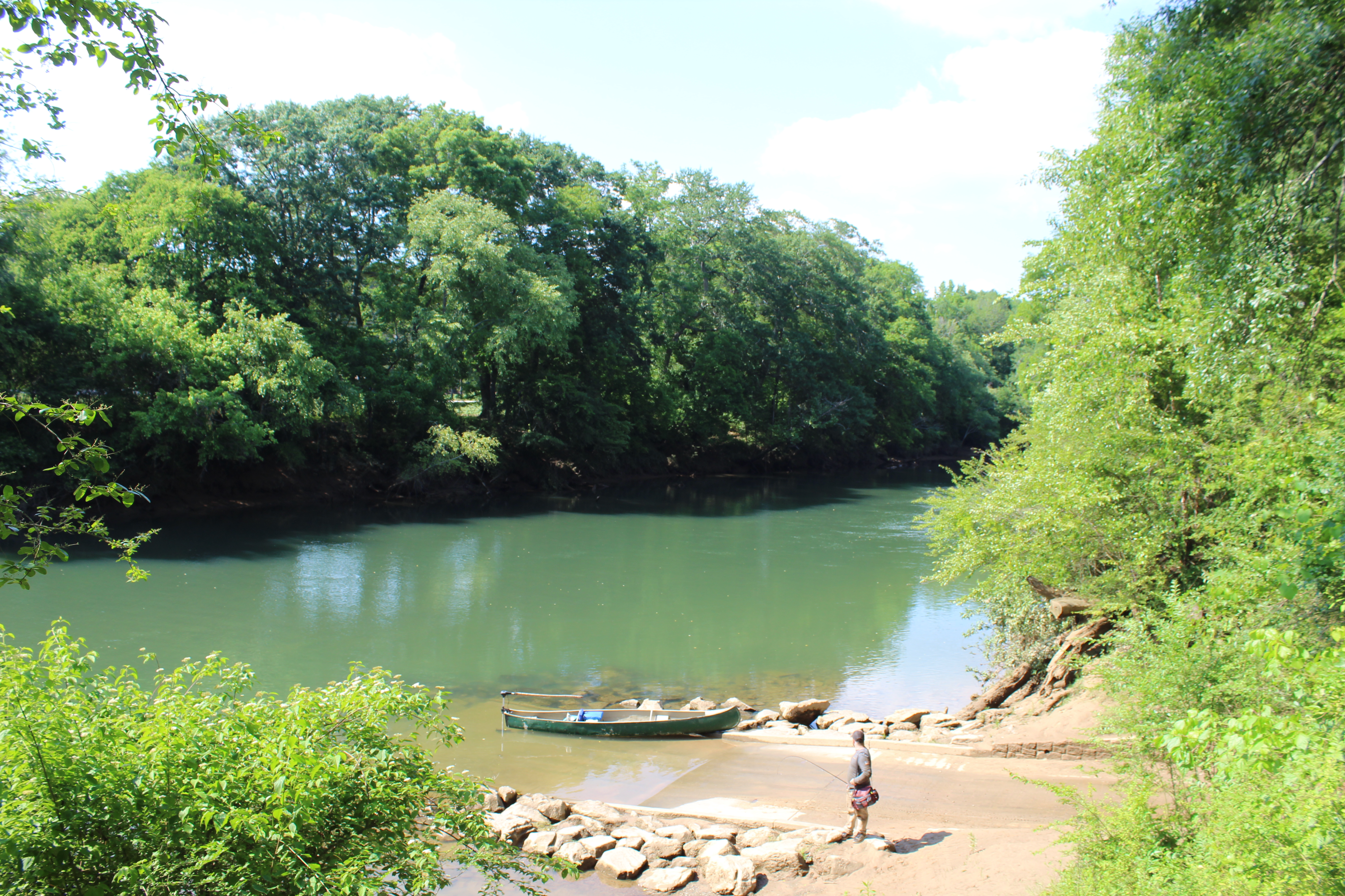
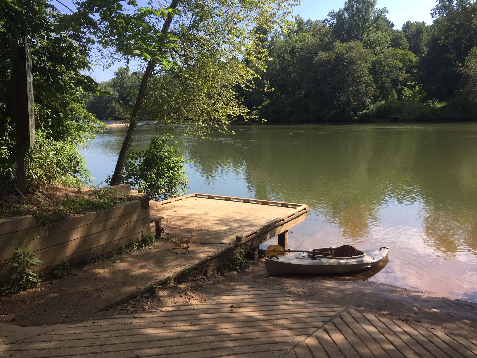
This is a great place to access the river. It's an easy paddle upstream and floating back to the landing so there is no need to shuttle a vehicle. Or just paddle downstream enjoying the Island Ford Shoals.
What better place to start a hike in the Island Ford Unit than at the Hewlett Lodge trailhead. You have many amenities just inside the lodge for your convience before or after your day of hiking. The only downside might be the number of people that use this trailhead to access the trails and boat launch.
Launch here to stay clear of the crowds found at the Power Island Launch. Then plan on taking out at the Whitewater Creek Launch or for a little longer float continue to the Paces Mill Launch.
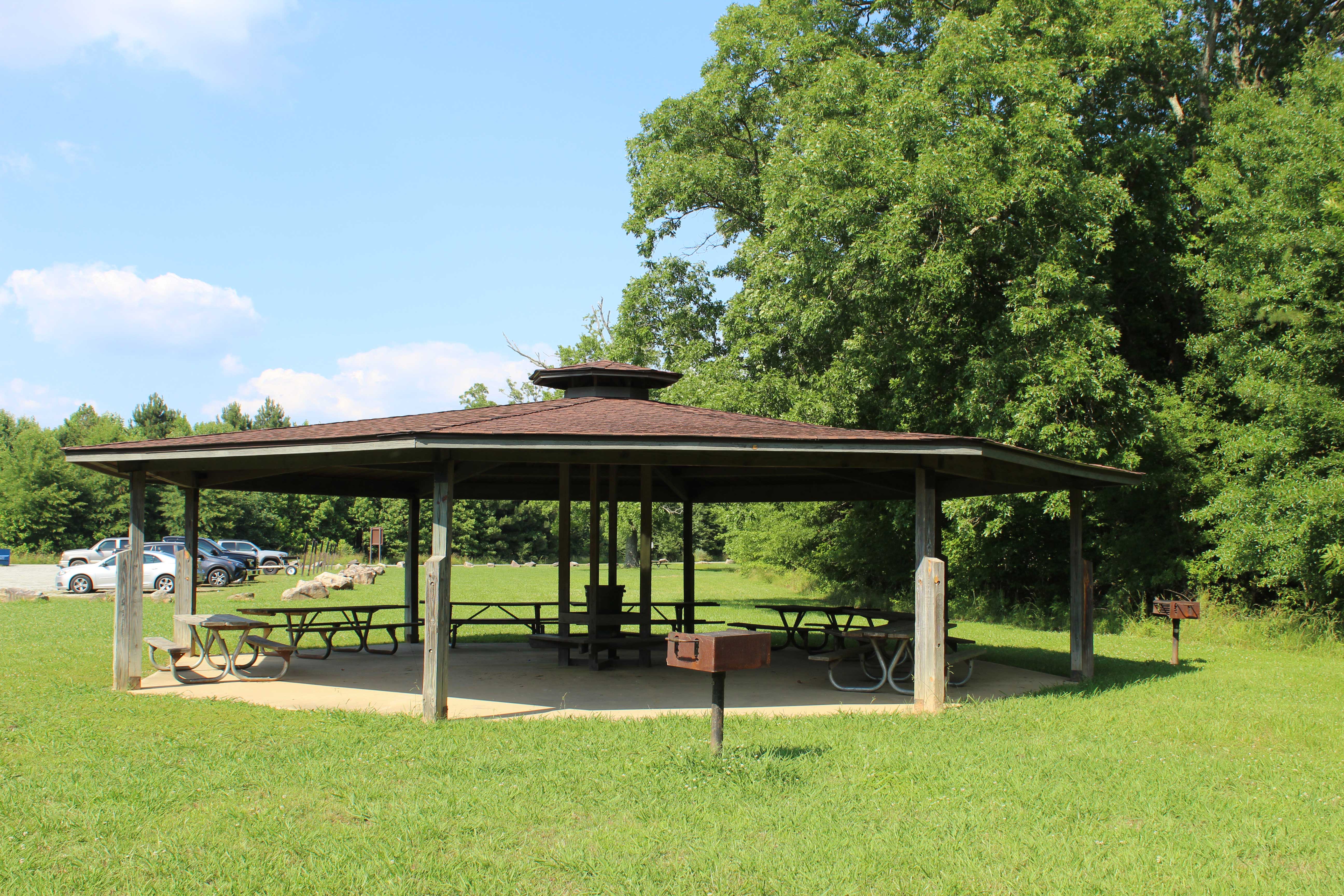
The Johnson Ferry Unit is located along the river off in Cobb County, Georgia. The south entrance to the unit is at Columns Drive. Follow the gravel entrance road a short distance to the gravel parking lot. You will see the pavilion at the edge of the field.
Back your trailer down the ramp to launch your boat for a great fishing trip. Or launch your self propelled watercraft but please move your vehicle to the main parking lot that has plenty of parking spaces.
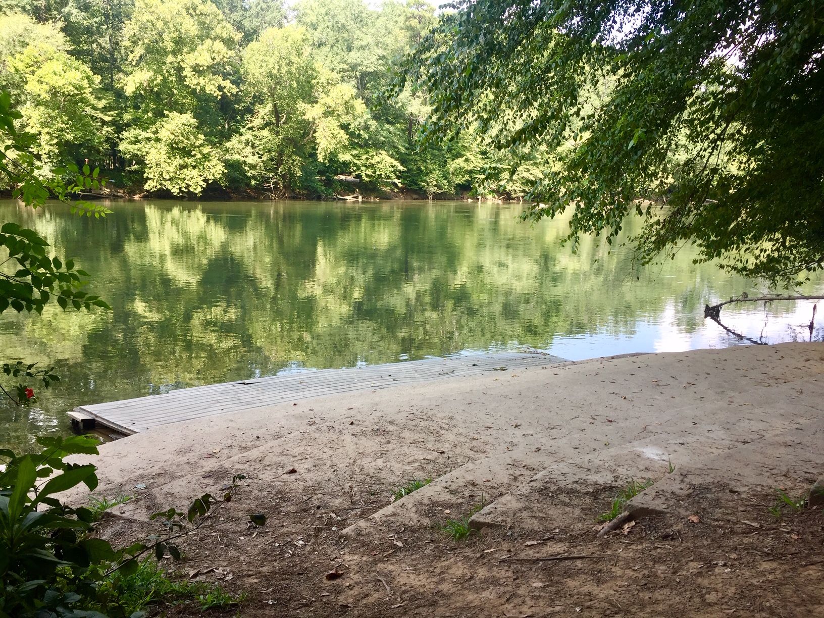
You'll have to carry your gear to the launch but it's well worth the haul. Launch your watercraft from a step-down ramp and watch the last step into the river.
Launch your boat in the shadows of Buford Dam for a complete visit of Chattahoochee River National Recreation Area. As you float downstream you'll pass through the least developed section of river in the park.
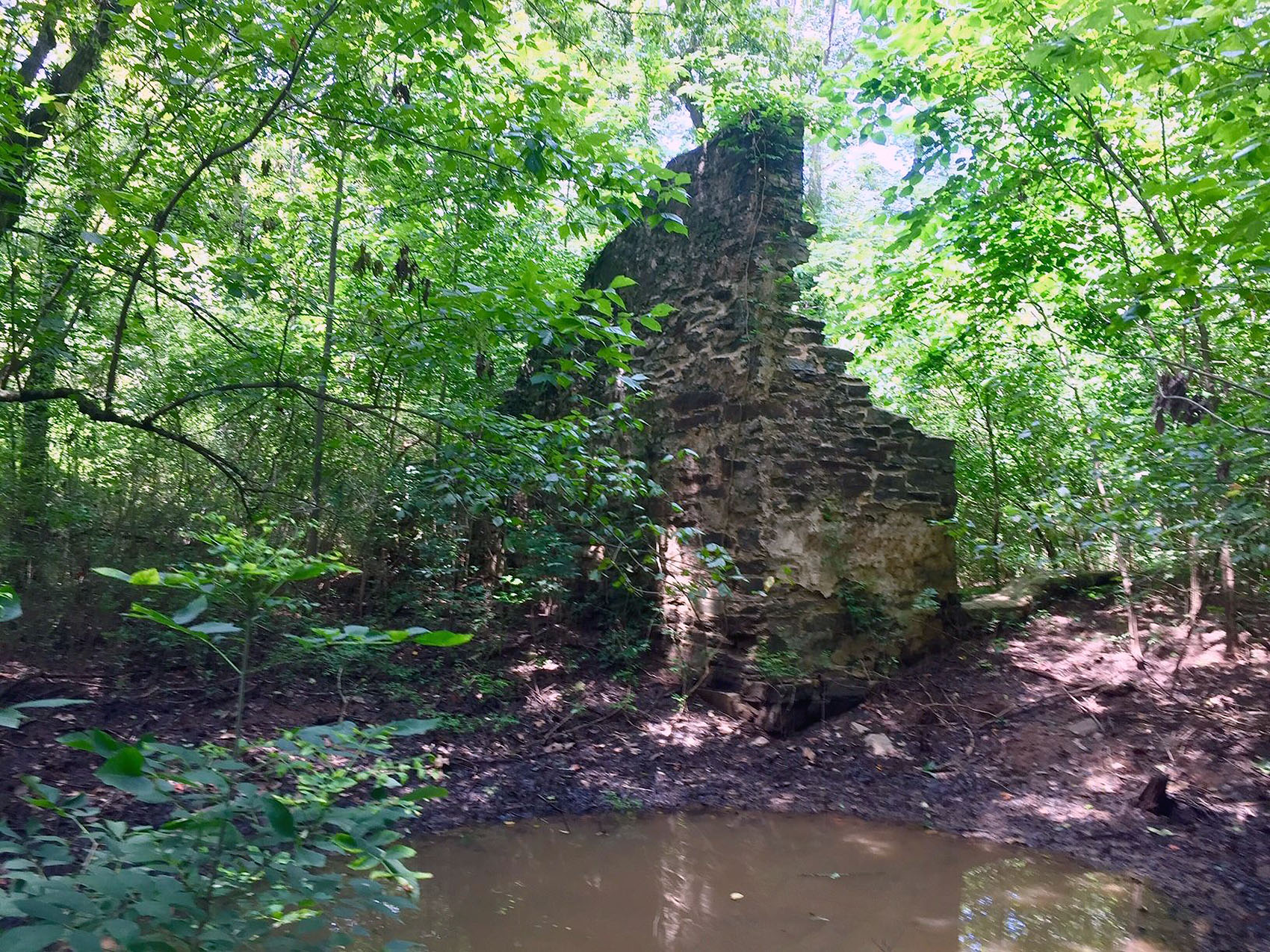
The nearly 200-year-old ruins of the Marietta Paper Mill sit on the banks of Sope Creek within the Cochran Shoals Unit. They were once a sprawling complex that manufactured twine, newsprint, and paper that was used to print confederate currency.
Looking for a place to launch a power boat for a day of fishing on the river or a canoe, kayak, or raft for a nice float on the river then this may be a good starting point.
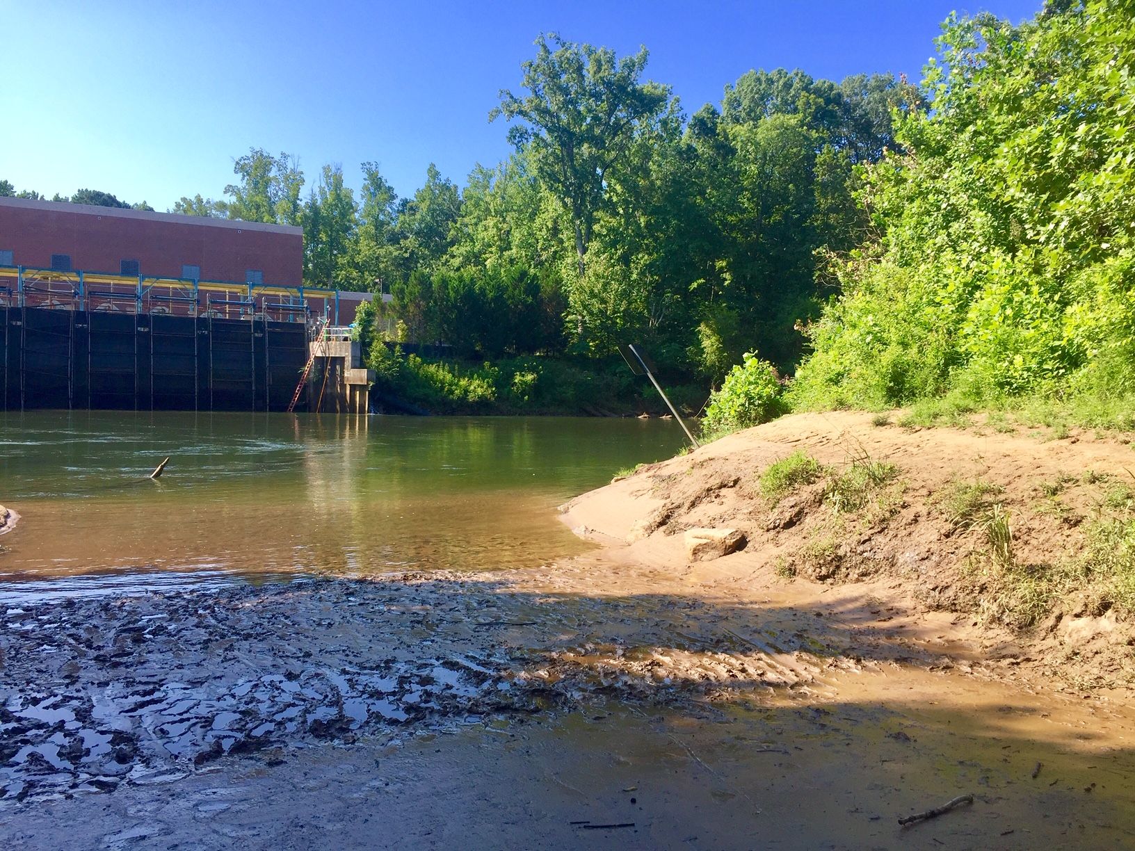
The 56-foot tall dam was built by Georgia Power in 1904, then expanded in 1924, and then heightened in 1957. While originally used to power Atlanta’s streetcars, the dam now serves primarily to re-regulate flows from Buford Dam. The construction of the dam created Bull Sluice Lake and, over time, sedimentation created the surrounding wetland.
Check out the lower part of the Chattahoochee River National Recreation area by launching your boat below Morgan Falls Dam. This may be the best water in the park.
Located in the East Palisades Unit the overlook offers stunning views of the river's Devils Race Course Shoals below and the metro Atlanta skyline in the distance. The overlook has a viewing platform and benches.
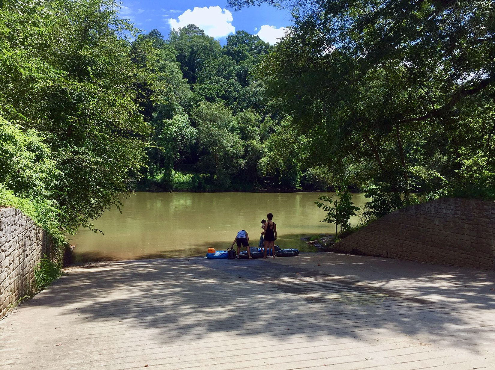
Start your float here to see some of the most scenic stretches of the Chattahoochee River. After crossing under I-285 and past a few riverside businesses and an apartment complex you enter into the urban section of the river, but it's hard to believe.
The Sam Hewlett Pavilion is located behind the Historic Hewlett Lodge in the Island Ford Unit. The pavilion is accessed by walking down a moderately steep paved and gravel walkway behind the lodge. Not far is a scenic overlook of the shoals where you may see boaters headed down stream, anglers wading in the river, or Anhinga perched in the trees across the river. Just below the pavilion you can explore the side creek and discover the old spring house.
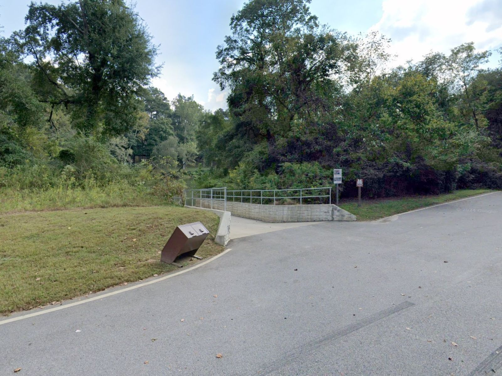
You'll have to carry your gear to the launch but it's well worth the haul. Launch your watercraft into the cold waters under the remains of the historic Settles Bridges.
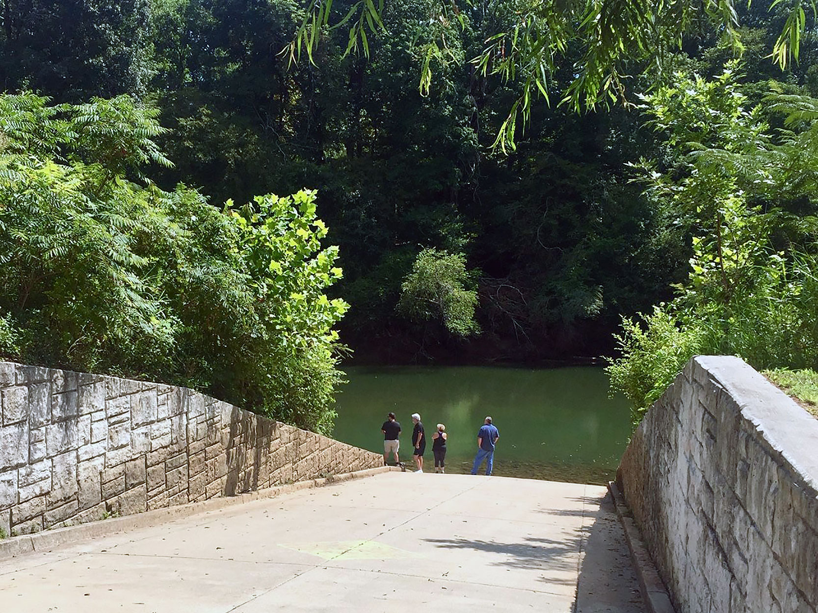
After a short carry and stepping down a few steps you wet your feet in the river. At lower river levels you may have a short carry across the gravel bar.