Road Open To: Mile 30 (Teklanika River)
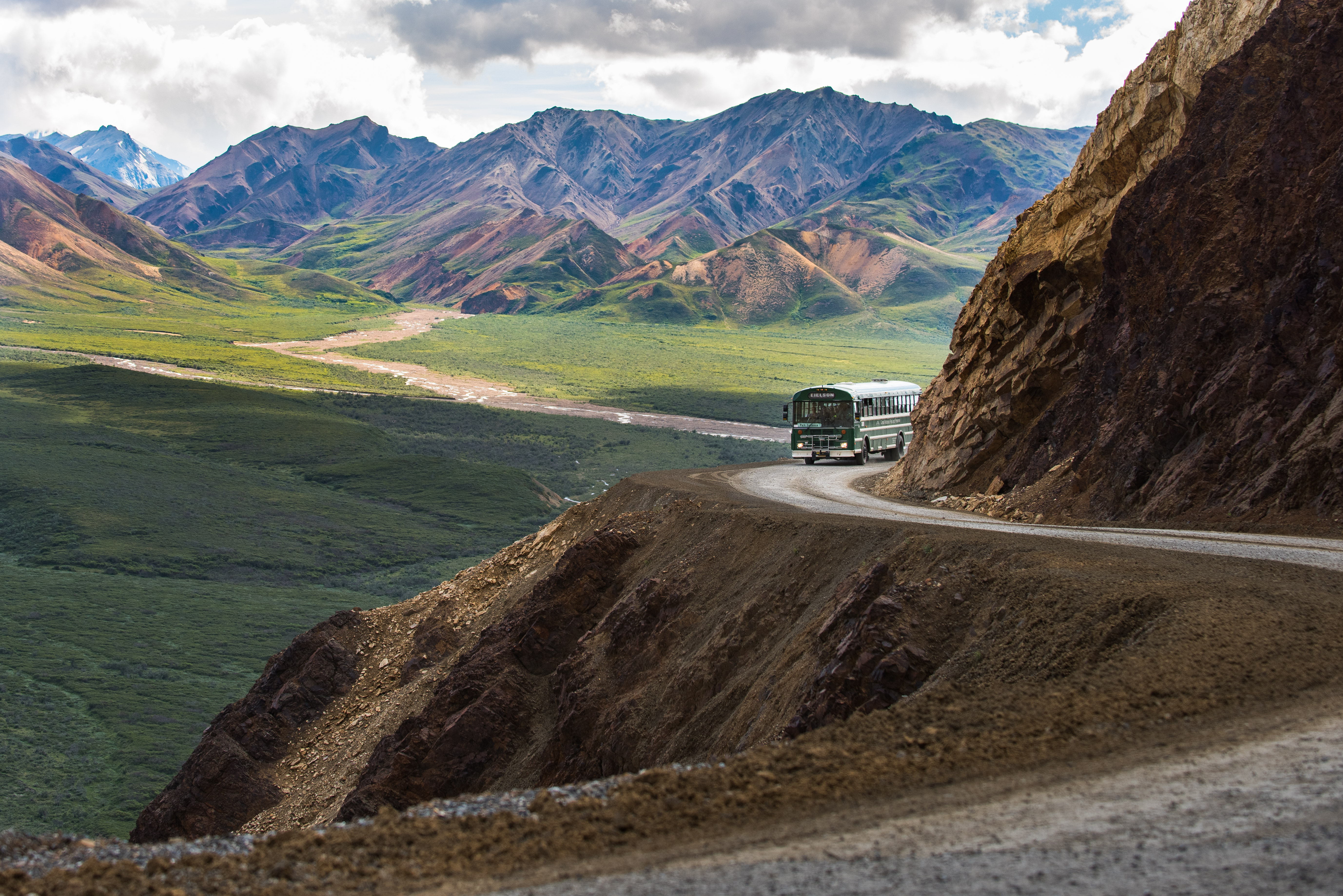
The Denali Park Road is open to Mile 30, Teklanika River. Please stay alert for heavy equipment traveling on the park road.
Park Operations Altered Due to Pretty Rocks Landslide
Summer access to facilities and services in Denali remains altered due to the Pretty Rocks Landslide and the associated closure of the Park Road at Mile 43. Check here for more information on what to expect.
| Title | Denali |
| Park Code | dena |
| Description | Denali is six million acres of wild land, bisected by one ribbon of road. Travelers along it see the relatively low-elevation taiga forest give way to high alpine tundra and snowy mountains, culminating in North America's tallest peak, 20,310' Mo... |
| Location | |
| Contact | |
| Activities |
|
| Entrance fees |
Entrance - Per Person
$15.00
Denali charges an entrance fee year-round. Youth age 15 or younger are free. For people age 16 or older, the $15 entrance fee provides a 7-day entrance permit. Be prepared to show your receipt or pass (digital or physical) if requested by park staff.
|
| Campgrounds | Count: 6
Igloo Creek
Riley Creek
Sanctuary River
Savage River
Teklanika River
Wonder Lake
|
| Places | Count: 33
"The Hole" of McKinley StationNot far downstream from the confluence of Hines and Riley Creek is an area once known as "the hole." An area off limits to the station's children, the illicit traits of the "Roaring 20s"—bootlegging, alcohol manufacturing, gambling, violence, and prostitution—were centered here. 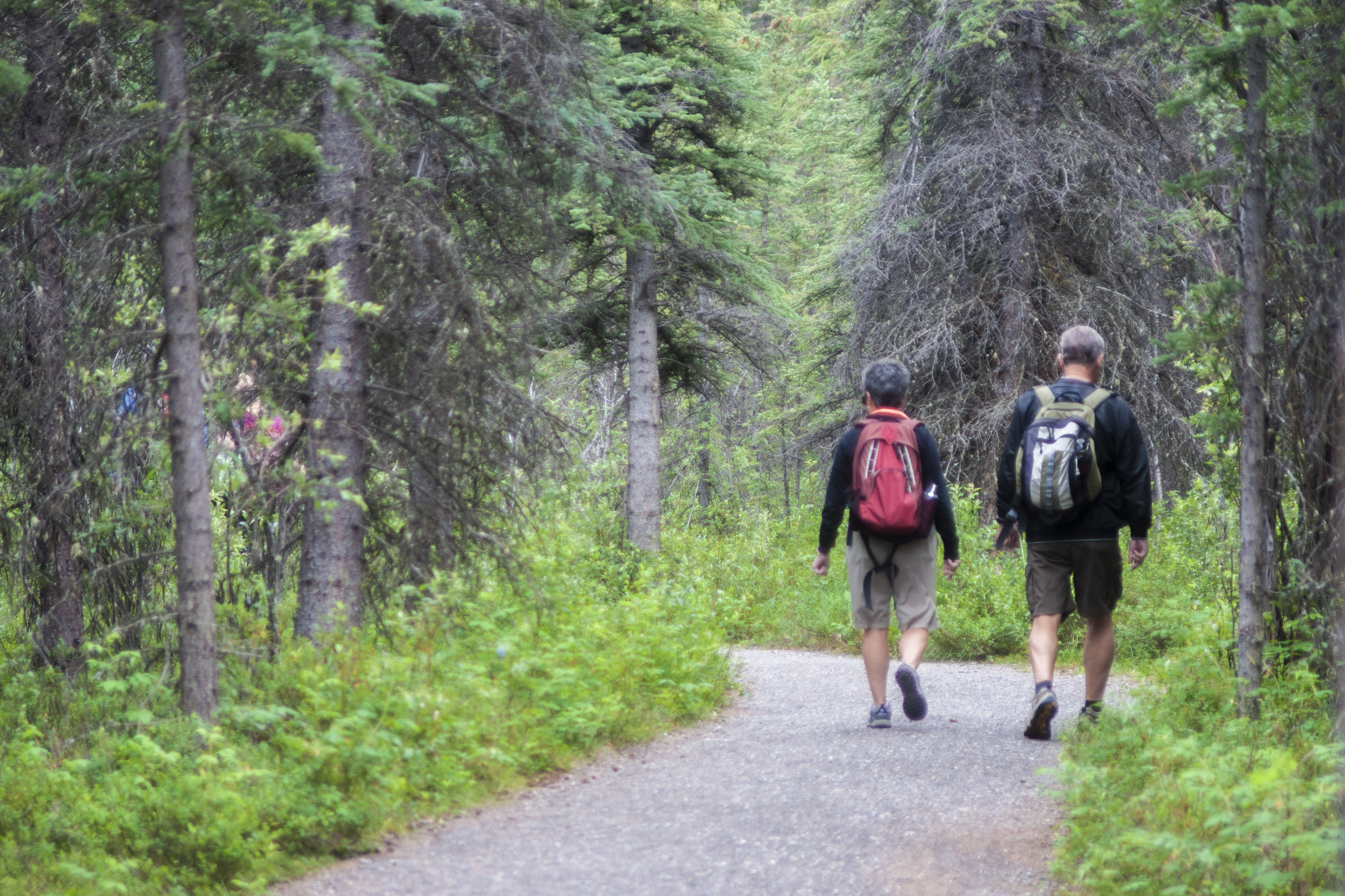
Alaska Railroad Trestle Over Riley CreekThe Riley Creek Bridge, manufactured in Pennsylvania and shipped north on 24 rail cars loaded with 600 tons of steel via the Panama Canal, consisted of seven steel towers decked with 30-foot and 60-foot steel plate girders. When finished, the creek crossing would measure 900 feet in length. 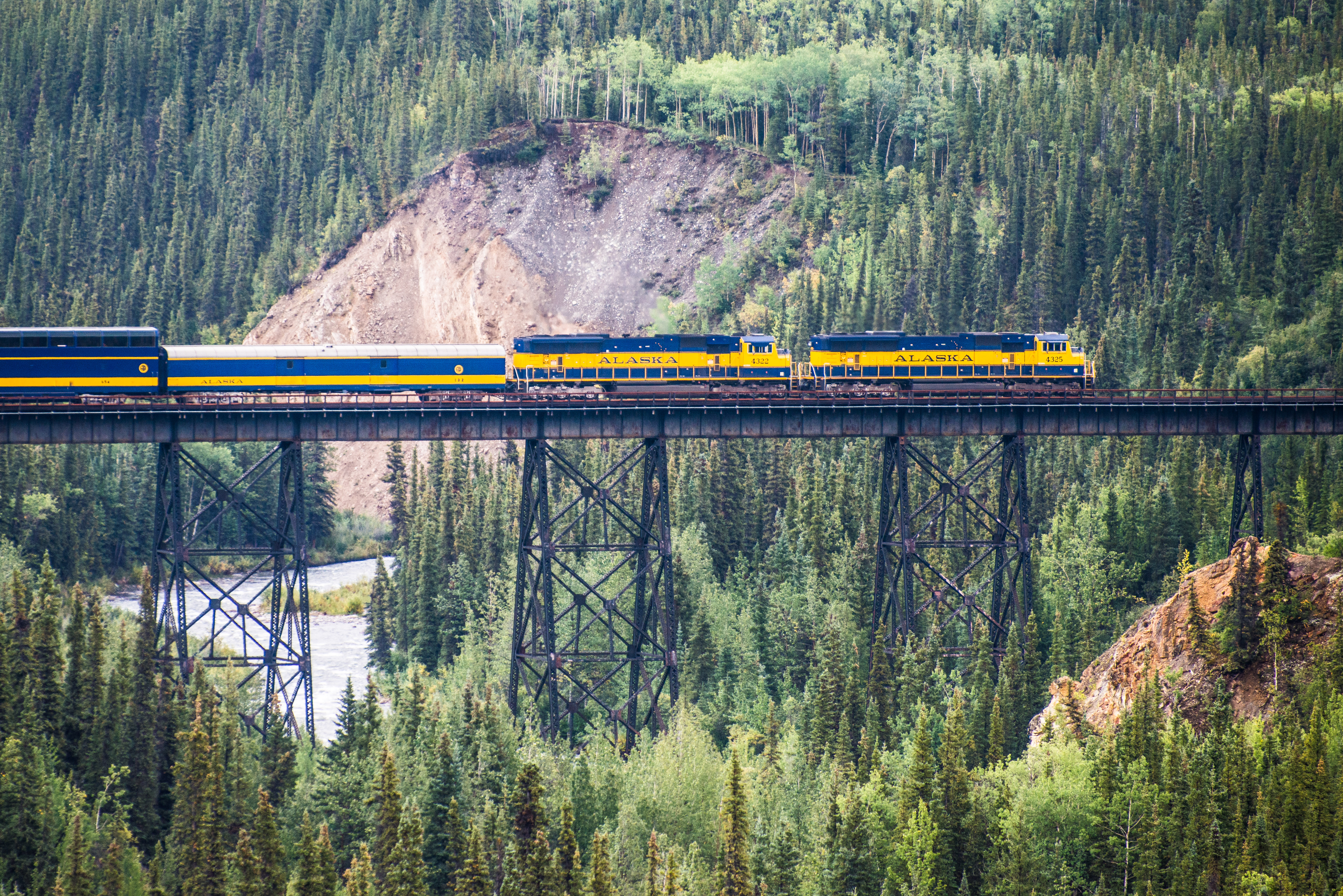
Alaska Railroad's Denali Depot
Confluence of Riley & Hines Creeks
Denali Park Road, Mile 11 PulloutAt Mile 11 is a pullout with a great view of Denali. This stretch of the Denali Park Road is the first area where visitors can drive to where they can see North America's highest peak. 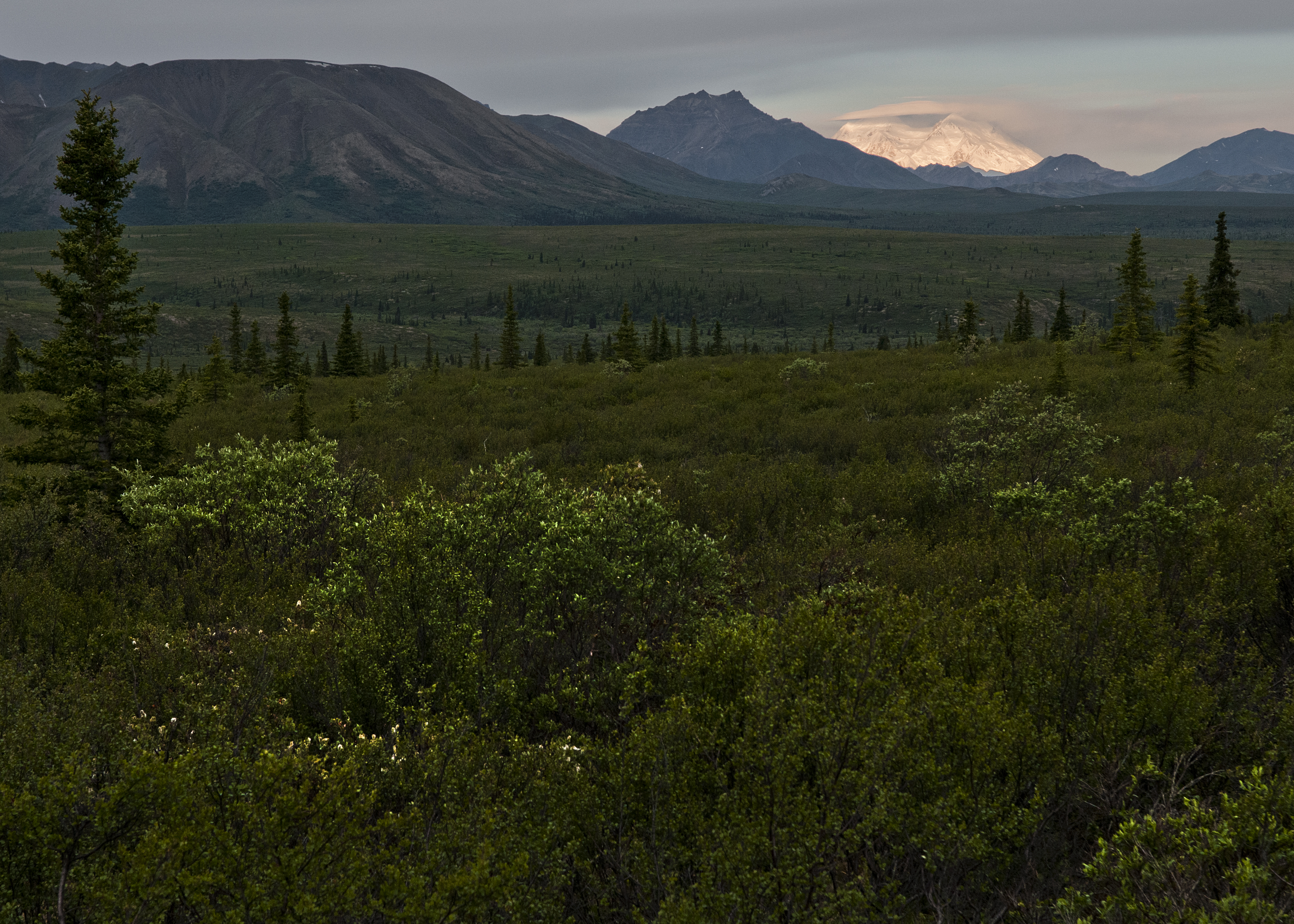
Denali Park Store & Morino GrillGenerally open in summer (mid-May to mid-September), the Denali Visitor Center campus is more than just the park's primary visitor center. The Morino Grill and Alaska Geographic Park Store are nearby, as is the Alaska Railroad Depot, which is where passengers can embark on / disembark from the train on its route between Anchorage and Fairbanks. 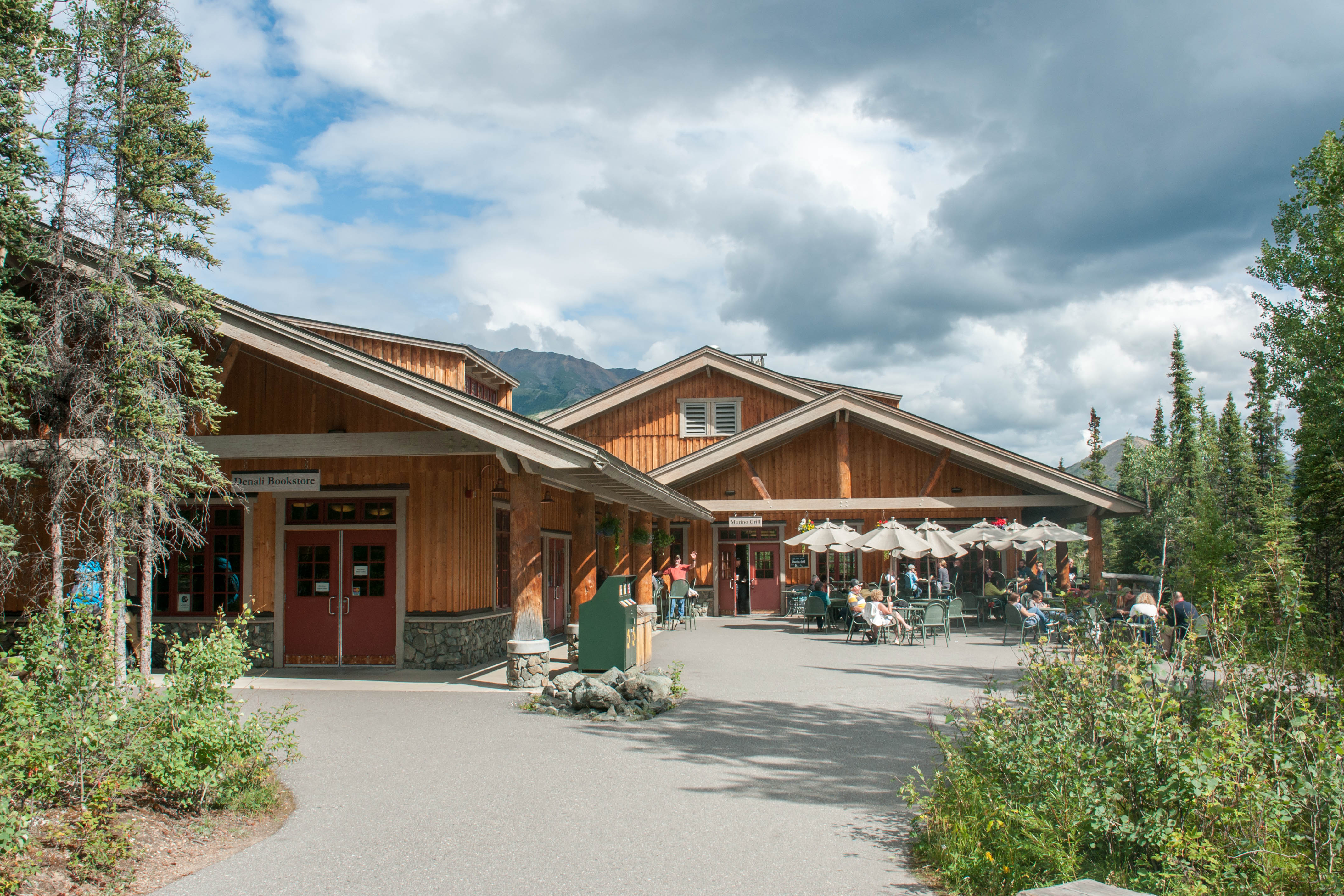
Denali's Historic HeadquartersBetween 1926 and 1941, the expansion of the Headquarters District occurred with the development of master plans designed by Thomas Vint (chief landscape architect of the NPS Western Office of Planning and Design). The area covers a little under 12 acres, and includes fourteen historical buildings, as well as the sled dog kennels. From 1942 through the 1990s, the Headquarters District evolved with the addition of some new buildings as well as landscape modifications. 
Denali's Mountain Vista13 miles inside Denali National Park, along the park's sole road, is Mountain Vista. It is accessible from late winter through fall for private vehicles, and by a free bus from the visitor center in summer. The area offers picnic tables, trail access, and—when skies are clear—a great view of Denali, even though the mountain is over 80 miles away. In summer, it's often far less crowded than nearby Savage River (Mile 15). 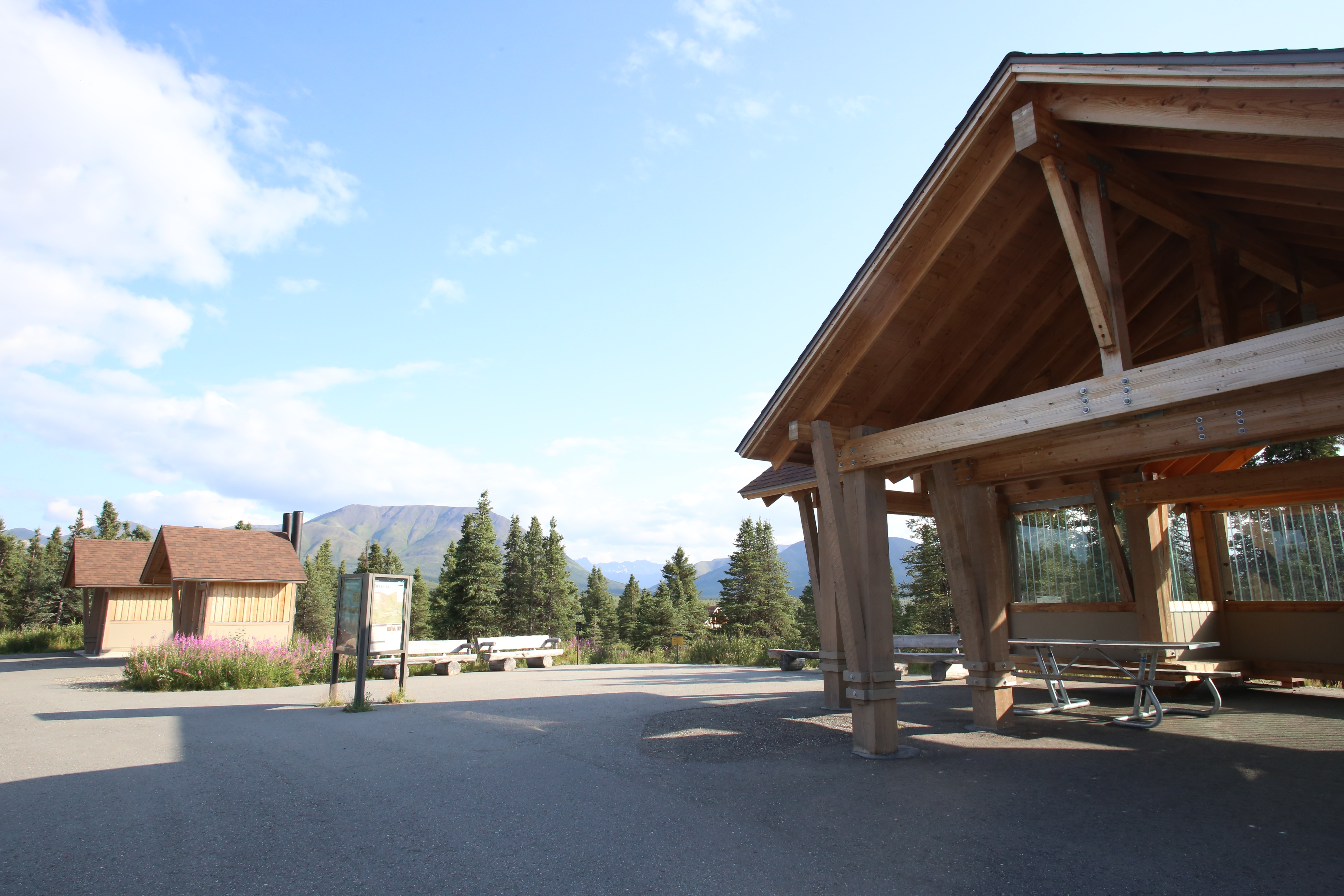
Early Entrance to Denali National ParkThere is only one road in Denali, now stretching about 92 miles from the entrance (it's eastern end) to Kantishna (its western end). Construction began on the road in the 1920s, finishing by the late 1930s. Upon its initial completion, the entrance to the park stood near the Alaska Railroad Depot, which was the only real way for visitors to reach the park, short of a long overland or river journey by horse, foot, or boat. 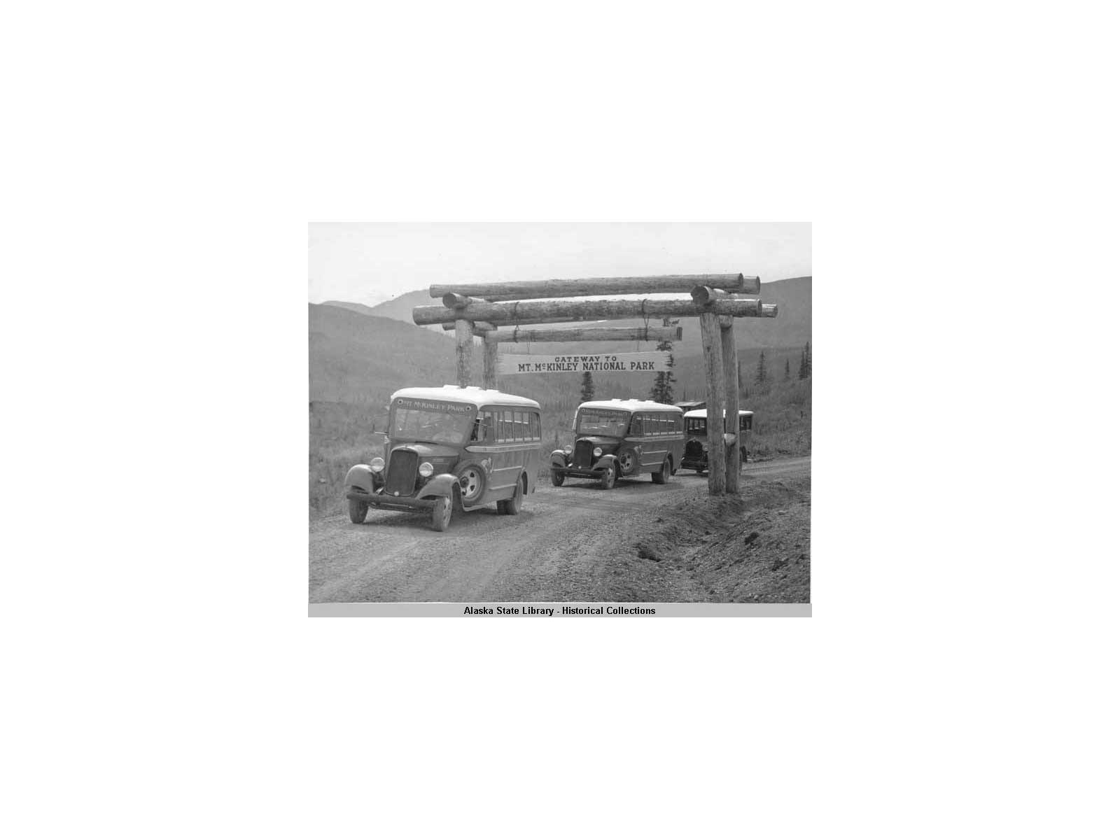
East Fork River
Highway PassHighway Pass is the highest point along the Denali Park Road. This area of alpine tundra offers open views and frequent wildlife sightings. 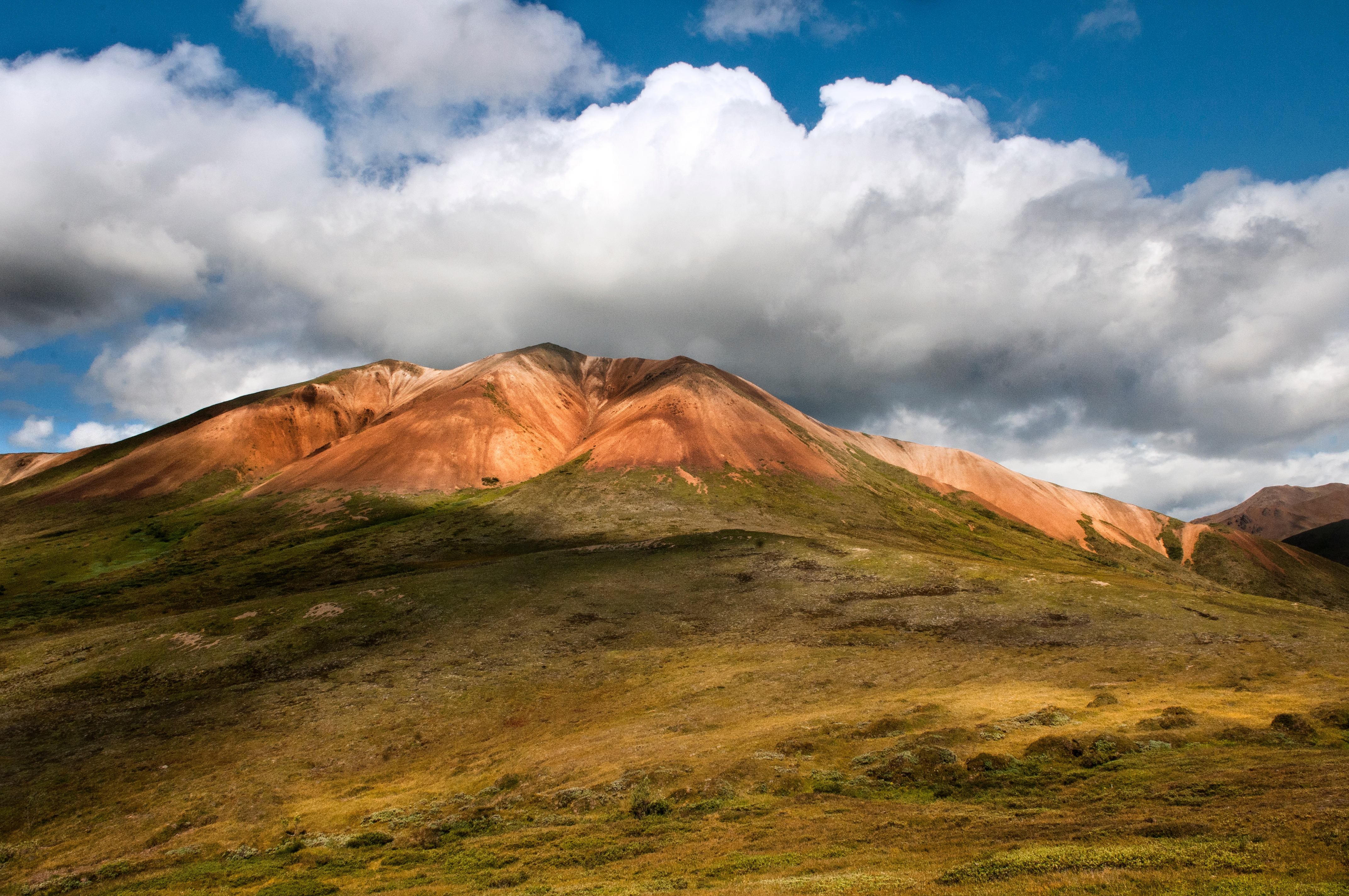
KantishnaA few miles beyond the iconic Wonder Lake, the Kantishna area was once outside the boundaries of the park. In 1980, the boundaries of Denali expanded dramatically, and encompassed privately-owned lands in the area. Some private lands have been purchased over time by the federal government, while other inholdings remain. A few of the inholders now run wilderness lodges or other accommodations for travelers. 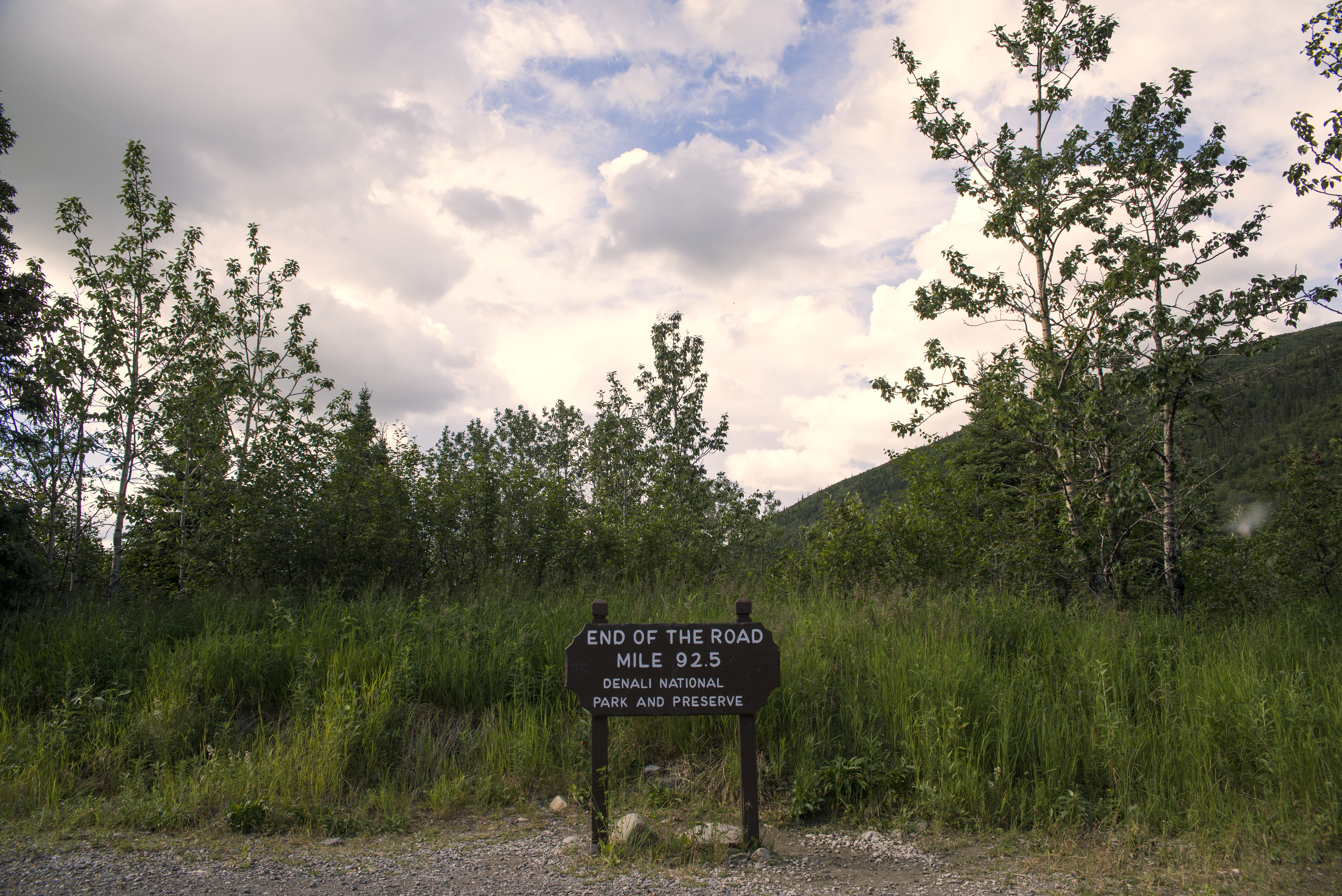
McKinley StationMcKinley Station was typical of Alaska towns of the gold-rush era, booming overnight before fading into obscurity. The community lasted close to 20 years, boosted by the railroad and the creation of Mount McKinley National Park, but was eventually absorbed by a small expansion to the park in 1932. 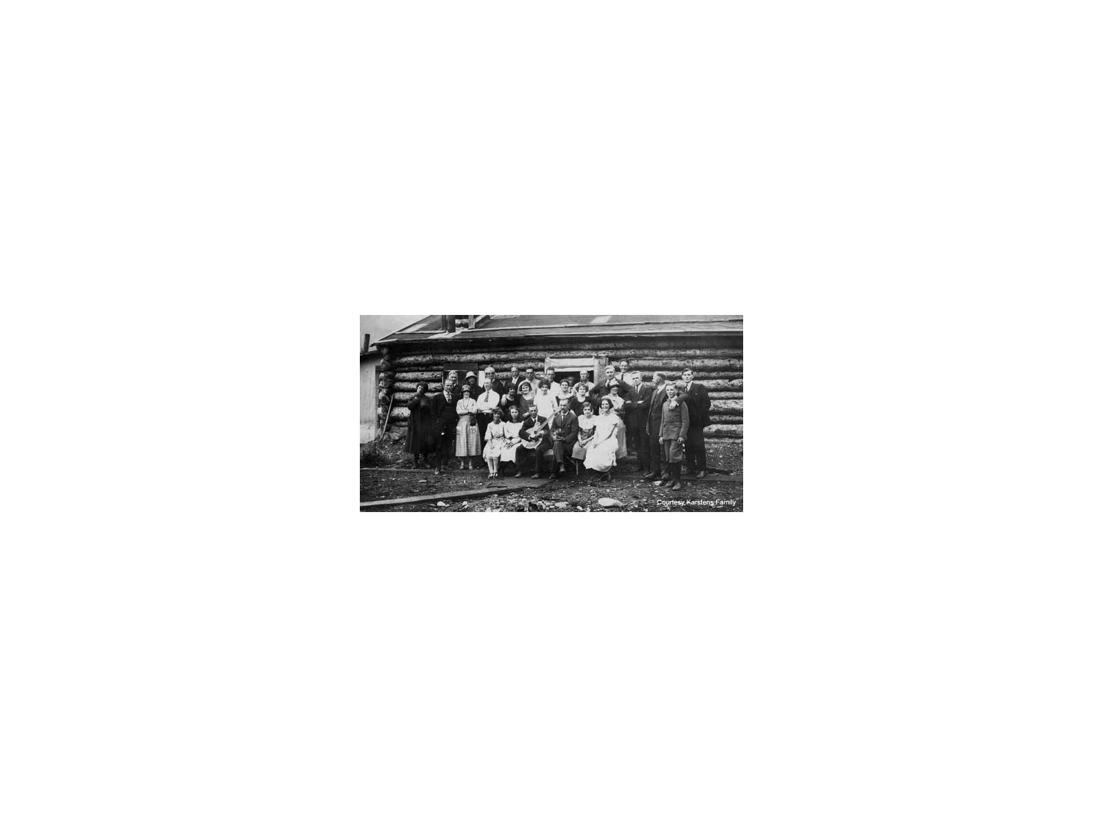
Mount HealyThe park entrance area is dominated by Mount Healy, which looms just north of the park road. The ridgeline extends for 15 miles (24 km) from the George Parks Highway to the Savage River. 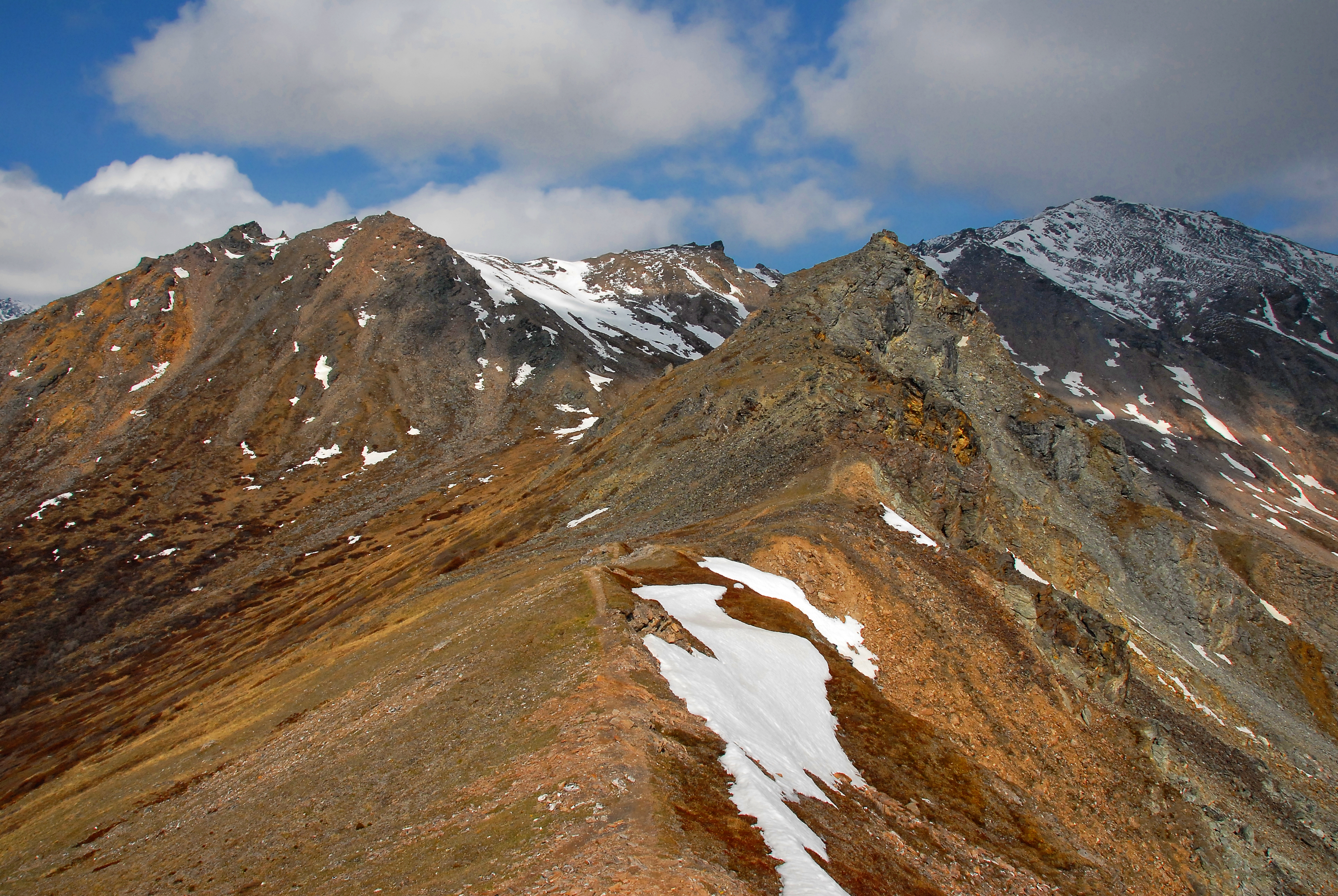
Original McKinley Park HeadquartersThe park’s first ranger, Harry Karstens, arrived in 1921. After a summer of meeting people, and a long patrol through the park, Karstens began clearing land for his headquarters on the northwest bank of Riley Creek. The location offered an ideal place to monitor people using the trail leading west to the park, but proved to be incredibly cold in winter—which led to its move in 1925, to a hillside offering much milder winter temps! 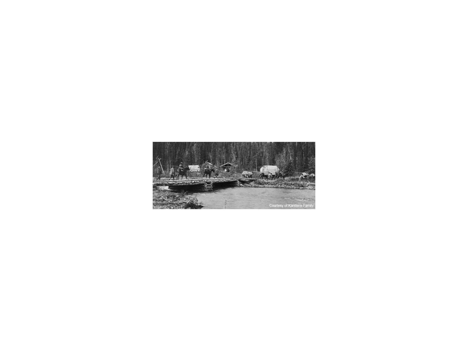
Pearson CabinThe historic Pearson Cabin in Denali National Park and Preserve 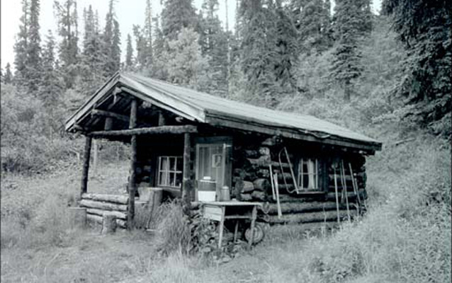
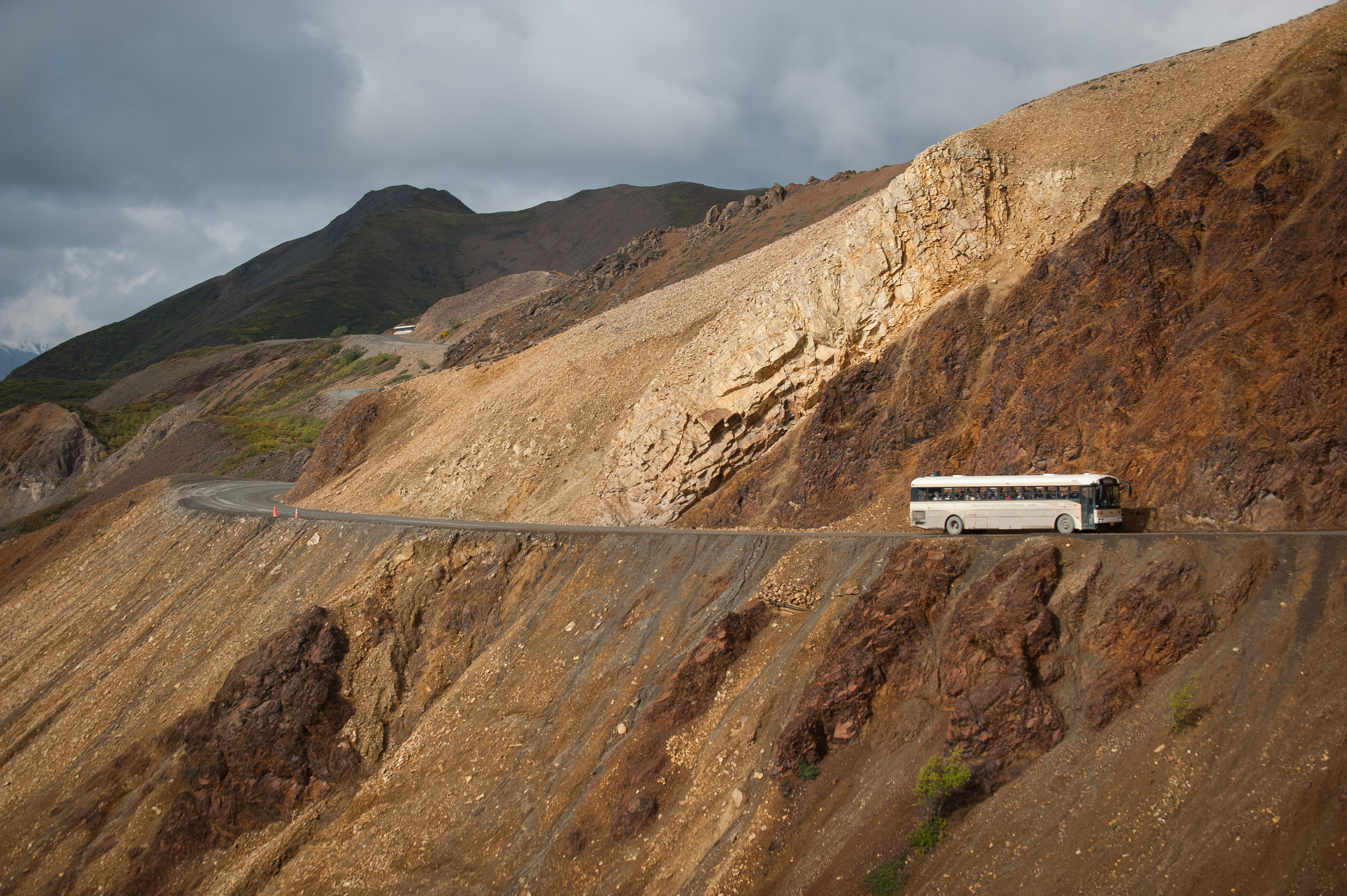
Polychrome OverlookPolychrome Overlook is a popular scenic view from the Denali Park Road. Far below the overlook is the Plains of Murie, which is crossed by numerous braided river channels and dotted with kettle ponds and glacial erratics. In the distance, the Polychrome Glaciers and numerous peaks of the Alaska Range add to the scenery. 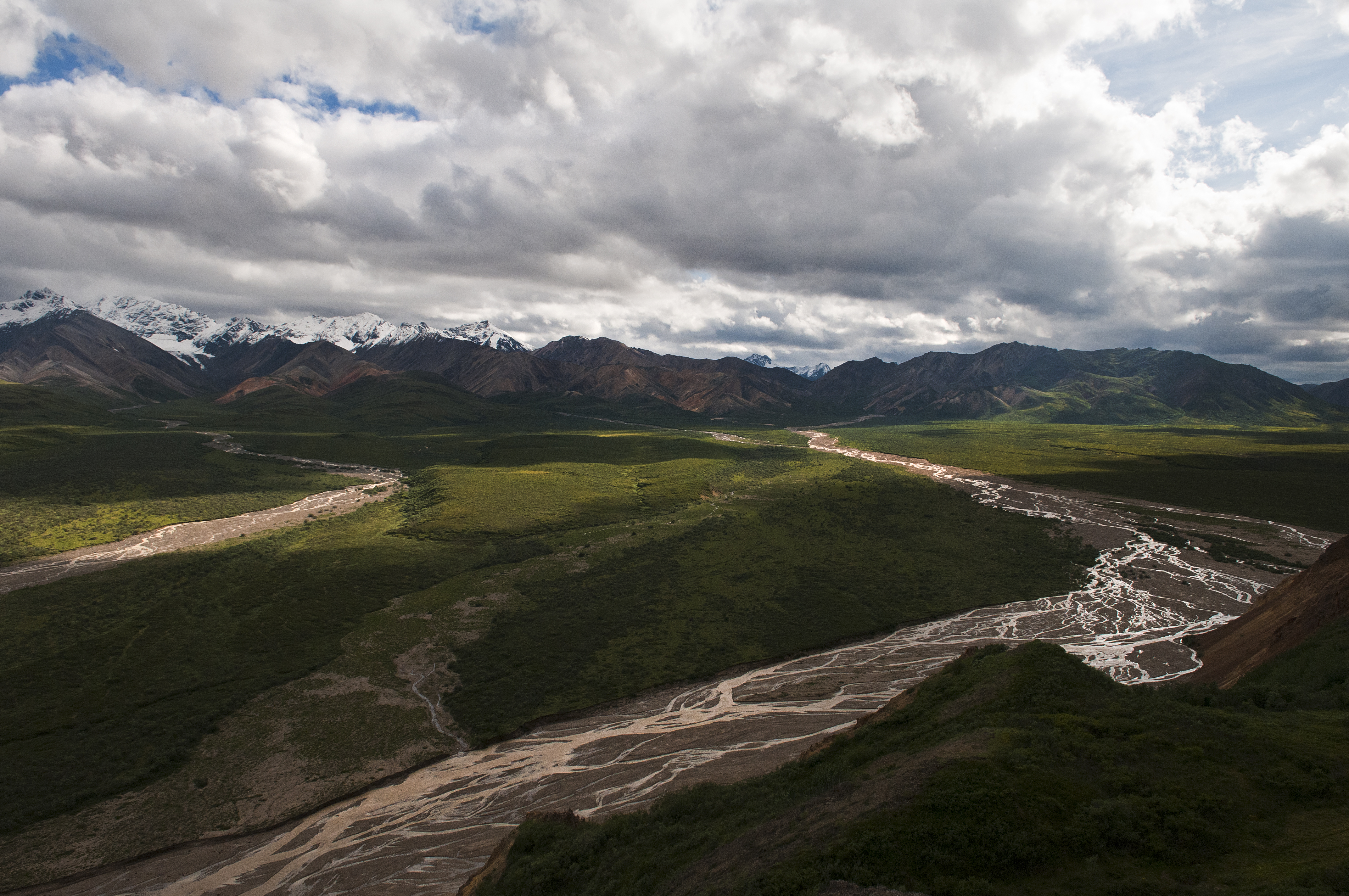
Pretty Rocks LandslideHigh on the side of Polychrome Mountain, the Denali Park Road passes through the Pretty Rocks Landslide at Mile 45.5. 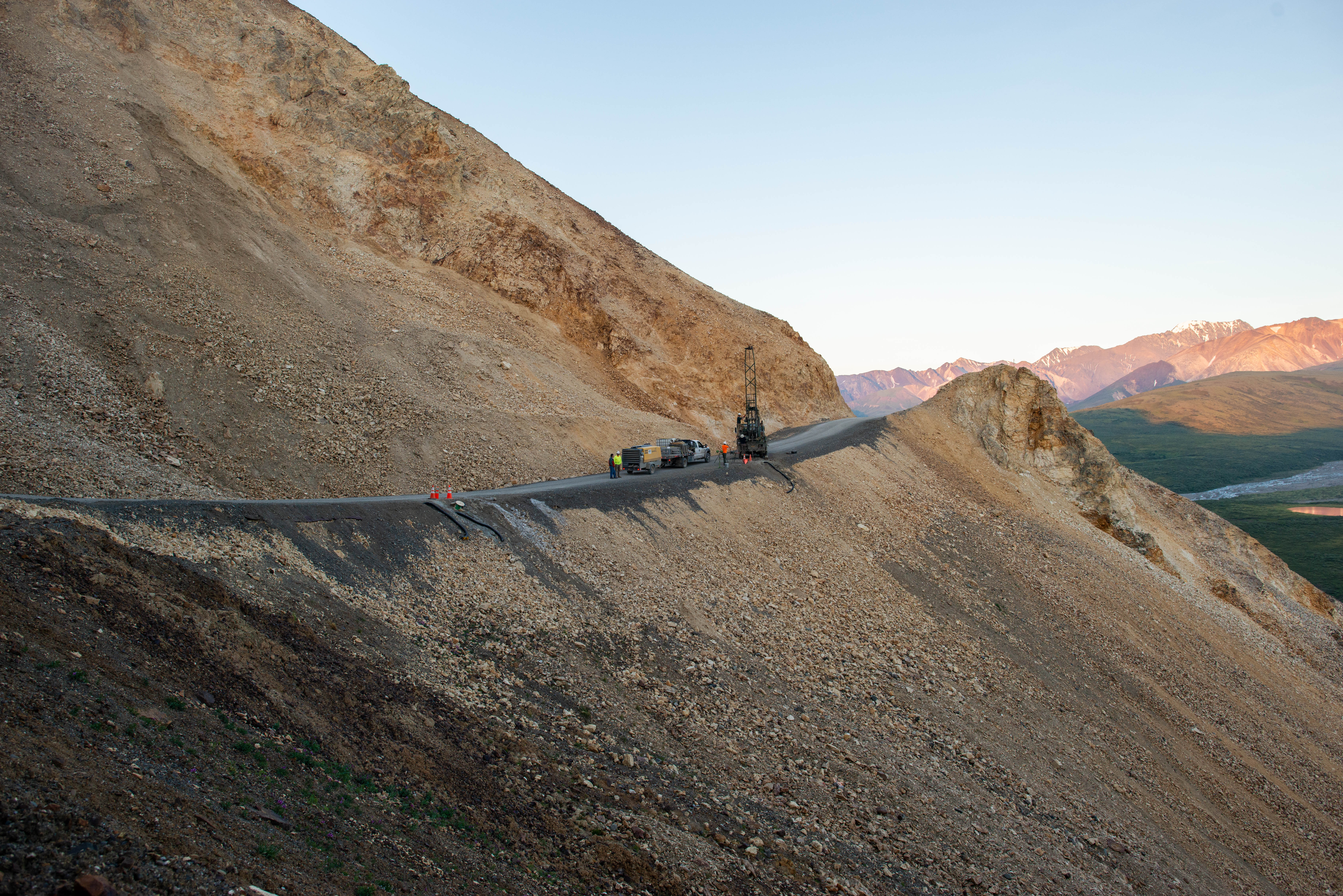
Primrose PassPrimrose Pass is a relatively accessible area of brushy tundra, with expansive views of the Alaska Range and, in the fall, brilliant yellow, red and orange foliage. 
Resting GrizzlyThe life-size bear sculpture outside the entrance to the Denali Visitor Center is an enlargement of an original eight-inch bronze entitled “Resting Grizzly” (1974) by William D. “Bill” Berry (1926-1979), an Alaskan wildlife artist who worked extensively in Denali from 1954 to 1979. 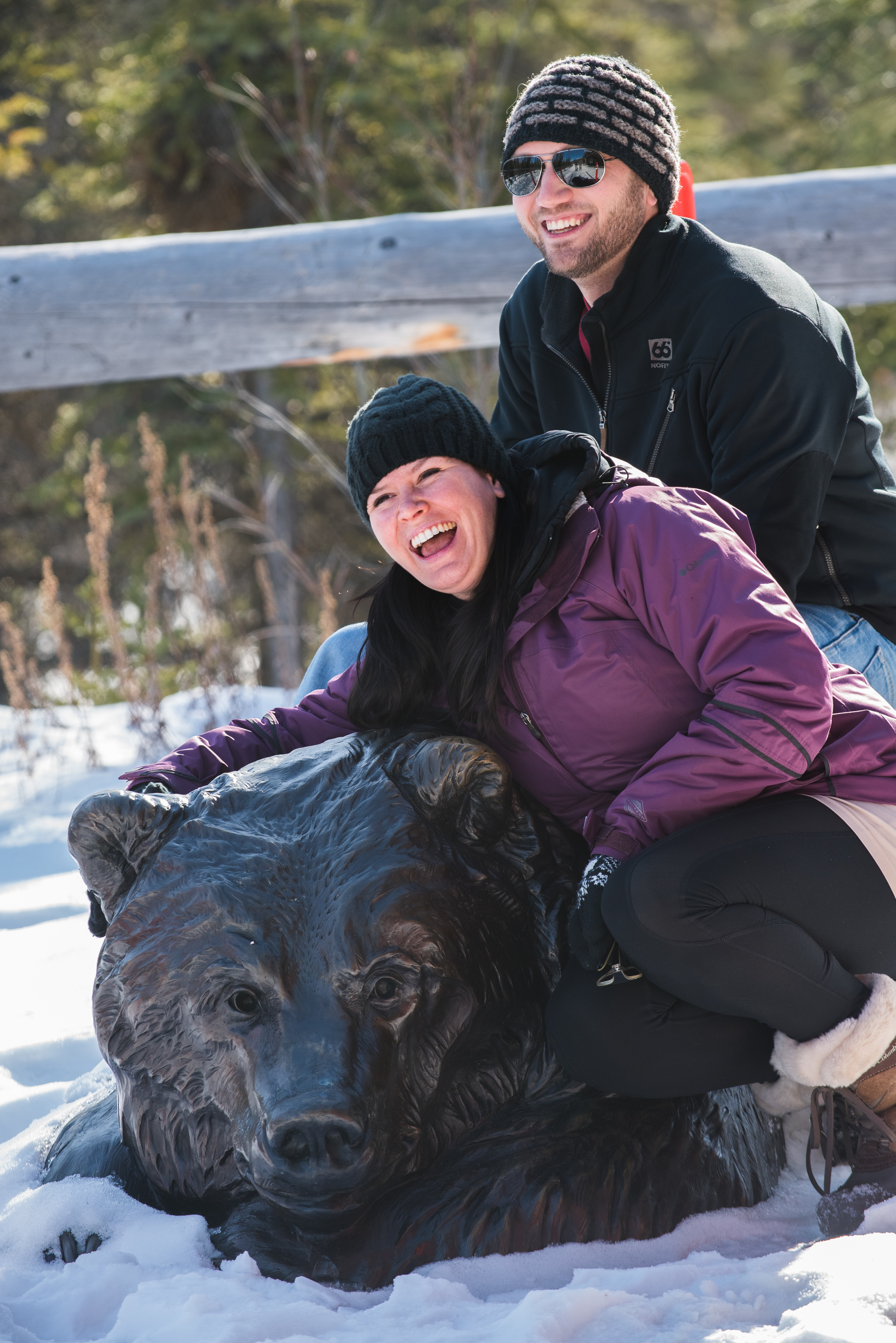
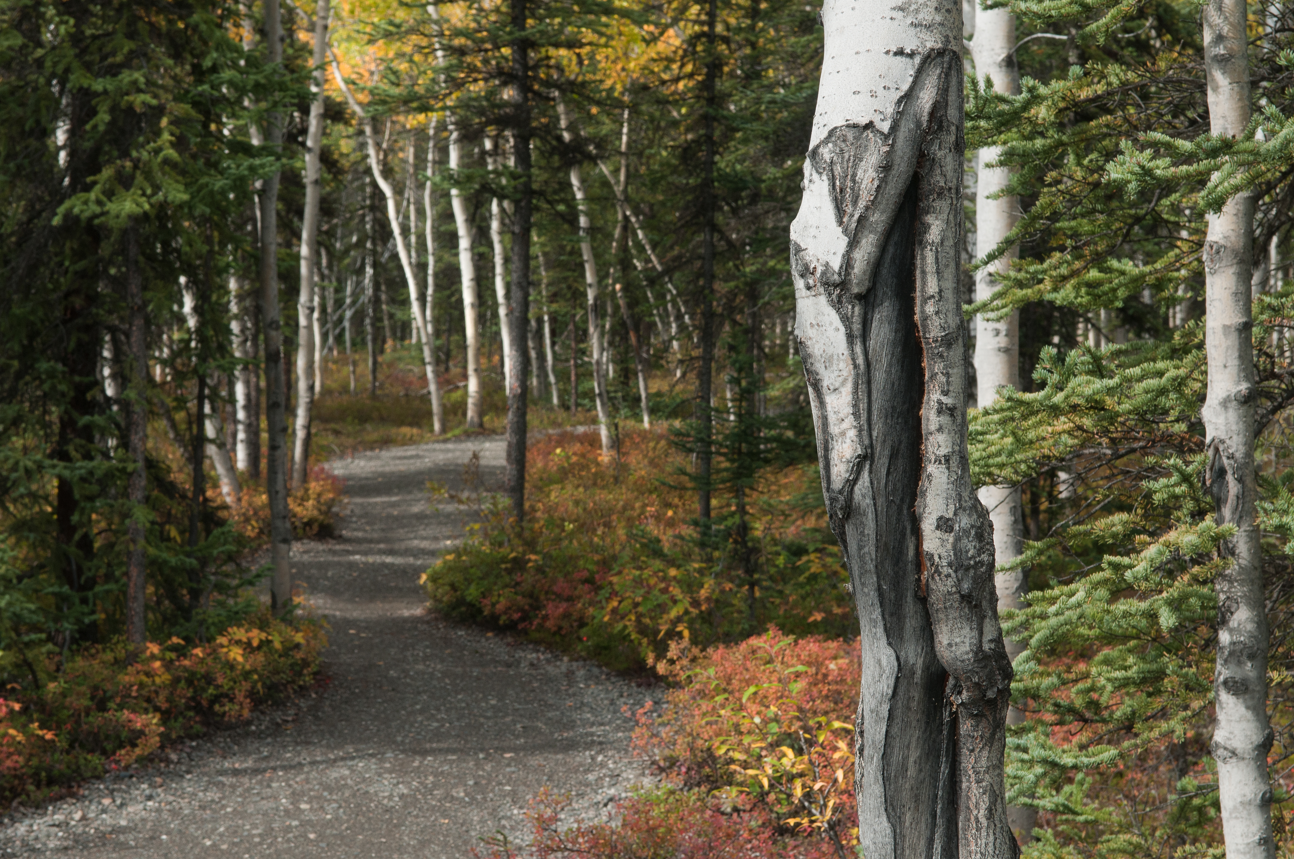
Riley Creek Picnic AreaSitting near the entrance to Denali, this is one of the only picnic areas in the park. It rests amid a spruce forest, and features several covered tables, as well as restrooms. Accessible year-round, two trails lead away from the picnic area; one cuts through the forest to the nearby park entrance sign. The other leads upstream along Riley Creek, eventually connecting hikers either to the Triple Lakes Trail or to trails that lead to the Denali Visitor Center. 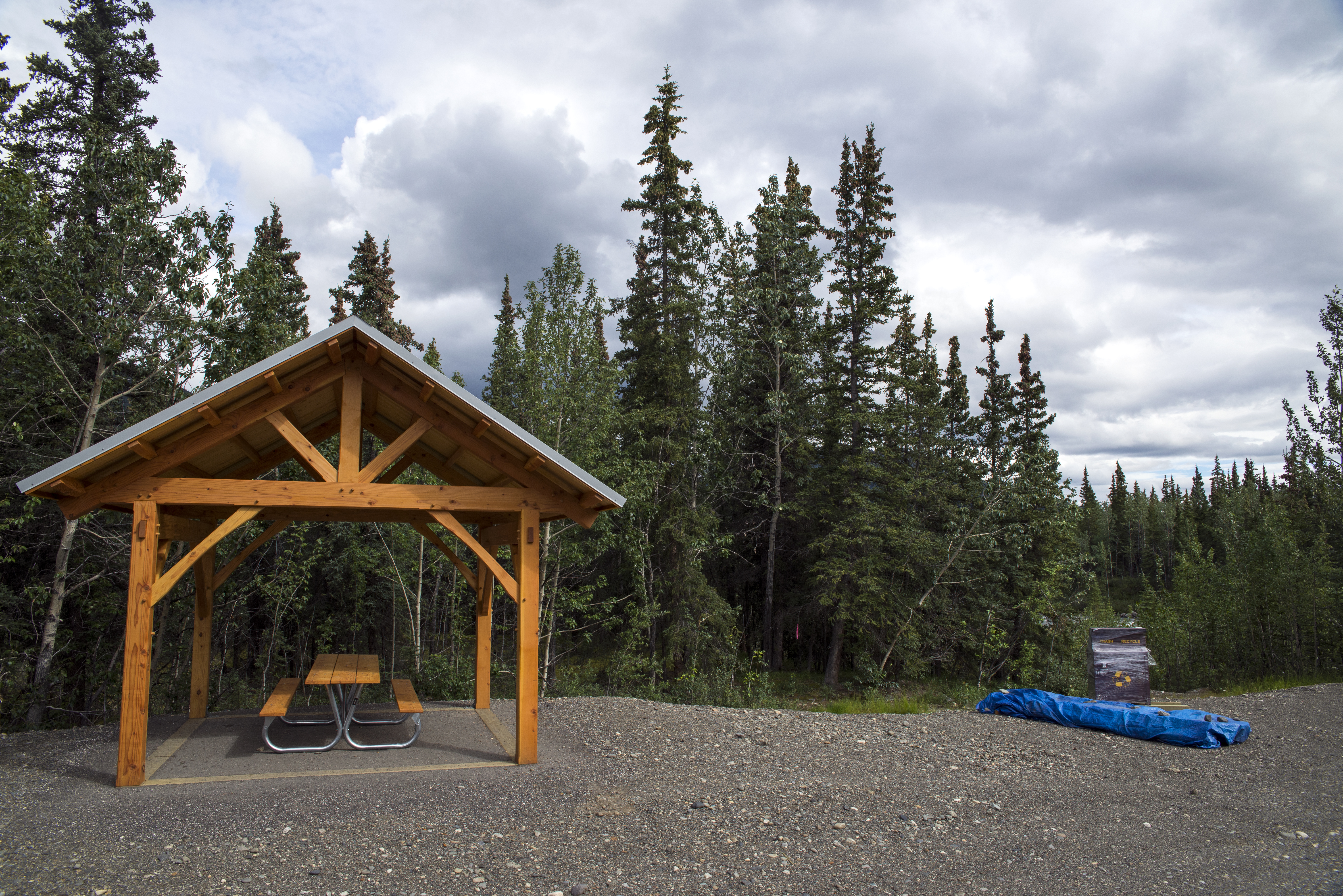
Sable PassThe 5-mile-long Sable Pass closure, in effect continuously since 1956, provides a limited area along the park road where visitors have an opportunity to view wildlife undisturbed, in a natural setting. 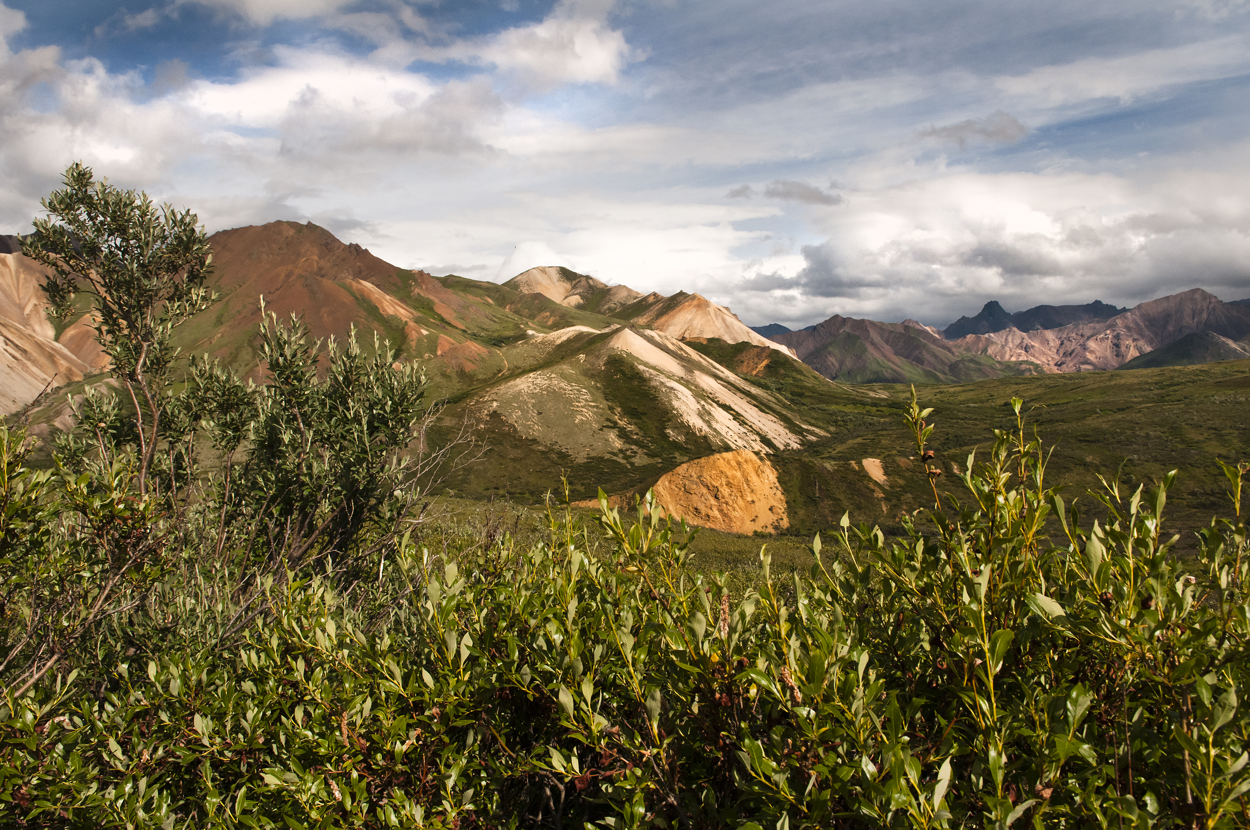
Sanctuary RiverThe Denali Park Road crosses the Sanctuary River at Mile 22.8. This modest river cuts through the Outer Range as it flows north. 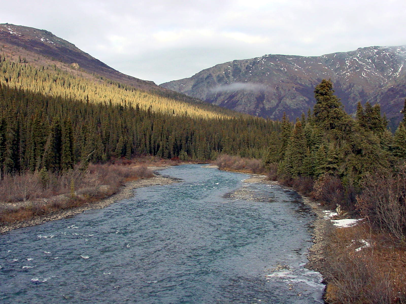
Savage RiverSavage River is a beautiful spot along the Denali Park Road, and marks the farthest point into Denali that a visitor may drive their own vehicle in summer. 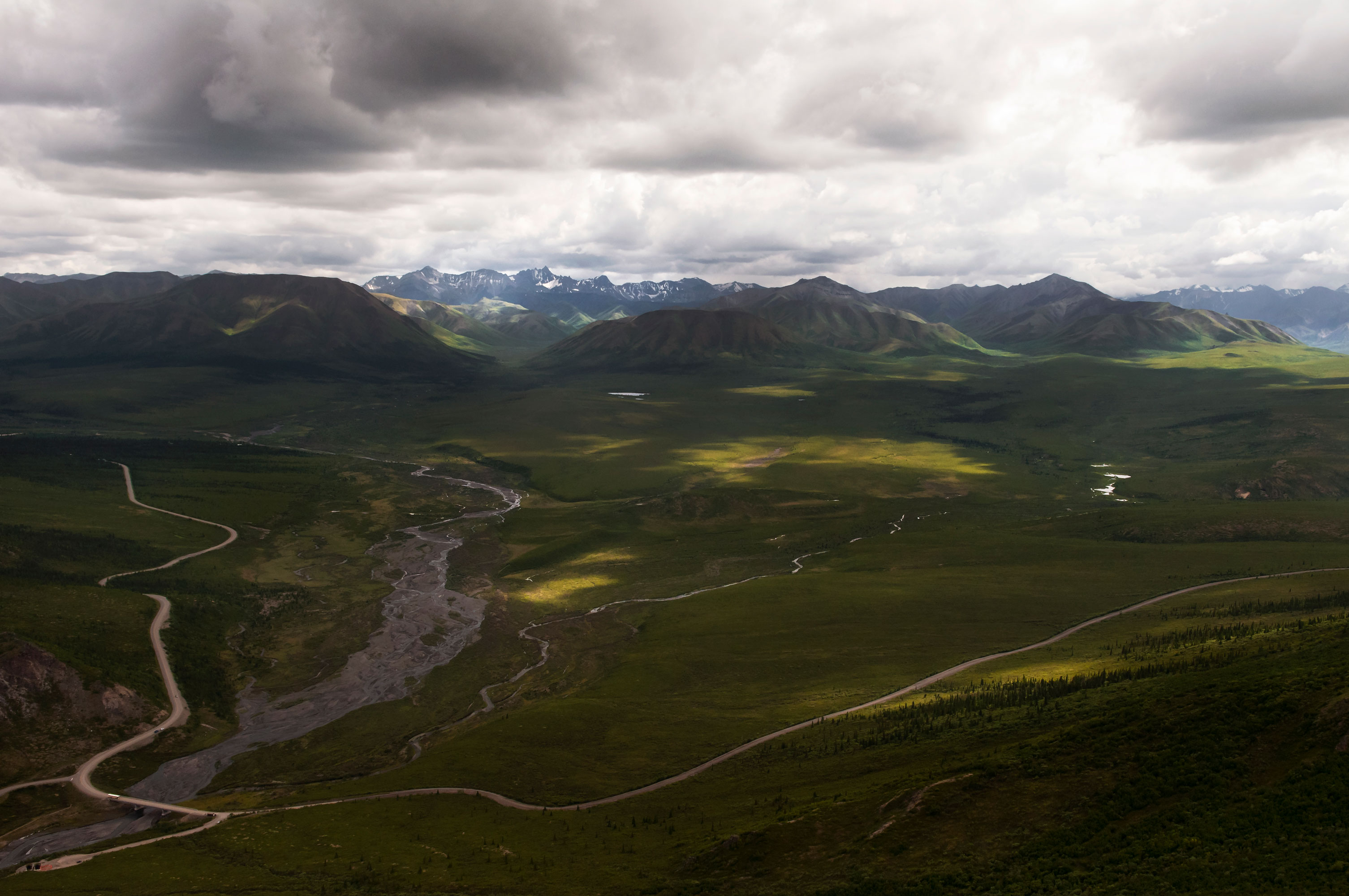
Site of the Mount McKinley Park HotelBuilt by an enterprising man named Maurice Morino in 1921, the Mount Mckinley Park Hotel was optimally situated near the Alaska Railroad Depot, and business boomed through the 1920s. When park boundaries came east and absorbed McKinley Station in 1932, Morino kept his homestead as a park in-holding. The title passed to the National Park Service in 1947. Three years later in 1950, the dilapidated remains of his hotel were destroyed in a fire started by a transient. 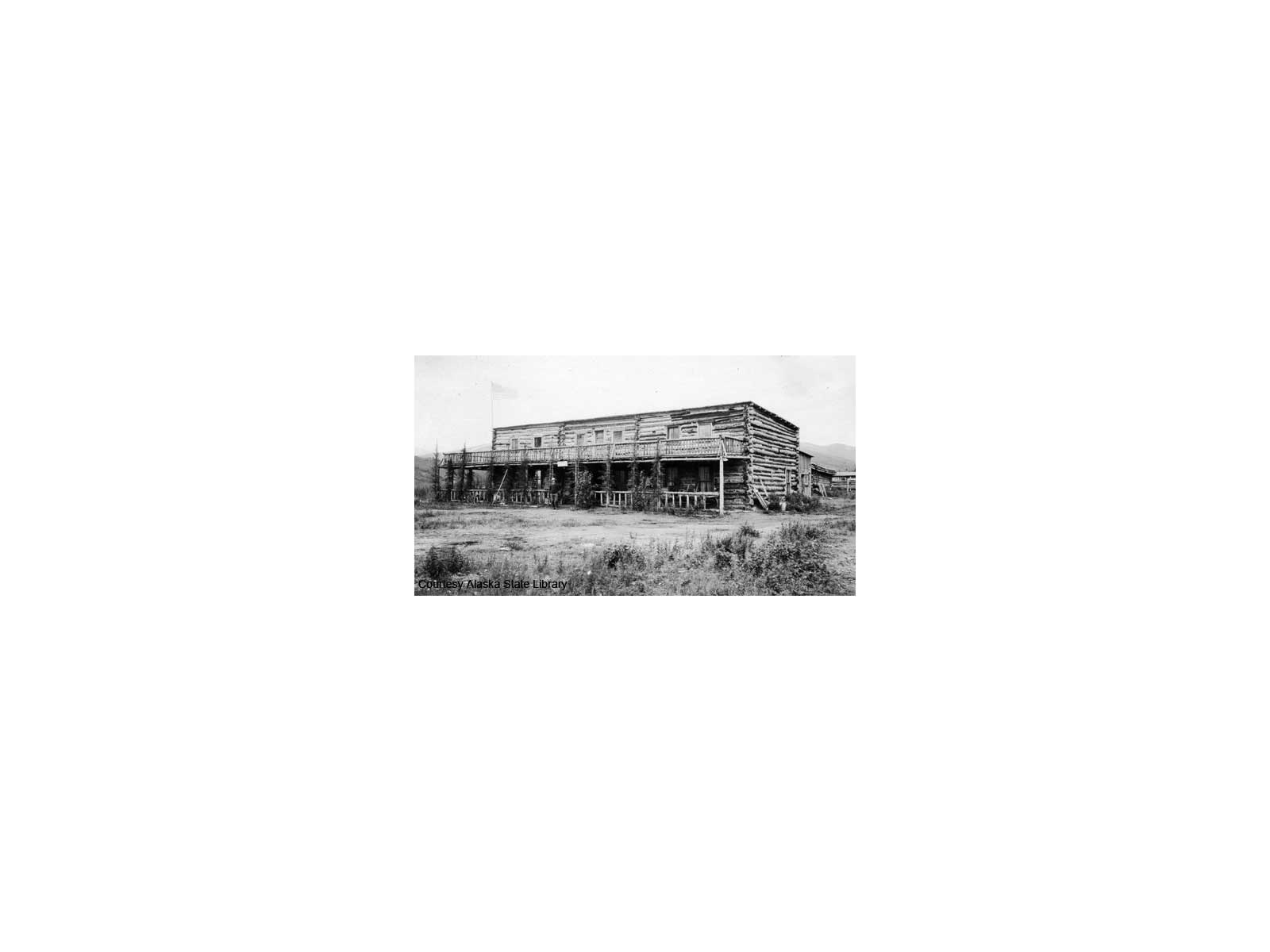
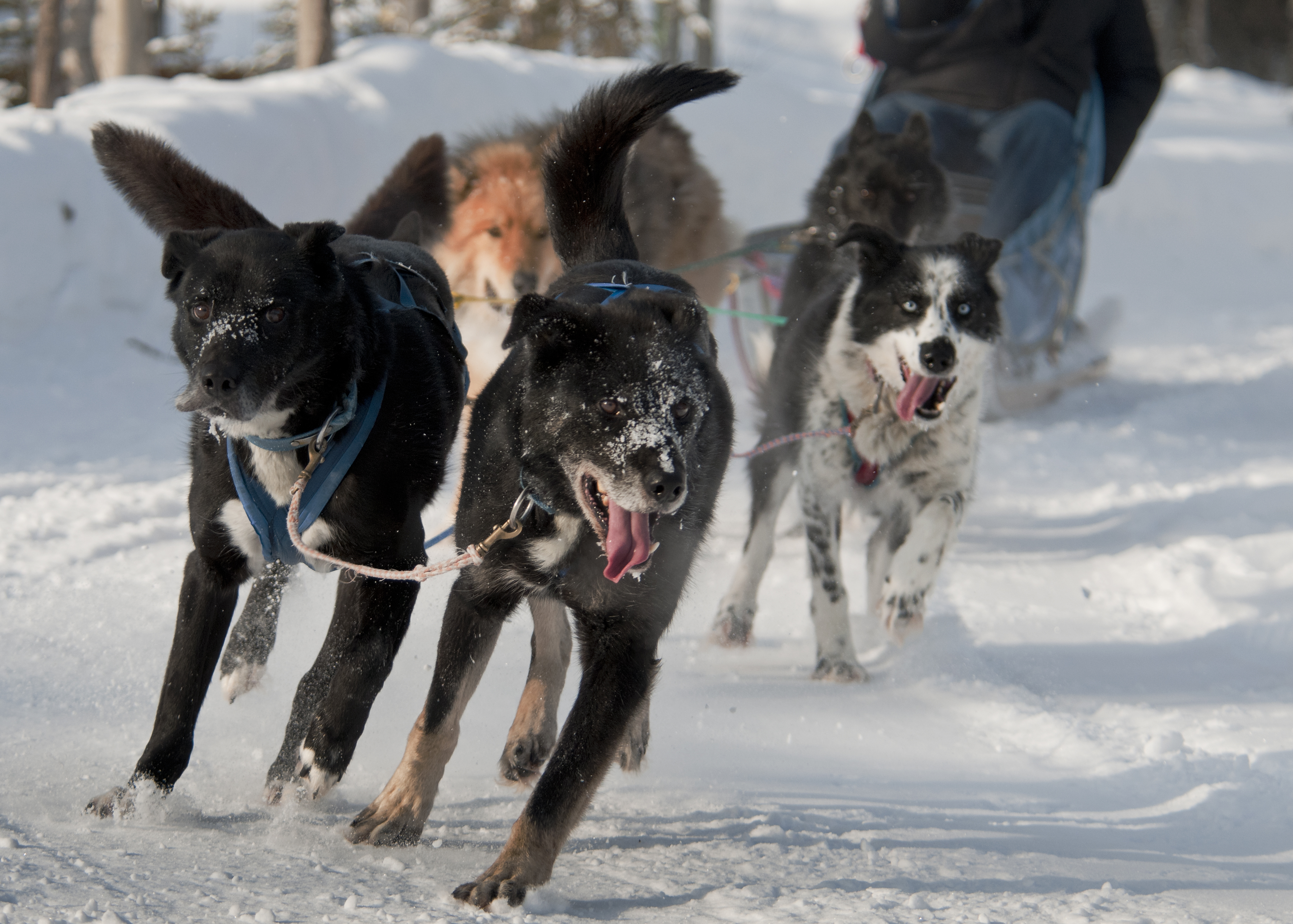
Sled Dog KennelsExplore the only working sled dog kennels in the National Park System. 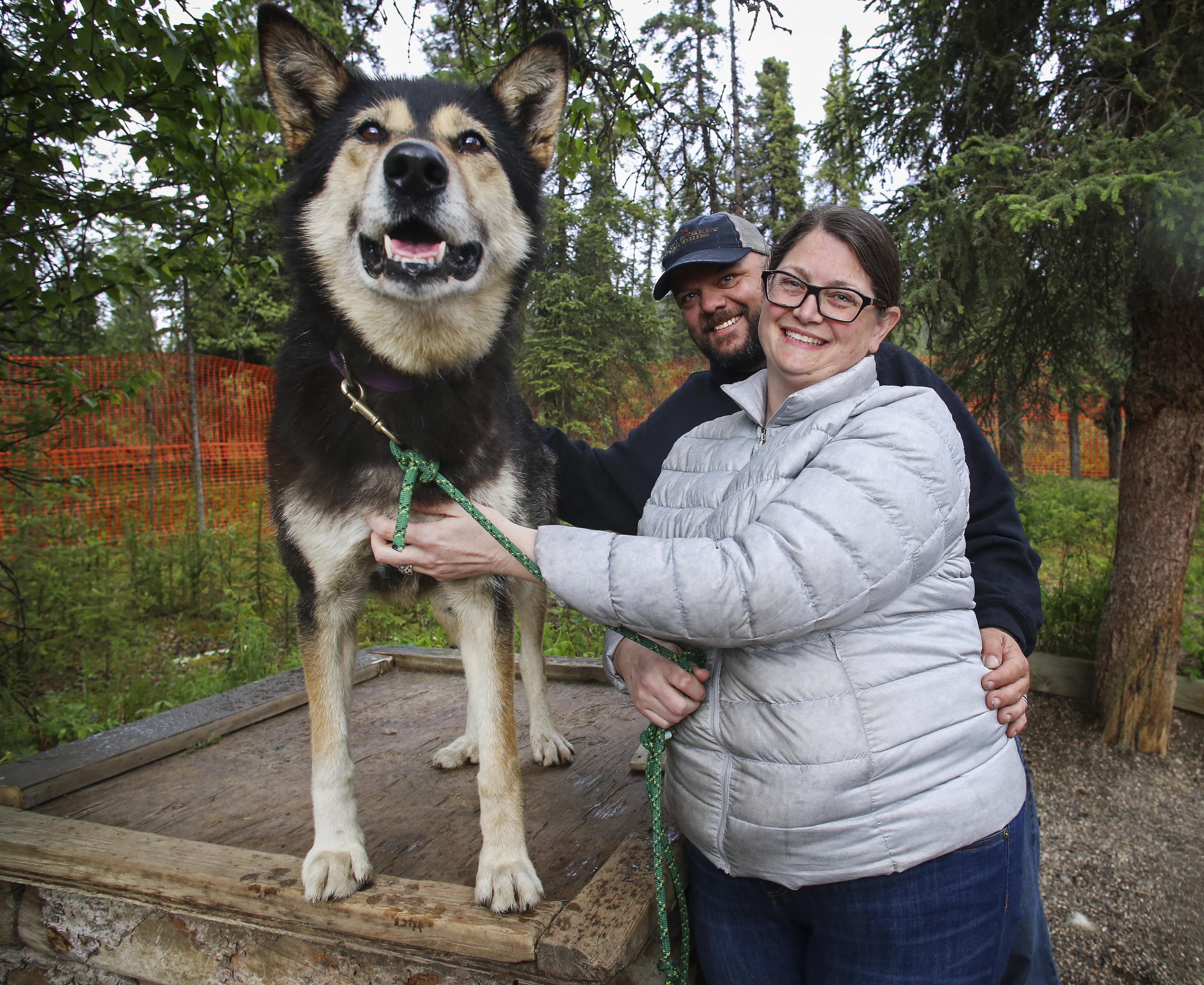
Stony Hill OverlookStony is a scenic stop on most Denali transit buses (except for Toklat-bound buses, which turn around before Stony) and on some Denali tour buses. It is the first base-to-summit view of North America's tallest peak, and is an iconic view for visitors to Denali. 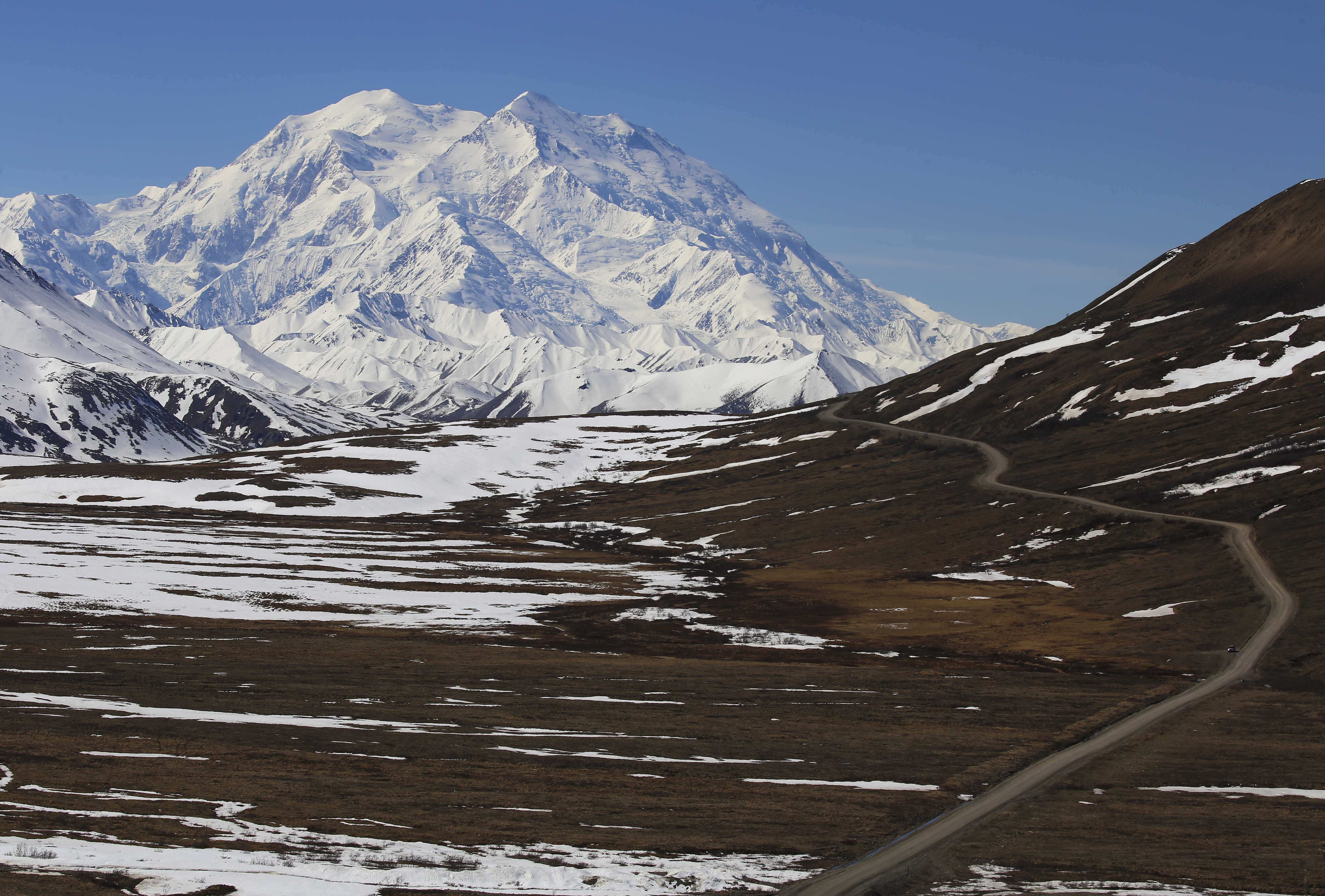
Teklanika Dikes
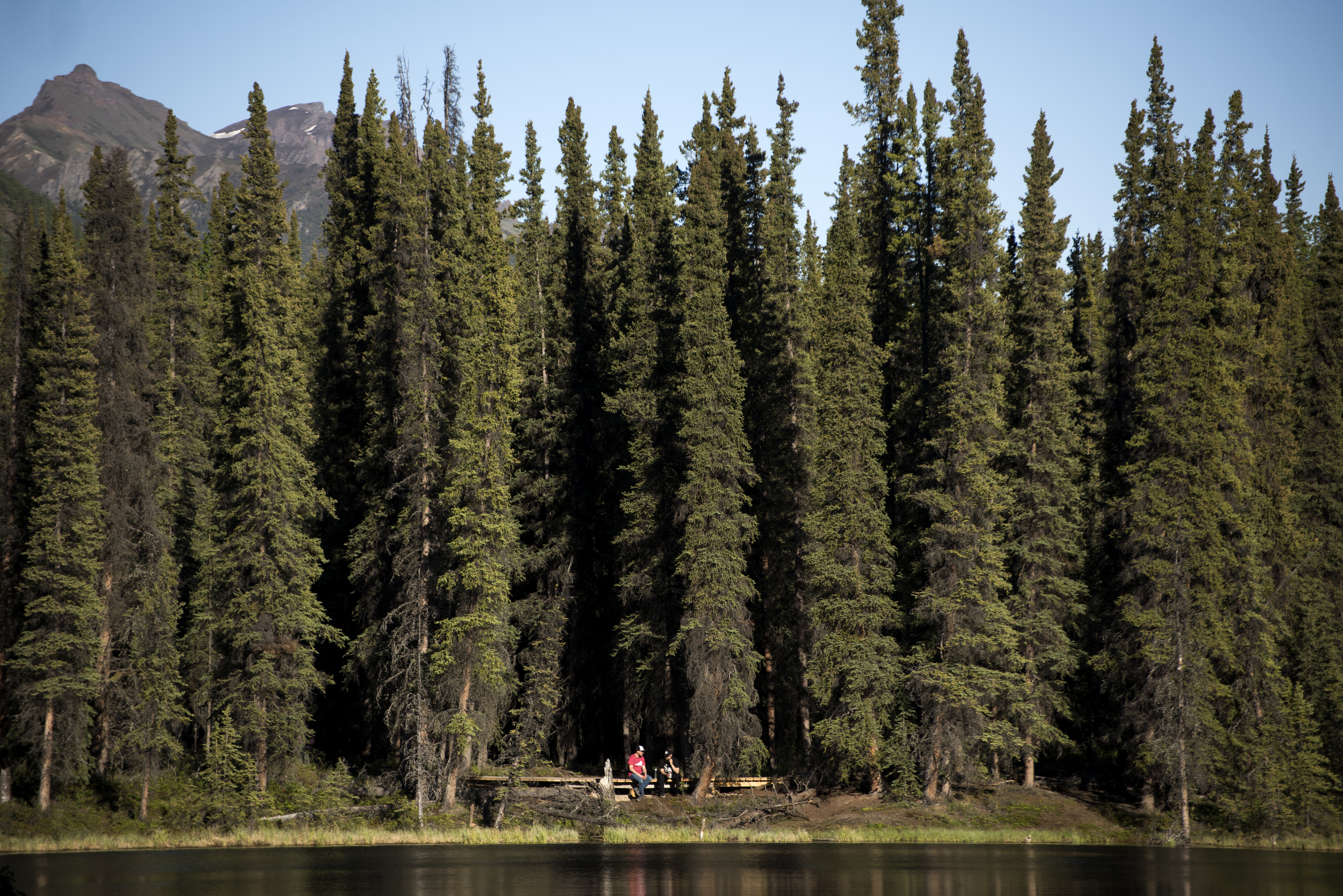
Teklanika River Rest AreaTeklanika is the first significant glacially-fed river visitors encounter on a journey into Denali. The river is cloudy and gray, and is filled with pulverized rock—a product of the glacier feeding it from the nearby Alaska Range. At Mile 30 of the Denali Park Road is the Teklanika Rest Area, affording a great view of the river below. 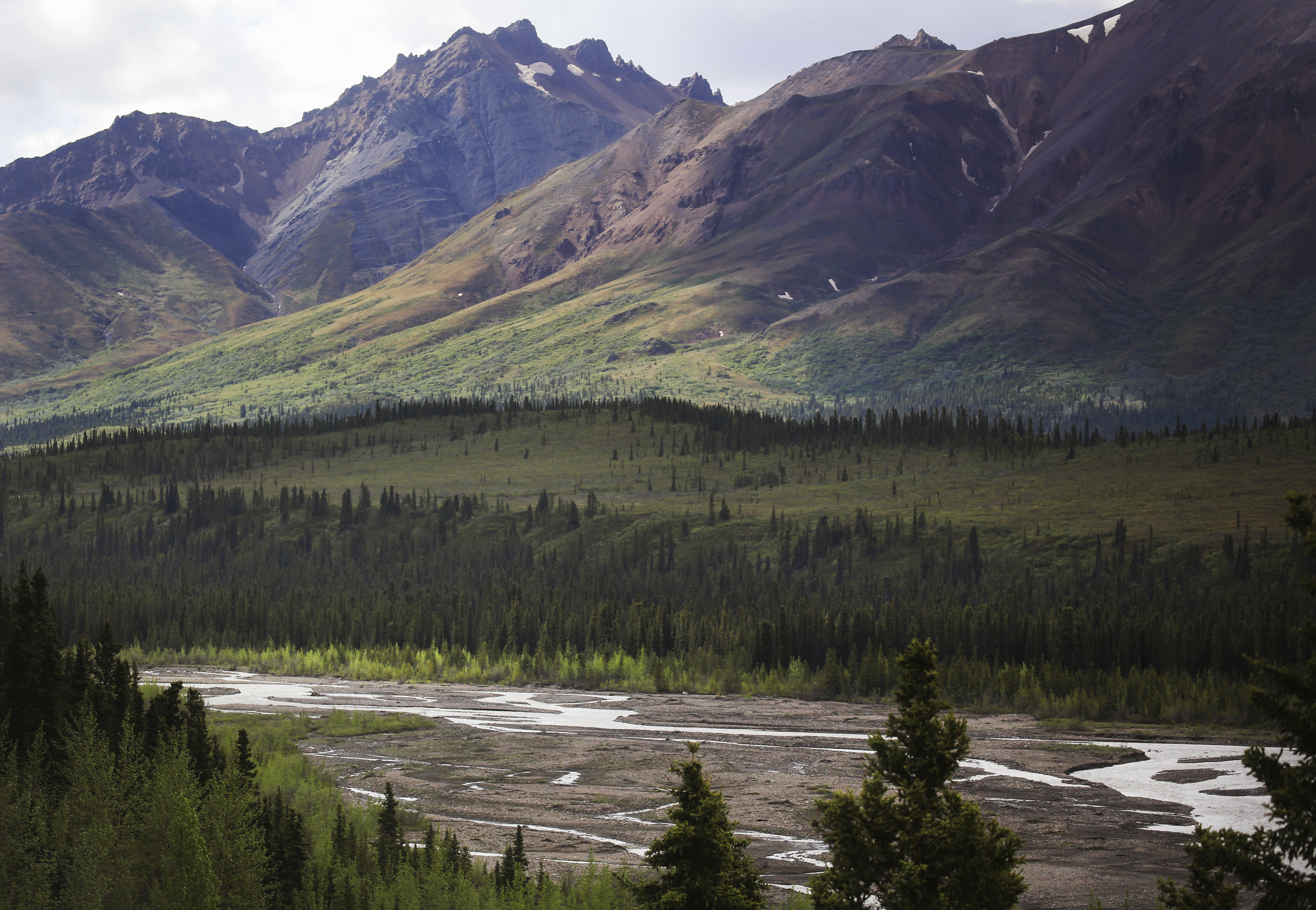
Toklat RiverThe Toklat River flows out of the Alaska Range and under the Denali Park Road at Mile 53. A rest area for bus passengers makes this a great place from which to explore the largest braided river that is crossed by the Park Road. 
Tsenesdghaas Na' TrailheadThe Tsenesdghaas Na' trailhead is located six miles south of the Denali Park Road entrance, at Mile 231 of the George Parks Highway. Take a break at the picnic shelter, enjoy a short walk to a viewpoint of the Nenana River, or hike one of the two longer trails that begin here. 
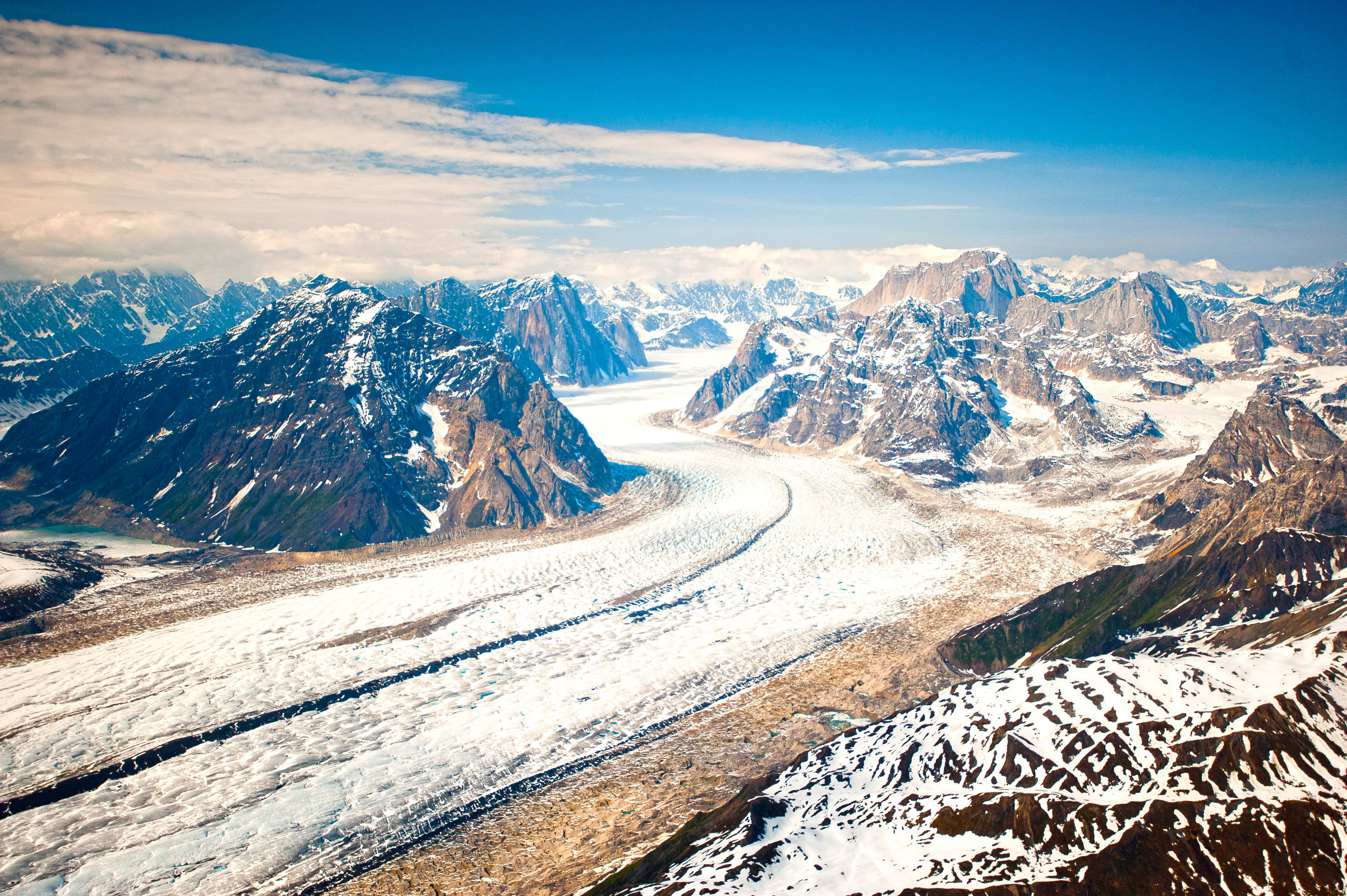
View of the Muldrow GlacierLook south of the Denali Park Road at Mile 69 for a view of the Muldrow Glacier, the longest glacier on the north side of the Alaska Range. Don’t look for shiny blue glacial ice, though, because here at the terminus of the glacier the ice is stagnant—unmoving—and covered in tundra. Yes, believe it or not that lumpy, hummocky, shrubby tundra less than a mile away to the south is underlain by ice! 
Wonder Lake "Y"The Wonder Lake "Y" is a fork in the road where travelers can choose to turn towards the Wonder Lake Campground or continue on to the end of the Denali Park Road. 
|
| Visitor Centers | Count: 6
Denali Bus Depot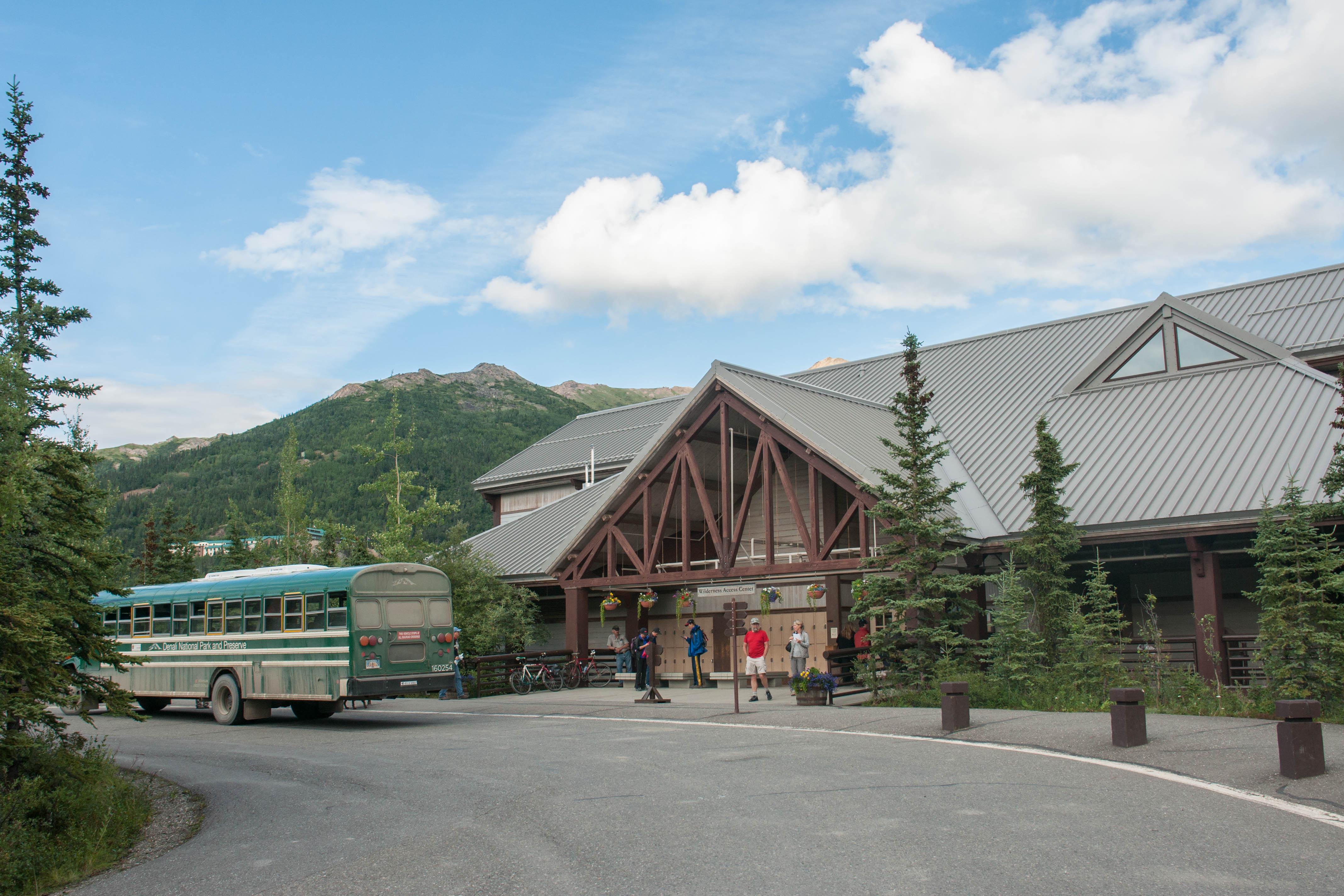
Denali Visitor Center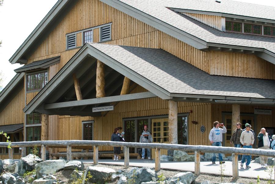
Eielson Visitor Center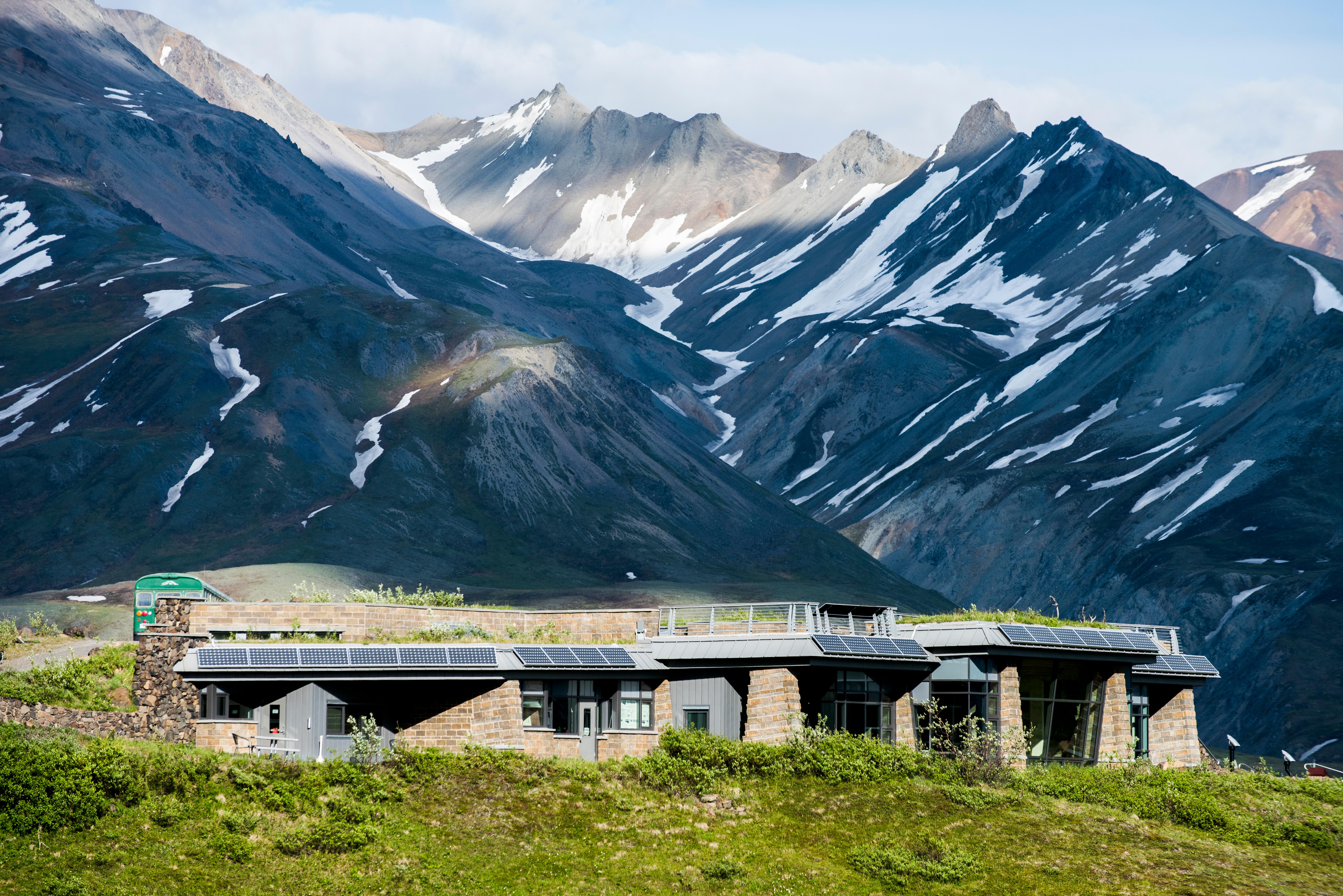
Indoor Picnic Area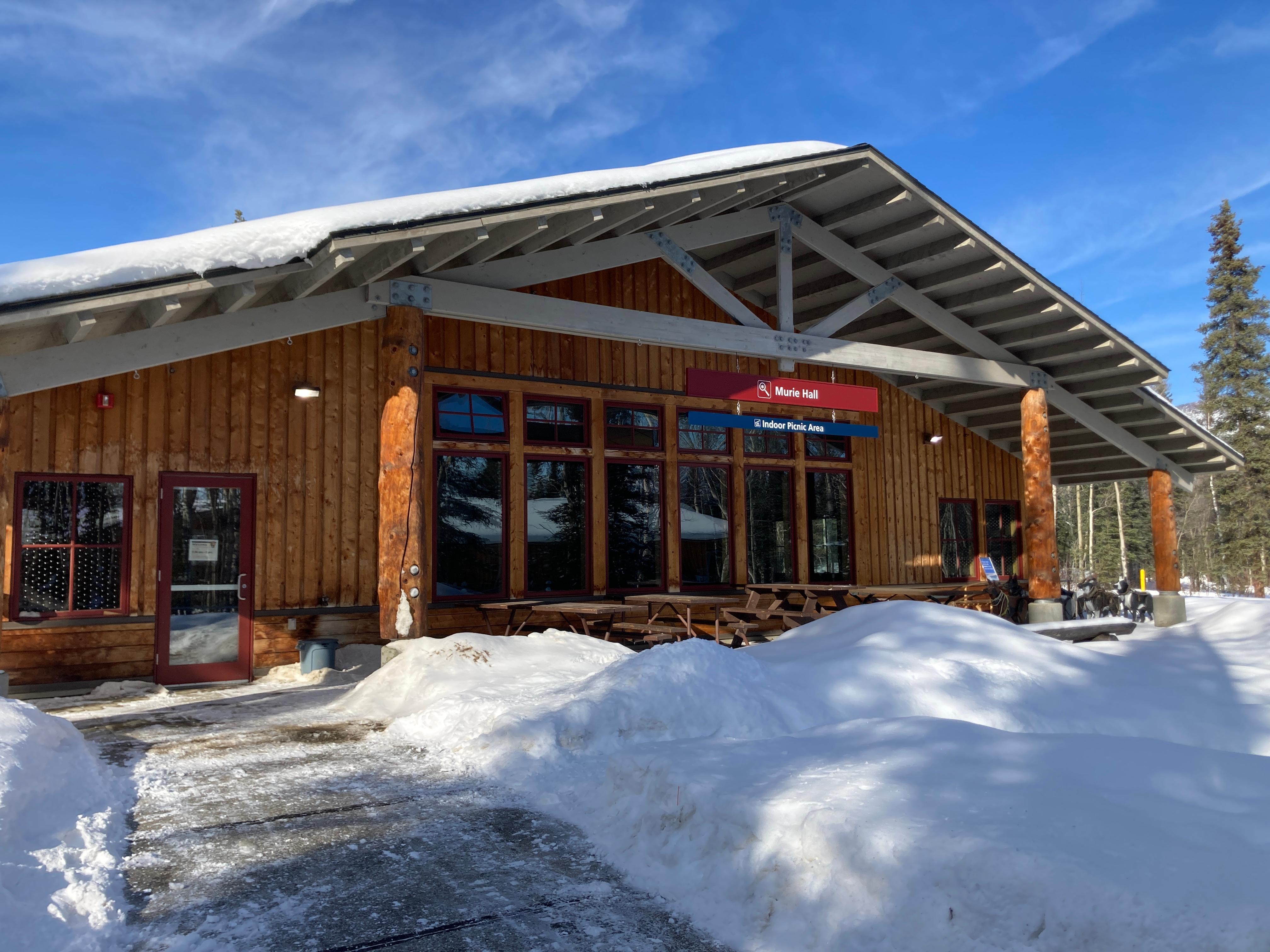
Murie Science and Learning Center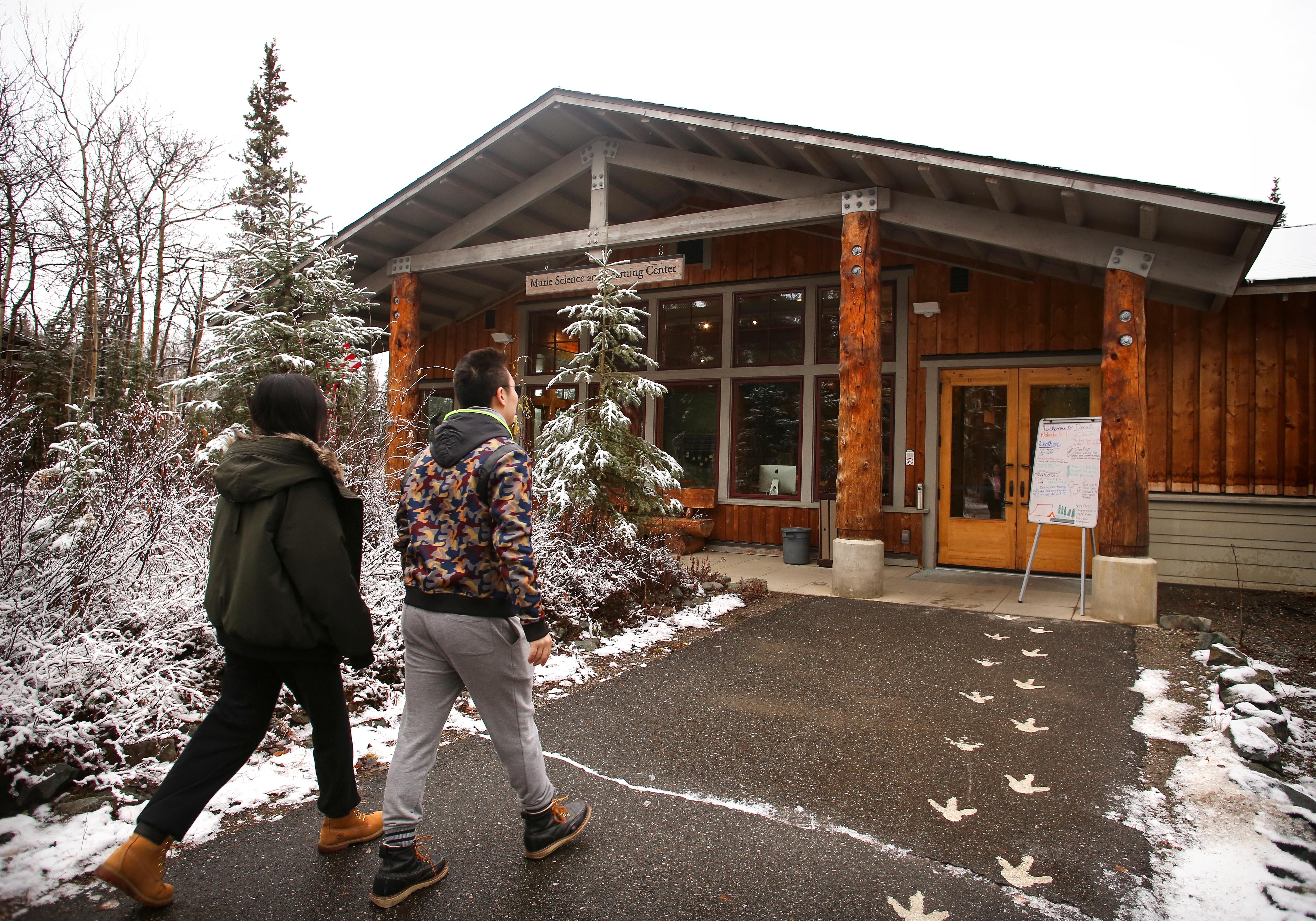
Walter Harper Talkeetna Ranger Station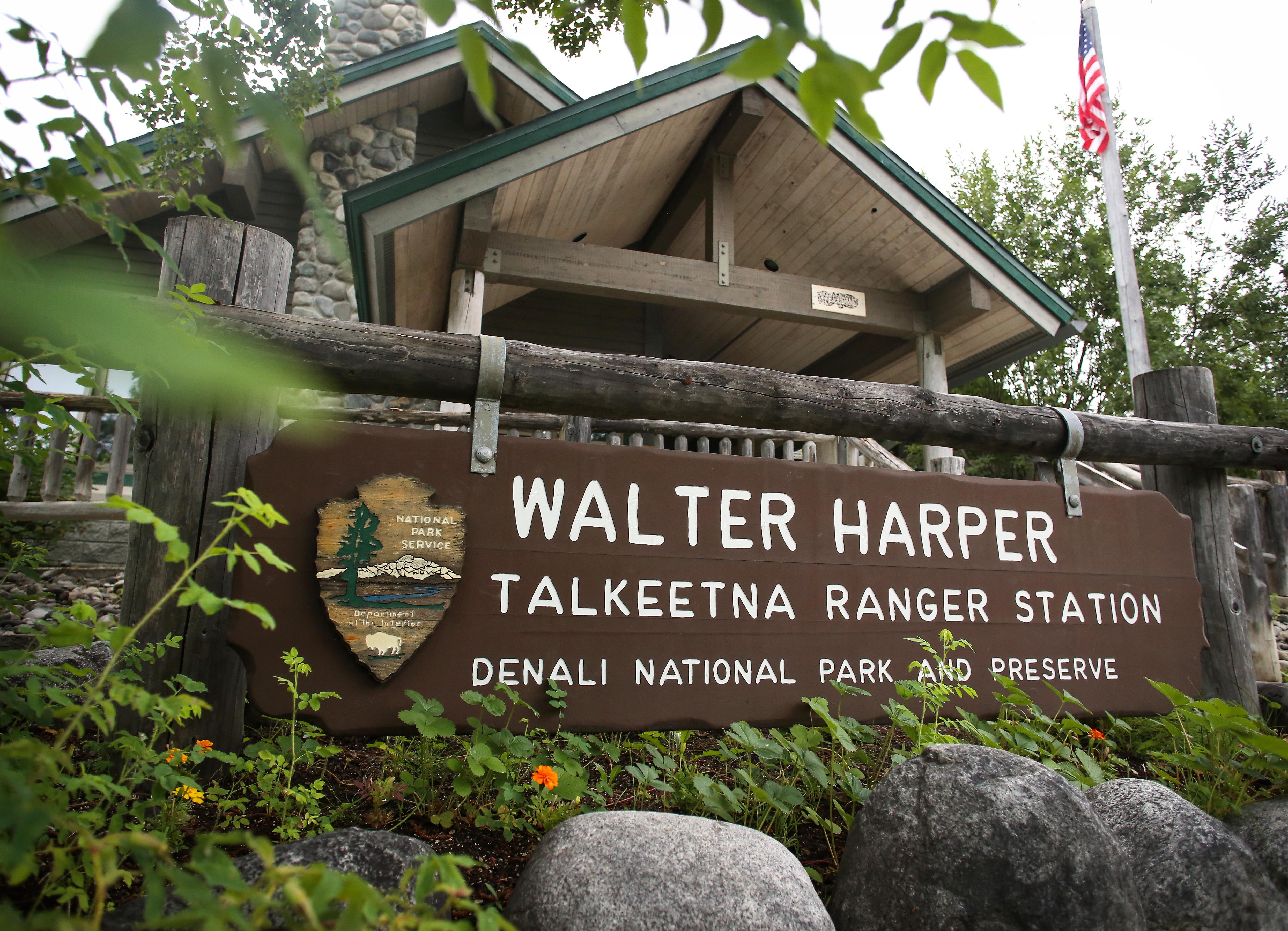
|
| Things to do | Count: 15

|
| Tours |
Count: 2
Denali Highlights: From the Park Entrance to Savage RiverThis self-guided tour combines driving and walking, and calls out the main sights to see within the first 15 miles of the Denali Park Road. The best time of year to do this tour is summer (roughly May 20 to mid-September), although many of the sights are worthwhile before or after those dates. In winter, however, most of the park's sole road is closed, so the sled dog kennels are the farthest point you can easily reach. Walk Through Time on the McKinley Station TrailTake a hike and learn about the early pioneer history of the area. The McKinley Station Trail is 1.6 miles long. It descends from the visitor center to Hines Creek, then travels alongside Riley Creek, under the Alaska Railroad trestle, and meanders up and down small hills til it reaches Riley Creek Campground and picnic area. Much of the material presented here first appeared in the book "McKinley Station: People of the Pioneer Park," by Tom Walker. |
| Articles |
|