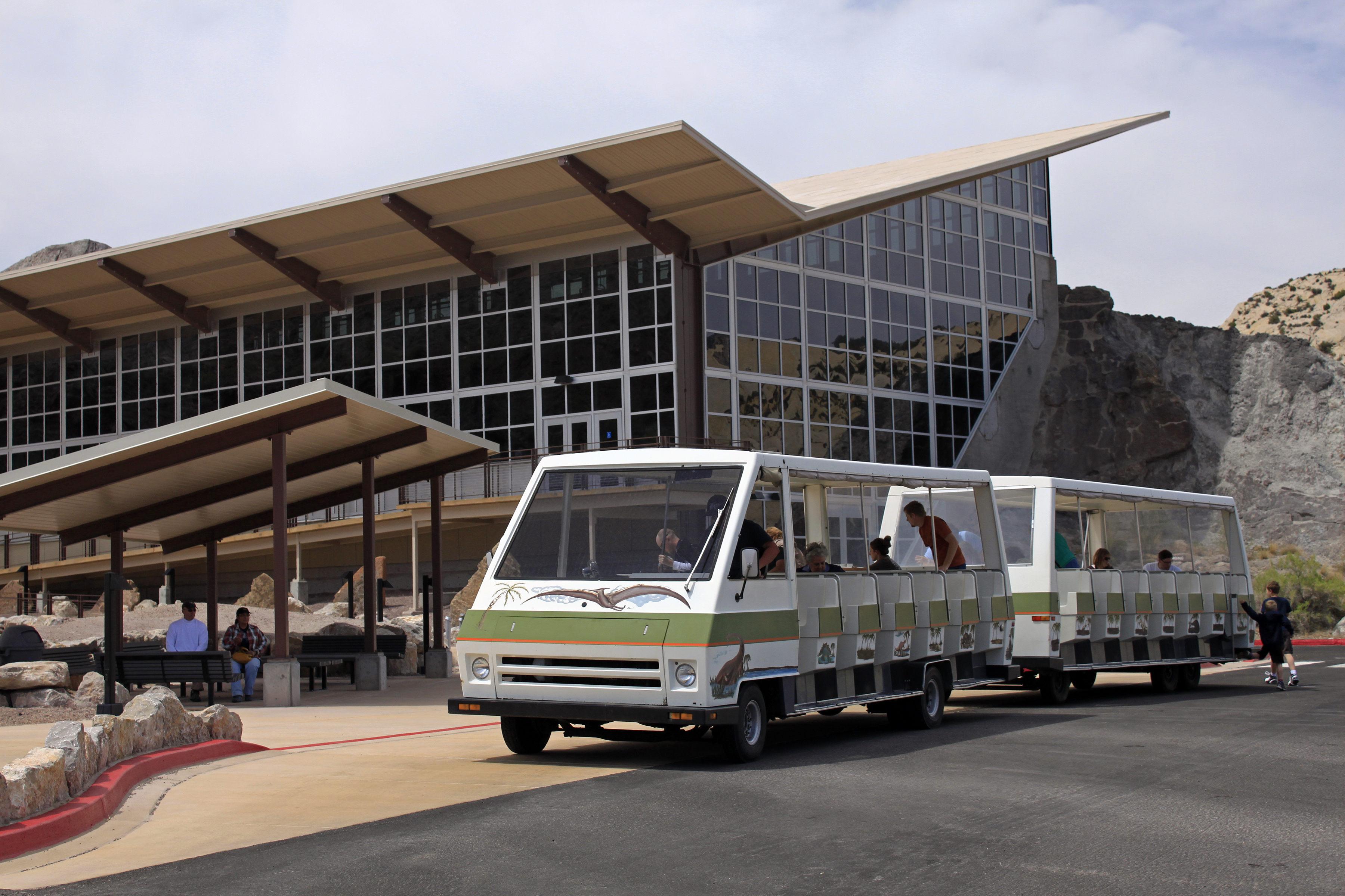
Quarry Exhibit Hall Temporary Closure - September 8 through late October
The Quarry Exhibit Hall "Wall of Bones" is temporarily closed from September 8, 2025, to late October 2025 for a major road, parking lot, and sidewalk construction project. There will be no visitor access to the fossils in the quarry when closed.
| Title | Dinosaur |
| Park Code | dino |
| Description | 150 million years ago, dinosaurs roamed here. Their fossils are still embedded in the rocks. Today, mountains, desert, and rivers flowing in canyons support a variety of life. Petroglyphs reveal the lives and connections of Indigenous people to t... |
| Location | |
| Contact | |
| Activities |
|
| Entrance fees |
Entrance - Private Vehicle
$25.00
Admits one private, non-commercial vehicle (15 passenger capacity or less) and all its occupants. Admission is good for seven consecutive days. You can come and go any time with your seven-day pass.
Entrance - Motorcycle
$20.00
Admits all riders on a private, non-commercial motorcycle. Admission is good for seven consecutive days. You can come and go any time with your seven-day pass.
Entrance - Per Person
$15.00
Admits one individual with no car. Typically used for bicyclists, hikers, and pedestrians. Youth 15 and under are admitted free. Admission is good for seven consecutive days. You can come and go any time with your seven-day pass.
Commercial Entrance - Van
$50.00
Pass is valid for the day of purchase and the next six days for a vehicle carrying the same group of passengers. A commercial tour is defined as consisting of one or more persons traveling on an itinerary that has been packaged, priced, or sold for leisure or recreational purposes by an organization that realizes financial gain through the provision of the service. Fees for commercial tours are based upon the total capacity of vehicle regardless of actual number of passengers.
Commercial Entrance - Mini-bus
$60.00
Pass is valid for the day of purchase and the next six days for a vehicle carrying the same group of passengers. A commercial tour is defined as consisting of one or more persons traveling on an itinerary that has been packaged, priced, or sold for leisure or recreational purposes by an organization that realizes financial gain through the provision of the service. Fees for commercial tours are based upon the total capacity of vehicle regardless of actual number of passengers.
Commercial Entrance - Motor Coach
$150.00
Pass is valid for the day of purchase and the next six days for a vehicle carrying the same group of passengers. A commercial tour is defined as consisting of one or more persons traveling on an itinerary that has been packaged, priced, or sold for leisure or recreational purposes by an organization that realizes financial gain through the provision of the service. Fees for commercial tours are based upon the total capacity of vehicle regardless of actual number of passengers.
Entrance - Non-commercial Groups
$25.00
Non-commercial group fees (per vehicle):
Vehicle capacity of 15 or less: $25
Vehicle capacity of 16-25: $15 per person age 16 and older, not to exceed $60.
Vehicle capacity of 26+: $15 per person age 16 and older, not to exceed $150.
You may use Annual and Lifetime passes. A pass will cover the pass holder and up to three people traveling with the group.
Pass is valid for reentry for 7 days.
Entrance - Education/Academic Groups
$0.00
National Park Service regulations allow school groups and other bona fide national and international academic institutions to obtain a waiver for park entrance fees, provided that the visit is for educational or scientific purposes, and the resources or facilities the group proposes to use support those purposes.
Fee waivers must be obtained in advance and cannot be issued at the entrance station or visitor center.
Commercial Entrance - Sedan
$25.00
Pass is valid for the day of purchase and the next six days for a vehicle carrying the same group of passengers. A commercial tour is defined as consisting of one or more persons traveling on an itinerary that has been packaged, priced, or sold for leisure or recreational purposes by an organization that realizes financial gain through the provision of the service. Fees for commercial tours are based upon the total capacity of vehicle regardless of actual number of passengers.
Commercial Entrance - Per Person
$15.00
Pass is valid for the day of purchase and the next six days for a vehicle carrying the same group of passengers. A commercial tour is defined as consisting of one or more persons traveling on an itinerary that has been packaged, priced, or sold for leisure or recreational purposes by an organization that realizes financial gain through the provision of the service. (minimum required fee is $25 commercial fee plus the per-person entrance fee for each passenger not to exceed $50.00)
|
| Campgrounds | Count: 6
Deerlodge Park Campground
Echo Park Campground
Gates of Lodore Campground
Green River Campground
Rainbow Park Campground
Split Mountain Group Campground
|
| Places | Count: 50
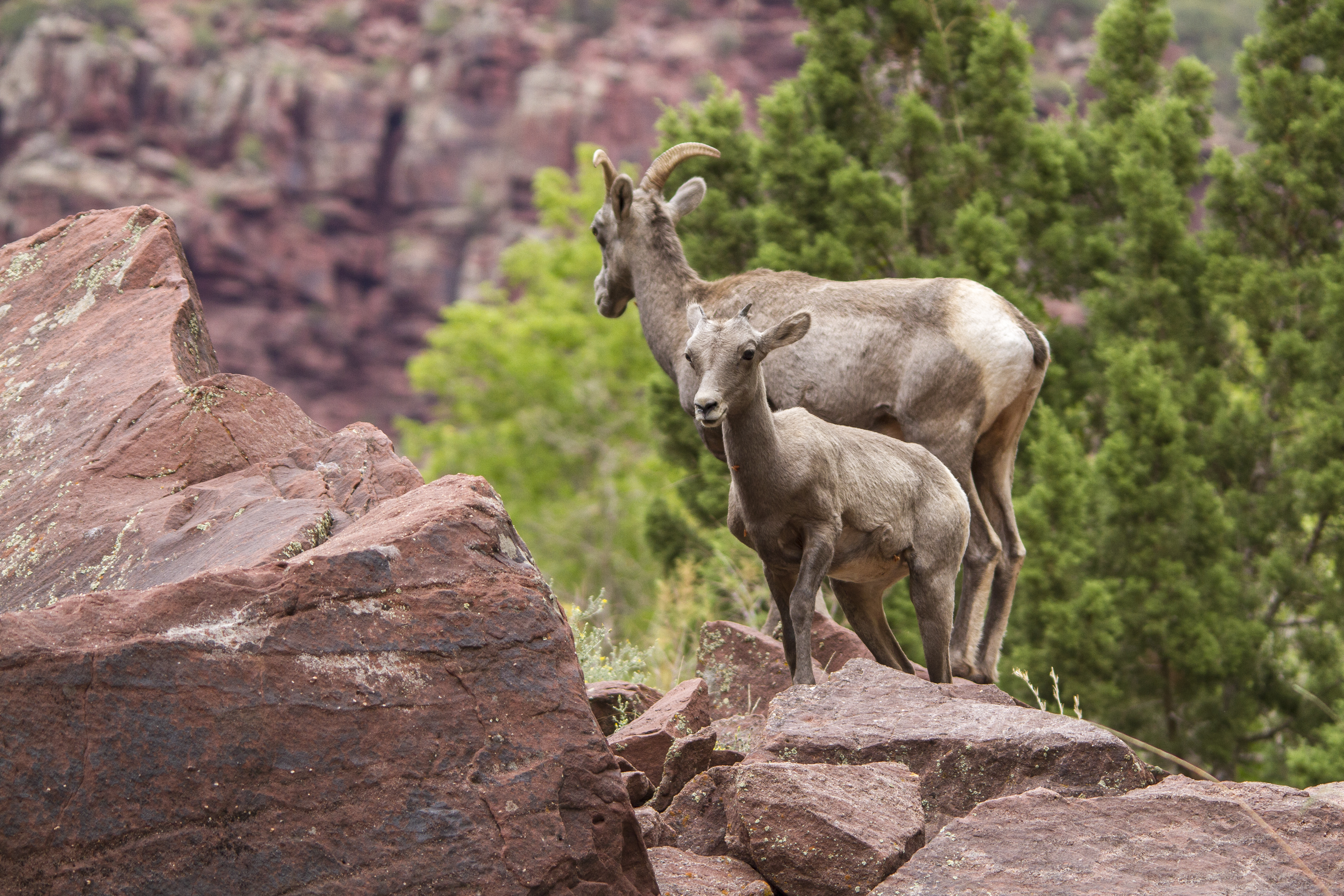
Allosaurus fragilisAllosaurus, meaning "different delicate reptile," is a theropod (meat-eating dinosaur) that probably ate other smaller dinosaurs. Its teeth were up to 3 in (7.6 cm) long and serrated like steak knives for cutting flesh. Adults hunted by overpowering their prey, possibly in small groups. Juvenile Allosaurus relied on their longer limb bones that were better adapted to running in order to hunt smaller vertebrates. 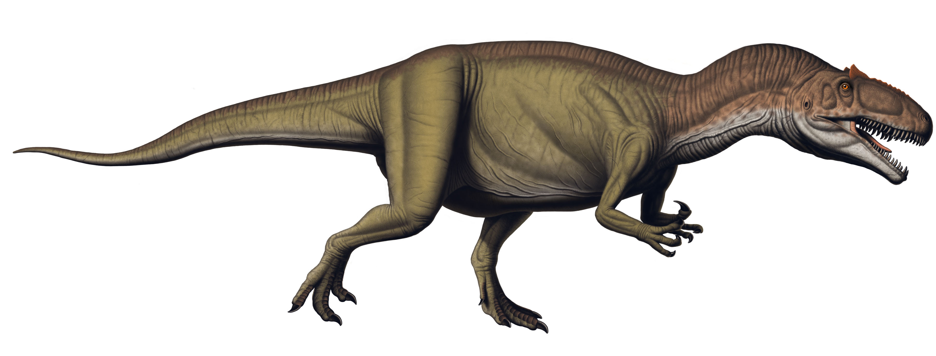
Allosaurus jimmadseniAllosaurus jimmadseni is the second species of Allosaurus found at Dinosaur National Monument. The first specimen of A. jimmadseni was found in the monument. It is much rarer than Allosaurus fragilis and they differ in their skeletal details 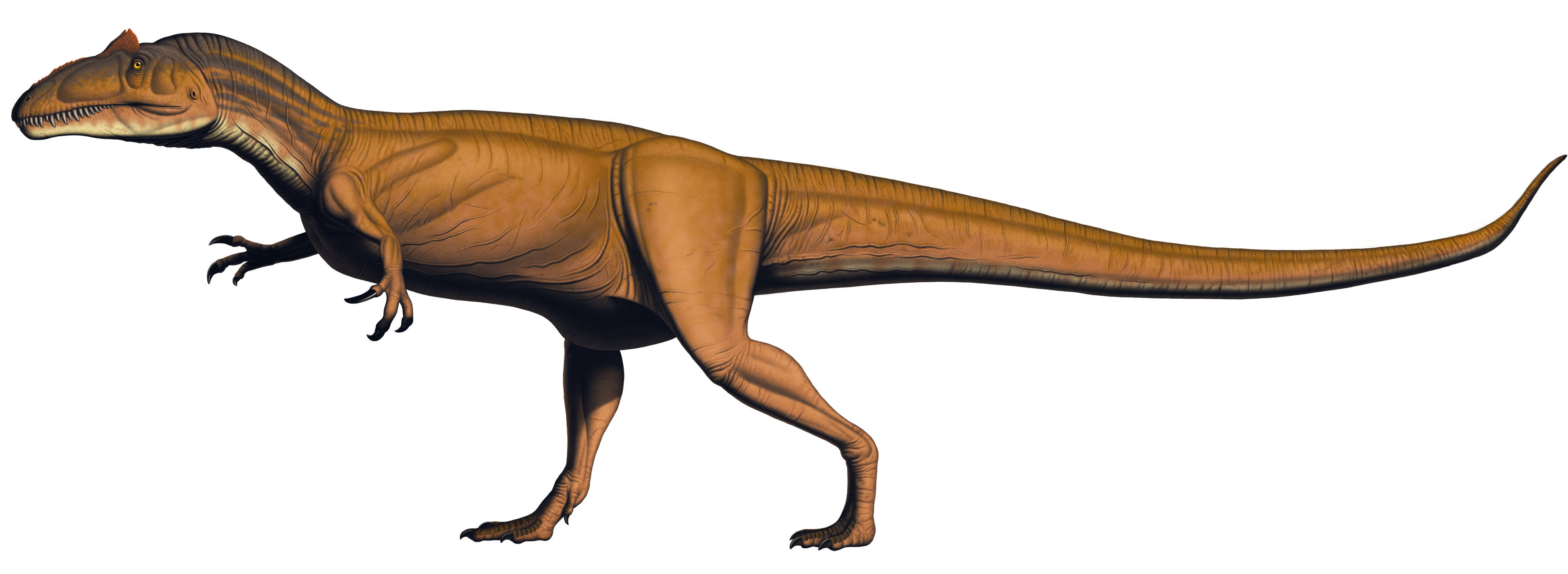
Apatosaurus louisaeApatosaurus louisae is a species of sauropod dinosaur from the Late Jurassic of North America found in the Morrison Formation, and its remains are present on the Wall of Bones at Dinosaur National Monument. Apatosaurus grew up to 69 ft (21 m) long and ate plants. 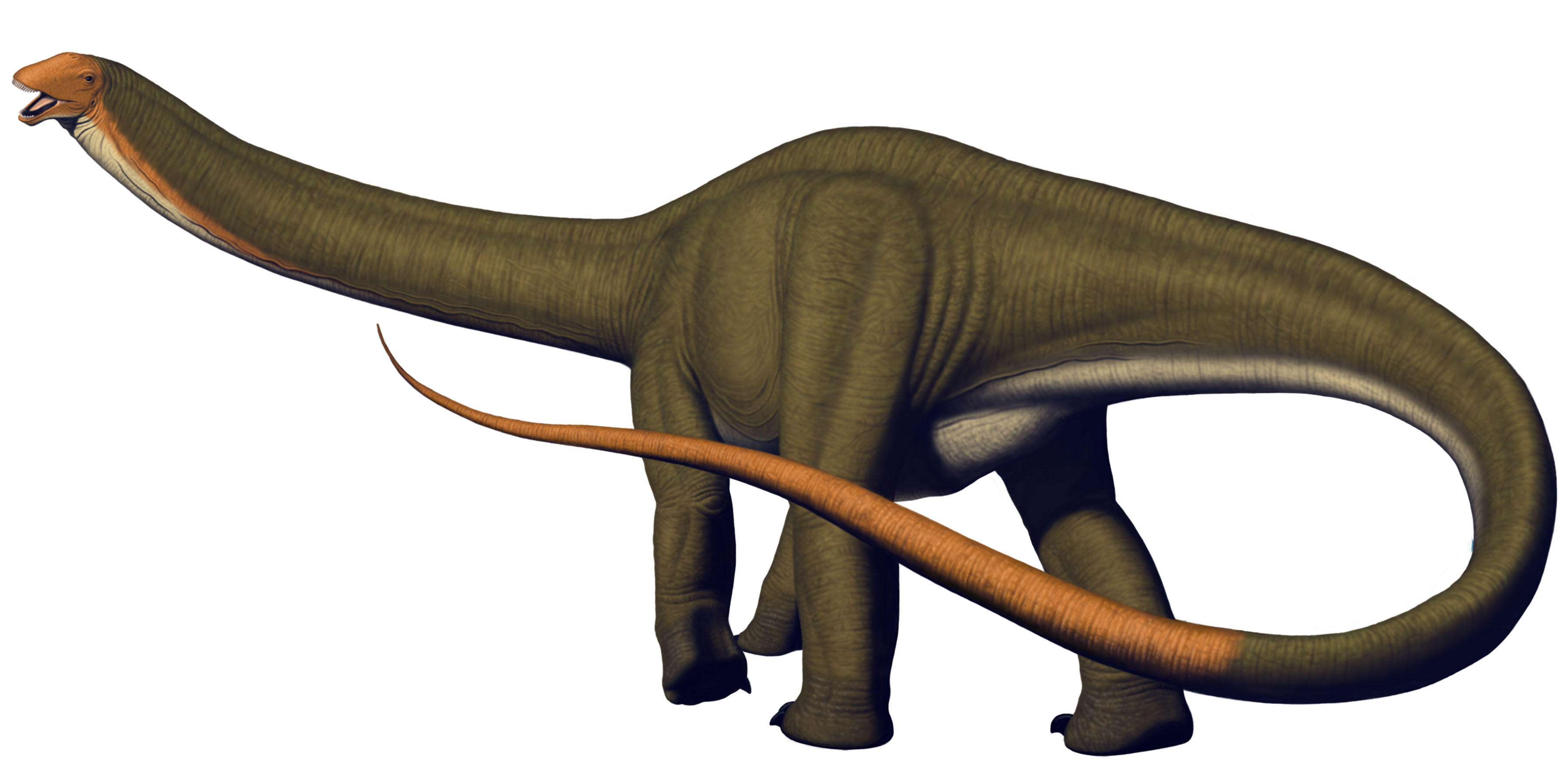
Baker CabinThis small cabin sits in a remote area of Dinosaur National Monument overlooking the Yampa Bench. 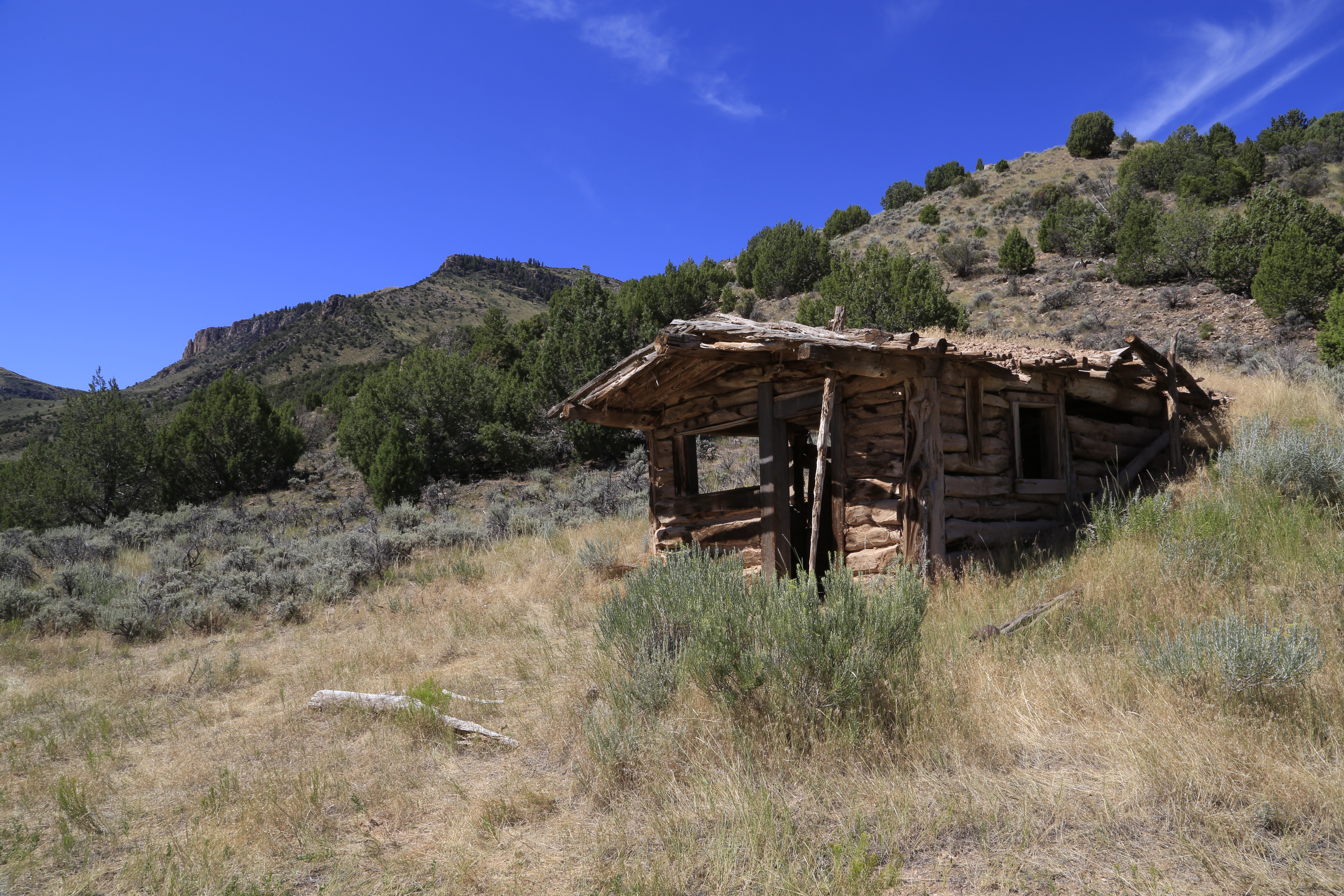
Barosaurus lentusBarosaurus is a plant eater and the least common of all the sauropods (long-necked dinosaurs) found in the Carnegie Quarry. It is similar to Diplodocus, but has a longer neck and shorter tail. The forelimbs of Barosaurus are longer and more slender than those of the Diplodocus. Unfortunately, no one has ever found a Barosaurus skull so those on display are based on the skulls of other sauropods. 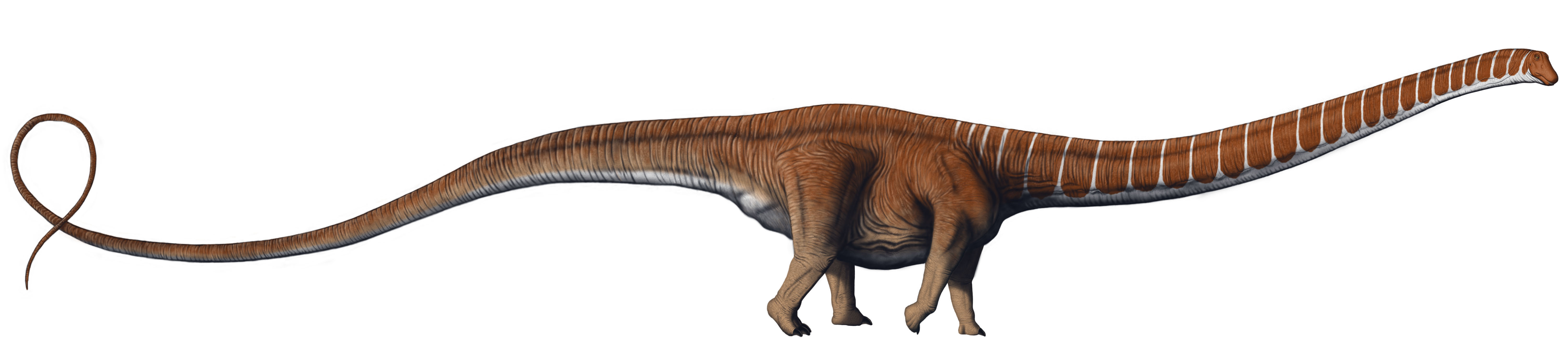
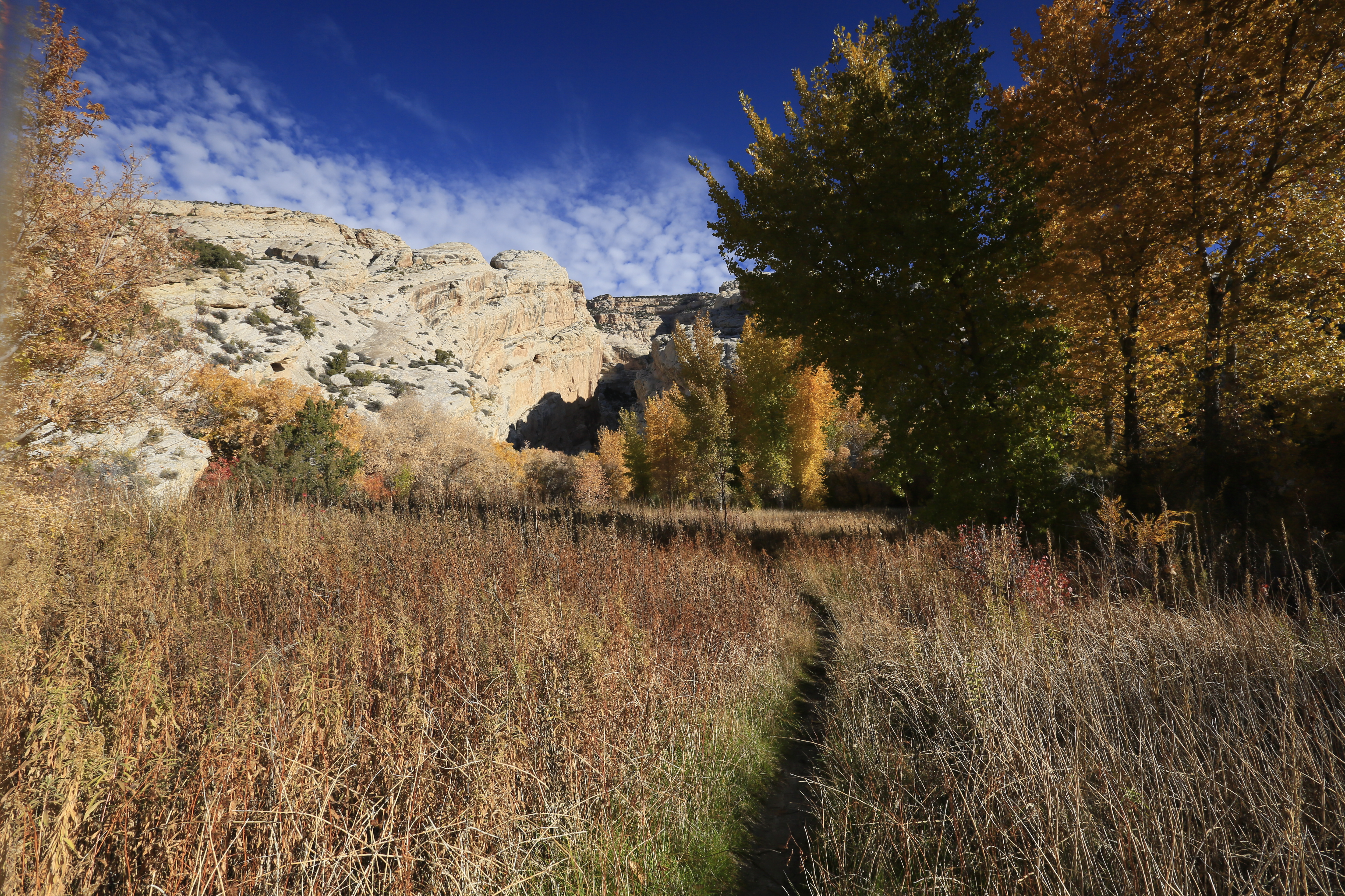
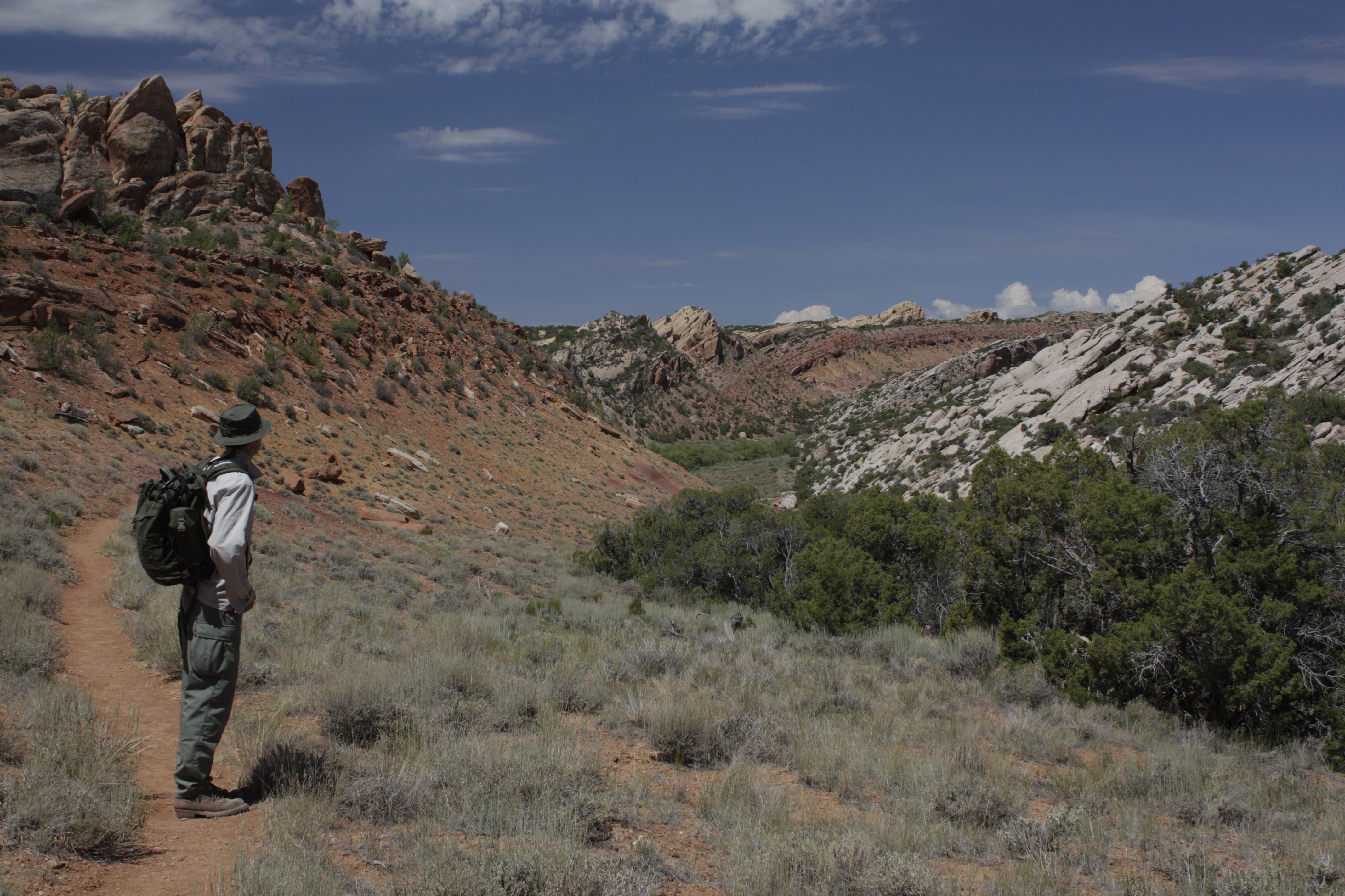
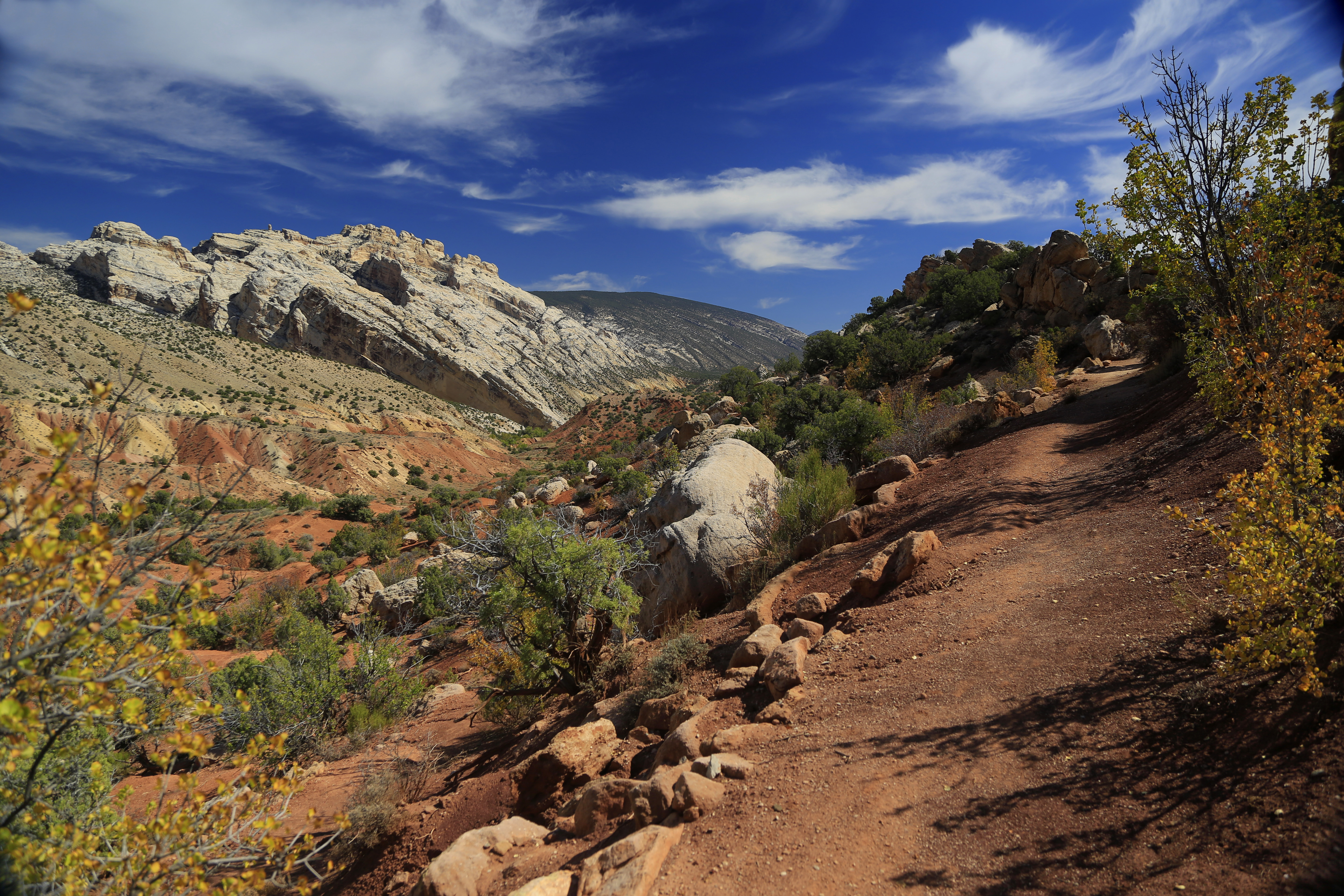
Beginning Dinosaur's Fossil Discovery TrailTravel back in deep time on the Fossil Discovery trail. Observe the fossils and other details recorded in rocks that bear witness to the environments in which they originated.
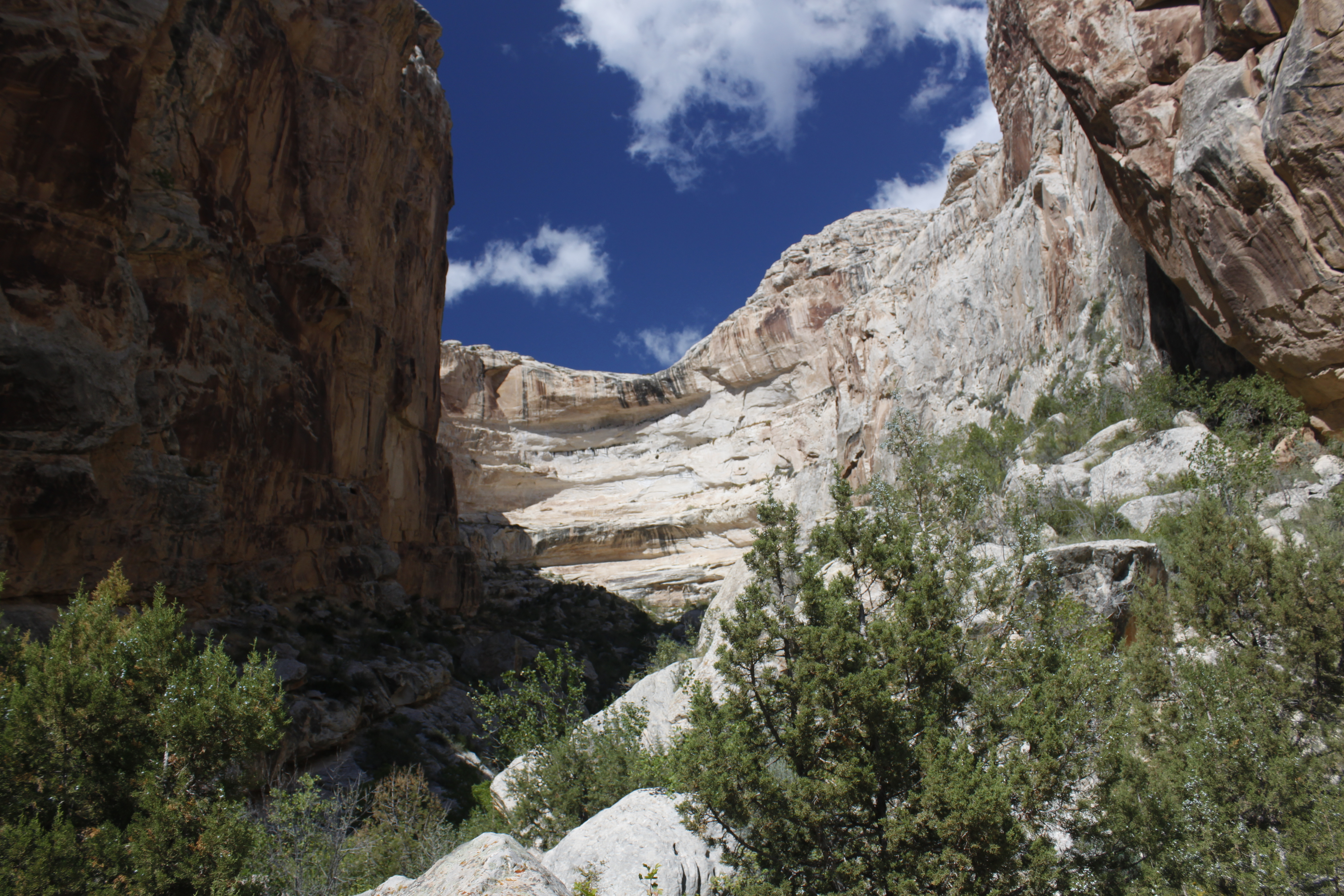
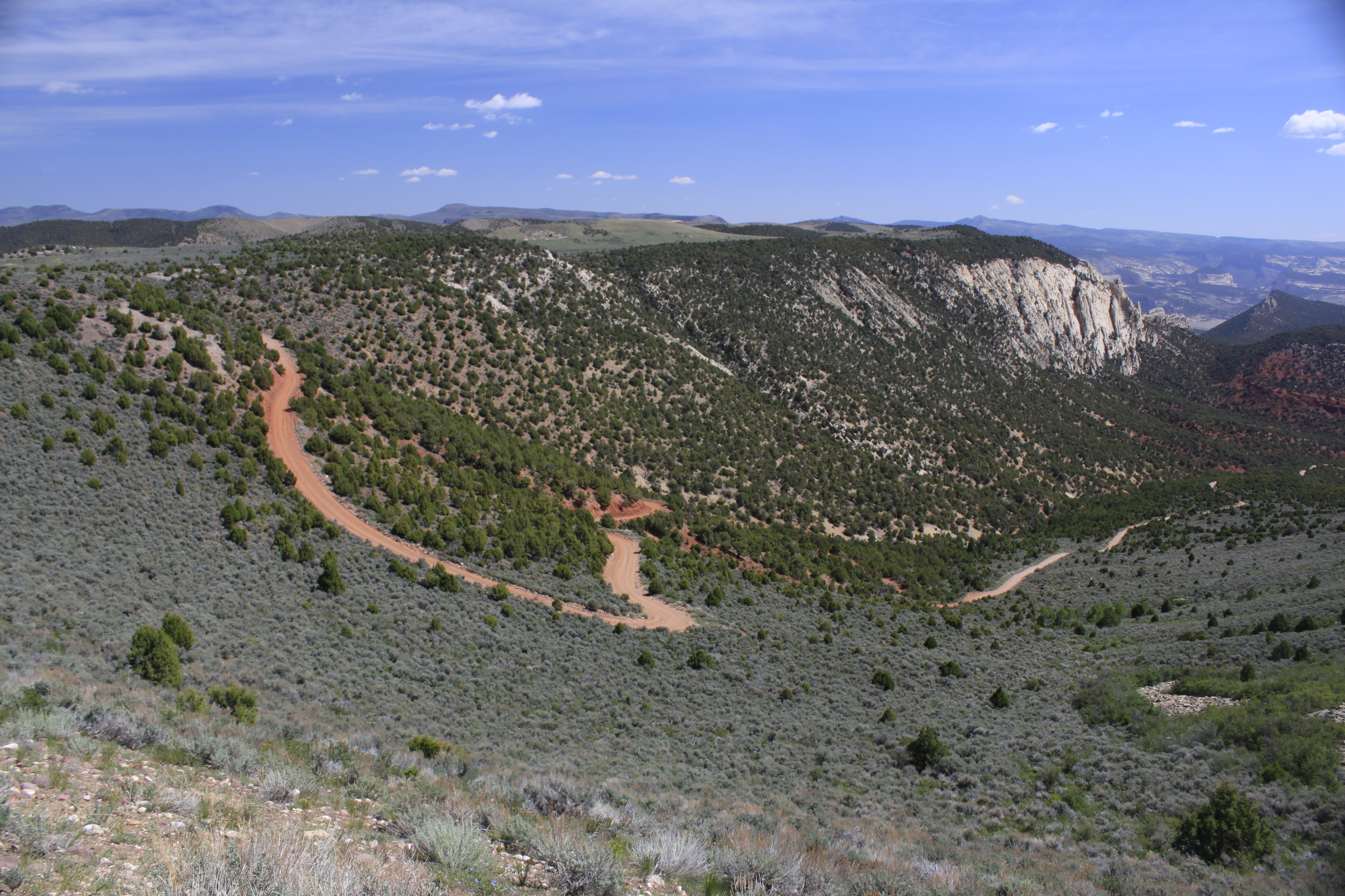
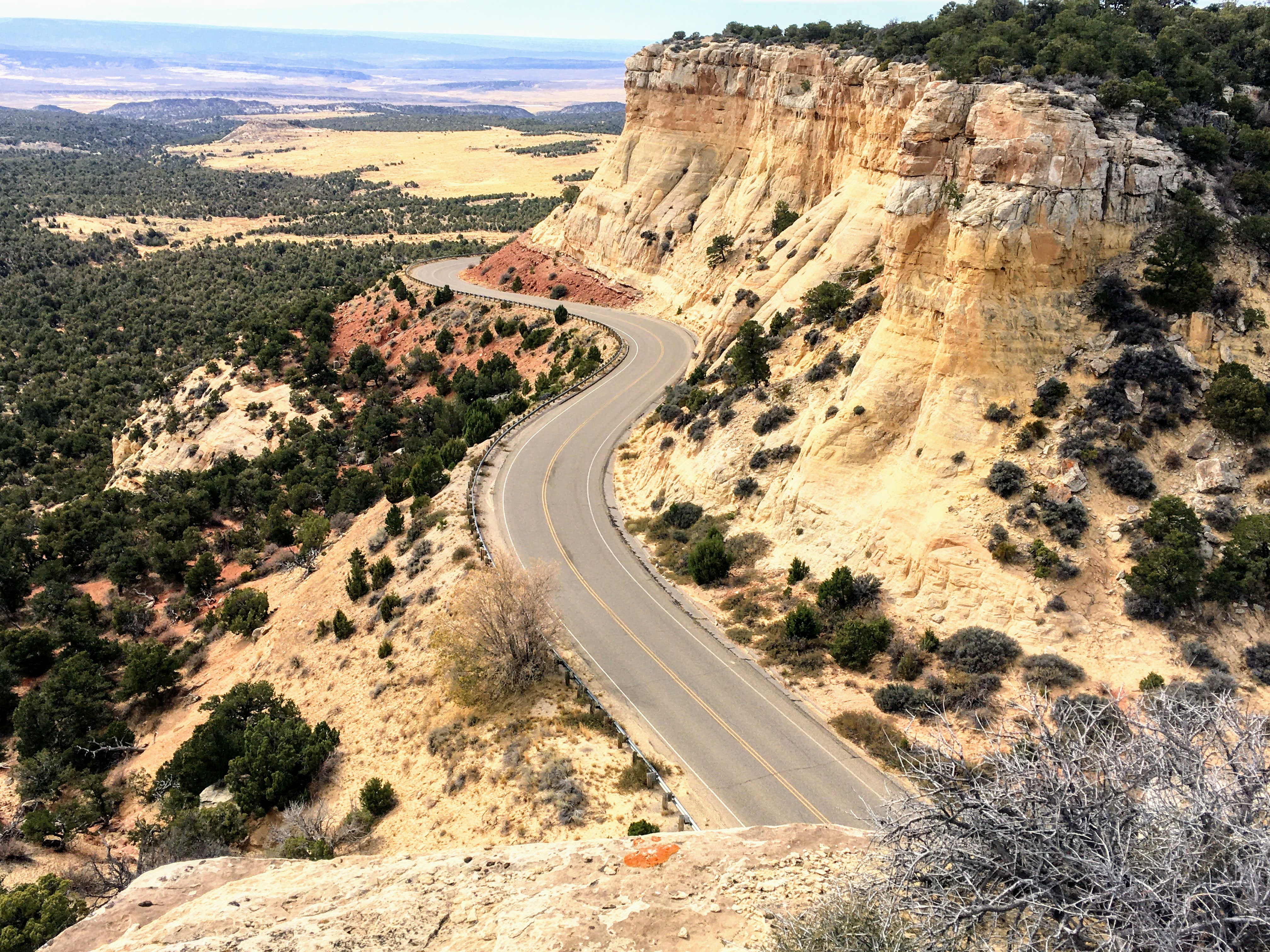
Blue Mountain RoadThe Blue Mountain road leaves the monument. It is steep, rough, and suitable only for 4-wheel drive vehicles with off-road tires. It climbs about 3000 feet to the top of Blue Mountain. This mountain offers dramatic views of the area. The summit also harbors a relict woodland called Point of the Pines. Some mountaintops in this area contain small groves of conifers like ponderosa pine only on the very top. 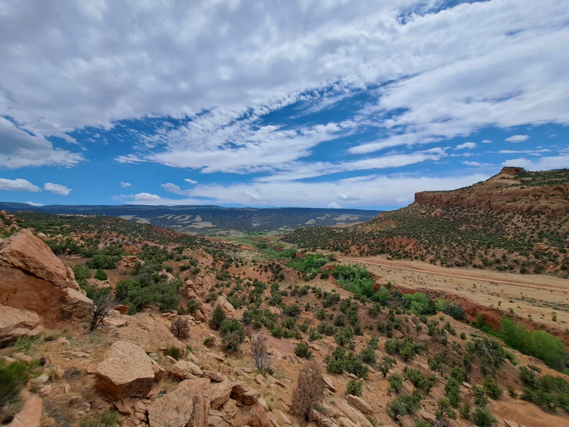
Box Canyon TrailBox Canyon is easily accessible from Josie Morris' cabin and is an excellent family hike. 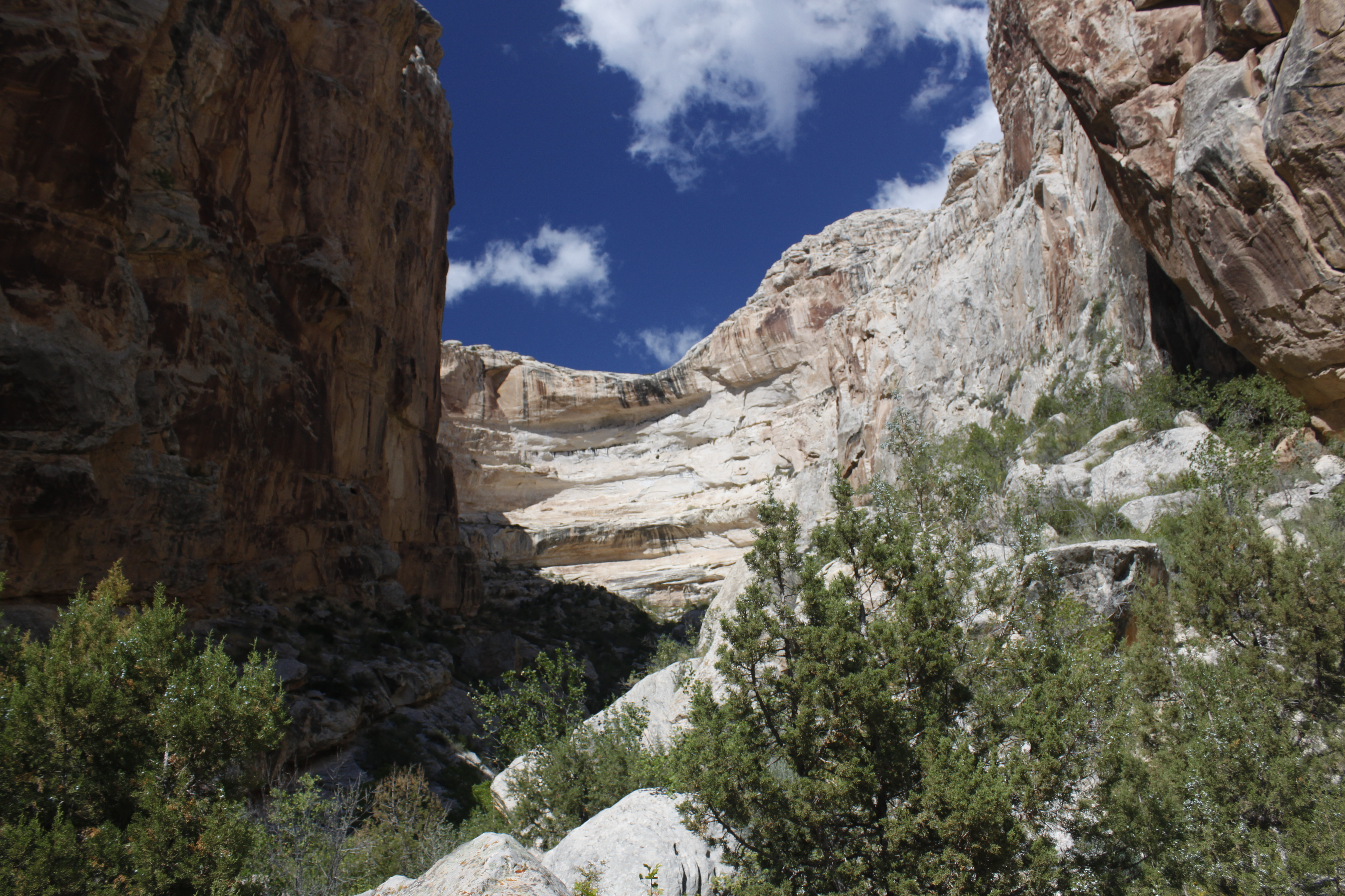
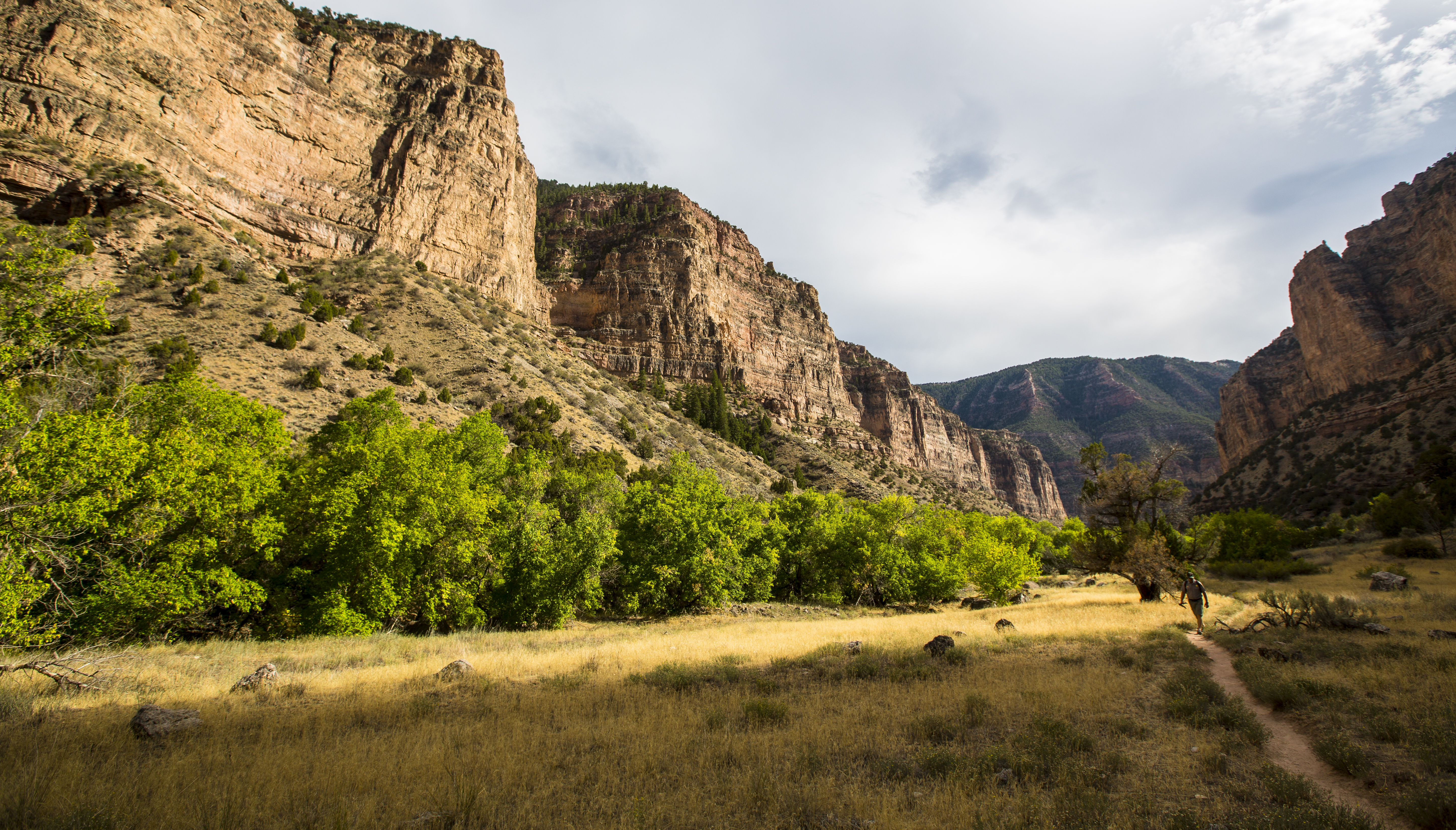
Bull Canyon TrailCAUTION: Storm damage from August 2021 has altered and removed sections of the former trail. This unmaintained route contains several natural obstacles potential hikers must be prepared to navigate. This steep trail descends from the Yampa Bench Road to the Yampa River near the Harding Hole campsites. The trail provides dramatic views of Bull Canyon and the Yampa River. 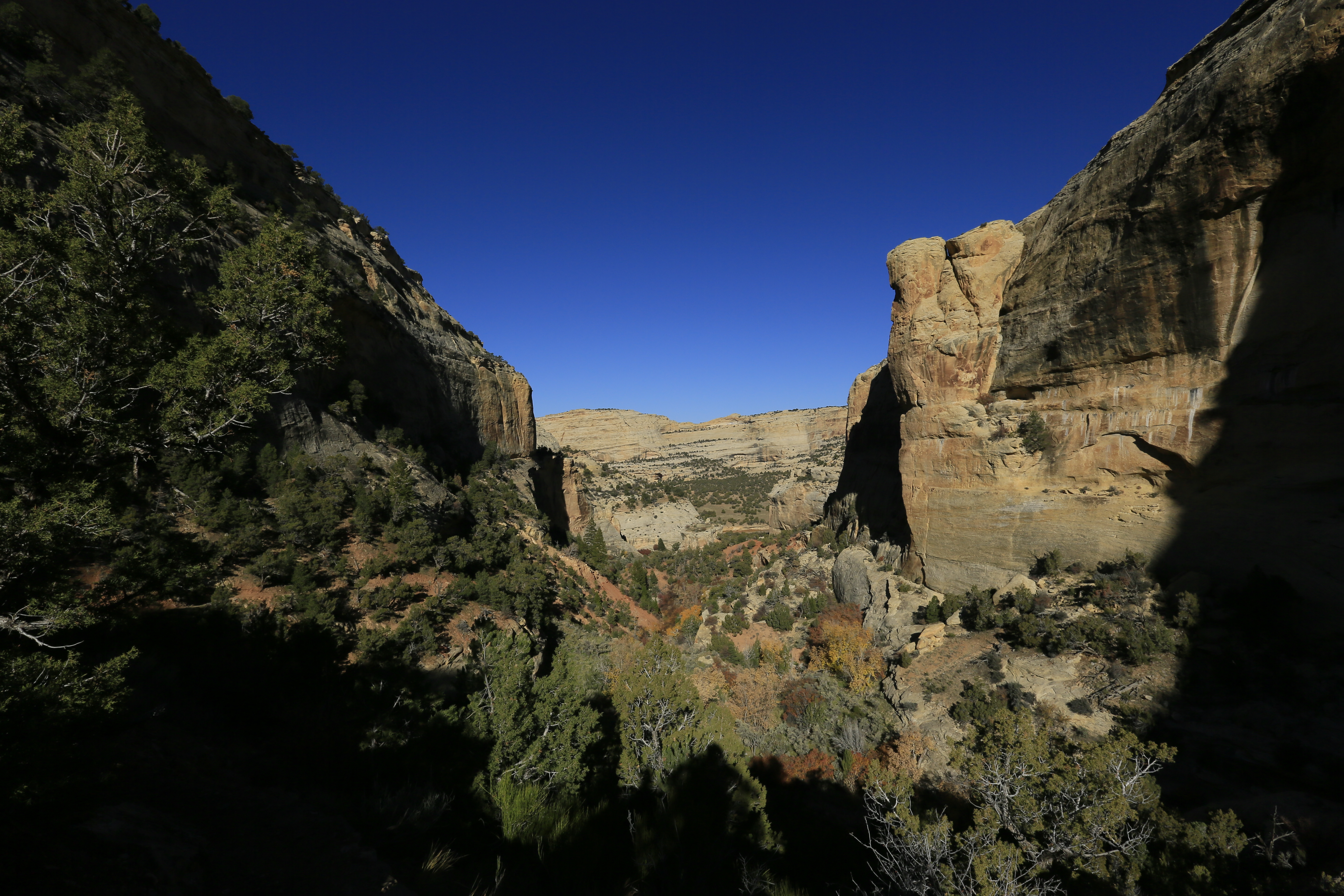
Camarasaurus lentusCamarasaurus lentus is a species of sauropod dinosaur from the Late Jurassic of the Morrison Formation. Camarasaurus lentus was a herbivore, and grew up to fifty feet long, shorter in length than some of its contemporaries like Diplodocus and Apatosaurus, but stood taller. Camarasaurus sounds huge by modern standards, but it is only a mid-sized sauropod. 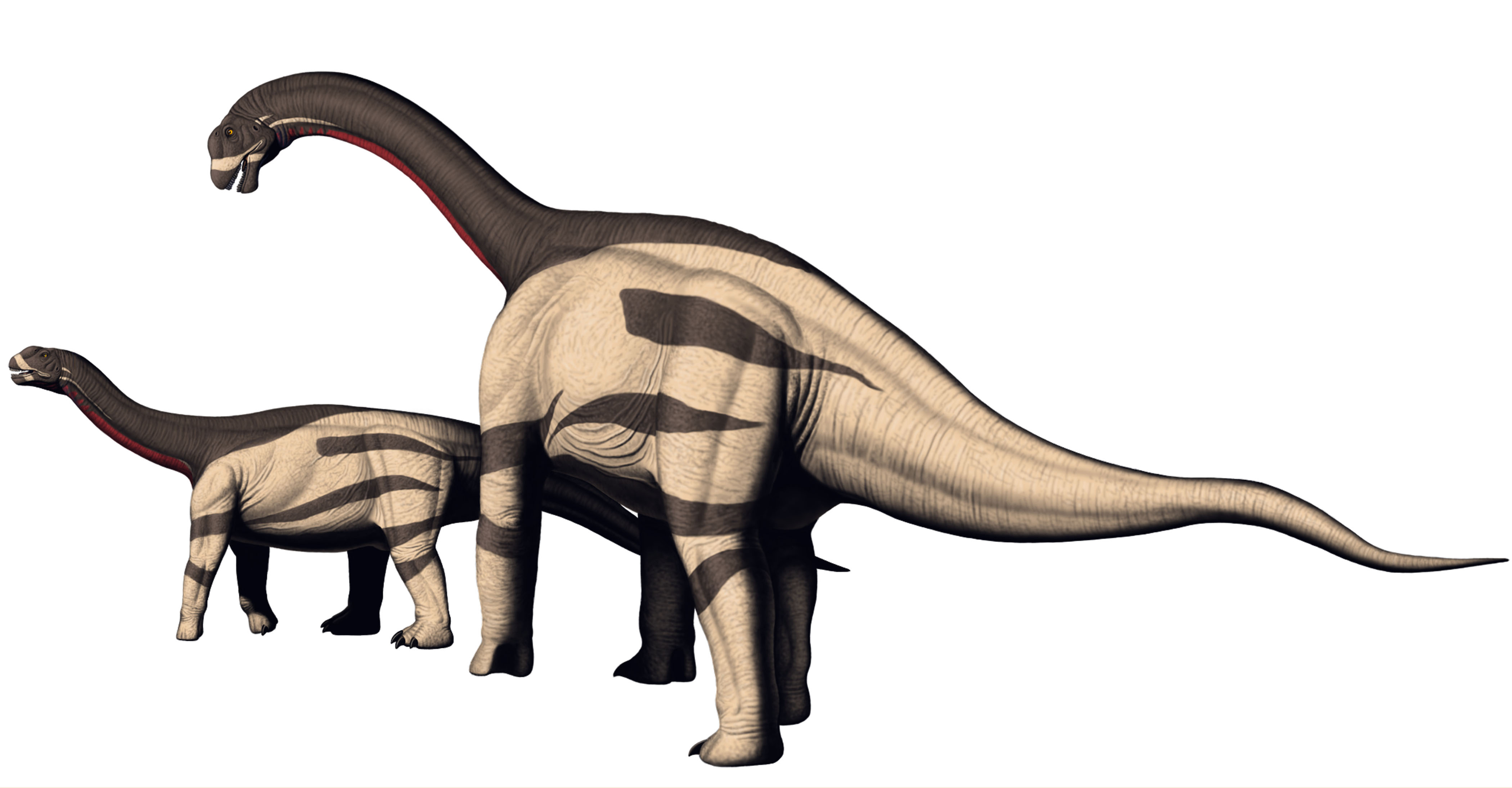
Camptosaurus aphanoecetesCamptosaurus is a two-legged plant eating dinosaur. The beak-like front of the skull did not have teeth but was used to nip vegetation. Camptosaurus may have lived in small groups. It depended on its speed to escape predators. Camptosaurus is the ancestor of later large herbivores, such as iguanodonts, and duck bills. 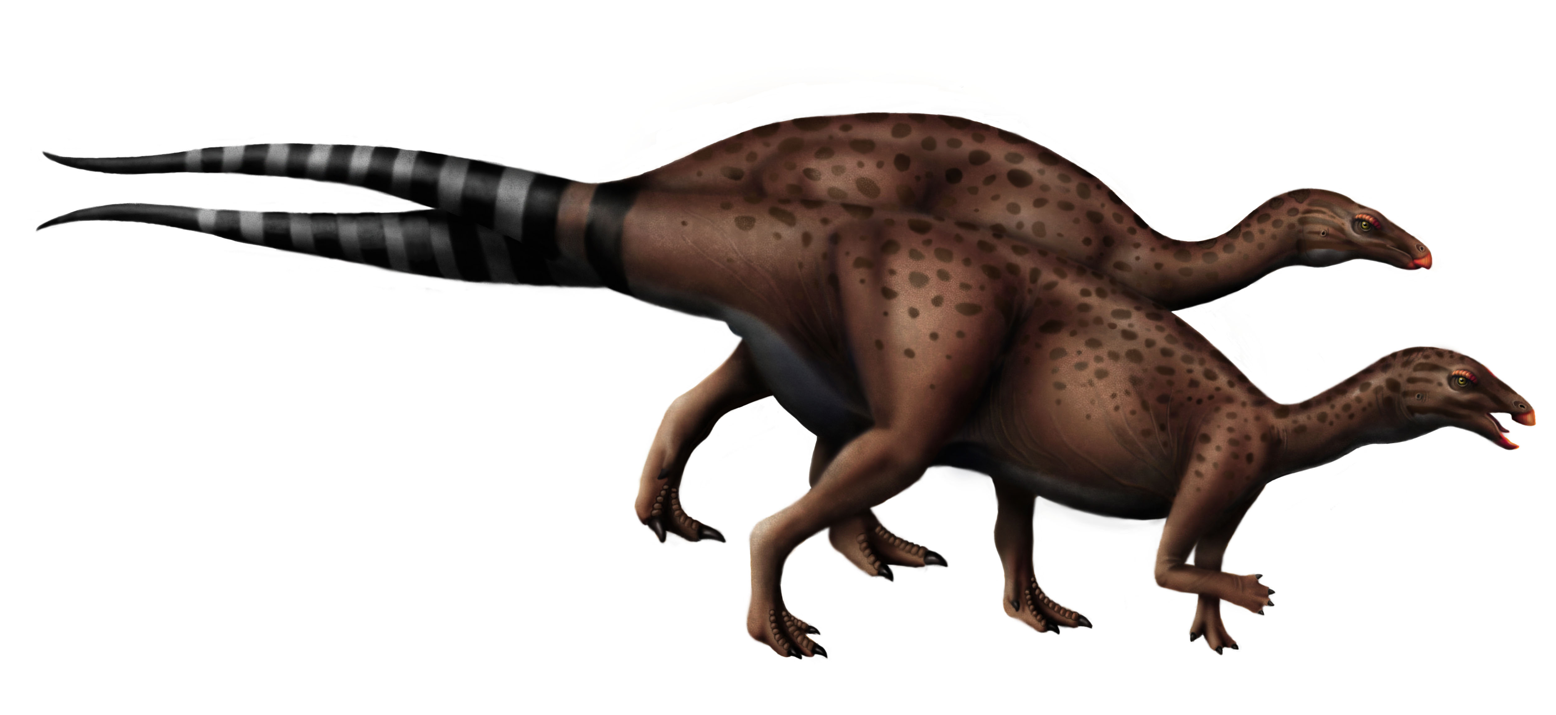
CeratosaurusCeratosaurus is a genus of carnivorous theropod dinosaur from the Late Jurassic Morrison Formation. It is known from the Carnegie Quarry at Dinosaur National Monument from a single bone, a premaxilla. This bone is diagnostic for Ceratosaurus because, unlike other Morrison Formation theropods, Ceratosaurus has only three teeth in its premaxilla. Much rarer than its contemporary Allosaurus, the top of its snout was adorned with a crest, formed from its nasal bone. 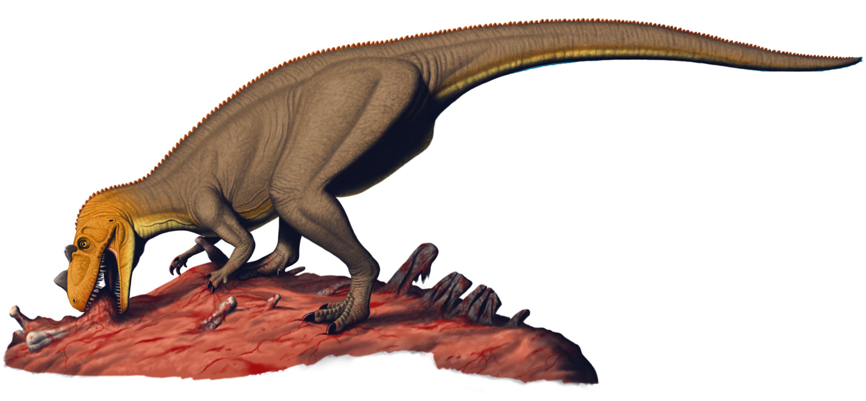
Confluence Trail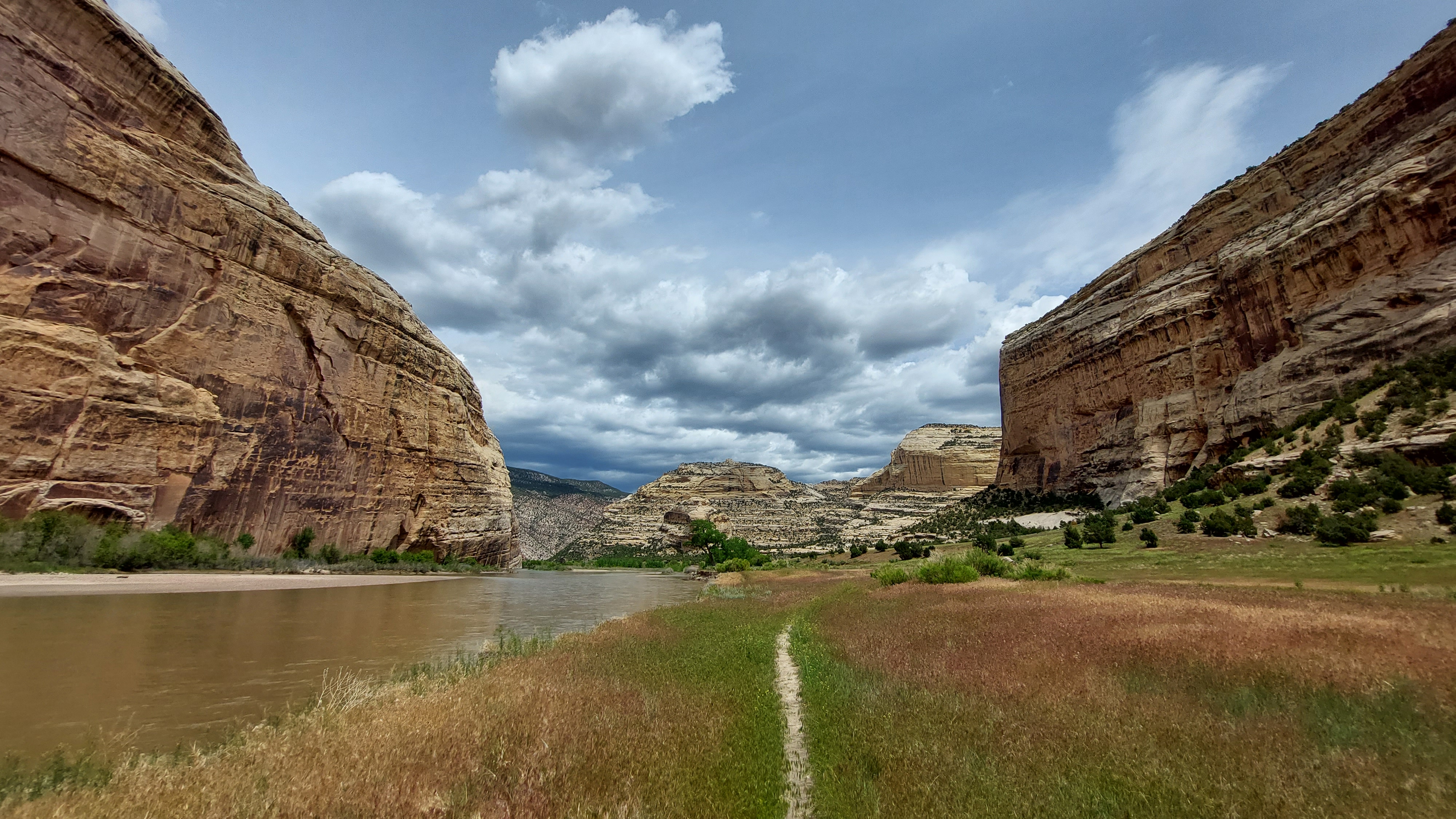
Cub Creek Petroglyphs Pullout #13Fremont petroglyph site located along the Cub Creek Road in Dinosaur National Monument. Petroglyphs can be seen by a short walk from the parking area. 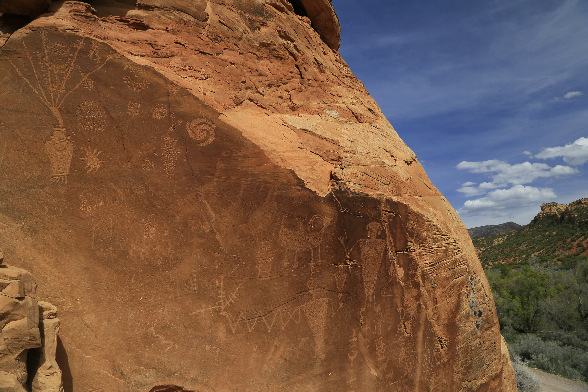
Cub Creek Petroglyphs Pullout #14A quarter mile hike up from Cub Creek Road leads to a variety of panels along a sandstone cliff. Over 1,000 years ago, the ancestral indgenous people of the region came here to carve and create elaborate designs including the 5 foot long lizard petroglyphs. 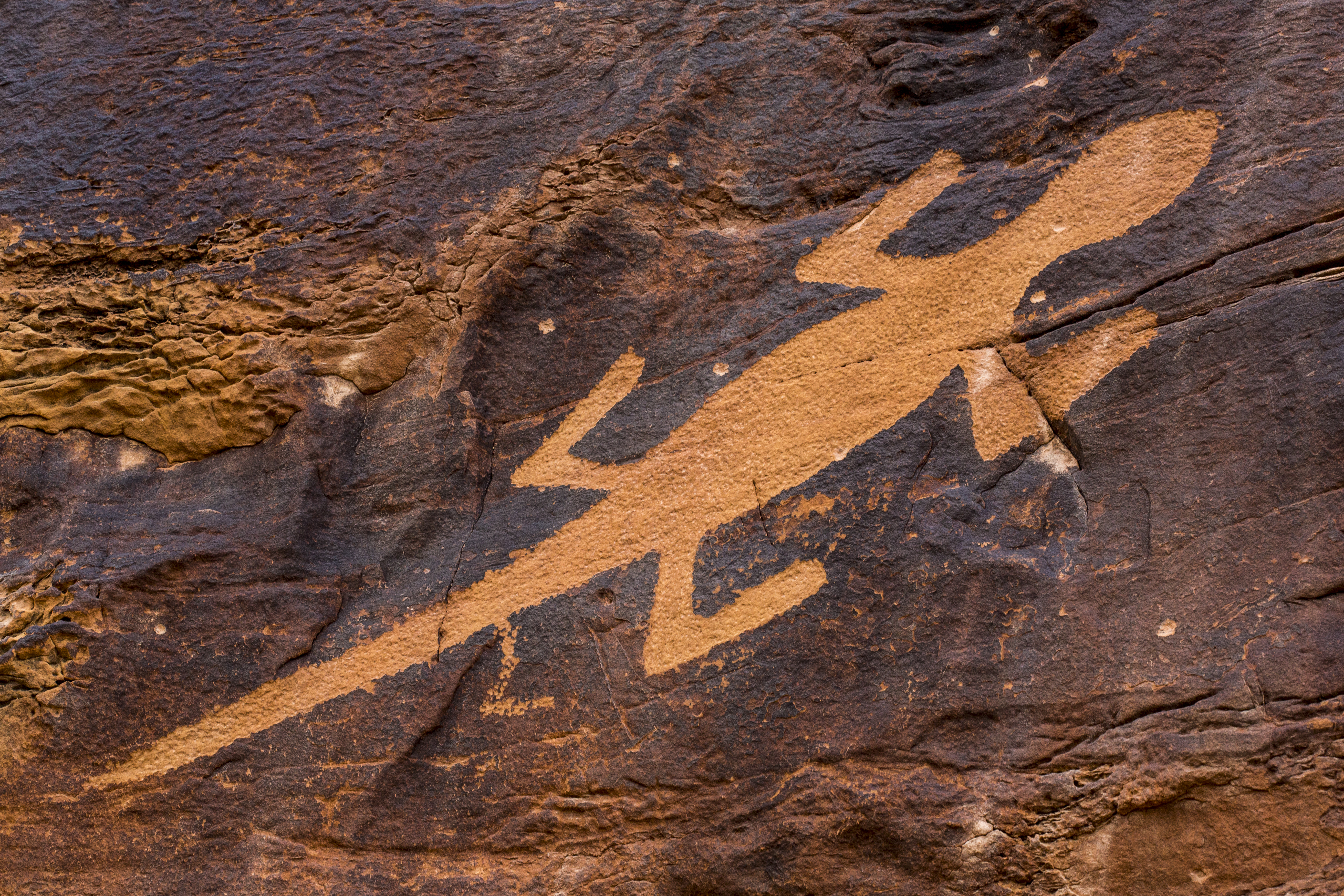
Deluge Shelter PetroglyphsThe Deluge Shelter area features a variety of petroglyphs and pictographs, many of which are exceptionally preserved. 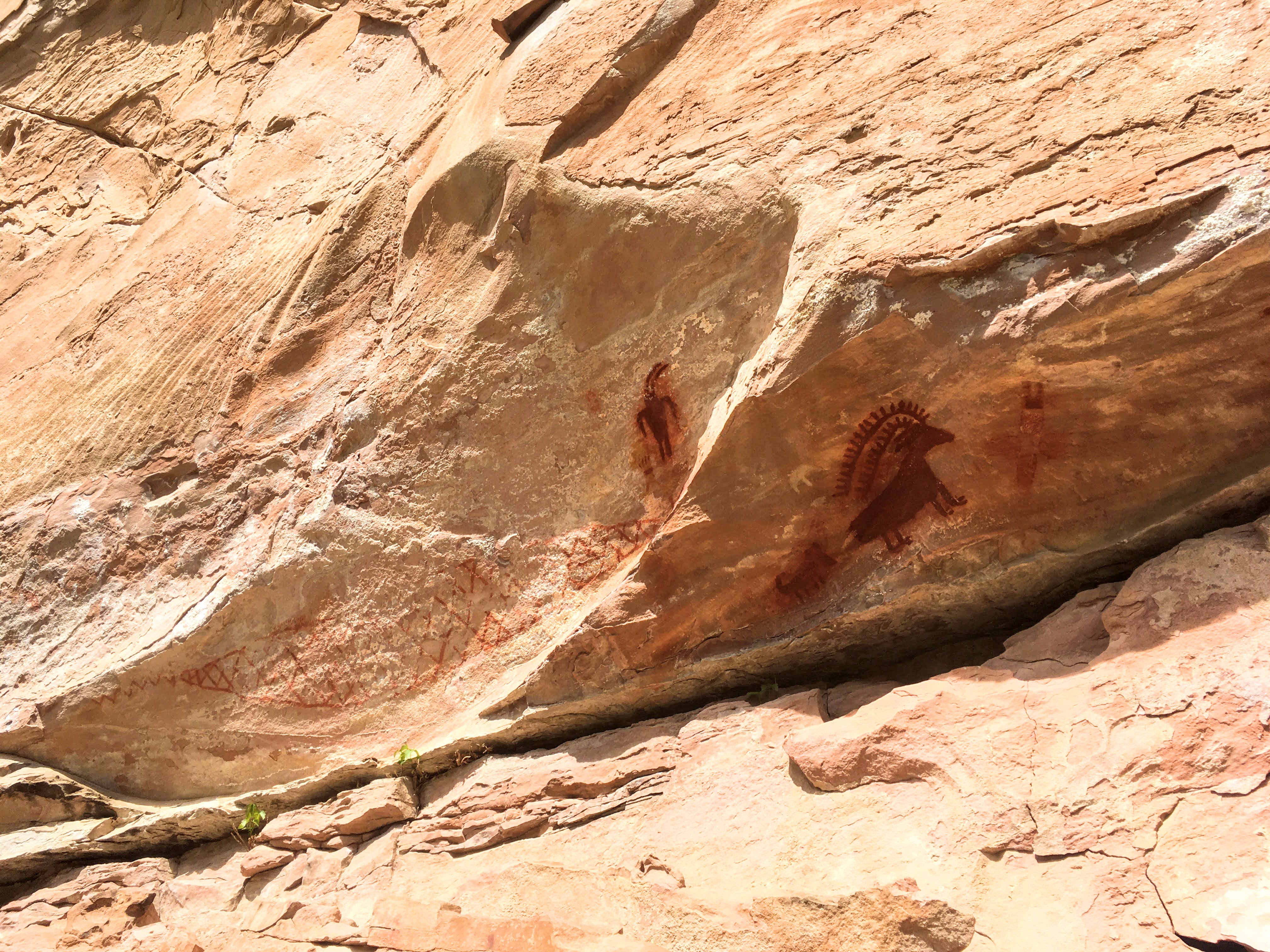
Desert Voices TrailThe Desert Voices Trail offers spectacular views of Split Mountain and several adjacent rock layers. Trail signs describe the area's geology and ecology. There are also many signs that were written and drawn by children for children. 
Diplodocus longusDiplodocus longus is a species of sauropod dinosaur from the Late Jurassic of North America. Diplodocus is one of the most abundant sauropods (long-necked dinosaurs) in the Morrison Formation. Its pencil-like teeth were only in the front of the jaws and were used to strip leaves off of low-growing plants. It could get up to 92 ft (28 m) in length and traveled in small herds. Despite its length, it was lightly built, weighing a mere 15 tons. 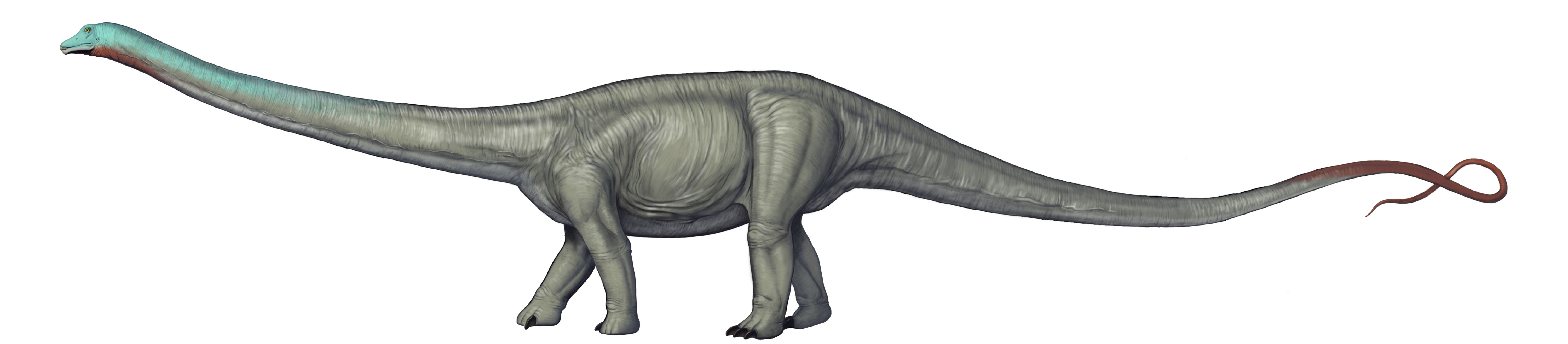
Dryosaurus altusDryosaurus altus is a species of ornithopod dinosaur from the Late Jurassic of North America, found in the Morrison Formation. Dryosaurus altus means “oak lizard” in reference to the leaf shaped teeth. It is a plant eating dinosaur with a beak and teeth in the back of its mouth. It had five fingers on each hand. To escape predators Dryosaurus depended on its strong legs to quickly run away. 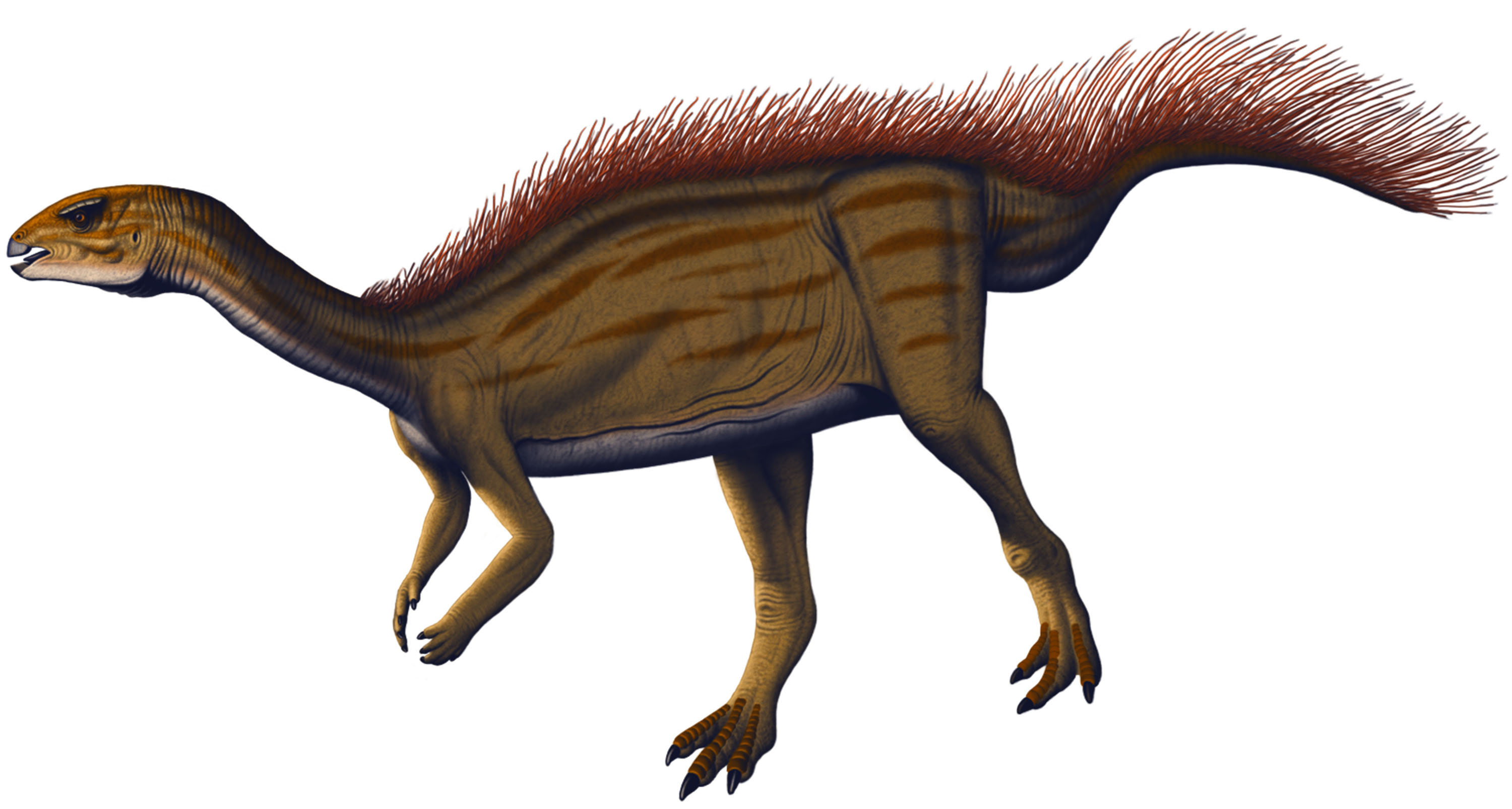
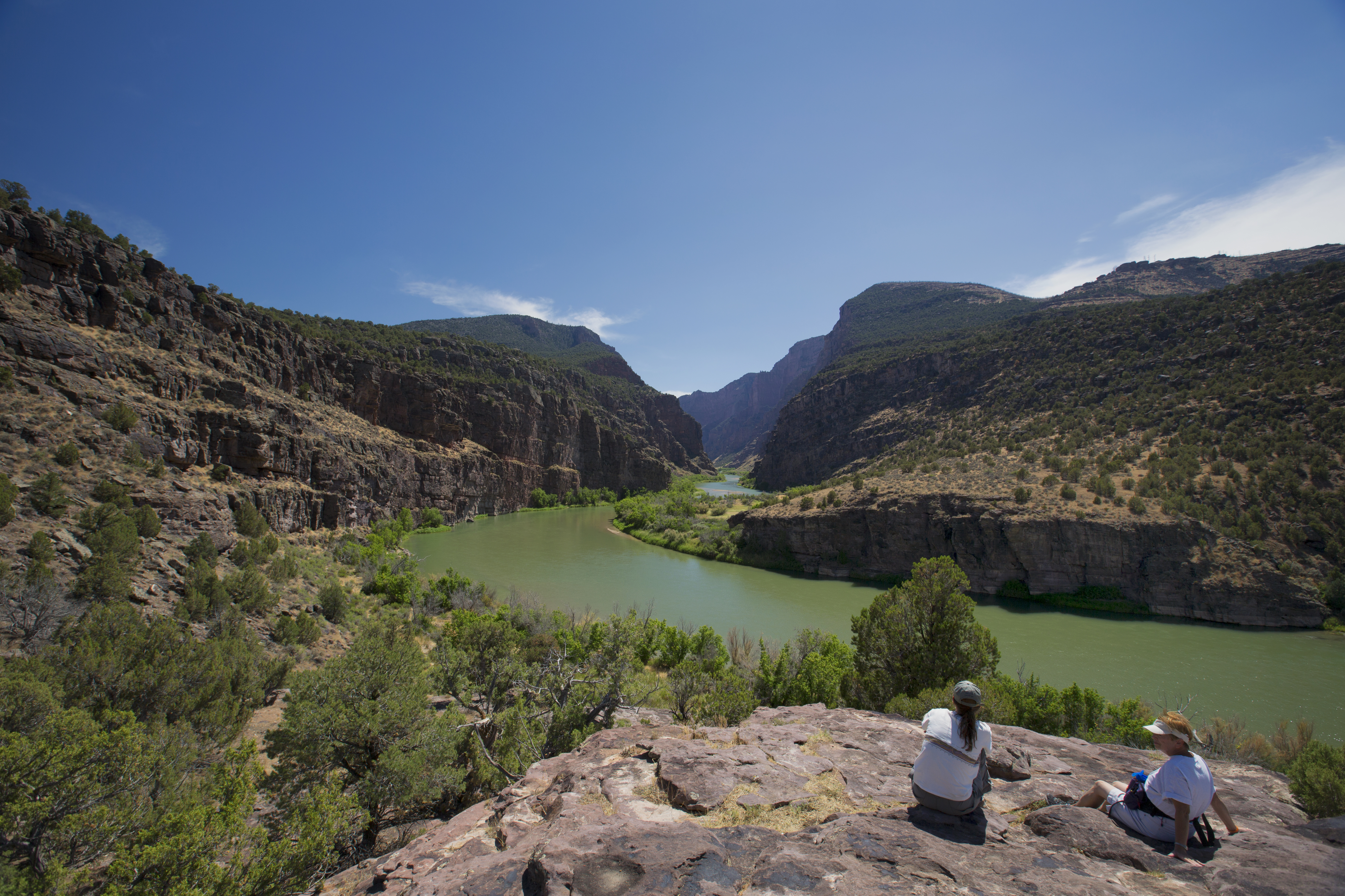
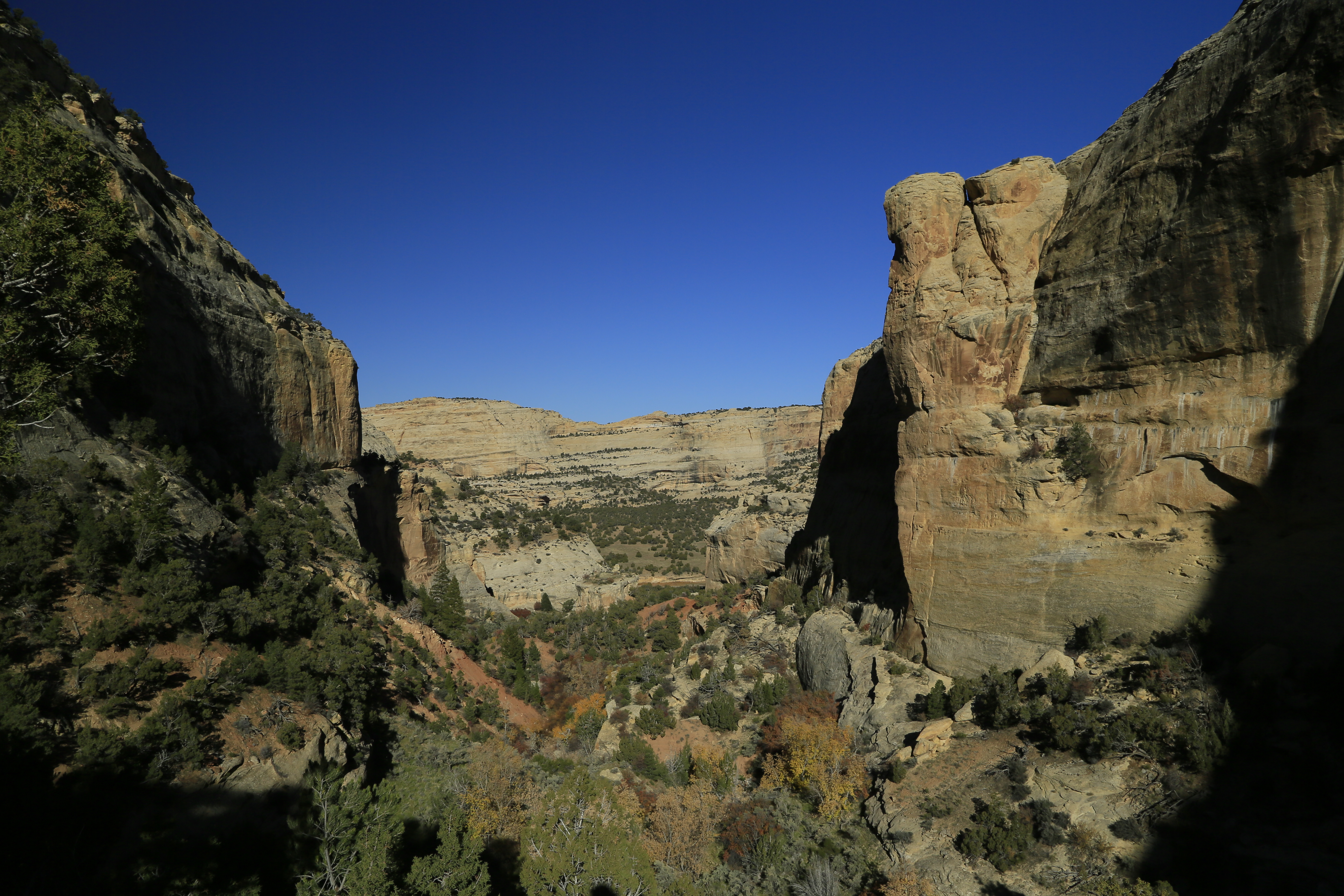
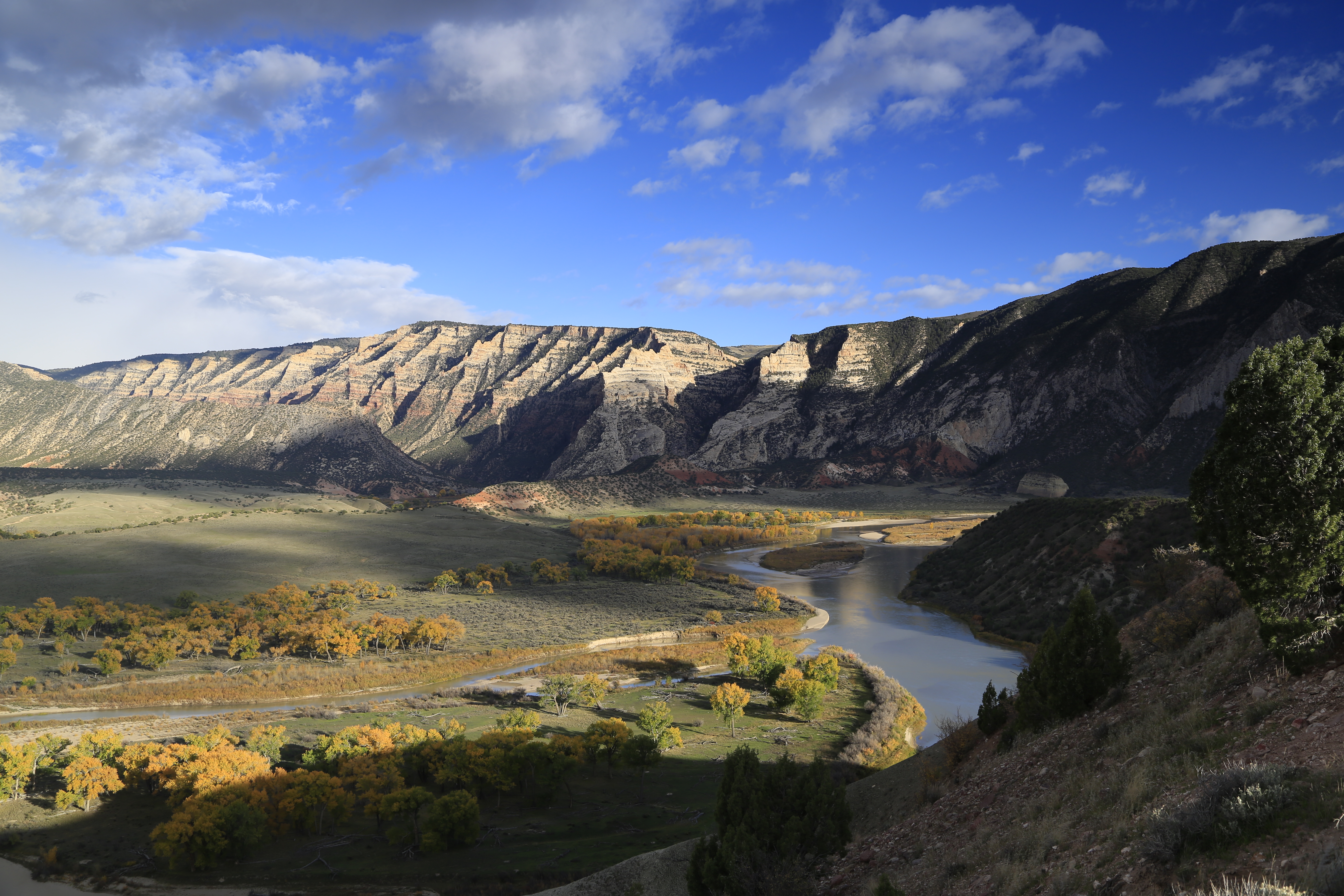
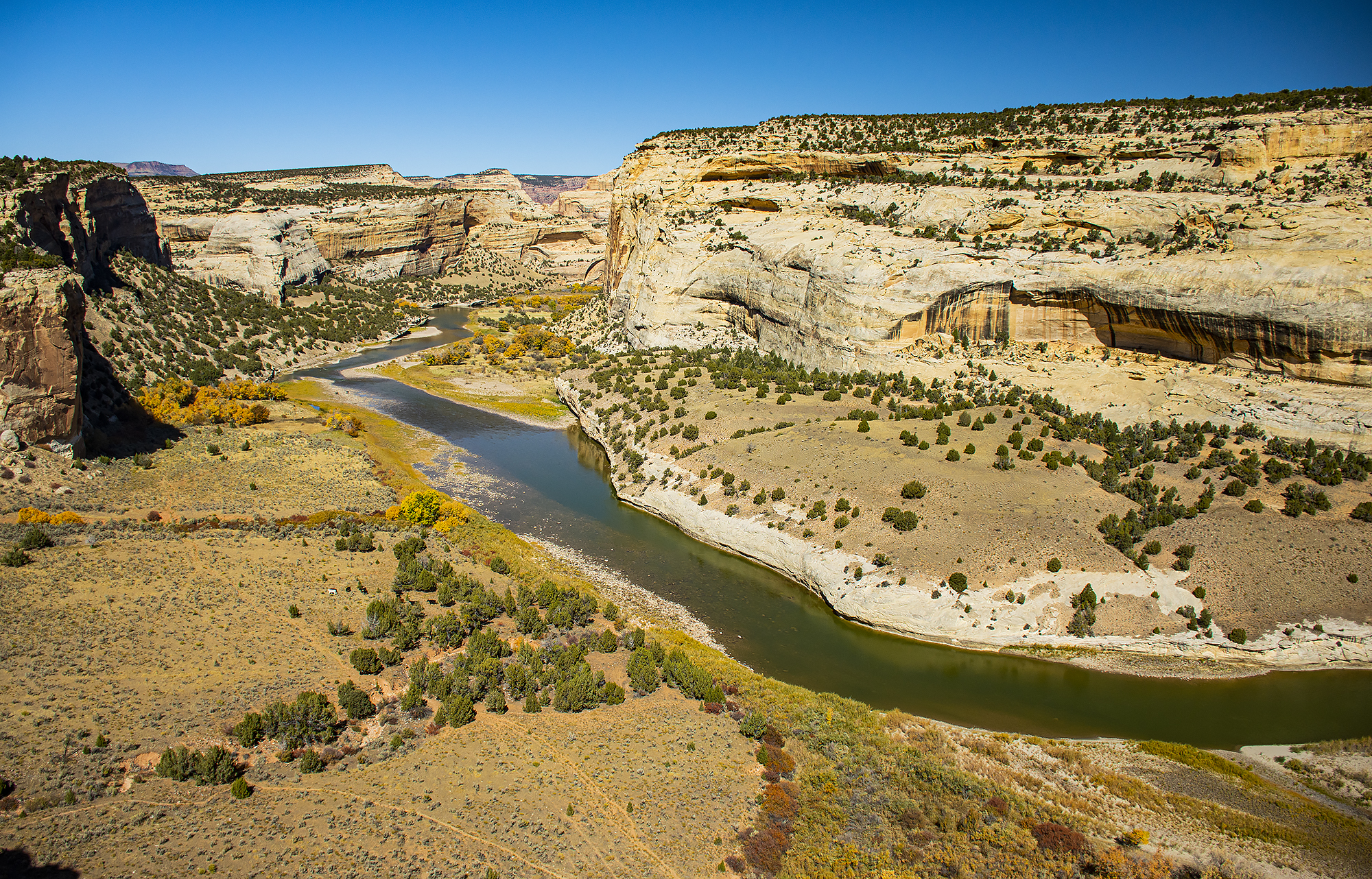
Echo ParkEcho Park is located in the heart of Dinosaur's canyon country. 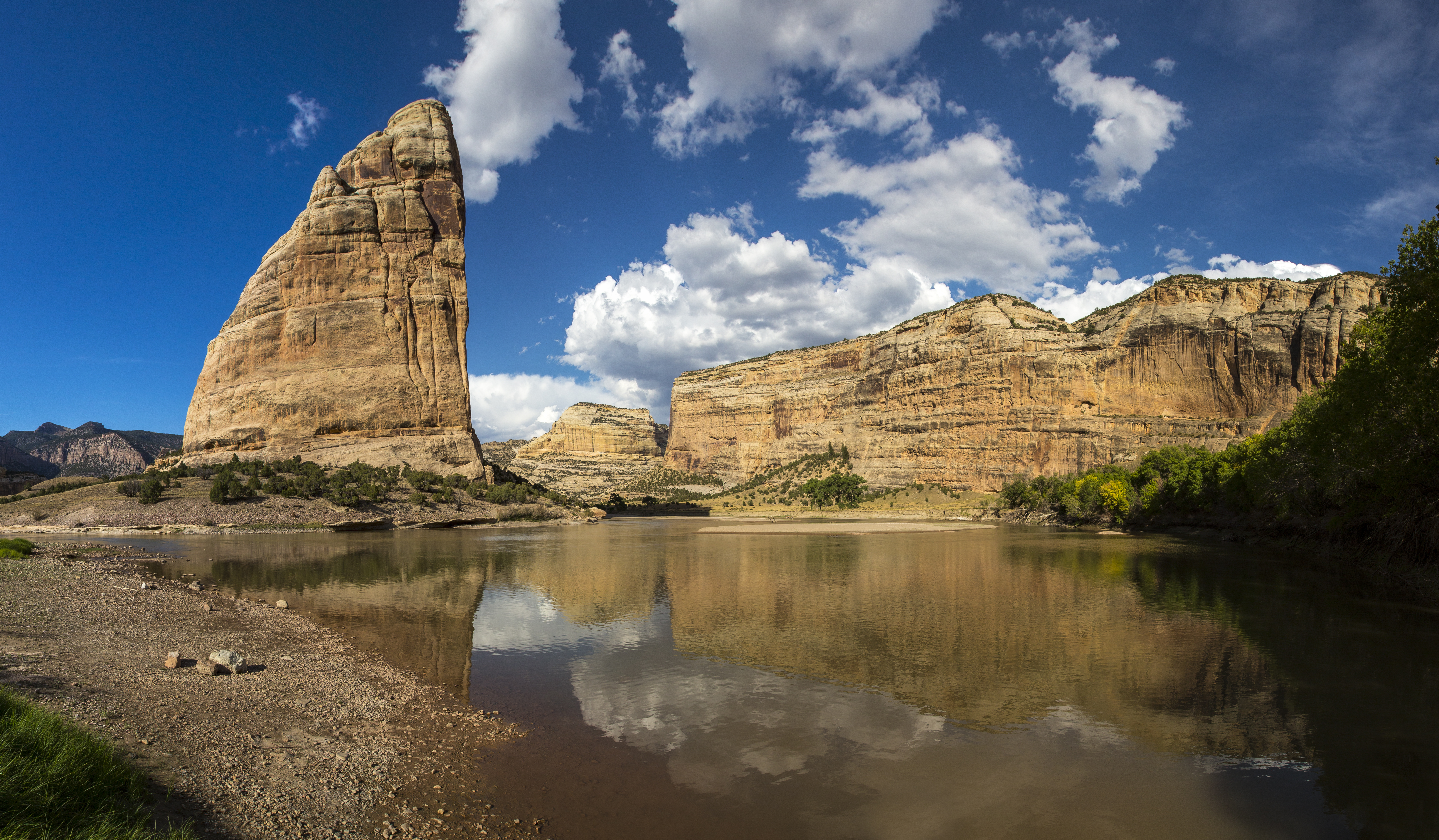
Echo Park OverlookEcho Park Overlook peers across the wild landscapes of Dinosaur National Monument. 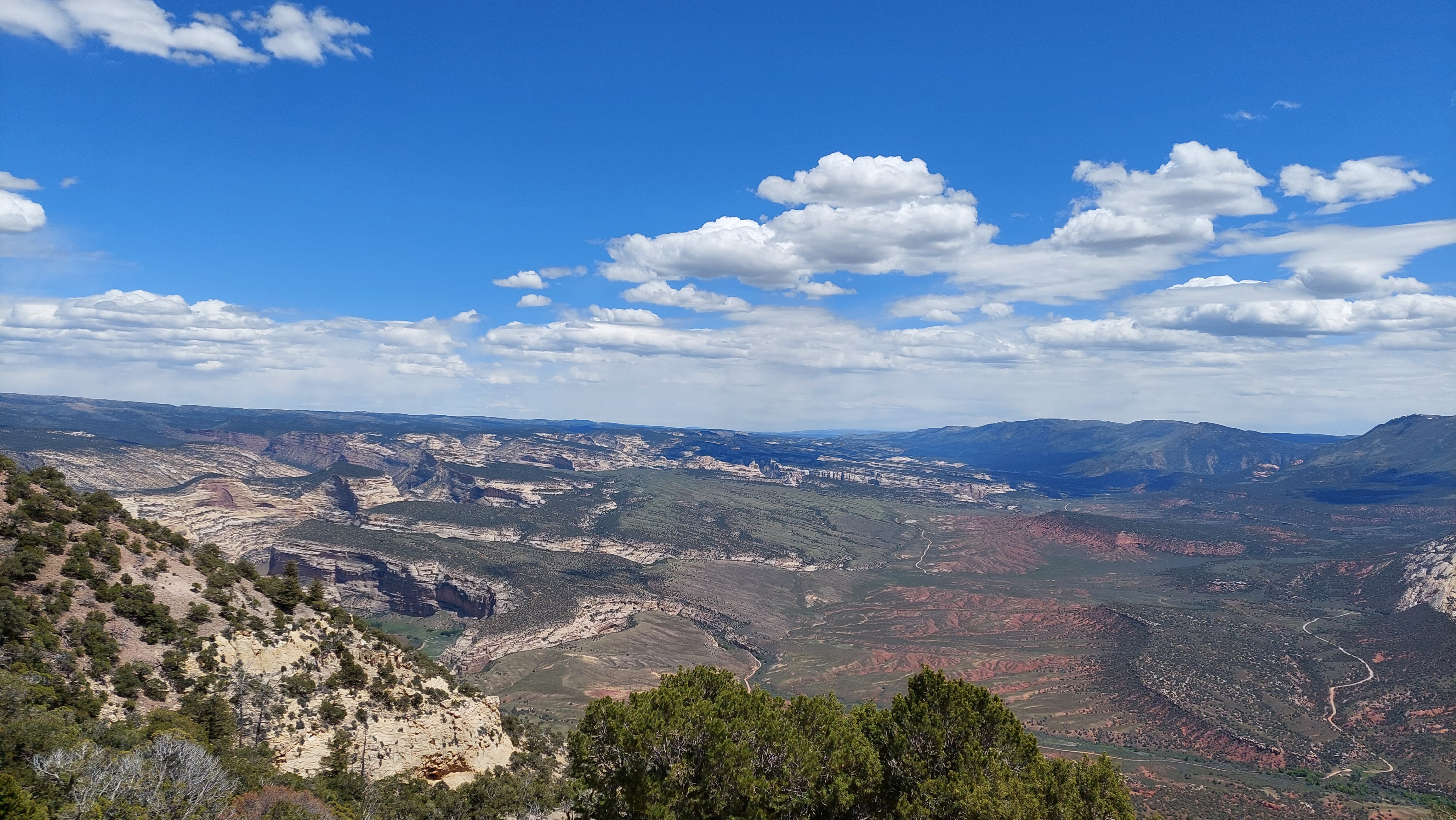
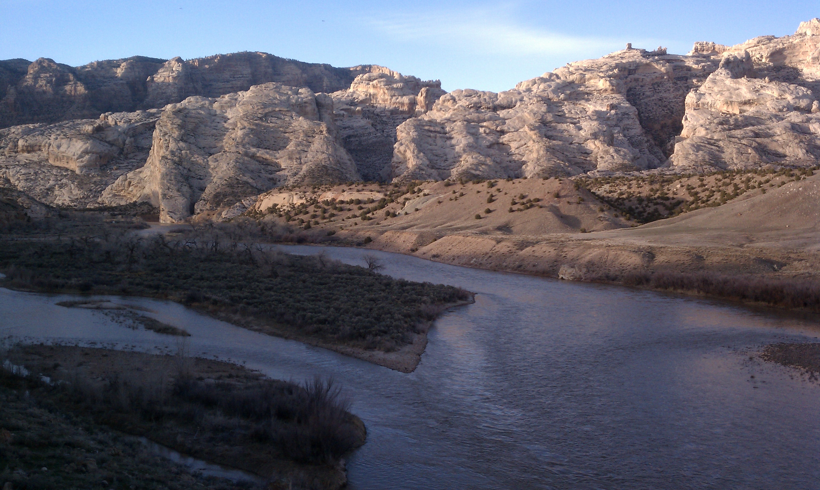
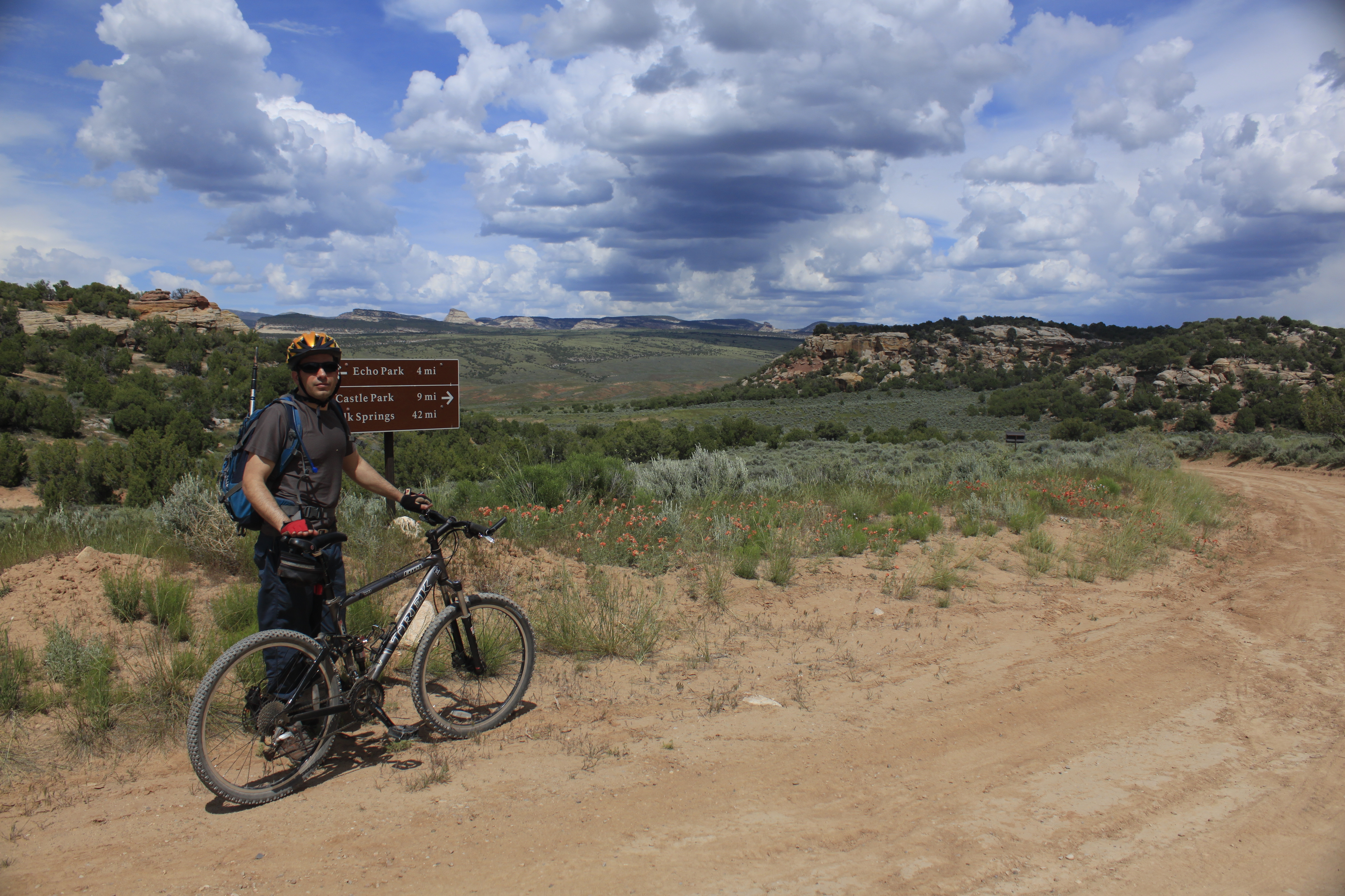
Echo Park RoadAdventure beyond the bones and see the wilder side of Dinosaur National Monument along the Echo Park Road! Due to the rugged terrain, high-clearance four-wheel-drive vehicles are strongly recommended. The road is impassable when wet. 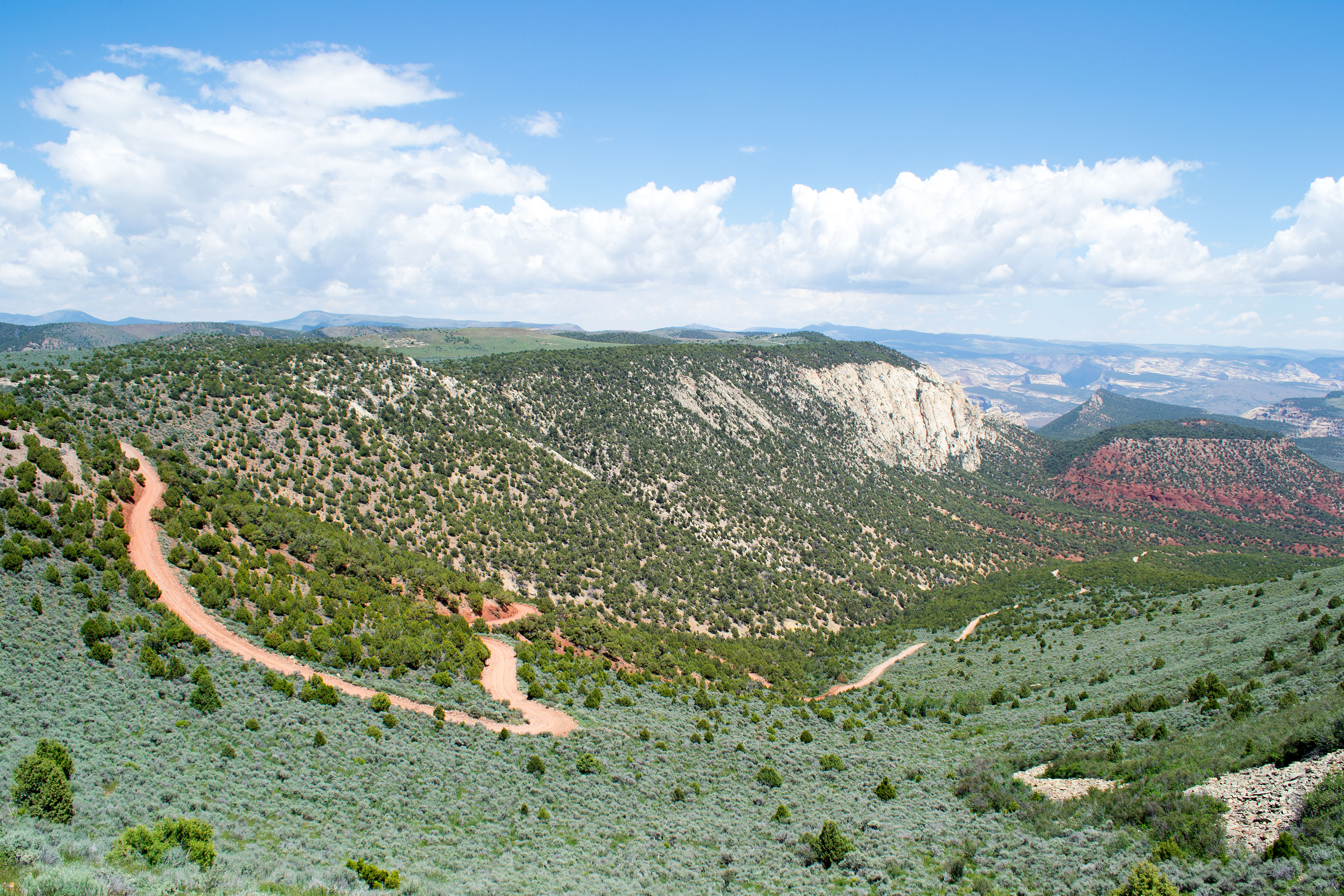
Elephant Toes ButteElephant Toes Butte stands as a unique landmark amongst the Cub Creek area scenery. 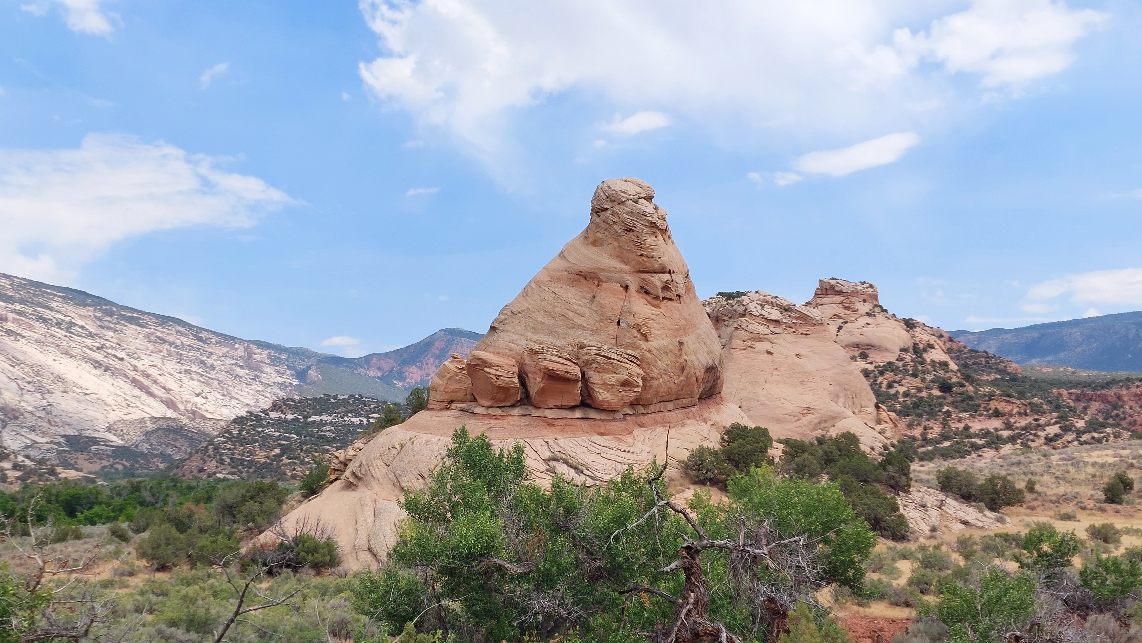
Ely Creek Backcountry CampsiteWhether you're a new backpacker or a seasoned one, the Ely Creek Backcountry Campsite along Jones Hole Trail offers excellent primitive amenities in a beautiful area. Permits and reservations required! 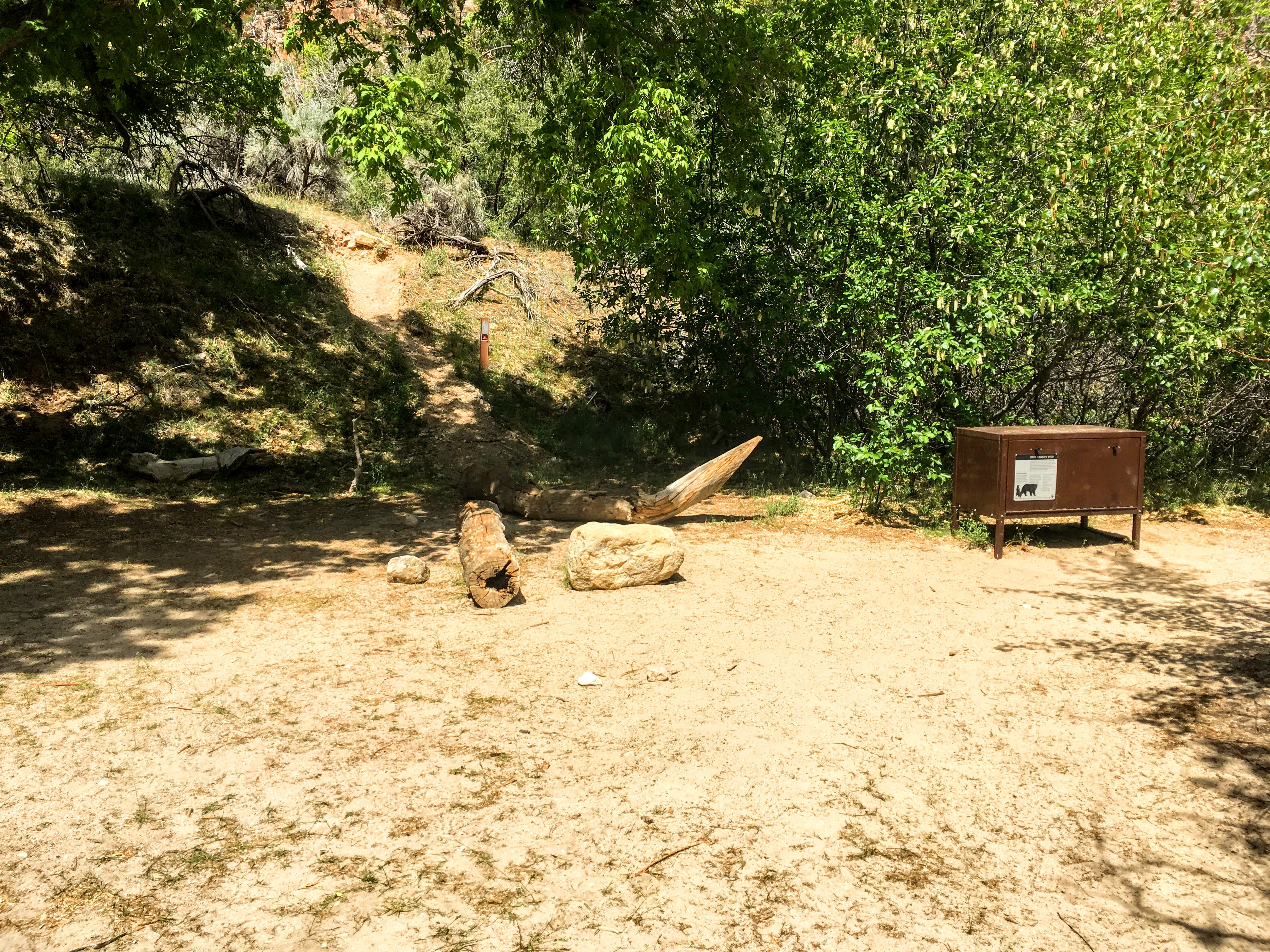
Ely Creek FallsThe tiny, but beautiful Ely Creek Falls site offers a cool place to rest along the Jones Hole Trail in Dinosaur National Monument. 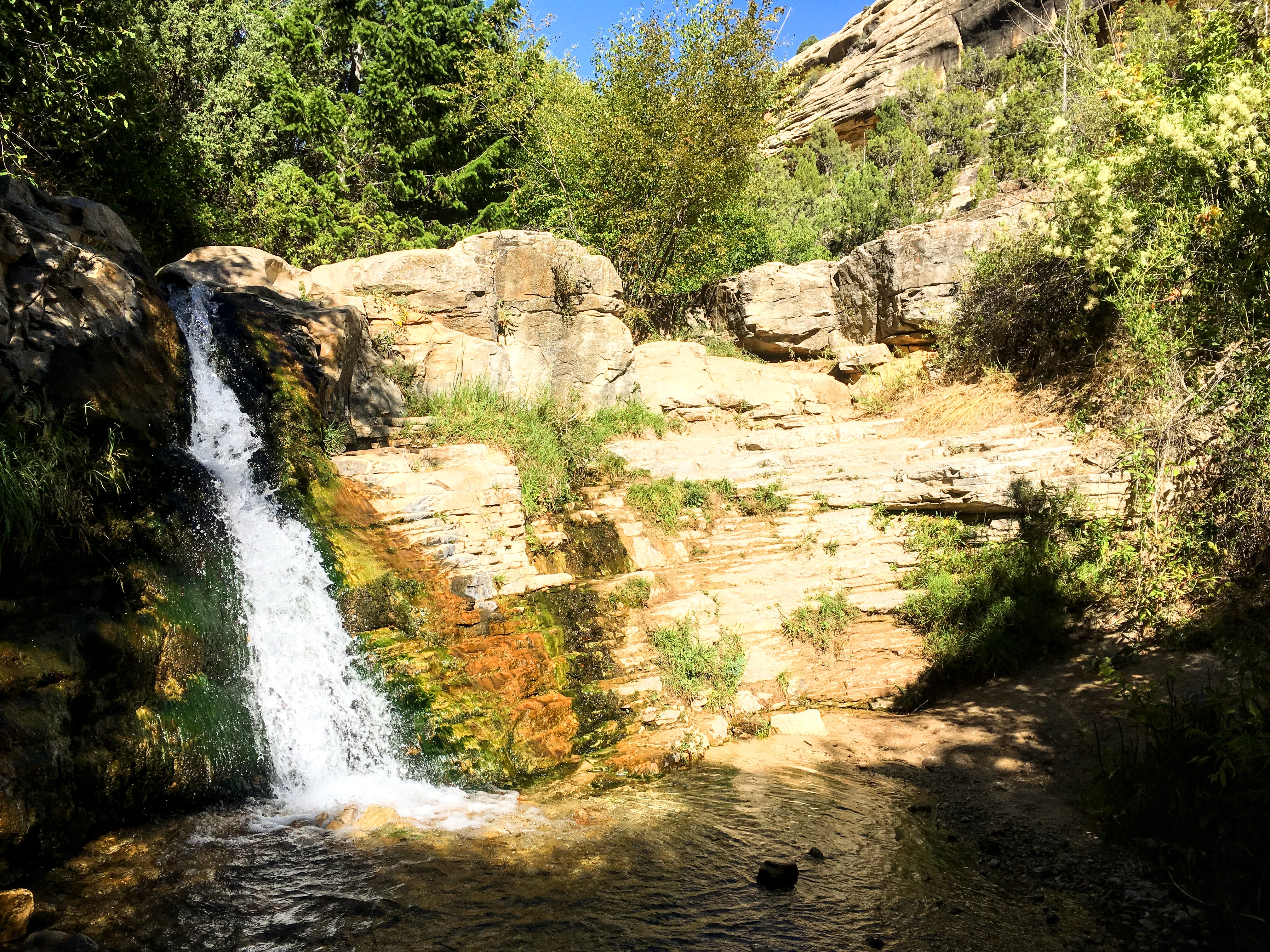
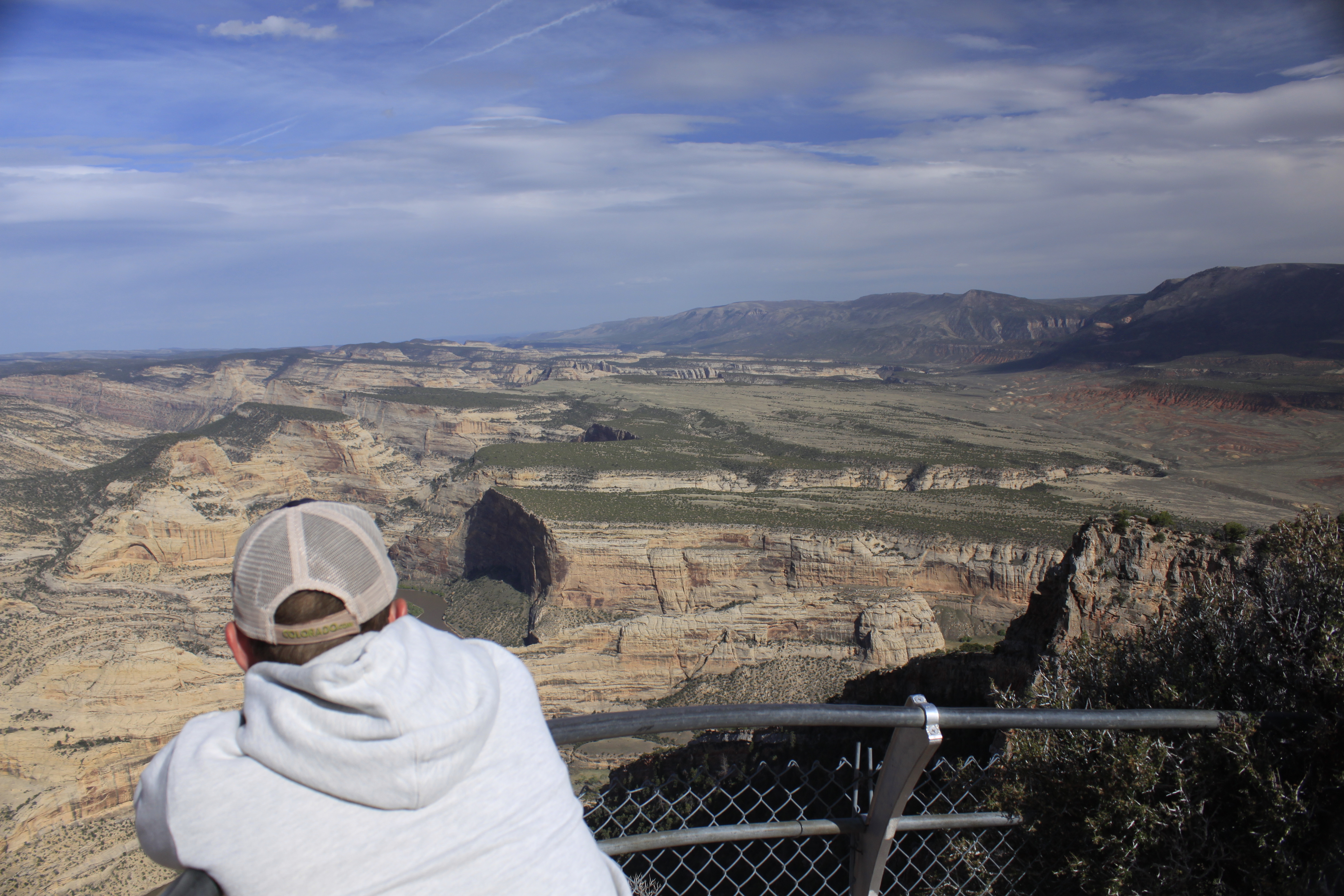
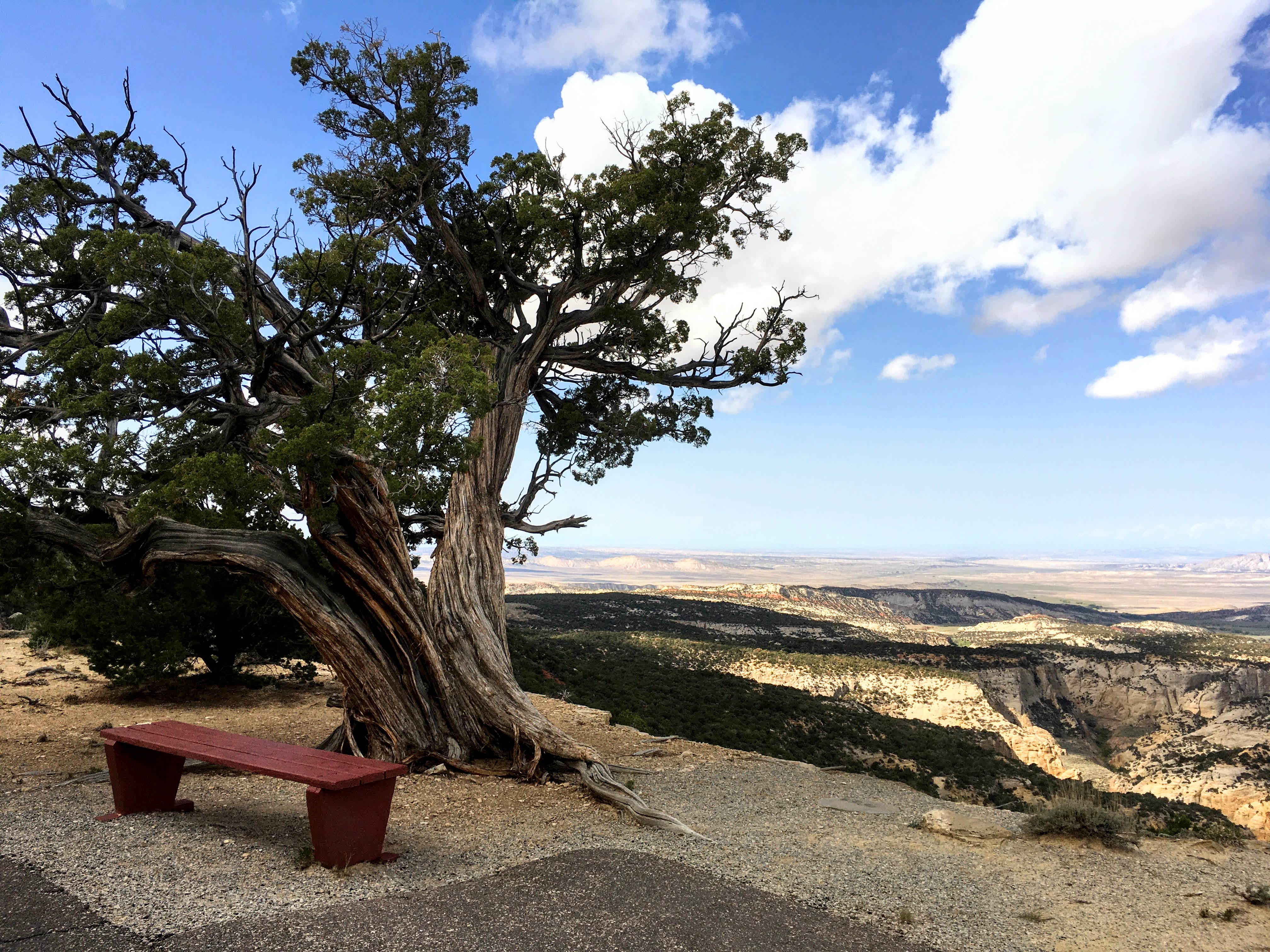
Escalante OverlookOn clear days, the Escalante Overlook offers excellent views of the Uinta Basin from the Harpers Corner Road. 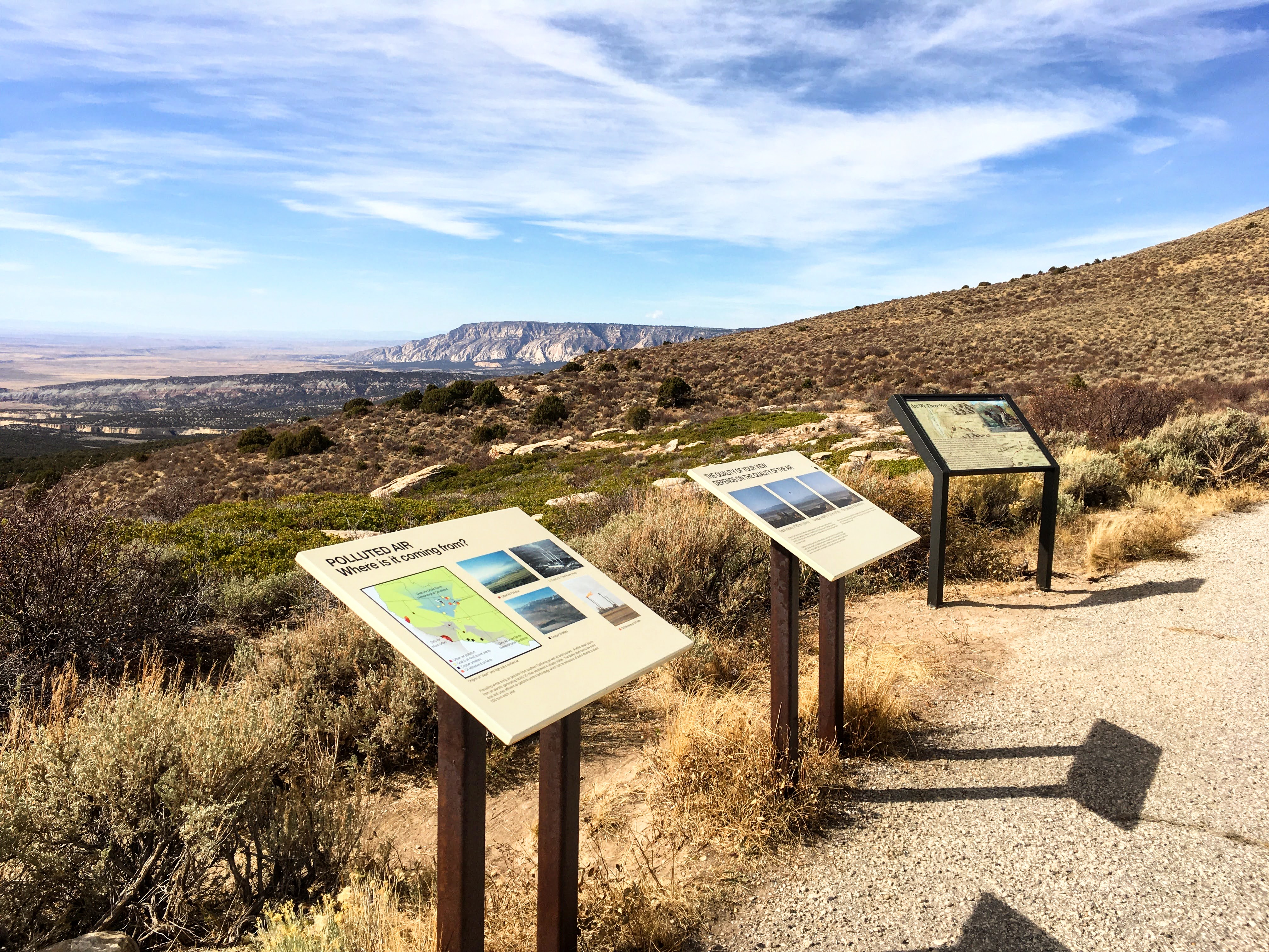
Fossil Discovery Trail - Quarry Hall TrailheadThe Fossil Discovery Trail is an easy hike just down the road from the Quarry Exhibit Hall. 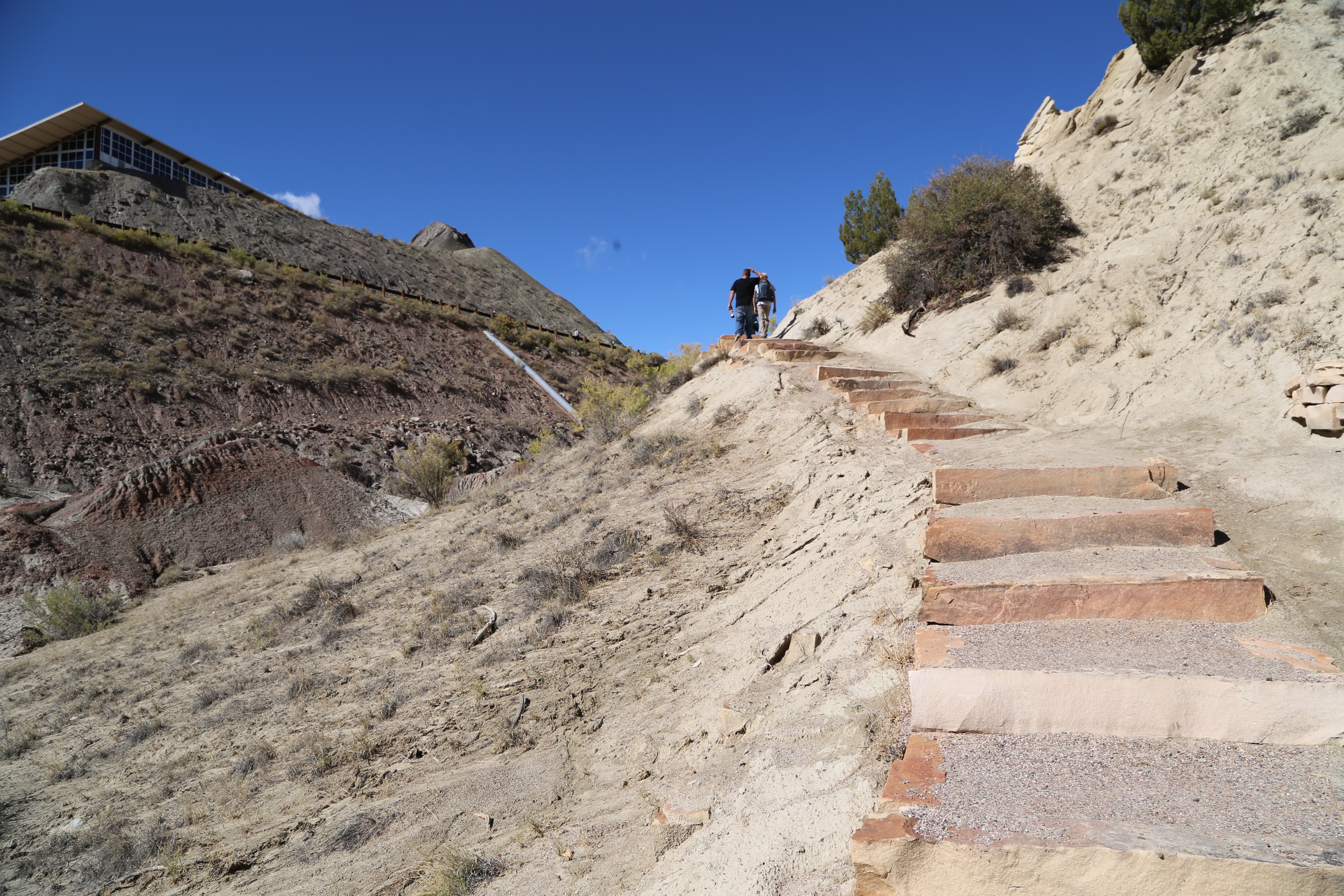
Fossil Discovery Trail - Visitor Center TrailheadThe Fossil Discovery Trail is readily accessible from both the Quarry Visitor Center and the Quarry Exhibit Hall. 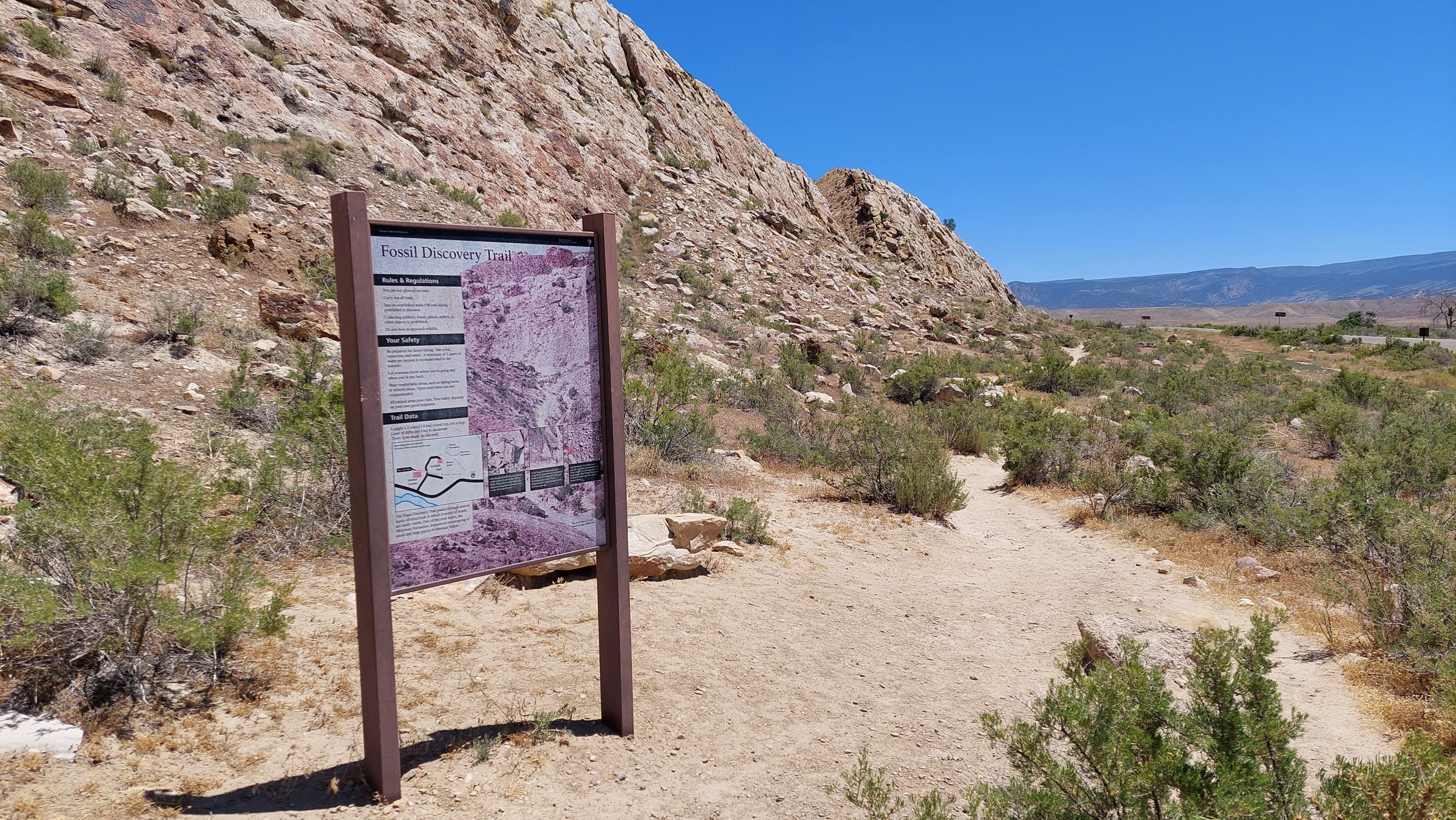
Fossil Discovery Trail Petroglyphs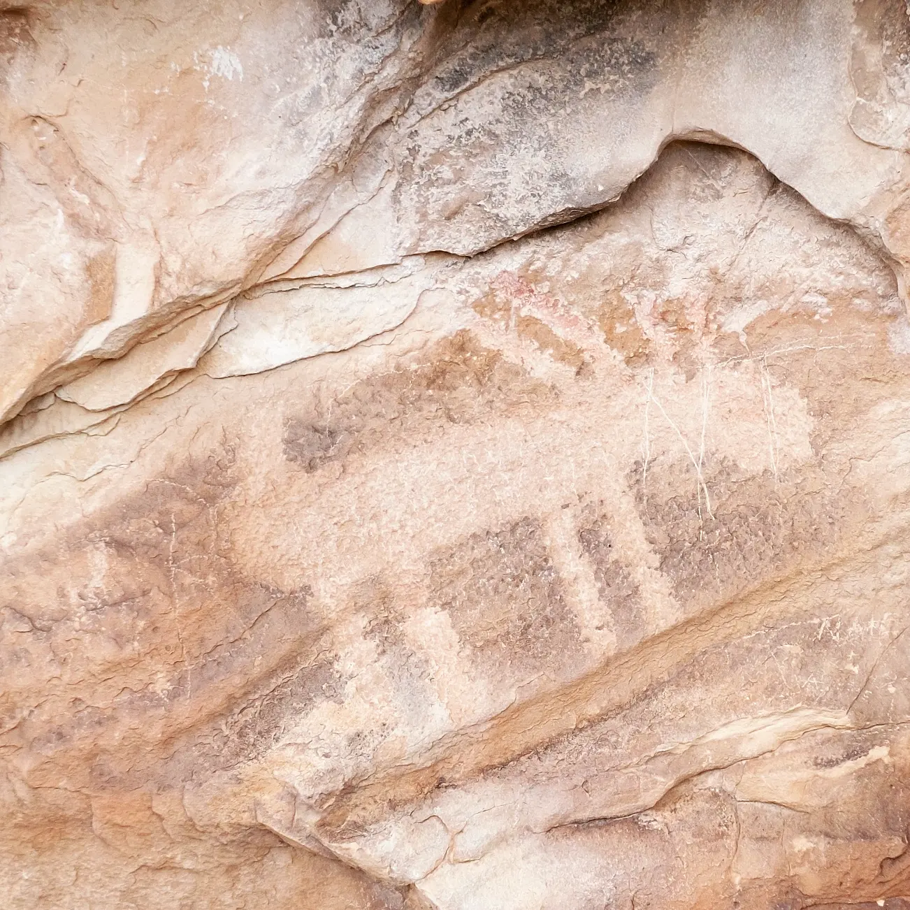
Gates of Lodore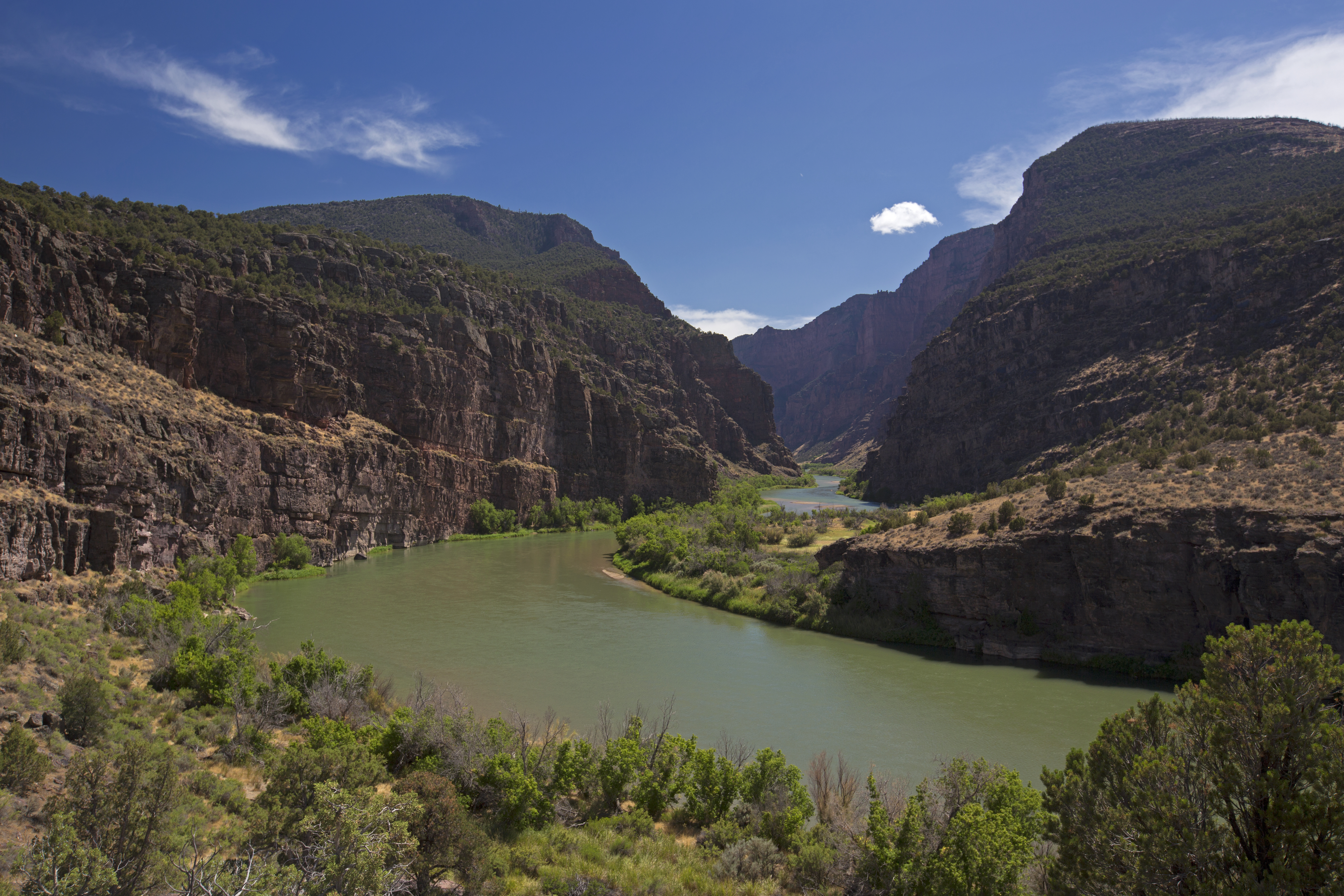
Gates of Lodore TrailThe Gates of Lodore trail takes hikers to the grandeur of the entrance to Lodore Canyon. 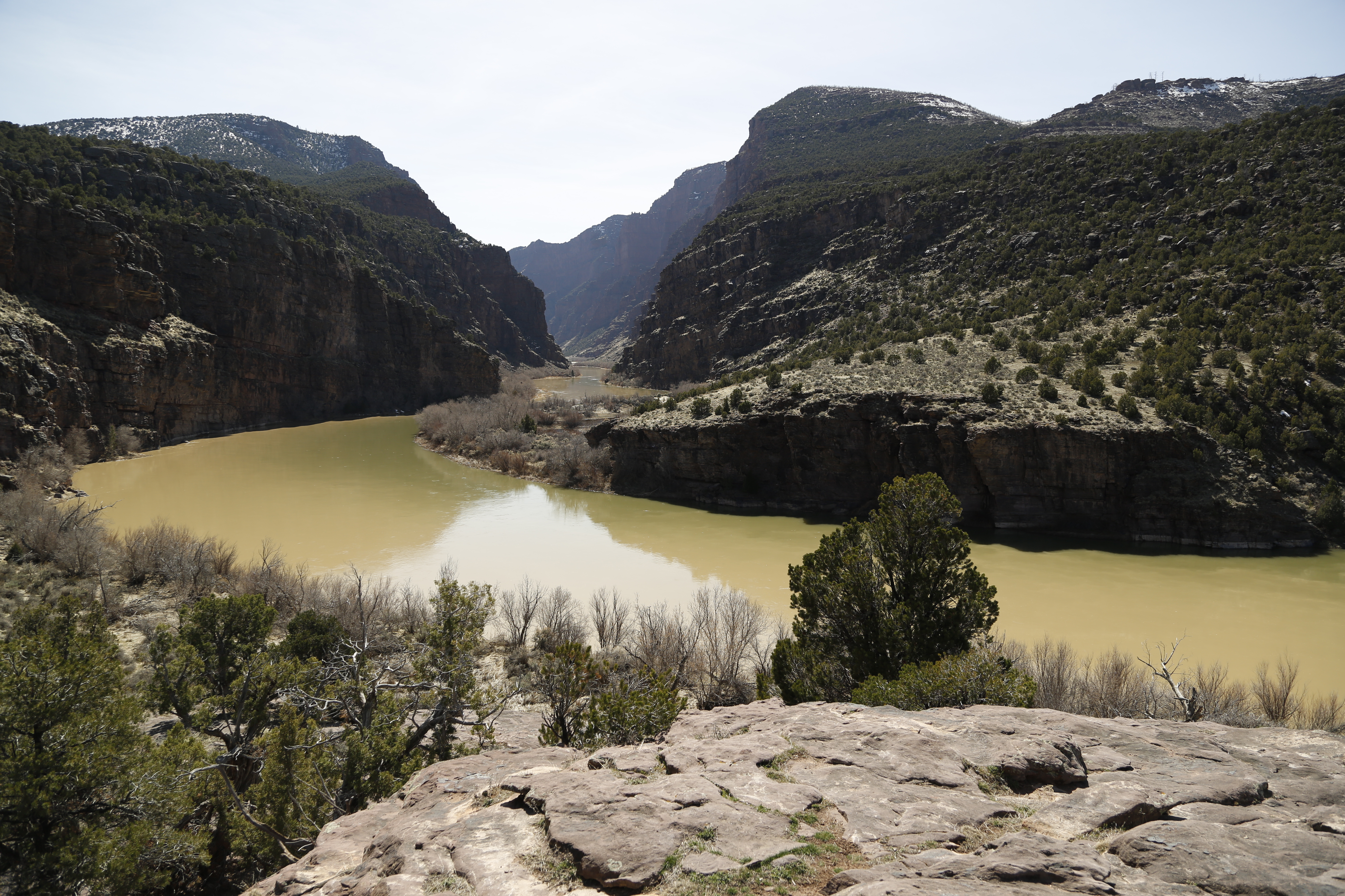
Gates of Lodore Trail Stop 1
Gates of Lodore Trail Stop 10
Gates of Lodore Trail Stop 11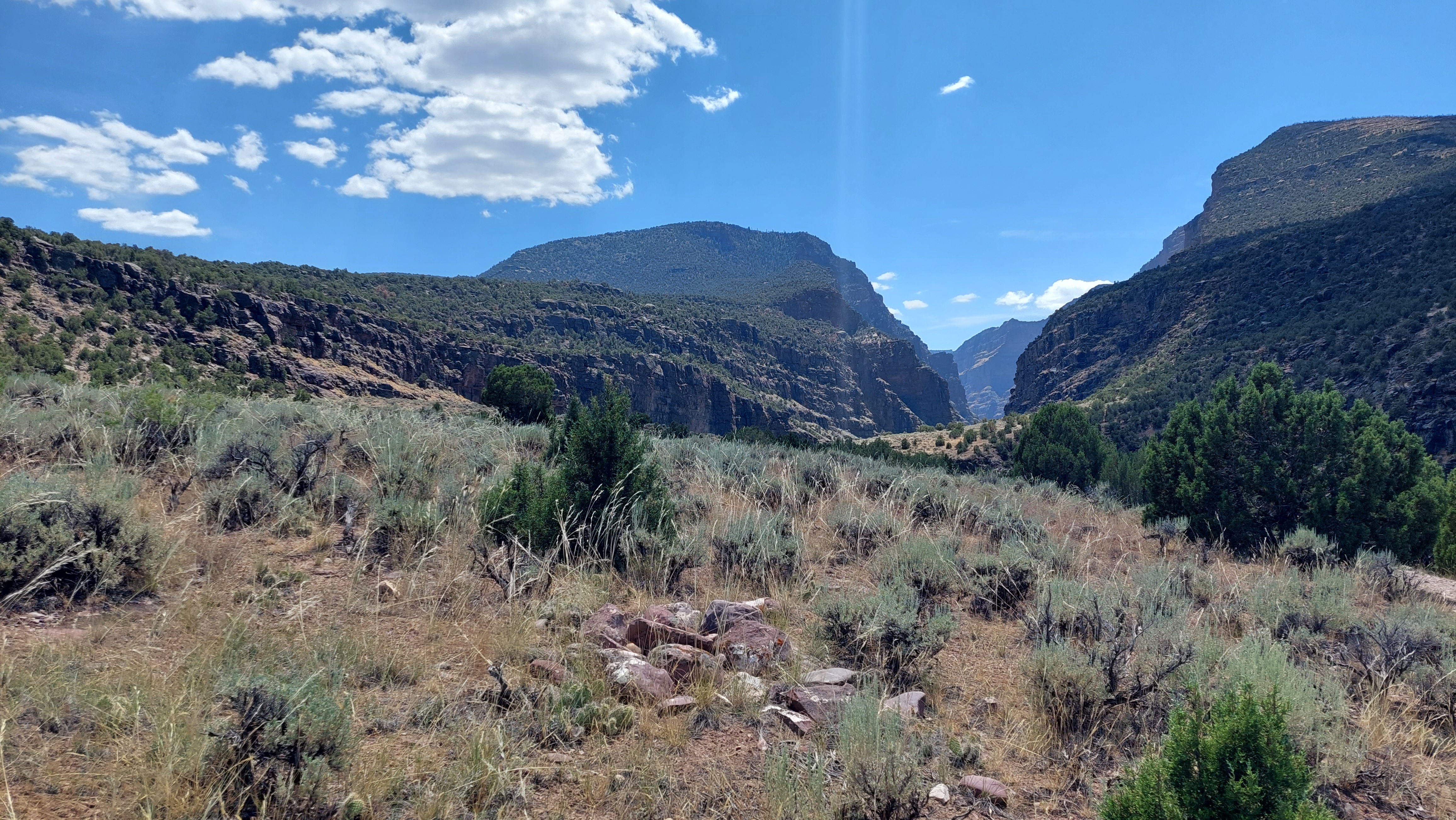
Gates of Lodore Trail Stop 12
Gates of Lodore Trail Stop 13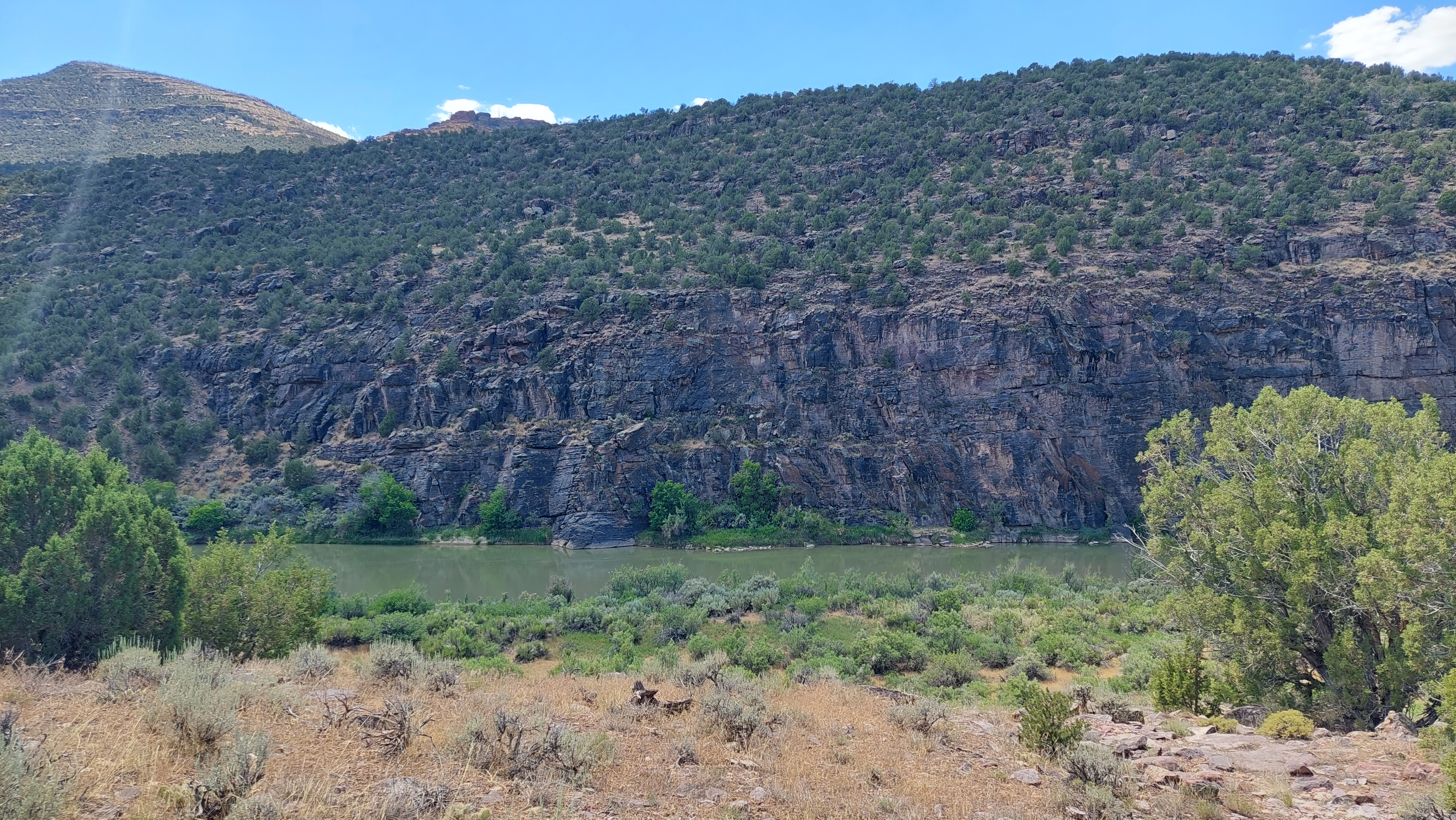
Gates of Lodore Trail Stop 14
Gates of Lodore Trail Stop 15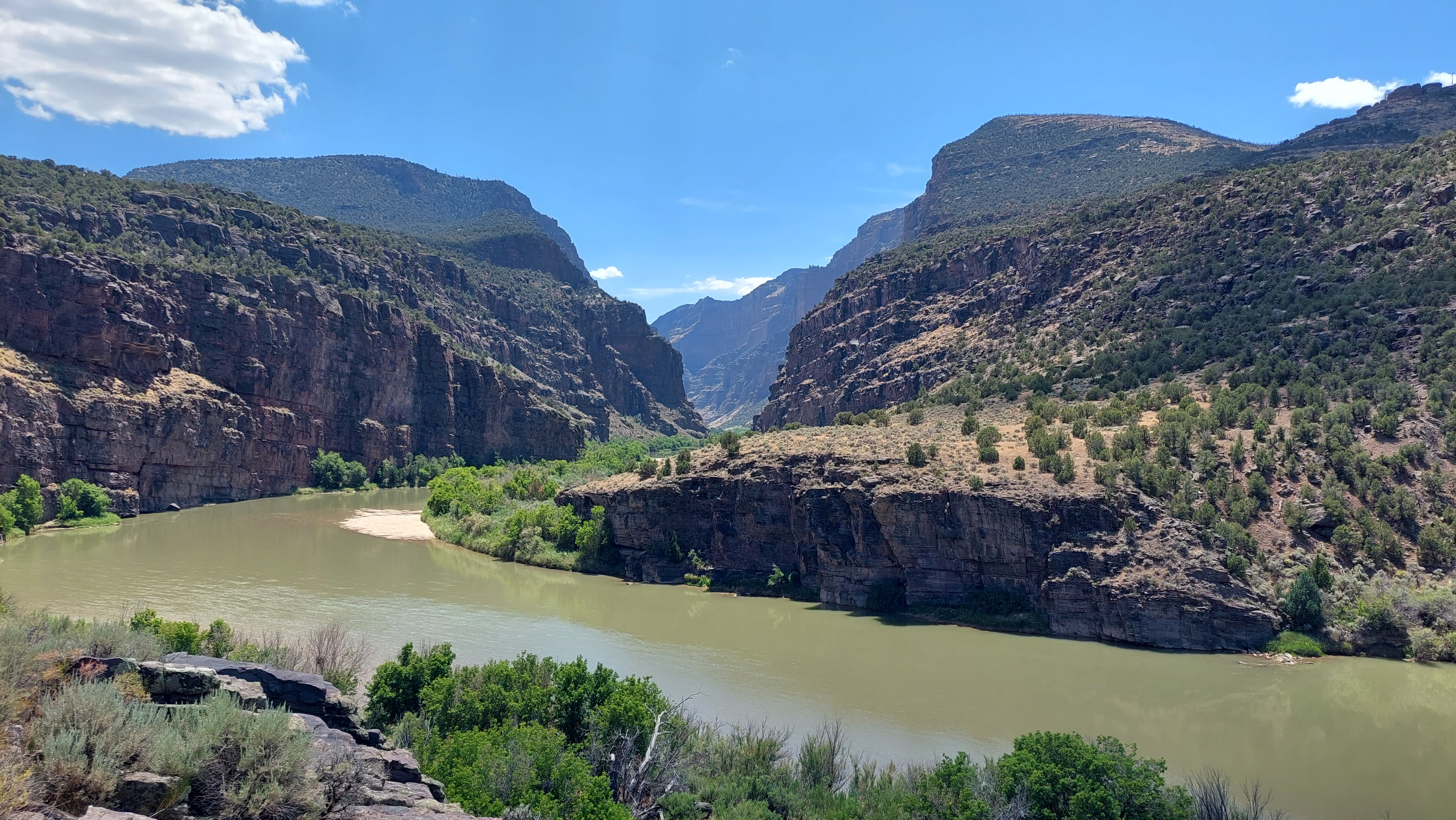
Gates of Lodore Trail Stop 16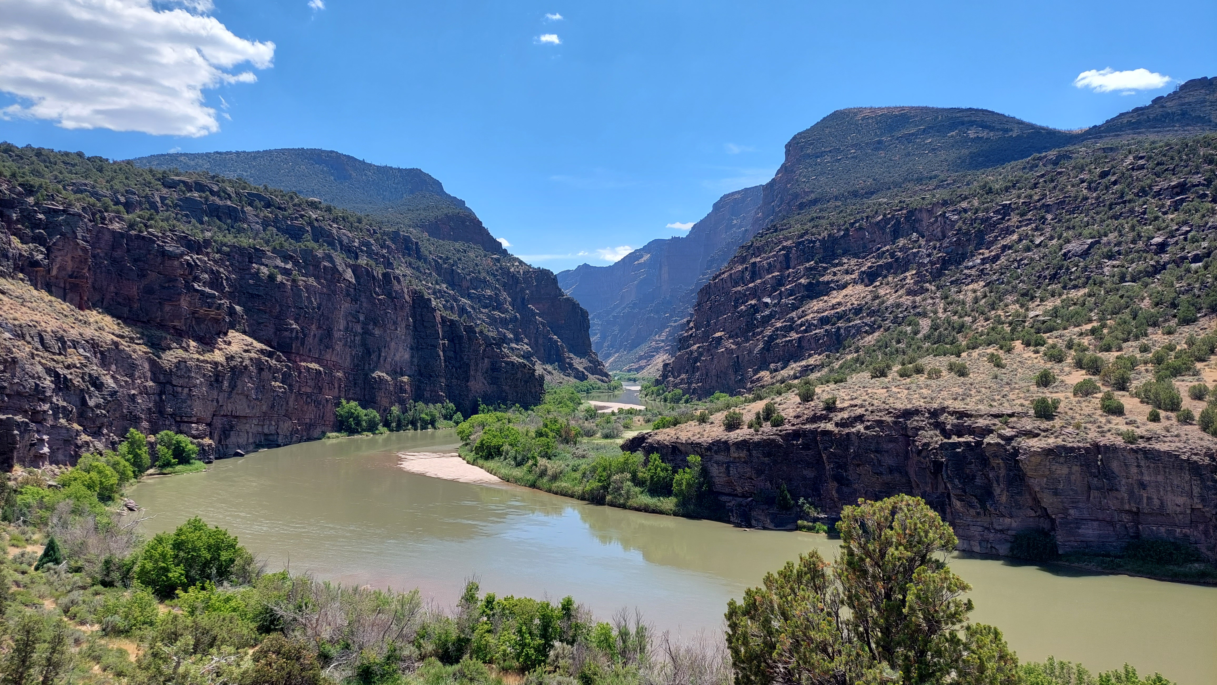
Gates of Lodore Trail Stop 2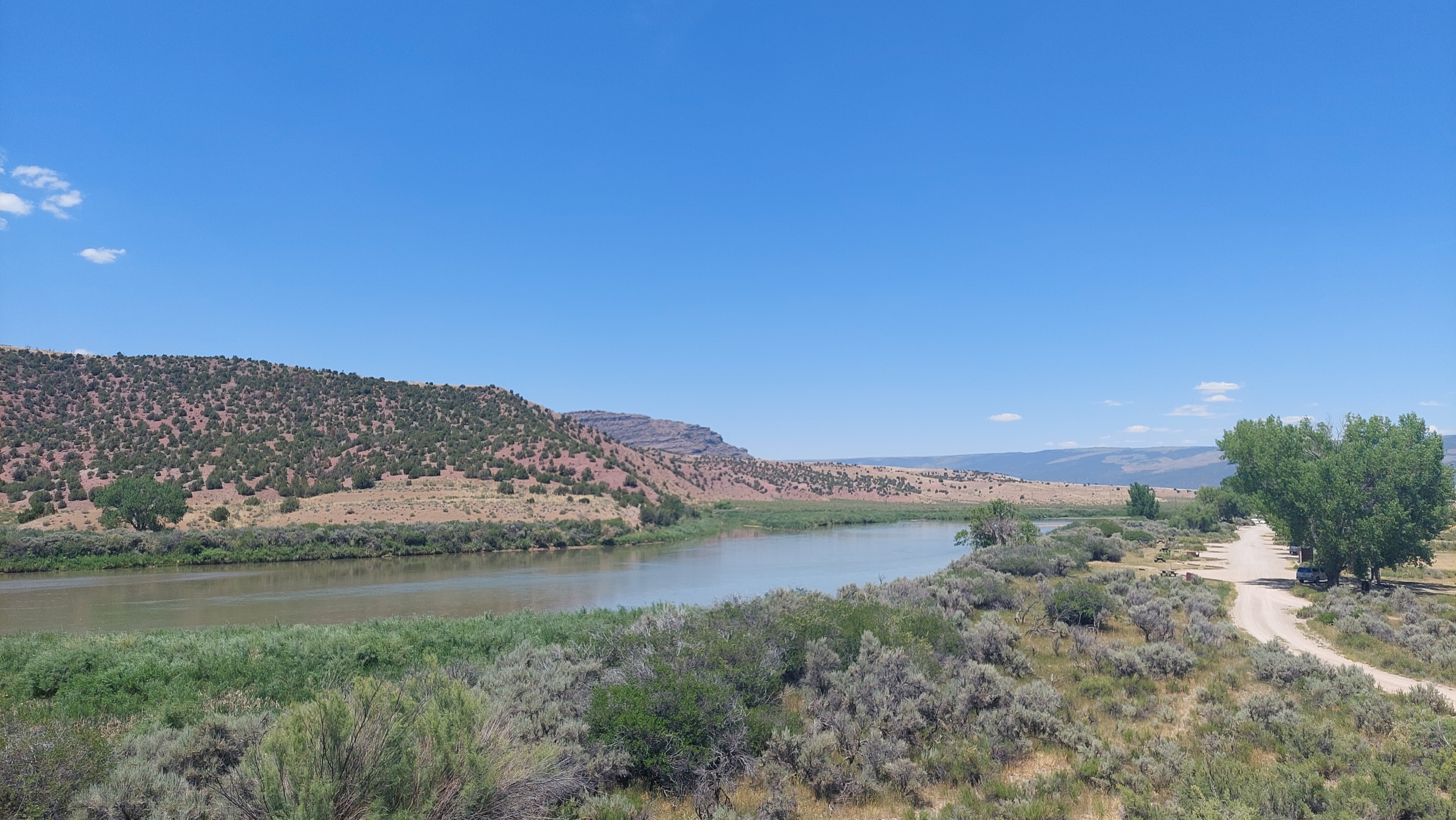
Gates of Lodore Trail Stop 3
Gates of Lodore Trail Stop 4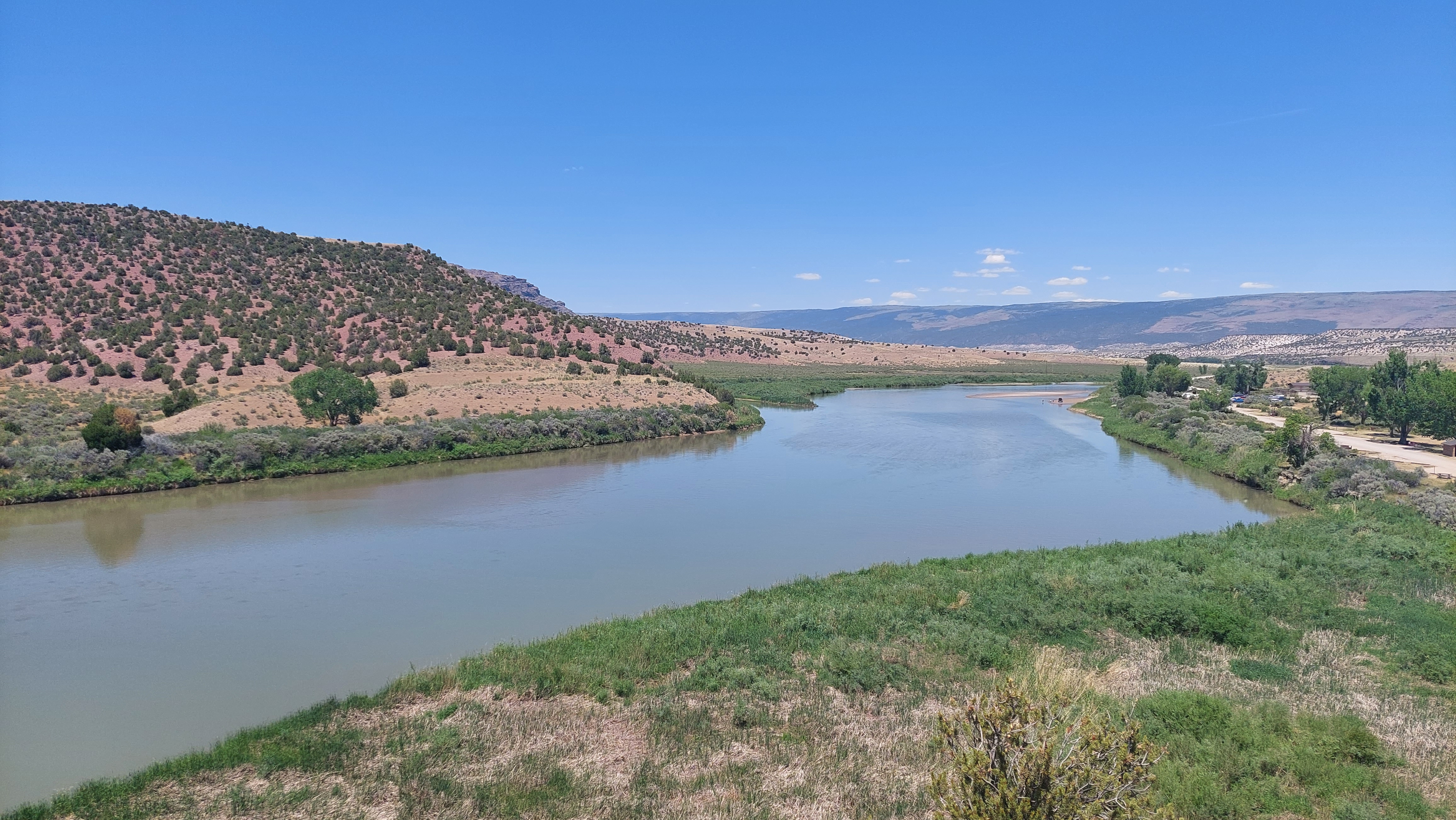
Gates of Lodore Trail Stop 5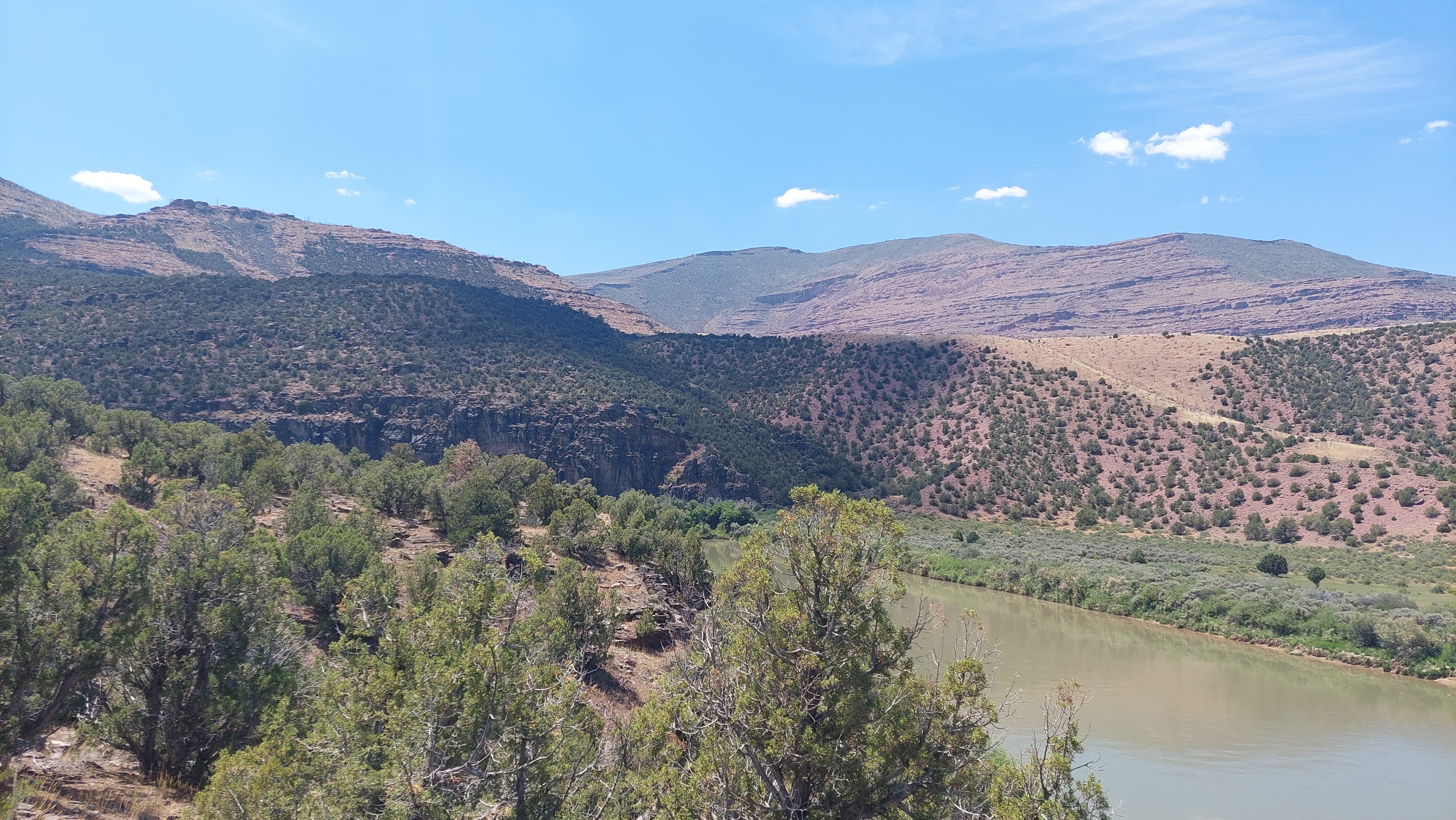
Gates of Lodore Trail Stop 6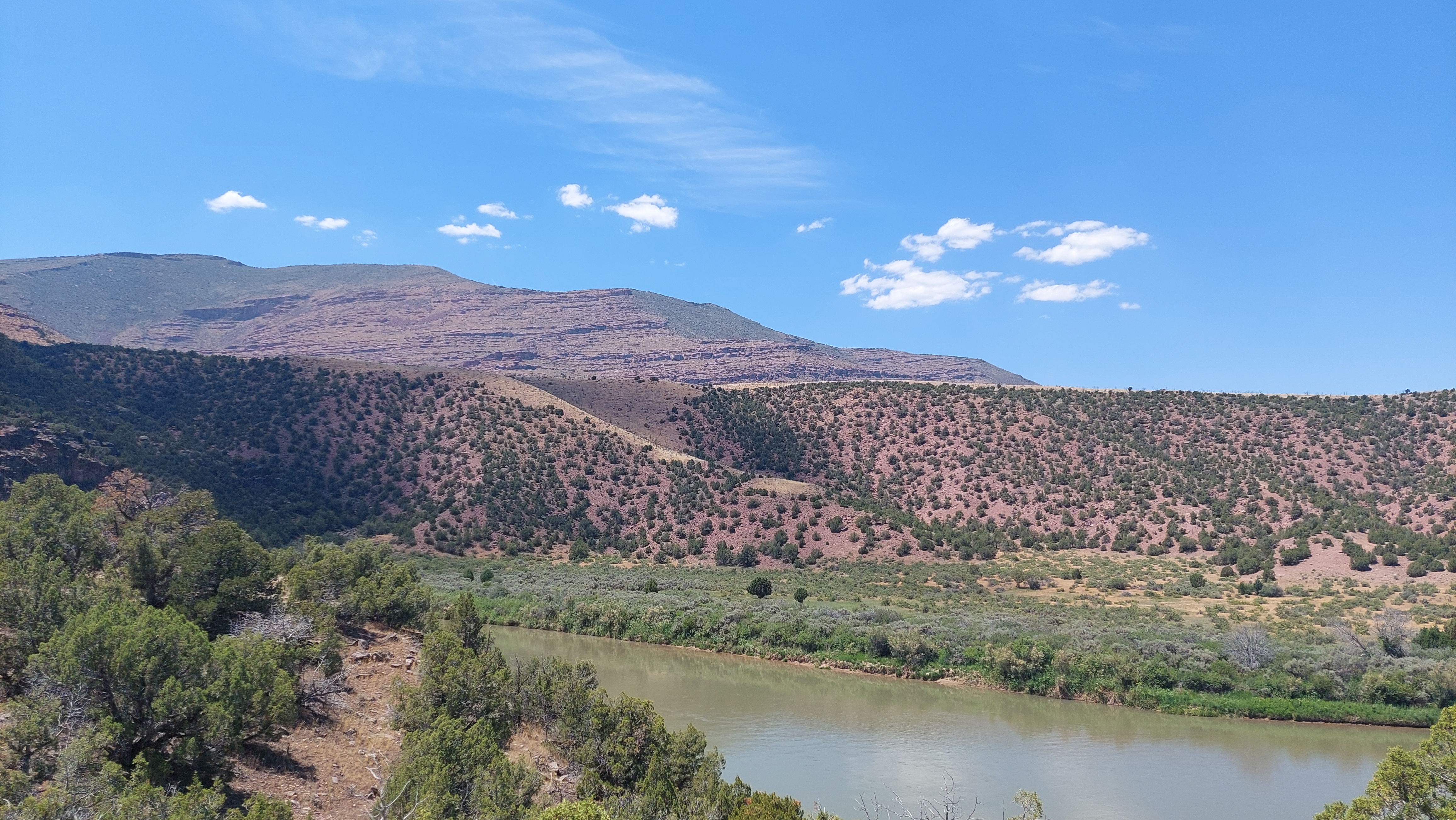
Gates of Lodore Trail Stop 7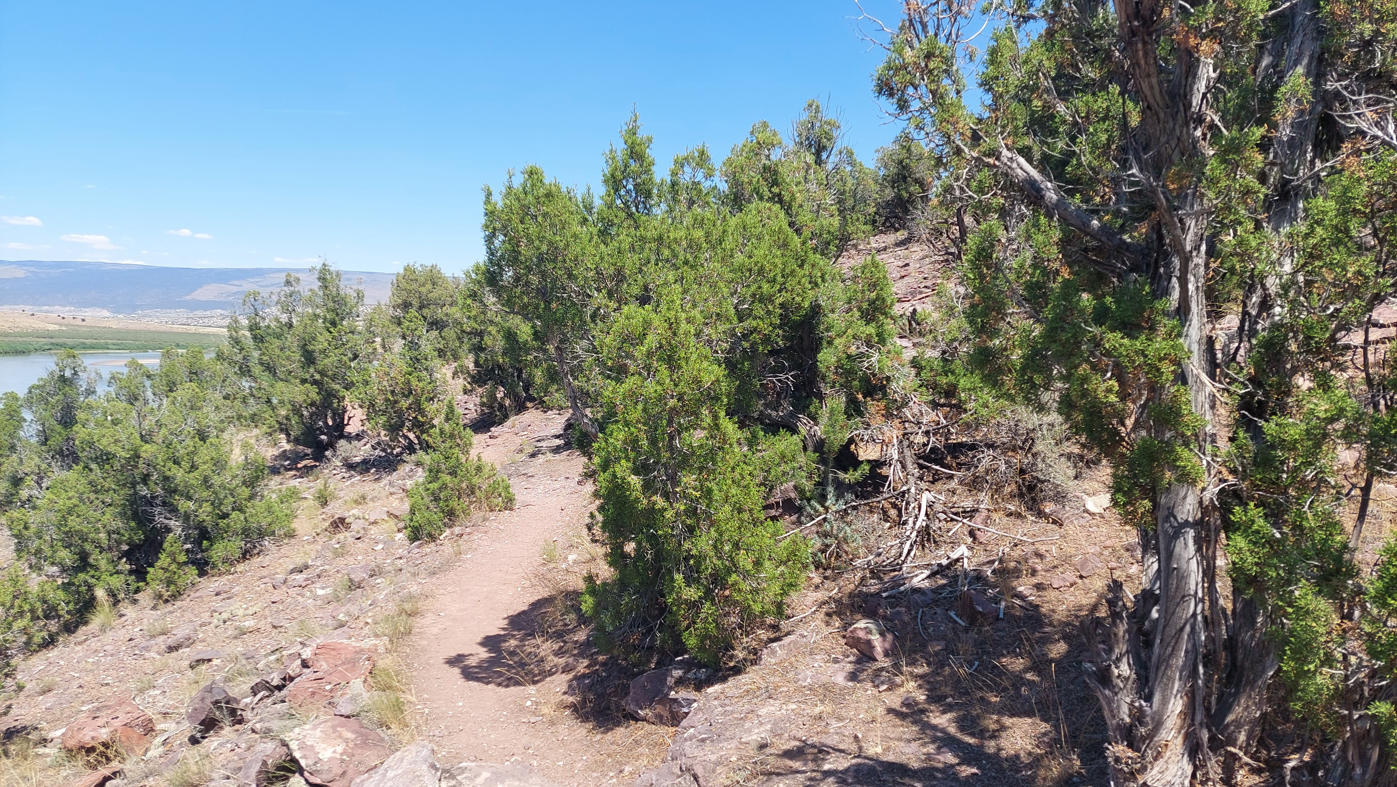
Gates of Lodore Trail Stop 8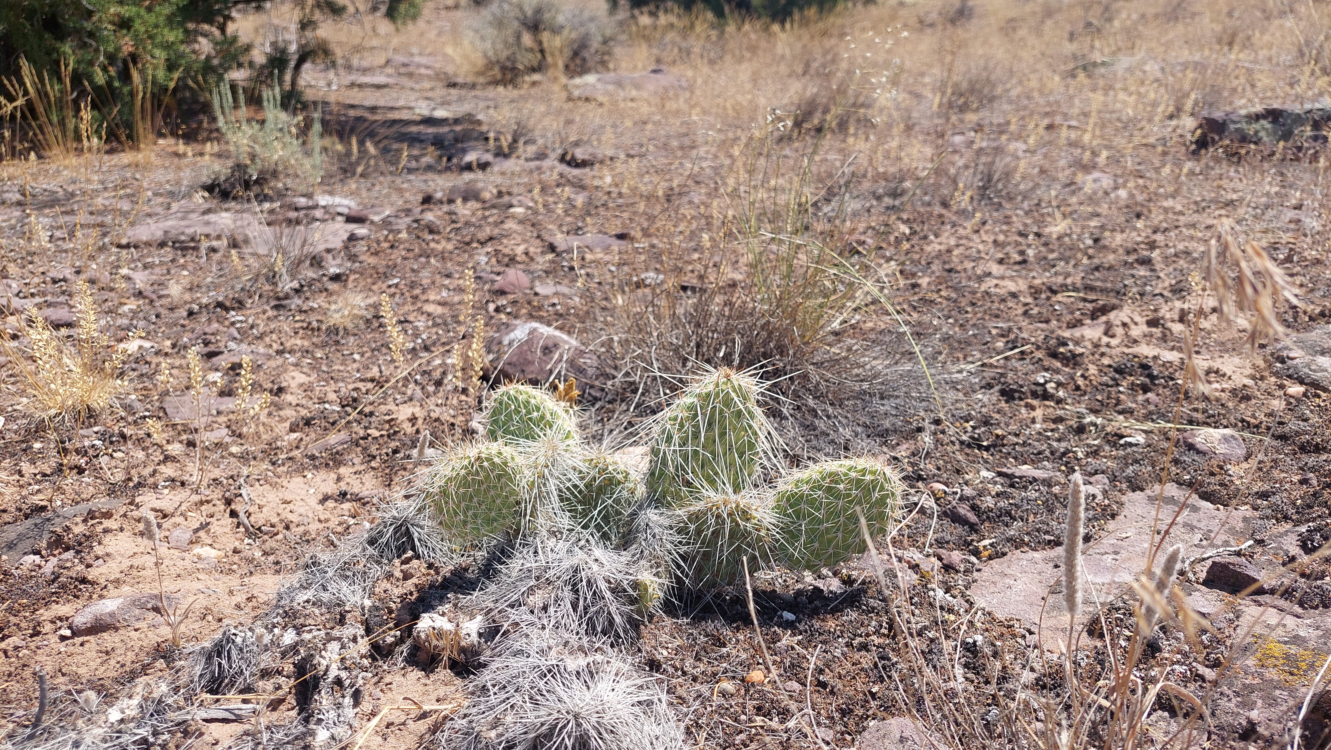
Gates of Lodore Trail Stop 9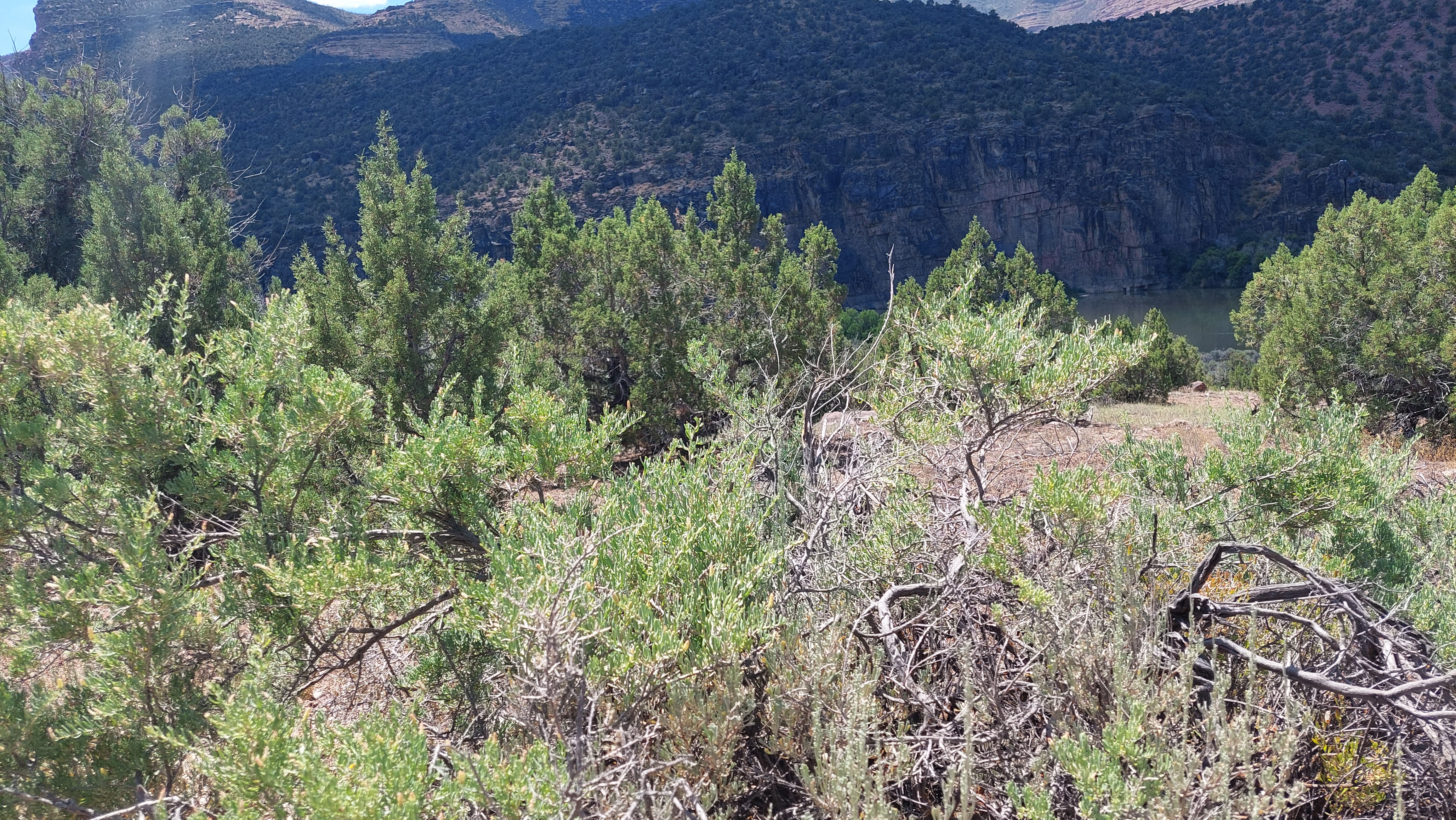
Green River Scenic OverlookThe Cub Creek Valley Overlook sits above the Green River Campground off the main road providing a panoramic view of the surrounding landscape. 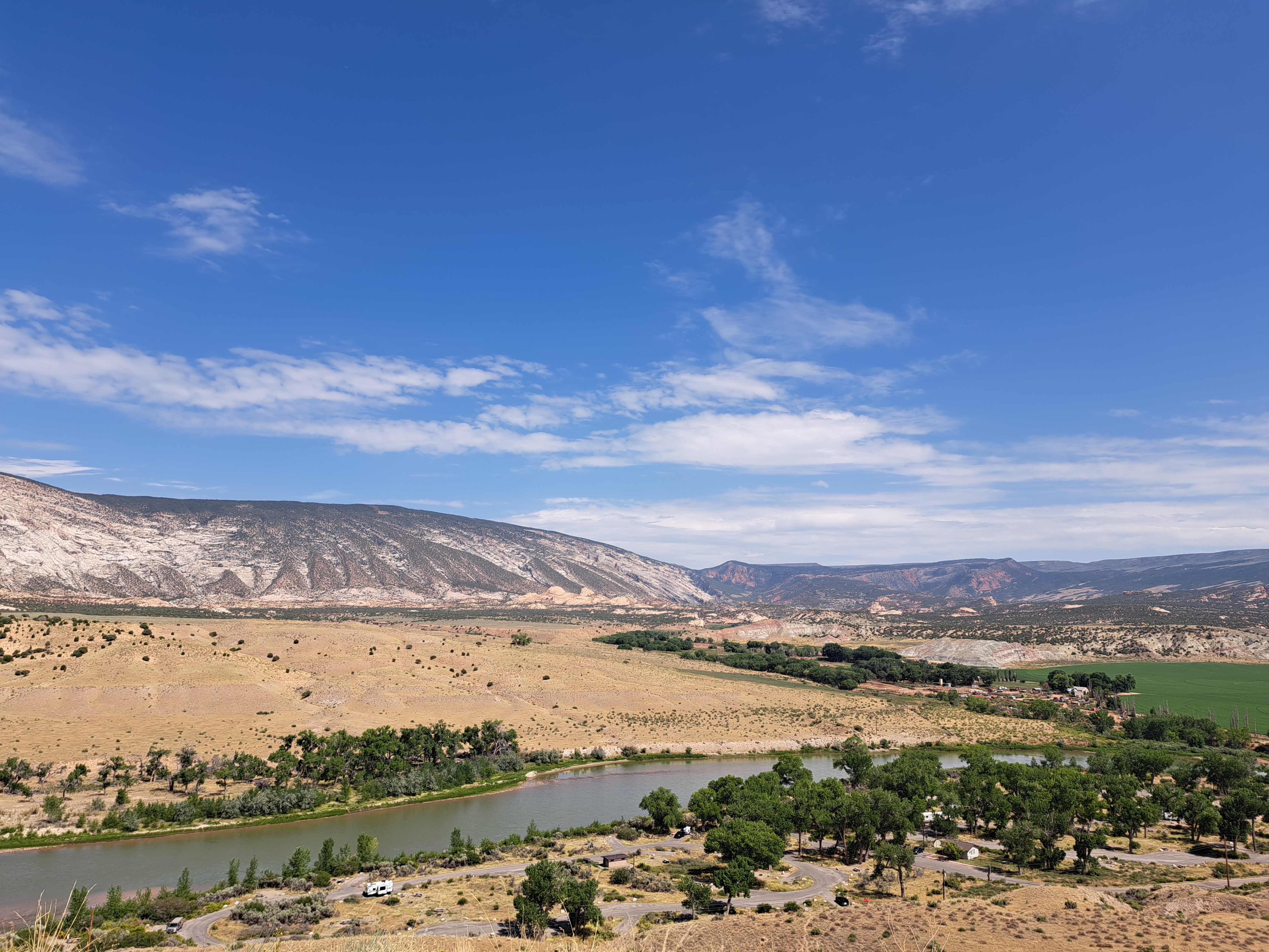
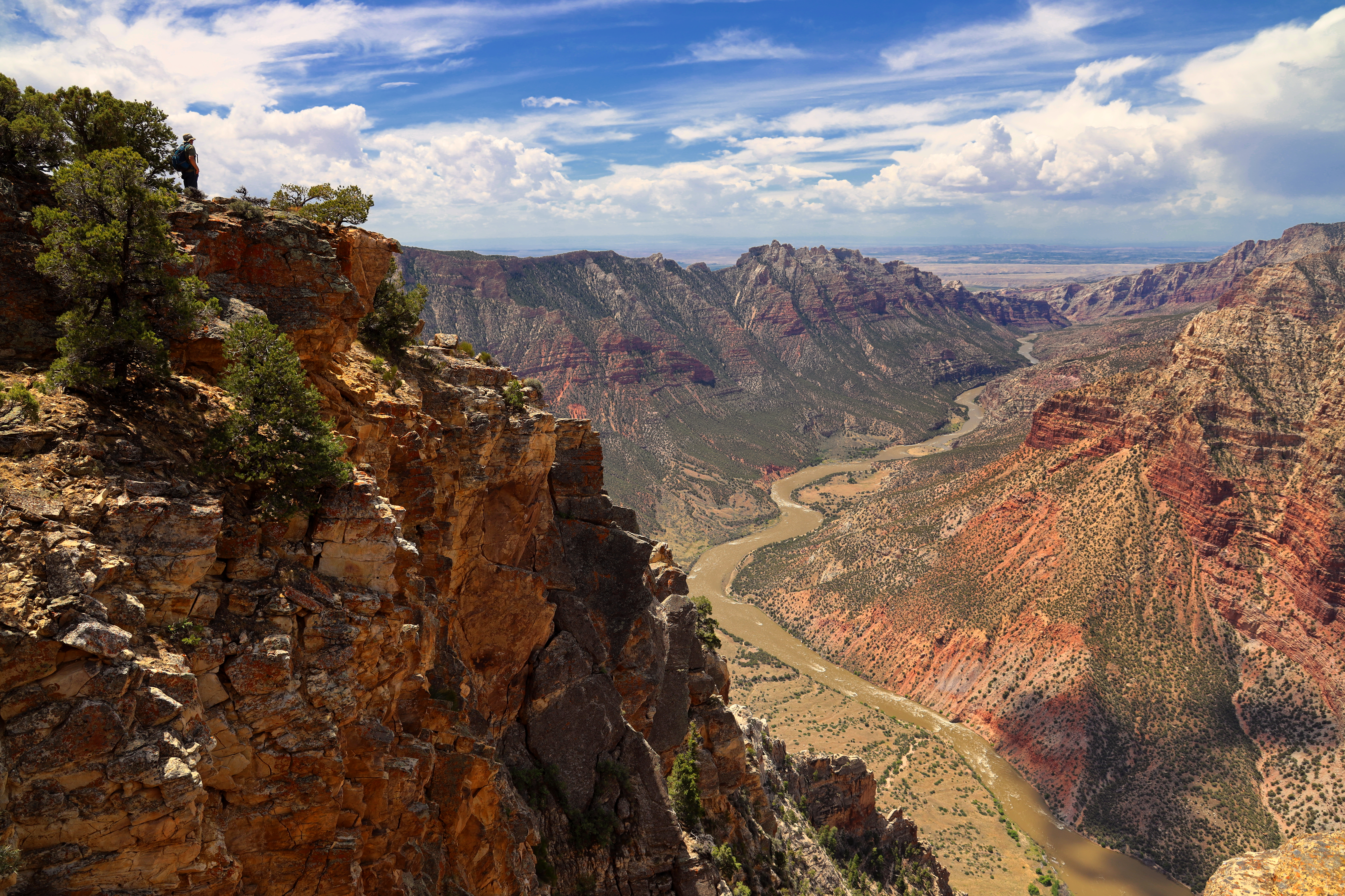
Harpers CornerA parking lot marks the end of the Harpers Corner Road, however your explorations of Dinosaur’s Canyon Country don’t need to end here. You’ll also find the trailhead for a moderate 2 mile (3.2 km) roundtrip trail that features unsurpassed views of the Mitten Park Fault and Whirlpool Canyon, often complimented by the sound of the river echoing up the cliffs. 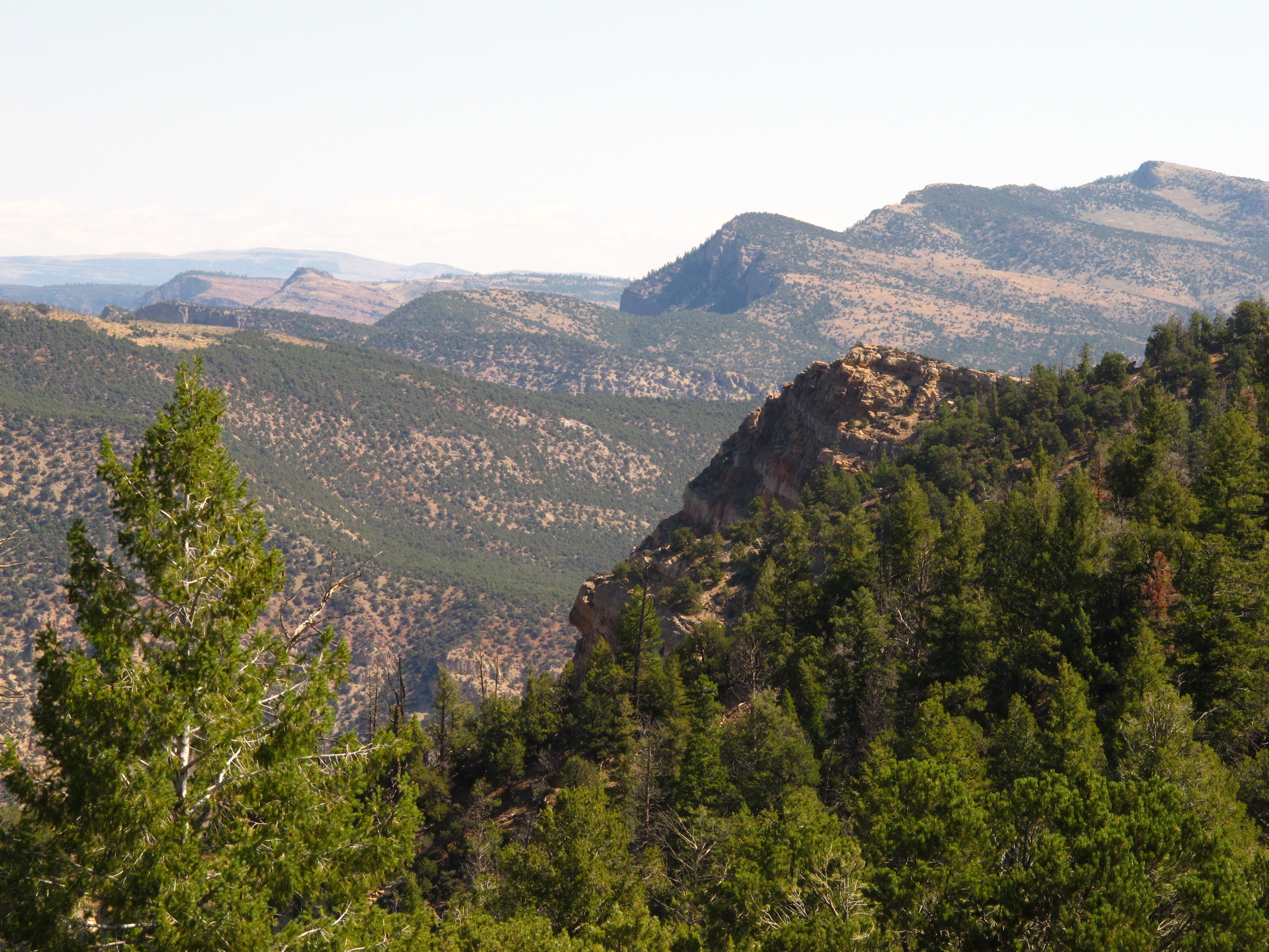
Harpers Corner Overlook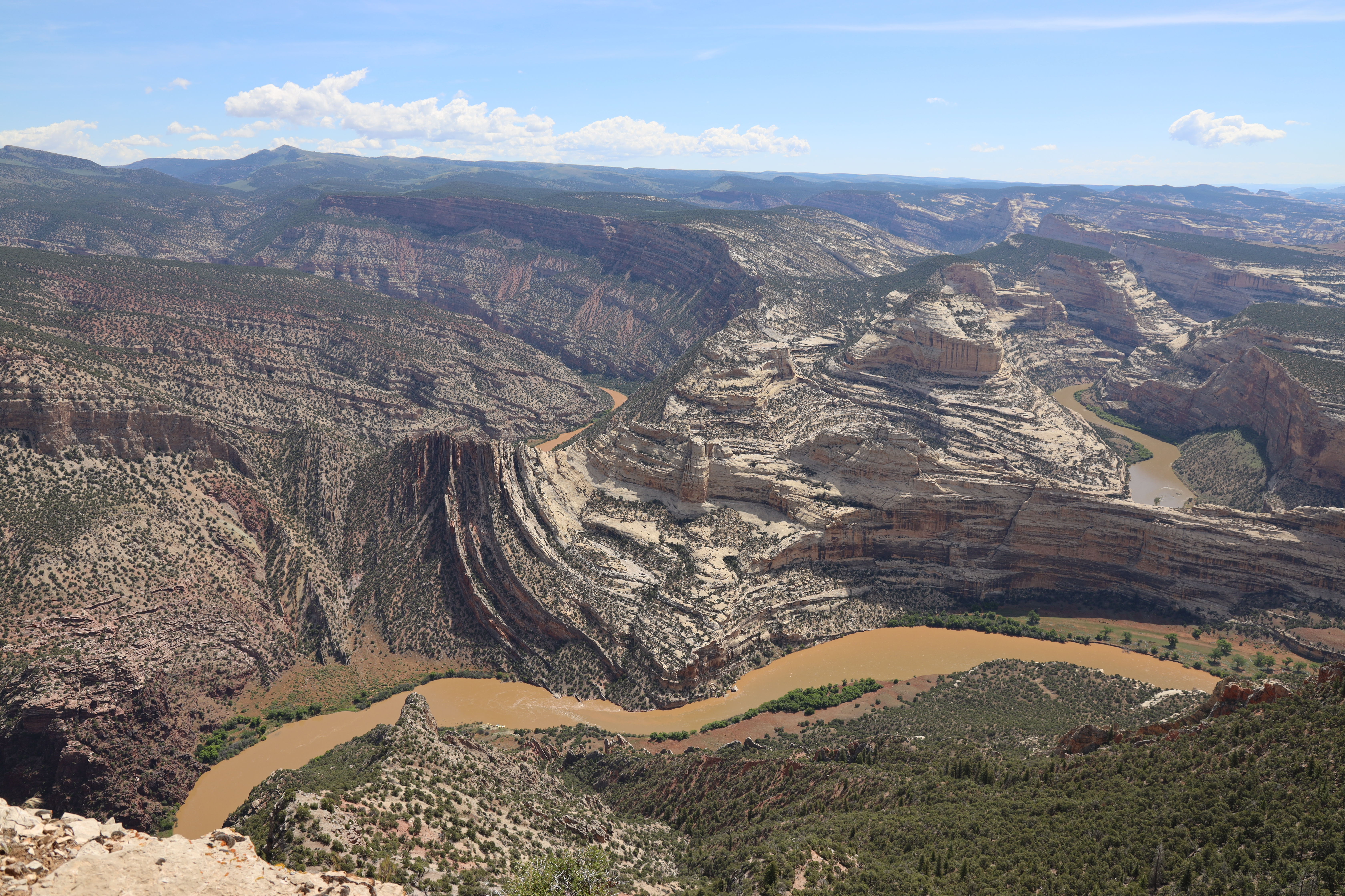
|
| Visitor Centers | Count: 3
Canyon Visitor Center - Colorado
Quarry Exhibit Hall - Utah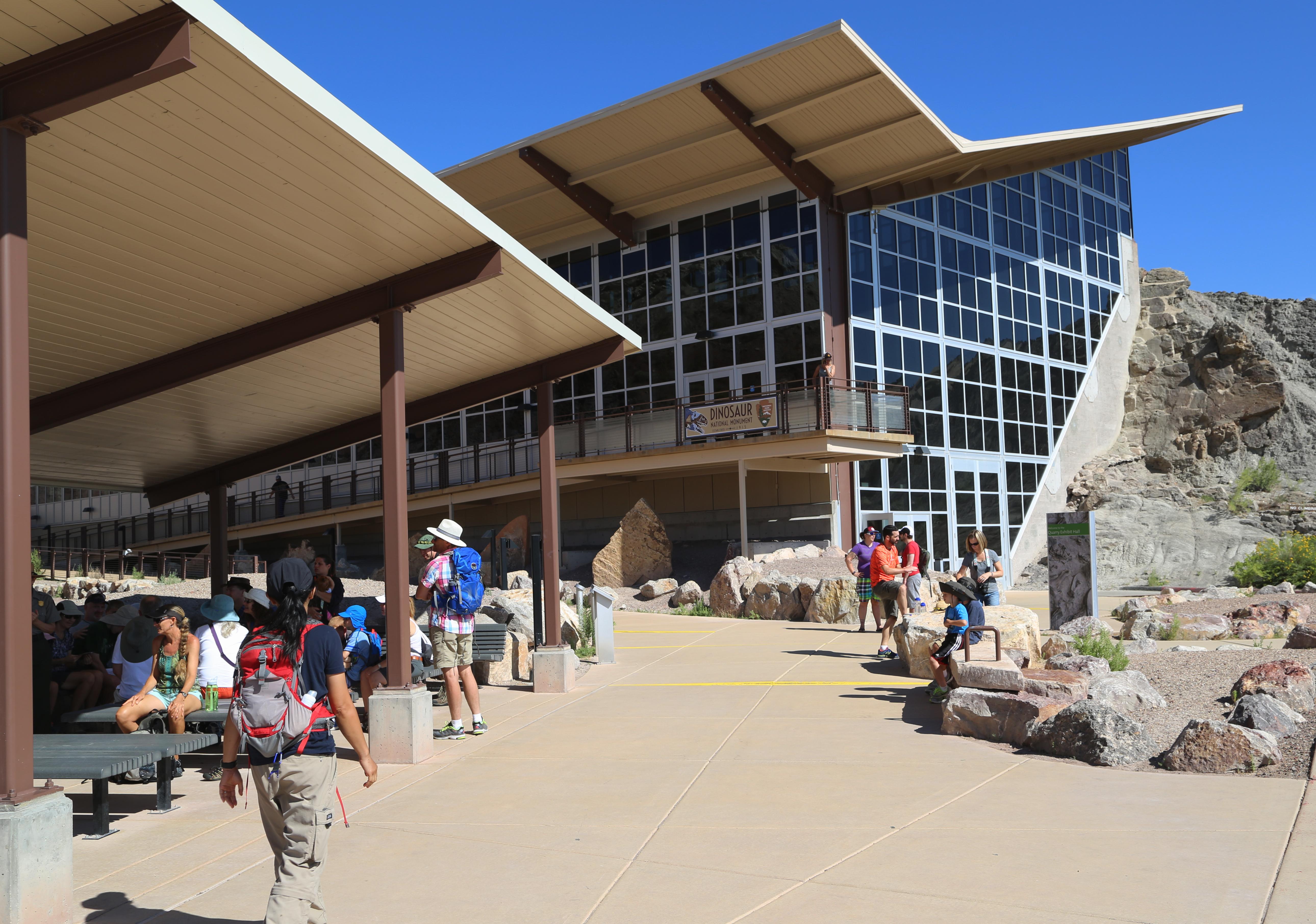
Quarry Visitor Center - Utah
|
| Things to do | Count: 28
|
| Tours |
Count: 7
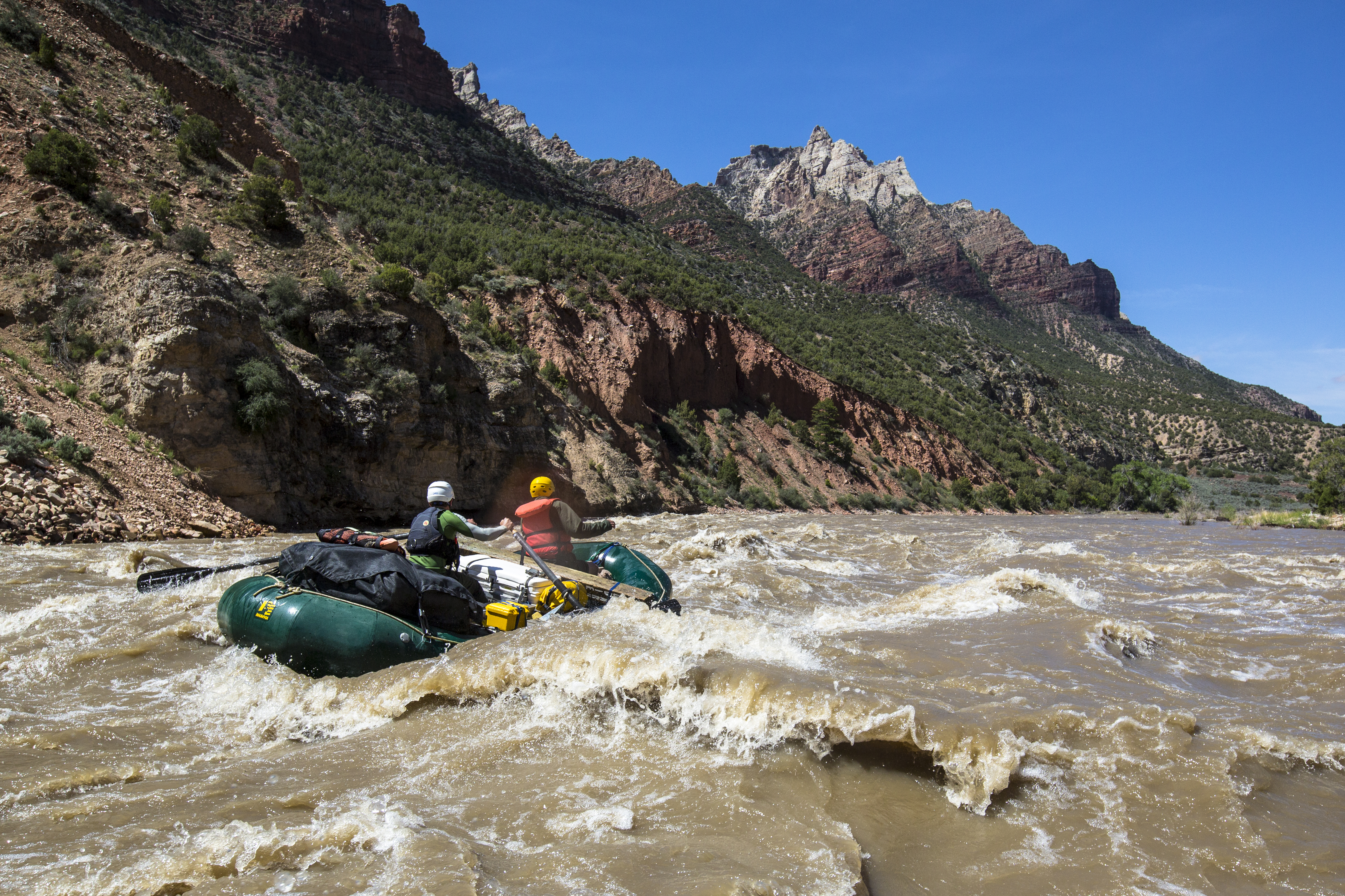
Fossil Discovery Trail: A Journey Through TimeHike through millions of years of geologic time on the Fossil Discovery Trail. Each rocker layer shows evidence of former ecosystems and extinct plant and animals that lived in landscapes quite different from what we see today. Long ago, dynamic forces pushed and tilted these layers upward. Then erosion exposed the layers as colorful mounds and ridges, full of signs of ancient life. Harpers Corner Driving TourDespite the name, there is more to the monument than dinosaurs. The Harpers Corner Road will introduce you to an area that features rolling sagebrush covered slopes and the canyon country of the Green and Yampa rivers. Harpers Corner Trail: Tour of the CanyonsWelcome to the Canyon Country of Dinosaur National Monument. This guide is numbered to the points of interest along the Harpers Corner Trail, which leads to sweeping views of the canyons. Passage to the Gates of LodoreGates of Lodore is located on the northern tip of Dinosaur National Monument. It is a long drive to the area and the wild, remote country adds to its sense of isolation. Here, the Green River, after winding across the broad valley known as Browns Park, turns toward the south and makes a direct path into the mountains in front of it. The Green enters into deep canyons filled with rapids that challenged Major John Wesley Powell who passed through here in 1869 on his voyage down the Green and Colorado Rivers. Sound of Silence Trail: Tilted LandscapesWhile you hike through one of the quietest places in the West, natural sounds will prevail, including the call of birds and the rustle of wind through the plants. Though we may associate this place with quiet, the landscape can speak to us - if we are ready to listen. Numbered signposts along the trail correspond with this tour, taking you through different habitats and millions of years of time. Tour of the Indigenous Past: Petroglyphs and PictographsSince time immemorial, people have called this place home. While some cultural groups left little evidence of their presence, others made lasting marks on the landscape. Petroglyphs (etchings) and pictographs (paintings) created on the rocks centuries ago offer an intriguing connection to the people and cultures of the past. This self-guided tour will traverse the landscape once traveled by the ancestral indigenous people of the region well over 1,000 years ago. Tour of the Tilted Rocks: Cub Creek RoadThe Tour of the Tilted Rocks is a 10-mile (20 mile round-trip) scenic auto tour that takes visitors along the Cub Creek Road. During the tour, multiple points of interest will be easily accessible from the roadside including petroglyphs sites, scenic overlooks and vistas, trailheads, and the Josie Morris Homestead Cabin. |
| Articles |
|