El Calderon Trail closed for construction August 11, 2025 through May 2026
The El Calderon Trail and parking area are closed from August 11, 2025, through late May 2026 for a major improvement project. NPS Road 100 will remain open for local traffic only, and the Continental Divide Trail will remain open for CDT thru-hikers.
NPS 300 Road Conditions
NPS 300 to Big Tubes has some mud and ruts. Conditions may change following thunderstorms. A high clearance, four-wheel drive vehicle is recommended.
Stage II Fire Restrictions in effect
Stage II Fire Restrictions are in effect until further notice. The following activities are prohibited: building, maintaining, attending or using a fire, campfire, charcoal, coal, or wood stove and smoking, except within an enclosed vehicle.
WNP bookstore is cashless
The Western National Parks (WNP) bookstore has moved to a cashless operation at El Malpais. Purchases can be made with credit and debit cards as well as contactless payment methods including Google Pay, Apple Pay, and Samsung Pay.
| Title | El Malpais |
| Park Code | elma |
| Description | The richly diverse volcanic landscape of El Malpais (el-mal-pie-EES) offers solitude, recreation, and adventure. Explore incredible geologic features such as lava flows, cinder cones, lava tube caves, and sandstone bluffs. While some may see a de... |
| Location | |
| Contact | |
| Activities |
|
| Entrance fees |
|
| Campgrounds | Count: 0
|
| Places | Count: 27
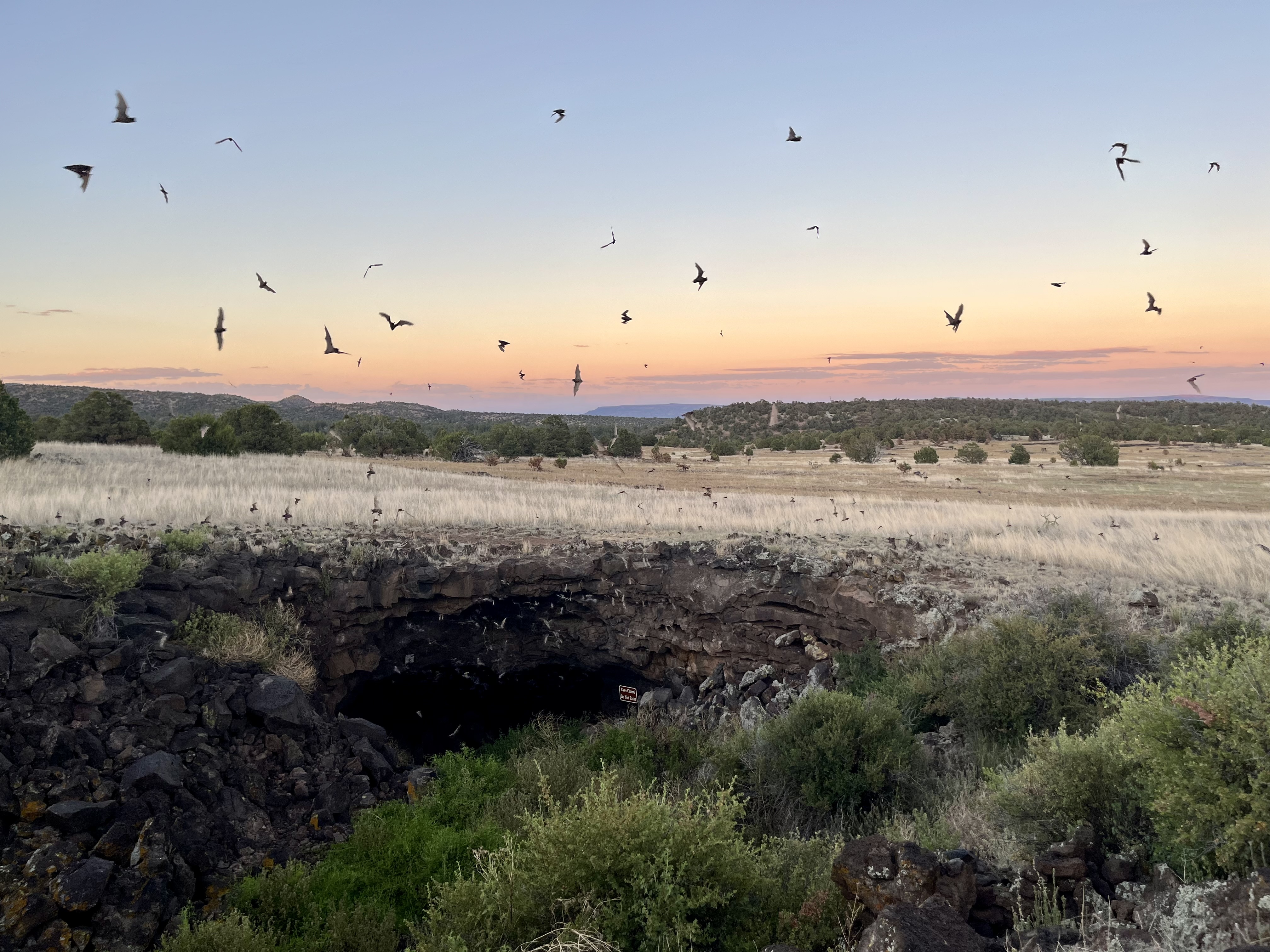
Bat Cave and Xenolith CaveBat Cave and Xenolith Cave are parts of a lava tube system created by lava flows from nearby El Calderon Cinder Cone in El Malpais National Monument. Bat Cave is an important habitat for bats, and during the summer, thousands of bats can be seen flying out of bat cave at dusk to feed on insects. 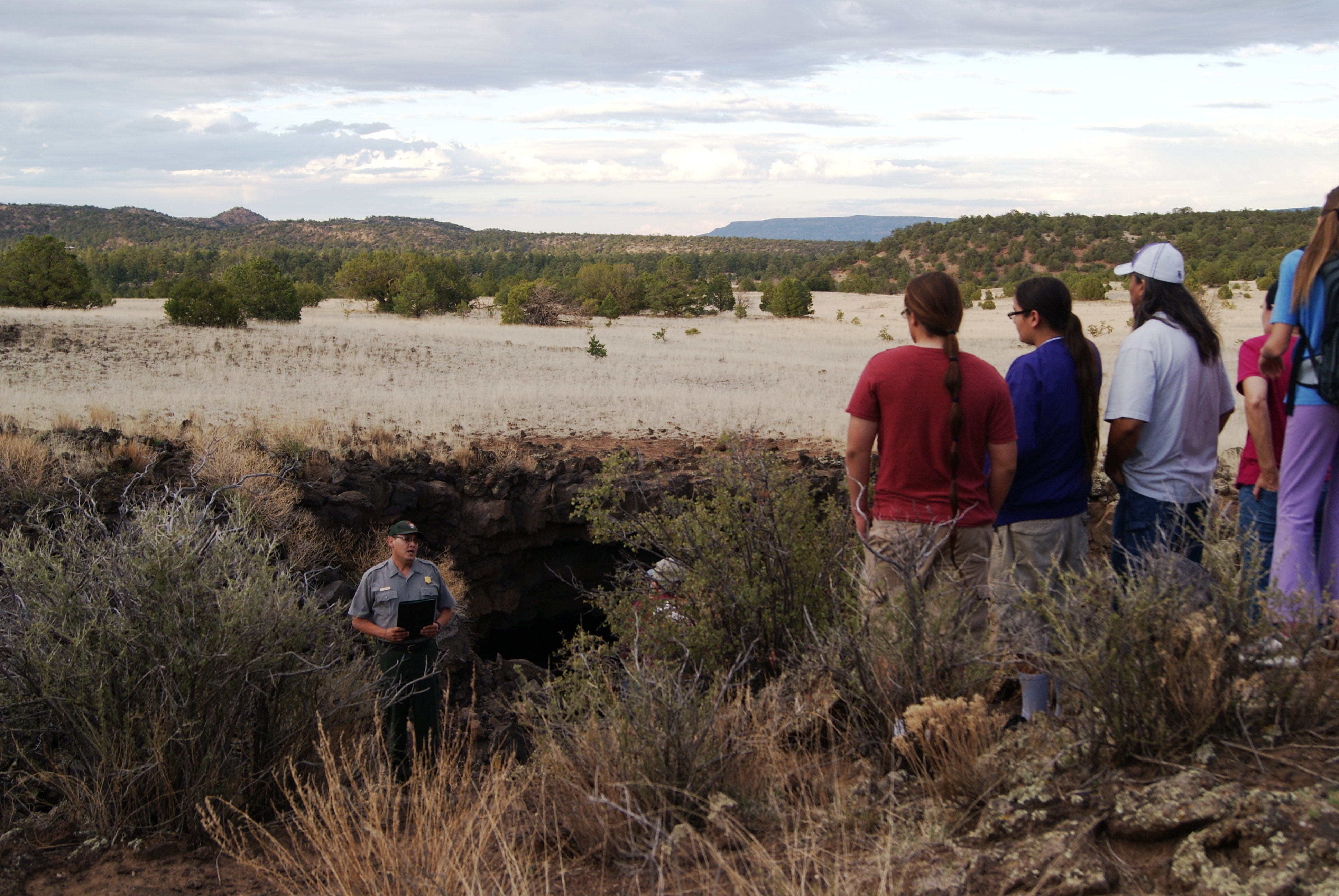
Big Skylight CaveAs one of the largest lava tube caves within El Malpais National Monument, Big Skylight Cave is sure to impress anyone who comes across it's massive passageway.
Big Tubes Area TrailheadBegin your journey into a volcanic landscape at the Big Tubes Trailhead. Be prepared to encounter rough basaltic terrain and witness massive lava tube features. 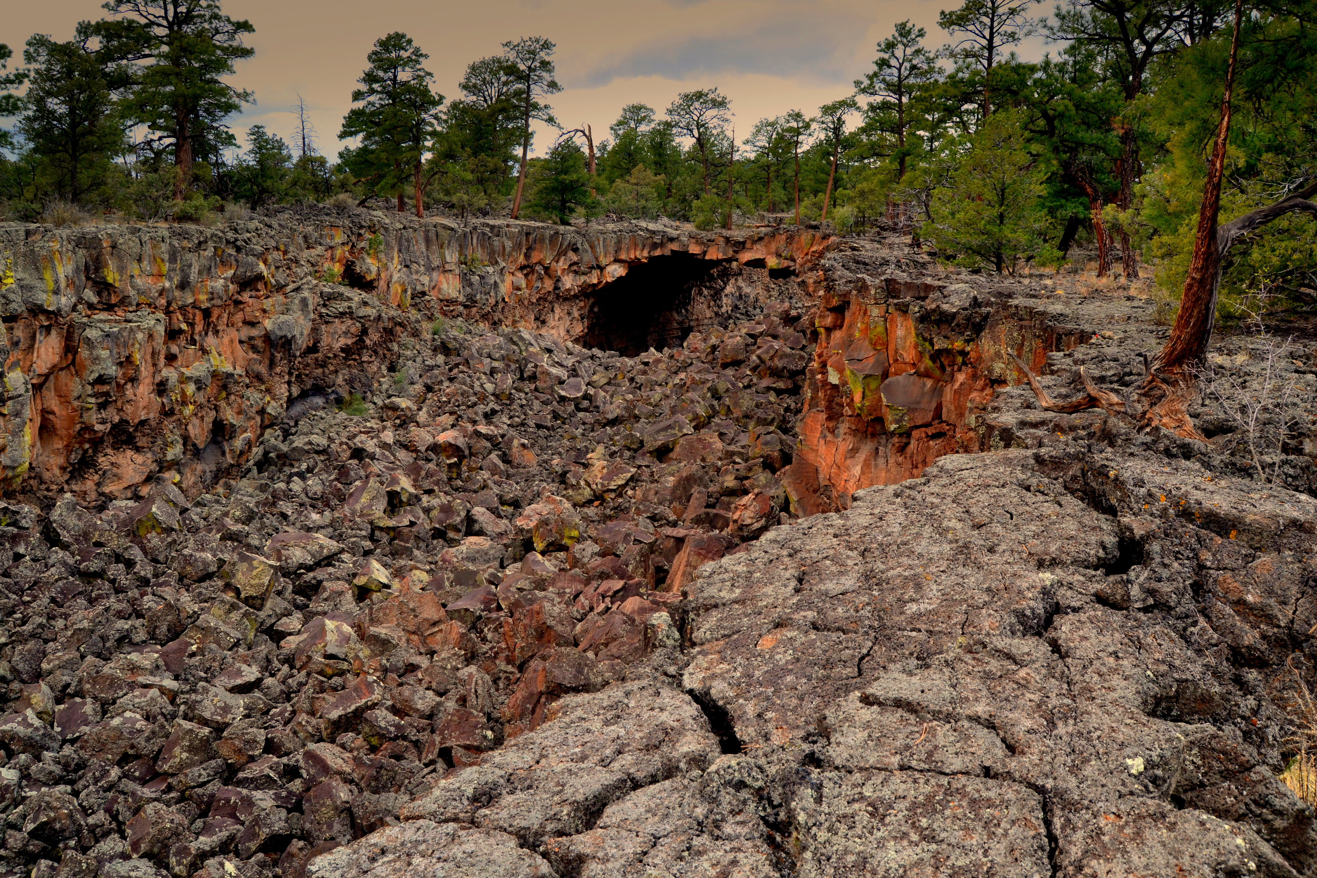
Double SinksThe collapsed lava tubes of Double Sinks are up to 80 feet deep and are home to a variety of desert wildlife. 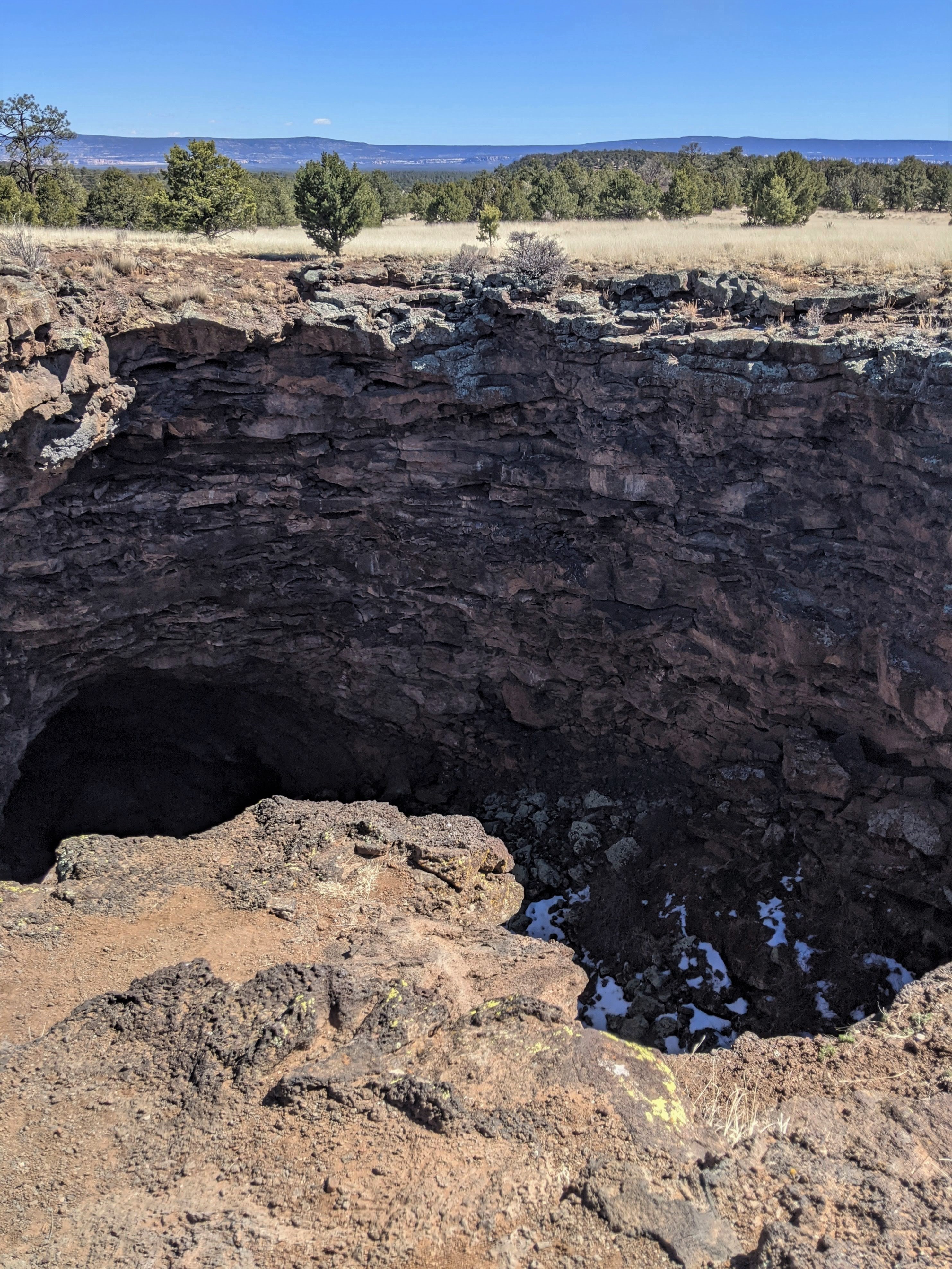
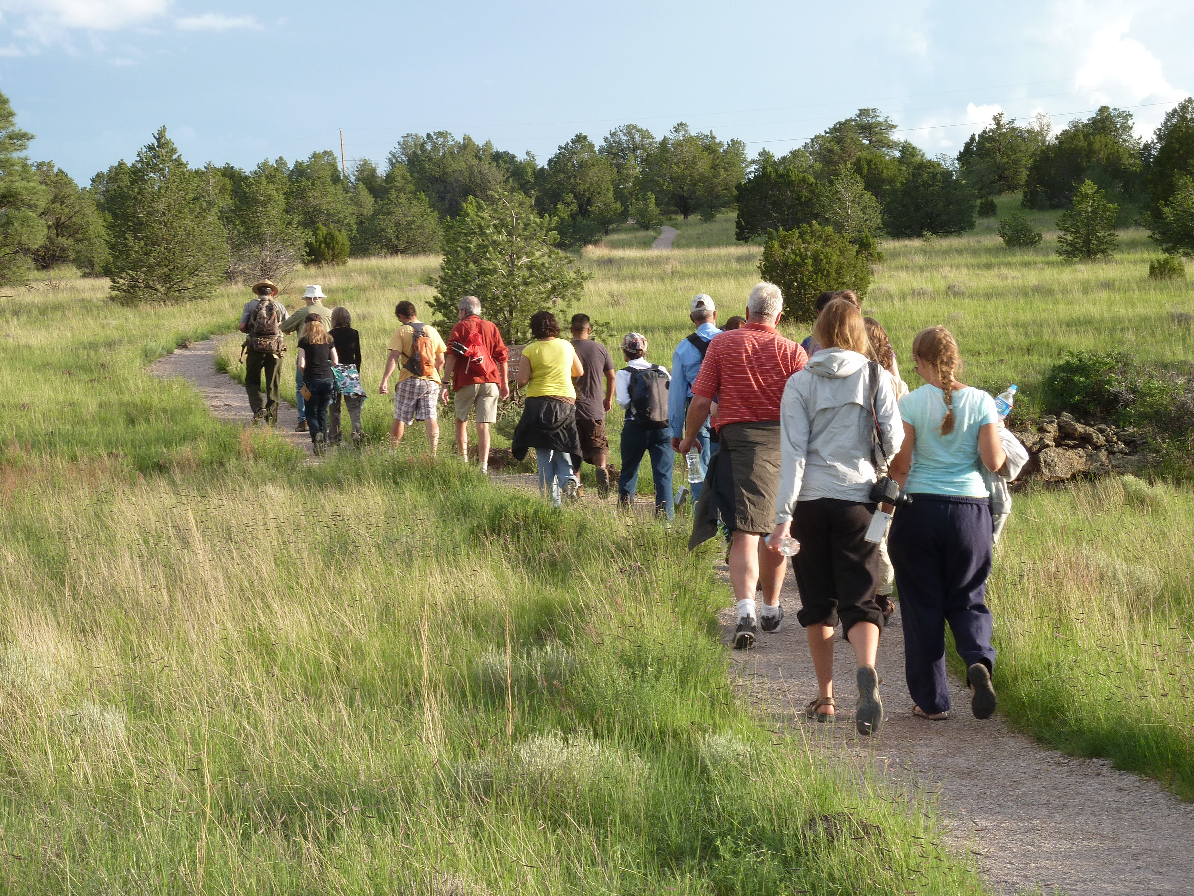
El Calderon Area TrailheadThe start of the El Calderon Trail, bringing you through the oldest volcanism of El Malpais National Monument. 
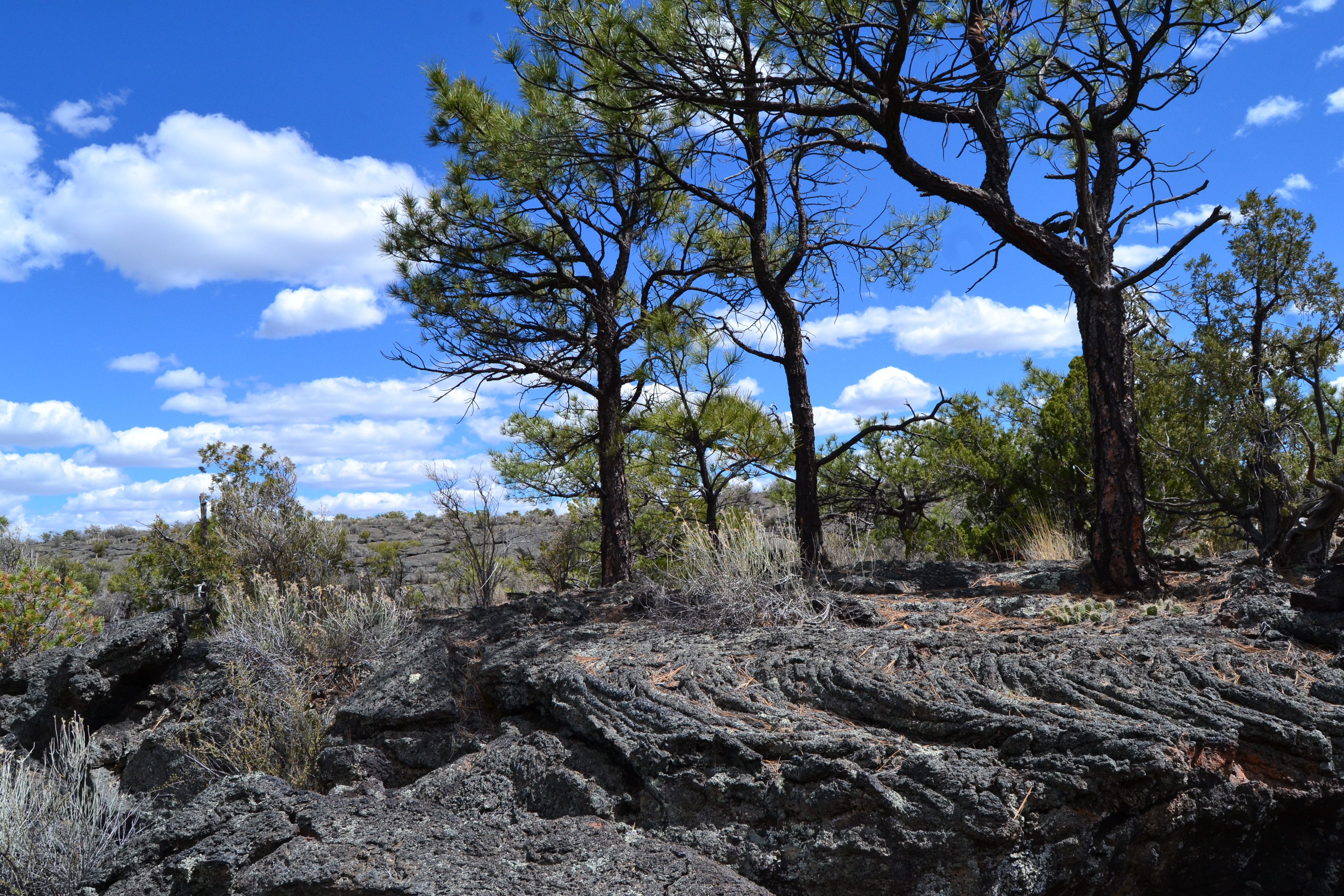
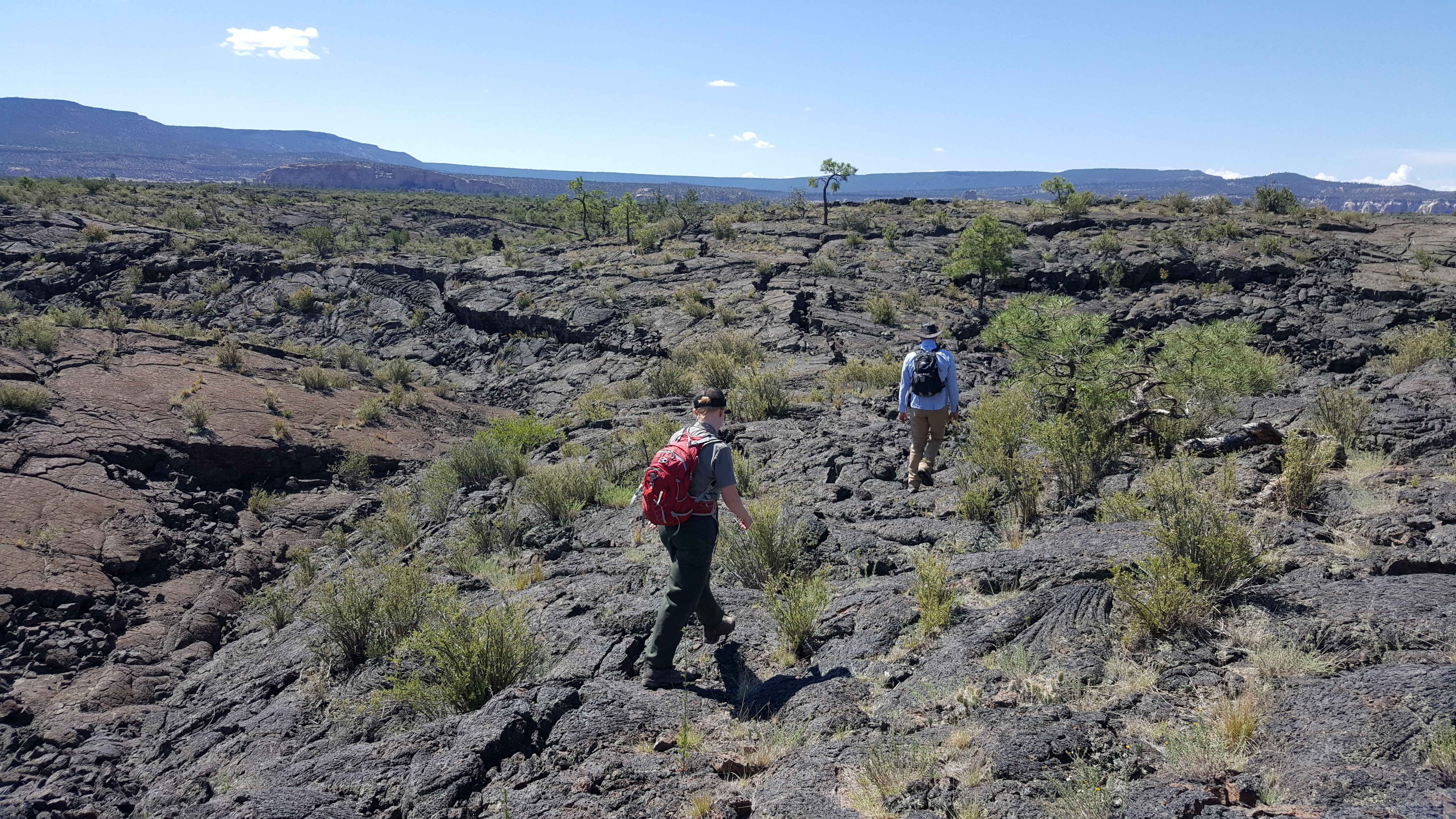
El Calderon Lava TrenchLava trenches, like this trench along the El Calderon Trail at El Malpais National Monument, form when lava tubes collapse during or shortly after eruption. 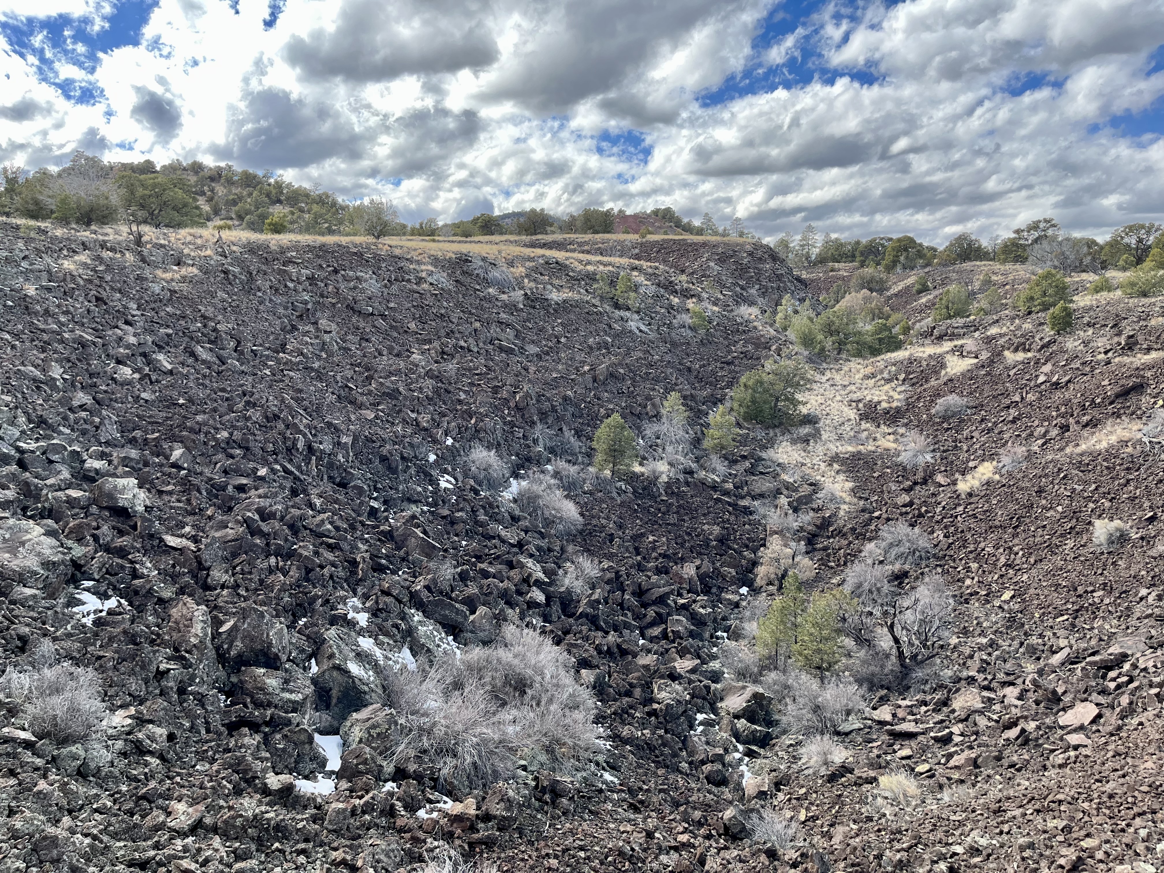
El Malpais National Monument Visitor CenterStart your journey through El Malpais at the El Malpais National Monument Visitor Center. Here you'll find information, rangers, a bookstore, and restroom, all to get you a head start on your adventure. 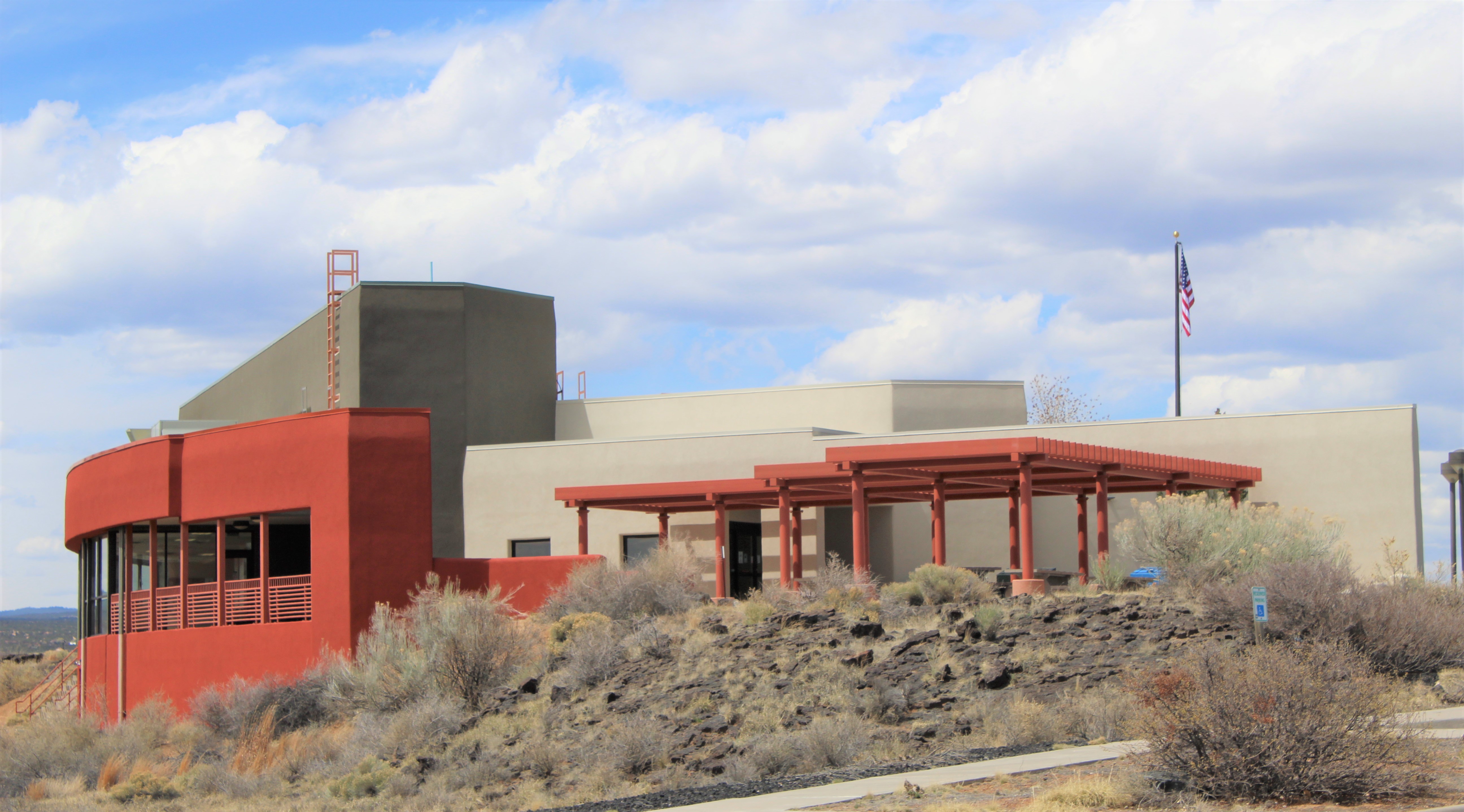
Fire EcologyWildfire is a naturally occurring and necessary process that historically occurred in the forests of El Malpais every eight to ten years. After decades of fire suppression practices, the park now strives to replicate the natural wildfire cycle by conducting prescribed burns to burn excess fuel and reset the natural forest ecology. 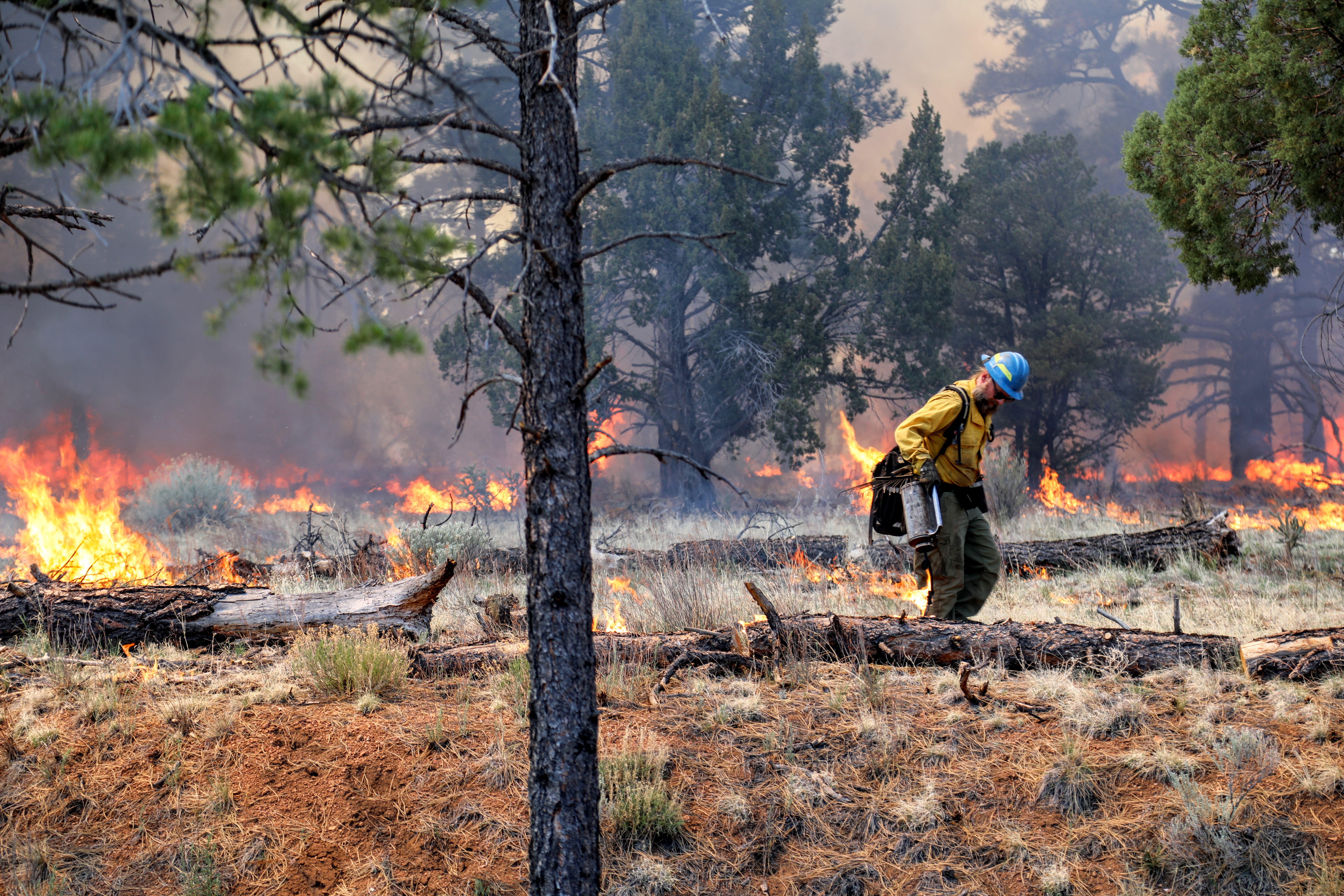
Four Windows CaveWhile smaller than Big Skylight, Four Windows showcases many skylights and another example of lava tube cave formations.
Ice Cave and Bandera VolcanoExplore the Bandera Crater and Ice Cave at this privately owned site within El Malpais National Monument. An entrance fee is required to visit this incredible lava landscape. 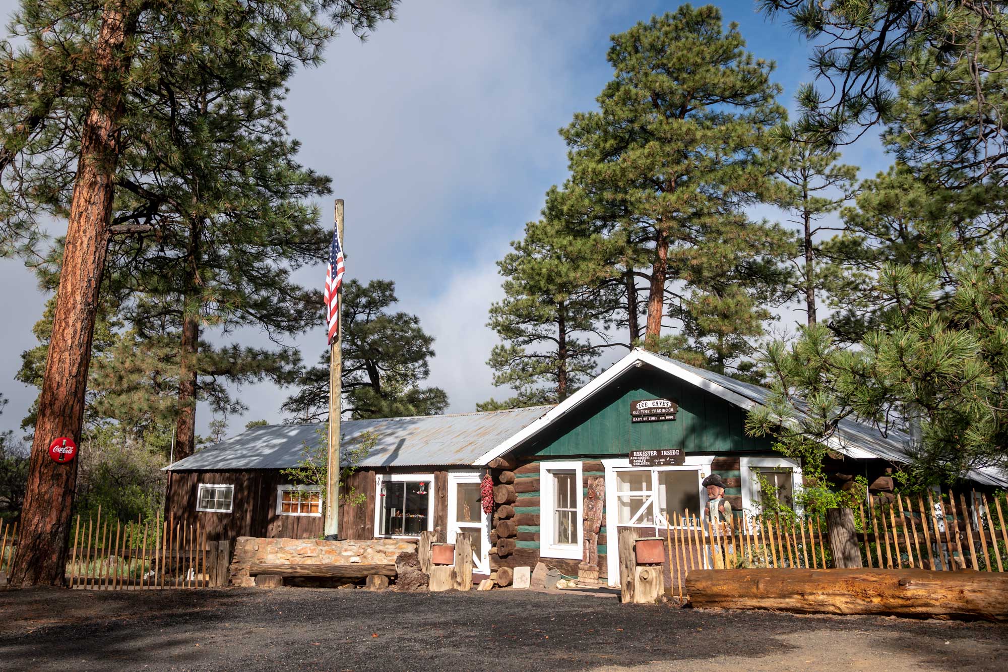
Junction CaveJunction Cave is a lava tube created by the lava flows from nearby El Calderon Cinder Cone. At 115,000 years old, this is one of the oldest lava tubes in El Malpais National Monument. 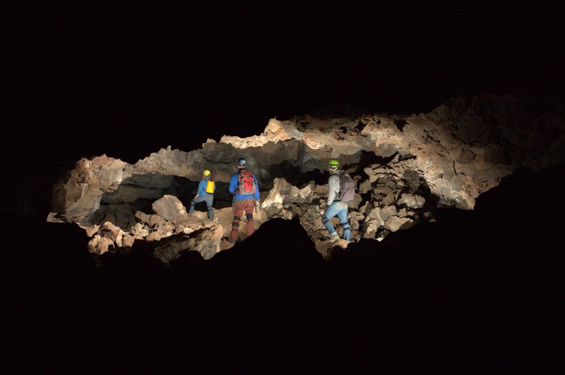
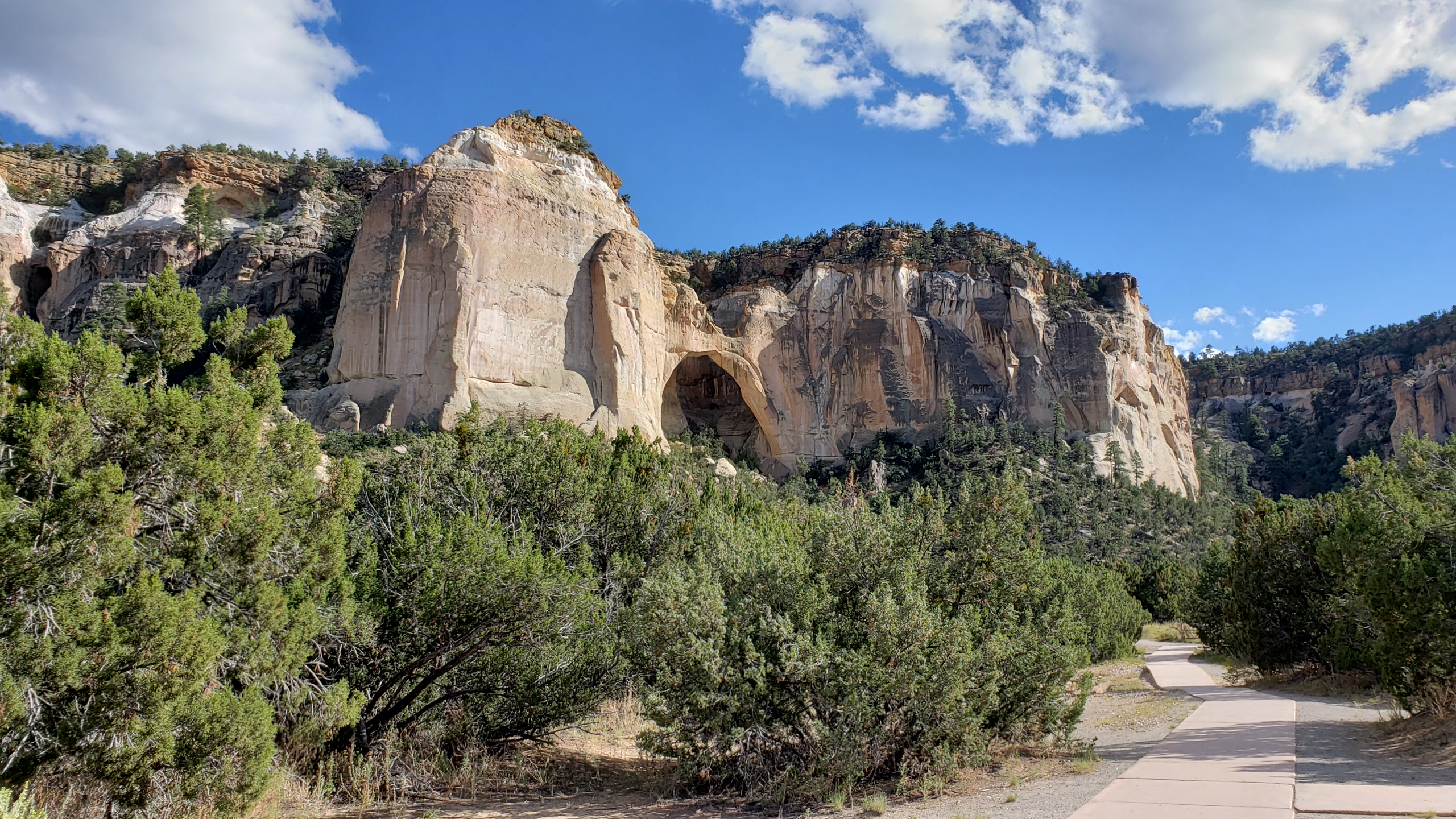
La Ventana Natural ArchLa Ventana Natural Arch within El Malpais National Conservation Area (Bureau of Land Management) is a spectacular natural sandstone arch just off of Highway 117 adjacent to El Malpais National Monument. 
Lava Falls Trail Stop #1Stop #1 of 9 stops 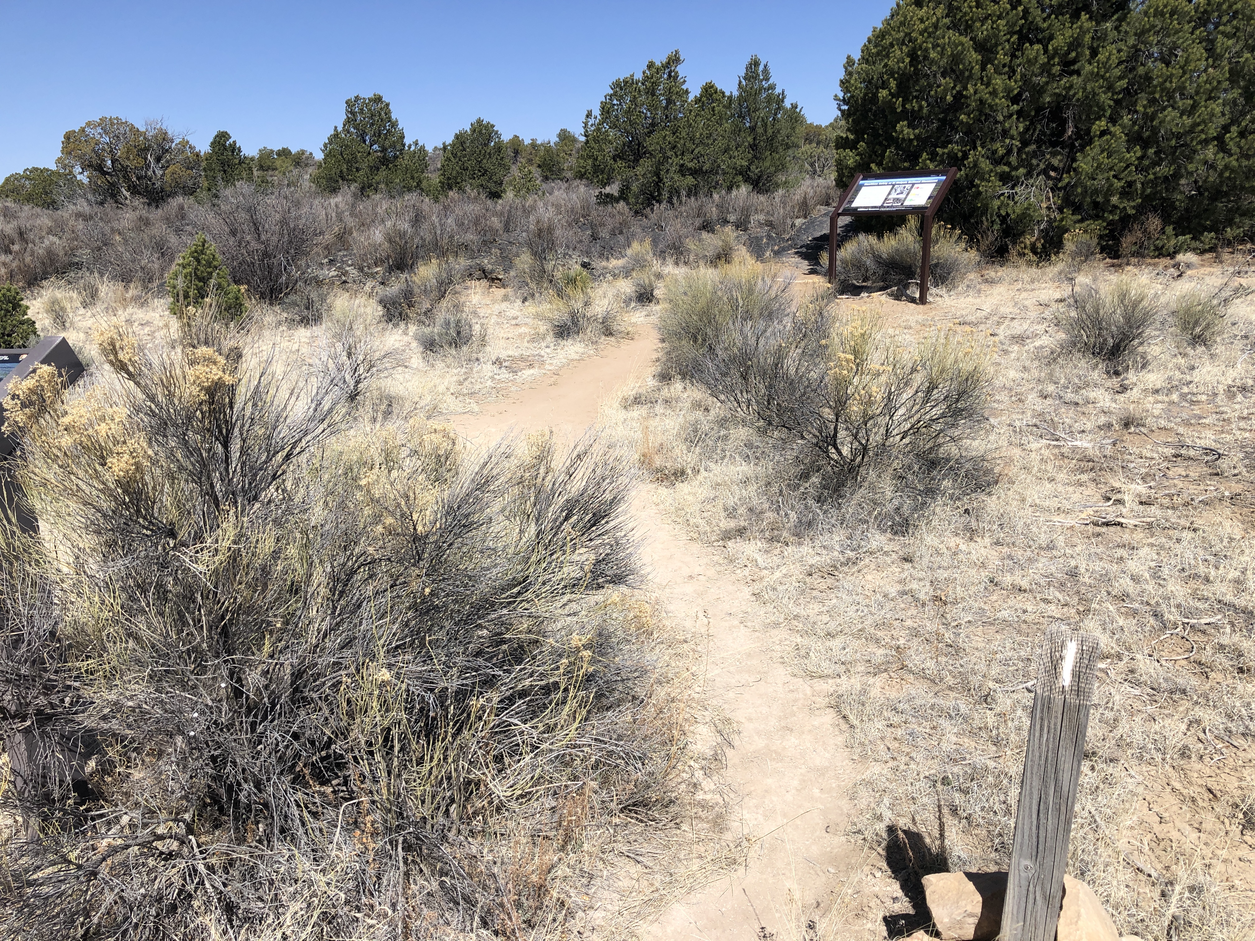
Lava Falls Trail Stop #2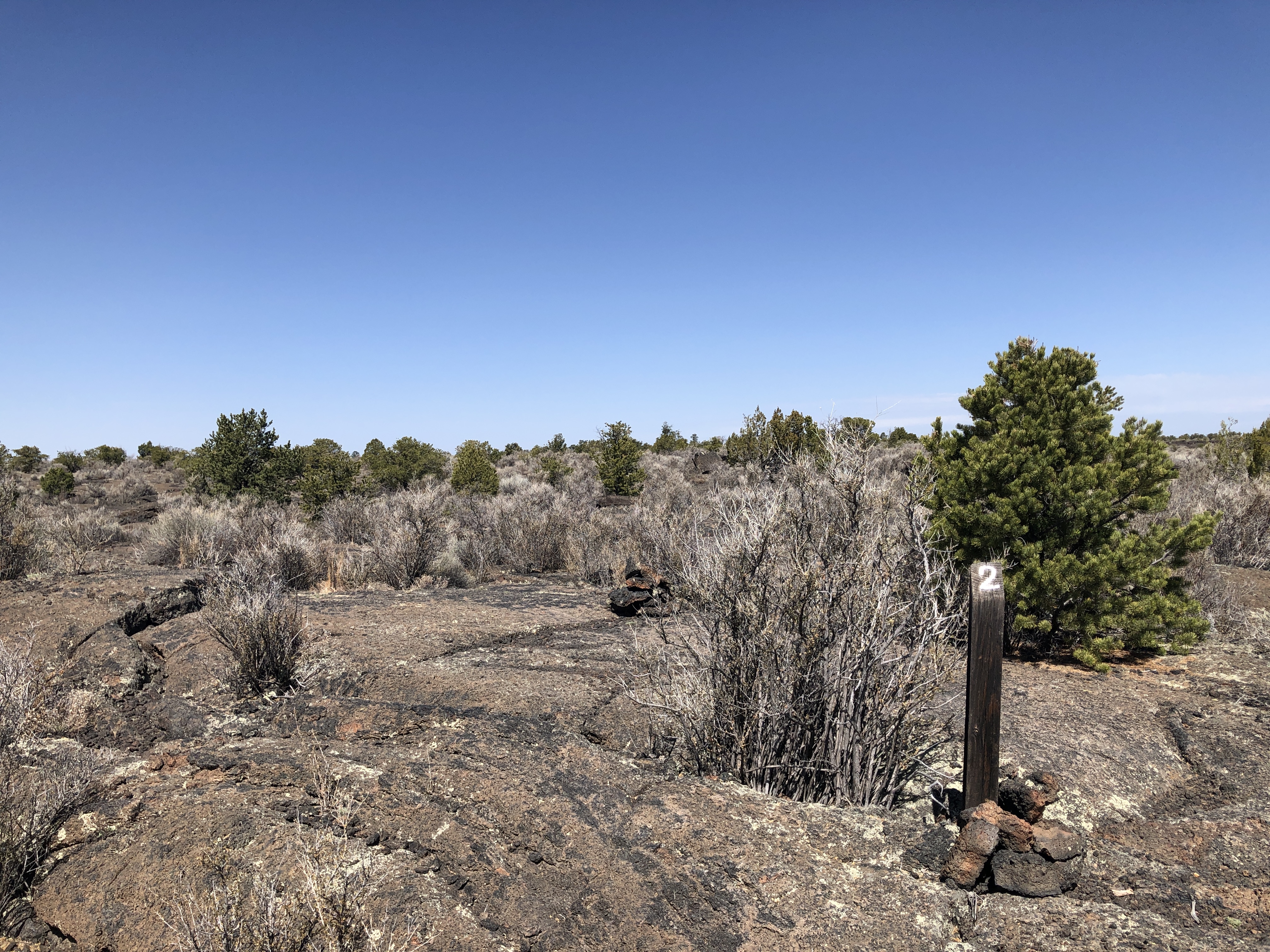
Lava Falls Trail Stop #3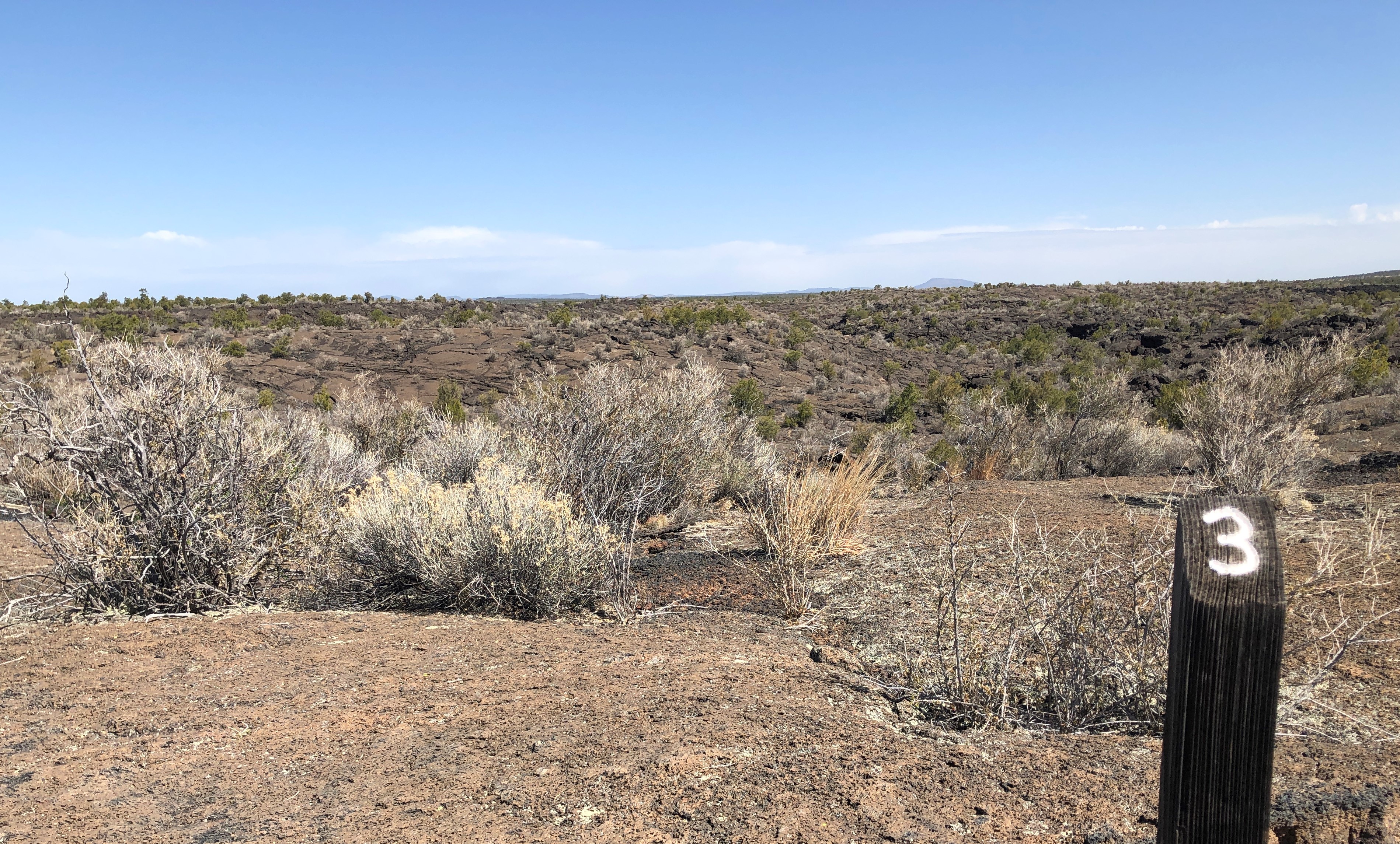
Lava Falls Trail Stop #4Lava Falls Trail Stop 4 of 9 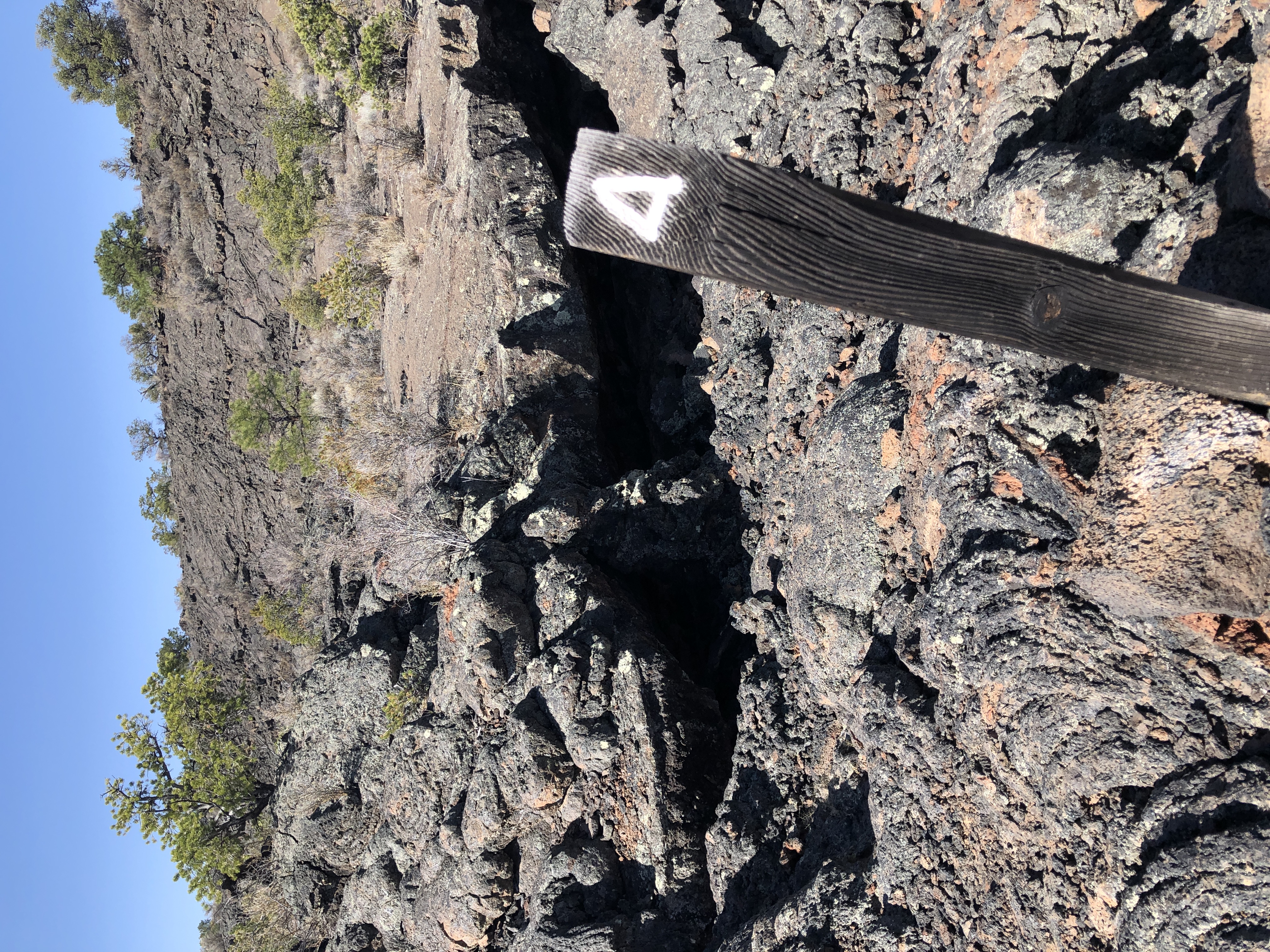
Lava Falls Trail Stop #5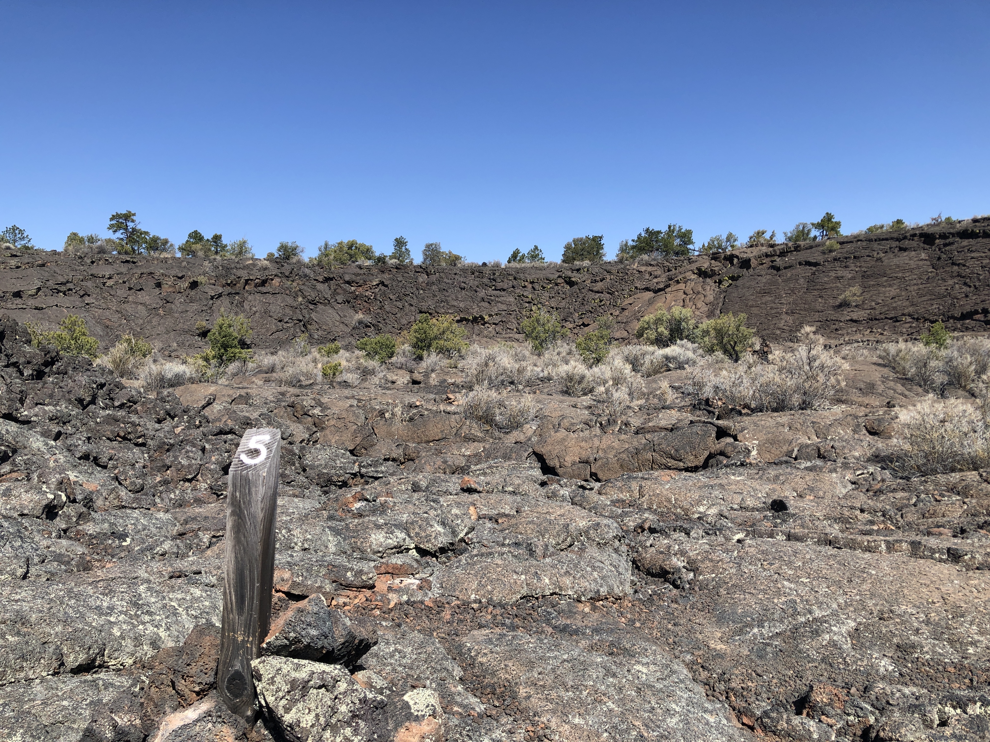
Lava Falls Trail Stop #6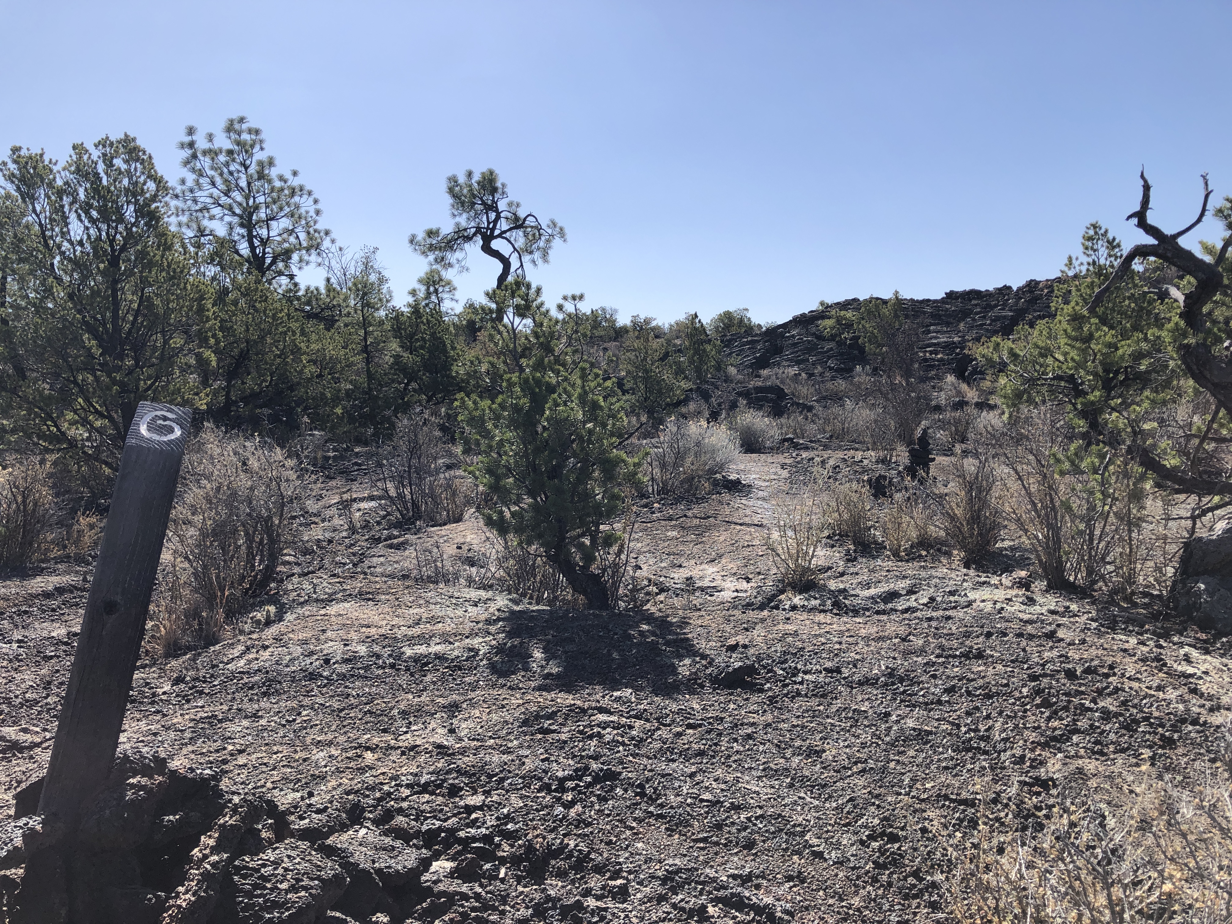
Lava Falls Trail Stop #7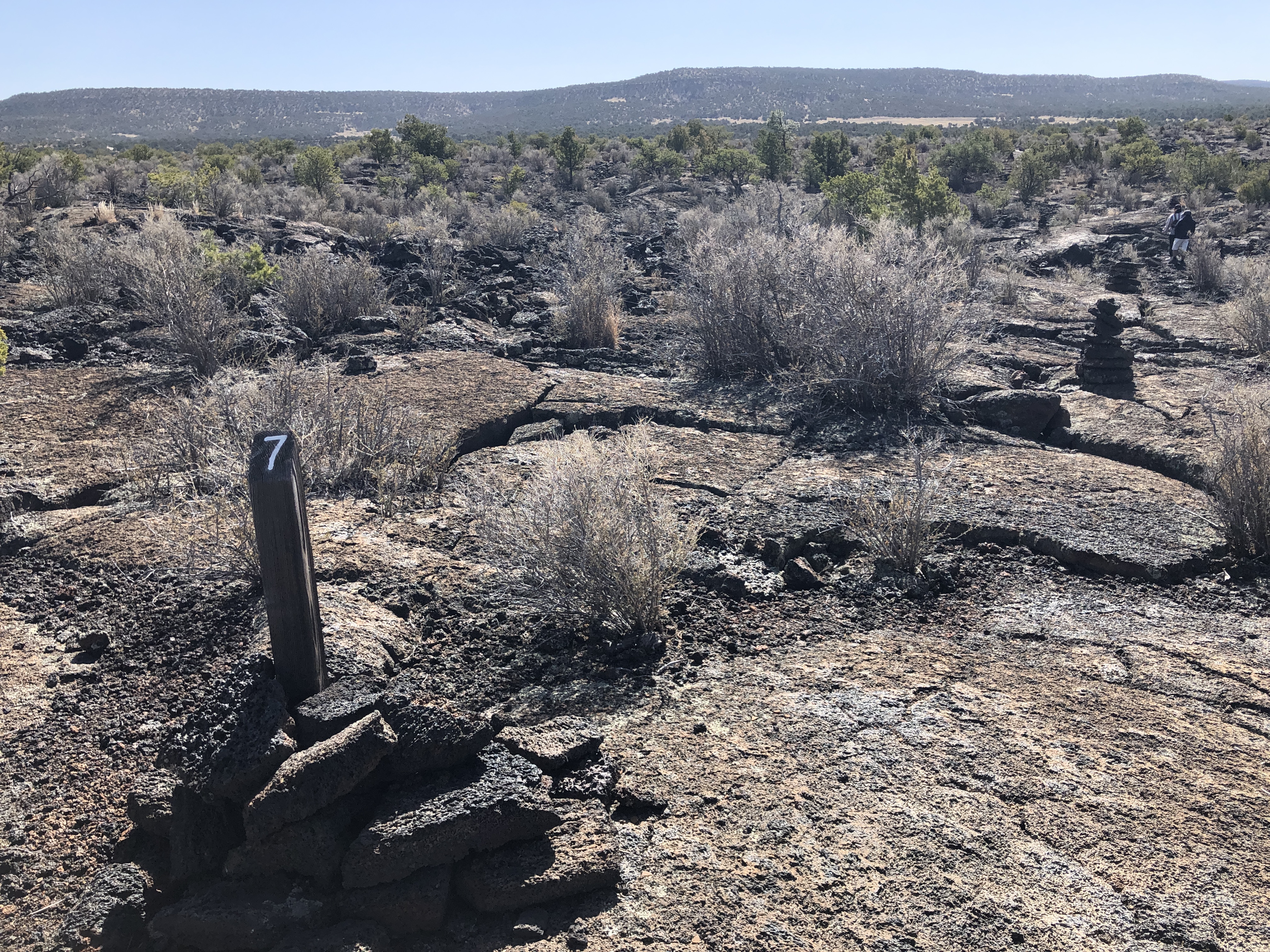
Lava Falls Trail Stop #8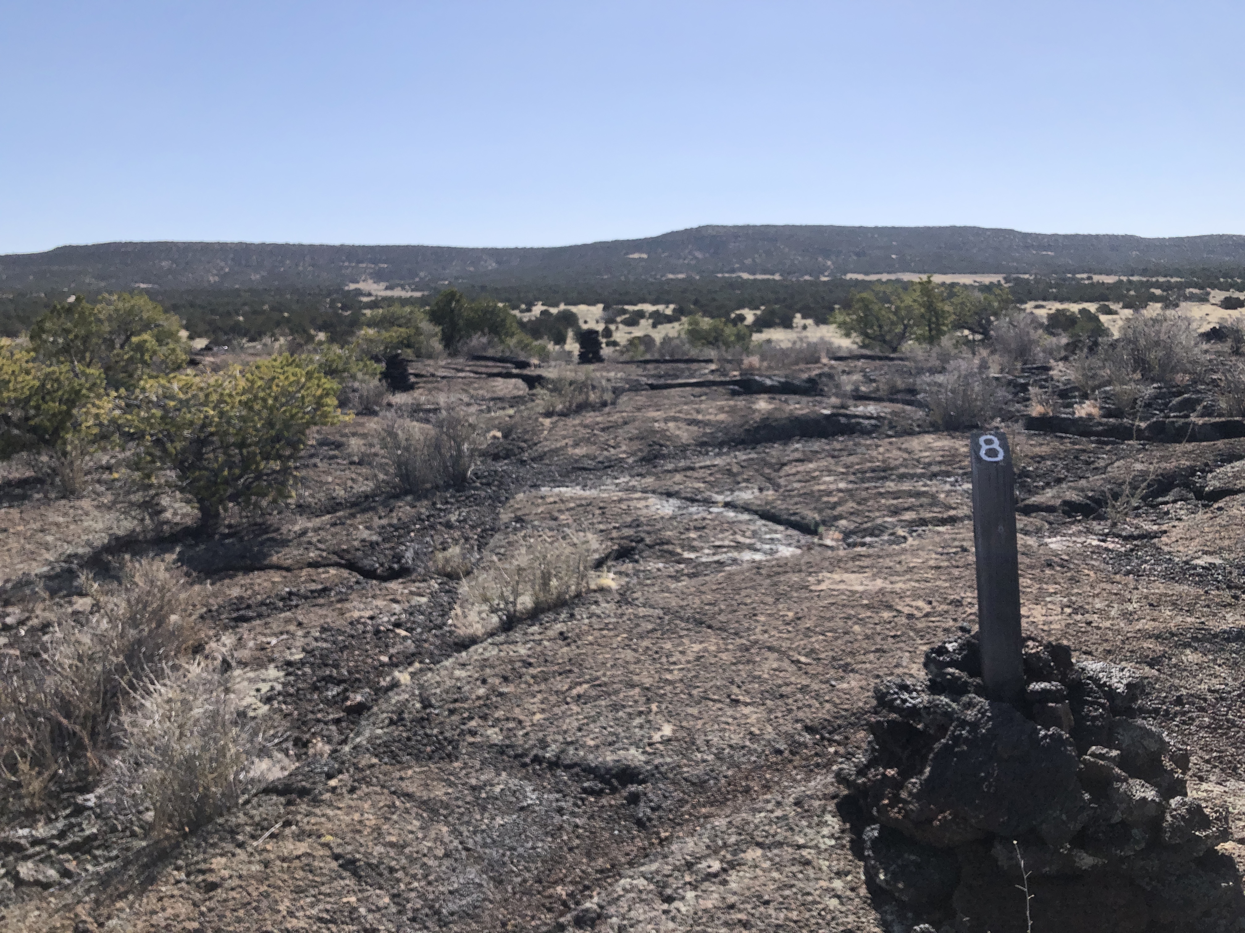
Lava Falls Trail Stop #9
Lava Falls TrailheadStart your hike across the youngest lava flow at El Malpais National Monument at the Lava Falls Trailhead. This trailhead features a vault toilet, picnic tables, and interpretive signage to utilize before heading out on the one-mile Lava Falls Trail loop. 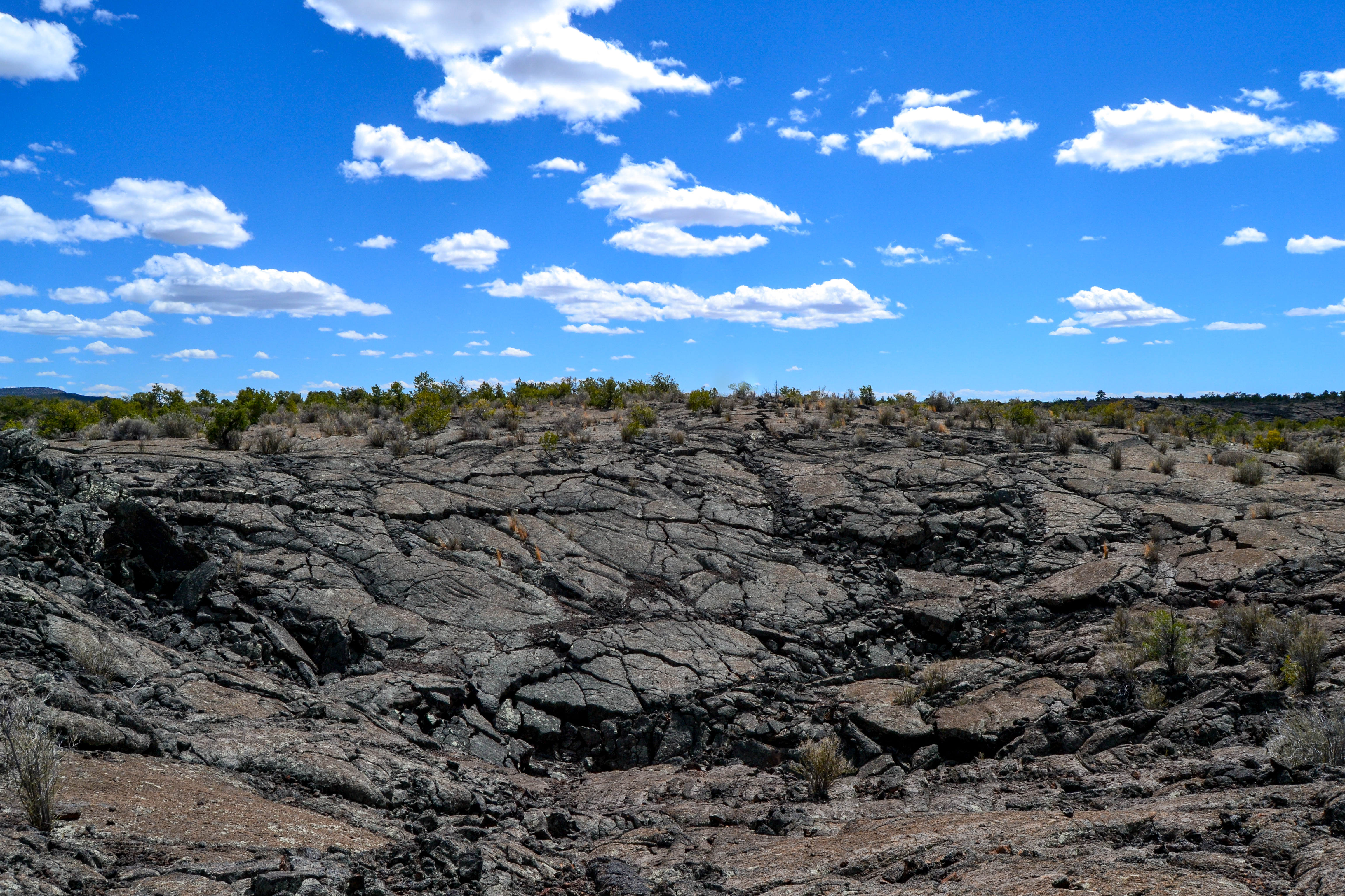
Life on the Edge
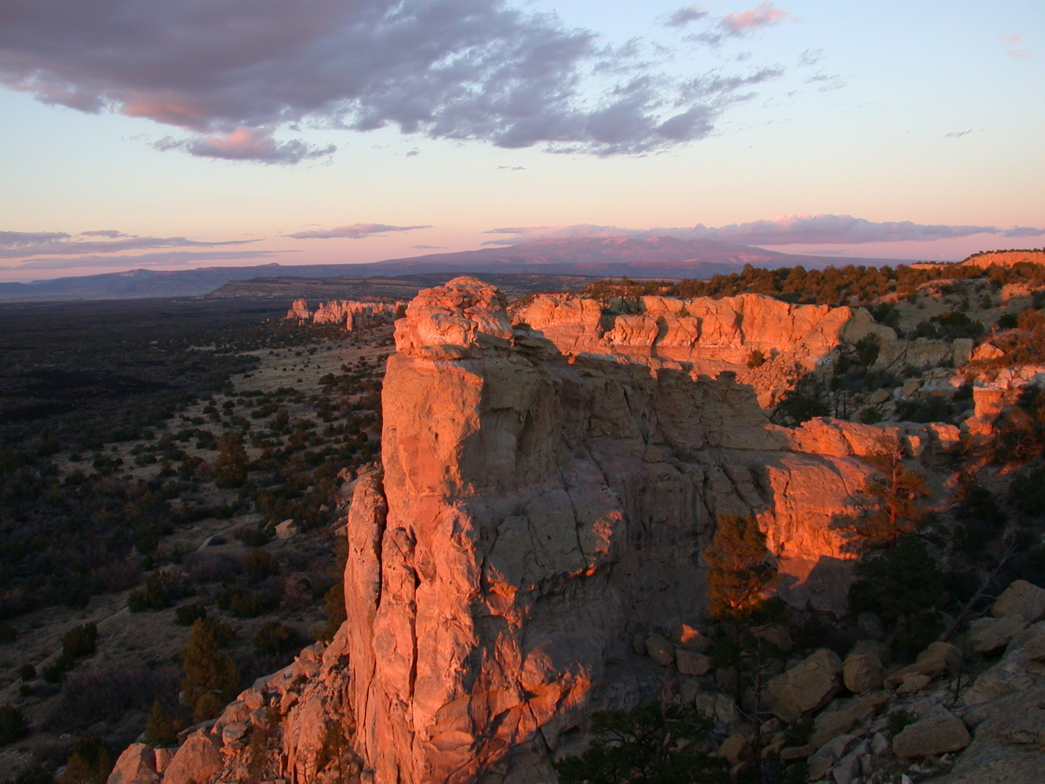
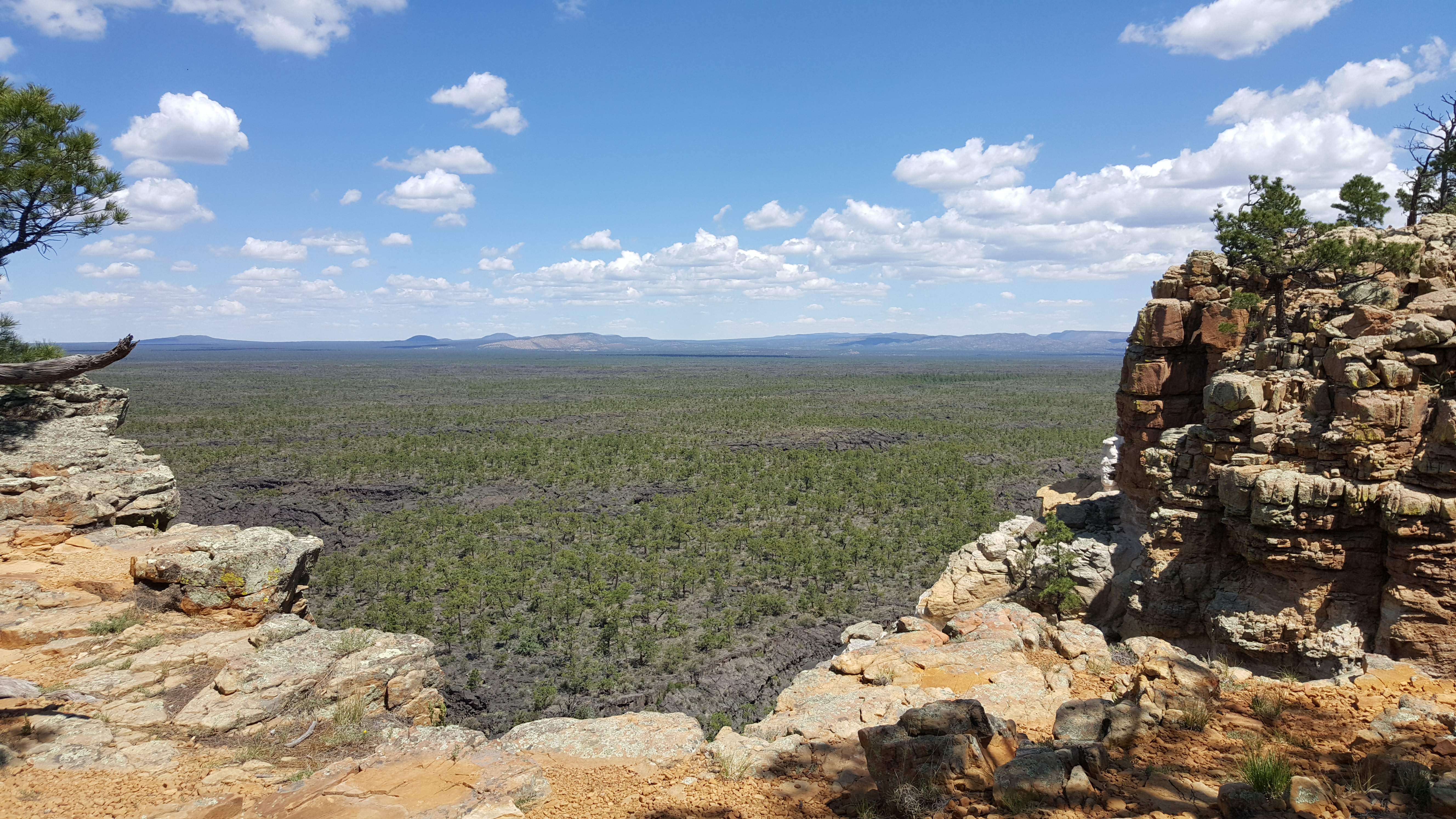
Sandstone Bluffs OverlookAt Sandstone Bluffs, every direction you turn gives you a different view with a new feature to focus on. Below the bluffs are the lava flows of El Malpais. To the north is a dramatic view of Mount Taylor. Below your feet is Dakota Sandstone that contrasts with the dark lava flows farther below where you stand. If you enjoy sweeping vistas, Sandstone Bluffs is the place to be for a sunset or a cloudless afternoon. 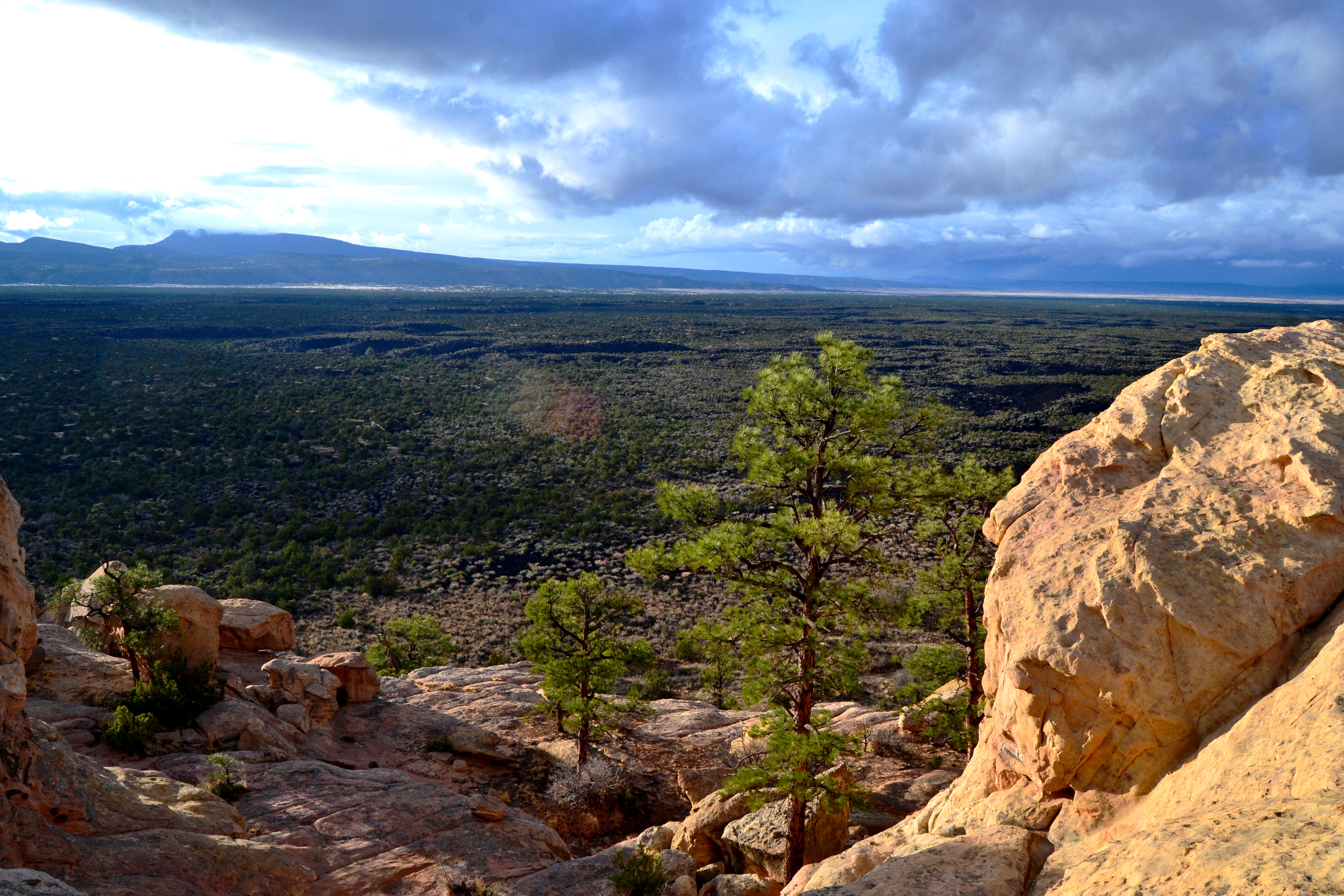
Summit of El CalderonEl Calderon is a 115,000 year old cinder cone in El Malpais National Monument. From the El Calderon Summit, take a short 0.8 mile hike around the rim of El Calderon and look down into the eroded core of an ancient volcano. 
WNPA Store
Zuni-Acoma TrailheadThe west-side start of the Zuni-Acoma Trail. If you want to take on the challenge of one of the most difficult trails in the area, this is one of two places where you can get started. 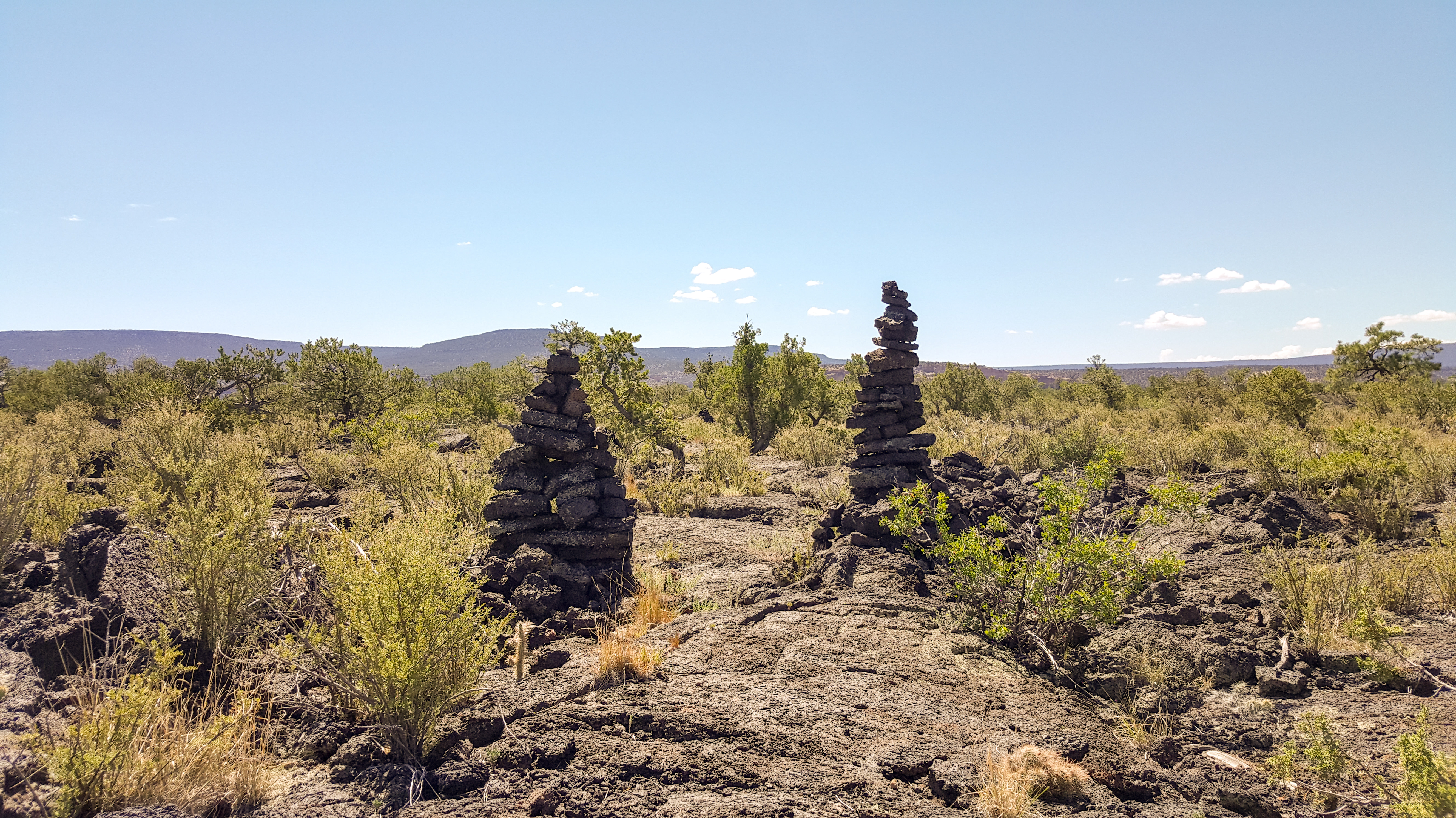
|
| Visitor Centers | Count: 1
El Malpais Visitor Center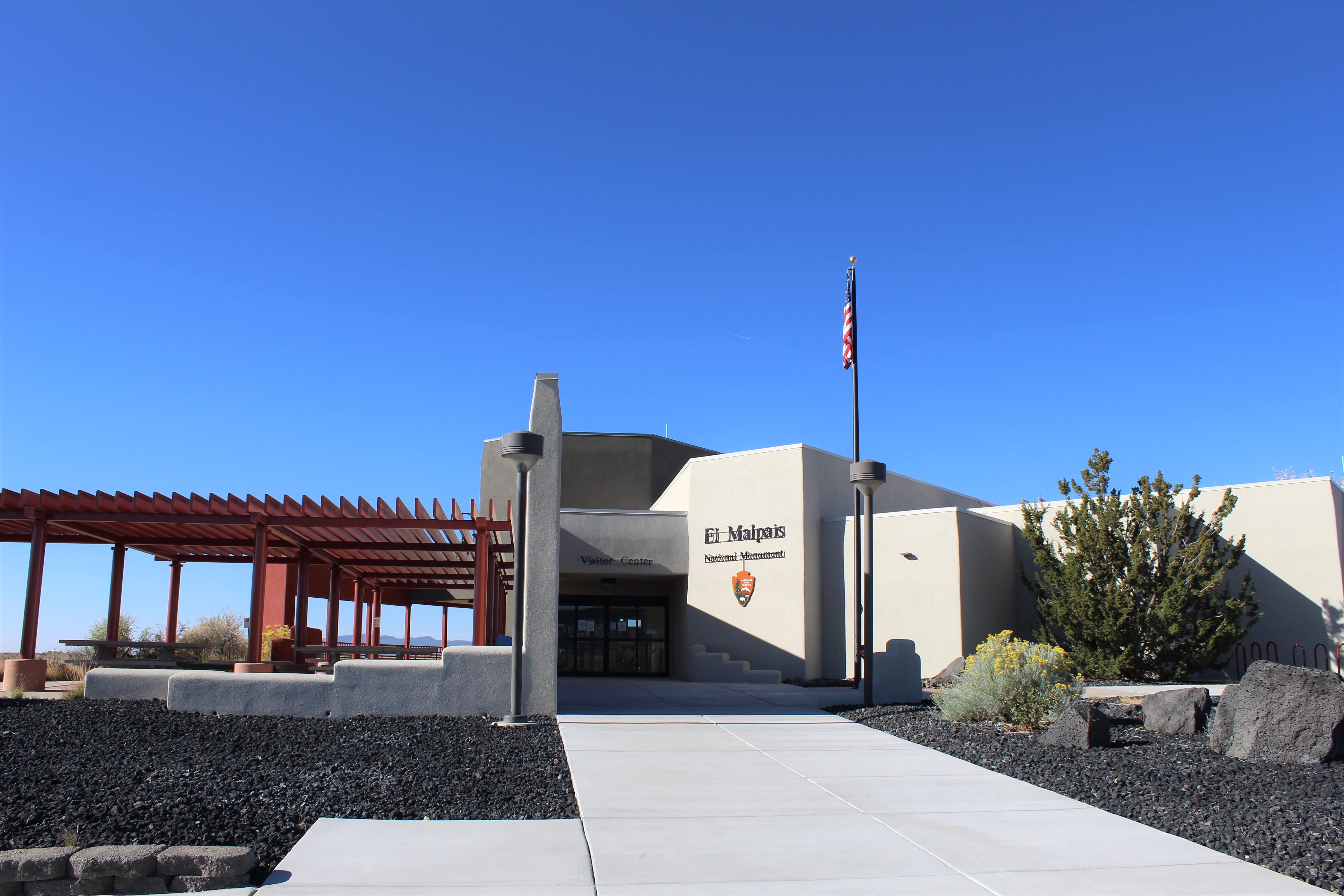
|
| Things to do | Count: 8

|
| Tours |
Count: 2
El Calderon Self Guided HikeEnjoy this approximately 3 mile long self guided tour along the El Calderon Trail in El Malpais National Monument. This moderately difficult trail follows a gravel and dirt path up to the top of a cinder cone volcano (approximately 200 feet elevation gain). Enjoy views of lava tube caves and trenches, cinder cone volcanoes, and mixed ponderosa forests. Lava Falls Self Guided HikeExplore a one-mile loop on the youngest lava flow in the region with nine interpretive stops along the way. |
| Articles |
|