Click on "view all alerts" below for important details on accessing the park
Construction on Tamiami Trail may cause minor delays. If you have a scheduled tour, please plan accordingly. View all alerts for more updates on current conditions in the park.
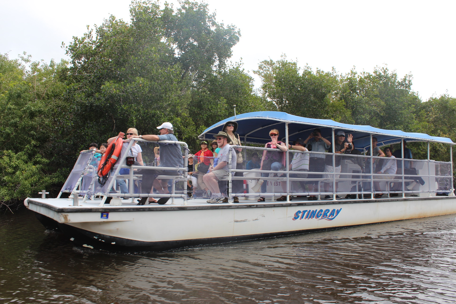
Gulf Coast Visitor Center - under construction
The new Marjory Stoneman Douglas Visitor Center and surrounding site are under construction until Fall 2025. Park Rangers can be found in the Everglades Adventures Visitor Center located at 611 Collier Ave in Everglades City. (786) 758-0635
Gulf Coast canoe/kayak launch
Alternate launch sites for backcountry access include the Rod & Gun Club, Outdoor Resorts of Chokoloskee, and Chokoloskee Island Park and Marina. Fees at these sites vary. For more information on tours and local conditions, call (786) 758-0635.
Pa-Hay-Okee Overlook Trail closed for replacement project until Fall 2025
The Pa-Hay-Okee boardwalk trail, tower and parking lot will be closed for a replacement project until the fall. This is to replace aging infrastructure. The road remains open as a turnaround.
Roadwork may cause delays on US 41/Tamiami Trail
Current roadwork is ongoing along the park's northern boundary on US Highway 41/Tamiami Trail to raise the road for Everglades Restoration benefits. Drivers may experience up to 15-minute delays and should watch for personnel, equipment and slow downs.
For entrance fees, we accept digital passes and credit/debit cards
Digital passes or credit/debit cards are the ONLY method of payment at all fee collection areas. Pre-paid digital passes are available online and may be purchased in advance.
| Title | Everglades |
| Park Code | ever |
| Description | Established in 1947 as the first national park created for its biodiversity, Everglades National Park protects 1.5 million acres of wetland, forest, and marine habitats and the native plants and animals that call it home. With several internation... |
| Location | |
| Contact | |
| Activities |
|
| Entrance fees |
Entrance - Private Vehicle
$35.00
Admits the passholder and passengers of a single vehicle or vessel. Good for 7 consecutive days at all park entrances.
Entrance - Motorcycle
$30.00
Good for 7 consecutive days at all park entrances.
Entrance - Per Person
$20.00
Good for 7 consecutive days at all park entrances. Admits one individual hiker, bicyclist, pedestrian, or human-powered paddlecraft, when not arriving in a vehicle or vessel. Individuals 15 years old and younger, are admitted free of charge.
Entrance - Education/Academic Groups
$0.00
All accredited educational and scientific institutions are eligible to receive free entrance to the park. Bringing your classroom to the park can present many unique learning opportunities and novel ways for your students to advance their studies. The Federal Lands Recreation Enhancement Act (FLREA), Public Law 108-447, provides the National Park Service statutory authority to allow “outings conducted for non-commercial educational purposes by schools or bona fide academic institutions.”
Commercial Entrance - Motor Coach
$300.00
A commercial tour is defined as persons traveling on an itinerary that has been packaged, priced or sold for leisure recreational purposes by an organization that realizes financial gain through the provisions of the service. Entrance fees are charges based on the seating capacity of the vehicle. Commercial entry good for 7 days as long as its the same passenger group.
Commercial Entrance - Mini-bus
$200.00
A commercial tour is defined as persons traveling on an itinerary that has been packaged, priced or sold for leisure recreational purposes by an organization that realizes financial gain through the provisions of the service. Entrance fees are charges based on the seating capacity of the vehicle. Commercial entry good for 7 days as long as its the same passenger group.
Commercial Entrance - Van
$125.00
A commercial tour is defined as persons traveling on an itinerary that has been packaged, priced or sold for leisure recreational purposes by an organization that realizes financial gain through the provisions of the service. Entrance fees are charges based on the seating capacity of the vehicle. Commercial entry good for 7 days as long as its the same passenger group.
|
| Campgrounds | Count: 2
Flamingo Campground
Long Pine Key Campground
|
| Places | Count: 50
3-in-1 TrailThis trail runs true to its name since you traverse through three distinct ecosystems in one trail. The three ecosystems are Pine Rockland, Hardwood Hammock and Sawgrass Prairie. It is not wheelchair accessible and it is less than 0.8 miles (1200meters) 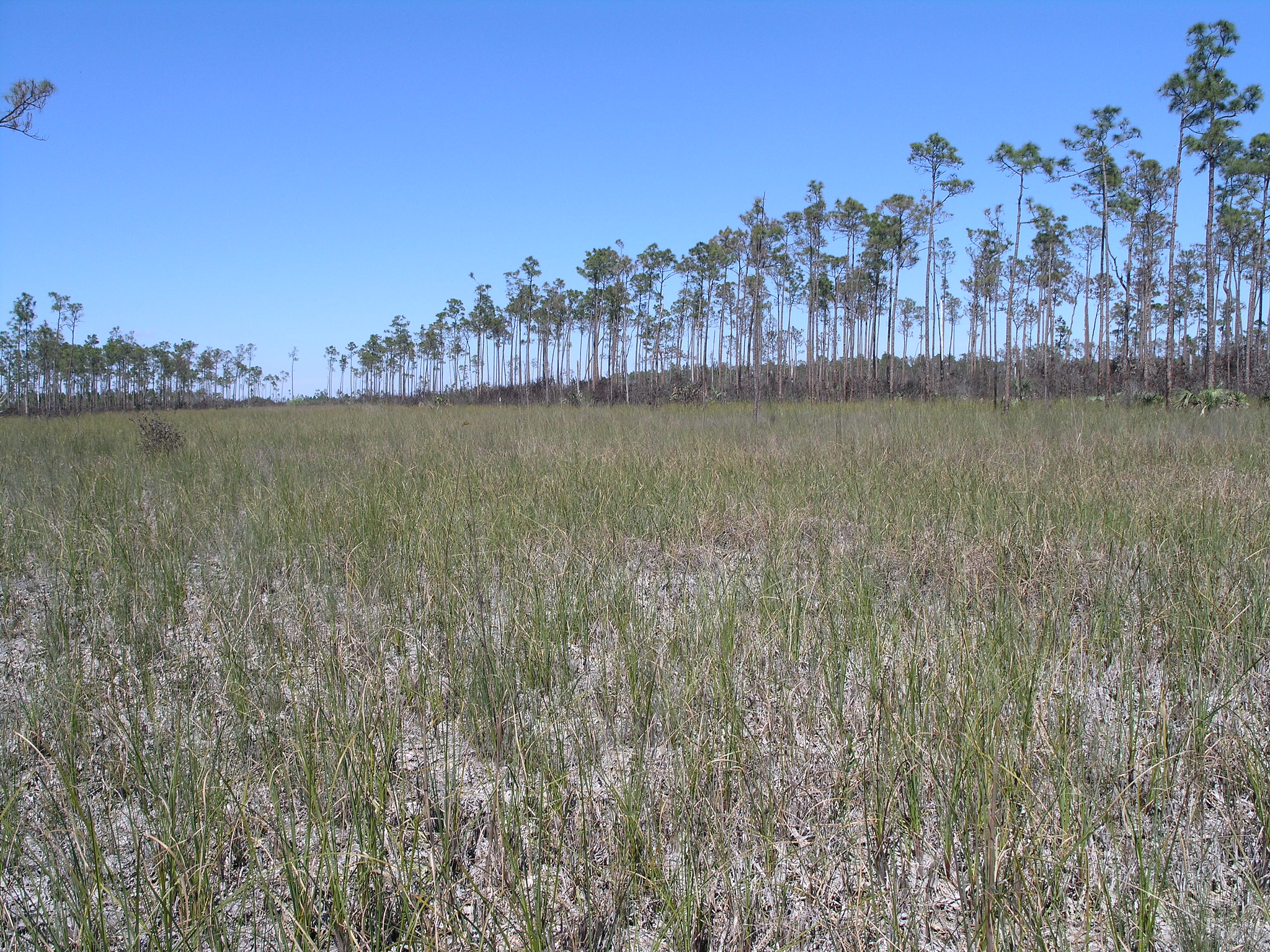
Alligator Creek CampsiteLocated on marl prairie, along a canal section of Alligator Creek, about 100 feet from Garfield Bight. Campers at this remote and rarely-visited site will likely be gloriously alone, except for the crocodilians who often sun themselves at the landing. Mosquitoes can be abundant all year round.
Anhinga TrailThe famous Anhinga Trail is a self-guiding pavement and boardwalk trail winding through and over sawgrass marsh and freshwater slough. A paved path leads you along the water and to a looping boardwalk, providing views into the prairie and the clear waters of the slough. You may see alligators, fish, turtles, anhingas, and many other birds, especially during the winter, when the generally lower waters of the dry season concentrate aquatic wildlife in the slough. This is one th 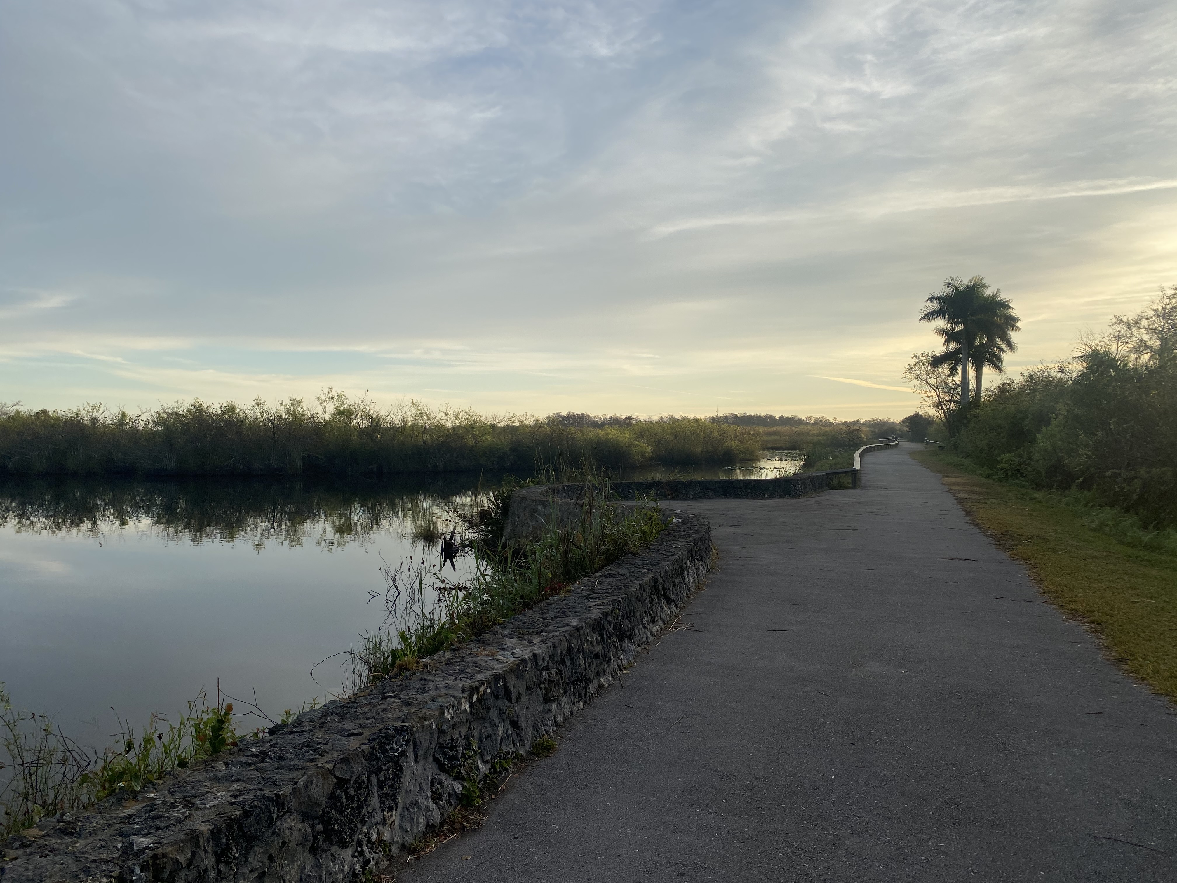
Bayshore Loop TrailThe trail is 2 miles (3.2 km) round trip. Meander along the shore of Florida Bay, watching for remnants of an outpost fishing village. Observe the effects of hurricanes Katrina and Wilma on the landscape. Begin at the Coastal Prairie Trailhead at the back of Loop "C" in the Flamingo Campground. Veer left at the trail junction to the bay. Not wheelchair accessible. Bicycles not allowed. 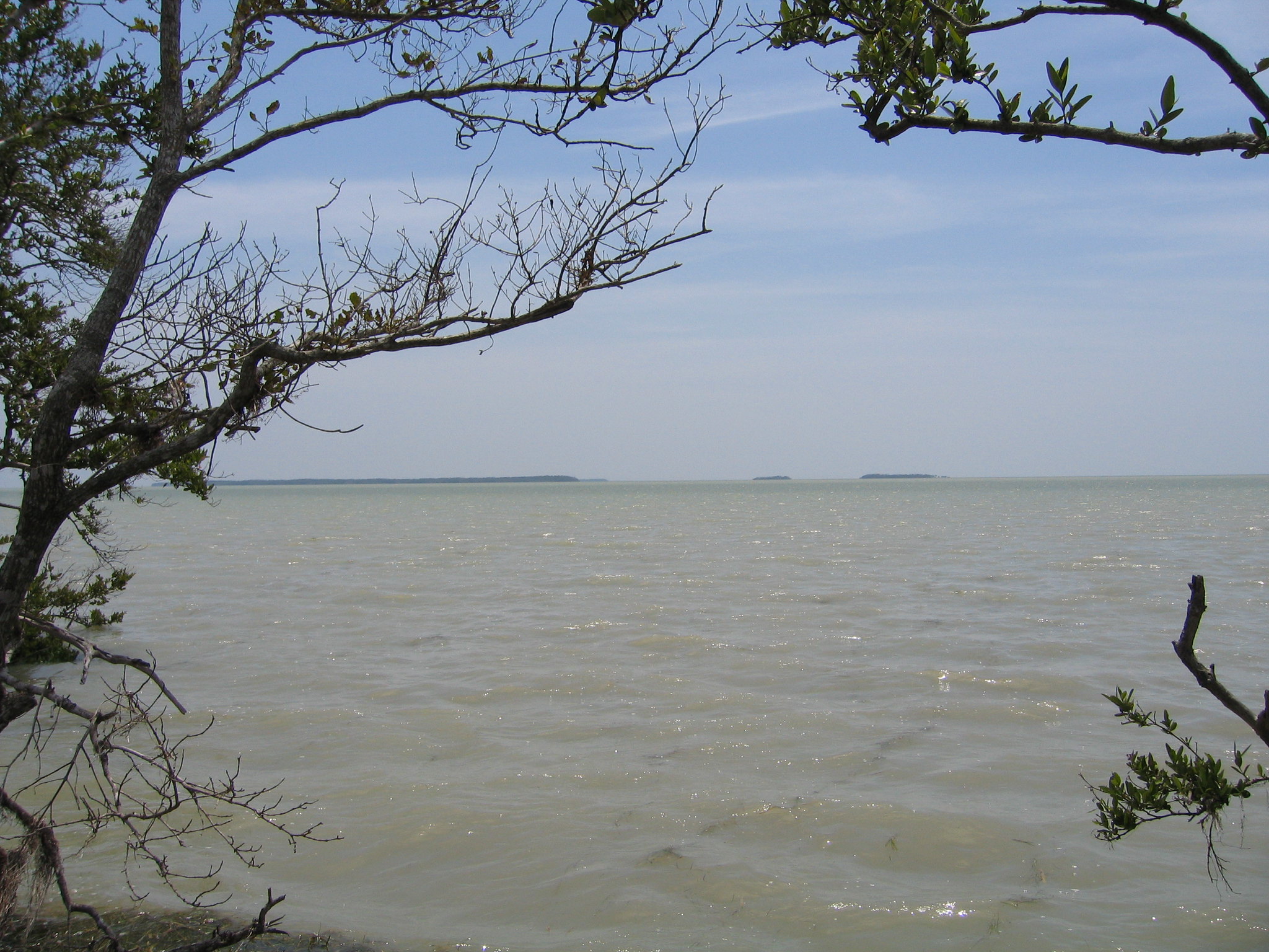
Bear Lake TrailBear Lake Trail is 1.6 miles one way. Journey through a dense hardwood hammock mixed with mangroves. The trail follows the old Homestead Canal, built in 1922, and is an excellent area for woodland birds. There are more than 50 different tree species. Bike, drive, or walk to the end of Bear Lake Road to begin this trail. 
Bobcat Boardwalk TrailA short accessible .2 miles trail that winds through a willowhead. The boardwalk allows visitors to view the wildlife all around them. Open year round. 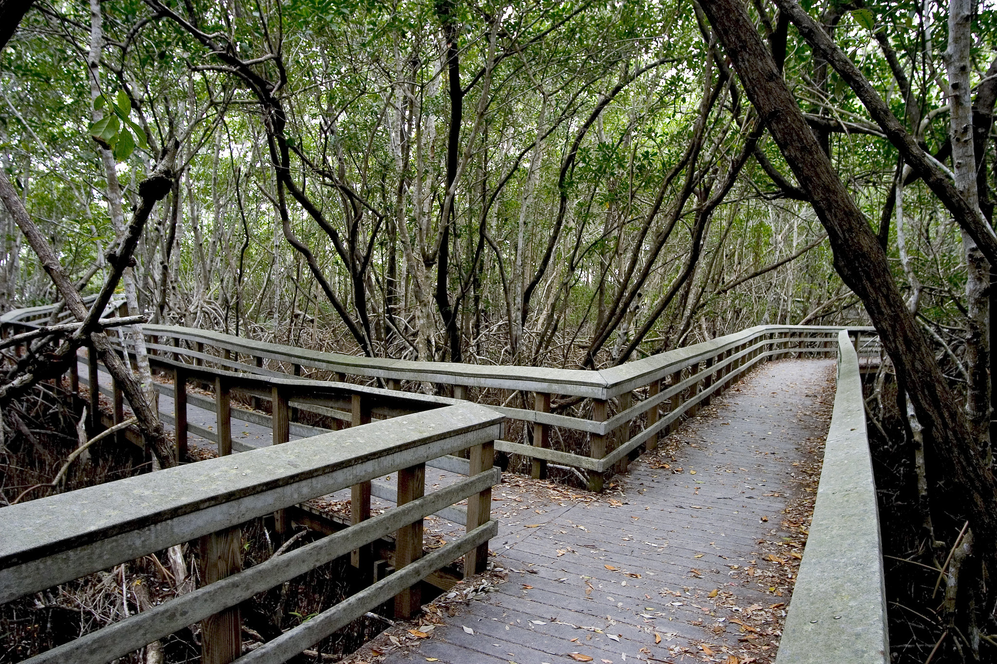
Borrow Pit TrailTrail that borders the borrow pit at the Shark Valley Tower. Limestone was gathered or 'borrowed' to build local construction before the park. This is a great place to see alligators and other wildlife, open year round 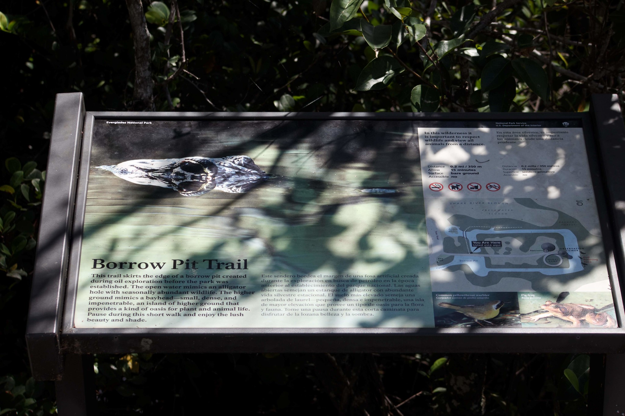
Broad River CampsiteA ground campsite located on the south bank of the Broad River near WW marker #25. This site can get muddy after a heavy rain and mosquitoes can be prolific due to the dense mangroves nearby. Facilities are located on a small clearing of high ground surrounded by tall trees. This wide river eventually flows into Rodger’s River. It is reported that Joe Wiggins had a floating store on Broad River early in the century. 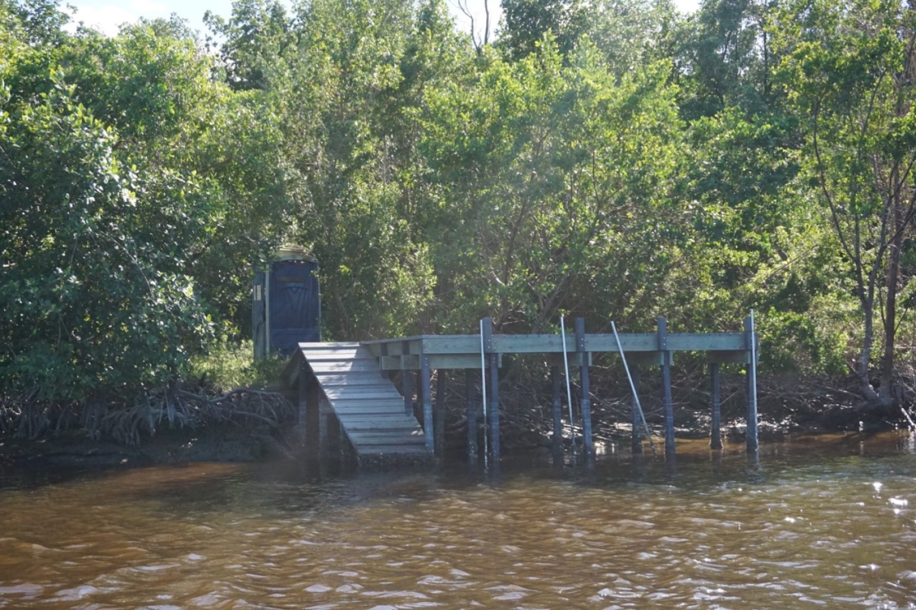
Camp LonesomeThis ground campsite is located on an old Calusa Indian mound and shaded by tropical hardwood trees. The Seminole Indians had a hunting camp here when the Park was established in 1947. At least one Seminole claimed to have grown up at his family’s home at Camp Lonesome. This site is one of the few which extends inland into the sawgrass prairie. Paddlers may want to explore the Wood River (unmarked) just south of the site. 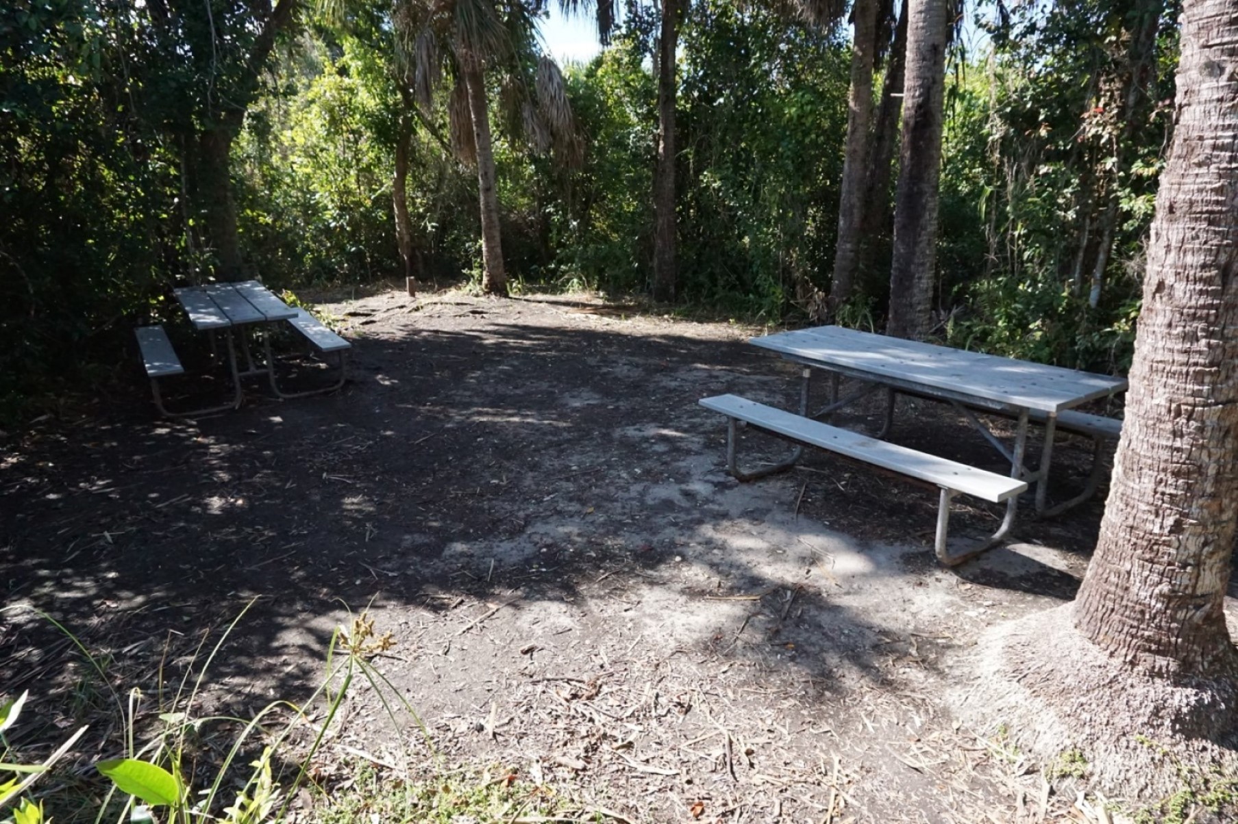
Christian Point Hiking TrailChristian Point is 1.8 miles one way. Wander a rustic path through a wide diversity of habitats. The trail begins in dense mangroves and buttonwoods full of bromeliads, or airplants. Next, investigate the unusual, salt–loving vegetation of open coastal prairie. Dead buttonwood snags interrupt these expanses that were shaped by hurricanes. Finally, you'll end–up along the shore of Snake Bight. 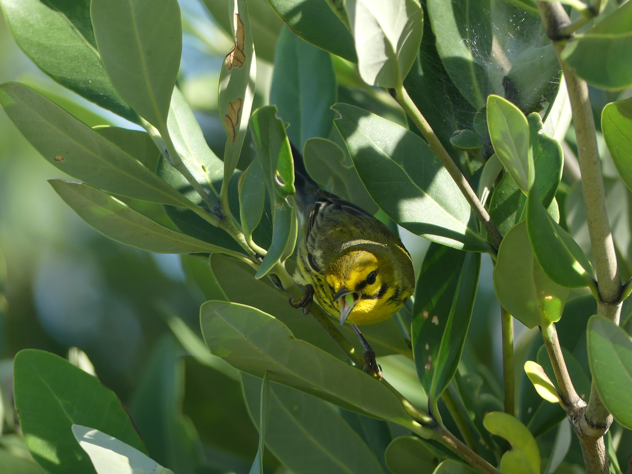
Clubhouse BeachThis campsite is a sand/marl beach, backed by mangroves and coastal prairie. Mosquitoes and sandflies may be a problem year round, especially if wind is out of the north.
Coastal Prairie TrailThis trial is 7.5 miles one way. Step back in time as you walk this old road once used by cotton pickers and fishermen. Open prairies of succulent coastal plants dotted with shady buttonwoods surround you as you journey towards the shore of Florida Bay. Begin at the rear of Loop "C" in the campground. A backcountry permit is required for camping. 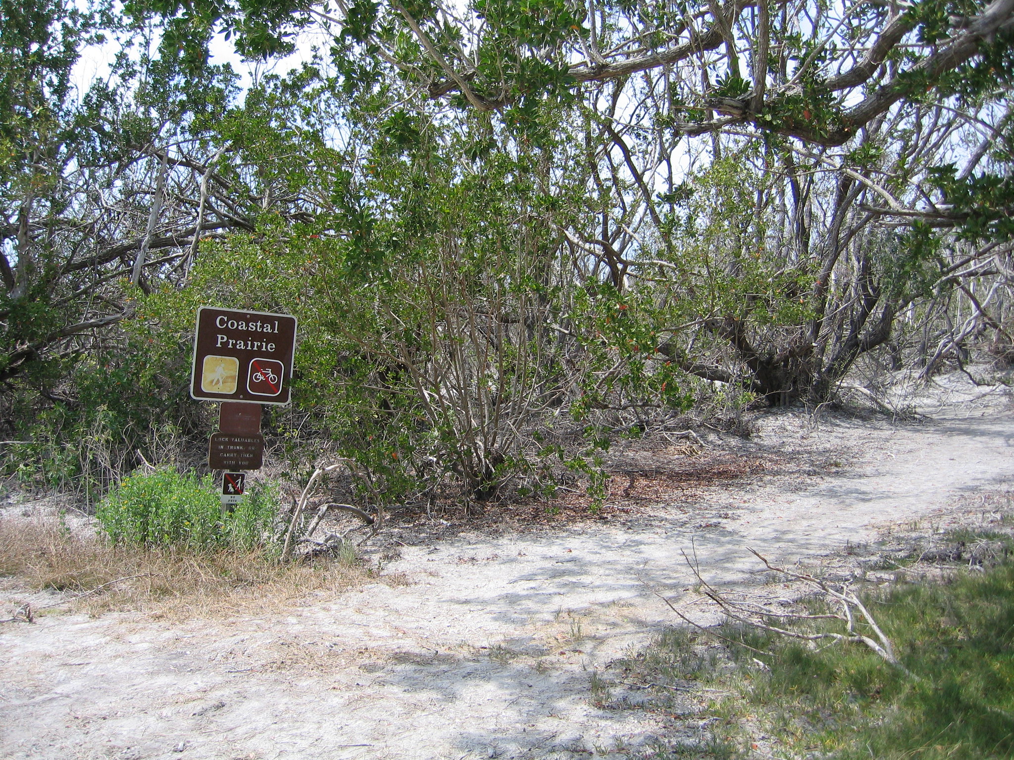
Coot Bay PondThis small pond opens up to Coot Bay, and is great for paddling and wildlife viewing. 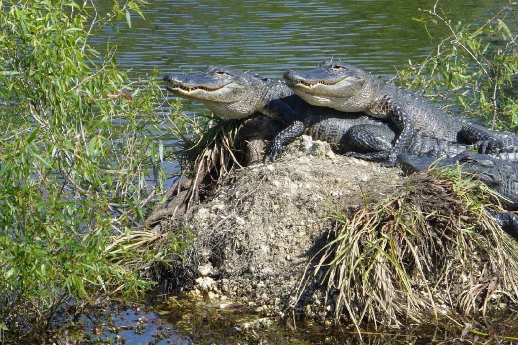
Crooked Creek ChickeeDouble Chickee Campsite. At marker #126, look for the “No Wake” sign – this marks the entrance to the passage where the chickee is located. Listen for dolphins at night. Curious sea turtles may surface from time to time. The chickee is sheltered from all but the strongest breezes. Mosquitoes may visit in the early morning and evening hours. 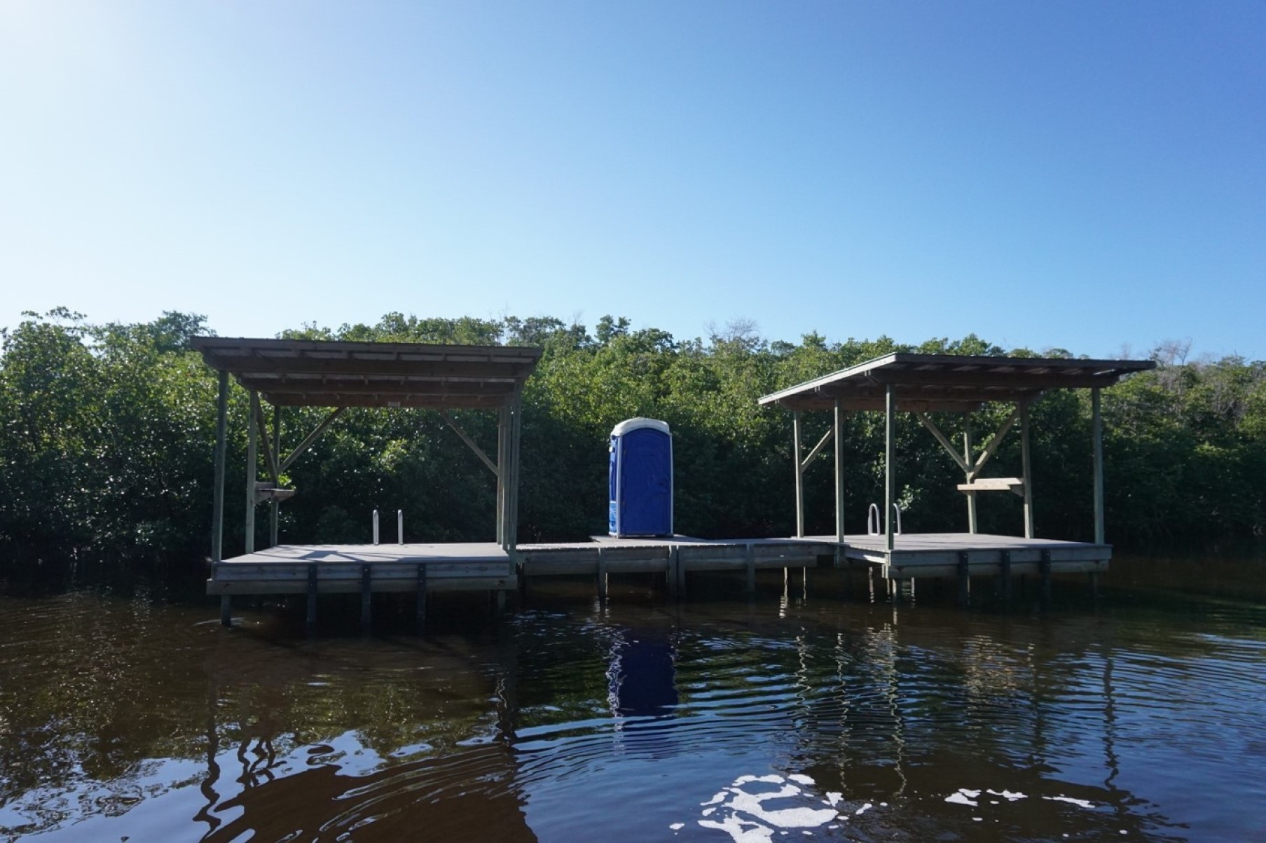
Darwin's PlaceThis flat clearing was a homestead built from shell and cement by Arthur Darwin, who lived there from 1945 to 1971. He was the last private resident on Park lands. Artifacts from the site can still be seen and are protected. Tie your vessel securely. The island is also known as Opossum Key named because of the great number of opossums killed on the island. Before this, it was known as Chevelier Place, named after Jean Chevelier, a plume hunter who lived here. There is no dock 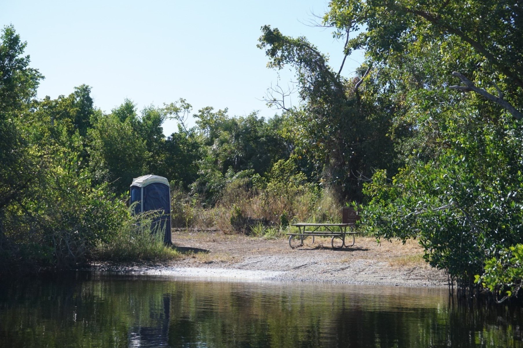
East Cape CampsiteThis campsite is an open shelly sand beach stretching for several miles along the Gulf of Mexico. Expect expansive sea views as well as magnificent sunsets and sunrises. Ruins of a dock used by an old concession tour may be found here. In the 1830s, Fort Poinsett was located here. Its mission was to thwart suspected arms trading between Indians and Spanish fisherman. Mosquitoes and sandflies may be a problem year round. 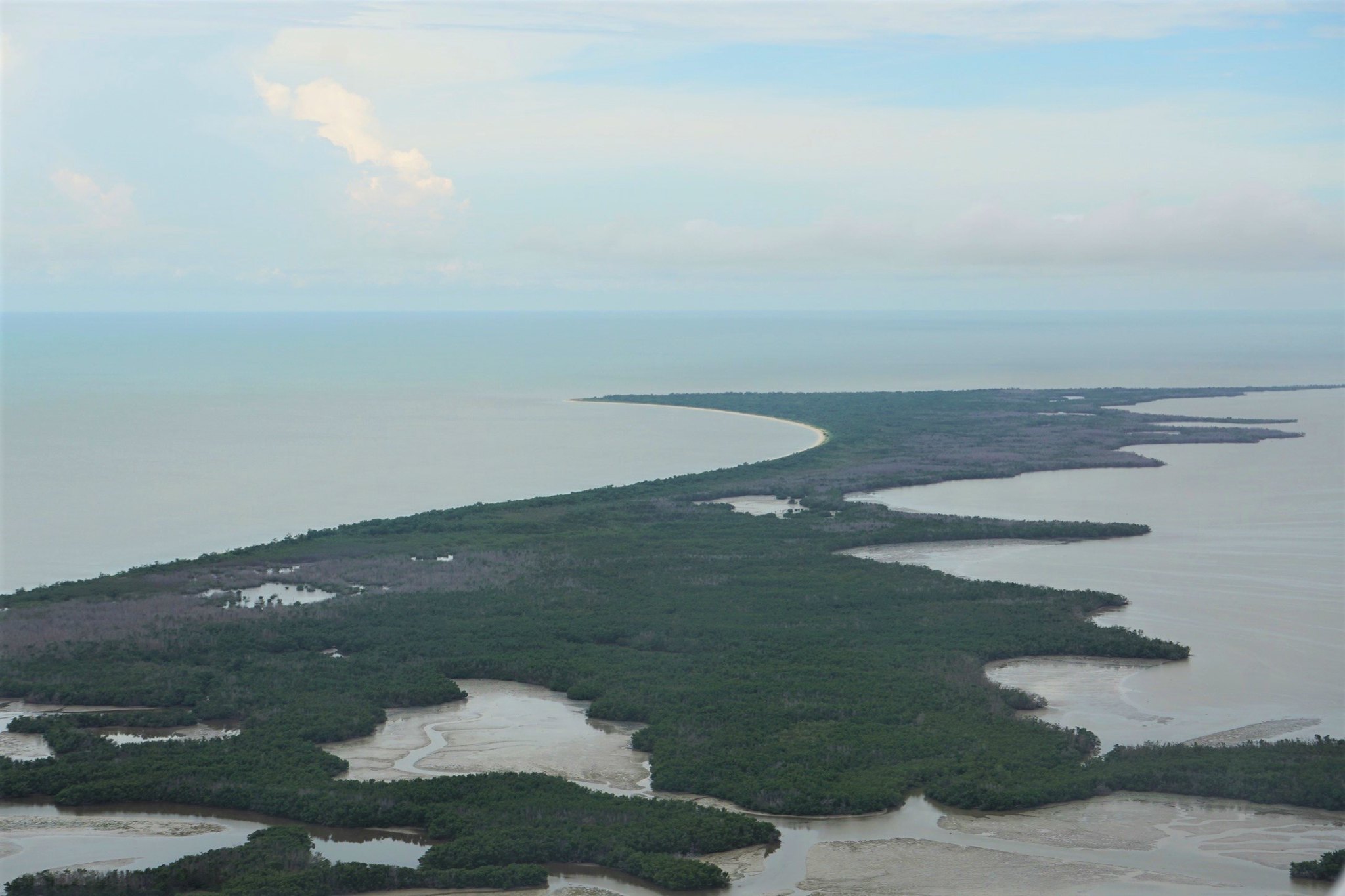
East Clubhouse BeachThis campsite is a sand/marl beach, backed by mangroves and buttonwoods. Mosquitoes and sandflies may be a problem year round, especially if wind is out of the north. The site affords a lovely view of northern Florida Bay. Many trekkers use this site as a final stopover in order to get an early return to Flamingo the next day.
Eco PondLocated on the road to the Flamingo Campground, Eco Pond has a ½ mile loop trail. Wading birds, shorebirds and occasional crocodiles can often be seen at this location. 
Everglades Homestead Entrance StationAbout 500 meters after you've passed the Ernest Coe Visitor Center along the Main Park Road, you will encounter the Homestead Entrance Gate. Fees apply to enter Everglades National Park. 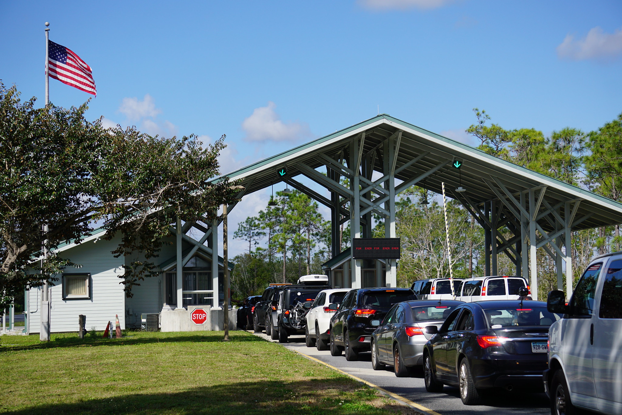
Everglades National Park
Everglades Paddling TrailA new waterway along the west side of the park – the Everglades Paddling Trail – was approved in the 2015 General Management Plan. This 120-mile route provides additional wilderness and backcountry opportunities and includes several segments totaling about 30 miles that have boating use restrictions to enhance visitor enjoyment in the busy winter-spring seasons. You will need a wilderness camping permit (available at the Flamingo and Gulf Coast Visitor Centers) if you plan to 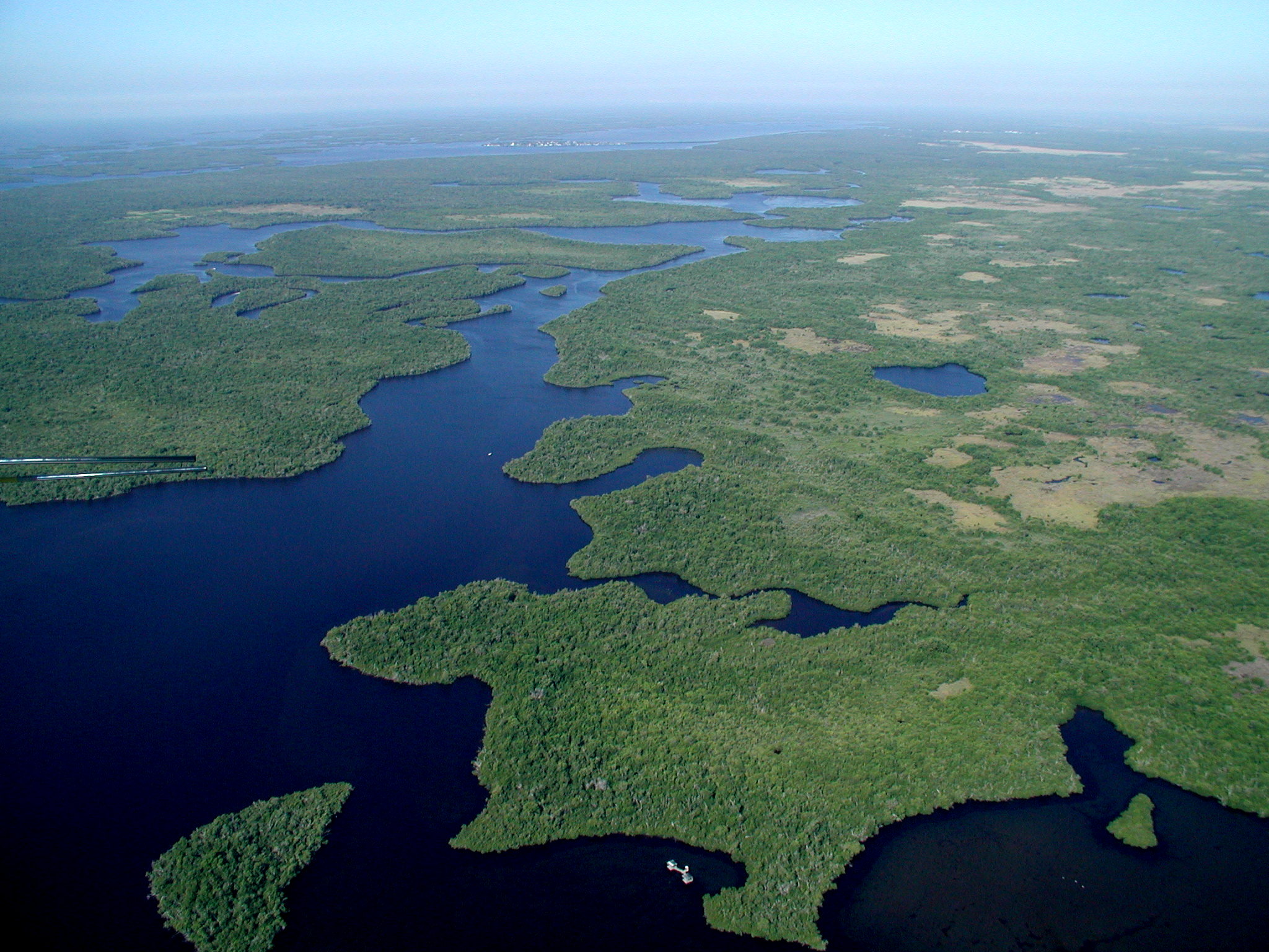
Everglades Wilderness WaterwayThe wilderness of Everglades National Park is very different from other places you may have boated, paddled, or camped. It can be confusing and difficult to navigate as the mazes of mangrove–lined creeks and bays all begin to look the same. With proper planning, you can avoid the frustration and hours wasted from getting lost. The 99-mile Wilderness Waterway attracts interest because it connects Flamingo and Ev-erglades City. Most paddlers allow at least eight days to complet 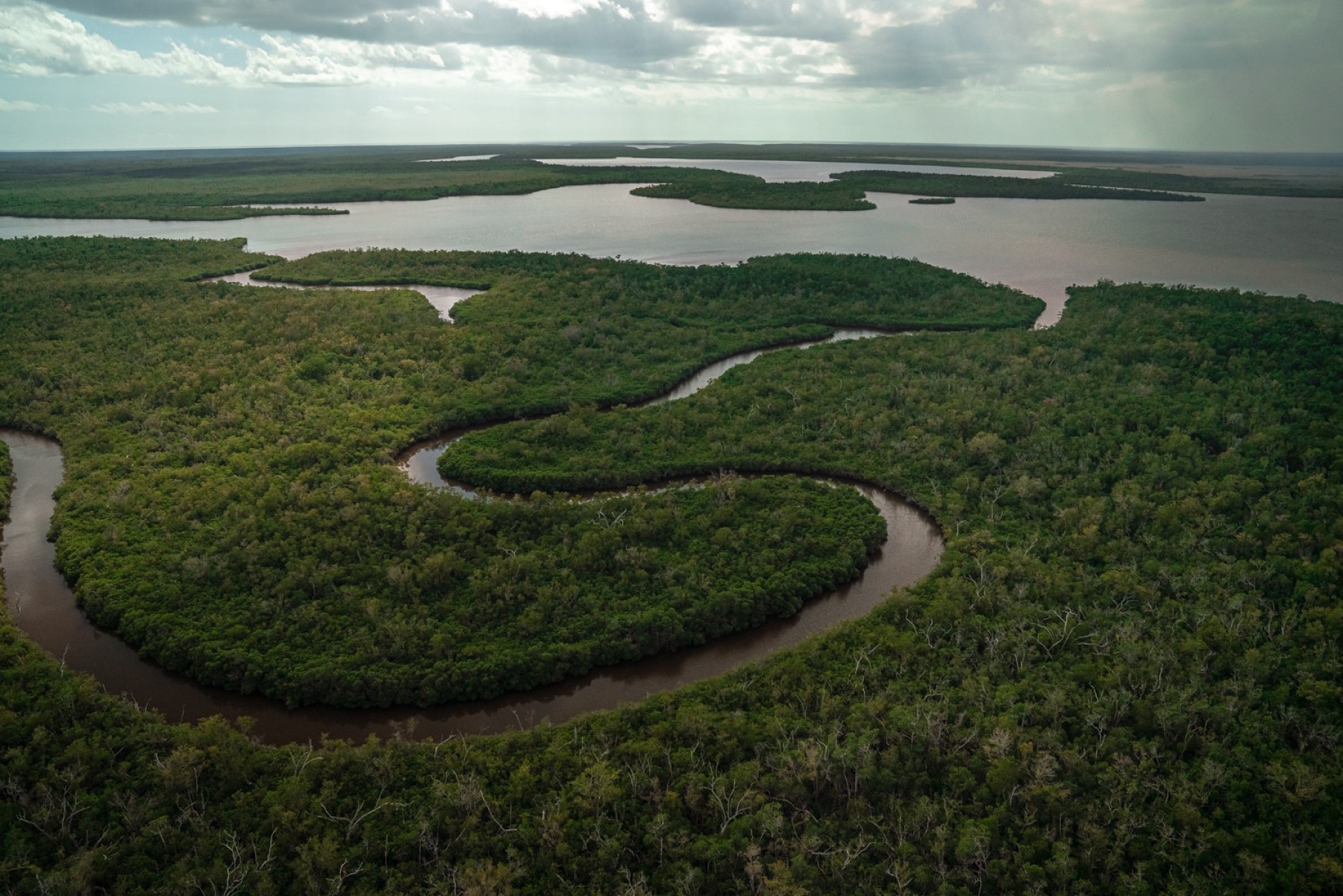
Flamingo Fish Cleaning StationThe Flamingo Fish Cleaning Station is located adjacent to public boat ramps and the marina store, and is available 24-hours a day, year-round. 
Flamingo MarinaThe Flamingo Marina, open year-round, can accommodate boats with electric and water hookups. Marina is currently open with access to power, 30A water pedestals, pump out, showers (available for $3), fuel, and fully stocked marina store (beer, water, sunscreen, bug spray, to-go food etc.) The channel will accept a four-foot maximum draft at HIGH-TIDE. At SLACK TIDE (0 tide) the channel is approximately two feet deep. 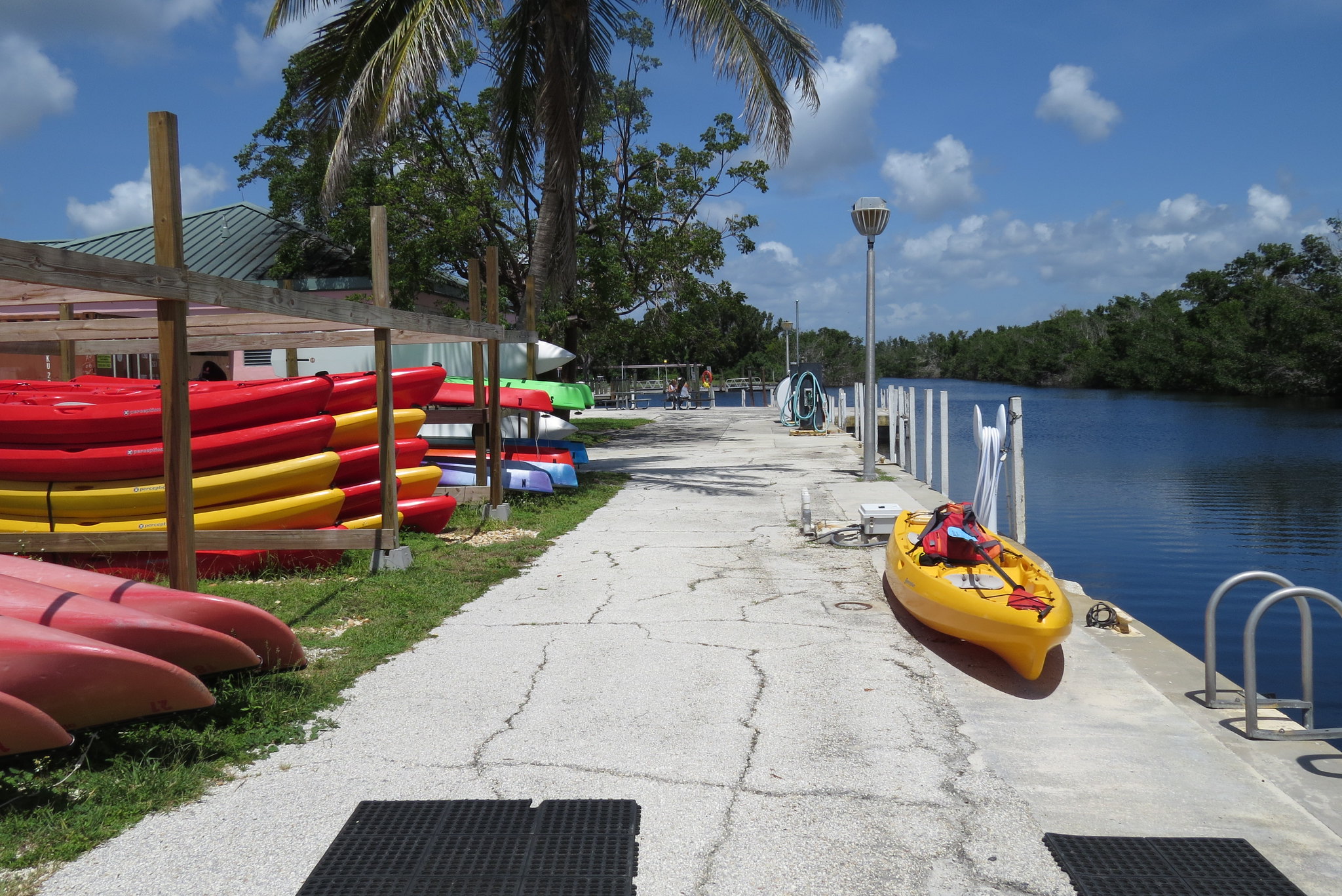
Florida Bay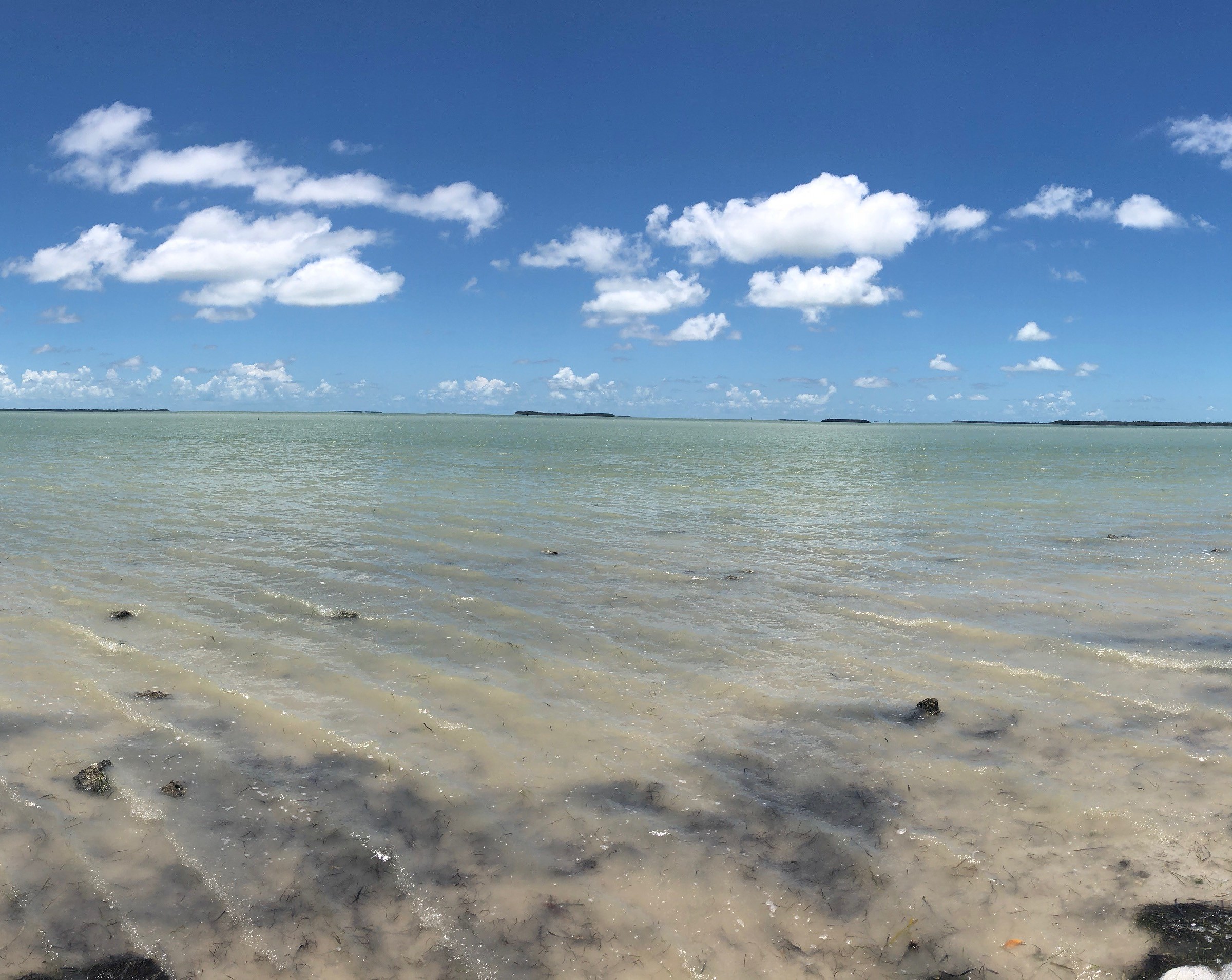
Gulf Coast Canoe/Kayak LaunchNon-motorized boat launch currently closed for construction. 
Gumbo Limbo TrailThe Gumbo-Limbo trail is a self-guided, paved trail meandering through a shaded, jungle-like hardwood hammock. In the hammock, hardwood trees such as oaks and gumbo limbos form a dense canopy overhead. Look for majestic royal palms, ferns, and air plants such as bromeliads. You may hear or see birds such as warblers, barred owls, or catbirds. Look closely and you may spot a liguus tree snail, the jewel of the hardwood hammock, on the bark of the trees. As the trail passes a p 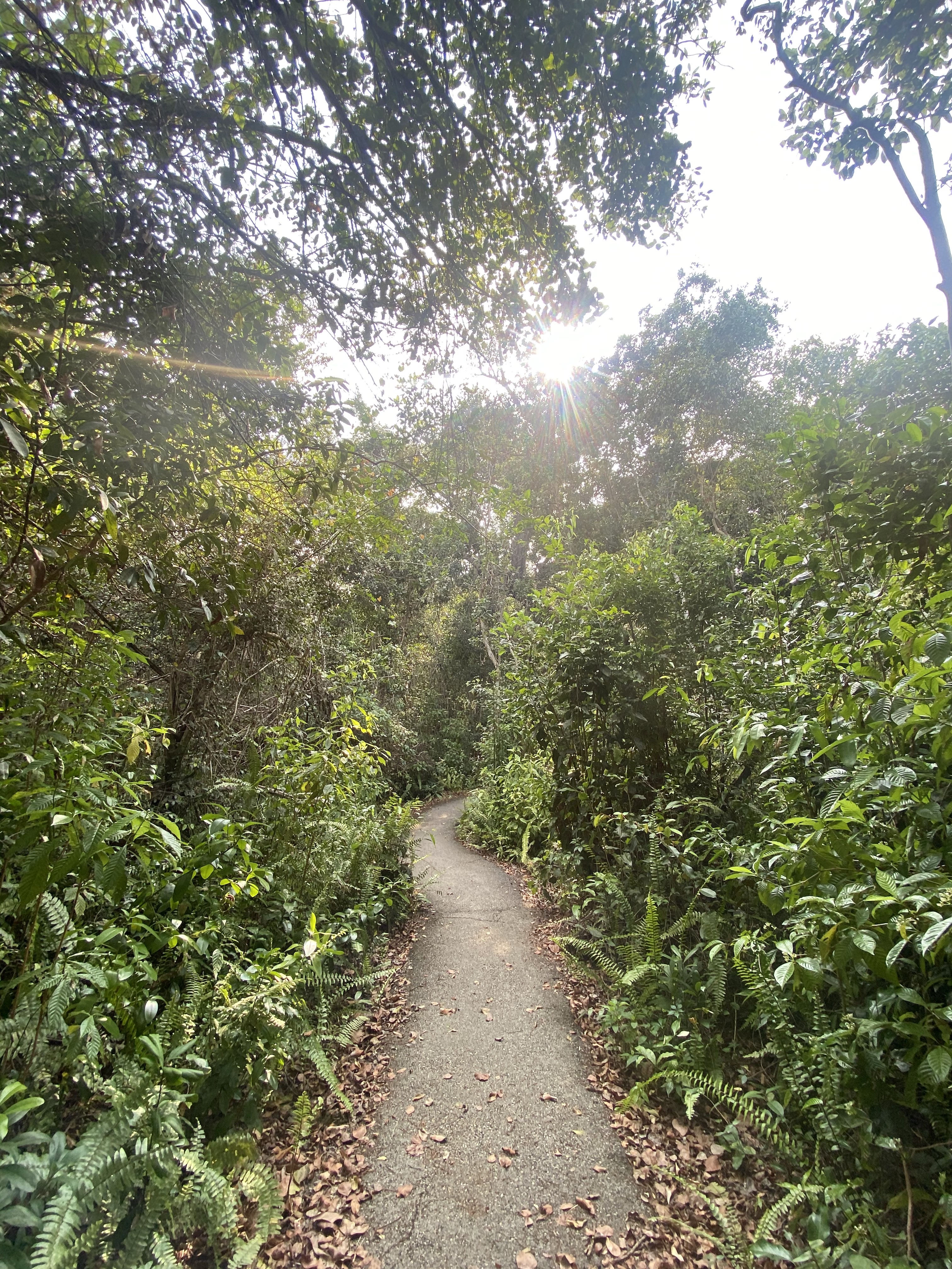
Guy Bradley TrailMingle with a variety of birds and butterflies as you amble along the shore of Florida Bay. Old pier pilings are a reminder that Flamingo was once a small fishing village. The trail was named for Audubon warden Guy Bradley, who was killed in 1905 while trying to protect a bird rookery in Florida Bay. This trail is a scenic short-cut from the Visitor Center to the Flamingo Campground day-use area and is 1 mile (1.6 km) one way. Wheelchair accessible and bicycles are allowed. 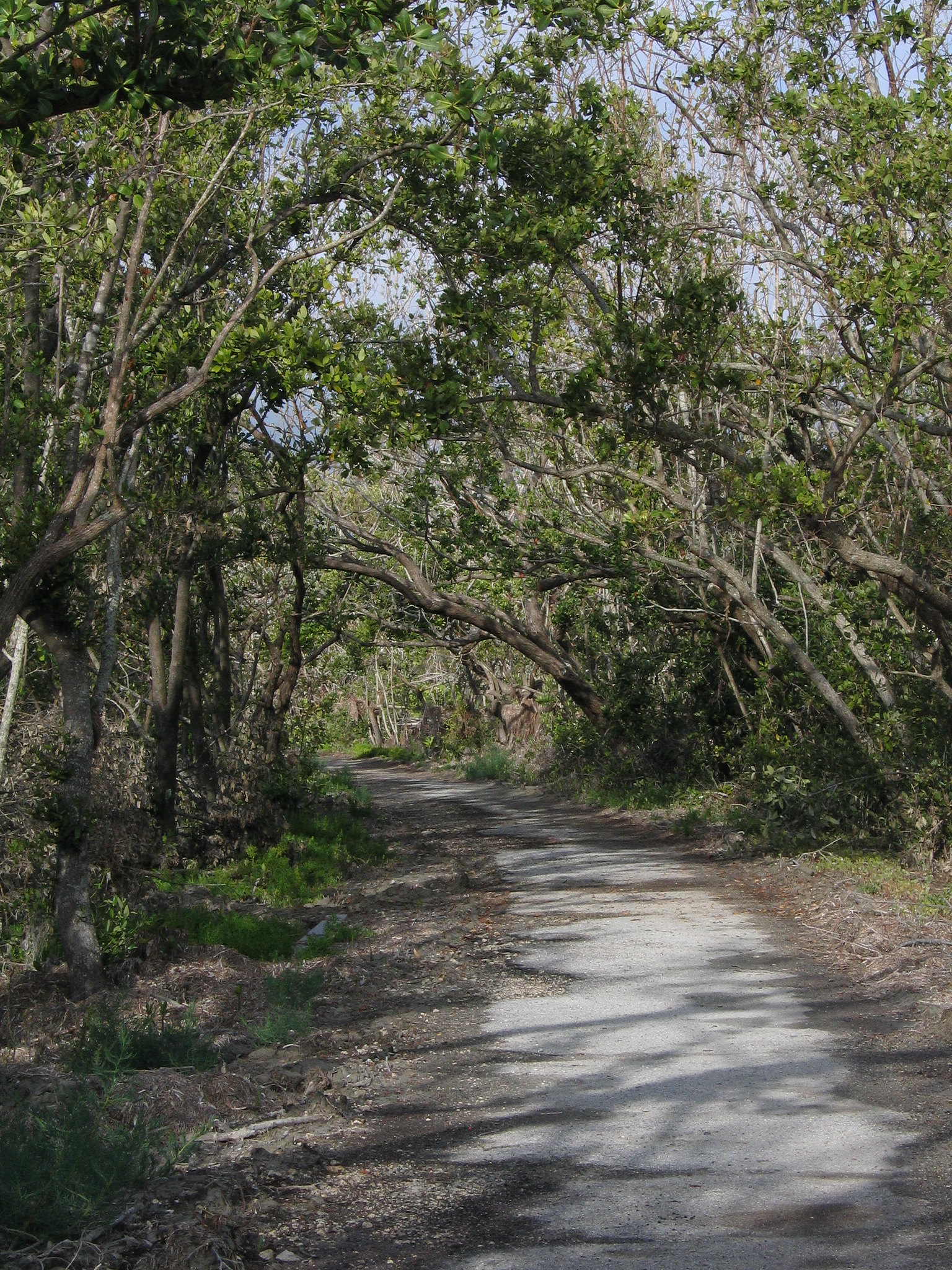
HM-69 Integrated Fire ControlThe Daniel Beard Research Center, where National Park scientists are based today, was originally called Integrated Fire Control and built as the headquarters of the Nike missile base. It housed soldiers and officers, included a mess hall and recreational facilities, and had offices for all “up range” purposes. The Battery Commander would work from this building, and if the decision was made to fire the missiles, the launch buttons would have been pressed here 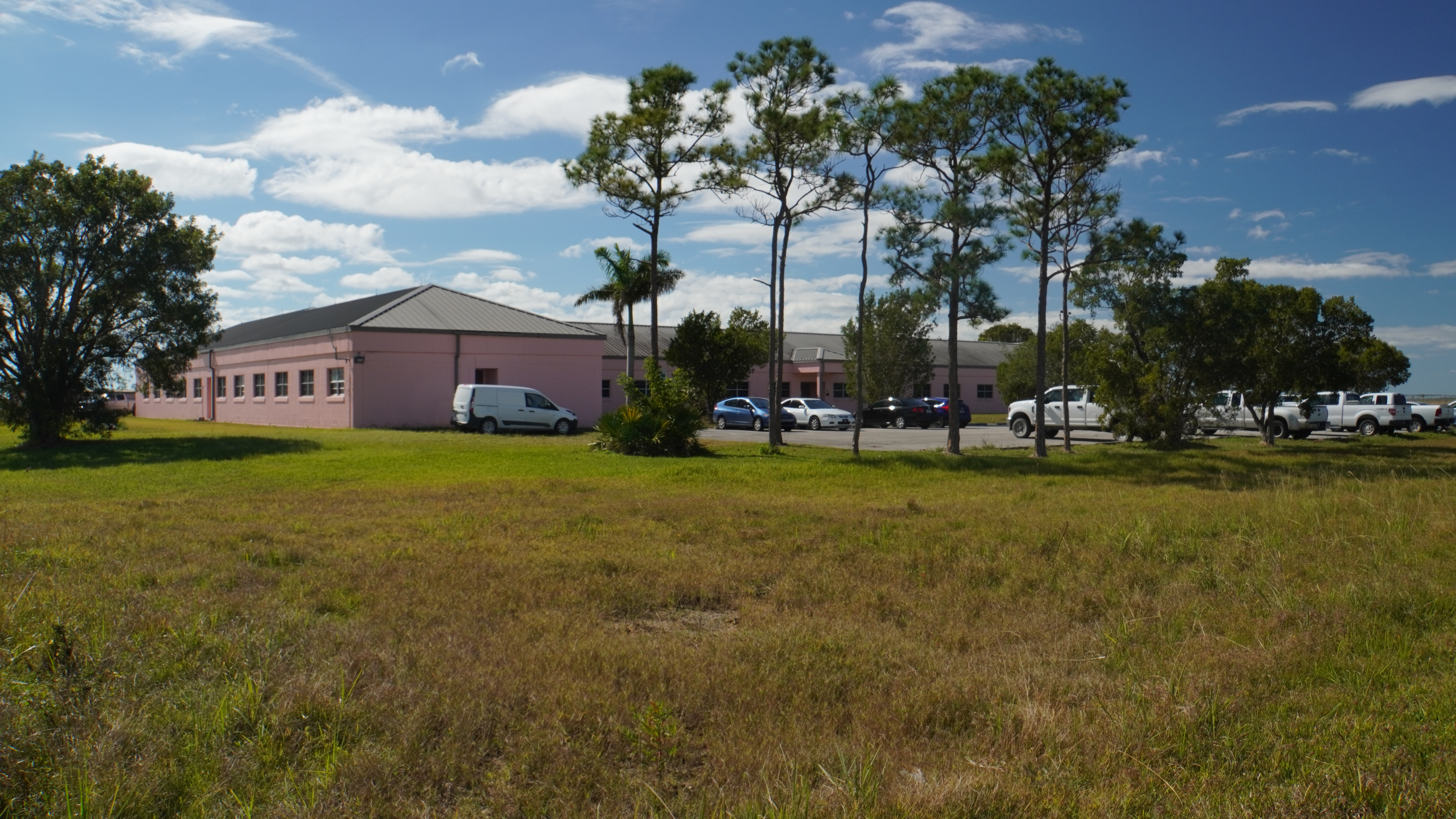
HM-69 Missile Assembly BuildingMaintenance was critical to keep missiles and warheads ready. This battery was in “hot status” rotation with the other three batteries of the 2nd Battalion in south Florida, with one always ready to aim their missiles at a moment’s notice. When a dignitary was in town, such as the US President, all four Batteries were on hot status. Soldiers had to constantly test and maintain equipment. 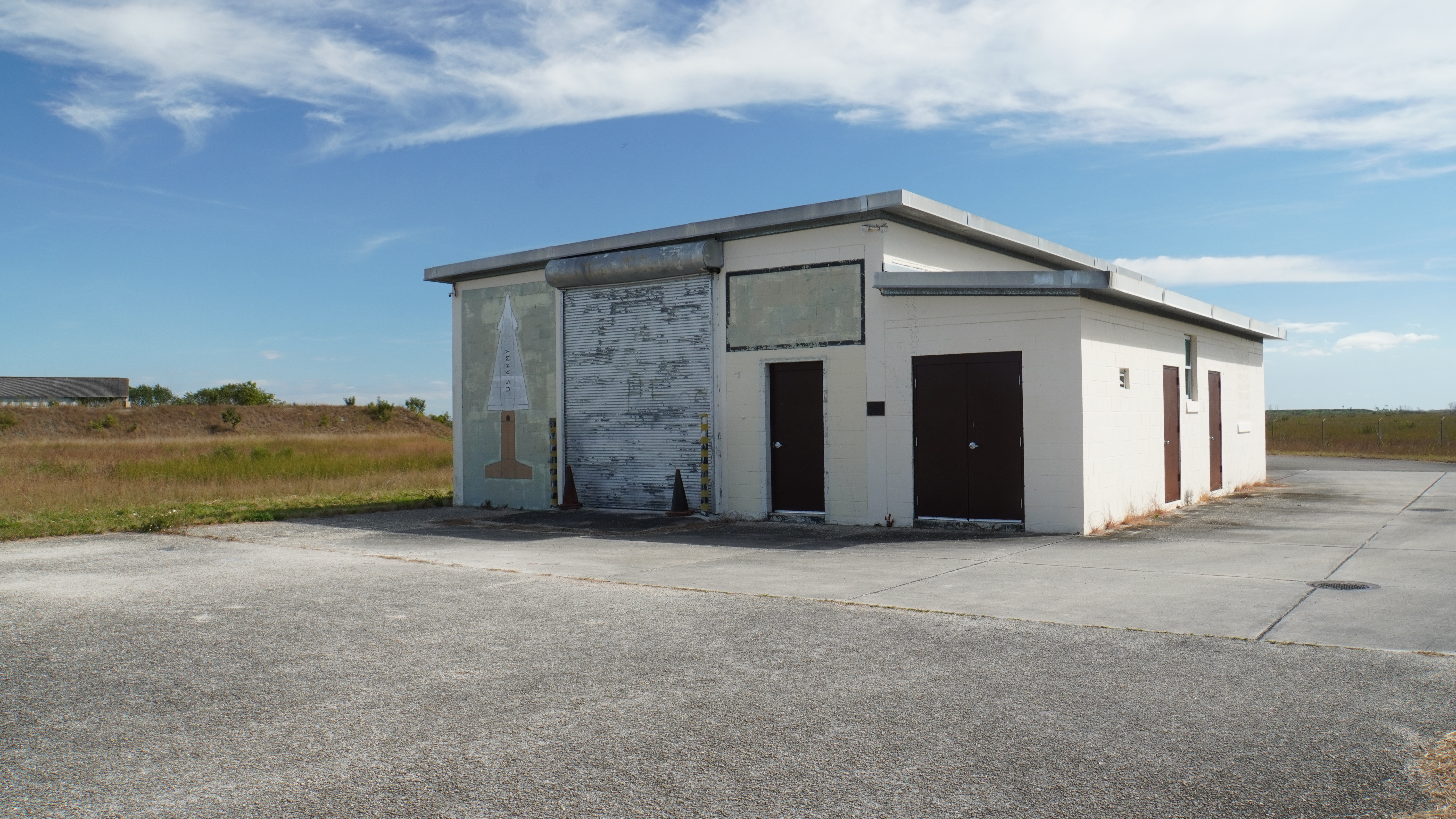
HM-69 Missile Barn CSection Barn C, one of the three barns that held the missiles and protected them when they were not deployed to be tested or fired. The large paved area between the road and the barn had three launch pads with rails between so two soldiers could roll out the five ton missiles to their positions. At Nike bases elsewhere in the country, the missiles would be housed below the launch pads and elevators brought the missiles up; here the water table is too close to the surface to h 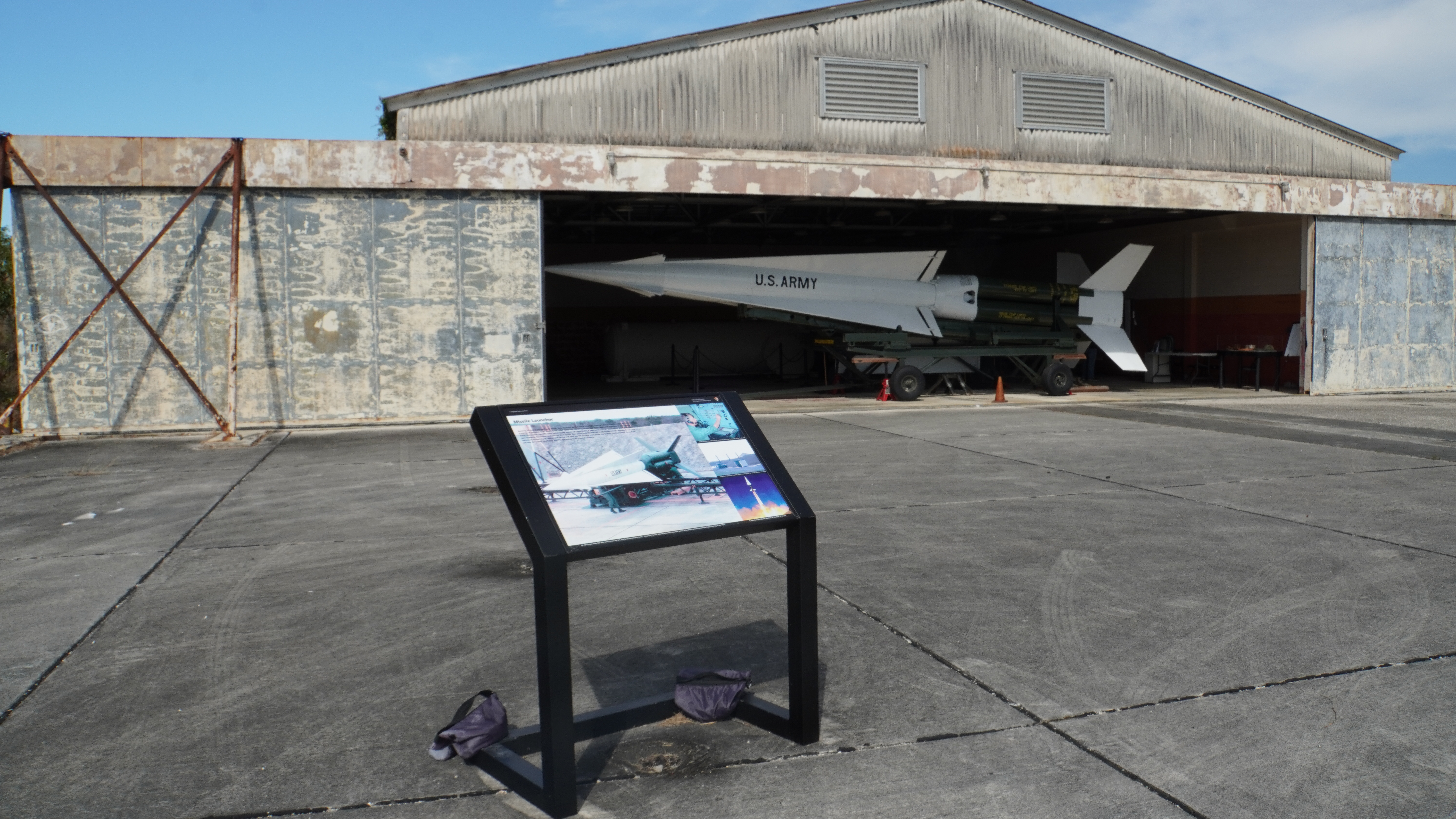
HM-69 Mosquito PaintingThe sub-tropical wilderness surrounding the base made wildlife a daily part of the conditions soldiers lived with. Just like today, the area had snakes, alligators, and insects to deal with. The blotches on the pavement here are old paint, once a painting of a mosquito. Soldiers claimed it was life sized at about a foot long by a foot wide (30 cm on each side). Heat and humidity, heavy rains, and the threat of hurricanes made maintaining and readying equipment more difficult. 
HM-69 Security Down RangeThe down-range section of the base, an extremely high security area. Even authorized soldiers known to military police guarding the site would be held at gunpoint if they were found in a part of the site they were not expected in. This sign is a replica of one originally placed outside the fence you just came through, and it is an example of the kind of security expected here. The original sign is on display inside Missile Barn C, stop #6 on this tour. 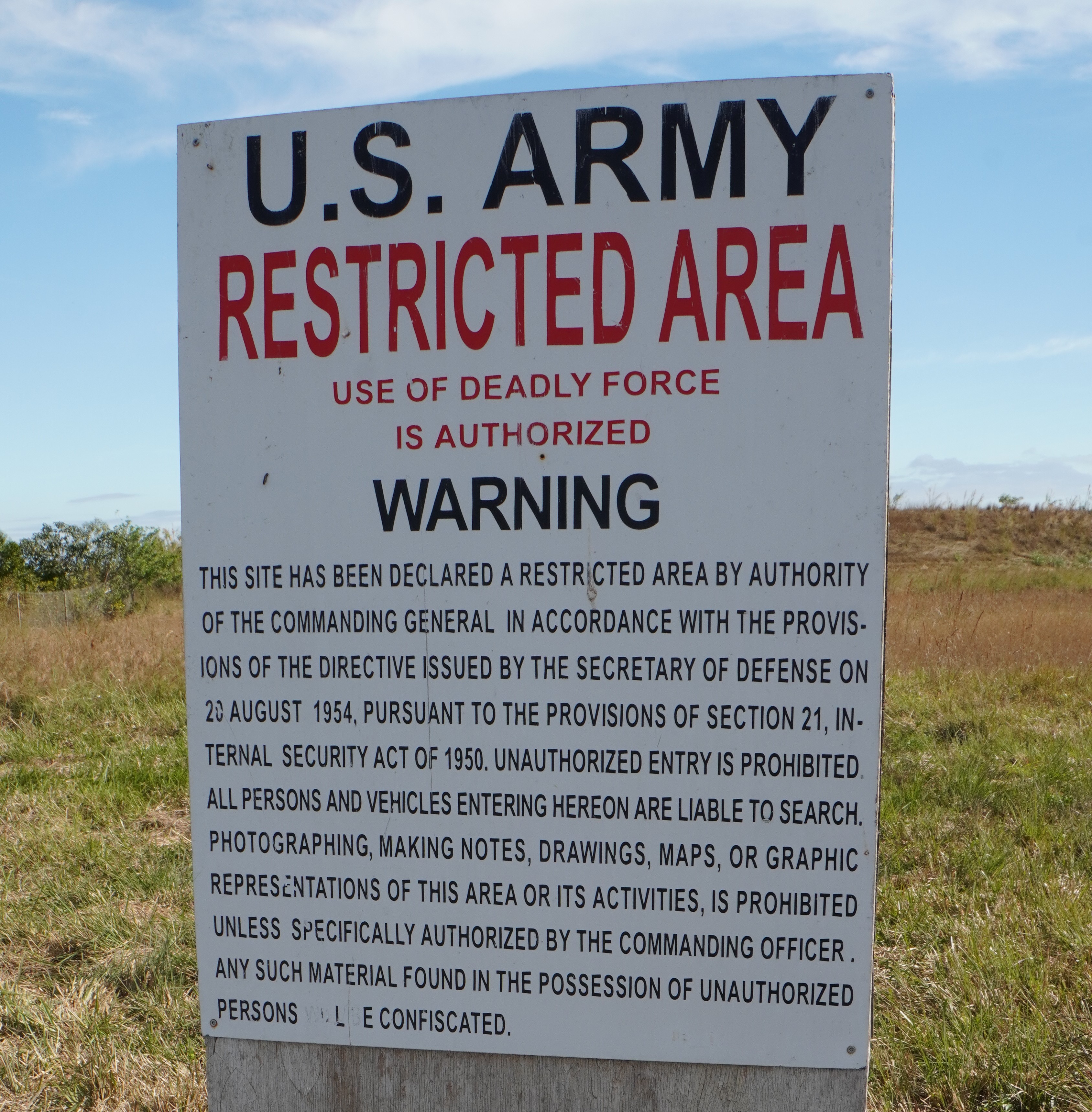
HM-69 Sentry Dog KennelsEach Nike base had an average of four sentry dogs, each with a military police officer as their handler. The dogs were trained to only listen to their one handler, and to attack all other people. There are stories of soldiers running for cover if a dog got loose, until their handler got them back under control. These dogs and their armed handlers patrolled the fence line every night, no matter the weather. 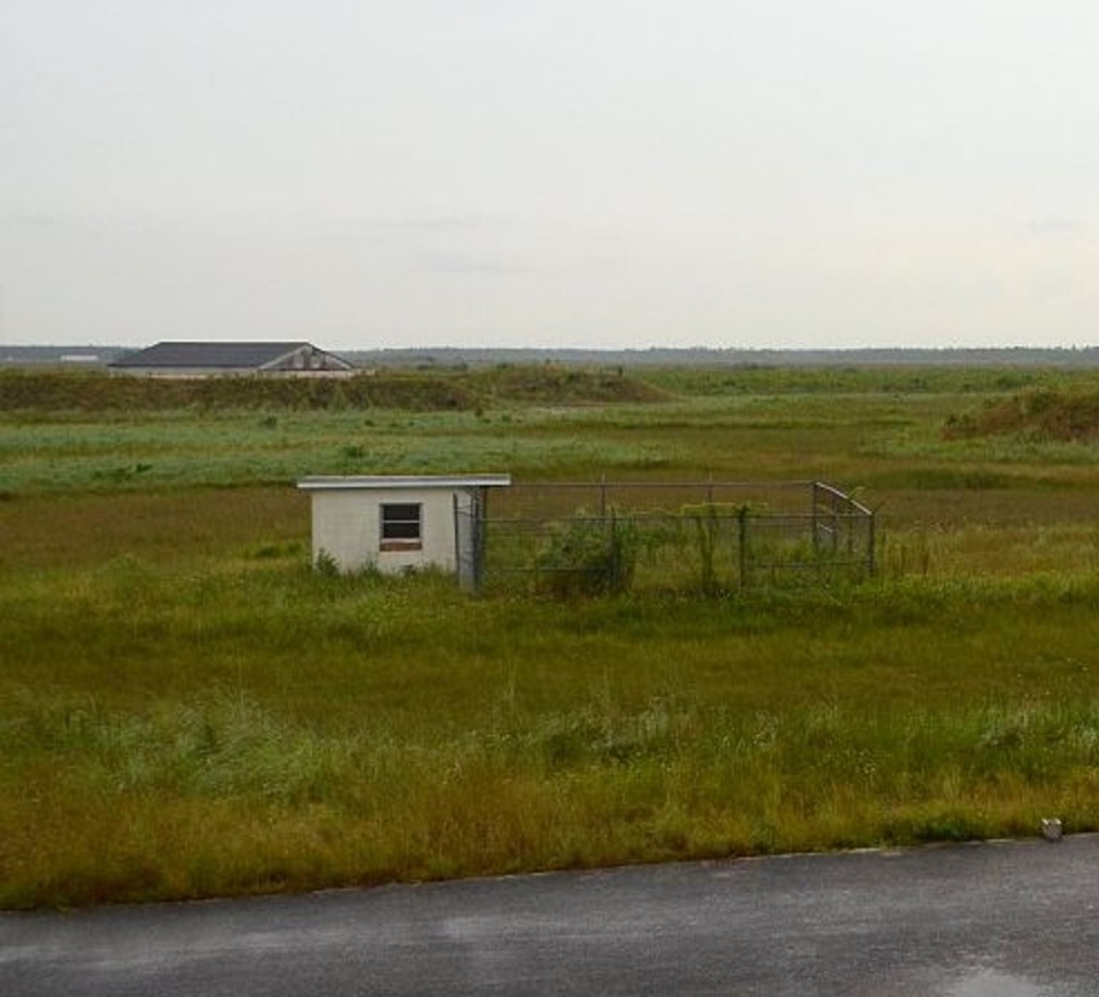
Halfway Creek Paddling TrailThe Halfway Creek and Loop Trails are accessible from the Gulf Coast Visitor Center in Everglades City or from the Big Cypress Welcome Center on Sea Grape Drive off of US 41. The Creek is 7.3 miles long from the Big Cypress Welcome Center to the Gulf Coast Visitor Center. The upper loop is an additional 3.7 miles. From the Gulf Coast Visitor Center, the Halfway Creek-Left Hand Turner-Turner River loop is 11 miles. Allow 4-8 hours for these trails. 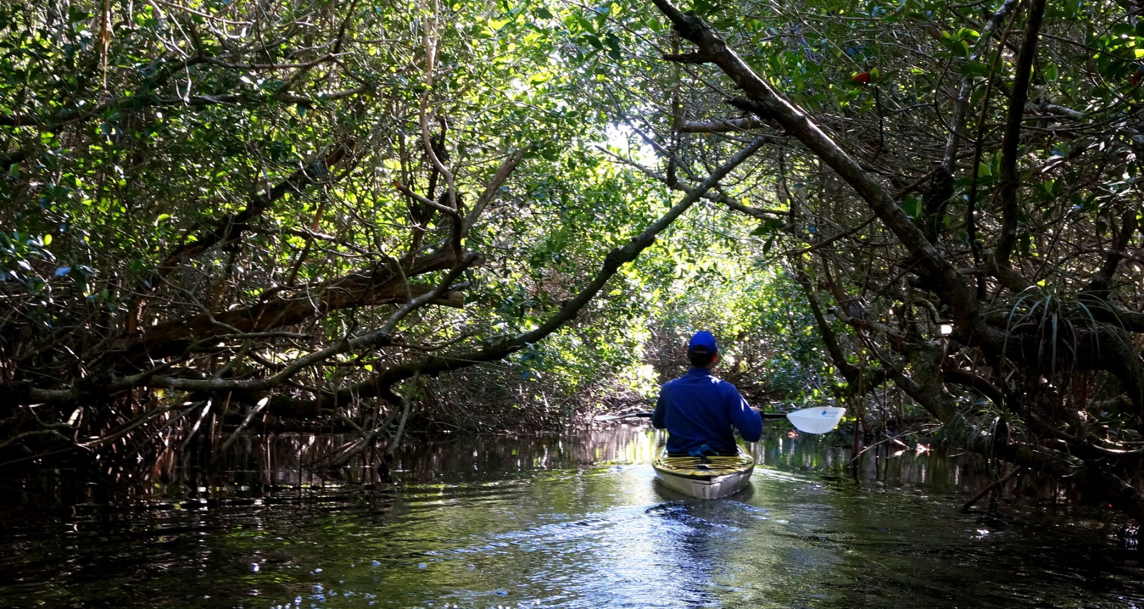
Hells Bay Canoe TrailHell’s Bay is 3.0 miles to Lard Can Campsite, 3.5 miles to Pearl Bay Chickee, and 5.5 miles to Hells Bay Chickee. “Hell to get into and Hell to get out of,” or so the old timers claimed. This sheltered route weaves through mangrove creeks and ponds to a series of small bays beyond Lard Can. The trail is marked with more than 160 poles. 
Hells Bay ChickeeThis campsite is so named because the bay was “hell to get to and hell to get out of!” This applies whether approaching from the Main Park Road via the twisty Hells Bay Canoe Trail, or from Whitewater Bay via the unmarked East River route. The chickee sits in the middle of the bay in front of a mangrove island. Alligators may be in the area. Do not allow food scraps to fall into the water near any chickee. 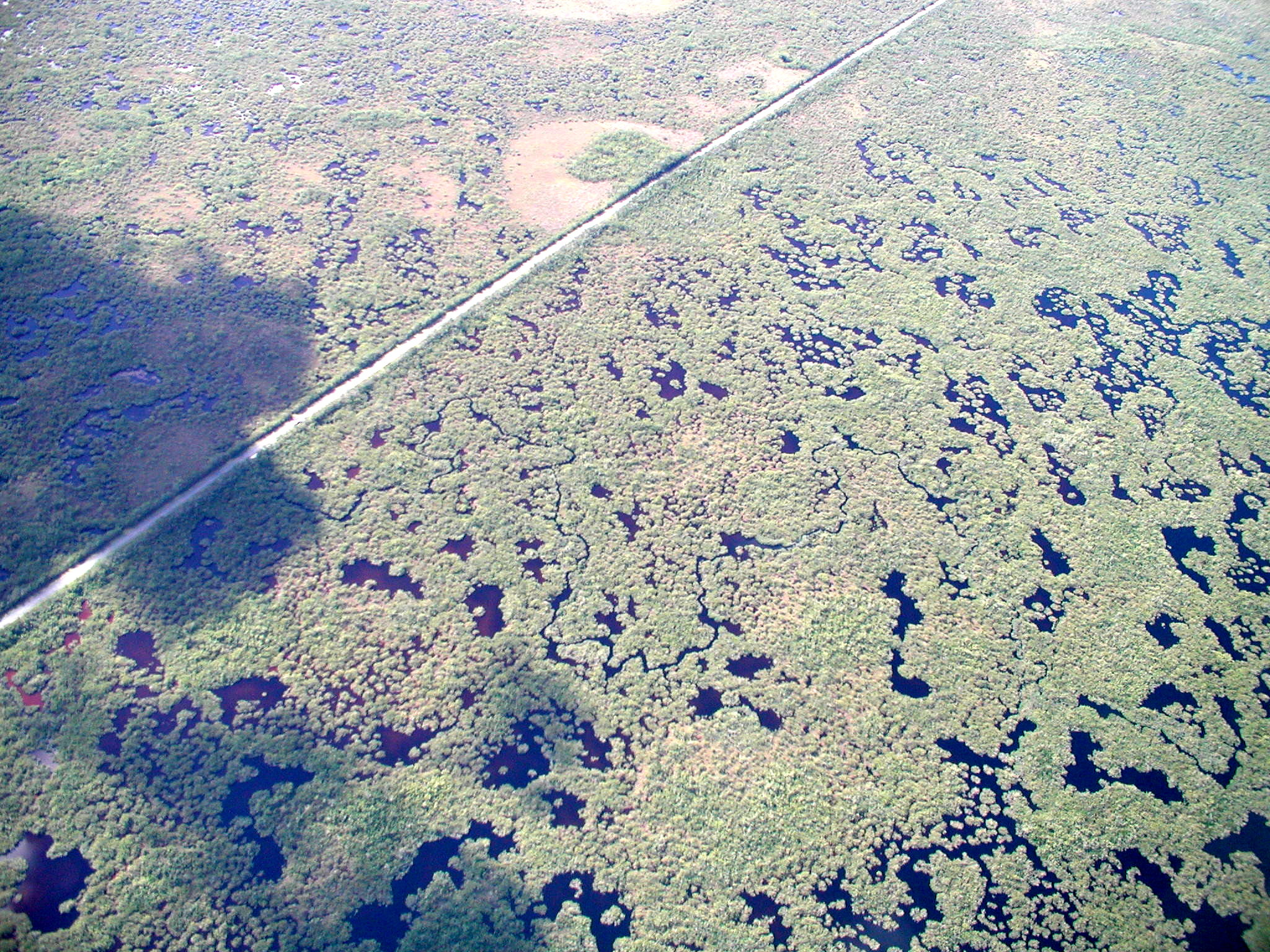
Highland Beach CampsiteA beach campsite located between Highland Point and the beaches north of the mouth of Rodger’s River. There are many large coconut palms growing along this narrow beach and it is a good location for bird watching. Make sure your camp is set up above the high tide line and secure food from racoons. The Rewis family lived at this site for about 27 years and spent most of it on the beach. Australian Pines, exotics to the area, can still be seen today. 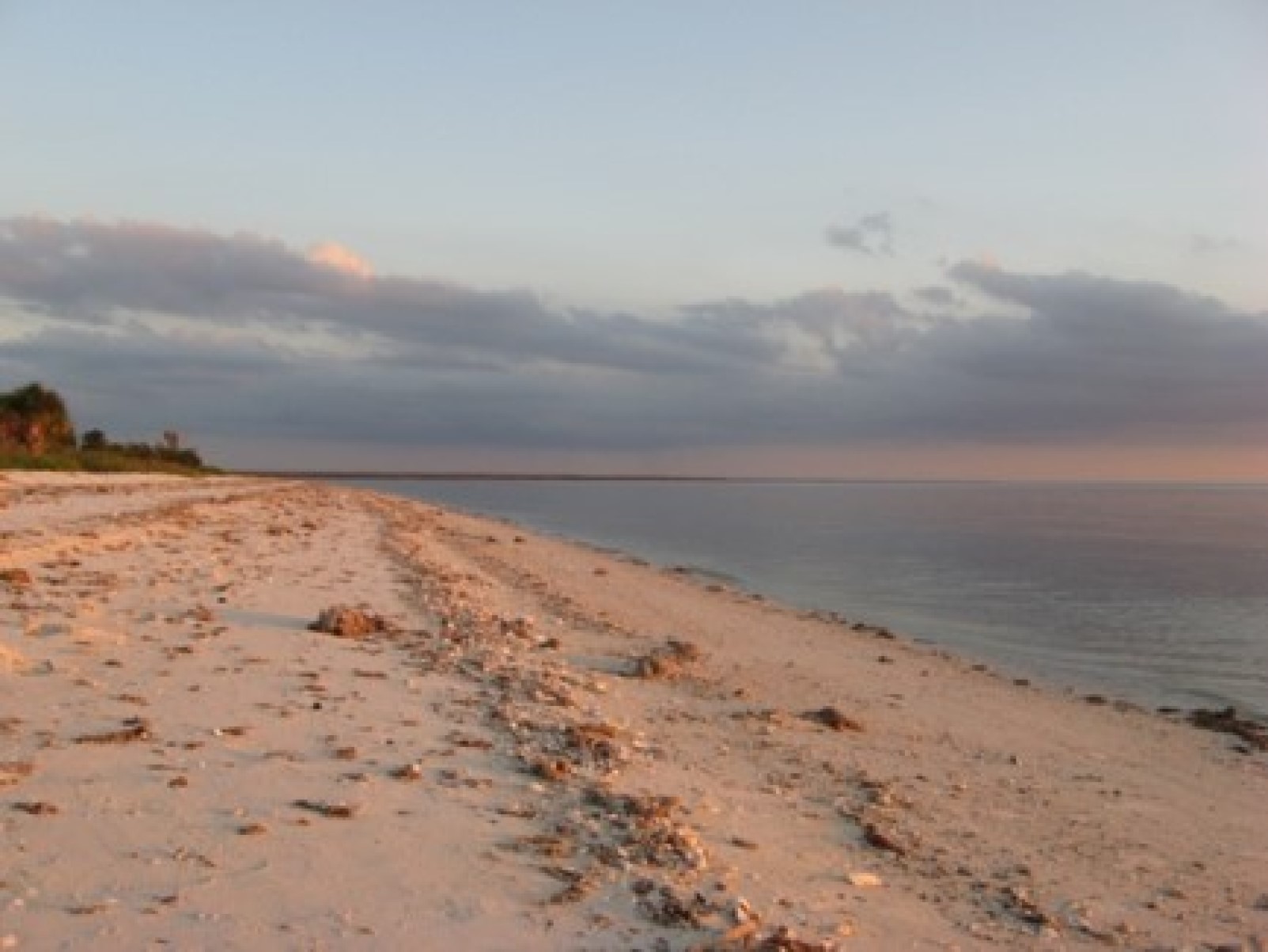
Historic Nike Missile SiteThe historic Nike Missile Site is one of the best preserved relics of the Cold War in Florida, active from the years 1966-1979. Visitors may visit the site most days between early December and late March. 
Hog Key Campsite
Jewell Key CampsiteThis beach site is located on a small key in the Ten Thousand Islands. The camping area is located on a sandy spit on the back side of the island, near the outhouse. Camping on the Gulf side is not possible. 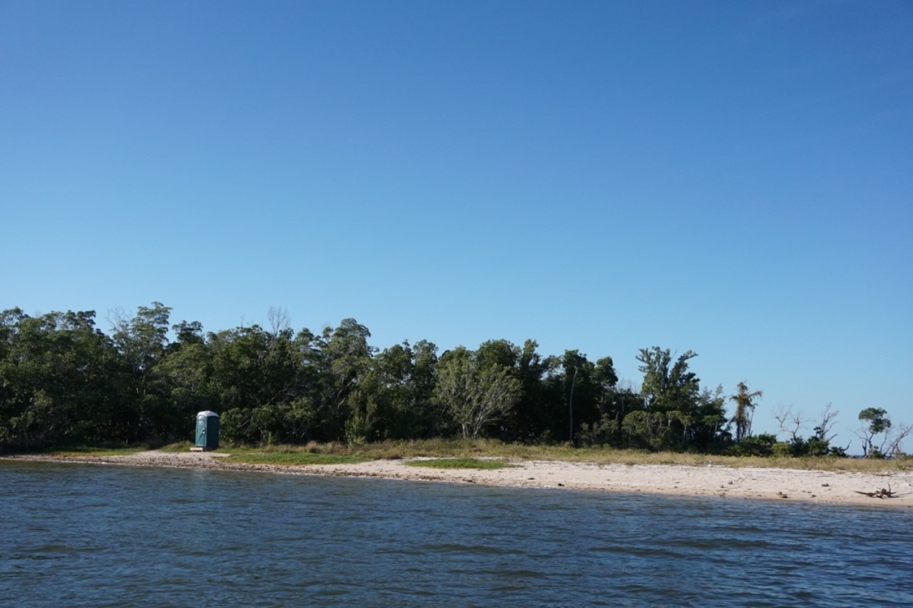
Joe River ChickeeThis double chickee campsite is located on an alternate route from the Wilderness Waterway on the east bank of the mouth of Joe River. The chickee sits in a small but beautiful cove. At night, listen for dolphins who puff their way past your home to fish in the creek behind the chickee. Tall trees block all but southwesterly breezes, so be prepared for tiny winged visitors.
Lard Can CampsiteThis ground campsite is located on a small patch of slightly elevated ground. It is shaded by buttonwoods and surrounded by mangroves. Soil compaction at the site makes it very muddy after a rainstorm. The thick vegetation and shade can lead to high mosquito levels, especially in summer.
Long Pine Key TrailConnecting trails through the Pinelands run 7 miles (11 km) west from the Long Pine Key campground to Pine Glades Lake along the main park road. It is advisable to look at trail map to understand the network of trails. 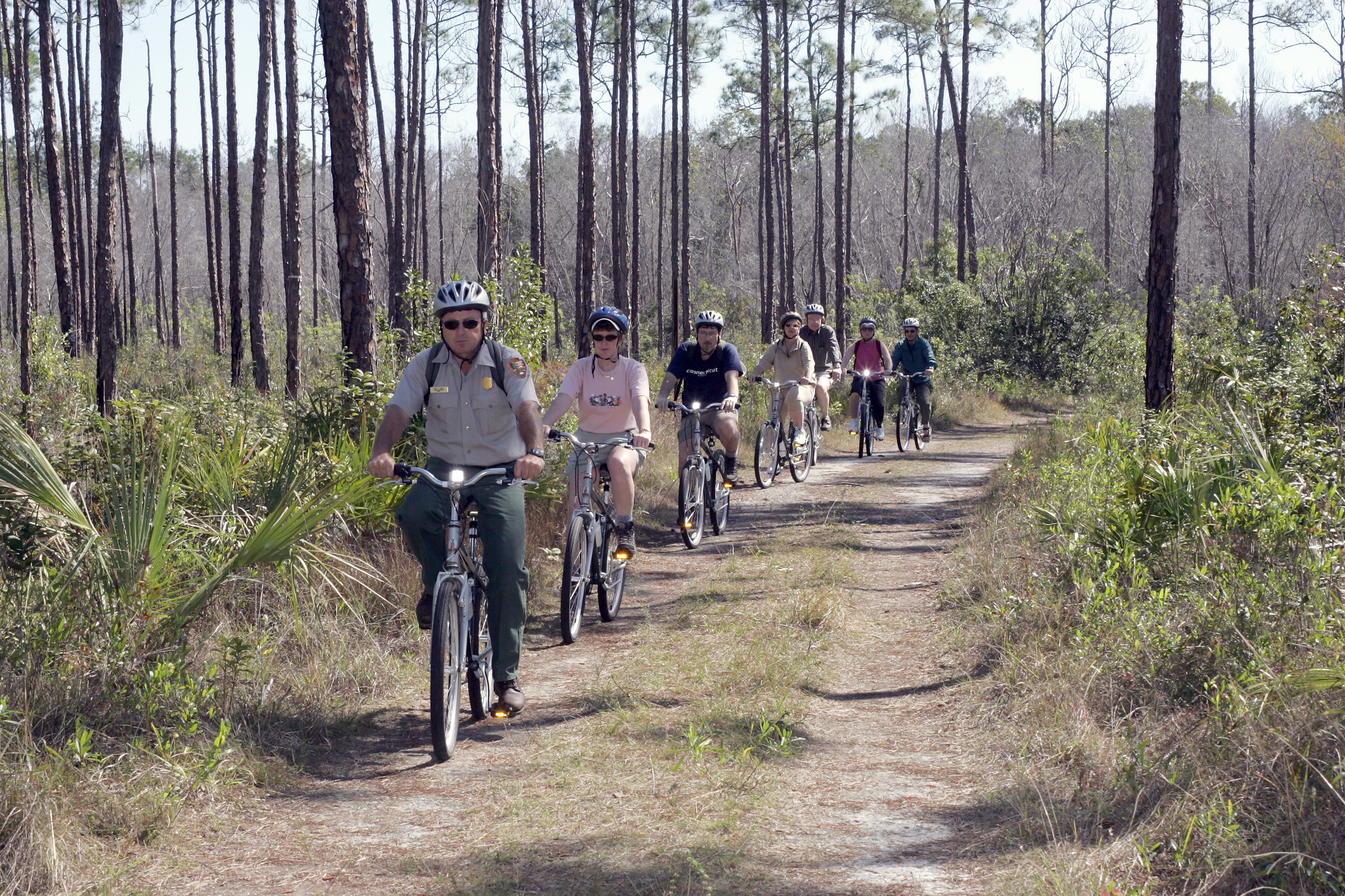
Lopez River CampsiteClosest campsite on the Wilderness Waterway to Everglades City, located between marker #126 and #127 on the southern bank of the Lopez River. This campsite is easily located by spotting the cement cistern which marks the old Lopez homestead built at the turn of the century. 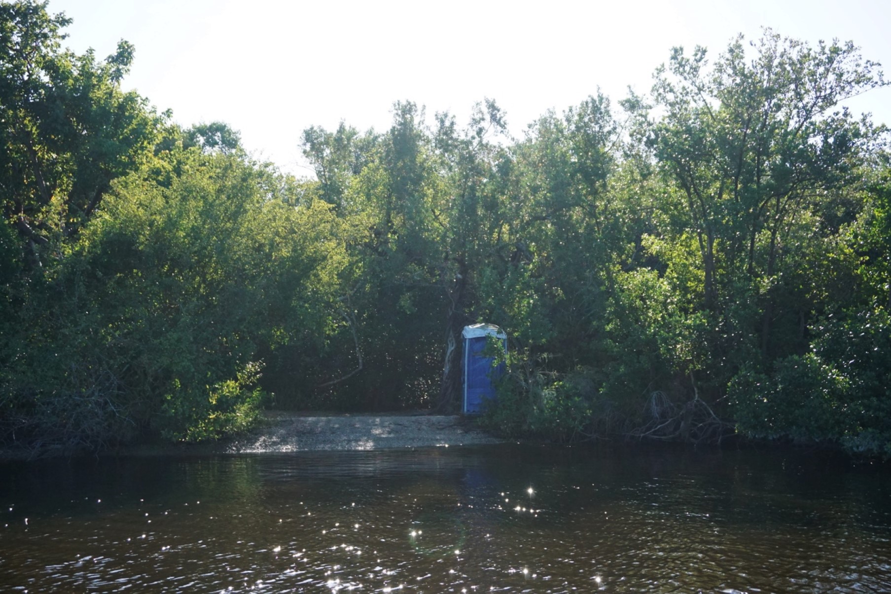
Lostman's Five CampsiteA ground campsite located on a clearing of higher ground with a few palm trees that provide shade. This site was once an inholding. Soil compaction at this site can cause flooding during rainy weather. The dock is larger than most and can accommodate several vessels. This is a popular site for fishing groups with powerboats. 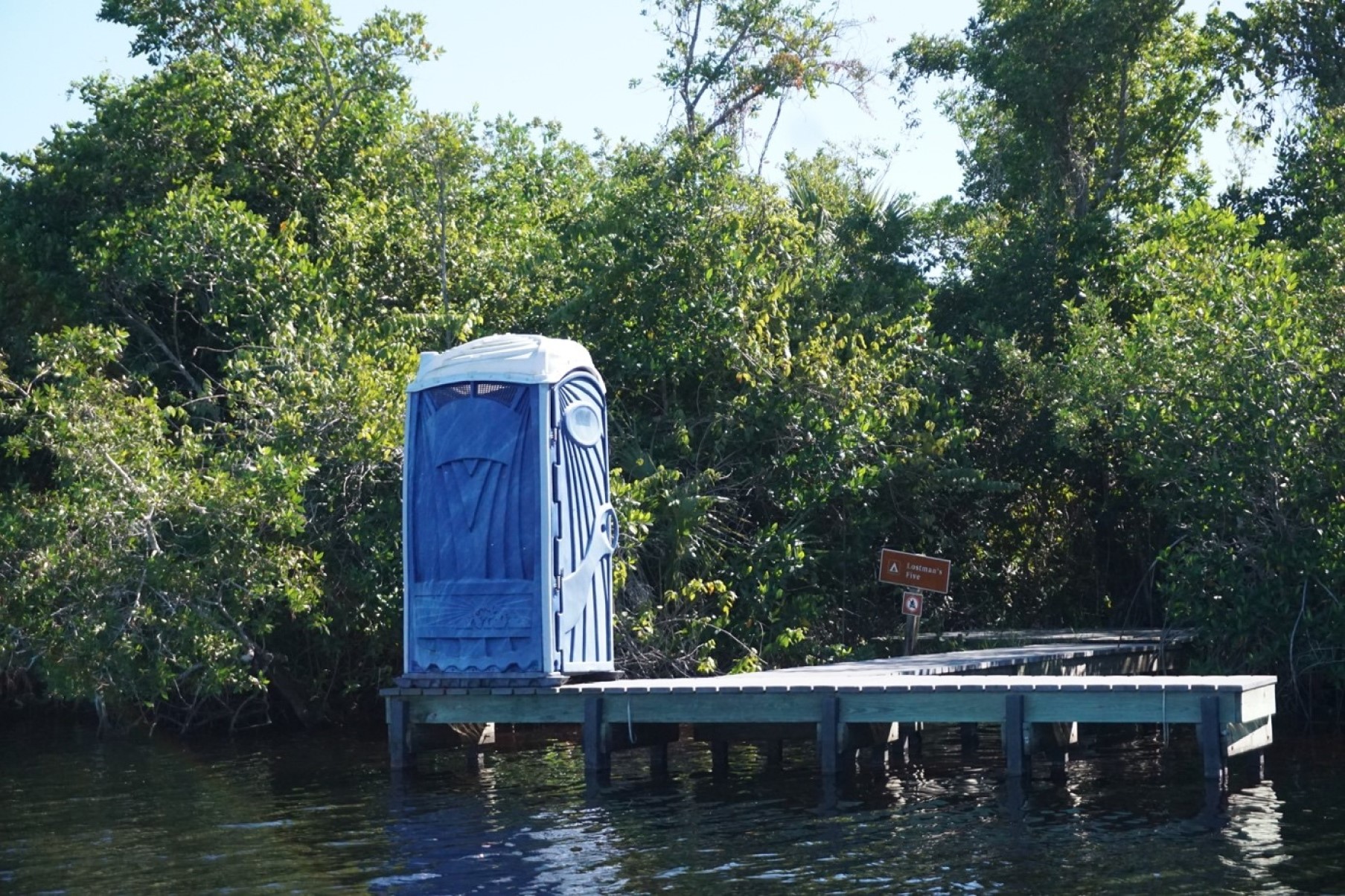
Mahogany HammockThis self-guiding boardwalk trail meanders through a dense, jungle-like hardwood "hammock." Lush vegetation includes gumbo-limbo trees, air plants, and the largest living mahogany tree (Swietenia mahogani) in the United States. The trail is 0.5 miles (800 meters) roundtrip and is wheelchair accessible. 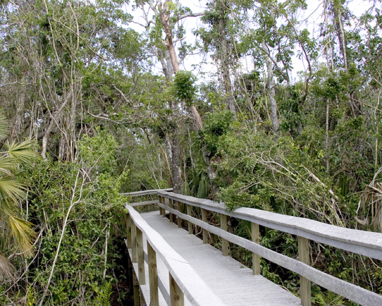
Meet Everglades Stop 1This is the first stop of the audio tour, Meet Everglades. A self-guided tour that introduces visitors to the wonders of what makes Everglades National Park so special. 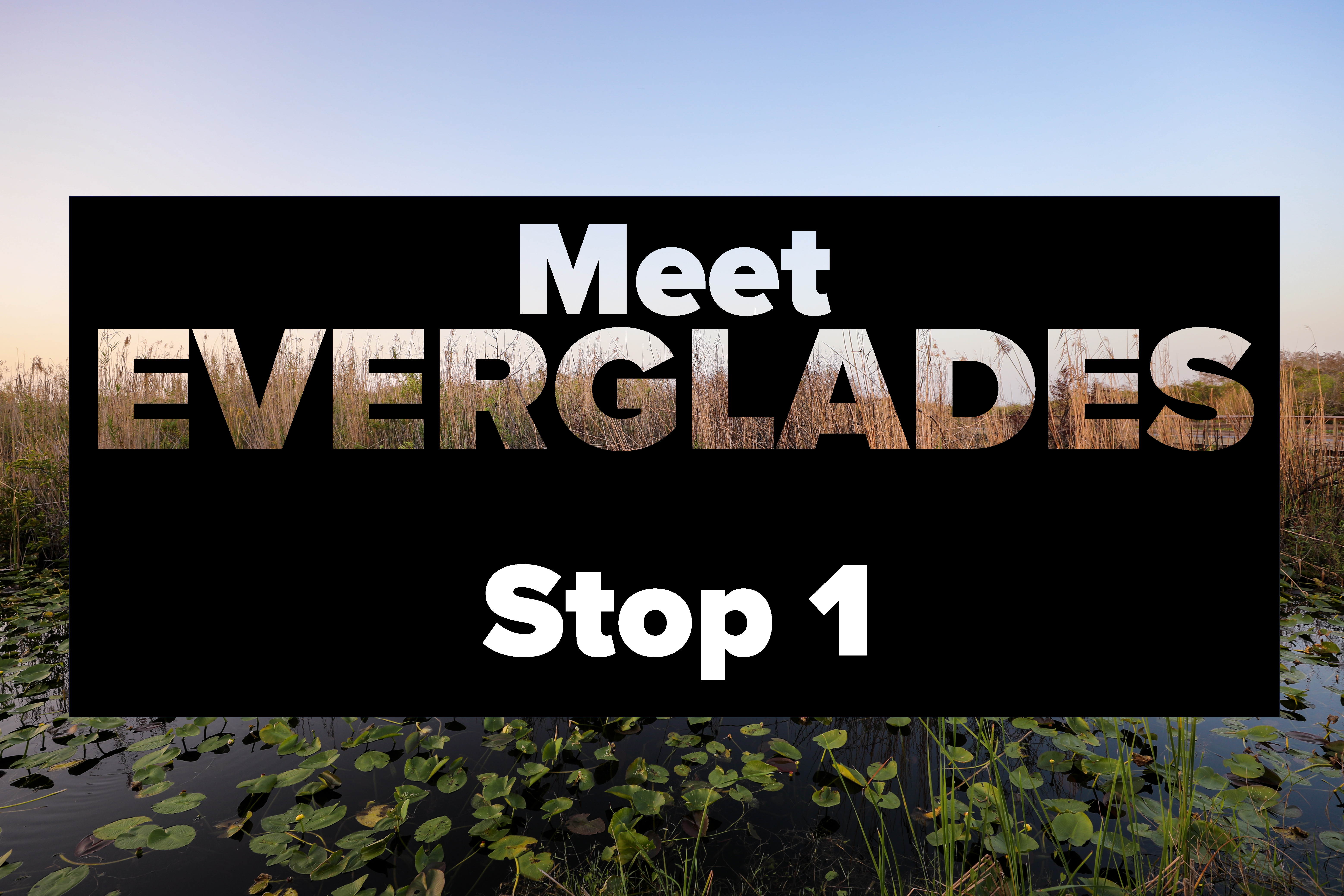
Meet Everglades Stop 2 - The Flow Of LifeThis is the second stop of the audio tour "Meet Everglades". 
Meet Everglades Stop 3 - Where Gators GatherThis is the third stop of the audio tour "Meet Everglades". 
|
| Visitor Centers | Count: 4
Ernest F. Coe Visitor Center
Gulf Coast Visitor Center
Guy Bradley Visitor Center (at Flamingo)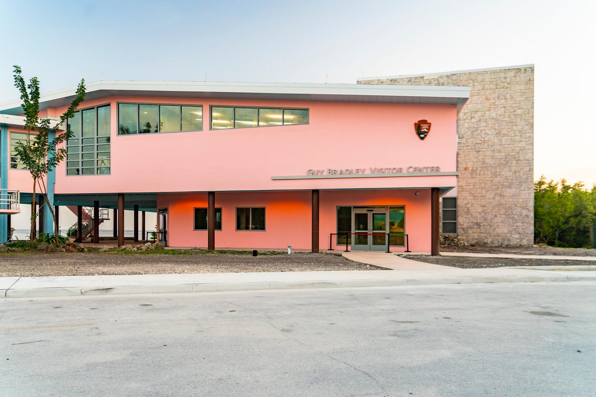
Shark Valley Visitor Center
|
| Things to do | Count: 10


|
| Tours |
Count: 2
Main Park Road Self Guided TourThe Main Park Road is a great way to see many of the park's features. Whether you have a couple of hours or a couple of days, the stops along the road highlight the habitats and biodiversity for which the park is famous. The 38 mile (61 km) road begins at the Ernest Coe Visitor Center in Homestead and dead-ends at Flamingo. Because of this, please be mindful of your time constraints and consider visiting some of the spots on your way back out of the park. Meet Everglades!This tour will be your guide - not to replace a ranger presentation which will go more in depth to the stories of the Everglades and Everglades National Park - but to offer you an opportunity to meet the Everglades and understand a portion of what makes this place so special. |
| Articles |
|