Park Store To Go Cashless
Starting August 14th, 2025 the park store will go cashless. All major credit cards, debit cards and mobile electronic payments will be accepted.
Williams Ranch Road Closed
The Williams Ranch Road is currently impassable and closed to public access due to unsafe conditions.
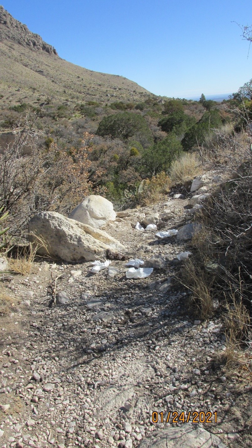
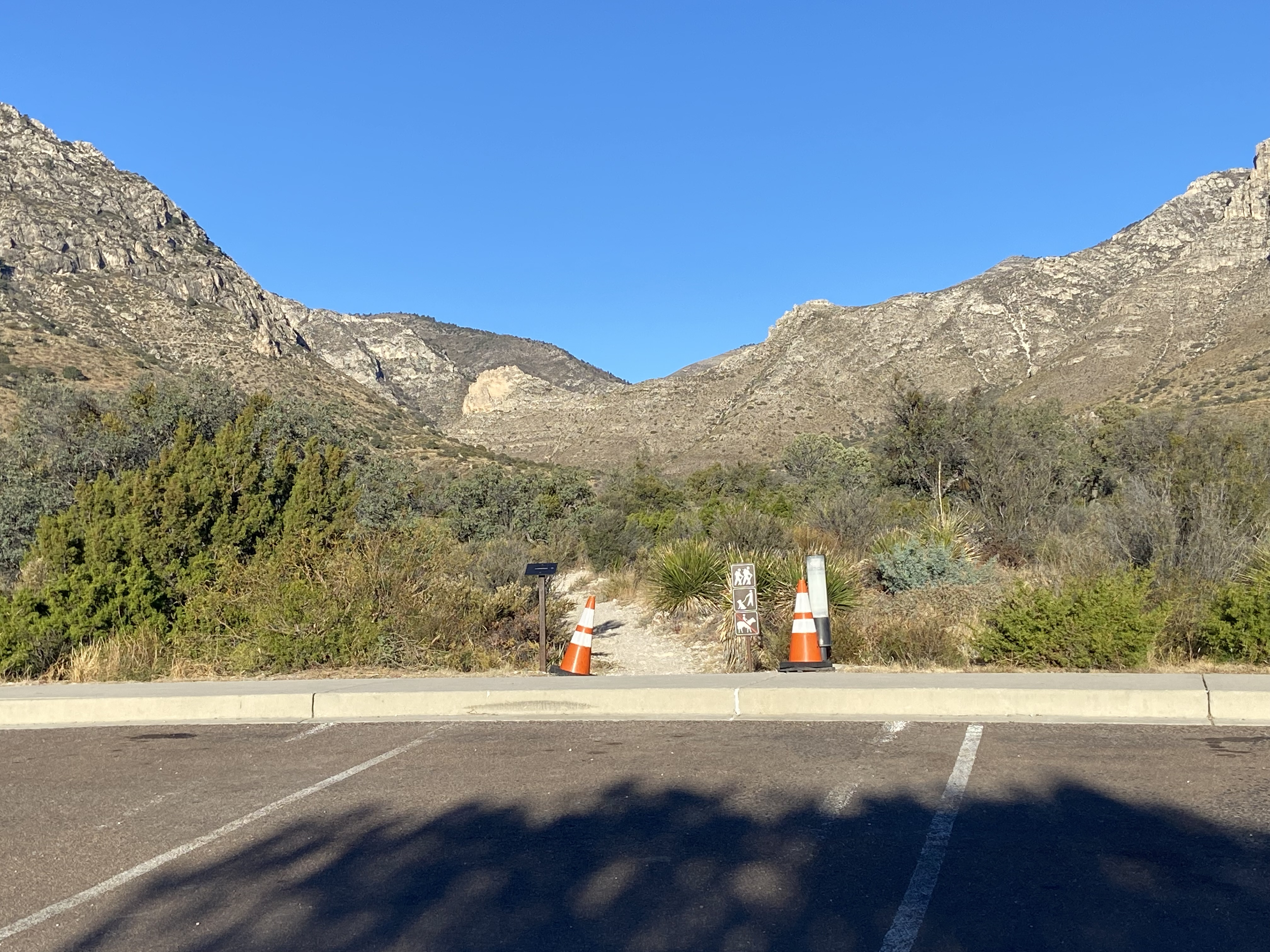
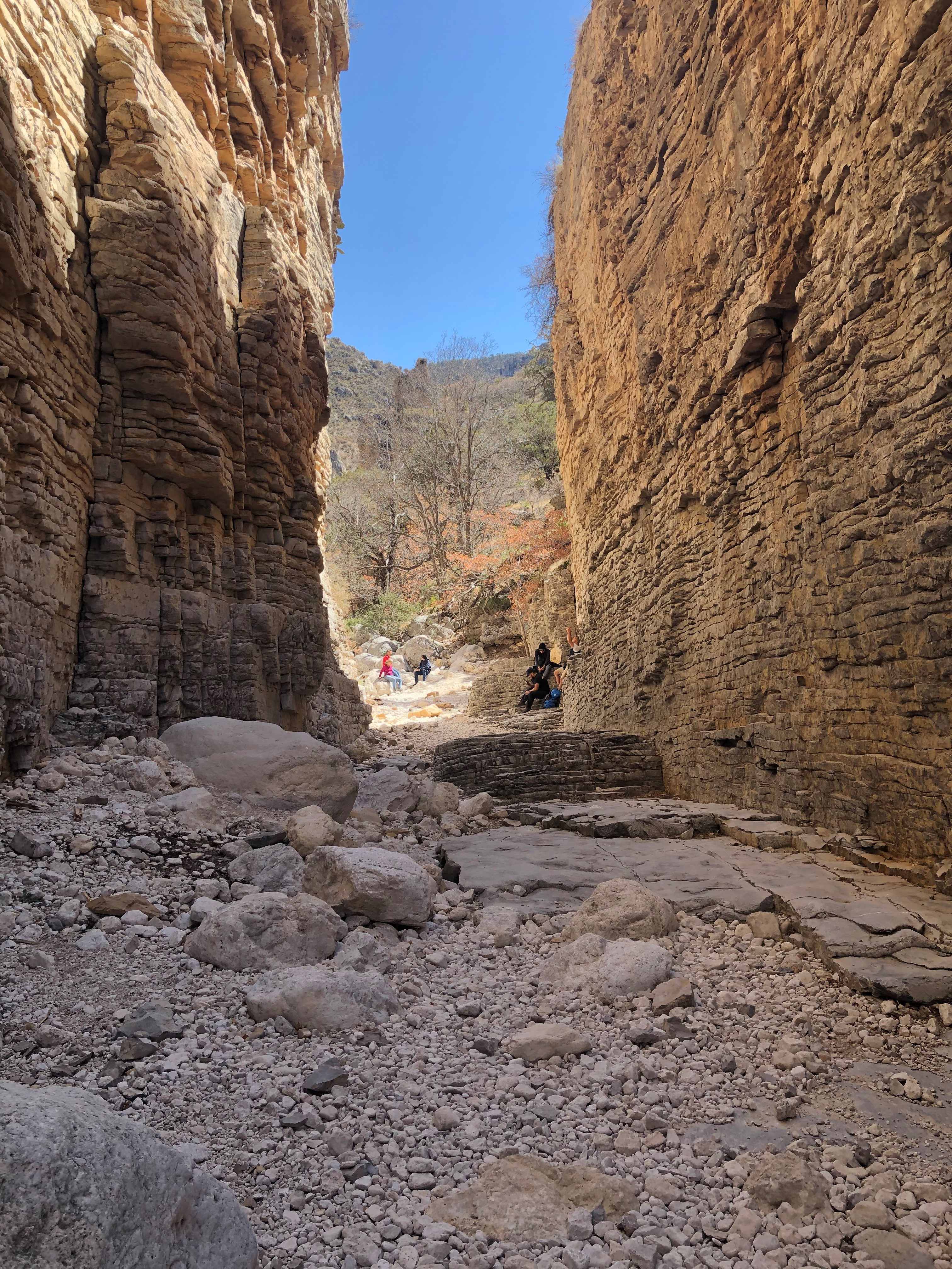
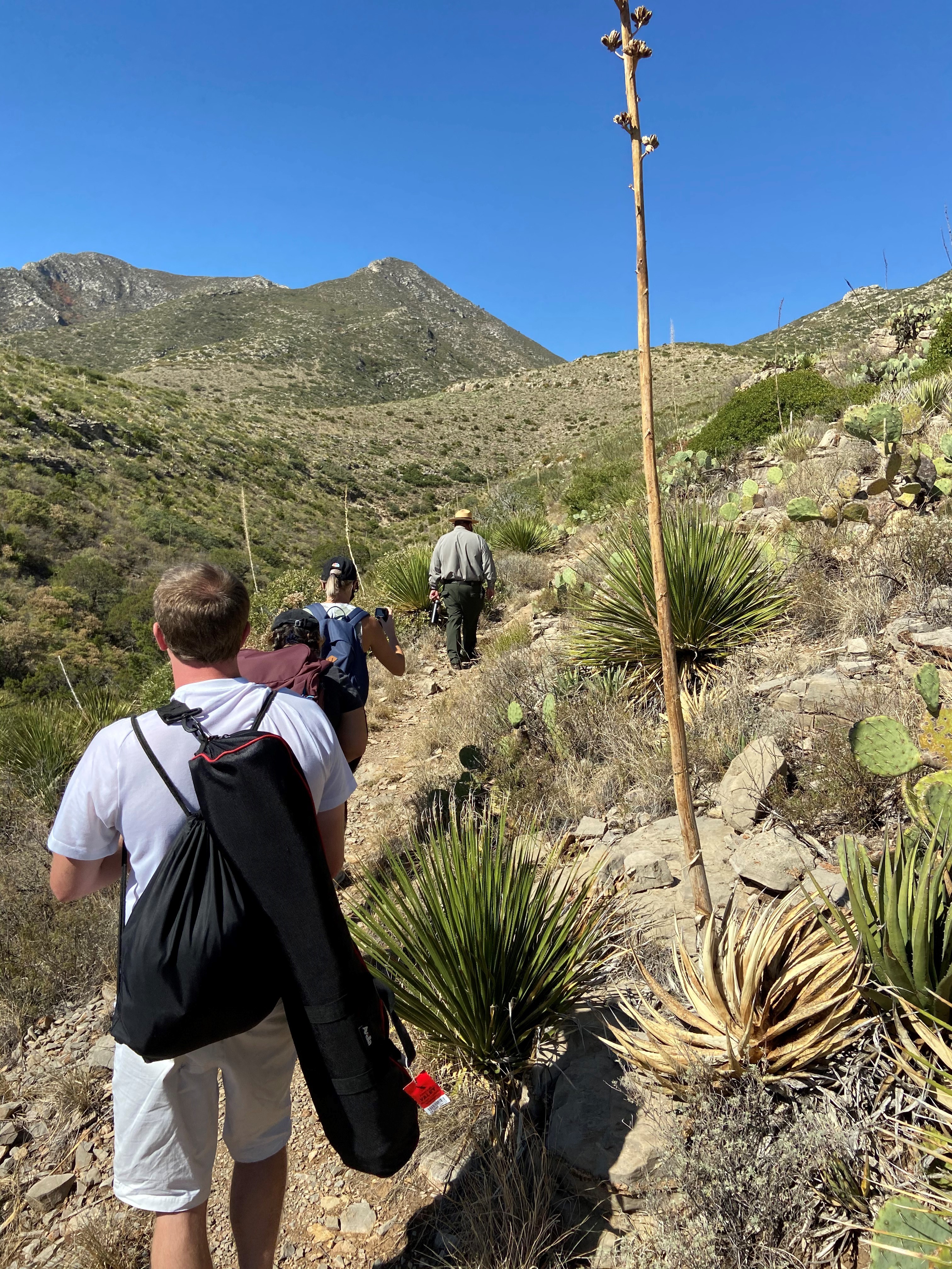
Devil's Hall is a Strenuous Hike
The hike to Devil's Hall is rated as strenuous. The portion of the route in the wash requires rock scrambling and is dangerous when wet or if water is present. The wash surface is loose gravel and rocks and may be unstable.
| Title | Guadalupe Mountains |
| Park Code | gumo |
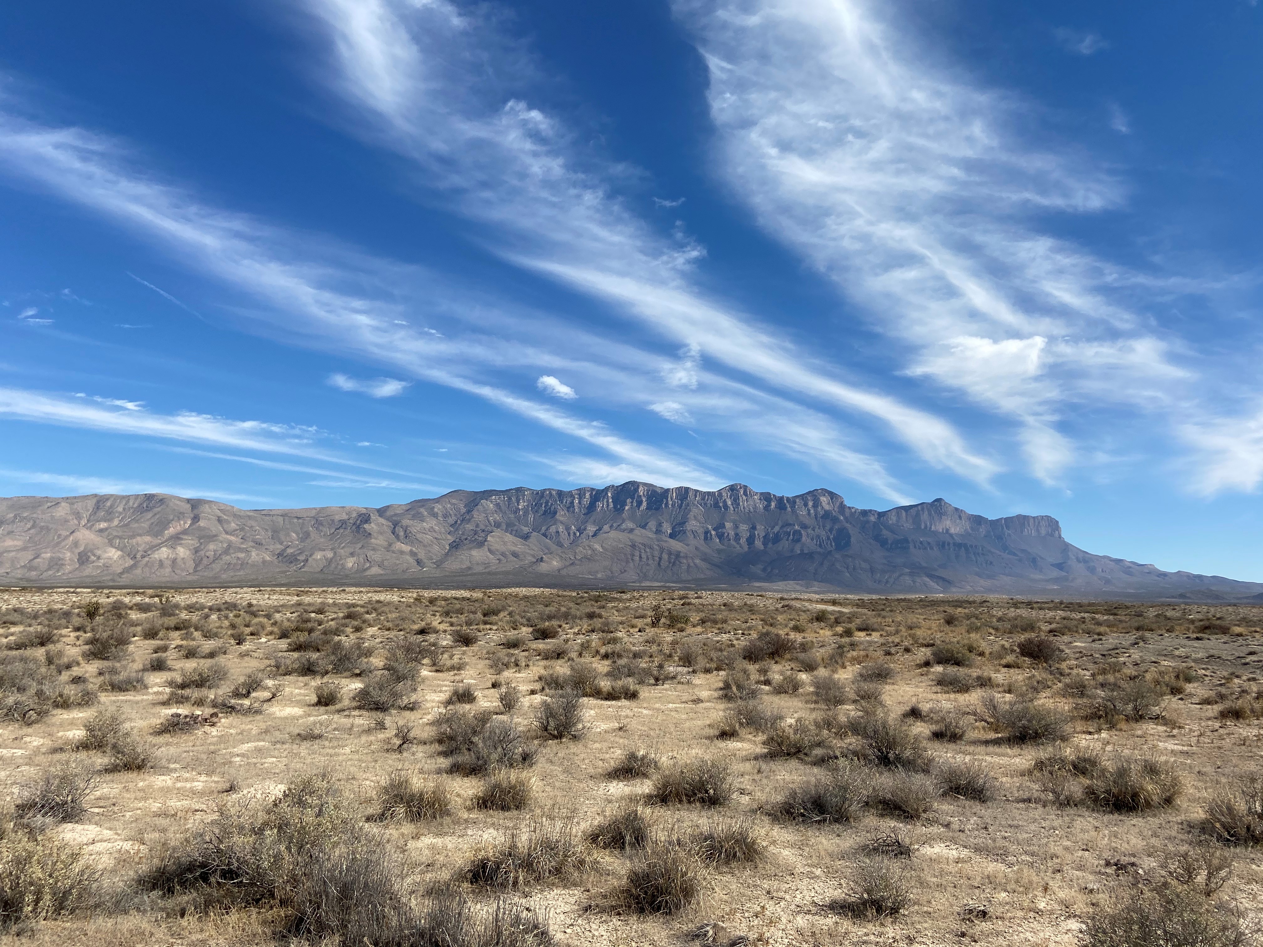
| Description | Come experience mountains and canyons, desert and dunes, night skies and spectacular vistas within a place unlike any other. Guadalupe Mountains National Park protects the world's most extensive Permian fossil reef, the four highest peaks in Texa... |
| Location | |
| Contact | |
| Activities |
|
| Entrance fees |
Entrance - Per Person
$10.00
An entrance fee of $10 per person (16 years of age and older) is required; entrance fees/passes permit 1-7 consecutive days of use in this national park. Holders of the Annual, Senior, Military, 4th grade and Access Pass can bring in 3 adults free of charge under their pass. Any pass must be displayed in a vehicle while in the national park.
Entrance - Education/Academic Groups
$0.00
Entrance fee waivers are available to groups when the purpose of their visit is educational rather than recreational. Completed applications along with required documentation must be submitted via email.
Fee waiver requests must be submitted at least six weeks before a scheduled visit to allow for consideration.
|
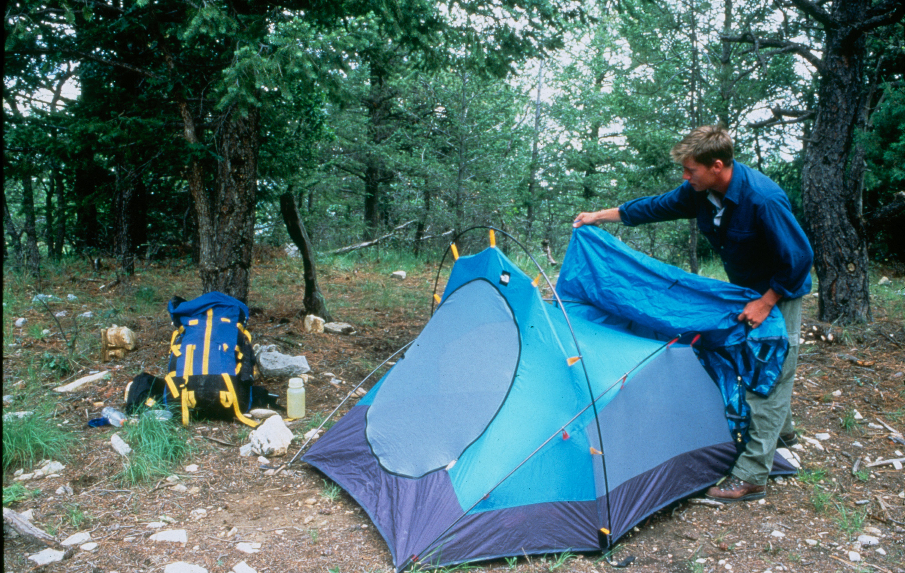
| Campgrounds | Count: 13
Blue Ridge Wilderness Campground
Bush Mountain Wilderness Campground
Dog Canyon Campground
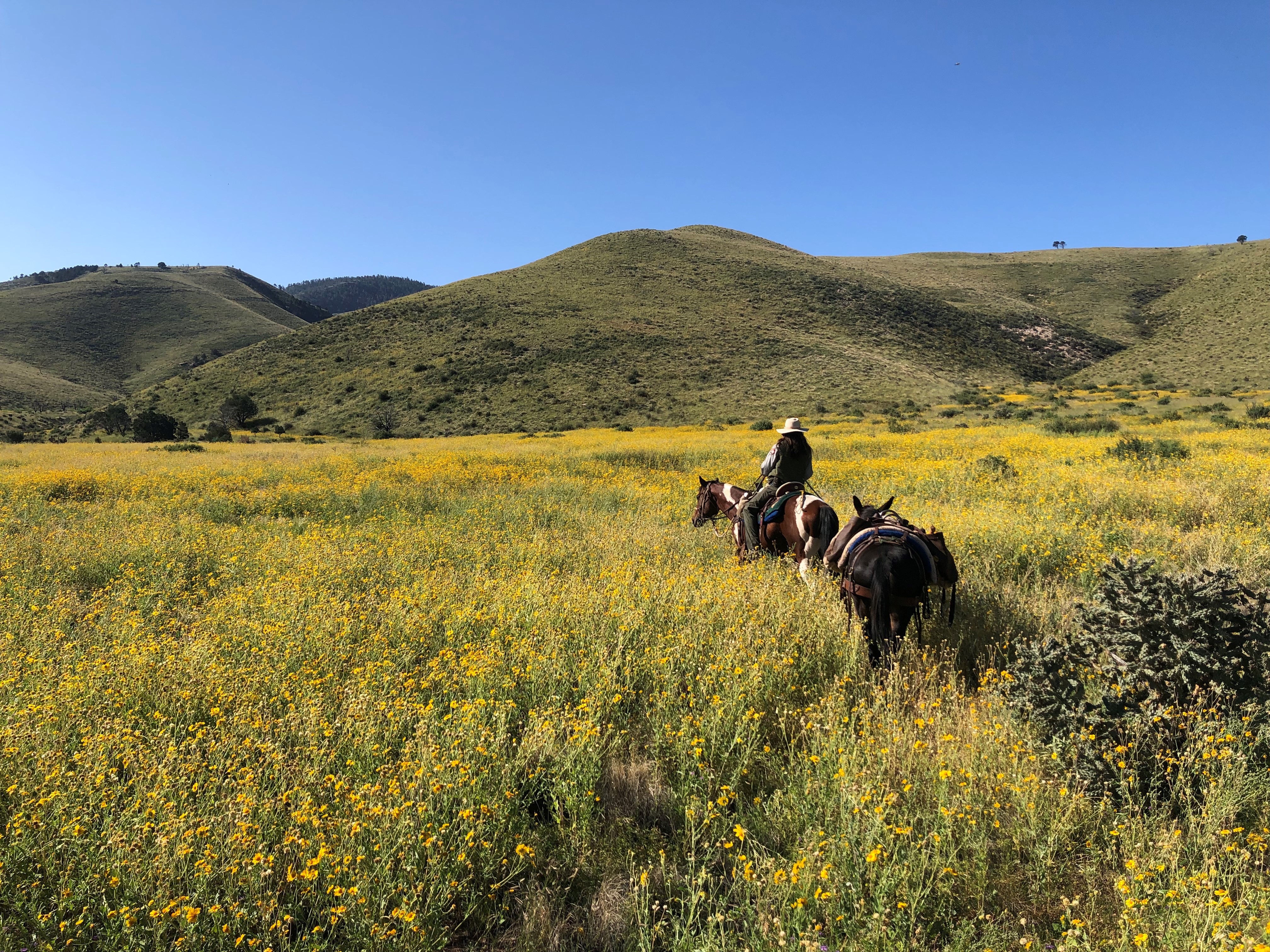
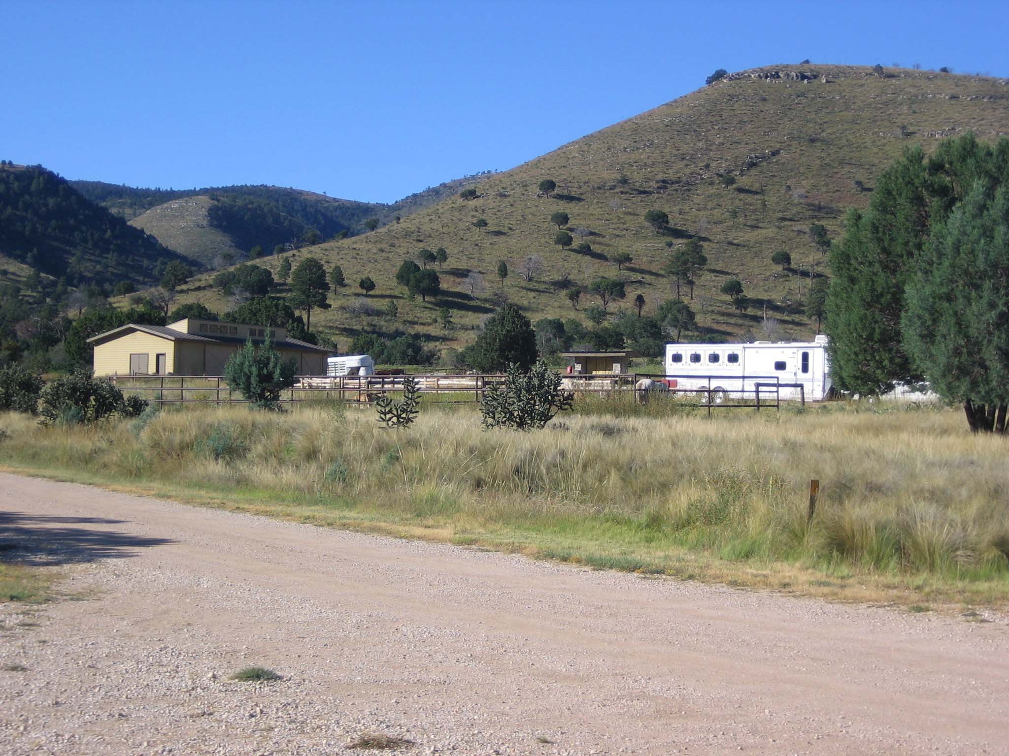
Frijole Horse Corral Campground
Guadalupe Peak Wilderness Campground
Marcus Wilderness Campground
McKittrick Ridge Wilderness Campground
Mescalero Wilderness Campground
Pine Springs Campground
Pine Top Wilderness Campground
Shumard Canyon Wilderness Campground
Tejas Wilderness Campground
Wilderness Ridge Wilderness Campground
|
| Places | Count: 41
"Around The Bend"As hikers cross "Around The Bend" the landscape changes dramatically and hikers will discover a forest of two-needle pinyon, Douglas fir, ponderosa pine, and a few southwestern white pines. 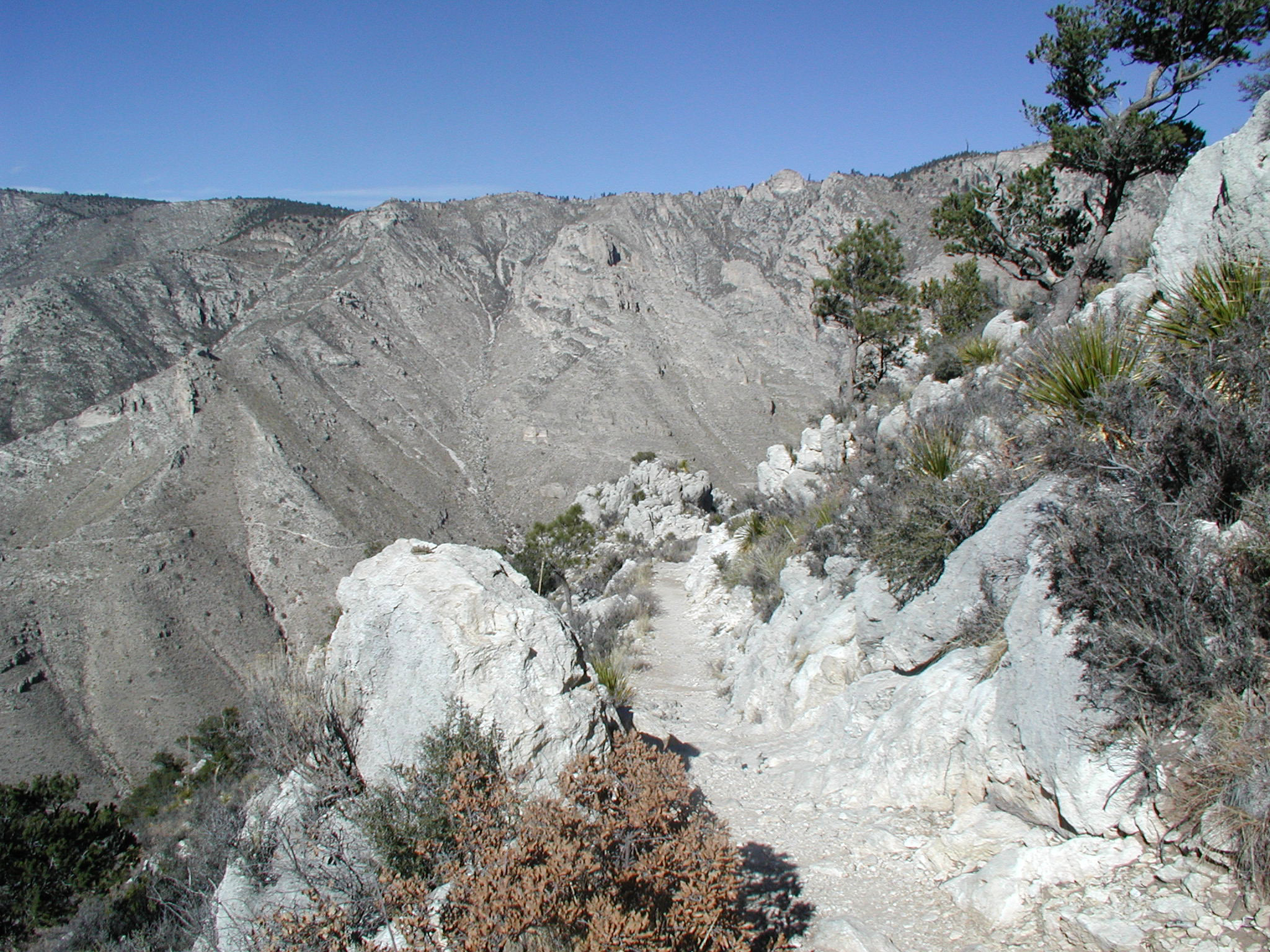
Bartlett PeakBartlett Peak is the fourth highest point in Texas with an elevation of 8,508 feet above sea level. 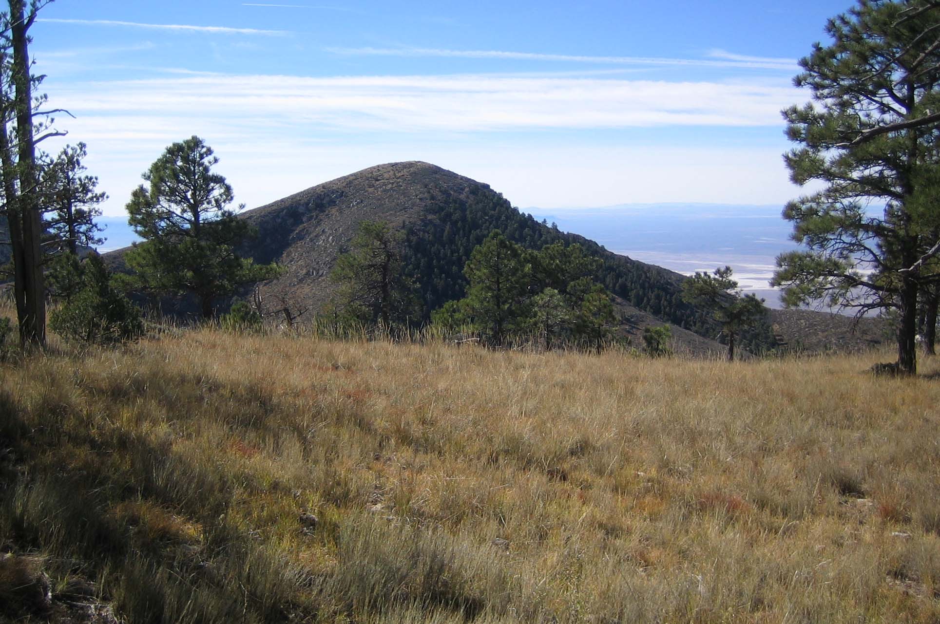
Bush MountainWith an elevation of 8,631 feet , Bush Mountain, is the second highest peak in the state of Texas. Bush Mountain is nearly three miles northwest of Guadalupe Peak and can only be accessed via hiking or horseback. 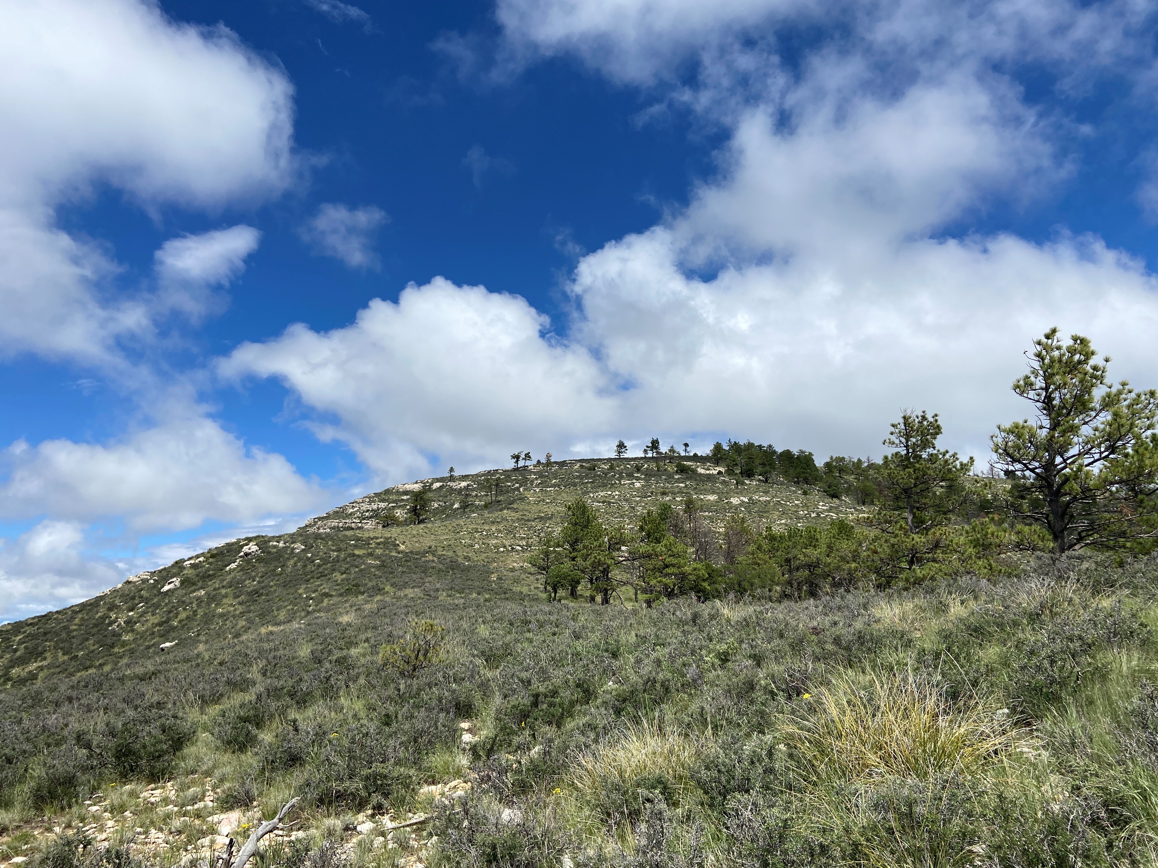
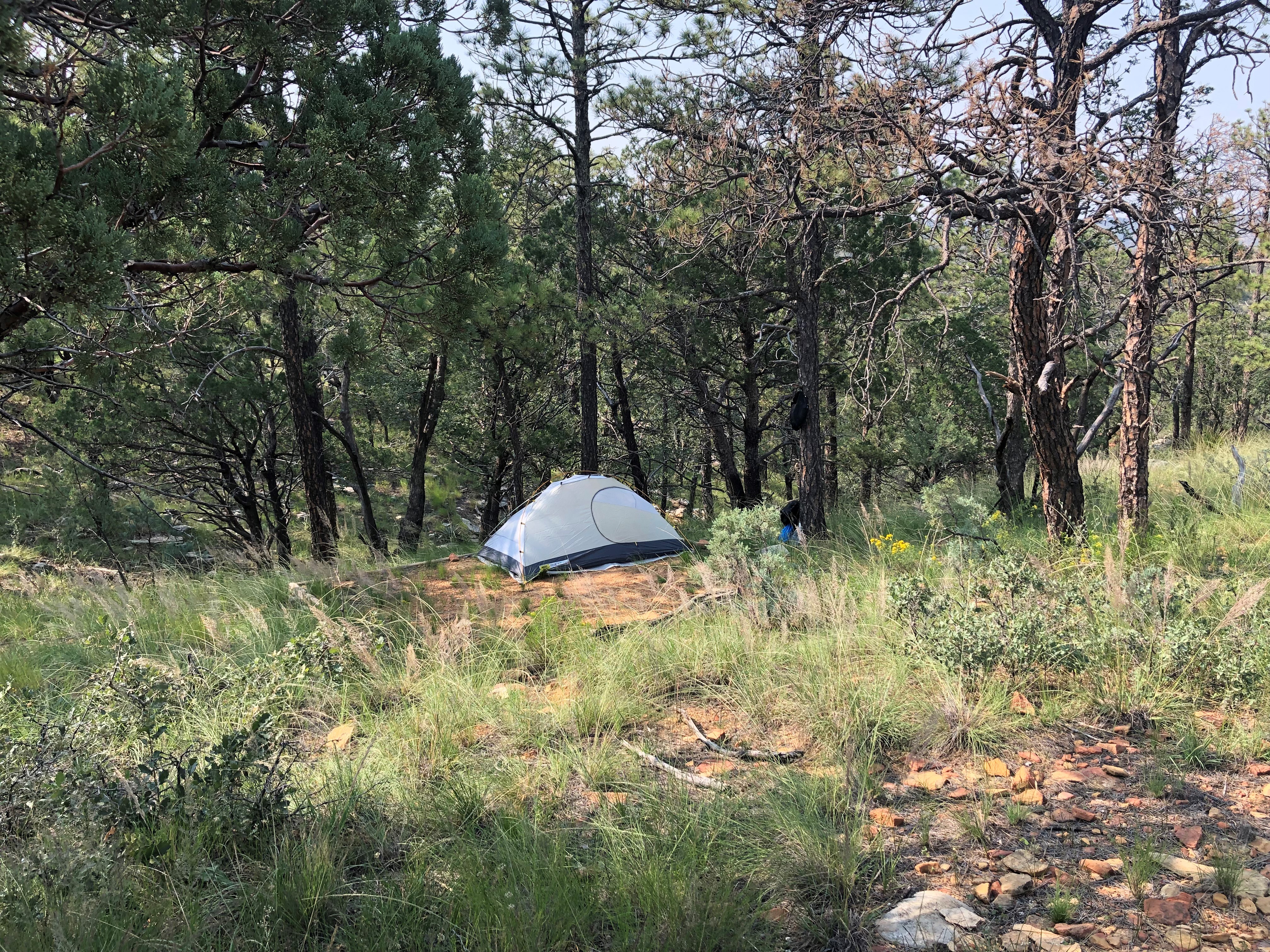
Campground JunctionAt three and one quarter miles up the trail hikers will pass a sign indicating the Guadalupe Peak backcountry campsite. A short trail leads north to the campsite, where there are five individual tent sites. Backpackers wishing to hike the peak for sunrise and sunset can camp here if they obtain a Wilderness Use Permit in advance of their hike. 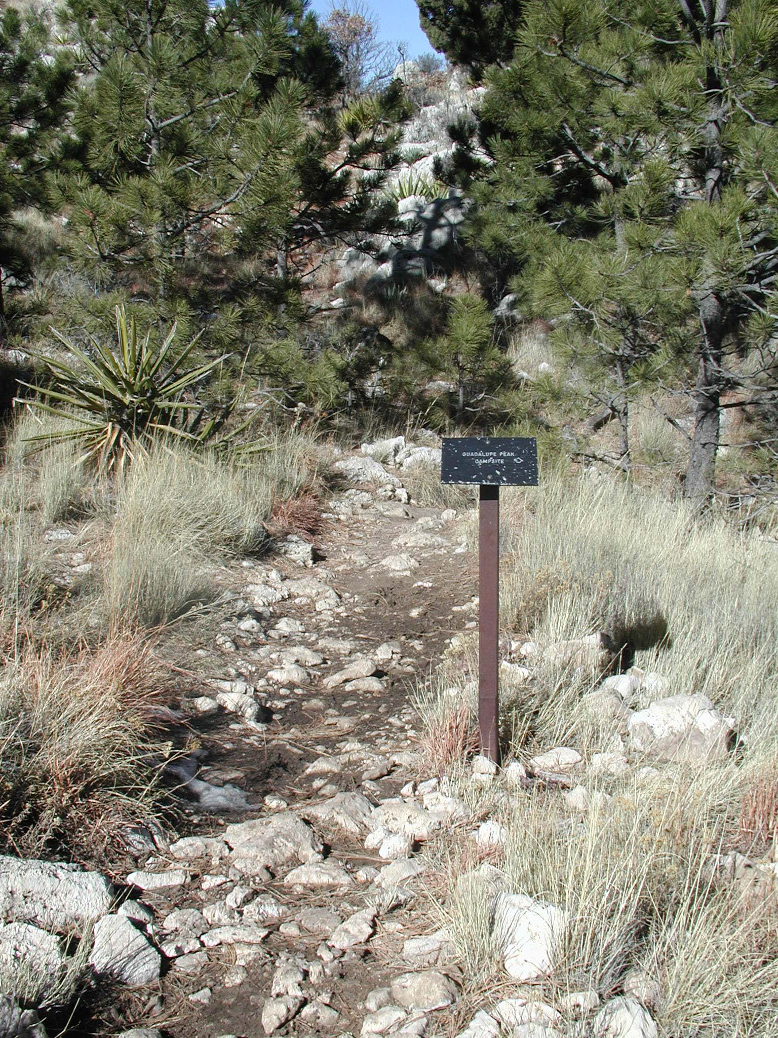
Carlsbad, New MexicoCarlsbad, New Mexico is the closest community within an hour of Guadalupe Mountains National Park. Most services are available here. 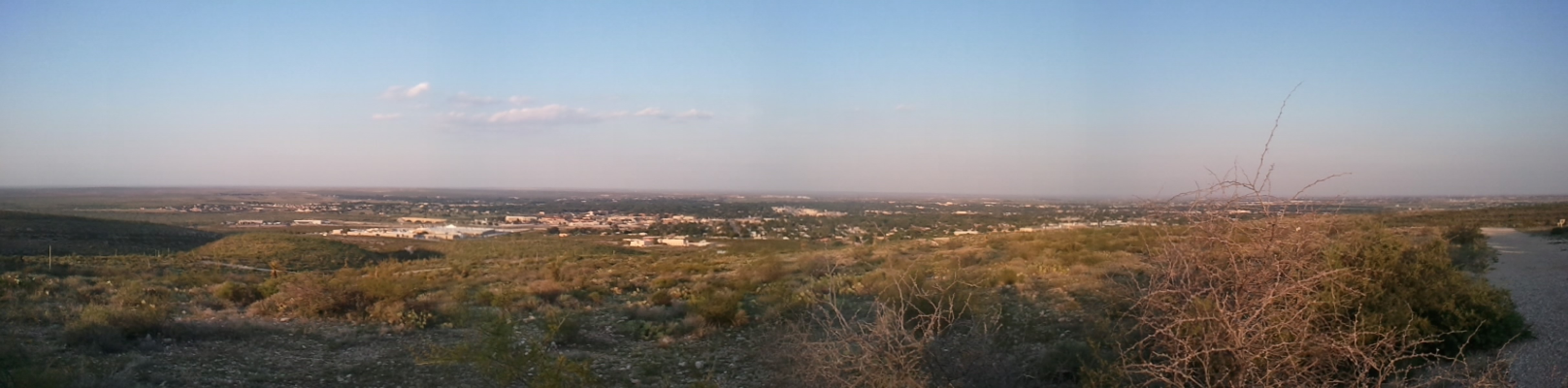
Chosa Campground (BLM)The Chosa Campground is a maintained dry camping area. Camping is free and the camping limit is 14 days. The entire area is a large, square, gravel parking lot which makes it easy for leveling. There are no electric, water, or sewer hookups available. Trash cans are available on site. 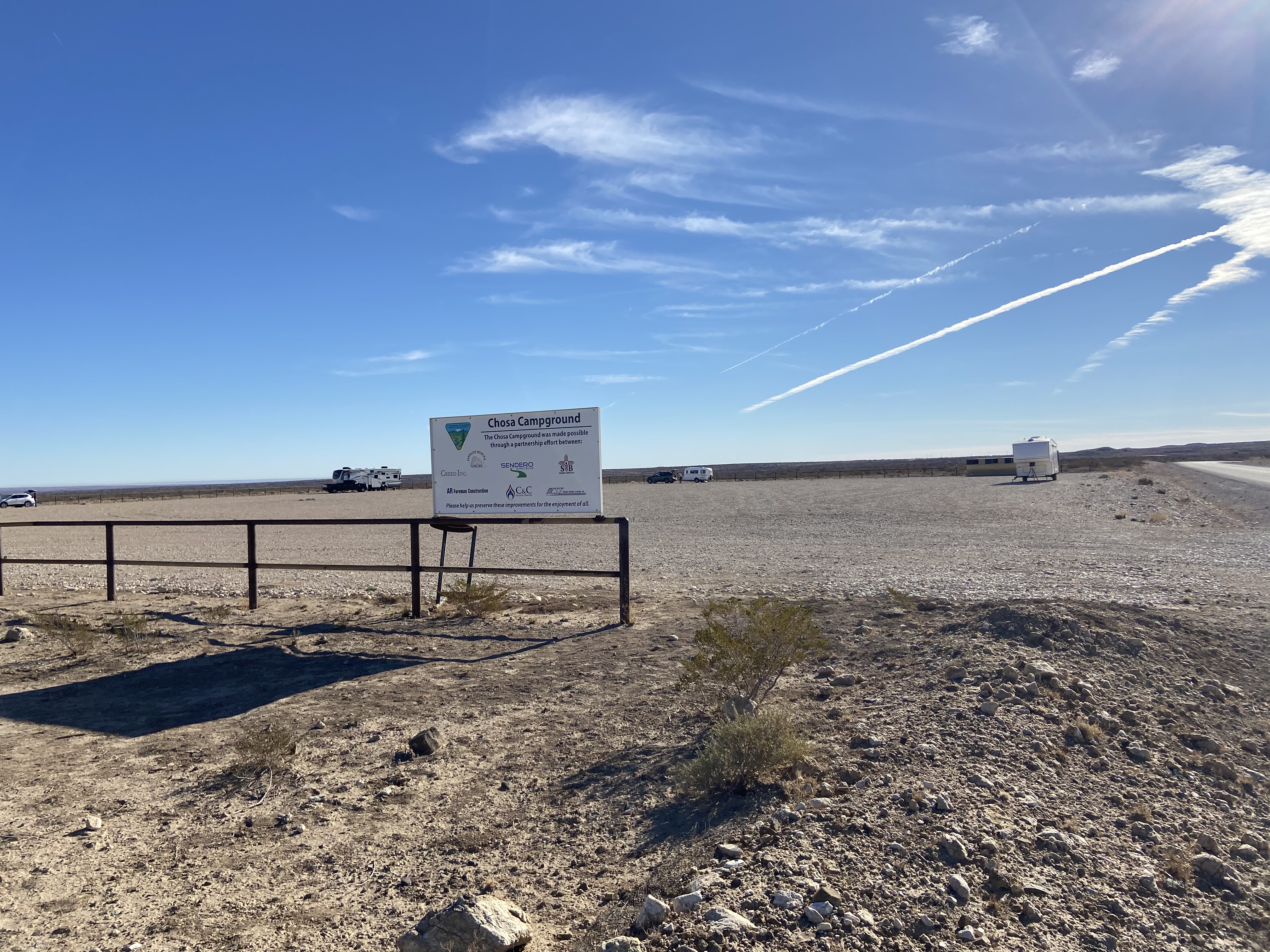
Dell City, TexasLocated forty-five miles west of the park, Dell City, Texas is a small farming community with limited services, including gas and lodging options. 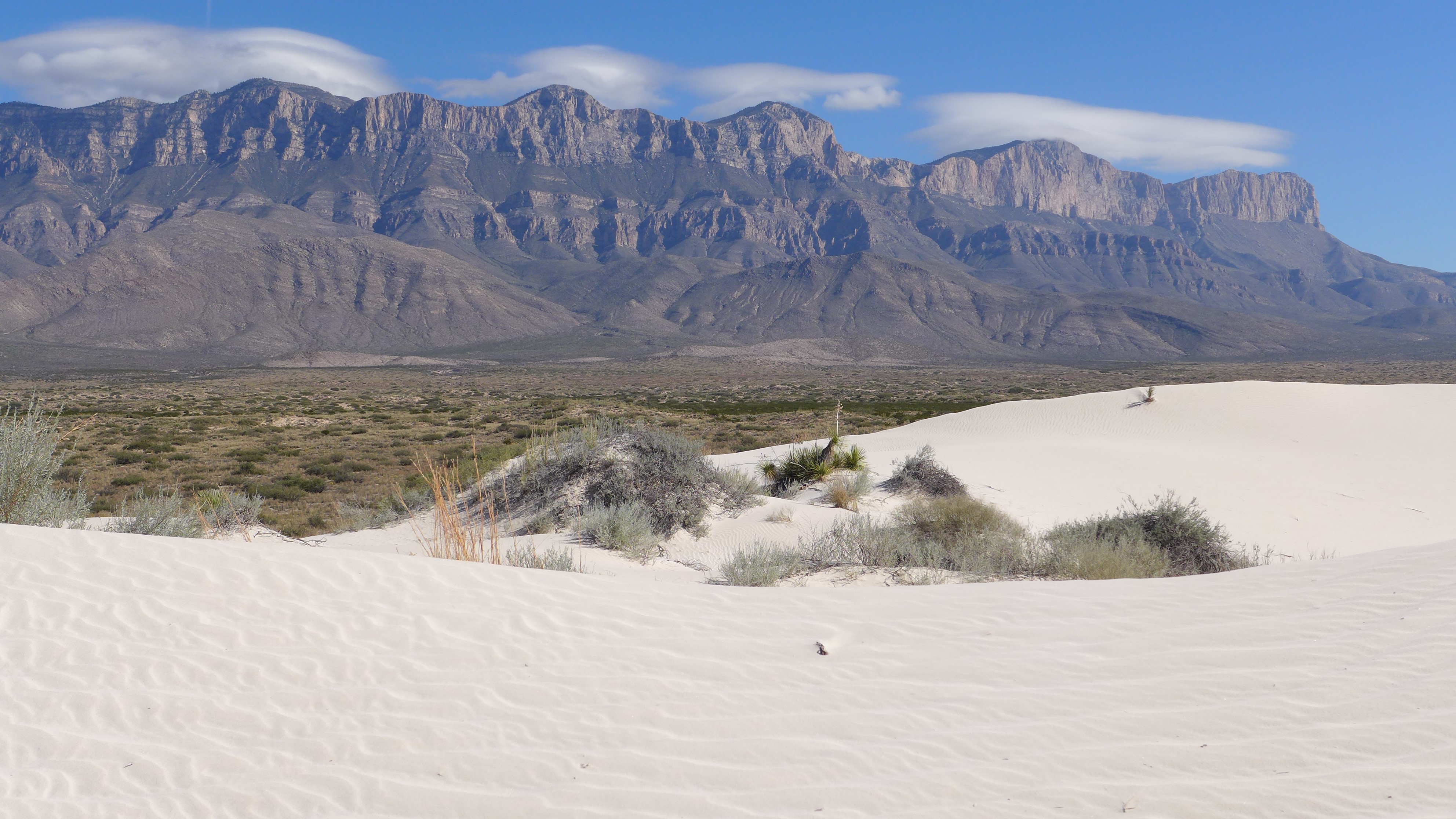
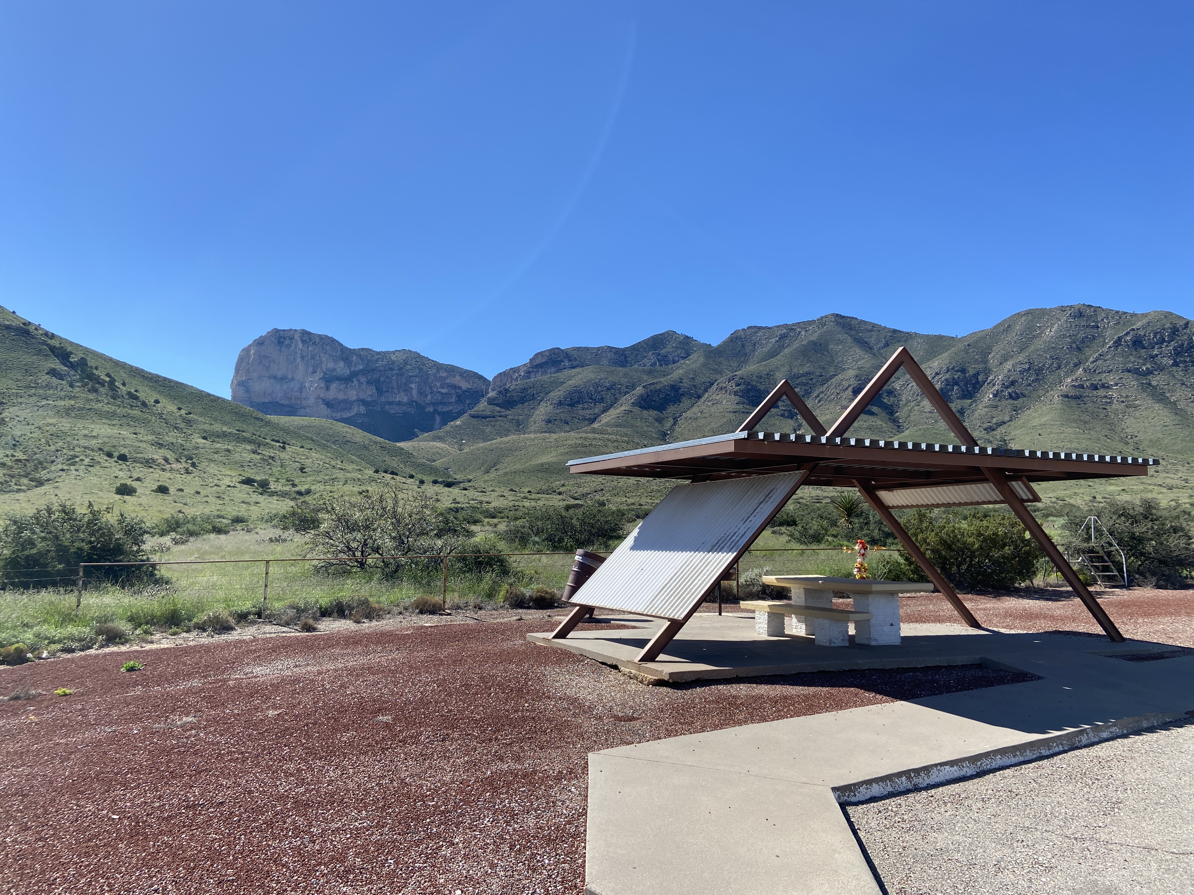
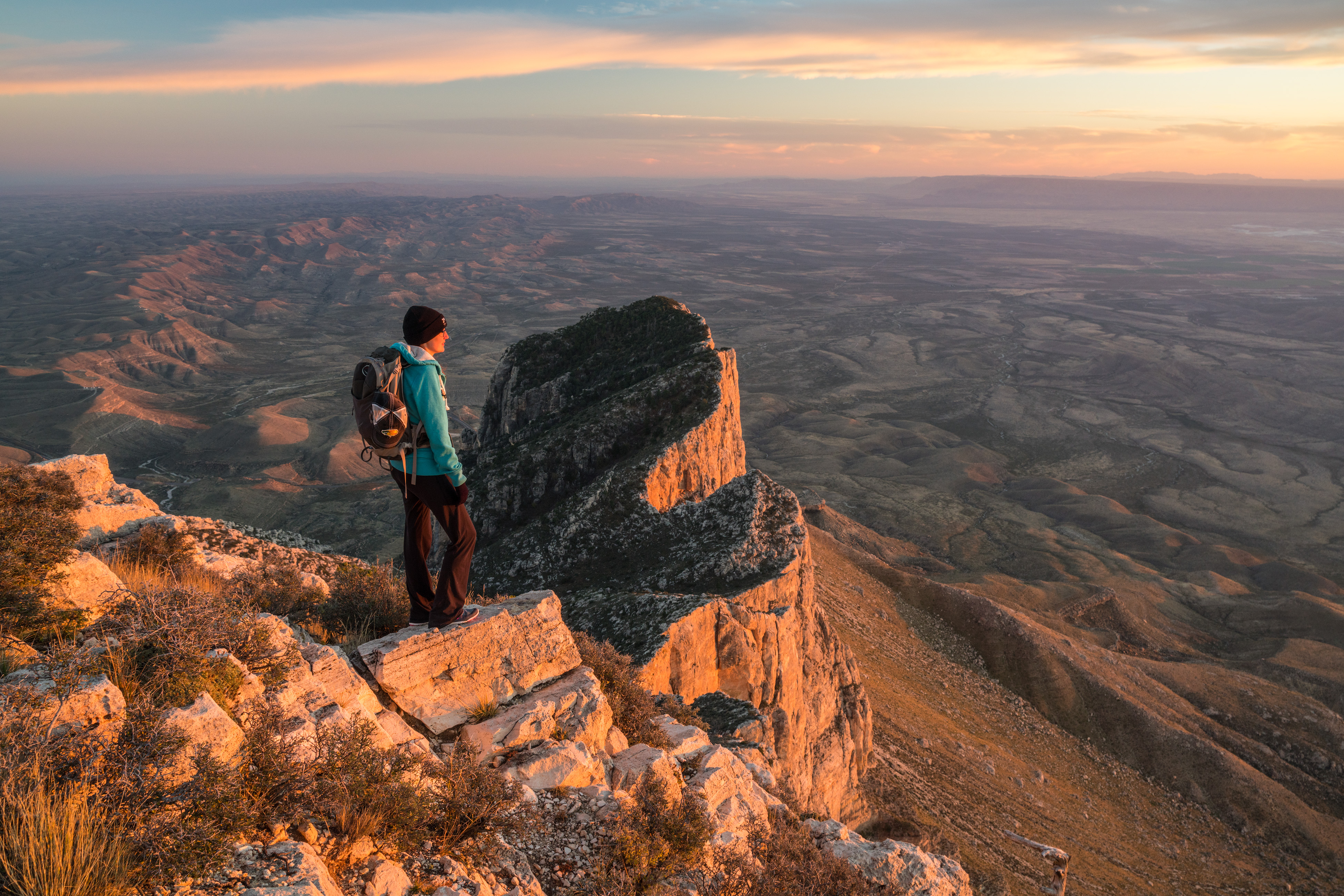
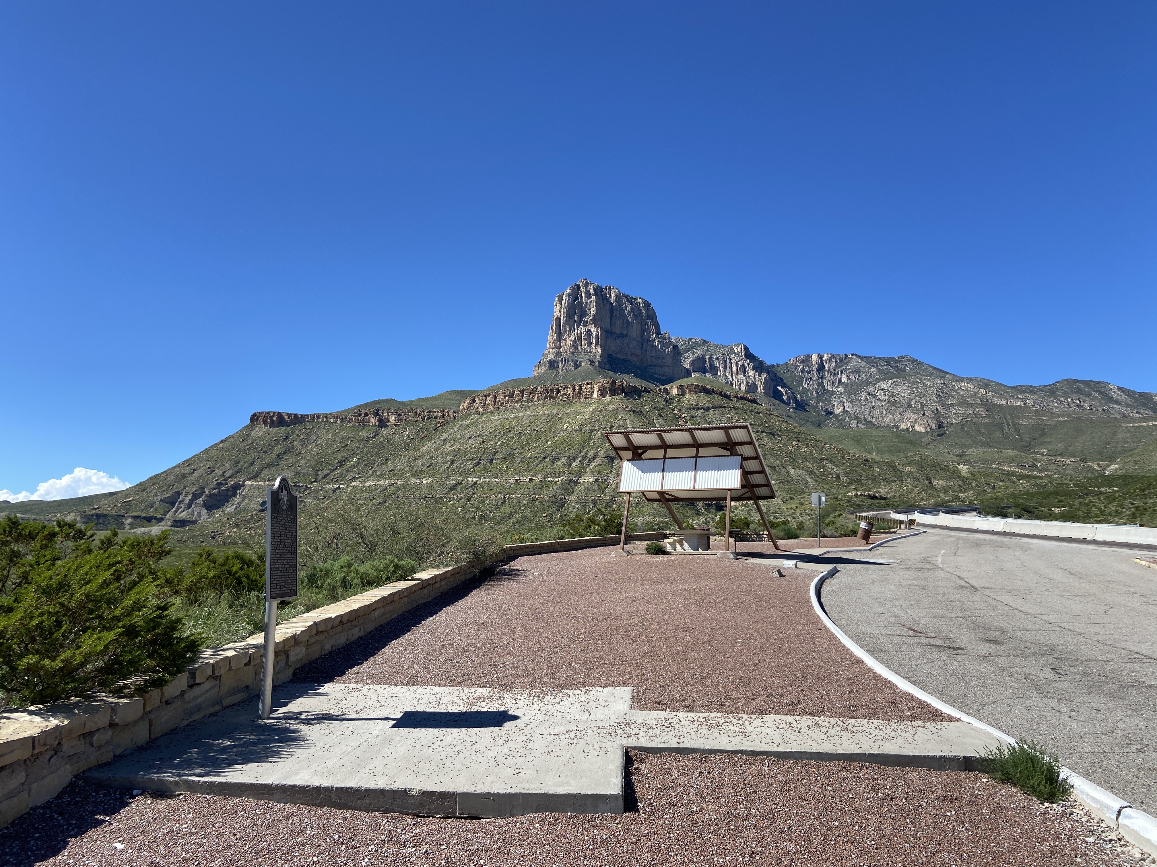
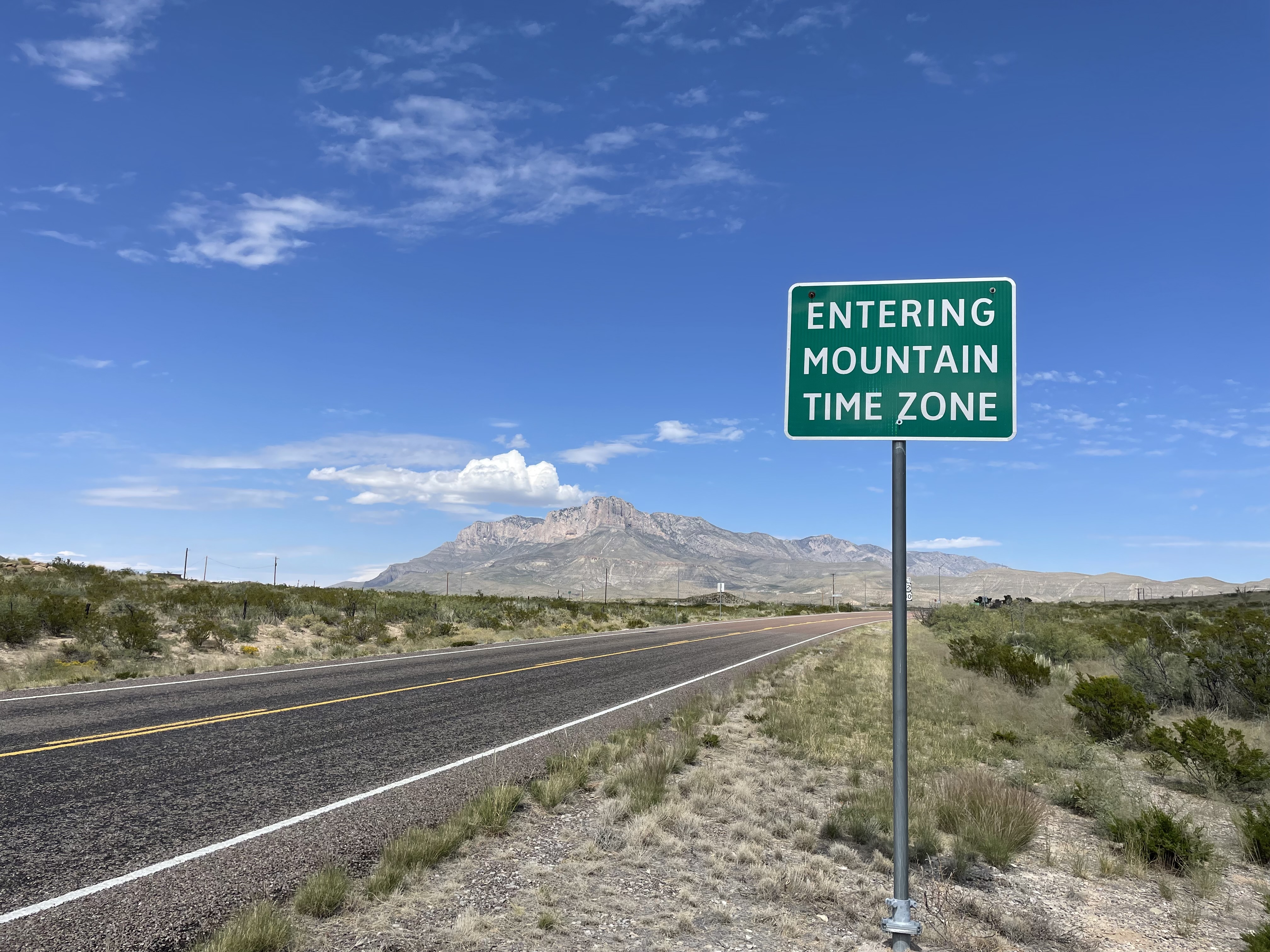
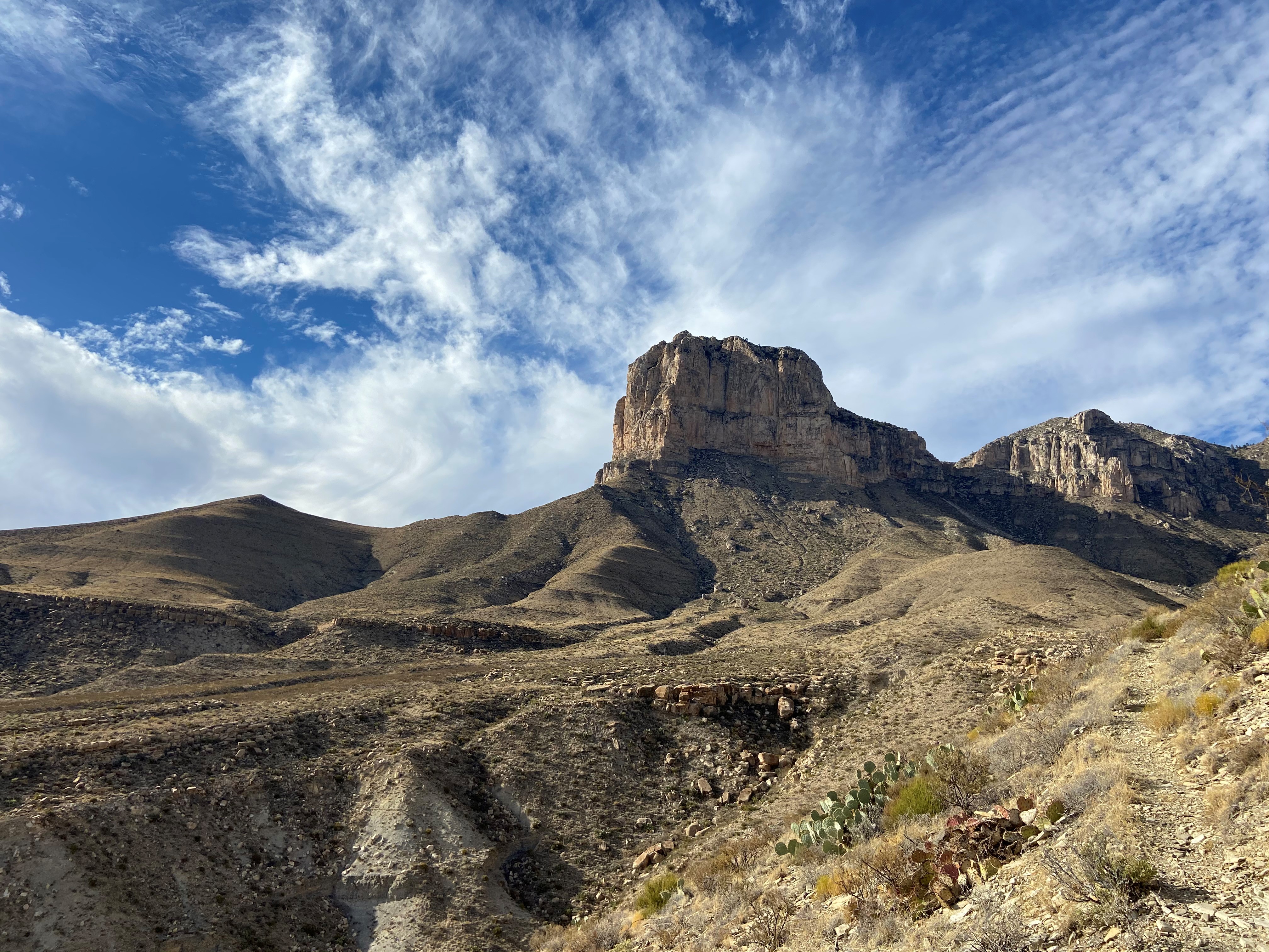
El CapitanEl Capitan is the eighth highest peak in Texas and it's imposing height and stark outline have made it an iconic image for generations of travelers. 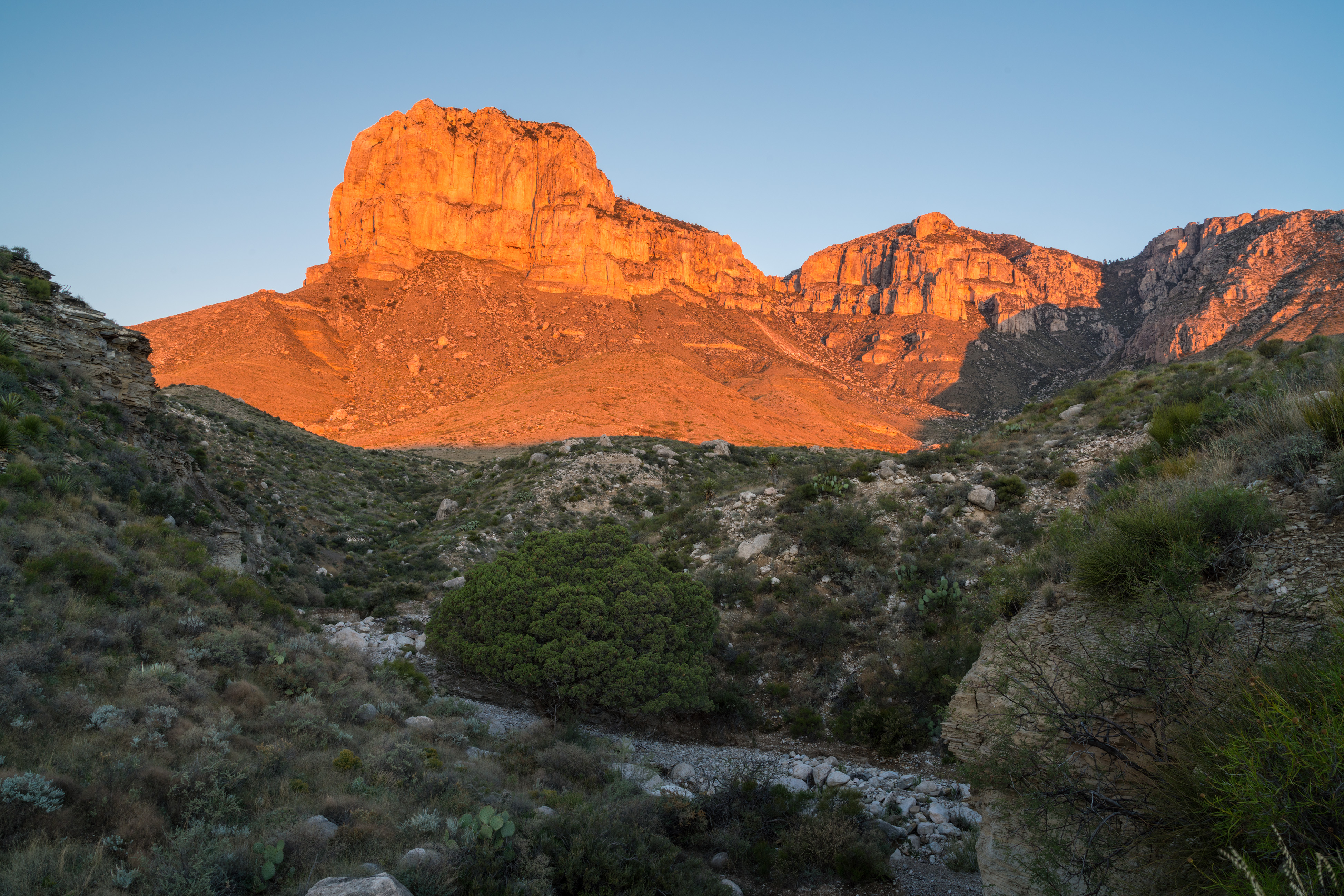
El Capitan Trail JunctionLess than a quarter mile from the trail is the junction of three trails. Stay straight to continue toward the summit of Guadalupe Peak. A right turn directs hikers toward Devil's Hall and the Guadalupe Peak "stock trail". A left turn here begins the El Capitan Trail. 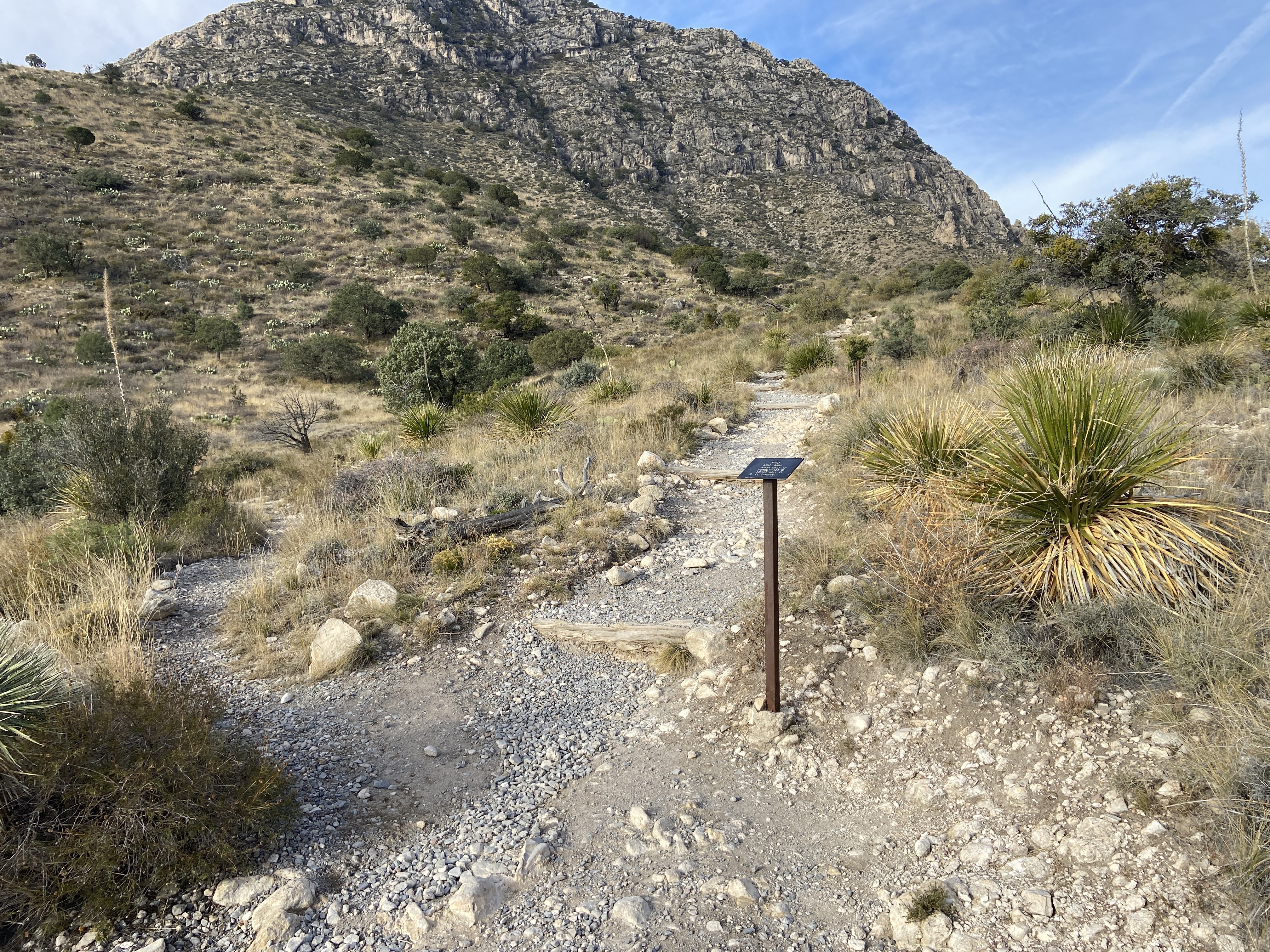
Frijole Horse Corral TrailheadThe Frijole Horse trailhead is located at the Frijole Horse Campsites and a short distance from the historic ranch. 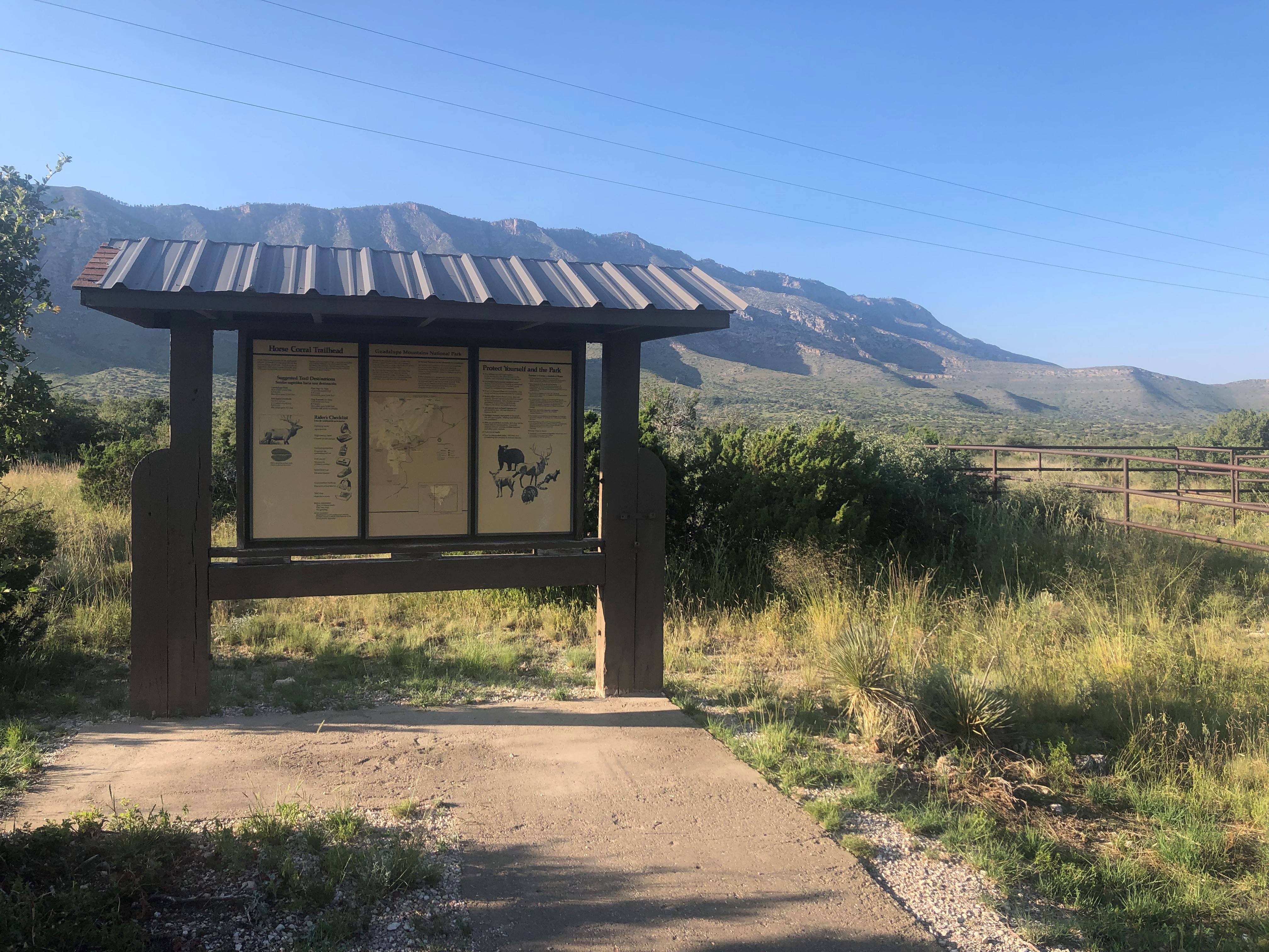
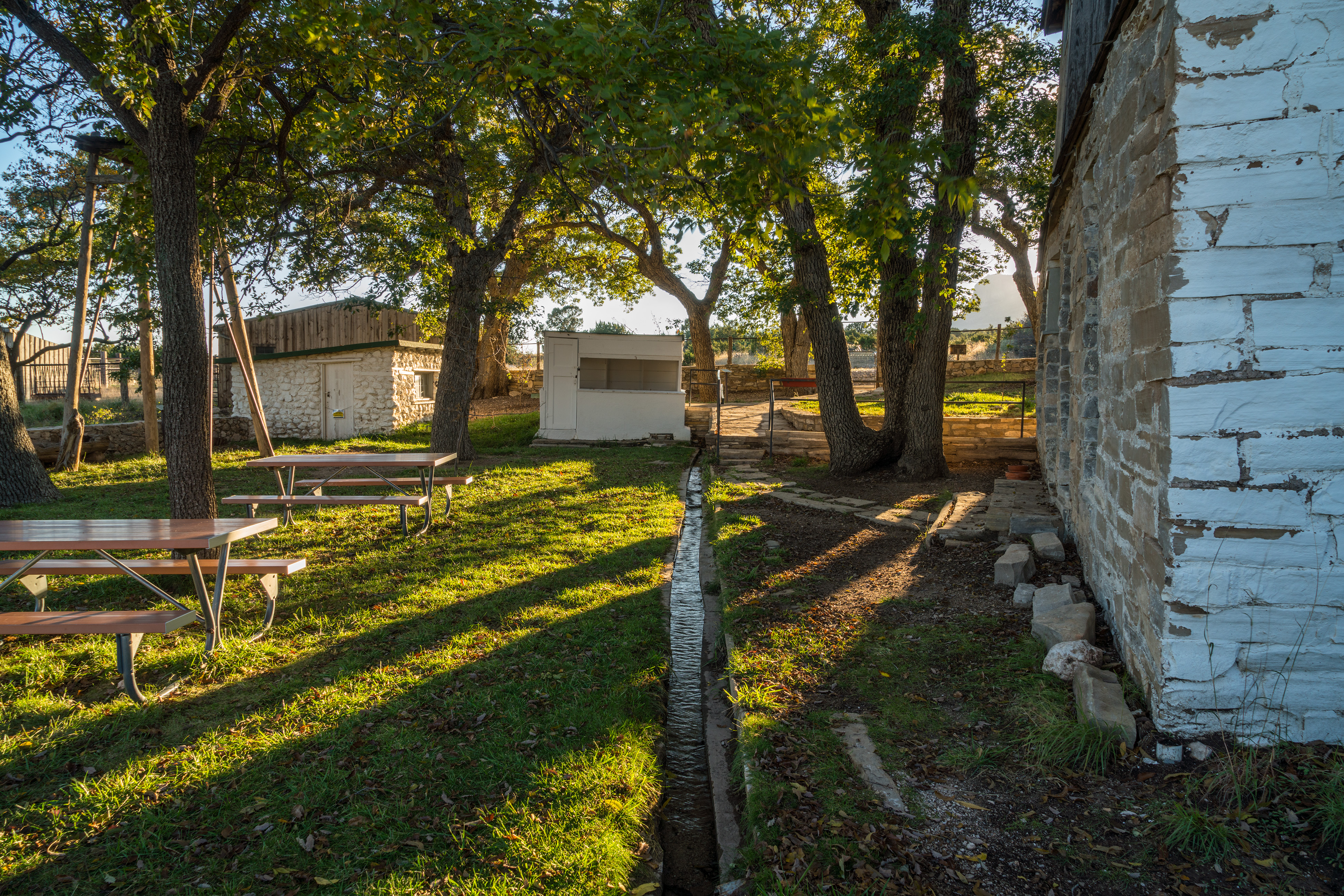
Frijole Ranch MuseumFrijole Ranch is a delightful oasis on the edge of the dry, lower slopes of the Guadalupe escarpment which truly captures the rugged sprit of the American West. Today the Frijole Ranch History Museum occupies the old ranch headquarters, and displays the sequential human history of the Guadalupes from Native Americans and the early ranching community to the establishment of a national park. Imagine what life may have been like in this remote West Texas location 100 years ago. 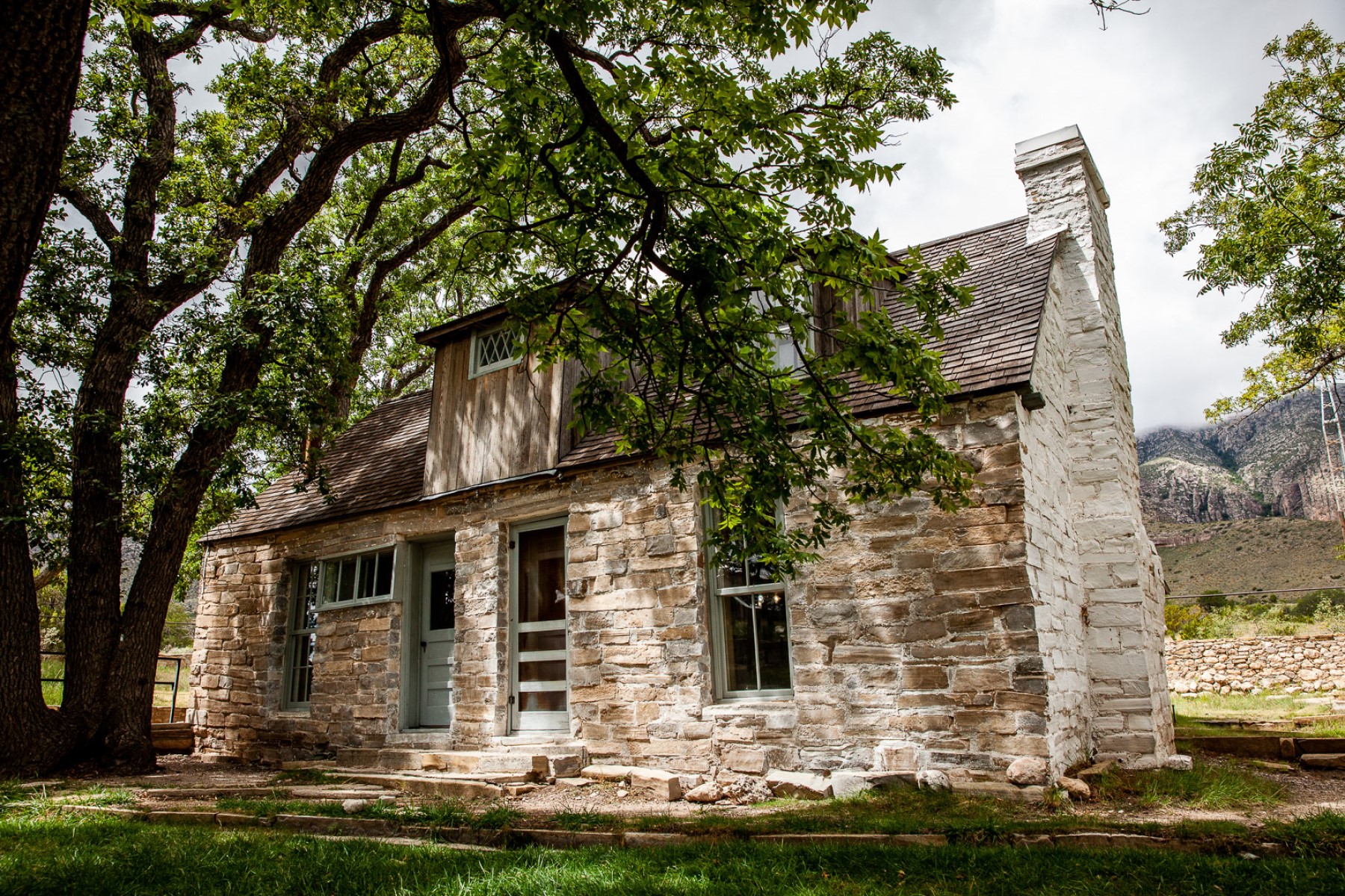
Frijole Ranch TrailheadThe Frijole Ranch trailhead is located at the end of the Frijole Ranch Road and a short distance from the historic ranch. The popular Smith Springs loop trail begins here. A picnic area is immediately adjacent the trailhead. 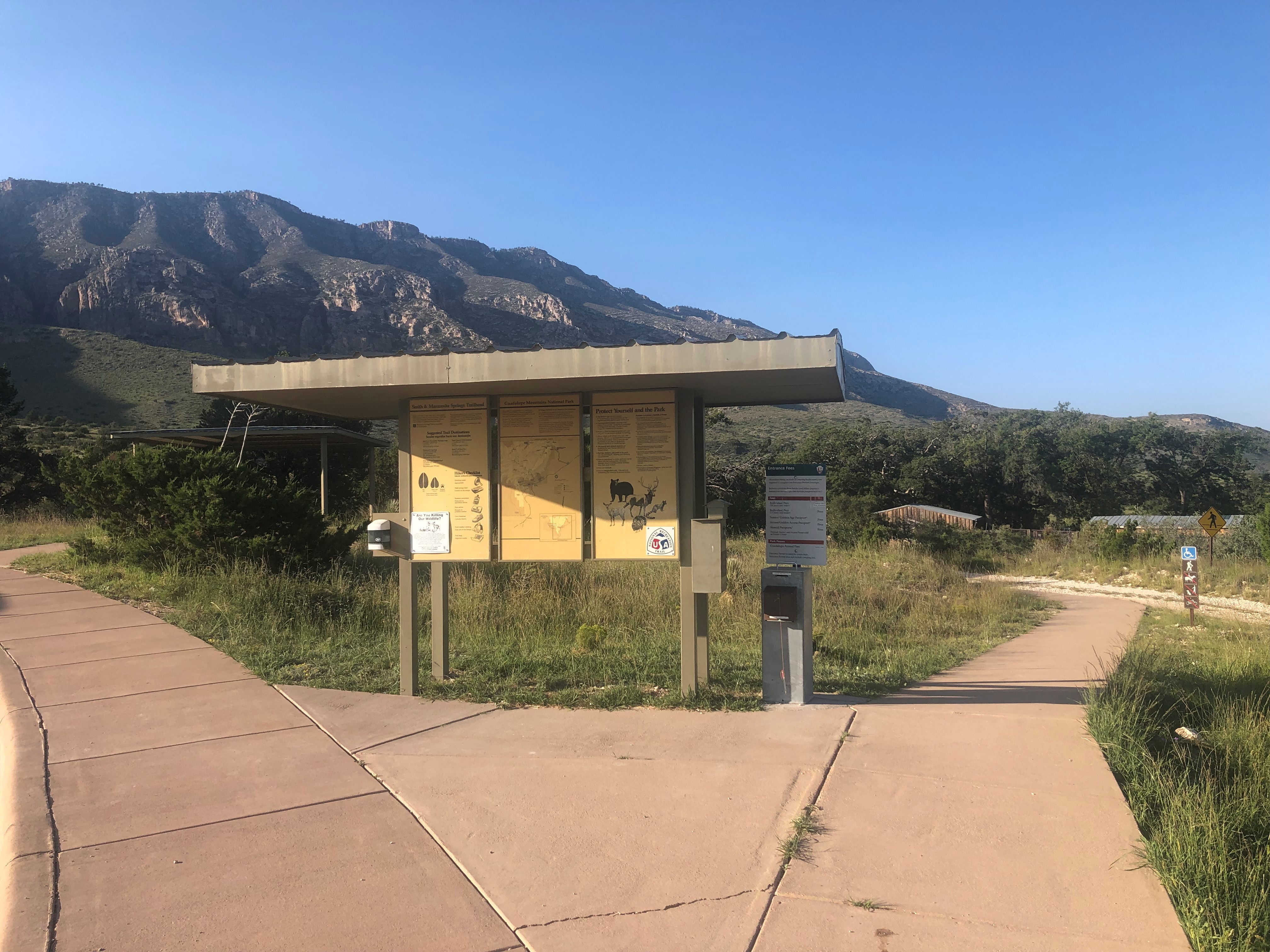
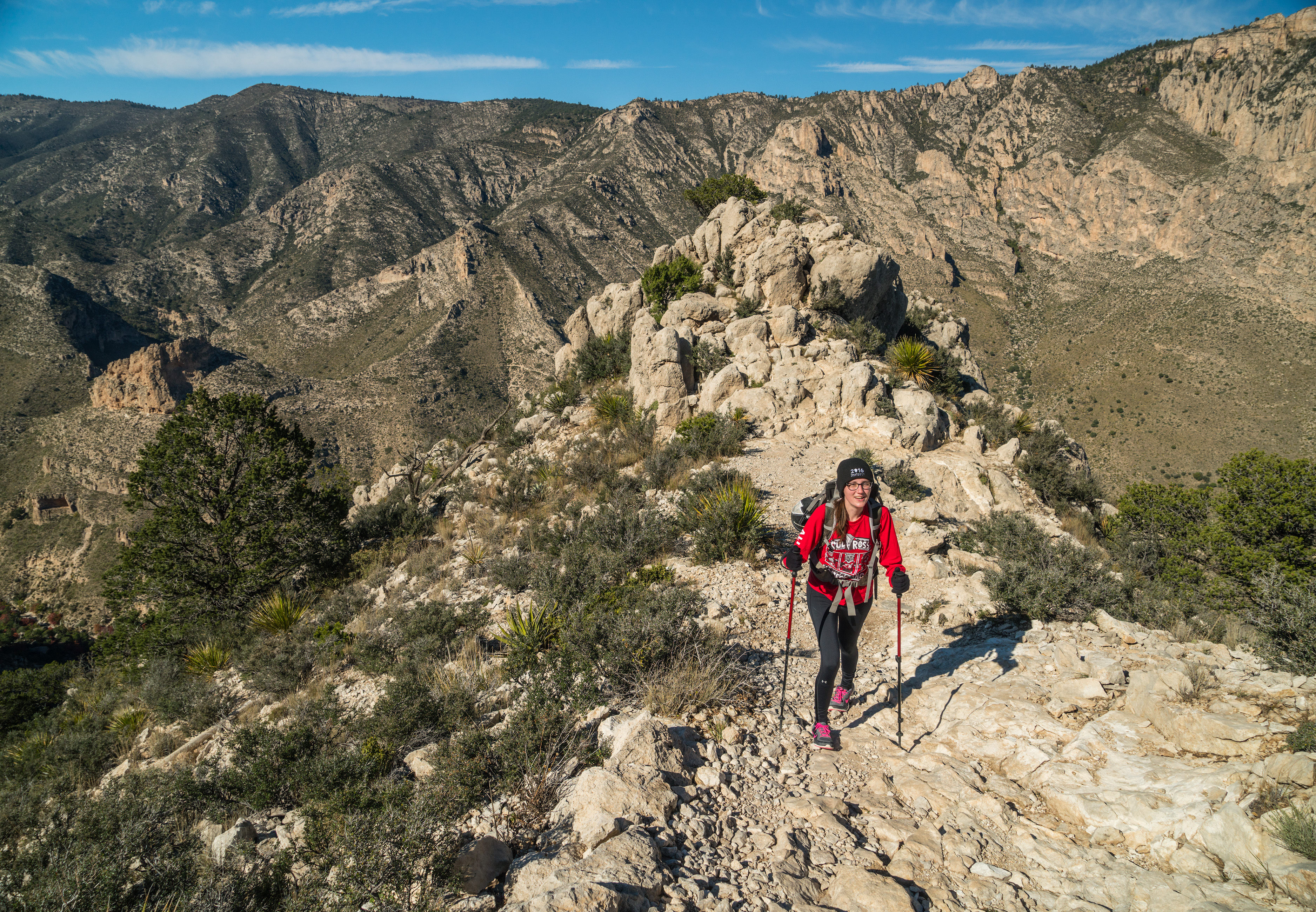
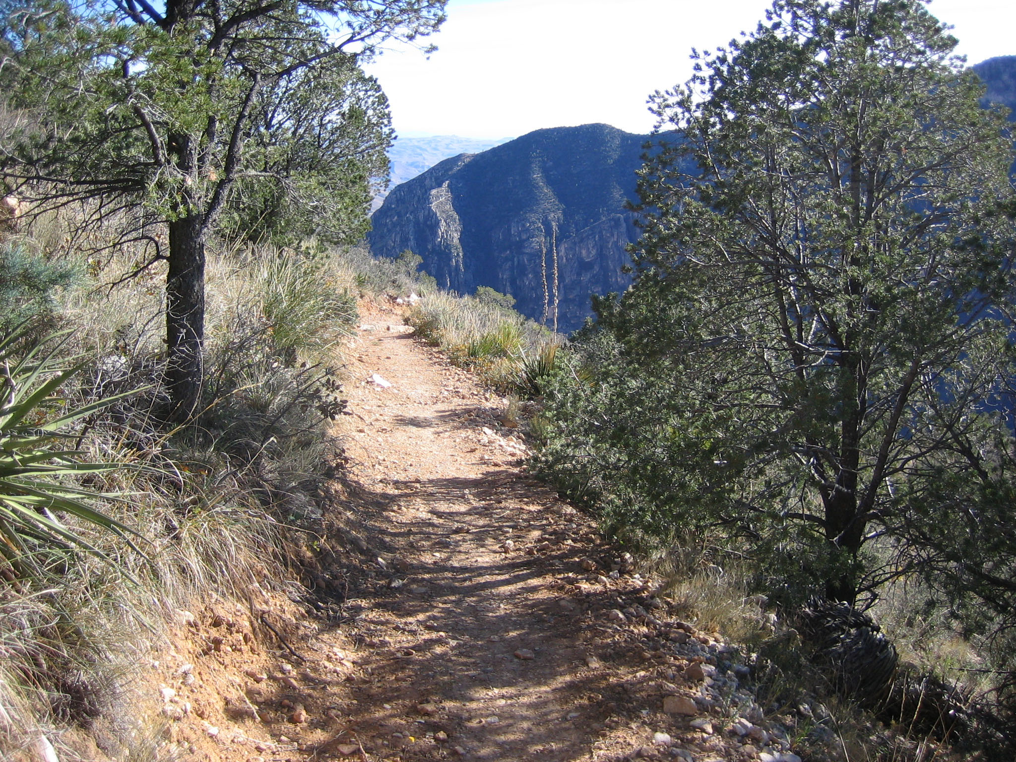
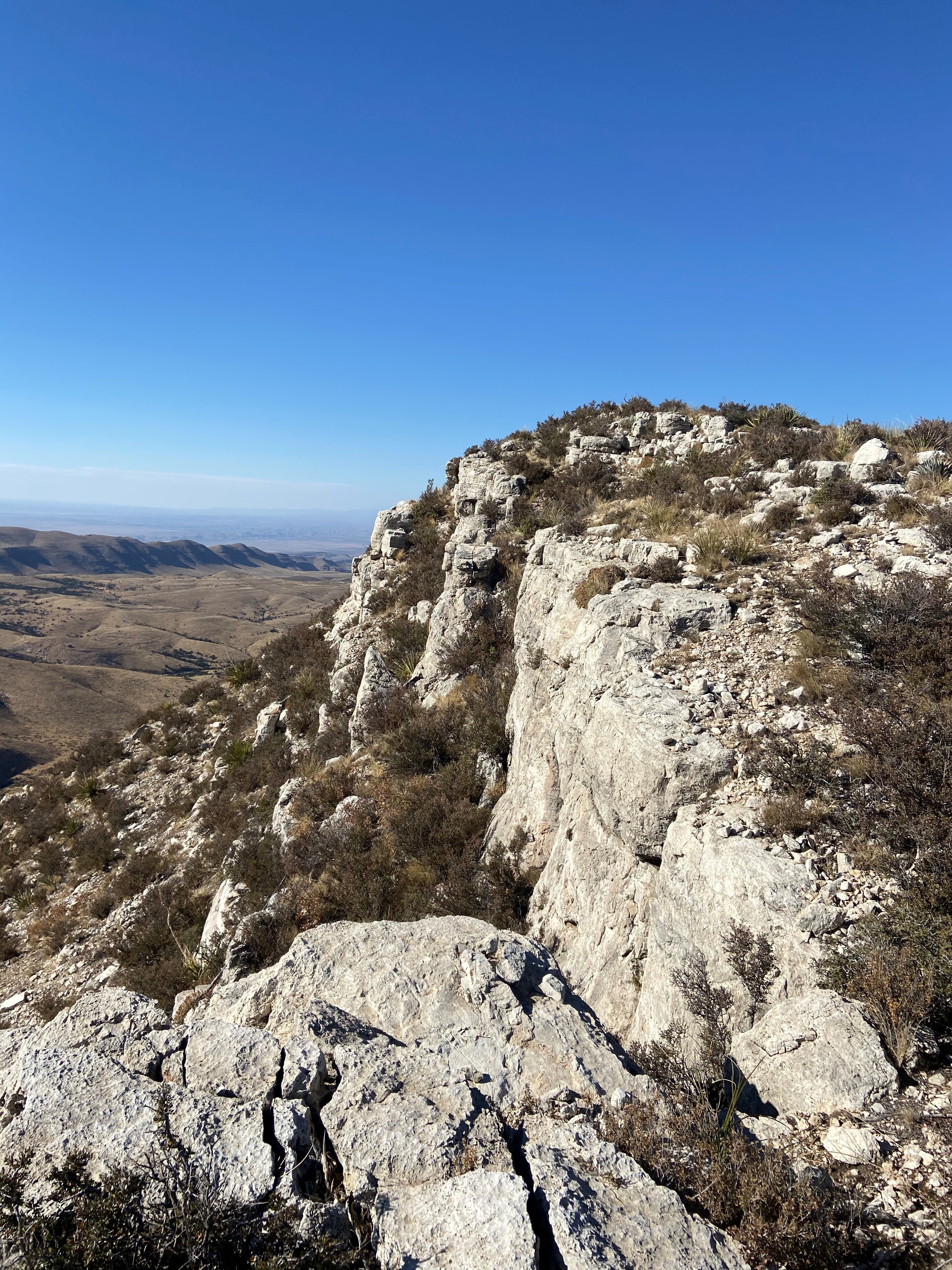
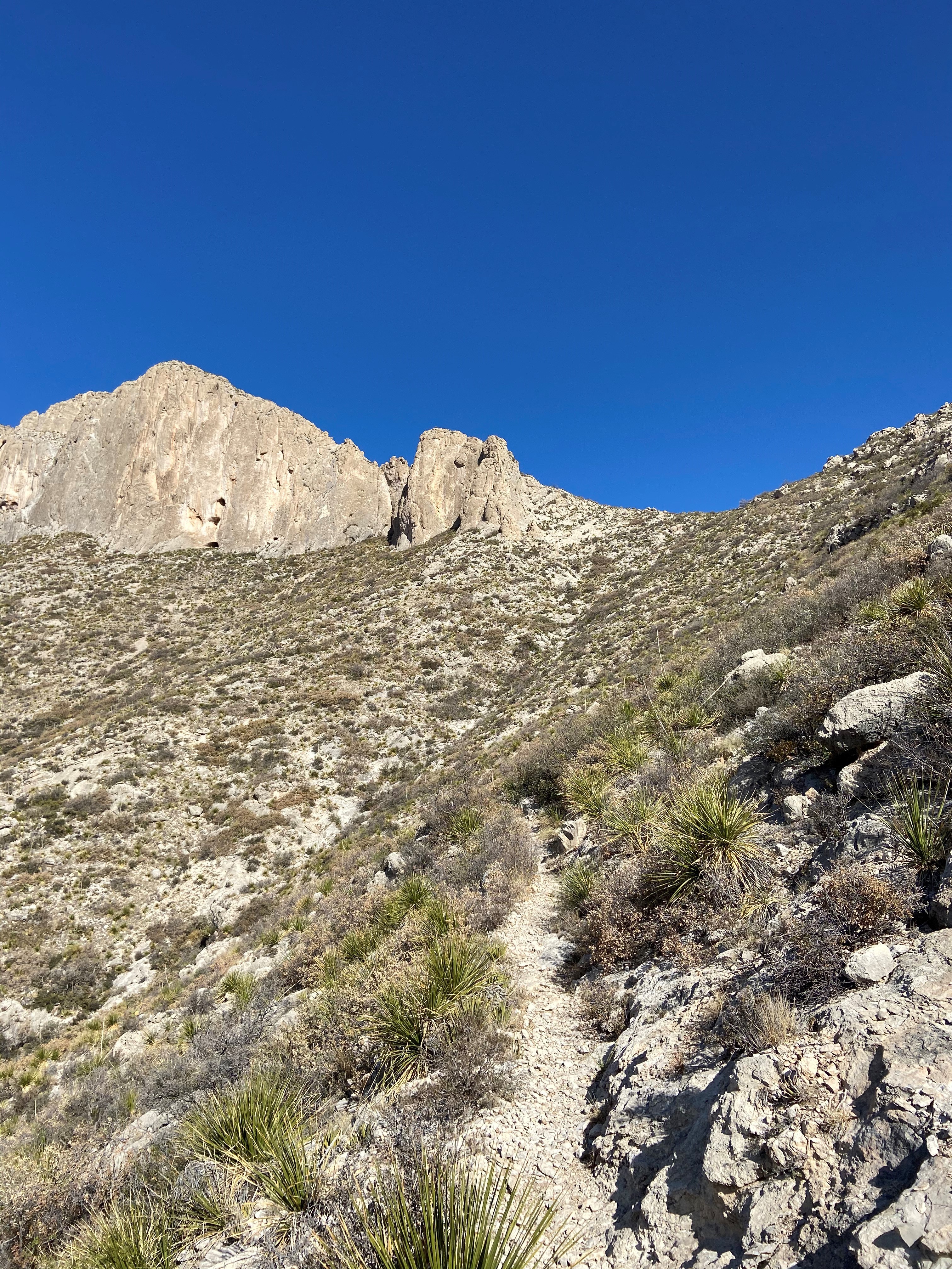
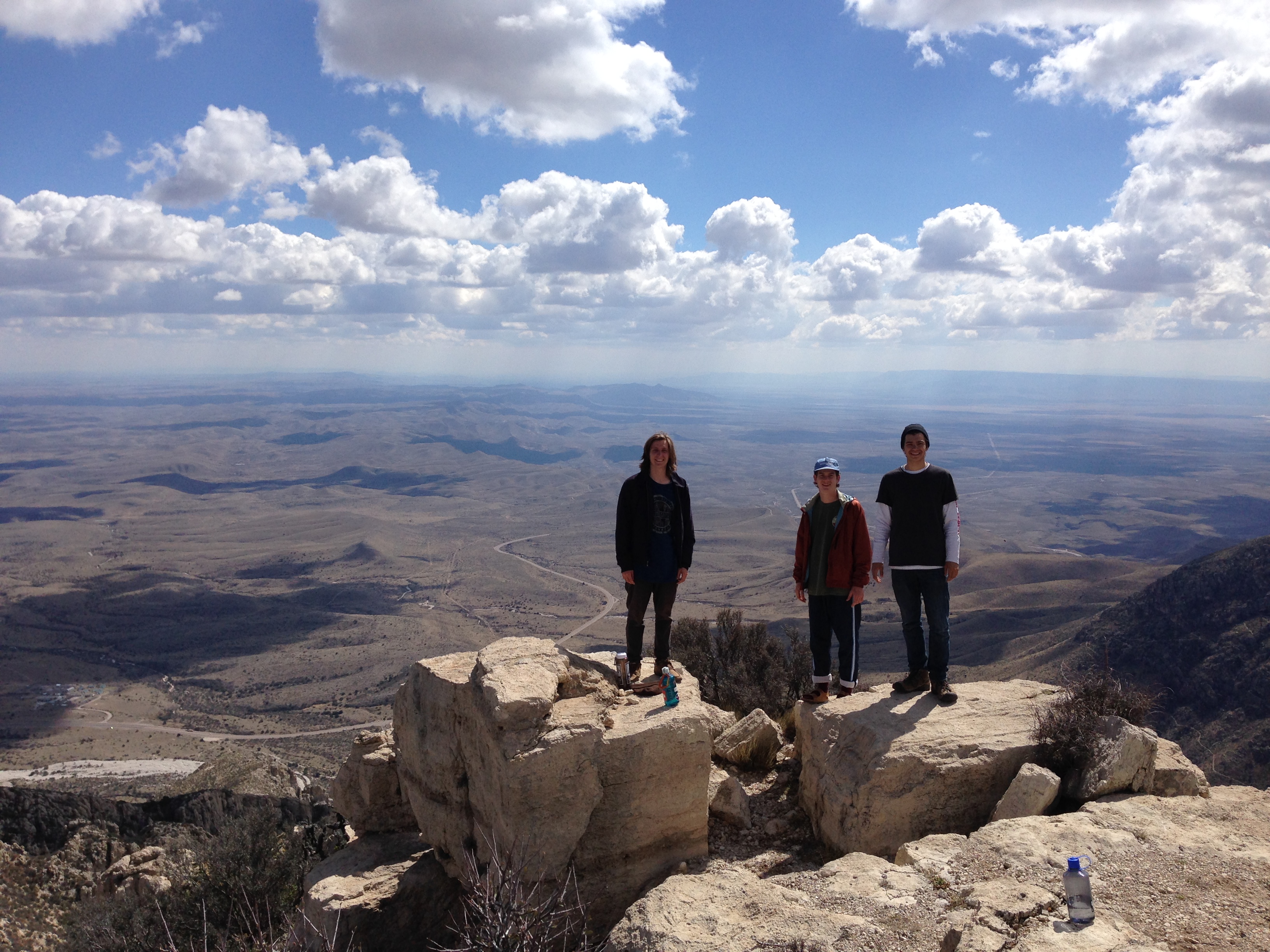
Guadalupe PeakGuadalupe Peak is the highest natural point in Texas, with an elevation of 8,751 feet above sea level. The peak can be climbed by a maintained strenuous day hike via the Guadalupe Peak Trail with a 3,000 feet elevation gain at any time of the year. 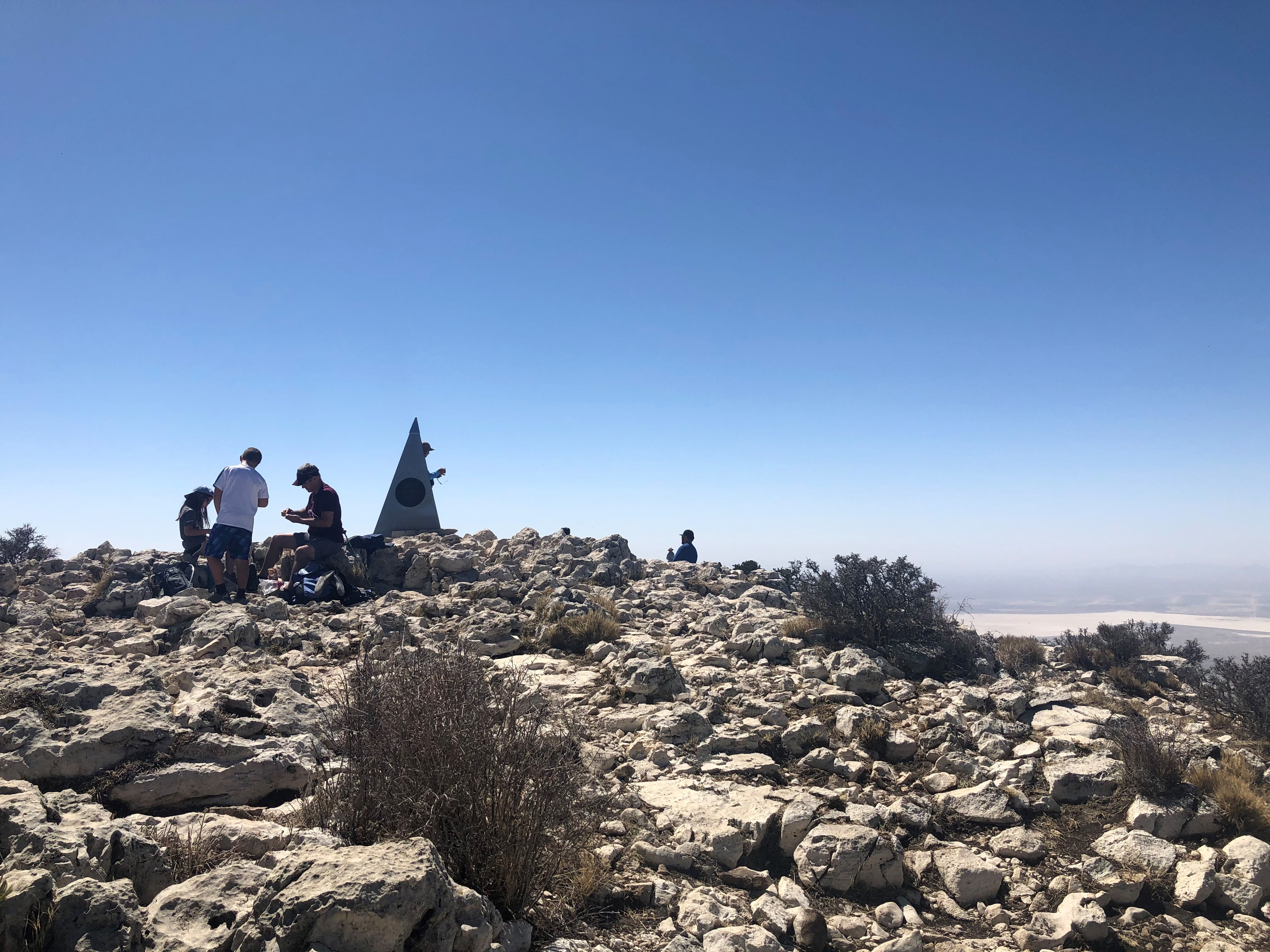
Hueco Tanks State Park & Historic SiteA unique geology and a relative abundance of water made the Hueco Tanks site a refuge for nature and humans for over ten thousand years. This park offers guided & self-led tours of ancient rock imagery, plus picnic spots & 20 campsites. 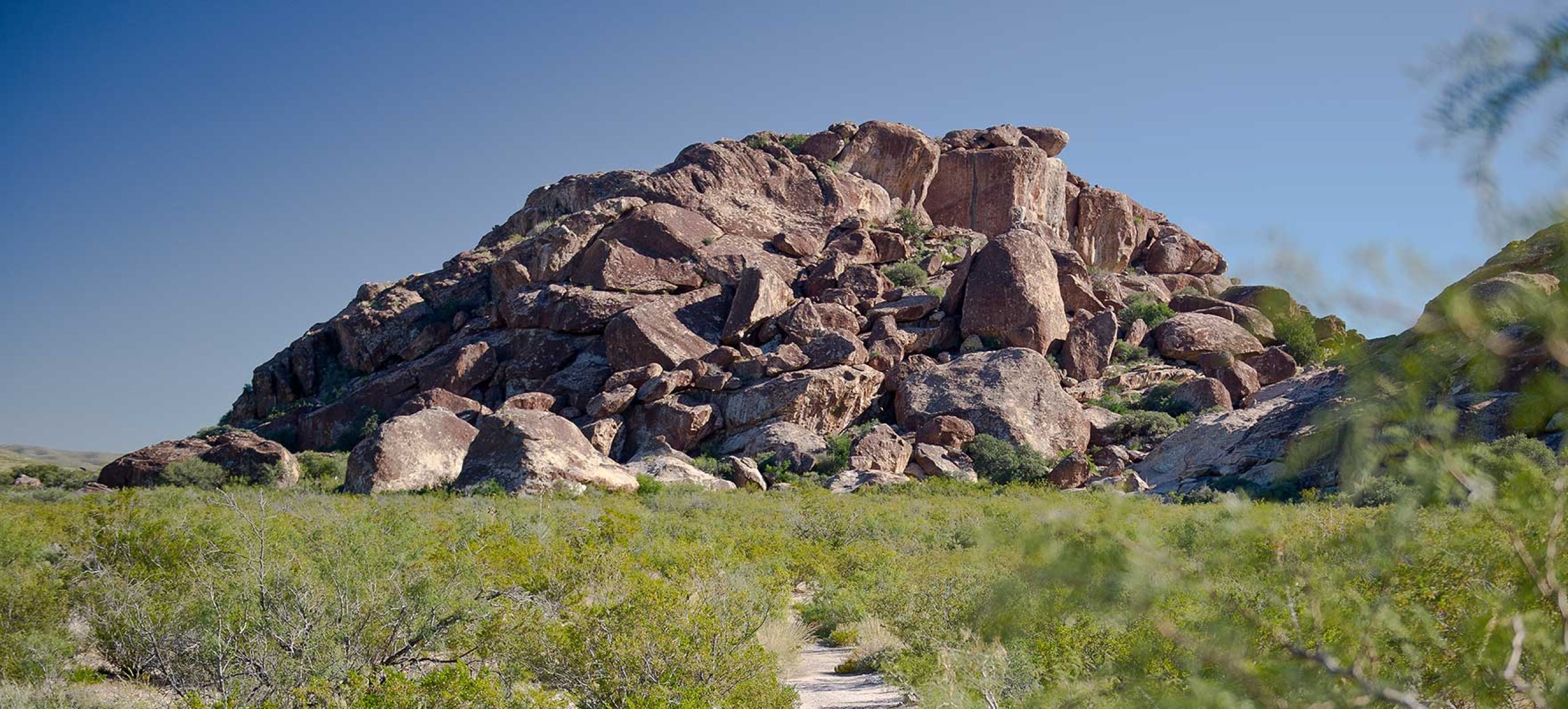
Hunter Line ShackTucked deep into South McKittrick Canyon, the Hunter Line Shack stands as a wilderness remnant of the Hunter-Grisham partnership which consolidated small West Texas ranches into a large corporate entity to make it economically viable in the early Twentieth Century. 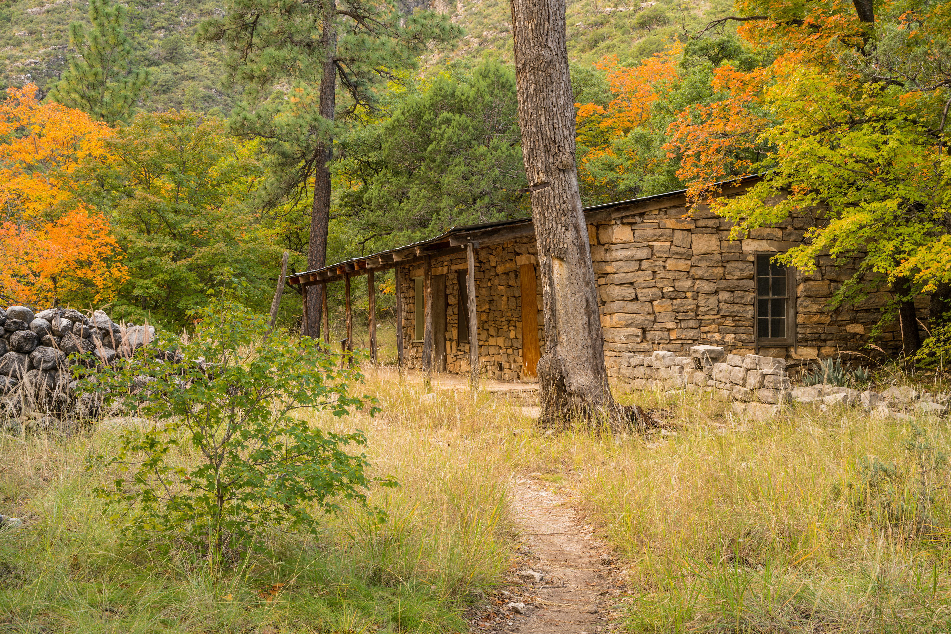
Hunter PeakAt 8,368 feet elevation, Hunter Peak is the sixth highest mountain in Texas and only 381 feet lower than Guadalupe Peak. 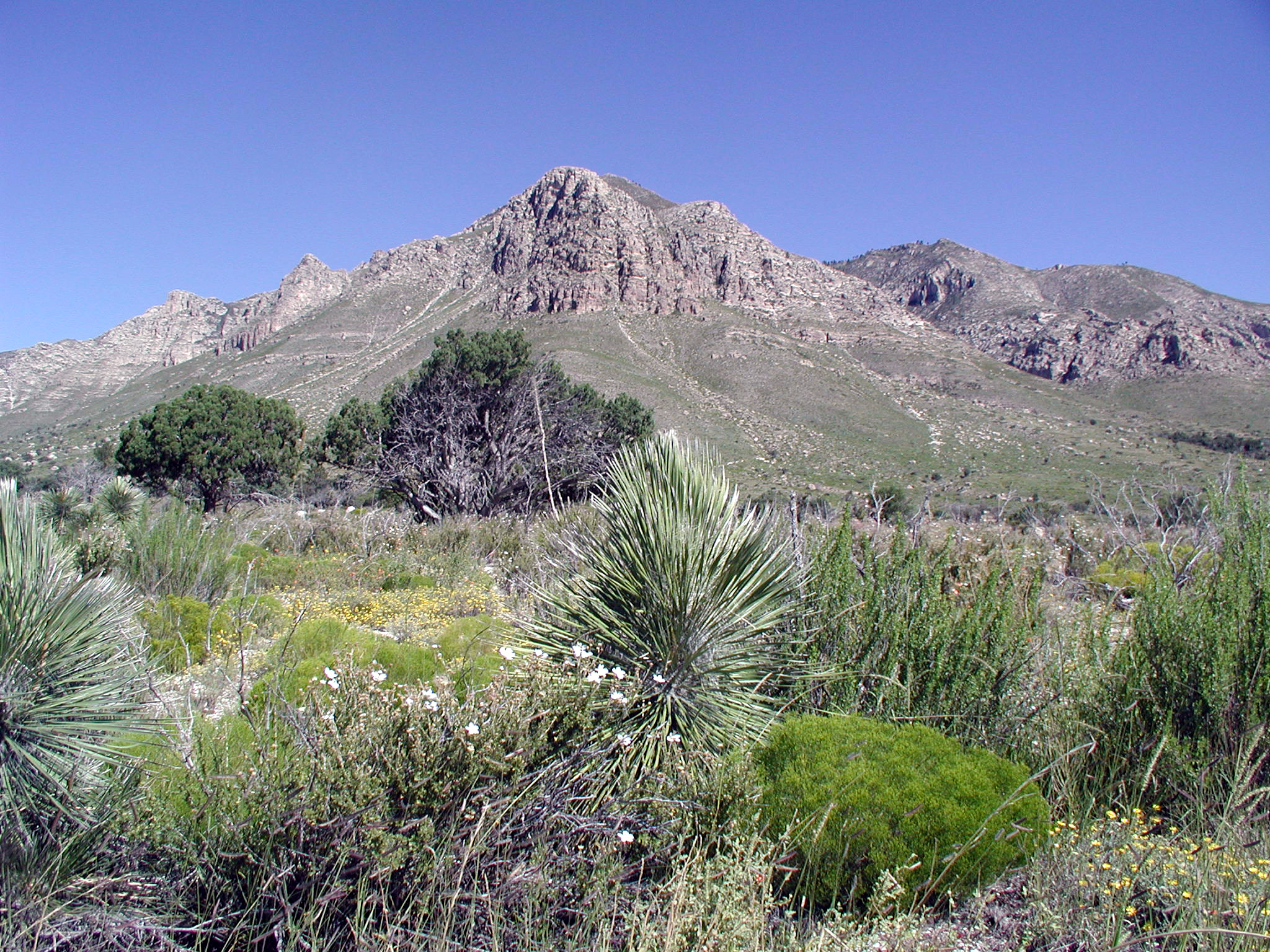
Lost PeakLost Peak is a gentle and easily accessed peak on the north end of Guadalupe Mountains National Park. At 7,830 feet above sea level, Lost Peak is the ninth highest point in the state of Texas. 
Manzanita SpringManzanita Spring is a short distance from the Frijole Ranch and a good spot for birding. 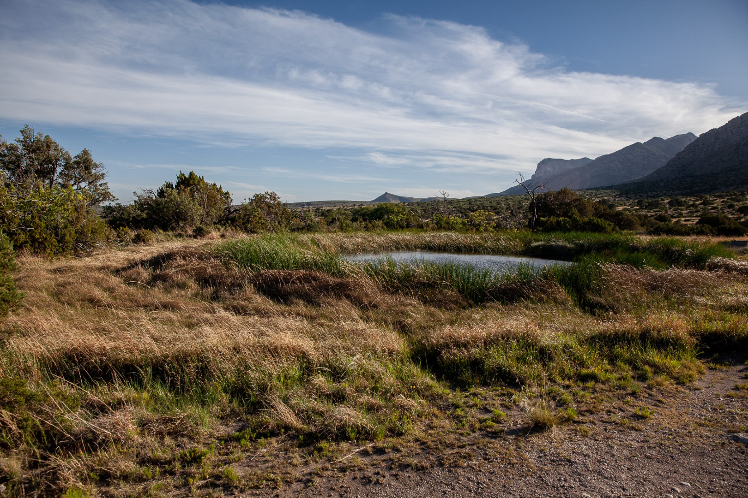
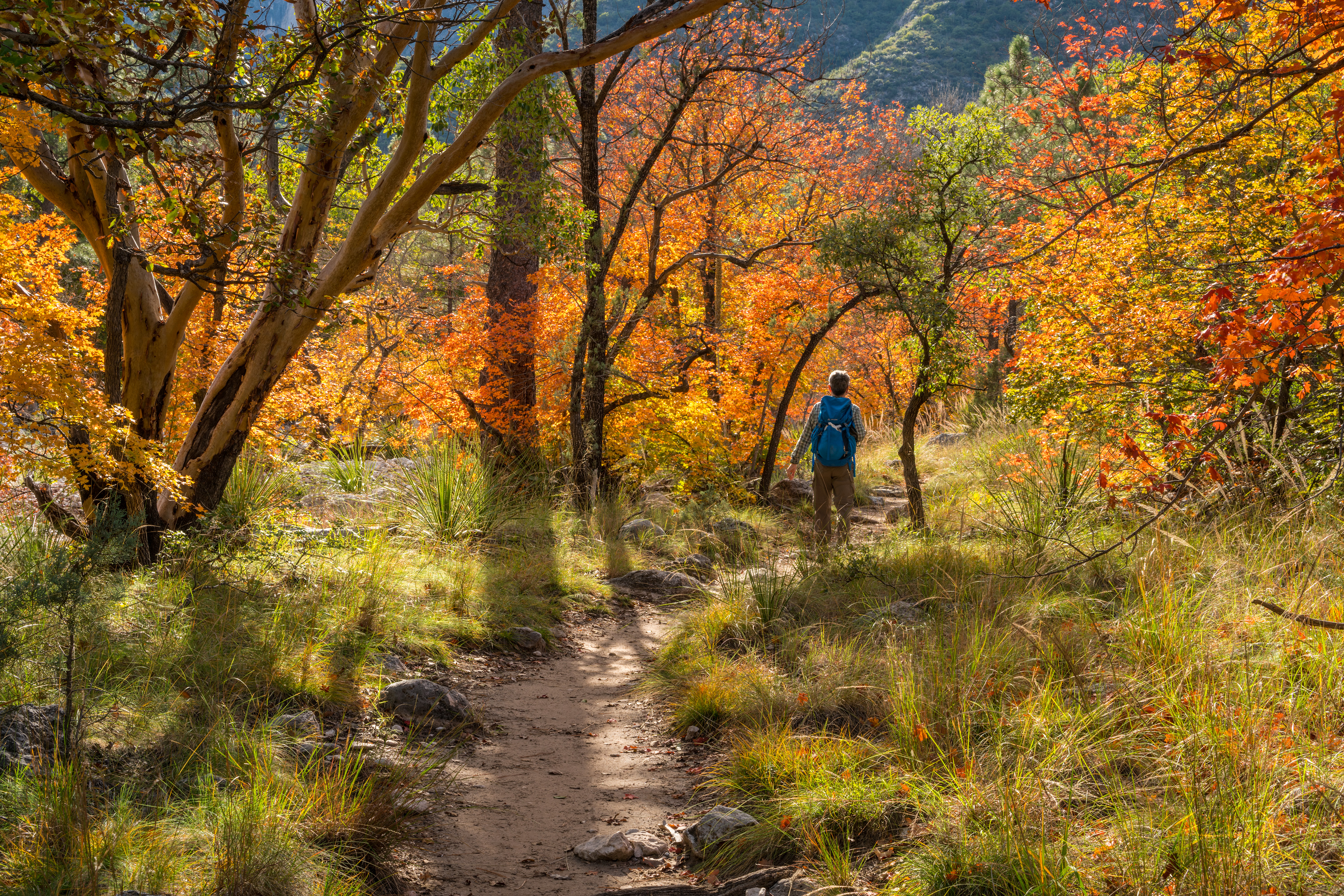
McKittrick Canyon TrailheadThe McKittrick Canyon trailhead is the starting point for trails for destinations in McKittrick Canyon as well as above and beyond the canyon. Trail destinations inside the canyon make excellent day hikes. The trailhead is located on the other side of the visitor center from the parking lot. This is a day use area and visitors must exit before the gate closing time each evening. 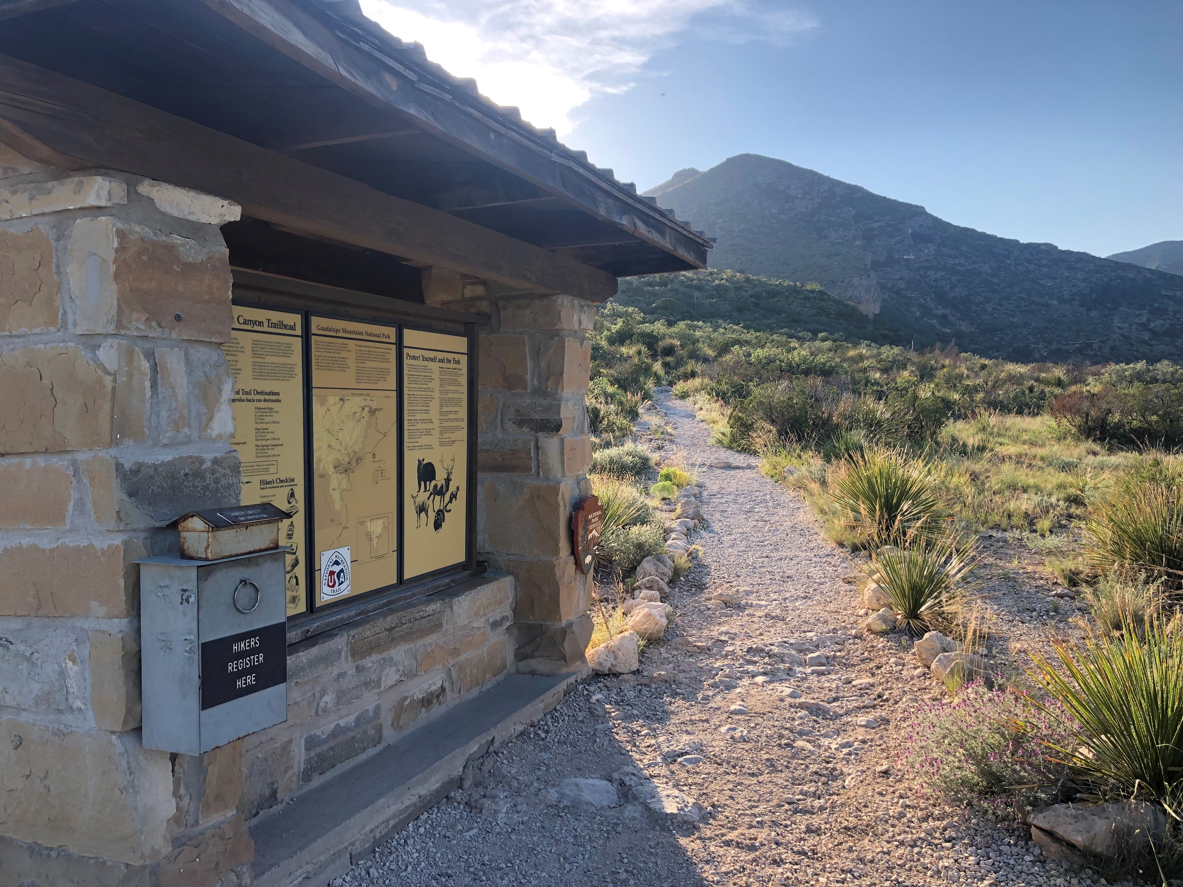
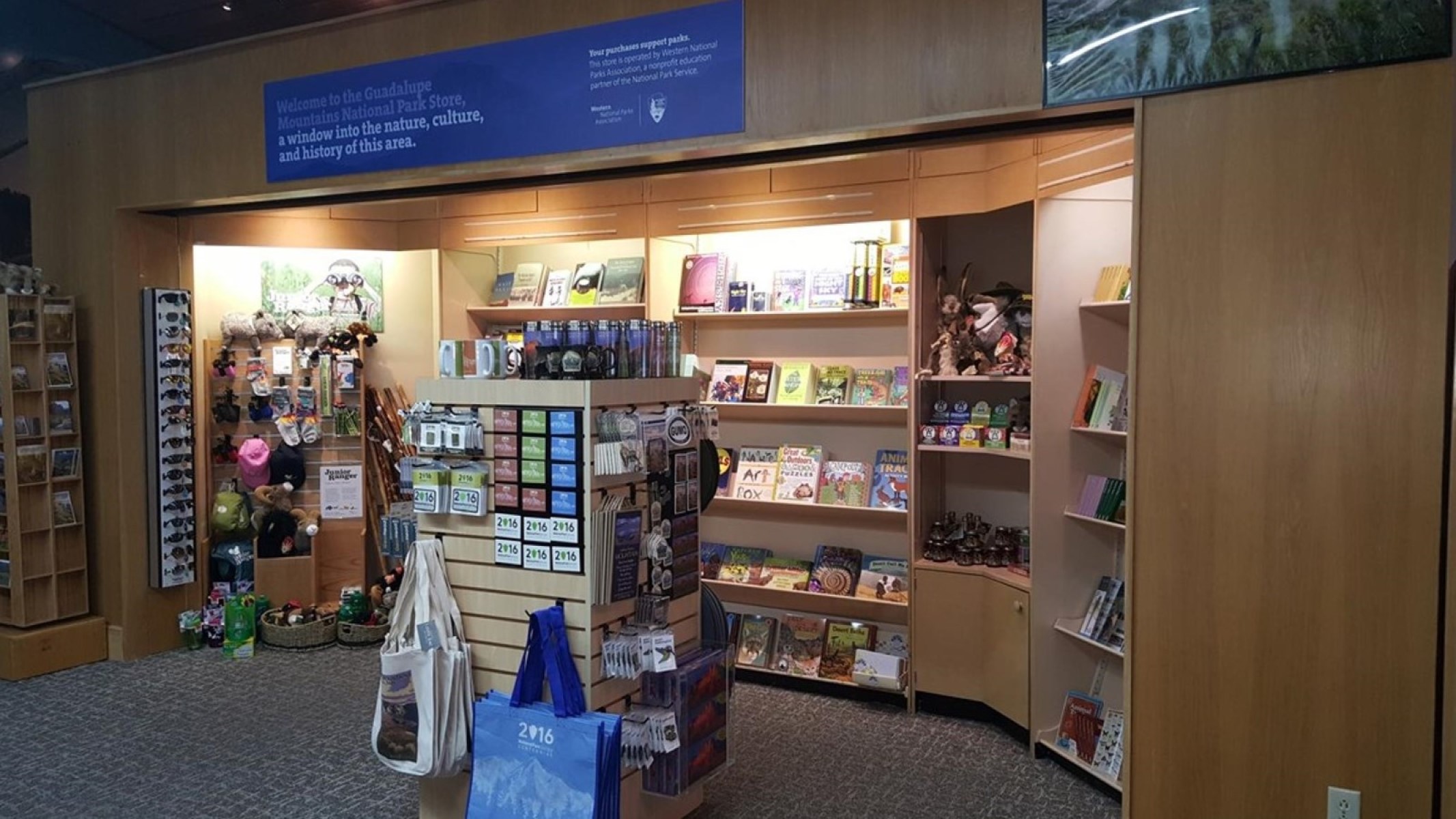
Park Store at Guadalupe MountainsThe park store is operated by Western National Parks Association, an official non-profit partner of the National Park Service dedicated to supporting the educational mission of Guadalupe Mountains National Park. The park store has a wide range of books, maps, travel guides, and other items available for retail sale 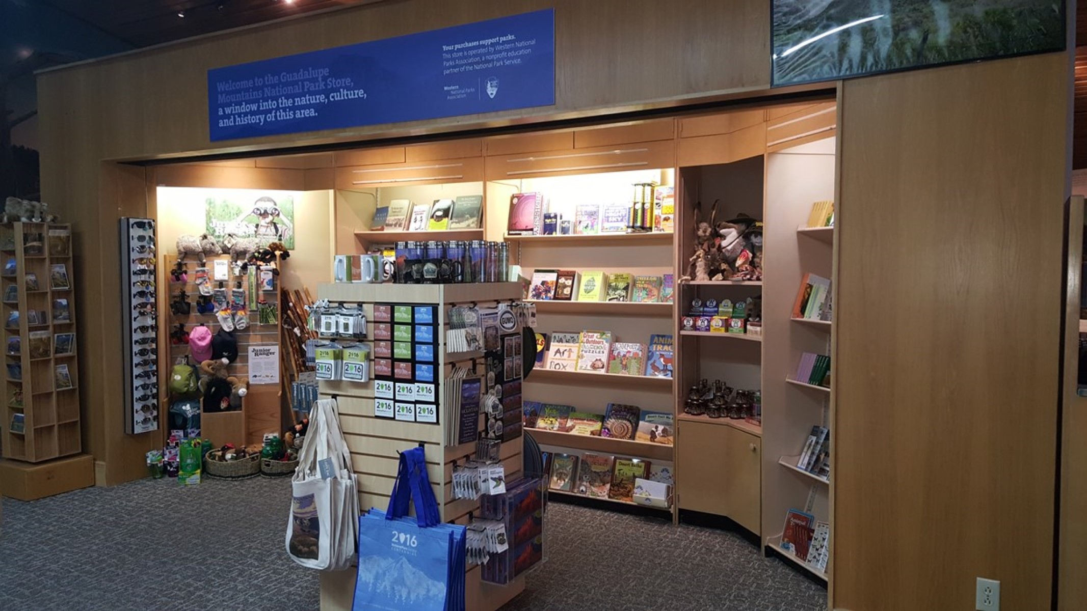
Pine Springs Store & CaféThe Pine Springs Café was a roadside business located along U.S Highway 62/180 from the 1930s through the 1990s. Owned by Walter and Bertha Glover, the complex included a gas station, store, café, and guesthouse with cabins for overnight stays. 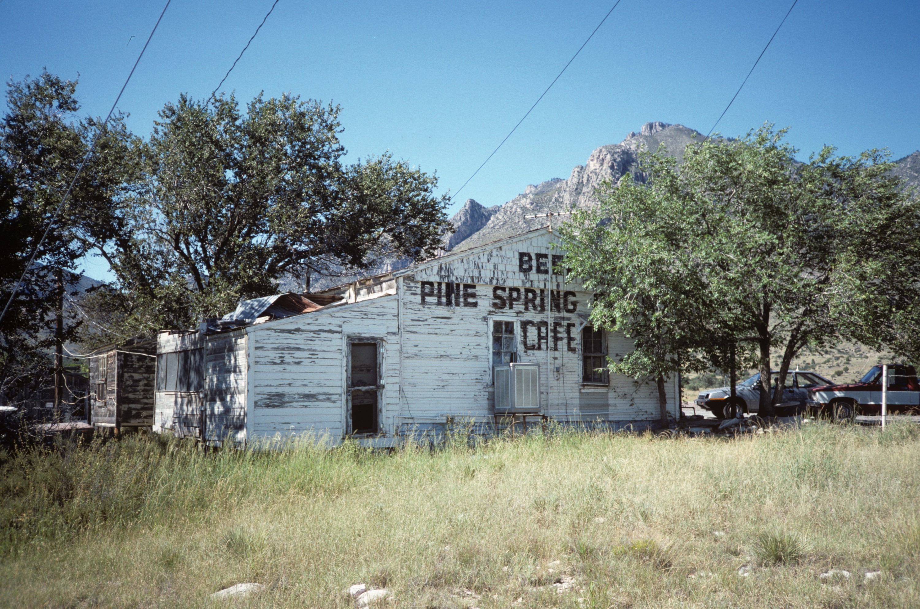
Pine Springs TrailheadThe Pine Springs trailhead is the starting point for many park trails, and is located near the campground. Except for the Pinery Trail near the visitor center, most of the trails starting here are rated strenuous with significant elevation gains. On busy weekends this trailhead area often fills first. 
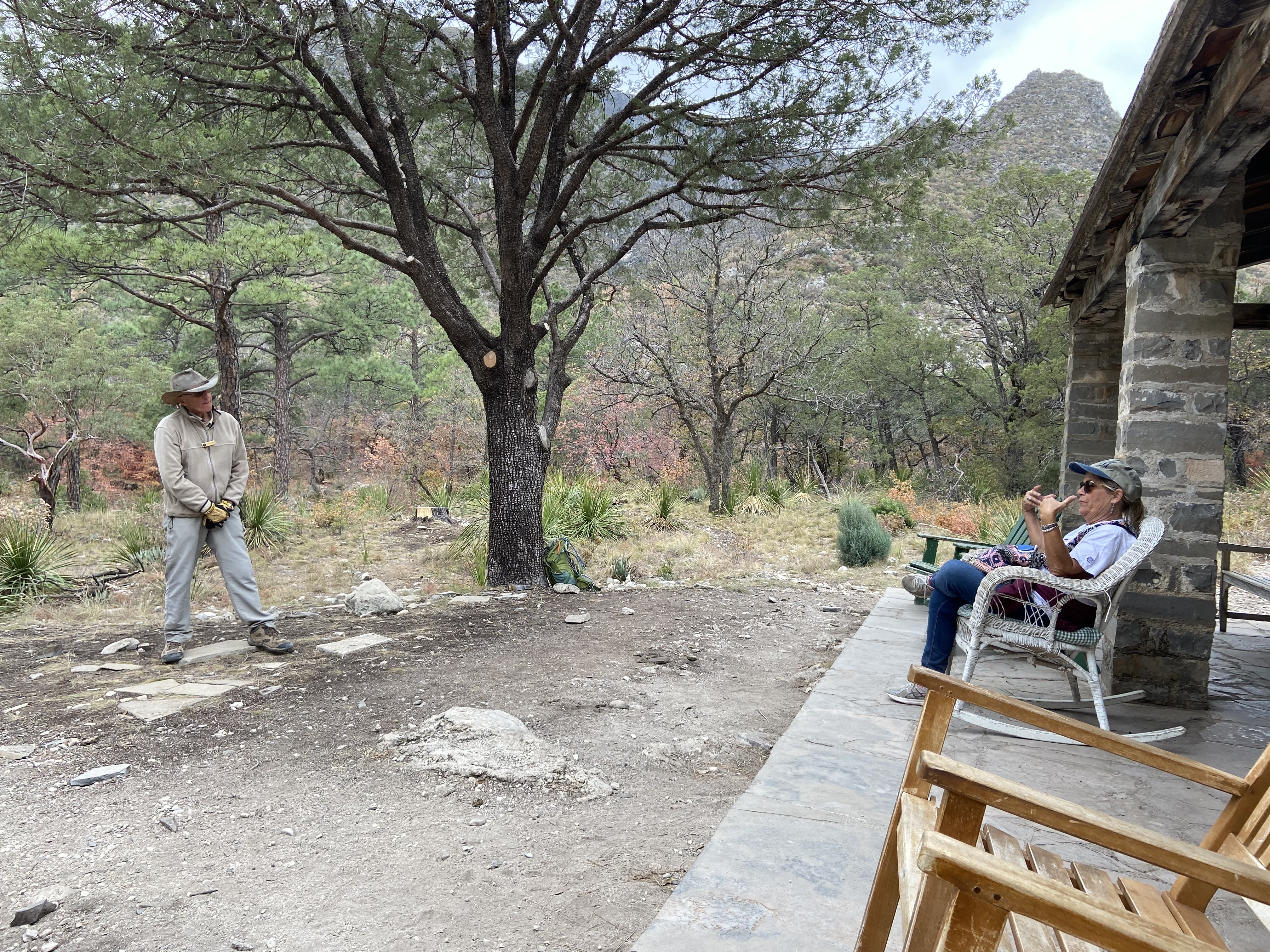
Pratt CabinPratt Cabin, also referred to as the Stone Cabin, is located in the northeast part of the Guadalupe Mountains National Park which is approximately 110 miles east of El Paso, Texas. Pratt Cabin was designed by noted Houston architect John F. Staub. The Cabin is constructed predominantly of local limestone and pine wood timbers. The design of the Cabin reflects an appreciation of the unique geological resources of the canyon and the rustic setting in which it is situated. 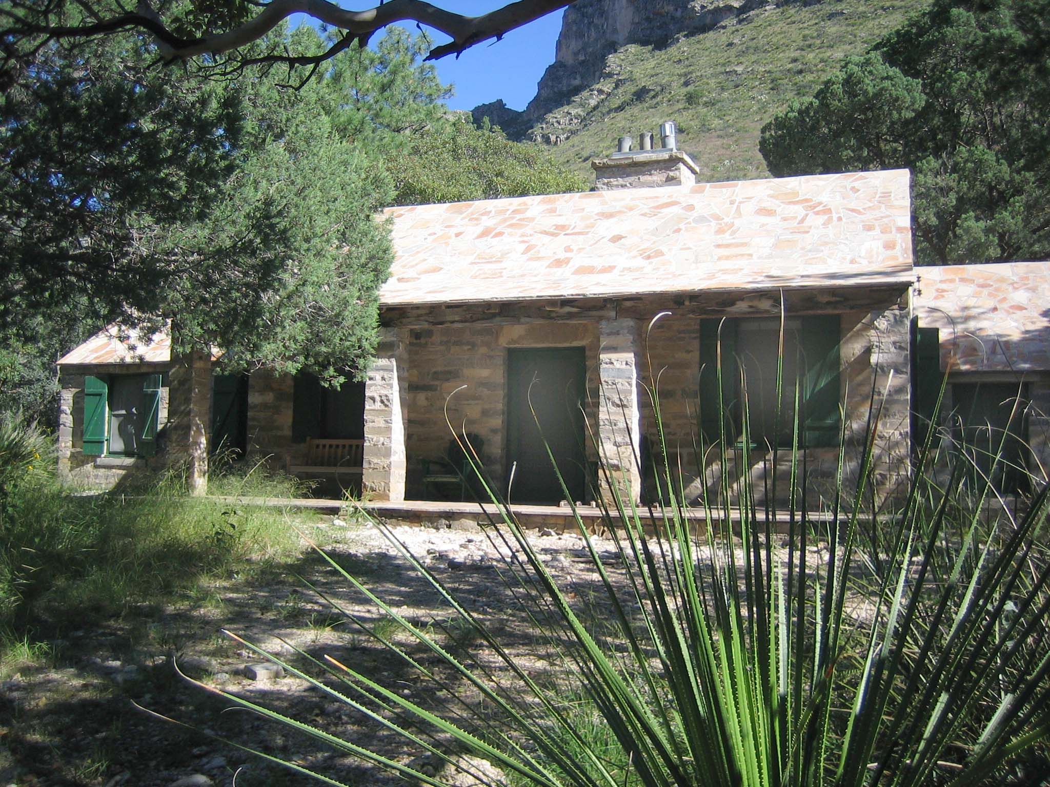
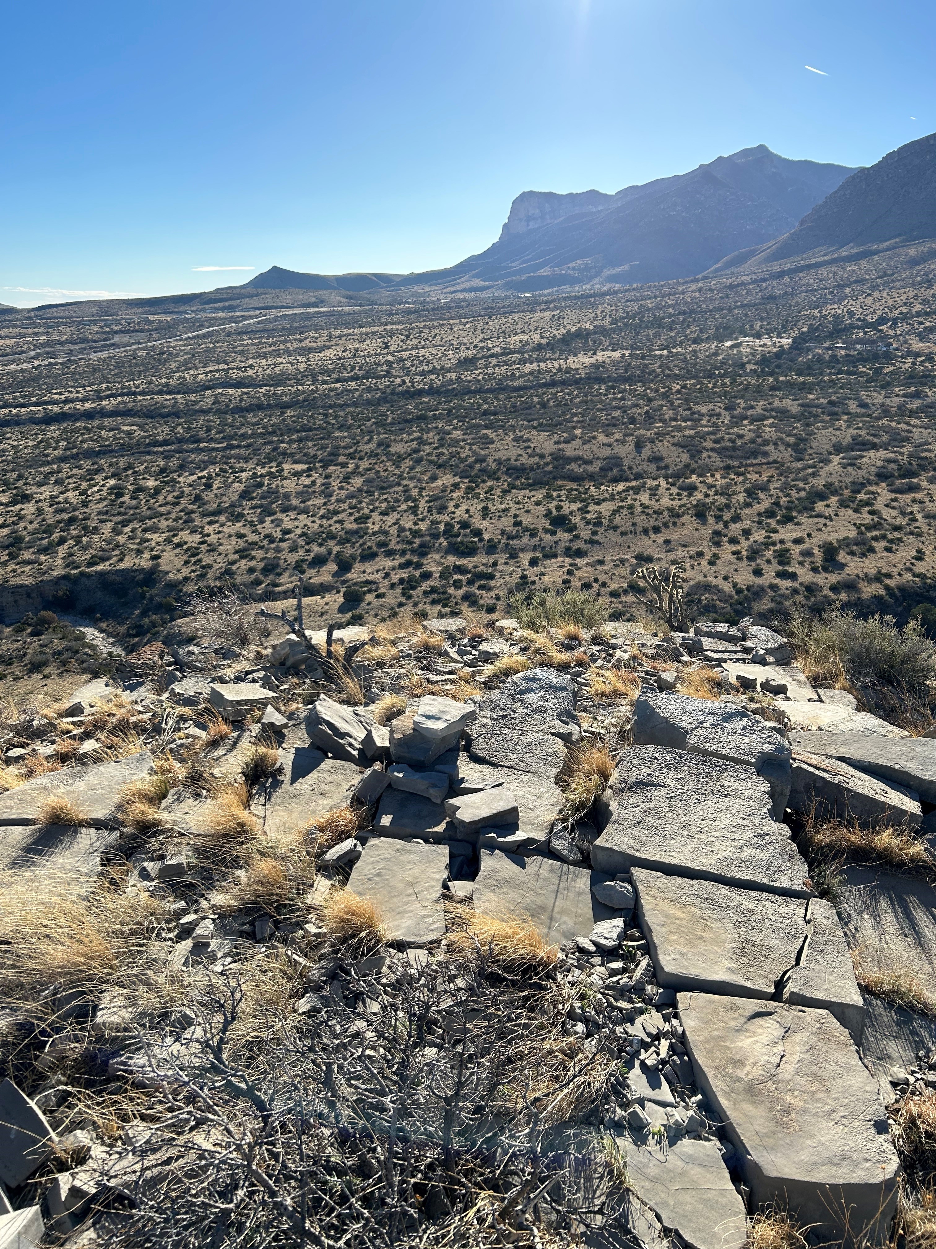
Pure WellOn the remote west side of the Guadalupe Mountains, below Bartlett Peak stands the Pure Well. This abandoned oil well stands as a testament to repeated, unsuccessful efforts to locate oil in the Guadalupe Mountains, even by a family dedicated to preserving this landscape. 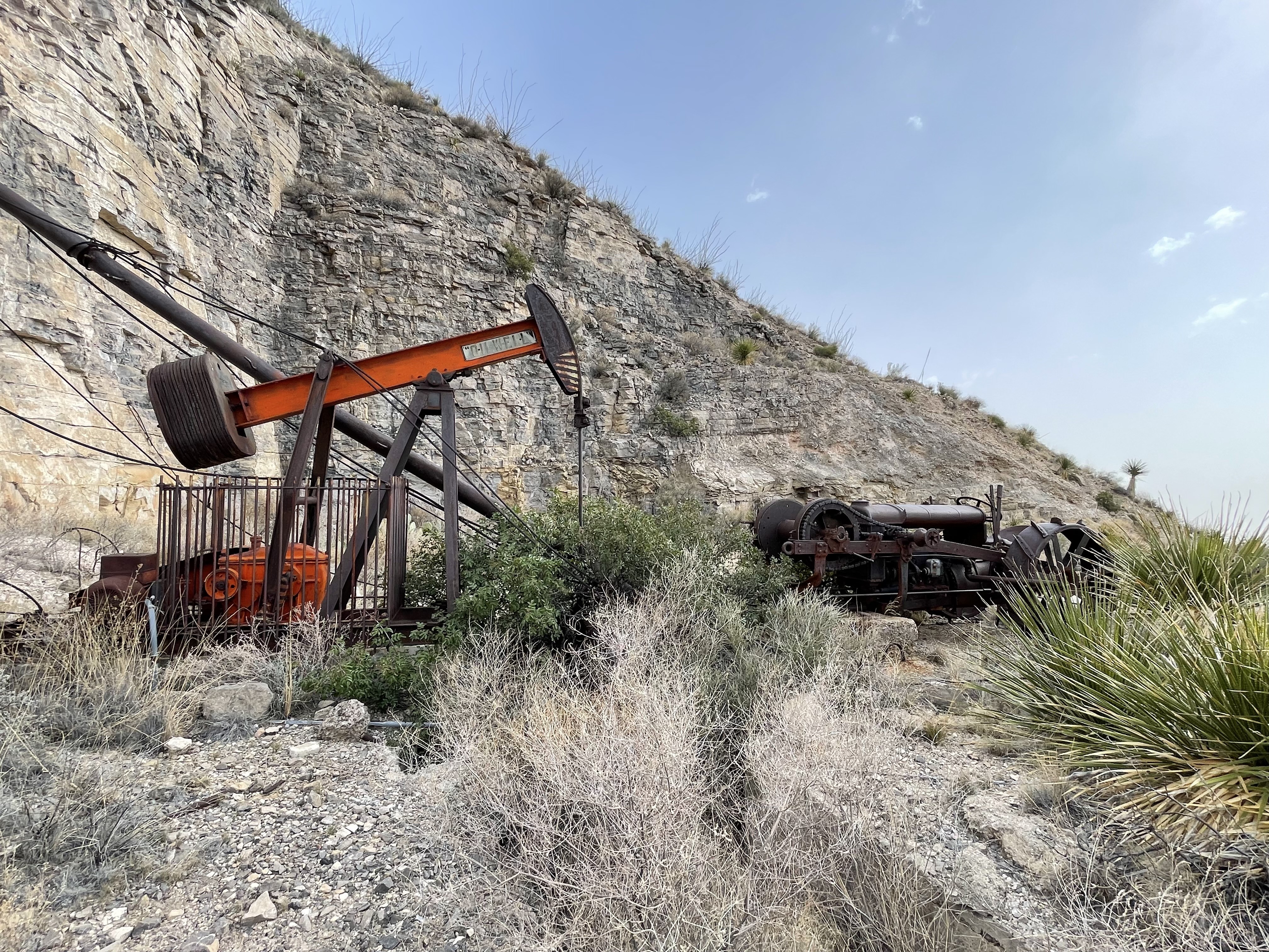
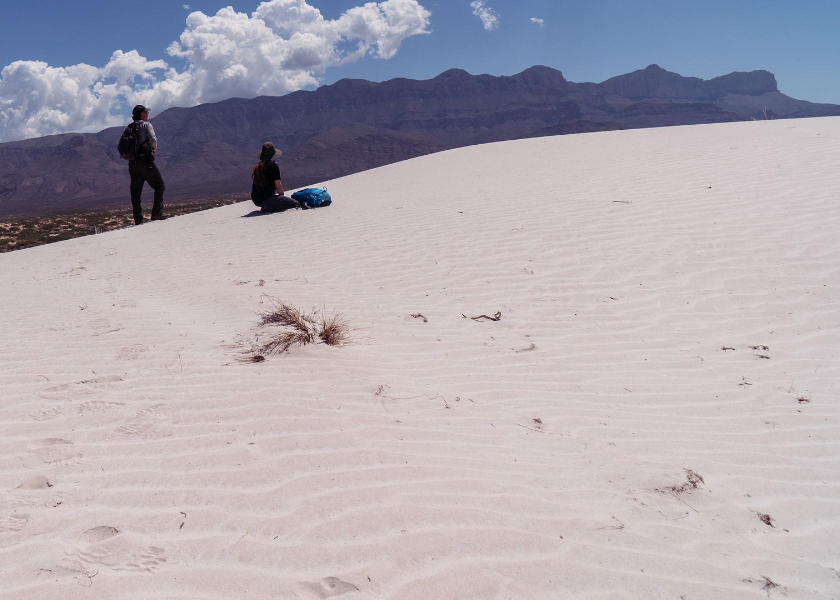
Salt Basin Dunes TrailheadThe white gypsum sands of the Salt Basin Dunes rise 100 feet from the desert floor and provide a brilliant contrast to the dark, towering cliffs of the Guadalupe Mountains. This is the only trailhead on the remote western side of the park. 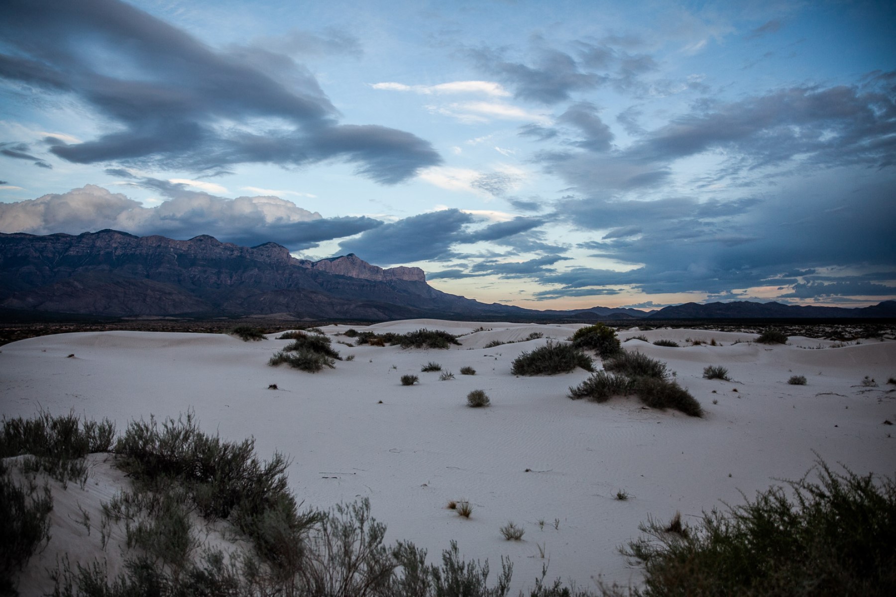
Ship on the DesertDesigned in 1941 and built between 1941 and 1943, the Ship on the Desert was commissioned by Wallace E. Pratt, a petroleum geologist known as an innovator in the field of scientific oil exploration. The Ship on the Desert is an early example of 20th century modernism, distinct for West Texas. Today, Ship on the Desert remains under the care of the National Park Service and is generally not open to the public. 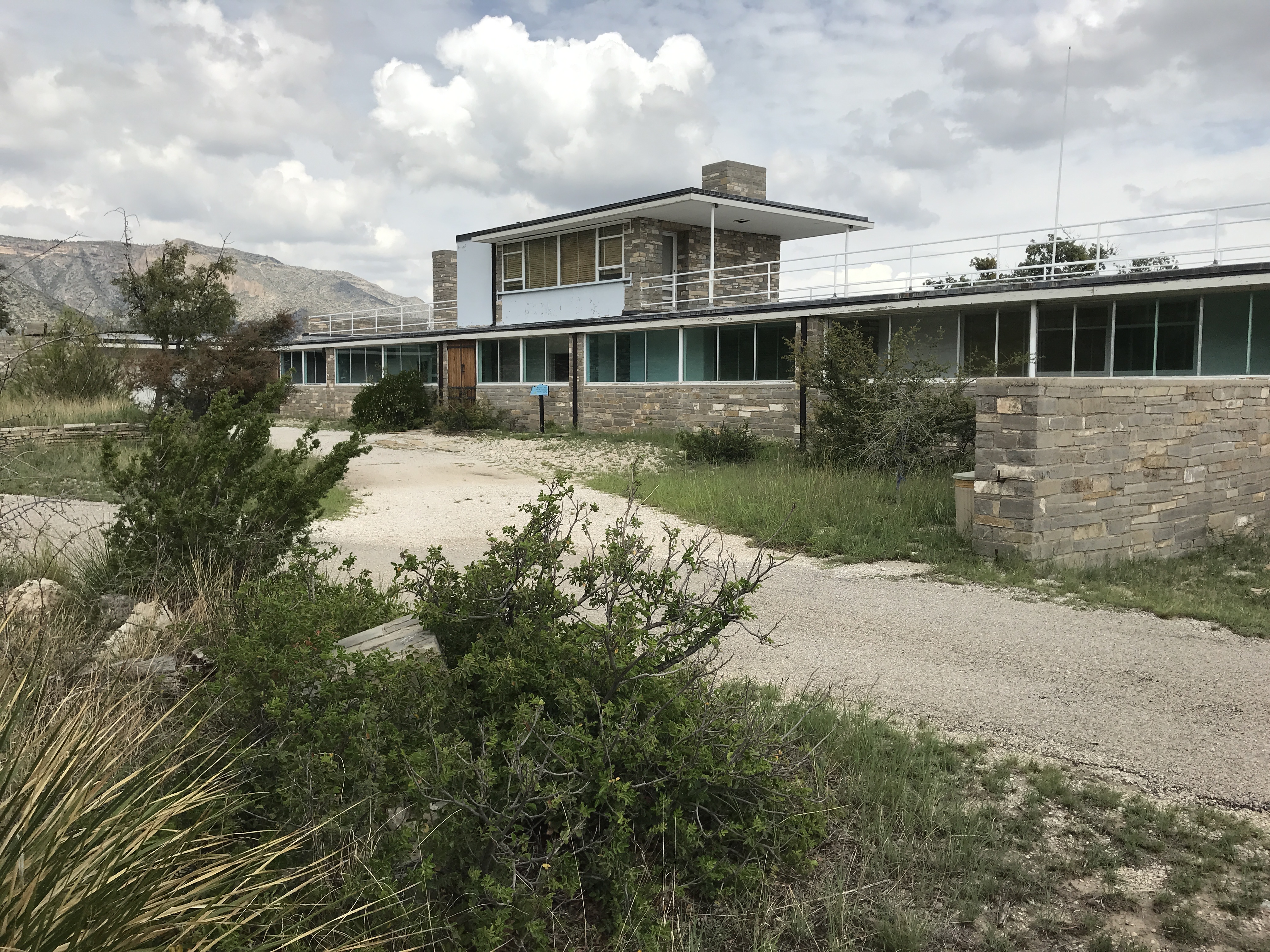
Shumard PeakShumard Peak is the third highest point in Texas with an elevation of 8,615 feet above sea level. 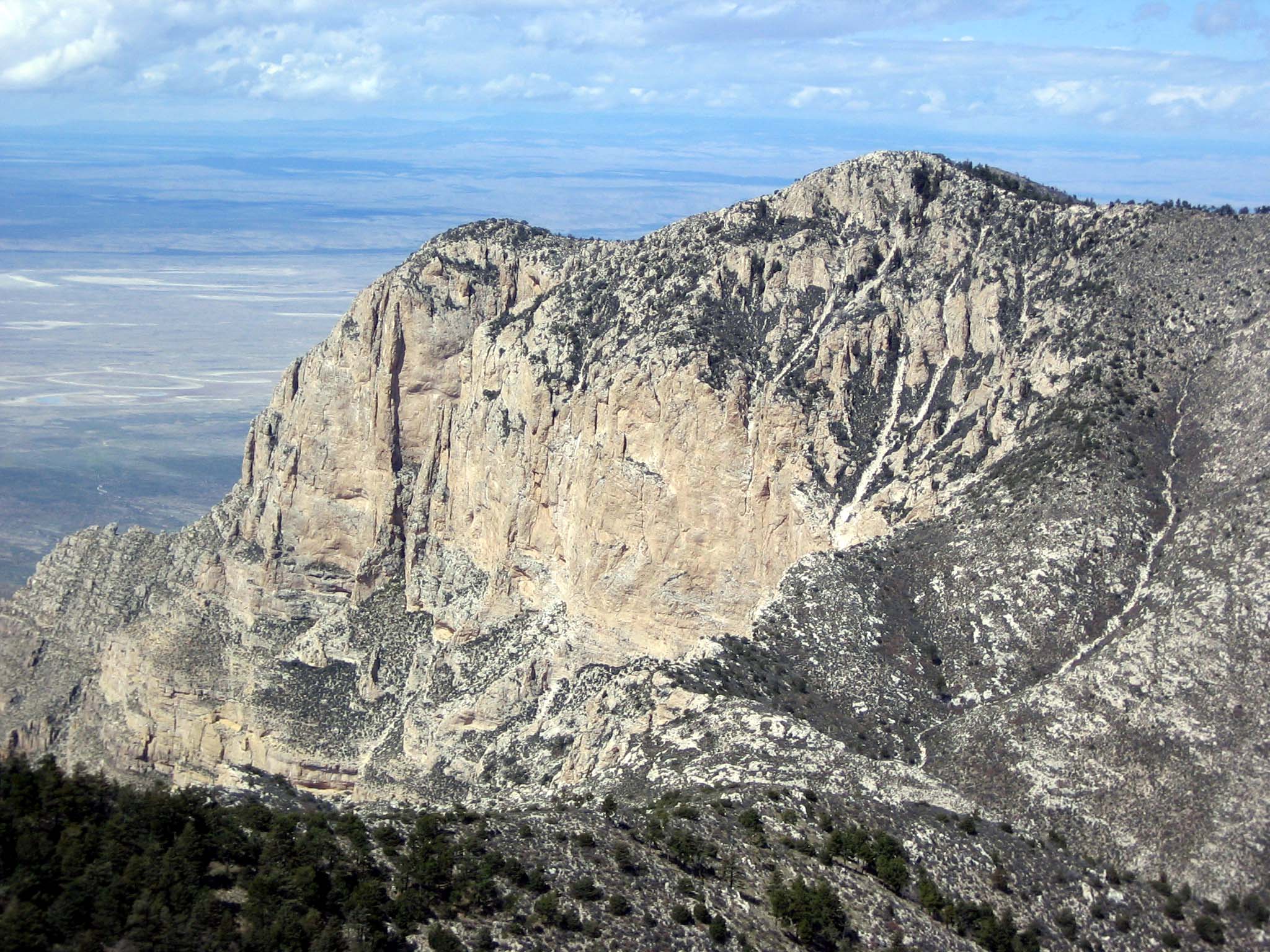
Smith Spring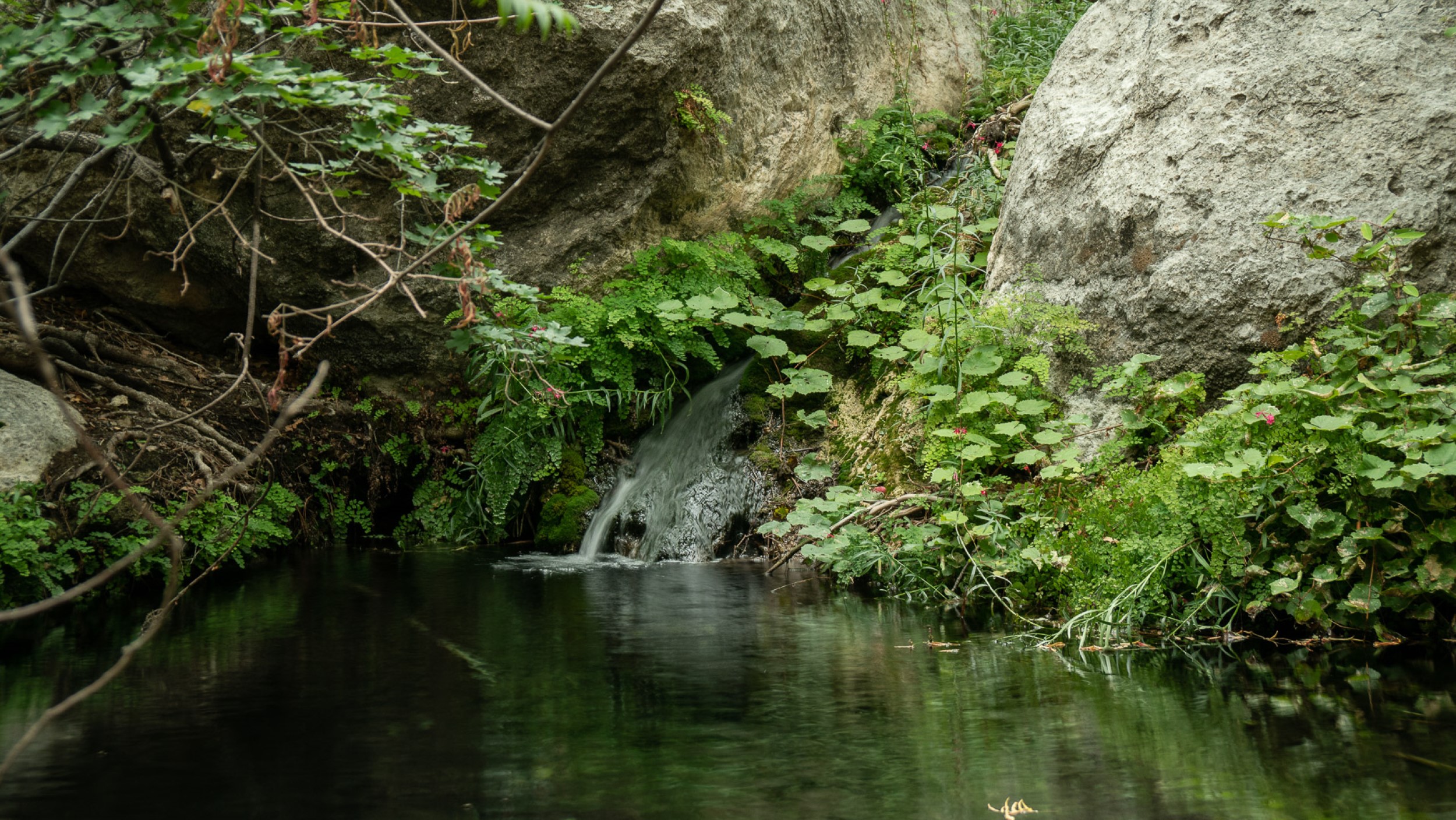
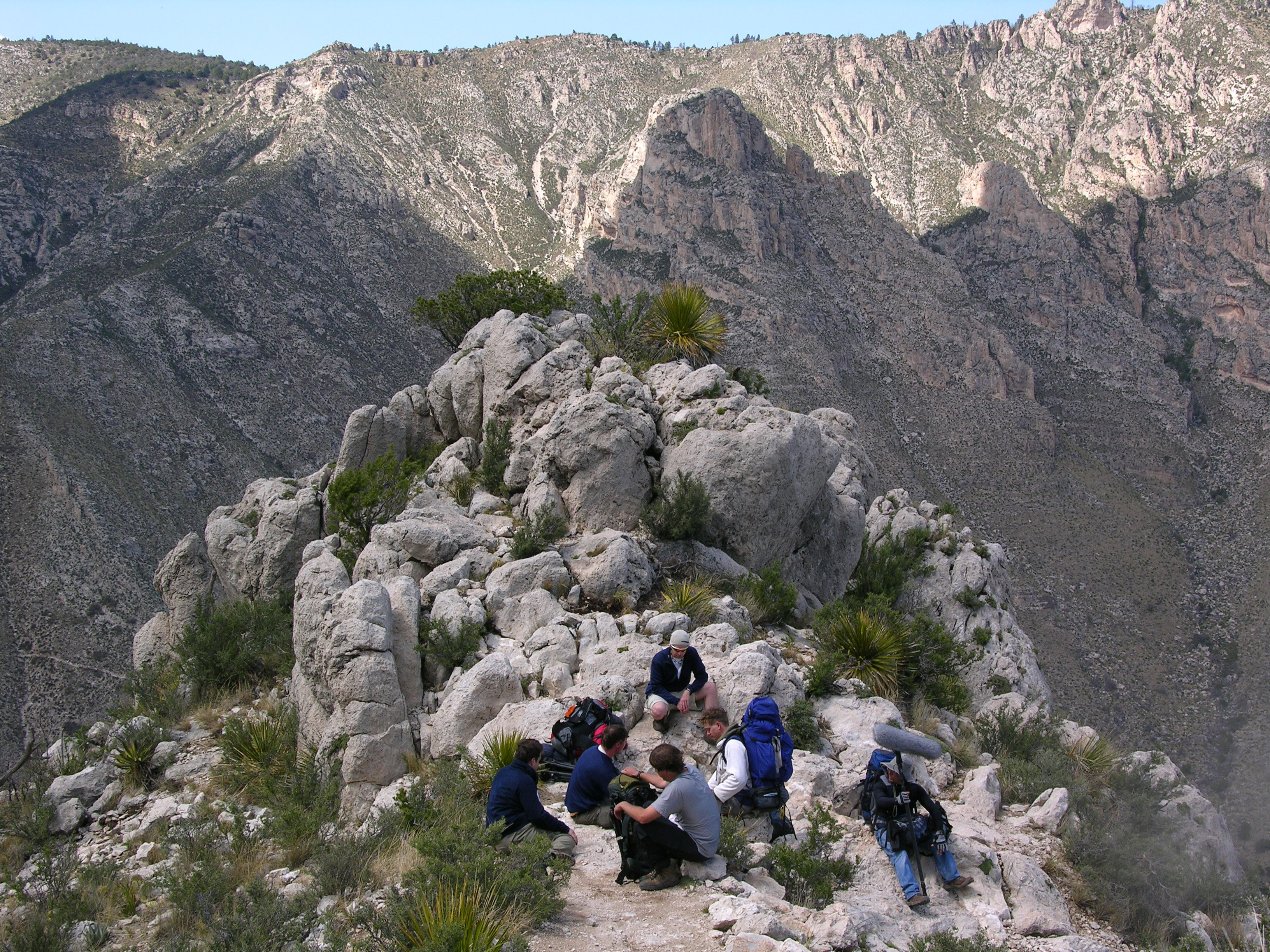
Stock Trail JunctionThe stock trail junction marks almost a mile up the trail to the Guadalupe Peak summit. The so-called "Stock Trail" is the original trail section and offers a significantly less steep ascent and descent with the trade-off of an additional mile hiked. This junction provides excellent views of Guadalupe Pass, Pine Spring Canyon, the Pine Springs Visitor Center, and Pine Springs Campground. 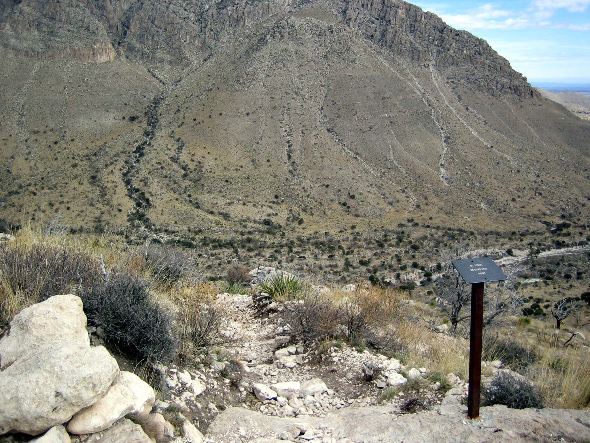
Sunset Reef Campground (BLM)The Sunset Reef Campground, located off the Washington Ranch Road, is a reclaimed well pad with 11 developed campsites; five RV spaces and six tent sites. Each site has a covered picnic table and grill for your camping convenience with a vault toilet on site. Visitors can dry camp in the area for a maximum of five nights for free. 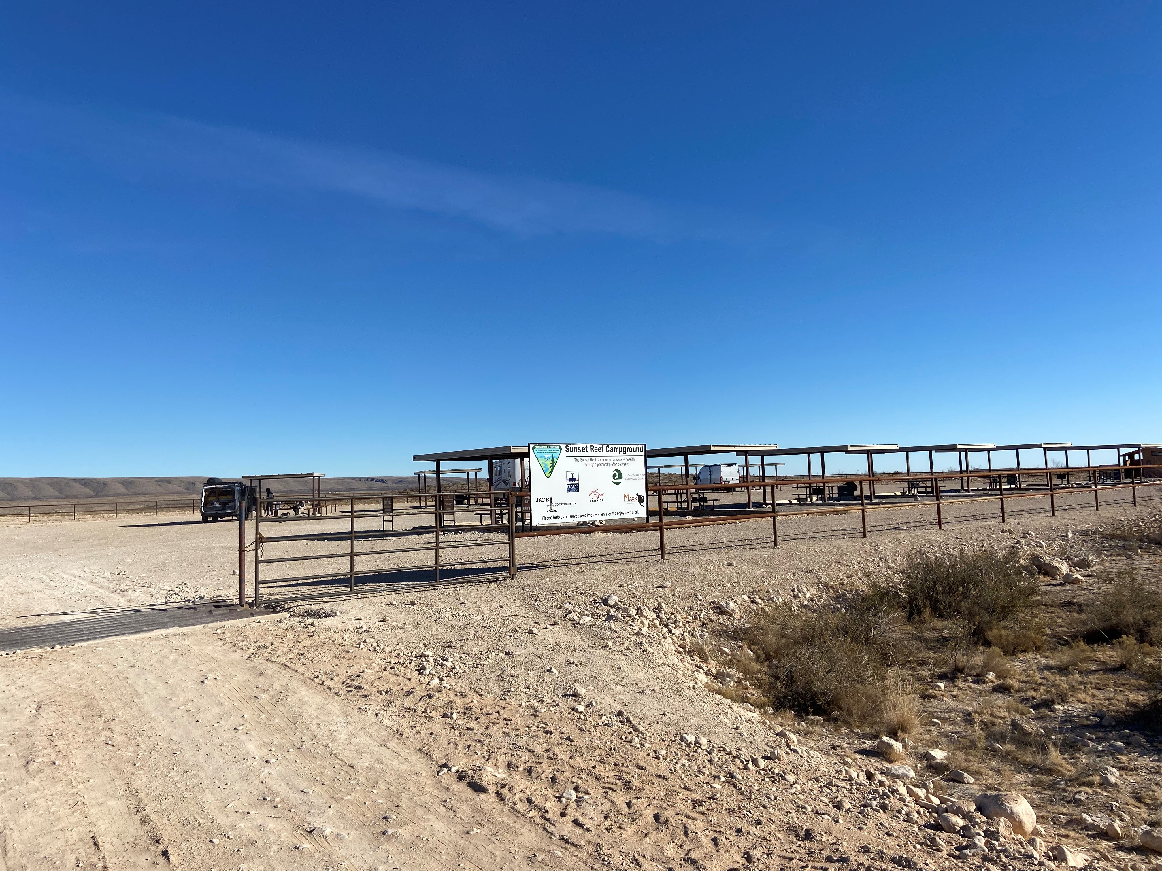
Tejas Trail JunctionThe junction with the Tejas Trail is a short distance up the trail from the Pine Springs Trailhead. The Tejas Trail is the gateway to the high elevation Wilderness in the park. 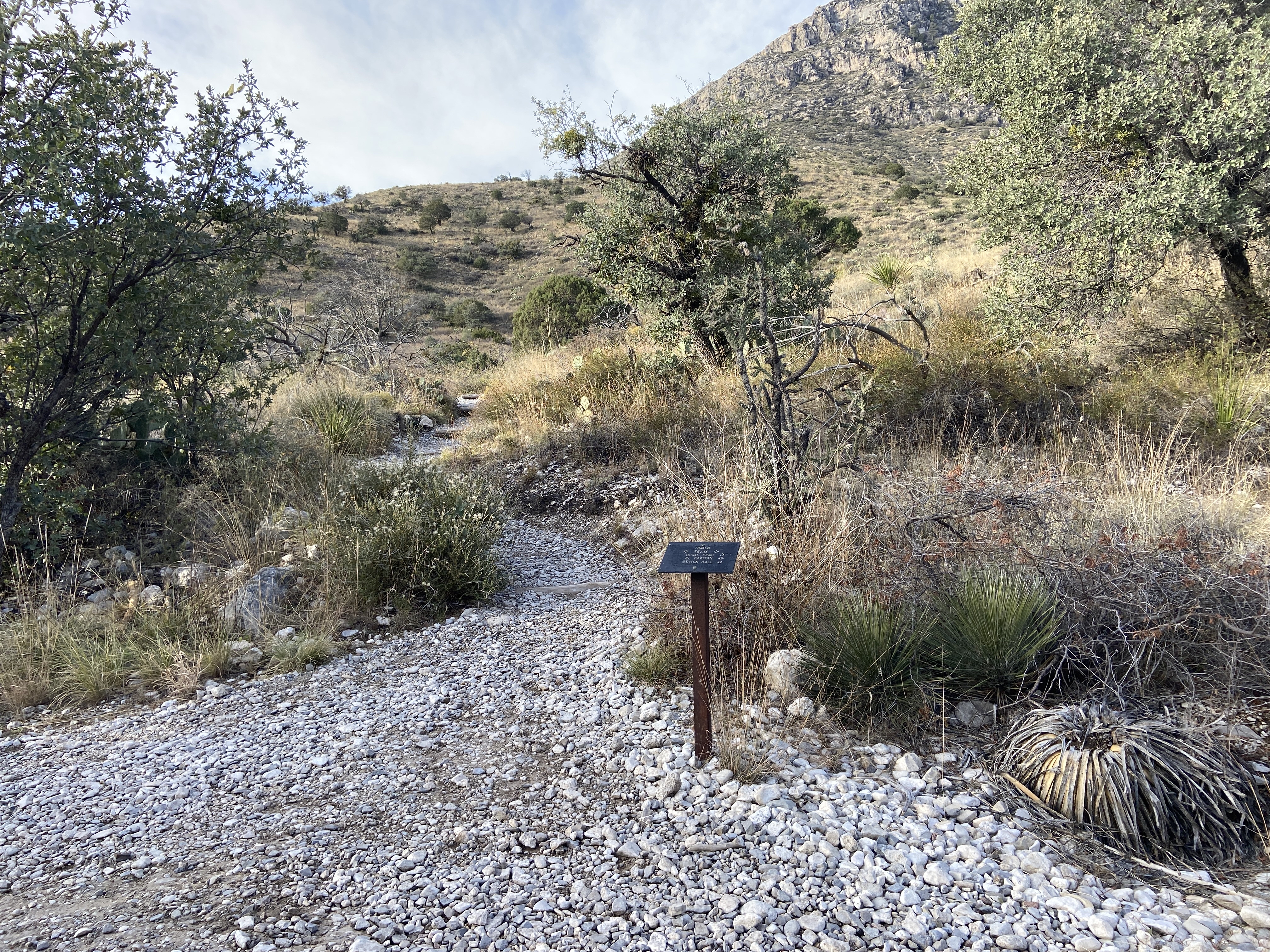
The BridgeNearly a mile below the summit of Guadalupe Peak, the trail crosses a small chasm by a wooden bridge. This bridge is a well photographed landmark on the trail. 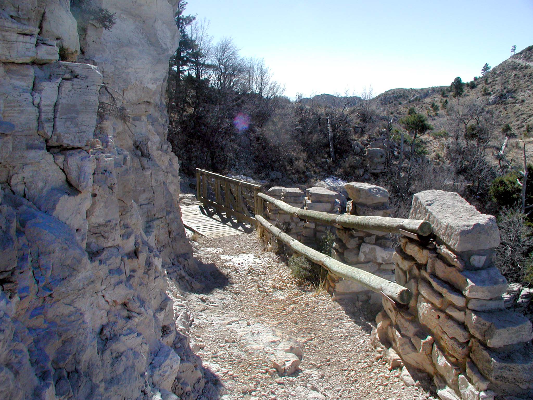
The Dog Canyon TrailheadThe Dog Canyon trailhead is located in the remote northern district of the park. The higher elevation makes for faster access to the wilderness and high country. 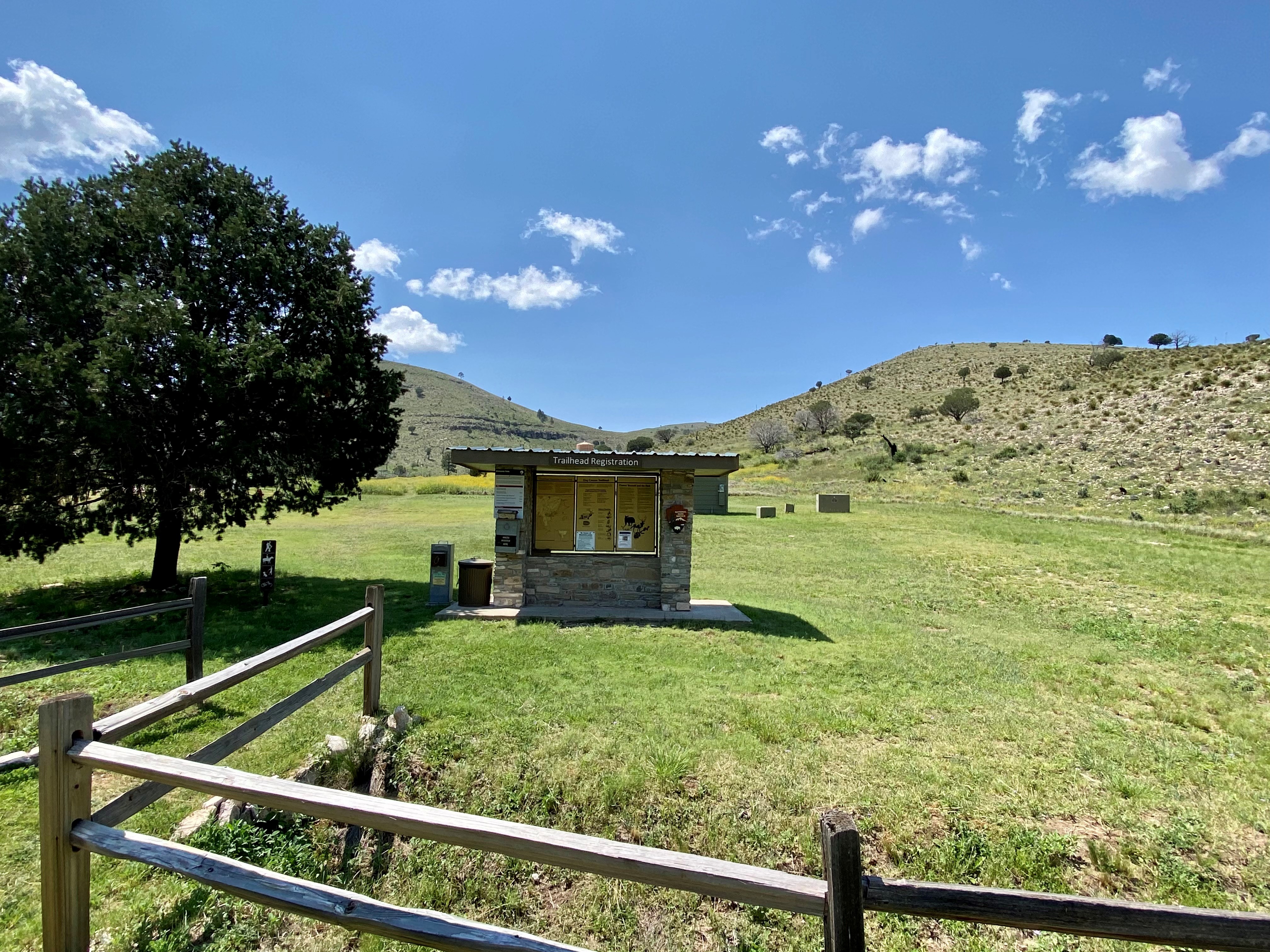
The Frijole Ranch OrchardThe orchard at Frijole Ranch was planted around 1906 by J. T. Smith. The Smiths used a variety of techniques to care for the trees, such as irrigation, fertilization with manure, planting alfalfa under the trees, and experimenting with grafting. In 2006, the orchard was partly replanted thanks to the work of a group of Eagle Scouts. The orchard was a vital part of the self-sustaining family farmstead, and the fruit trees continue to be an important part of the landscape. 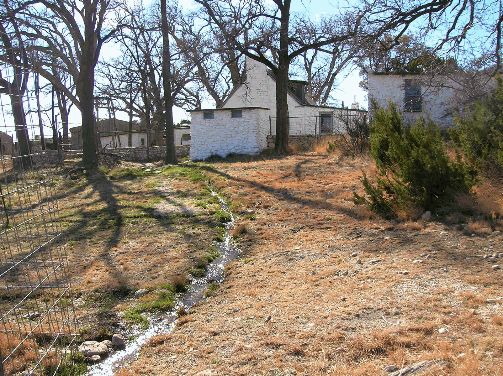
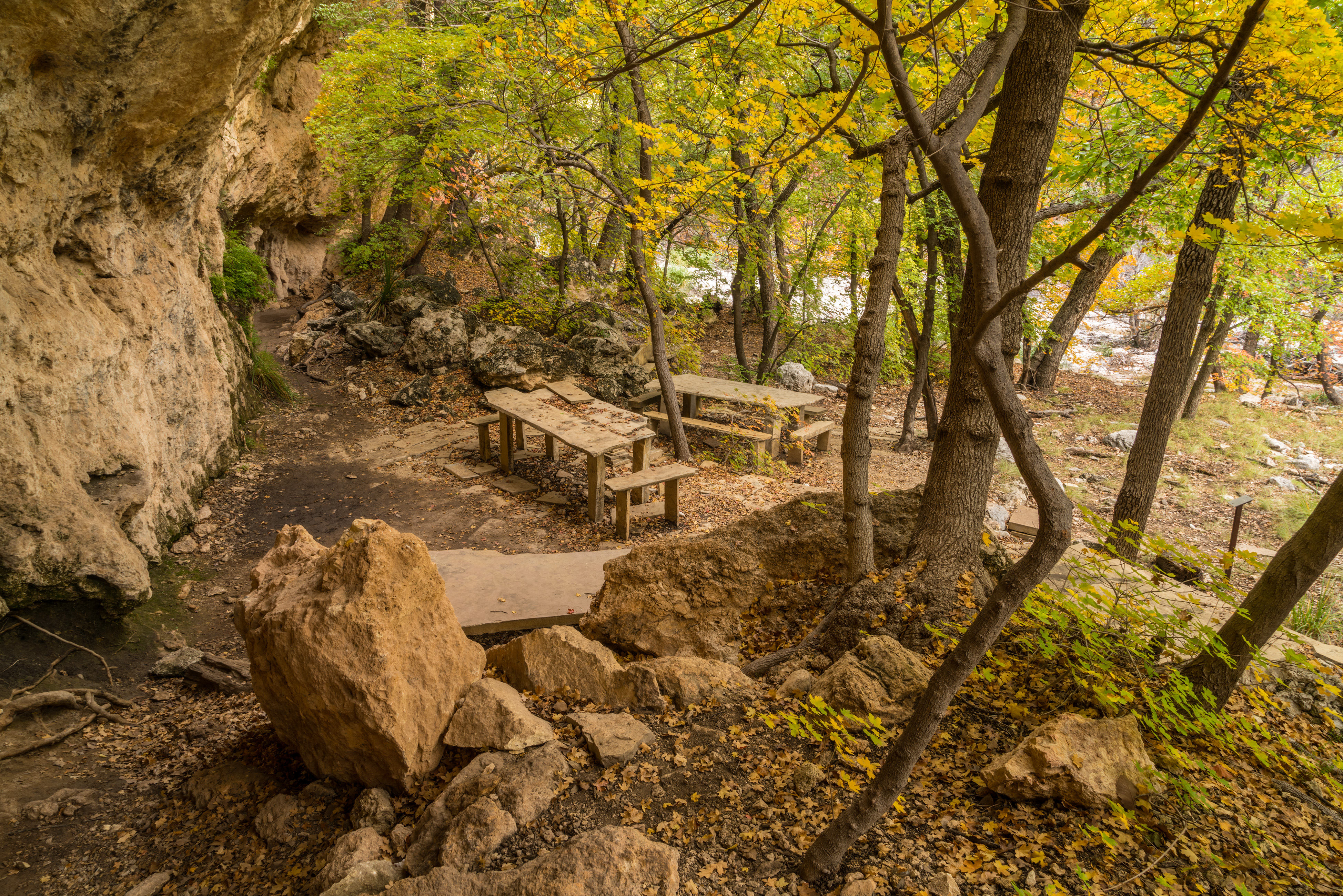
The GrottoThe open face of a small cave and rock benches and tables await you in the deep shade in McKittrick Canyon, a tempting location for a picnic. 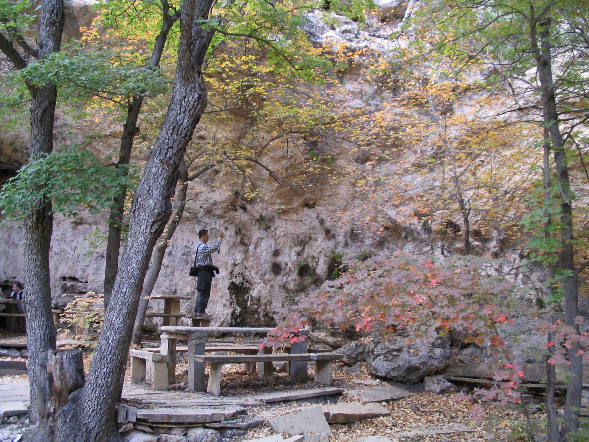
The Hitching PostsThe hitching posts below the summit of Guadalupe Peak mark the end of the portion of the trail that stock are allowed to travel. The trail continues to the left of the hitching posts on slick rock surfaces. You are nearly to the summit! 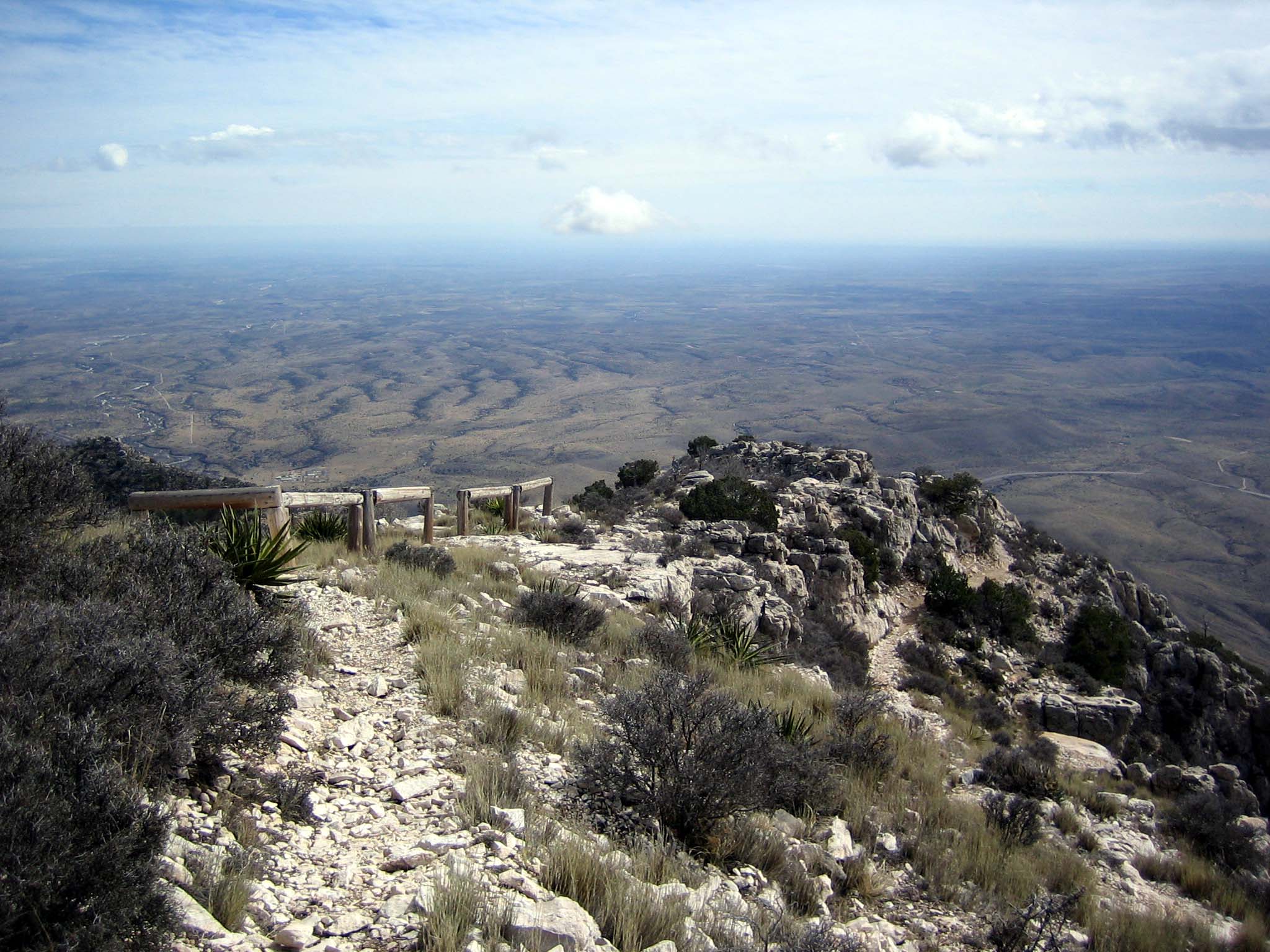
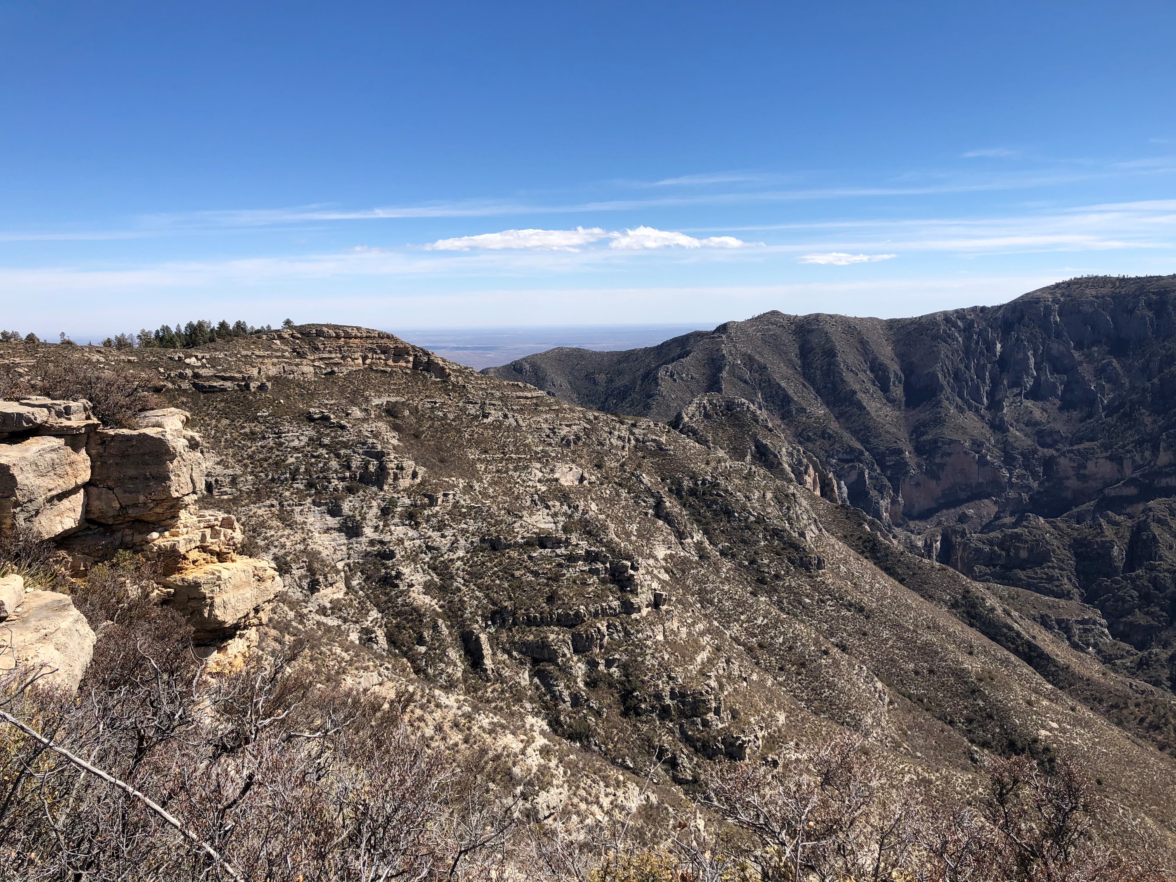
The NotchLocated where the McKittrick Canyon Trail first breaks through the ridge, "The Notch" is a strenuous hike and the last traditional day hike destination within South McKittrick Canyon. 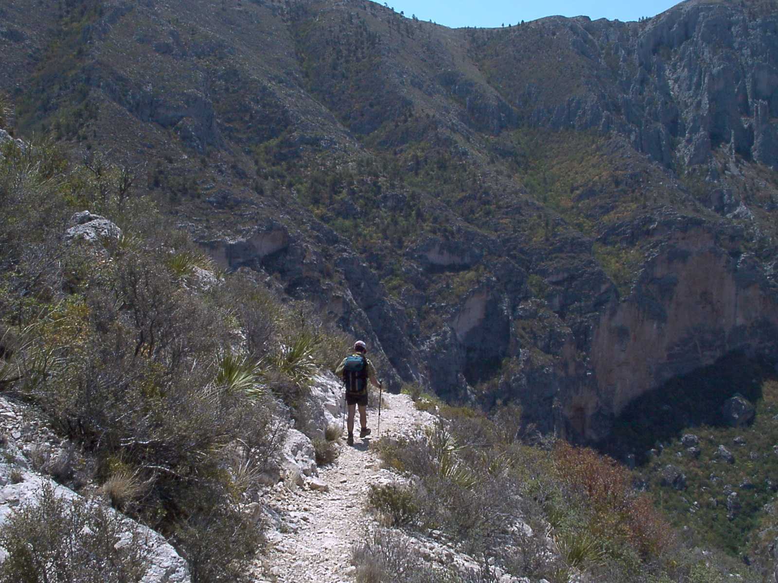
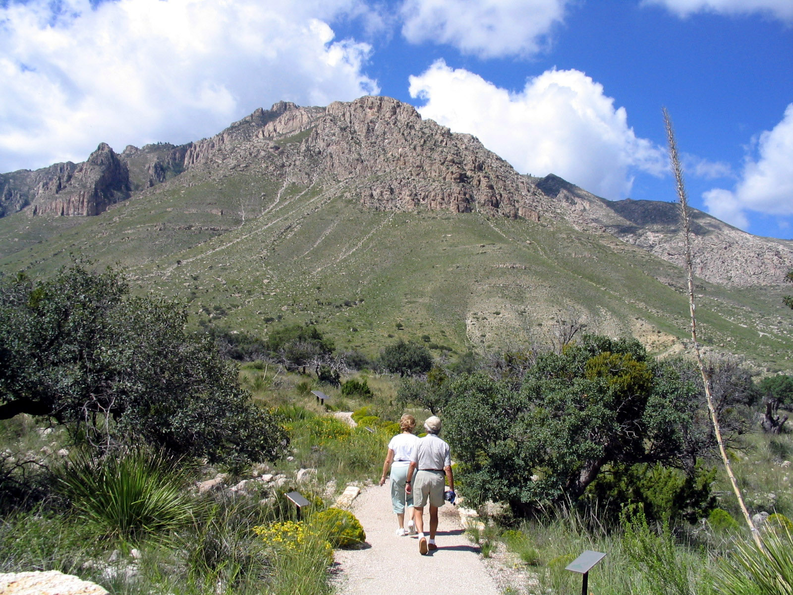
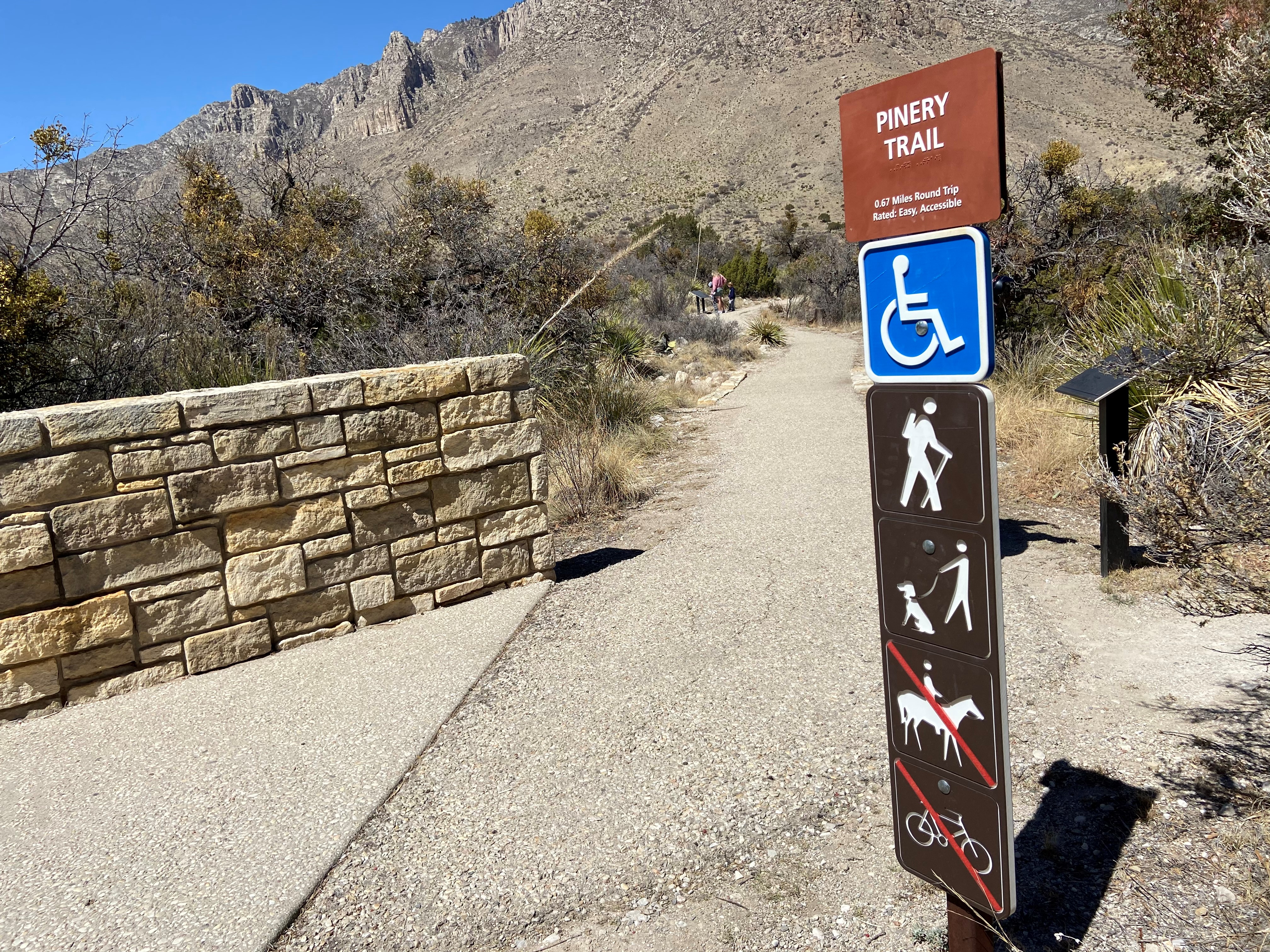
The PineryVisit the ruins of the Pinery Station and get a sense of the isolation and rugged beauty that travelers experienced here in 1858. The old stone walls stand today as a testament to the spirit of change that early travelers, station keepers, and stage drivers carried as they passed this way over a century and a half ago. 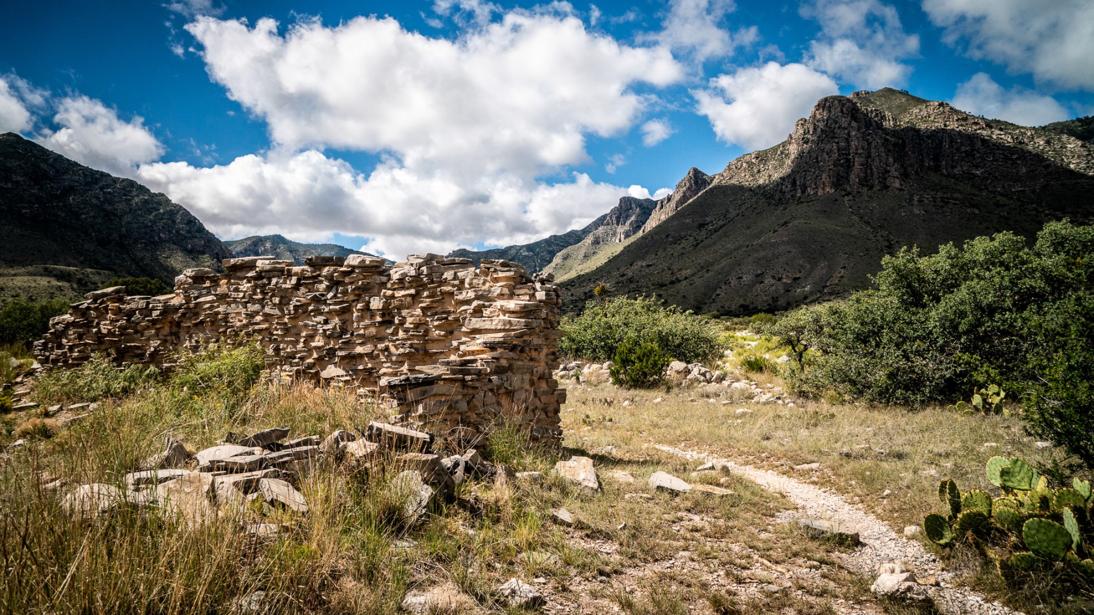
Van Horn, TexasLocated 55 miles to the south, the town of Van Horn, Texas is a gateway community to Guadalupe Mountains National Park. The town is located along Interstate 10 and offers a variety of basic services. 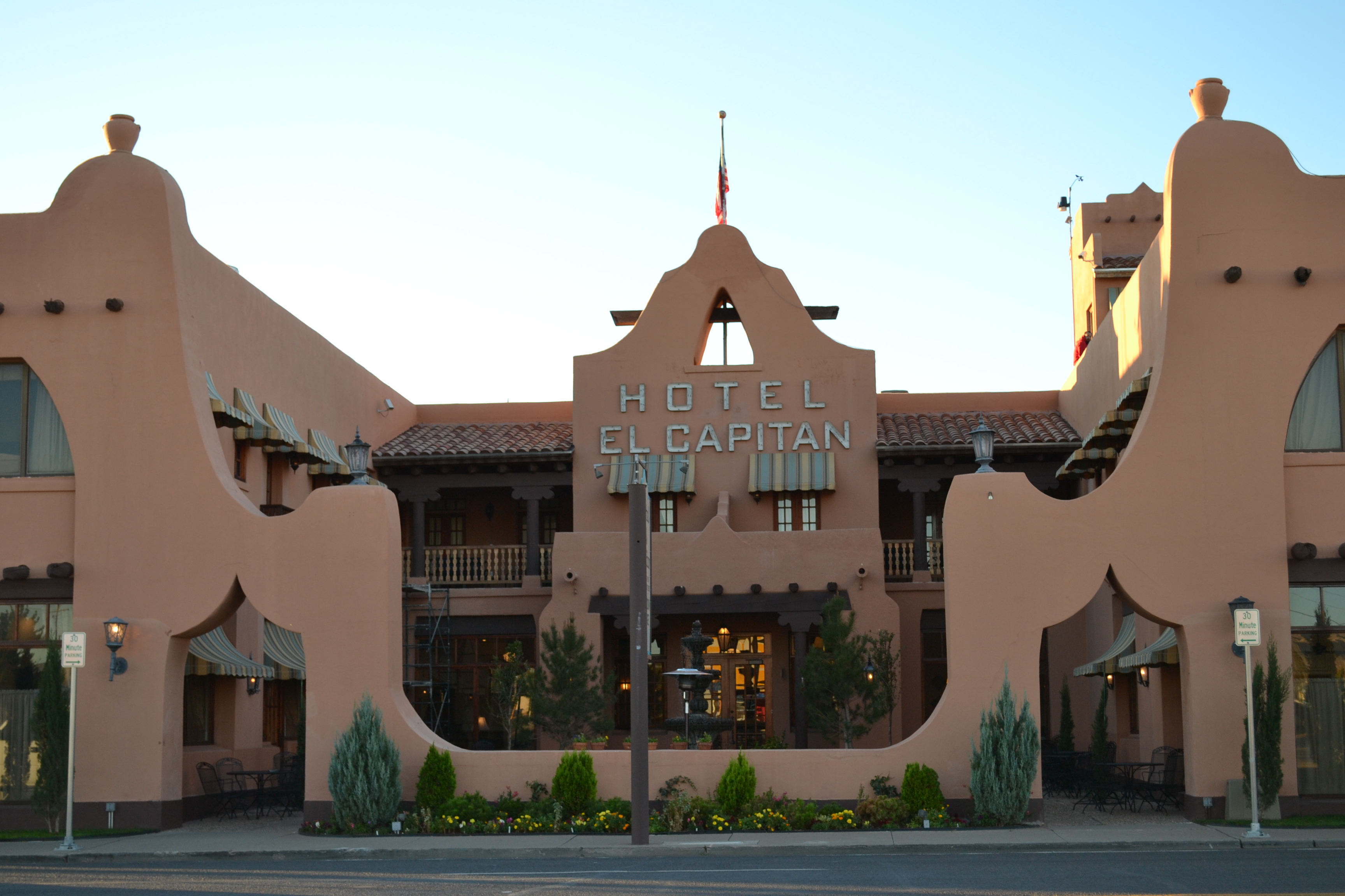
Whites City, New MexicoWhites City, New Mexico is a commercial development offering camping and lodging and other services immediately adjacent Carlsbad Caverns National Park and thirty-five miles northeast of Guadalupe Mountains National Park. 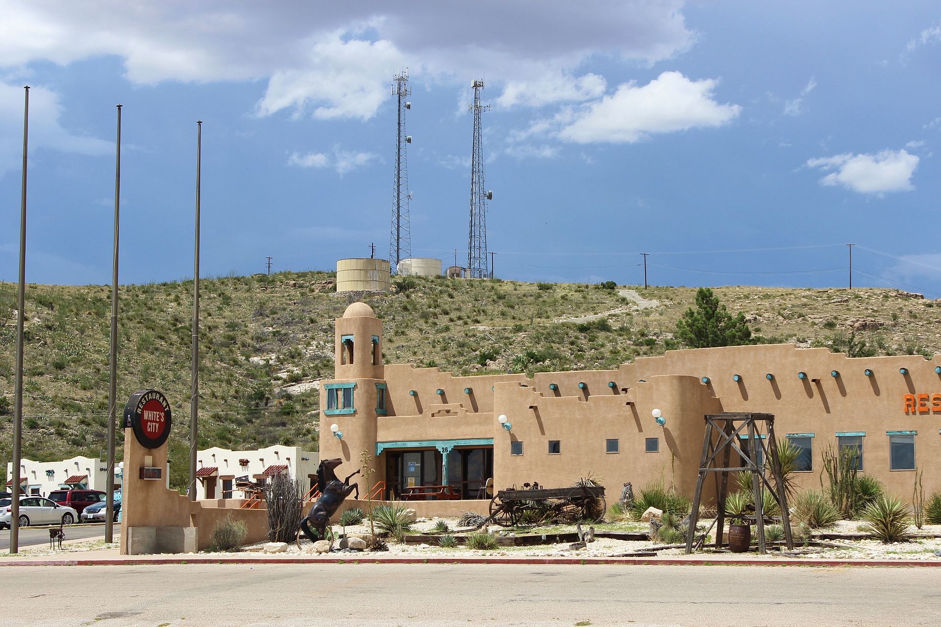
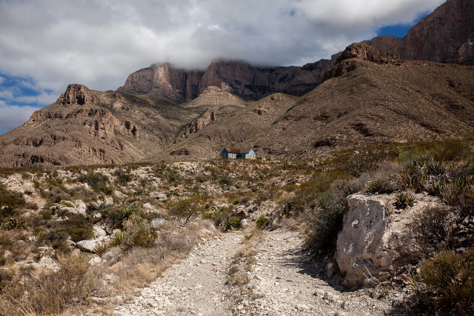
Williams RanchA key remnant of the early Twentieth Century ranching era, the Williams ranch house lies approximately one mile northeast of the original Butterfield Overland Stage Route, which moved further south in 1859. The house is situated in a narrow valley between the Guadalupe Mountains to the east and the Patterson Hills to the west. The ranch sits at the mouth of Bone Canyon, placing it close to the perennial water source of Bone Spring. 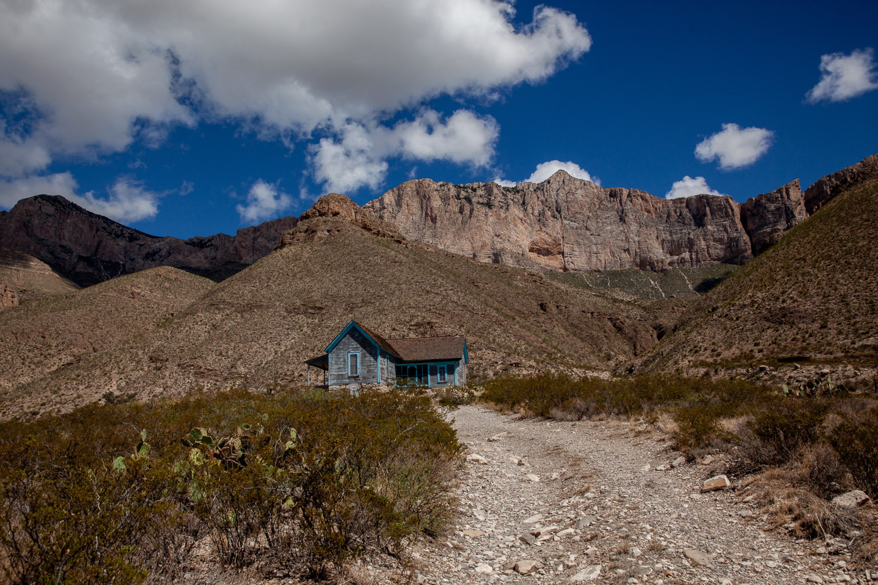
|
| Visitor Centers | Count: 3
Dog Canyon Ranger Station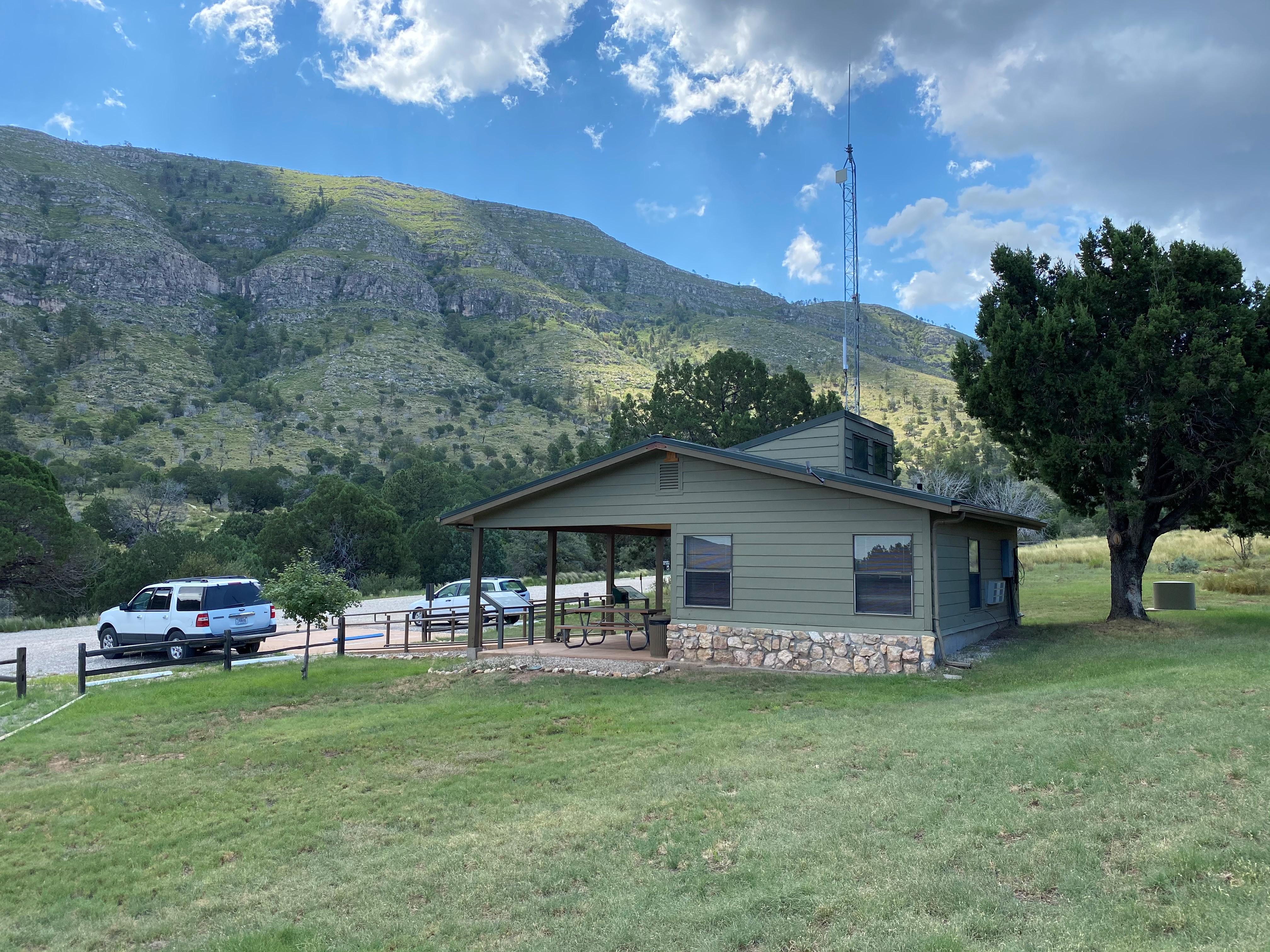
McKittrick Canyon Visitor Center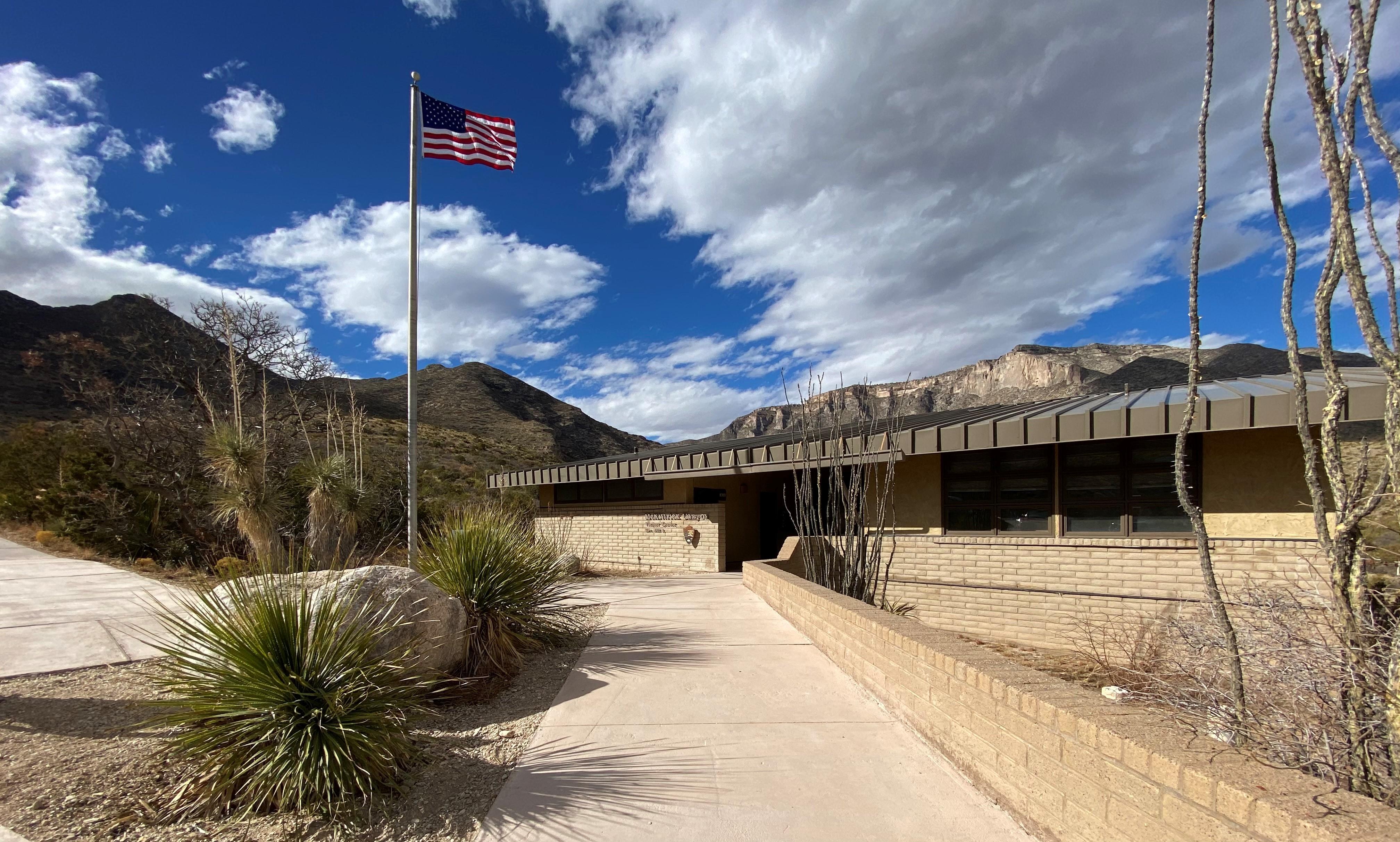
Pine Springs Visitor Center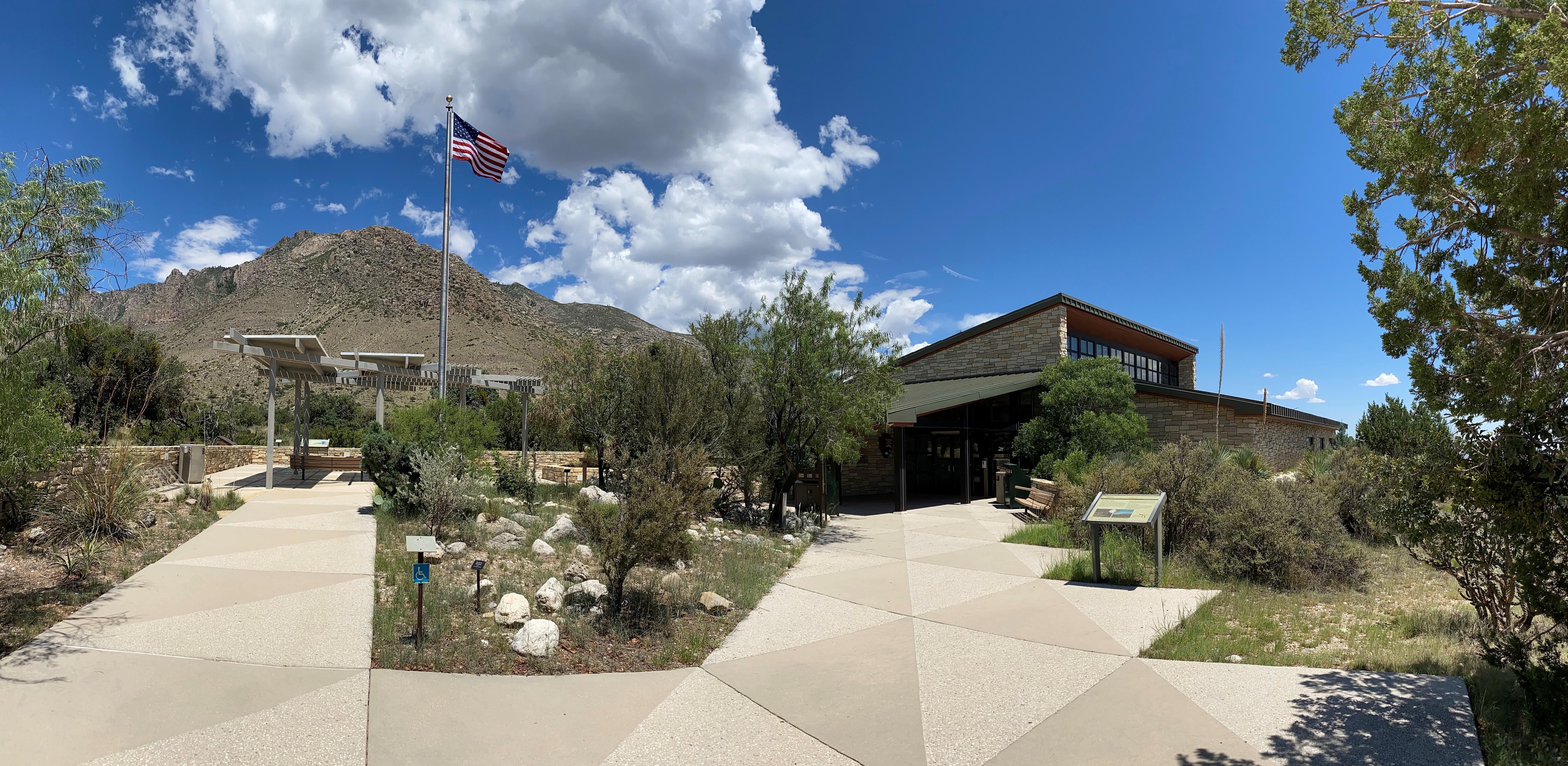
|
| Things to do | Count: 48
|
| Tours |
Count: 3
Hiking Guadalupe Peak"The Top of Texas" - The hike to the summit of Guadalupe Peak is a very strenuous, 8.4-mile round trip hike with a 3,000-foot elevation gain. It will take most hikers from six to eight hours to complete. The peak provides fantastic views from the highest point in the state of Texas (8,751 feet / 2,667 meters). It also introduces hikers to several of the park’s ecosystems including the high desert and the high elevation forests. On a clear day you will be rewarded with a tremendous and windy view. Hiking McKittrick CanyonMcKittrick Canyon is the centerpiece of the park. From the trailhead to the Grotto is a gentle hike in the canyon bottom. It's a moderate 4.8 miles roundtrip to the Pratt Cabin; 7.0 miles roundtrip to the Grotto. The canyon is a day use area only. Enjoy a surprising variety of plants, animals and dramatic views along this canyon trail. Please stay on the trail and out of the fragile stream. Smith Spring Trail LoopThe Guadalupe Mountains rise out of the surrounding desert, providing habitat for a variety of unique plants and animals that are not found anywhere in the surrounding arid lands. The riparian woodland surrounding Smith Spring is one of the unique ecosystems found within the Guadalupe Mountains. The hike is a 2.3-mile loop with a 400-foot elevation gain. Allow from one and a half to two hours to complete. Bring plenty of water, a trail map, and comfortable hiking shoes. |
| Articles |
|