Expect Long Waits at the Summit Entrance Station Before Sunset
Due to a high volume of traffic, cars may be temporarily turned around at the gate when capacity is reached. Purchasing a pass online does not guarantee entry at sunset. To ensure timely access, arrive 3 hours before sunset.
Hosmer Grove Water Fountain
As of August 15, 2025, the water fountain at Hosmer Grove is offline. There is potable water available at the spigots in the campground area.
No Water in the Hōlua Area
As of August 8, 2025, there is NO water in the Hōlua area (Patrol and Visitor Cabins). This is the result of an extremely dry summer season. All backcountry travelers should plan to pack in all needed water when traveling through the Hōlua Area.
Paving on Crater Road (Route 378)
Paving has begun on the road to the Summit District. Work will be done in sections between Mile Post 0 in Kula and Haleakalā entrance through October. Expect delays and leave extra time Monday through Friday, 8 a.m. to 5 p.m.
Drive Cautiously - Endangered Birds on Roadway
Nēnē (Hawaiian geese) and ʻuaʻu (Hawaiian petrel) are nesting in the park and may land on or frequent park roads, parking lots, and road leading up to the park. Drivers are reminded to drive at the posted speed limits and exercise caution.
| Title | Haleakalā |
| Park Code | hale |
| Description | This special place vibrates with stories of ancient and modern Hawaiian culture and protects the bond between the land and its people. The park also cares for endangered species, some of which exist nowhere else. Come visit this special place - r... |
| Location | |
| Contact | |
| Activities |
|
| Entrance fees |
Entrance - Motorcycle
$25.00
Valid for three days. Admits a private, non-commercial motorcycle to Haleakalā National Park including both the Summit and Kīpahulu Districts.
Entrance - Private Vehicle
$30.00
Valid for three days. Admits private, non-commercial vehicle (14 max capacity or less) and all occupants to Haleakalā National Park including both the Summit and Kīpahulu Districts.
Entrance - Per Person
$15.00
Admits one individual with no car to Haleakalā National Park including both the Summit and Kīpahulu Areas. Youth 15 and under are admitted free.
Commercial Entrance - Per Person
$15.00
$15.00 per person for non-road based organized groups that offer activities such as Astronomy and Hiking.
Commercial Entrance - Sedan
$30.00
$30.00 plus, $15.00 per person for road based tour vehicles, such as sedans, with a passenger carrying capacity of 1-7 people.
Commercial Entrance - Van
$45.00
$45.00 for road based tour vehicles, such as large vans and mini buses, with a passenger carrying capacity of 8-25 people.
Timed Entry Reservation - Park & Location
$1.00
A reservation is required for each vehicle entering the park from 3:00 a.m. to 7:00 a.m. You may book a reservation up to 60 days in advance and 2 days in advance of the start date.
|
| Campgrounds | Count: 4
Hosmer Grove Campground
Kīpahulu Campground
Wilderness Cabins
Wilderness Tent Sites
|
| Places | Count: 31
Banyan TreeStop 3 along the Kūloa Point guided hike 
Bench and Viewfinder for Bird WatchingStop 4 on the Hosmer Grove Nature Trail 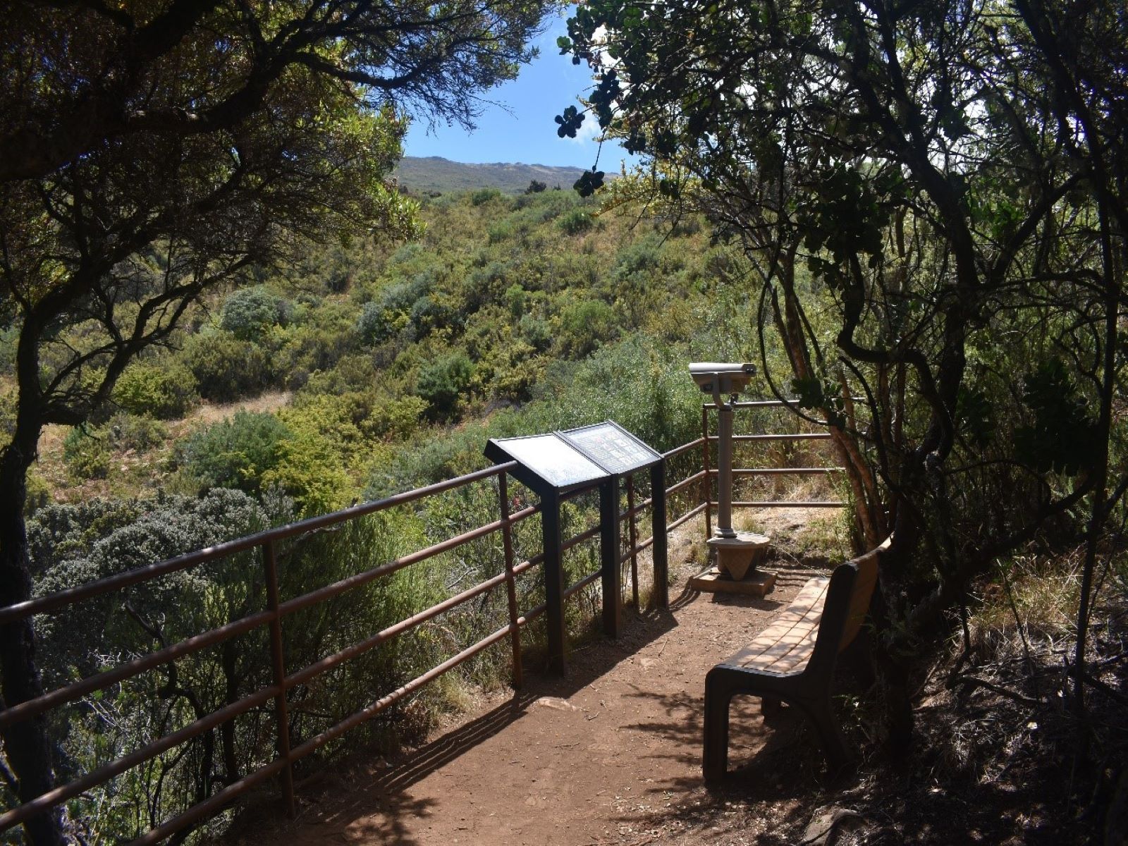
Conifer ForestStop 6 on the Hosmer Grove Nature Trail. 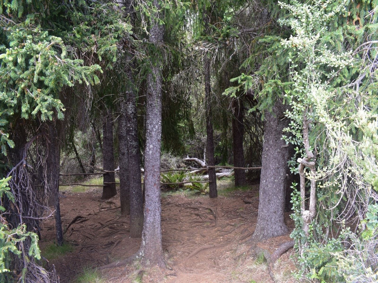
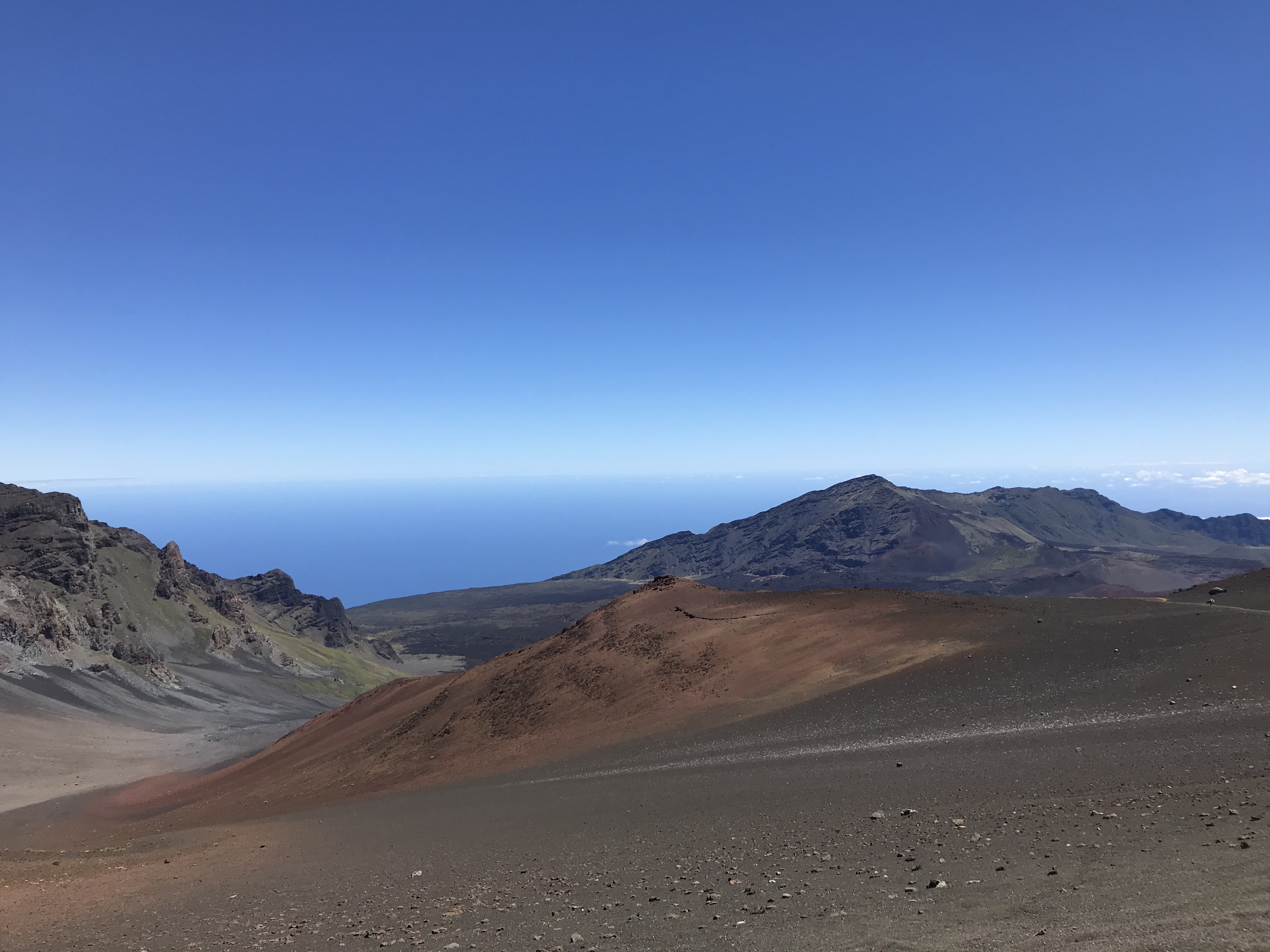
Crater View at Kalahaku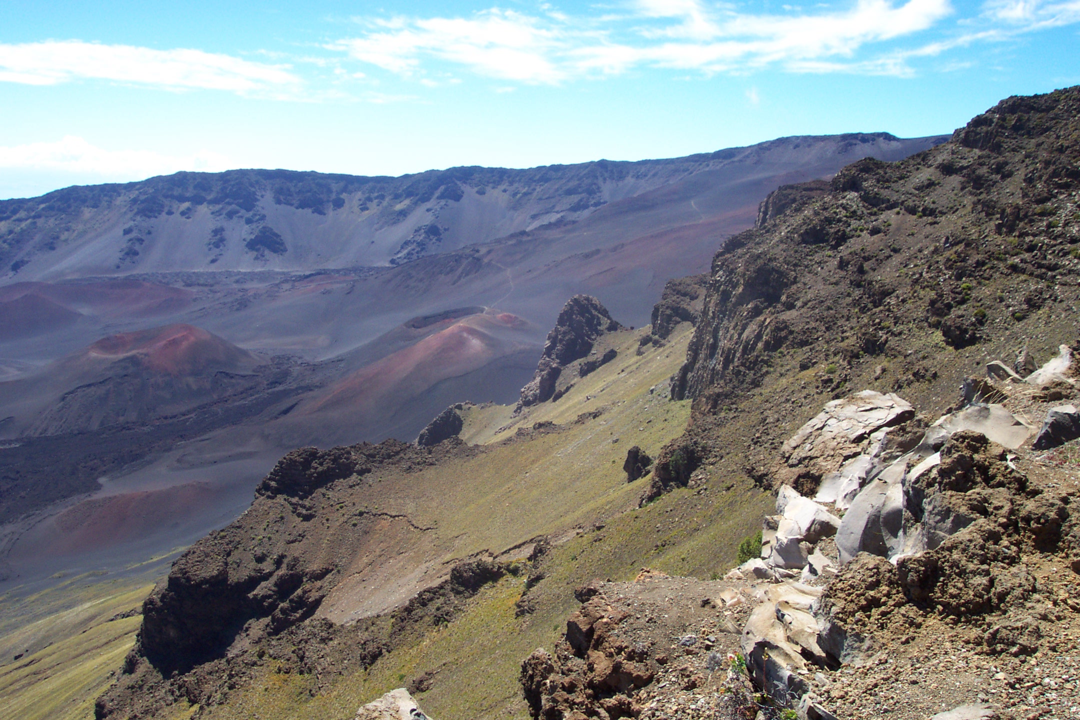
Crater's Edge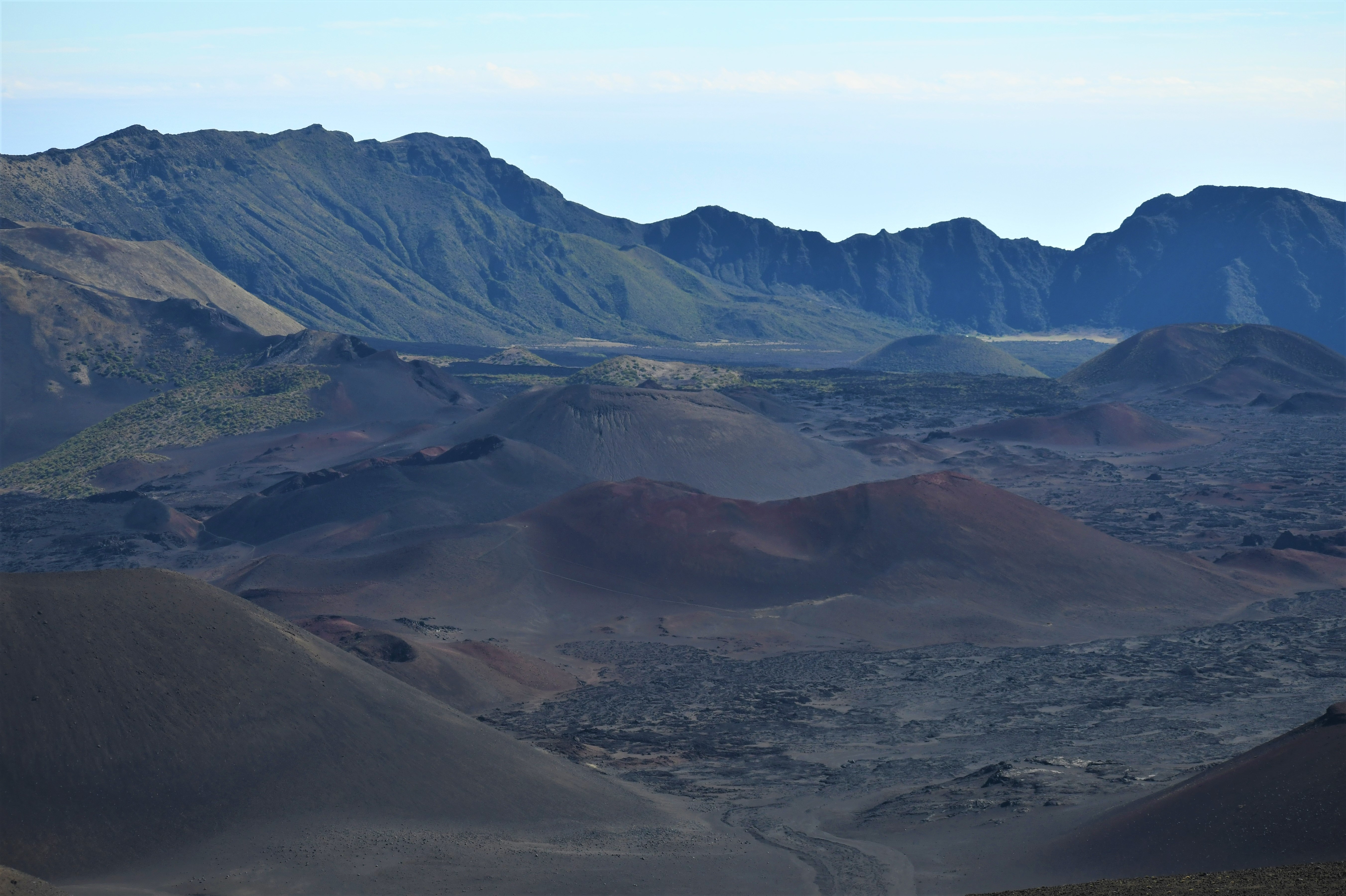
Eucalyptus TreesStop two on the Hosmer Grove Nature Walk 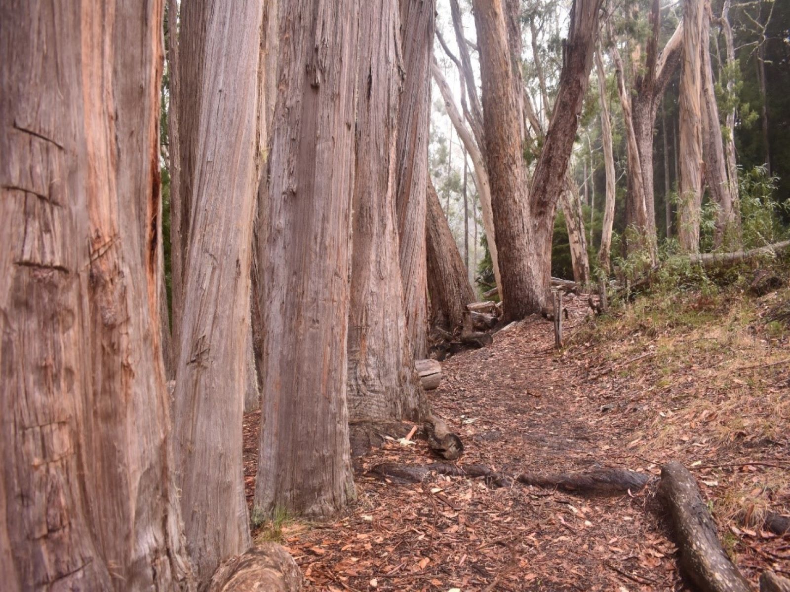
Hala GroveStop 4 along the Kūloa Point Trail 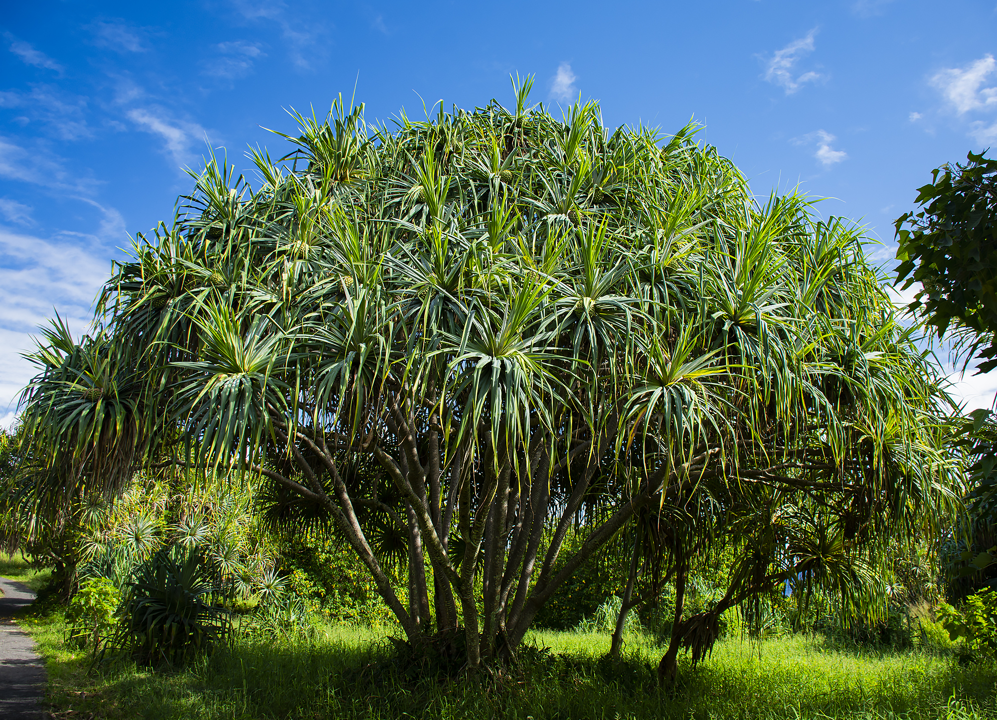
Hale HālāwaiLearn about Hawaiian culture, both past and present, when you visit this traditional hale. The Hale Hālāwai is a great place to view cultural practices, when available. 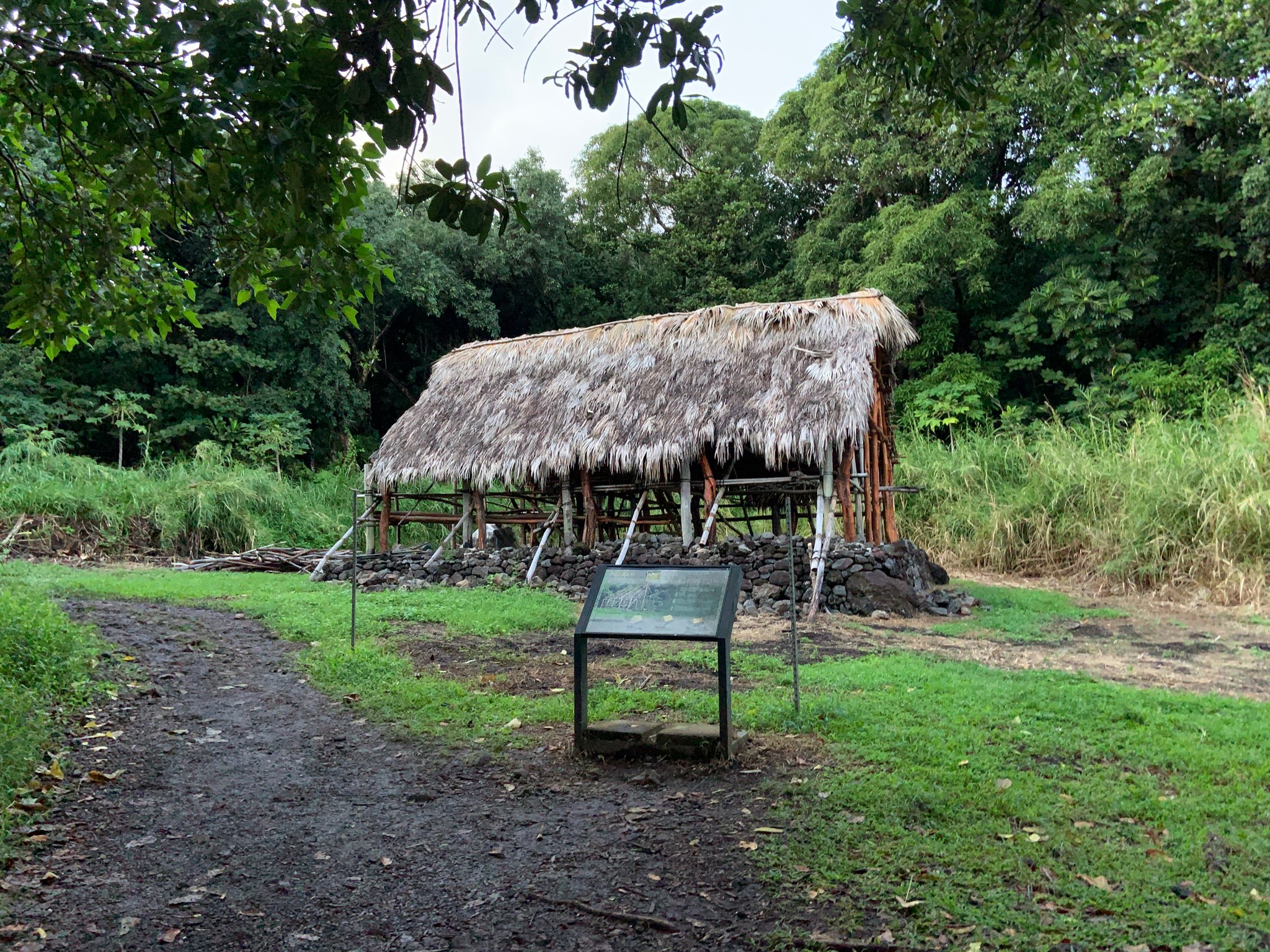
Hale Noa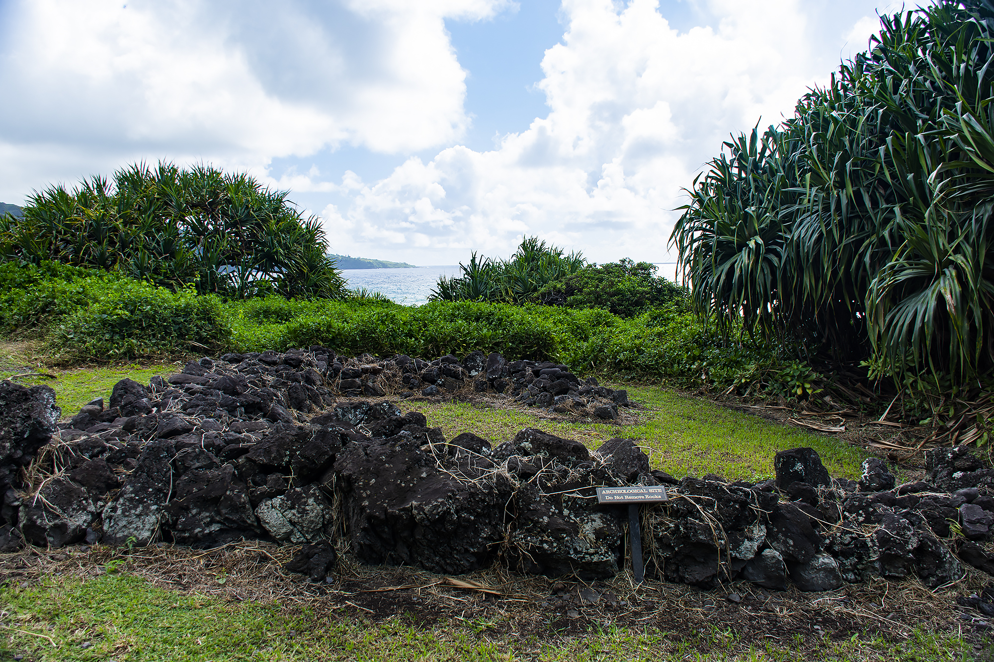
Hale in KīpahuluStop 2 on the Kūloa Point Trail
Haleakalā National Park Kīpahulu District Entrance StationHaleakalā National Park Summit District Entrance StationHeadquarters Pull-Off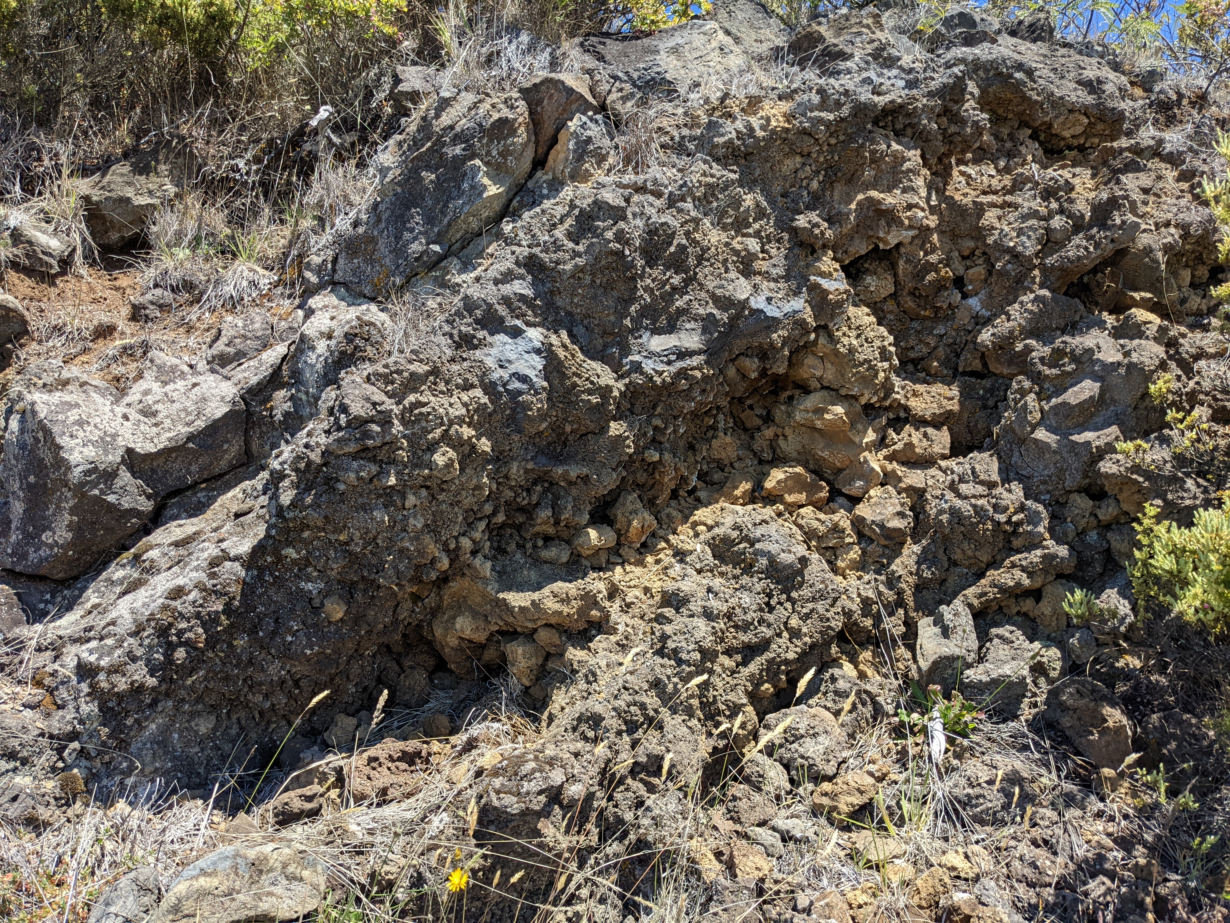
Hosmer Grove Picnic ShelterA covered shelter perfect for taking a break from the sun or rain or enjoying a picnic next to the quiet forest grove. A short 0.5 mile (0.8 km) loop trail through the surrounding forest and shrubland departs from this parking lot. 
Hosmer Grove TrailheadStop 1 along the Hosmer Grove Nature Walk 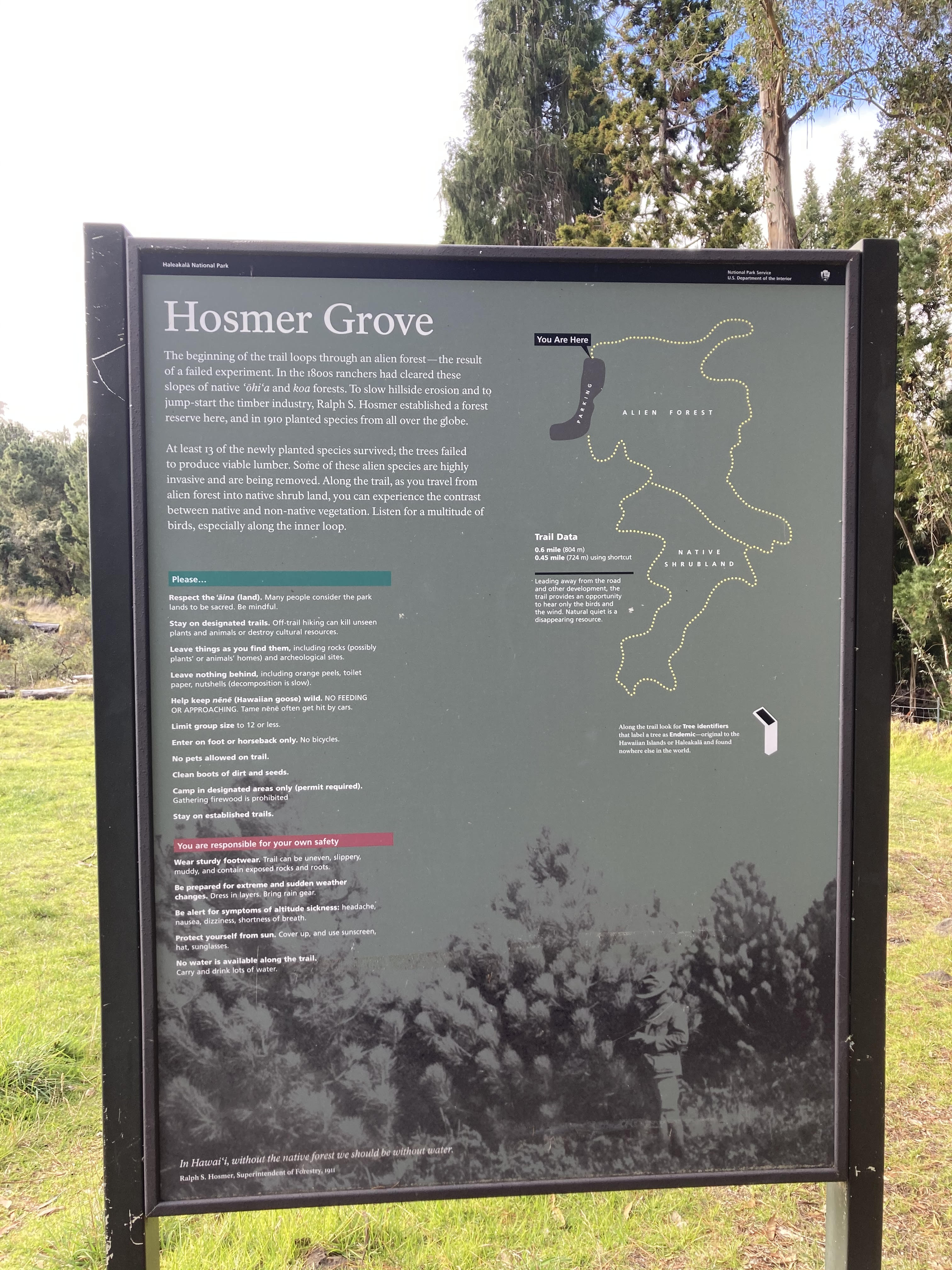
Introduction at Headquarters Visitor Center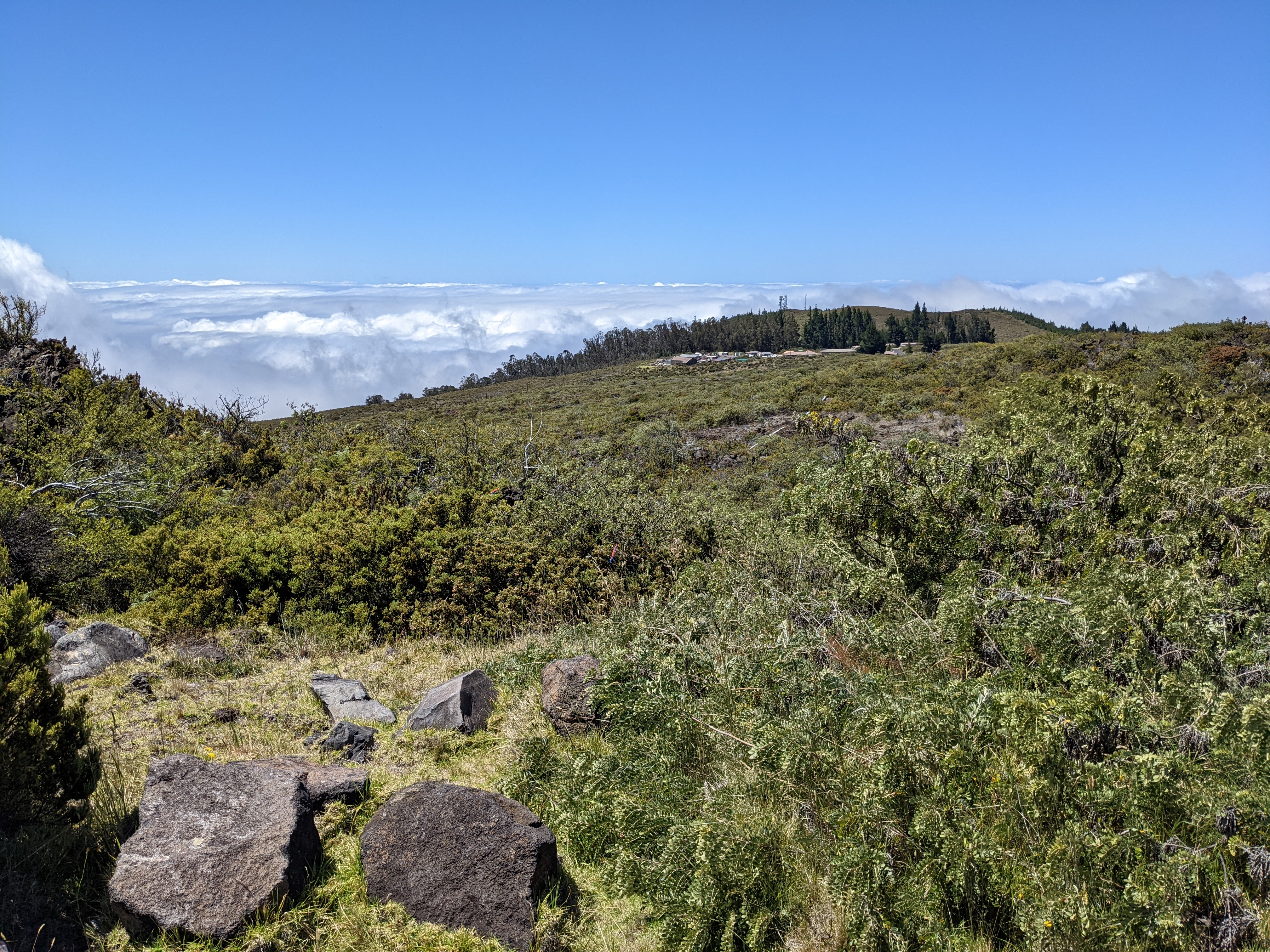
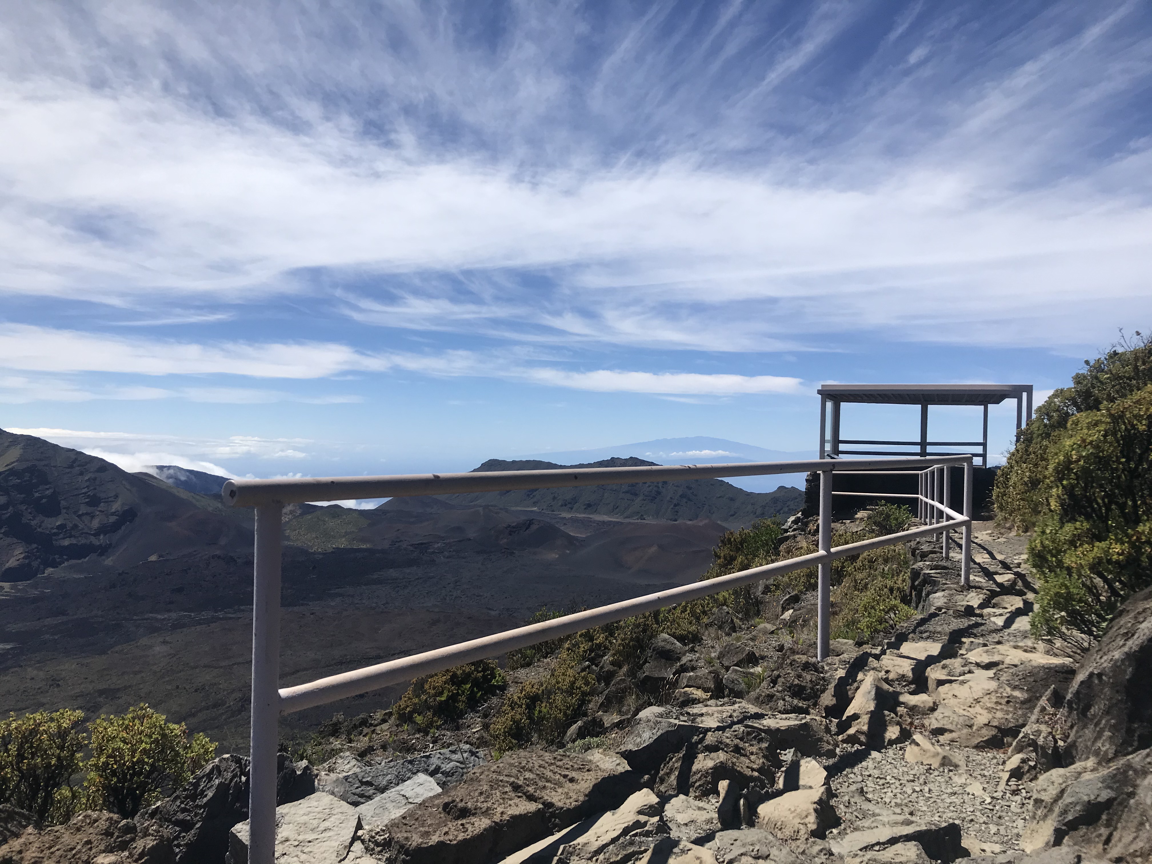
Kalahaku OverlookThe Kalahaku Overlook features a 0.1 mile walk to a simple structure that provides a unique view of the Haleakalā crater. The overlook can be accessed via a sloped path that starts from the first parking lot, or via the stairs at the second parking lot. 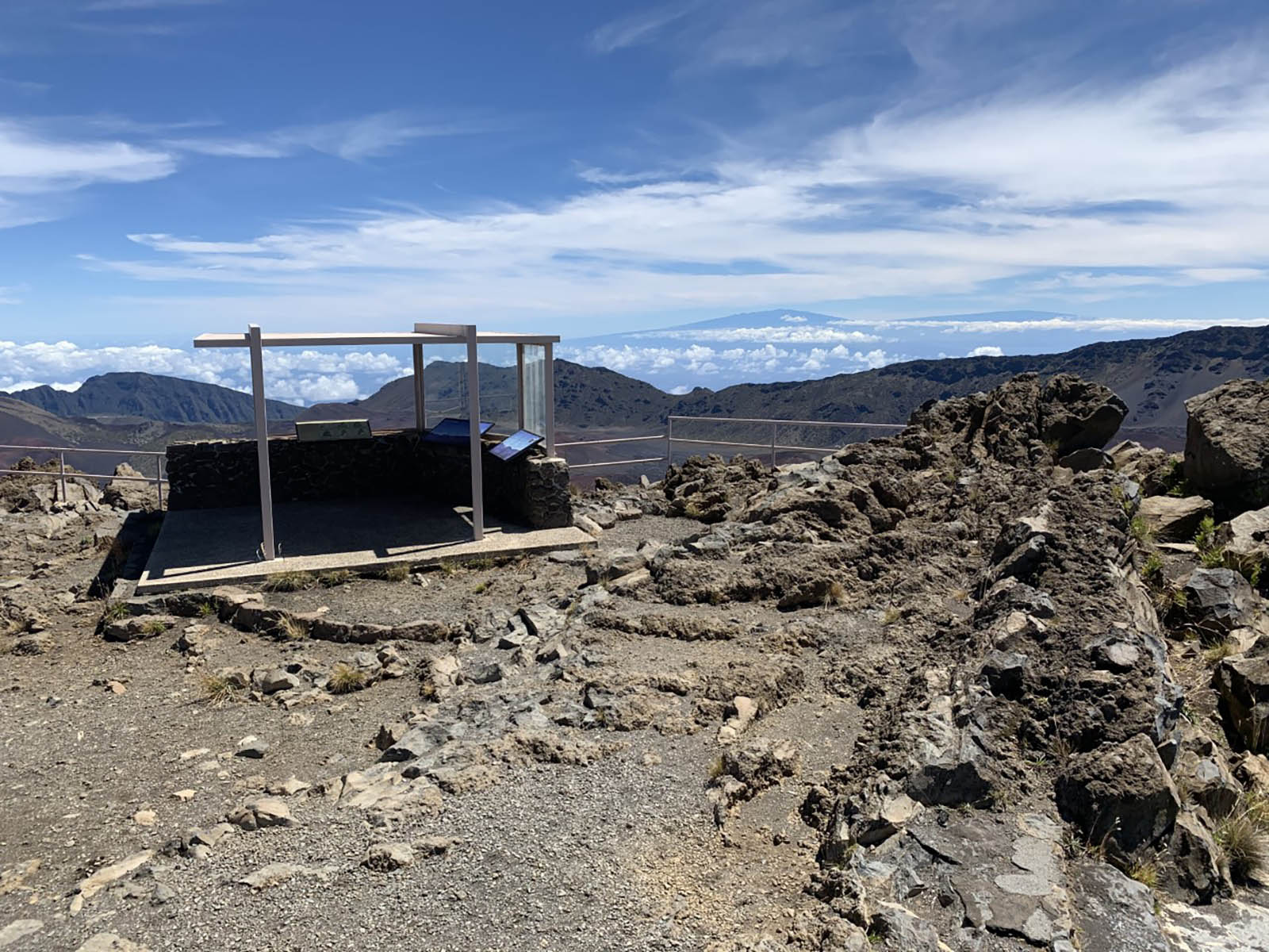
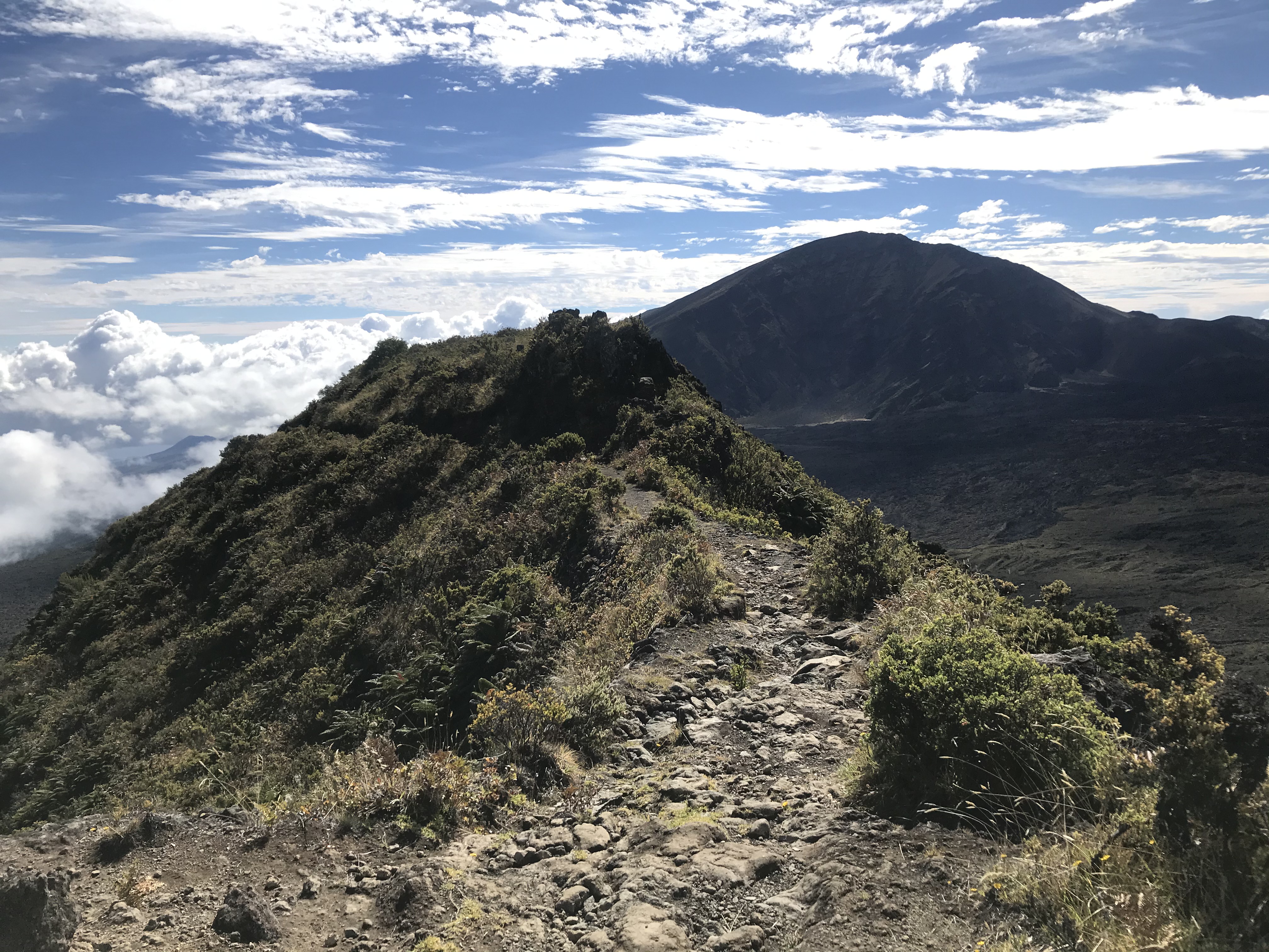
Keoneheʻeheʻe OverlookTake a short walk to new views of the crater along Keoneheʻeheʻe (Sliding Sands) Trail. 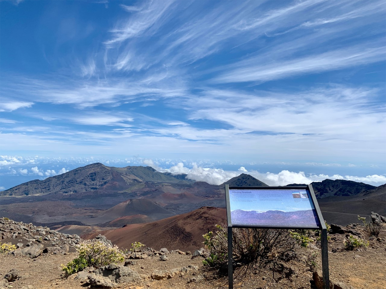
Keoneheʻeheʻe Trailhead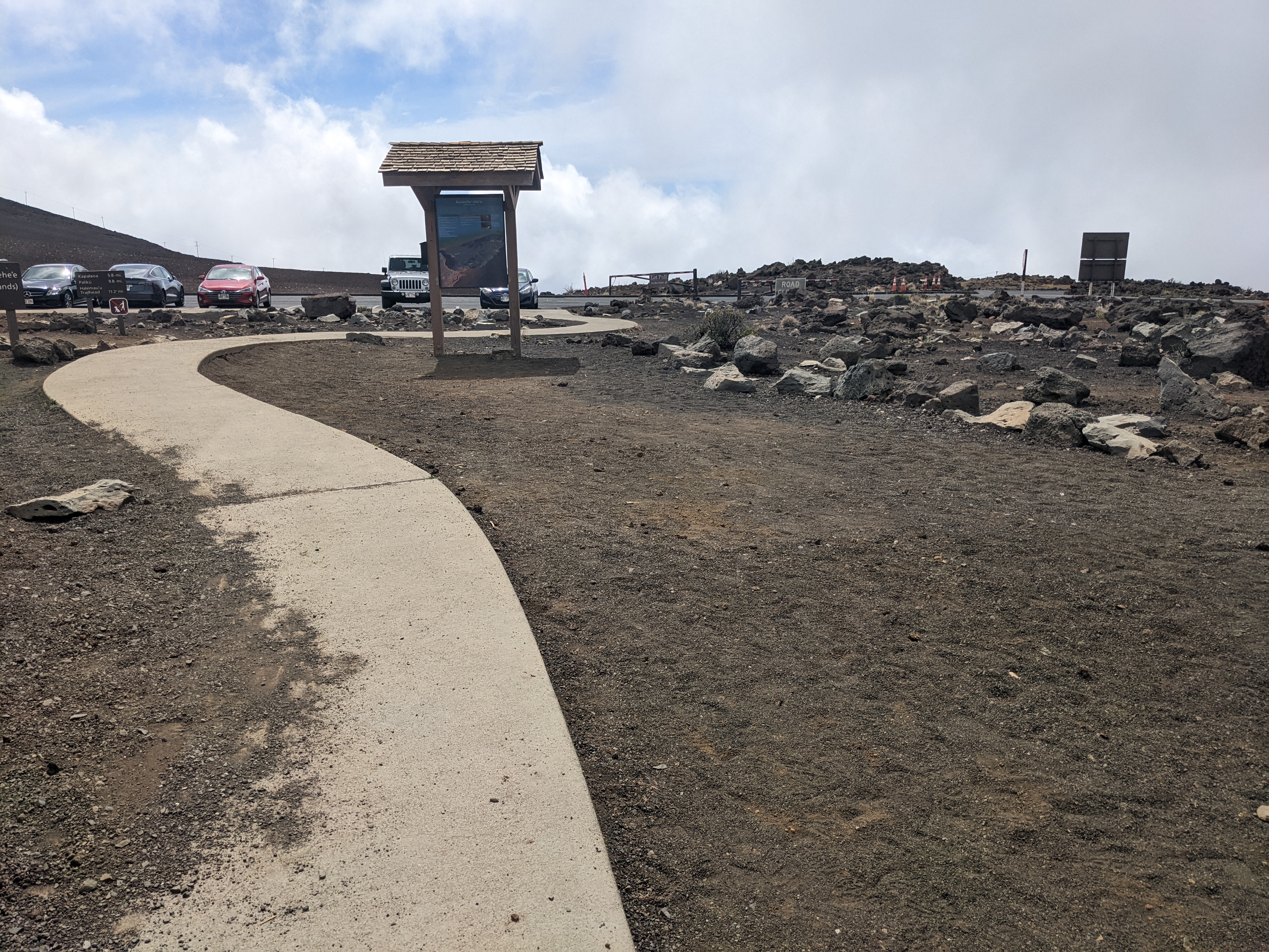
Kūloa Point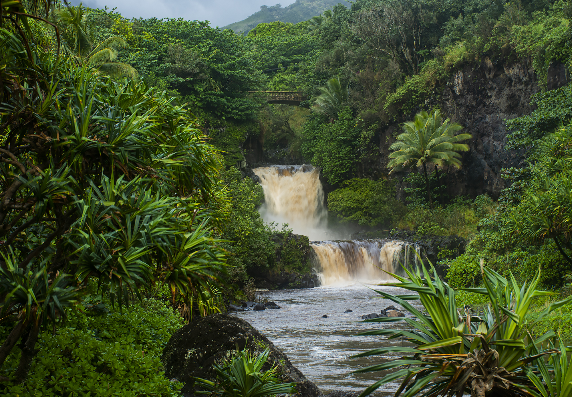
Kūloa Point - Last StopKuloa Point Guided Hike 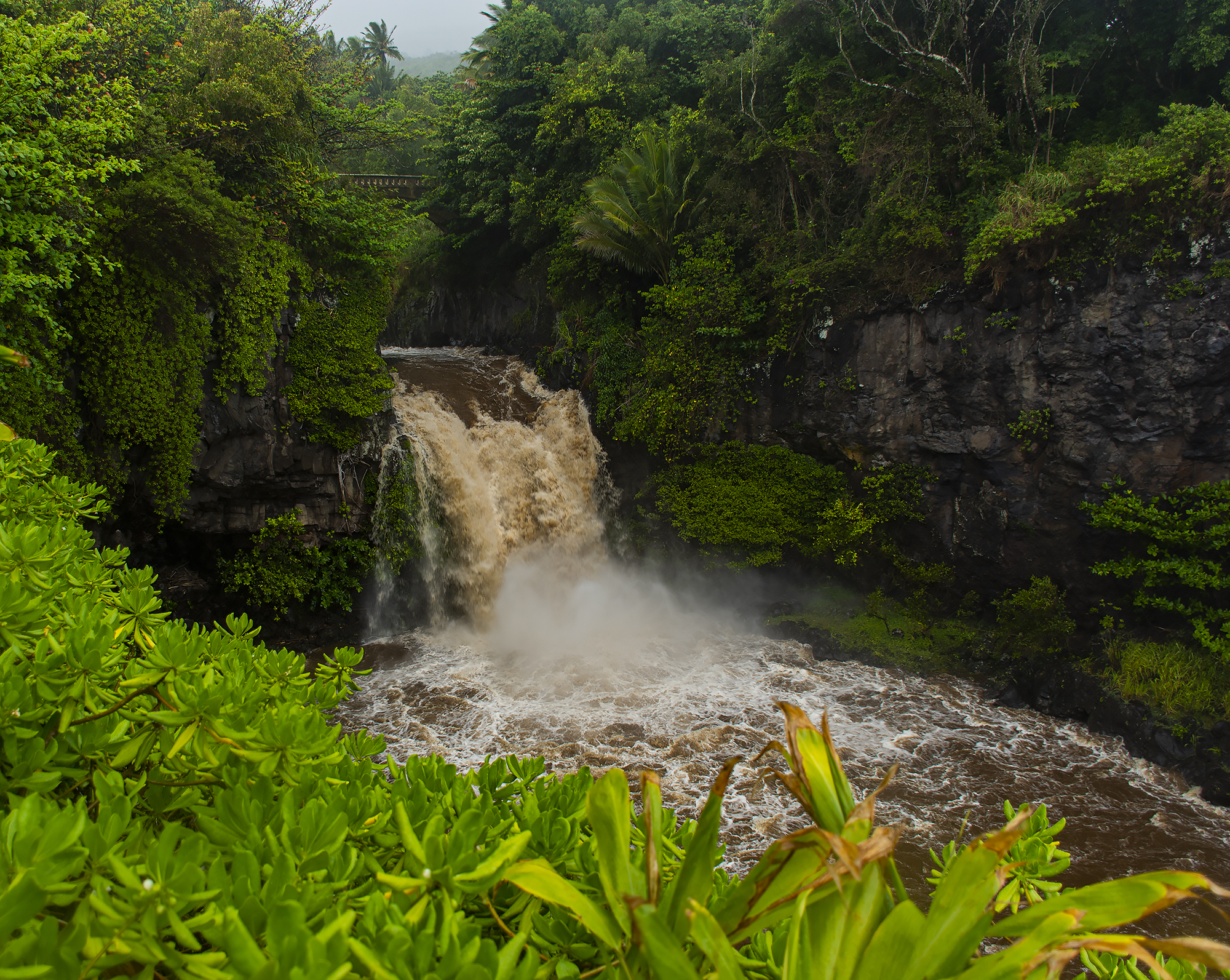
Kūloa Point Trailhead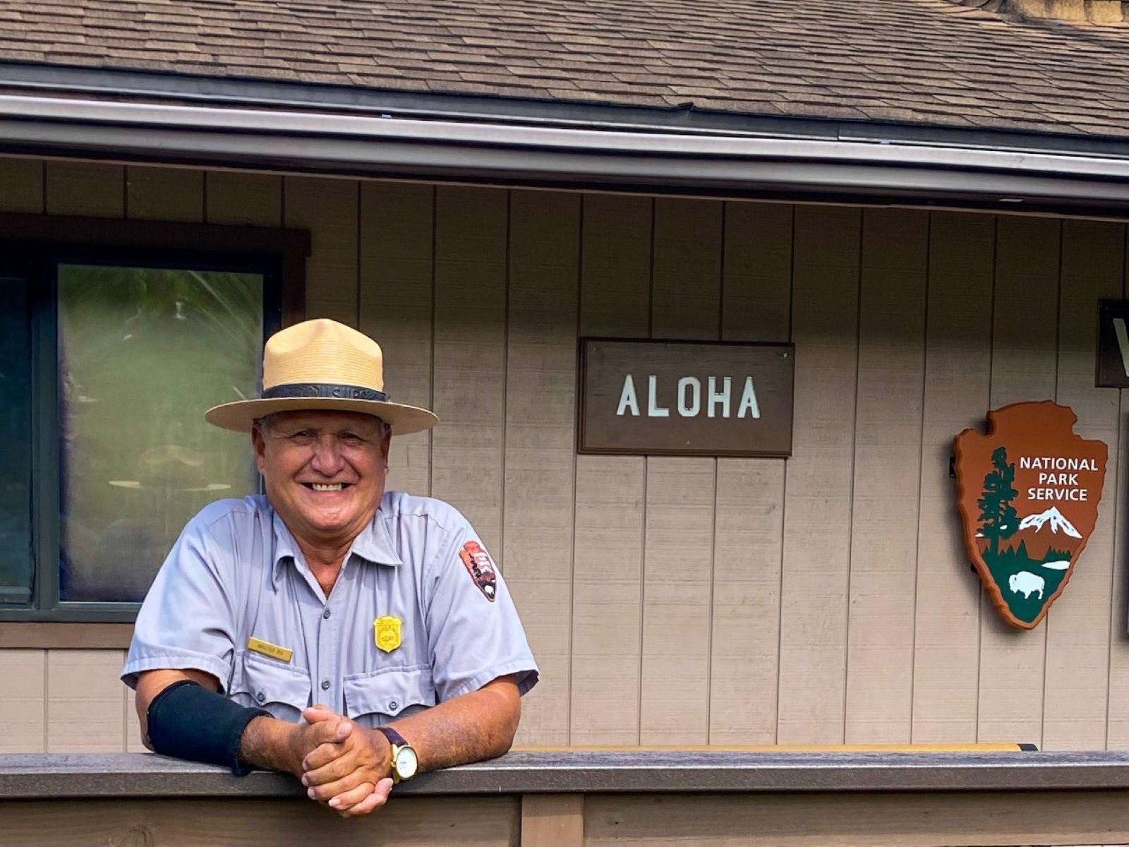
Kūloa Point ViewStop 7 along the Kūloa Point Trail
Leleiwi OverlookTake a short, 0.3 mile (0.5 km) roundtrip walk to experience the native shrubland and catch a glimpse of the Haleakalā crater through the clouds. This rocky trail has a moderate elevation gain and leads to a partially enclosed shelter on the edge of the crater. 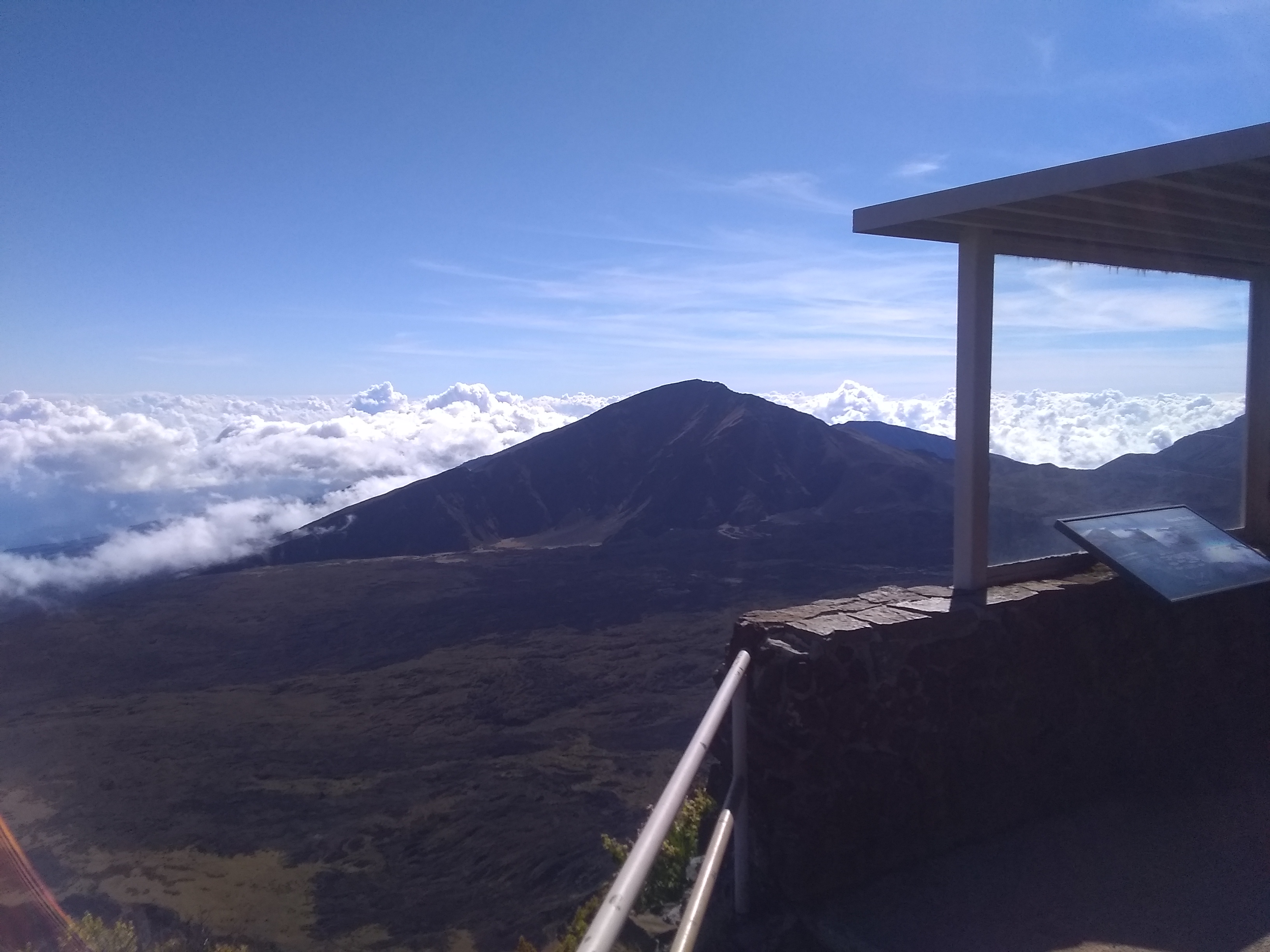
Native ShrublandsStop 5 along the Hosmer Grove Nature Trail. 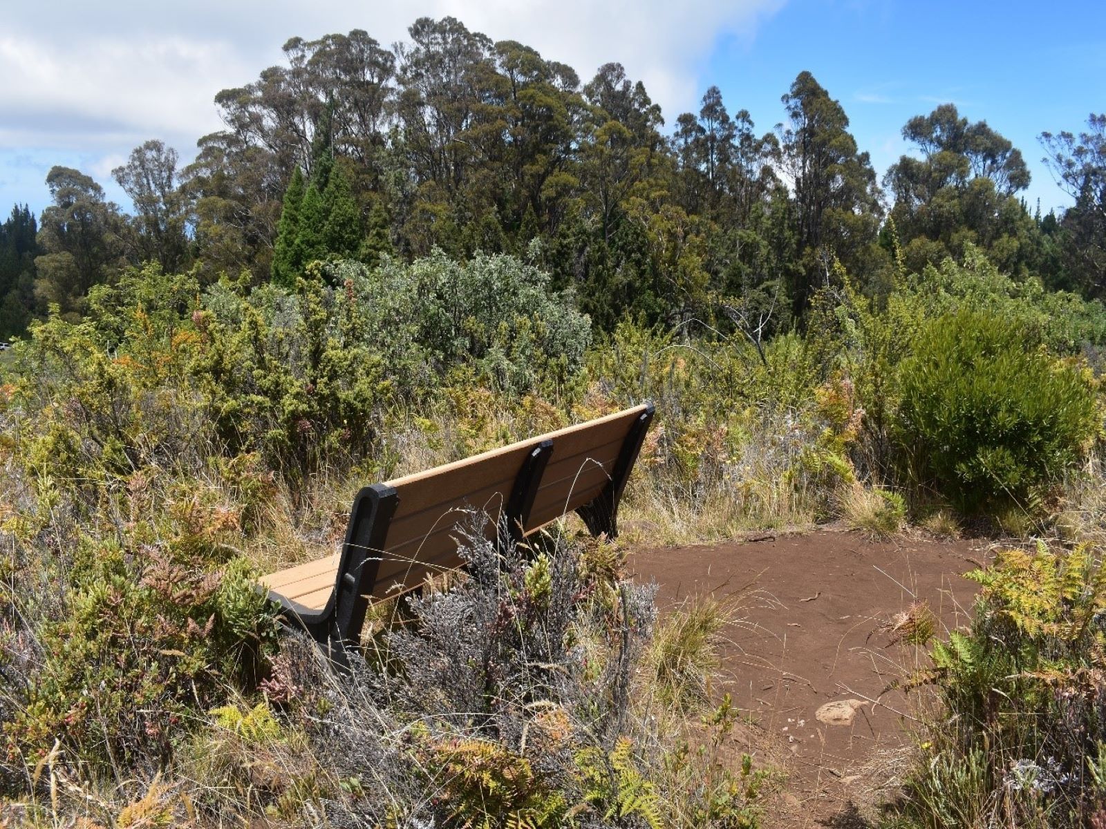
Ohia Lehua TreesStop 3 in the Hosmer Grove Nature Walk 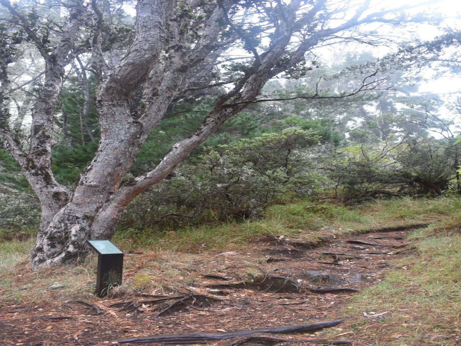
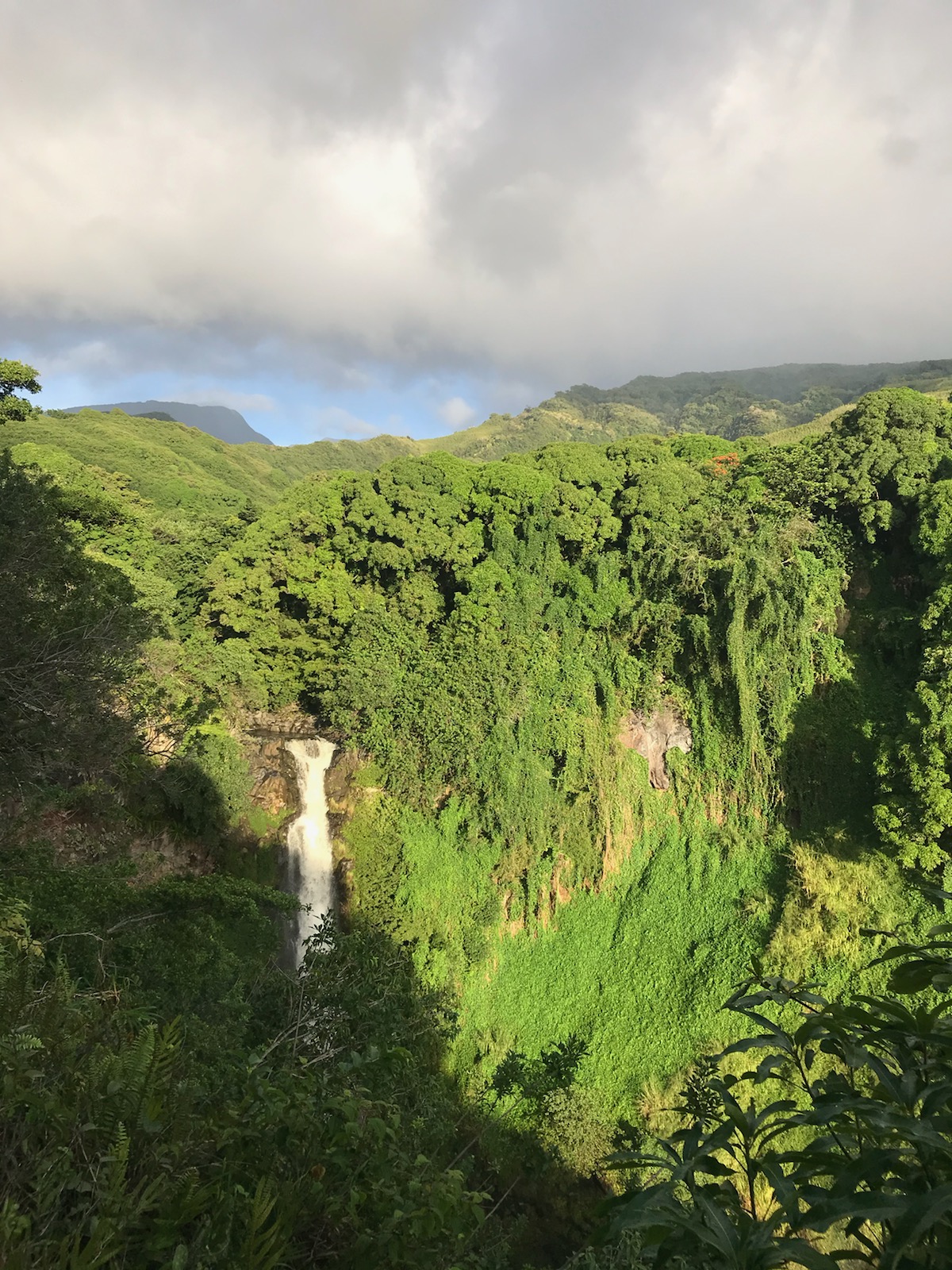
Pools of ʻOheʻo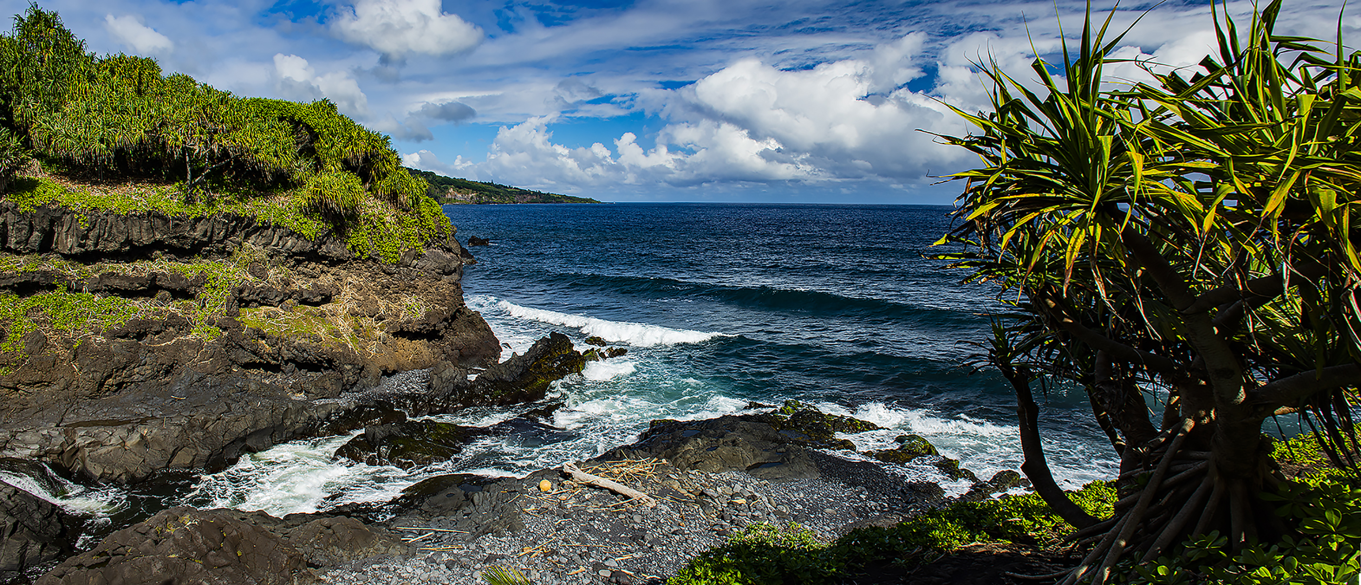
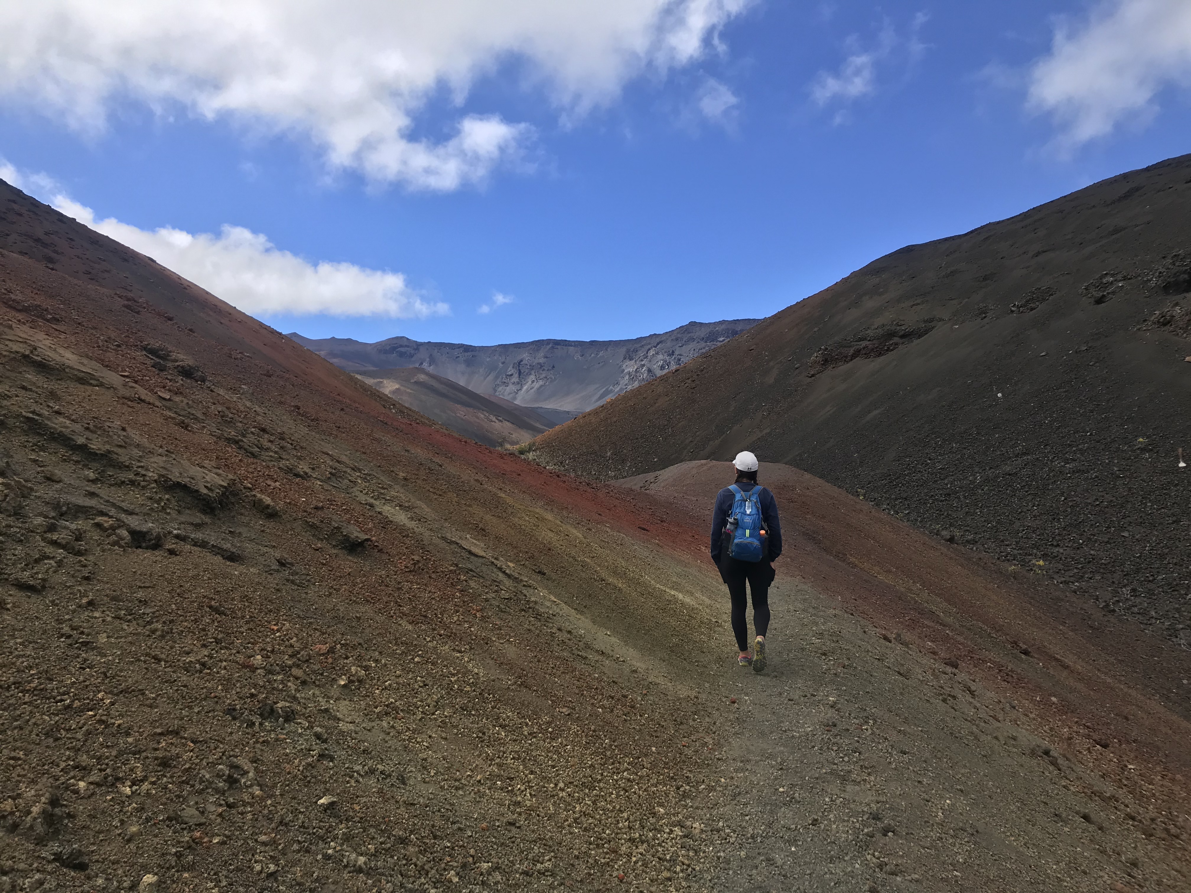
PuʻuʻulaʻulaDrive to the highest point on Maui for 360 degree views of neighbor islands and ocean vistas. The observation deck can be accessed via a stairwell or an inclined path. 
Puʻuʻulaʻula Overlook
Pā Kaʻoao OverlookA short hike next to the Haleakalā Visitor Center allows you to see a different view of the crater and some cultural resources of the park. Though the trail is only 0.4 mile (.6 km) roundtrip, it gains 100 feet of elevation to the overlook. 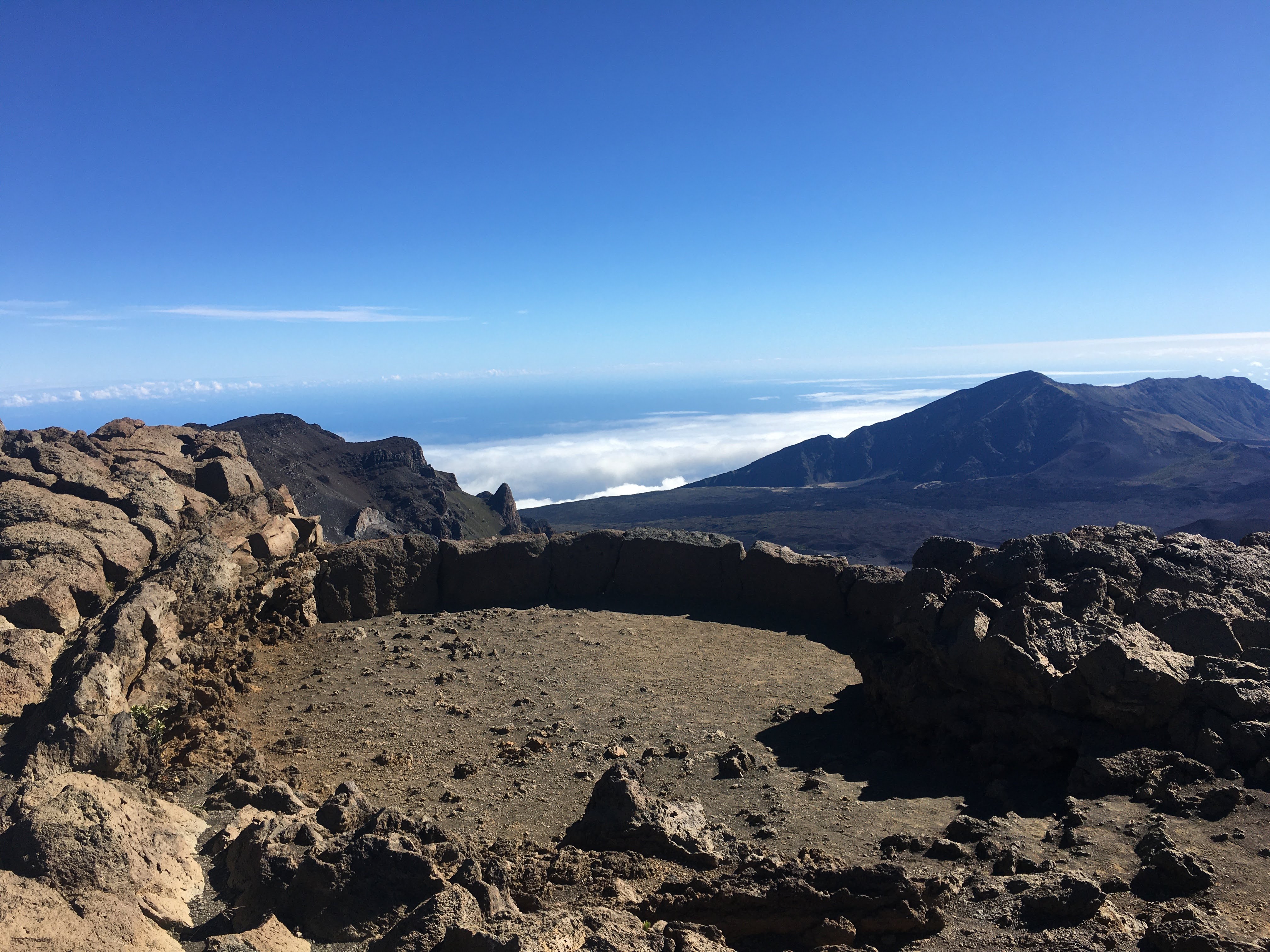
The Pools of ʻOheʻo
|
| Visitor Centers | Count: 3
Haleakalā Visitor Center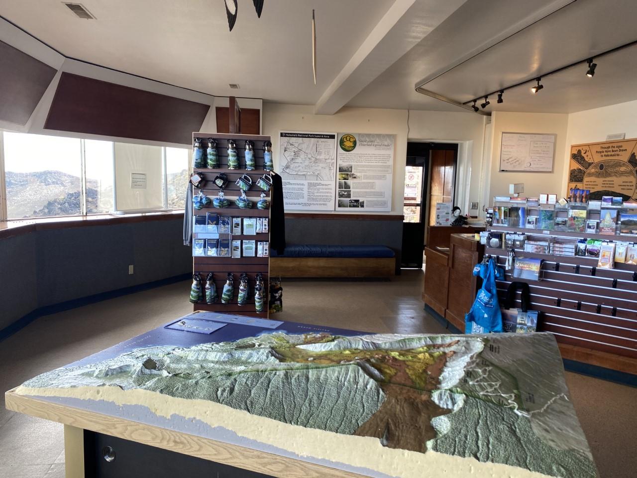
Headquarters Visitor Center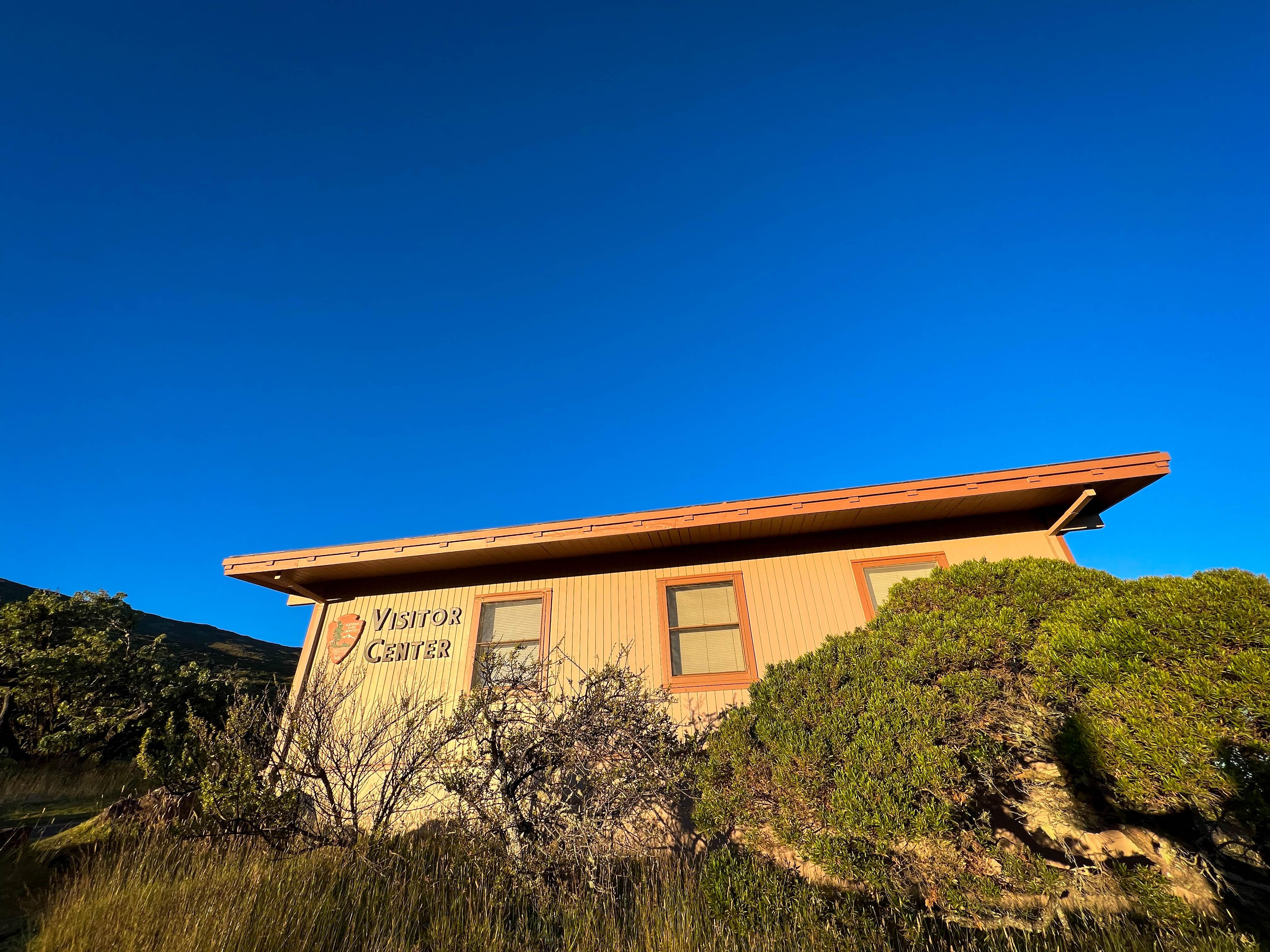
Kīpahulu Visitor Center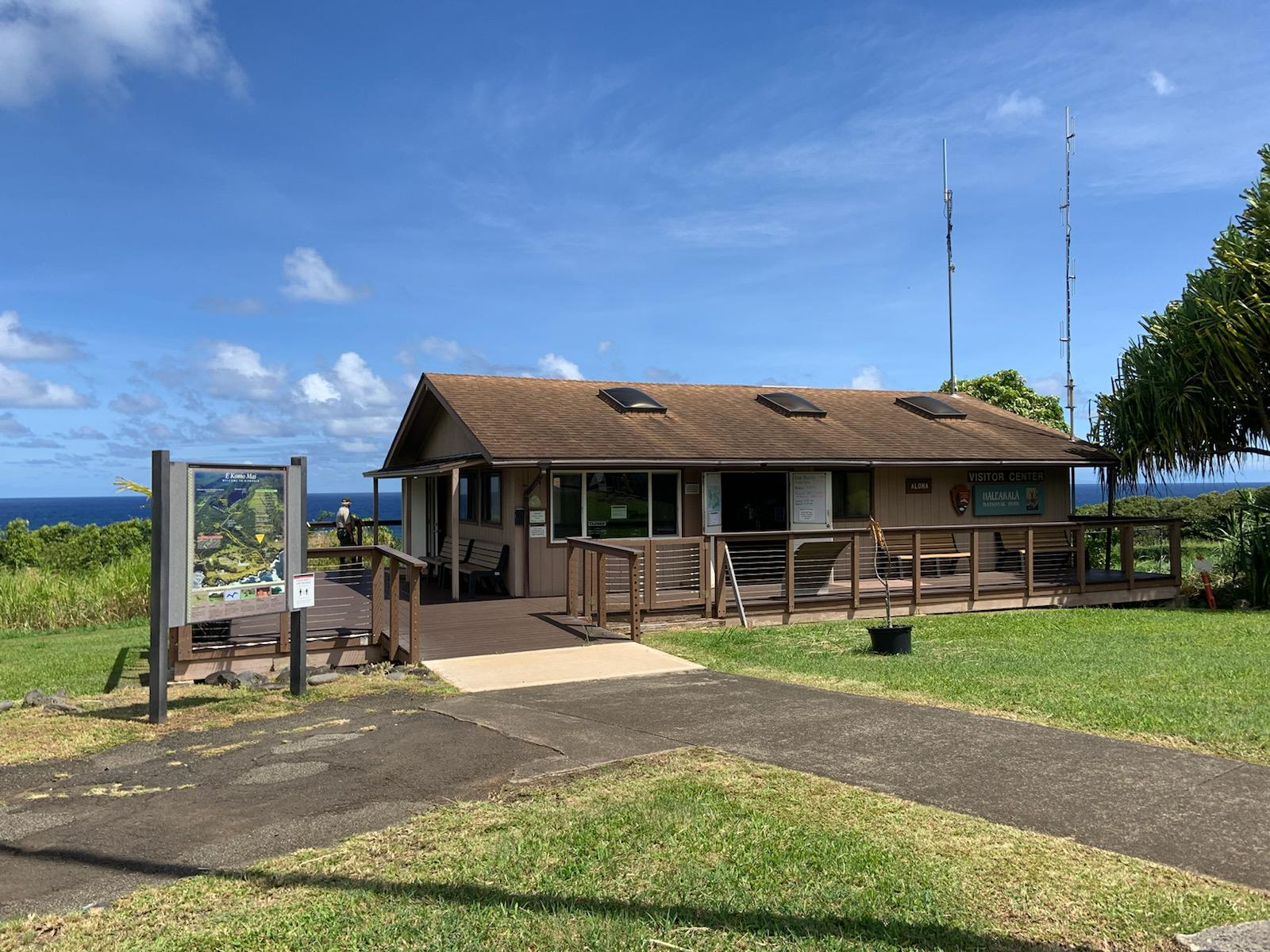
|
| Things to do | Count: 9


|
| Tours |
Count: 3
Geology Road TourHave you ever driven up the side of an active volcano? While on your 30 minute drive up Crater Road, follow the stops along this tour to explore the extraordinary volcanism that built more than 75% of Maui. Drive safe and never let your phone distract you while operating a vehicle. Hosmer Grove Nature WalkEnjoy a .6 mile hike through Hosmer Grove and explore how human curiosity shaped the land around you in a place unlike anywhere else in Haleakalā National Park. This trail experiences about 100ft elevation change, exposed roots, and potentially muddy and uneven ground. Kūloa Point Guided HikeAlong this half mile walk explore why Kīpahulu is an important homeland for generations of Hawaiians; archeological sites, native plants, and a landscape that includes important resources such as fresh water. This is a gravel path with about 60 feet of elevation change. |
| Articles |
|