Closure of Anza Expedition Exhibit at Martinez Adobe in Martinez, CA
For safety reasons, access to the Martinez Adobe, which houses the Anza exhibit, is blocked off from the public and remains closed for all use until the structure is stabilized. Currently, there is no timeline for the repairs to be complete...
| Title | Juan Bautista de Anza |
| Park Code | juba |
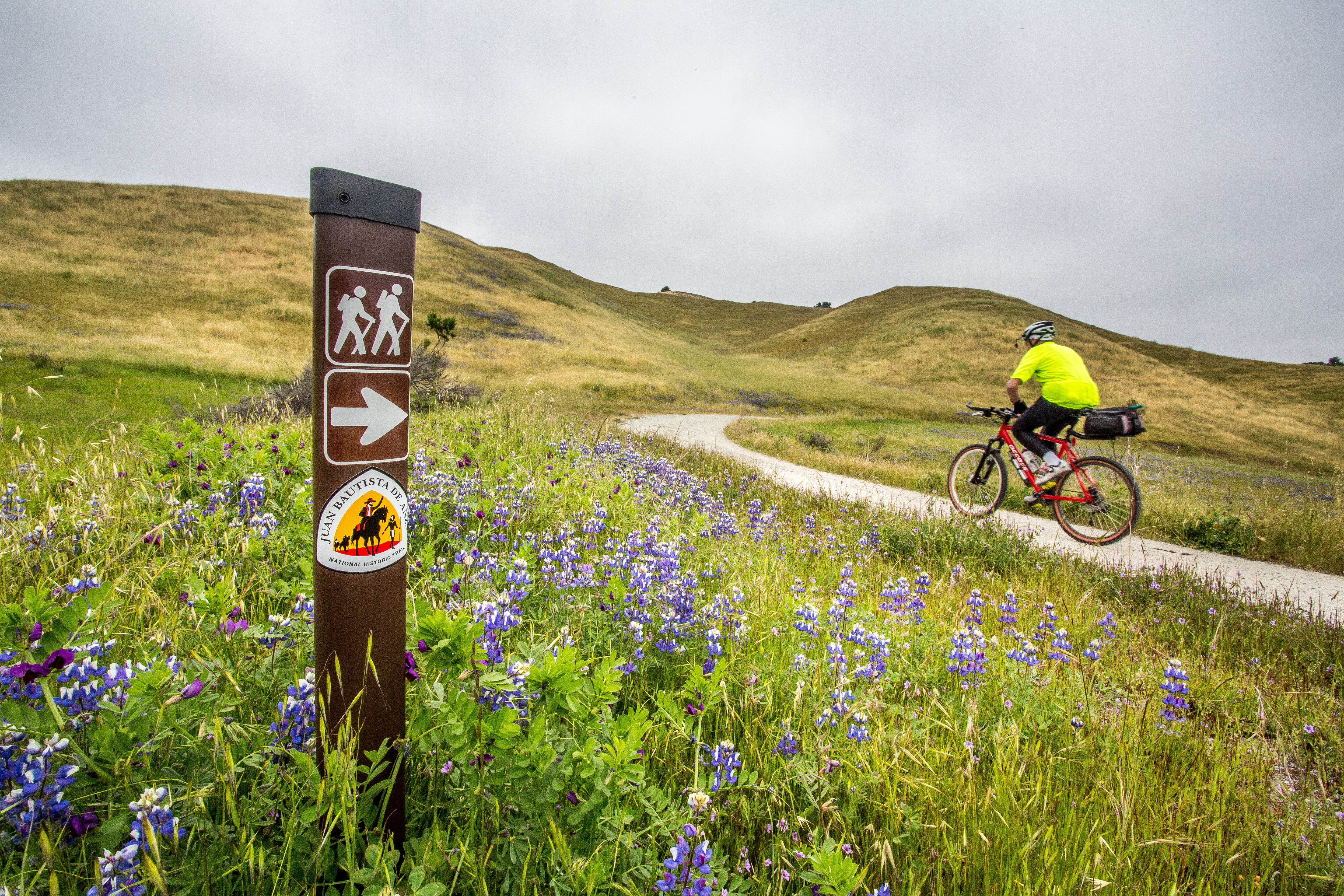
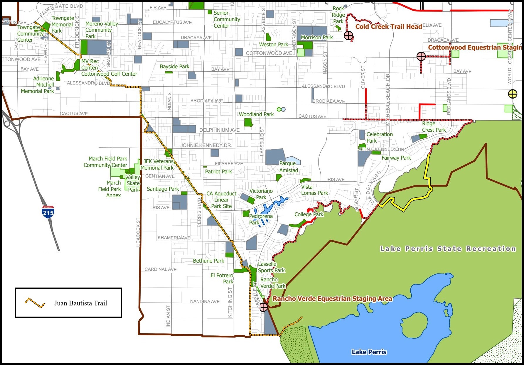
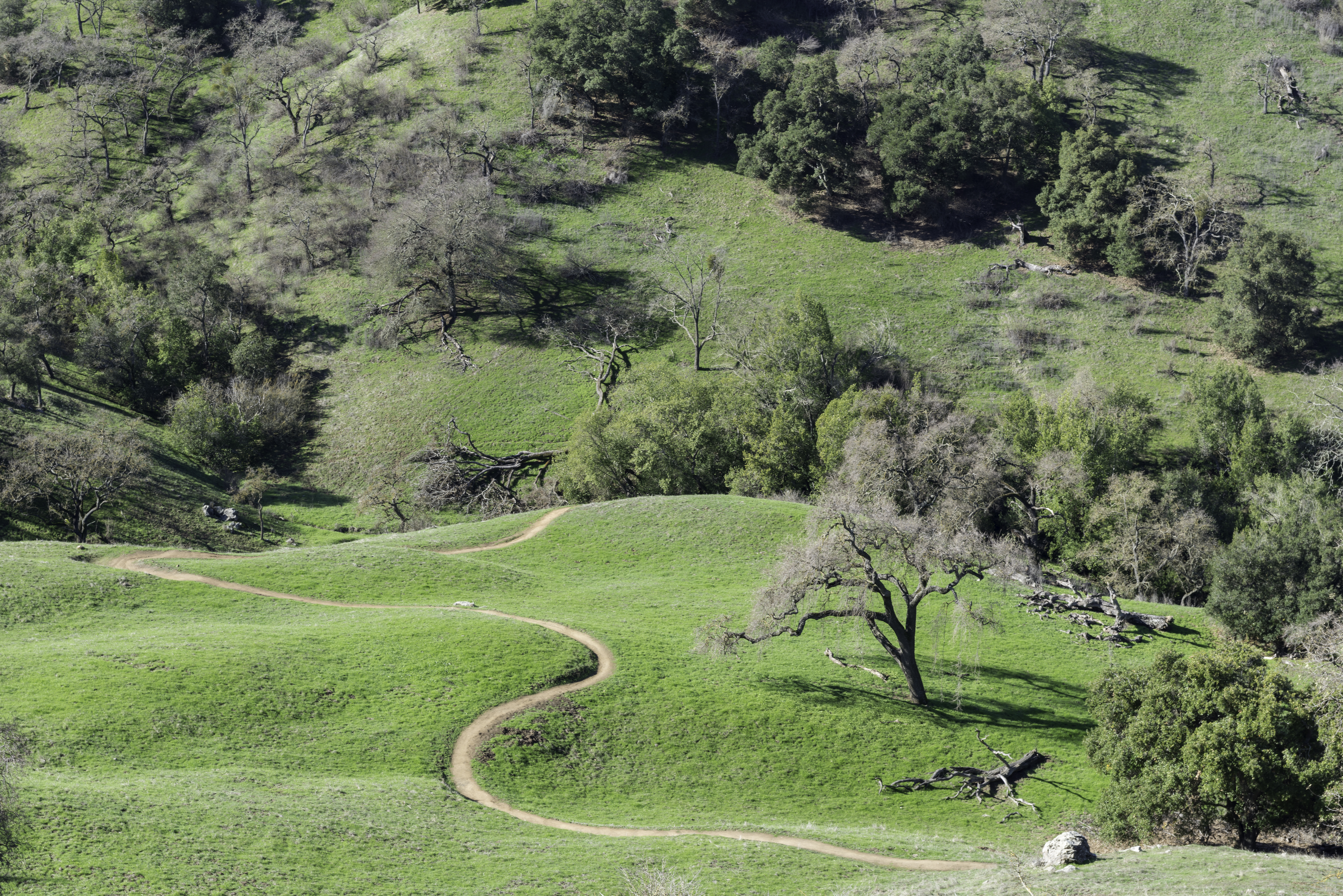
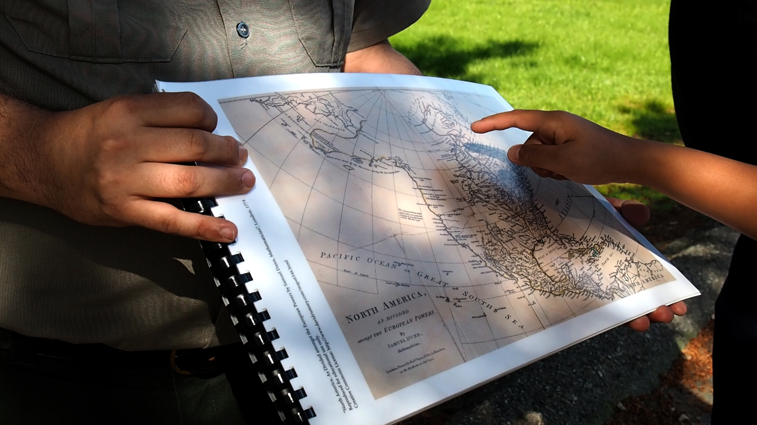
| Description | The Juan Bautista de Anza National Historic Trail covers over 1200 miles through the homelands of 70+ Tribal communities. It follows the historic route of the 1775-76 Spanish colonizing expedition from Sonora, Mexico to San Francisco, CA. Whether... |
| Location | |
| Contact | |
| Activities |
|
| Entrance fees |
|
| Campgrounds | Count: 0
|
| Places | Count: 37
Antioch/Oakley Regional ShorelineAnza Expedition Camp SiteThe Juan Bautista de Anza National Historic Trail enters the Presidio here at Mountain Lake. The trail continues north to the edge of San Francisco, commemorating the route followed by the de Anza's expedition from Sonora, Mexico to the Golden Gate. 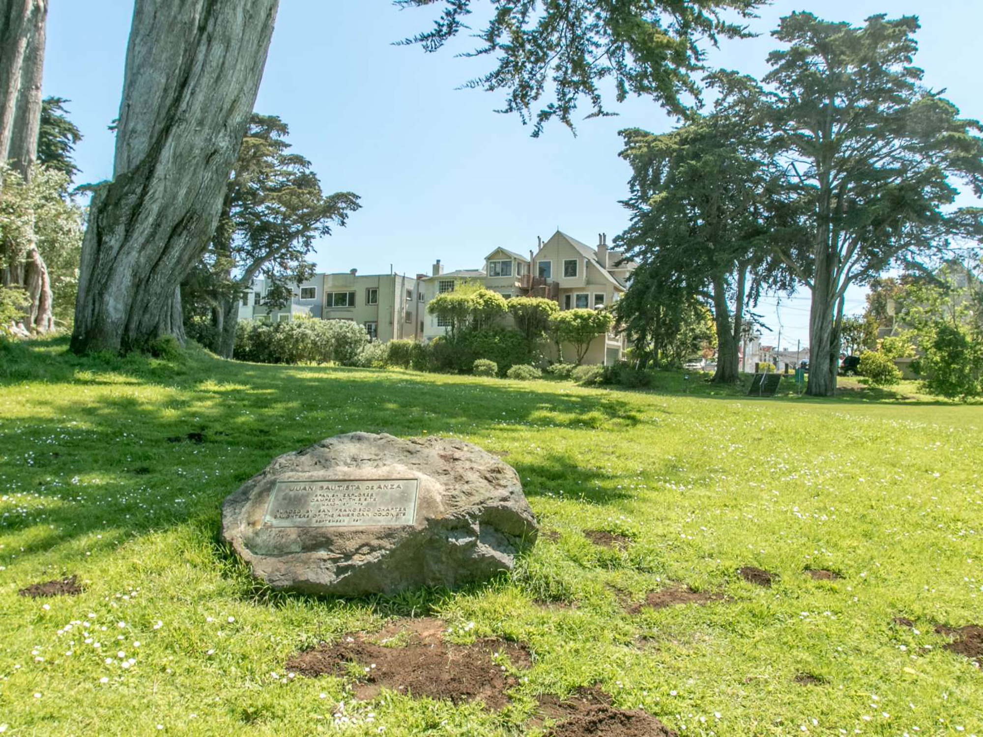
Anza-Borrego Desert State ParkAnza-Borrego Desert State Park is the largest of the California State Parks and protects a crossroads of desert landscapes and ecosystems. It is located on the traditional homelands of the Cocopah and Cuahuilla. The park contains a particularly dramatic and scenic section of the Juan Bautista de Anza National Historic Trail. 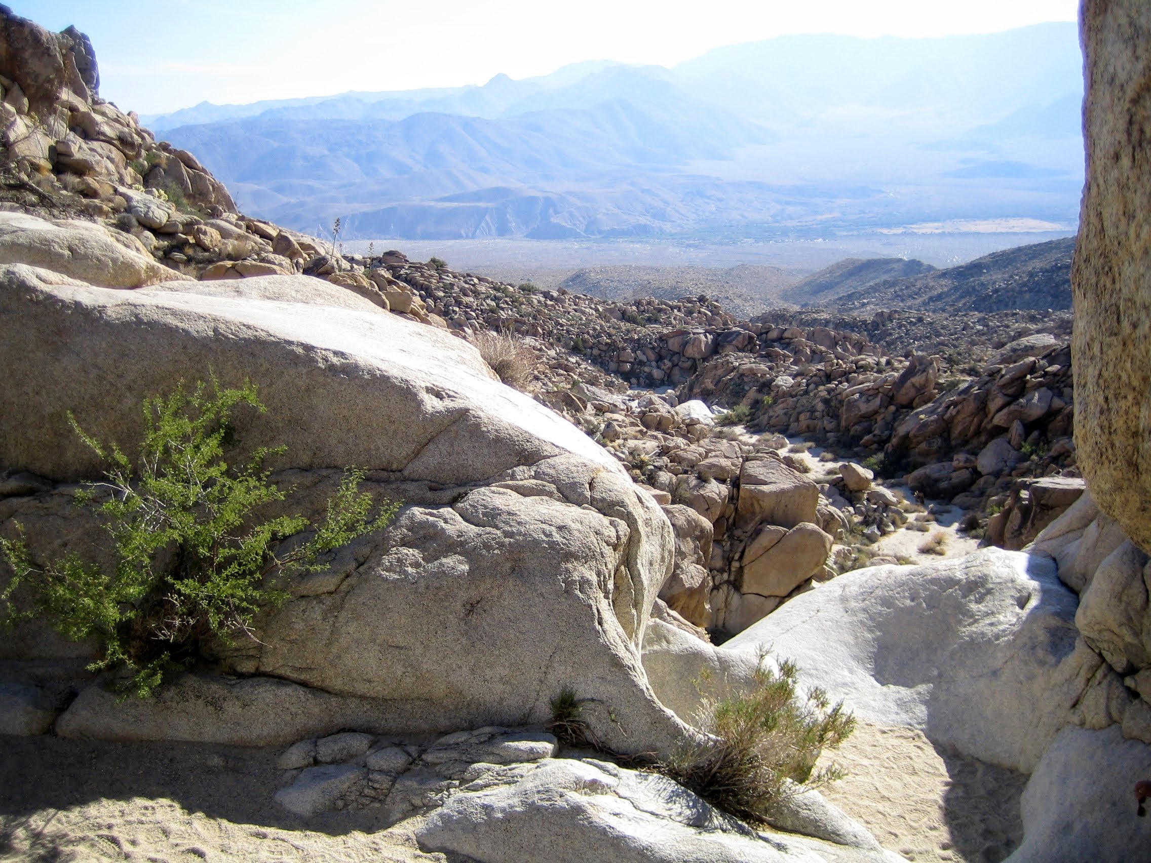
Big Break Regional ShorelineCasa Grande RuinsRising from the Sonoran Desert floor near the Gila River is one of the largest prehistoric structures ever built in North America. Its purpose remains a mystery, though many have tried to understand and explain its existence. Members of the Anza expedition visited the site in October of 1775 and recorded the measurements of the ruins and transcribed a partial story narrated by an O'odham (Gila Pima) leader. 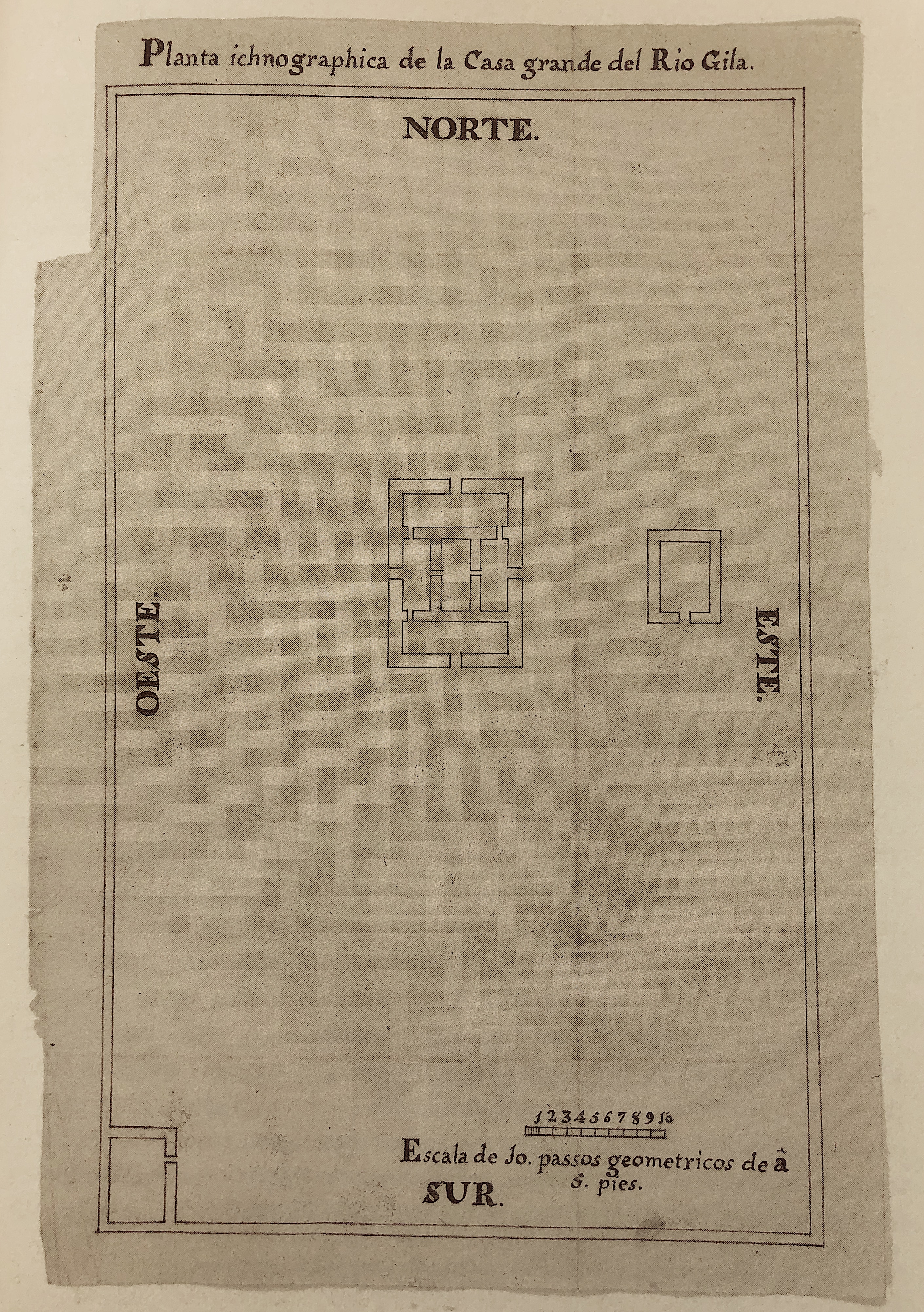
Christopher Columbus ParkColorado River State Historic ParkThe Colorado River State Historic Park preserves and interprets the complex and dynamic history of Yuma and the Colorado River, including the Anza expedition who crossed the Colorado River near here in November of 1775. Anza Trail Passport Stamp #12 is located in the Colorado River State Historic Park Visitor Center. 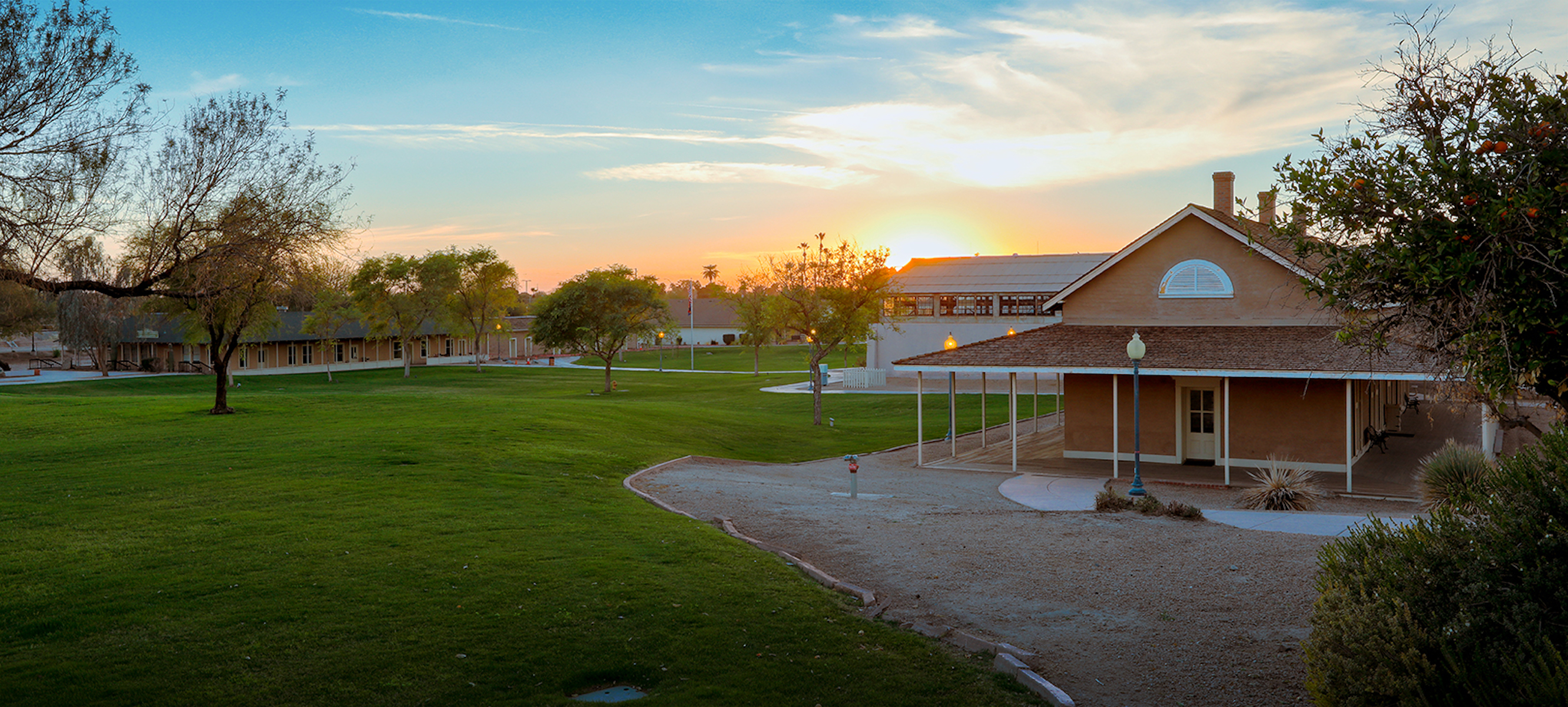
Don Fernando Pacheco AdobeDon Salvio Pacheco AdobeFort Point Lighthouse: Fort Point TourStarting in 1852, the United States government went lighthouse-crazy, funding the construction of 59 lighthouses along the California coast. At this early date, the Fort Point light was one of 13 serving the San Francisco Bay. The original light was built and destroyed in 1853. Army engineers blew up the bluff it stood on to make way for the construction of Fort Point. A second lighthouse, built near the water in 1855, was removed to permit seawall construction. 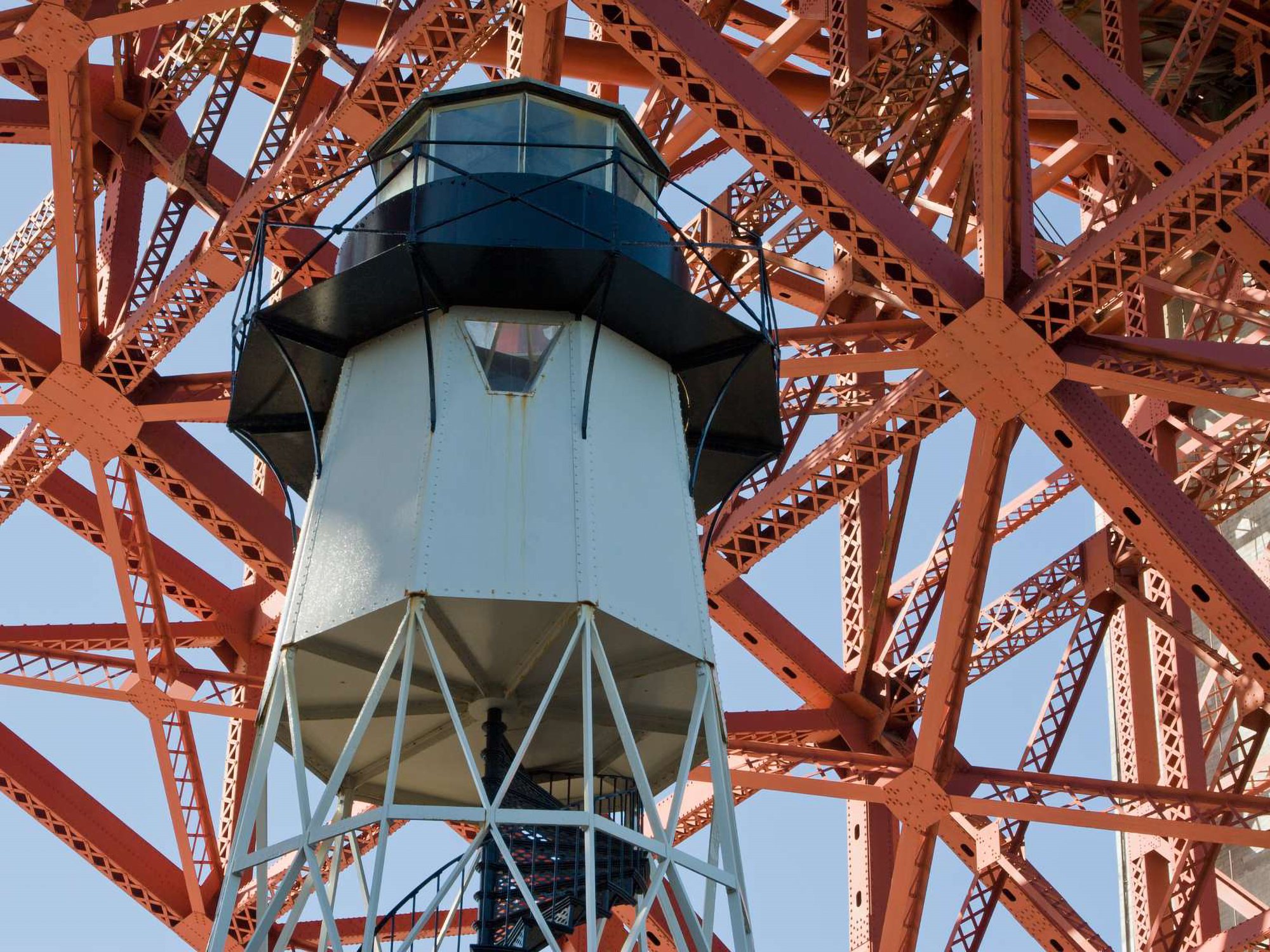
Gila BendGila Bend Museum and Visitor Center provides exhibits about the history and culture of the area. The Anza Trail Passport Stamp #10 is located here. 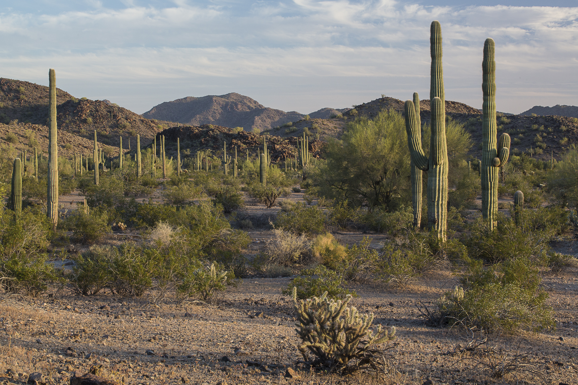
Gila River Indian CommunityHistoric Hacienda de la CanoaHistoric ranch along the Juan Bautista de Anza National Historic Trail. The site is on the National Register of Historic Places and includes historic campsite #15 of the Anza expedition. 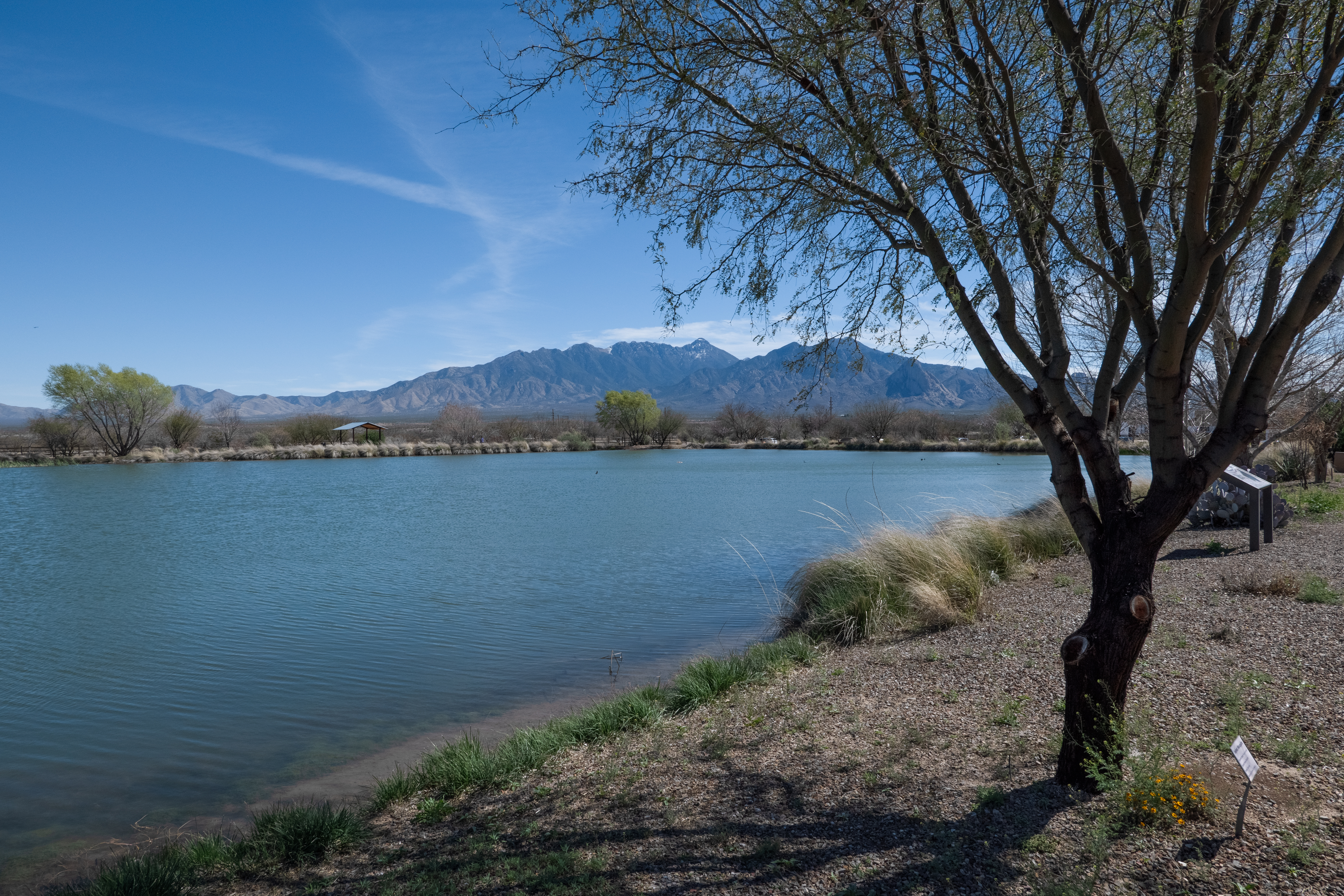
Juan de Anza House, CAThe Spanish founded Mission San Juan Bautista as the 15th mission in 1797. One of the oldest buildings in San Juan Bautista’s Third Street Historic District and a National Historic Landmark in its own right is the Juan de Anza House or Casa Juan de Anza Adobe that dates from 1834 during the period of Mexican control. 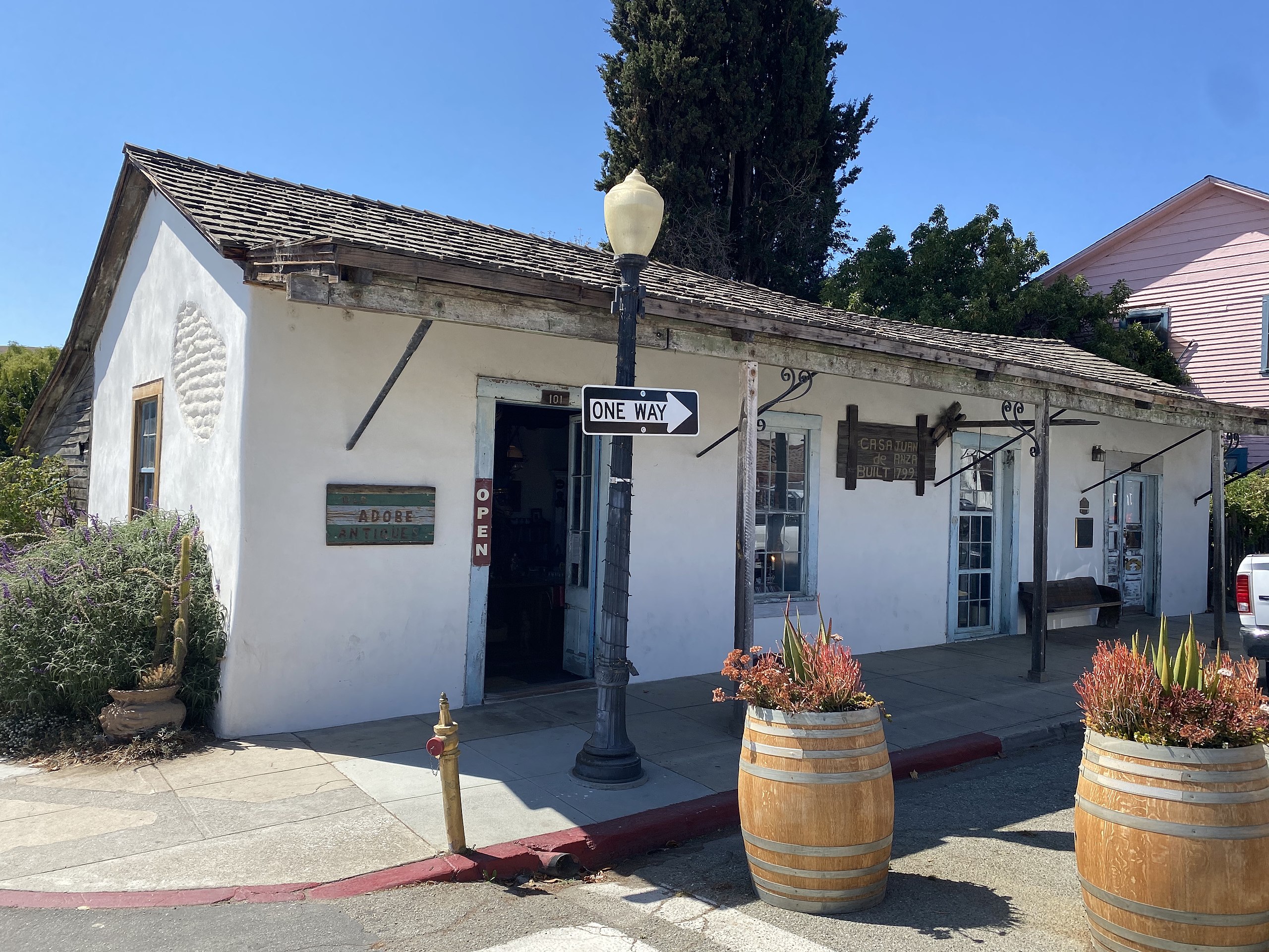
Las Lagunas de Anza Interpretive SiteJuan Bautista de Anza NHT, Passport Stamp #2 - Las Lagunas de Anza, AZ 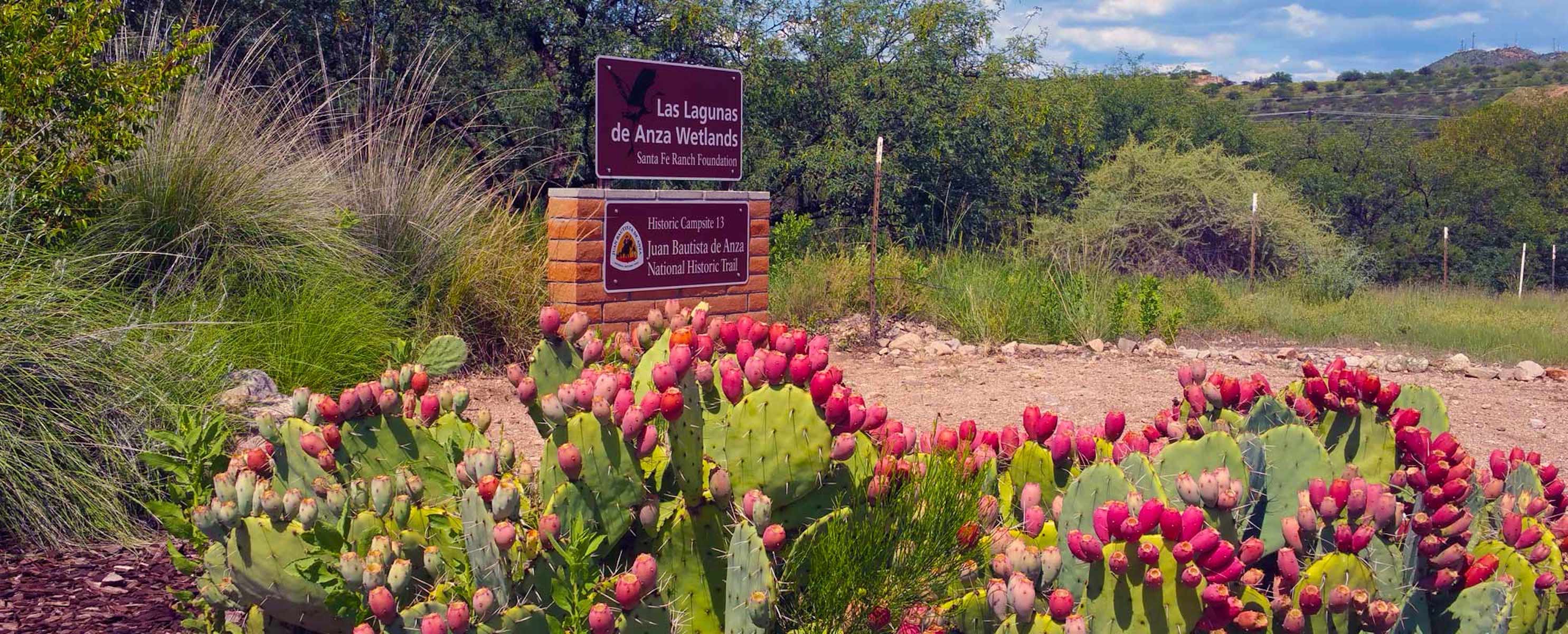
Mission San Agustín del Tucson
Mission San Xavier del BacMission San Xavier del Bac is an important site along the Anza Trail and an iconic image of southern Arizona. It is located on the Tohono O'odham Nation and the mission church is intimately linked to the history of the people who have claimed this land as home for centuries. 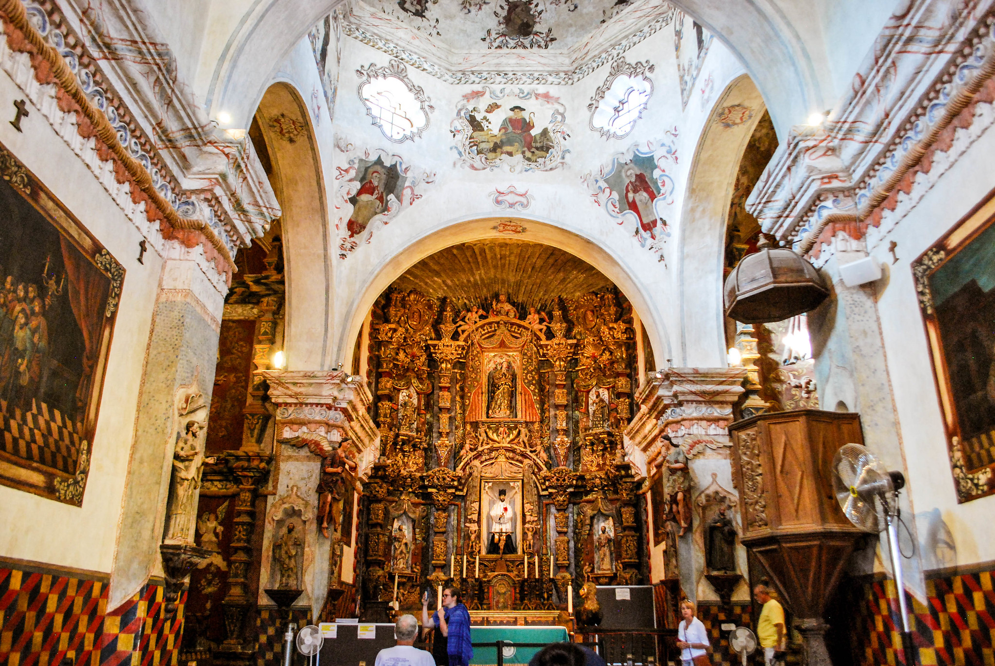
Mountain Lake ParkMountain Lake Park is a city park that's an awesome place to bring the kiddos. There's swings, slides and things to climb, and all tucked away in a quiet neighborhood. 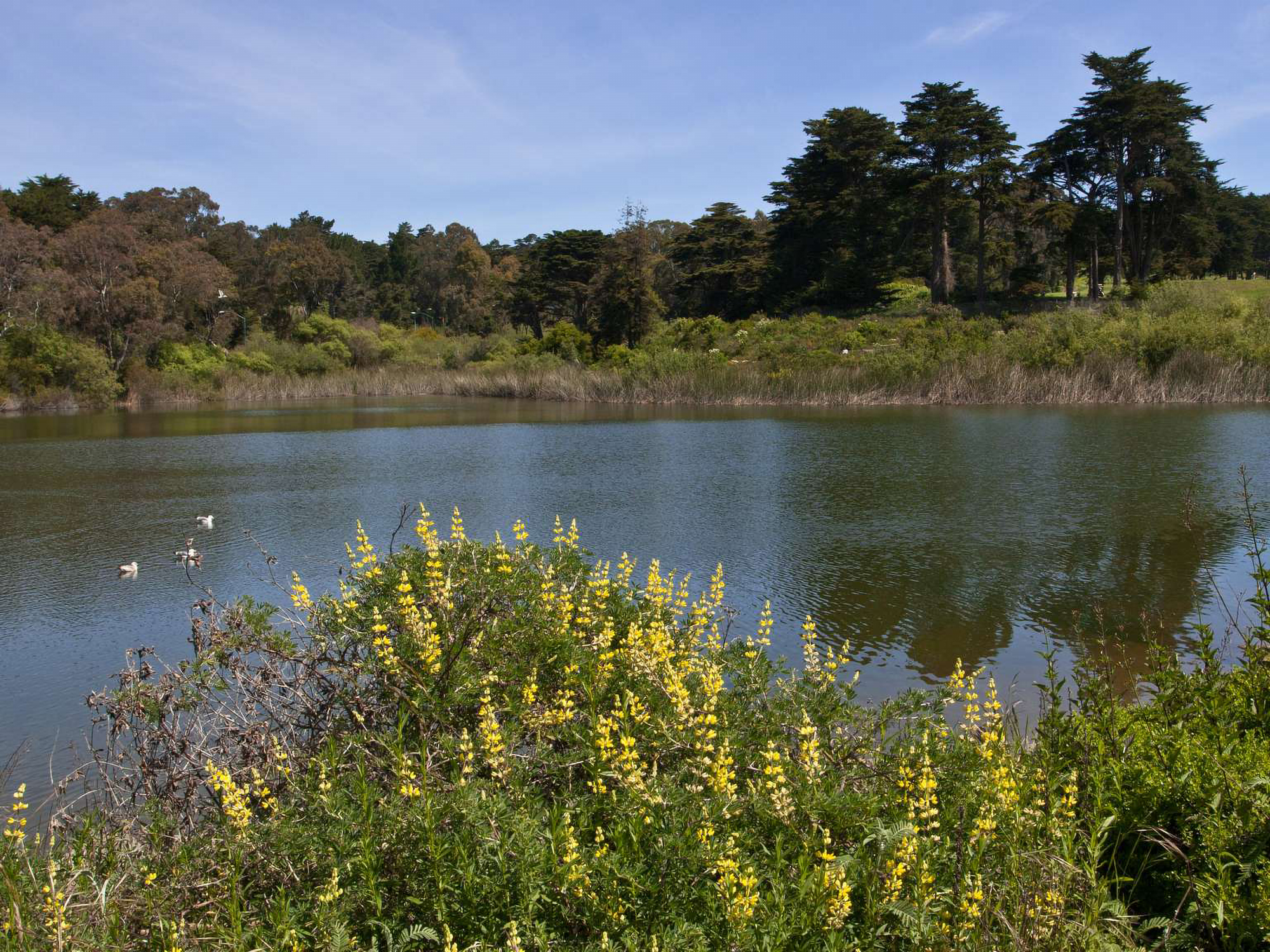
Museum of Sonoran History - Museo Costumbrista de SonoraThe Museum of Sonora History in Álamos, Sonora, includes interpretation and information about the Anza Expedition. An Anza NHT Passport Stamp is also found here. 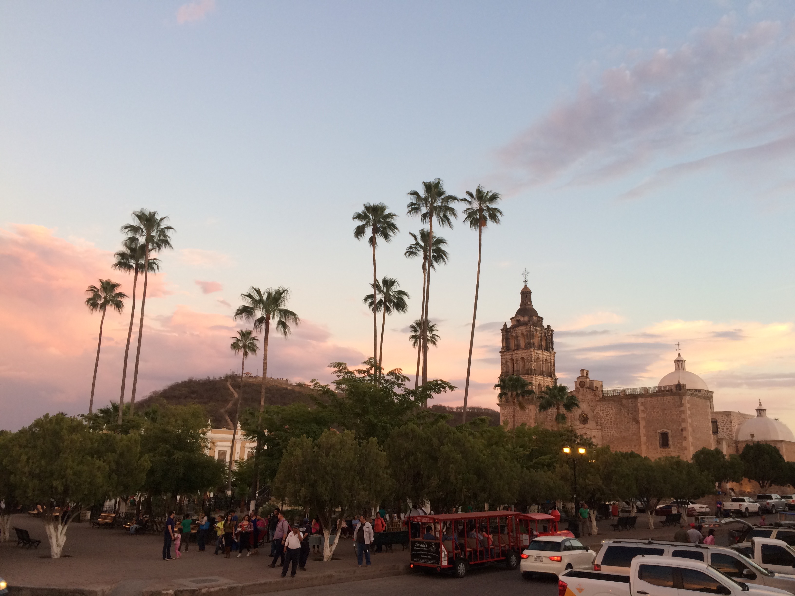
Painted Rock Petroglyph Site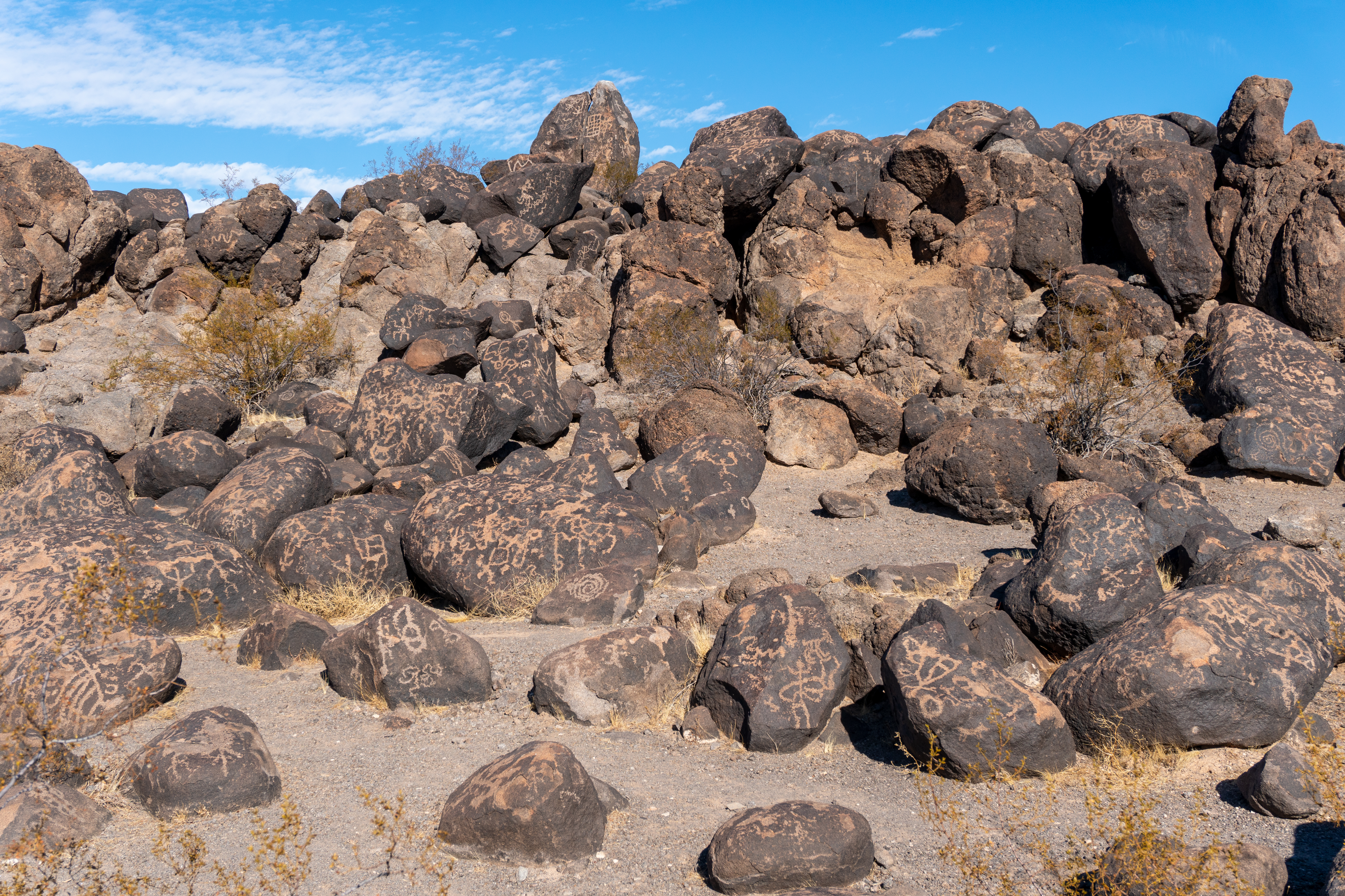
Picacho Peak (Cerro de Tacca)Picacho Peak is a prominent landmark and an integral piece of the cultural landscape in southern Arizona. It is an Arizona State Park and an official NPS Anza NHT Passport Stamp can be found here at the visitor center. 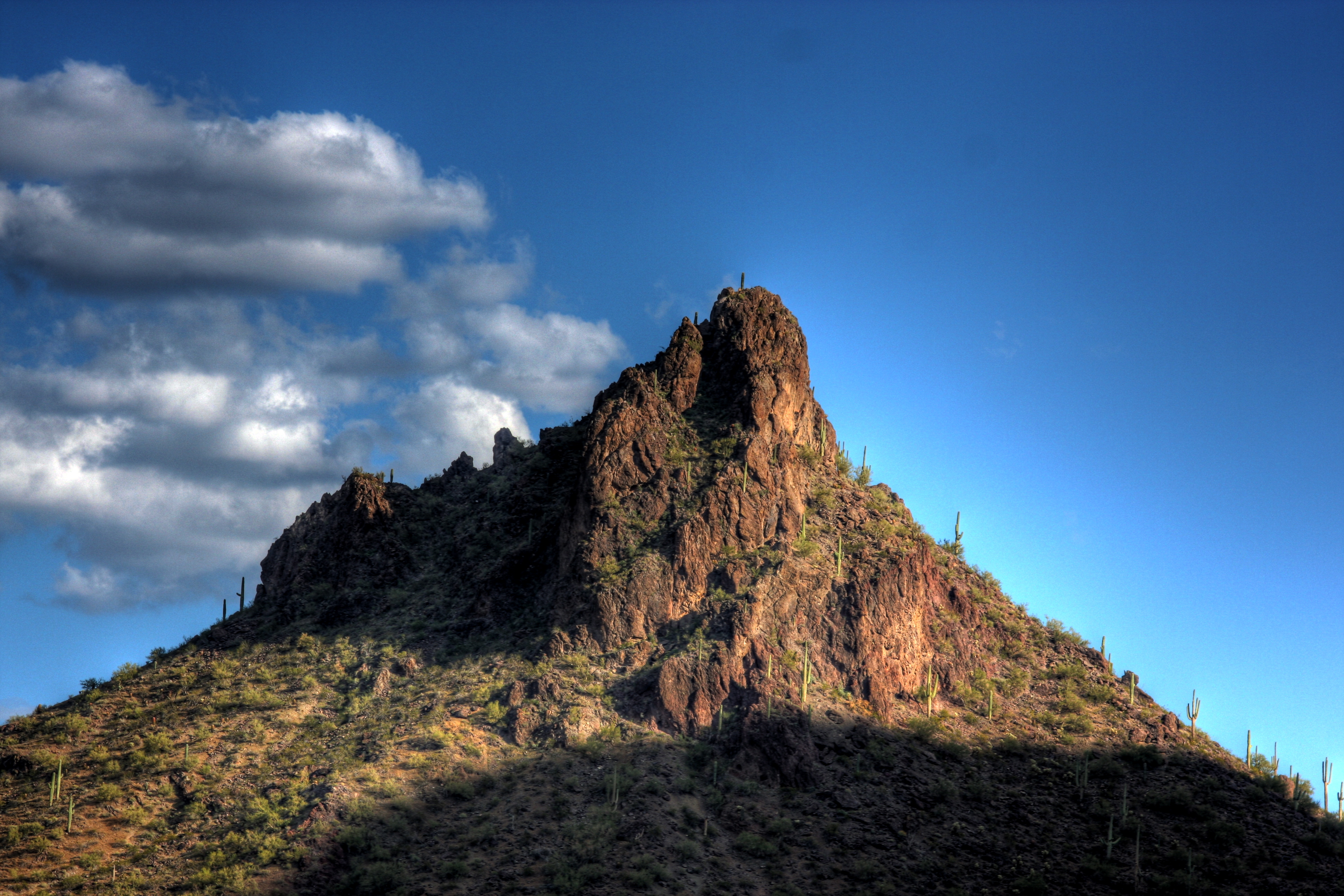
Presidio San Agustín del TucsonThe Presidio San Agustín del Tucson Museum is a re-creation of the Tucson Presidio built in 1775, the same year that the Anza expedition passed through along the Santa Cruz River along the overland route that would establish the city of San Francisco and Spanish power in Alta California. An Anza NHT Passpost Stamp is located here. 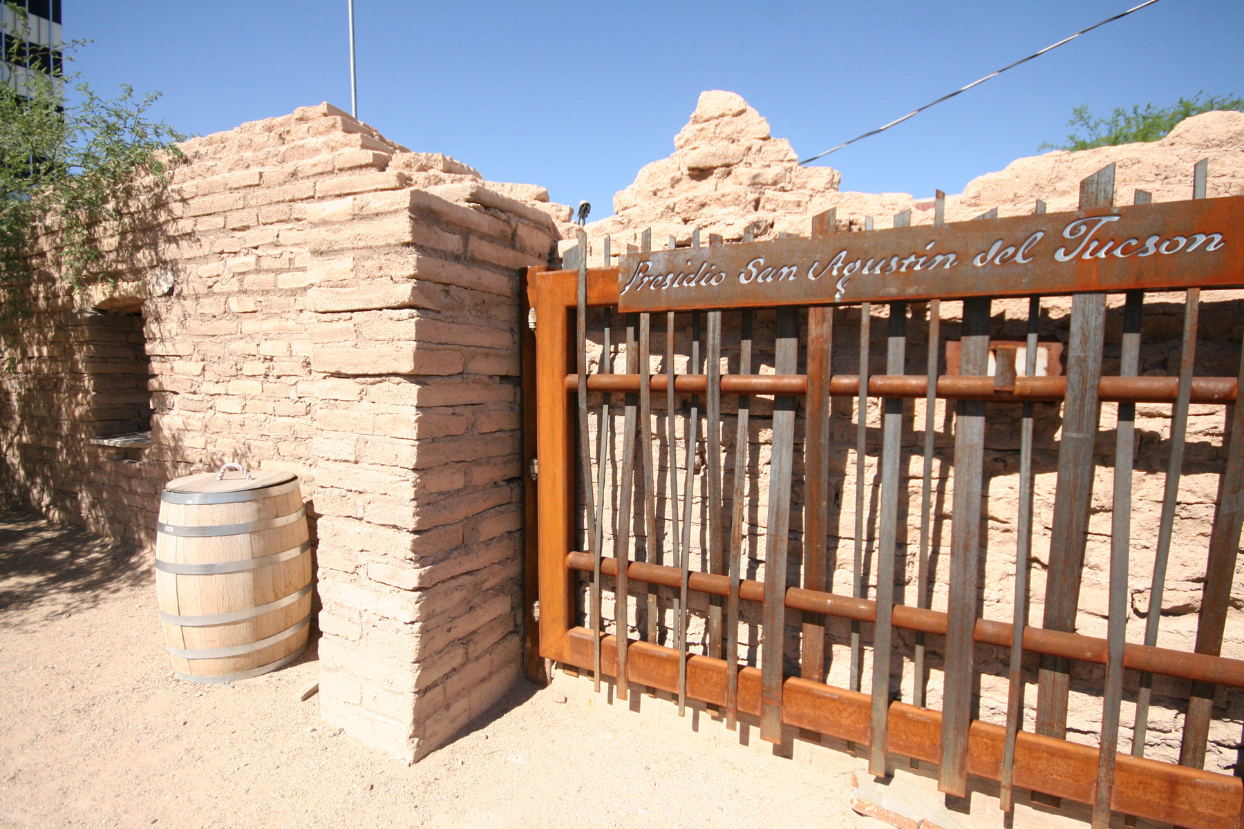
Puerto del Azotado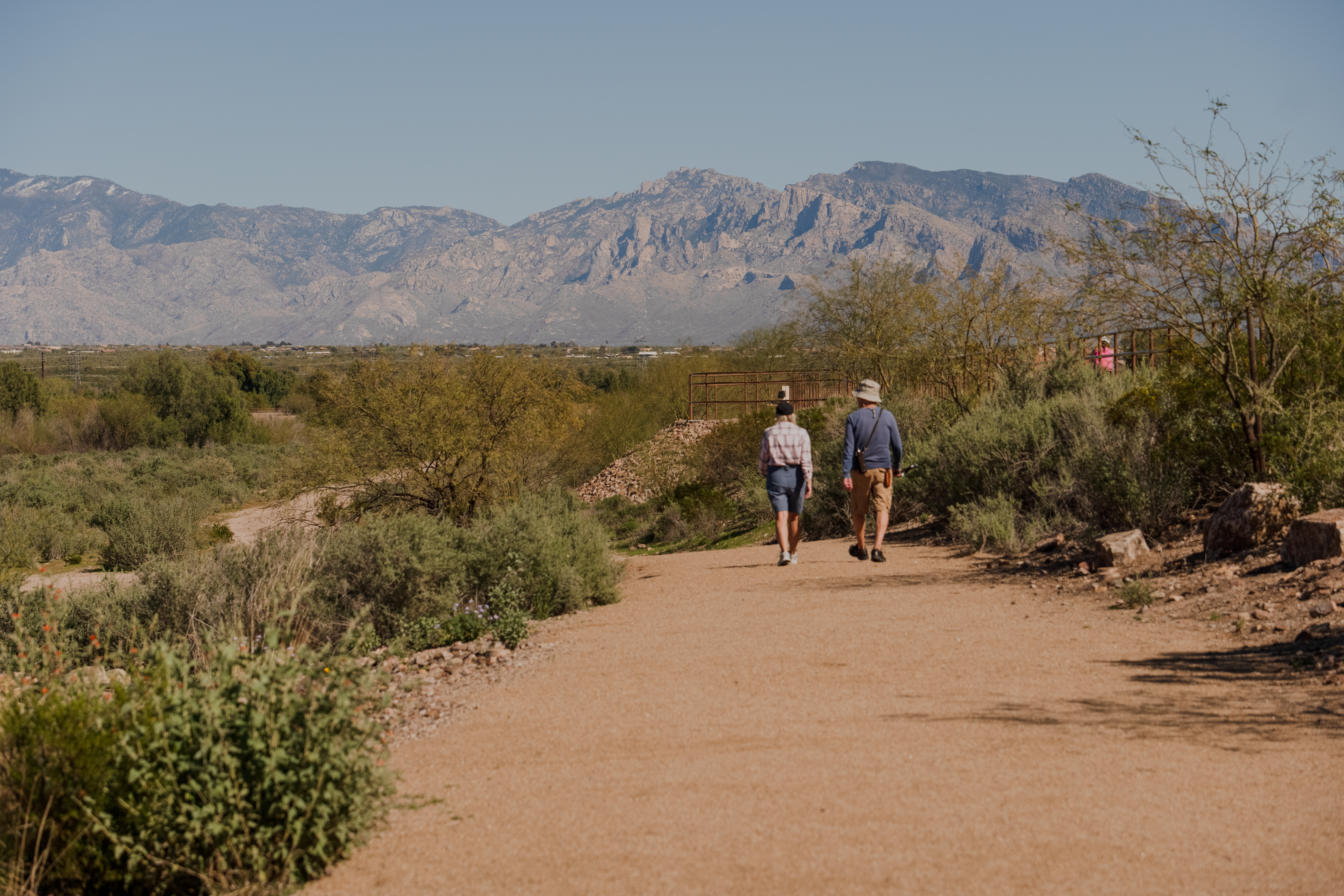
Roberto-Suñol Adobe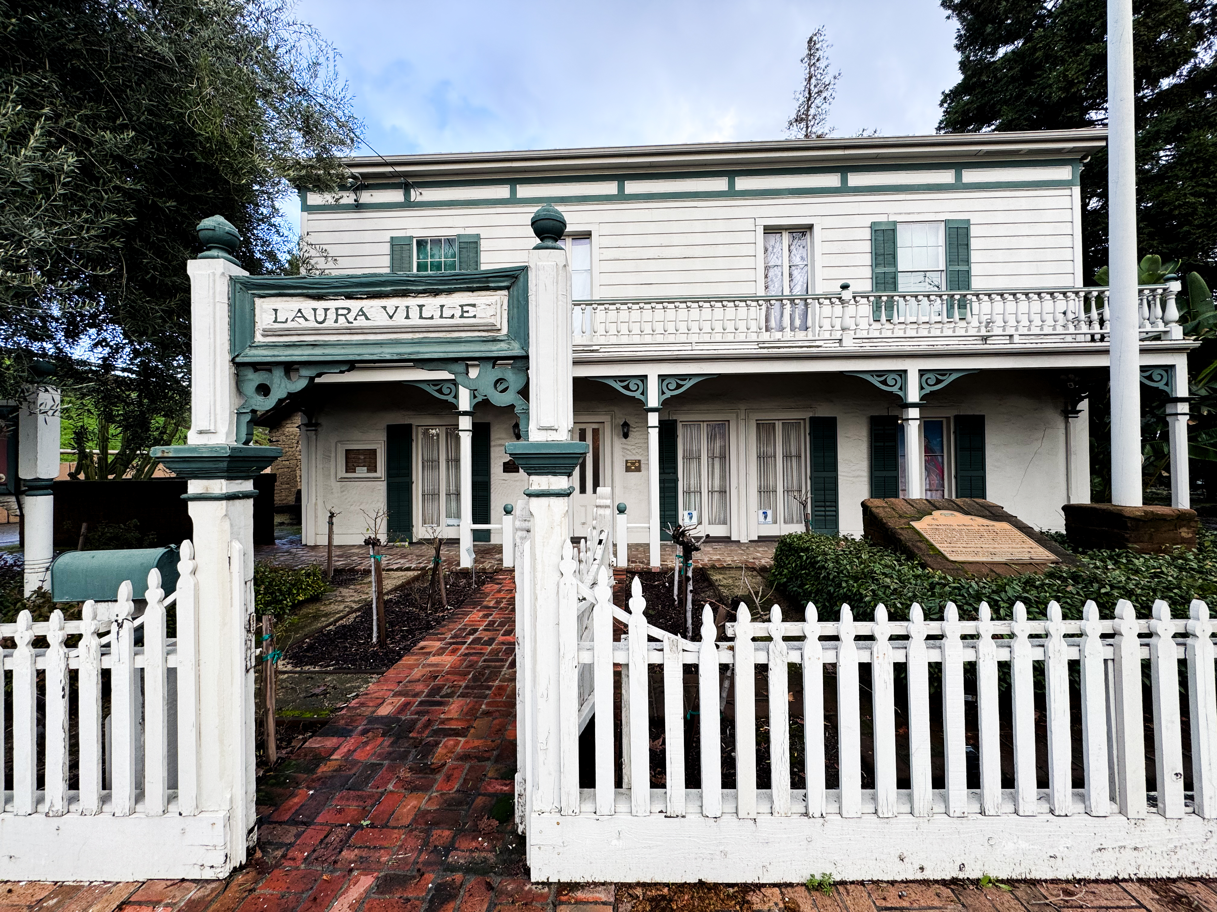
Saguaro National Park West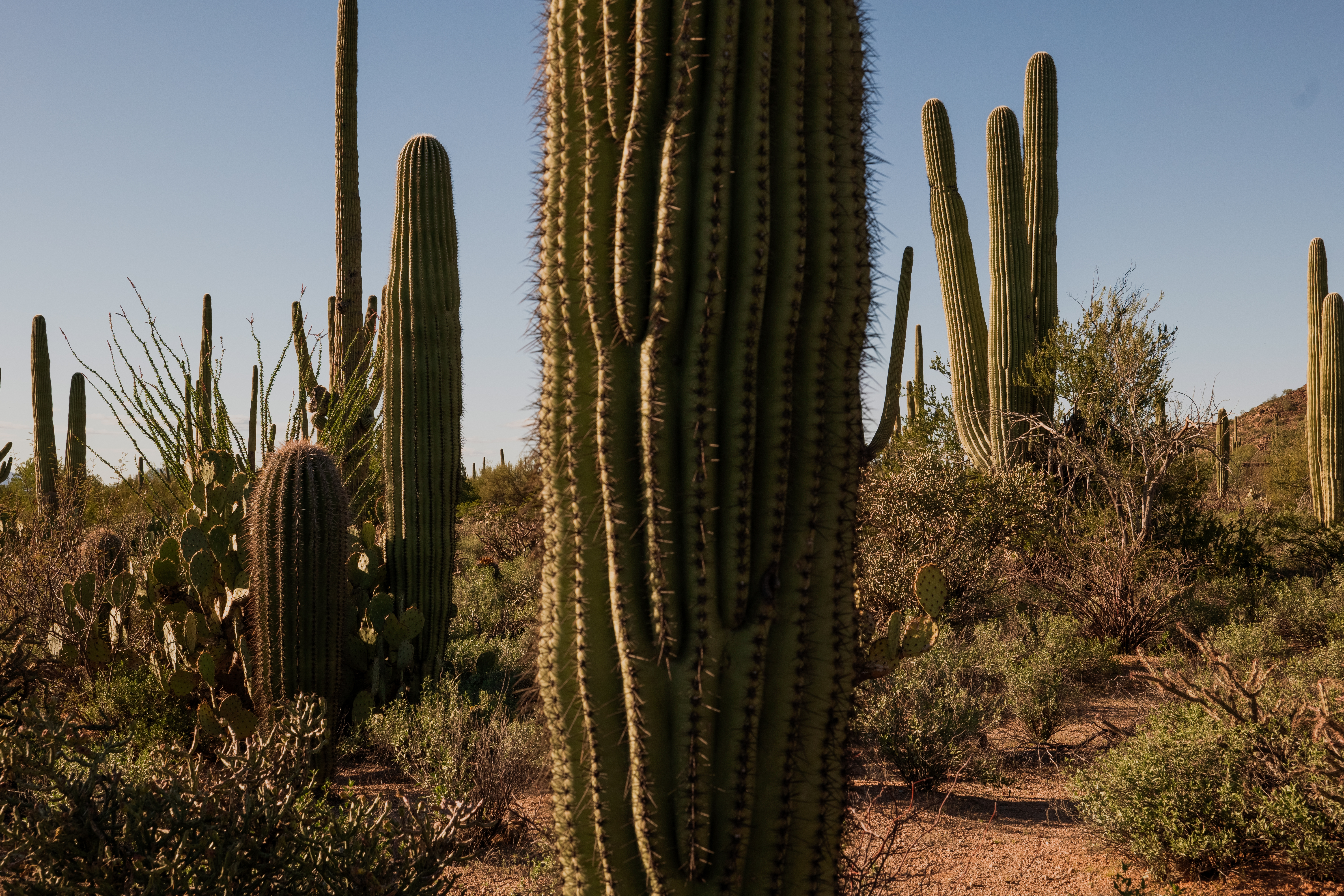
San Cayetano de CalabazasOnly accessible during guided tours, the Calabazas mission site offers an excellent perspective on the adaptive re-use of mission-era buildings through the Civil War period and beyond. 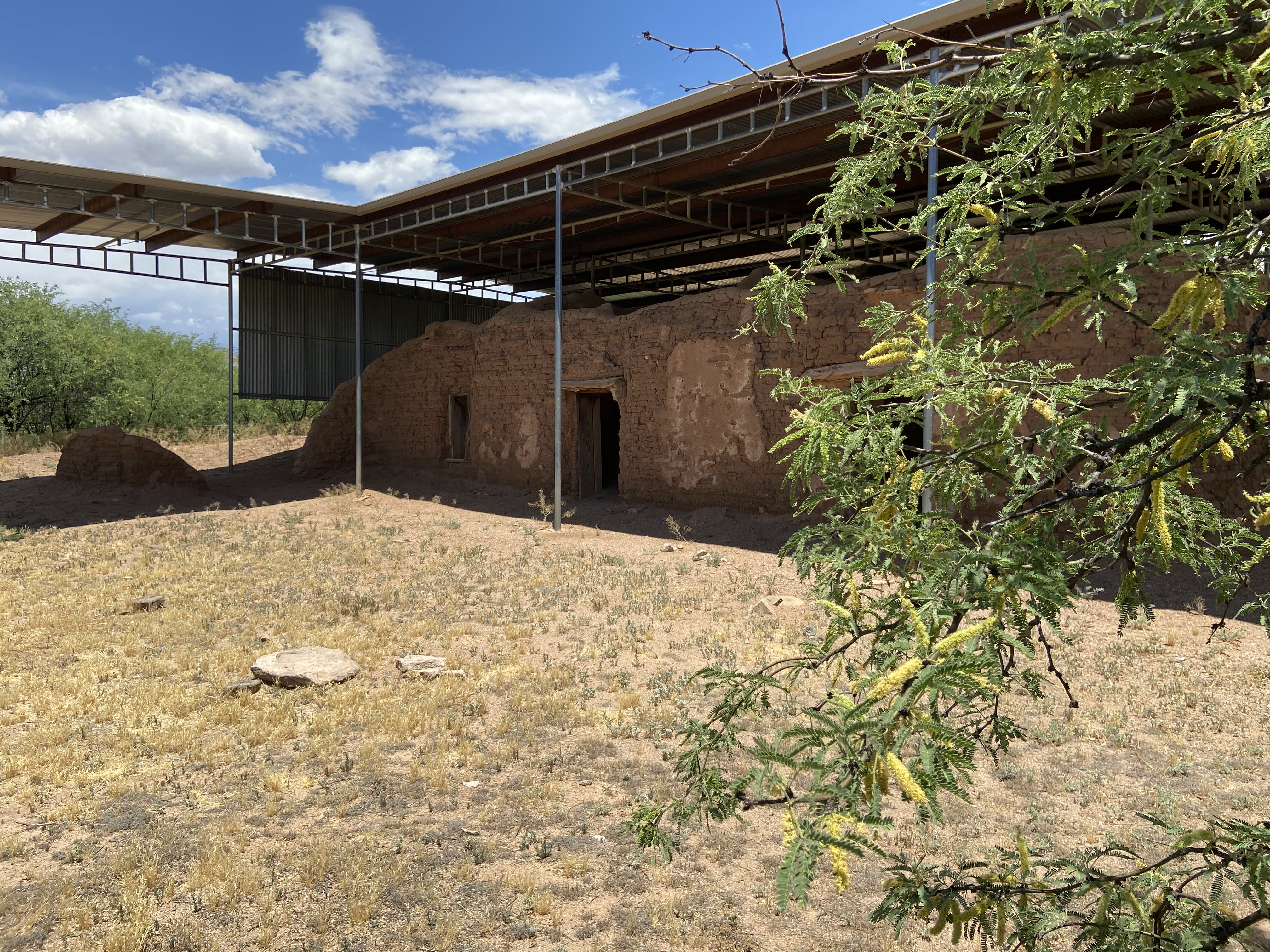
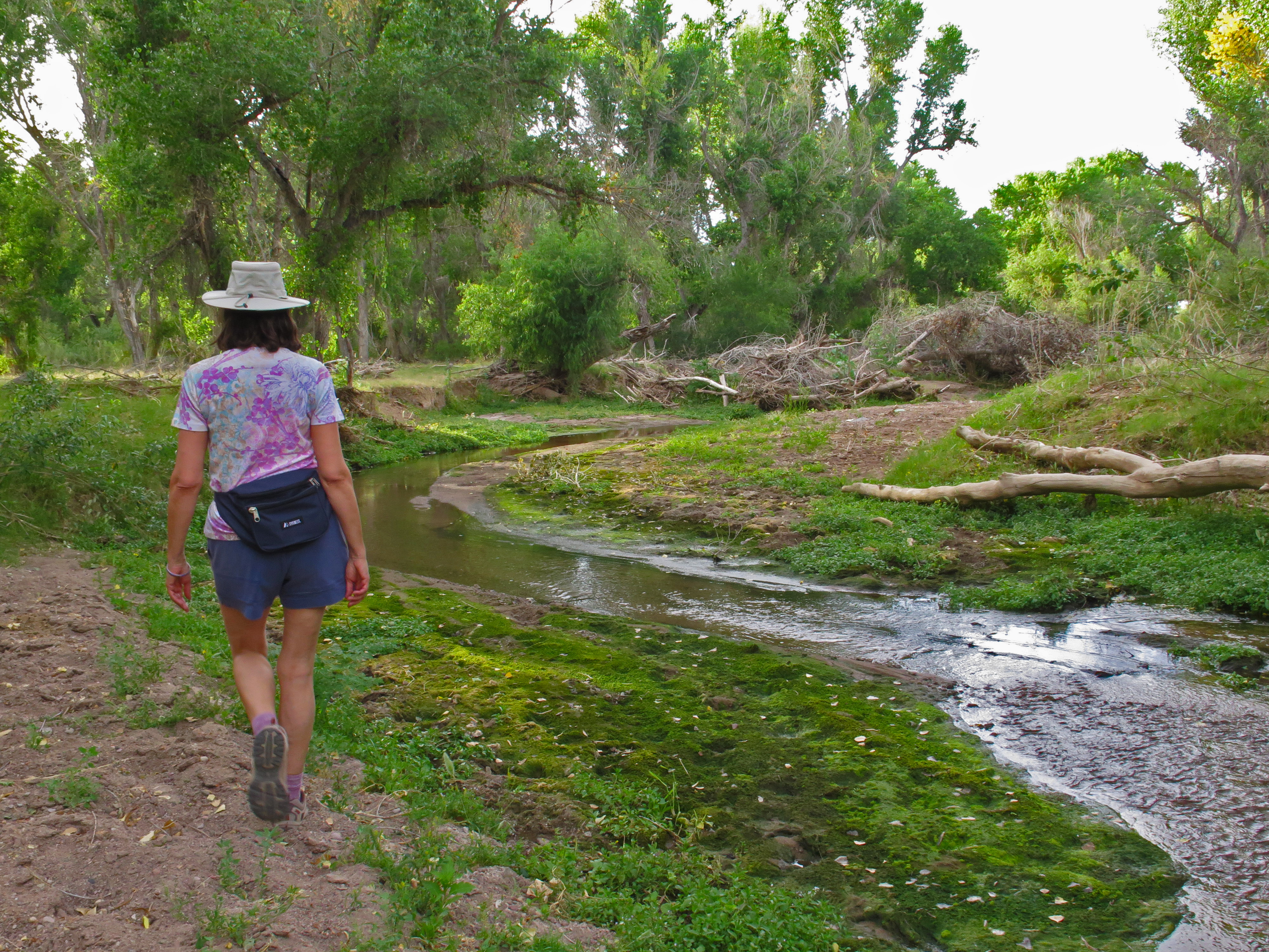
Santa Cruz RiverThe Santa Cruz River is an international waterway. It begins in the San Rafael Valley, flows southward into Mexico, then makes a U-turn back into the United States. Here, it flows from south to north, eventually joining the Gila River. The river creates essential habitat and a wildlife corridor for threatened and endangered species. 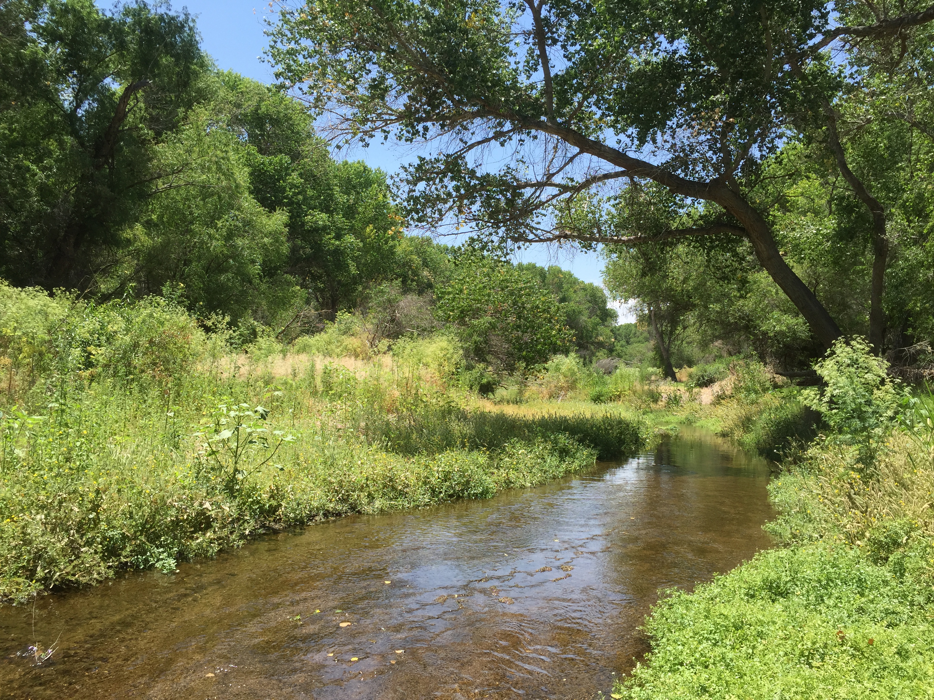
Santa Cruz River Park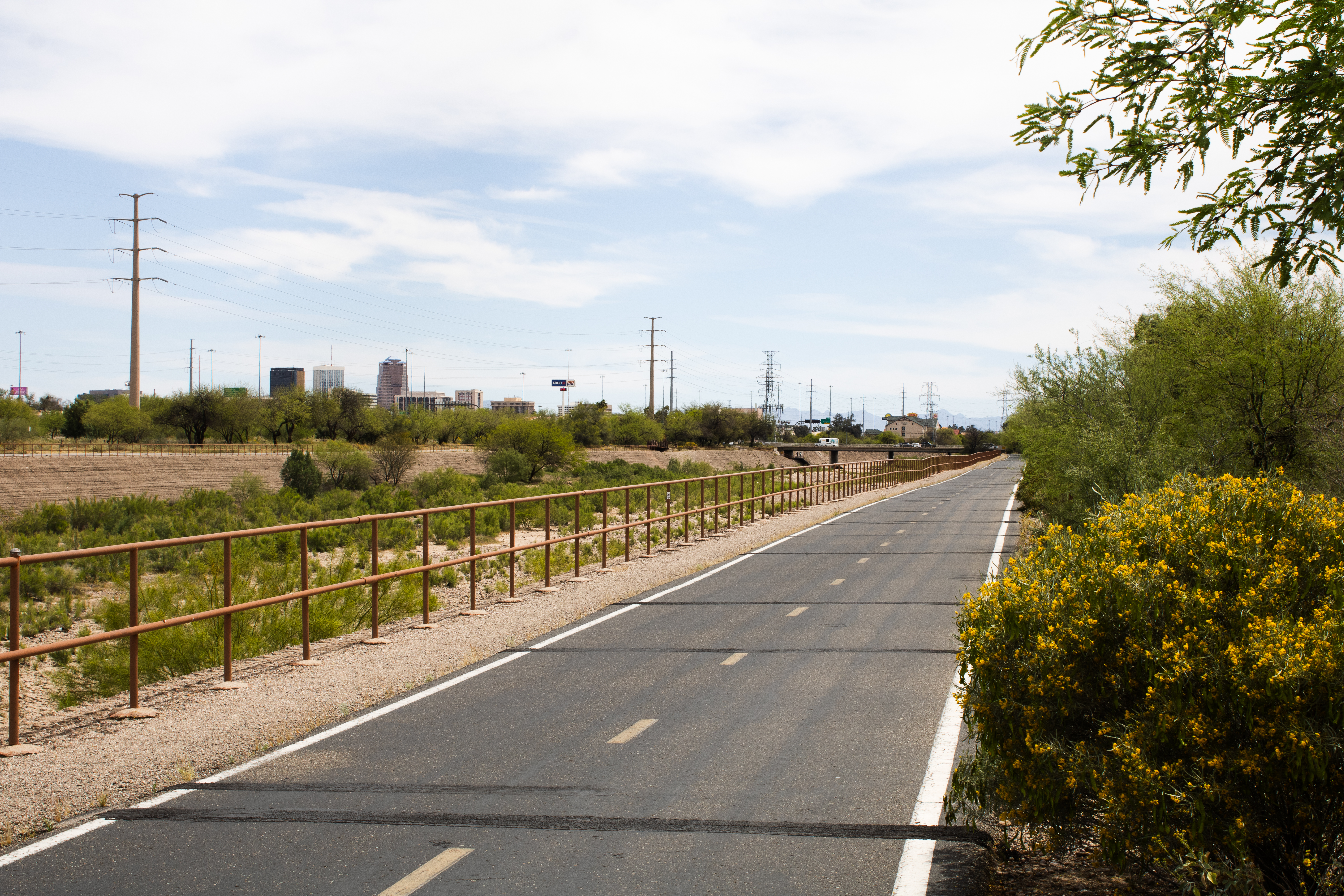
Santa Cruz Valley National Heritage AreaSanta Cruz Valley National Heritage Area celebrates the region’s natural resources, rich history, and heritage shaped by generations of Native American, Spanish, and Mexican cultures. 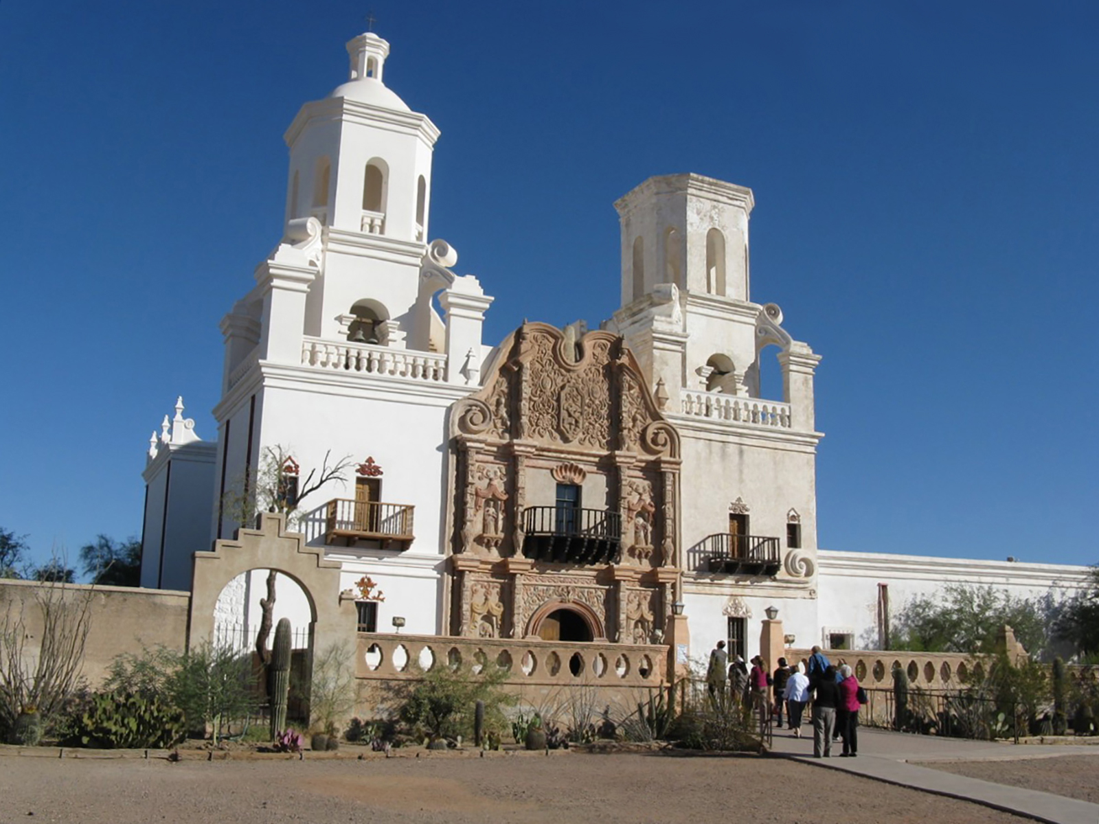
Sears PointSonoran Desert National Monument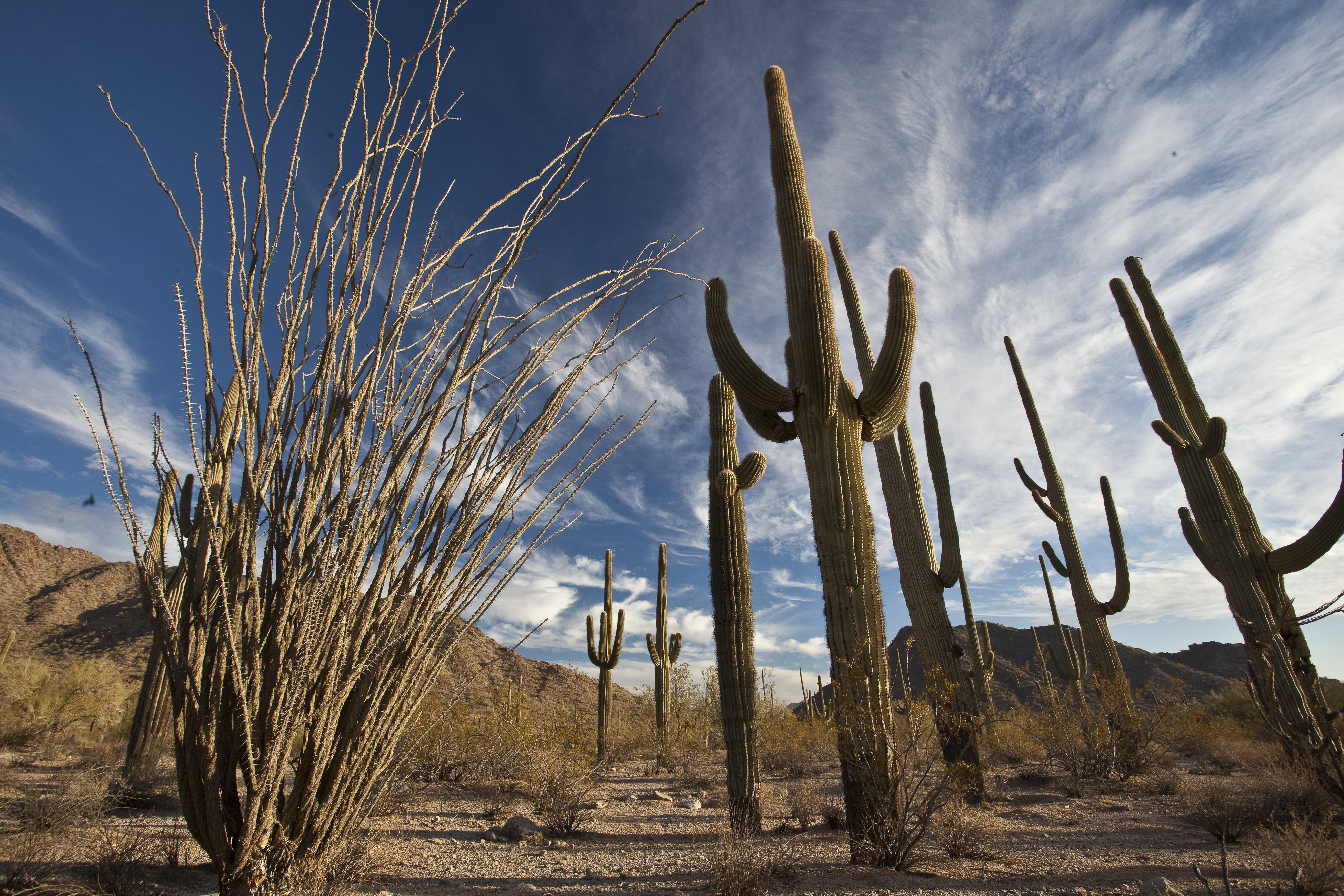
Stop 12: Juan Bautista de AnzaStop 12 of the cell phone tour for the main grounds at the John Muir National Historic Site, which houses the Martinez Adobe. This stop includes interpretive information about the history of the Anza Expedition, part of the Juan Bautista de Anza National Historic Trail. 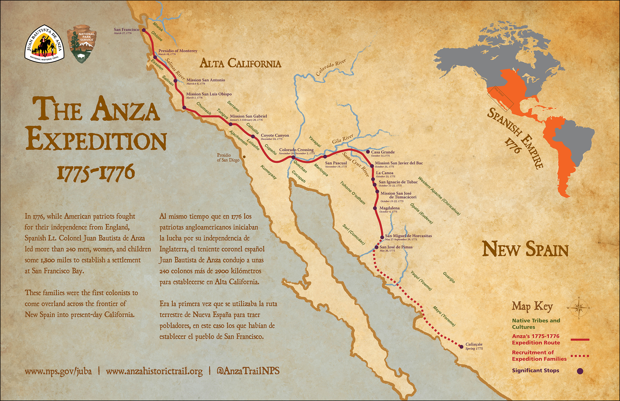
Tubac Presidio State Historic ParkTubac Presidio State Historic Park is a Spanish Colonial site in Arizona and a Certified Interpretive Site on the Juan Bautista de Anza National Historic Trail. An Anza NHT Passport Stamp is available at the visitor center. The site also provides trailhead access to a portion of the Anza Recreational Trail. 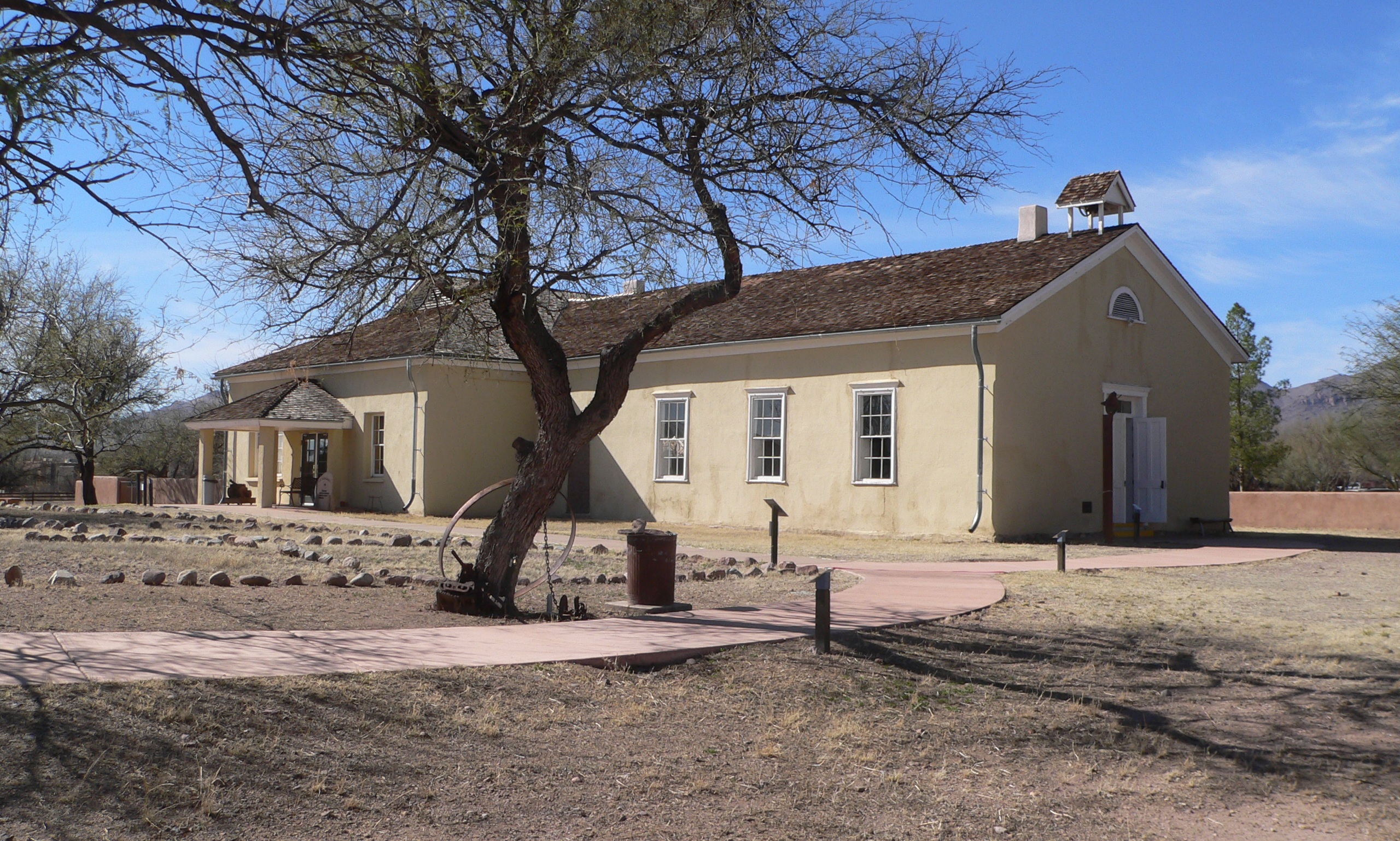
Tumacácori - Anza Trail JunctionThe Santa Cruz River has long been a highway of trade and travel. Prehistoric people followed the river to trade with neighbors. The O’odham farmed along the river, using the floodplain and low banks to grow crops. Later, missionaries and explorers would rely on these existing networks to colonize the area. 
Tumacácori Visitor Center - Mission ModelThe mission community included housing for the mission residents and the priest, workshops, class rooms, a cemetery, a mortuary chapel, an irrigation system, gardens, orchards, and grazing lands. In fact, a mission did not always have a church. Tumacácori was established as a mission in 1691, but it did not have a dedicated church building until 1756, over sixty years later. 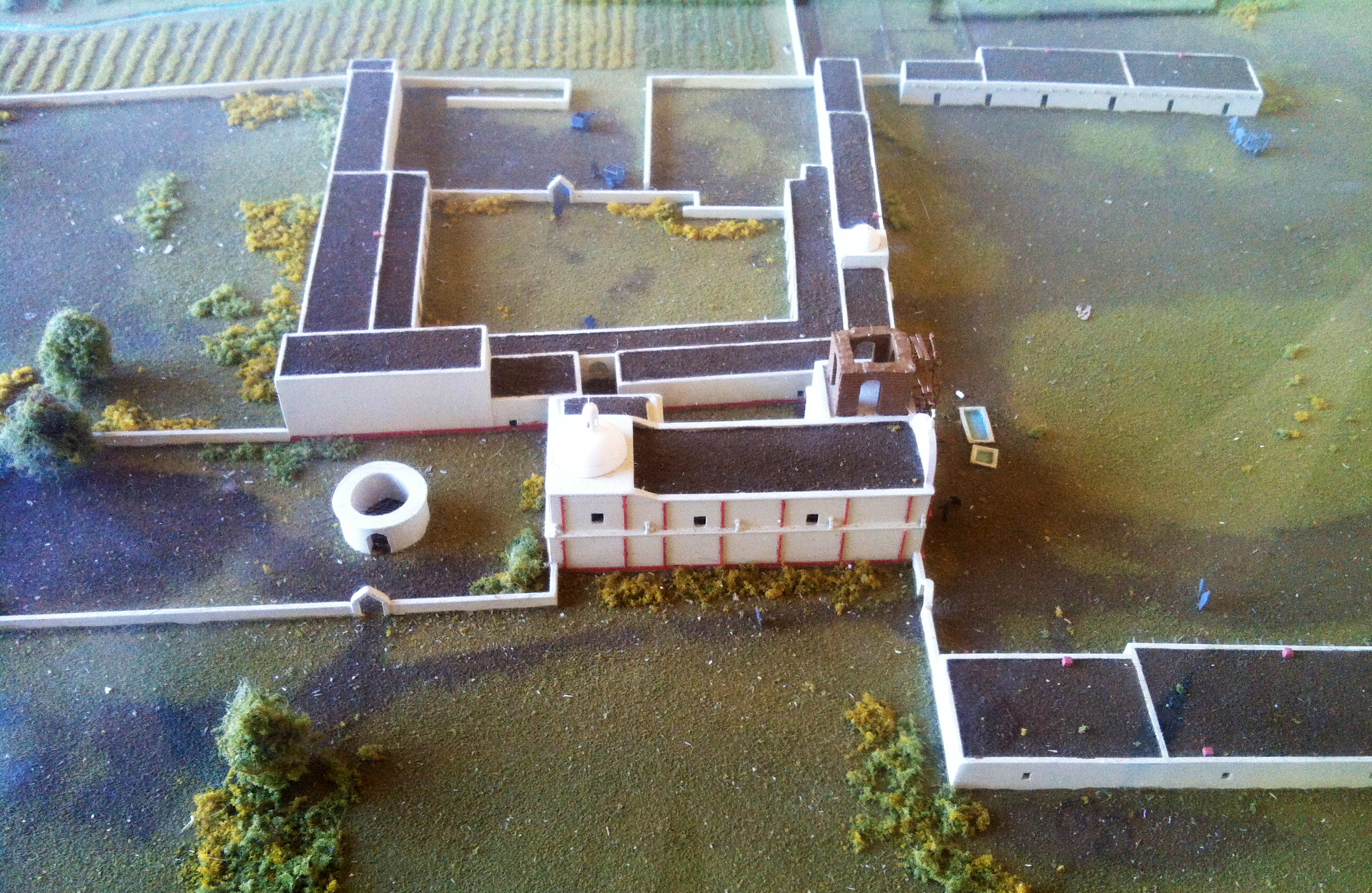
Waterbird Regional PreserveYuma Crossing National Heritage AreaThe Colorado River crossing at Yuma, Arizona, has a rich history, accented in recent years by irrigation works that have transformed the region into an agricultural oasis. But in the process, riparian areas suffered and the riverfront became blighted. Today, Yuma Crossing National Heritage Area is working to restore the region’s wetlands and reconnect the city to its historic downtown. 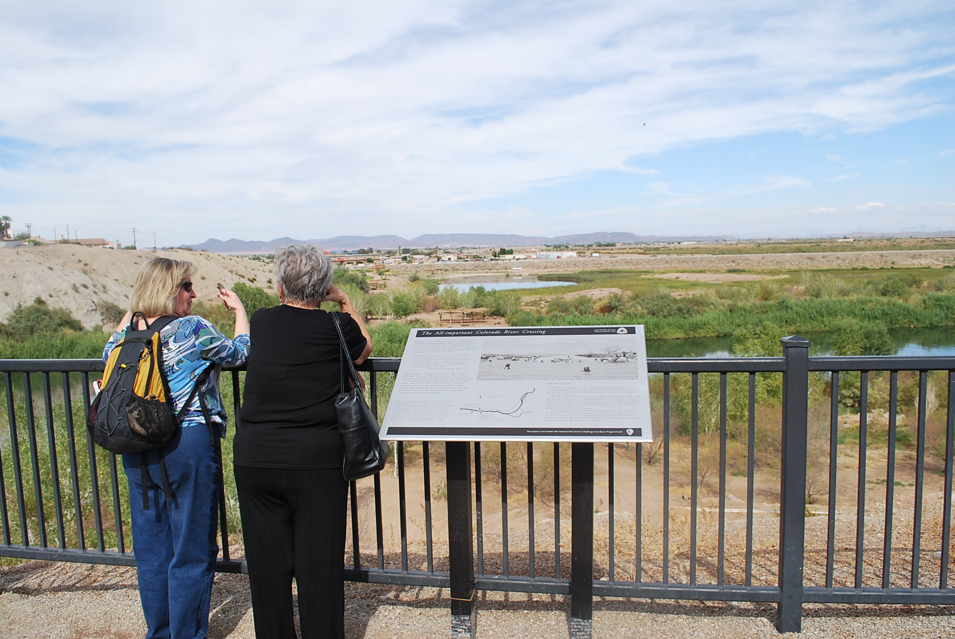
|
| Visitor Centers | Count: 8
Anza-Borrego Desert State Park Visitor Center
Big Break Visitor Center at the Delta
Gila Bend Visitor Center
Griffith Park Visitor Center
Saguaro National Park East - Rincon Mountain District Visitor Center
Saguaro National Park West - The Red Hills Visitor Center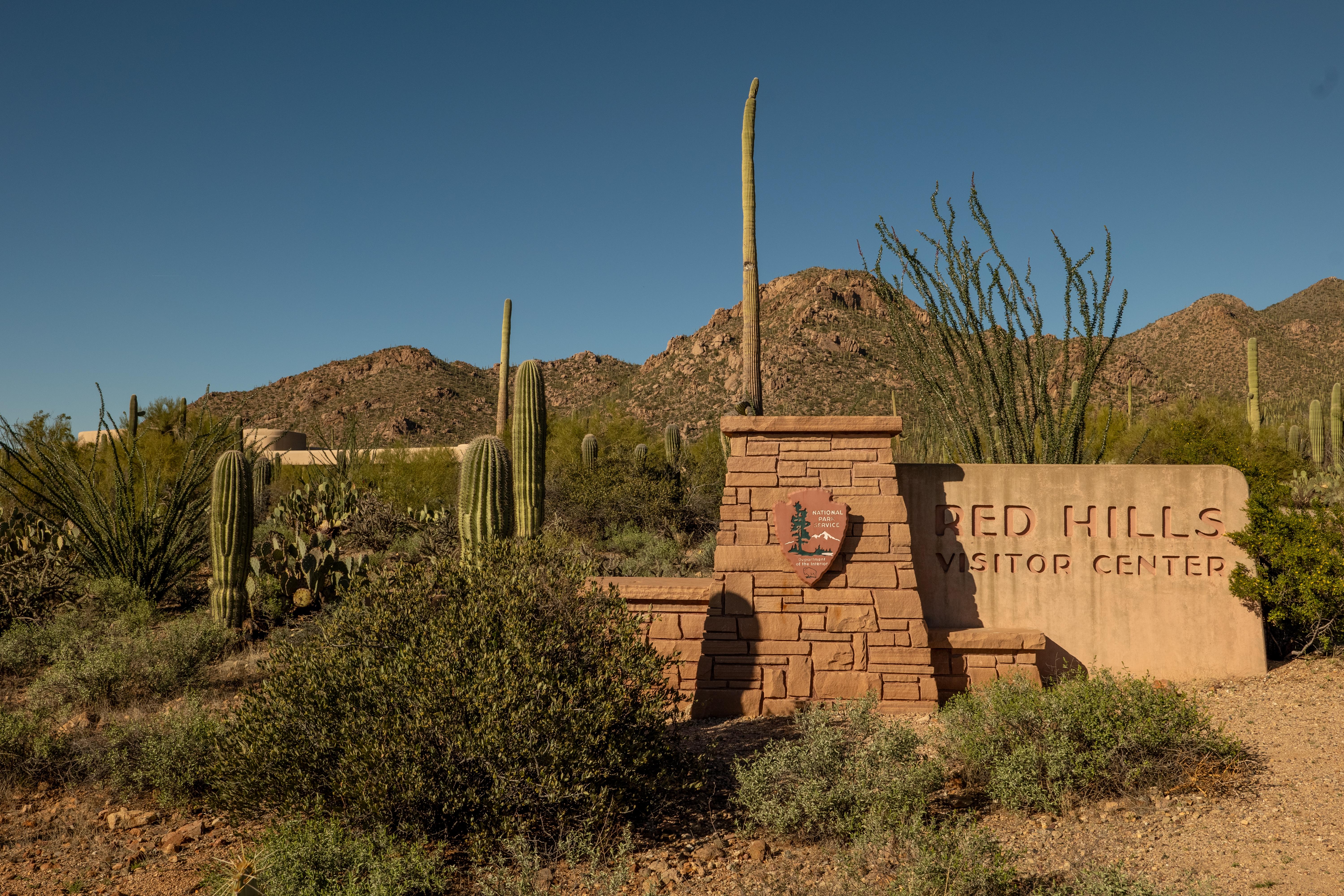
Santa Monica Mountains Anthony C. Beilenson Interagency Visitor Center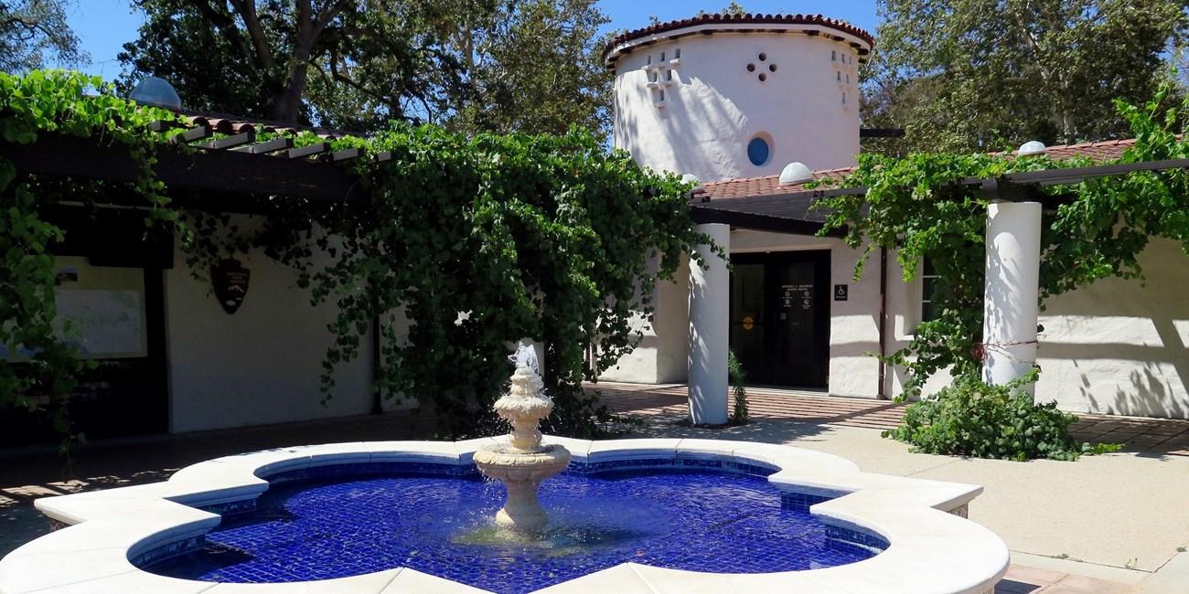
William Penn Mott, Jr. Presidio Visitor Center
|
| Things to do | Count: 7
|
| Tours |
Count: 0
|
| Articles |
|