Green River Ferry Temporarily Closed
The Green River Ferry is temporarily closed for several months while repairs are made to its navigational system and support towers which sustained extensive damage during flooding in April 2025.
Temporary Closure of Select Trails for Rehabilitation Project
The Old Guides Trail, Heritage Trail, Sunset Point Trail and areas of the Sinkhole Trail are currently closed due to a trail rehabilitation project.
Tickets are required to enter Mammoth Cave
Reservations are strongly recommended. Reservations are the only way to ensure a spot is available for your party. Please plan accordingly by visiting Recreation.gov to secure your tickets in advance. Availability of walk-up tickets is not guaranteed.
| Title | Mammoth Cave |
| Park Code | maca |
| Description | Rolling hills, deep river valleys, and the world's longest known cave system. Mammoth Cave National Park is home to thousands of years of human history and a rich diversity of plant and animal life, earning it the title of UNESCO World Heritage S... |
| Location | |
| Contact | |
| Activities |
|
| Entrance fees |
|
| Campgrounds | Count: 3
Houchin Ferry Campground
Mammoth Cave Campground
Maple Springs Group Campground
|
| Places | Count: 50
Audubon AvenueNamed for James Audubon, this passage houses several artifacts on display. 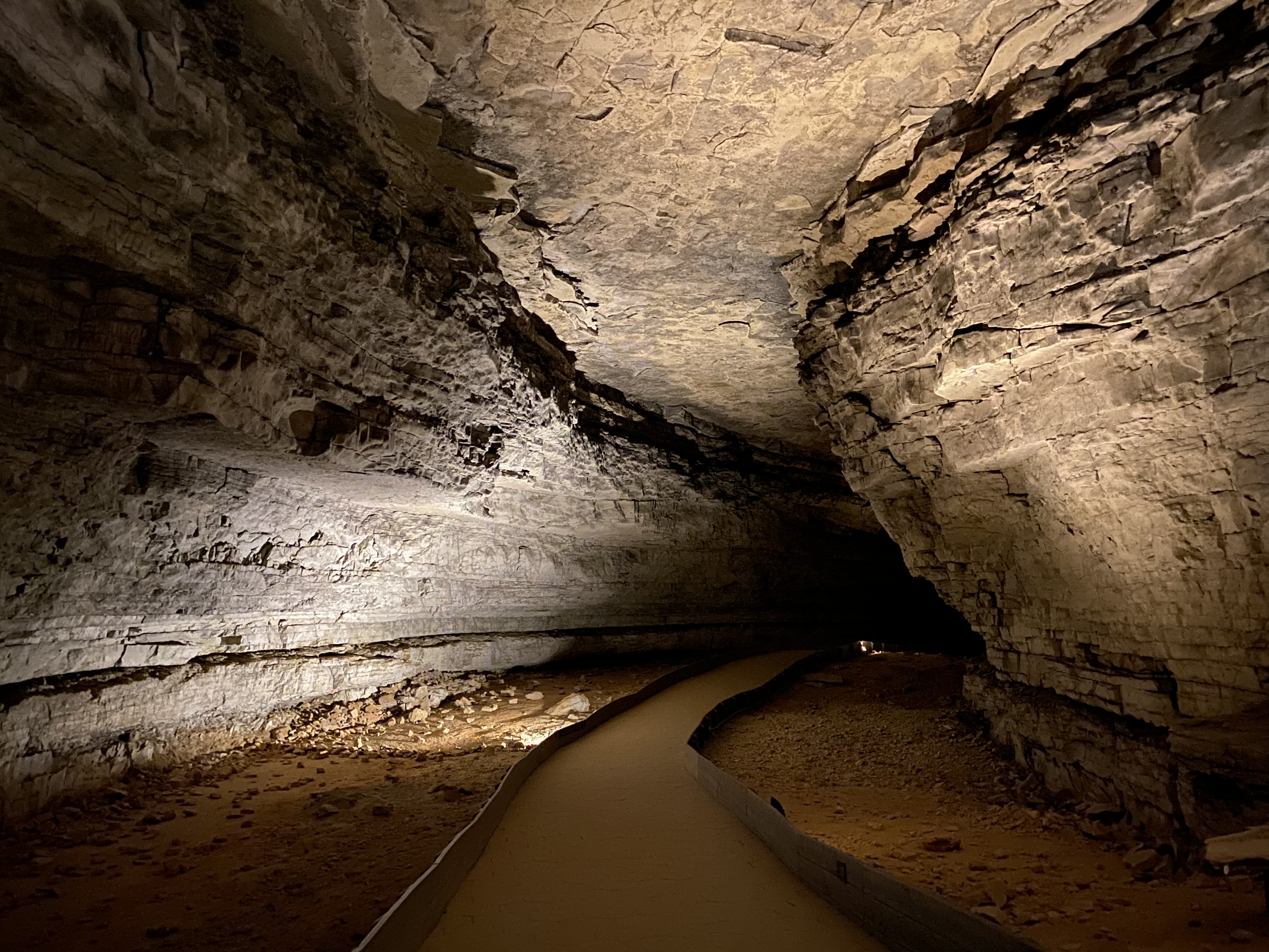
Audubon and Little Bat Avenue - Beneath Your FeetOn the Historic Tour route 149 feet beneath your feet is the intersection of Audubon and Little Bat Avenues. In the mid-1800’s cave owner Dr. John Croghan named Audubon Avenue after his friend, the famous ornithologist and Artist John James Audubon. In 1838 a visitor reported seeing “tens of thousands” of bats in Little Bat Avenue. 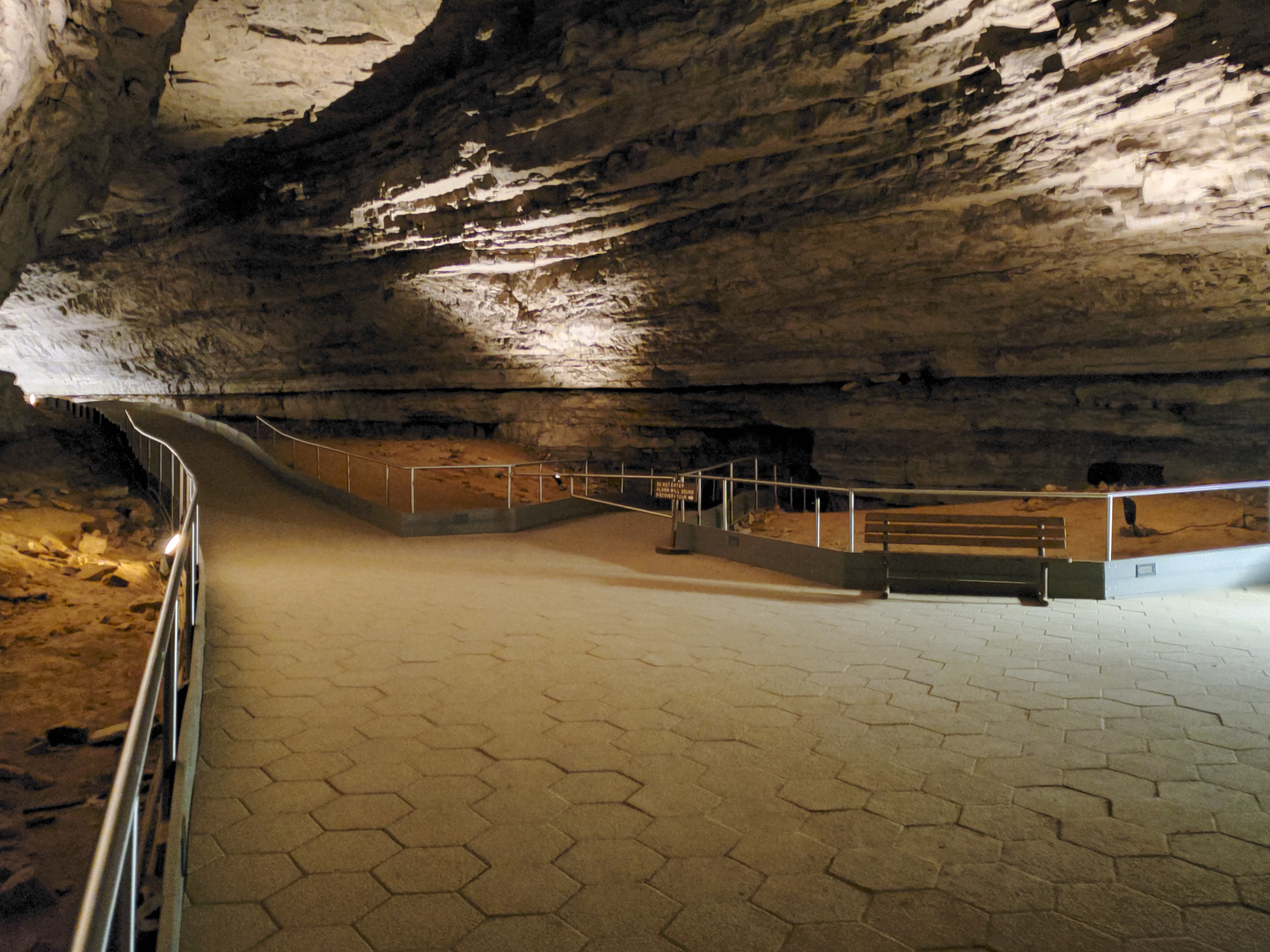
Booth's Amphitheatre - Beneath Your FeetBooth’s Amphitheatre, named after the 19th century Shakespearean actor Edwin Booth (brother of the infamous John Wilkes Booth). This is a large canyon passage there is a set of stairs that go up into Gothic Avenue, an upper oval shaped passageway; located near the stairs are also a second set of salt petre leaching vats. 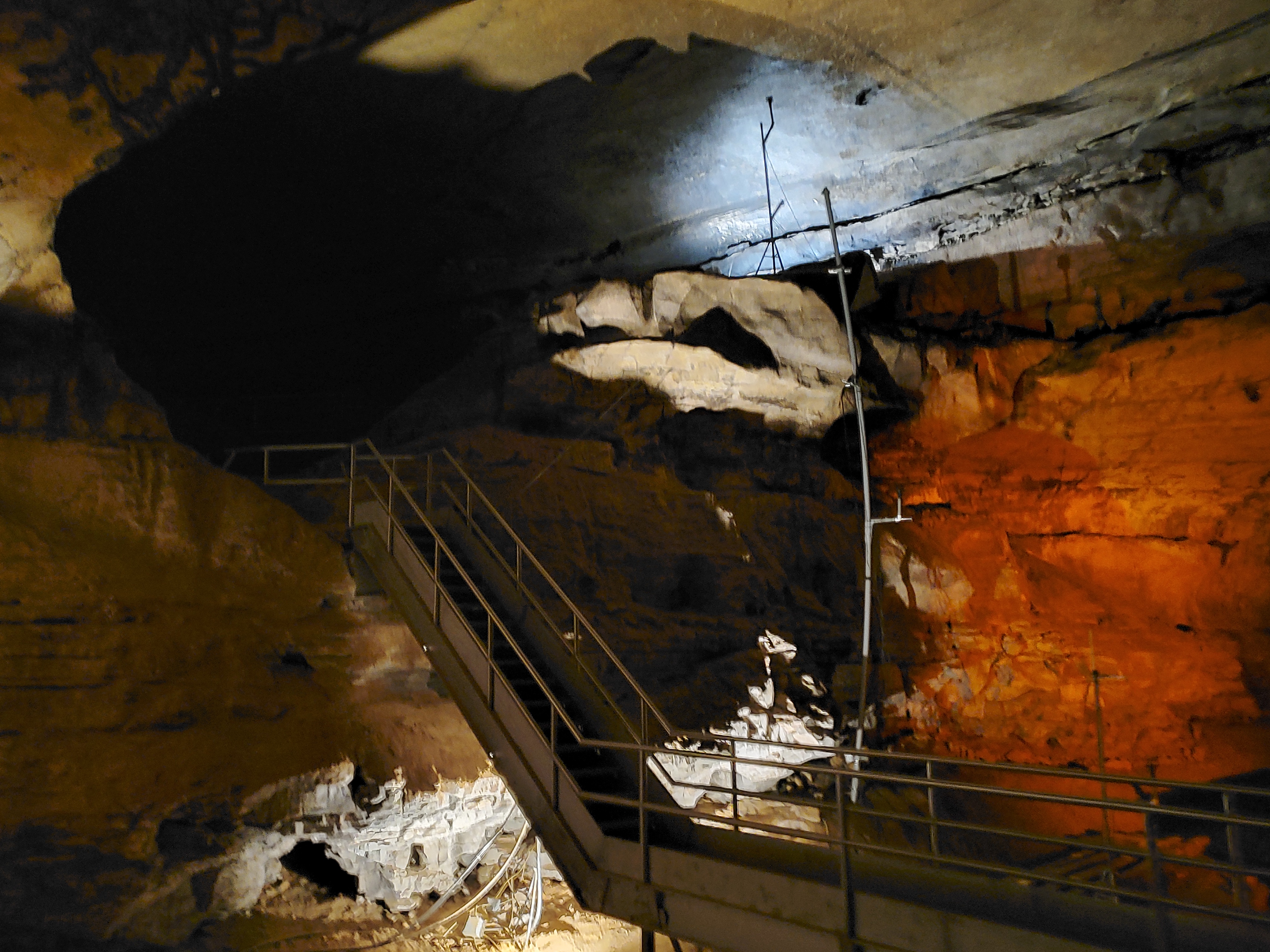
Booth’s AmphitheatreActor Edwin Booth once gave a recital of Hamlet's soliloquy from the natural stage formed by the rock outcropping. 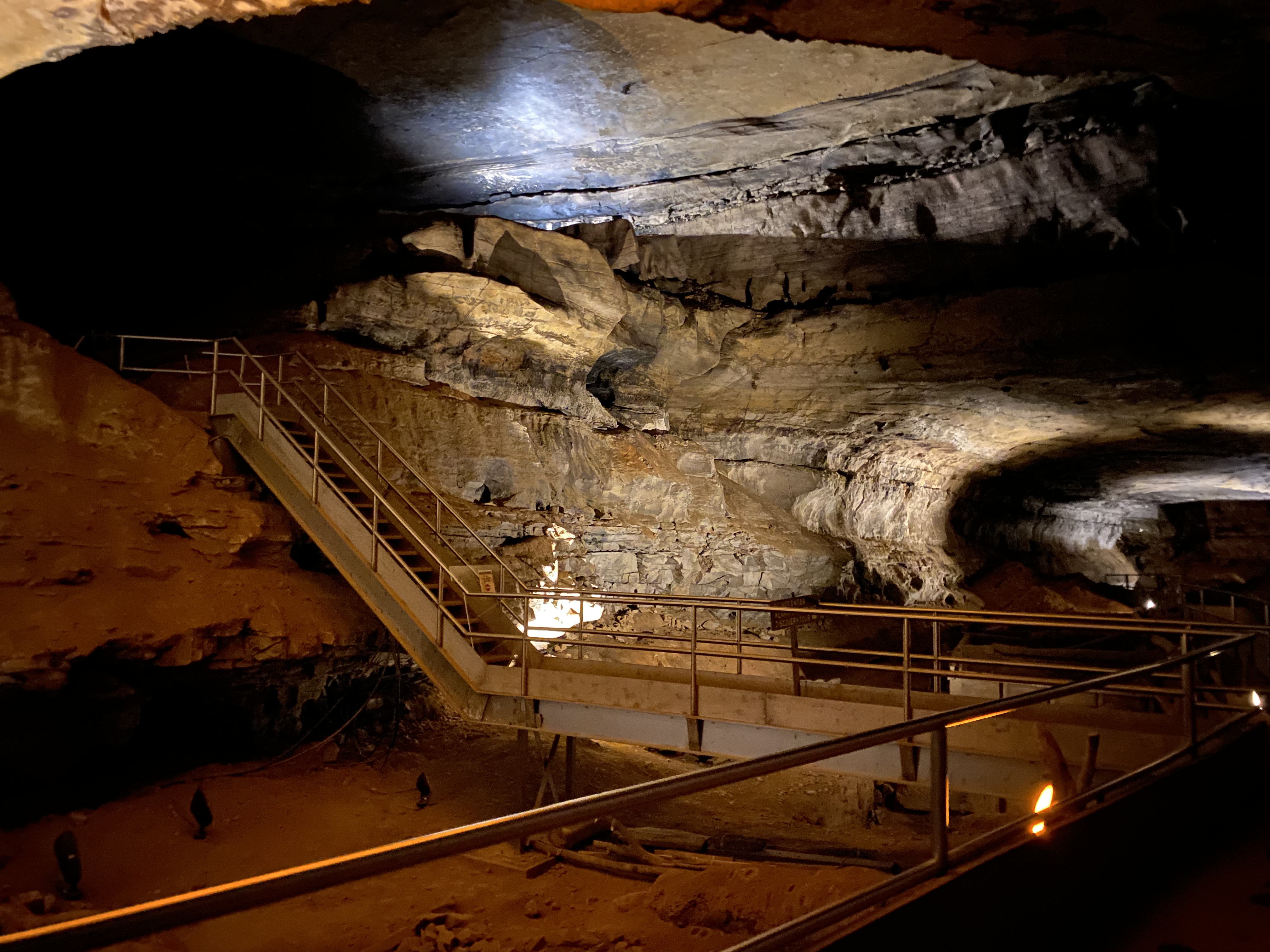
BroadwayBroadway also known as main cave continues for miles undergrounds. 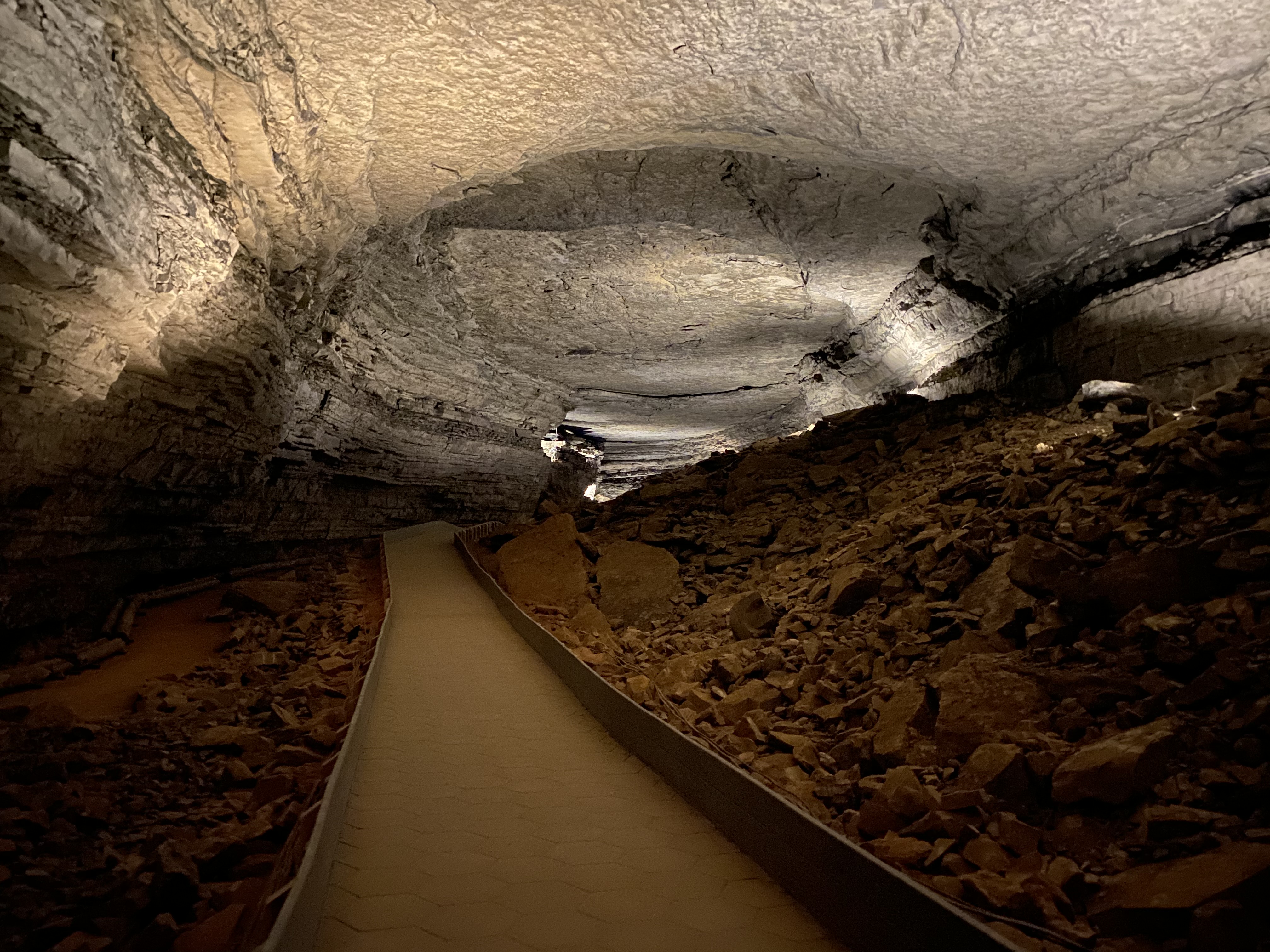
Dennison FerryDennison Ferry Day Use area is in Mammoth Cave National Park, it is about a 20 minute drive north east from the Visitor Center. This area provides anglers with concrete steps to carry a small boat down to the water. There are picnic tables, park benches and fire rings for visitors to enjoy a beautiful day in the park. Camping is not permitted in this area. Bank fishing would be difficult with the steep incline to the river. There is not an active ferry at this location. 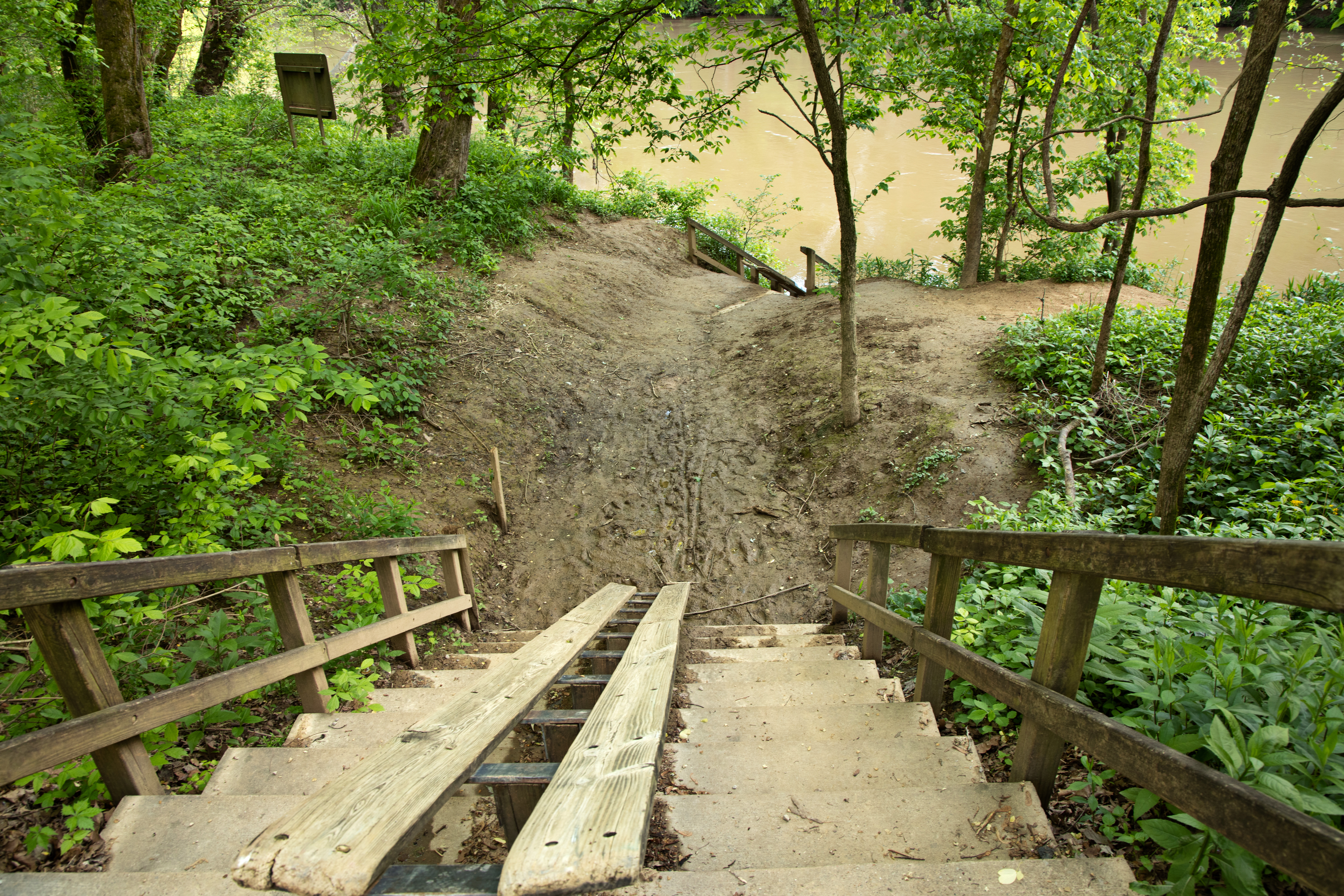
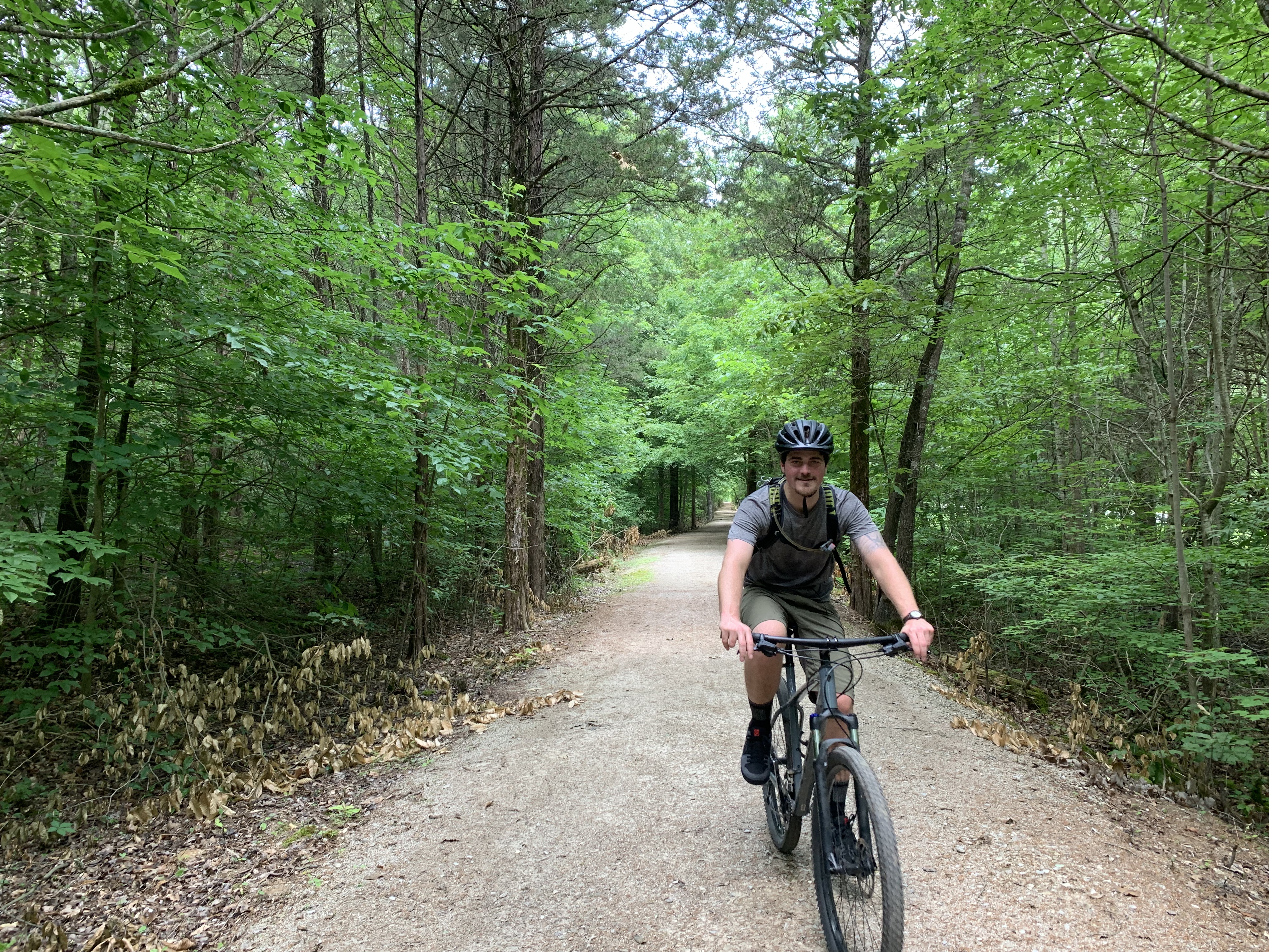
Doyel Valley OverlookThe Doyel Valley Overlook is the only scenic overlook accessible by vehicle within Mammoth Cave National Park. The overlook consists of two information panels, a picnic table. and access to the Mammoth Cave Hike and Bike trail. Access is along Mammoth Cave Parkway, 2.2 miles (3.5 km) south of the visitor center. 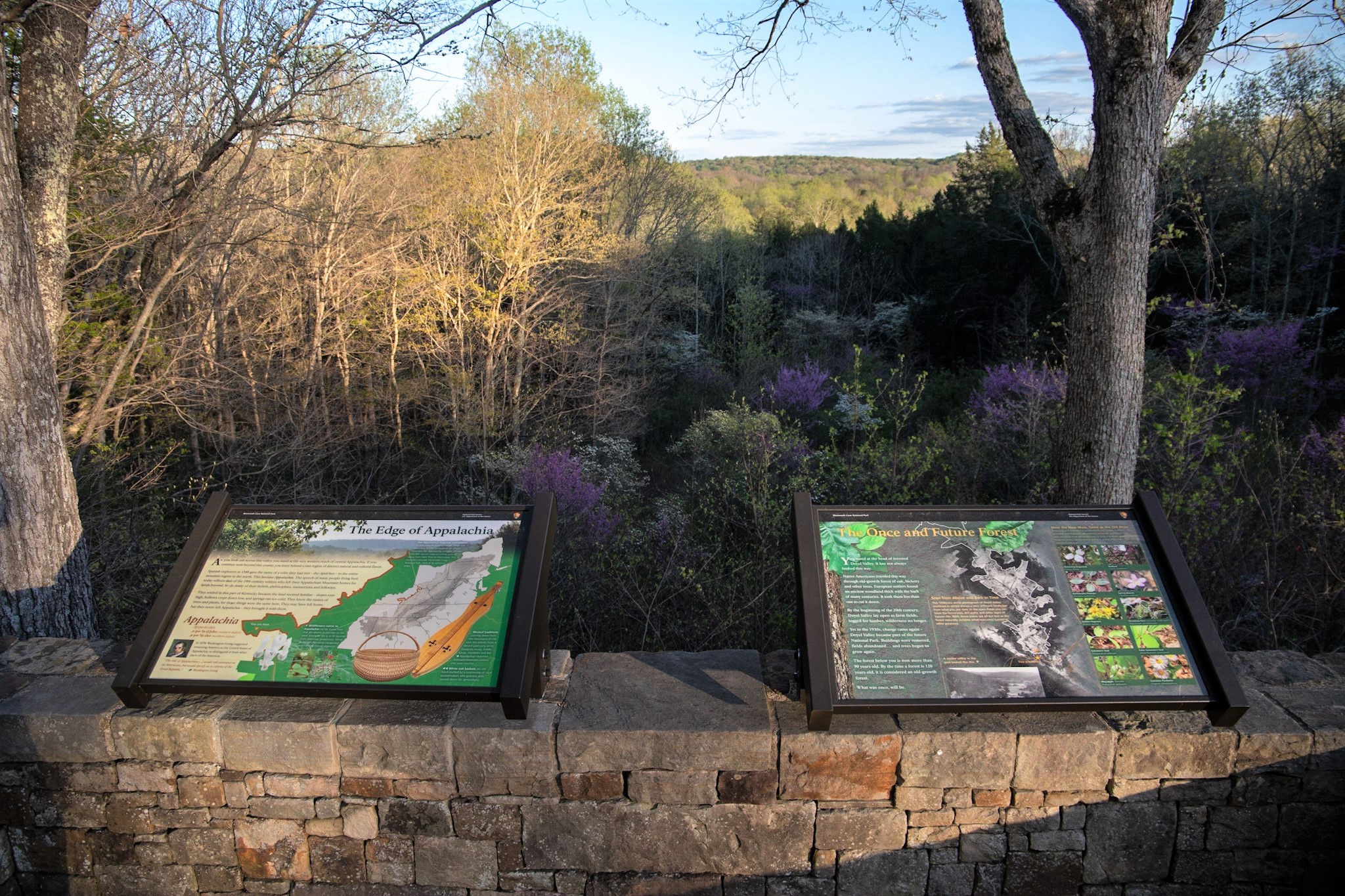
Fat Man's Misery - Beneath Your FeetFat Man’s Misery is a winding keyhole shaped passageway, the lower part of the passageway is about as wide as your hips or a little wider, above your hips the passage widens to about 5 ½ feet or more, at the very end, the floor comes up 2 feet for a 20 foot stoop walk. This is one of the most asked about and popular passages in the cave. 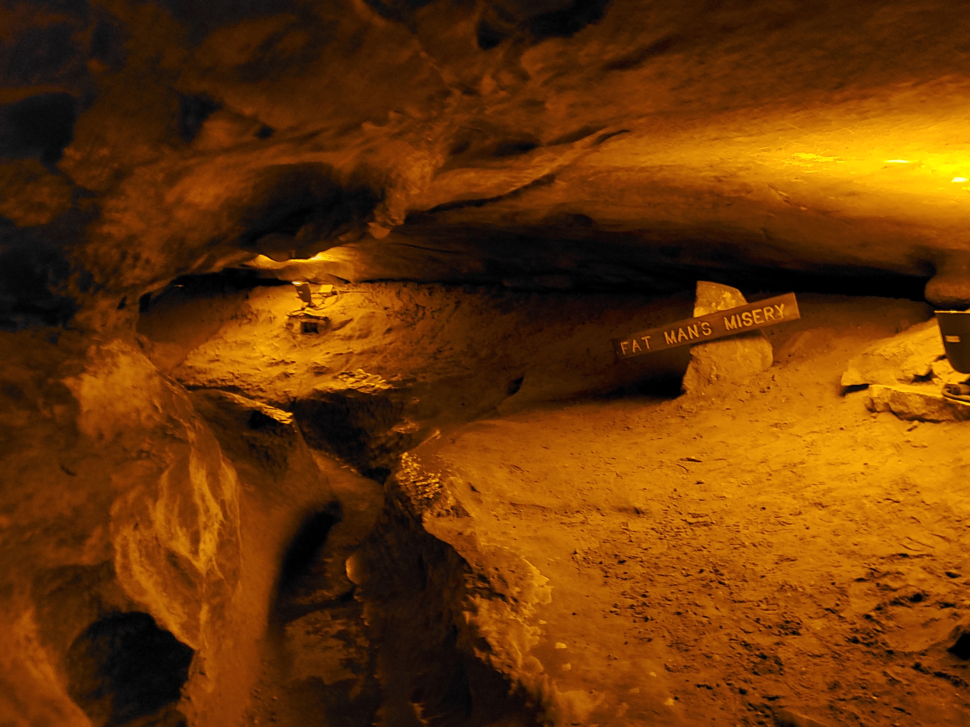
Floyd Collins HomesteadThe Floyd Collins Homestead is the location of several important aspects of the Mammoth Cave story. It is the location of the entrance to Crystal Cave, a popular show cave run by the Collins Family in the early 20th century, but also served as the early headquarters of the Cave Research Foundation, who led the efforts in exploring Mammoth Cave and eventually found the connection that made Mammoth Cave the longest cave in the world. 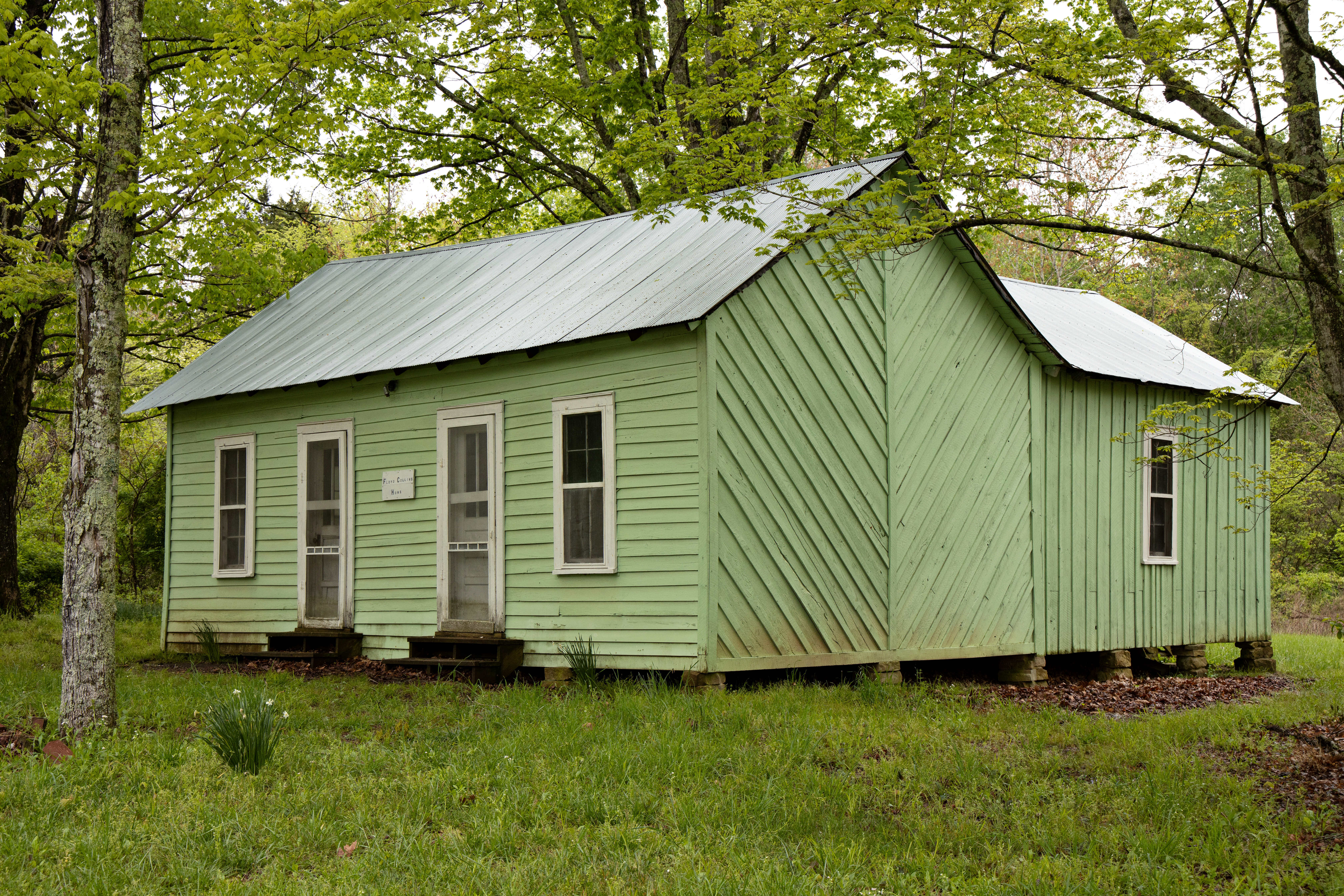
Frequently Asked QuestionsFrequently asked questions during the self-guided Extended Historic Tour of Mammoth Cave. 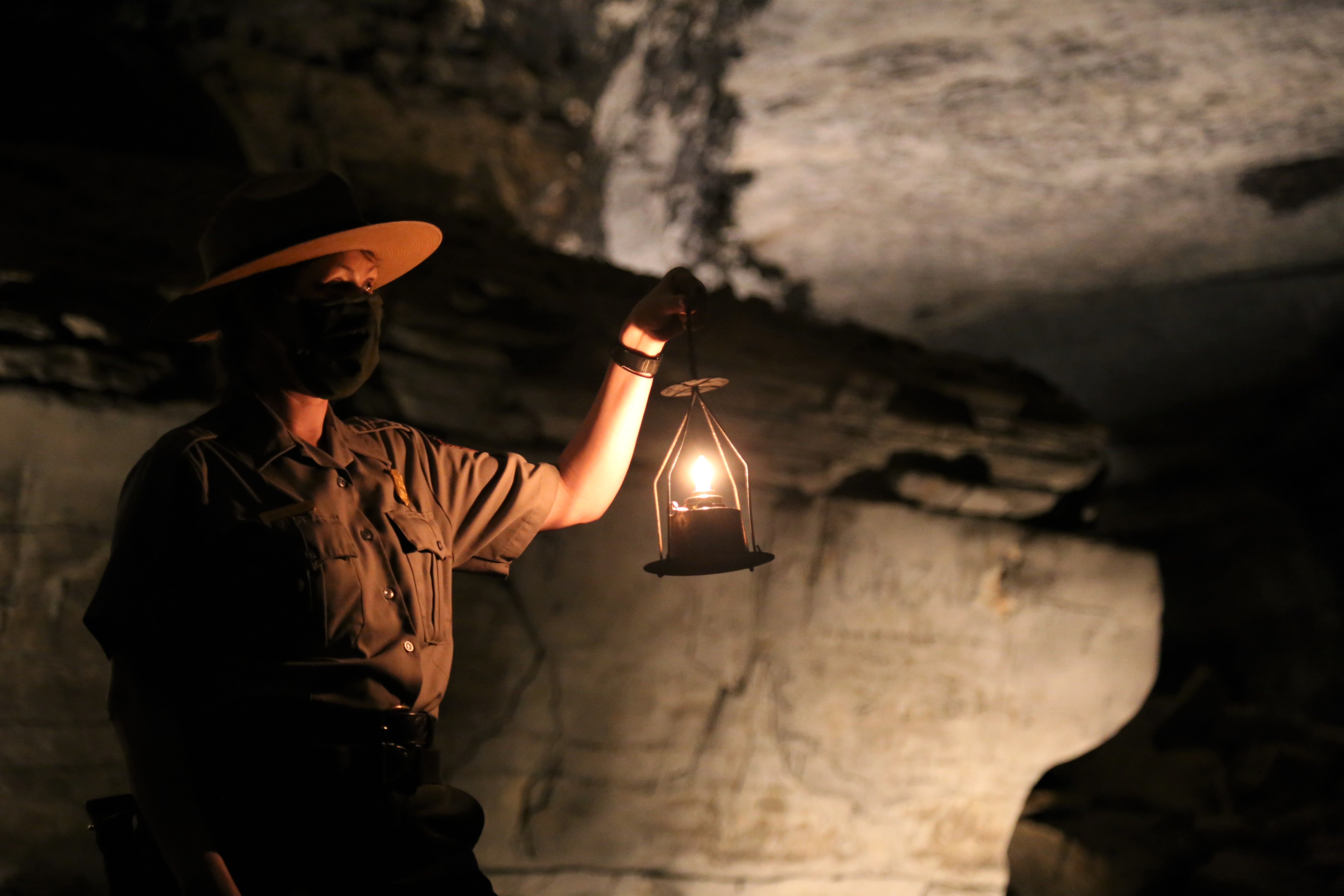
Giant's Coffin - Beneath Your FeetIn the early 1800s cave visitors called the huge, rectangular boulder 175 feet beneath your feet the “steamboat”; by the 1840s, guides and visitors decided the boulder looked more like a Giant’s coffin, the name is still used on the Historic Tour route today. 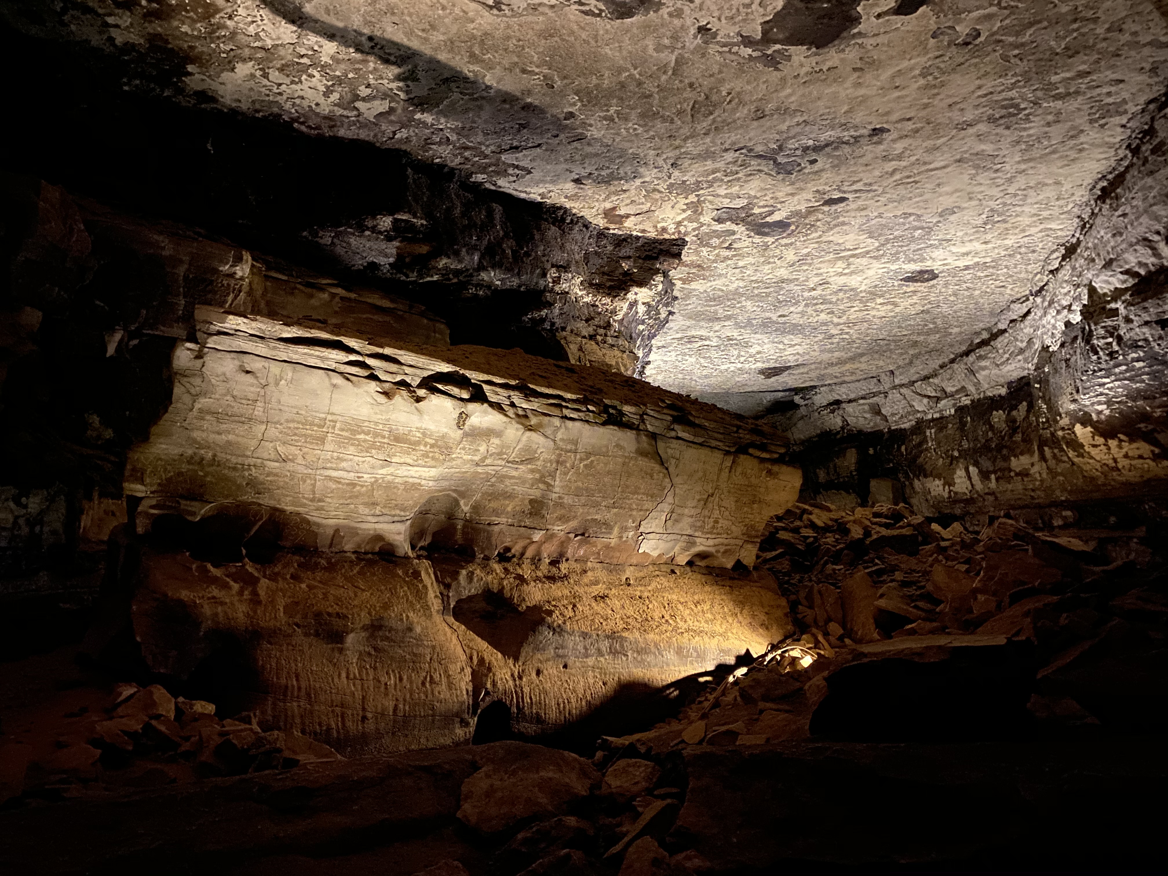
Good Spring Baptist Church & CemeteryGood Spring Baptist Church had the largest membership of any church in the Green River Association from 1896 to 1900. 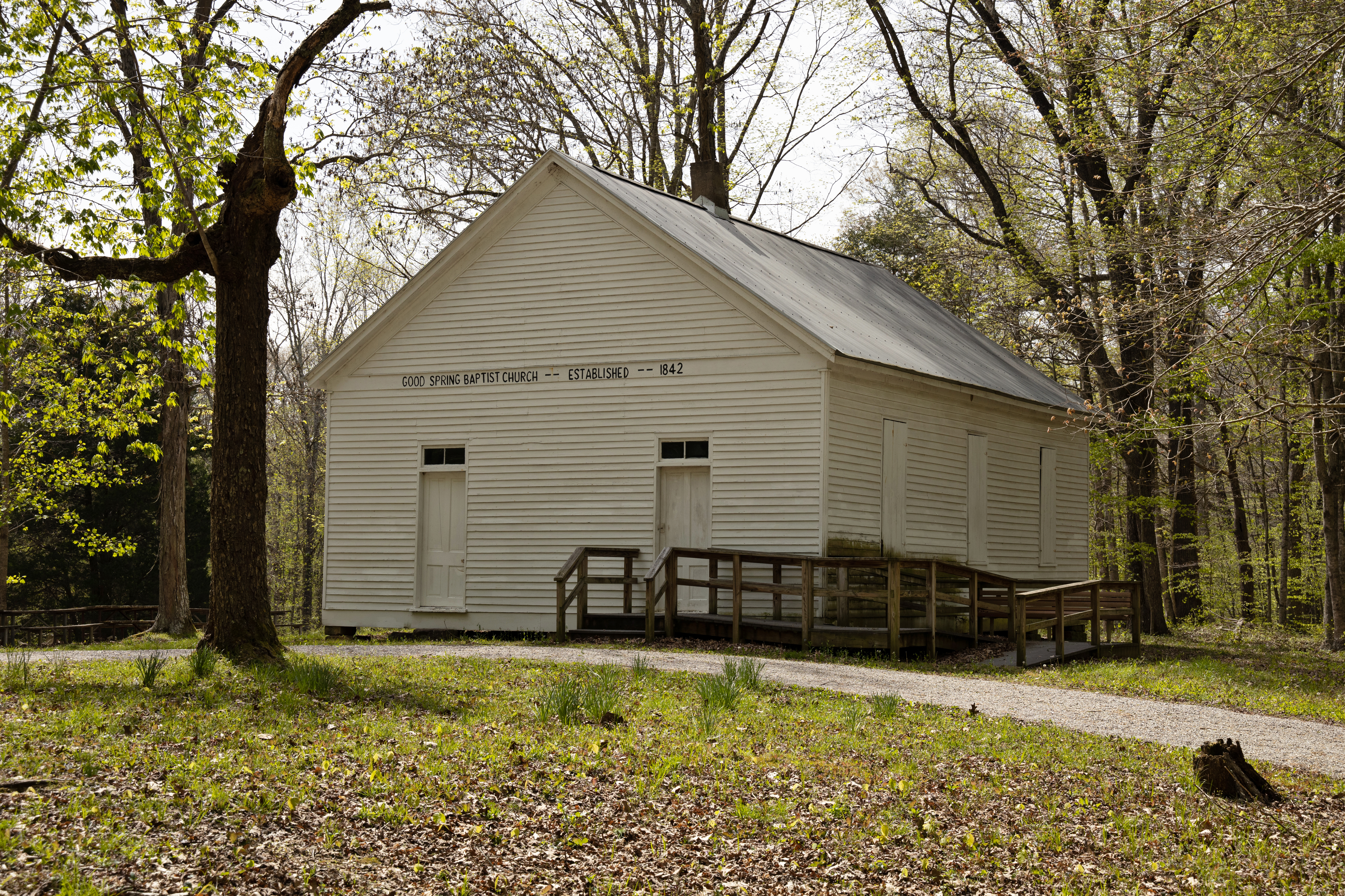
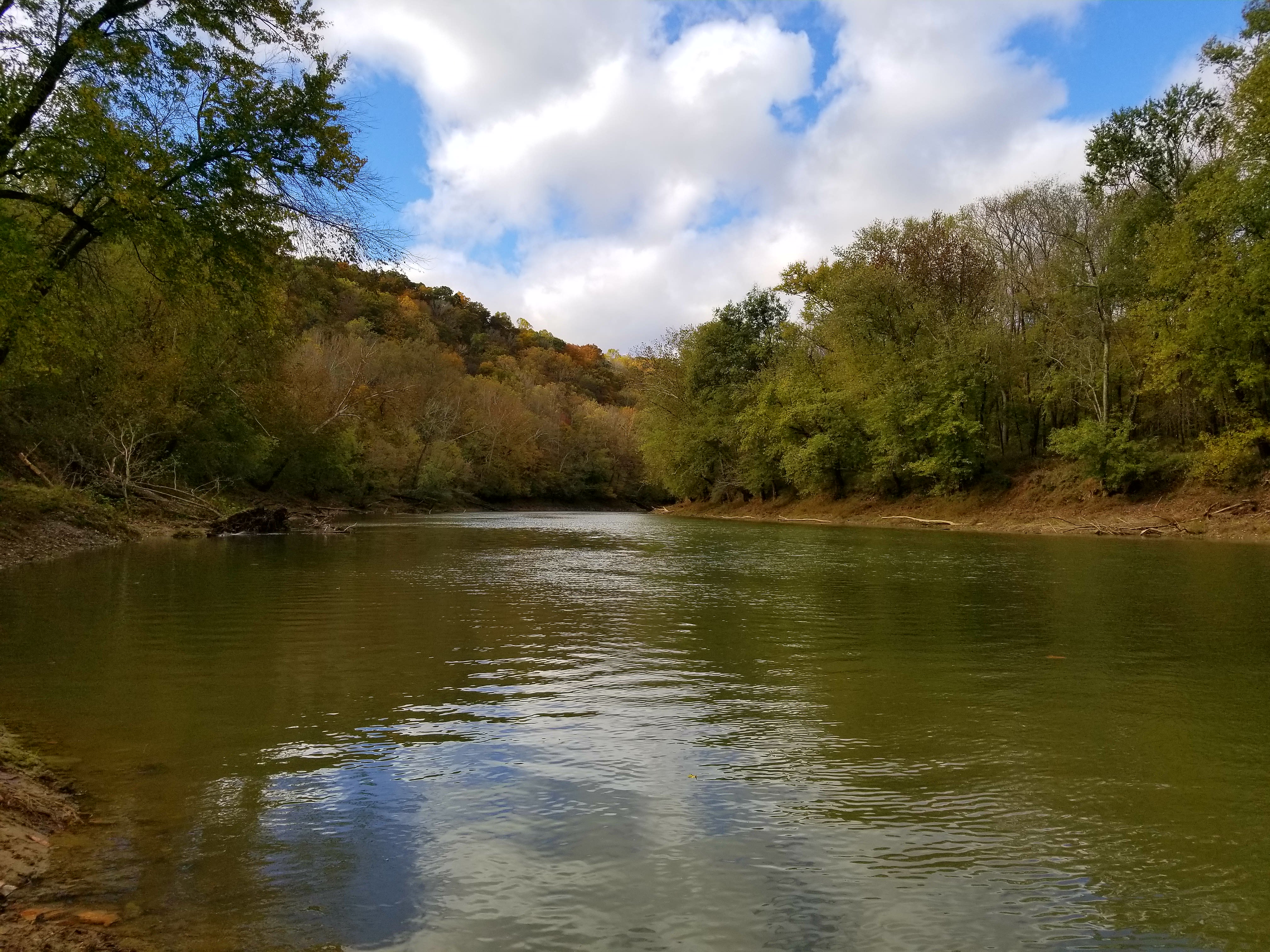
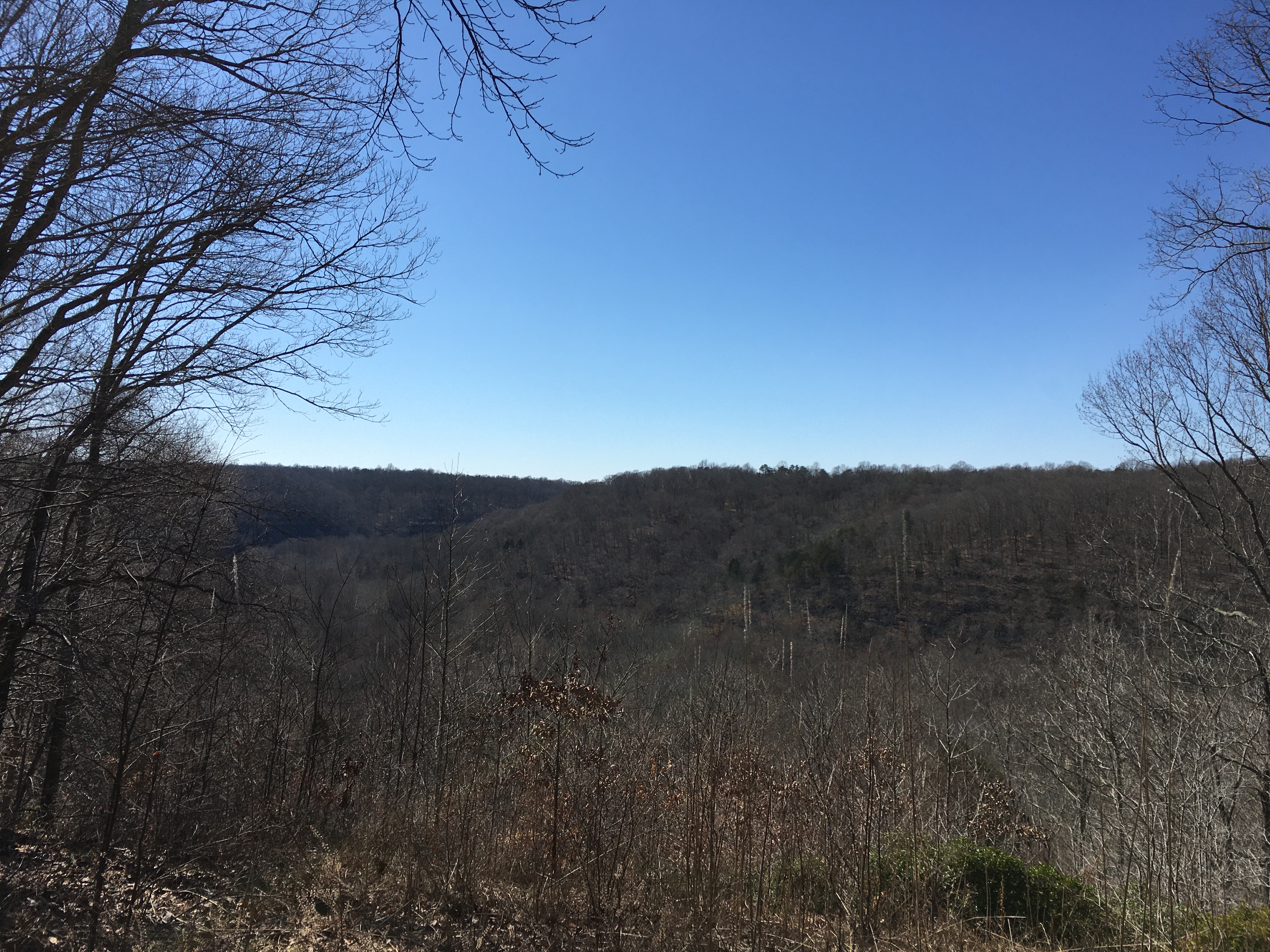
Green River Bluffs OverlookAccessed along the 1.3 mile (2.1 km) Green River Bluffs Trail, the overlook provides views looking northeast along the Green River Valley. The site is also home to a long term air quality monitoring webcam. 
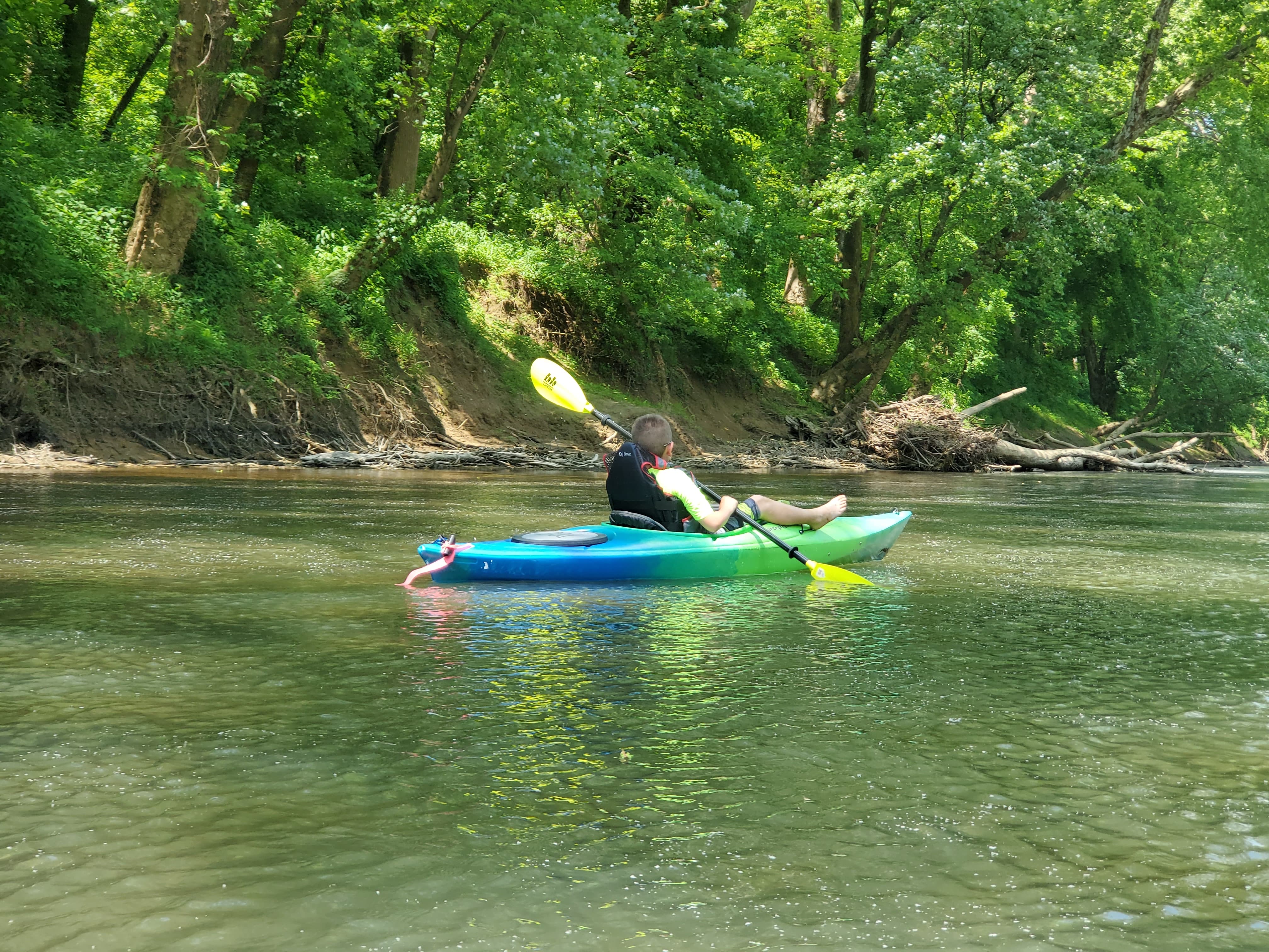
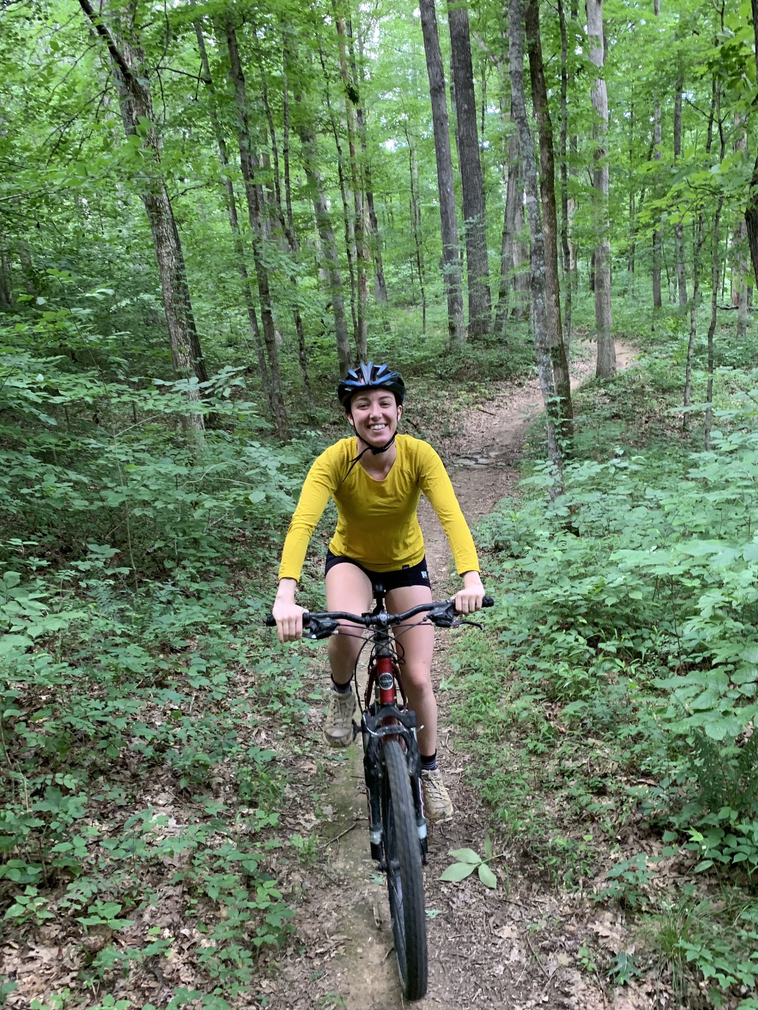
Green River FerryGreen River Ferry is an active ferry that is used to shuttle cars, hikers and bikers from one side of the river to the other. Located less than a 10min drive from the visitor center, there's also picnic tables and hiking trails. Fishing is permitted on the riverbank away from the ferry. This site is also usable by all trailed boats. When launching a trailed boat be sure not to disrupt the operation of the ferry, boats should be launched on the downstream side of the ferry. 
Historic CottagesHistoric Cottages at Mammoth Cave National Park. 
Historic Entrance of Mammoth CaveThe Historic Entrance to Mammoth Cave has welcomed thousands of visitors to the cave for over two hundred years. 
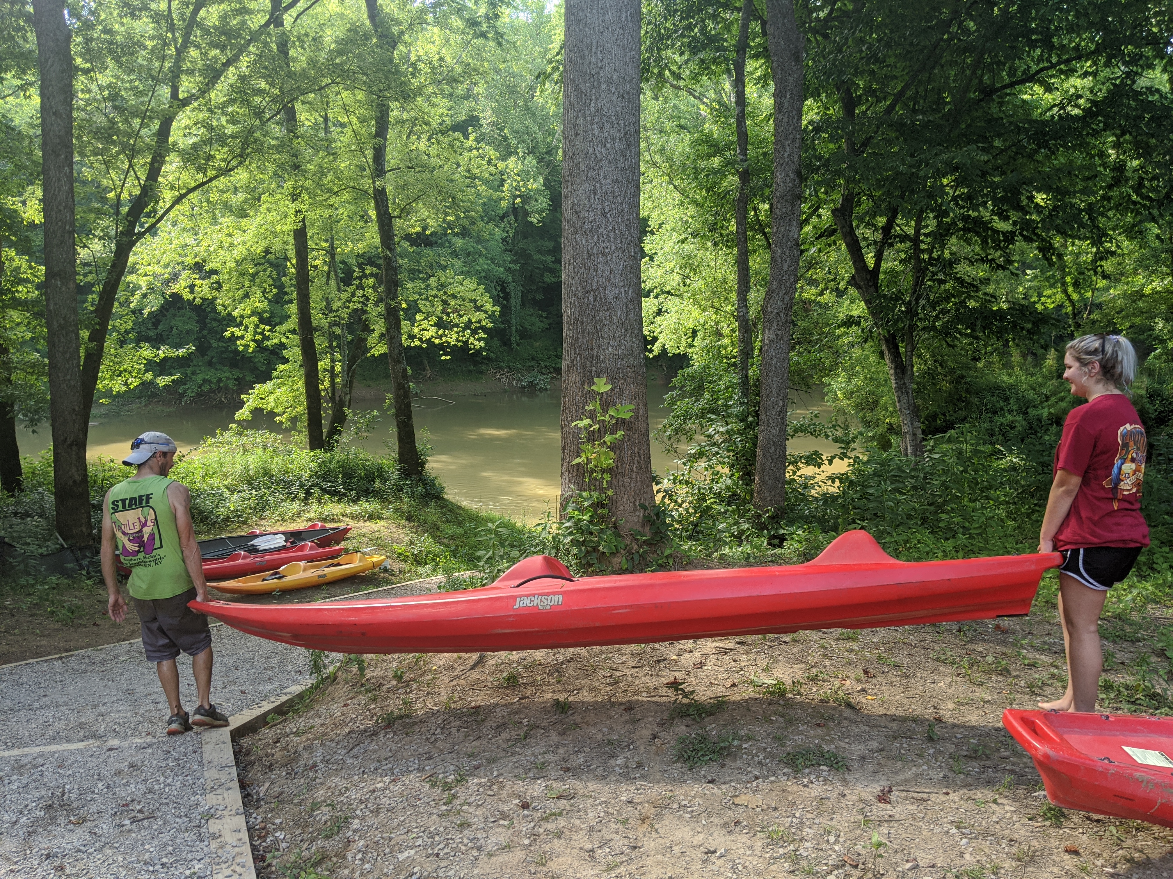
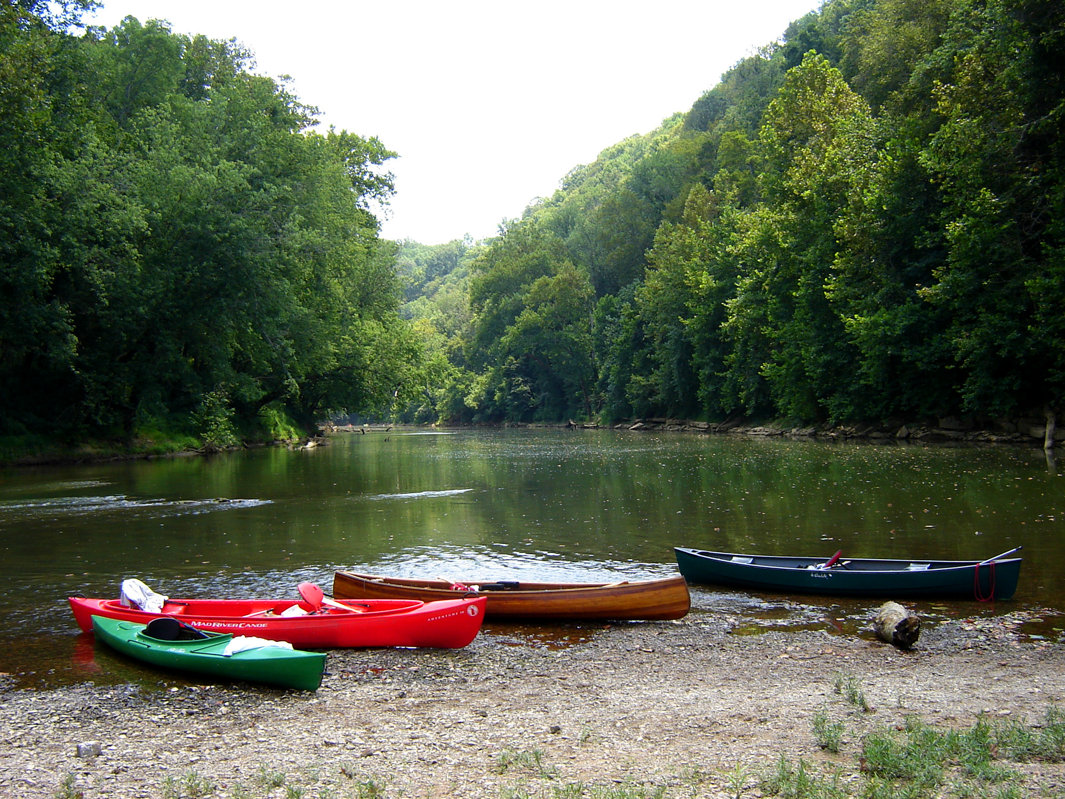
Houchin FerryHouchin Ferry is a lovely area with a heavy canopy of trees, it has 12 campsites with a view of the Green River. Located about a 25 minute drive west from the visitor center, this is an ideal area for primitive camping or just to spend a day fishing and picnicking on the Green River. During the summer months this area is also used for canoe launching and removing. There is no longer an active ferry at this location. 
Houchin’s NarrowsEntering Houchin's Narrows to the cave leave the light of the surface behind and step further into the darkness. 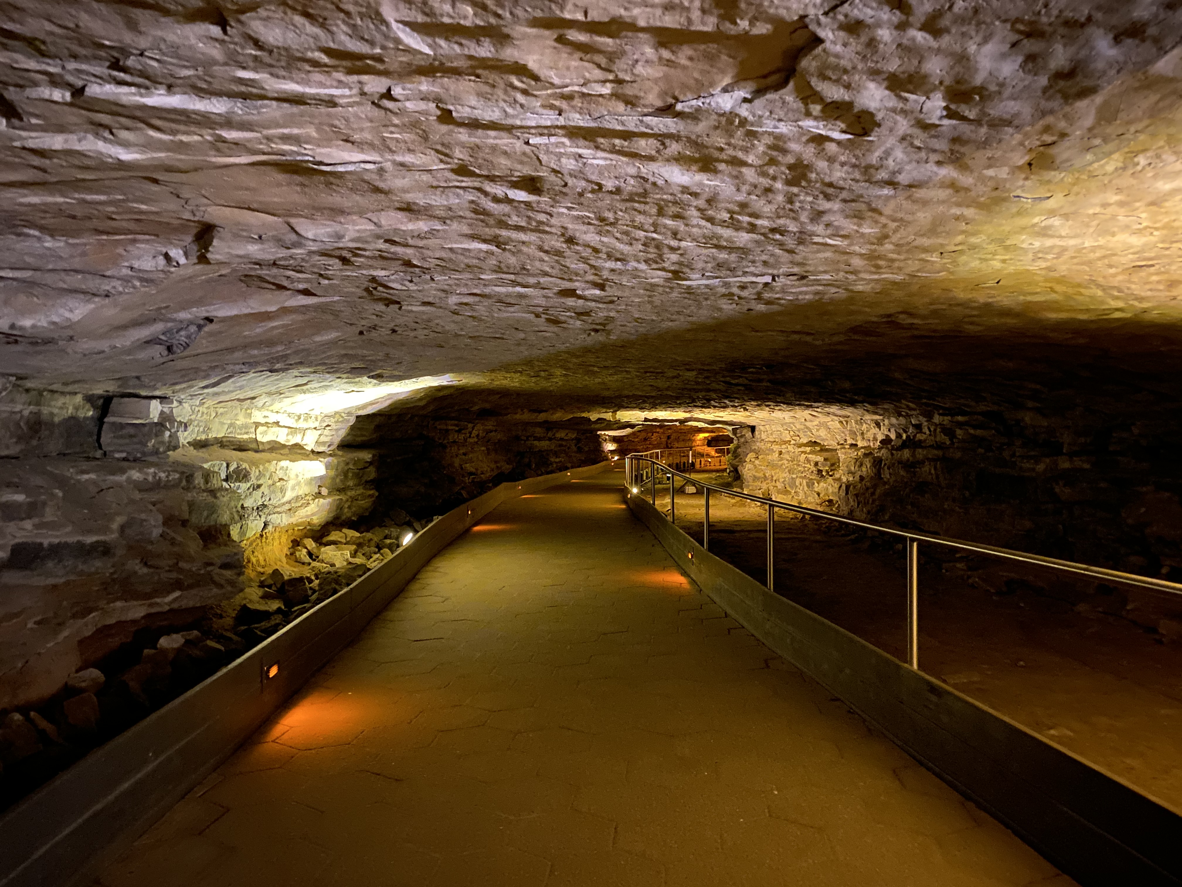
Joppa Missionary Baptist Church & CemeteryThe Joppa Missionary Baptist Church offers a glimpse into the early life of the settlers and their social history in the Mammoth Cave/Joppa Ridge/Elko area before becoming a part of the national park. The church is open for you to take a walk back in time and marvel at the workmanship of the early settlers. Located right behind the church is the Joppa Missionary Baptist Cemetery where you can visit some of the historic settlers of the days gone by. 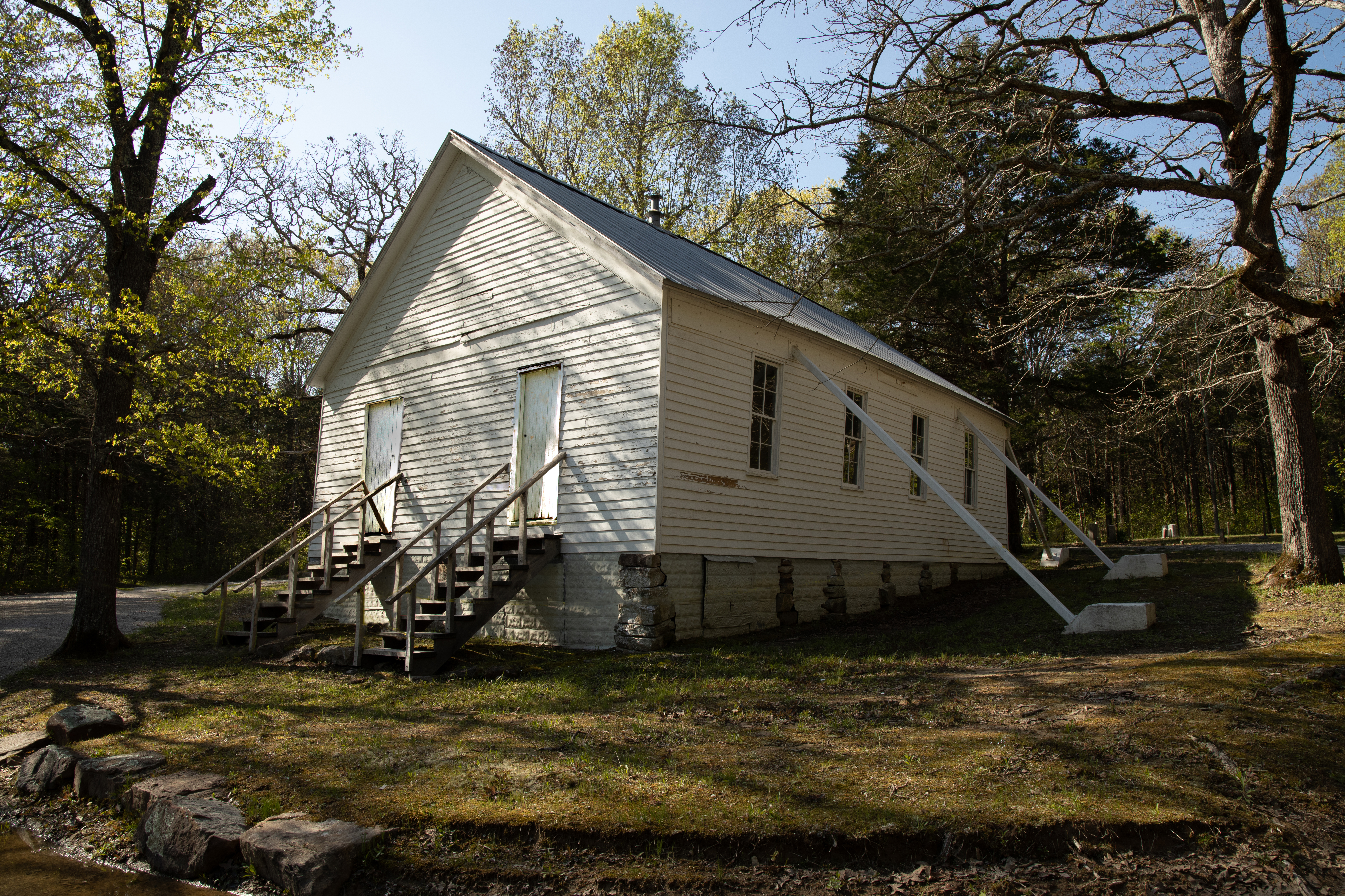
Little Bat AvenueLittle Bat Avenue was once home to thousands of bats. 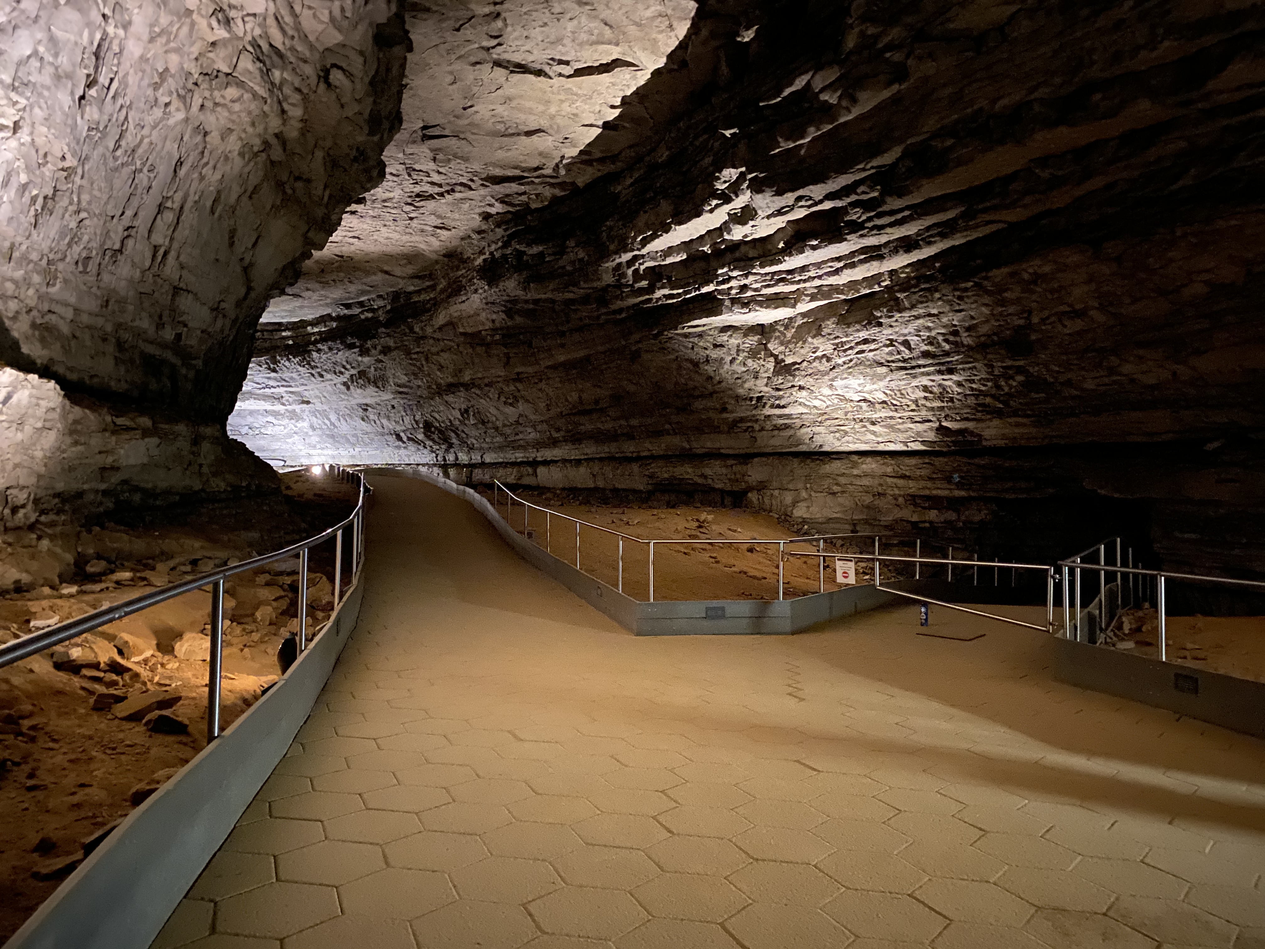
Lookout MountainLookout Mountain may have been a entrance to Mammoth Cave thousands of years ago. 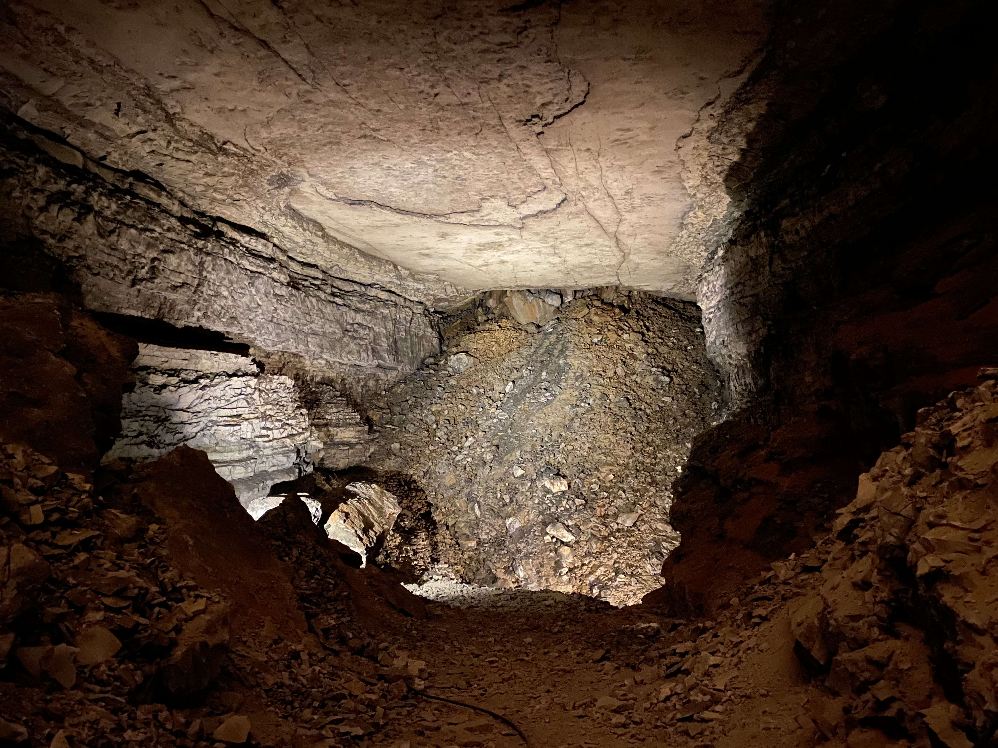
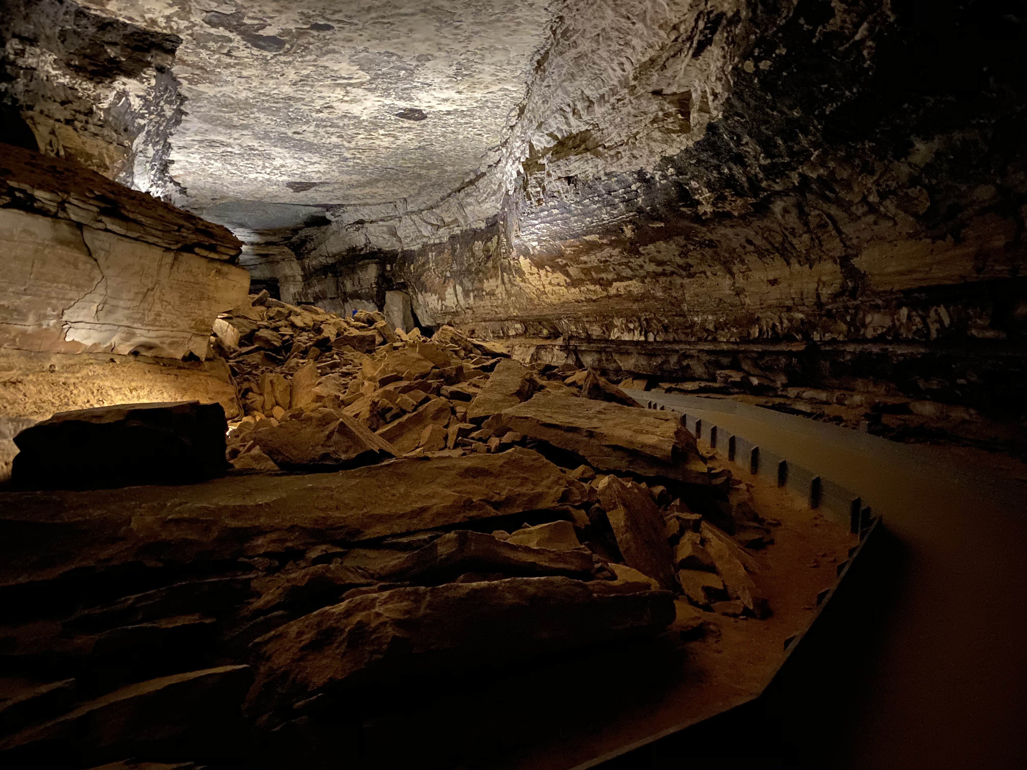
Lookout Mountain - Beneath Your FeetSeventy feet beneath your feet is Lookout Mountain in Rafinesque Hall. The view of the cave from Lookout Mountain is a pile of rocks, known as breakdown. The pile of rocks demonstrates a place where a large trunk cave passage had collapsed. The passage once continued across this area, but when the valley cut downward, erosion cut into the cave itself and sealed it off. 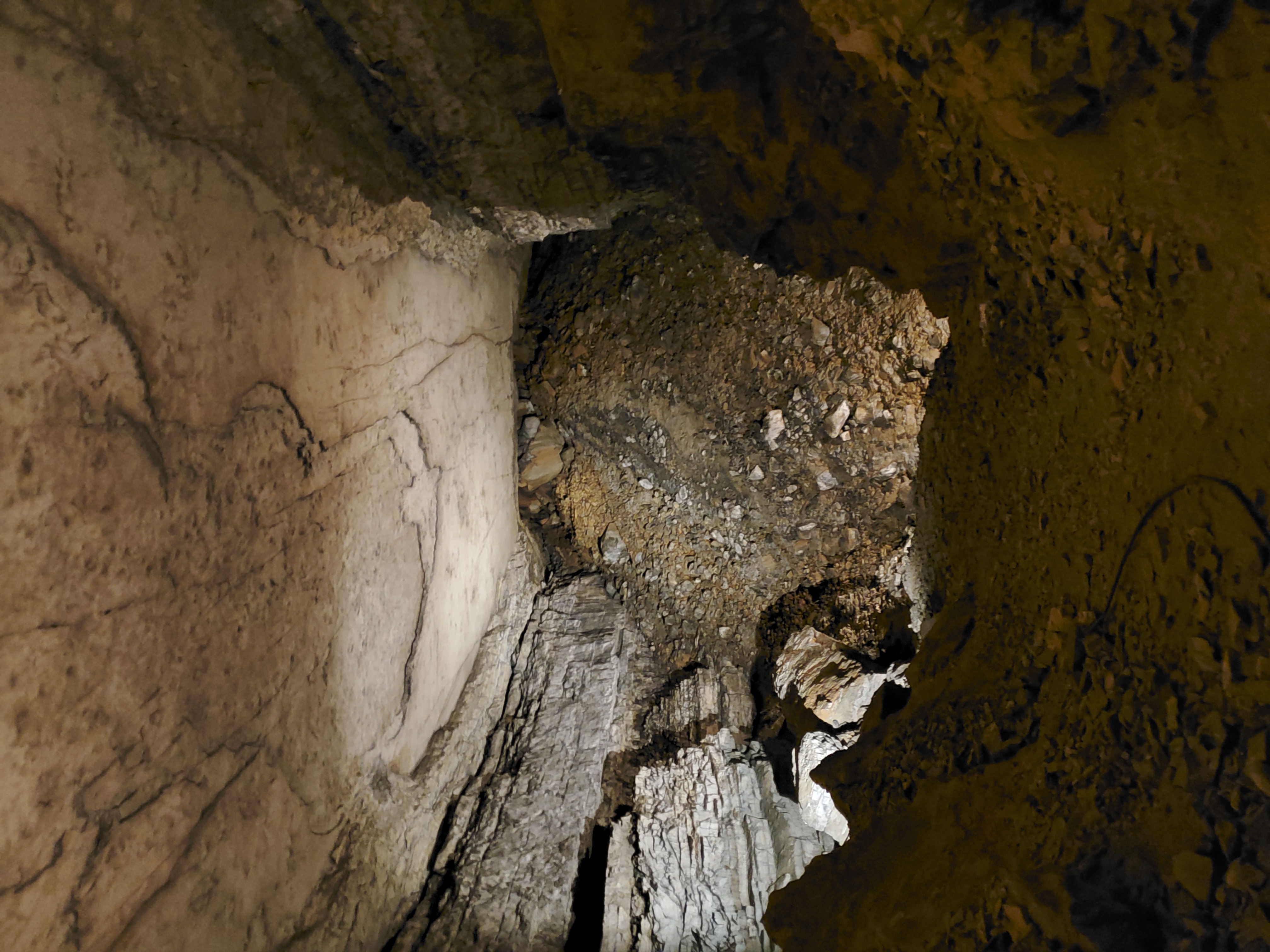
Lover's Leap - Beneath Your FeetLover’s Leap is one of the cave’s oldest named landmarks – the name goes back to 1827. The route leading you to this section of the cave is lined with historic signatures, monuments and artifacts from early cave visitors. Overlooking the large canyon passageway, there is a slender pointed slab of rock jutting outward, this was named Lover’s Leap. 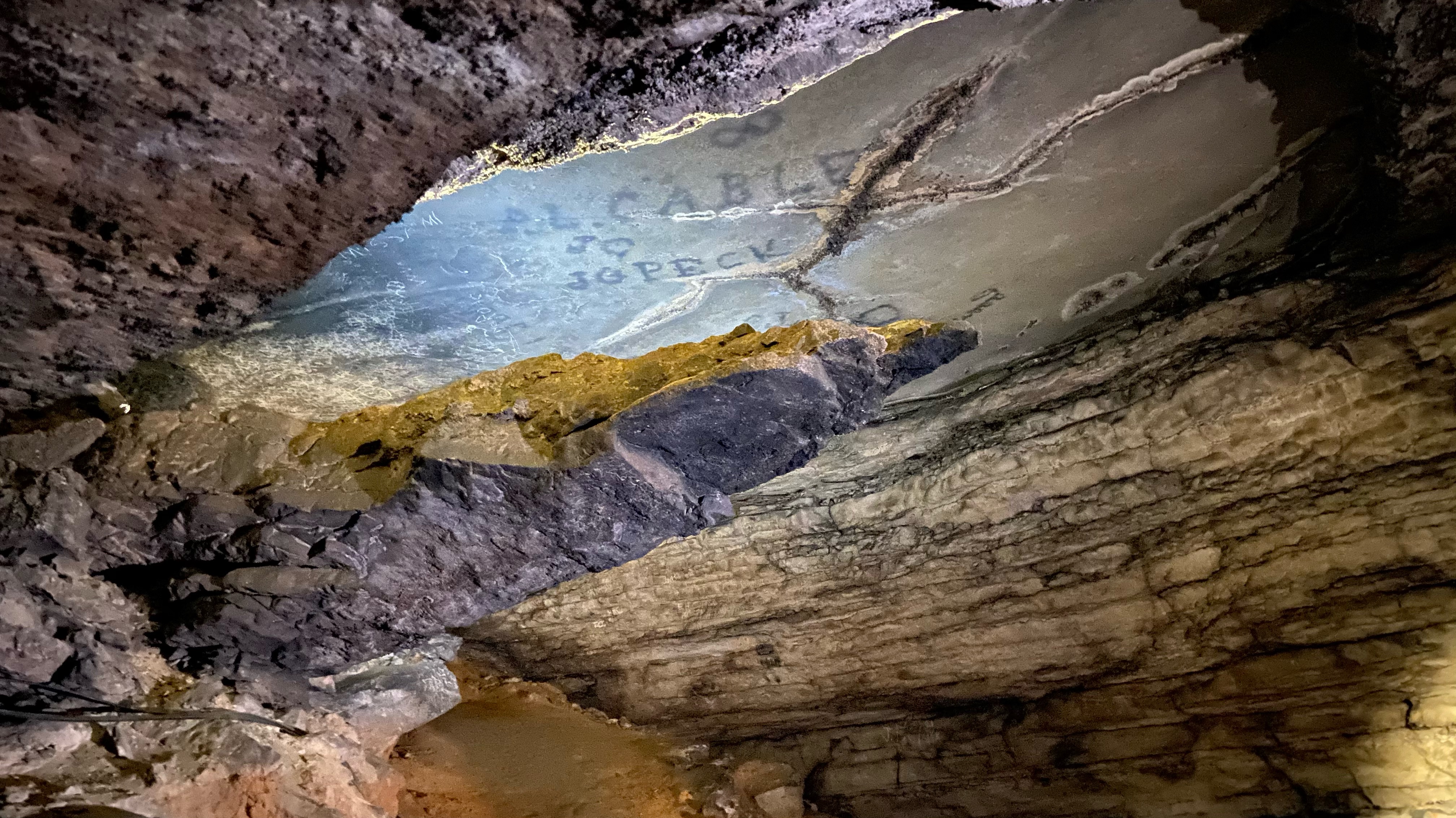
Mammoth Cave Baptist Church & CemeteryExplore a local community history and visit the Mammoth Cave Baptist Church. It offers a wonderful glimpse into the early life of the settlers and their social history in the Mammoth Cave/Flint Ridge area before becoming a part of the national park. The church is nestled in a densely wooded area of the park and is open for you to take a walk back in time and marvel at the workmanship of the early settlers. 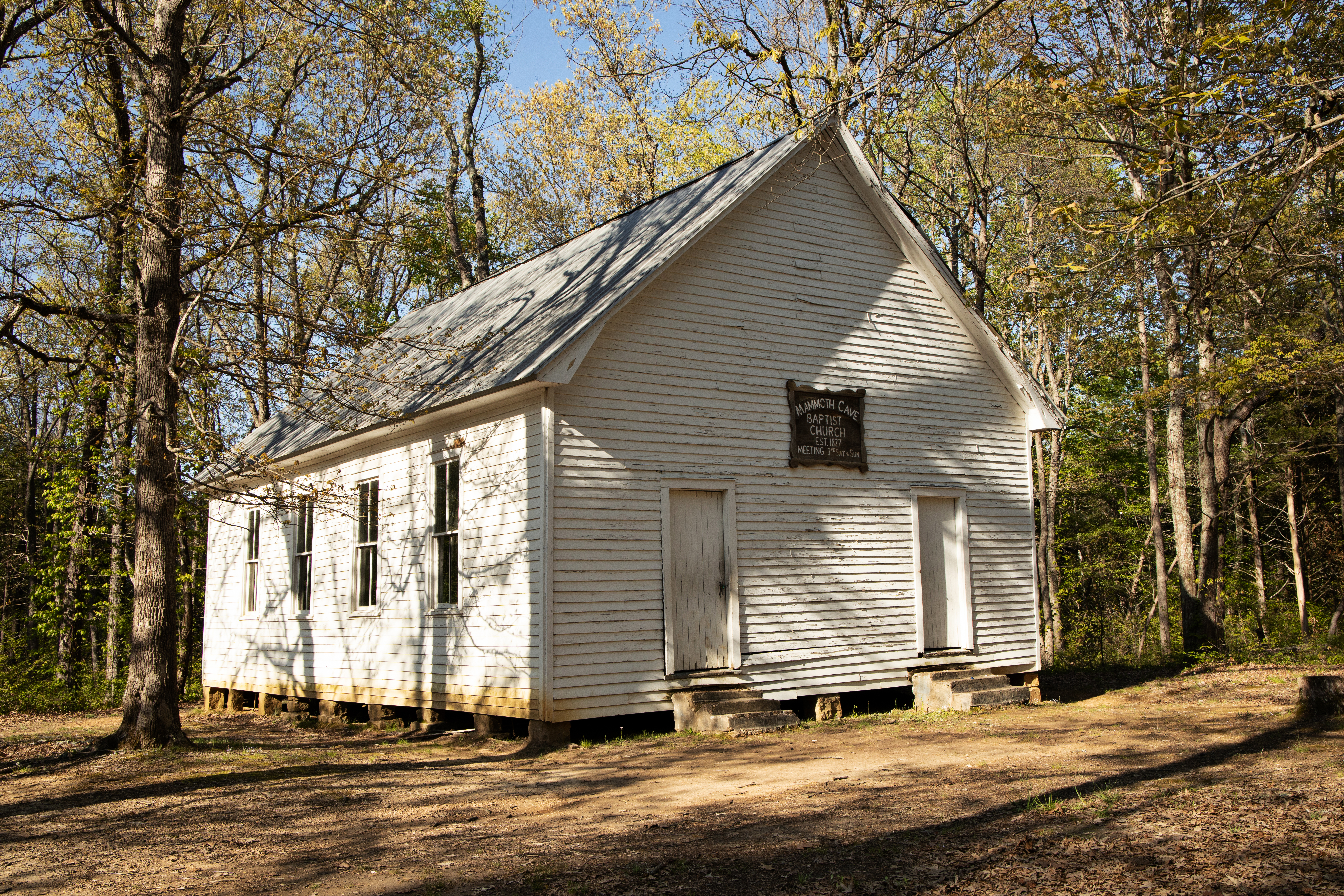
Mammoth Cave Historic EntranceThe Historic Entrance is the largest natural opening into the Mammoth Cave system and the site that has been used as the main entrance into the cave by Native Americans, saltpeter miners, cave explorers and travelers from all over the world. 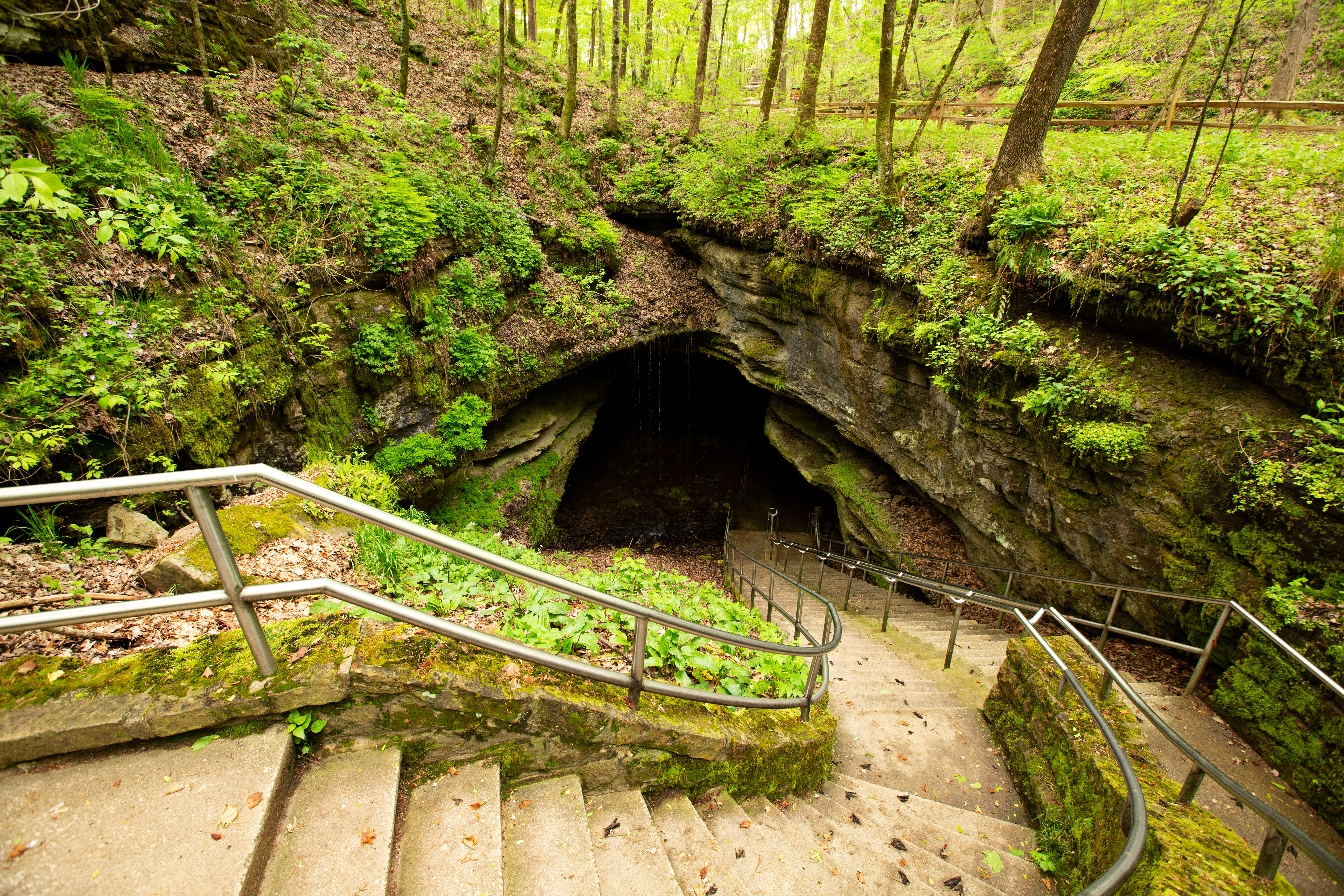
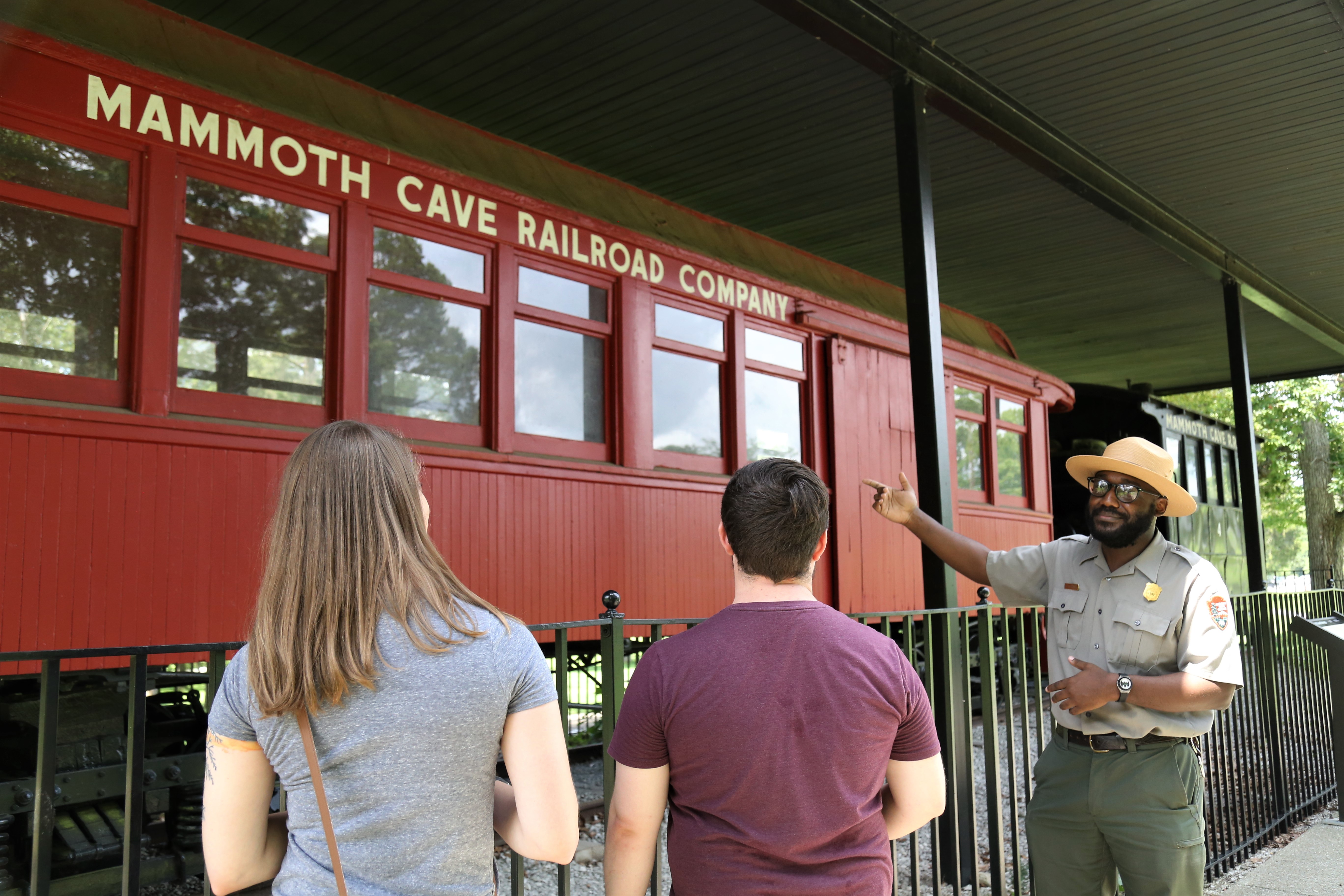
Mammoth Cave Historic TrainOn November 8, 1886 the first 8.7-mile excursion by train was made from Glasgow Junction (Park City) to the Mammoth Caves. For 45 years, the colorful rail cars made their way through rough terrain bringing thousands of visitors to the Mammoth Cave. Imagine the anticipation of the visitors as they took their first train ride through the dense woods to reach their destination. 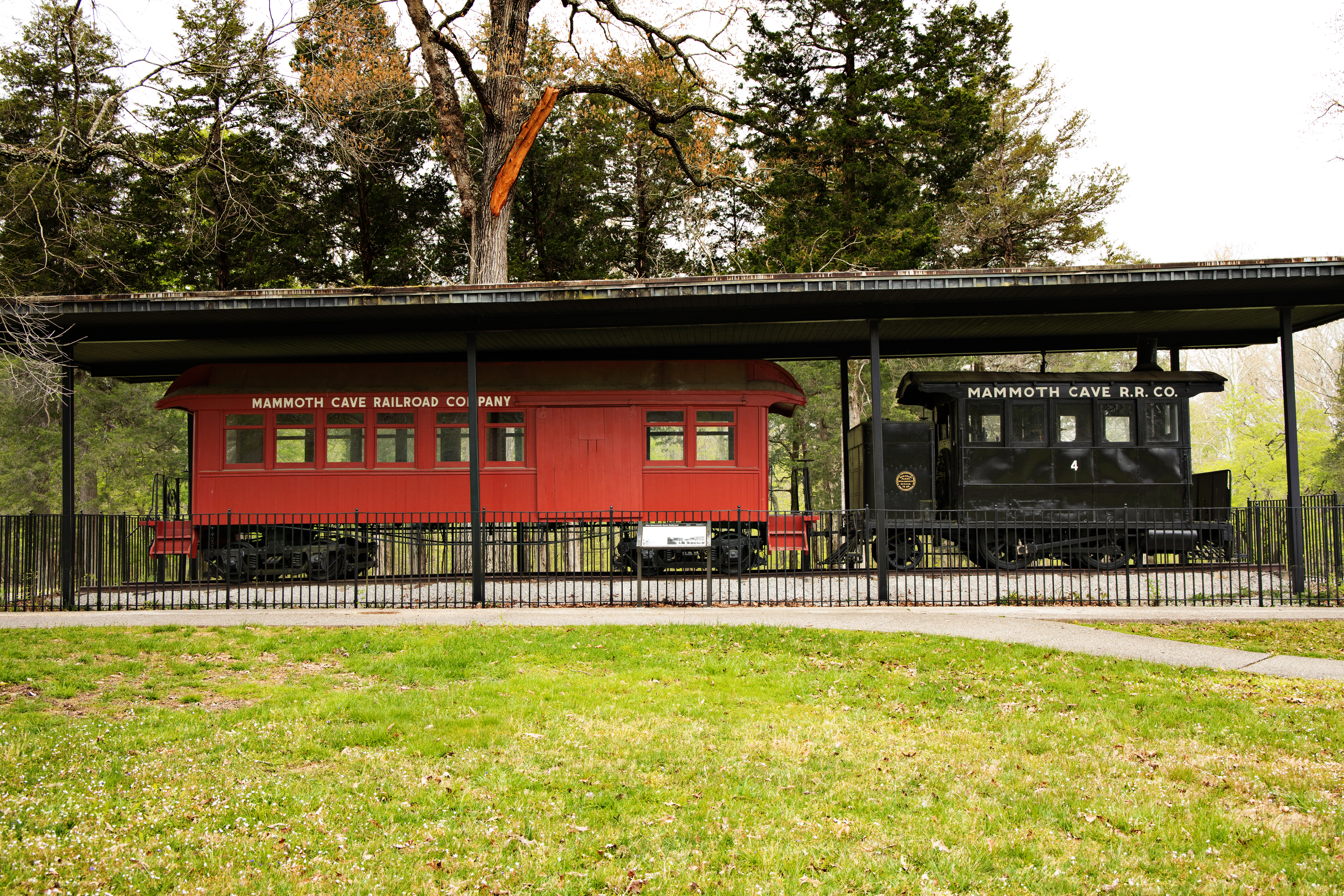
Mammoth Cave National ParkMammoth Cave National Park protects the world's longest cave and an incredible history of the people who have explored the cave and thrived on surrounding lands. 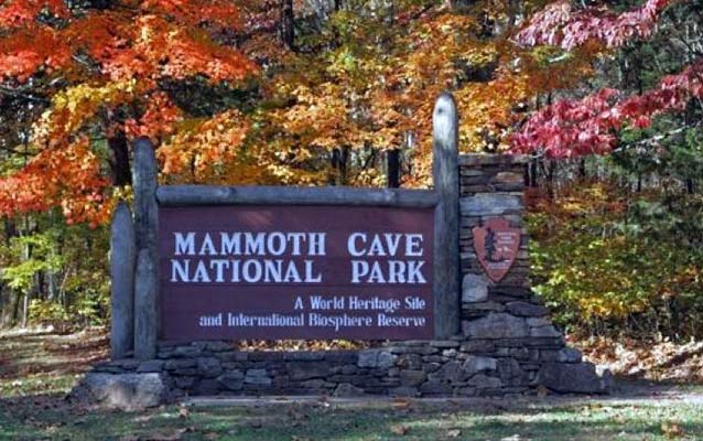
Mammoth Cave Park StoreThe park store is operated by America’s National Parks™, an official non-profit partner of the National Park Service dedicated to supporting the educational mission of Mammoth Cave National Park. 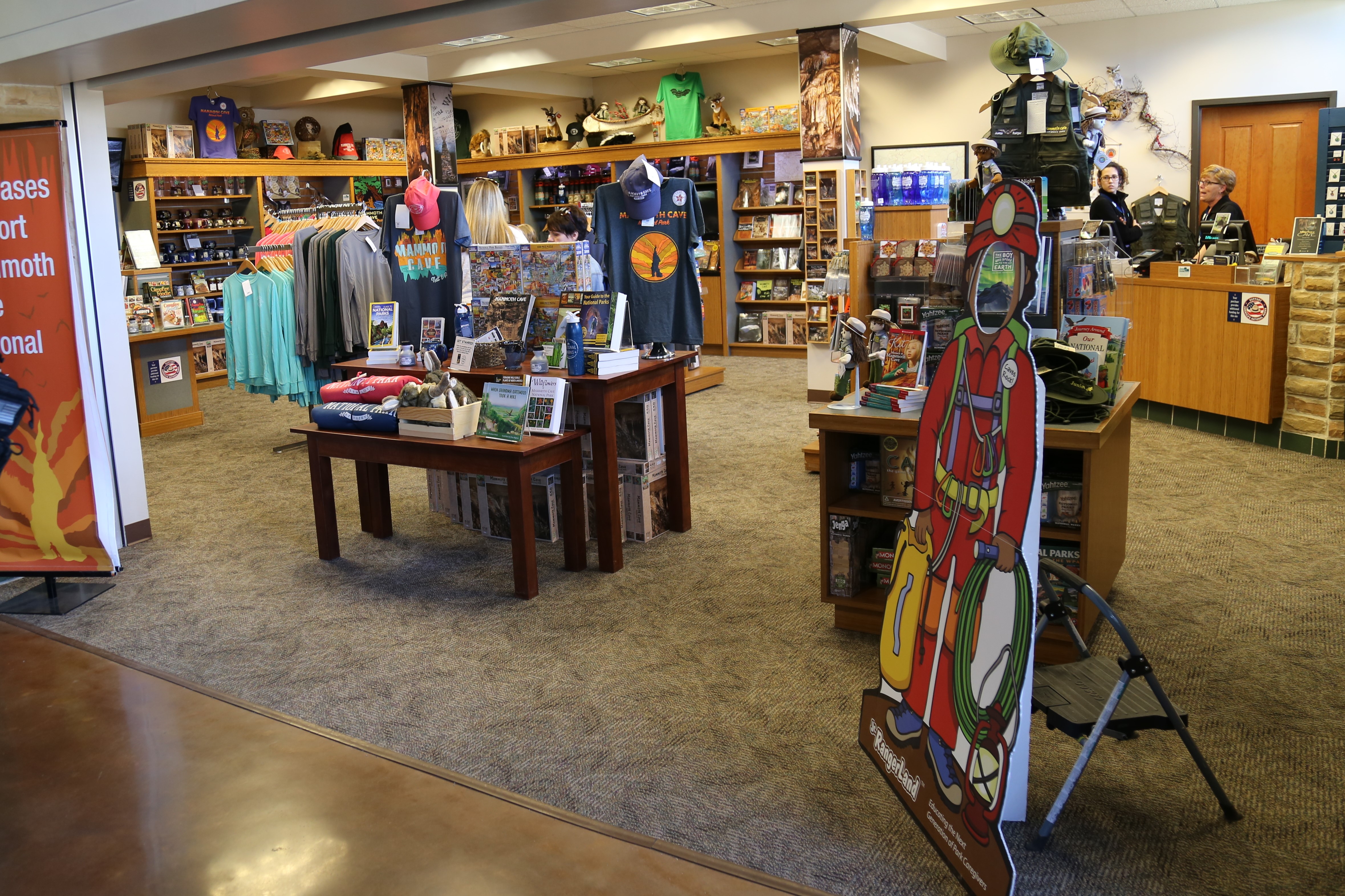
Methodist Church - Beneath Your FeetThis is a large canyon room; the ceiling is 50 feet high. Facing the church, you are looking at a breakdown of large rocks. To the left is a prominent ledge 15 feet high called the pulpit. Along the ledge of the pulpit, the walls are blackened with the soot of lanterns used by the preacher to light up the pulpit. 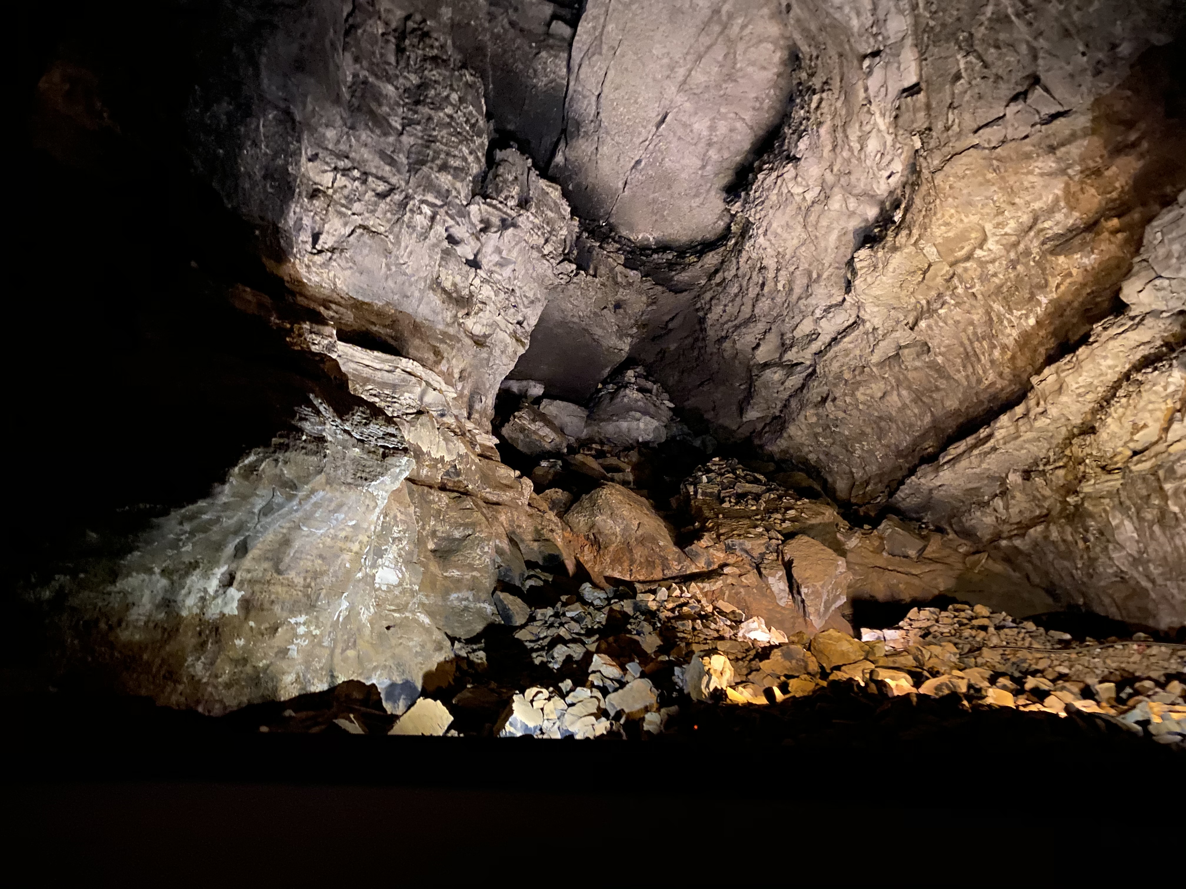
Old Guide's CemeteryThe Old Guide’s Cemetery is a small, but significant, cemetery located within Mammoth Cave National Park. Buried here is Stephen Bishop, a famous 19th Century African-American cave guide. The Old Guide’s Cemetery also contains the burials of three tuberculosis patients who died during the Mammoth Cave Tuberculosis cave treatment experiment of 1842. It is located off of the beautiful Heritage Trail, a half mile long accessible trail through the woods. 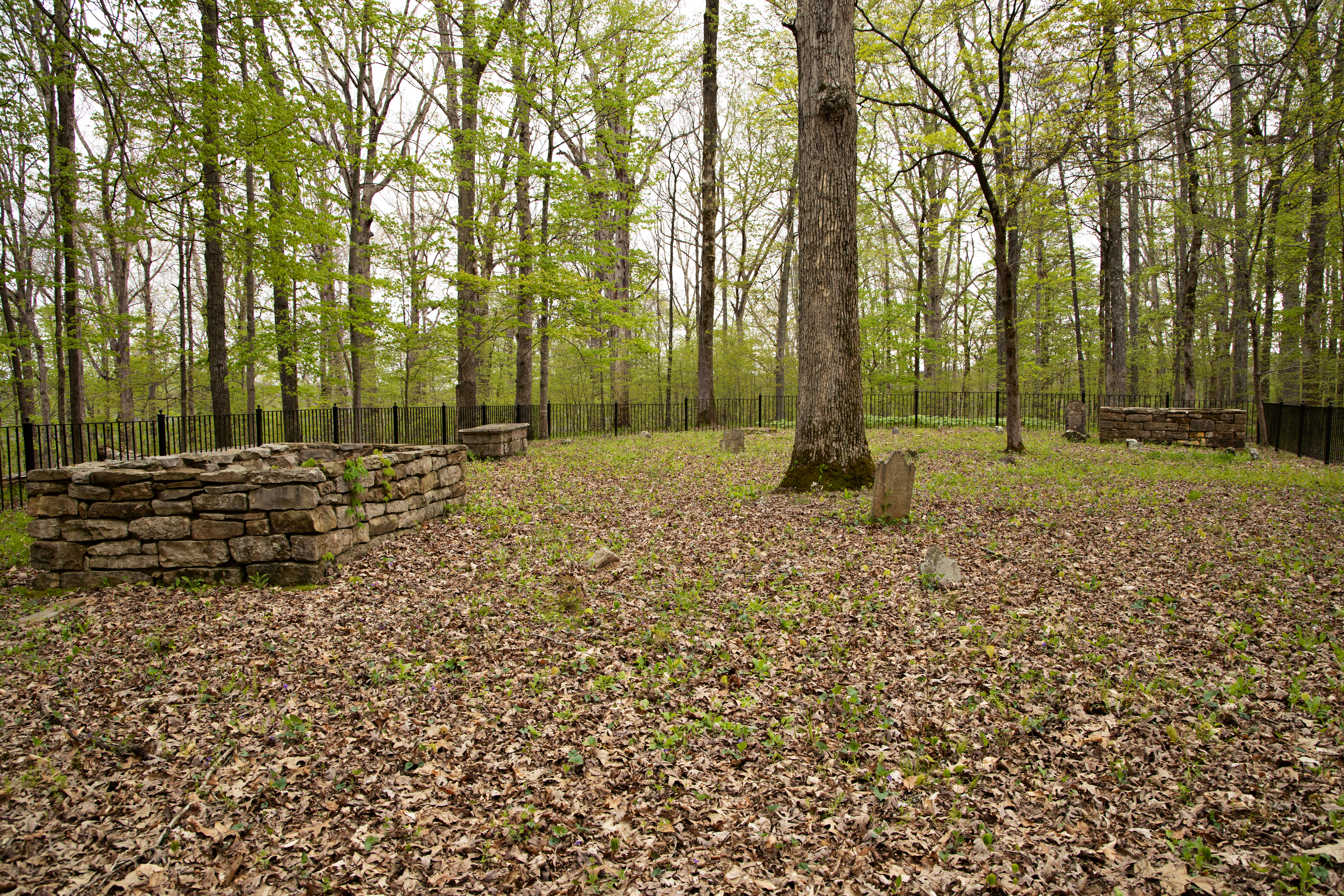
Pensacola Avenue - Beneath Your FeetPensacola Avenue, a once -toured passage off the main trail, lies 253 feet beneath you on the Historic Tour route. A 1940’s tourist guidebook says: “The dry and sandy floor elicited the naming of this avenue after that pleasant city in Florida.” 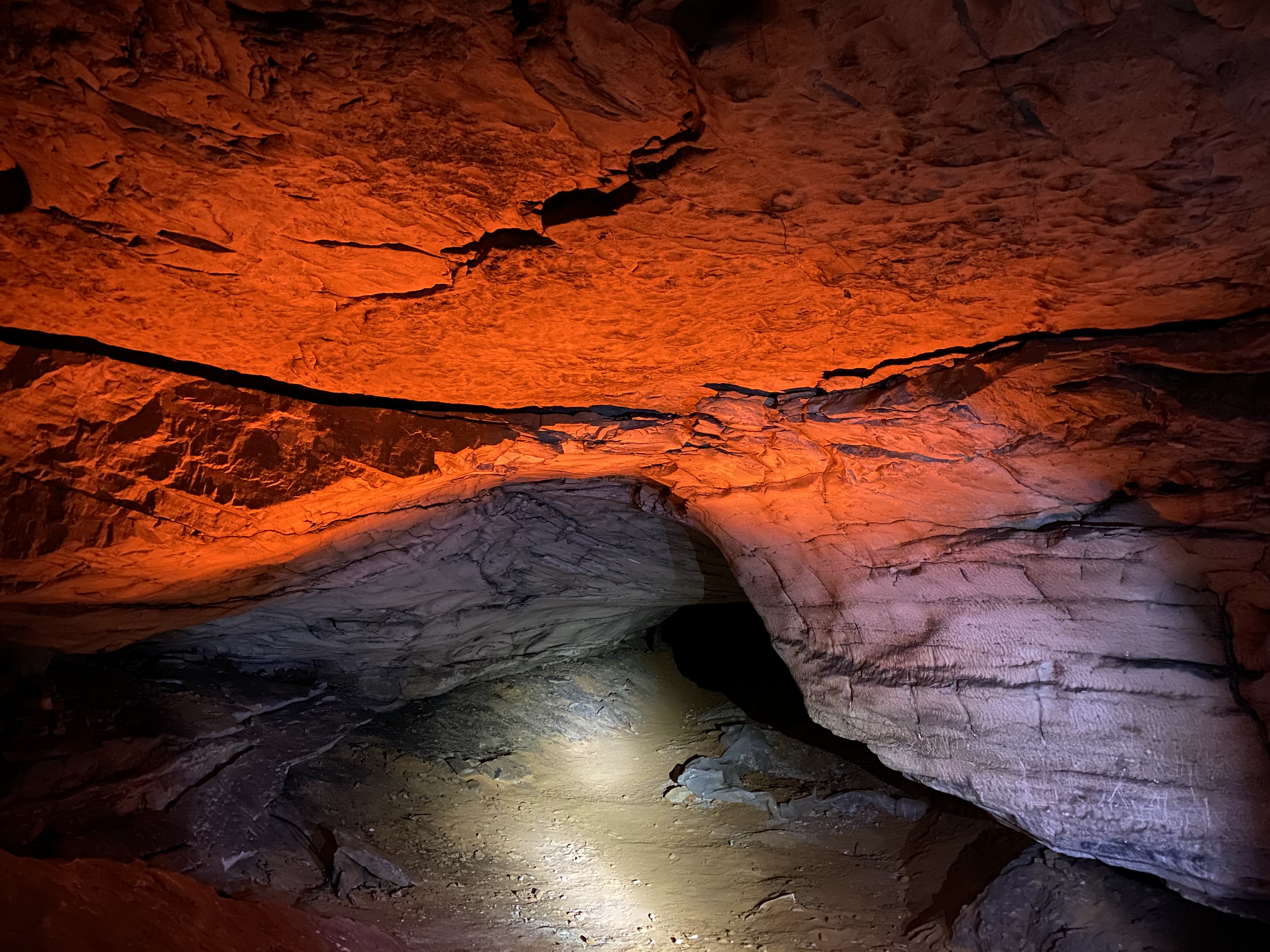
Rafinesque HallEntering Rafinesque Hall you leave the paved trail behind and travel on packed dirt trails lined with rocks. 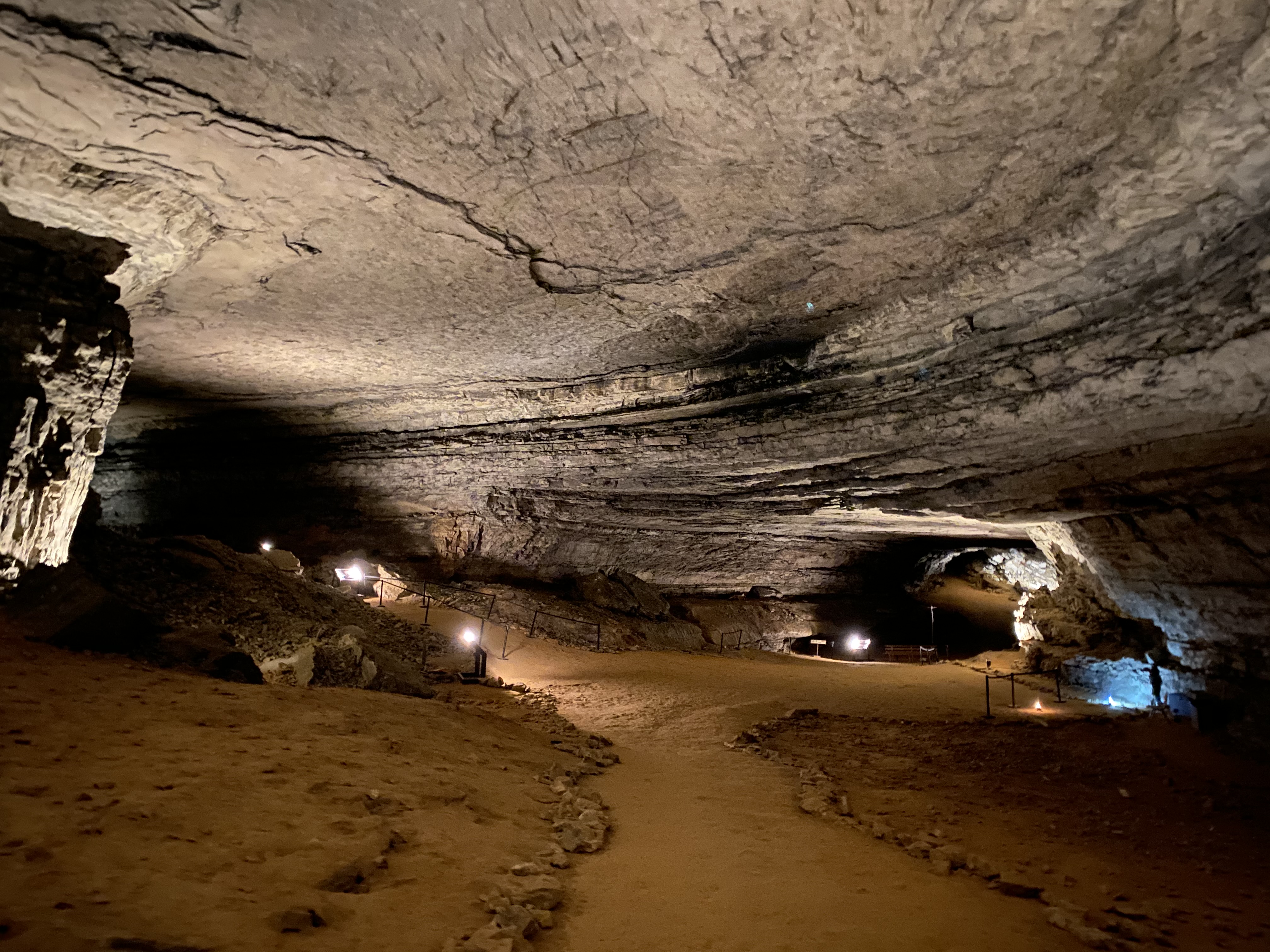
River Hall - Beneath Your FeetRiver Hall lies 283 feet beneath your feet on the Historic Tour route. Usually dry, this passage fills with water when Mammoth Cave’s River Styx floods into it. Most of the cave stays dry during floods; River Hall is the only toured section of the cave in the floodplain. 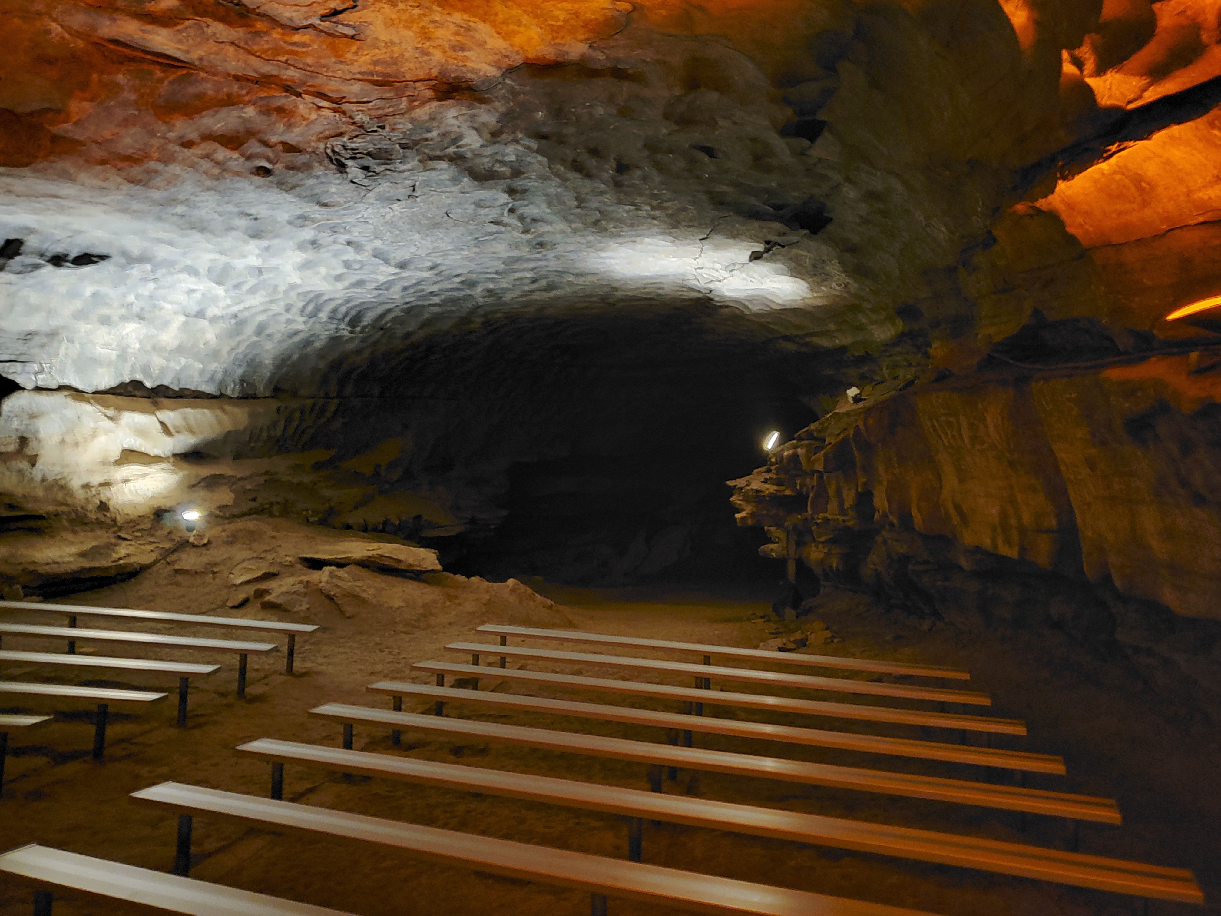
RotundaThe Rotunda is one of the largest rooms in the cave and lead to name "Mammoth Cave". 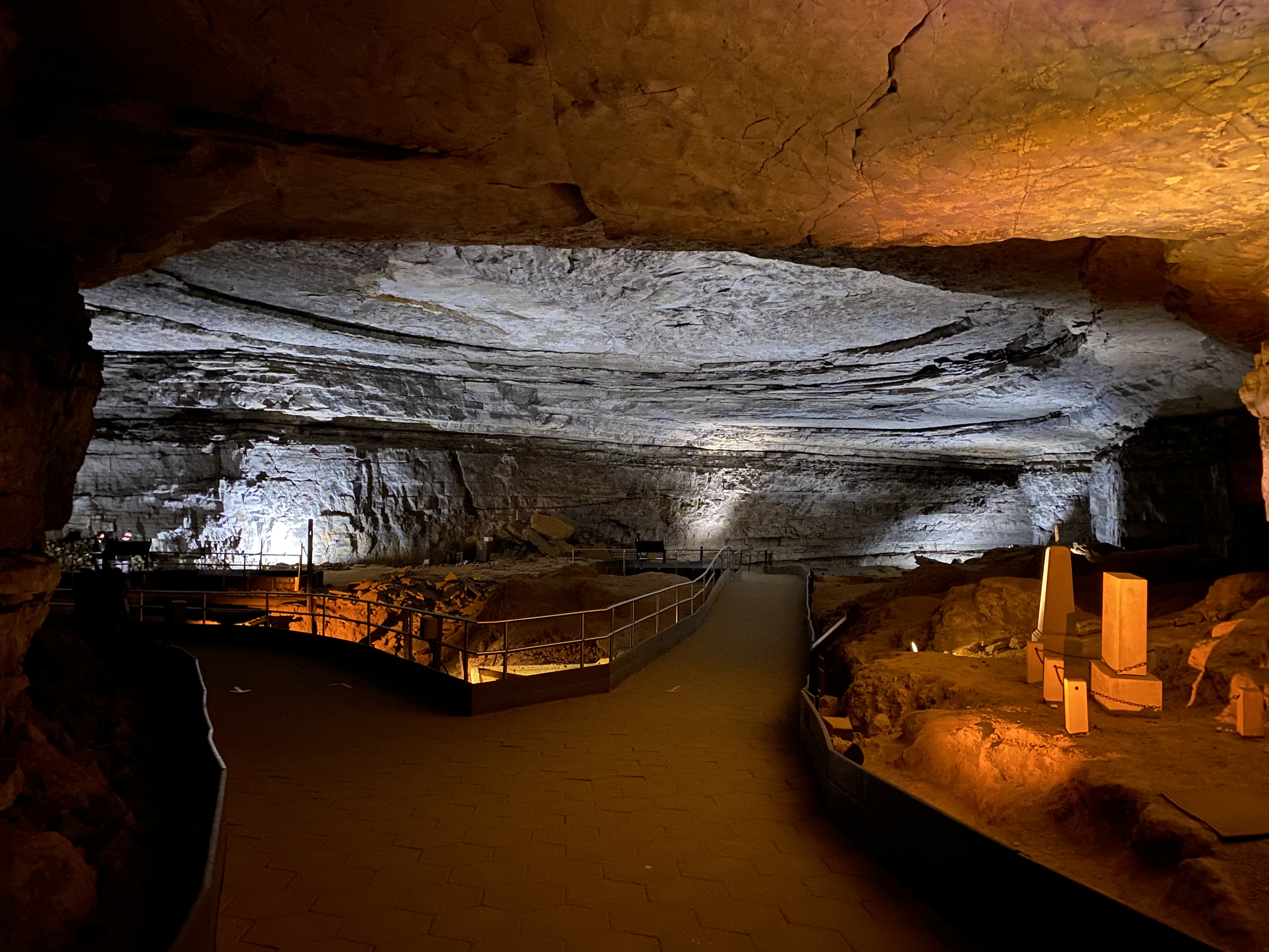
Rotunda - Beneath Your FeetThe Rotunda is a large circular room. In the center of the room are the leaching vats from the early salt petre operation. To the right are the two Great War Monuments dedicated in 1922 and 1929. It looks as though swirling water created the circular shape ceiling when, it’s where large slabs of limestone have fallen out creating a breakout dome. 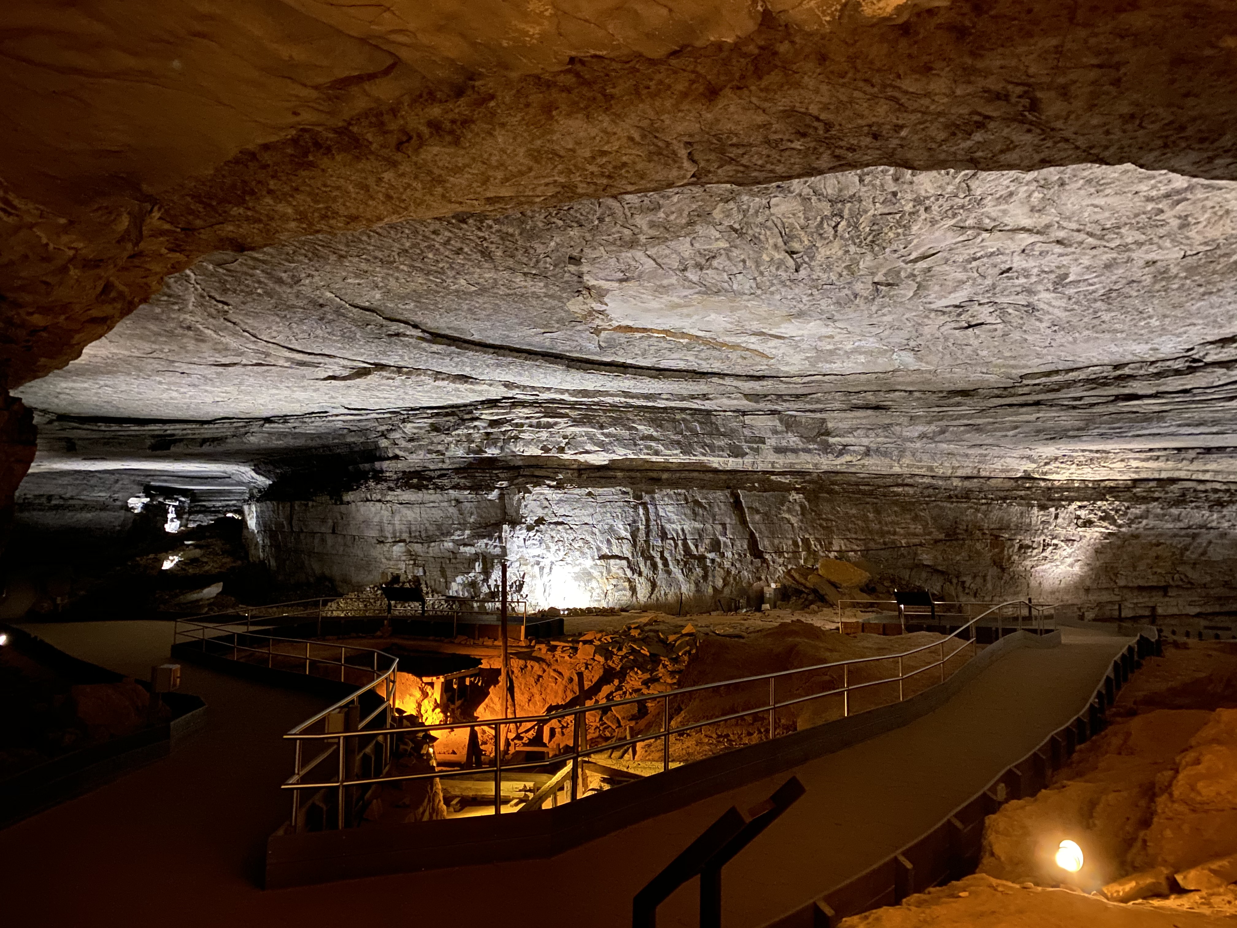
Saltpetre Vats (Booth’s)In addition to the Rotunda, Booth's Amphitheater served as a processing site for saltpetre. 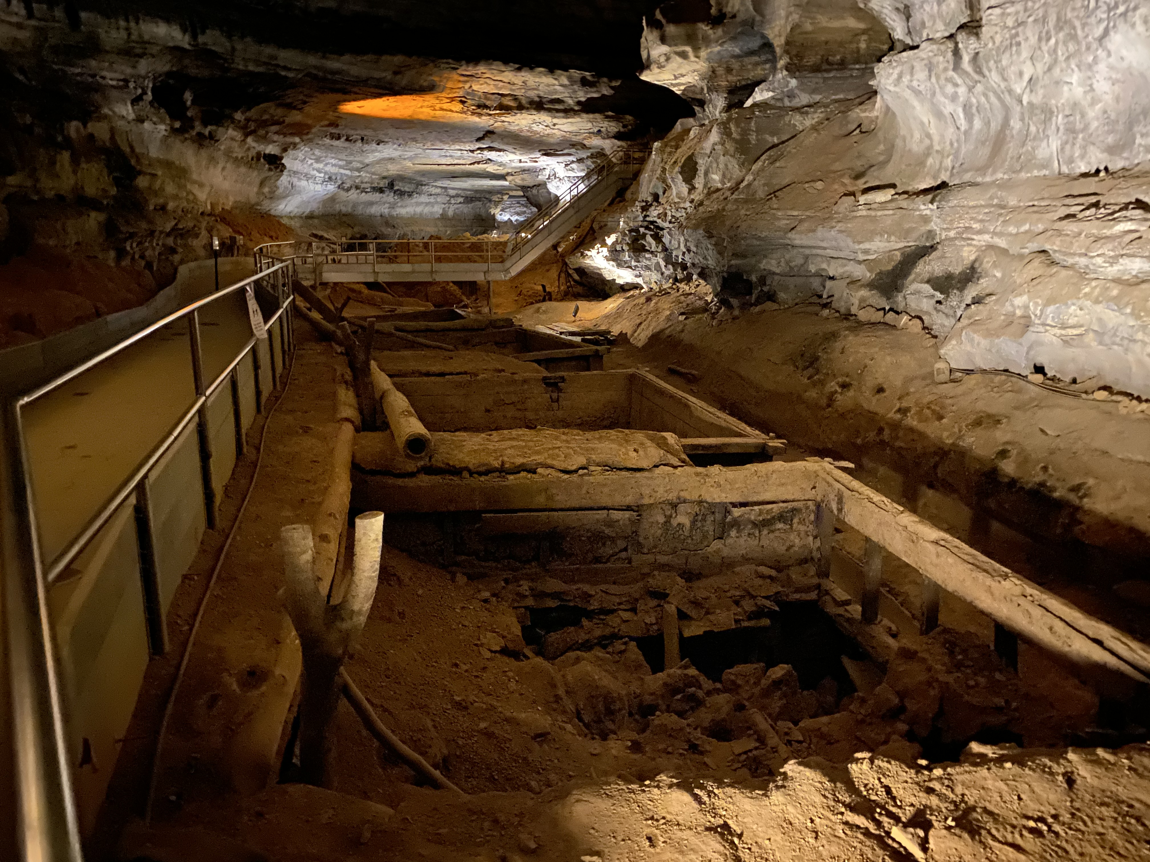
Saltpetre Vats (Rotunda)During the War of 1812, Mammoth Cave and some of the surrounding caves were the leading producers of the ingredients needed to make gunpowder for the war effort. 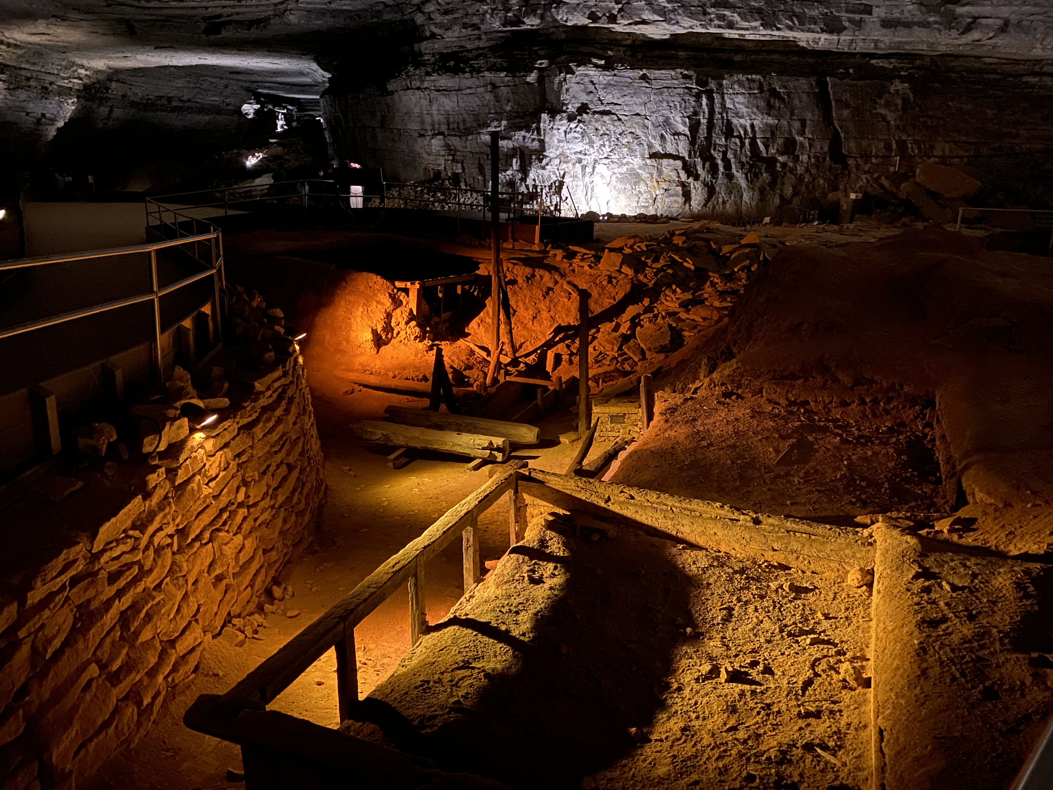
Star Chamber - Beneath Your FeetWhen visiting Mammoth Cave’s Star Chamber, you may feel as though you are above ground gazing at the night sky. Instead, you will be standing 189 feet below this spot. Your eyes will be fooled by light specks on the ceiling where people in the past threw rocks to knock patches of sooted gypsum from the ceiling. 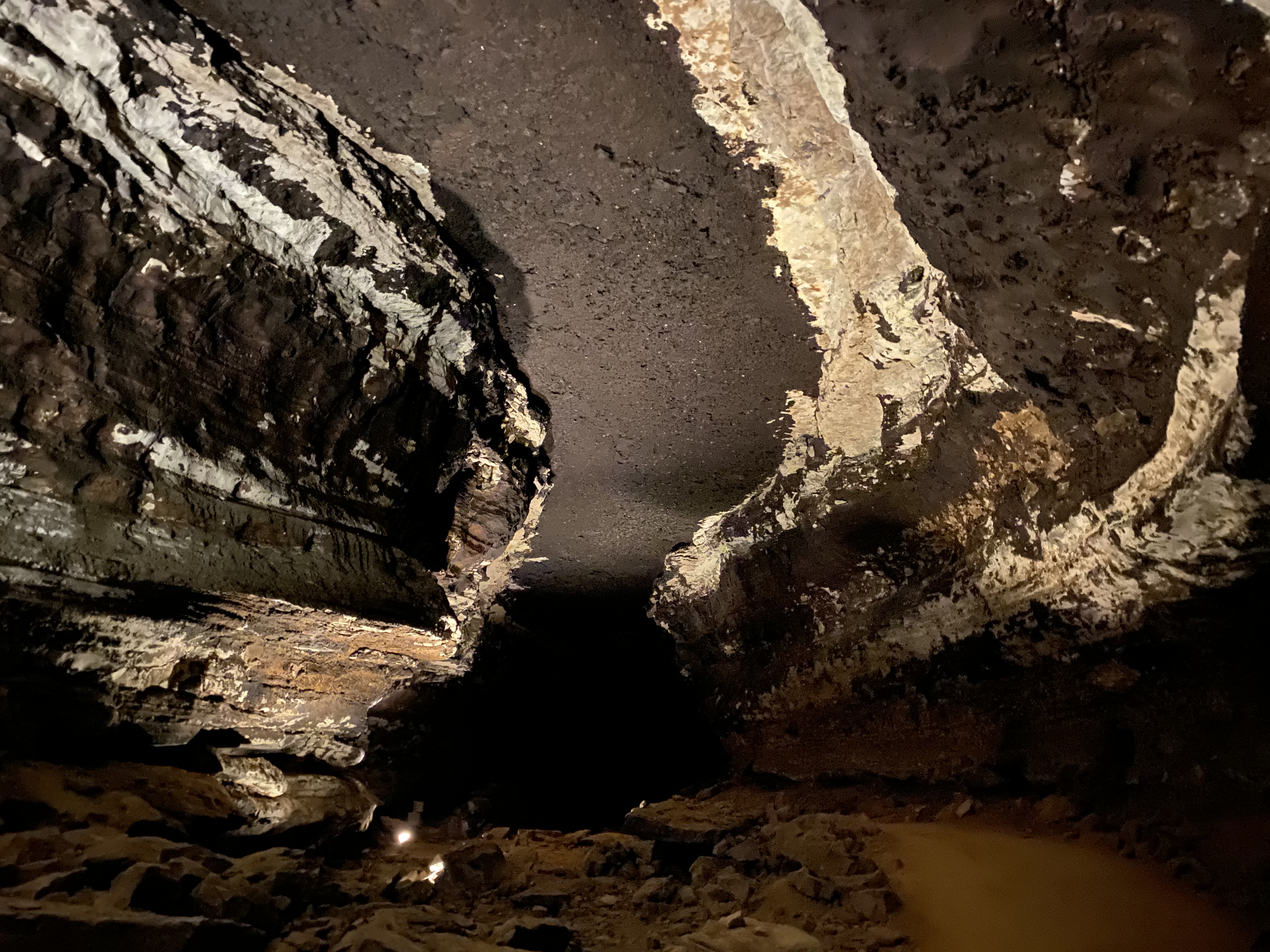
Sunset PointAccessed by a short walk along the 1/2 mile (0.8 km) accessible Heritage Trail, the view from Sunset Point gives hikers vistas of the Green River Valley and surrounding hillsides. 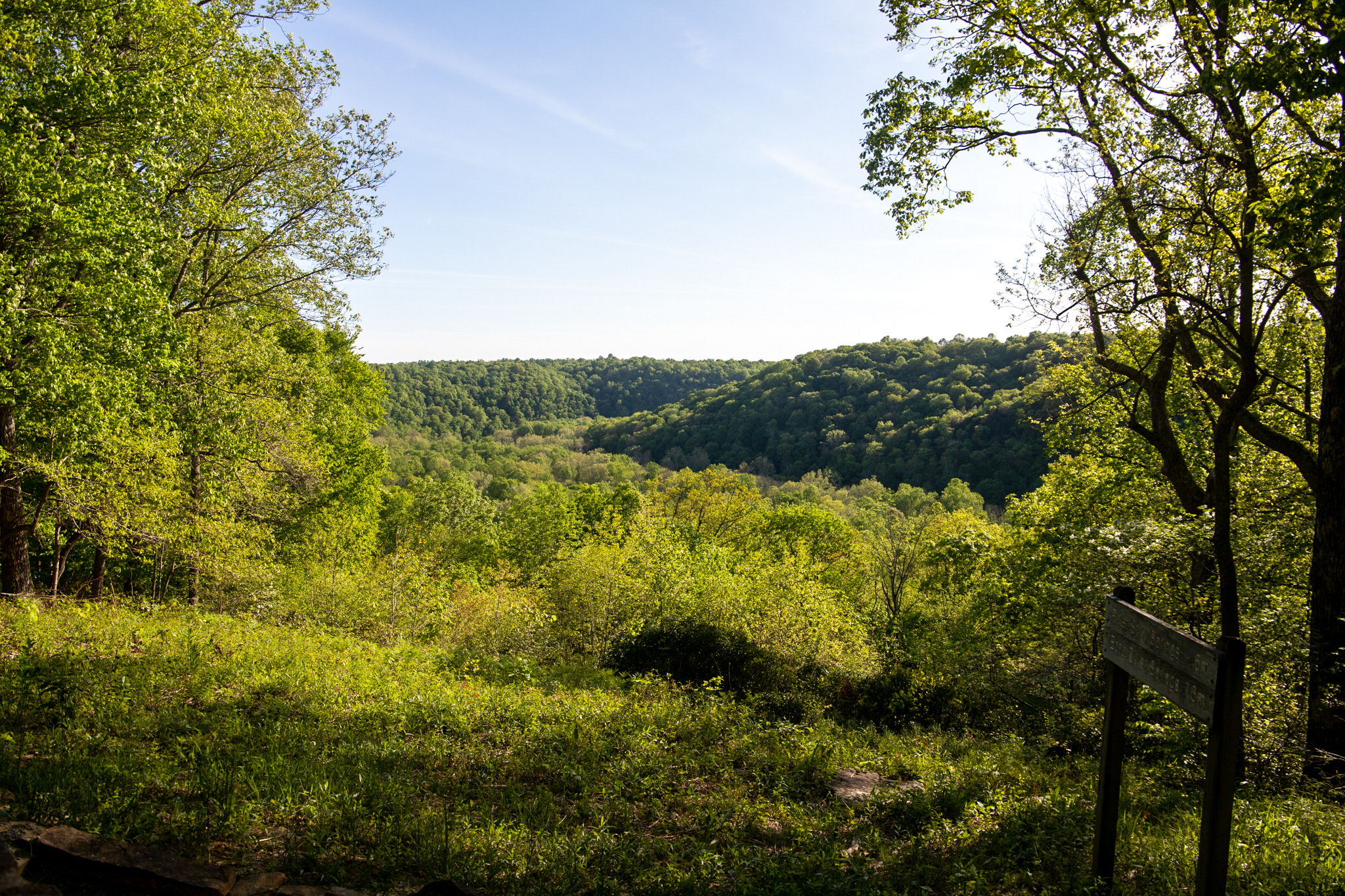
Sunset TerraceSunset Terrace Lodging is located adjacent to the Lodge at Mammoth Cave in Mammoth Cave National Park. 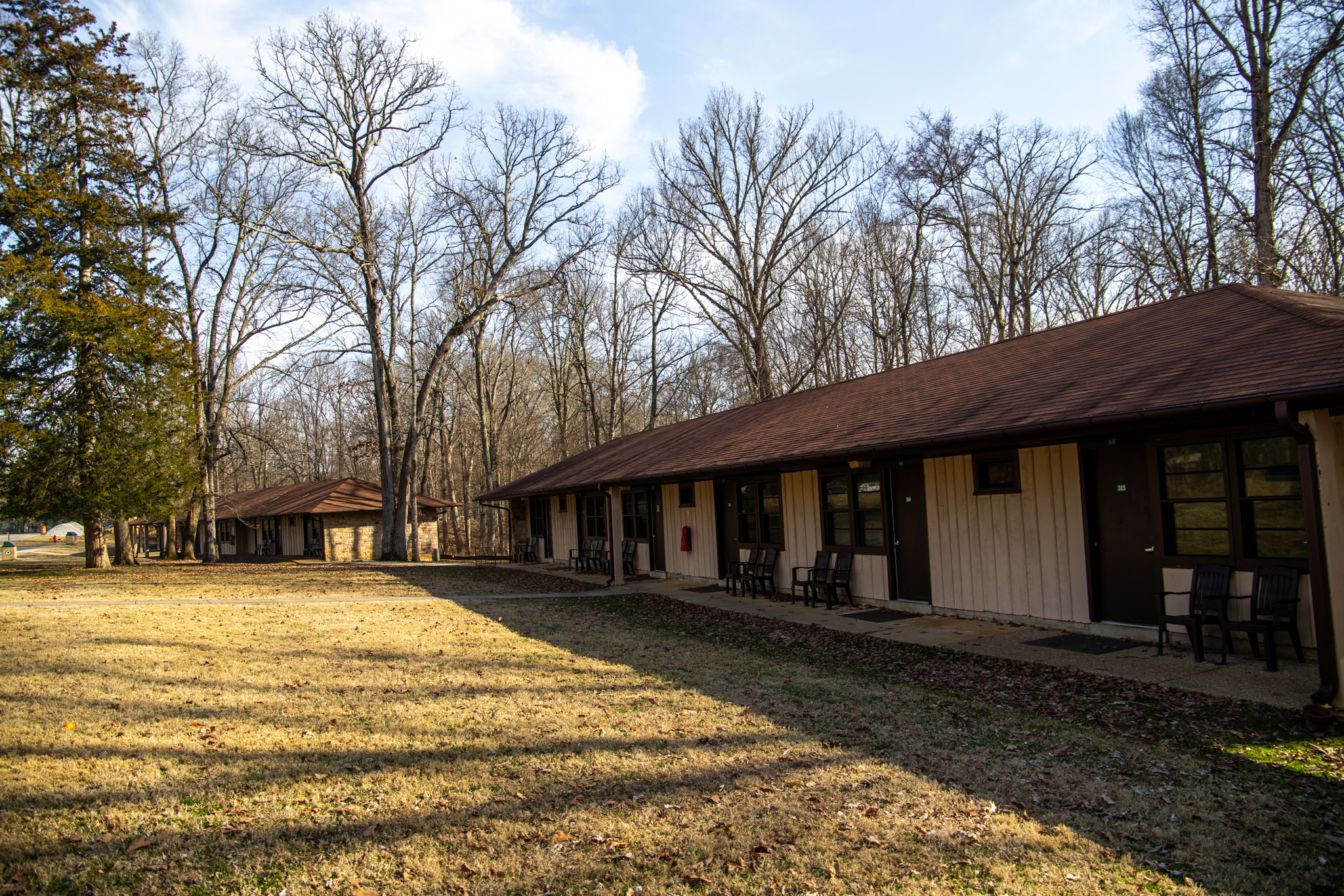
TB HutsAn experimental hospital deep inside Mammoth Cave built in the 1840s. 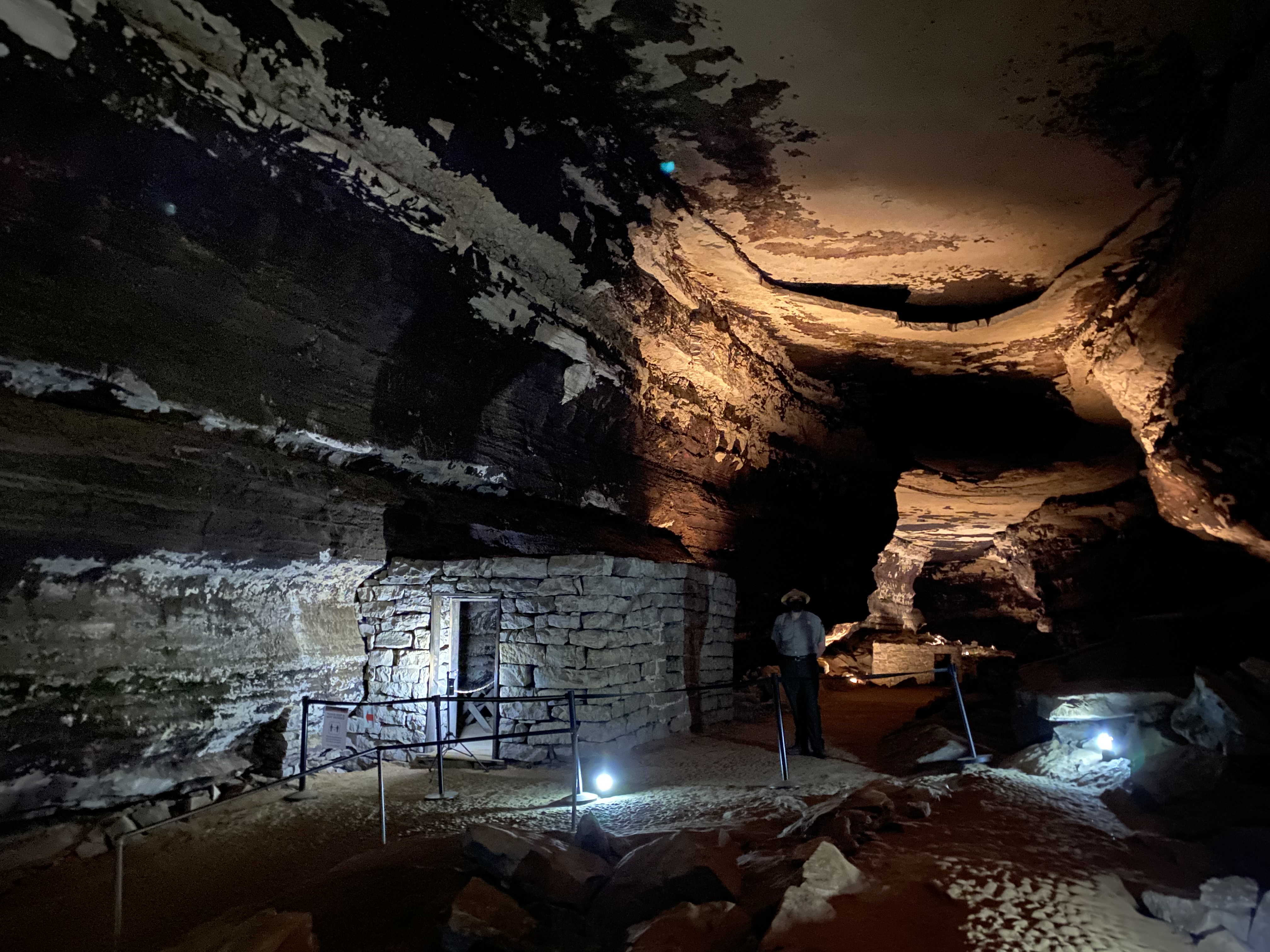
TB Huts - Beneath Your FeetIn the 1800’s some people believed Mammoth Cave might have healing properties. In 1842 cave owner and physician Dr. John Croghan created a hospital for tuberculosis patients 183 feet beneath your feet. Unfortunately, the cave holds no cure for tuberculosis. In less than a year, the patients left the underground hospital. 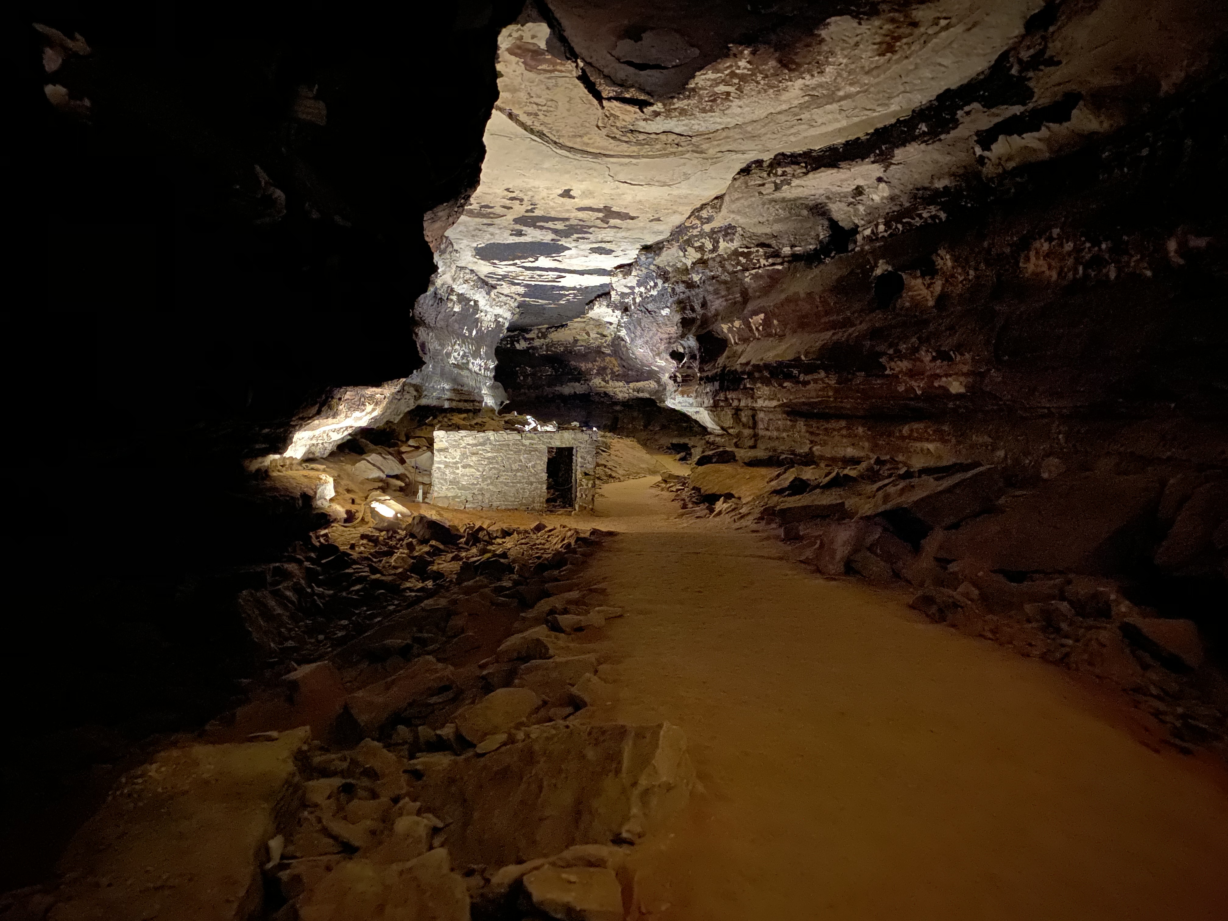
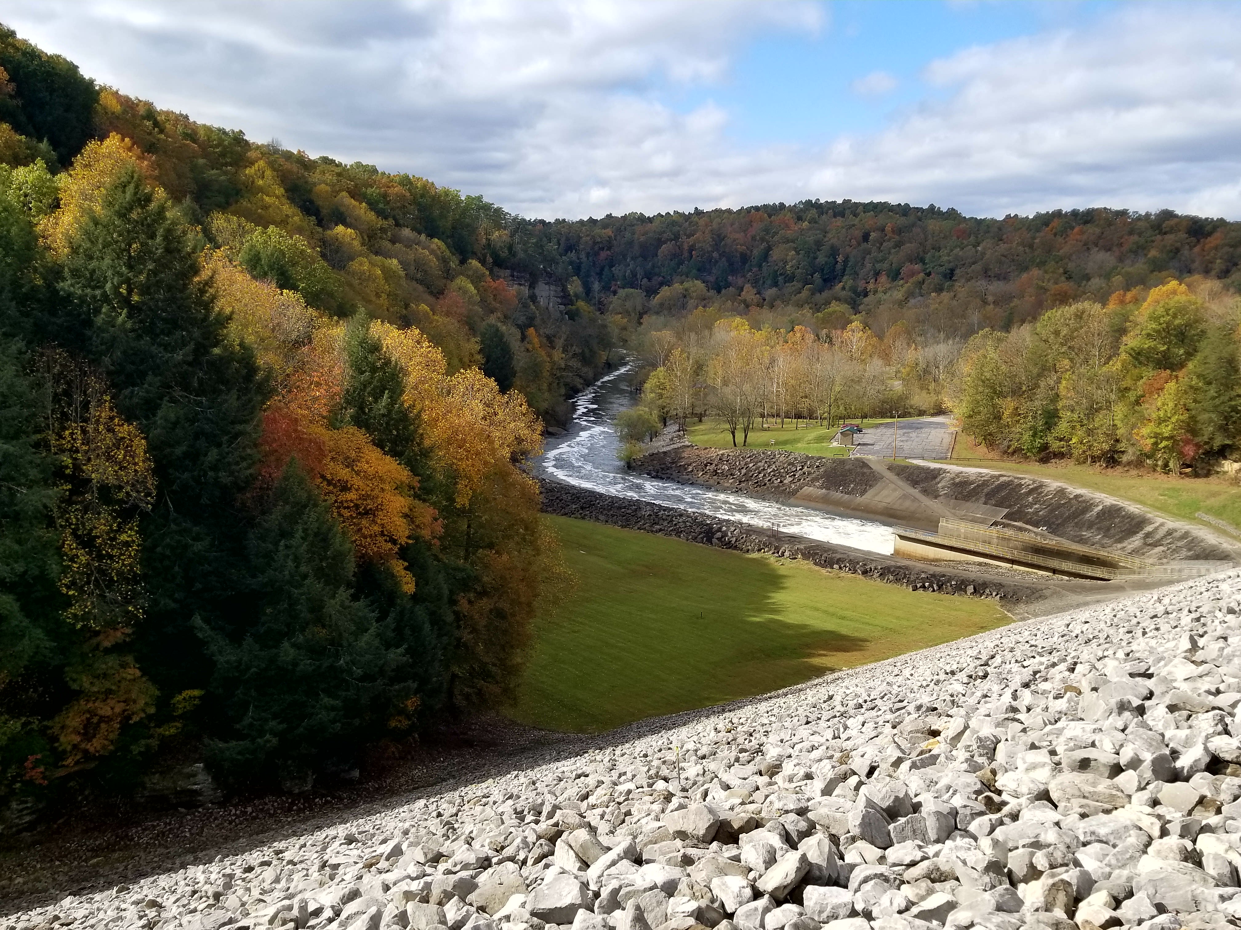
Tailwater Recreation AreaThe Tailwater Recreation Area provides an access point to the Nolin River before it flows in to Mammoth Cave National Park. 
The Acute AngleThe cave makes a sharp turn here as the path leaves the pavement to travel deeper underground. 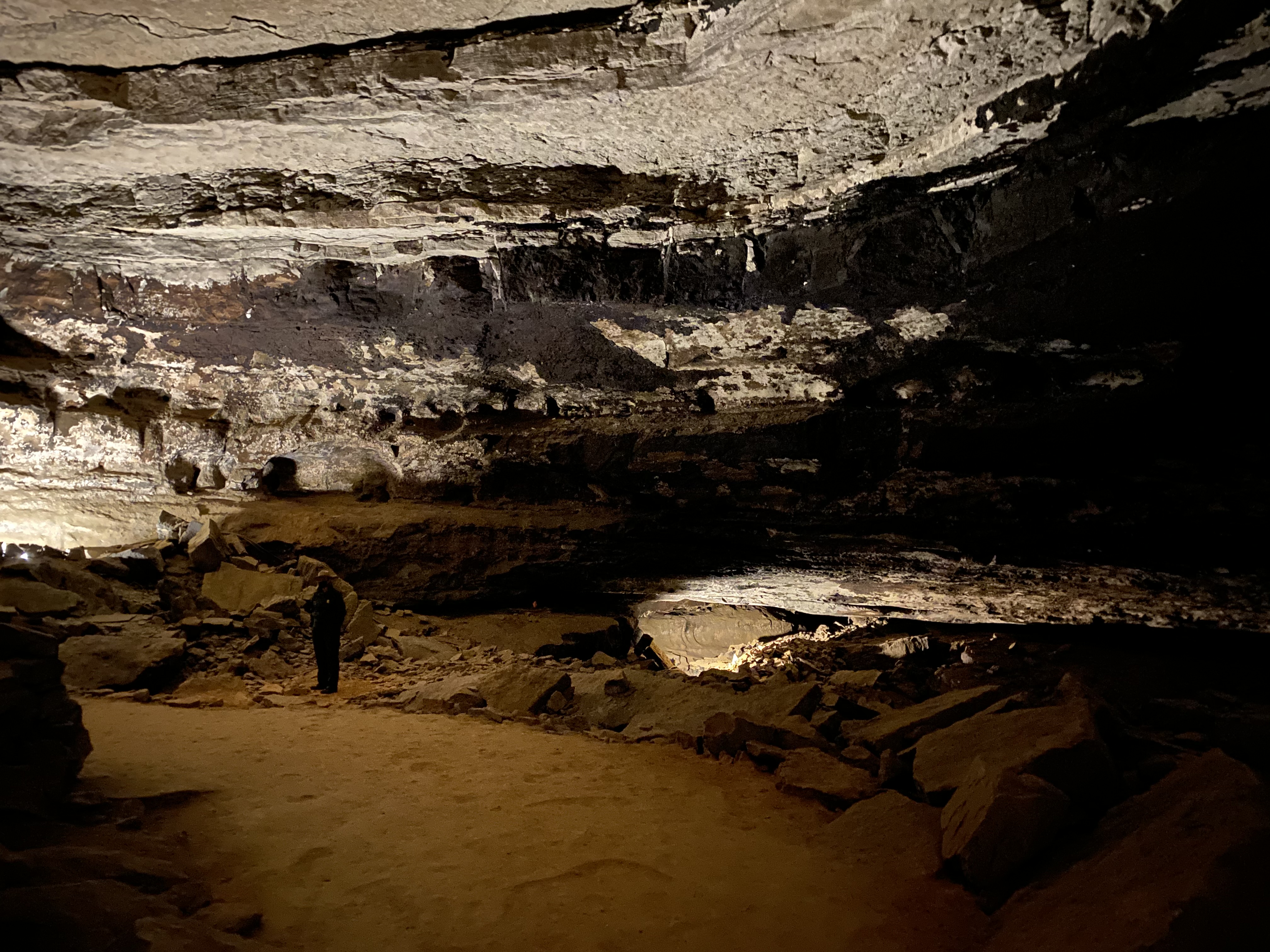
The Bridal Altar - Beneath Your FeetIn the 1800’s and 1900’s several couples got married 154 feet beneath your feet in Gothic Avenue at the dripstone formation known as “The Bridal Alter”. 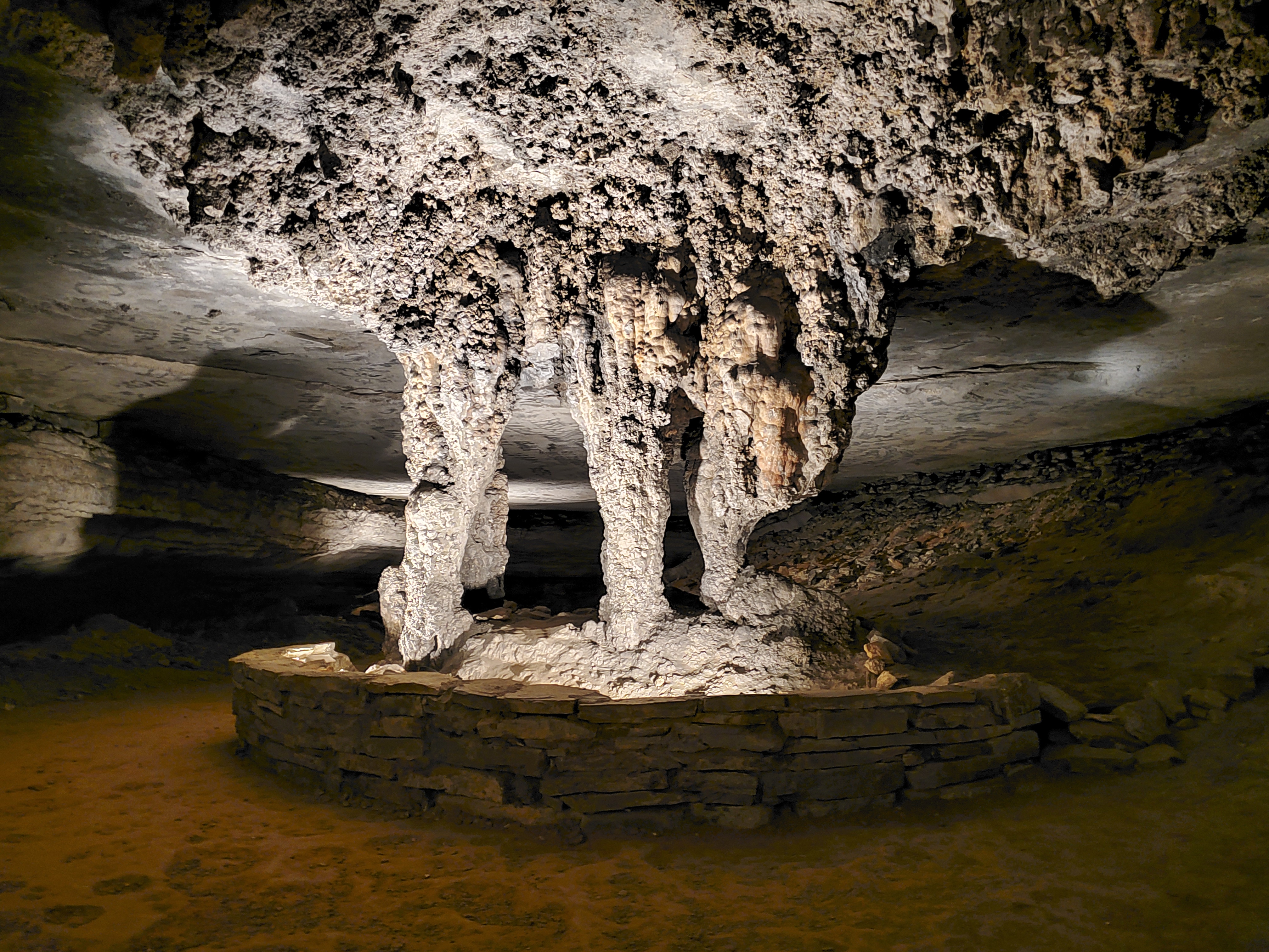
The ChurchChurch services once held in the cave led to the name for this cave room. 
The Giant’s CoffinThe Giant's Coffin has been a popular tour stop for over two centuries. 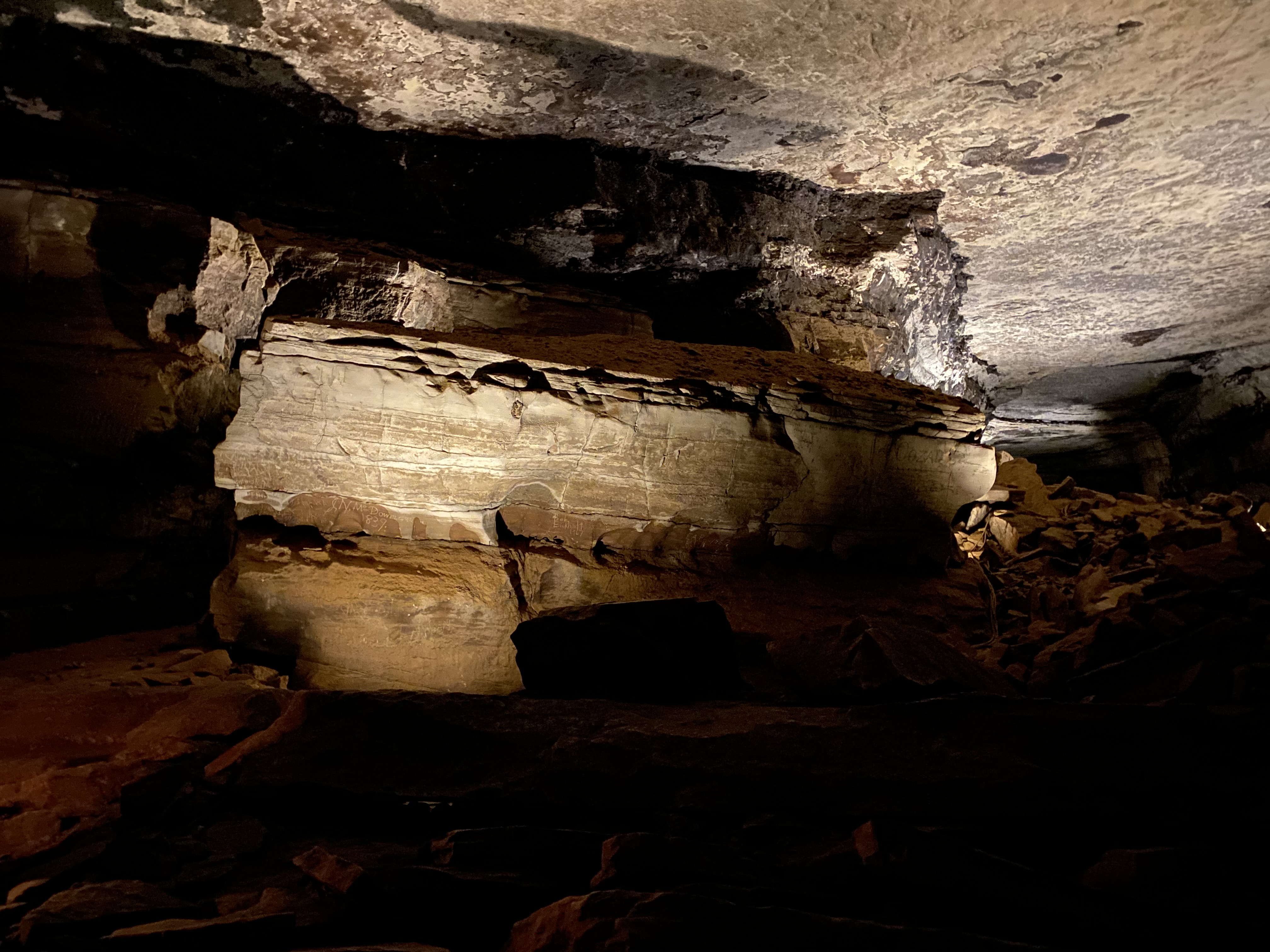
The Lodge at Mammoth CaveThe Lodge at Mammoth Cave provides food services, giftshops, ADA accessible rooms, and is the prime check in location for other cabin rentals in Mammoth Cave National Park 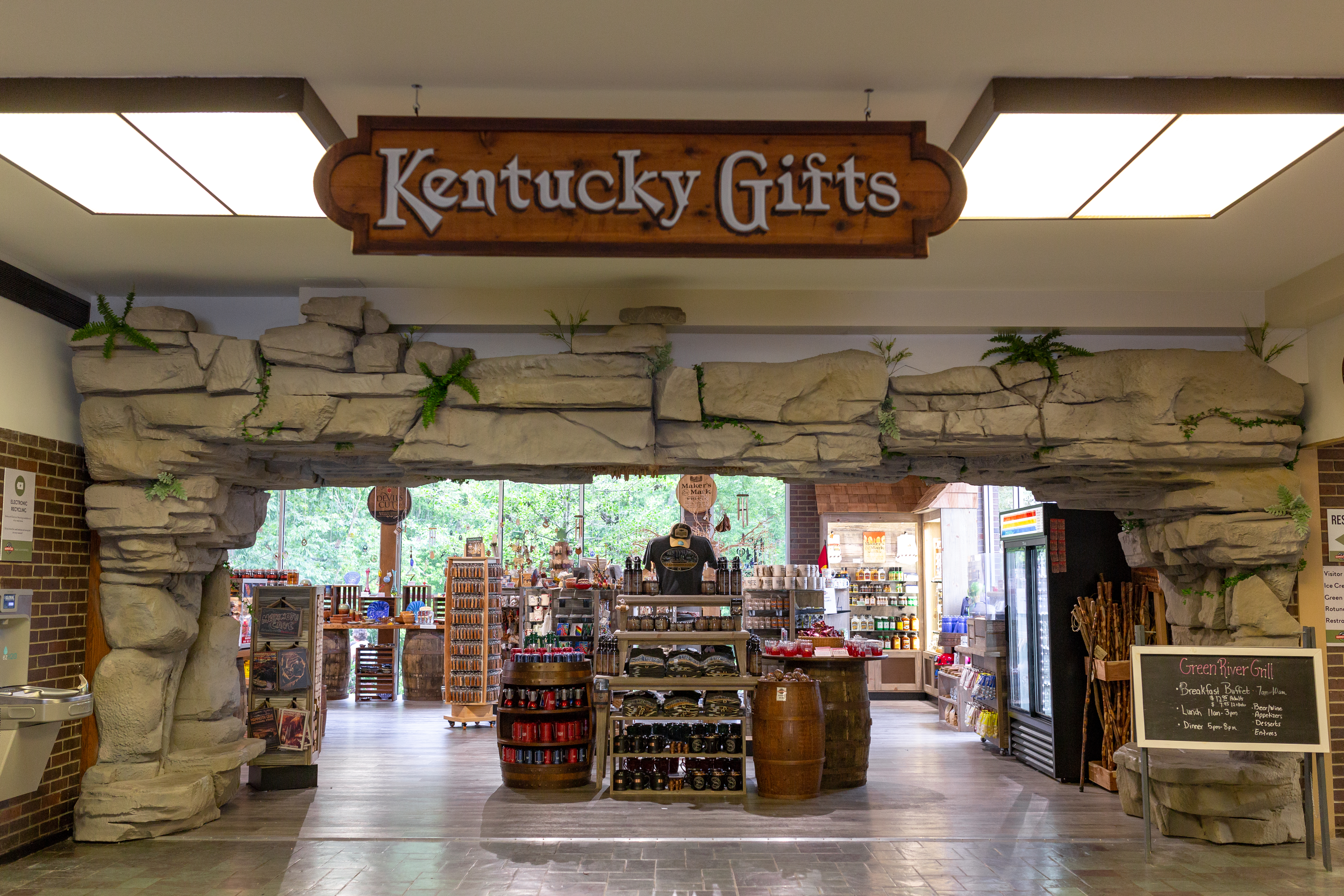
Turnhole Bend OverlookLocated on the southern side of the park on Brownsville Road, the 1/2 mile (0.8 km) Turnhole Bend Nature Trail takes hikers past deep sinkholes before leading to the overlook. The overlook consists of two benches and a informational sign, with views of the Green River and the north side of the park. 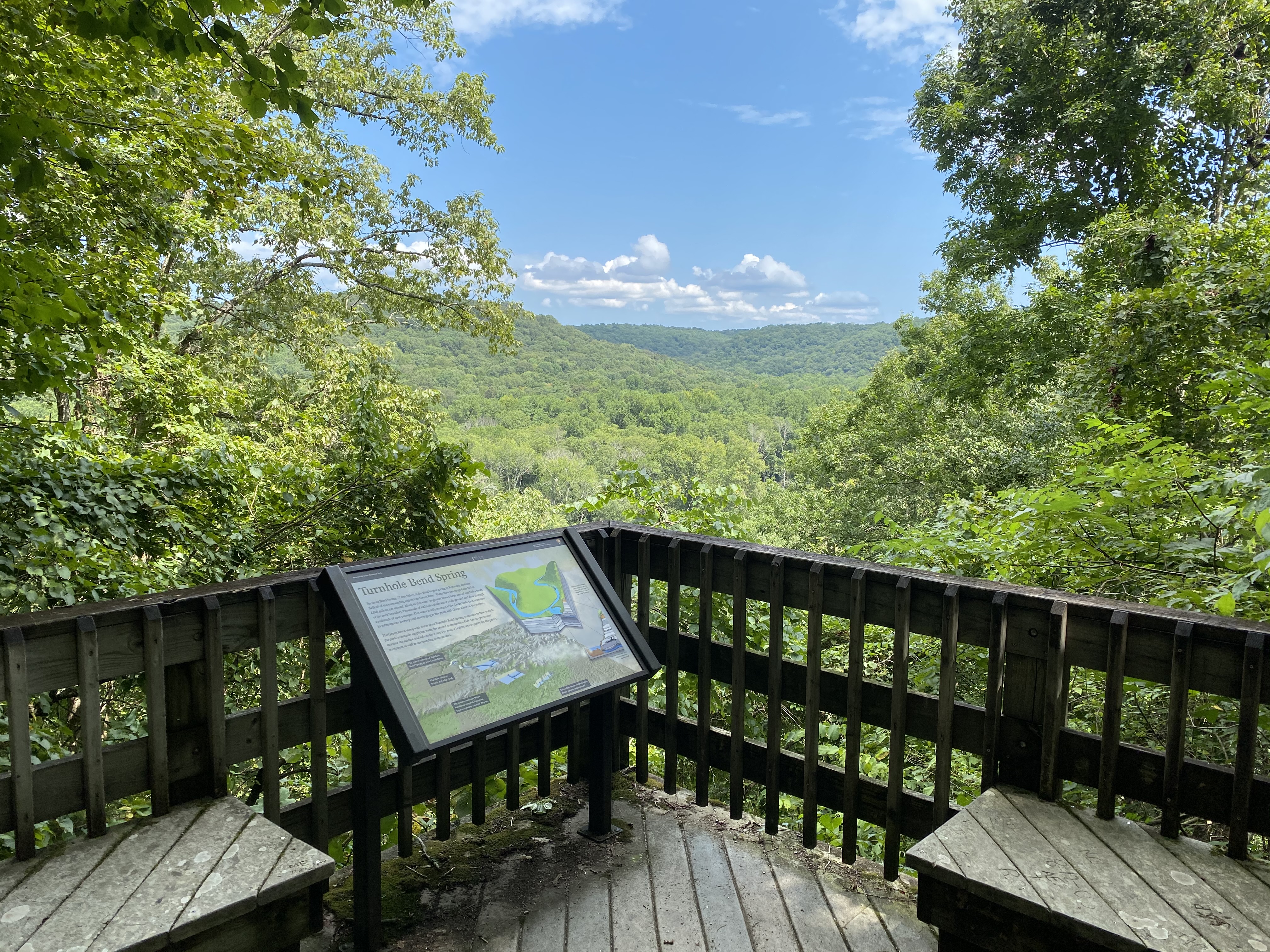
Water ClockThe slow dripping of water in this vertical cave shaft resembles the sound of a ticking clock. 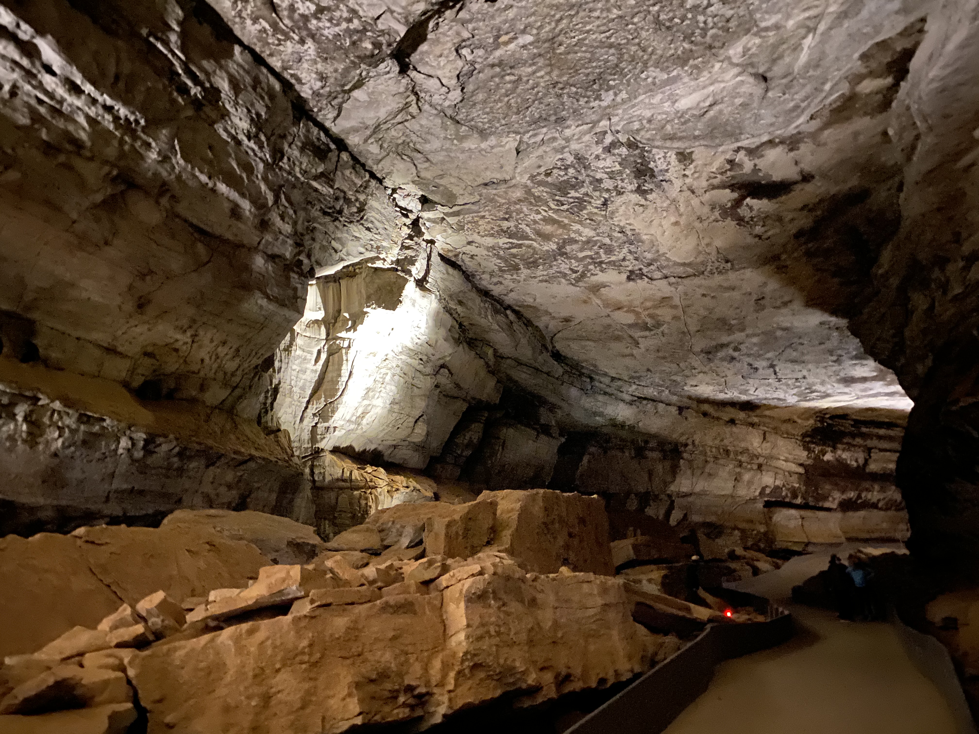
|
| Visitor Centers | Count: 1
Mammoth Cave Visitor Center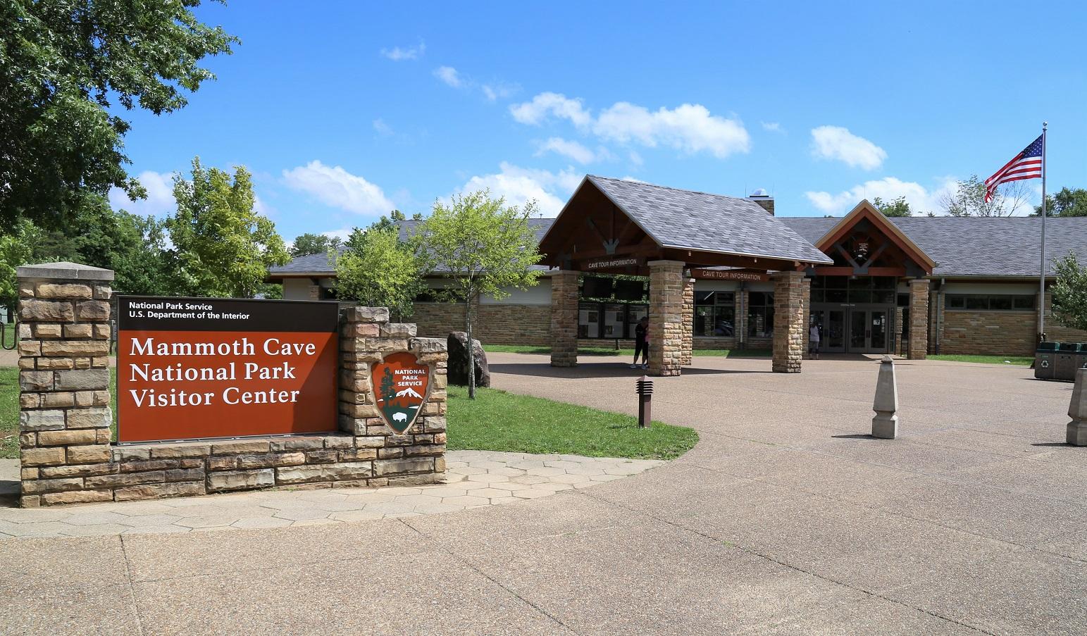
|
| Things to do | Count: 17

|
| Tours |
Count: 2
Beneath Your FeetThe Beneath Your Feet self-guided walking tour is designed to help you appreciate the mysteries and geological wonders of Mammoth Cave while exploring the park’s above-ground walking trails. Wayside signs are located at 14 locations along trails and walking paths throughout the park’s visitor center and campground area. They include images and information about the natural history of the cave passages that are found beneath your feet. Extended Discovery TourThis mobile app feature accompanies the self-guided Extended Discovery Tour. Please note this tour is only offered intermittently, generally during busier months. Find out if this tour is available on our current cave tour schedule on the website. Tickets are required to enter Mammoth Cave. Be sure to toggle the switch in the app to "Save this park for offline use." This will ensure the content is usable when you are inside the cave away from cellular signal. |
| Articles |
|