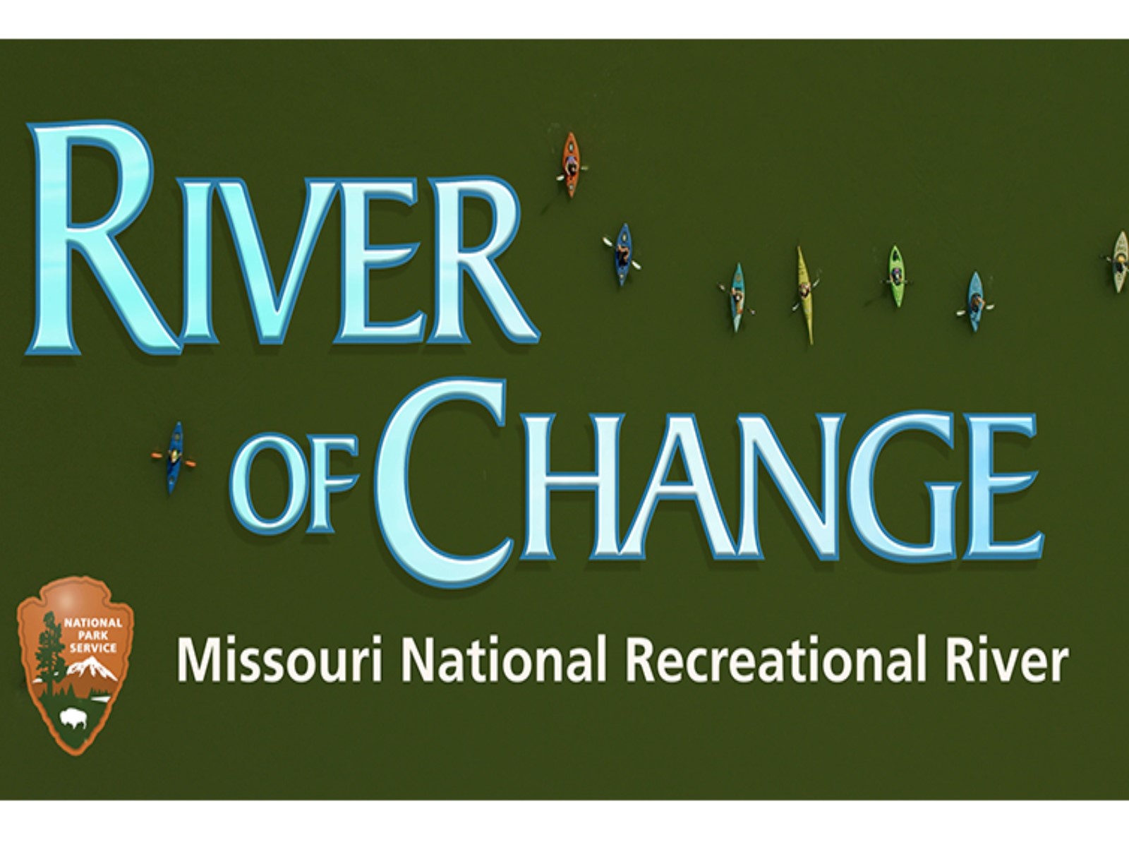
| Title | Missouri |
| Park Code | mnrr |
| Description | Imagine a 100-mile stretch of North America's longest river, a vestige of the untamed American West. The Missouri National Recreational River is where imagination meets reality. Two free flowing stretches of the Missouri make up the National Park... |
| Location | |
| Contact | |
| Activities |
|
| Entrance fees |
|
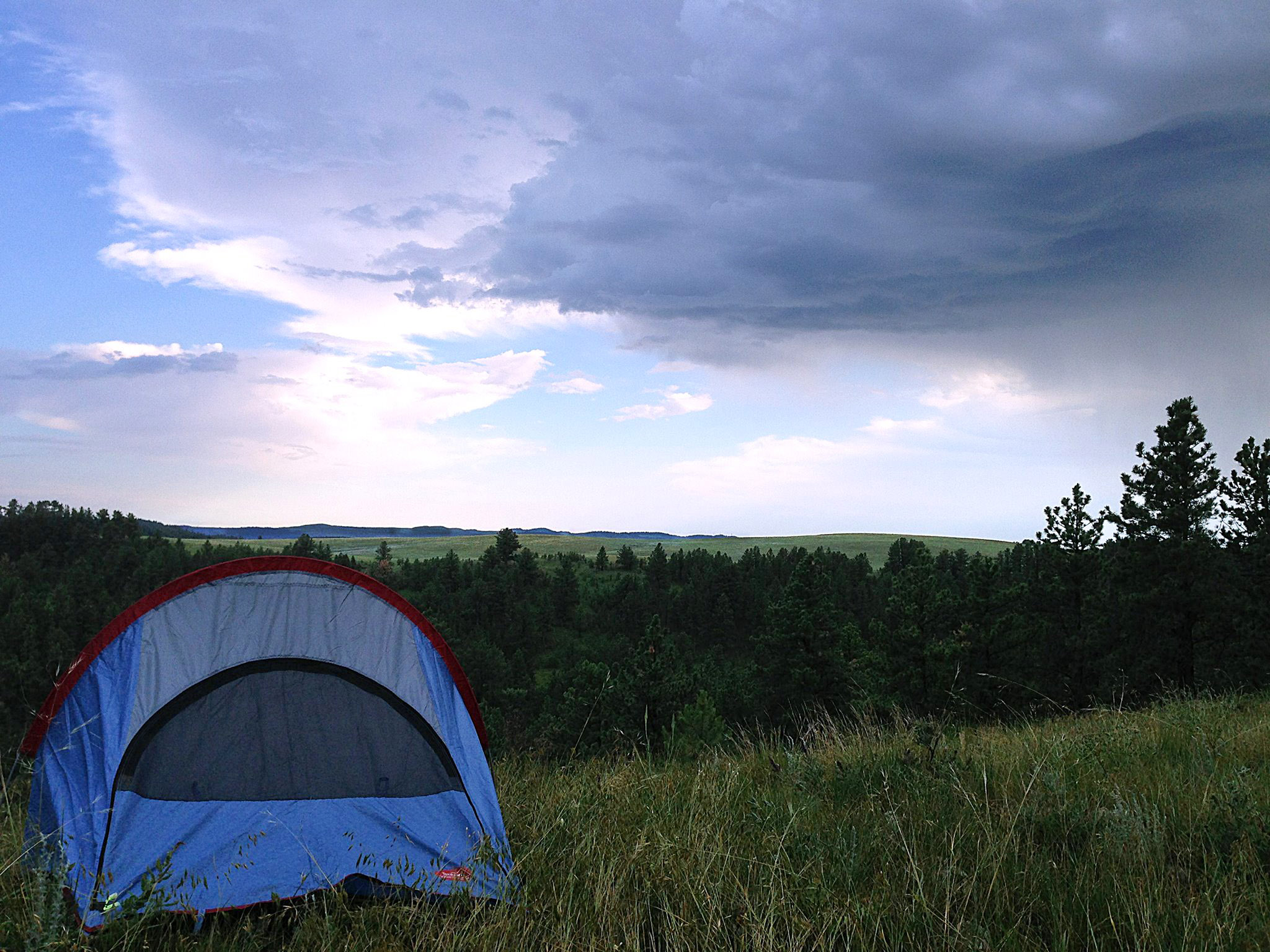
| Campgrounds | Count: 3
Bow Creek Primitive Camping
Goat Island Primitive Camping
Green Island Primitive Camping
|
| Places | Count: 36
Bolton River AccessAccess the Missouri River and explore the MNRR Water Trail from Bolton River Access located north of Burbank, South Dakota. 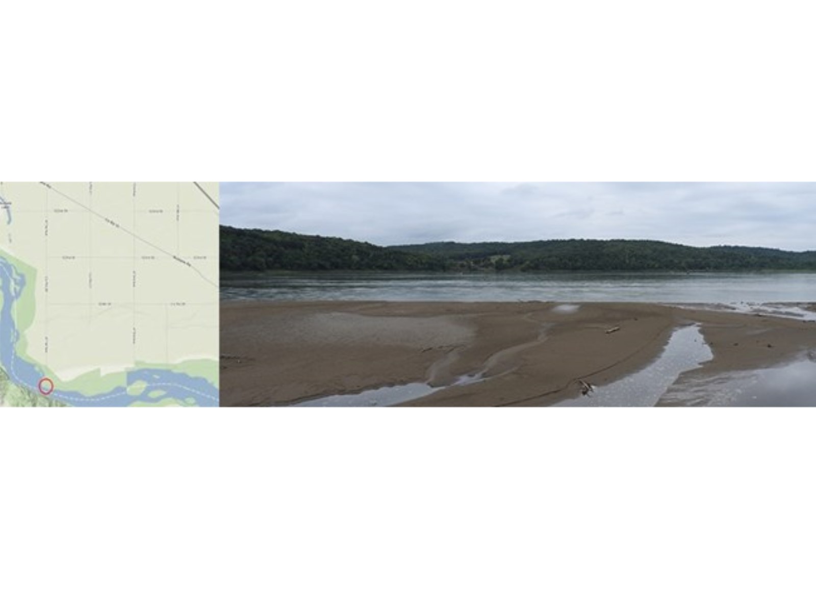
Bow CreekBow Creek is a High Potential Historic Site on the Lewis and Clark National Historic Trail. On August 26, 1804, the expedition camped on a sand bar (in present-day South Dakota) across the Mis-souri from the mouth of Bow Creek (in present-day Nebraska). 
Bow Creek River AccessAccess the Missouri River and explore the MNRR Water Trail from Bow Creek Recreation Area. 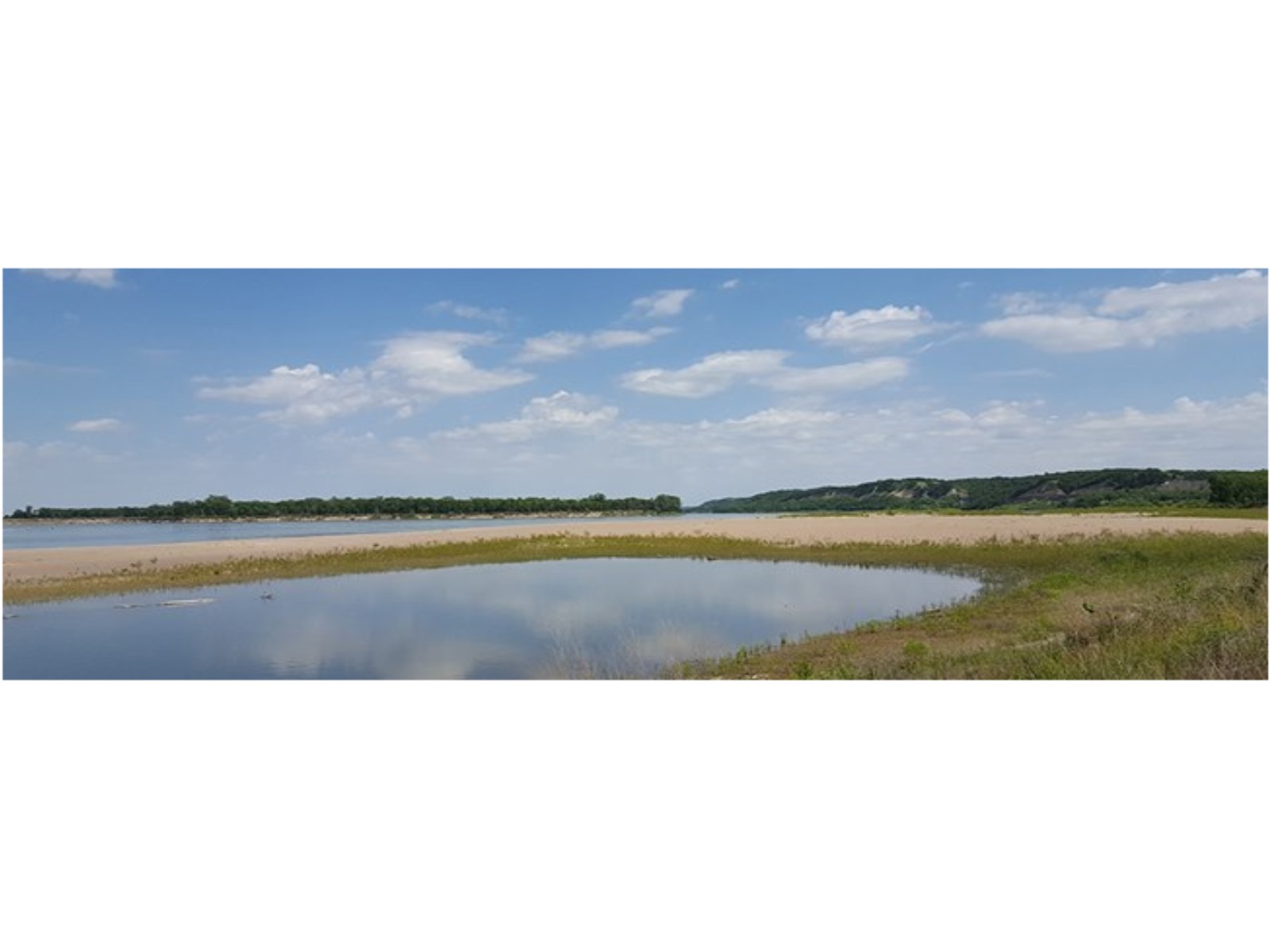
Brooky Bottom River AccessAccess the Missouri River and explore the MNRR Water Trail from Brooky Bottom. 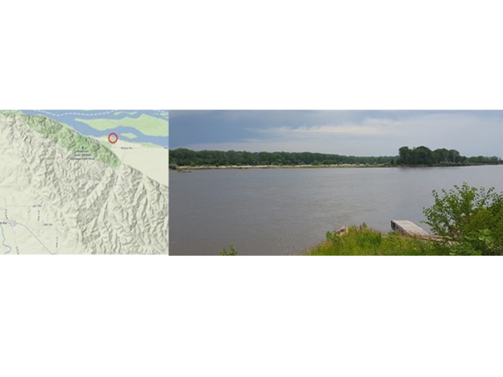
Clay County River AccessAccess the Missouri River and explore the MNRR Water Trail from Clay County. 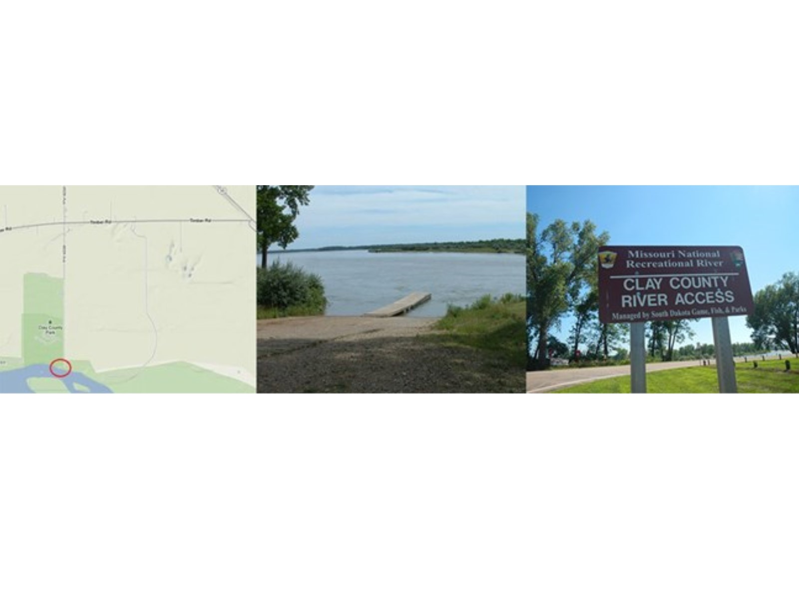
Dakota Territorial Capitol ReplicaLocated in Yankton's Riverside Park, this replica of the territorial capitol includes photographs of old Yankton, maps of the Dakota Territory, a collection of former Territorial governors, and other artifacts on display. This capitol replica symbolizes Yankton as being the first capitol of the Dakota Territory from 1861- 1883. The replica is patterned after the original Dakota Territorial Capitol built in Yankton in 1862 and torn down in 1886. 
Fort Randall Dam Spillway River AccessAccess the Missouri River and explore the MNRR Water Trail from Fort Randall Dam Spillway. 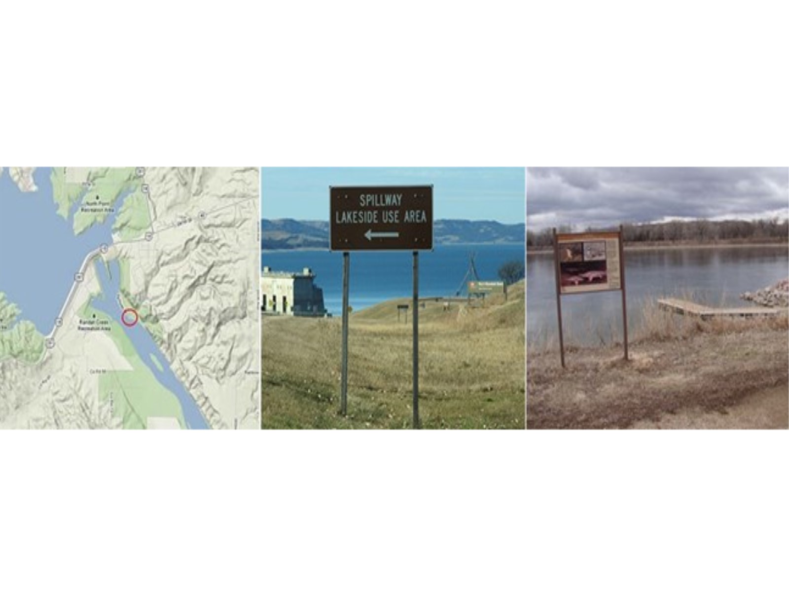
Fort Randall Dam Visitor CenterThe Fort Randall Dam Visitor Center features exhibits that include information and displays about the authorized project purposes, construction of the dam, local cultural history, paleontological history, early exploration and natural history of the area. The center also houses a freshwater aquarium that displays fish species of the Missouri River. 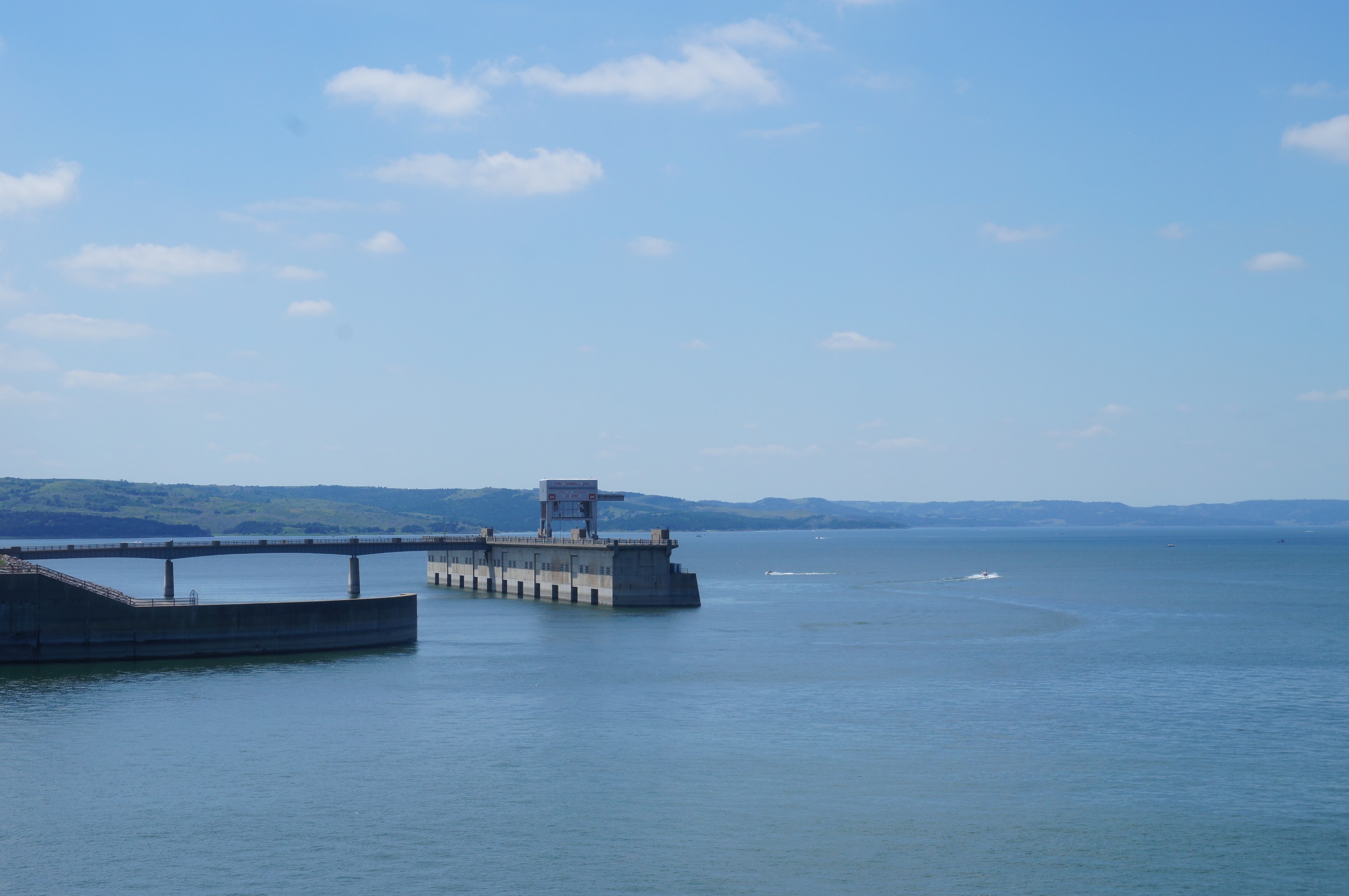
Goat Island Recreation AreaGoat Island lays within the 59-Mile District of the Missouri National Recreational River in between the two cities of Yankton and Vermillion, South Dakota. Situated along the Missouri National Recreational River Water Trail, the island is between Nebraska and South Dakota. 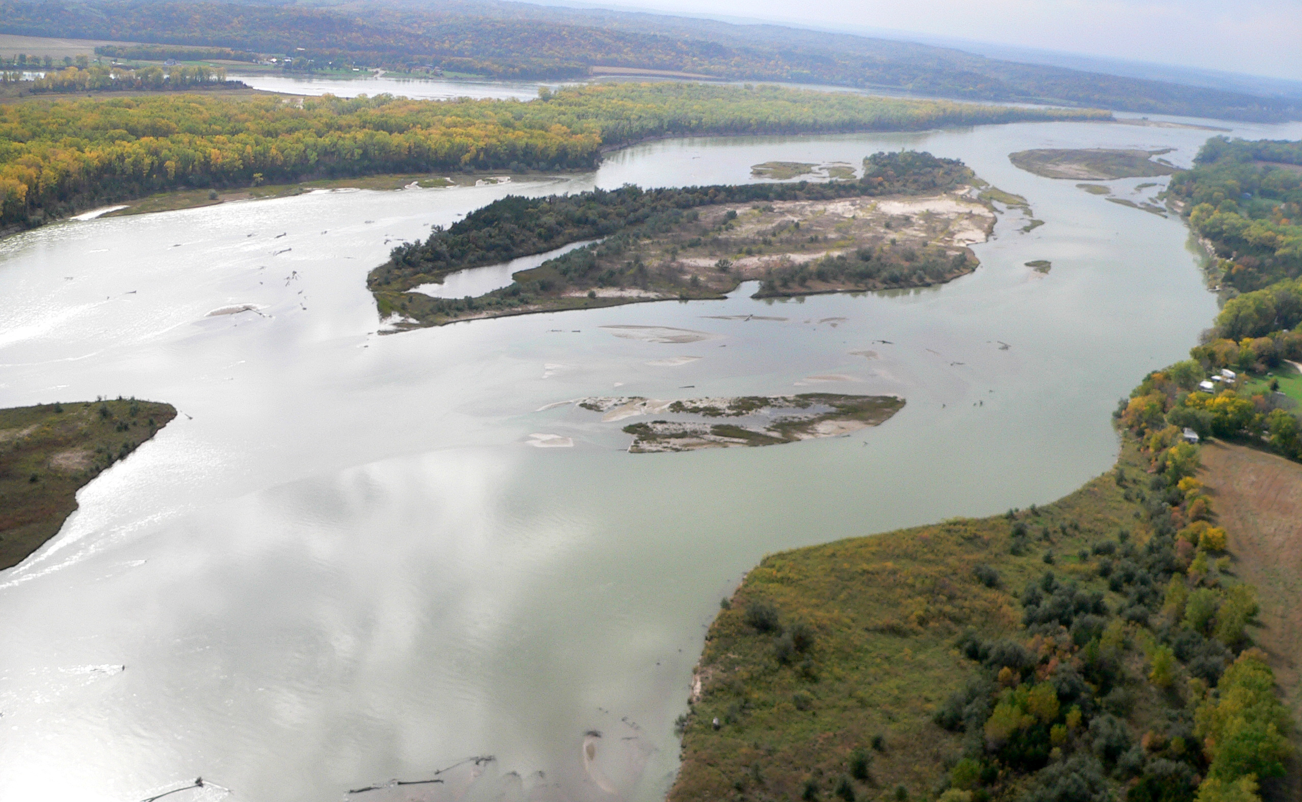
Green IslandGreen Island actually never used to be an island! This National Park Service property gets its name from the nearby town of Green Island, Nebraska which washed away during the flood of 1881. The town of Green Island was never rebuilt, but the name and story have persisted. 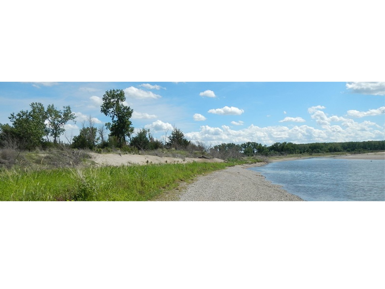
Ionia VolcanoIonia Volcano is a High Potential Historic Site on the Lewis and Clark National Historic Trail. On August 24, 1804, Clark explored a distinctive “180 or 190 feet high” bluff along the west side of the Missouri River. 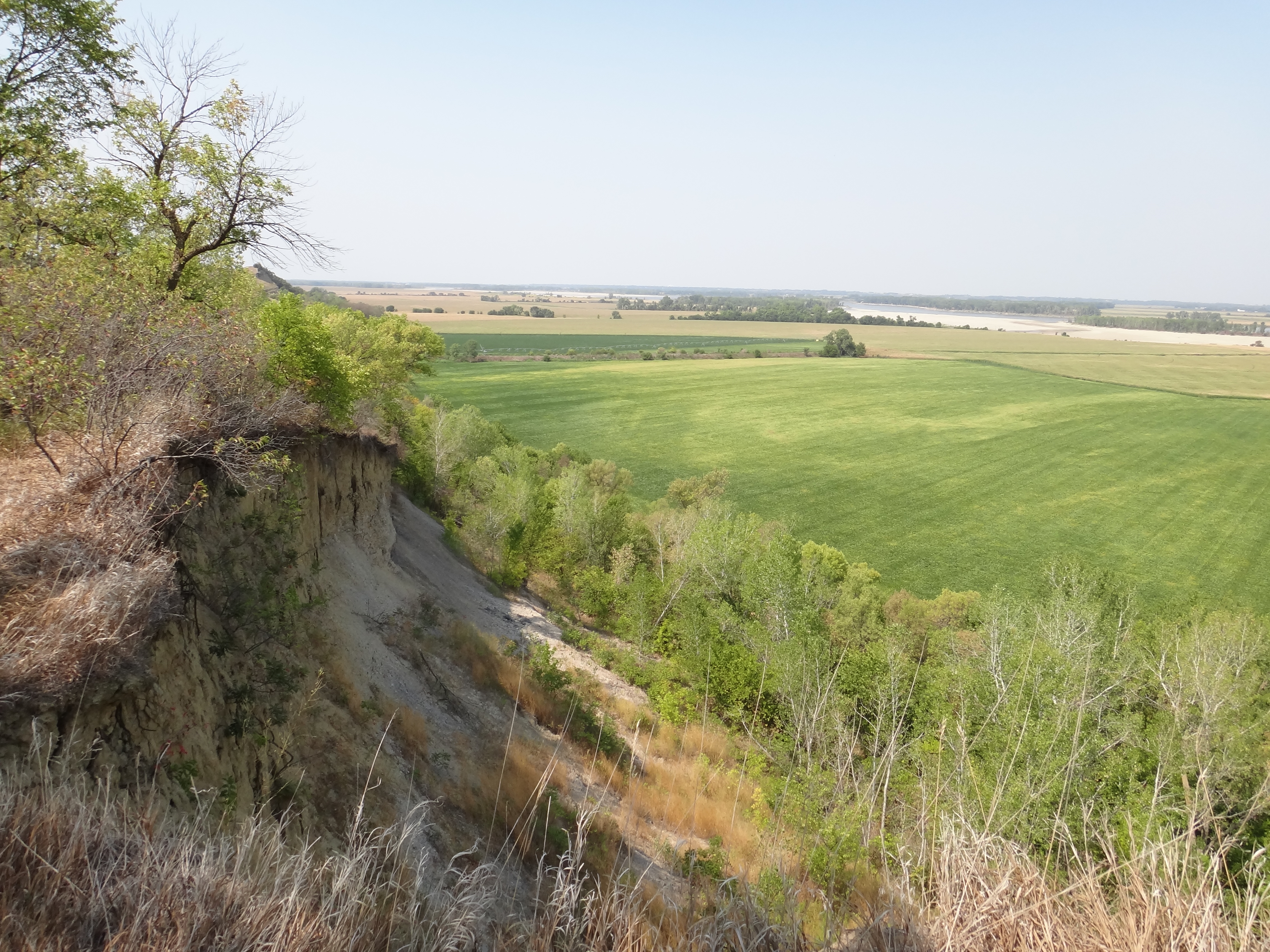
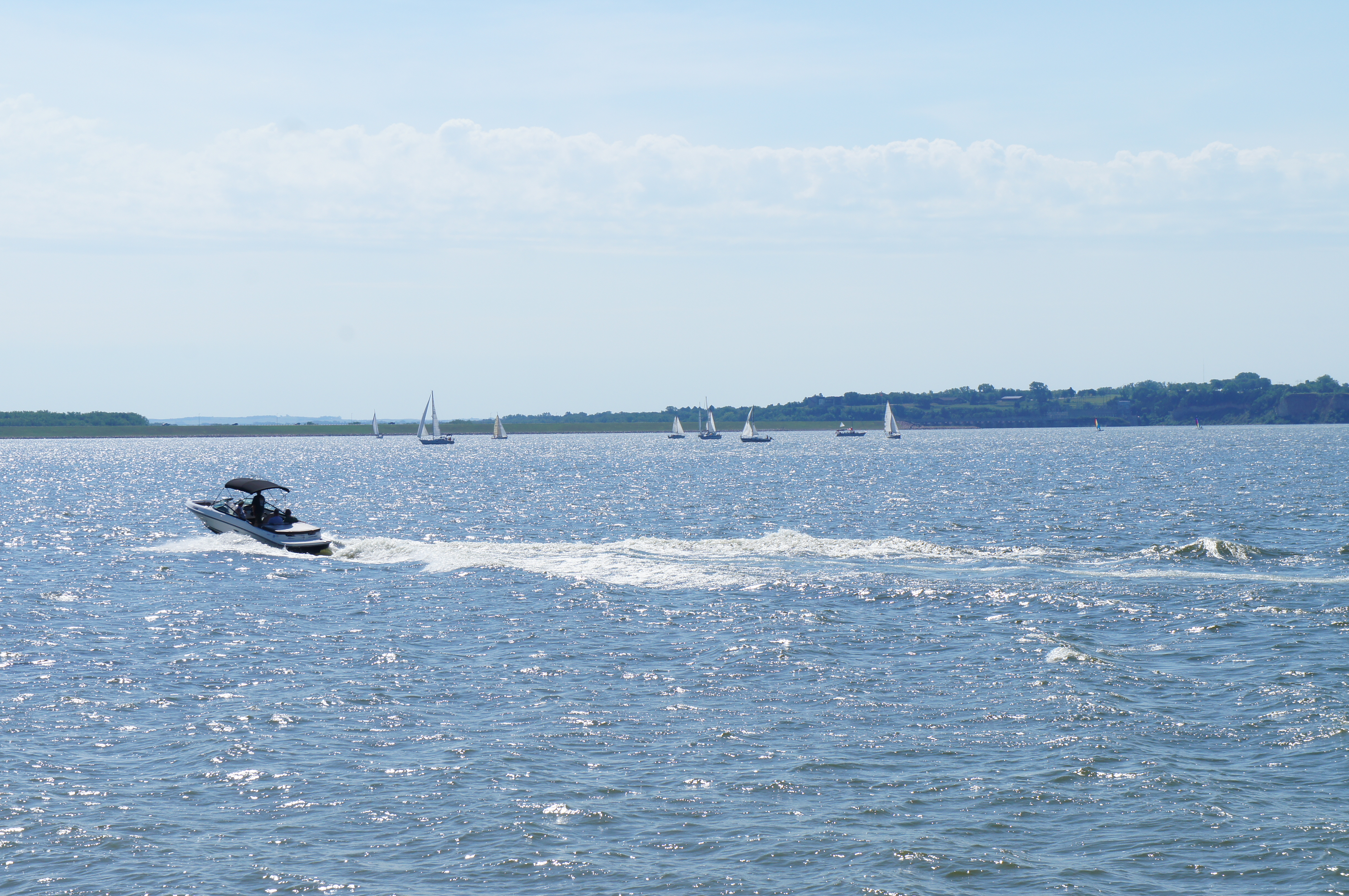
Lewis and Clark Recreation Area and Visitor CenterLewis and Clark Lake, near Yankton, is one of South Dakota's most popular resort parks. Three separate campgrounds comprise this modern recreation area, attracting visitors from throughout the Midwest. Modern resort facilities - from marinas to camping cabins to sandy beaches - attract water lovers to Lewis and Clark. 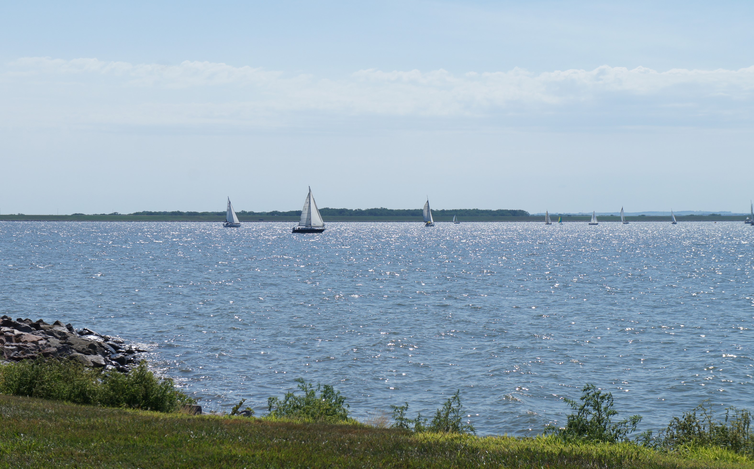
Lewis and Clark Visitor CenterOperated by the Army Corps of Engineers, this visitor center includes exhibits and information on the Missouri River basin. It is located on Calumet Bluff just downstream from the Gavins Point Dam in Nebraska. 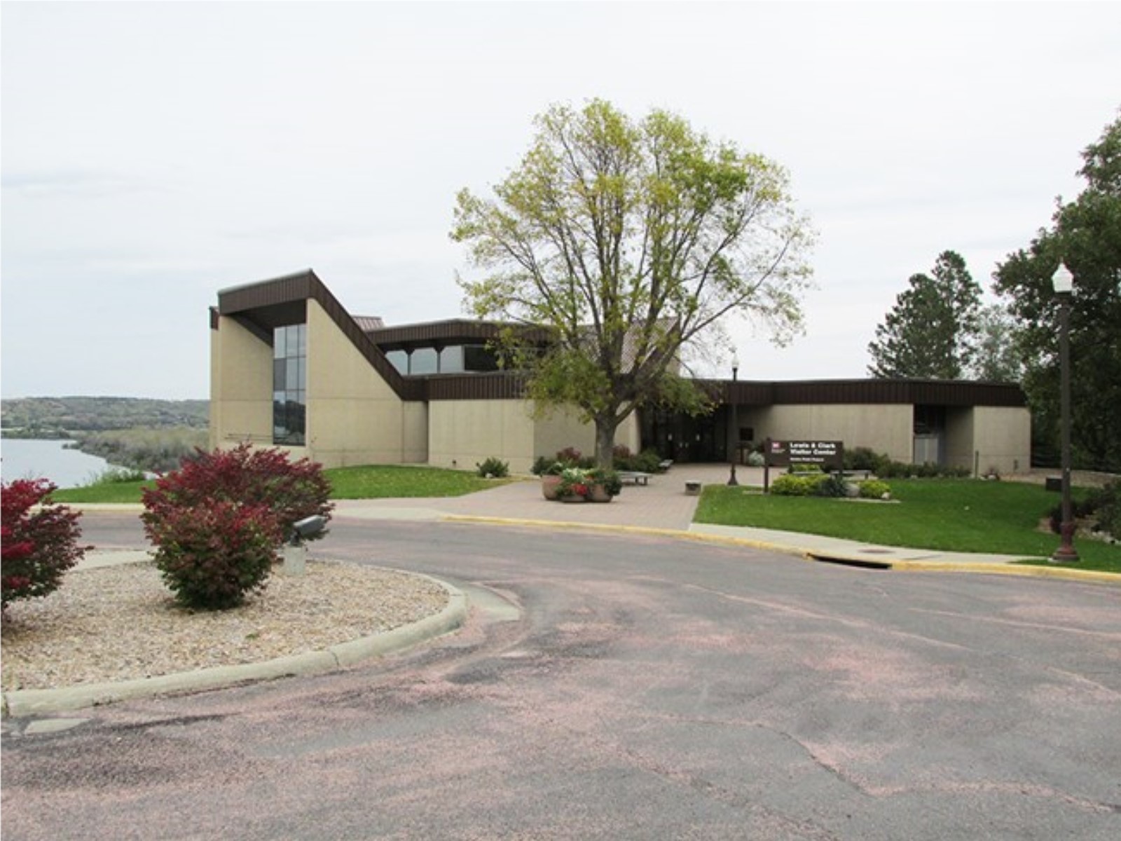
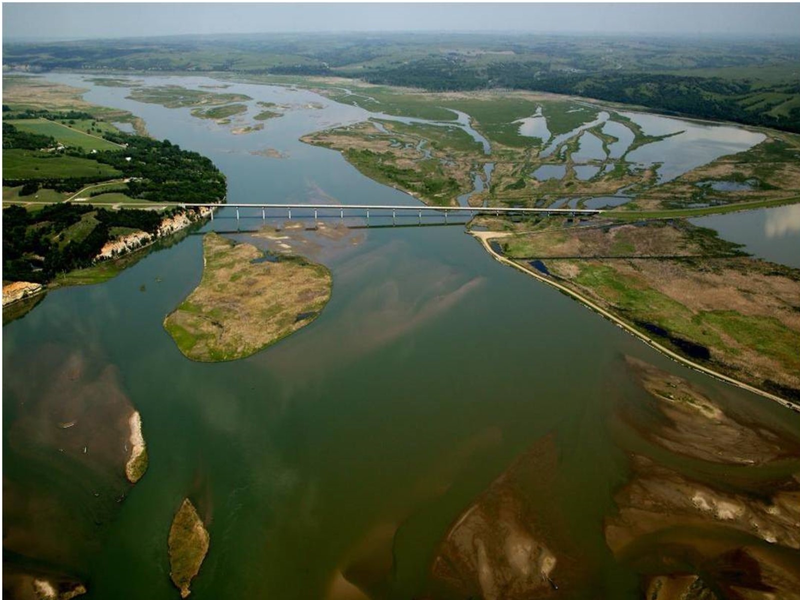
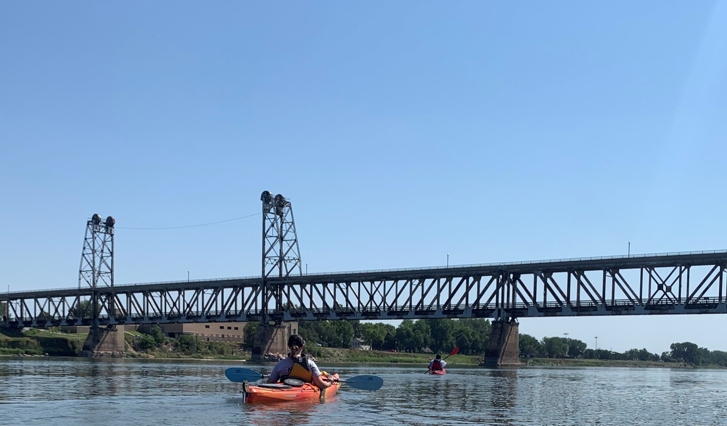
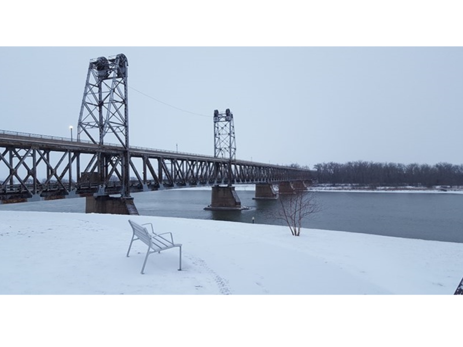
Meridian BridgeNow a pedestrian/bicycle bridge, the Meridian Bridge in Yankton, SD greatly improved economic and social connections across the Nebraska and South Dakota border when it was opened in 1924. 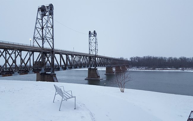
Missouri National Recreational River Headquarters
Missouri National Recreational River Resource and Education CenterThe Resource and Education Center provide visitors an opportunity to understand and develop their own connection to the resource, therefore fostering a sense of personal stewardship and care while visiting and recreating on the river. Exhibits in the Resource and Education Center focus on the meanings and significance of the MNRR, a unit of the National Park System. 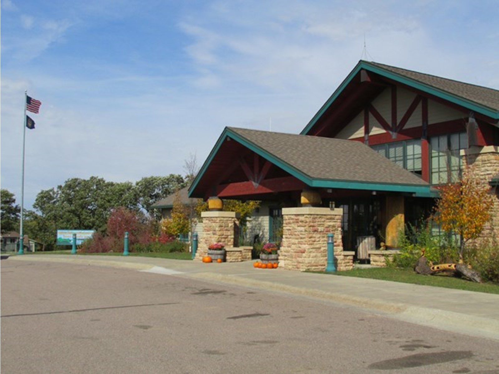
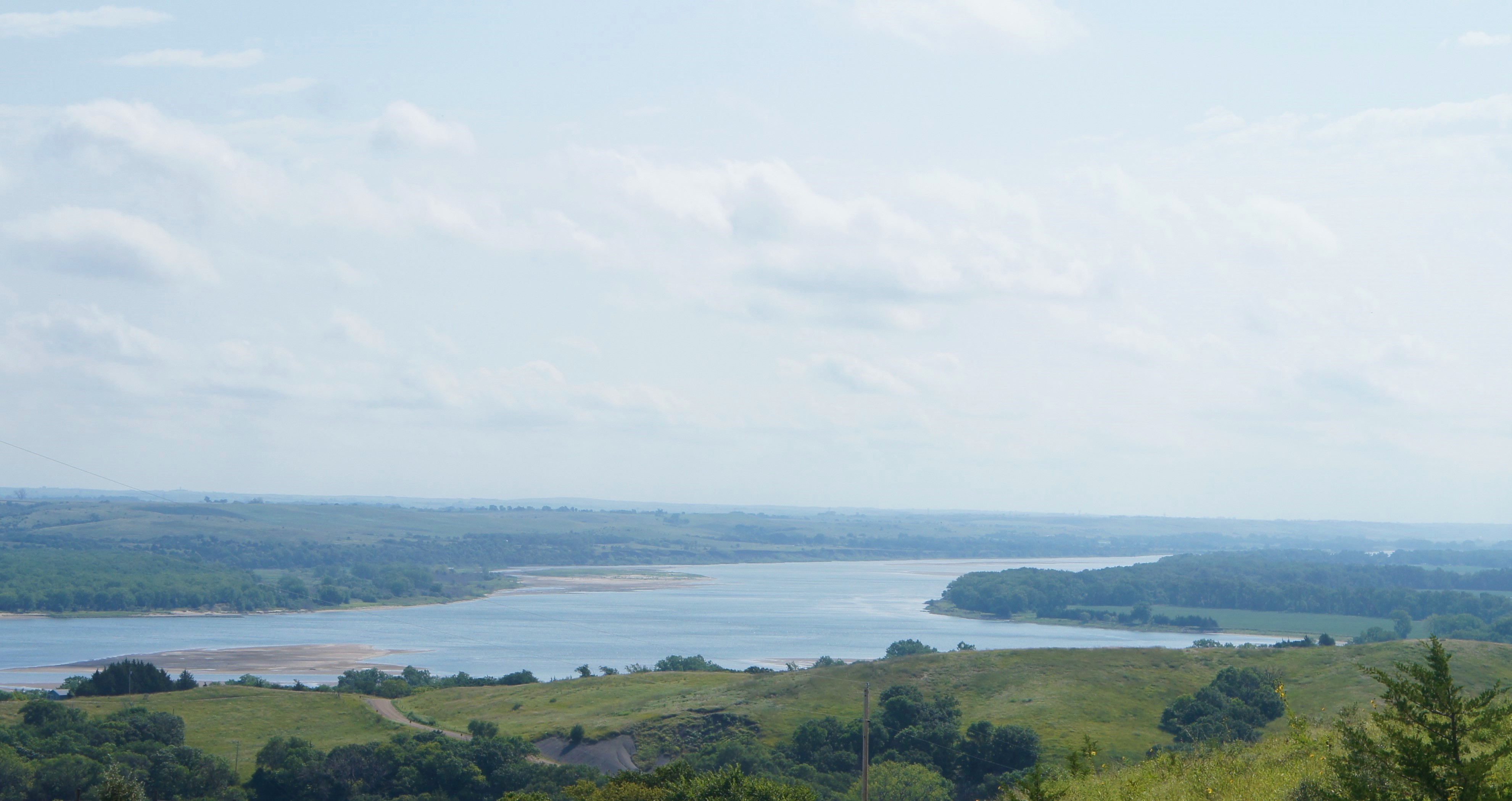
Mulberry Bend OverlookA dramatic view of the Missouri National Recreational River awaits visitors at Mulberry Bend Overlook. From the parking area, a short paved trail leads to two overlooks that offer views of a free flowing segment of the Missouri. This portion of the river exhibits characteristics that were common hundreds of years ago but are no longer seen on the "man-made" portions of the river. 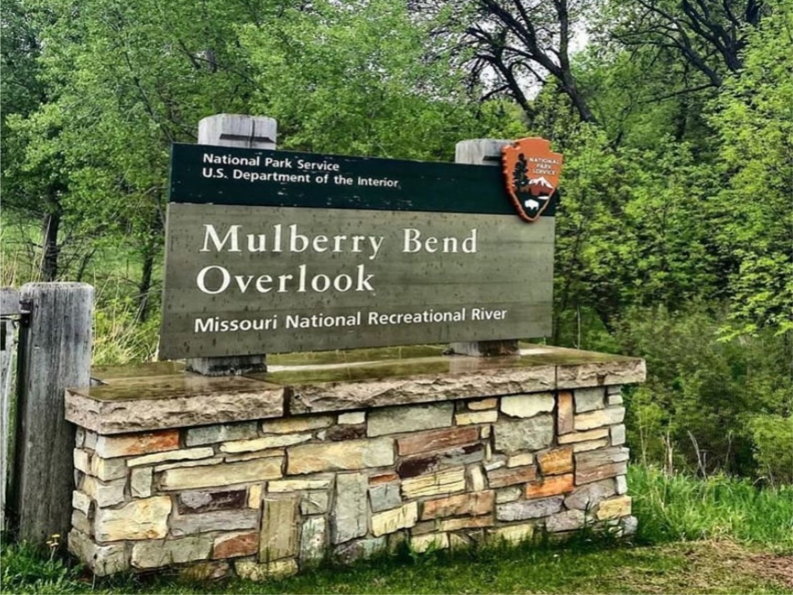
Mulberry Bend River AccessAccess the Missouri River and explore the MNRR Water Trail from the Mulberry Bend River Access point. 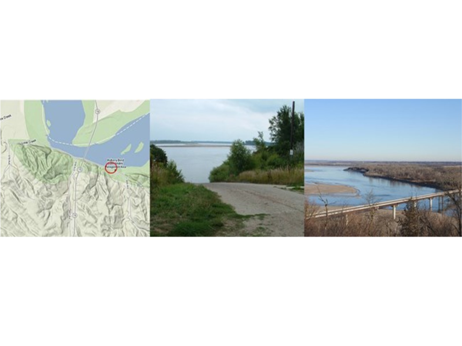
Mulberry Bend TrailheadThis moderately strenuous unpaved trail begins at the upper viewpoint at the end of the paved trail. It is a 3/4 mile trail consisting of a loop with 2 spurs to viewpoints overlooking the river. The route winds through dense bluff forest of bur oak, cedar, ash, and other native trees. There are four points of interest along the trail. 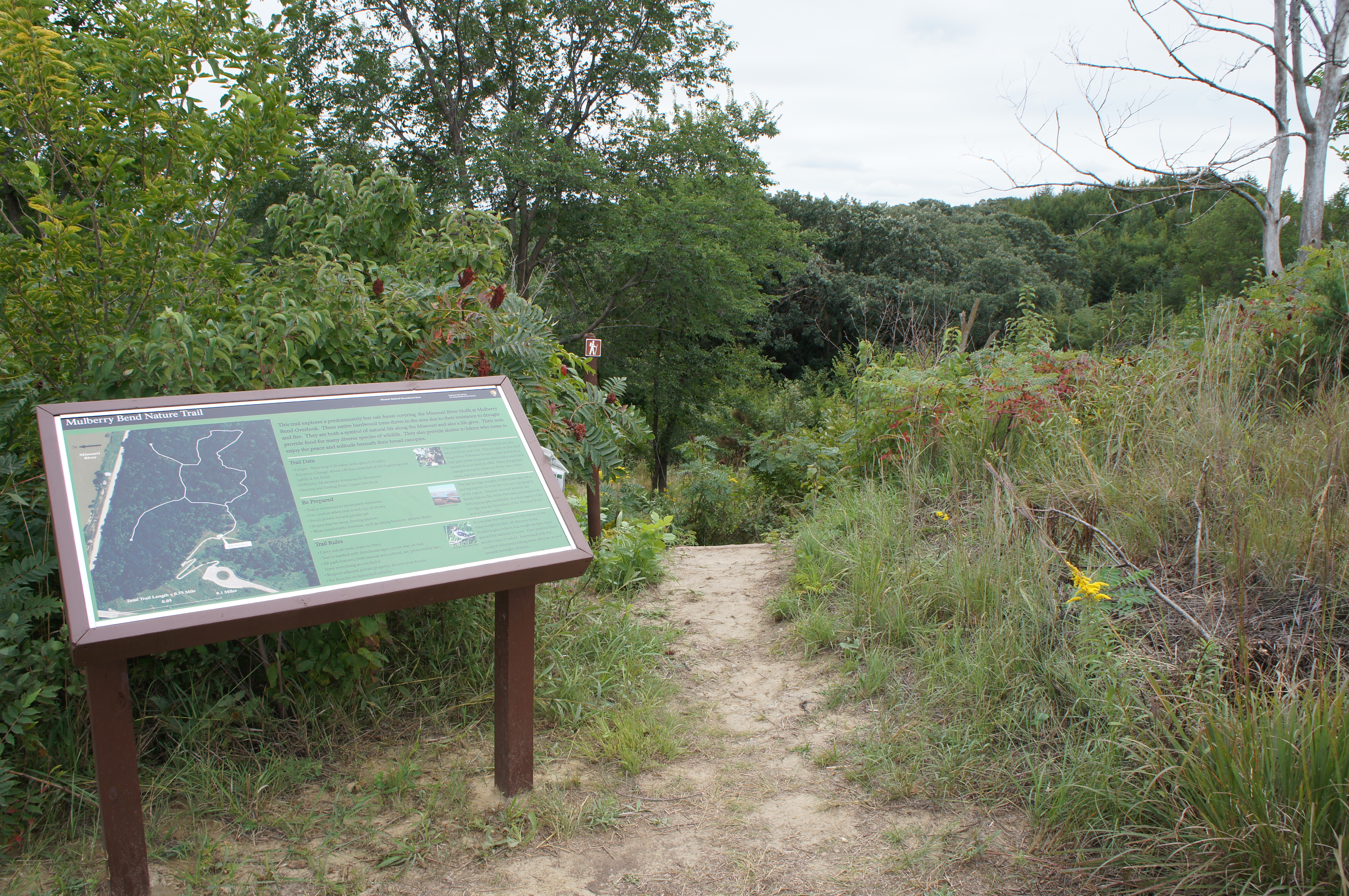
Myron Grove River AccessAccess the Missouri River and explore the MNRR Water Trail from Myron Grove boat ramp. 
Nebraska Tailwaters River AccessAccess the Missouri River and explore the MNRR Water Trail from Knox County, NE through the Nebraska Tailwaters.
Niobrara State Park Visitor CenterThis Nebraska state park has a small visitor center with information about the park and surrounding area. The state park is on State Route 12 about two miles west of the town of Niobrara, and is near the eastern end of the 39-mile reach of the national park at the confluence of the Niobrara River. 
Ponca State Park – Canoe LandingAccess the Missouri River and explore the MNRR Water Trail from Ponca State Park. 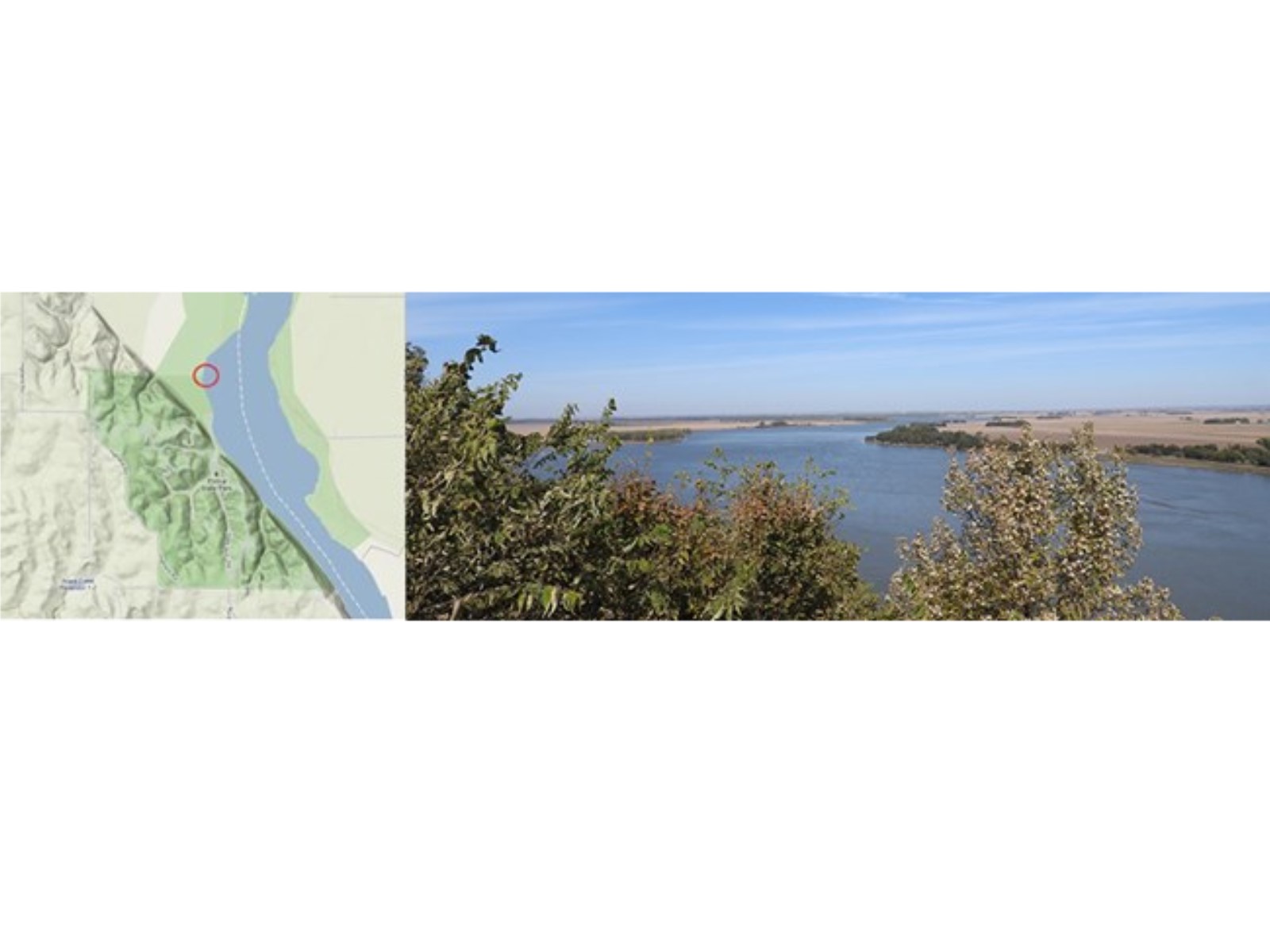
Ponca State Park – North Unit River AccessAccess the Missouri River and explore the MNRR Water Trail from Ponca State Park from the North Unit. 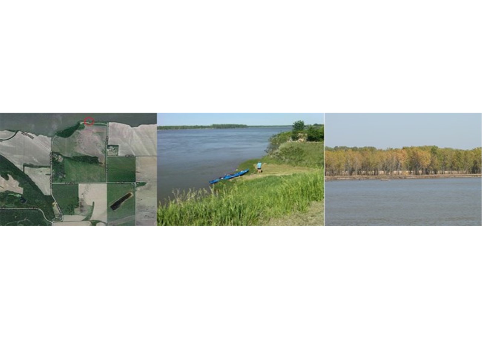
Private Shannon’s MisadventureGeorge Shannon, a member of the Lewis and Clark Expedition, got lost near here in 1804. 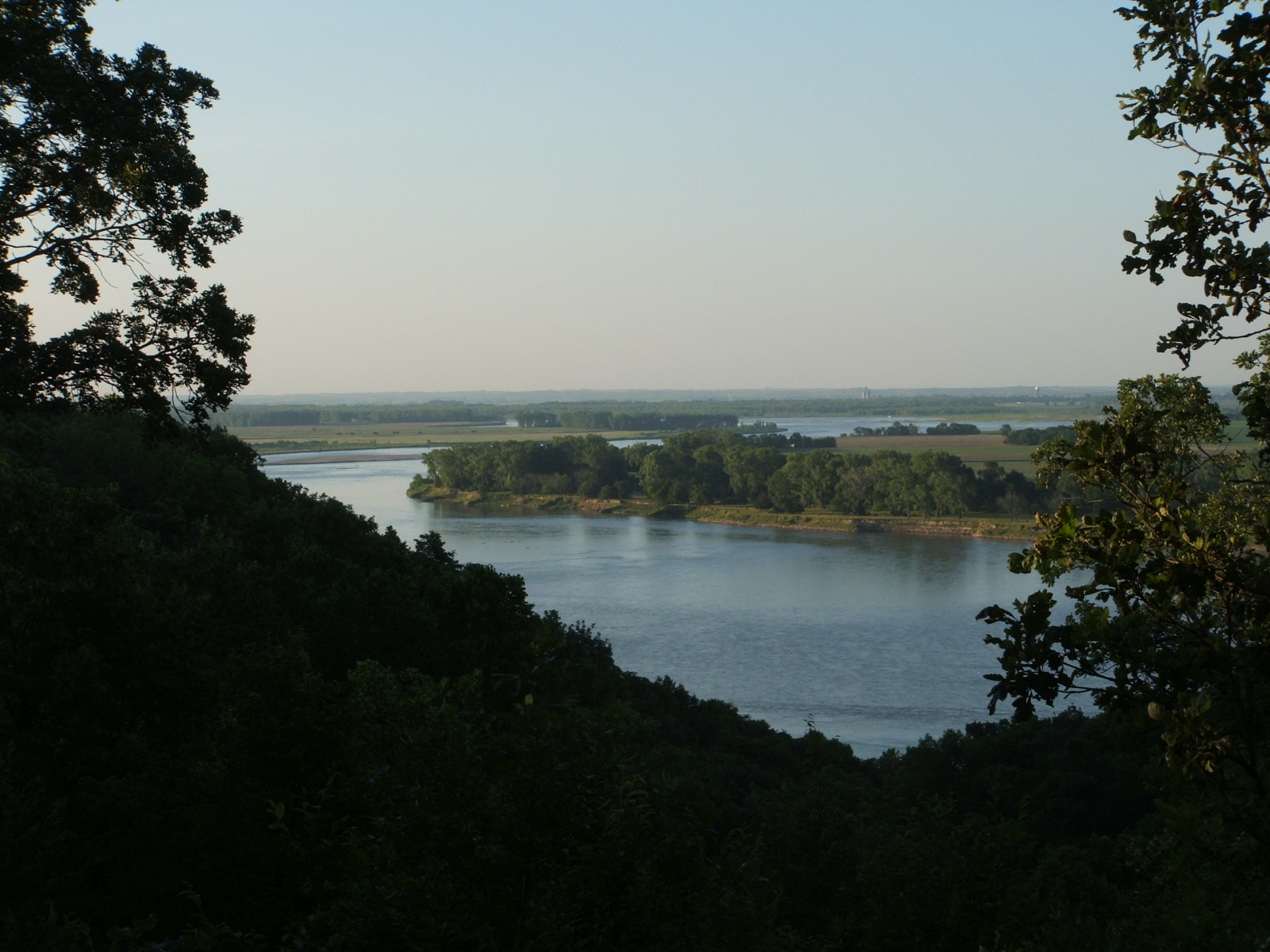
Randall Creek Recreation AreaExplore and access the Missouri National Recreational River through Randall Creek Recreation Area. 
Randall Creek Recreation Area River AccessAccess the Missouri River and explore the MNRR Water Trail from Randall Creek Recreation Area. 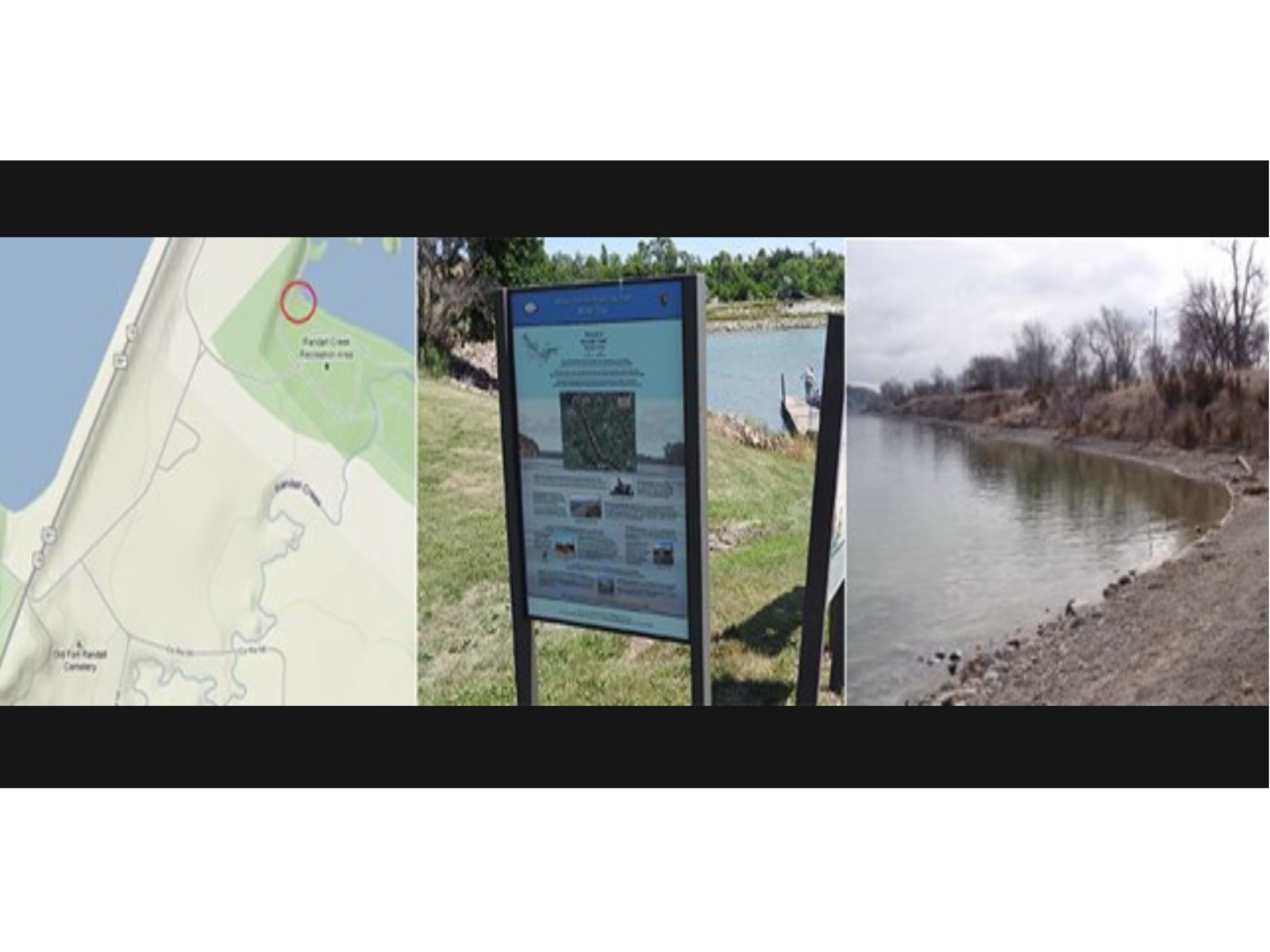
Riverside Park River AccessAccess the Missouri River and explore the MNRR Water Trail from Riverside Park. 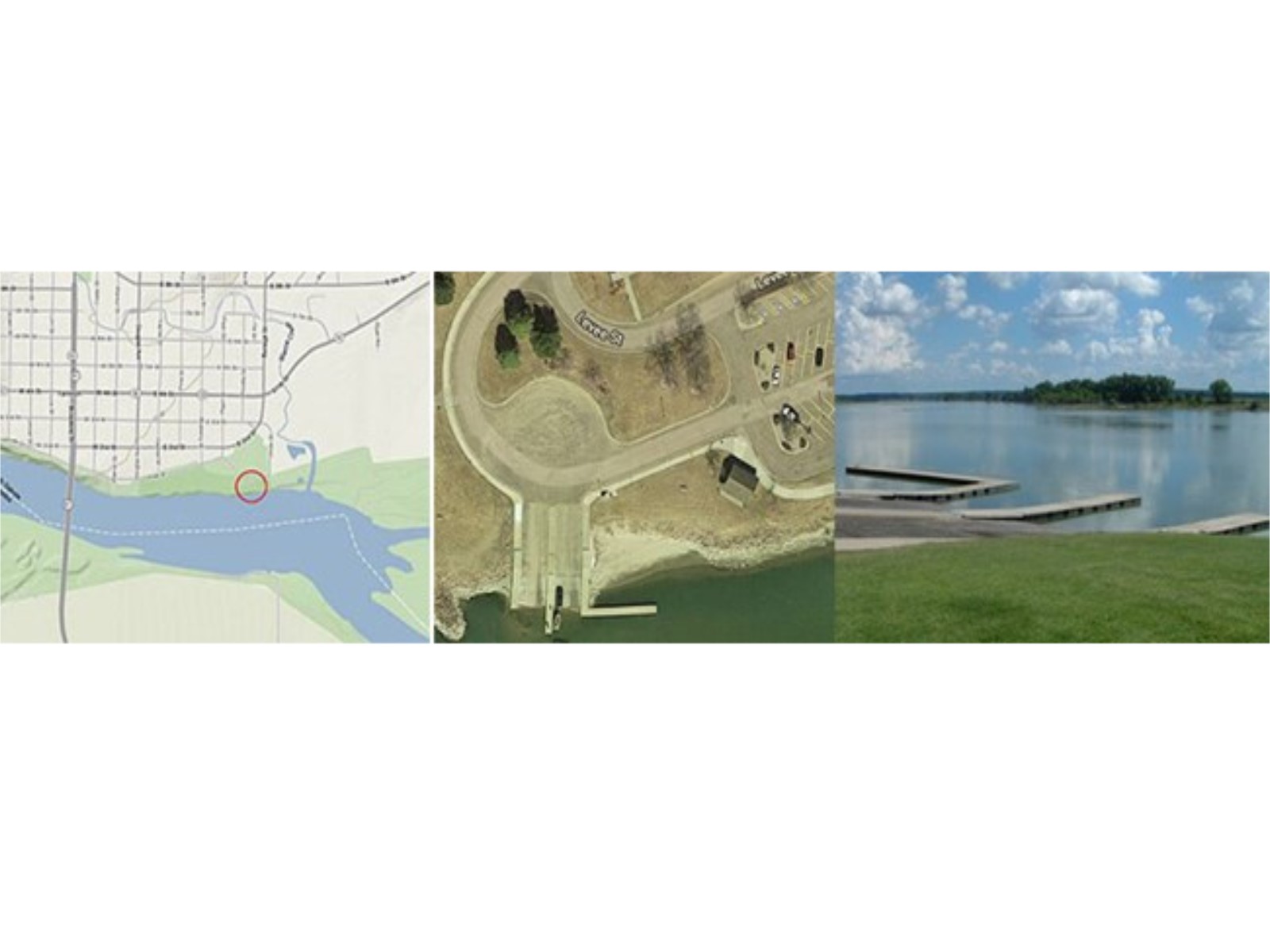
Running Water River AccessAccess the Missouri River and explore the MNRR Water Trail from Running Water. 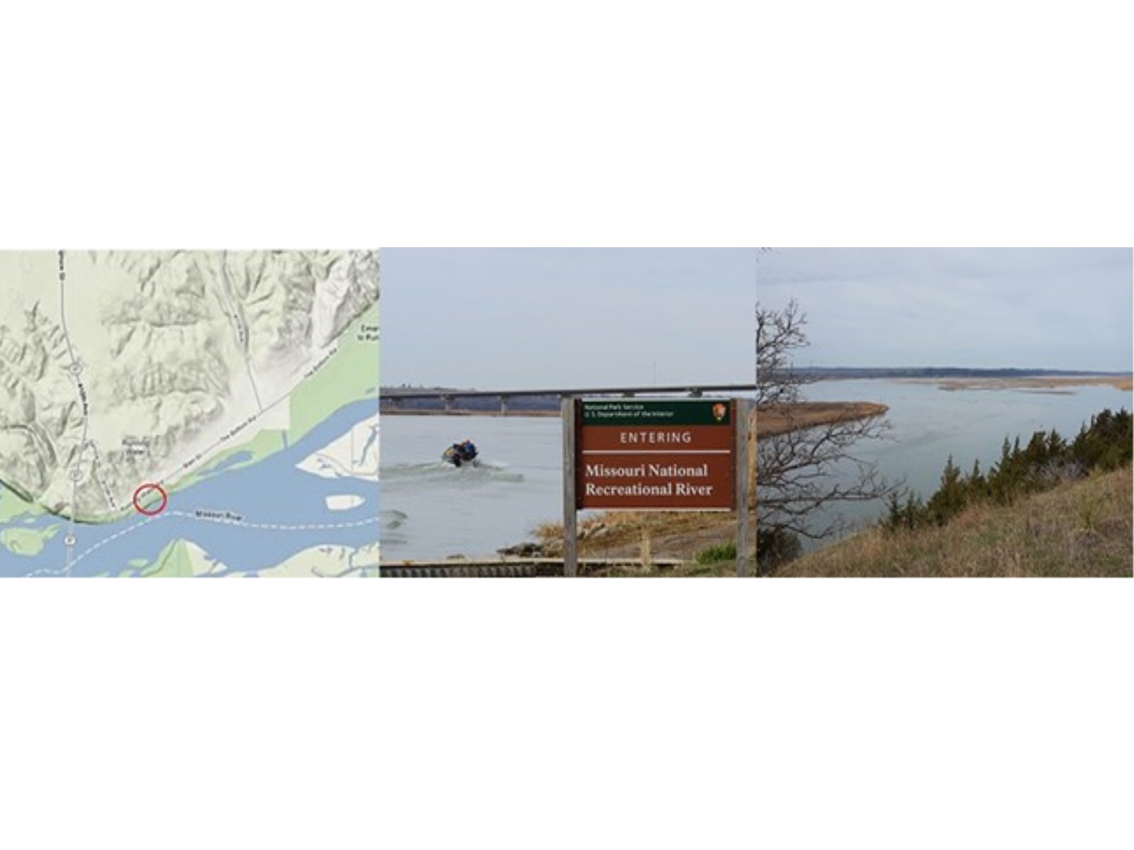
Spirit MoundOn August 25, 1804, Lewis, Clark, and several of their men walked nine miles to Spirit Mound from their camp on the south bank of the Missouri River. They were determined to see the mound that was so feared by the indigenous people of the area. In his journal Clark explained the legend of Spirit Mound: 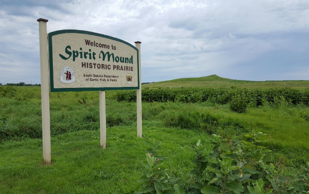
Spirit Mound, South DakotaMeriwether Lewis and William Clark visited this Lakota sacred site in 1804. 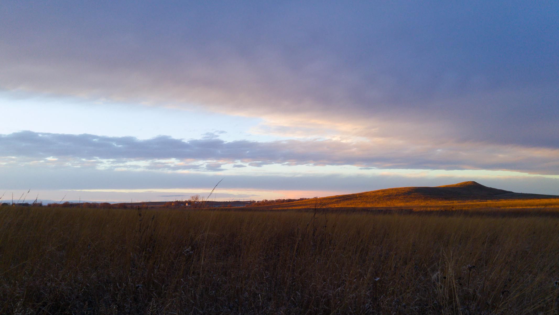
St. Helena River AccessAccess the Missouri River and explore the MNRR Water Trail from St. Helena. 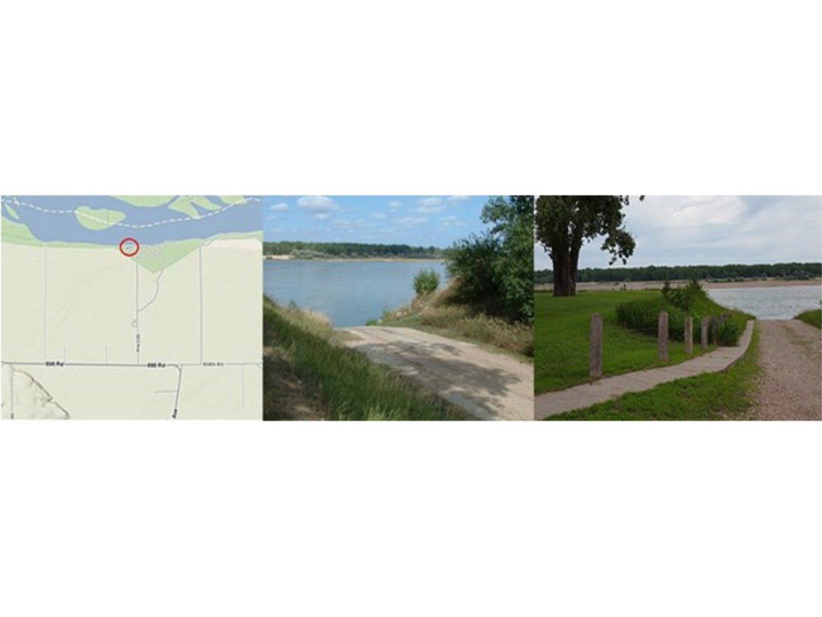
Sunshine Bottom River AccessAccess the Missouri River and explore the MNRR Water Trail from Sunshine Bottom. 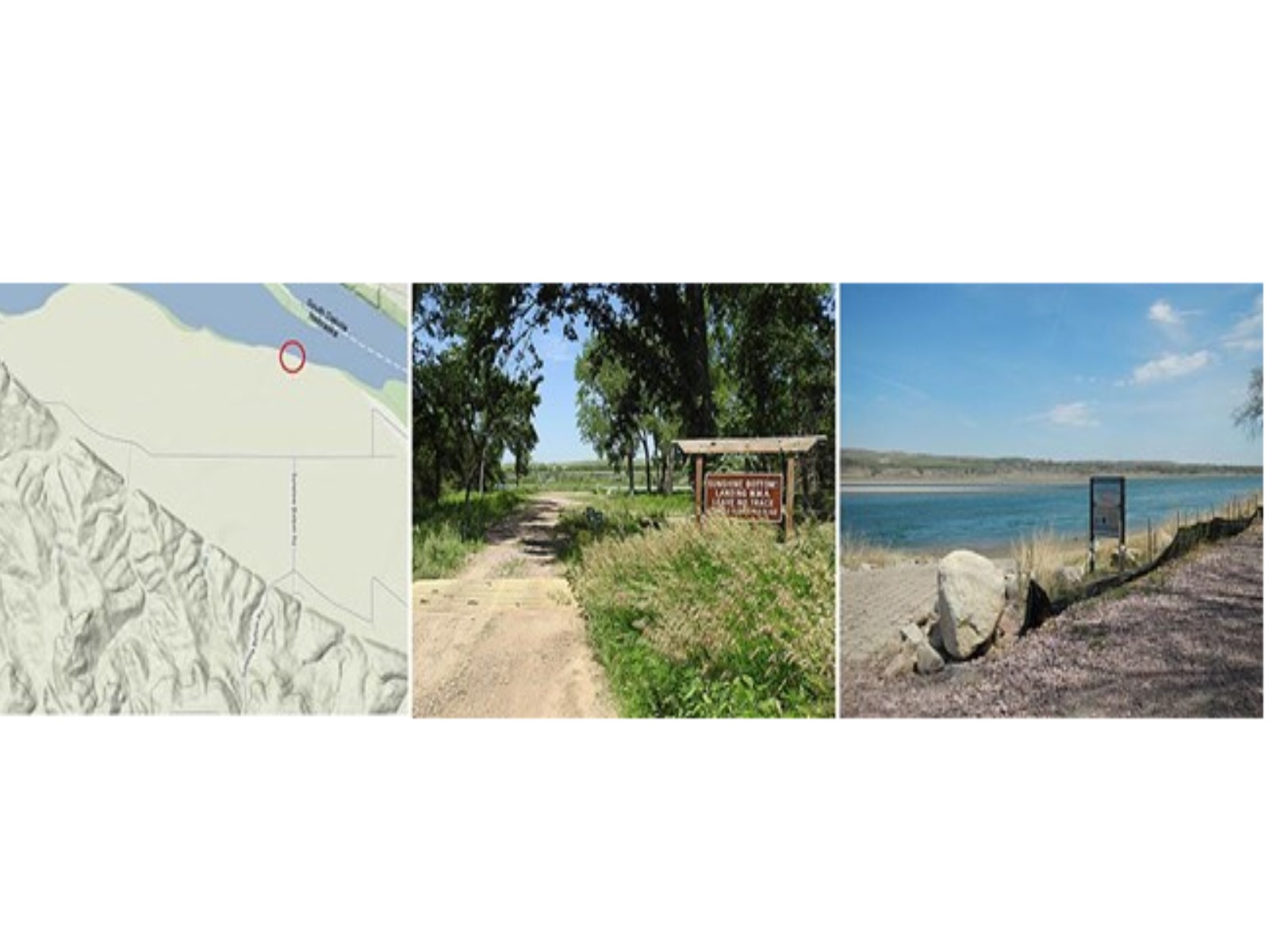
The TowerThe Tower is a High Potential Historic Site on the Lewis and Clark National Historic Trail. On September 7, 1804, the expedition landed near “the foot of a round mounting […] resembling a dome”, which Clark had sighted the previous day. 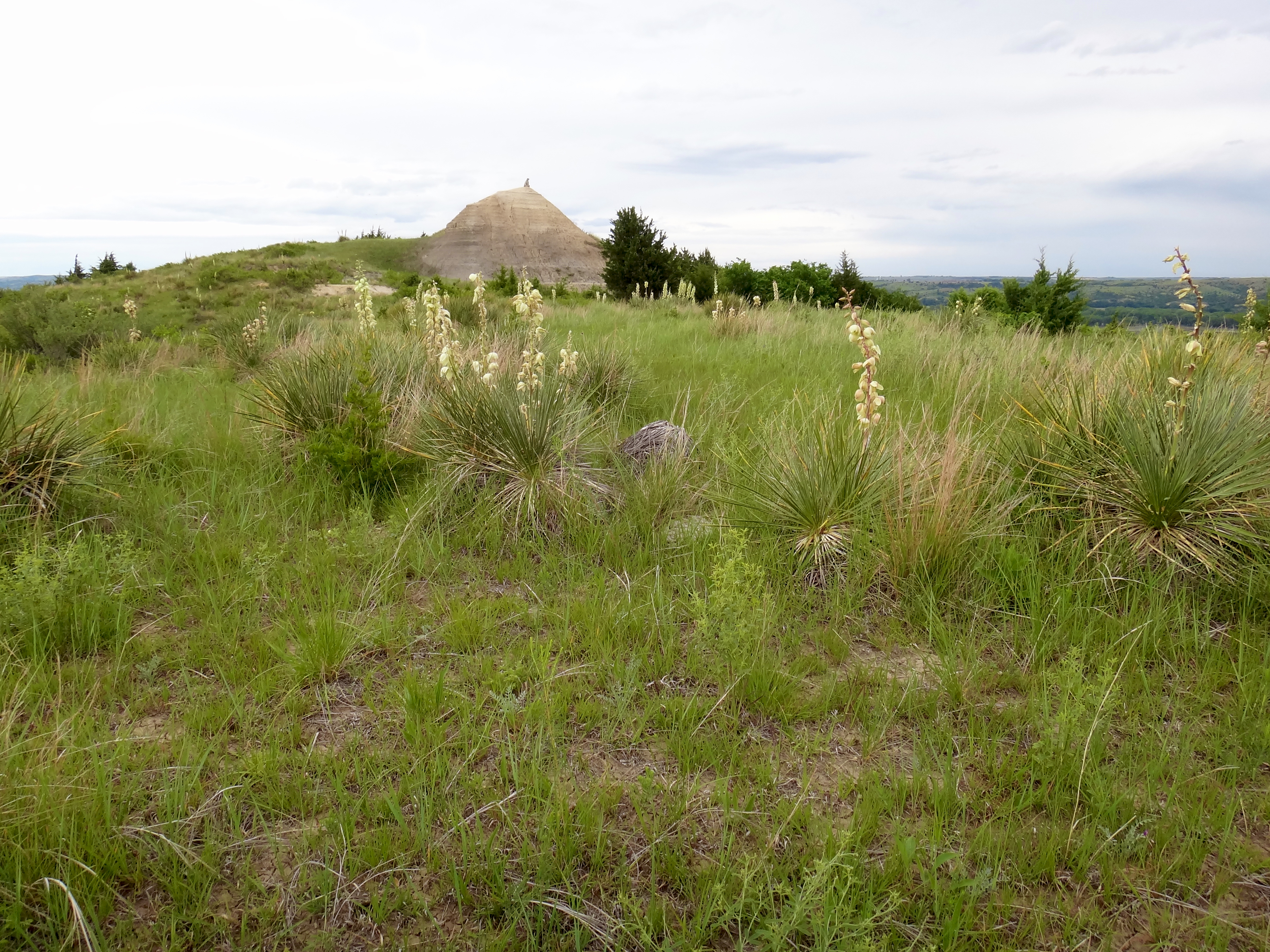
Verdel River AccessAccess the Missouri River and explore the MNRR Water Trail from Verdel. 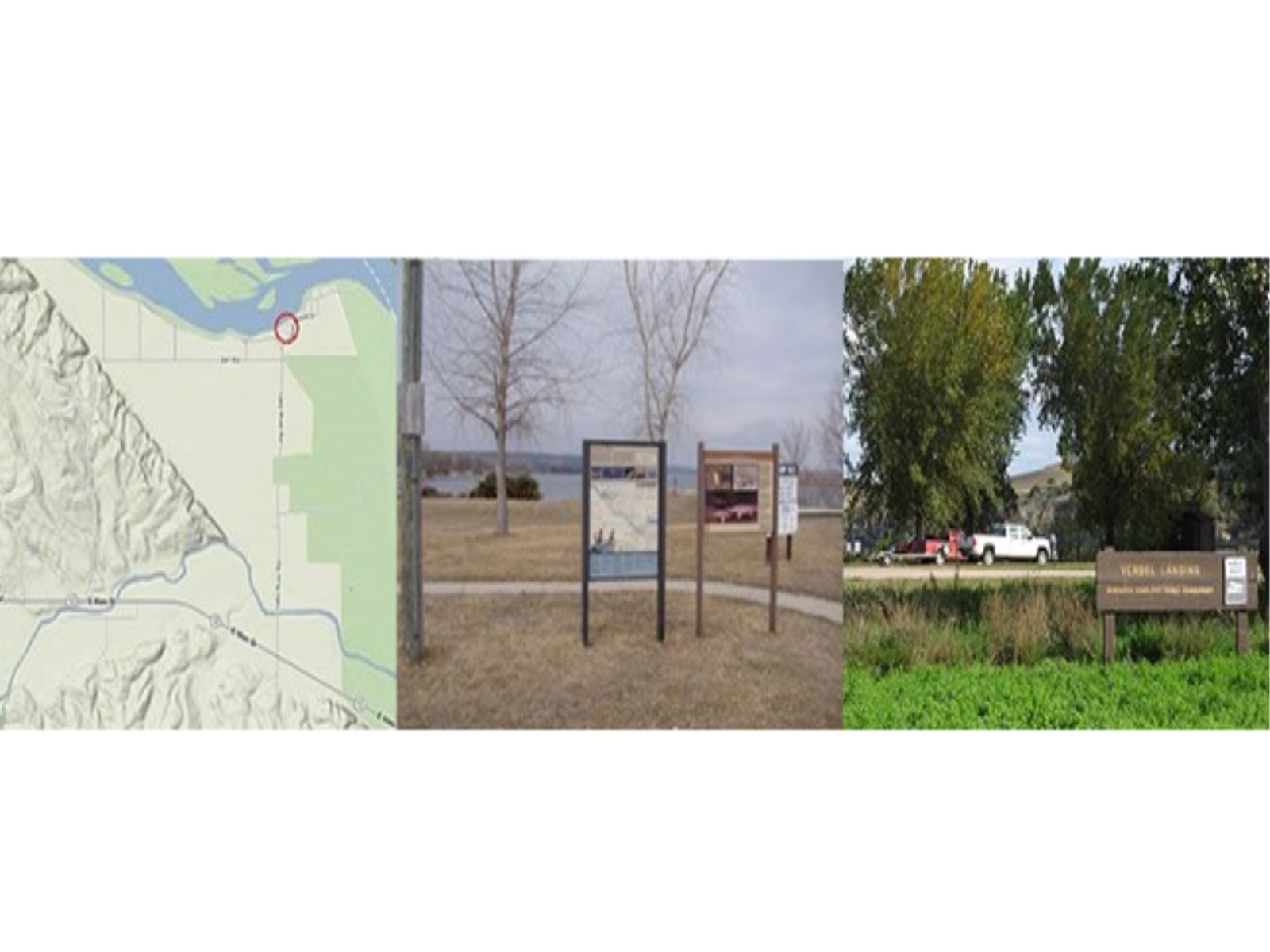
White Crane River AccessAccess the Missouri River and explore the MNRR Water Trail from the White Crane river access point. 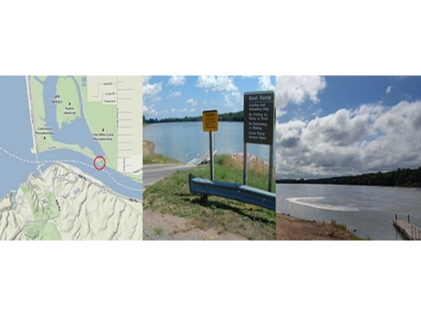
|
| Visitor Centers | Count: 1
Missouri National Recreational River Headquarters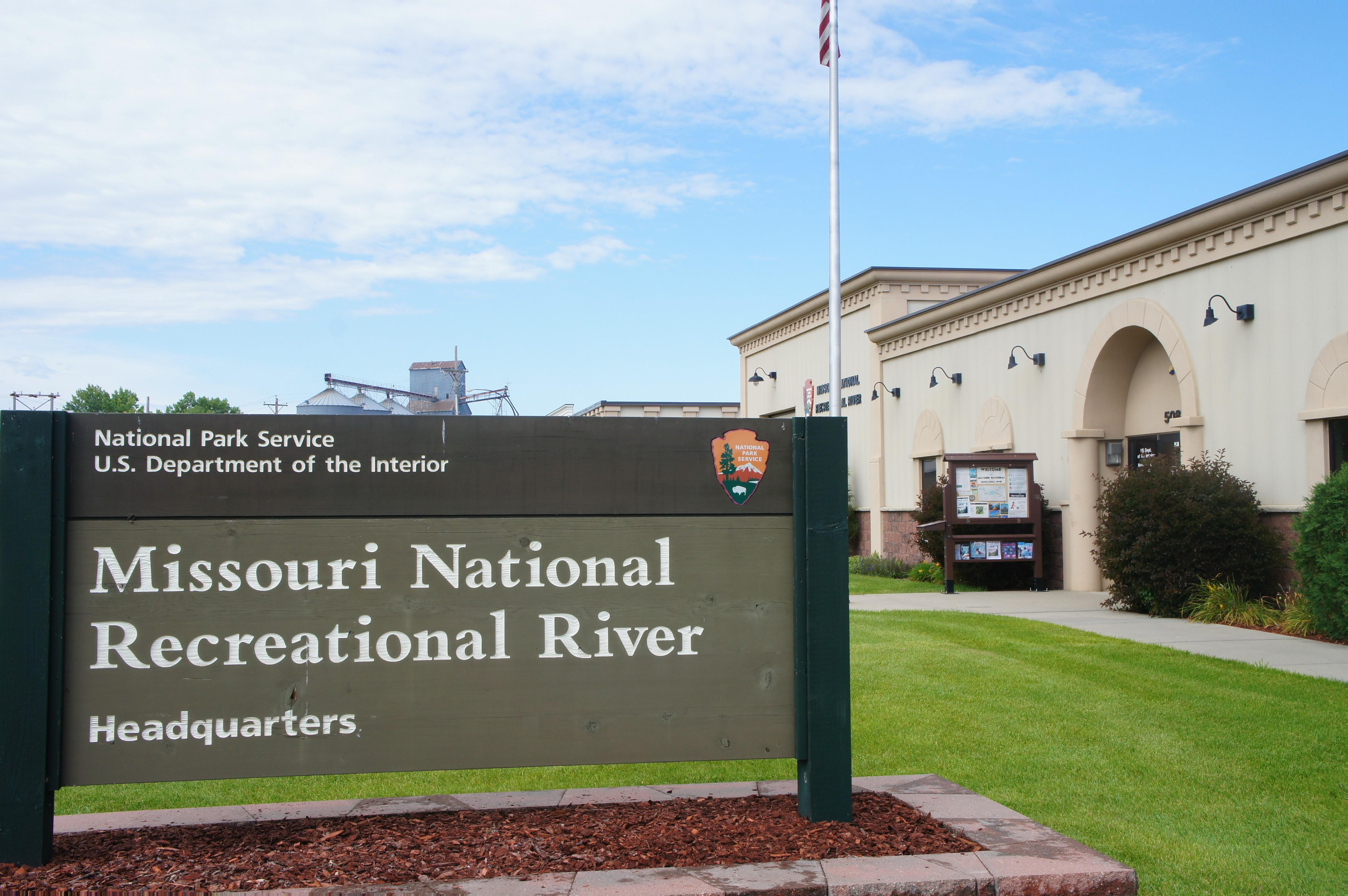
|
| Things to do | Count: 14

|
| Tours |
Count: 1
MNRR Highlights: Explore the 39-Mile District and 59-Mile DistrictThis self-guided tour combines driving and walking, and calls out the main sites to see throughout the Missouri National Recreational River. This tour can be completed year round and the destinations are worthwhile throughout the seasons. Duration will vary depending on time spent throughout each stop. |
| Articles |
|