| Title | Nez Perce |
| Park Code | nepe |
| Description | Since time immemorial, the valleys, prairies, mountains, and plateaus of the inland northwest have been home to the nimíipuu (Nez Perce) people. Extremely resilient, they survived the settling of the United States and adapted to a changed world. ... |
| Location | |
| Contact | |
| Activities |
|
| Entrance fees |
|
| Campgrounds | Count: 0
|
| Places | Count: 41
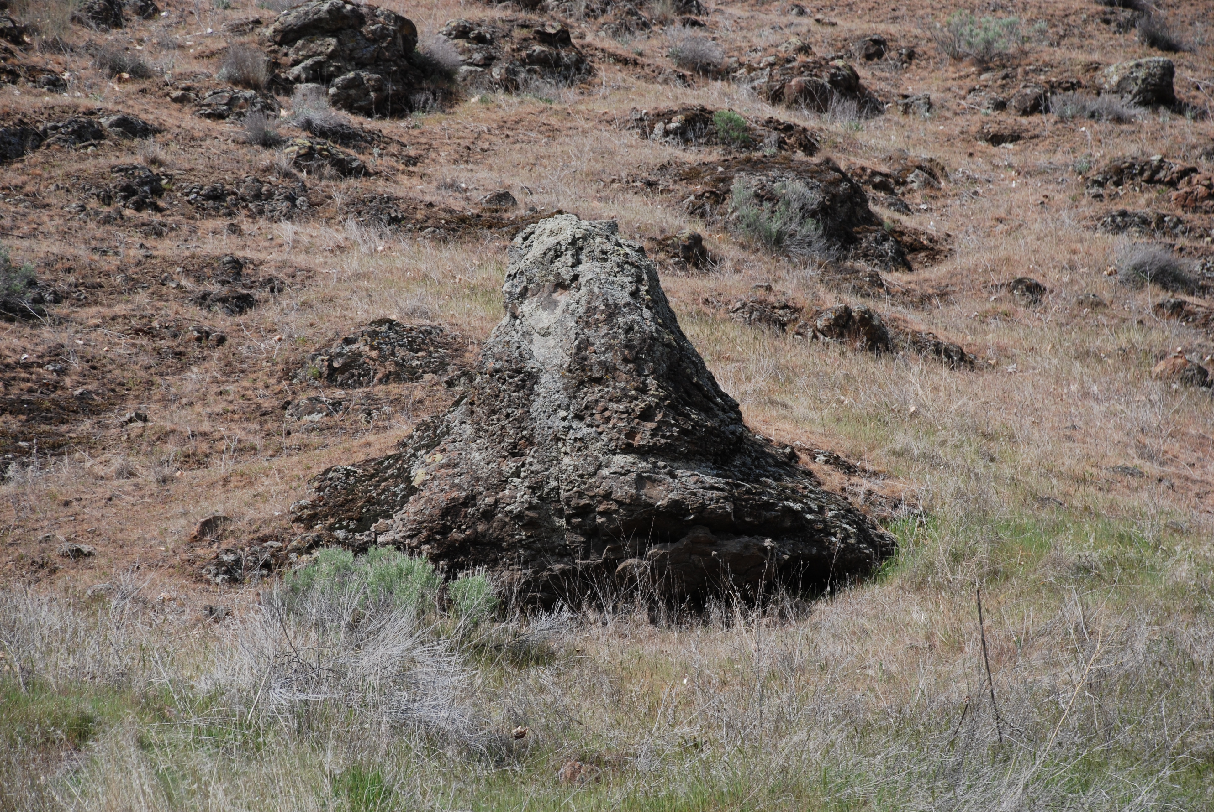
Ant and YellowjacketAnt and Yellowjacket is an affiliated site of the Nez Perce National Historical Park that is located on private property. A historical marker at the highway pullout tells the story of their battle, and provides a view of the rock formation that the two insects were turned into. Please respect the land owner's property rights and do not climb the hillside where the rock formation is located. 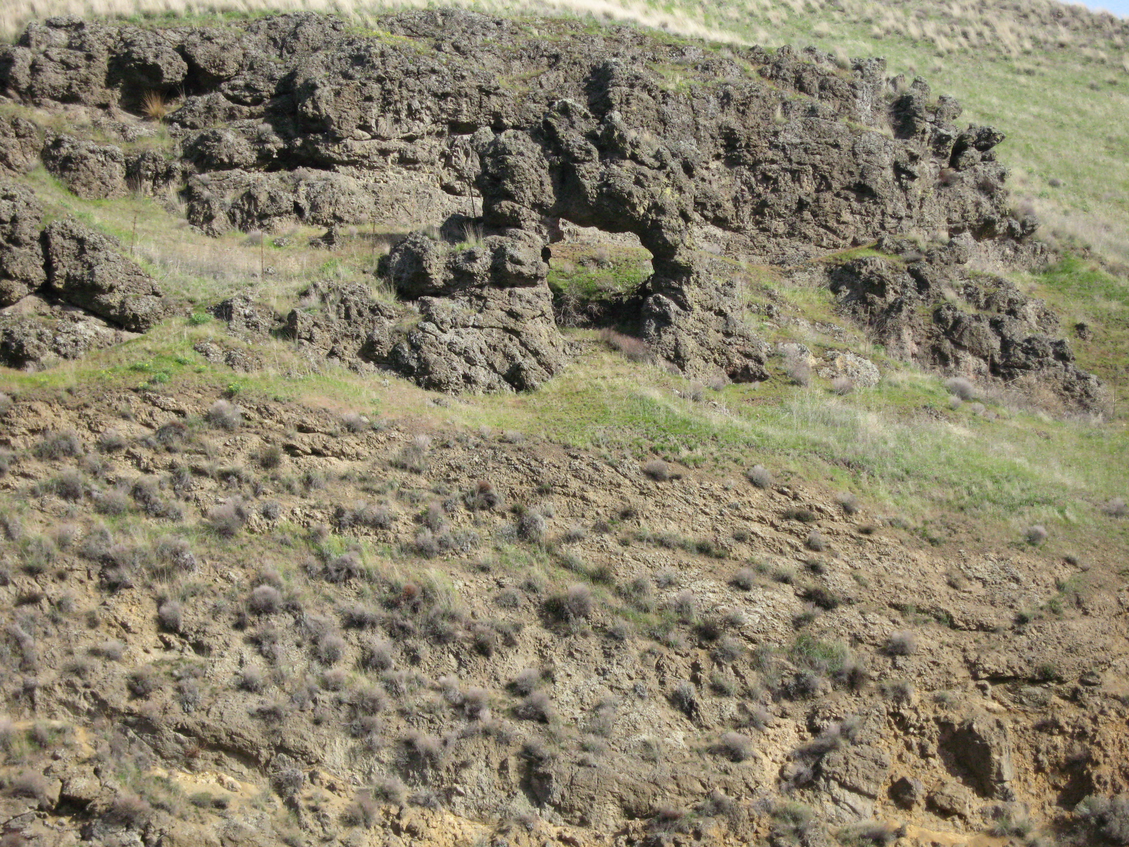
Asa Smith MissionOverview of the Asa Smith Mission. 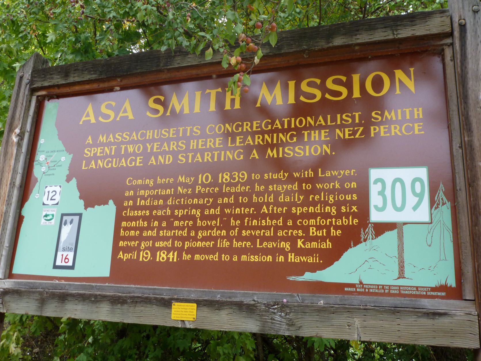
Bear Paw BattlefieldThe Bear Paw Battlefield is the location of the final battle of the Nez Perce Flight of 1877. Following the breakout of war in Idaho, approximately 800 Nimiipuu (Nez Perce) spent a long and arduous summer fleeing U.S. Army troops first toward Crow allies and then toward refuge in Canada. The Nimiipuu arrived at C’aynnim Alikinwaaspa (Place of the Manure Fire, now known as the Bear Paw Battlefield), a mere forty miles short of the Canadian border. 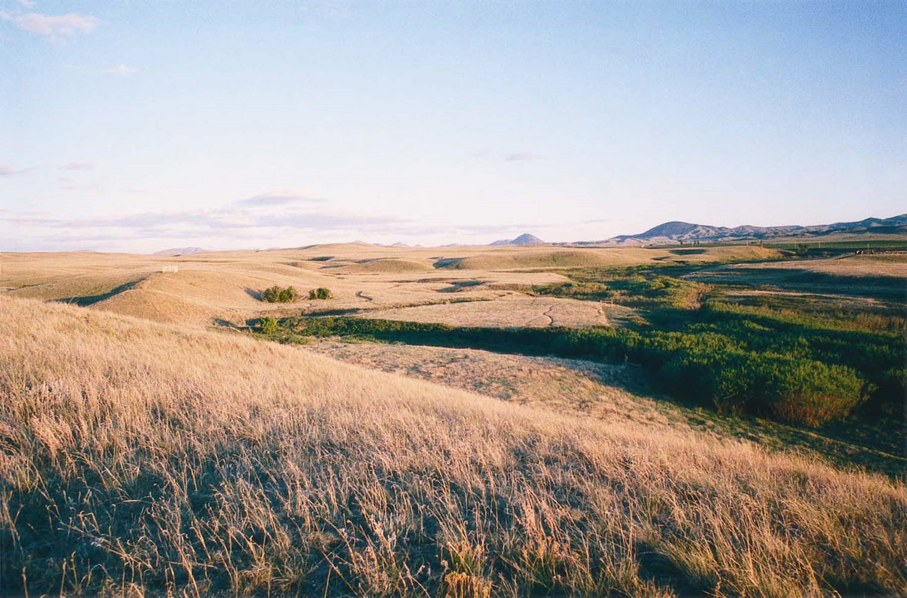
Buffalo EddyLong before Europeans or Americans first set foot in this country, the Nez Perce left behind vivid evidence of their association with this land. On either side of an eddy formed by a series of sharp bends in the Snake River, are densely grouped clusters of petroglyphs and pictographs. Known as Buffalo Eddy, the unique petroglyphs contain hundreds of distinct images that possibly date from as early as 4,500 years ago. 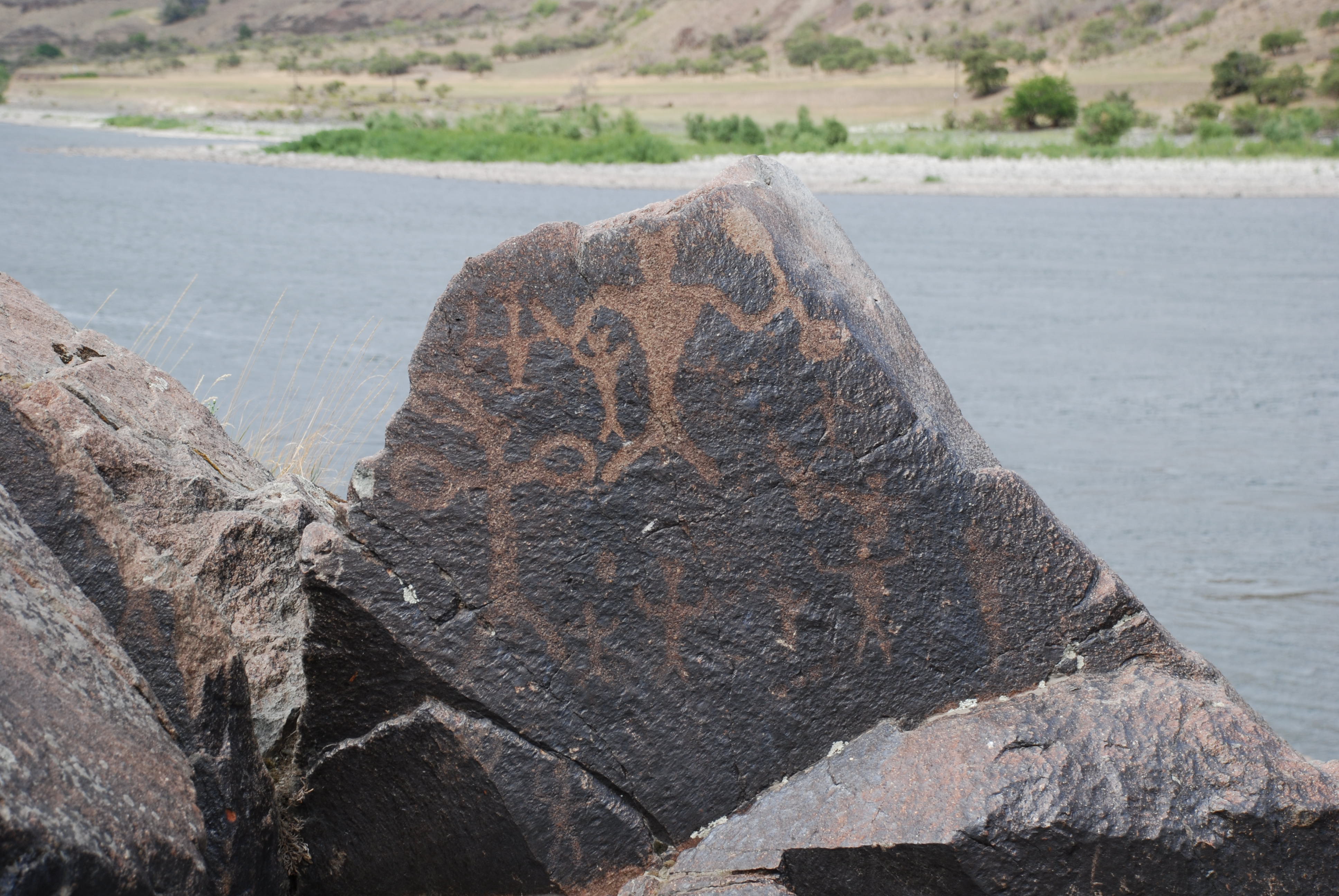
Camas Meadows Battle SitesOverview of Camas Meadows Battle Sites 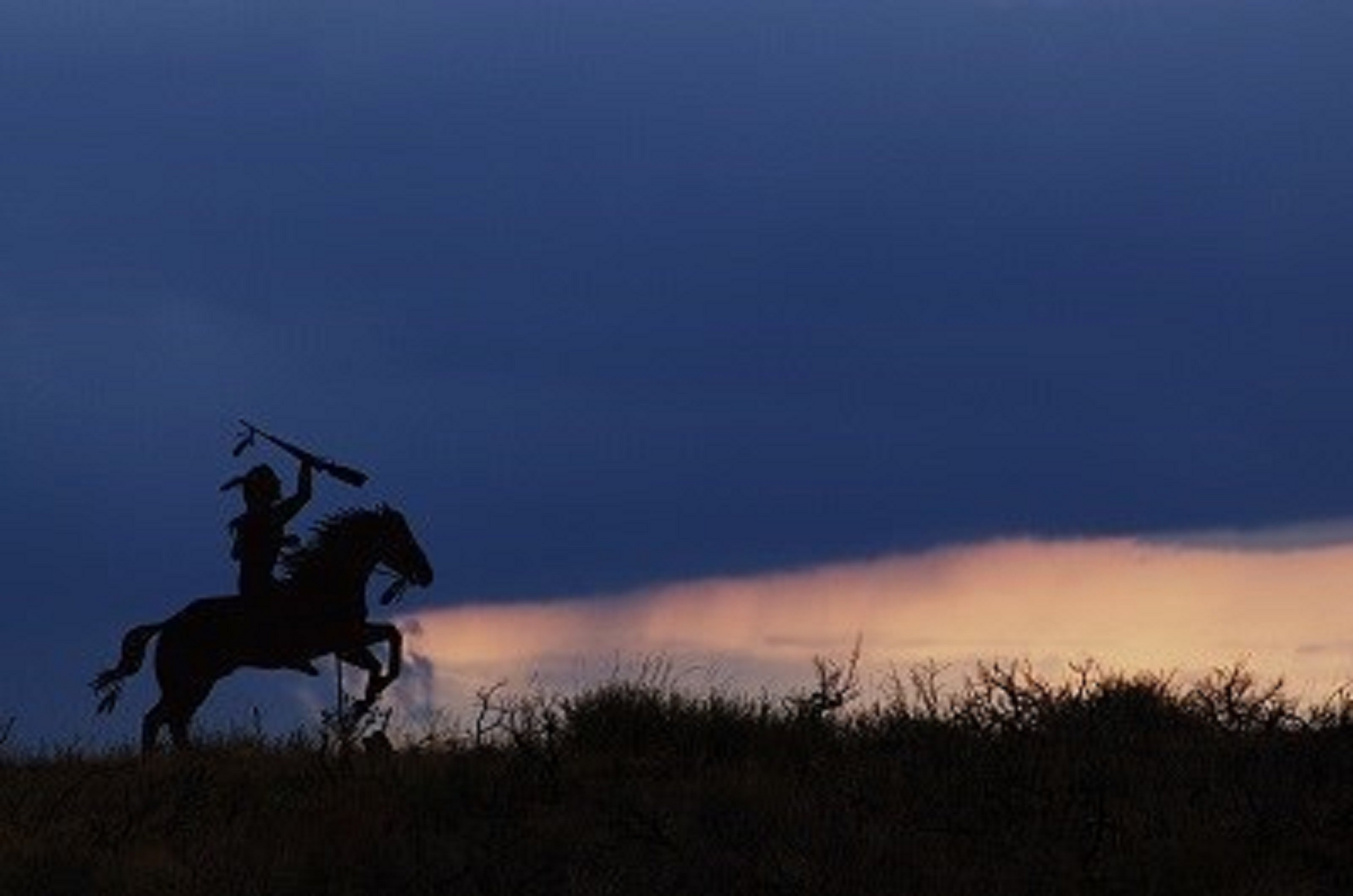
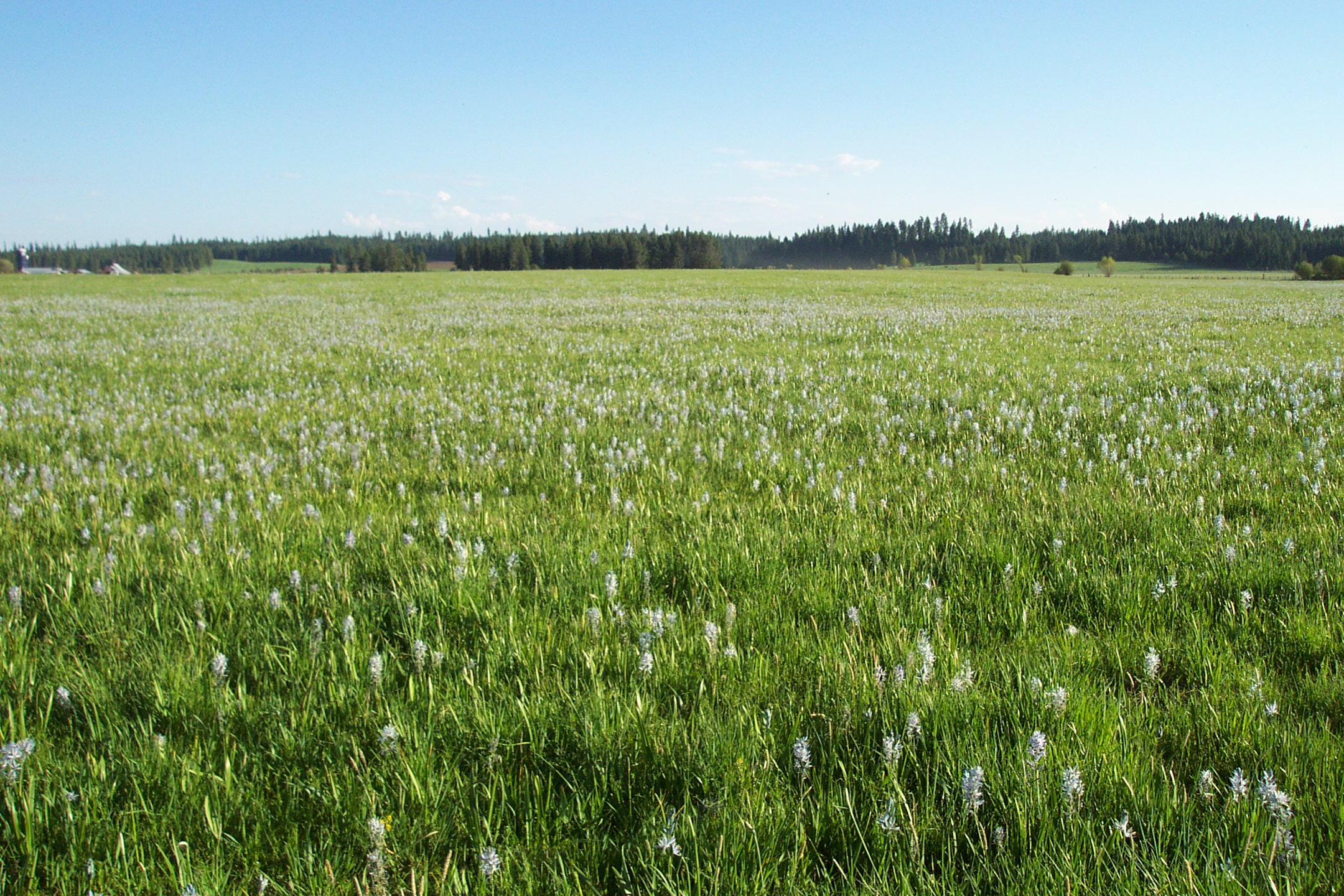
Camas PrairieThe rolling hills and plains of the Camas Prairie mark the heart of the Nez Perce Indian Reservation. Rich in resources, the prairie grasslands provided forage for horse herds and camas bulbs could be harvested in abundance. With the passage of the Allotment Act by Congress in the 1880s, the amount of land on the Camas Prairie held by nimí·pu· (Nez Perce) families would shrink. Much of the land was converted to agriculture. 
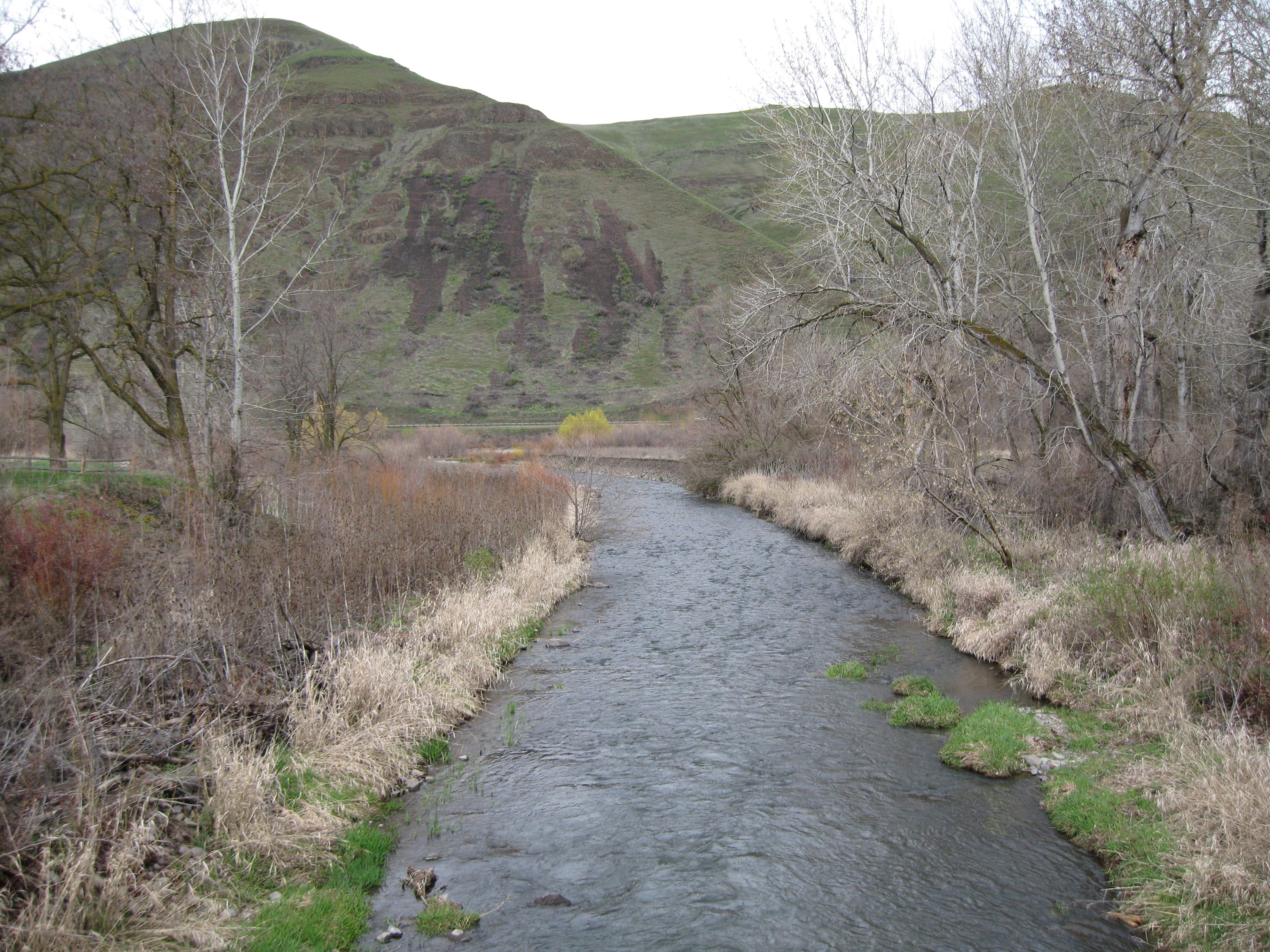
Canoe CampWhere the North Folk of the Clearwater River enters the main channel of the Clearwater, the Corps of Discovery were exhausted and famished. It was the end of September 1805 and the difficult trek over the Continental Divide was finally behind them. But on this point of land over an 11-day period, they worked incredibly hard. This was Canoe Camp. 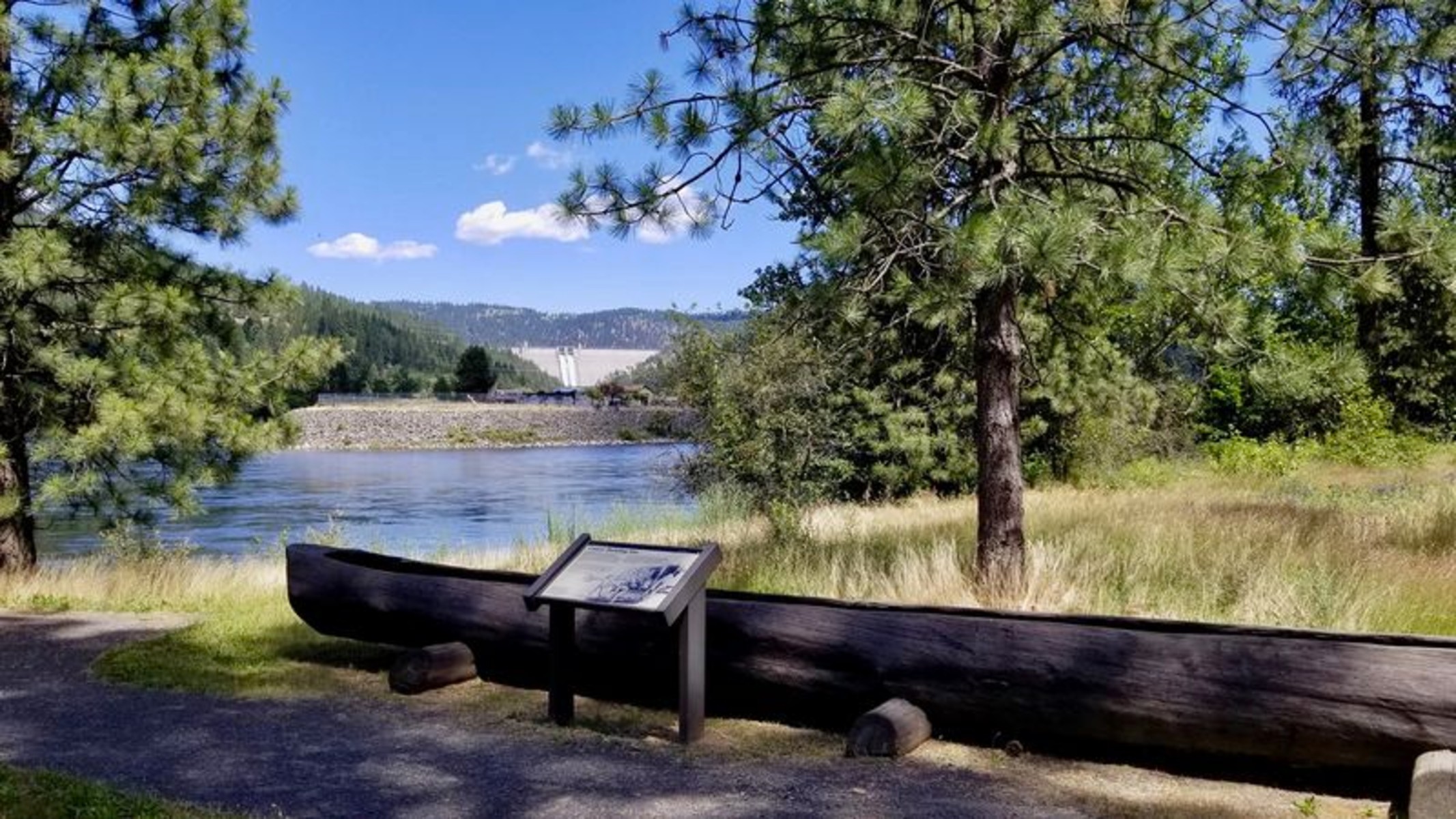
Canoe Camp SiteOverview of Canoe Camp. 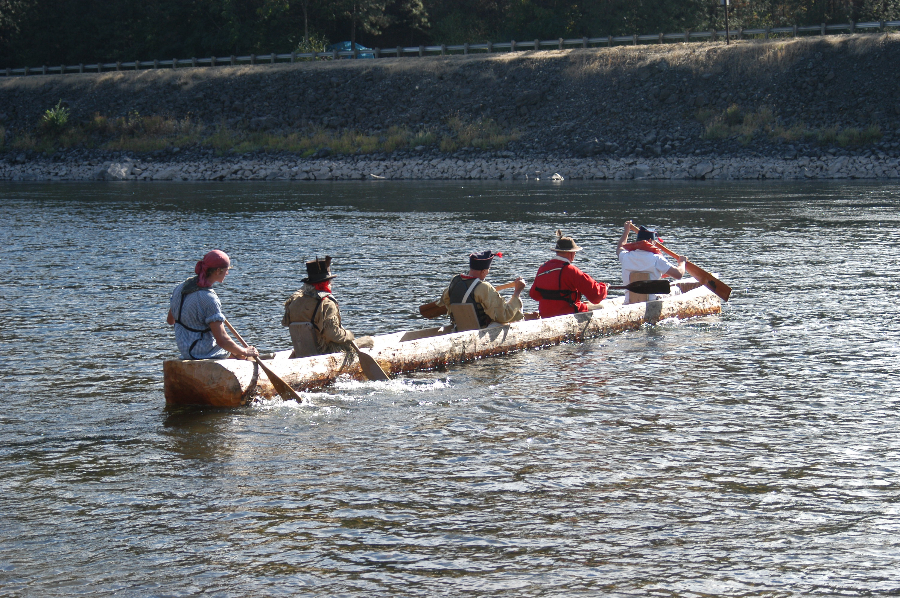
Canyon CreekOverview of Canyon Creek 
Clearwater BattlefieldThe Clearwater Battlefield is one of the sites found along the Nez Perce National Historical Trail and is an important marker of the Flight of 1877. The site is privately owned, but a historical marker is on Highway 13 south of Stites, ID 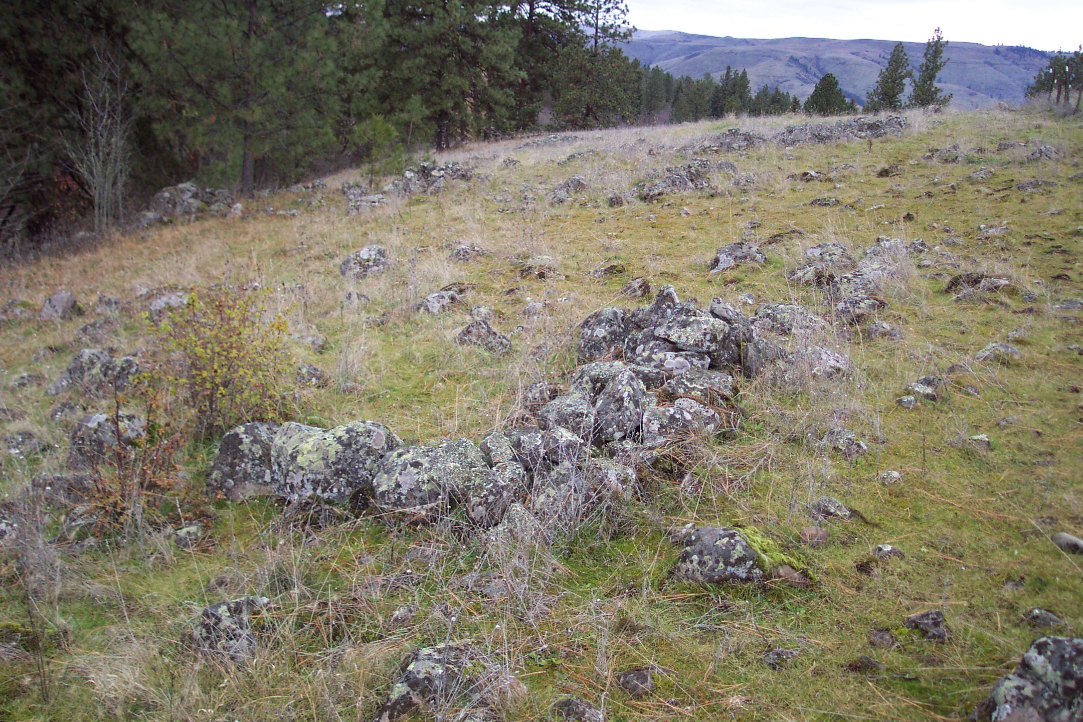
Confluence OverlookFar below the Confluence Overlook on the north bank of the Clearwater River, Donald MacKenzie established a trading post in August of 1812. The fur trading post proved unsuccessful because the Nez Perce wanted to trade food and horses but were unwilling to trap beavers. The highway pullout overlooks the confluence and valleys of the Snake and Clearwater Rivers. 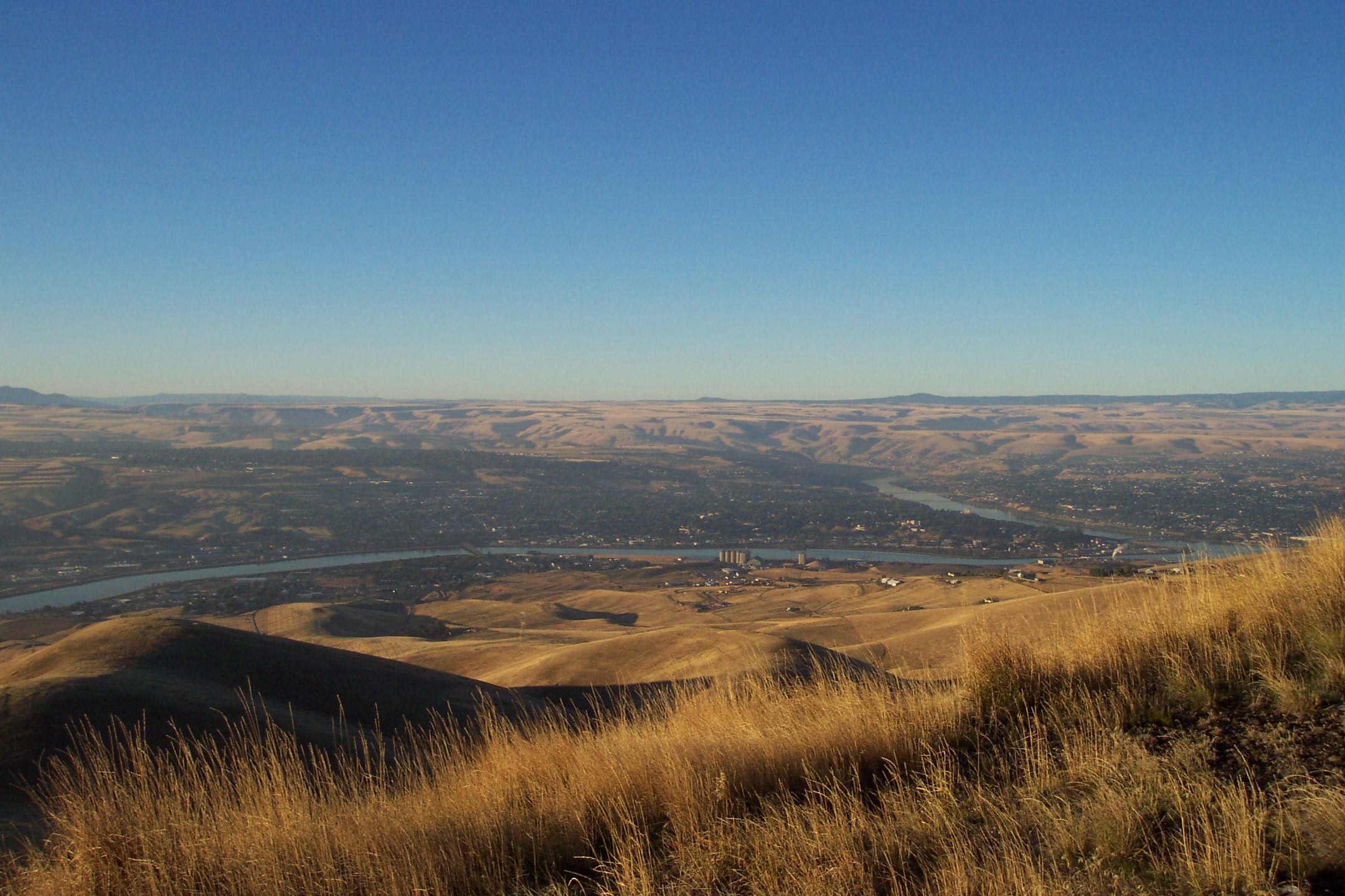
Cottonwood SkirmishesOverview of Cottonwood Skirmishes 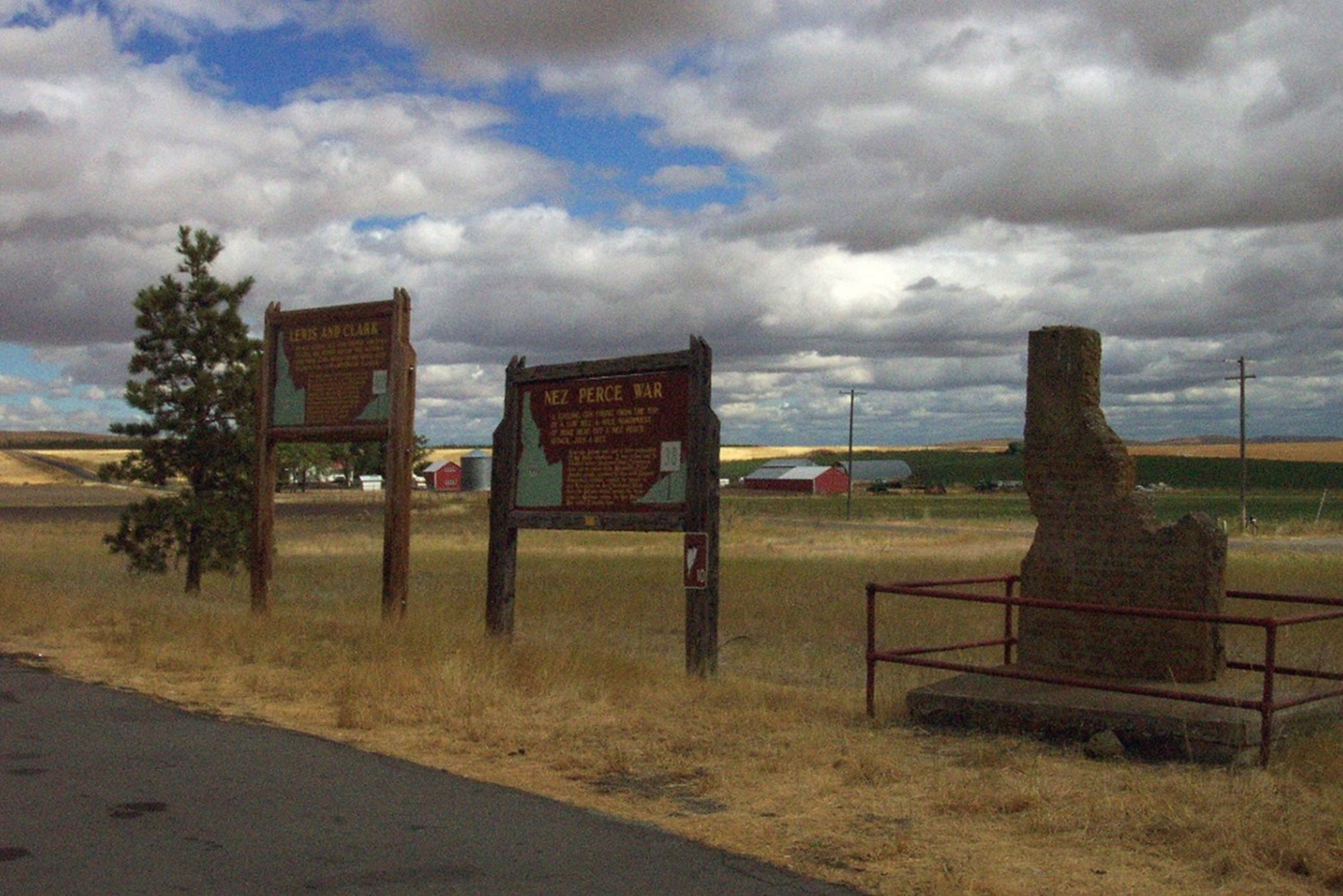
Coyote's FishnetCoyote's Fishnet is an affiliated site of the Nez Perce National Historical Park that is located on private property. A historical marker at the highway pullout tells the story of Coyote's Fishnet, and provides a view of the rock formation that the fishnet turned into. 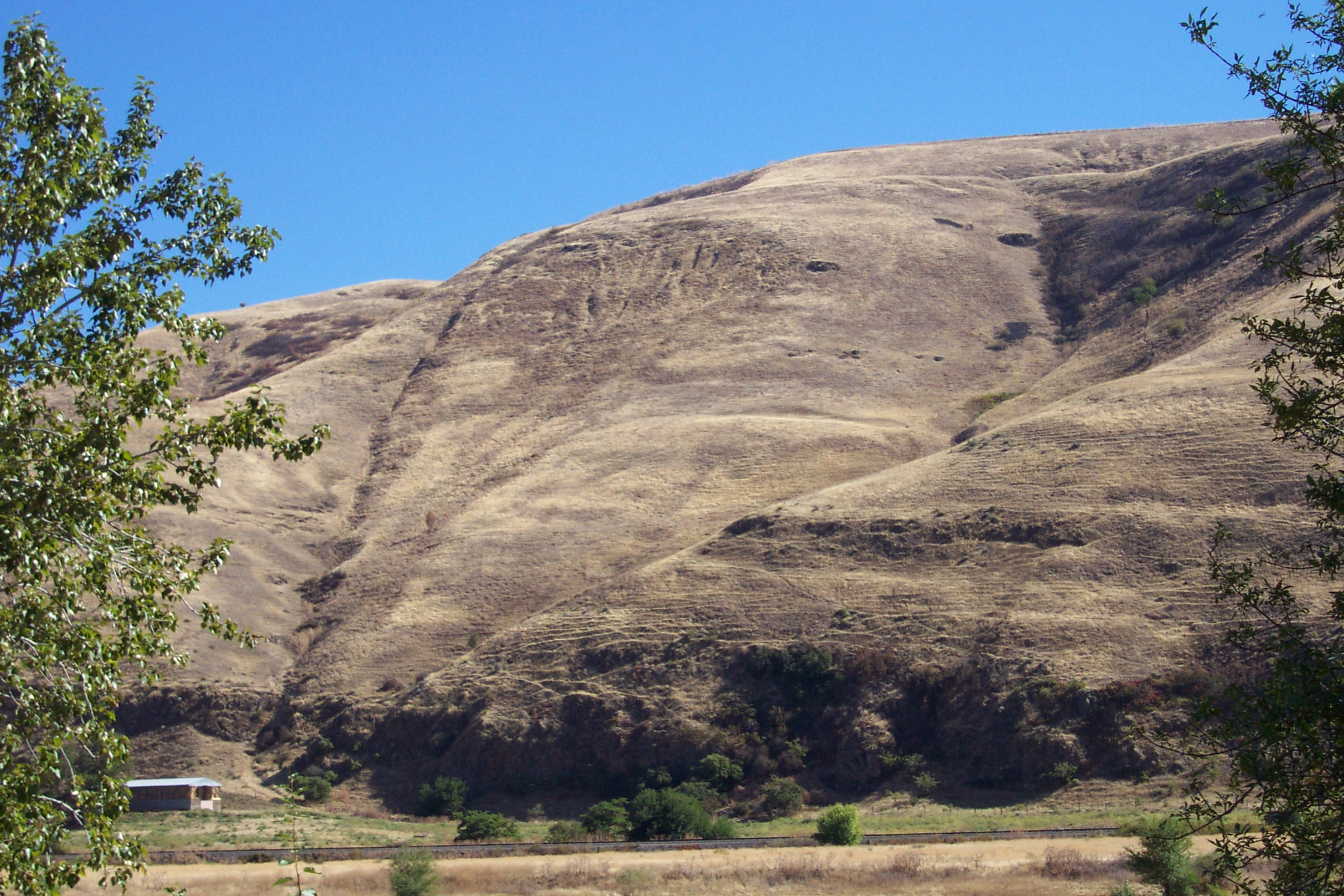
Craig Donation Land ClaimWhen the American Fur Company went out of business in 1840, William Craig settled in the Lapwai Valley. He met a Nez Perce headman known as Thunder Eyes and fell in love with his daughter and married her. William Craig's Donation Land Claim is the first place in Idaho where a white settle obtained title to a farm through the Oregon Donation Land Act. William Craig was the only white person to have official permission from the Nez Perce to live on the reservation. 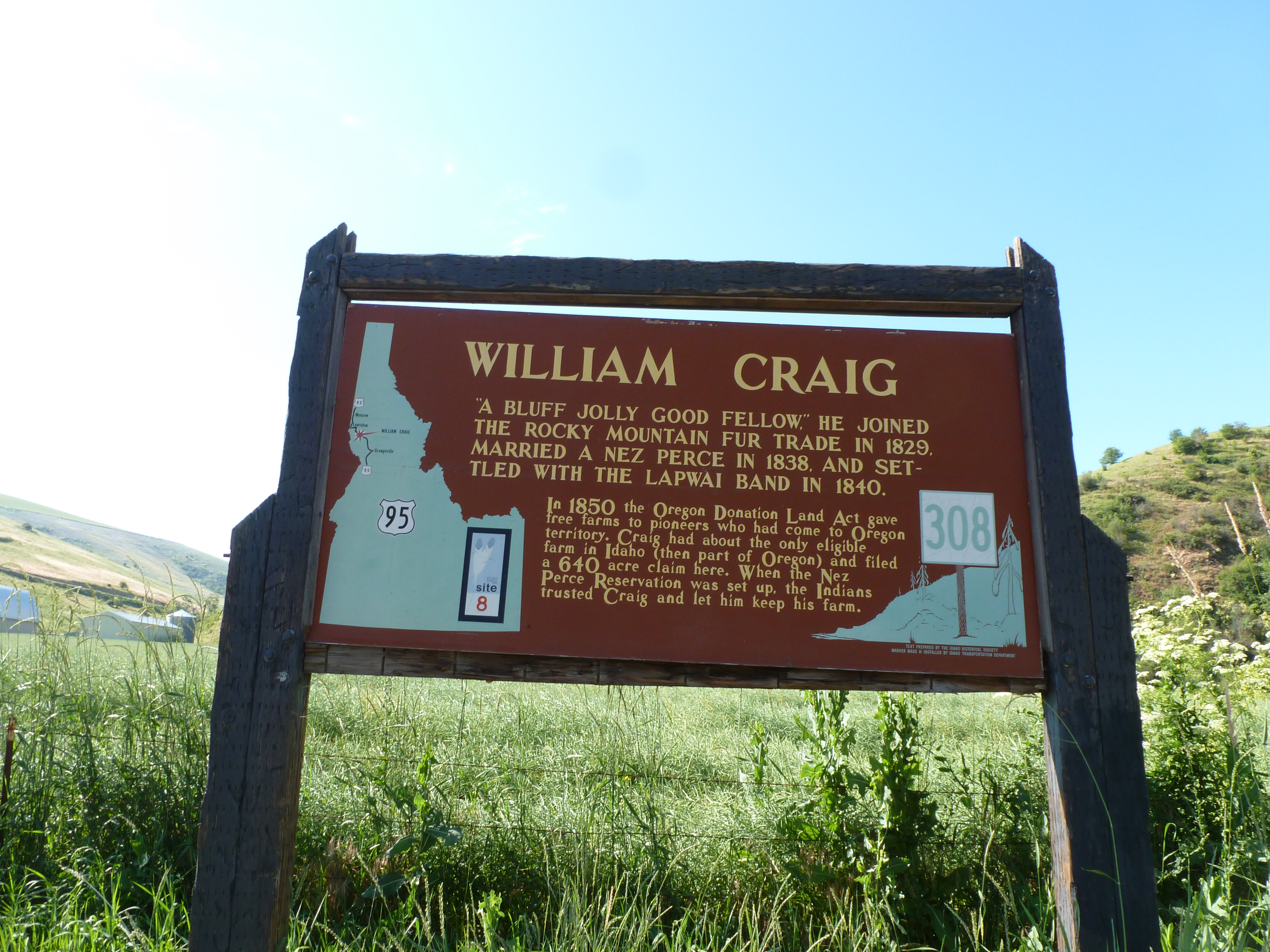
Dug BarOverview of Dug Bar 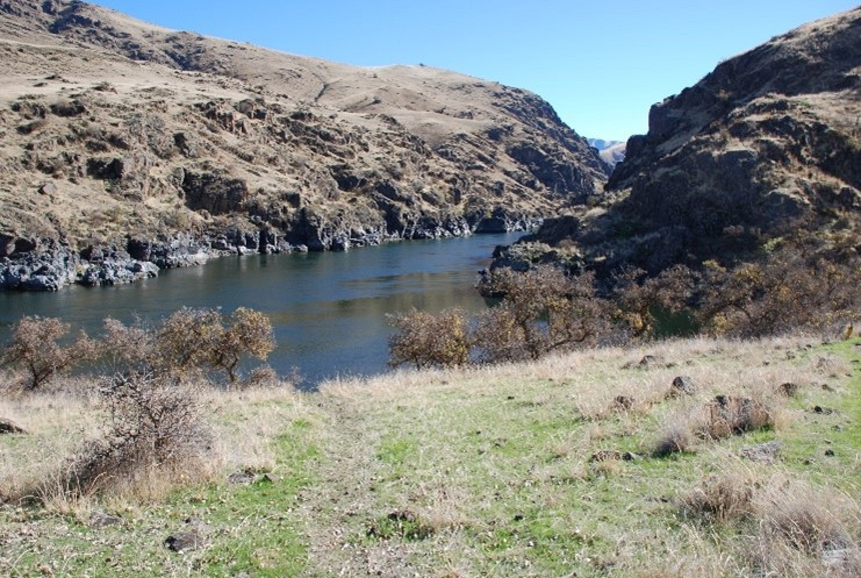
Fort Lapwai Officers' QuartersFort Lapwai played a key role in the events leading up to the Flight of 1877 when General Oliver O. Howard, commanding officer of the Department of the Columbia ordered Chief Joseph’s band to move from their homeland in the Wallowa’s of northeast Oregon to the new reservation in Idaho. When war broke, Fort Lapwai was the center of operations until the Nez Perce crossed the Bitterroot Mountains into western Montana. 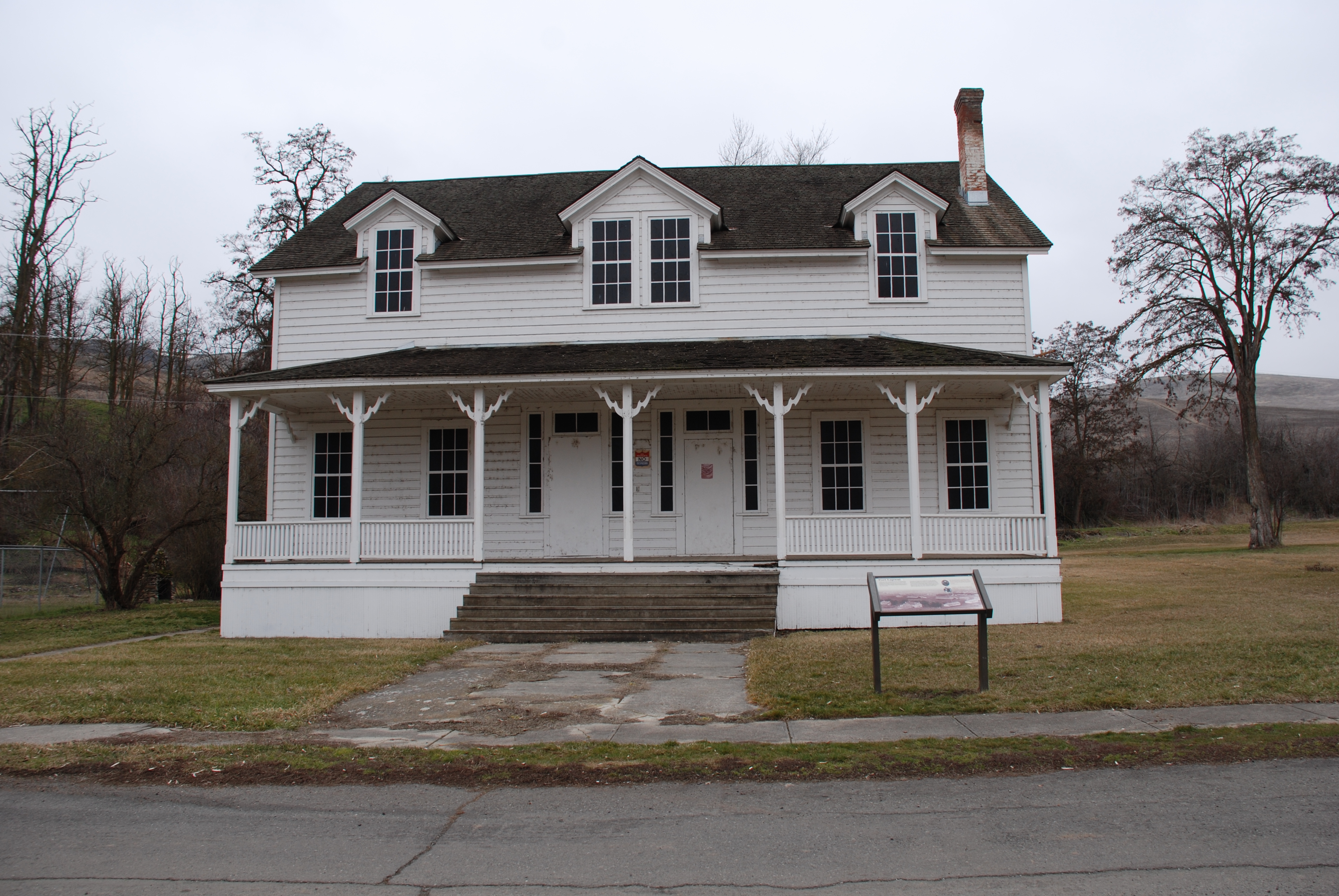
Hasotino Village SiteOverview of Hasotino 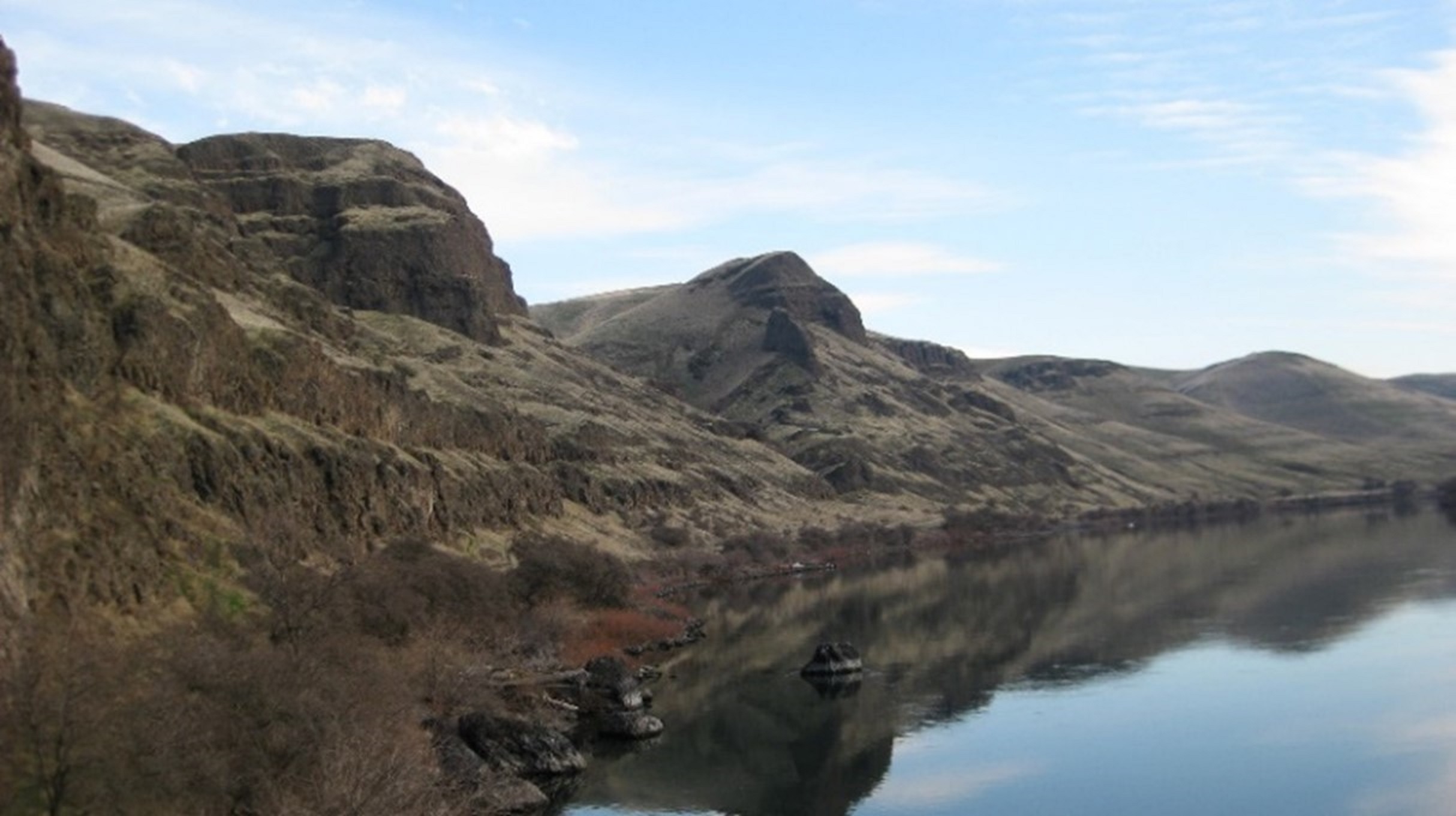
Heart of the MonsterAccording to the Nimiipuu (Nez Perce) creation story, Iceye’ye (Coyote) killed a large monster along the Clearwater River near present day Kamiah, Idaho, thus creating different tribes in the region, including the Nimiipuu. A rock formation in the area is said to represent the heart of the monster described in the legend. It is sacred to the Nimiipuu people. 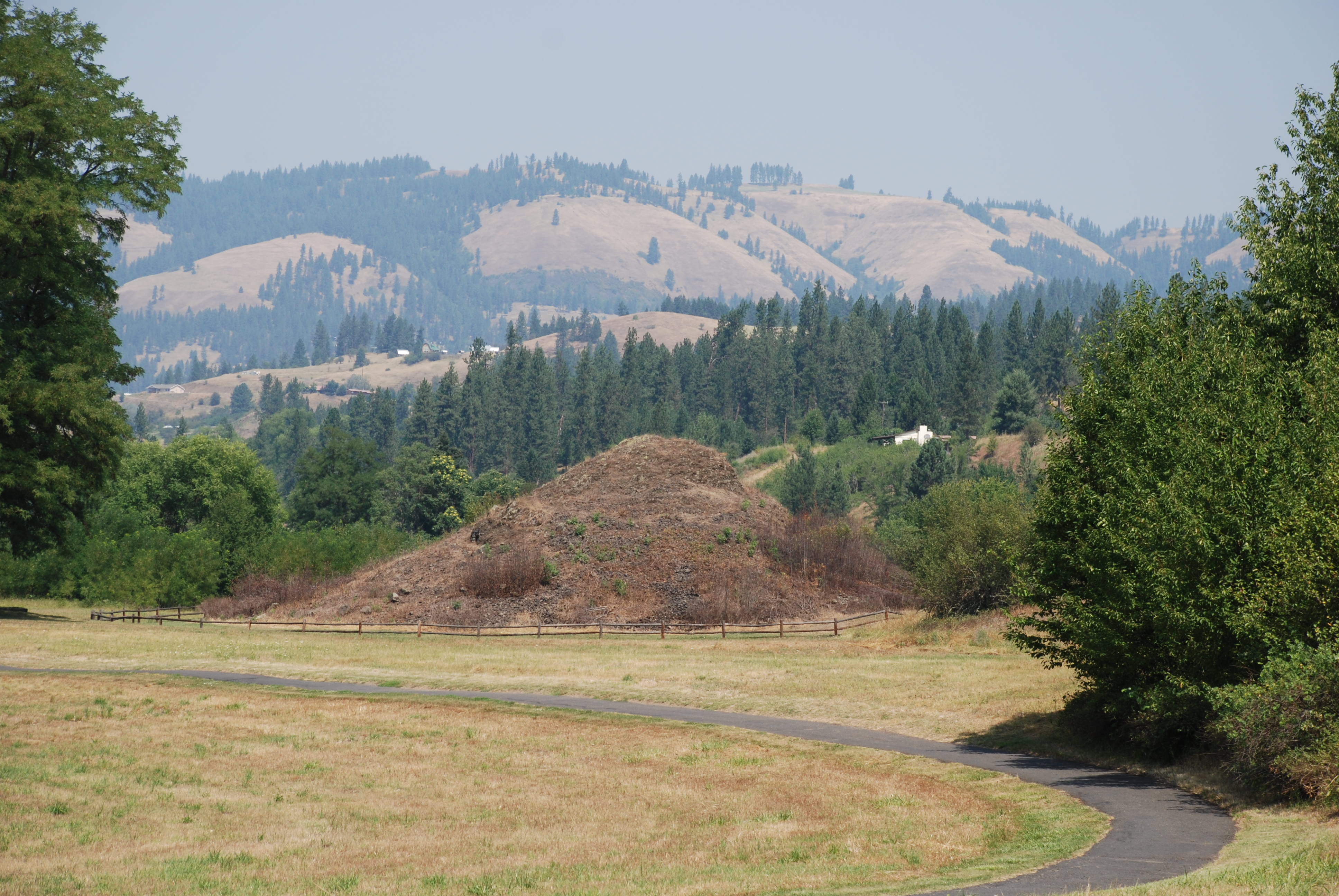
Joseph Canyon ViewpointThe canyon seen from this overlook was one of the winter homes of the Chief Joseph band of Nez Perce. Tradition holds that Chief Joseph was born in a cave along the east bank of the creek. 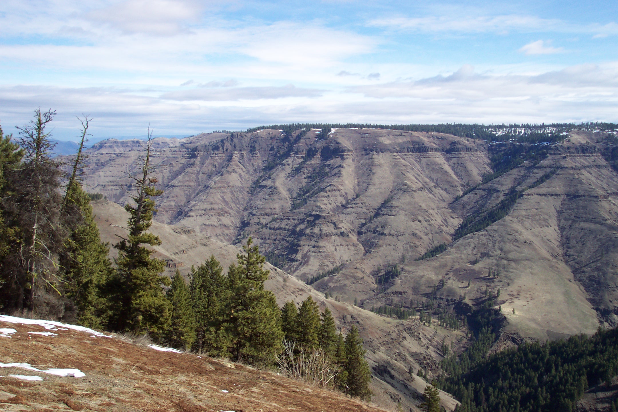
Lapwai MissionOverview of NEPE Lapwai Mission Site 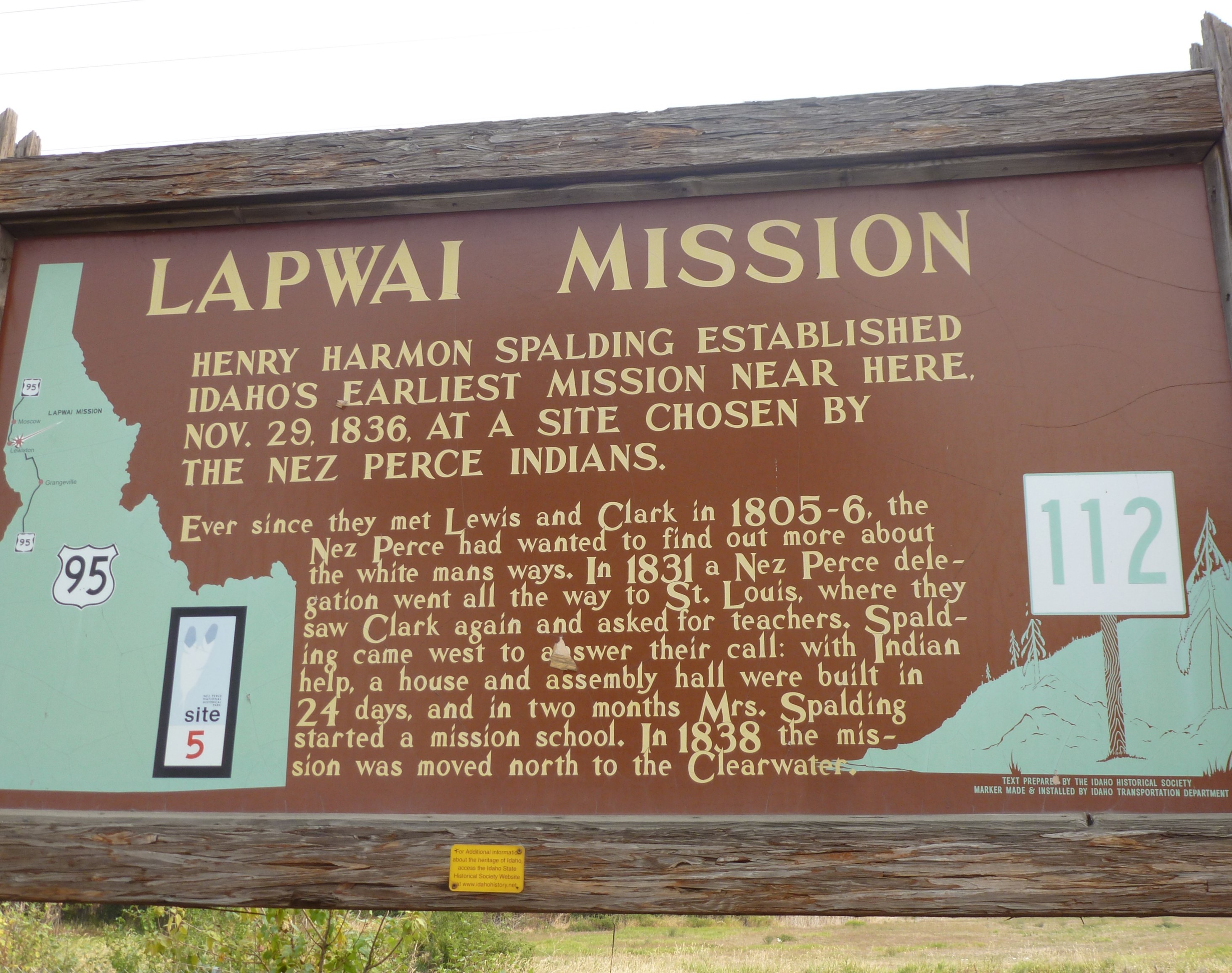
LenoreOverview of Lenore 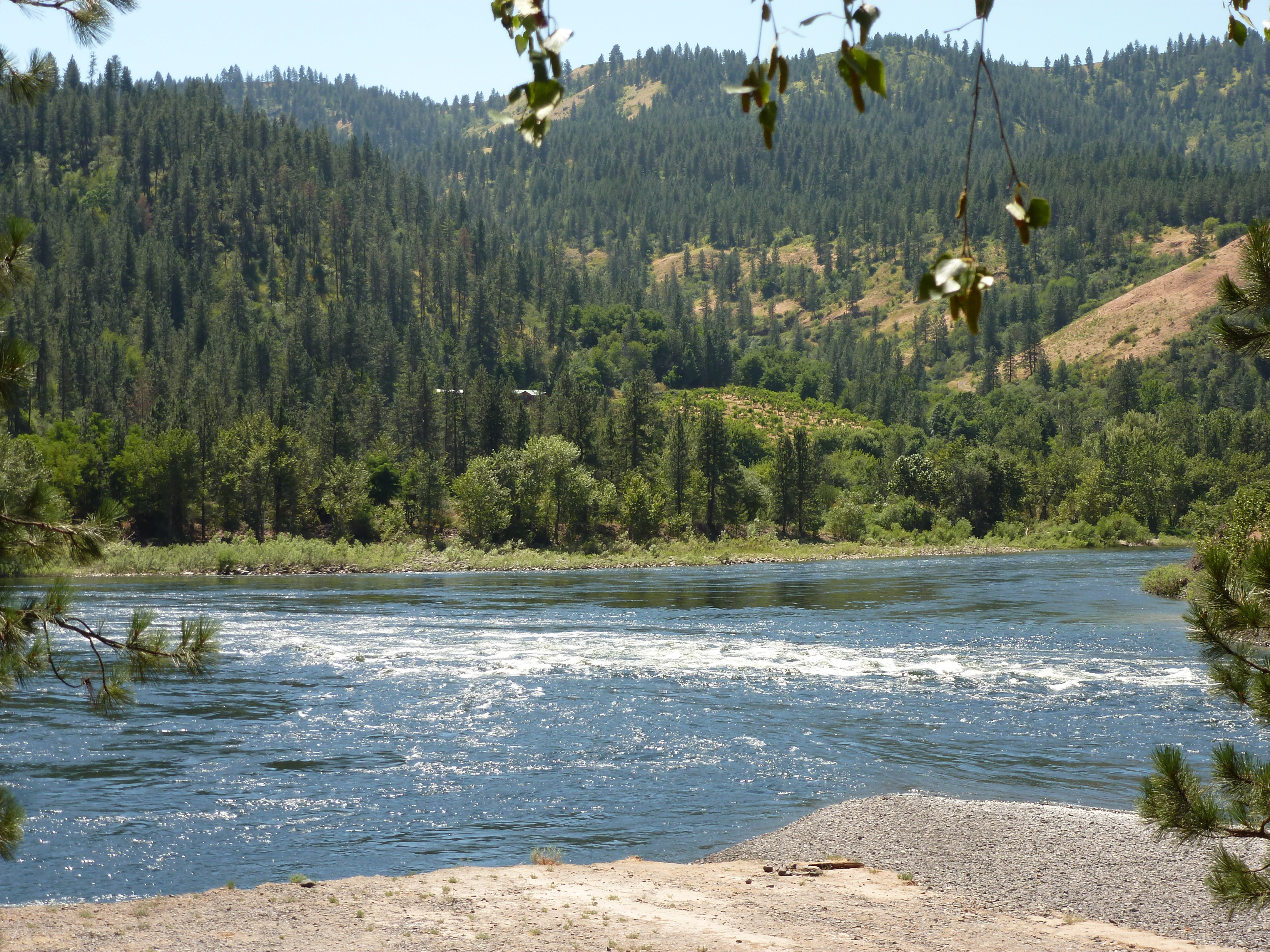
Lewis and Clark Long CampOverview of Long Camp 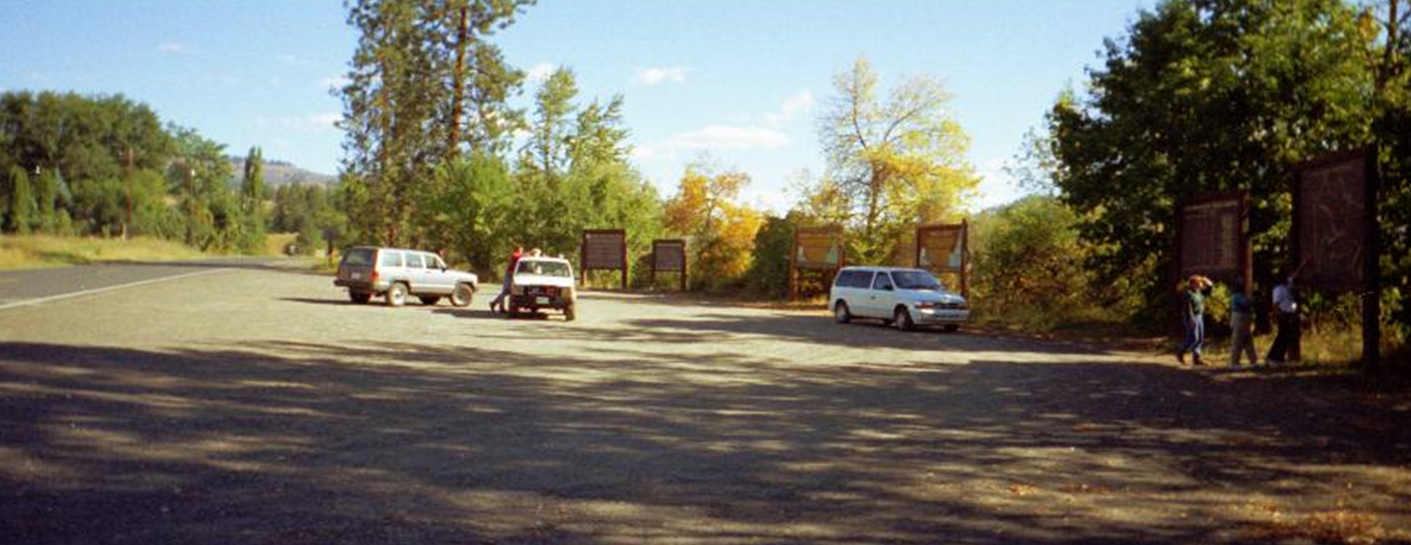
Lolo TrailIn mid-September 1805, the Lewis and Clark Expedition reached the historic Lolo Trail. The Corps knew the Lolo Trail would provide them a physical challenge, and they feared they would not survive the peaks without assistance. They were able to acquire as many horses as possible and enlist the help of a few guides who knew the route that lay ahead. Under the guidance of Old Toby (Shoshone), the Corps turned northward and began their ascent into the Bitterroot Mountains. 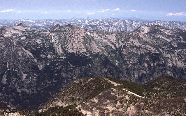
Lolo Trail and Lolo PassOverview of Lolo Pass and Trail 
Looking Glass CampThe site of Looking Glass's Camp is part of the US Fish and Wildlife Service's Kooskia National Fish Hatchery. Here the Looking Glass band of Nez Perce was attacked while within the Nez Perce Reservation; this attack caused Looking Glass to join the Nez Perce war of 1877. 
Lostine CampsiteAt the junction of the Lostine and Wallowa Rivers is a traditional Nez Perce summer campsite where Old Chief Joseph died in 1871. This landscape has changed little from the days before the area was settled. 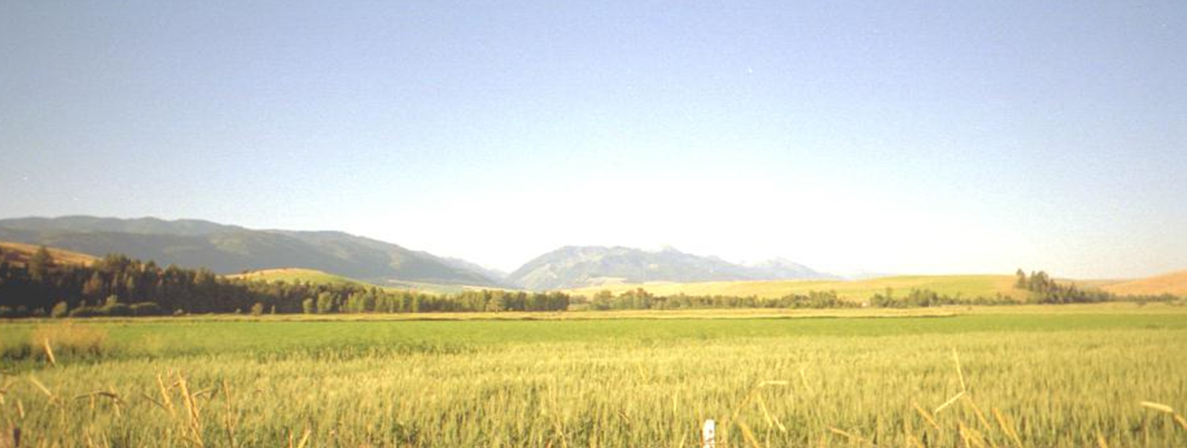
McBeth HouseOverview of the McBeth House. 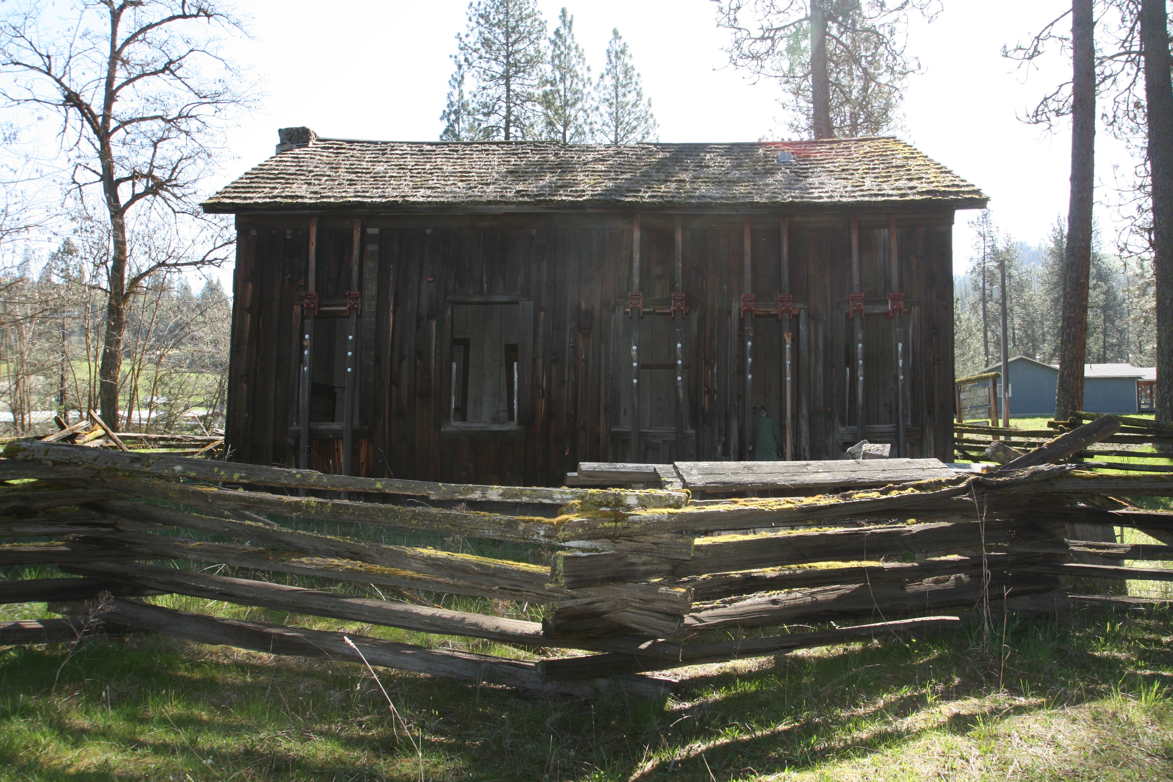
Musselshell MeadowBefore the arrival of settlers and sustained agriculture and ranching, the Nez Perce frequented the prairies above the Clearwater River to gather camas. After the Treaty of 1863, Weippe Prairie was out of the reservation boundaries and with the passage of the Dawes Act in the 1880s, most of Camas Prairie became privately held farm land. Many nimí·pu· went to gather roots at the edge of the mountains, such as Musselshell Meadow. Nez Perce root diggers continue to frequent Muss 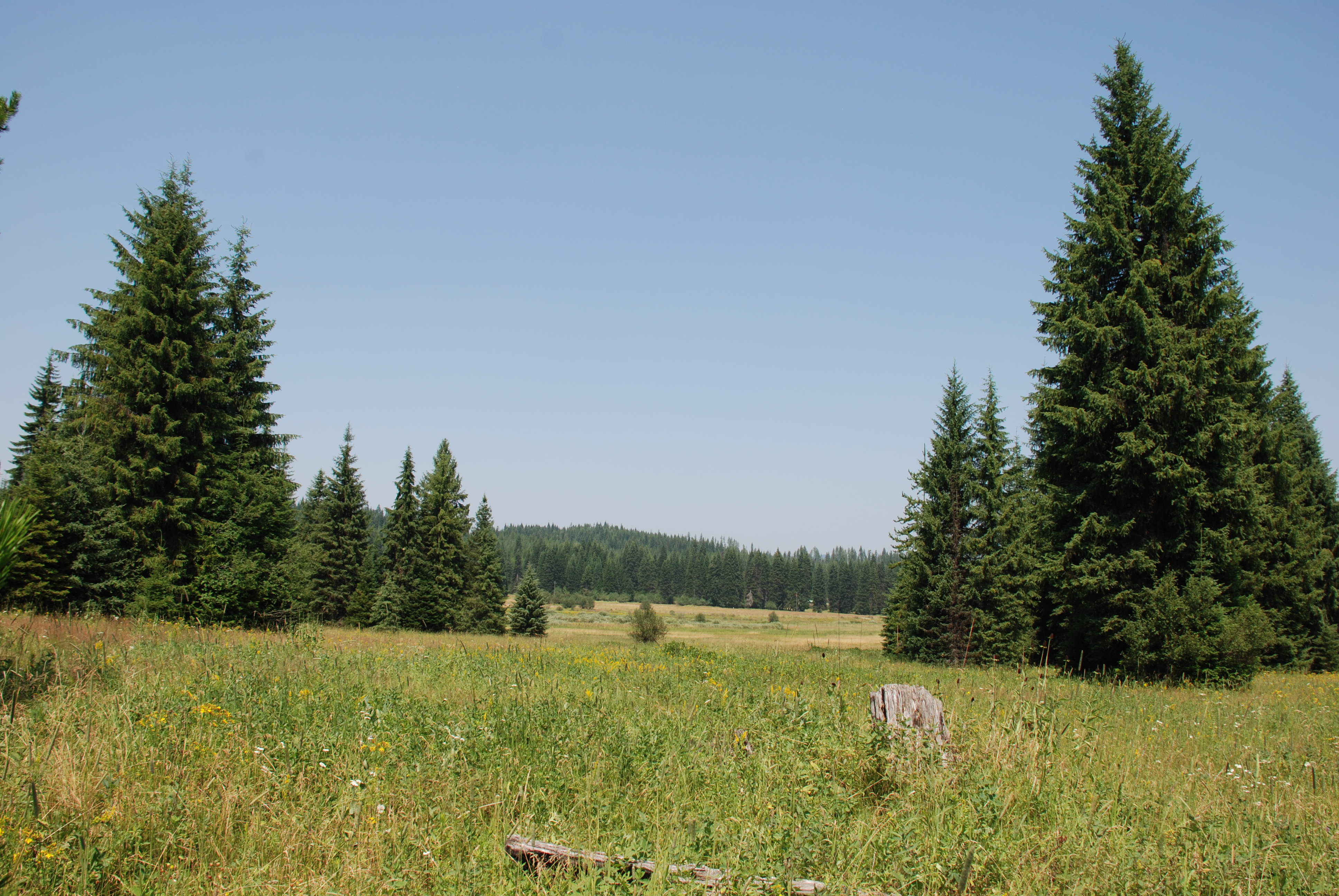
Nez Perce (Nespelem) CampsitesOverview of Nez Perce (Nespelem) Campsites 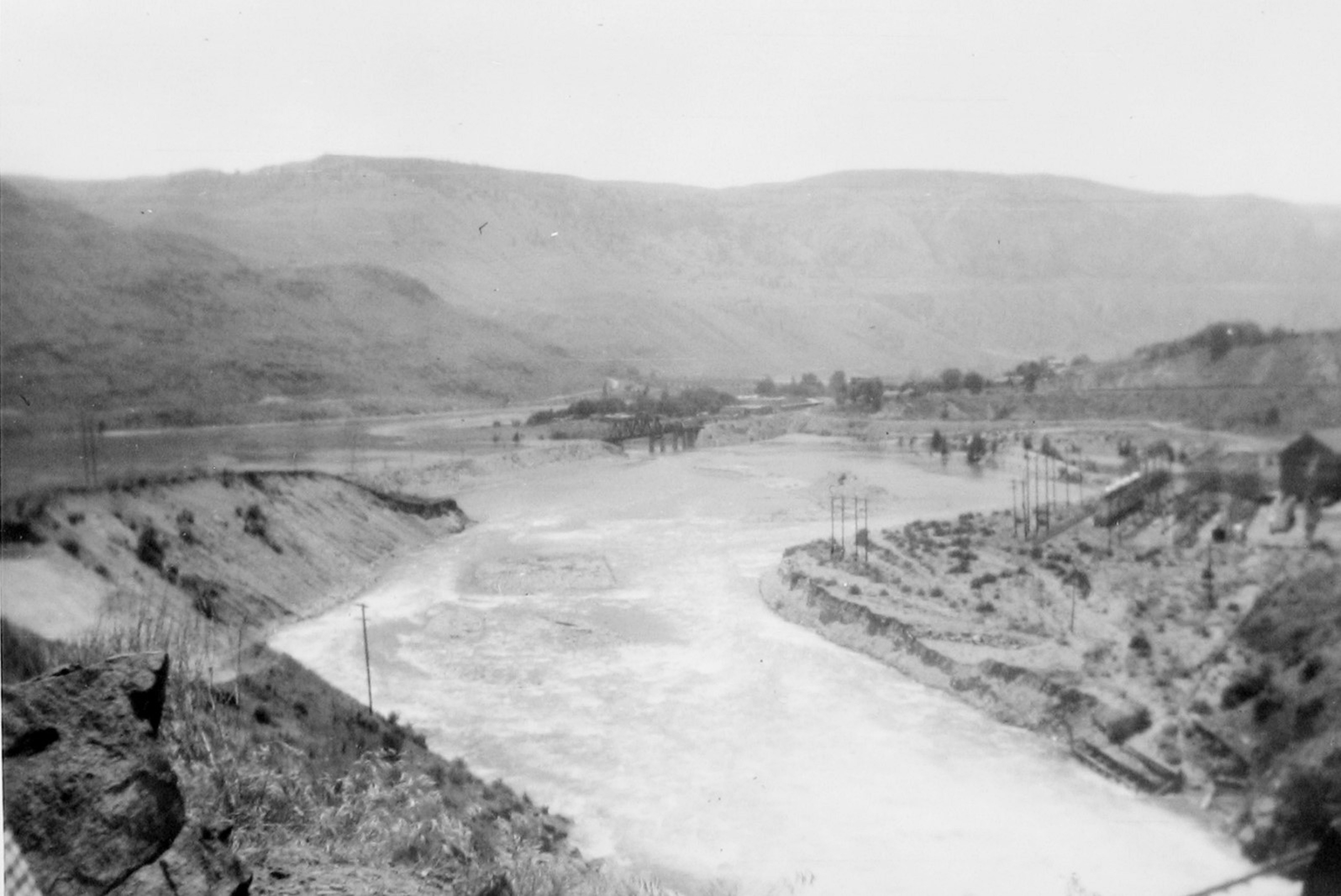
Nez Perce CemeteryOverview of Nez Perce Cemetery 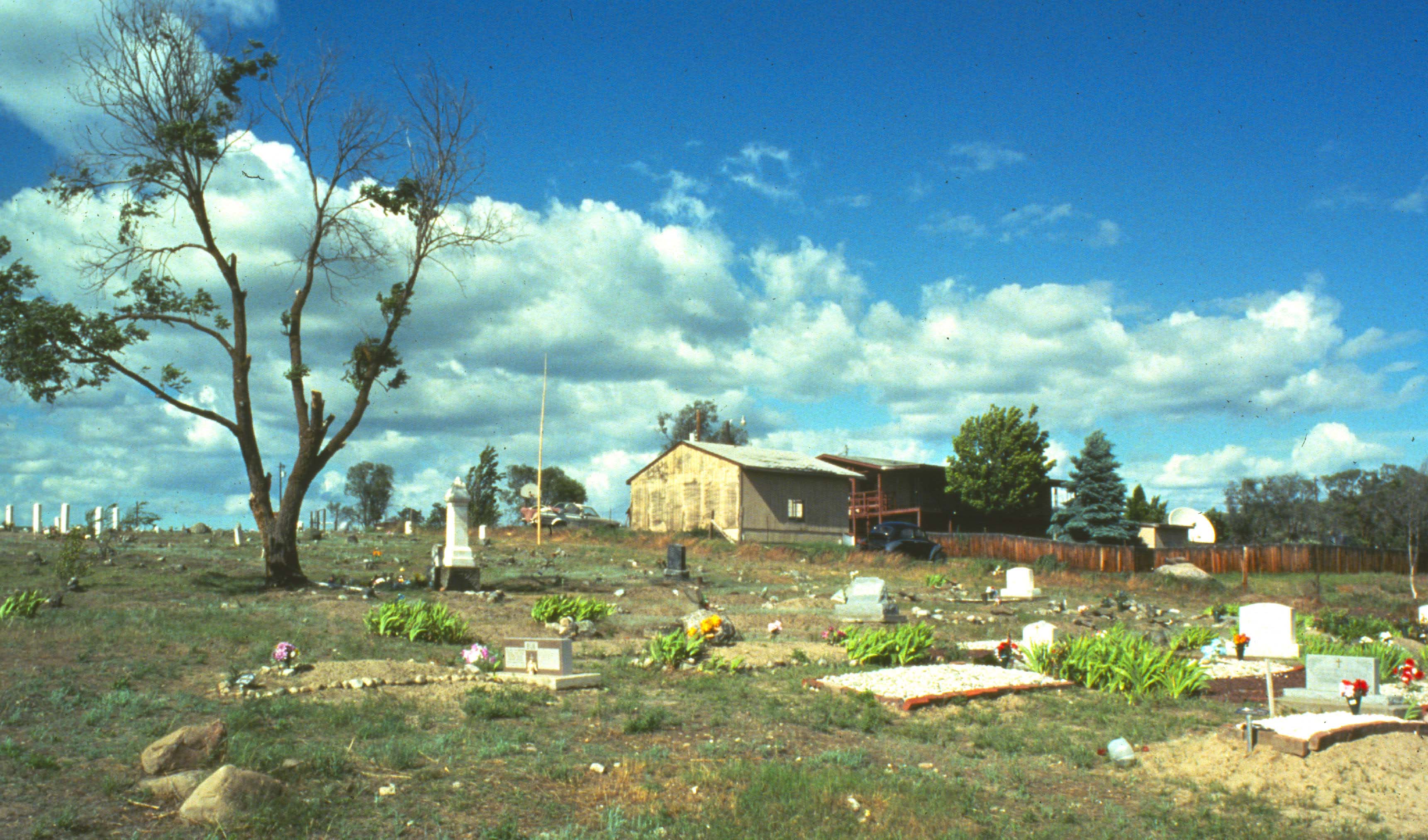
Northern Idaho Indian AgencyOverview of the Northern Idaho Indian Agency 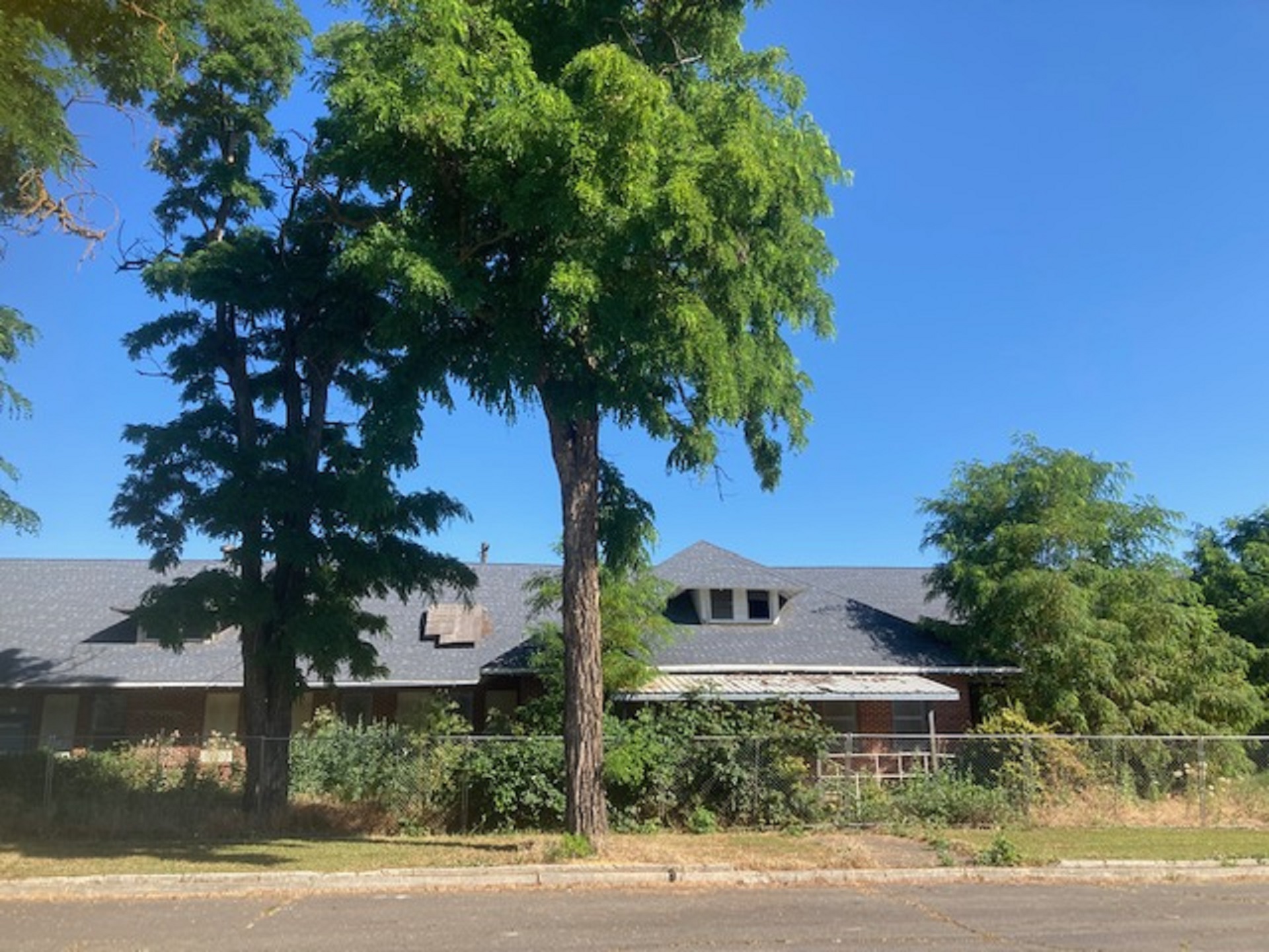
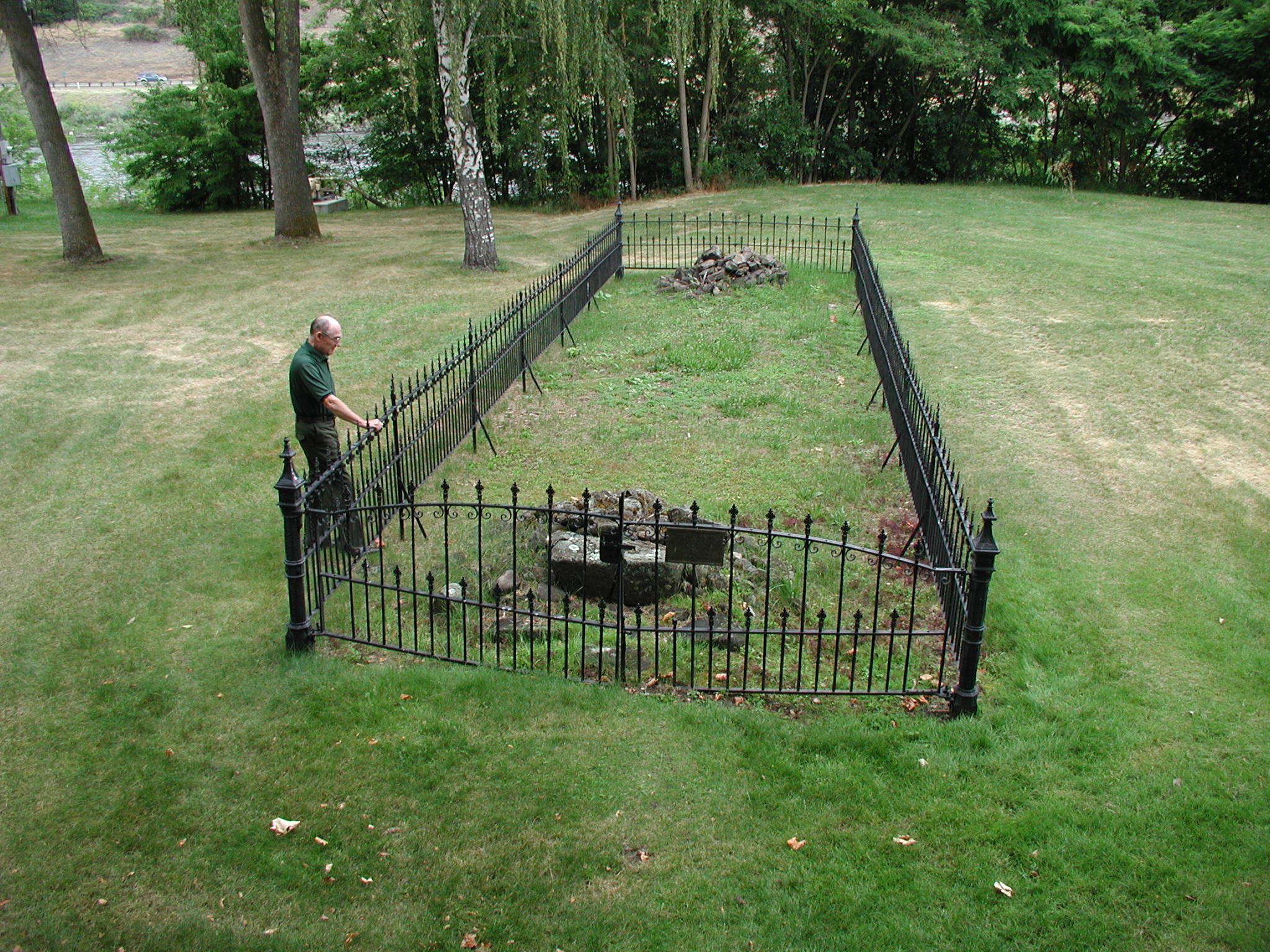
Old Chief Joseph GravesiteThis sacred site is dedicated to tıwi·teqıs, also known as Old Chief Joseph. Old Chief Joseph was a Nez Perce leader who refused to sell his Wallowa homeland and sign the 1863 Treaty. Old Chief Joseph was originally buried between the forks of the Wallowa and Lostine rivers. His remains were reburied here in 1926. 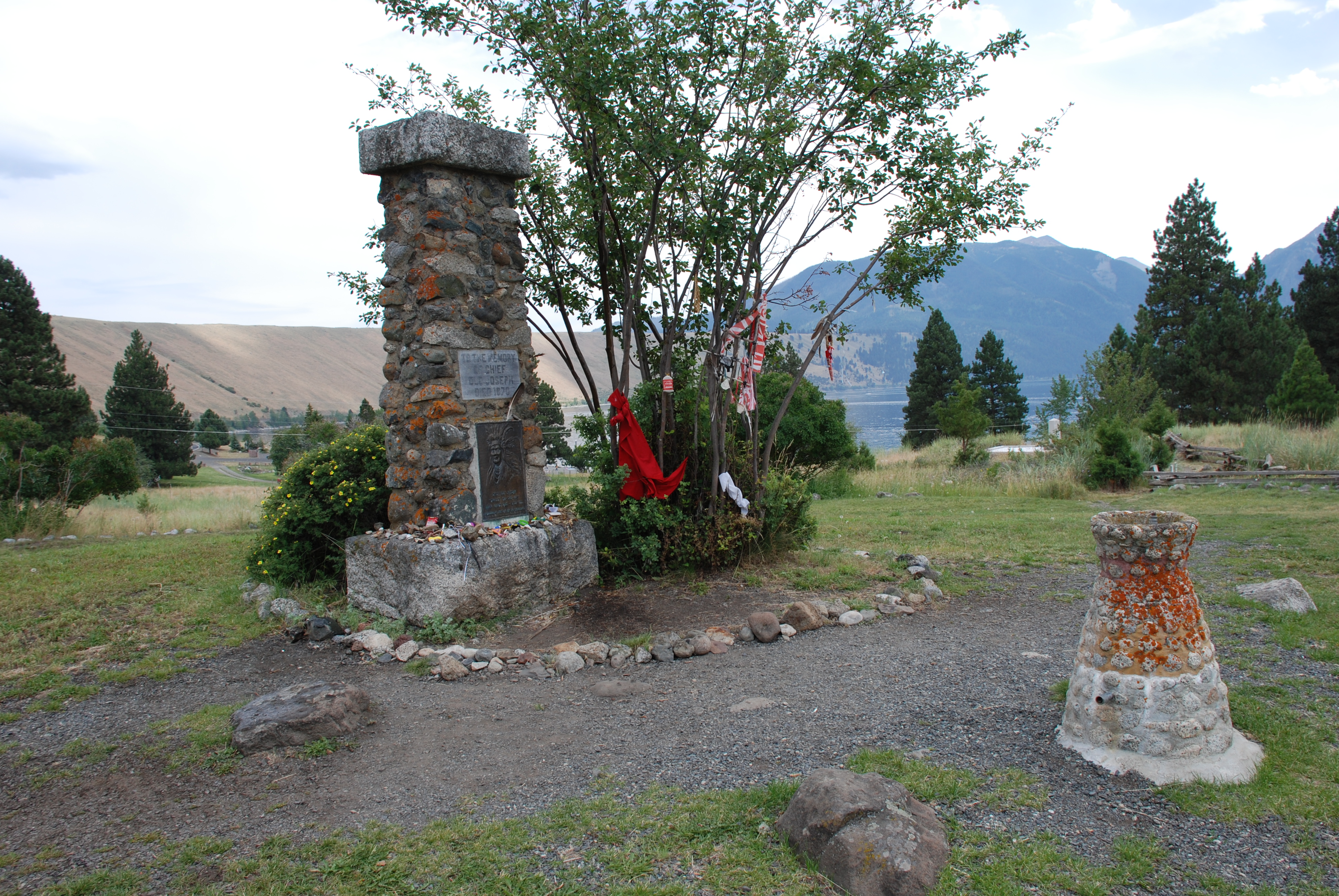
Packer Meadow, IdahoNez Perce people knew where to camp and what plants to eat at this site. They shared their knowledge with the Lewis and Clark Expedition. 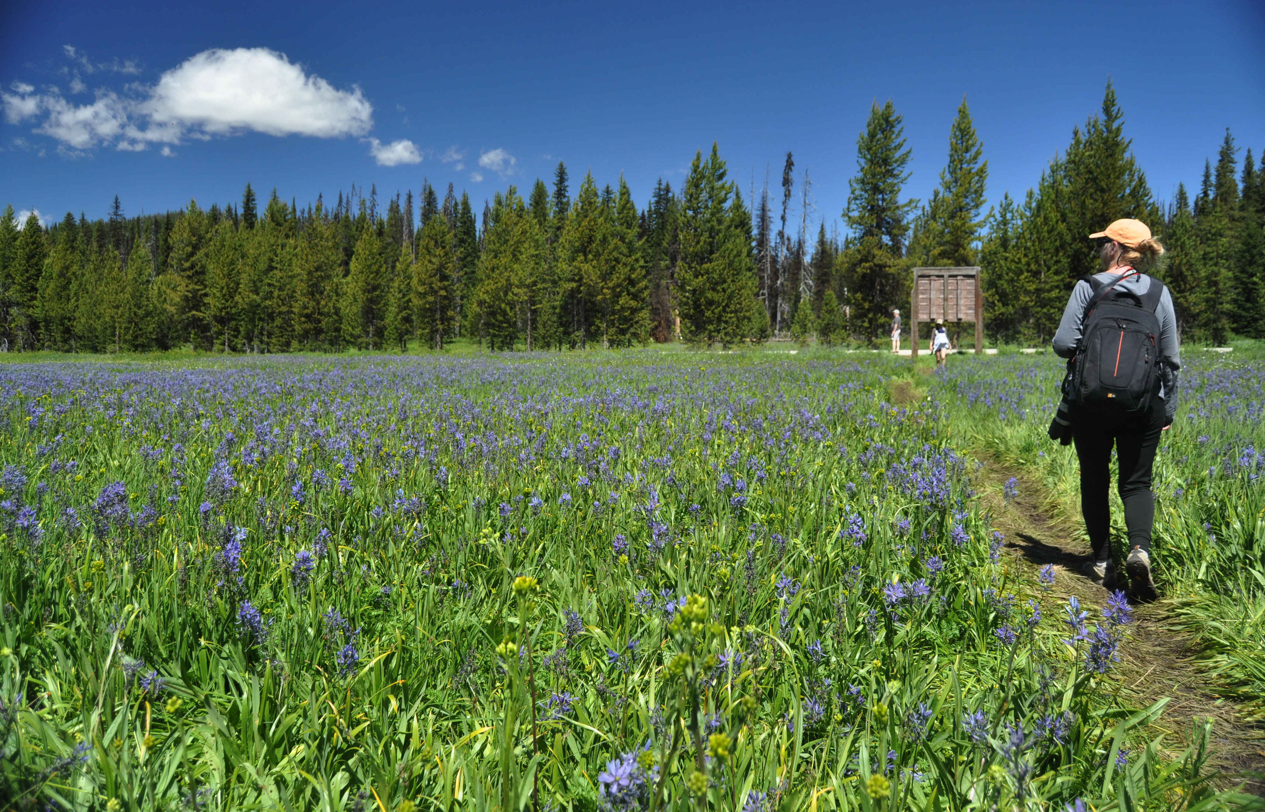
Pierce CourthousePierce Courthouse stands as a reminder of the gold rush that swept through the region in the 1860s. The namesake of the courthouse, Elias Davidson Pierce, discovered gold in the creeks above Orofino, which triggered events that have had lasting consequences for the Nez Perce. Built in 1862, the courthouse is the oldest public building in the state of Idaho. 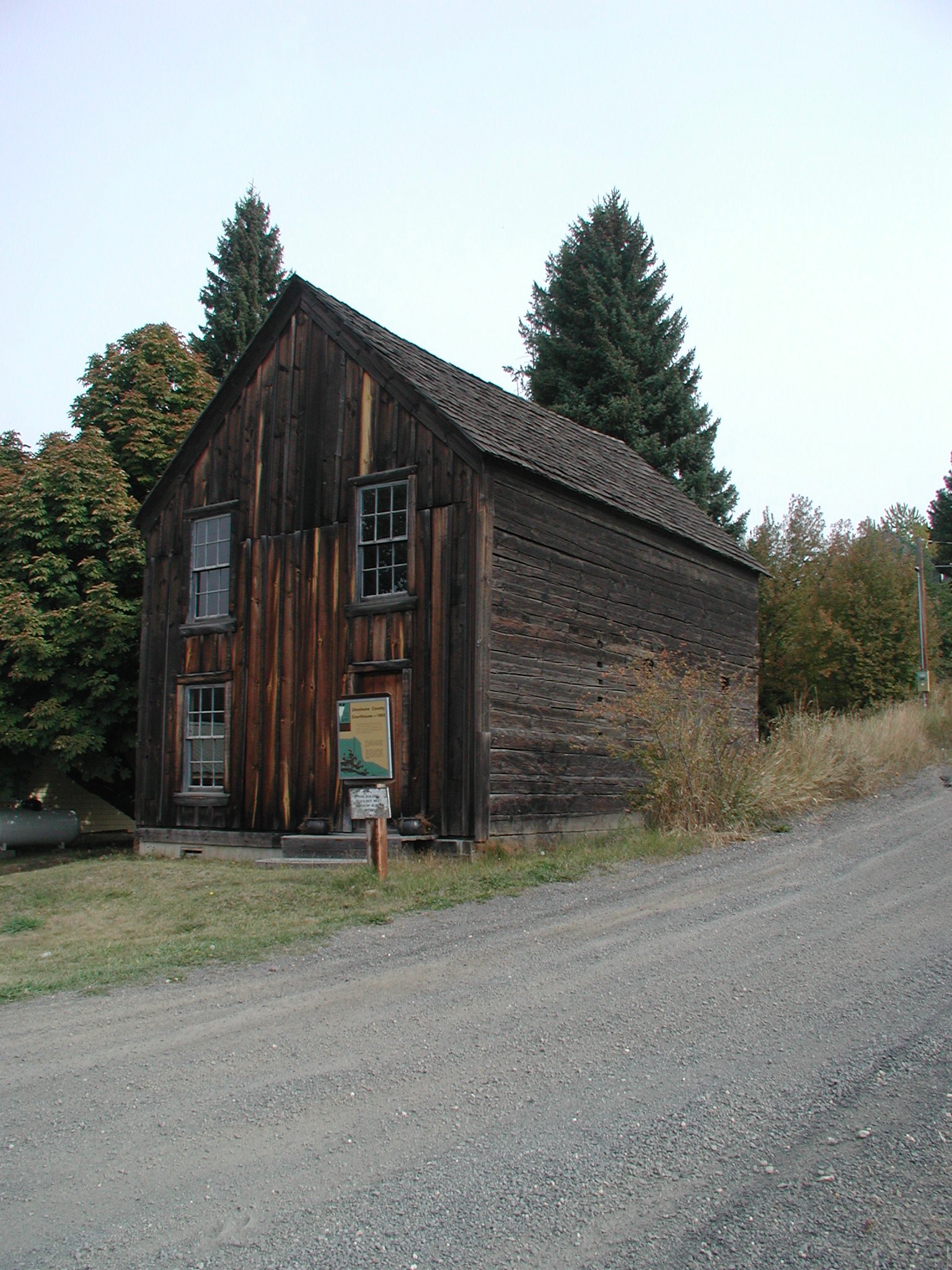
Saint Joseph's MissionOverview of the St Joseph's Mission. 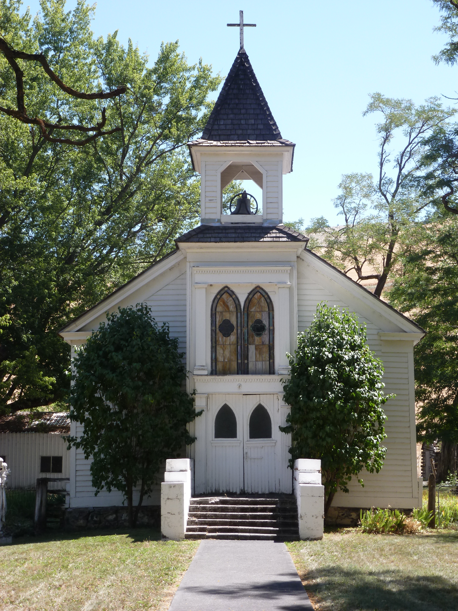
SpaldingOverview of Spalding 
Tolo LakeOverview of Tolo Lake 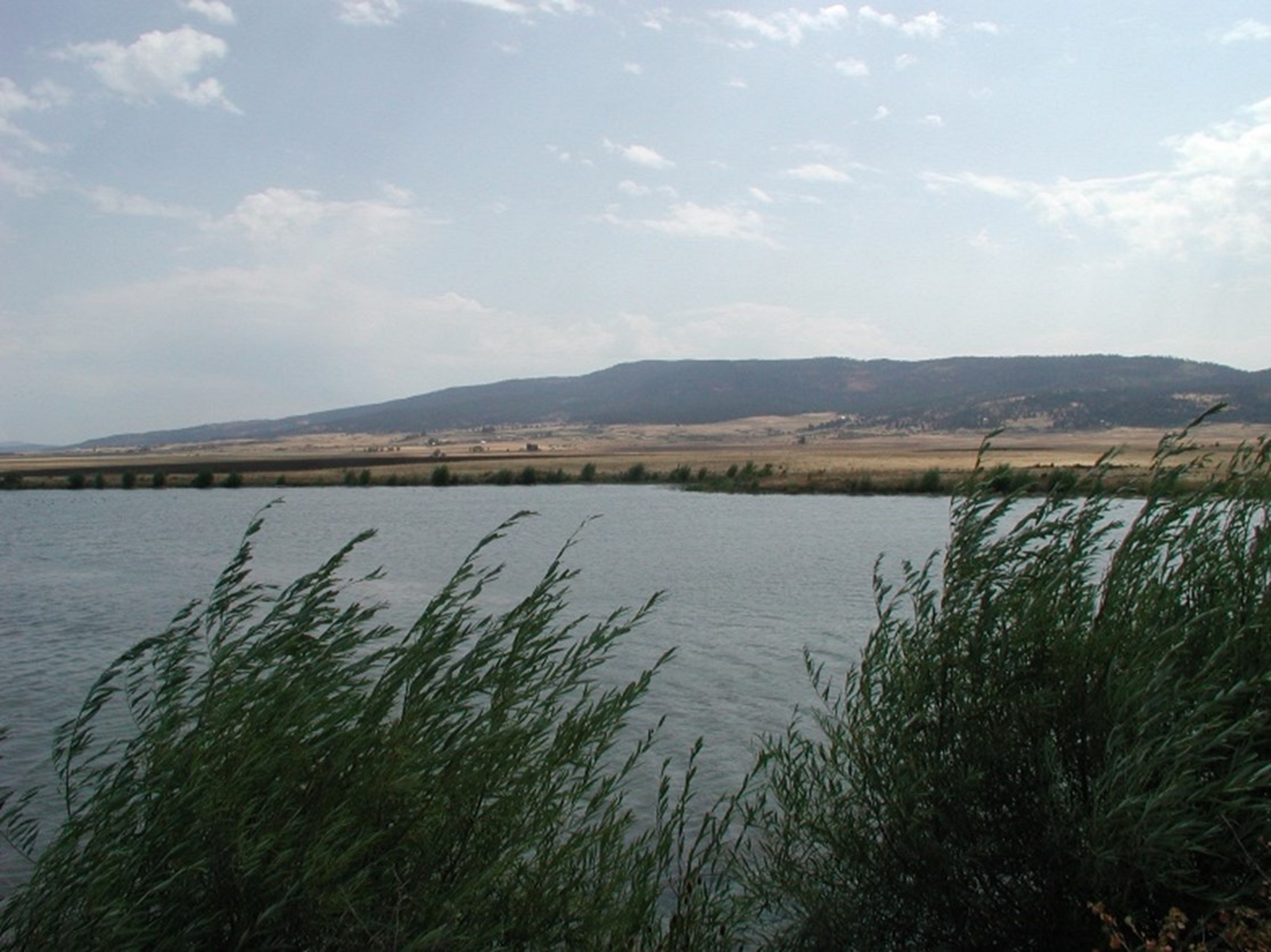
Weippe PrairieDescending from the Bitterroots, the Corps reached the western end of Lolo Trail by late September 1805. They had arrived at the Weippe Prairie. Clark and seven of the men pressed ahead, arriving at the prairie on September 20th. The others arrived on the 22nd. Spanning several thousand acres, the open flatland was a relief after the crew's trek through the Rockies. The Corps were exhausted and nearly starving, so making contact with the Nez Perce was crucial. 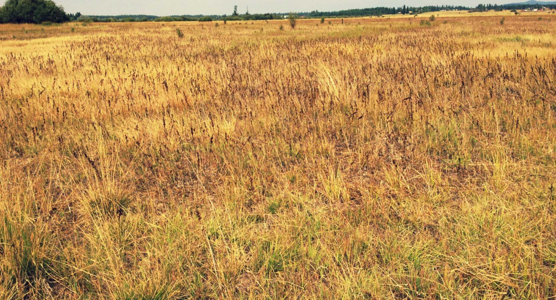
Weippe Prairie SiteOverview of Weippe 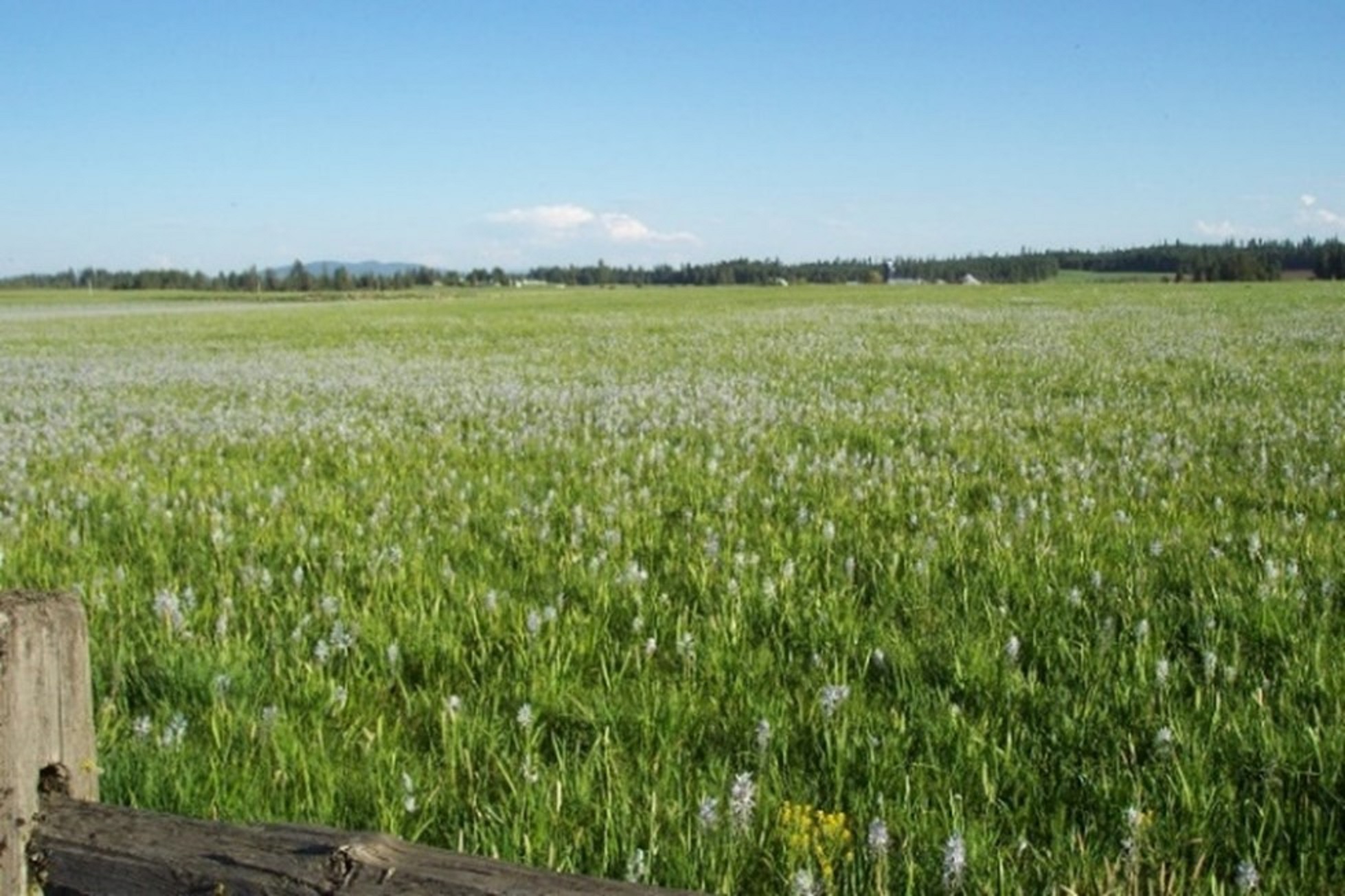
Weis RockshelterOverview of Weis Rockshelter 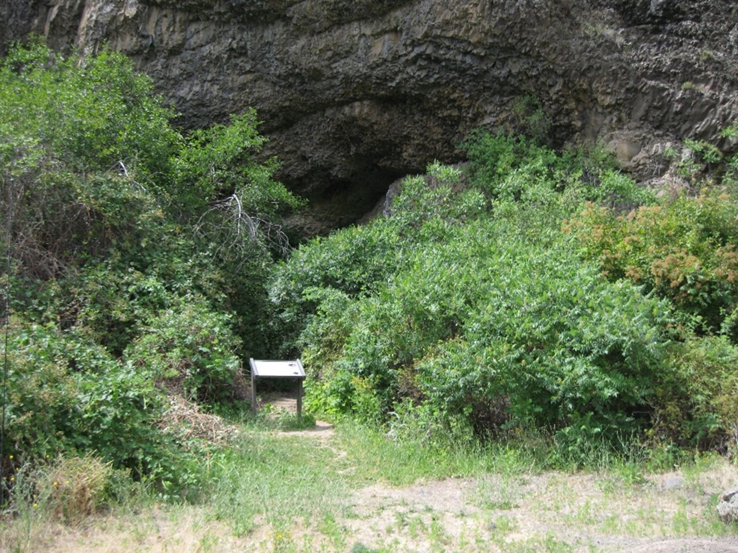
White Bird BattlefieldOverview of White Bird Battlefield 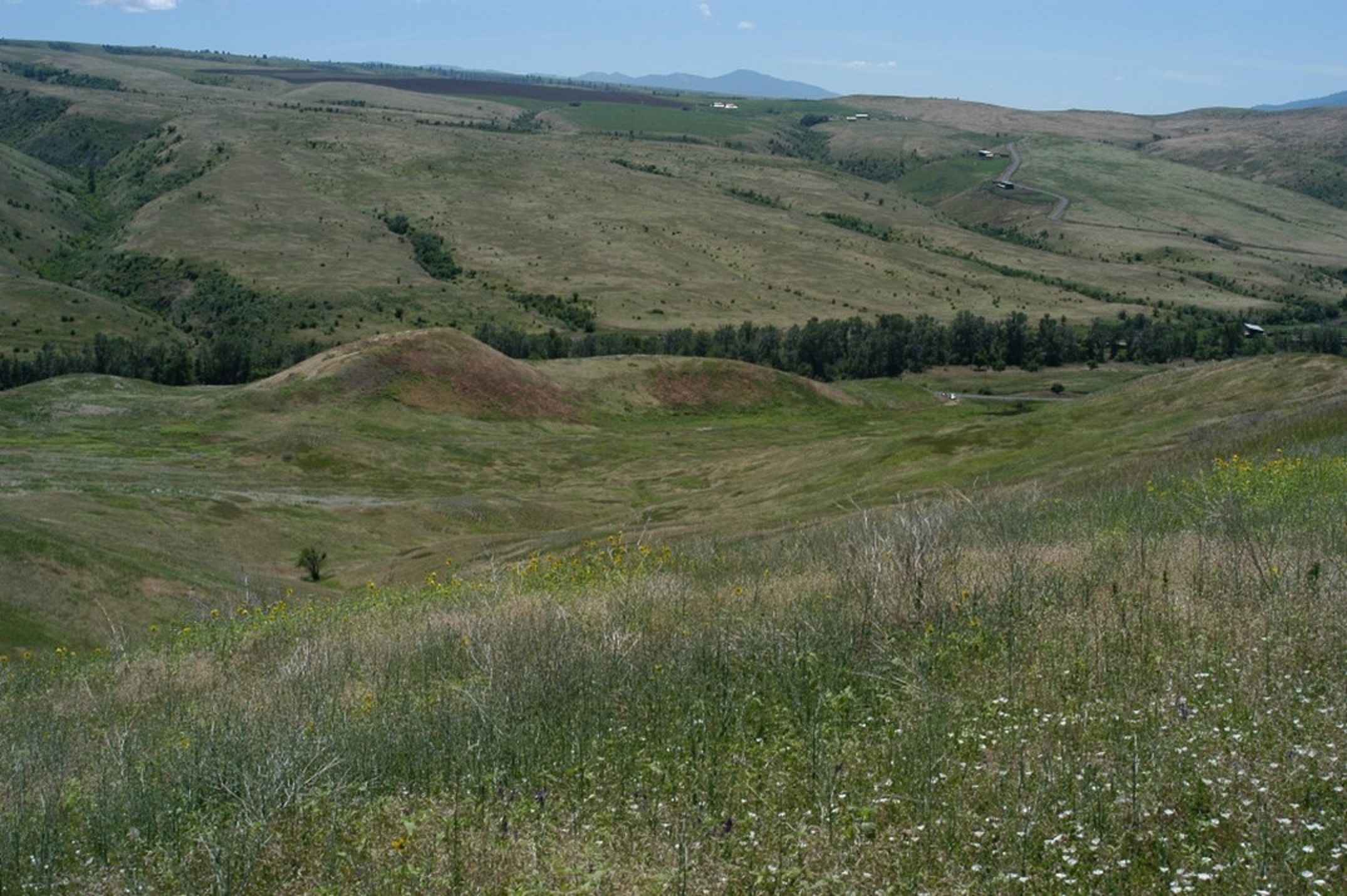
|
| Visitor Centers | Count: 1
Nez Perce National Historical Park Visitor Center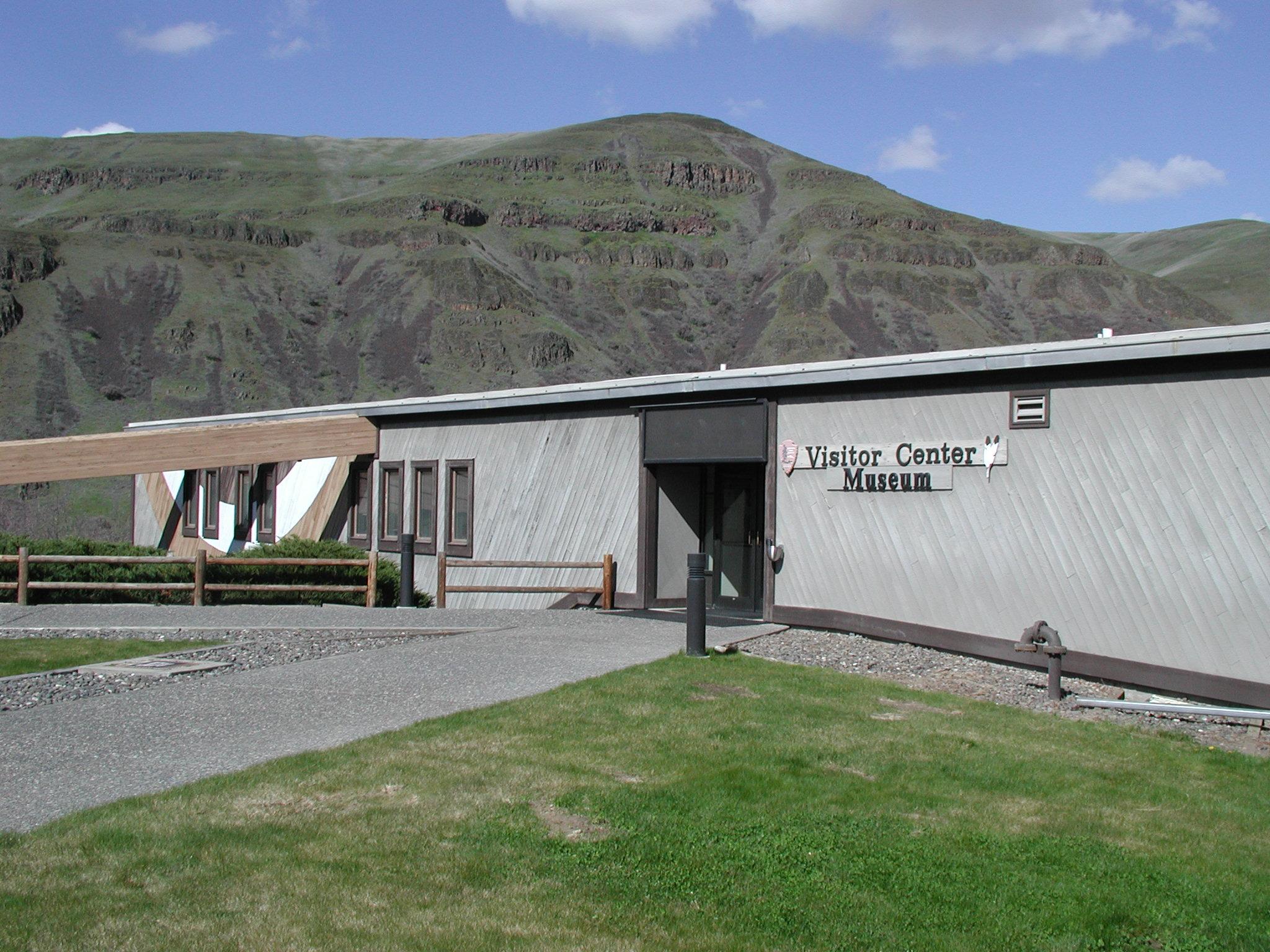
|
| Things to do | Count: 4
|
| Tours |
Count: 0
|
| Articles |
|