Cunard Road delays
Cunard Road is open. There is a section of one lane road with a traffic light. Expect delays of 3 to 5 minutes to get by this area.
Gauley Tailwaters Campground Closure
The Tailwaters Campground in Gauley River National Recreation Area, located below Summersville Dam, will temporarily close from September 2 through September 23 in order to allow for more parking and better river access during the busy Gauley season.
Kaymoor Miner's Trail Partial Closure
NPS crews are working to improve safety and sustainability of the upper section of the Kaymoor Miner's Trail. The upper portion of the trail will be closed from June 30 thru November 14 on Mondays through Thursday from Kaymoor Top the top of the stairs.
| Title | New River Gorge |
| Park Code | neri |
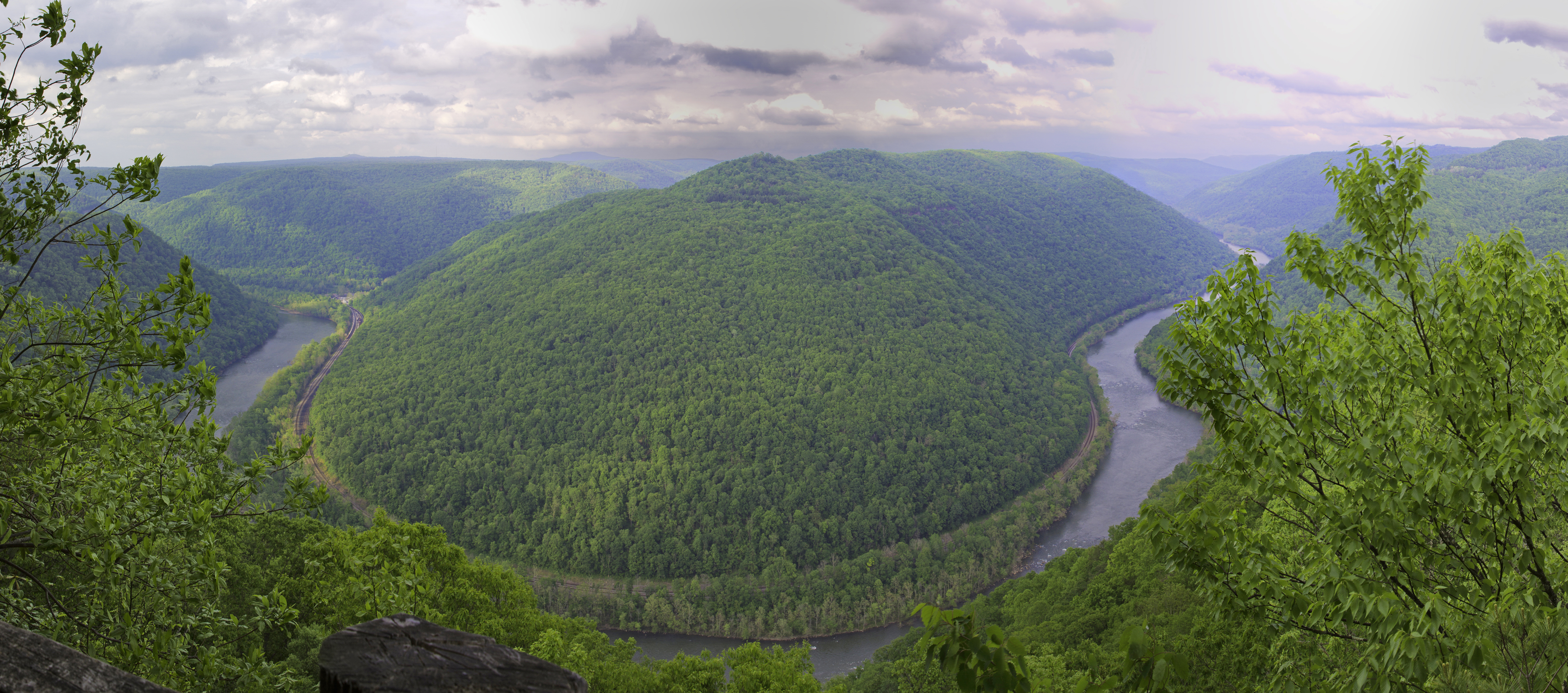
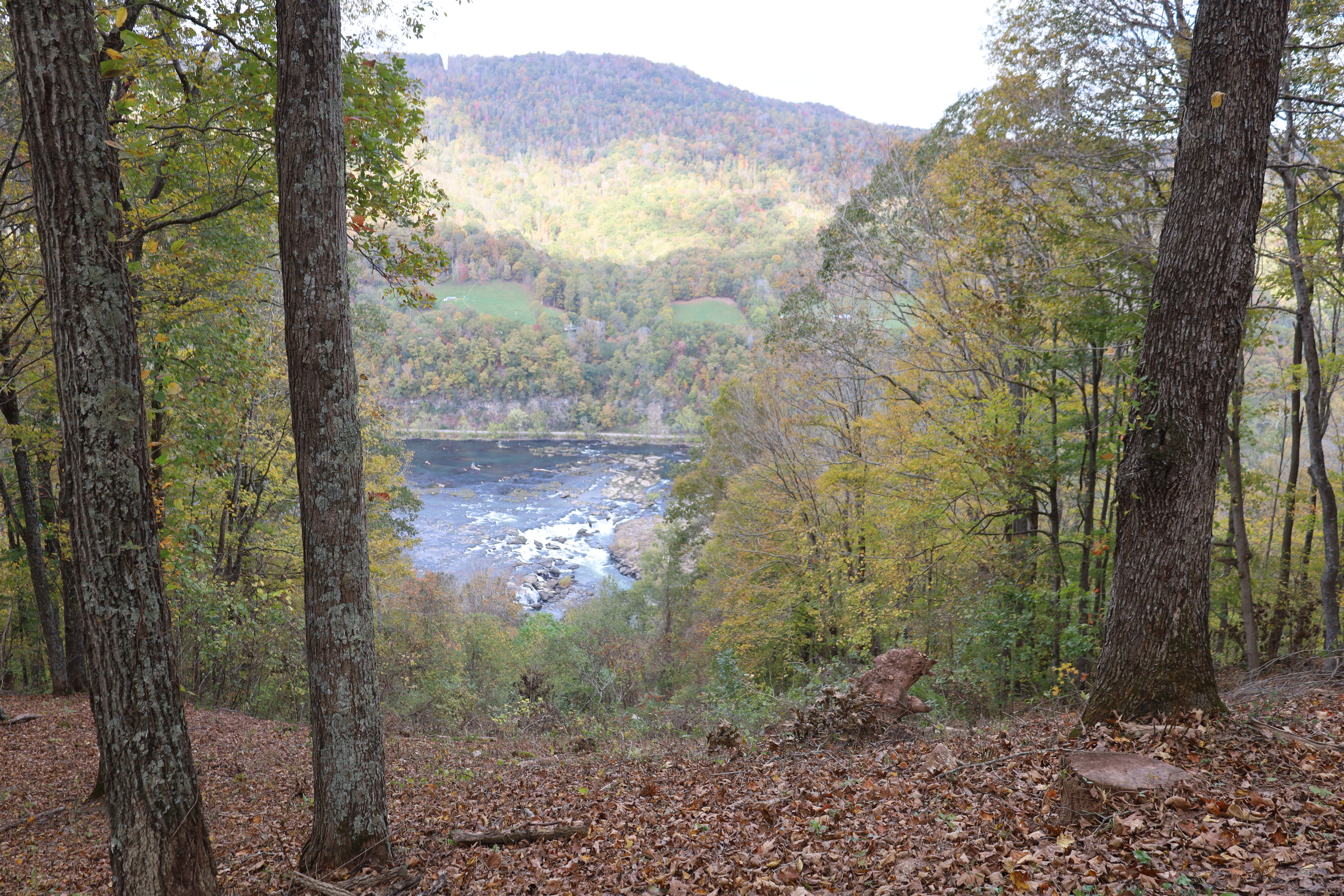
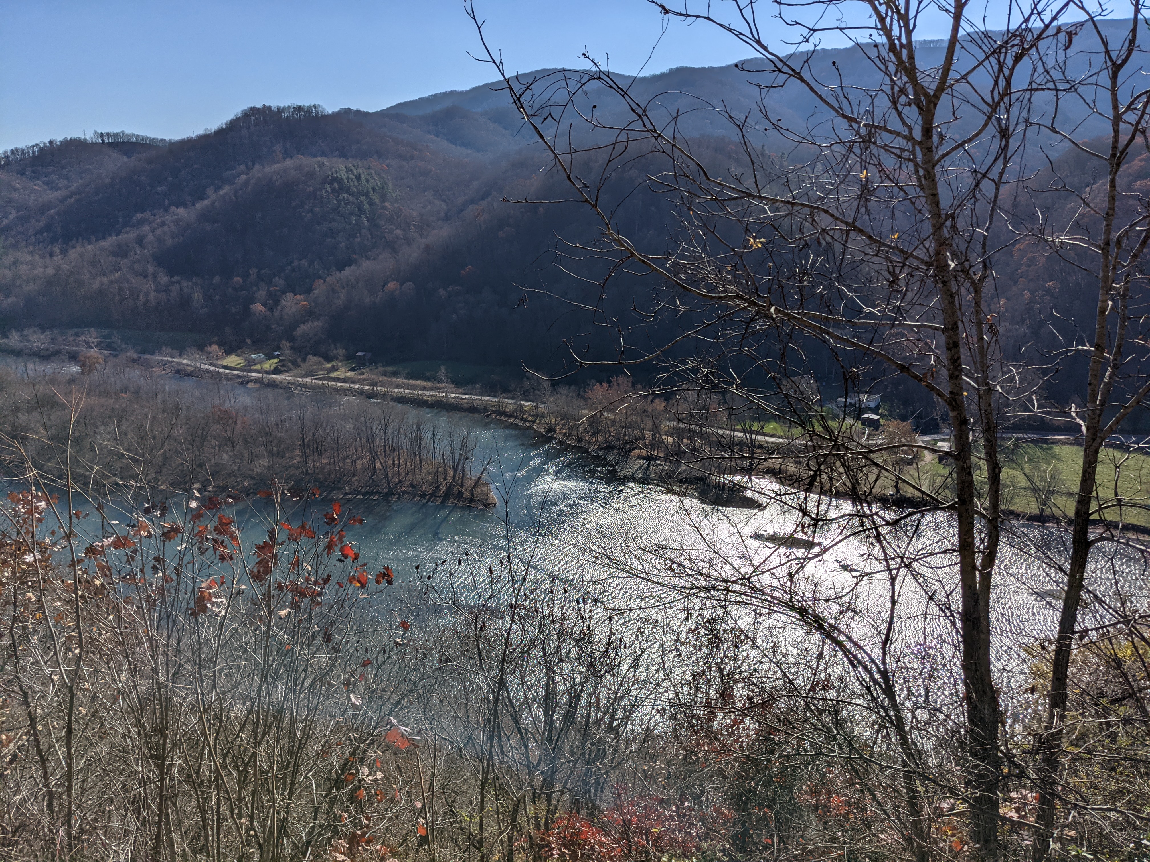
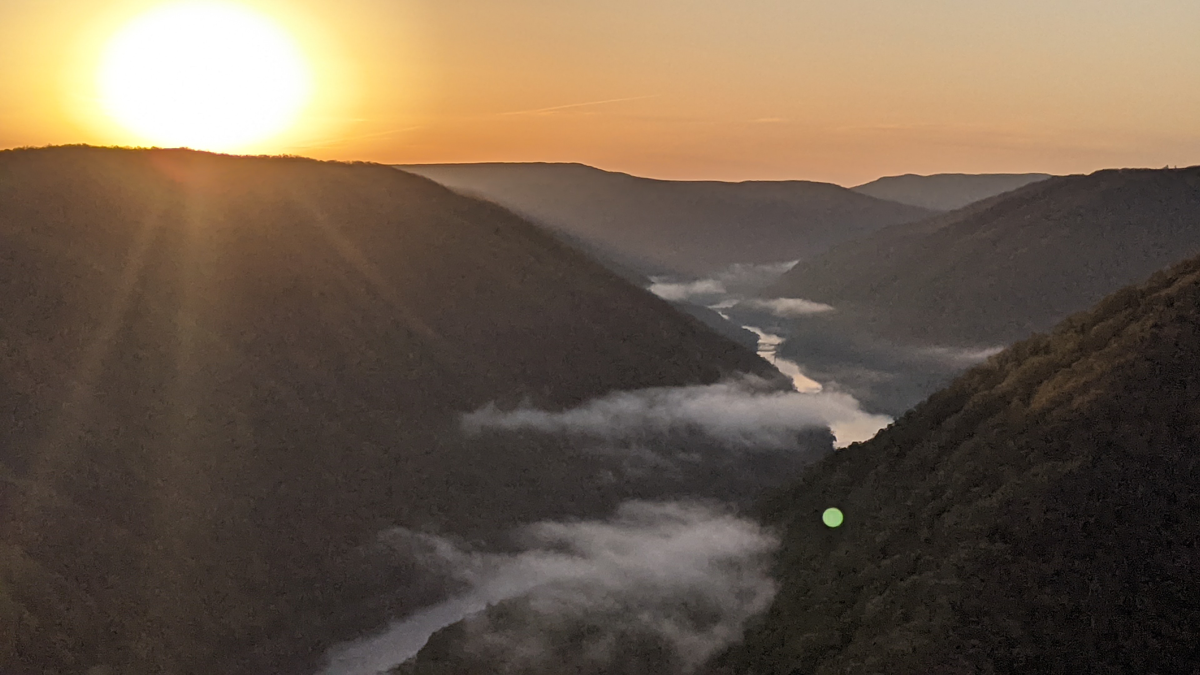
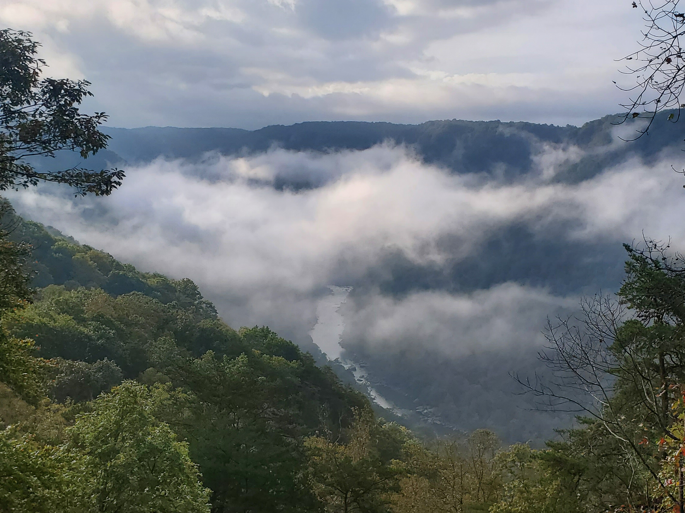
| Description | A rugged, whitewater river flowing northward through deep canyons, the New River is among the oldest rivers on the continent. The park encompasses over 70,000 acres of land along the New River, is rich in cultural and natural history, and offers ... |
| Location | |
| Contact | |
| Activities |
|
| Entrance fees |
|
| Campgrounds | Count: 9
Army Camp
Brooklyn Campground
Burnwood Group Campsite
Glade Creek Campground
Grandview Sandbar
Meadow Creek Campground
Stone Cliff
Thayer Campground
War Ridge/Backus Mountain Campground
|
| Places | Count: 50
Adena TrailLabeled (2) on the Arrowhead Bike Trails map; LENGTH: 3.1 miles/4.99km (One-Way). DIFFICULTY: Easy to Intermediate. TRAIL TYPE: Hiking and Biking. DESCRIPTION: This trail loops through the forest on low-grade swooping dips along light uphill and downhill sections. This trail is 30" to 36" wide with a few rock-surfaced sections, wide turns and switchbacks, offering safe and exciting learning opportunities for beginning mountain bikers. Arbuckle Connector TrailLabeled (4) on the Cunard, Thurmond and Stone Cliff Area Trails map LENGTH: 0.3 miles/0.48 km (One-way). DIFFICULTY: Strenuous. TRAIL TYPE: Hiking only. This steep and rocky trail connects the Rend and Southside Trails. Located 1.2 miles from the Thurmond end of the Rend Trail, just past the third trestle, this 0.3 mile connector trail drops off to the right. This trail also provides glimpses of the stonework and coke ovens of the former mining town of Wee Win. 
Big Branch Falls
Big Branch TrailLabeled (5) on the Sandstone Brooks Area Trails map; LENGTH: 2.0 miles/2.74 km (Round-trip). DIFFICULTY: Strenuous. TRAIL TYPE Hiking only. On the west side of the river at Brooks Falls is the Big Branch Trail. This strenuous trail creates a 2 mile loop that is especially scenic in the early spring when wildflowers are in bloom. It can be a great place to see the early bloomers like trout lilies, spring beauties, toothwort, and bloodroot. 
Big Buck TrailLabeled (2) on the Grandview Area Trails map; LENGTH: 0.9 miles/1.45 km (round trip). DIFFICULTY: Easy. TRAIL TYPE: Hiking only. This easy 0.9 mile trail loops through a rolling section of forest. Tree identification signs along the way celebrate the great diversity of flora found in the Appalachian forest. 
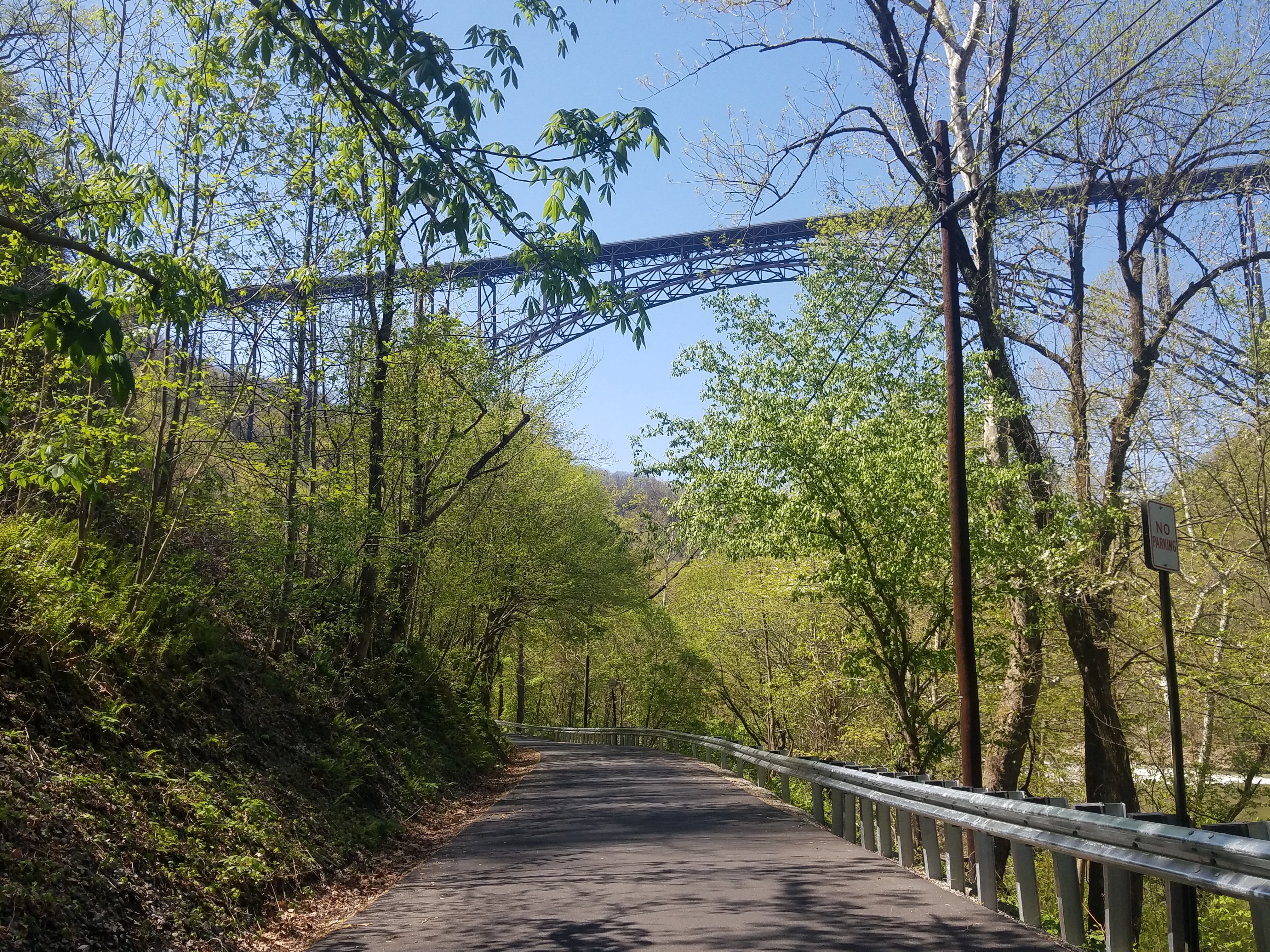
Bridge TrailLabeled (4) on the Fayetteville - Lansing Area Trails map LENGTH: 0.86 miles/1.38 km (one way). DIFFICULTY: Strenuous. TRAIL TYPE: Hiking only. This occasionally steep and rocky trail offers views of the gorge and the New River Gorge Bridge. The trail passes under the bridge and connects to the Fayetteville Trail. 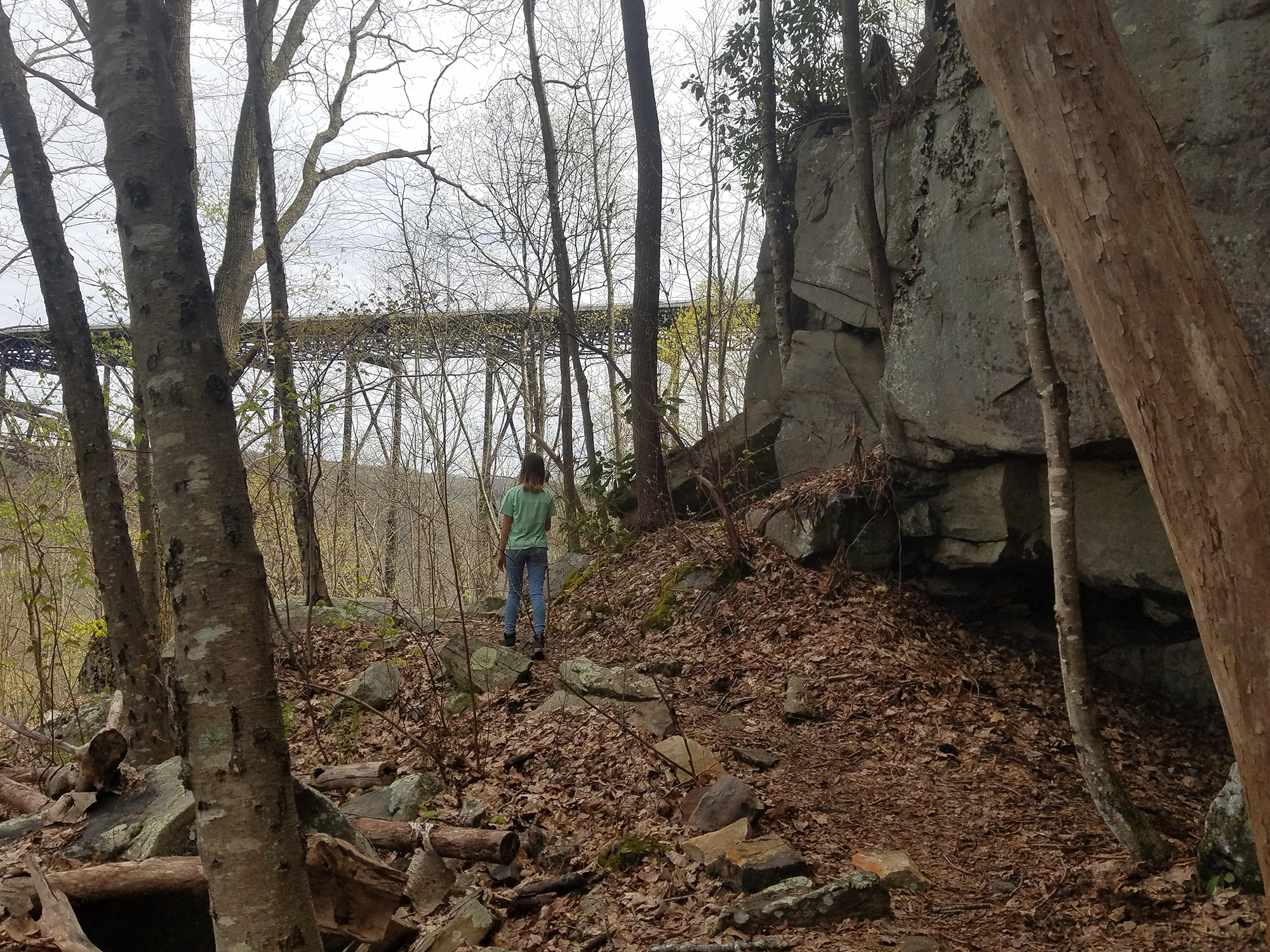
Bright Hope Lodge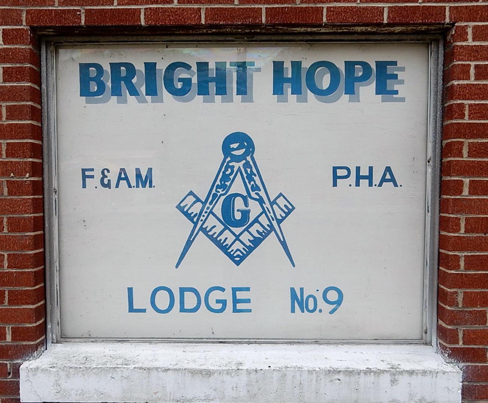
Brooklyn Coke OvensThe beehive-style coke ovens of the Brooklyn Coal Company stand on the opposite side of the Southside trail, closer to the bank of the river. 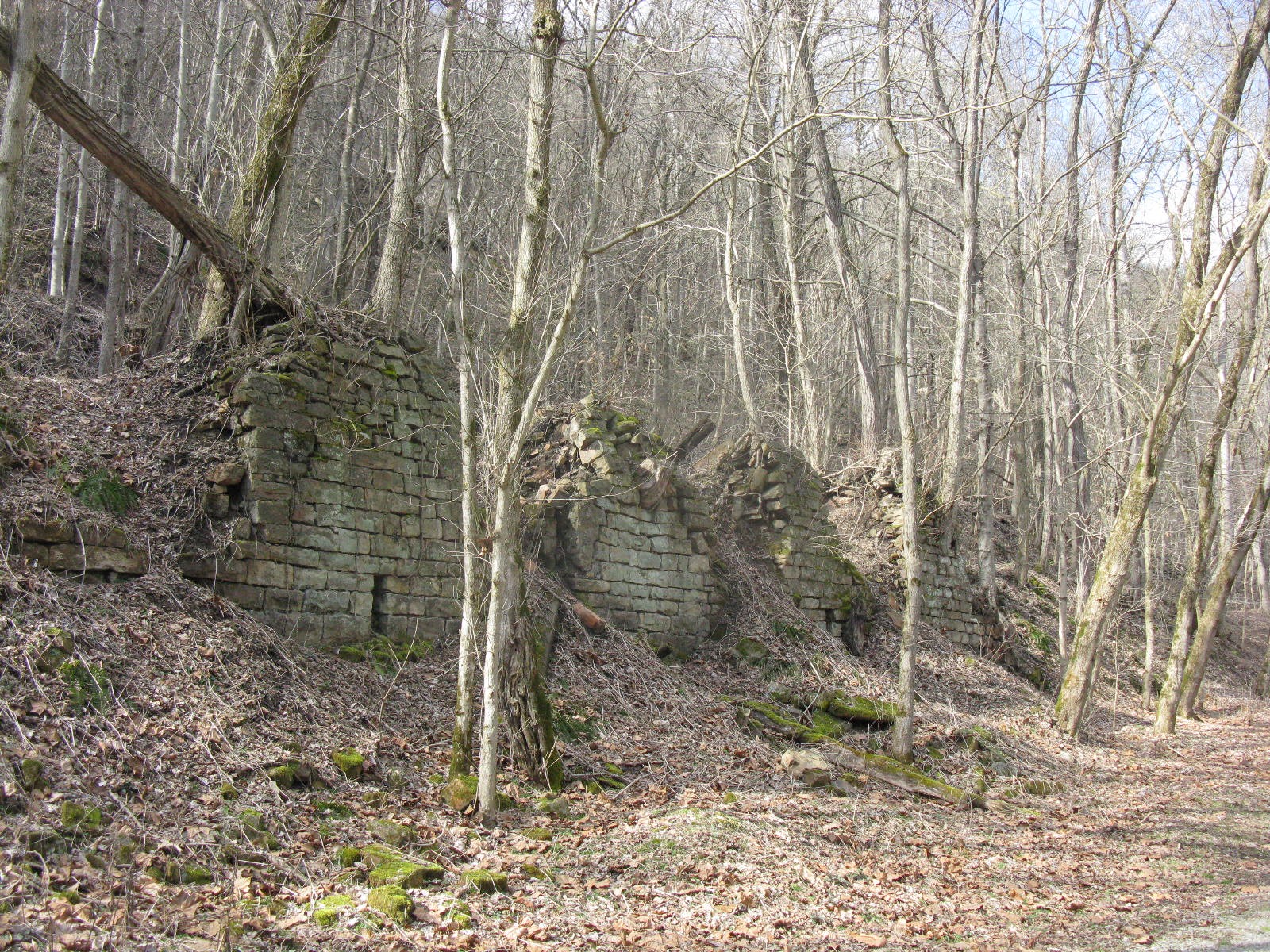
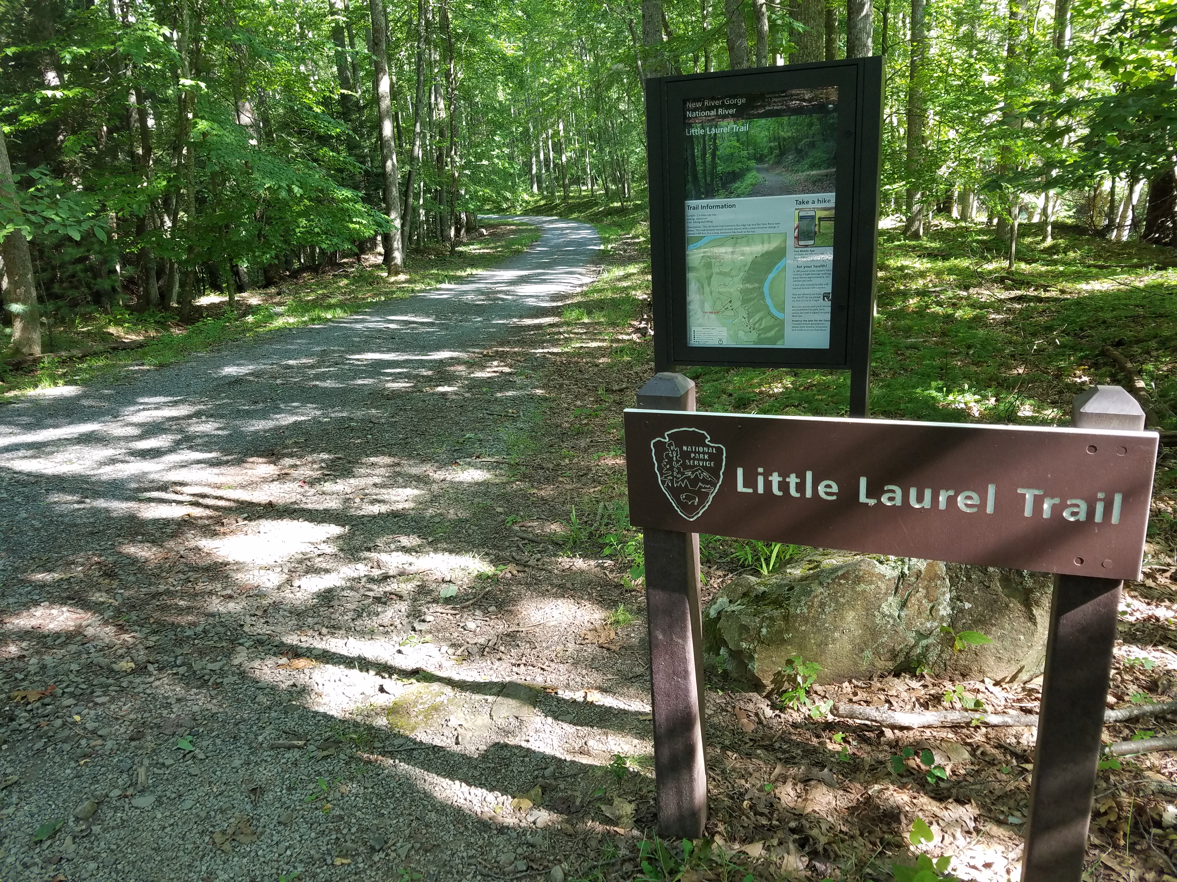
Brooklyn Mine TrailLabeled (1) on the Cunard, Thurmond and Stone Cliff Area Trails map LENGTH: 2.7 miles/4.35 km (One-way). DIFFICULTY: Moderate. TRAIL TYPE: Hiking, biking and equestrian. This 2.7 mile hiking and equestrian Trail follows an old road through the forest to the Brooklyn coal mine site. Scenic views of the river through the trees can be found along the trail. 
Brooklyn Mining Complex & Community RuinsBrooklyn was a mining community and complex established in the 1890’s as one of the last coal camps in the area. 
Brooks Falls Roadside Park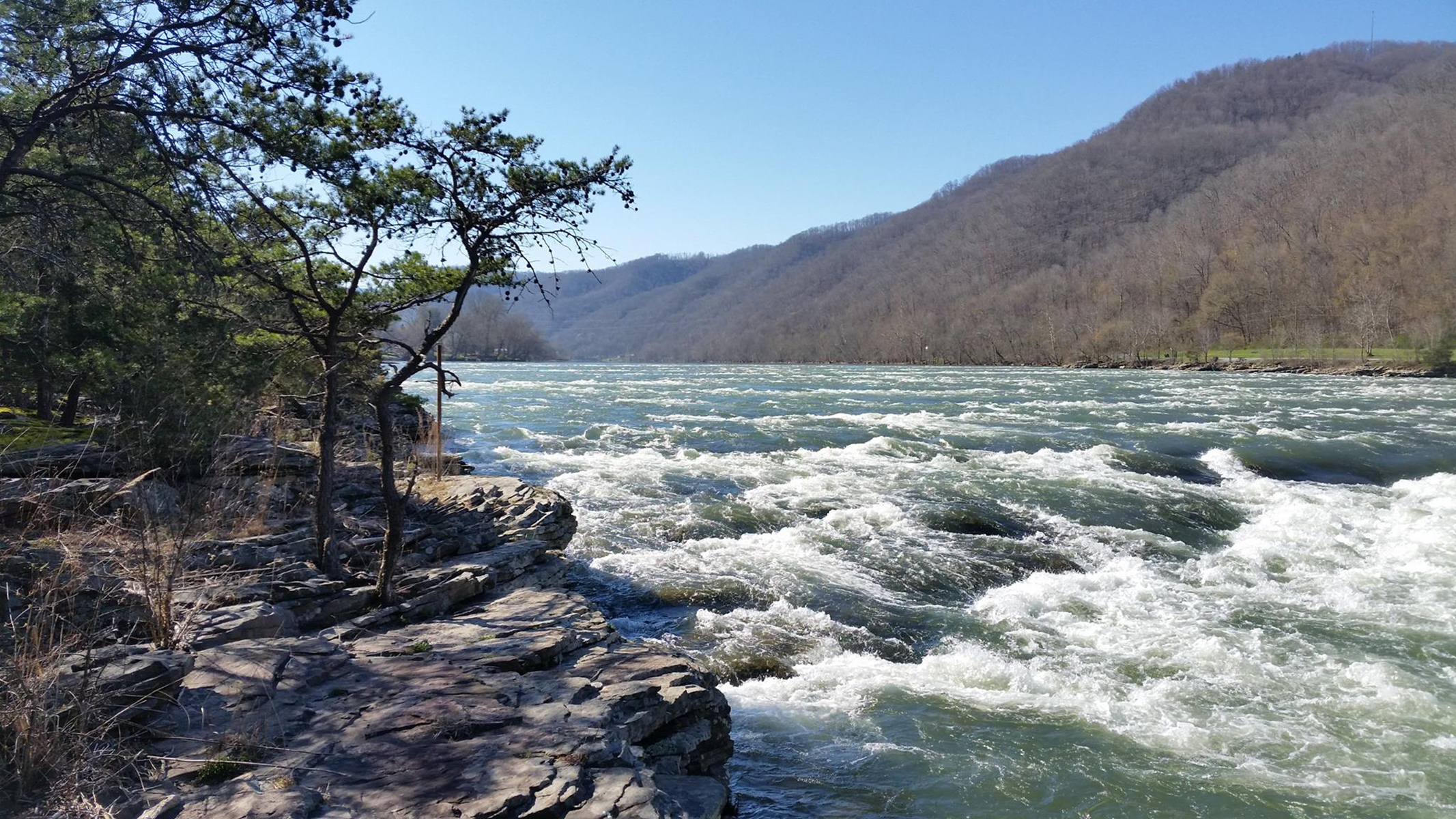
Brooks Island Overlook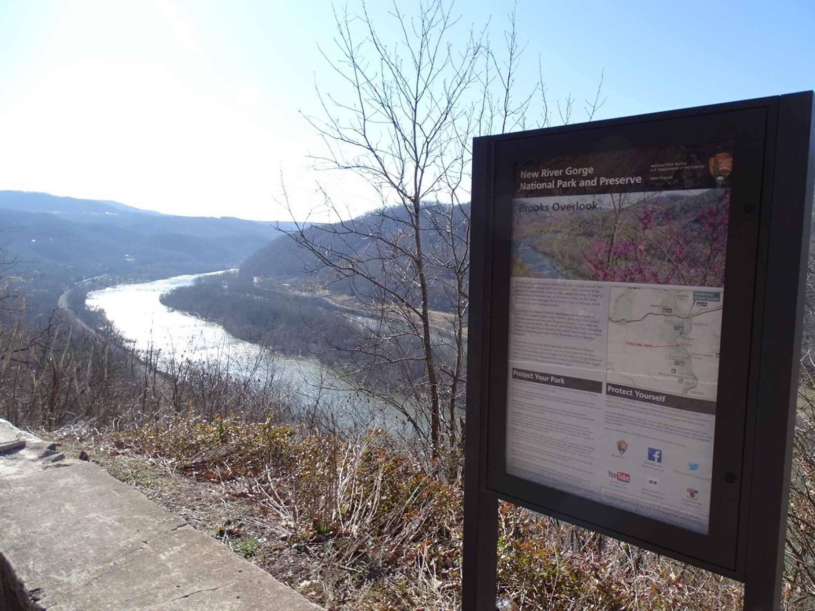
Burnwood TrailLabeled (1) on the Fayetteville - Lansing Trails map LENGTH: 1.2 miles/1.93 km (Round-trip). DIFFICULTY: Easy. TRAIL TYPE: Hiking only. This enjoyable 1.2 mile loop trail leads through old-growth forest and rhododendron thickets. The trail then follows the edge of an open field, loops back through the forest, and returns to the field. This area was a former home site of the Laing family. 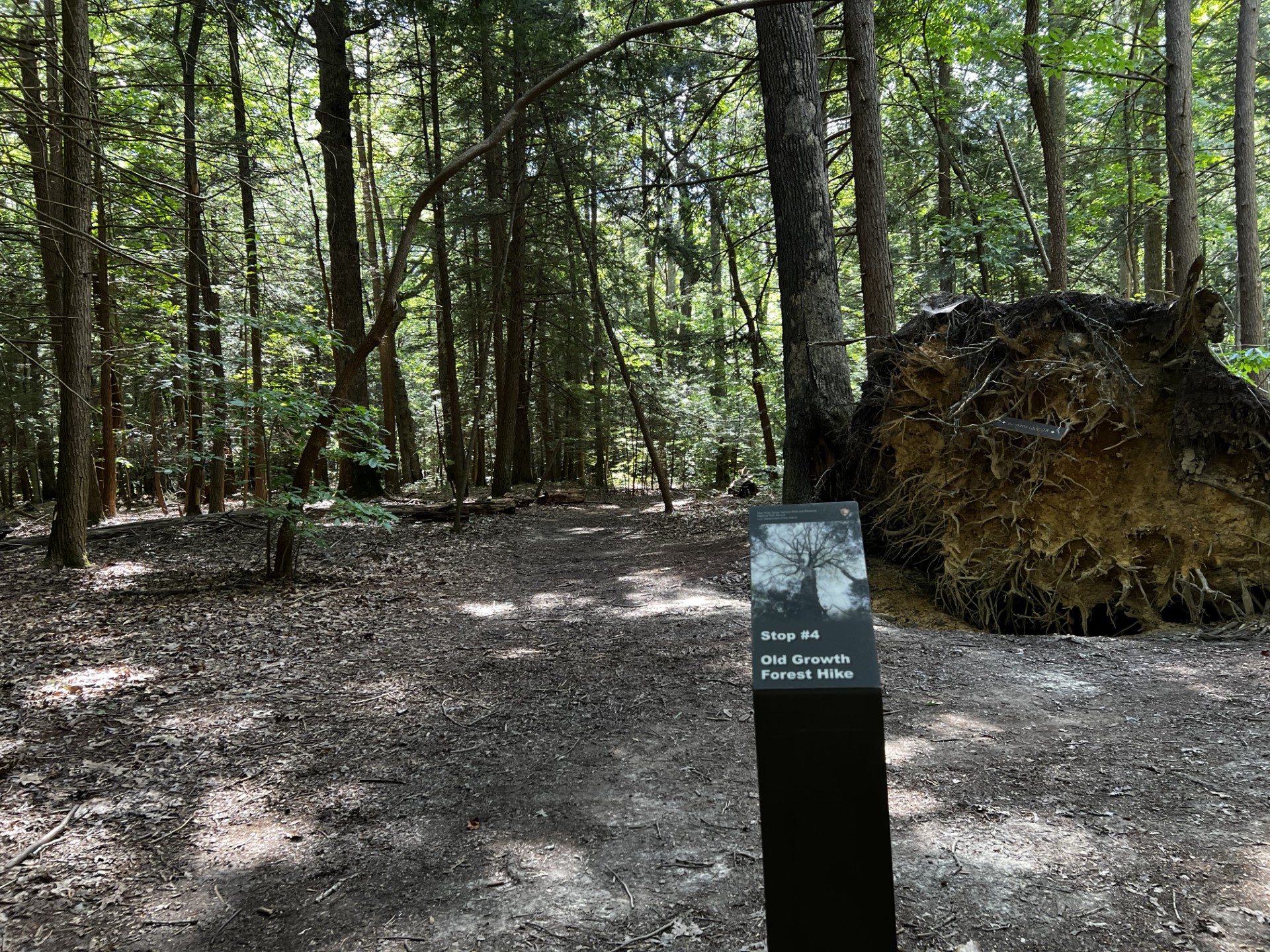
Burnwood Trail Stop 10: Old-Growth Forest Network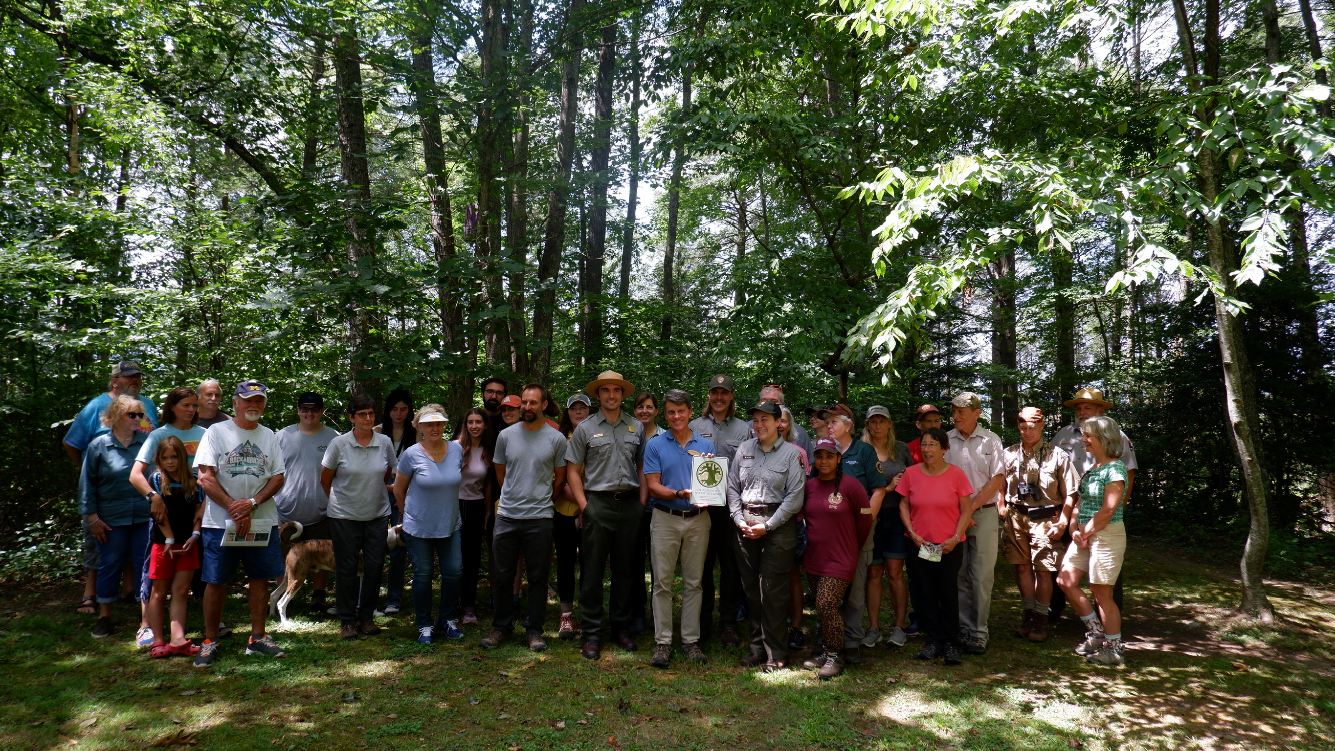
Burnwood Trail Stop 1: Logging in Appalachia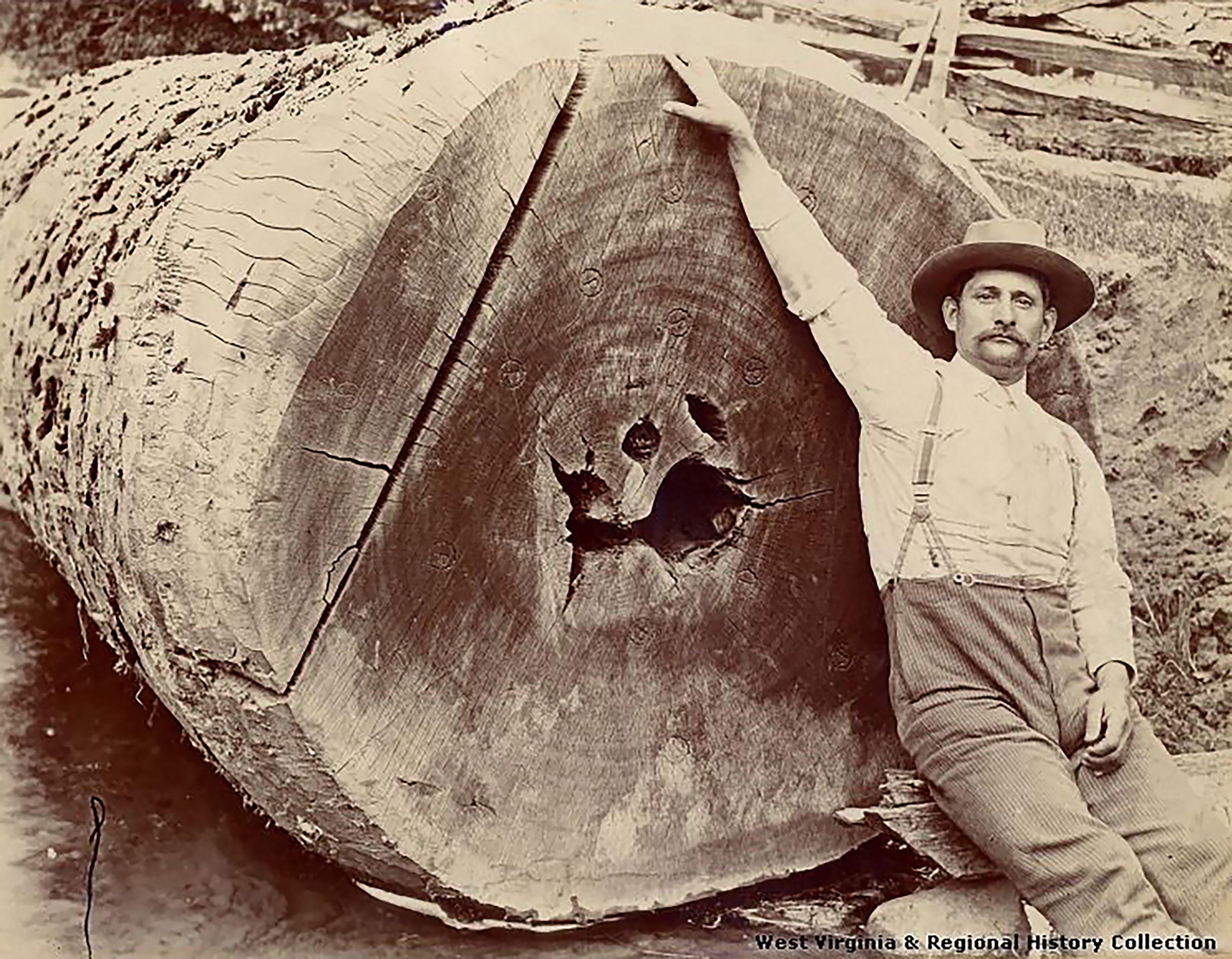
Burnwood Trail Stop 2: Defining Old-Growth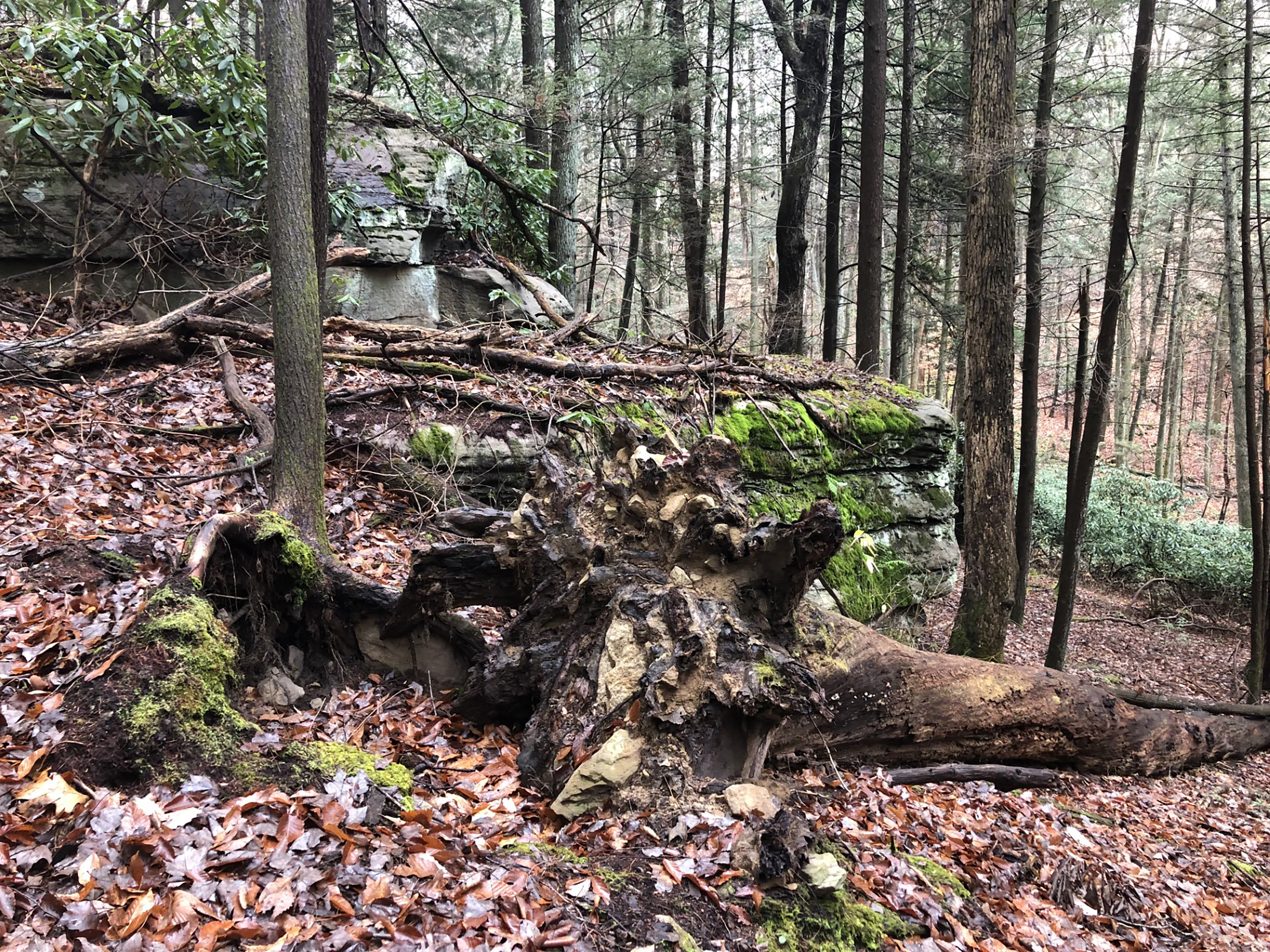
Burnwood Trail Stop 3: Forest Succession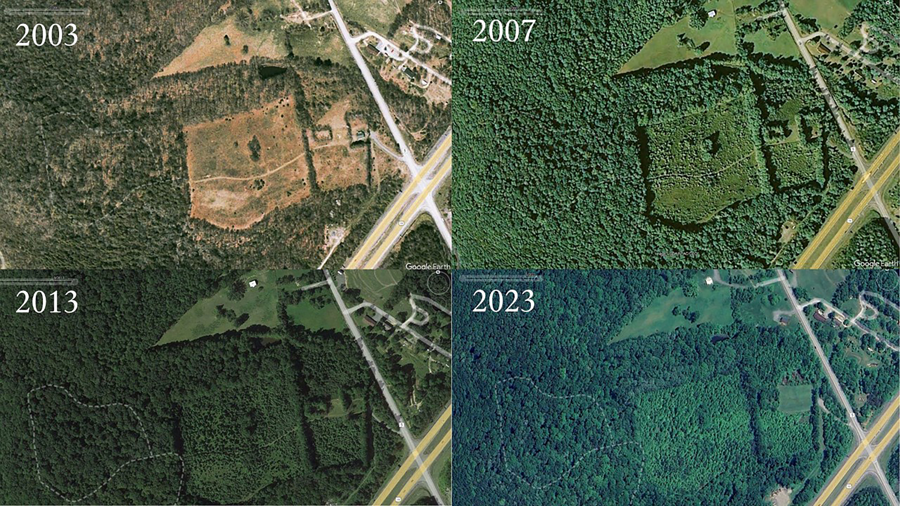
Burnwood Trail Stop 4: Decoding the Old-Growth
Burnwood Trail Stop 5: Characteristics of Old Trees
Burnwood Trail Stop 6: How Tree Age is Determined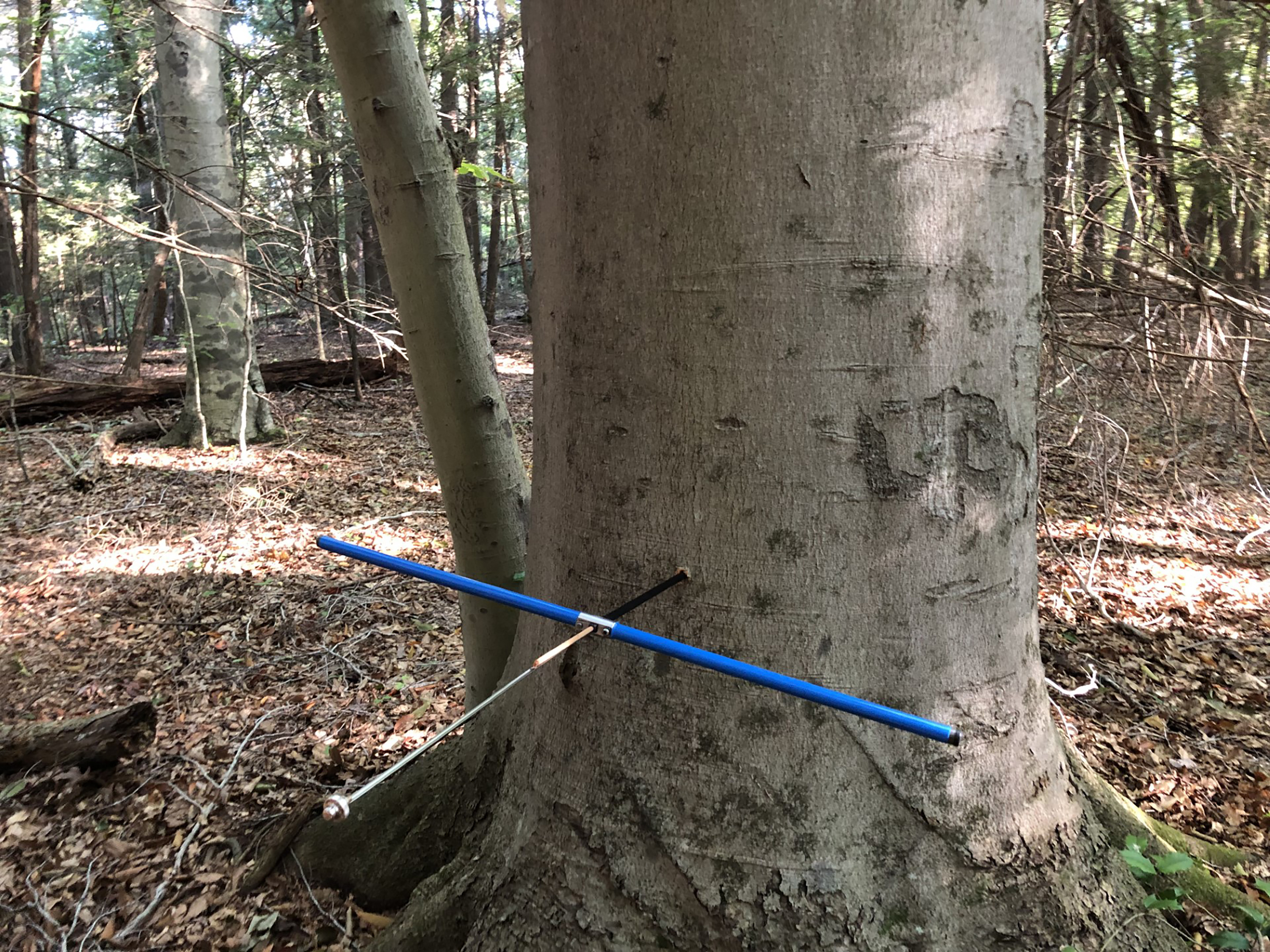
Burnwood Trail Stop 7: A Forest Giant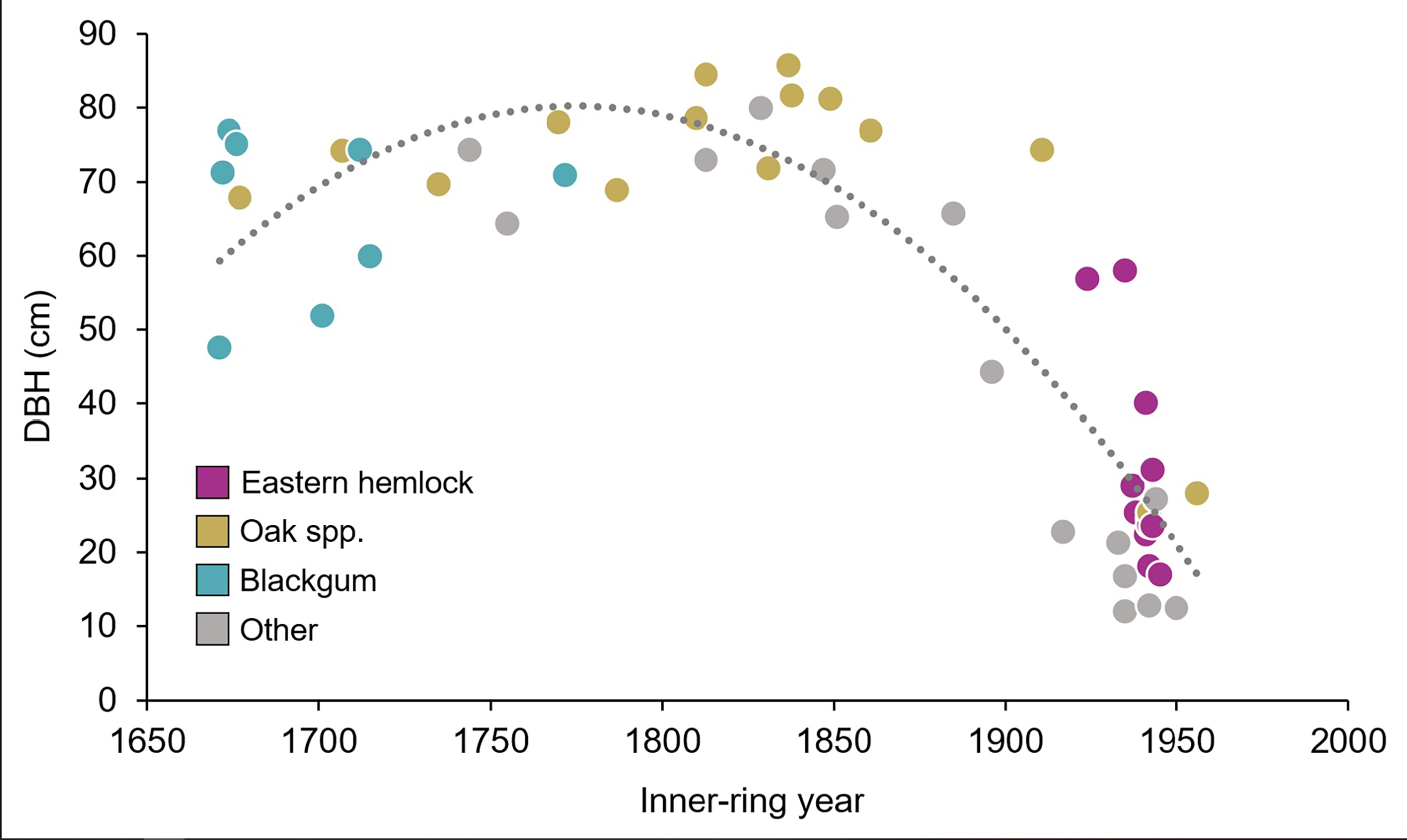
Burnwood Trail Stop 8: Decomposition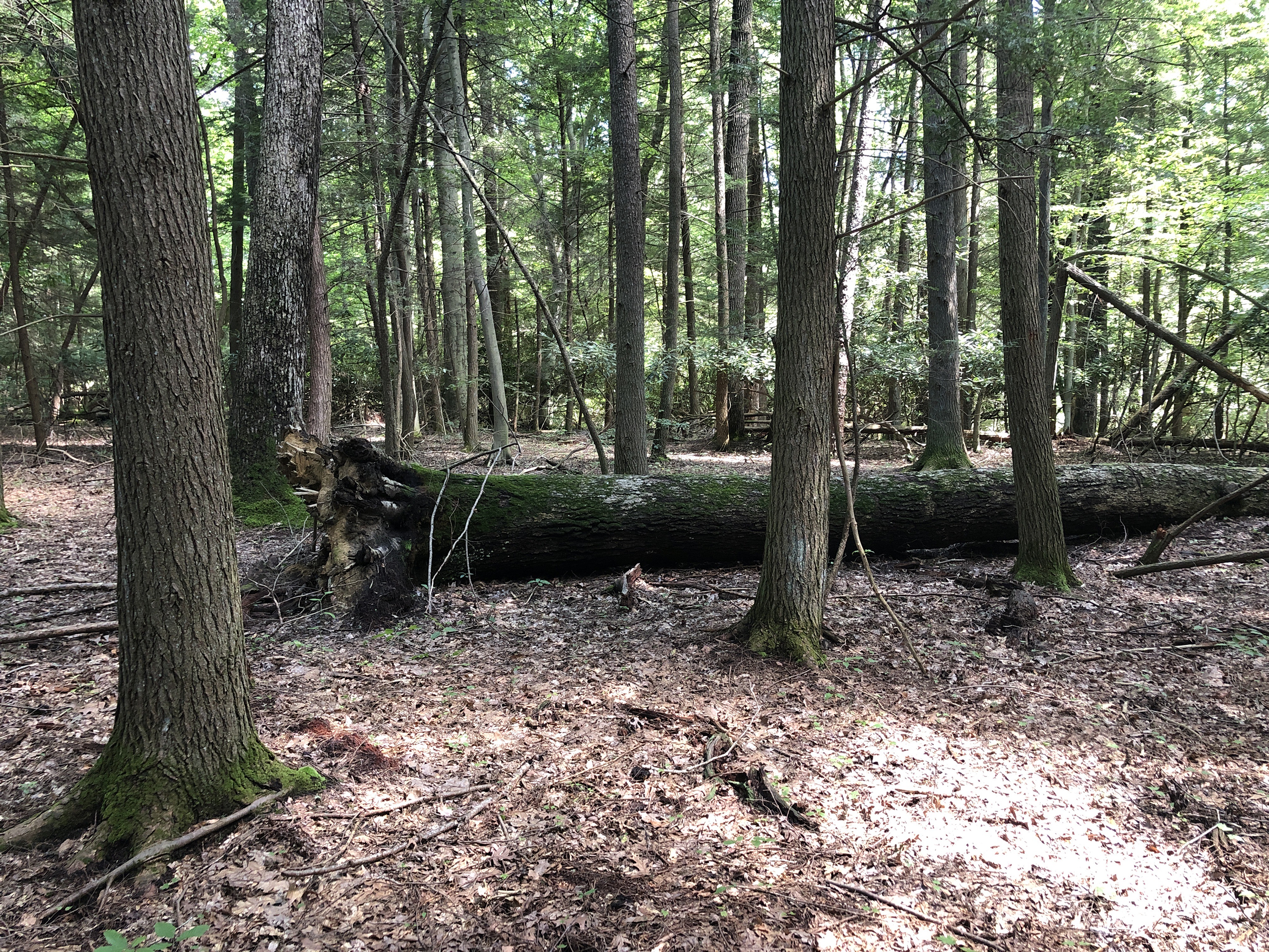
Burnwood Trail Stop 9: Old-Growth Complexity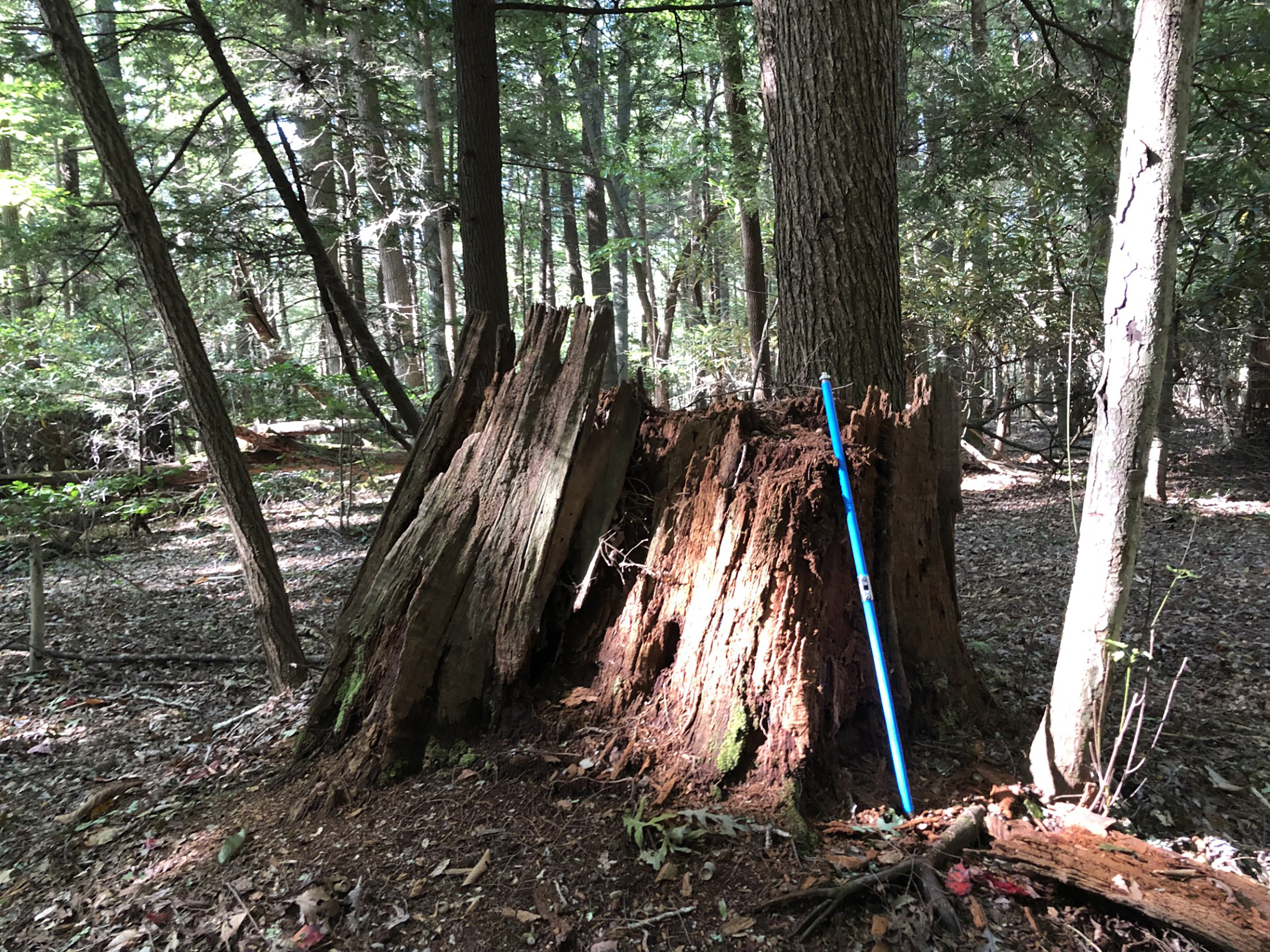
Butcher Branch Falls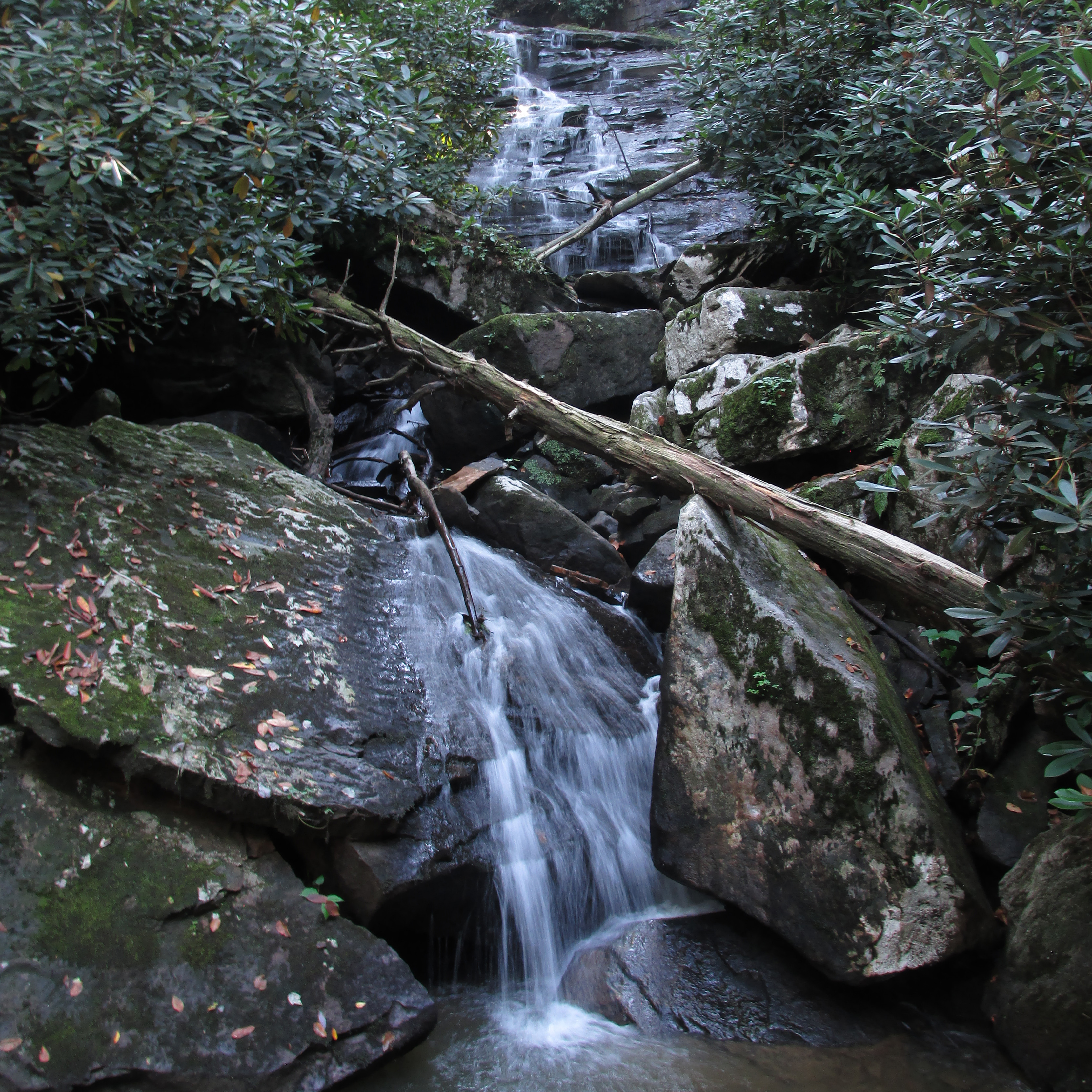
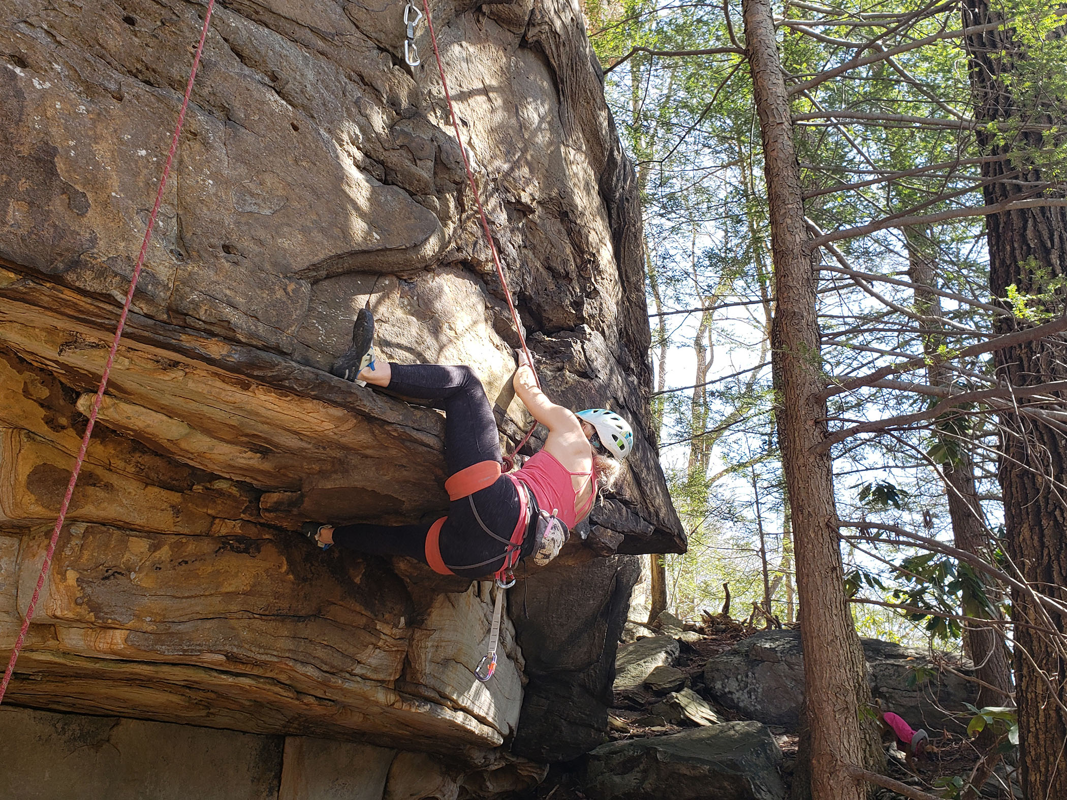
Butcher Branch TrailLabeled (11) on the Fayetteville - Lansing Area Trails map LENGTH: 0.8 miles/1.29 km (One-way). DIFFICULTY: Moderate. TRAIL TYPE: Hiking only. This wooded trail connects the Kaymoor Top area to the Long Point Trail, with a spur to the popular Butcher Branch climbing area. There are steep sections and a small stream crossing on this trail. 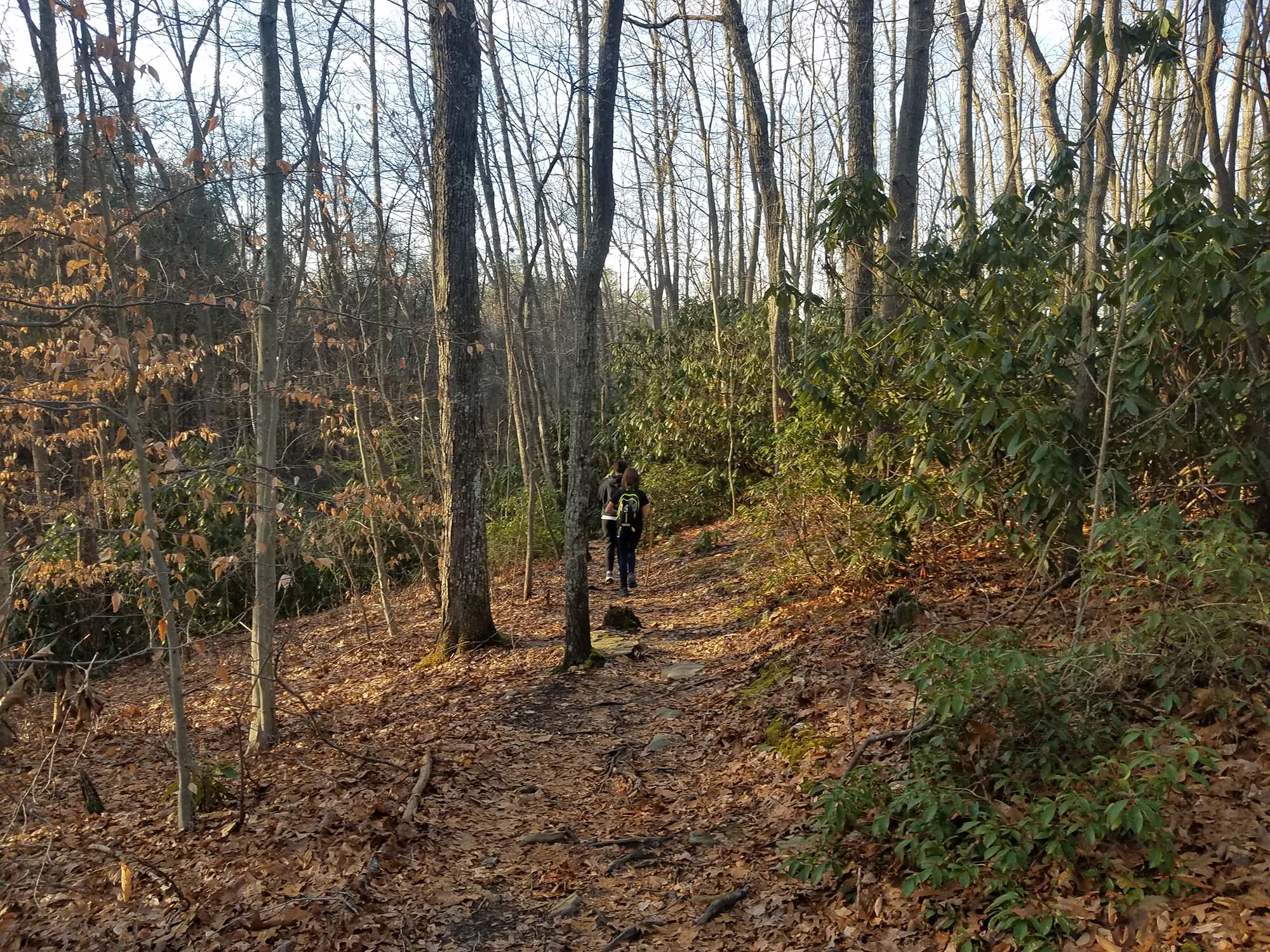
Camp Washington Carver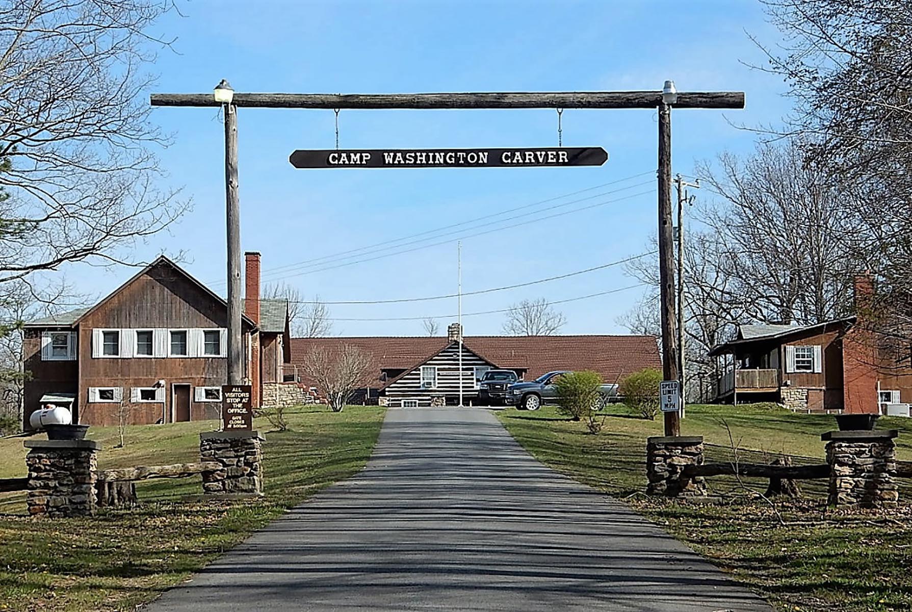
Canyon Rim BoardwalkLabeled (2) on the Fayetteville - Lansing Trails map LENGTH: 0.1 miles/0.16 km (One-way). DIFFICULTY: Easy/strenuous. TRAIL TYPE: Hiking and accessible to the top overlook This boardwalk offers scenic views of the gorge and New River Gorge Bridge. An easy walk on a fully accessible ramp leads to the first viewing point, while 178 steps descend to the lower overlook. 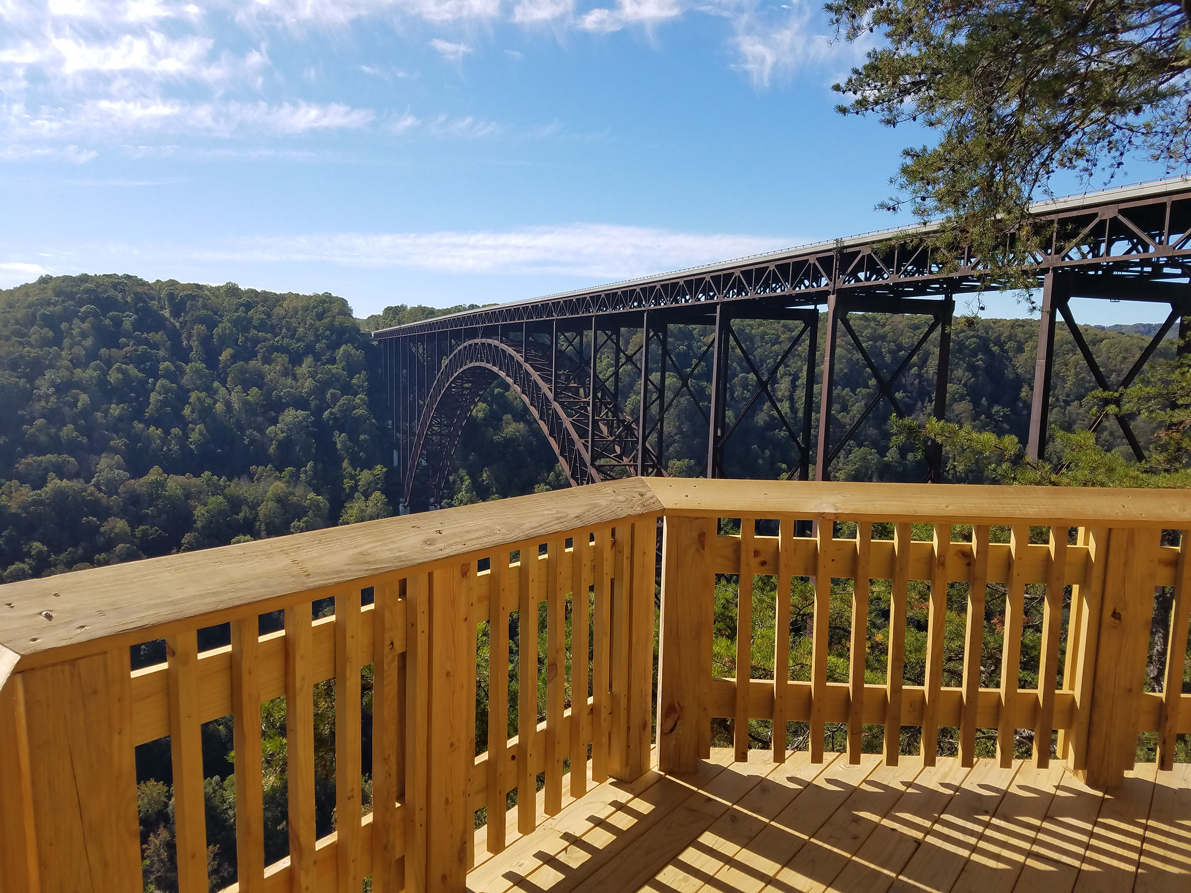
Castle Rock TrailLabeled (4) on the Grandview Area Trails map; LENGTH: 0.6 miles/0.97 km (One-way). DIFFICULTY: Strenuous. TRAIL TYPE: Hiking only. This strenuous 0.6 mile trail begins near Main Overlook and ends where it intersects the Grandview Rim Trail, approximately ½ mile from Main Overlook. Hikers will find close-up views of towering fortress-like rock walls and exposed coal seams. The Castle Rock Trail and Grandview Rim Trail can make a great one mile loop. 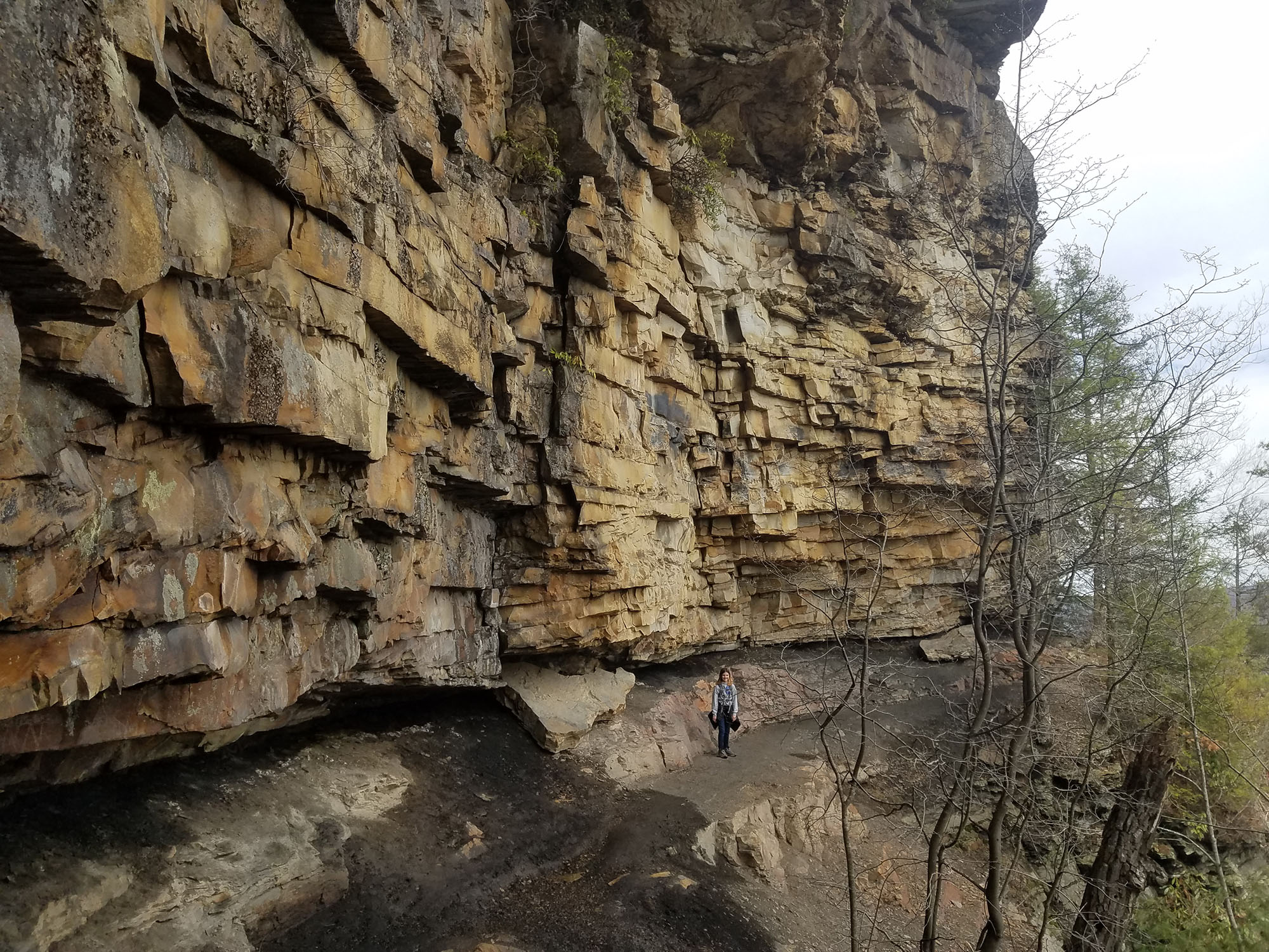
Cathedral Falls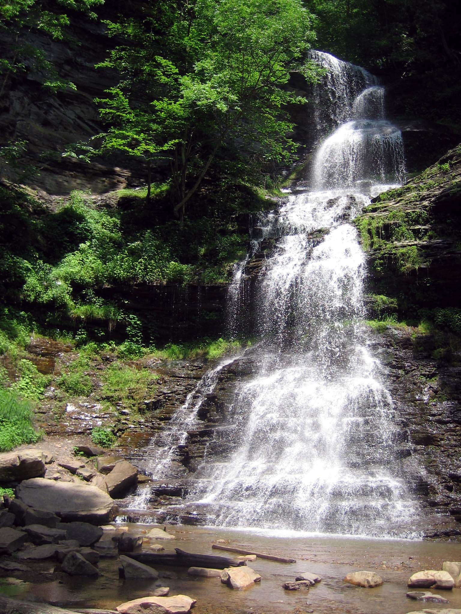
Chapter 1: Canyon Rim Visitor Center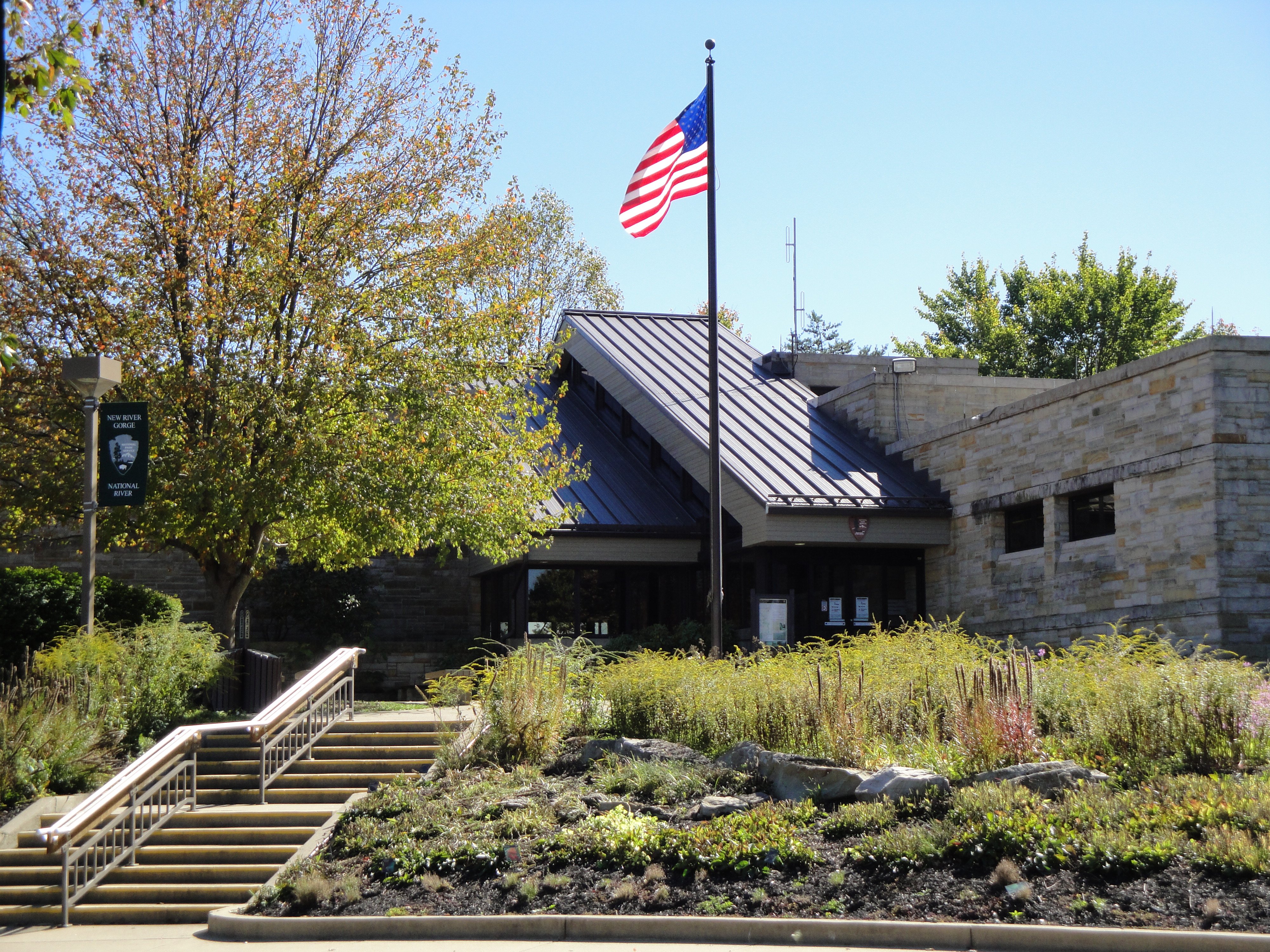
Church Loop TrailLabeled (5) on the Cunard, Thurmond and Stone Cliff Area Trails map LENGTH: 0.1 miles/0.16 km (One-way). DIFFICULTY: Moderate to Strenuous. TRAIL TYPE: Hiking only. This 0.1 mile trail loops past the First Baptist Church of Thurmond. 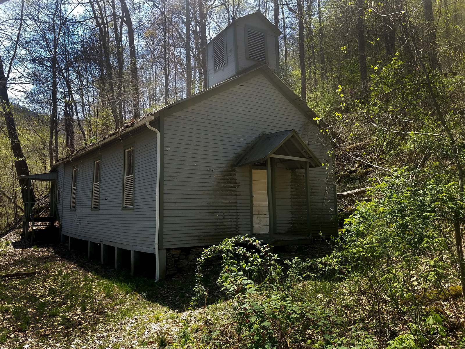
Clovis TrailLabeled (1) on the Arrowhead Bike Trails map. LENGTH: 1.1 miles/1.77 km (Loop Trail). DIFFICULTY: Easy to Intermediate. TRAIL TYPE: Hiking and biking. DESCRIPTION: This compact loop trail offers lightly rolling, forested terrain on a tread that is 30" to 36" wide. There are a couple of short, even rocky sections that are simple to navigate on bike or foot. For runners and bikers, this trail offers a nice sense of flow. Coaling TowerThe tall coaling tower used to load rail cars. 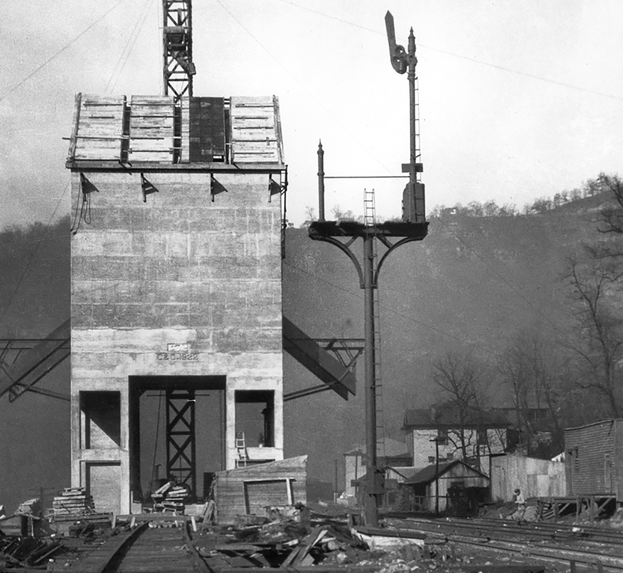
Commissary BuildingThe old Commissary building that was most recently a U.S. Post Office. 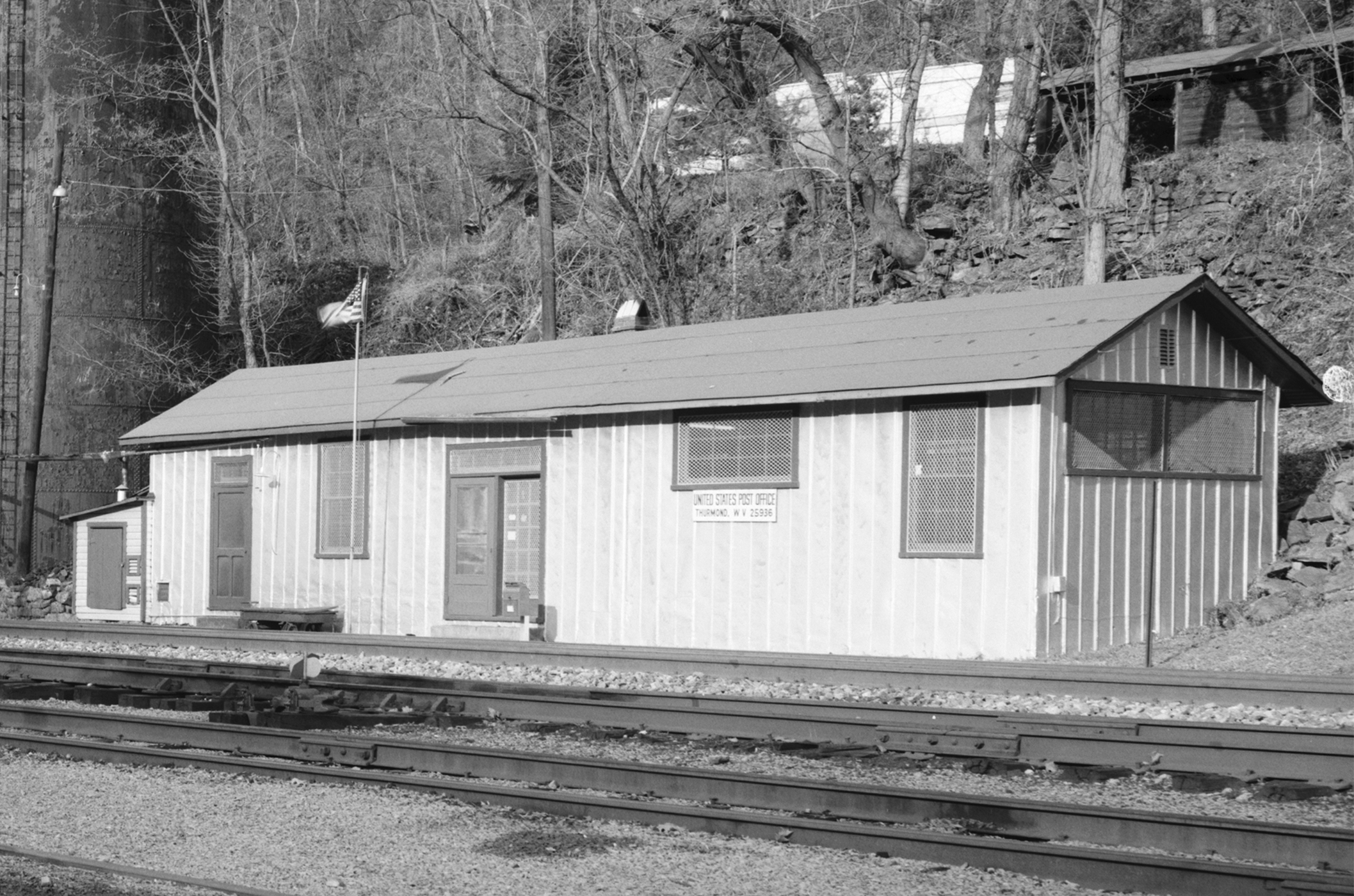
Conveyor TrailLabeled (2) on the Nuttallburg Area Trails map; LENGTH: 0.8 miles/1.29 km (One-way). DIFFICULTY: Strenuous. TRAIL TYPE: Hiking only. This steep, rugged trail zigzags from the mid-bench level, not far from the mine entrance, to the old Keeneys Creek railroad line (trail). Views of the conveyor and gorge is visible from time to time, but be sure to watch your footing, for the trail surface is loose and slaggy (old coal debris from the conveyor) in many places. 
Craig Branch TrailLabeled (10) on the Fayetteville - Lansing Area Trails map LENGTH: 2.4 miles/3.86 km (One-way). DIFFICULTY: Moderate. TRAIL TYPE: Hiking and biking. This forest trail offers views of the river and gorge, plus it connects to the Kaymoor Trail, offering access to the historic Kaymoor coal mine site. There are several steep sections on this gravel trail (administrative road). 
Dalton TrailLabeled (3) on the Arrowhead Bike Trails map; LENGTH: 6.4 miles/10.3 (One-Way); DIFFICULTY: Intermediate: TRAIL TYPE: Hiking and biking; DESCRIPTION: This trail is more narrow than the easy (green) loops in the Arrowhead Trail system. Trail tread width is 20" to 24" with tight turns and mildly steep hills. From Point N, ride towards Point M along a ridge line, then drop down through a cool rhododendron tunnel. DuBois High School
Dunloup Falls
Endless Wall TrailLabeled (3) on the Fayetteville - Lansing Area Trails map; LENGTH: 2.4 miles/3.86 km (One-way). DIFFICULTY: Moderate. TRAIL TYPE: Hiking only. The Endless Wall Trail is a 2.4 mile moderate walk that passes through rich forest, crosses Fern Creek, then zig-zags along the cliff edge. Many vistas can be seen along the trail. 
Engine HouseThe Engine House was where the railroad crew worked on railcars and engines. 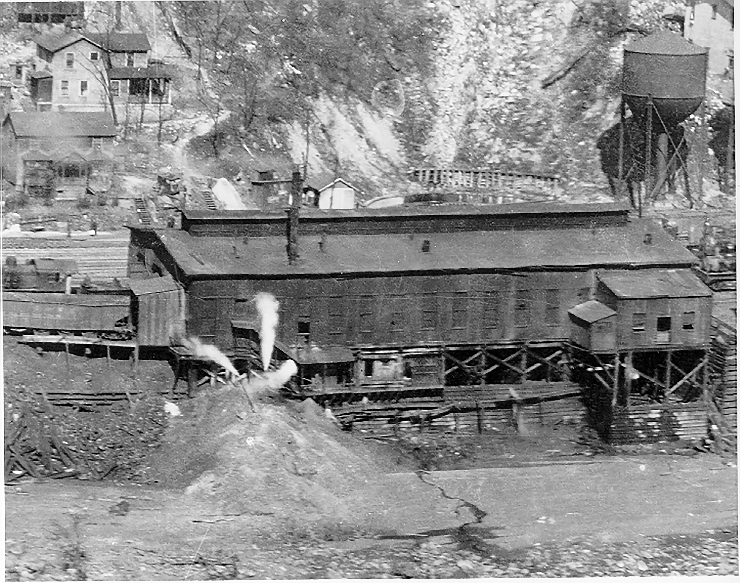
Fayetteville TrailLabeled (5) on the Fayetteville - Lansing Area Trails map; LENGTH: 3.96 miles/6.37 km (One-way). DIFFICULTY: Strenuous. TRAIL TYPE: Hiking and biking. This trail connects Fayette Station Road, the town of Fayetteville, and Kaymoor Top with hiking access to Long Point. Be prepared for a creek crossing and up and down terrain. Connections can be made to the following trails: Kaymoor, Bridge, Park Loop, Timber Ridge, Long Point, Butcher Branch, Kaymoor Miners, and Craig Branch 
Gauley Bridge Depot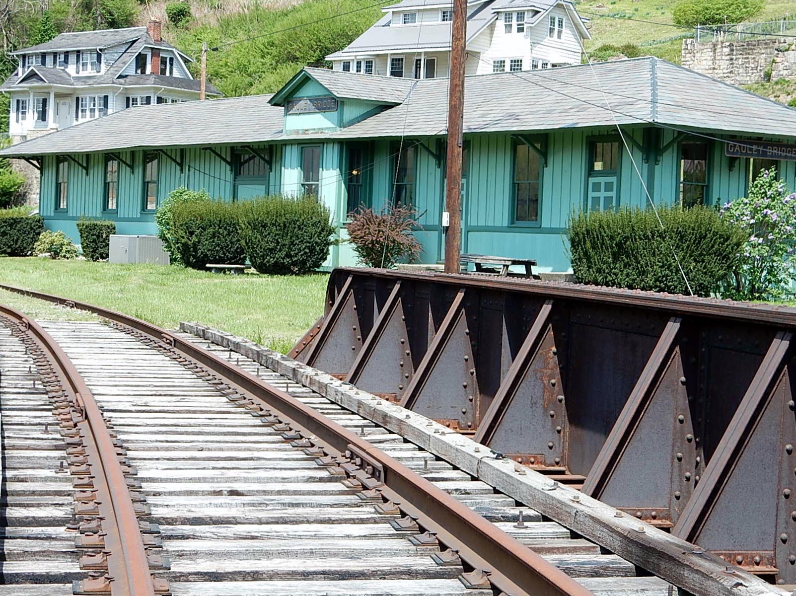
Glade Creek Falls
Glade Creek TrailLabeled (1) on the Glade Creek Trails map; LENGTH: 5.6 miles/9.01 km (One-way). DIFFICULTY: Moderate. TRAIL TYPE: Hiking and biking. This 5.6 mile trail follows an abandoned narrow-gauge railroad along Glade Creek. The trail offers an enjoyable stroll at a very moderate grade, and is popular with hikers of all ages and abilities, as well as being a favorite destination for those in search of swimming holes. 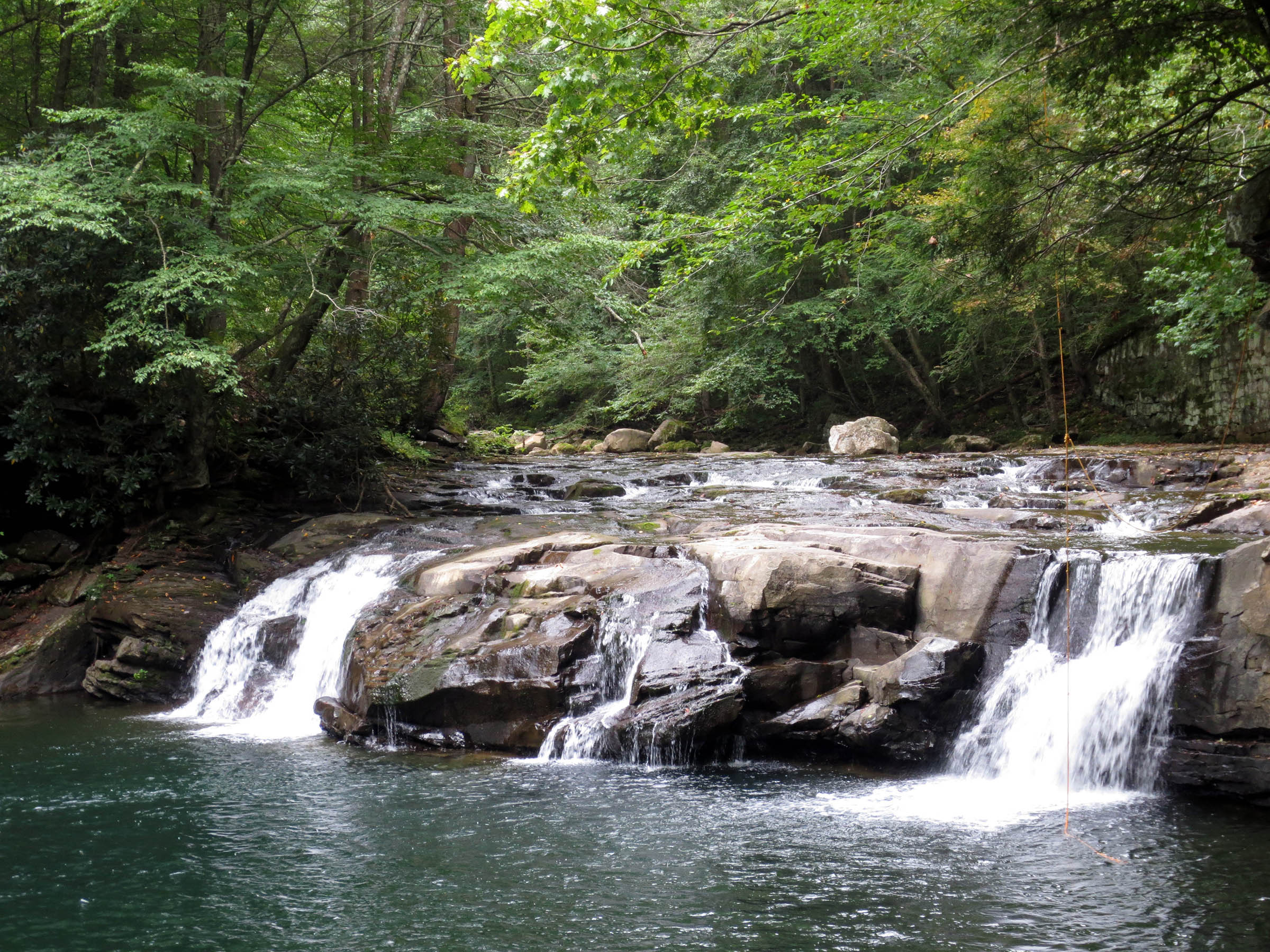
Goodman-Kincaid BuildingOne of the original buildings of Thurmond that housed Mrs. McClure's diner. 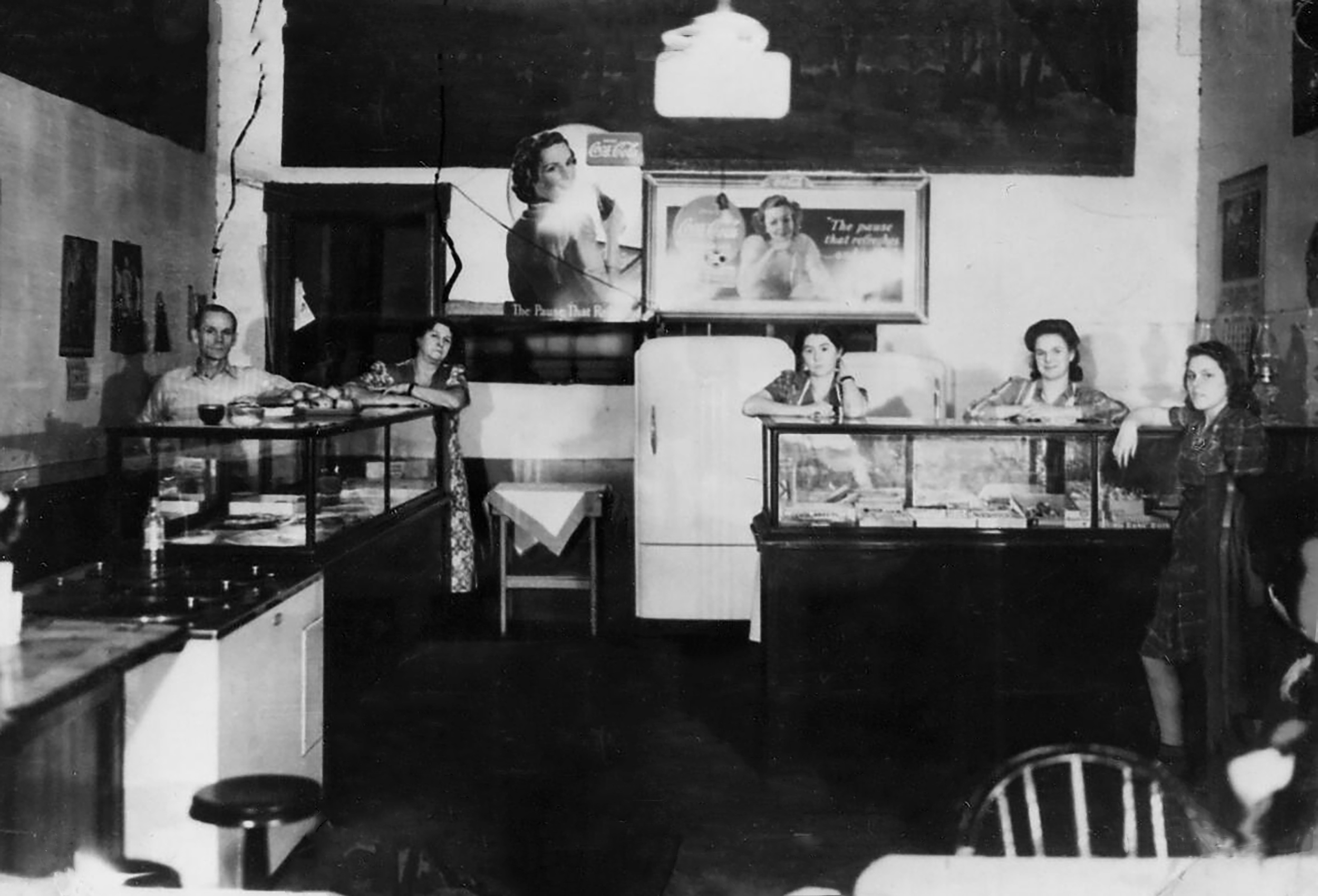
Grandview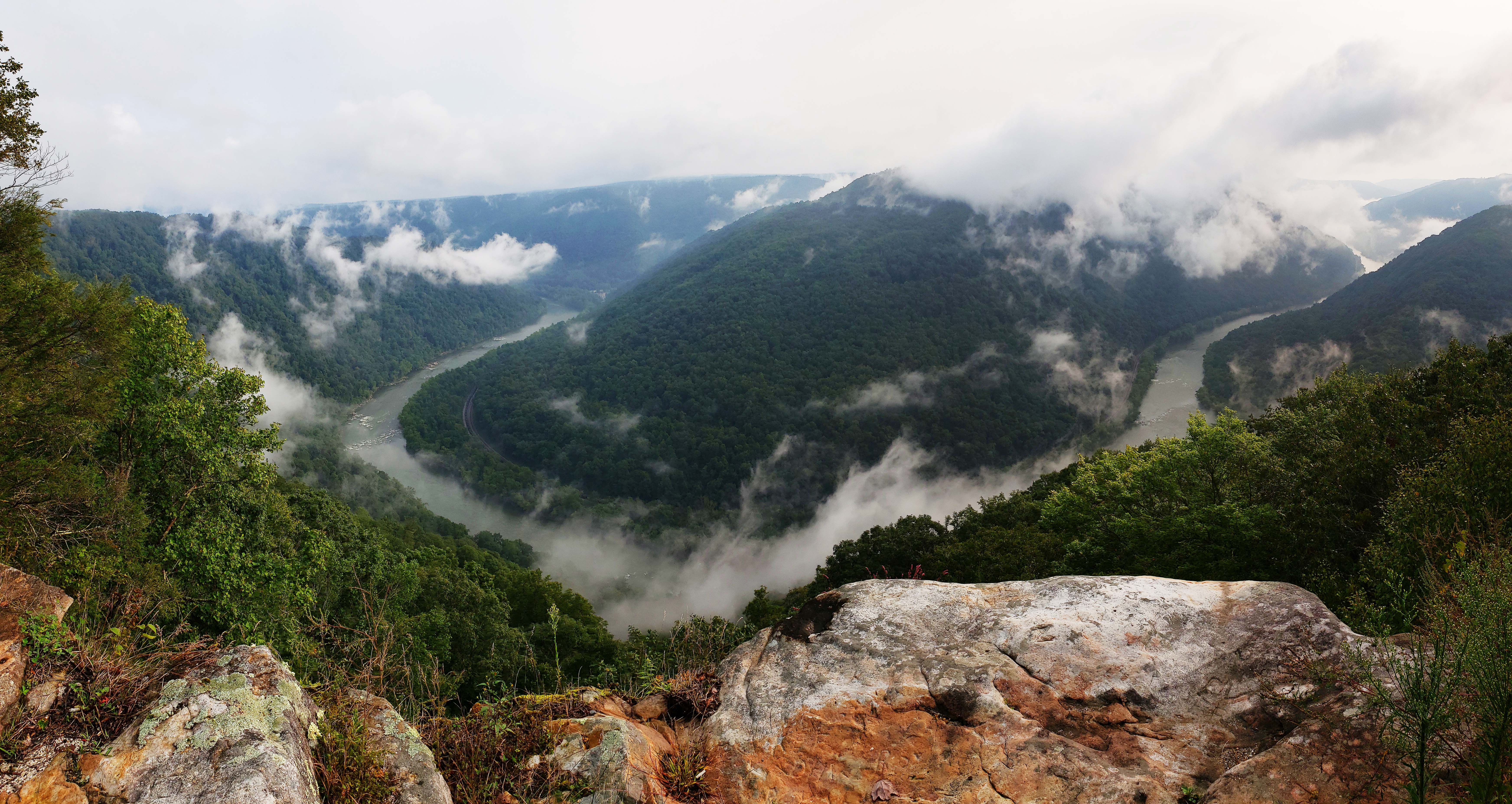
Grandview Rim TrailLabeled (5) on the Grandview Area Trails map; LENGTH: 1.6 miles/2.57 km (One-way). DIFFICULTY: Moderate. TRAIL TYPE: Hiking only. This is the longest trail at Grandview, connecting Main Overlook with Turkey Spur. From Main Overlook to Turkey Spur is a moderate 1.6 mile hike (3.2 miles round trip). Along the way hikers will enjoy many breathtaking views of the gorge and river far below. 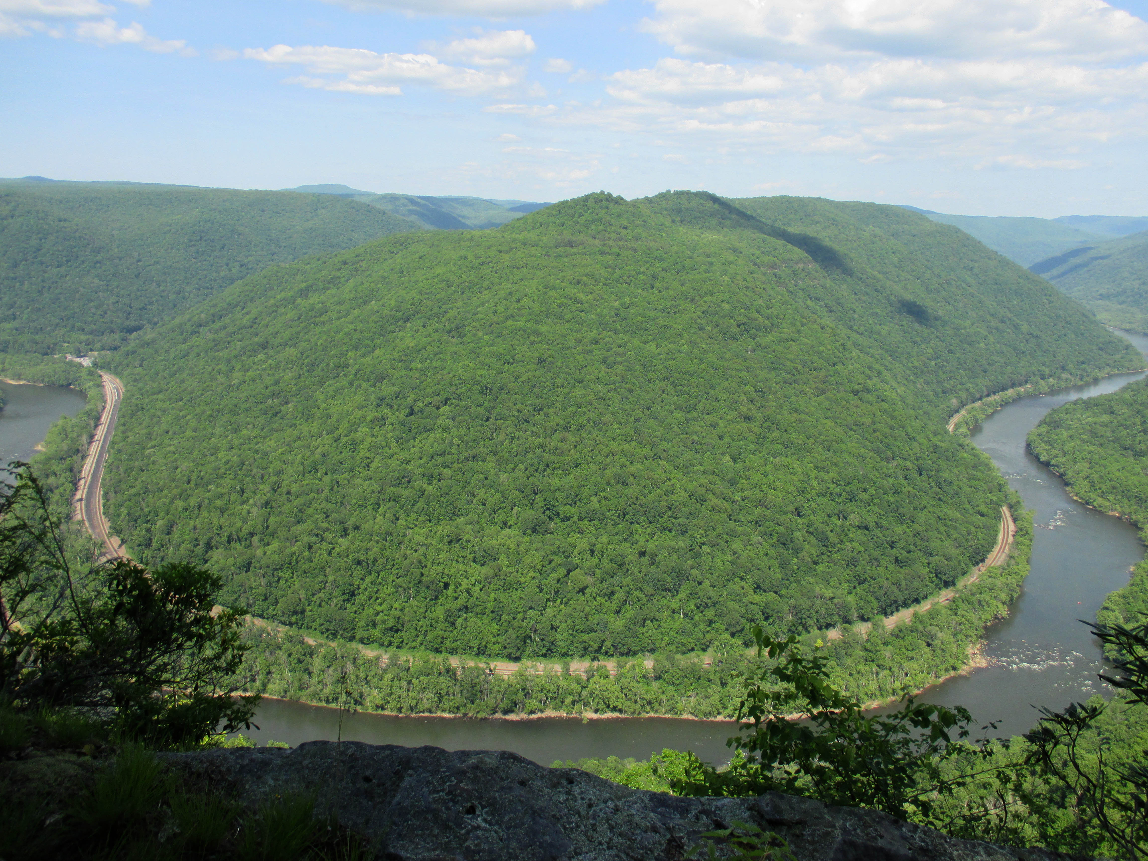
Gwinn Ridge TrailLabeled (2) on the Sandstone Brooks Area Trails map; LENGTH: 3.0 miles/4.83 km (Round-trip). DIFFICULTY: Strenuous. TRAIL TYPE: Hiking only. South of Sandstone Visitor Center on the east side of the New River off Brooks Mountain Road is the Gwinn Ridge Trail, a three mile loop through a ridge top forest. The south branch of the moderately strenuous trail follows the edge of the ridge where hikers can sometimes (in winter) get views through the trees. 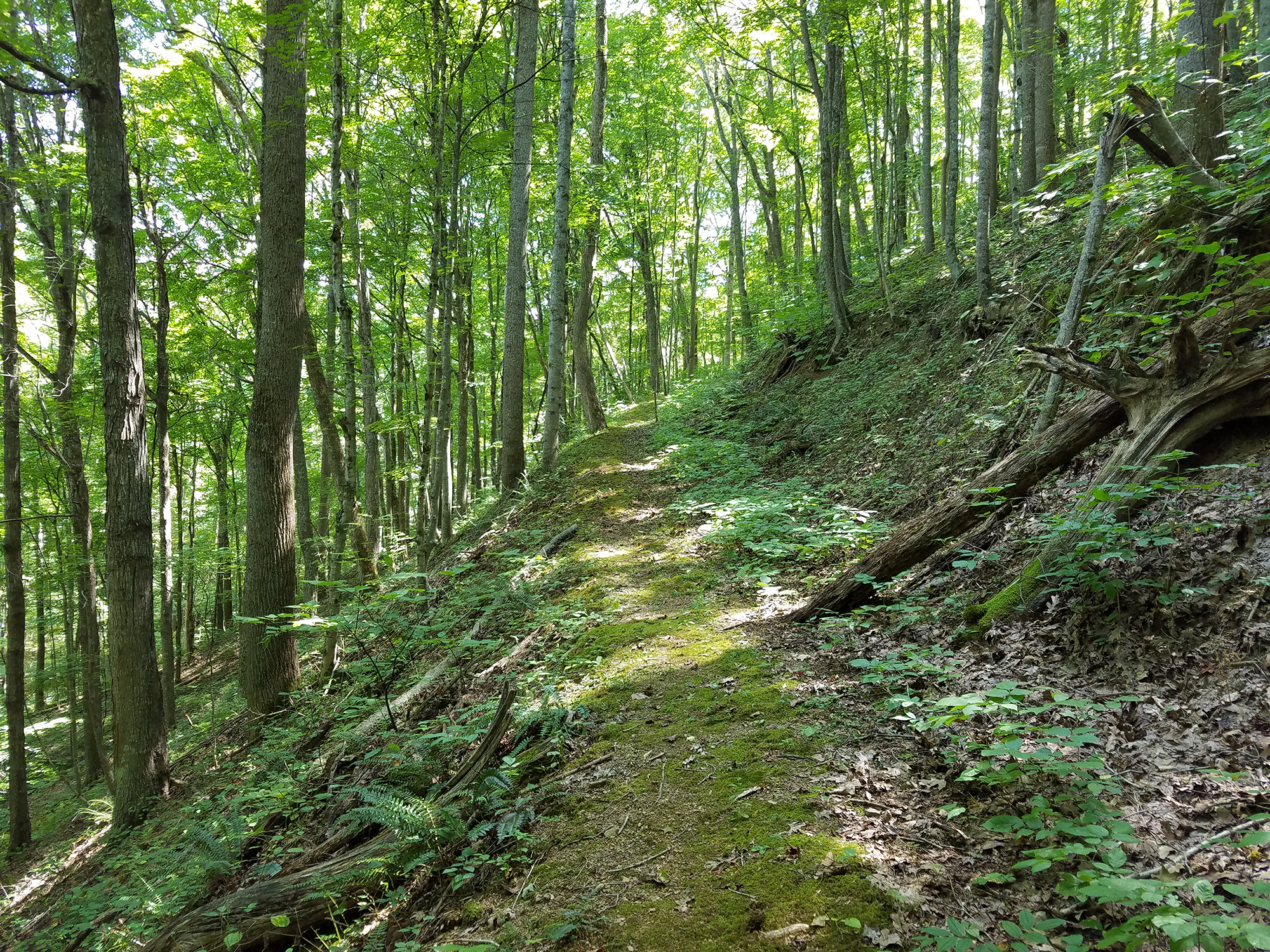
Harlem Heights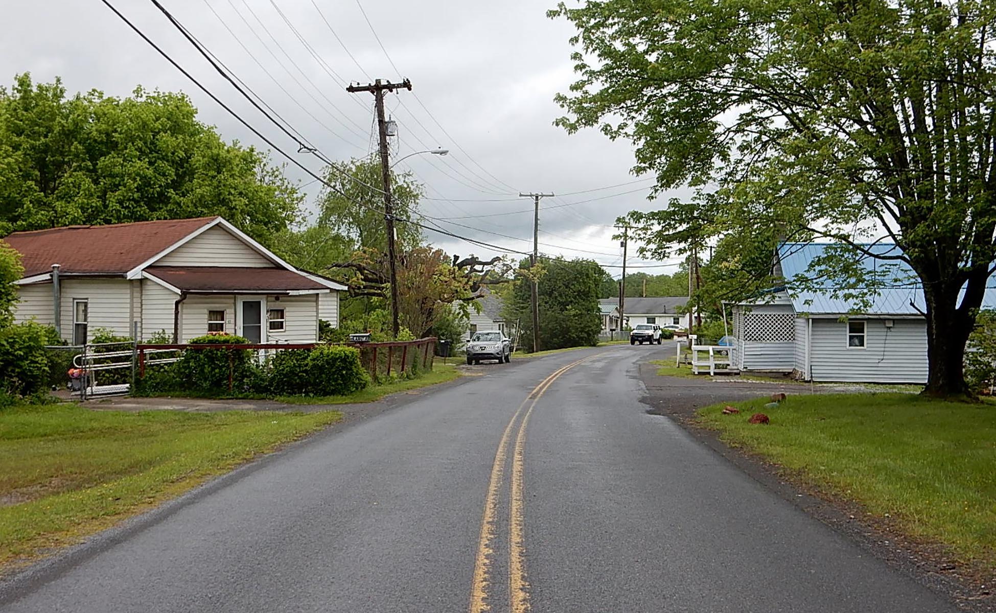
|
| Visitor Centers | Count: 4
Canyon Rim Visitor Center
Grandview Visitor Center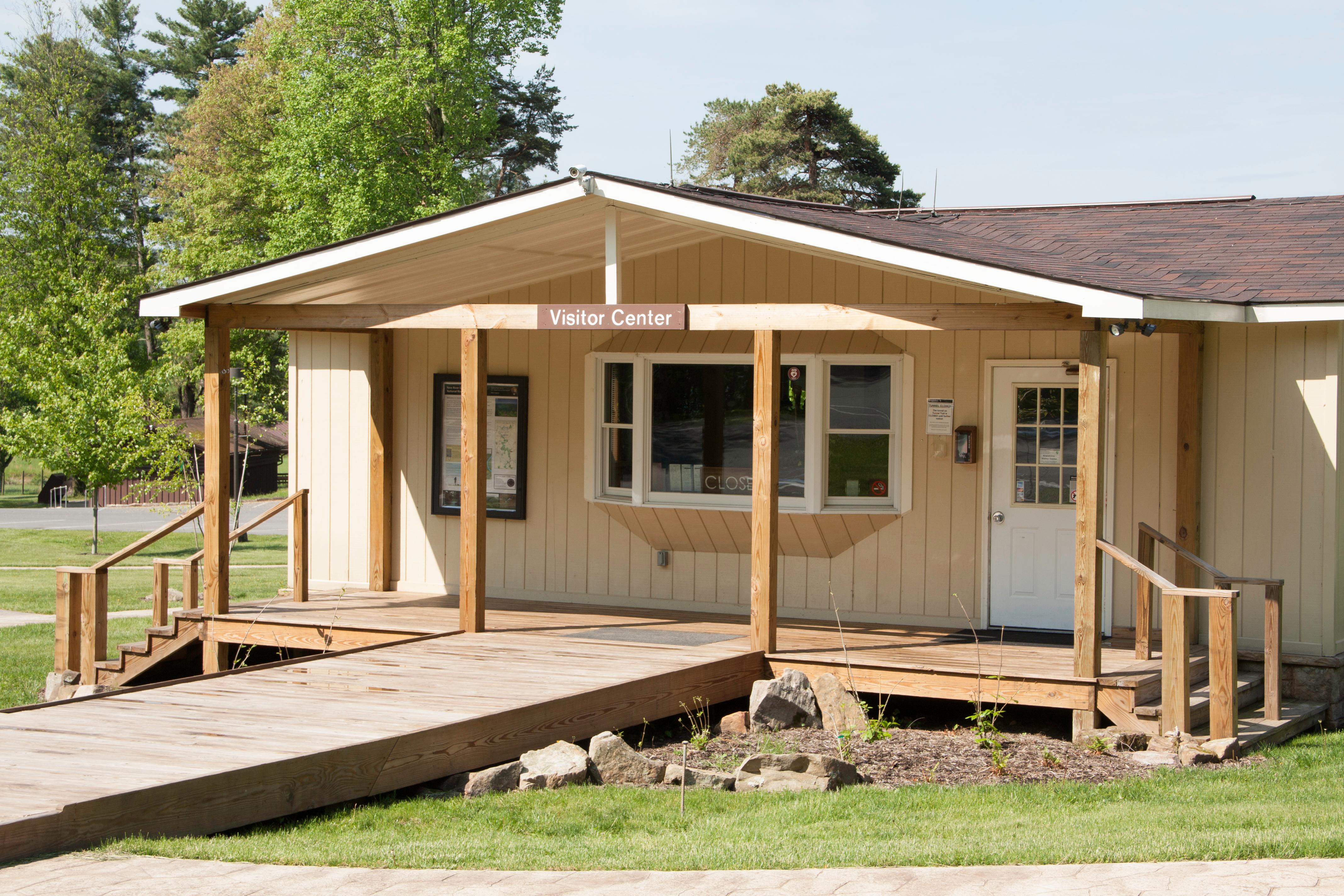
Sandstone Visitor Center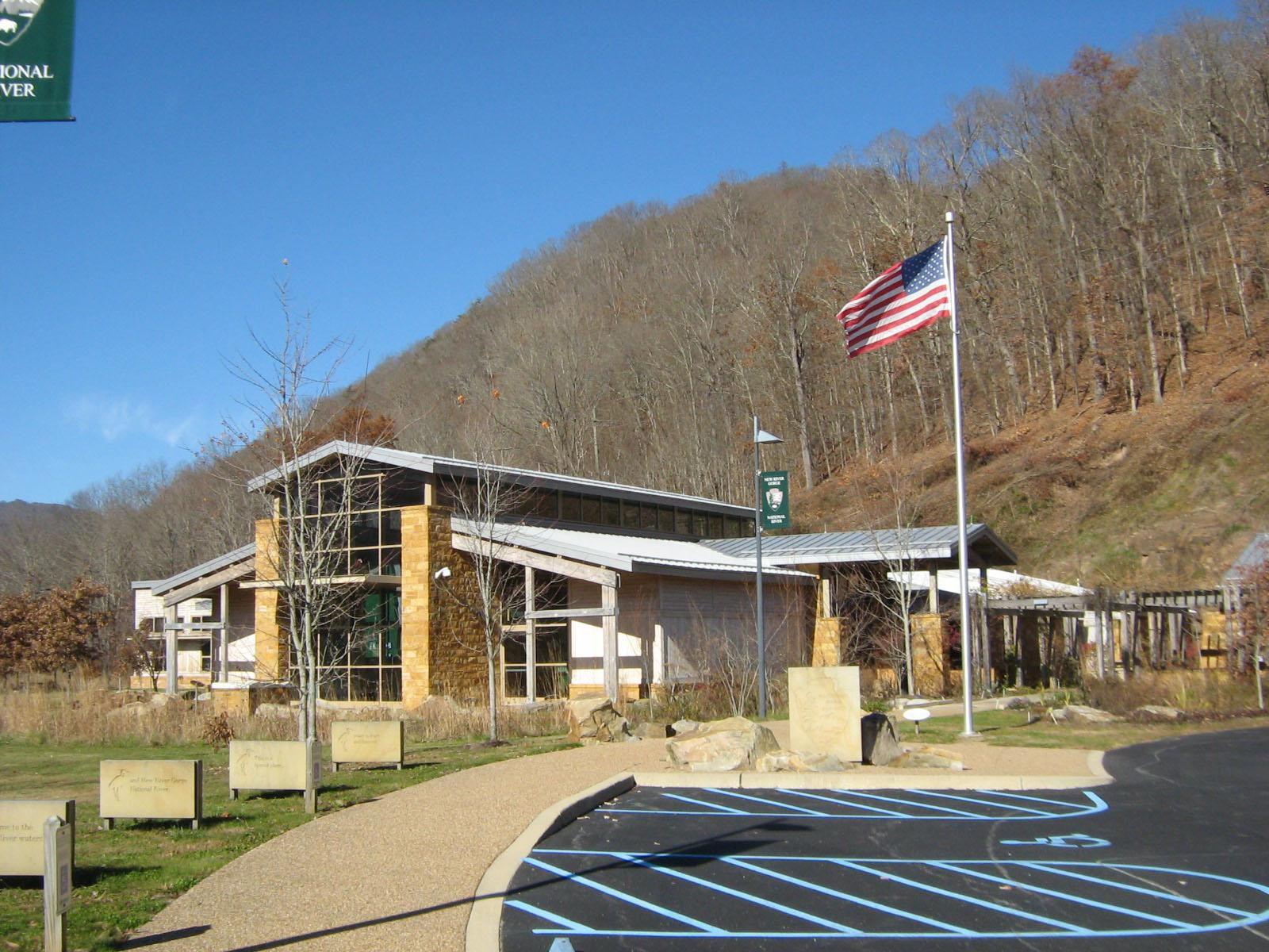
Thurmond Depot Visitor Center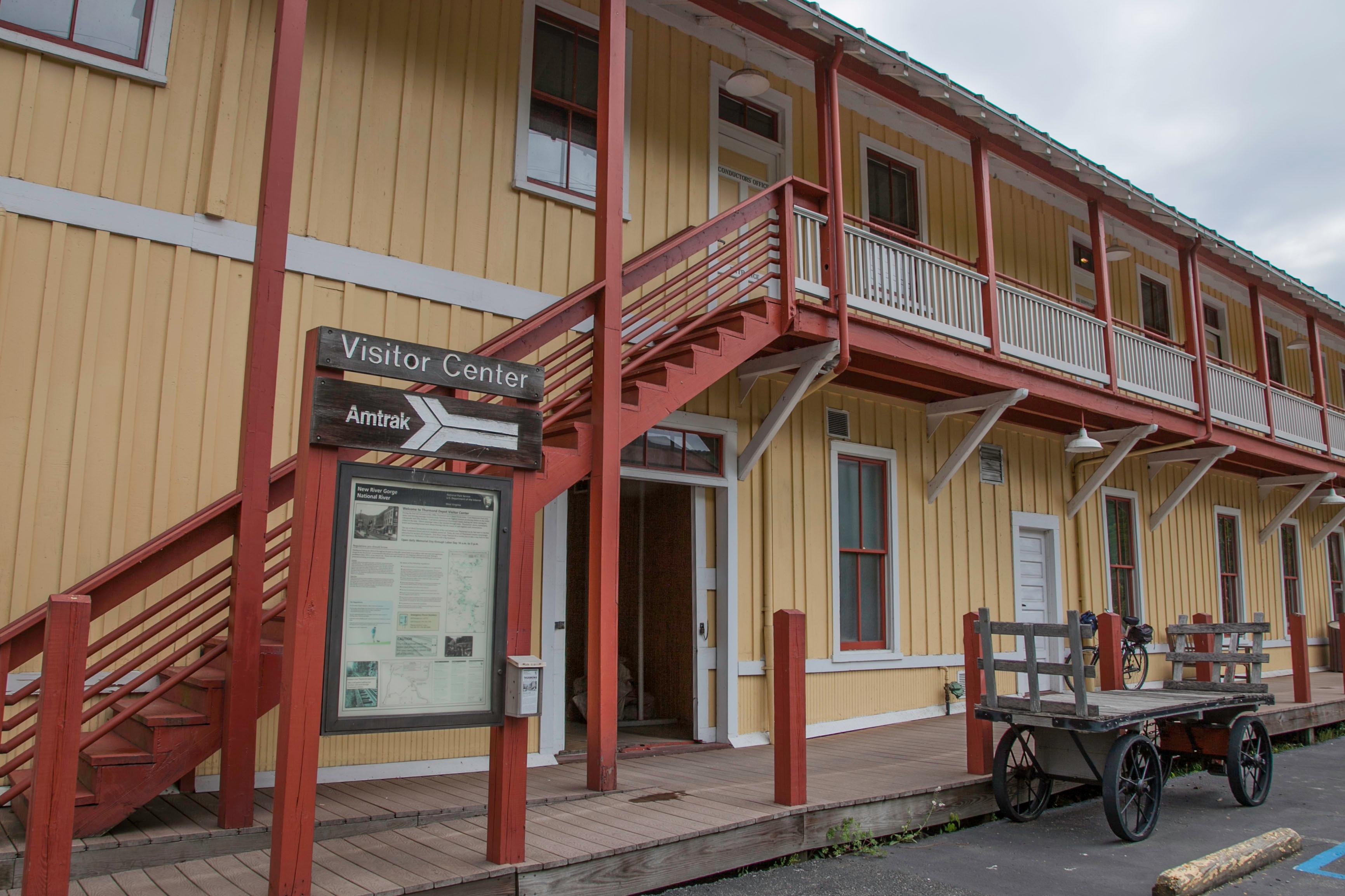
|
| Things to do | Count: 16
|
| Tours |
Count: 4
African American Heritage Driving TourThis self-guided auto tour takes the user to seventeen historic sites in Summers, Raleigh, Fayette and Nicholas counties to learn about the history and experiences of the regions African Americans. Browse tour stops here, or hop in the car and follow directions to each tour stop. New River Gorge Waterfall TourThe New River Gorge Waterfall Tour follows the path of eight waterfalls starting north of the park near the town of Gauley Bridge and ending at the famous Sandstone Falls. Four of the falls are accessible from the road and four require hiking 4.5 miles on trails. Trails may contain uneven terrain, steep slopes, and distances of up to 2 miles round trip to reach the falls. It is possible to complete the tour in one day but not recommended. These waterfalls are also part of the West Virginia Waterfall Trail. Southern Scenic Driving TourThe New River Gorge National Park and Preserve encompasses over 70,000 acres of land as it follows the New River through the lower reaches of West Virginia. Beginning at the Grandview, this riverside driving tour ventures along the Park’s most scenic roads to the southern tip of its boundary, directing visitors towards some great views, recreational opportunities, and historic sites along the way. Thurmond Walking TourThurmond was the heart of the New River Gorge, carrying shipments of coal from surrounding coal fields to industrial areas nationwide. Visit the historic downtown (open year round) and depot (open seasonally) to learn more about what life was like in and around this railroad town. Service is spotty in Thurmond, we recommend downloading park content for offline use to ensure access to this tour. *NOTE* The railroad tracks are ACTIVE! Please only cross the railroad tracks at the crossing, near the Depot. |
| Articles |
|