Trails Not Maintained During Winter
Trails at River Raisin National Battlefield Park are not maintained during winter months. Please use caution.
| Title | River Raisin |
| Park Code | rira |
| Description | River Raisin NBP preserves, commemorates, and interprets the January 1813 battles of the War of 1812 and their aftermath. Battles that resulted in the greatest victory for Tecumseh’s Confederation and the British and the greatest defeat for the U... |
| Location | |
| Contact | |
| Activities |
|
| Entrance fees |
|
| Campgrounds | Count: 0
|
| Places | Count: 10
General Winchester's HeadquartersGeneral Winchester established his headquarters at the home of Francois Navarre on January 20, 1813 at the River Raisin settlement. In 1873 the home was demolished, and the Sawyer Homestead was built. Walnut timbers were used from the original Navarre home to construct the banisters. 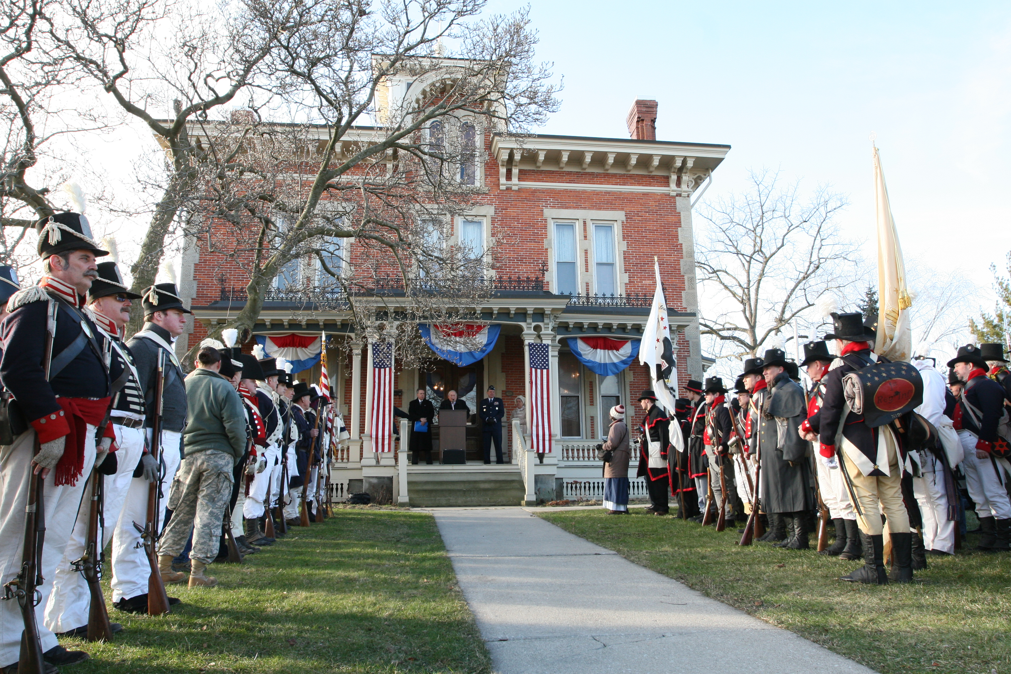
Hull's TraceIn 2014 the River Raisin National Battlefield Park established the Hull’s Trace Unit as a satellite park. It is located at 36495 W. Jefferson Ave., Brownstown Charter Township, Michigan. In June of 1812, General Hull ordered a road to connect Fort Detroit with rest of the United States. A part of this corduroy road remains 200 years later near the mouth of the Huron River and is the only known log remnant of the first U.S. military federal road. 
Kentucky Memorial PlaceThe remains of several unidentified Kentucky victims of the Battles of the River Raisin are believed to be buried at this location. In the years that followed, some of these remains might have been removed and eventually made their way back to Kentucky, but doubtful. Later, residents of Monroe who died from the cholera epidemic of 1830 were buried at this location, and some of their graves can still be seen here. 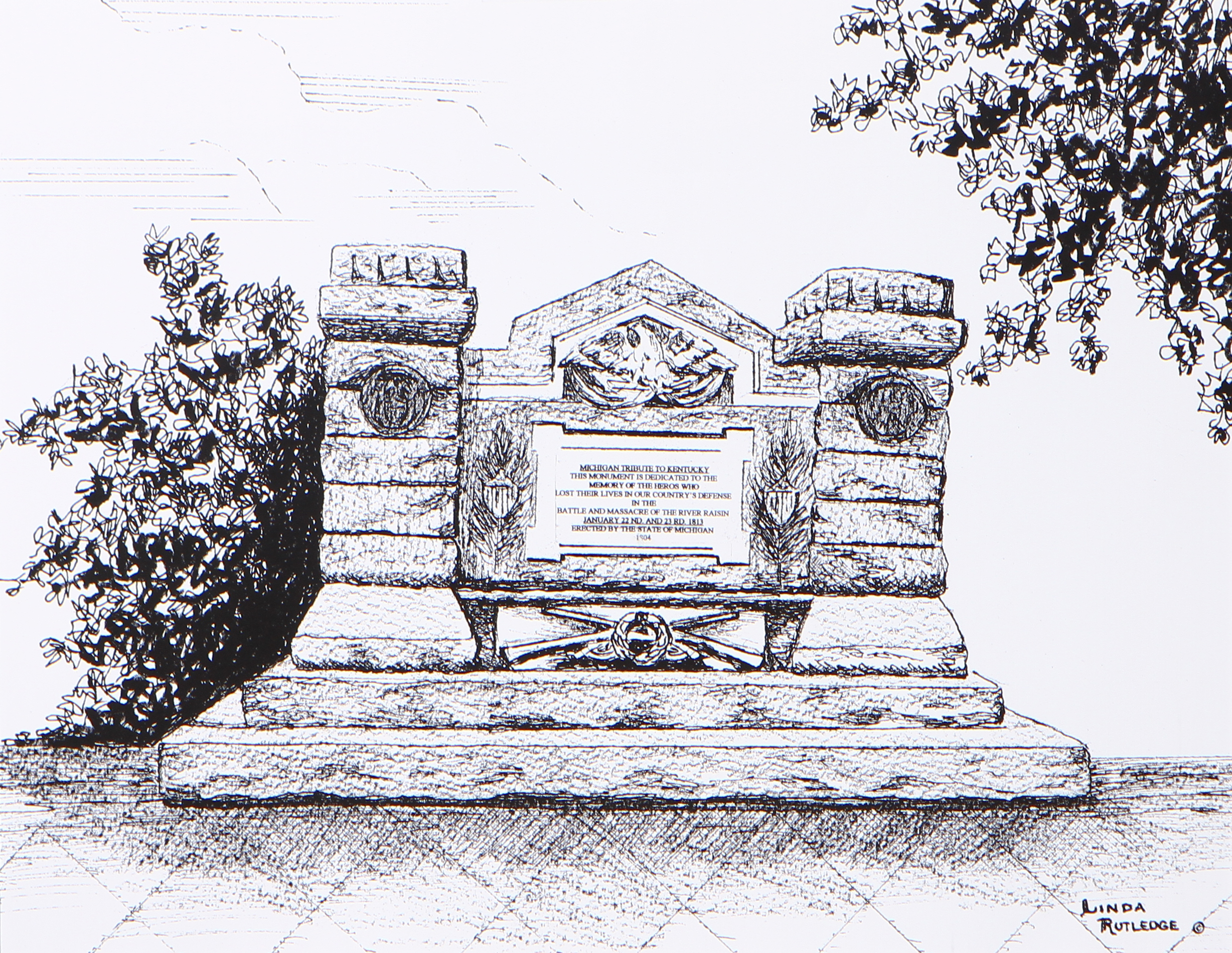
Plum CreekOn January 22, 1813 during the Second Battle of the River Raisin, when the right wing of the American army faltered, the soldiers mistook orders and retreated over the frozen river heading south towards Ohio. The Americans, totaling close to 400 strong fled south but were met with another disaster. 
River RaisinThe River Raisin went by several different names throughout history. Natives called the river Nummasepee, or ‘River of Sturgeon’. The river’s extensive floodplains created extensive sturgeon breeding grounds that fed into Lake Erie. French explorers called it La Rivière aux Raisins (The River with Grapes), because of the wild grapes growing along its banks. The British found it easier just to call it River Raisin. 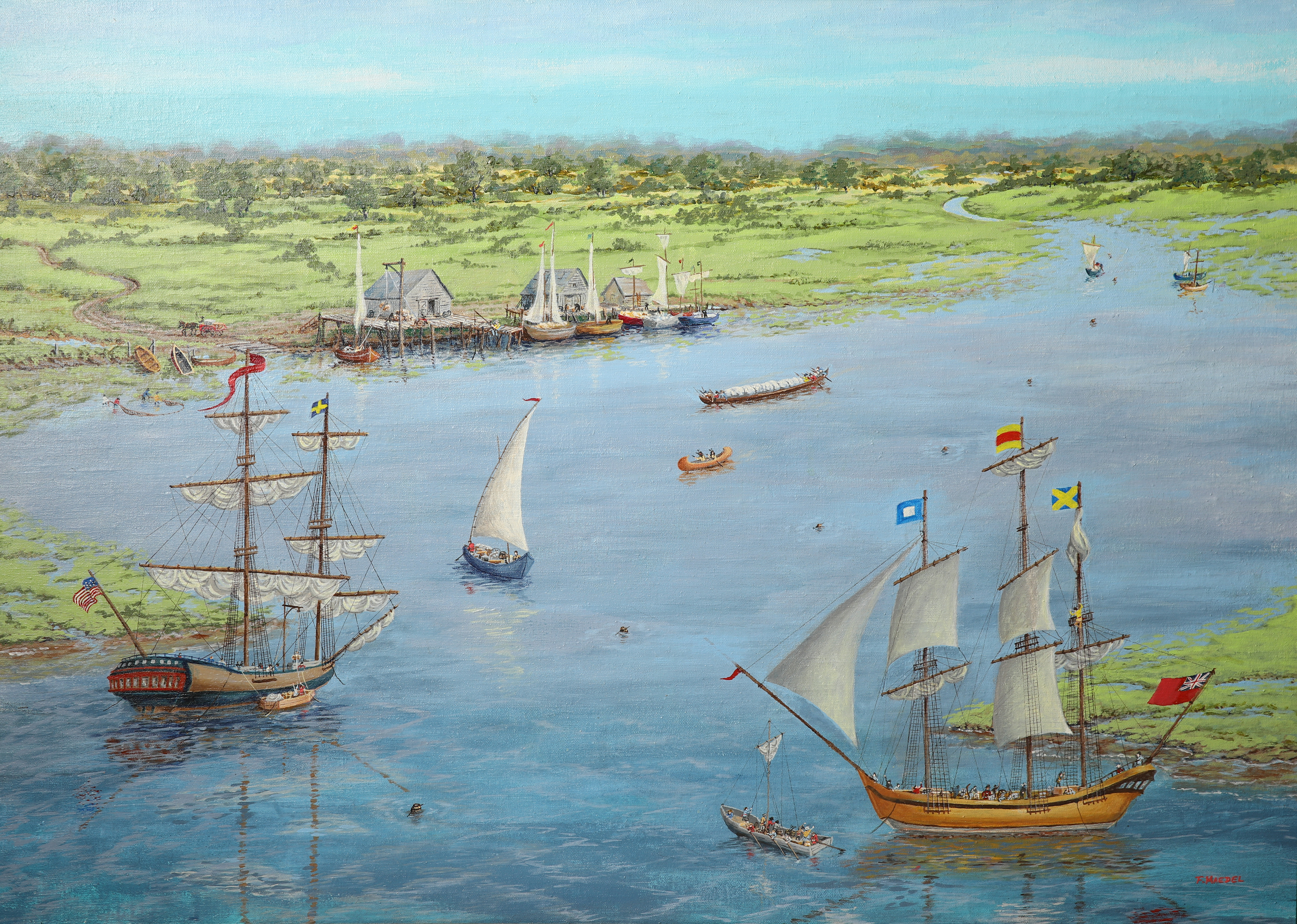
River Raisin National Battlefield ParkThe exclamation "Remember the Raisin!" rallied Americans to support the war effort after early 1813. The killing of Americans taken prisoner after the Battle of the River Raisin (also known as the Battle of Frenchtown), in southern Michigan, inflamed settlers on the Old Northwest Frontier and fueled early support for the War of 1812 in the west. 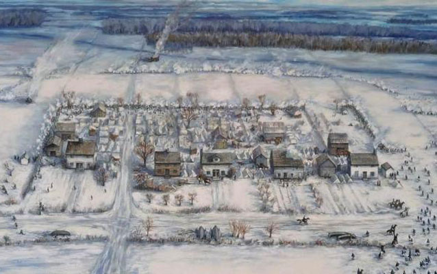
Soldiers MonumentStone cairn (marker, monument) that marks the core location of the Battles of the River Raisin. The 1904 Monument was originally located on the south side of E. Elm Avenue at a spot closer to the River Raisin. The cairn was relocated to its present site when the City of Monroe established the 1.9 acre Riviere Aux Raisins Park. 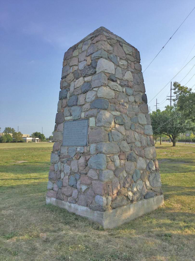
SpringwellsArguably one of the most historic sites in the State of Michigan, the Springwells site has deep cultural significance going back more than a millennium to the area’s first native inhabitants. From Woodland times (400-1200 CE) through the War of 1812 and up to the present, Springwells has been a central and integral component of the cultural mosaic and evolving landscape on the Detroit. 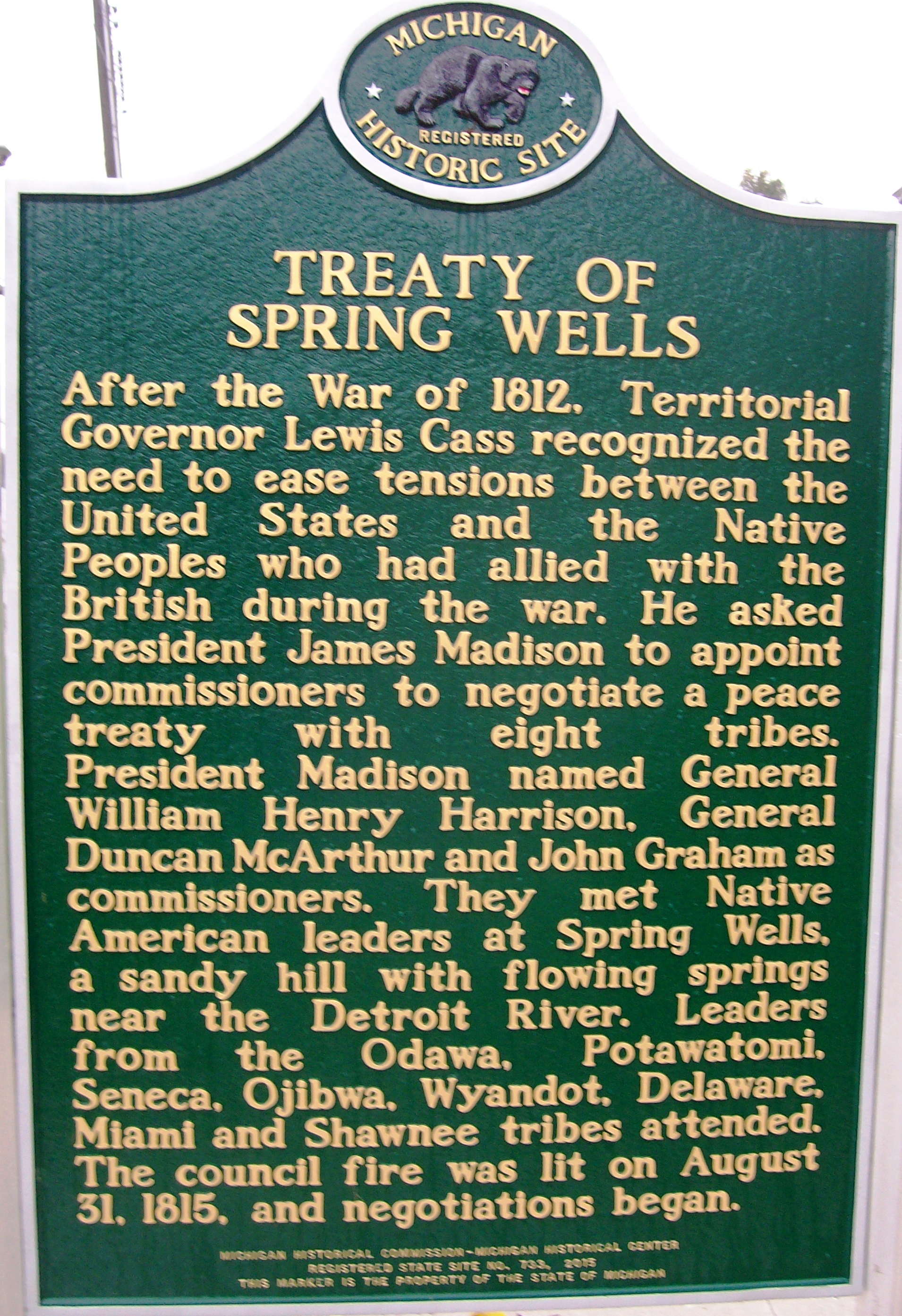
The Macon ReserveThe Macon Reservation is physically located on a 60-acre portion of the original Macon Indian Reserve that was established in 1807 by the Treaty of Detroit. William Hull, Territorial Governor of Michigan coerced the Potawatomi and other Native Nations to cede land to the United States. A small portion of the land where the Macon Creek flows into the River Raisin (about six square miles or 207,000 acres) was reserved for the Potawatomi. 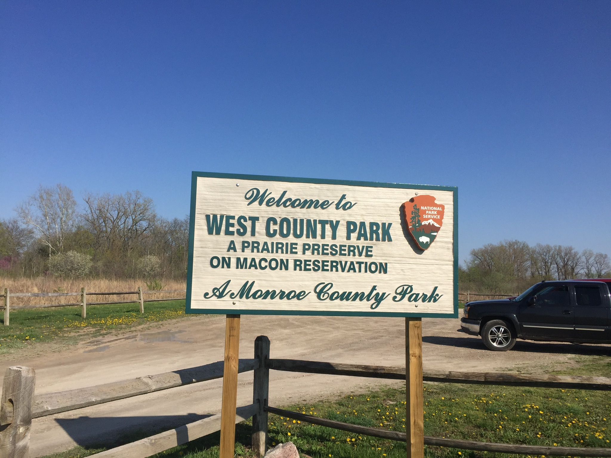
The Wayne StockadeThe Wayne Stockade was located on the east side of the intersection of North Monroe Street and East Elm Street in downtown Monroe, Michigan. The Stockade and blockhouses were built in 1805 to serve as the southern defense and logistics hub for the Post of Detroit. 
|
| Visitor Centers | Count: 1
River Raisin National Battlefield Park Visitor / Education Center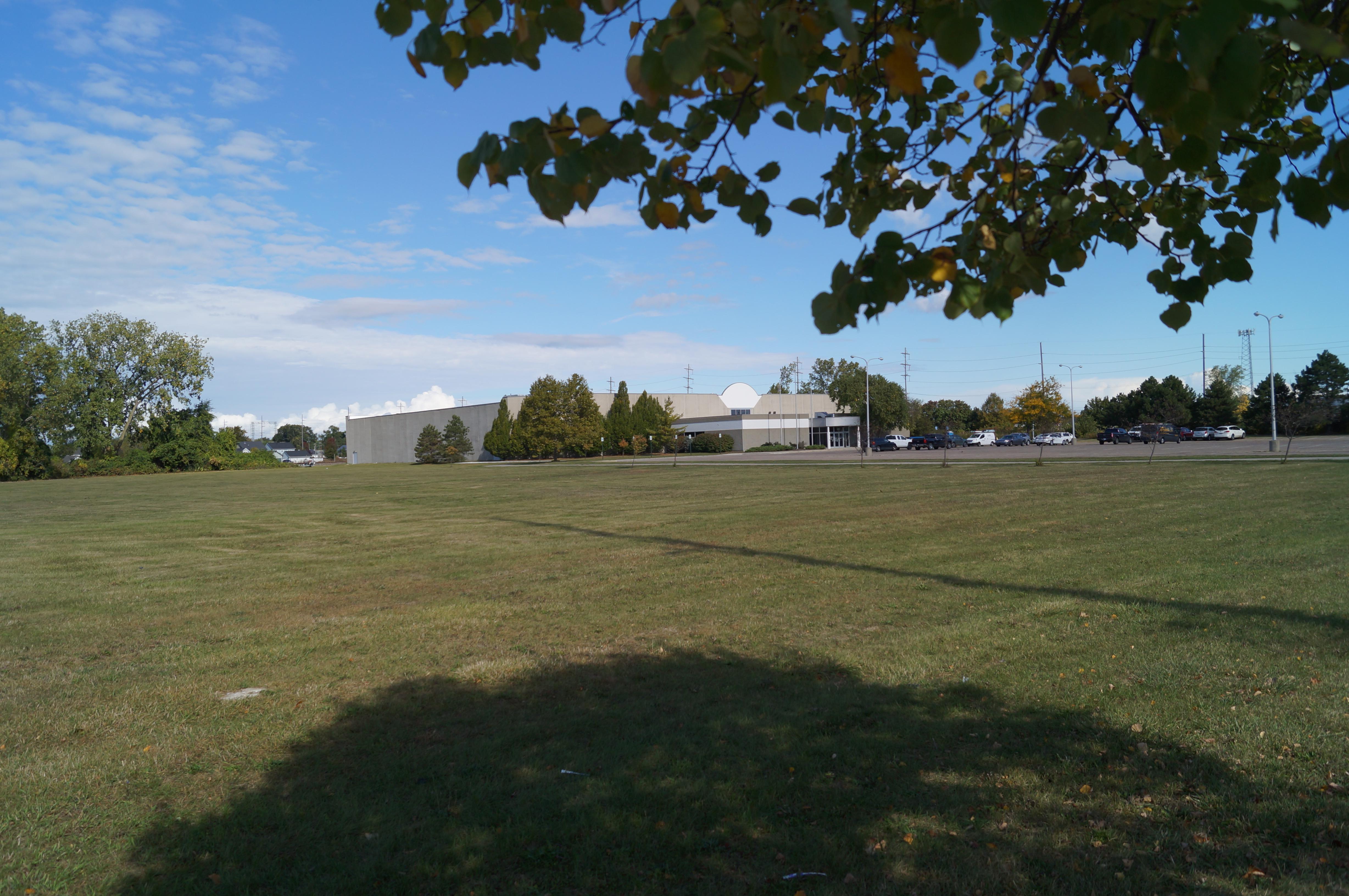
|
| Things to do | Count: 2
|
| Tours |
Count: 0
|
| Articles |