Rabies potential in and around the park
Incidents of rabies are on the rise across Arizona. Beware of your surroundings & take caution when out with pets. Report unusual wildlife behavior to park staff. All pets must be on leash and on pet friendly trails while in the park.
Mica View Trail work
Resurfacing of Mica View Trail has been postponed due to material delays. This project is a high priority & we will resume work as soon as we are able. The trail will remain open as we wait, though surfacing work has already begun. Proceed with caution.
Vehicle Break-Ins
Saguaro National Park is an urban park. Vehicle break-ins have occurred at trailheads around the park. Don't make yourself a target. Leave valuables at home, secure your vehicle, and report any suspicious activity.
Rideshare services should be used with caution if visiting the Tucson Mountain District
Rideshare services will drop visitors off at the park, but usually will not pick them back up. To avoid being stranded in the park, coordinate two-way trips before using rideshares to visit the West side. No major trails start at the visitor center.
| Title | Saguaro |
| Park Code | sagu |
| Description | Tucson, Arizona is home to the nation's largest cacti. The giant saguaro is the universal symbol of the American west. These majestic plants, found only in a small portion of the United States, are protected by Saguaro National Park, to the east ... |
| Location | |
| Contact | |
| Activities |
|
| Entrance fees |
Entrance - Private Vehicle
$25.00
The vehicle entrance pass is sold in the form of a dated register receipt and admits one privately owned, non-commercial vehicle into Saguaro National Park. This includes passenger cars, trucks, vans, recreational vehicles, campers, or converted buses used for private, recreational purposes.
Entrance - Per Person
$15.00
Individuals entering the park by means other than a motor vehicle may purchase individual entrance passes. This includes hikers, horseback riders and bicyclists. The individual entrance fee is charged to anyone 16 years of age or older.
Entrance - Motorcycle
$20.00
This fee is charged per-vehicle upon entrance, regardless of the number of riders. An Annual Pass will cover two motorcycles traveling together if the two people who signed that pass are on different motorcycles. A Lifetime Pass (such as the Access or Senior Pass) with one signature line will only cover one motorcycle.
|
| Campgrounds | Count: 6
Douglas SpringGrass ShackHappy Valley SaddleJuniper BasinManning Camp
Spud Rock Spring |
| Places | Count: 41
Cactus Garden Trail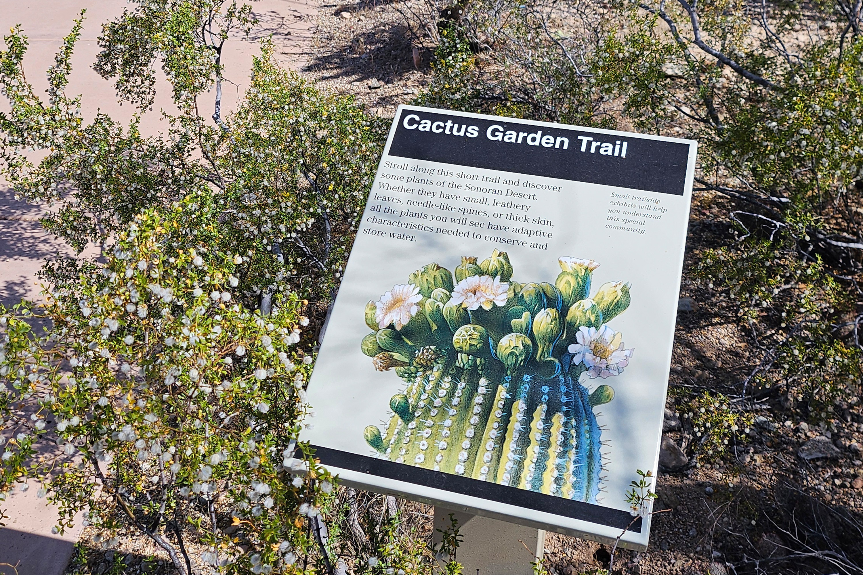
Cactus Wren Trail, Access Point 3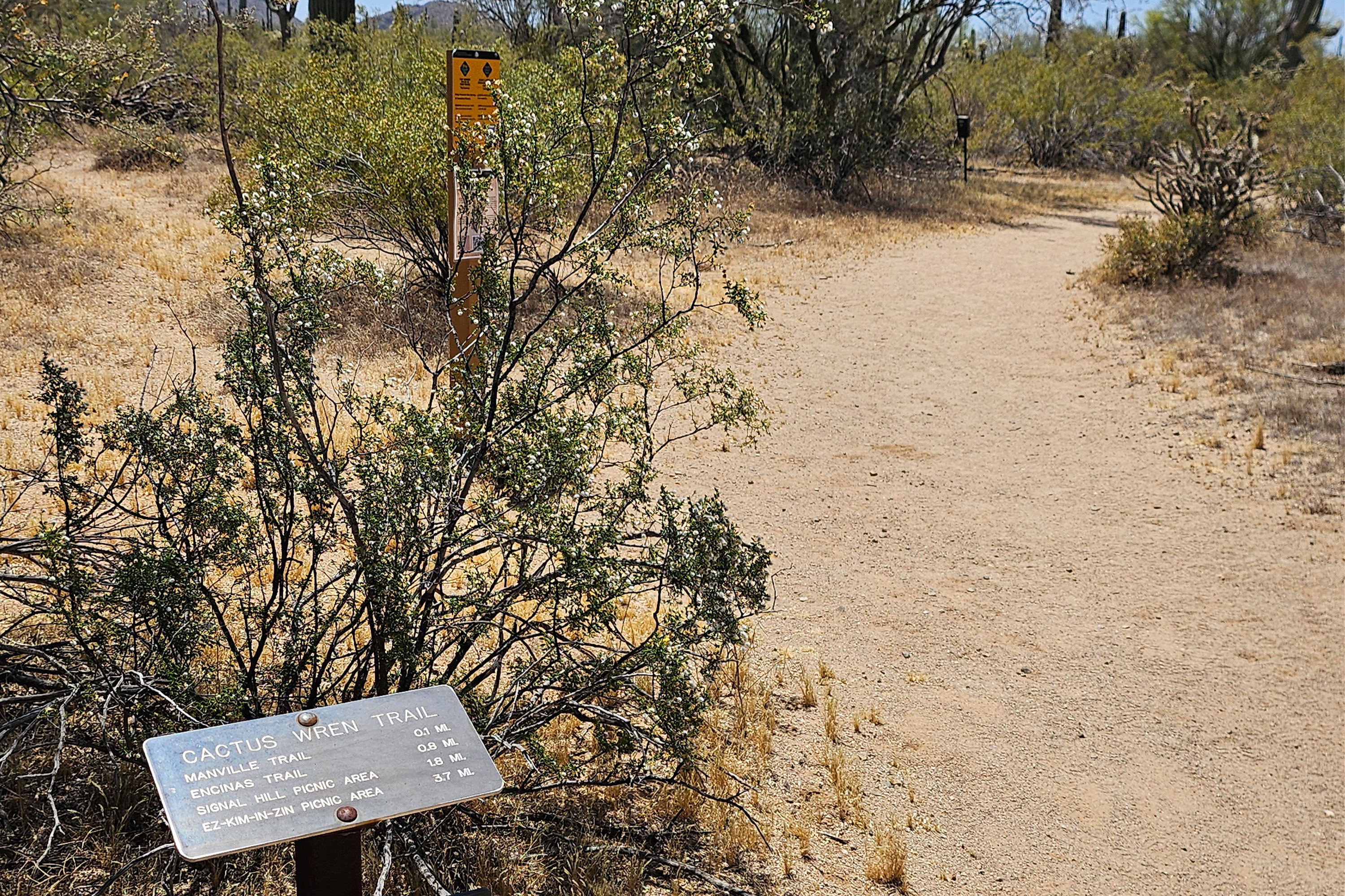
Cam-Boh Picnic Area (West District)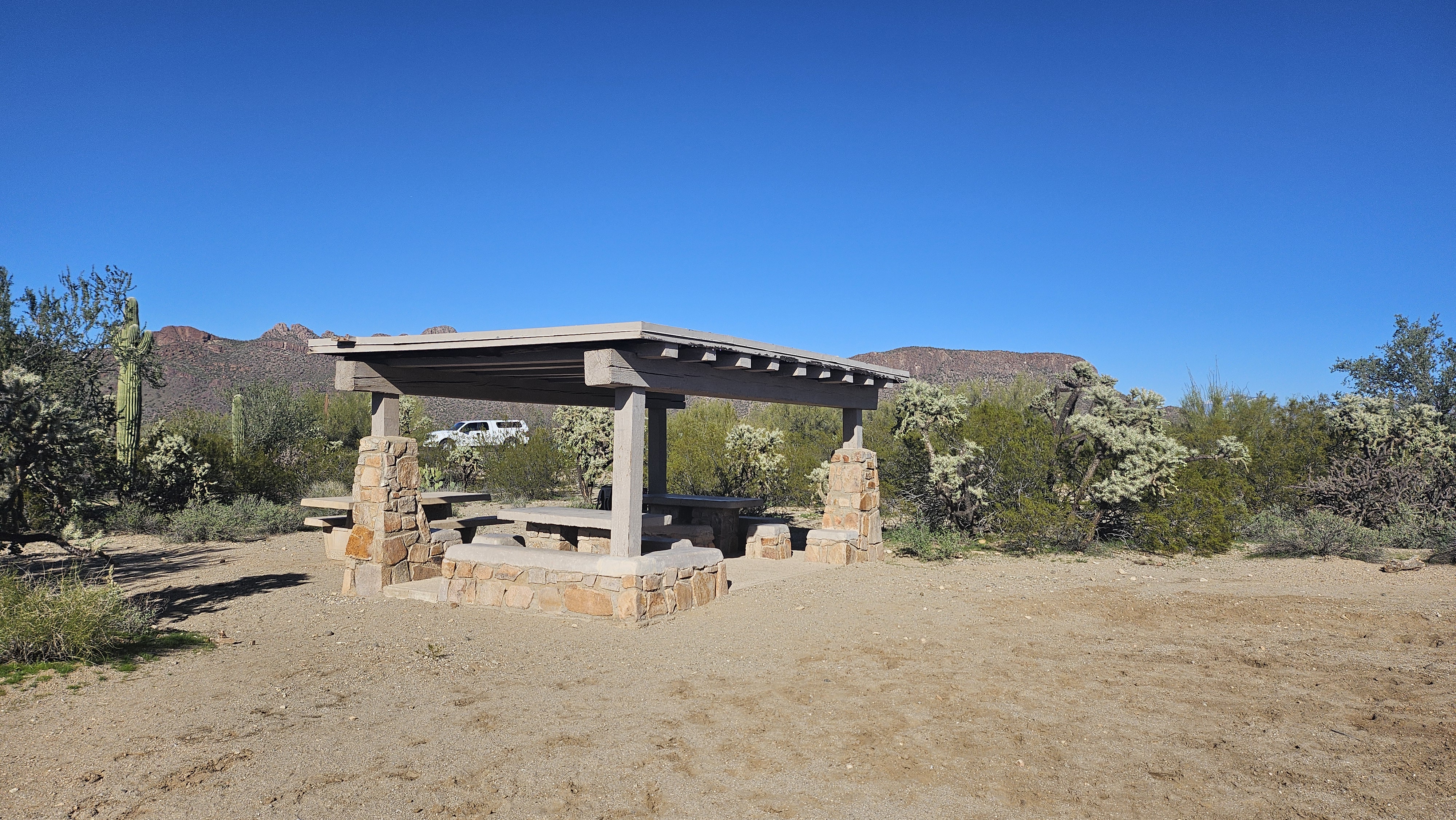
Desert Discovery Trail
Desert Winds Trail, Access Point 2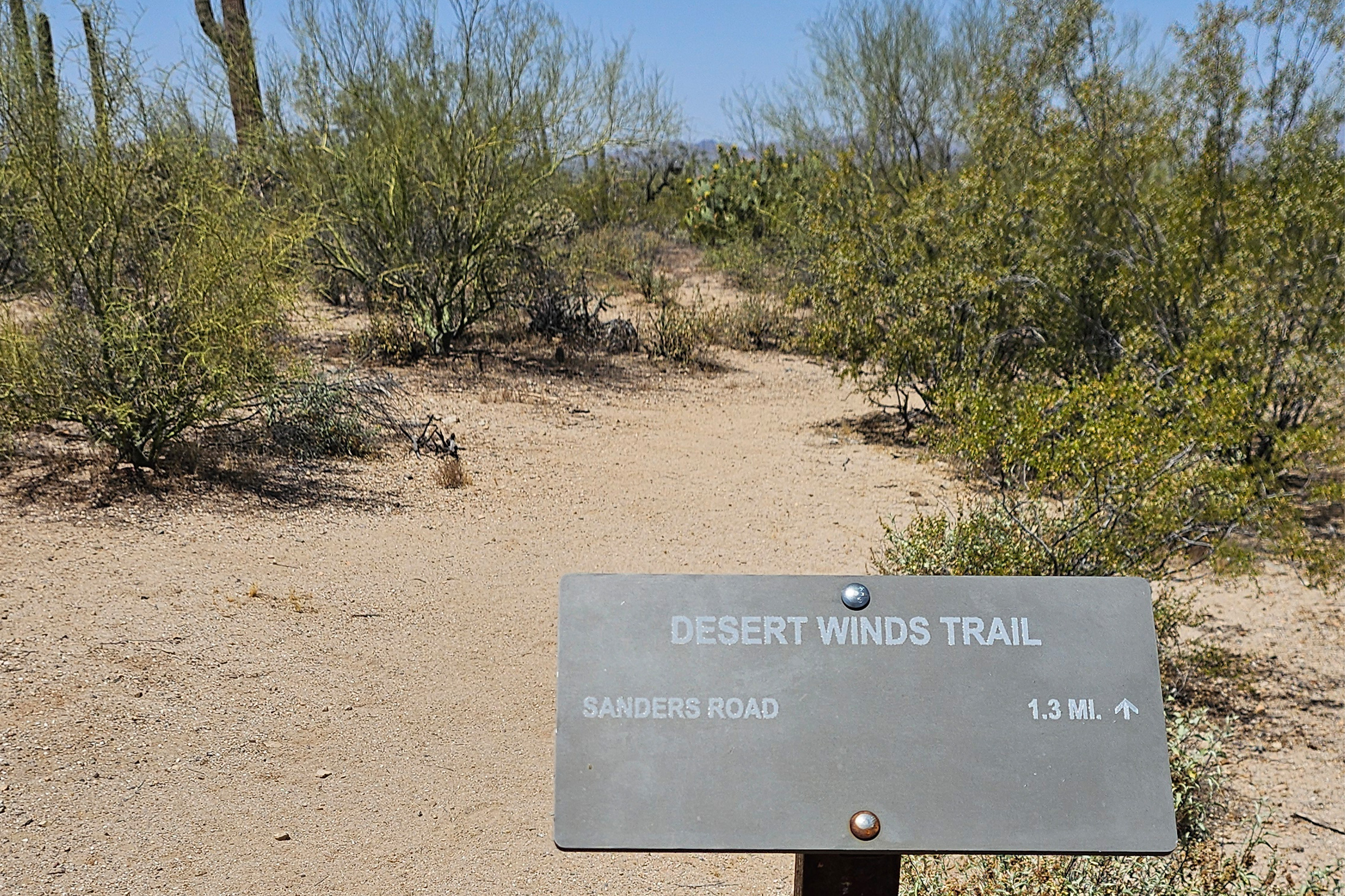
Ez-Kim-In-Zin Picnic Area (West District)
Fee Kiosk, Rincon Mountain District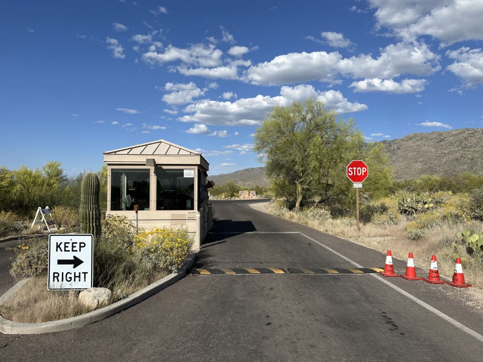
Gates Pass Trailhead
Javelina Picnic Area (East District)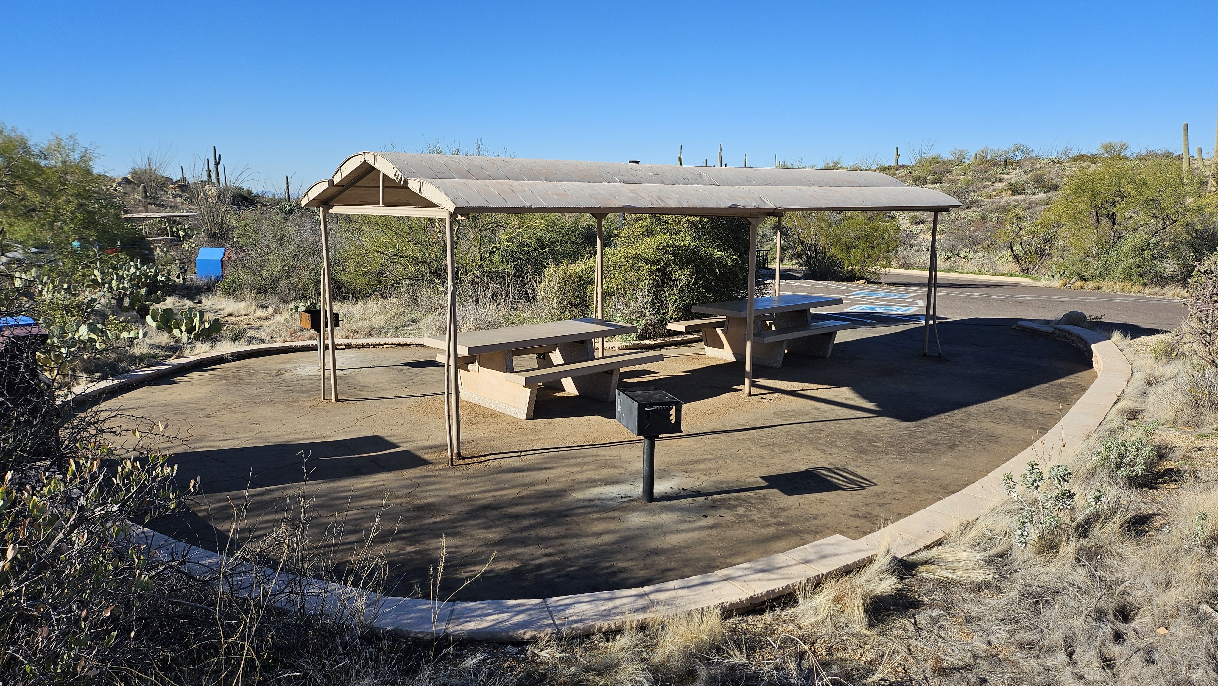
Javelina Rocks Overlook
Javelina Wash Trail
King Canyon Trailhead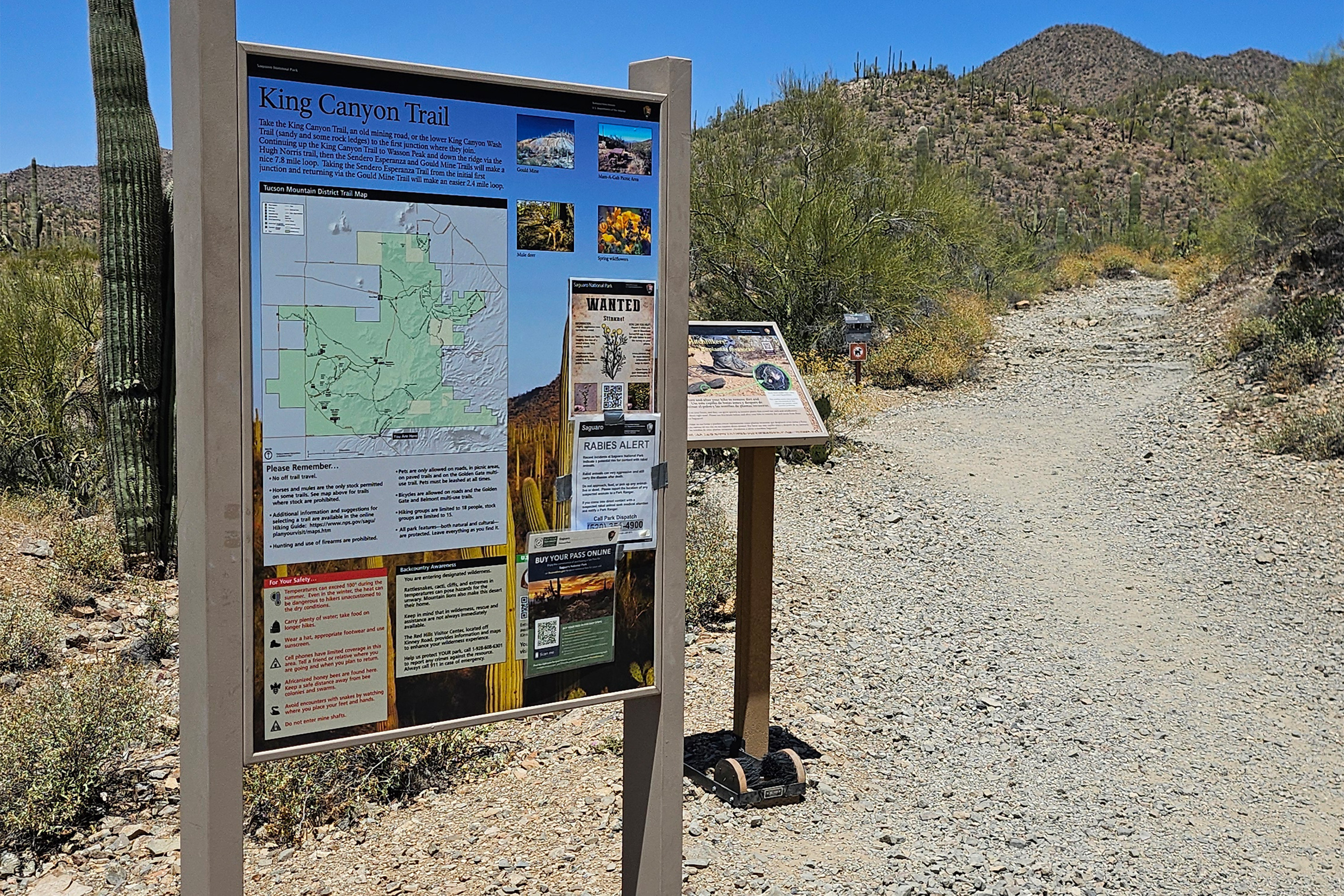
Mam-A-Gah Picnic Area (West District)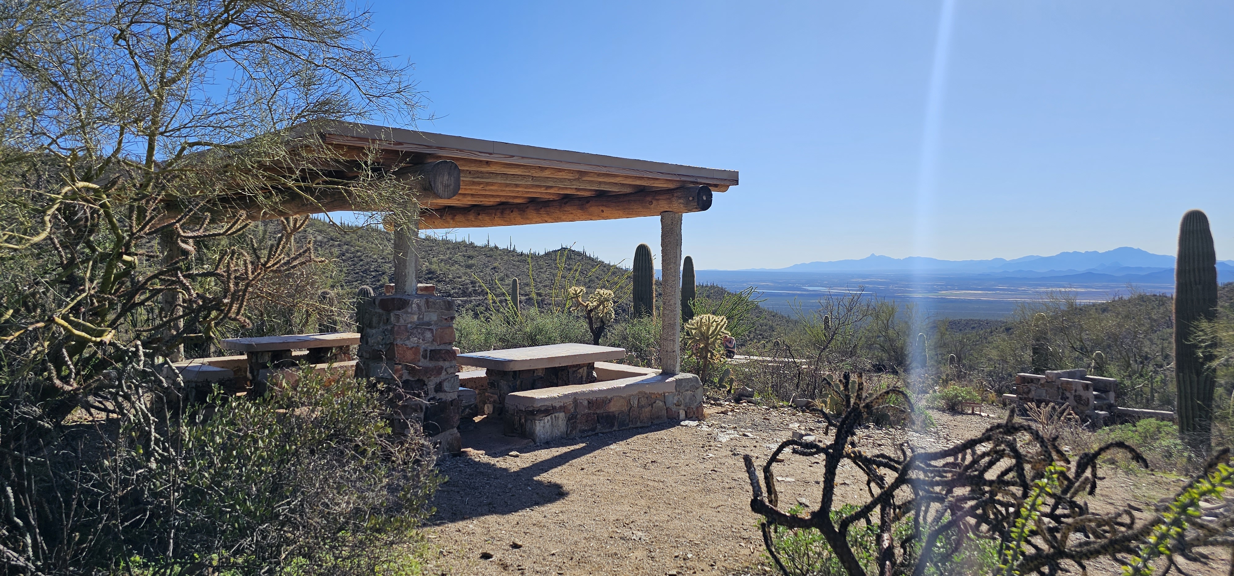
Manning CabinThe Manning Cabin sits in the Rincon Mountains in Saguaro National Park. Levi H. Manning had the cabin built in 1905 for use as a mountain summer home. It was the first such retreat built in the Rincon Mountains. 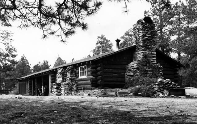
Mica View Picnic Area (East District)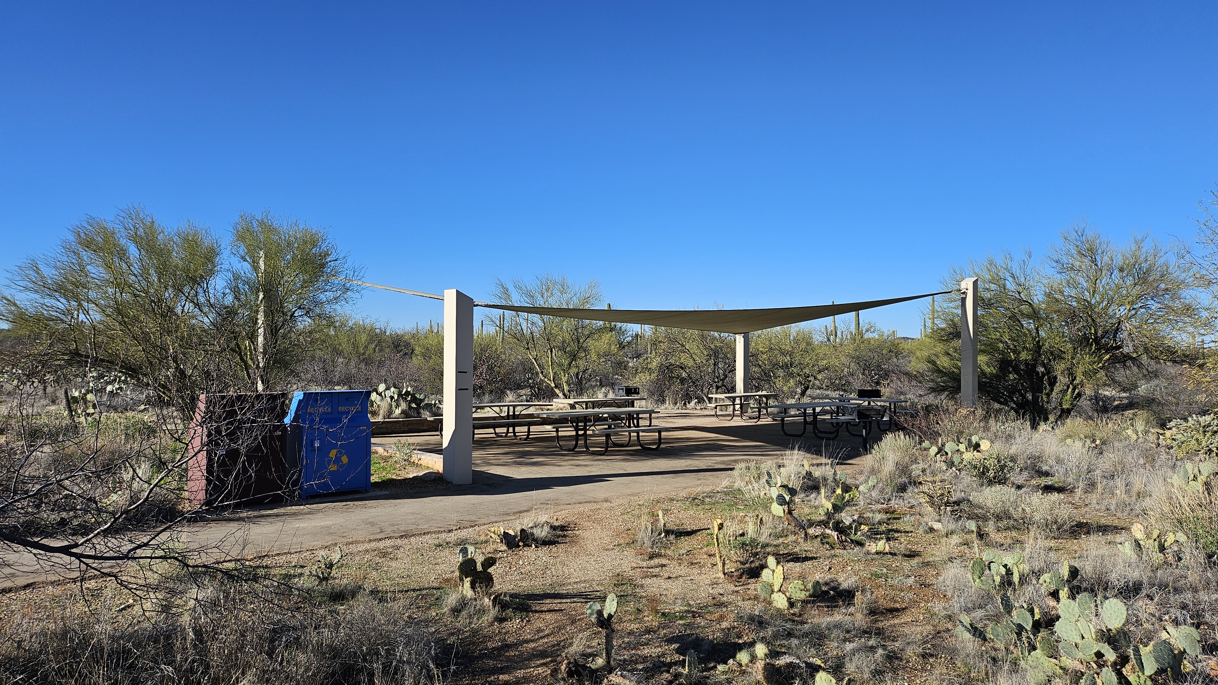
Mica View Trail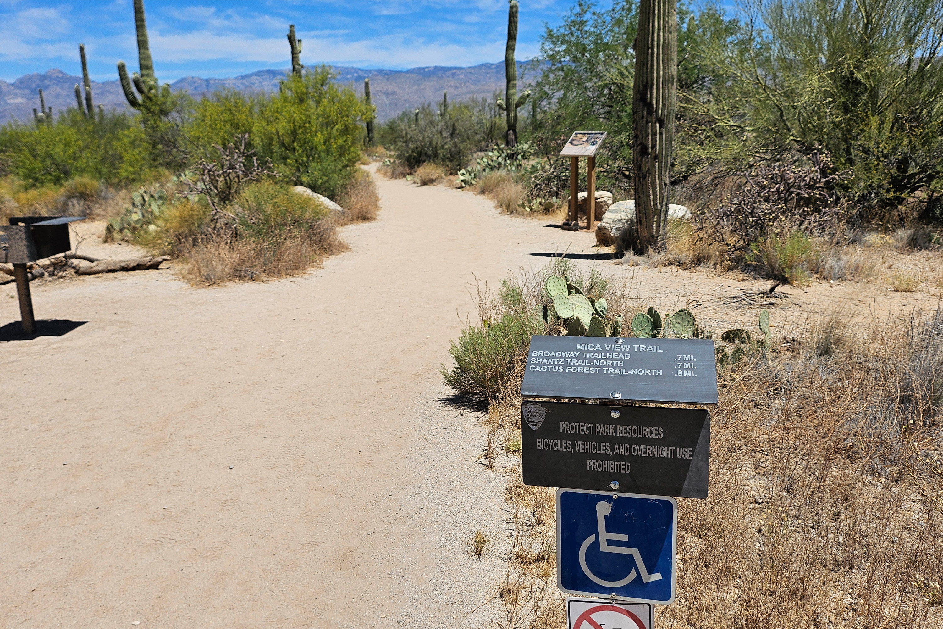
Pull-off along Cactus Forest Loop Drive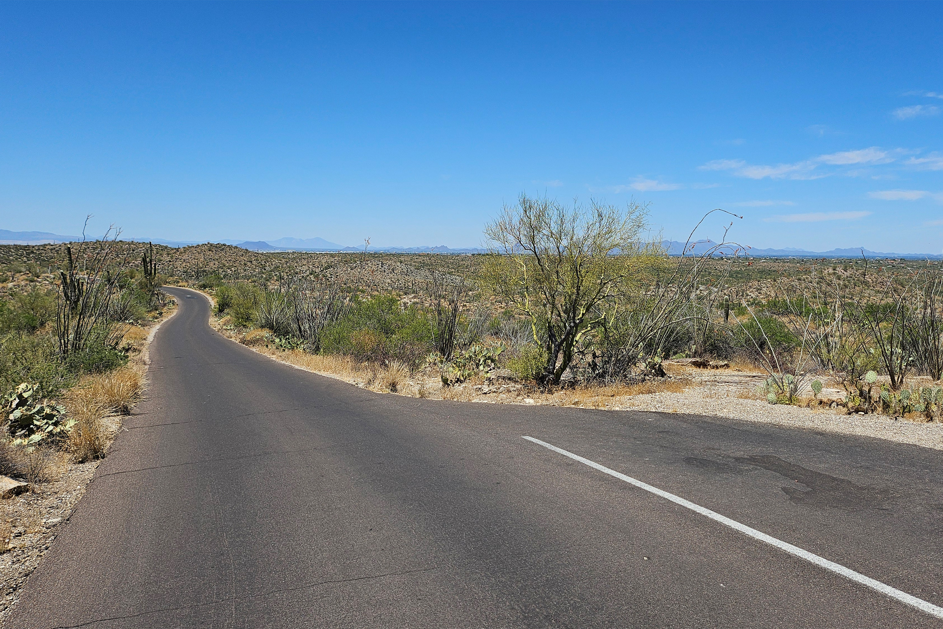
Ridge View Trail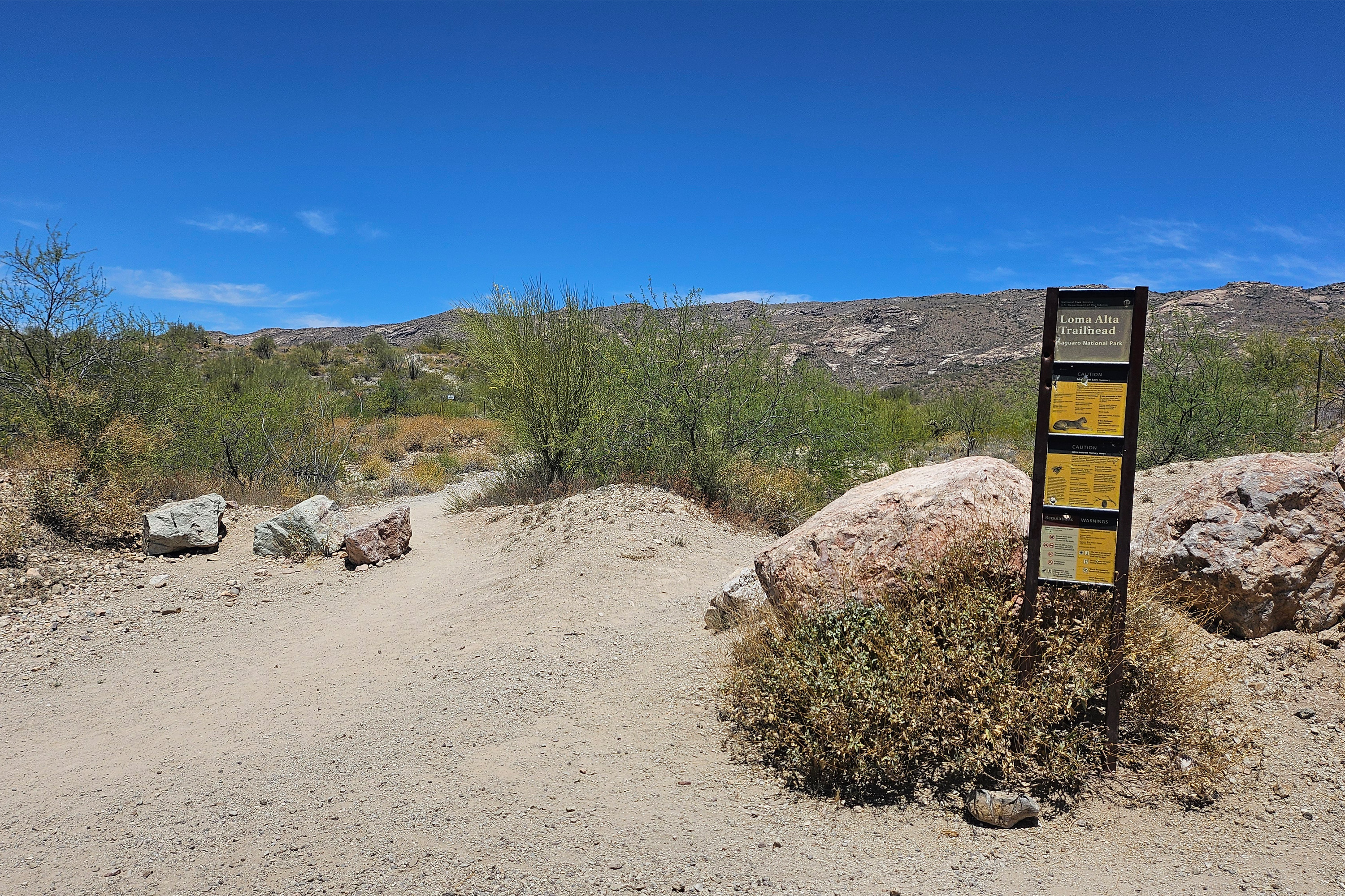
Saguaro National Park West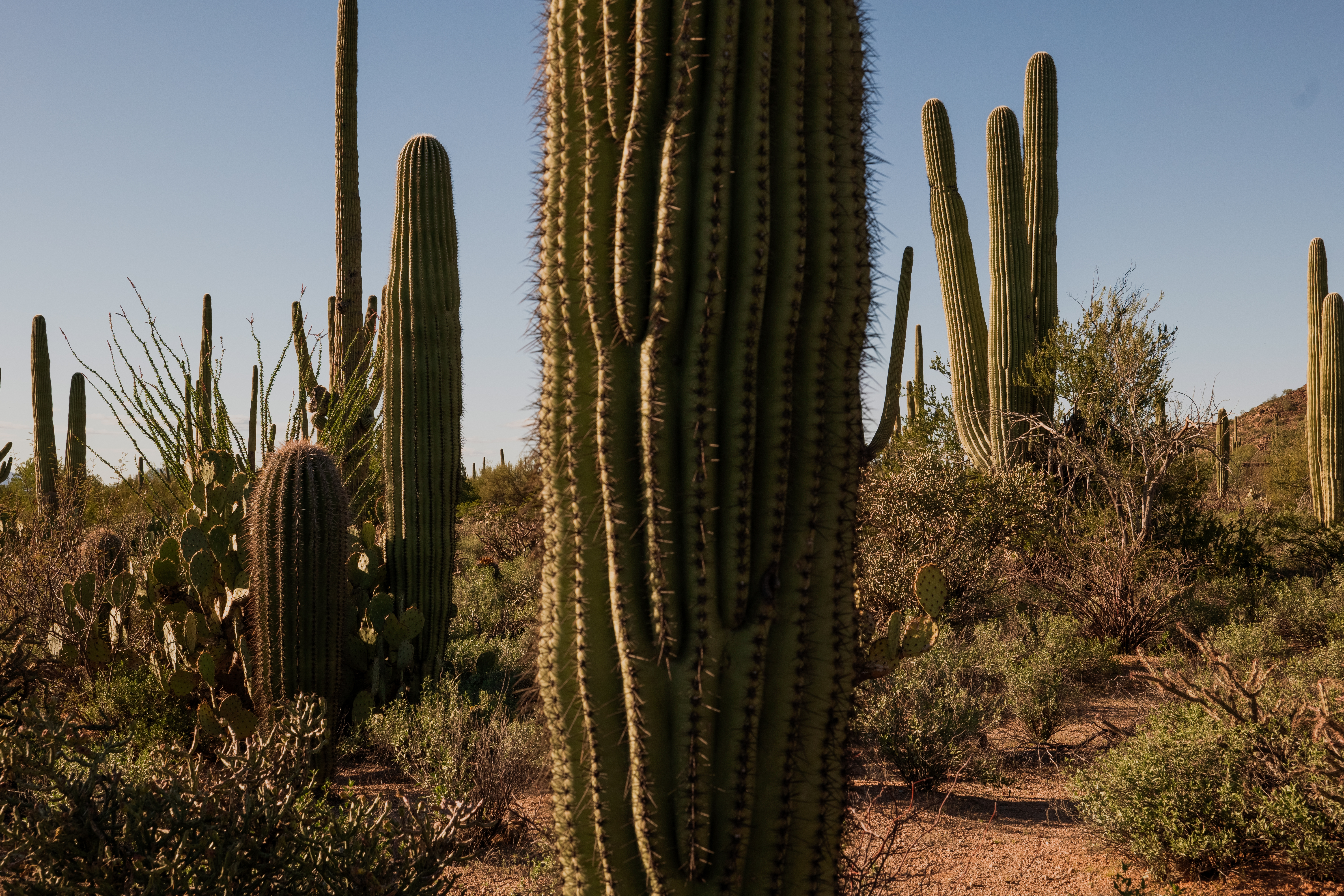
Santa Cruz Valley National Heritage AreaSanta Cruz Valley National Heritage Area celebrates the region’s natural resources, rich history, and heritage shaped by generations of Native American, Spanish, and Mexican cultures. 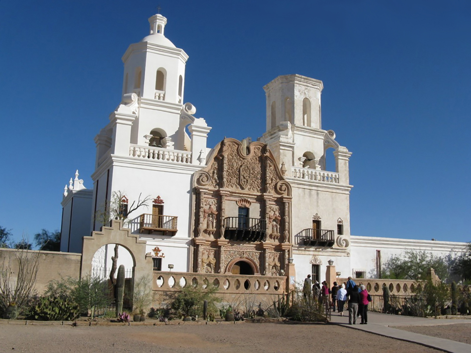
Sendero Esperanza Picnic Area (West District)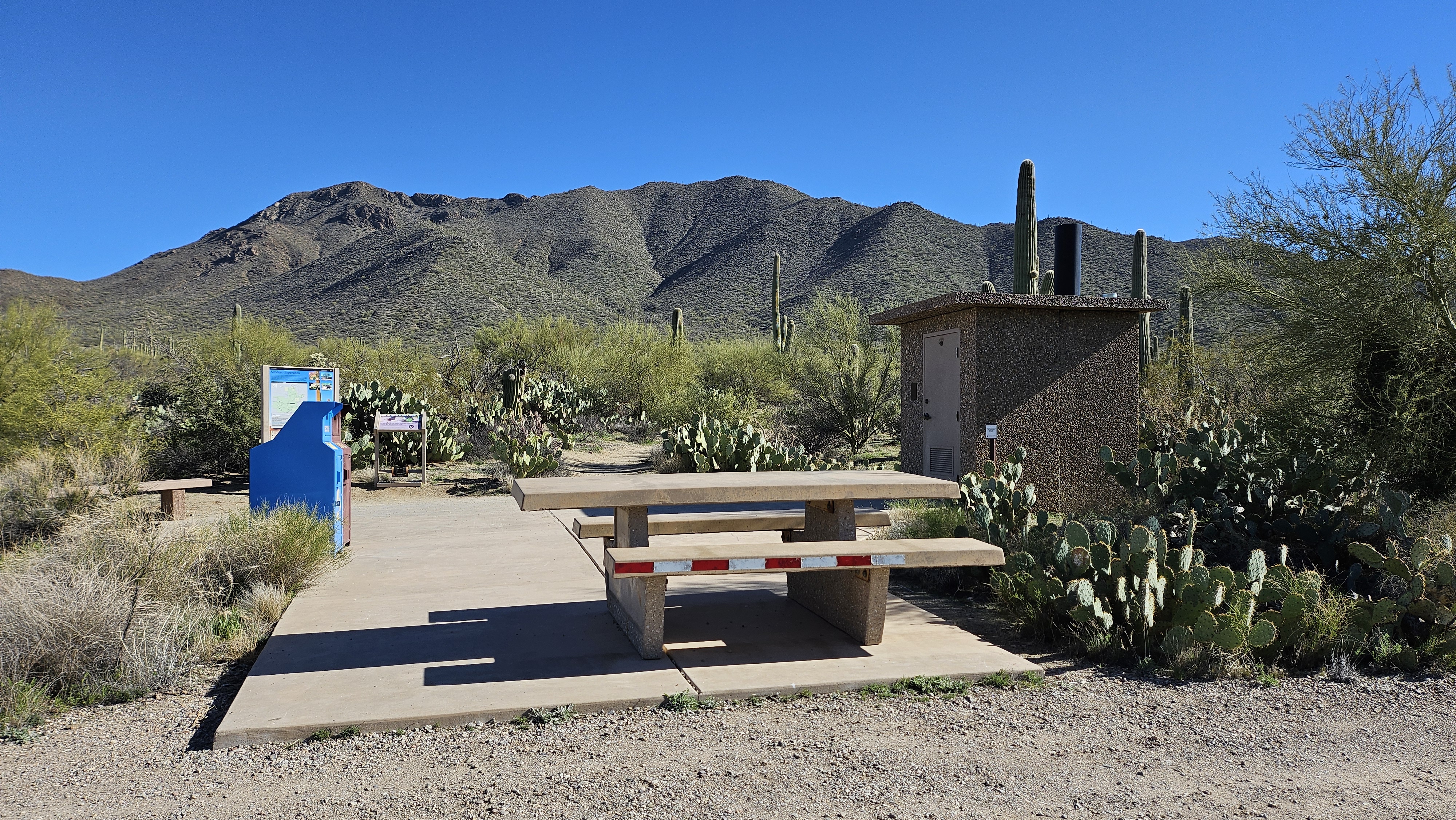
Signal Hill (West District)
Signs of Life, Self-Guided Tour Introduction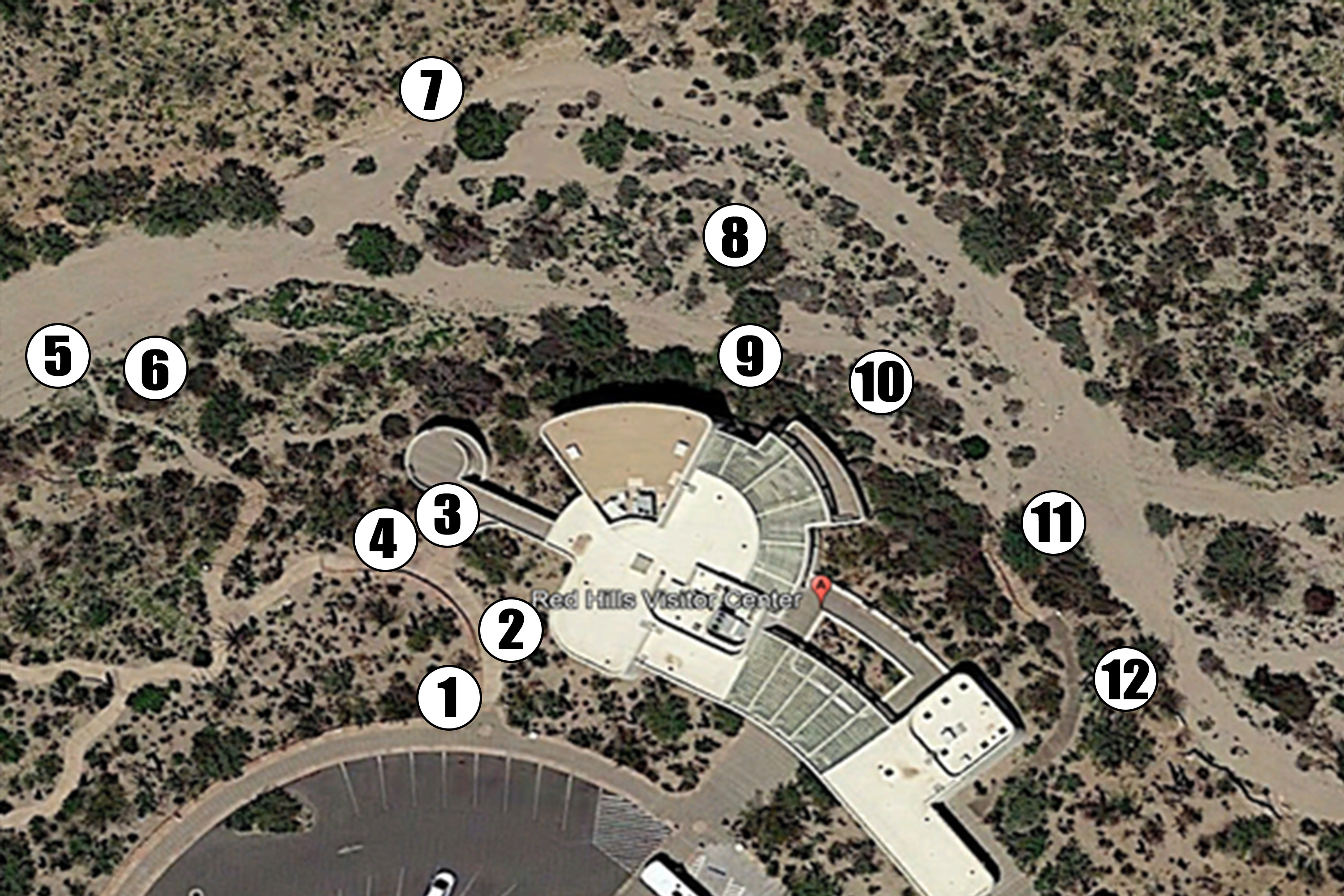
Signs of Life, Self-Guided Tour Stop 1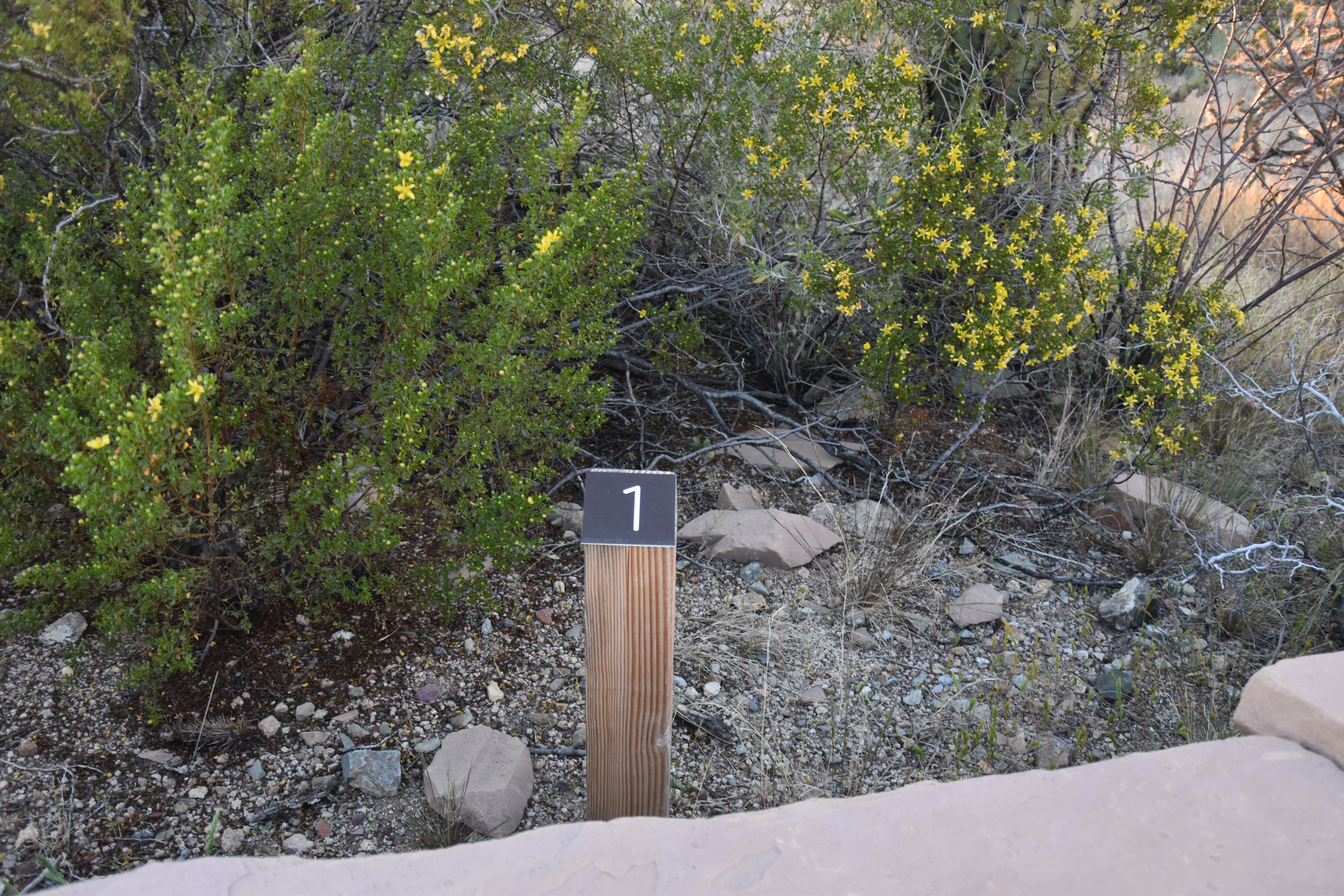
Signs of Life, Self-Guided Tour Stop 10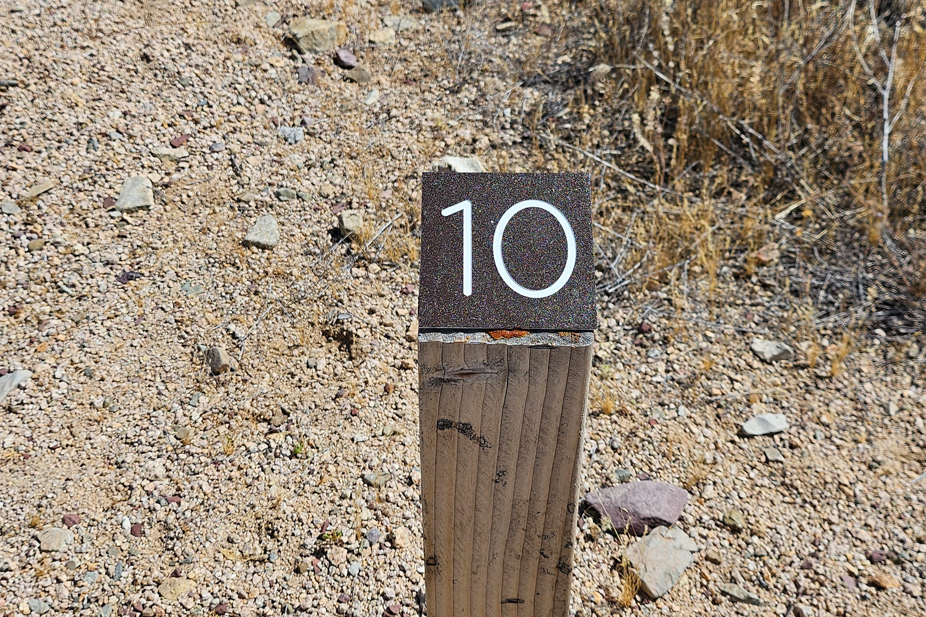
Signs of Life, Self-Guided Tour Stop 11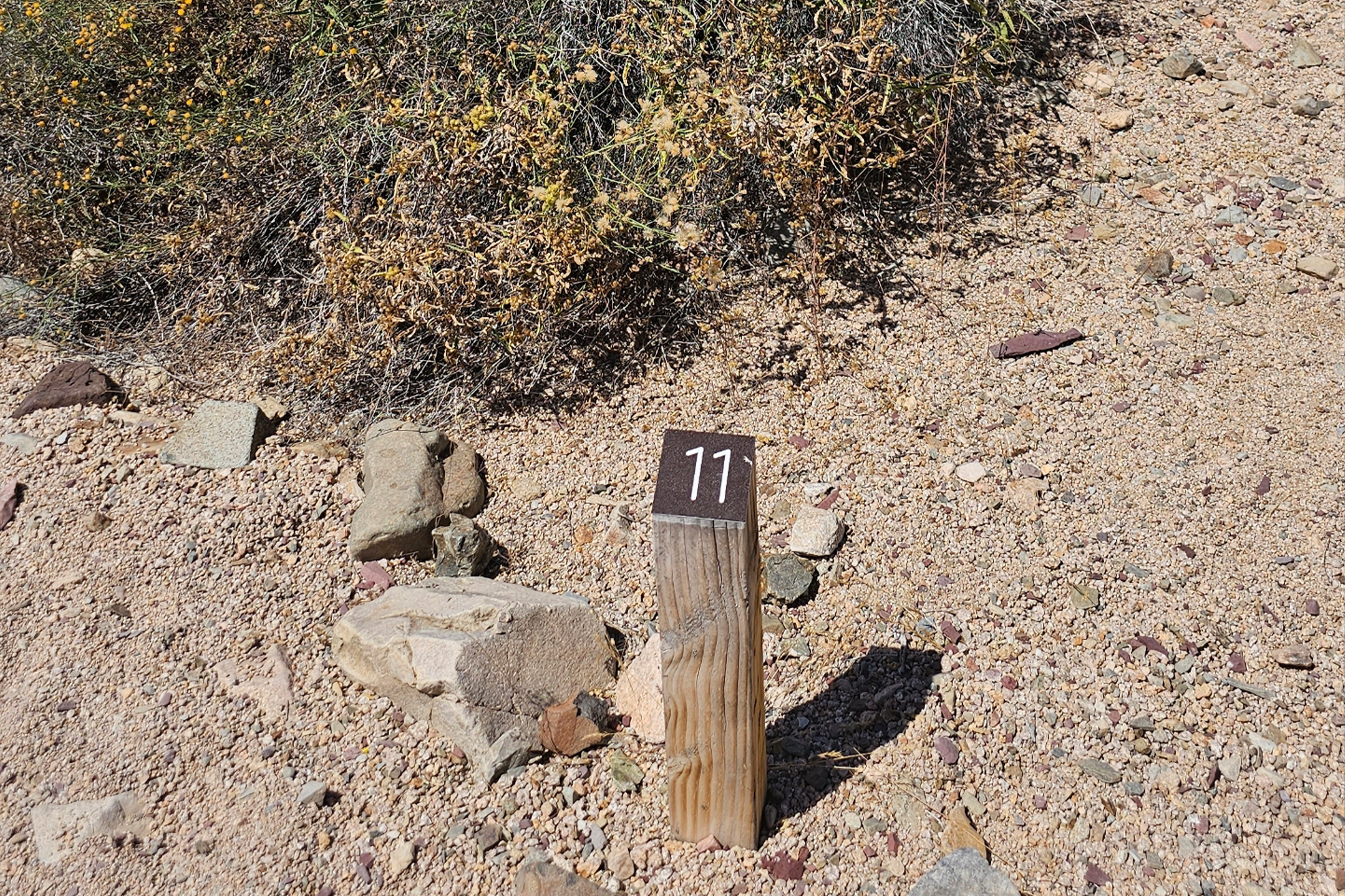
Signs of Life, Self-Guided Tour Stop 12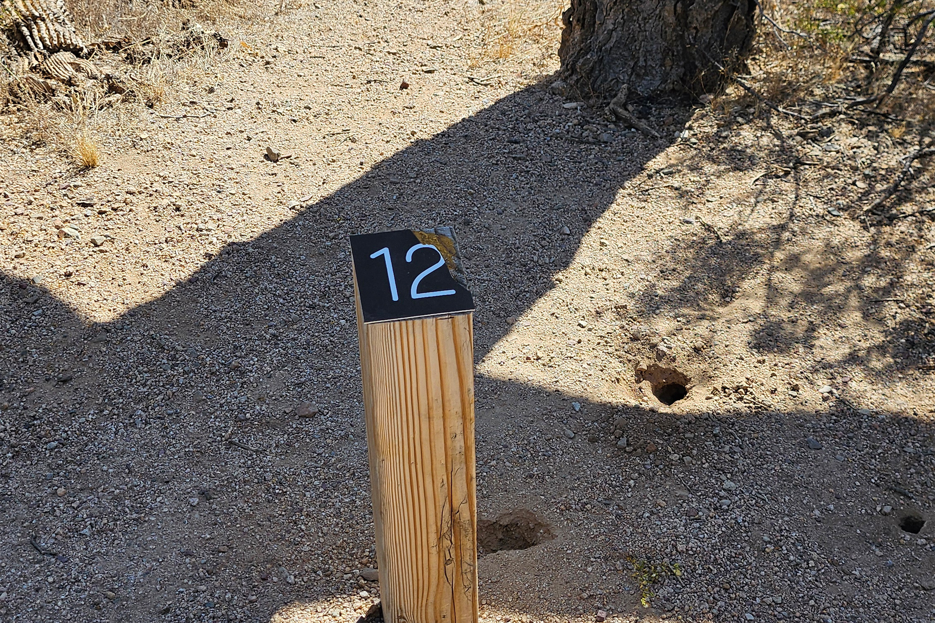
Signs of Life, Self-Guided Tour Stop 2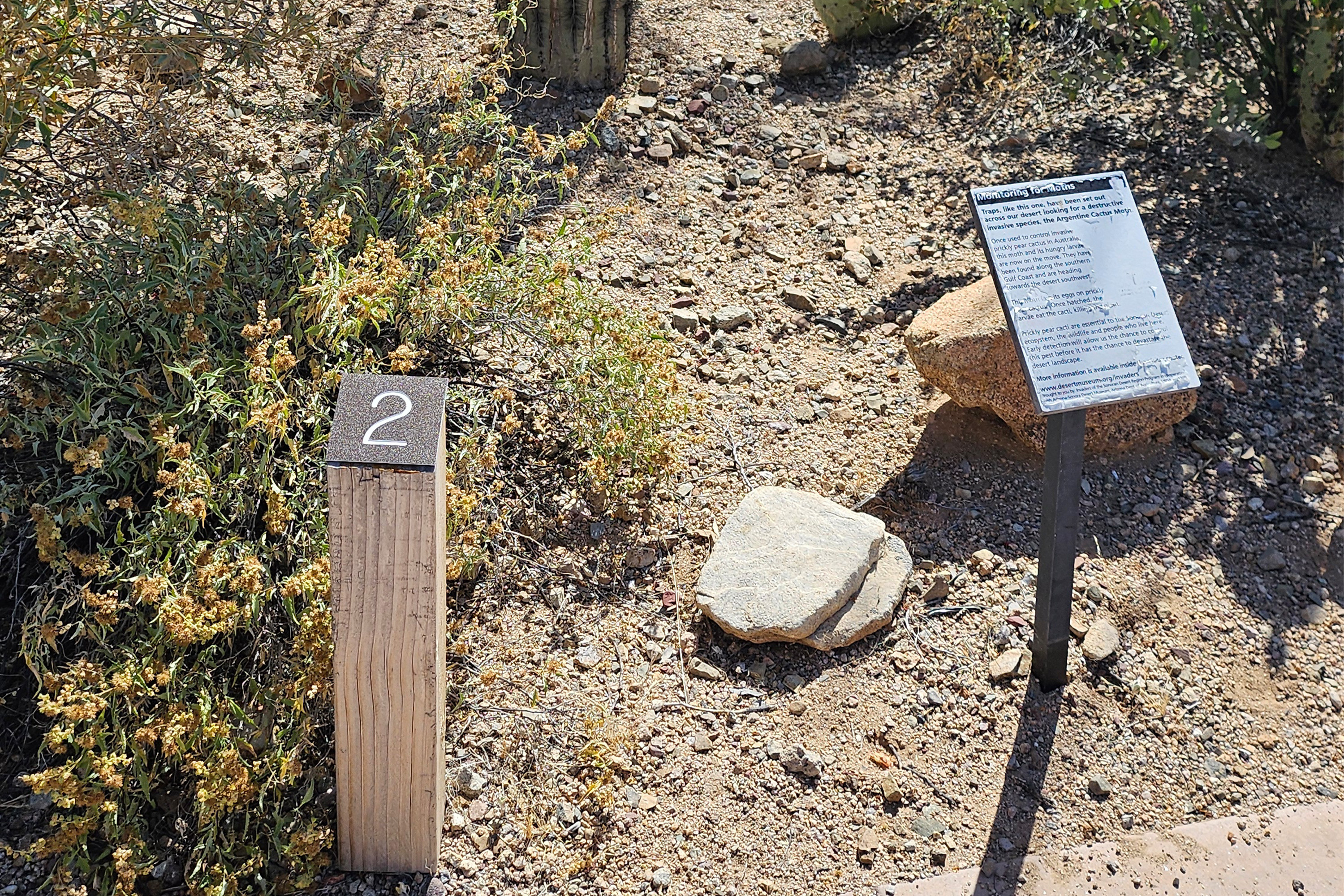
Signs of Life, Self-Guided Tour Stop 3
Signs of Life, Self-Guided Tour Stop 4
Signs of Life, Self-Guided Tour Stop 5
Signs of Life, Self-Guided Tour Stop 6
Signs of Life, Self-Guided Tour Stop 7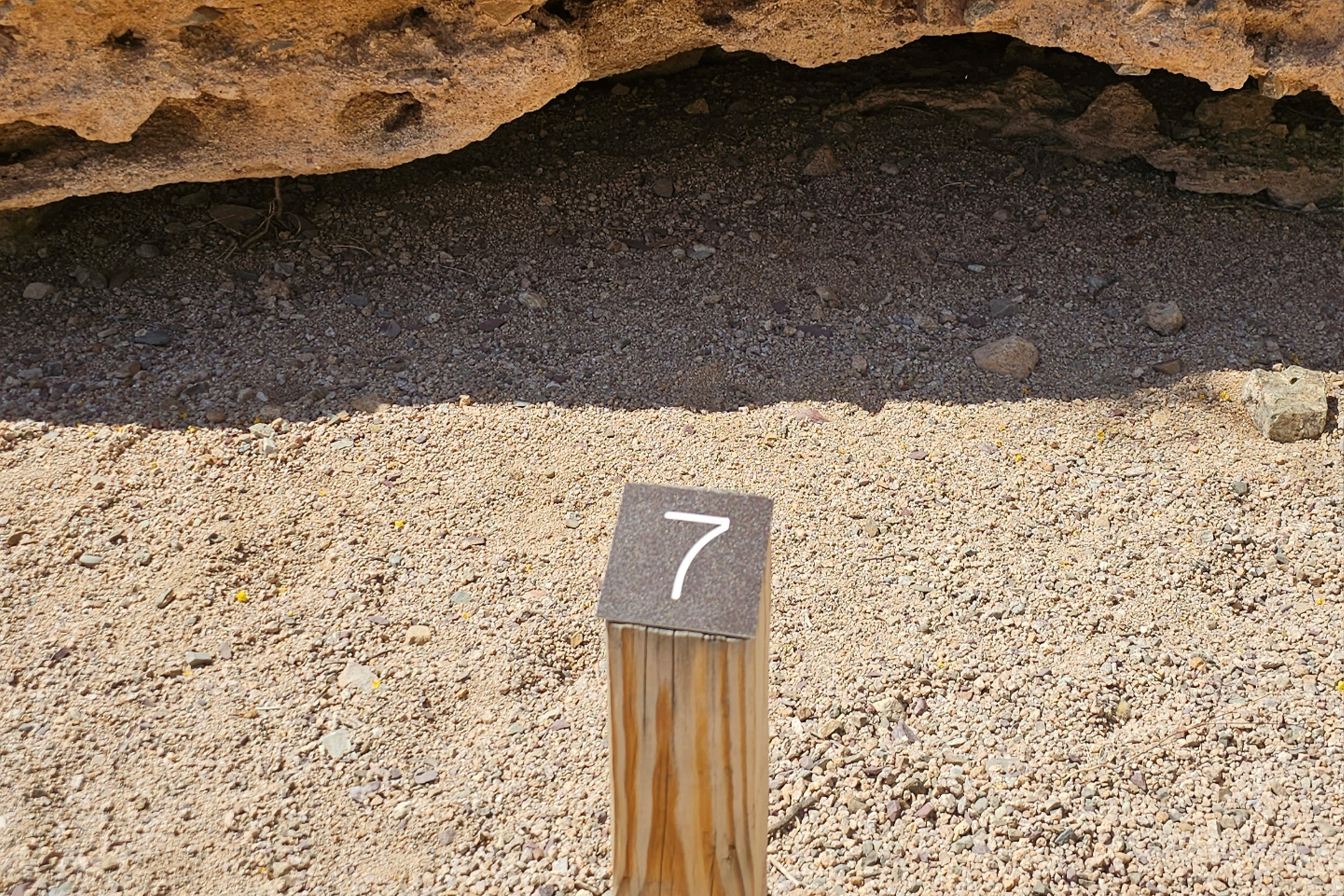
Signs of Life, Self-Guided Tour Stop 8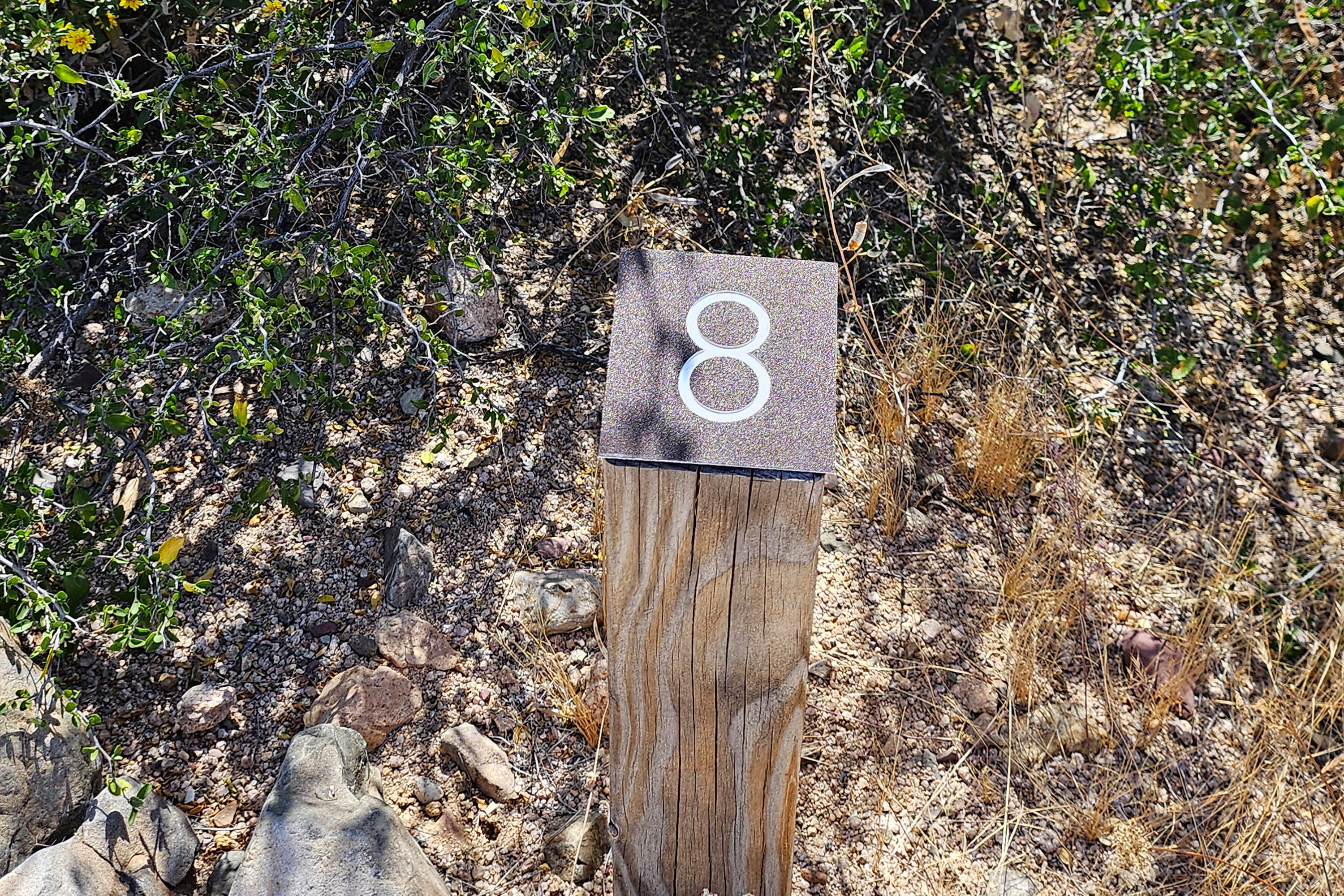
Signs of Life, Self-Guided Tour Stop 9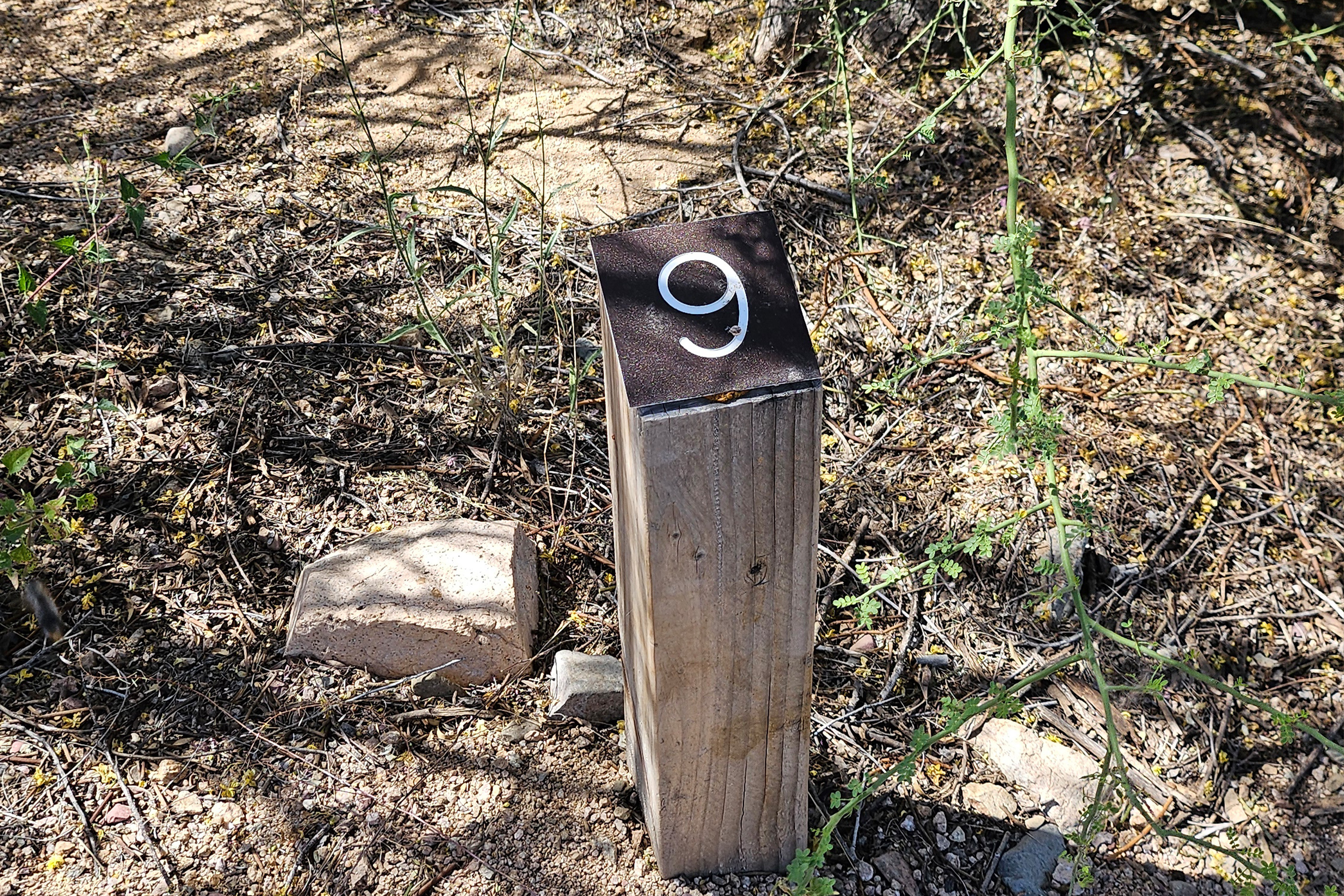
Small Parking Lot, east of Redhills VC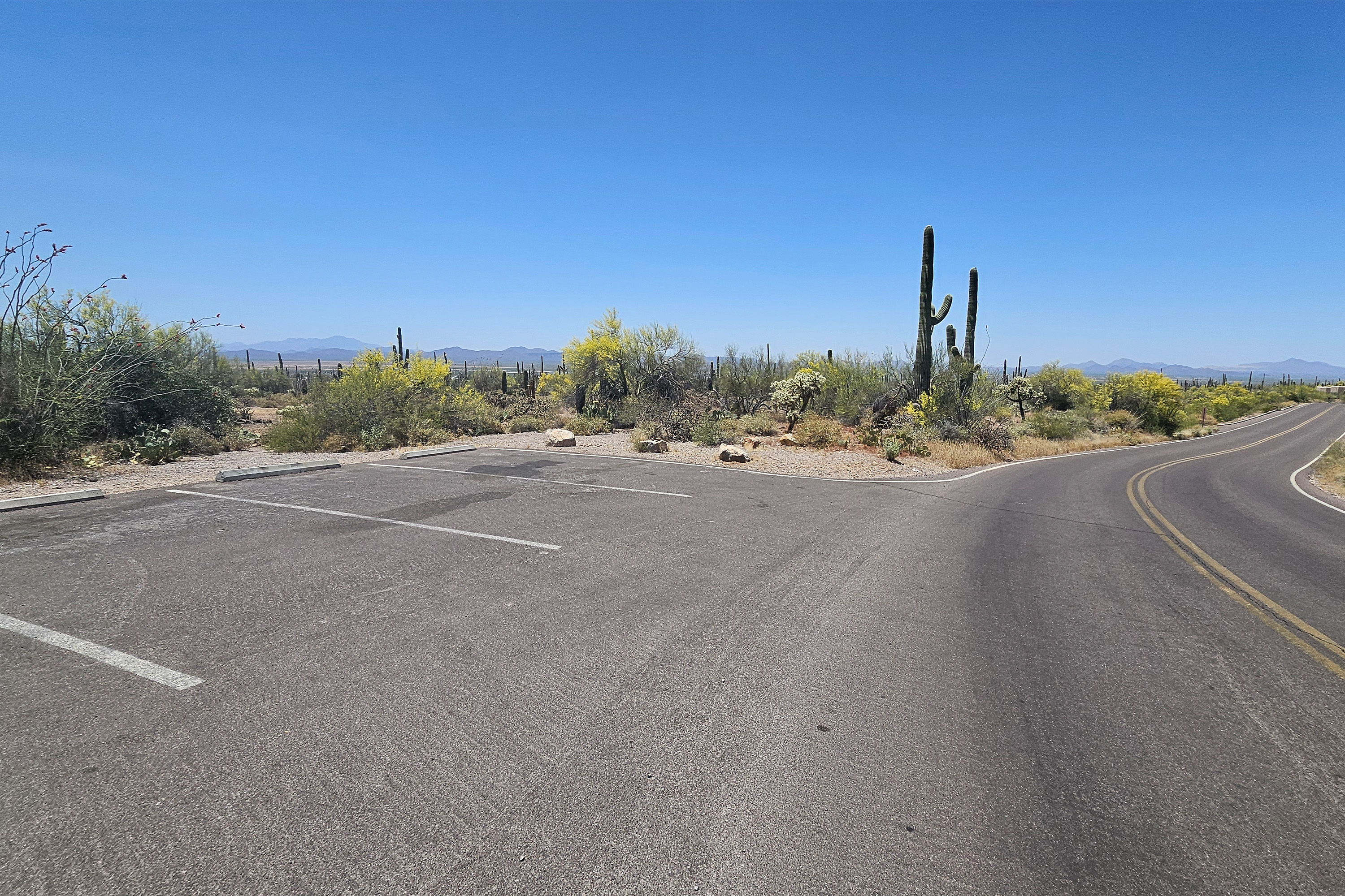
Sus Picnic Area (West District)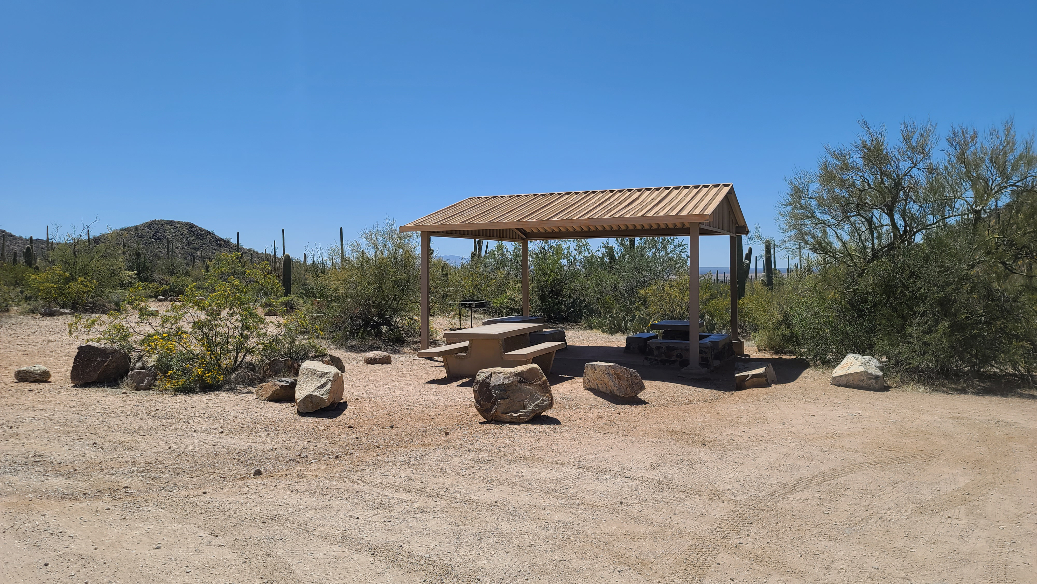
Tanque Verde Ridge Trail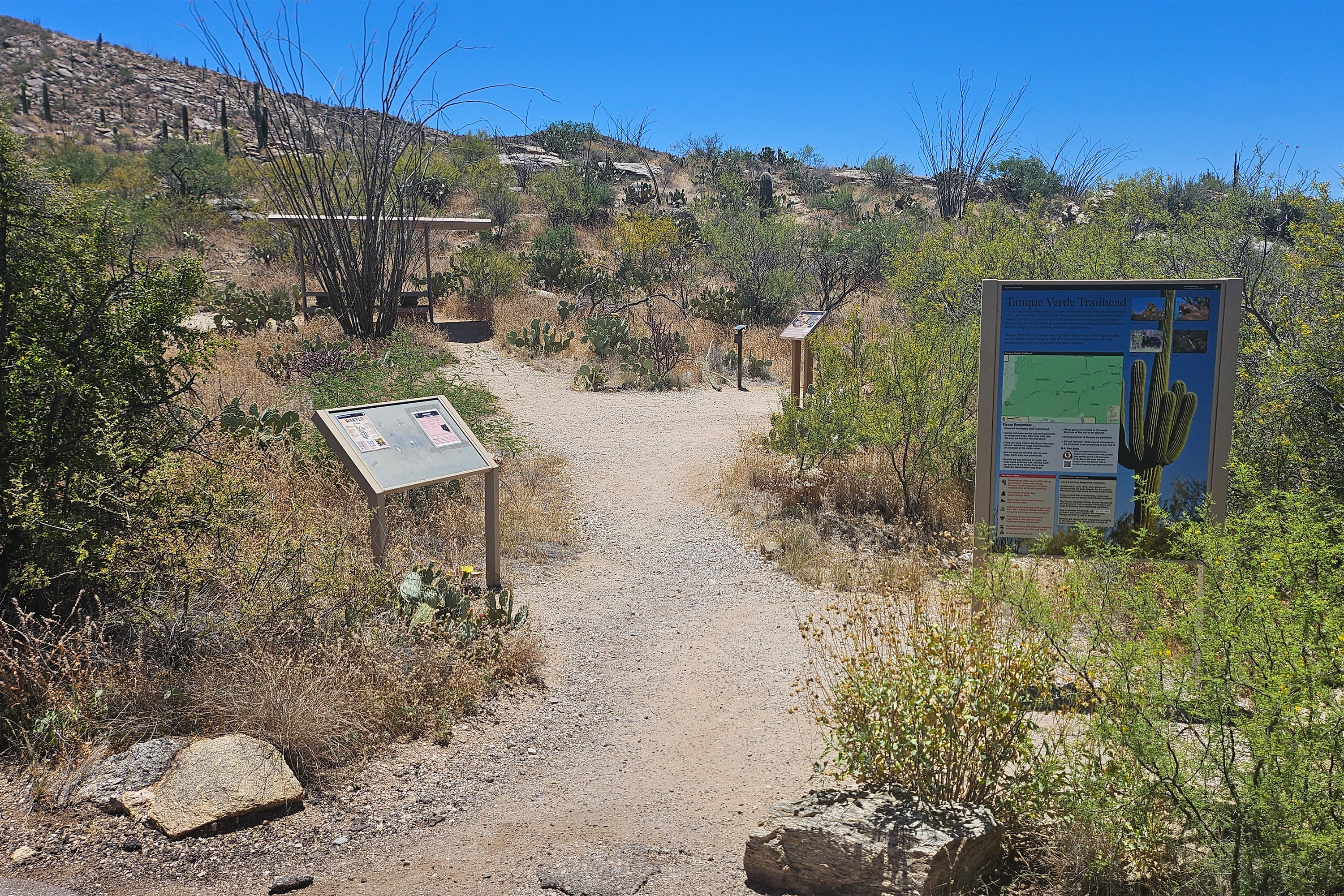
Valley View Overlook Nature Trail
Valley View Trailhead
You Are Here: Poetry in Parks at Mica View Picnic AreaMica View Picnic Area, specifically for Poetry in the Parks event in 2024 
|
| Visitor Centers | Count: 2
Red Hills Visitor Center (West)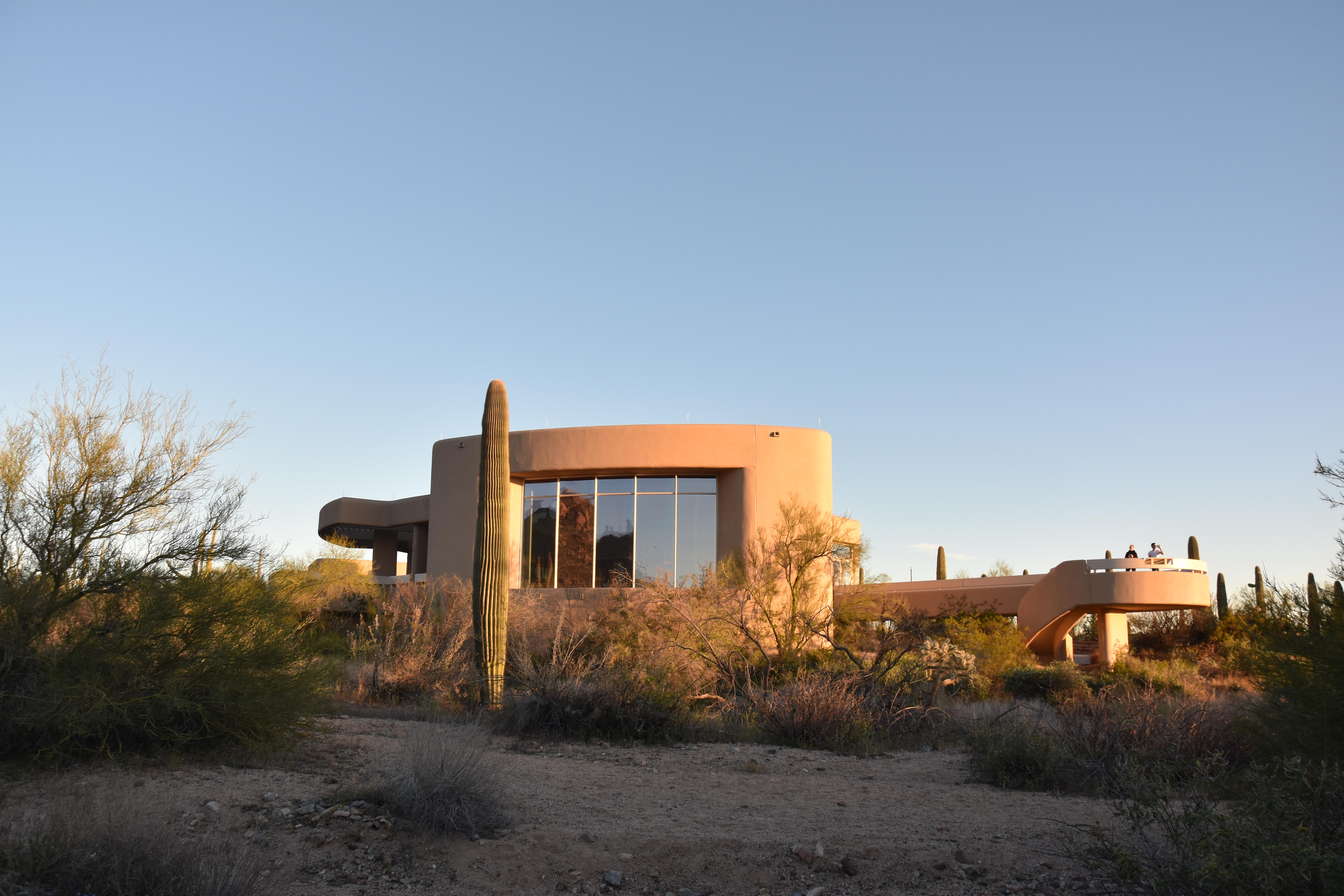
Rincon Mountain Visitor Center (East)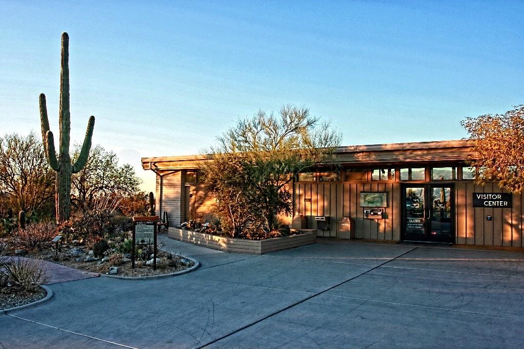
|
| Things to do | Count: 0
|
| Tours |
Count: 1
Signs of Life (Red Hills Visitor Center)This self-guided tour will walk you around the Red Hills Visitor Center, through the Cactus Garden and Javelina Wash Trail. Enter the desert and learn about the amazing adaptations these plants and animals have made to survive in this hostile climate. |
| Articles |
|