8 Miles of Unpaved Road to Reach Park
In order to reach the Sand Creek Massacre Site, visitors must travel on at least 8 miles of unpaved roads. We are not able to guarantee road conditions of county roads 54 or W after spring storms.
Visitor Services Available Only at the Site
The Center for Sand Creek Massacre Studies located in Eads, Colorado is available for appointment only research requests. Visitor Services are available at the Historic Site, 23 miles northeast of Eads.
| Title | Sand Creek Massacre |
| Park Code | sand |
| Description | On November 29th, 1864, Chiefs Black Kettle, White Antelope, Left Hand and others were encamped with around 750 Arapaho and Cheyenne people in a valley by the Big Sandy Creek. A hope for peace, brought forth by Black Kettle was in the balance. It... |
| Location | |
| Contact | |
| Activities |
|
| Entrance fees |
|
| Campgrounds | Count: 0
|
| Places | Count: 17
Approach PulloutThe Approach pullout overlooks the area where Chivington's forces dropped their baggage and prepared to attack the village. Exhibits here address the Cheyenne and Arapaho journey to Sand Creek as well as the soldiers’ journey from Fort Lyon to Sand Creek. Three wayside exhibits here explore the story up to the beginning of the attack on the village. 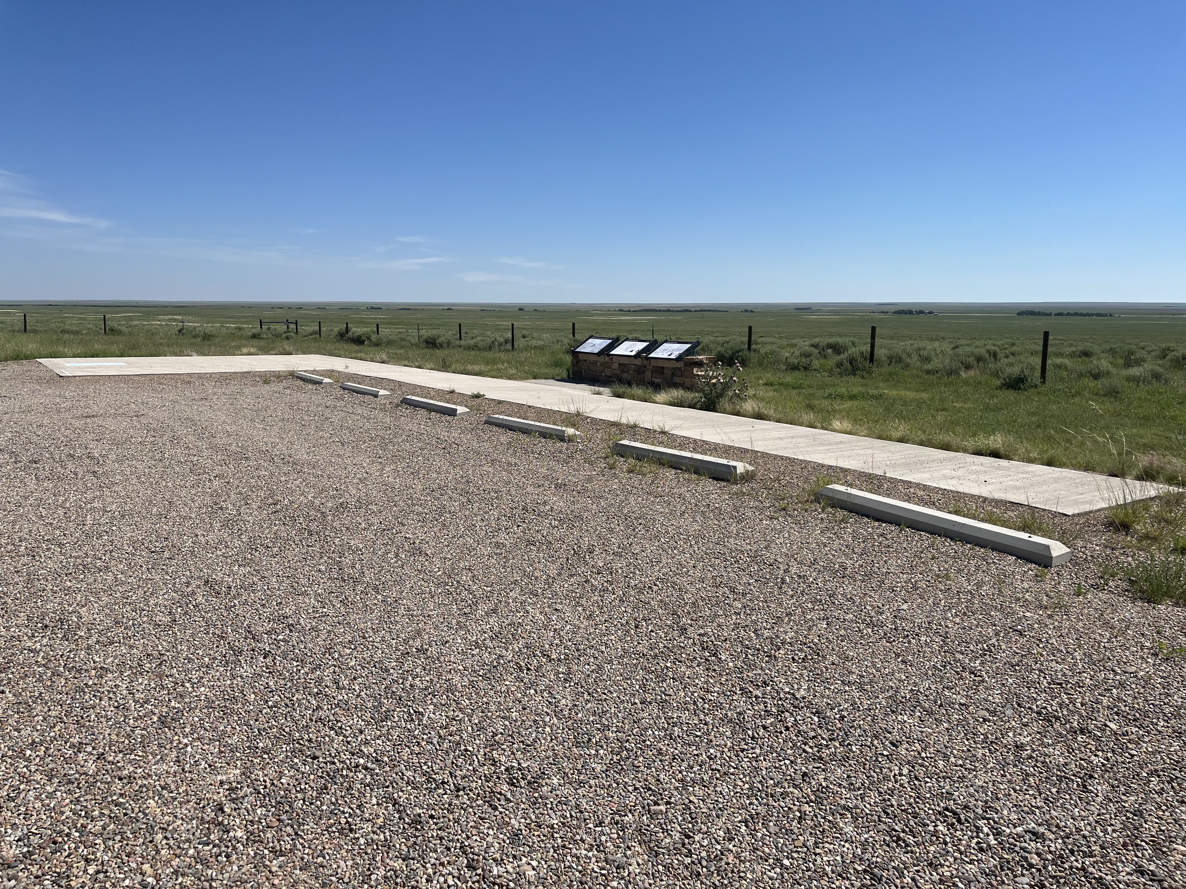
Bent's New Fort and Fort Wise/LyonBent's New Fort was a historic fort and trading post along the banks of the Arkansas River on the Mountain Route branch of the Santa Fe Trail. William Bent operated a trading post with limited success at the site and in 1860 leased the fort to the United States government, which operated it as a military outpost until 1867. The site is privately owned today, and little remains of the building that once stood there. 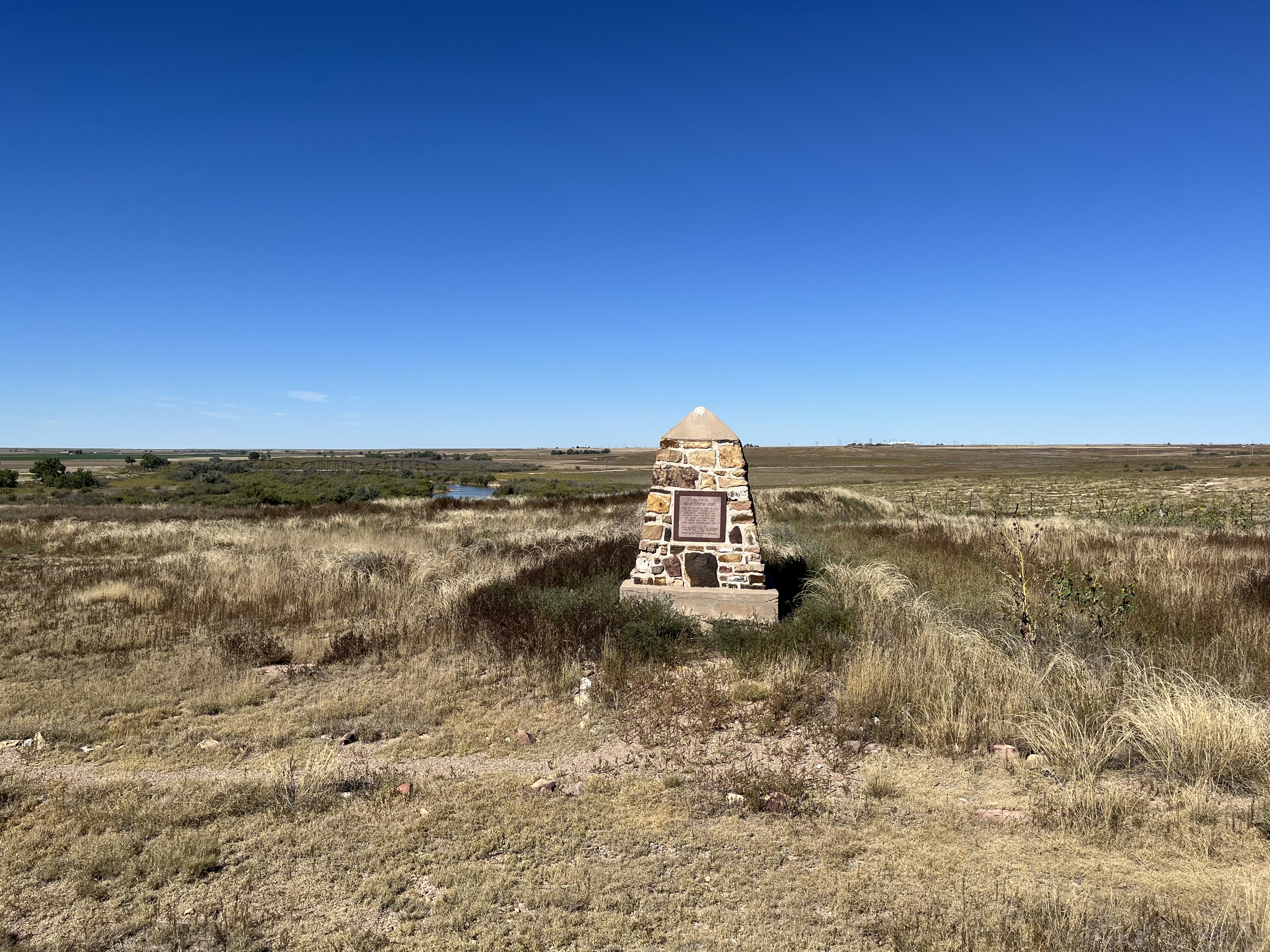
Bluff Trail JunctionJunction between the Monument Hill Trail and the Bluff Trail at Sand Creek Massacre NHS 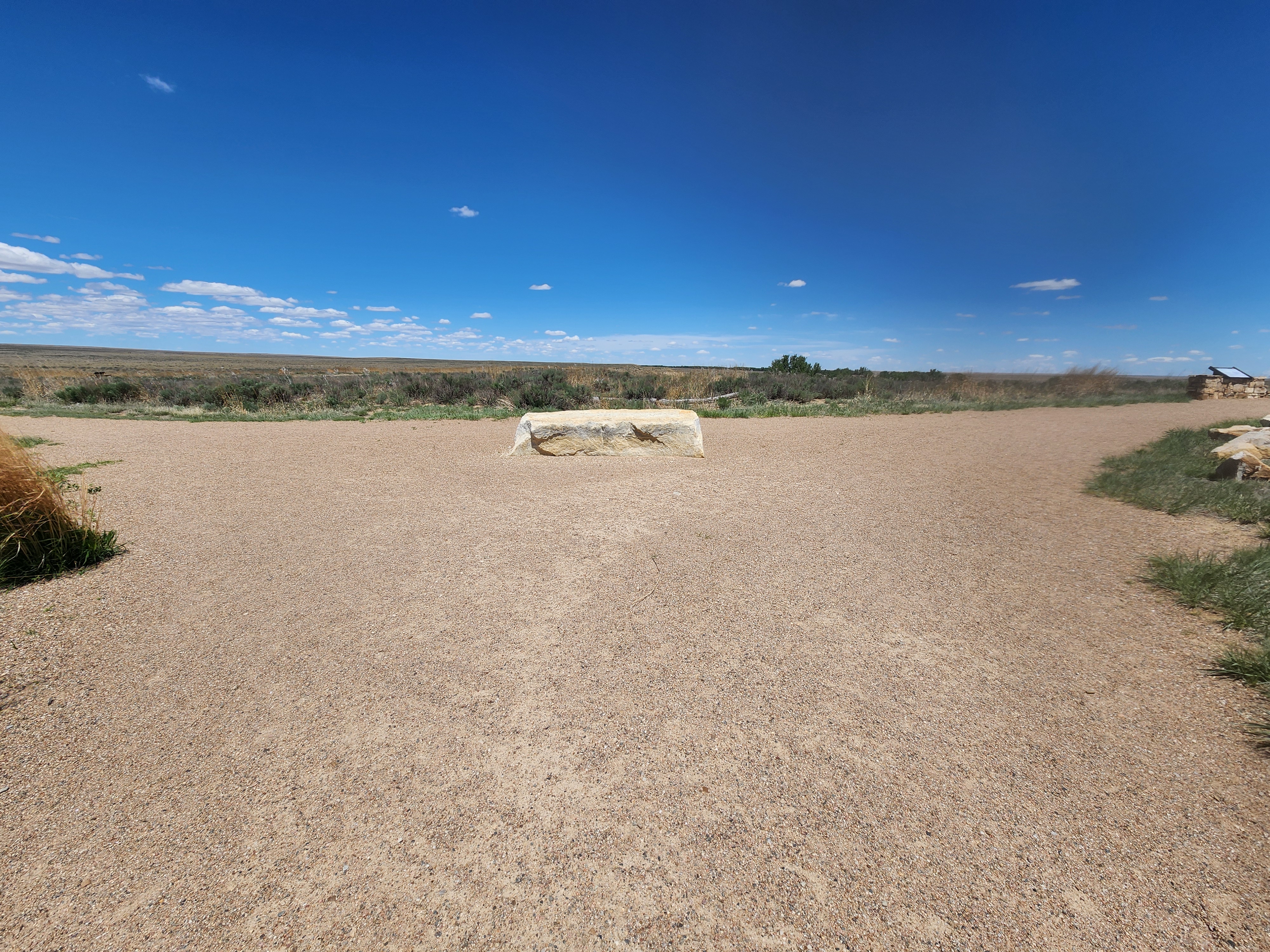
Monument Hill Parking Area ConnectionThe short trail connection that links the Monument Hill Trail to the Monument Hill parking area at Sand Creek Massacre NHS 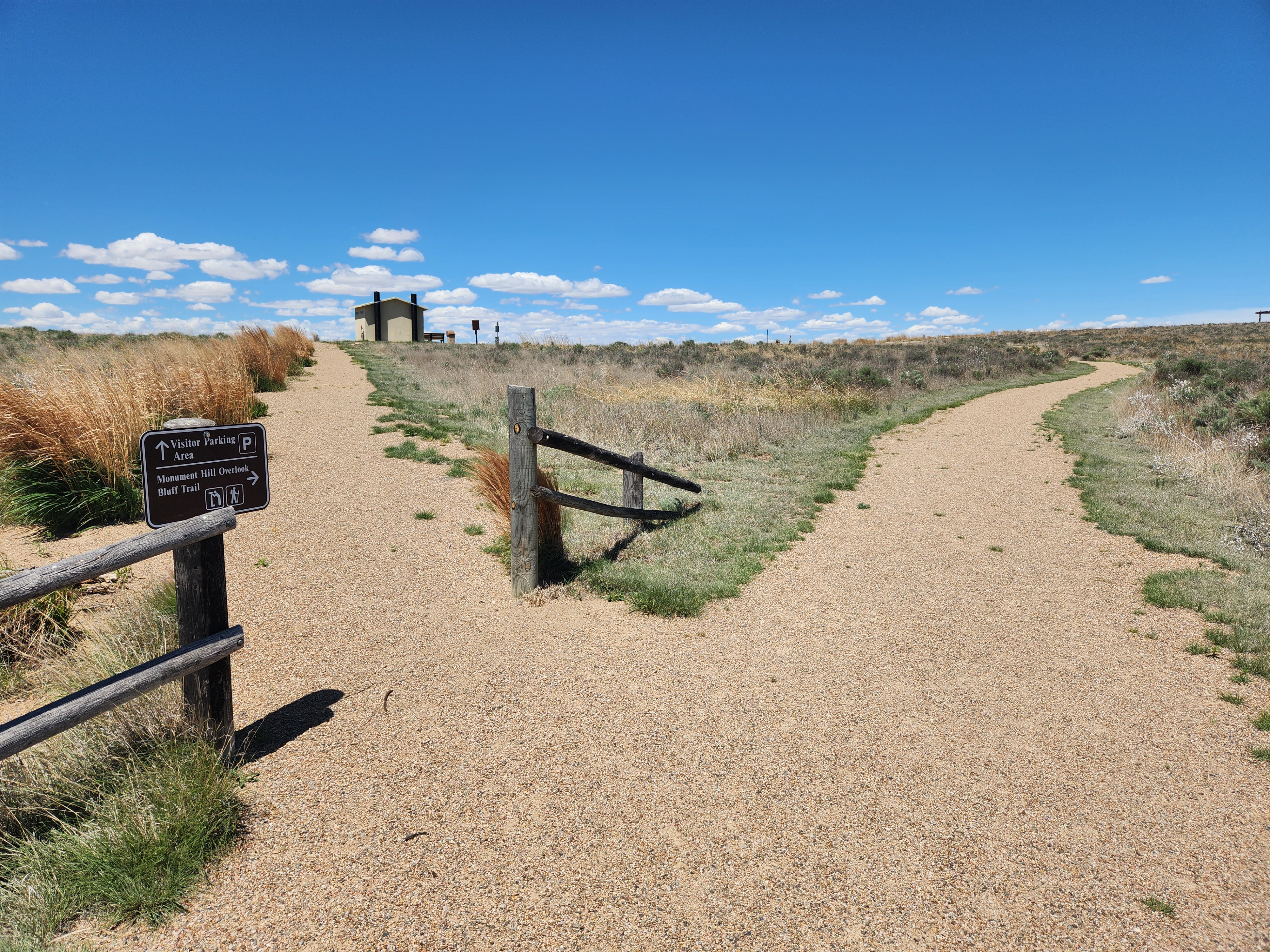
Monument Hill TrailheadWayside exhibit at the Monument Hill Trailhead 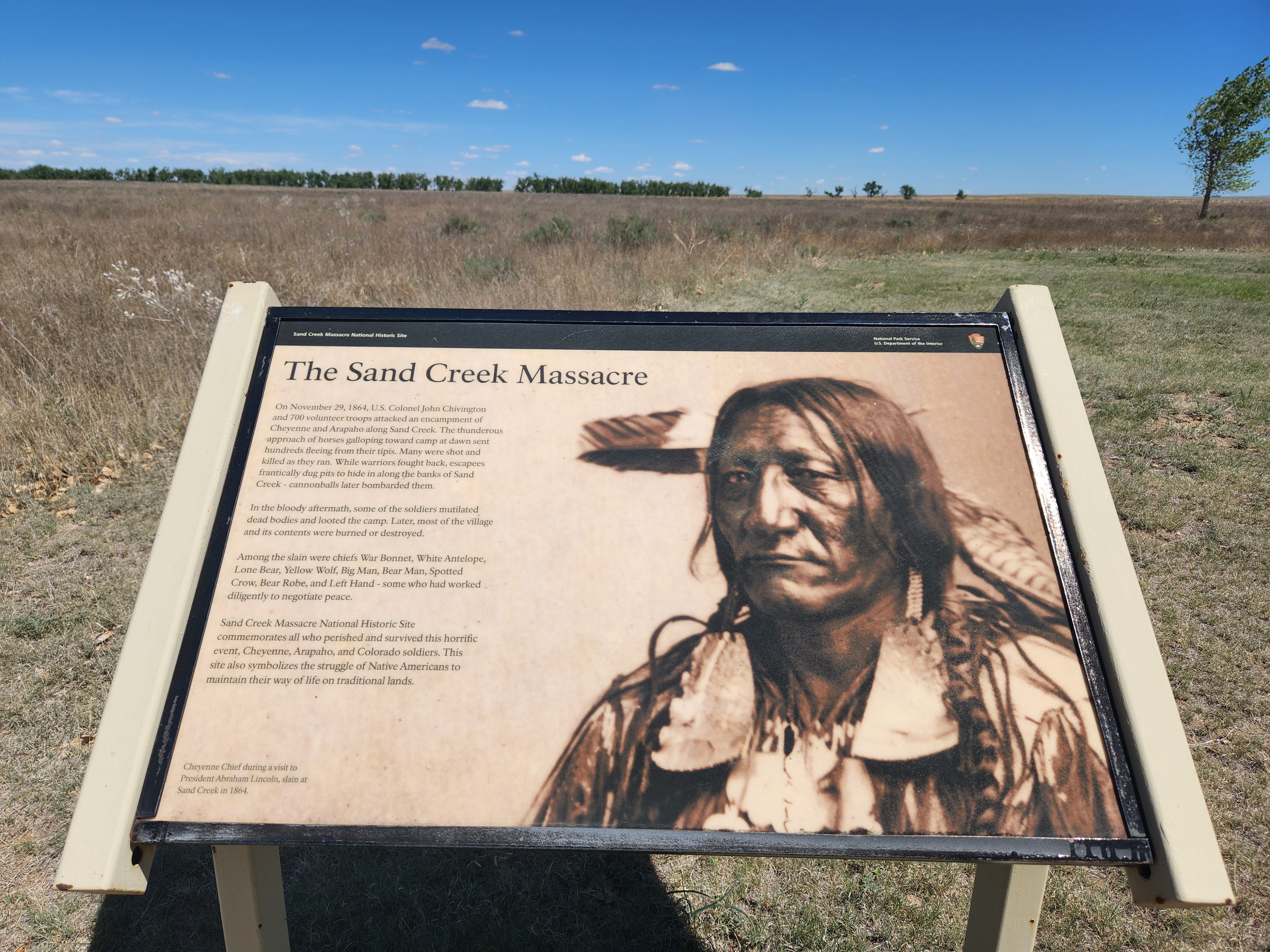
Orientation AreaThe orientation area is located in between the visitor parking area and the Visitor Contact Station. Among the shade of cottonwood trees is a vault toilet, picnic tables, and orientation exhibits. A tornado shelter is located near the contact station. 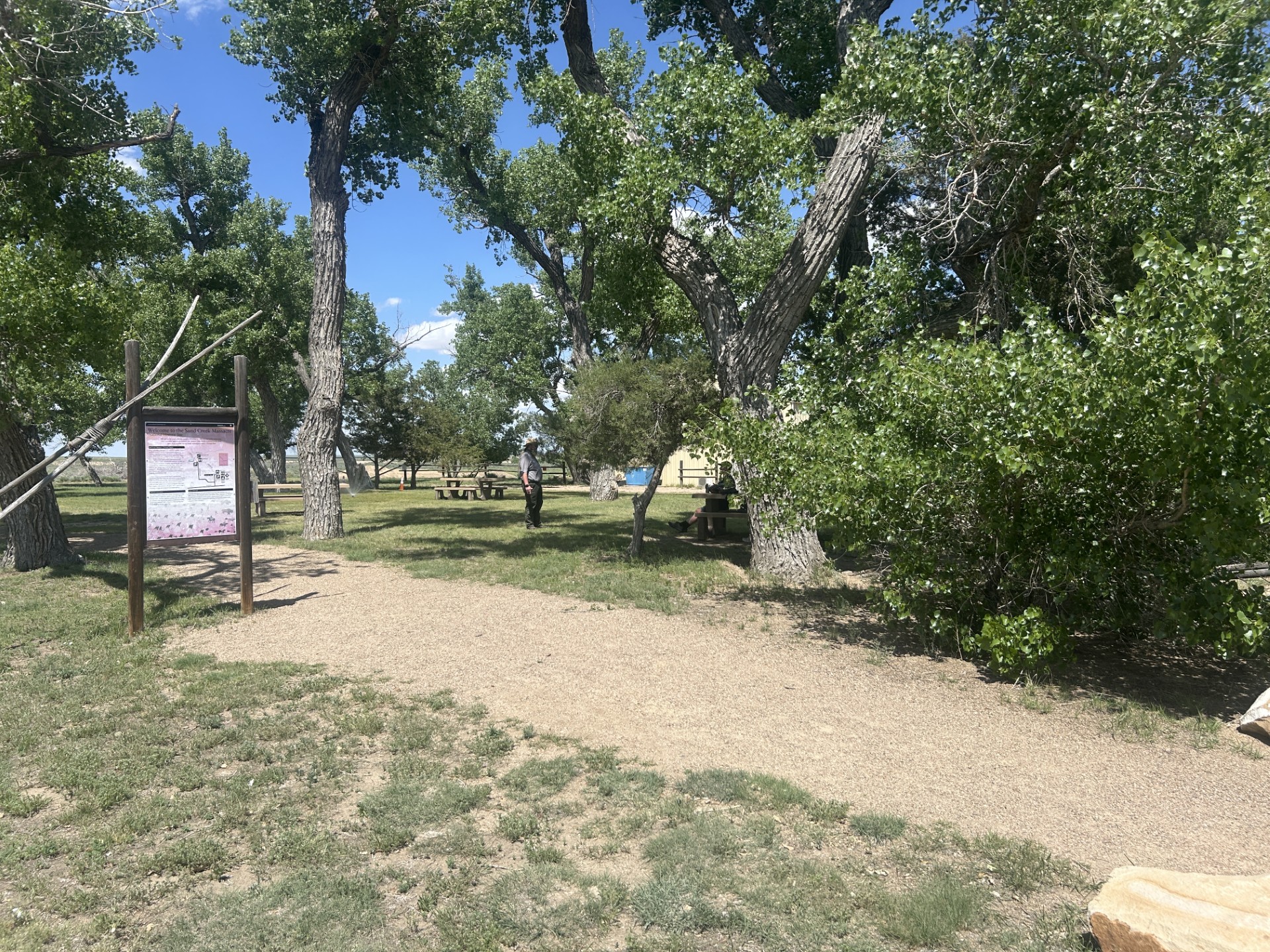
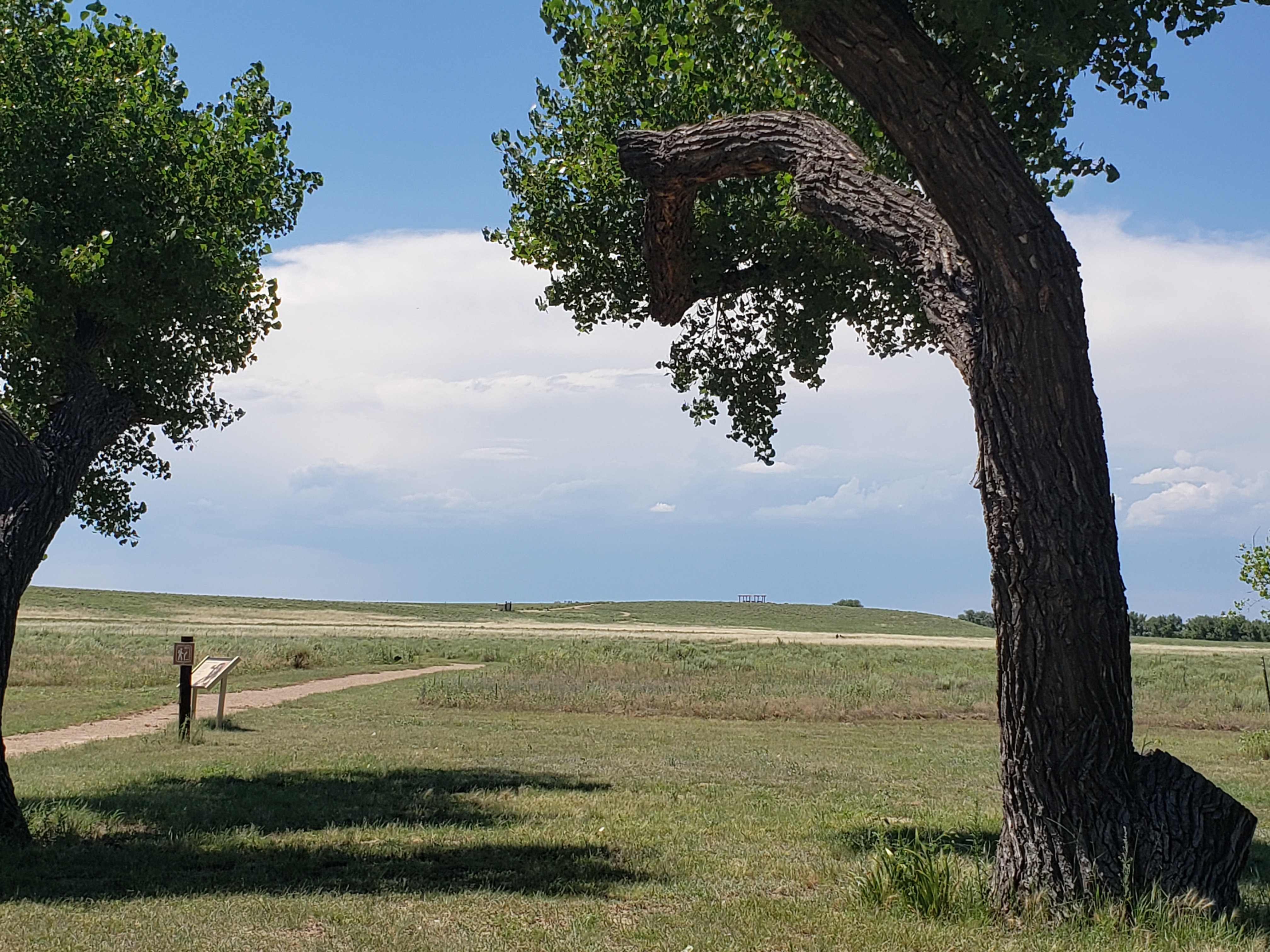
OverlookThe Overlook offers a panoramic view of the creek bed, where the Cheyenne and Arapaho village was located and where the massacre began. The surrounding landscape illustrates specific facets of the story such as the location of the pony herds, the direction of the soldiers’ attack and the routes of escape that most of the Cheyenne/Arapaho followed. With little exception, the landscape appears today exactly as it did during the time of the massacre. 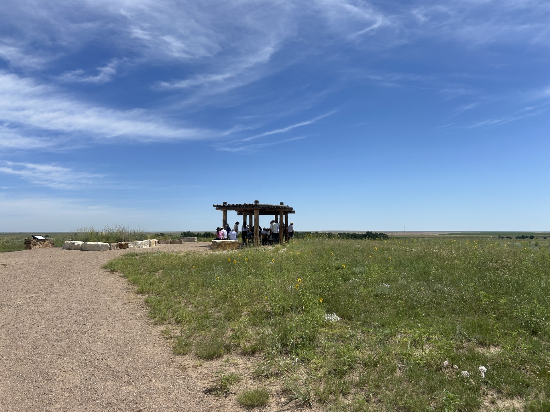
Repatriation AreaThis site includes interments of the remains of massacre victims that have been repatriated to the Cheyenne and Arapaho Tribes from museums and private individuals and interment sites for those that may be repatriated in the future. 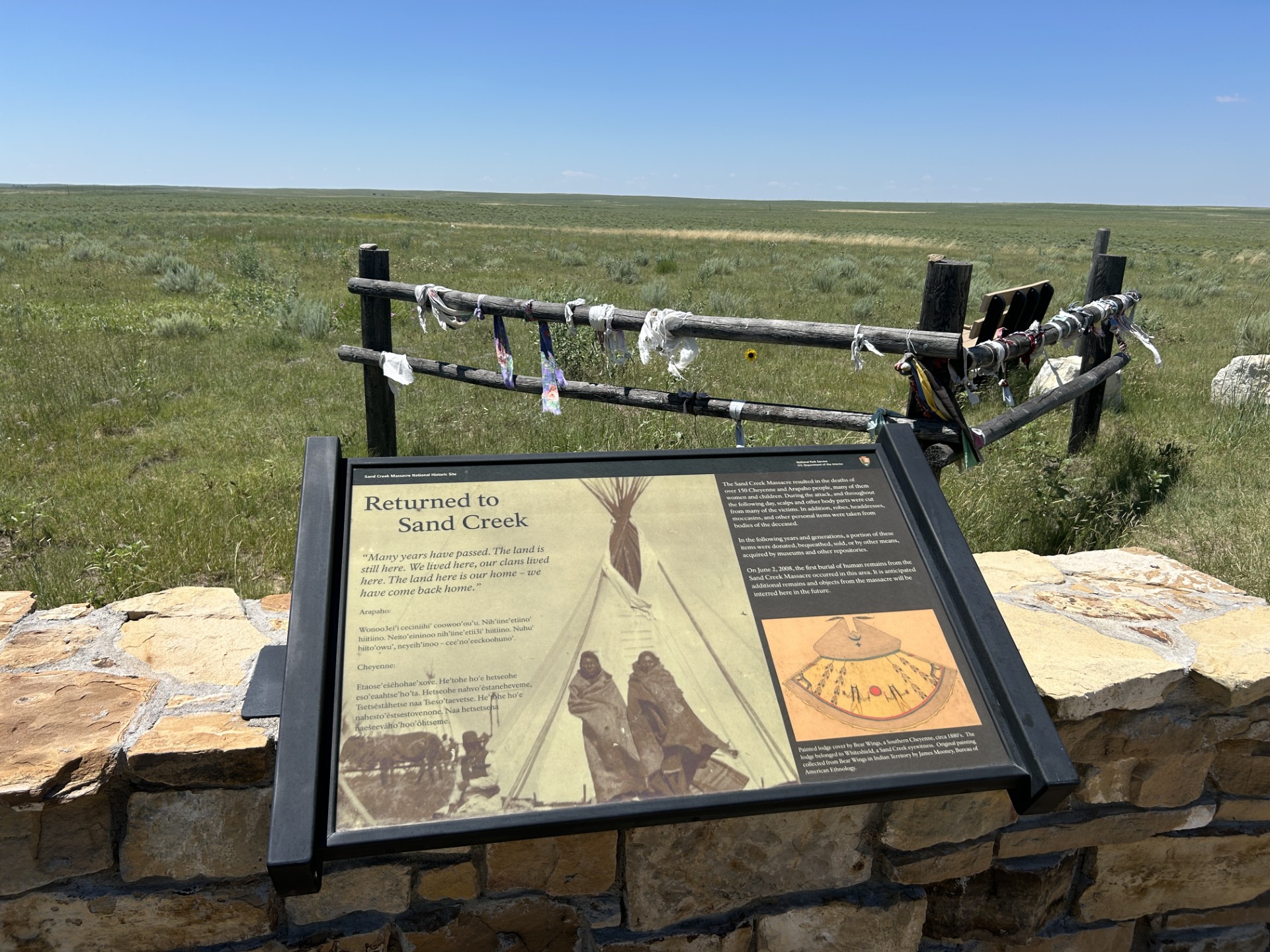
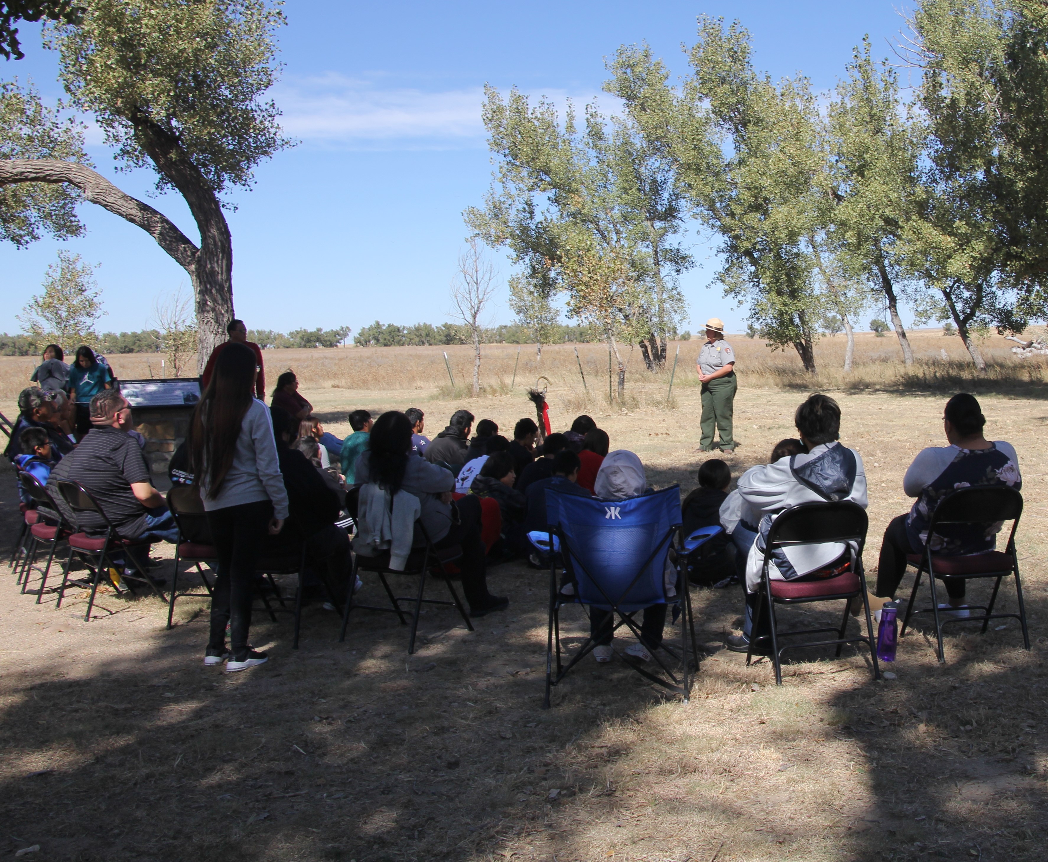
Sand Creek Massacre National Historic SiteSand Creek Massacre National Historic Site recognizes the national significance of the massacre in American history, and its ongoing significance to the Cheyenne and Arapaho people and massacre descendants. 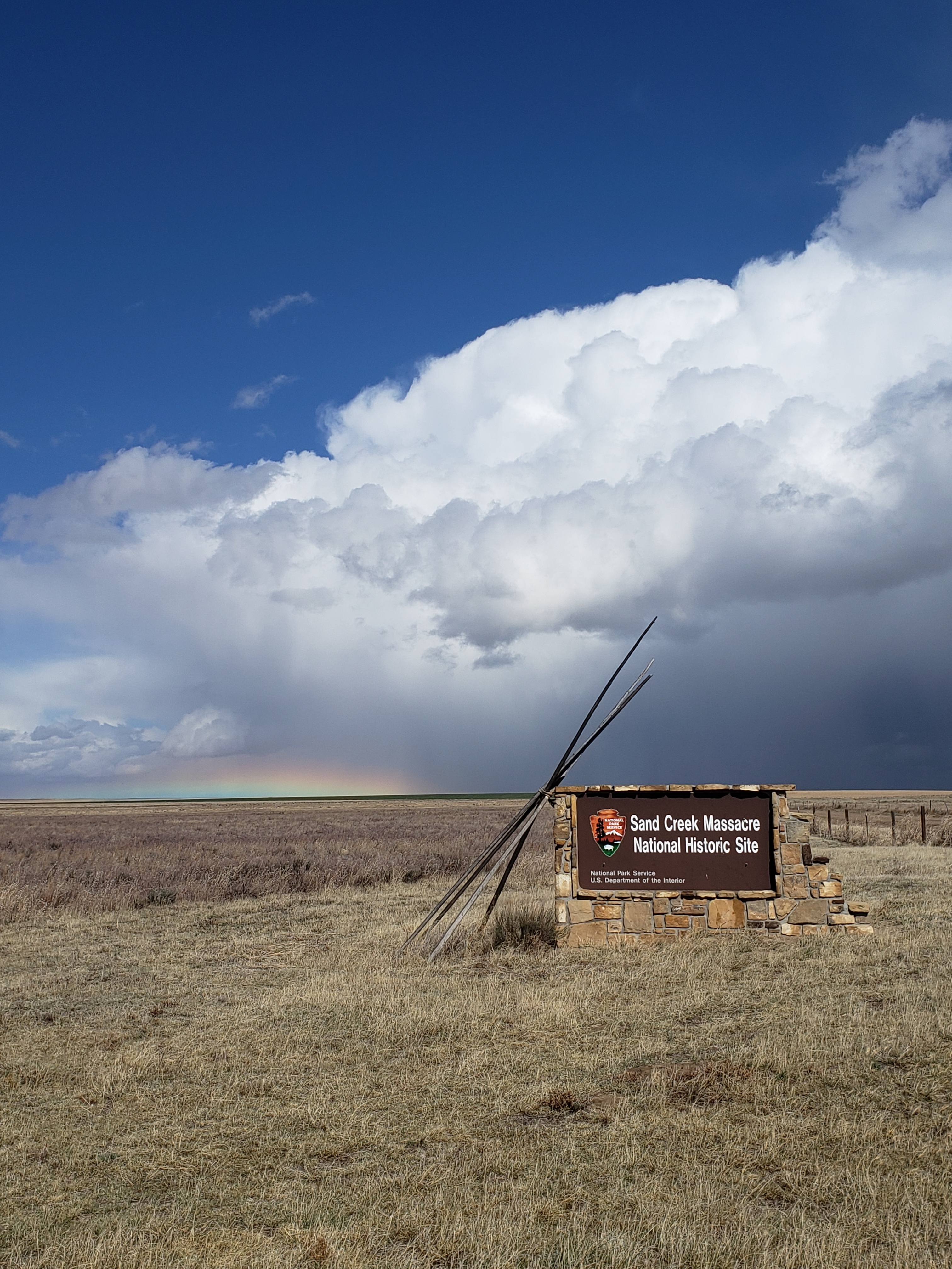
Sand Creek Massacre National Historic Site, the Santa Fe TrailSand Creek Massacre National Historic Site is located along the Santa Fe Trail. This massacre of nearly 230 Cheyenne and Arapaho people by the US Army occurred on November 29, 1864, when 675 soldiers of the First and Third US Colorado Volunteer Cavalry attacked and destroyed a peaceful village, killing mostly women, children, and the elderly. 
Wayside: A Chief's VillageWayside exhibit: Cheyenne and Arapaho Chiefs at Sand Creek - Monument Hill 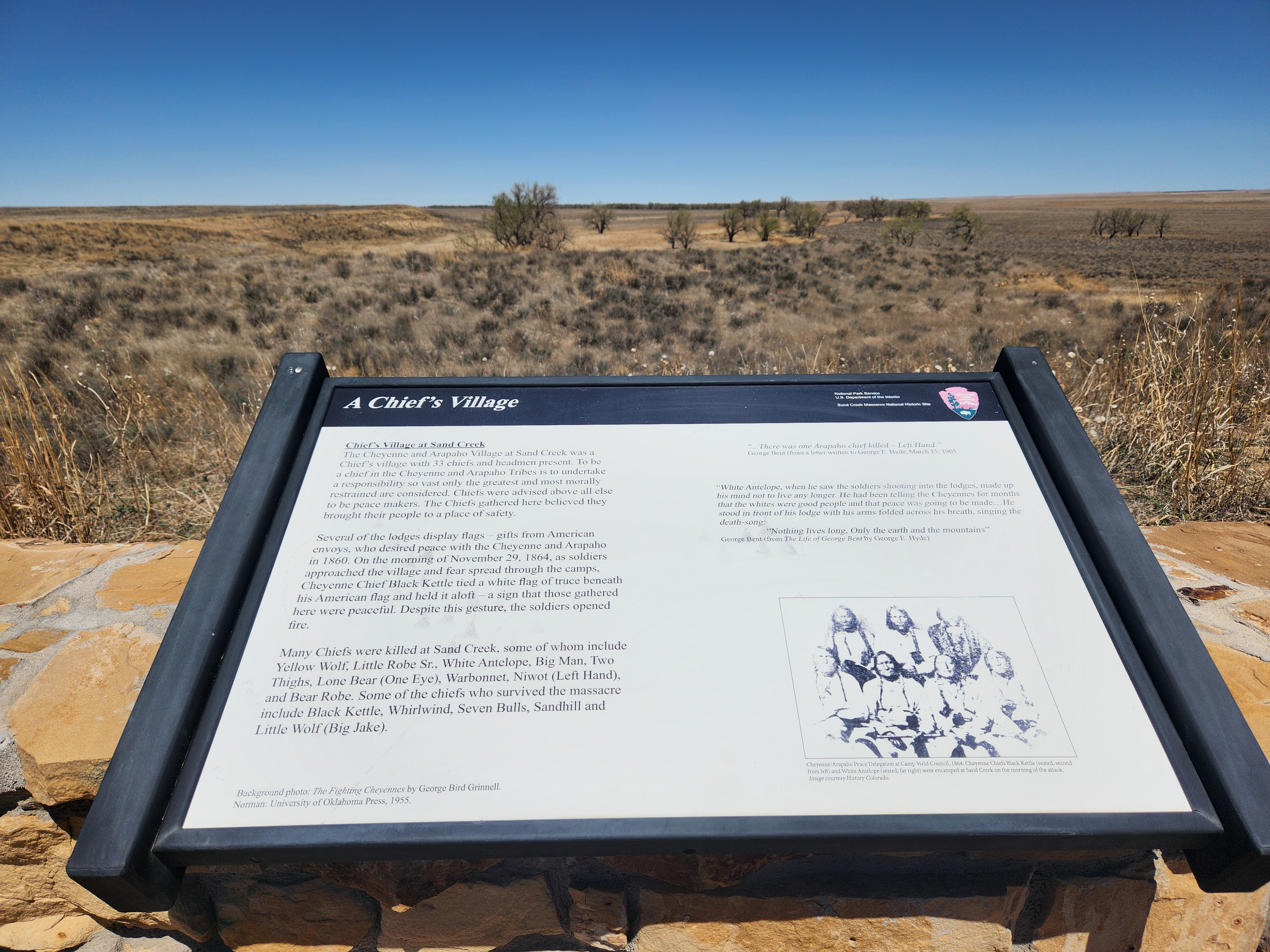
Wayside: Cheyenne and Arapaho Village at Sand CreekWayside exhibit: the village at Sand Creek - Monument Hill 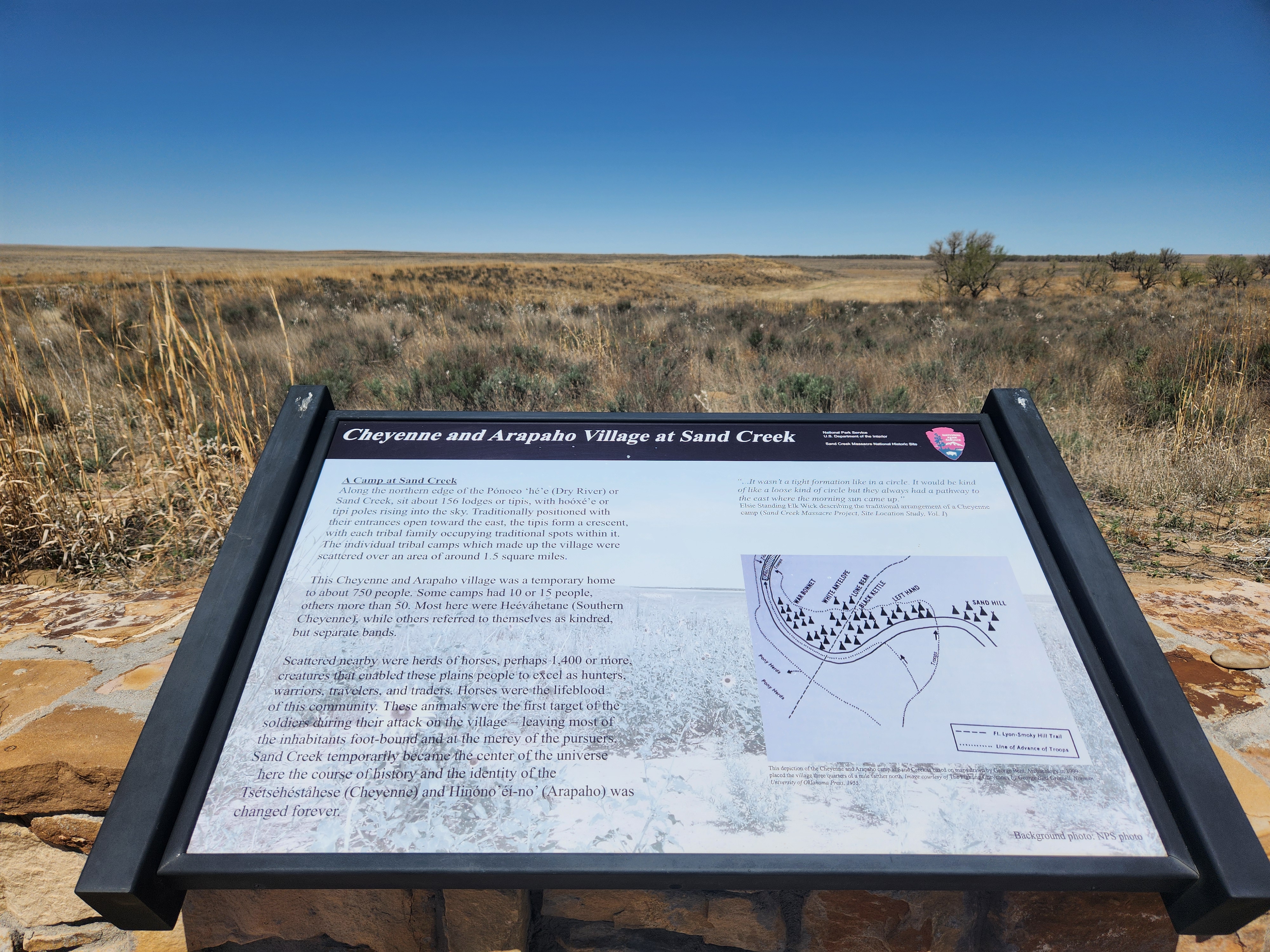
Wayside: Conscience and CourageWayside exhibit: Soule, Cramer, and Wynkoop - located in the orientation area near the visitor contact station. 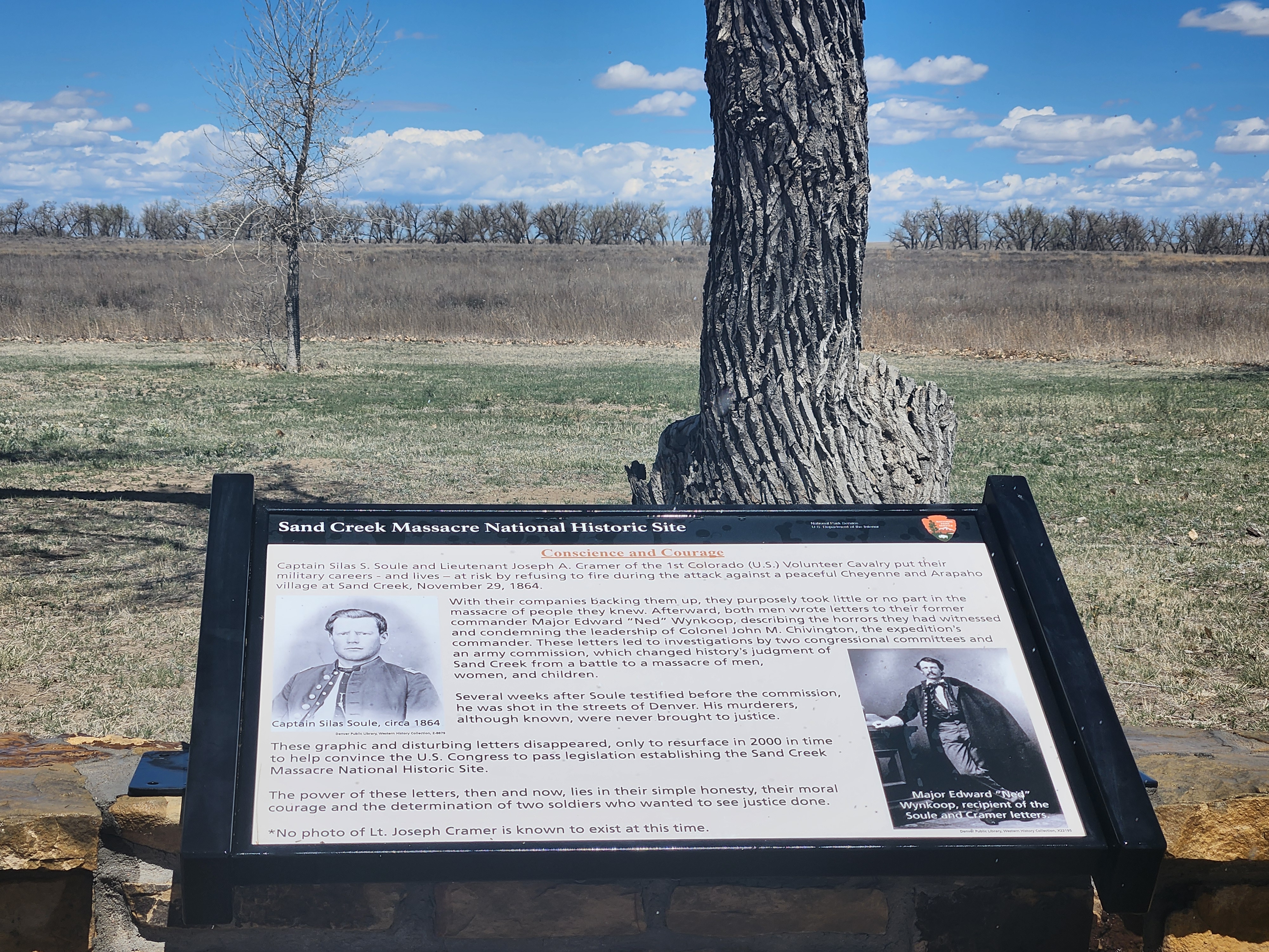
Wayside: Fort Lyon ReservationWayside exhibit: the Fort Lyon Reservation and worsening conditions - halfway along Monument Hill Trail 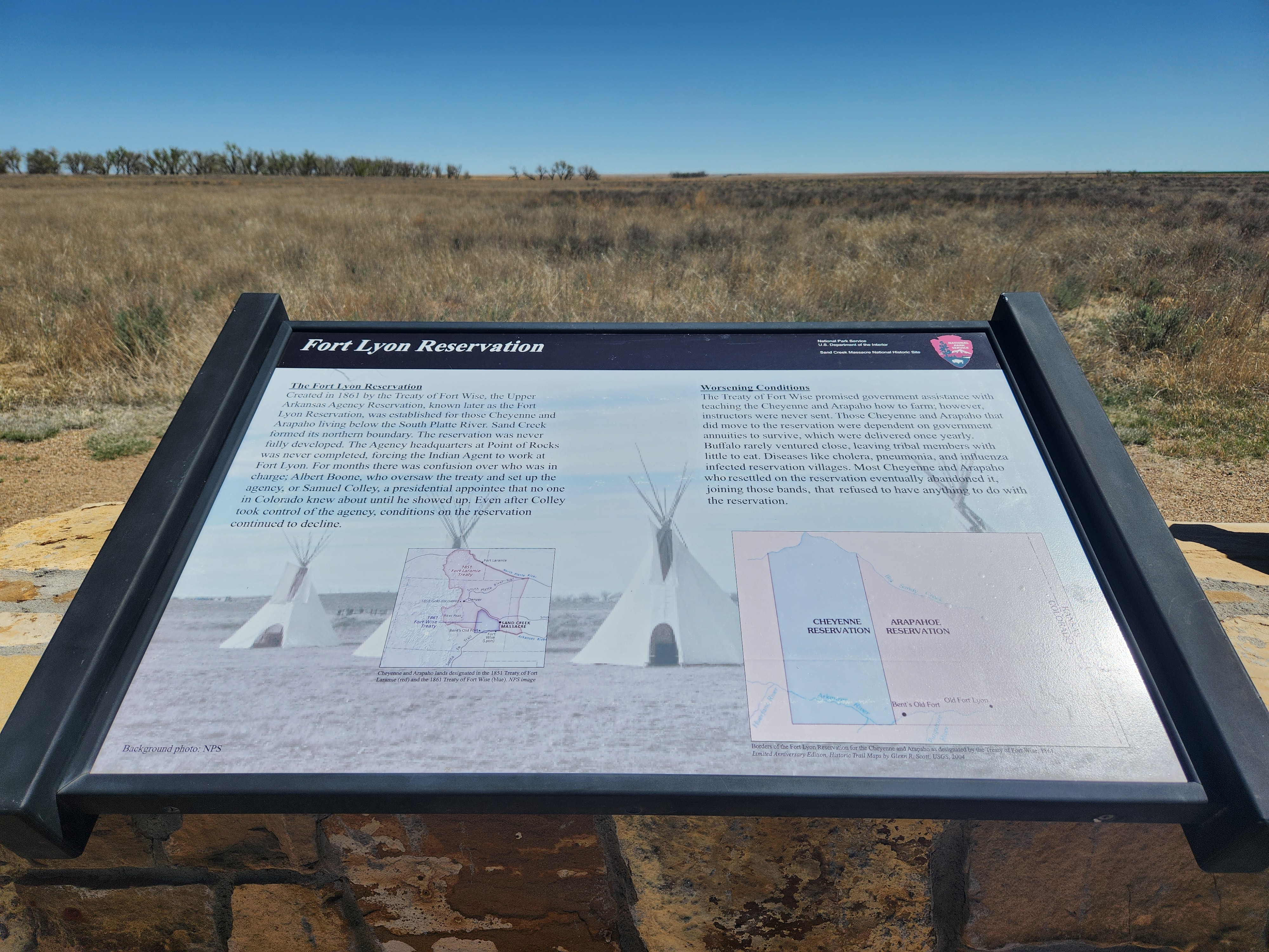
Wayside: Sacred MemoryWayside exhibit: remembering difficult event sin history - Monument Hill 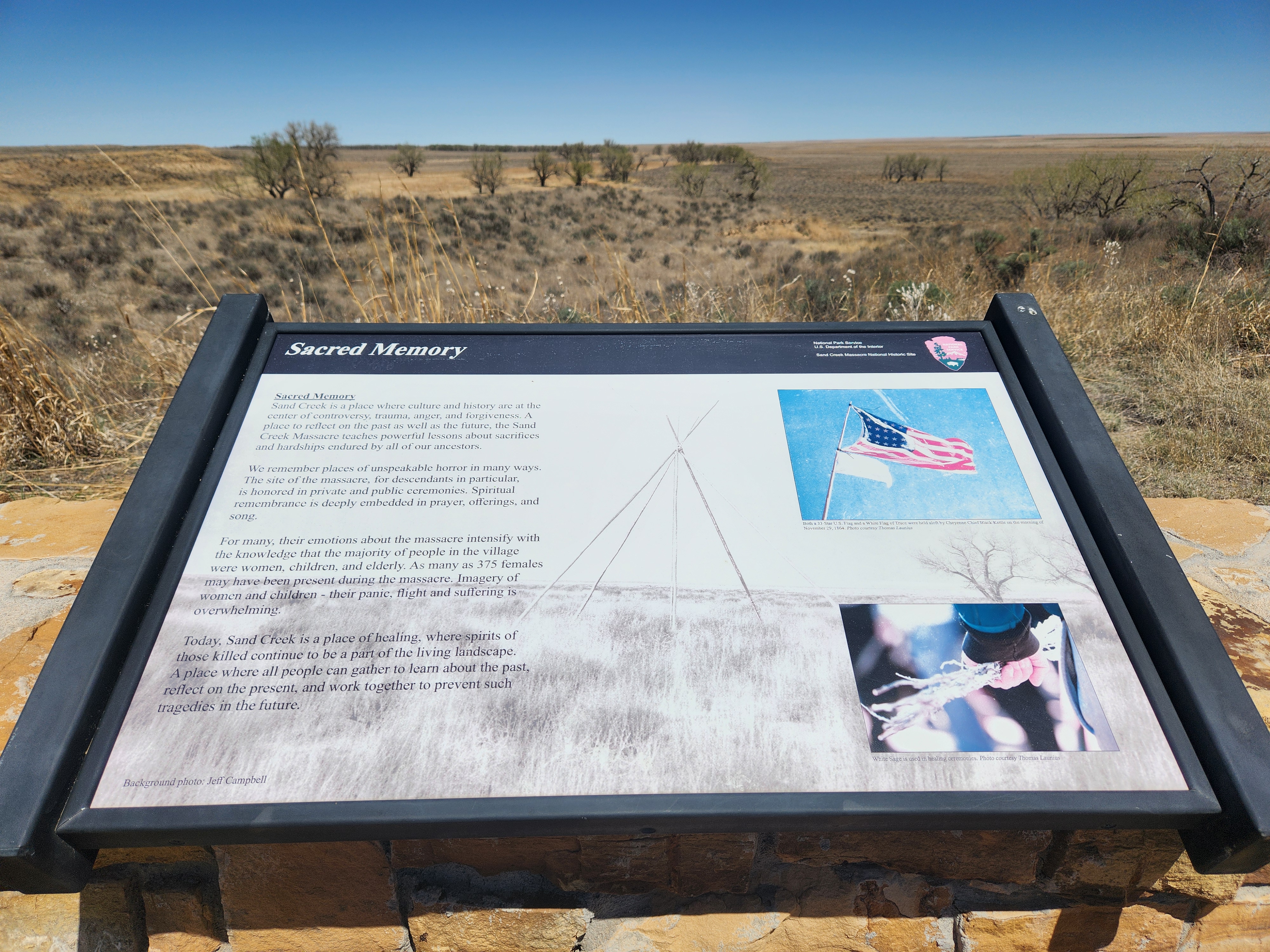
Wayside: Sand Creek as a Camp SiteWayside exhibit: Sand Creek as a camp site - halfway along the Monument Hill Trail 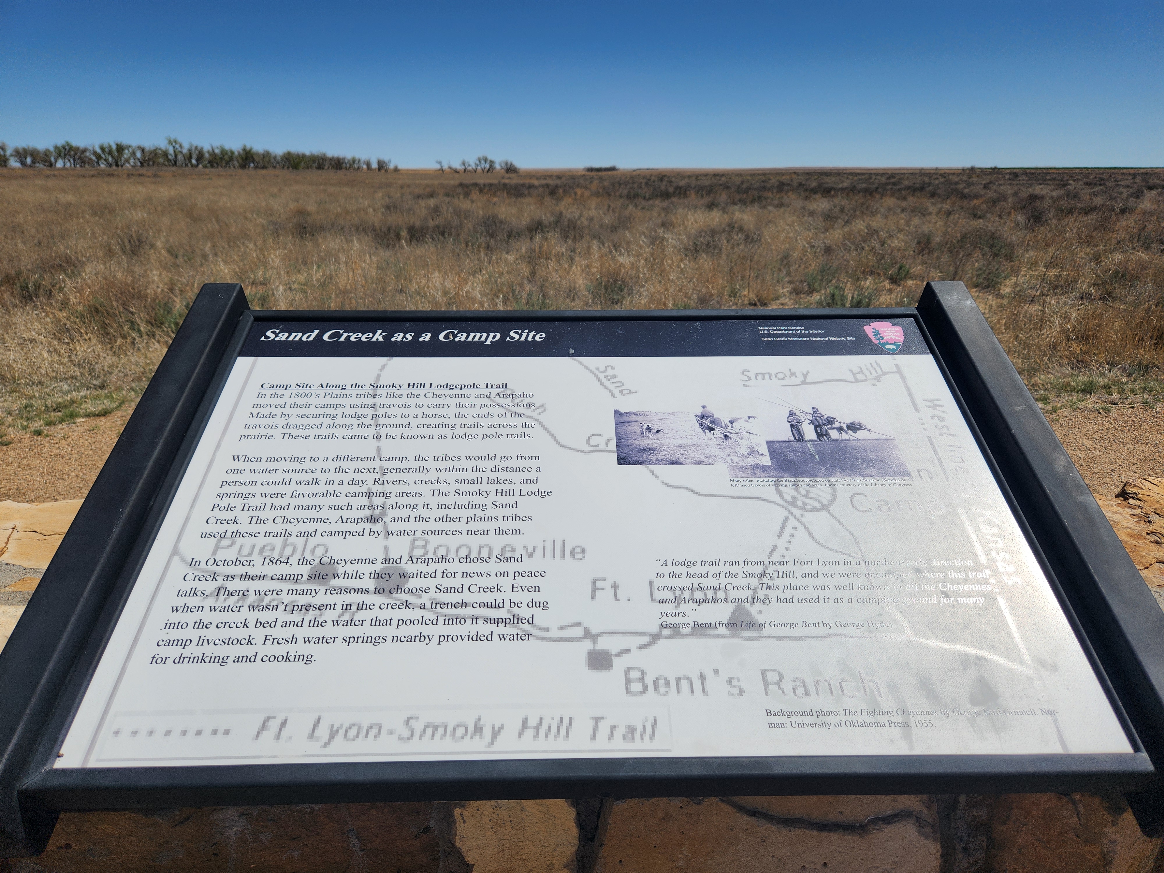
Wayside: Why a 33 Star FlagWayside exhibit: Chief Black Kettle and the 33-star flag - near visitor contact station. 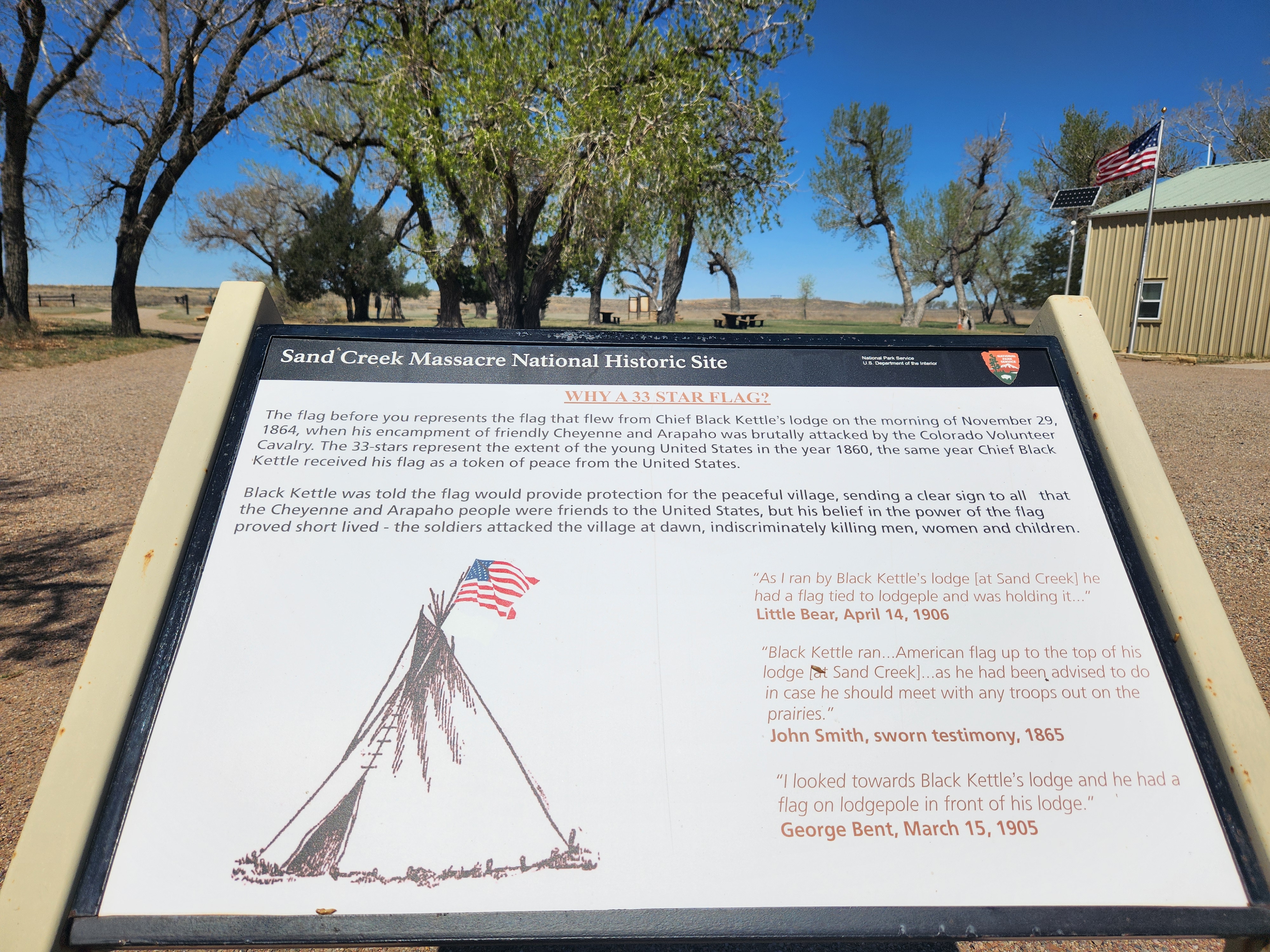
|
| Visitor Centers | Count: 1
Visitor Contact Station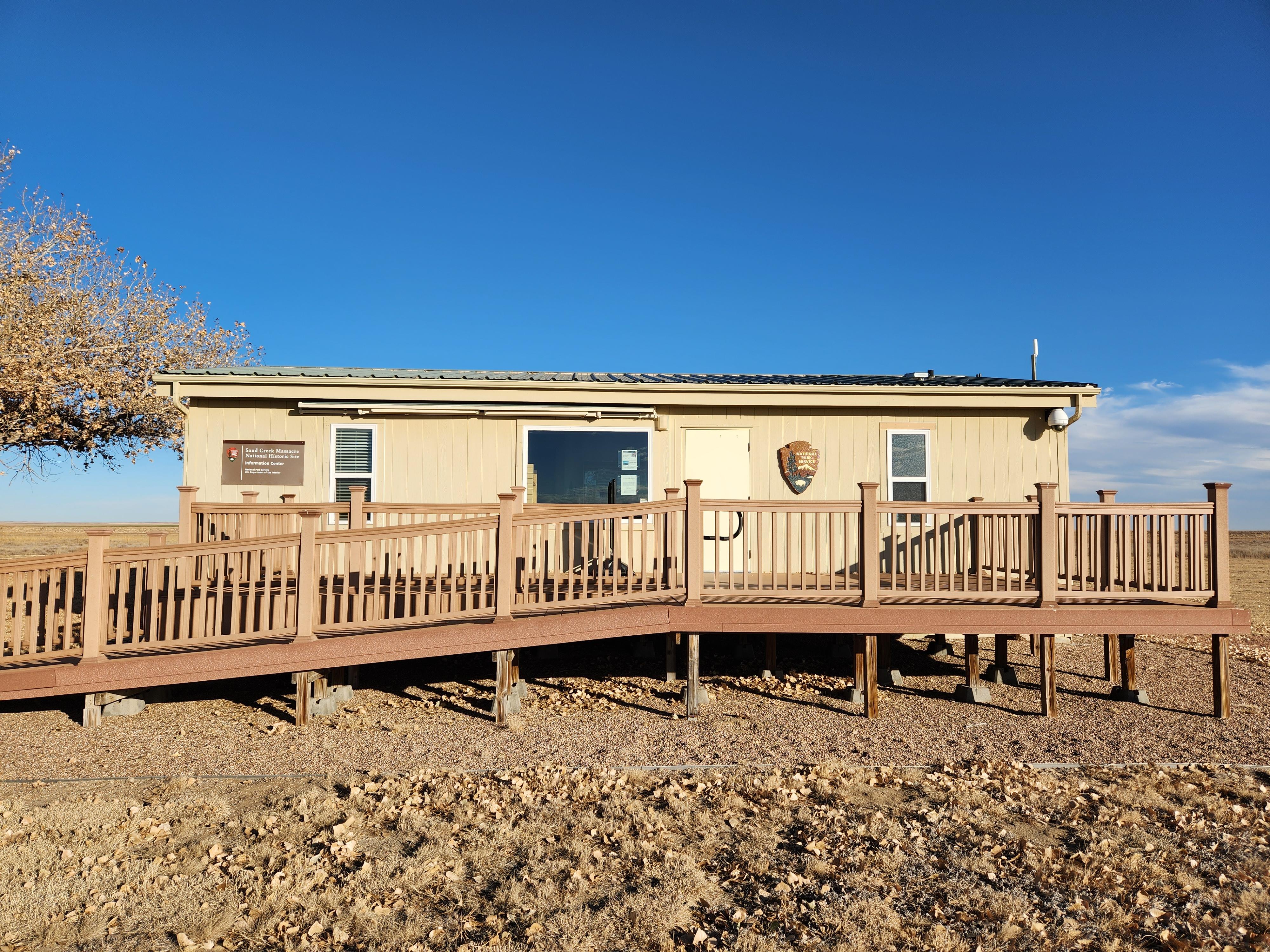
|
| Things to do | Count: 2
|
| Tours |
Count: 1
Monument Hill TrailThe Monument Hill trail is an easy to moderate out-and-back trail, approximately 1-mile round trip. Most hikers complete the trail in 30-60 minutes. At the top of Monument Hill, the valley where the Cheyenne and Arapaho were camped in November of 1864 can be easily seen. |
| Articles |
|