| Title | Saratoga |
| Park Code | sara |
| Description | In 1777, a large British invasion force met an equally large American army here at Saratoga. After two intense battles, an eight-mile retreat, and a three-day siege, British General John Burgoyne surrendered his entire force. This first ever surr... |
| Location | |
| Contact | |
| Activities |
|
| Entrance fees |
|
| Campgrounds | Count: 0
|
| Places | Count: 47
Boot MonumentLocated at Stop 7 on the battlefield tour road, or via a short detour from the Wilkinson Trail, the "Boot" monument is perhaps the most popular, unique, and controversial monument of the many placed within the Battlefield. 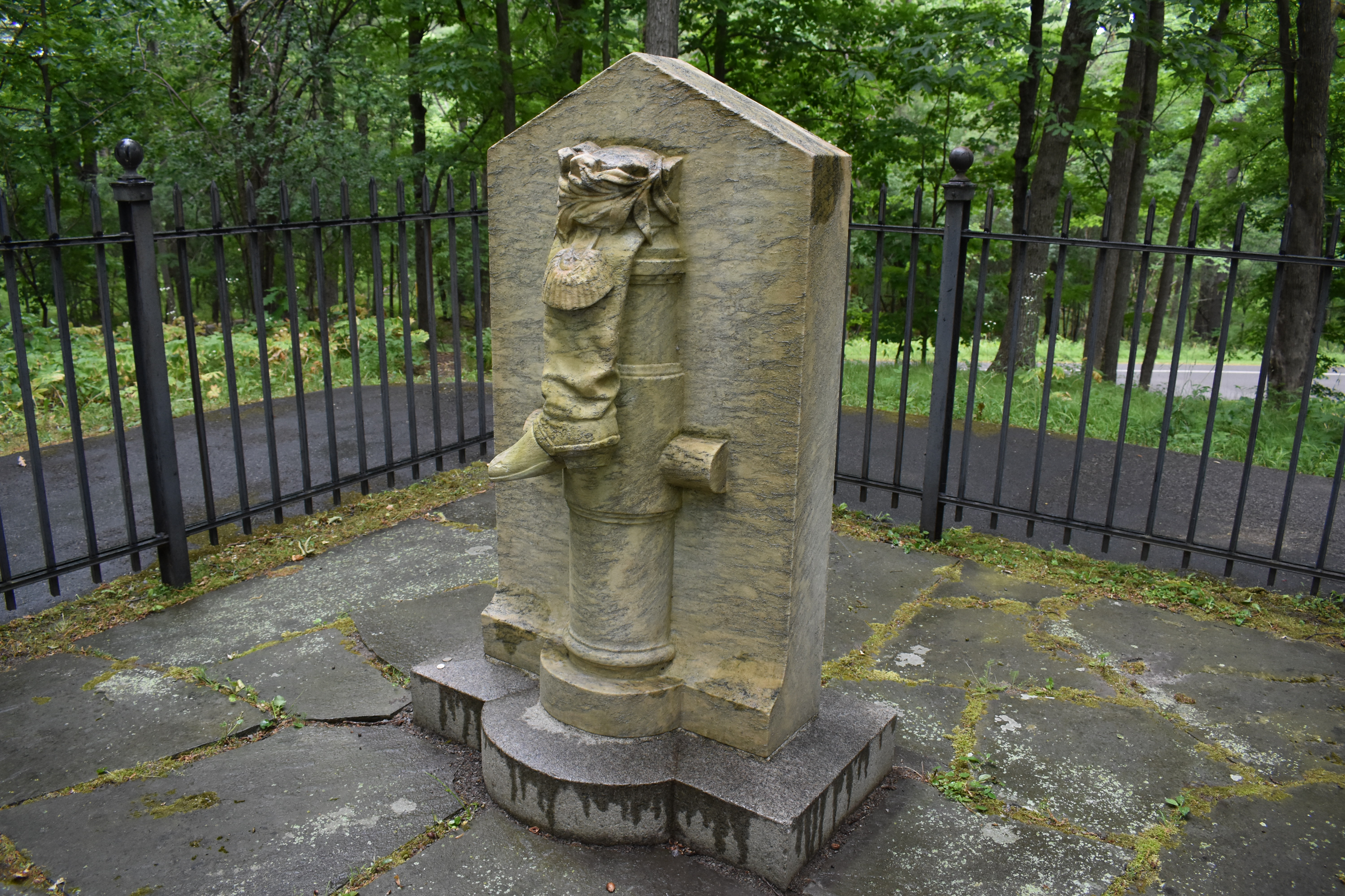
Champlain Valley National Heritage PartnershipThe Champlain Valley National Heritage Partnership includes the interconnected waterways of Lake Champlain, Lake George, the Champlain Canal and portions of the Upper Hudson River in Vermont and New York. The region is the ancestral homeland of Algonquin and Iroquois peoples and, over the past 400 years, has played a vital role in the history of the United States and Canada. 
Freeman's Farm - 6 - John Freeman Farm (Balcarres Redoubt) (Continued...)John Freeman and his family established this small farm about 11 years before the battle. Of loyalist sympathies, Freeman had to abandon the farm and move his family to Canada. He returned with Burgoyne as a member of a Loyalist regiment, known as Jessup’s Corps. His small cabin stood just beyond the two artillery pieces you see on the left. 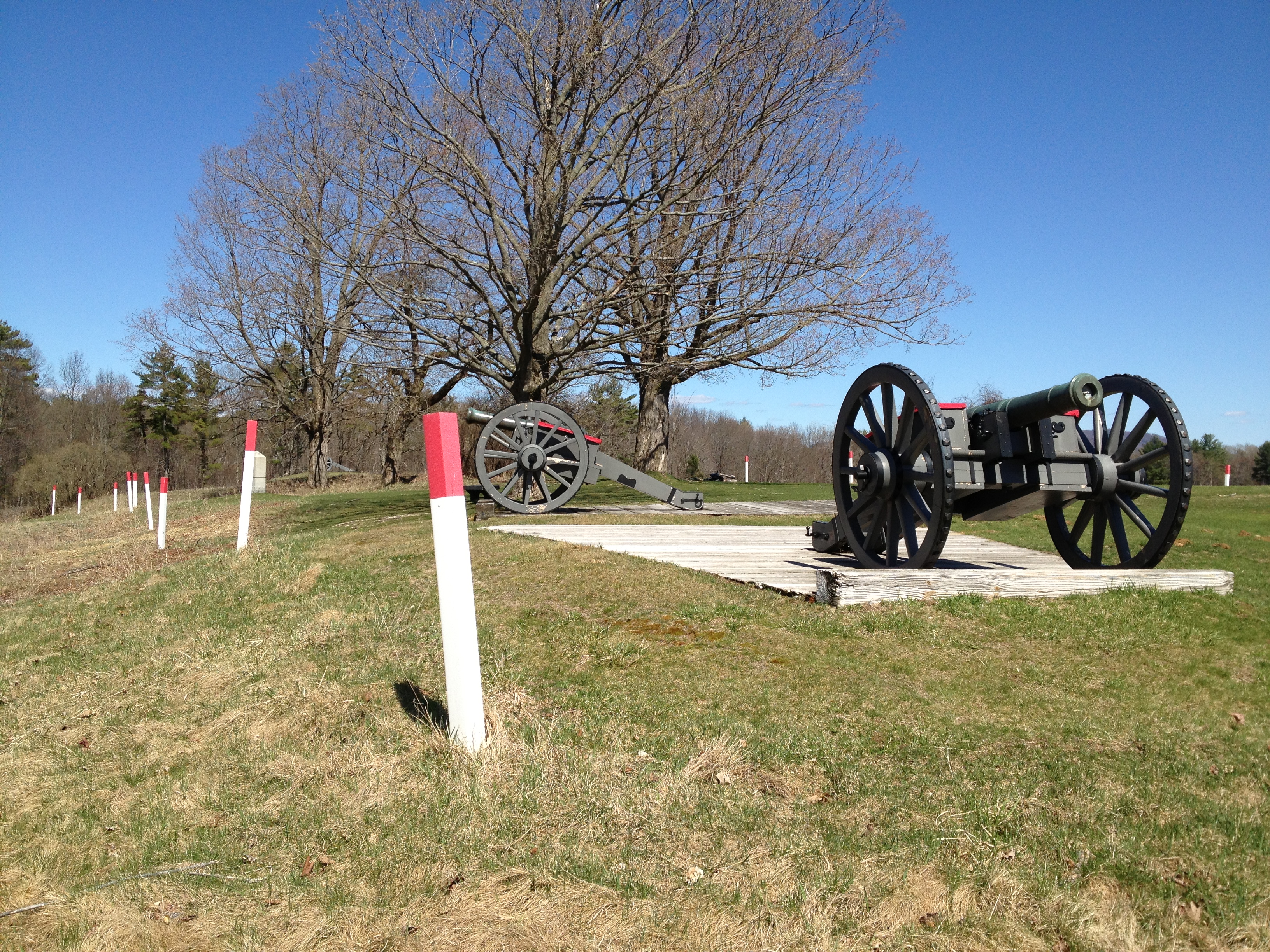
Neilson HouseRestored home of John and Lydia Neilson which served as a headquarters for the American Army during the Battles of Saratoga. Tiny house, million dollar view! 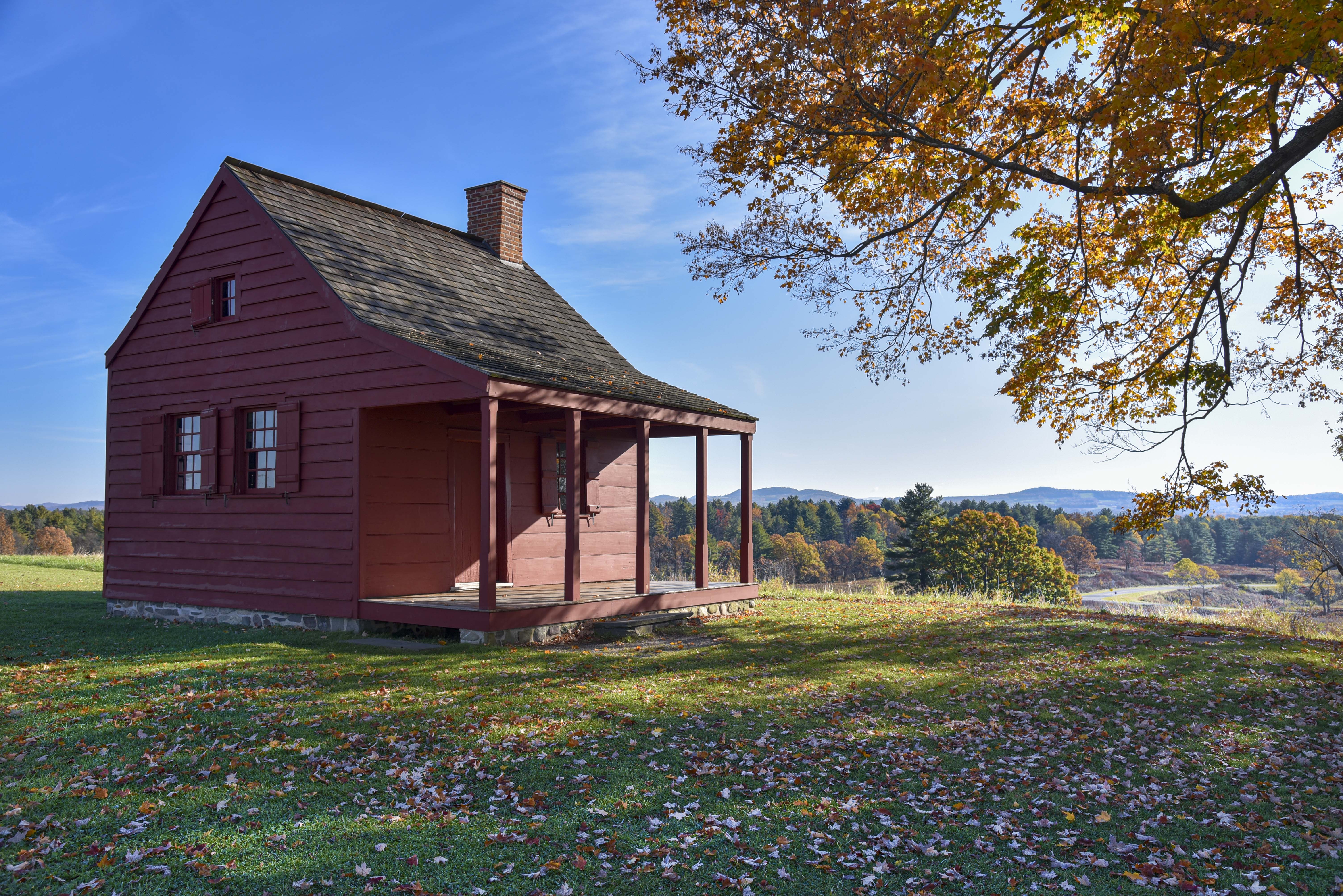
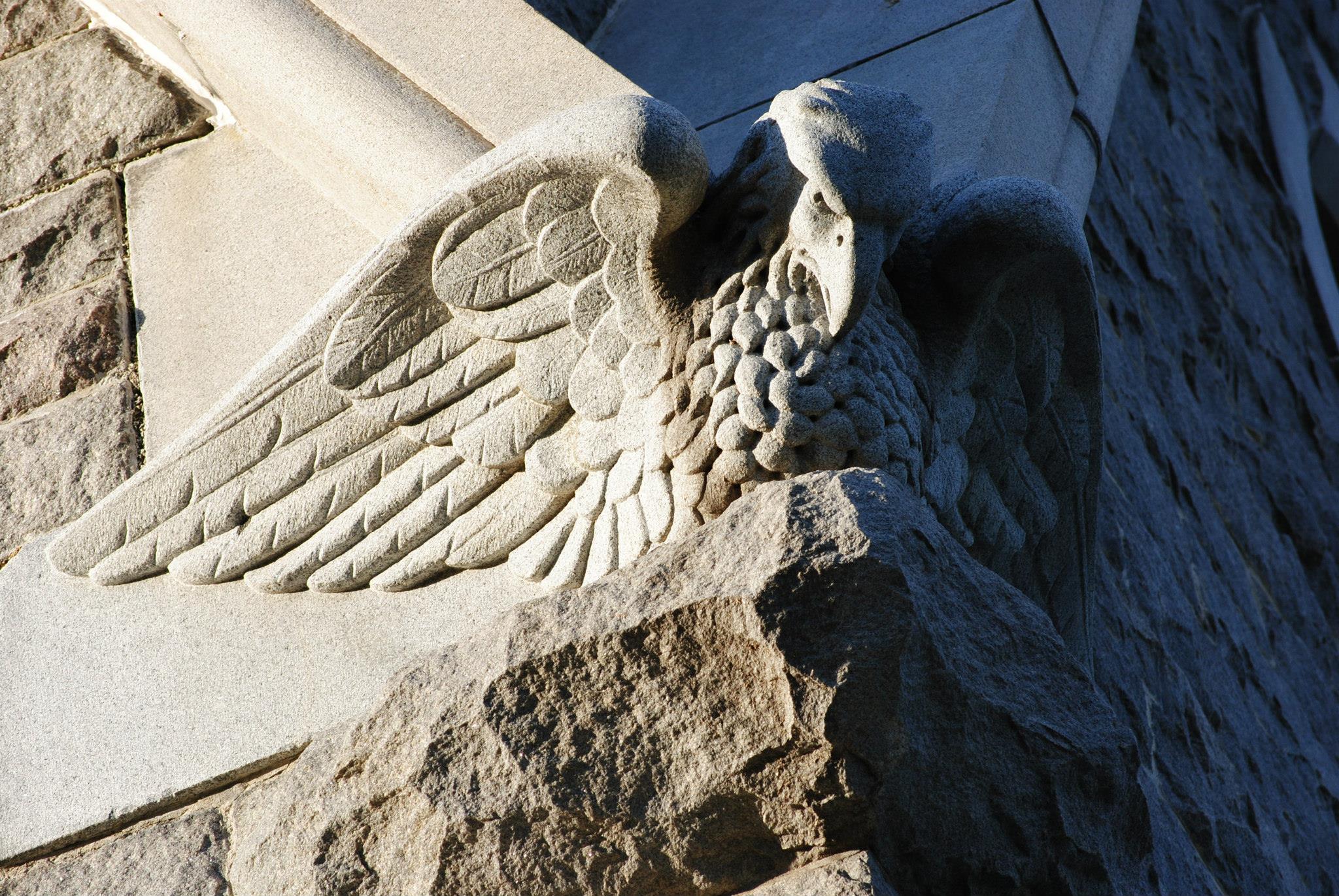
Saratoga MonumentCommemorating Burgoyne's surrender to Gates, this 155-foot stone obelisk stands where Burgoyne's camp entrenched during the campaign's final days. 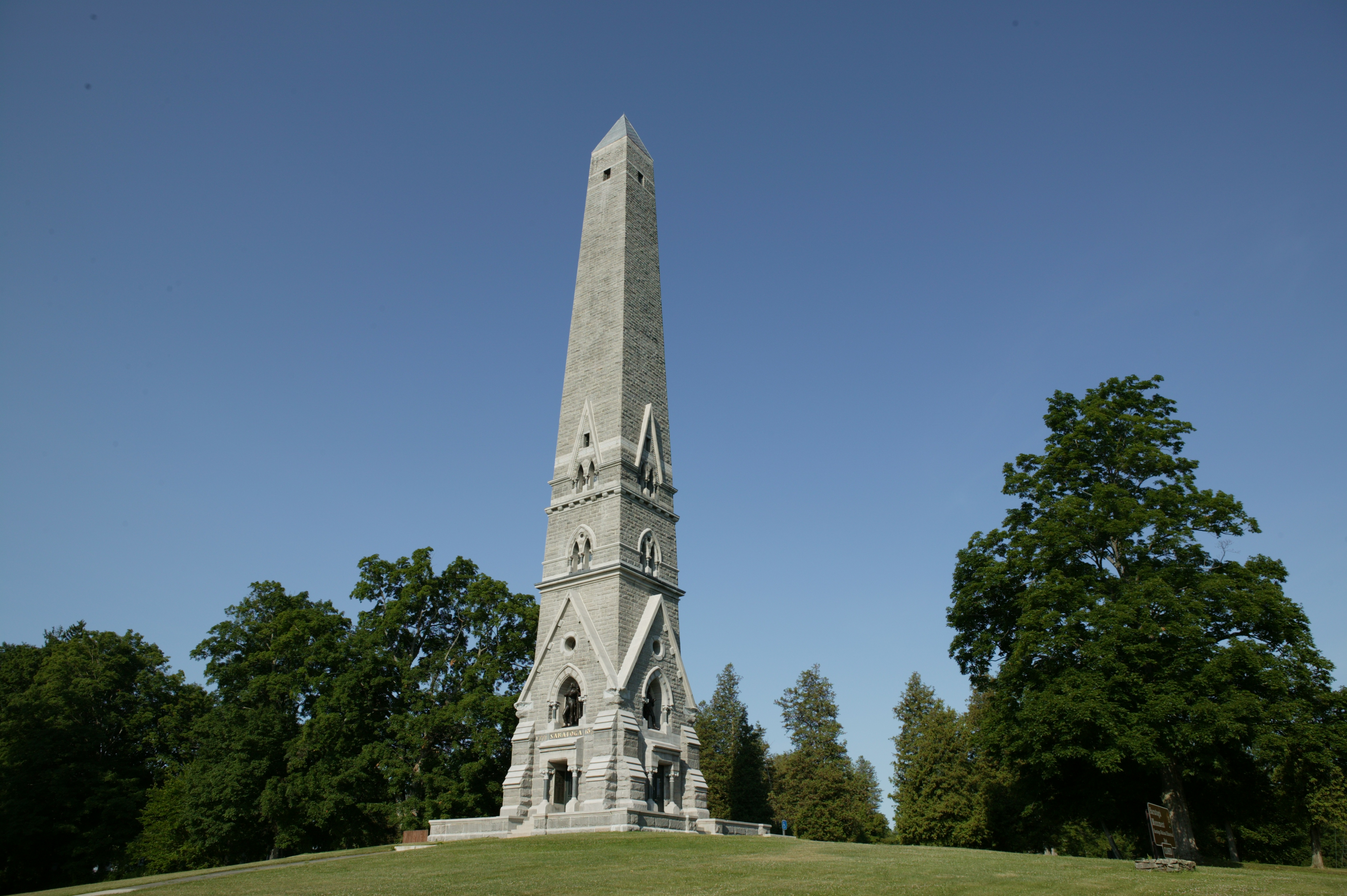
Saratoga Surrender SiteThe Surrender Site commemorates the location of the first-ever British Army surrender on October 17, 1777. 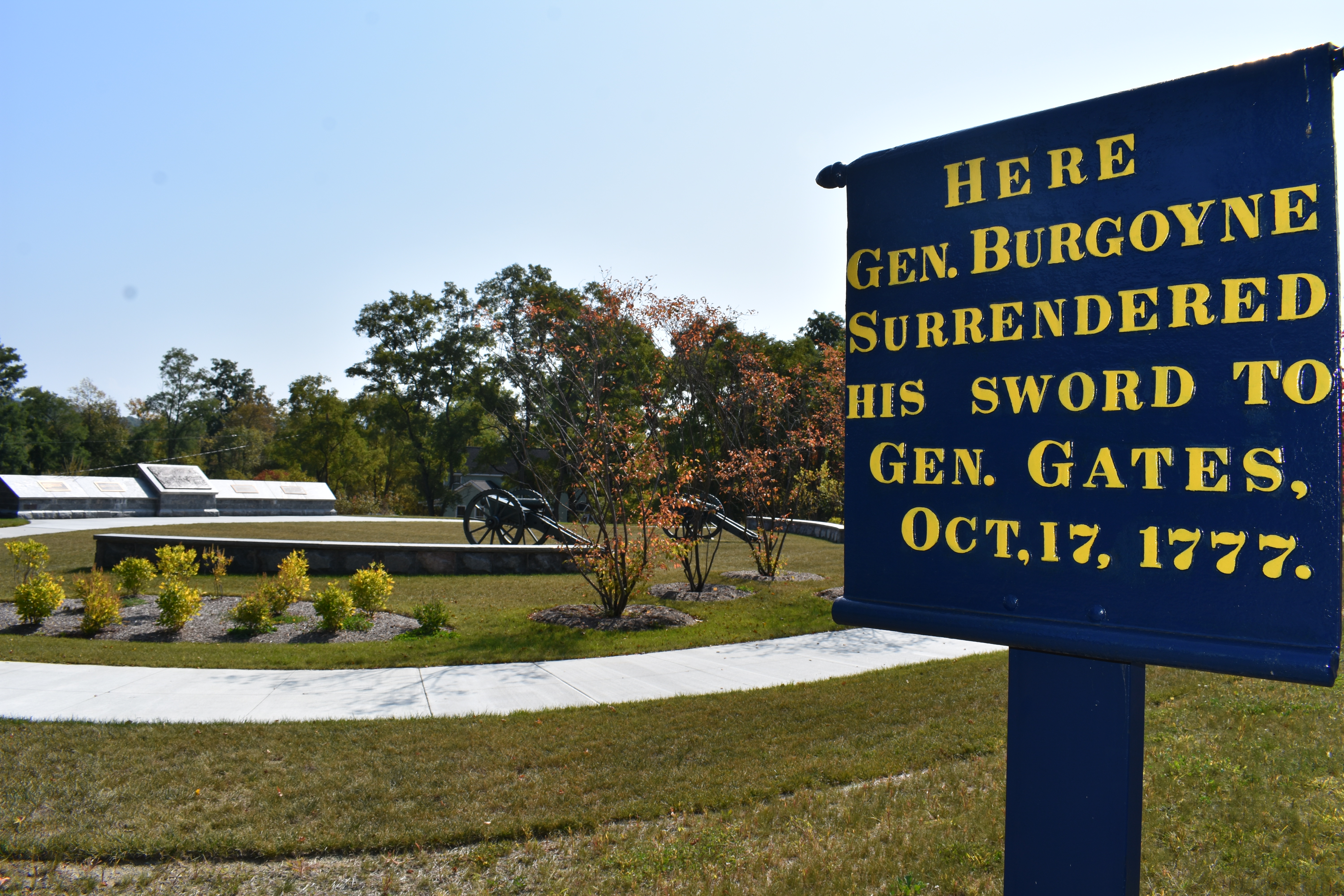
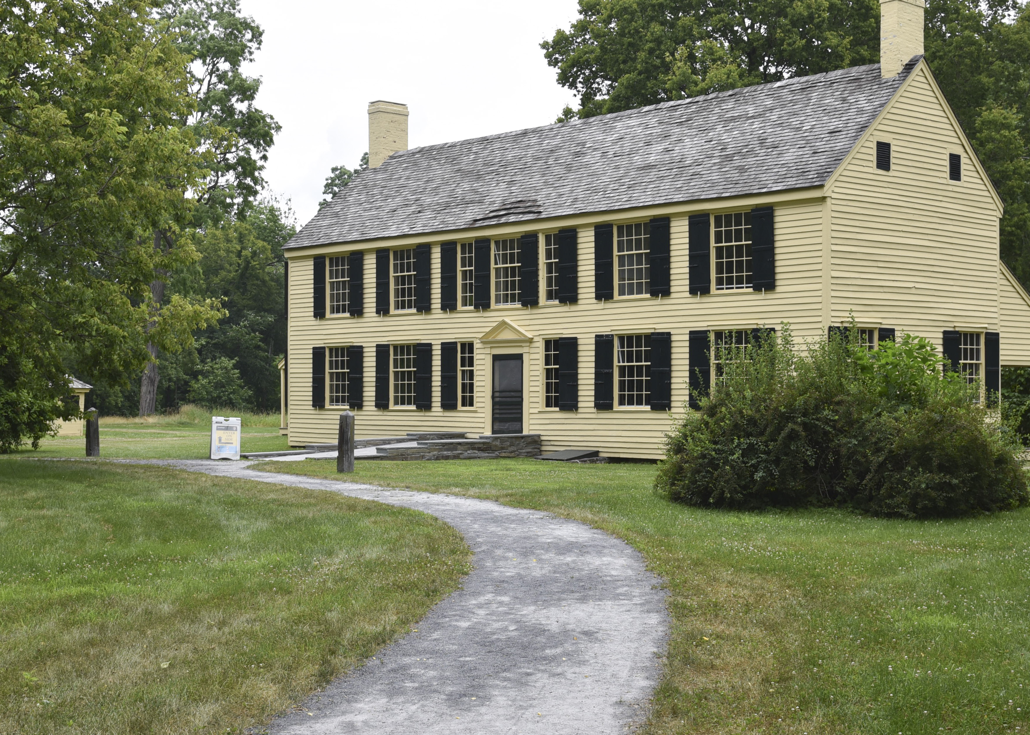
Schuyler EstateThe country plantation of Philip Schuyler: surveyor, businessman, Revolutionary War general, and supporter of America's canals. 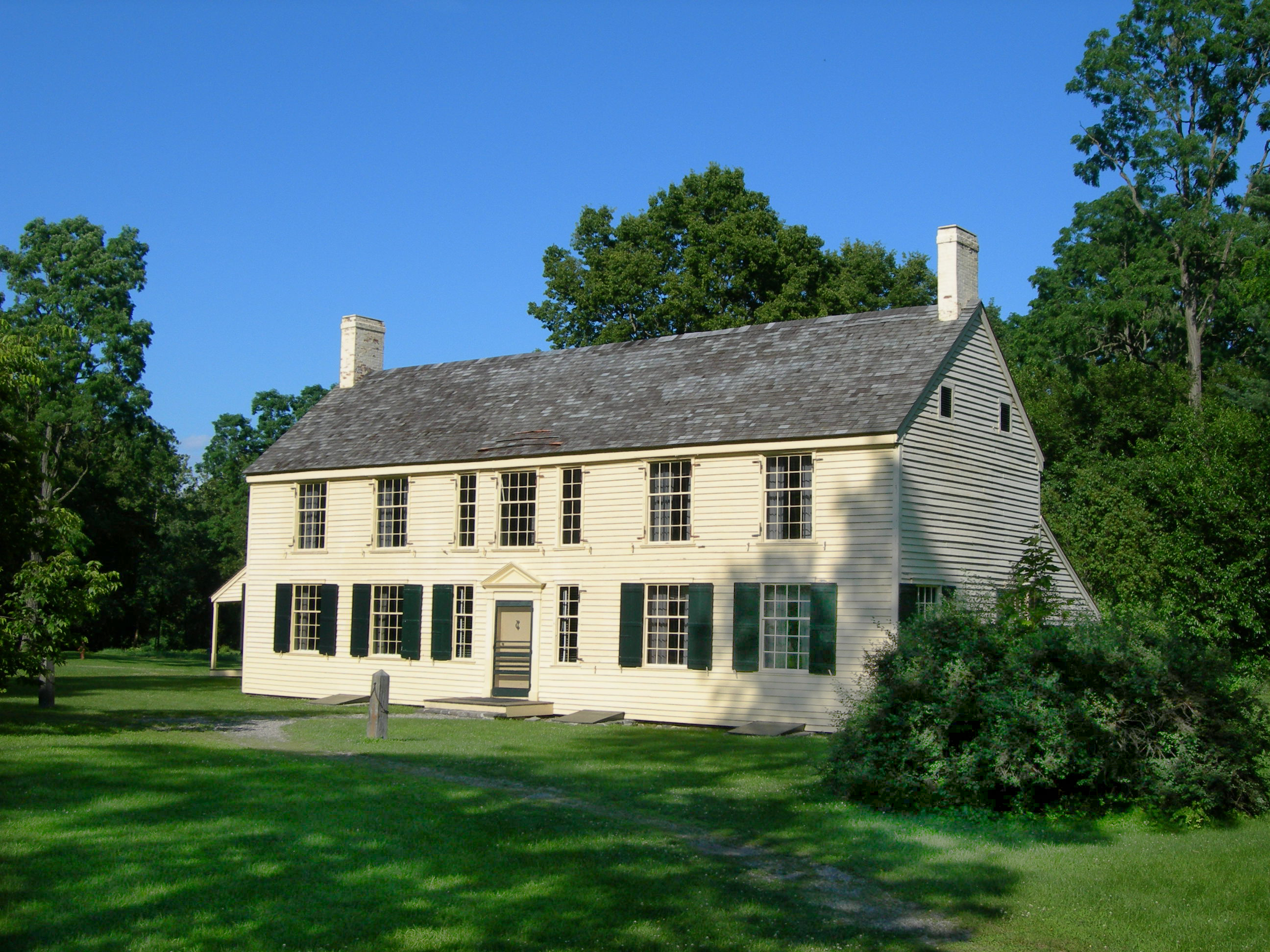
Station AStation A - Since the Revolutionary War's opening shots at Lexington and Concord on April 19, 1775, the British had wanted to bring an end to the rebellion in the American colonies. They hoped that 1777 could be the year. 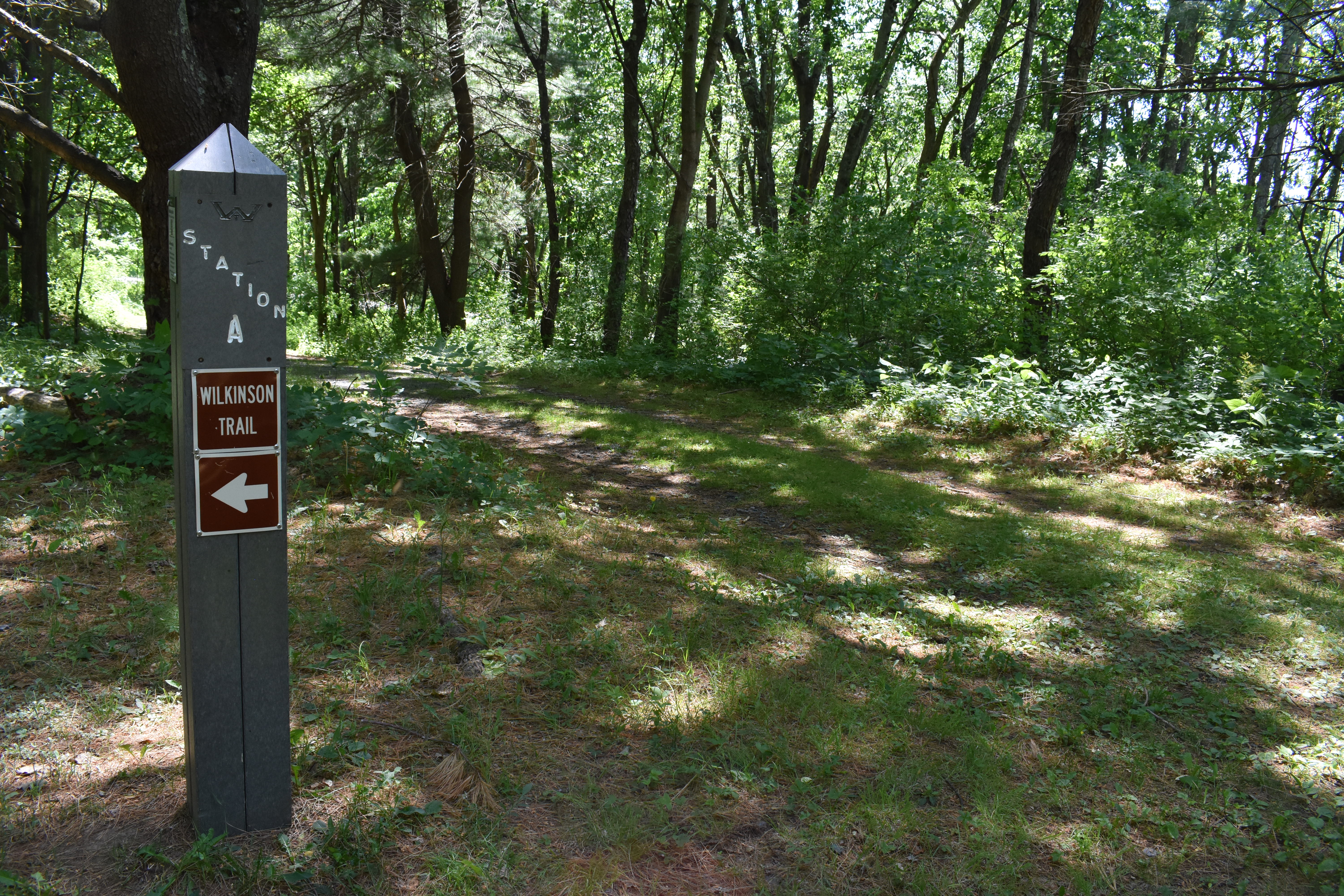
Station BStation B - The year 1777 in America was a time of great conflict. Many people faced difficult decisions with no easy answers but potentially severe and even deadly consequences. 
Station B, Part IIThe outcome of the second battle of Saratoga, October 7th, 1777, initiated the events which led to the capture of General Burgoyne's army. On October 8th, after burying General Fraser in a solemn ceremony, Burgoyne had little choice but to withdraw. A chilly, slow, soaking autumn rain turned the road to ankle-deep mud, and made the march even more of an ordeal for the dispirited army. Tired, cold and hungry from the grueling battles, they marched north. 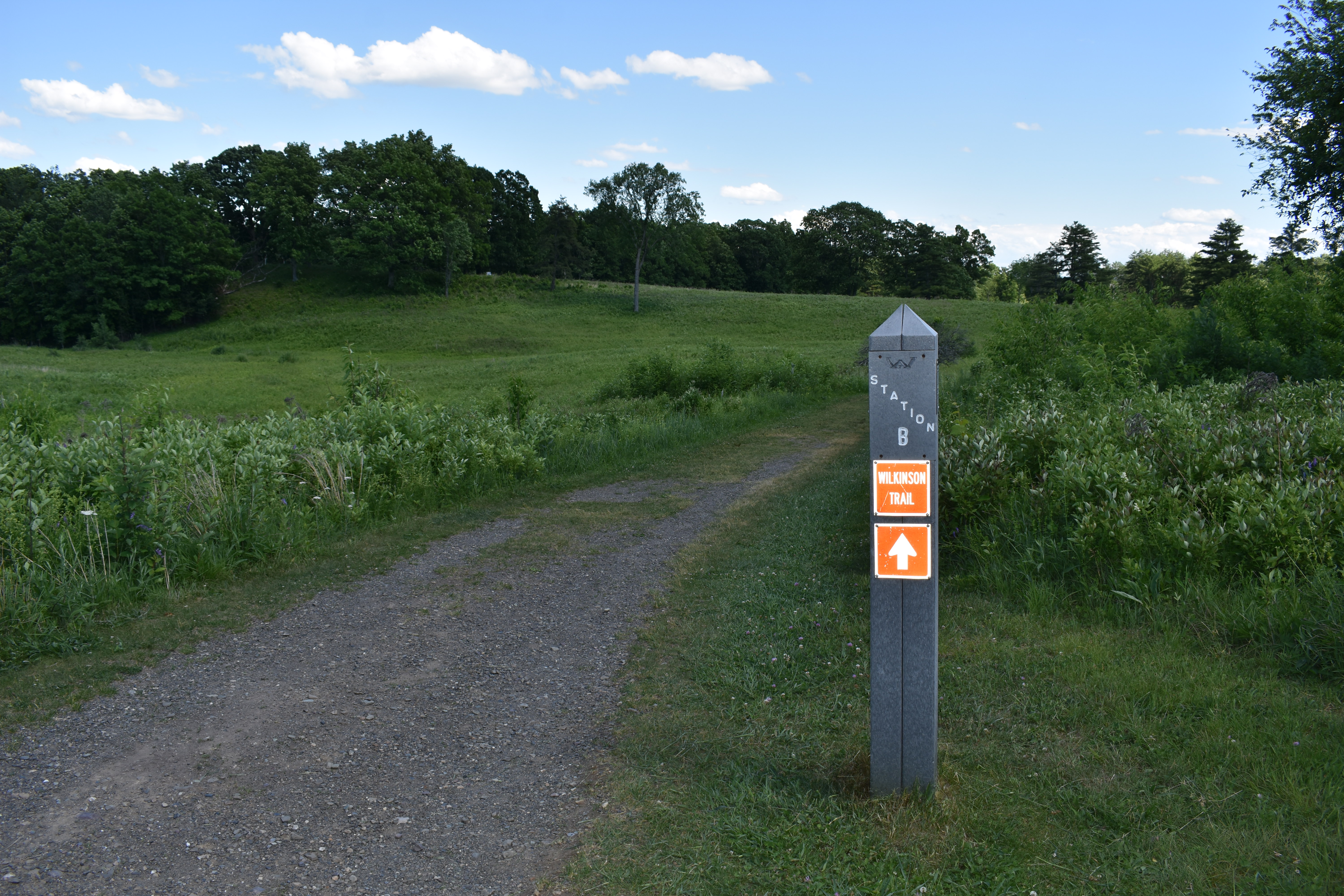
Station CStation C - Troop movement and composition. "On a march, in bad weather and bad roads, when the weary foot slips back at every step, and a curse is provoked by the enormous weight that retards him, it must be a very patient veteran, who has experienced much scarcity and hunger, that is not tempted to throw the whole contents of his haversack into the mire." –British Ensign Thomas Anbury, 24th Regiment of Foot 
Station C, Part IIWilkinson Trail - Station C, Part II - The fortification at Breymann's Redoubt ran about 100 yards long and was seven feet high. It was named after Lieutenant Colonel Heinrich Breymann, who initially commanded 600 German and American Loyalist troops at this fortification. The two sets of posts configured in small squares to the right signify two cabins manned by French Canadian militia. 
Station DOn September 19th, 1777, daybreak was cold and damp with a low-lying fog. The British army advanced south in three columns, a few miles away from the American Camp. As the fog lifted, about 12:30 in the afternoon, the clash began. Some of Daniel Morgan's riflemen brushed with the advanced guard of Burgoyne's center column in the clearing of Freeman's Farm. To the British, the Americans appeared a motley crew, mostly dressed in whatever piecemeal uniforms they could muster. 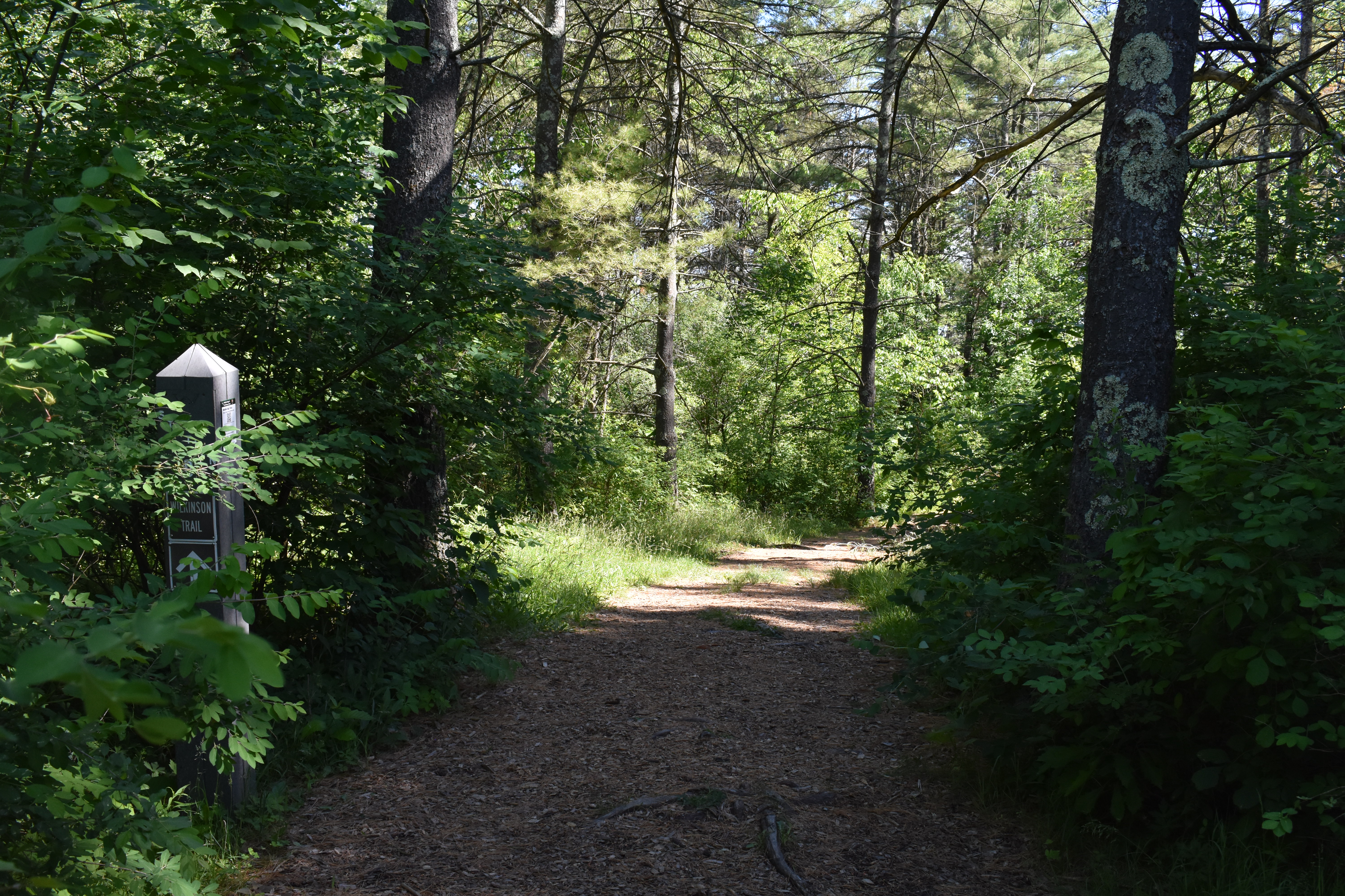
Station EYou are now crossing a field where several hundred soldiers lost their lives. After a brutal back and forth battle, the British held this field at the end of the day on September 19th. However, British losses were severe...if it hadn't been for the timely arrival of the Germans, Burgoyne might have been defeated that very day. 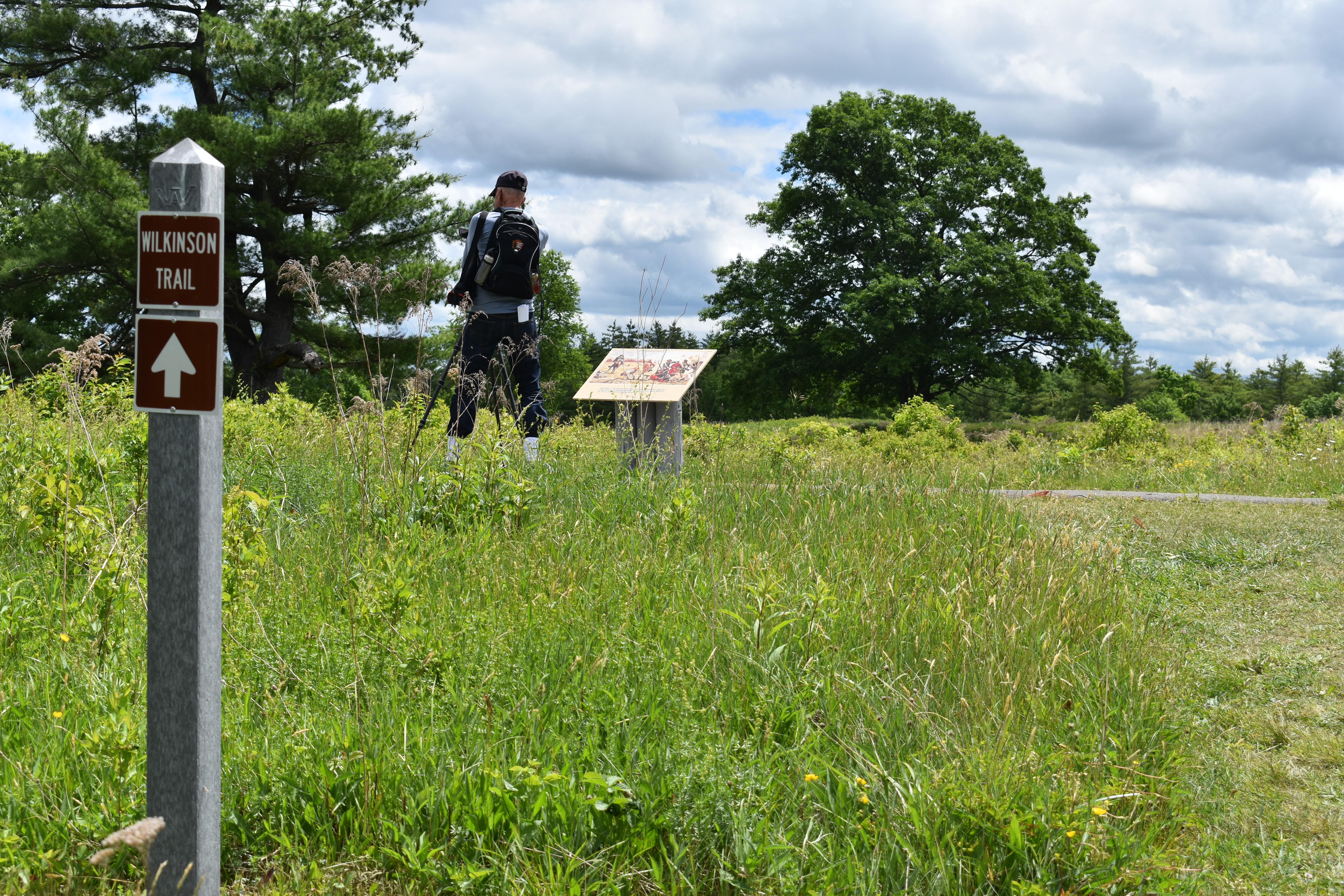
Station FAt Station F you have a choice to either continue on the Wilkinson Trail straight ahead or turn left and take the short cut Liaison Trail marked by the thin brown posts marked with an L. If you want to hike the shorter Liaison Trail, listen to track F and G as your next two audio tracks...then skip to audio track N when you arrive at the next thick grey post marked station N. 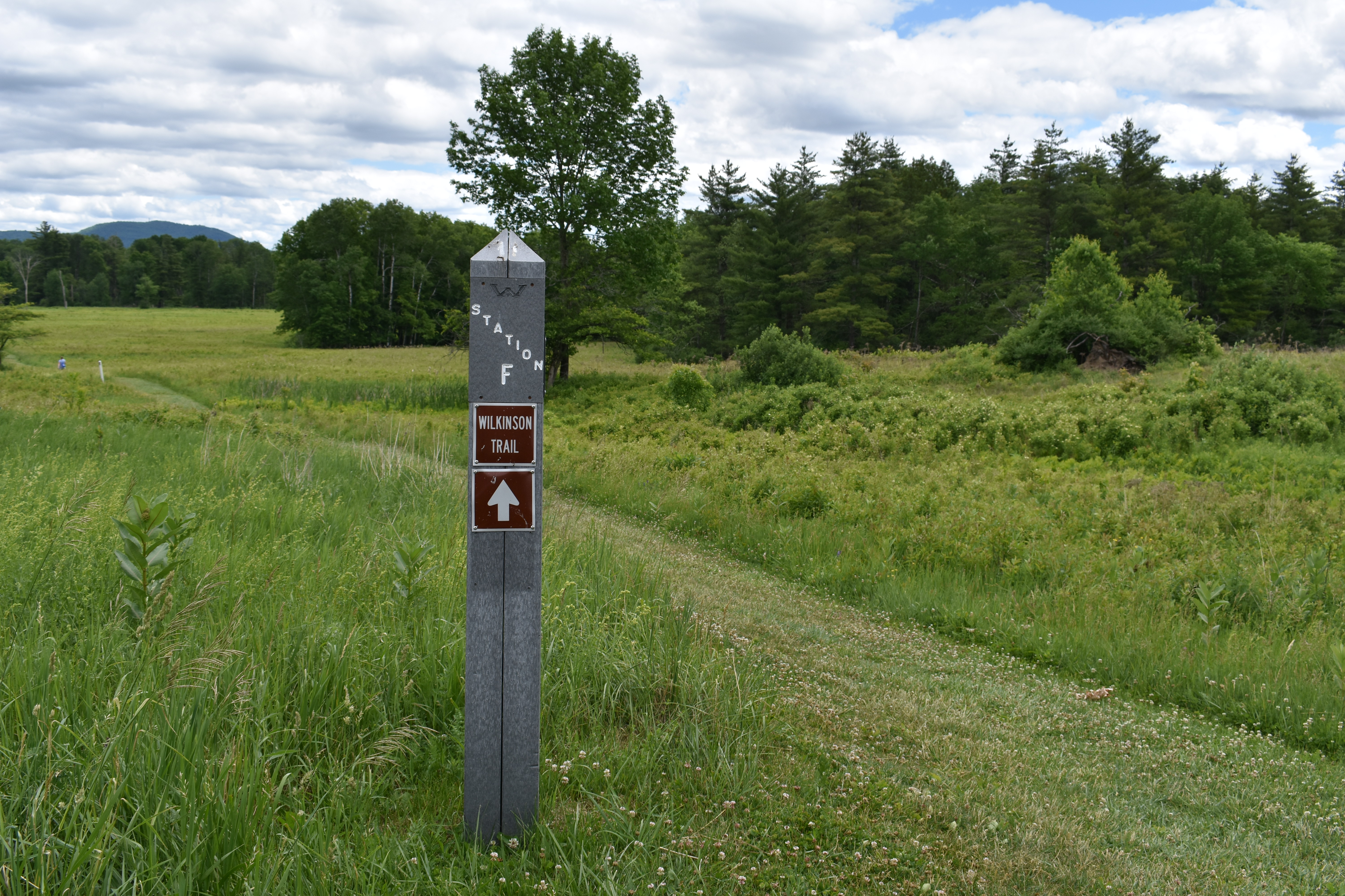
Station GIt is said an army marches on its stomach. Burgoyne's army had difficulties moving through this unfamiliar countryside and even more trouble finding enough rations and supplies. A ration is the amount of food given to a solider for one day. 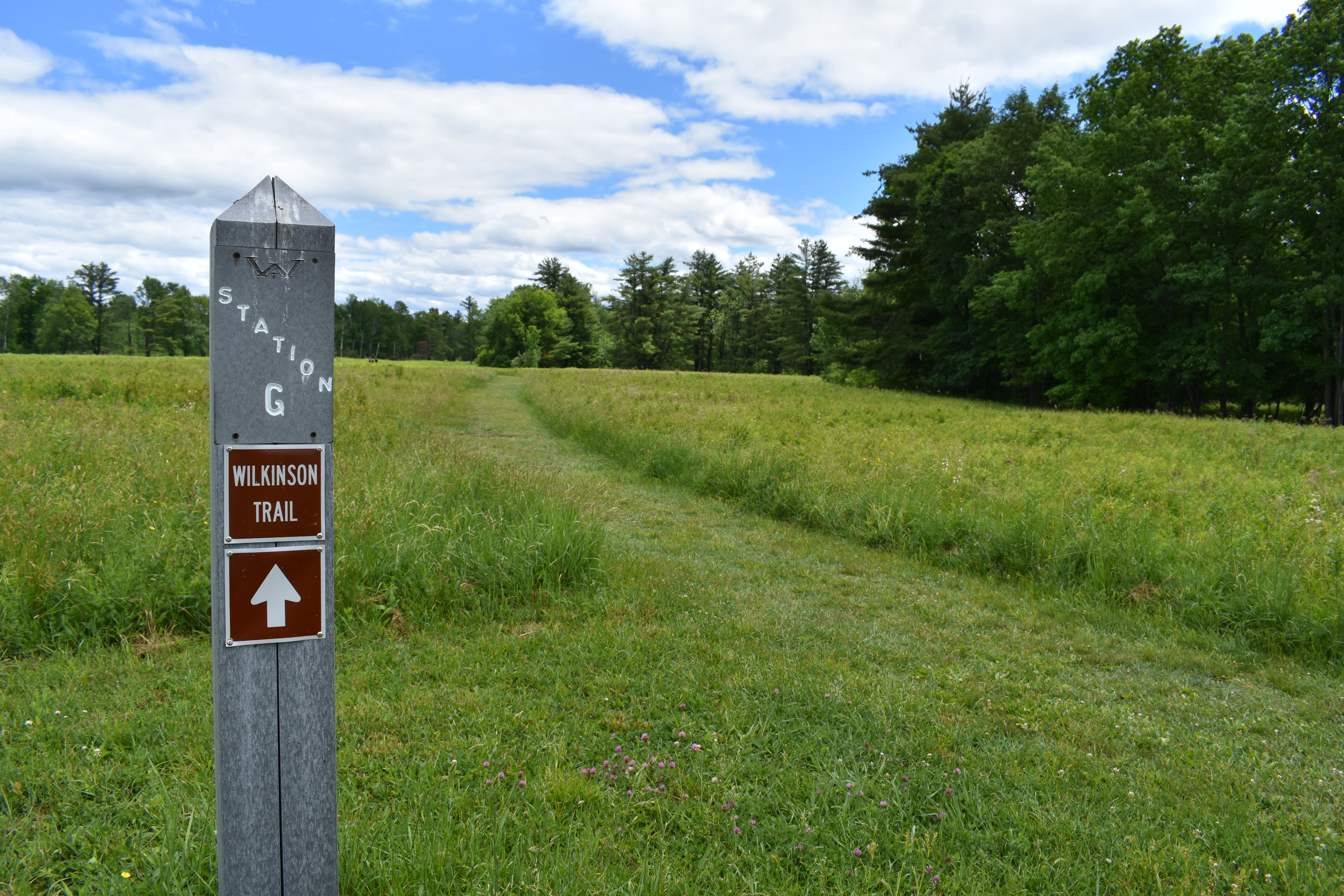
Station HSoldiers typically ranged from 20 to 30 years of age. Sometimes younger boys served as officers' servants, or as drummers or fifers. Occasionally, boys as young as 14 or 15 served as officers in the British army. Civilian camp followers marched with both British and American armies. 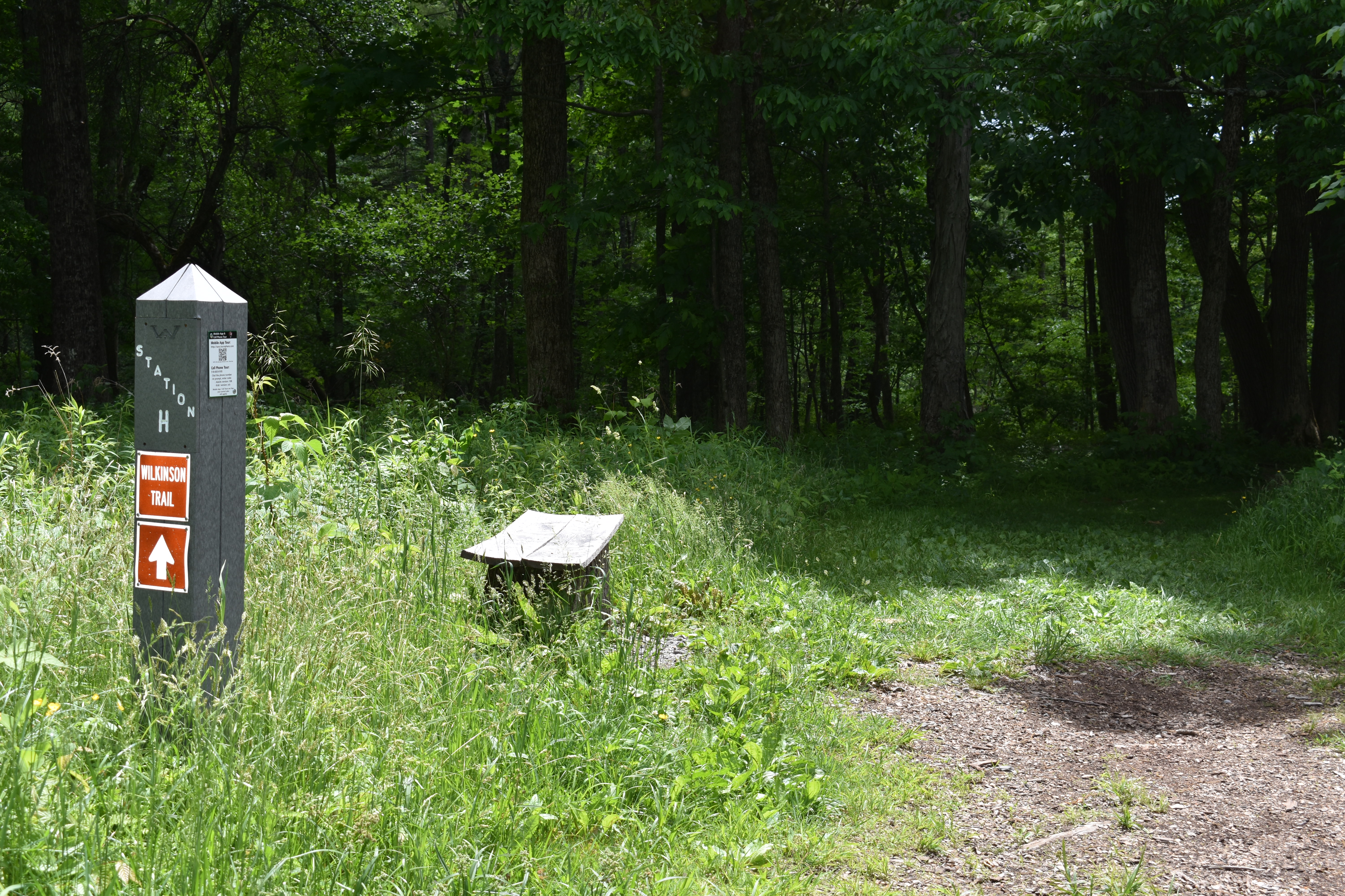
Station IWhile men volunteered or were required, by law or circumstances, to serve in the army, how did women contribute to the war effort? Why get involved at all? There were a variety of reasons. As already mentioned, women camp followers were an essential part of both American and British armies in the 18th Century. Their work as nurses, and doing laundry and mending clothes, and scavenging for supplies, were all extremely valuable to the military. 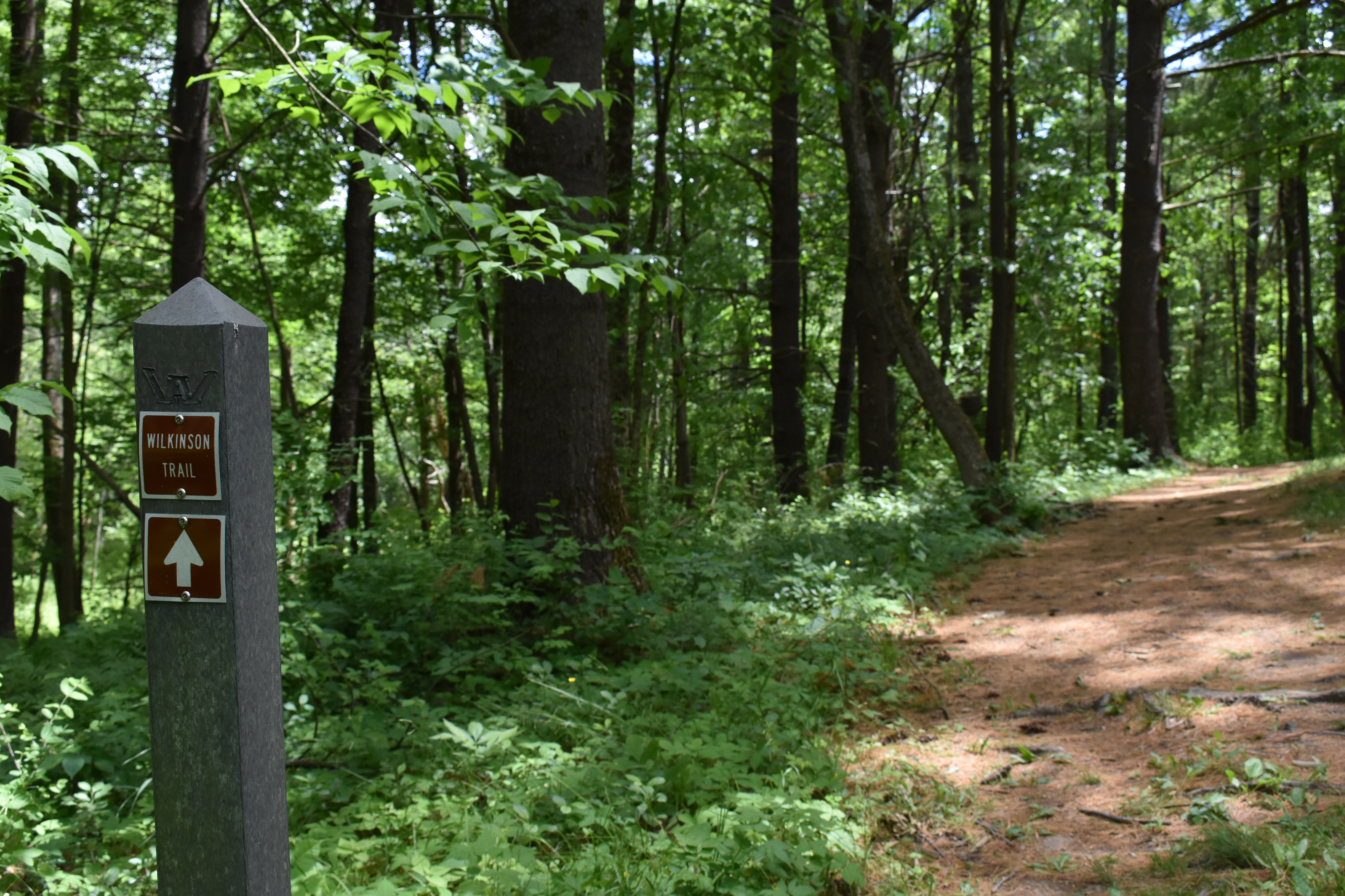
Station JAfter the first Battle of Saratoga on September 19th, Burgoyne's army occupied this area for three weeks waiting for reinforcements that never came. How were thousands of men, women, and children organized into an encampment and what where their living conditions like? There were standard British military regulations for the layout of field camps. In "An Essay on Castrametation" by Lewis Lochée in 1778 gave detailed descriptions. 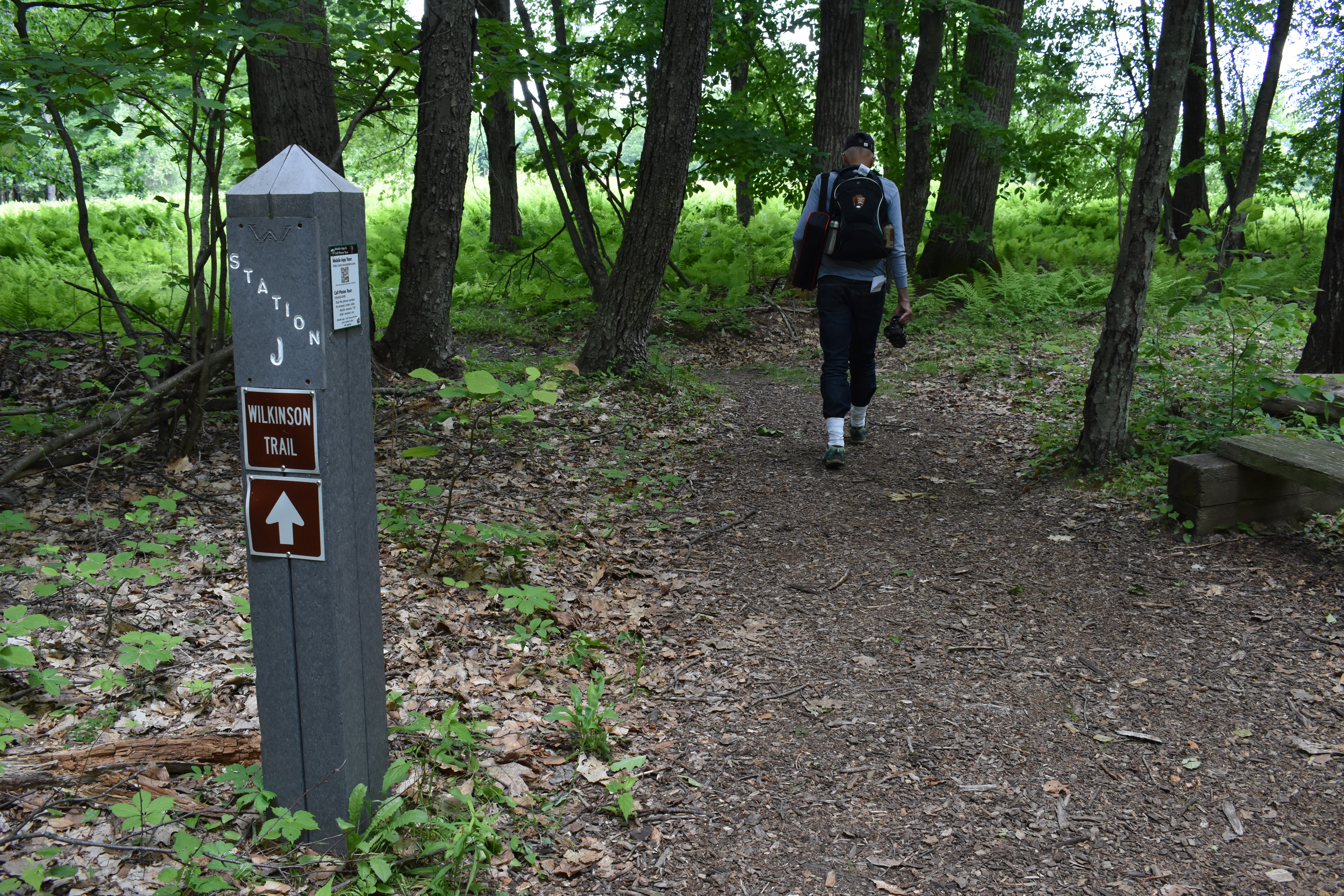
Station KThe hush of the forest! Imagine yourself moving on a path or wagon track through densely wooded land. You are away from the security of the river and always fearful of an enemy attack. You are a few thousand miles from home and traveling on unfamiliar terrain... your mind wanders as you think about facing American soldiers who believed their very way of life was in jeopardy. 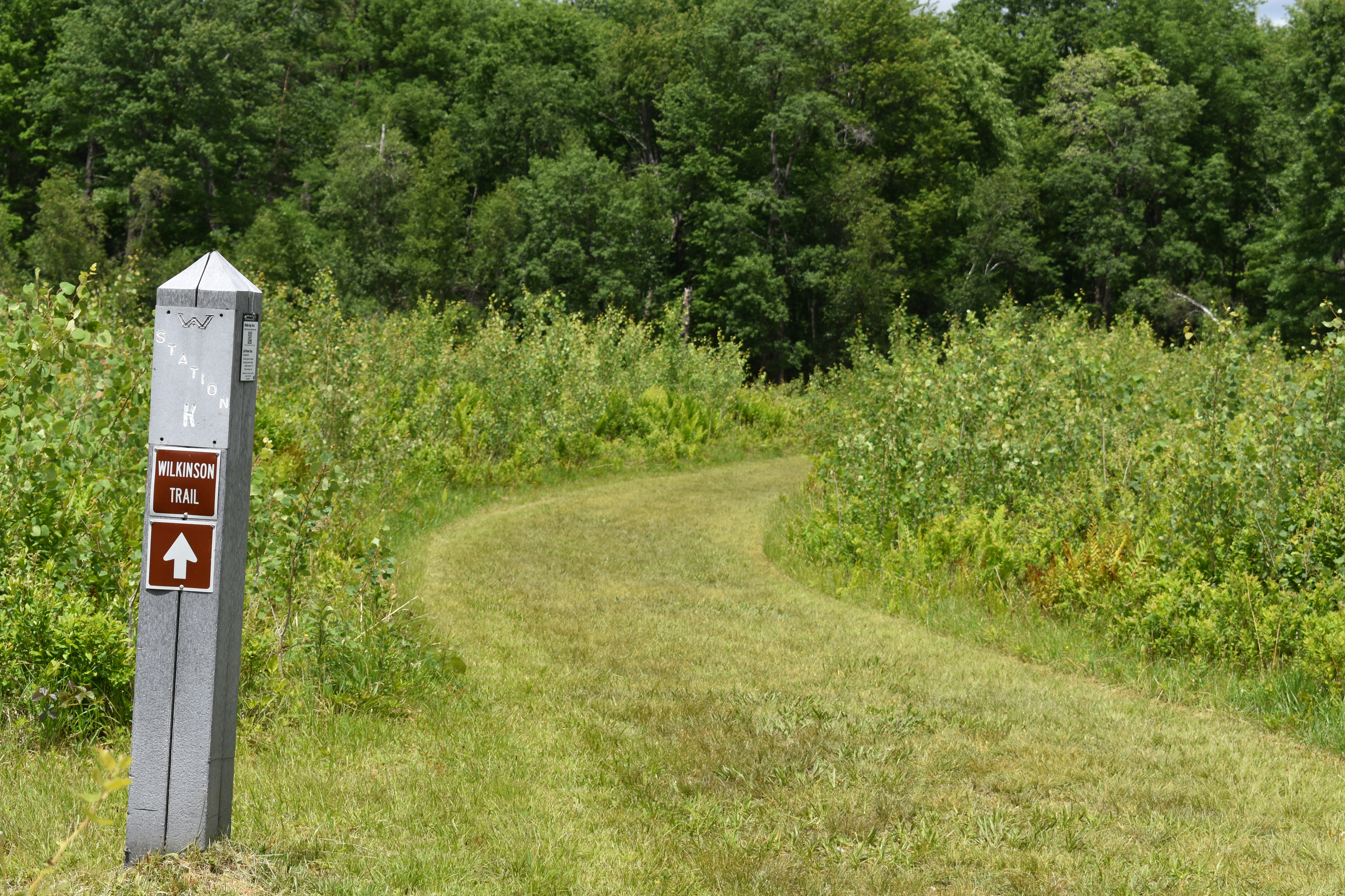
Station LWilkinson Trail - Station L - The dense and varying terrain made it very difficult to stay in communication, both within one's own army and with other individuals farther away. They had only two ways to send a message; word of mouth, or a written message, either of which had to be sent with a messenger. That's right, no e-mail, cell phones, no radios, not even telegraphs! 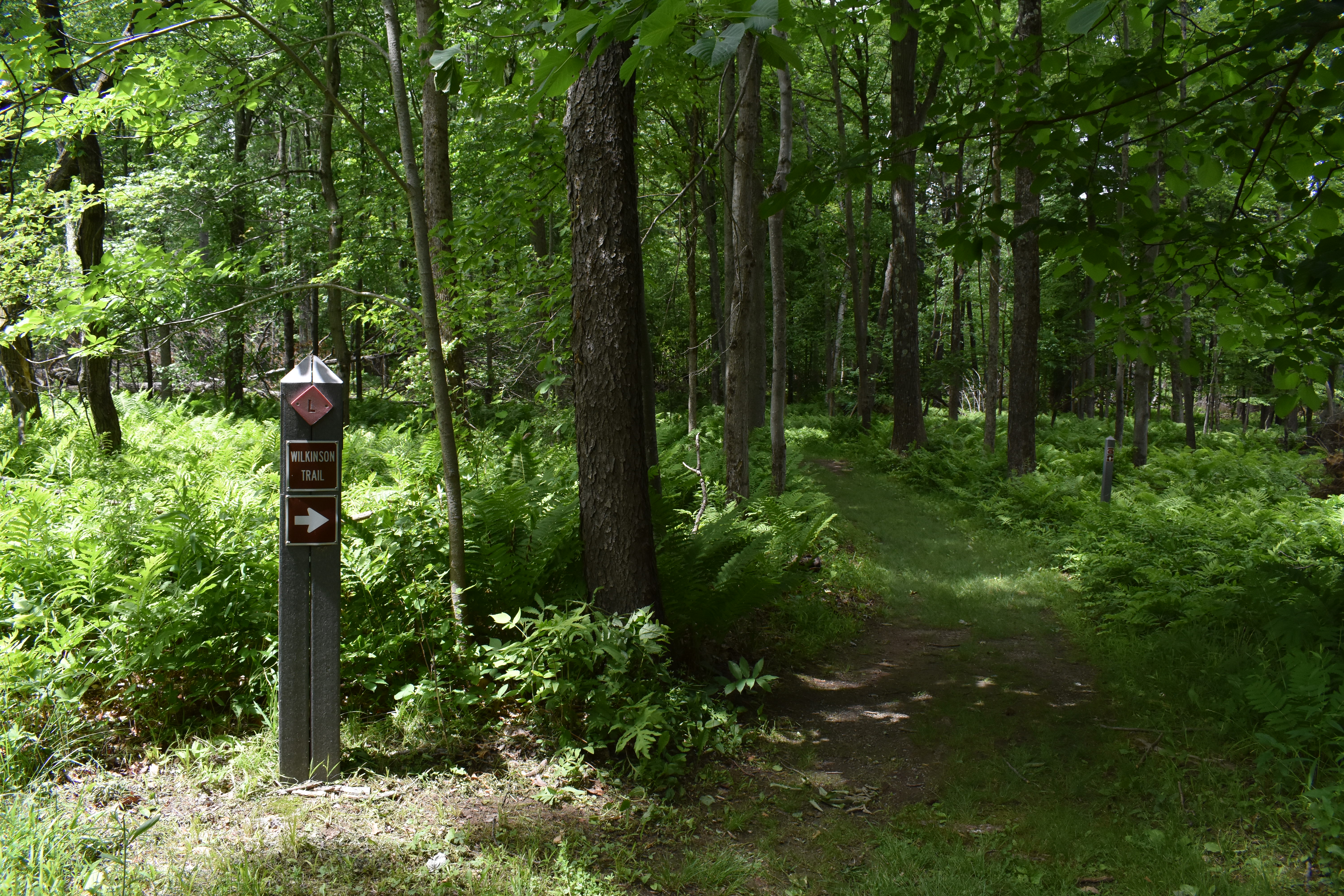
Station MRevolutionary War weaponry was very effective in killing or wounding soldiers. Amputations, infections and soldiers perishing in the crude field hospitals were all too common. 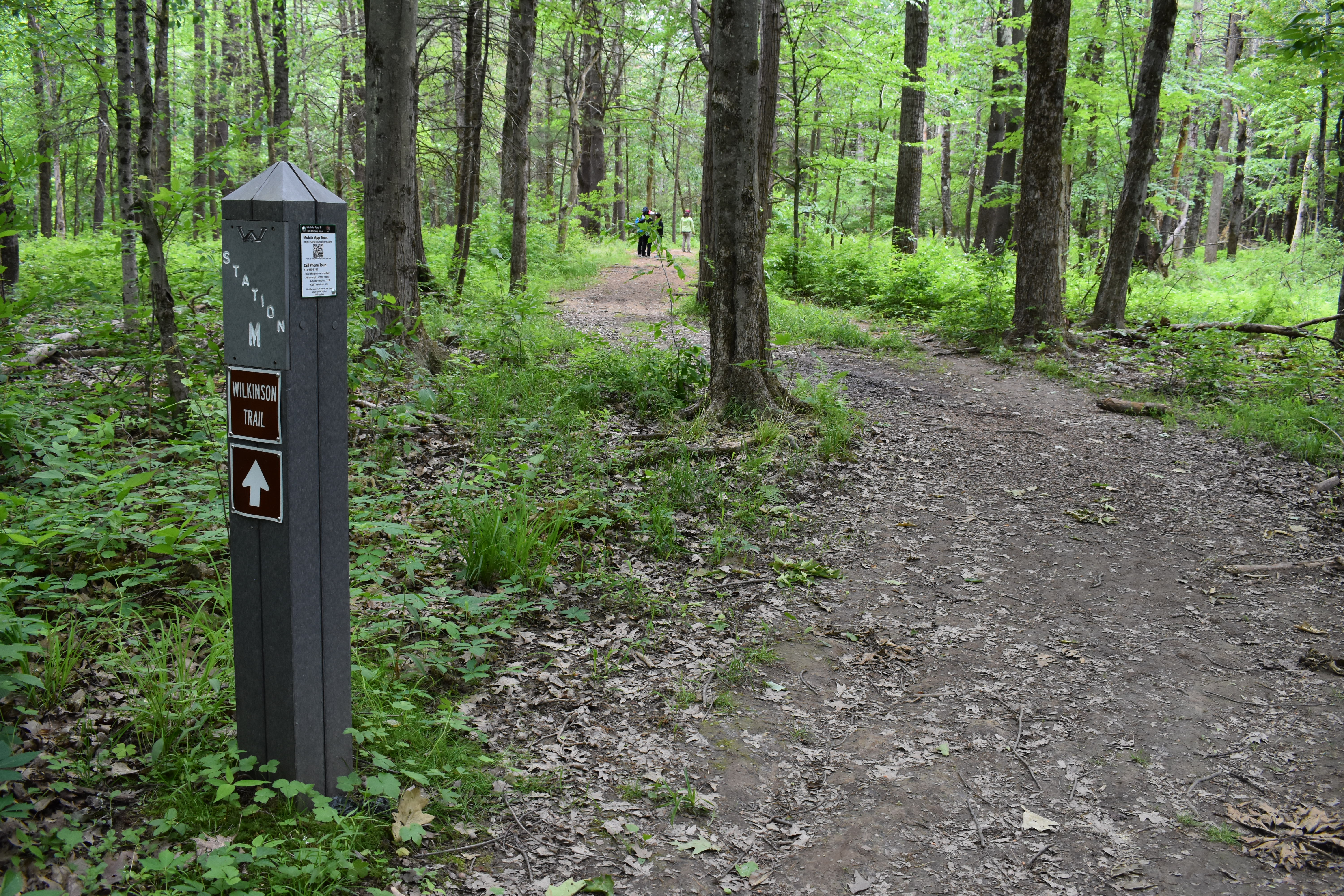
Station NIn his fortified camp, Burgoyne decided in early October that he could not wait much longer for Clinton's support. Faced by a growing American army, no arriving reinforcements of their own, and with supplies rapidly diminishing, the British army became weaker with each passing day. Burgoyne had to choose between advancing or retreating. Plagued by severe supply shortages, desertions and faced with the onset of colder weather, he was forced to take the initiative. 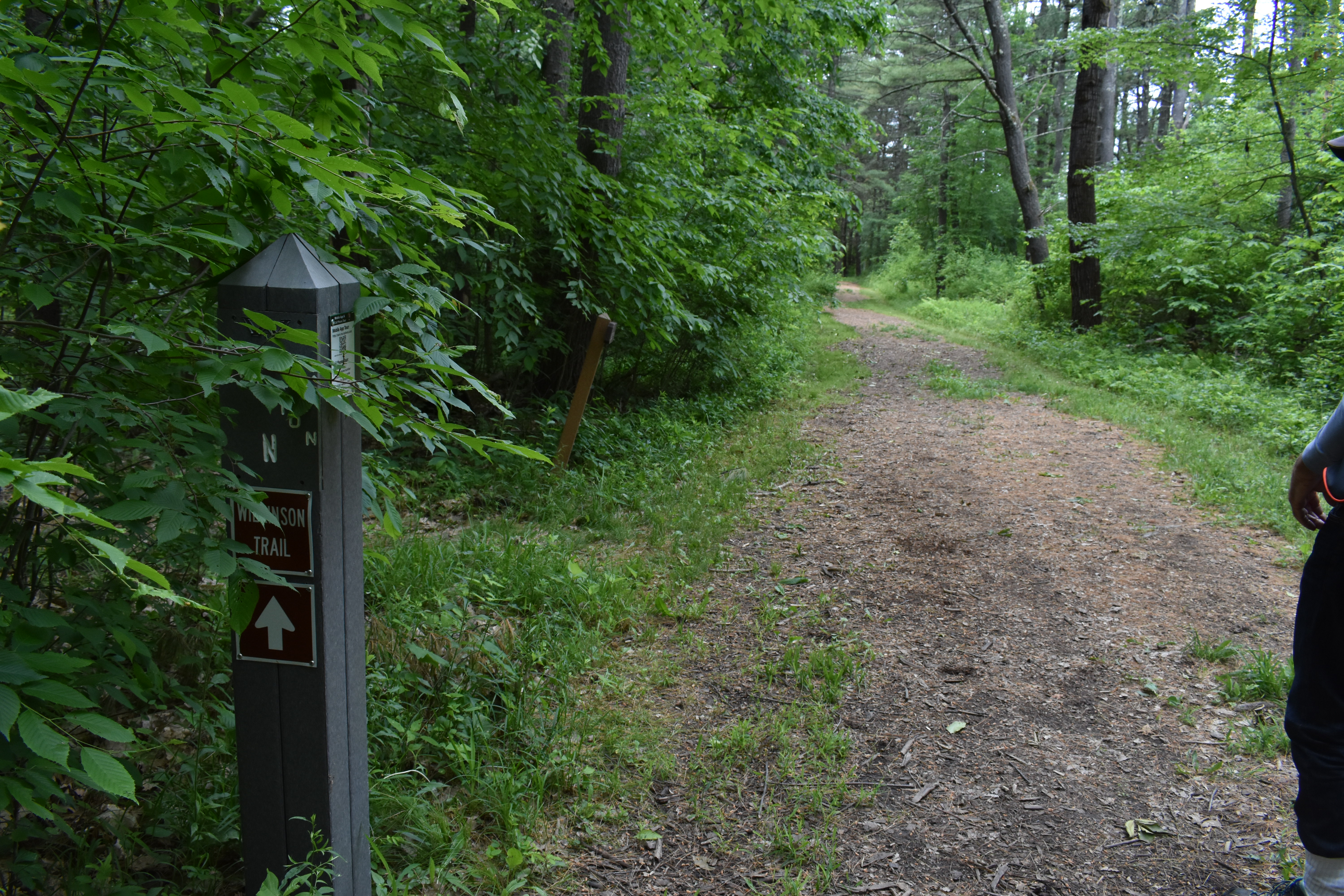
The Decisive Moment - 7 - Breymann Redoubt (Continued...)The British army dug in after the fighting of the first battle on September 19th. Their western flank would be protected by two outworks known as “redoubts.” The larger of the two, the Balcarres Redoubt, was erected on the Freeman Farm, a little more than 500 yards south of here at Stop 6. That strong work was described earlier. 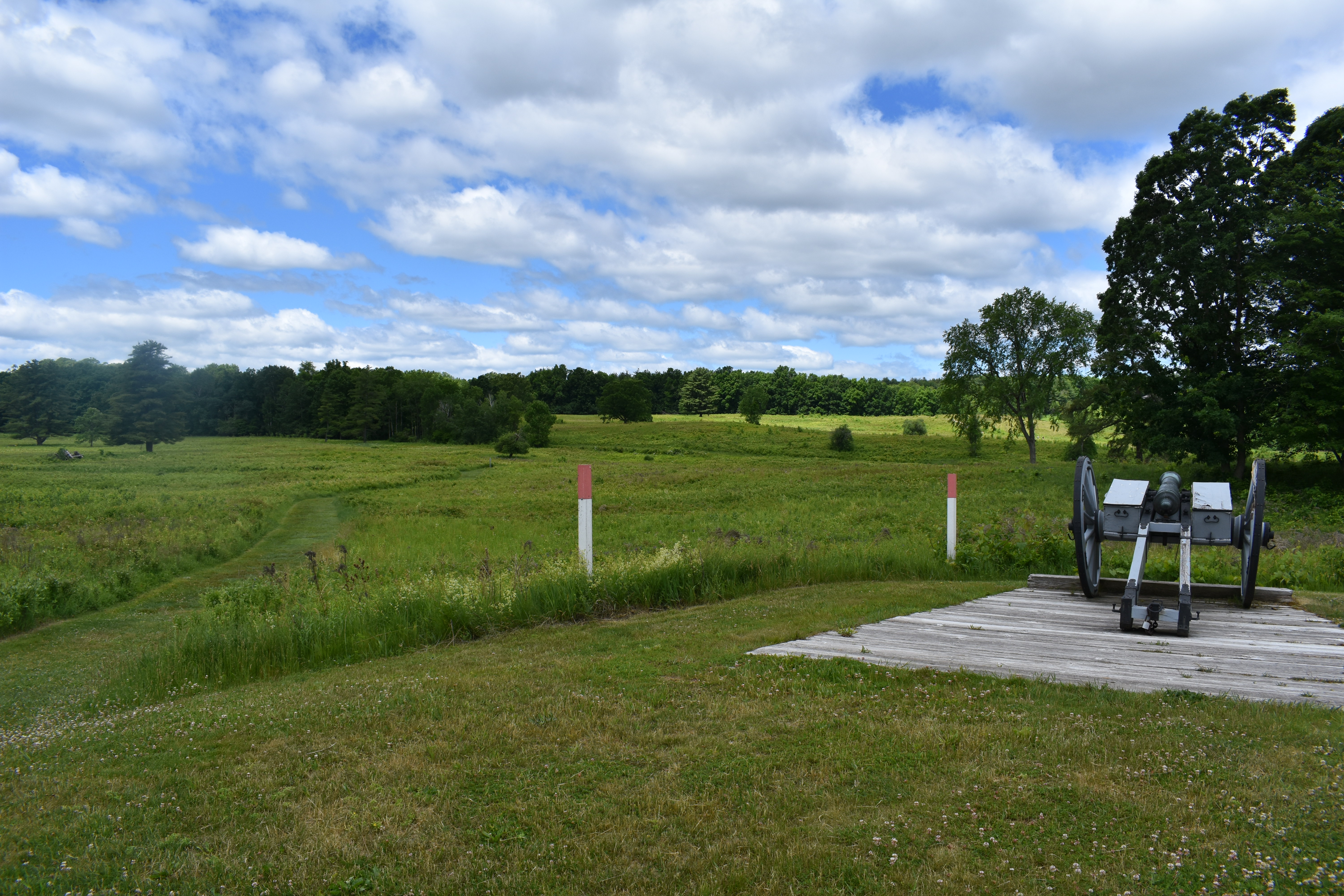
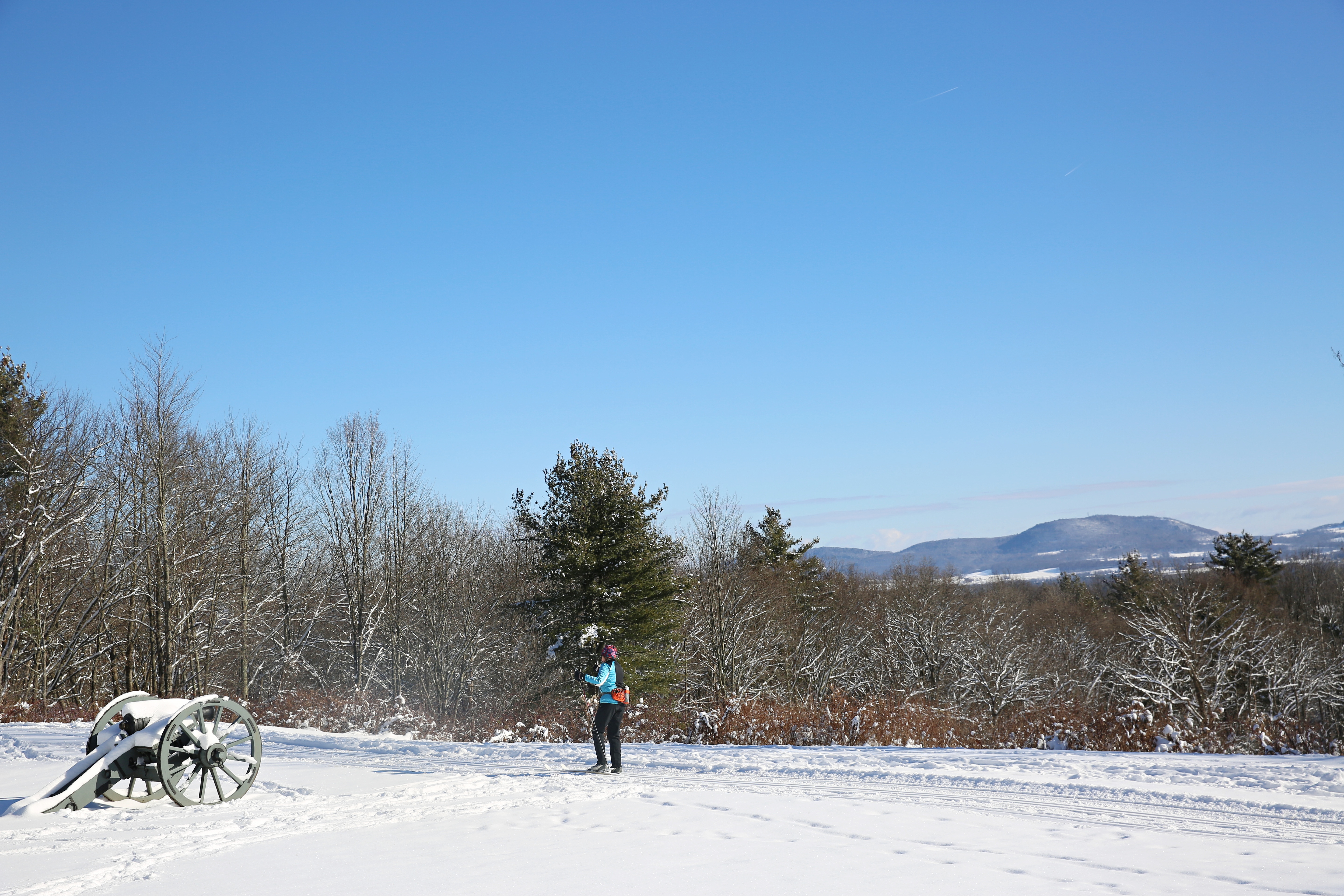
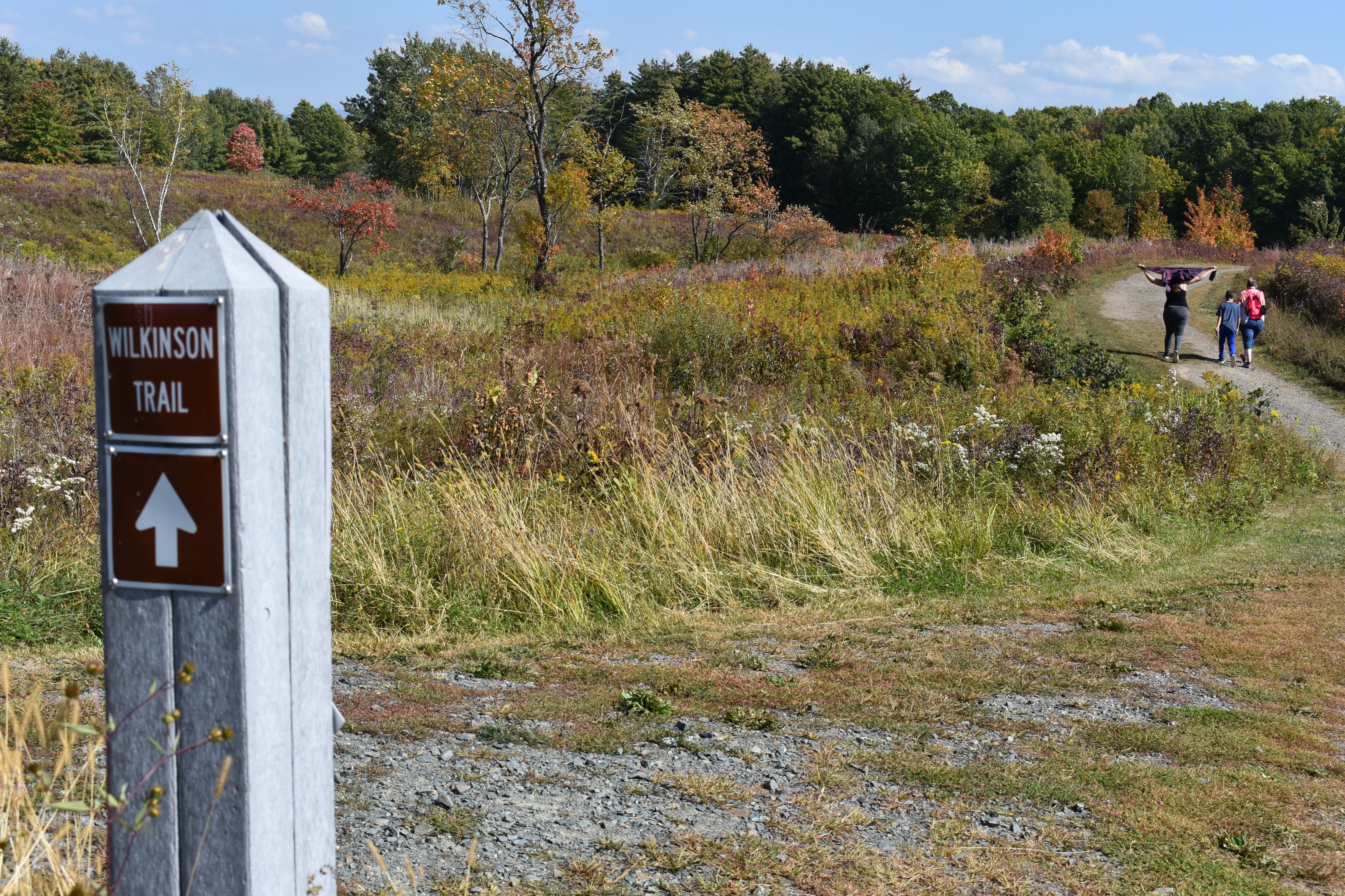
The Wilkinson TrailThe Wilkinson Trail is a 4.2 mile looped footpath through fields, woods, and hills in the northern section of the Saratoga Battlefield. 
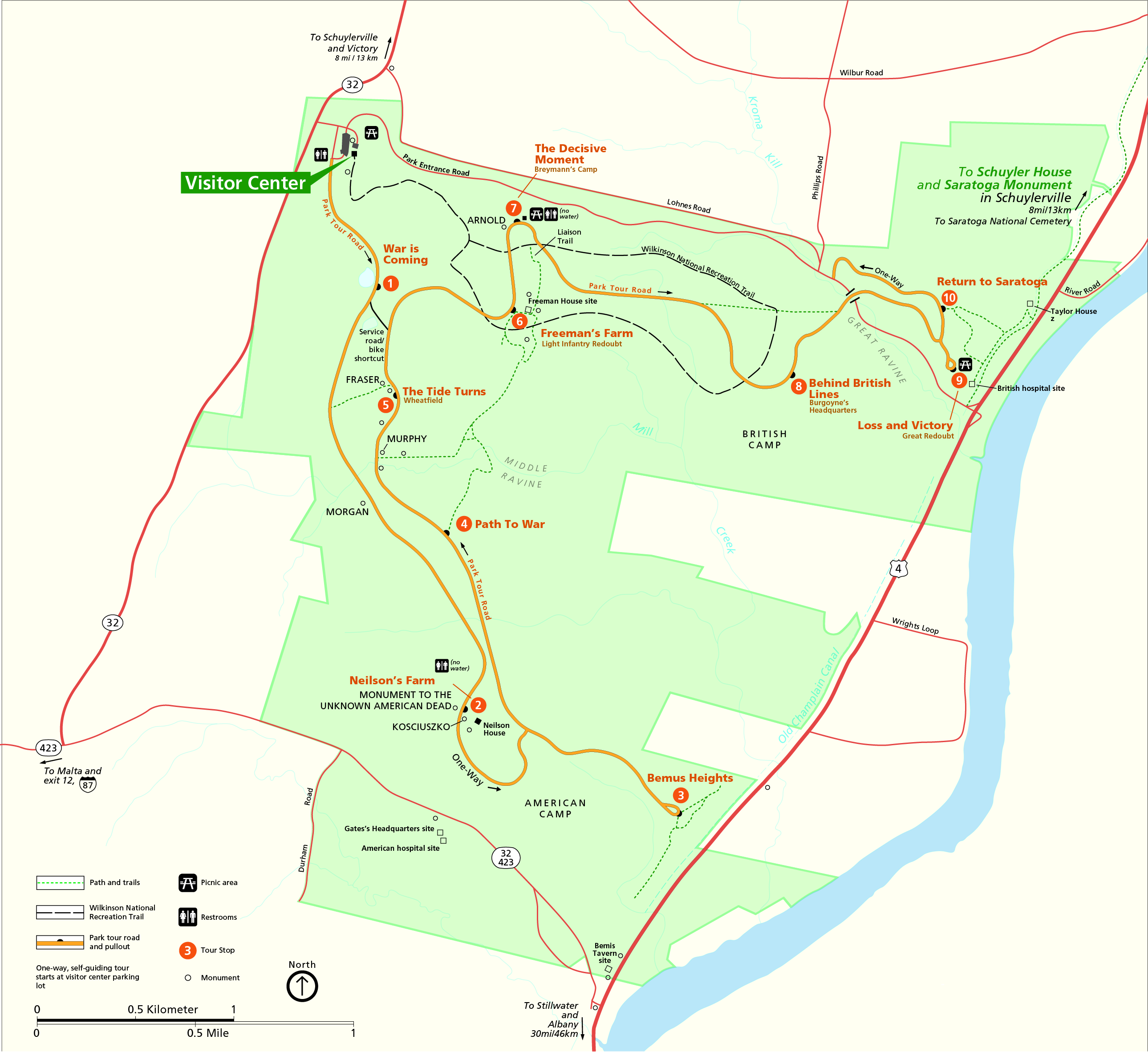
Tour Stop 10: Return to SaratogaAs you look at the picnic area in front of you, you will be facing east. You are welcome to use the picnic tables for cold meals or snacks, and caution you that no fires are permitted in this area. Barbecue grills are provided in the picnic area near the Visitor Center parking lot. The trail, which begins to the right of this parking lot, is a one-mile loop leading down below these heights. 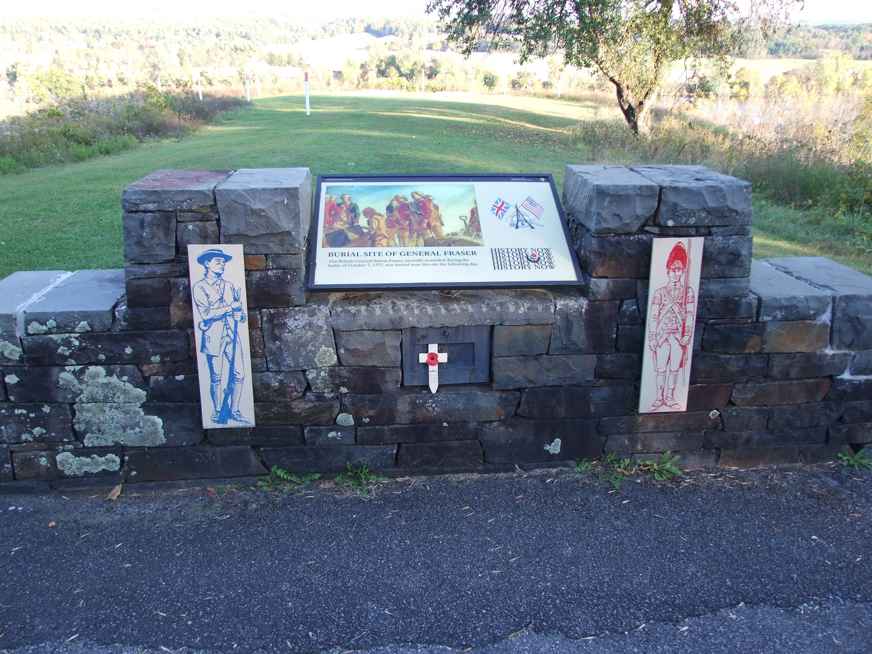
Tour Stop 1: War is ComingStep back in time to the fall of 1777. Two miles in front of you is the Hudson River. To your left, 8 miles up the river, is Saratoga, and the working estate of General Philip Schuyler. It’s Schuylerville today. 
Tour Stop 2: Neilson's FarmLooking up the ridge in front of you, imagine walls made of horizontal logs with earth packed against the outside, where you see the white stakes. Down the slope, about where we are parked, would have been an abatis of felled trees with their branches sharpened to form a kind of 18th-century barbed wire. 
Tour Stop 3: Bemus HeightsFrom Stop number 3 one can begin to understand the attraction these heights held for General Gates. These bluffs provide a fairly sheer drop of over 100 feet to the narrow flood plain and the river bed below. Earthworks on the plain below would block any movement south along the river or the road. 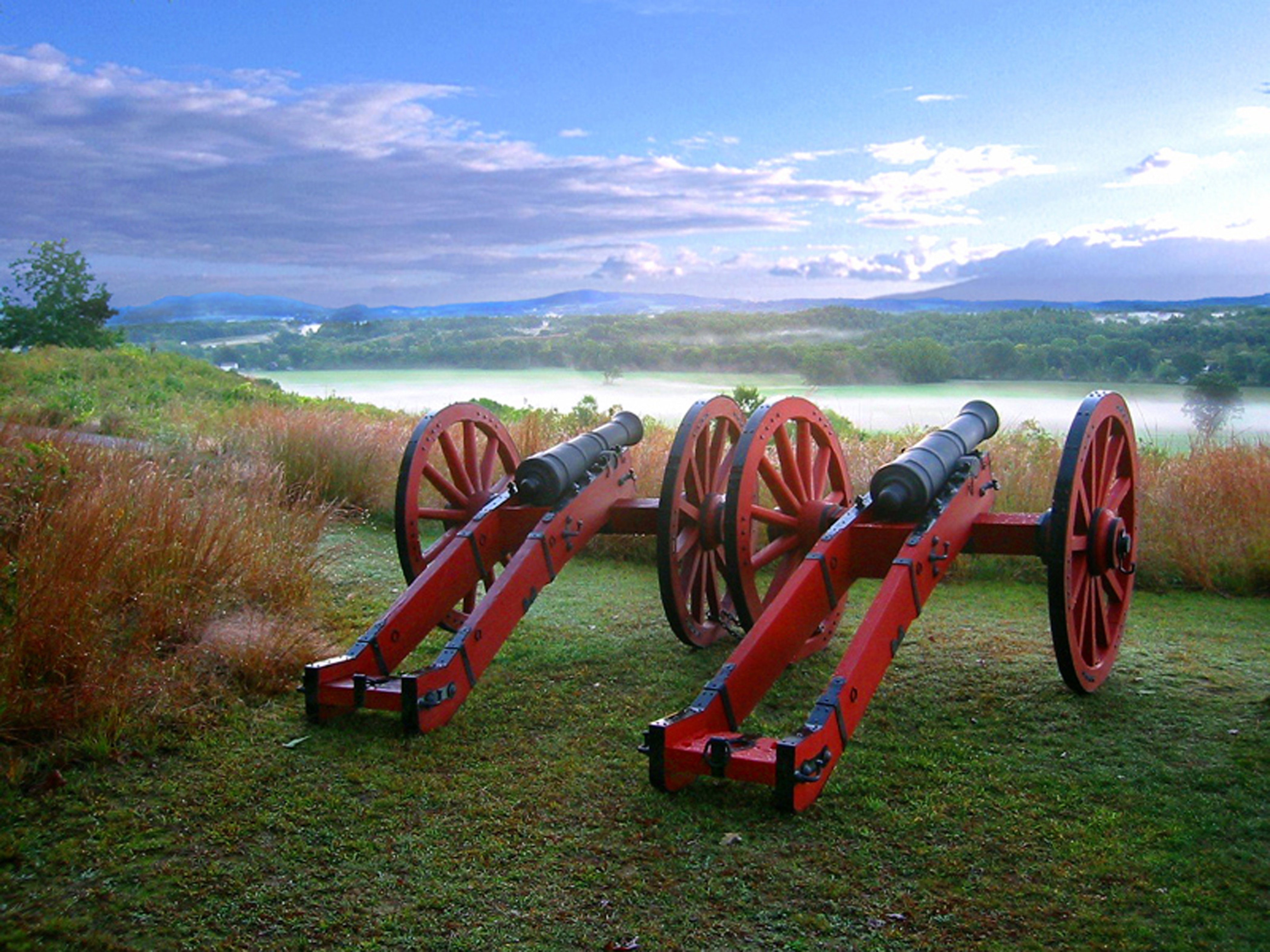
Tour Stop 4: Path to WarBetween the two Battles of Saratoga on September 19th and October 7th, advanced pickets from both armies faced each other across the middle ravine. The farmhouse that stood here served as an American observation post. 
Tour Stop 5: The Tide TurnsThe monument at the head of the parking lot is dedicated to Brigadier General Abraham Ten Broeck, and the nearly 1200 militiamen of Albany County who composed this brigade. They played a supportive role in the action that occurred here. The monument was placed here by the Sons of the American Revolution. 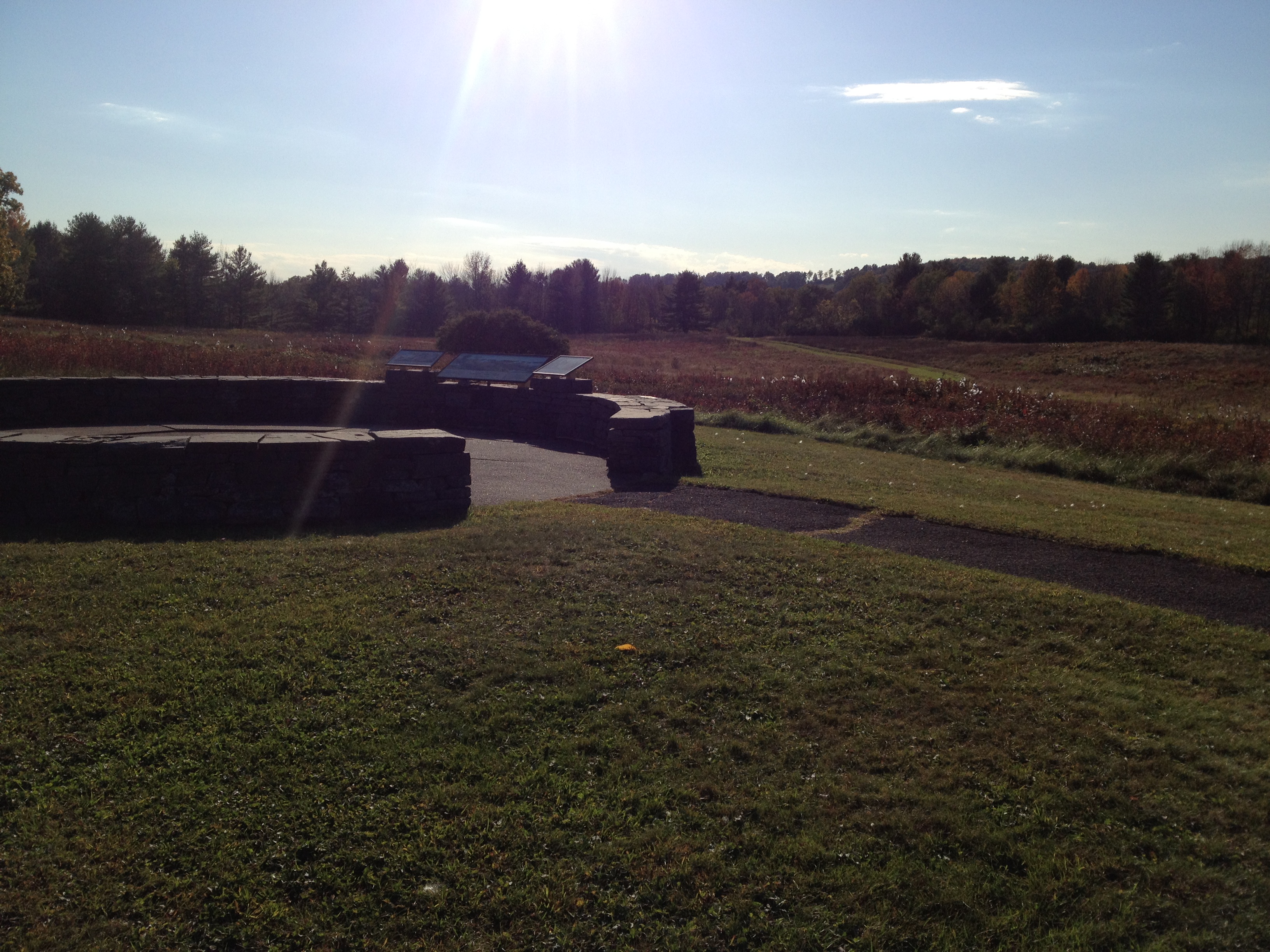
Tour Stop 6: Freeman's FarmFrom Stop number 6, you will be looking east at the area that was the farm of John Freeman. A black-topped, looped trail leads south from the parking lot, past “Bloody Knoll,” the cannon platforms on the southern end of Balcarres Redoubt, the Freeman Farmhouse site, which is near the cannons in front of you, and back to the parking lot. 
Tour Stop 7: The Decisive MomentYou are now at Stop Number 7 and facing north. The structure to your right is a restroom. The path to your left leads to the Breymann Redoubt site and the famous Benedict Arnold “Boot” Monument. 
Tour Stop 8: Behind British LinesThe wayside exhibit marked by the large flags in the field indicates the approximate location of General Burgoyne’s headquarters. It was located near a spring, no longer visible from the surface, but from which water for today’s Visitor Center is drawn. 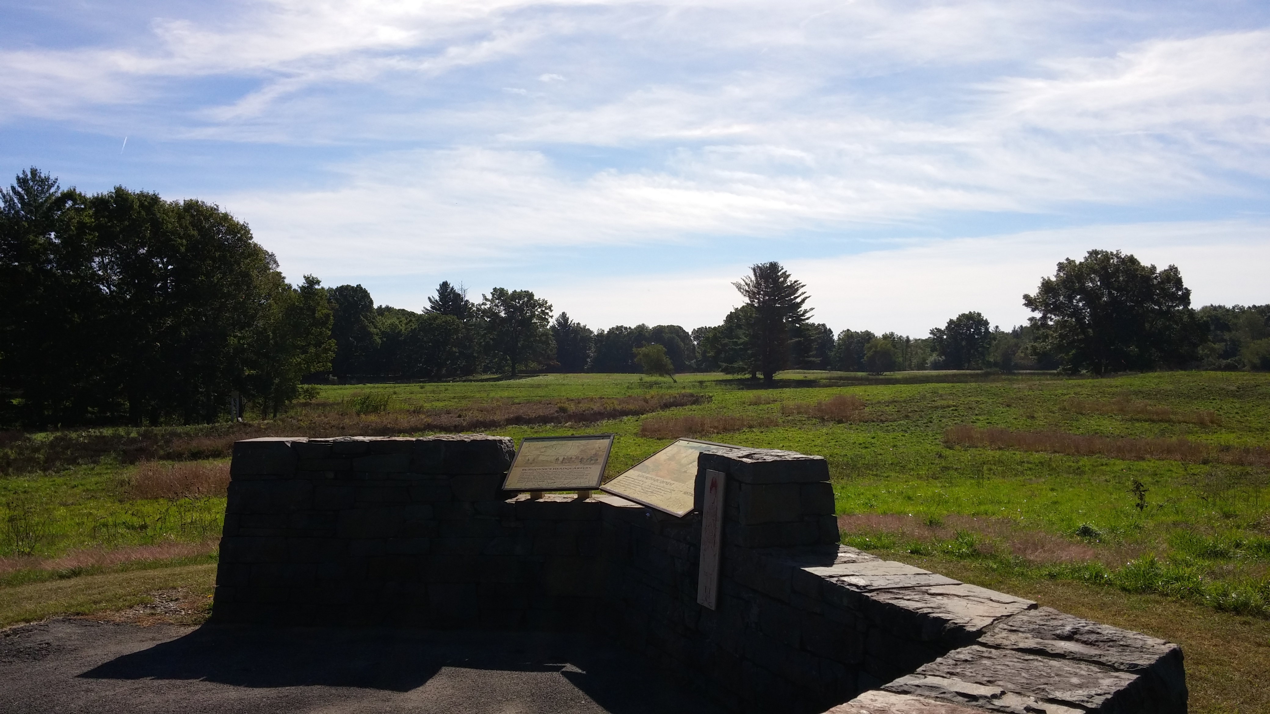
Tour Stop 9: Loss and VictoryThe redoubts occupying this hill top, and the two to your left, were known collectively as the Great Redoubt. They protected the British hospital, artillery park, and baggage train along the narrow flood plain below. A bridge of boats temporarily spanned the Hudson, just below this hill. 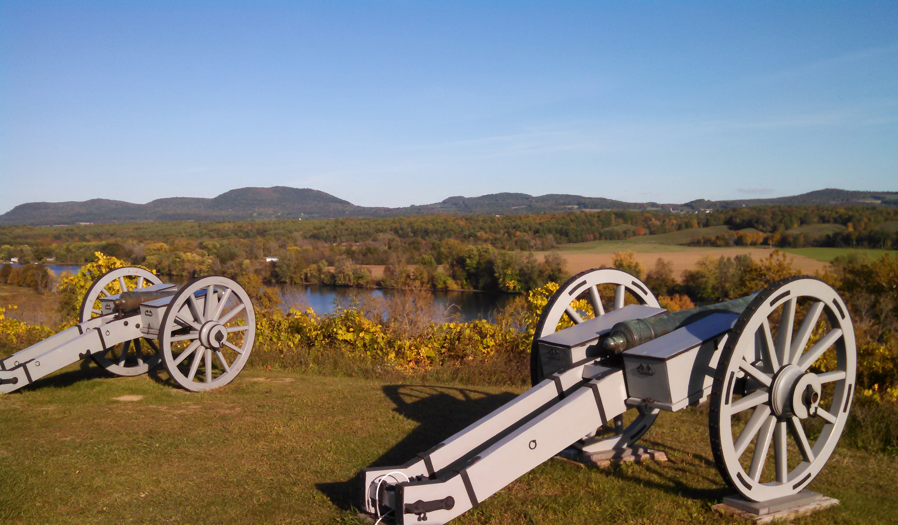
Trail IntroductionThe trail you are about to embark on is the 4.2 mile Wilkinson Trail. The start of the Wilkinson Trail is a brown kiosk behind the Visitor Center at the end of the lawn. 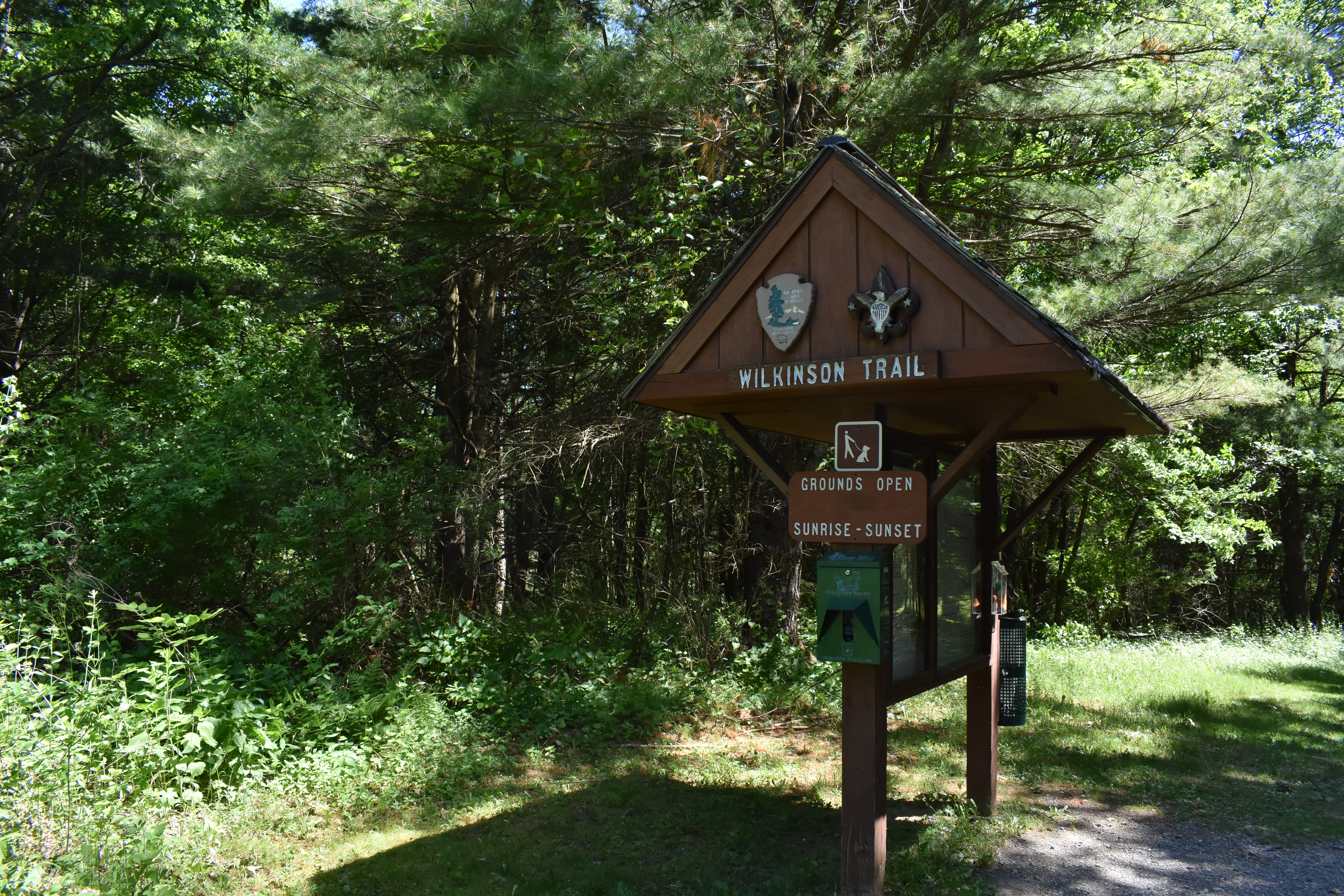
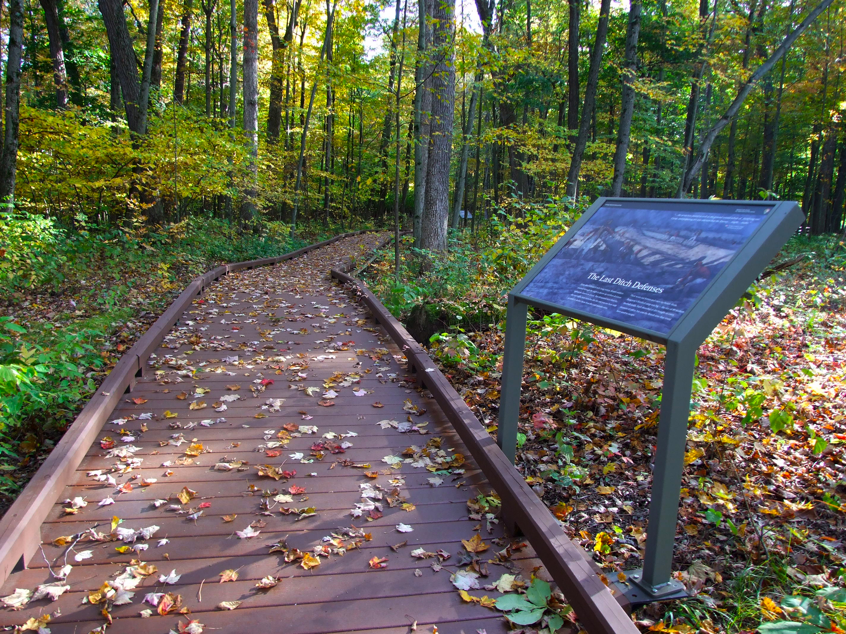
Victory WoodsThese 22 acres mark the final encampment site for the British Army under General Burgoyne prior to their October 17, 1777 surrender to American forces. The trail is self-guided and offers a raised, accessible 1/2-mile pathway with interpretive signs. 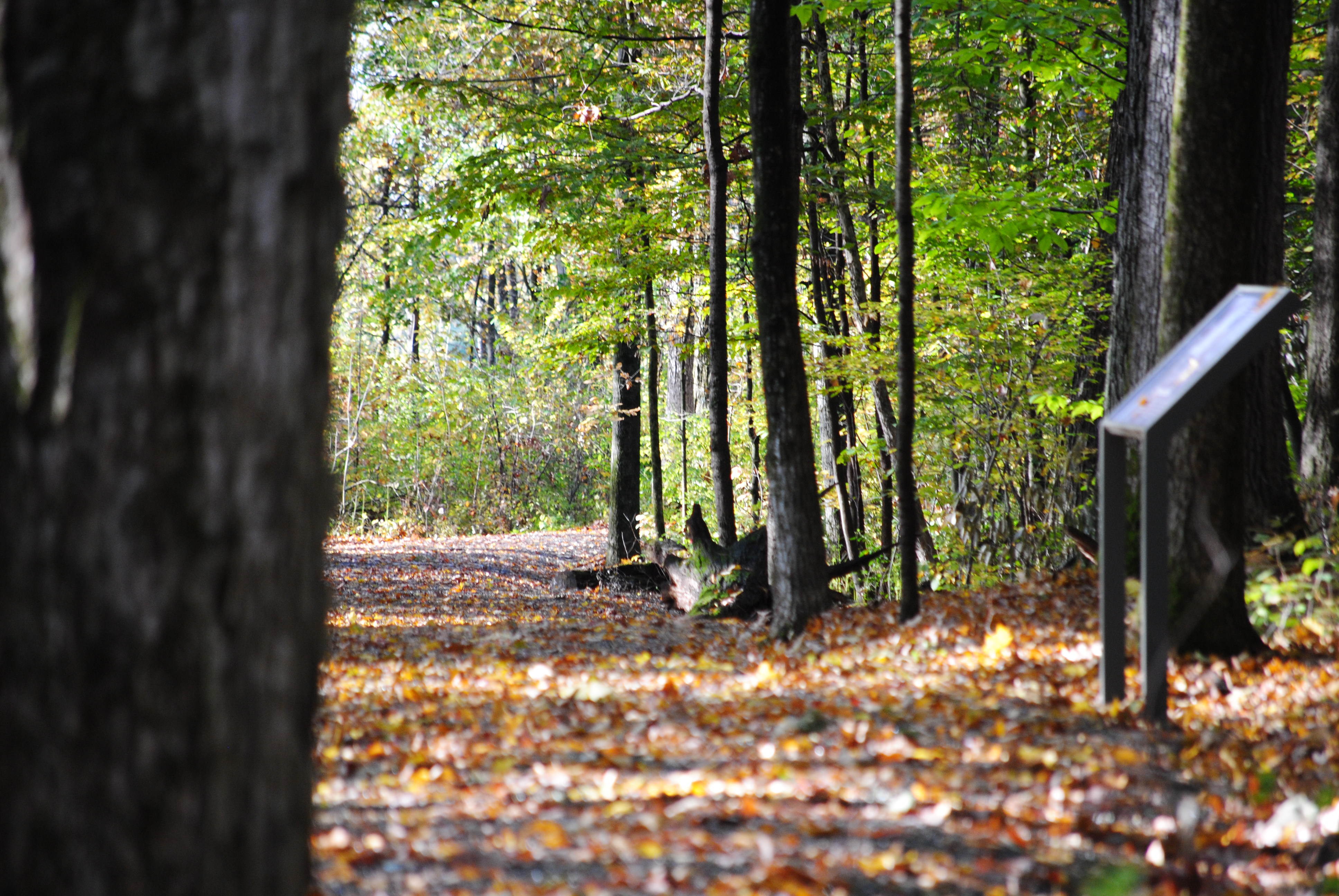
Wilkinson Trail - Kids Tour - IntroductionThe Children’s Version of this audio-guided hike uses a shorter part of the trail, called the Liaison Trail. Narrations for this tour go along with the Trail Station Markers. 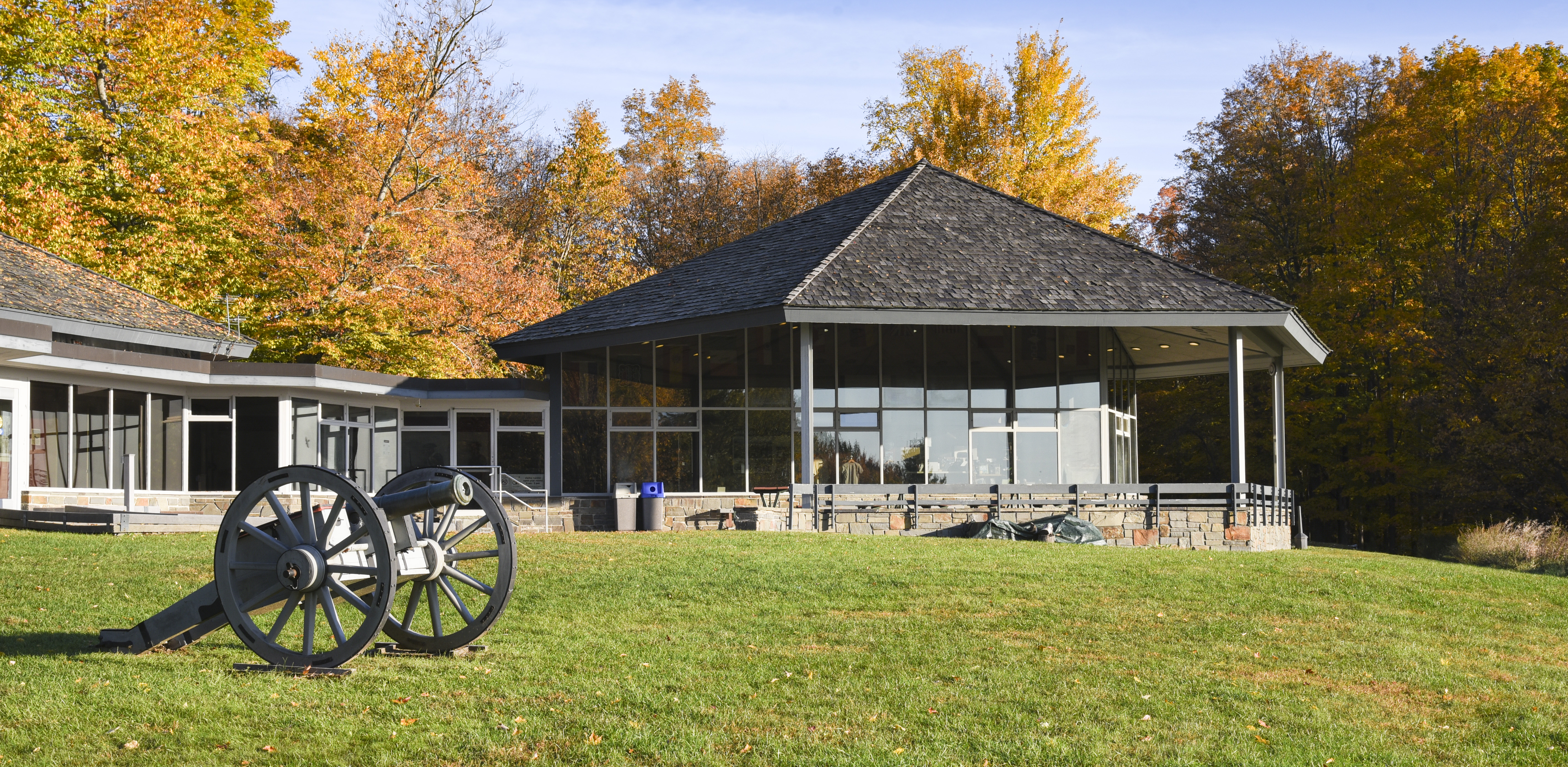
Wilkinson Trail - Kids Tour - Station AAs you walk along this trail, you are following in the footsteps of British and American soldiers who fought in the Battles of Saratoga in September and October of 1777. 
Wilkinson Trail - Kids Tour - Station BIt is September, 1777. There are a great many people in General Burgoyne’s camp, over seven thousand I am told. One of my duties as a camp follower is helping soldiers with day-to-day life. 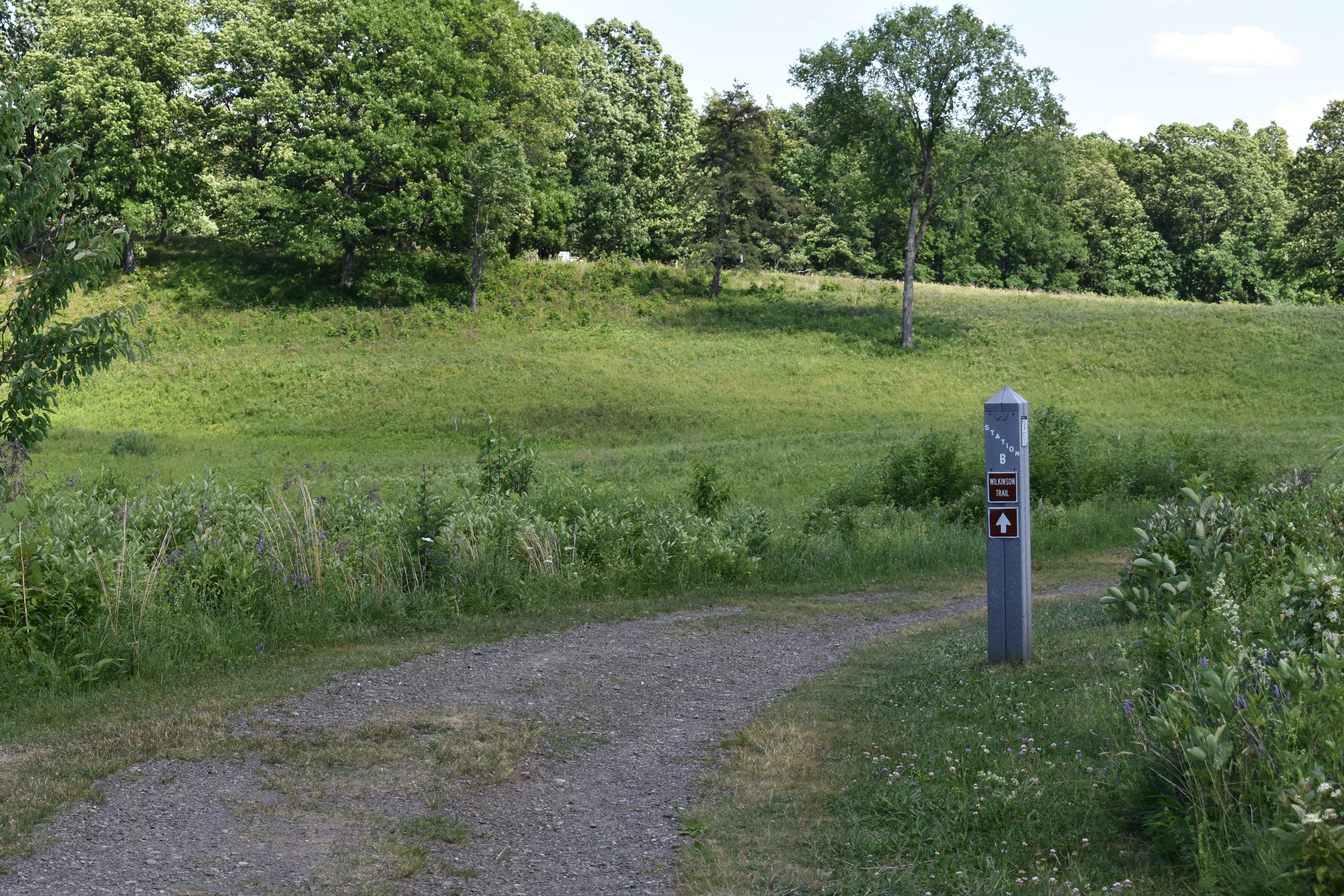
Wilkinson Trail - Kids Tour - Station B, Part IIAs the British Army retreated north, their route was blocked about eight miles from the battlefield, in the Village of Saratoga, now known as Schuylerville. Trapped in a hastily and poorly built camp, [drumming ends] with little food and even less shelter, they were surrounded by the Americans and forced to surrender just a few days later, on October 17th, 1777. 
Wilkinson Trail - Kids Tour - Station CHere at Station C, please follow the trail to your right and proceed to Station D while listening to the narration. 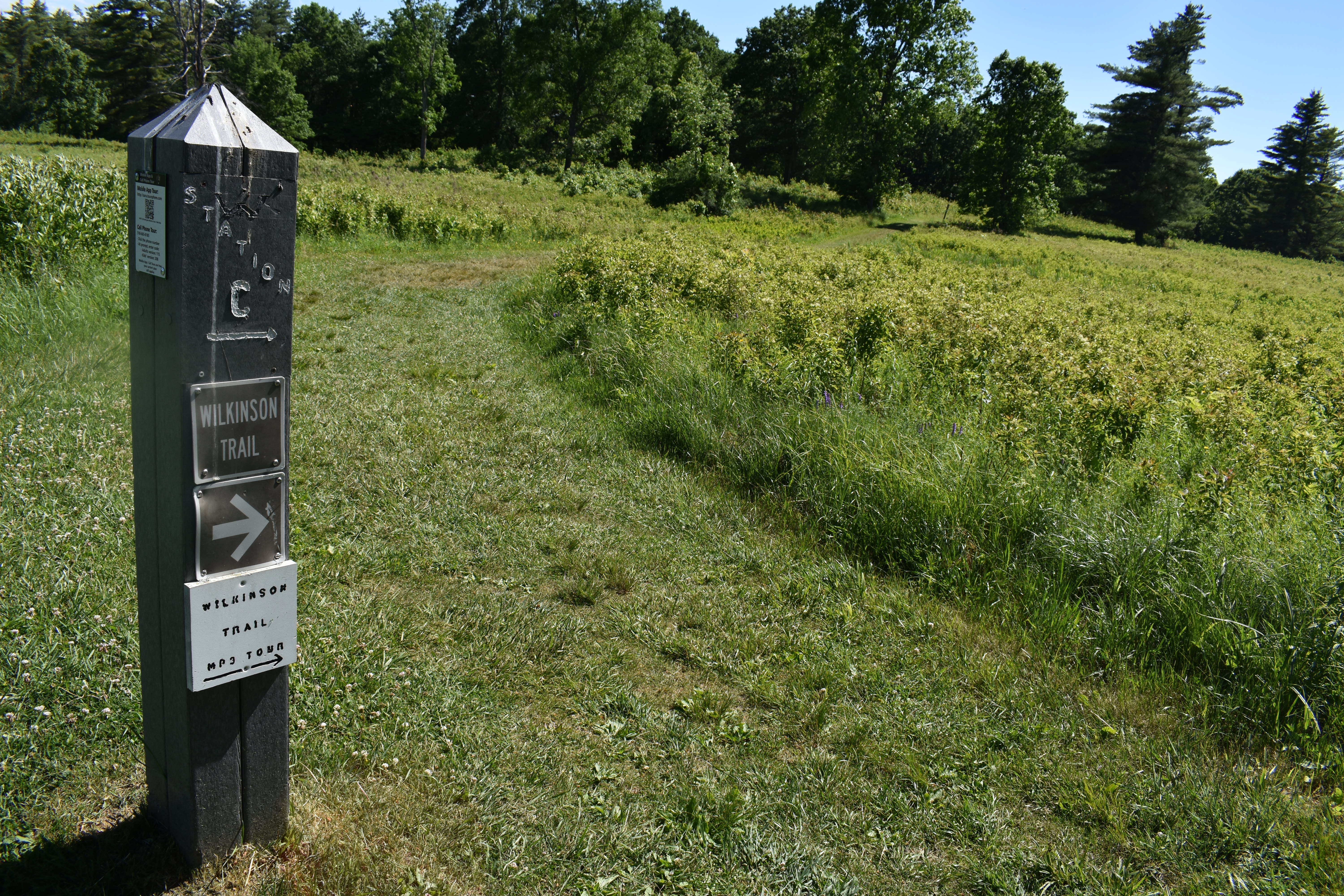
Wilkinson Trail - Kids Tour - Station C, Part IIIt is October 7th. Father left for battle once again. We were lucky enough once to have him safely return. I am so afraid he may not return a second time! I heard him mention to Mother how numerous the Rebel forces are. I am also worried about that stupid boy who is going to be leading Father and others into battle. He is only 12 years old! How can someone just two years younger than me be put in charge of leading of men into battle? 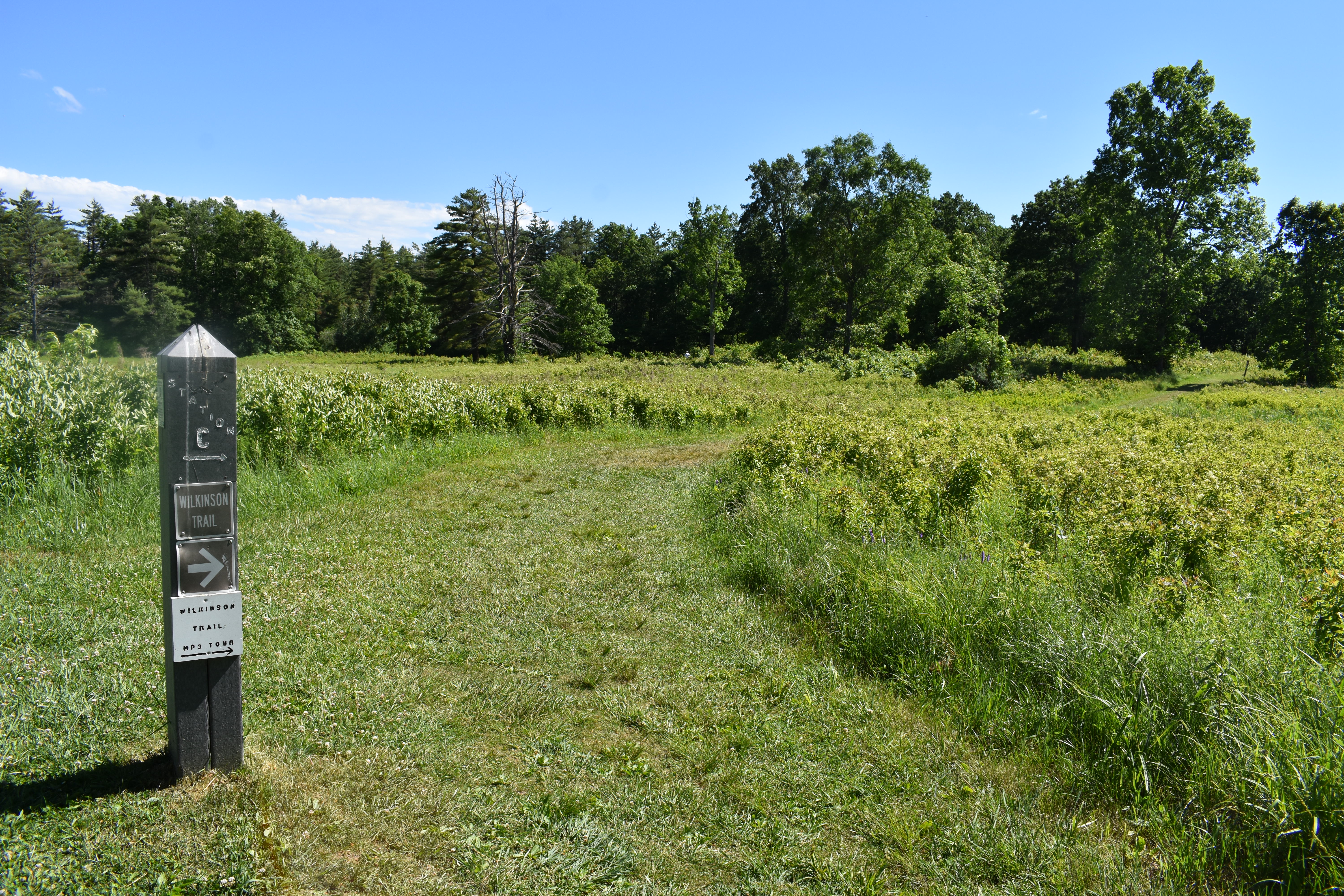
Wilkinson Trail - Kids Tour - Station DNot far ahead of you is the farm of a local man, John Freeman, who is loyal to our King George. That is where most of the battle took place earlier today, the 19th of September. General Burgoyne advanced his forces [sounds of military fife music, indistinct orders] in three large groups, spread out over 2 miles. Around noon, the middle group saw the Rebels, just north of Freeman’s farm, and the musket fire began. 
Wilkinson Trail - Kids Tour - Station EThe Rebel Americans fled earlier today. Much of our army is now camped here on John Freeman’s farm. The soldiers are all so very tired, now that the excitement of battle has passed. Mother and I are exhausted from worry, as we still have no word on whether Father is well, or even alive! 
Wilkinson Trail - Kids Tour - Station FHere at Station F, turn left on the Liaison Trail. It goes through the meadow and through a wooded ravine. After the ravine, the trail reconnects with the main part of the Wilkinson Trail at Station N, where you will turn left again. 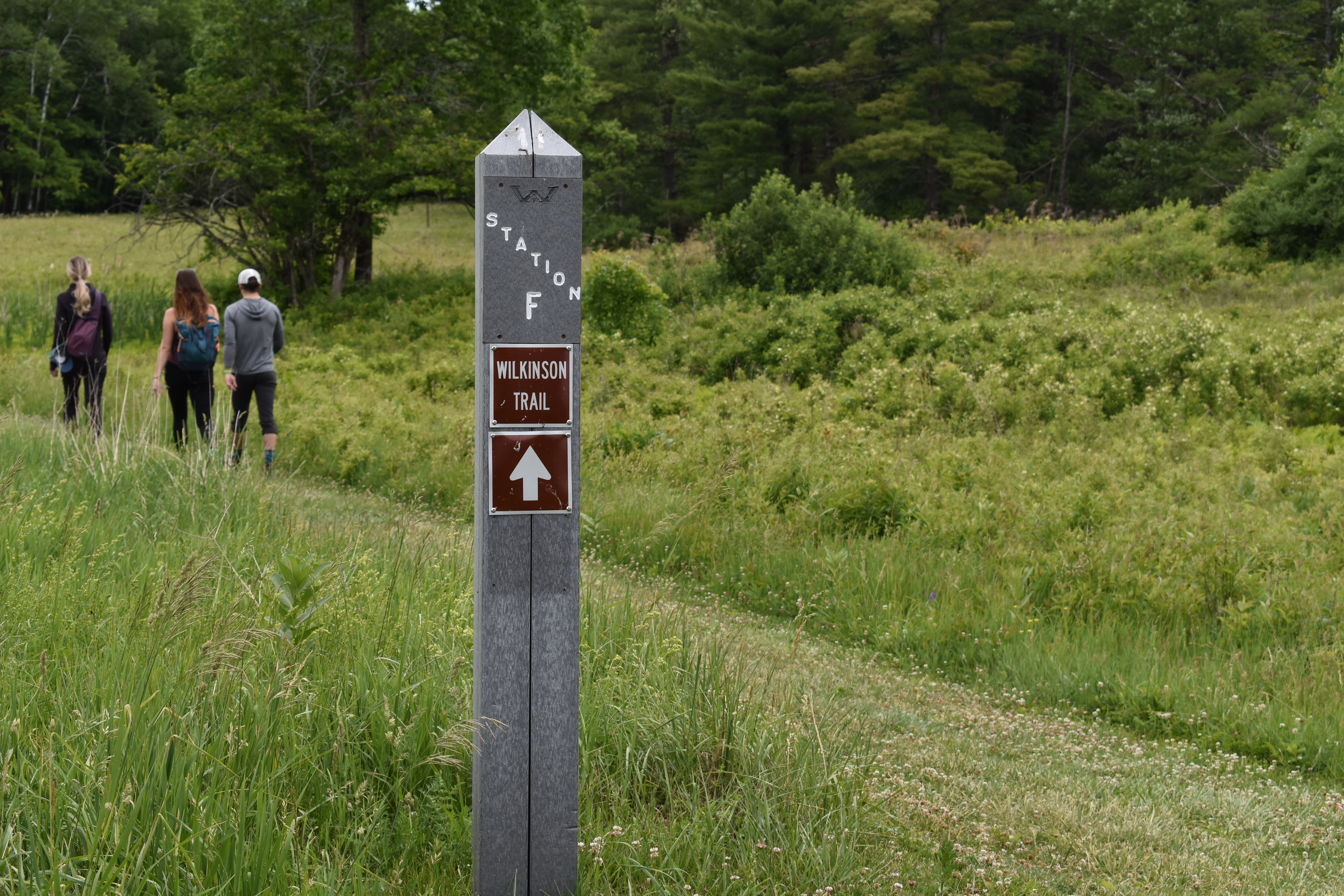
Wilkinson Trail - Kids Tour - Station NHere at Station N, turn LEFT, back onto the main part of the Wilkinson Trail. 
|
| Visitor Centers | Count: 1
Visitor Center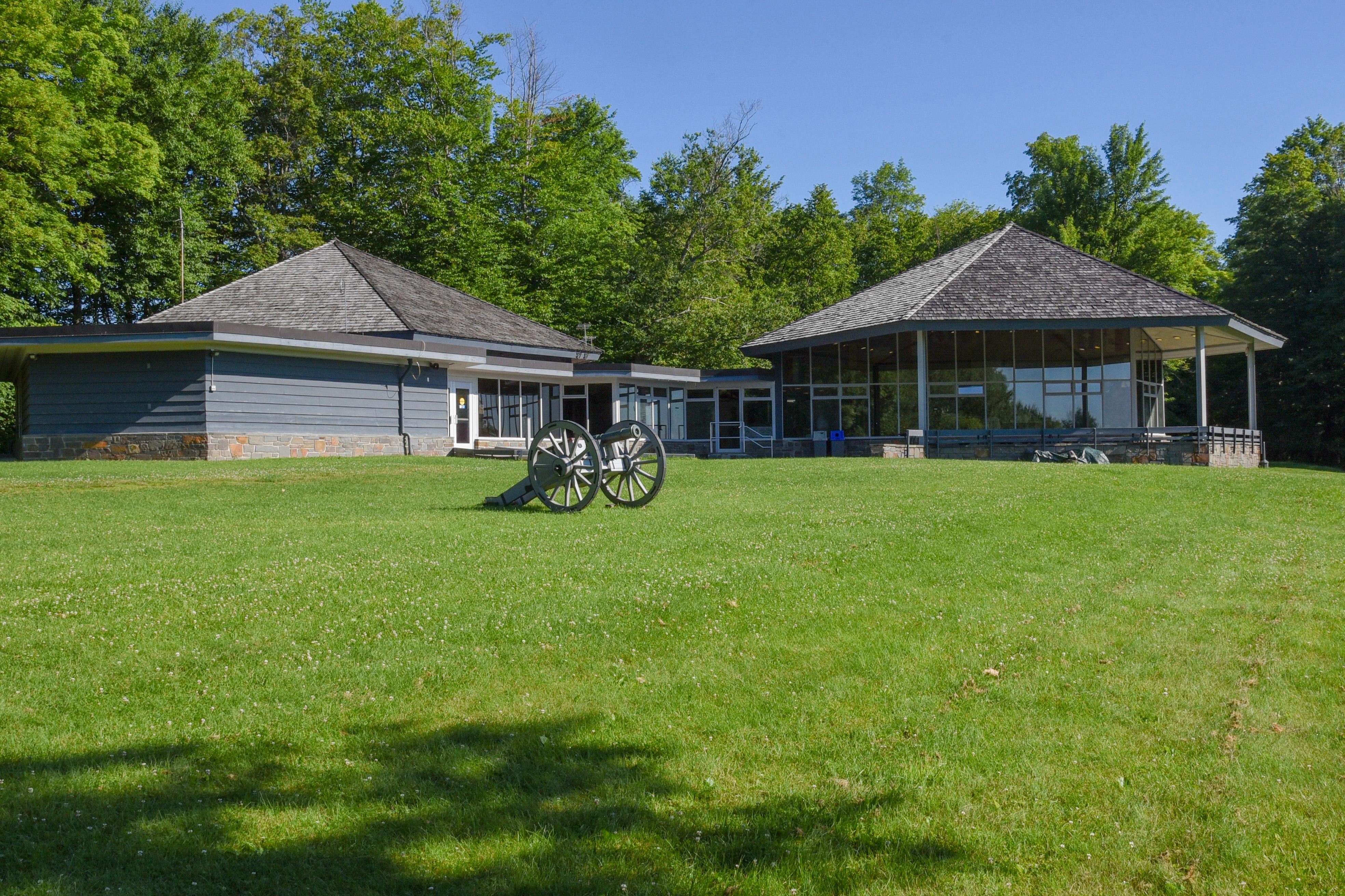
|
| Things to do | Count: 10

|
| Tours |
Count: 4
Saratoga Battlefield Road TourTake a drive through the Saratoga Battlefield and learn about the historic battles that took place here in 1777. There are stops along the 10-mile road with accompanying audio that gives you a chronological history of the Battles of Saratoga. Saratoga Surrender SiteThis outdoor memorial marks the site of the British Surrender after the Battles of Saratoga. This was the first time in world history that the British Army surrendered to another country. On the morning of October 17, 1777, a British army over 6,000 strong made preparations to surrender arms and ordnance to the Northern Army forces of the United States of America. Wilkinson Trail Kids Audio TourHow might the Battles of Saratoga appeared through the eyes of young people? Download these MP3 audio files to your phone or MP3 player and listen in to hear their perspectives as you hike the Battlefield accompanied by your Narrator, Mary Morton, and George Williams...and the adult with your group of course. Start playing each narration at its respective Station Marker: Track A at Station A, Track B at Station B, and so on. Wilkinson Trail Walking TourThe trail you are about to embark on is the 4.2 mile Wilkinson Trail. The start of the Wilkinson Trail is a brown kiosk behind the Visitor Center at the end of the lawn. Trail markers and informational stations on the trail are thick grey plastic posts. Each trail marker is labeled "Wilkinson Trail," while each informational station is labeled with a letter of the alphabet, A through N. Each of these stations has a corresponding audio track; start listening to each track at its corresponding station. |
| Articles |
|