Upper Cliff Dwelling Tour Reservations Start October 1st
Starting on Wednesday, October 1st, we will be taking Phone-only reservations for our ranger led tours. Reservations made before October 1st will not be accepted. Please call (928) 467-2241 to reserve your spot.
Lower Cliff Dwelling Trail may close accordingly due to Excessive Heat
The Lower Cliff Dwelling Trail will close if temperatures exceed 105 degrees Fahrenheit as issued by the National Weather Service.
Fire Restrictions in Place
Effective Monday, May 12, 2025. Tonto National Monument will be under Stage Two fire restrictions. Burning Charcoal or Wood, including Smoking and Fireworks are prohibited in all areas within the park except for Liquid Petroleum or Propane stoves.
Lower Cliff Dwelling Trail Open 8:00 am to Noon
Summer hours will be in effect Thursday, May 1. The Lower Cliff Dwelling trail will open at 8:00 am and visitors must begin their hike by noon. The Visitor Center will remain open 8:00 am-4:00 pm. The Upper Cliff Dwellings will close for the Season.
Visitor Center Bookstore now Cashless
Starting today, our Western National Parks Association Bookstore will no longer accept cash. We will accept all major credit or debit cards, including mobile payments.
Tonto National Monument has moved to cashless fee collection
Tonto National Monument accepts only electronic card payments for entrance fees. Electronic payment reduces transaction times, saves money, and improves accountability.
| Title | Tonto |
| Park Code | tont |
| Description | Located within the northern range of the Sonoran Desert lie two cliff dwellings that were occupied from 1300-1450 CE (common era). They represent a vibrant culture consisting of local and immigrant groups that lived in the Tonto Basin. Together t... |
| Location | |
| Contact | |
| Activities |
|
| Entrance fees |
Entrance - Per Person
$10.00
Tonto National Monument charges a fee to all visitors hiking to the Lower or Upper Cliff Dwelling. Tour reservations are required to visit the Upper Cliff Dwelling. The Lower Cliff Dwelling is open September through May 8:00 am to 4:00 pm and June through August 8:00 am to noon. Credit and Debit only
Entrance - Education/Academic Groups
$0.00
Education groups may be granted an educational fee waiver. All requests and documentation must be submitted at least 2 weeks in advance of the school's planned visit.
|
| Campgrounds | Count: 0
|
| Places | Count: 14
A Perfect Dwelling Wayside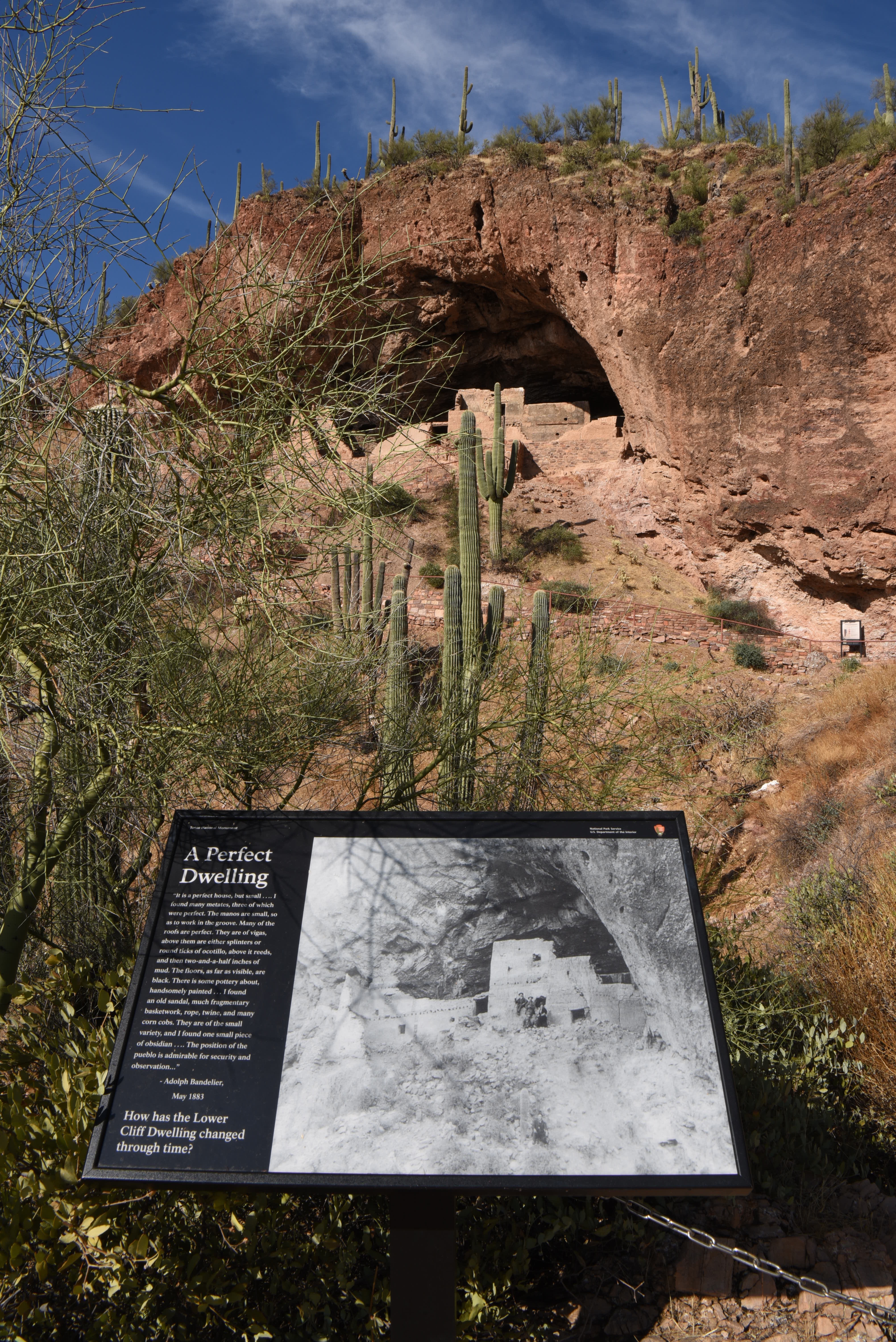
Beat the Heat Wayside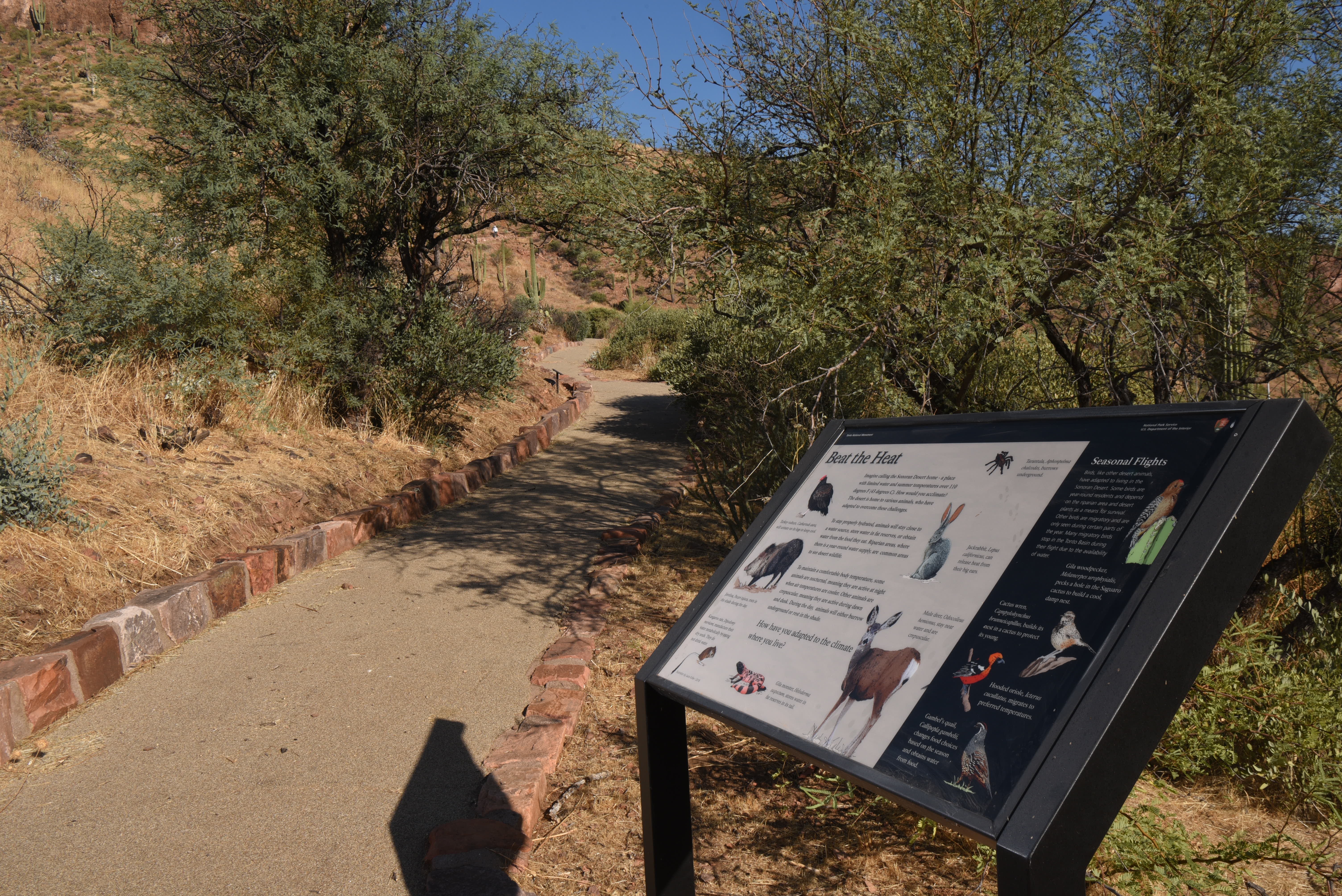
Confluence of Change Wayside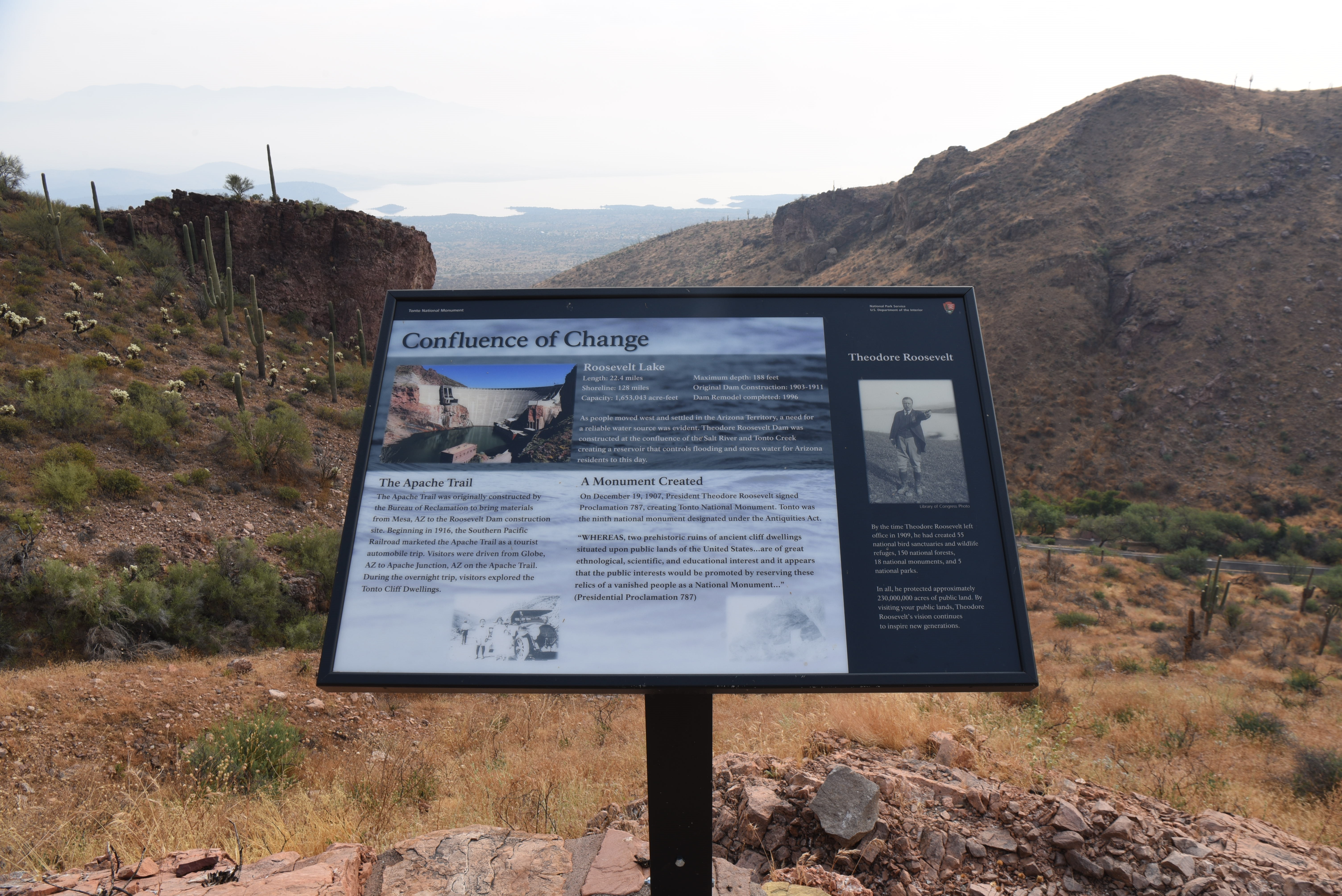
Essential for Life Wayside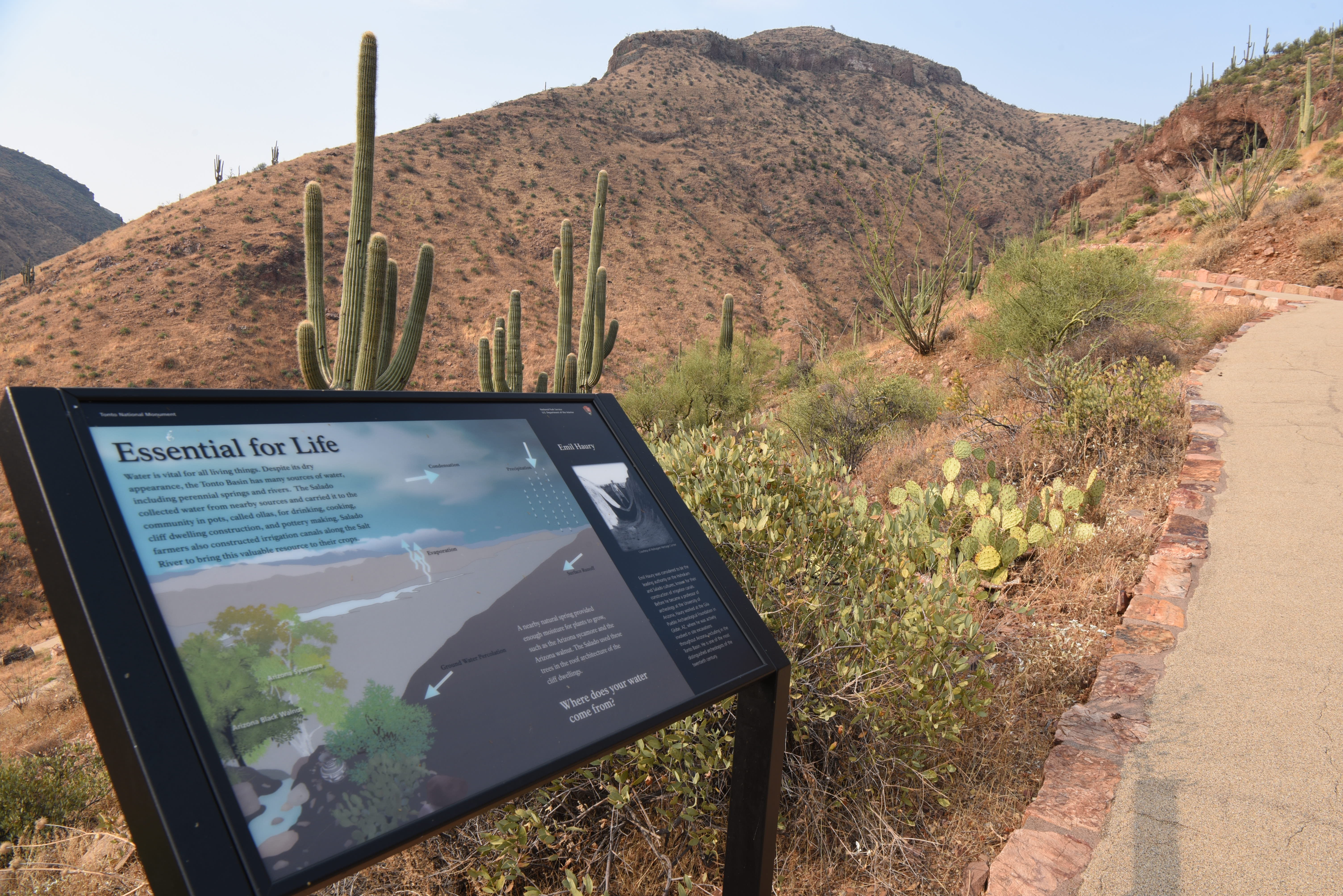
Exchange Expedition Wayside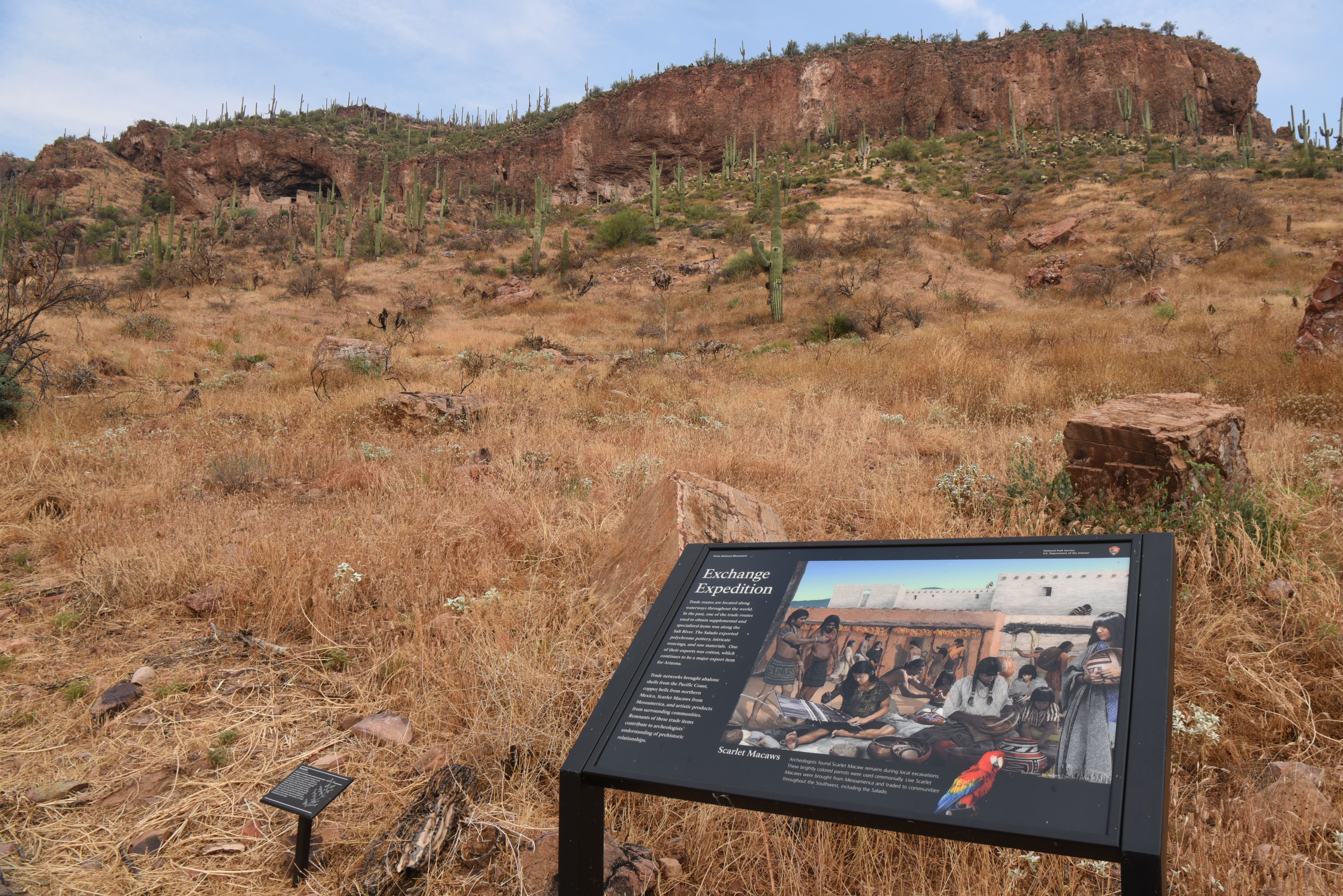
Gathered in the Wild Wayside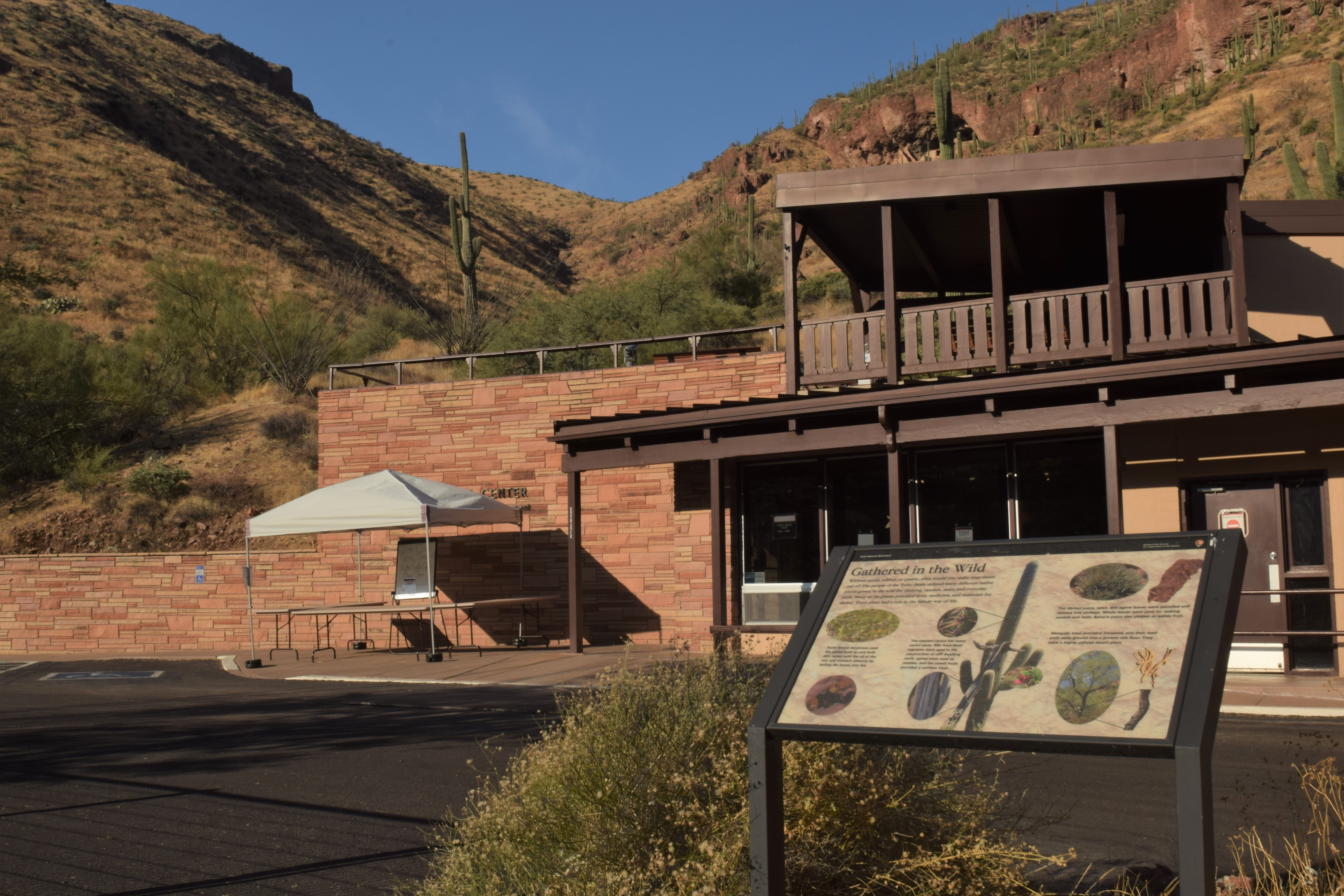
Life in Tonto Basin Wayside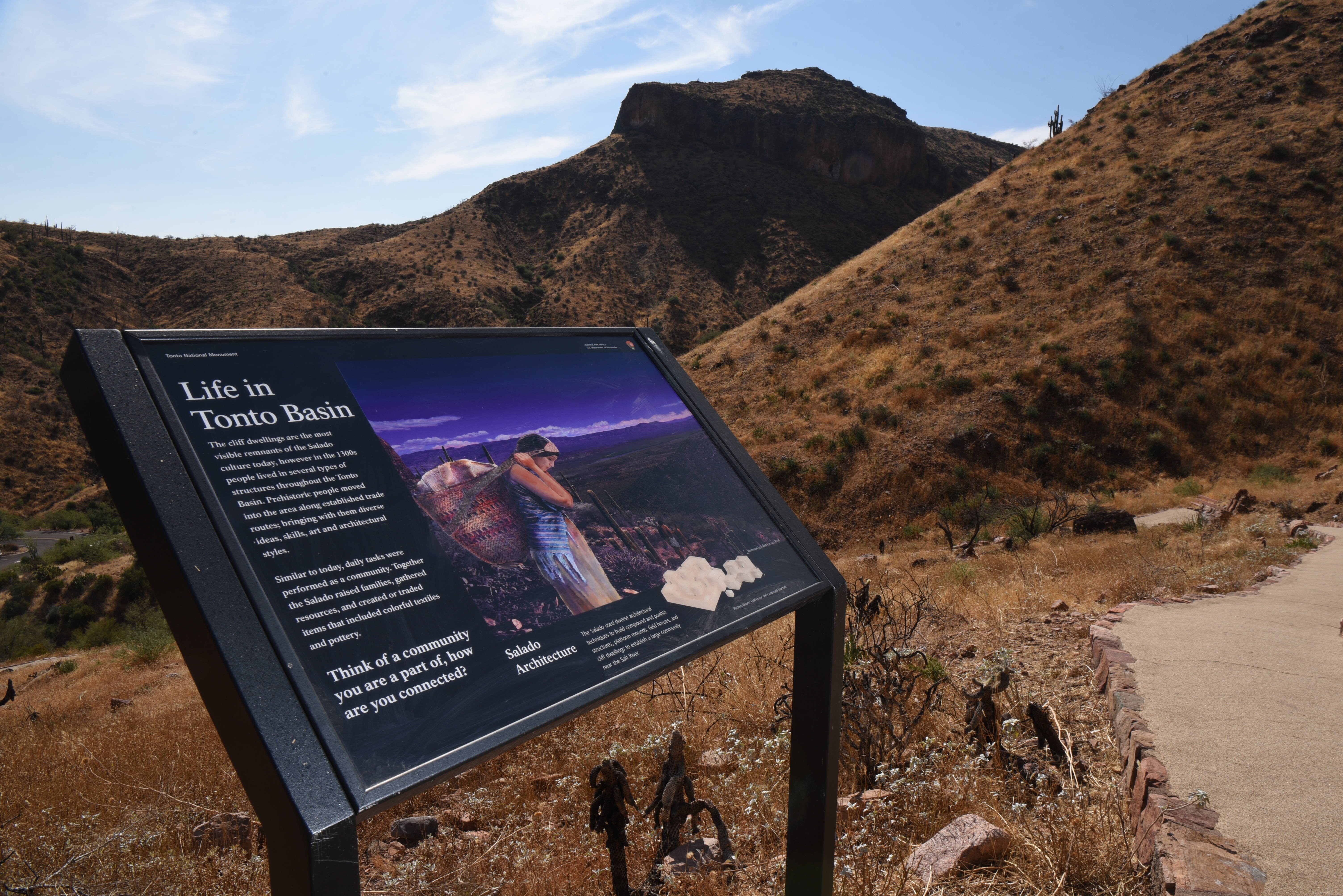
Lower Cliff DwellingPersistent Plants Wayside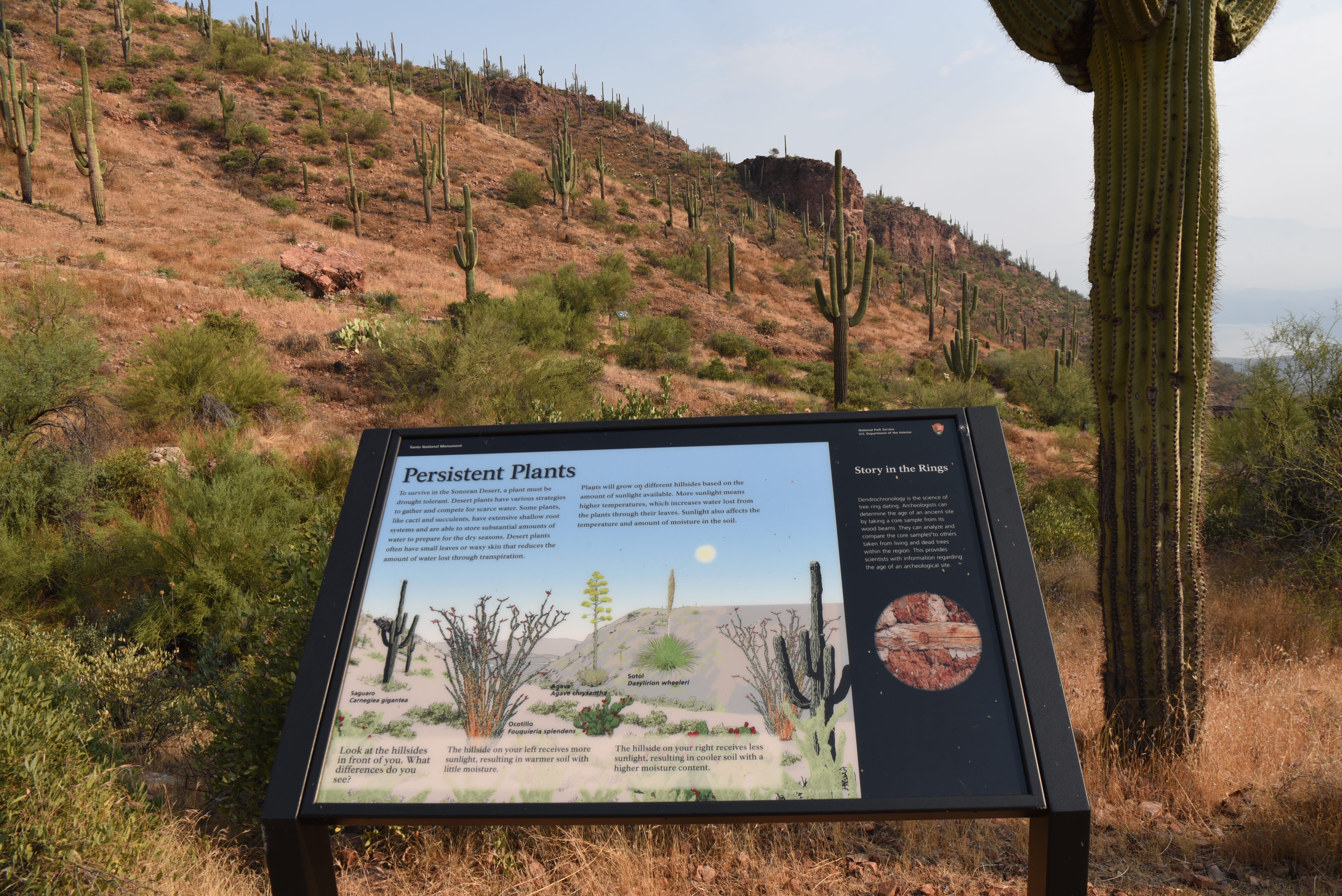
Revealing Layers Wayside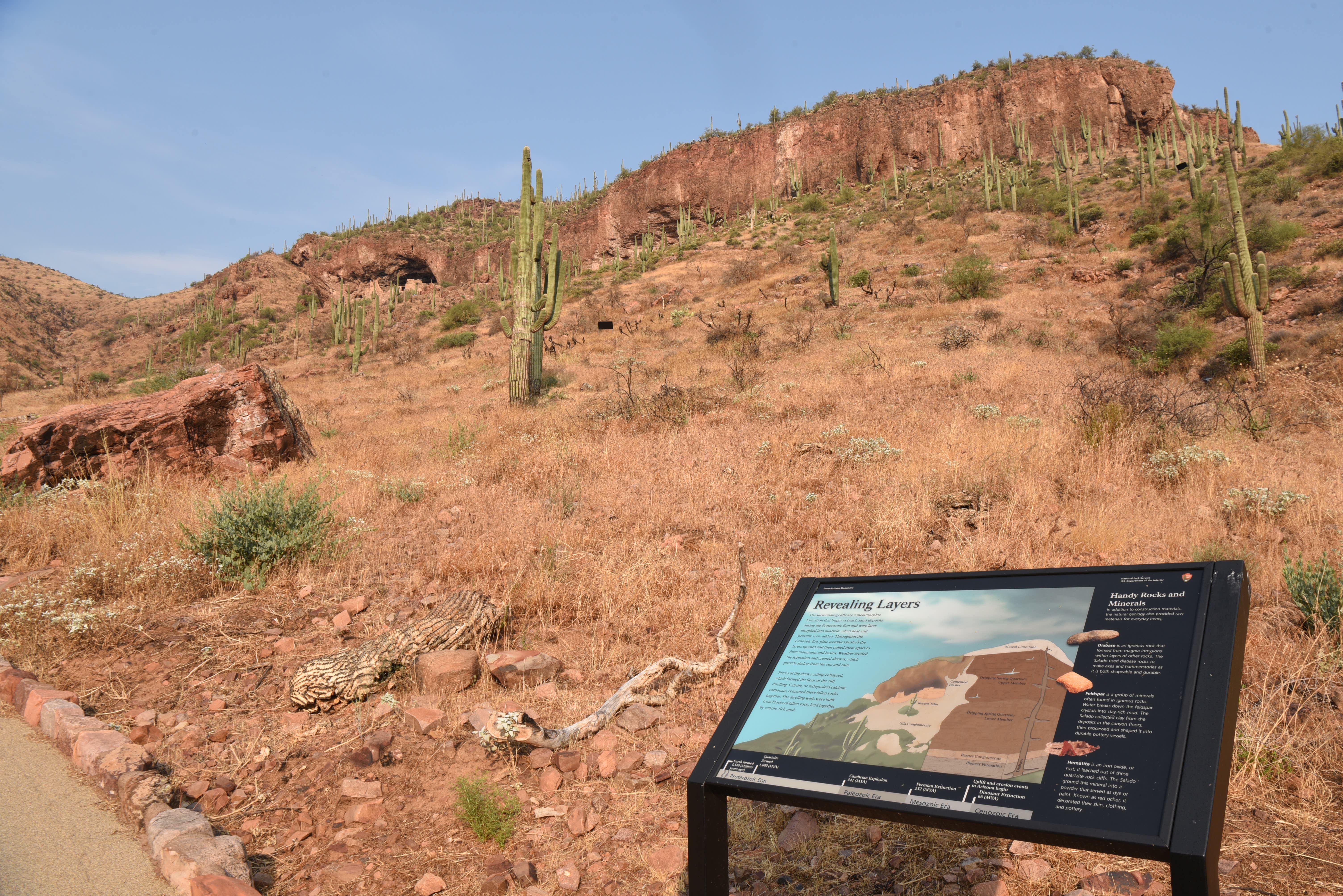
Sown in the Field Wayside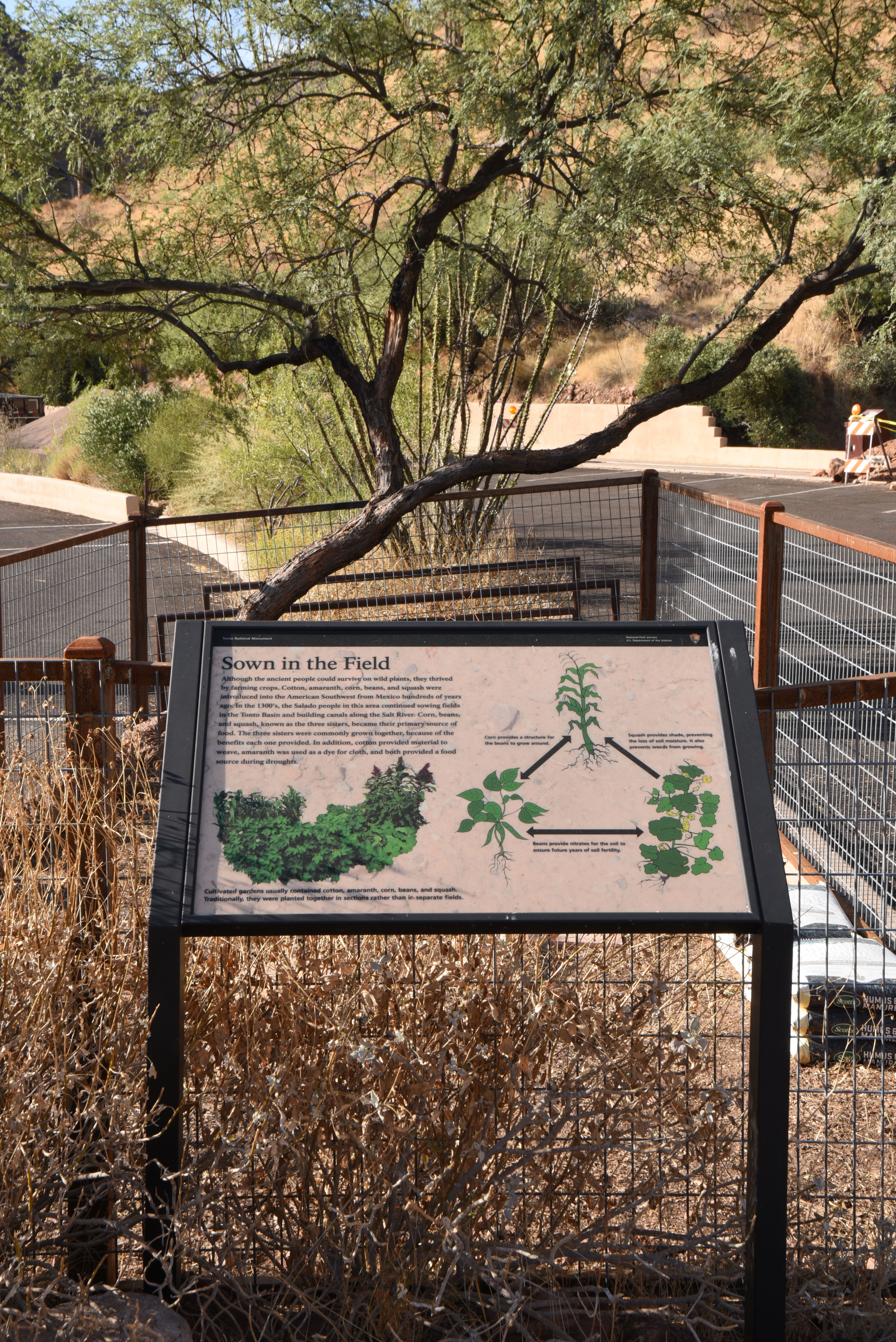
Trail to an Ancient Home Wayside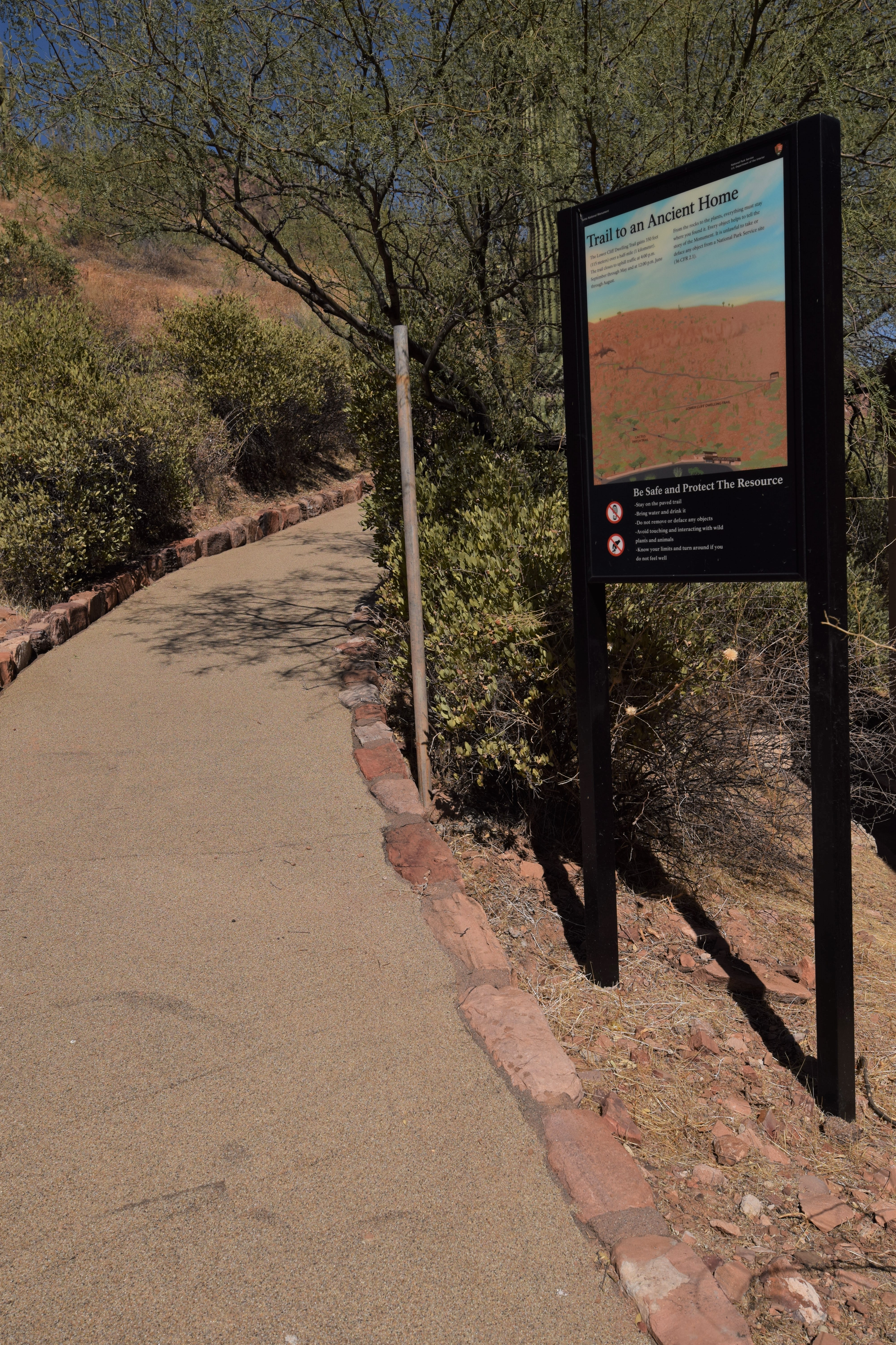
Visiting an Ancient Home Wayside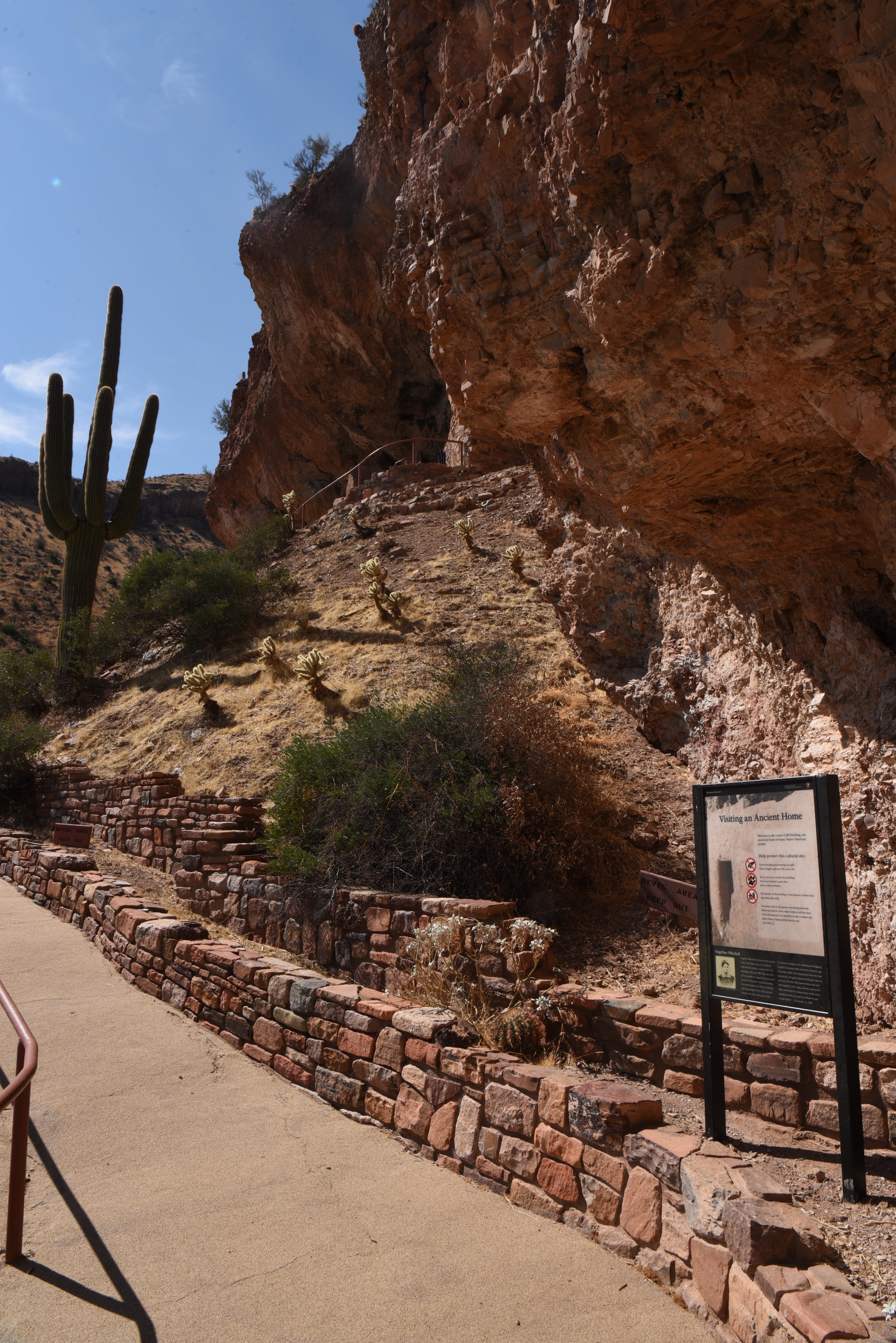
Where Did They Go Wayside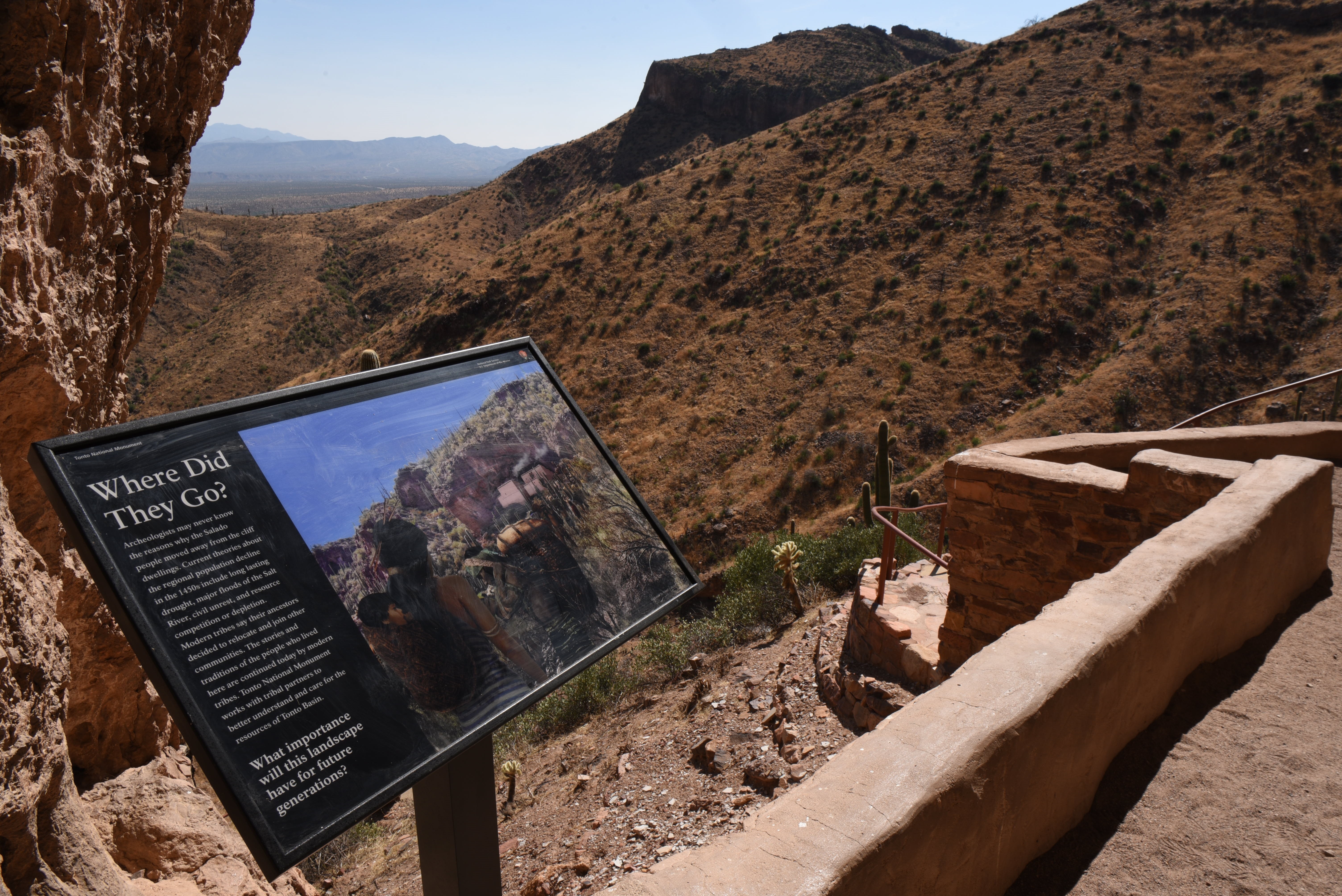
|
| Visitor Centers | Count: 1
Visitor Center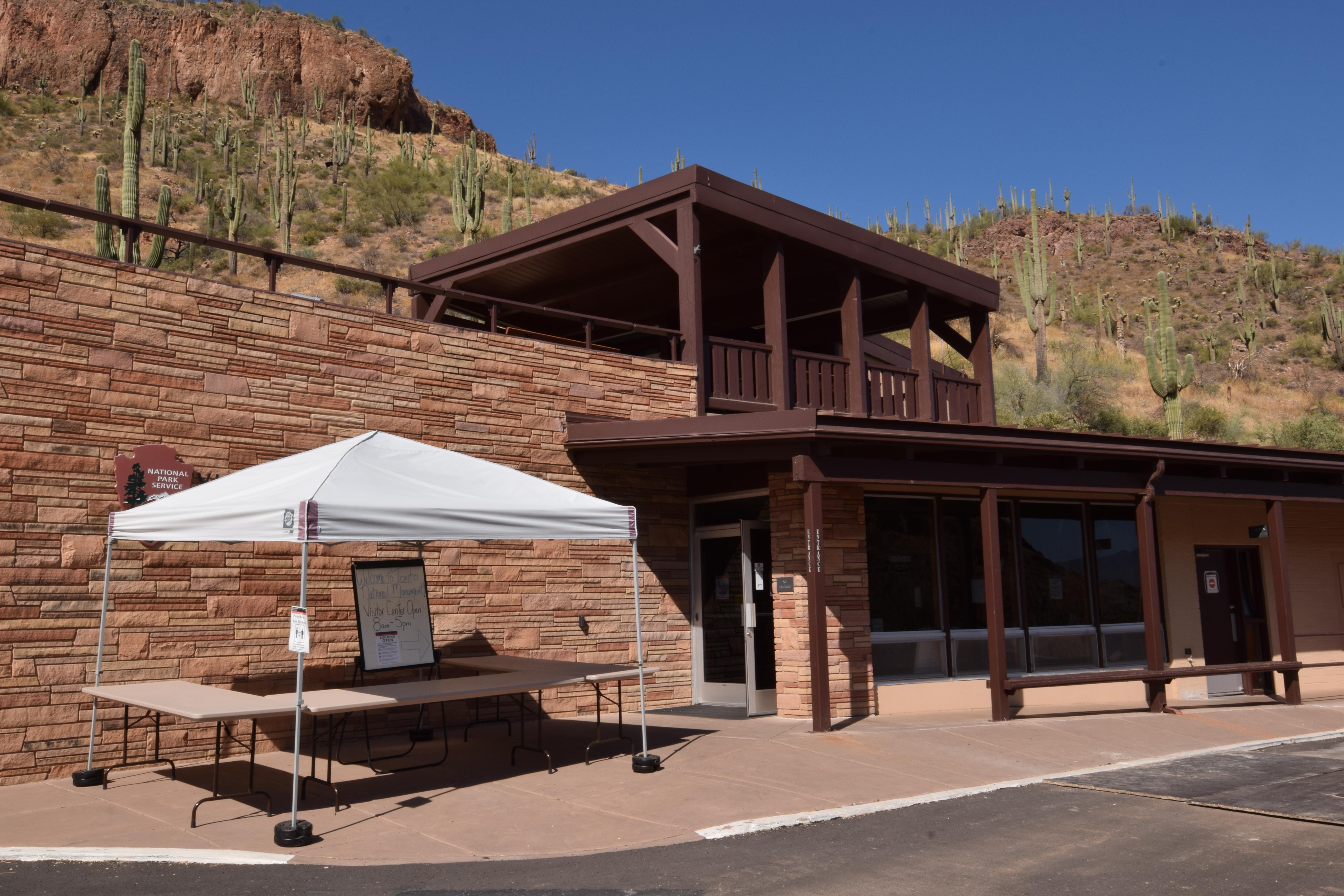
|
| Things to do | Count: 1
|
| Tours |
Count: 1
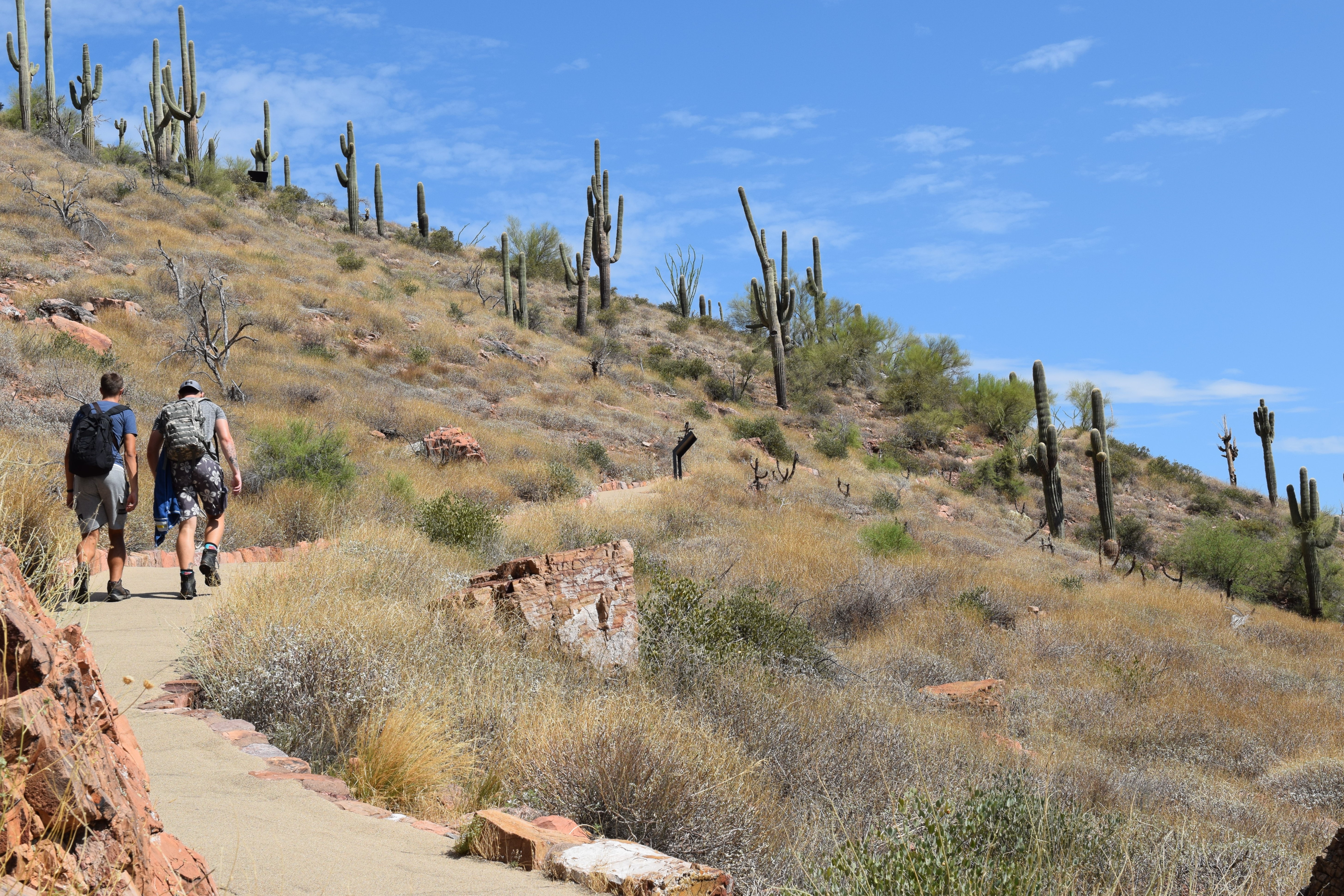
Hike to the Lower Cliff DwellingThis hike is one mile round trip with 350 feet of elevation change. Along the way, you will experience scenic views of the Tonto Basin and Roosevelt Lake. Waysides are placed along the path to give you more information on the people who lived here and the natural world. The hike will culminate at the Lower Cliff Dwelling where you can explore a number of rooms before you return upon the same path. |
| Articles |
|