Be advised that the NPS has issued alerts for this park.
South Unit temporarily closed south of Grand Teton Drive; Trailheads remain open.
The South Unit of Tule Springs Fossil Beds is temporarily closed to visitor access south of Grand Teton Drive, between Tule Springs Parkway and North Fifth Street in North Las Vegas for visitor safety during construction activities.
Over the last ~570,000 years, water has transformed the Upper Las Vegas Valley. Tule Springs Fossil Beds National Monument is an urban park that preserves the unique story of this ever-changing ecosystem.
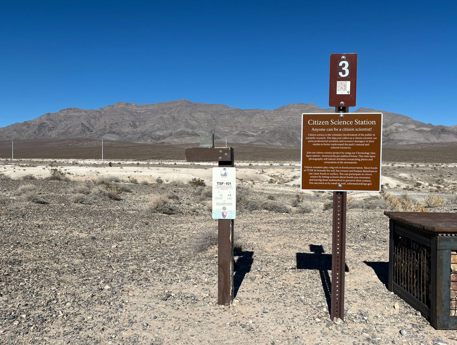
The sign in front of you reads: "Citizen Science Station. Anyone can be a citizen scientist! Citizen science is the voluntary involvement of the public in scientific research. The data you collect as a citizen scientist can assist professional scientists and resource managers in their studies to better understand the park's natural and cultural resources. Join our citizen science project by using our Chronolog time lapse station--Instructions are outlined below. This time lapse photography will inform scientists researching plants and ecosystems at the monument. Citizen scientists play a big role in fossil preservation. Most fossils at TUSK lie beneath the soil, but erosion and human disturbances can cause fossils to surface. You can participate in citizen science by letting us know about fossils you encounter and leaving them undisturbed to preserve their context. You can reach us by email at tusk_information@nps.gov". In front of you, to the left of the metal sign, there is a wooden post with a resin block attached to the top. Place your mobile device into this block and snap a photo using the rear-facing camera. Email captured photos to: upload@chronolog.io with the subject line “TSF-101”. You will receive an email back with a link to view the time-lapse.
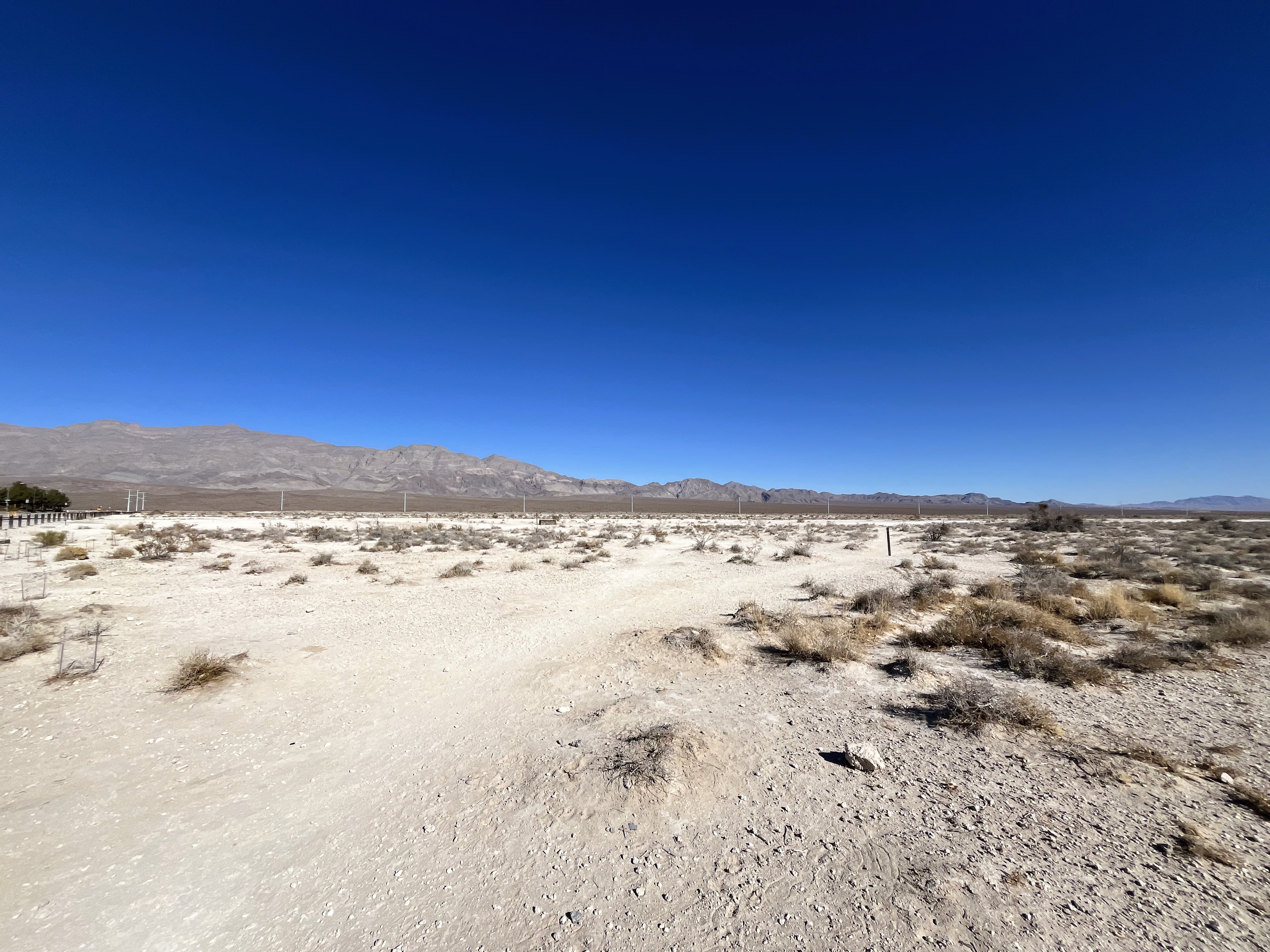
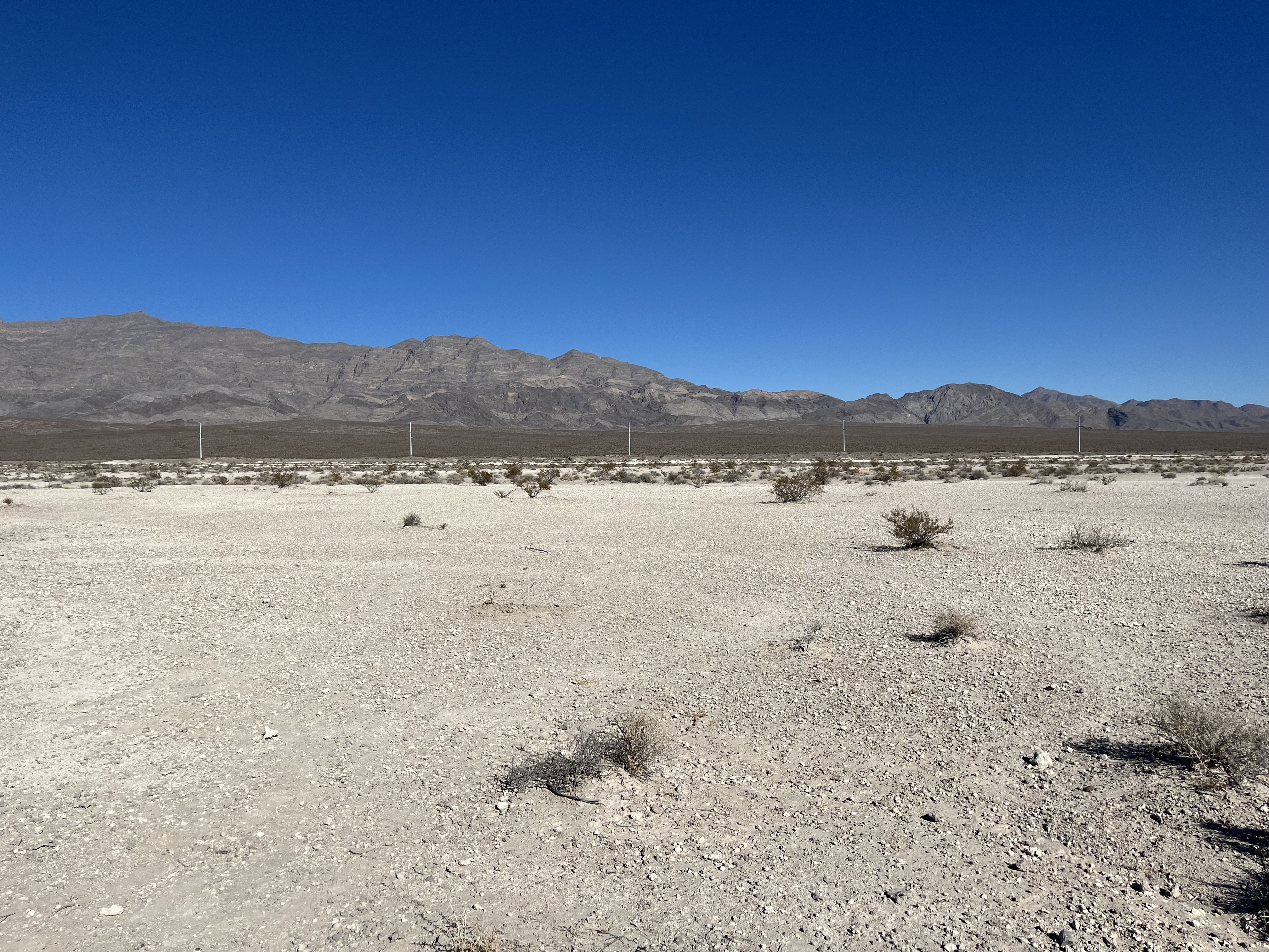
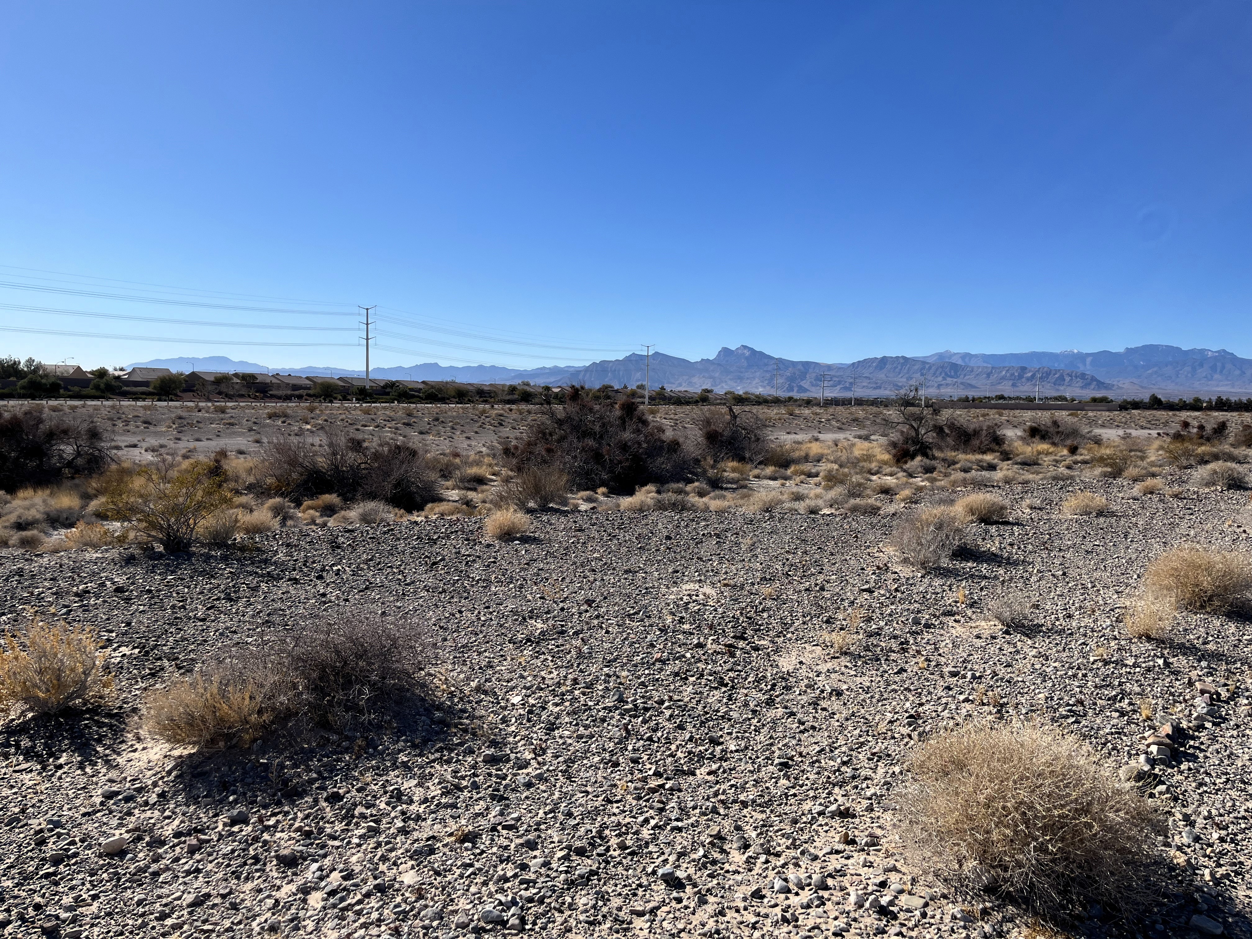
There is an abrupt transition from a developed street with houses behind you to a vast desert. The tan soil in front of you is broken up by desert shrubs. In the distance are dark brown sloping foothills that meet rugged limestone mountains. White power poles are visible against the foothills. These mountains are the Las Vegas Range.
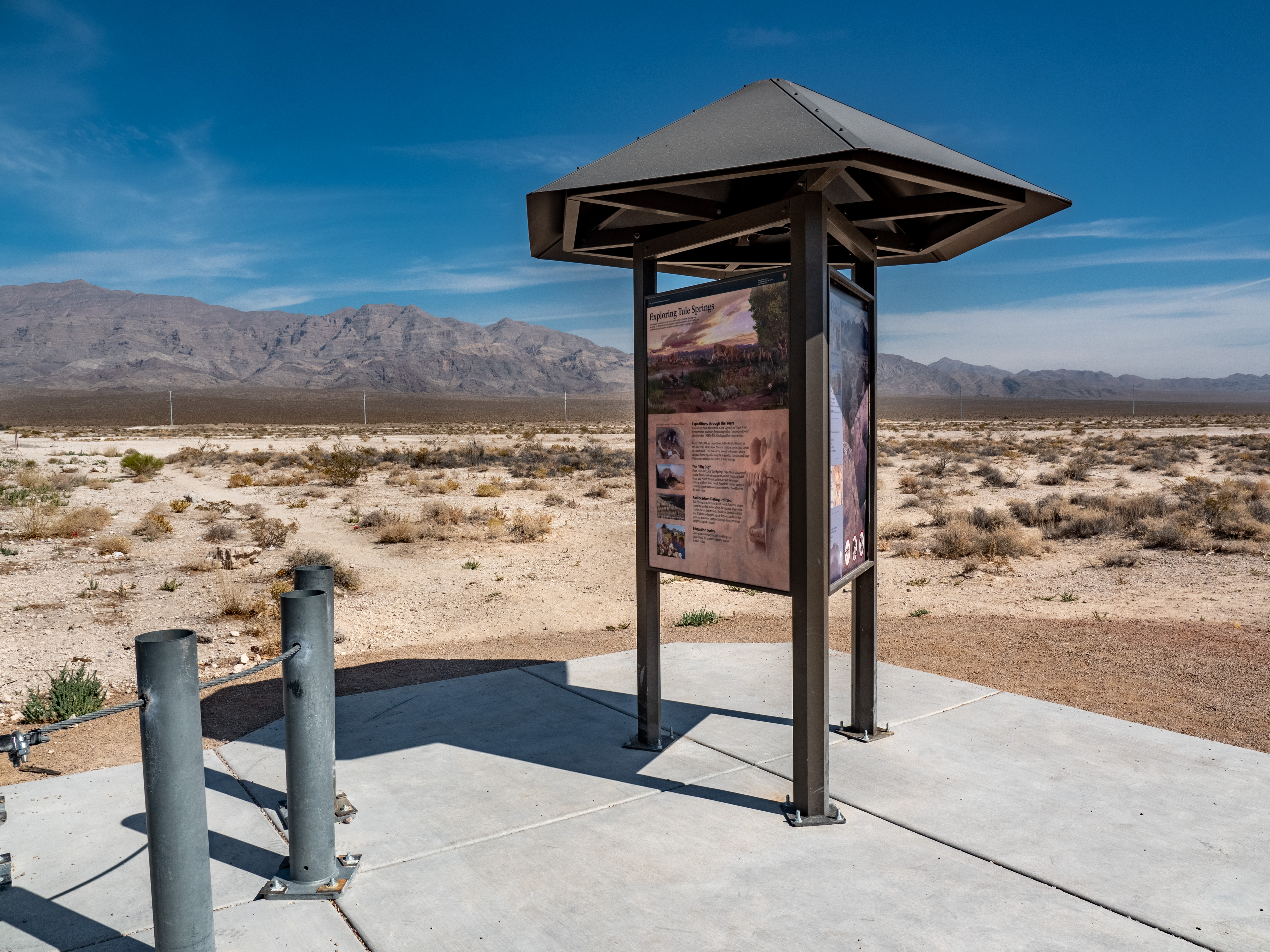
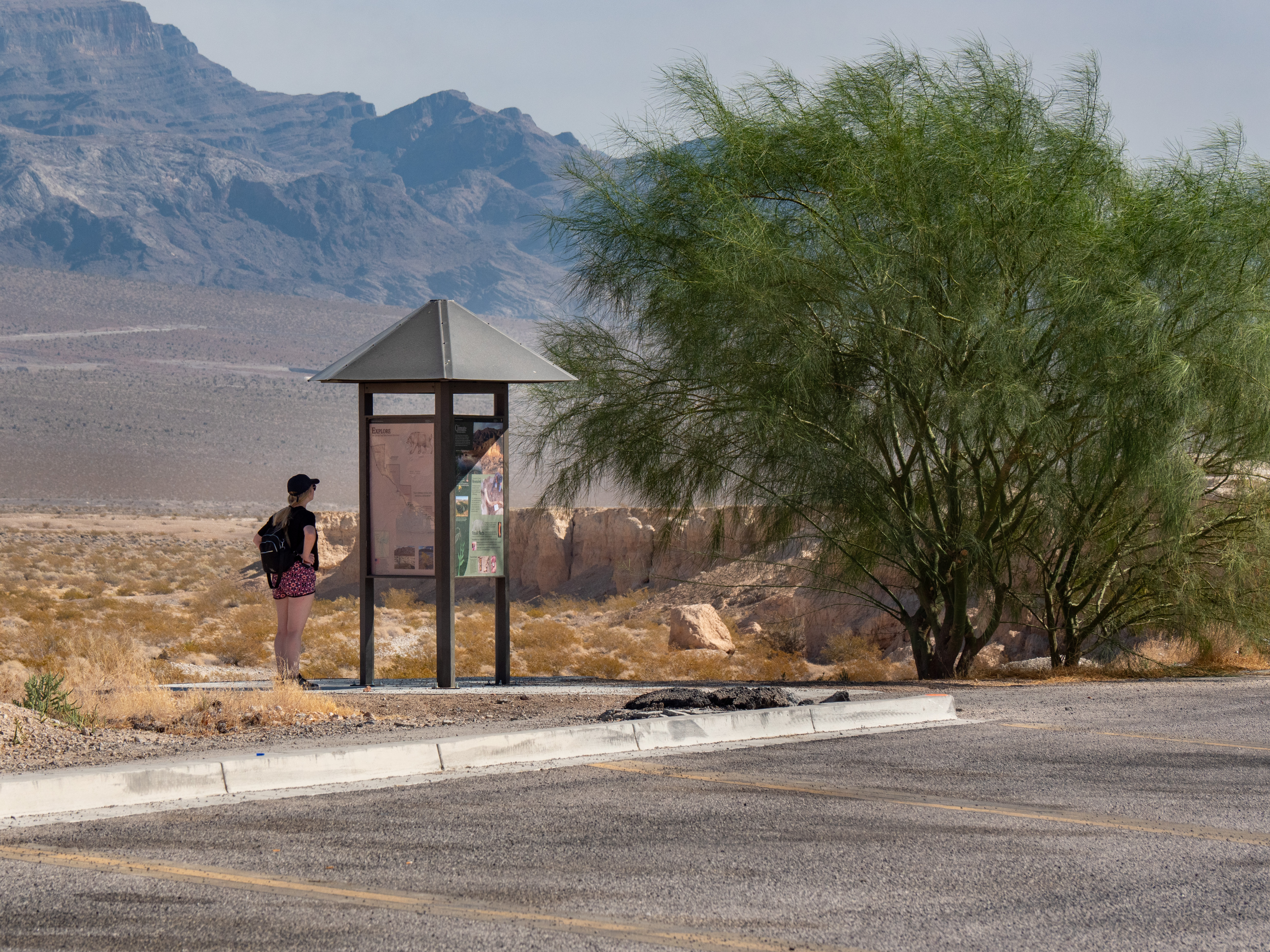
This interpretive kiosk is located at N. Aliante Pkwy & W. Moonlight Falls Ave. The kiosk describes the history of scientific research at Tule Springs, safety tips, park regulations, and a map of the monument. This area features relatively flat terrain, creosote desert scrub habitat, and views of the Las Vegas and Sheep ranges.
A three-sided exhibit kiosk: Side one: this panel faces west, toward the parking lot. "Aliante Loop Trailhead: Nature in Your Neighborhood". A map of the Monument, showing "you are here" at the Aliante Parkway Kiosk. Visitors may hike, bike, walk their dogs on a leash, and view wildlife. They may not ride off-road vehicles or go shooting. "Aliante Loop Trail" with a profile of the trail, which slopes down toward the middle, and then back up again. "Distance: 2.5 miles. Difficulty: Easy. Time: 60-90 minutes. Trail surface: compacted dirt. Elevation change: 40 feet. Average slope: 1.2%. Maximum slope: 7.0% to -10.5%." The tactile trail map features the trail route, self-guided tour stops, and wash terrain. Side two: this panel faces south, to the right of the entrance. A woman with two black braids and sun-protective clothing sits cross-legged on the ground, tying a plant press. She is sitting among desert shrubs here at the Monument with the rugged mountains before you in the background. "The Park is My Lab: Learn and Discover at Tule Springs Fossil Beds. Science is a way of knowing about the Earth. Scientists use specialized training and knowledge to ask questions, make observations, and interpret findings about the world around us. We look for patterns, change, or stability. With that understanding, we can connect the past, present, and future. We can effect change and protect our natural heritage. Now is your chance to see this landscape through a scientist's eyes. Journey the same path researchers have taken for over 100 years." Below is an iPhone with the NPS Mobile App interface on it. "Self-Guided Tour: Enhance your visit to the Aliante Loop Trail with "The Park Is My Lab" self-guided audio tour, available on the NPS Mobile App. The NPS App is the new official app for the National Park Service with tools to explore more than 400 national parks nationwide. Find interactive maps, tours of park places, on-the-ground accessibility information, and much more to plan your national park adventures before and during your trip. Scan the QR code on the bottom left of the panel to download the free app for iOS or Android. Panel 3: this panel faces north, opposite from the bulletin board at the trailhead: A moonlit scene of Ice Age Las Vegas. Small rodents, toads, and tortoises scurry about in the dirt, on the banks of a stream. They are surrounded by trees and lush plants. Two big cats groom each other next to a horse carcass. "The Past is Present: The stories of the past are alive in this landscape. Near the end of the last Ice Age, about 14,000-16,000 years ago, spring fed streams flowed through the valley. These streams caught and buried animal bones and shells in their gravel-filled banks. These bones and shells became fossils. When the sun set behind the mountains to the west, many animals awakened from their daytime rest. They hunted or foraged for food by moonlight. Saber-toothed cats groomed each other after a successful evening hunt. Coyotes hunted jackrabbits, chasing them through the brush." Below are four models (from top to bottom): A coyote skull (living species), jackrabbit skull (living species), saber-toothed cat canine tooth (extinct species), and Scott's horse jaw (extinct species). "Living Fossils: Survivors of Change. Thousands of fossils lie beneath your feet. What happened to these plants and animals? Over time, the climate warmed and wetlands dried up. Very large mammals disappeared from Tule Springs about 12,500 years ago. Other plants and animals moved high into the mountain foothills, where it is cooler and wetter than in the valley. Some persevered and adapted to a changing environment. Many animals and plants that live at Tule Springs today are also found in the fossil record.
The park is new, therefore there are no facilities or designated trails yet. Park at the City of North Las Vegas' graded dirt parking lot. From the parking lot, view the interpretive kiosk describing the history of scientific research at Tule Springs, safety tips, park regulations, and a map of the monument. Enter the park from here by foot for a self-directed hike across the relatively flat terrain, creosote desert scrub habitat, and views of the Las Vegas and Sheep ranges.
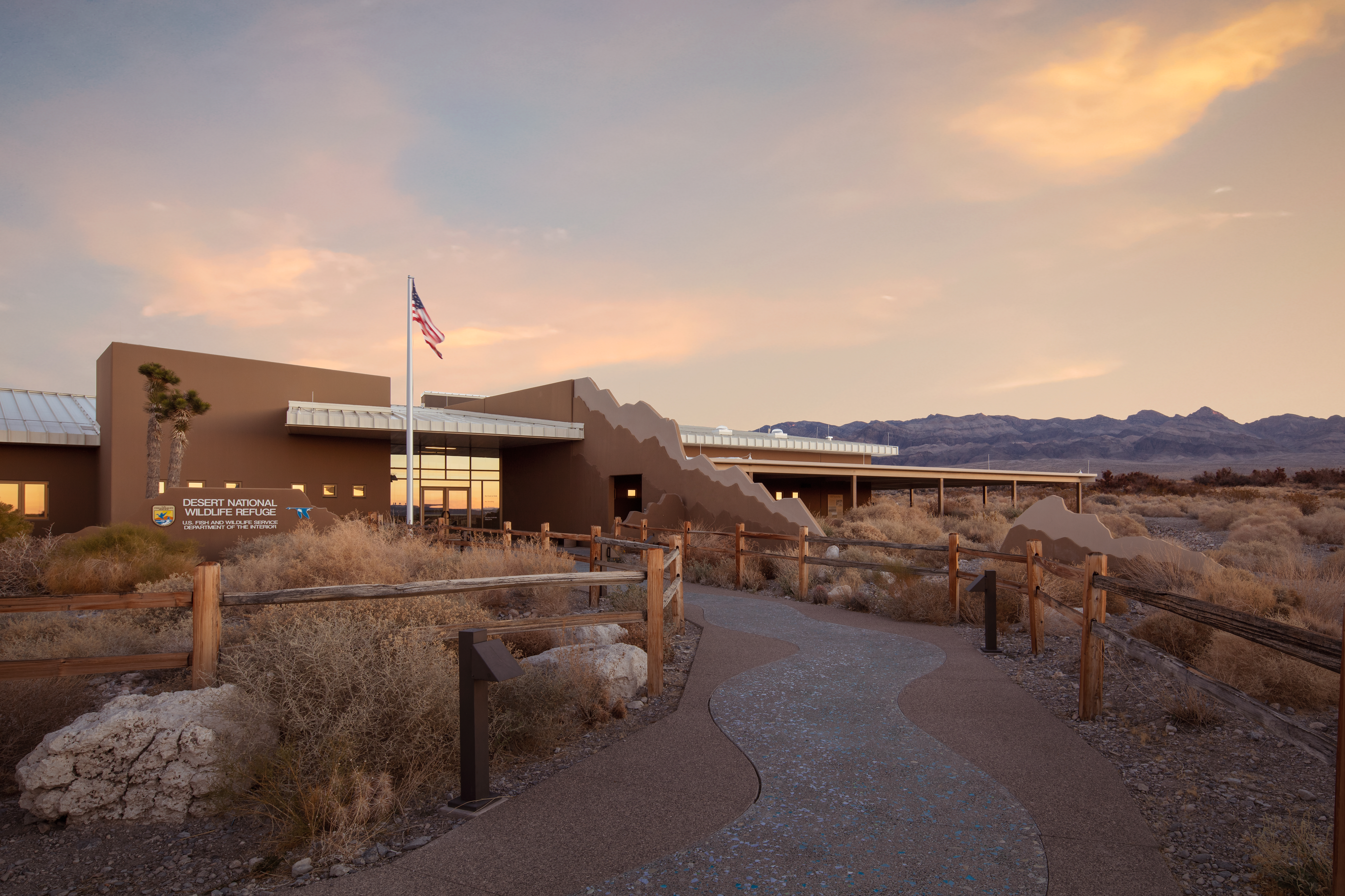
Desert National Wildlife Refuge is a neighbor and partner to Tule Springs Fossil Beds National Monument. Encompassing six major mountain ranges and seven distinct life zones, Desert NWR showcases the abundance and variety of nature that can be found in Southern Nevada, all just a short drive from Las Vegas. The Corn Creek Visitor Center is staffed by US Fish & Wildlife Service staff and volunteers.
A one-story building surrounded by Mojave Desert shrubs, cactus, and yucca. There is a covered patio with restrooms and a water refill station. Inside, through a vestibule, there is an information desk to the left.
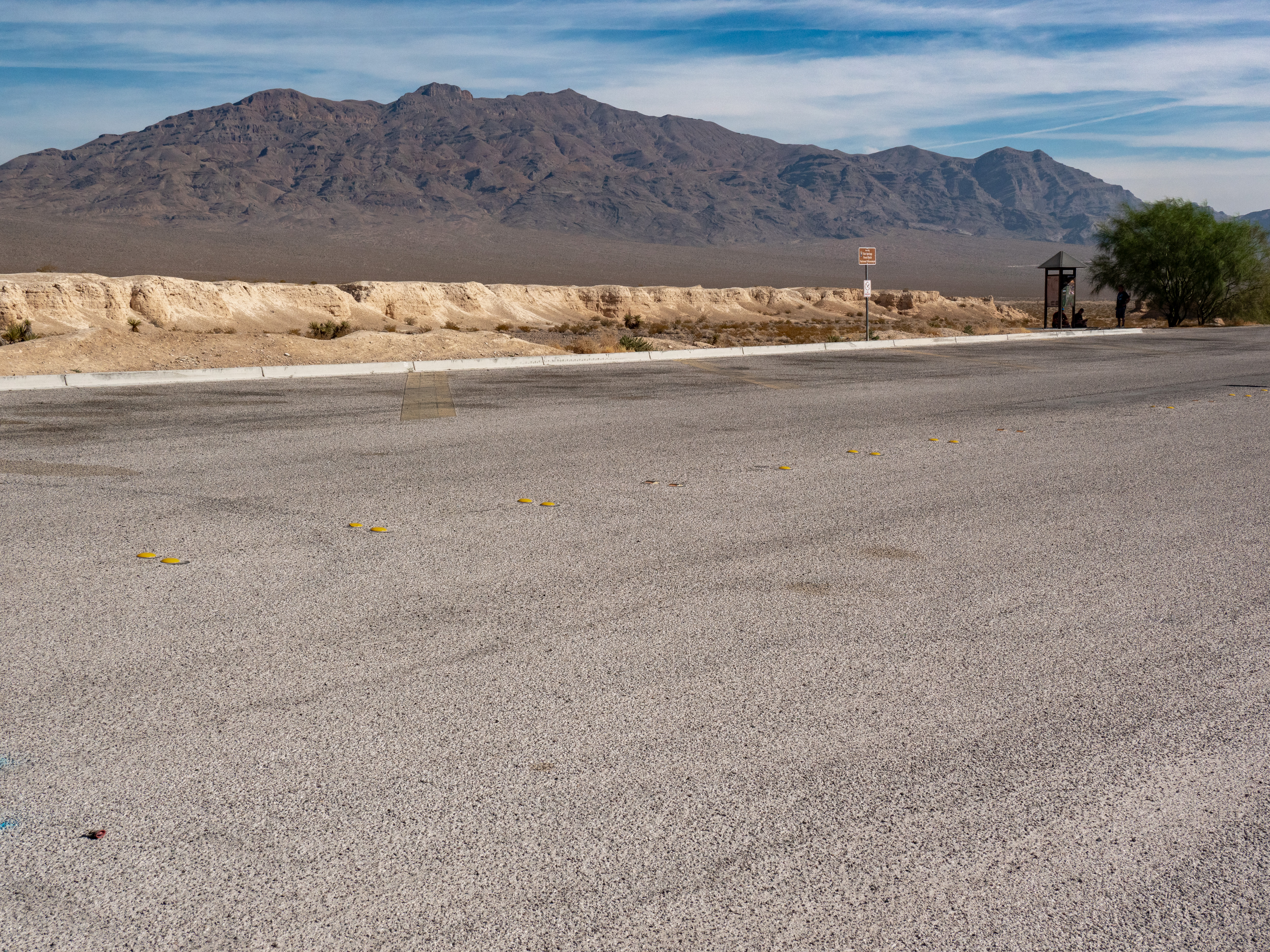
This interpretive kiosk is located at N. Durango Dr. & W. Moccasin Road. The kiosk describes the hydrology, climate and changing habitats of Tule Springs, safety tips, park regulations, and a map of the monument. This area features badlands terrain and scenic views of the Sheep, Las Vegas, and Spring Mountain ranges.
The park is new, and therefore there are no facilities or designated trails yet. Park at the City of Las Vegas' paved asphalt parking lot at the end of N. Durango Dr. & W. Moccasin Road to view the Durango/Moccasin interpretive kiosk describing the hydrology, climate and changing habitats of Tule Springs, safety tips, park regulations, and a map of the monument. This area features badlands terrain and scenic views of the Sheep, Las Vegas, and Spring Mountain ranges.
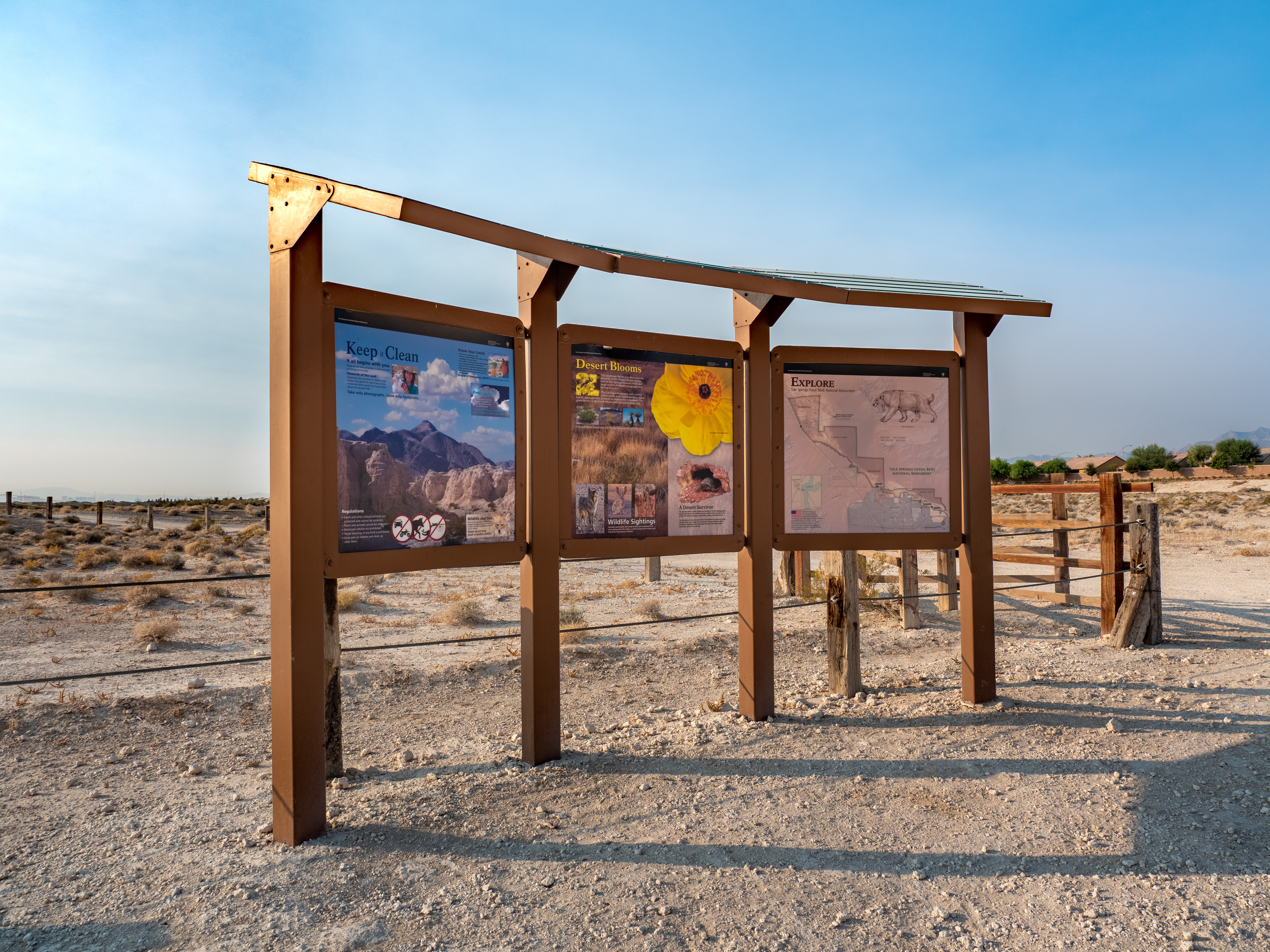
This interpretive kiosk is located along an unpaved section of Grand Teton Rd. at the entrance to the Eglington Preserve, where you can view native and rare plants such as the Las Vegas bearpoppy and various types of wildlife. The kiosk features information on the native and rare plants within Tule Springs, safety tips, park regulations, and a map of the monument.
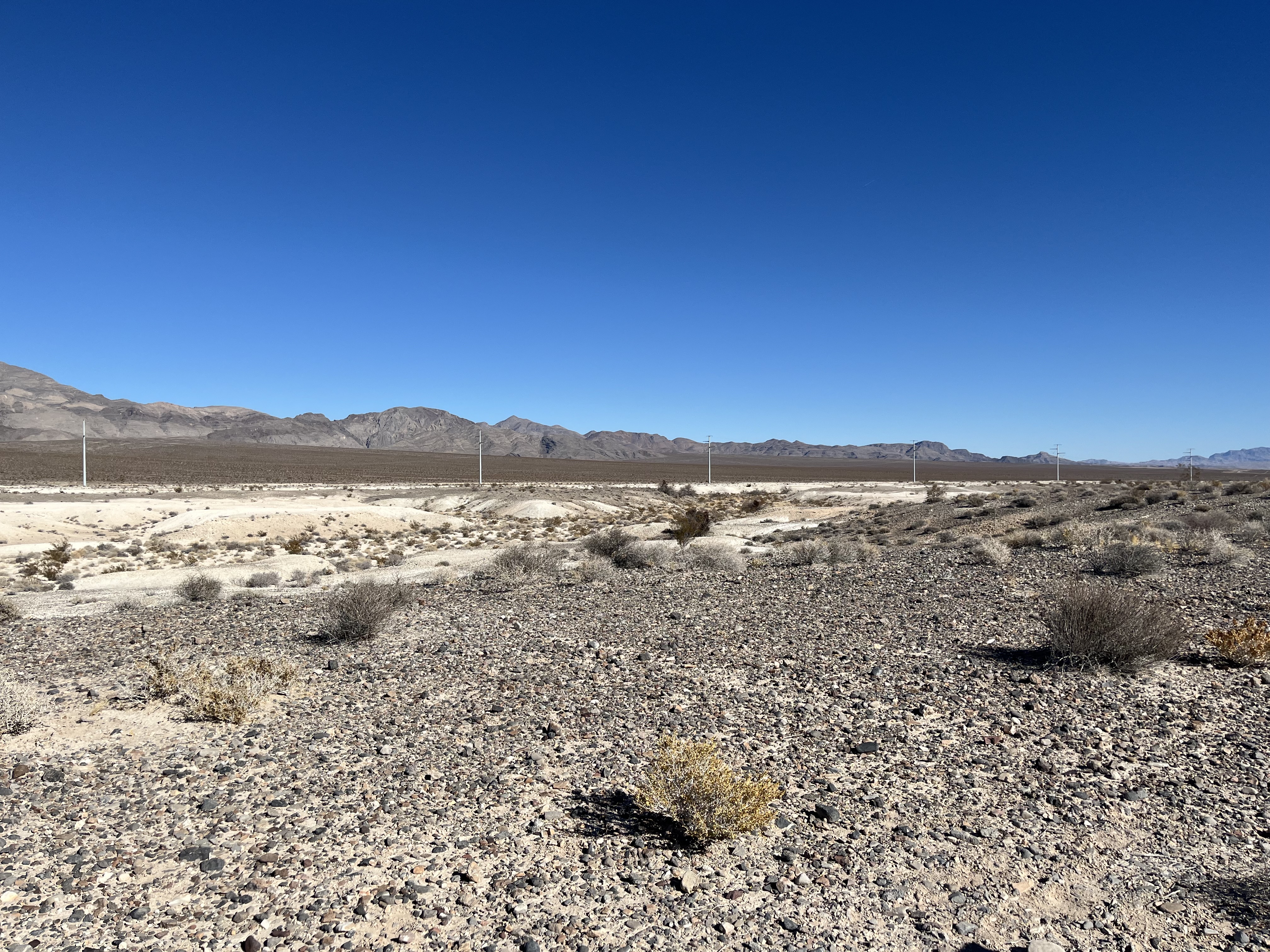
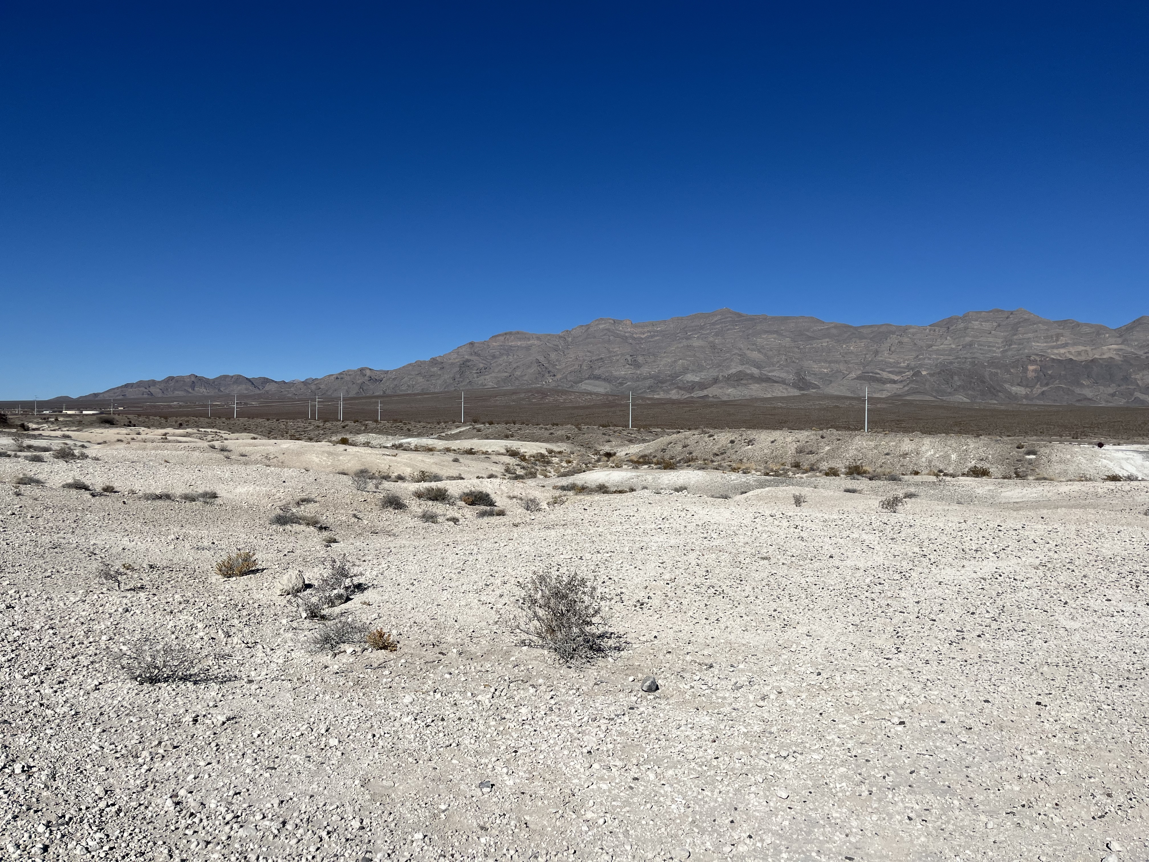
Directly in front of you is a dry, desert landscape with light tan silt and rubble. Desert plants and shrubs dot the landscape and become more abundant in the distance. In the distance are dark brown sloping foothills that meet rugged limestone mountains. White power poles are visible against the foothills. These mountains are the Las Vegas Range. The Range displays folded bands of dark and light gray rock. The tallest peak has a barely visible white radio tower on top of it.
Large sheets of dark gray gravel and cobbles blanket the ground. Short, bushy trees with thorned branches grow following a narrow wash parallelling the trail. In the background are homes in a neighborhood and two mountain ranges in the distance. The furthest range to the west forms a ridge resembling a person lying down "Mummy Mountain".
Immediately next to the trail are dark gray gravels that meet light tan hills dissected by a wash flowing west to east. In the background are white power poles and the eastern edges of rugged limestone mountains.
Tan badlands rise up gently from the desert floor about 100 feet from the trail. The landscape beyond the trail is carved in gentle slopes and washes by wind and rain. The Las Vegas Range stands high above the desert foothills. The highest peak has a radio tower barely visible on top.
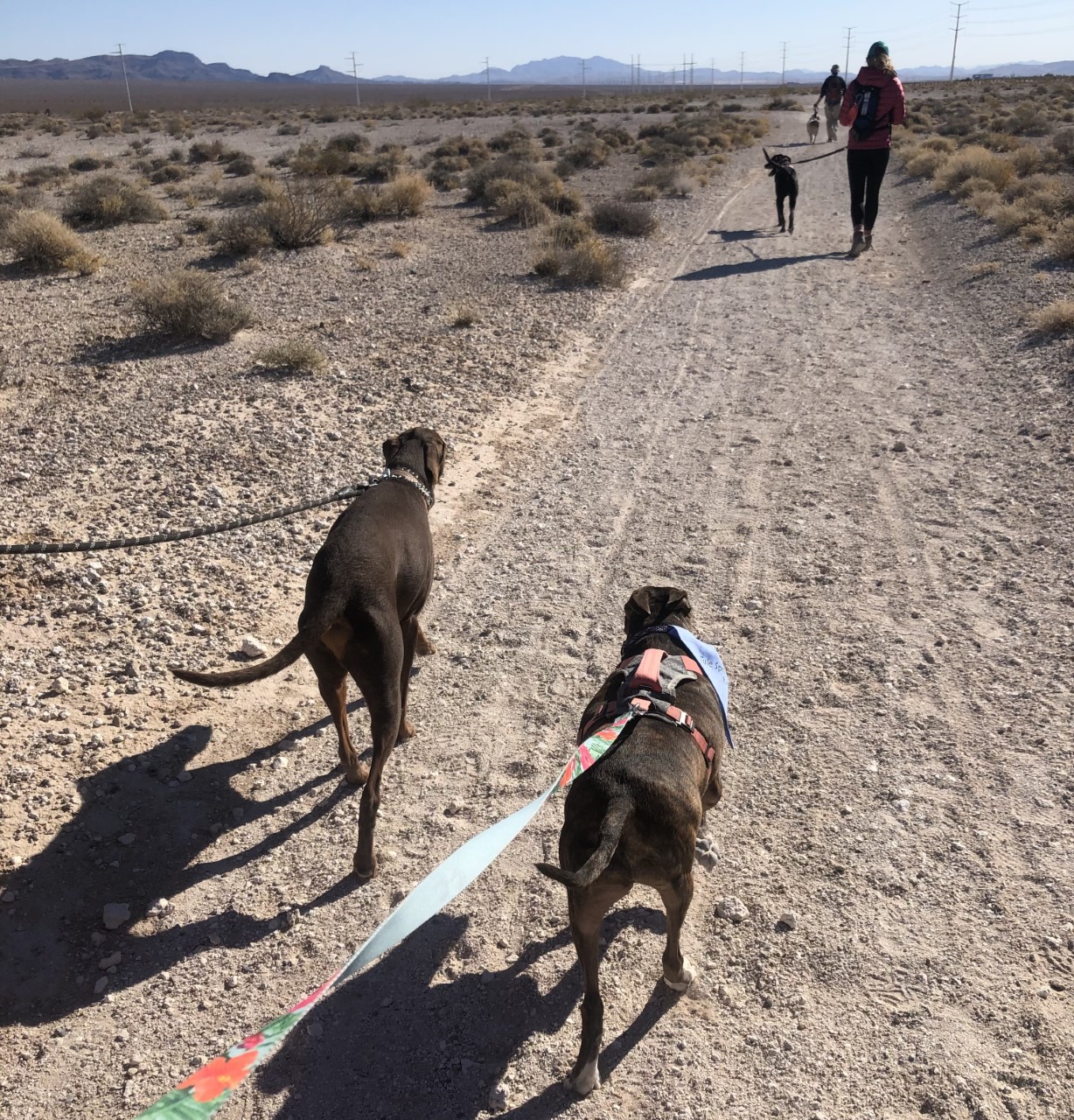
Hiking at Tule Springs Fossil Beds National Monument
The Aliante Loop temporary trail offers year-round scenic views of Mojave Desert scrub habitat and the Las Vegas Range, wildflower blooms in spring and summer are a sight to see.
Tours
Count: 1
Aliante Loop Science Walking Tour: The Park is My Lab
This audio self-guided walking tour features five stops along the Aliante Loop trail at Tule Springs Fossil Beds National Monument. The Aliante Loop is 2.5 miles total. Learn how scientists see and study this landscape. Narrated by Niki White.