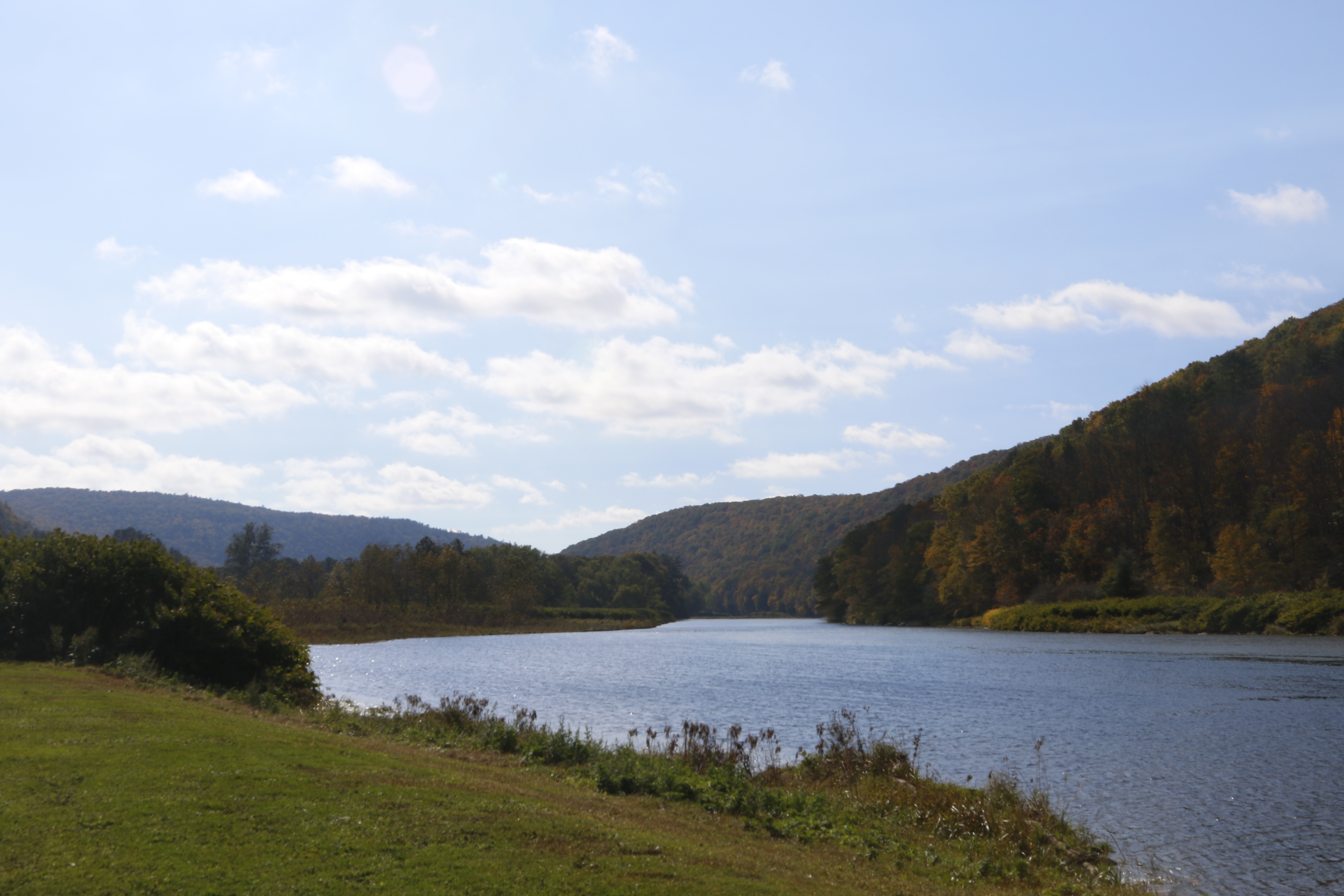
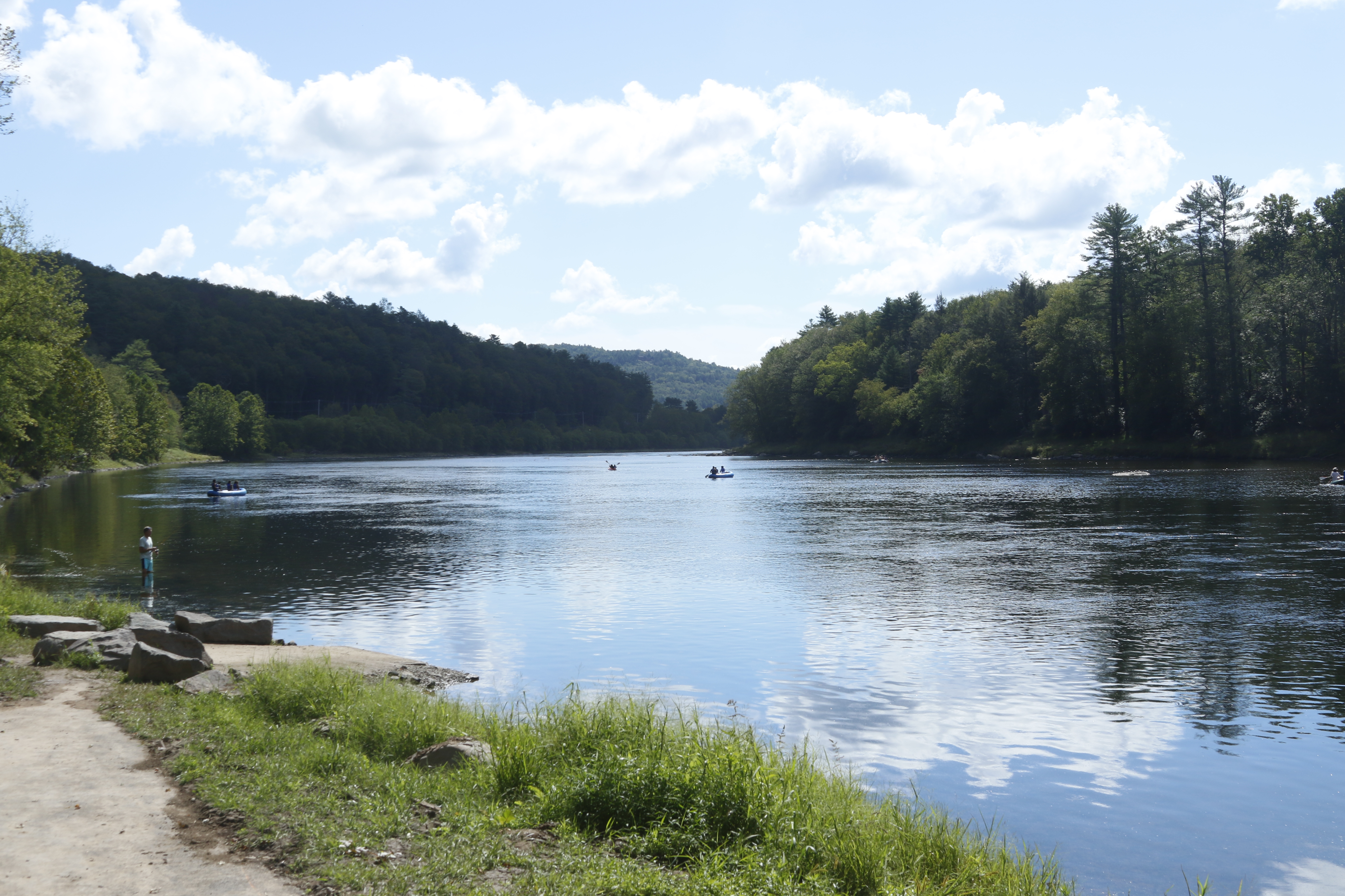
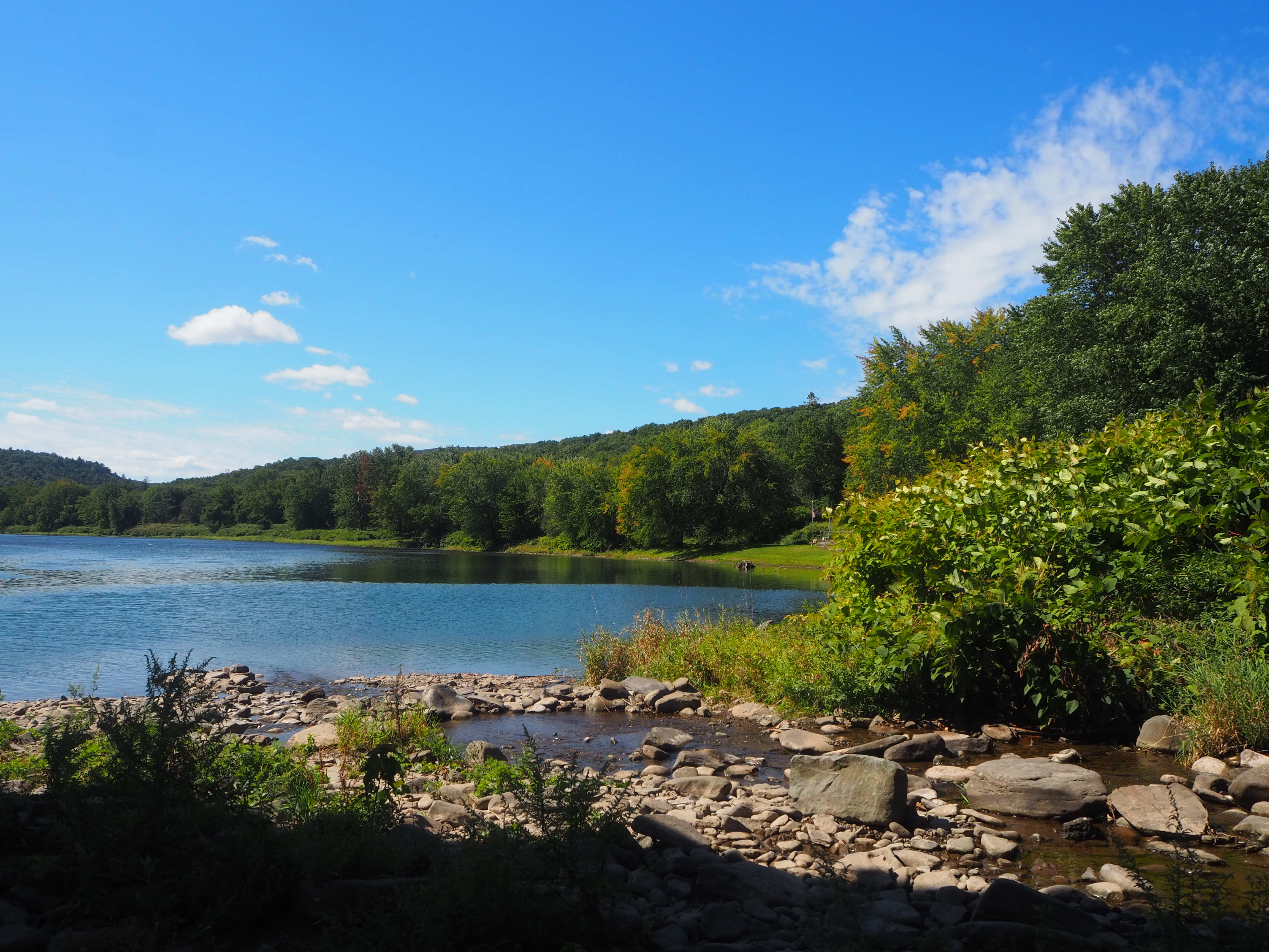
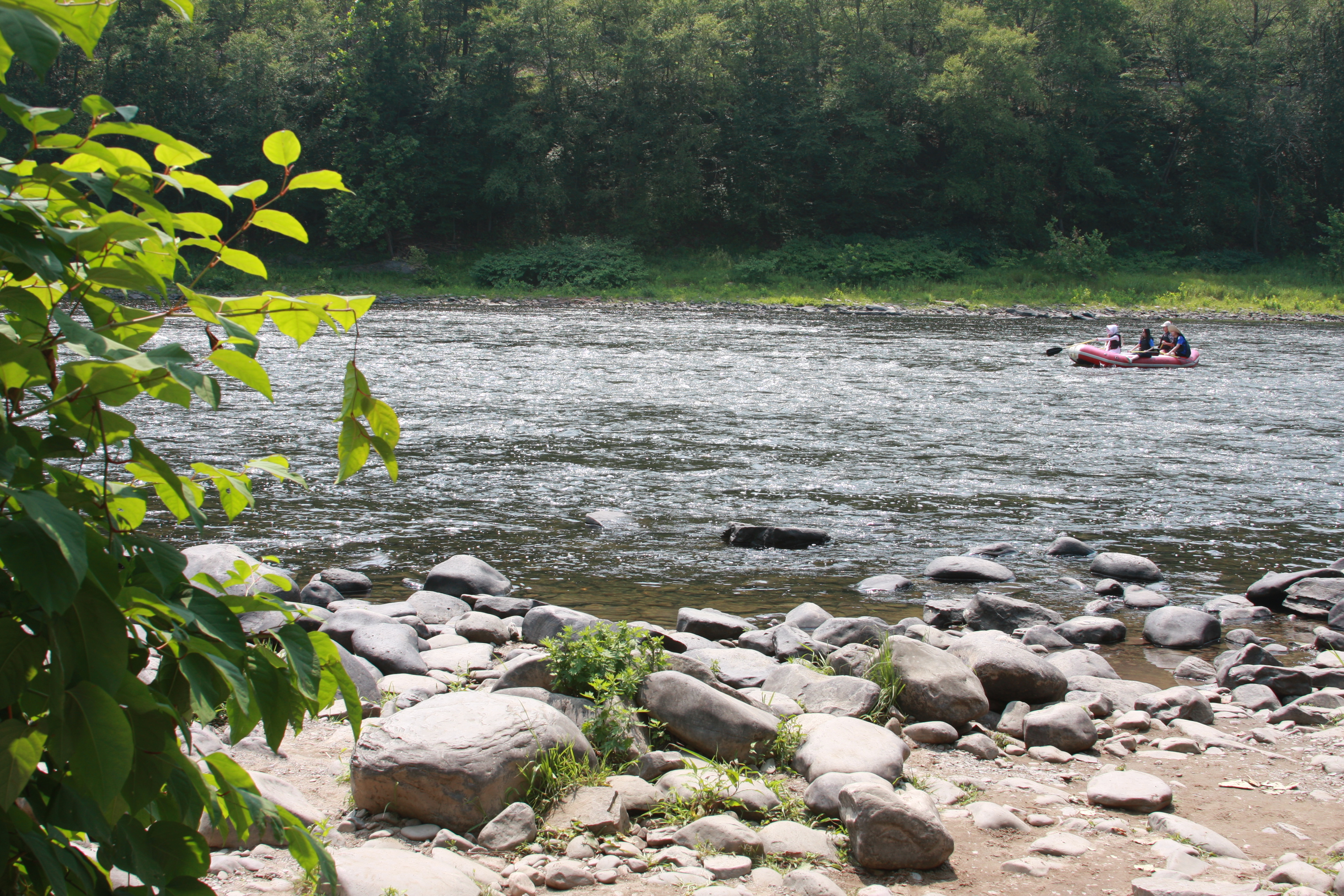
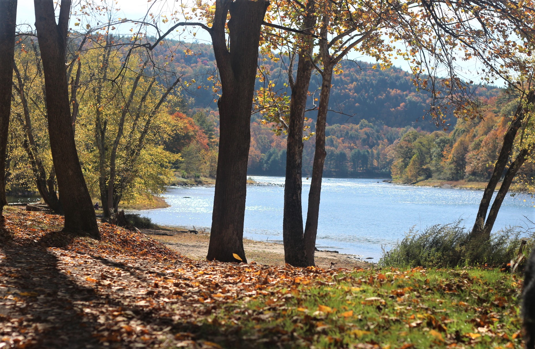
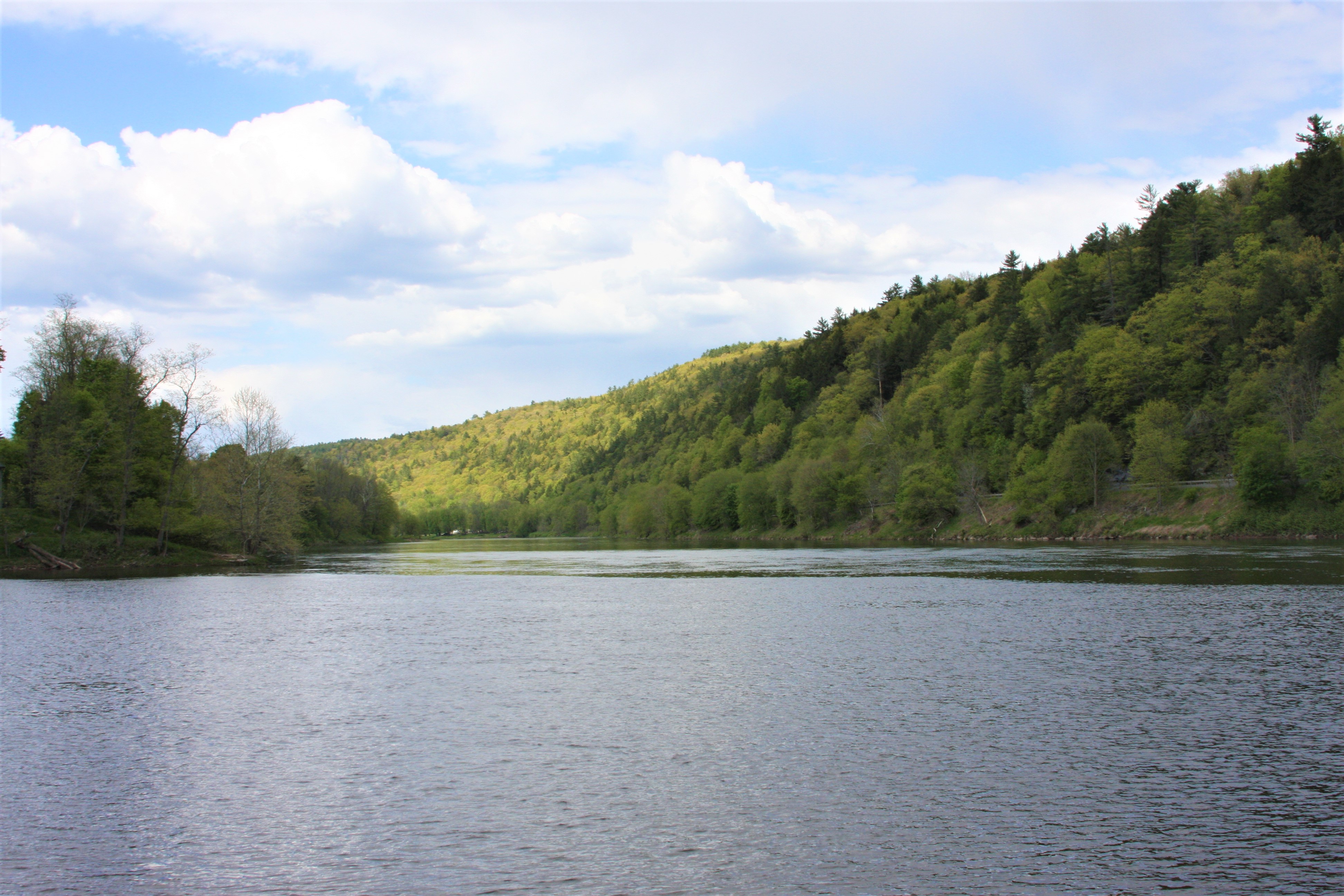
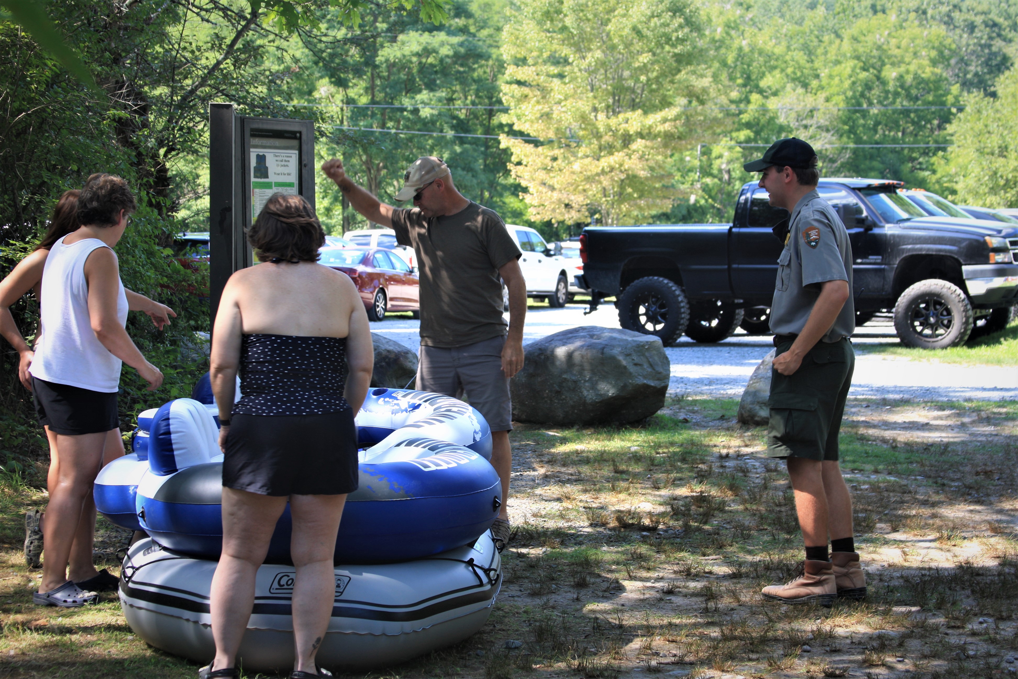
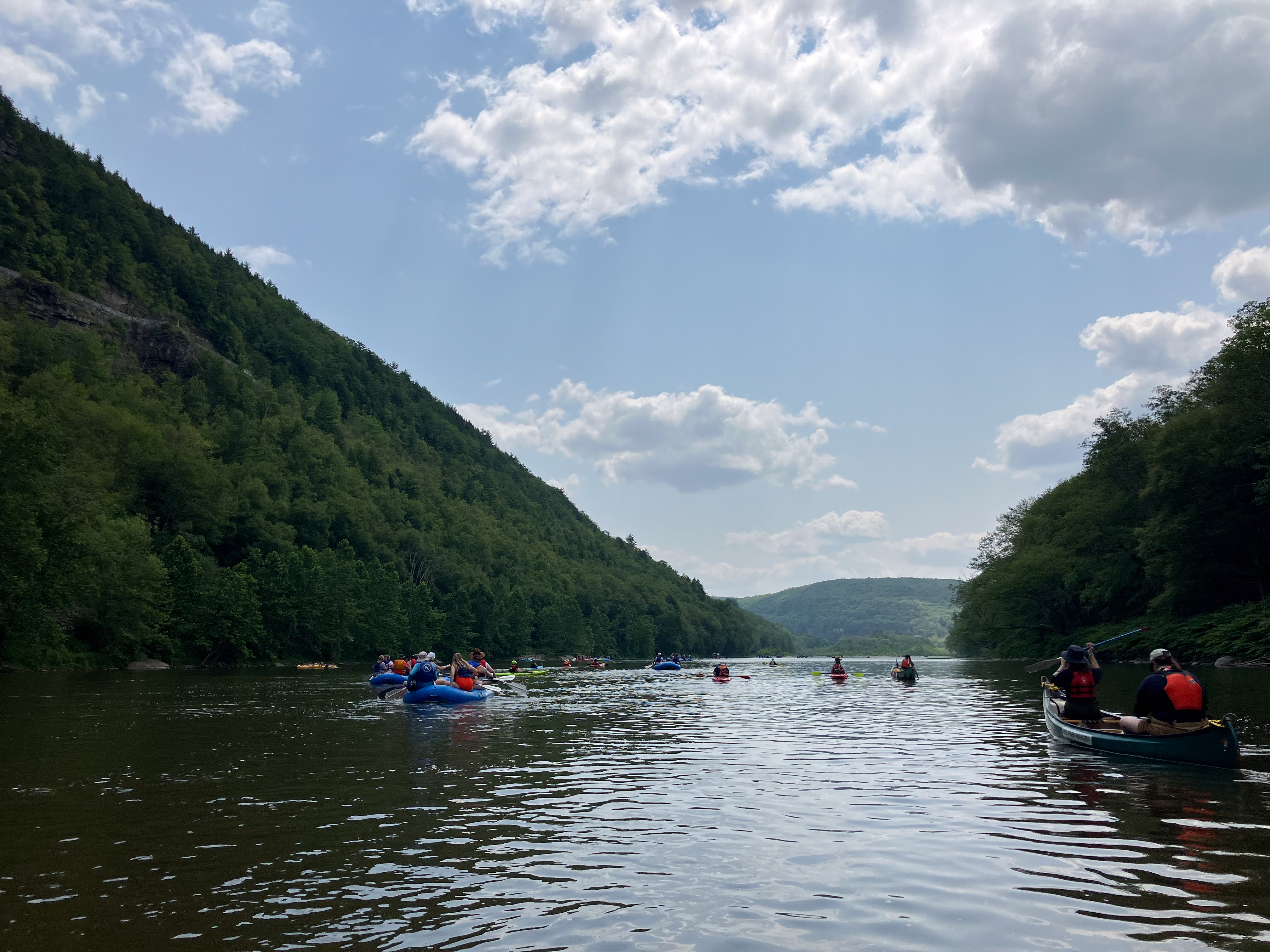
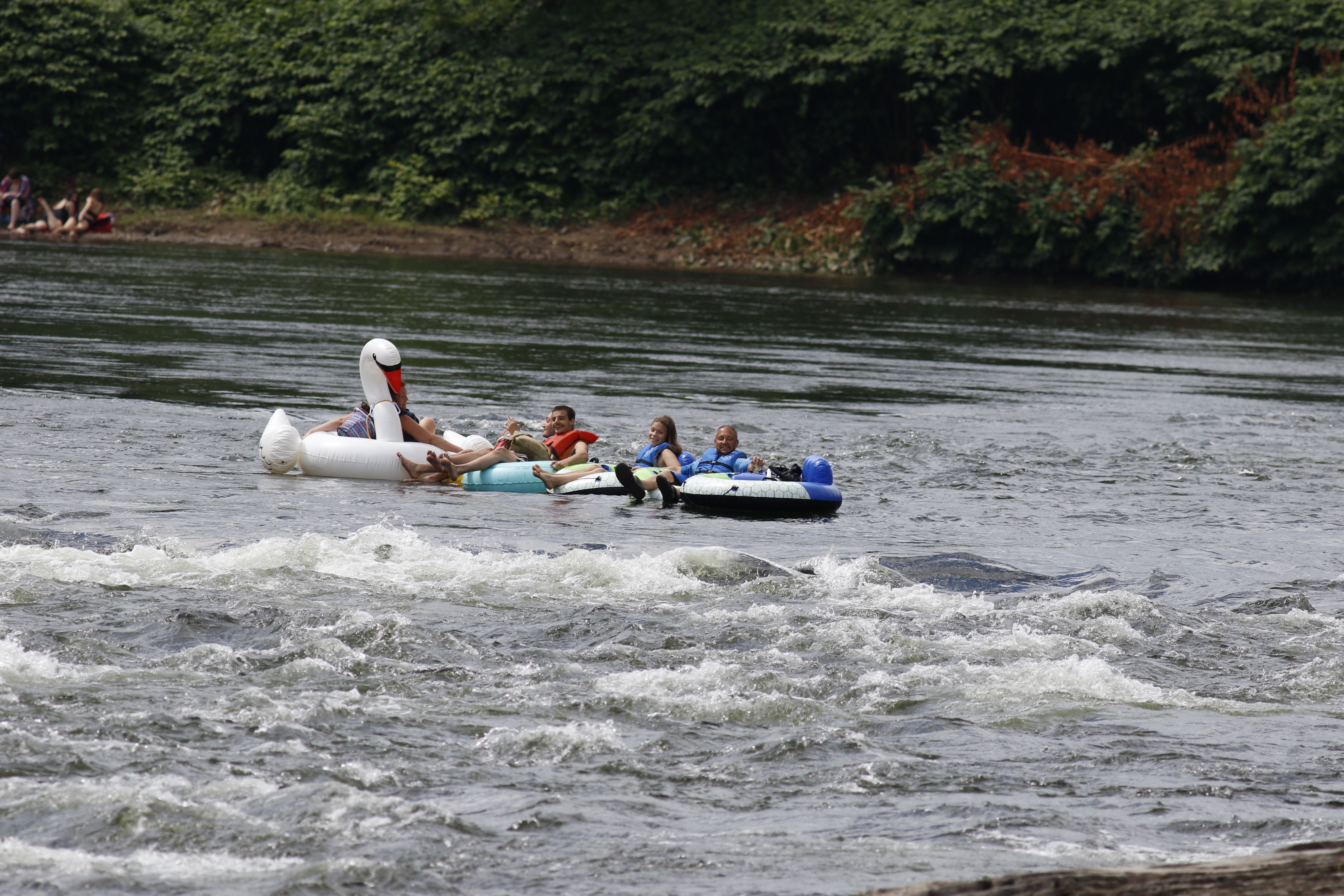
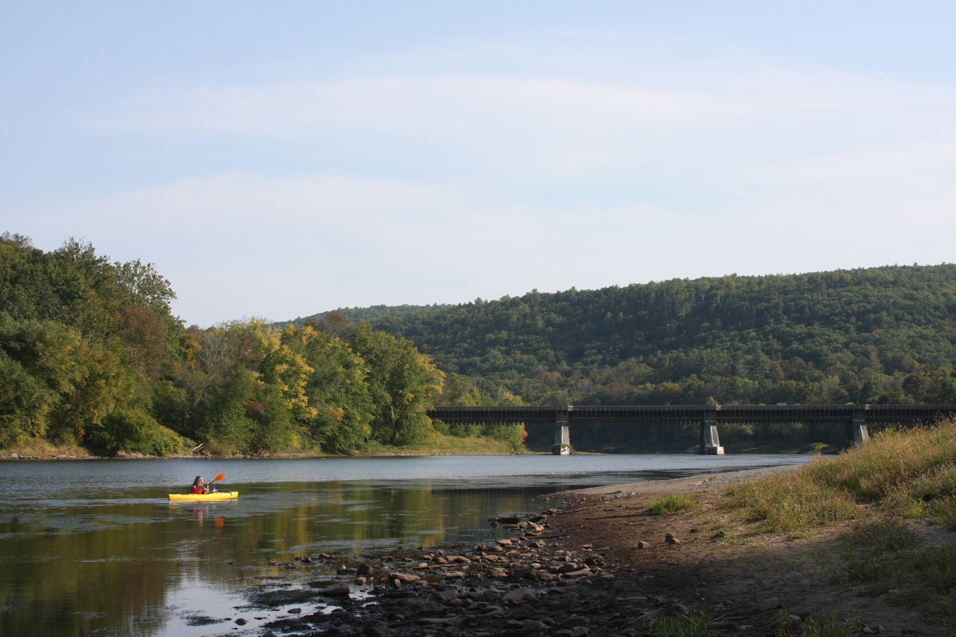
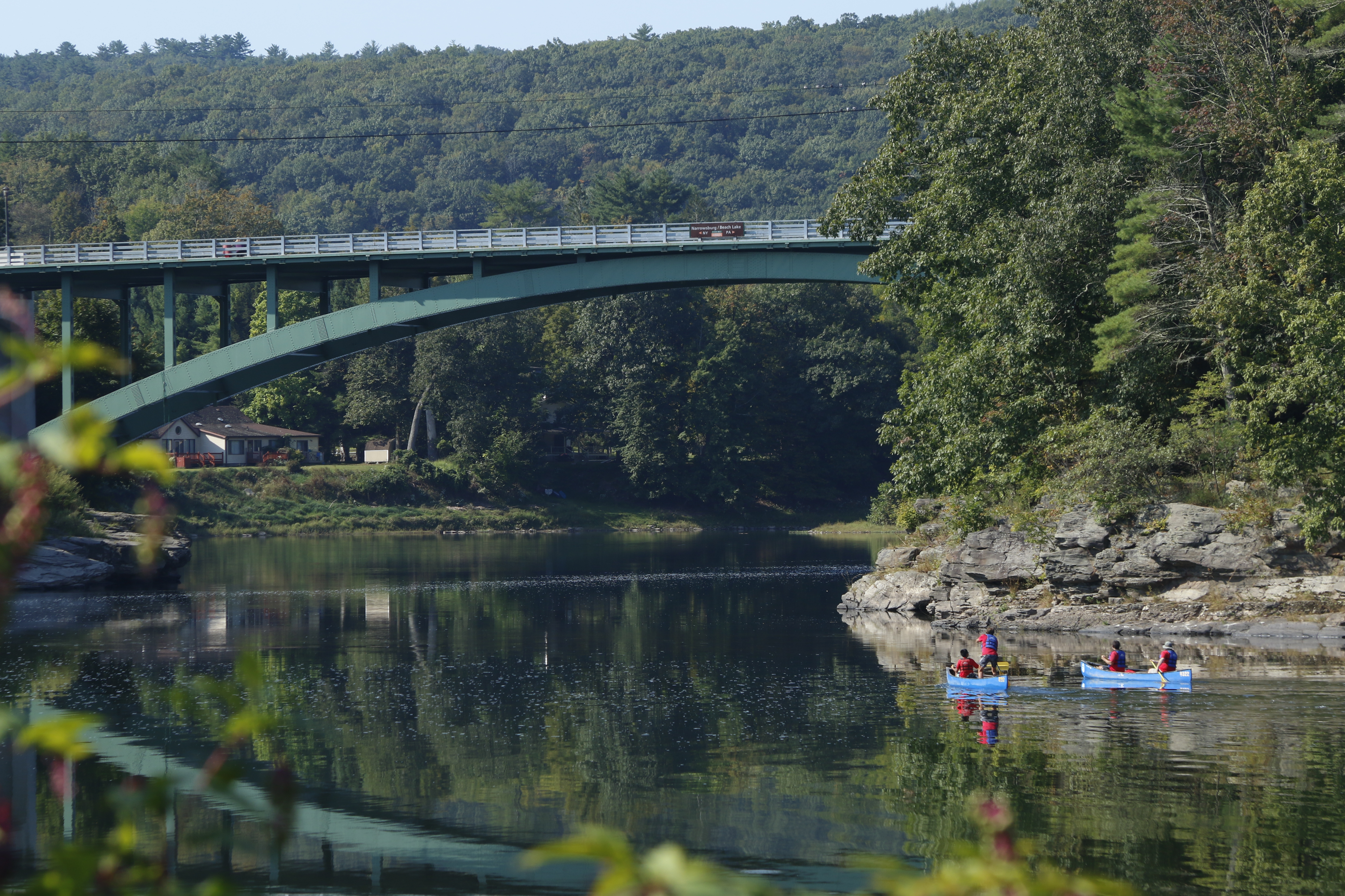
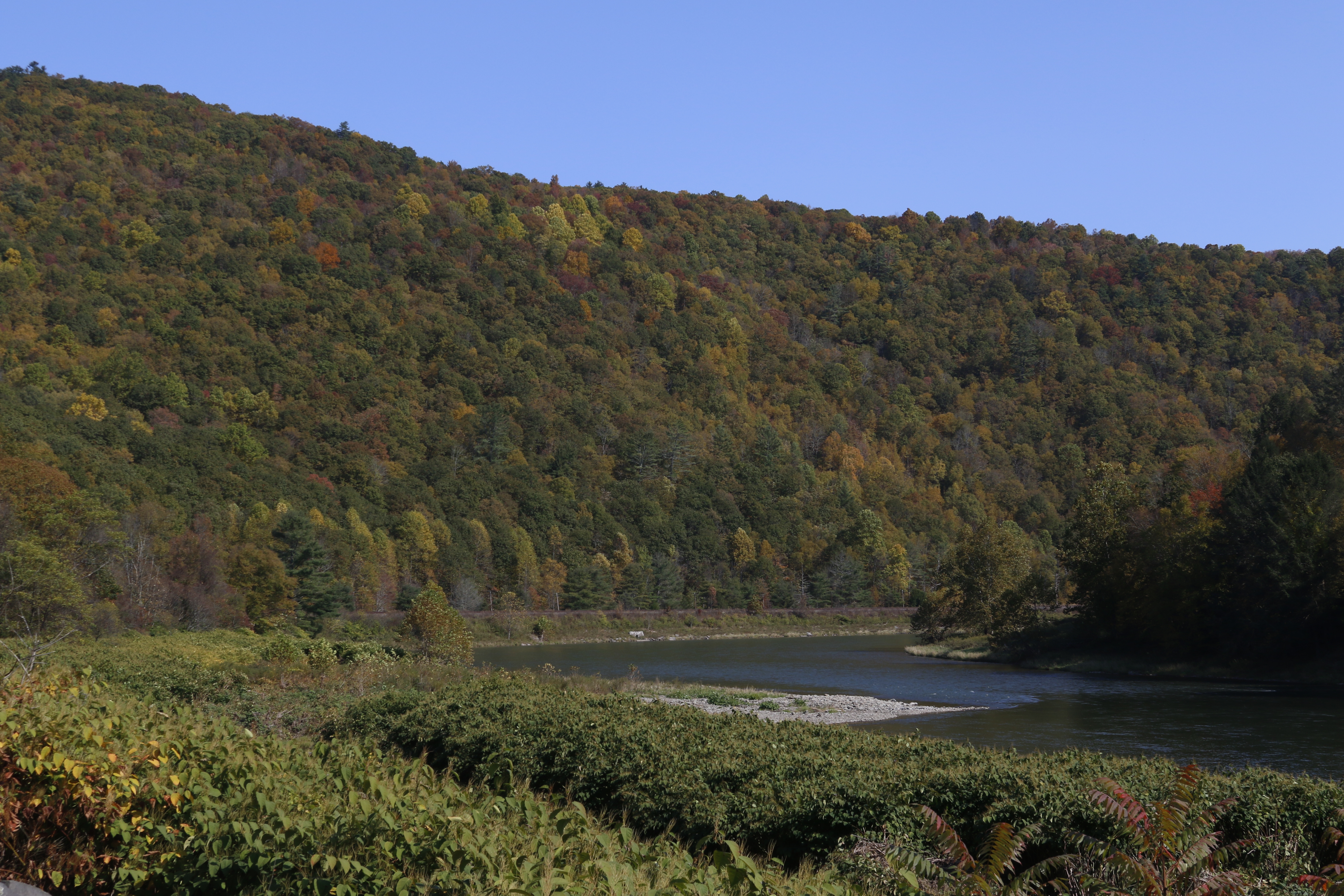
Canoe through rapids and quiet pools as the Delaware River winds its way through a valley of swiftly changing scenery or fish amid rolling hills and riverfront villages in one of the finest fishing rivers in the northeastern United States. The cl...
The Barryville River Access is a public river access for the Delaware River located in Barryville, NY. It is owned by the New York Department of Environmental Conservation. This is a canoe/kayak access only.
River access. To reach access, drive south on River Road and road will end in a cul-de-sac. Cars are able to park in the cul-de-sac as long as they do not block other cars. On the eastern side of the cul-de-sac there is a path whose entrance is marked by bollards. This path leads to the river. The path is wide and grassy, but can be muddy after rain. It is approximately 200-300 feet to reach the river.
The Basket Creek River Access is a public river access for the Delaware River located south of Long Eddy, NY. It is owned by the New York Department of Environmental Conservation. This is a fishing access only.
River access. Footpath to access starts off of Viaduct Road. Path is uneven, narrow, winding, and steep, made of dirt and gravel and flanked by plants and shrub. Path starts with steep, rocky slope down to an uneven, gravelly path approximately 1-2 feet wide. Follow path through a "tunnel" in the knotweed (tall shrubbery approximately 8-10 feet high). After getting past the knotweed, follow an uneven gravel/rock trail through the knotweed to the railroad bridge. There may be standing water which can be 1-2 feet deep. To reach the water, walk under the railroad bridge and walk over the rocks. Be mindful of flowing water from the nearby stream. Upon reaching the water, access area is rocky and gravelly. Depending on the weather and river conditions, the rocky access area past the railroad bridge may be inaccessible if the river height is high enough.
The Buckingham River Access is a public river access for the Delaware River located near Equinunk, PA. It is owned by the Pennsylvania Fish and Boat Commission. This access is open for canoes, kayaks, and other non-motorized boats.
River access. Access composed of initial long paved parking area. On end of the parking area closest to the river, a narrow road slopes from the south side of the lot down to a paved turn-out area adjacent to the water. There is a small, paved boat ramp connecting the turn-out area to the water. One designated accessible parking spot is available at the turn out area. It is located next to the sloped road, on the right side (when entering the turn out area).
The Callicoon River Access is a public river access for the Delaware River located across the river from Callicoon, NY. It is owned by the Pennsylvania Fish and Boat Commission. This access is open for canoes, kayaks, and other non-motorized boats.
River Access. When driving into the access, at the end of the road on the left is a large gravel parking area. The road loops, moving towards the water and then back around a long, grassy knoll and then back towards the main road. At the edge of the loop closest to the river is a small gravel boat ramp. The area around the ramp is grassy on either side and drops off into the water.
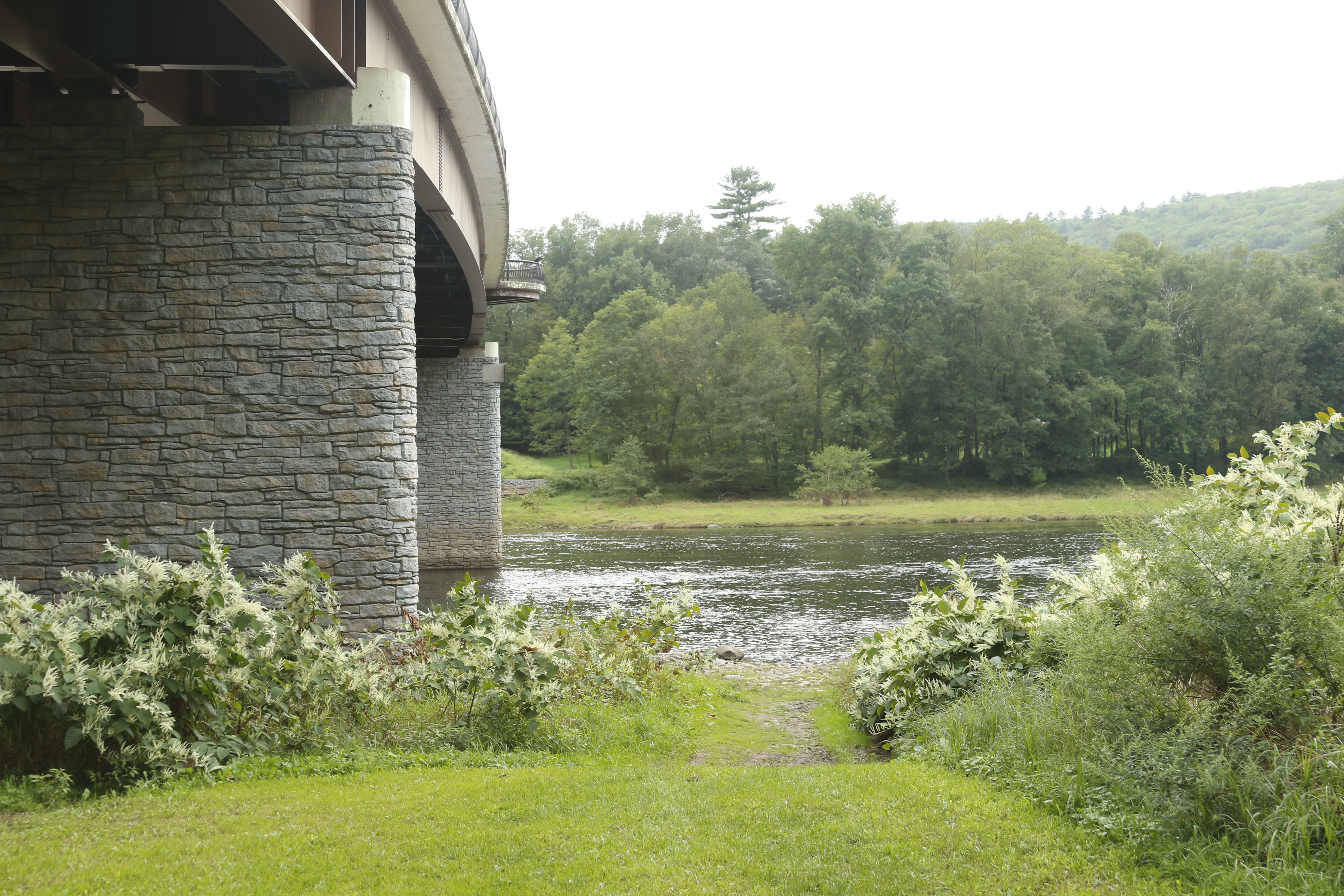
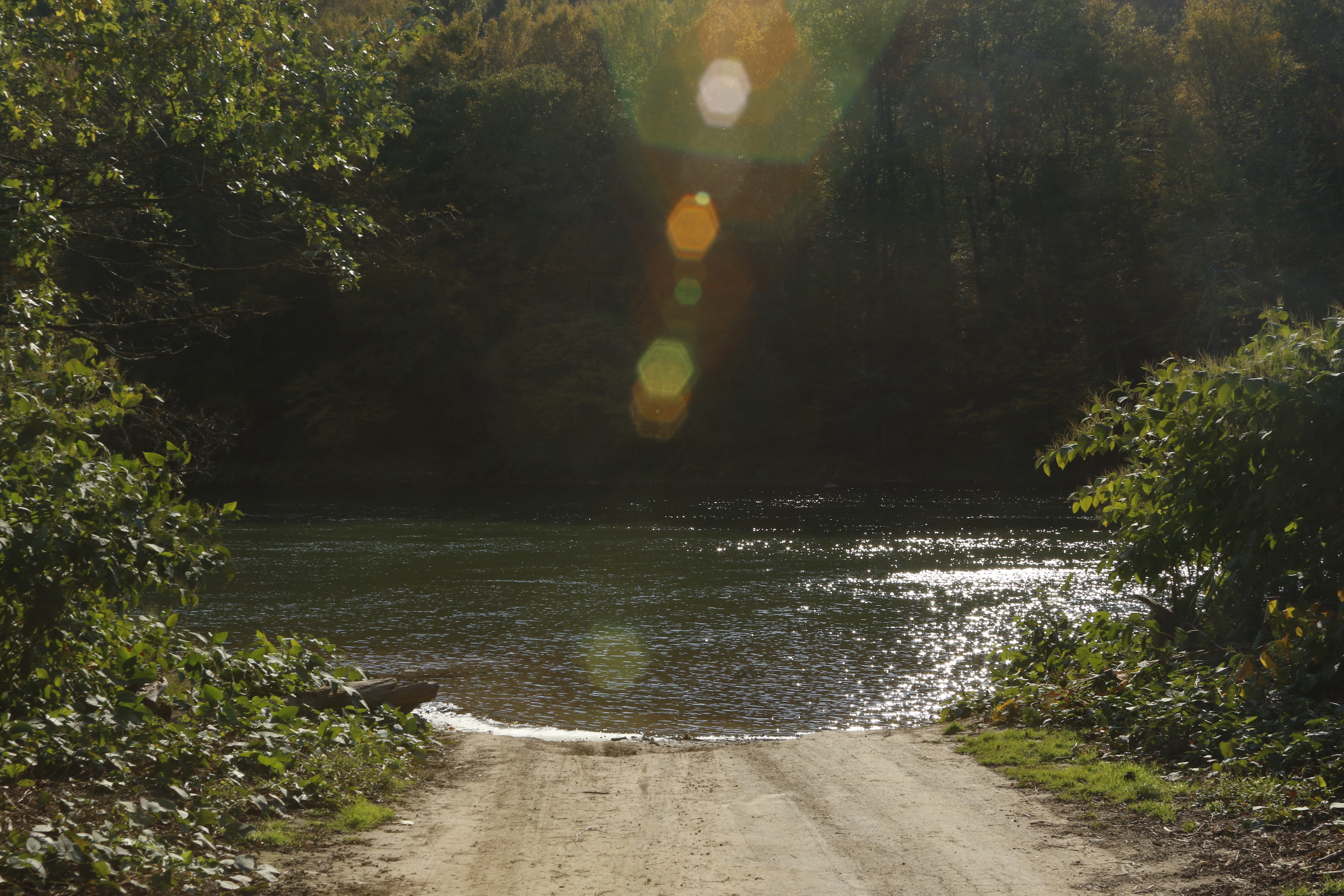
The Cochecton River Access is a public river access for the Delaware River located in Cochecton, NY. It is owned by the New York Department of Environmental Conservation. This is a canoe/kayak access only. There is no parking available.
River access. Gravel road leads to gravel parking area under a bridge/overpass. To reach the access one must cross a dirt/muddy area that slopes downwards towards one of the supports of the underpass, in the direction of the water. There is a chance of standing water or small pools, up to several inches deep. Be carefully as if muddy, this area may be slippery. Keep an eye out for a path on the right that leads to the river access. This path is uneven and may be overgrown with vegetation, making it difficult to see. Parts of the path may be covered in vegetation, uneven, have small ditches, etc. Please remain cautious. The river access itself is a small, sandy area under the Cochecton Bridge.
The Damascus River Access is a public river access for the Delaware River located in Damascus, PA adjacent to the Cochecton-Damascus Bridge. It is owned by the Pennsylvania Fish and Boat Commission. This access is open for canoes, kayaks, and other non-motorized boats.
River Access. Composed of large gravel parking area. On side of area adjacent to the river (east), a paved boat ramp, approximately 15 feet wide, leads into the water. An accessibility-designated parking spot is located on the northeast corner of the parking lot, parallel to the water.
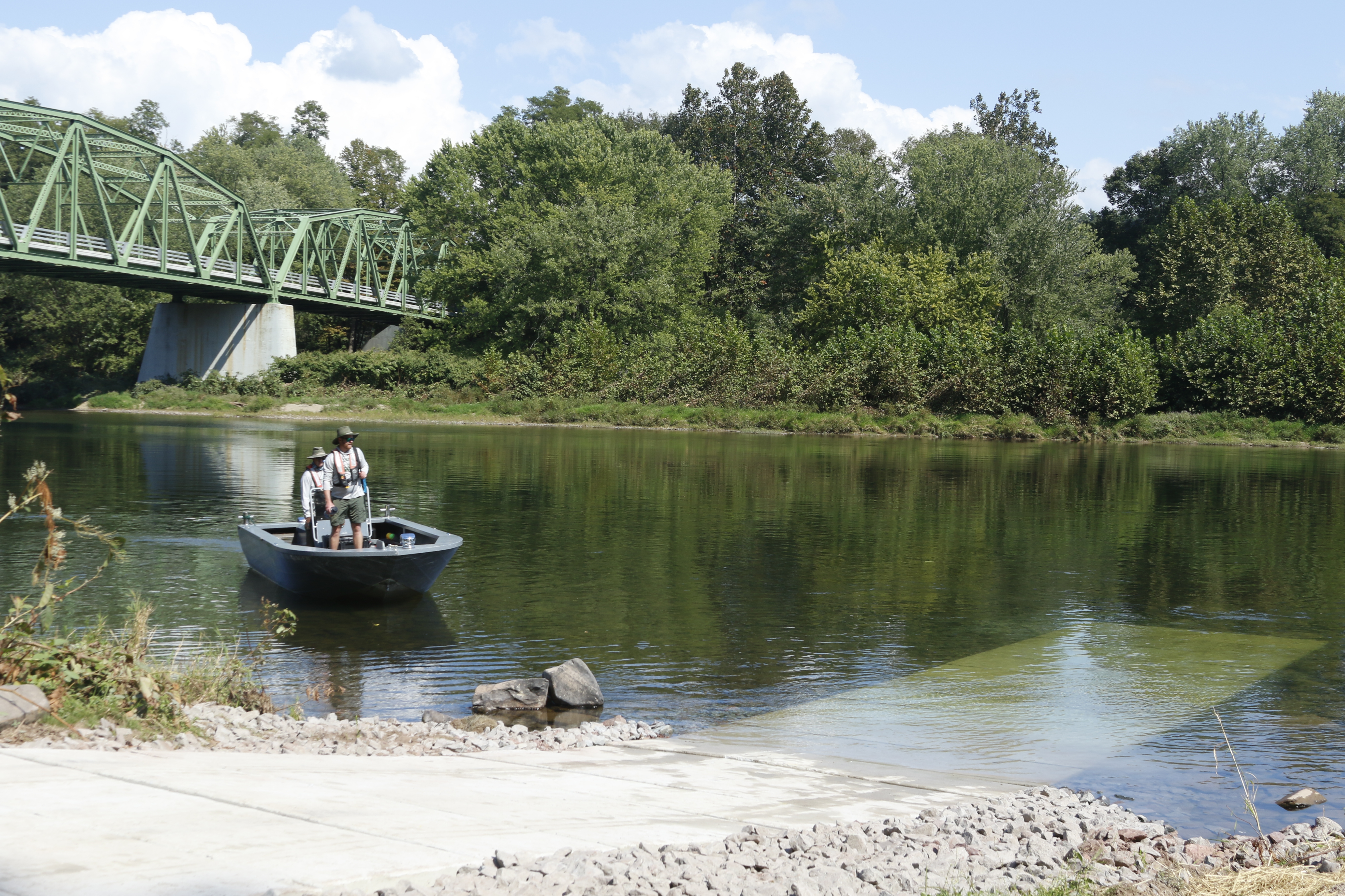
The Darbytown River Access is a public river access for the Delaware River located near Narrowsburg, NY across the river in Darbytown, PA. It is owned by the Pennsylvania Fish and Boat Commission. This access is open for canoes, kayaks, and other non-motorized boats. Motorized boats can be launched at this access.
River access. Long paved area parallel to water, approximately two car lengths wide and 330 feet long. East side is along water. No parking is allowed on northern end of the access. In the northeast corner of the access, approximately one car-length from the northern edge, on the eastern side of the access is a paved boat ramp, approximately 15 feet wide.
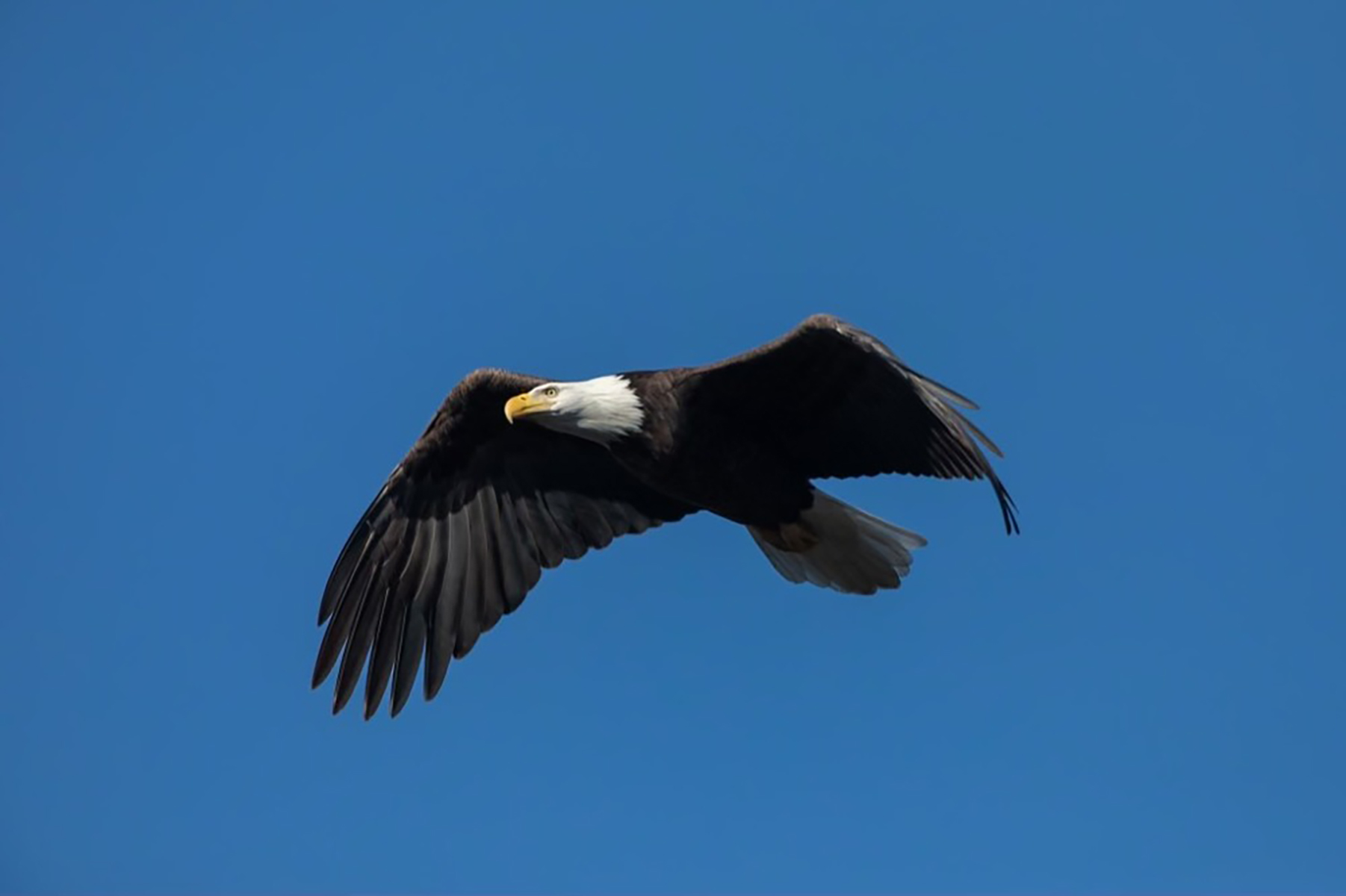
The Dr. Ted Kerpez Memorial Eagle Viewing Blind is a public eagle observation area owned by the New York Department of Environmental Conservation. The public is welcome to use this blind to watch and photograph eagles and other wildlife in a safe and respectful manner, or to simply sit and enjoy the beautiful scenery.
One room wooden building located in paved and gravel lot. Building is a rectangular shape, approximately 10 feet by 15 feet. One face of the building faces a reservoir, and that wall has several standing-height windows along it, with each window on each end slightly lower than the others. Inside, limited seating is available through long wooden benches against some of the walls. Outside, a wooden ramp with railings leads up to door, which is a standard swing-in door with a handle (non-automatic).
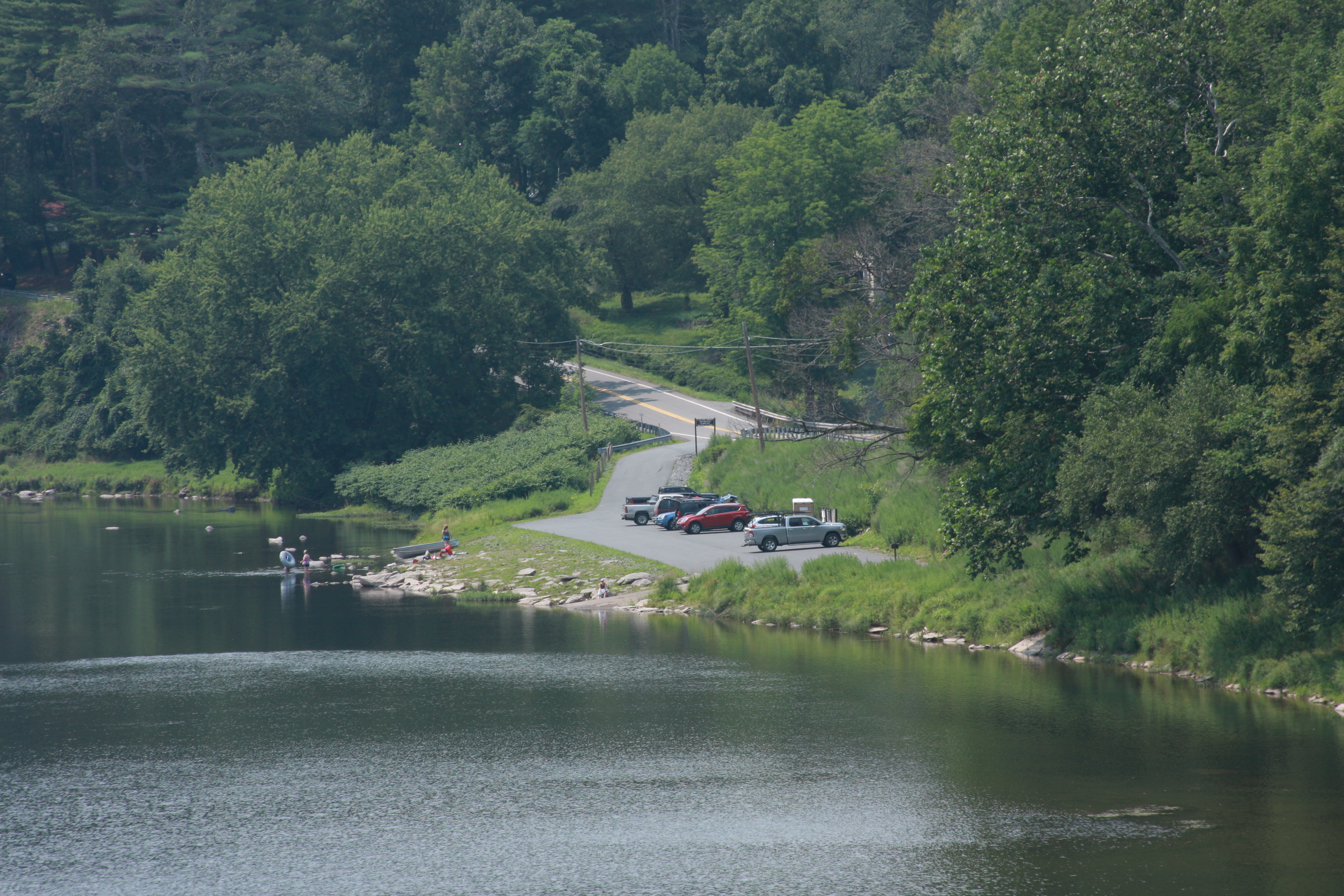
The Hancock River Access is a public river access for the Delaware River located near Hancock, NY. It is owned by the New York Department of Environmental Conservation. This is a canoe/kayak access only.
River access. Access composed of dirt/gravel parking lot and a sloped grassy area in-between the parking area and the water. Picnic tables on concrete platforms are available seasonally.
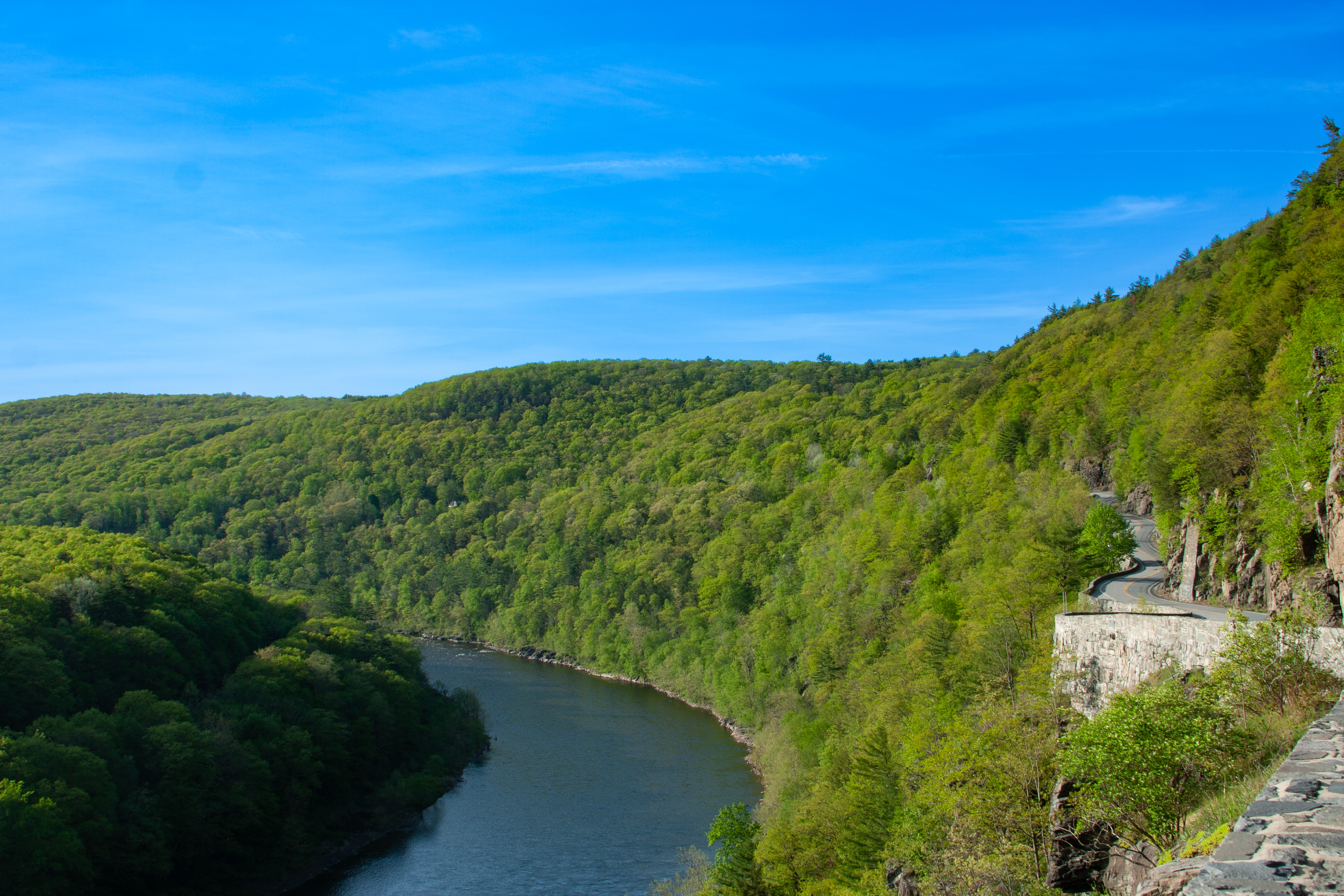
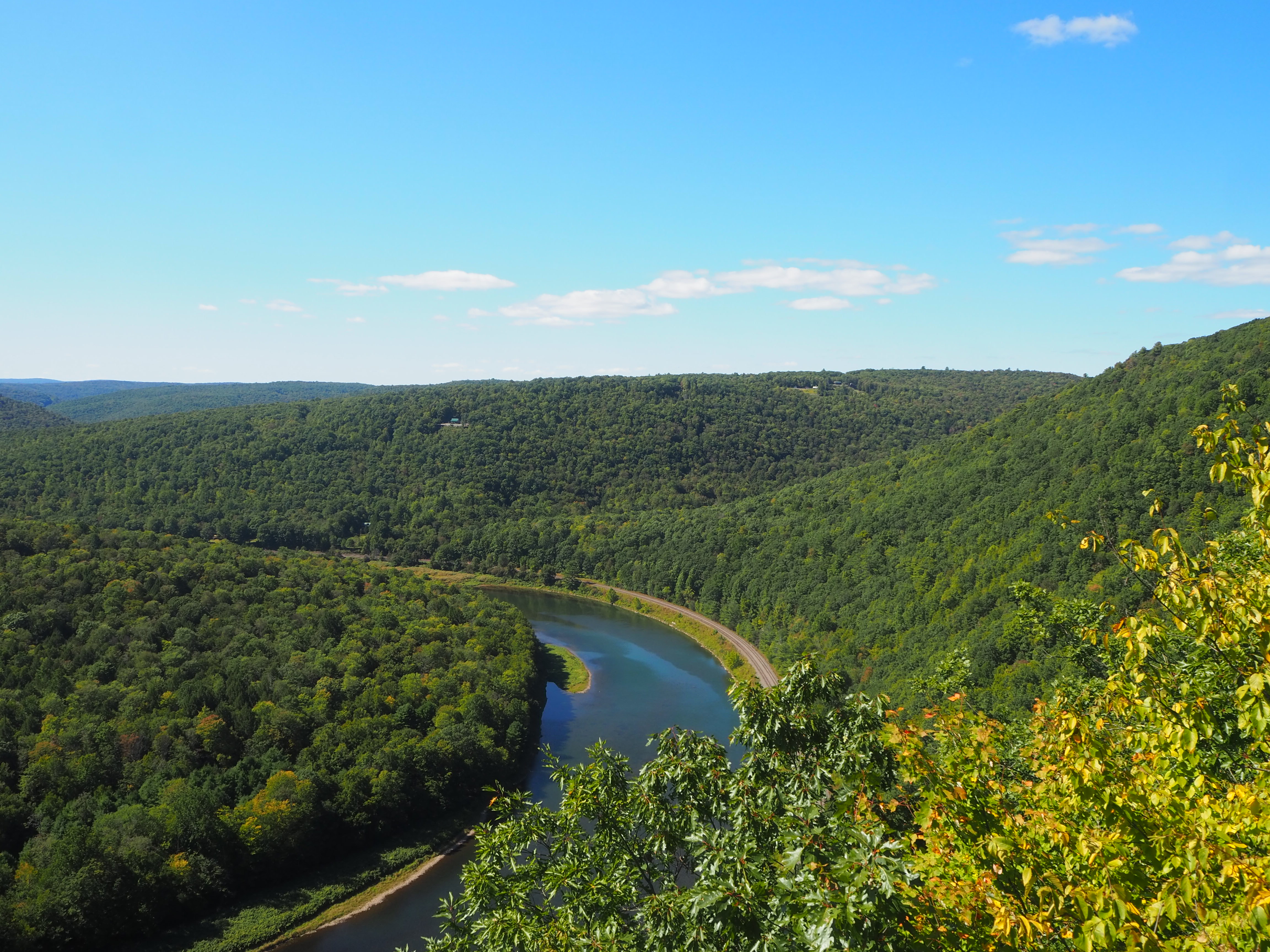
A spectacular scenic viewpoint along the Upper Delaware Scenic Byway. The Hawk's Nest is the highest observation point at Upper Delaware Scenic & Recreational River.
A winding, 2-lane paved road cut into the rocky cliffside of a small, forested mountain. The road looks out onto a forested river valley, the river many stories below. On the side of the road adjacent to the river is a low stone wall, roughly at knee height, and 7 pull-off areas where cars can parallel park along the road to stop. The first and last pull-off areas are larger, able to accommodate 4+ cars. The smaller pull-off areas can only accommodate 2-3 each.
The Highland River Access is a public river access for the Delaware River located in Minisink Ford, in between Lackawaxen, PA and Barryville, NY. It is owned by the New York Department of Environmental Conservation. This is a canoe/kayak access only.
River access. Access is on west side of New York State Route 97. Access consists of paved lane with gravel angle-in parking spots with concrete parking barriers. On east side of access is a gravel/dirt path parallel to the parking spots. There are 2 accessible parking spots, located on the southern end of the access parking area. Next to these accessible parking spots is a concrete sidewalk platform with a curb ramp. This connects to a paved, sloped path, about 3-4 feet wide that leads down to the water. The path is approximately 150 feet long. On either side of the paved path is grass. Please be aware there may be fallen branches, limbs, and other river debris, especially after high water events.
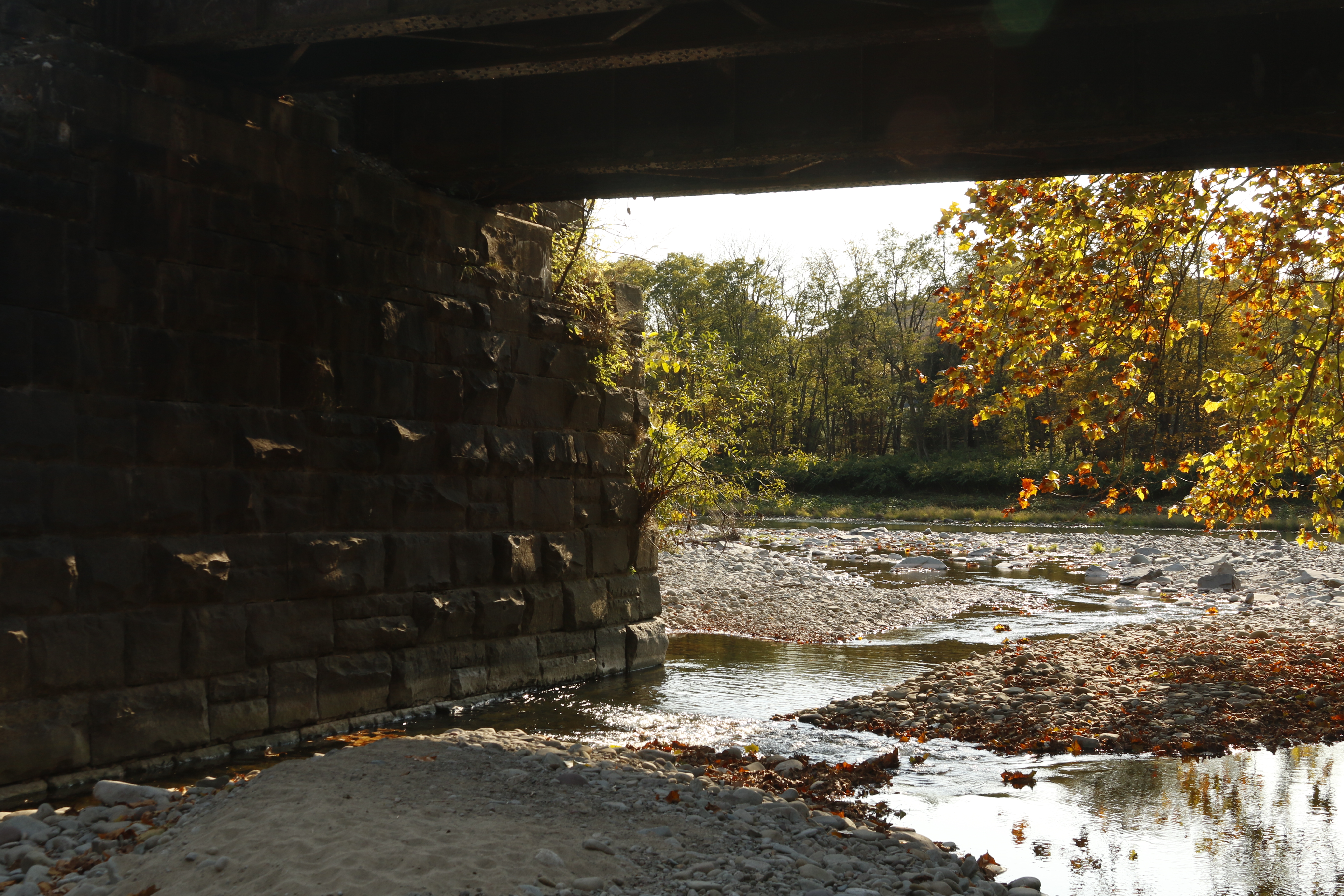
The Kellams Bridge River Access is a public river access for the Delaware River located near Hankins, NY, adjacent to the Kellams Bridge. It is owned by the New York Department of Environmental Conservation. This is a fishing access only.
River access. Parking area is a small gravel lot located on hill. To reach access, walk down hill, out of parking area and cross the paved road and railroad tracks, walking towards Kellams Bridge (one-lane vehicular bridge). On the left side of the bridge, there is a small gravel path leading down towards the water. This path is located next to a vehicular gate and is also marked by a large rock adjacent to the start of the path. A loose rope is tied in between this rock and to a tree on the path, providing a loose handrail down the path. The path is steep, uneven, and rocky. after approximately 20 feet, the path will meet the river.
The Long Eddy River Access is a public river access for the Delaware River located in Long Eddy, NY. It is owned by the New York Department of Environmental Conservation. This access is open for canoes, kayaks, and other non-motorized boats.
River access. Large parking lot made of loose gravel, with long parking spots--long enough to accommodate vehicles with trailers--delineated with flat wooden boards. The road that runs alongside the parking lot leads straight into the gravel boat ramp into the water.
The Lordville River Access is a public river access for the Delaware River located in Lordville, NY next to the Lordville-Equinunk Bridge. It is owned by New York State Department of Environmental Conservation. This is a canoe/kayak access only.
River access. Steep gravel road from main road to access parking area. Parking area is small and located partially underneath a vehicular bridge. Approximately 5-10 feet from parking area to river. Walkway to river from parking area is rocky, with loose rocks and plants. Be careful for some very large rocks/small boulders which act as barriers preventing cars from entering the water.
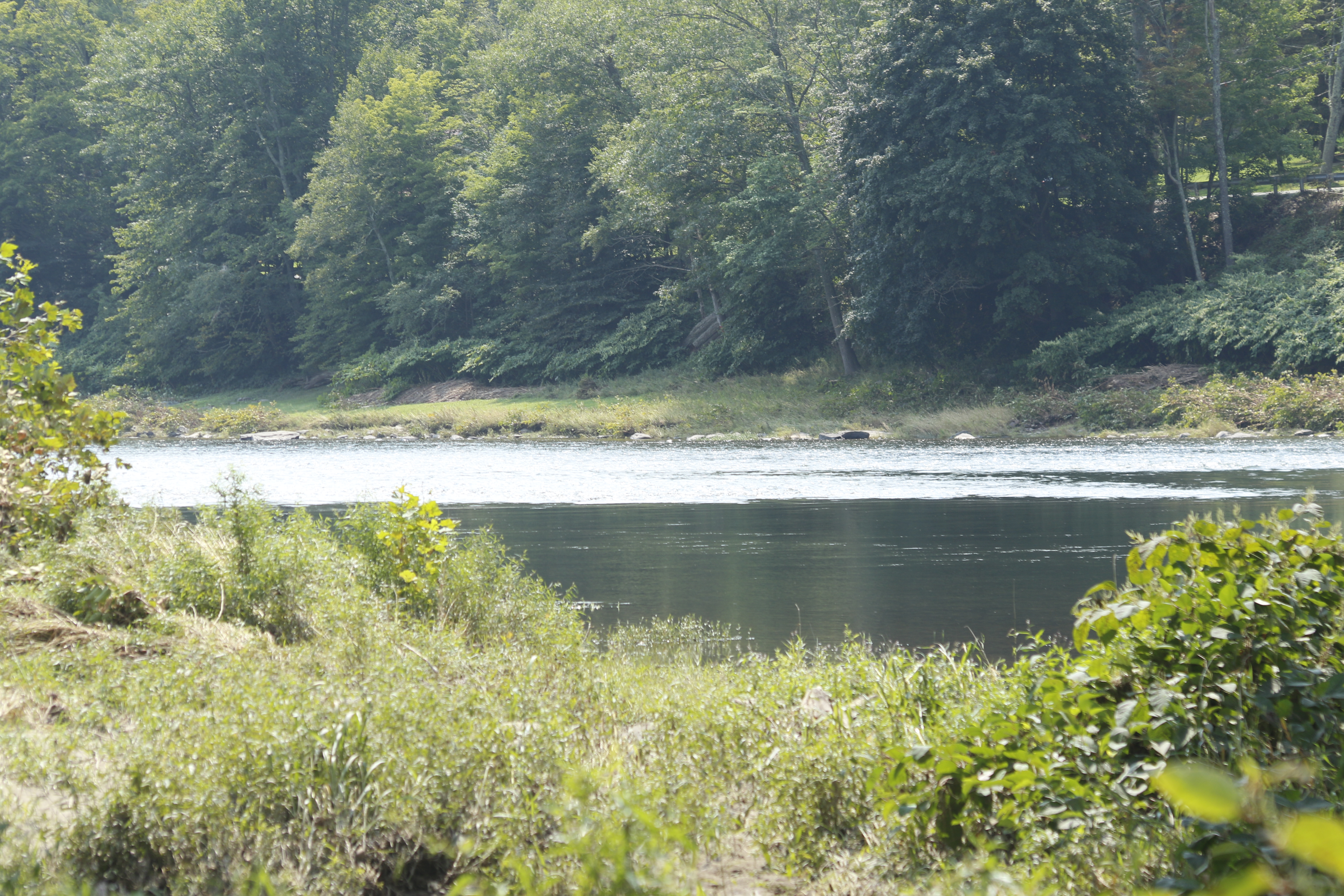
The Mongaup River Access is a public river access for the Delaware River located north of Sparrow Bush, NY. It is owned by the New York Department of Environmental Conservation. This is a canoe/kayak access only.
River access. Parking area is very large, gravel lot with small boulders in rows and along boundaries of lot delineating spots. In the southeast corner of the parking lot is a path that leads to the water. The path is uneven and made of gravel, dirt, rocks, and grass. It winds and slopes down to the river, approximately 200-300 feet. The path starts off relatively wide then narrows as one gets closer to the water, ending up approximately 2 feet wide. Path is flanked by trees/forest and grass.
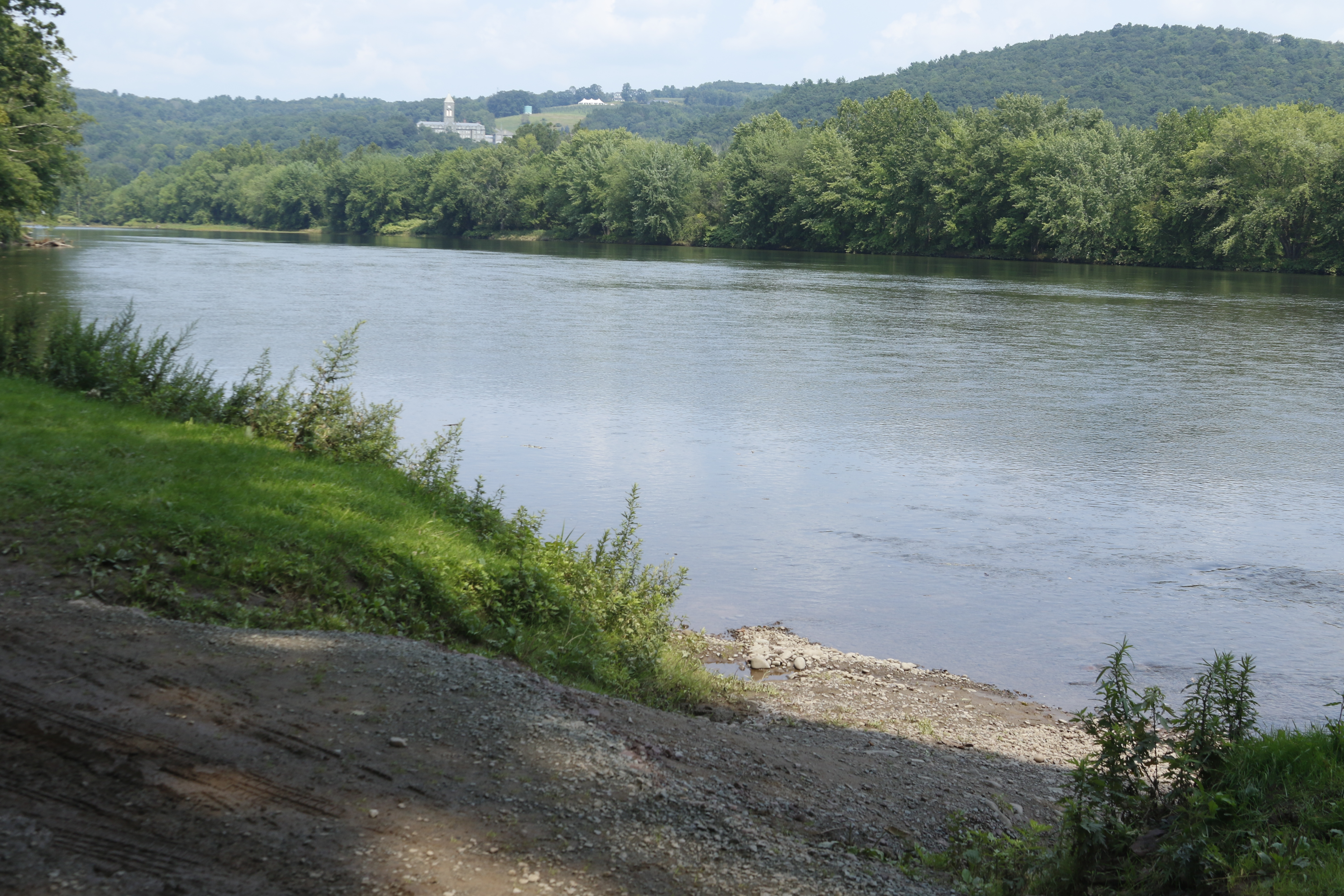
The Narrowsburg River Access is a public river access for the Delaware River located in Narrowsburg, NY. It is owned by the New York Department of Environmental Conservation. Motorized boats can be launched at this access.
River access. Comprised of two medium-sized paved parking lots with a paved ramp leading to the water in-between the two lots. Parking area is surrounded by grass and there is a recreational field nearby, visible on the left side of the road before turning into the access.
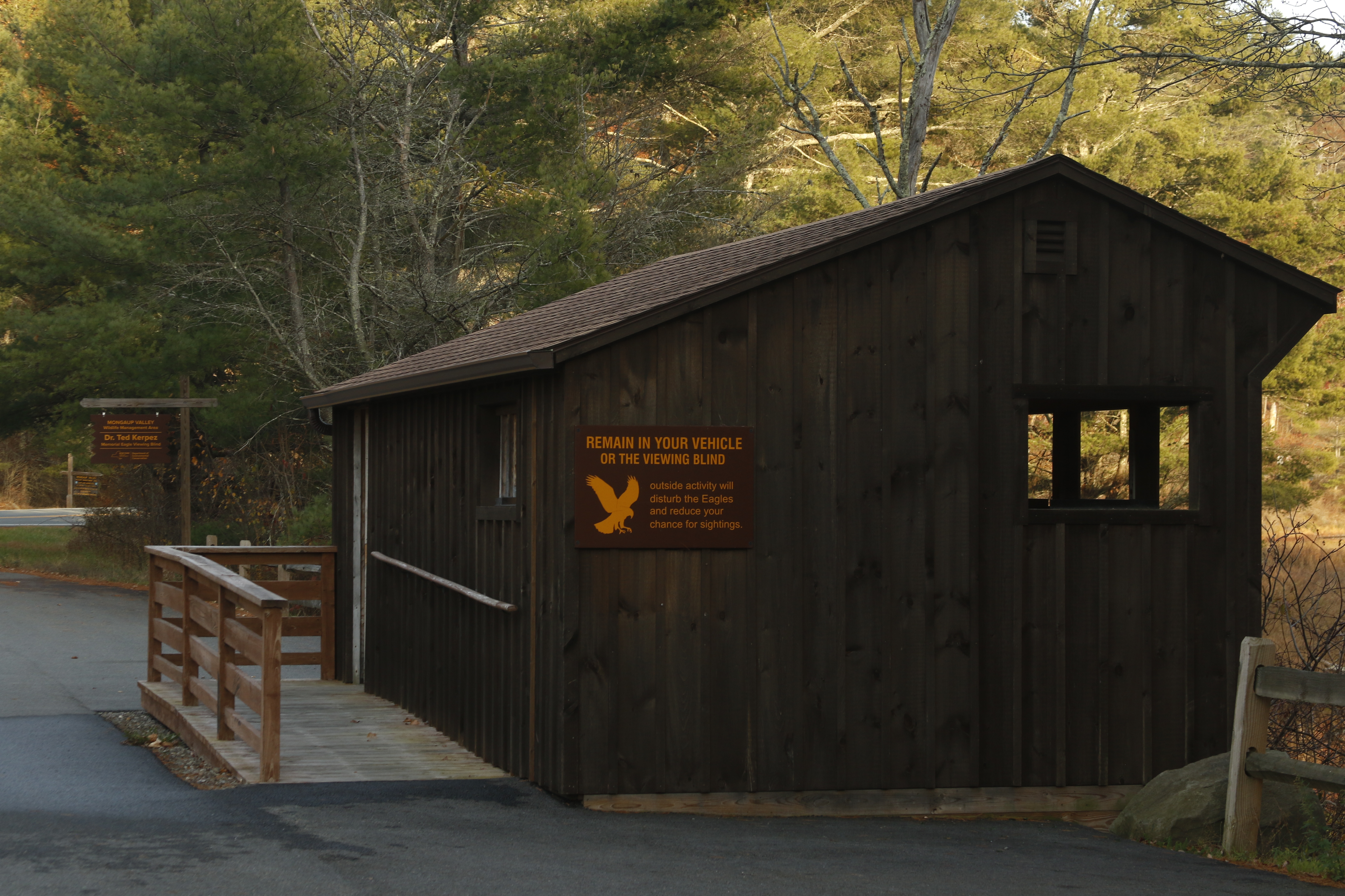
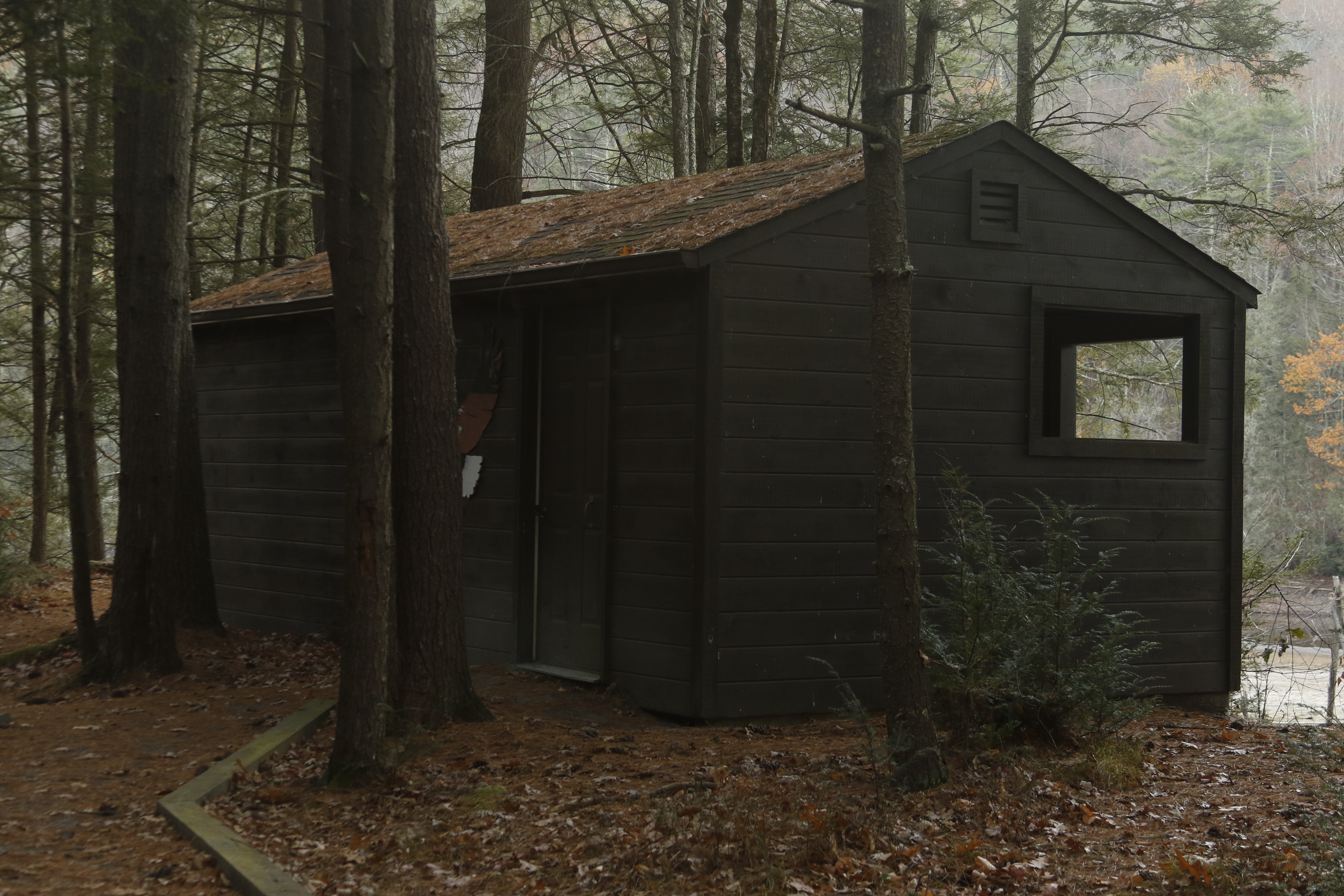
The eagle viewing blind at the Rio Reservoir is a public eagle observation area owned by the New York Department of Environmental Conservation. The public is welcome to use this blind to watch and photograph eagles and other wildlife in a safe and respectful manner, or to simply sit and enjoy the beautiful scenery.
1 room wooden building located in forested area. Building is a rectangular shape, approximately 10 feet by 15 feet. One face of the building faces a drop off towards the river, and that wall has several standing-height windows along it, with each window on each end slightly lower than the others. Inside, limited seating is available through long wooden benches against some of the walls. To arrive at the building, one must walk a short distance, approximately 100 feet. The path is unpaved but relatively flat, and flanked by wooden 1x2s on the path’s edges when one gets closer to the building.
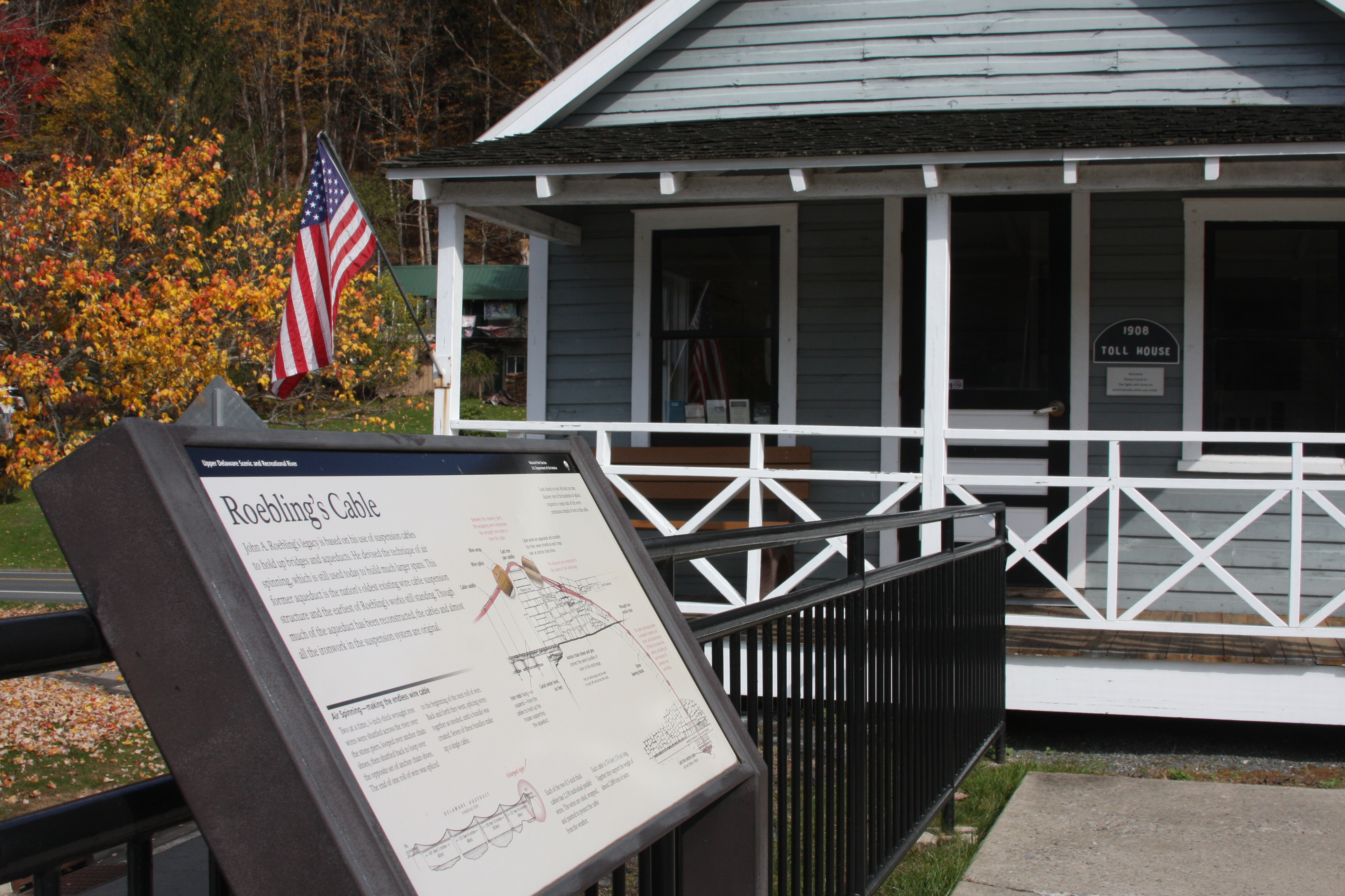
Situated on Roebling's Delaware Aqueduct, this small self-guided museum space offers information on the Delaware and Hudson (D&H) Canal, the aqueduct, and the Upper Delaware Scenic and Recreational River. The bridge offers excellent views of the river and access to a trail running along the old D&H towpath.
Small, light blue one-story house with white trip and a front porch. The house sits of the New York side of the John Roebling Aqueduct/Bridge. To enter the house, one must approach the house from the side facing away from the river, walking up a shallow set of curving outdoors steps that wraps around the house to the front porch. The front of the house has a wood, brown and white front door flanked by two windows with a wooden bench on the left side of the porch (when facing the front door). An American flag sits at a slight angle in a holder attached to a corner porch support pillar. The porch is covered with a dark roof. The house roof is A-frame styled. An informational wayside is several feet away from the porch, in the direction of the bridge. Inside the toll house is 2-room space with hardwood floors. You enter the main room, which is a large open space. Brochures sit on the windowsill to one's immediate left when entering the space, as well as on the wall to one's immediate right. A small part of the room about five feet forward and slightly to the right is sectioned off with a recreated scene of what a canal boat cabin looked like inside, with bunk beds, 19th century clothing on hooks, a gingham clothed table with dishware and fake food, and a simple, rectangular fake wood burning stove.
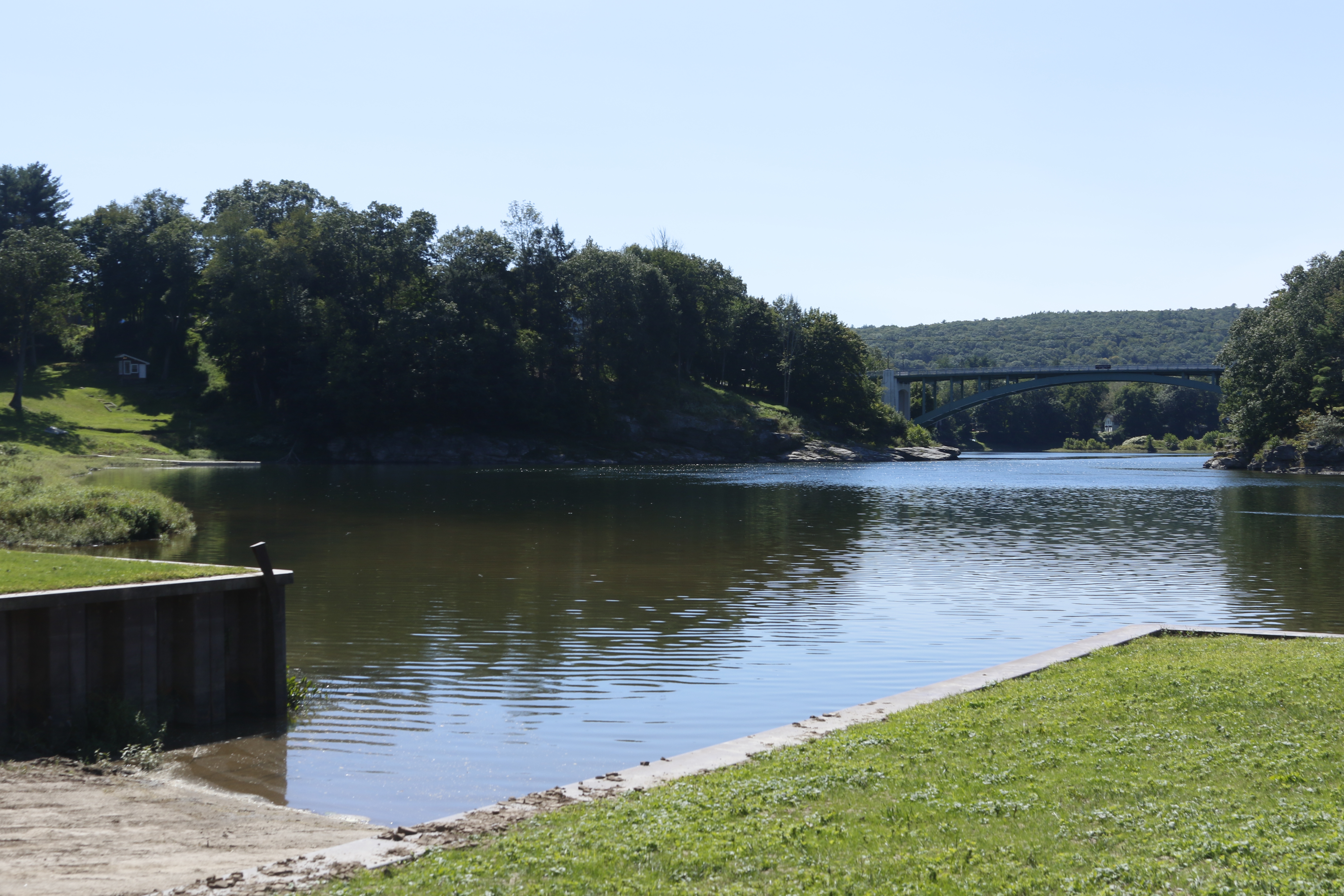
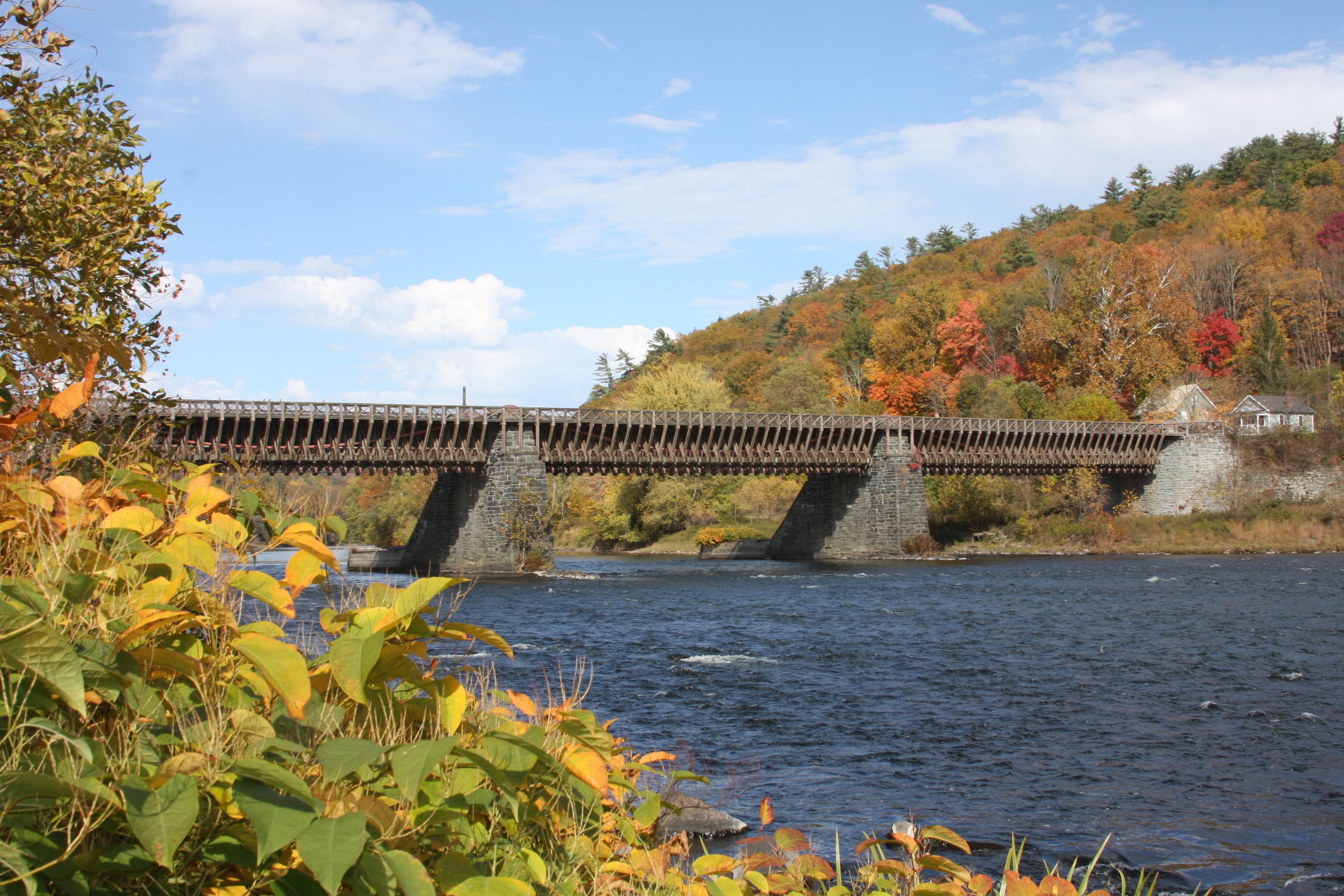
Upper Delaware Scenic and Recreational River is the home of the oldest existing wire suspension bridge in the United States - the Delaware Aqueduct, or Roebling Bridge as it is now known. Begun in 1847 as one of four suspension aqueducts on the Delaware and Hudson Canal, it was designed by and built under the supervision of John A. Roebling, future engineer of the Brooklyn Bridge.
A bridge, about 400 feet long, stretching over a river. The bridge has two main support structures that sit in the river, keeping the bridge flat over the water. Each support is made of stone bricks, each shaped with the side that faces upstream shaped at a roughly 50 degree angle. On each support, a wooden ice breaker structure is attached, with the sloped part of the support covered with planks of wood, and a large, wooden structure coming off which sits on top of the river, pointing upstream. The icebreaker part on the river are roughly as tall as a person and roughly 50 feet long. The main part of the bridge is covered in approximately 100 wooden beams or braces oriented vertically along each side. You can barely make out what looks like a red cord or cable behind the wooden braces that threads from one end of the bridge to the other, each end curving downwards with the cable lifted at the center of the bridge, so the cable makes a very wide, shallow "w" shape. To walk onto the bridge, there are entrances on each side of the river that lead up to a paved walking path along both sides of the bridge. Three of the entrances are ramps with handrails, and the fourth entrance, the entrance on the New York side that is faces downstream and is next to the tollhouse, has stairs with a ramp. Both sides of the bridge also have parking lots, on the New York side, it is located on the upstream side of the bridge, and on the Pennsylvania side, it is located on the downstream side of the bridge. Both parking lots have latched trash receptacles and the Pennsylvania parking lot has seasonal restrooms.
The Skinners Falls River Access is a public river access for the Delaware River located across the river from Milanville, PA. It is owned by the New York Department of Environmental Conservation. This is a canoe/kayak access only. Please note the Skinners Falls Bridge is no longer standing and the river cannot be crossed by vehicles or pedestrians at this access.
River access. Large gravel parking lot with a winding dirt/gravel ramp at end of parking area that is closest to the river. Ramp is a narrow walking path, flanked by plants. Path is rocky and uneven, and can be muddy after rain. Parking spots are delineated with concrete parking barriers in rows across parking lot. Edges of parking area are bordered by grass and wooden posts, approximately three feet high.
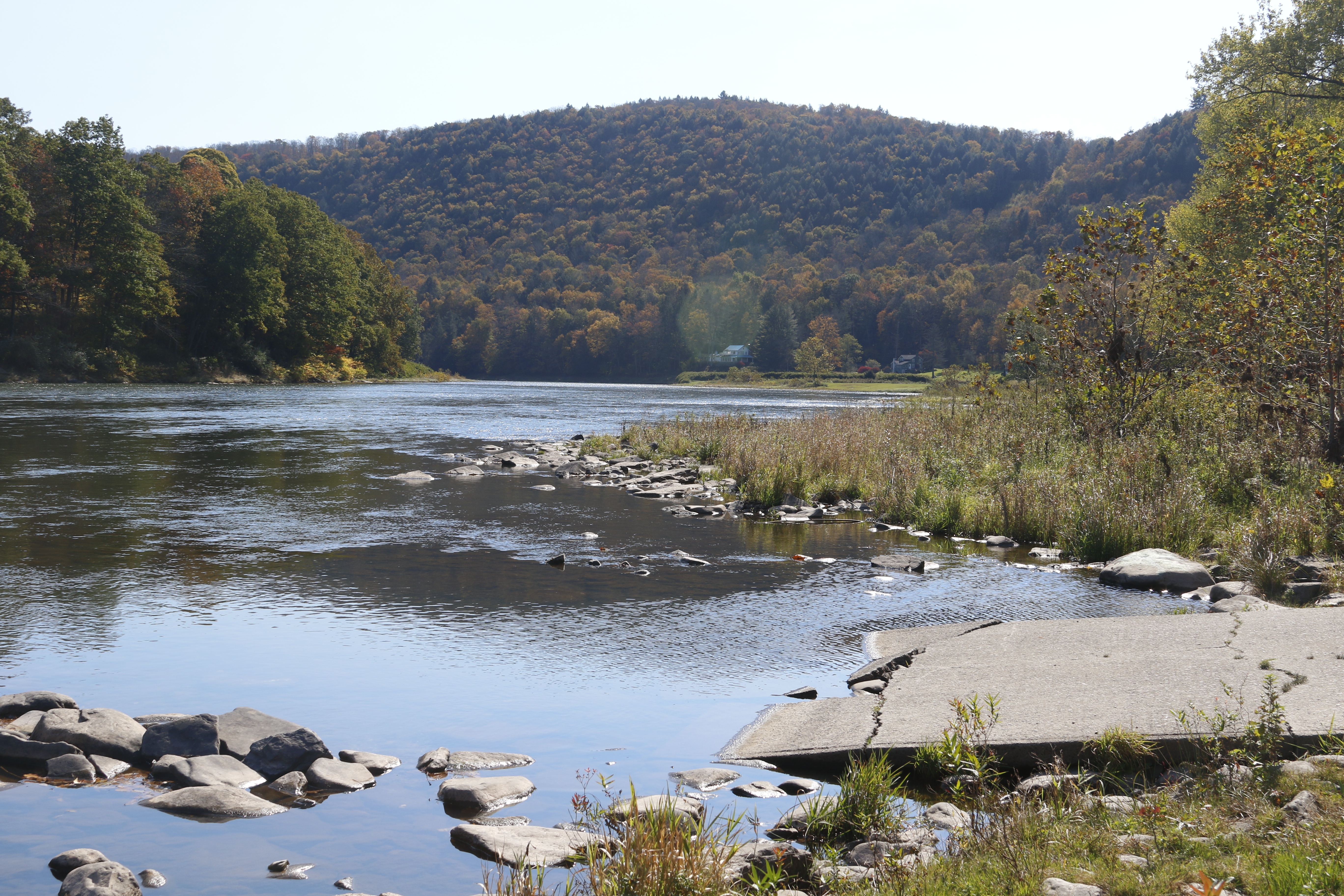
The Ten Mile River Access is a public river access for the Delaware River located in Tusten, NY south of Narrowsburg, NY. It is managed by the National Park Service. This is a canoe/kayak access only. This access also provides parking for the Tusten Mountain Trail.
River access. Driving down paved Crawford road, river access is a gravel/dirt area on the left (west). Western edge of the access is the river. Branches, tree limbs, rocks, and other river debris may line the shore. The eastern edge of the access is a grassy area that slopes up with several trees. This grassy area separates the access from Crawford Road. The access is roughly 300 feet long and varies between 1-2 car lengths wide. On the southern end of the access there is a dirt boat ramp.
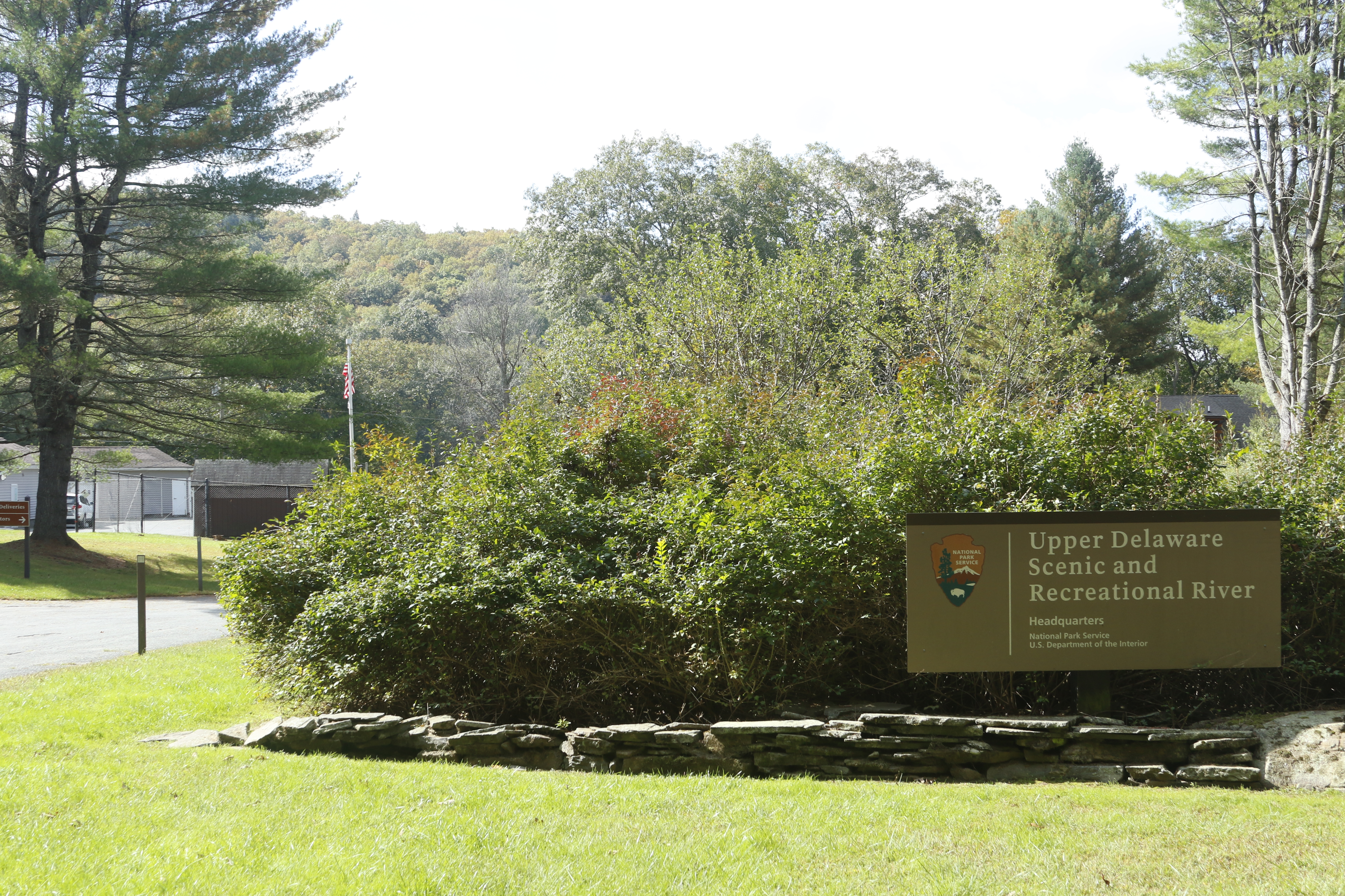
The Park Headquarters for Upper Delaware Scenic and Recreational River offers brochures, maps, passport cancellation stamps, a scenic river overlook, and access to a seasonal portable restroom. There is no visitor center or interpretive park rangers located at park headquarters. The buildings located at park headquarters are used for staff offices.
The park headquarters is a collection of 4 main buildings. Upon entering the headquarters area, the road splits into two, the left branch leading to two buildings and the right branch leading to the main, paved parking area. Another building is located on the far end of the parking lot and the 4th building is located on the far end of the left branch, behind the other two buildings, near the river. On the left side of the parking lot is an informational wayside with several informational panels. To the panel's immediate right is a small, elevated metal box which contains the passport cancellation stamps. A seasonal portable toilet is available from June to August and is located on the far end of the parking lot, on the left side.
The Zane Grey River Access, also known as the Lackawaxen River Access, is a public river access for the Delaware River located in Lackawaxen, PA. It is owned by the Pennsylvania Fish and Boat Commission. Motorized boats can be launched at this access.
River access. When driving down Scenic Drive, river access is on the east side of the road, across from the Zane Grey Museum. The river access is approximately 200-250 feet long and 2 car-lengths wide. Parking is angle-in. A gravel boat ramp, approximately as 10-15 feet wide is located in the south-center eastern edge of the access.
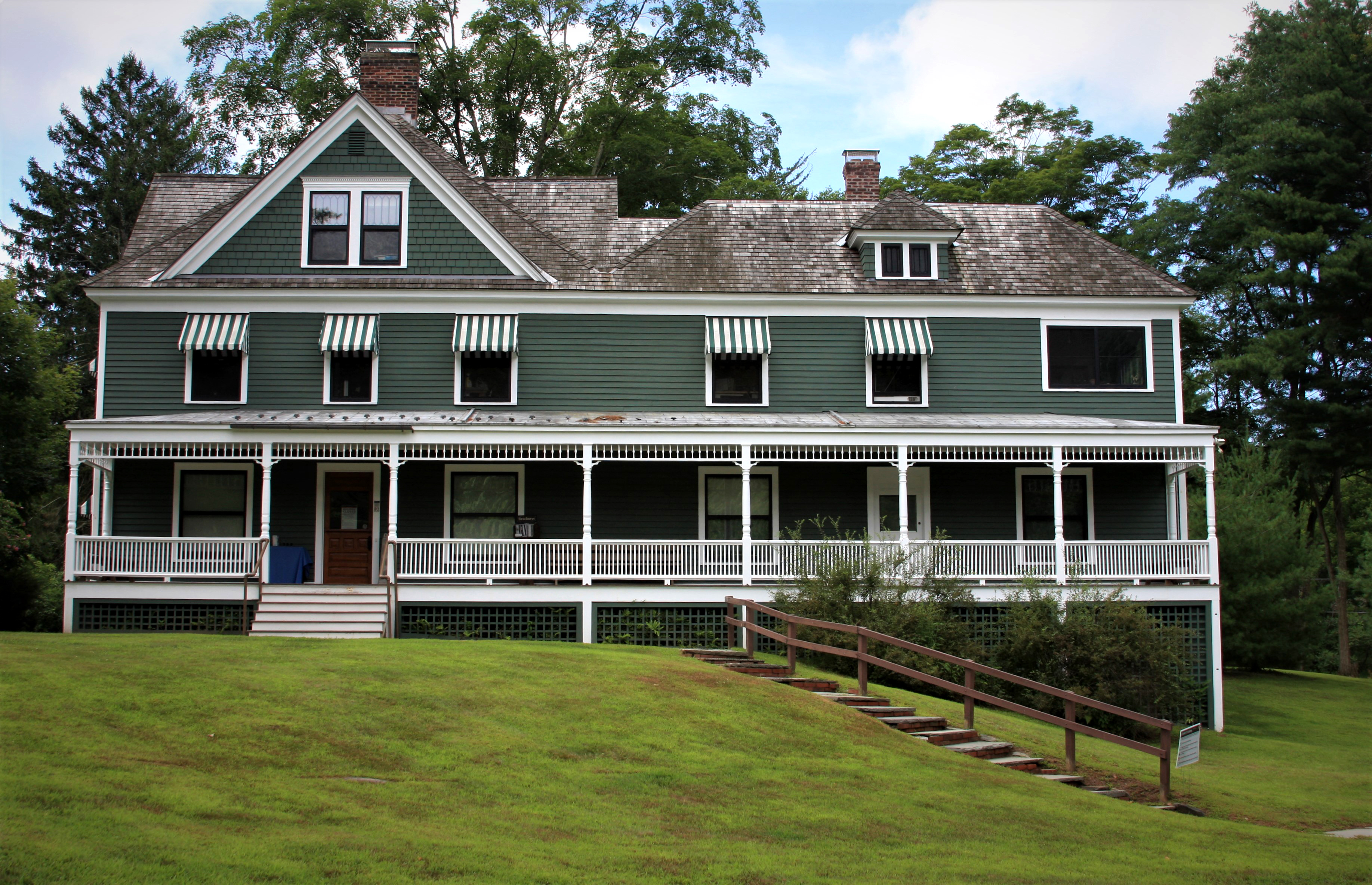
The Zane Grey Museum, or Zane Grey House, is the former home of American author Zane Grey and his wife, Dolly. Grey is considered to be one of the most influential authors of the Western genre of literature. Exhibits on Zane Grey and a gift shop/bookstore are available inside the museum. The museum is open to the public from Memorial Day weekend to the last weekend in September.
Two-story gray-green house with white trim and third-story attic. Has a white wraparound covered porch and a brown, wood-singled roof. The house is quite long and sits on a slope, so that when facing the front of the house, the left side sits on top of the hill and the right side of the house is supported by wood supports so the house sits level. The supports are painted white with a green-gray wood lattice preventing someone from walking underneath the house. Stone steps with wood railing lead up to the porch from the bottom of the slope, leading from right to left. The front door is on the left side of the house and is made of brown wood. On the door's sides there are large, wide windows with white trim. Right of the window to the right of the front door is another door which is white with a square window. To this white door's white is one last window. The second floor has six windows, five of them are vertically-oriented rectangle shapes with white and green striped awnings over them. The rightmost window is a horizontally-oriented rectangle with no awning. The attic space as two sets of double windows, the one on the left being larger. Two brick chimneys, one on the right and one of the left, poke out from the roof. Behind the house there are tall leafy trees. When entering the museum from the front door one enters a room with a small, open gift shop area to the immediate left and exhibits straight ahead and to the right. On the right wall is a doorway which leads to a room with exhibits along the walls. In the main room if one walks left and then turns right at the end of the gift shop area then they will walk into another small exhibit area.
Float this short stretch of river from Damascus River Access to Skinners Falls River Access. This stretch is approximately 3 river miles and takes on average 1.5 hours to float. This stretch of river has no rapids, only riffles and thus should be a relatively peaceful float.
Float from Mongaup to Sparrowbush
Float this short stretch of river from Mongaup River Access to the New York DEC river access at Sparrowbush, NY. This stretch is approximately 3 river miles and takes on average 1.5 hours to float.
Exciting: Paddle from Lackawaxen to Sparrowbush
Paddle this longer stretch of river with a mix of calm waters, rapids, and rifts from Lackawaxen River Access to the New York DEC river access at Sparrowbush, NY. This stretch is approximately 20 river miles and takes on average 8-10 hours to paddle.
Float from Lackawaxen to Highland
Float this short stretch of river from Lackawaxen River Access to Highland River Access. This stretch is approximately 3 river miles and takes on average 1.5 hours to float.
Fishing on the Upper Delaware River
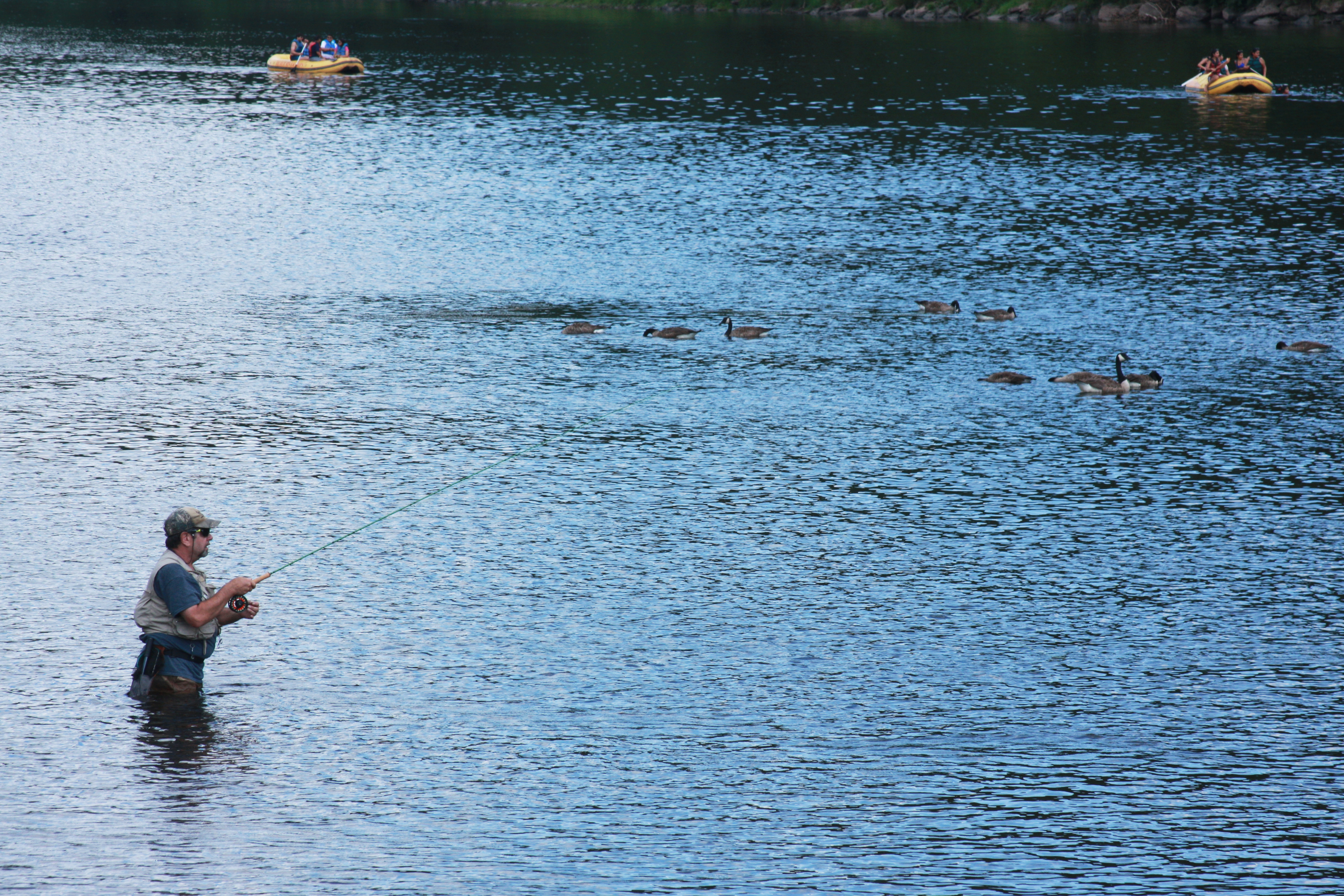
The pristine and undammed waters of the Upper Delaware River provide excellent habitat for a diverse variety of fish species such as trout, bass, walleye, and shad.
Moderate: Paddle from Ten Mile River to Lackawaxen
Paddle this stretch of river with a mix of calm waters and rapids from Ten Mile River Access to Lackawaxen River Access. This stretch is approximately 6.5 river miles and takes on average 2.5 hours to paddle.
Easy: Paddle from Narrowsburg to Ten Mile River
Paddle this calm stretch of river from Narrowsburg River Access to Ten Mile River Access. This stretch is approximately 6 river miles and takes on average 3 hours to paddle.
Easy: Paddle from Buckingham to Long Eddy
Paddle this calm stretch of river from Buckingham River Access to Long Eddy River Access. This stretch is approximately 9.5 river miles and takes on average 4.5 hours to paddle.
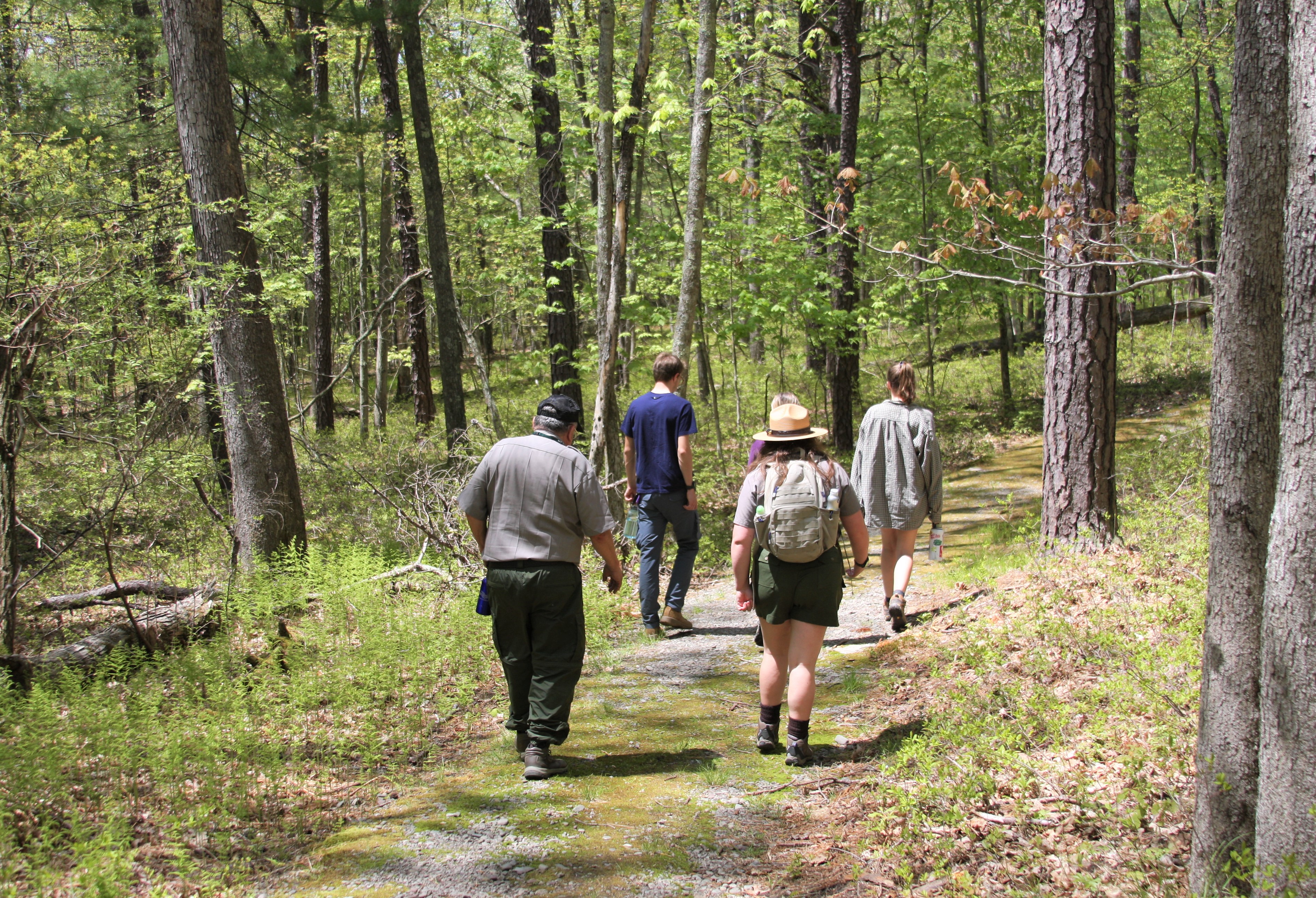
Become an Upper Delaware Junior Ranger
Become a Junior Ranger at Upper Delaware Scenic and Recreational River. The Junior Ranger program is a great way for individuals of all ages to learn about the river, its natural resources, and the history of the Upper Delaware River Valley.
Winter Eagle Watching at the Lackawaxen River Access
Although many eagles call the Upper Delaware River region home during all months of the year, winter is a particularly good time to go bald eagle-watching in the park. Wintering bald eagles visit, increasing the population of eagles in the area. Furthermore, during weekends in January and February, volunteer docents are available at the Lackawaxen River Access to answer questions and promote good “Eagle Etiquette.”
Hike the D&H Towpath Trail
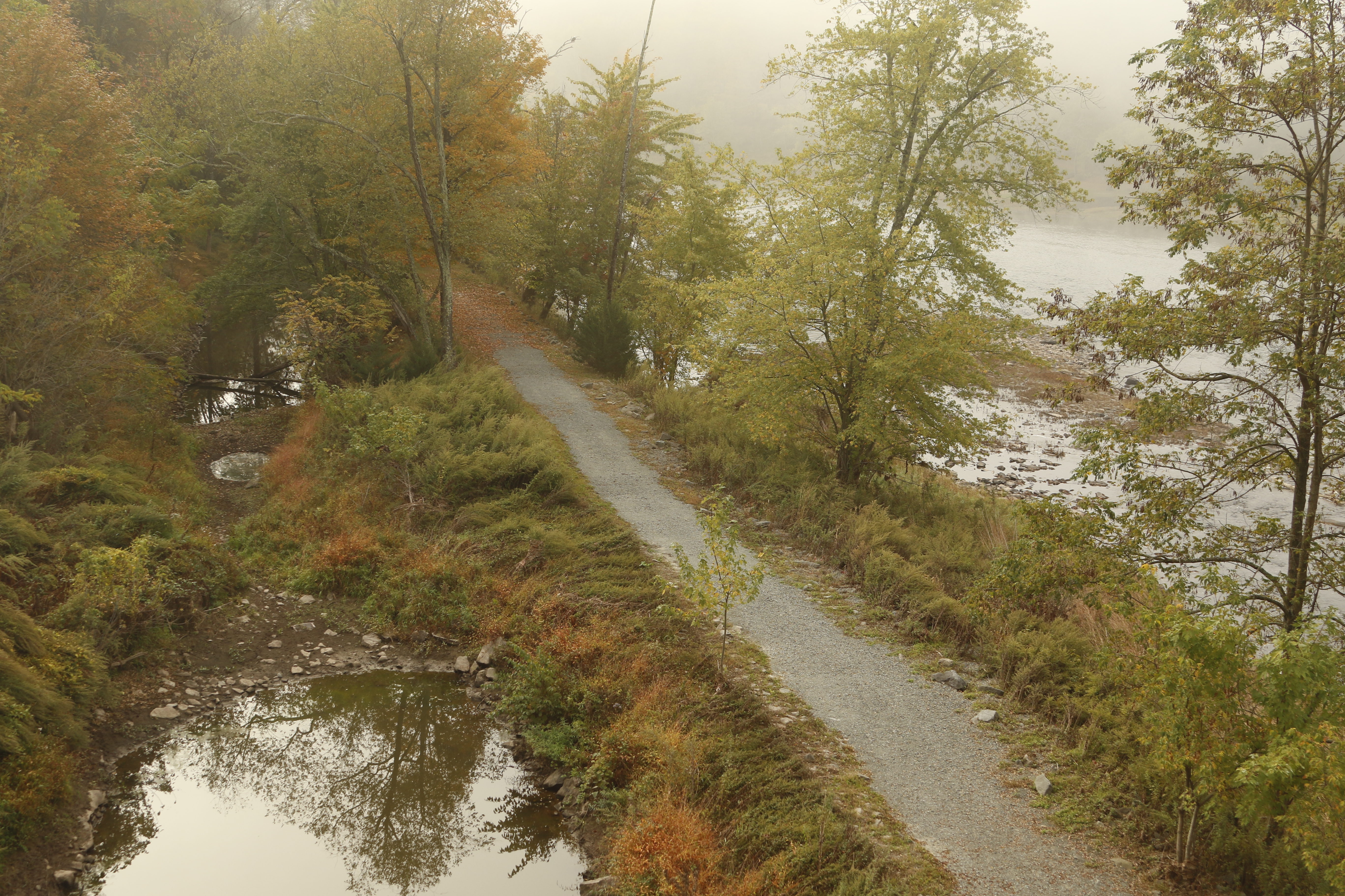
Enjoy this easy 0.8 mile walking trail that takes you along the Delaware River and remains of the historic Delaware and Hudson (D&H) Canal. This trailhead is adjacent to the historic Roebling Aqueduct, Roebling Aqueduct Tollhouse, and within a few minutes' drive of the Zane Grey Museum, all managed by the National Park Service.
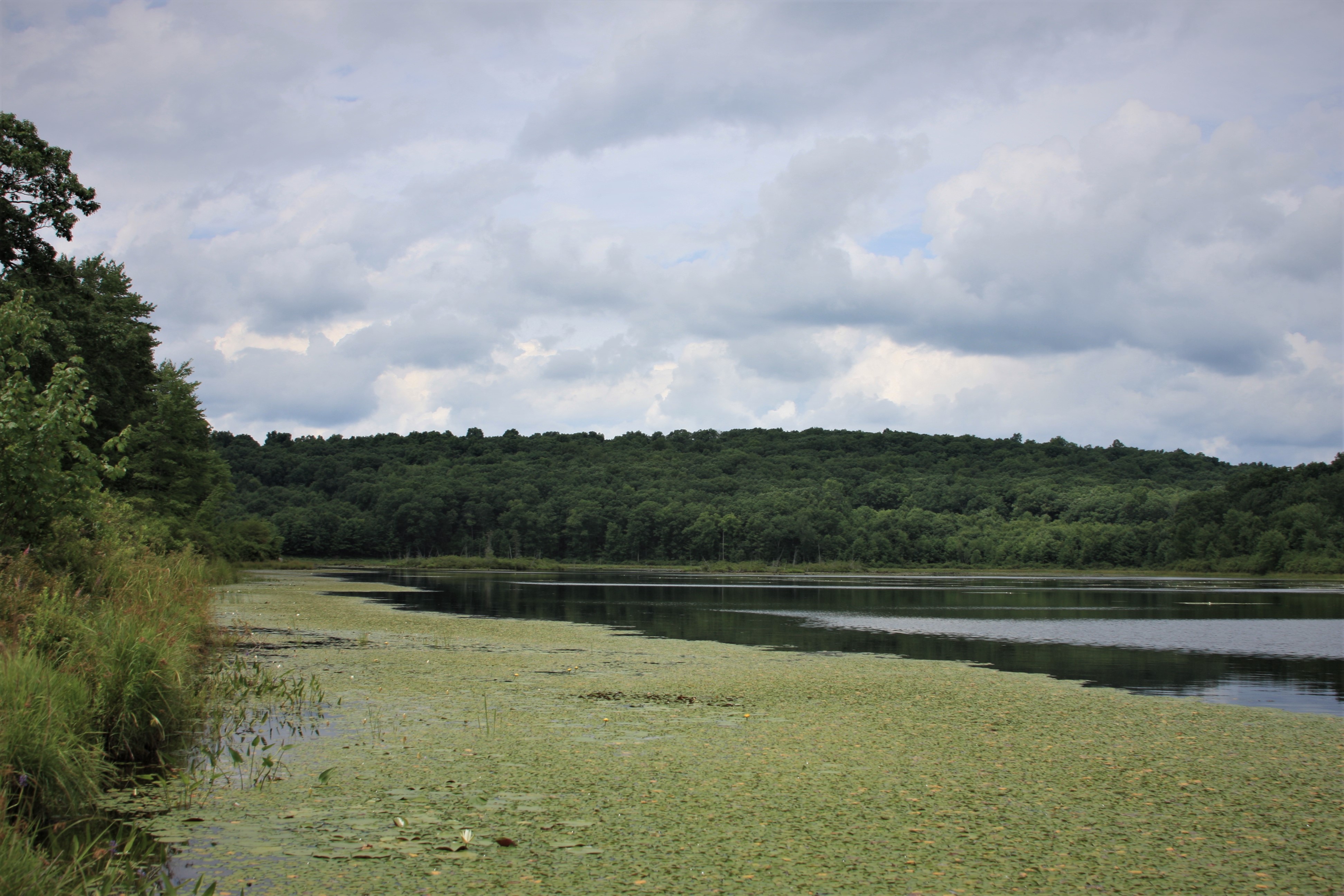
Hike the Cobey Pond Trail
This loop trail offers a leisurely stroll around the picturesque Cobey Pond after a moderate incline through the forest from the trailhead to the pond. The trail offers hikers ample opportunities for view wildlife and waterfowl. The trail is located on Pennsylvania Game Lands 316.
Hike the Minisink Battleground Park Trail System
Walk this moderately easy, moss-covered loop trail system to catch glimpses of both nature and history. Minisink Battleground Park is the site of the only Revolutionary War battle fought in the Upper Delaware River Valley. Please note Minisink Battleground Park is closed December 1 - April 30. The park is owned and managed by Sullivan County Parks and Recreation.
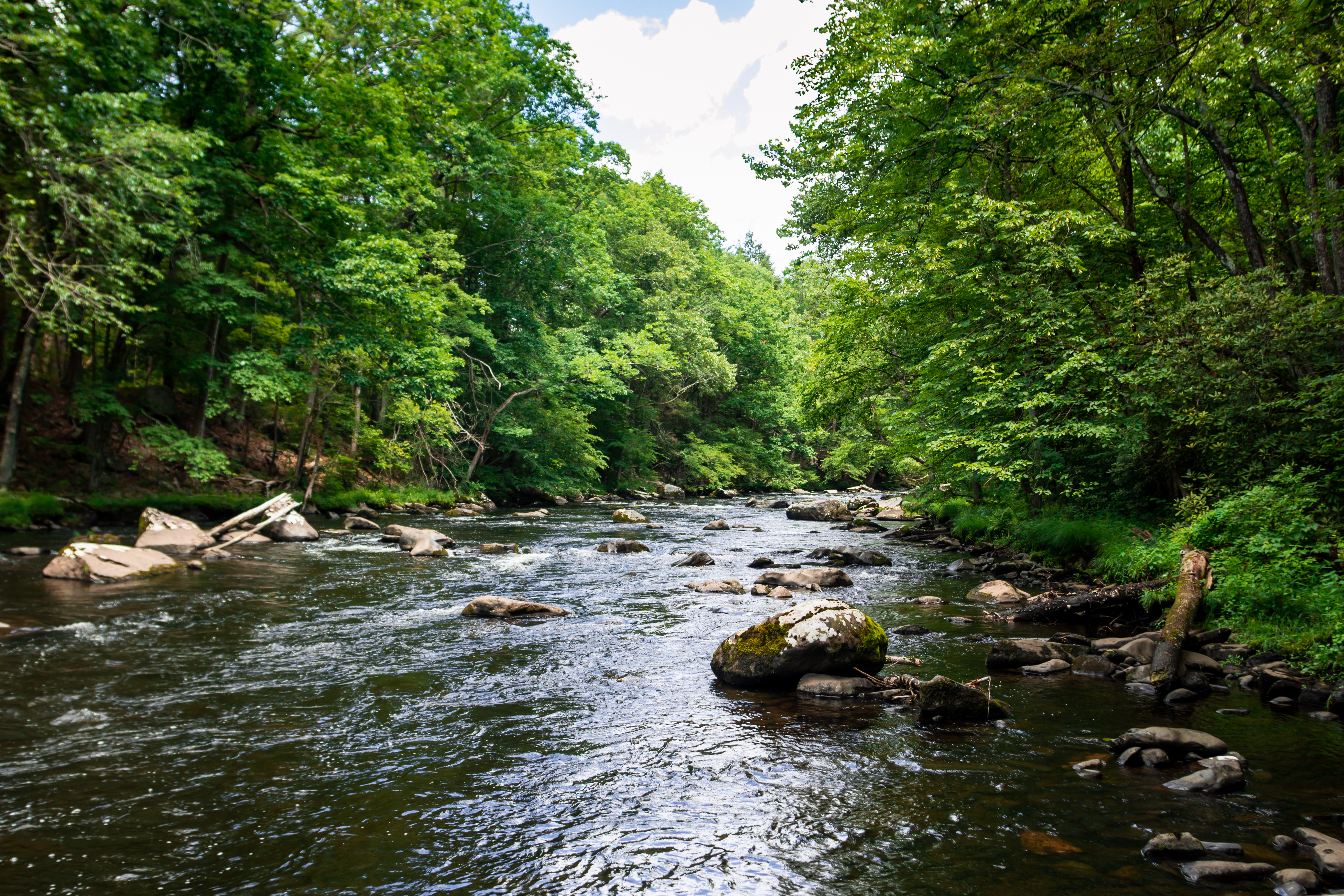
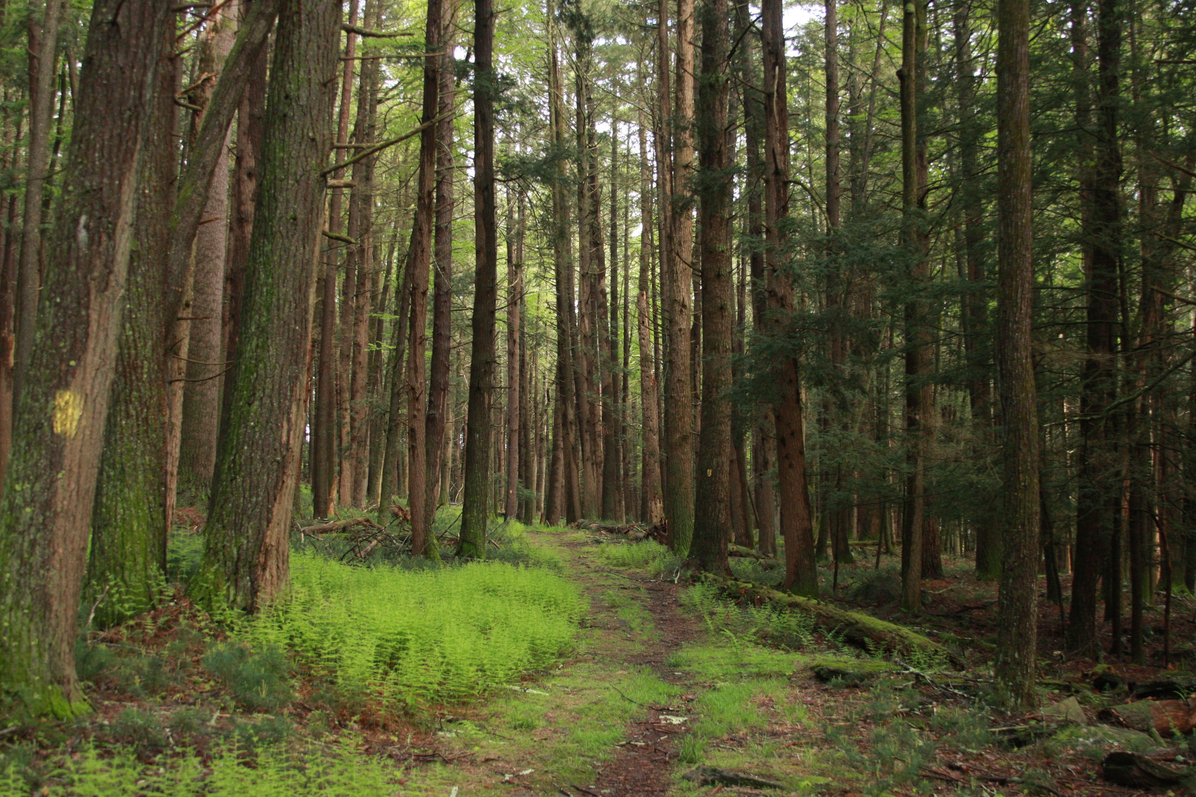
Hike the Mongaup River Trail
This linear 2-mile (3.2km) trail along the Mongaup River provides a moderate hike with abundant opportunities to view eagles, waterfowl, and wildflowers while listening to the soothing rushing water of the nearby stream. Please note this trail is closed from December 1st - March 31st. This trail is located on land owned and managed by the New York State Department of Environmental Conservation.
Hike the Tusten Mountain Trail
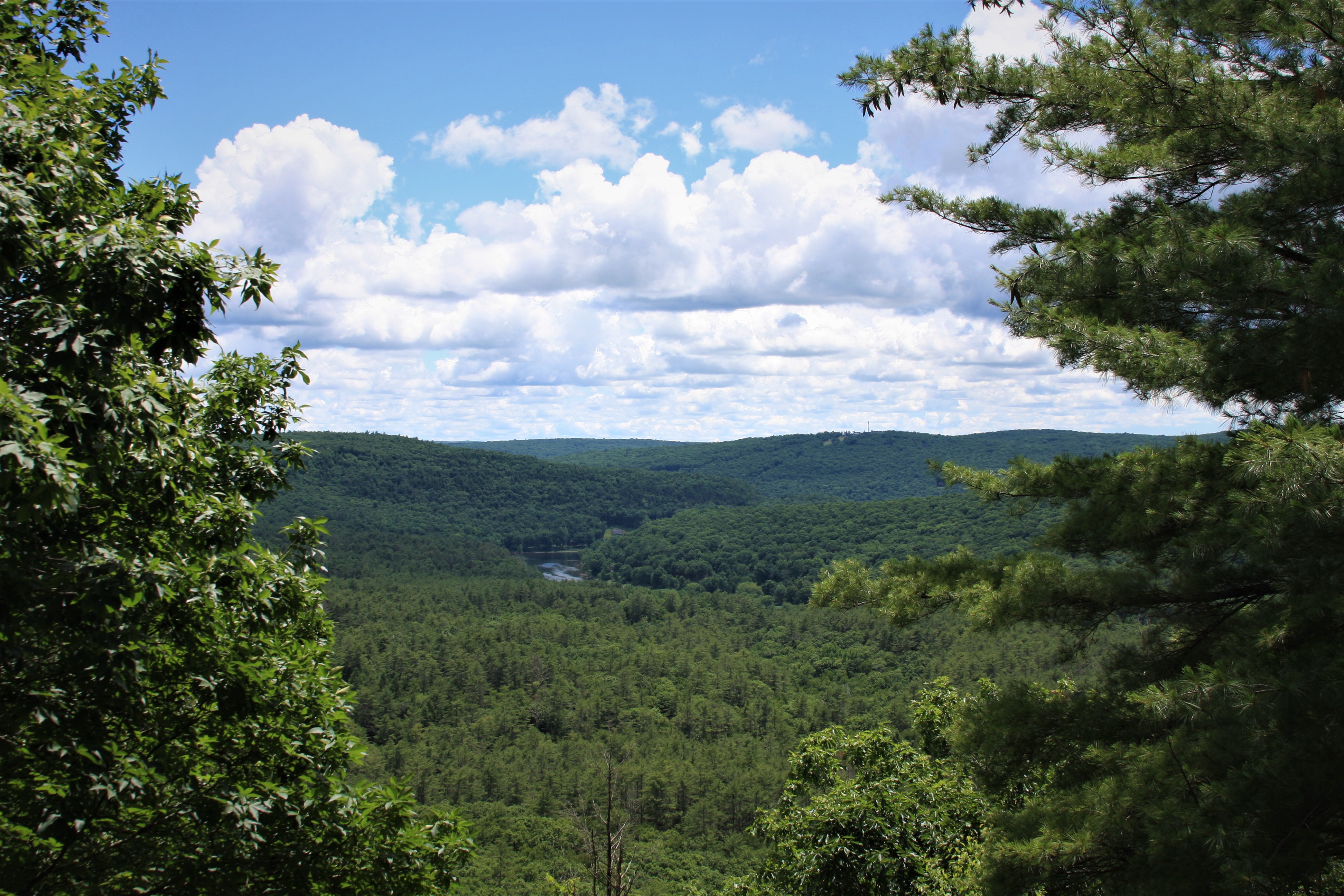
This moderately difficult three-mile trail takes you on a loop through historic remains of the Tusten Settlement as you climb to the summit for a magnificent view of the Upper Delaware Valley. Public access to Tusten Mountain Trail is made possible through an agreement with the Conservation Fund.
Hike the Damascus Forest Trail
Enjoy the varied landscape of wetlands, uplands, and old growth forests on this easy loop trail. A large stand of old growth hemlock trees reminds us of the virgin forests that once stood here. This trail is located on land owned and managed by Damascus Township.
Hike the Bouchoux Trail to Jensen's Ledges
A difficult uphill hike leads to a dazzling waterfall and an amazing panoramic view of the Upper Delaware River Valley at the summit of Jensen's Ledges. Along the way, bluestone piles hint at the history of bluestone quarrying. This trail is managed by the New York State Department of Enviornmental Conservation.