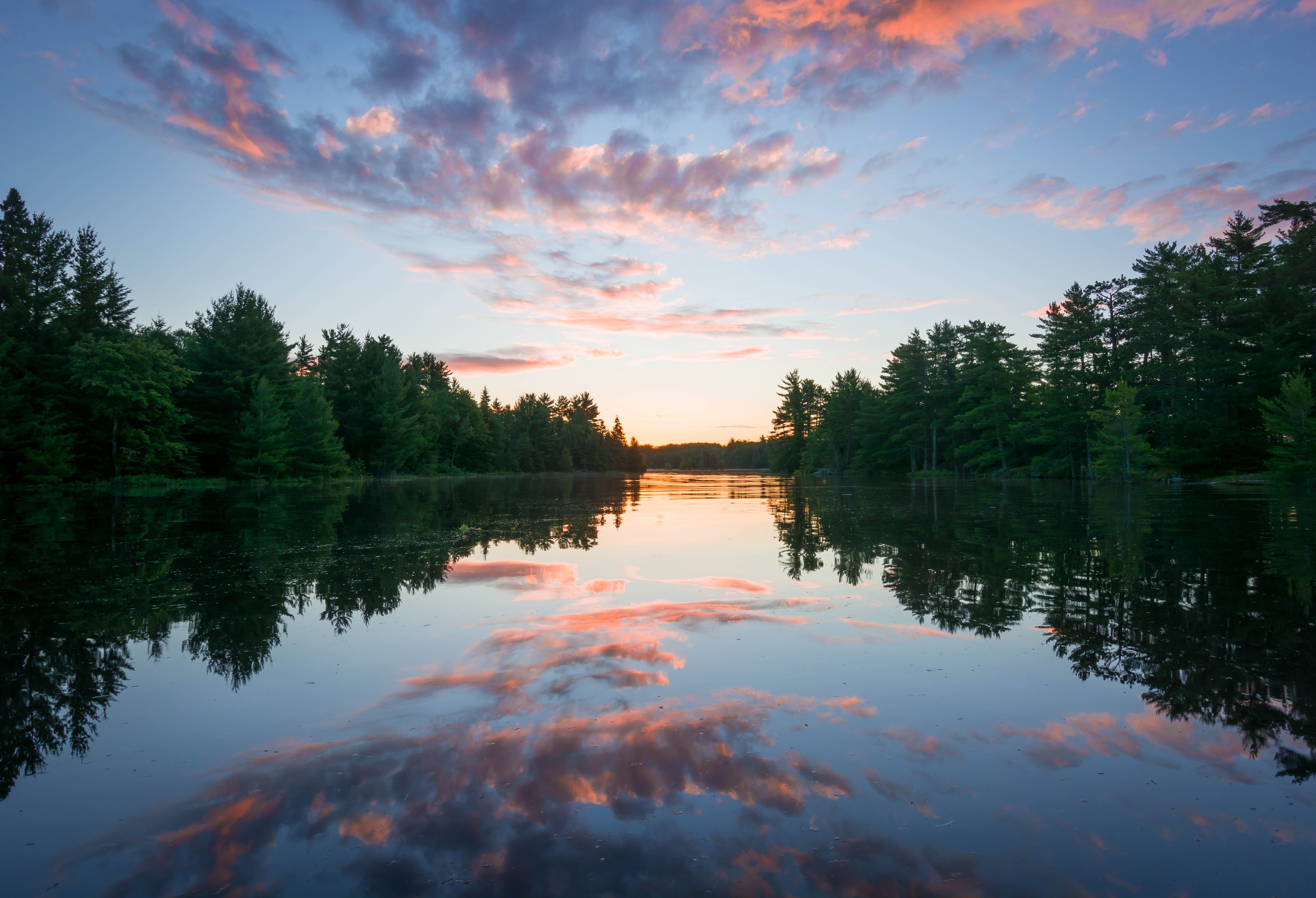
Voyageurs National Park spans 218,000 acres of lakes, forests, and streams in northern Minnesota. Established in 1975, the park is named after the French-Canadian Voyageurs who once navigated these abundant waters. Voyageurs National Park provide...
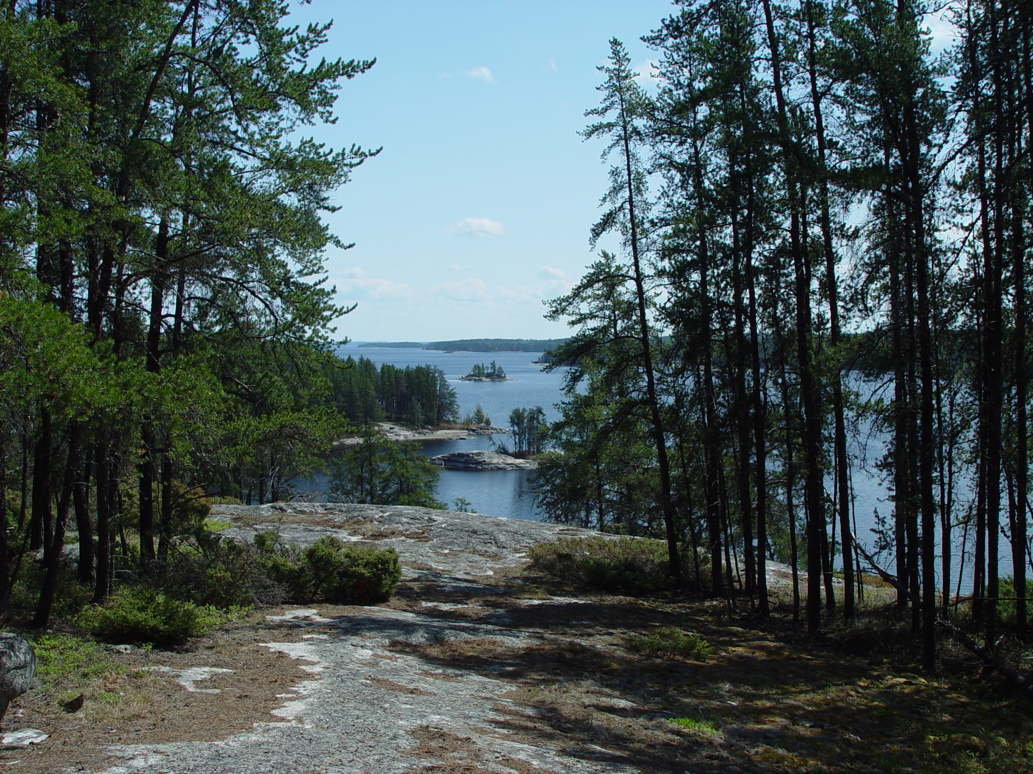
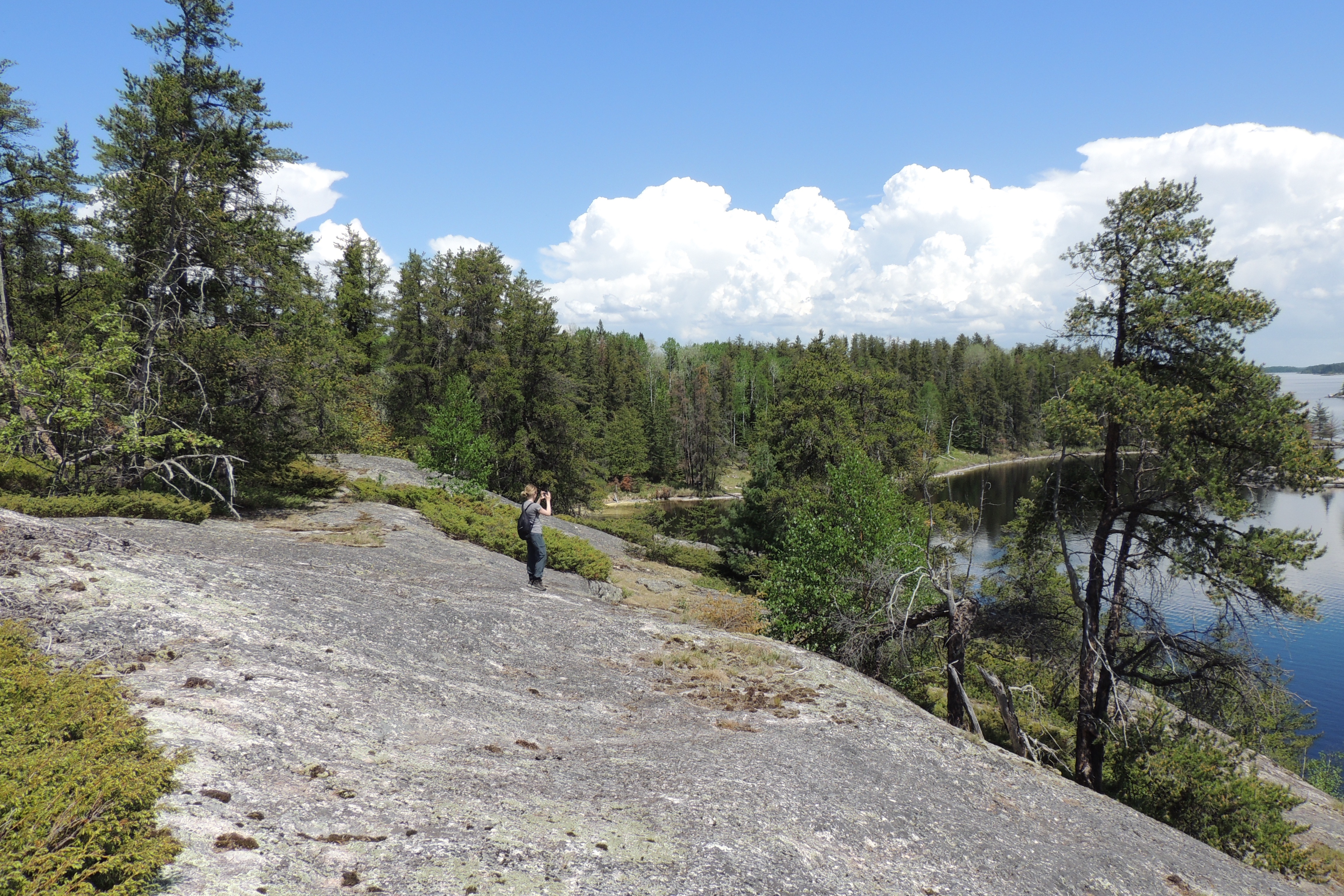
The exposed white granite cliffs of Anderson Bay rise 80 feet from the water and provide spectacular views of the bay and Rainy Lake.
Anderson Bay cliffs are around a 2 mile boat ride from the Rainy Lake Visitor Center. Once arriving the area from a boat, the white granite cliffs rise 80 feet from the water. To the left of the cliff is a boat dock that leads to the start of the Anderson Bay loop trail as well as the Cruiser Lake Trail. Past the dock sits a picnic table on a rocky outcropping and a bulletin board with a map and information on the area.
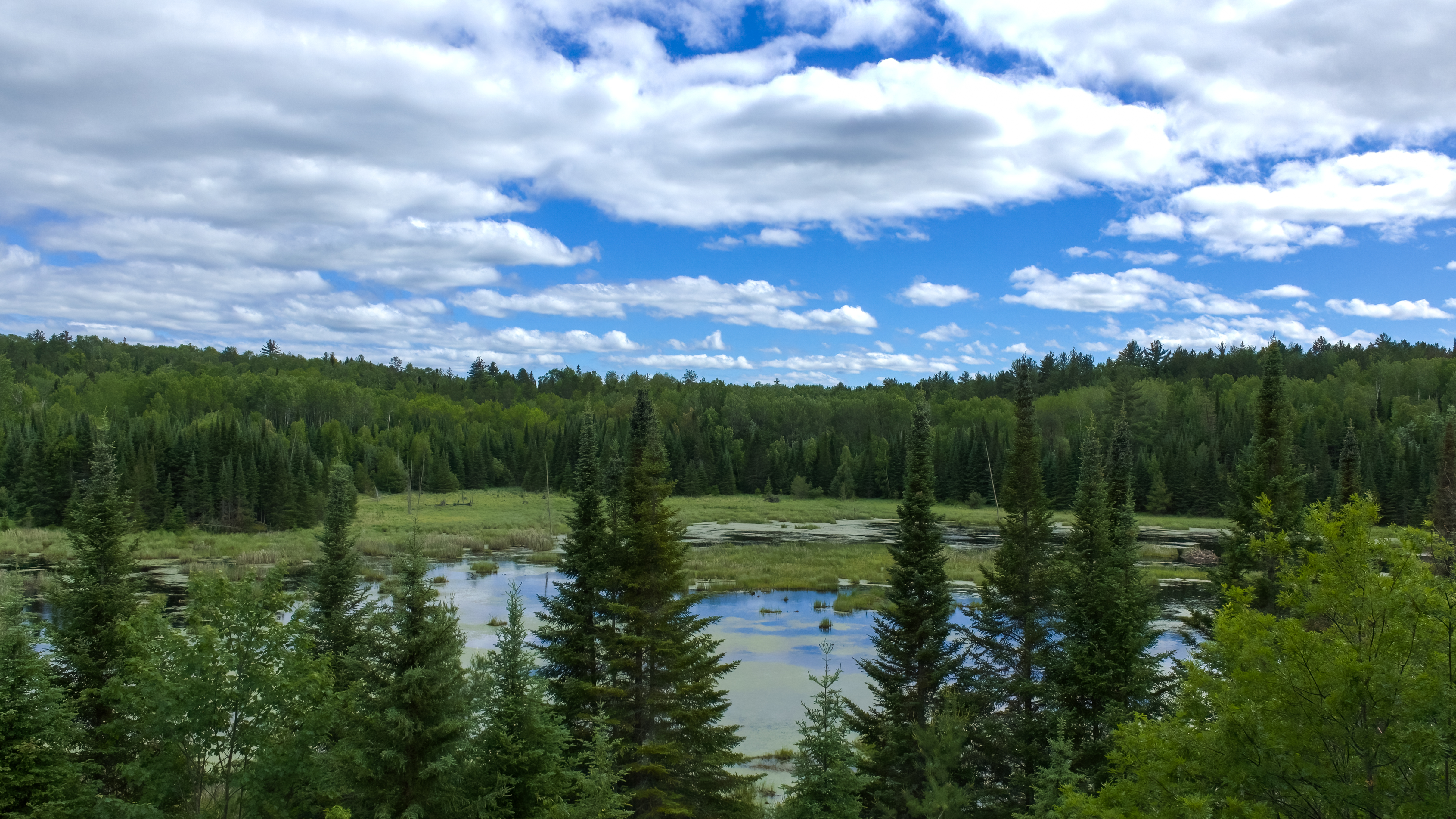
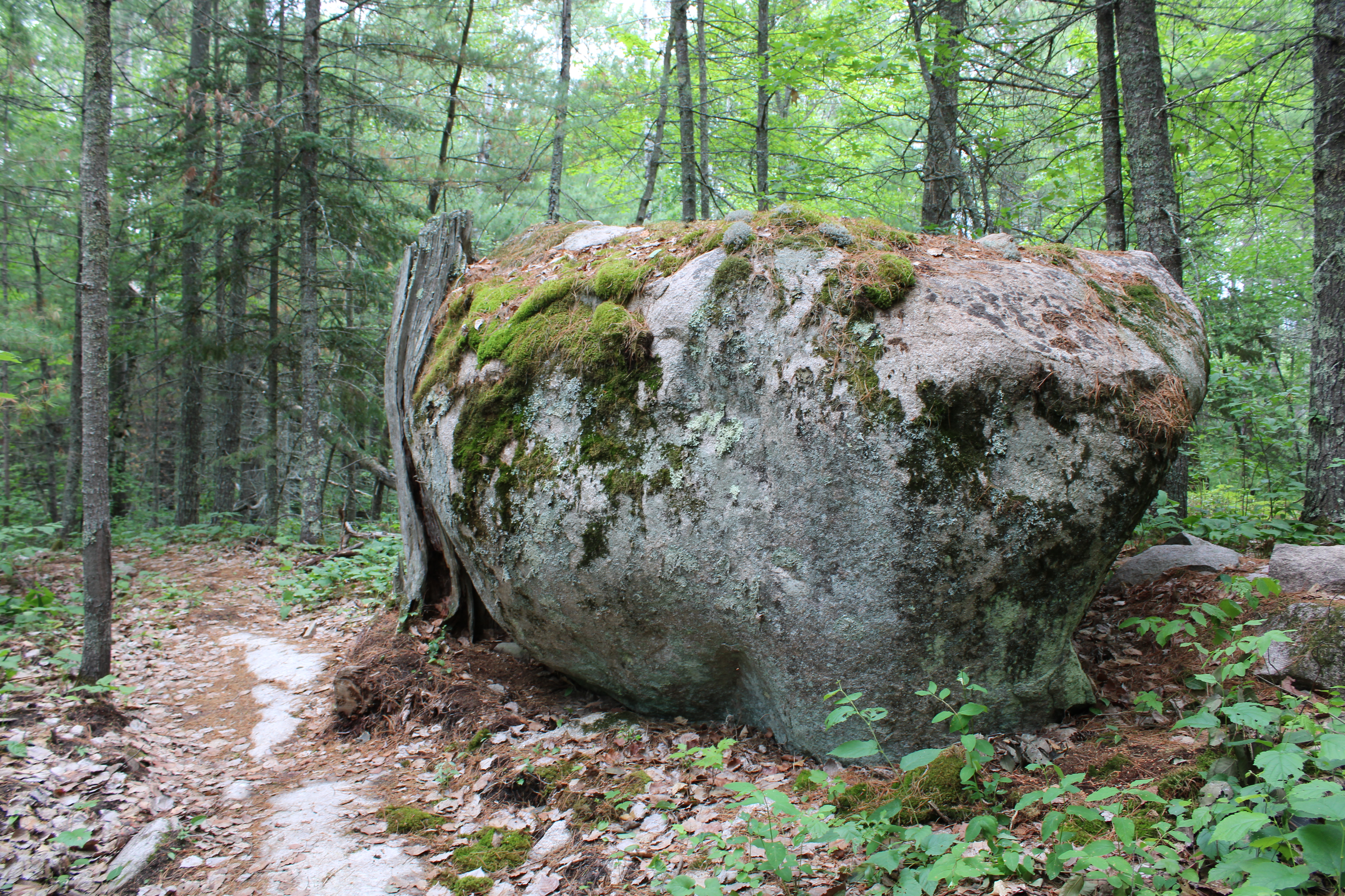
Voyageurs National Park has 26 interior or backcountry lakes. 15 of those lakes have backcountry campsites.
Voyageurs has 26 interior lakes and 15 of those have campsites. Each lake is unique, but all require hiking a moderate trail on the Kabetogama Peninsula to get to. The hiking trail is surround by a dense forest. Each interior lake only has a single campsite with a pit toilet, fire ring, bear pole, and tent pads.
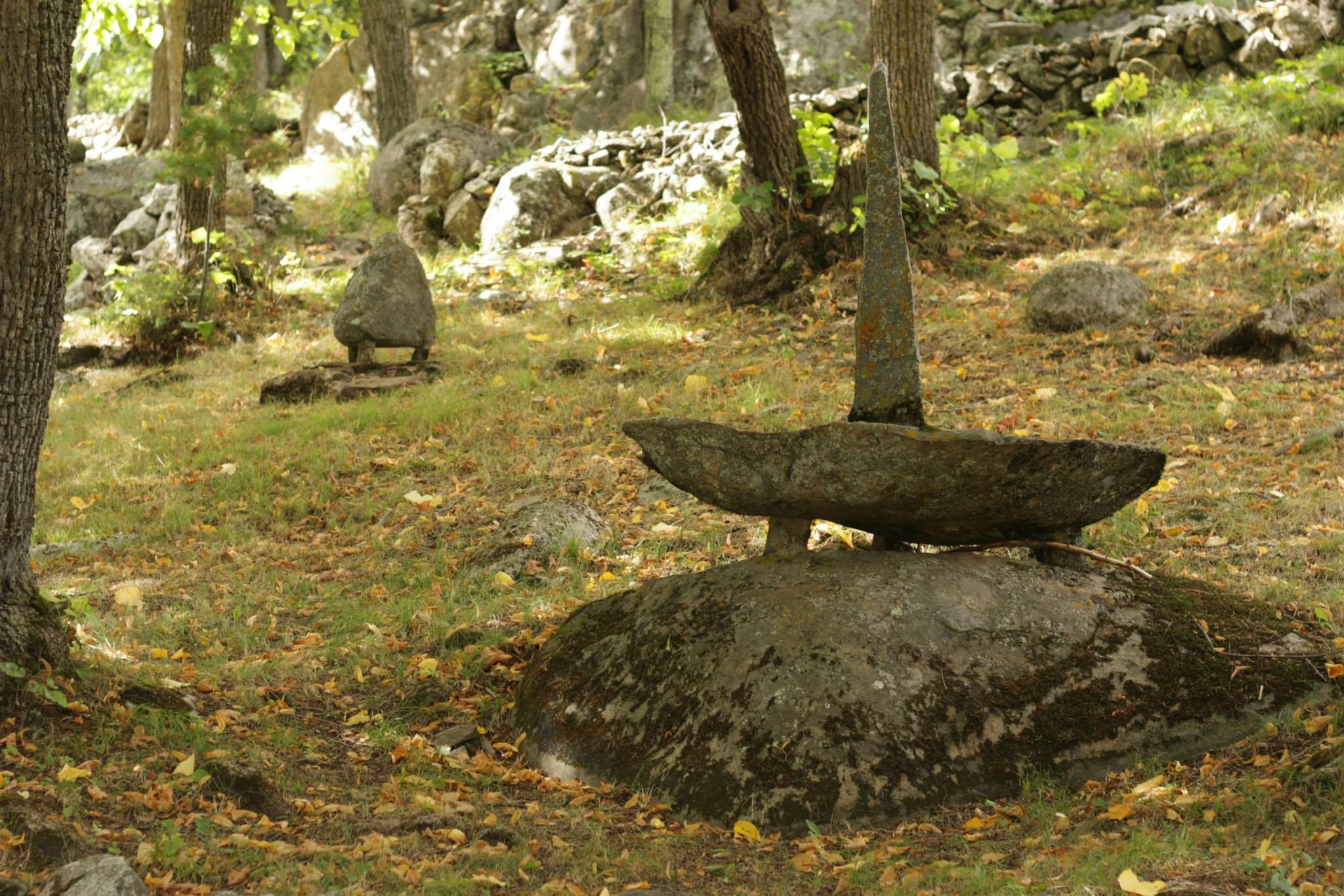
Only accessible by water, Ellsworth Rock Gardens is a unique surprise to visit in Voyageurs National Park.
Ellsworth Rock Gardens are only accessible by water. A 4 mile boat ride will lead you to the large dock for the site. The dock leads to an accessible pathway that winds its way to the restroom building. The loop near the restroom building is lined with interpretive signage with the history of the site. From the restroom you have a full view of the rock gardens. Historically, the gardens had the appearance of being carved out of the forested wilderness. This boundary between the gardens and forest is one of the primary features of the site. The forest provides a distinct, impenetrable wall, creating a dark, dense backdrop for views within the gardens. A few native spruce or pine trees were left within the gardens, but were "limbed-up" approximately 20 feet to create a vertical focal point, rather than a visual barrier. A solitary red pine, approximately 70 feet tall and with branches only at the top, functioned as a distinctive visual landmark at the top and back of the space. This tree was removed in 2004 because of its deteriorated condition. Other tall pines will be allowed to grow in this area to maintain the sense of verticality. The irregular shape of the rock outcropping inspired the garden's organic form, and influenced its overall spatial organization. The topography of the site creates a series of flat planes: the lake, stepping up to the mown lawn surrounded by grassy meadow, followed by the uneven, steeply sloped rock outcropping, leading to the level summit area. The open meadow at the base of the outcropping provided a sense of arrival for visitors arriving from Ellsworth's dock on Kabetogama Lake, and provided a space for viewing the main features of the gardens. The forest that surrounded the outcropping and the meadow established a distinct vertical edge. This forest "wall" functioned as visual boundary and established a sense of enclosure to create an impression that the gardens had been carved out of nature. The inherent qualities of water, rock and forest remain unchanged.
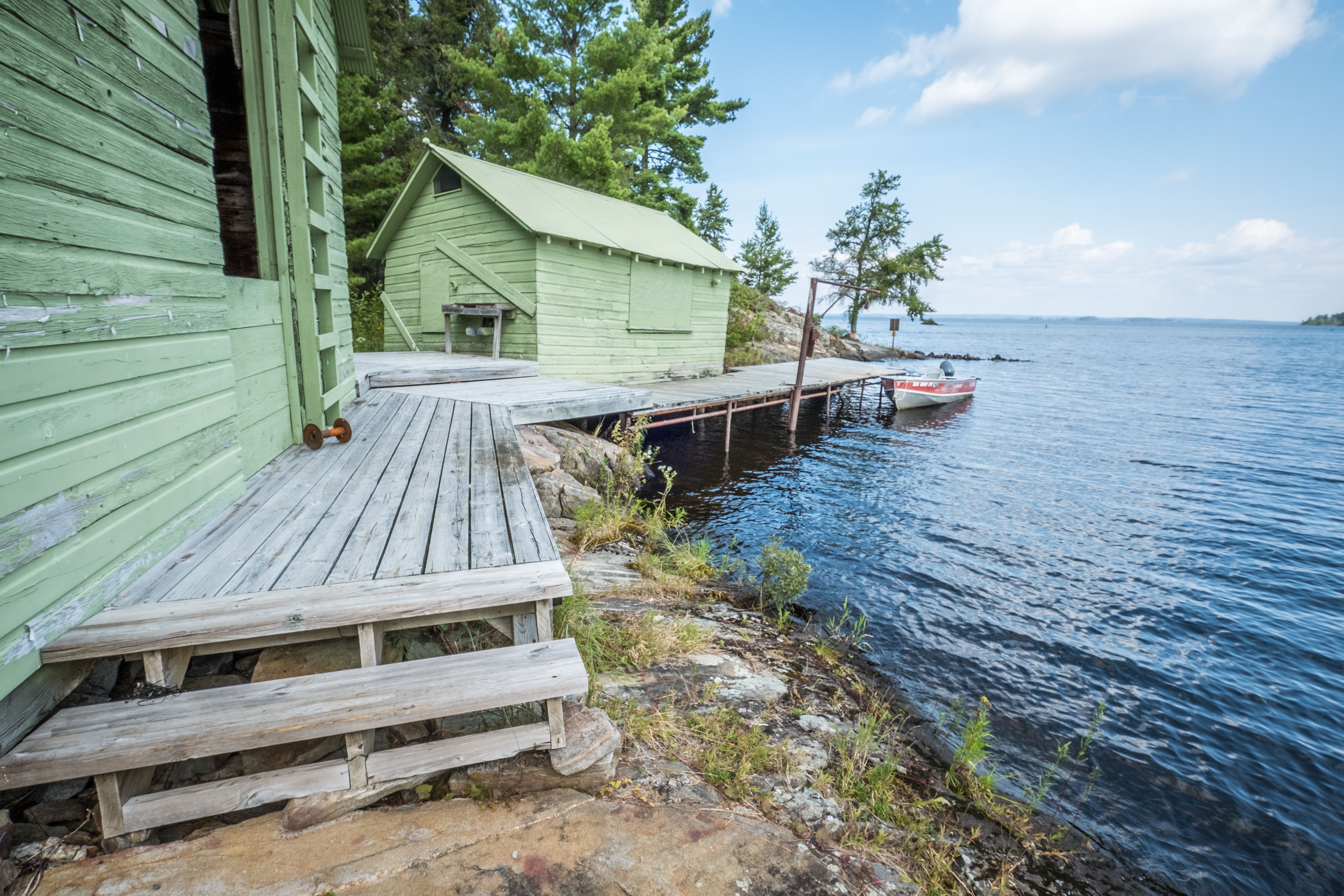
Harry Oveson Fish Camp is a Visitor Destination site that displays the lifestyle of commercial fishing. It is a testament and reminder of the hard working life that commercial fisherman like Harry experienced.
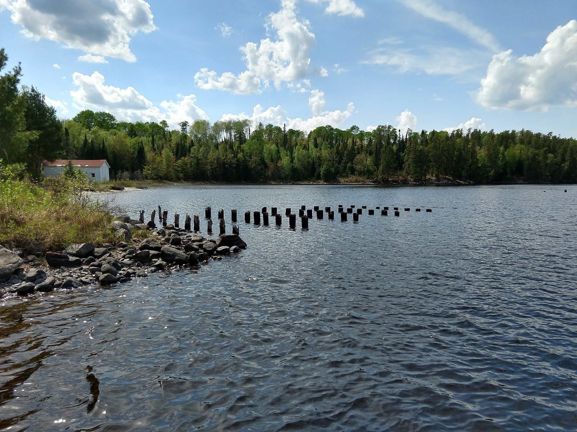
Standing the test of time, Hoist Bay preserves the relics from the logging era of the early 1900s and the recreation/resort era of the 1930s. Step back in time and explore Hoist Bay.
Hoist Bay is only accessible by water. Upon arriving into the bay, wood can be seen sticking up from out of the water from what was previously a railroad trestle. A boat dock is located to lead to a grouping of white buildings that once served as resort cabins. To the left of all the cabins near the woods is a wooden building that once was an ice house, where ice was stored before refrigeration.
Kabetogama Lake is in northern Minnesota and is completely within the boundaries of Voyageurs National Park.
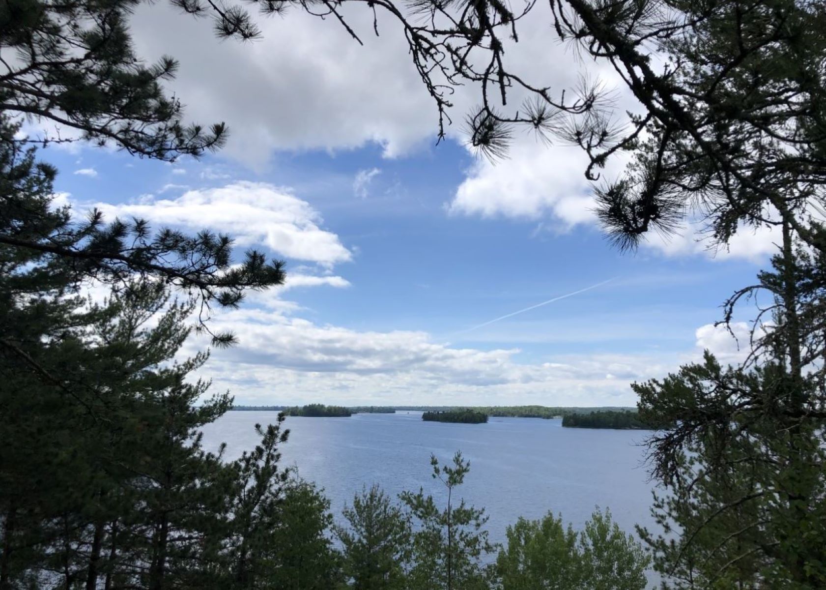
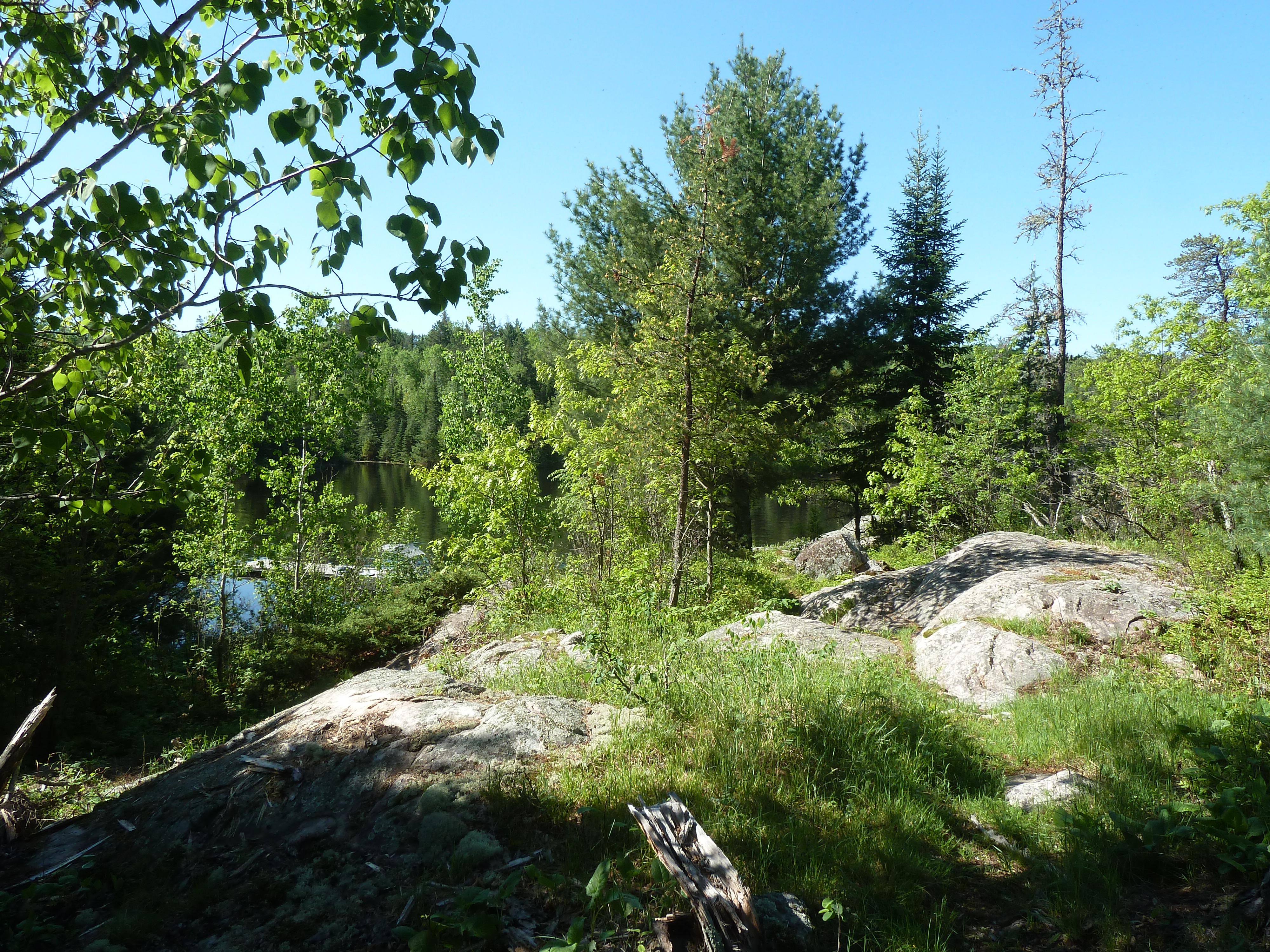
Kabetogama Lake is a large lake. At the entrance of the lake there are resorts scattered along the shoreline for a distance past the entry point. Once out on the lake a bit the shoreline is just a dense forest of pine, birch, and aspen trees. Around 200 islands can be found throughout the lake. Some islands are full of trees, while others are exposed rock.
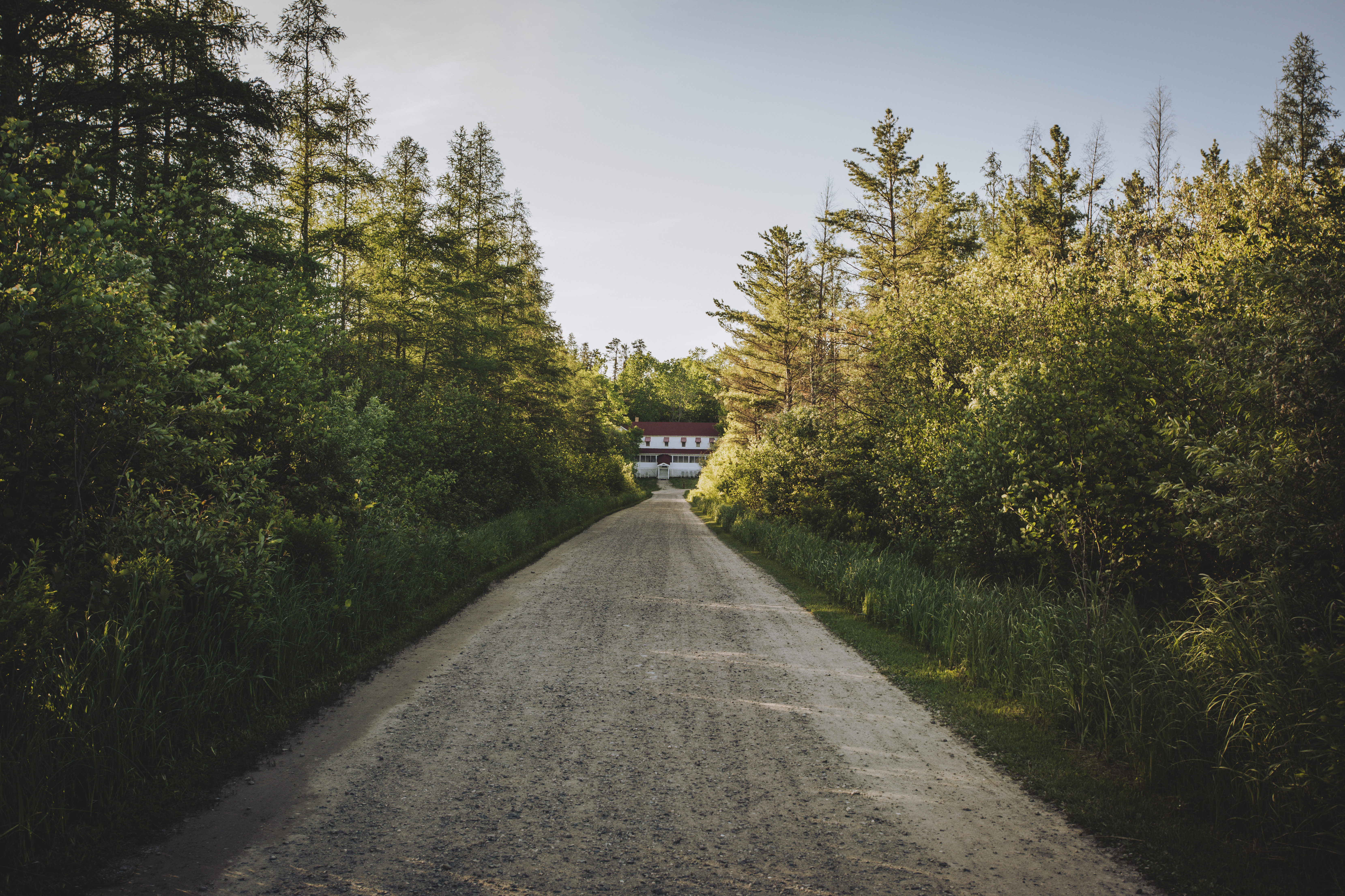
Kettle Falls Hotel is a historic hotel and is the only lodging within Voyageurs. Kettle Falls is only accessible by water.
From the docks, the Kettle Falls Hotel is located after following a gravel road for a quarter mile. Walk up a few stairs and through a screen door to arrive on the front porch of the hotel. The porch has rocking chairs and well as a few table and chair to the right for outside dining. Another door leads to the lobby which has a front desk with a passport stamp. To the right of the door are stairs the lead upstairs to the hotel rooms. Just after the stairs on the first floor the room opens up to the dining room and kitchen. The left of the lobby contains a couch to relax on an a bear rug hanging on the wall. In the corner of the left side of the room there is a hallway that leads to restrooms and a bar. The barroom floor is slanted which gives it the nickname tilton hilton. There is the bar to the right of the room and a pool table in the center.
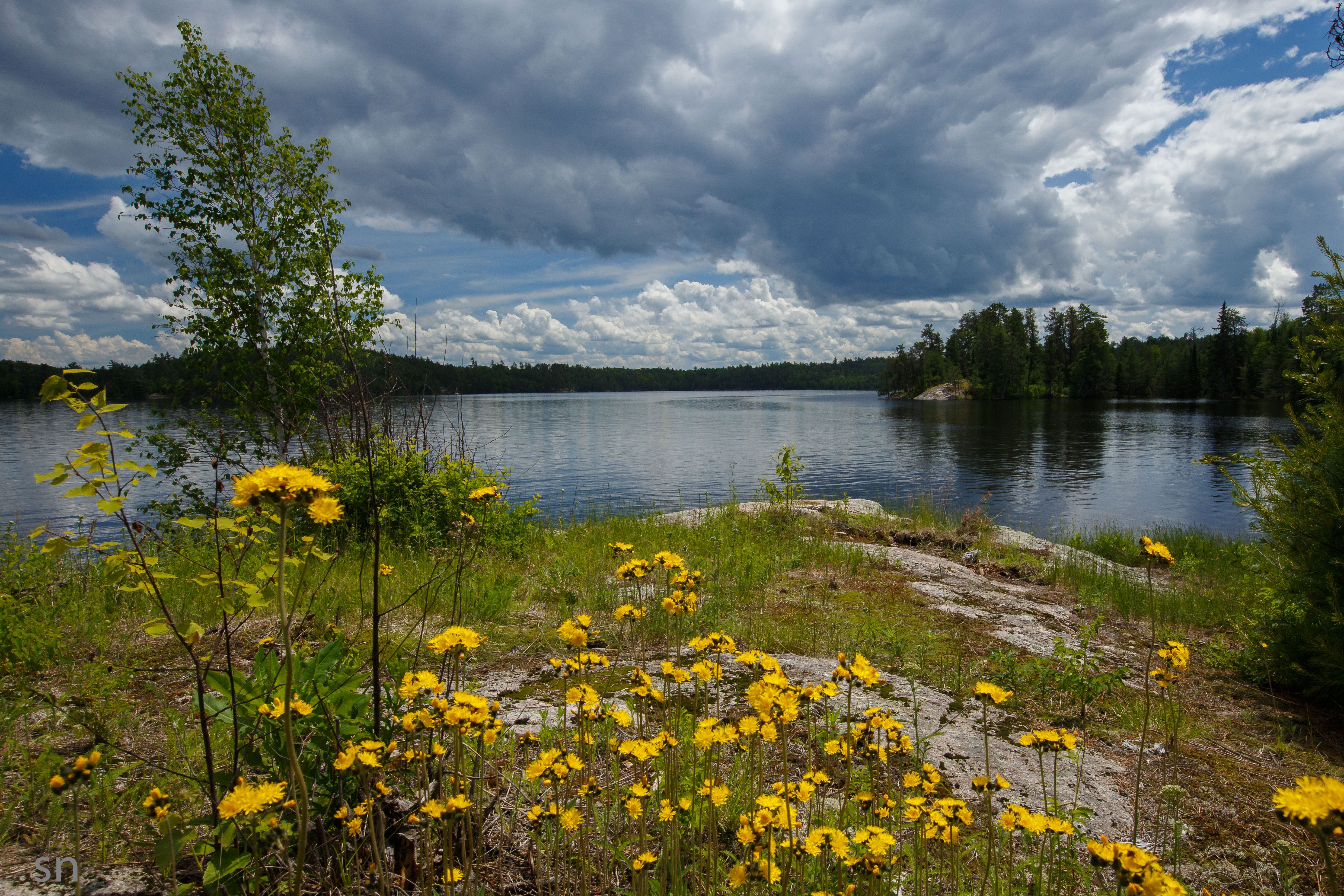
Namakan Lake is a lake in northern Minnesota. Around half of Namakan Lake is within Voyageurs National Park.
Namakan Lake is a large lake that is only accessed by boating through either Kabetogama Lake or Sand Point and Crane Lake. The shoreline of the lake is full of dense forest of pine, birch, and aspen trees.
Sand Point Lake is on the border of Minnesota and Ontario. About 1/2 of the lake is within Voyageurs National Park.
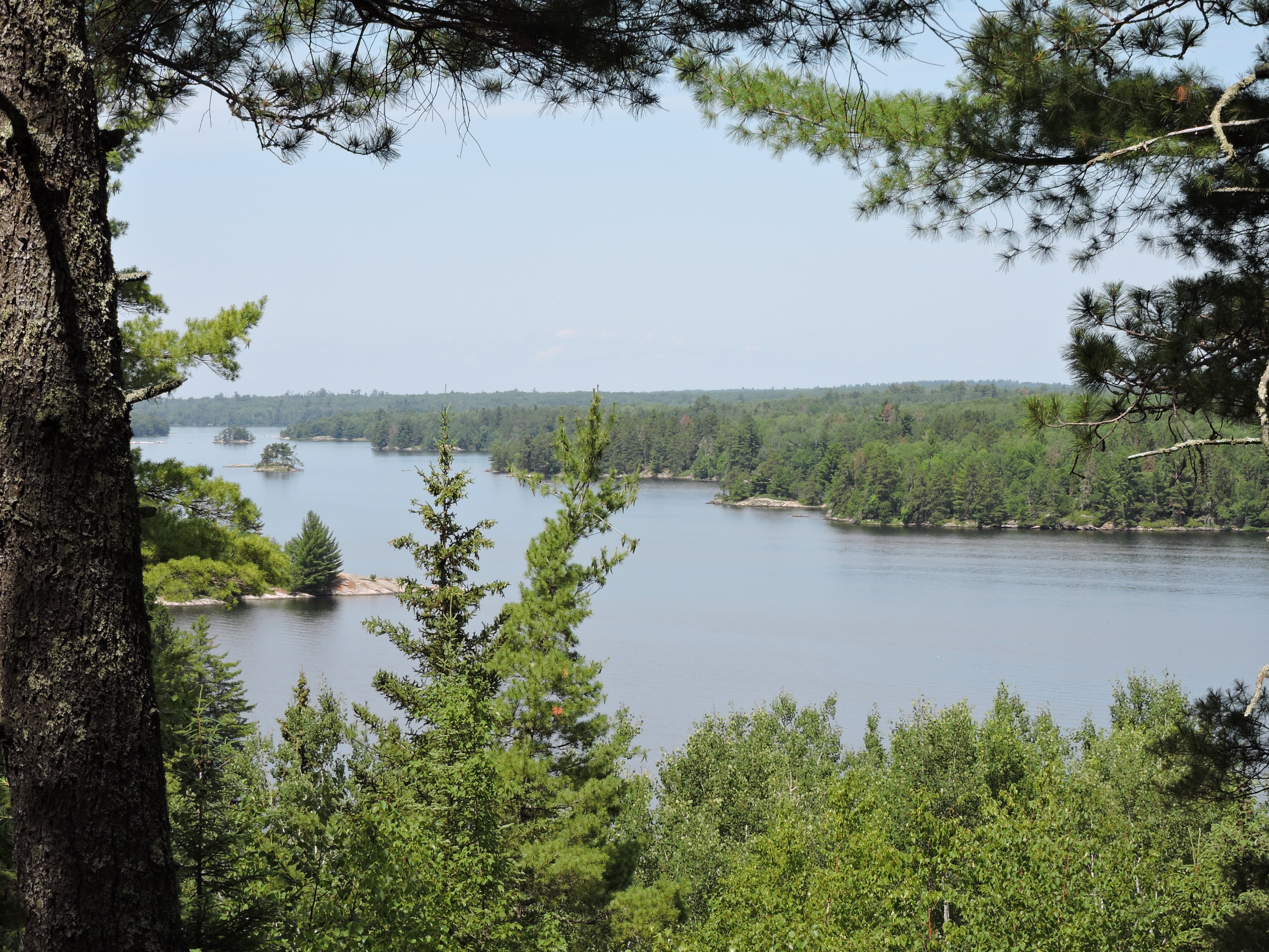
Sand Point Lake is a large lake that is surrounded by a dense forest of pine, birch, and aspen trees. Scatted throughout the lake are around 66 islands.
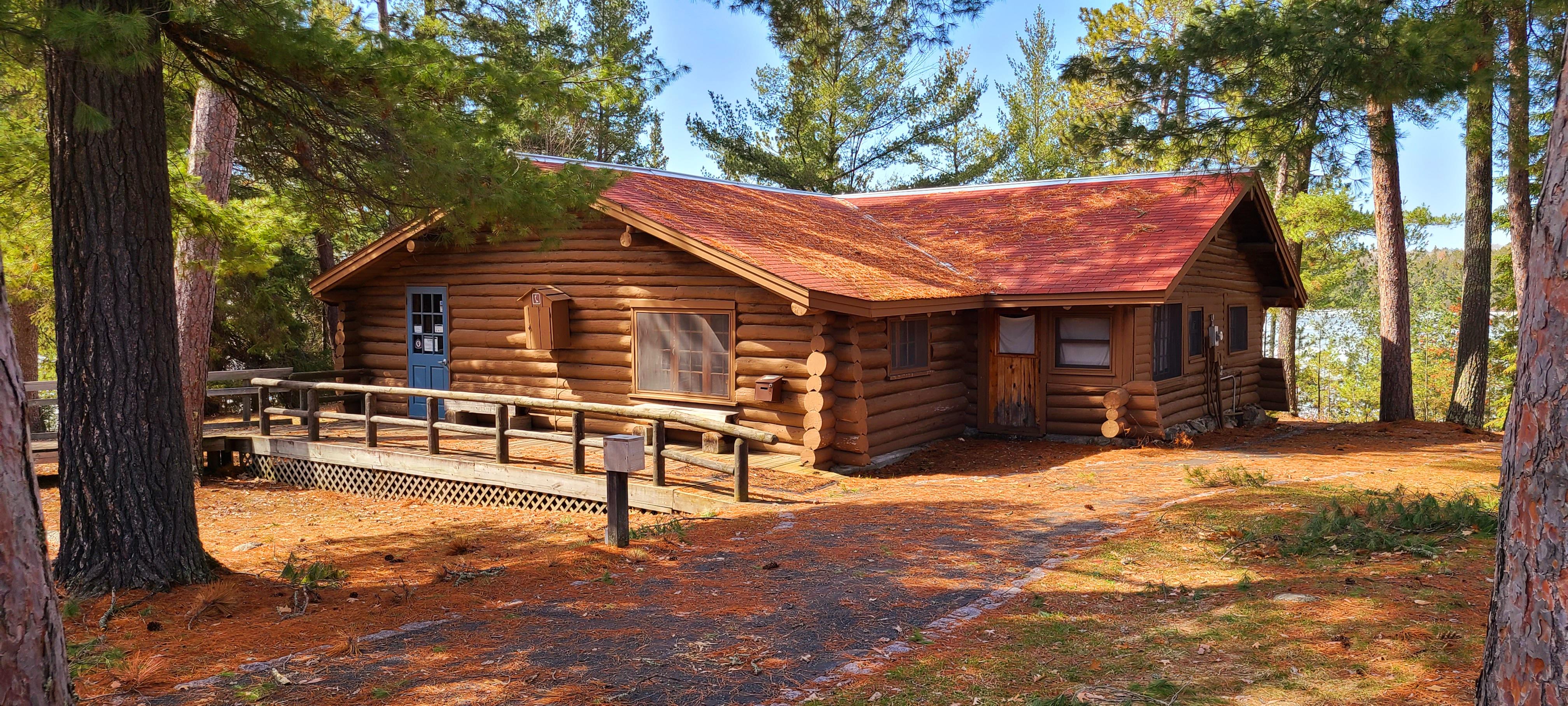
The Ash River Visitor Center is open during our summer season from late May to late September. Ash River Visitor Center is closed over the winter season. The Ash River Visitor Center is located in the historic Meadwood Lodge. Take a moment to explore this historic, rustic building. Watch your head, as some interior doorways were constructed for shorter individuals.
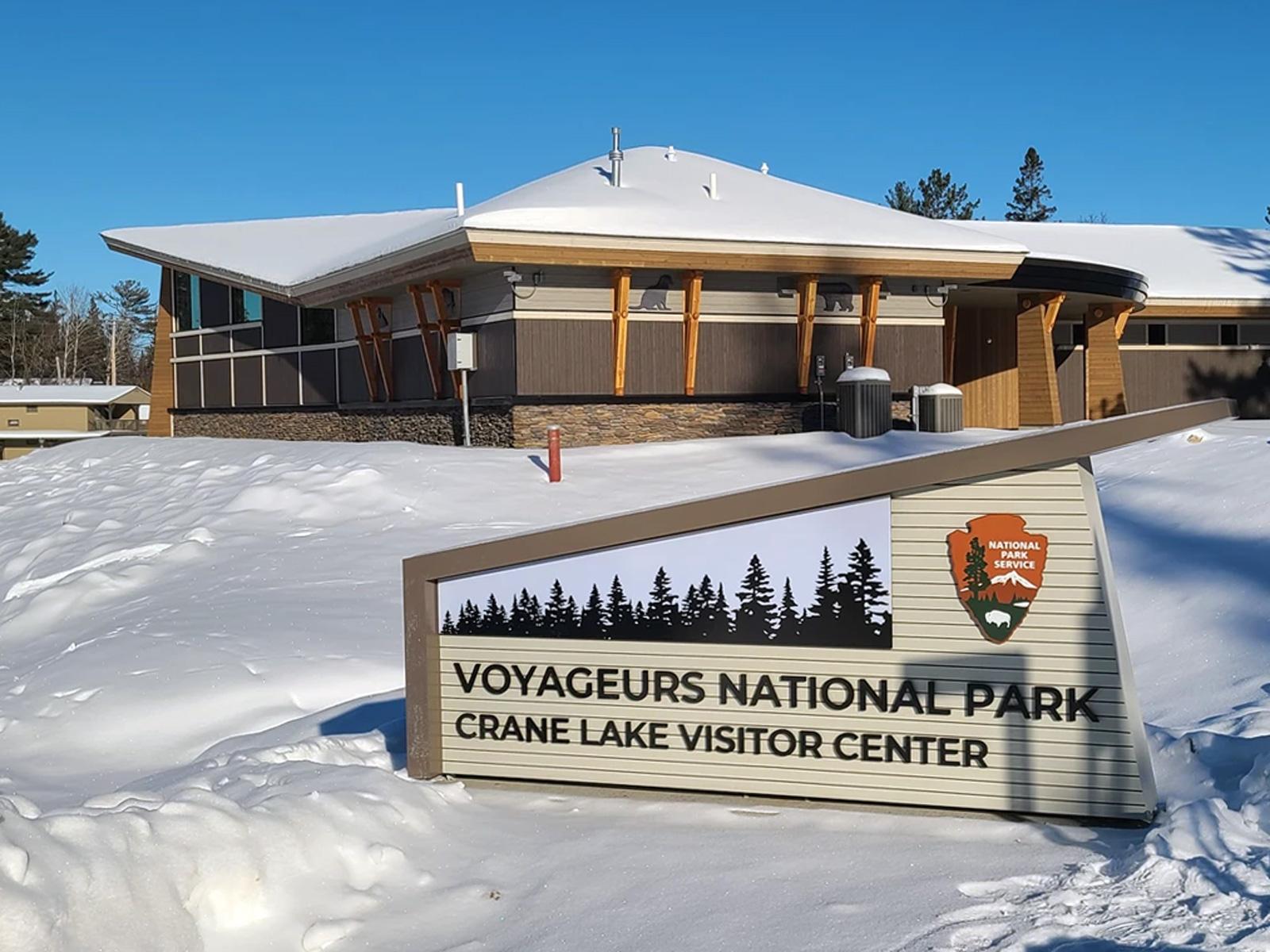
Located in the town of Crane Lake, the newest visitor center at Voyageurs National Park will open for the summer season on Memorial Weekend. The center features an exhibit area, seating, an information desk, and a conference room for viewing the park film. Just next door is the Crane Lake Voyageur RV Park and Campground, offering convenient access to water activities and outdoor adventures.
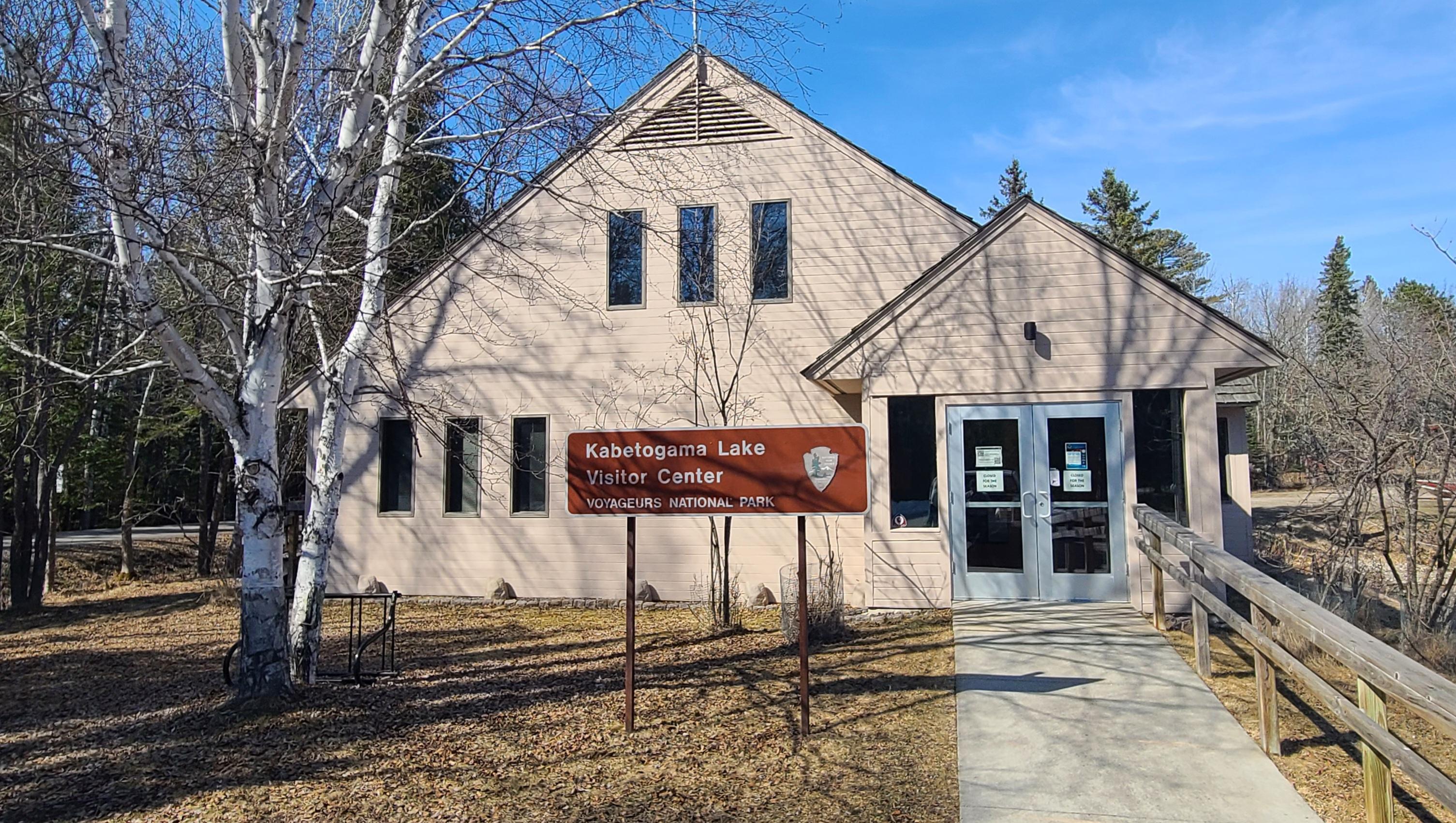
Nestled along the southwest shoreline of Kabetogama Lake, the visitor center is in the small community of Kabetogama. The Kabetogama Lake Visitor Center is open during our summer season from late May to late September, and in the Winter from the beginning of January to the end of March.
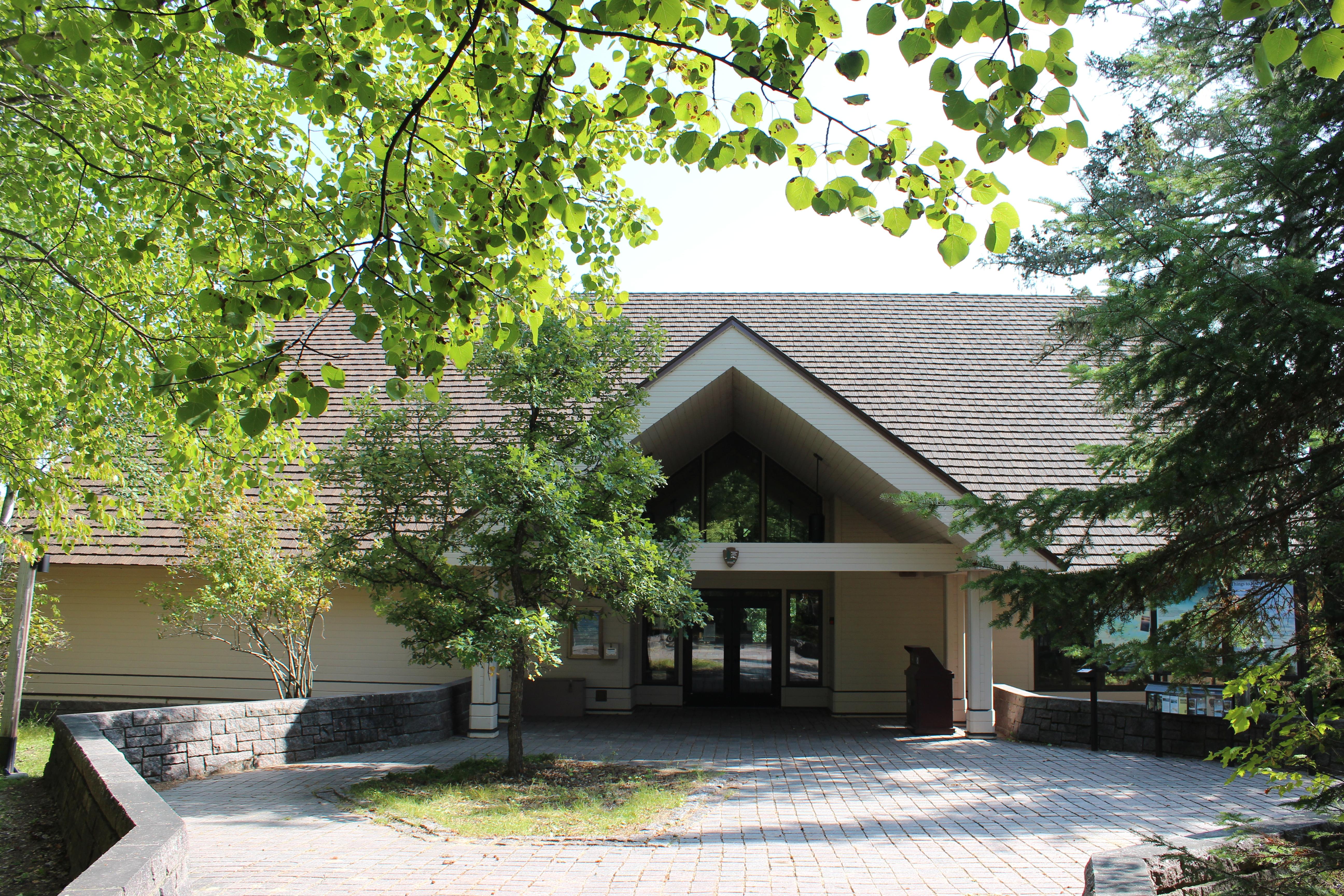
Located on the shore of Black Bay with views across the water to the Kabetogama Peninsula. The Rainy Lake Visitor Center hours of operation vary with the season. The visitor center offers an exhibit area, displays, a bookstore, a staffed information desk, a children's activity table, and a theater for viewing the park film. A free public boat launch provides access to Rainy Lake during the warm season, and access for cars on the Rainy Lake Ice Road during the winter.
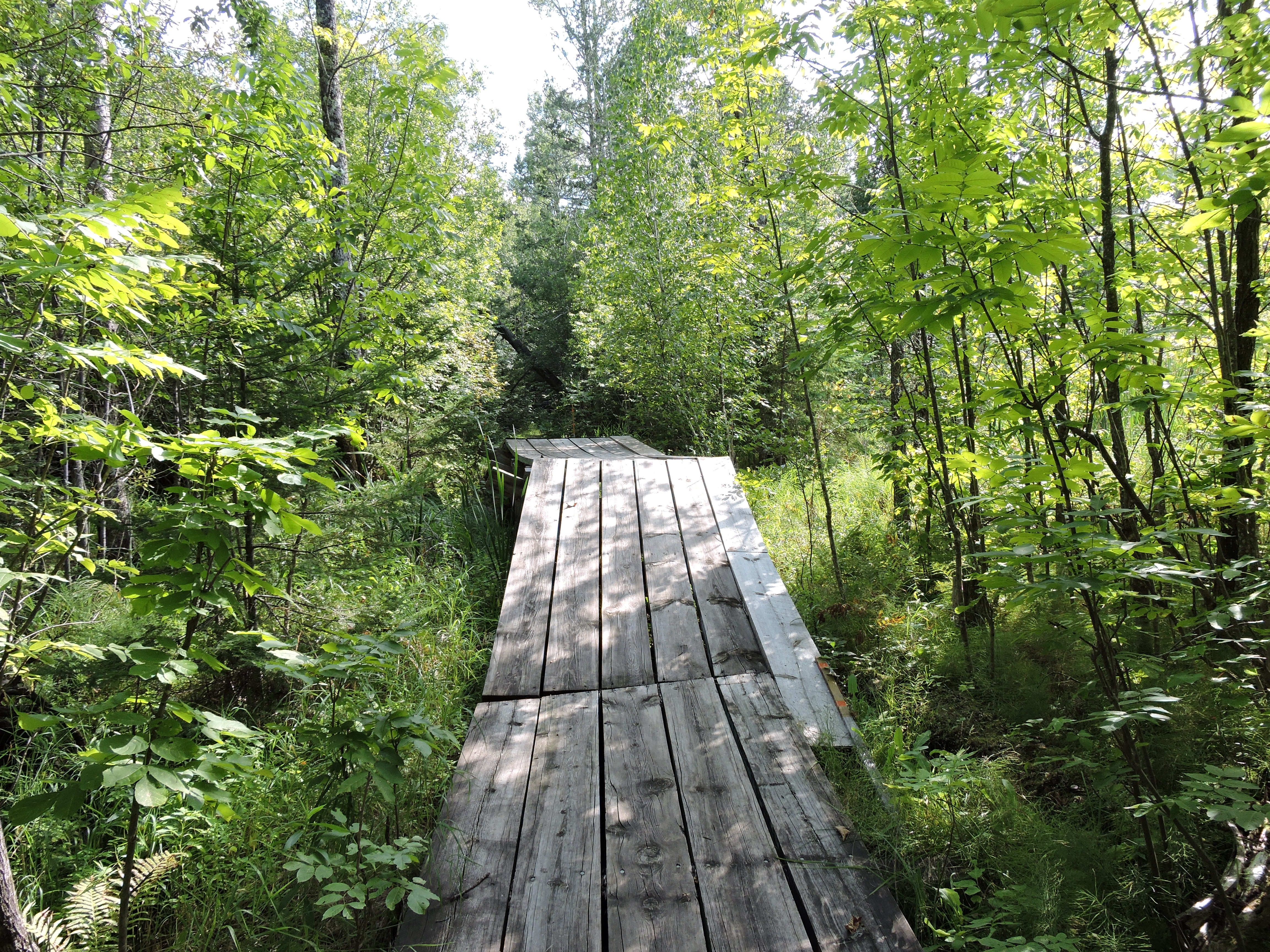
Please note: The Salmi Road entrance to the Kab-Ash Trail in the Kabetogama community is closed (click to see map). This multi-day trail connects the Kabetogama and Ash River communities through an extensive system of interconnected backcountry forests and wetlands. With multiple trailheads, you can explore smaller sections or plan an adventurous thru-hike with primitive camping opportunities along the way. Difficulty: Strenuous; Hiking Distance: 27.9 miles (44.9-km) one-wa
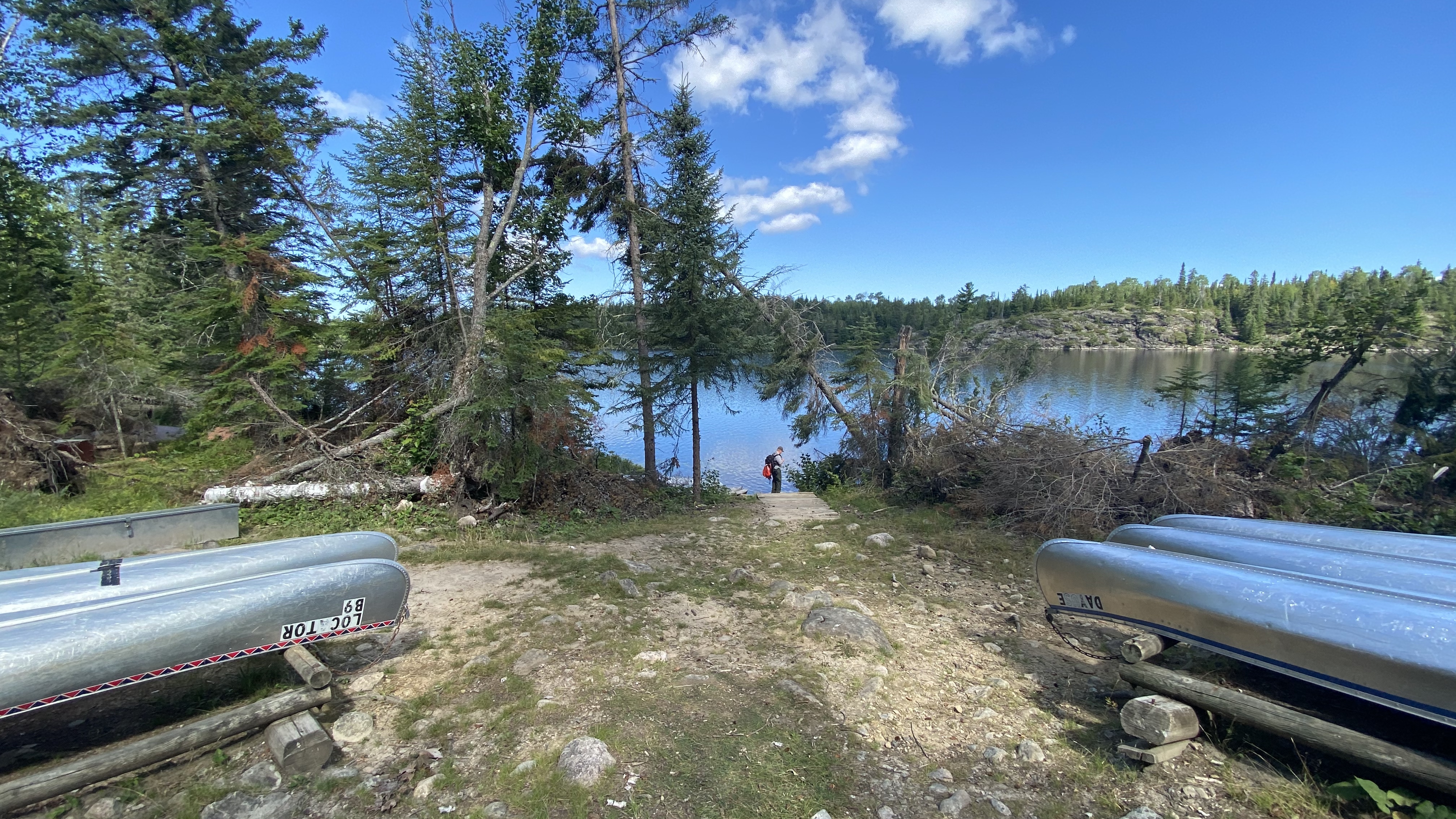
Hike the Locator Lake Trail
Please note: The Cranberry Creek Portage Trail into Locator Lake from Rainy Lake has been permanently closed. Explore this two-mile, one-way hike as an afternoon adventure, or use it as a starting point for an exciting backcountry camping experience. It twists its way through forest and wetlands from Kabetogama Lake until it ends on the southern shoreline of Locator Lake - one of a series of unique interior lakes with rental canoes and reservation-only campsites.
Hike Blind Ash Bay Trail
This narrow, winding, rocky trail exposes users to the wonders of the boreal forest. This path is great for birding, it is also frequented by deer and other wildlife. From closed in forest to post card worthy views of Kabetogama Lake, this lollipop loop trail has it all.
Hike Black Bay Beaver Pond Trail
Take a boat one mile from the visitor center and hike this trail through northern pine country to a scenic, active beaver pond.
Hike the Oberholtzer Trail
Wander through deciduous and conifer forest as the trail twists around the edge of a cattail filled wetland and past rocks deposited by ancient glaciers. Look for signs of wildlife as you hike to two different overlooks with marsh and lake views.
Hike Beaver Pond Overlook Trail
A short uphill hike through an aspen and pine forest leads to a rocky outcrop high above a beaver pond. Although beavers are no longer active at this pond, this trail provides great birding opportunities, and the possibility of spotting large wildlife.
Hike the Sullivan Bay Trail
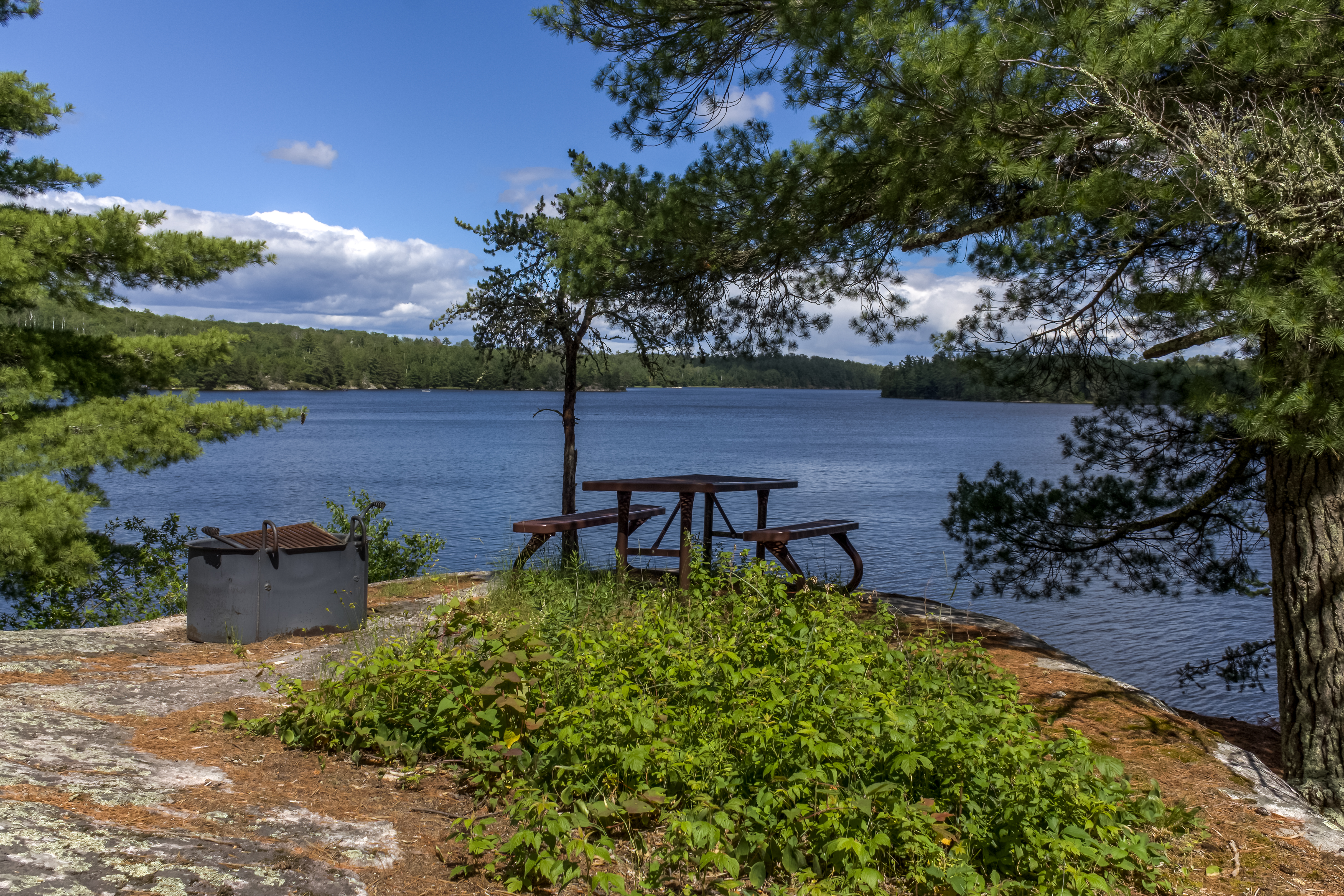
This easy hike along an old forest road leads you through both coniferous and deciduous forest. The trail ends at a viewpoint on Sullivan Bay with a picnic table and fire ring. It treats those who are interested in geology with lots of exposed rock, created by volcanic activity over 2 billion years ago.
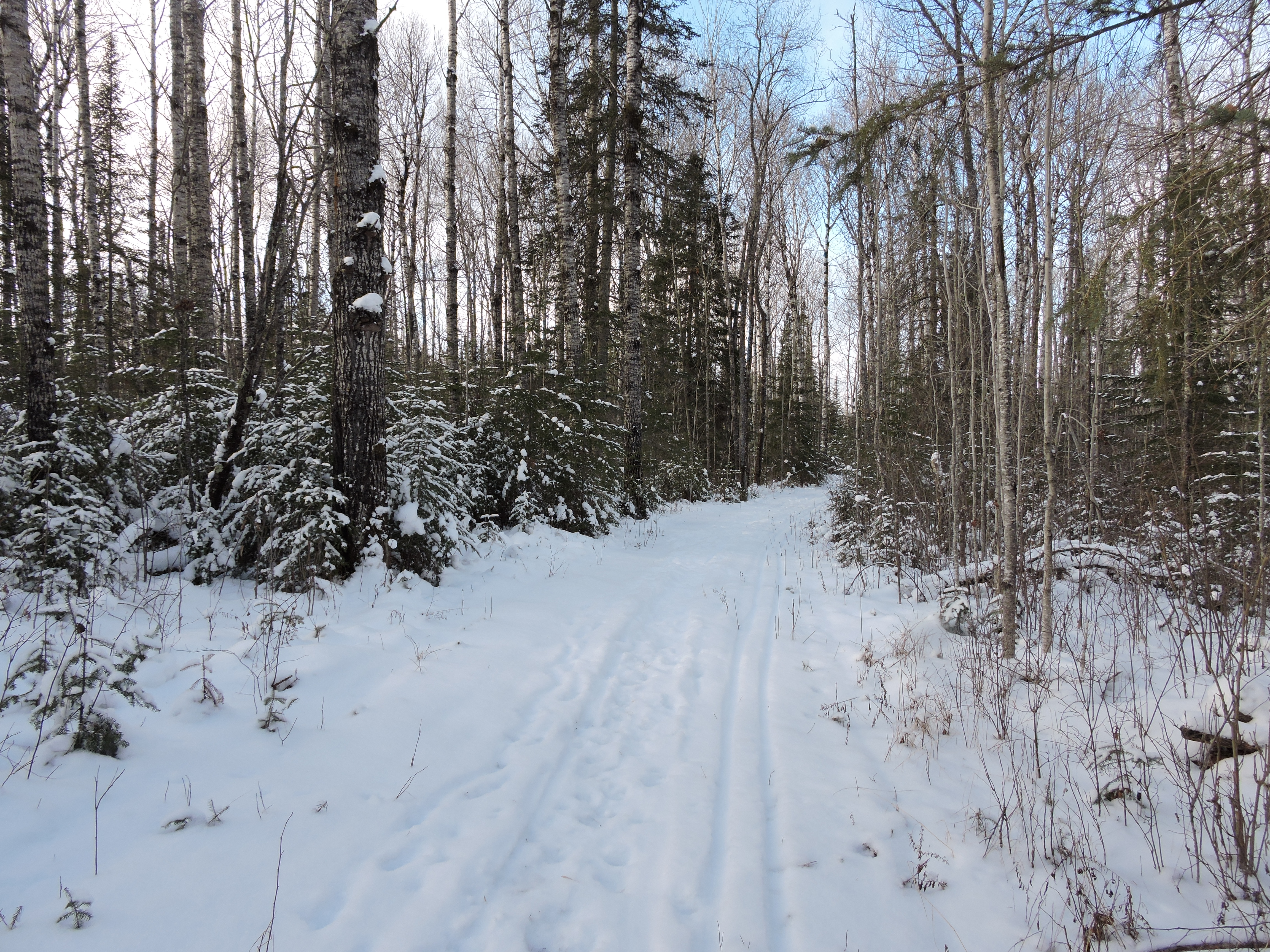
Voyageurs' Tilson Connector Trail
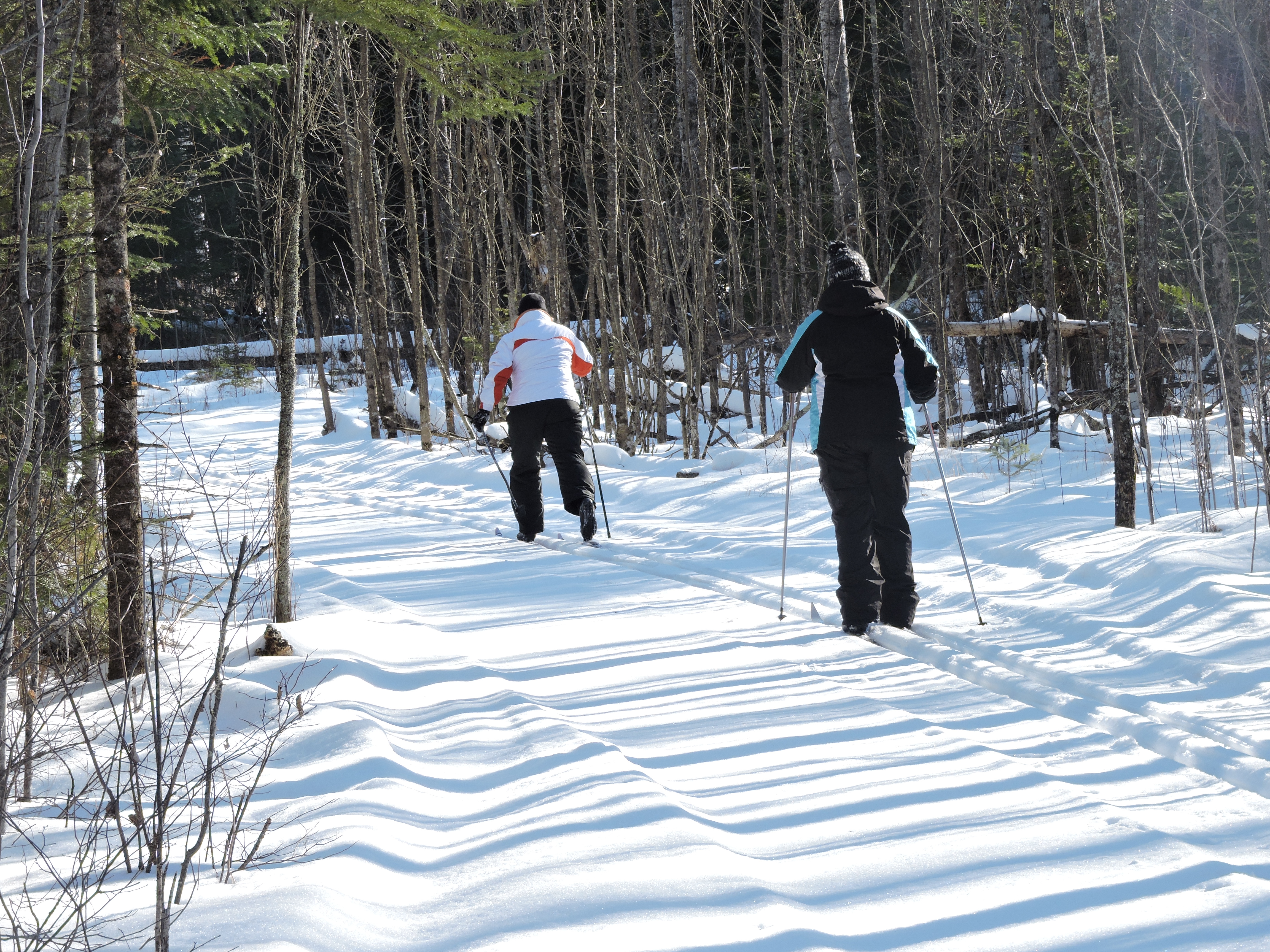
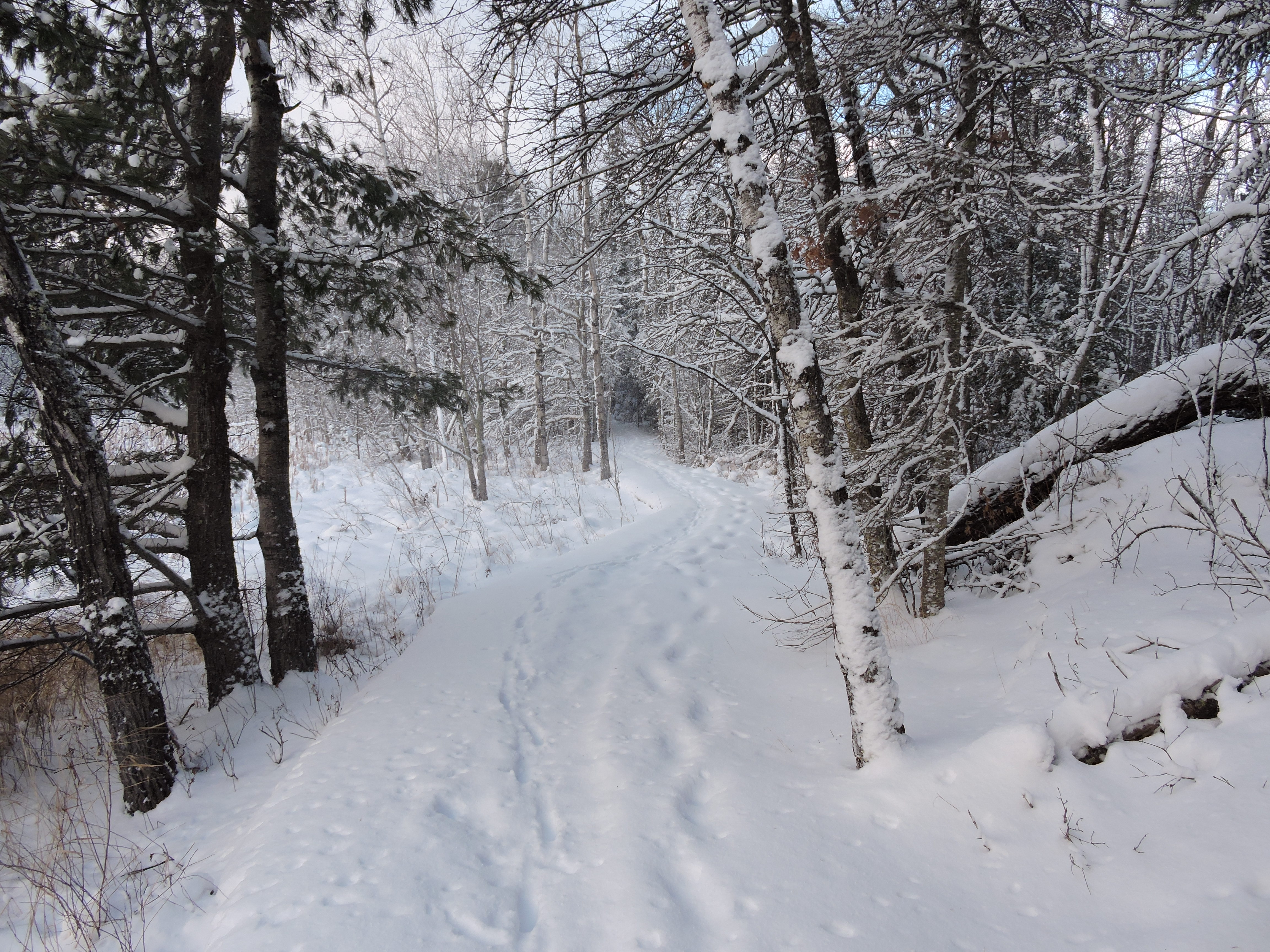
This trail accessible year-round. Once sufficient snowfall accumulates, the trail will continue be groomed for classic, cross country skiing that leads to the Tilson Bay Trails that are managed by the Minnesota Department of Natural Resources.
Rainy Lake Recreation Trail
The Rainy Lake Recreation Trail offers visitors a peaceful experience as it meanders along the park road, into the woods, and around rock outcrops. This paved trail is a great option for leashed pets, bicyclists, walkers, runners, and snowshoers to take in the views of forest, lake, and marsh scenery. It is a non-strenuous, accessible trail that requires about 1.5 hours round trip to complete.
Hike Voyageurs Forest Overlook Trail
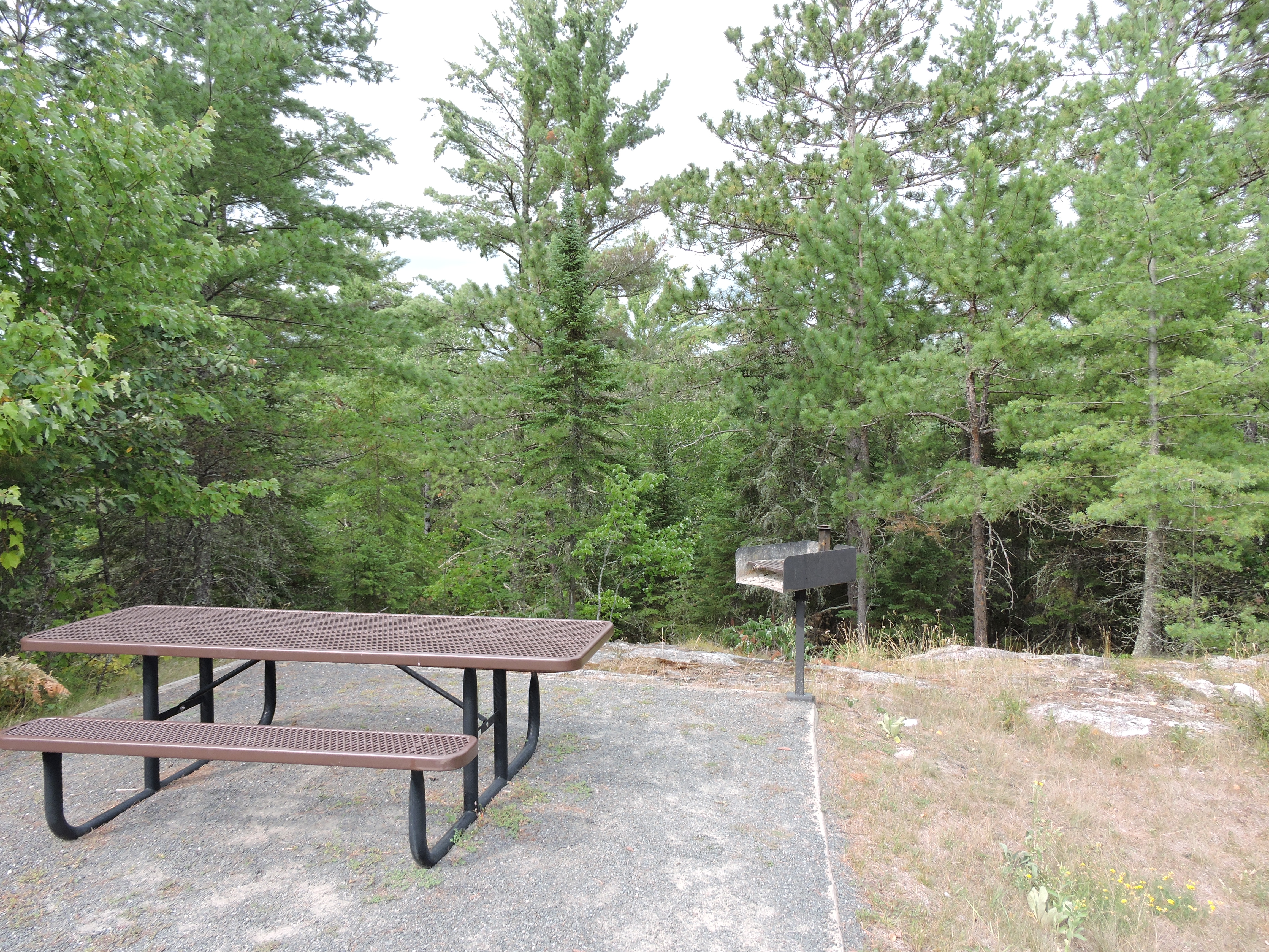
This short trail takes you through a section of forest revealing the changes in the forest at different elevations. Growing trees have blocked the overlook that used to be at the parking area. There are picnic tables and grills by the parking area.
Hike the Mukooda Trail
Accessible only by boat, the Mukooda Trail meanders through a mix of deciduous and coniferous forest and over rocky ridges, scraped bare by ancient glaciers. Take a journey through natural and cultural history on this narrow strip of land separating Sand Point Lake and the glacially carved Mukooda Lake. Look for picturesque views from high ridges and signs of wildlife as you wander through this unique and remote part of the park.
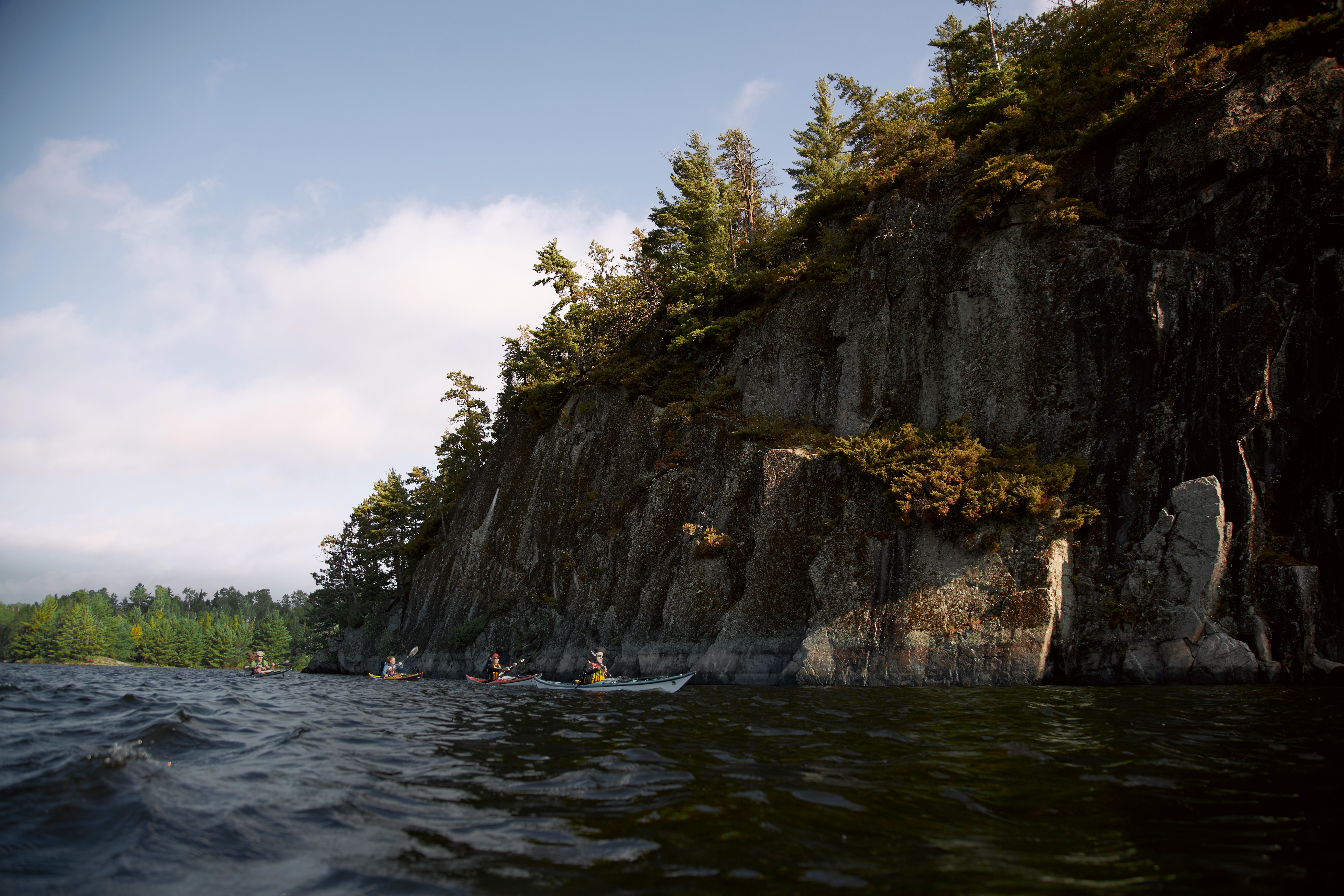
Hike the Cruiser Lake Trail
This rugged trail crosses over the peninsula, up rocky cliffs and down into remote wetland areas. See parts of the park many people do not visit. Start your hike either at Anderson Bay on the Rainy Lake side or Lost Bay on the Kabetogama side. Reserve a backcounrty campsite to turn this into a multi-day trip. Hiking this trail increases your chances of spotting a moose or hearing the howl of a wolf.
Hike Kabetogama Lake Overlook Trail
This short handicap accessible trail takes you through a pine forest to a viewpoint where you can sit on a bench and see Kabetogama Lake framed by the trees.
Hike Echo Bay Trail
This wide trail showcases the transition between deciduous and boreal forests as you pass through lowlands and rocky outcrops. With views of wetlands created by the engineering genius of the North American Beaver, and dense forest, the trail is popular with birders. Sightings from warblers to woodpeckers and even raptors are common.
Hike Anderson Bay Loop
This trail takes you through the forest past rocky clearings and beaver ponds to spectacular views of Rainy Lake form the shoreline and Anderson Bay from the top of the cliffs.
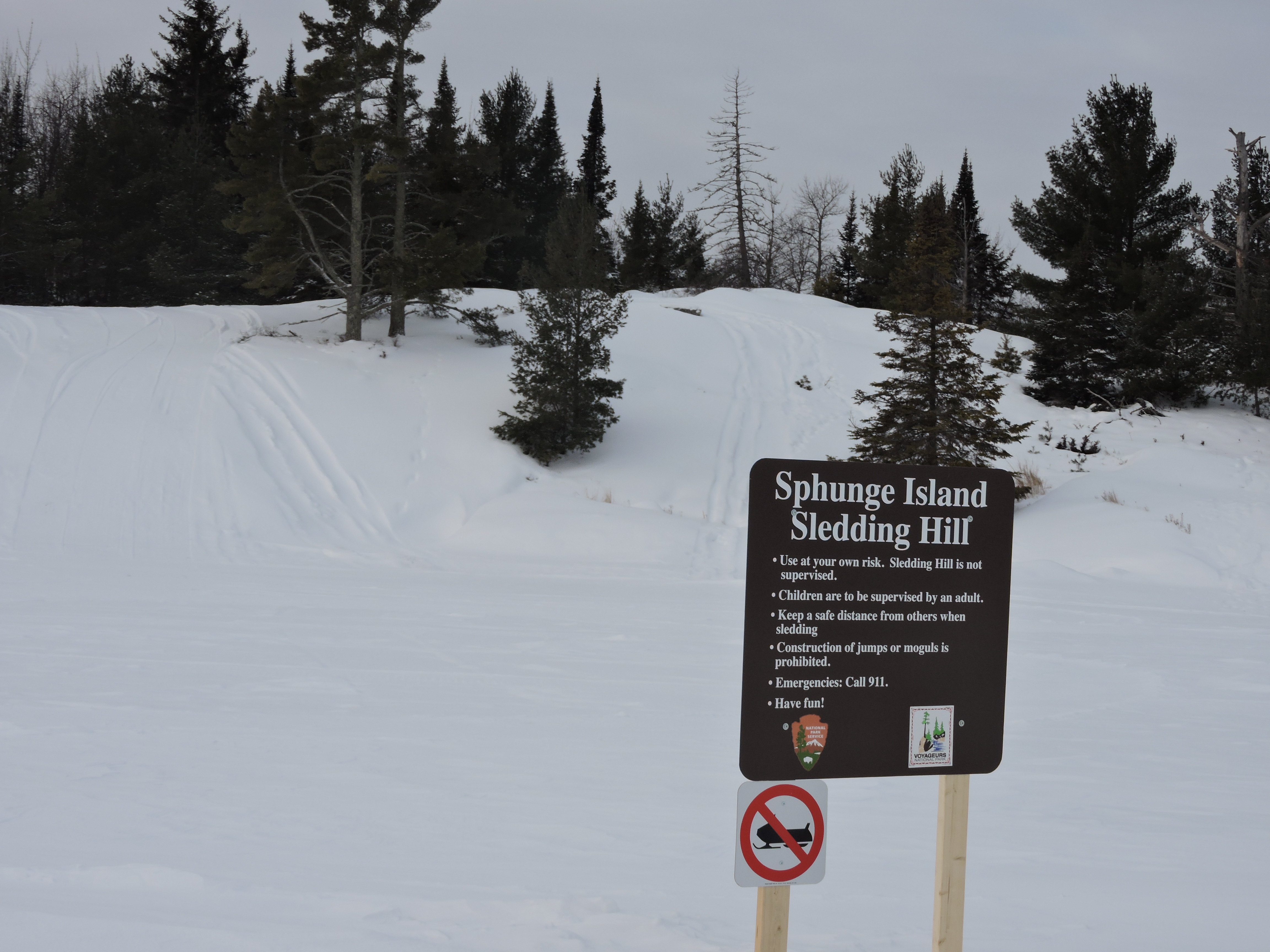
Go sledding on Sphunge Island
Visitors will find picnic tables and a fire ring at the bottom of the hill near the sledding hill parking lot. The sledding hill consists of a small hill for younger children and a larger hill for older children and adults.
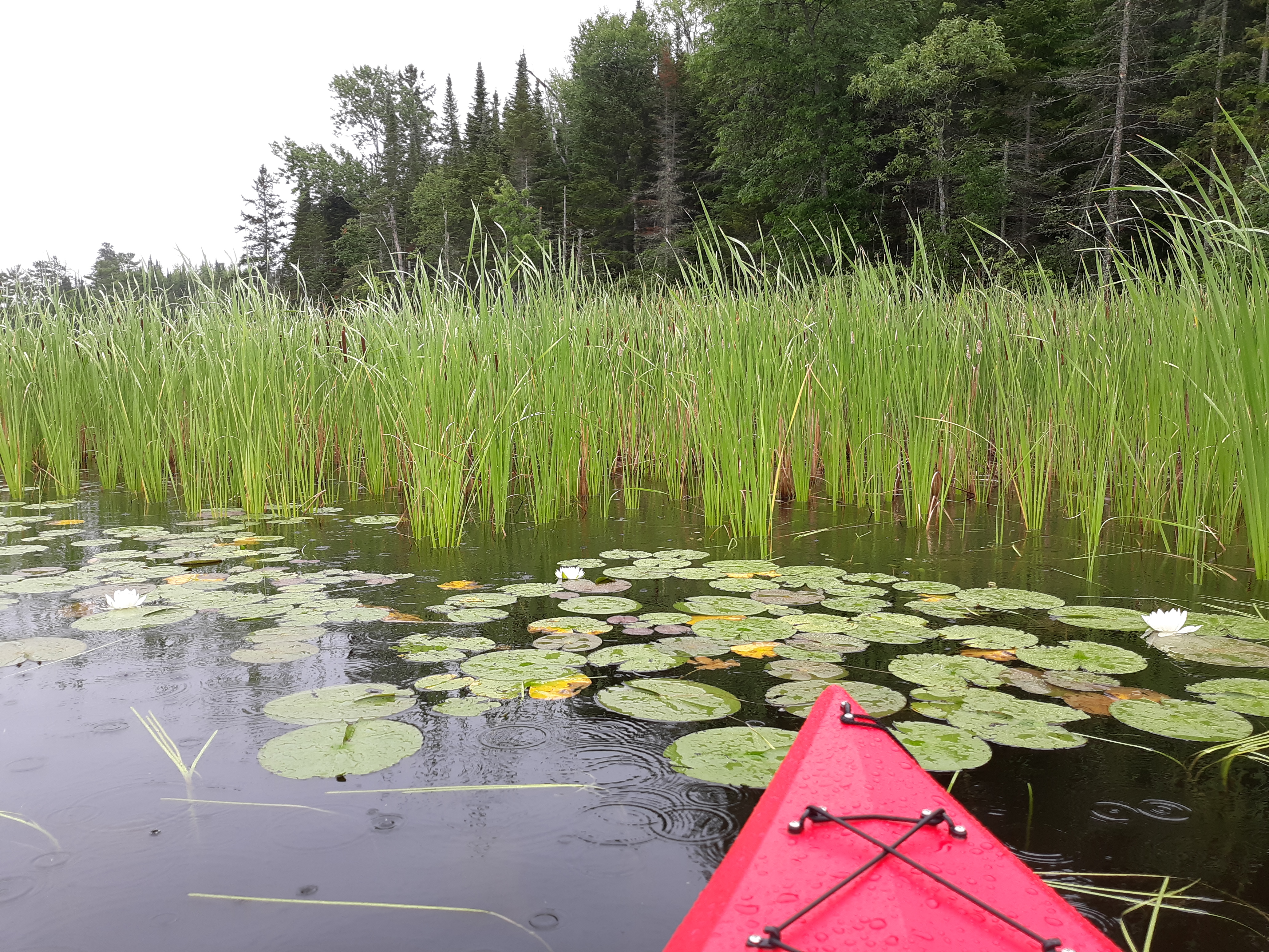
Paddle through Blind Ash Bay
Explore the rocky shoreline and a calm bay with your canoe or kayak. From the paddle launch head west one mile between the rocky shore and small islands before turning south to explore Blind Ash Bay. Your total trip length will be about 2.5 miles.
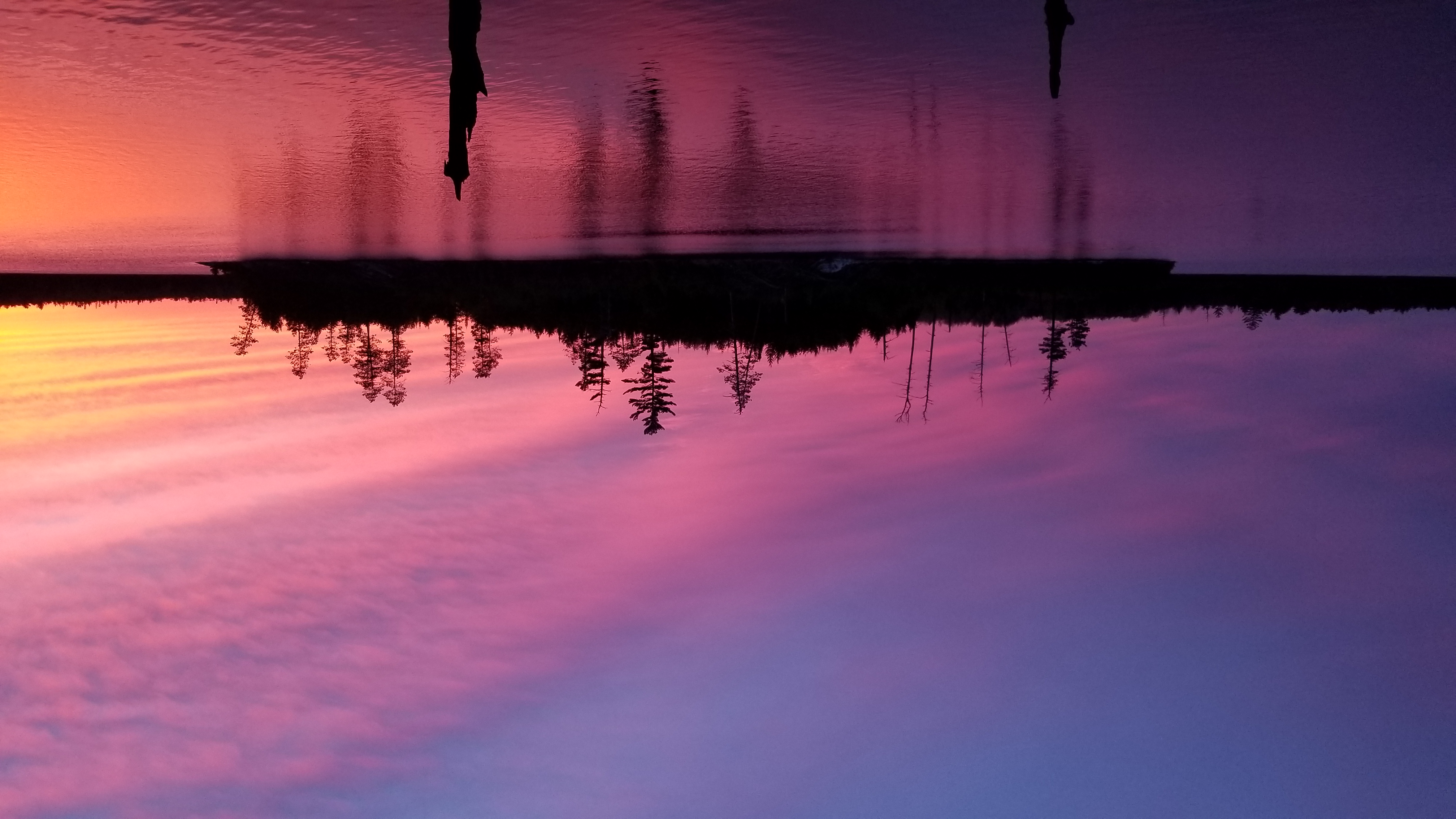
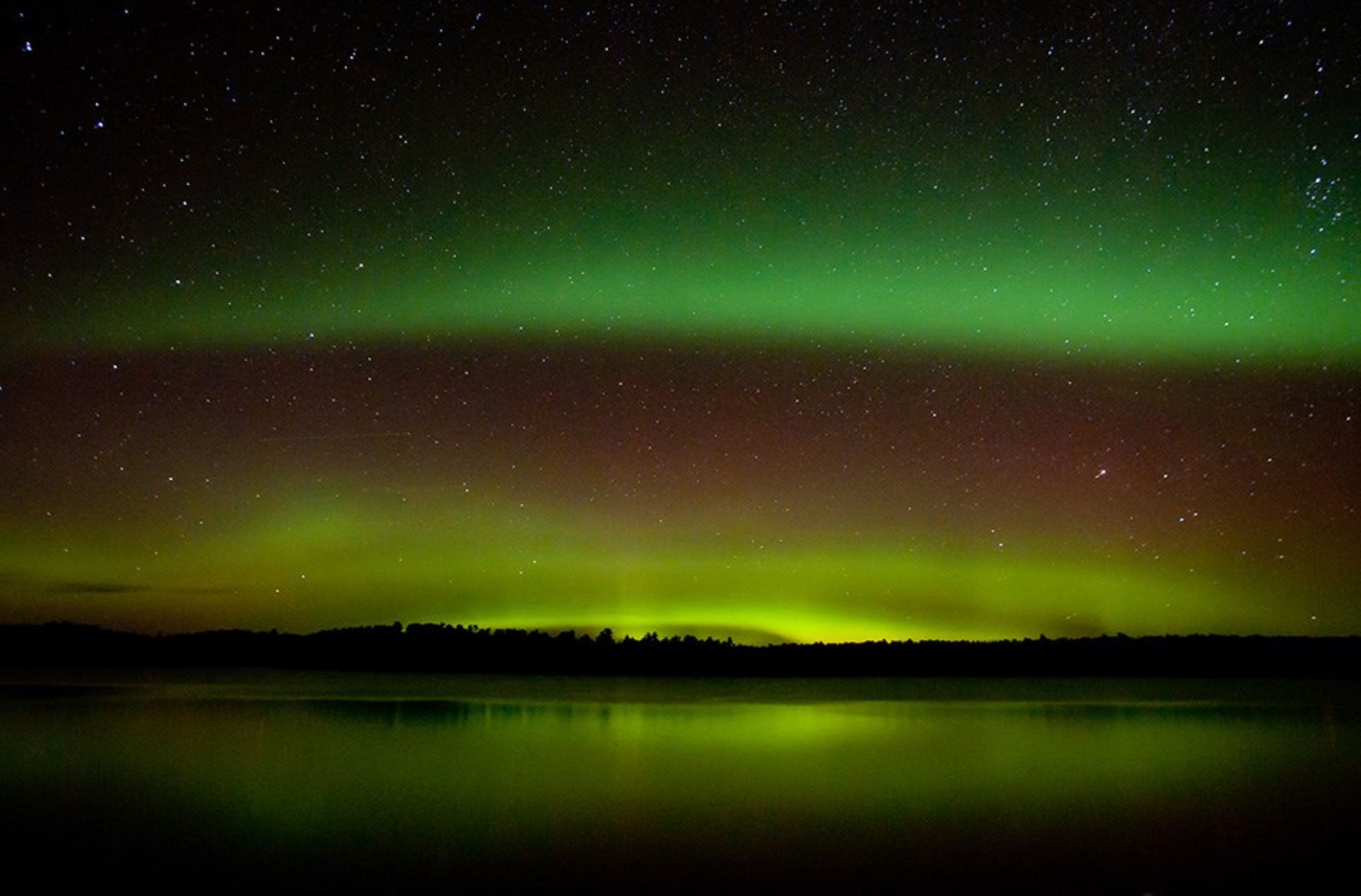
Watch the Northern Lights Over Voyageurs National Park
The Aurora Borealis, also known as northern lights, are radiant colors that light up the night sky over middle and high latitudes of the northern hemisphere, including at Voyageurs National Park.
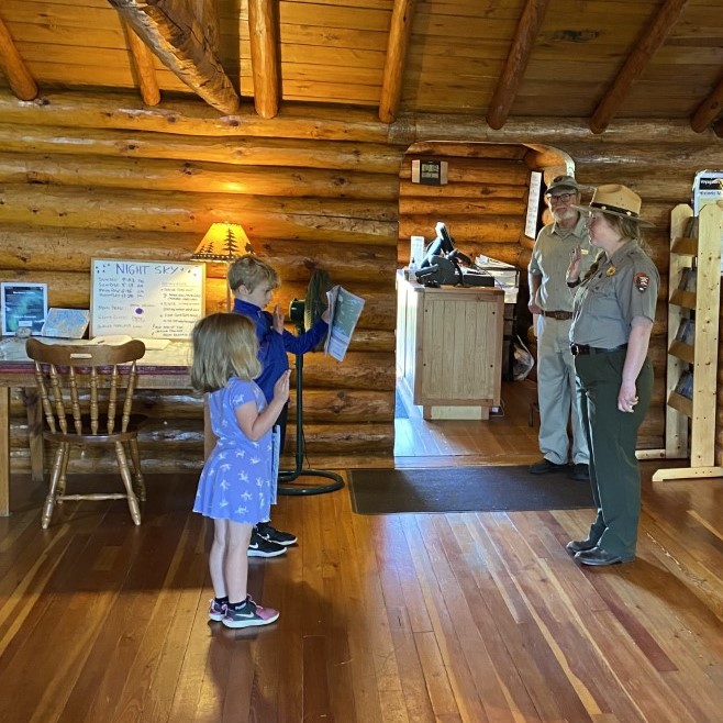
Become a Junior Ranger at Voyageurs National Park
Explore and learn about Voyageurs National Park as you become a Junior Ranger. Ask for a Junior Ranger Book at any Visitor Center. Learn about the park, its history, and animals by completing activities in the book, then explore the park on the water, on trails, or at a ranger program. The stop by the Visitor Center to be sworn in as a Junior Ranger and get your patch and badge.
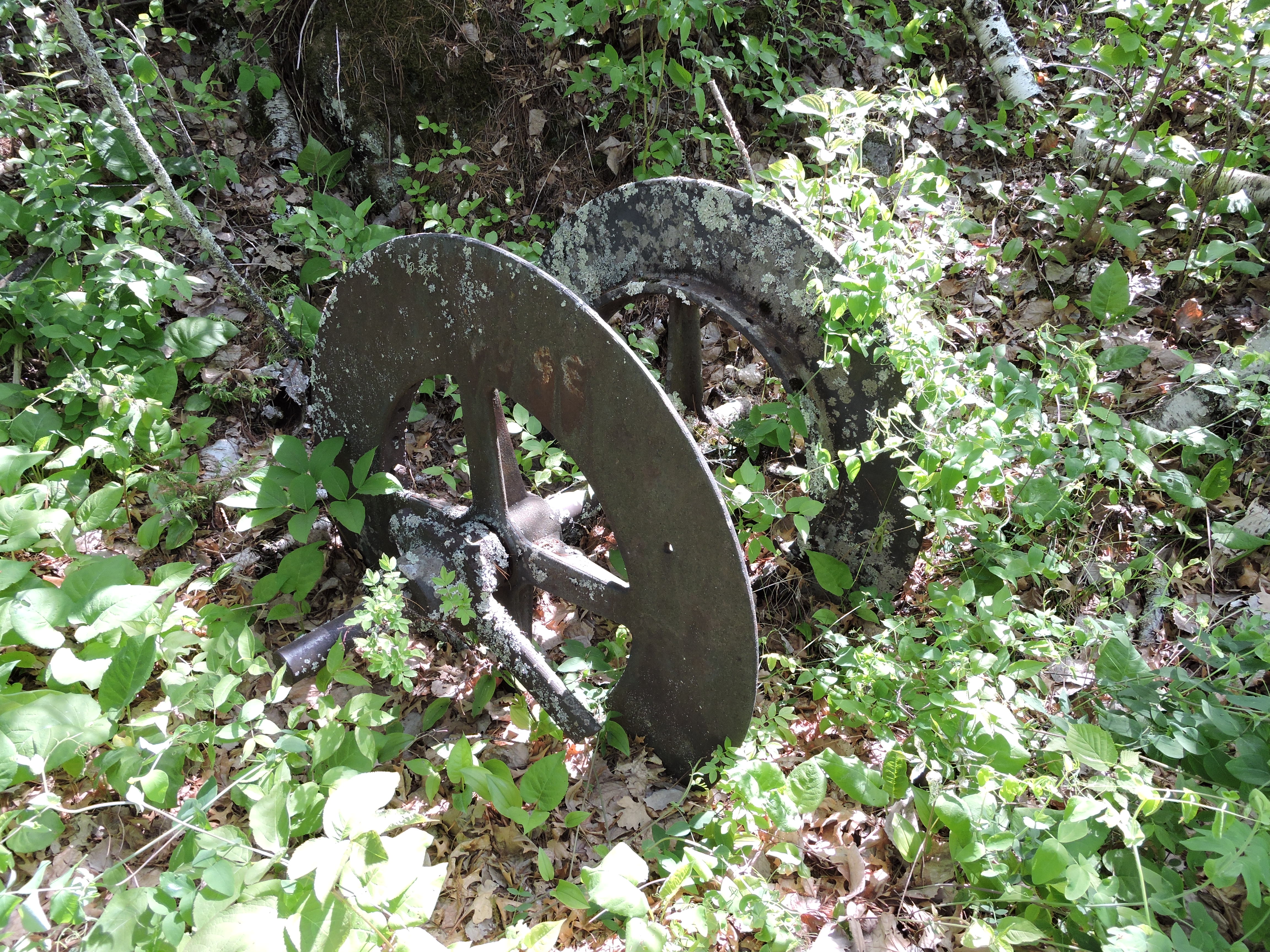
Visit Little American Island
Discover the past on this self guided walk Little American Island. This island was home to one of the area gold mines during the brief gold rush of the 1890s. You will see mine shafts, tailing piles, and machinery along the side of this short trail. Signs tell the story of the gold rush.
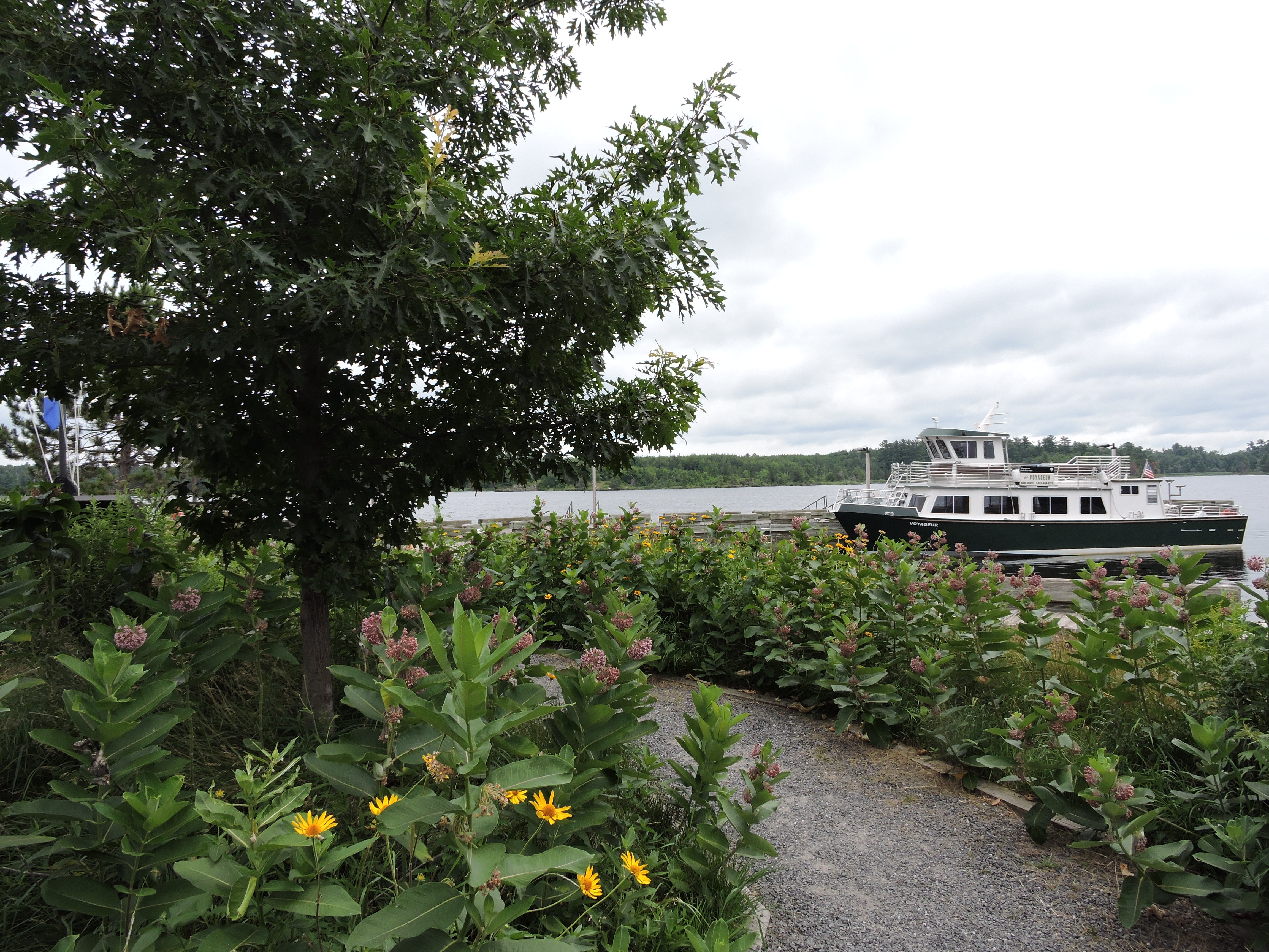
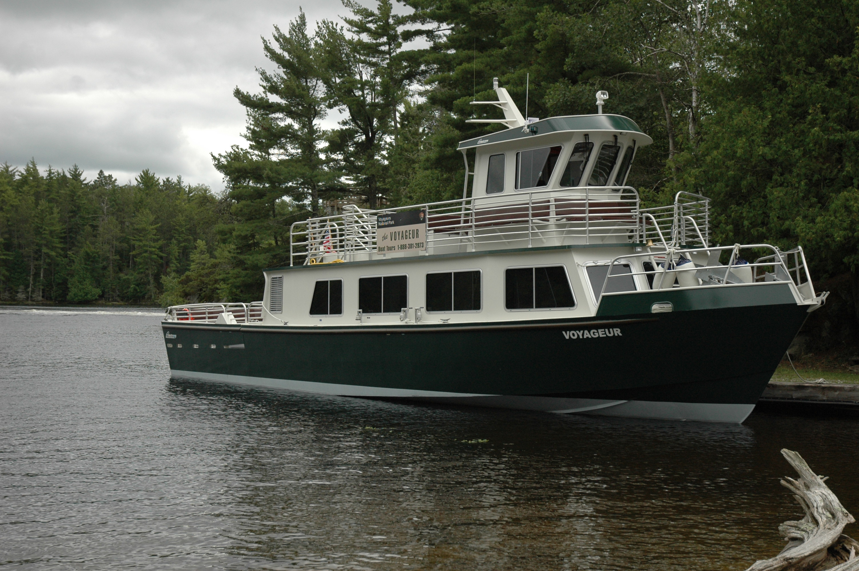
Take a boat tour of Voyageurs National Park
See Voyageurs National Park from a boat on a tour guided by a park ranger. A variety of boat tours leave from Rainy Lake Visitor Center and Kabetogama Lake Visitor Center primarily from June to August and last from 90 to 390 minutes. This is a great way to see the park and some wildlife, especially if you don't have a boat of your own.
Ski the Echo Bay Trail
Tucked amid the community of Kabetogama, the Echo Bay Ski Trail offers novice skiers another tracked ski trail.
Snowshoe the Oberholtzer Trail
Grab a pair of snowshoes and experience the 1.7 mile round-trip Oberholtzer Trail.
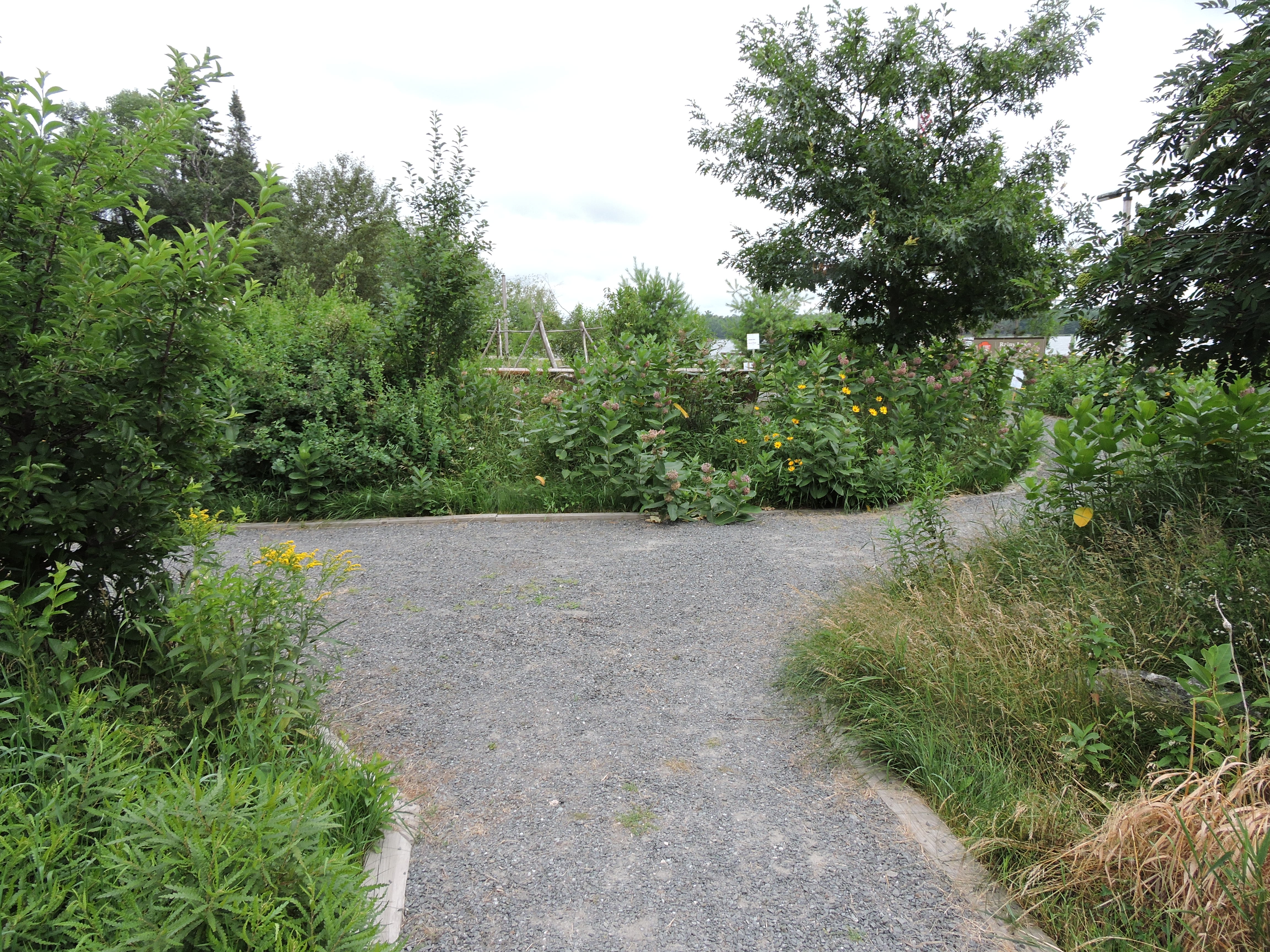
Visit the Ethno-botanical Garden
This one-acre garden of native plants restores a site that had been overtaken by invasive plants.
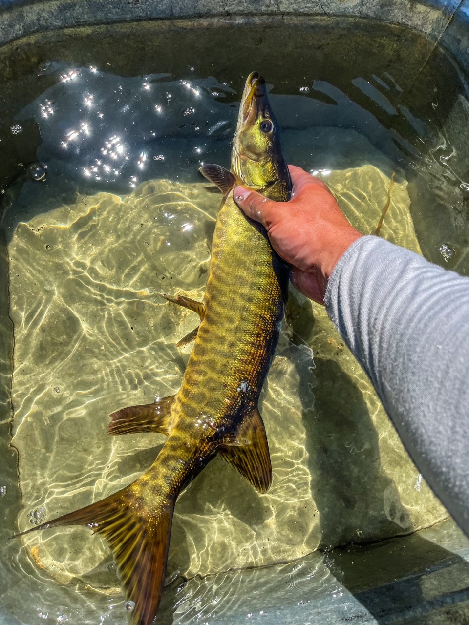
Recreational Fishing in Voyageurs National Park
Voyageurs National Park has many options for the aspiring or experienced angler.
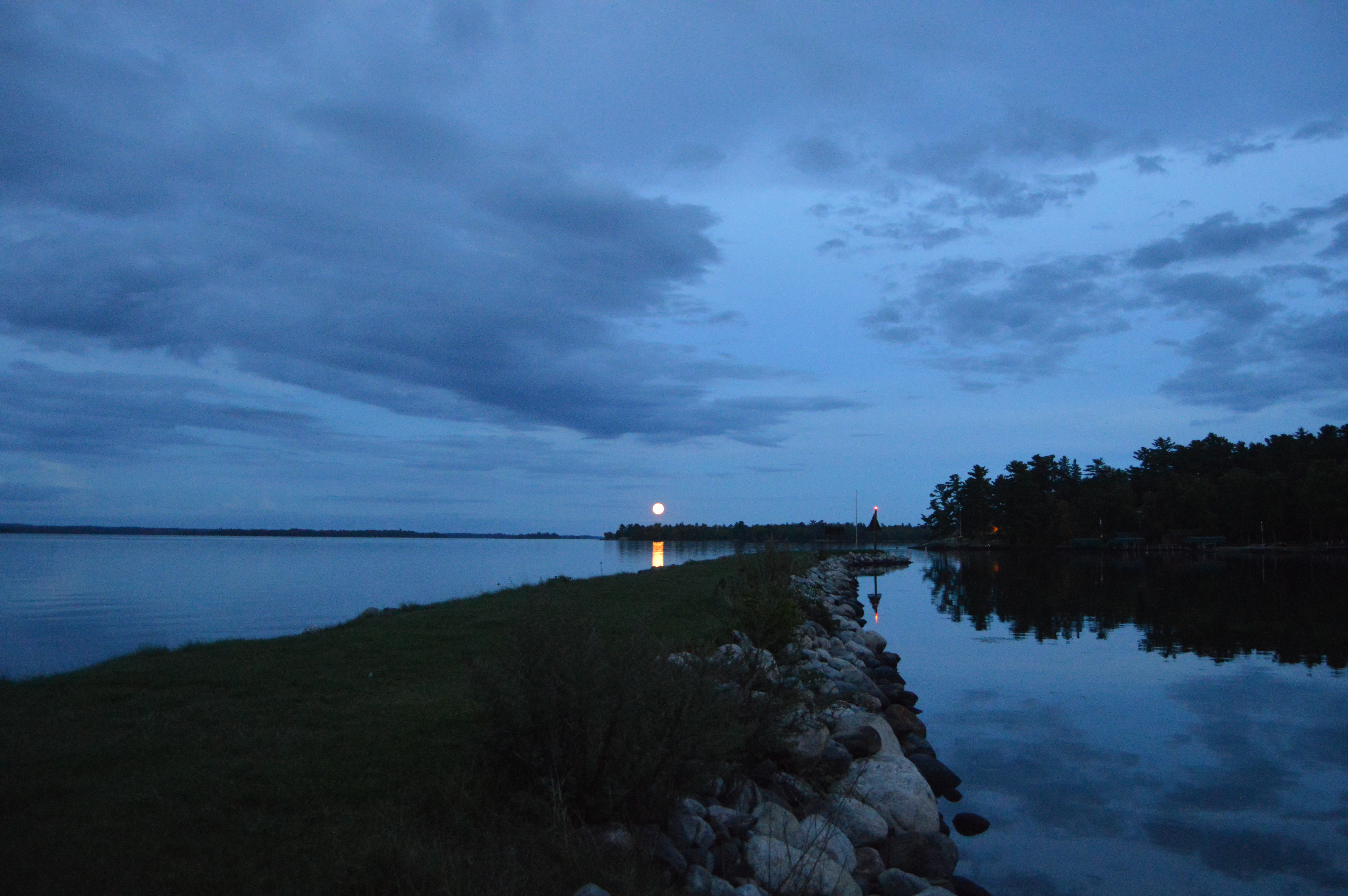
Stargazing at Voyageurs National Park
Come see the night skies at Voyageurs National Park. We have been recognized as an International Dark Sky Park because of the quality of our night skies and our commitment to protecting the sky form light pollution. The best places to view the night sky at Voyageurs are the Voyageurs Forest Overlook parking area, Kettle Falls Dam, and the Beaver Pond Overlook. If you are up by international Falls there are good viewing locations around the Rainy Lake Visitor Center.