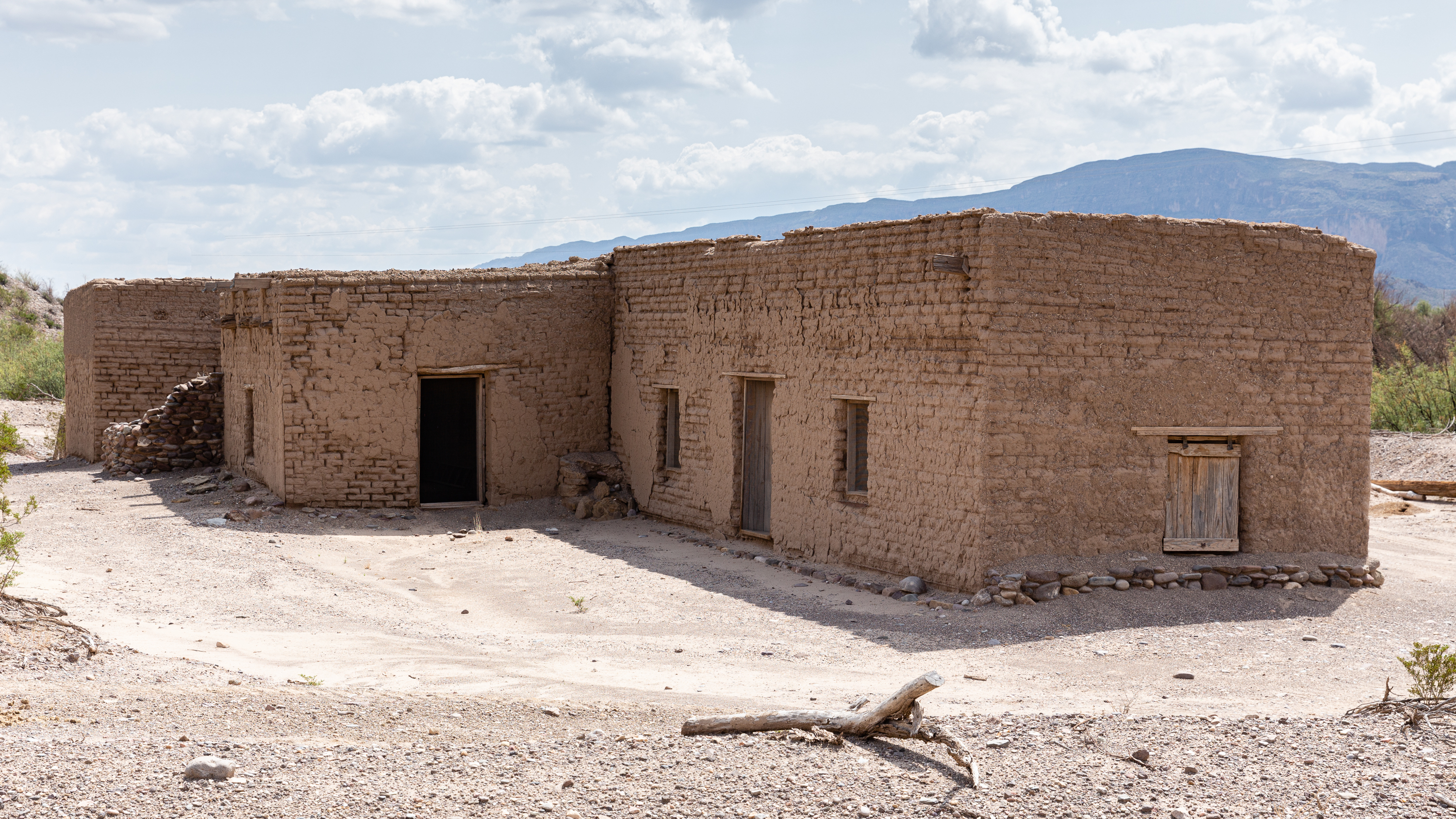
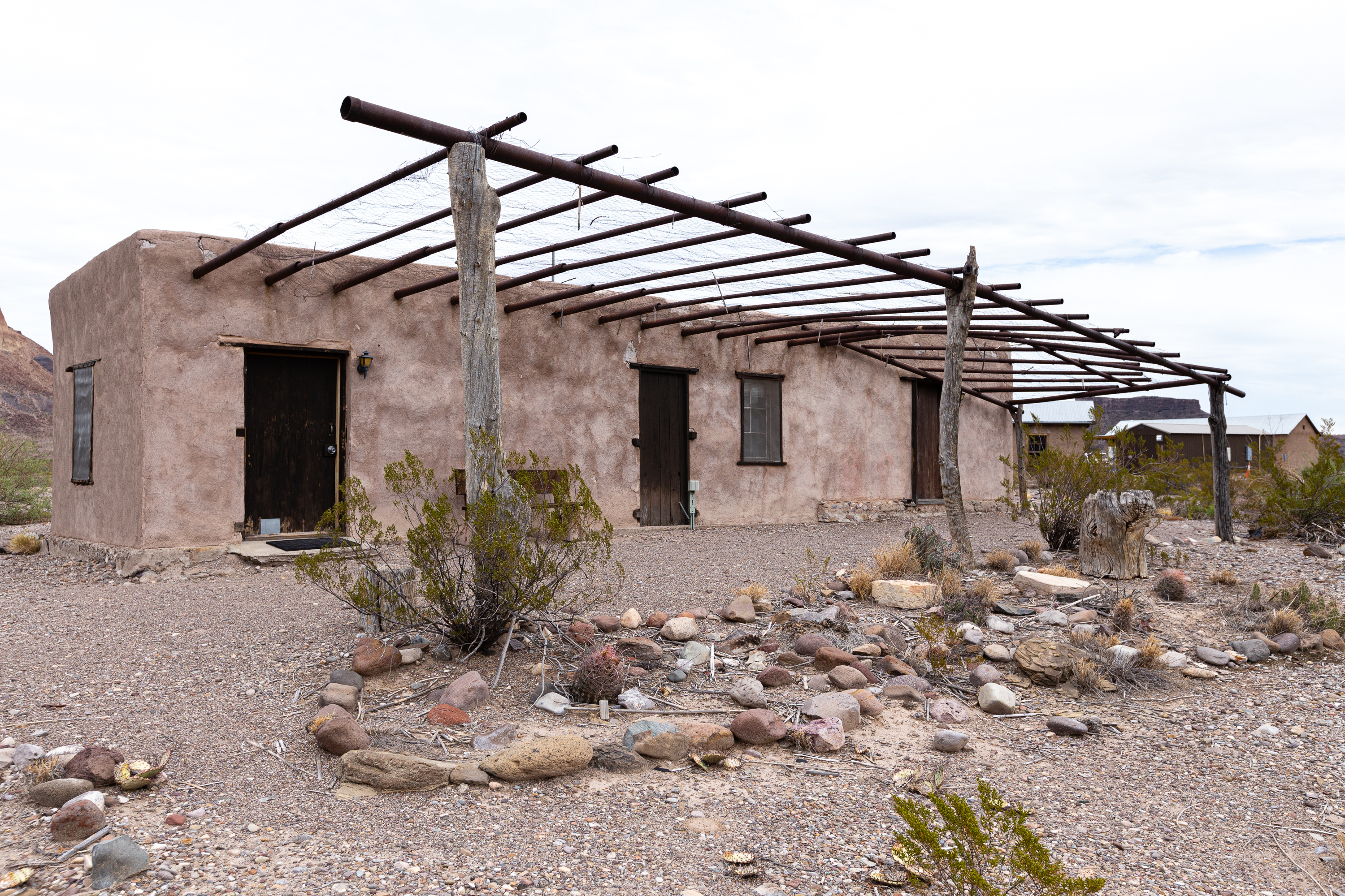
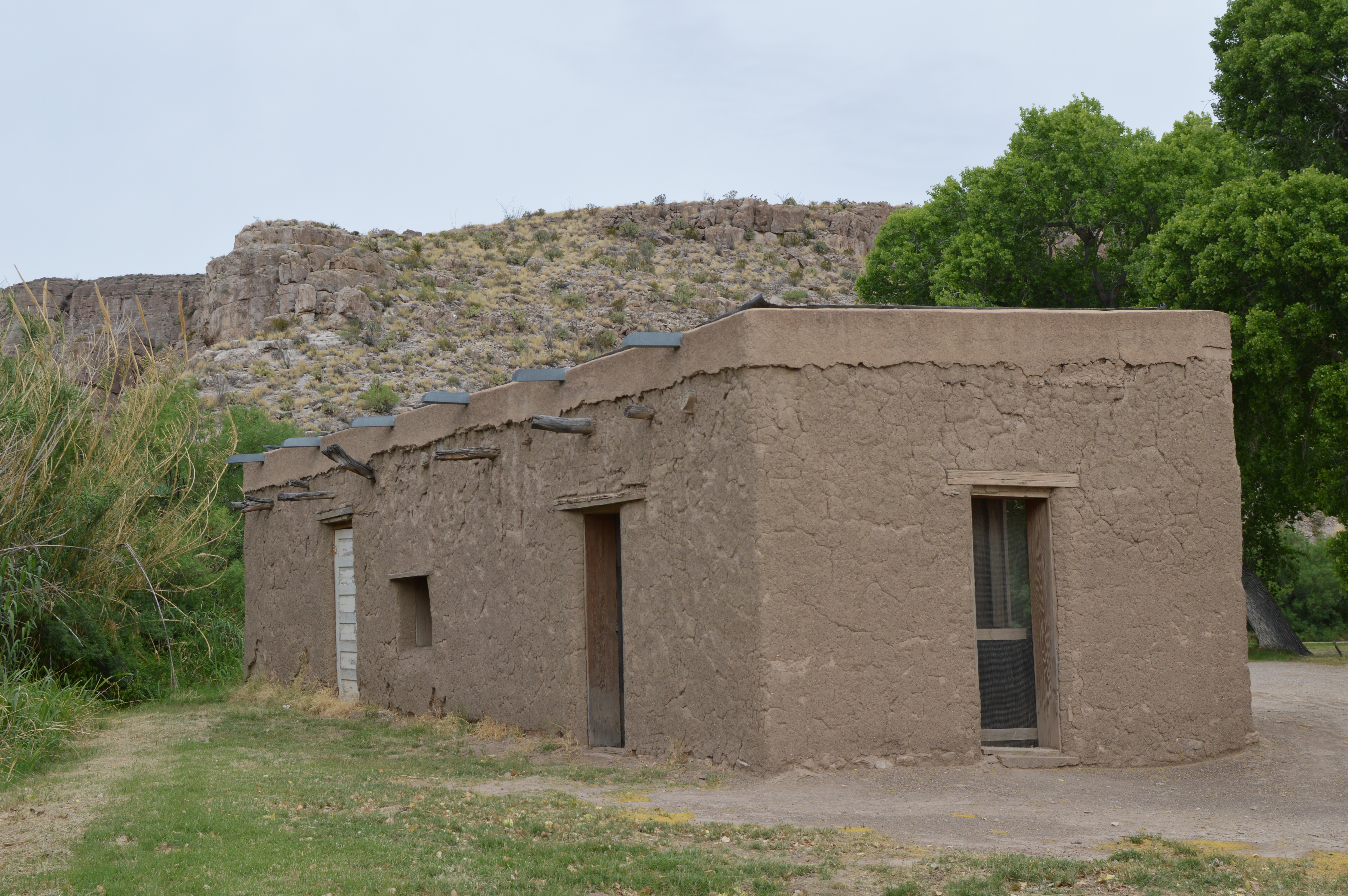
The Alvino house is the oldest intact adobe structure in Big Bend National Park, and represents the everyday life of the many families who lived and farmed along the Rio Grande. The Alvino House affords a close look at a recently repaired and stabilized adobe structure.
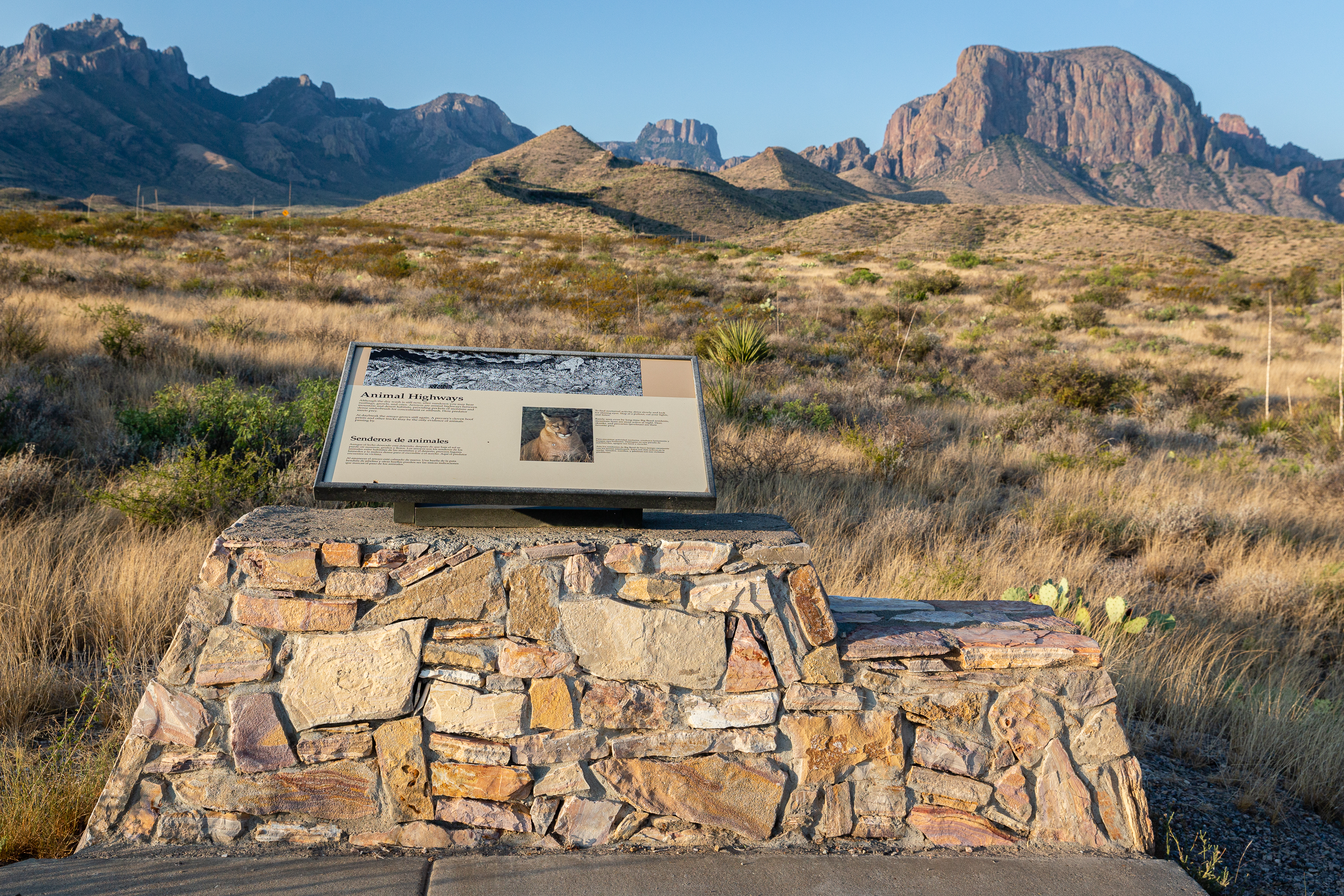
Although the dry wash is still now, after sundown you may hear rustlings, growls, and cries. Arroyos are animal highways between mountain and desert habitats, providing pockets of moisture and dense underbrush for concealment or ambush. Here predator meets prey.
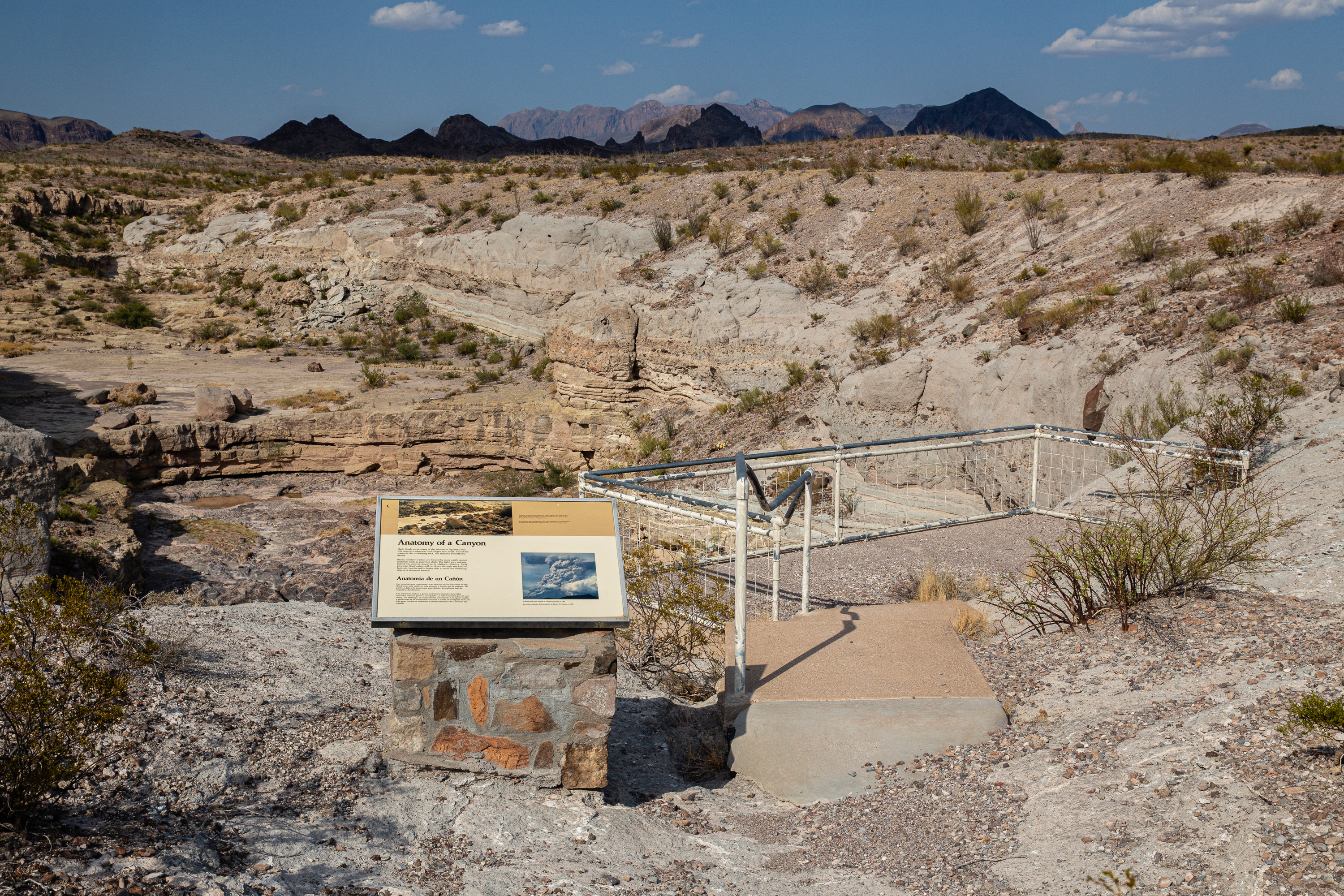
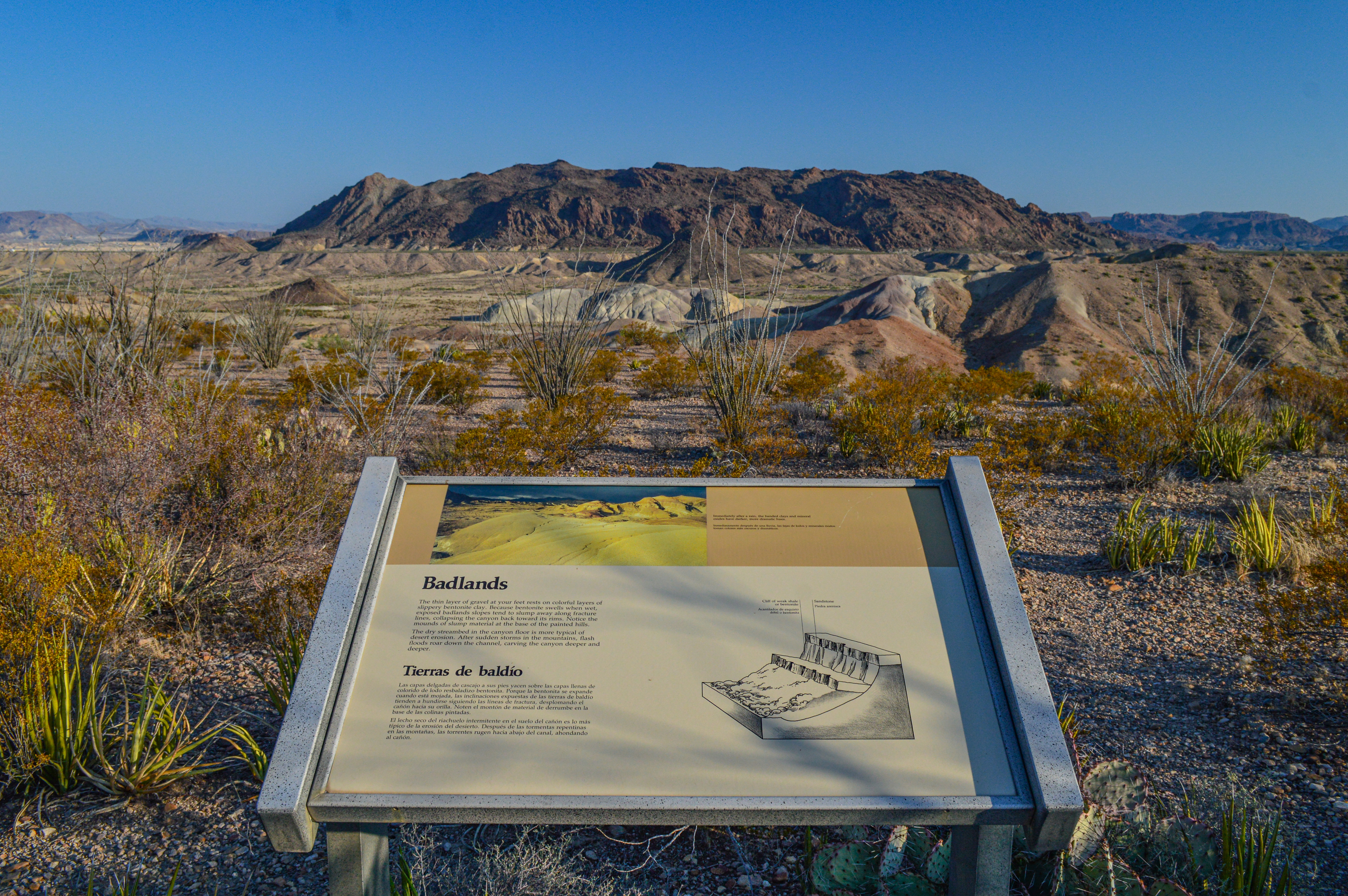
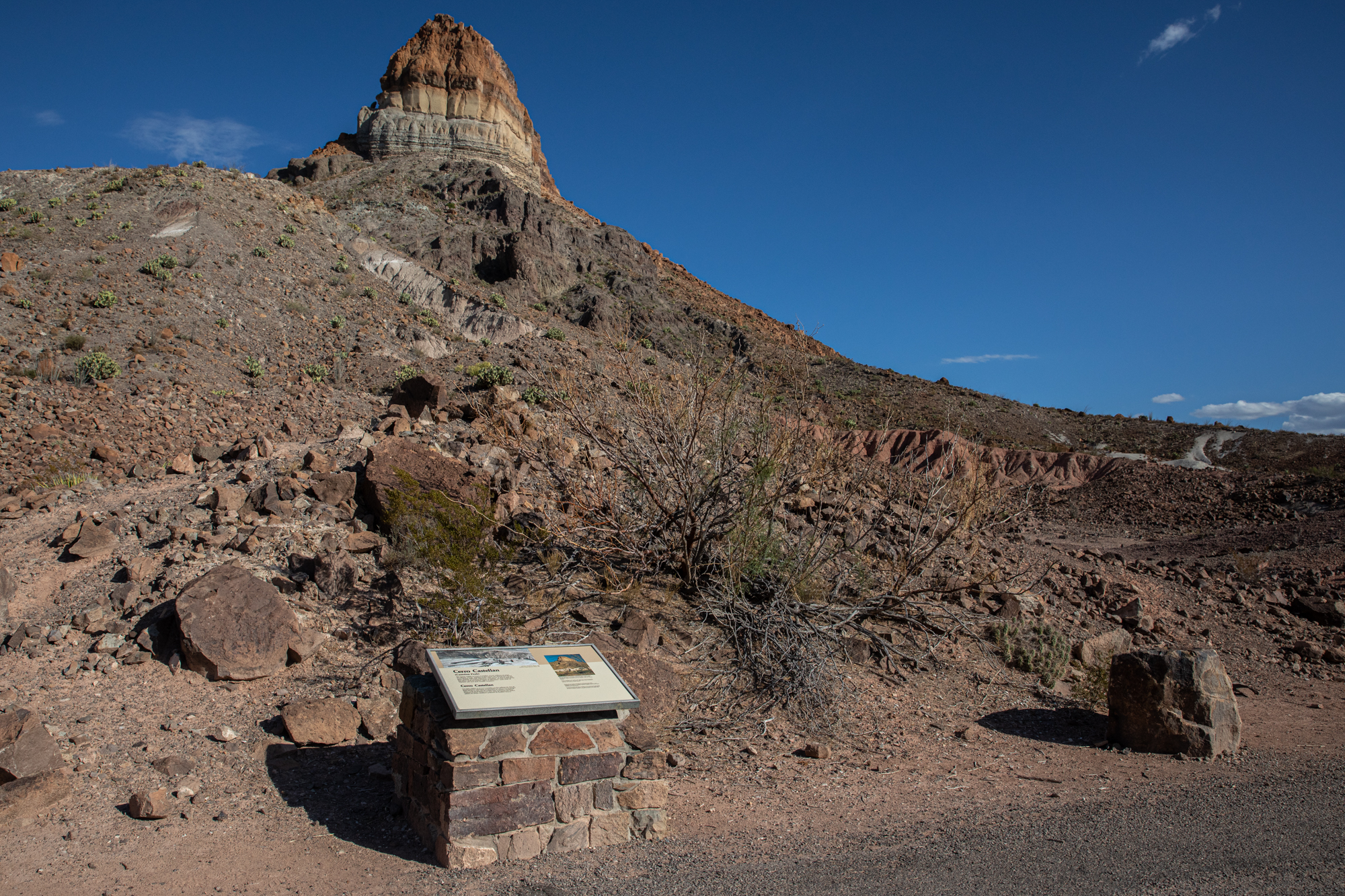
This exhibit describes the erosive forces needed to create the colorful clay hills that dominate the landscape on the western end of Big Bend National Park. These sediments were deposited 65-70 million years, at a time when the environment in Big Bend was much different.
A strenuous, 5.5 mile one-way hike from the Homer Wilson Ranch headquarters up into the Chisos Mountains. The hike takes you along the rocky Blue Creek wash, through an open grassland, and up into the pinyon pine woodland of the Chisos Mountains. The trail ends at the junction with the Laguna Meadow Trail.
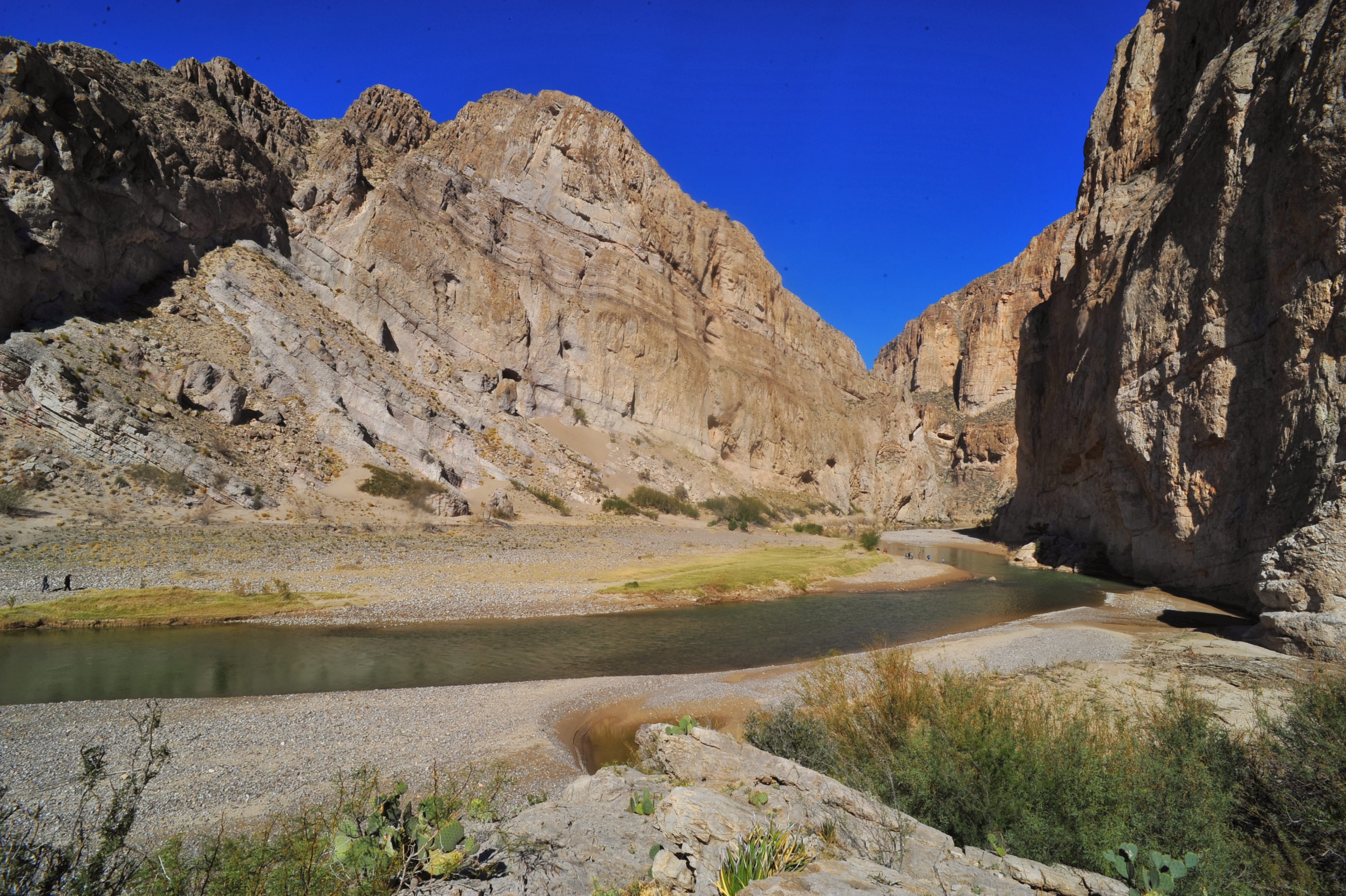
The Boquillas Canyon Trail is a great way to enjoy one of the three major canyons located in Big Bend National Park. This trail is 1.5 miles (2.4 km) round trip and parallels the Rio Grande for a short distance where it first enters Boquillas Canyon.
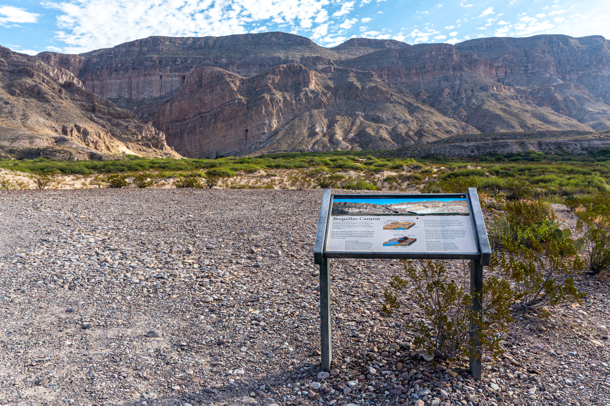
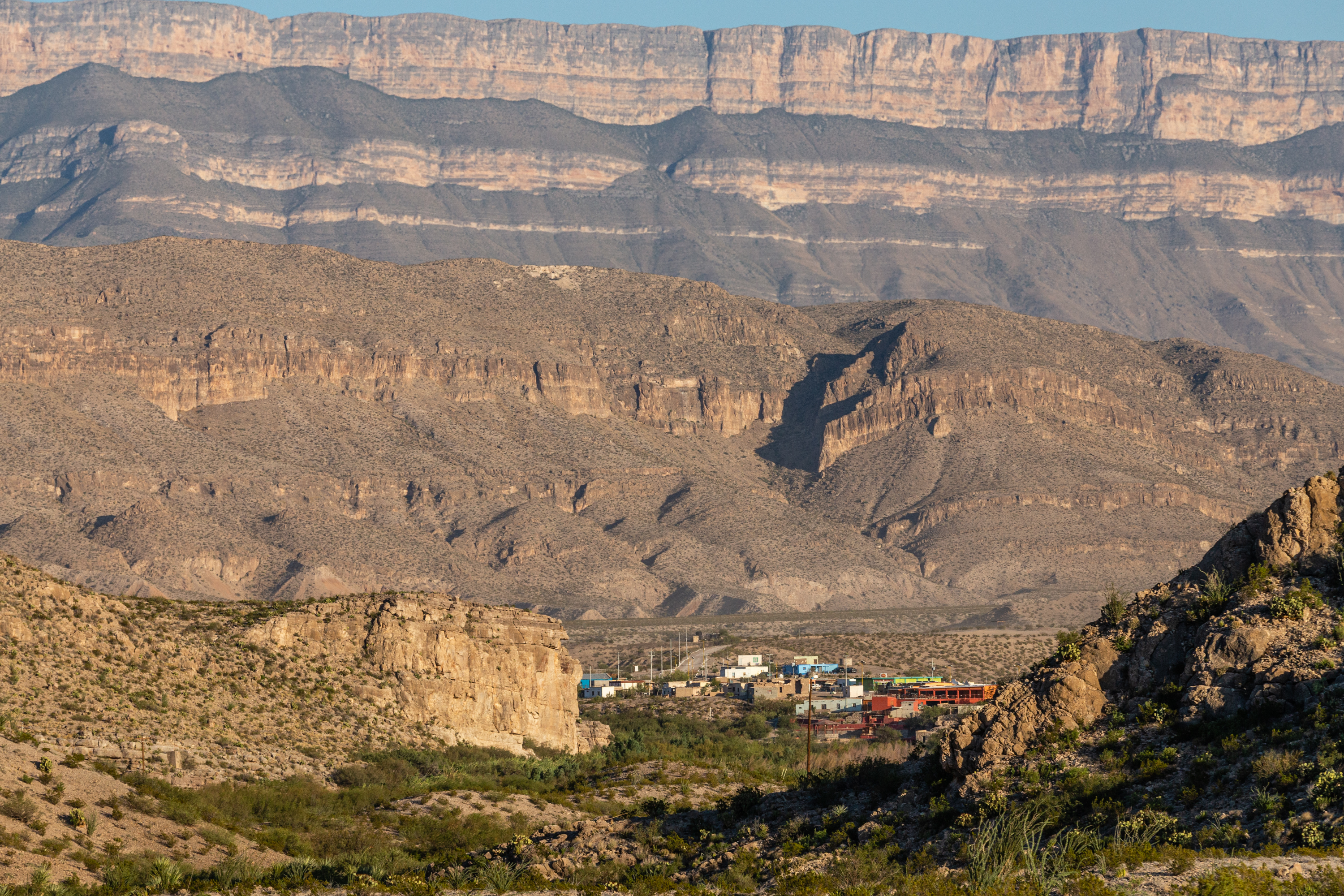
The Boquillas Overlook provides a view of the village of Boquillas, Mexico just across the Rio Grande. It is also a great place for photographs of the Sierra del Carmen and Boquillas Canyon.
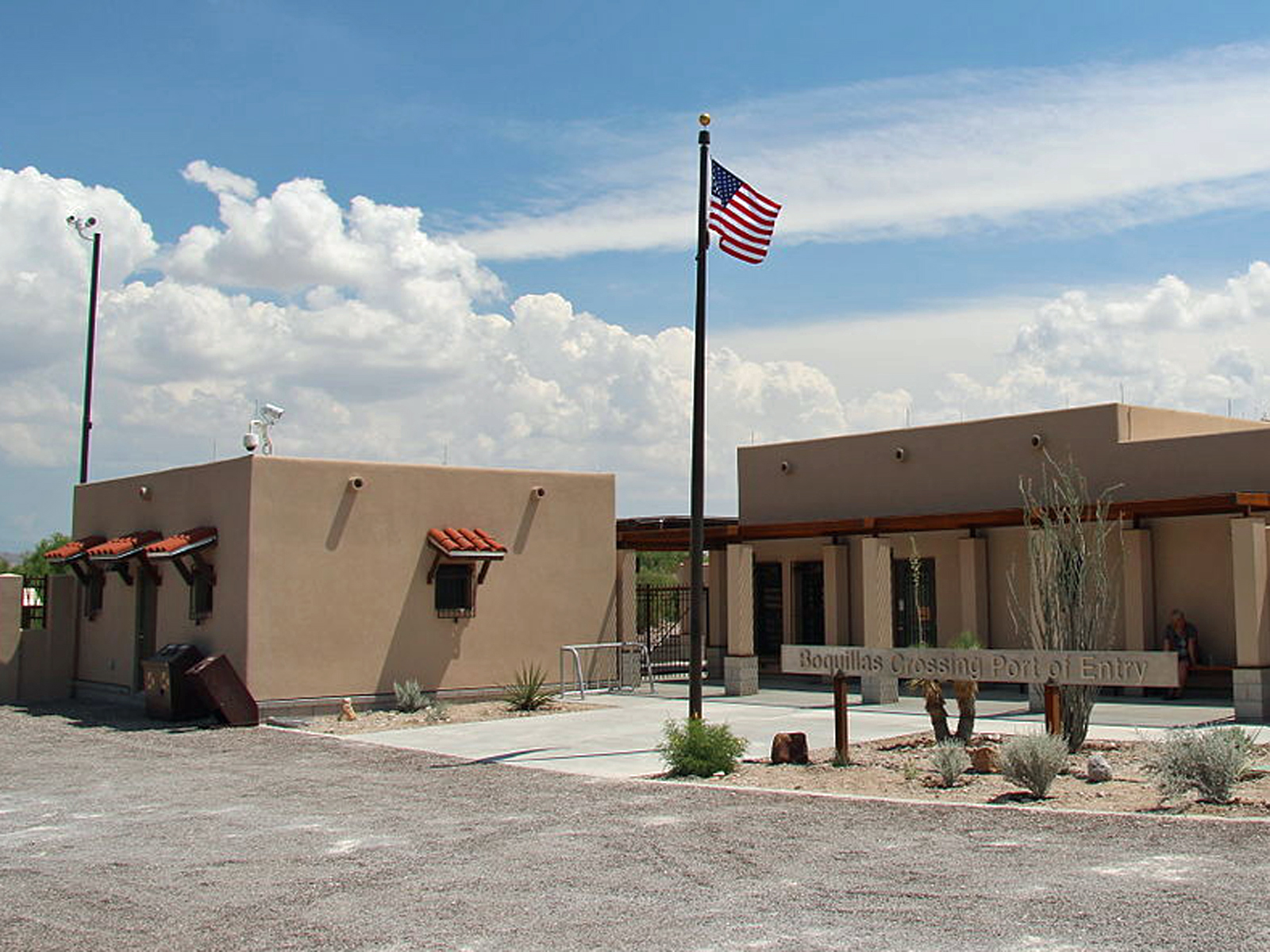
Boquillas, Mexico had its modern beginnings as a mining town in the last decade of the 19th century. You can visit the village through the Boquillas Crossing Port of Entry.
The Burro Spring Trail is a 2.4-mile hike through the desert to an overlook where you can see Burro Spring in the valley below. Tall cottonwoods and a palm tree (a remnant of early 20th-century ranching) mark the place where water flows to the surface.
The collection of buildings at Castolon is a remnant of Big Bend’s pioneer and military history, where the cultures of Mexico and the United States met. Explore Castolon’s past through the historical buildings and exhibits.
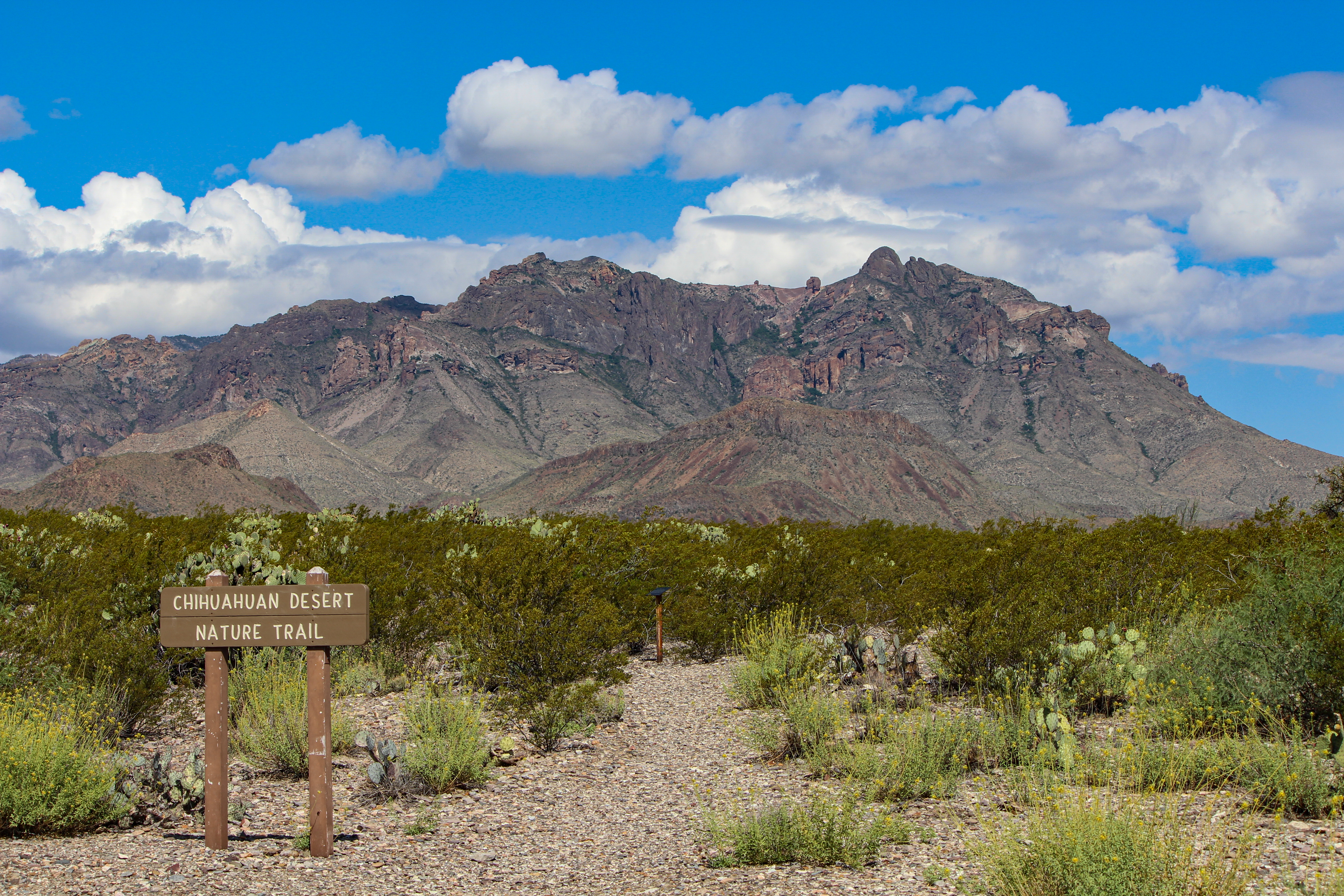
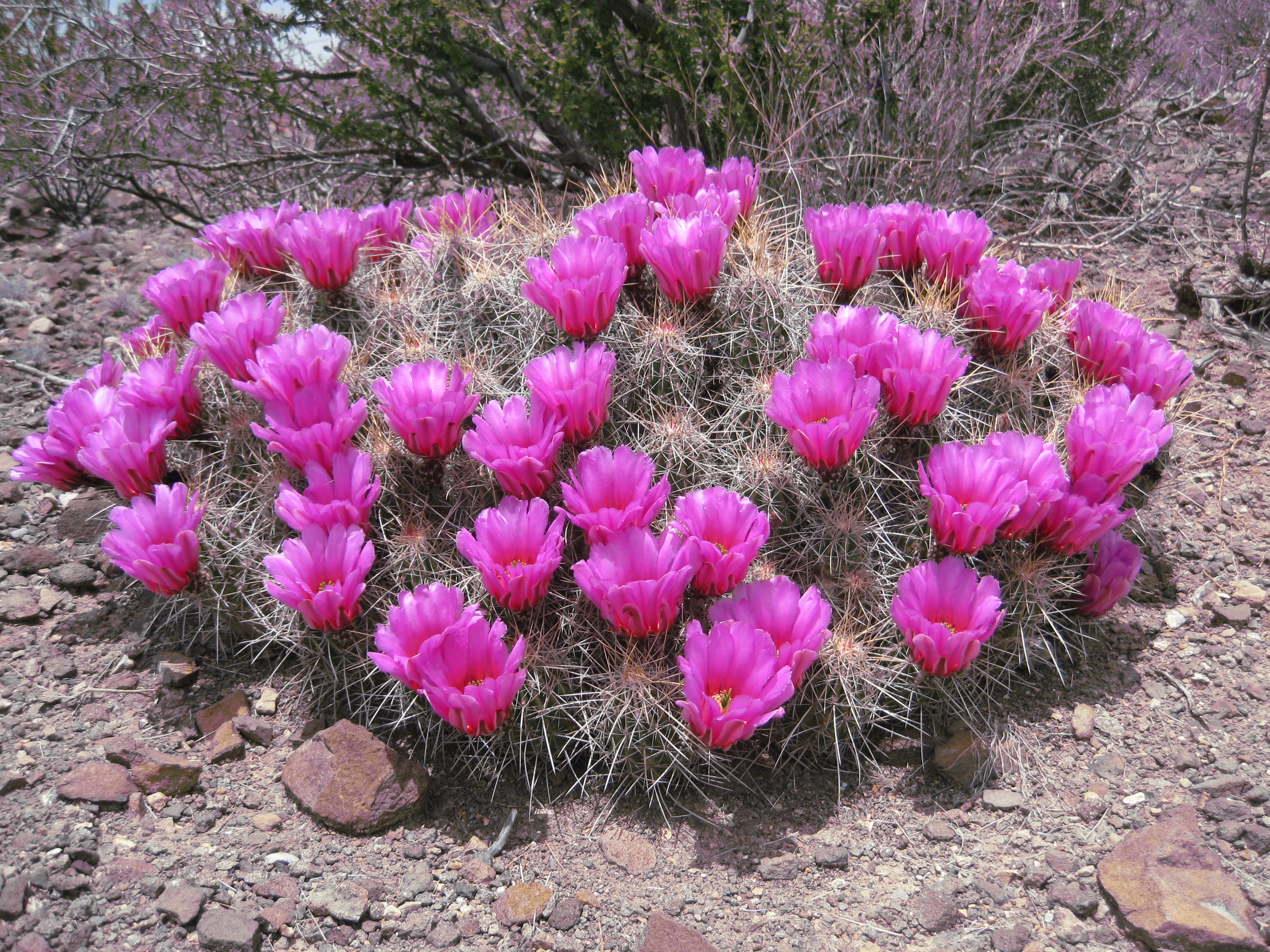
This short 0.5 mile (0.8 km) trail winds through vegetation typical of the Chihuahuan Desert. Spaced out around the trail are metal signs that discuss the plants and animals found in the park, and point out remnants of the early ranching era of Big Bend .
The collection of buildings at Castolon is a remnant of Big Bend’s pioneer and military history, where the cultures of Mexico and the United States met. Explore Castolon’s past through the historical buildings and exhibits.
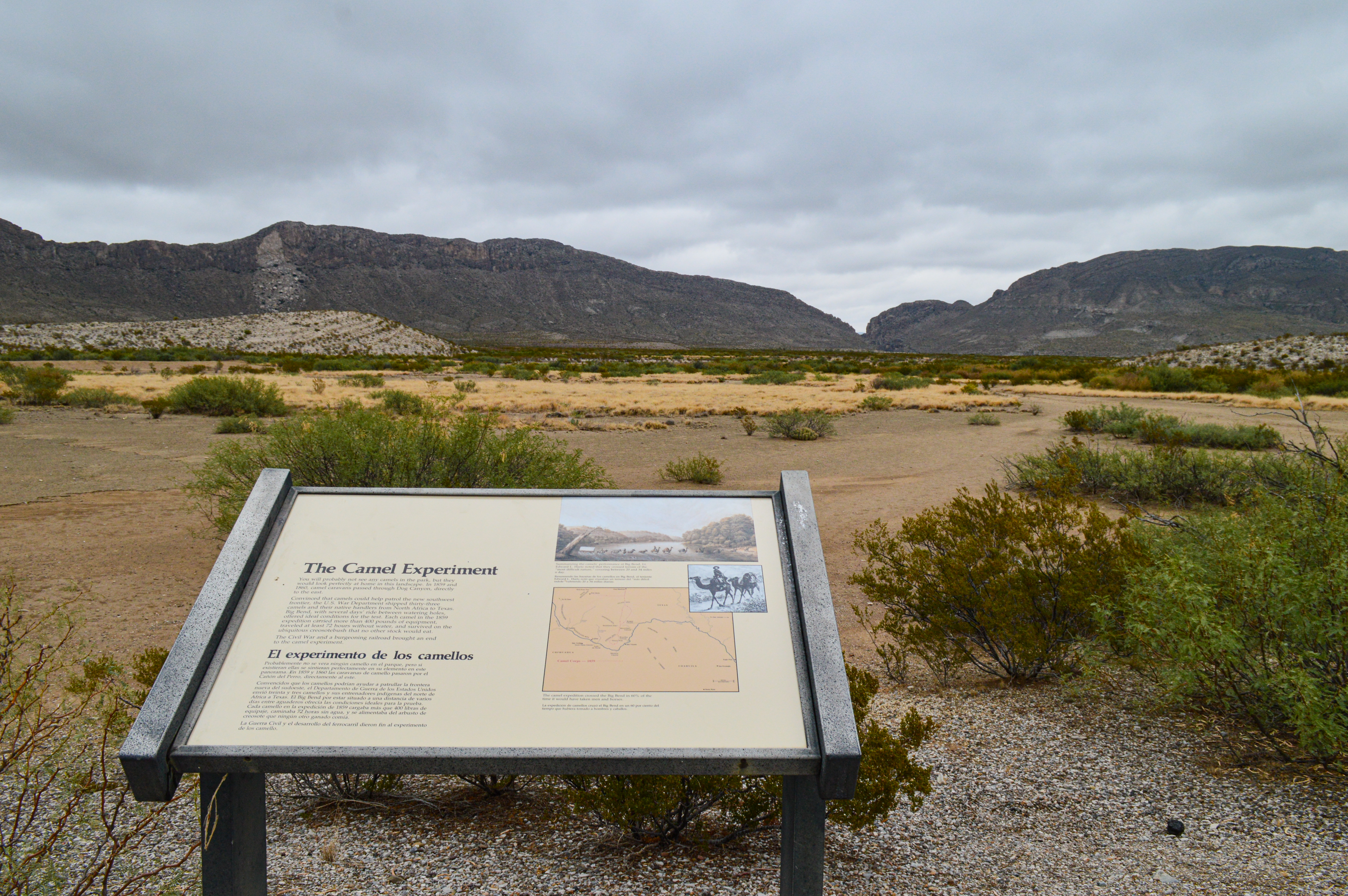
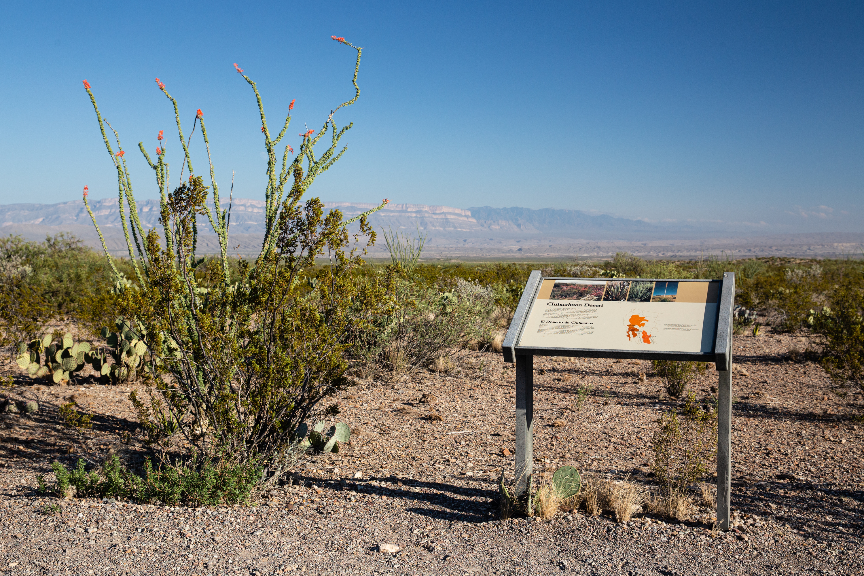
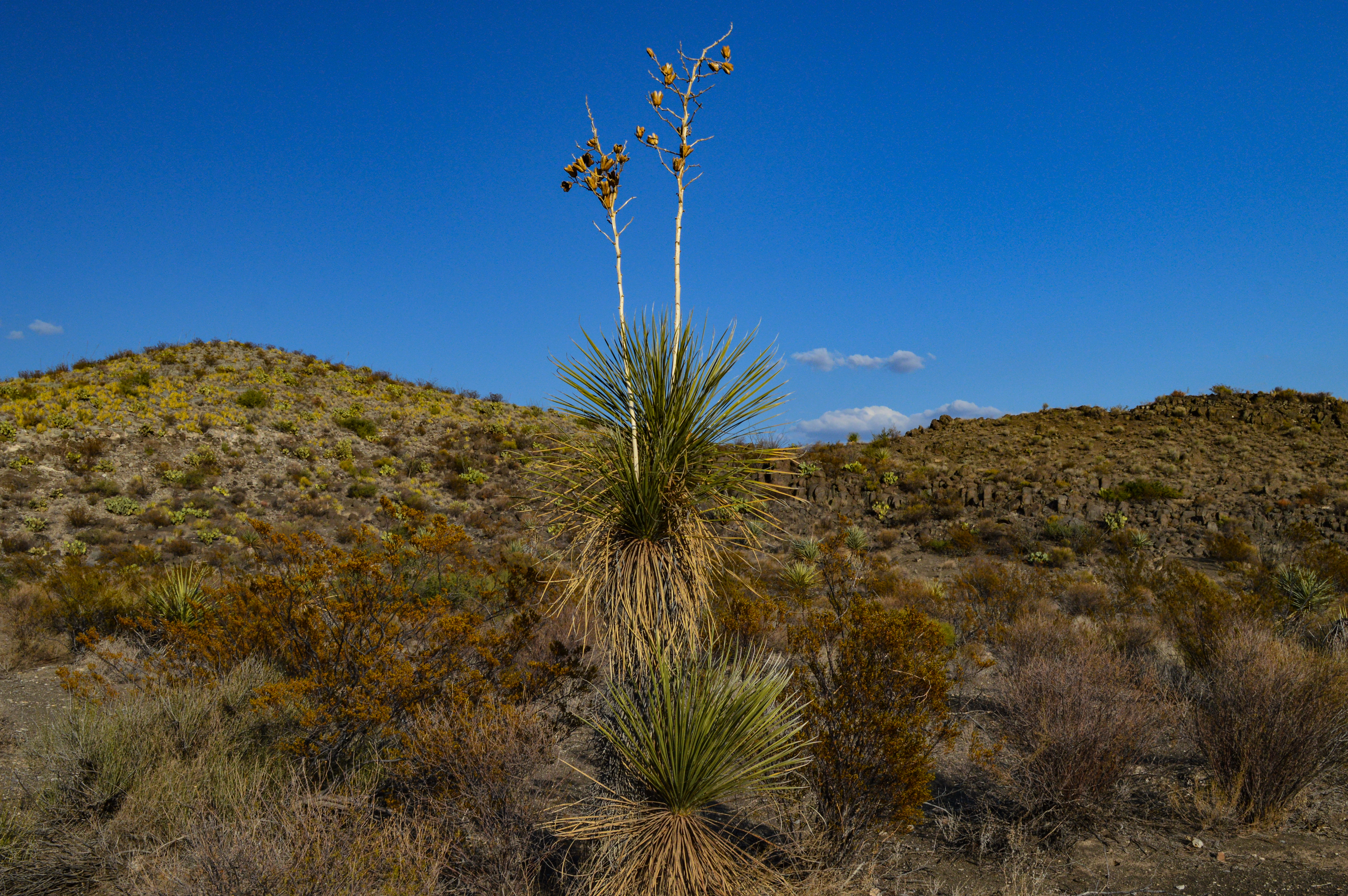
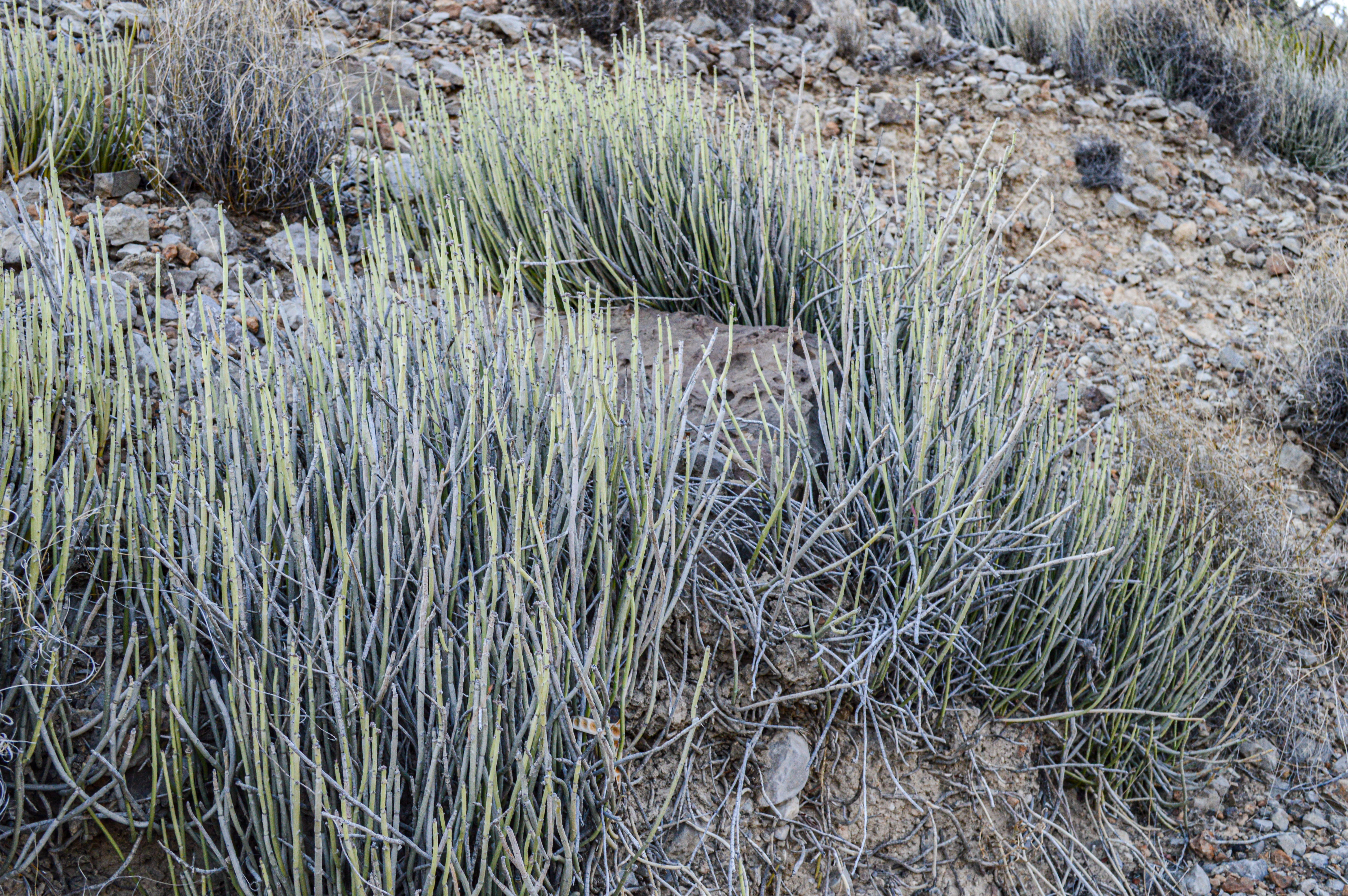
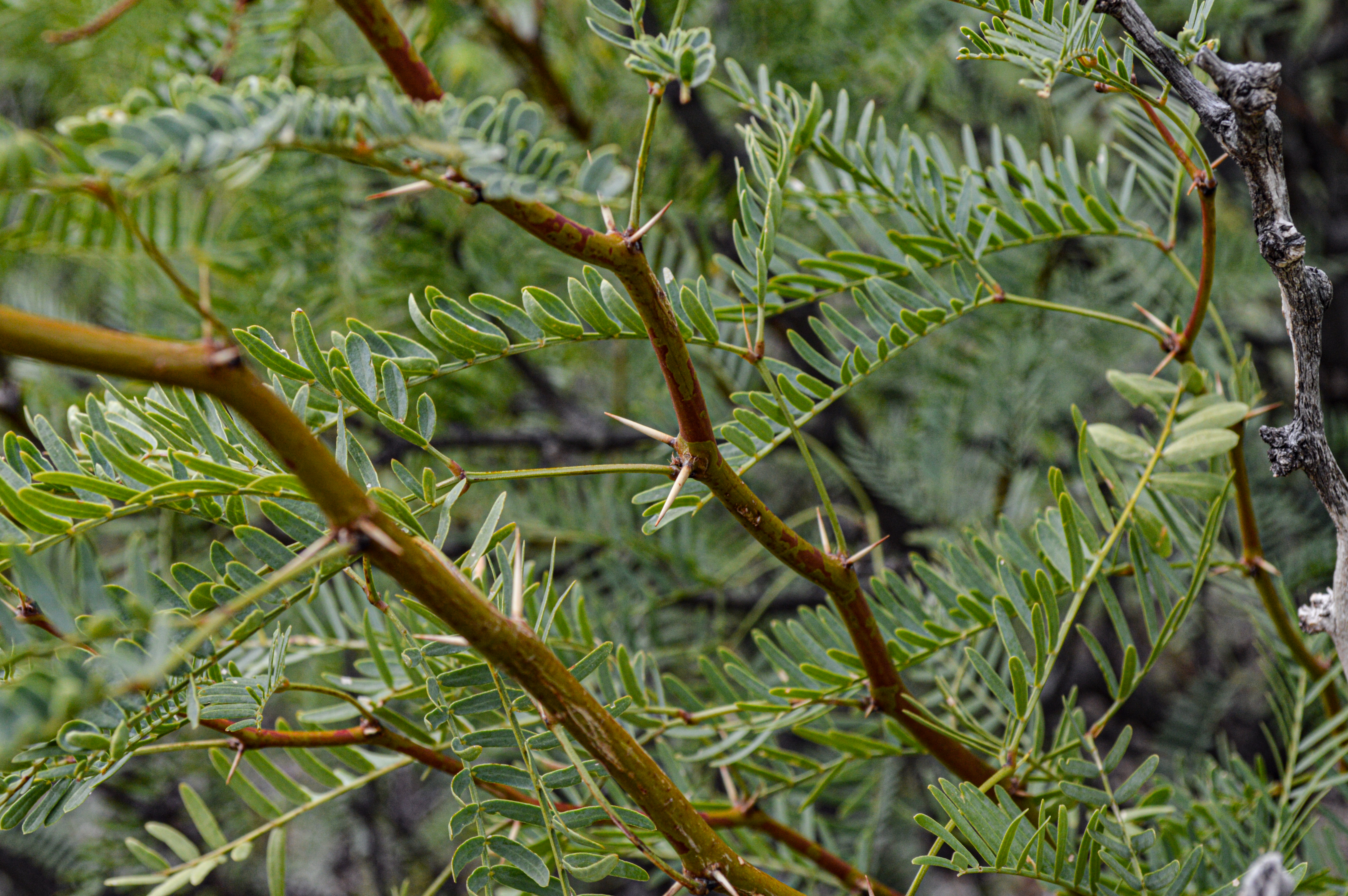
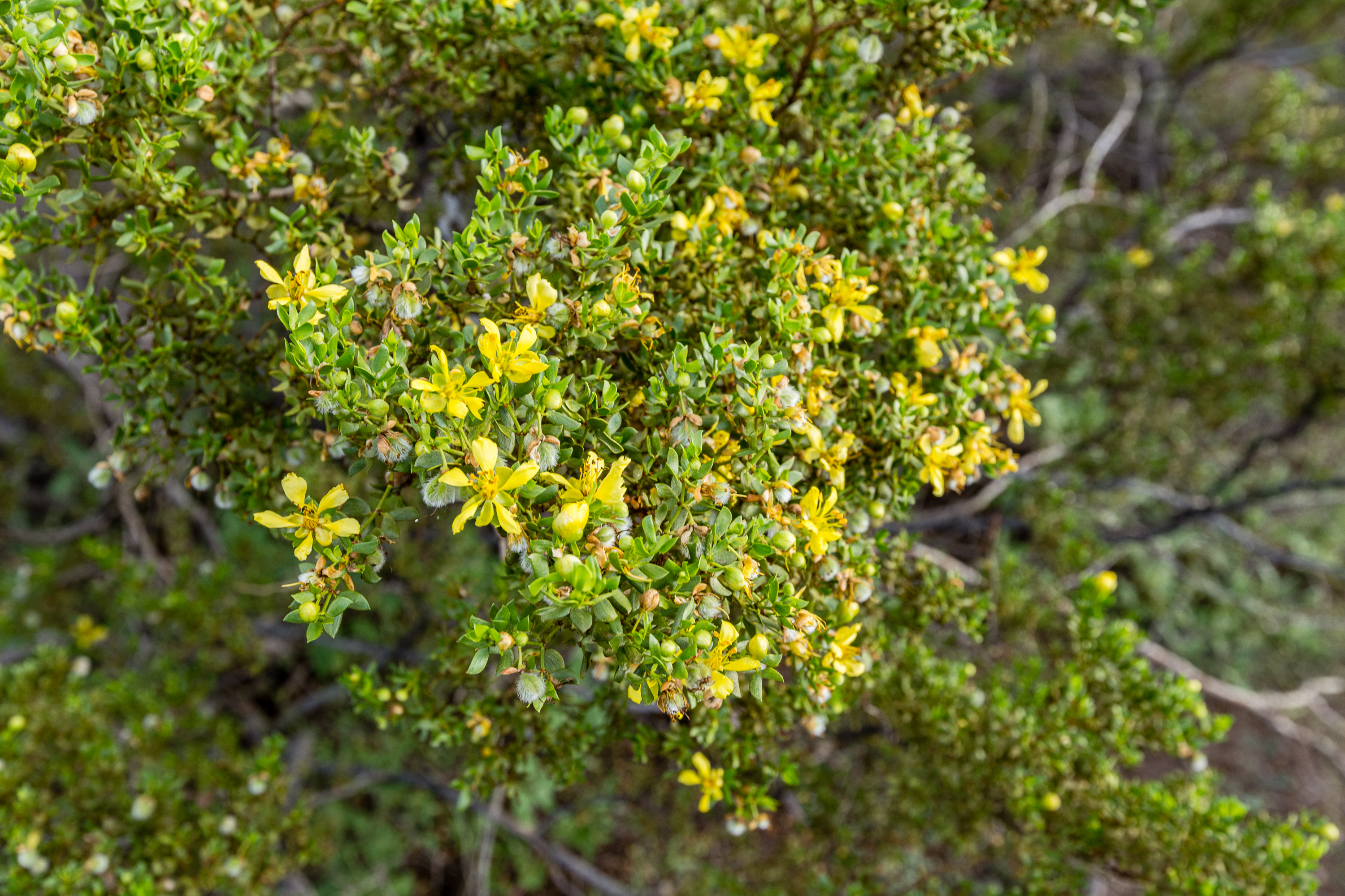
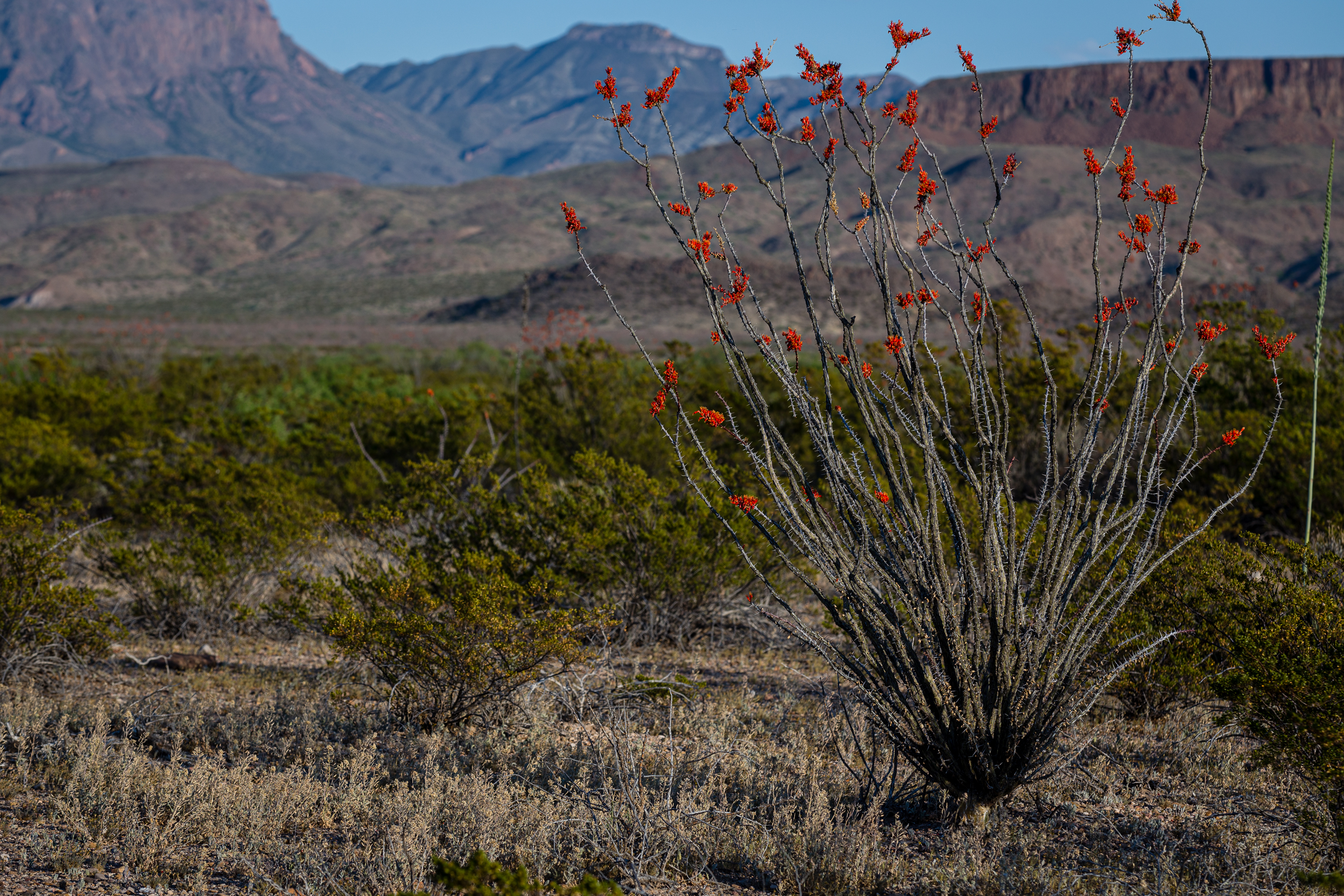
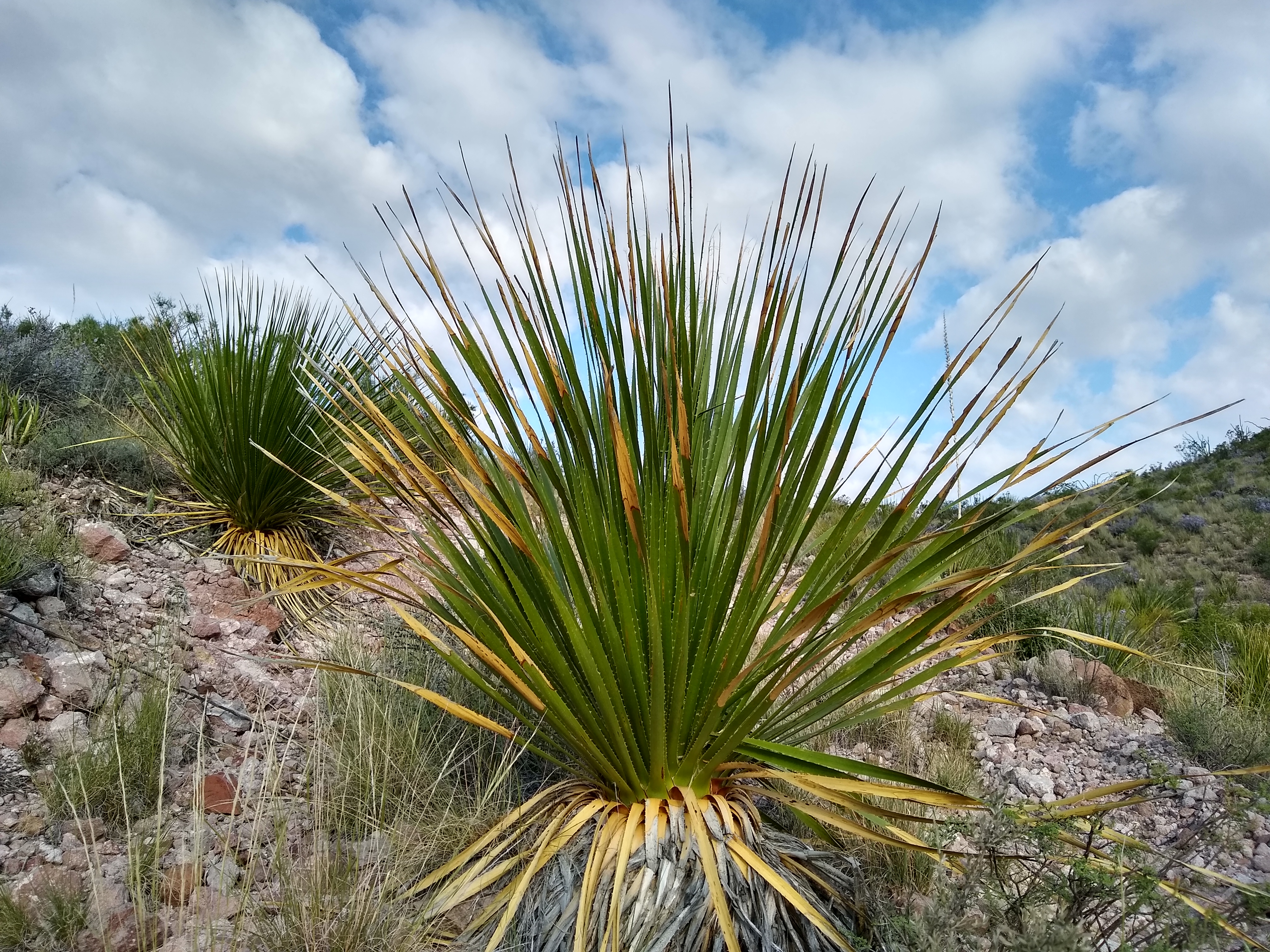
This is the first of nineteen stops along the self-guided Dagger Flat Driving Tour. This location explores the Chihuahuan Desert, which is the second largest desert in North America.
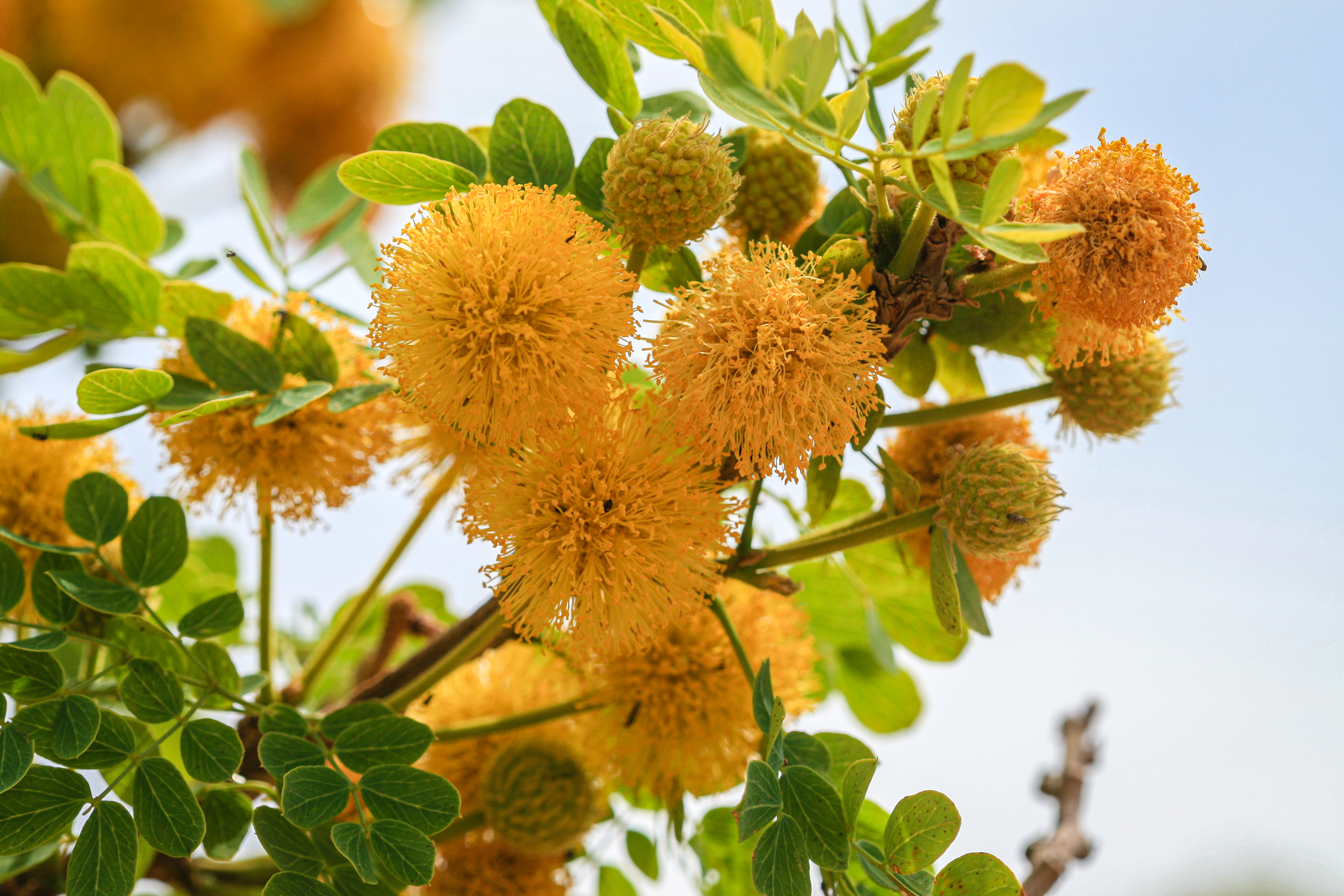
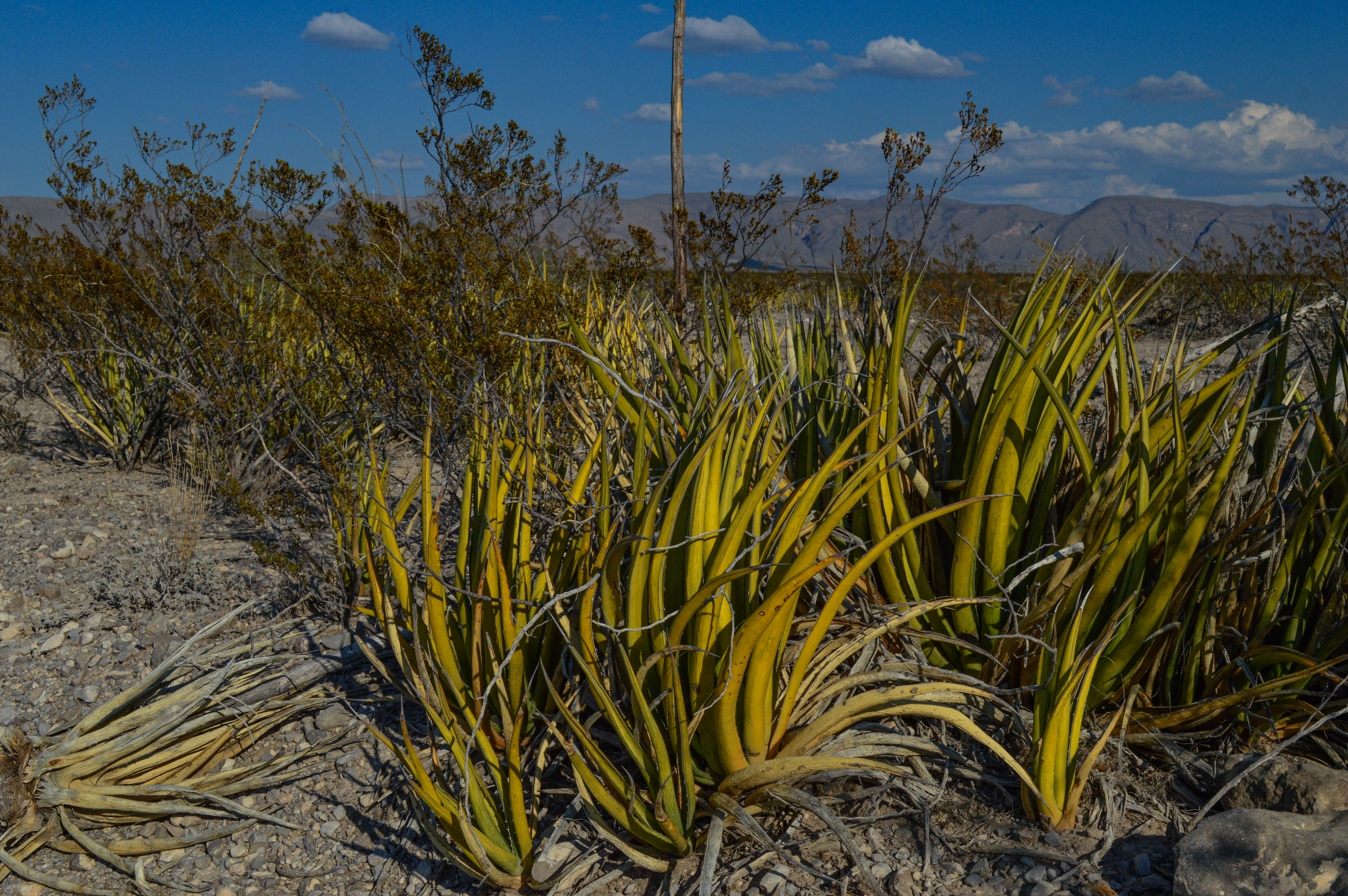
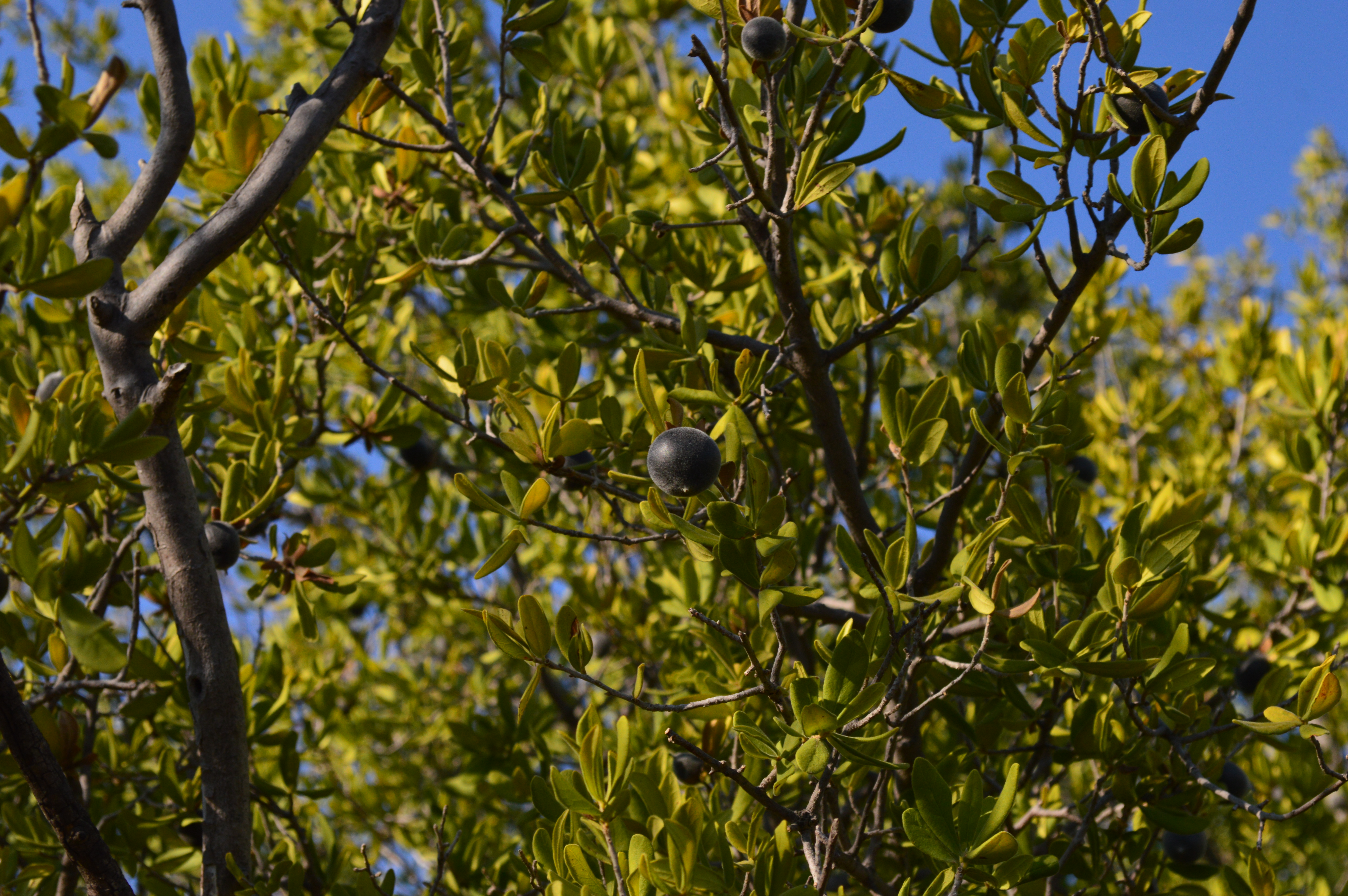
The fourteenth stop on the Dagger Flat Driving Tour, exploring the plant known as candelilla, which has been used to make products including chewing gum, car wax, and shoe polish.
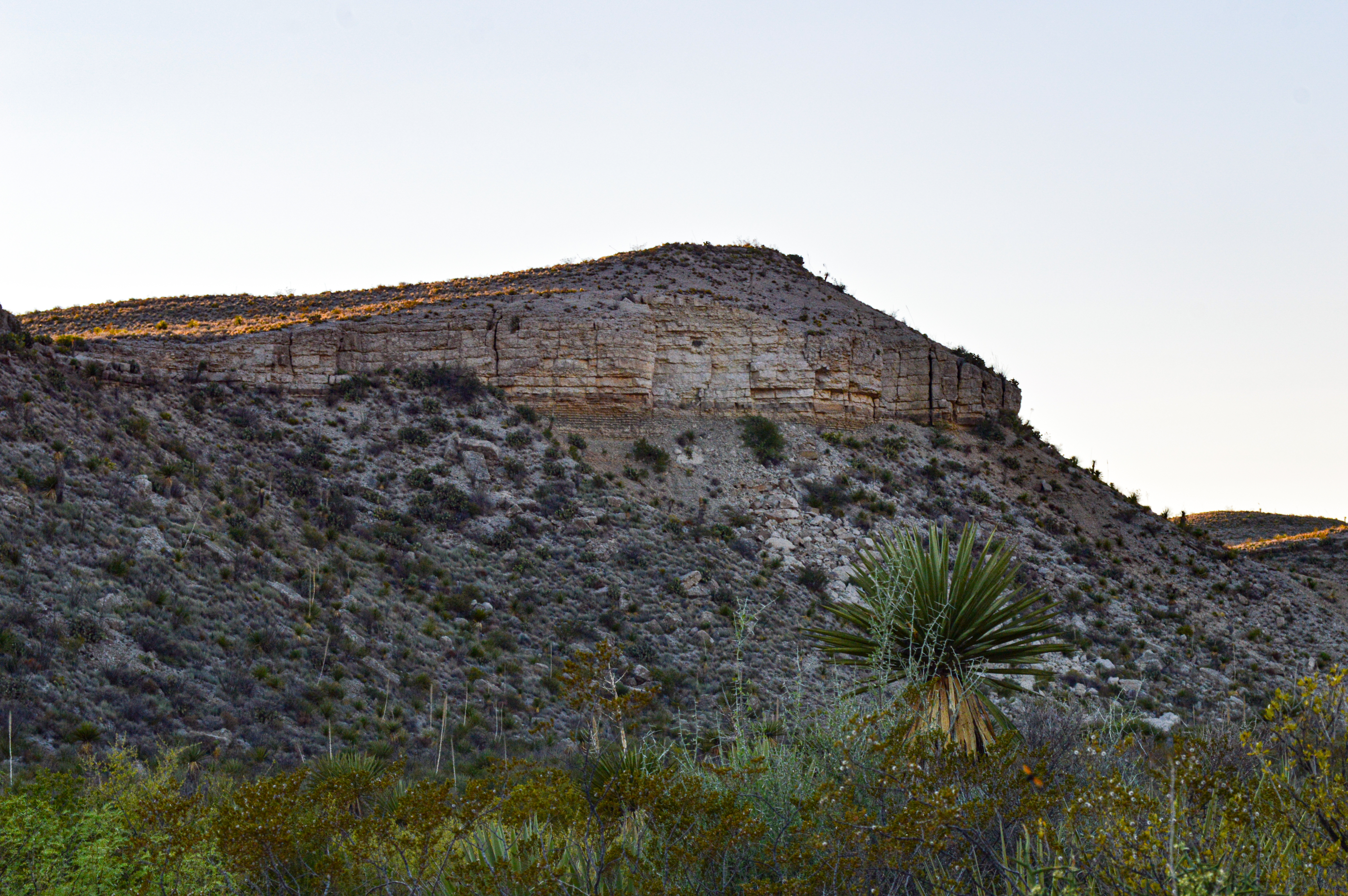
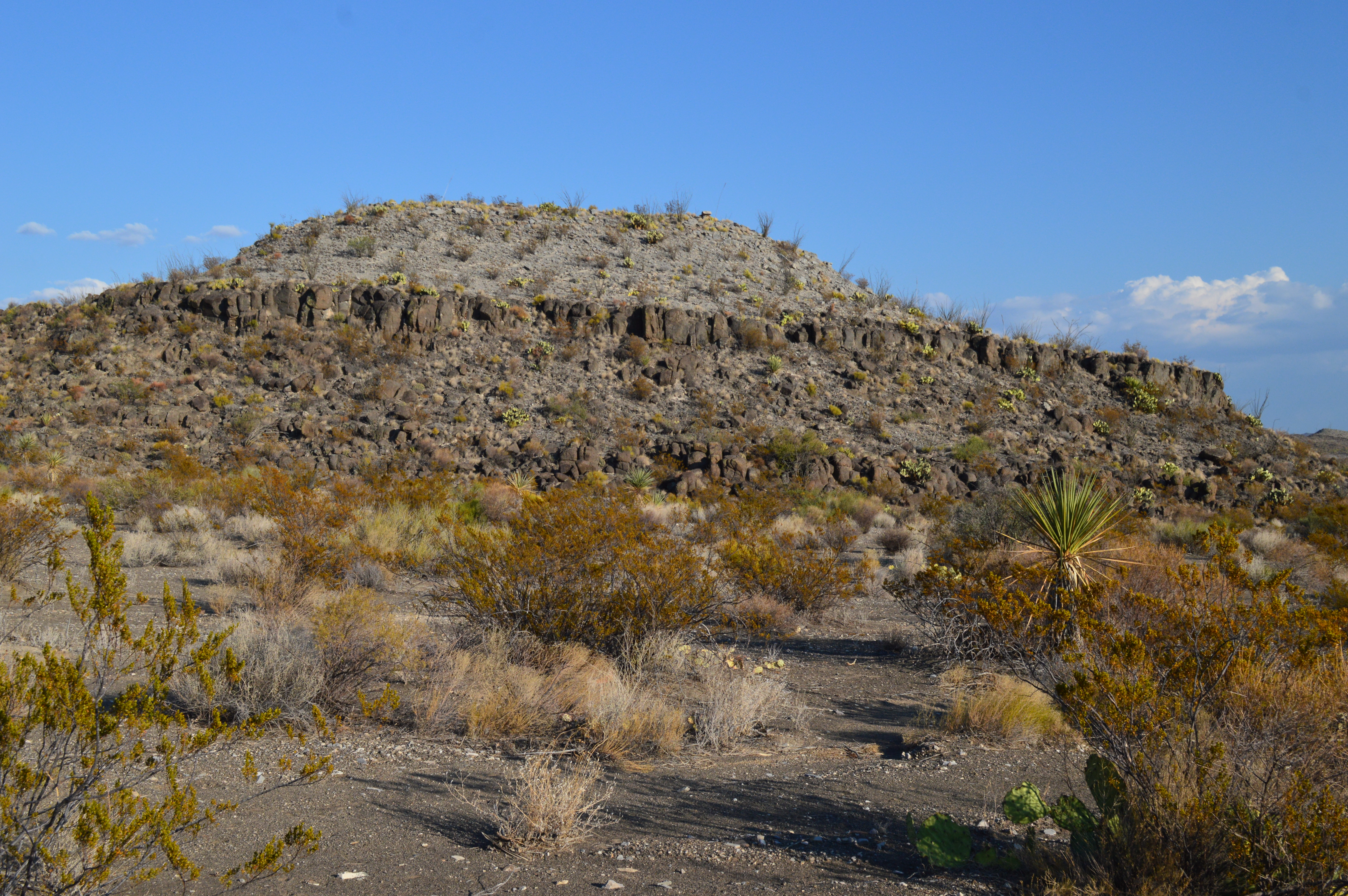
The fifteenth stop on the Dagger Flat Driving Tour, discussing the geologic contact between two sedimentary formations - Del Rio clay and Buda limestone.
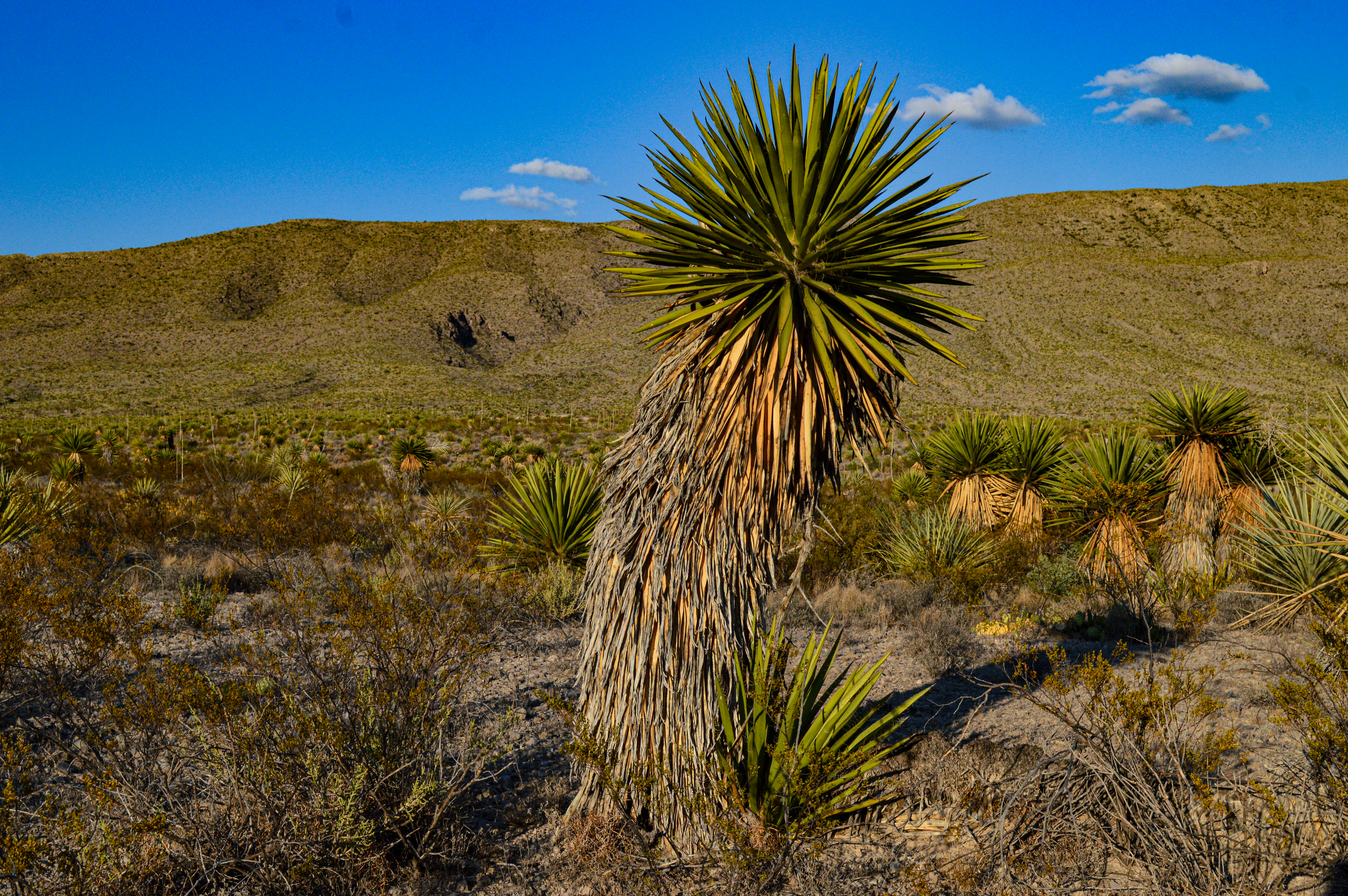
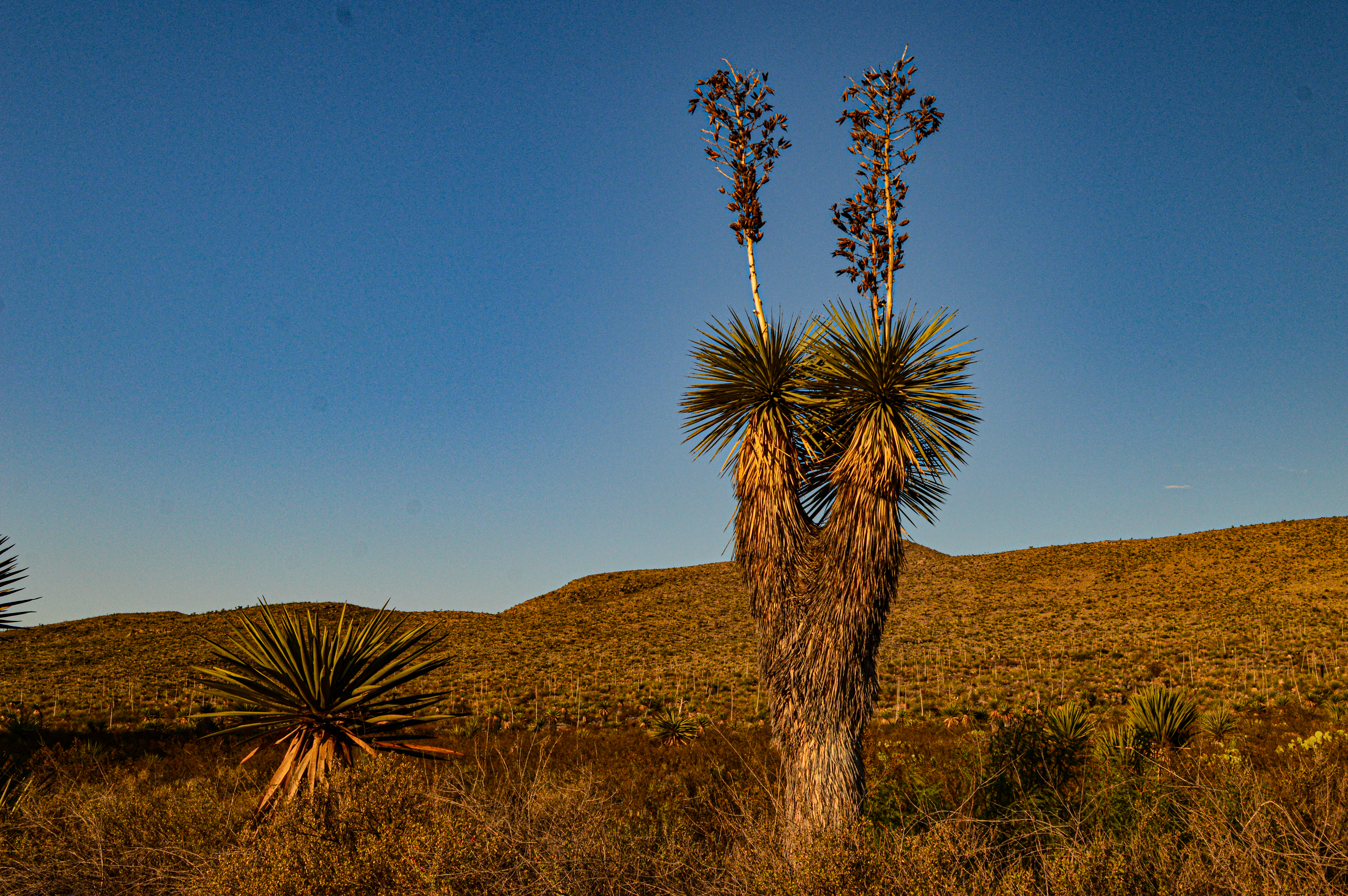
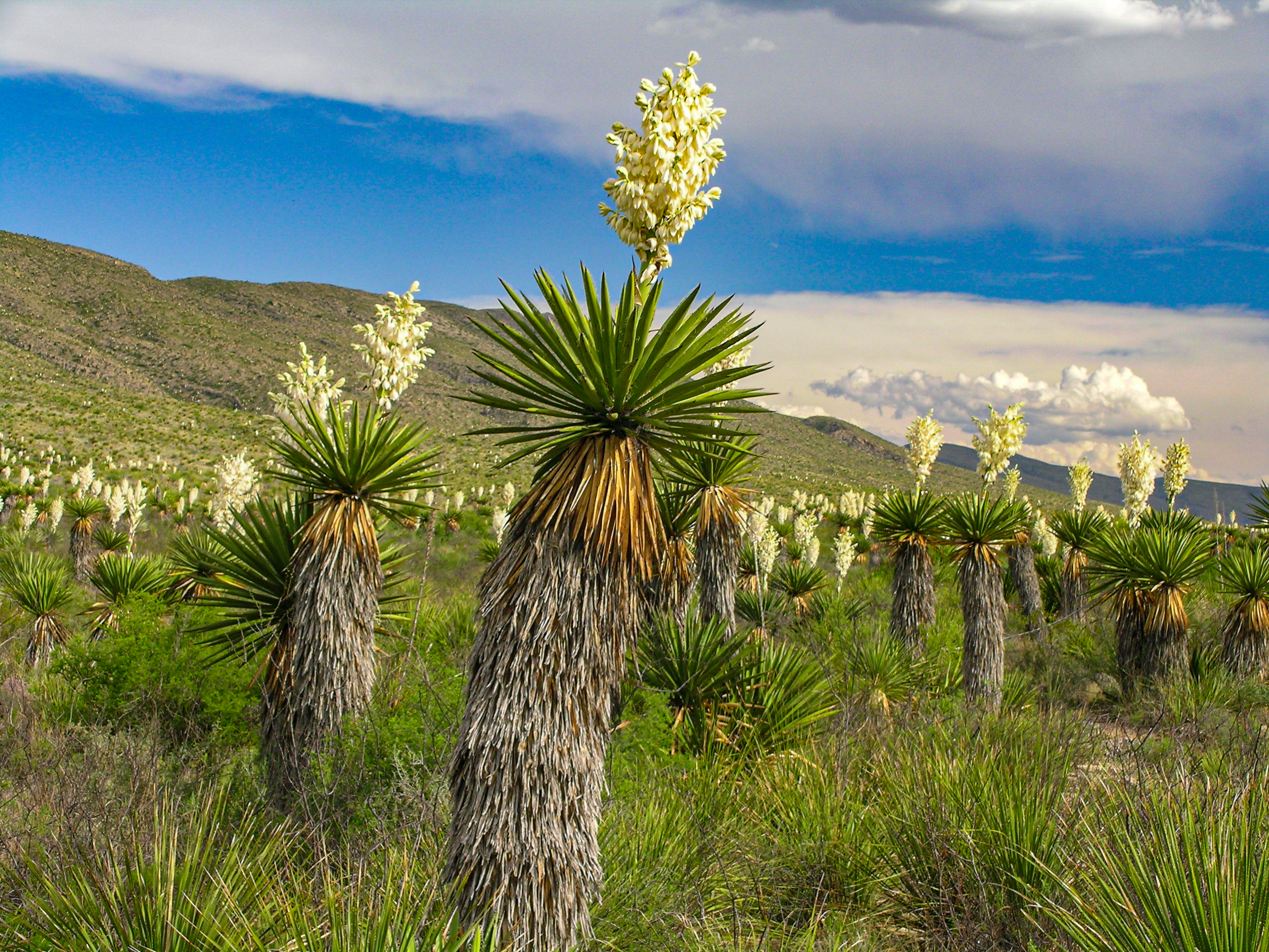
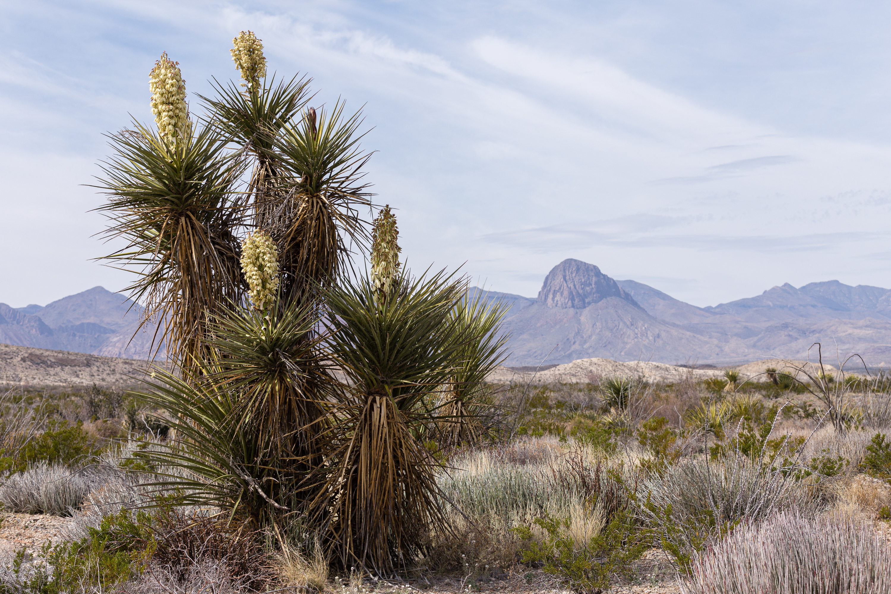
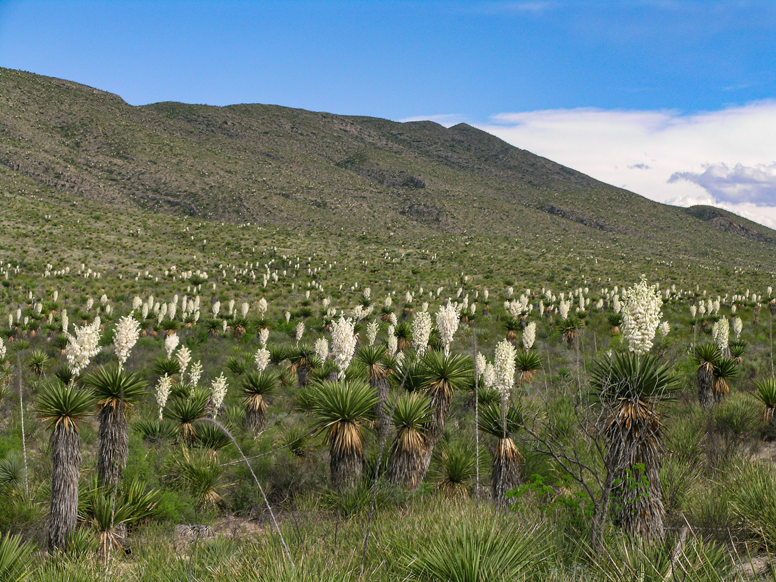
The last stop (also the end of the road) on the Dagger Flat Driving Tour. This is the best location from which to view the largest number of giant dagger yucca. They typically bloom sometime in April-June.
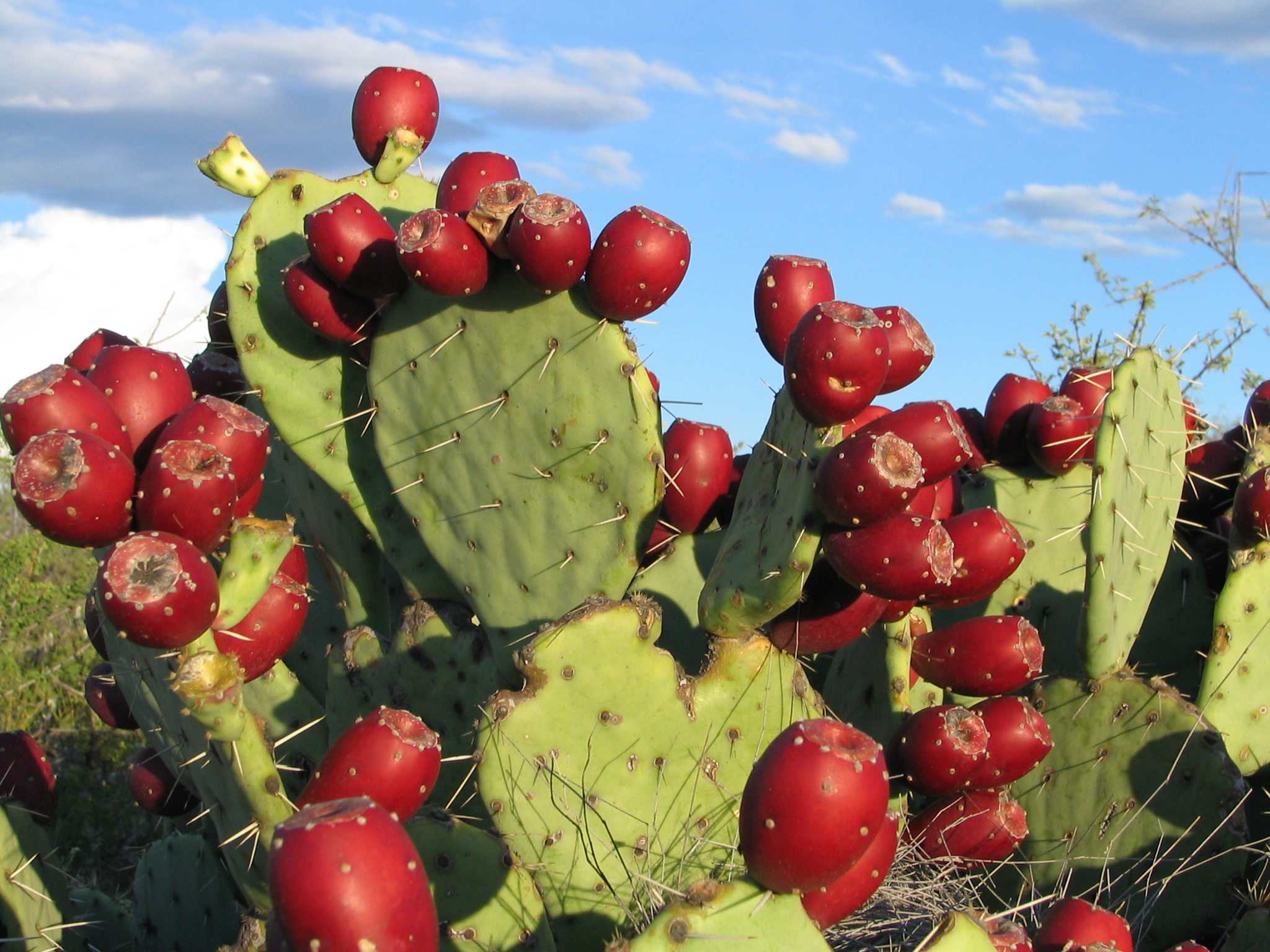
A 14-mile round-trip drive down a dirt road - high clearance necessary - to view a unique forest of giant dagger yuccas. Along the way one can view plants, and possibly animals, common to the Chihuahuan desert.
In the early part of the 20th century, hardy homesteaders constructed dwellings and an elaborate network of irrigation ditches for farming near this location beside the Rio Grande.
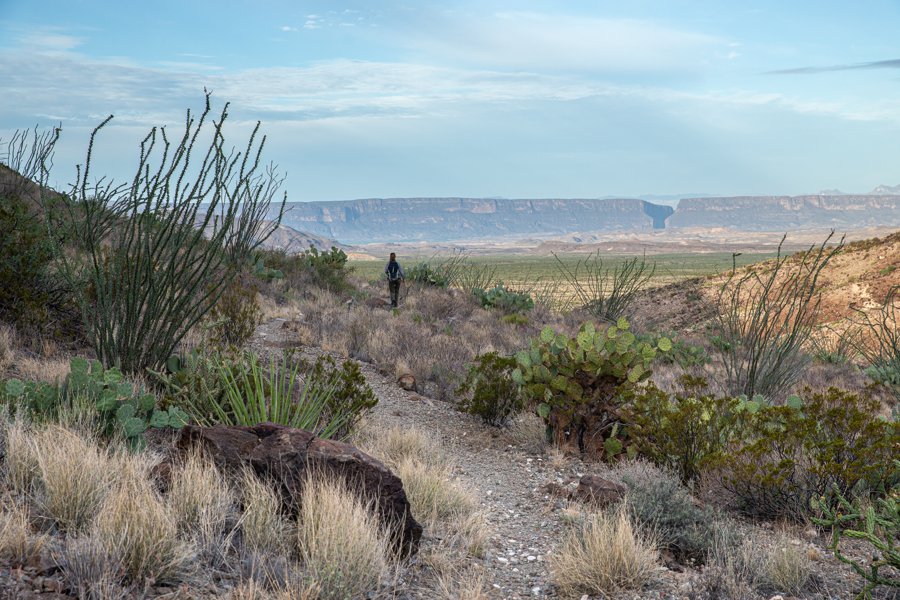
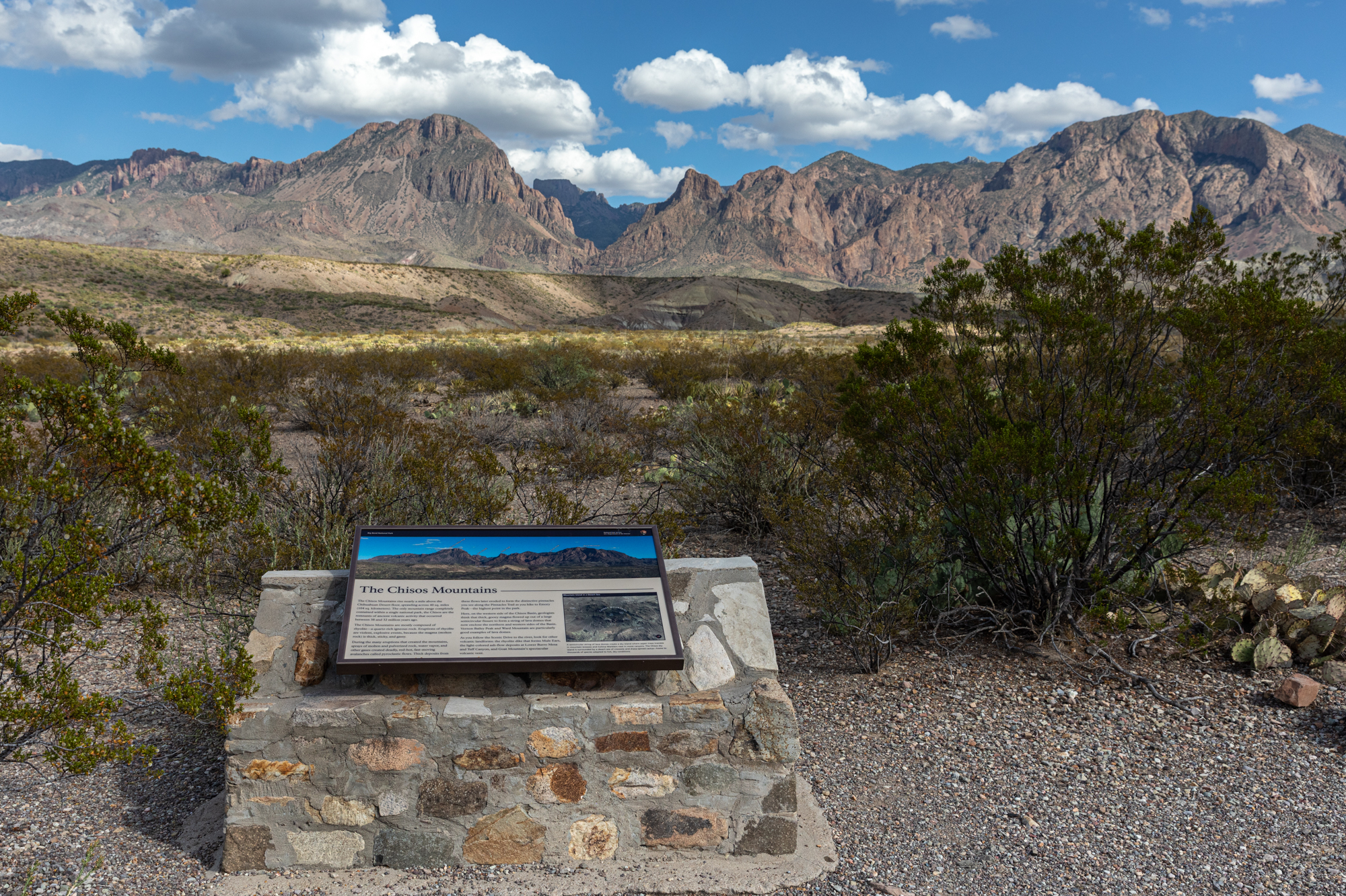
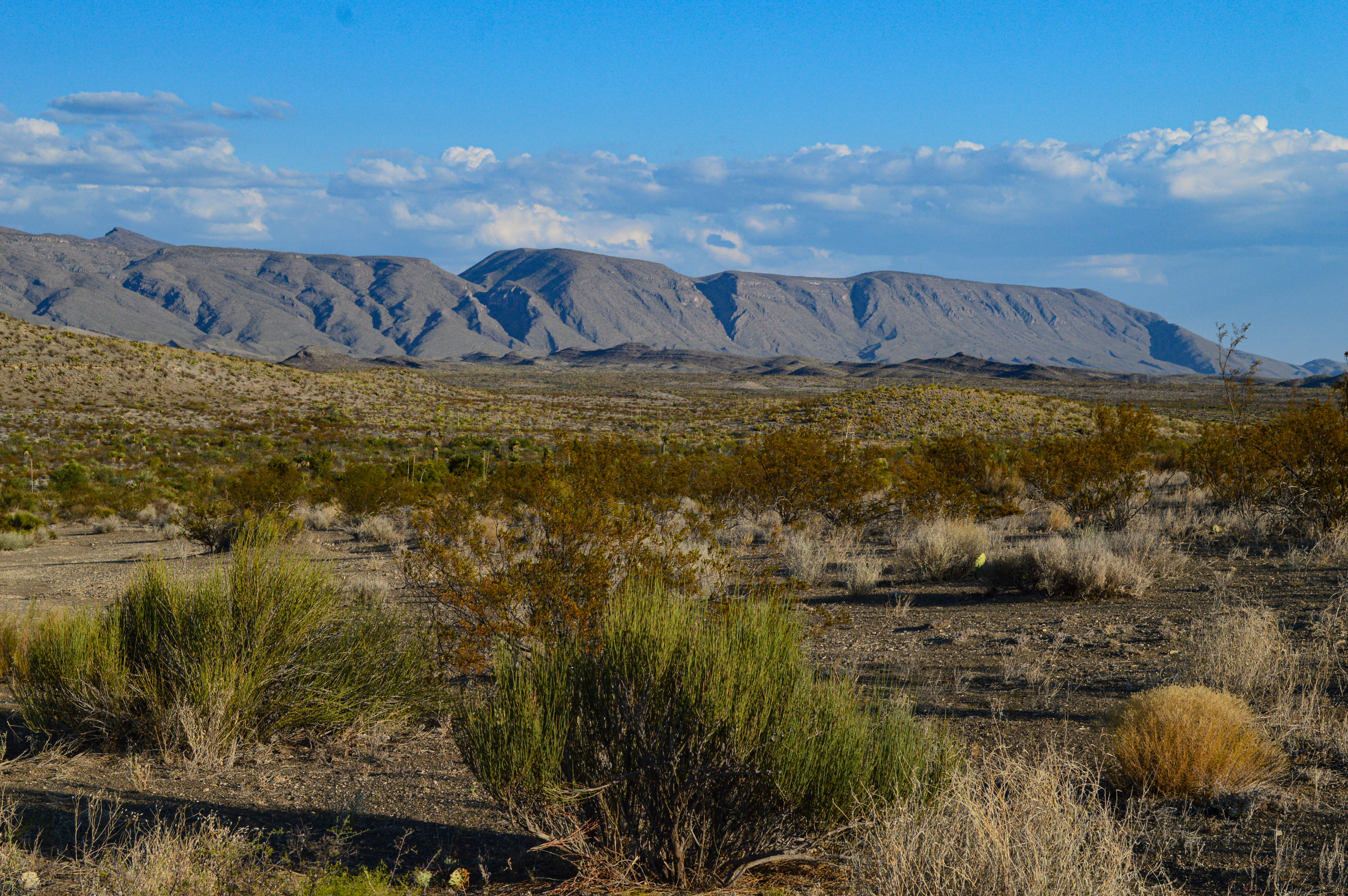
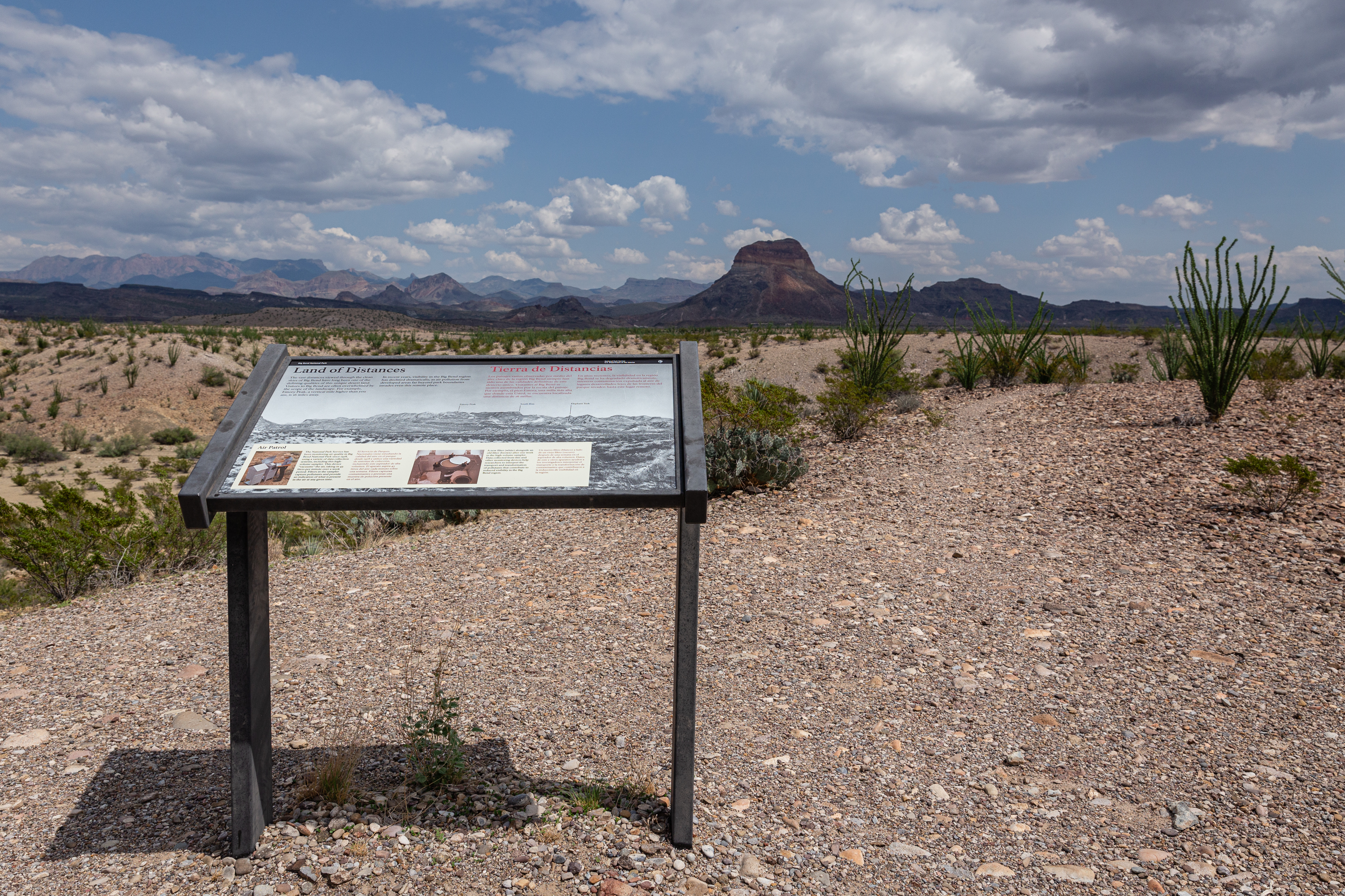
Visitors to Big Bend are often overwhelmed by the scope of the landscape. At this overlook one can spot well-known features of the Chisos mountains such as Emory Peak, the south rim, and Elephant Tusk.
A rugged, strenuous 10 mile trail through the desert. The Dodson Trail crosses the southern Chisos Mountains foothills, resulting in large elevation gains and losses throughout the hike.
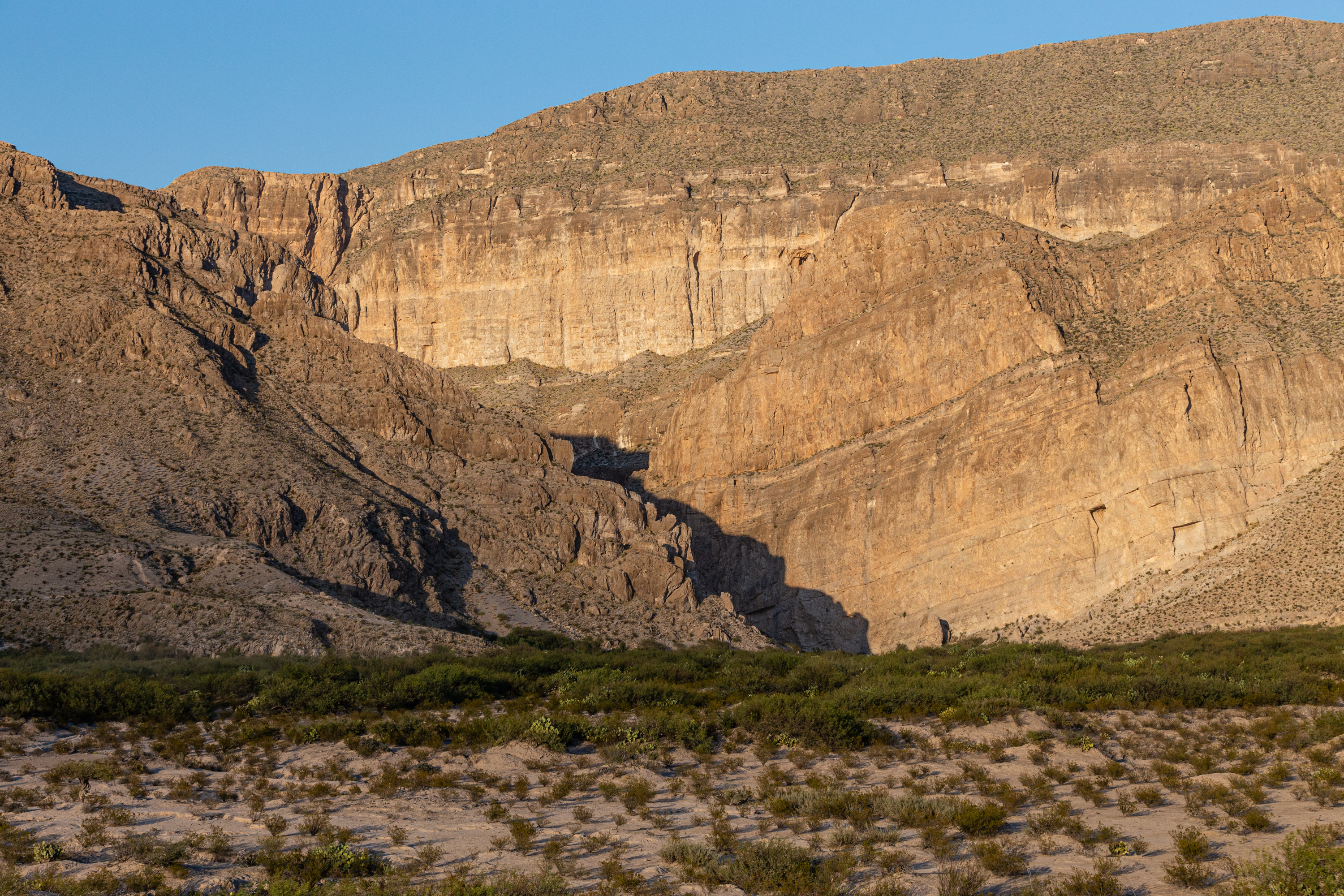
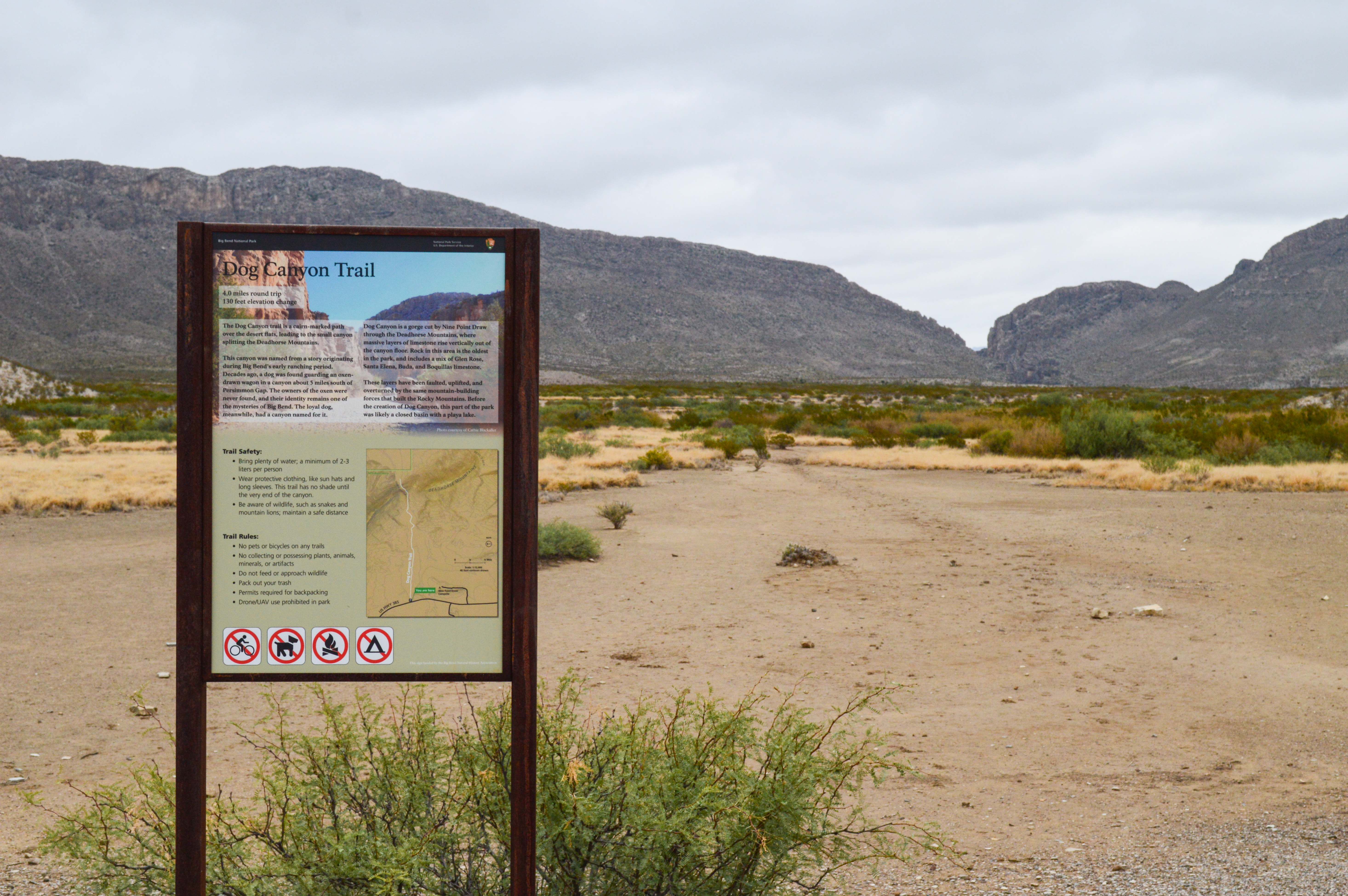
The Dog Canyon trail is a relatively flat 4-mile round-trip hike across open desert to a canyon that splits the Deadhorse Mountains. At the far end of the canyon one can see that the horizontal rock strata have been folded vertically by the geological forces that formed the mountain ridge the canyon traverses.
In the 1930s architect Alvert Dorgan and his wife Avis Ann bought land near Sublett’s farm. Later he built an impressive adobe home on top of the mesa using his expertise as an architect to design this atypical hose with a petrified wood fireplace.
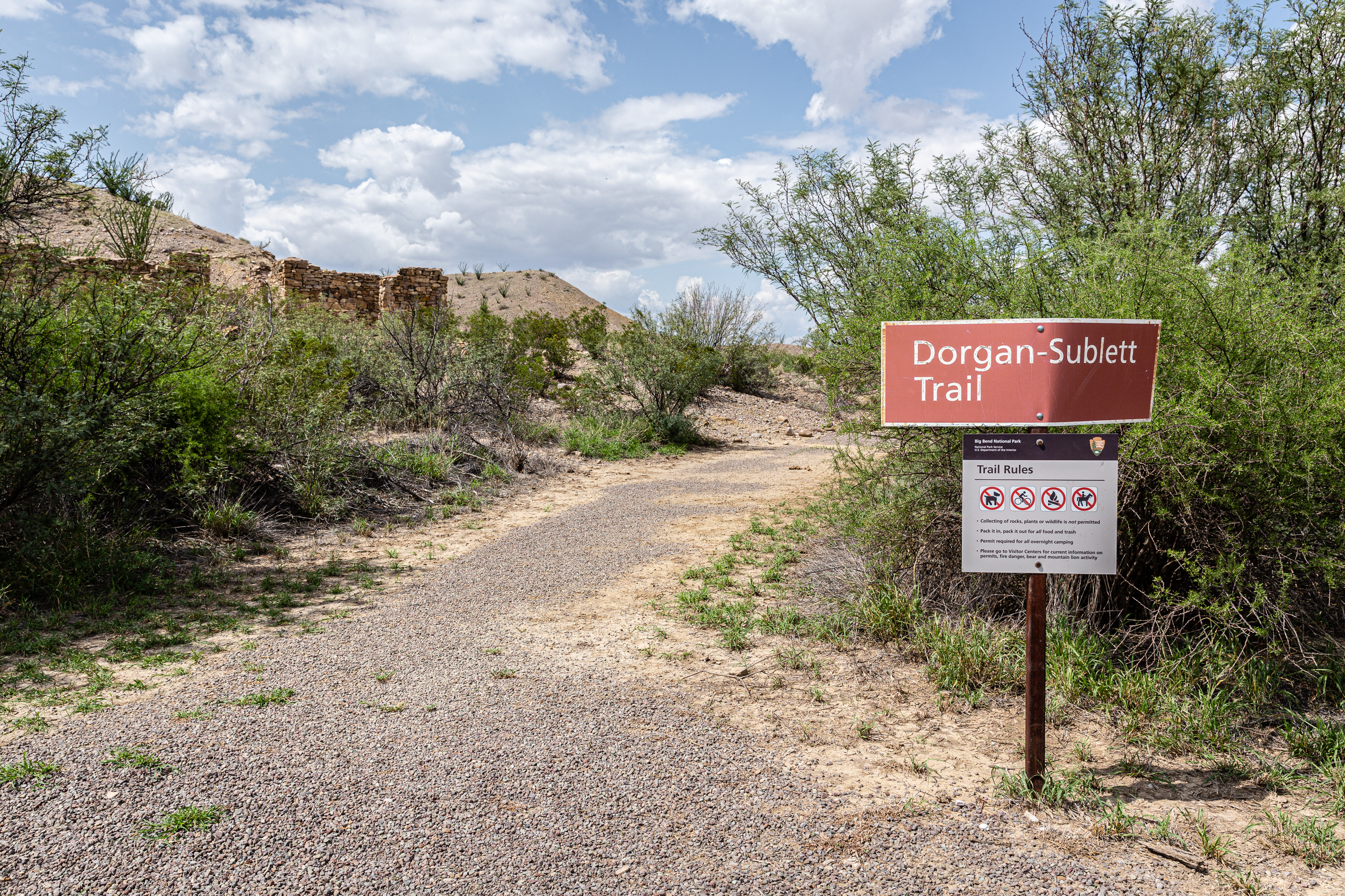
The Dorgan Sublett Trail is an easy one-mile roundtrip walk that leads to the remains of four structures that were part of the “Grand Canyon” farms operation in the early 1900s.
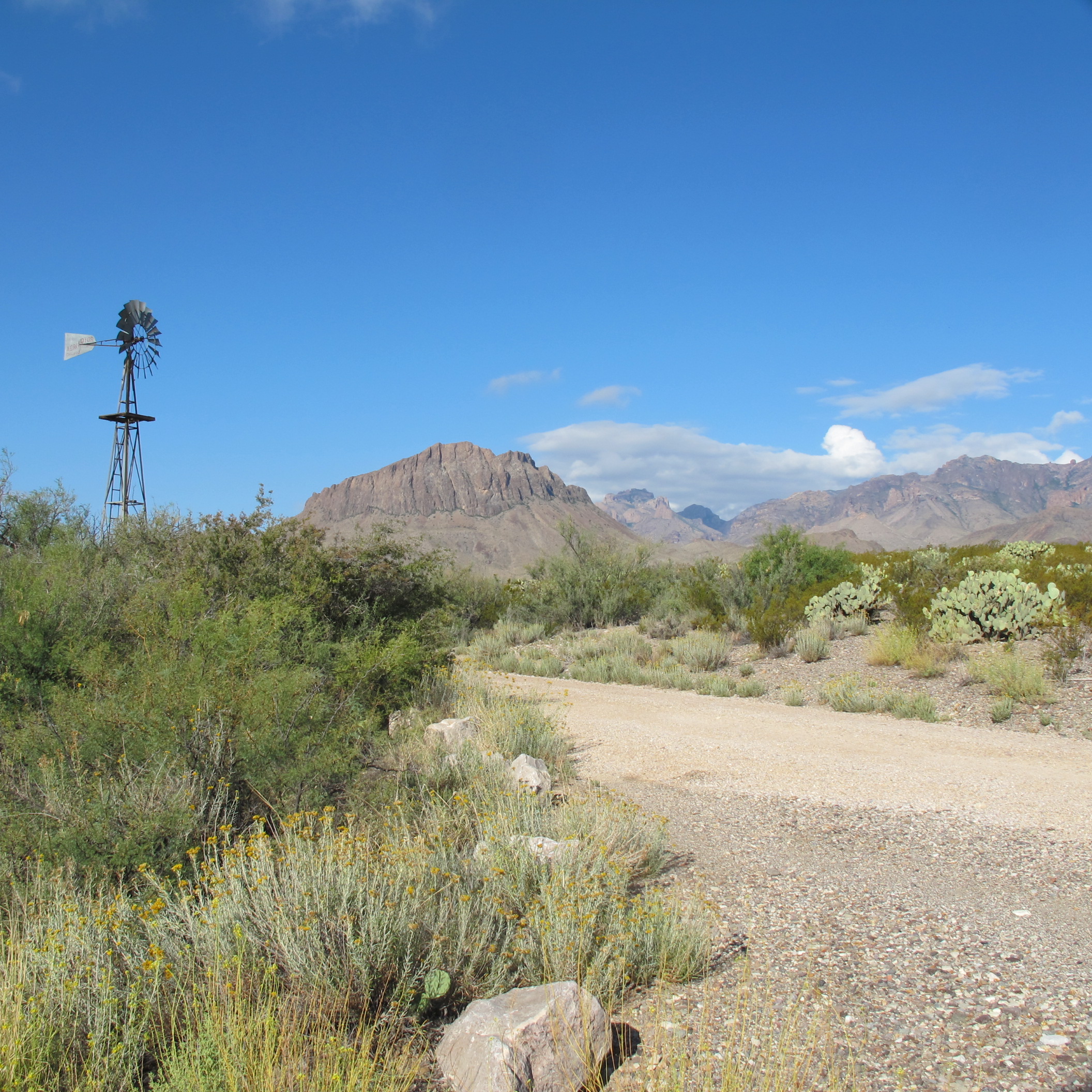
Dugout Wells was once known by homesteaders as the "Cultural Center of the Big Bend". A visit today reveals an oasis of trees, a working windmill, picnic tables, and a short 0.5 mile (0.8 km) walk along the Chihuahuan Desert Nature Trail.