Please contact www.recreation.gov or call them at 1-877-444-6777 to reserve a site.
The approach to Buffalo Point Campground is about 3 miles off of Highway 14 on Highway 268. A large wooden sign with at carved Bison on it announces the entrance to the Buffalo Point area. The Buffalo Point Ranger station is on the right a few yards beyond the sign. The road continues straight to cabins, trailheads, and a restaurant. The road turns right just past the ranger station, going steeply downhill through a wooded area to reach the campground. Turns for group sites are on the right and for campground loops on the left. The road ends at a picnic area with restrooms at the top of the river bank.
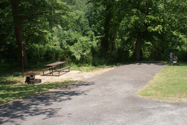
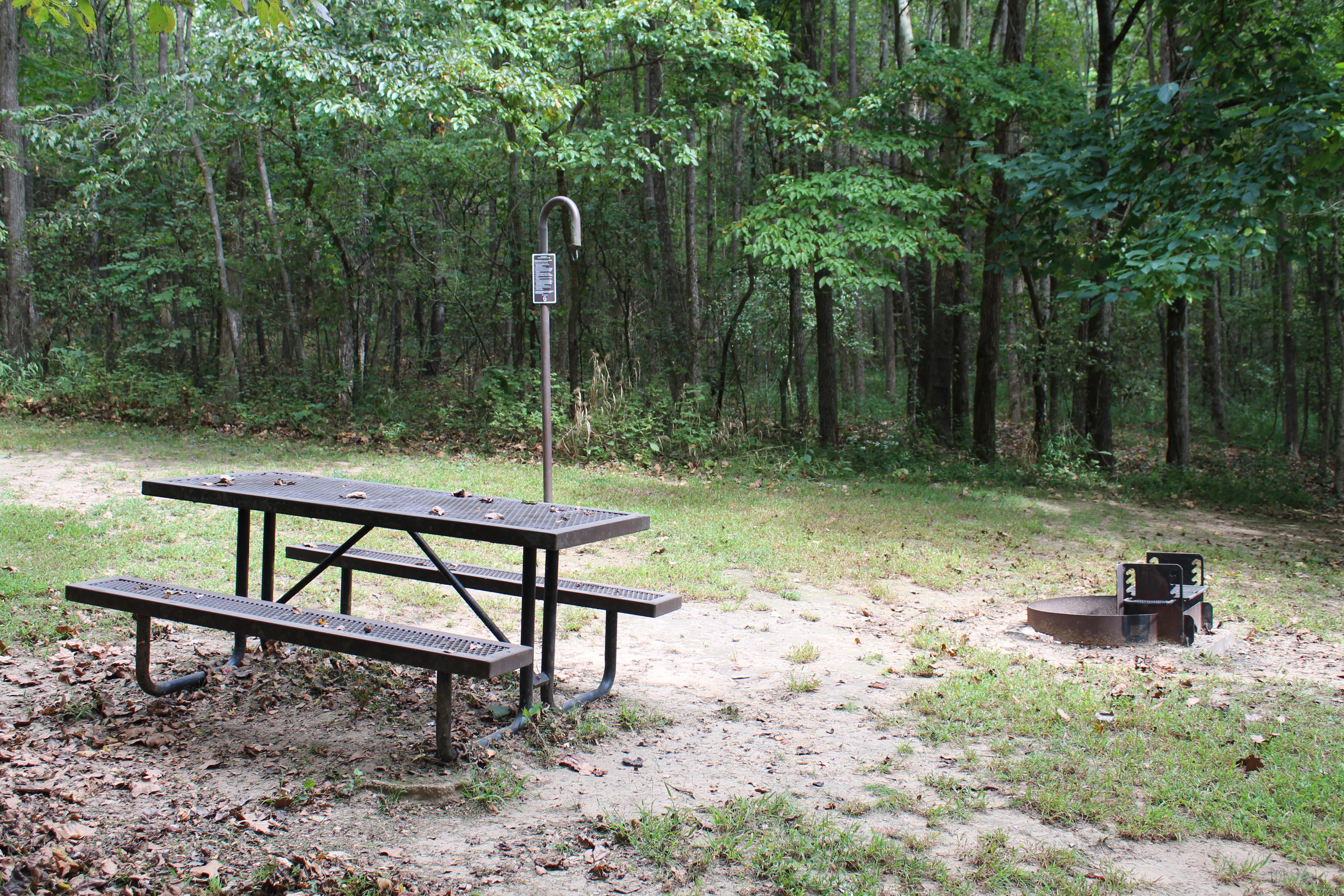
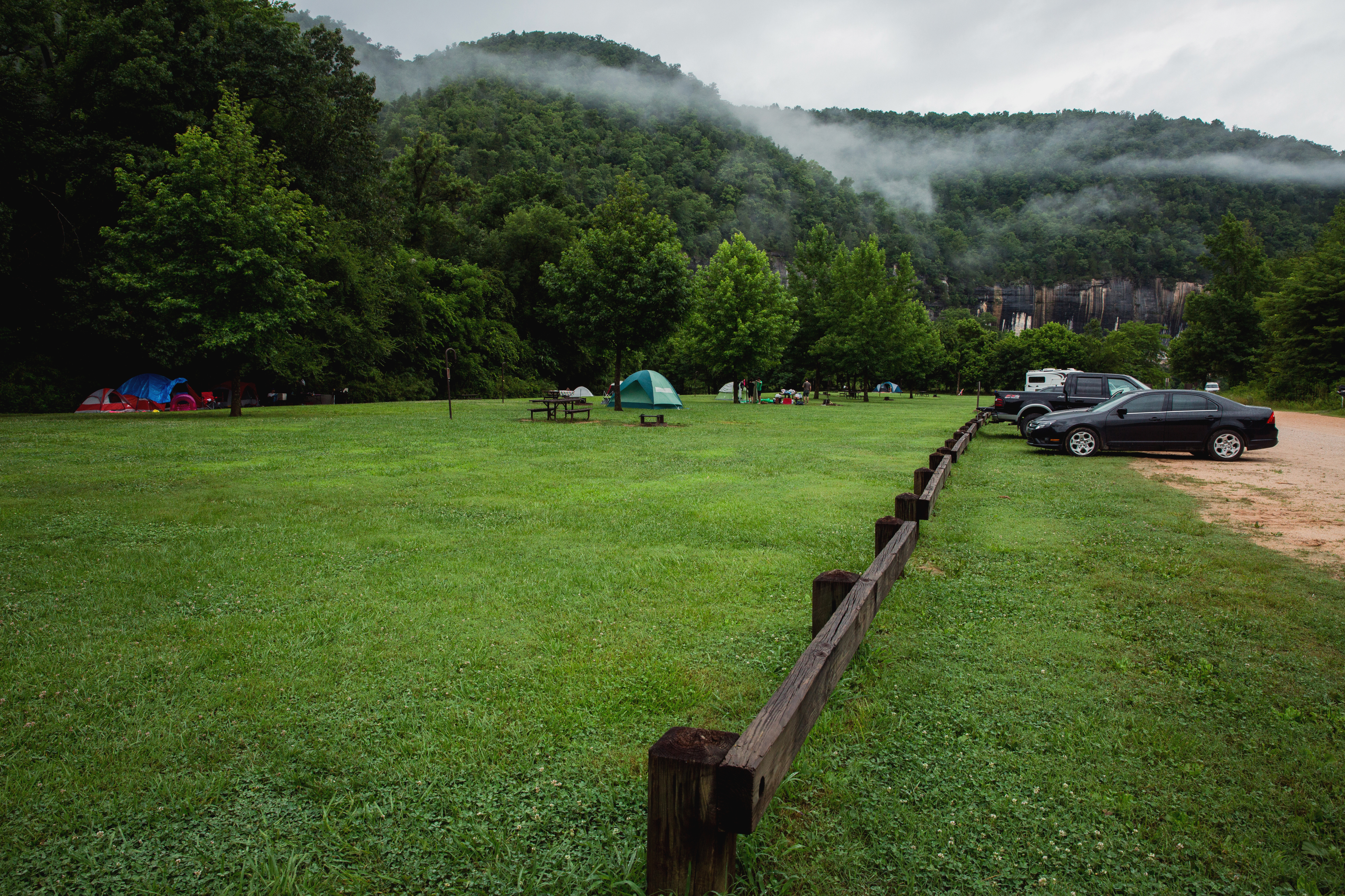
The approach to Carver campground is a gravel drive off Highway 123 to a gravel parking lot. There are wooden posts at the edge of the lot where the grassy campground area begins. Sites are scattered throughout the grassy area, each with a fire ring and picnic table. The vault toilet, water spigot, and bulletin board are at the right end of the campground near the river access point.
Group sites 2, 3, and 4 are reservable by calling the Tyler Bend Visitor Center at 870-439-2502. Group sites 1 and 5 are first come, first serve. Each group site is permitted to have up to 25 people per site, tent camping only. All drive in and walk in sites are first come, first serve. Drive in and tent only sites are limited to 6 people per site.
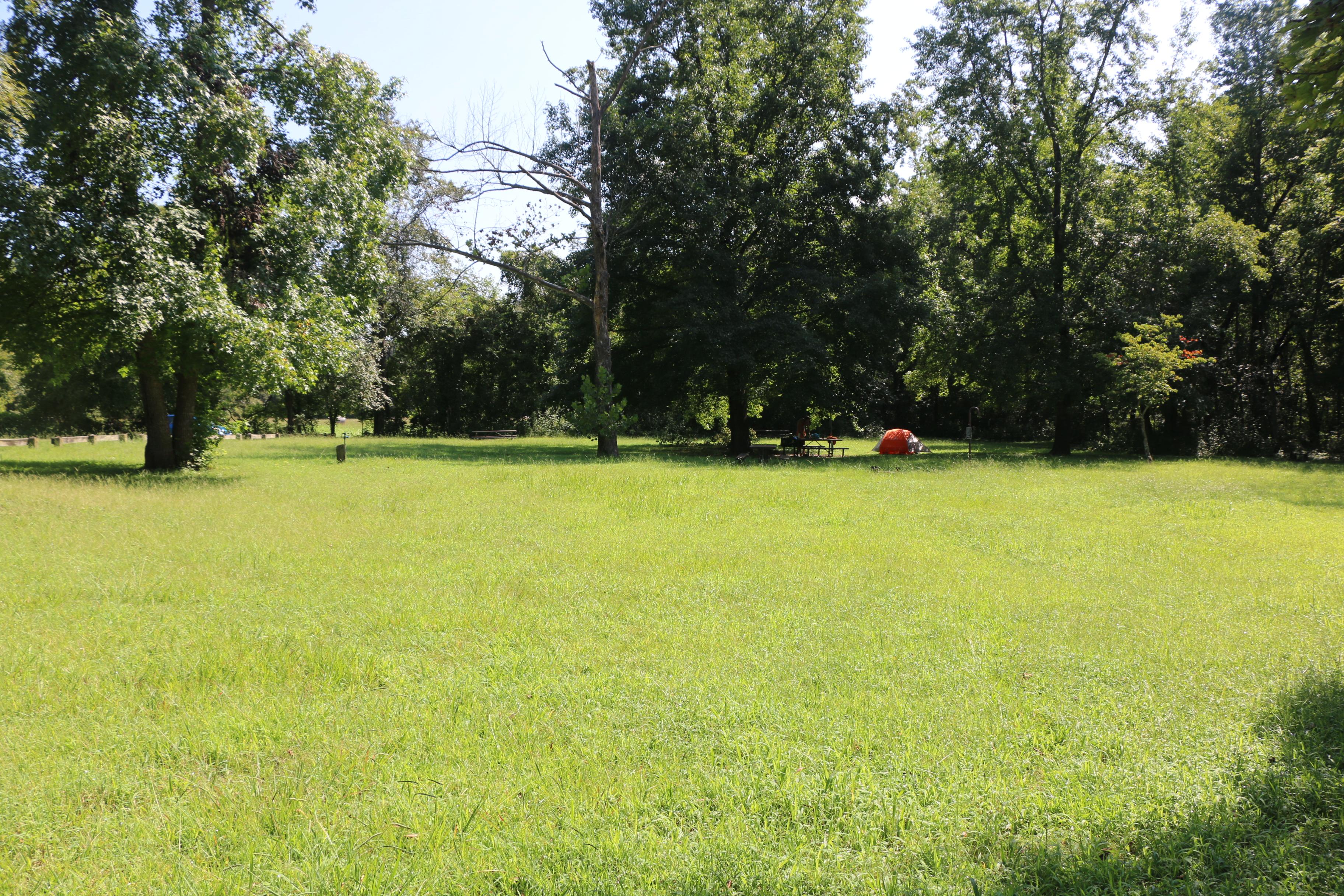
Erbie campground is about 5 1/2 miles on a gravel road off of Highway 7 about 3 miles north of Jasper, AR. The road winds through woodlands including at least one hairpin curve. The road straightens out into the valley. The turn into the campground is on the right. Straight ahead takes you to the historic Parker Hickman farmstead. When you turn into the campground the road to the right goes to parking and river access point. To the left is the campground with large groups sites in the field on the right. Past the group sites are individual campsites amongst the trees.
All sites are first come, first serve. Please pay with cash or check at the fee station after selecting a site.
Kyles Landing campground is about 3 miles down a rough, steep gravel road off of Highway 74 about 5 miles west of Jasper, AR. The campground road makes a loop around a grassy open space with campsites disbursed around and inside the loop. Parking areas are along the road. The restroom is straight ahead as you drive into the campground. As you follow the loop to the right another loop circles to the river access and parking area. At the opposite end of the campground loop is another parking area and trailhead for the Buffalo River Trail and Old River Trail.
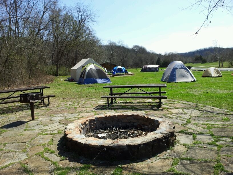
Ozark campground is 1 1/2 miles along a gravel road off Highway 7 about 3 miles north of Jasper, AR. The road travels through woodland with a clearing for the campground at the end. The road circles around a center open field. The river access is at the far end with campsites to the left as you enter the campground. Restrooms and picnic pavilion are in the grassy field near the road.
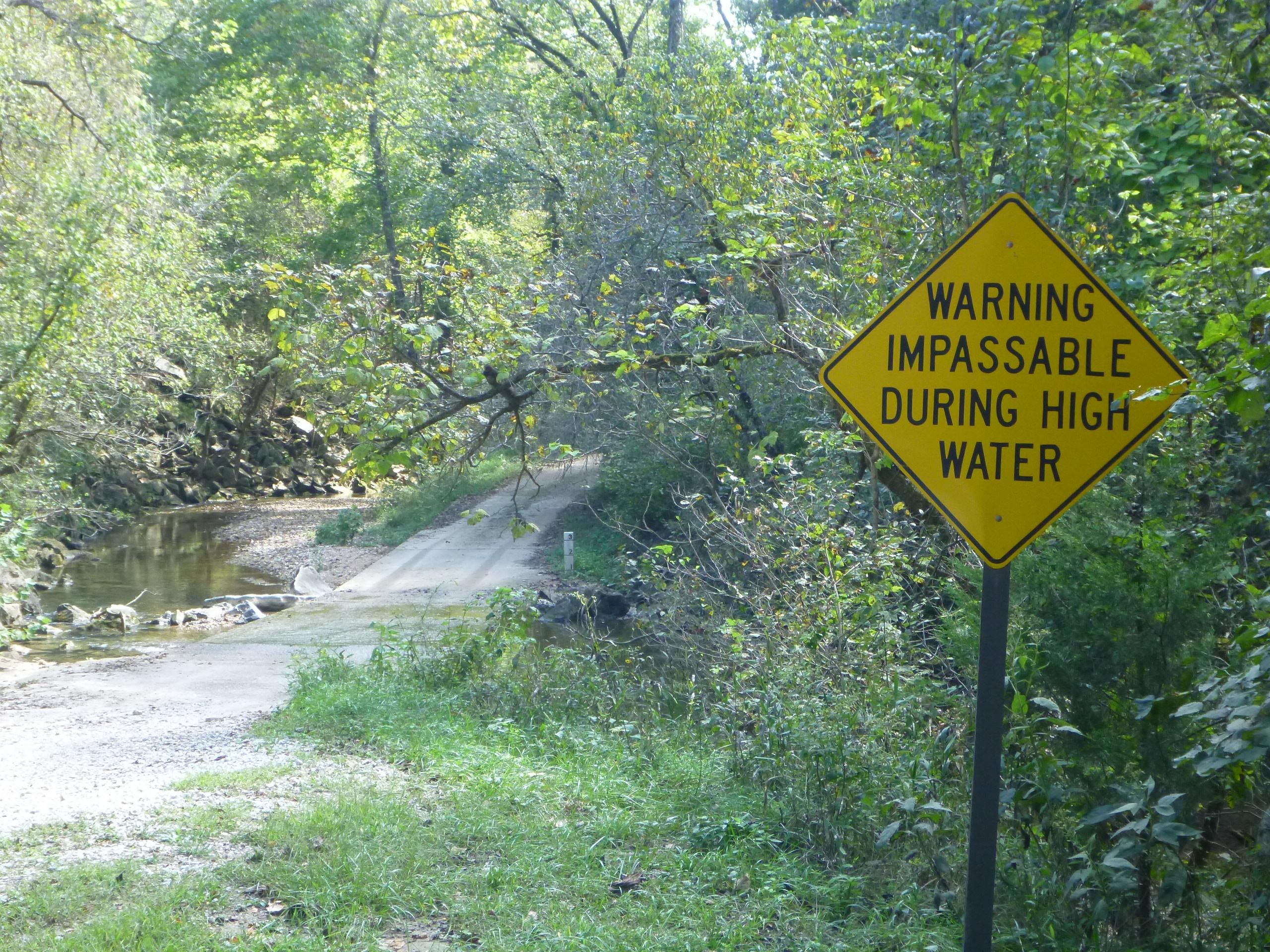
Rush Campground is about 5 1/2 miles off of Highway 14 on Marion County Road 6035. The road is paved for about 4 miles until it enters the park where it becomes gravel. You drive through the remains of the Rush historic district, several wooden buildings on the right, the interpretive trail with parking lot on the left, and the stone walls of the store as you drive around a curve. Another mile further the road forks. Straight ahead takes you to the river access. Bear right, cross the concrete low water bridge and pull into the parking area. Wooden posts separate parking from the grassy campsite area. Vault toilet and water spigot are to the right with campsites arranged around the open area.
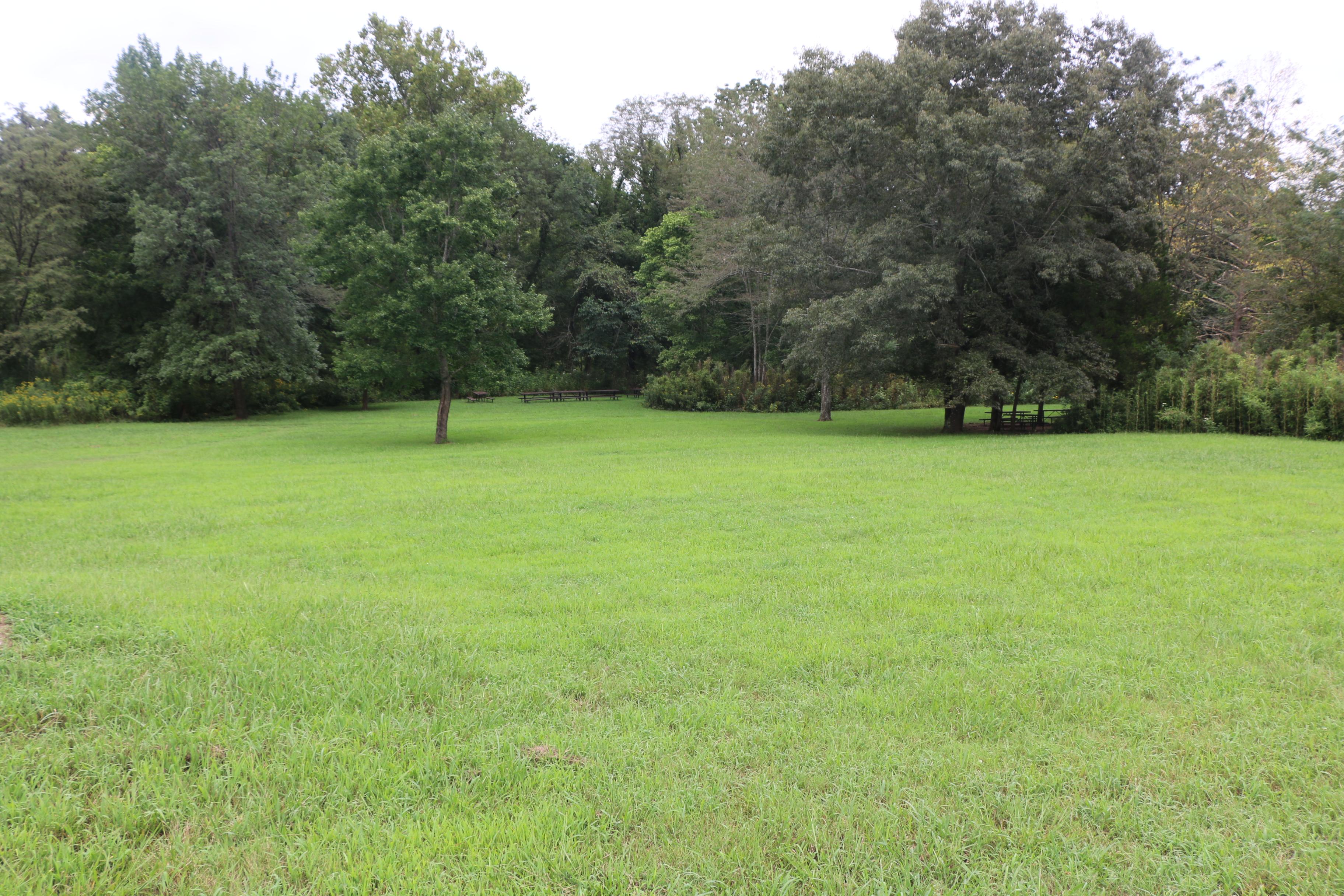
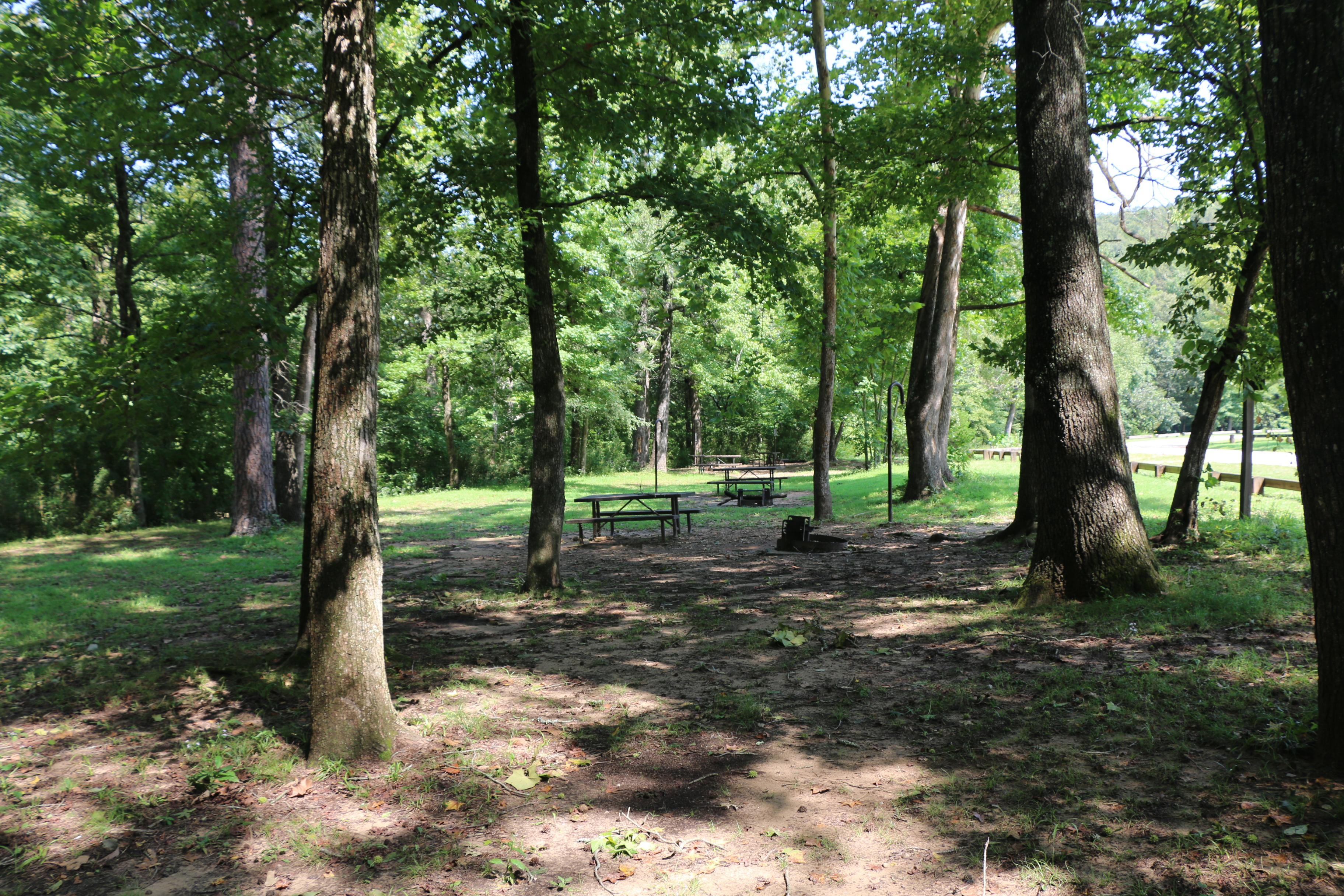
The approach to Spring Creek campground is a 3 mile gravel road through woodlands and fields. At the end of the road you enter a shady clearing with campsites around the woodline and a vault toilet in the center. Access to the river is straight across the clearing down a gravel path.
Tent sites 1-13 and horse sites 27-32 are available for reservation at www.recreation.gov or by calling 1-877-444-6777. Reservations can be made 5 days to 6 months in advance. Reservations are only accepted for the time frame between March 15 and November 14. All other tent and horse sites are available on a first come, first served basis.
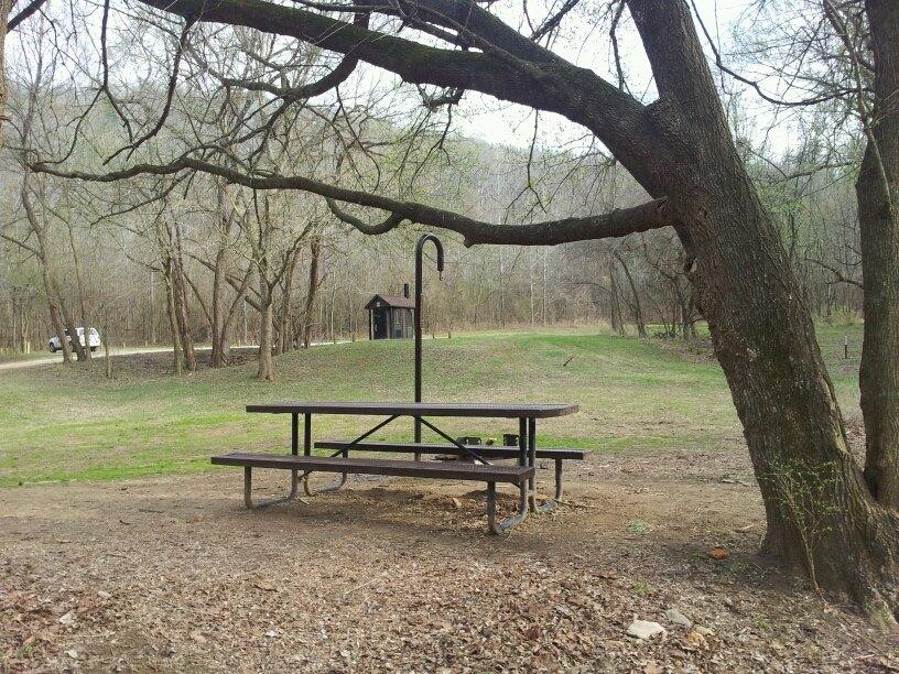
Steel Creek campground is about 1 mile off Highway 74 13 miles west of Jasper, AR or 2 miles east of Ponca, AR. The road is paved, steep in places with several sharp curves through woodlands before flattening out in the open river valley. The road becomes gravel. Straight ahead across open grassy fields are tall rock cliffs. The road to the right takes you through the fields to the horse campground and the ranger station. The road to the left takes you along a wooded hillside on your left and the field with cliffs beyond to the tent campground. The road widens to include parking with wooden posts to separate it from the field and campsites. Campsites are scattered throughout the field with each one having a fire ring and picnic table.
The pavilion and group sites can be reserved up to a year in advance at recreation.gov or by calling 1-877-444-6777. Individual drive-in sites (2 - 13) and walk-in tent sites (A - E) are available for reservation 5 days to 6 months in advance. All other sites are first come, first served and payment for these sites must be made with cash or check at the self-pay station in the campground.
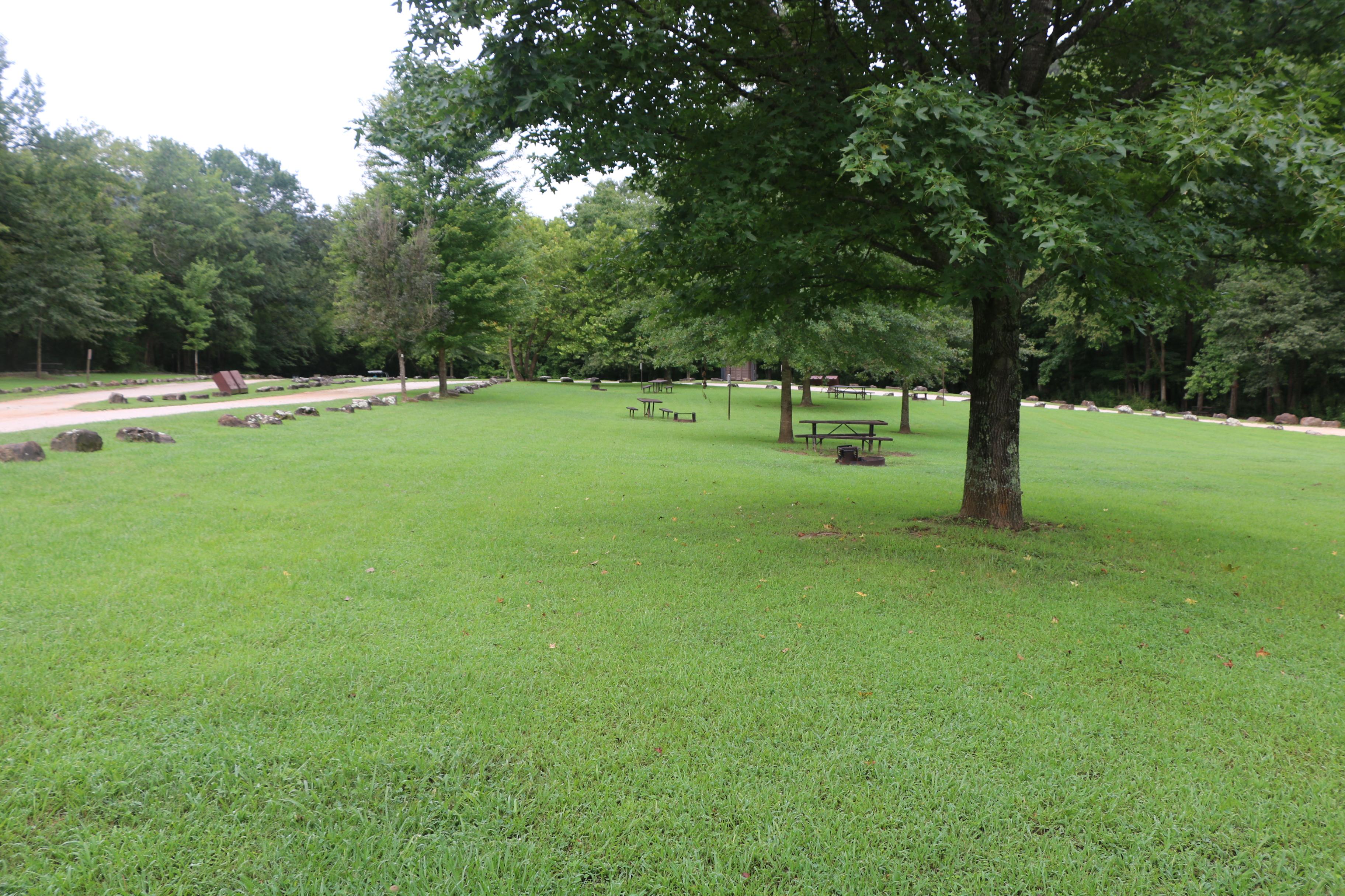
Tyler Bend Campground is about 2.5 miles off Highway 65 on the park road. The turn into the drive-in and walk-in campsites is the first road on the right past the visitor center. The group sites are the second road to the right. The approach to the drive-in sites is slightly downhill with the restrooms on the left, the amphitheater on the right. At the bottom of the hill the drive-in sites are a left turn and the road loops around for access to all 28 sites. Sites are arranged on both sides of the loop road and include wooded and open field sites. The approach to the walk-in sites is straight ahead from the bottom of the hill. The road makes a loop with parking and campsites on the outside and a wooded inner circle.
No reservations. This is an open field with no designated sites. If you find a spot to put a tent/RV, you have a campsite.
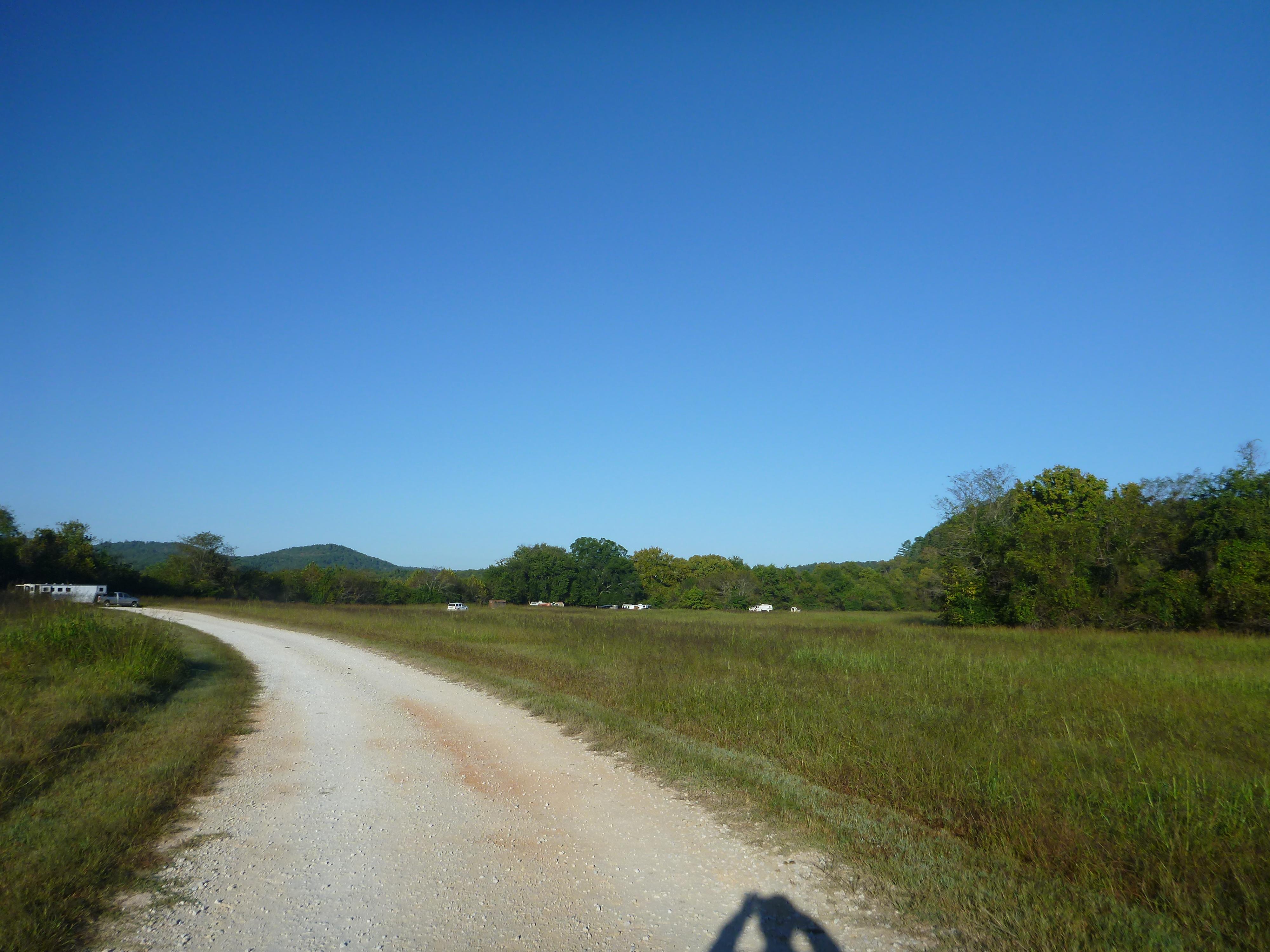
Access to Woolum is on a paved/gravel road off of Highway 65 at St. Joe, AR. The first 4 miles is paved two lane road with the last 3 miles being graded gravel road. Entering Woolum there is a bulletin board, vault toilet, and roadway to the river straight ahead. The road turns to the left, hay fields are on the left and mowed grass area for camping on the right. Camping is not permitted in hay fields. Two more vault toilets are at locations along the roadway.