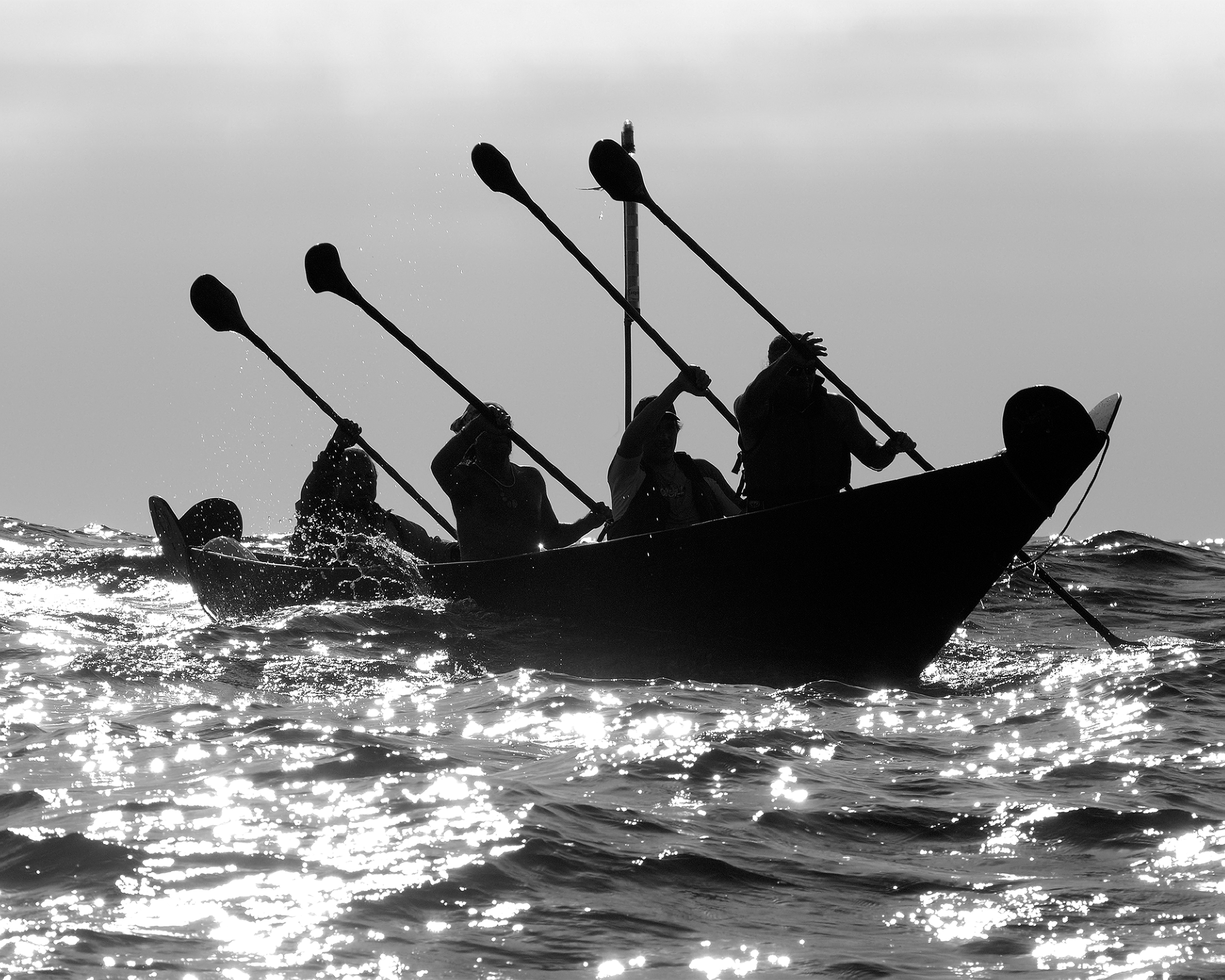
Stop 3: Signal Peak Tour Throughout your hike today, you may discover tiny fragments of broken shells glittering in the soil or piles of shells falling out from the cliff edge. How did these shells get there? It must be the ocean at work-or is it?Archeologists identify these sites as "middens," debris piles containing remnants of past societies-the Tongva, the Chumash, and their ancestors.
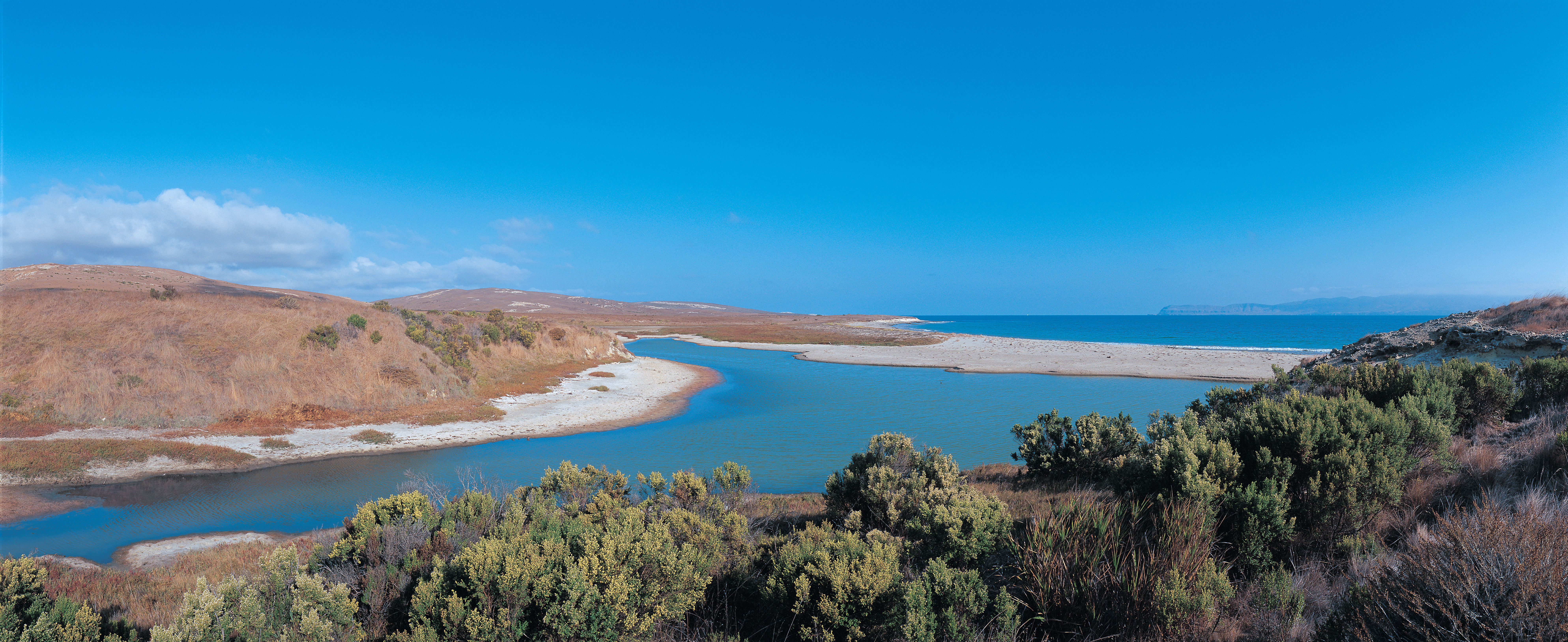
Just north of East Point is Abalone Rocks Marsh, the second largest wetland on the northern islands (Prisoners Harbor wetland on Santa Cruz is the largest).
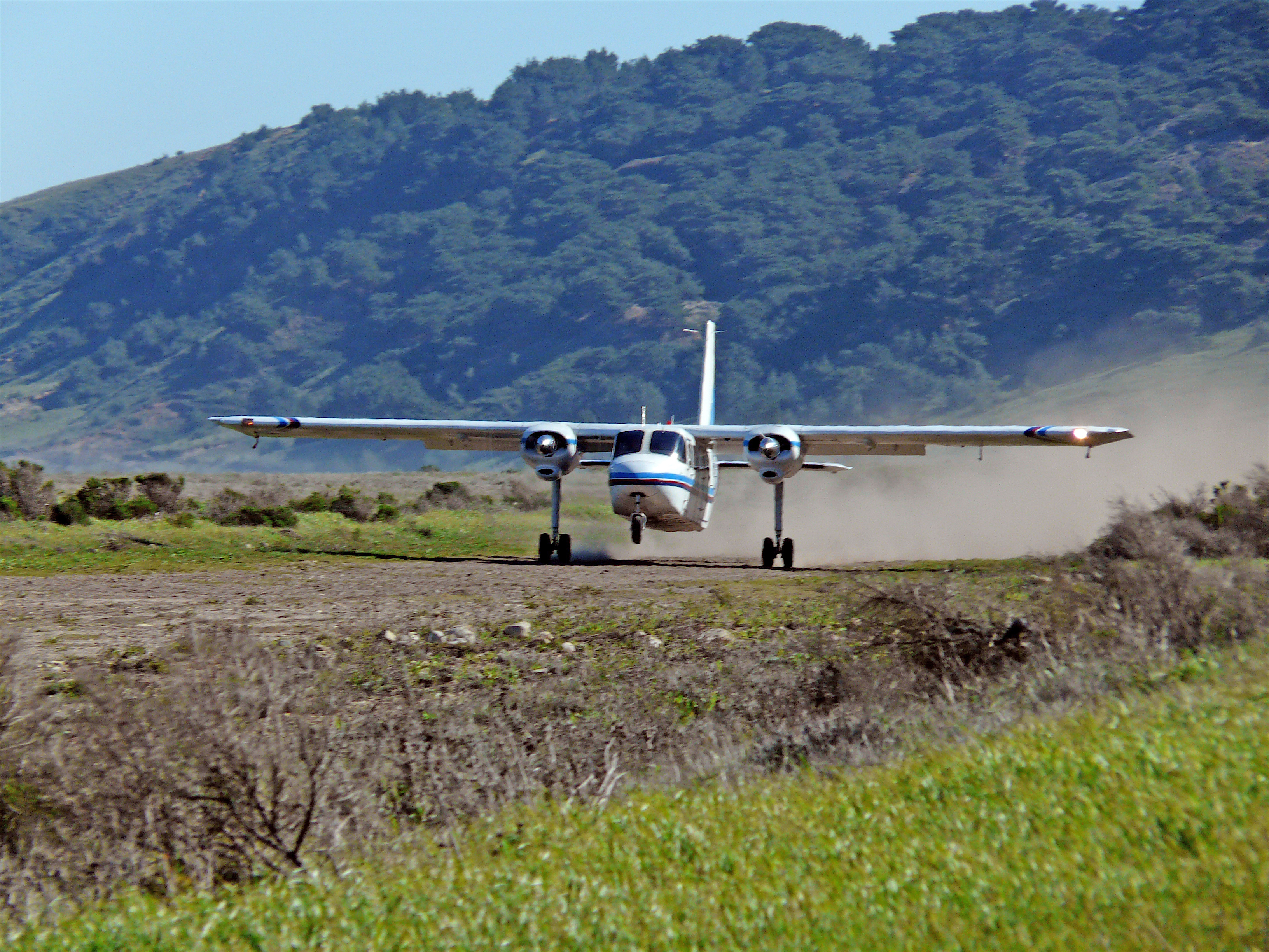
In a flyer's eyes, Santa Rosa Island is blessed with a number of suitable flat areas for landing small planes, but the owners restricted flights and landings throughout their tenure. The Vails and others started flying over to the island in the 1930s, landing on a section of hay field southeast of the ranch house, which eventually developed into the "official" landing strip on the island.
Since Anacapa is a cliff island, access to top is only at the Landing Cove on East Anacapa. Visitors must climb from the boat up a steel-rung ladder to a dock. Once ashore, visitors must climb 157 stairs to the top of the island.
The Anacapa Island Webcam provides incredible views of the park's iconic symbol Arch Rock, seabird rookeries, and the historic lighthouse, as well as the ocean life and sea conditions at the landing cove and nearby waters.
'anyapax is the Chumash word for Anacapa. It means mean 'mirage' or 'illusion' and refers to the atmospheric phenomena that occasionally distorts the appearance of the island when viewed from the mainland. Almost five miles long, these islets (appropriately named East, Middle, and West Anacapa Islands) have a total land area of about one square mile (700 acres). Waves have eroded the volcanic island, creating towering sea cliffs, sea caves, and natural bridges.
This one-mile, round trip hike from the visitor center offers wildflowers in season and great coastal views of Arch Point. This arch on the northeast shore of the island is a 130 ft tall and was created by wave erosion of fault weakened rock.
Incredible sunsets, coastal views, and wildflowers in season are the reward for the one-mile, round-trip hike to Arch Point. Distance: 1 mile (round trip from visitor center) Difficulty: Moderate
pasawapʰ hoti is the Chumash word for Arch Rock. It means 'house of the cormorant.' Arch Rock was also known as ’aɬwaštimot̓o. Waves have eroded the volcanic island, creating towering sea cliffs, sea caves, and natural bridges, including forty-foot-high Arch Rock-a symbol of Anacapa and Channel Islands National Park.
Primitive, dispersed backcountry beach camping is available in the Norththwest Quadrant (Sandy Point to Carrington Point) from September 16 through December 31.
Primitive, dispersed backcountry beach camping is available in the Southeast Quadrant (East Point to South Point) from August 15 through December 31. Learn more at:
Primitive, dispersed backcountry beach camping is available in the Southwest Quadrant (South Point to Sandy Point) from September 16 through December 31.
This program helps children discover and protect the wonders of the islands. Ask for a free junior ranger booklet at the visitor center or boat/plane concessionaire offices or on the islands from park staff.
Becher's Bay is the main port of entry to Santa Rosa Island. The bay provides some protection from the strong northwest winds. The bay contains a pier and beautiful, wind-swept, white-sand beach.
A flat walk along coastal bluffs with great views. Connects with the coastal road near the airstrip with access to Water Canyon Campground, Water Canyon Beach, and other destinations. Be aware of planes as the airstrip is active. Distance: 2 miles (round trip from pier to airstrip junction) Difficulty: Easy
Boat visitors must climb from the boat up a steel-rung ladder to a pier at Becher's Bay on Santa Rosa Island. When the pier is closed, landings are via skiff onto the beach. For nearly 150 years, Santa Rosa Island owners maintained a pier to accommodate shipping cattle, sheep, and supplies. The first pier on Santa Rosa Island was constructed in June 1859, presumably at Bechers Bay near or at the present site of the pier.
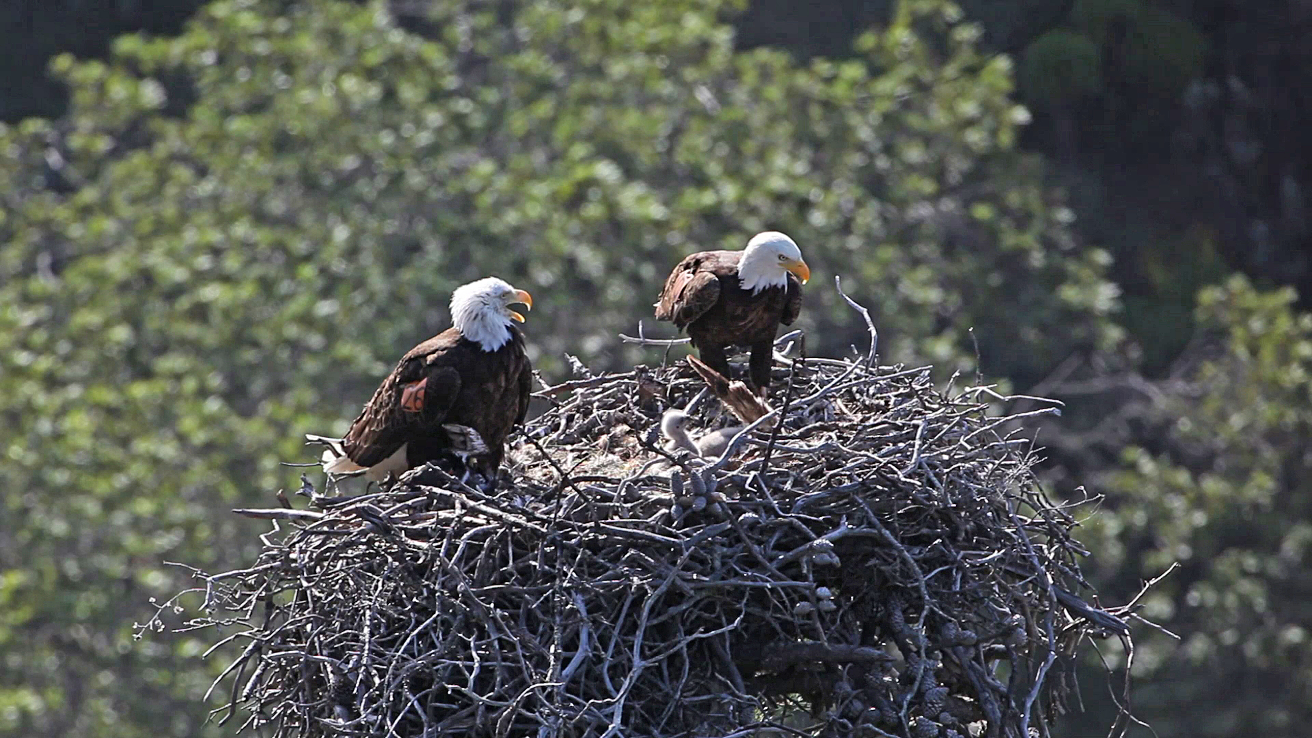
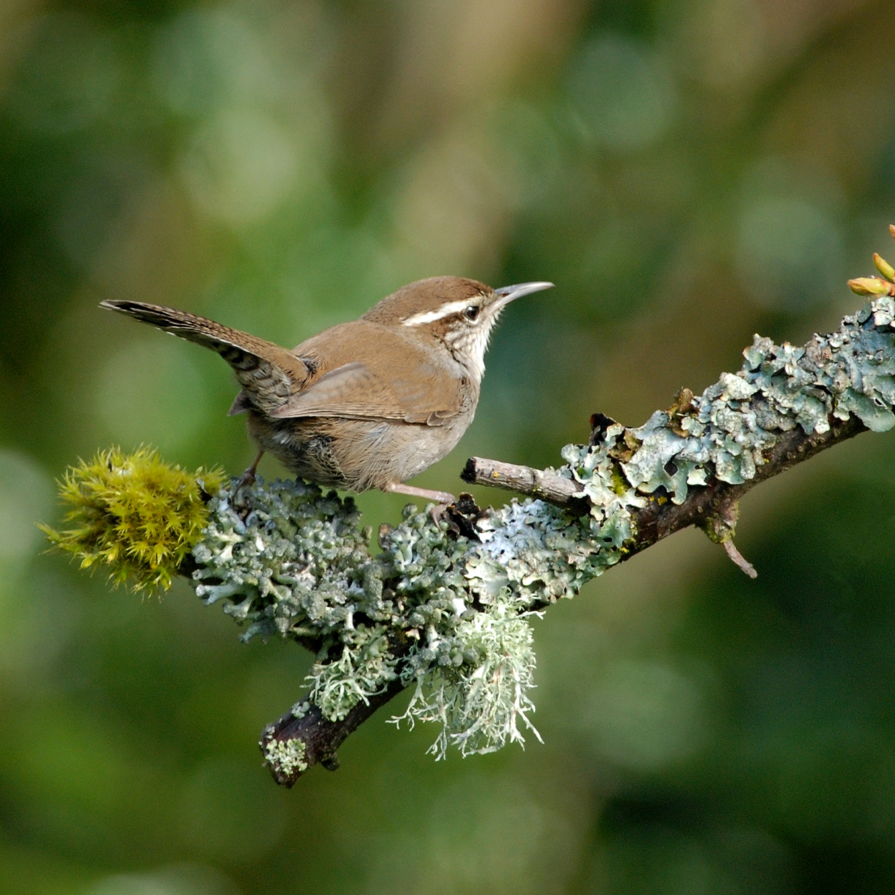
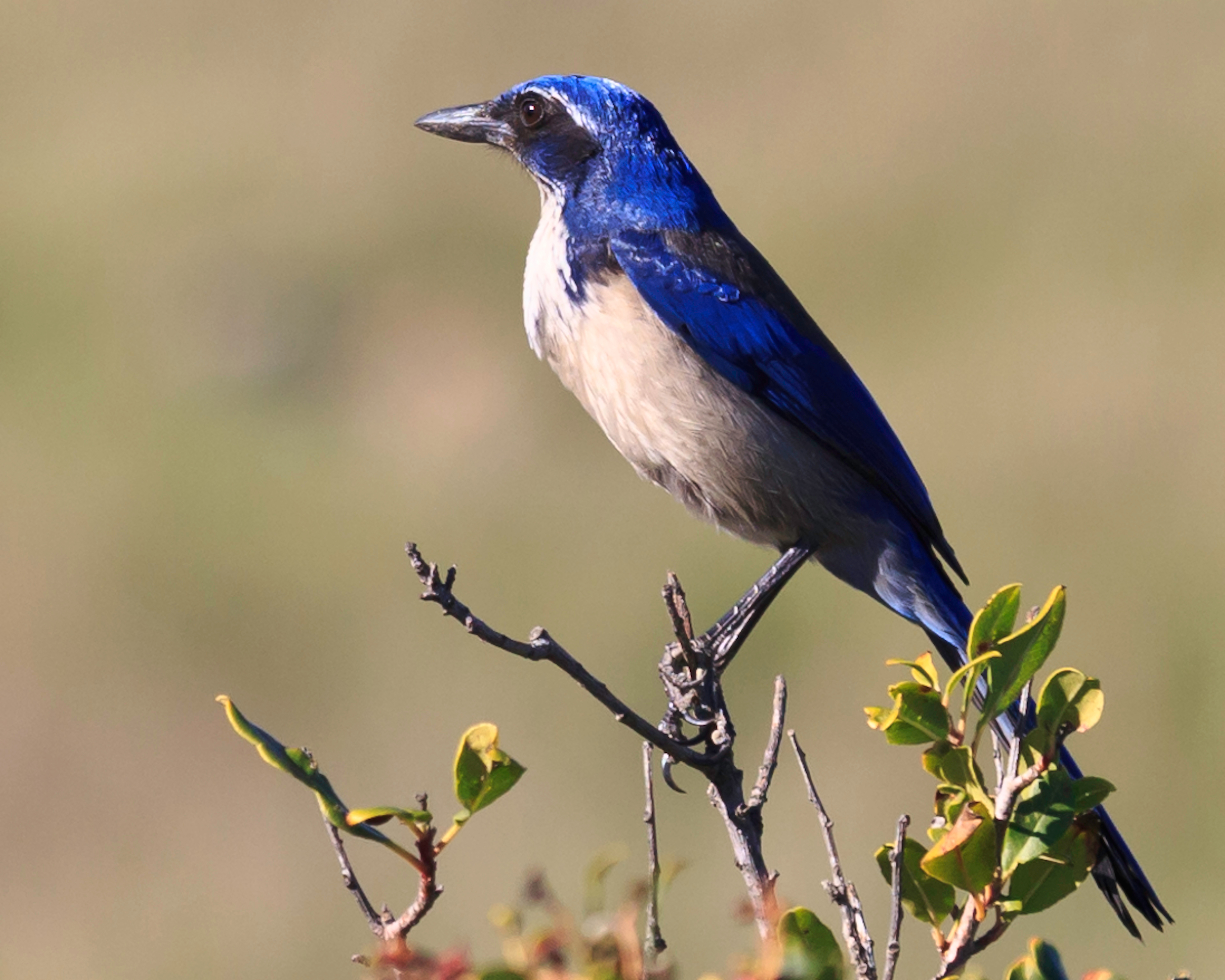
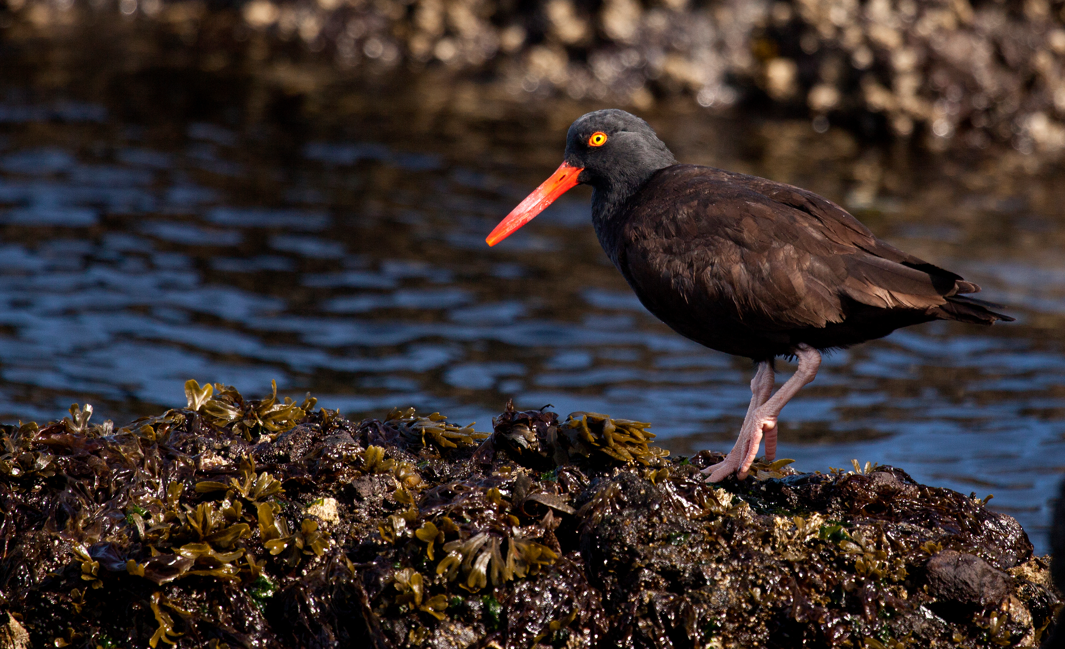
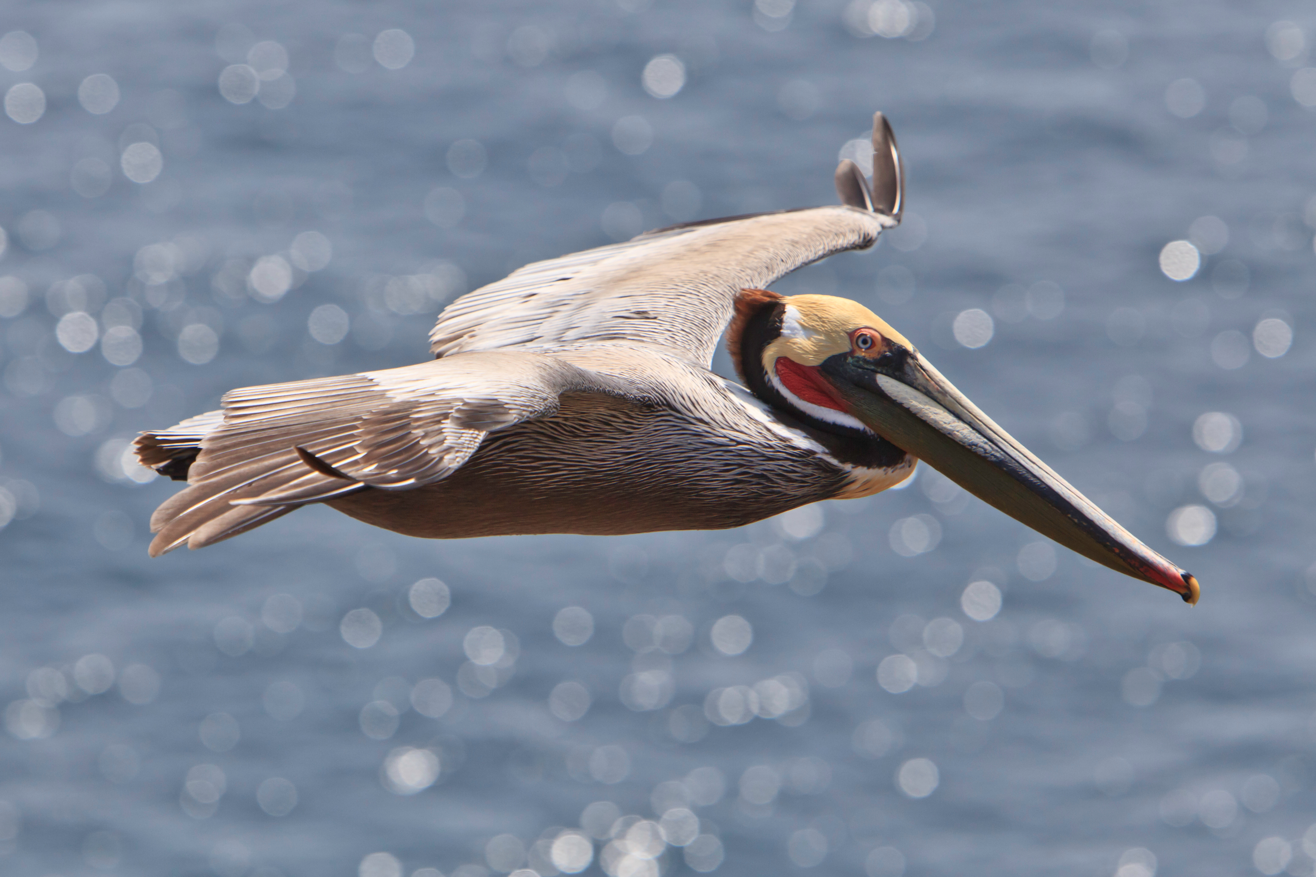
The Channel Islands support a rich variety of birds, distinct in many ways from the birds of the adjacent mainland. The islands offer protected habitat in an increasingly disturbed southern California environment.
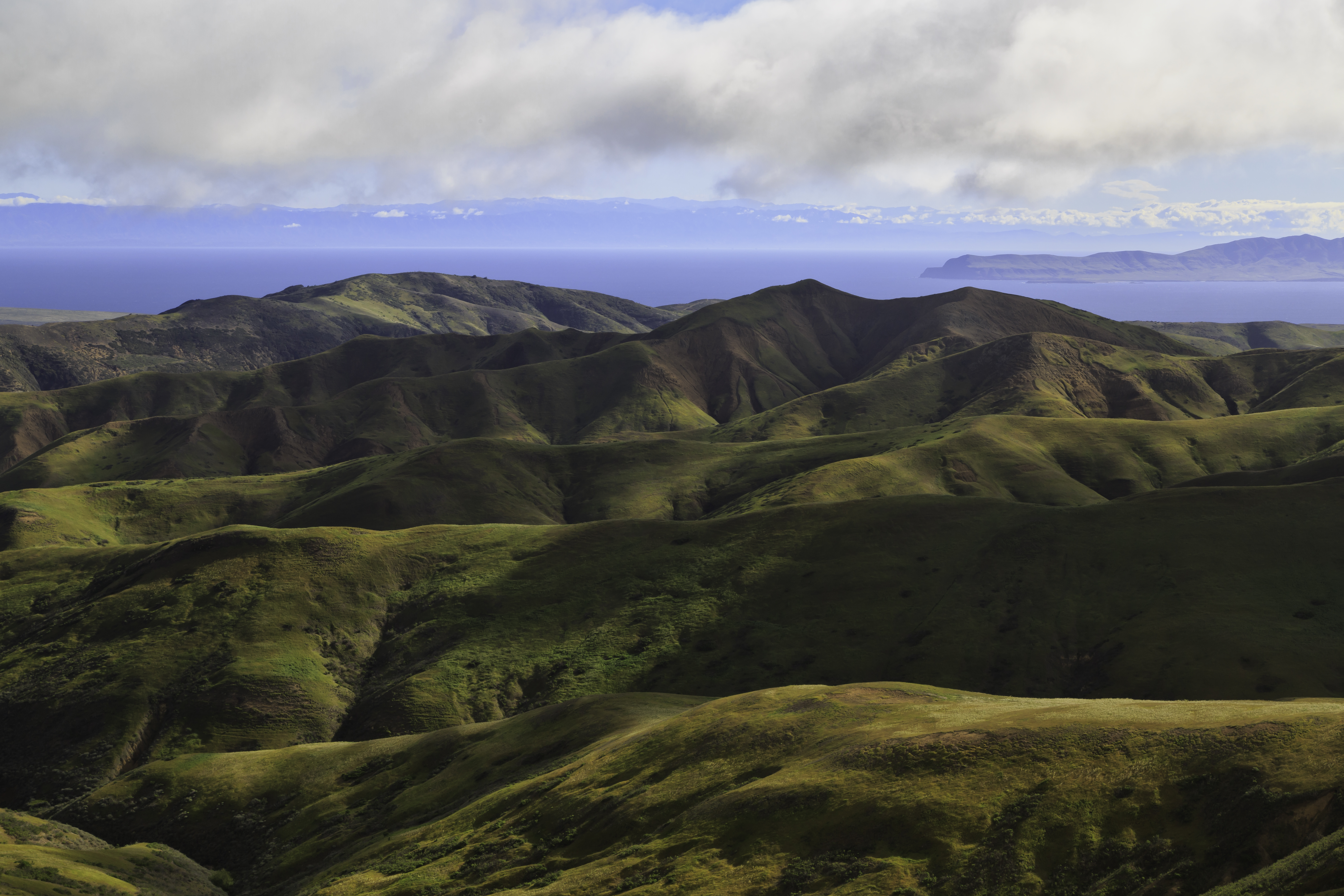
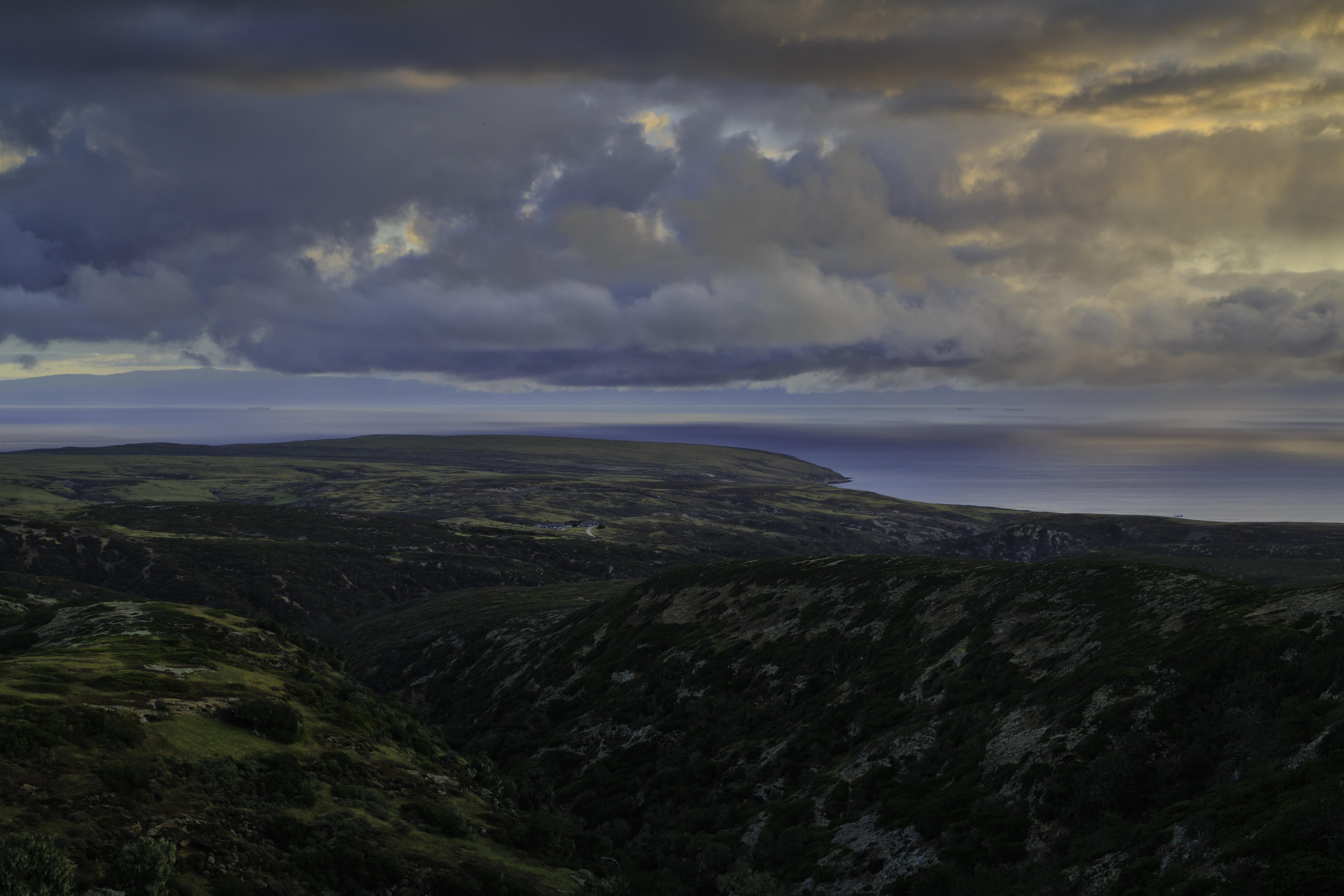
The highest peak (1298 feet) on the northeast side of the island provides stunning views to visitors willing to make the strenuous 8-mile rountrip hike.
A long, steep climb that rewards visitors with oak woodlands and great views (weather permitting) of Santa Rosa, San Miguel, Santa Cruz, and the mainland. Visitors may make this a loop hike by including the Cherry Canyon trail and Telephone and Soledad roads. Distance: 8 miles (round trip from pier) Difficulty: Strenuous
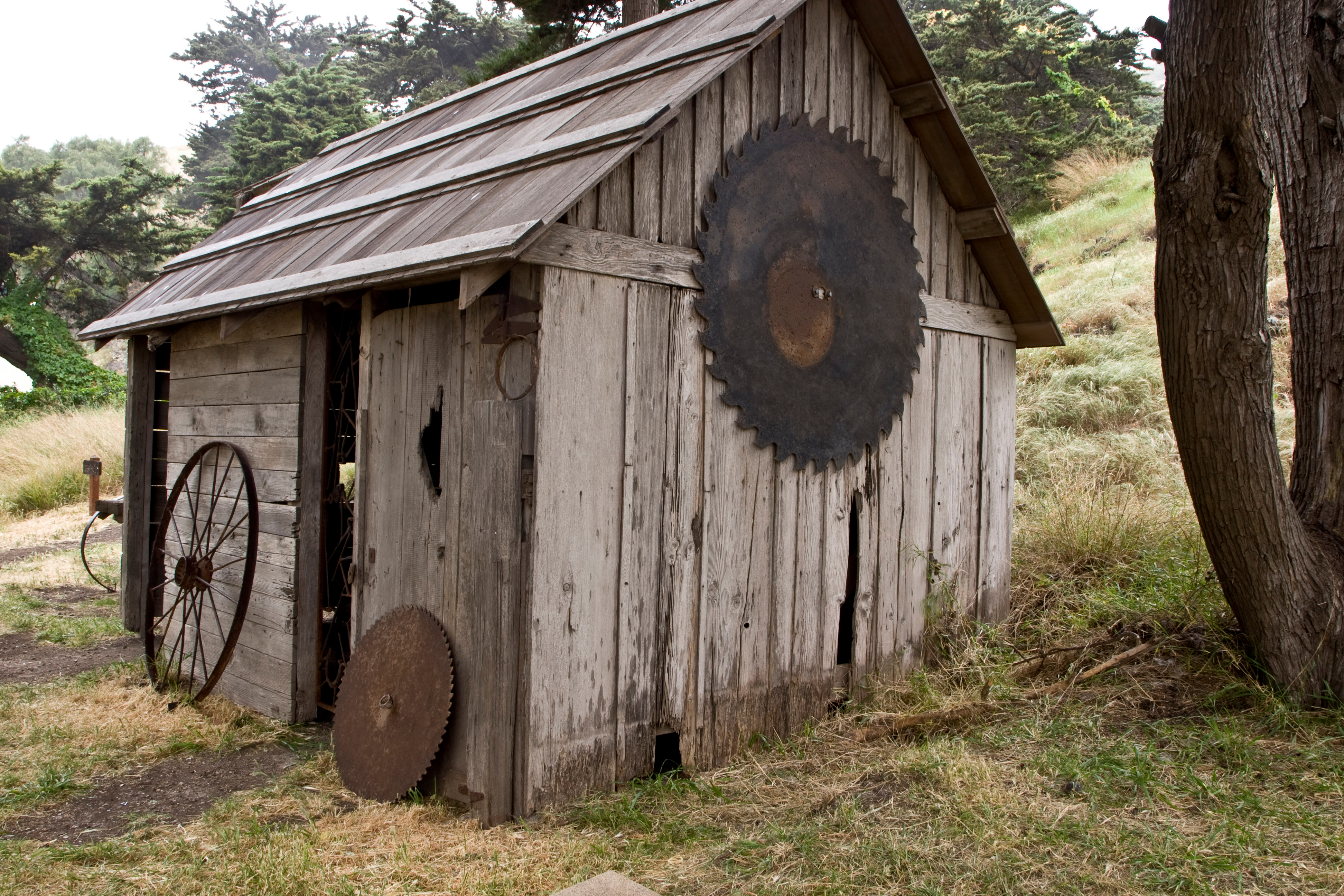
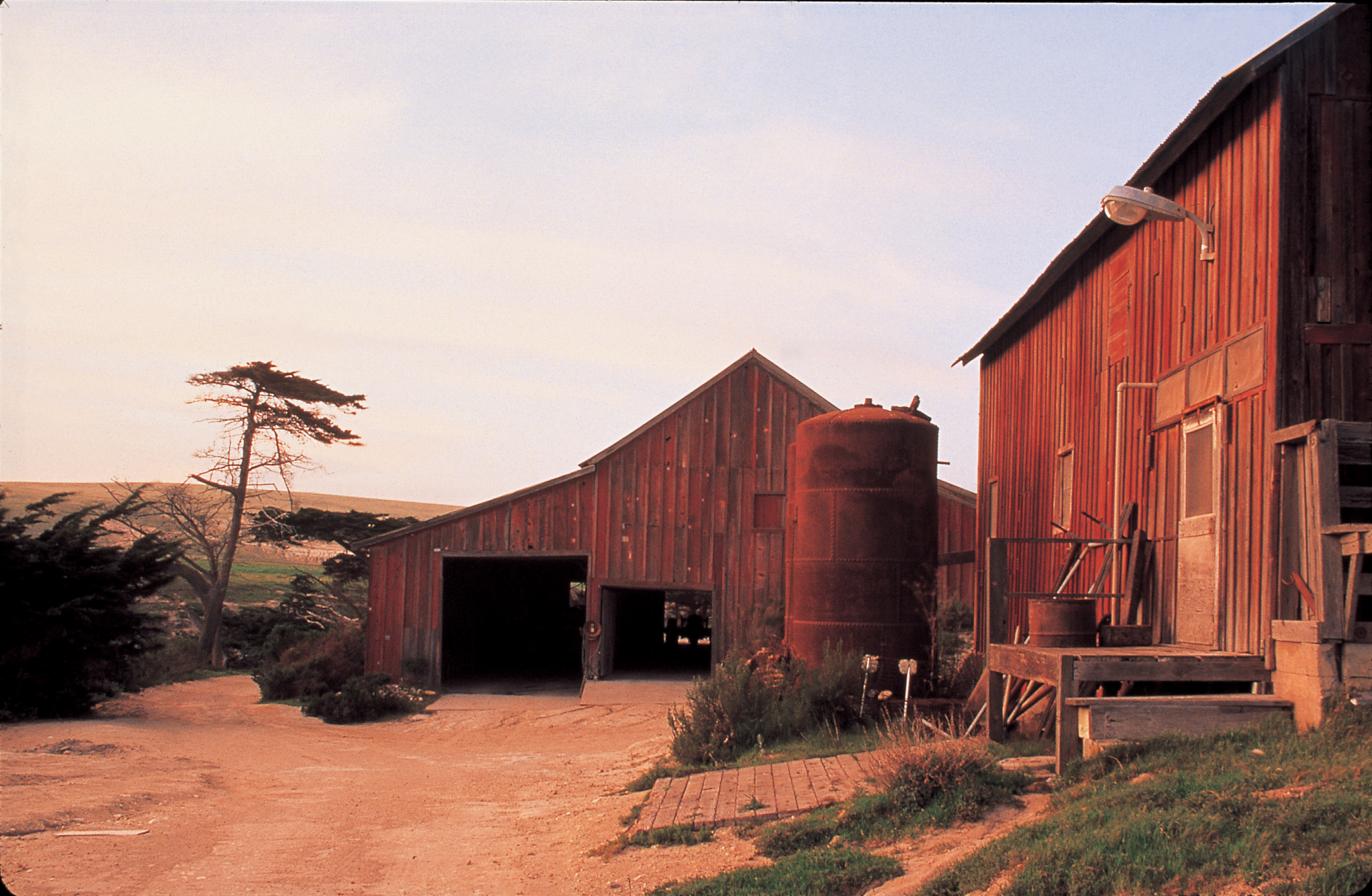
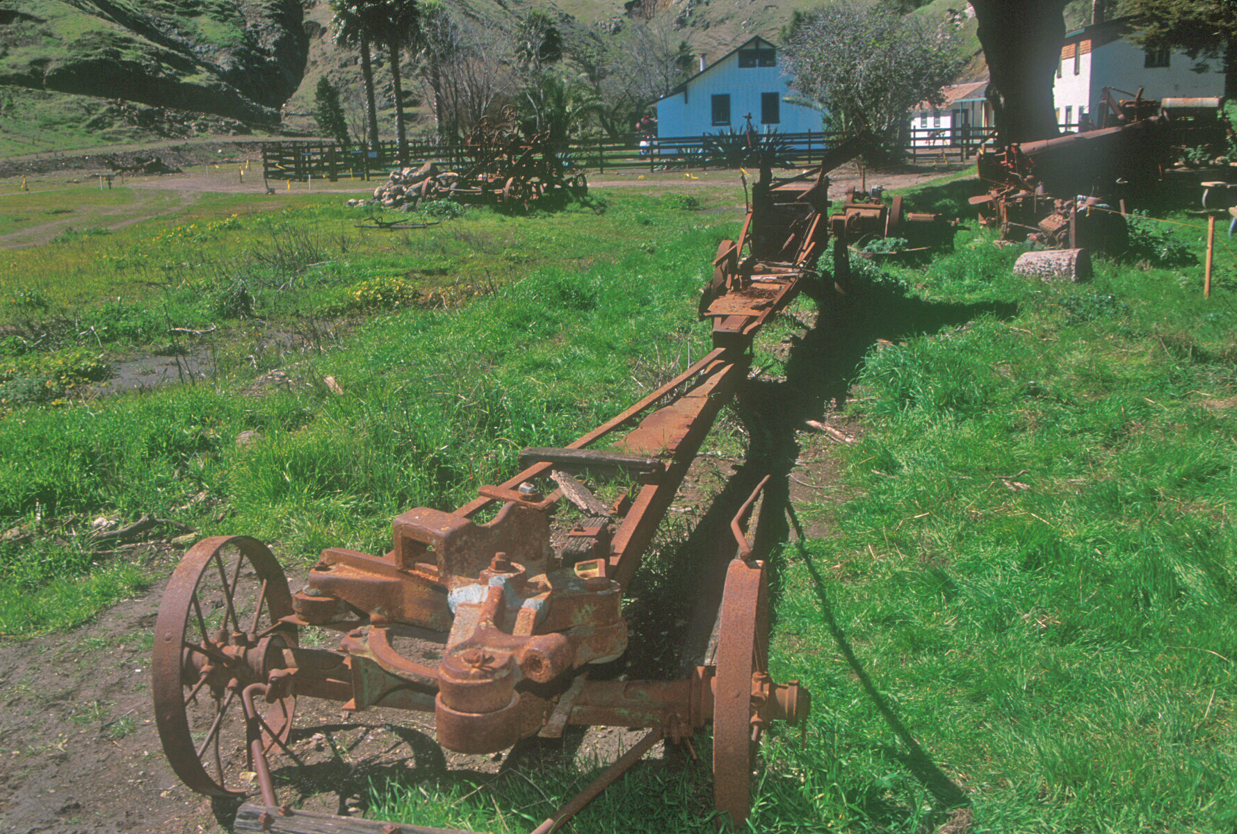
Archeological excavations around and within this building revealed artifacts and materials that suggested that this may have been the location of the"forge" or blacksmith shop shown on an 1892 map.
This building has been called the blacksmith shop, freezer barn, generator barn, and a barn-utility building. It was probably constructed in the early 1870s and housed the original blacksmith shop and other workshops and utility areas.
Hay balers were first built in the 1850s. Except for the efforts of a few individuals, hay presses were given little attention for another two decades. Even then the development of hay presses came very slowly. The early balers such as this Buffalo were primarily designed for the needs of small farmers, requiring small capital outlay, besides the advantage of being a one or two-man operation. These balers were horse-powered. After a few hours of experience, a horse would wal
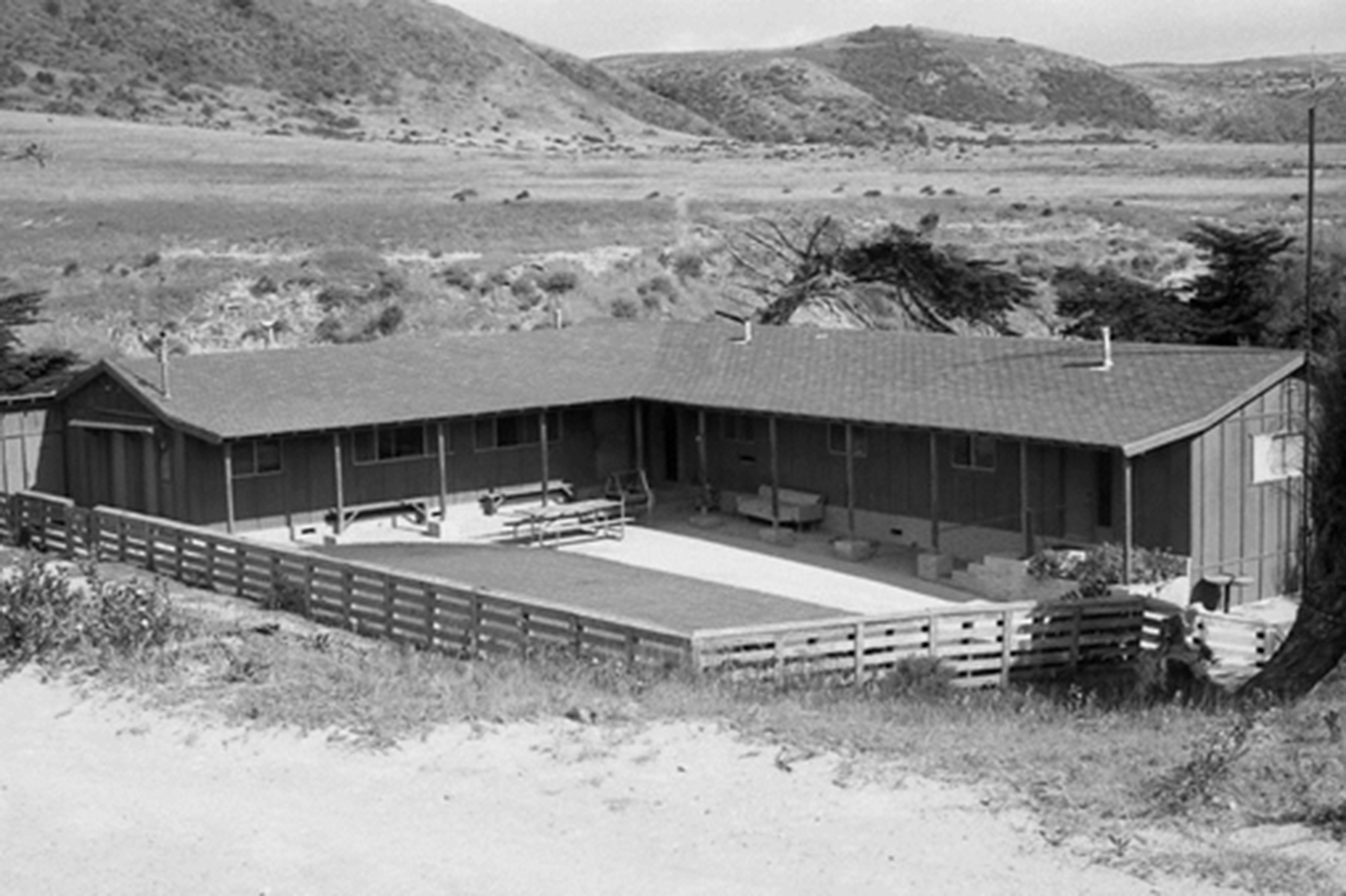
The current bunkhouse was built in 1970 after the original bunkhouse burned to the ground in 1969. The original bunkhouse, actually a complex of three buildings-the foreman's residence, the bunkhouse, and the cookhouse-had been built either by Alpheus Thompson in 1855 or by the More family around 1870.It was described by Edward Vail in 1901 as a "large two-story ranch house" and was used by Vail & Vickers to house the foreman and the crew's dining room. Men slept in a long, o
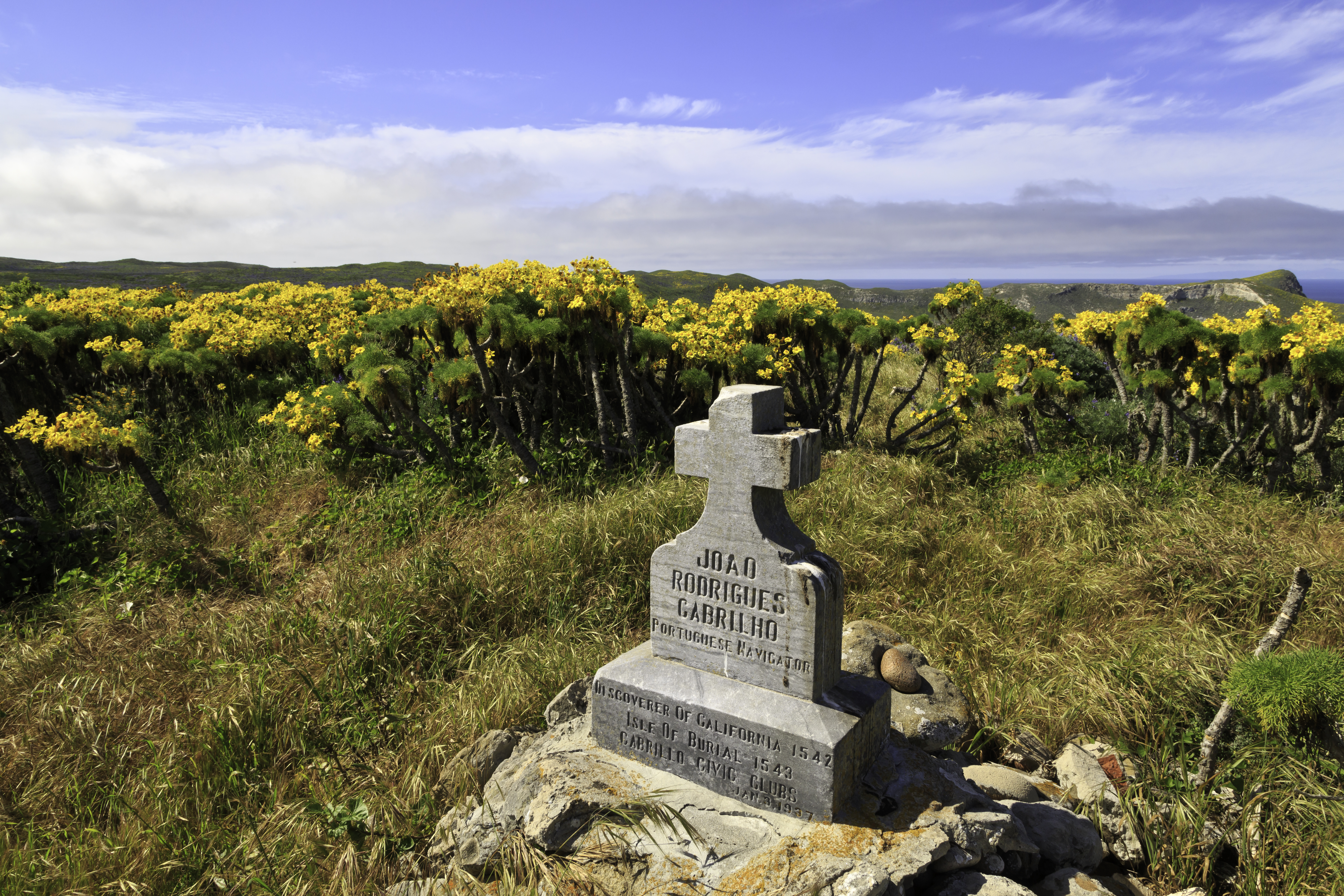
The Cabrillo Civic Clubs erected a monument in the form of a pile of stones and prehistoric stone artifacts topped by an inscribed granite cross on a knoll near the old shearing sheds in 1937.
In 1542, Juan Rodriguez Cabrillo became the first European to explore the Channel Islands. A monument honoring him was erected above Cuyler Harbor in 1937. Distance: 2 miles (round trip from Cuyler Harbor) Difficulty: Strenuous (due to short, steep climb to top of island)
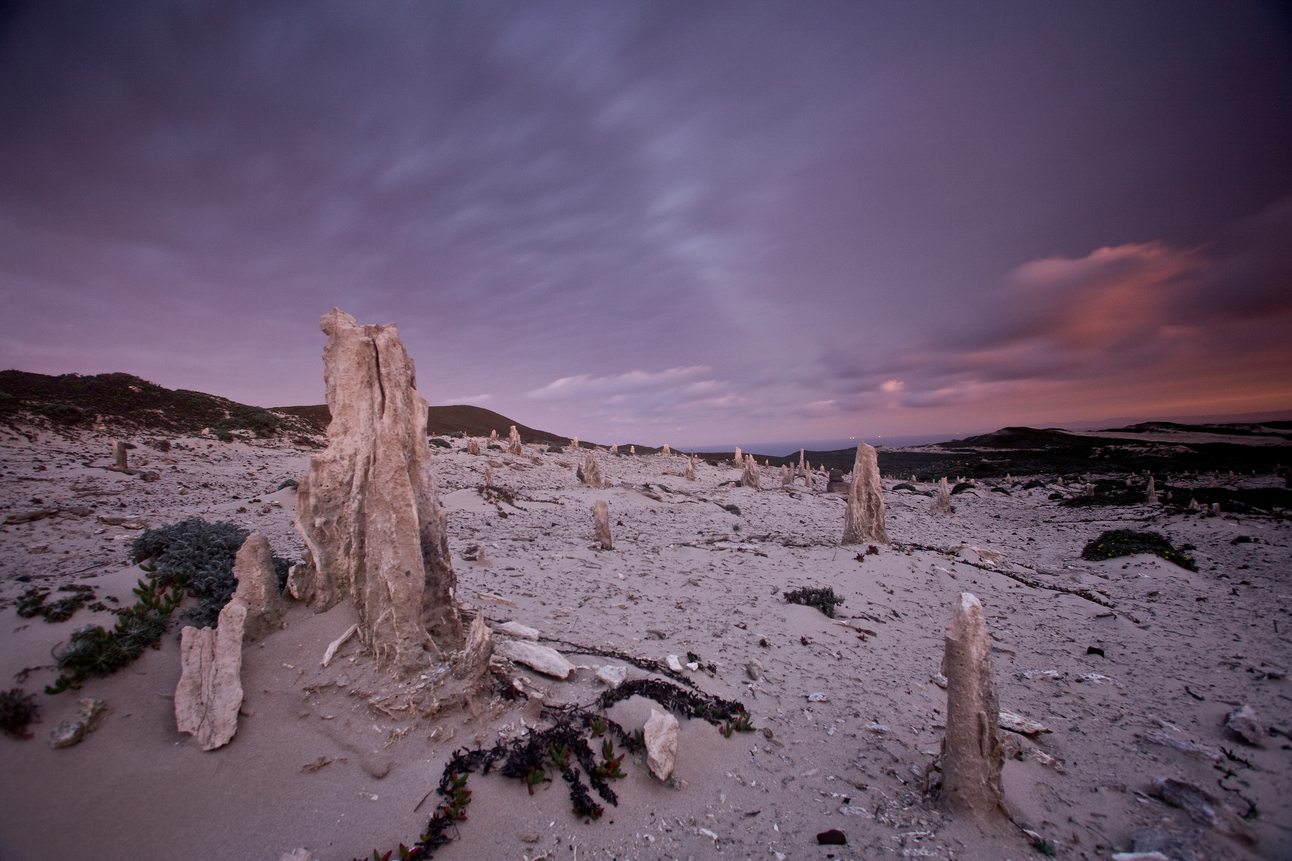
Due to unexploded ordnance, visitors must be accompanied by a ranger to this location. Entering this area without a ranger is a violation of federal law. The San Miguel Island's isolation has helped to preserve one of the island's most interesting features-the caliche forest, calcified casts of ancient vegetation that have been exposed in several areas by the eroding sand. This ancient fossilized vegetation is comprised of roots and trunks of a variety of plants, including po
The caliche forest is a naturally occurring geologic feature consisting of prehistoric vegetation that has calcified, forming a "fossilized" landscape. Distance: 5 miles (round trip from Cuyler Harbor) Difficulty: Strenuous
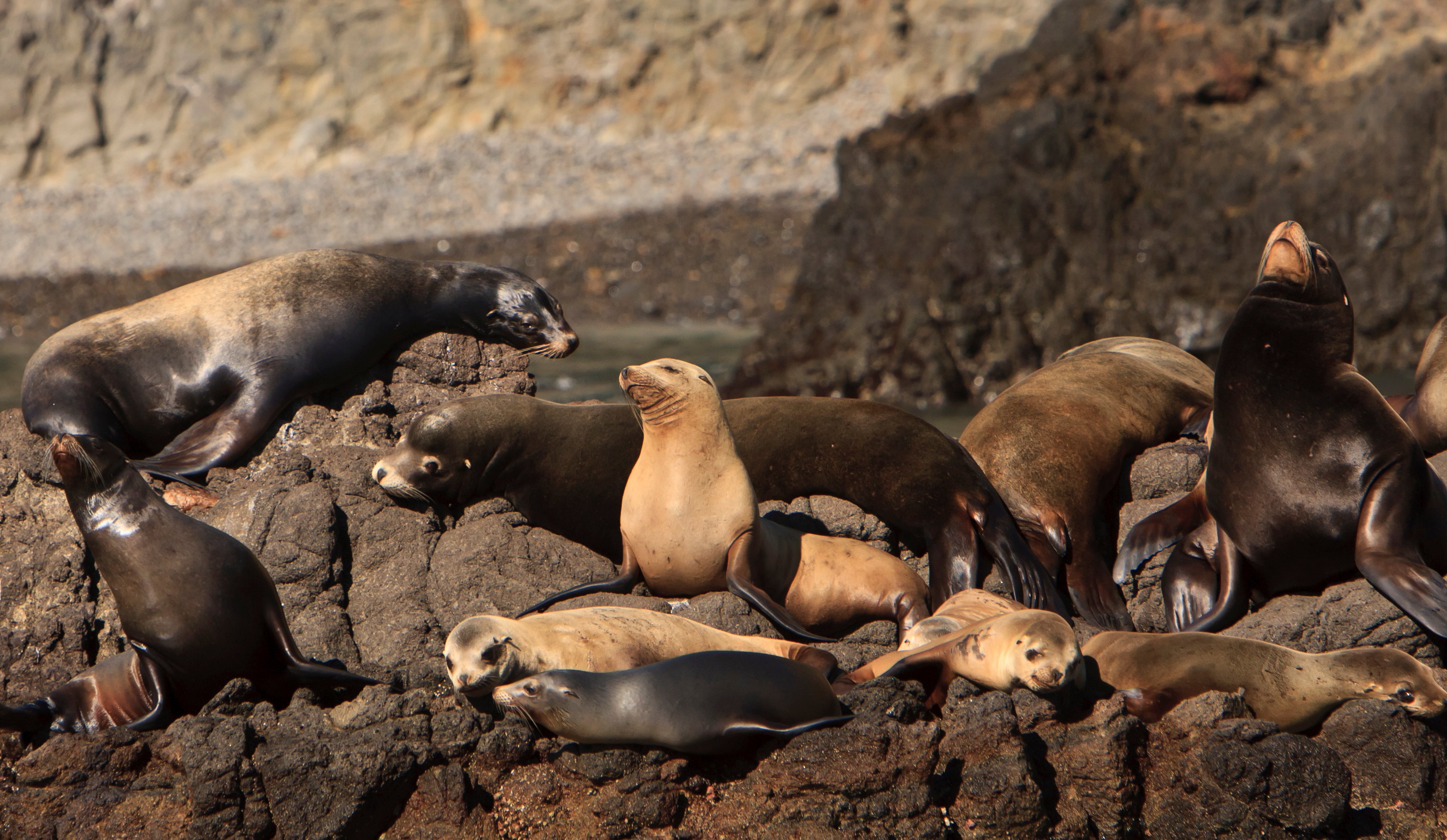
Due to unexploded ordnance, visitors must be accompanied by a ranger to this location. Entering this area without a ranger is a violation of federal law. Seals and sea lions can be seen from several viewpoints on San Miguel Island that can be reached on ranger-guided hikes. Northern elephant seals can even be seen on the beach at Cuyler Harbor where visitors land on the island. however, the most famous and diverse pinniped viewing location on San Miguel Island is Point Bennet
The hike to Cardwell Point includes spectacular views of Santa Rosa Island and a seal and sea lion rookery. Distance: 6 miles (round trip from Cuyler Harbor) Difficulty: Strenuous
Carrington Point is home to seals and sea lions, an ocean blowhole, a sea arch, the endangered soft-leaved island paintbrush, and unmatched coastal views. Soft-leaved Island Paintbrush Out on the bluffs and sand dunes above Carrington Point grows the endemic soft-leaved island paintbrush, Castilleja mollis. Although once found on San Miguel, today this rare plant species is only found on Santa Rosa Island and exists in just two locations.The island paintbrush must grow beneat
The windswept Carrington Point is home to seals and sea lions, an ocean blowhole, a sea arch, the endangered soft-leaved island paintbrush, and unmatched coastal views Distance: 8 miles (round trip from pier) Difficulty: Strenuous