Cascading water is heard rising up through the tree-covered canyon. Glimpses of the waterfalls can be seen down through the forest. This is the second of three picnic areas on south Hwy 62.
The Cabins at Mazama Village are nestled in an old growth forest of lodgepole pines. The rustic-style exterior opens into a casual interior design offering comfort and serenity, free of phones and TVs. At 6000 feet, air conditioning is not available but there is plenty of fresh mountain air! Ten cabins each with four private accommodations featuring two queen beds with a private bath and shower. Two accessible accommodations offer one queen bed and private bath.
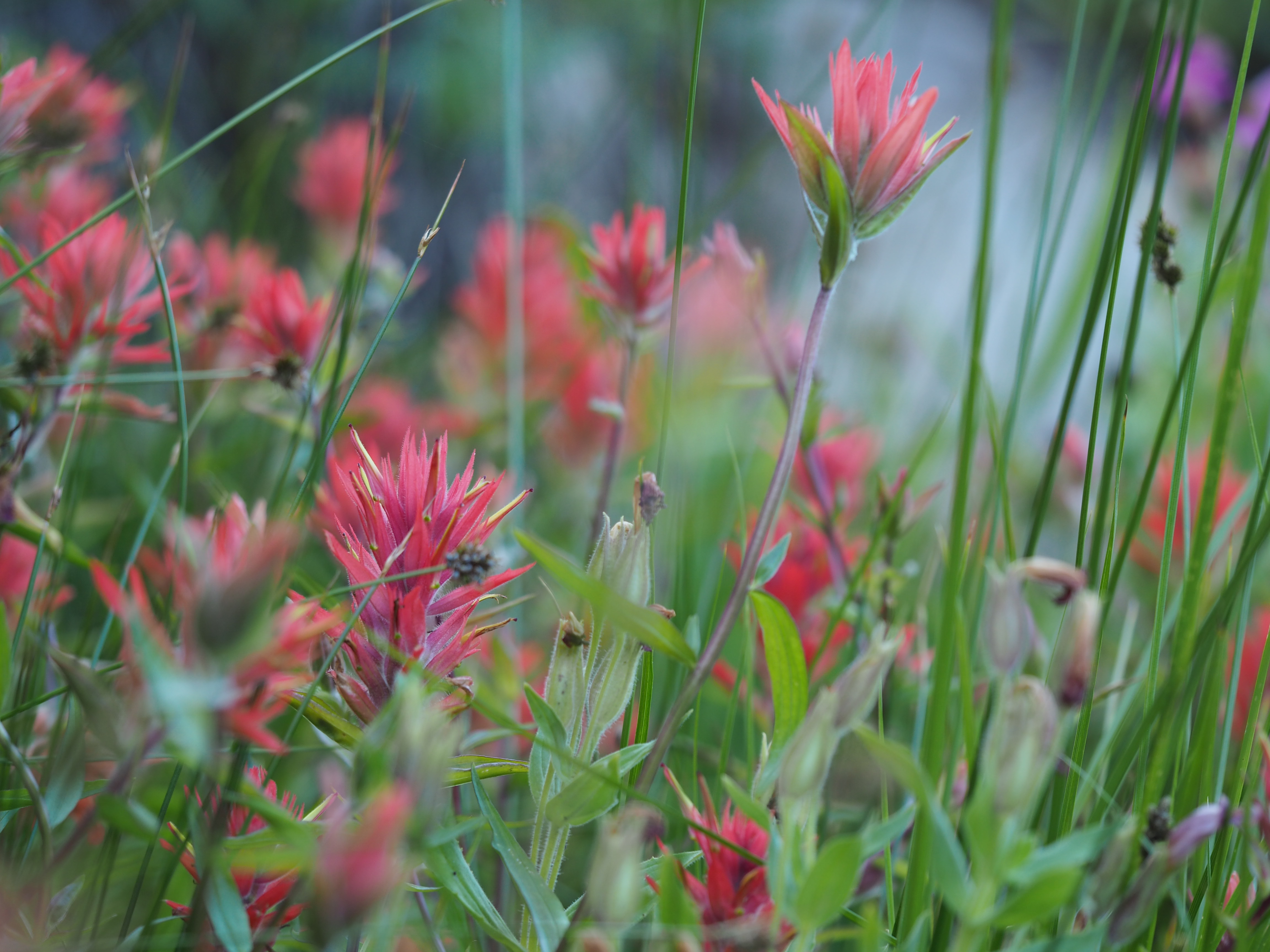
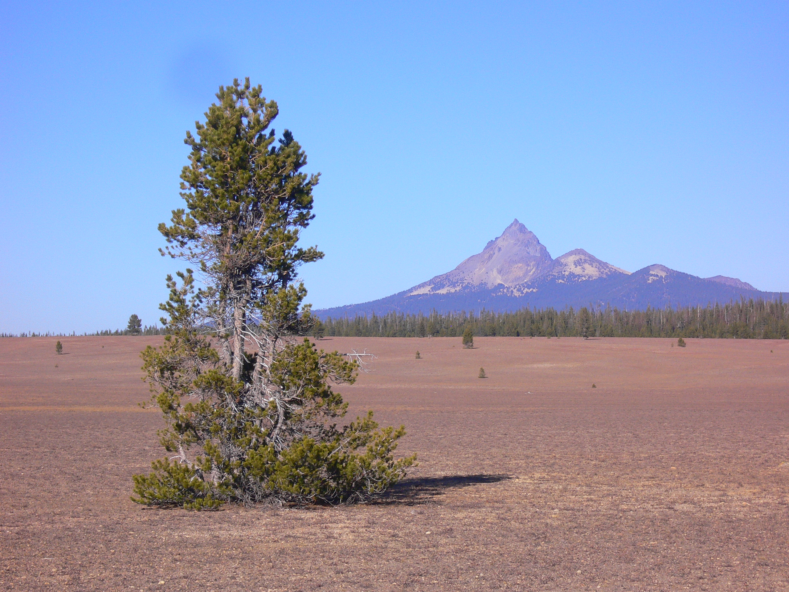
A wildflower meadow with an abundant array of flowers and pollinators is encircled by a .041 mile trail, multiple springs, a diverse forest, and a towering 2000 foot ridge.
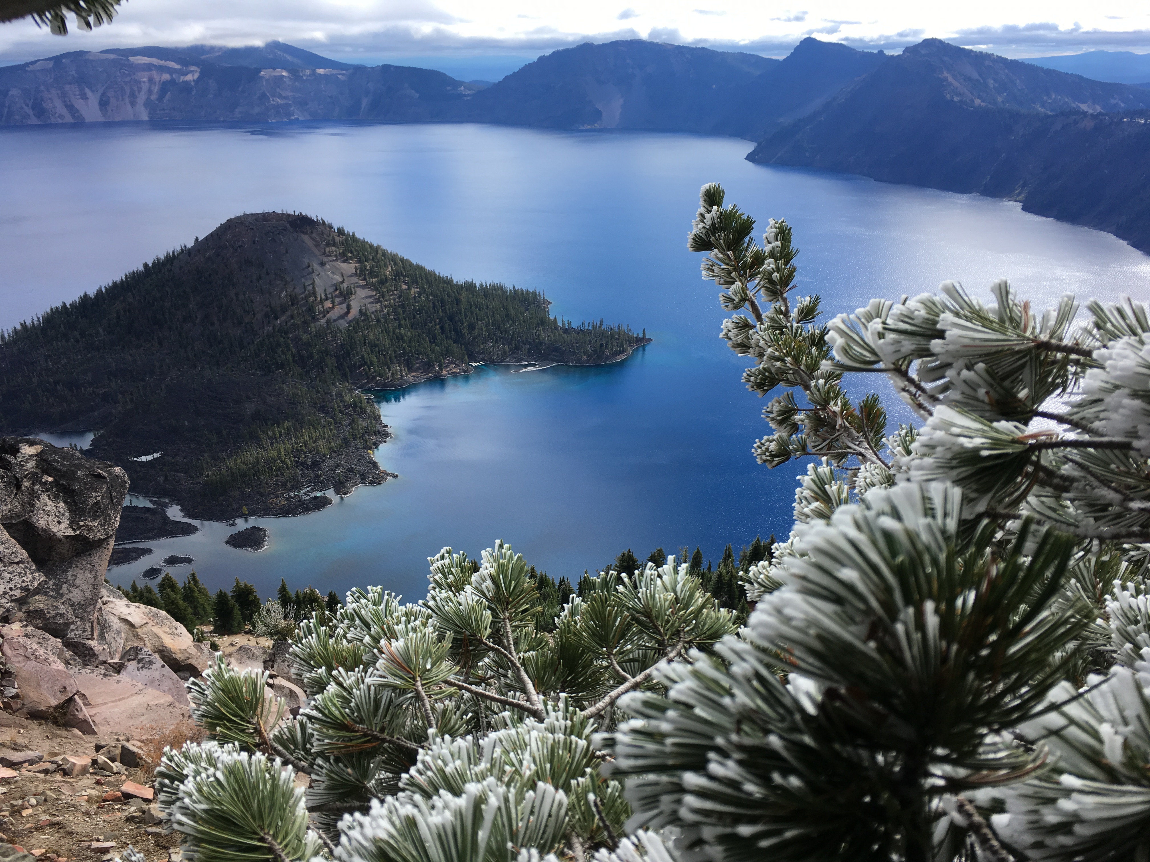
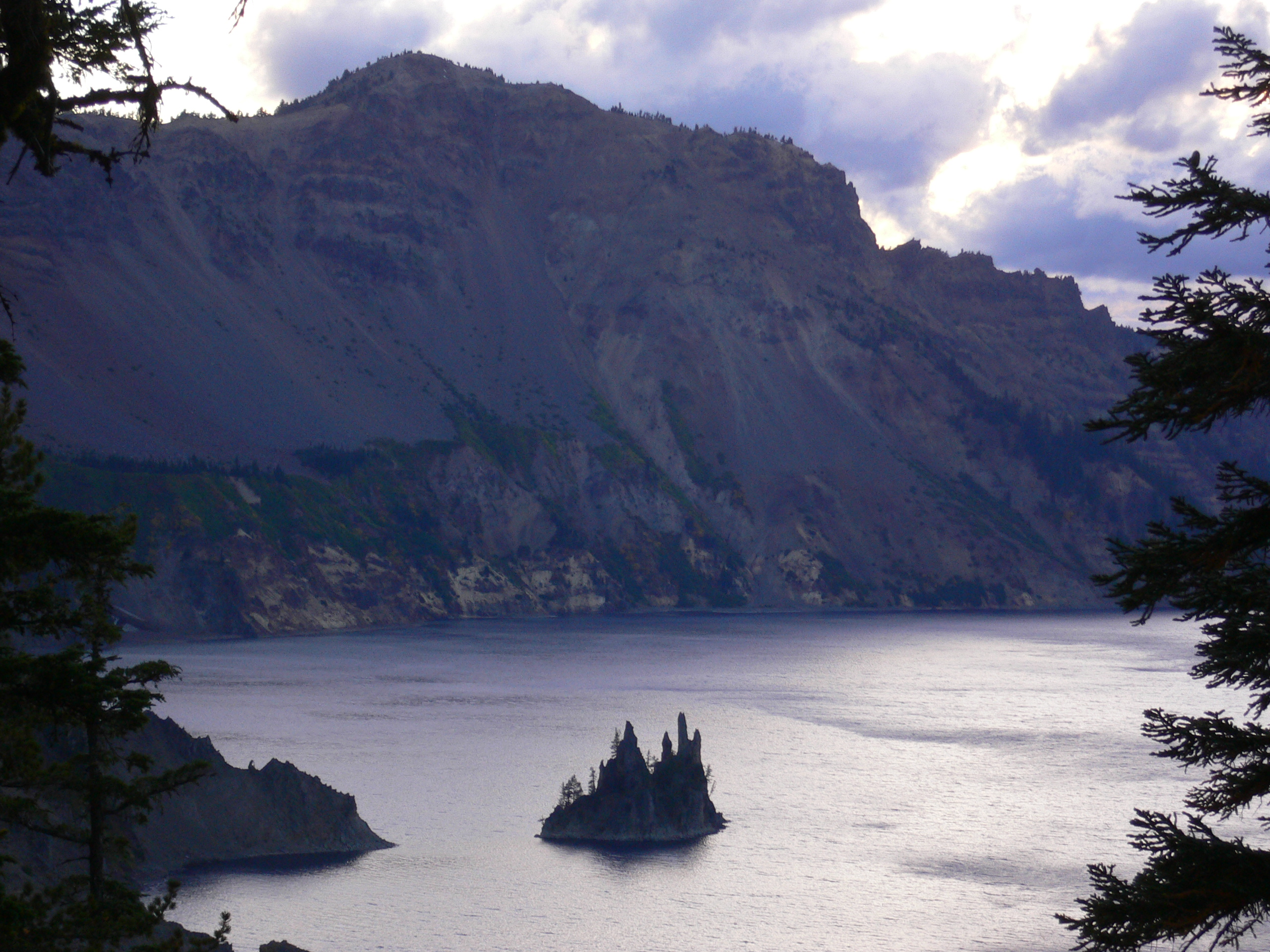
The final eruption and collapse of Mount Mazama over 7,700 years ago created a deep caldera (crater). No river or other turbulence disturbs the collection of rain and snow for six miles across the deepest lake in the United States. Its average clarity at 103 feet deep is unsurpassed and the penetrating light waves reflect a deep blue color that is seen nowhere else.
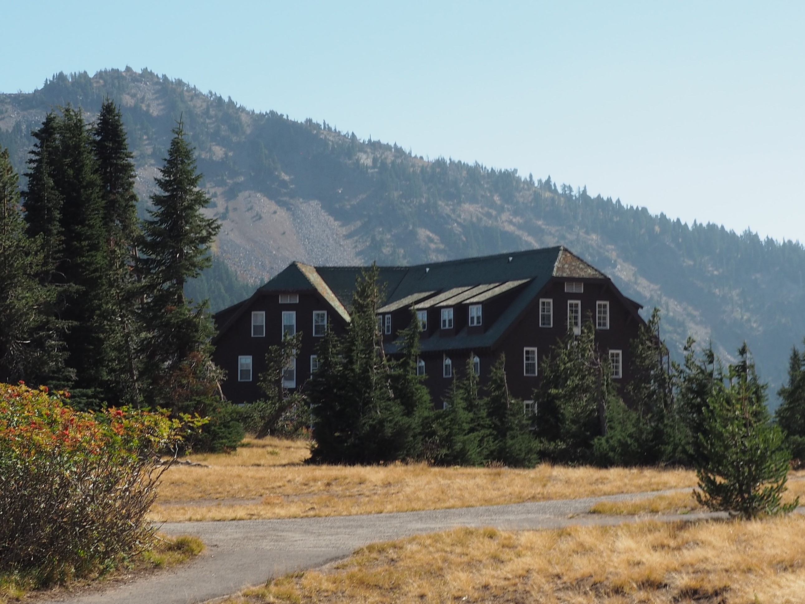
The historic Crater Lake Lodge overlooks the deepest lake in the United States and the most pristine in the world. Open mid-May to early October with 71 rooms including accessible accommodations. Stay warm indoors near the large native stone fireplace, or sit in a rocking chair along the outdoor patio and watch the sun rise across Crater Lake. The dining room is offers three meals a day. Reservations are recommended for lodging and dining. Ranger programs are presented daily.
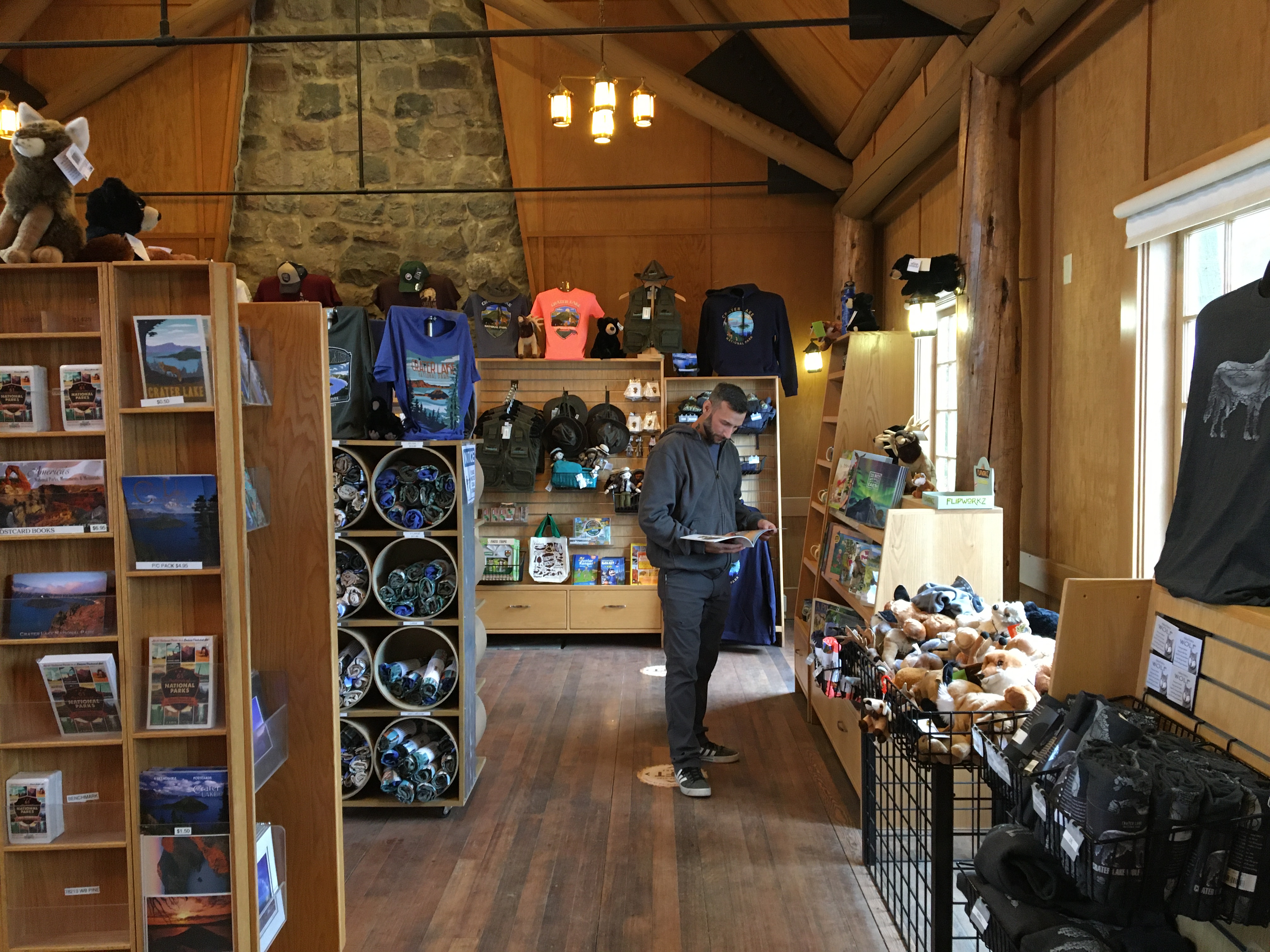
The mission of Crater Lake Natural History Association (CLNHA) is to be an active partner with the National Park Service to inspire public understanding and foster preservation of natural and cultural resources at Crater Lake National Park. CLNHA is a 501 (c) (3) tax-exempt organization 93-0519716 with memberships, an online shop, and 2 park stores where they sell park and education related items, and provide information, enhancing the visitors experience in the park.
Goodbye Picnic Area is perfect for a picnic and resting in the shade, but also consider it for birding and boosting your tree identification skilIs. It rests beneath a forest composed of a variety of mature tree species including Shasta red fir, lodgepole pine, and mountain hemlock. With no trail access and mostly unseen but heard, Goodbye Creek splits the two sections of this picnic area physically and audibly.
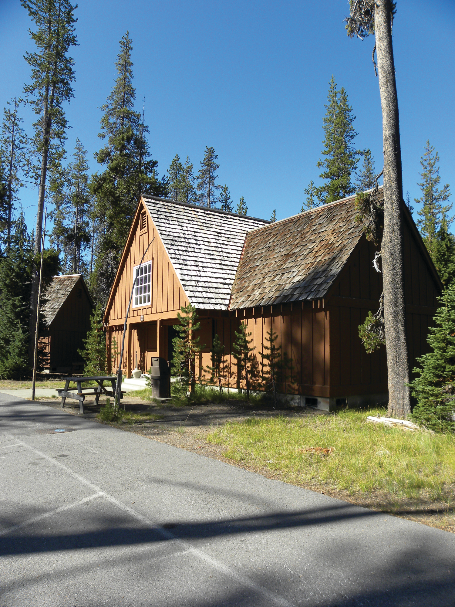
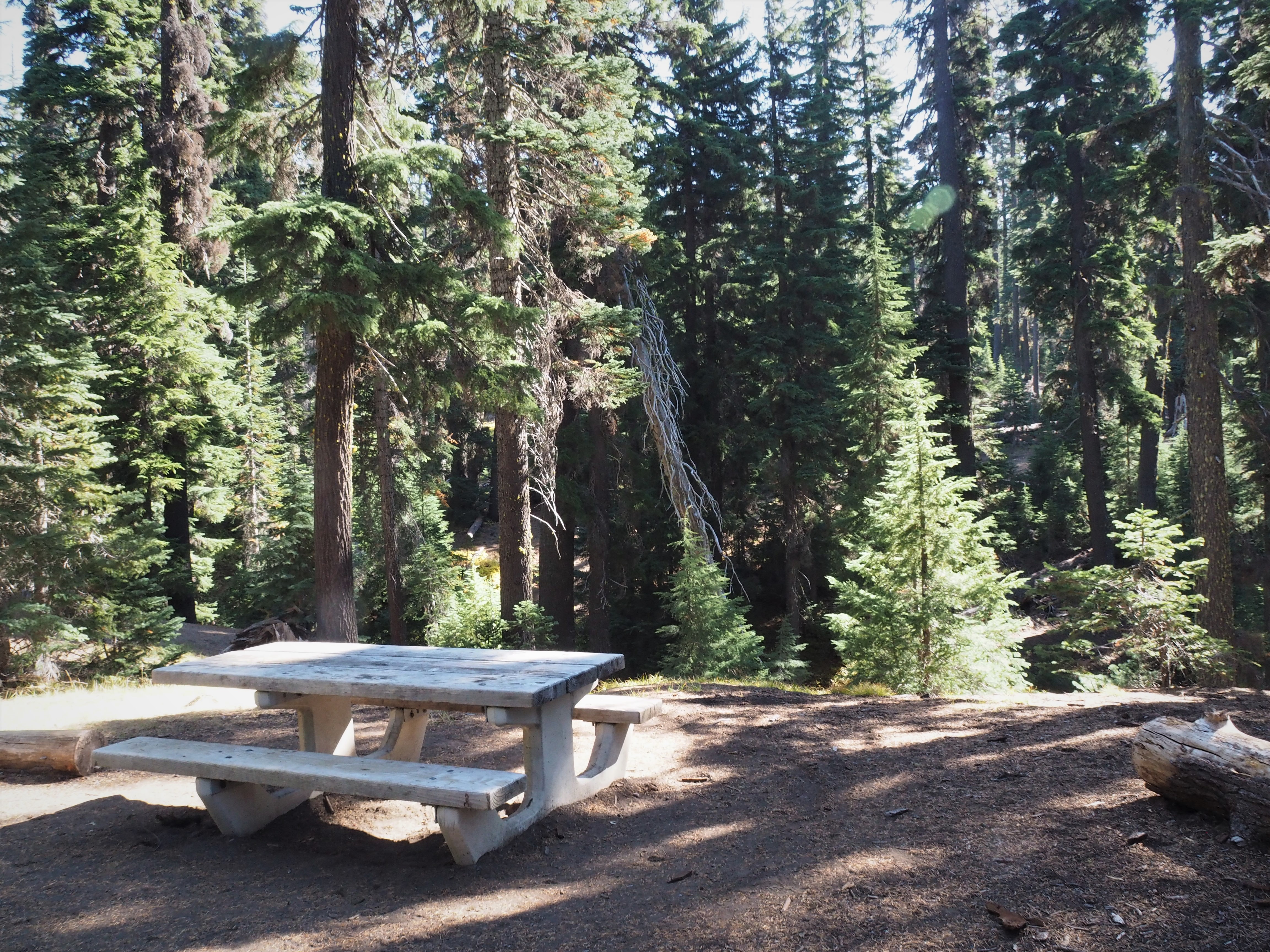
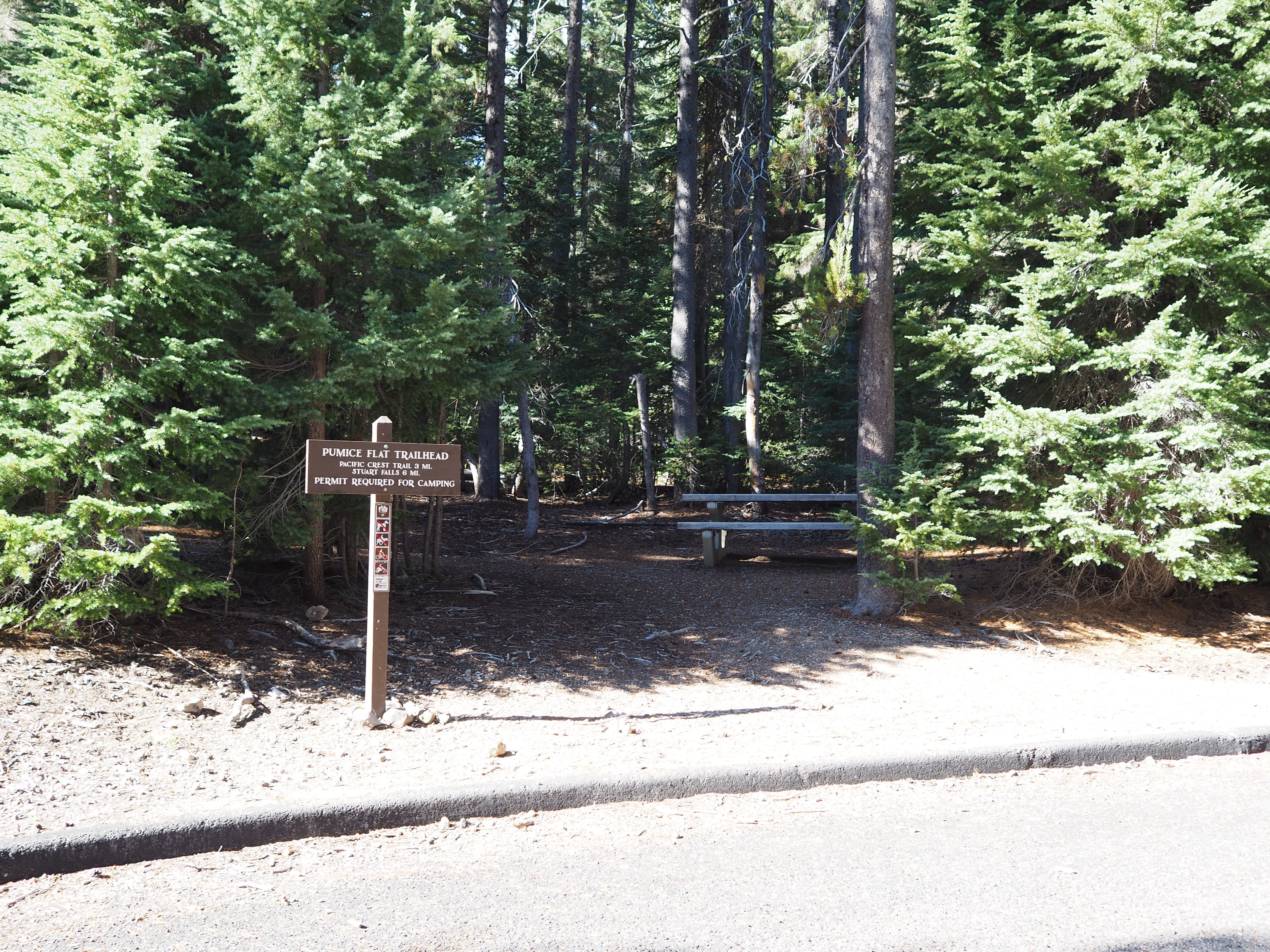
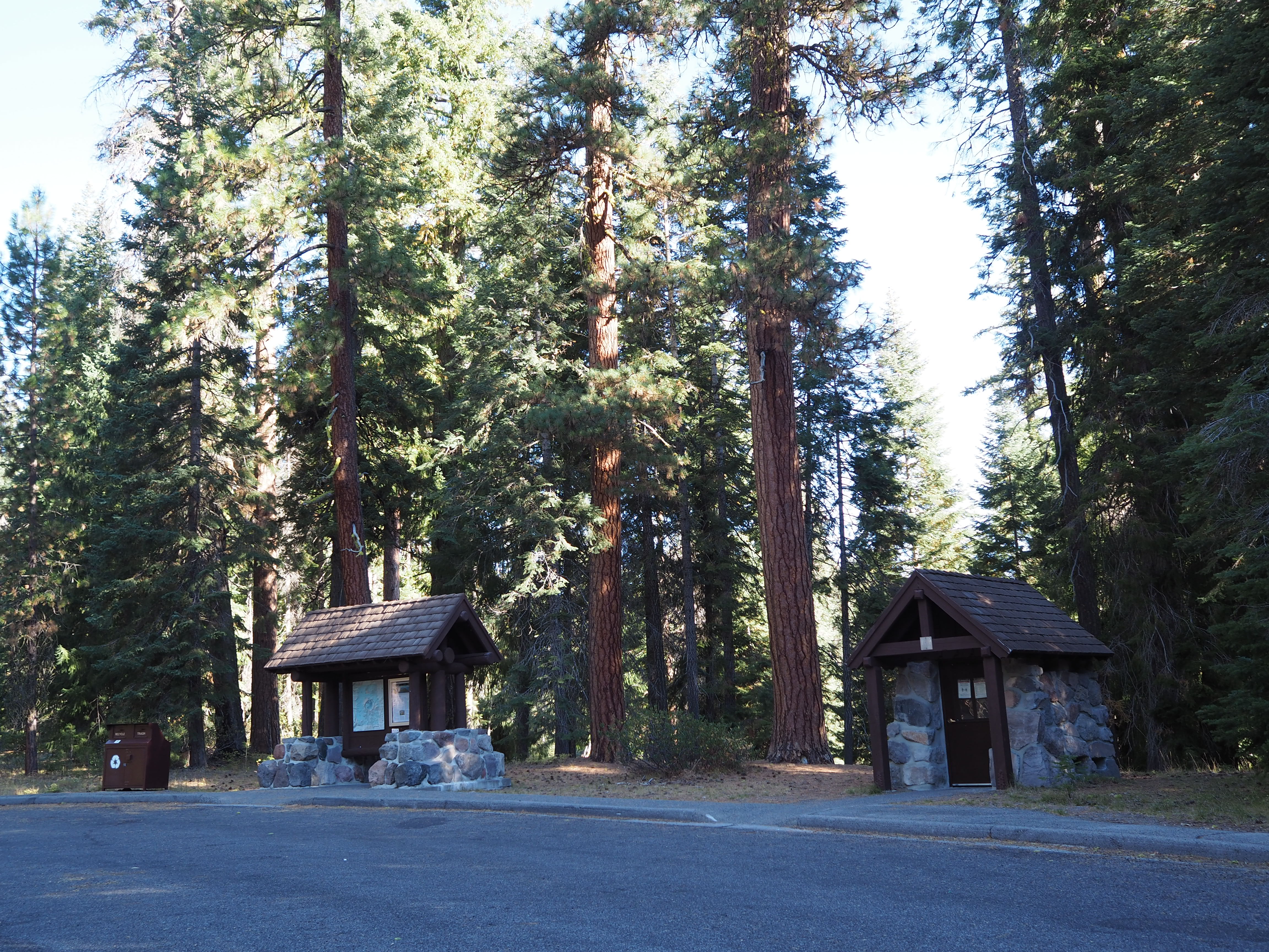
Picnic tables and the Pumice Flats Trailhead are set among an old growth forest of lodgepole pine trees along a semi-circle drive. As the name suggests, lodgepole pines grow tall and straight, reaching 100 feet in height.
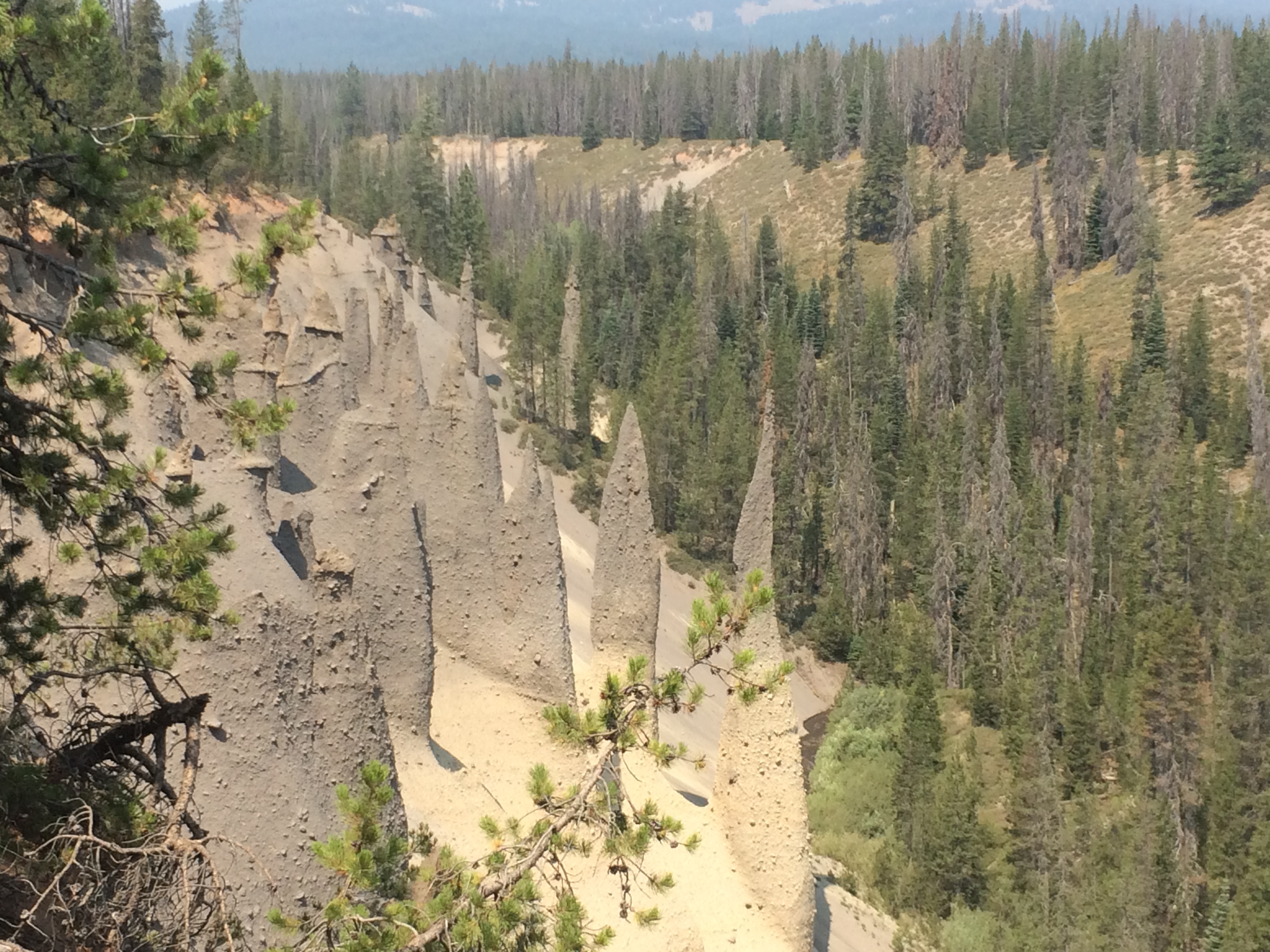
The pinnacles developed when pyroclastic flows filled valleys and the gases escaped through vents which hardened and were later exposed through erosion.
Ponderosa Picnic Area, is at the southernmost tip of the park, a region referred to as the panhandle, and is the park’s lowest elevation at 4400 feet. With less snow and warmer temperatures wildflowers are first seen here. Ponderosa pines are the dominant tree species in a dense forest that includes sugar pines, Douglas-firs, and white firs. Hidden by the tree canopy are warblers, vireos, kinglets, western tanagers, chickadees and woodpeckers.
Overlooking Crater Lake, Rim Village is a high-elevation, winter wonderland of snow-covered meadows beneath towering conifers. Snowshoe, sled, ski, photograph the scenery, drink hot cocoa, play in the snow, or visit the gift shop are ways to enjoy the park. Average winter snowfall is 42 feet. Plan ahead, know the weather forecast, check the webcams, carry tire chains, wear boots and layers of clothes. Don't forget to stay hydrated.
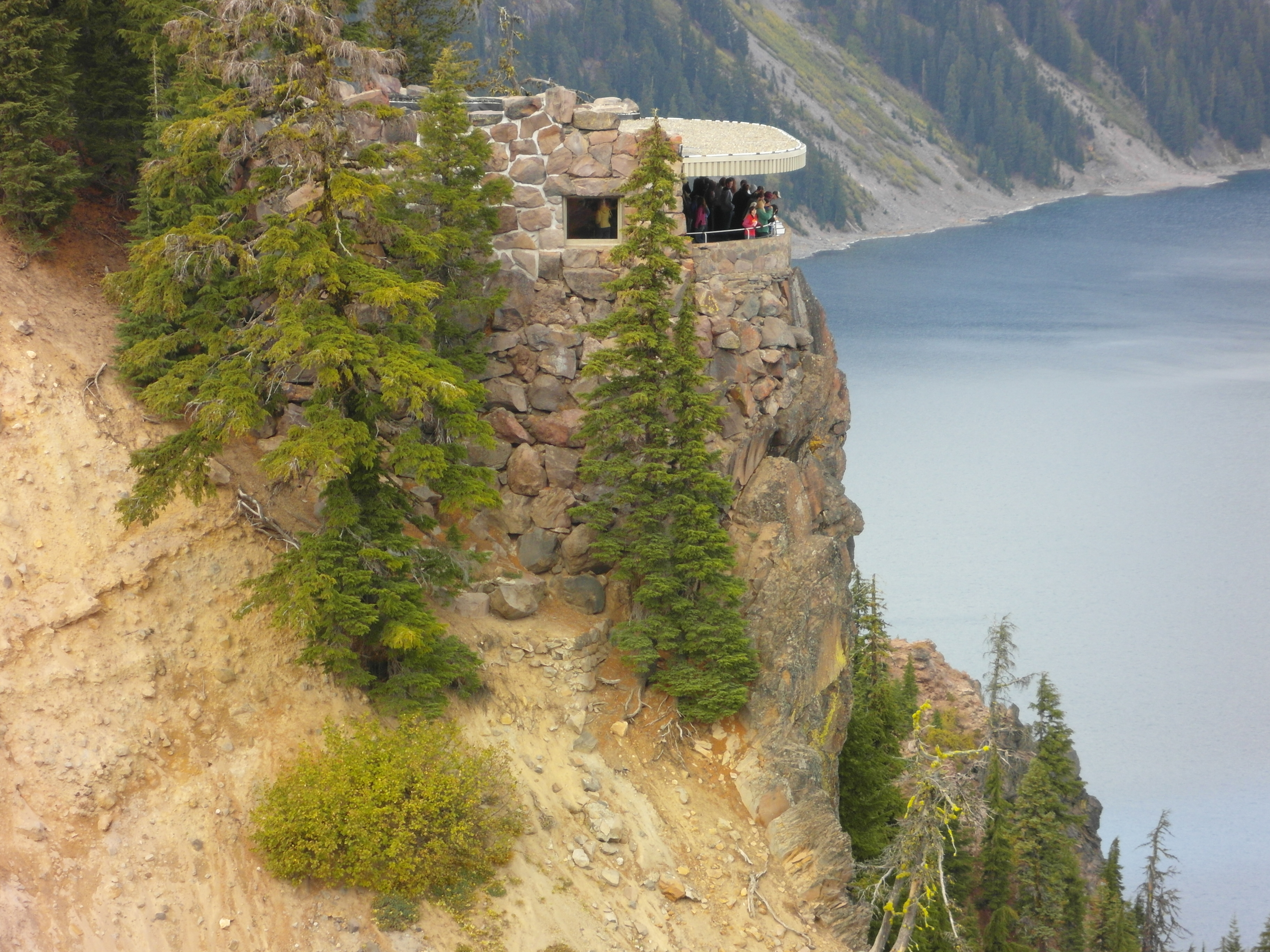
Sinnott Memorial is the most popular viewpoint in the park. Designed as a “trailside" museum with an expansive, unobstructed lake view and science-related exhibits, It is an opportunity to simultaneously learn about the geology of Mount Mazama and the creation of Crater Lake while experiencing the blue, its beauty, and the silence. Allow time to explore the exhibits, attend a daily ranger program, and contemplate.
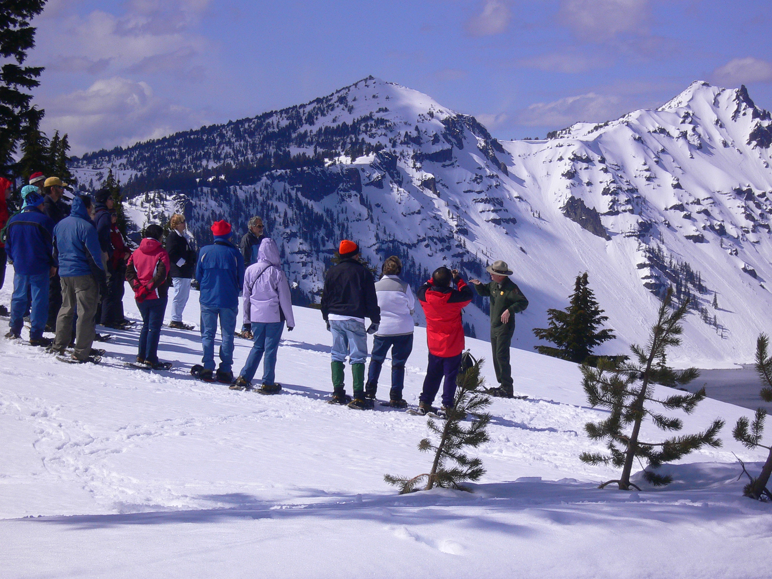
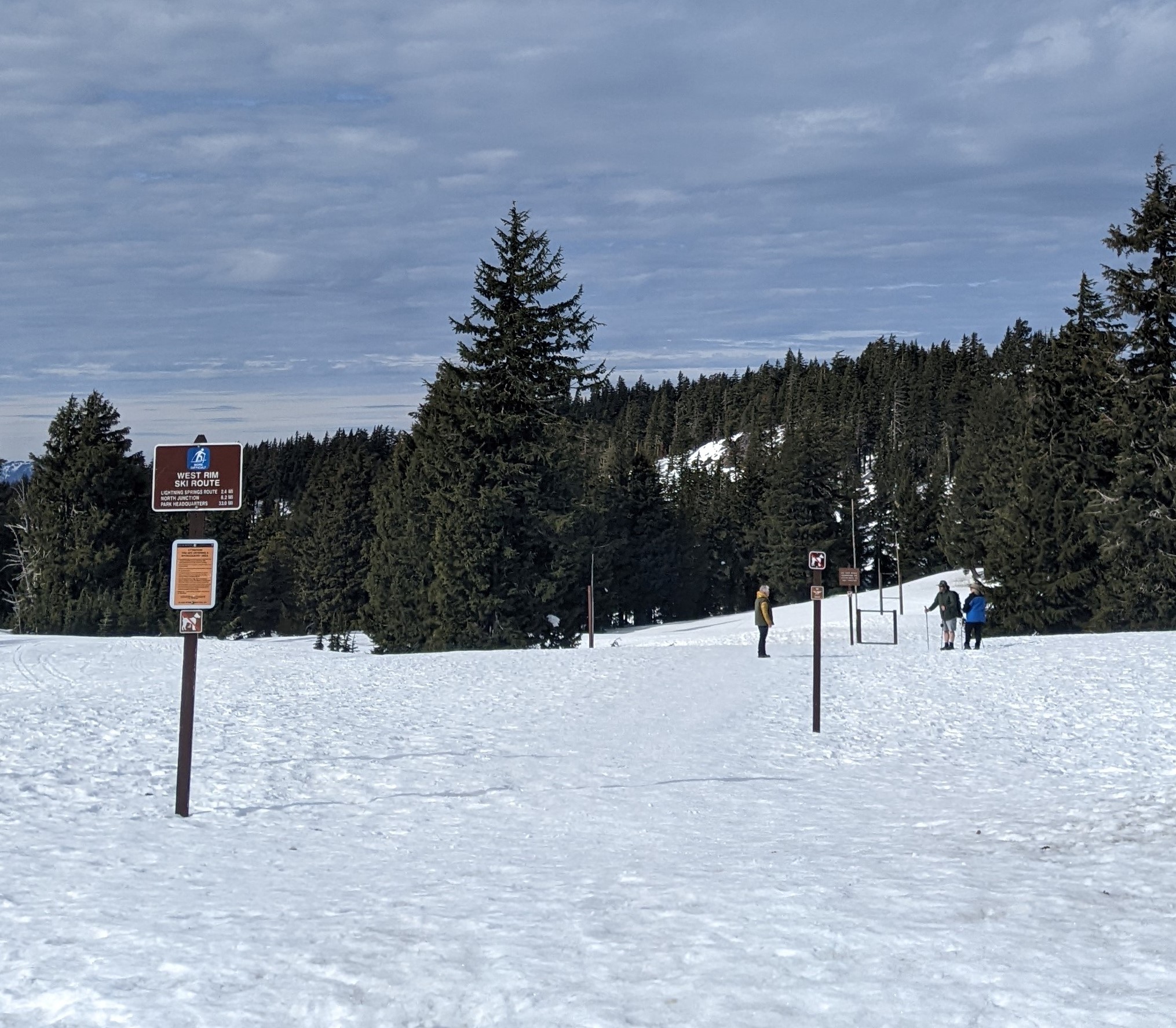
Every year on November 1, West Rim Drive closes to vehicle traffic and transitions into the most popular ski and snowshoe route in Crater Lake National Park. The asphalt surface disappears under many feet of snow with only the contours of the road as a guide. West Rim Route offers spectacular views of Crater Lake, Wizard Island. and the dramatic scenery created by the visible peaks and valleys of the Cascade mountains.