Be advised that the NPS has issued alerts for this park.
East Portal Road Reopened: Use Caution
During periods of rain or other precipitation, visitors are encouraged to leave East Portal promptly due to an increased risk of landslides in burned areas along East Portal Road. Please stay alert to changing weather conditions and use caution when traveling in the area.
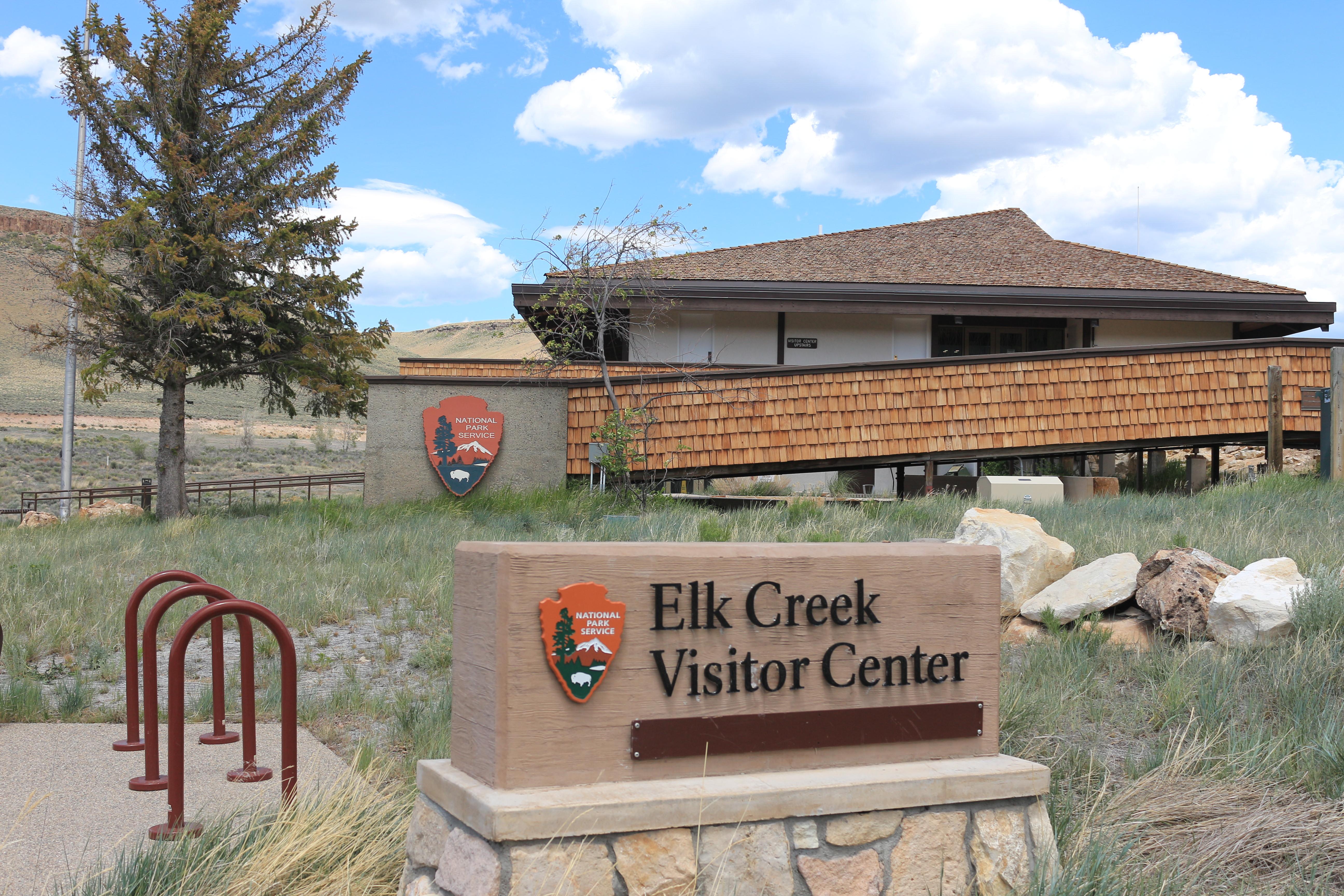
Elk Creek Visitor Center temporary closure
The Elk Creek Visitor Center will be closed from September 21 to October 1 for installation of new exhibits. During winter hours, staff will be present in the visitor center parking lot while installation is in progress.
Blue Mesa Water Update
As of 8/22 cyanotoxin levels were negative/below acceptable State of Colorado public health levels at Iola Basin. Cautionary signs will remain posted around Iola Basin on Blue Mesa Reservoir due to possible future reoccurrence as conditions may change.
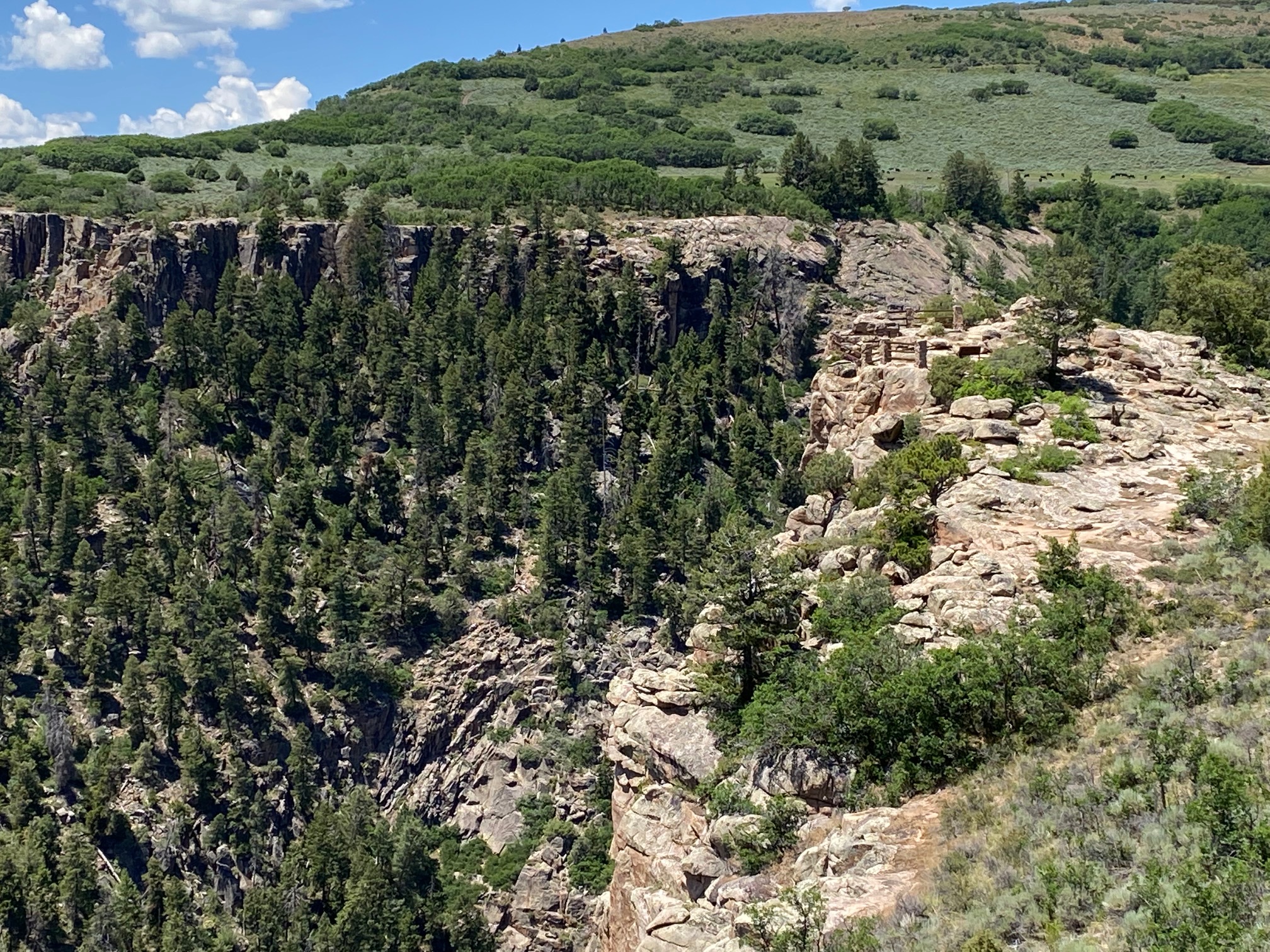
Three reservoirs and surrounding lands make up this recreation area in western Colorado. It is a landscape of tradeoffs; natural and human made features exist together. Geologic wonders are abundant from the sagebrush shrublands to forests. Visit...
Cimarron Campground is located 20 miles (32 km) east of Montrose, CO on U.S. Highway 50 at the site of Cimarron, a historic narrow gauge railroad town. The campground accommodates tents to medium sized RVs. All sites are first-come, first-served and the campground rarely fills. Railroad exhibits are adjacent to the campground. Crystal Reservoir near Morrow Point Dam is approximately 1.5 miles away (2.4 km).
All sites can be reserved on Recreation.gov and can be made the same day of arrival. Dates are released on a 6-month rolling basis. Making reservations prior to coming to Curecanti is recommended because cell service may be unavailable.
Elk Creek Campground is located 16 miles west of Gunnison on U.S. Highway 50 on the shore of Blue Mesa Reservoir. We recommend making reservations prior to coming to Curecanti because cell service may be unavailable. All sites can be reserved and can be made the same day. All types of camping from tents to large RVs can be accommodated. Very few sites have trees. This is the only campground with electricity (Loop D only) at Curecanti. Elevation: 7540 feet
We recommend making reservations at recreation.gov prior to coming to Curecanti because cell service and first-come, first-served sites may be unavailable. The upper and middle sections can be reserved. Dates are released on a 6-month rolling basis.
All sites are first-come, first served. $20.00 per night ($10.00 per night with Interagency Senior/Access Pass)
The campground is located 12 miles west of Gunnison on U.S. Highway 50 on the shore of Blue Mesa Reservoir. Tents to large RVs can be accommodated. The 53 sites are surrounded by sage and rabbitbrush. There is no natural shade. All sites are reservable on Recreation.gov. Elevation: 7540 feet
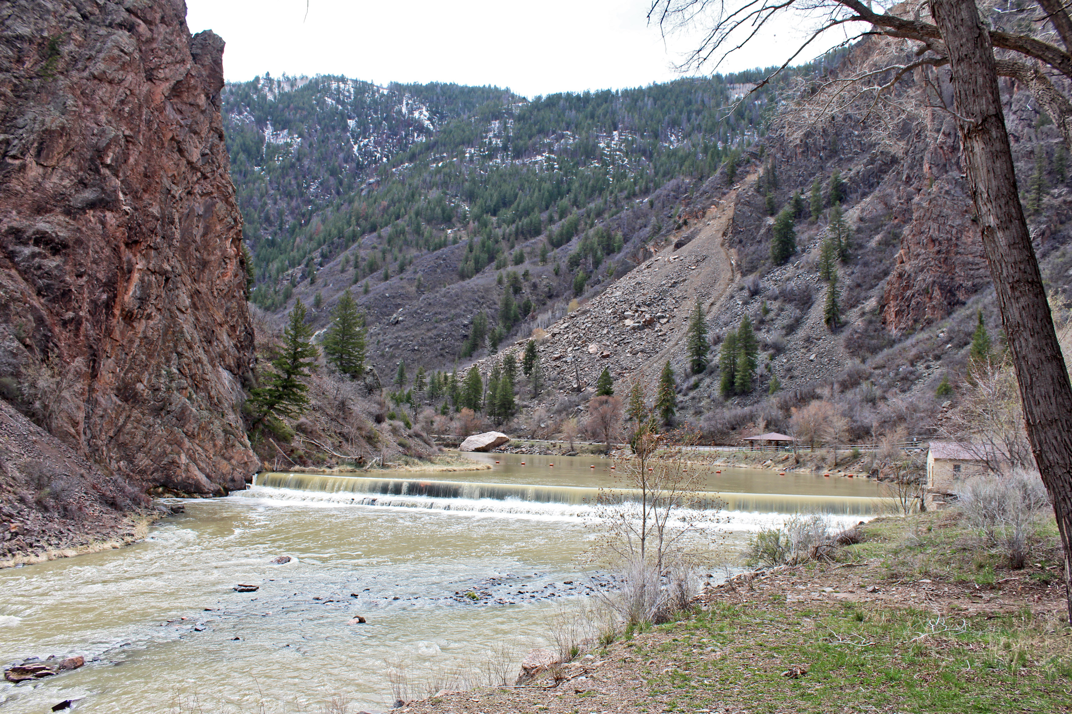
East Portal is within the boundary of Curecanti National Recreation Area, but only accessible from the South Rim of Black Canyon of the Gunnison National Park. East Portal is named for the Gunnison Tunnel and the town that developed around its construction
East Portal is within the boundary of Curecanti National Recreation Area, but only accessible from the South Rim of Black Canyon of the Gunnison National Park. East Portal is named for the Gunnison Tunnel and the town that developed around its construction. Although not much remains of the town, visitors can still experience the winding, steep road down the canyon and area where a community once stood.
This visitor center provides information, exhibits, book and map sales, restrooms, and outdoor seating. Water is available inside when the building is open.
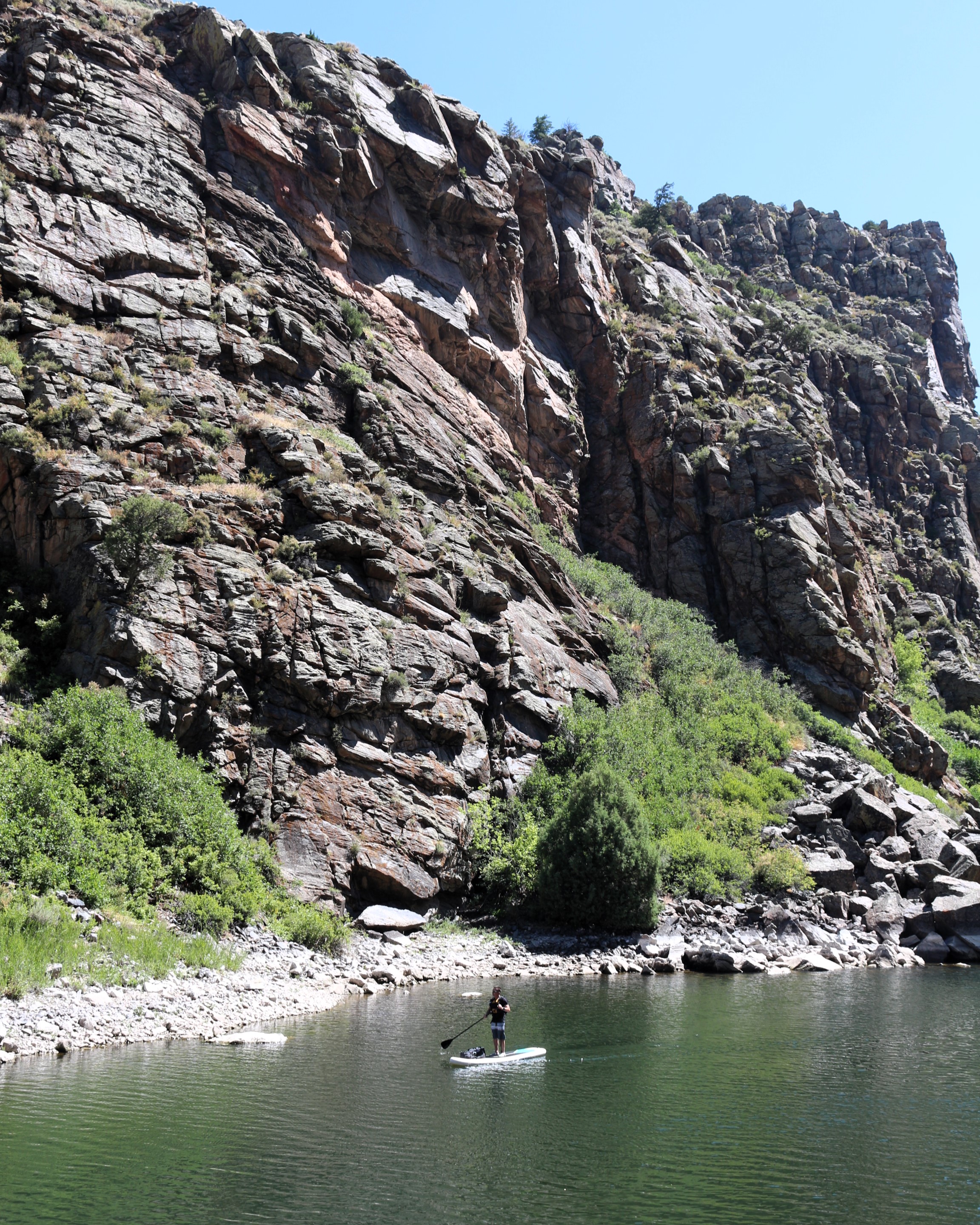
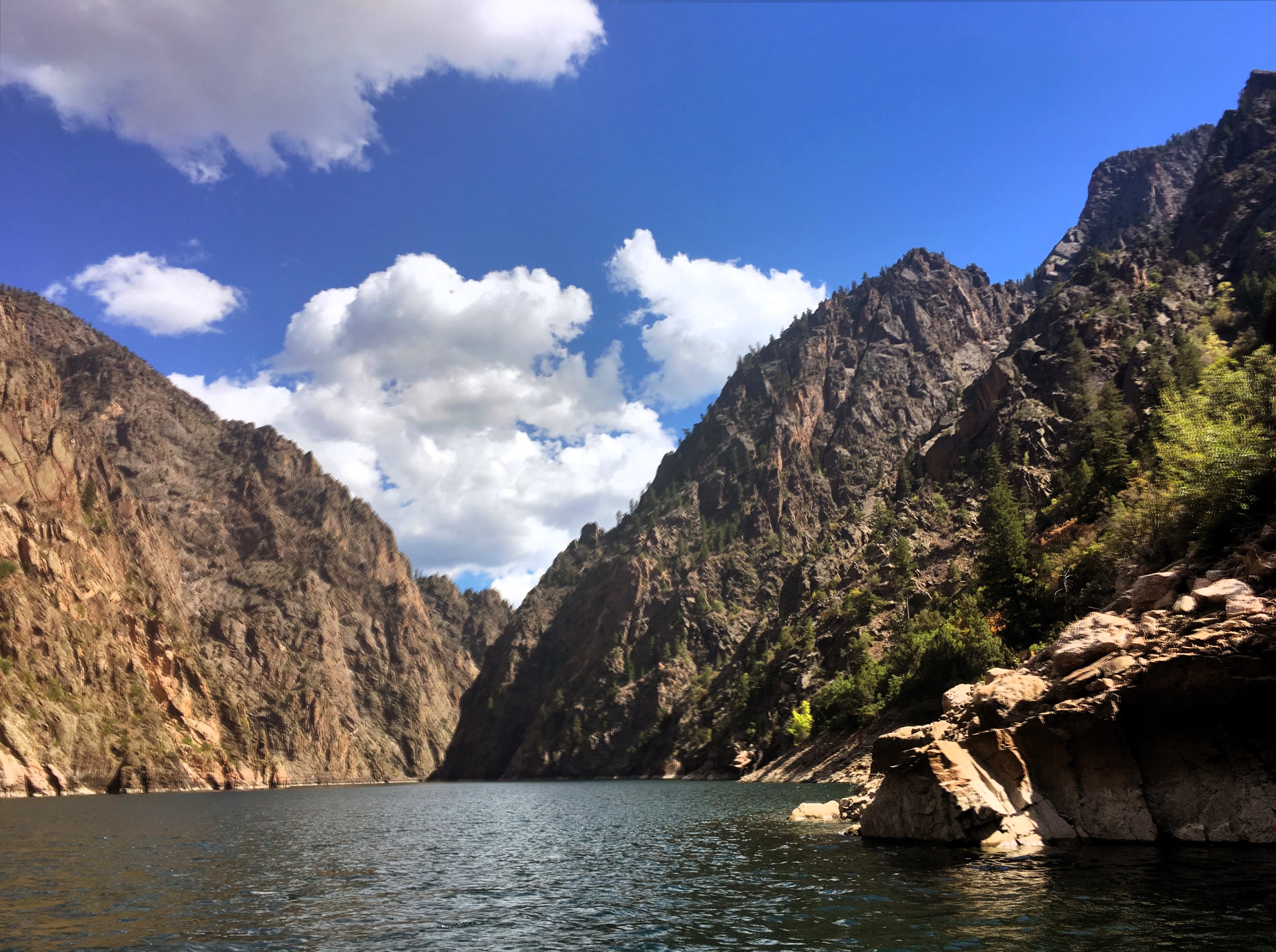
For the more adventurous, Morrow Point Reservoir is a great location for canoeing or kayaking. The easiest access to launch hand-carried craft is via the Pine Creek Trail.
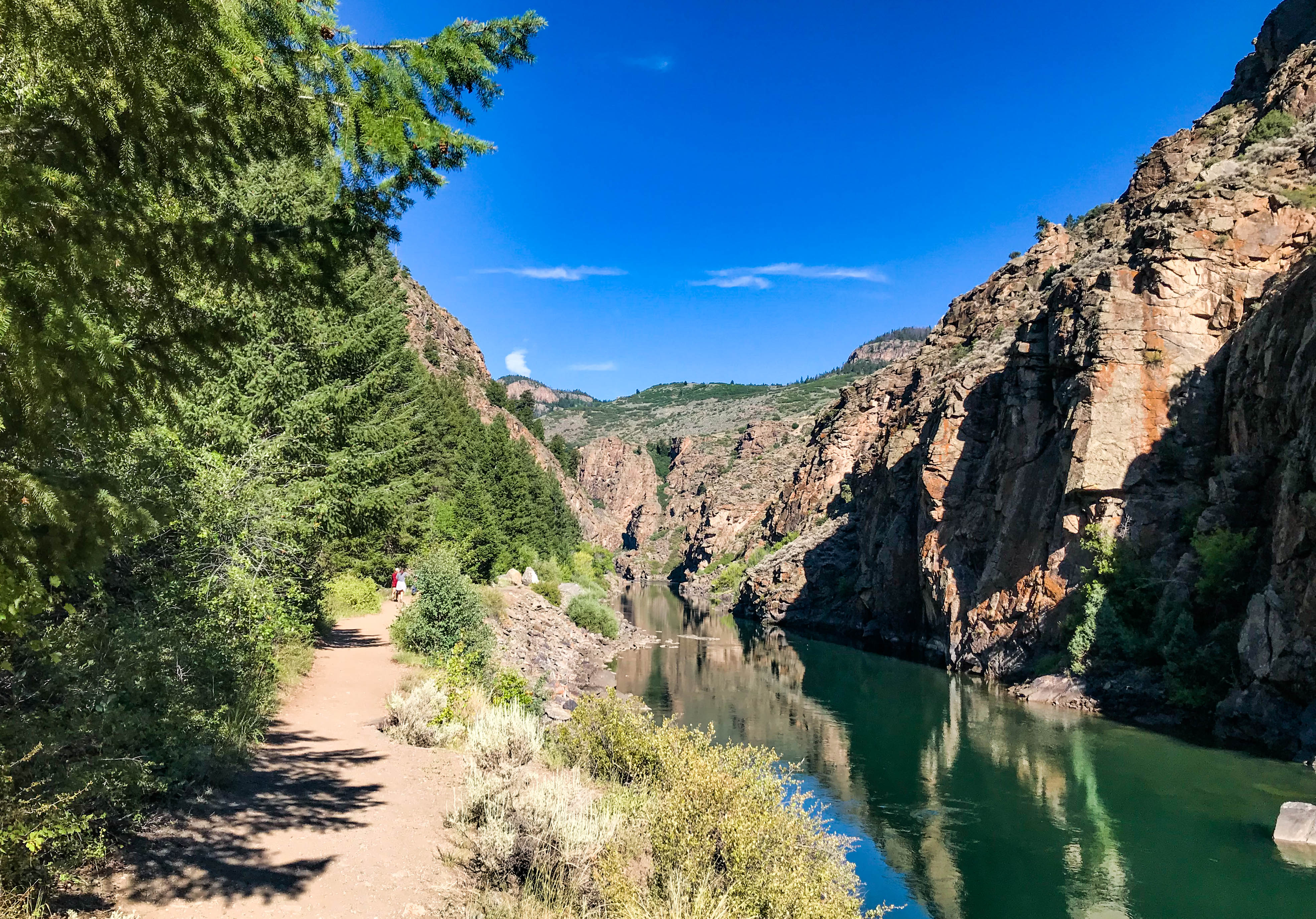
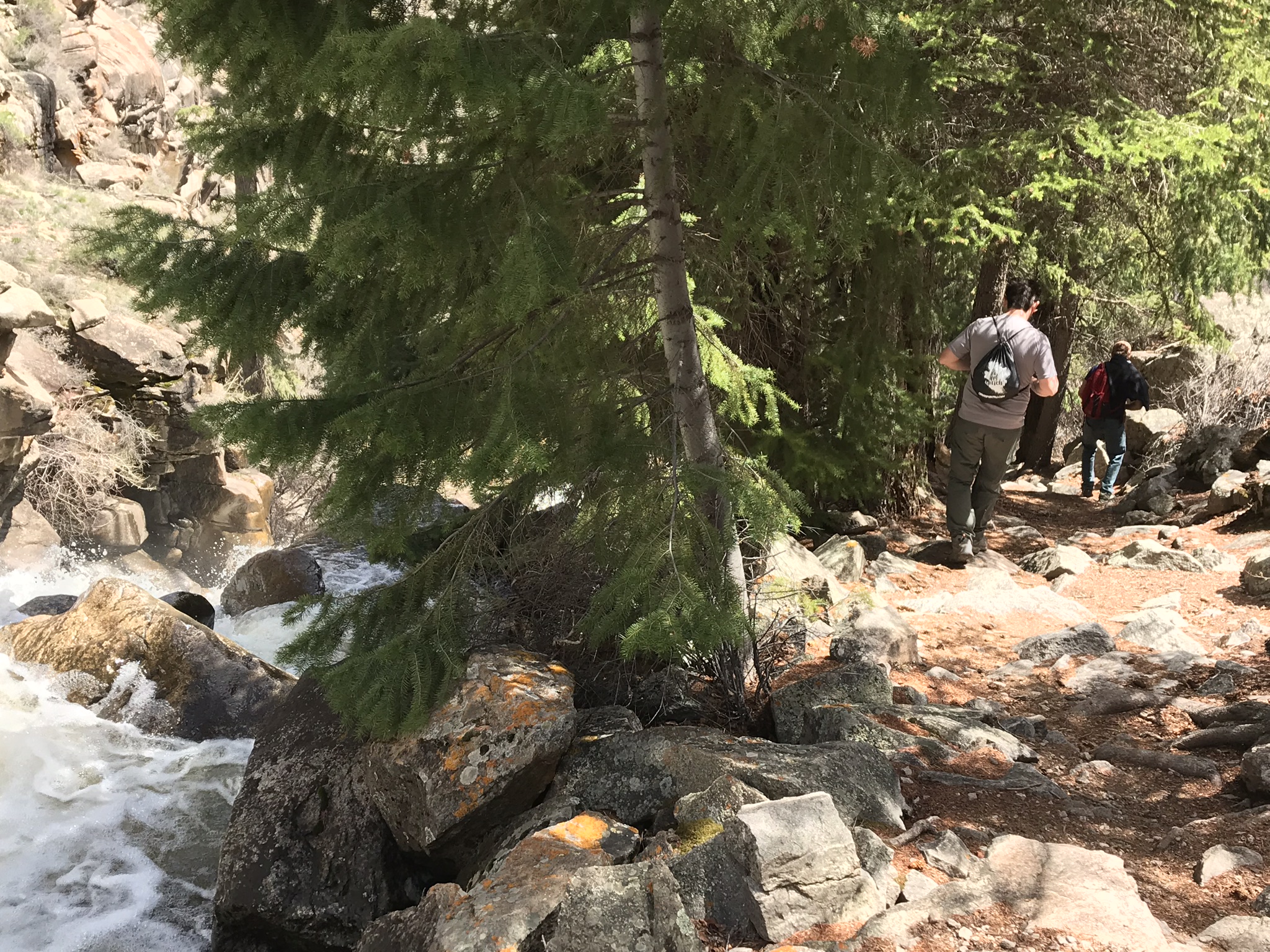
Hike Pine Creek Trail
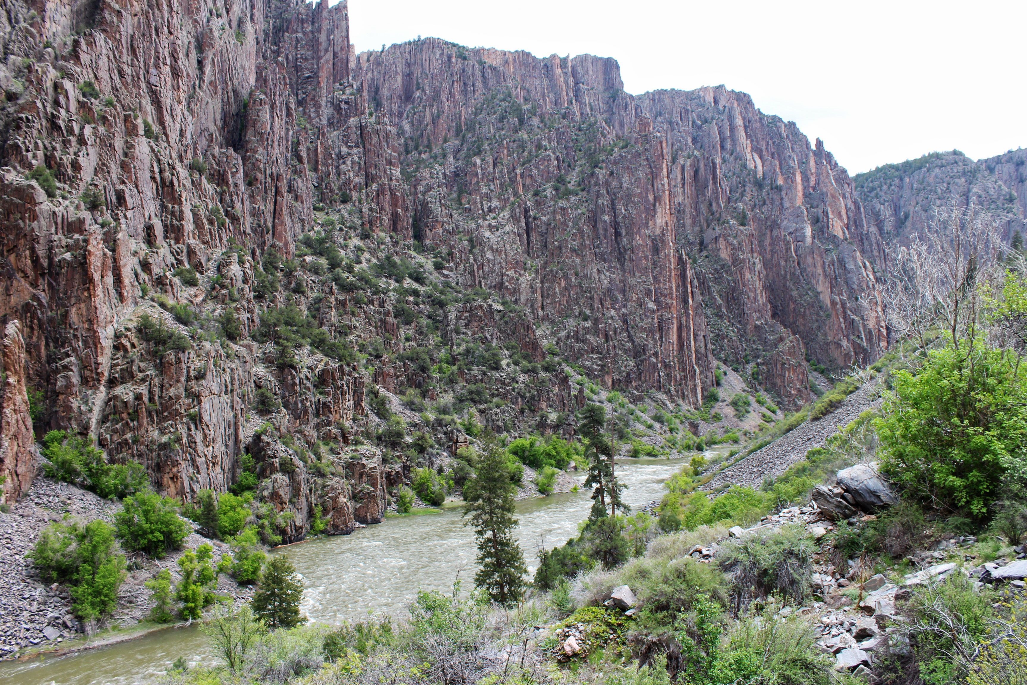
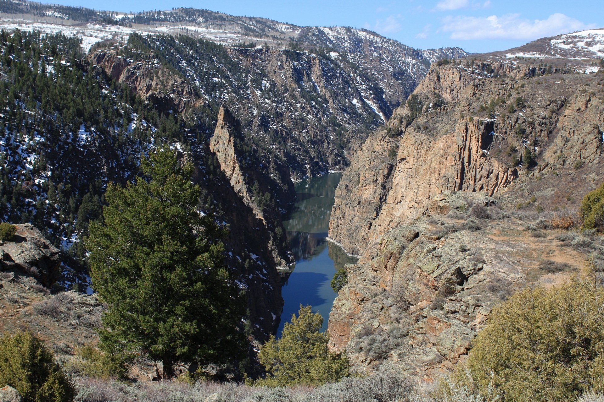
This trail follows Pine Creek as it cascades into the depths of the upper Black Canyon to Morrow Point Reservoir. It follows the old narrow gauge railroad bed along the reservoir.
Boat on Crystal Reservoir
Crystal Reservoir provides backcountry flatwater boating opportunities. Hand-carried craft only. Access is from Mesa Creek Trail located at Cimarron.
Hike Mesa Creek Trail
This trail crosses Crystal Reservoir via footbridge and meanders along the river's edge for views of the sheer canyon walls.
Hike Neversink Trail
This short trail is located nearest to Gunnison along the Gunnison River and provides good birdwatching opportunities.
Hike Curecanti Creek Trail
After descending from the high rim of the Upper Black Canyon of the Gunnison, the trail follows Curecanti Creek as it descends toward Morrow Point Reservoir.
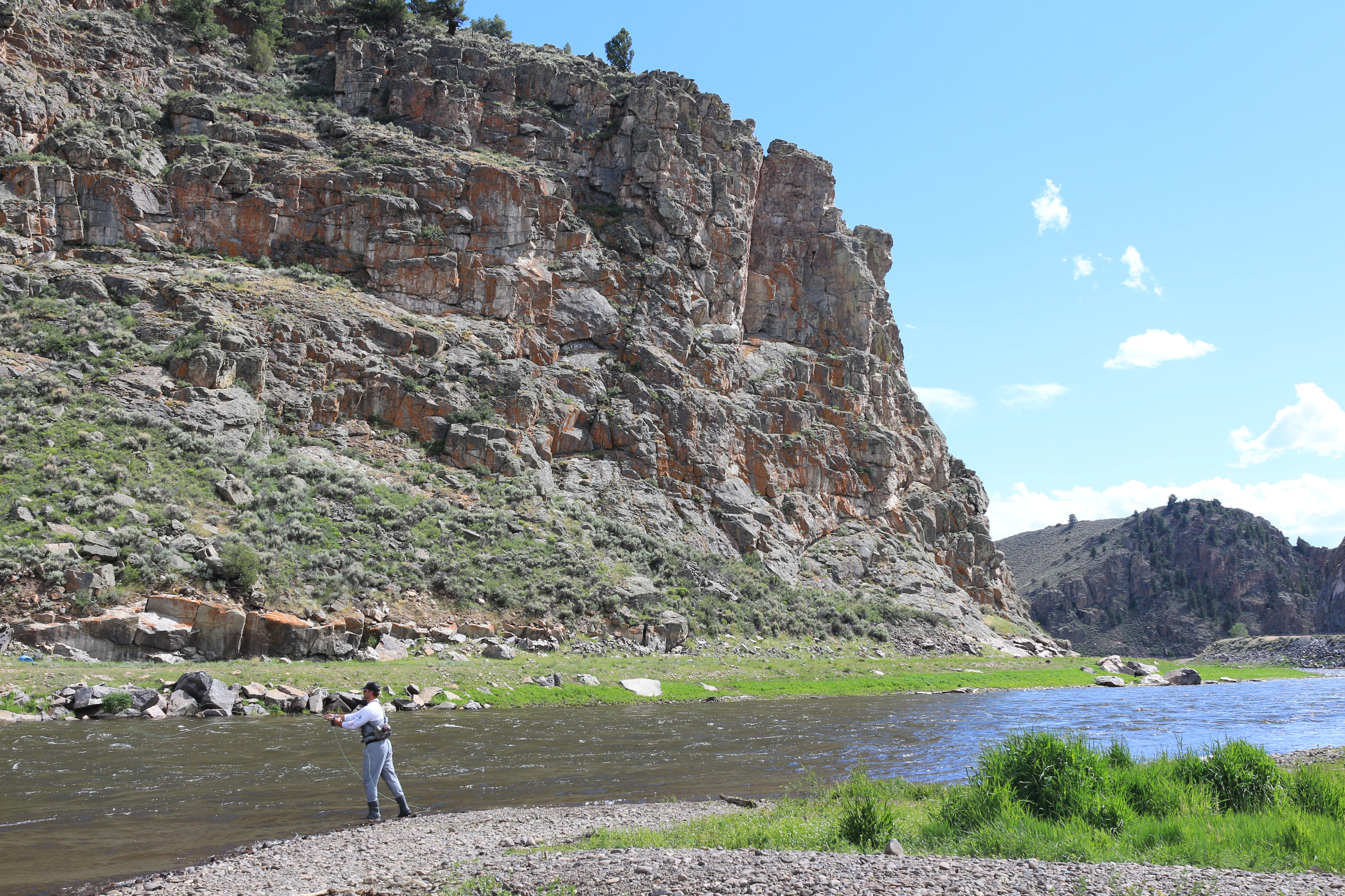
Fishing at Curecanti
Fishing is allowed along the Gunnison River and all three reservoirs of Curecanti National Recreation Area. All Colorado State fishing regulations apply.
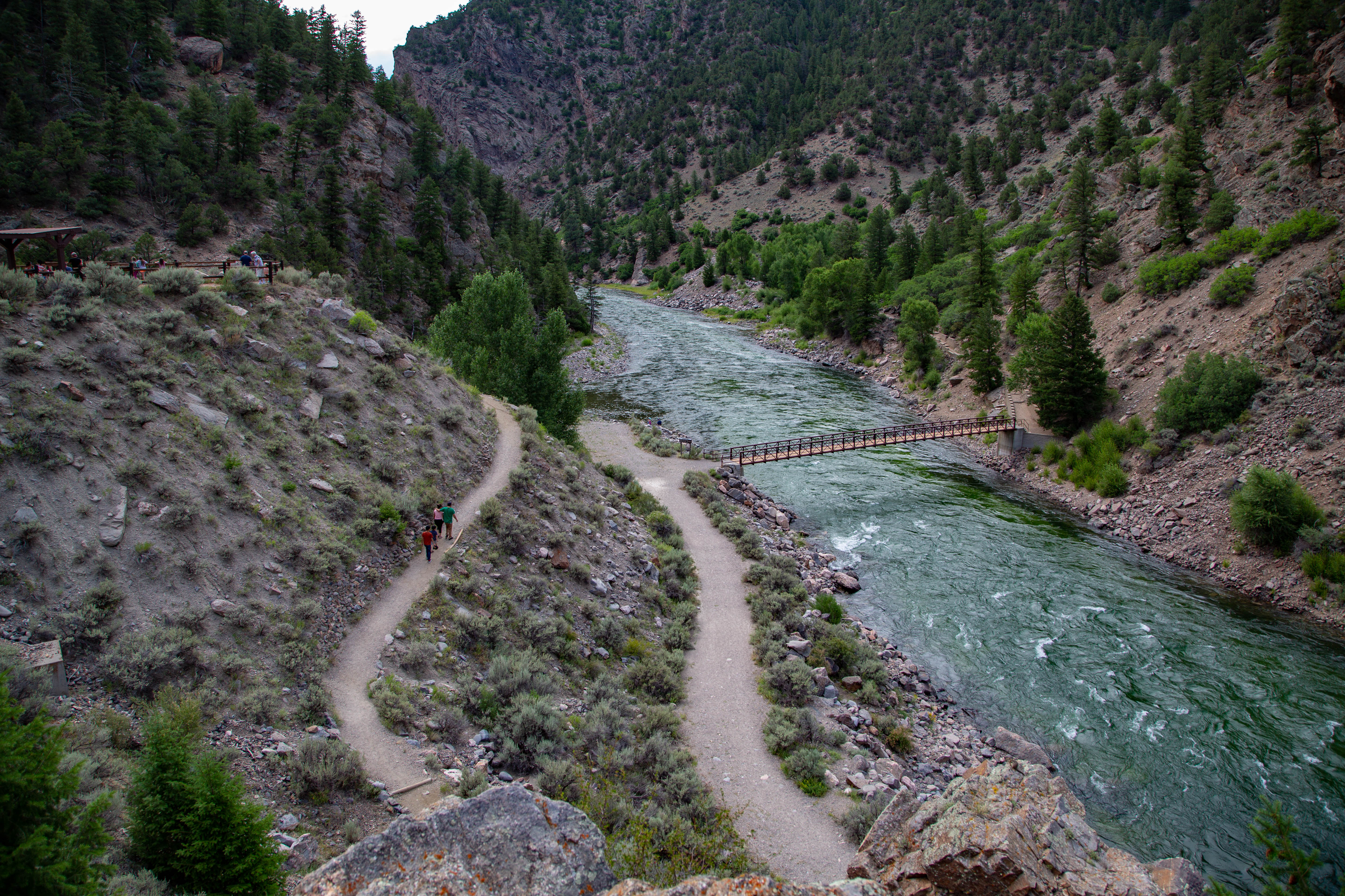
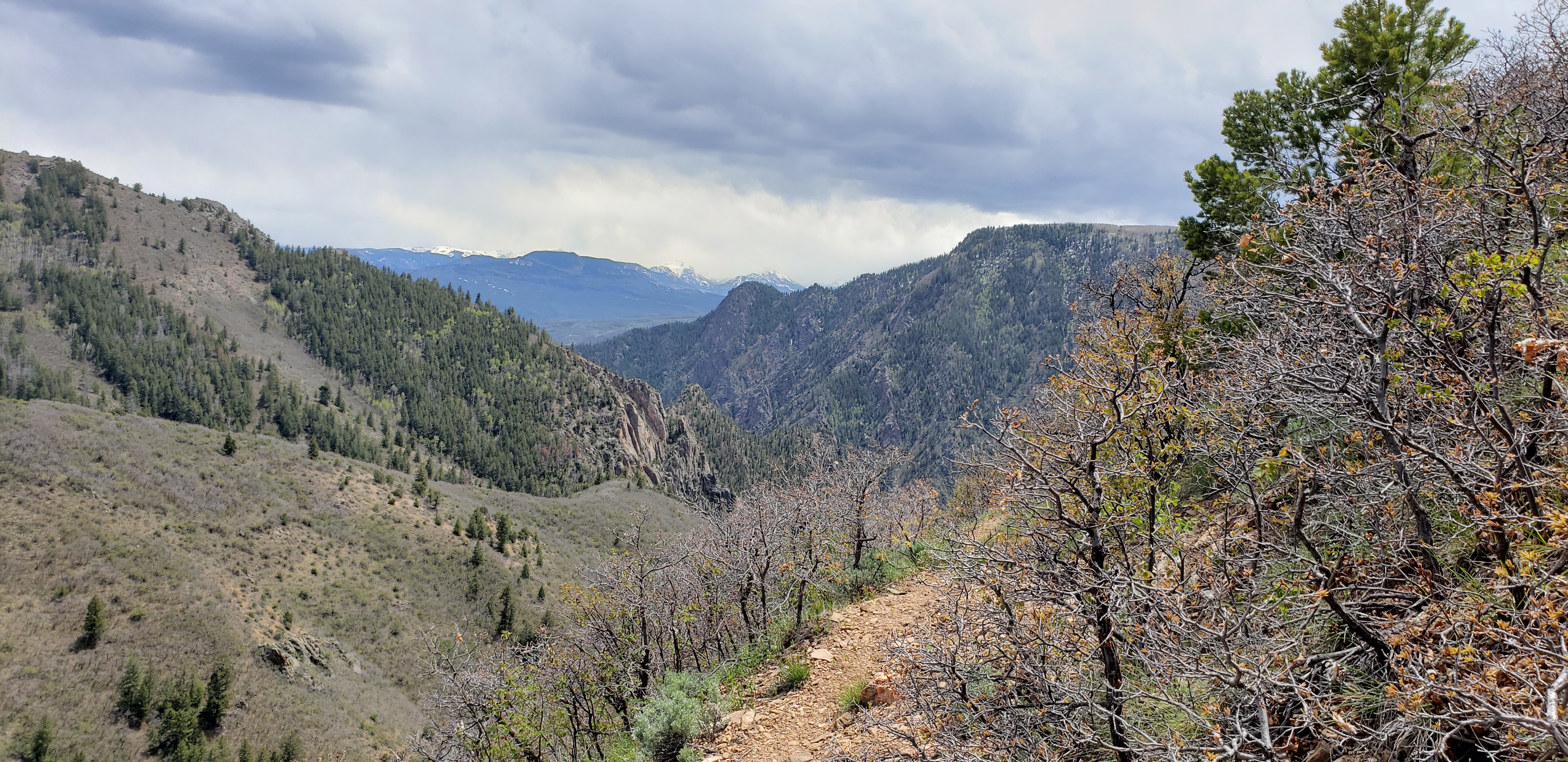
Drive East Portal Road
East Portal Road is a windy, steep scenic road down to the Gunnison River. East Portal is within Curecanti National Recreation Area, but only accessible from within Black Canyon of the Gunnison National Park. Vehicles over 22 feet are prohibited on the East Portal Road.
Hike Hermits Rest Trail
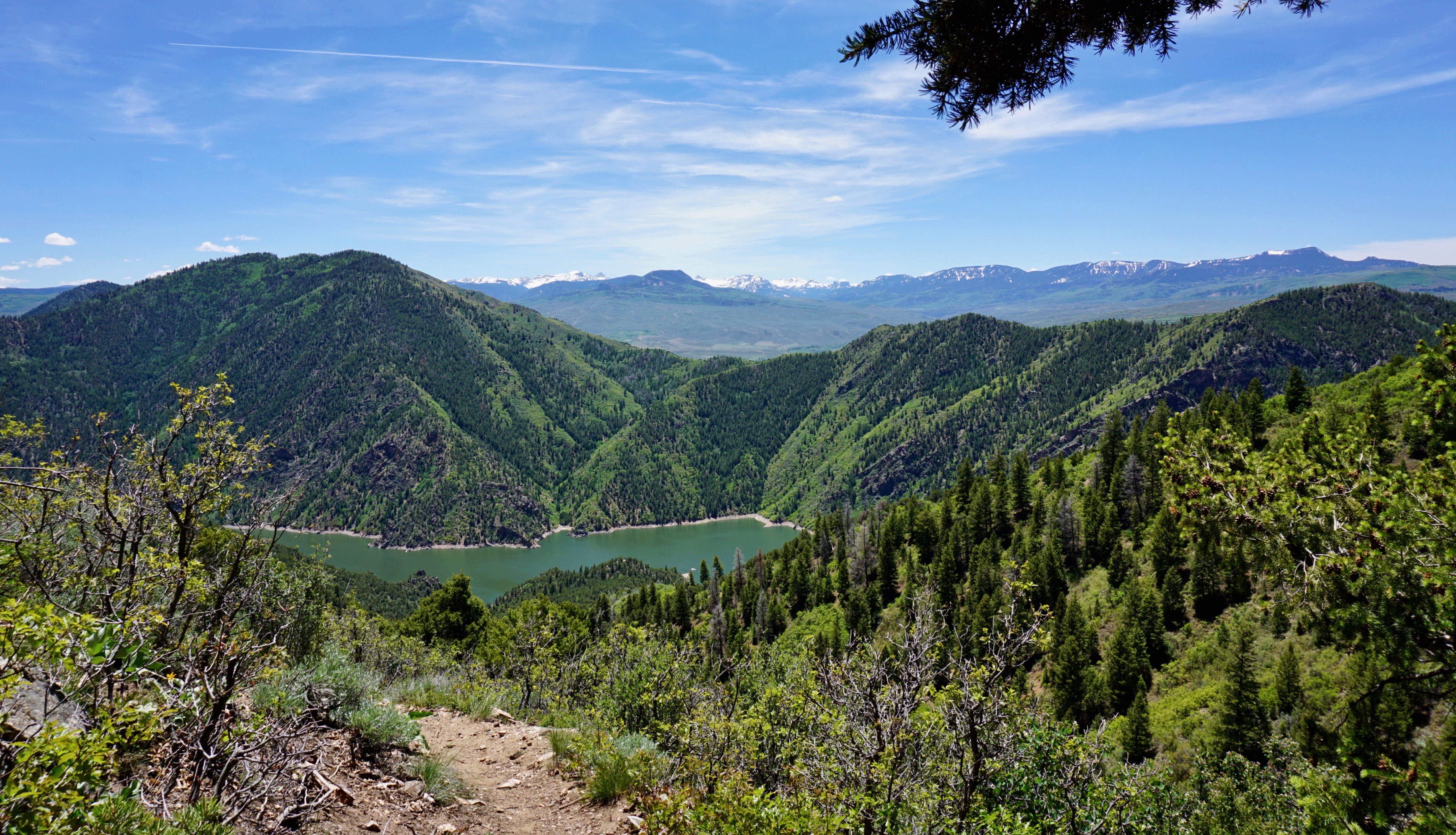
Zigzagging through oak, pine, juniper, and fir, hikers descend more than 1750 ft (531 m) to a wooded camp and picnic sites on the shores of Morrow Point Reservoir.
Drive U.S. Highway 50
U.S. Highway 50 travels west from Gunnison and brings you into Curecanti National Recreation Area. The highway follows along the Gunnison River before reaching Blue Mesa Reservoir, continuing along its edge and crossing two bridges.
Drive CO Highway 92
Colorado (CO) Highway 92 crosses over Blue Mesa Dam and winds along the north rim of the Black Canyon, providing access to scenic overlooks and trailheads.
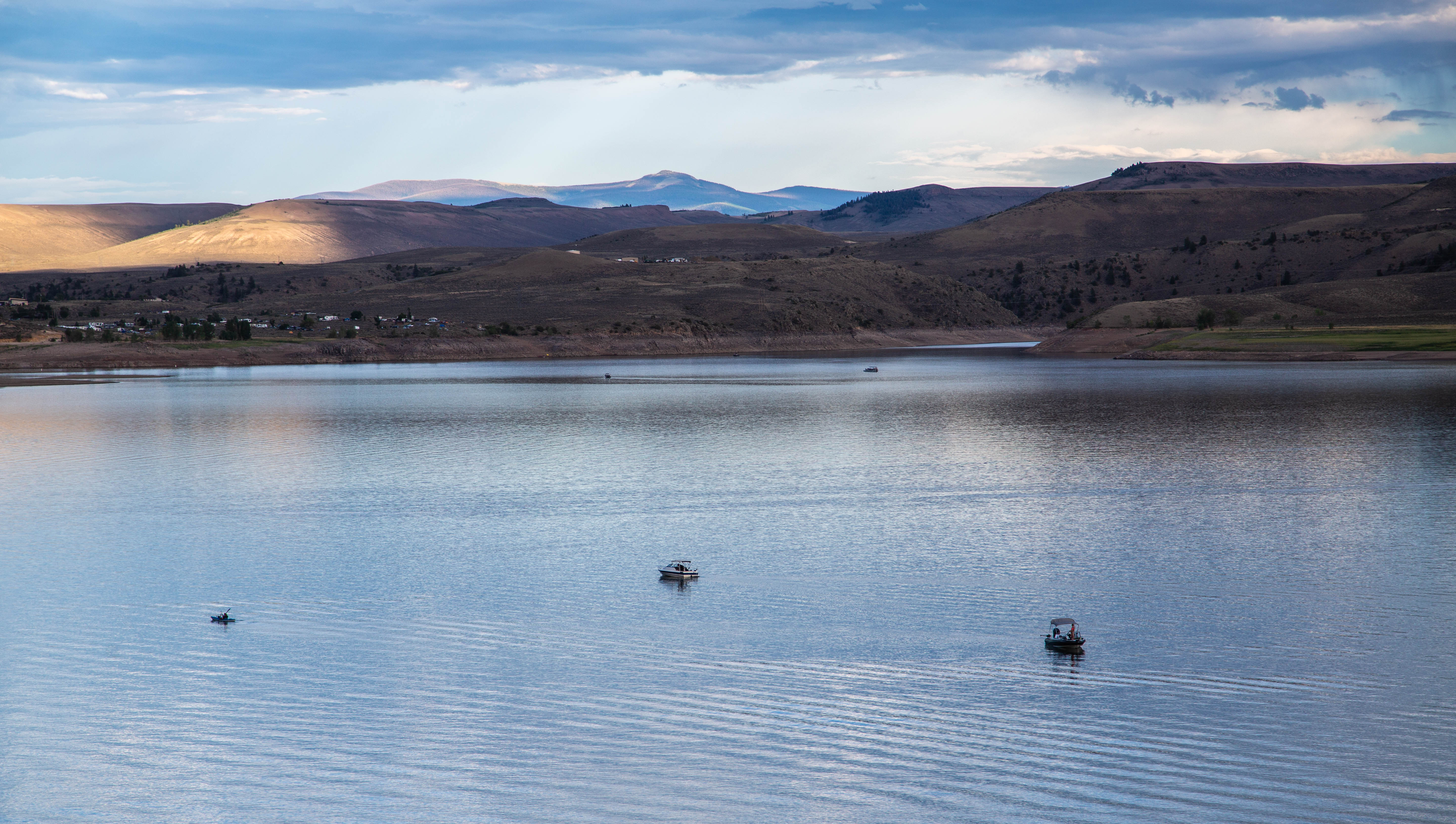
Boat on Blue Mesa Reservoir
Blue Mesa Reservoir, the largest body of water in Colorado, has 96 miles of shoreline and provides opportunities for motorboating, paddleboarding, kayaking, canoeing, and more.
Hike Crystal Creek Trail
Winding through abundant wildflowers, Gambel oak, aspens, conifers and a recovering burn area, Crystal Creek Trail is ideal for spring or fall hiking.
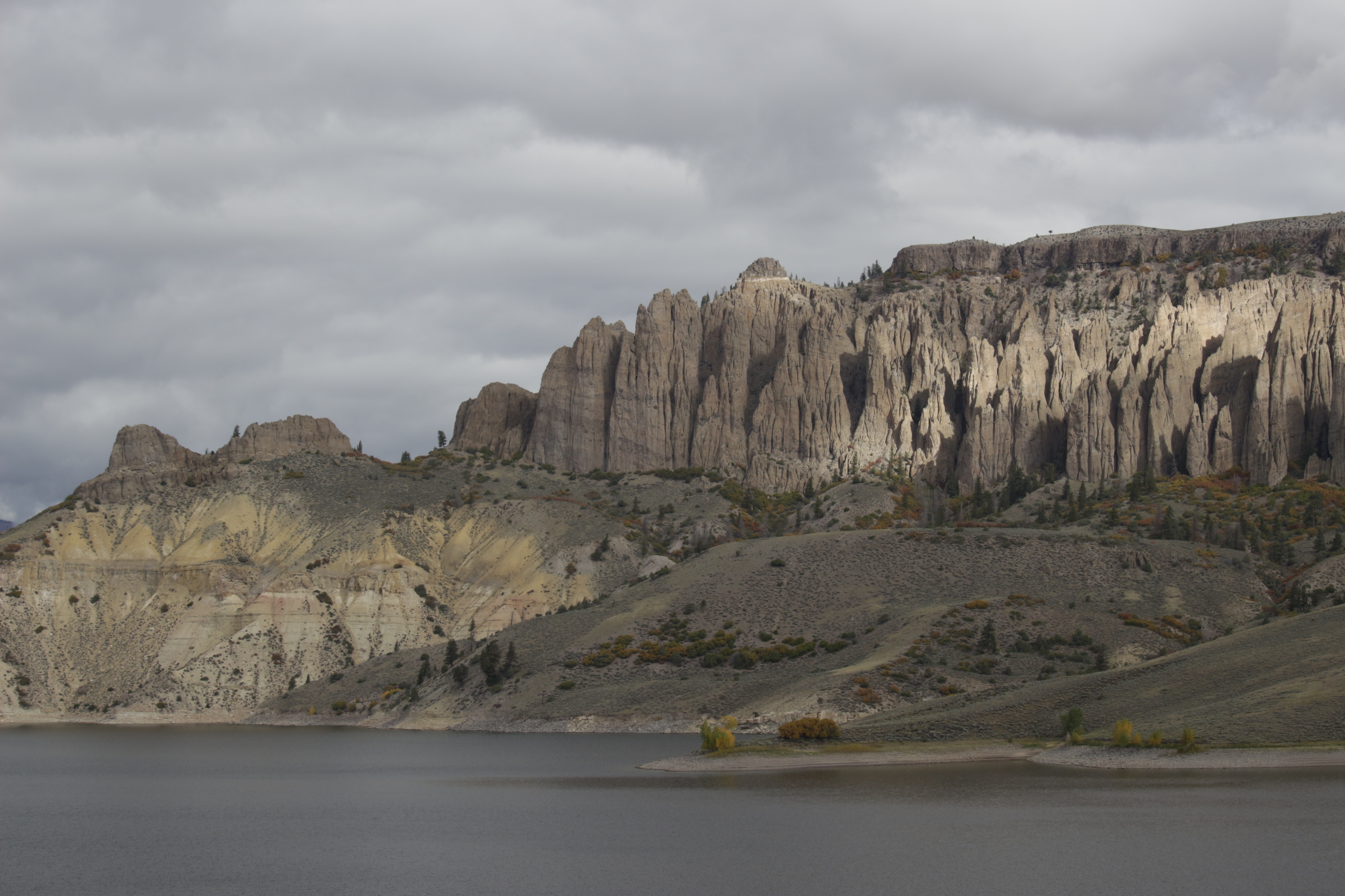
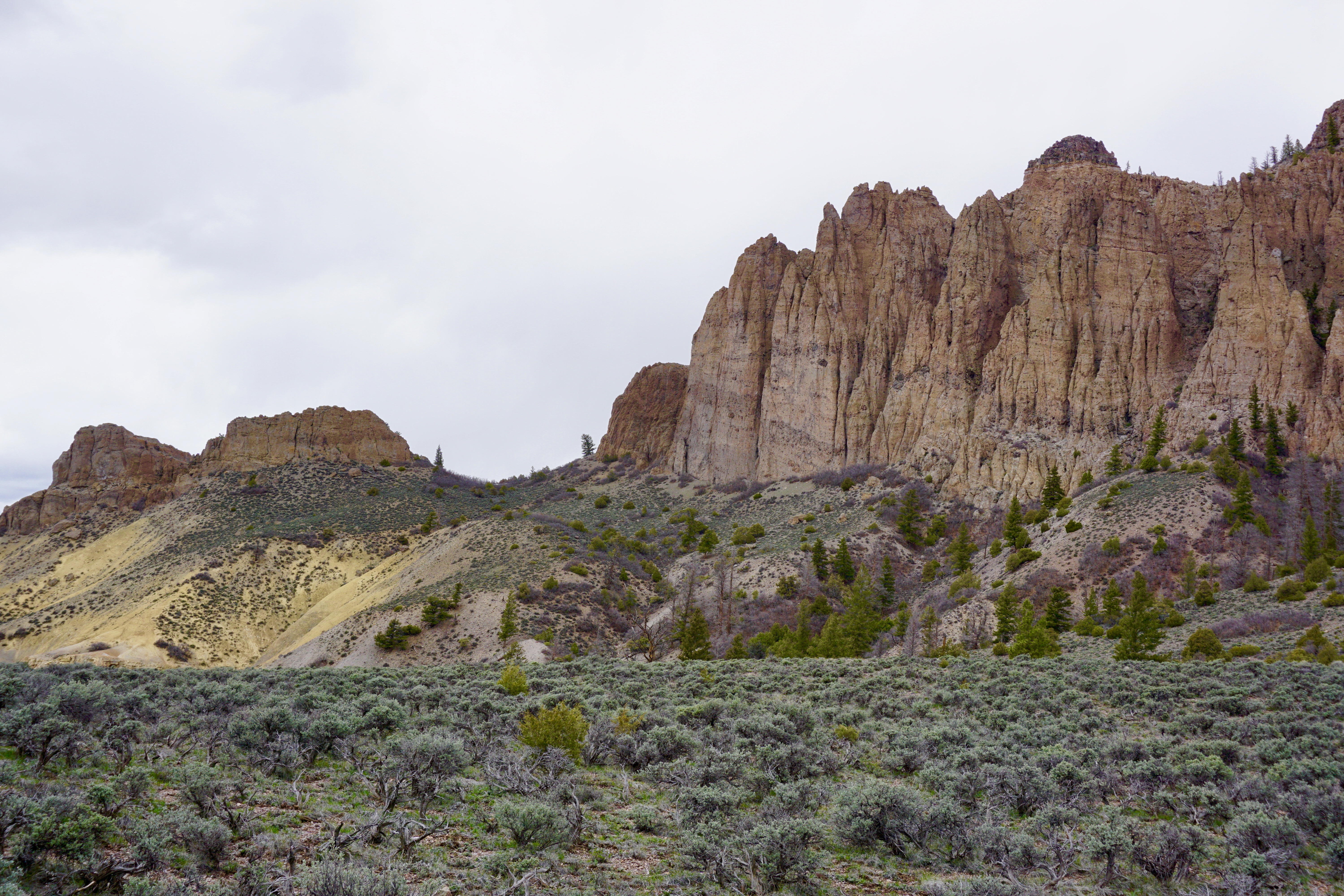
Hike Dillon Pinnacles
Ascending through sagebrush, ponderosa pine and riparian habitats, this 1.9-mile (3.2 km) trail offers spectacular views of Blue Mesa Reservoir, the distant San Juan Mountain peaks, and the eroded volcanic Dillon Pinnacles.