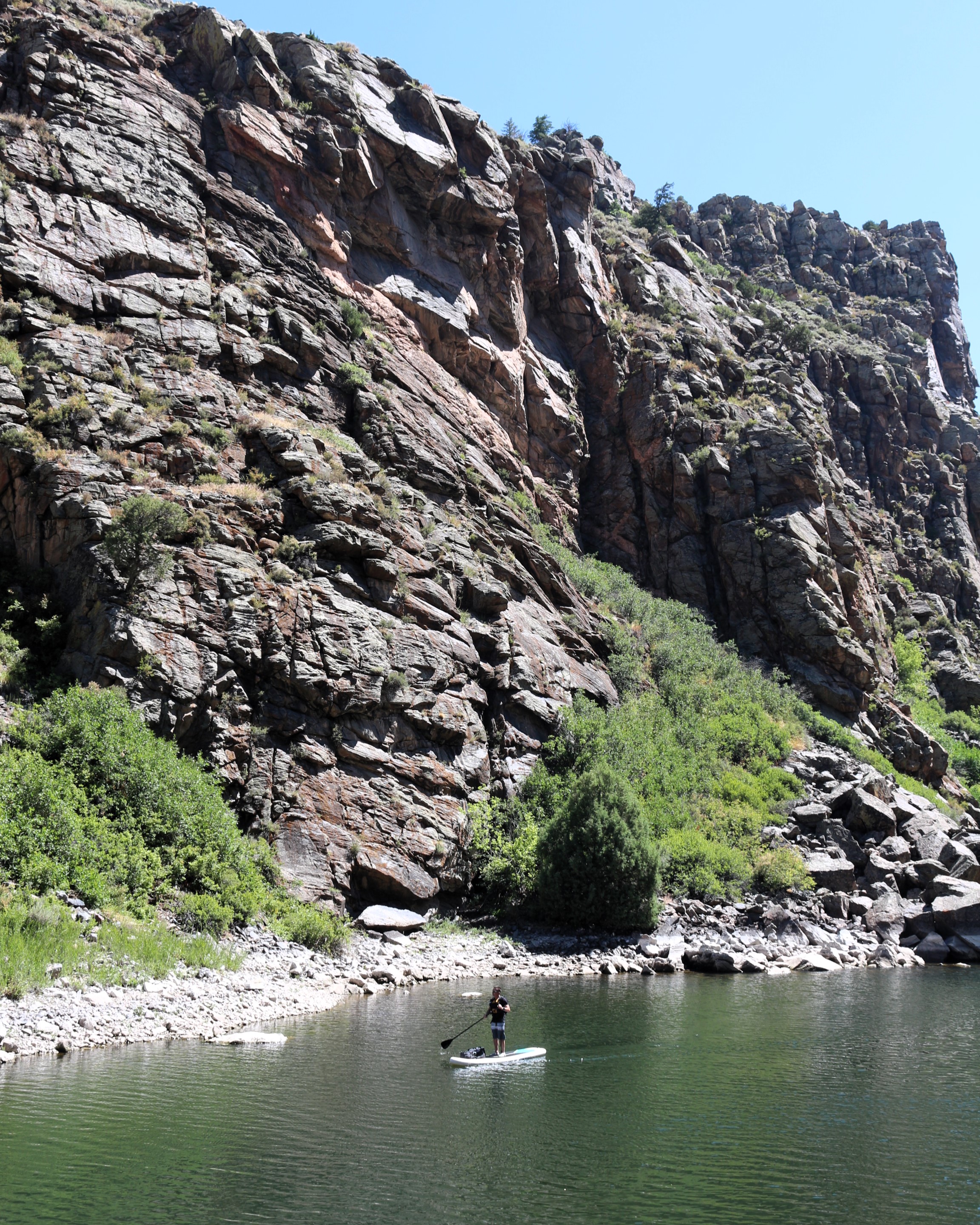
For the more adventurous, Morrow Point Reservoir is a great location for canoeing or kayaking. The easiest access to launch hand-carried craft is via the Pine Creek Trail.
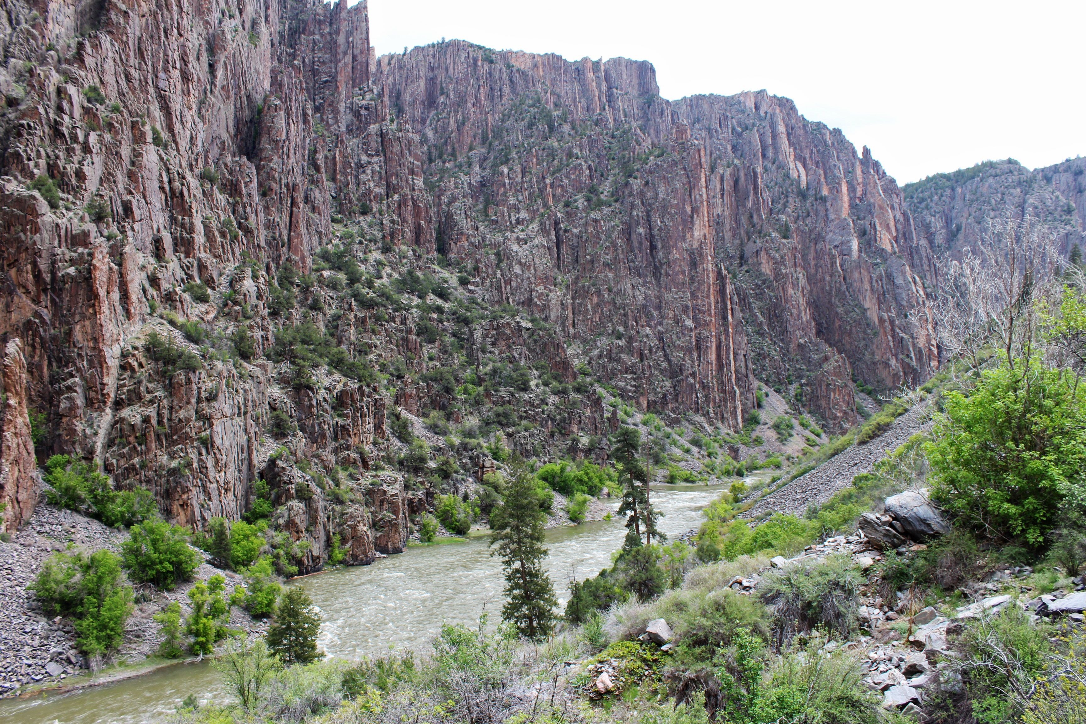
This trail follows Pine Creek as it cascades into the depths of the upper Black Canyon to Morrow Point Reservoir. It follows the old narrow gauge railroad bed along the reservoir.
1-2 Hours
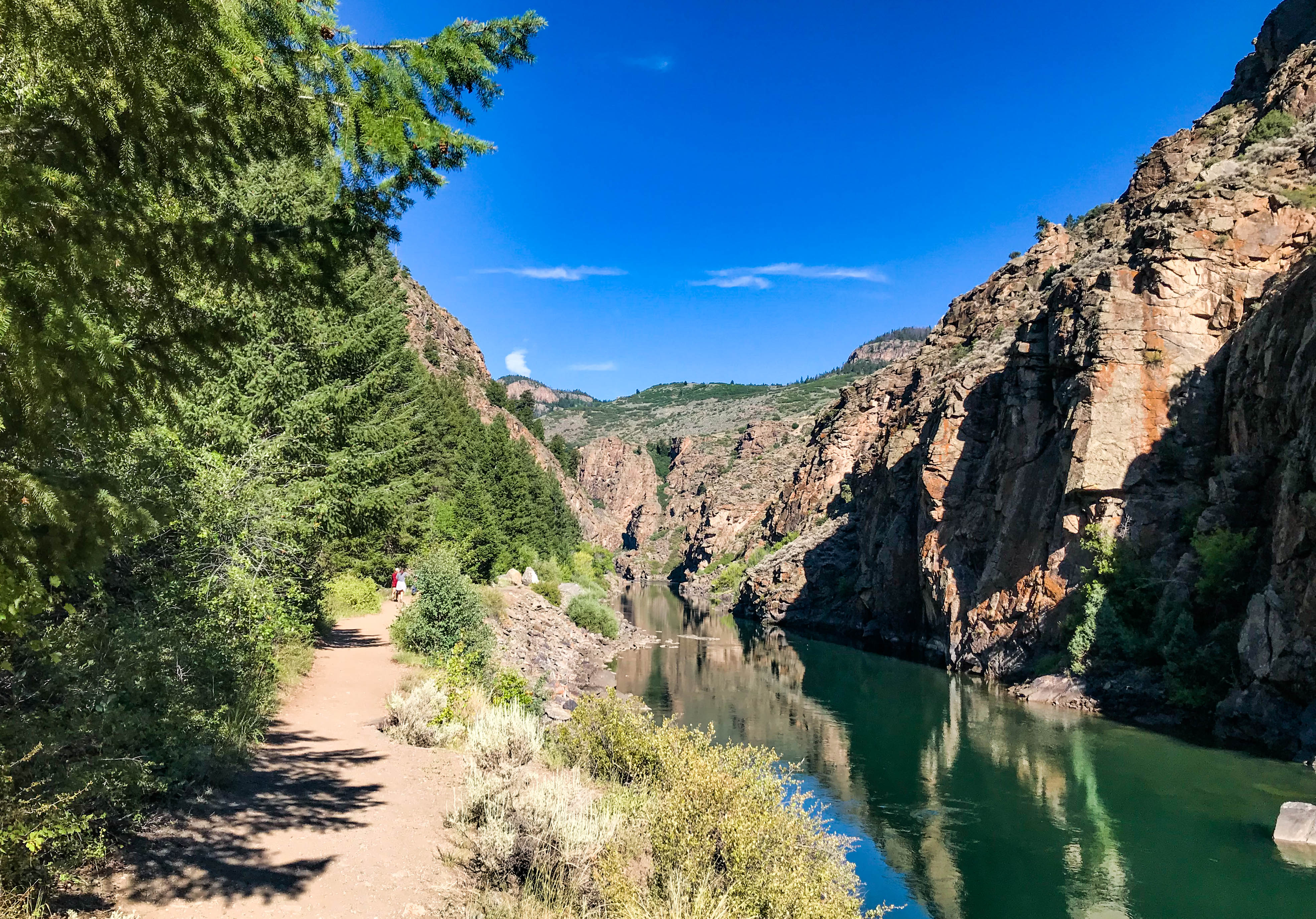
Crystal Reservoir provides backcountry flatwater boating opportunities. Hand-carried craft only. Access is from Mesa Creek Trail located at Cimarron.
This trail crosses Crystal Reservoir via footbridge and meanders along the river's edge for views of the sheer canyon walls.
1-2 Hours
This short trail is located nearest to Gunnison along the Gunnison River and provides good birdwatching opportunities.
30-60 Minutes
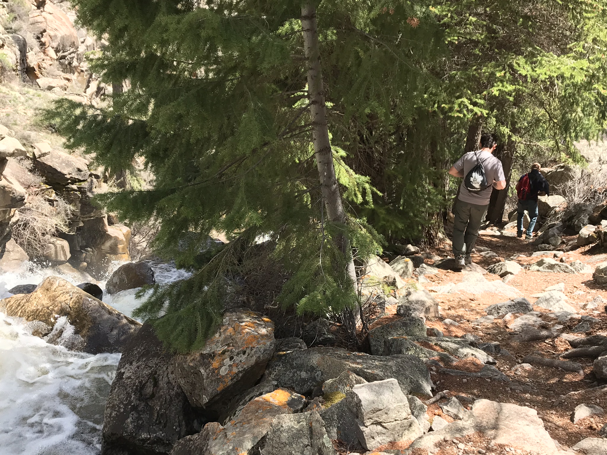
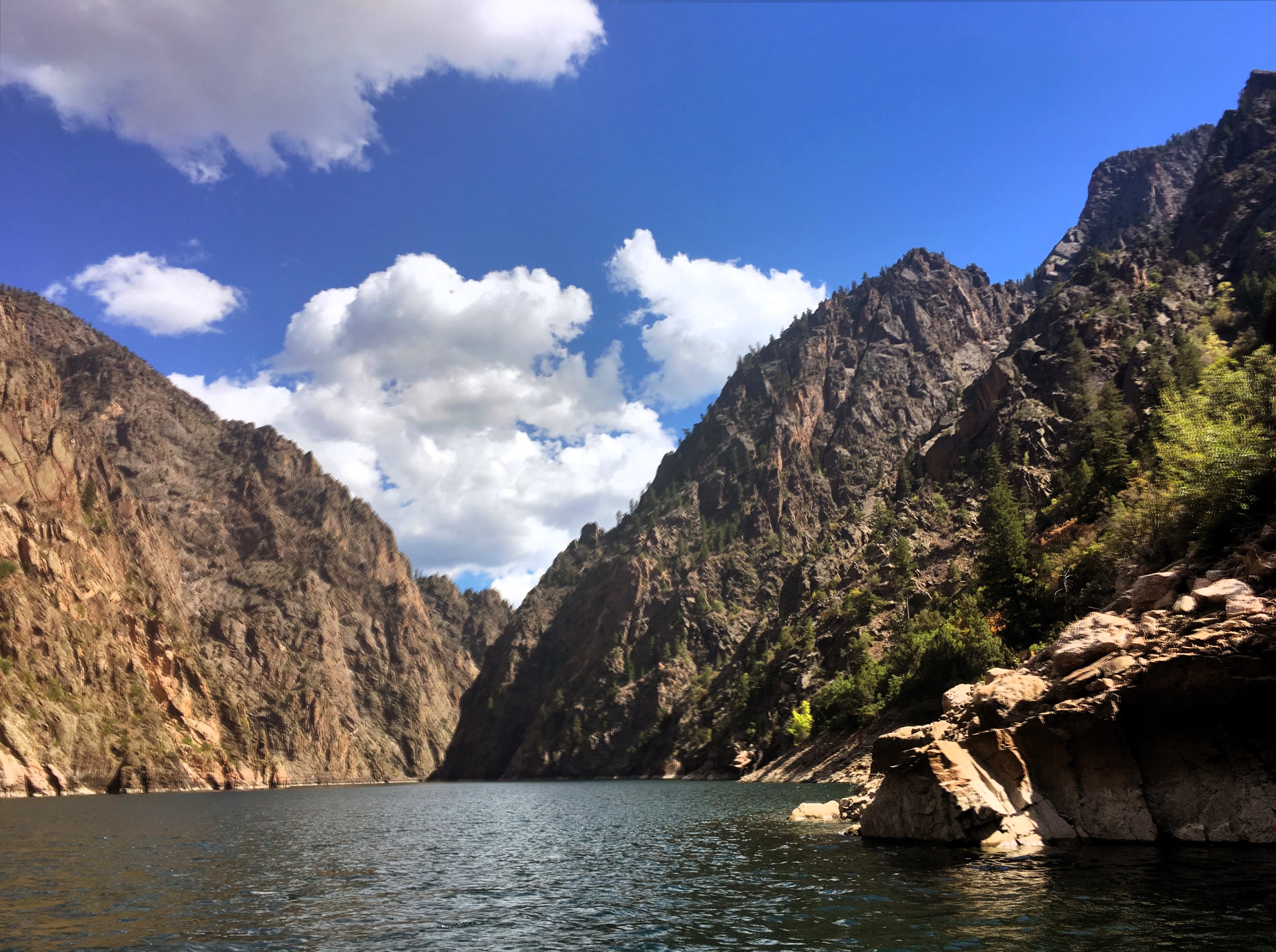
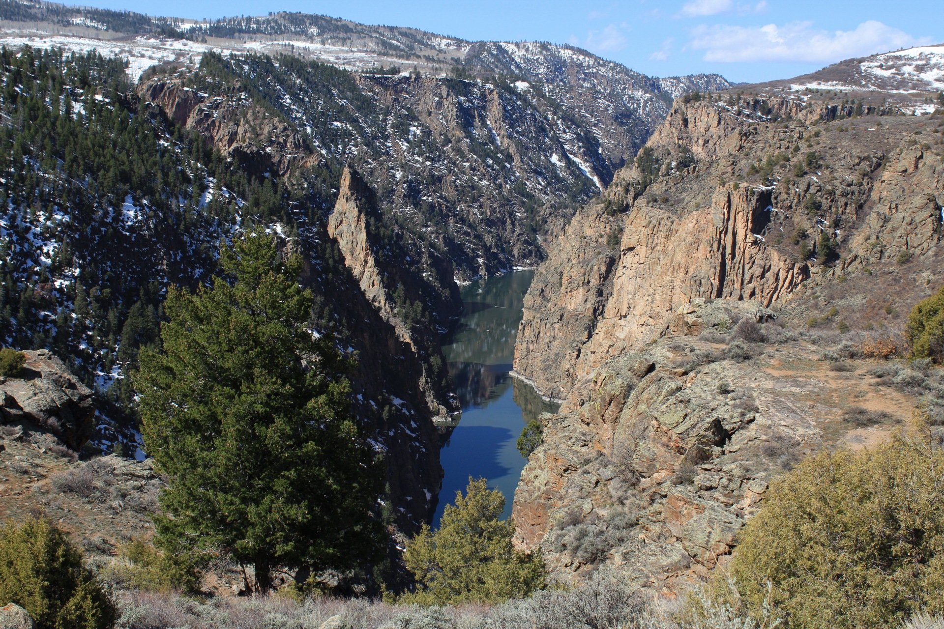
After descending from the high rim of the Upper Black Canyon of the Gunnison, the trail follows Curecanti Creek as it descends toward Morrow Point Reservoir.
2-3 Hours
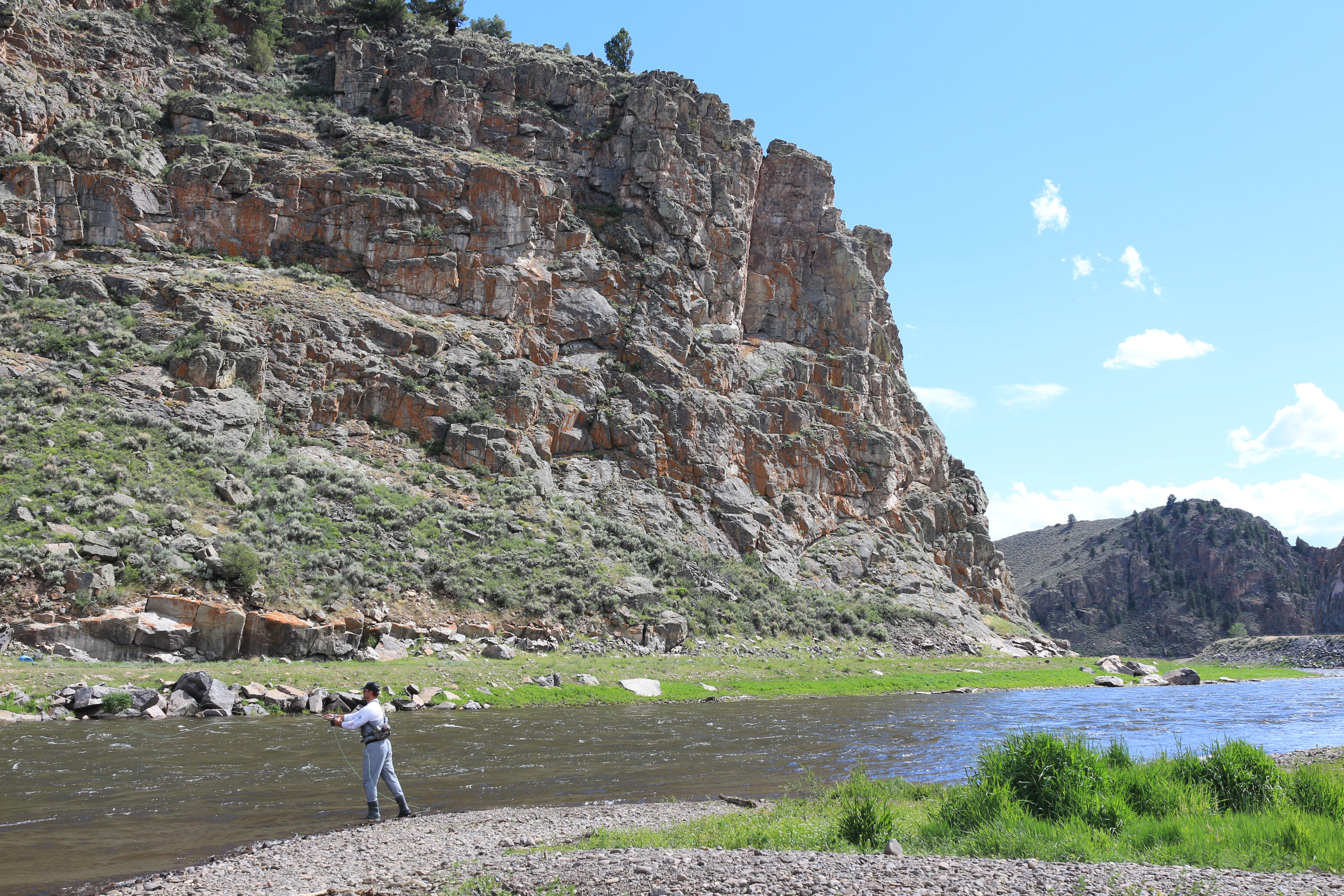
Fishing is allowed along the Gunnison River and all three reservoirs of Curecanti National Recreation Area. All Colorado State fishing regulations apply.
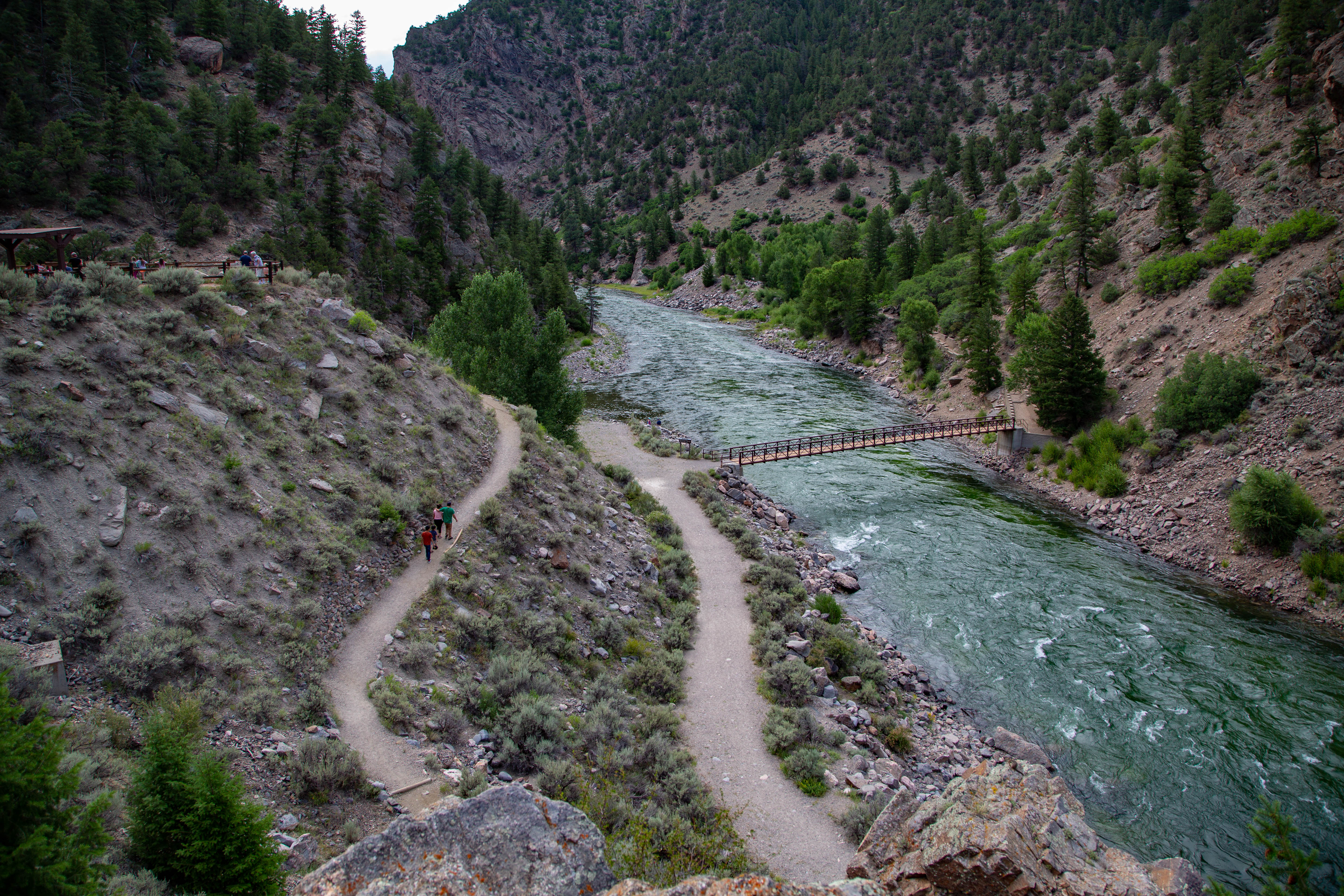
East Portal Road is a windy, steep scenic road down to the Gunnison River. East Portal is within Curecanti National Recreation Area, but only accessible from within Black Canyon of the Gunnison National Park. Vehicles over 22 feet are prohibited on the East Portal Road.
1-2 Hours
Zigzagging through oak, pine, juniper, and fir, hikers descend more than 1750 ft (531 m) to a wooded camp and picnic sites on the shores of Morrow Point Reservoir.
2-3 Hours
U.S. Highway 50 travels west from Gunnison and brings you into Curecanti National Recreation Area. The highway follows along the Gunnison River before reaching Blue Mesa Reservoir, continuing along its edge and crossing two bridges.
2-4 Hours
Colorado (CO) Highway 92 crosses over Blue Mesa Dam and winds along the north rim of the Black Canyon, providing access to scenic overlooks and trailheads.
2-4 Hours
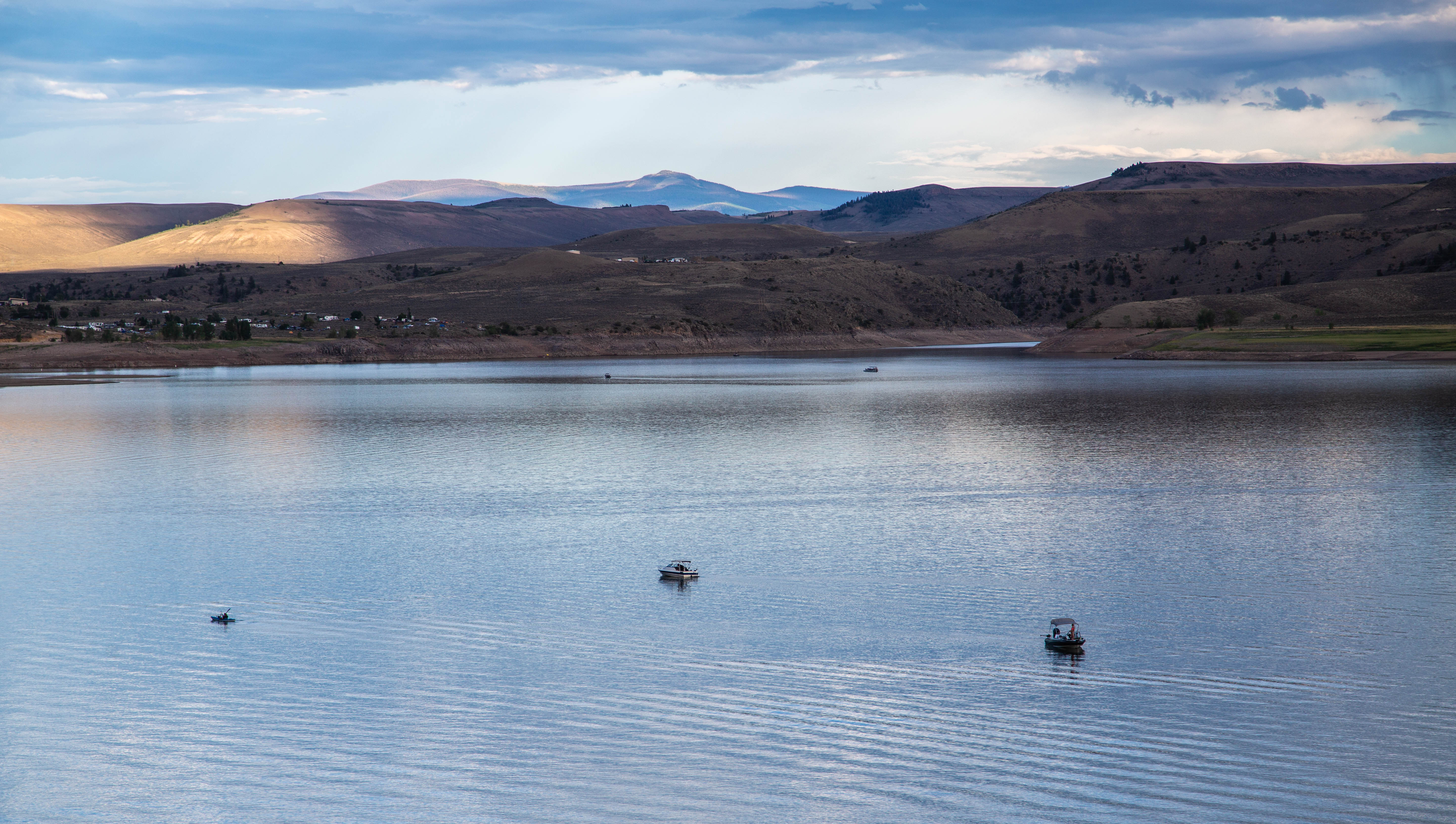
Blue Mesa Reservoir, the largest body of water in Colorado, has 96 miles of shoreline and provides opportunities for motorboating, paddleboarding, kayaking, canoeing, and more.
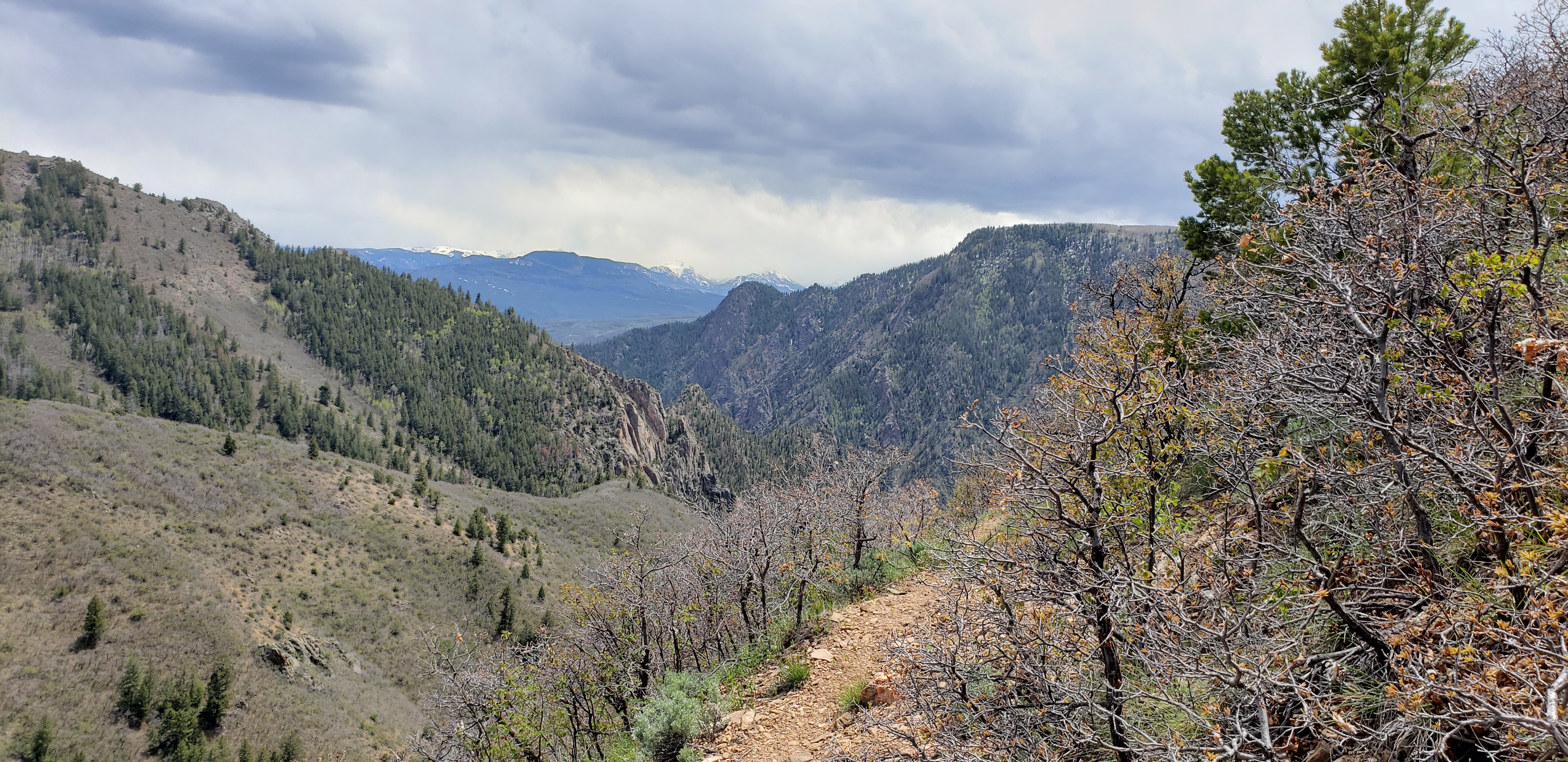
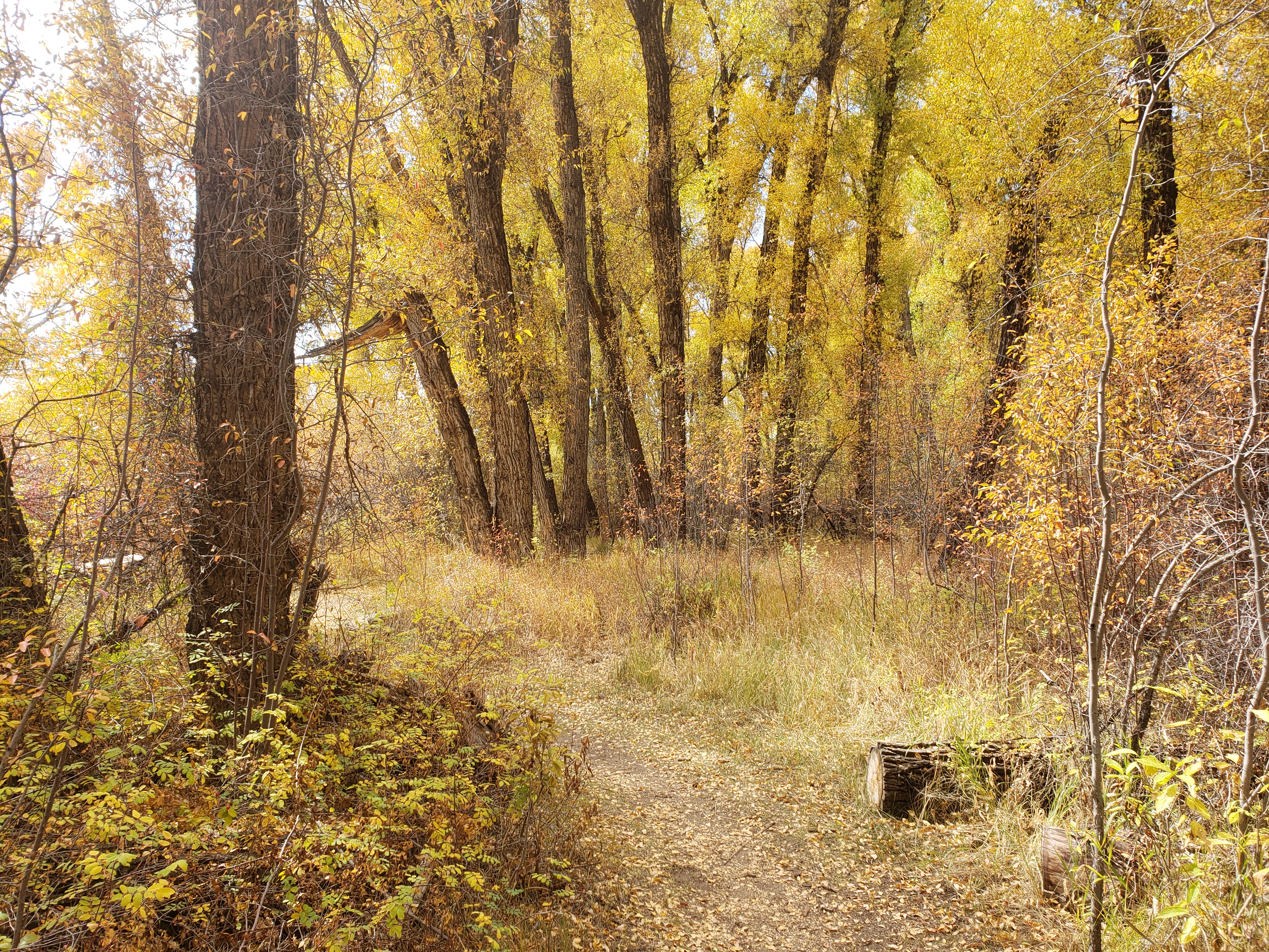
Winding through abundant wildflowers, Gambel oak, aspens, conifers and a recovering burn area, Crystal Creek Trail is ideal for spring or fall hiking.
2-3 Hours
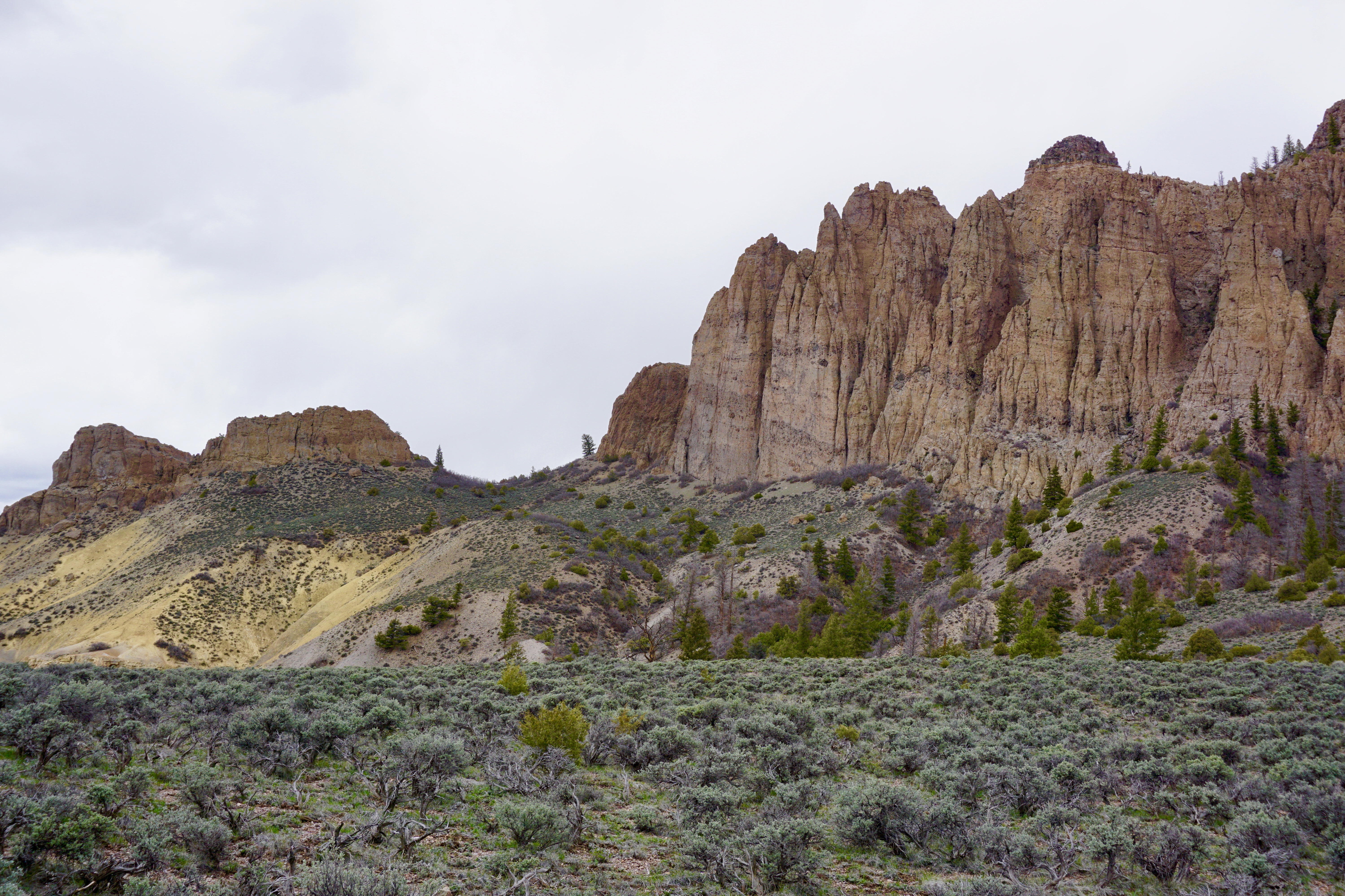
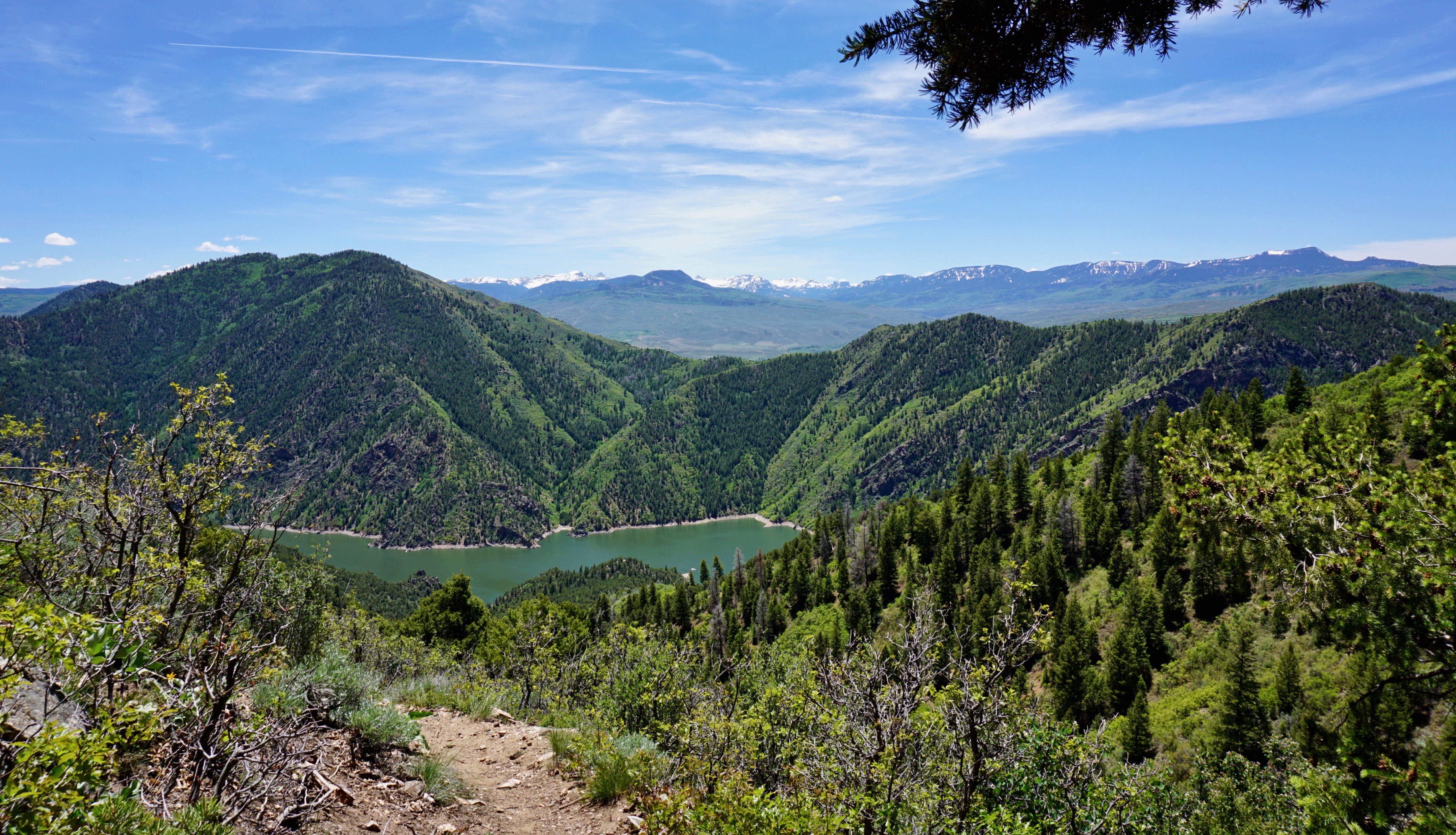
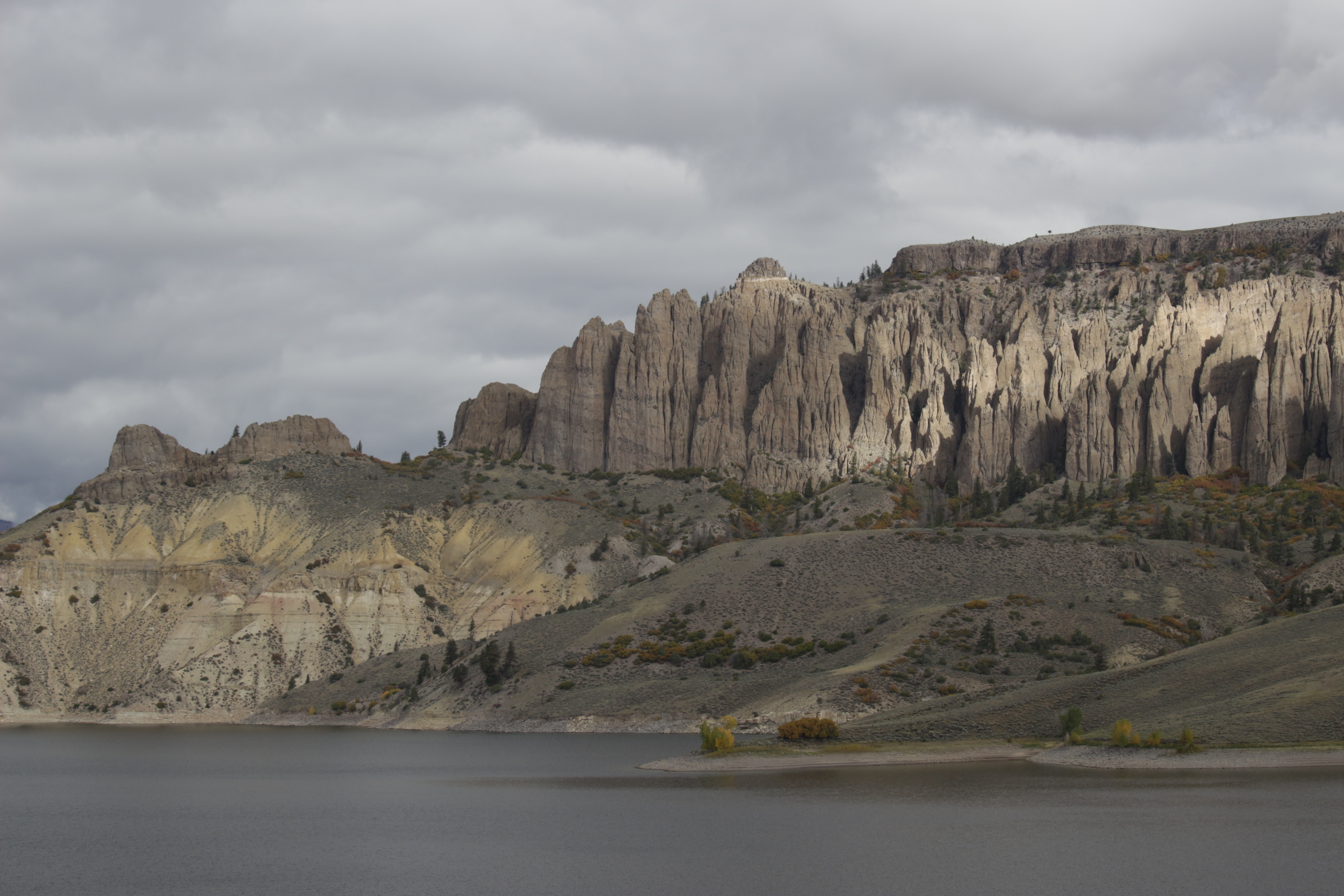
Ascending through sagebrush, ponderosa pine and riparian habitats, this 1.9-mile (3.2 km) trail offers spectacular views of Blue Mesa Reservoir, the distant San Juan Mountain peaks, and the eroded volcanic Dillon Pinnacles.
2-3 Hours