Launch Ramp Closures
Lake level changes will influence the functionality of all launch ramps. Find updated status of all launch ramps at the link.
Beware of Harmful Algal Blooms
Harmful Algal Blooms with the presence of cyanotoxins have been found in multiple areas at Lake Powell in concentrations that are at the high end of safe exposure levels. Use caution and avoid unnecessary exposure to reservoir water if recreating.
| Title | Glen Canyon |
| Park Code | glca |
| Description | Encompassing over 1.25 million acres, Glen Canyon National Recreation Area offers unparalleled opportunities for water-based & backcountry recreation. The recreation area stretches for hundreds of miles from Lees Ferry in Arizona to the Orange Cl... |
| Location | |
| Contact | |
| Activities |
|
| Entrance fees |
Entrance - Private Vehicle
$30.00
Admits one single, private, non-commercial vehicle and all its passengers.
Entrance - Motorcycle
$25.00
Admits one single, private, non-commercial motorcycle and its riders.
Entrance - Per Person
$15.00
Admits one individual when entering on foot or bicycle. Individuals 15 years of age and younger are admitted free.
Commercial Entrance - Van
$40.00
Fees are assessed based on the passenger capacity of the vehicle. Pass is only valid for the same group to which it was issued.
Commercial Entrance - Mini-bus
$40.00
Fees are assessed based on the passenger capacity of the vehicle. Pass is only valid for the same group to which it was issued.
Commercial Entrance - Motor Coach
$100.00
Fees are assessed based on the passenger capacity of the vehicle. Pass is only valid for the same group to which it was issued.
Entrance - Education/Academic Groups
$0.00
Academic fee waivers must be submitted and returned before you visit Glen Canyon National Recreation Area.
|
| Campgrounds | Count: 11
Antelope Point RV Park
Beehives Campground
Bullfrog RV & Campground
Colorado River Primitive Camping Between Glen Canyon Dam and Lees Ferry
Dirty Devil Primitive Camping
Farley Canyon Primitive Camping
Halls Crossing RV & Campground
Lees Ferry Campground
Lone Rock Beach Primitive Camping Area
Stanton Creek Primitive Camping Area
Wahweap Campground & RV Park
|
| Places | Count: 50
American Placer Corporation OfficeHeadquarters for Charles Spencer's mining operations. 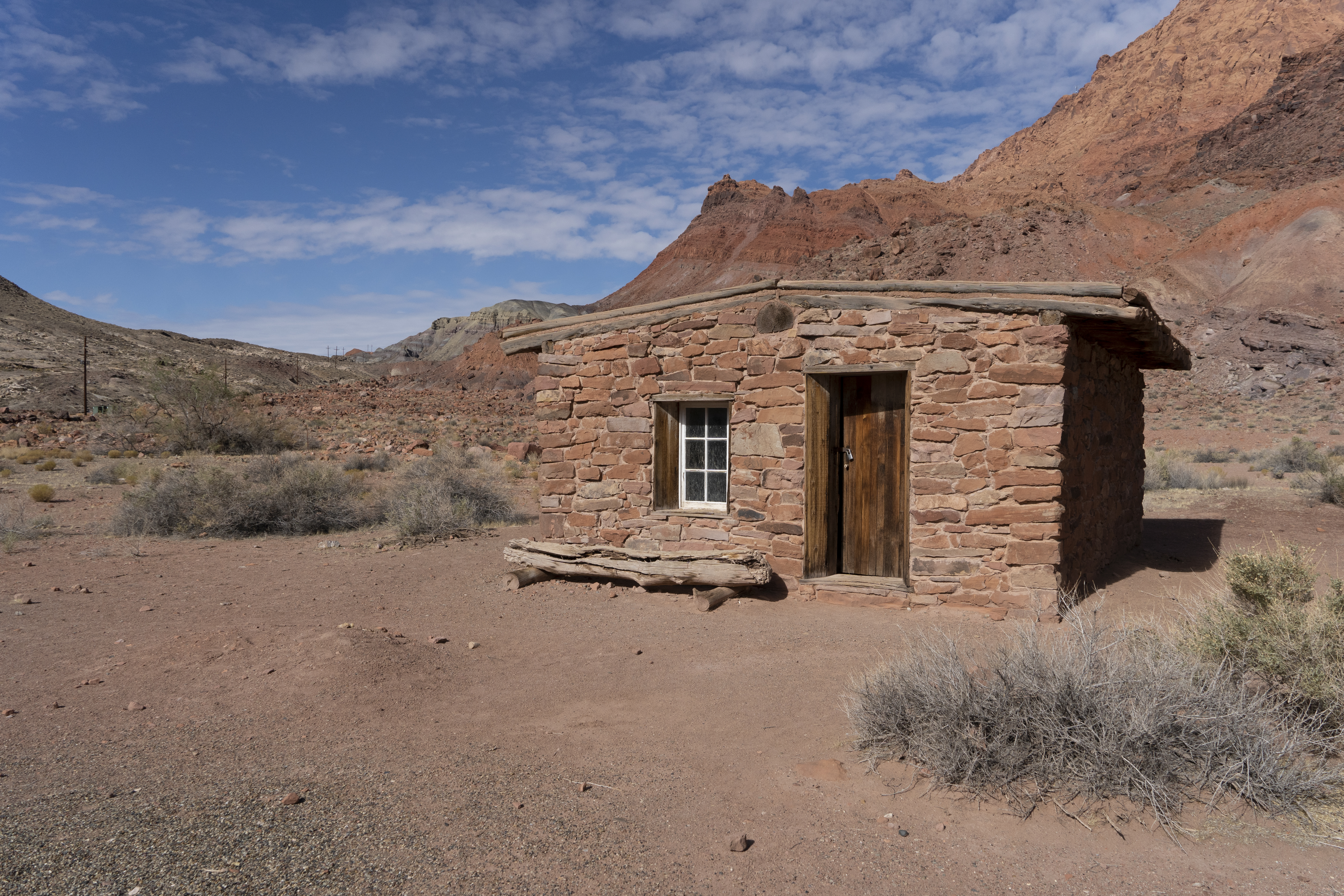
Antelope Point Entrance StationAntelope Point Marina Entrance Station is open daily. Pay Glen Canyon and Navajo Nation entrance fees here. 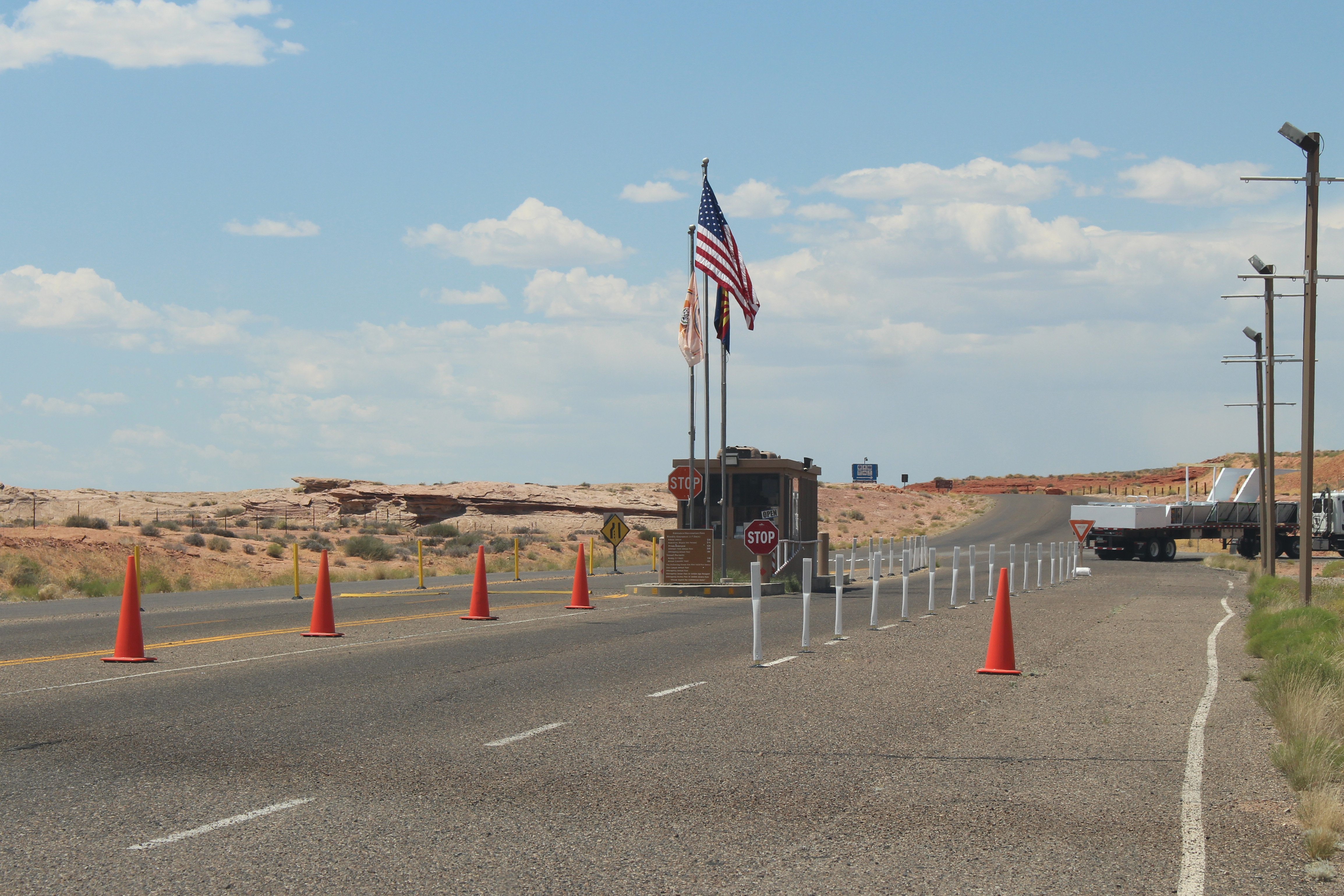
Antelope Point Public Launch RampAntelope Point Public Launch Ramp, located near Antelope Point Marina, is open seasonally for you to launch your vessel. Currently this ramp is only available for non-motorized paddlecraft hand launching. 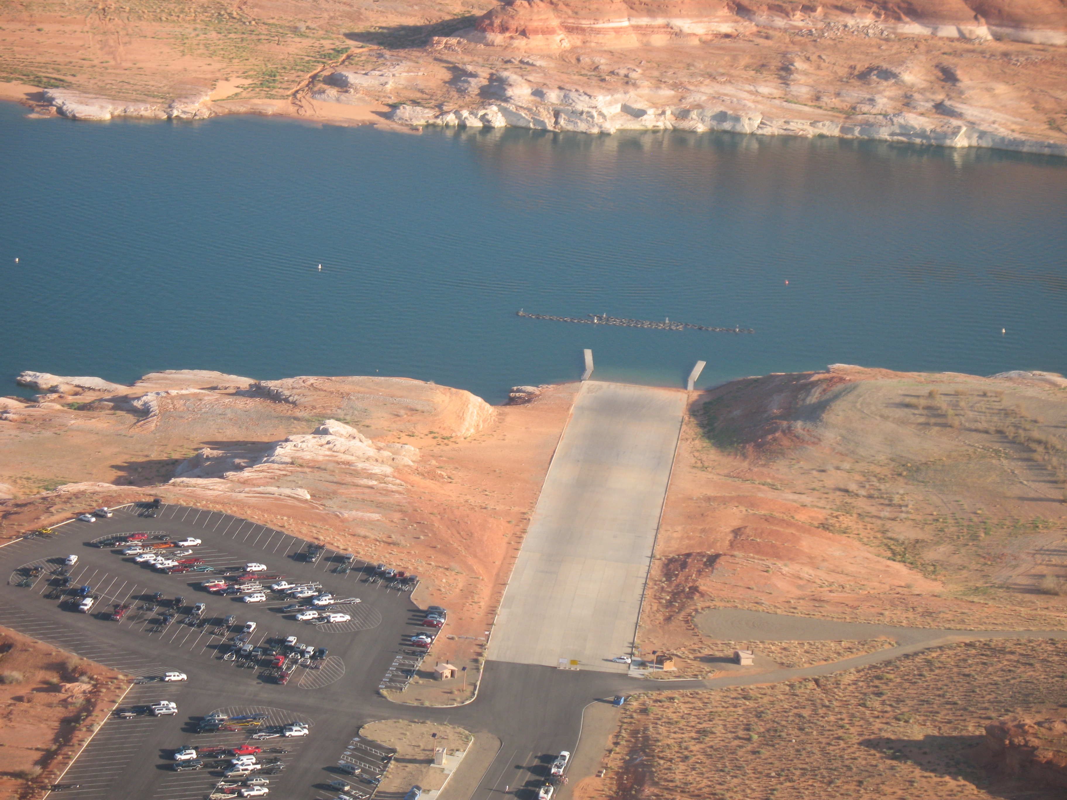
Balanced Rock at Lees FerryLearn how these rugged boulders rolled to rest delicately balanced only a few feet above the ground. 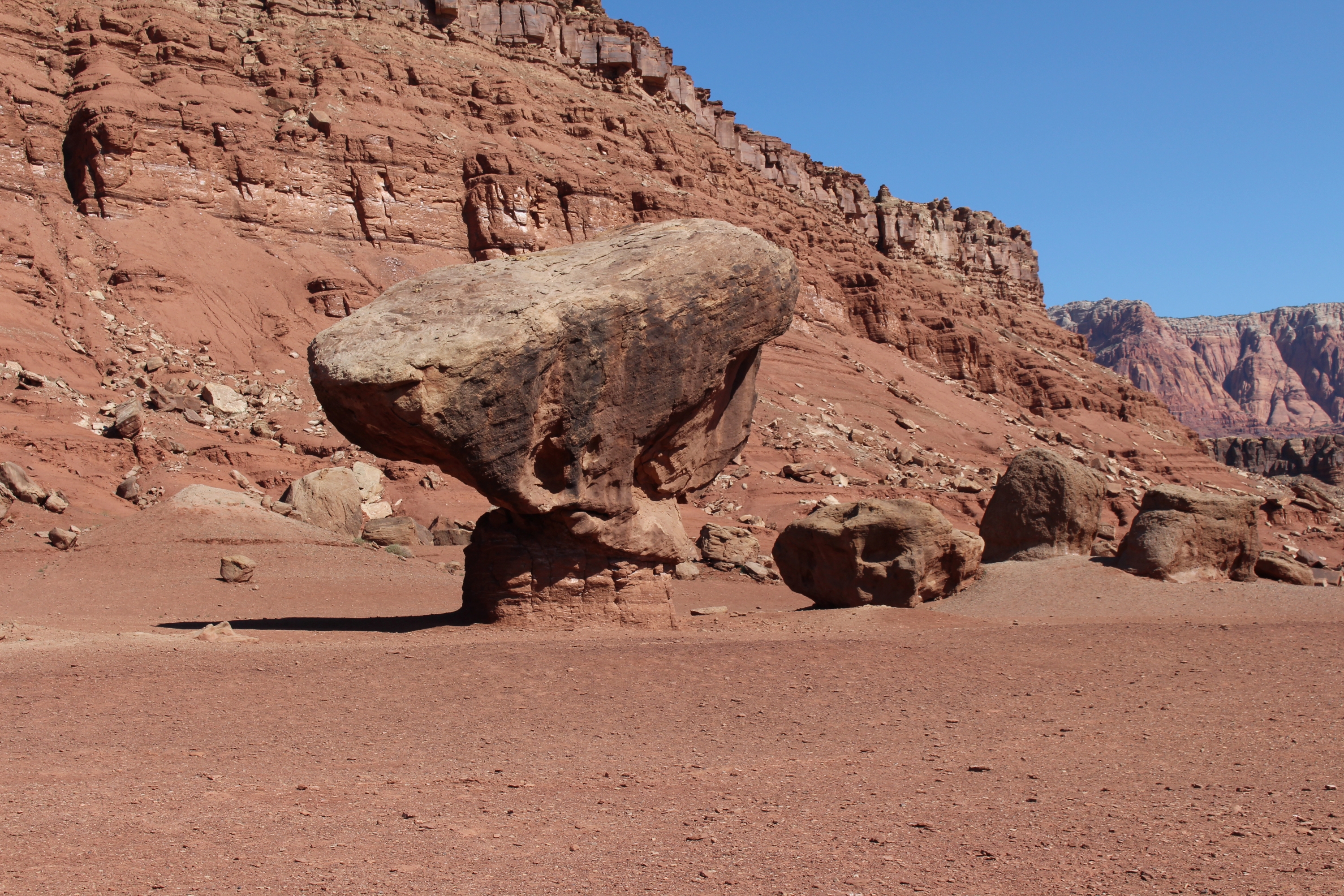
Beehives TrailheadTrailhead for the Beehives trail, near the south entrance to Wahweap. 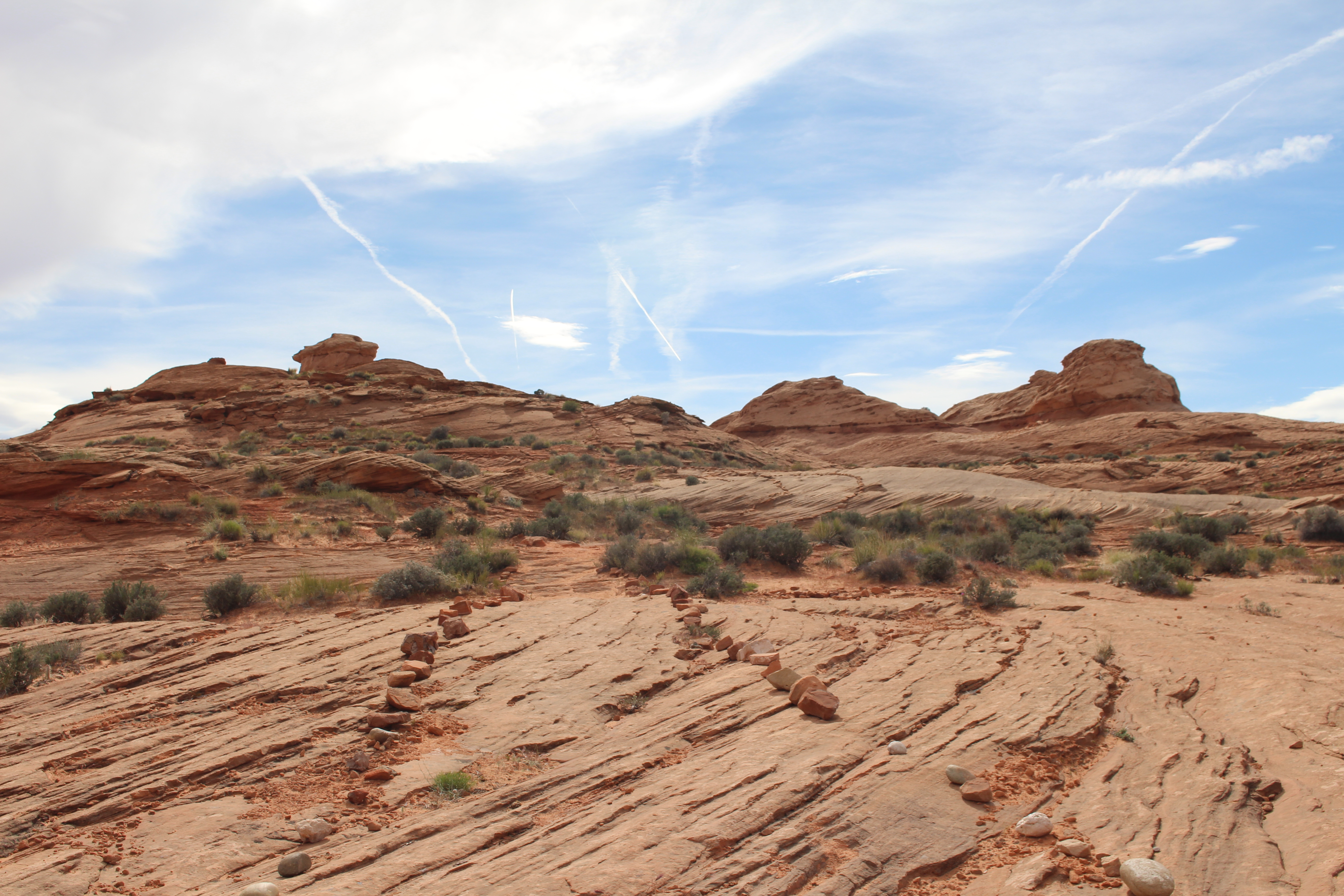
Bullfrog Entrance StationBullfrog Entrance Station is open every day, all day. When there is not a person at the booths, use the automated fee machine for entrance fees. 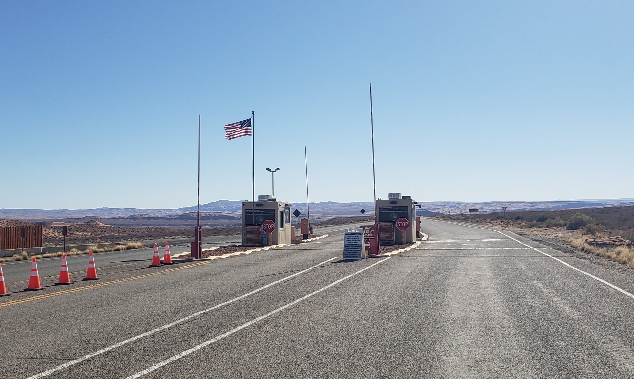
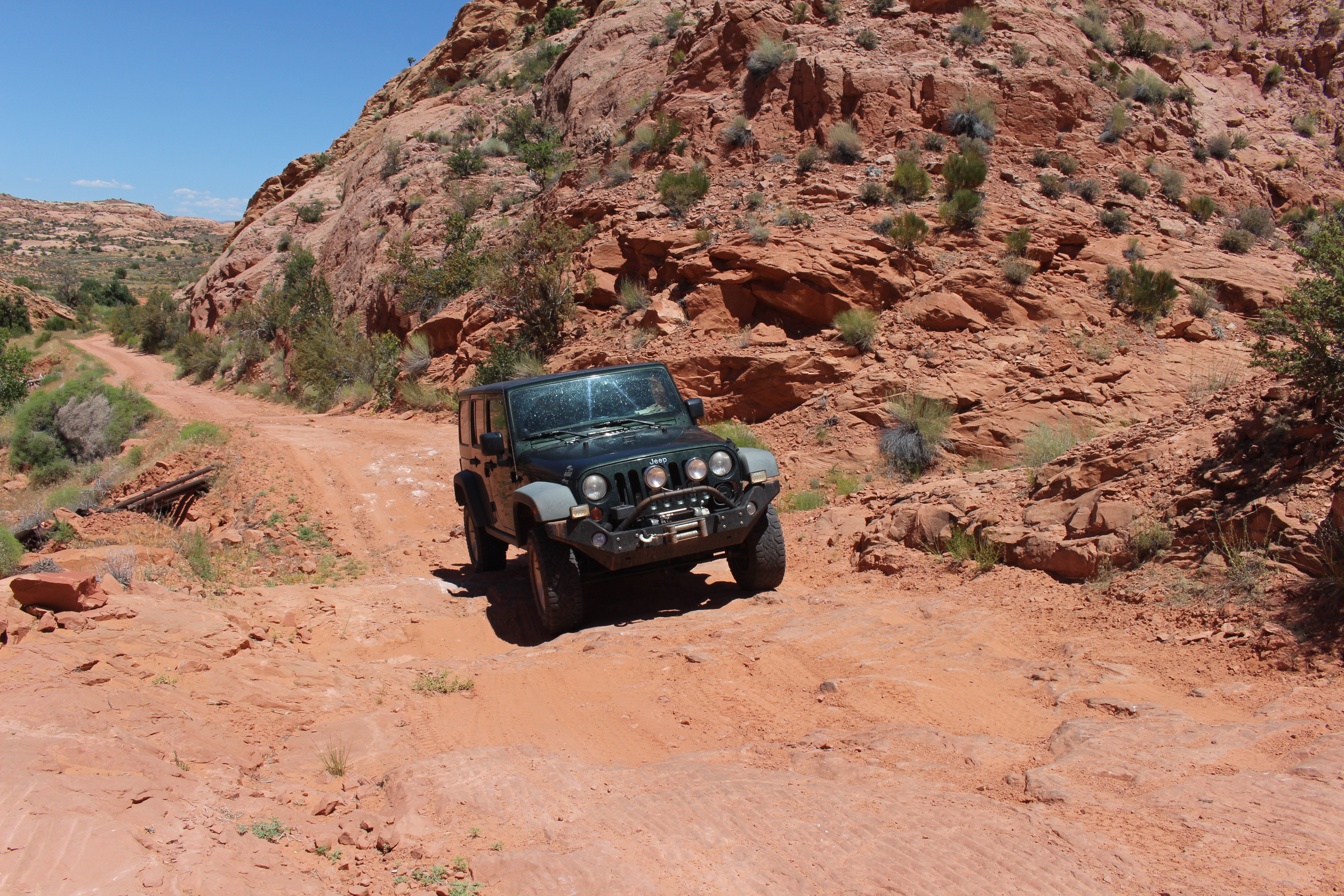
Bullfrog Main Launch RampBullfrog Main launch ramp, located near the Defiance House Lodge at Bullfrog. This ramp is operable for launching until the lake level is below 3578'. A spur ramp off the side of this ramp is available for vessels less than 25' long. 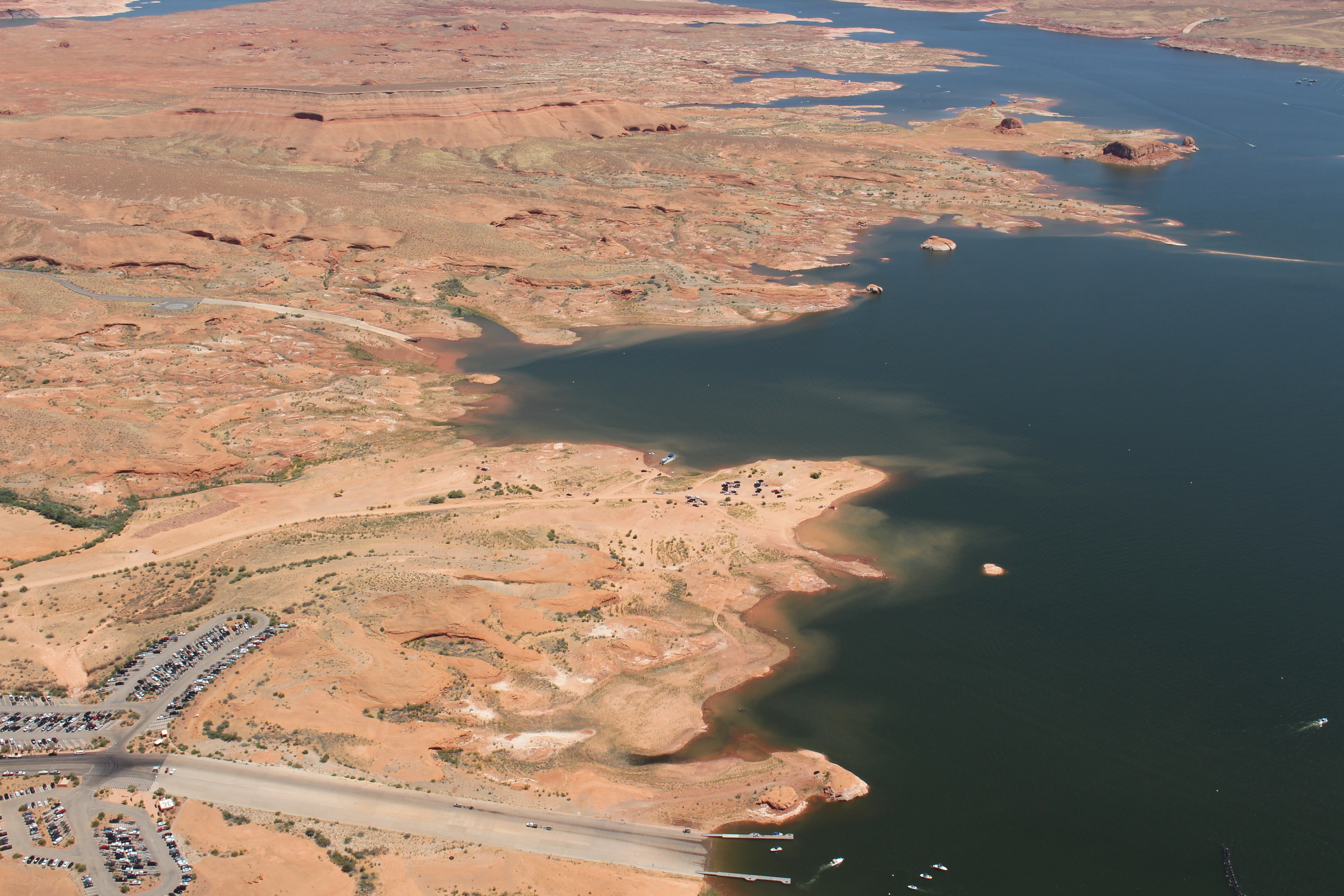
Bullfrog North Launch RampBullfrog North launch ramp, located north of the Boat Rentals dock at Bullfrog, is open to launch your boat. This ramp is available to small vessels with the use of boilerplate extensions, and the left lane is operable to large vessels, including houseboats, down to 3529 ft. 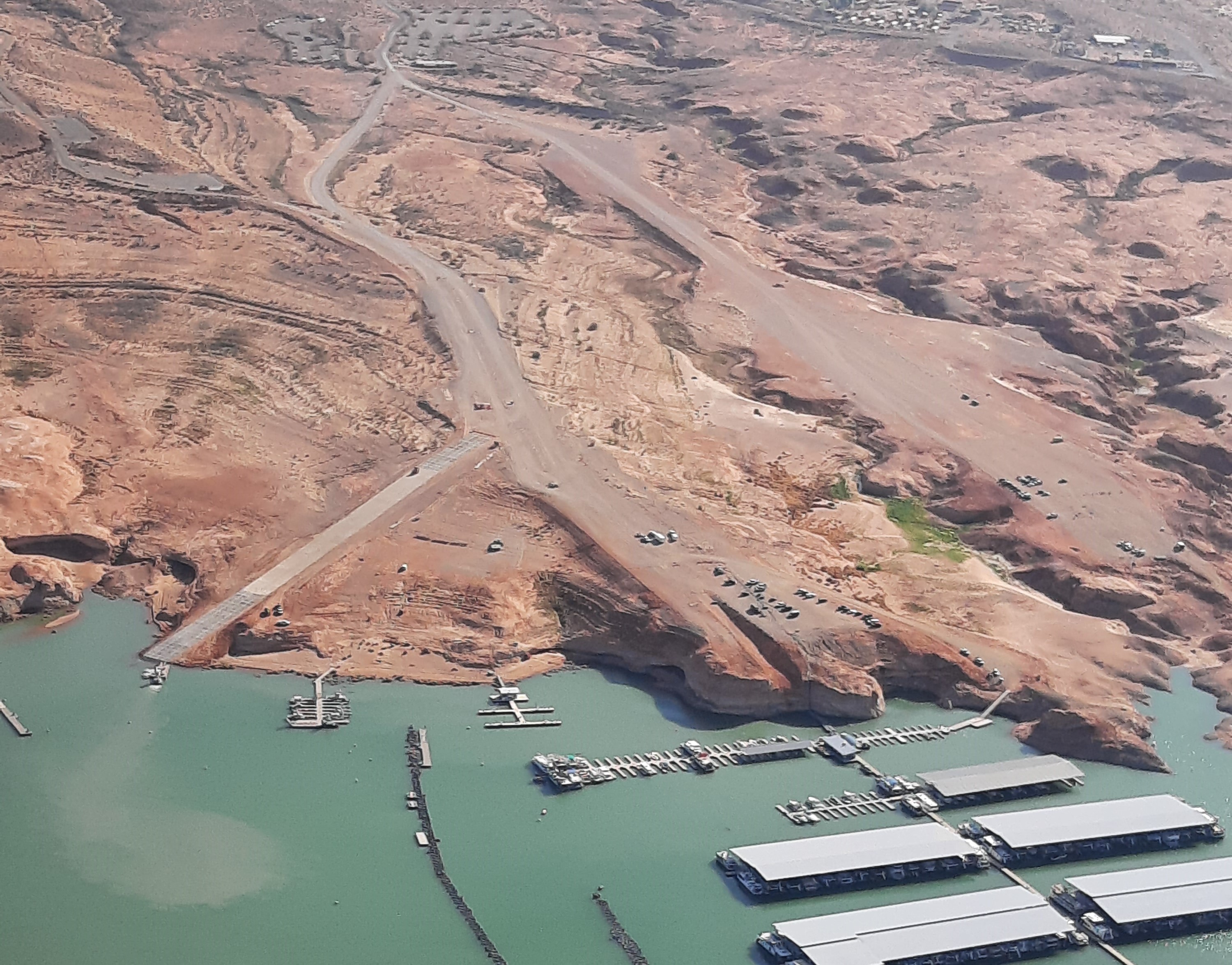
Cathedral Wash at Lees FerryTrailhead for Cathedral Wash hike 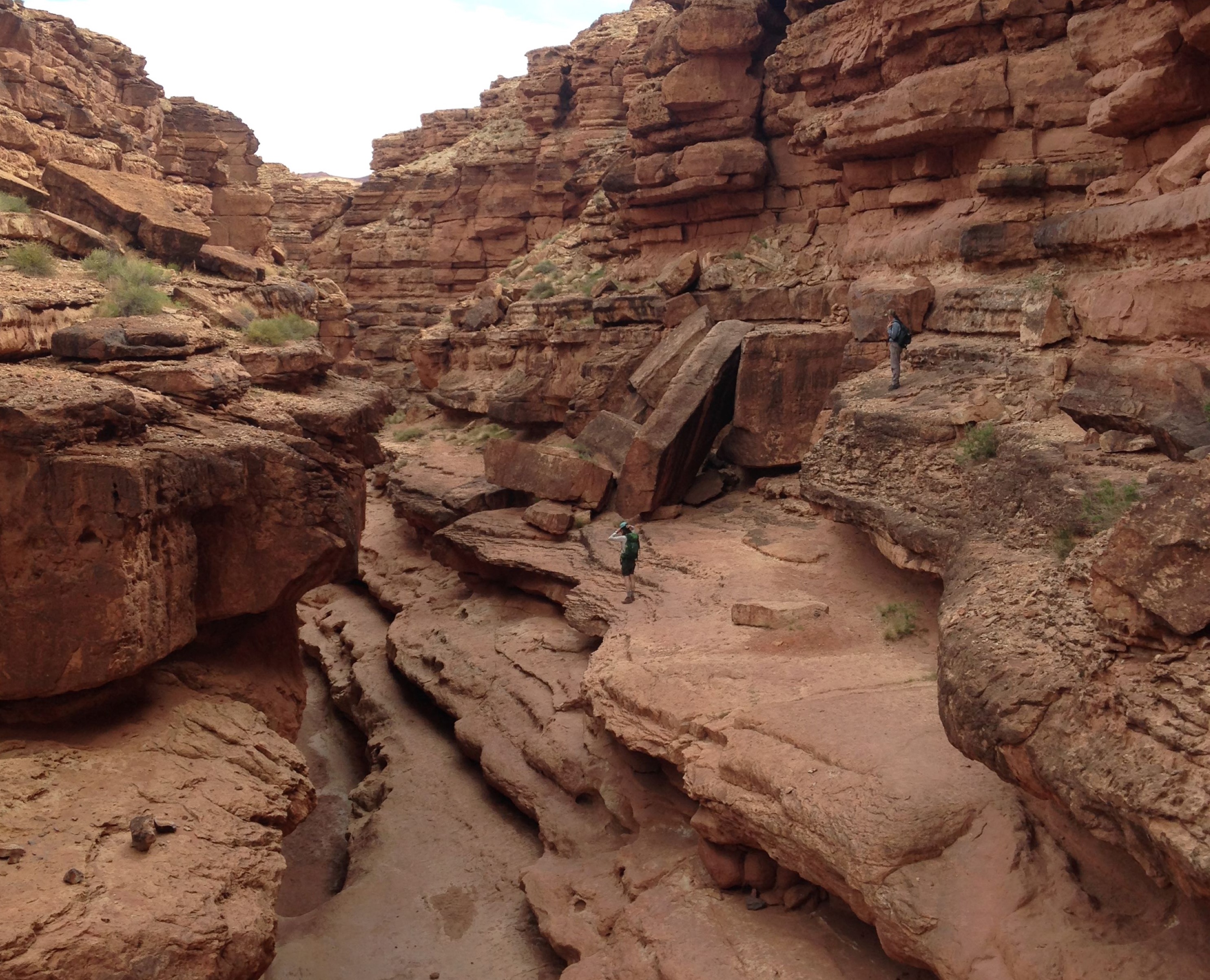
Dam Overlook TrailheadThis is the trailhead for the Glen Canyon Dam Overlook 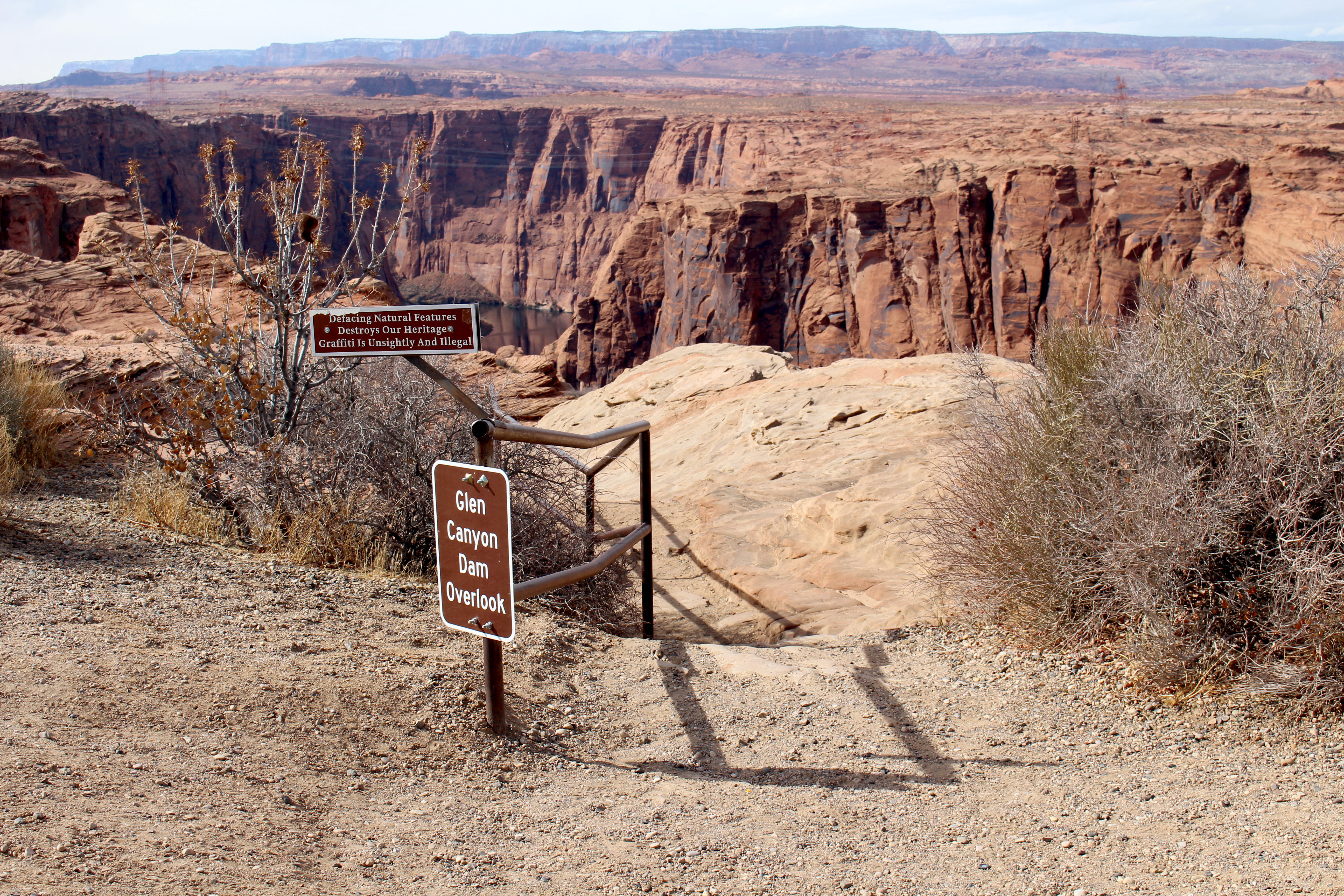
Defiance House Archeological SiteDefiance House Archeological Site is a set of Ancestral Puebloan structures, petroglyphs, and pictographs tucked into a corner of Forgotten Canyon on lake Powell. It is only accessible by boat and then a hike. Conditions of the hike are not monitored, so we do not know if it is too muddy to go there today. There are no amenities at the site, take care of your needs before you arrive. Visit with respect. 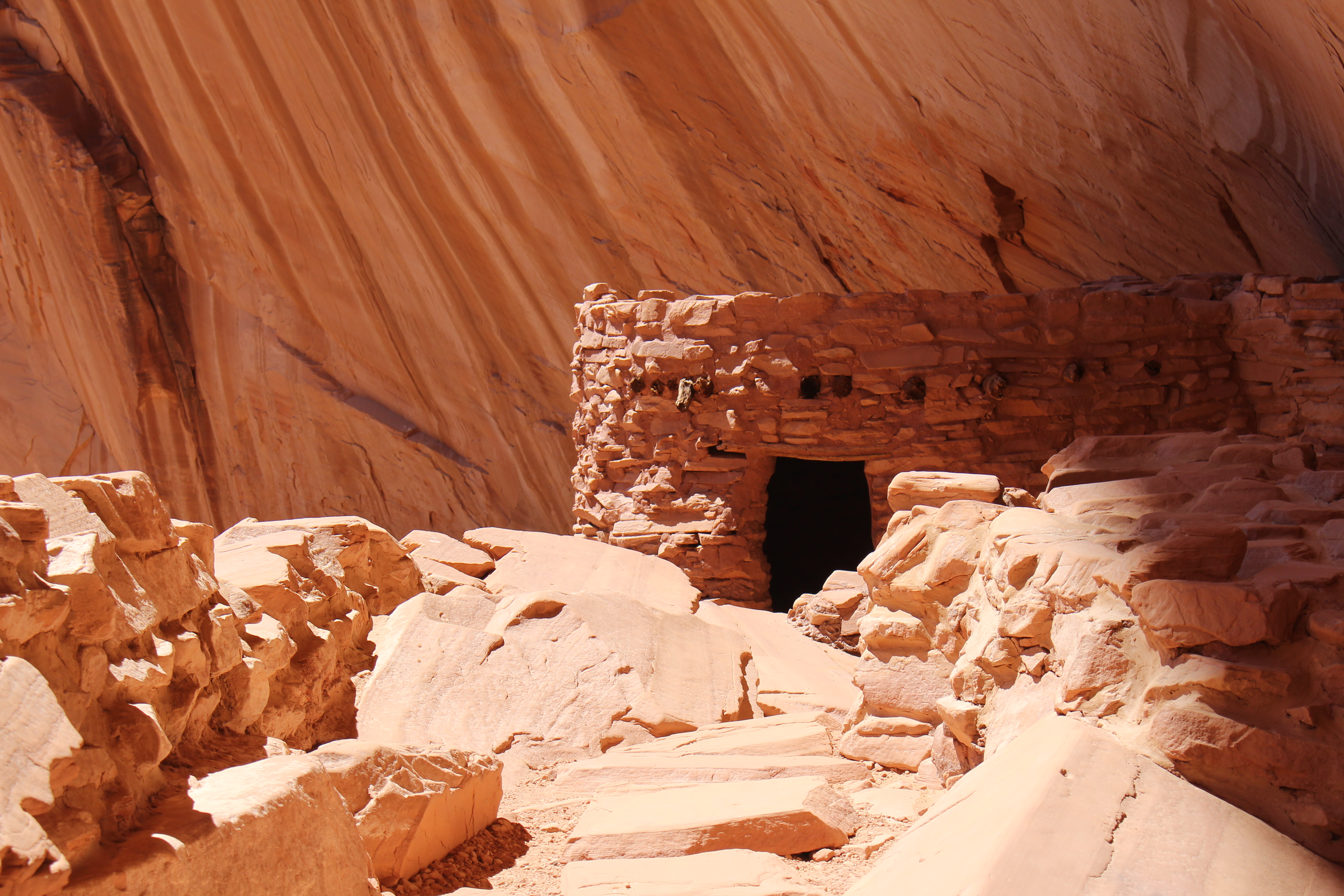
Founding FamilyMeet the Lees, the first family to establish the ferry and live at Lonely Dell Ranch. 
Glen Canyon Park HeadquartersThe park headquarters for Glen Canyon national recreation Area is located at 691 Scenic View Road, Page AZ. Only the lobby is open to the public. There are no public restrooms or potable water. No overnight camping. The lobby is open weekdays 7am-4pm except federal holidays. You can purchase entrance fees for Glen Canyon and America the Beautiful passes, cards only. Some information is available, but we recommend going to the Carl Hayden Visitor Center for trip planning. 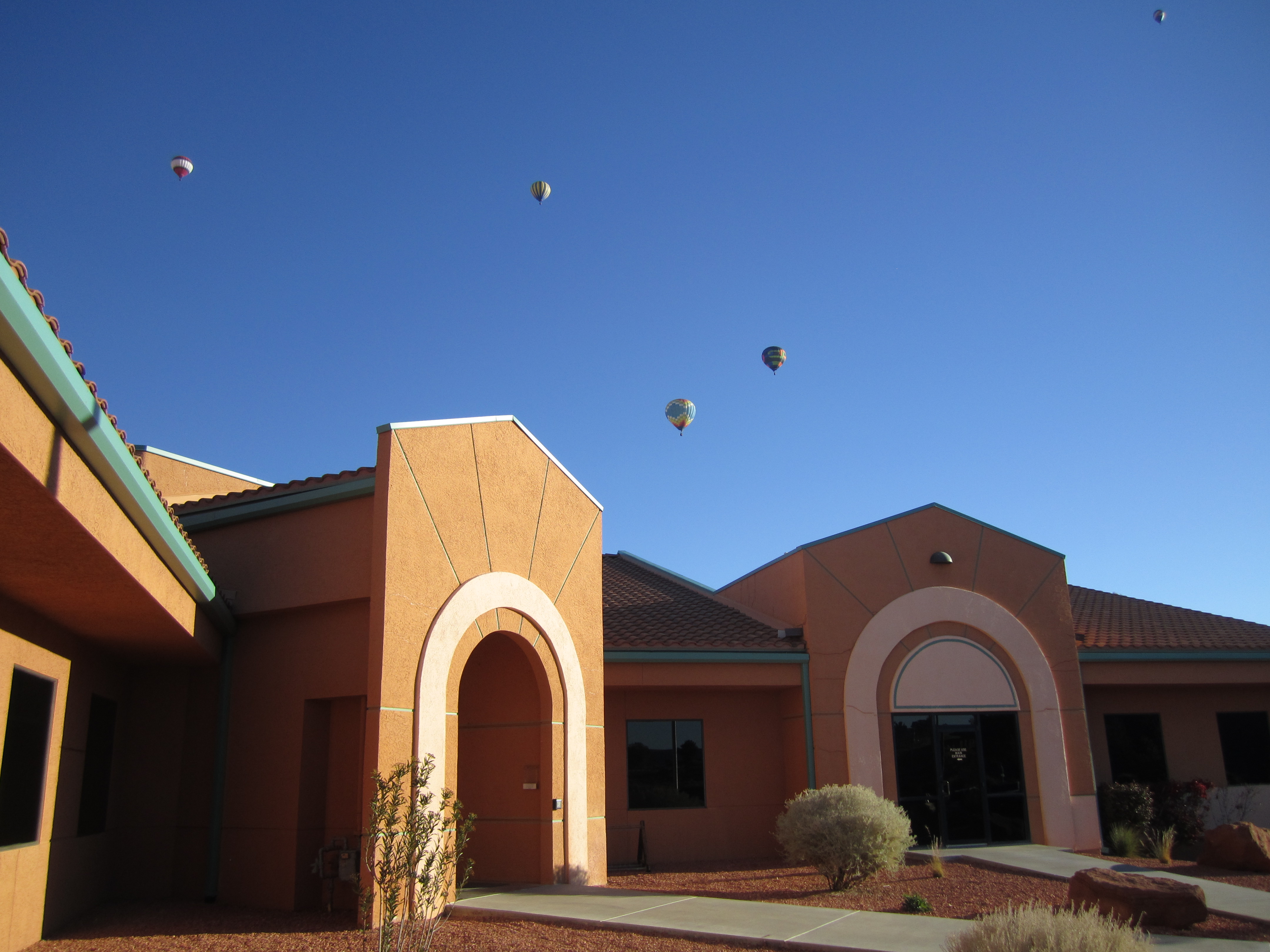
Halls Crossing Entrance StationHalls Crossing Entrance Station is open every day, all day. When there is not a person at the booth, use the automated fee machine for entrance fees. 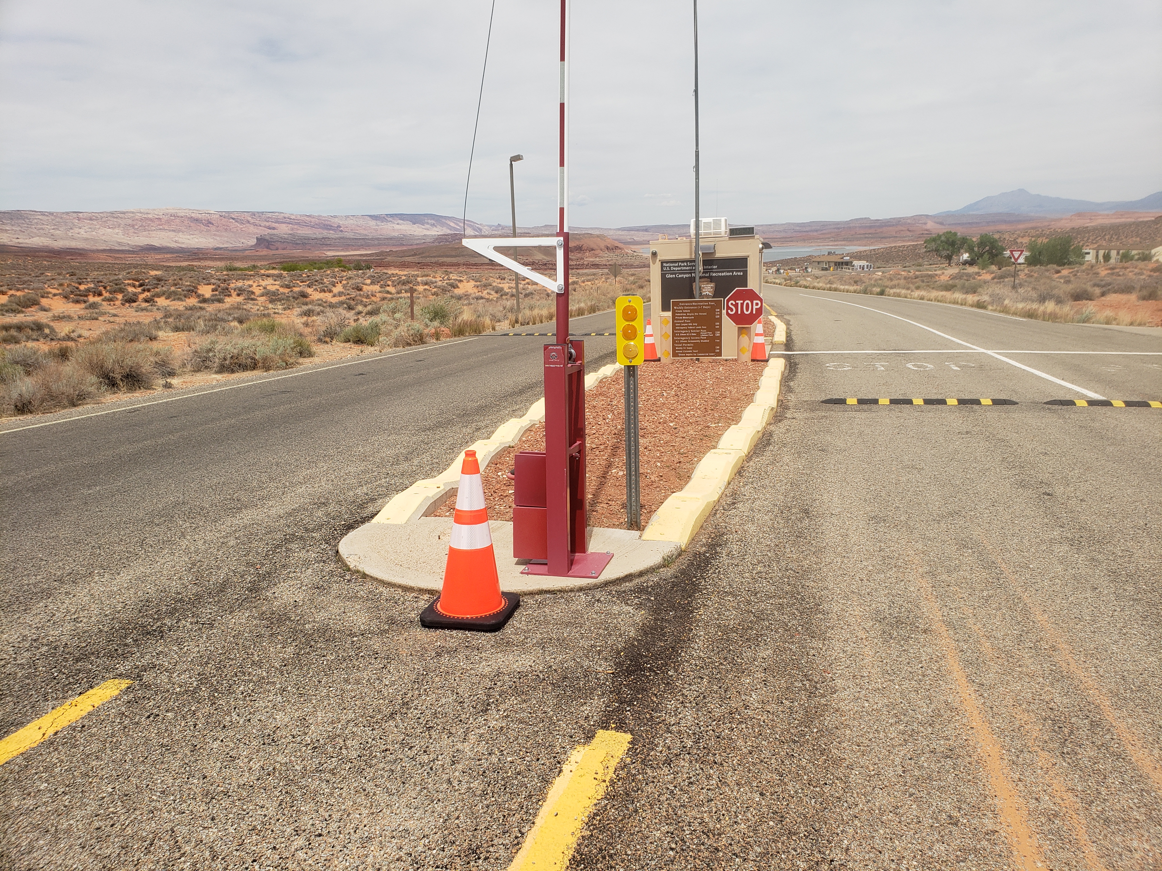
Halls Crossing Launch RampHalls Crossing launch ramp, located at the Halls Crossing Marina, Hwy 276, Lake Powell, Utah, is open to launch your boat year-round. This ramp is available for all vessel launching until the lake level is down to 3556'. 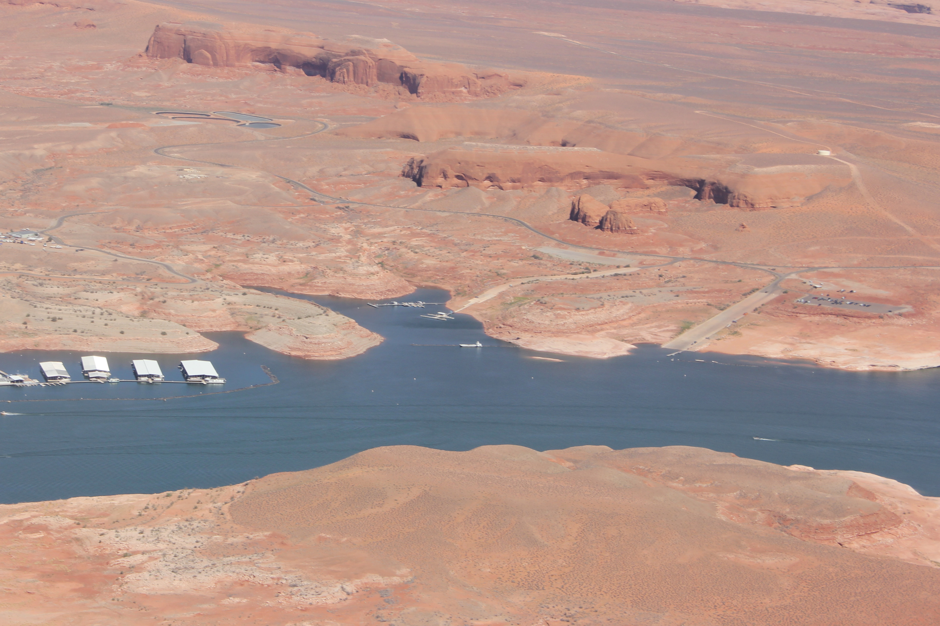
Hanging Garden TrailheadTrailhead for Hanging Garden, just east of the Glen Canyon Dam off Highway 89. 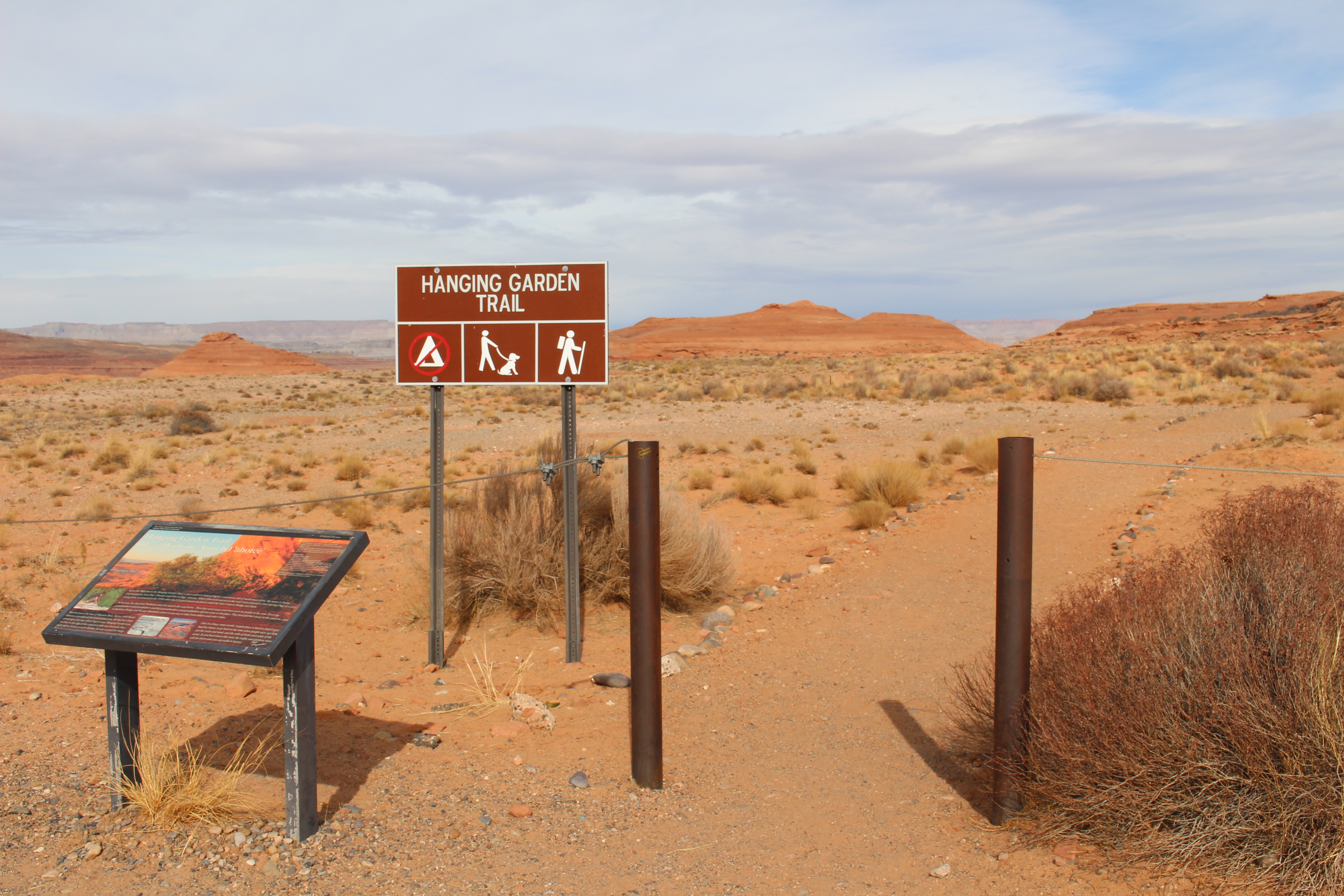
Historic District River TrailStart the Historic River District guided walking tour here. View a timeline of the ferry crossing and those who worked and lived here on the edge of the Colorado River. 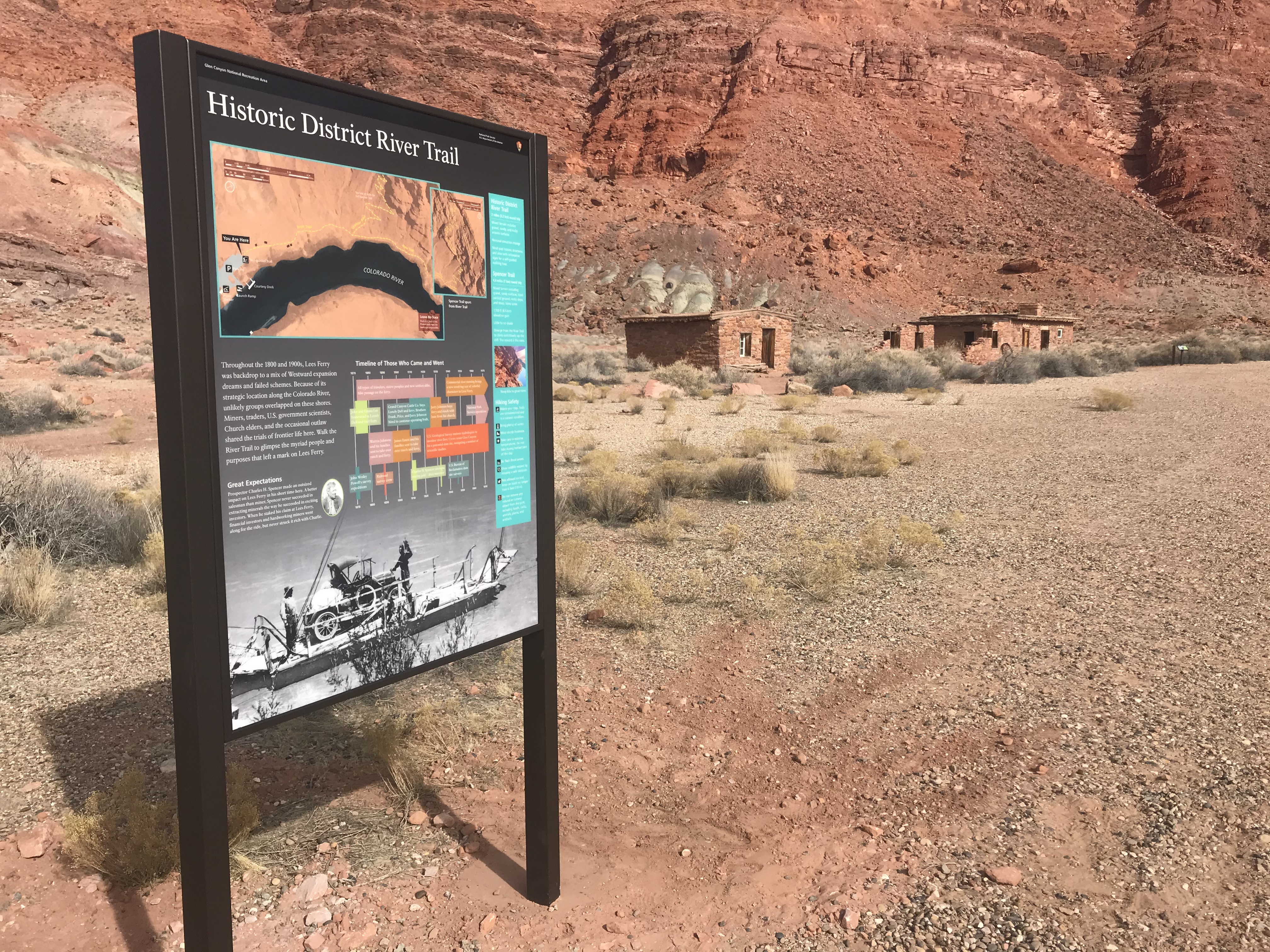
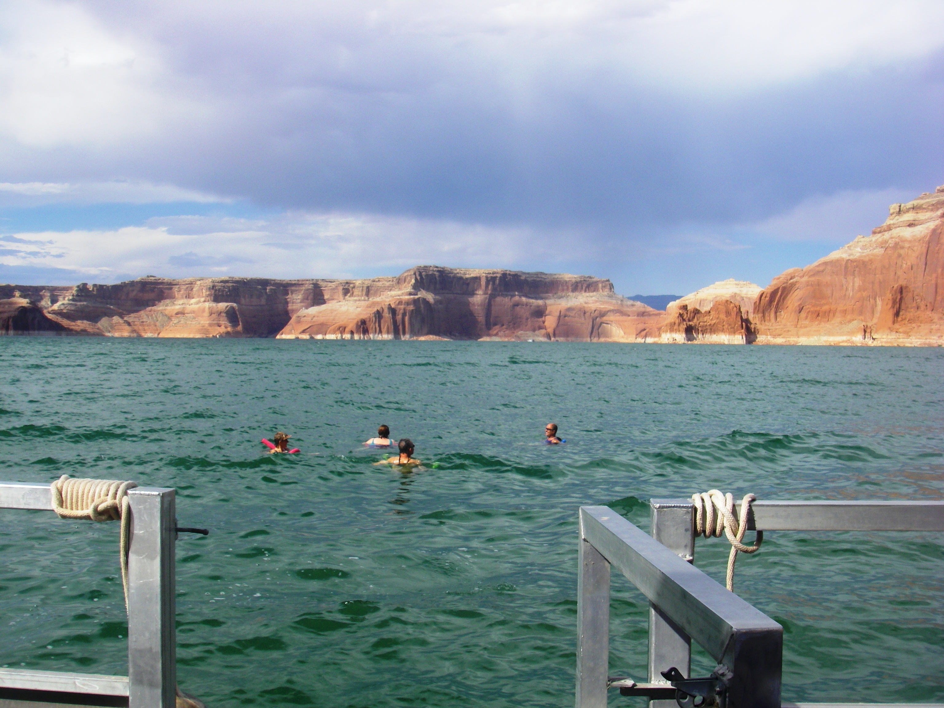
Hobie Cat BeachHobie Cat Beach at Bullfrog is the only swimming location uplake where motorized boats are not permitted. Swimming is a popular activity at Lake Powell, especially in the summer when water temperatures can surpass 80 degrees Fahrenheit. There are no lifeguards at Lake Powell. Swim at your own risk. Hobie Cat beach is day use only. 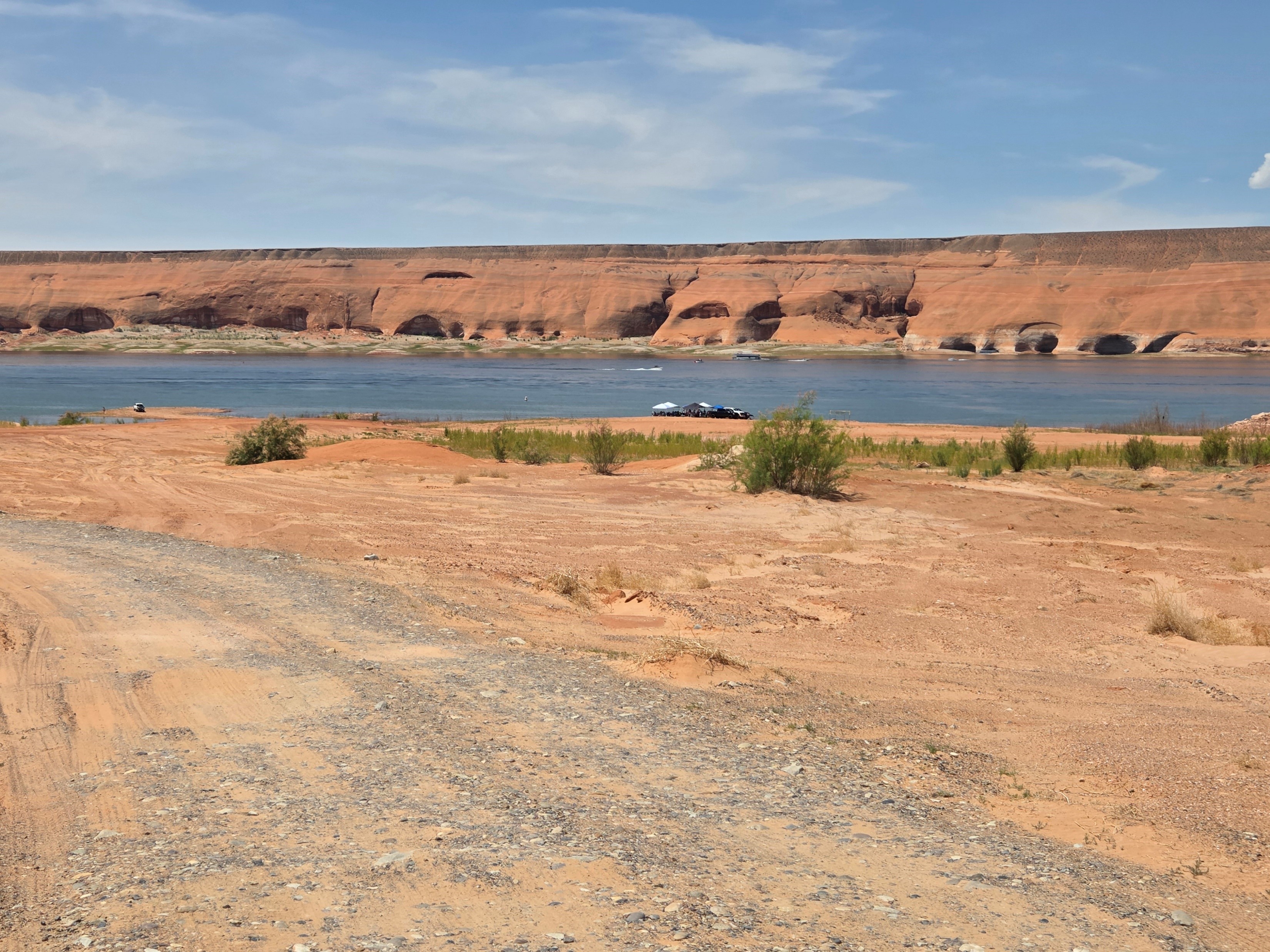
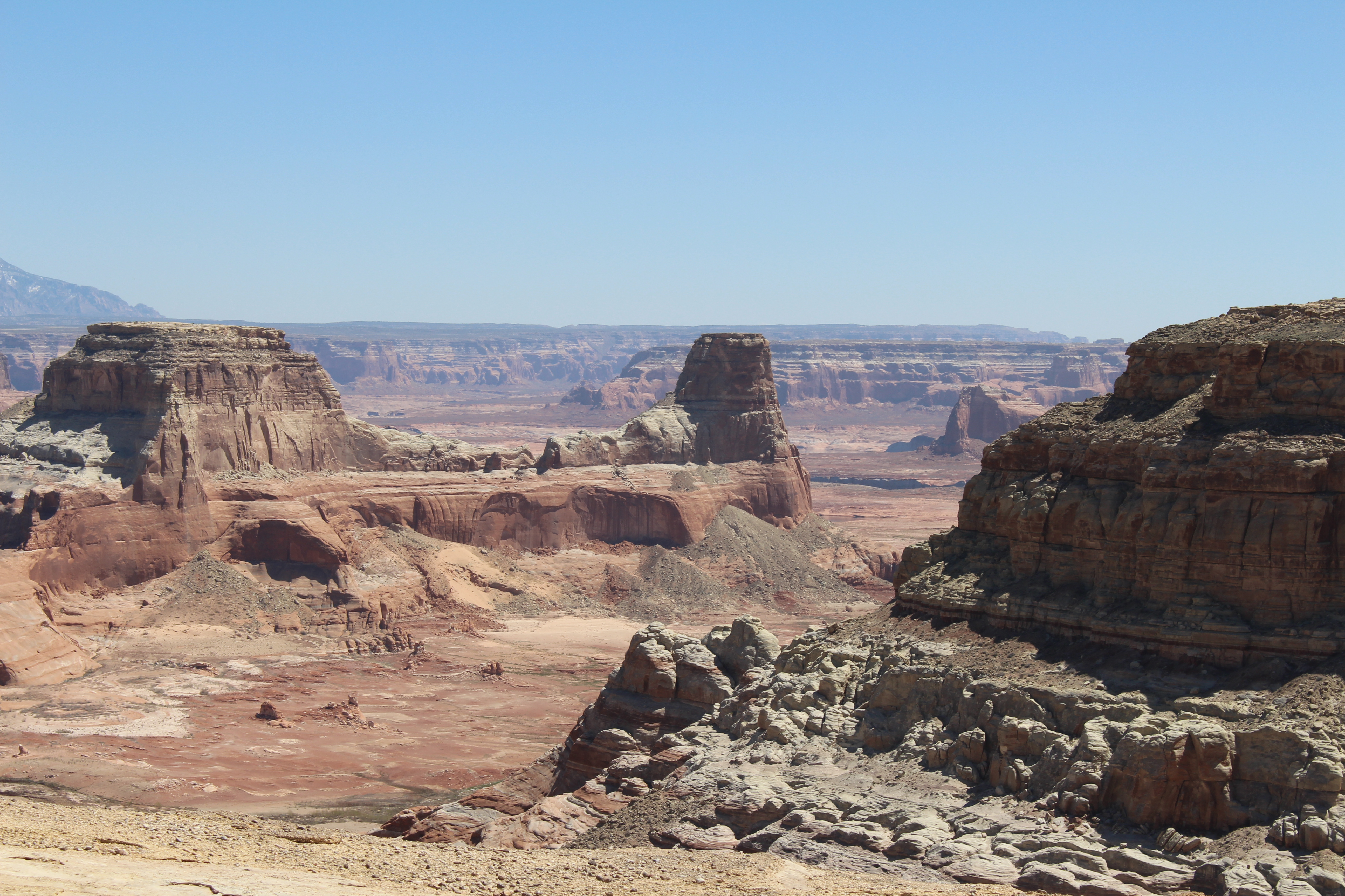
Horseshoe Bend on the Colorado RiverBelow the rim, the Colorado River makes a wide sweep around a sandstone escarpment. Here at Horseshoe Bend, the Colorado River created a roughly 1,000 foot (305 m) deep, 270º horseshoe-shaped bend in Glen Canyon. 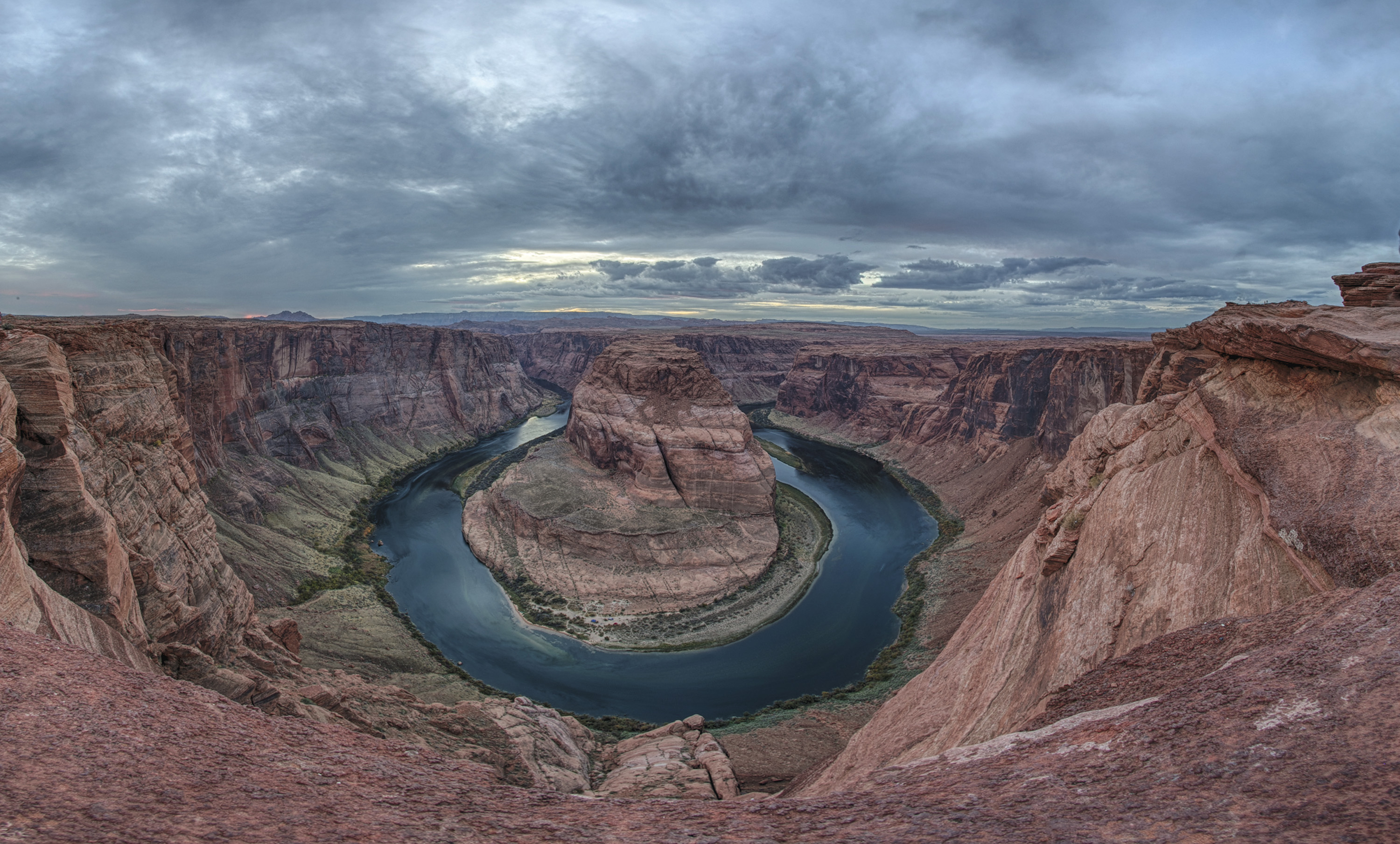
IrrigationLearn how Mormon pioneers brought water into their desert homestead. 
Lee's BackboneCrossing the river wasn't the only difficult part of the journey, as getting to the river front proved equally challenging on this primitive "road". 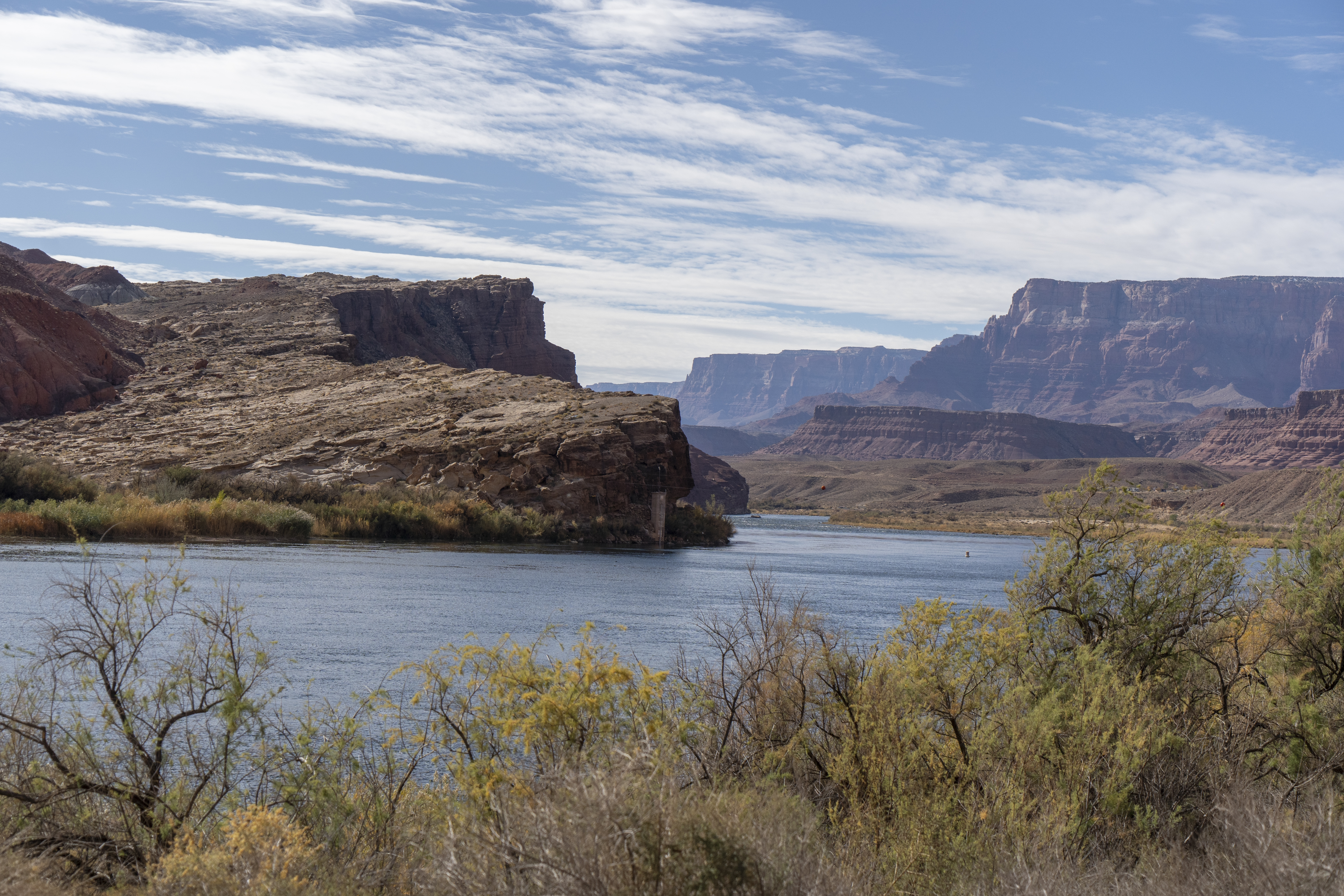
Lees Ferry Boat LaunchColorado River boat launch for Glen Canyon National Recreation Area and Grand Canyon National Park ( permit required ). 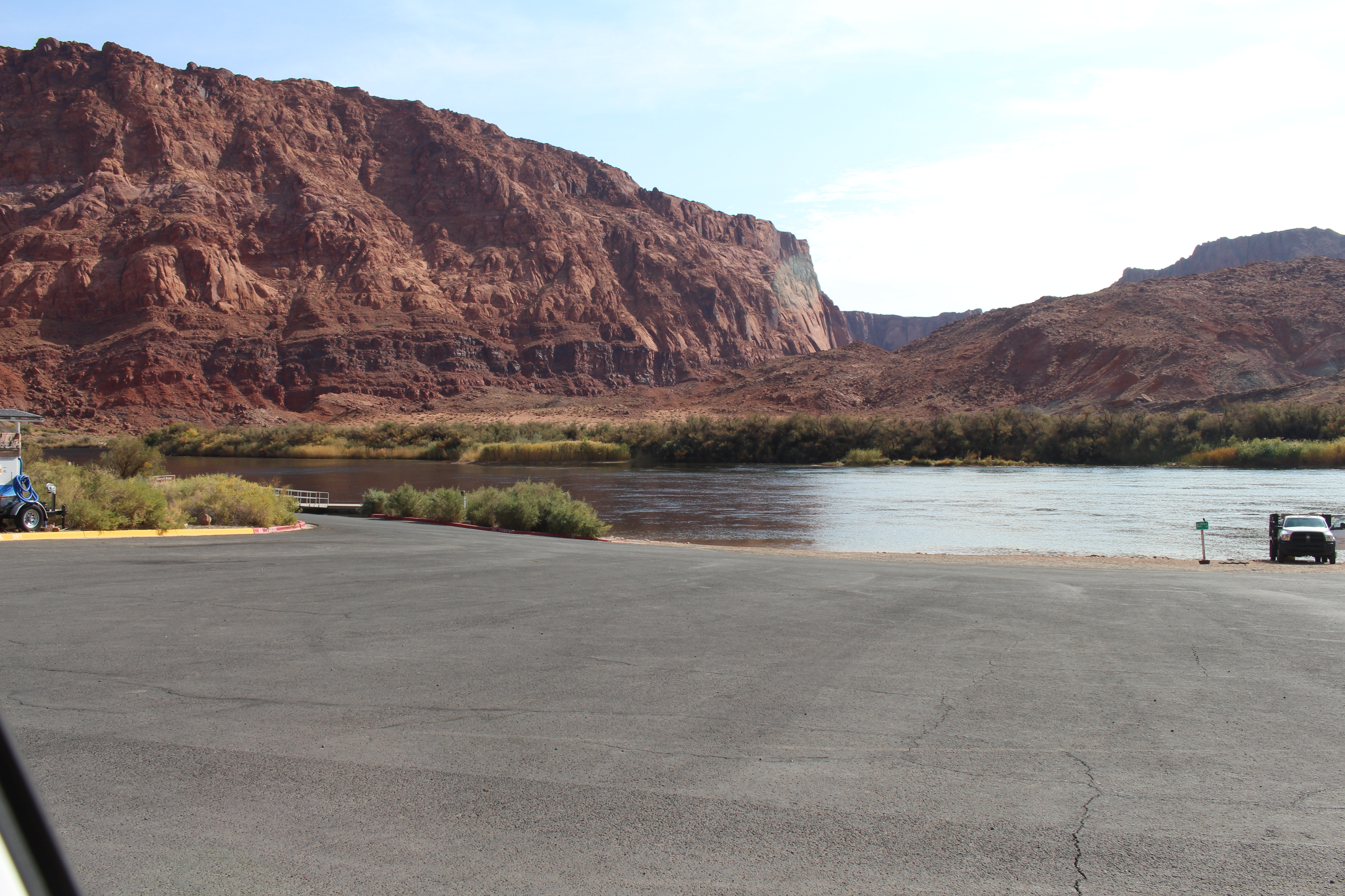
Lees Ferry Entrance StationLees Ferry Entrance Station is open all day every day. There are no humans there, but an automatic fee machine available for credit cards only in order to pay your entrance fees. 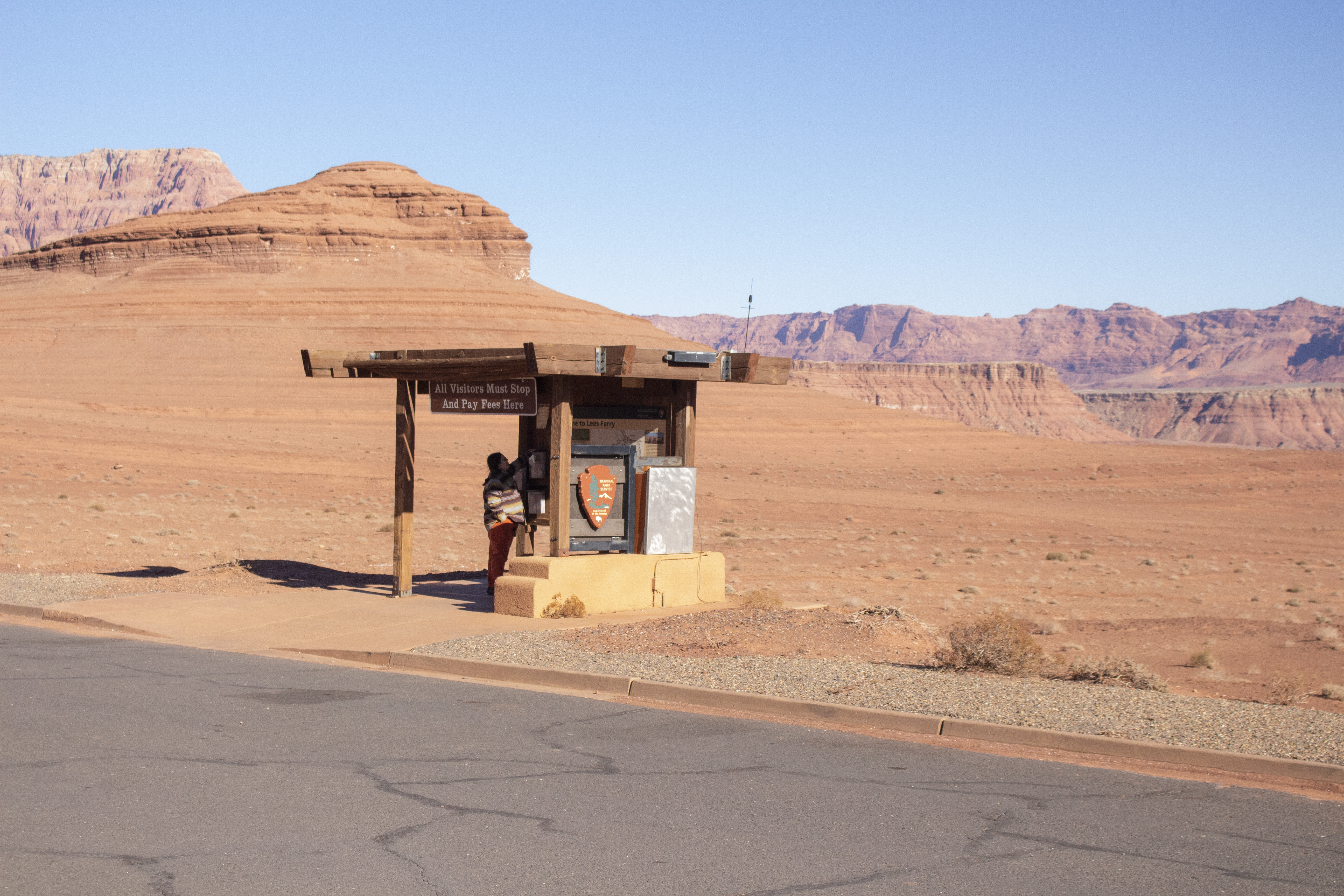
Lees Ferry FortLees Ferry Fort welcomed travelers near and far. 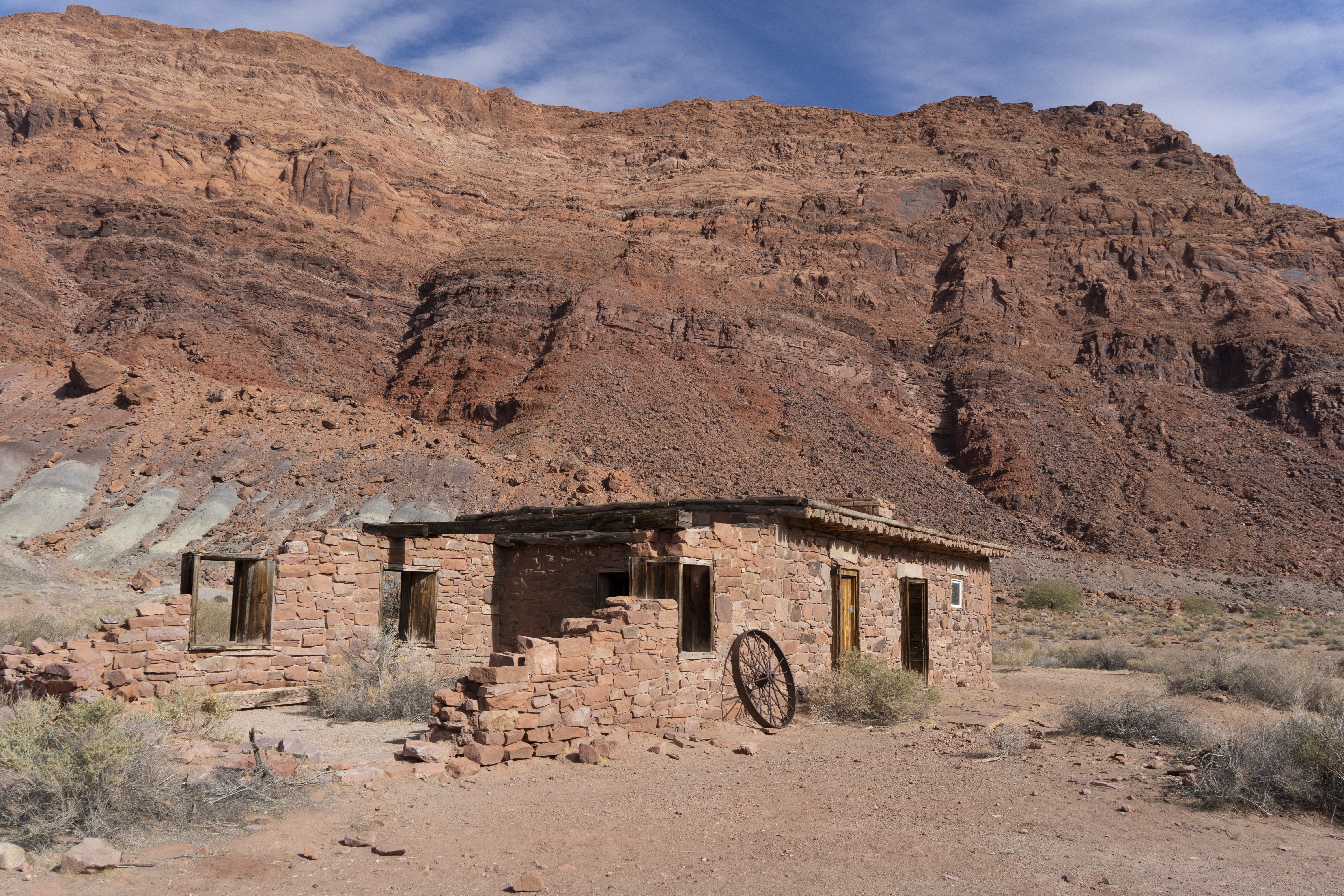
Lone Rock Beach Entrance StationLone Rock Beach Entrance Station is open every day, all day. When there is not a person at the booths, use the automated fee machine for entrance fees. 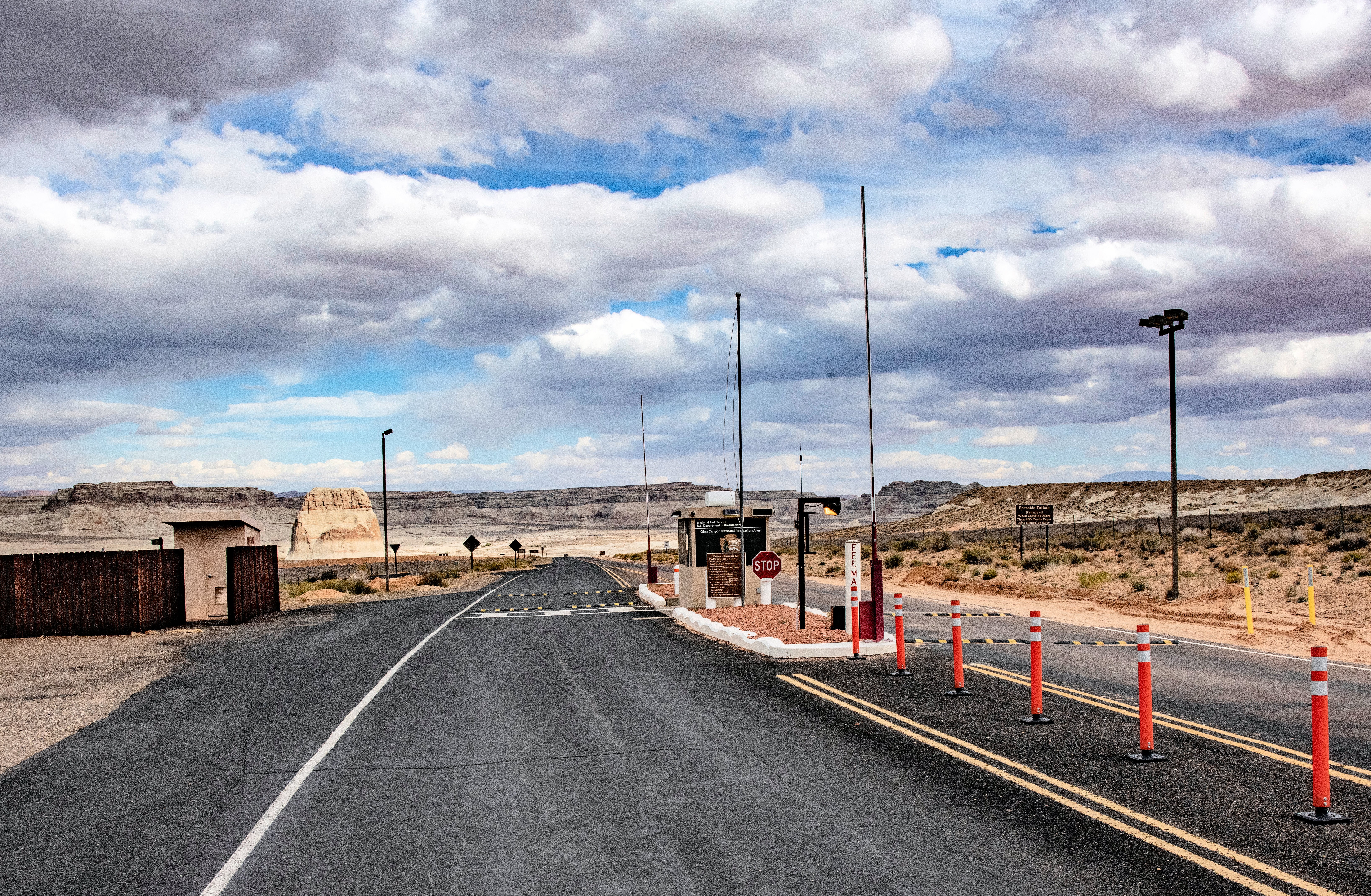
Lonely Dell Ranch Historic SiteThis historic ranch, near the mouth of the Paria River, was home to the families who operated Lees Ferry. The place was so isolated that the families working at the crossing needed to be self-sufficient, growing food for themselves and their animals. Hard labor changed the barren desert into a green oasis. 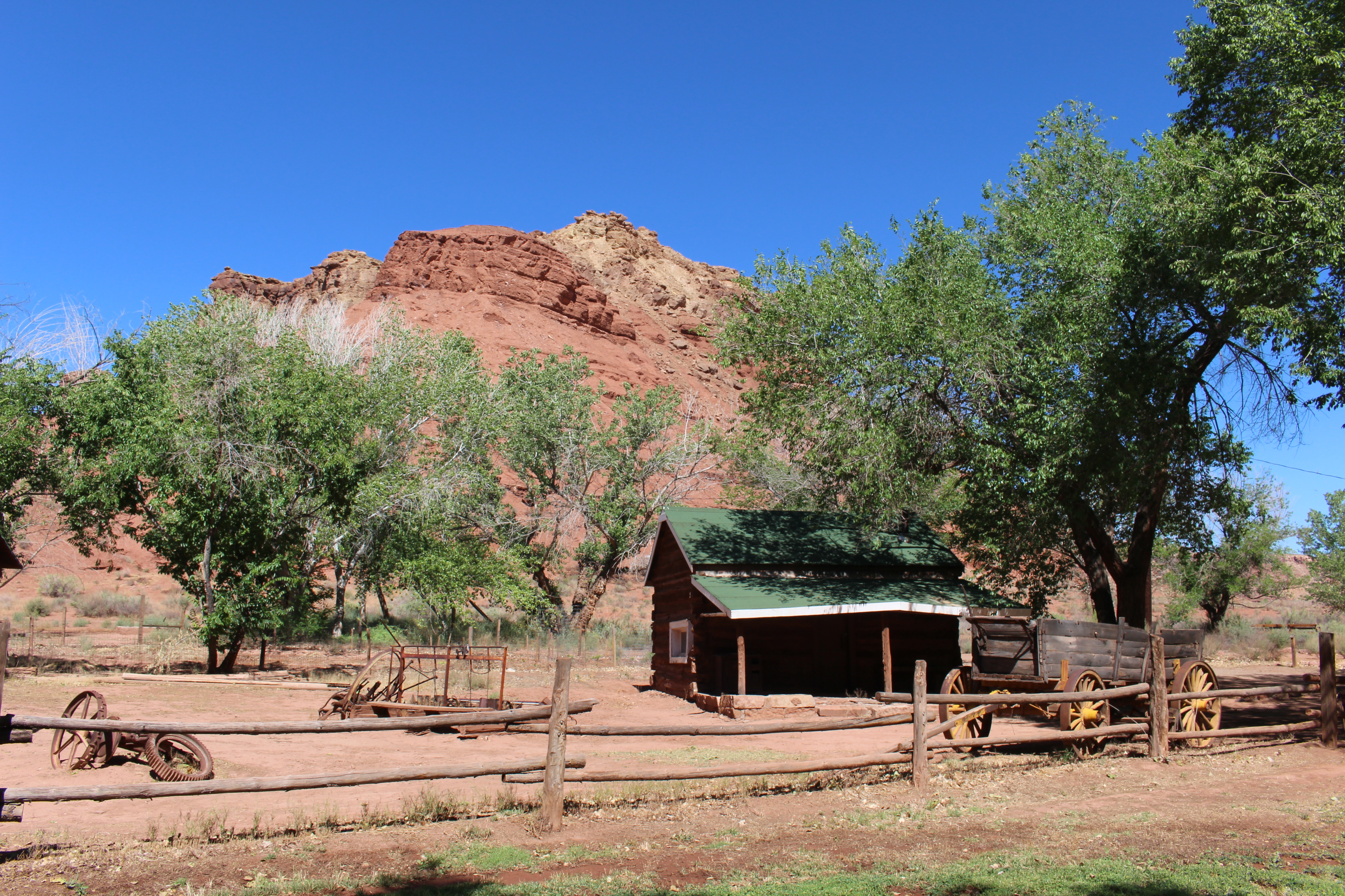
Lonely Dell Root CellarBefore modern electric appliances the families of Lonely Dell used a root cellar to keep food from spoiling, and sometimes themselves escaping from the heat of the summer day. 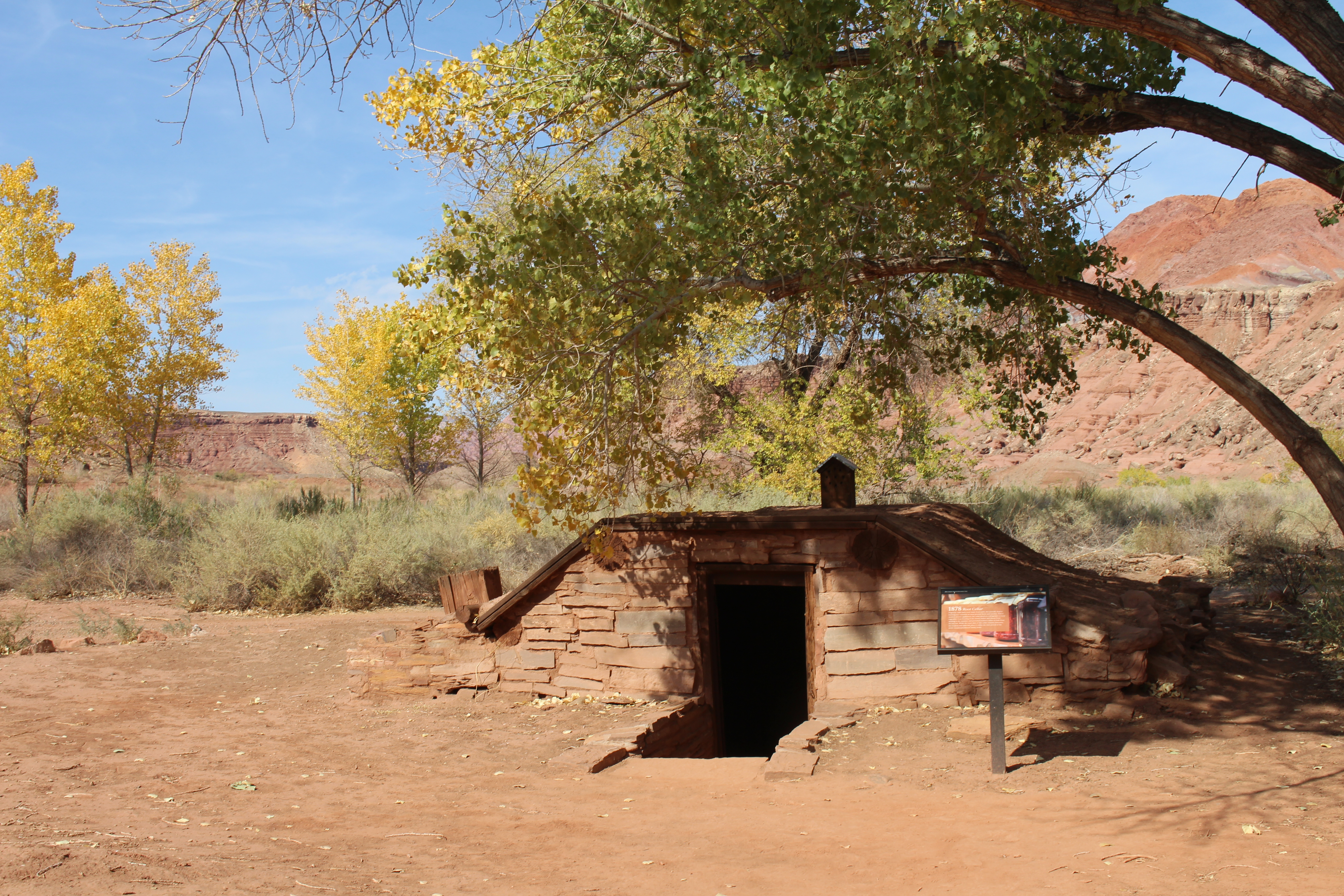
Mining the Chinle ShaleLearn of the mining efforts that happened along the Colorado River. 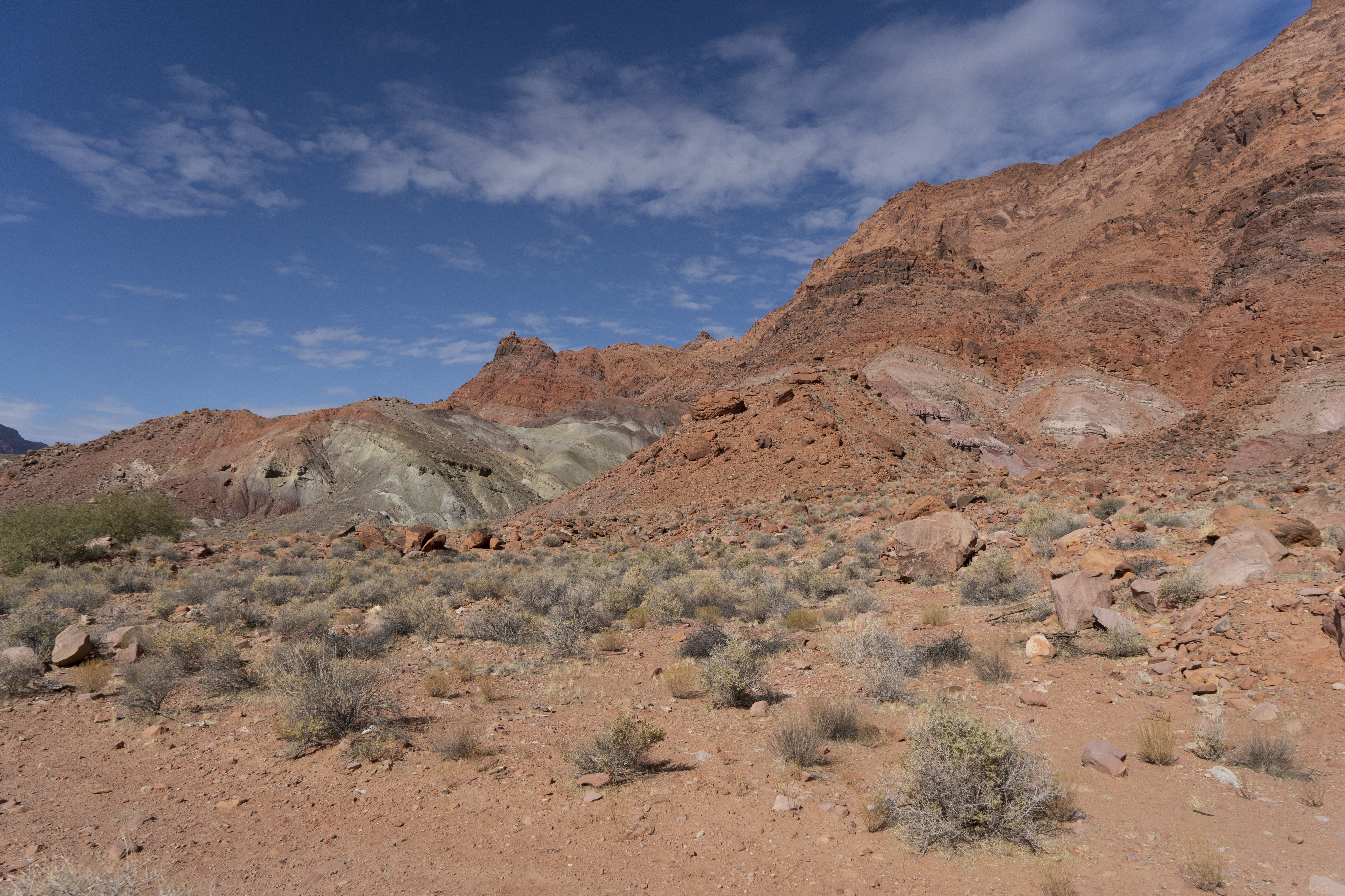
Navajo BridgeA historic steel-arch bridge and new counterpart spans the Colorado River side-by-side in northern Arizona. On US Highway 89A in Marble Canyon, AZ approx 45 miles north of Highway 89 turnoff. As you approach the driving bridge, slow down to 25mph. You can pull over on either side of the spans. The Navajo Nation side offers arts and jewelry stands. The Glen Canyon NRA side has a visitor center built out of a 1930s rest area. Park, shop, walk, read about the site, view condors. 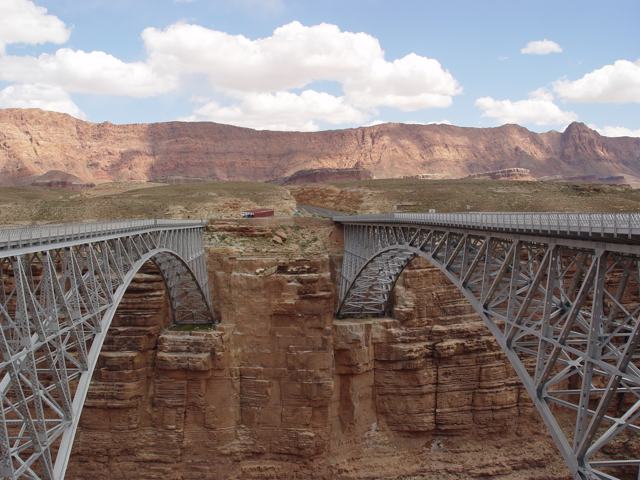
Paria Riffle and the Colorado RiverVisit where the slow and muddy Paria River tumbles in and mixes with the fast Colorado River. Beach Access. Fishing with license permitted. Swim at own risk. 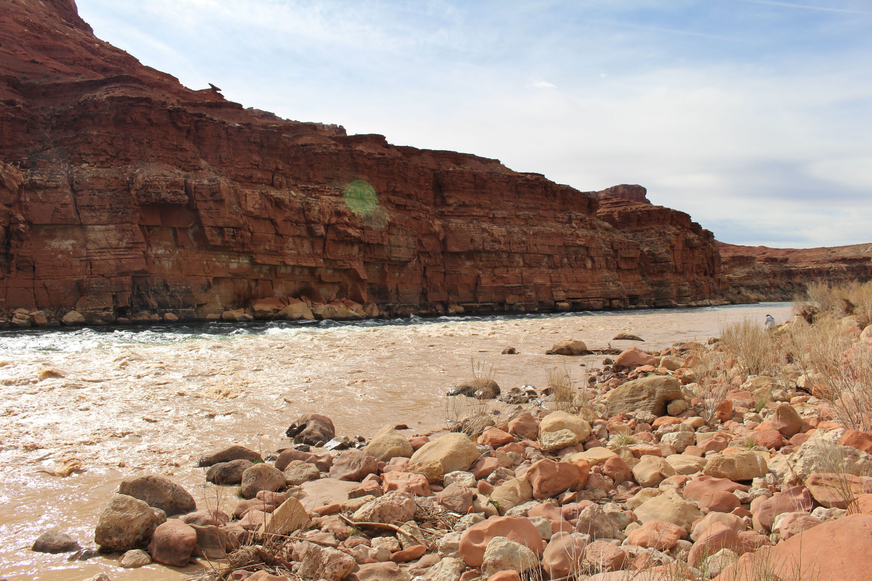
Pedestal Alley TrailheadThis is the Trailhead for the Pedestal Alley Trail, north of the Bullfrog district on the Burr trail road. 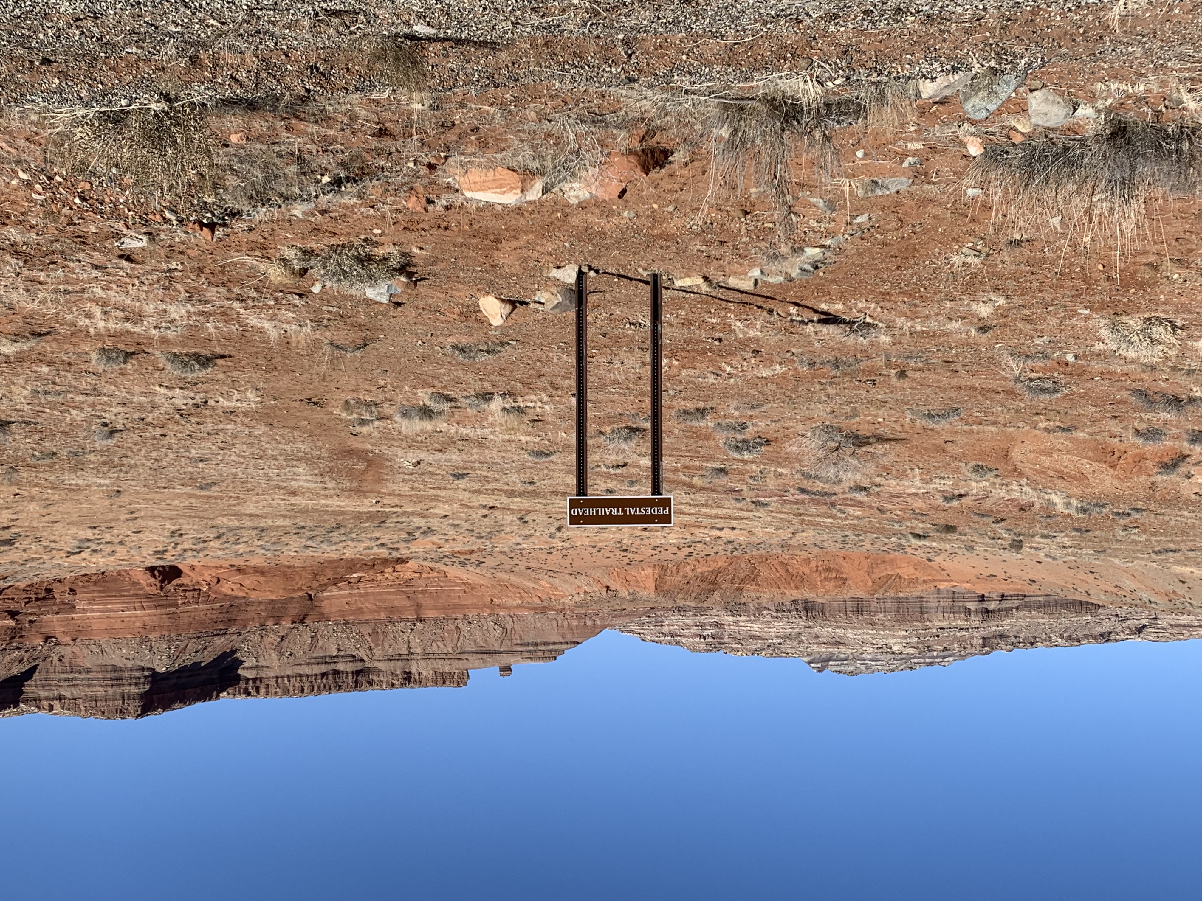
Pioneer CemeteryWho lived and died at the ranch? Their lives may have ended here but their stories would continue on. 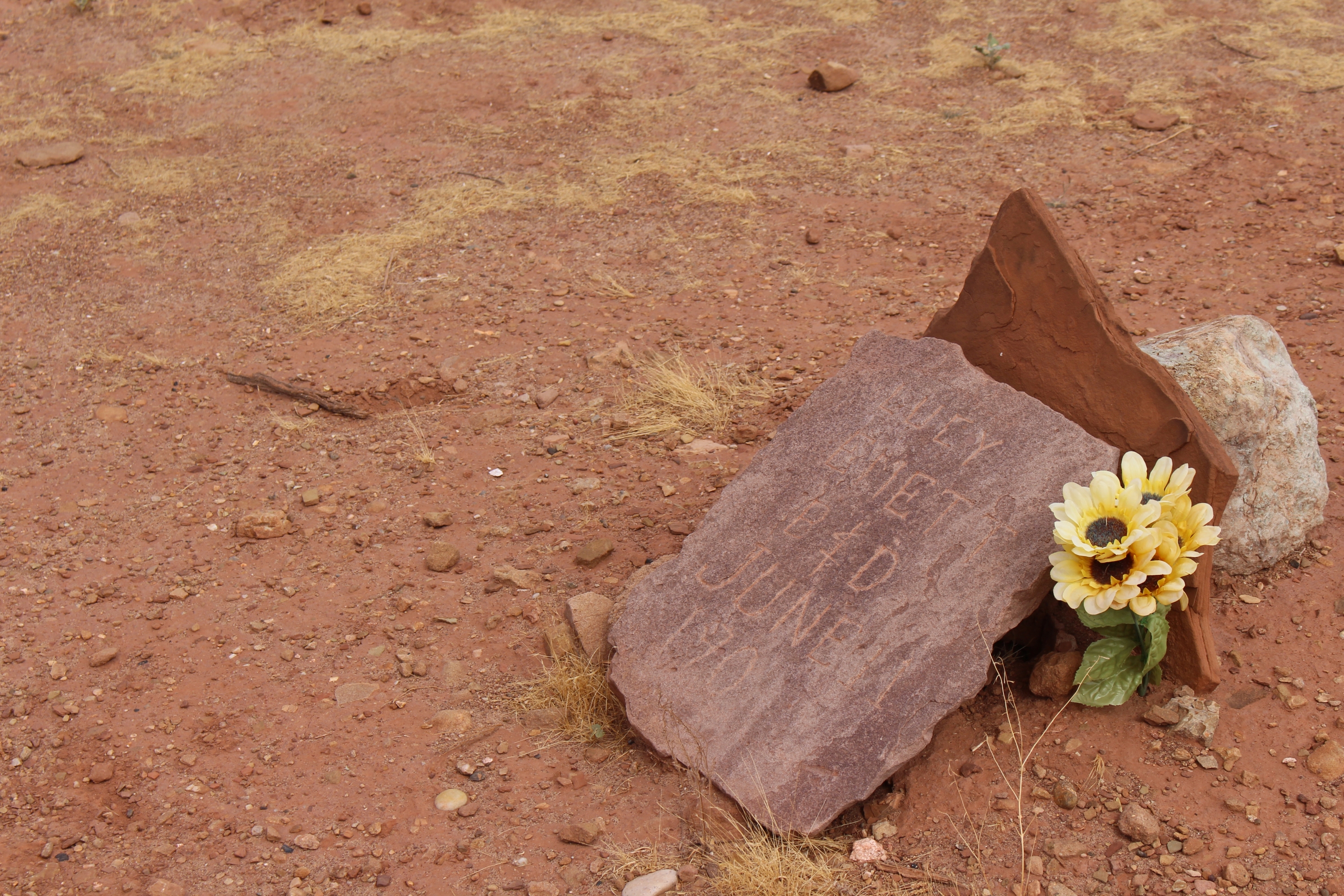
Polygamist CabinFrom busy outpost to quiet hideout, Lonely Dell Ranch helps preserve a religious way to live. 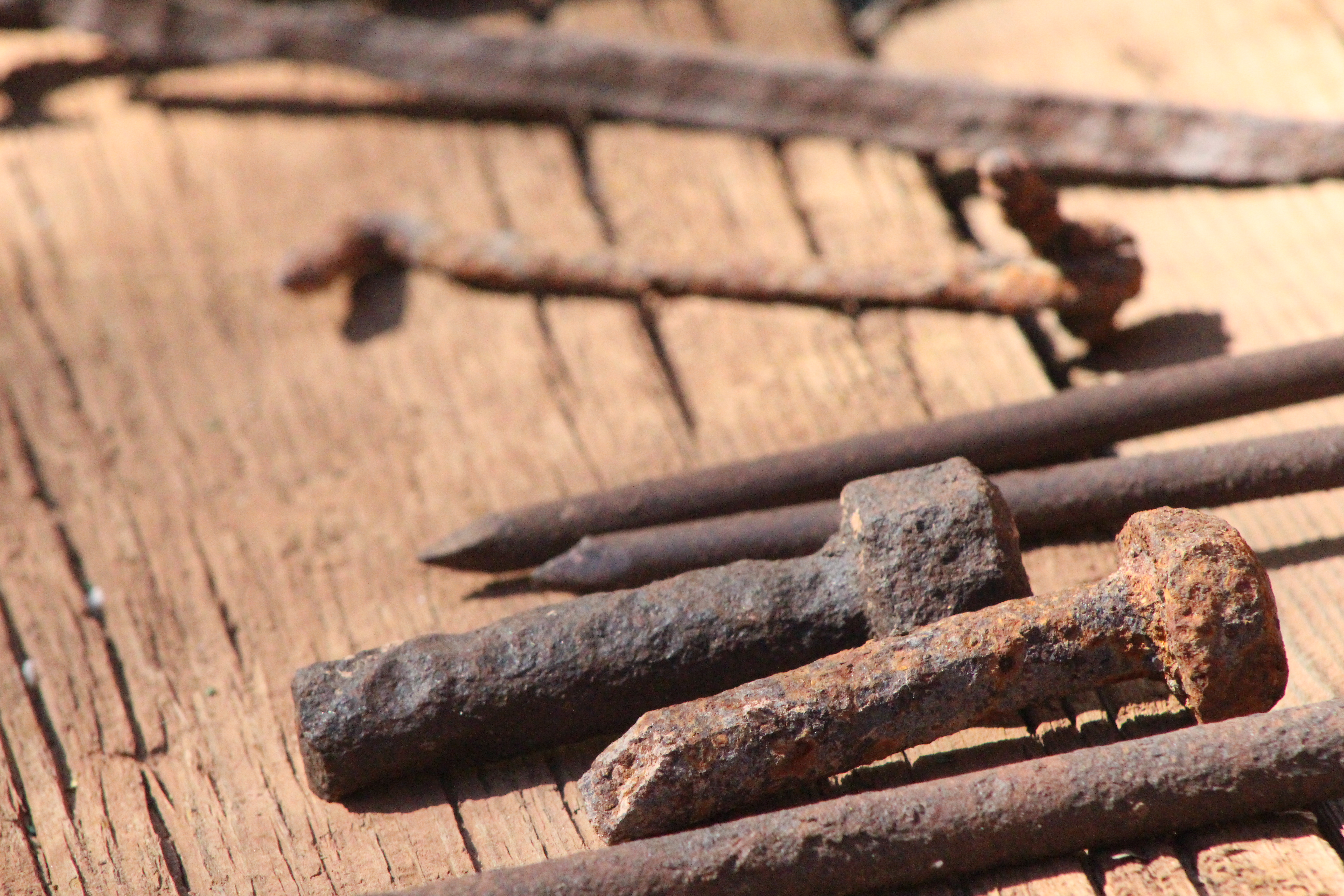
Red Wash TrailheadThis is the trailhead for the Red Wash trail, also known as the Bullfrog Slot Canyon trail. 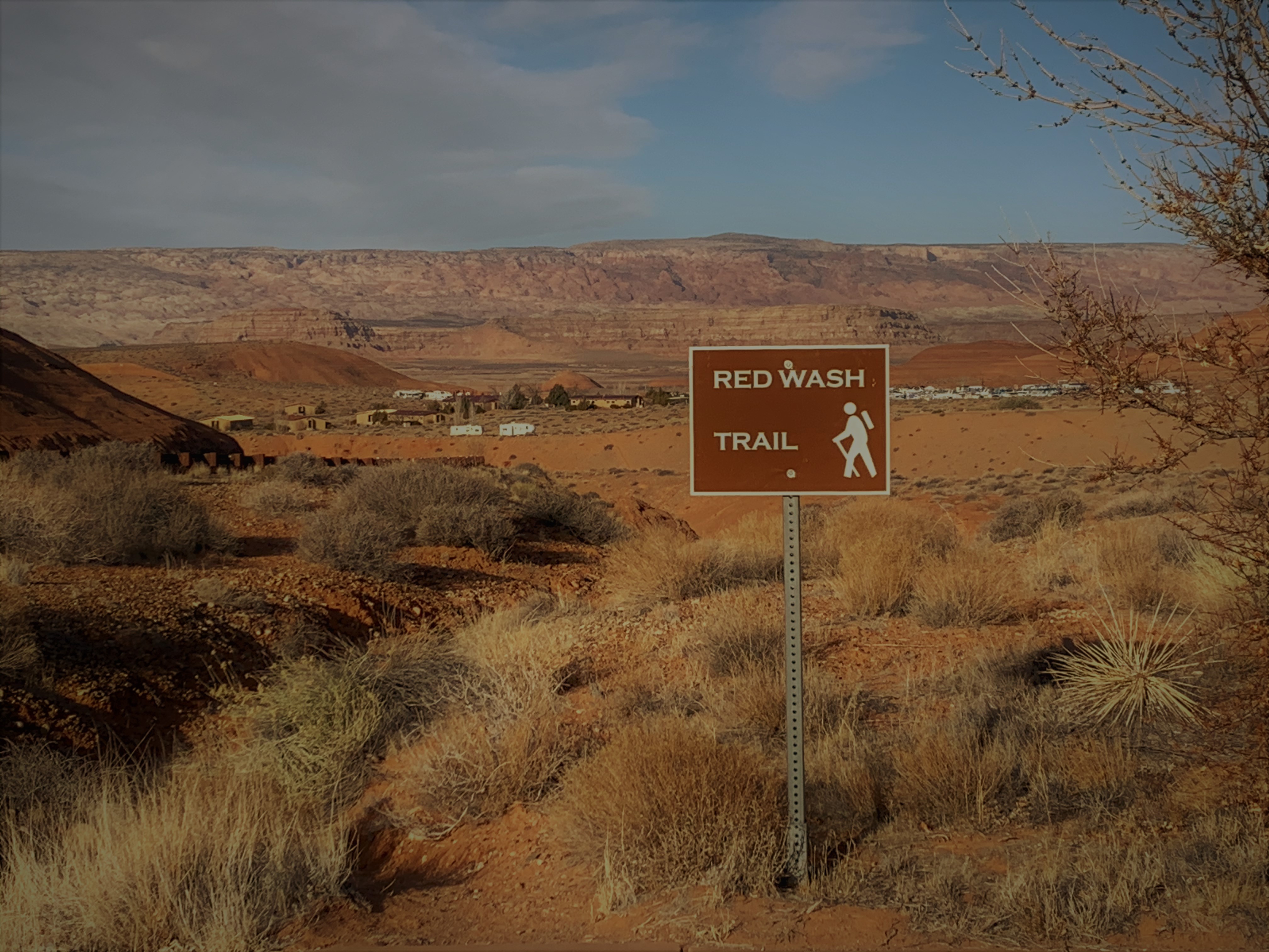
Samantha's CabinBuilt by her husband in 1886, Samantha's home had many purposes through the years. 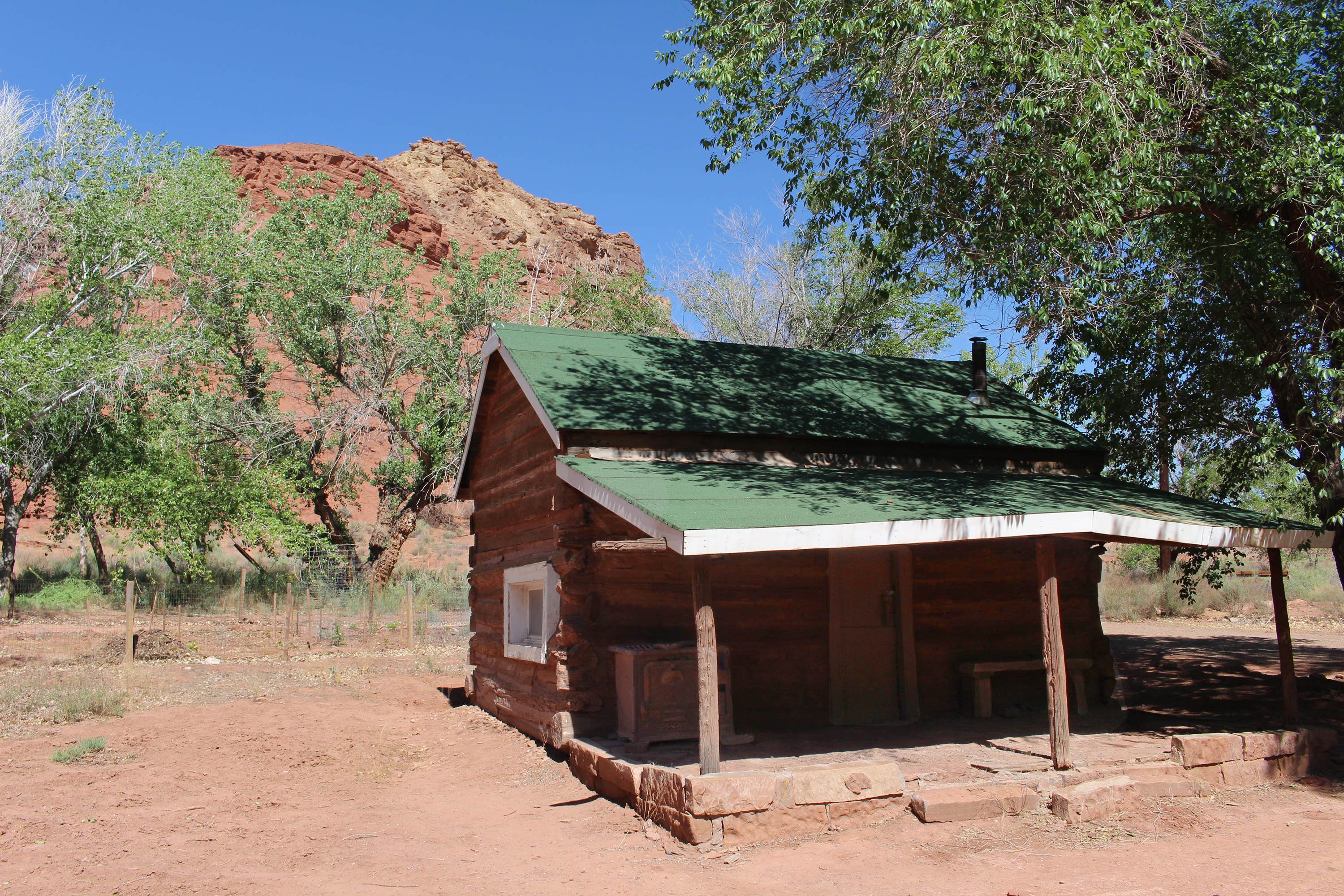
Spencer BoilerRemains of gold mining efforts abandoned on the river front. 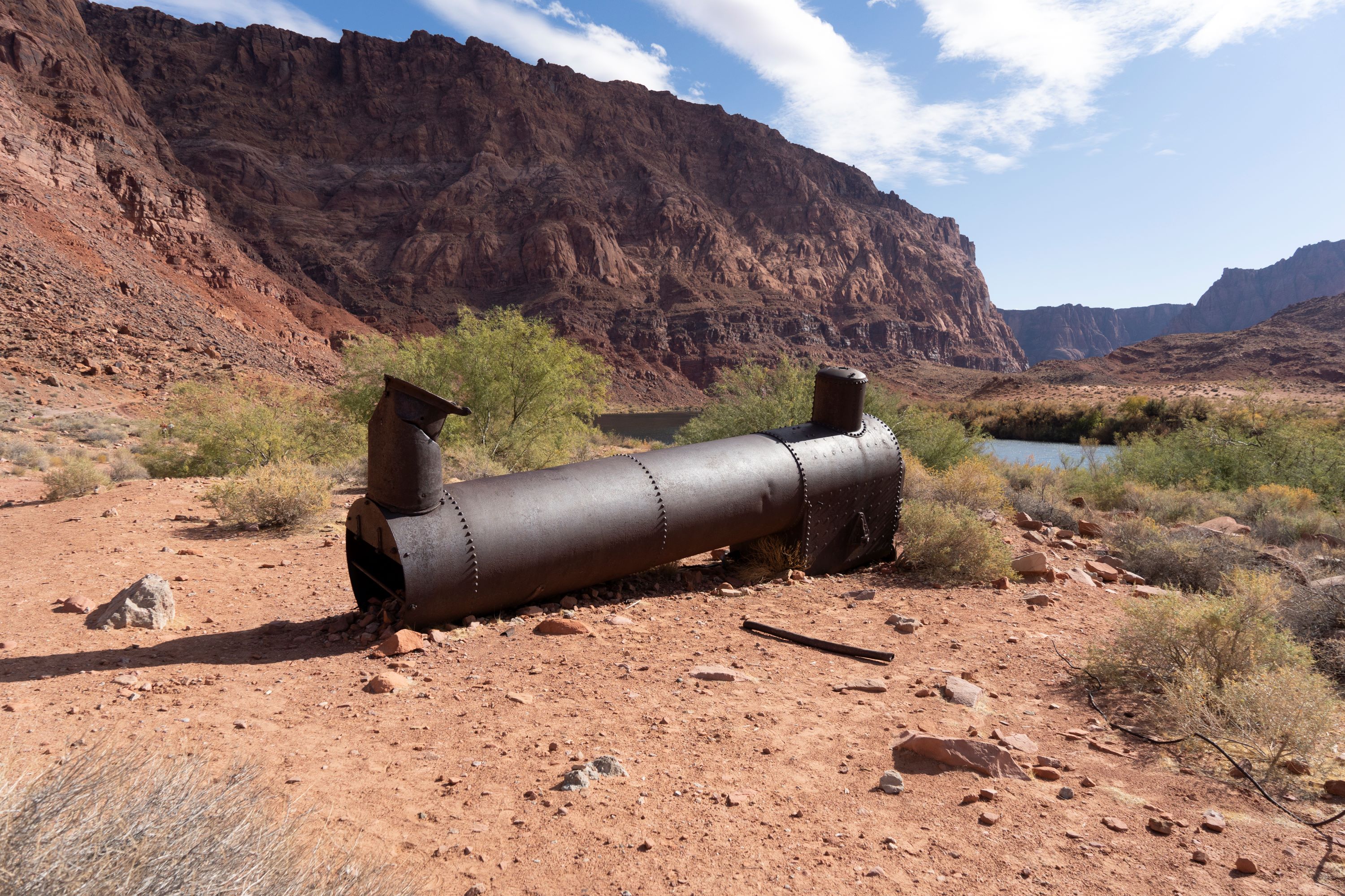
Spencer SteamboatA steamboat abandoned on the riverfront, now only the remains of the steam engine peaks out from the Colorado River when it runs low. 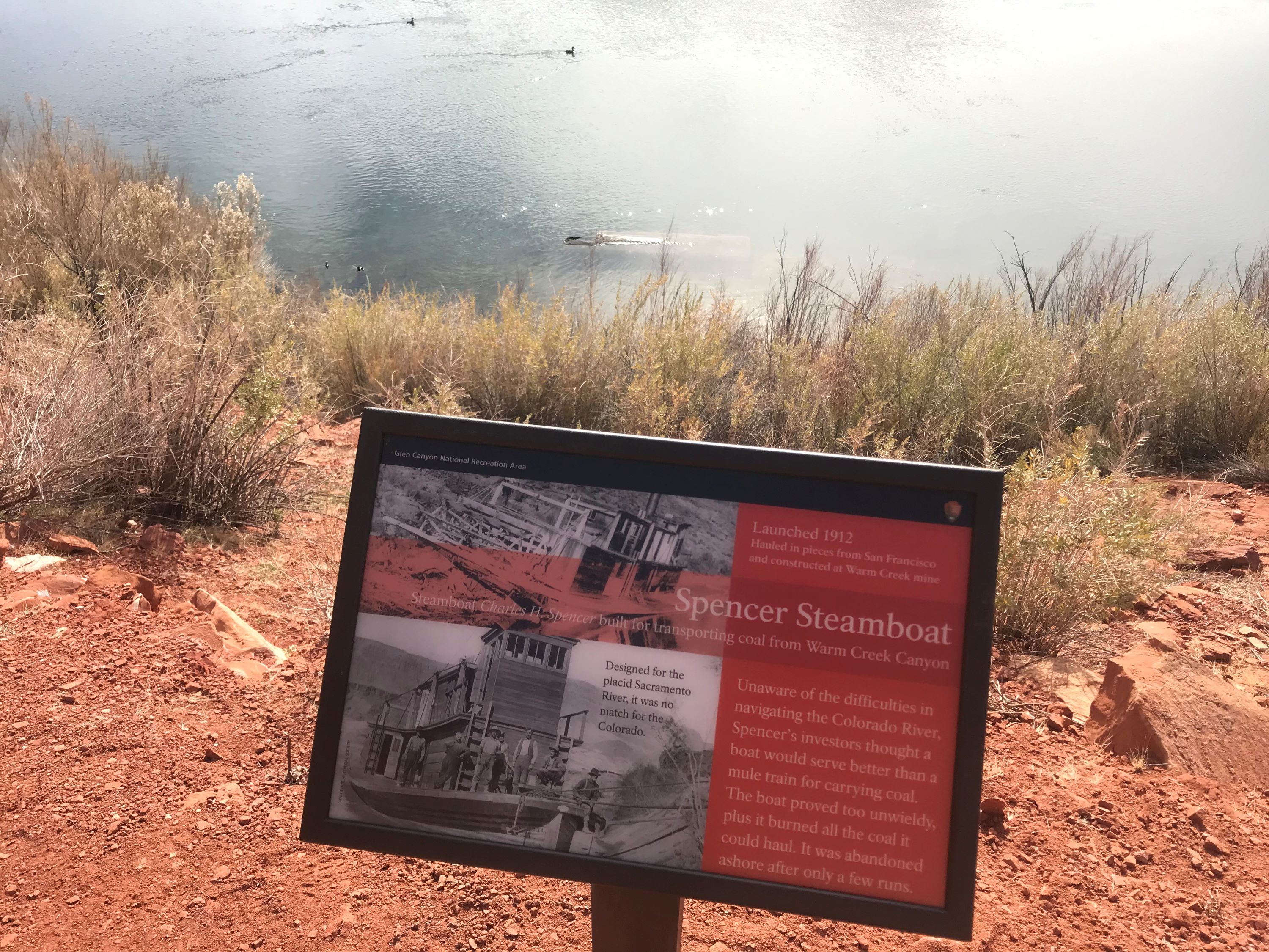
Spencer TrailThe narrow and steep trail once was passage for pack animal hauling of supplies, today is challenging hike for those fearless of heights. 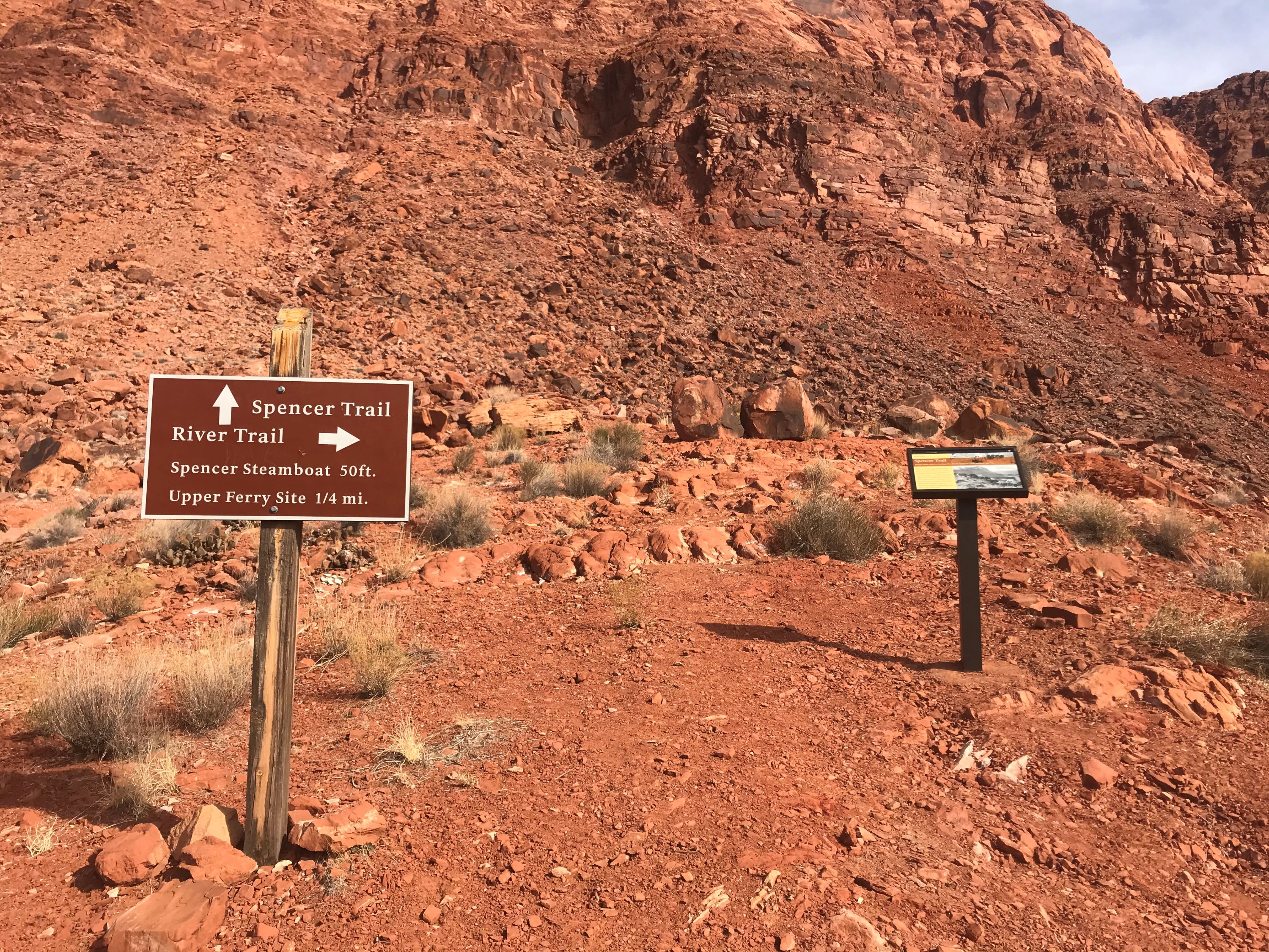
Stateline Auxiliary Launch RampStateline Auxiliary Launch Ramp, located after a turnoff from the Stateline Launch Ramp near what used to be Wahweap Swim Beach, is open for launch and retrieval of motorized vessels daily. Paddlecraft should not use this ramp, they should go to Wahweap Main or Antelope Point Public ramps. 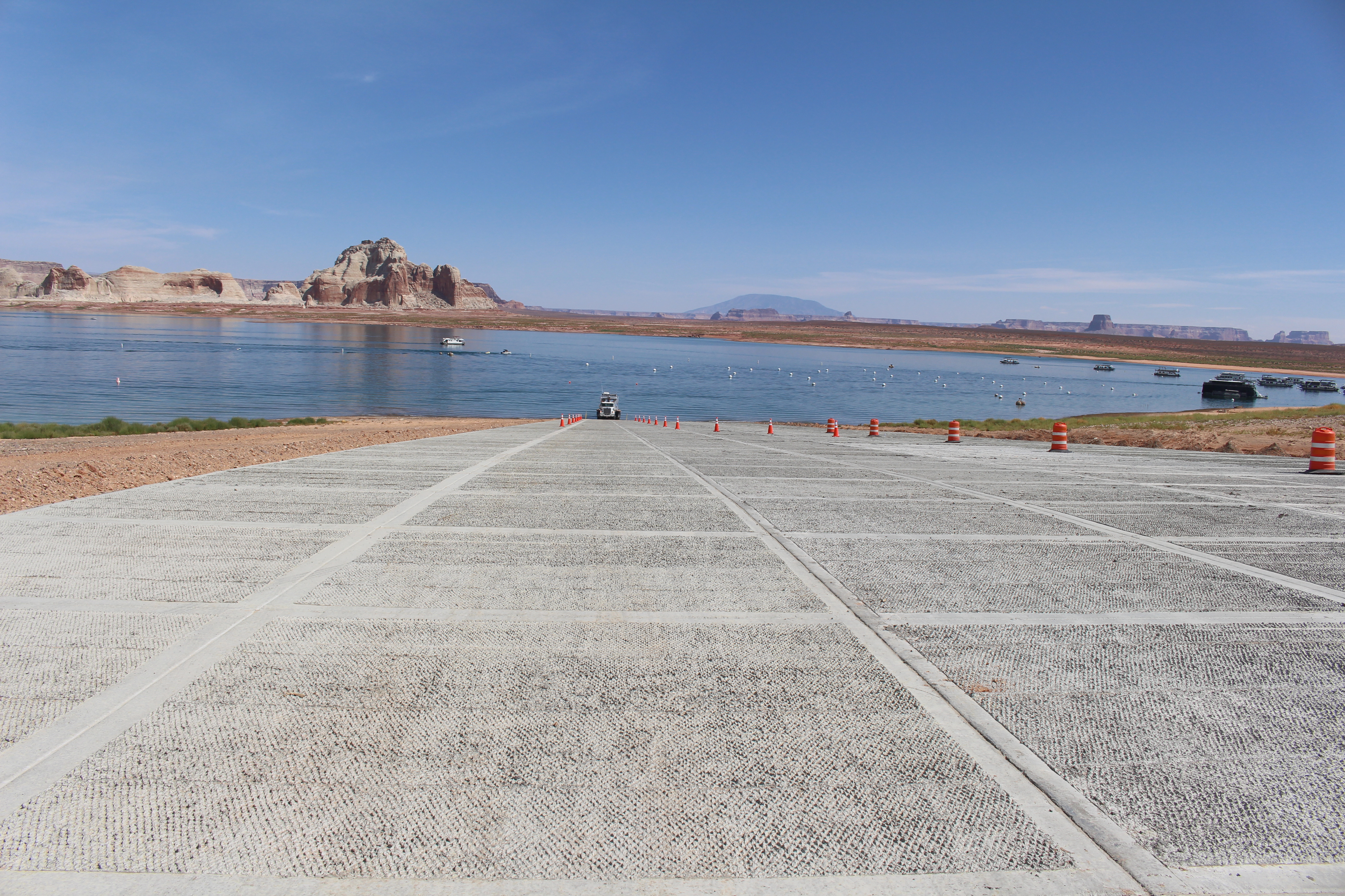
Stud Horse TrailheadThis is the Trailhead for the Stud Horse Point area, near Greenhaven AZ via a few backcountry BLM and NPS roads. 
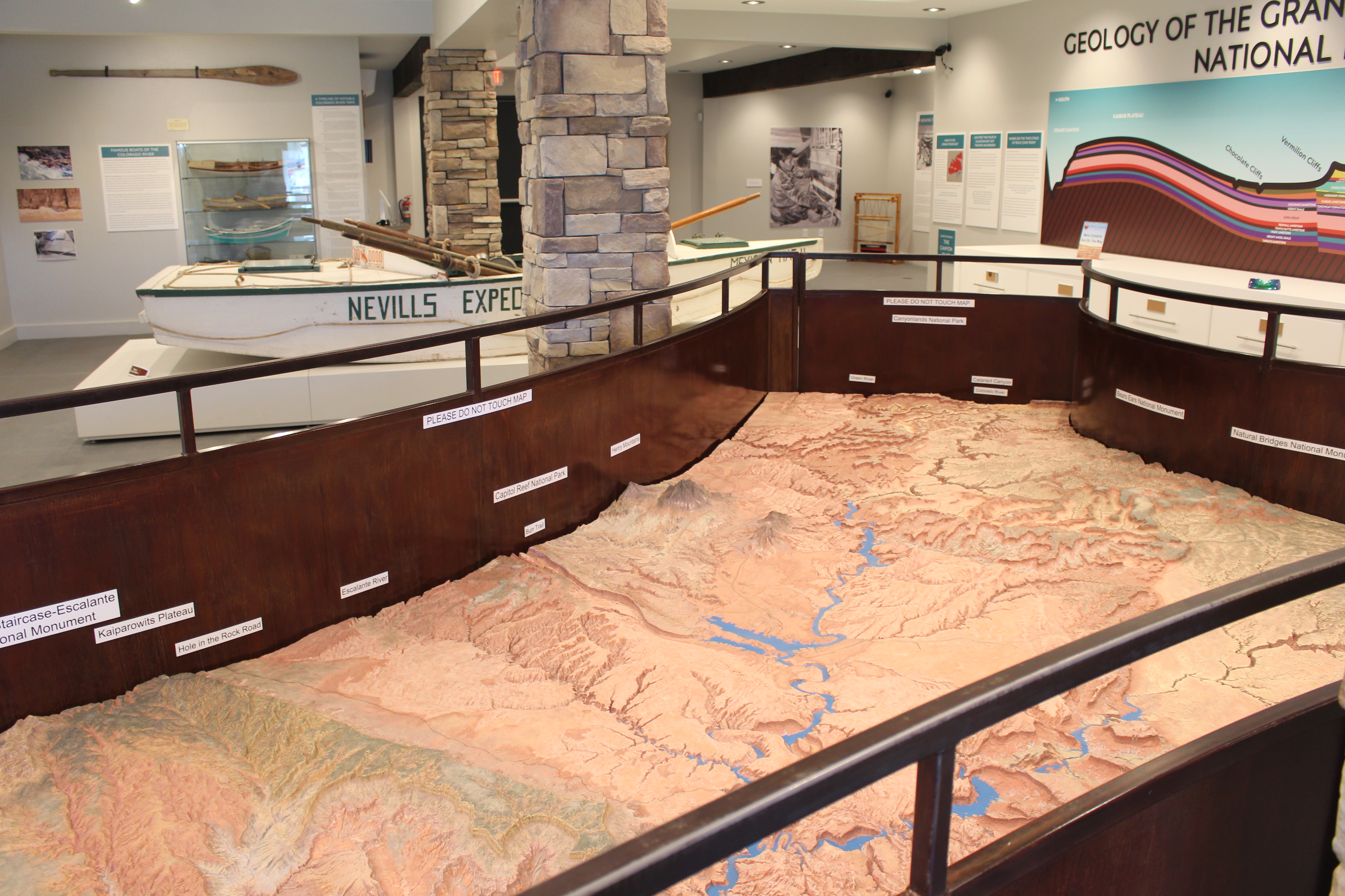
The Big Relief MapThe Glen Canyon and Surrounding Area Relief Map sits in a place of honor at the Powell Museum & Archives next to Glen Canyon Conservancy's Flagship office. Use it to help plan your Glen Canyon adventure, or pretend you are in space looking down at the landscape. Whoa. Earth is big. 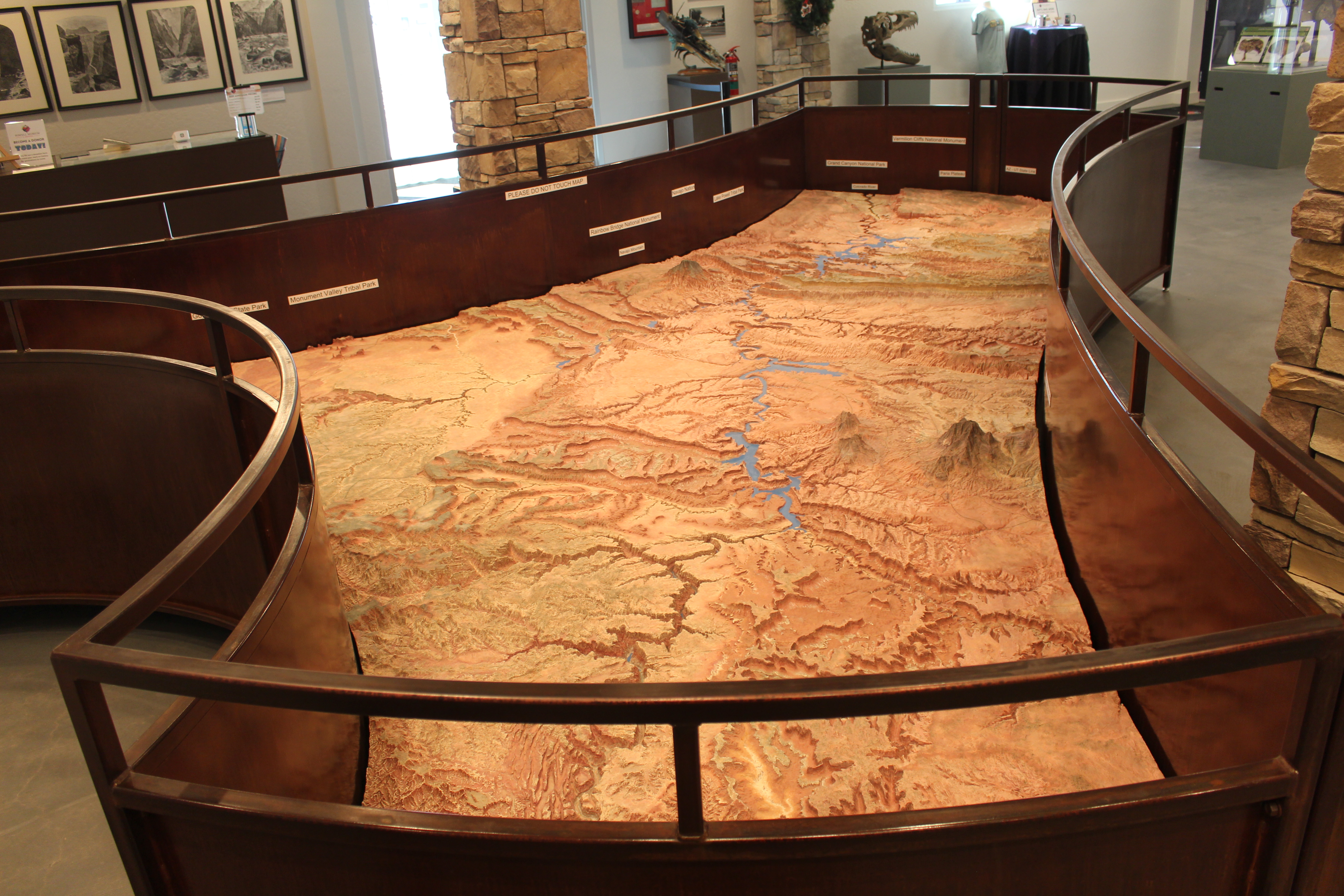
The ChainsThe Chains, a choose your own adventure at your own risk hiking/swimming/fishing area. 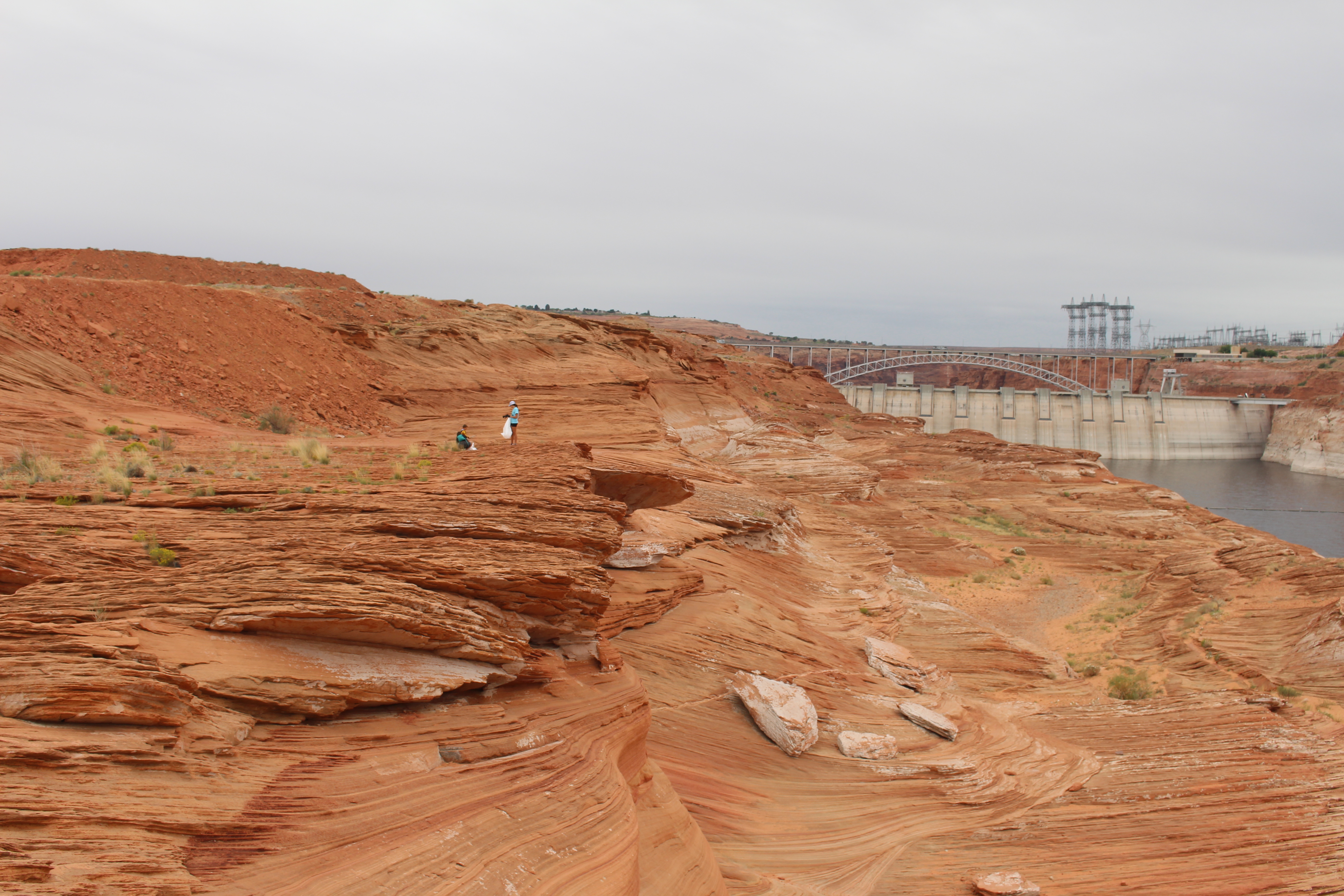
The Edge of WildernessThe last stop for the Lonely Dell guided tour overlooks the Paria River and the remains of a past irrigation pump. 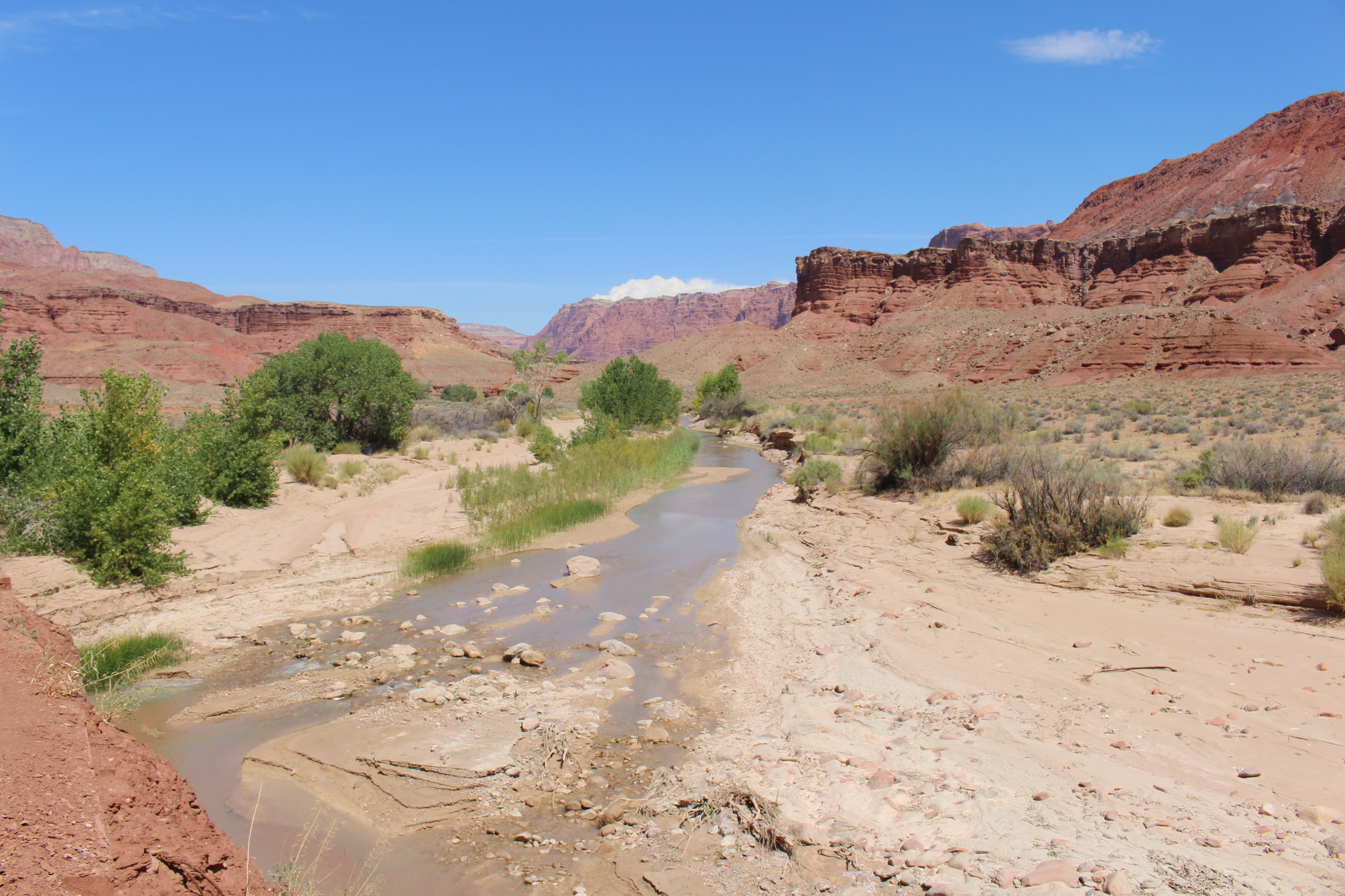
The Family HomeFerryman Warren Johnson builds a two-story house for his growing family. The large home is the center of the ranch until it burns down in 1926. 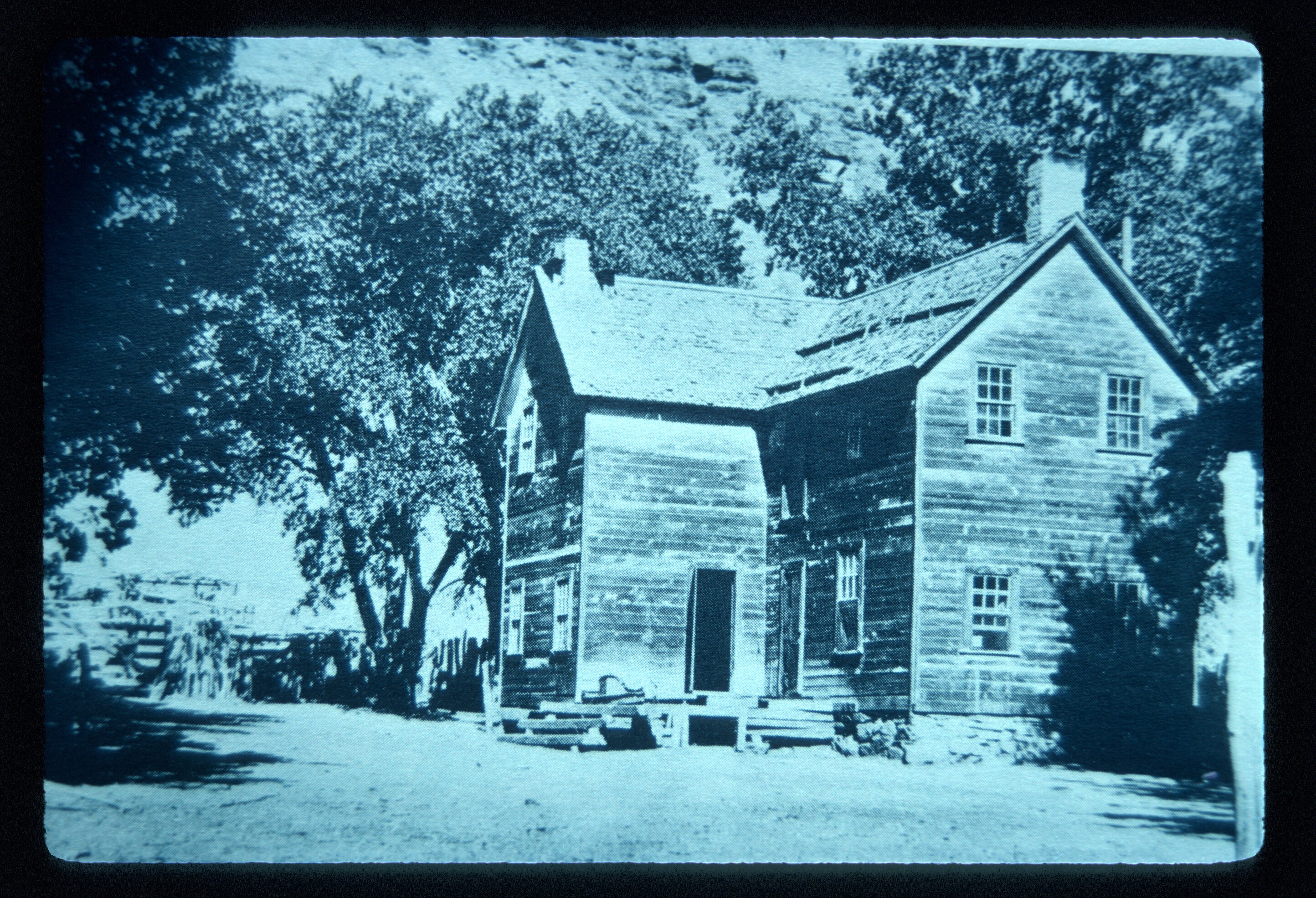
The OrchardFruit trees in this desert oasis make for a delicious stop on the Lonely Dell Guided Walking tour. 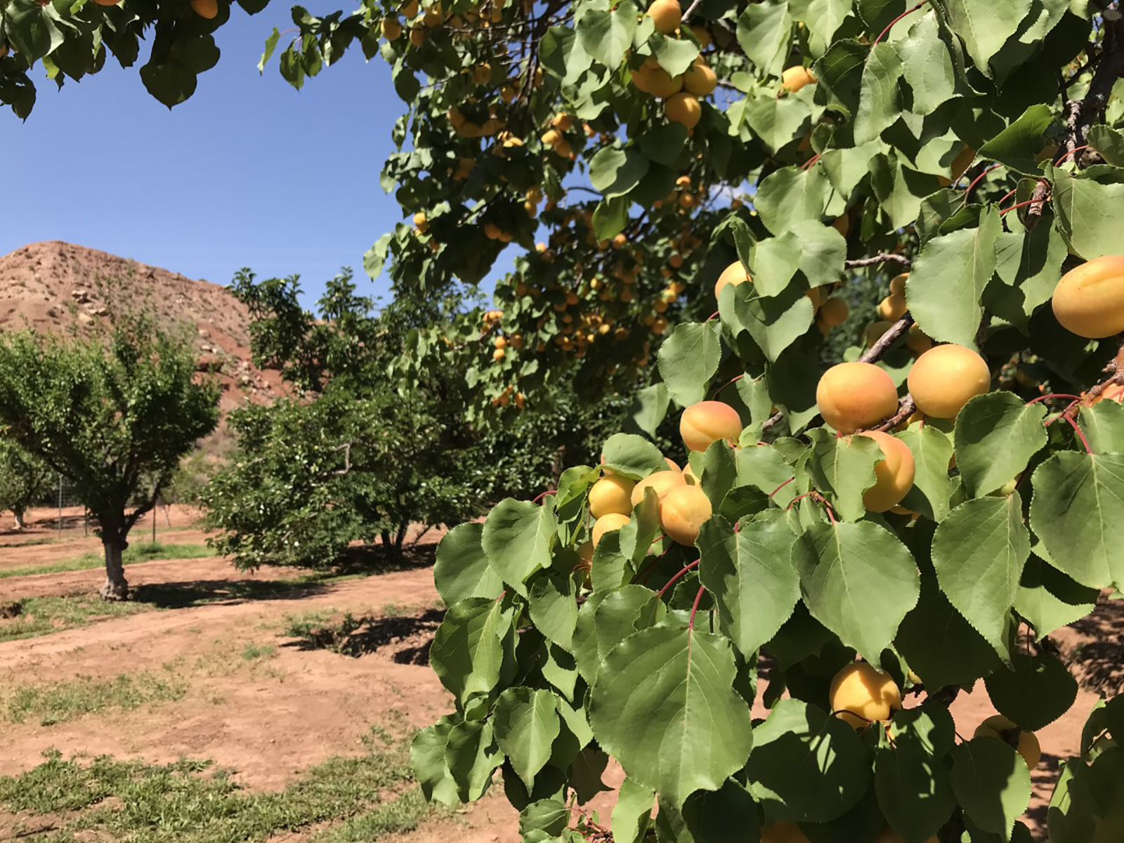
USGS Guesthouse & Spencer BunkhouseStone buildings lined the river's edge each having a few purposes. 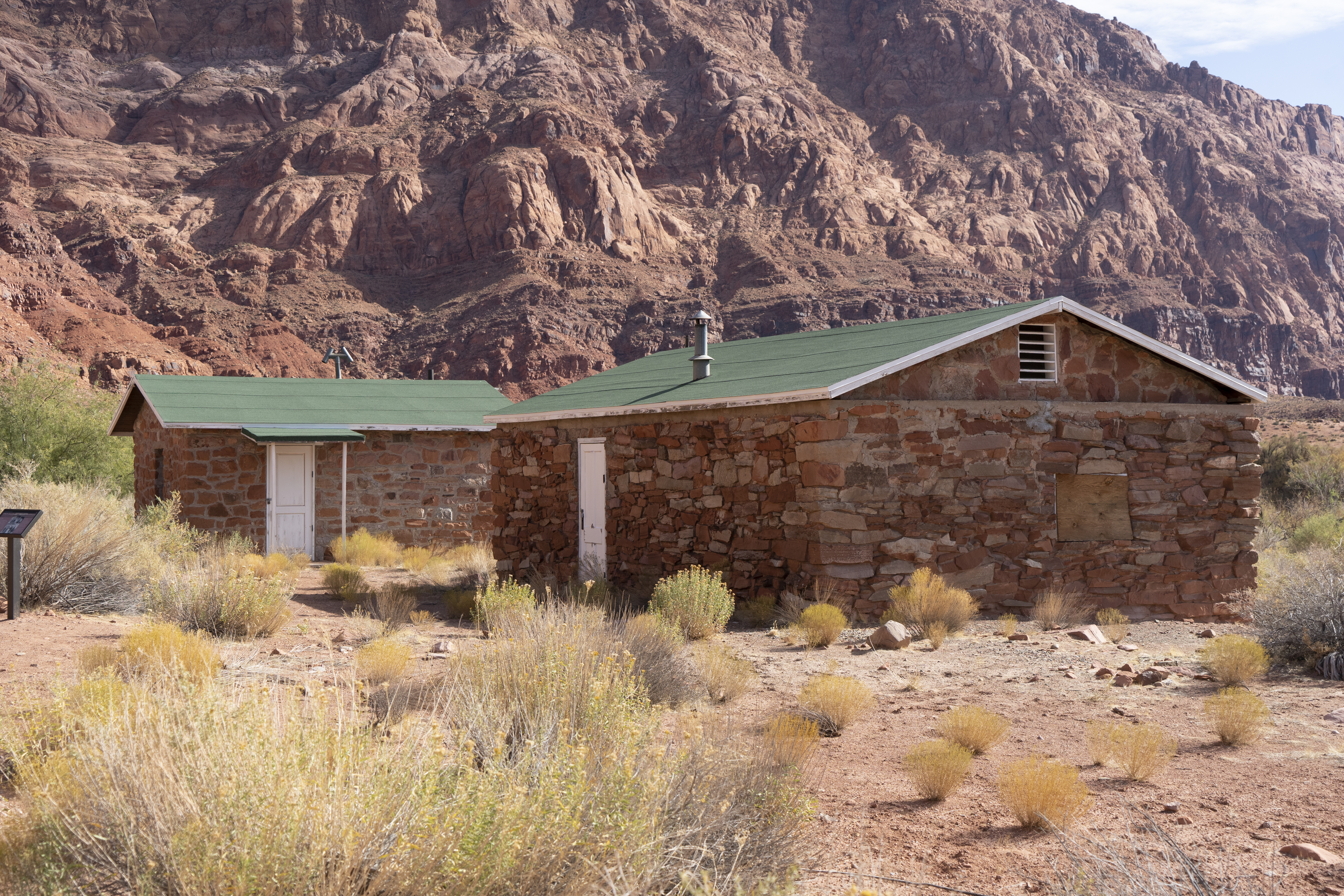
Upper Ferry SiteThe new ferry site improved the tricky transportation across the river. 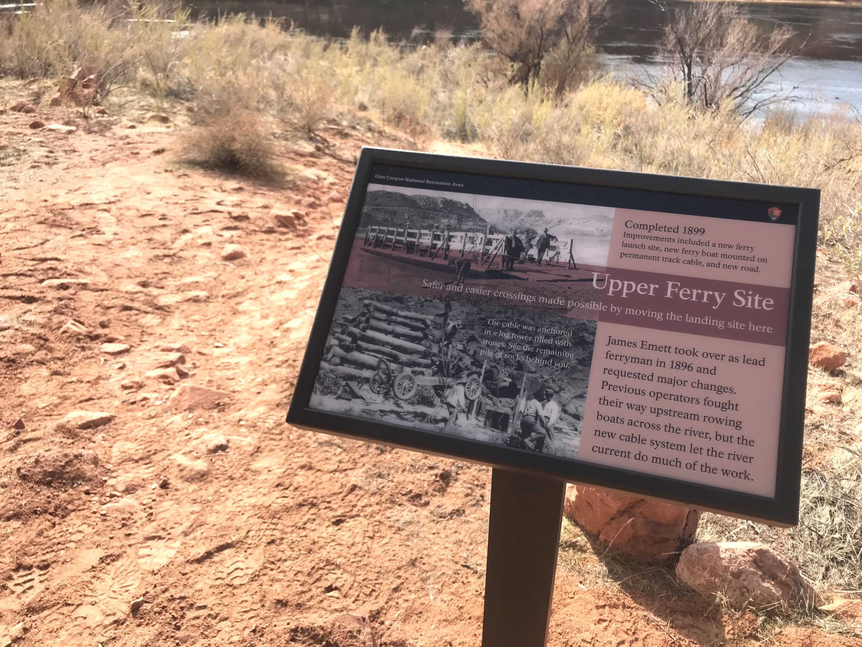
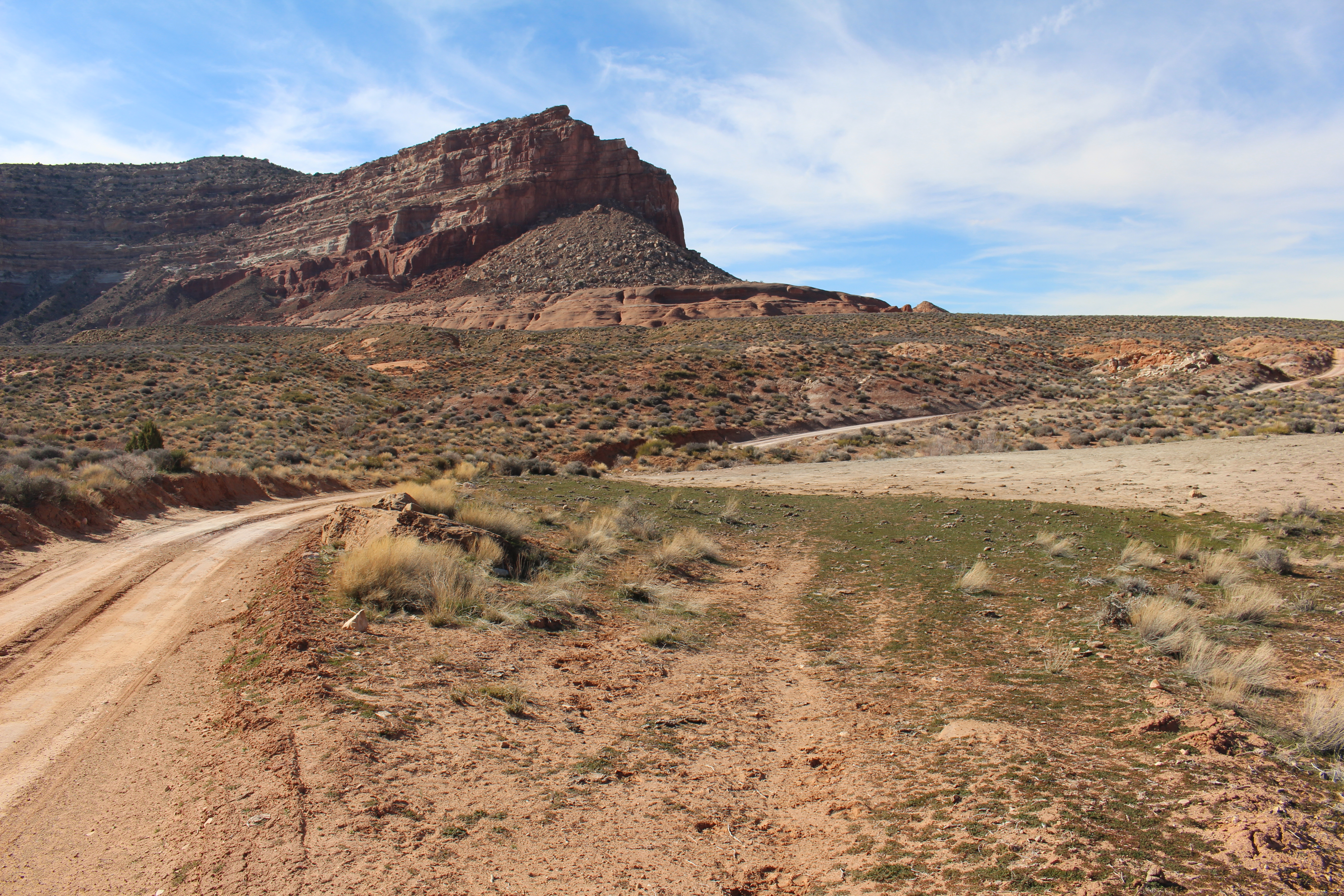
Vermillion Cliffs at Lees FerryVermillion Cliffs are just one of the layers of rock seen at Lees Ferry. Learn about the others and how they make up the Grand Staircase of geology. 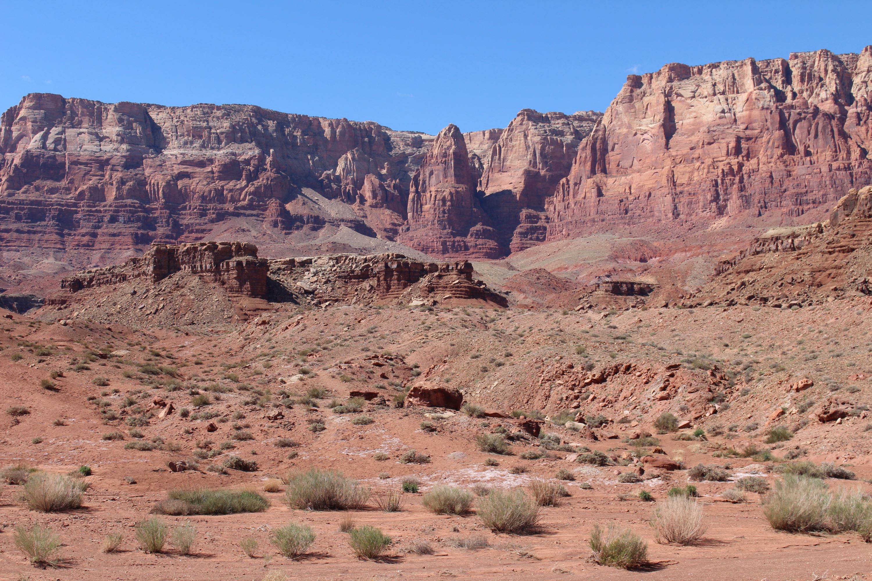
Wahweap Main Launch RampWahweap Main launch ramp is located next to the Lake Powell Resort at Wahweap. For your safety the ramp is open to all motorized vessels and unavailable to paddlecraft. Paddlecraft should use Stateline Main or Antelope Point Public launch ramps. This launch ramp is inoperable to launching when the lake level is below 3546'. 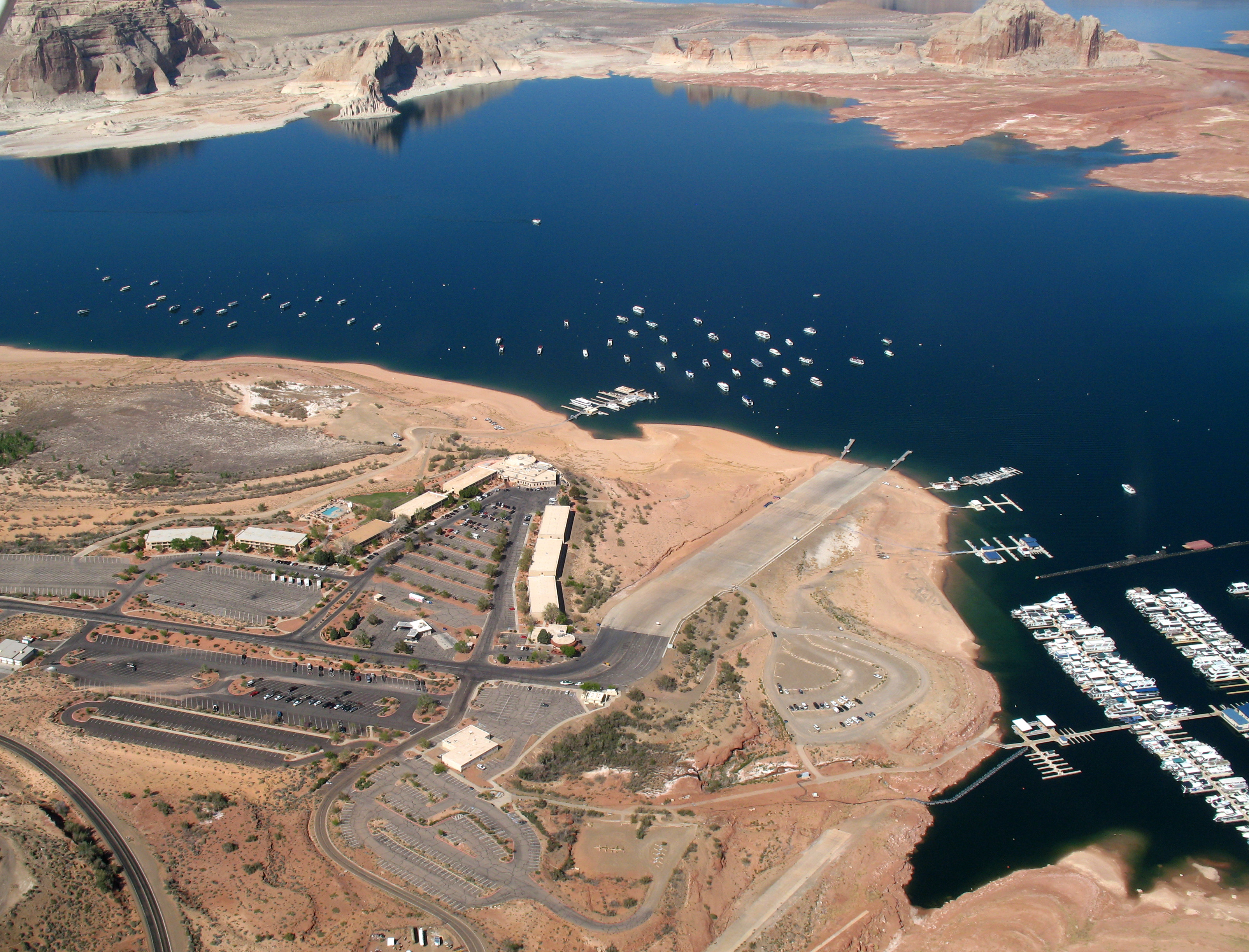
Wahweap North Entrance StationWahweap North Entrance Station is open every day, all day. When there is not a person at the booths, use the automated fee machine for entrance fees. 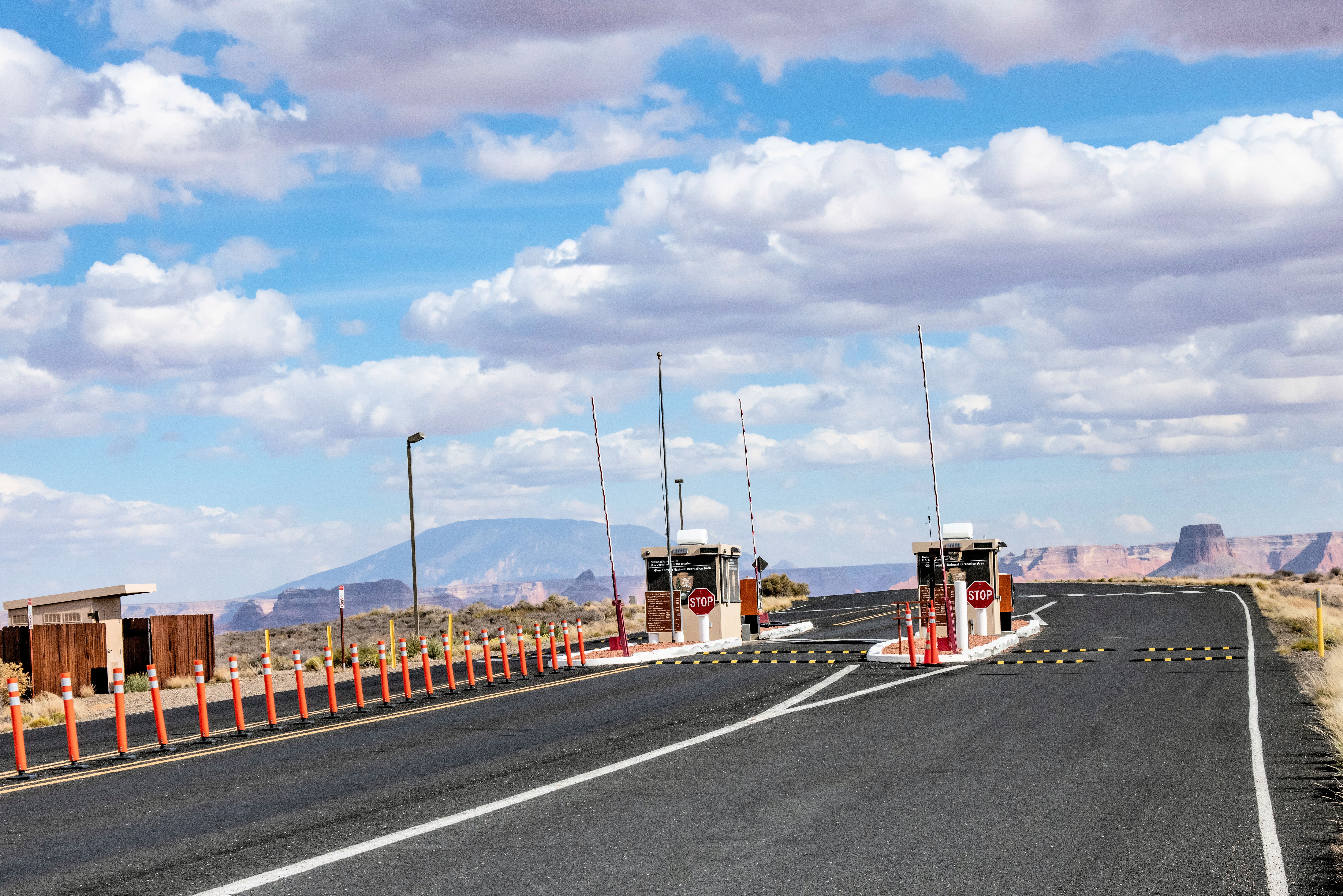
|
| Visitor Centers | Count: 6
Bullfrog Visitor Center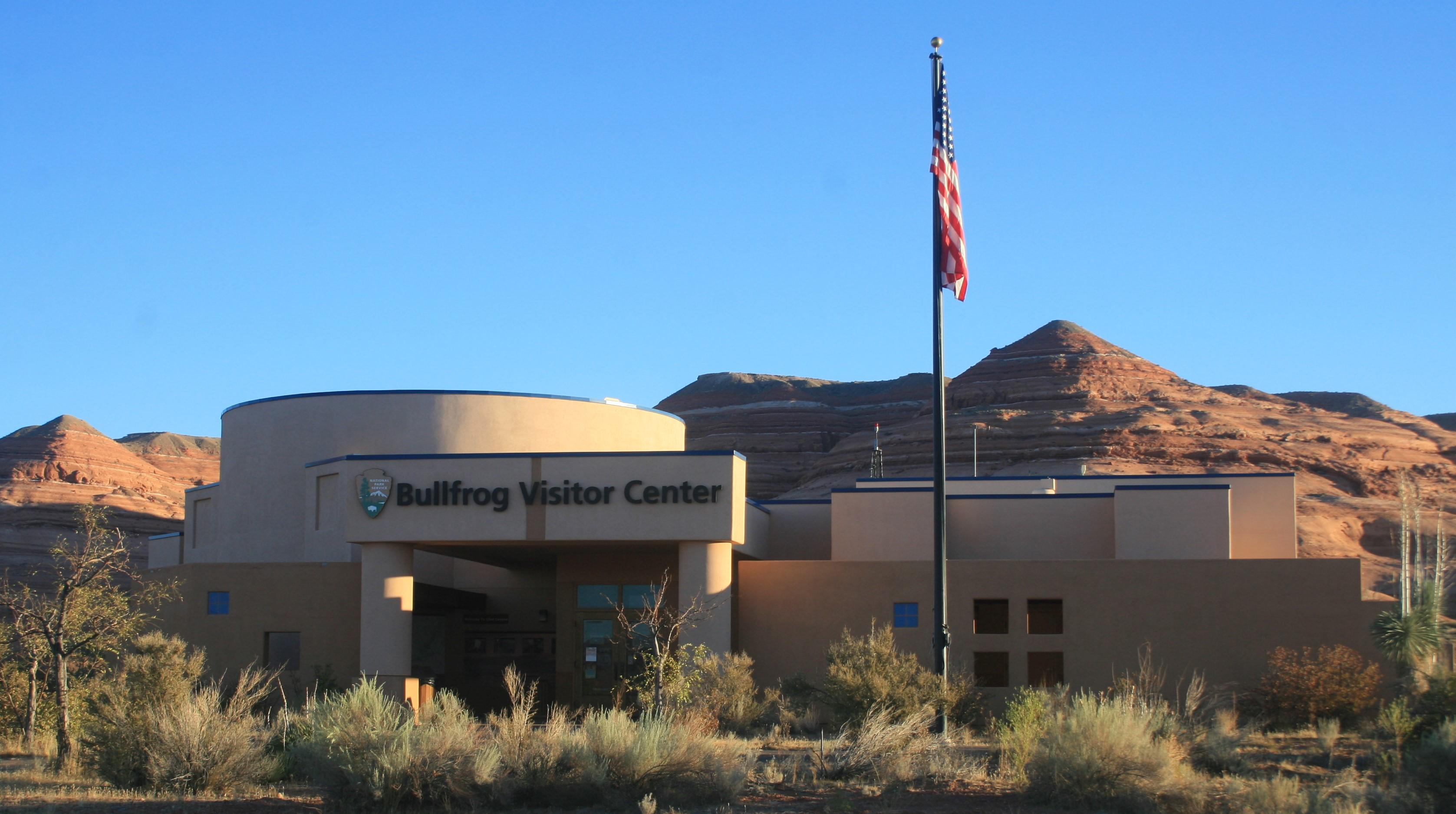
Carl Hayden Visitor Center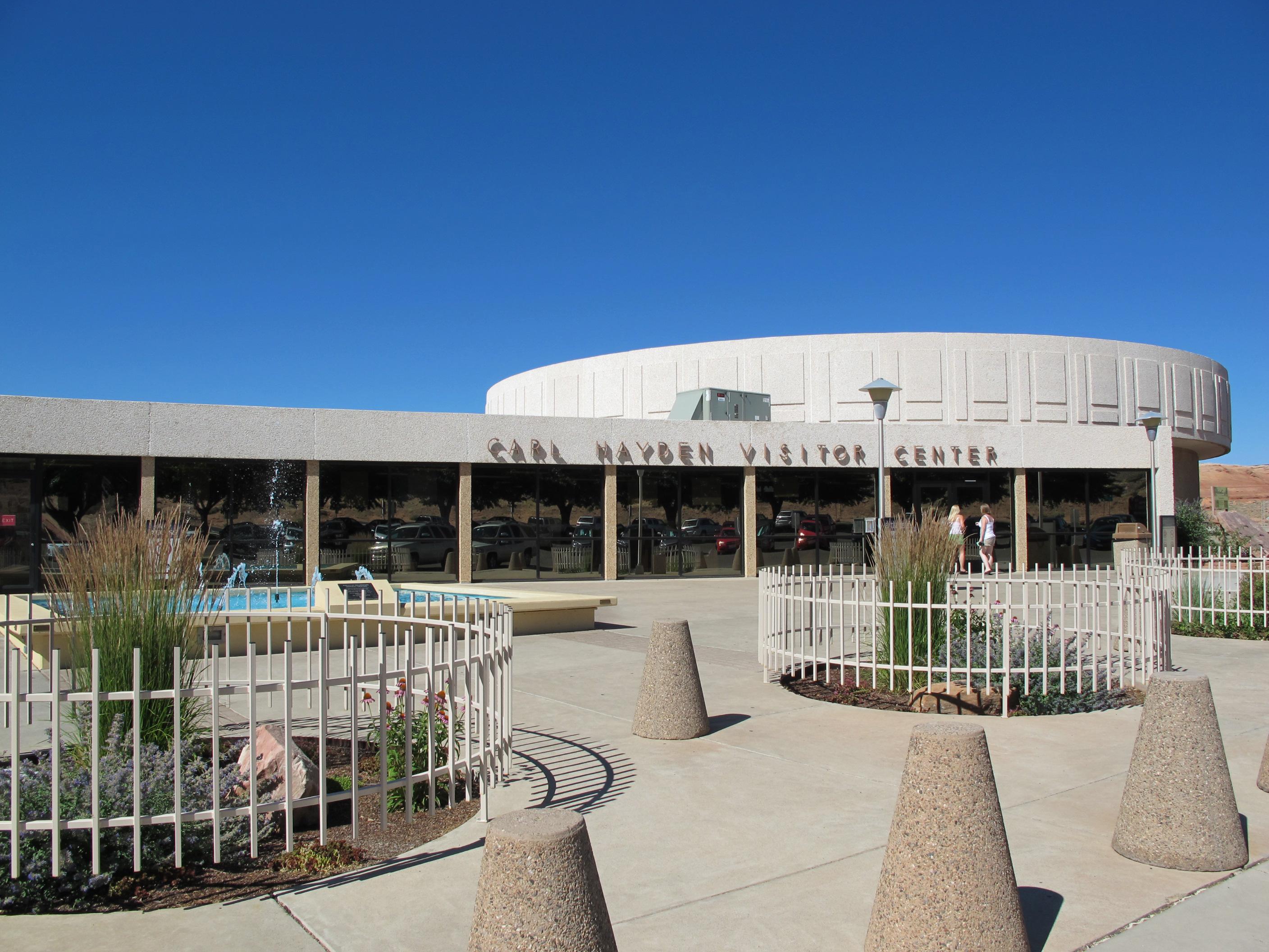
Escalante Interagency Visitor Center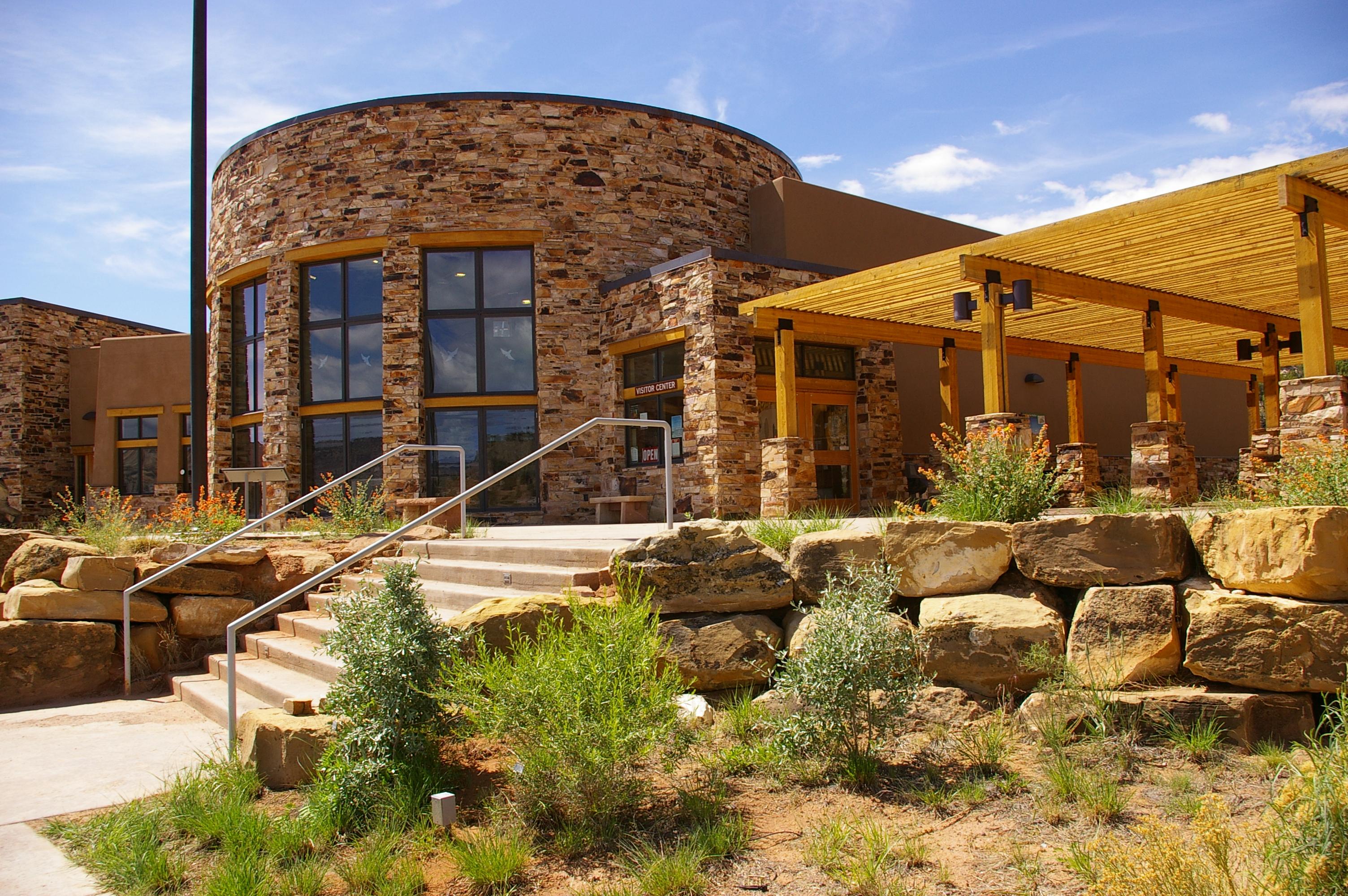
Glen Canyon Conservancy Flagship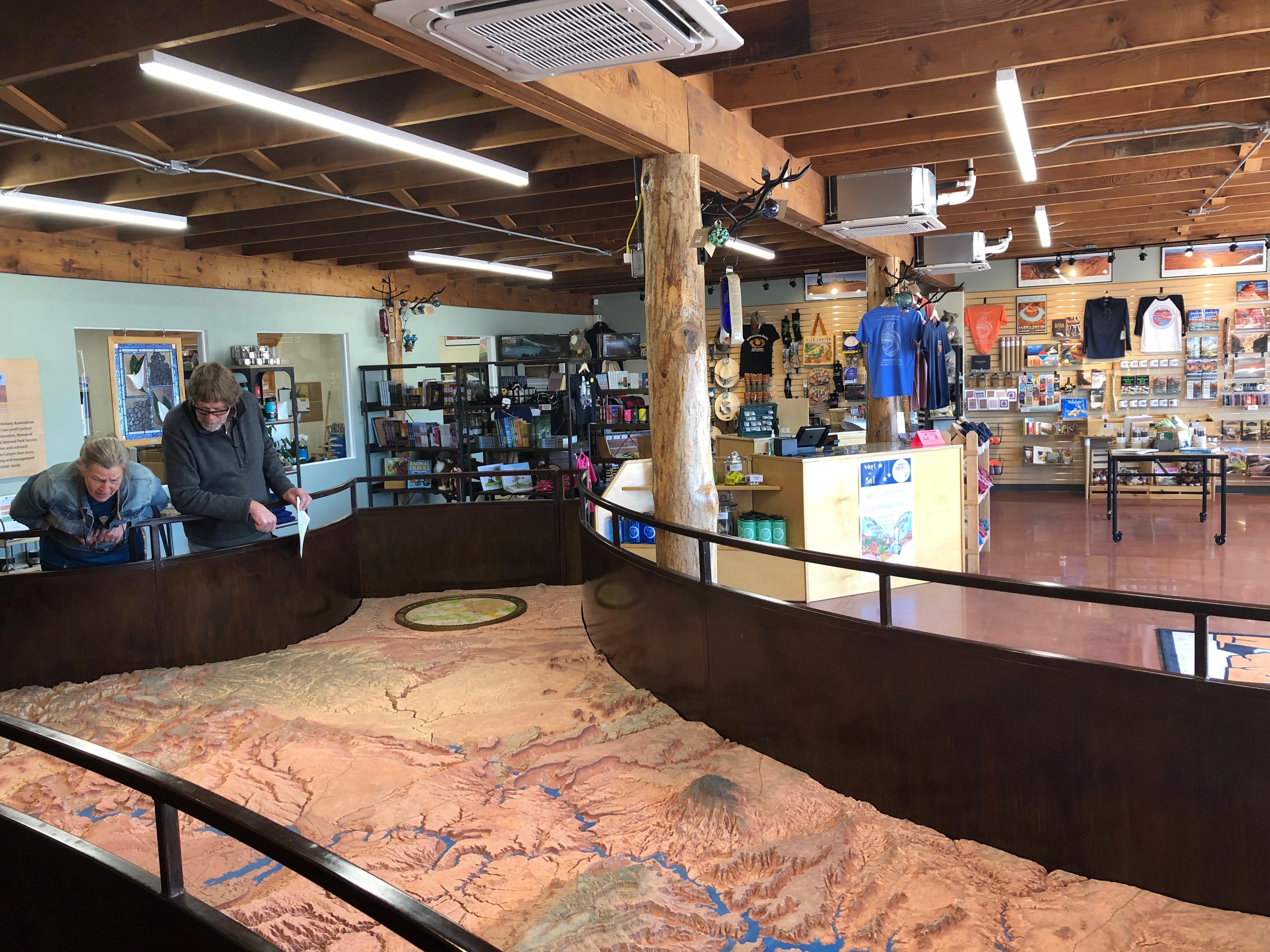
Hans Flat Ranger Station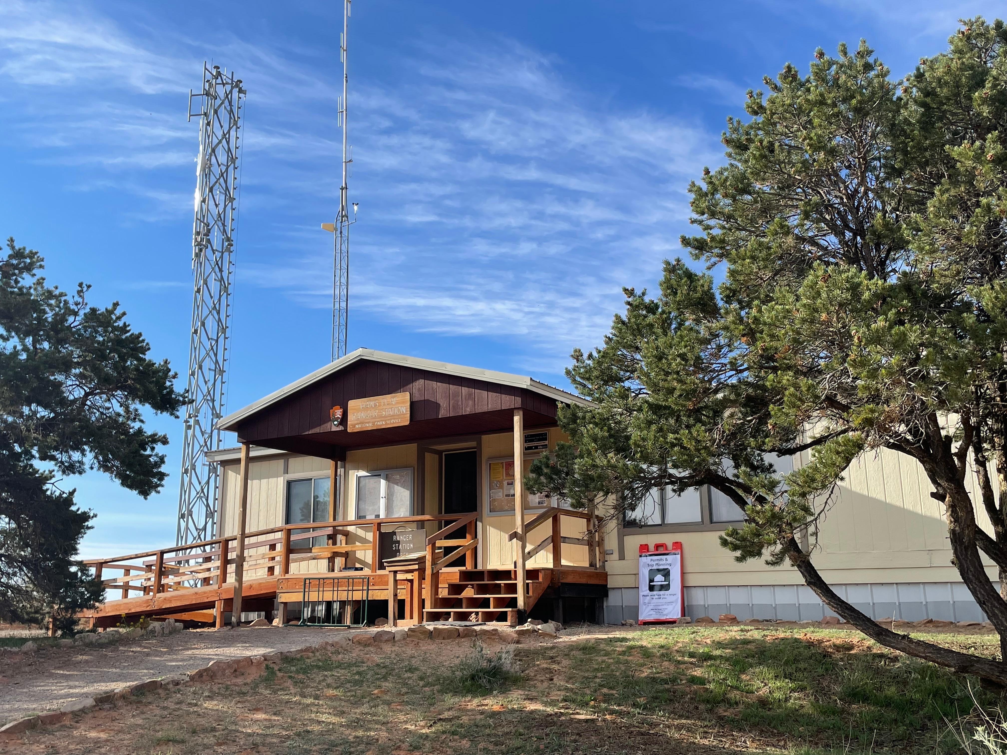
Navajo Bridge Interpretive Center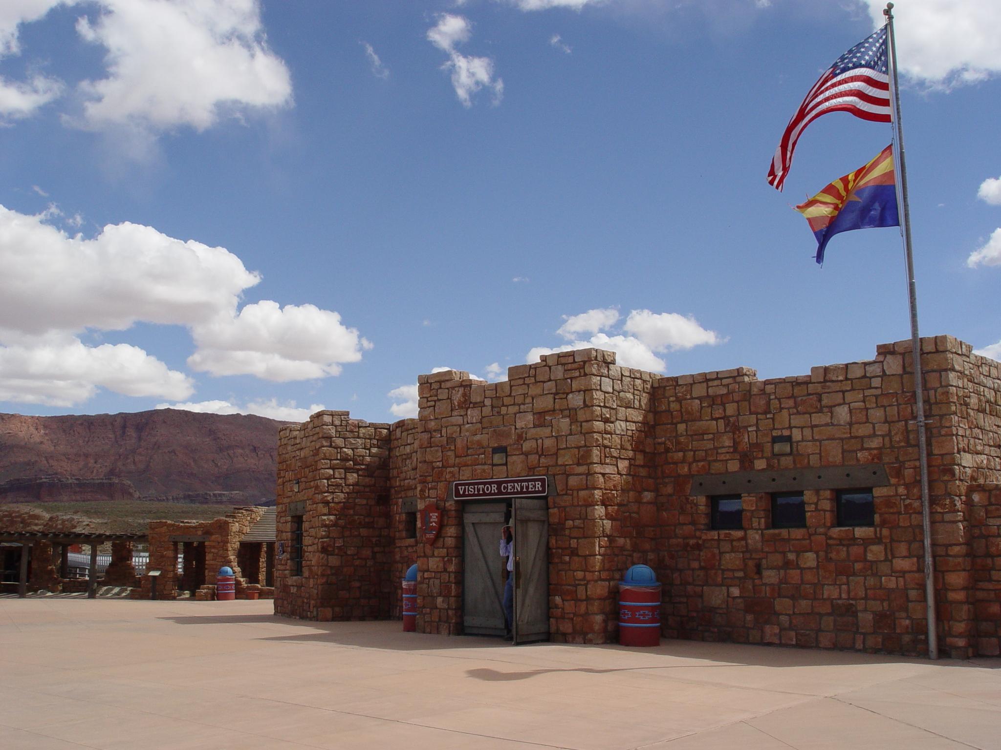
|
| Things to do | Count: 12


|
| Tours |
Count: 2
Historic River Tour at Lees FerryThroughout the 1800 and 1900s, Lees Ferry was backdrop to a mix of Westward expansion dreams ad failed schemes. Because of its strategic location along the Colorado River, unlikely groups overlapping on these shores. Walk the River Trail to glimpse the myriad people and purposes that left a mark on Lees Ferry. ..... 2 miles (3.2 km) round trip. Mixed terrain includes gravel, sandy, and rocky uneven surfaces. Nominal elevation change. Not a loop - return on the same path you took. Lonely Dell Historic Ranch TourMeet the cast of characters that toiled in the desert sun at this rustic outpost near the crossing of the Colorado River at Historic Lees Ferry. Walk through 100 years of history and learn how Lonely Dell Ranch acted as a hideout, a home, a career, a retreat, and now a link to the past. 1 mile (1.6 km) round trip Visit the Trailhead in the parking lot to start. Continue past the gate and look for waysides to follow the self-guided tour. |
| Articles |
|