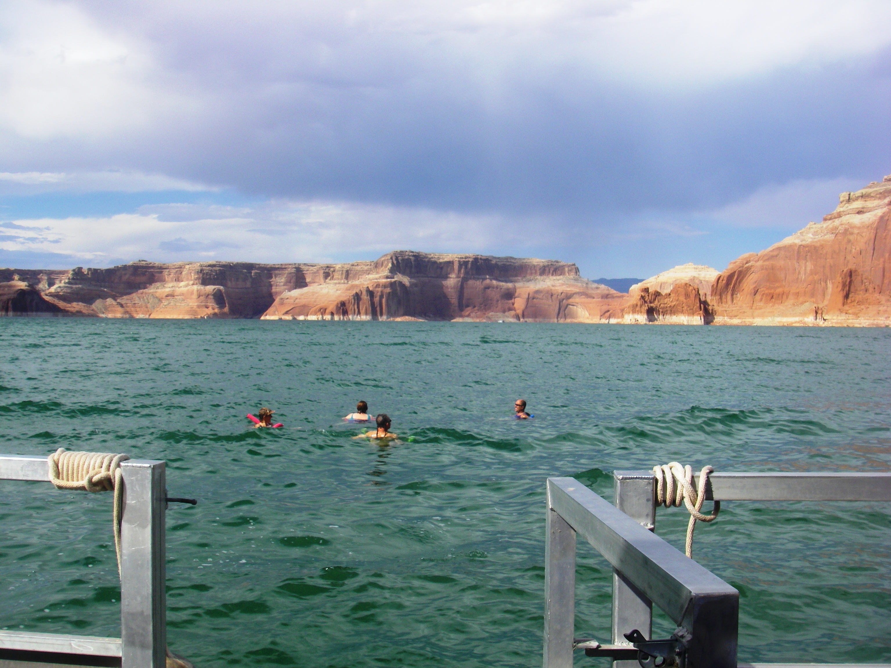
Swimming is a popular activity at Lake Powell, especially in the summer when water temperatures can surpass 80 degrees Fahrenheit. Please be aware that there are no life guards or officially designated swim beaches at Lake Powell or on the Colorado River. Water Quality conditions can change at your favorite swim areas.
There is one designated trail within the boundaries of Rainbow Bridge National Monument. It runs the length of the monument, from the boat dock on one side, to the border with the Navajo Nation on the other. We ask that you stay on this trail when you visit Rainbow Bridge for your safety and out of respect for the local Native American tribes that hold this place special to them.
2-8 Hours
Drive the scenic Burr Trail from Glen Canyon's Bullfrog district, along the bottom of Capitol Reef, through Grand Staircase, to Boulder, UT. Distance: 67 miles (108 km) one-way Mix of paved and dirt roads, impassable when wet Four-wheel drive sometimes required. No RVs.
1-14 Days
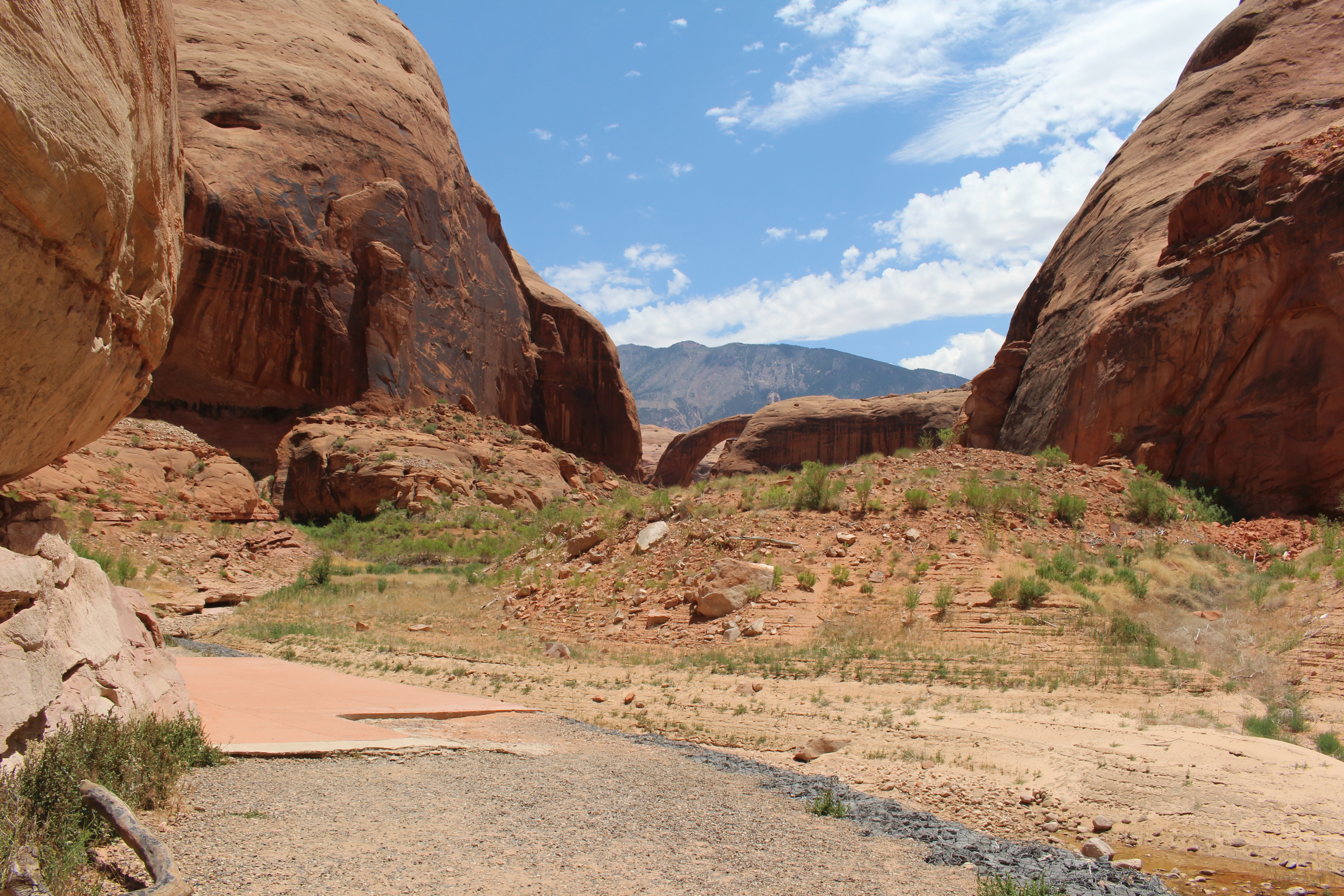
Open year-round but most popular in Spring and Fall, Coyote Gulch is a tributary of the Escalante River with several entry points for day hiking or backpacking in the Escalante Canyons of Glen Canyon National Recreation Area and Grand Staircase National Monument. This is a wilderness area, prepare to pack out everything you bring in.
1-14 Days
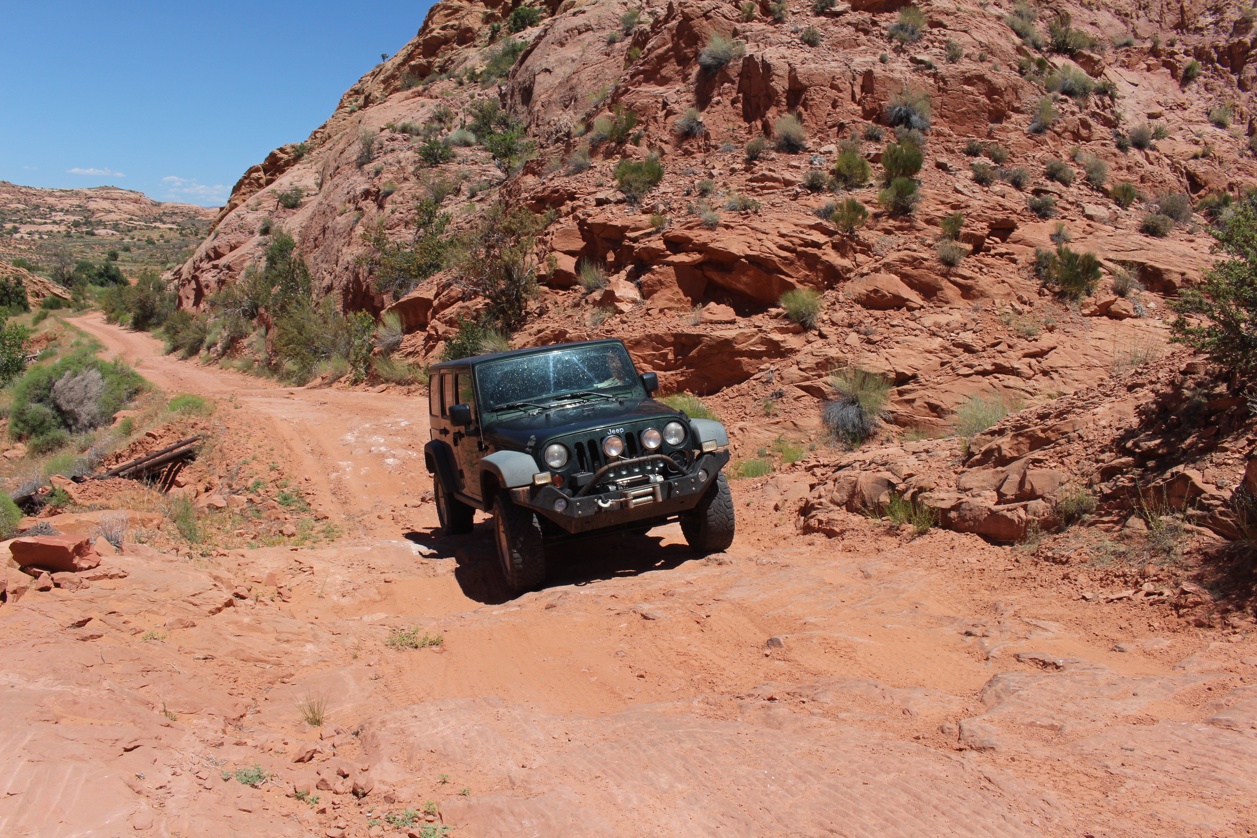
Off-road vehicle use is allowed in the park only on National Park Service-designated ORV routes and areas, delineated by ORV route maps. Some Shoreline Access Areas indicated on the maps may not be available seasonally, due to changes in lake level. Note: There are 388 miles of Designated Roads of which 304 miles are unpaved.
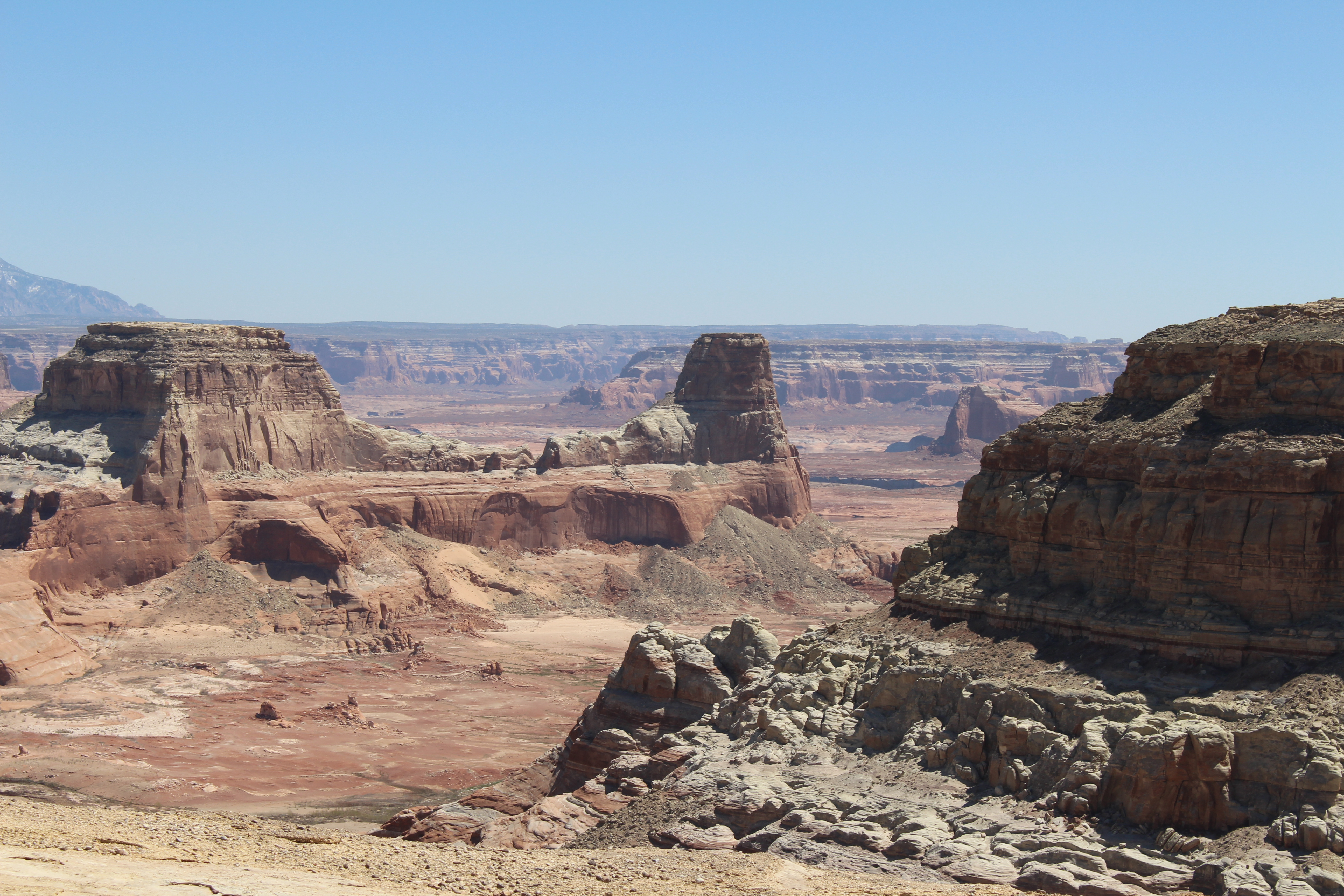
Drive the semi-improved roads to Alstrom Point, in the southwest region of Glen Canyon National recreation Area along the border with Grand Staircase-Escalante National Monument near Big Water, UT. Distance: 46 miles round-trip, about 4 hours if you do not stop to look at the scenery Mix of paved and dirt roads, impassable when wet Four-wheel drive recommended for the final five miles and required at the last parts of the road. No RVs.
4-48 Hours
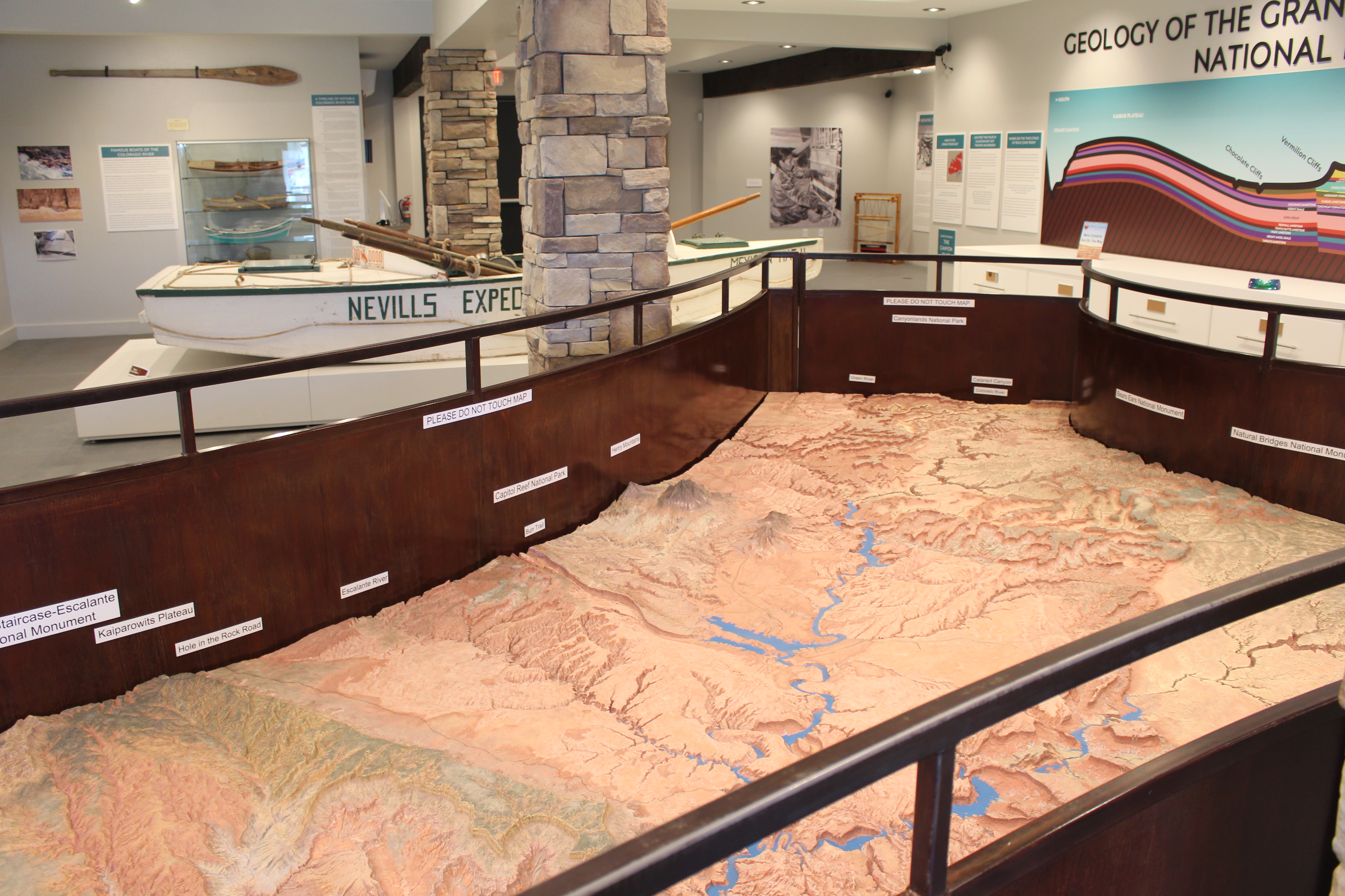
The Glen Canyon and Surrounding Area Relief Map sits in a place of honor at the Powell Museum & Archives next to Glen Canyon Conservancy's Flagship office. Use it to help plan your Glen Canyon adventure, or pretend you are in space looking down at the landscape. Whoa.
1-120 Minutes
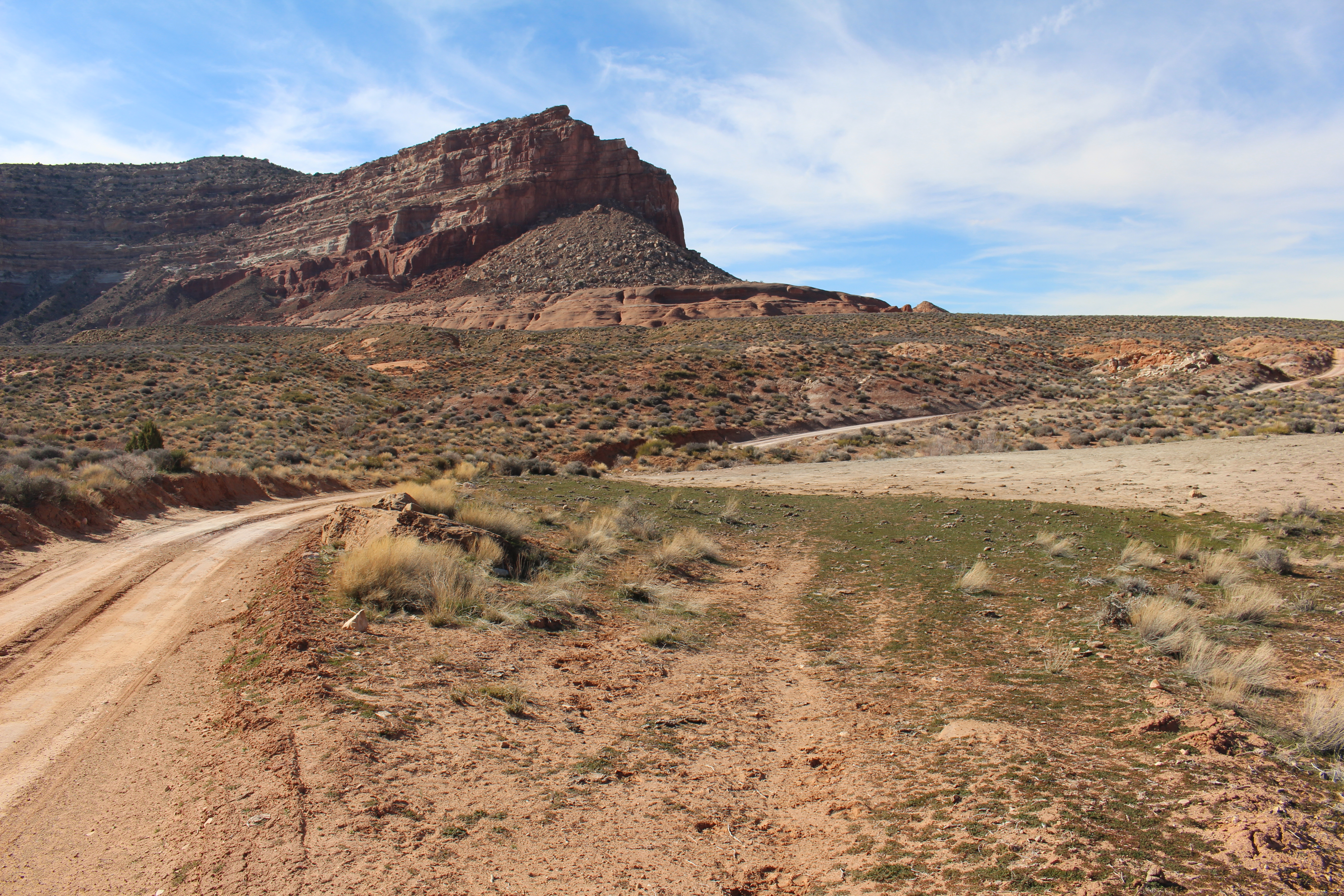
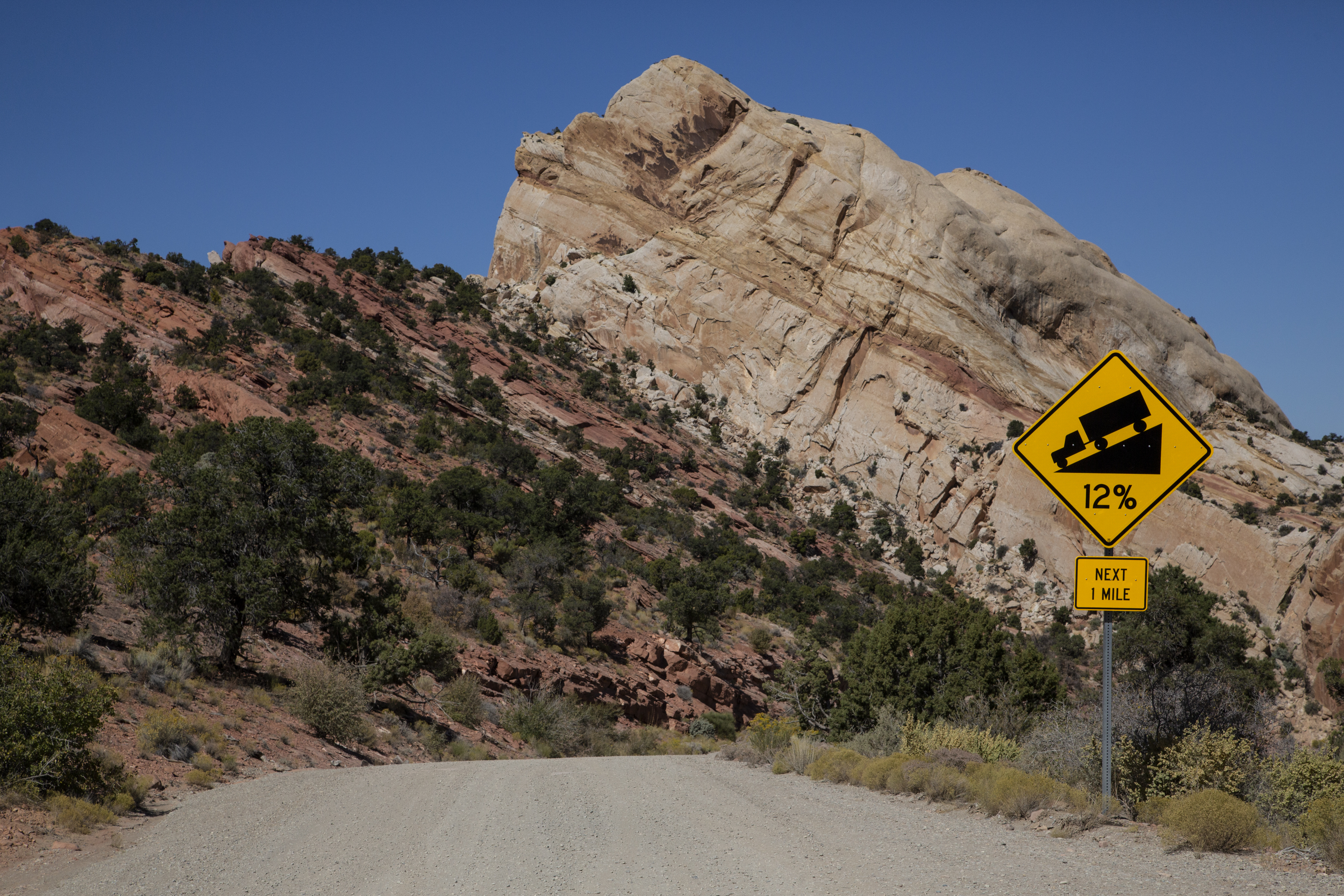
The Hole-in-the-Rock road is an historic pioneer trail turned path to adventure. This 62 mile (100 km) one-way section runs from Escalante, UT to the western edge of Lake Powell. This road is rough, impassable in inclement weather, and 4WD only for the last 7 miles. Along the way are quite a few trailheads for the Coyote Gulch and other Escalante River trails in Glen Canyon.
1-14 Days
Follow Cathedral Wash trail as it climbs down to meet the Colorado River on its sandy bank. The 3 miles (4.8 km) round-trip moderate hike descend into the rocky wash, traveling through the Kaibab Limestone and Toroweap Formations of the Grand Canyon Group. Some rock scrambling required.
3-4 Hours
Hidden between the shade of trees near the muddy Paria River sits Lonely Dell Ranch. This historic site was once home to those who operated the river crossing at Lees Ferry. Life was challenging on the homestead, but the families who chose to live on this secluded outpost left behind a story of hard work and perseverance.
1-8 Hours
"Backcountry" Shoreline camping on Lake Powell can range from toughing out the desert winter from your kayak to "roughing it" in a multimillion dollar houseboat and any level of camping/glamping in between. Enjoy the beaches of Lake Powell the way that best suits you.
1-14 Days
Below the rim, the Colorado River makes a wide sweep around a sandstone escarpment. Here at Horseshoe Bend, the Colorado River created a roughly 1,000 foot (305 m) deep, 270º horseshoe-shaped bend in Glen Canyon. Take an easy walk to look over the edge at this wonder.
1-8 Hours