Park Headquarters Road and part of the Gatlinburg Trail closed
Park Headquarters Road and a portion of the Gatlinburg Trail are closed through September 2025 due to rehabilitation work on the Sugarlands water and wastewater systems. During this time, 0.6 miles of the Gatlinburg Trail remain open and accessible from the downtown Gatlinburg trailhead. There is no access to the trail from the Sugarlands Visitor Center. The full trail is expected to reopen by October 1.
Old NC 284 is closed from Cataloochee Creek to Cataloochee Valley
Old NC 284 is open from Big Creek to Cataloochee creek, however there is no access to Cataloochee Valley due to road damage.
Straight Fork and the one-way section of Balsam Mountain Road closed.
Straight Fork and the one-way section of Balsam Mountain Road (Heintooga Round-Bottom Road) are closed. The 9-mile paved section of Balsam Mountain Road remains open; visitors may still access Balsam Mountain Campground.
Most visitors need a parking tag
All vehicles parking for longer than 15 minutes require a parking tag. Three tag durations are available for purchase for all vehicle sizes and types: Daily ($5), Weekly ($15), or Annual ($40).
| Title | Great Smoky Mountains |
| Park Code | grsm |
| Description | Ridge upon ridge of forest straddles the border between North Carolina and Tennessee in Great Smoky Mountains National Park. World renowned for its diversity of plant and animal life, the beauty of its ancient mountains, and the quality of its re... |
| Location | |
| Contact | |
| Activities |
|
| Entrance fees |
|
| Campgrounds | Count: 13
Abrams Creek Campground
Balsam Mountain Campground
Big Creek Campground
Cades Cove Campground
Cades Cove Group Campground
Cataloochee Campground
Cosby Campground
Deep Creek Campground
Elkmont Campground
Elkmont Group Campground
Look Rock Campground
Smokemont Campground
Smokemont Group Campground
|
| Places | Count: 50
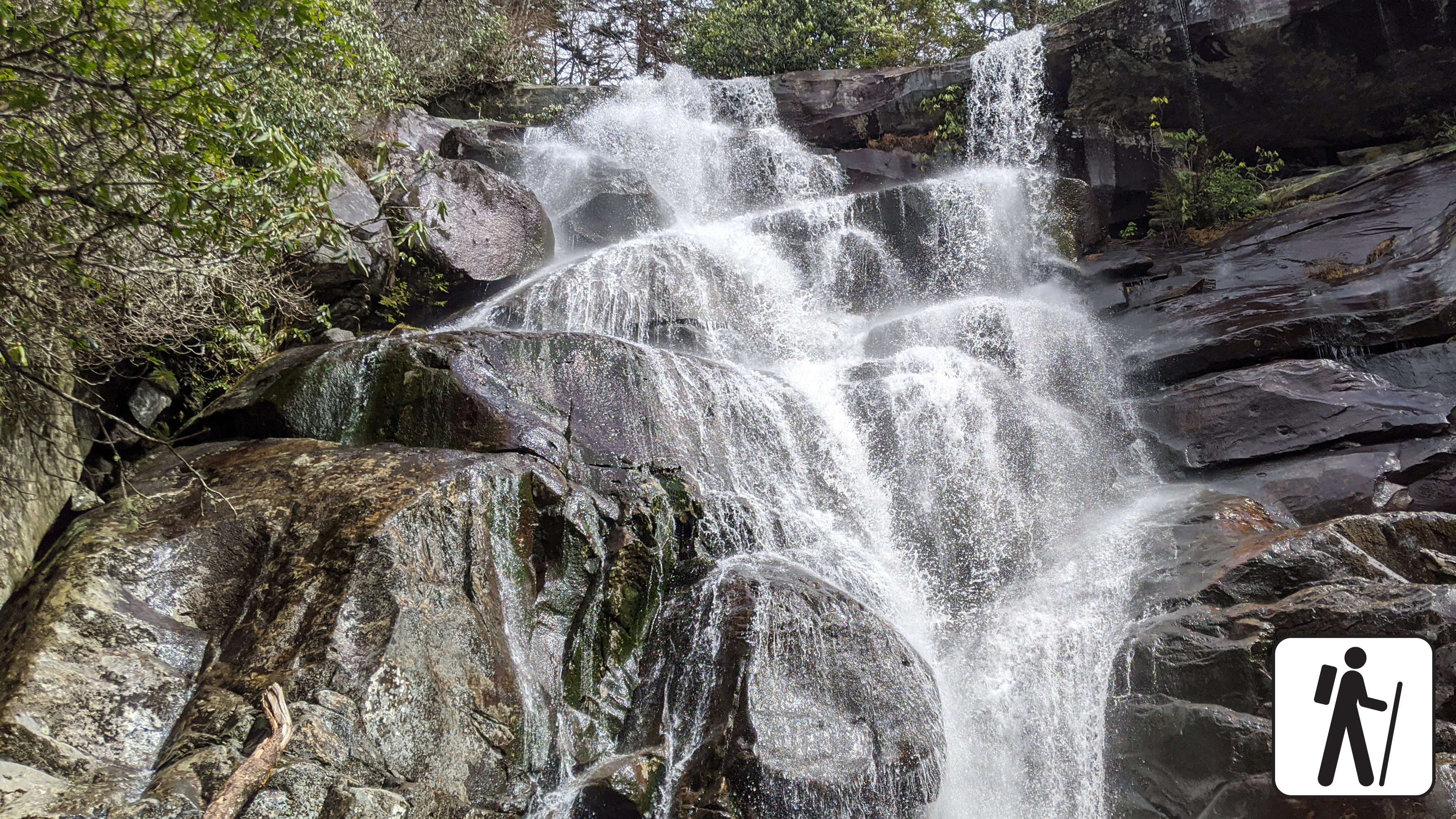
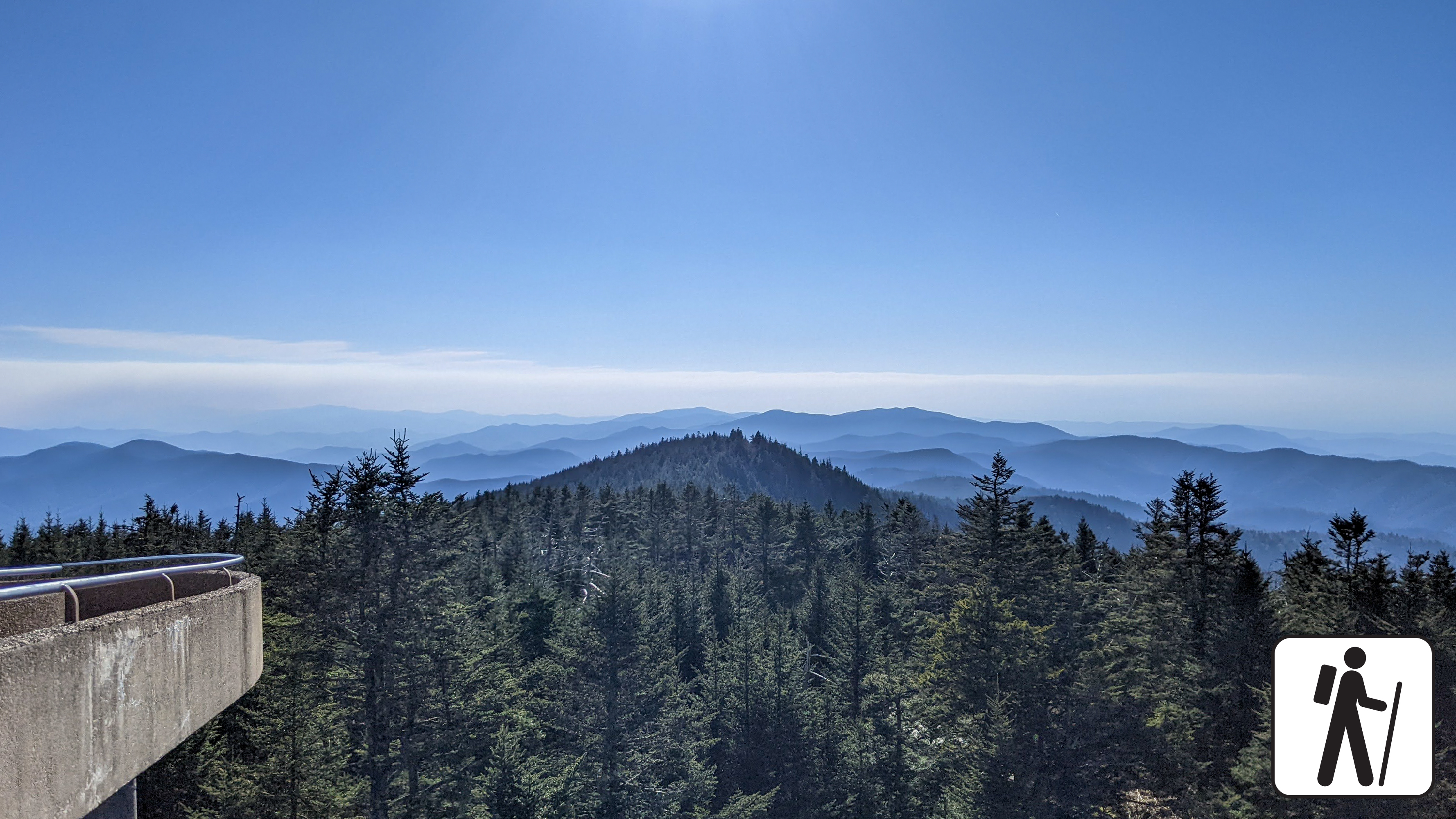
Abrams FallsA 25-foot (7.6 m) waterfall where Abrams Creek plunges over a rock ledge into a deep, picturesque pool. 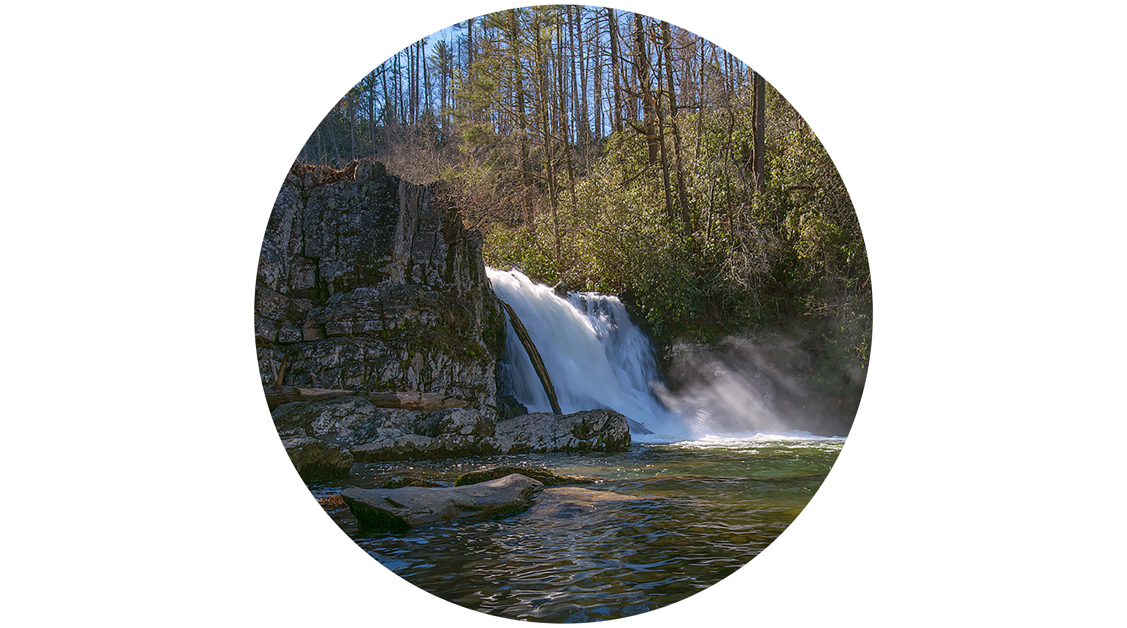
Albright GroveA short loop trail that winds through a quiet grove of old-growth forest 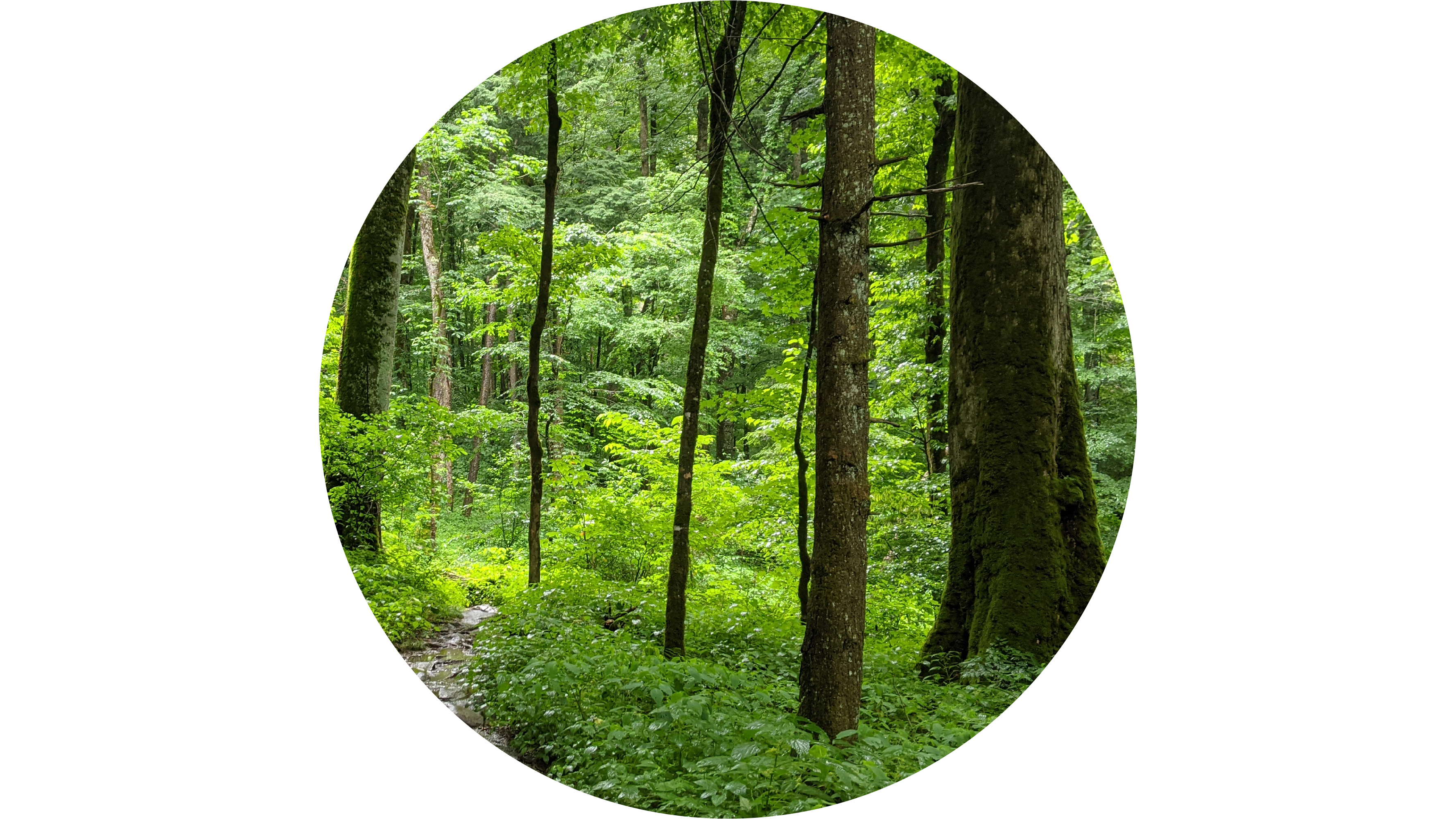
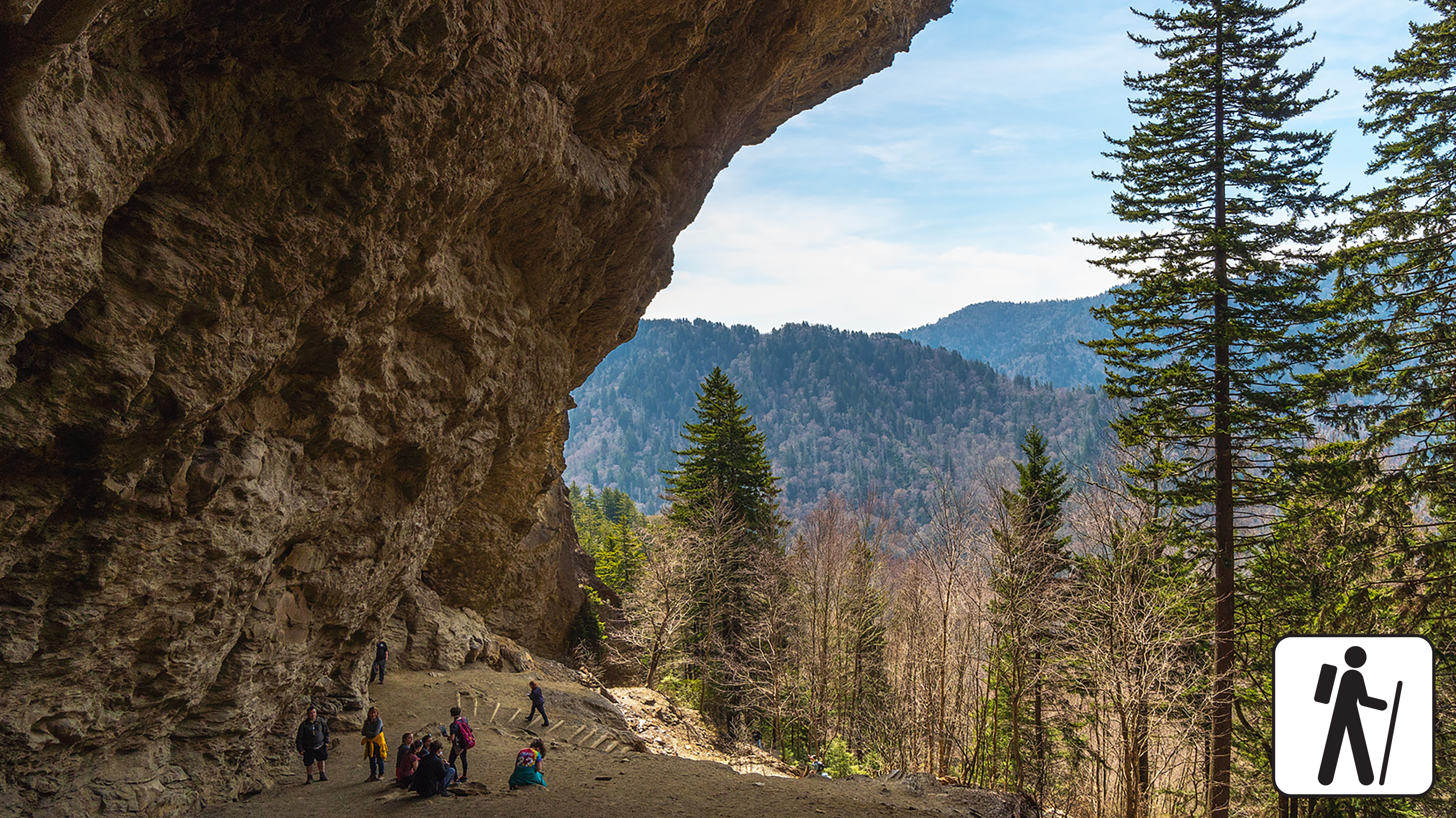
Alum Cave BluffsA dramatic rocky overhang along Alum Cave Trail. 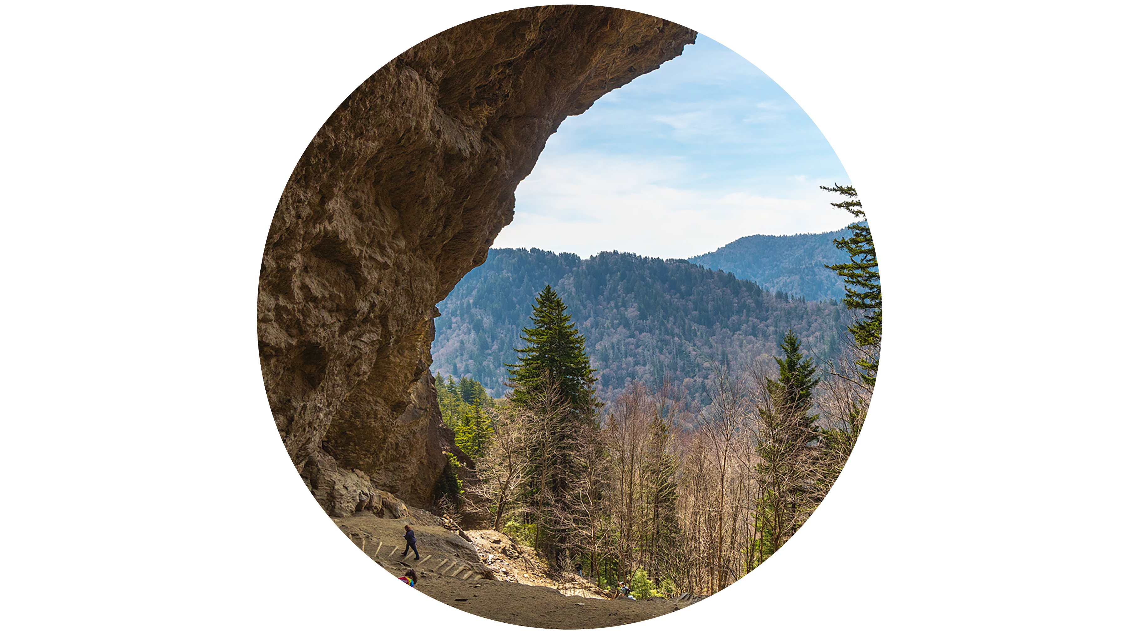
Andrews BaldA grassy mountaintop meadow known for its scenic views and unique ecology. 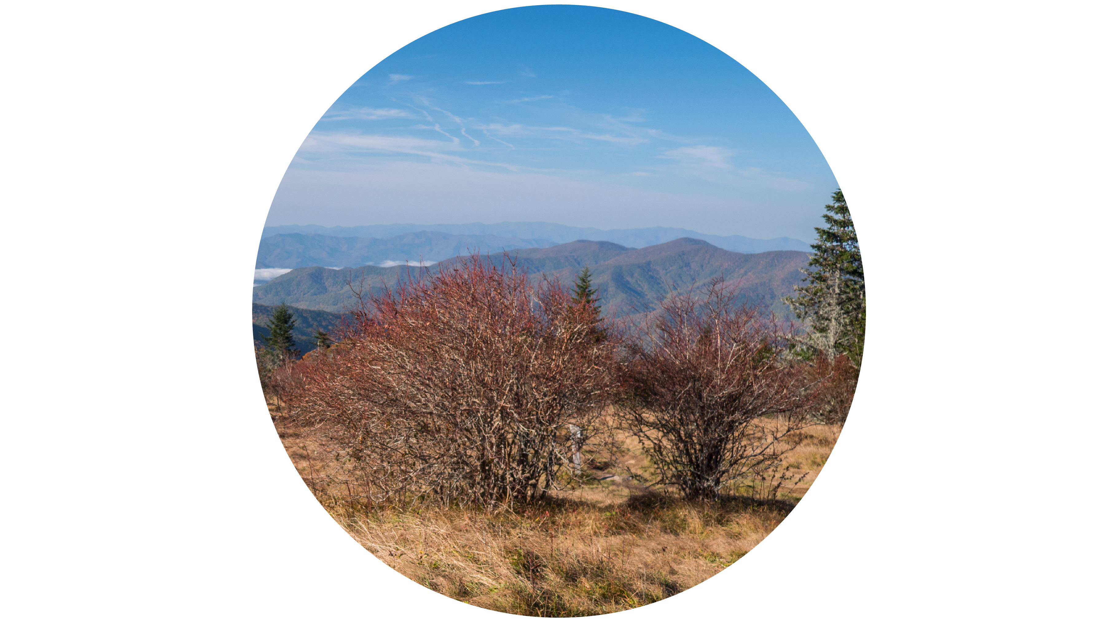
Appalachian ClubhouseA large restored clubhouse rebuilt in 1934 and now available for daytime rental. 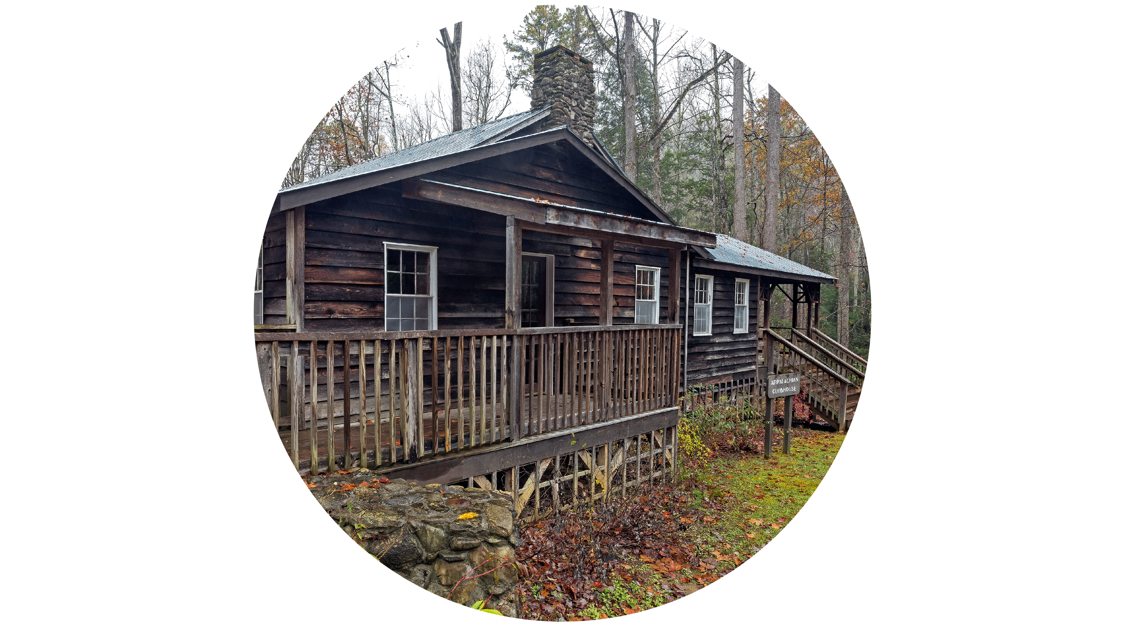
Arch RockA natural rock formation that stretches over a set of winding stone steps along Alum Cave Trail. 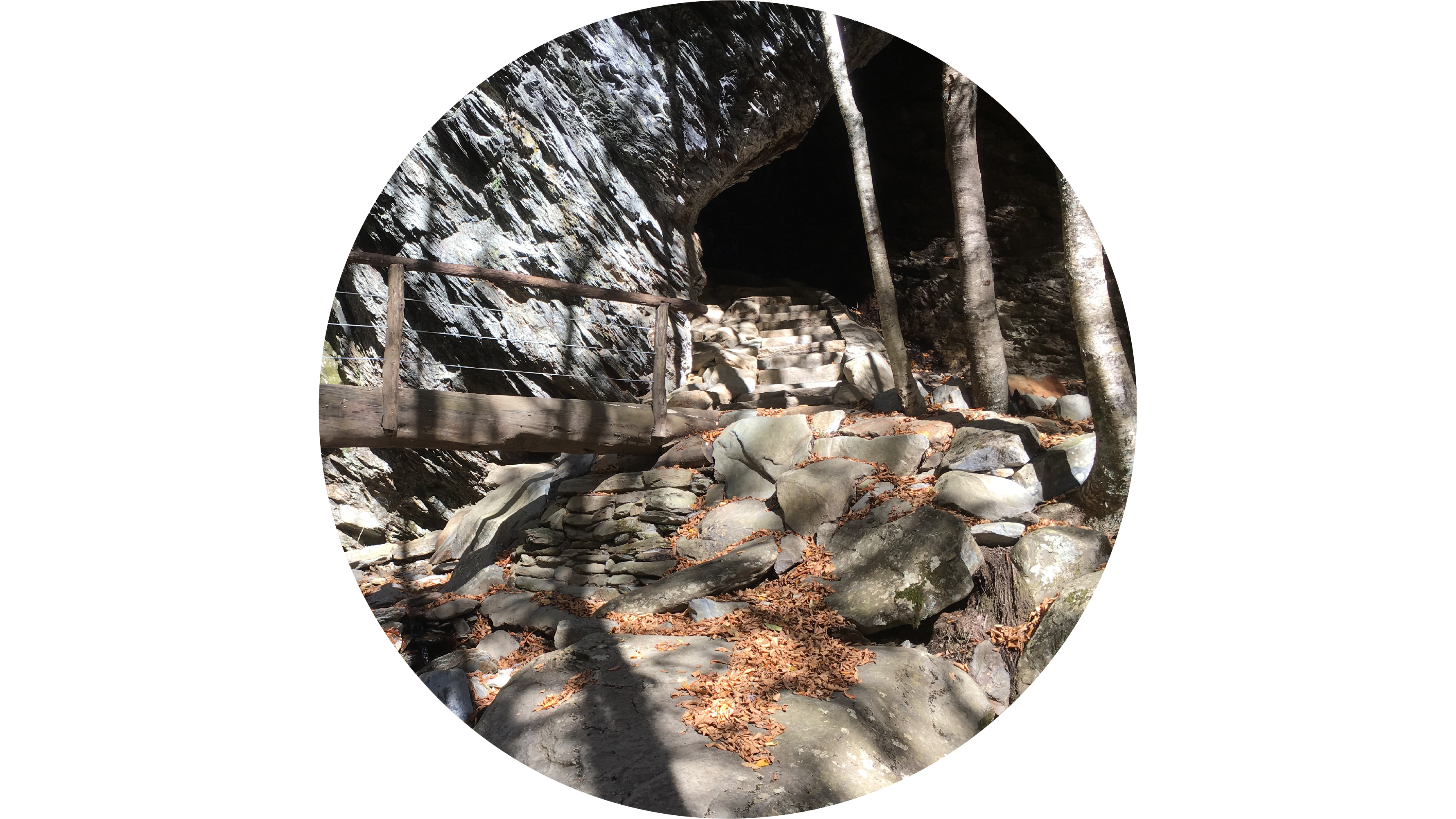
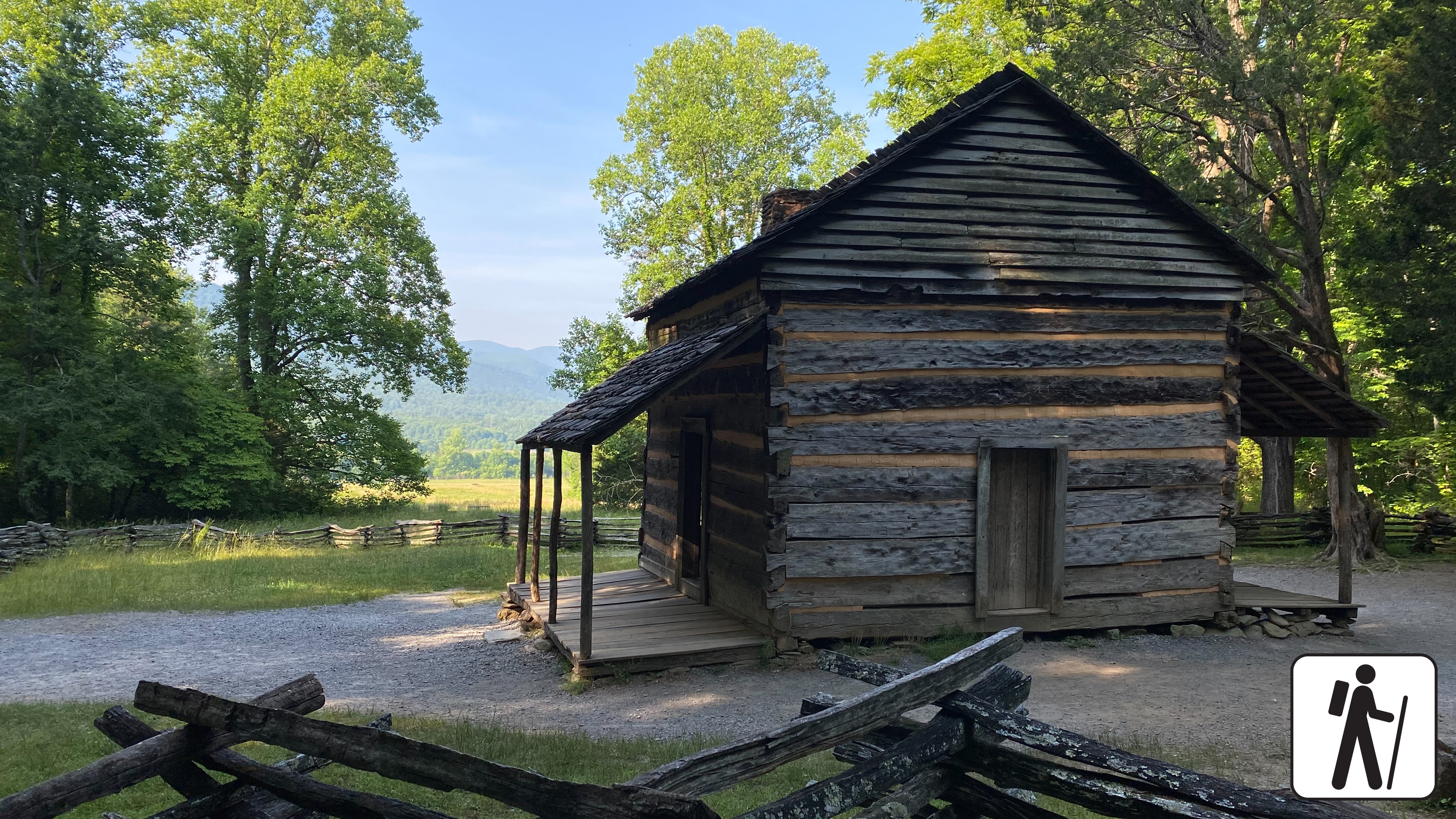
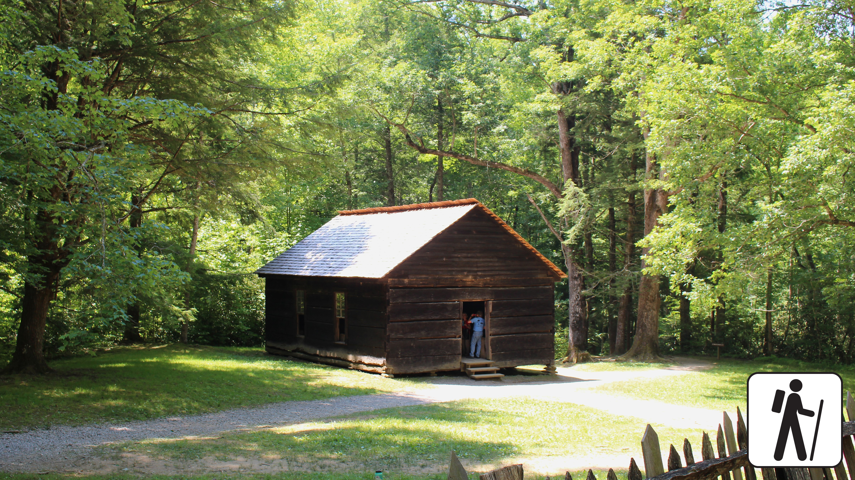
Beech Grove SchoolA historic two-room schoolhouse built in 1901. 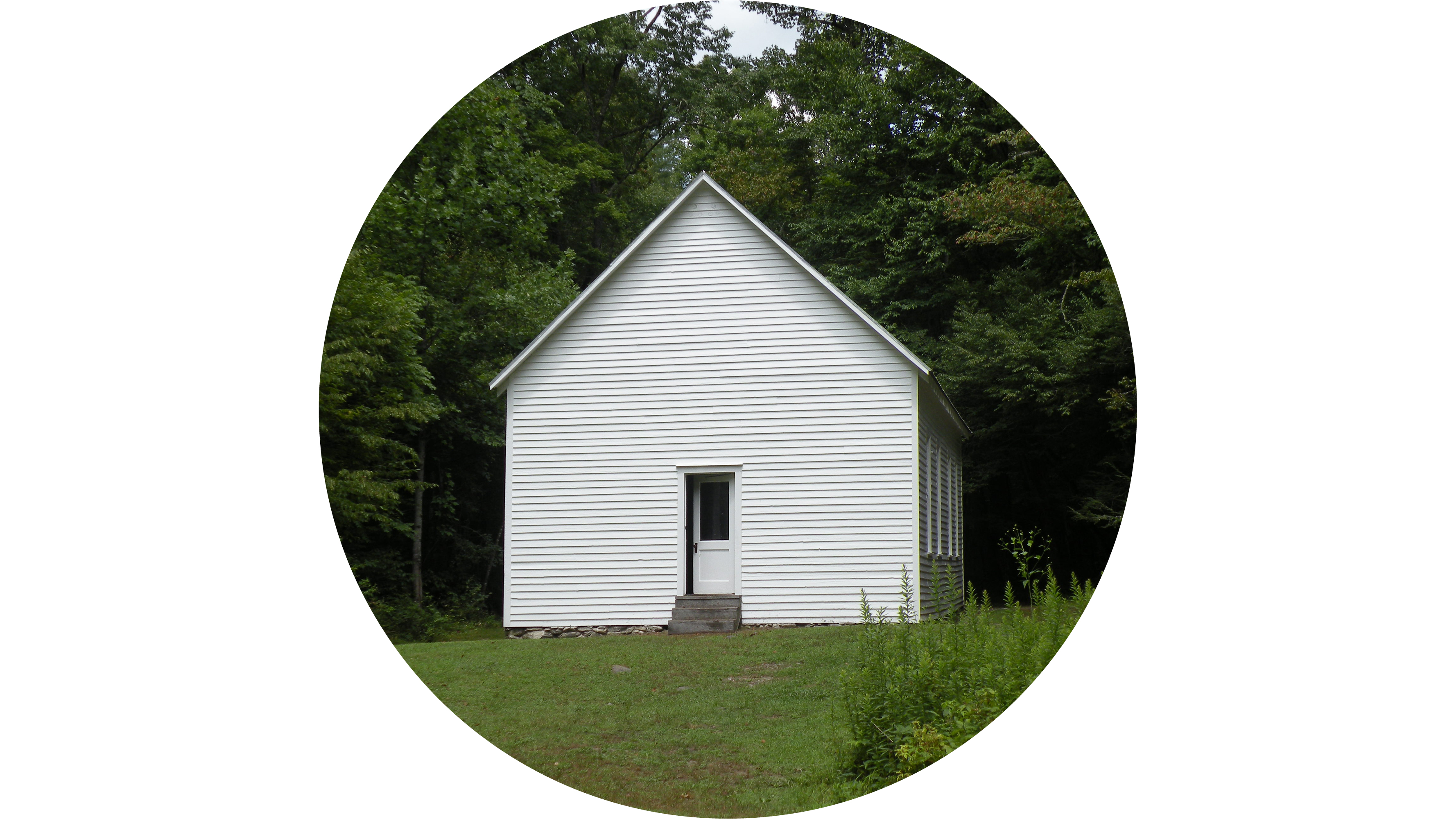
Big Creek Picnic AreaBig Creek Picnic Area is one of ten designated picnic areas in Great Smoky Mountains National Park. Located in the northeast section of the park, it offers ten sites in a secluded area. 
CCC Stone Bridge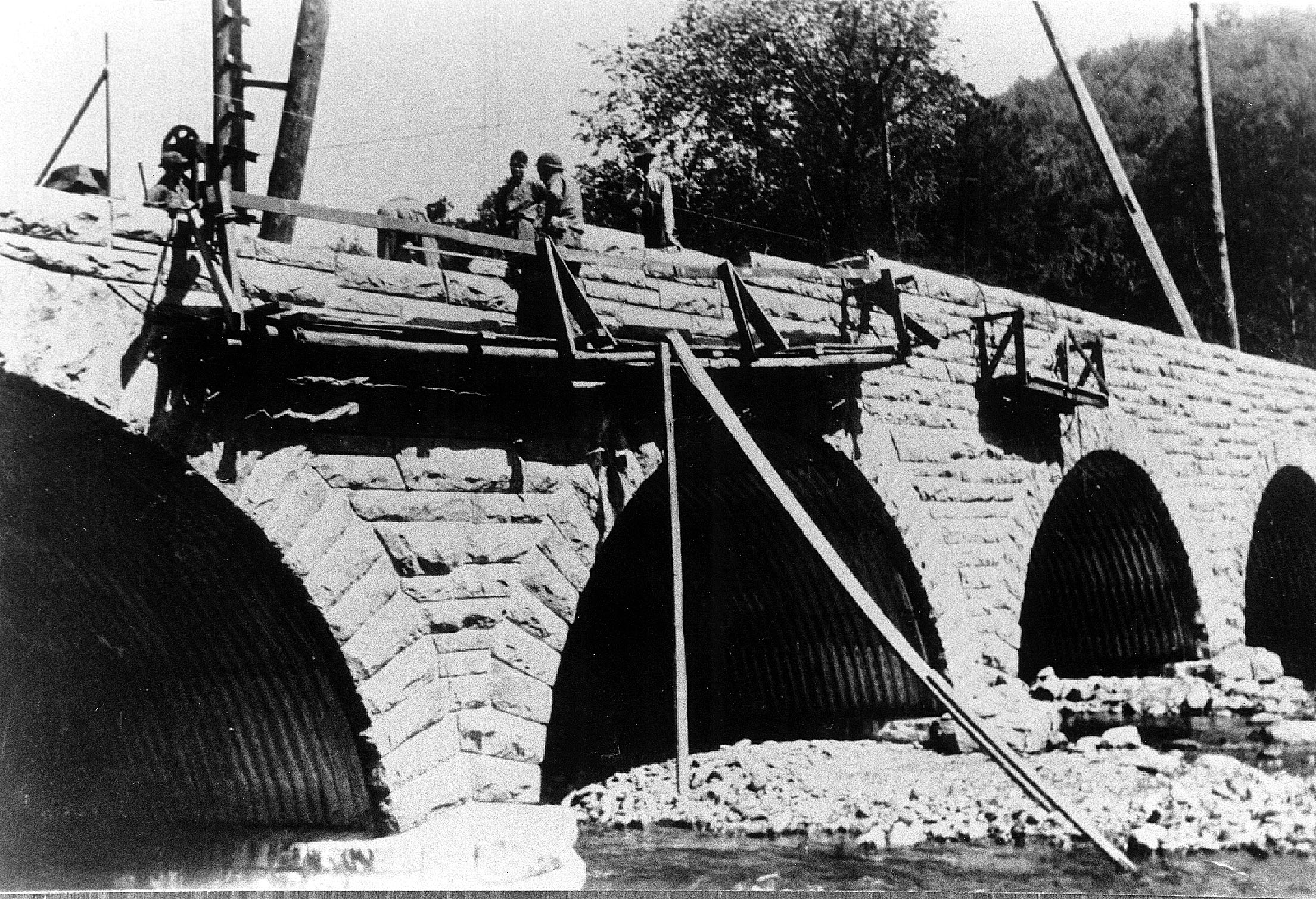
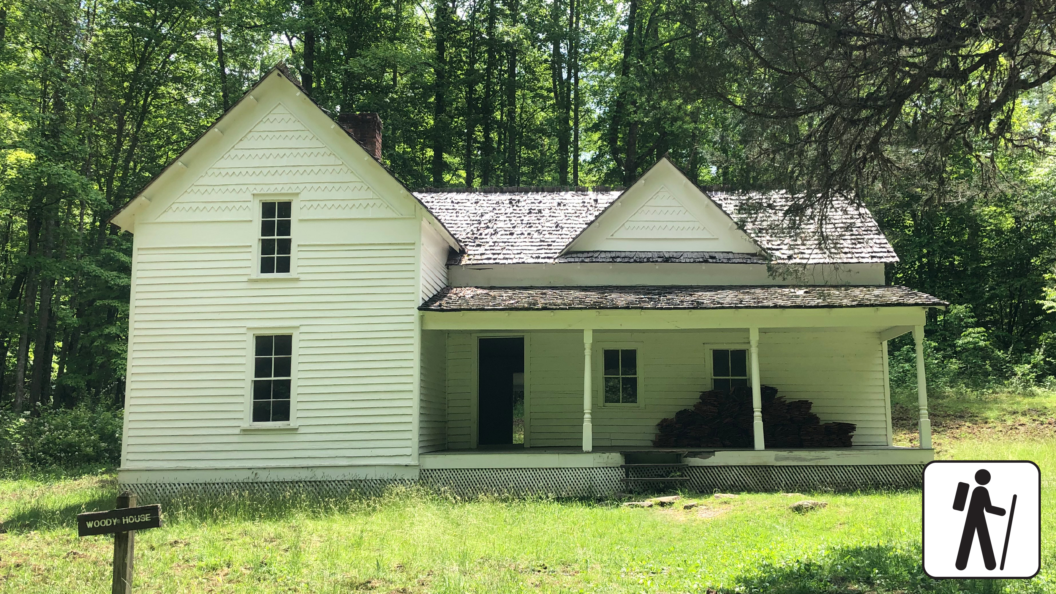
Cabins and Daily Life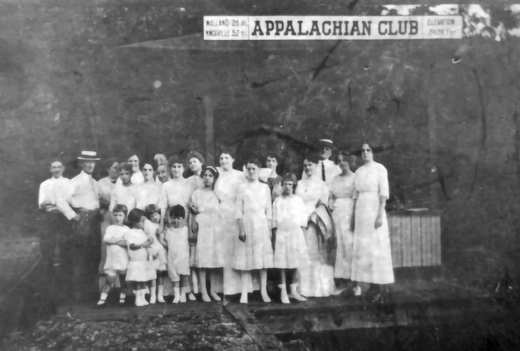
Cable Mill Historic AreaLocated next to the Cades Cove Visitor Center, the Cable Mill area contains many of the buildings typical of remote Appalachian communities. 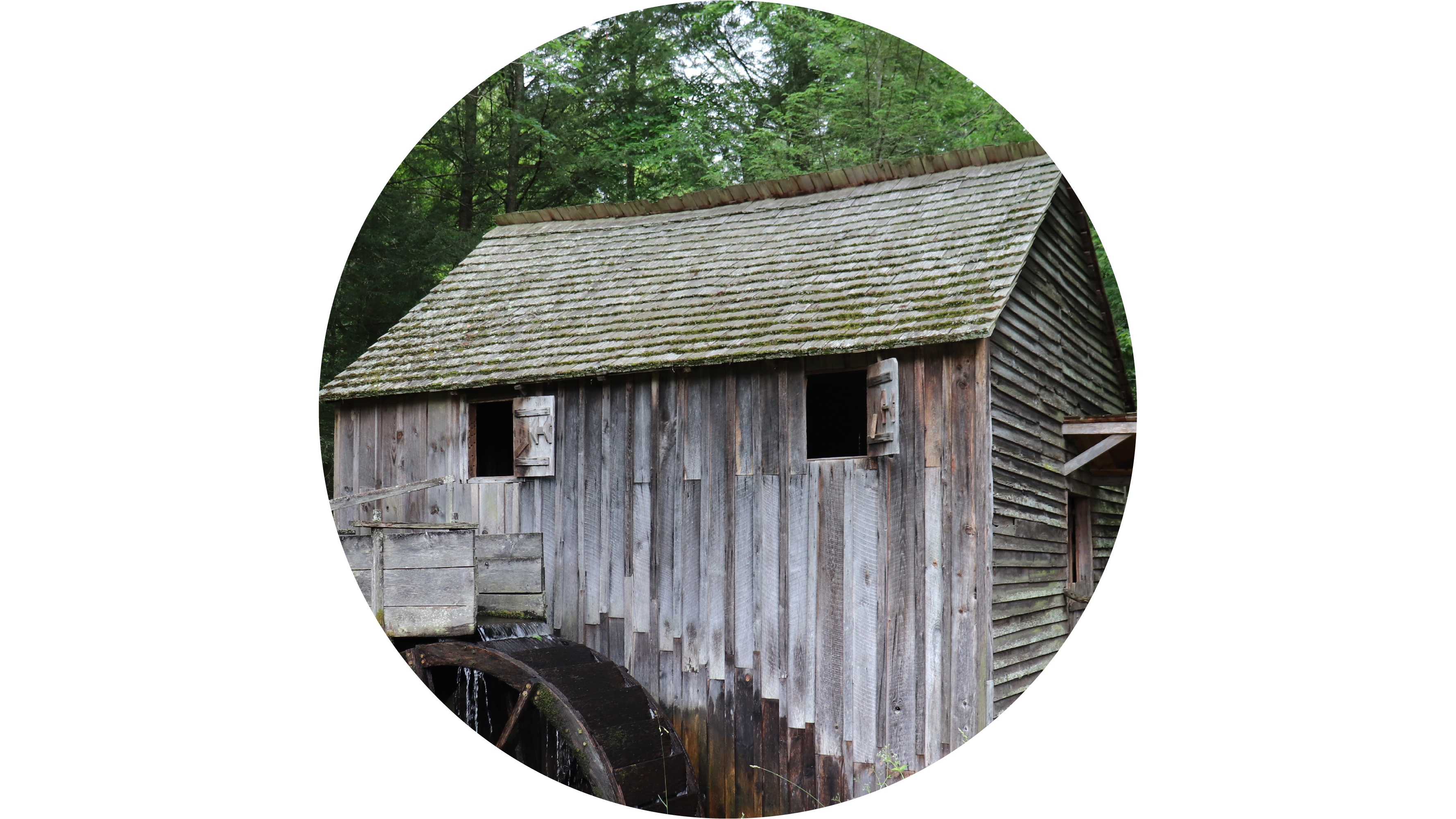
Cades Cove Overlook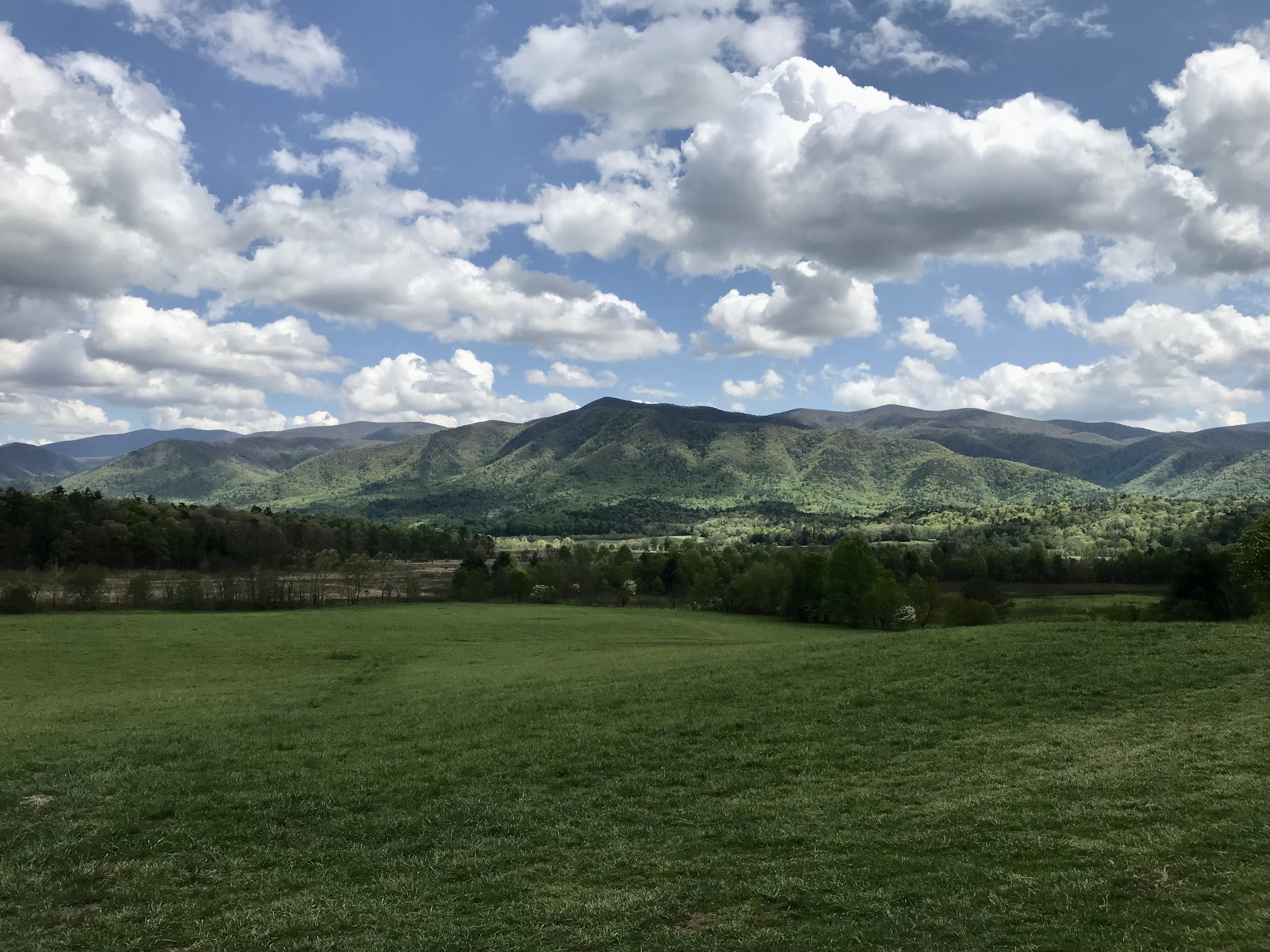
Cades Cove Picnic AreaA leafy 81-site daytime recreational area with tables, charcoal grills, restrooms, and a nearby camp store. 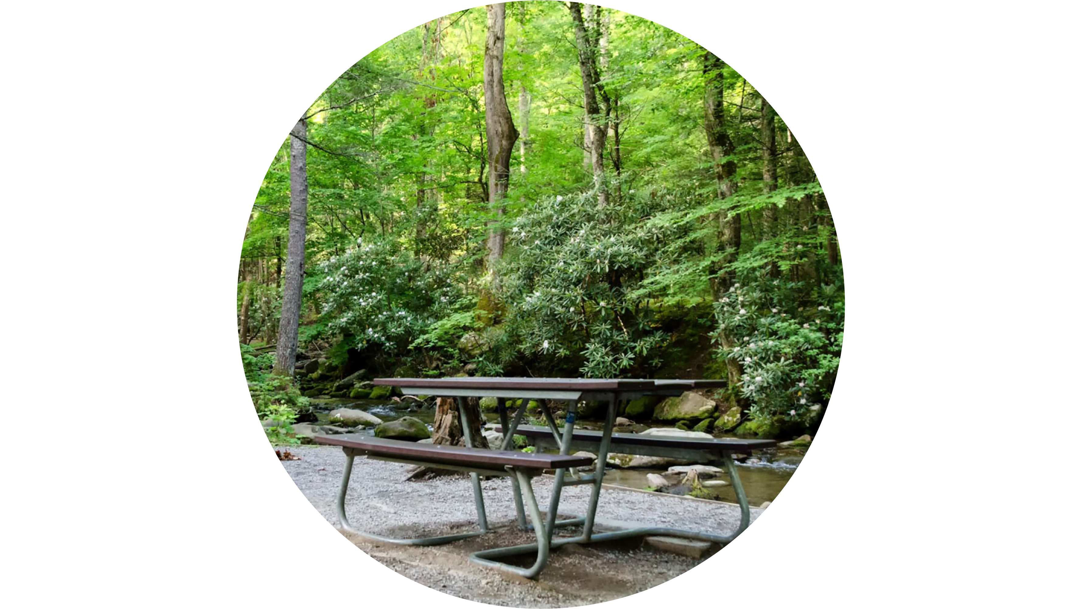
Cades Cove Riding StablesA concession stable offering horseback-riding trips and rides through forests and meadows of Cades Cove. 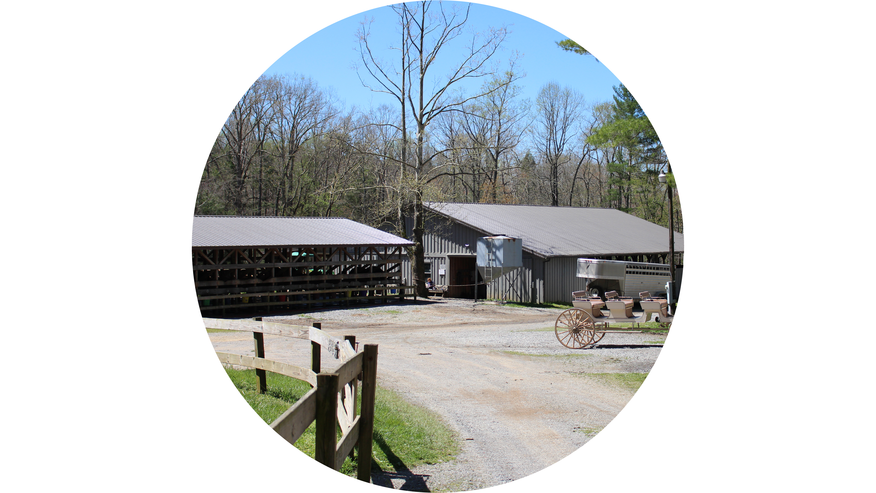
Caldwell PlaceA historic barn, springhouse, and two-story framehouse completed by Hiram Caldwell in 1906. 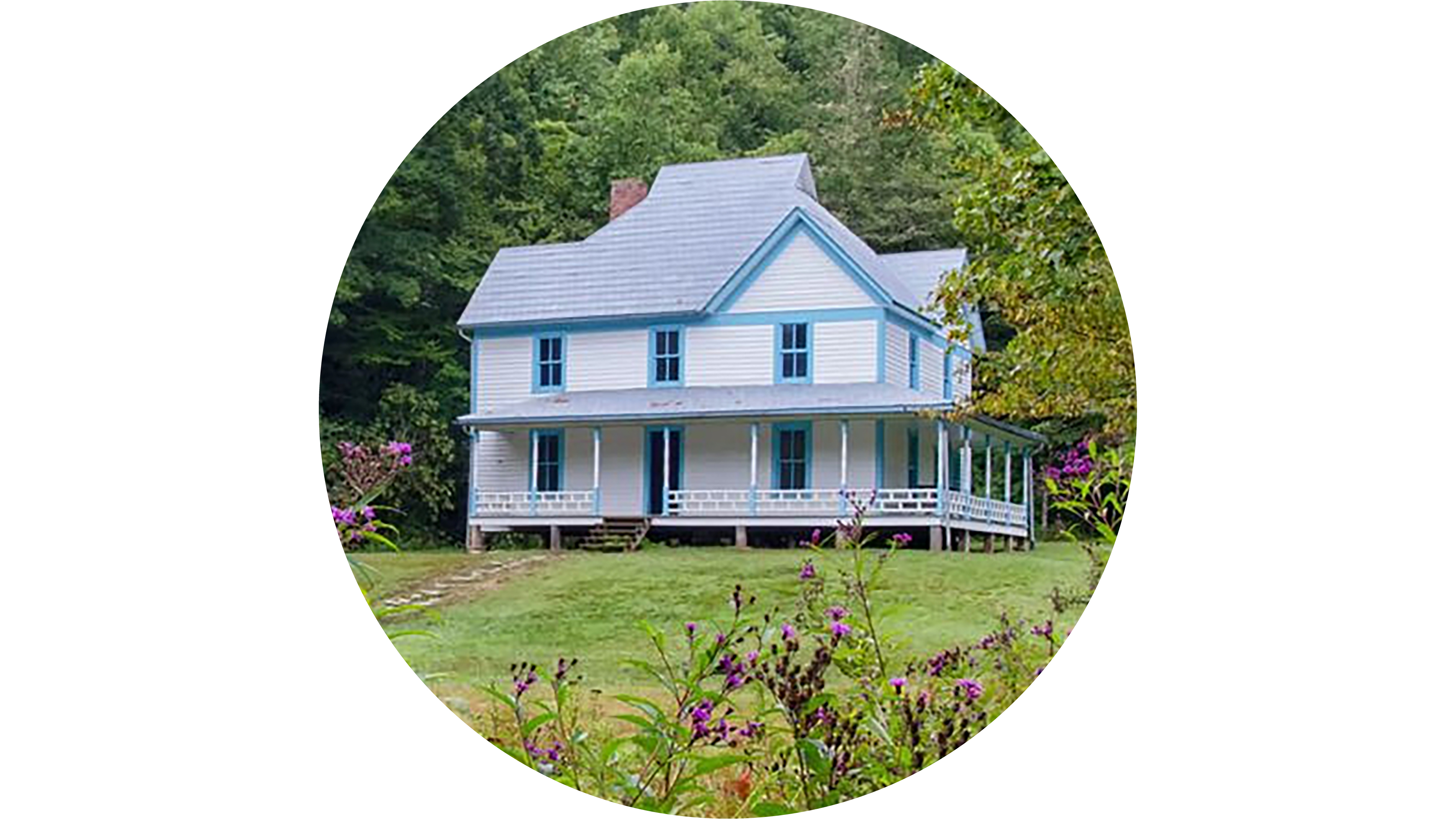
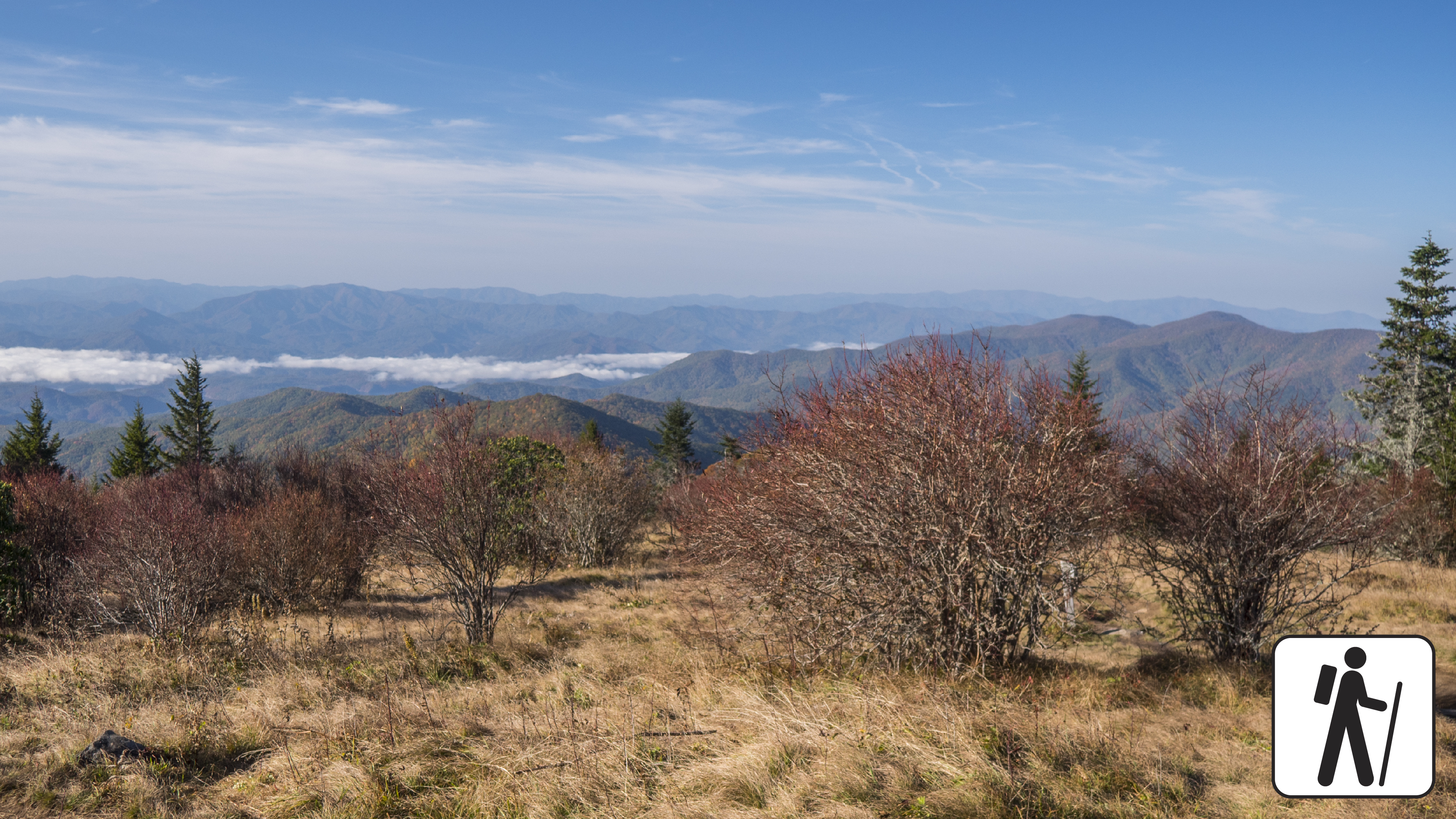
Carlos Campbell OverlookA scenic overlook with rolling mountain views and visible regrowth after the 2016 wildfires. 
Carter Shields CabinThe Carter Shields cabin is the last historic structure visitors come across on the 11-mile Cades Cove driving loop. 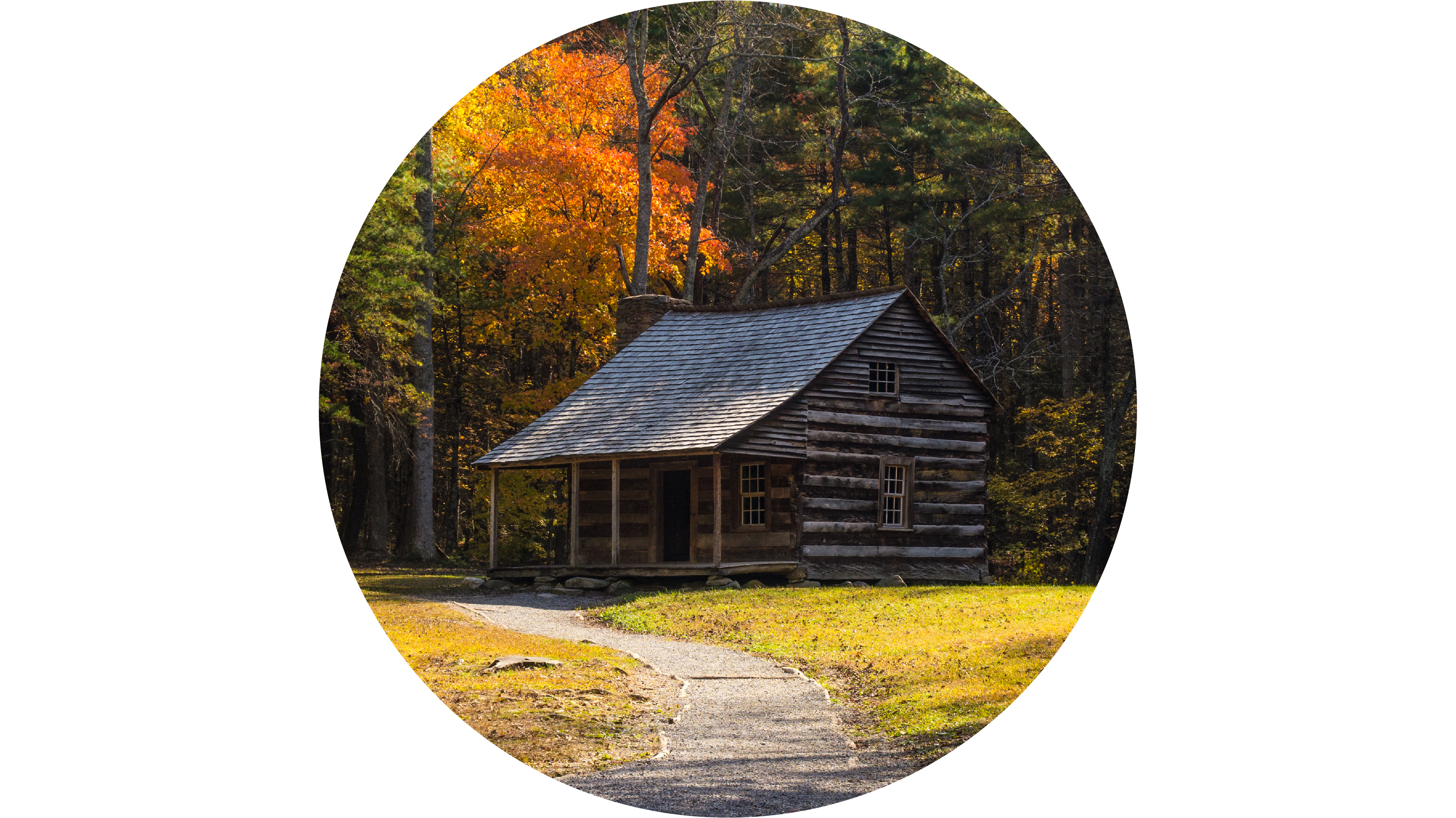
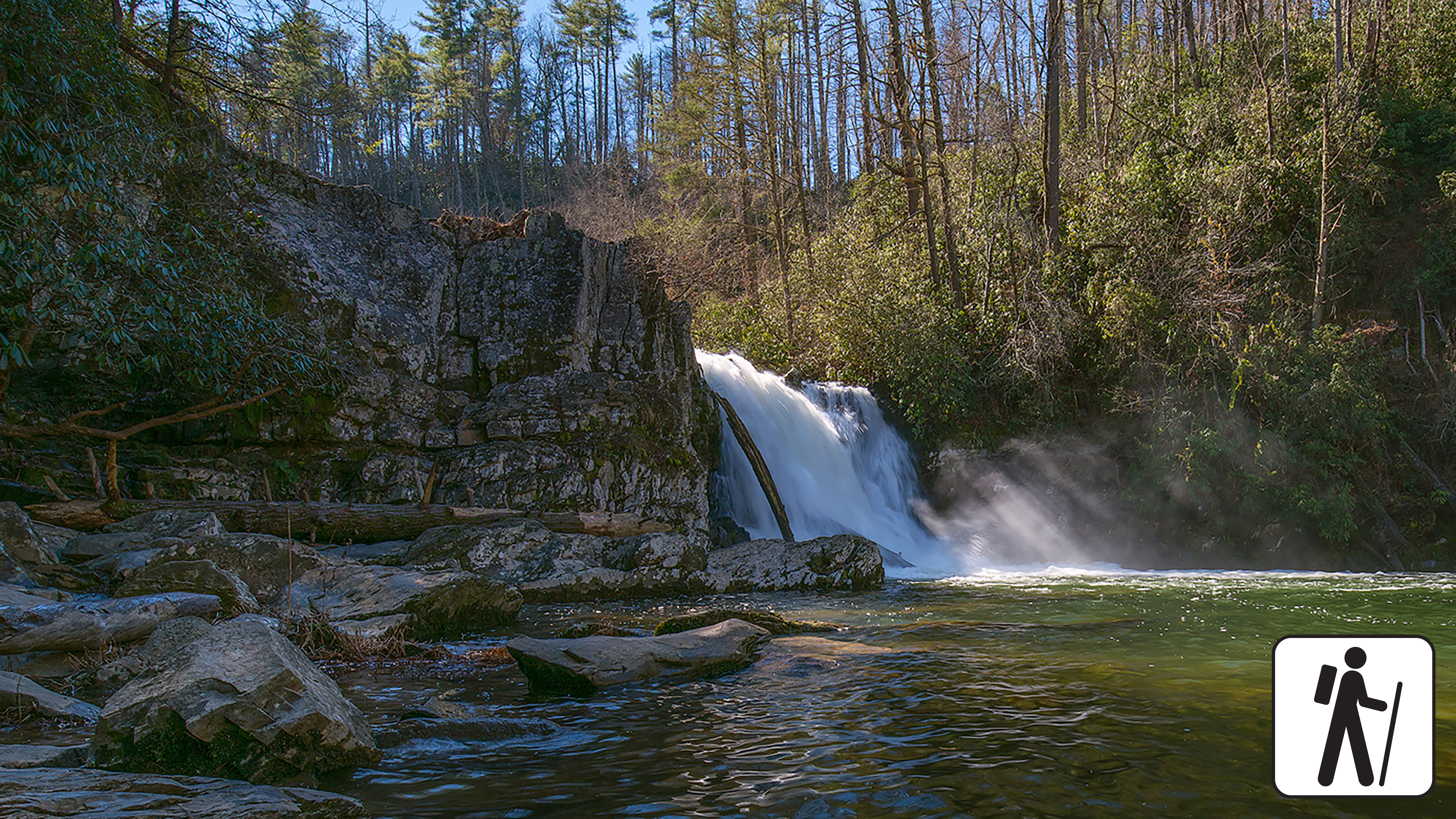
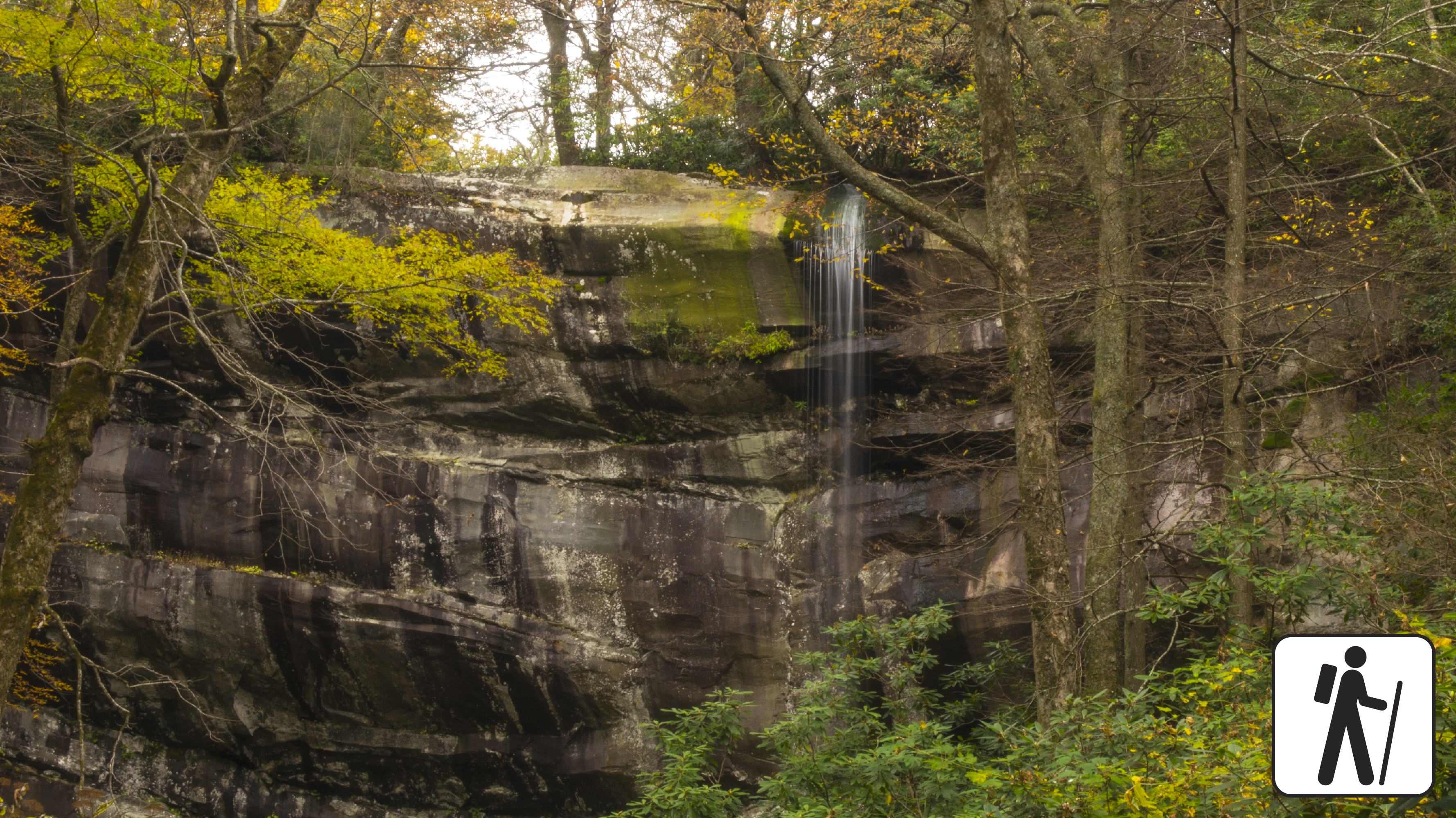
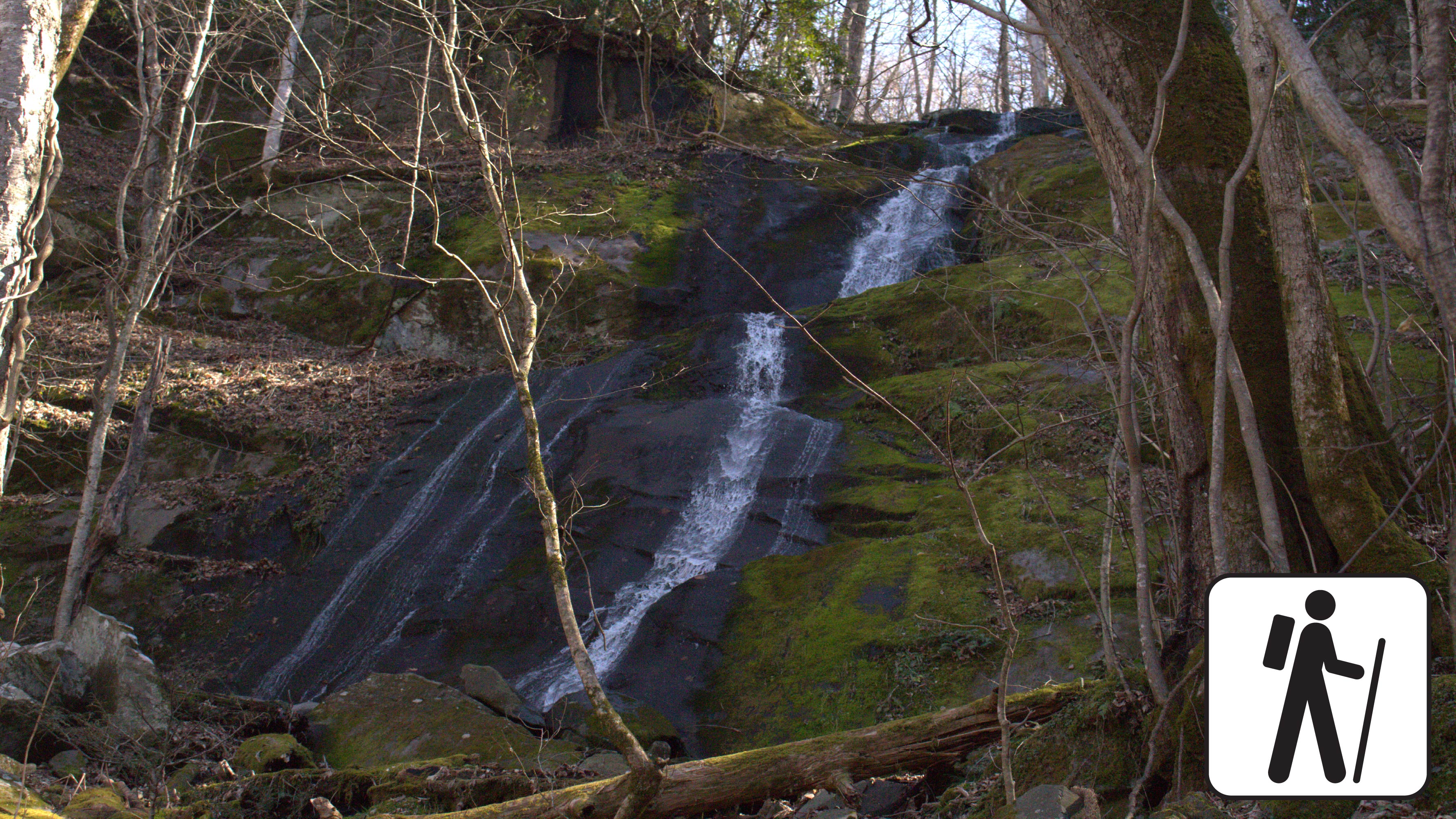
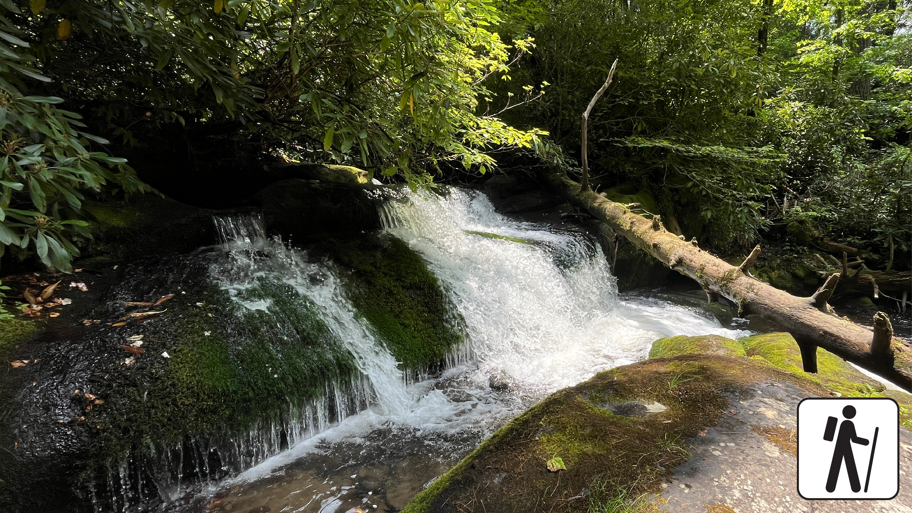
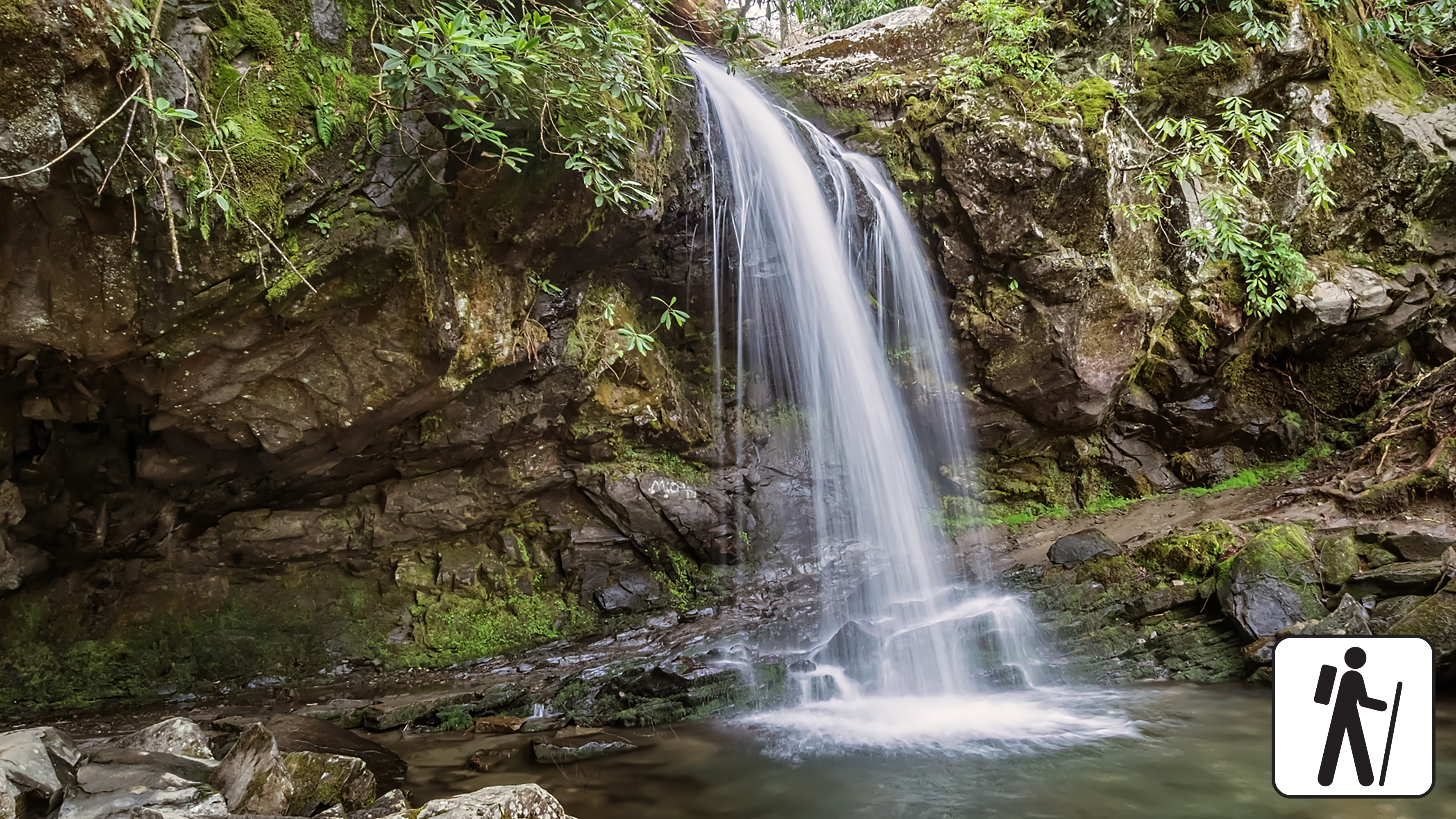
Cataract FallsA narrow 40-foot (12.2 m) cascade where Cataract Branch meets Fighting Creek. 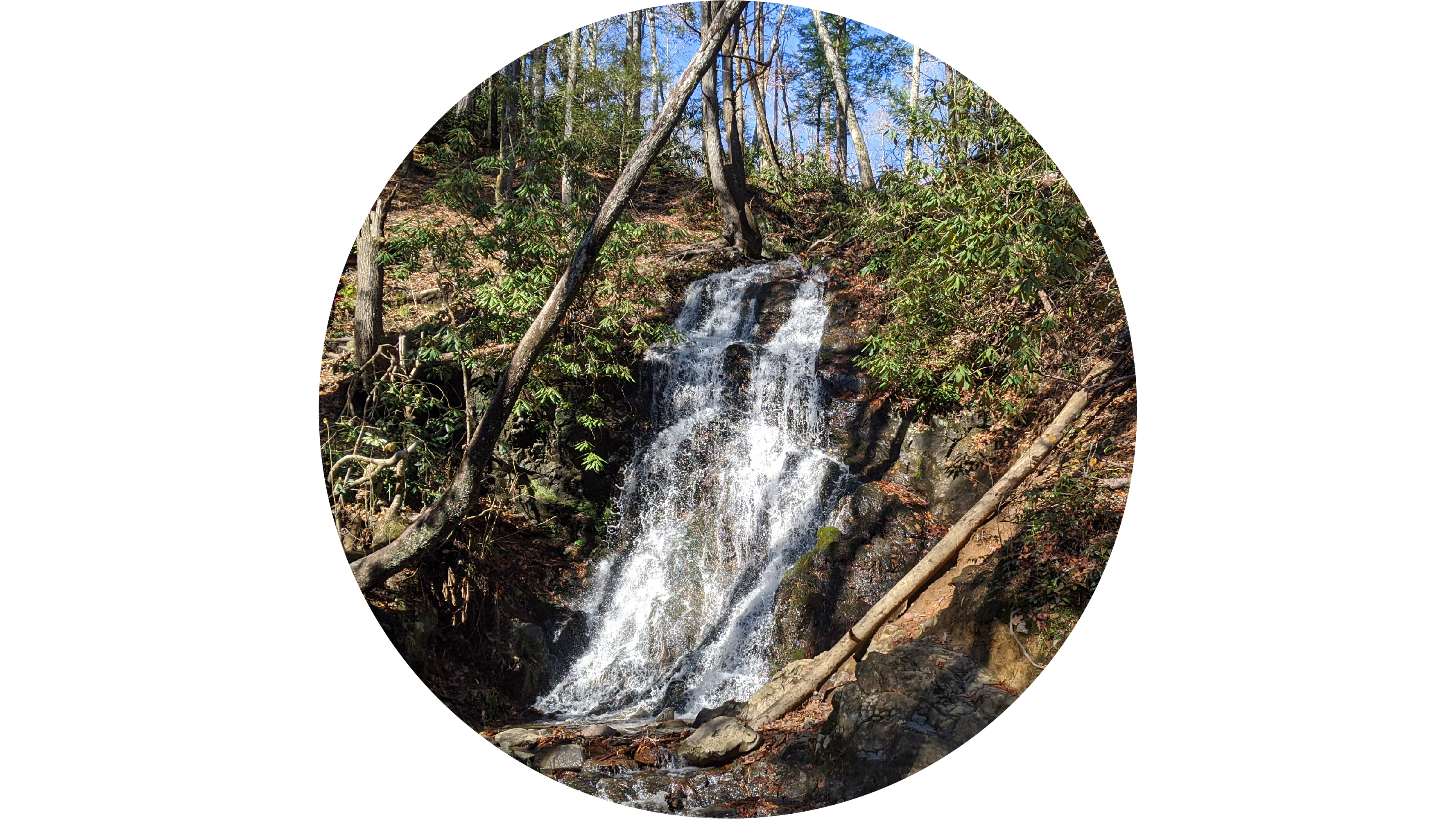
Charlies BunionA unique rocky outcrop surrounded by steep cliffs along the Appalachian Trail. 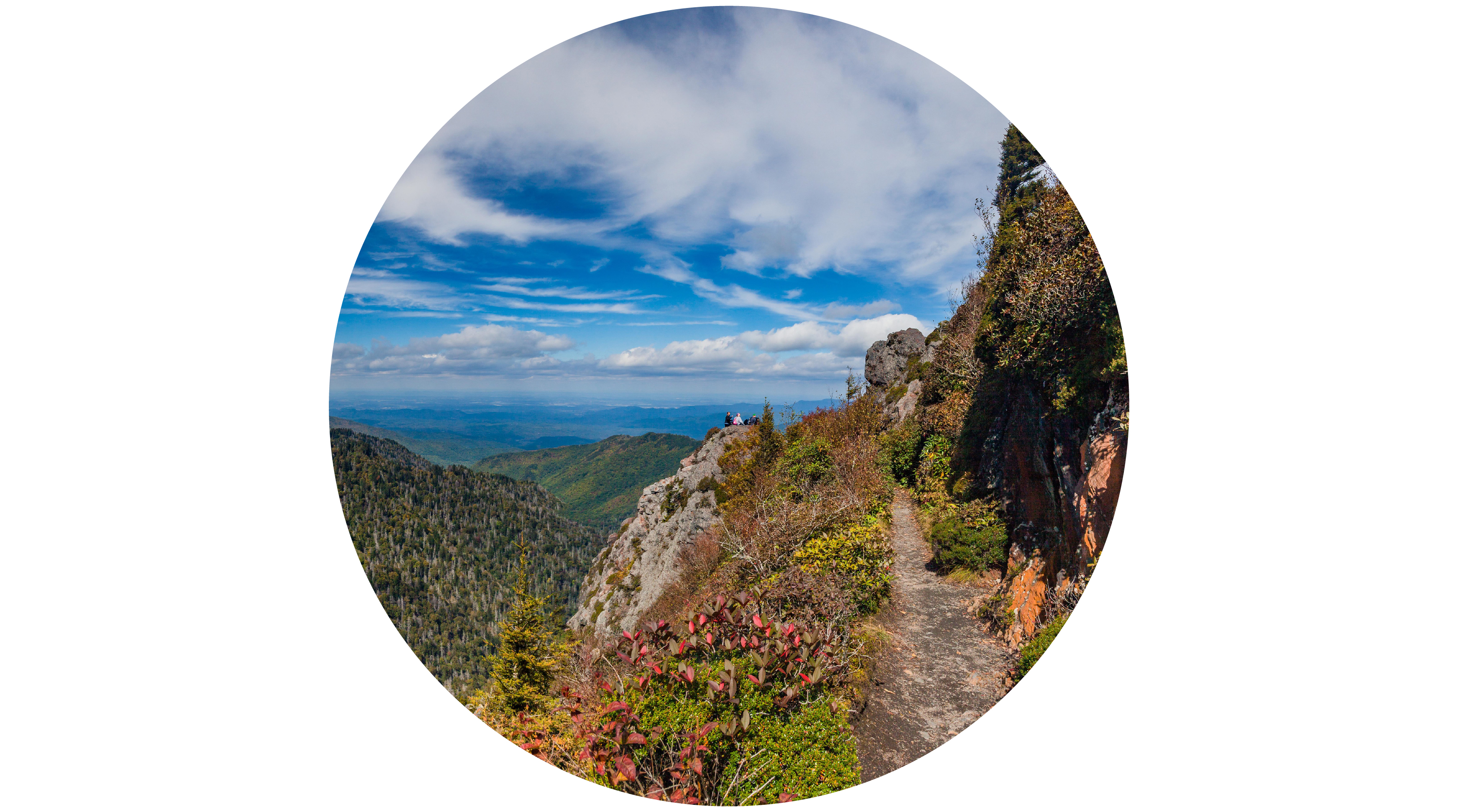
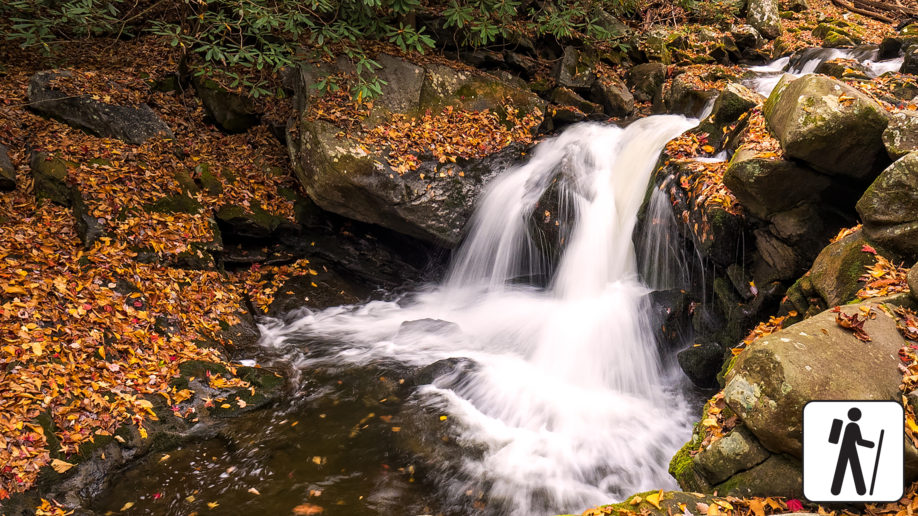
Chasteen Creek CascadeA peaceful cascade that slides 15 feet (4.6 m) down smoothly worn sandstone. 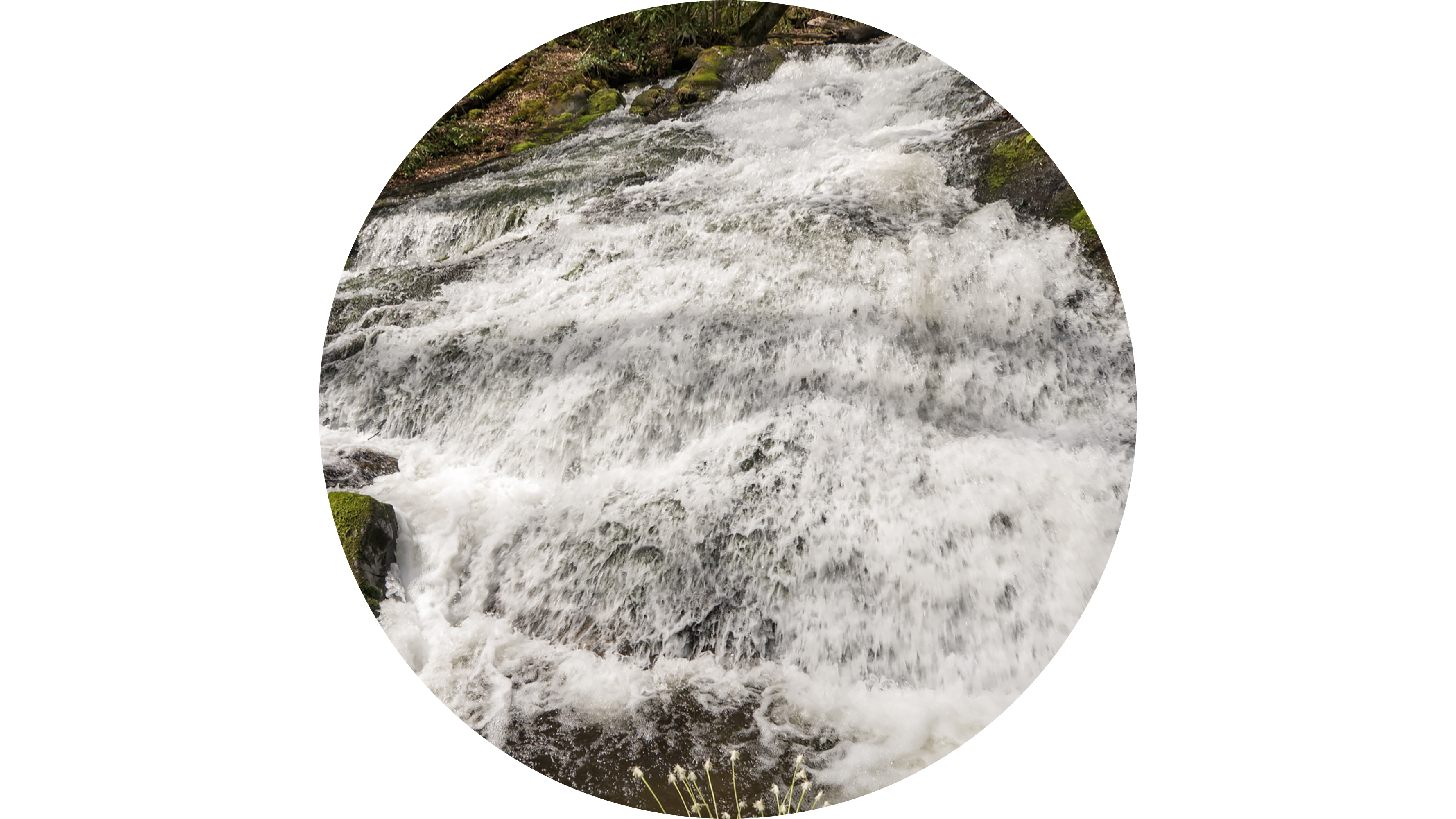
Chimneys Picnic AreaChimneys Picnic Area is one of ten designated picnic areas in Great Smoky Mountains National Park. Located in the northern part of the park along Newfound Gap Road, this picnic area is heavily forested and near water. 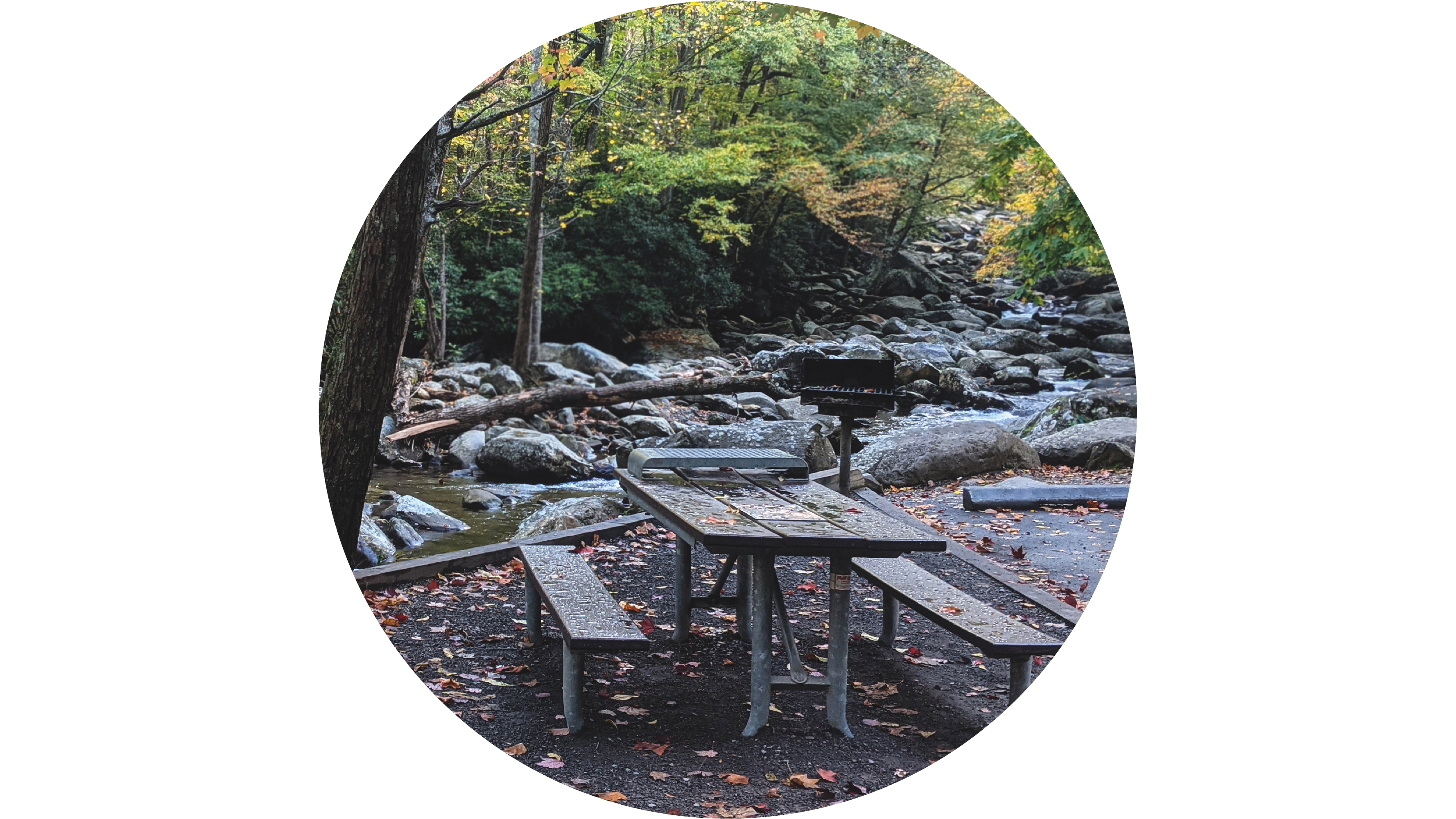
Clifftop OverlookA 25-foot (7.6 m) waterfall where Abrams Creek plunges over a rock ledge into a deep, picturesque pool. 
Collins Creek Picnic AreaCollins Creek Picnic Area is one of ten picnic areas in Great Smoky Mountains National Park. Located along Newfound Gap Road, it offers 182 shaded sites and a pavilion available by reservaiton. 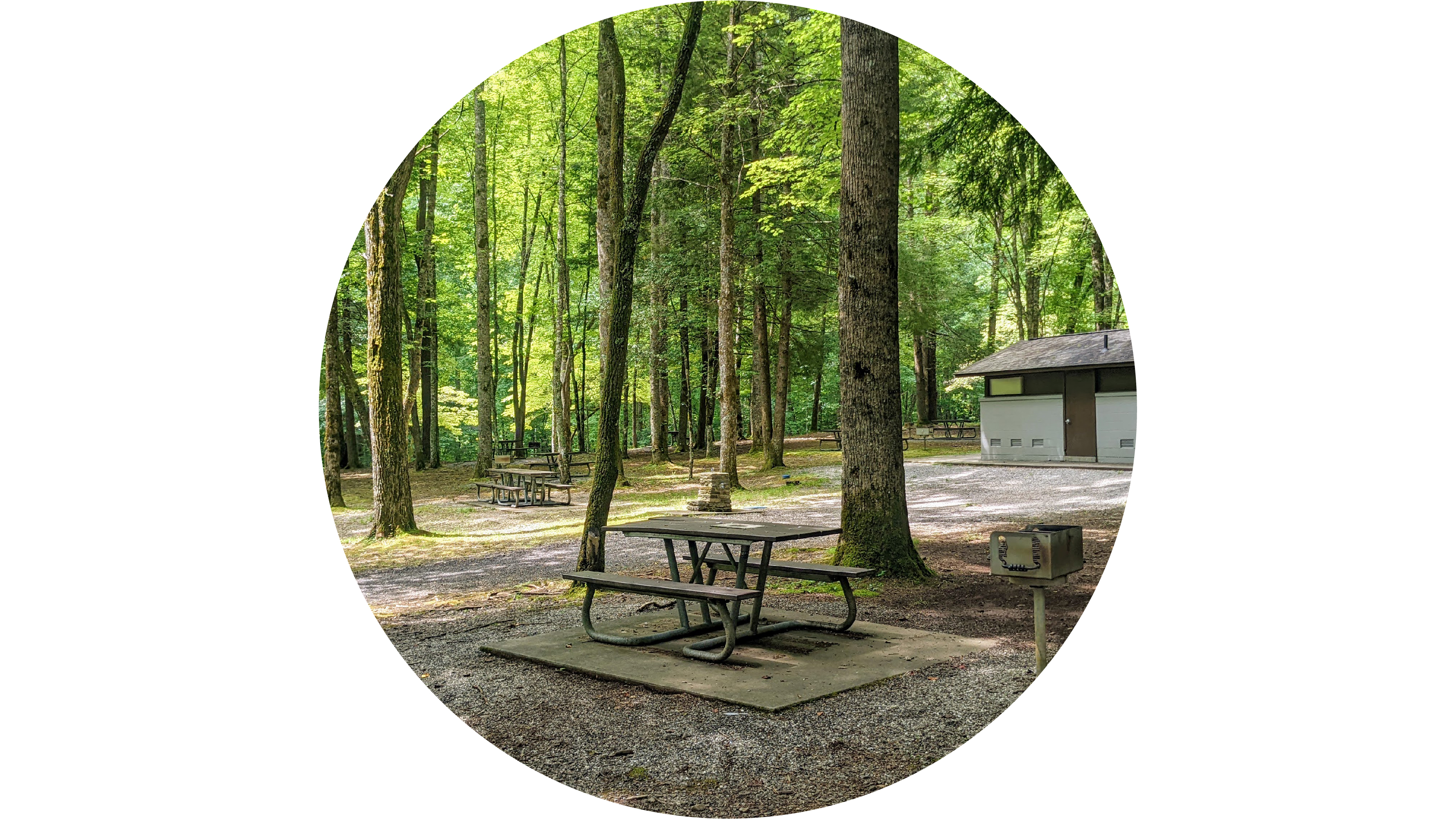
Cosby Picnic AreaA shady 35-site daytime recreational area with tables and charcoal grills near Cosby Creek. 
Daisy TownA row of preserved vacation homes built between 1910 and 1935 on the former site of a logging camp. 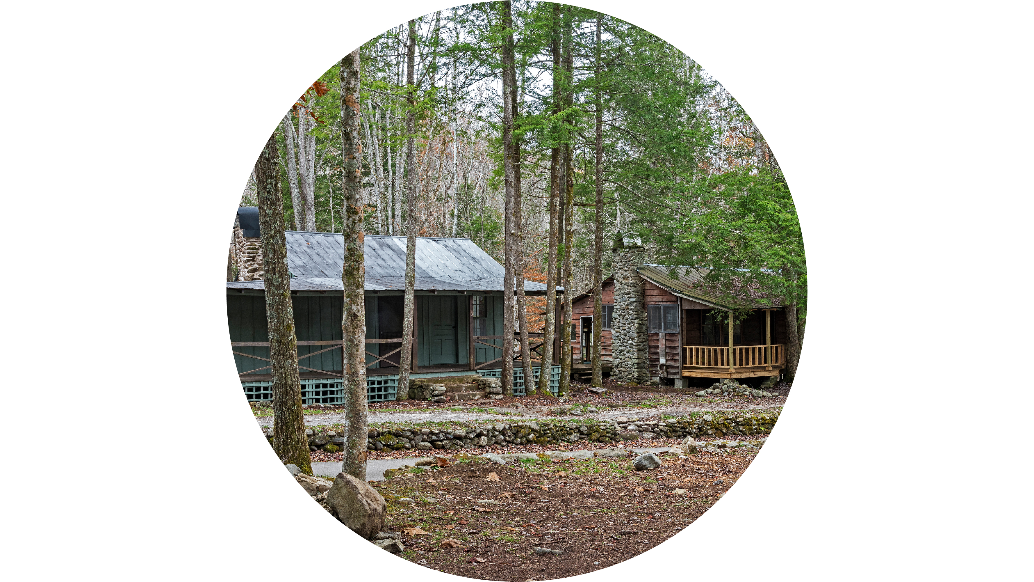
Daisy Town: The Birth of Tourism in the Smokies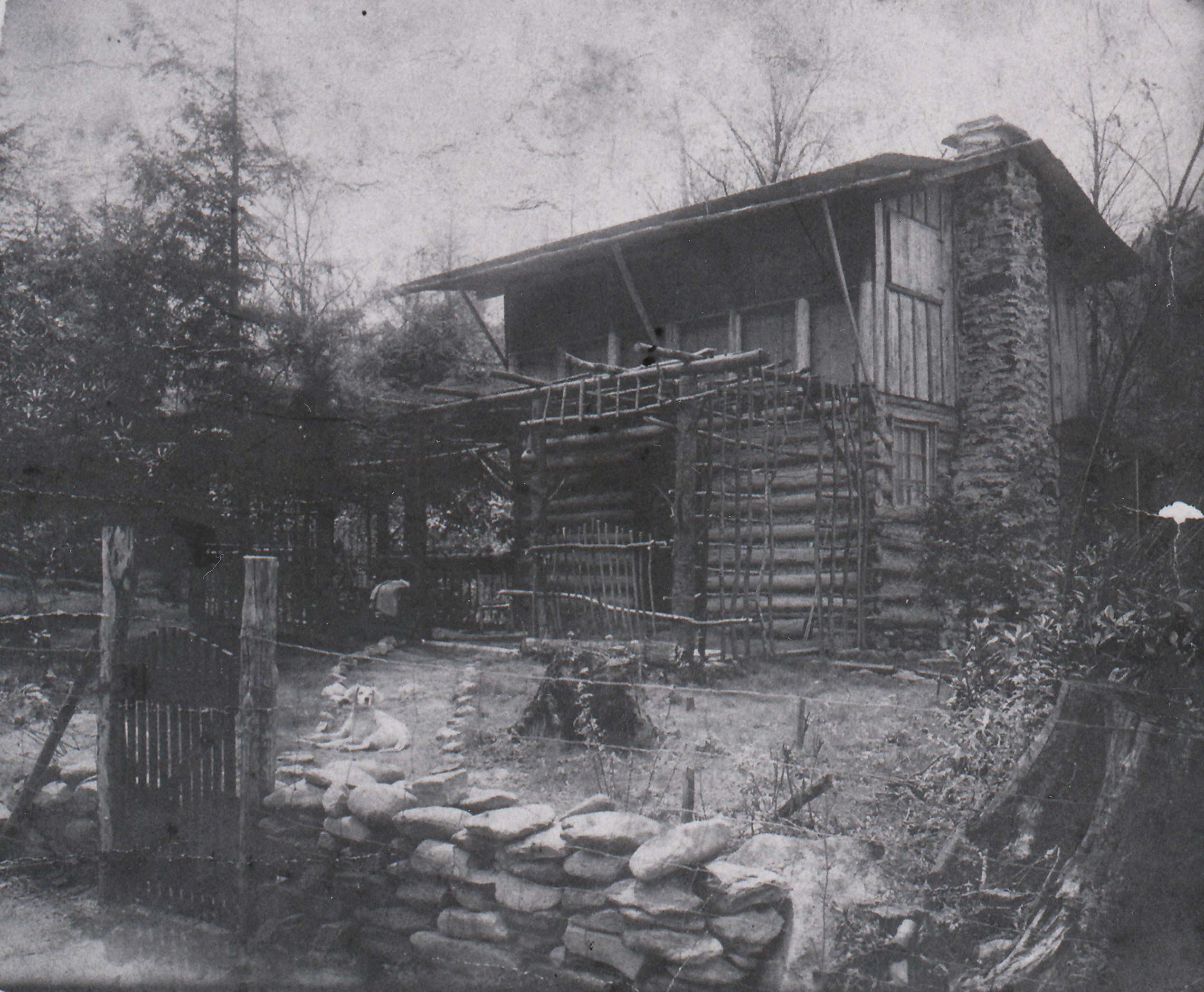
Dan Lawson PlaceDan Lawson Place is a group of historic structures about 7 miles into the 11-mile Cades Cove driving loop just past the intersection with Hyatt Lane. 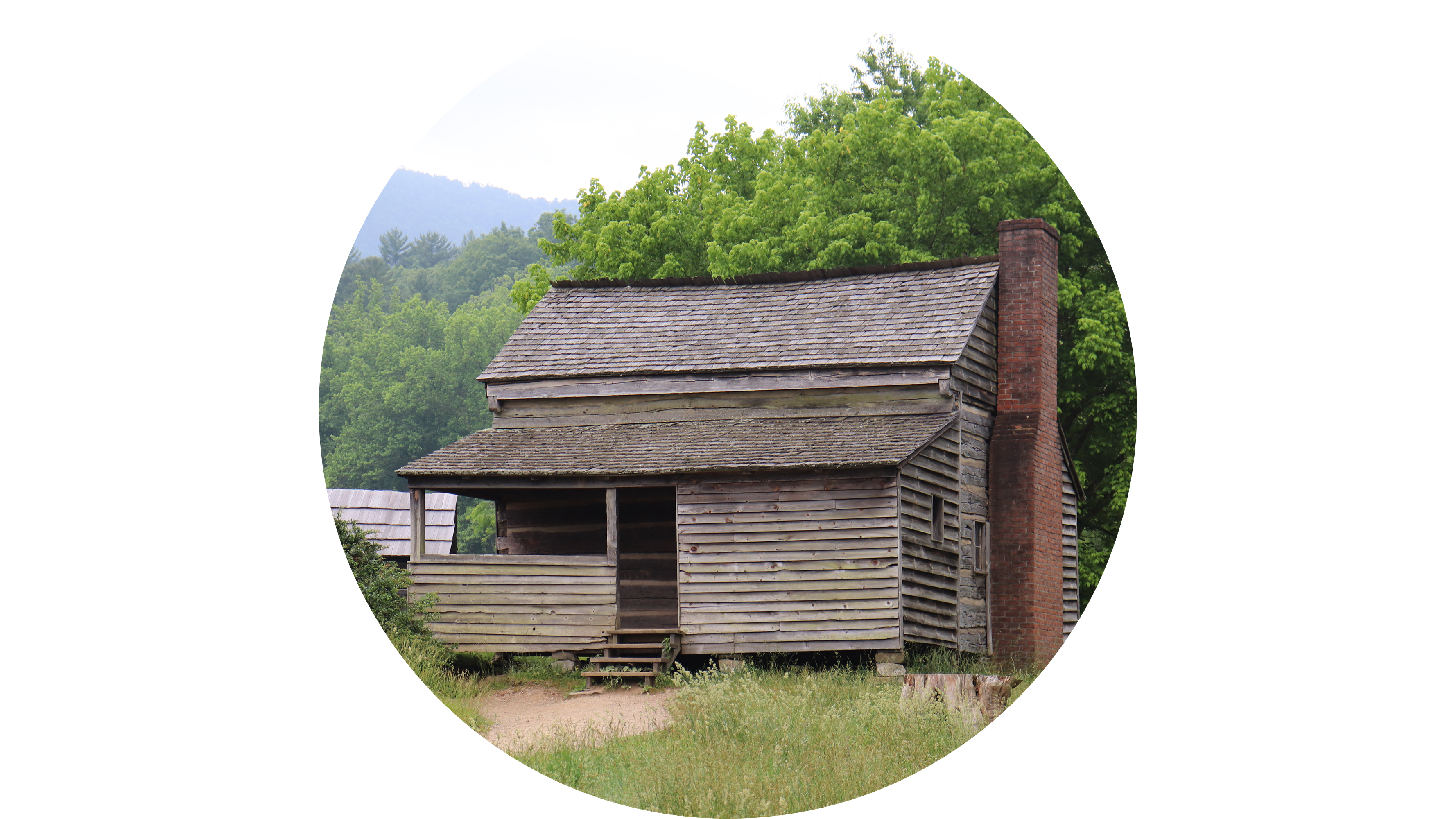
Deep Creek Picnic AreaA shady 58-site daytime recreational area with tables, charcoal grills, and a pavilion along Deep Creek. 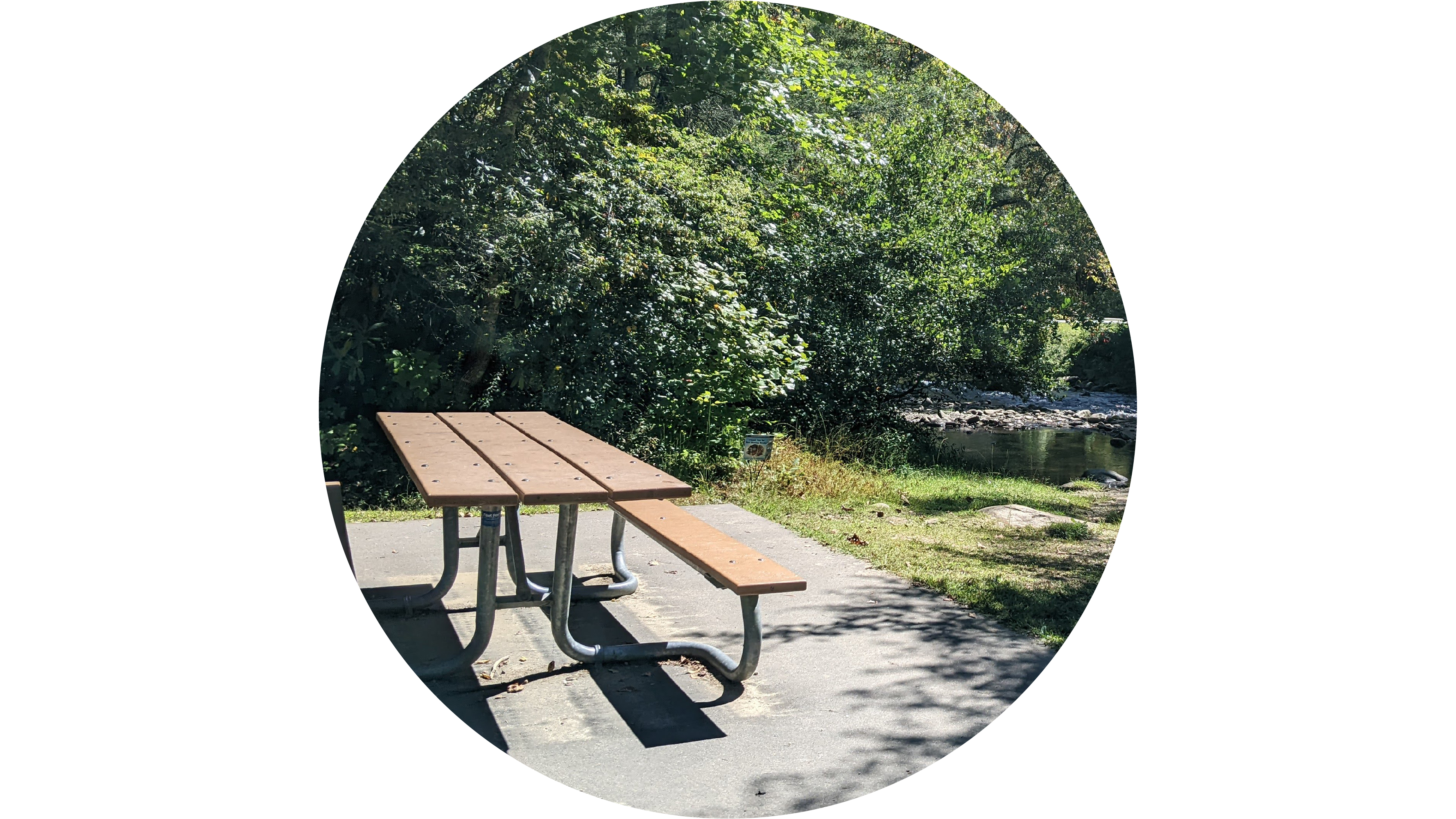
Deep Creek Valley OverlookA great spot to be above the clouds. Possibly see an inversion where the clouds sink into the valleys in the early mornings. 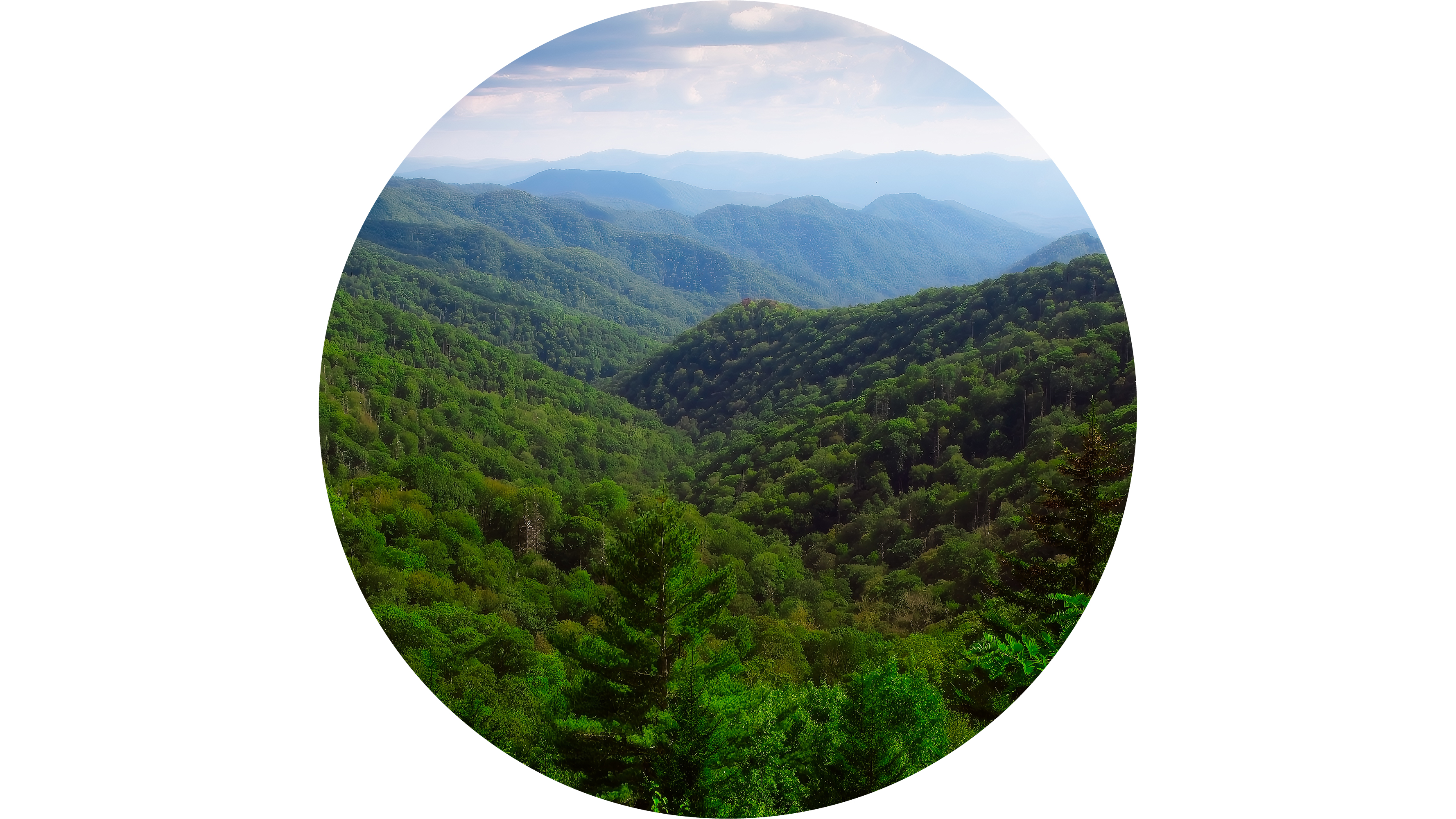
Elijah Oliver PlaceThe Elijah Oliver place is a farmstead made up of multiple nineteenth century buildings in the west end of the loop. It is a 0.5 mile (0.8 km) walk from Cades Cove Loop Road. 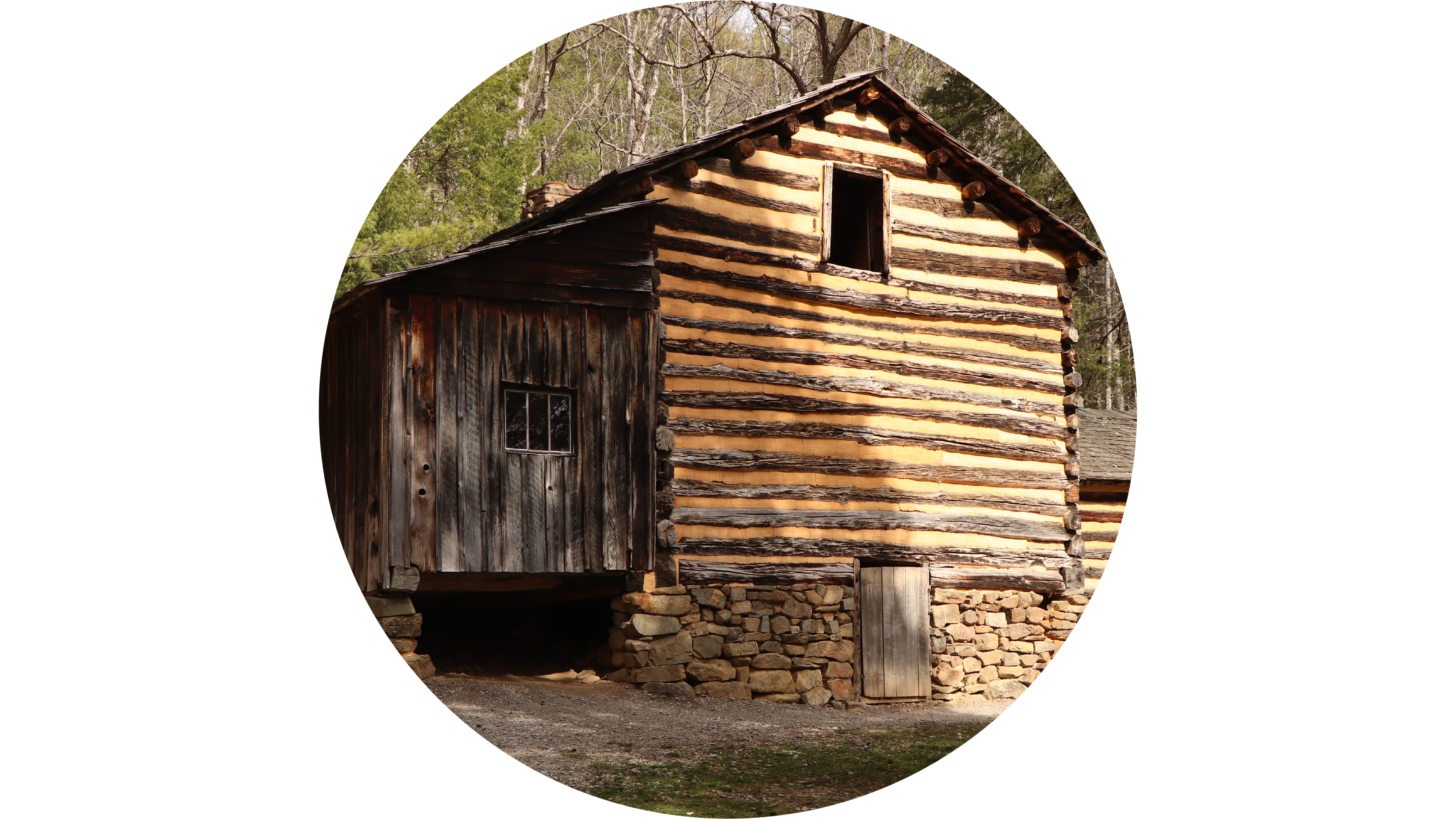
Fontana DamA large hydroelectric dam completed in 1945 with a visitor center operated by the Tennessee Valley Authority. 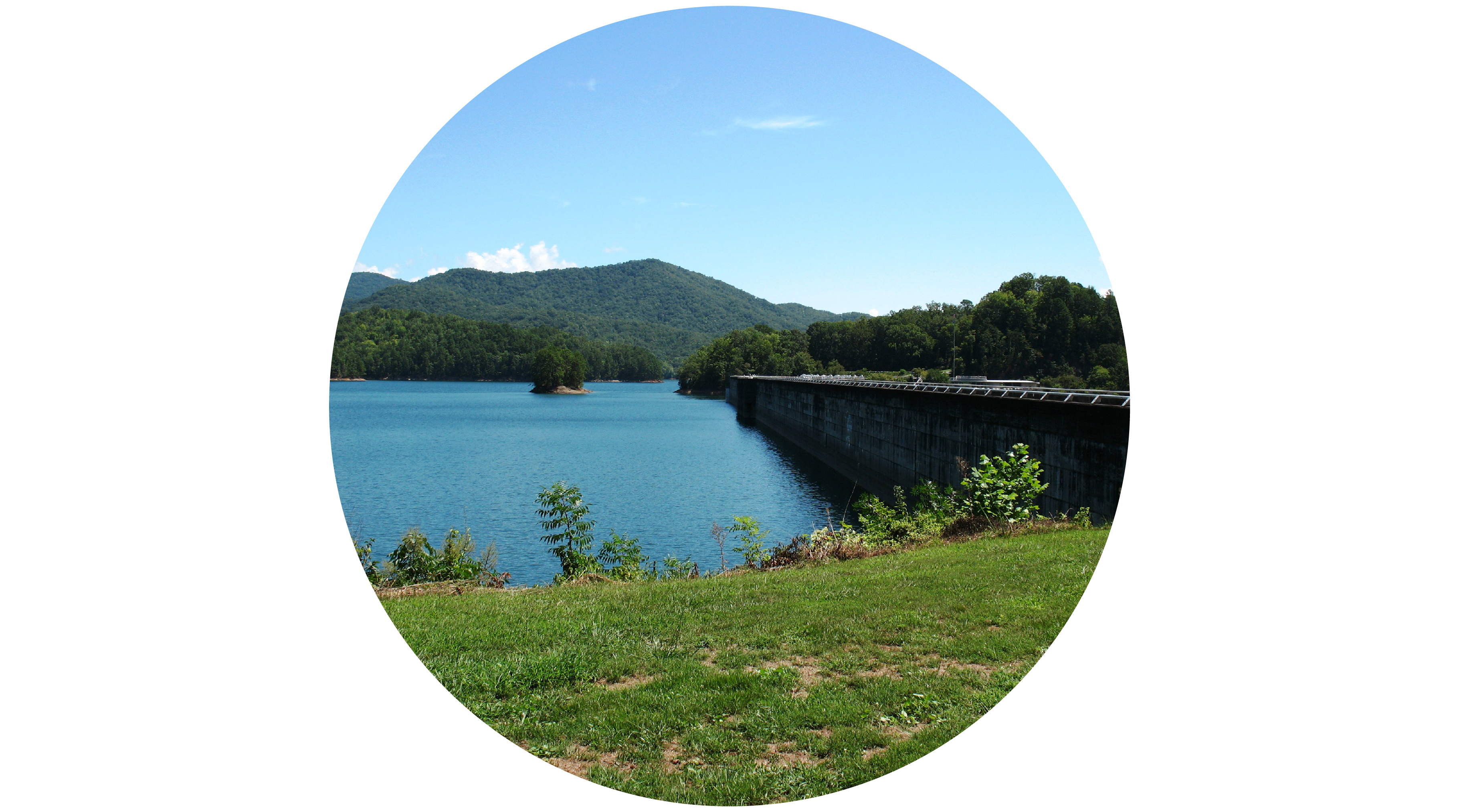
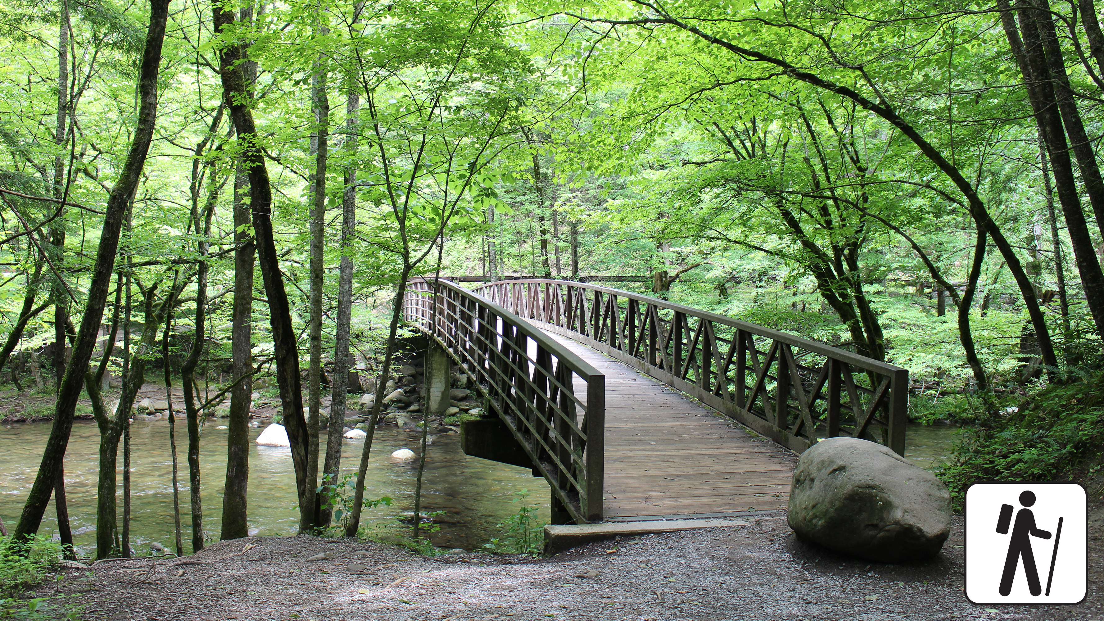
Foothills ParkwayCongress authorized the Foothills Parkway as a scenic parkway on February 22, 1944. Though funding and engineering challenges have delayed the completion of the project, the open sections of the Foothills Parkway provide a beautiful driving experience for visitors. 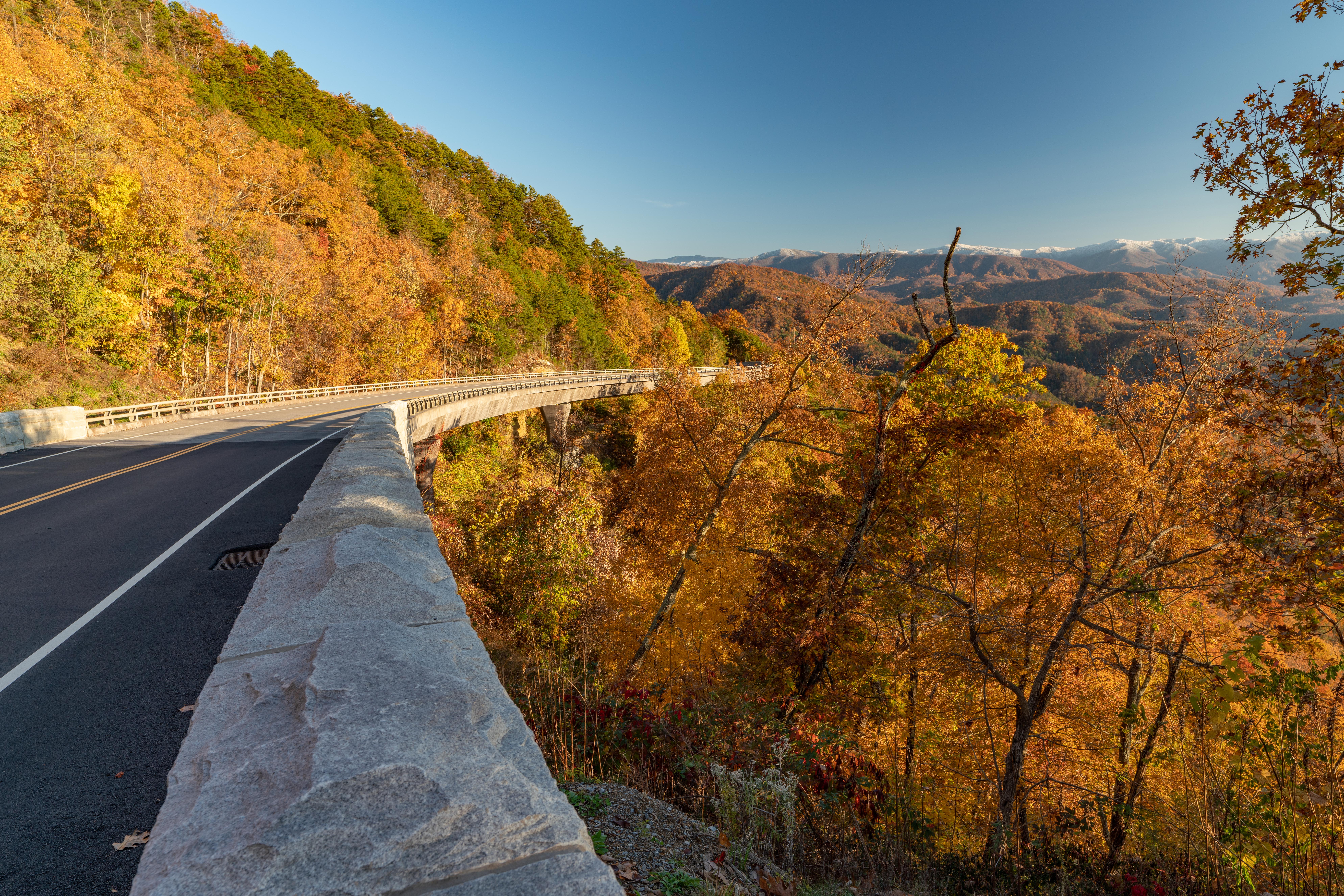
Greenbrier Picnic AreaA shady daytime recreational area with tables and charcoal grills along the Little Pigeon River. 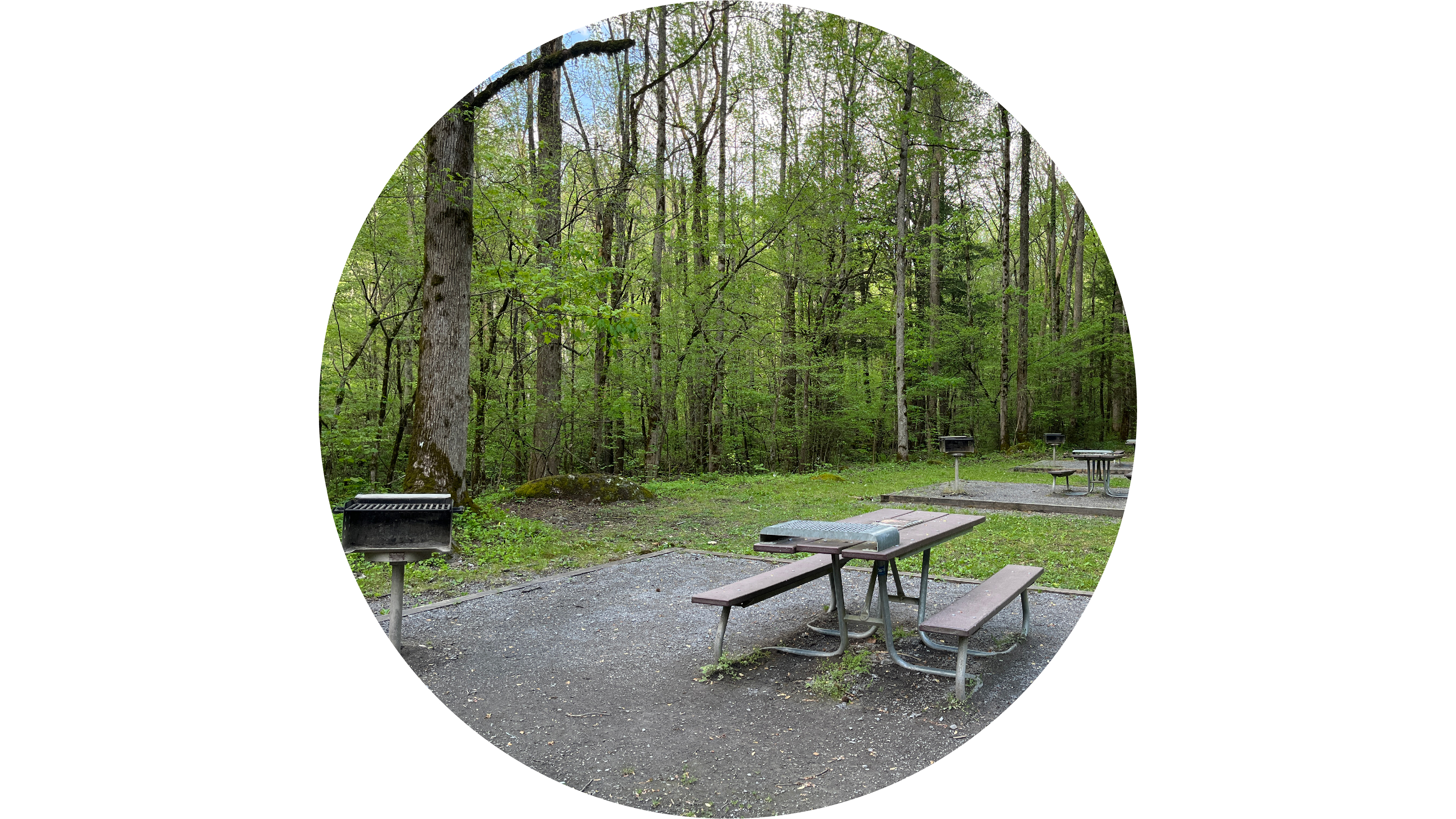
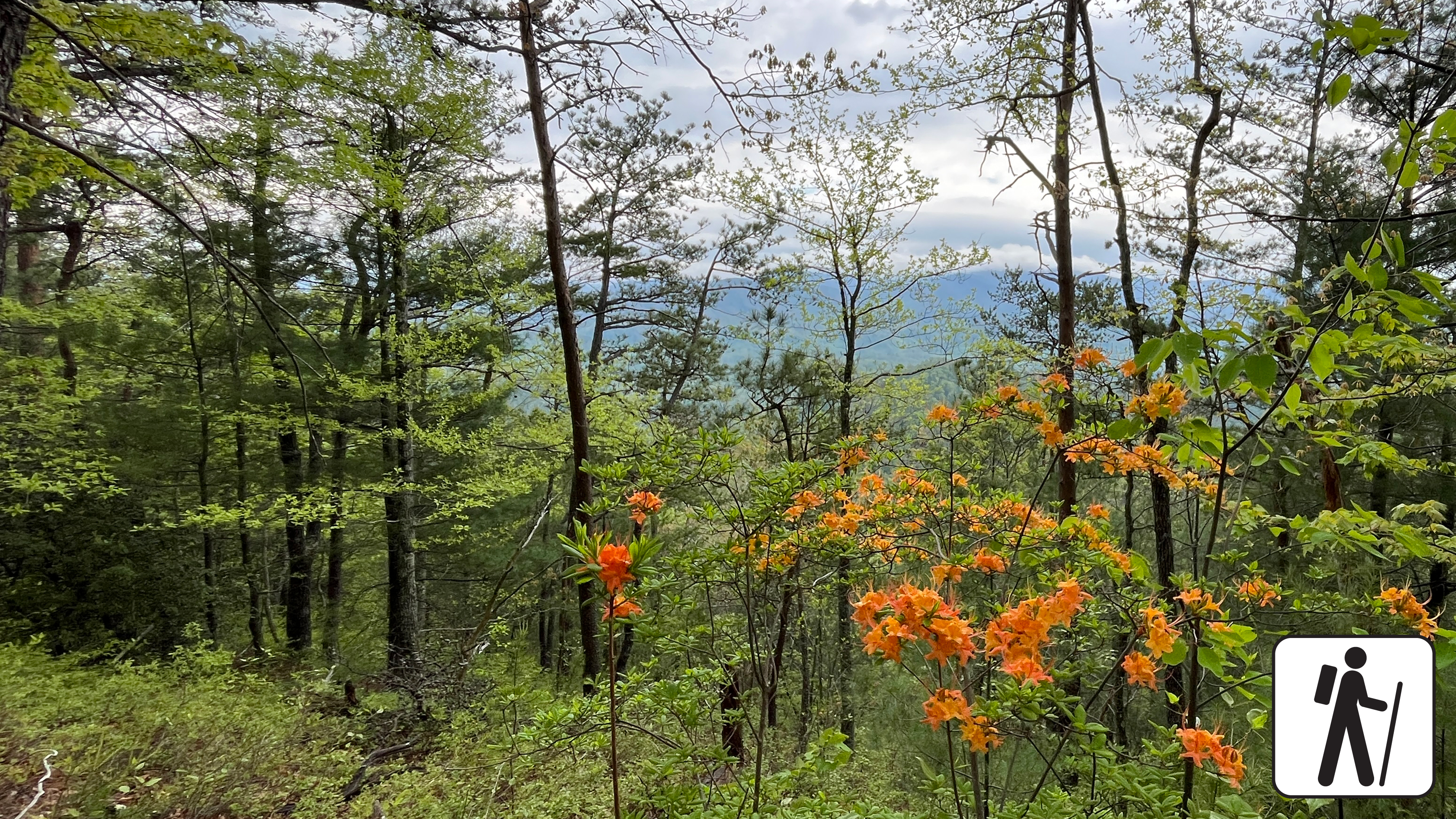
Gregory BaldA grassy mountaintop meadow with panoramic views known for its azalea blooms in midsummer. 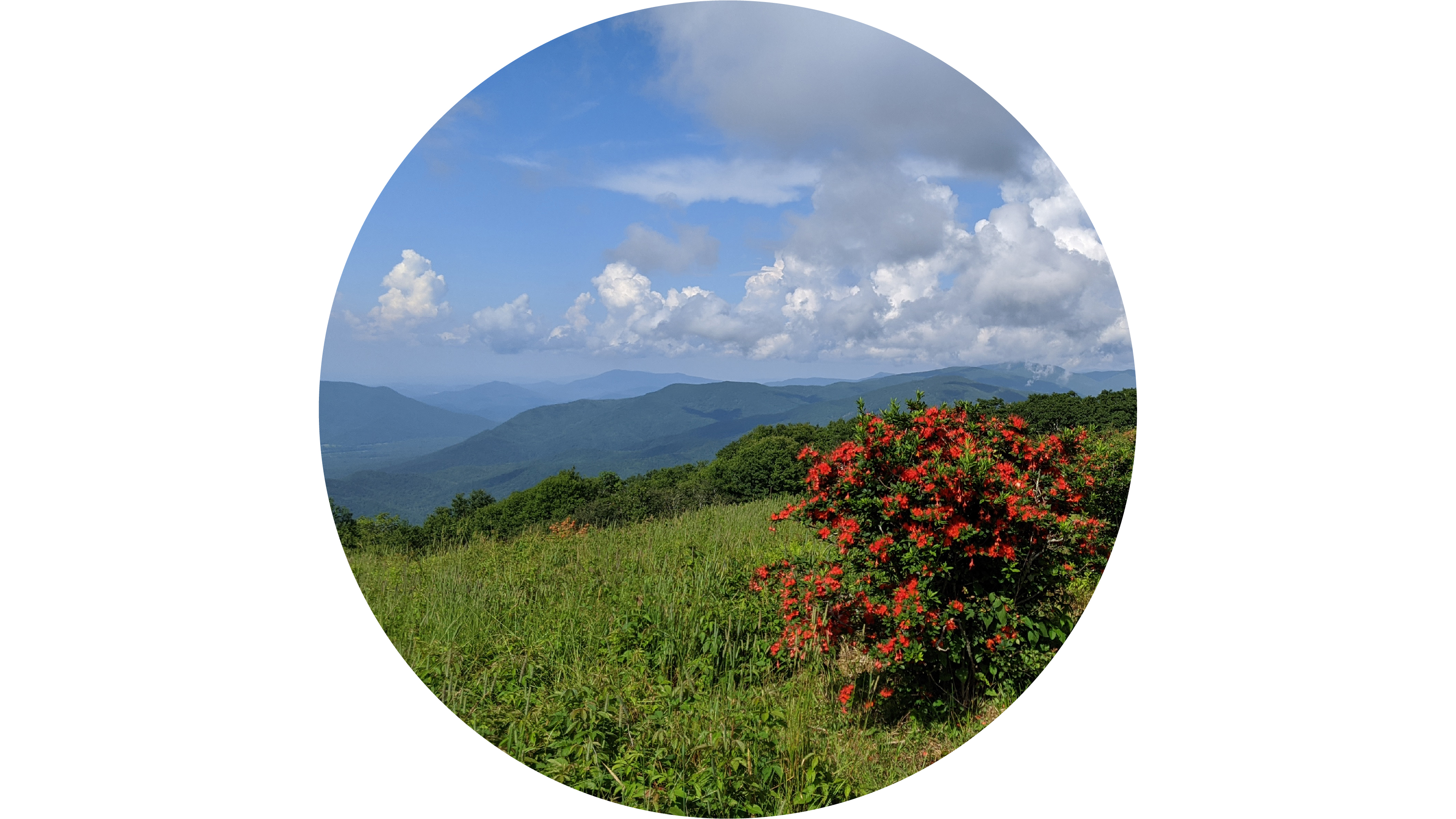
Grotto FallsA unique 25-foot (7.6 m) waterfall that you can walk behind on Trillium Gap Trail. 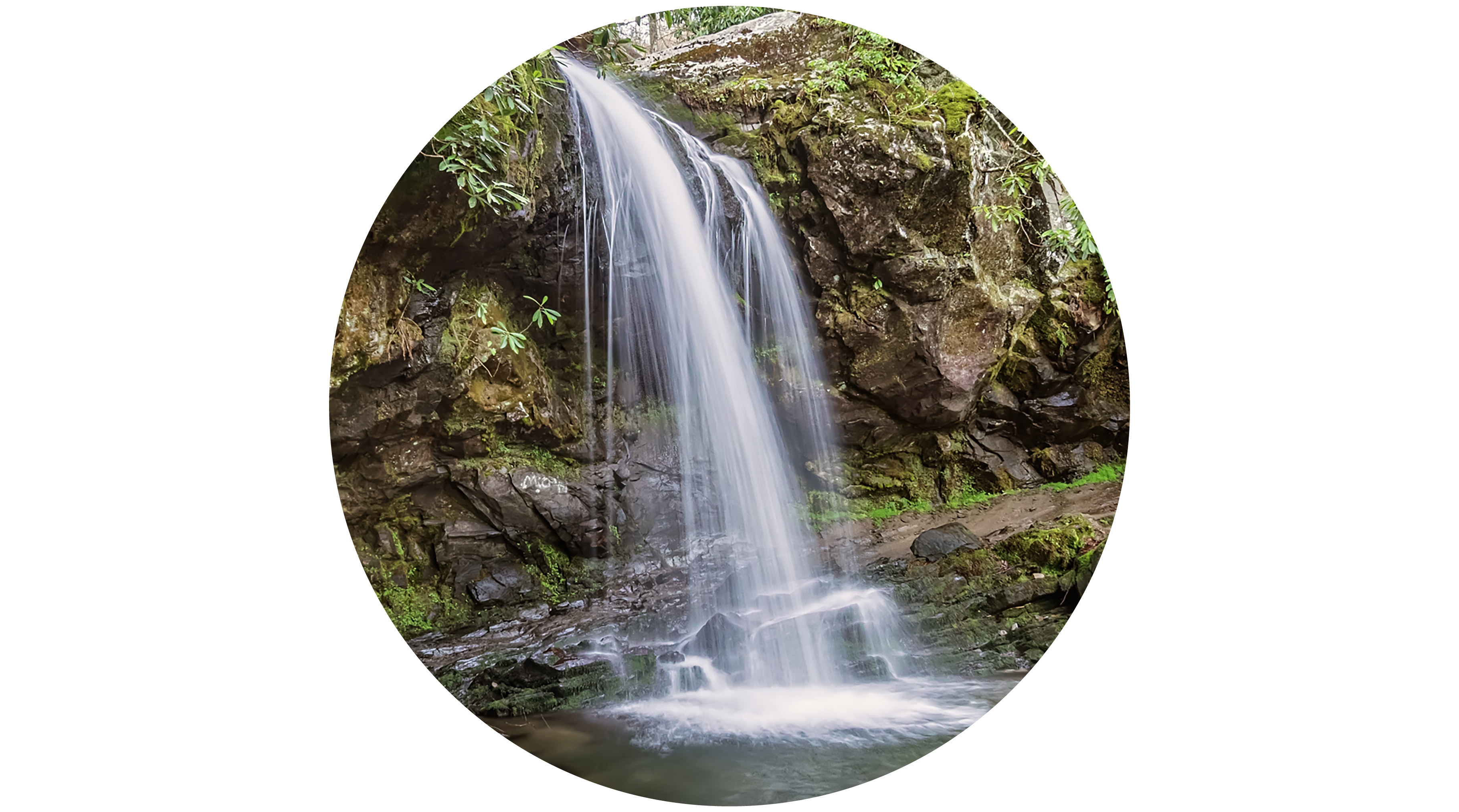
Heintooga Picnic AreaA 41-site daytime recreational area with tables, charcoal grills, and nearby trails at high elevation. 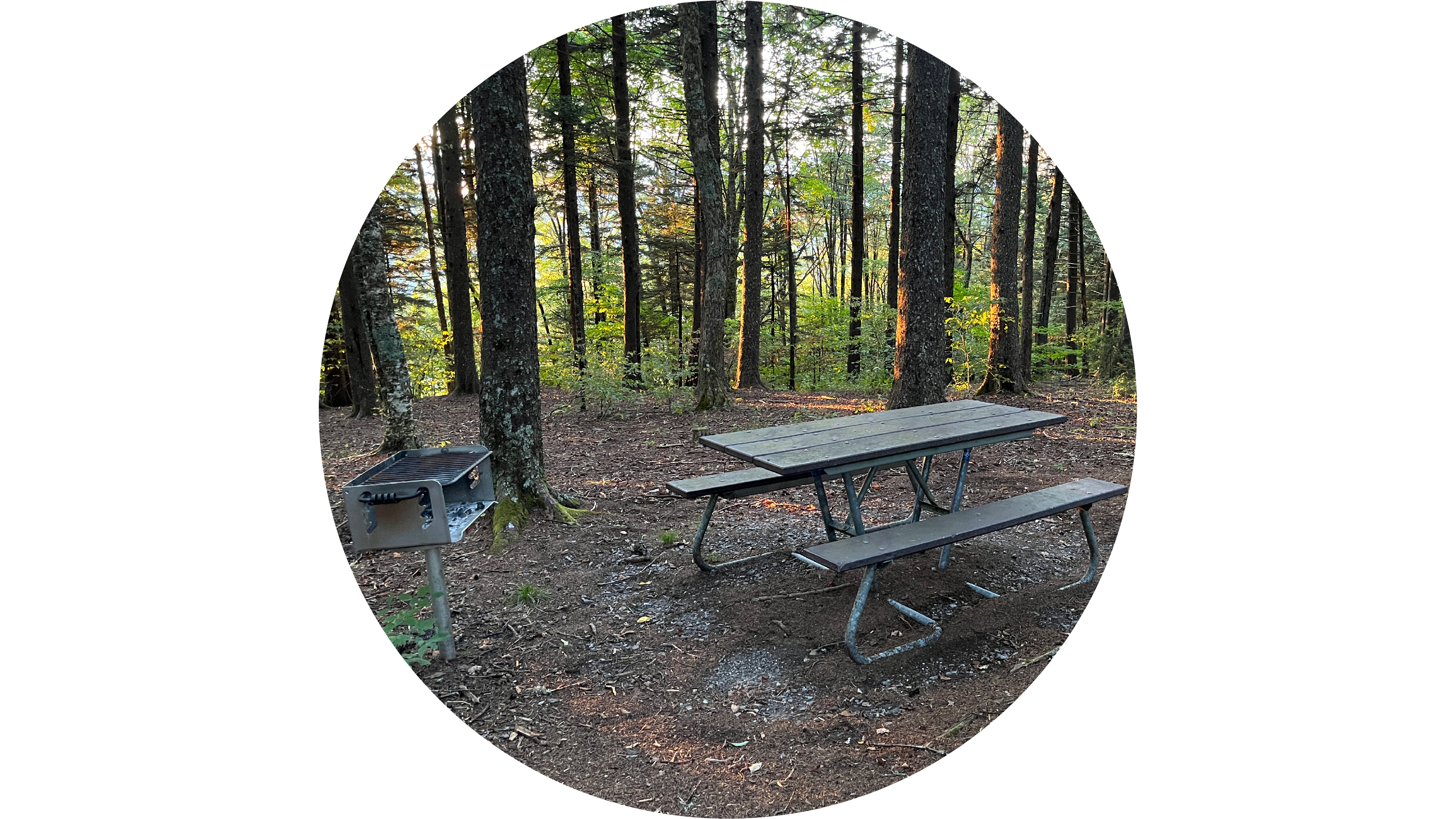
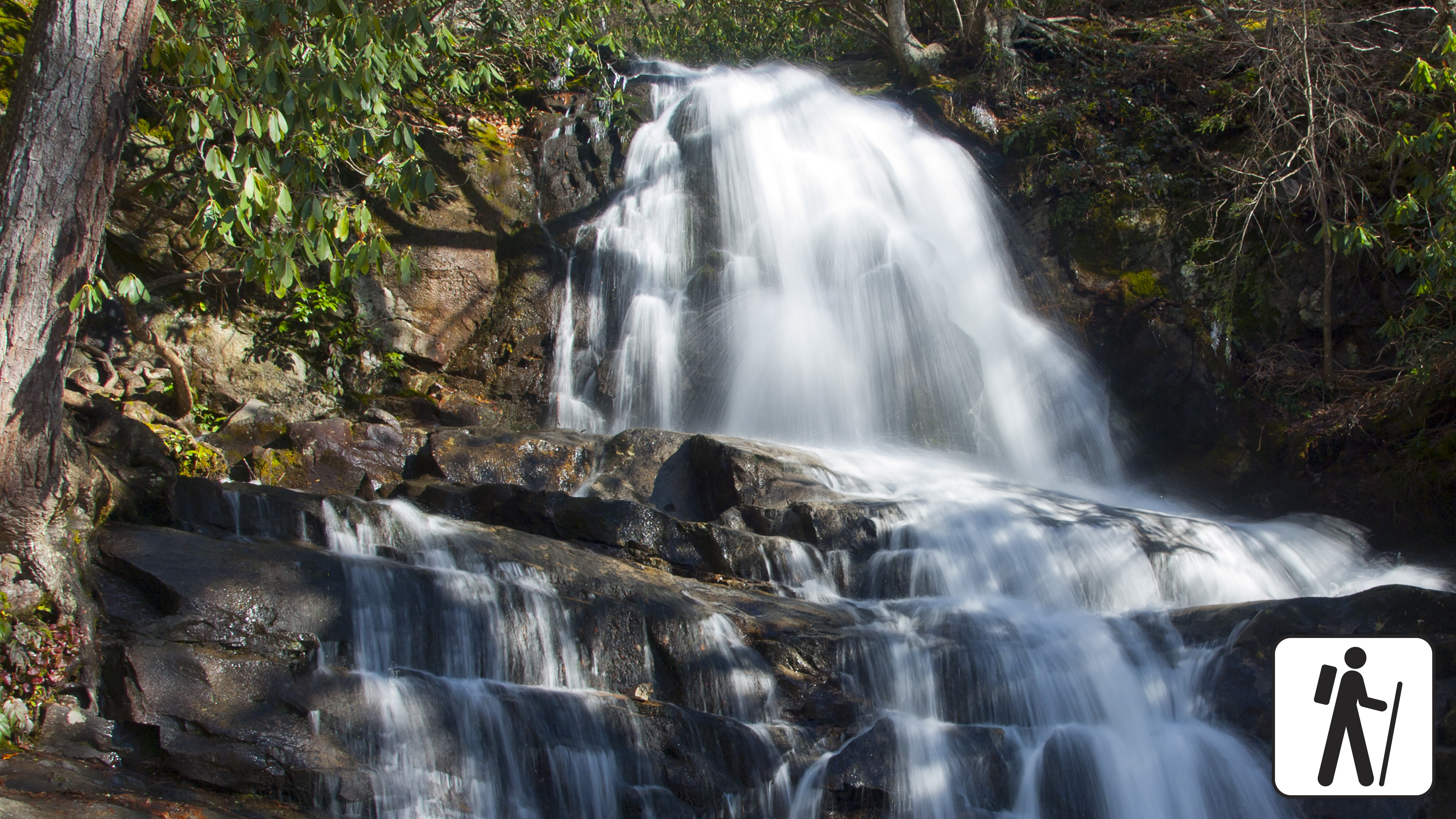
Hen Wallow FallsA 90-foot (27 m) waterfall that begins as a small stream but fans out to a width of 30 feet (9 m) at its base. 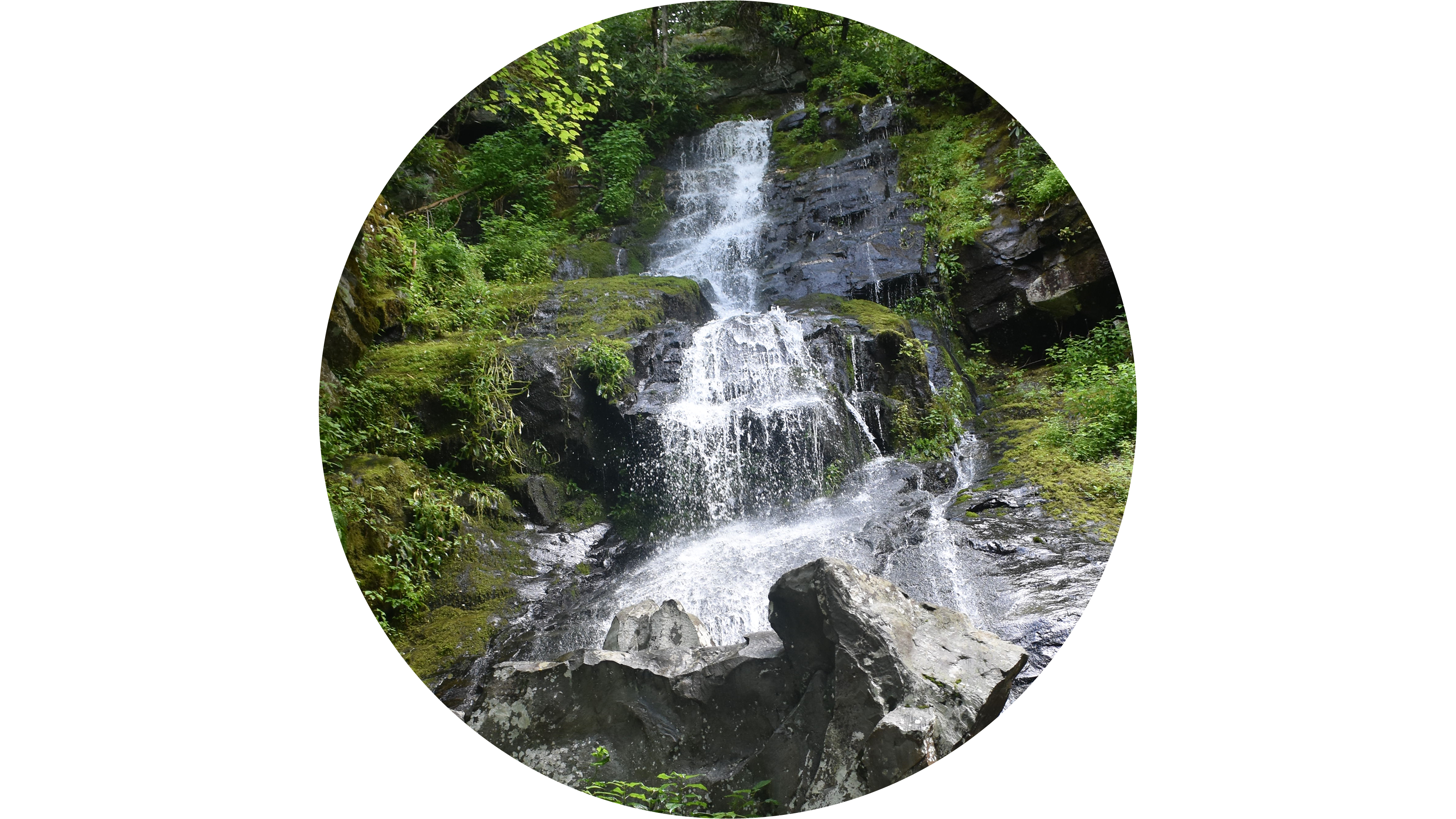
Indian Creek FallsA 25-foot (7.6 m) cascade that tumbles down sloping sandstone into a large plunge pool. 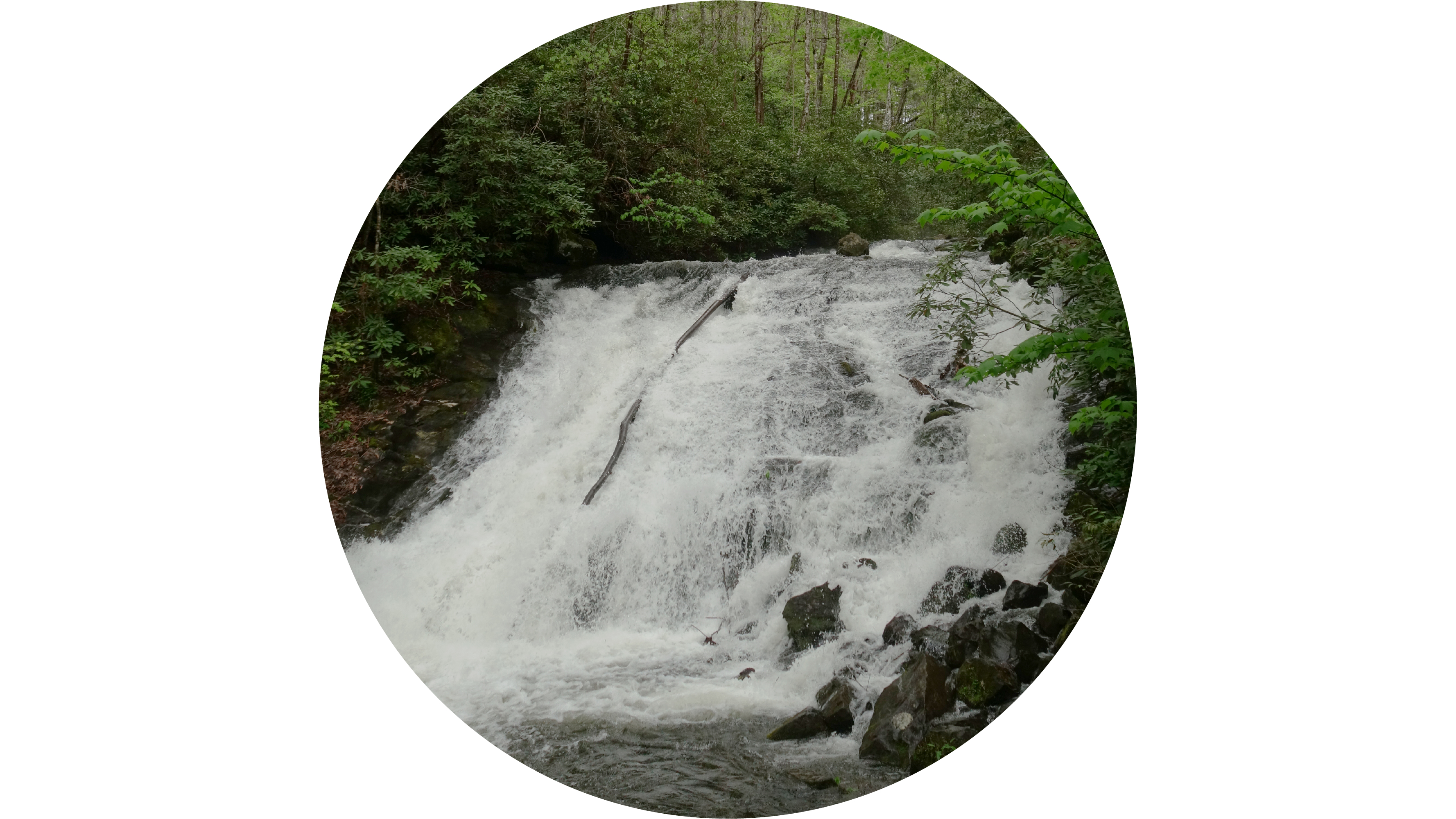
John Oliver PlaceThe John Oliver cabin is the first historic structure visitors come across on the 11-mile Cades Cove driving loop. 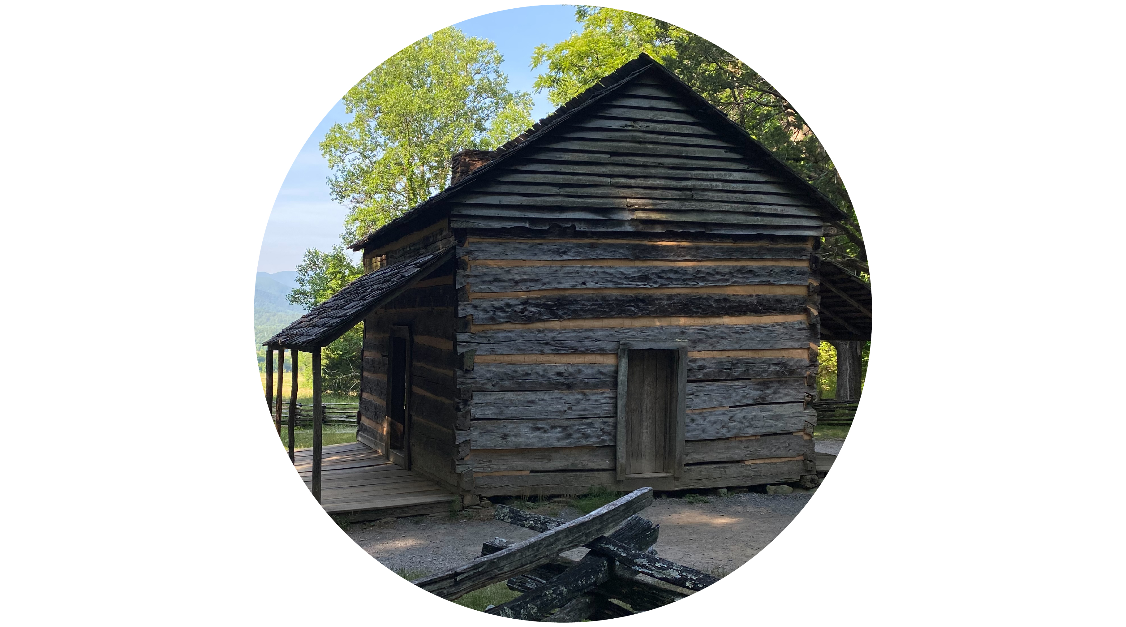
John Ownby CabinA historic log cabin built in the 1860s by John Ownby. 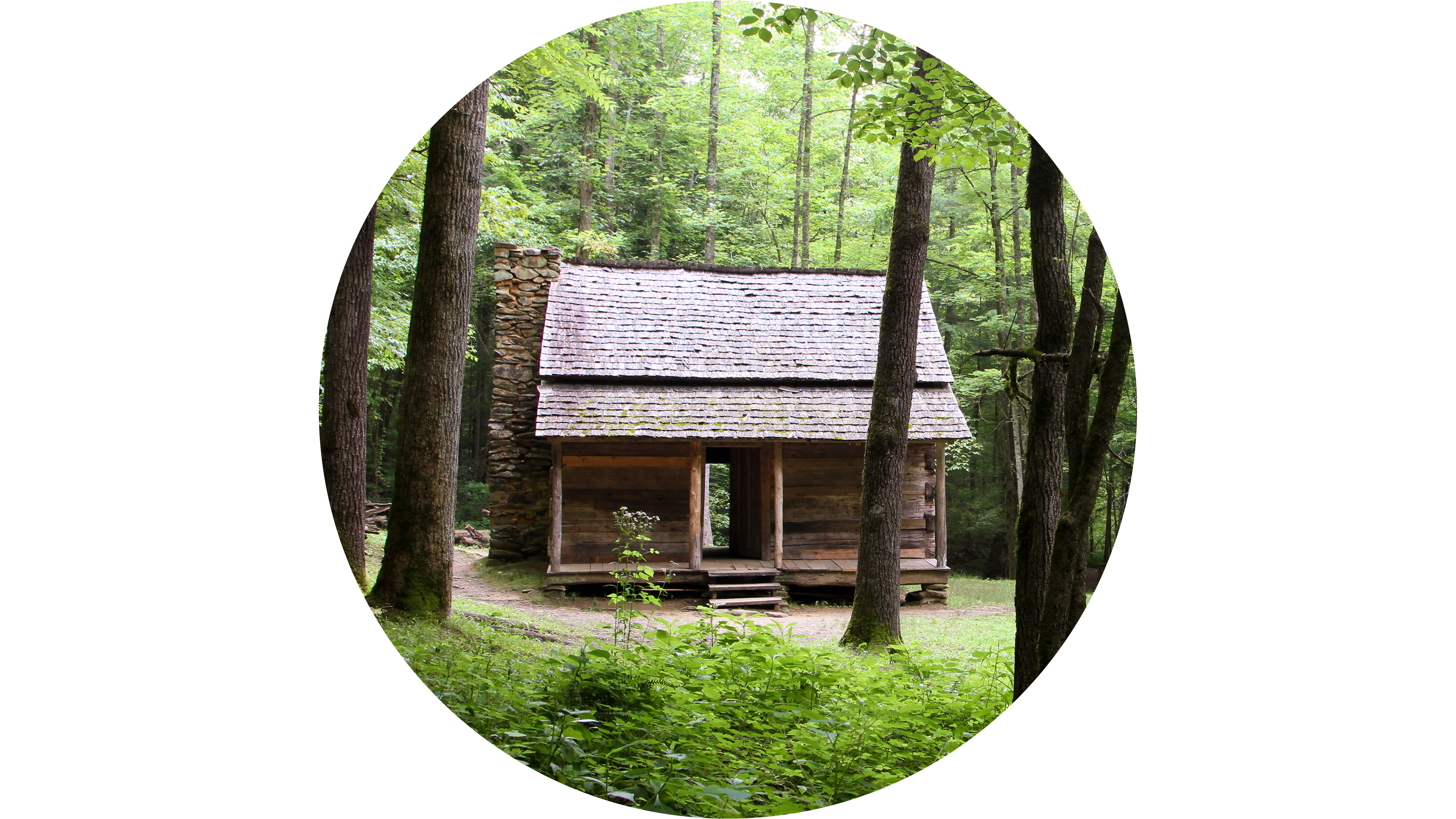
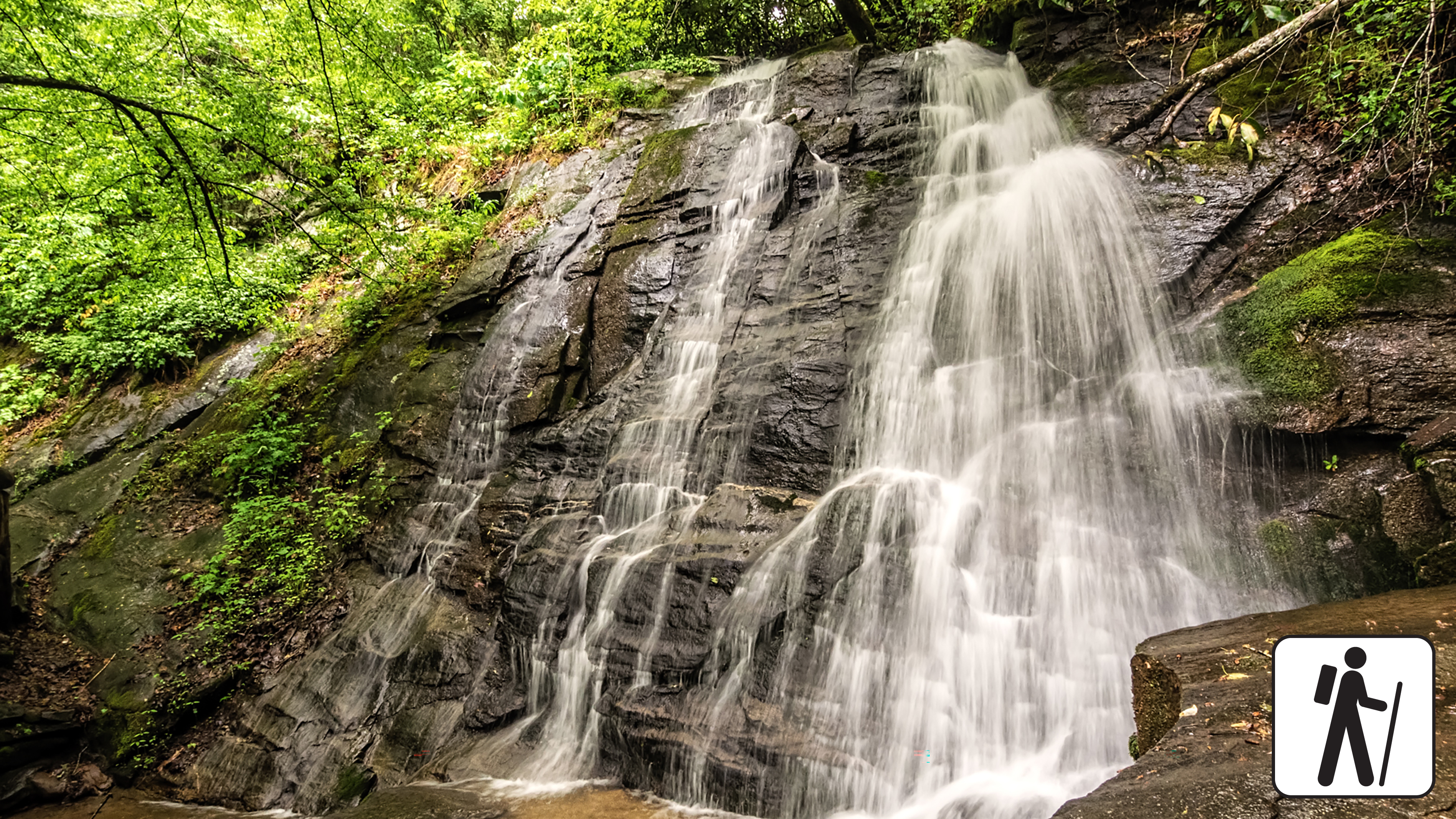
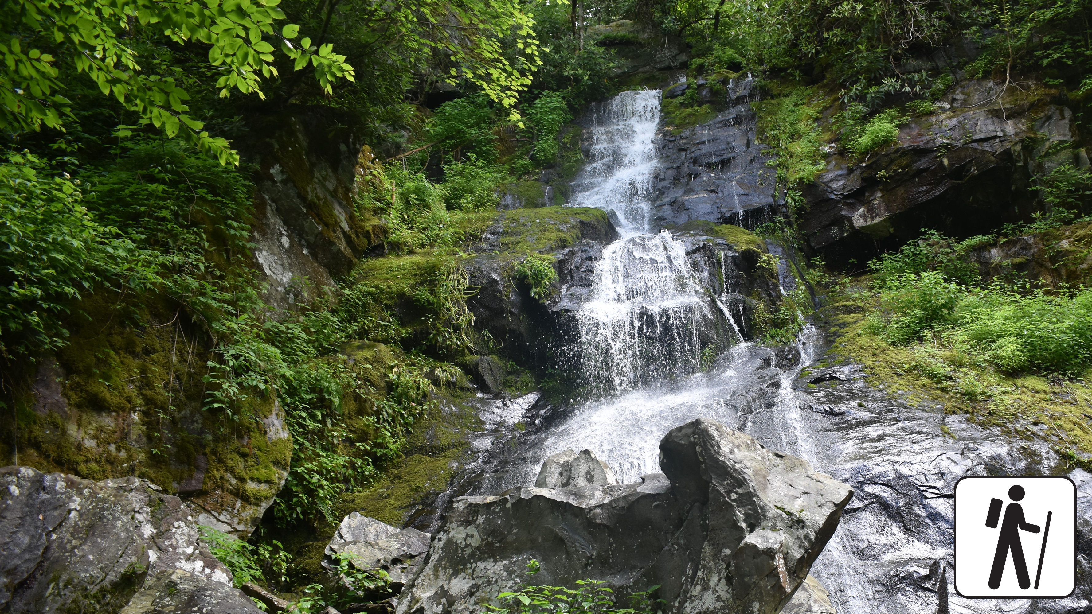
Juney Whank FallsAn 80-foot (24.4 m) cascade of small streams that converge as they flow under a log footbridge. 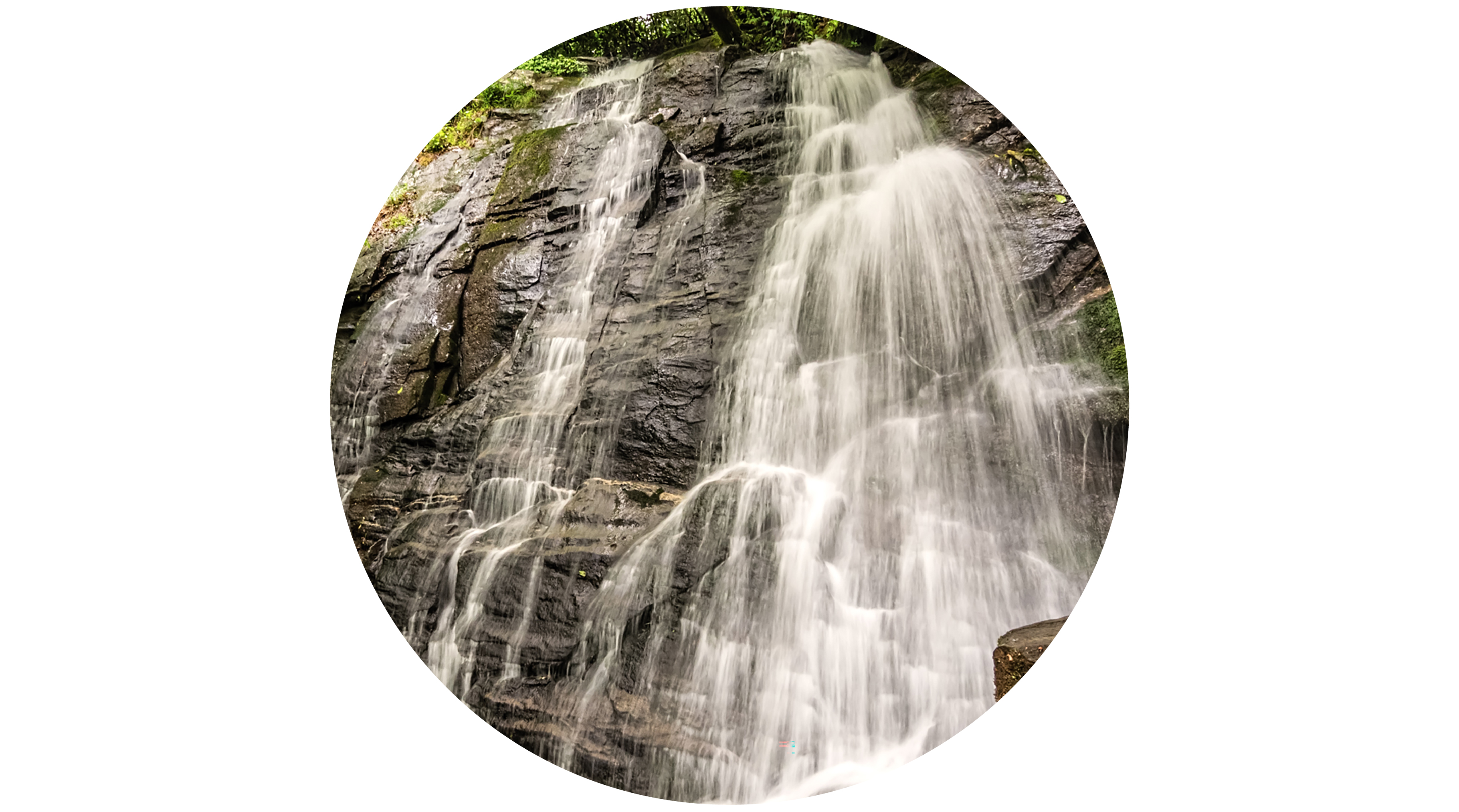
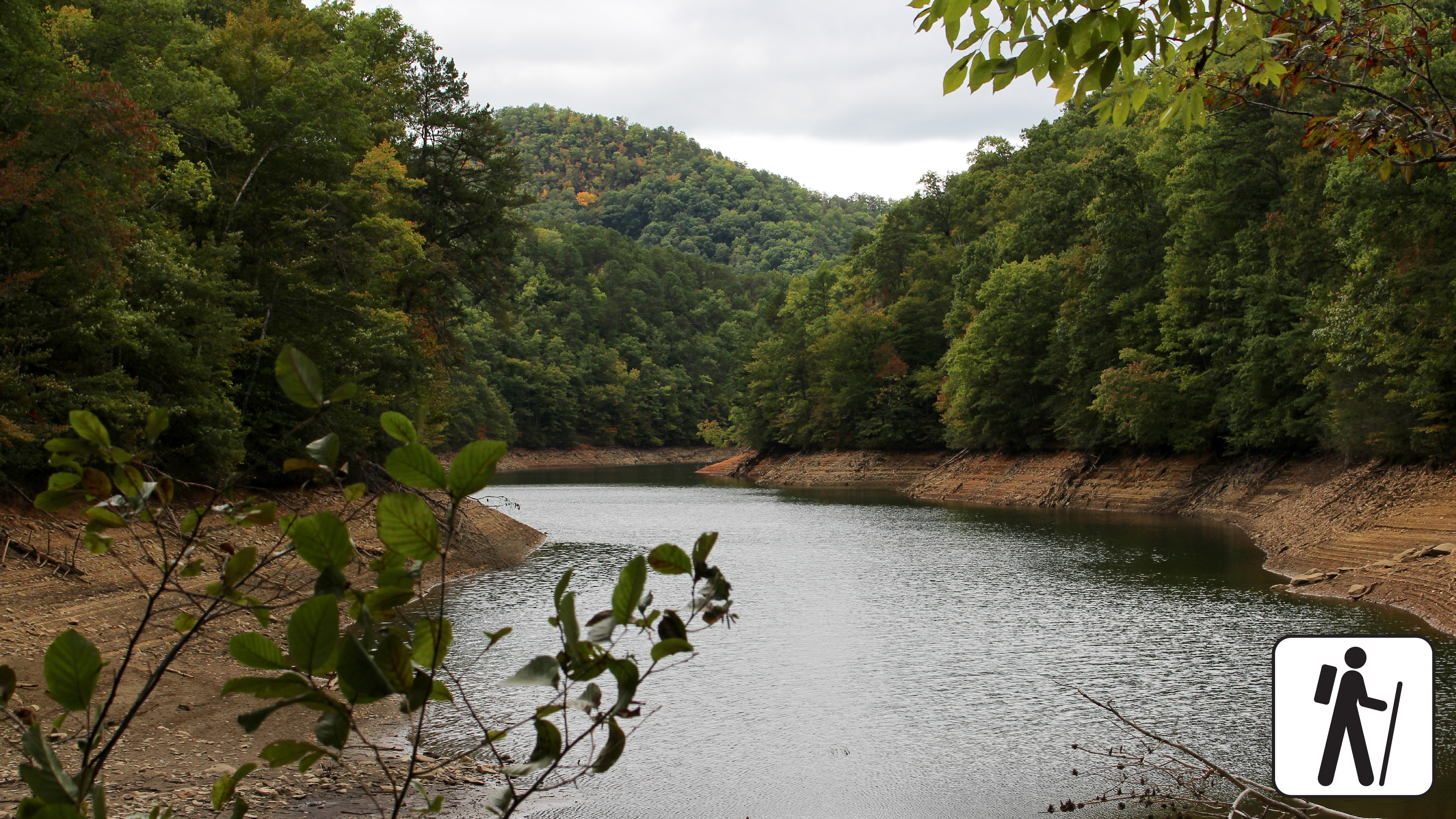
Lakeview Drive TunnelA 1,200-foot (366 m) tunnel at the end of Lakeview Drive that is permanently closed to motorized traffic but serves as a gateway to hiking trails, remote campsites, and more just north of Fontana Lake. 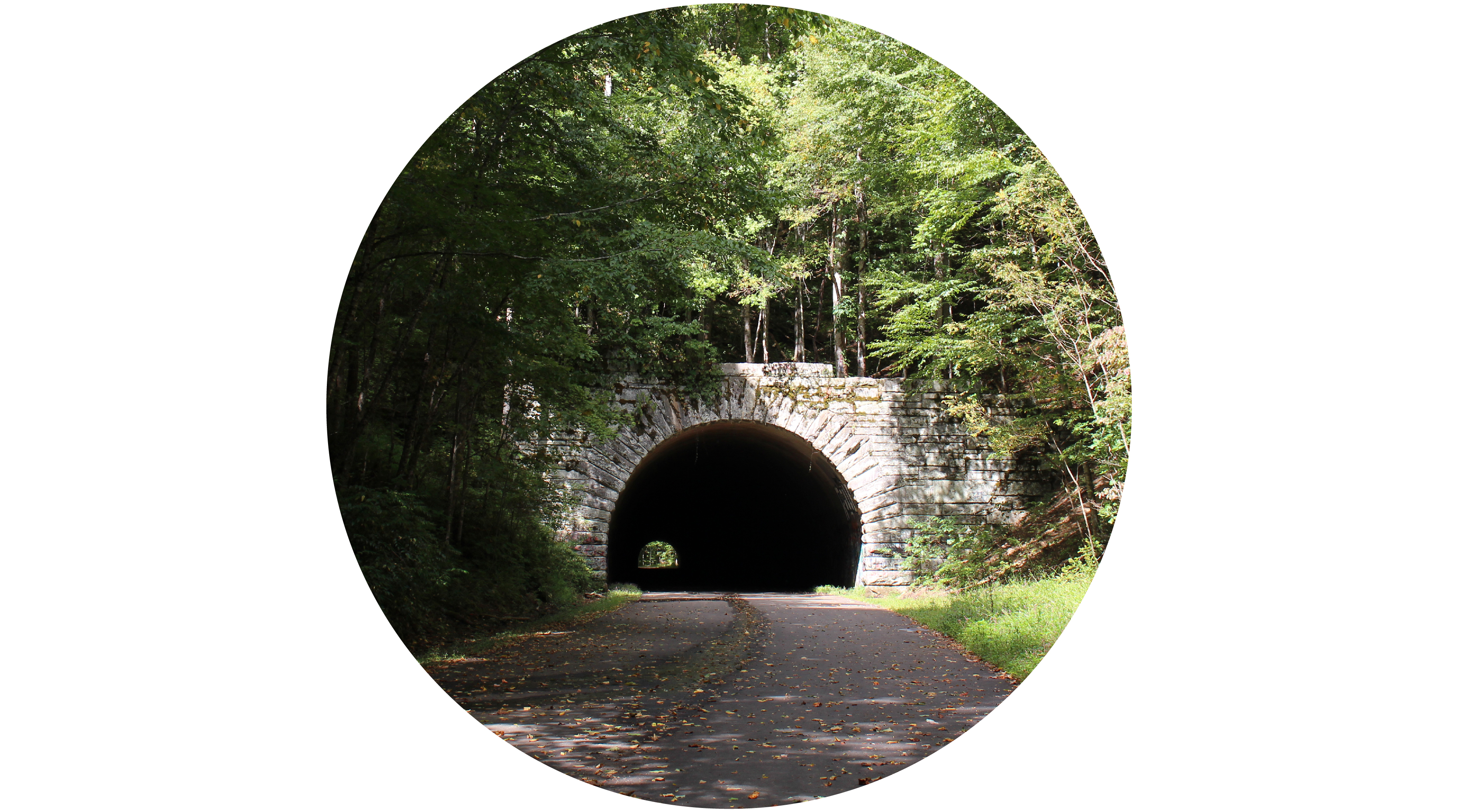
Laura Spelman Rockefeller Memorial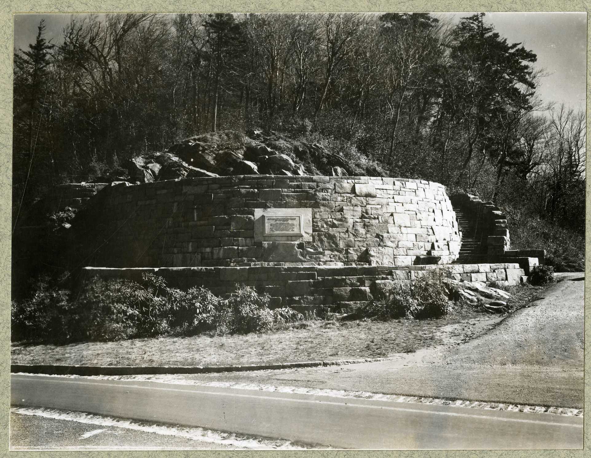
Laurel FallsA 25-foot (7.6 m) waterfall where Abrams Creek plunges over a rock ledge into a deep, picturesque pool.
LeConte LodgeA historic mountaintop lodge offering rustic overnight lodging and meals for hikers. 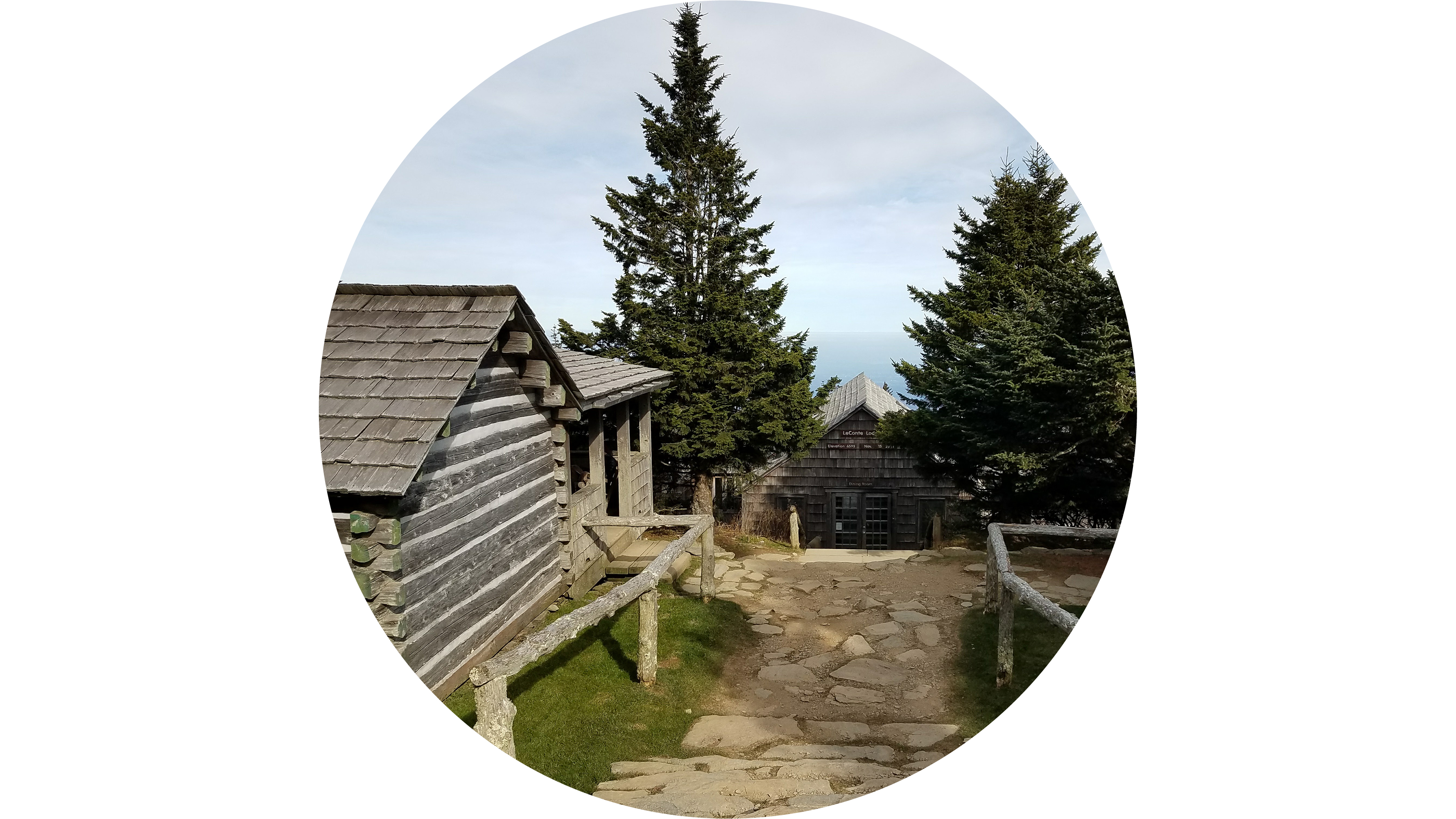
Little Greenbrier SchoolhouseA historic one-room schoolhouse built in 1881 for the Little Greenbrier community. 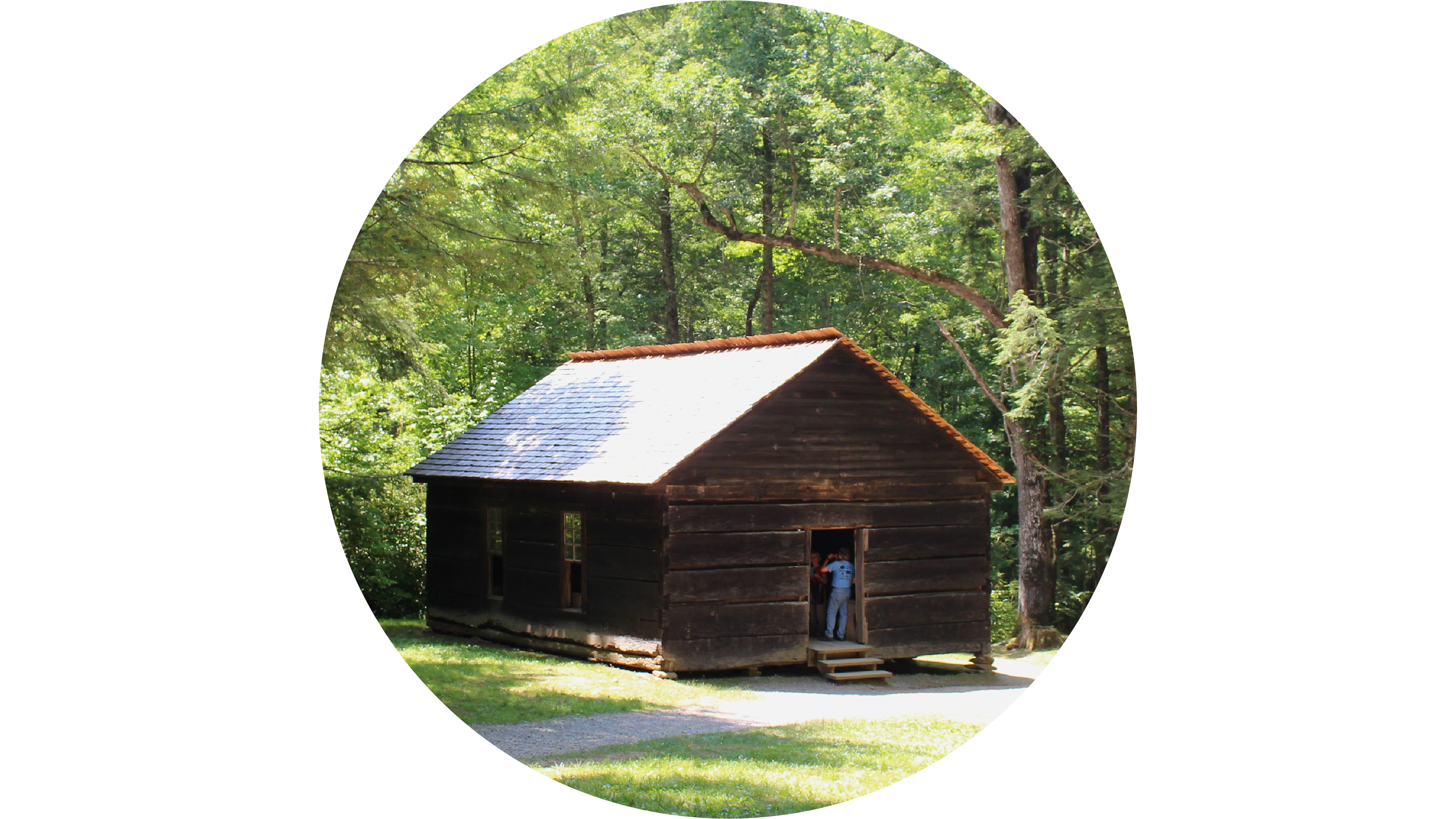
Look Rock Picnic AreaA 51-site daytime recreational area with tables and charcoal grills near the scenic Foothills Parkway. 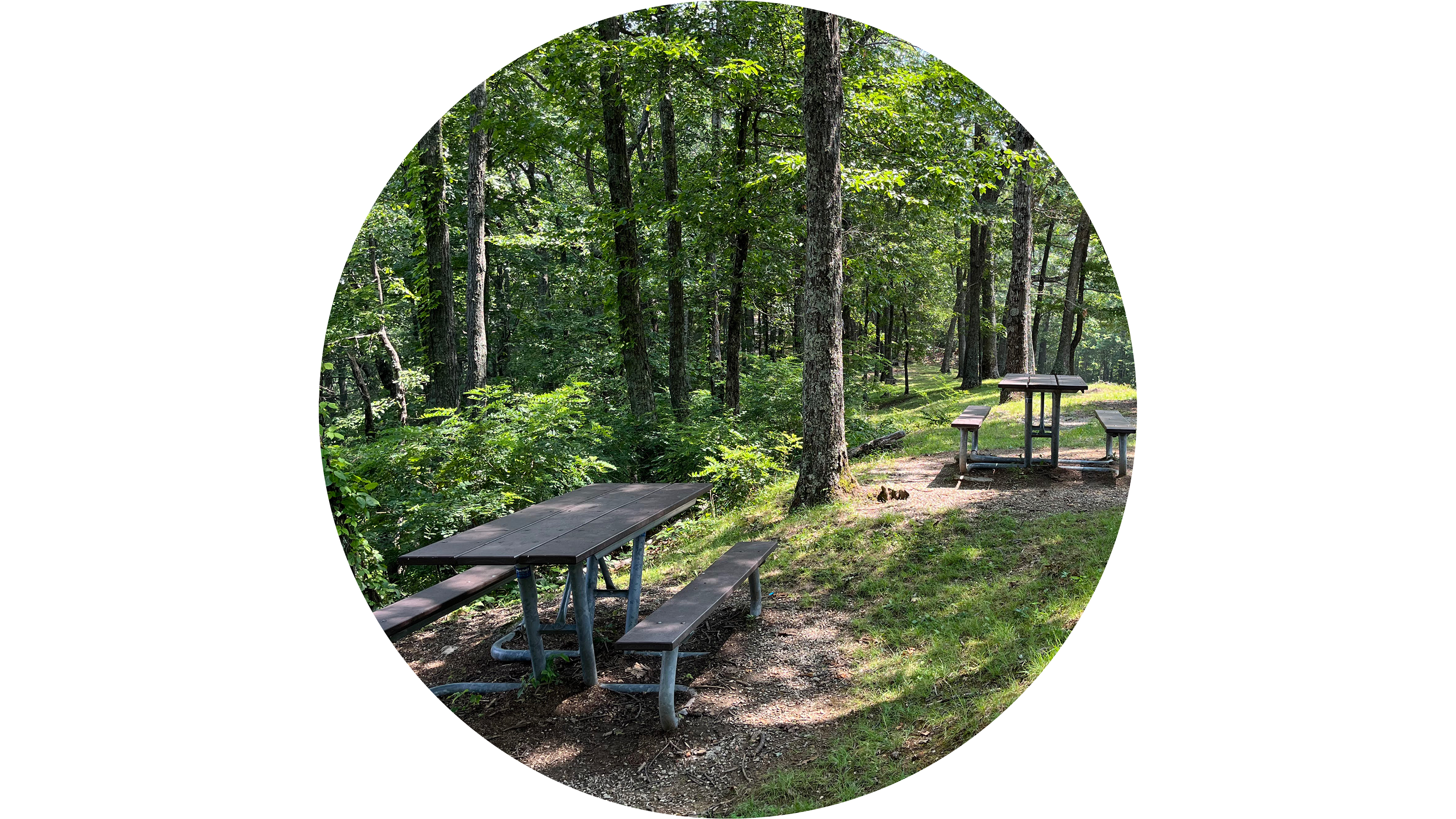
Lynn Camp Prong CascadesA series of rushing cascades and plunge pools along Middle Prong Trail. 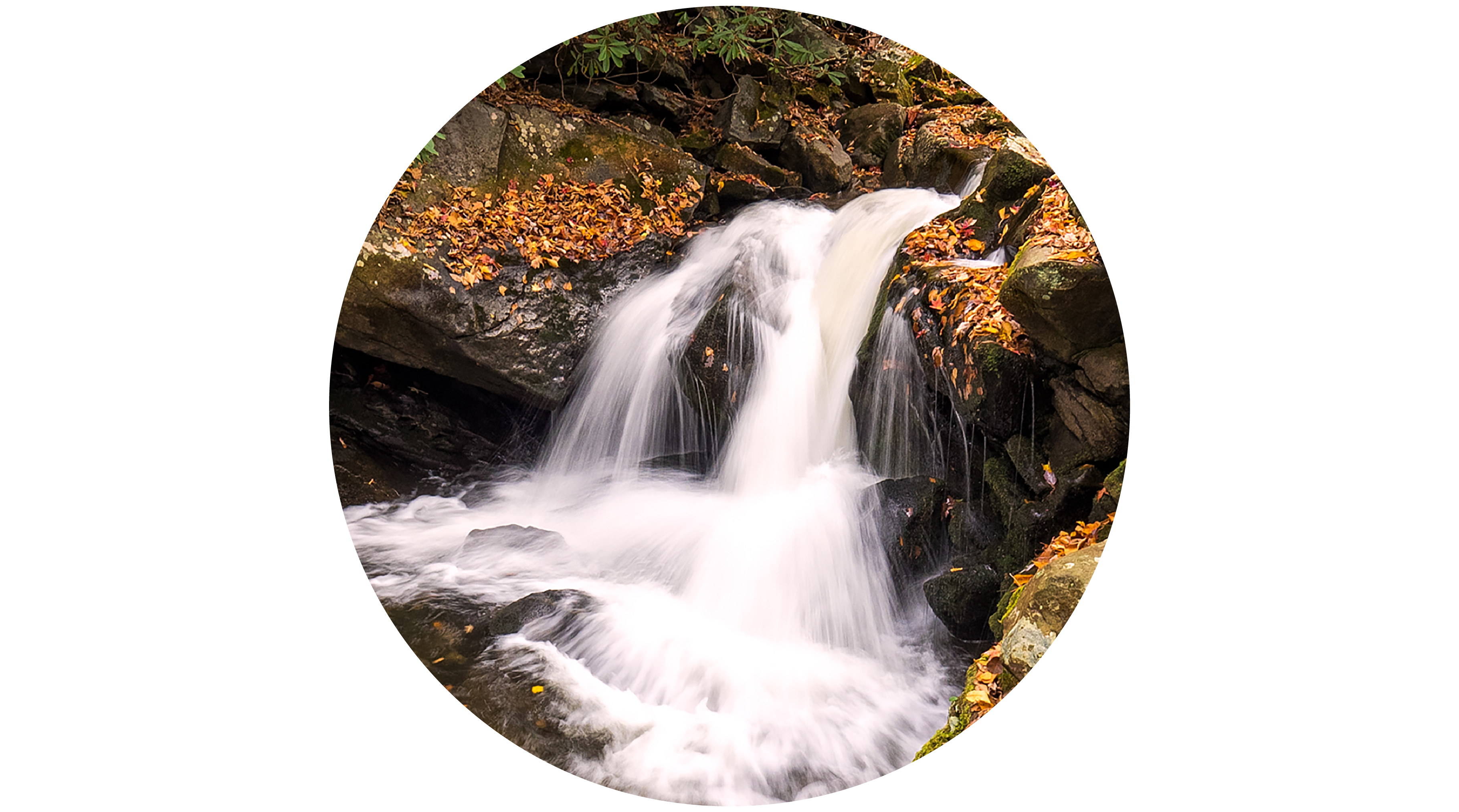
Meigs FallsAdmire a gorgeous waterfall from the comfort of your vehicle. Located along Little River Road, Meigs Falls features a spacious pull-out area for easy viewing. This makes it one of the most accessible waterfalls in the park. 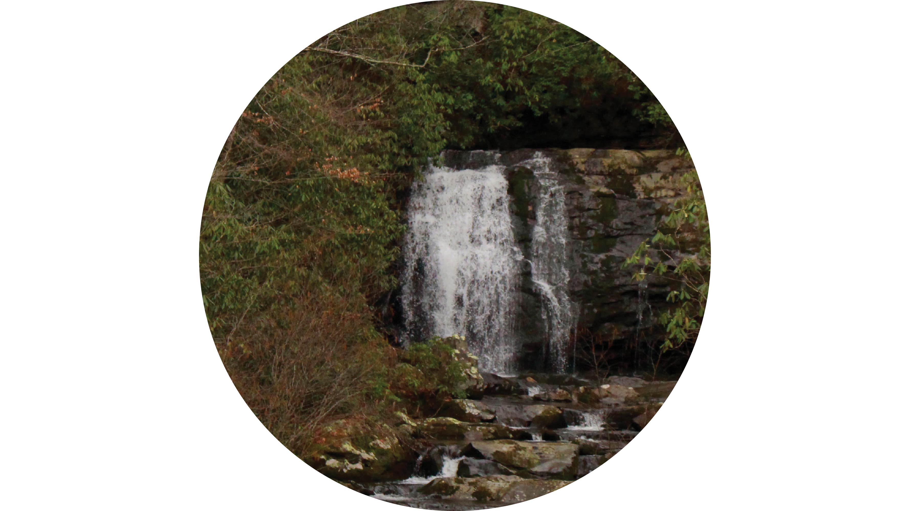
Metcalf Bottoms Picnic AreaA 122-site daytime recreational area with tables and charcoal grills on the banks of the Little River. 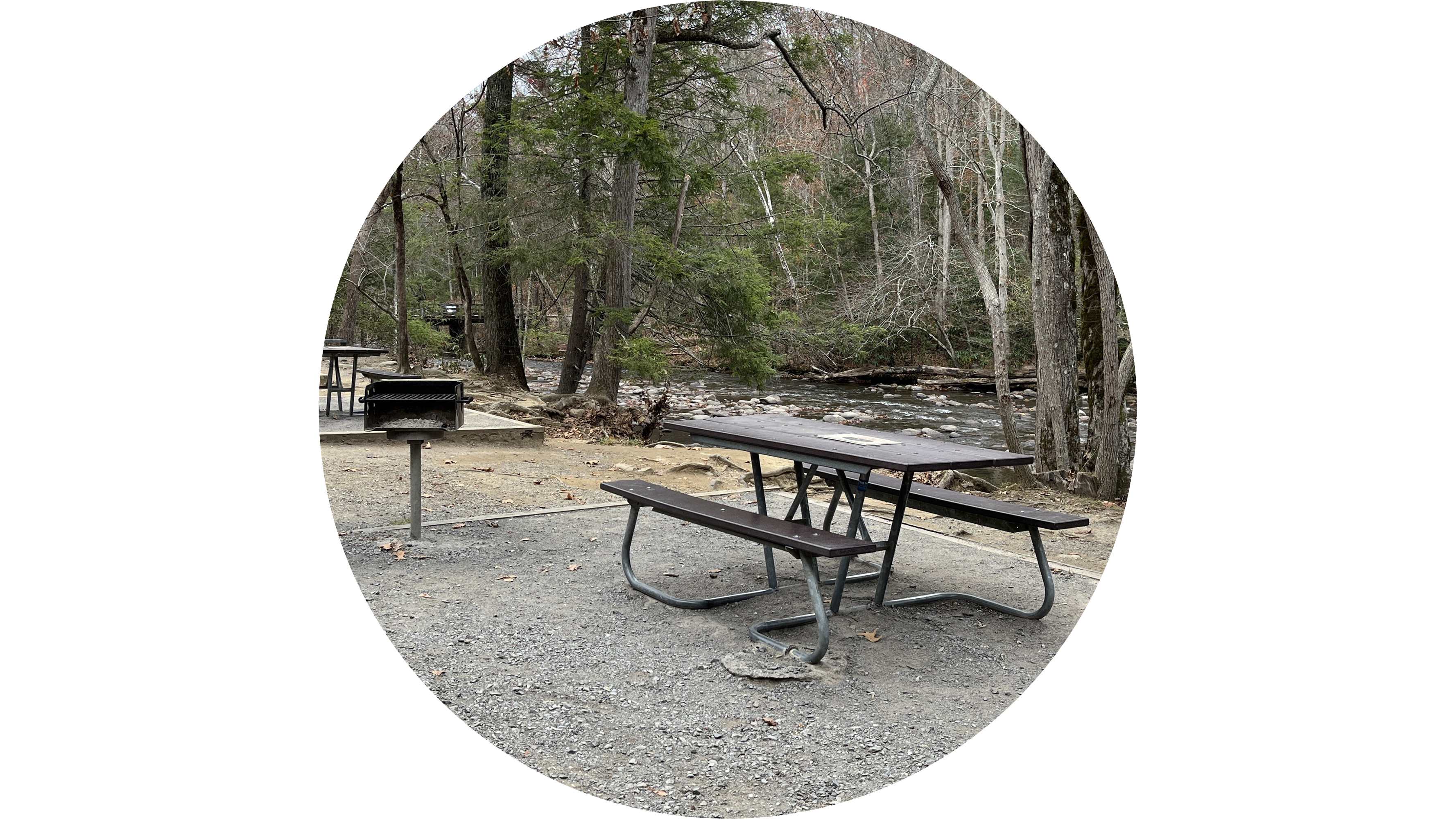
|
| Visitor Centers | Count: 4
Cades Cove Visitor Center
Kuwohi Visitor Center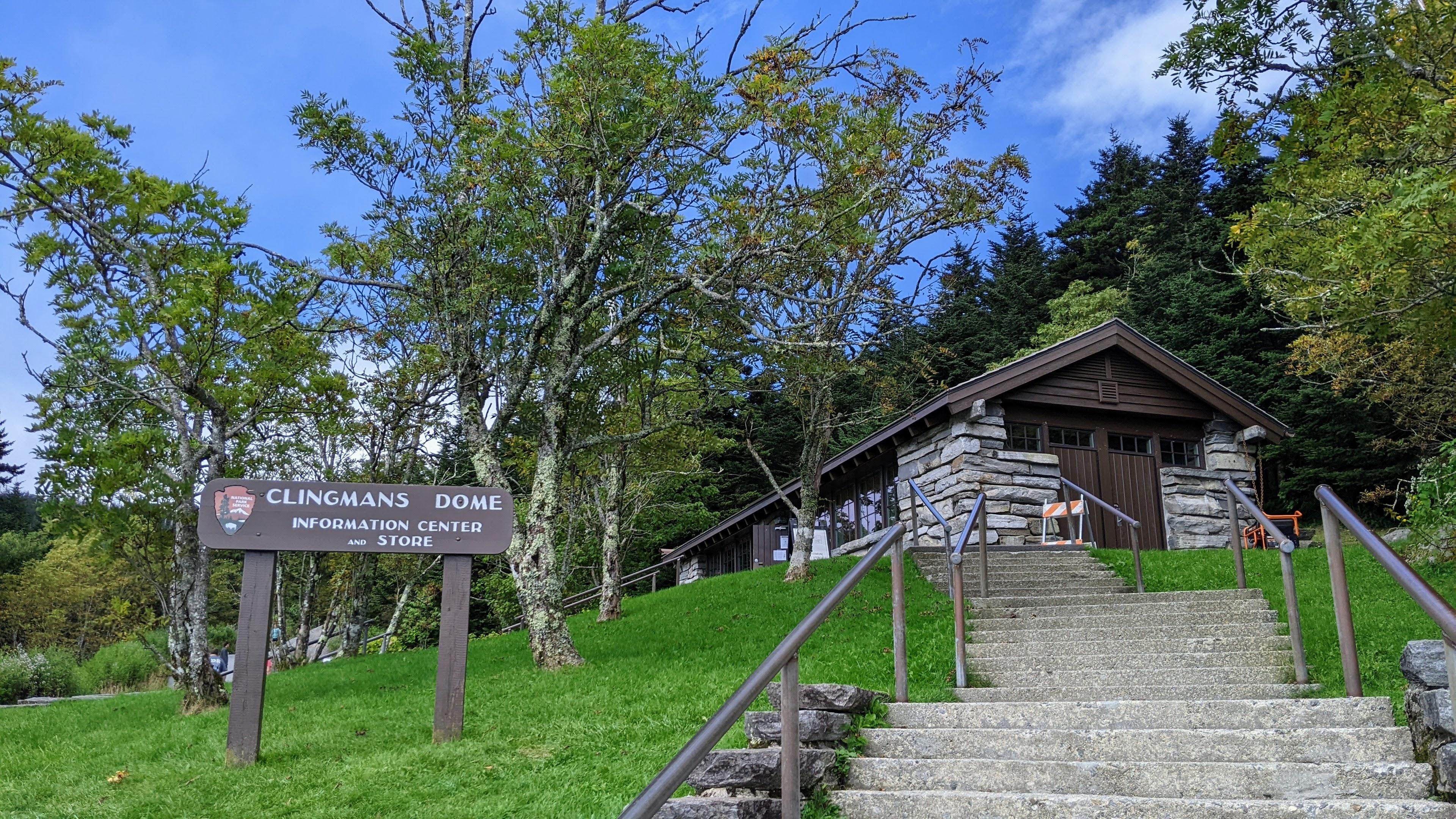
Oconaluftee Visitor Center
Sugarlands Visitor Center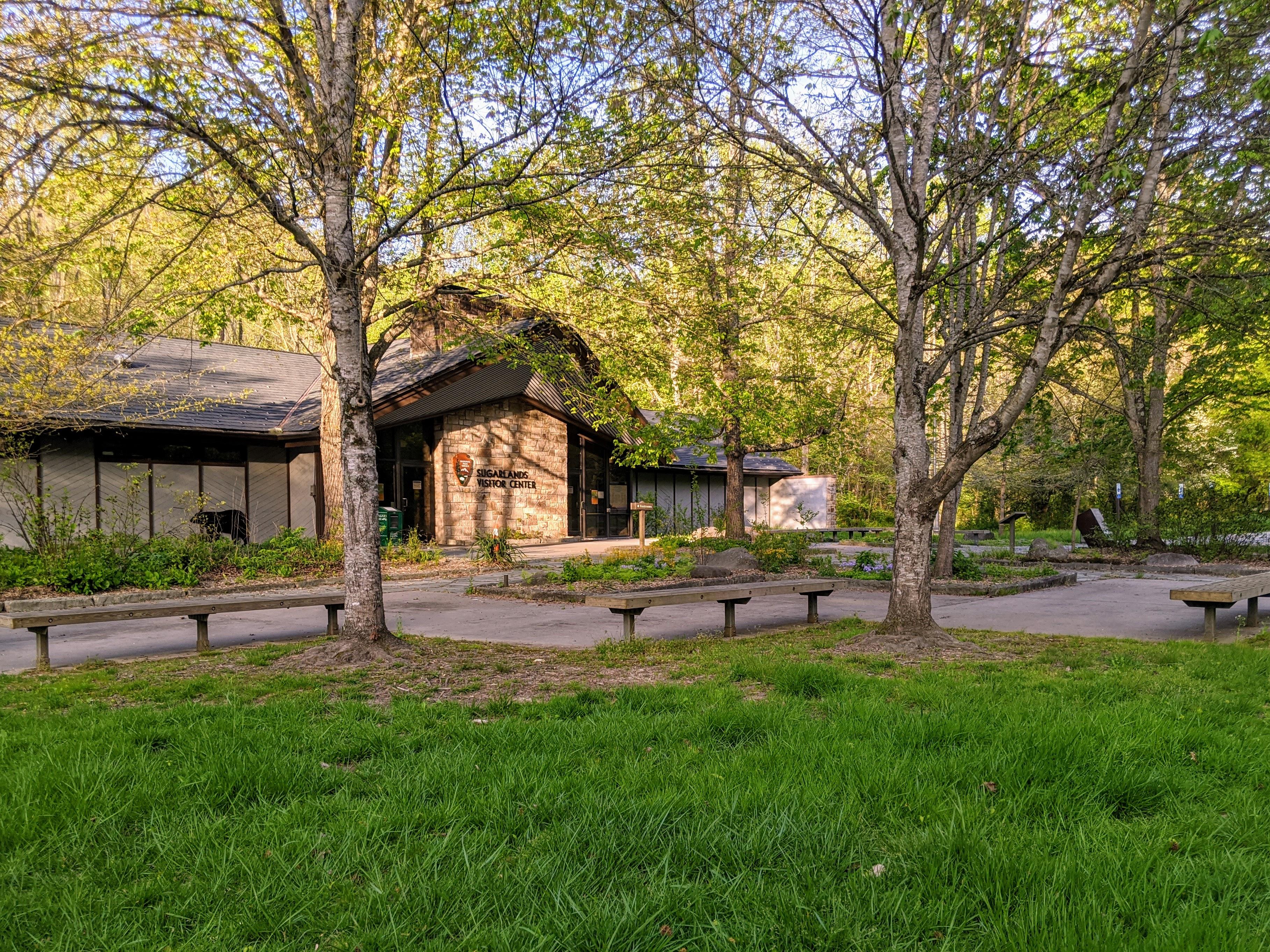
|
| Things to do | Count: 32


|
| Tours |
Count: 2
Cades Cove Places TourExplore Cades Cove as you drive the 11-mile loop road. Along the way, discover historic homesteads, churches, an active grist mill, and scenic vistas of the surrounding mountains. Elkmont Historic District TourBeginning in today's Elkmont Campground, this walking or driving tour will allow you to explore the rich history of the area that led to the birth of tourism within and the establishment of Great Smoky Mountains National Park. |
| Articles |
|