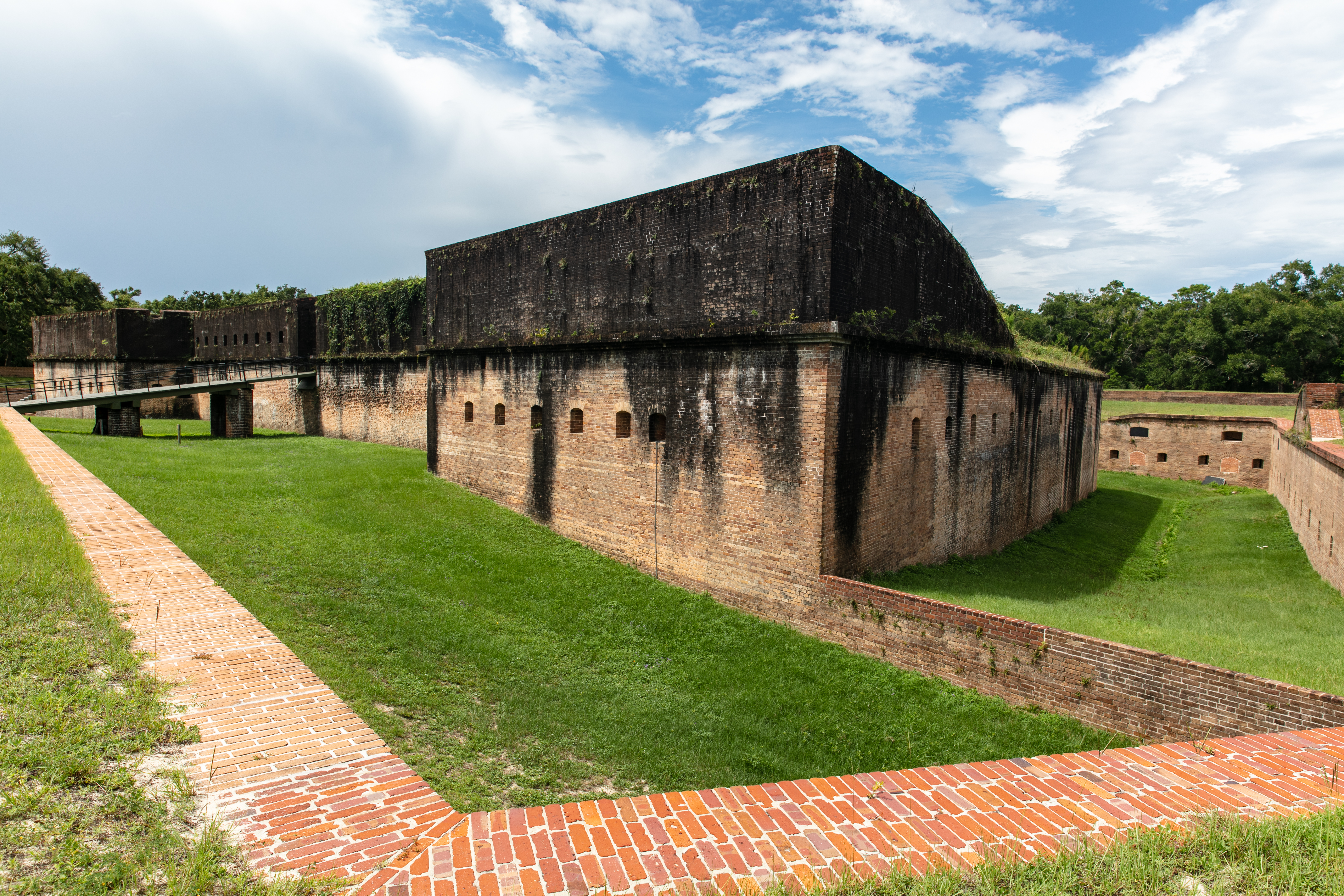
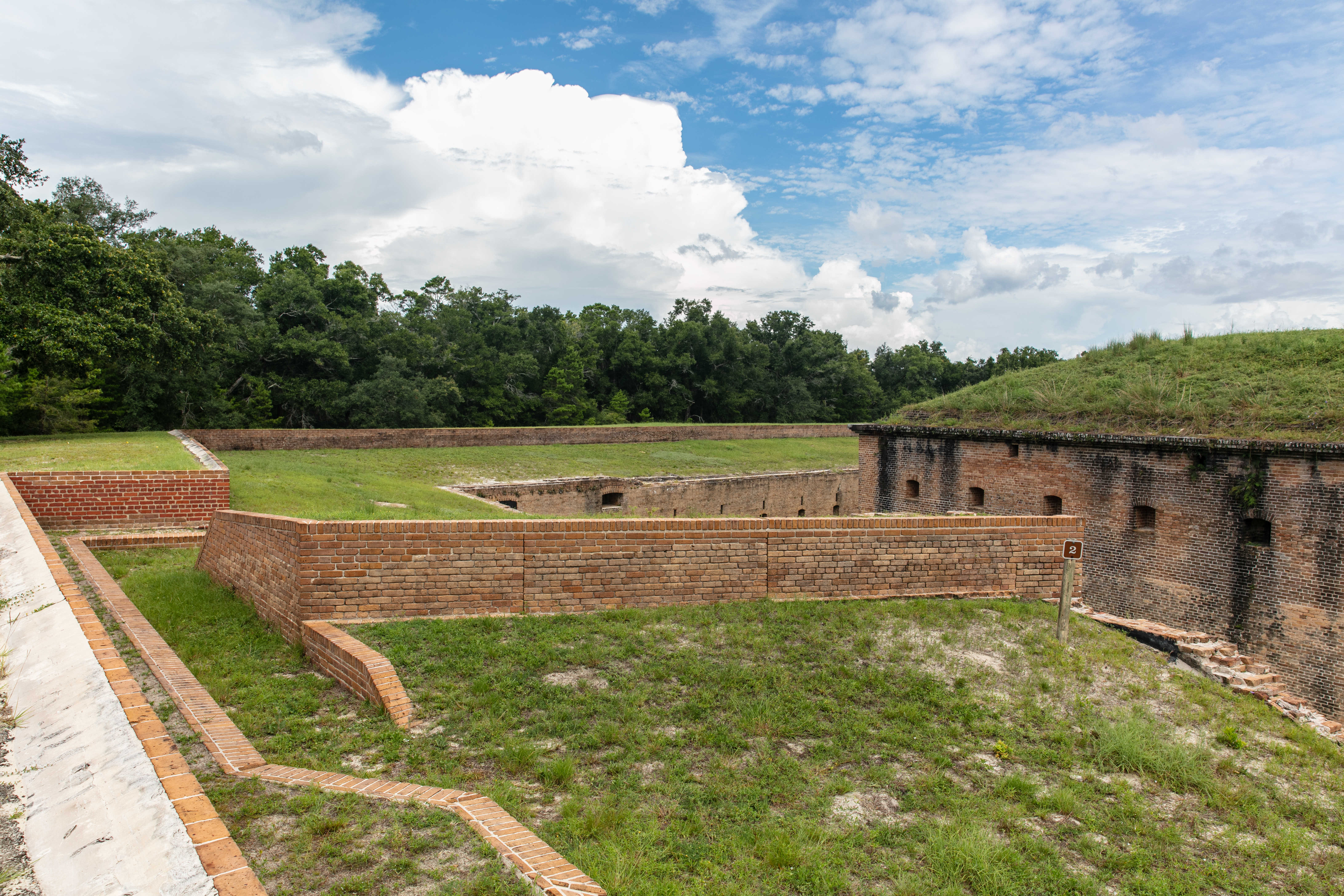
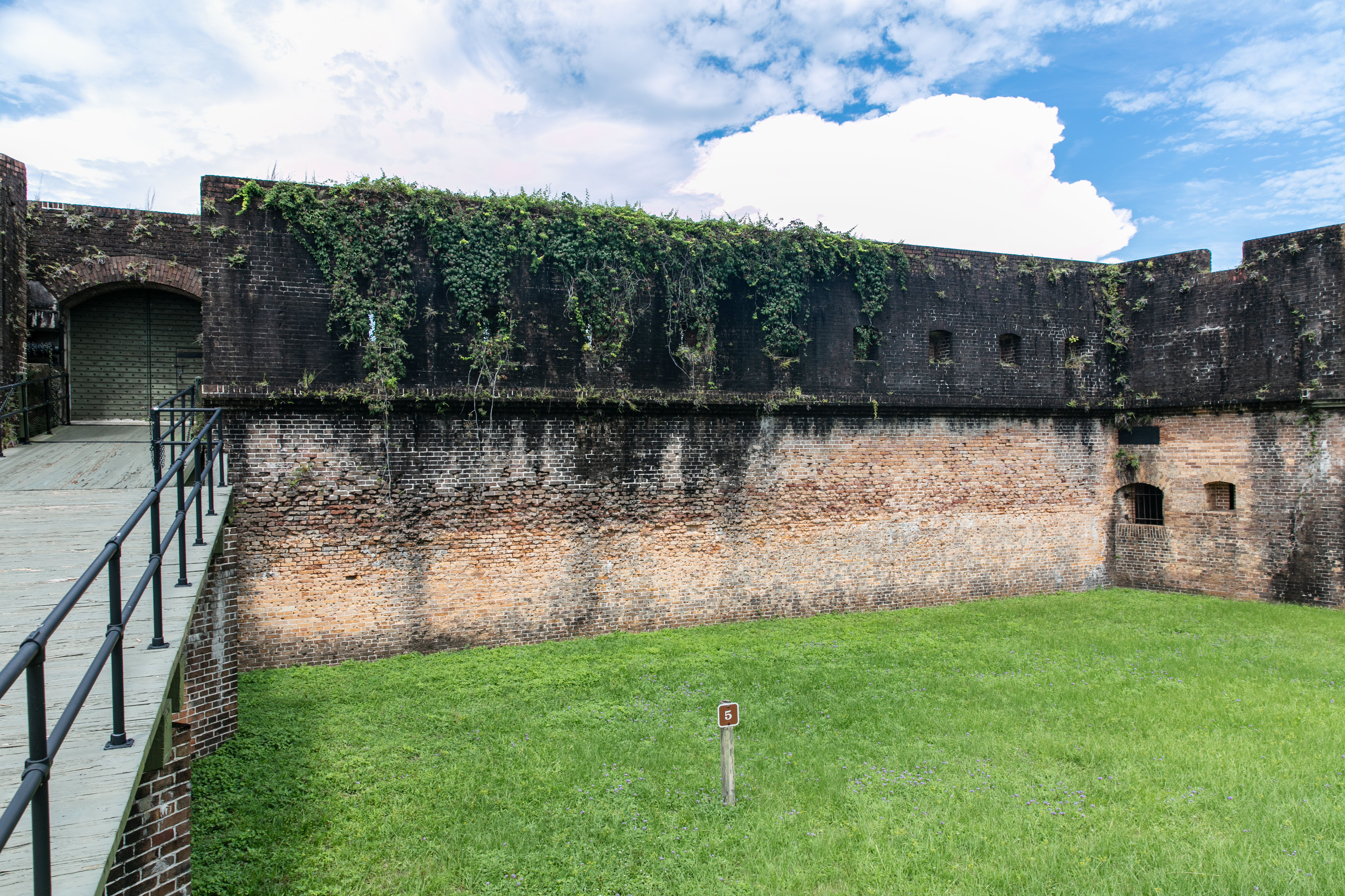
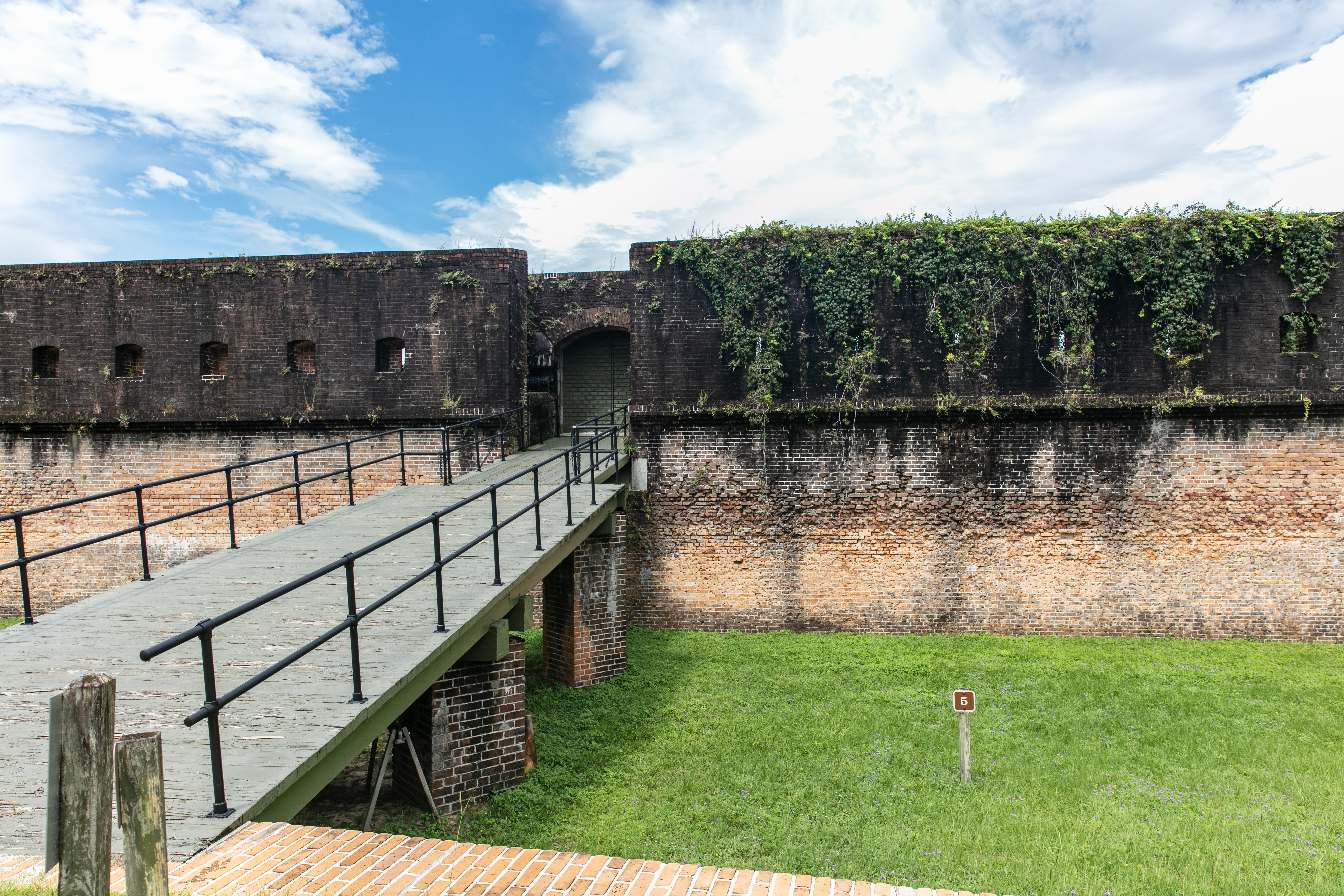
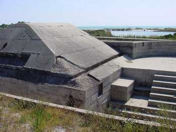
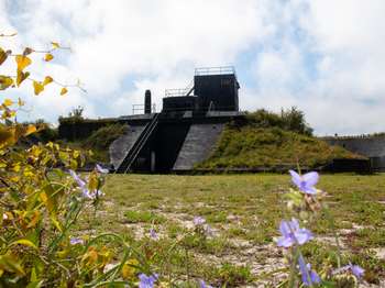
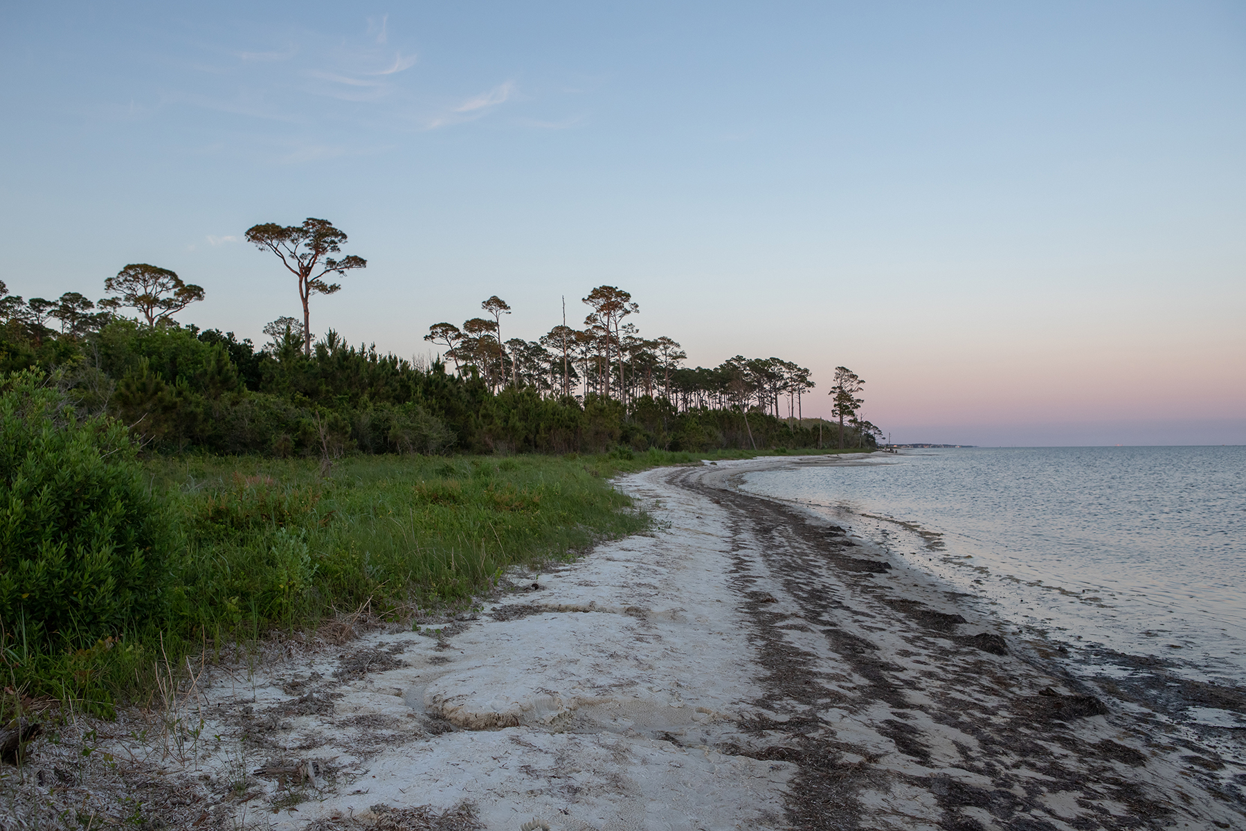
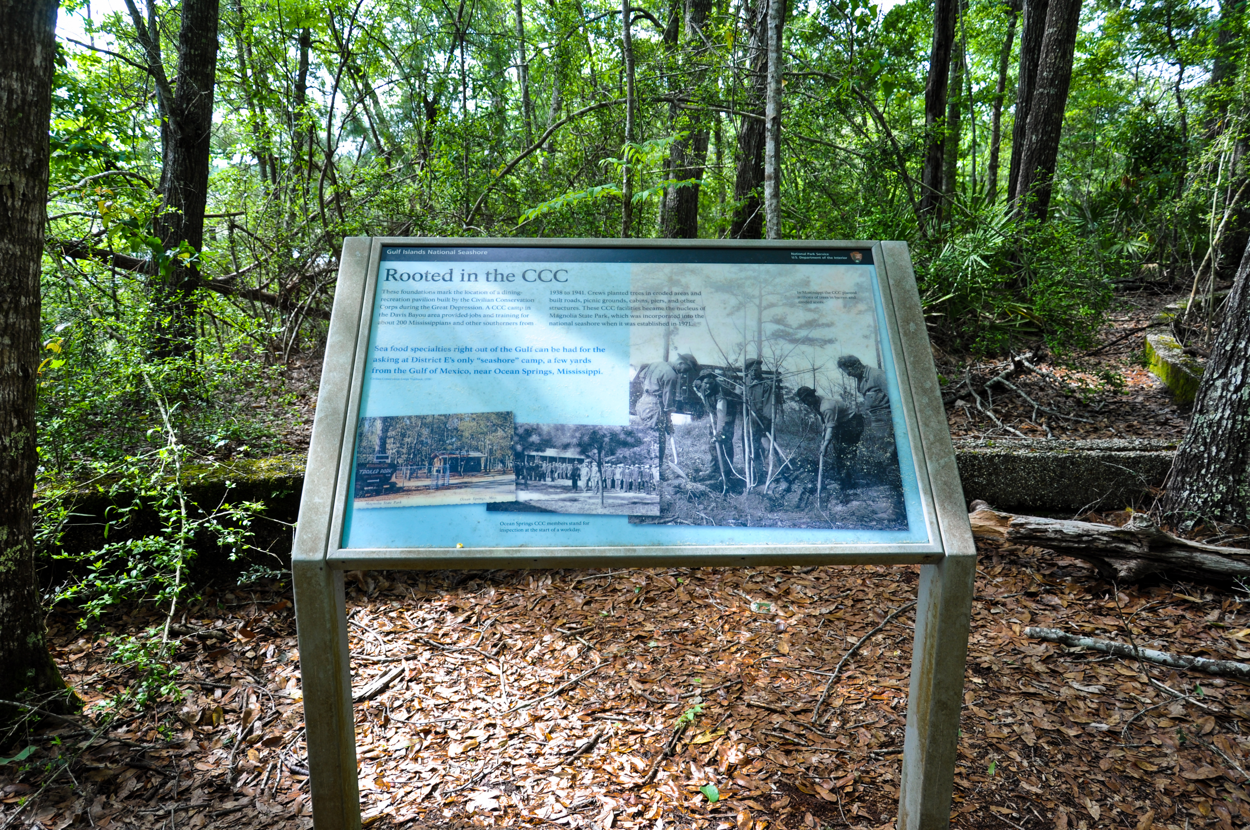
The Advanced Redoubt was built between 1845 and 1870 as a part of the Fort Barrancas network to protect the Pensacola Navy Yard. While the primary mission of Barrancas was to guard the harbor entrance, the redoubt's mission was to defend the north side of the peninsula from a land attack. The redoubt was the only Third System fort that did not defend the coast. View the exhibits on the south side of the redoubt and then walk along the Trench Trail-or drive-to Fort Barrancas
<h3> Taking the Fort</h3><br /><br />This fort could only be taken by means of a siege, or a military operation to surround and defeat an enemy. Weeks of trenching could bring cannon up to point-blank range to pound the walls with solid shot. Debris from the collapsing walls might fill the moat and give access to the fort's interior. A siege took a tremendous amount of time, equipment, and casualties. It might be broken at any time if reinforcements arrived at Advanced Redoubt.
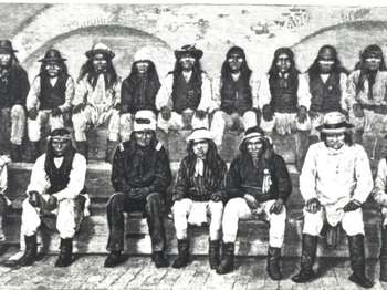
In 1886 the US Army exiled over 400 Apaches from the Southwest to Florida and sent most of them to Fort Marion in St. Augustine. Several Pensacola citizens, however, petitioned the government to imprison Geronimo, a medicine man and warrior, and 15 other Apache men at Fort Pickens instead, separating them from their families. Prisoners worked seven-hour days clearing overgrown weeds, planting grass, and stacking cannonballs. The families were reunited at Fort Pickens in 1887.
Gun crews performed a carefully choreographed ballet every time they loaded and fired an artillery piece. One slip-up in the teamwork could cause serious injuries or death. Crews practiced aiming at a target, opening the breech, loading and ramming the projectile into the barrel, inserting the primer charge, and firing-all in 30 seconds. After drilling again and again, the soldiers were given a little time to relax, occasionally even to go crabbing or fishing along the beach.<br />
Battery 234 and its twin, Battery 233 on Perdido Key, were designed to house 6-inch guns with curved shields from four to six inches thick cast-steel. The shields provided protection against machine gun and light artillery fire. Although the batteries received their shields and barbette carriages in 1946, the 6-inch guns were never received. The guns, shields, and barbette carriages present today were placed there in 1976 through the cooperation of the Smithsonian Institution
<a href="https://www.nps.gov/articles/battery-cooper.htm">Battery Cooper</a> was named for Lieutenant George Cooper who was killed in action at Mavitac, Philippine Islands, in 1900. Battery Cooper mounted two 6-inch guns on disappearing carriages. During World War I, the guns were removed for use on railway mounts in France. The Smithsonian Institution provided the current gun in 1976, one of two remaining 6-inch disappearing guns in the country.
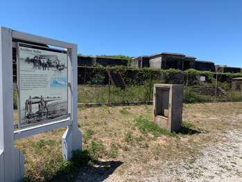
Originally built as one battery near historic Fort Pickens, Battery Cullum was built in 1896 to 1898 as one four-gun 10-inch batteries to defend the Gulf of Mexico. In 1916, the battery was divided for better fire control, the west end becoming Battery Sevier.
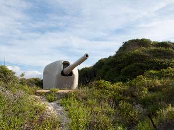
Hidden beneath this vegetation is Battery Langdon, is Fort Pickens' most powerful gun emplacement. Its role to camouflage two 12-inch guns capable of projecting 17 miles out to sea in 1923.
<a href="https://www.nps.gov/articles/battery-payne.htm">Battery Payne</a> was named for US Army 1st Lieutenant Matthew M. Payne of Virginia who served in both the War of 1812 and US-Mexican War (1846-1848). Constructed in 1904, Battery Payne had a similar mission as Battery Trueman.
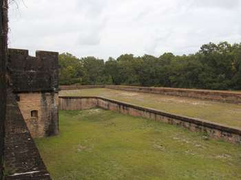
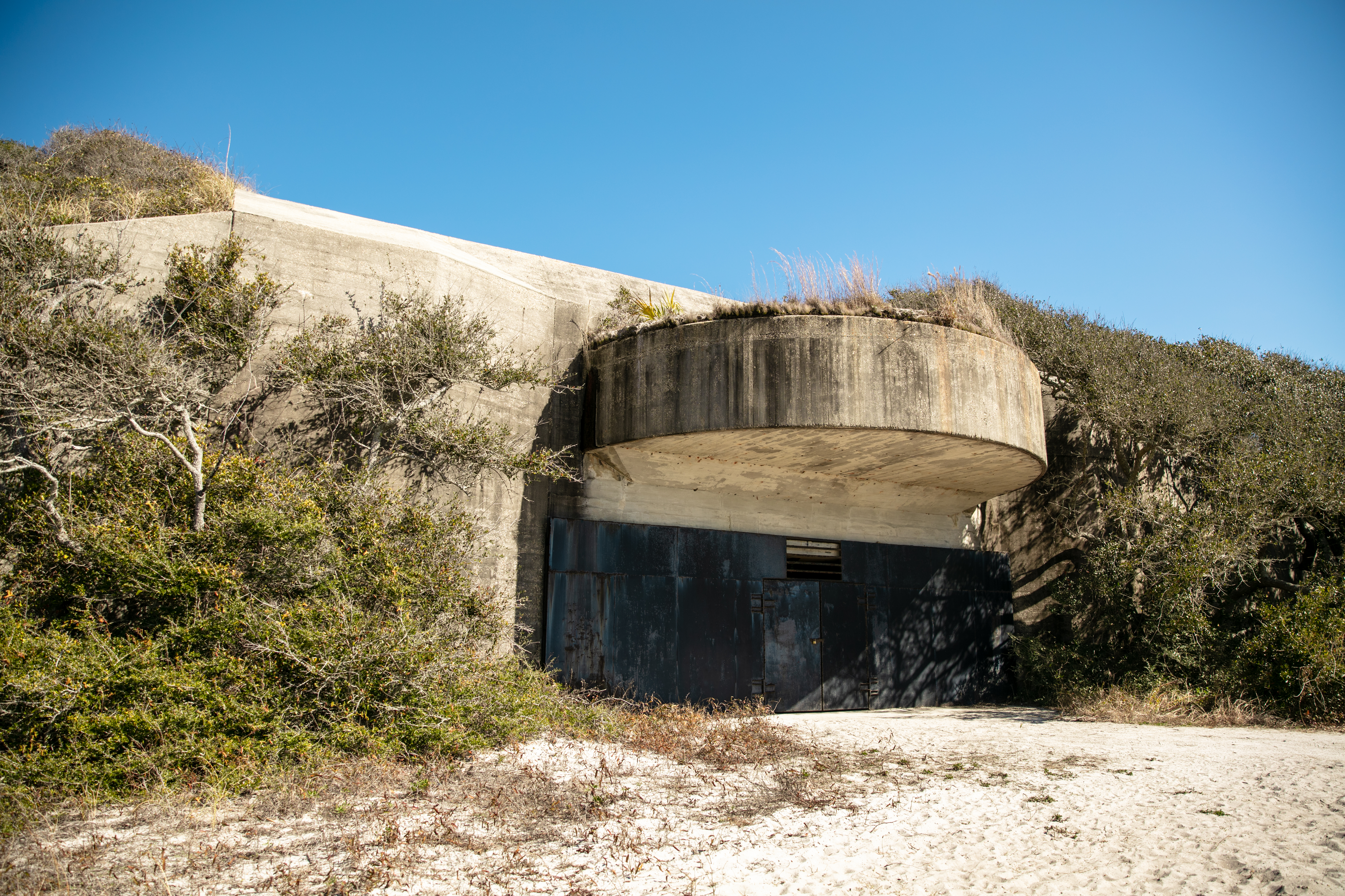
Battery Pensacola, located in the center of Fort Pickens, illustrates the evolution of coastal defenses from brick and stone fortifications to modern reinforced concrete. Completed in 1899, Battery Pensacola mounted two 12-inch rifles on disappearing carriages capable of firing 1,070-pound shells approximately eight miles. The battery was declared surplus in 1933. Its guns were removed in 1934 and its carriages sold for scrap in 1942.
<a href="https://www.nps.gov/articles/battery-trueman.htm">Battery Trueman</a> was named for Major Alexander Trueman of Maryland who died of wounds received in action in 1792. Built in 1905 on the western end of the island north of the harbor entrance, the battery mounted two 3-inch rapid-fire guns designed to defend the bay entrance against fast torpedo boats and minesweepers.
<a href="https://www.nps.gov/articles/battery-van-swearingen.htm">Battery Van Swearingen</a> was named for Captain Joseph Van Swearingen who was killed in action against the Seminoles at the battle of Okee-cho-bee. The threat of war with Spain prompted the immediate construction of this battery in 1898. Two 4.7-inch guns were mounted on pedestal carriages. By 1917 the guns were obsolete and dismounted. In 1922 the battery was given a new mission to serve as a Range Finder Station for the 3-inch rapid-fire batteries.
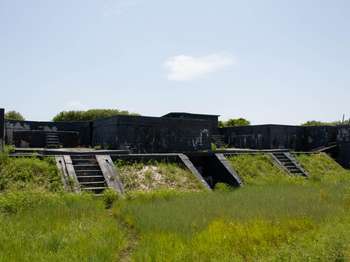
<a href="https://www.nps.gov/articles/battery-worth.htm">Battery Worth</a> was named in honor of Brevet Major General William J. Worth who fought with distinction in the War of 1812 and US-Mexican War (1846-1848). Completed in 1899, Battery Worth housed eight 12-inch mortars in two gun pits. Four of the mortars were active until 1942. That year, the two-story tower was added, and the battery became essential for Army-Navy defense, becoming the Harbor Entrance Control Post and the Harbor Defense Command Post.
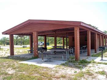
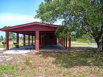
This pavilion has ample parking, restrooms, charcoal grills, and beach showers as well as easy access to sound-side beaches for swimming and wading. This pavilion is first-come, first-served.<br /><br />Park in designated spaces only. Camping or overnight parking in this area is not permitted. <a href="https://www.nps.gov/guis/planyourvisit/pets.htm">Pets</a> on leash are allowed in this area, but may not be taken down to the beach.
This picnic spot on the sound side of the Fort Pickens Area, features several picnic tables under shade trees. The Florida National Scenic Trail, Battery Worth, and picnic pavilions with restrooms and drinking water are nearby.
This pavilion has ample parking, restrooms, charcoal grills, and beach showers as well as easy access to sound-side beaches for swimming and wading. This pavilion may be reserved by visiting our <a href="https://www.nps.gov/guis/planyourvisit/permits.htm">website</a> , please make reservations at least two weeks in advance.<br /><br />Park in designated spaces only. Camping or overnight parking in this area is not permitted. <a href="https://www.nps.gov/guis/planyourvisit/pets.htm">Pets</a> on leash are allowed in this area, but may not be taken down to the beach.
This beach access point is located on the Gulf-side of Fort Pickens, Florida. The boardwalk leads away from the parking area through patchy dune grasses to provide access to Langdon Beach. This beach is great for activities such as swimming, wildlife viewing, fishing, beach-combing and more. Limited parking is available across the street at the Tram Stop 2 lot.
Beach conditions: 850-932-7873Emergencies: 911This beach access point is located on the Gulf-side and provides access for swimming, wading, fishing, beach-combing and more. There is very limited parking at this access point, do not park in the campground. There are no restrooms, beach showers, or water fountains at this access point.The Dune Nature Trail begins at this beach access point. Please stay off of the dunes and out of shorebird enclosures. Camping and overnight park
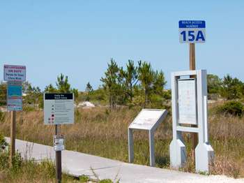
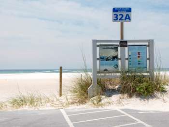
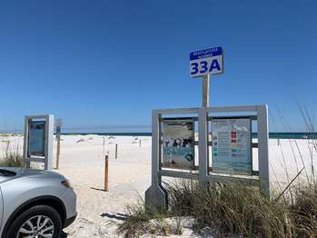
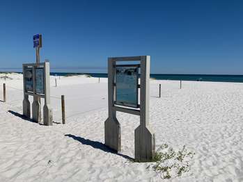
The second beach access on the Gulf-side you come across after entering the Fort Pickens Area in Florida. This area consists of the westernmost eight miles of Santa Rosa Island. This beach is great for activities such as swimming, wildlife viewing, fishing, beach-combing and more. Limited parking is available at this access point vehicles only, no RVs or campers. Please stay off of the dunes and out of shorebird enclosures.
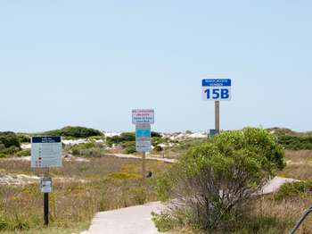
The first beach access on the Gulf-side you come across after entering the Fort Pickens Area in Florida. This area consists of the westernmost eight miles of Santa Rosa Island. This beach is great for activities such as swimming, wildlife viewing, fishing, beach-combing and more. Limited parking is available at this access point vehicles only, no RVs or campers. Please stay off of the dunes and out of shorebird enclosures.
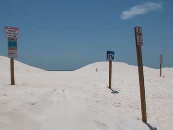
Beach conditions: 850-932-7873Emergencies: 911This beach access point is located on the Gulf-side and provides access for swimming, wading, fishing, beach-combing and more. Park in designated spaces only, roadside parking is not permitted. There are no restrooms, beach showers, or water fountains at this access point.Please stay off of the dunes and out of shorebird enclosures. Camping and overnight parking is not permitted. Pets, glass, and driving are not permitted on beach
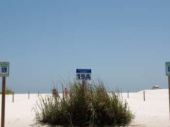
Beach conditions: 850-932-7873<br />Emergencies: 911<br /><br />This beach access point is located on the Gulf-side and provides access for swimming, wading, fishing, beach-combing and more. Park in designated spaces only, roadside parking is not permitted. There are no restrooms, beach showers, or water fountains at this access point.<br /><br />Please stay off of the dunes and out of shorebird enclosures. Camping and overnight parking is not permitted. Pets, glass, and driving are not permitted on beach.<br /><br /> <b>Marine Debris Kills</b> Many animals including birds and turtles die when they become entangled in nets and fishing lines or ingest plastic trash.<br /><br /> <b>Rip Currents Kill</b> Rip currents commonly form after storms. If you are caught in a rip current, stay calm. Do not try to swim against the current. Swim right or left to escape the flow.<br /><br /> <b>Beach Safety</b> In just a few minutes a wonderful day at the beach can turn into a disaster. Visit our <a href="https://www.nps.gov/guis/planyourvisit/safety.htm">Safety web page</a> for more information.<br /><br /> <a href="https://myescambia.com/pensacola-beach/pensacola-beach-lifeguards"> <b>Beach Safety Flags</b> </a> <br />Two Red Flags: Water Closed to Public Highly dangerous surf and/or strong currents. <br />Single Red Flag: High Hazard. High surf and/or strong currents. <br />Yellow Flag: Medium Hazard. Moderate surf and/or currents. <br />Green Flag: Low Hazard. Calm conditions, exercise caution.<br />Purple Flag: Dangerous Marine Life. Stinging organisms or sharks.
Beach conditions: 850-932-7873Emergencies: 911This beach access point is located on the Gulf-side and provides access for swimming, wading, fishing, beach-combing and more. Park in designated spaces only, roadside parking is not permitted. There are no restrooms, beach showers, or water fountains at this access point.Please stay off of the dunes and out of shorebird enclosures. Camping and overnight parking is not permitted. Pets, glass, and driving are not permitted on beach
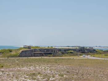
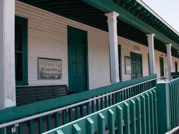
This building was new when this photo was taken around 1900. These wooden buildings were built between 1900 and 1910 to support the Coast Artillery Corps whose job was coastal defense. This building was used at different times as a guardhouse with quarters for three sergeants, a mess and kitchen, and lastly as an administration building for the 13th Coast Artillery in 1945.<br /><br />The U.S. military used this end of Santa Rosa Island for over 100 years. Fort Pickens, the first of four forts built to protect Pensacola Bay, has an unusual history. Union forces still held the fort during the Civil War in the 1860s even though Florida was a Confederate state. Because artillery technology changed, the U.S. Army later made big changes to Fort Pickens and built reinforced concrete batteries on the island starting in 1894.
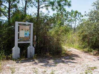
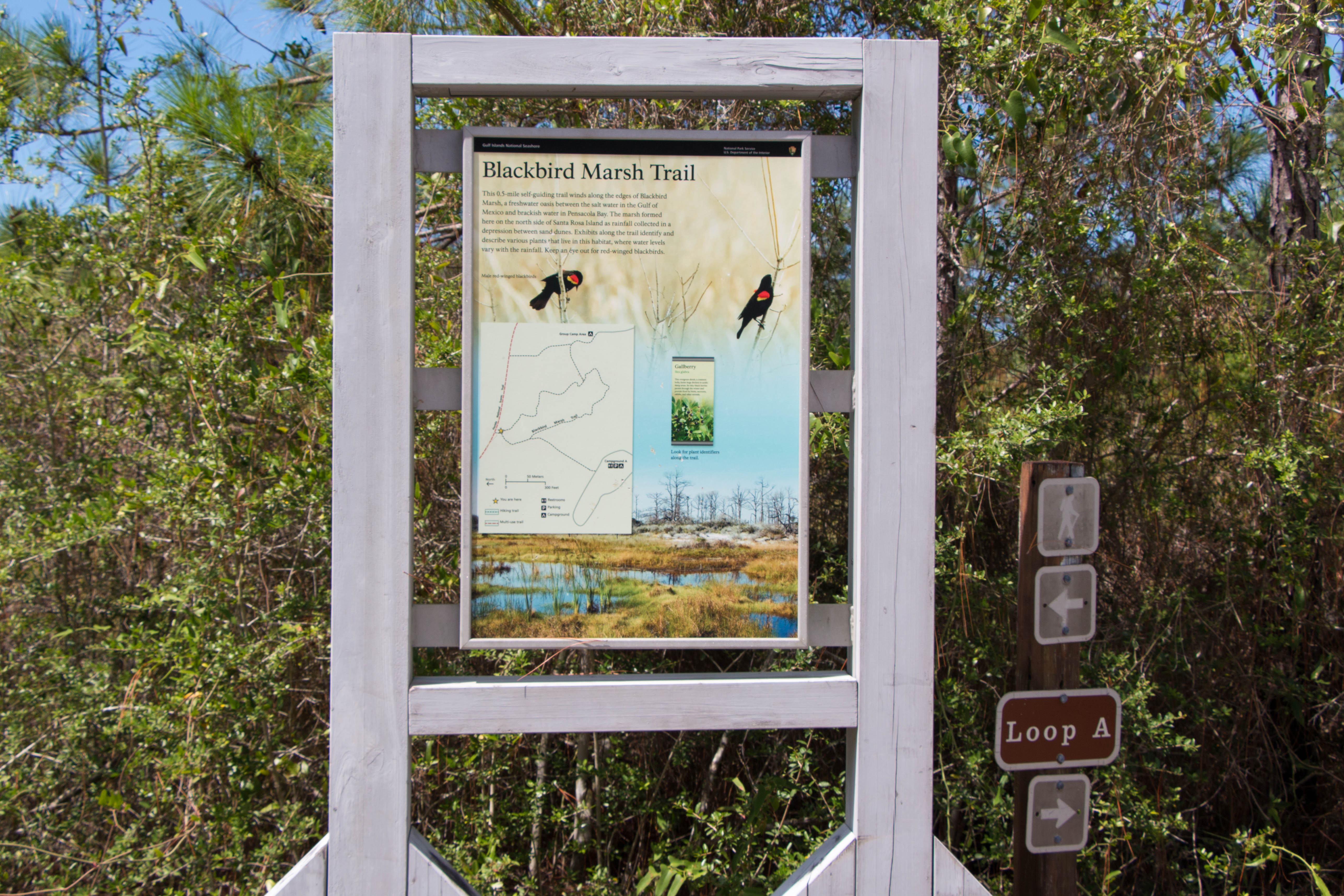
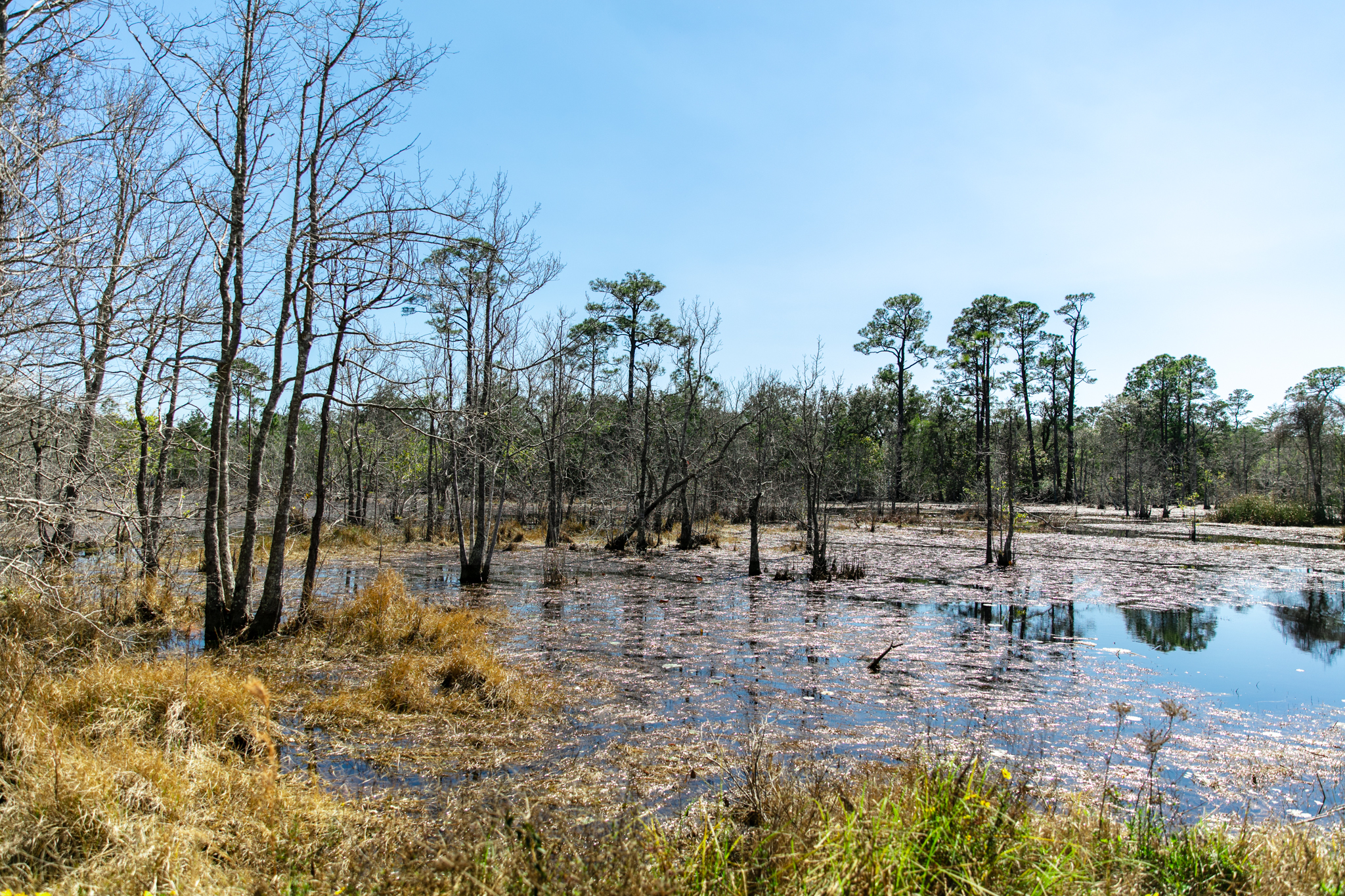
At this point, you can turn left or right to begin the 0.5-mile self-guiding trail winds along the edges of Blackbird Marsh. Exhibits along the trail identify and describe various plants that live in this habitat, are are listed in counterclockwise order in this app's self-guiding tour.
At this point, you can turn left or right to begin the 0.5-mile self-guiding trail winds along the edges of Blackbird Marsh. Exhibits along the trail identify and describe various plants that live in this habitat, are are listed in counterclockwise order in this app's self-guiding tour.
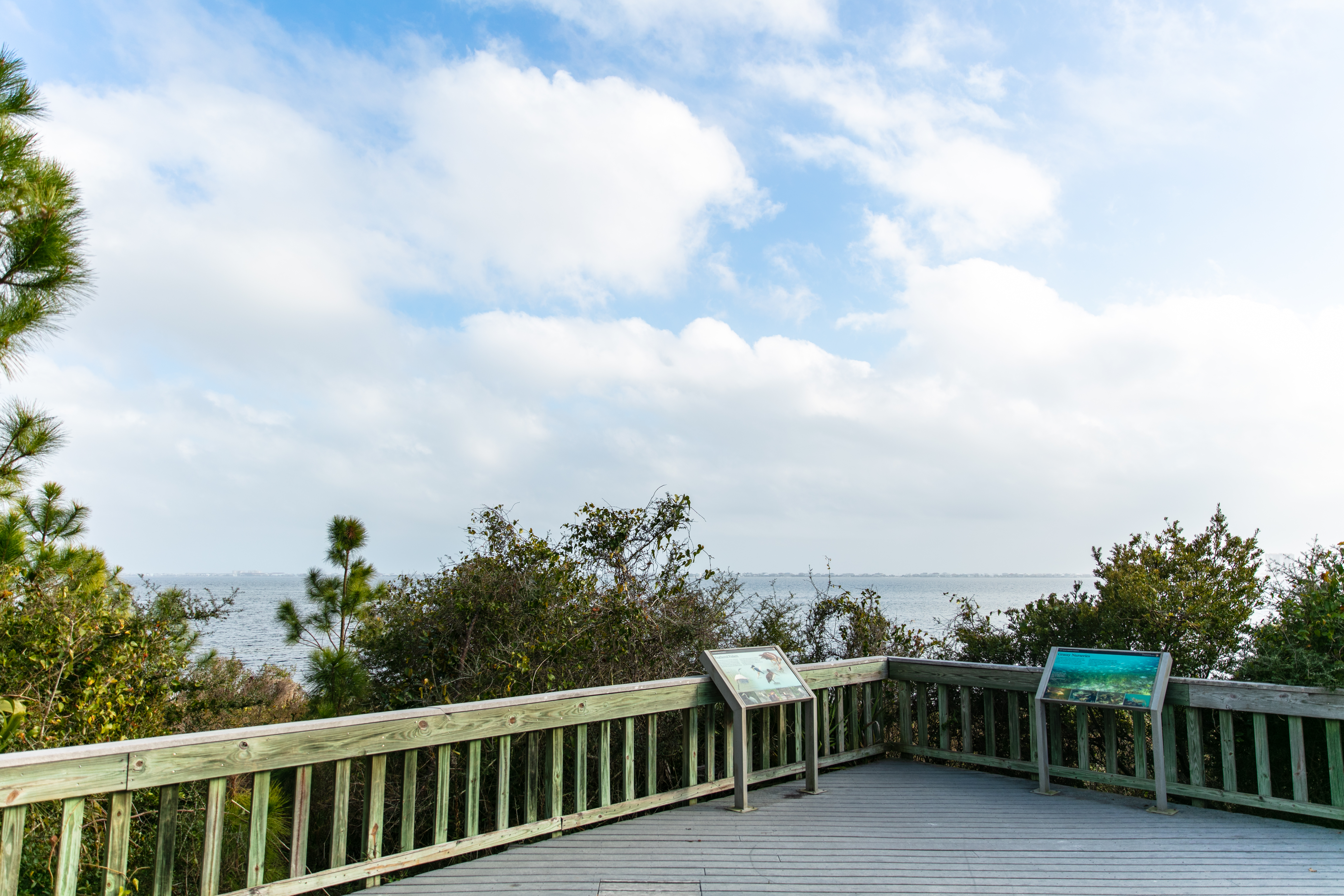
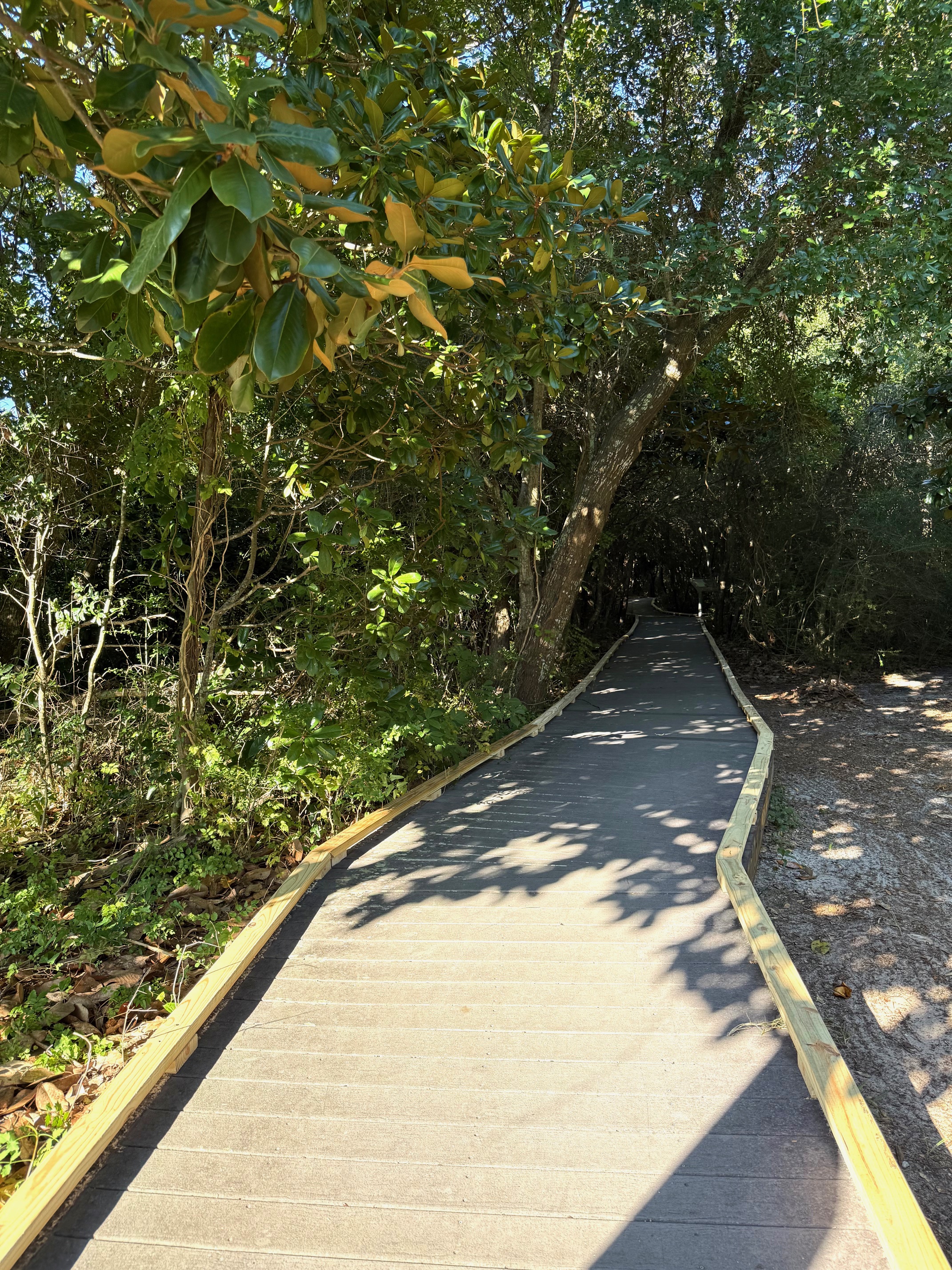
A fully accessible 0.3 mile boardwalk loop with interpretive exhibits. This boardwalk trail also provides access to the full Brackenridge Loop Trail (additional 0.5 mile) which is not fully accessible.
Visitors can depart the fully accessible boardwalk trail and venture out onto the 0.5-mile Brackenridge Loop Trail (not fully accessible). This loop trail connects with the Fishing Trail and an observation point.
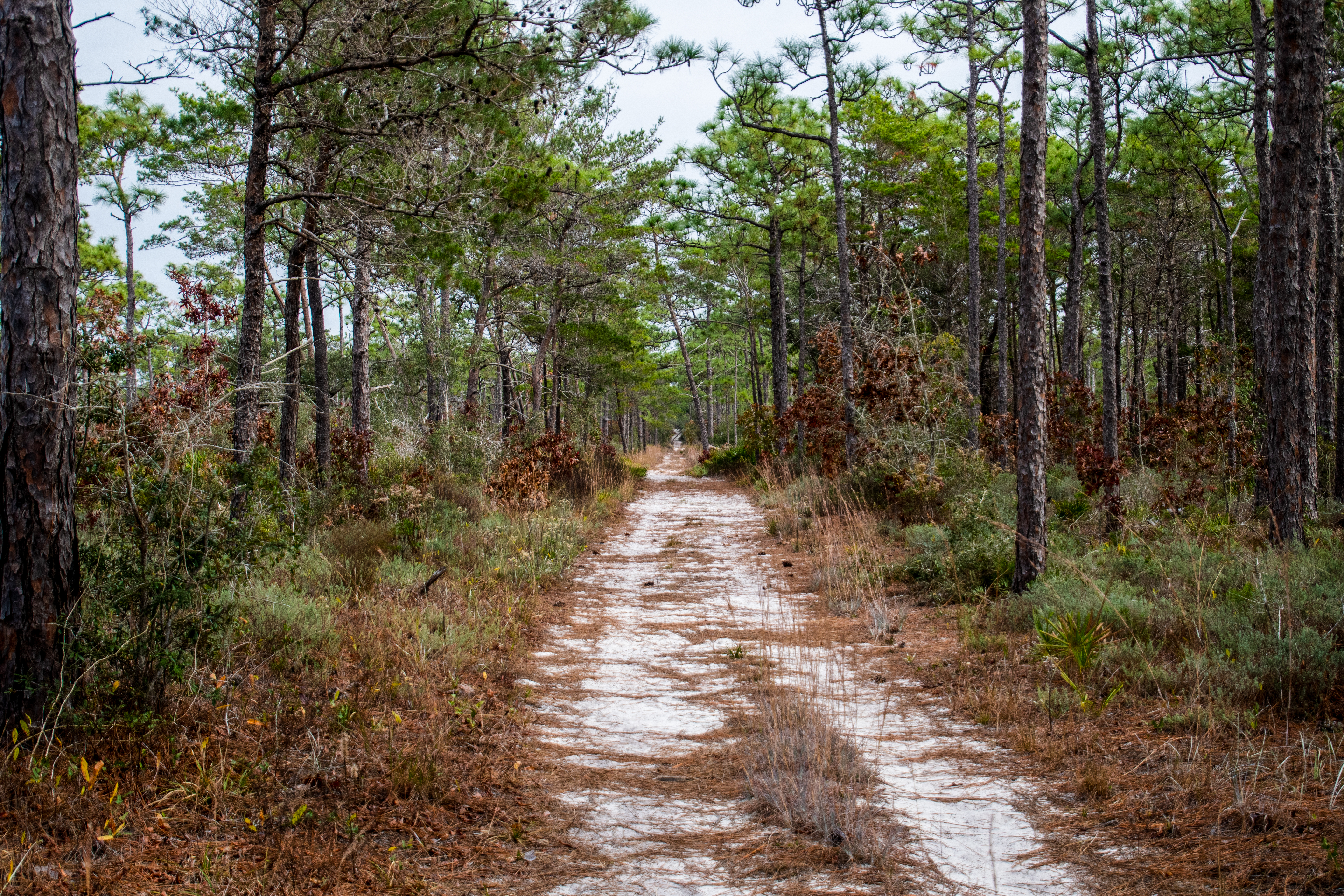
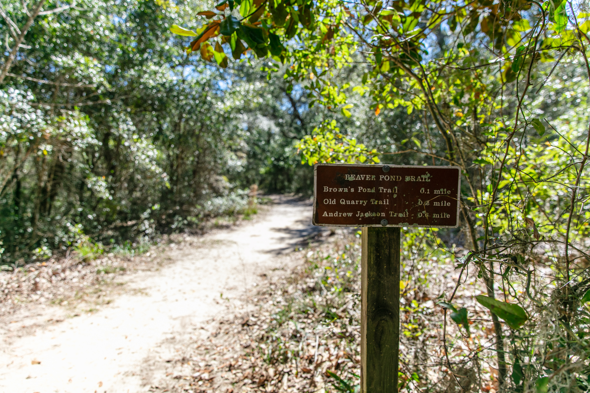
This 2 mile out-and-back trail is wide and sandy, which serves its purpose as a fire break for controlled burns. Look for Brown's Pond and wildlife near the trailhead.
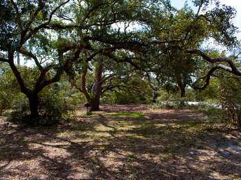
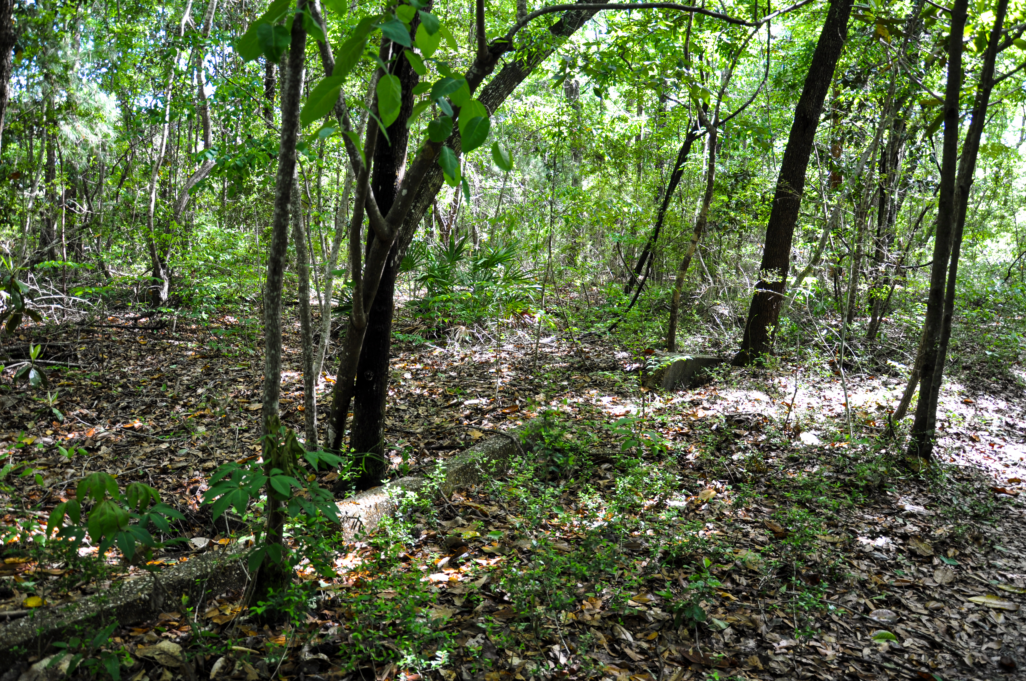
See one of the many microhabitats that exist in this forest while looking at this felled tree. While passing this trunk look closely and you can see several species of fungi, insects, and plants that call this trunk home.
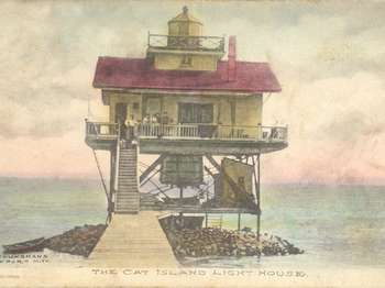
Cat Island is only accessible via private boat. If traveling in your private vessel consult navigational charts. To find an operator who can provide tours, fishing charters, or transportation, visit our <a href="https://www.nps.gov/guis/getinvolved/cua_holders.htm">Authorized Commercial Operators page</a> .<br /><br />Learn more about <a href="https://www.nps.gov/guis/planyourvisit/cat-island.htm">Cat Island online</a> .
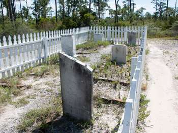
No one is buried here. These gravestones are from Chasefield Plantation Cemetery, originally located on land that is now part of Pensacola Naval Air Station. They were moved to this location in 1957. Chasefield Plantation was the home of Major William H. Chase, who supervised the construction of Ft. Pickens in the early 1800's. The gravestones read: SACRED to the memory of GEO. EDMUND CHASE Born 2nd May 1807. Died 28th March 1844.[broken] ...Susana GOLAY who departed this li
Starting in the mid 1500s the Pensacola area became a pawn in a European power struggle in the New World. Adventures from Spain, France, and Britain competed with each other to establish a foothold on the Gulf of Mexico. Spain established several settlements in the Pensacola area from 1559 to 1821. Except for brief French periods and one British colony, Spain claimed the Pensacola area until the United States acquired Florida in a treaty.