Yellow Jacket (Vespula) Wasp Activity
Be aware of aggressive ground-nesting yellowjacket wasps. When threatened, leave the area. Do not swat wasps. If stung and you begin to experience serious symptoms or allergic reactions, call 911.
Hilina Pali and Mauna Loa Road Closed to Vehicles
Hilina Pali Road (at Mauna Iki Trail) and Mauna Loa Road (at Kīpukapuaulu) are temporarily closed to vehicles due to high fire danger; hiking and bicycling are permitted
Temporary Closure of Kīlauea Iki Trail Western Switchbacks
The western switchbacks of Kīlauea Iki Trail are temporarily closed for repairs Monday through Thursday, 6 a.m. to 4 p.m. but open to hikers all other times. The rest of the trail remains open. Completion date: 09/30/2025
Kīlauea eruption
Volcanic activity is episodic, with eruptions separated by pauses lasting several days or more. Eruption can be as short as a few hours. Check webcams and USGS volcano update for current conditions before visiting. Stay safe and follow all regulations.
Kīlauea Visitor Center (KVC) Closed for Extensive Renovation
The Welcome Center is now open at Kilauea Military Camp while the Kīlauea Visitor Center undergoes renovations. Park rangers and the Hawaiʻi Pacific Parks Association park store are available from 9 a.m. to 4:45 p.m. daily.
Construction Closures and Delays
Expect closures and delays at the summit of Kīlauea due to a two-year construction project to repair or remove damaged buildings and infrastructure.
| Title | Hawaiʻi Volcanoes |
| Park Code | havo |
| Description | Hawai‘i Volcanoes National Park protects some of the most unique geological, biological, and cherished cultural landscapes in the world. Extending from sea level to 13,680 feet, the park encompasses the summits of two of the world's most active v... |
| Location | |
| Contact | |
| Activities |
|
| Entrance fees |
Entrance - Private Vehicle
$30.00
Private Vehicle Pass - The private vehicle pass admits the passholder and up to 14 passengers of a single, private (non-commercial) vehicle.
Entrance - Motorcycle
$25.00
Motorcycle Pass- Admits the passholder and passenger of one motorcycle.
Entrance - Per Person
$15.00
Pedestrian/Cyclist Pass - Admits one individual bicyclist, hiker, or pedestrian visiting without a private vehicle. An individual pass is not required for visitors aged 15 and under.
Commercial Entrance - Sedan
$25.00
The commercial entrance fee for a Road Based Guided Tour is based on vehicle seating capacity. For a 1 to 6 vehicle the user fee is $25 plus an additional $15 per person in the vehicle. $15 per person charge is not applicable for visitors aged 15 and under.
Commercial Entrance - Mini-bus
$100.00
The commercial entrance fee for a Road Based Guided Tour is based on vehicle seating capacity. For a 16-25 passenger vehicle the user fee is $100.
Commercial Entrance - Motor Coach
$200.00
The commercial entrance fee for a Road Based Guided Tour is based on vehicle seating capacity. For a 26+ passenger vehicle the user fee is $200.
Large vehicles, defined as more than 26 feet in length and/or more than eight feet wide, are only allowed to operate on Crater Rim Drive to Kilauea Visitor Center, Kūkamāhuākea (Steam Vents), and Uēkahuna. Mauna Loa Road to the Kīpukapuaulu turnabout.
Commercial Entrance - Per Person
$15.00
$15 per person for Commercial Non-Road Based Guided Tours. This includes hiking more than one mile on one trail, bird watching on foot for more than one hour at one location, and/or or bicycling tours.
Commercial Entrance - Van
$75.00
The commercial entrance fee for a Road Based Guided Tour is based on vehicle seating capacity. For a 7 to 15 passenger vehicle the user fee is $75.
|
| Campgrounds | Count: 2
Kulanaokuaiki
Nāmakanipaio
|
| Places | Count: 50
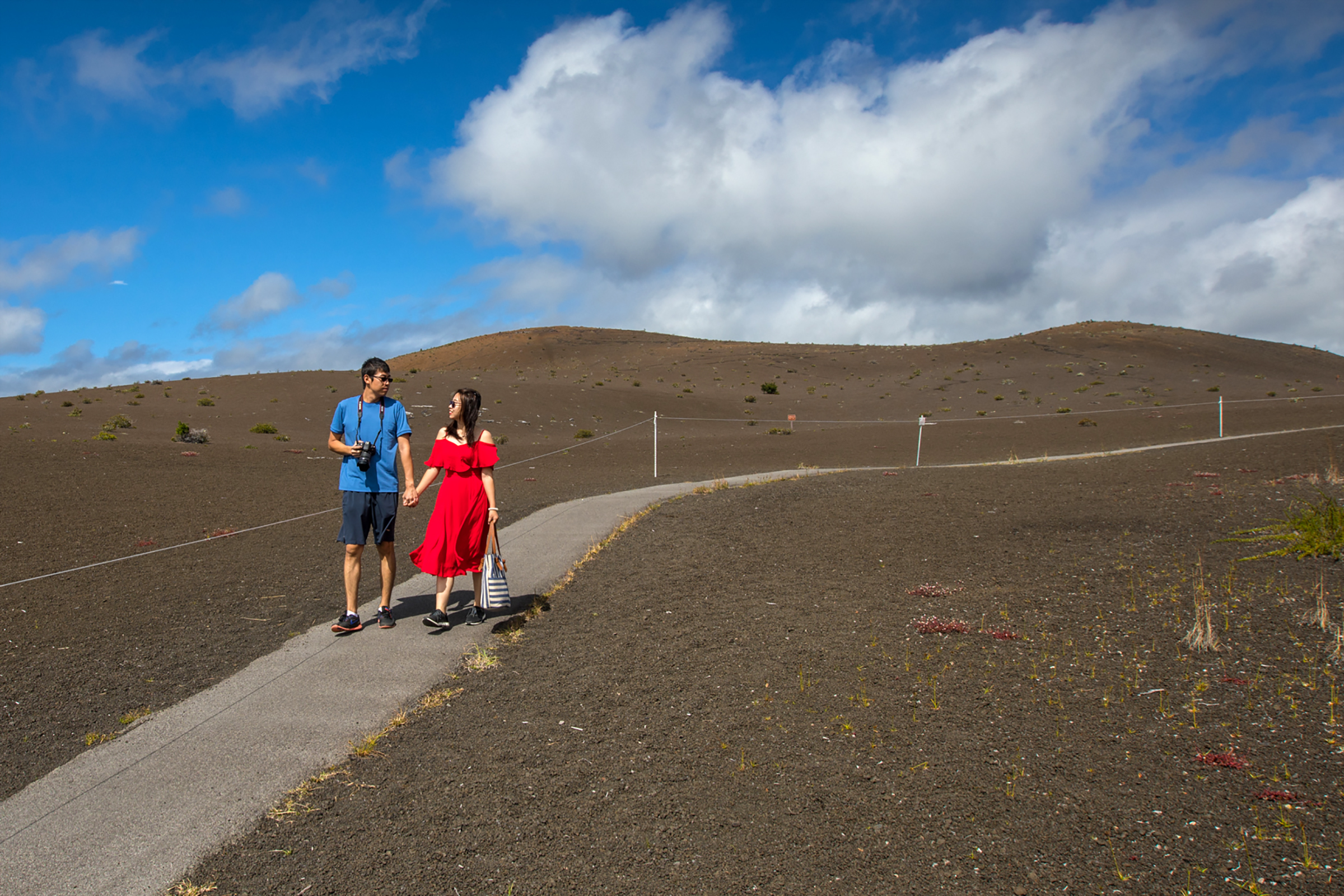
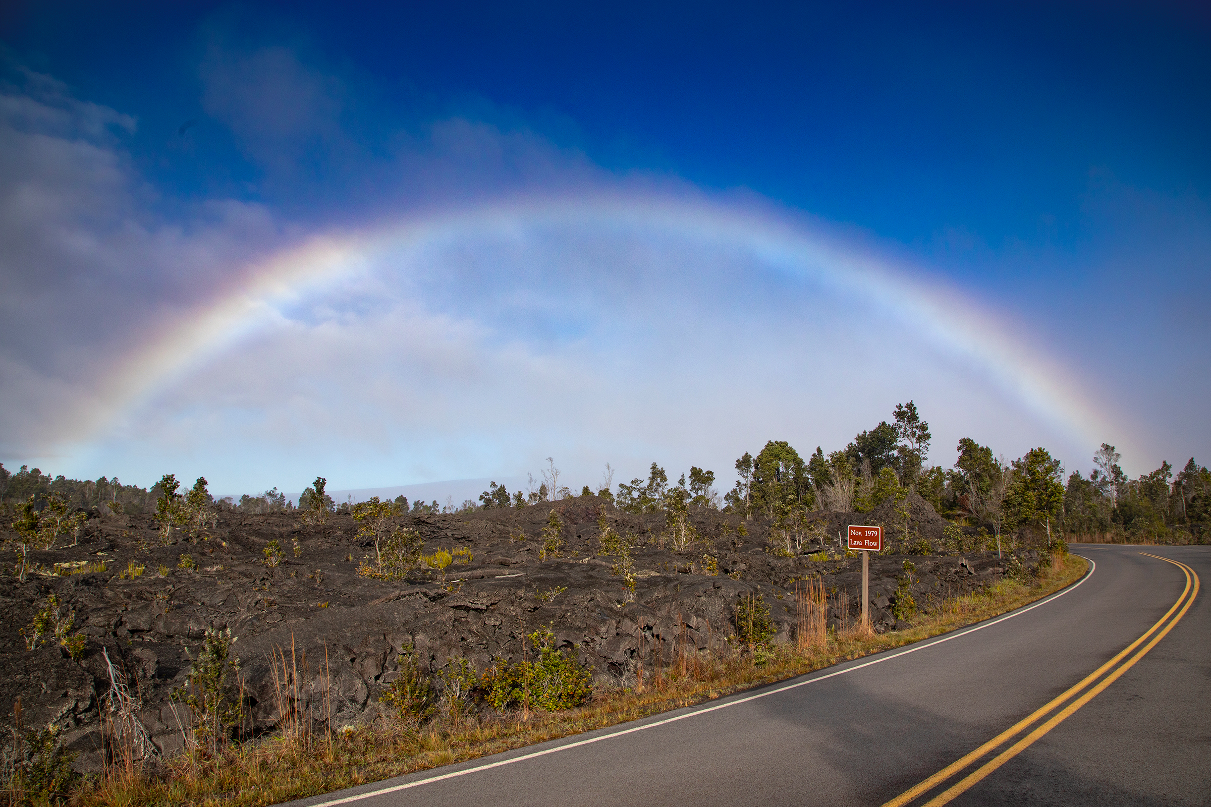
Alanui KahikoAt the base of the lava-draped Hōlei Pali, see a remnant of the old Chain of Craters Road, which was reclaimed by Pele in 1972. 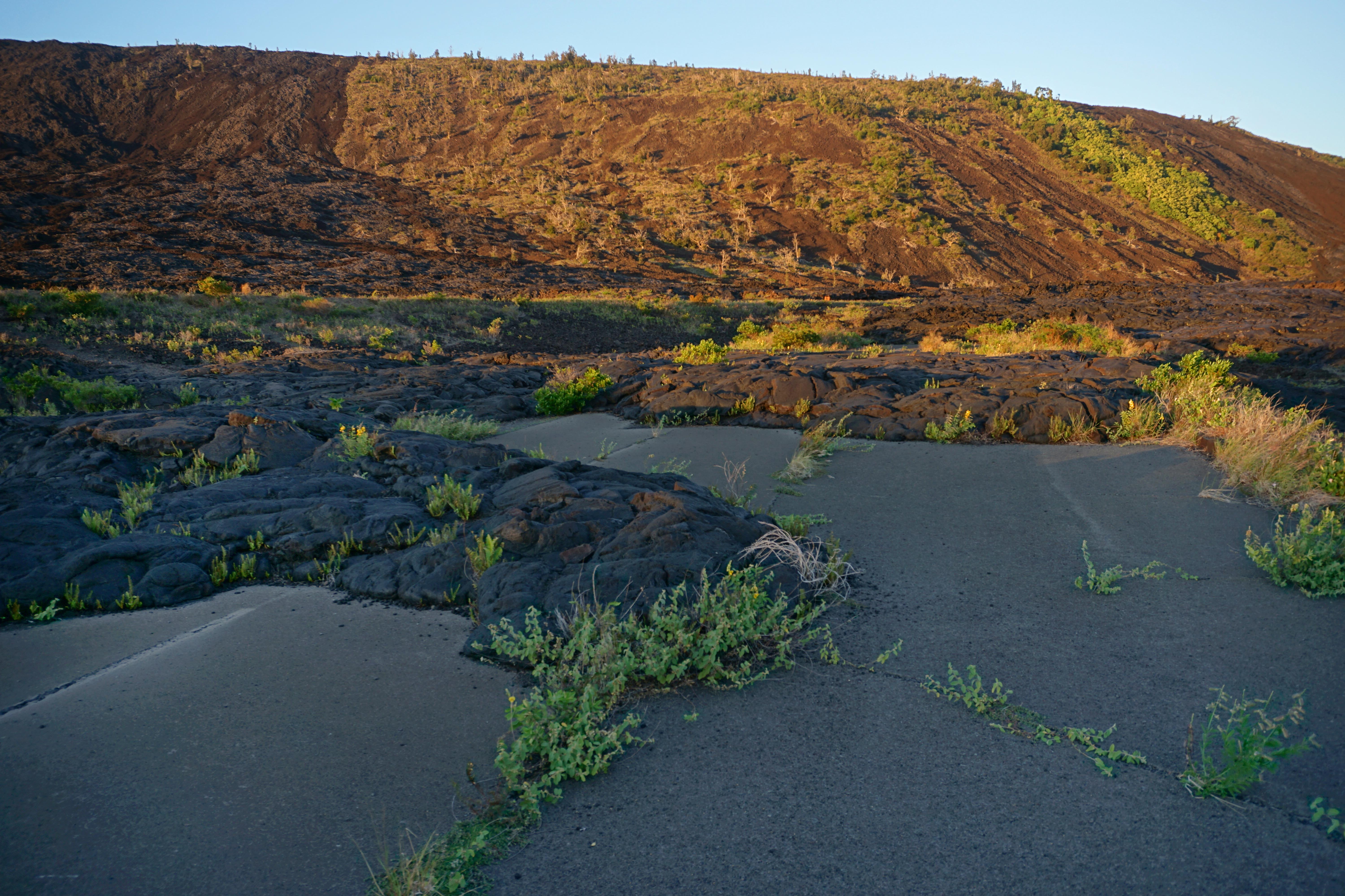
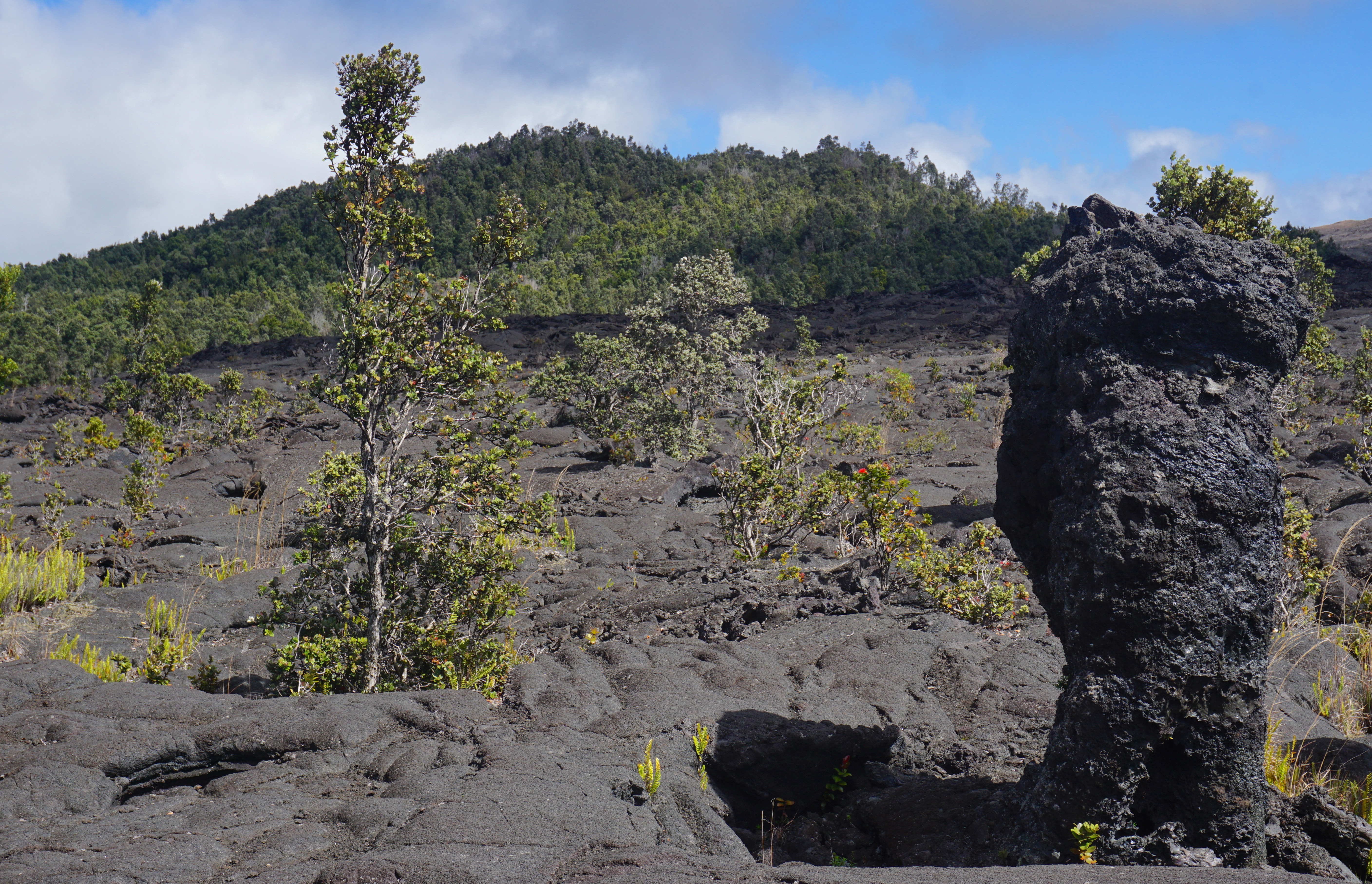
Devastation TrailThe Devastation Trail meanders gently through a landscaped covered in cinders from the 1959 eruption of Kīlauea Iki 
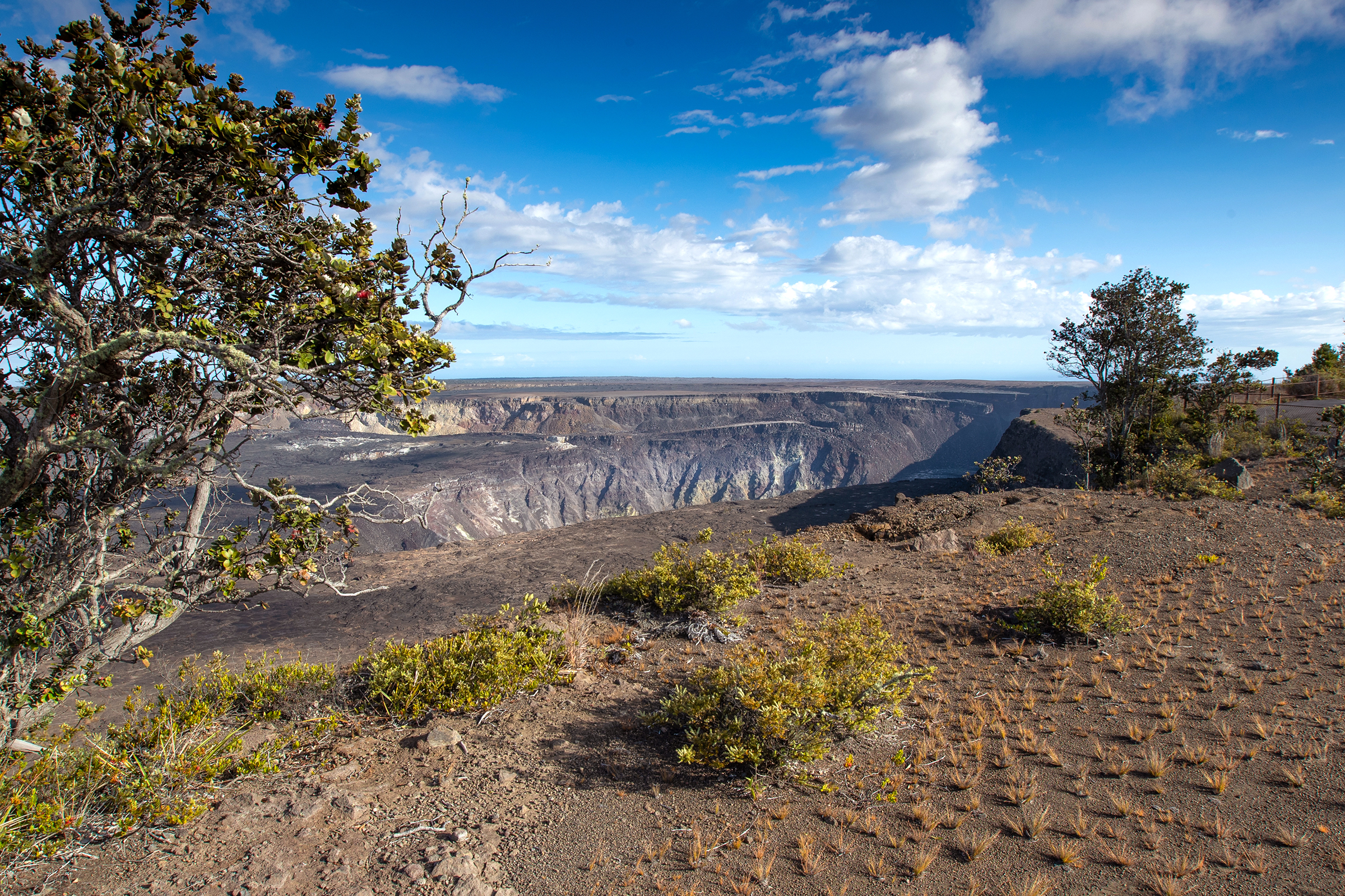
Eruption Viewing from Kīlauea Overlook (Kapalikapuokamohoaliʻi)Kīlauea Overlook offers unobstructed views of the bottom of the Halemaʻumaʻu crater during an eruption. Located 2.5 miles (7 minutes) from the entrance station. Family-friendly location with great views. A short walk from the parking lot or a 0.4 mile walk from Uēkahuna. 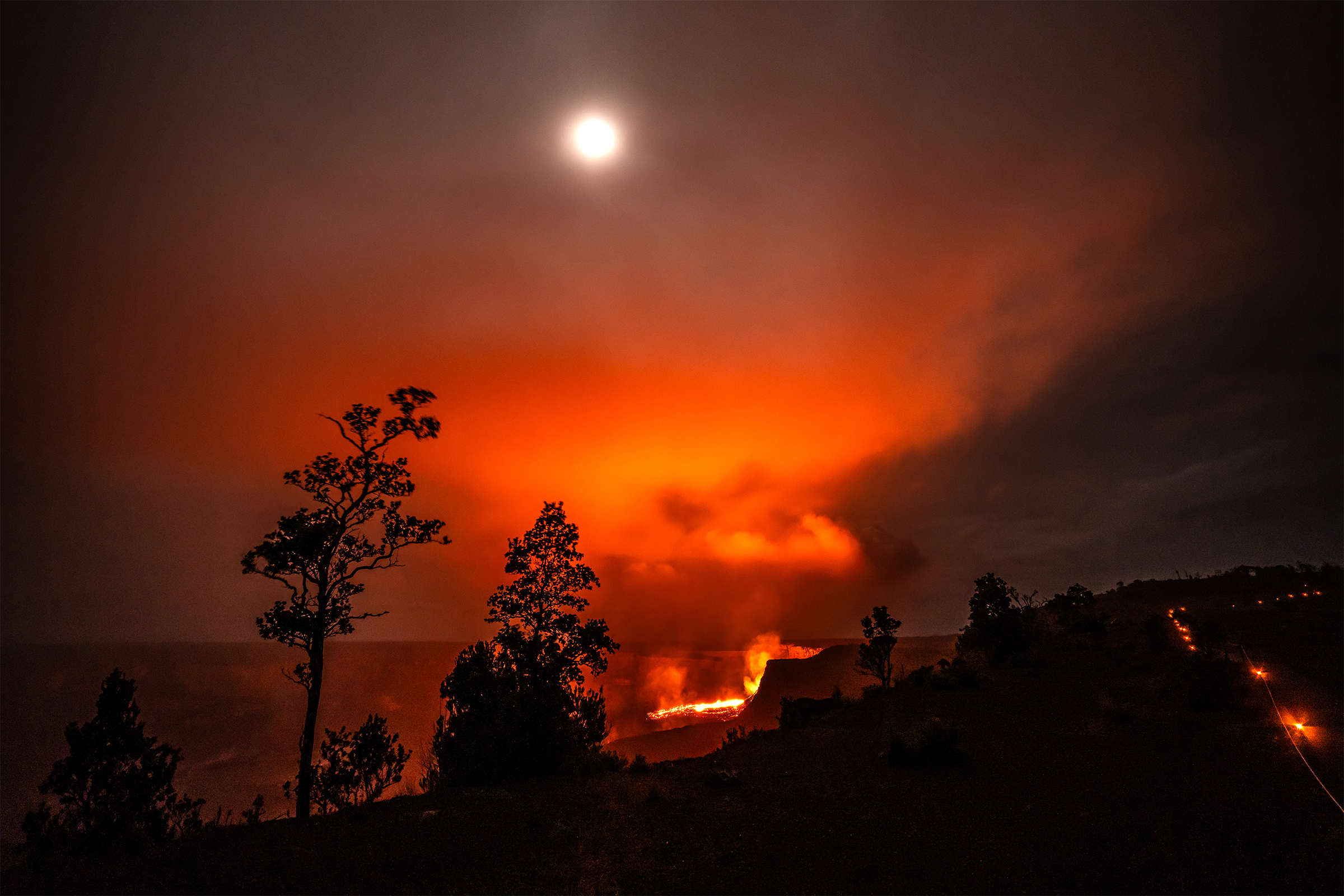
Eruption Viewing from Kūpinaʻi PaliEscape the crowds and experience the eruption in near solitude. This vantage point offers stunning wide-angle views of the caldera, being the furthest overlook from the eruption. Take Crater Rim Drive West from the entrance station, and park at the closed Kīlauea Visitor Center, a 0.3-mile (2 minute) drive. Walk 0.5 miles (20 minutes) towards Volcano House hotel then southeast on Crater Rim Trail. 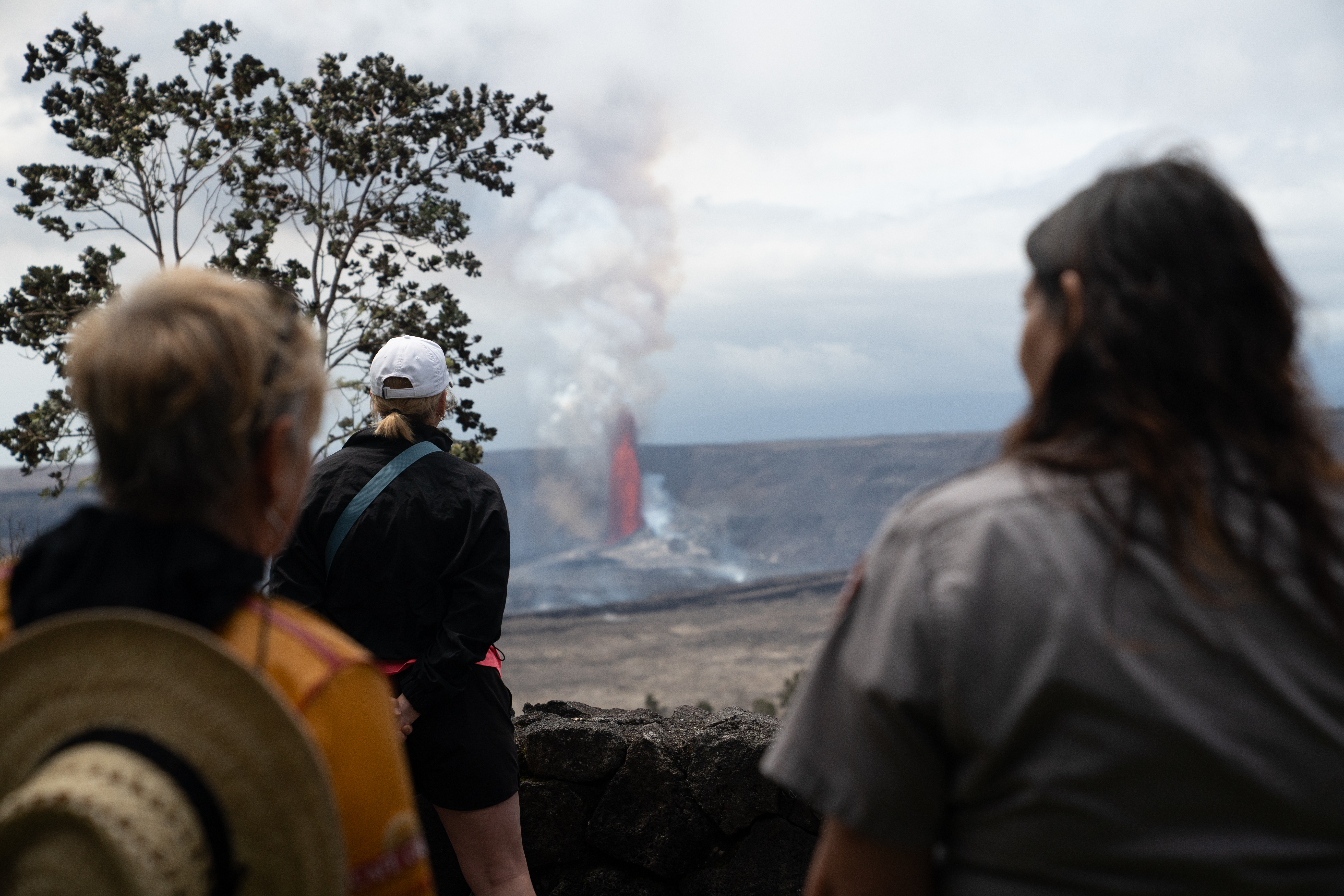
Eruption Viewing from UēkahunaThe overlook at Uēkahuna offers great views into Halemaʻumaʻu crater and surrounding areas from the summit of Kīlauea volcano. Located at the end of Crater Rim Drive West, a 2.8-mile (7 minute) drive from the entrance station. Family-friendly location with rangers often on site for information and programs. More available parking compared to other locations. 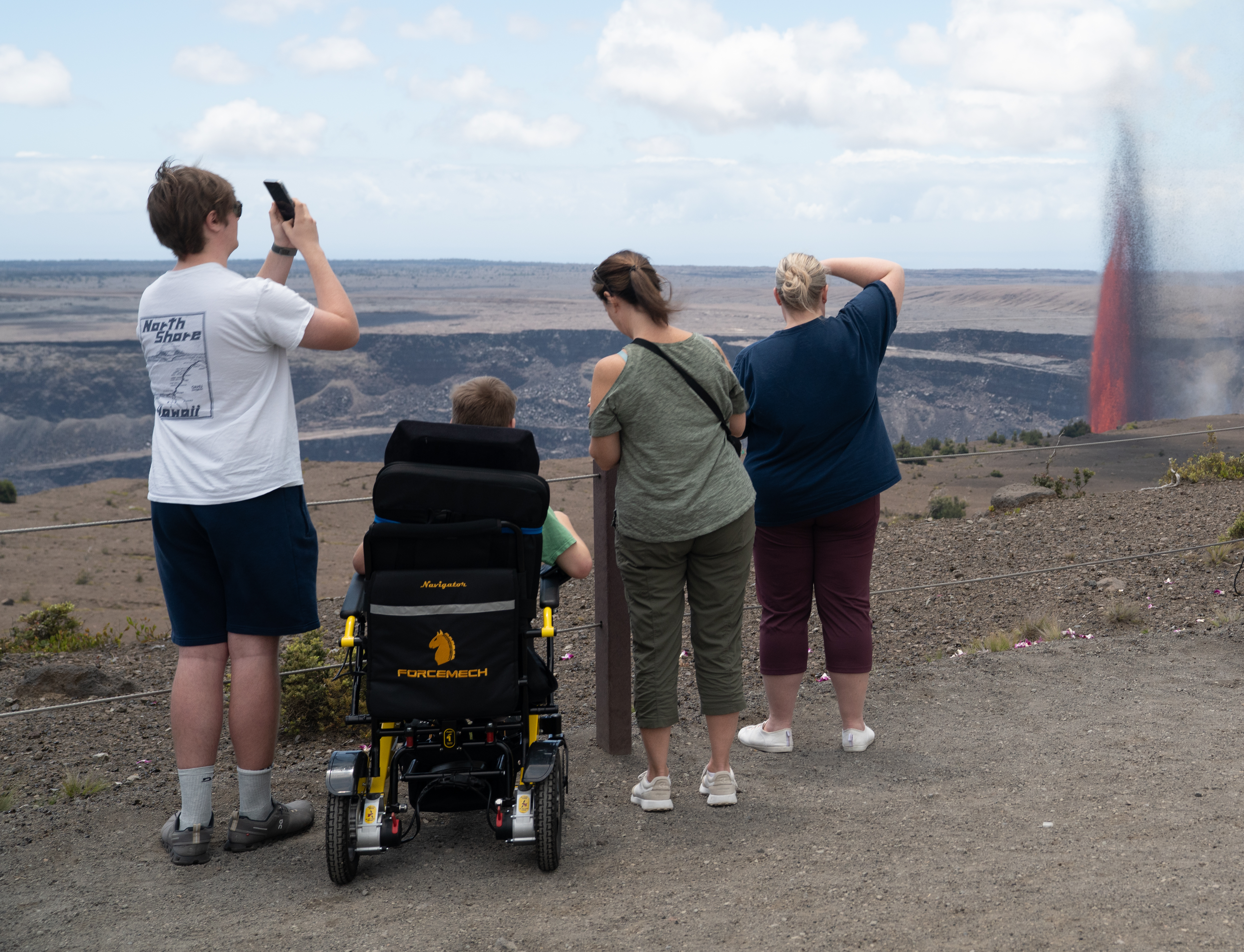
Eruption Viewing from WahinekapuExperience the heat from nearby steam vents as you take in the breathtaking views of the eruption, with unobstructed, panoramic views of the entire cinder cone. Located on Crater Rim Drive West, 1 mile (4 minutes) from entrance station. A popular, but congested spot due to being the first overlook you encounter upon entering the park. 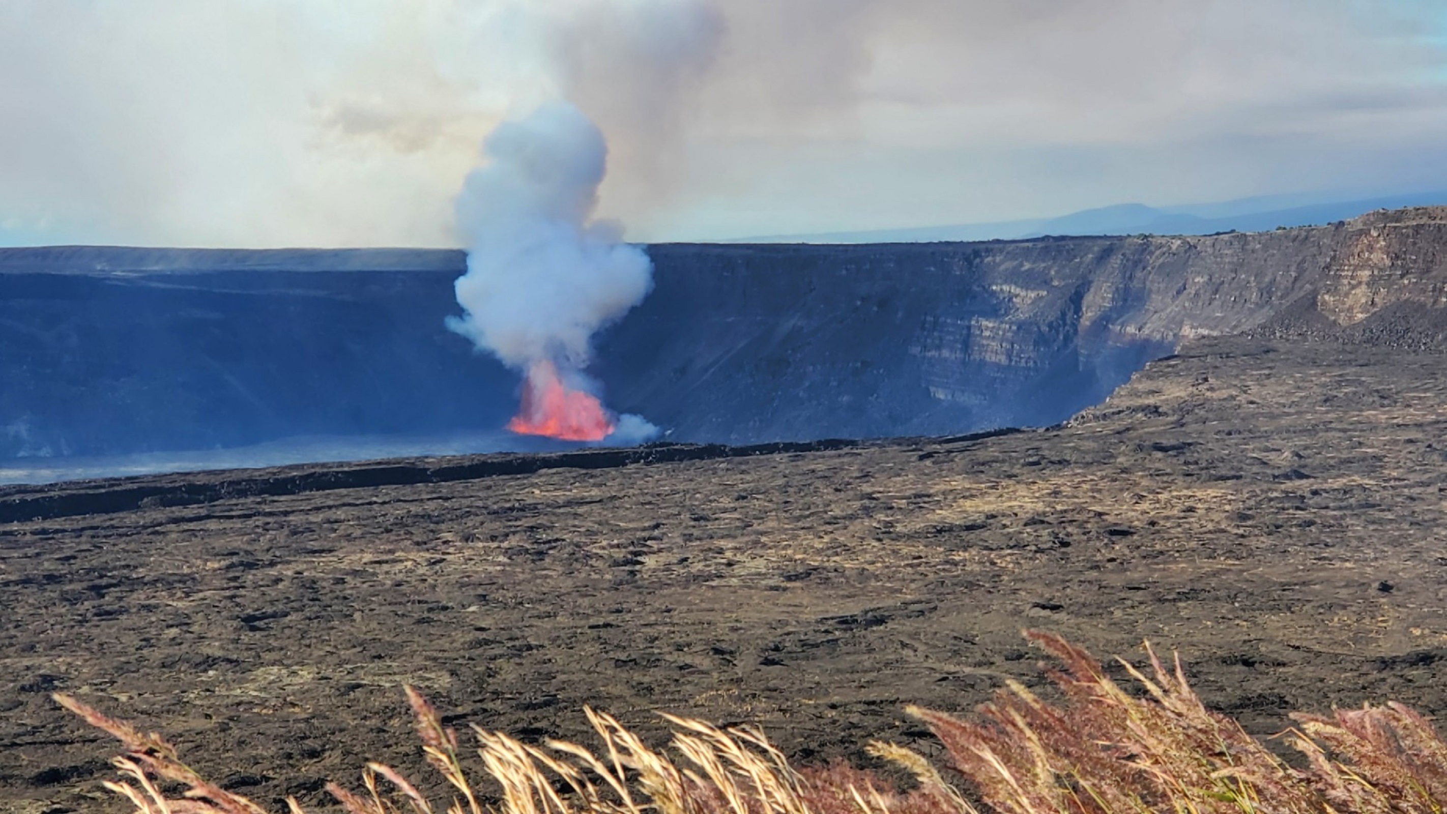
Eruption Viewing near Keanakākoʻi OverlookEruption viewing from the overlooks near Keanakākoʻi offers close-up views but requires planning. Parking is extremely limited during eruptions. Plan on viewing the eruption from another overlook if parking is full. The site requires a 2-mile round-trip hike (about 1 hour) on old Crater Rim Drive from the Devastation parking area. Additional parking at Puʻupuaʻi Overlook an additional 0.5-mile walk each way. 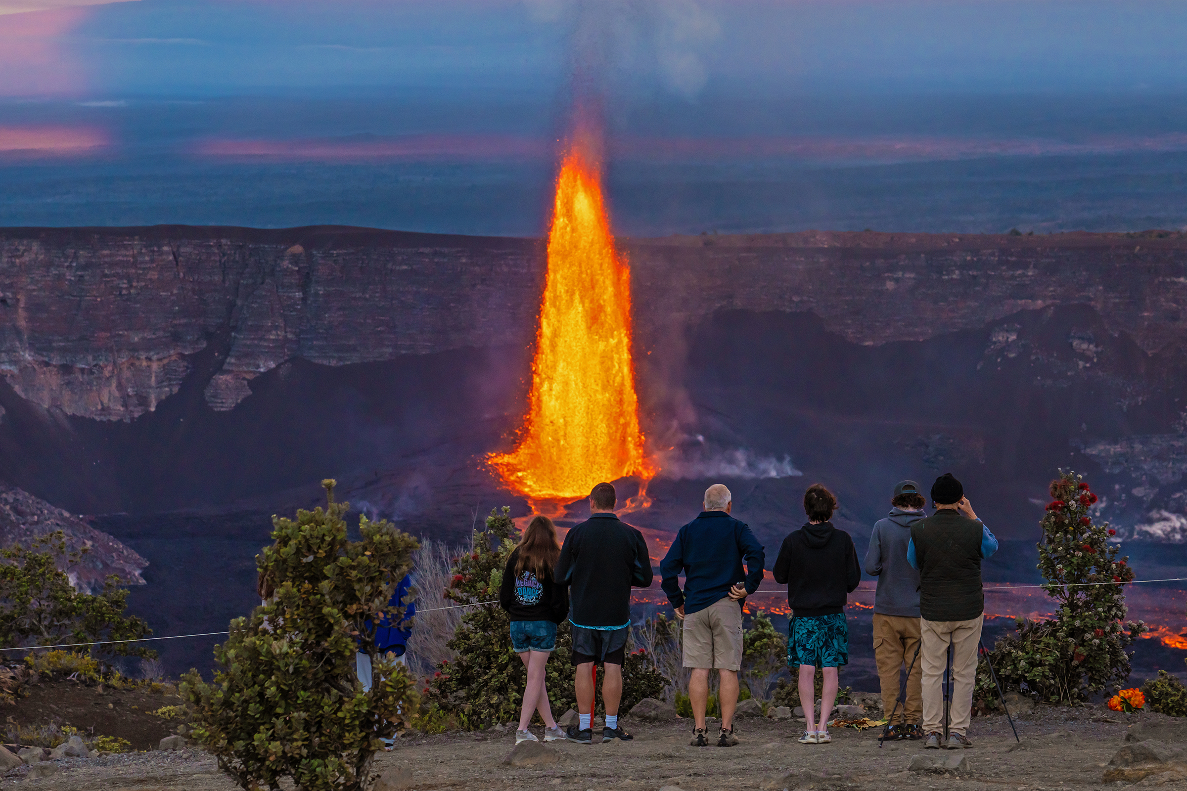
Eruption Viewing near Welcome CenterStart at the Welcome Center near Kilauea Military Camp for amazing eruption views. Walk across the lawn past the flagpole, carefully cross Crater Rim Drive, and enter the forest. Turn left onto Crater Rim Trail toward Steam Vents at Kūkamāhuākea. A short walk through the forest and a gentle 26-ft. descent leads to the first overlook on the right, offering stunning views of the caldera and eruption activity. 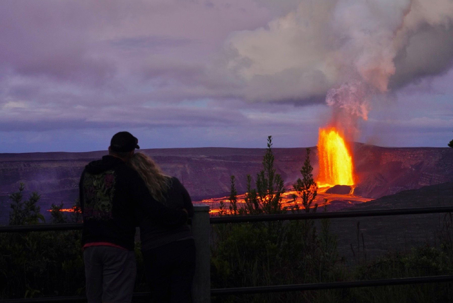
Footprints ShelterSee exhibits and a shelter preserving footprints left by Native Hawaiians long ago 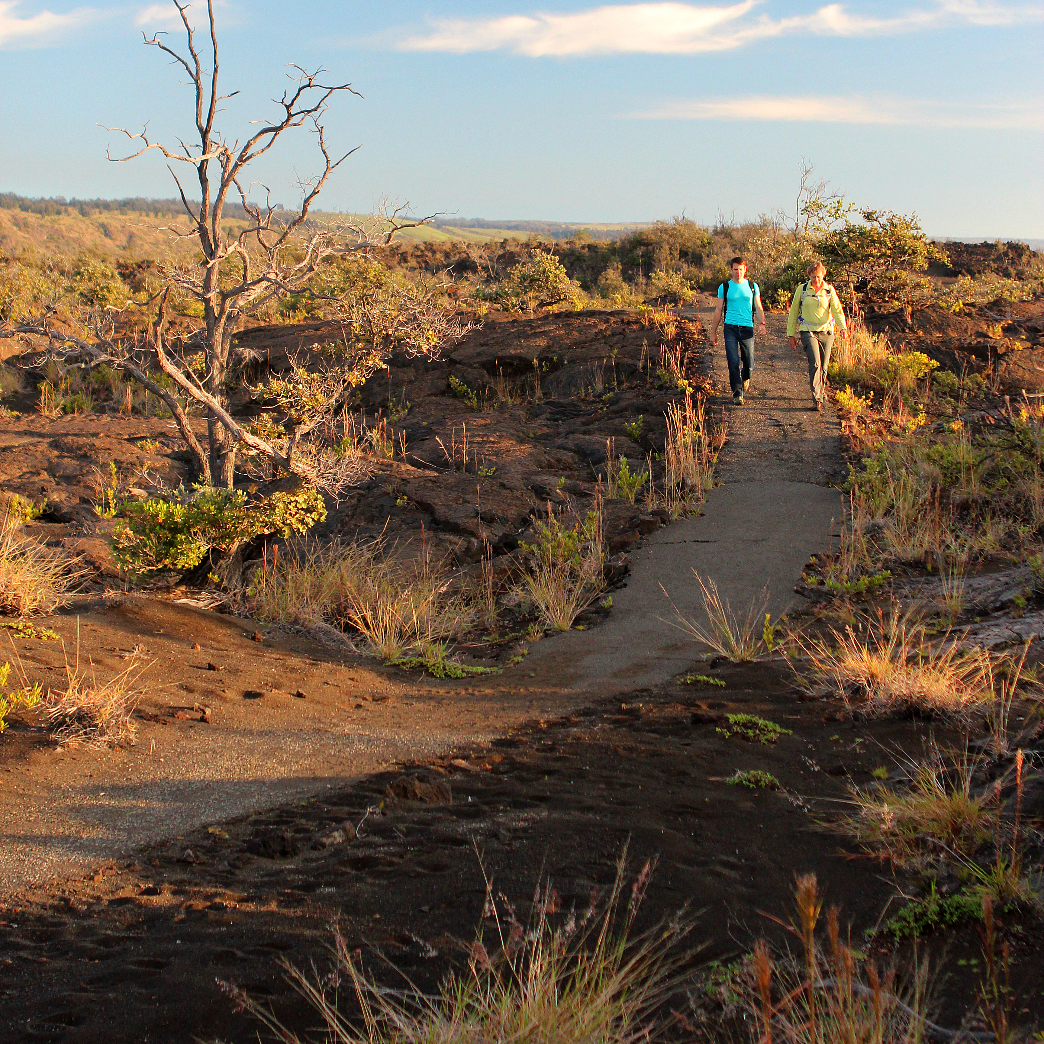
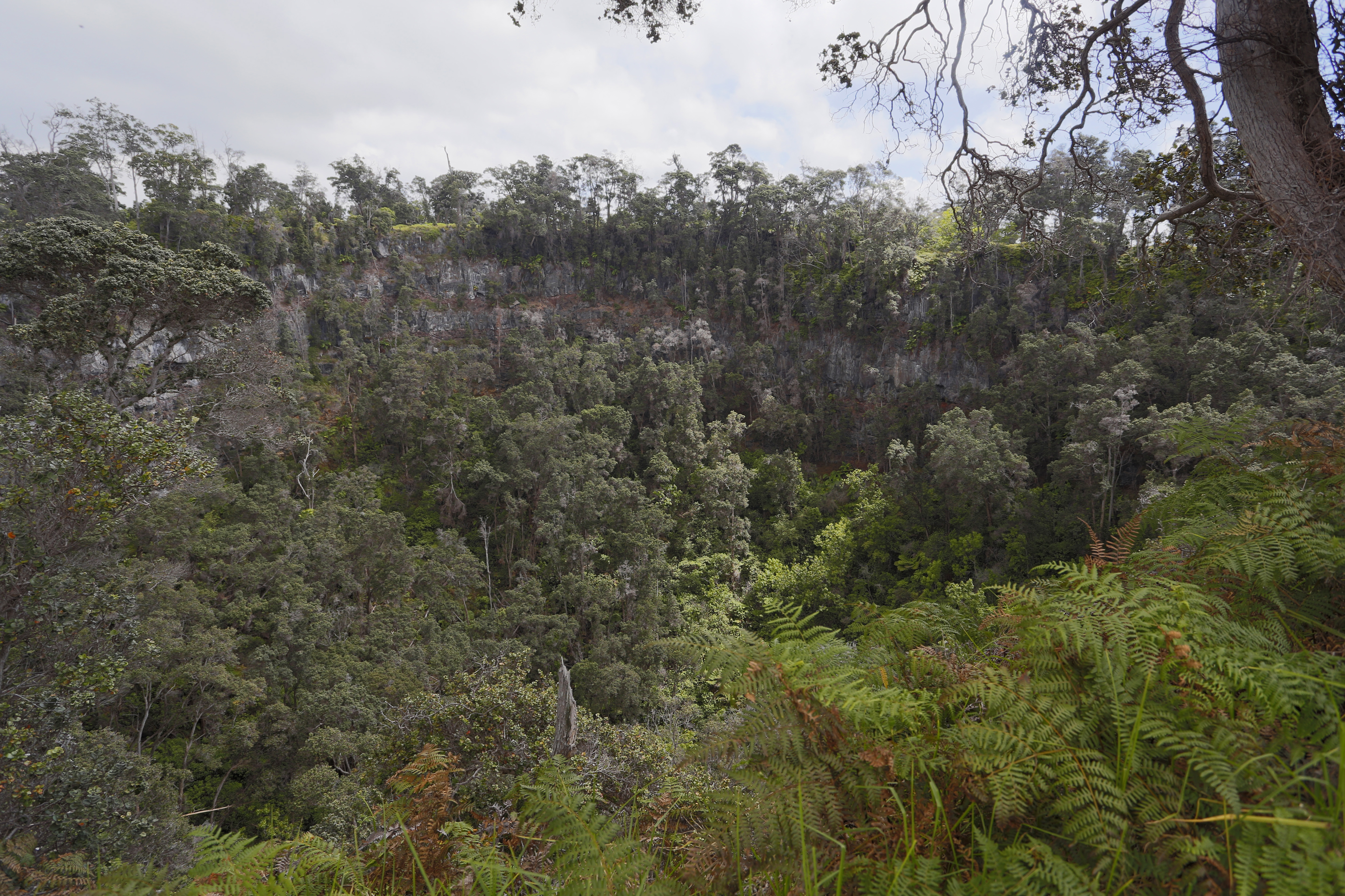
Forested Pit CraterA steep pit crater that has harbored and protected treasured native species from outside threats. 
Hawai'i Volcanoes National Park Entrance StationThe entrance station at Hawaiʻi Volcanoes National Park is an essential starting point for any park visit and is where you are required to purchase an entrance pass or present an existing pass to gain access to the park. 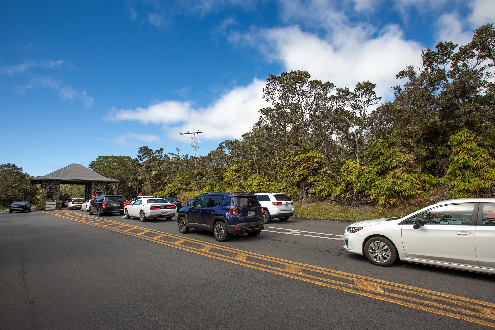
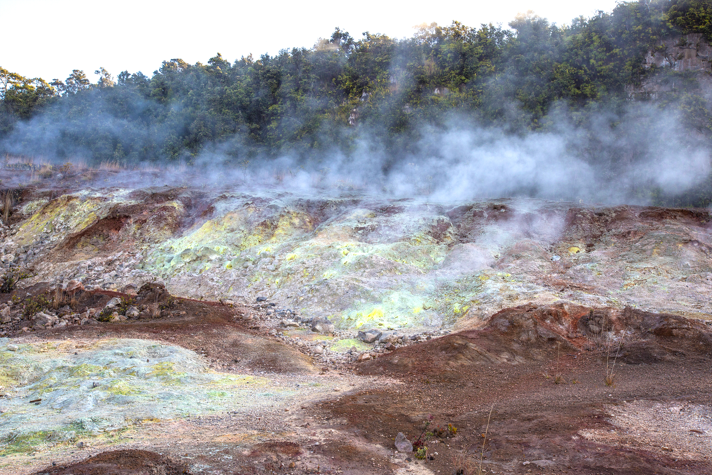
Haʻakulamanu (Sulphur Banks)See where volcanic gases deposited colorful sulfur crystals and other minerals along this paved trail and boardwalk. 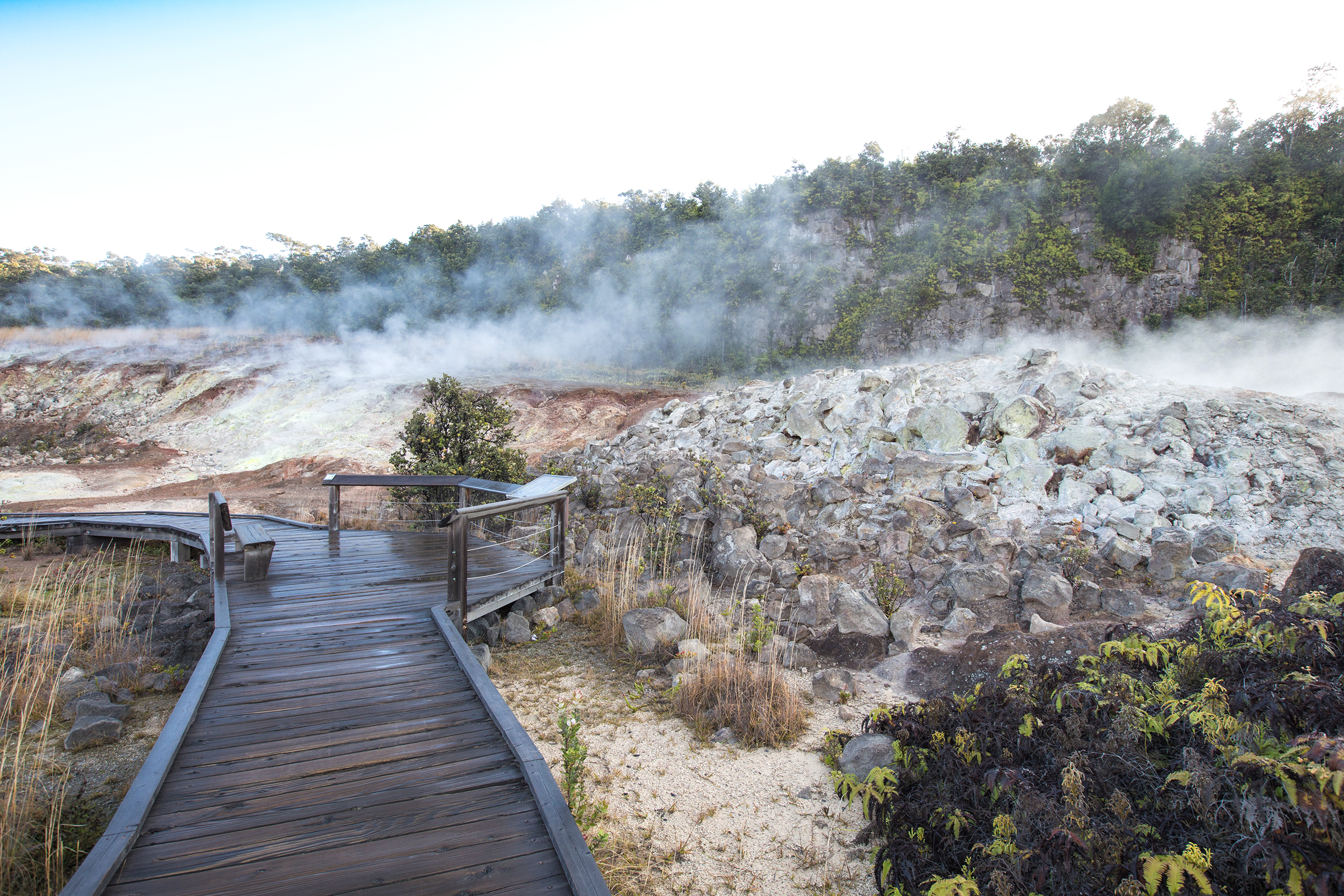
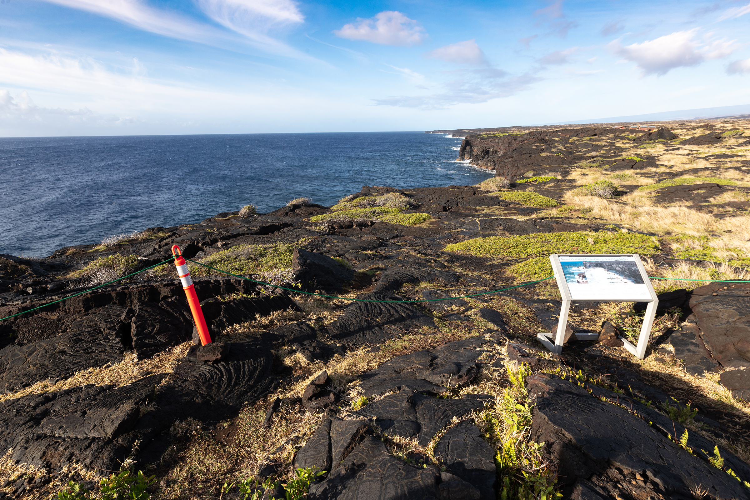
Hilina Pali OverlookThis CCC-era stone shelter sits on the southern flank of Kīlauea with dramatic, sweeping views of the Pacific Ocean and coast below. 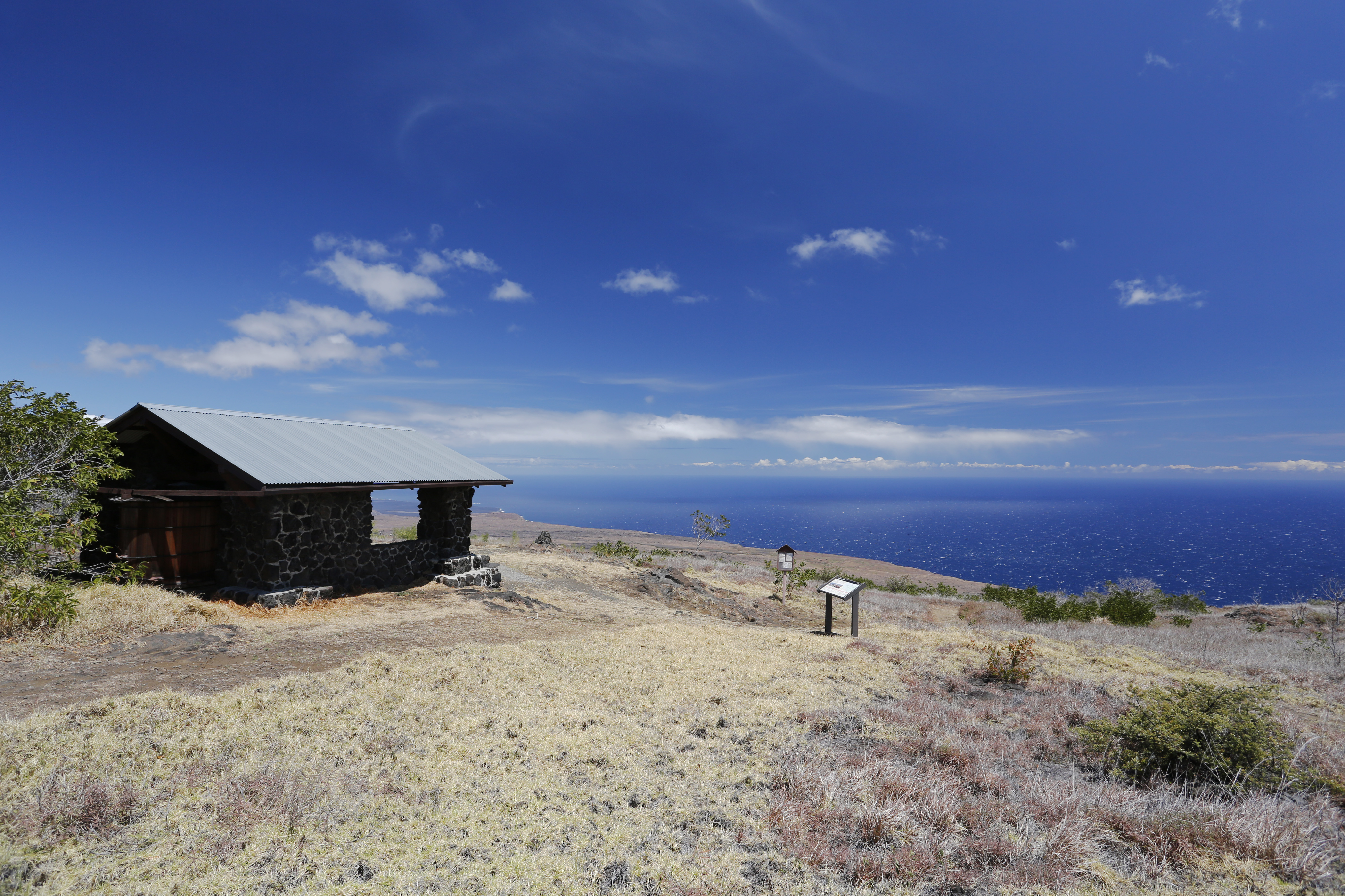
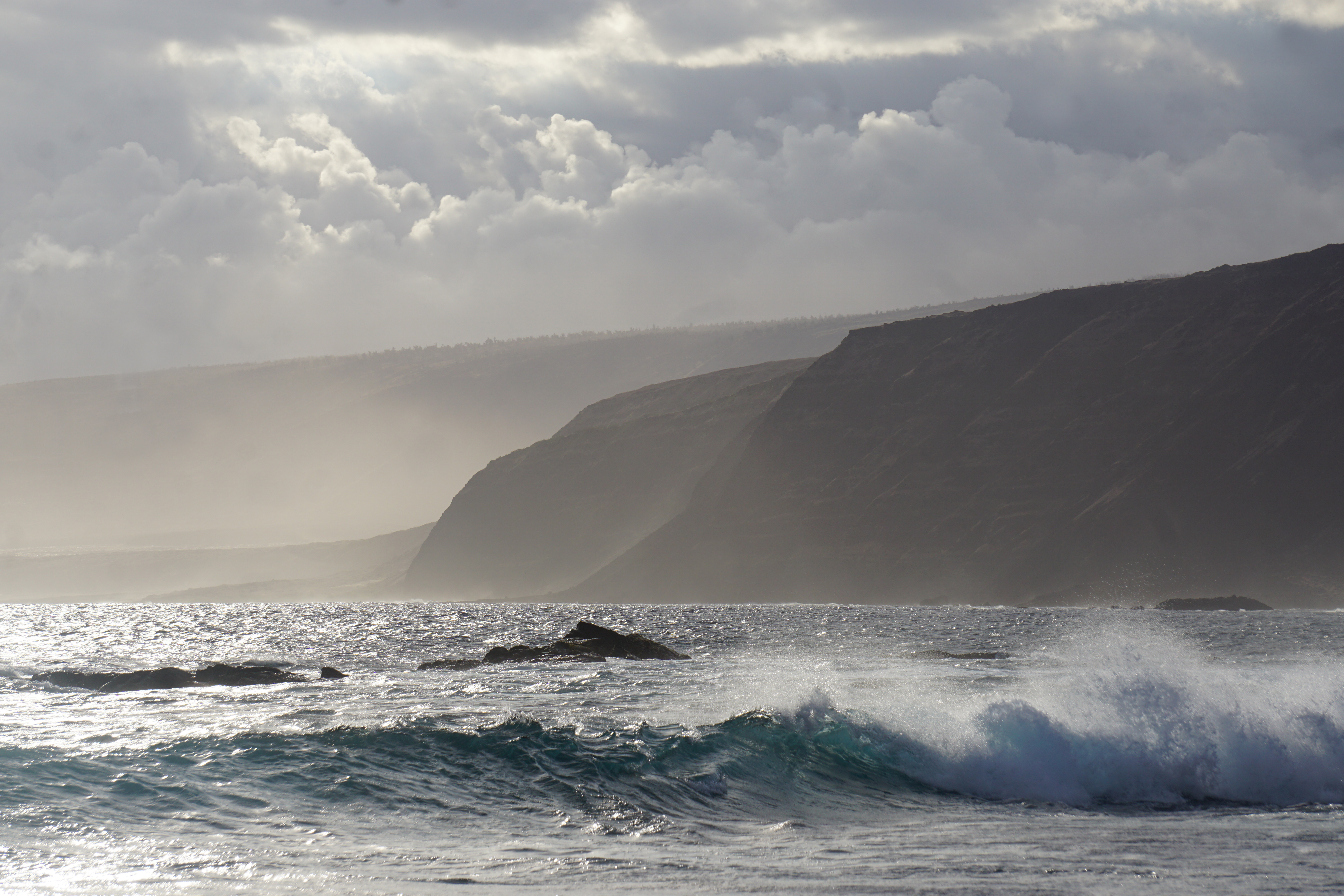
Hōlei Sea ArchAn arch of lava rock extending from steep cliffs into the Pacific Ocean. 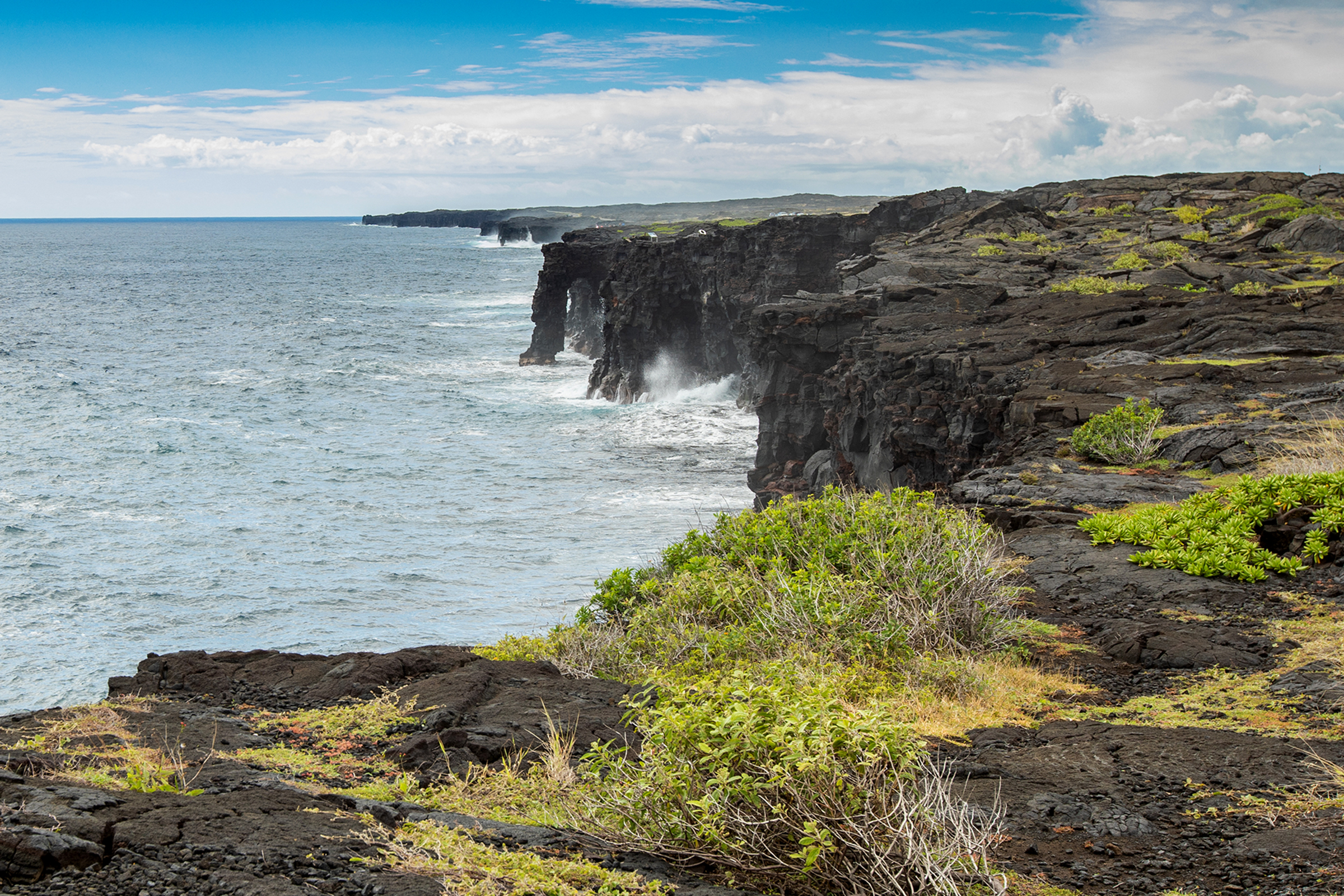
KamakapaʻaA small cinder cone surrounded by rolling, grassy meadows. 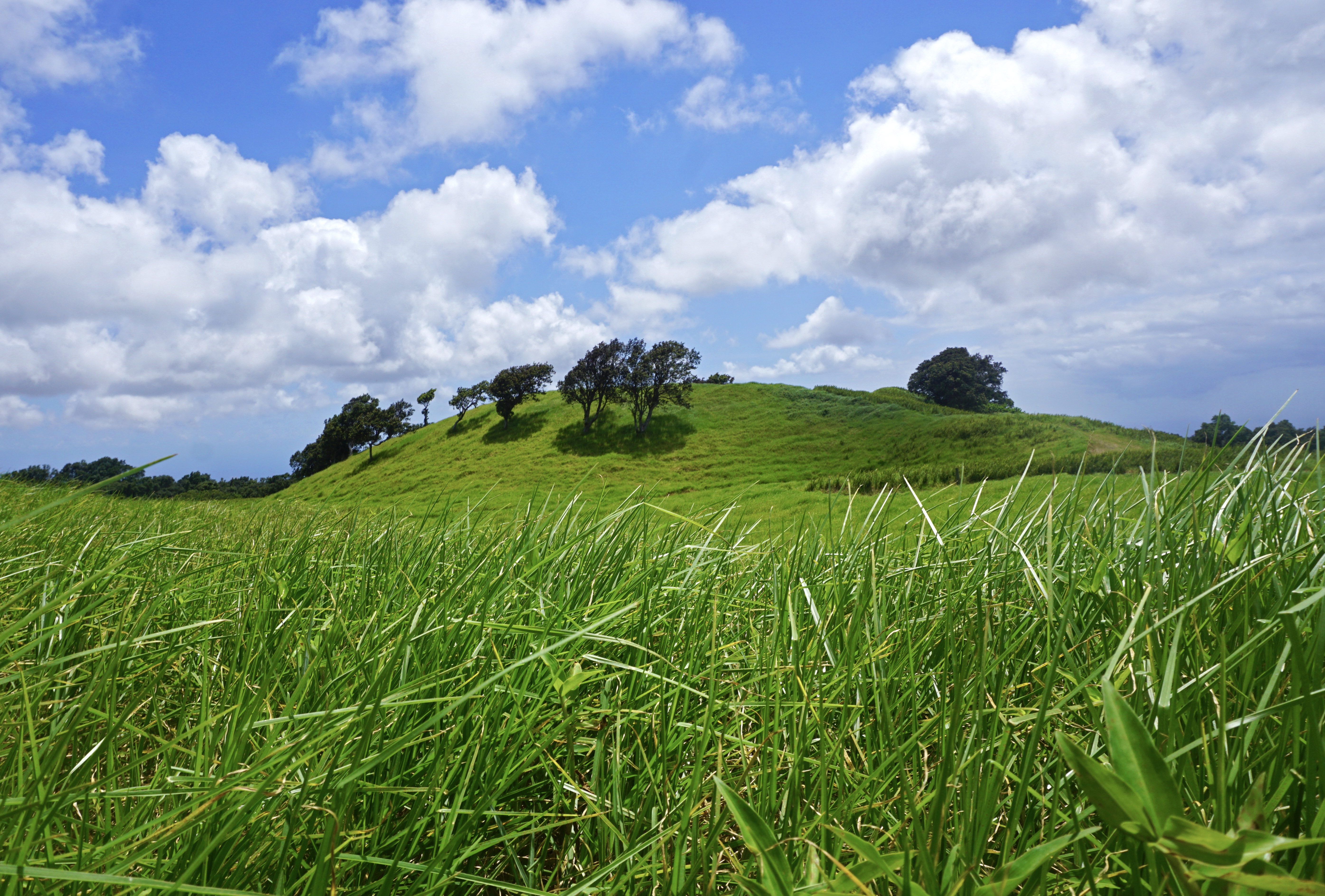
KaʻaueaKaʻauea is a place on the northern rim of Kīlauea, referenced in Hawaiian chants and oral histories going back hundreds of years.Today it is home to a kahua hula platform and a newly constructed hale, a traditional-style Hawaiian house. 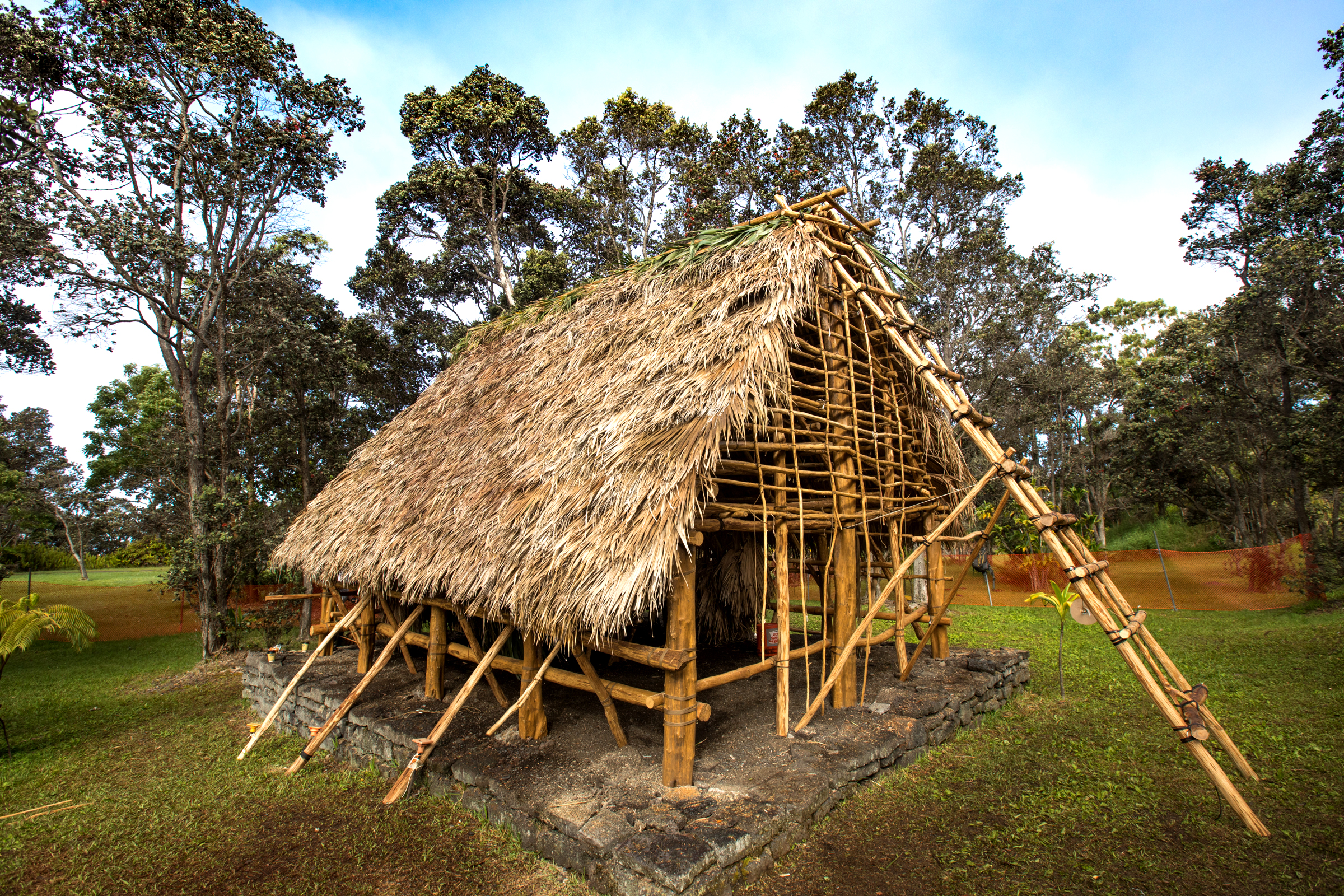
Kealakomo OverlookA scenic overlook above a vast lava plain with views toward the Pacific Ocean 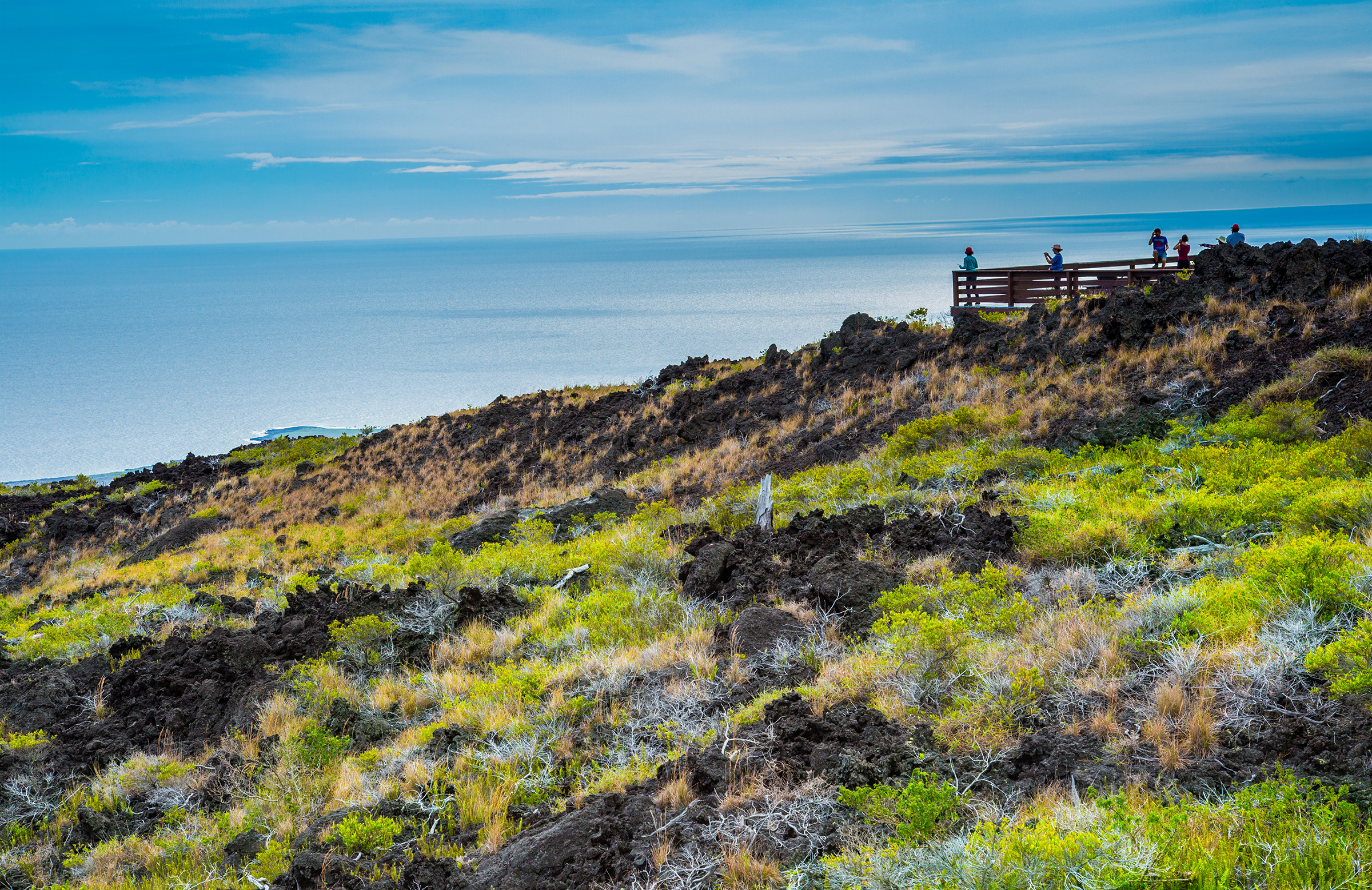
Keanakākoʻi CraterAlong a section of Old Crater Rim Drive, Keanakākoʻi is a pit crater that has been witness to dramatic geologic events over the centuries. 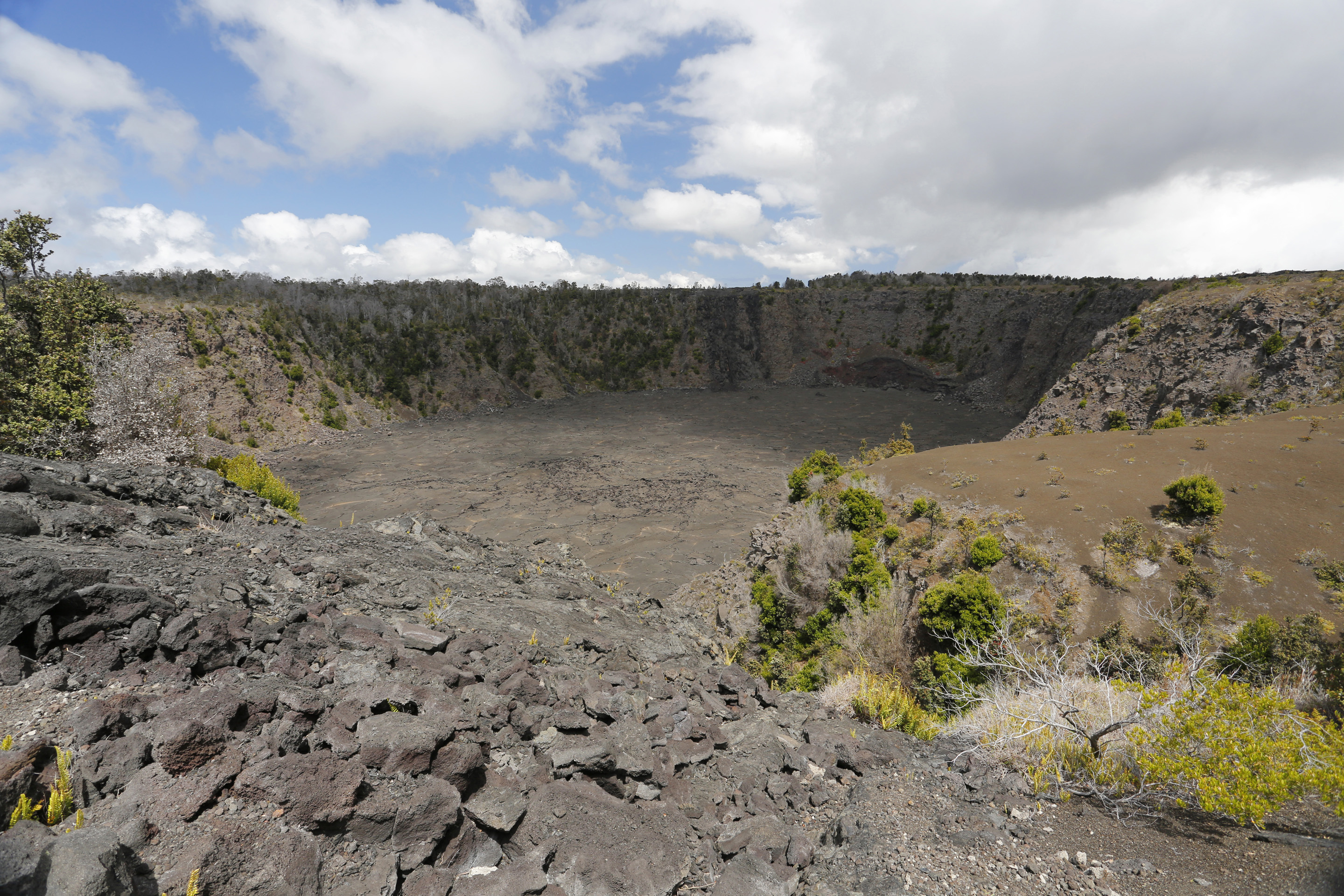
Kona TrailRelics of Kahuku’s ranching era, pasture land and the 1887 lava flow define this trek. 
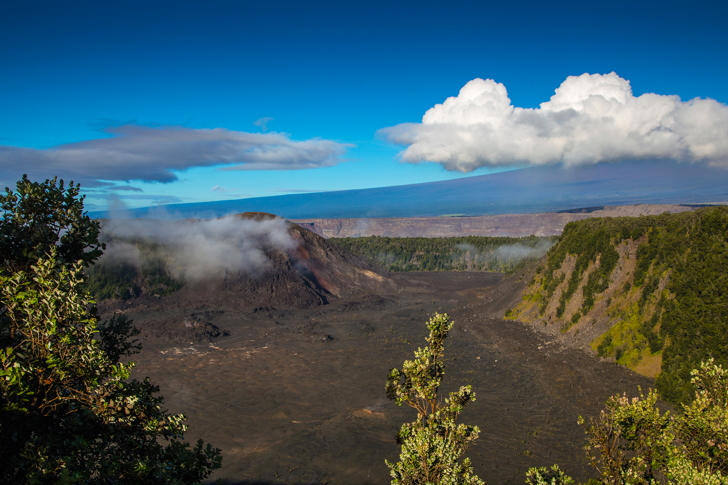
Kīlauea Iki OverlookThe Kīlauea Iki Overlook peers into the volcanic crater that hosted the jawdropping lava fountains and lava lake in 1959. 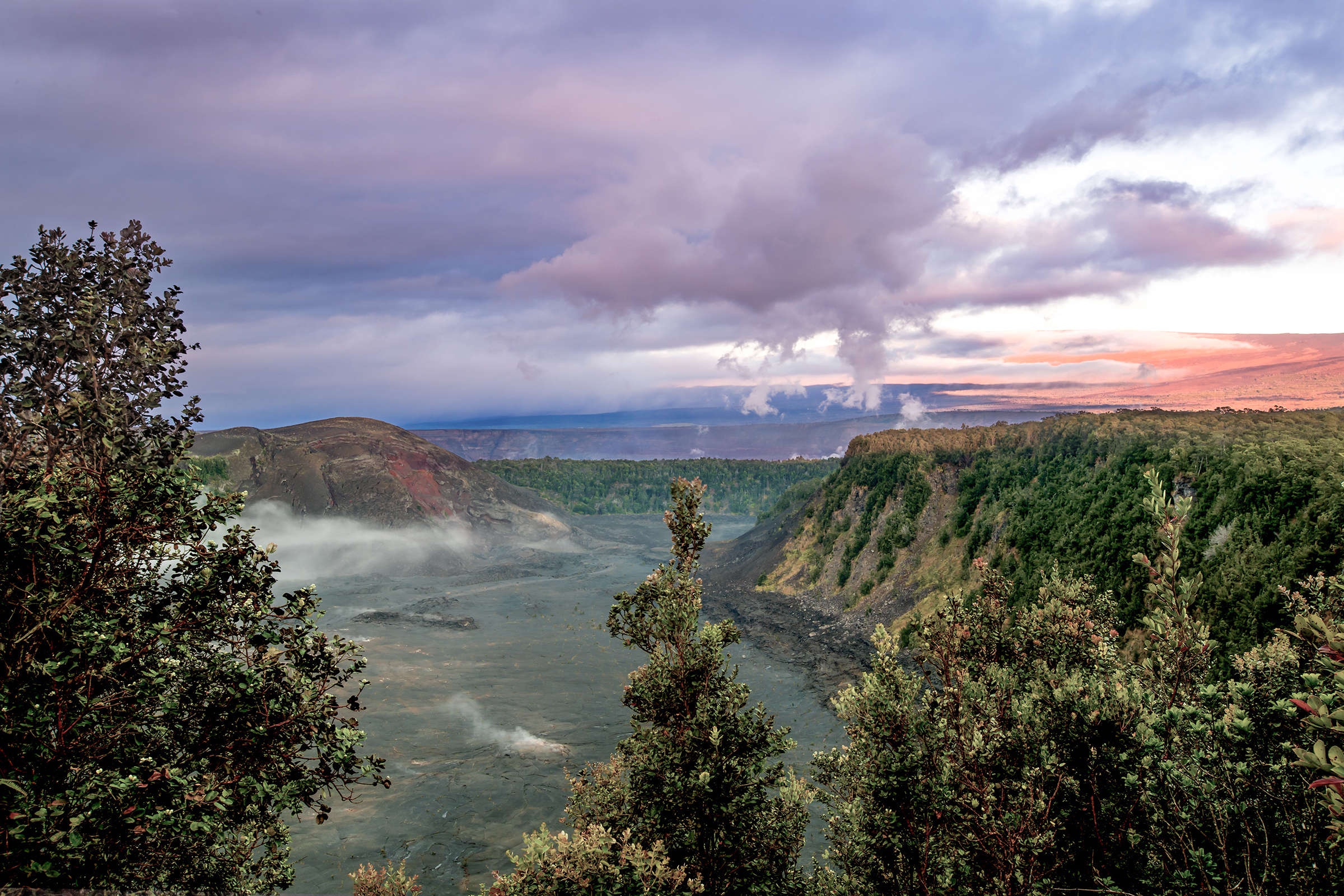
Kīlauea OverlookKīlauea Overlook provides the most dramatic views of Kīlauea caldera and Halemaʻumaʻu crater 
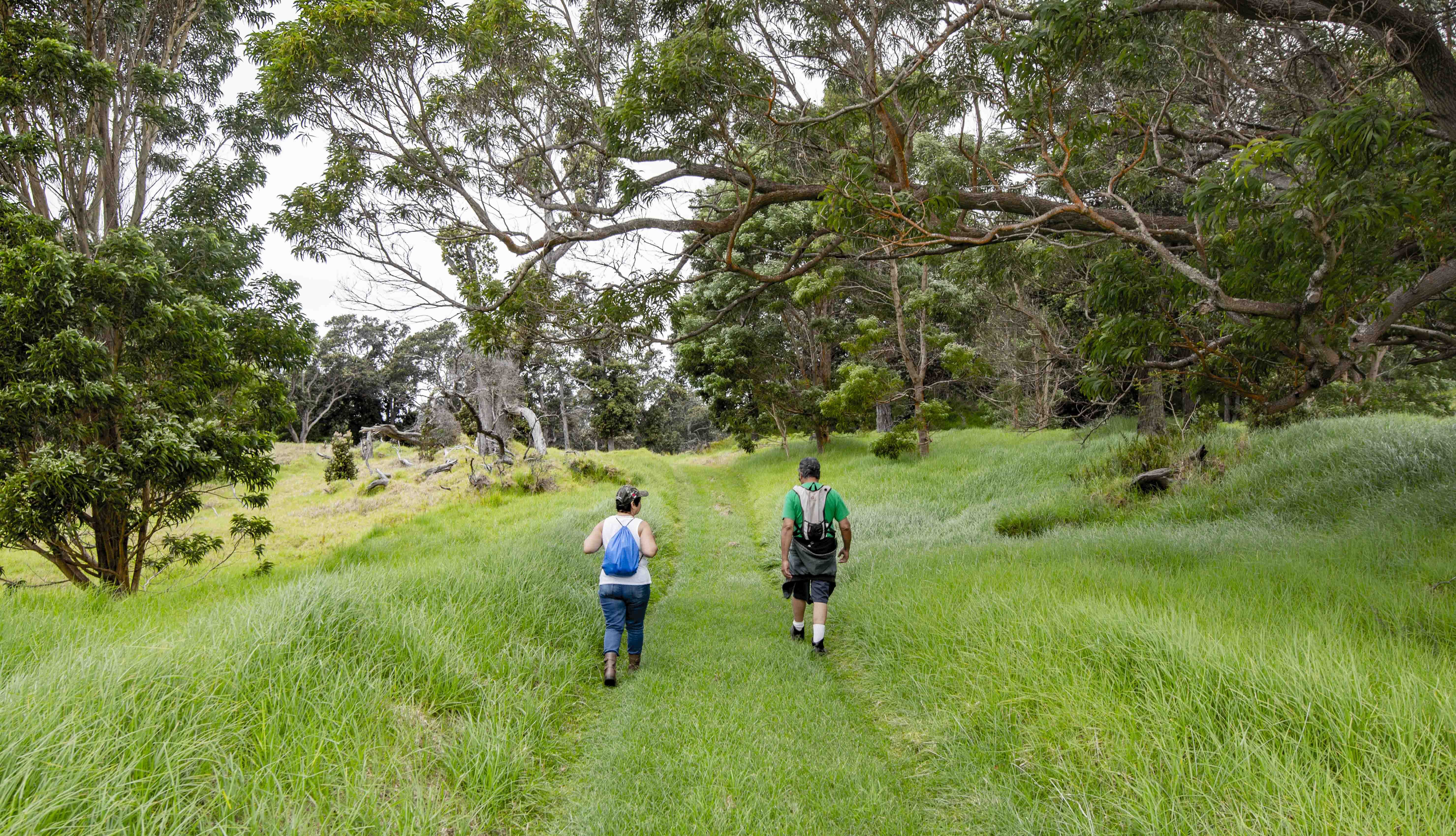
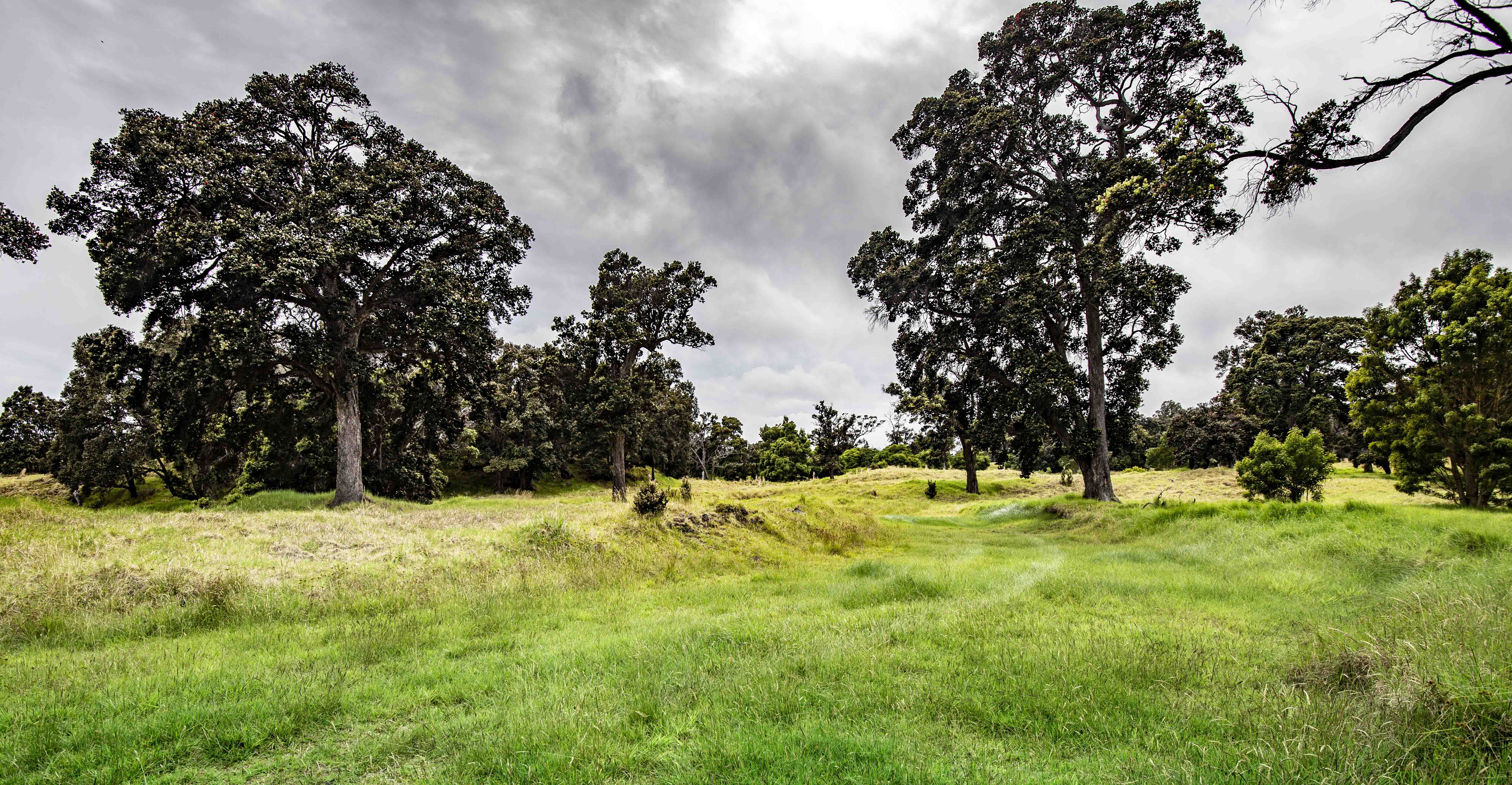
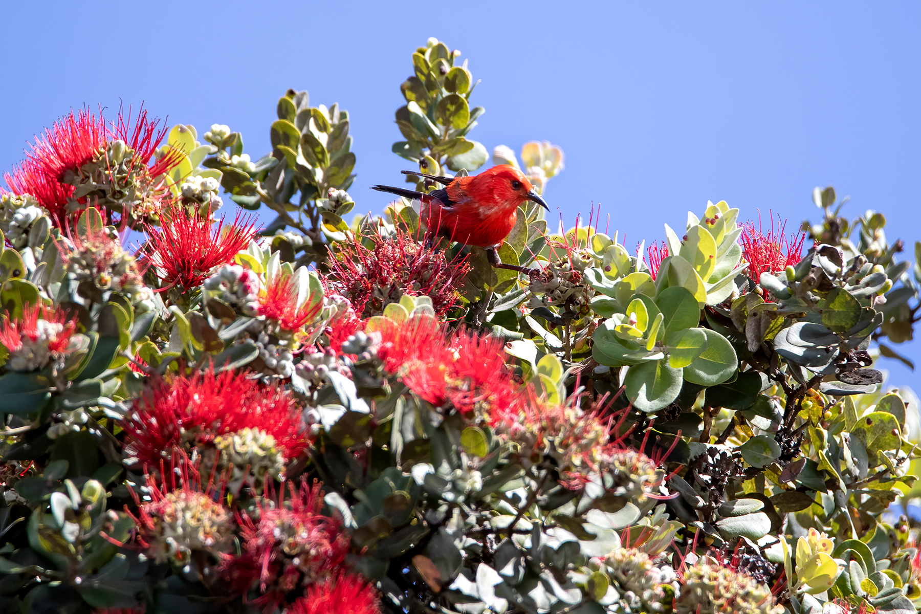
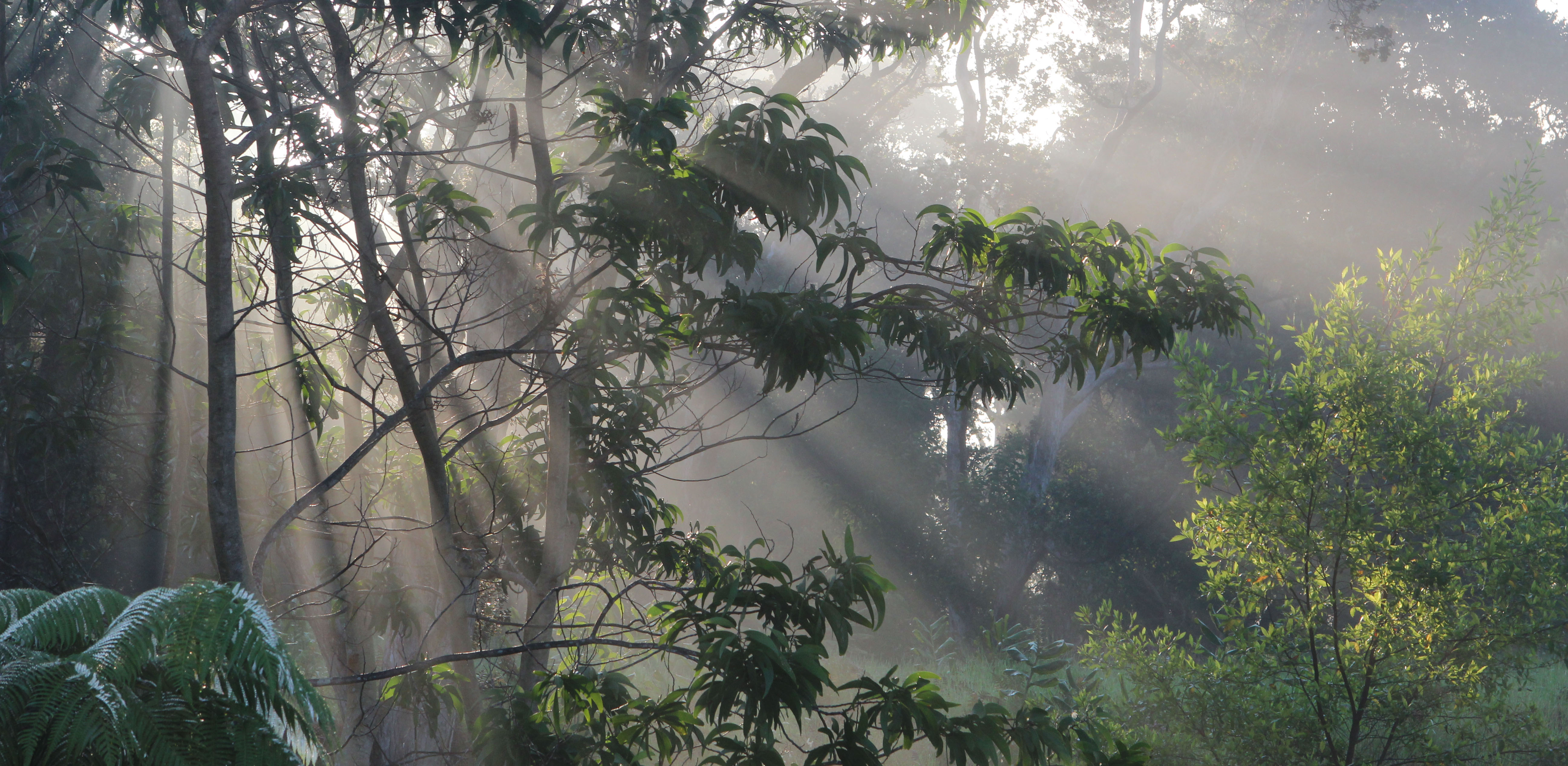
KīpukapuauluAn "island within an island", this kīpuka is home to treasured and endangered native species and features a short hiking trail. 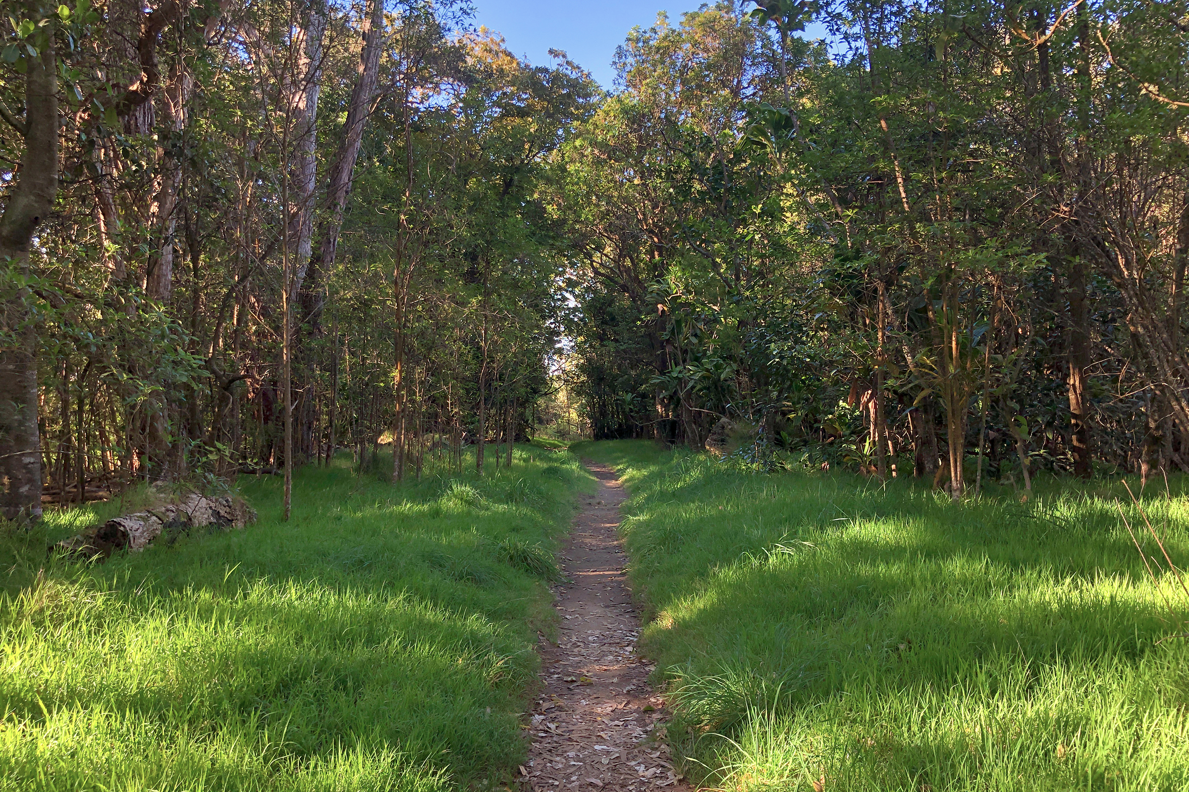
Kīpukapuaulu Picnic AreaA day-use picnic area with amenities including a three-sided shelter 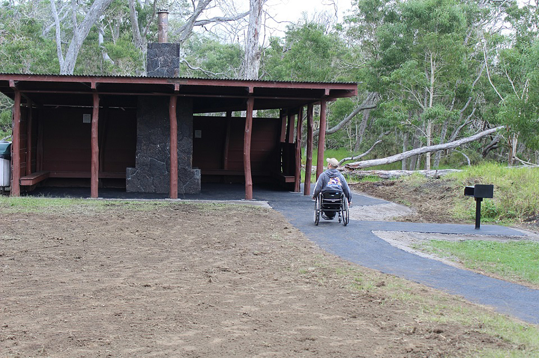
KūkamāhuākeaThe vast, steamy flat situated between Haʻakulamanu and Wahinekapu is known as Kūkamāhuākea. To many Native Hawaiians the steam that rises is a manifestation of Kū, one of four primary akua (gods) of Hawaiʻi. 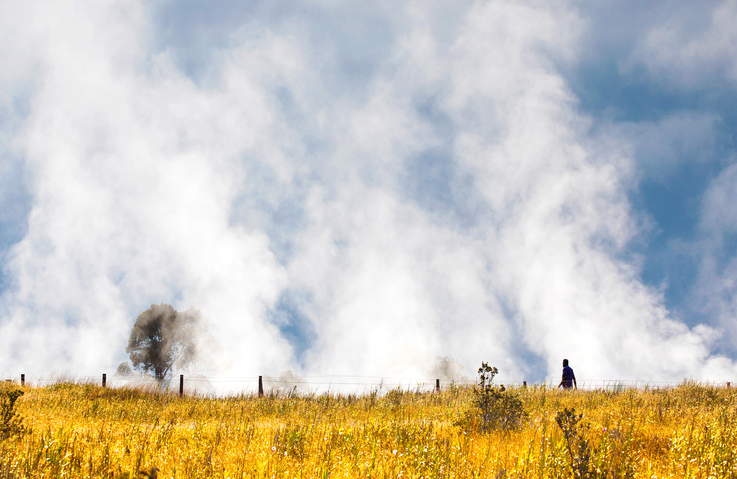
Kūpinaʻi Pali (Waldron Ledge)Trail along an old road damaged by an earthquake in 1983 with panoramic views of Kaluapele 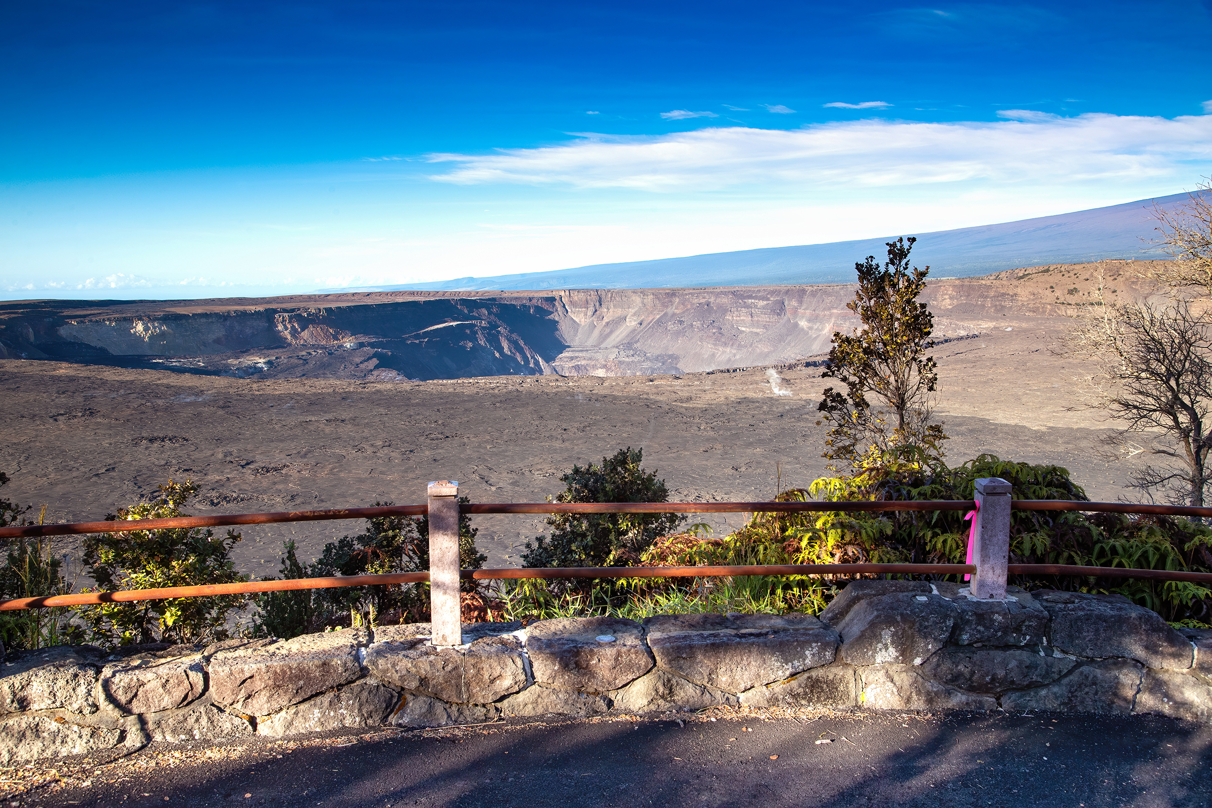
Luamanu and July 1974 FlowMeaning "bird crater", lava most recently entered this pit crater in 1974 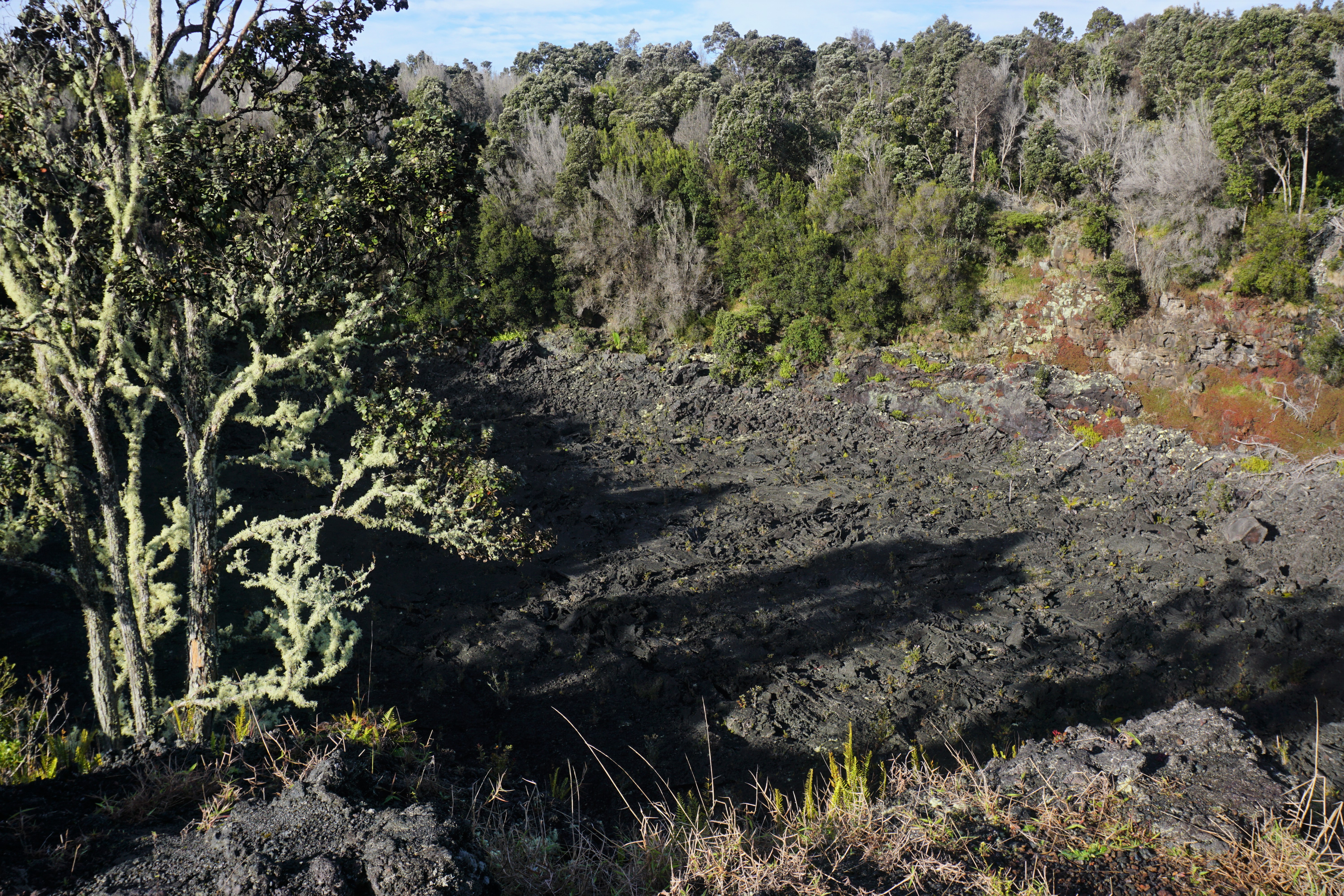
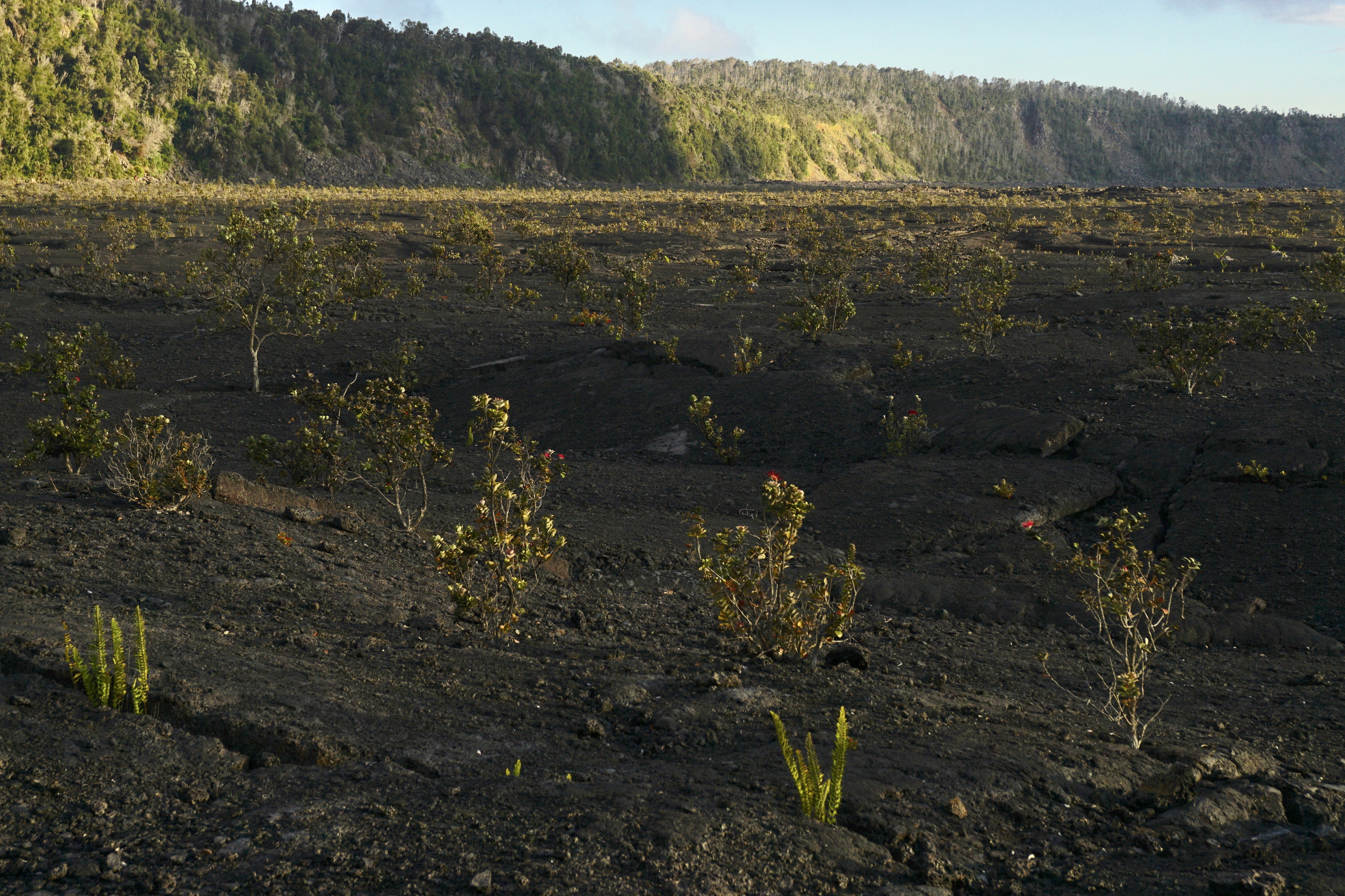
Mau Loa o MaunauluWitness the dramatic expanse of the lava flows of Maunaulu that blanketed the landscape from 1969 to 1974 at this pullout on Chain of Craters Road 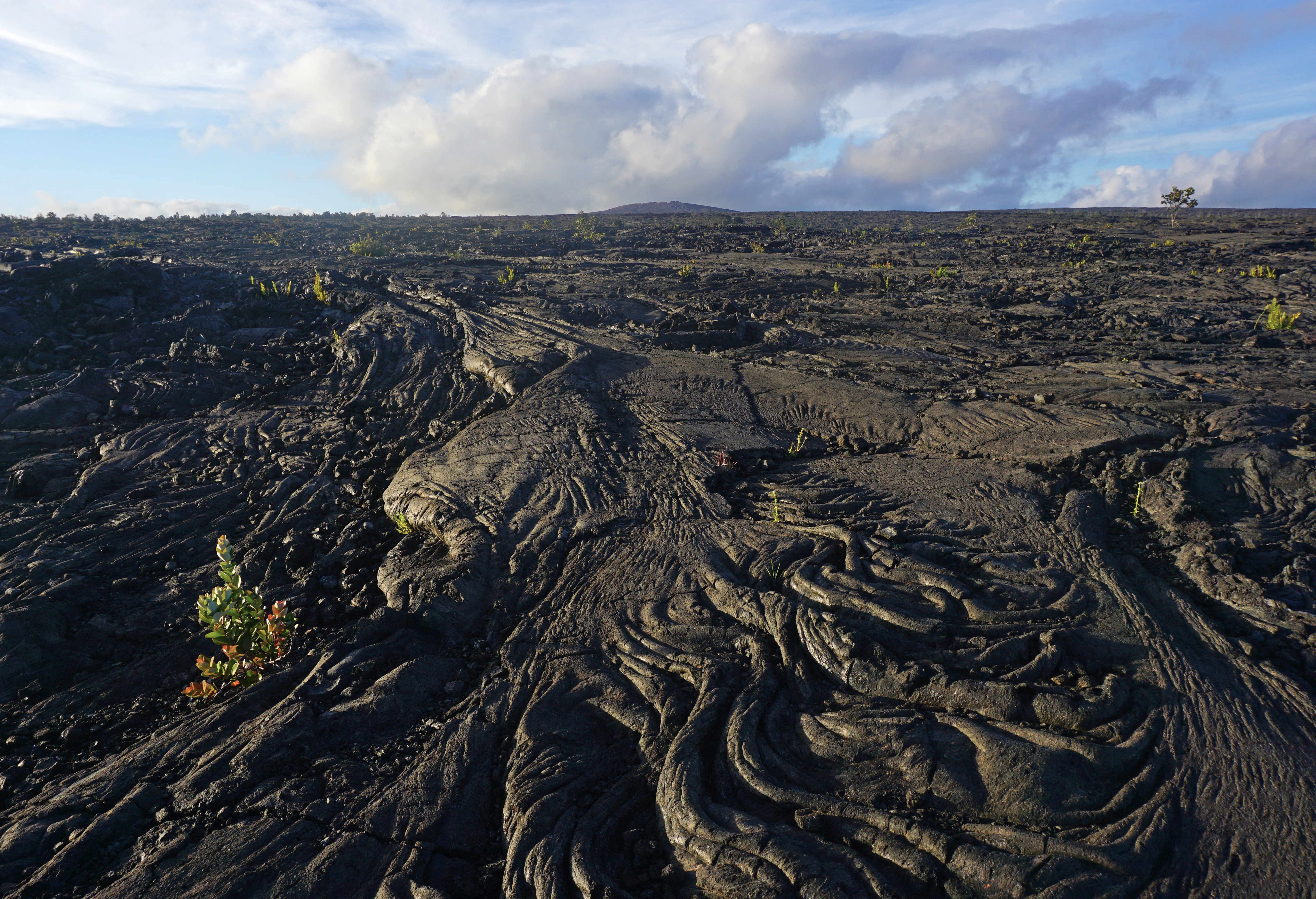
Mauna Loa LookoutA scenic overlook atop the narrow, winding Mauna Loa Road. It also marks the start of the Mauna Loa Trail and provides a short trail to a silversword plant exclosure. 
Mauna Loa Observatory TrailheadThis remote and difficult trail through jagged lava fields leads to the summit of Mauna Loa. 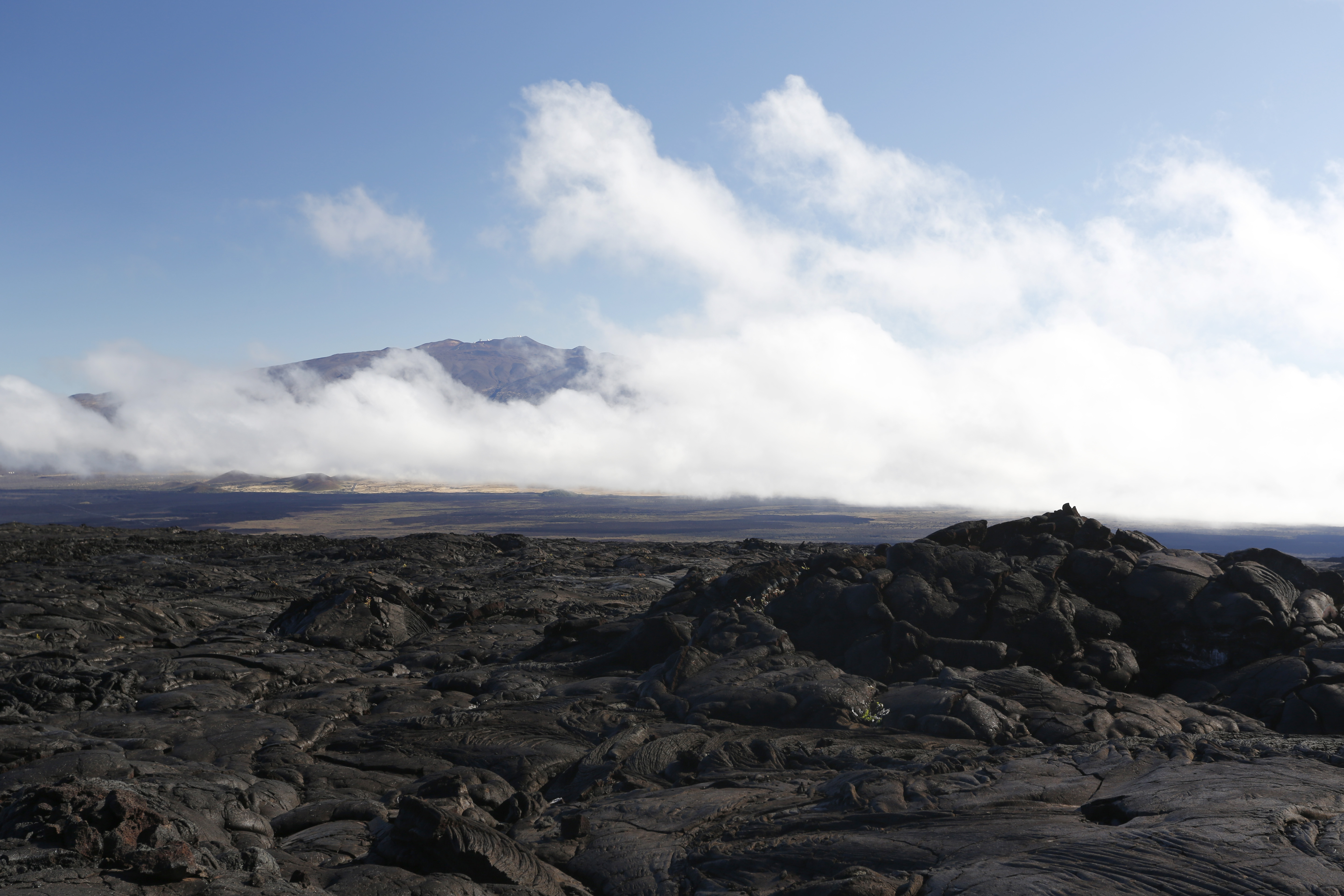
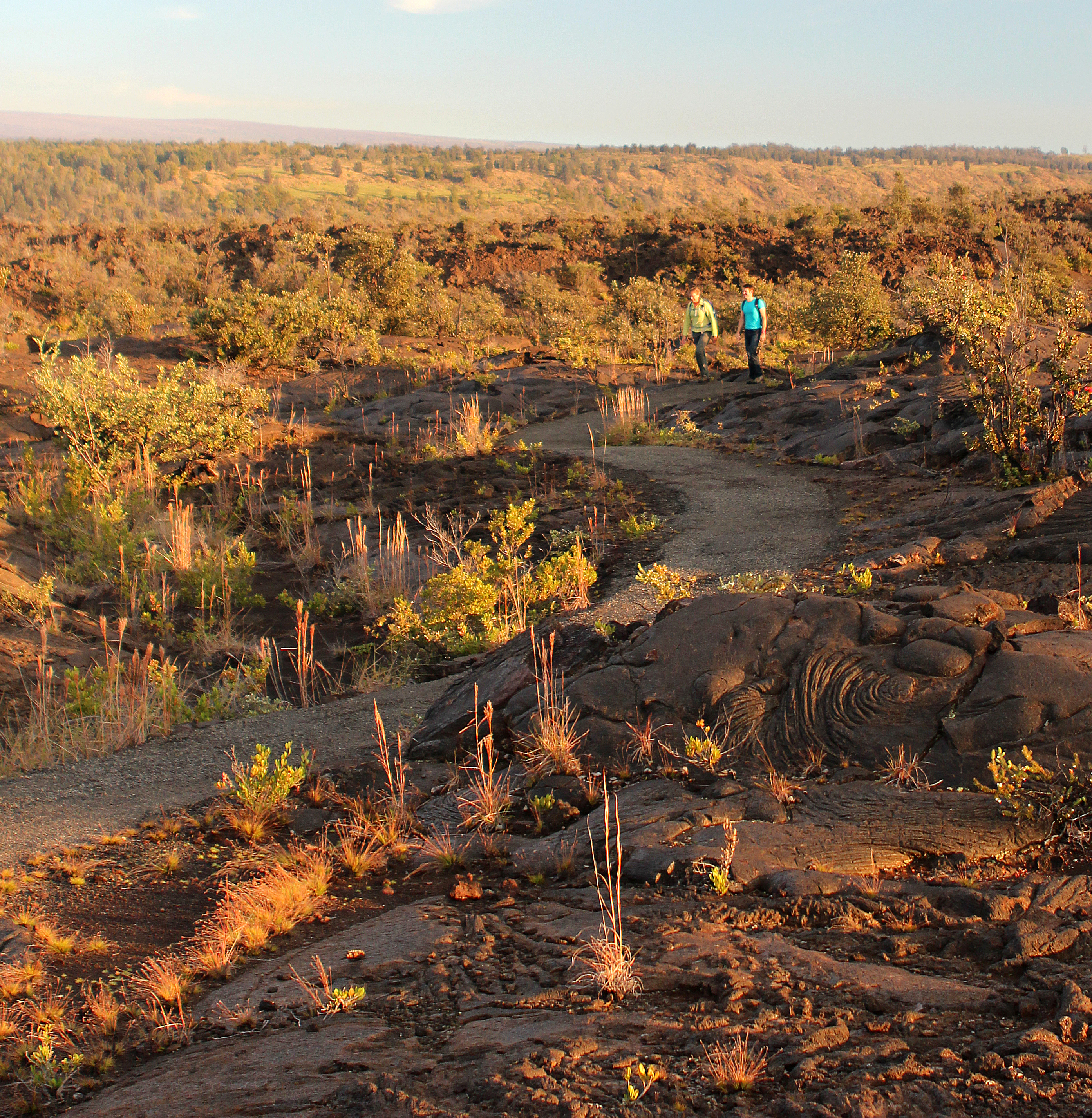
Maunaiki TrailThe Maunaiki Trail is a 16-mile one-way hike through lava fields to the Mauna Iki and Puʻu Koaʻe cones, showcasing the park's distinctive volcanic landscapes and ecosystems. 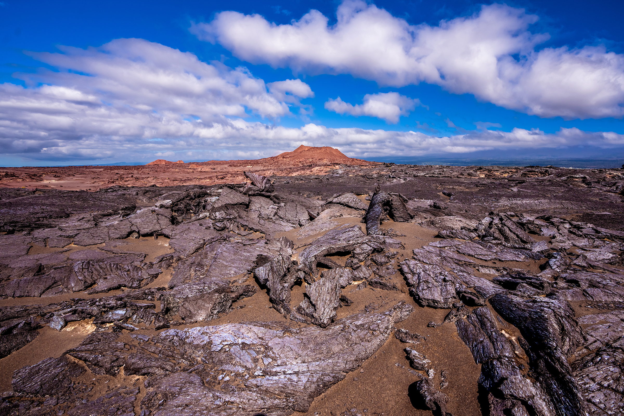
MaunauluA short day hike to Puʻuhuluhulu cinder cone provides views of the Maunaulu lava shield and lava flows from the 1969-1974 eruption 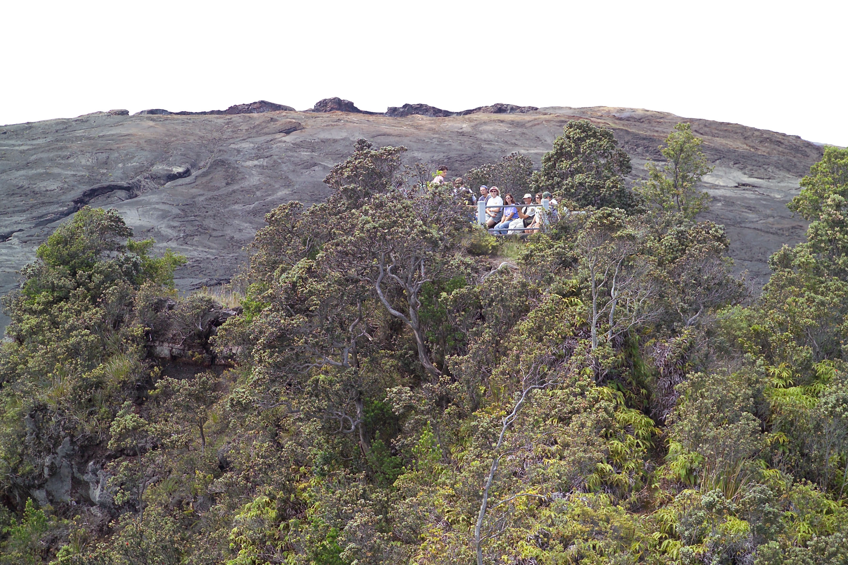
Muliwai a PeleThe platform provides a vantage point with a view of the remnants of a lava channel that once carried a massive river of molten lava. 
Nāhuku Lava TubeA 500-year old cave where a river of lava once flowed. 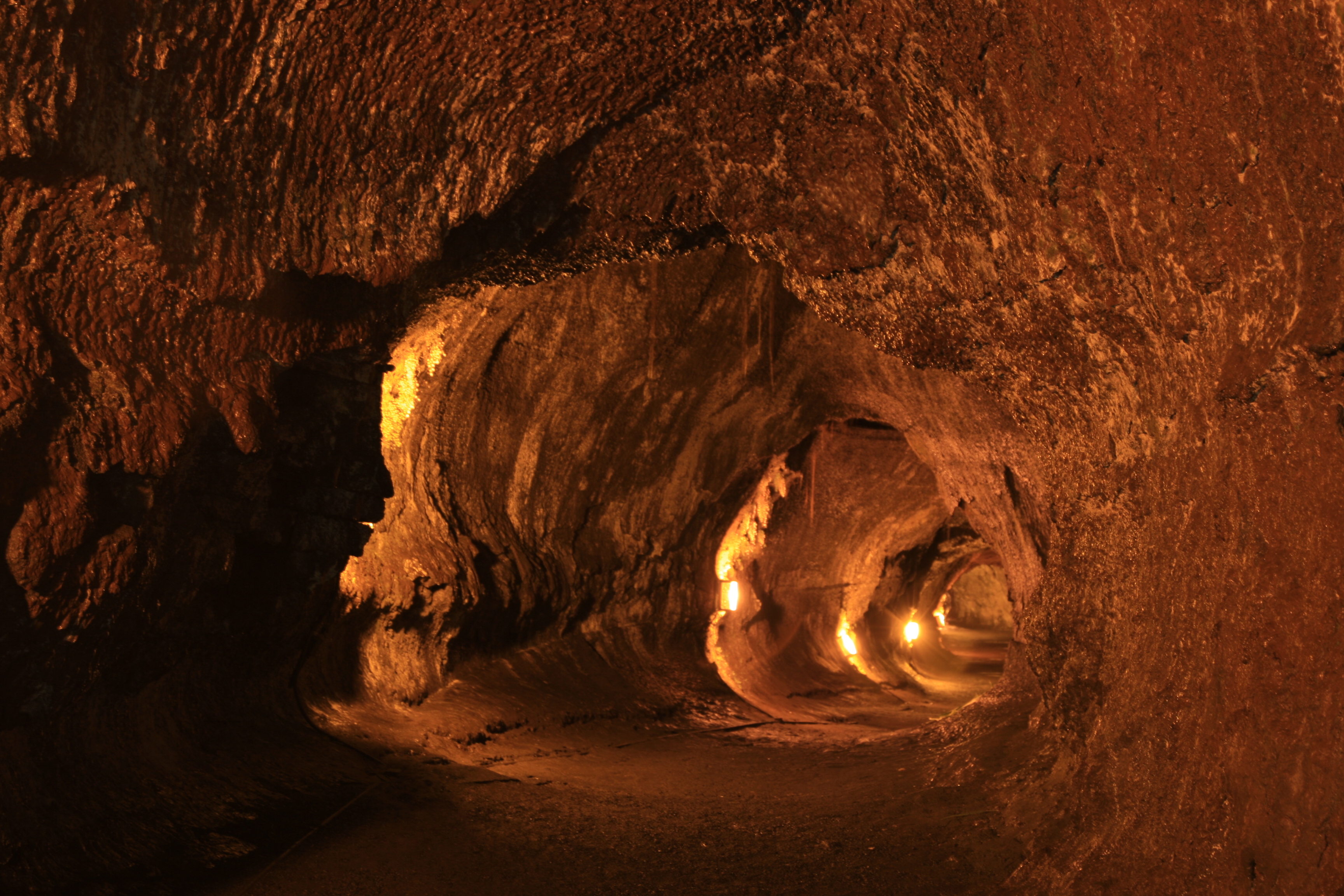
Other Lava Shields Along the East Rift Zone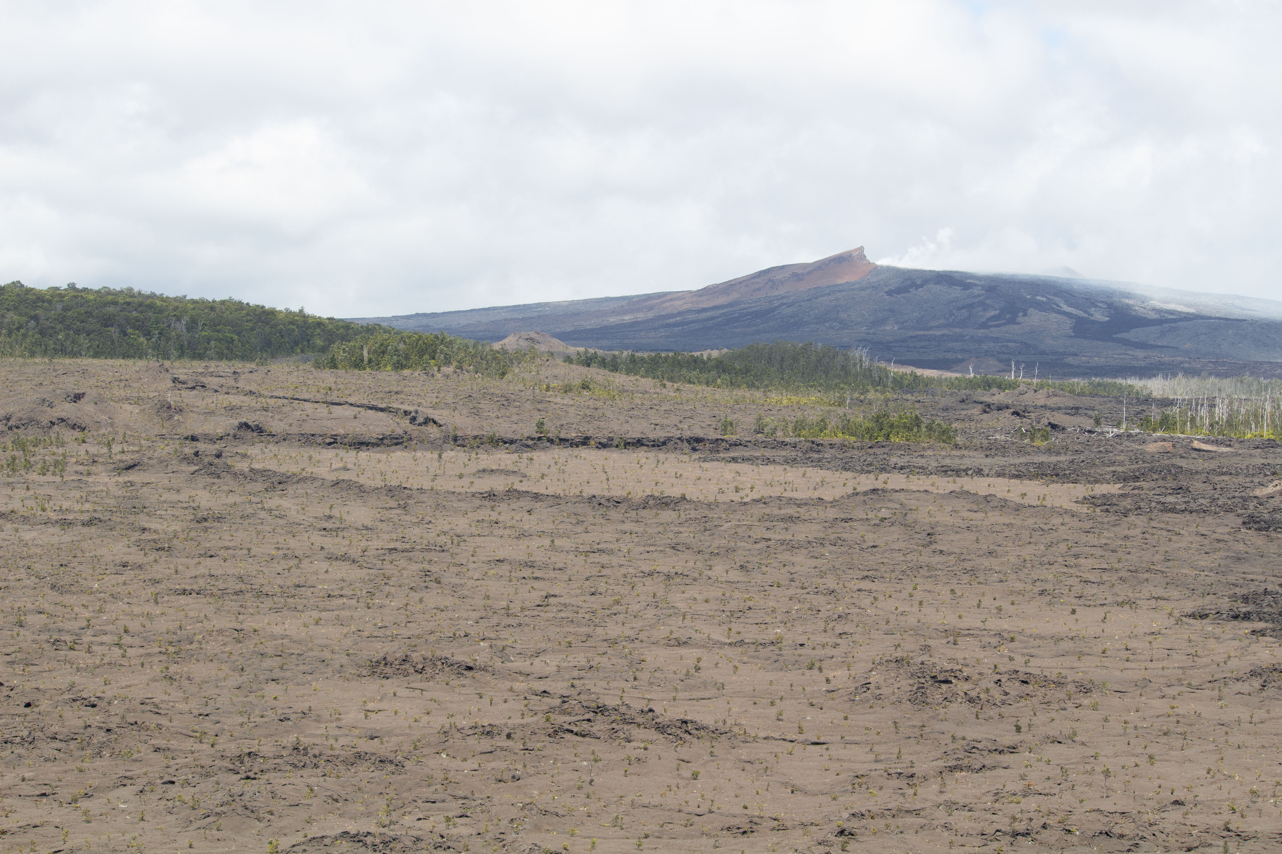
Pauahi CraterThis large pit crater has hosted three eruptions in recent decades. 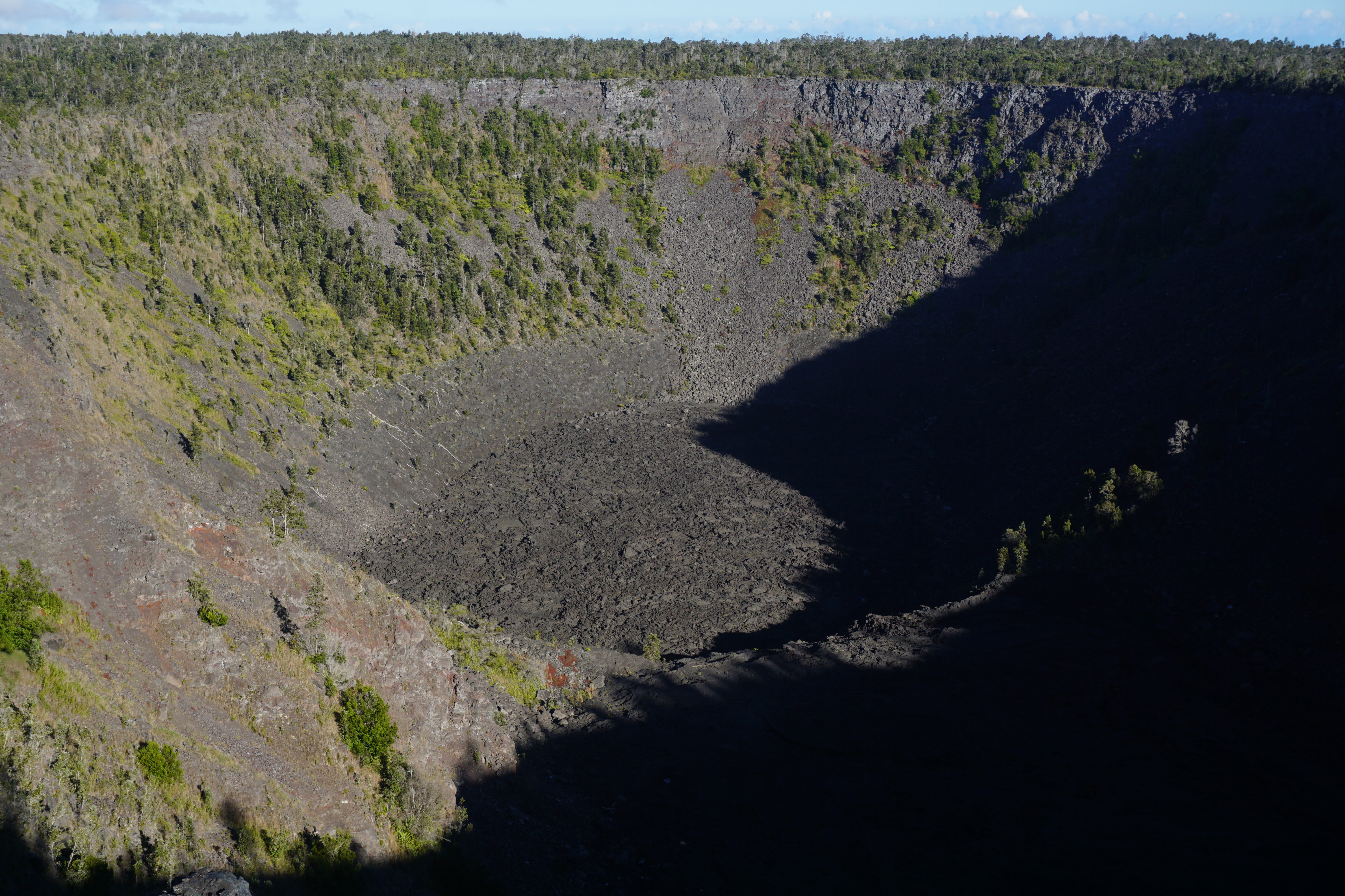
Puhimau CraterA dramatic chasm representative of the pit crater phenomenon that occurs many places along Chain of Craters Road. 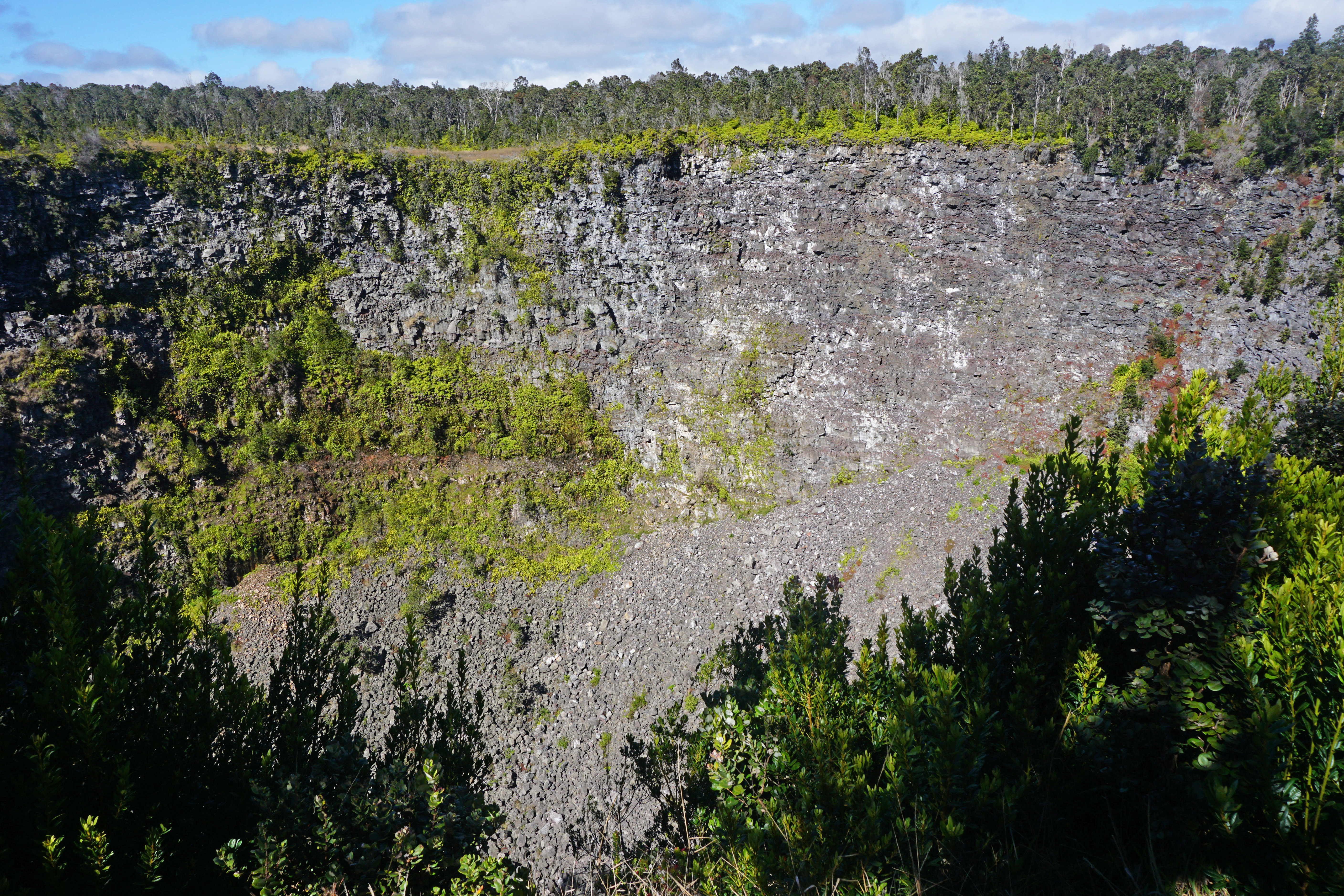
Puʻu o LokuanaA steep hill with a historic cinder quarry and sweeping views of surrounding ranchlands. 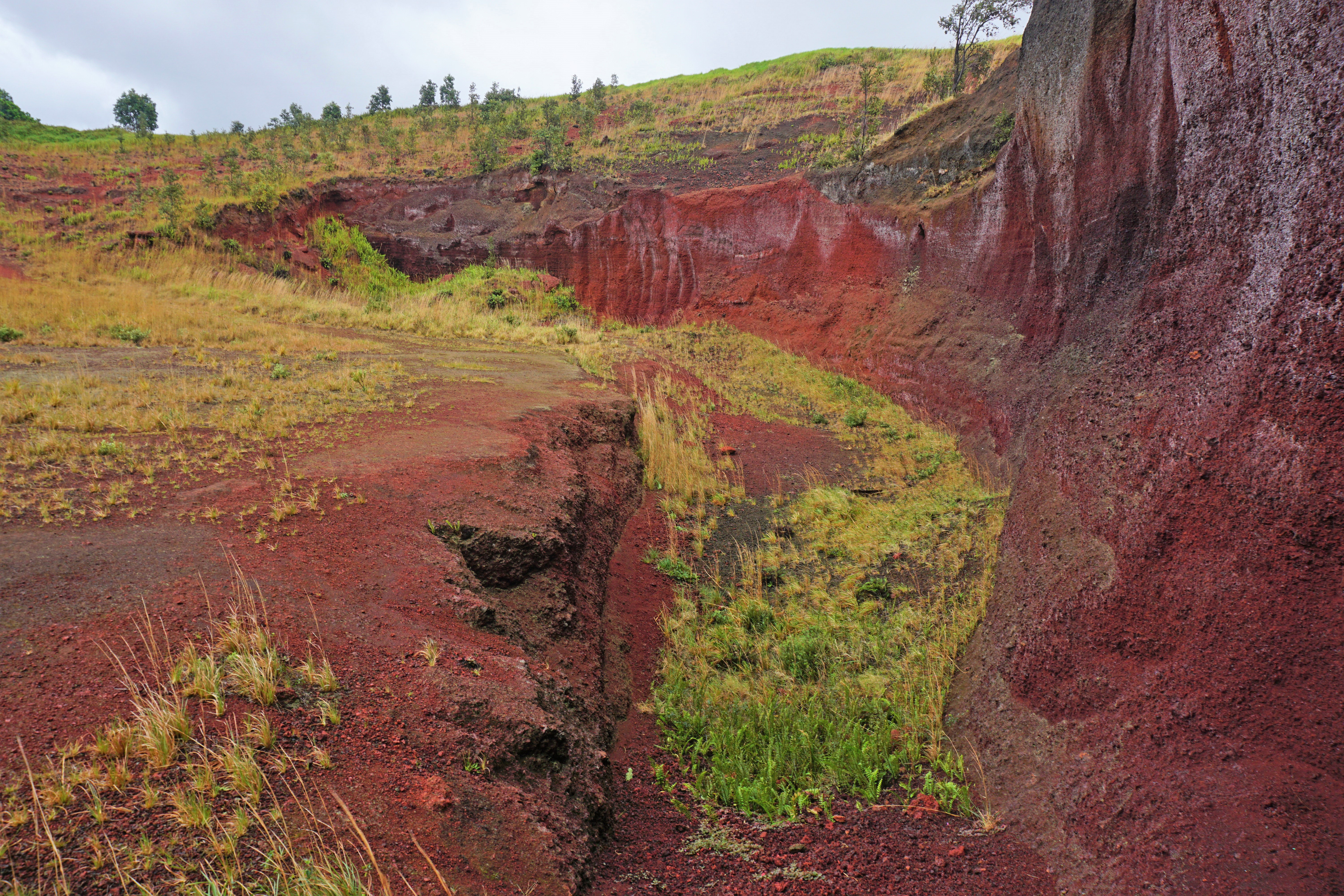
Puʻuhuluhulu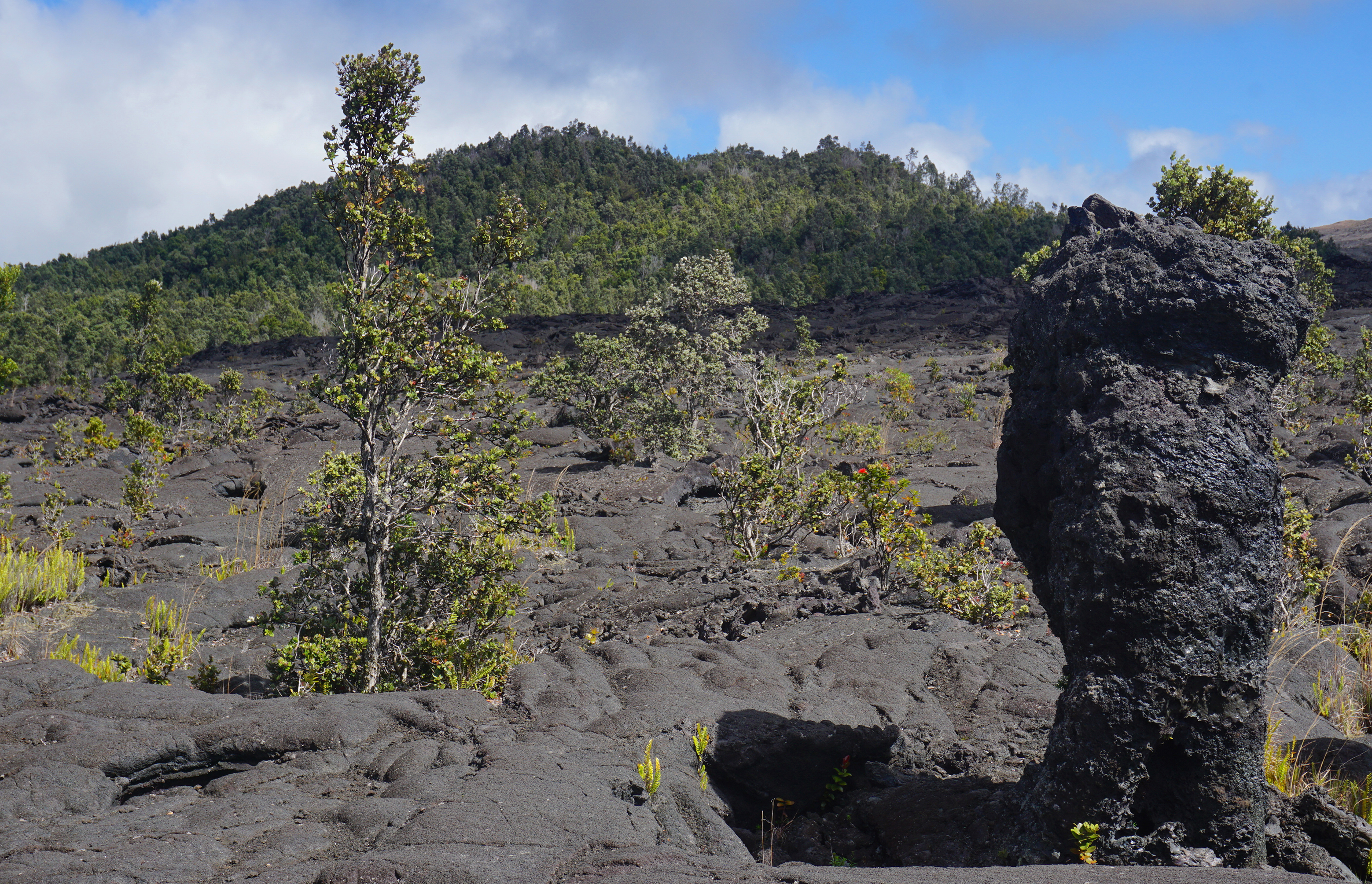
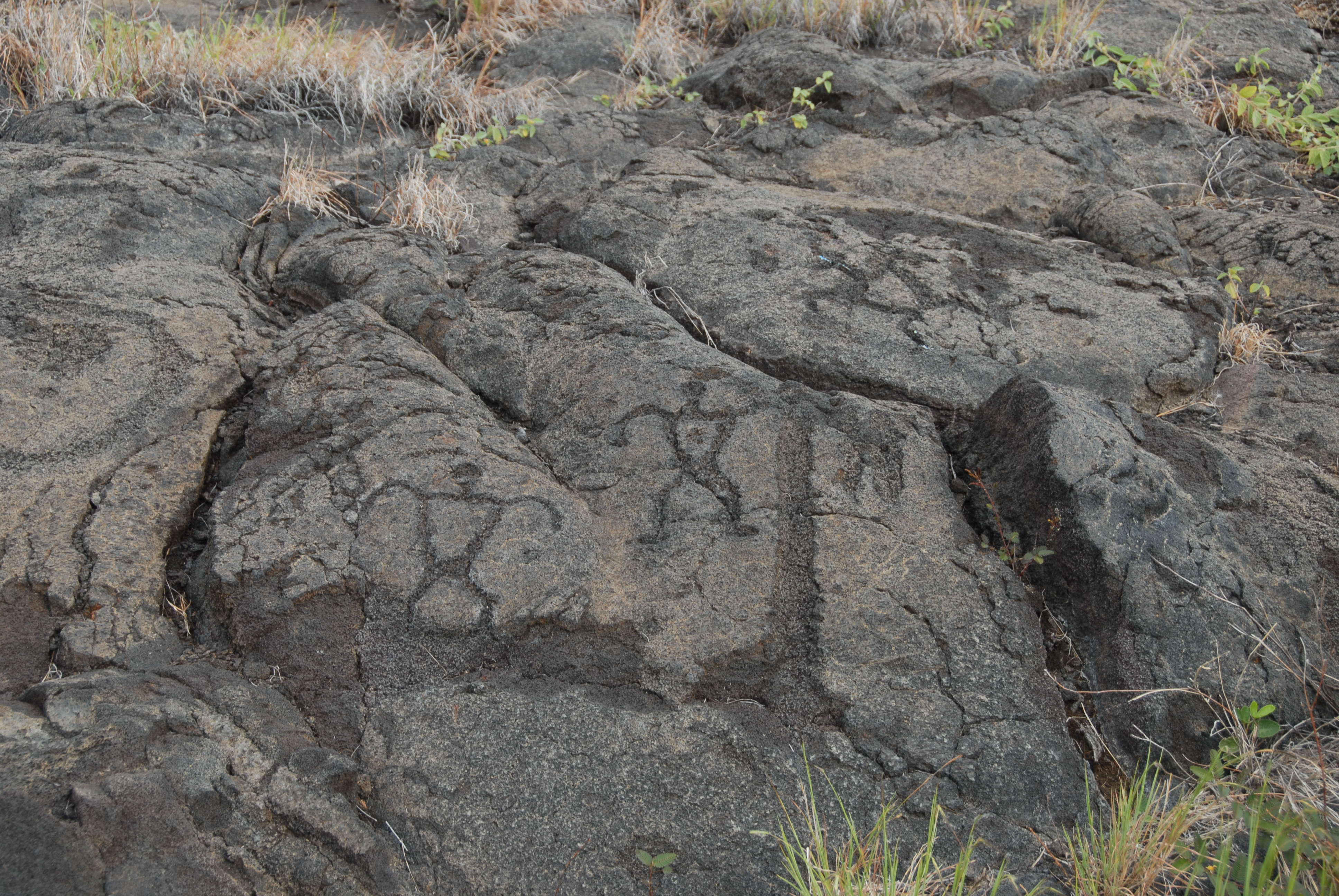
Puʻuloa PetroglyphsA sacred site and the largest grouping of petroglyphs in Hawaiʻi. 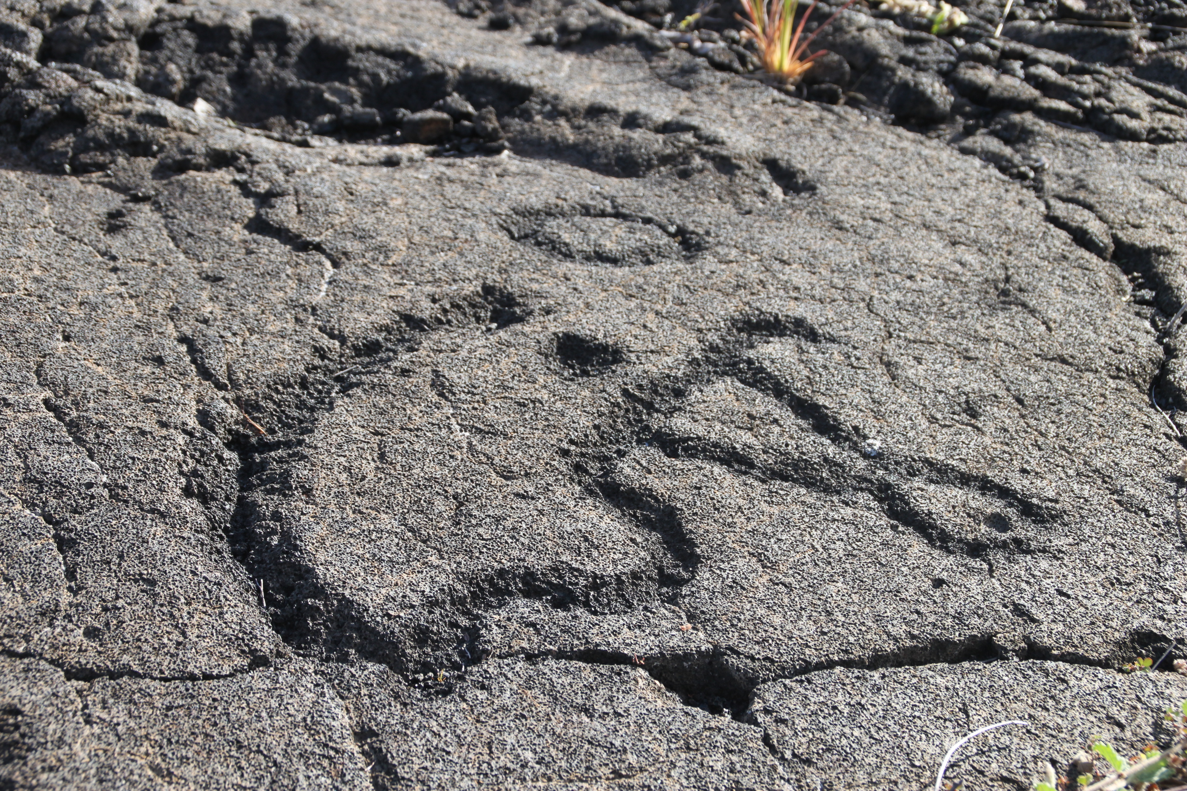
Puʻupuaʻi OverlookLook into Kīlauea Iki crater from a perch next to the massive cinder cone created by lava fountains in 1959 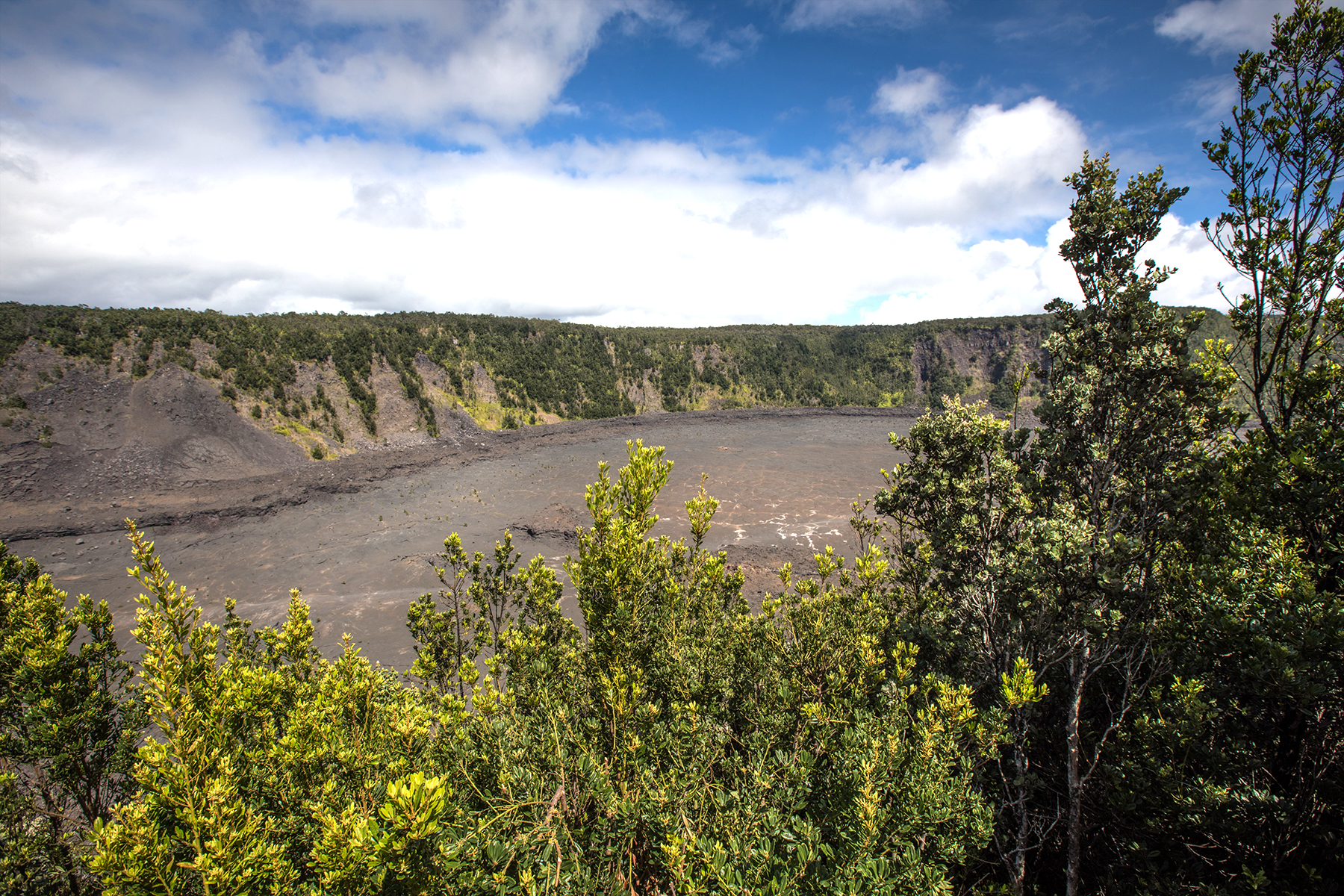
Ranger Tips For A Successful VisitPlan Like A Park Ranger at Hawaiʻi Volcanoes National Park 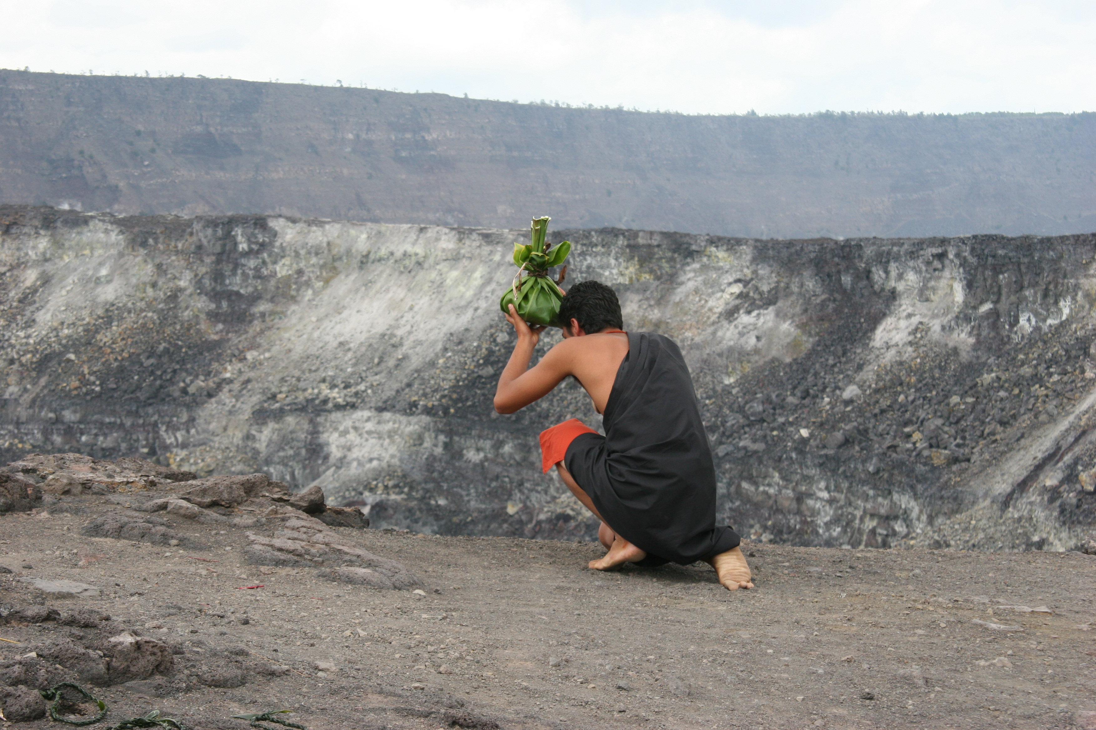
Stop 1- Kīpukapuaulu
Stop 1- Puʻuloa Petroglyphs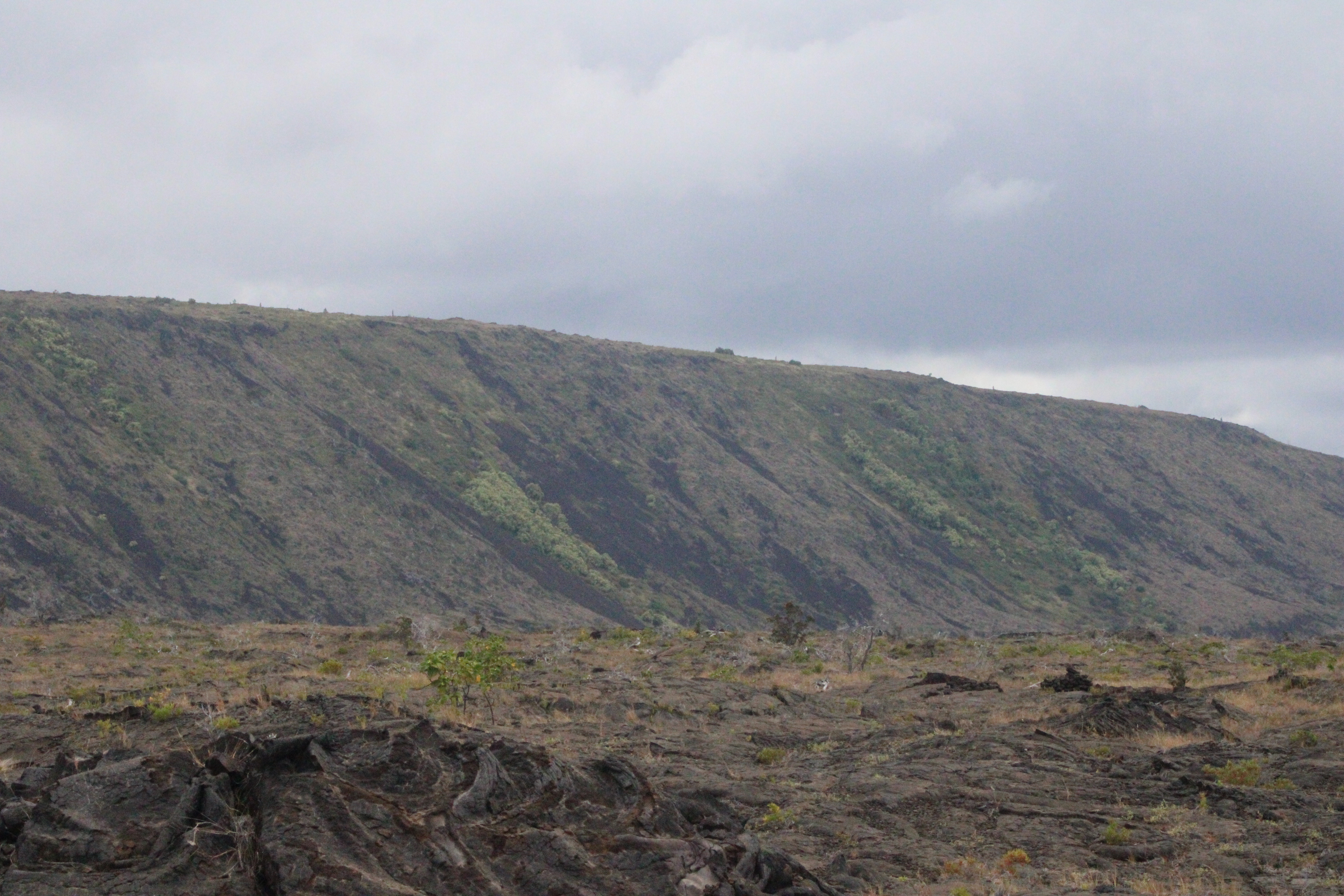
Stop 10- Kīpukapuaulu
Stop 11- Kīpukapuaulu
Stop 2- Kīpukapuaulu
Stop 2- Puʻuloa Petroglyphs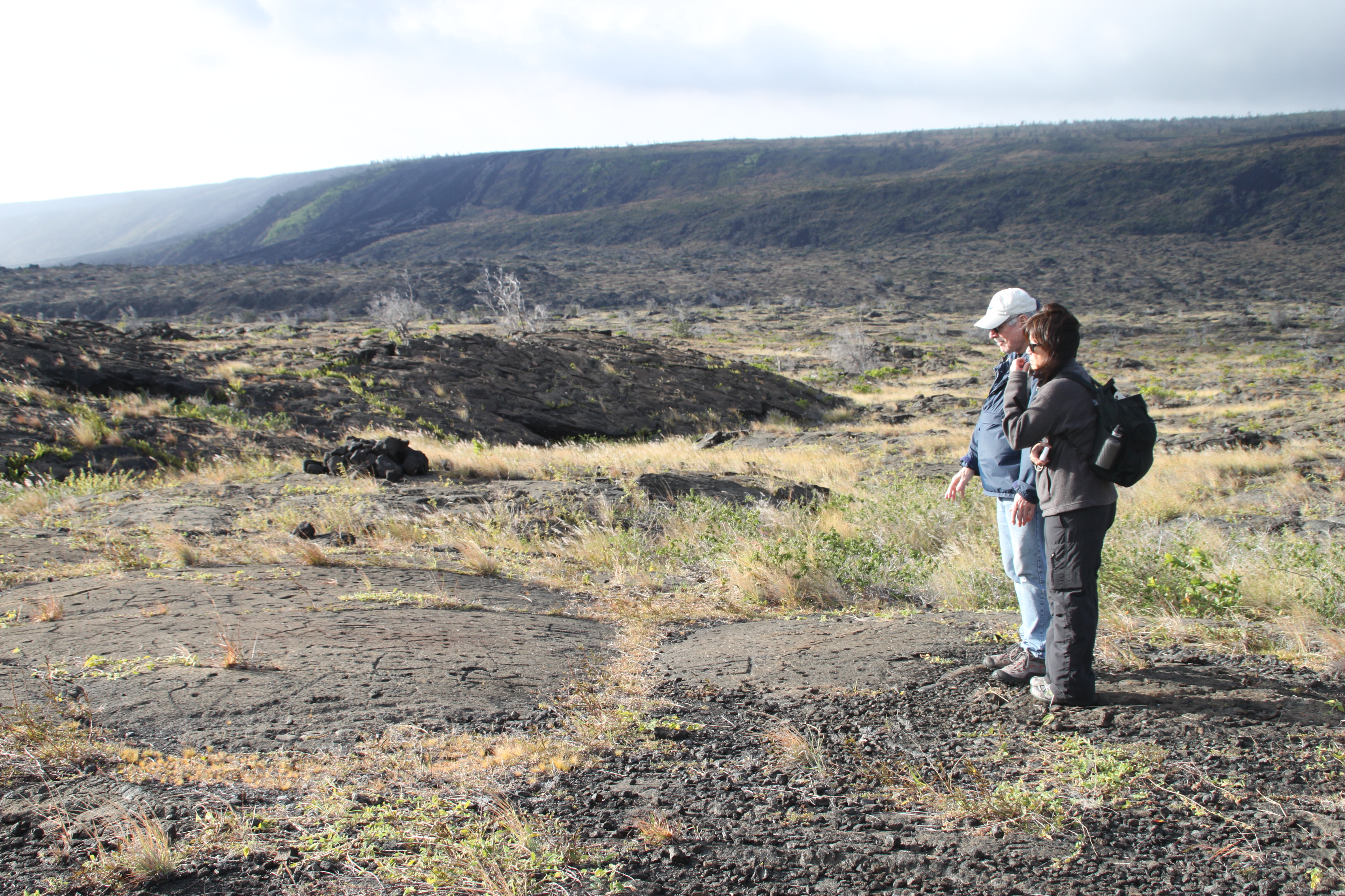
Stop 3- Kīpukapuaulu
Stop 3- Puʻuloa Petroglyphs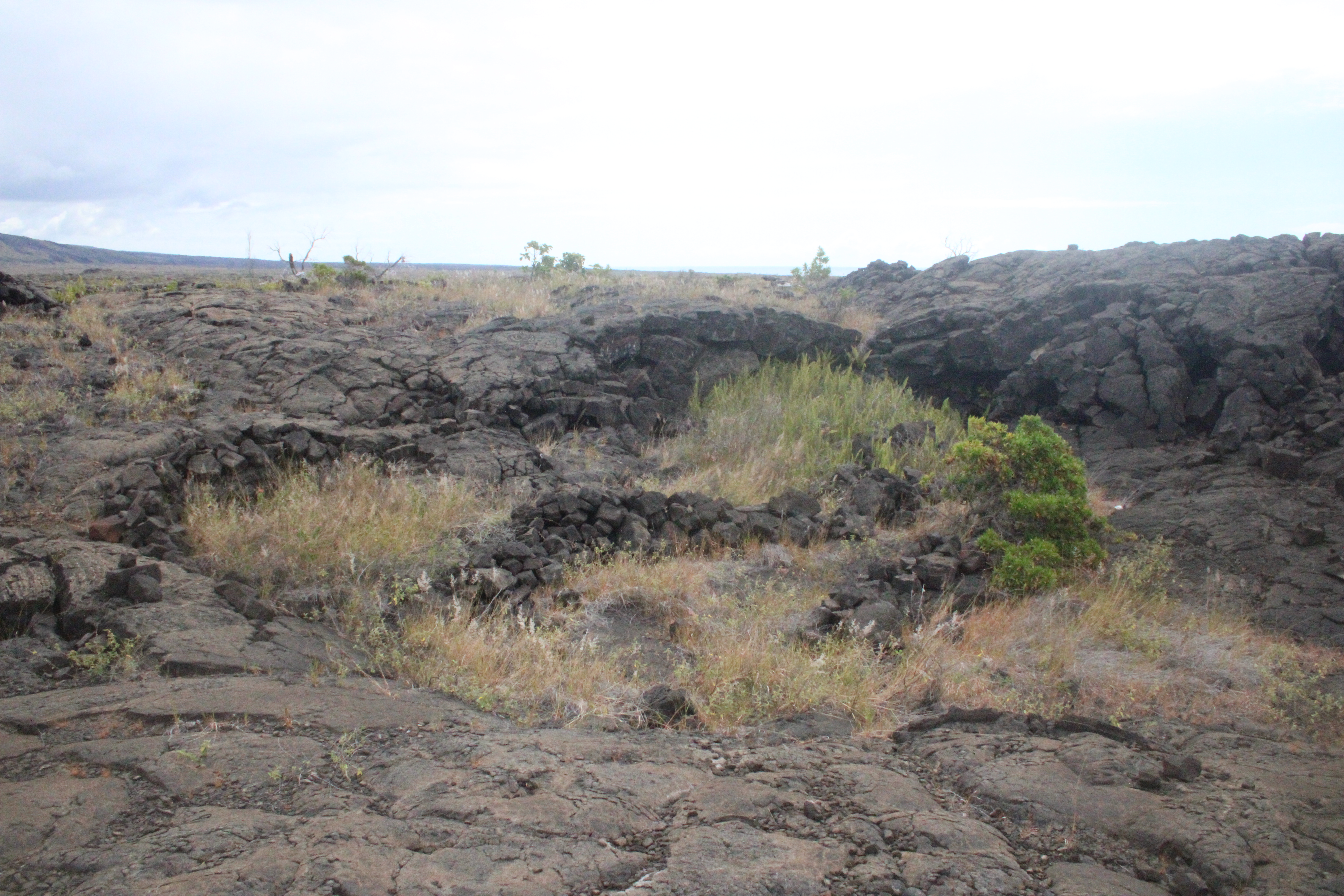
Stop 4- Kīpukapuaulu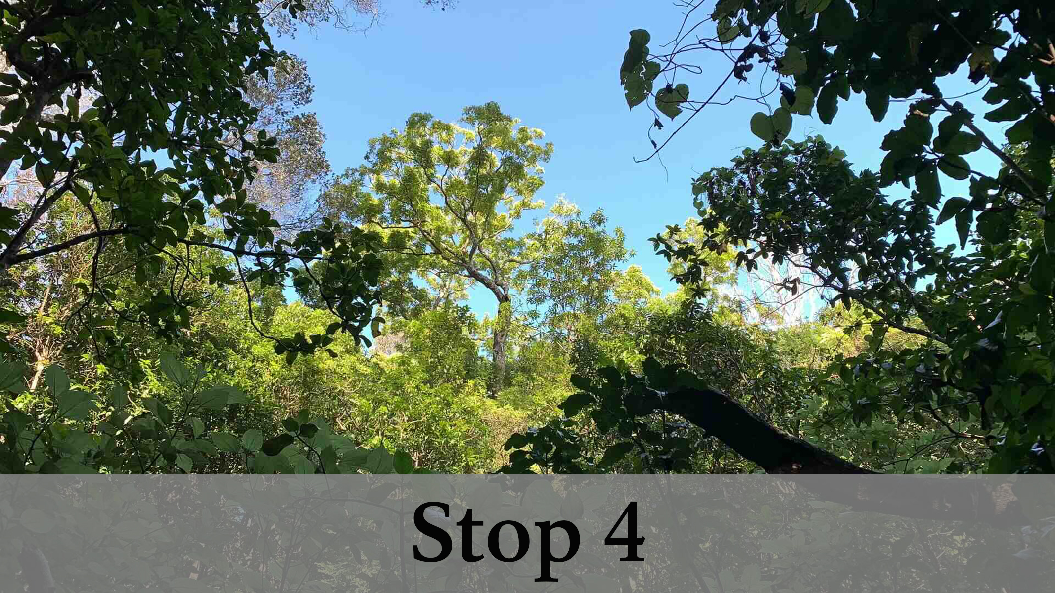
|
| Visitor Centers | Count: 2
Kahuku Visitor Contact Station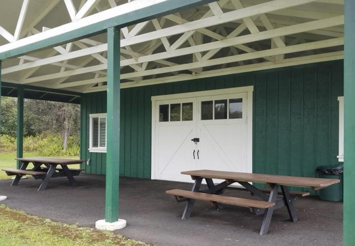
Welcome Center
|
| Things to do | Count: 24


|
| Tours |
Count: 6
A First VisitIf you have limited time to spend in the park, see these sites around the summit of Kīlauea first! Driving Tour of Chain of Craters RoadThis exceptionally scenic drive traverses the flanks of Kīlauea down to the sea. On the way, it passes amazing geological and cultural sites including its namesake pit craters, dramatic cliffs, and petroglyphs. This tour is meant to be done in a vehicle, with options for three short hikes or walks along the way. Driving Tour of Crater Rim DriveCrater Rim Drive traverses the eastern portion of the summit caldera of Kīlauea, passing by incredible geological phenomena, cultural sites, and breathtaking vistas of one of the world's most active volcanoes. This tour is meant to be done in a vehicle, with options for three short hikes. Hiking Tour of KīpukapuauluThis trail reveals a story of struggle and survival for some of rarest plants and animals of Hawaiʻi. Plant picking is prohibited in this Special Ecological Area (SEA). Dogs, horses, and bicycles are prohibited on this trail. Hiking Tour of MaunauluVenture through a landscape formed in a five-year eruption that re-created this land. This trail tells the story of one of the longest known rift zone eruptions of Kīlauea. The well-marked trail crosses massive lava fields, skirts gaping fissures, and takes you to spectacular features formed by rapidly cooling lava flows. Hiking Tour of Puʻuloa PetroglyphsWalk in the footsteps of the kūpuna (elders) to Puʻuloa (hill of long life). It is a sacred and awe-inspiring gallery of kiʻi pōhaku (images carved in stone). These simple etchings document the life and culture of the native Hawaiian people. The petroglyphs are very fragile. Stay on the boardwalk. Walking on the lava surface will fragment the delicate petroglyphs. |
| Articles |
|