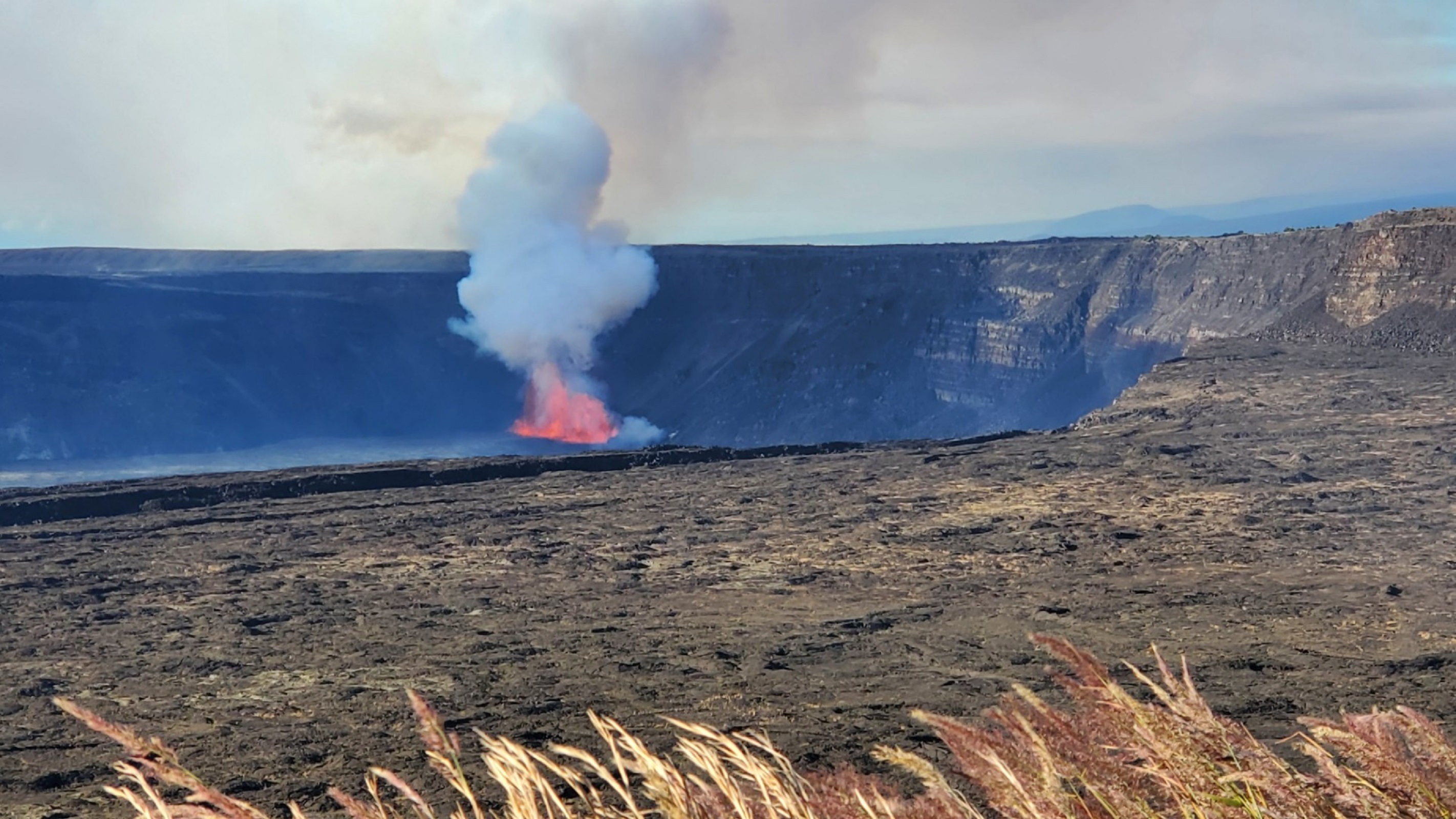
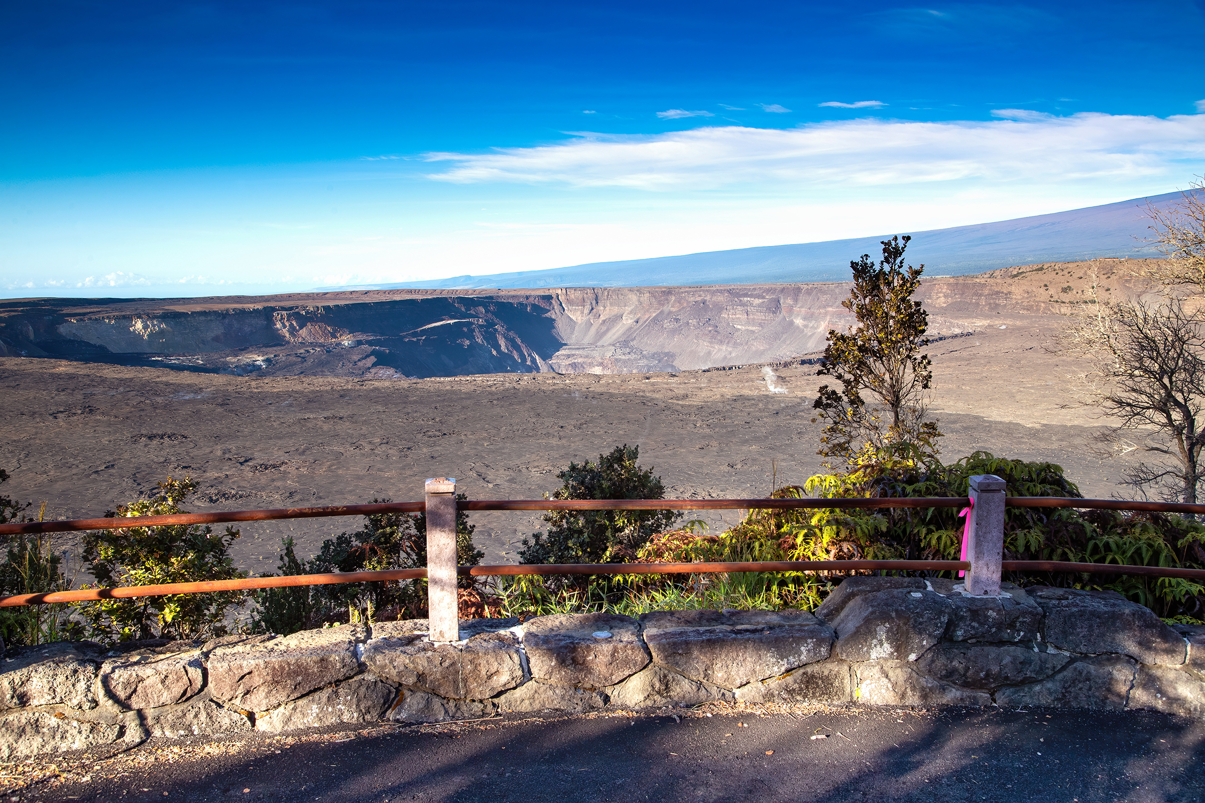
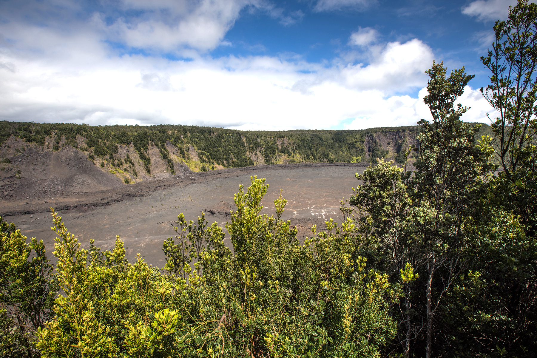
Kīlauea Overlook offers unobstructed views of the bottom of the Halemaʻumaʻu crater during an eruption. Located 2.5 miles (7 minutes) from the entrance station. Family-friendly location with great views. A short walk from the parking lot or a 0.4 mile walk from Uēkahuna.
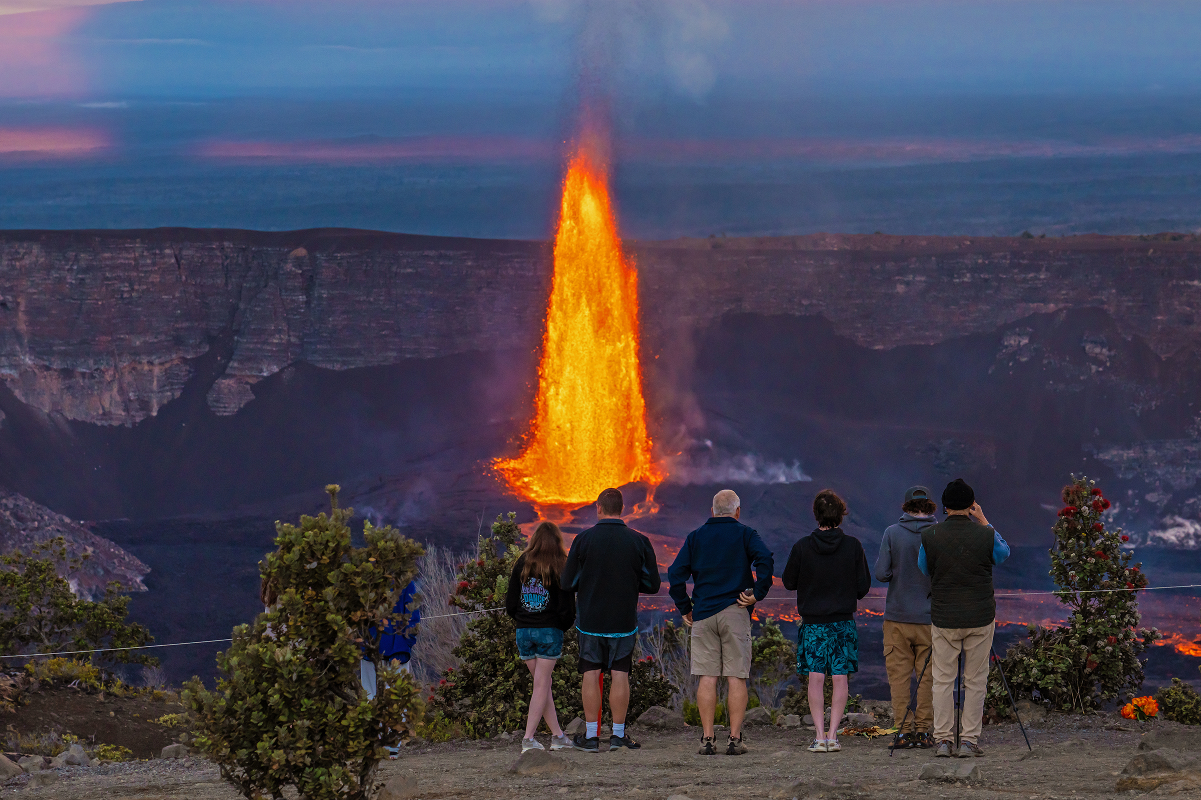
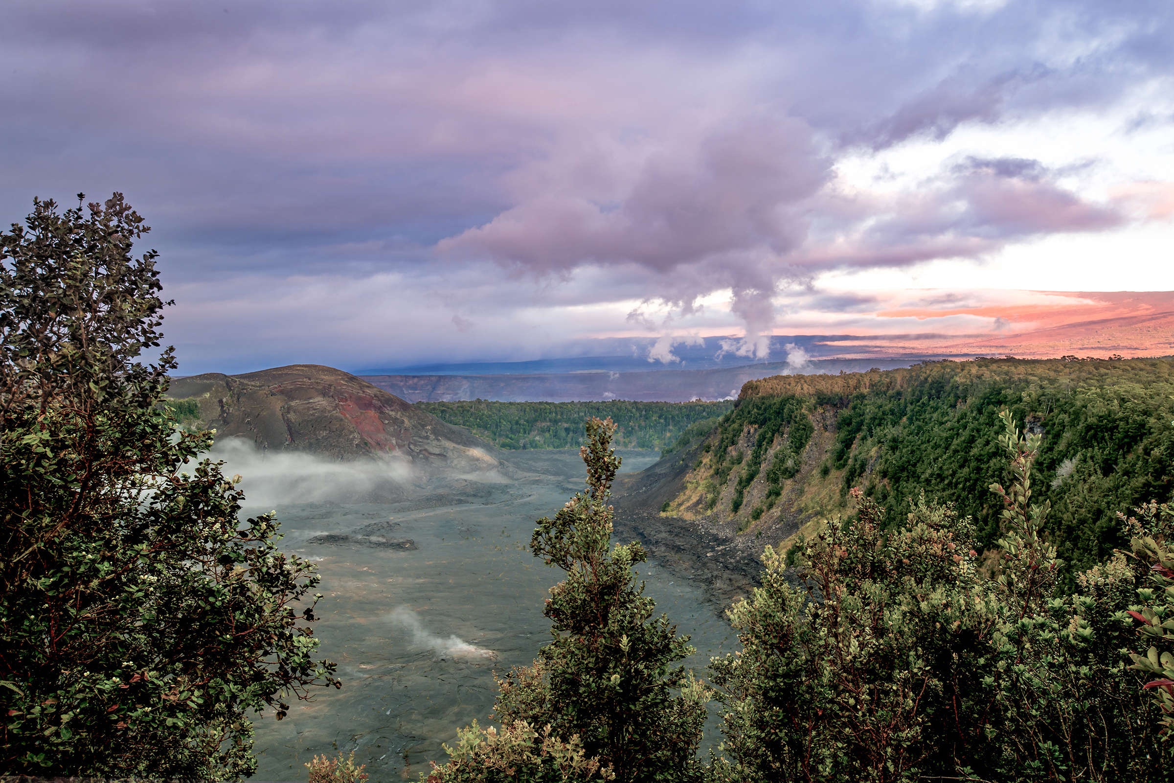
Escape the crowds and experience the eruption in near solitude. This vantage point offers stunning wide-angle views of the caldera, being the furthest overlook from the eruption. Take Crater Rim Drive West from the entrance station, and park at the closed Kīlauea Visitor Center, a 0.3-mile (2 minute) drive. Walk 0.5 miles (20 minutes) towards Volcano House hotel then southeast on Crater Rim Trail.
The overlook at Uēkahuna offers great views into Halemaʻumaʻu crater and surrounding areas from the summit of Kīlauea volcano. Located at the end of Crater Rim Drive West, a 2.8-mile (7 minute) drive from the entrance station. Family-friendly location with rangers often on site for information and programs. More available parking compared to other locations.
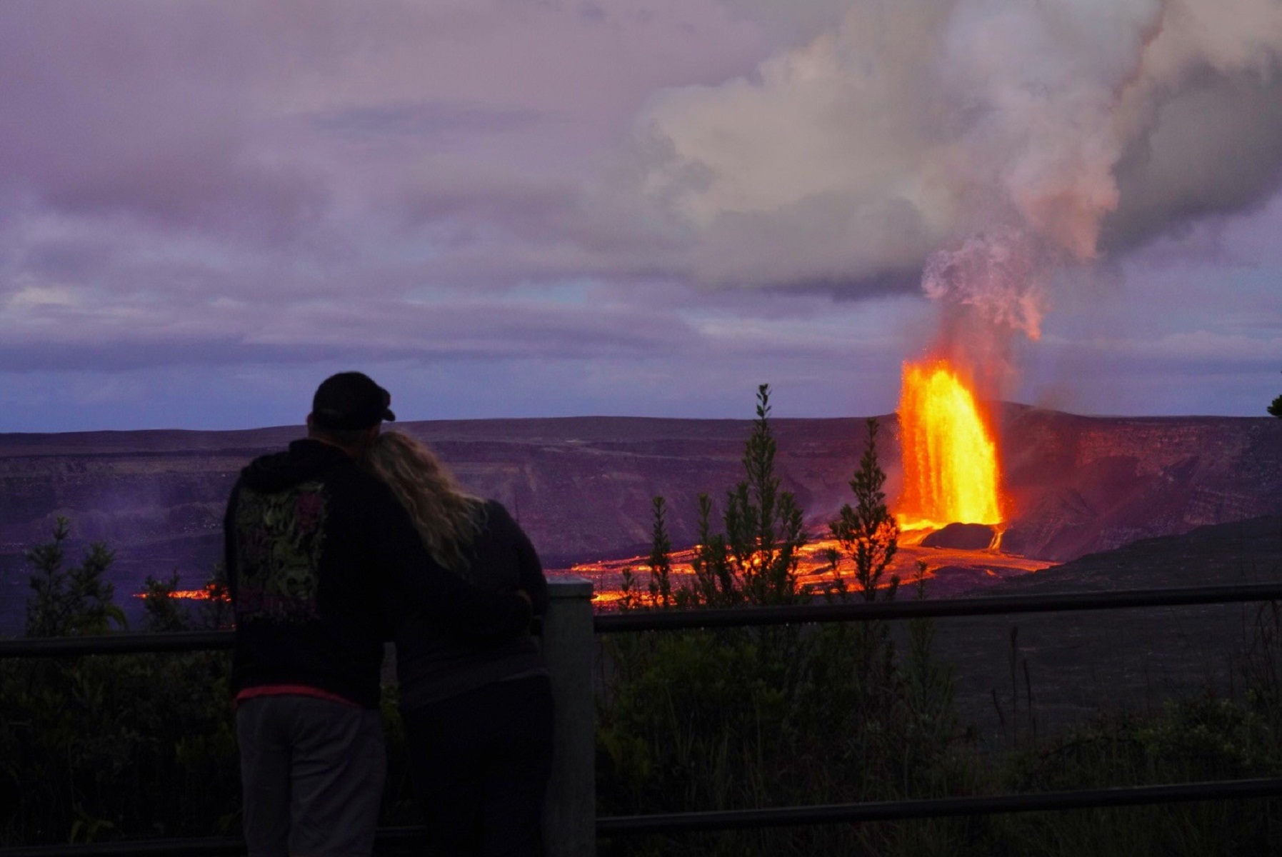
Experience the heat from nearby steam vents as you take in the breathtaking views of the eruption, with unobstructed, panoramic views of the entire cinder cone. Located on Crater Rim Drive West, 1 mile (4 minutes) from entrance station. A popular, but congested spot due to being the first overlook you encounter upon entering the park.
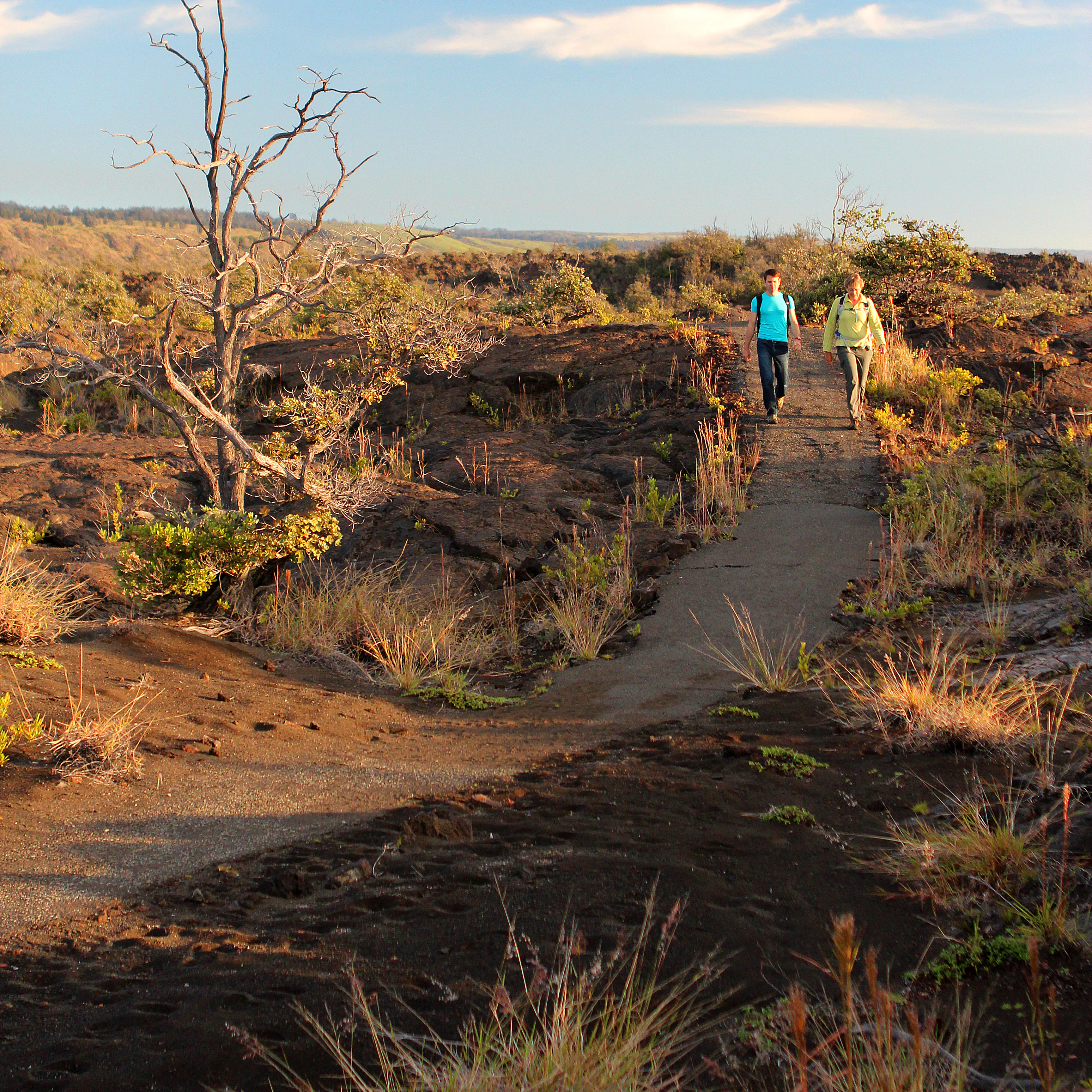
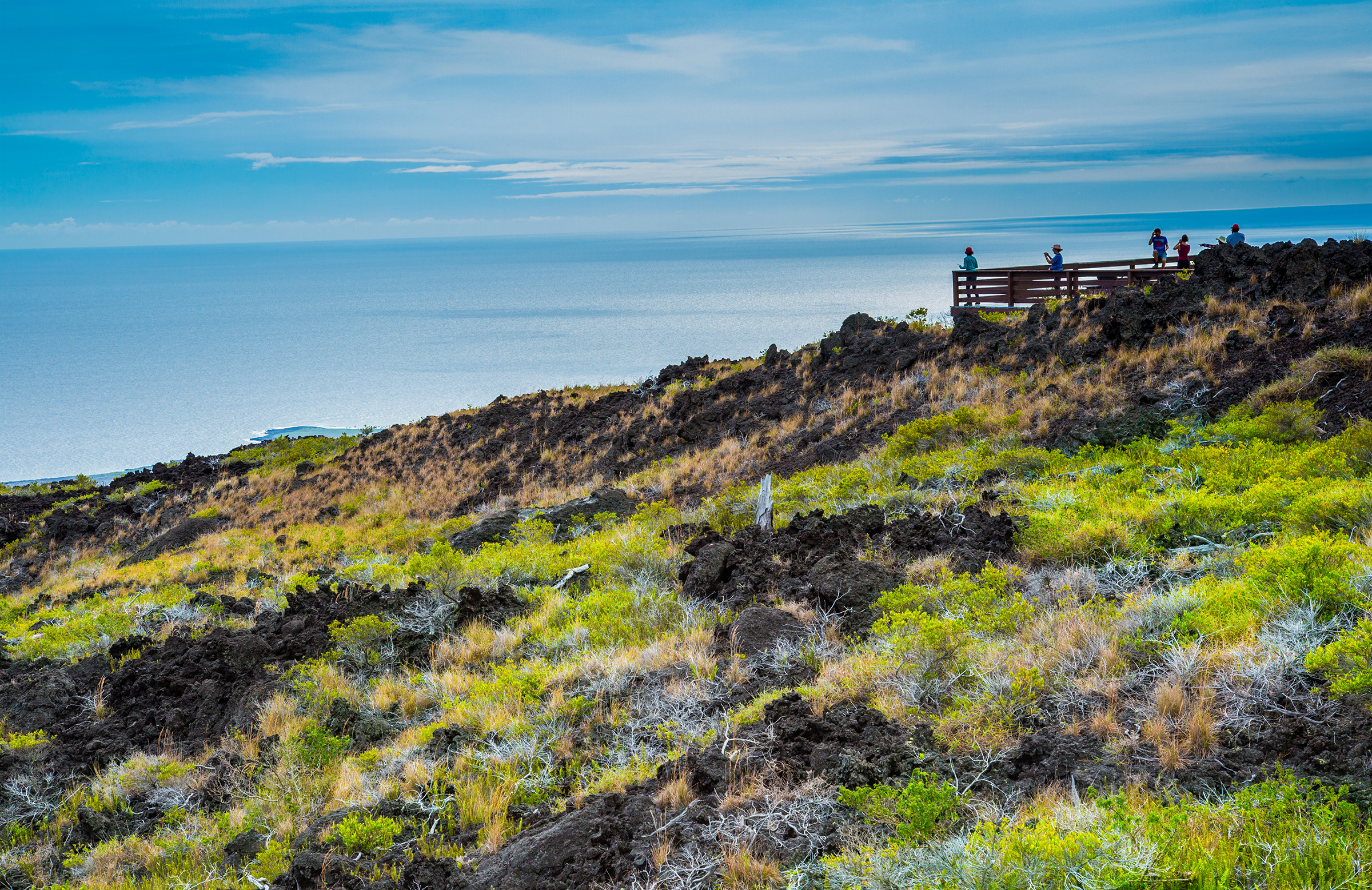
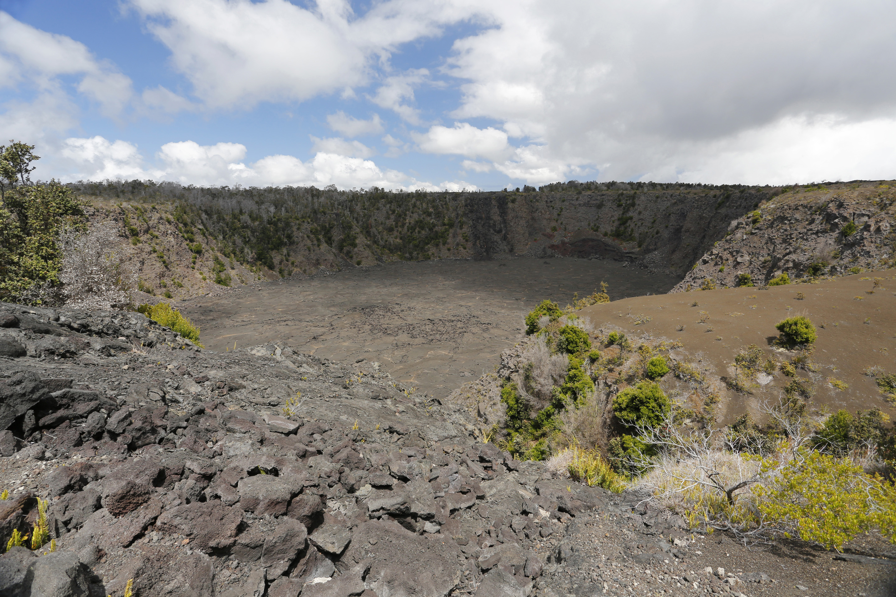
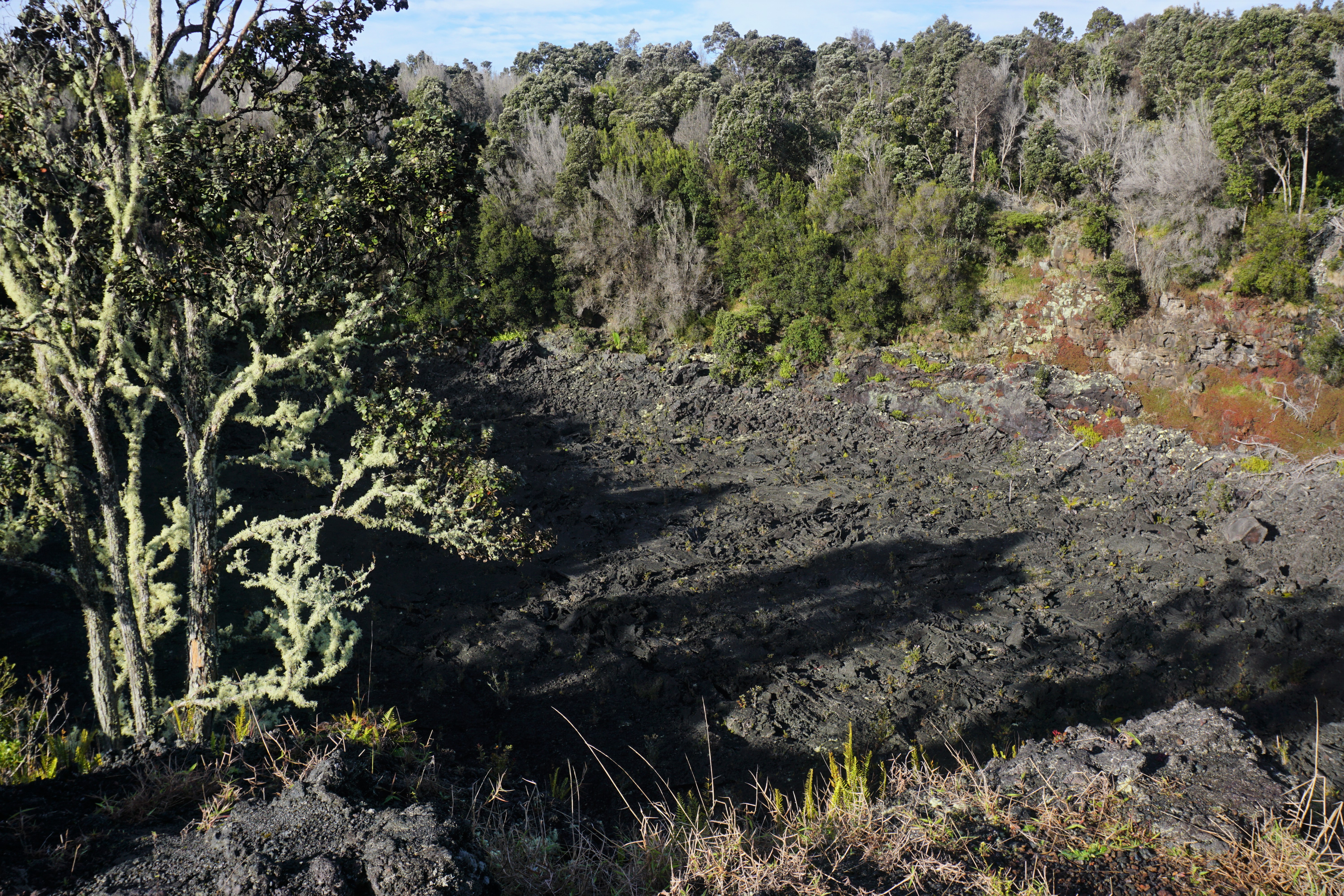
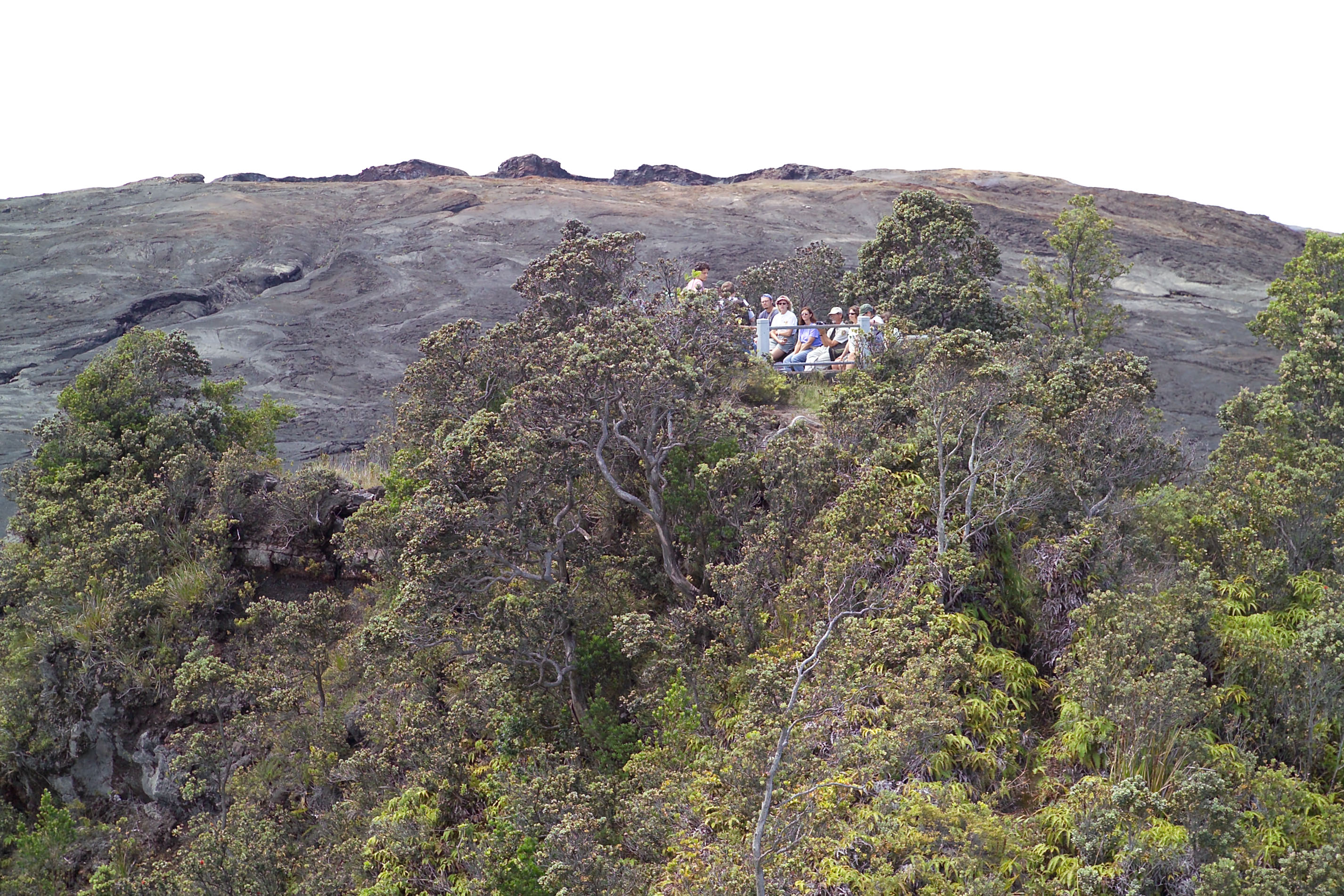
Eruption viewing from the overlooks near Keanakākoʻi offers close-up views but requires planning. Parking is extremely limited during eruptions. Plan on viewing the eruption from another overlook if parking is full. The site requires a 2-mile round-trip hike (about 1 hour) on old Crater Rim Drive from the Devastation parking area. Additional parking at Puʻupuaʻi Overlook an additional 0.5-mile walk each way.
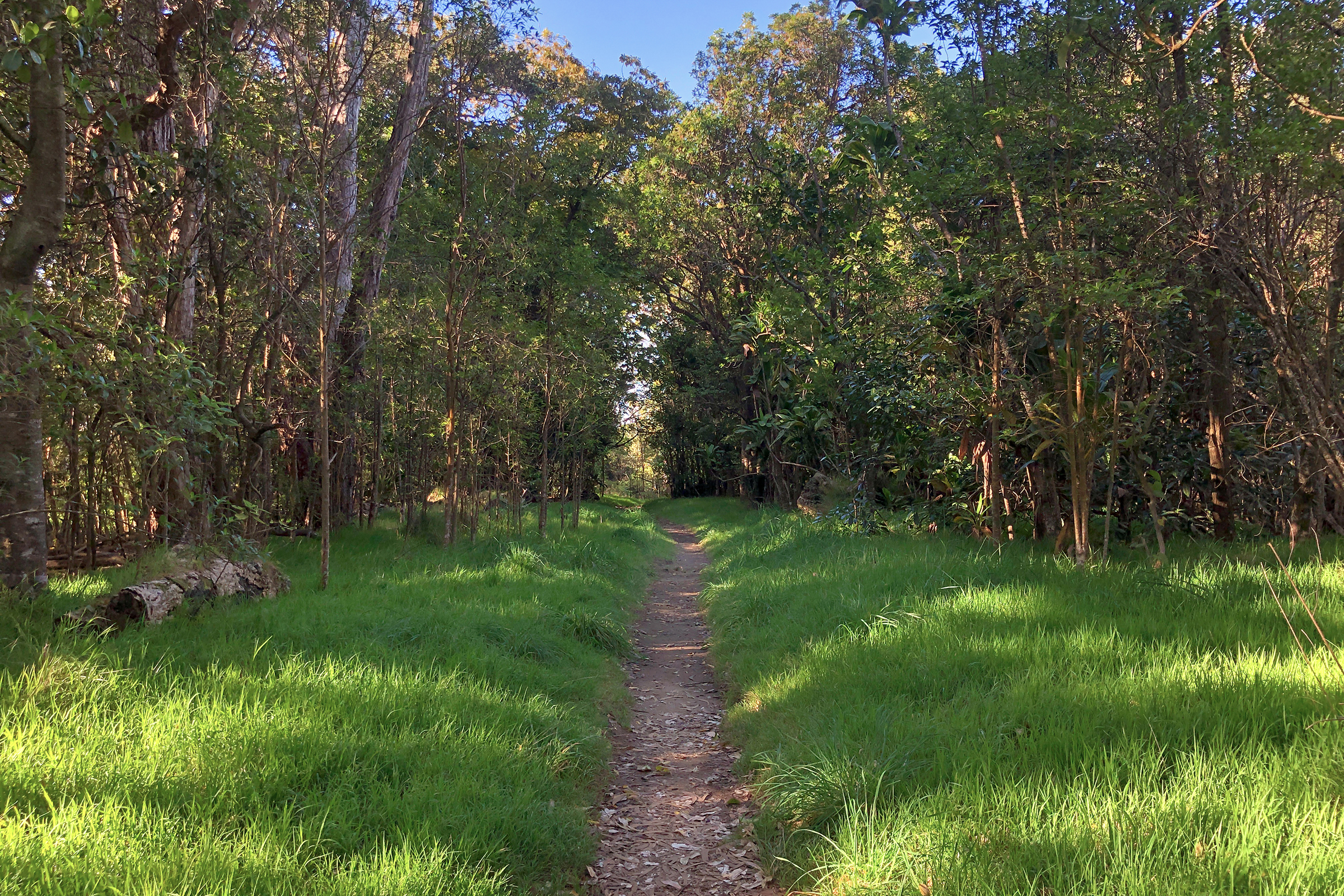
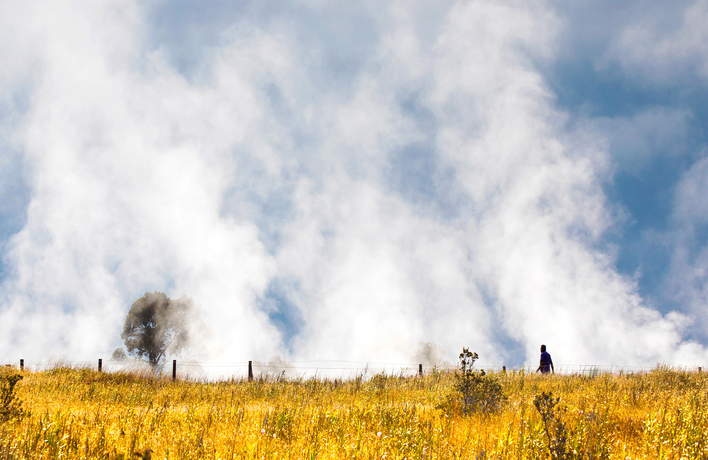
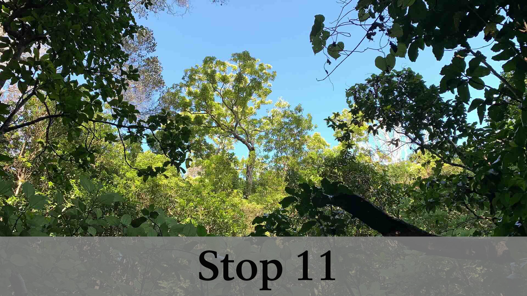
Start at the Welcome Center near Kilauea Military Camp for amazing eruption views. Walk across the lawn past the flagpole, carefully cross Crater Rim Drive, and enter the forest. Turn left onto Crater Rim Trail toward Steam Vents at Kūkamāhuākea. A short walk through the forest and a gentle 26-ft. descent leads to the first overlook on the right, offering stunning views of the caldera and eruption activity.
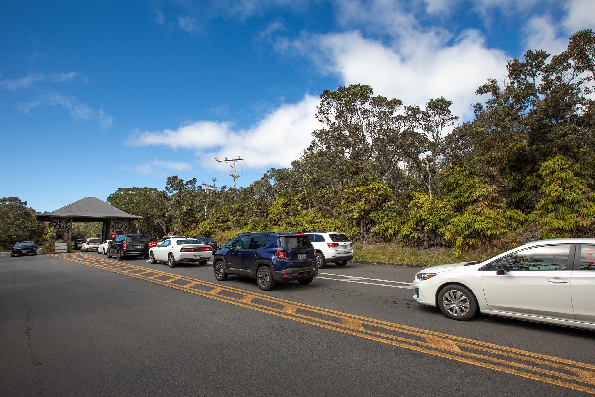
The entrance station at Hawaiʻi Volcanoes National Park is an essential starting point for any park visit and is where you are required to purchase an entrance pass or present an existing pass to gain access to the park.
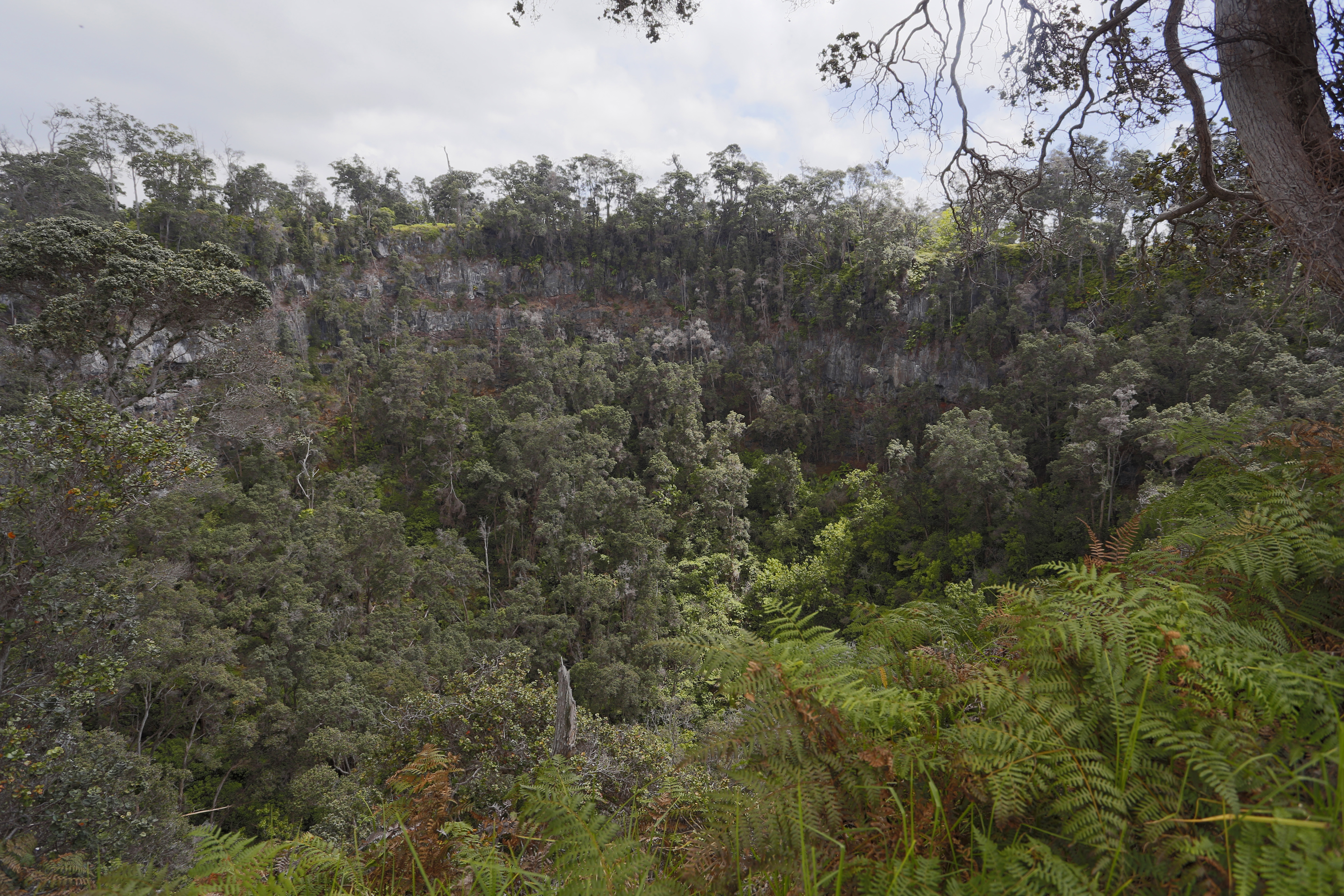
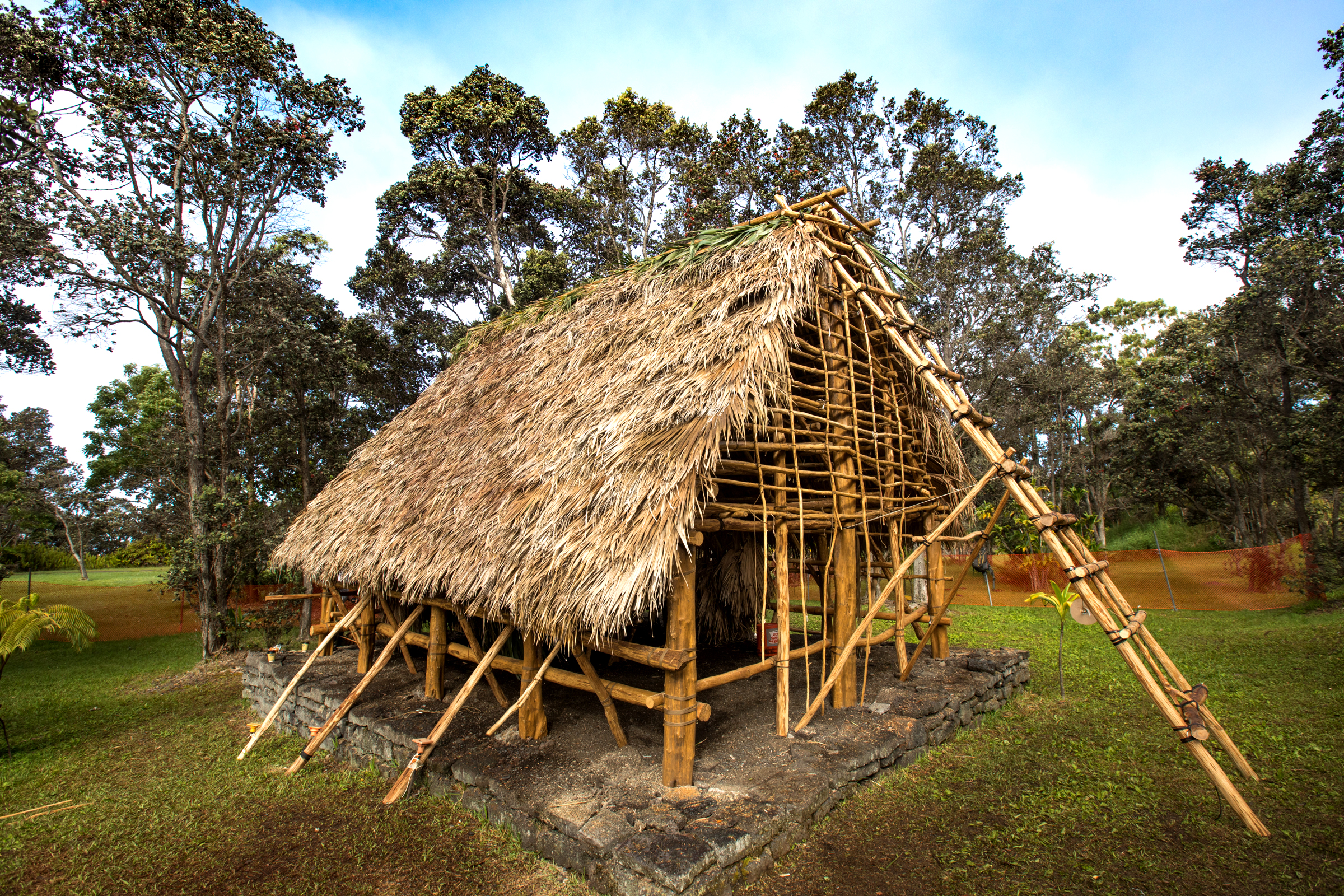
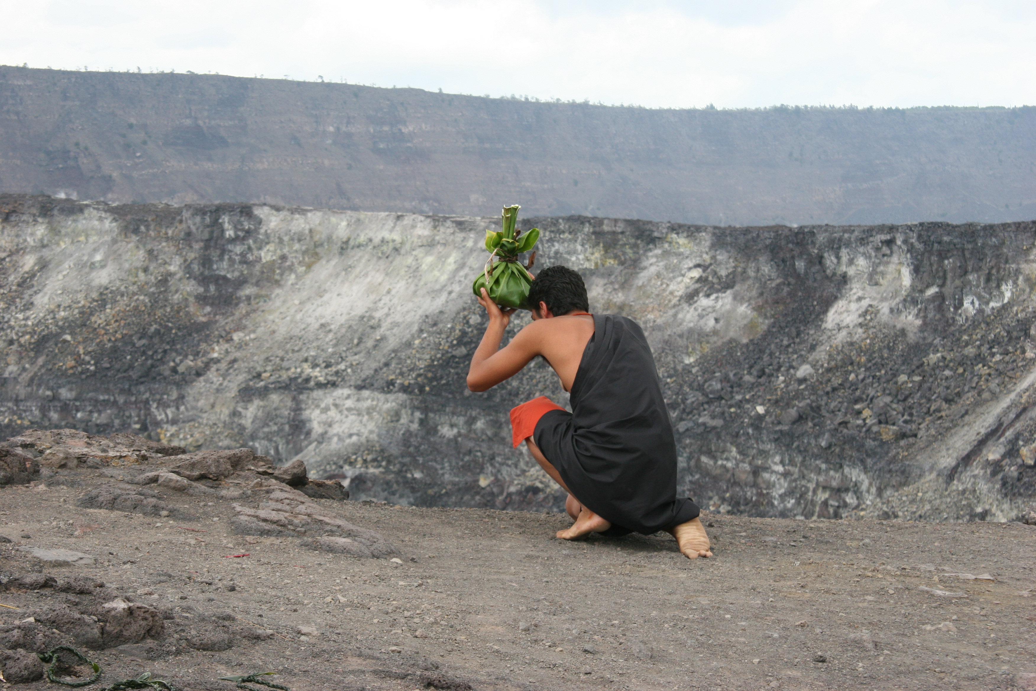
Kaʻauea is a place on the northern rim of Kīlauea, referenced in Hawaiian chants and oral histories going back hundreds of years.Today it is home to a kahua hula platform and a newly constructed hale, a traditional-style Hawaiian house.
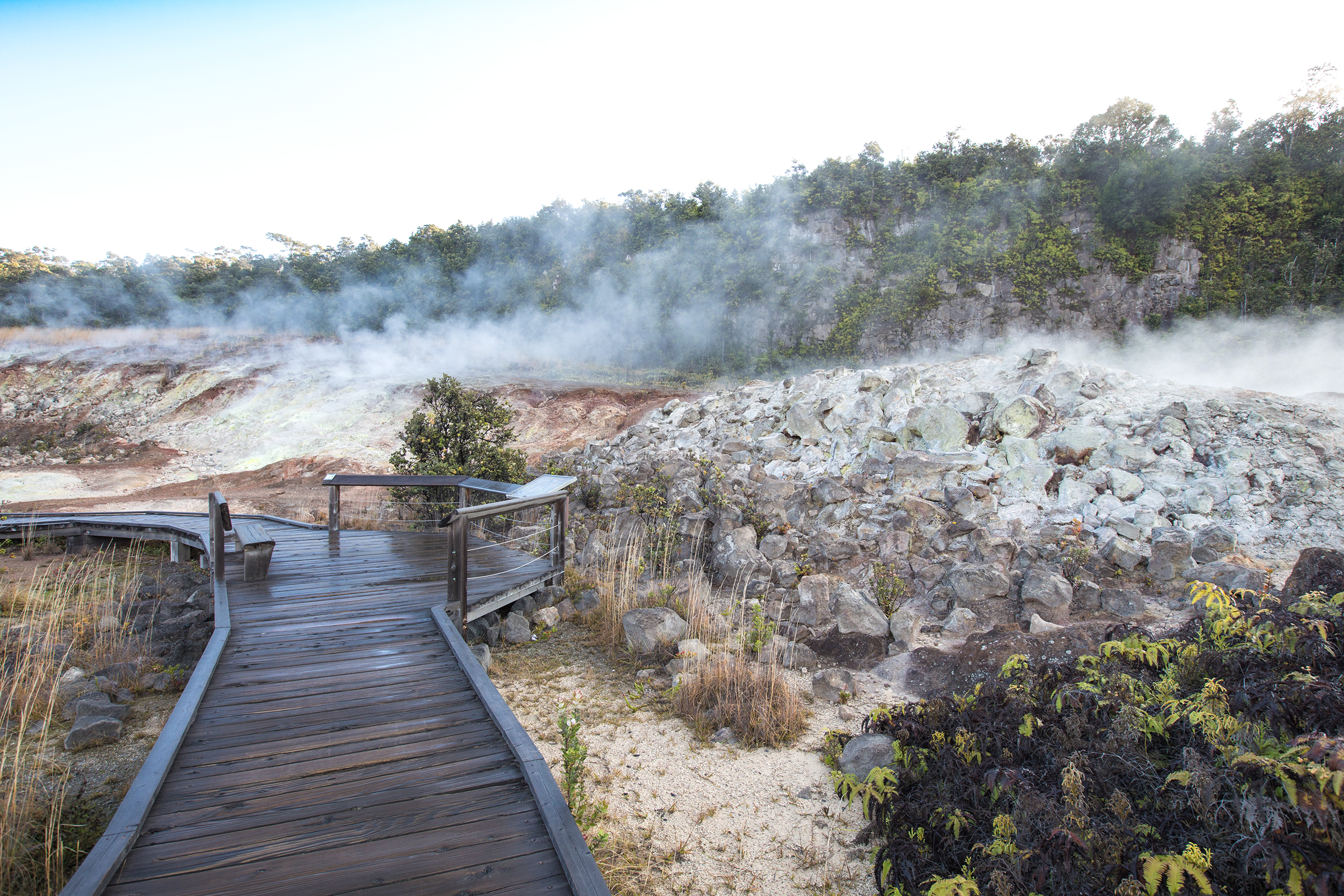
The vast, steamy flat situated between Haʻakulamanu and Wahinekapu is known as Kūkamāhuākea. To many Native Hawaiians the steam that rises is a manifestation of Kū, one of four primary akua (gods) of Hawaiʻi.
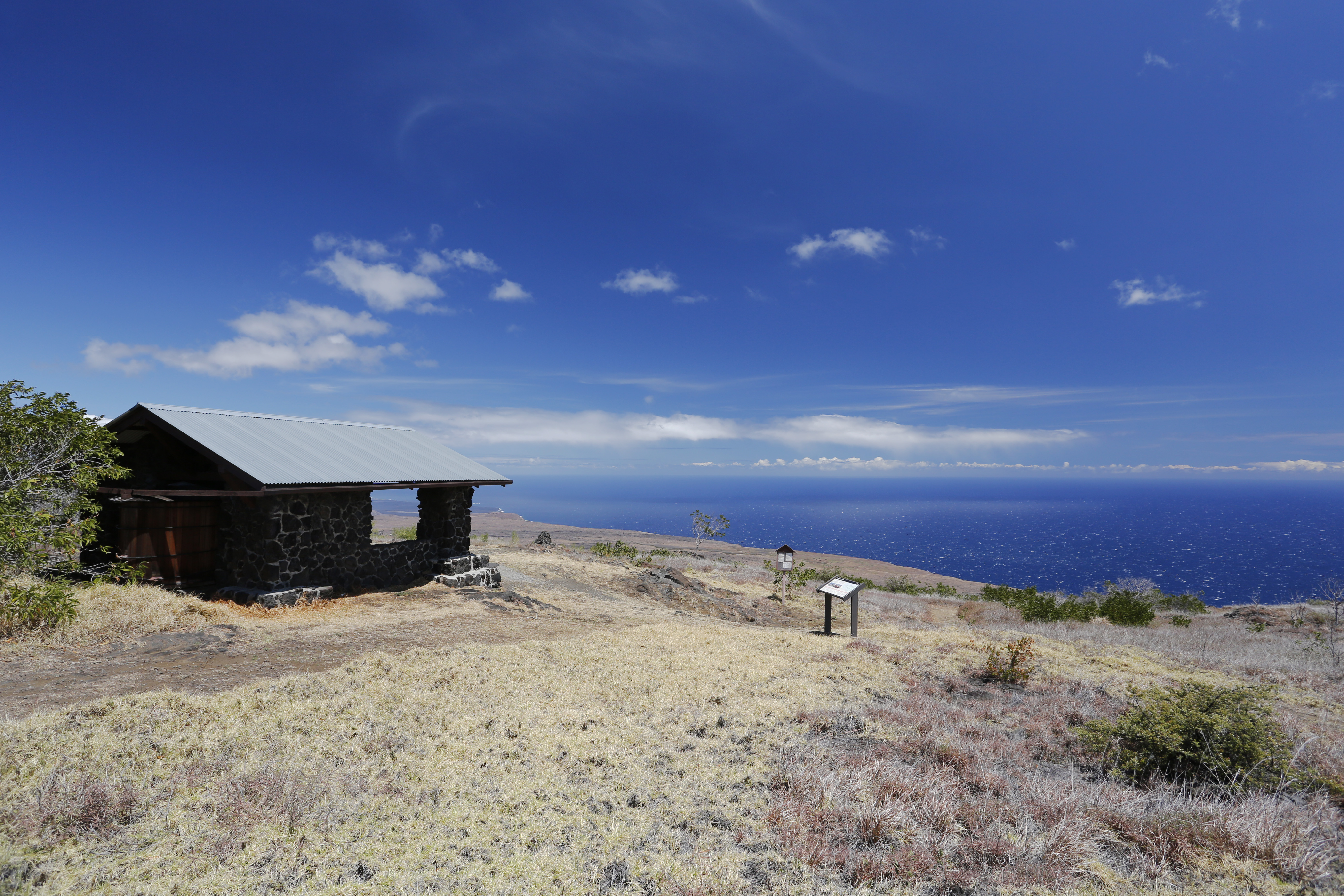
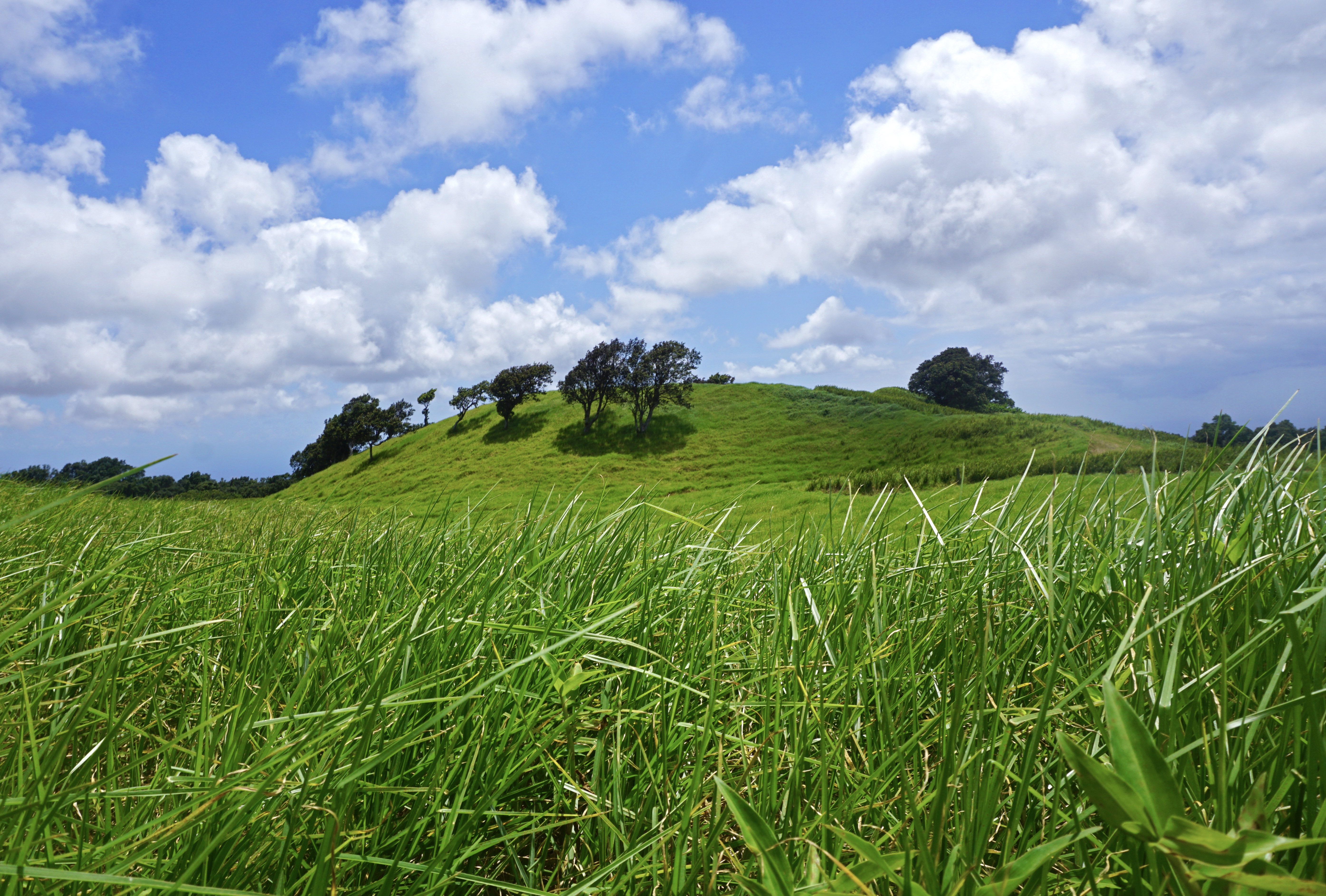
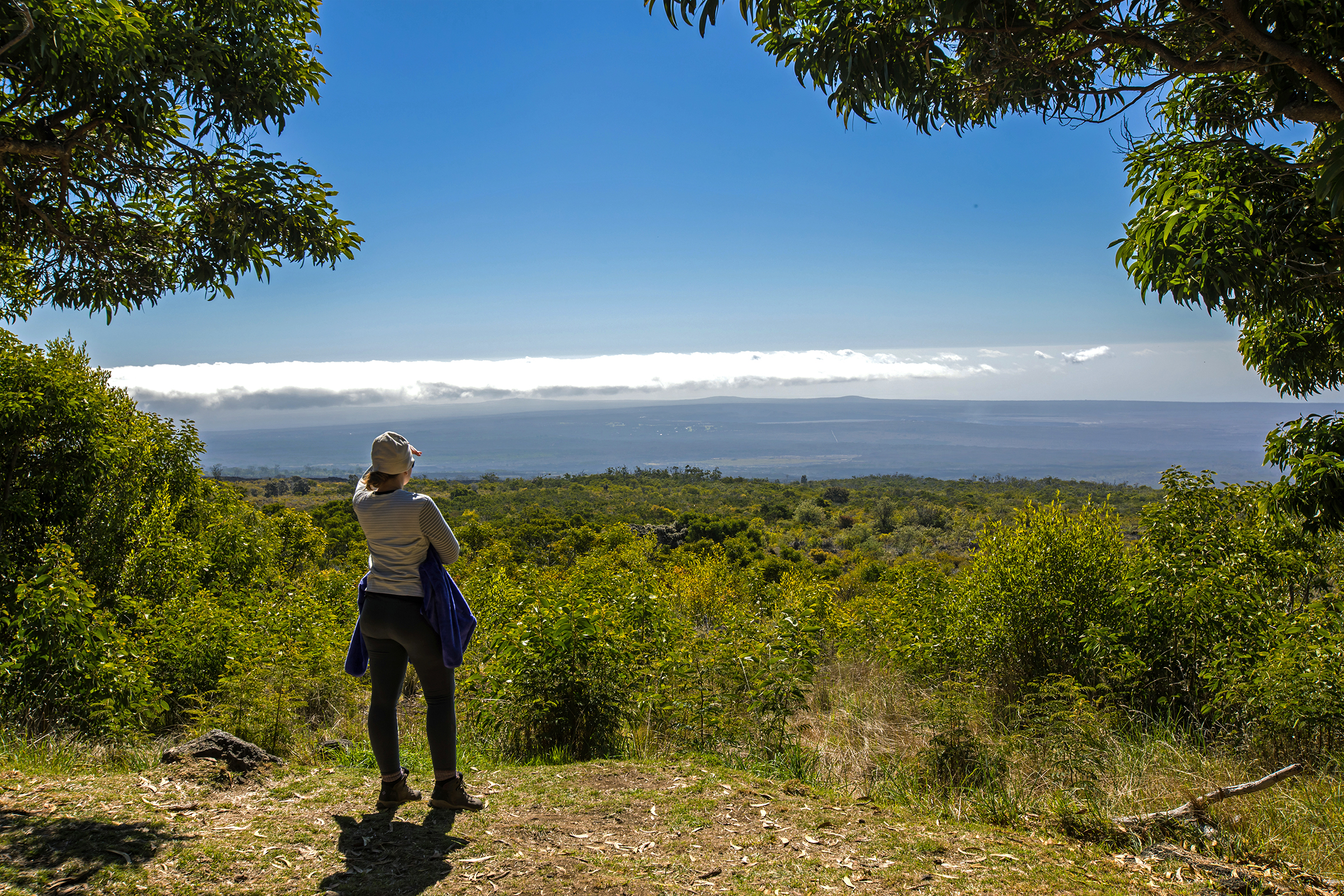
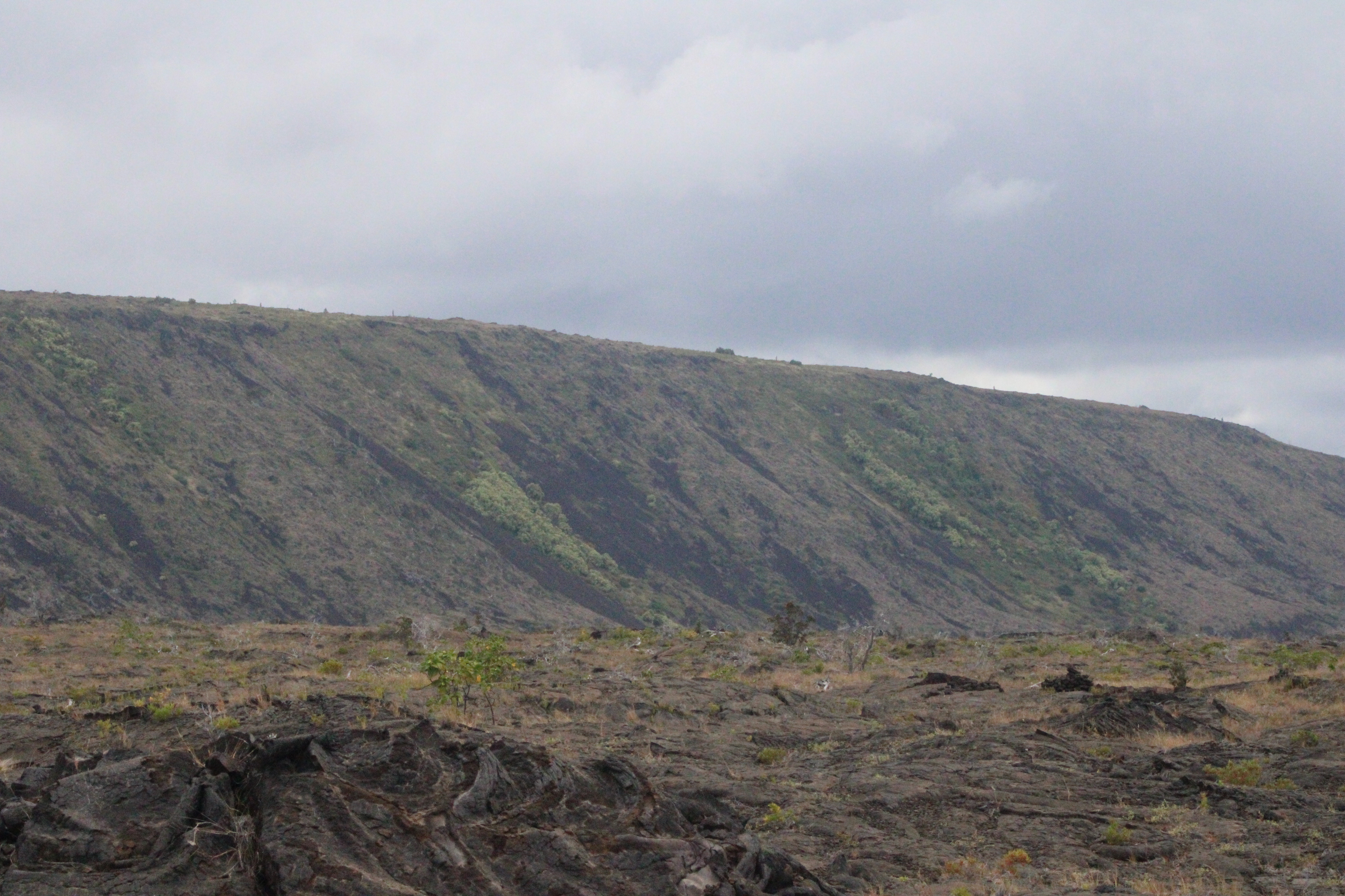
A scenic overlook atop the narrow, winding Mauna Loa Road. It also marks the start of the Mauna Loa Trail and provides a short trail to a silversword plant exclosure.
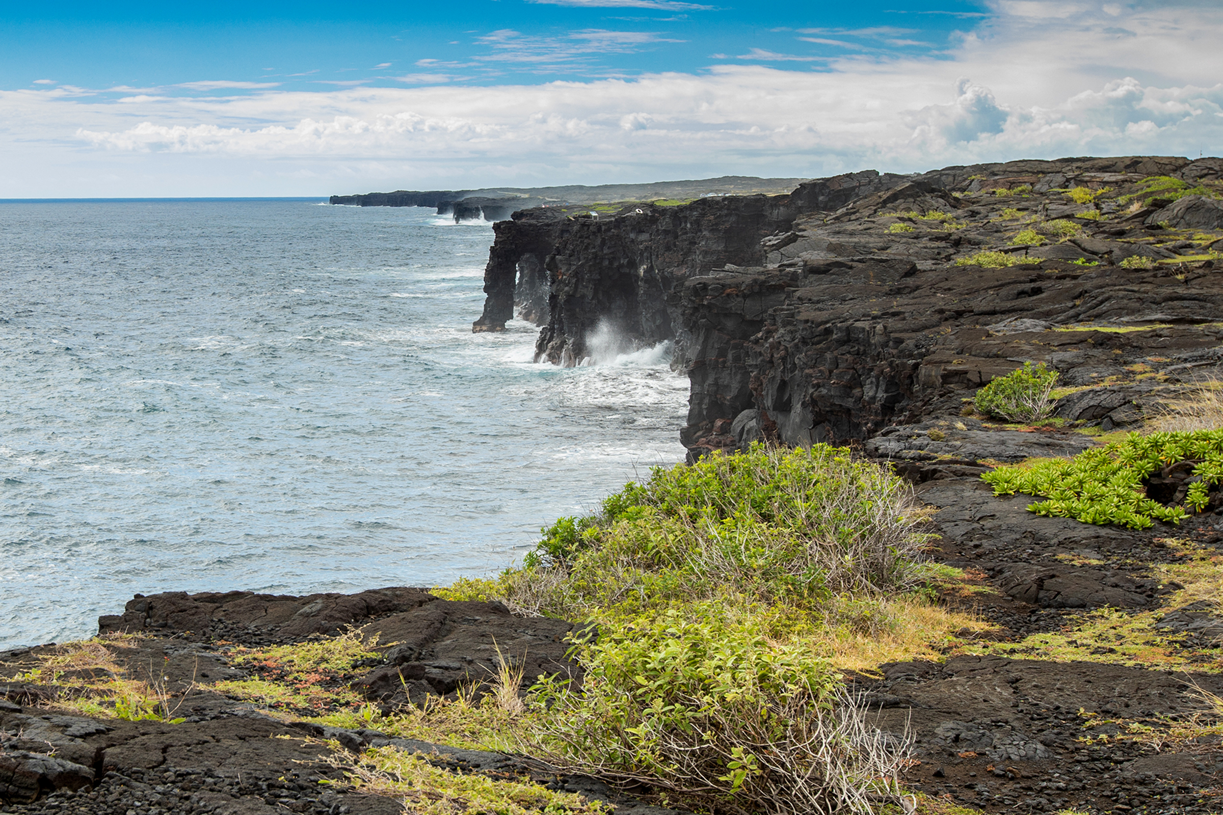
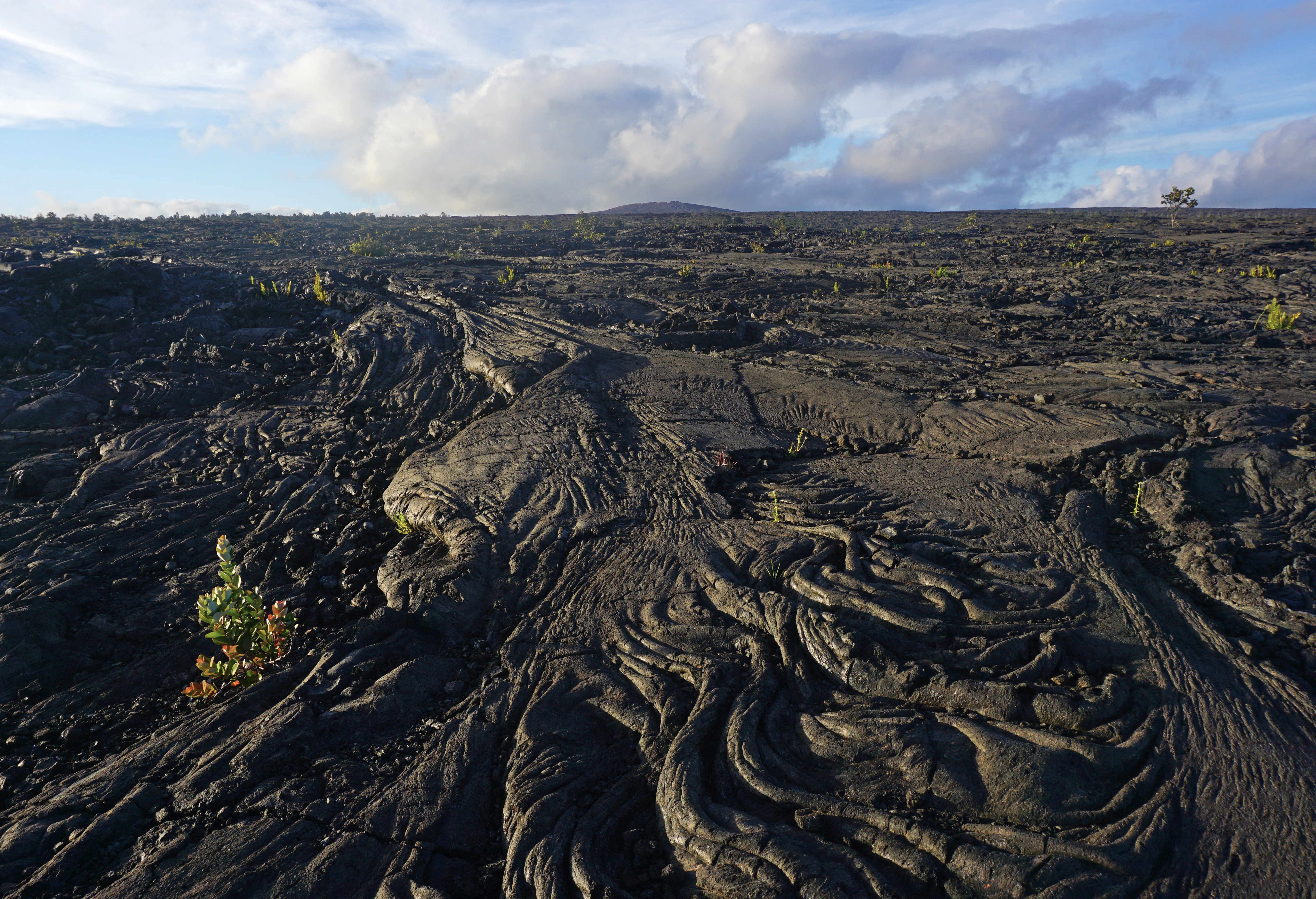
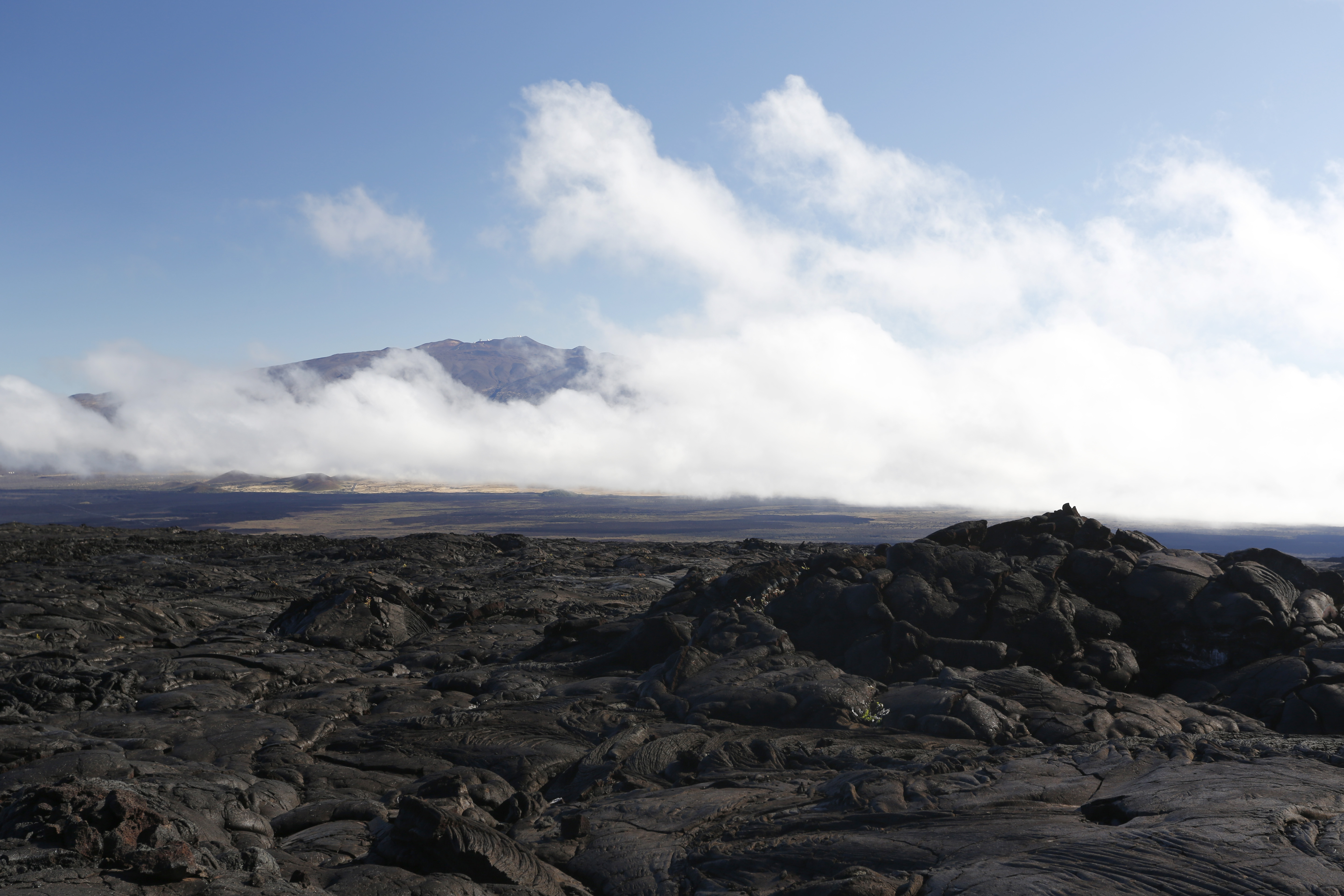
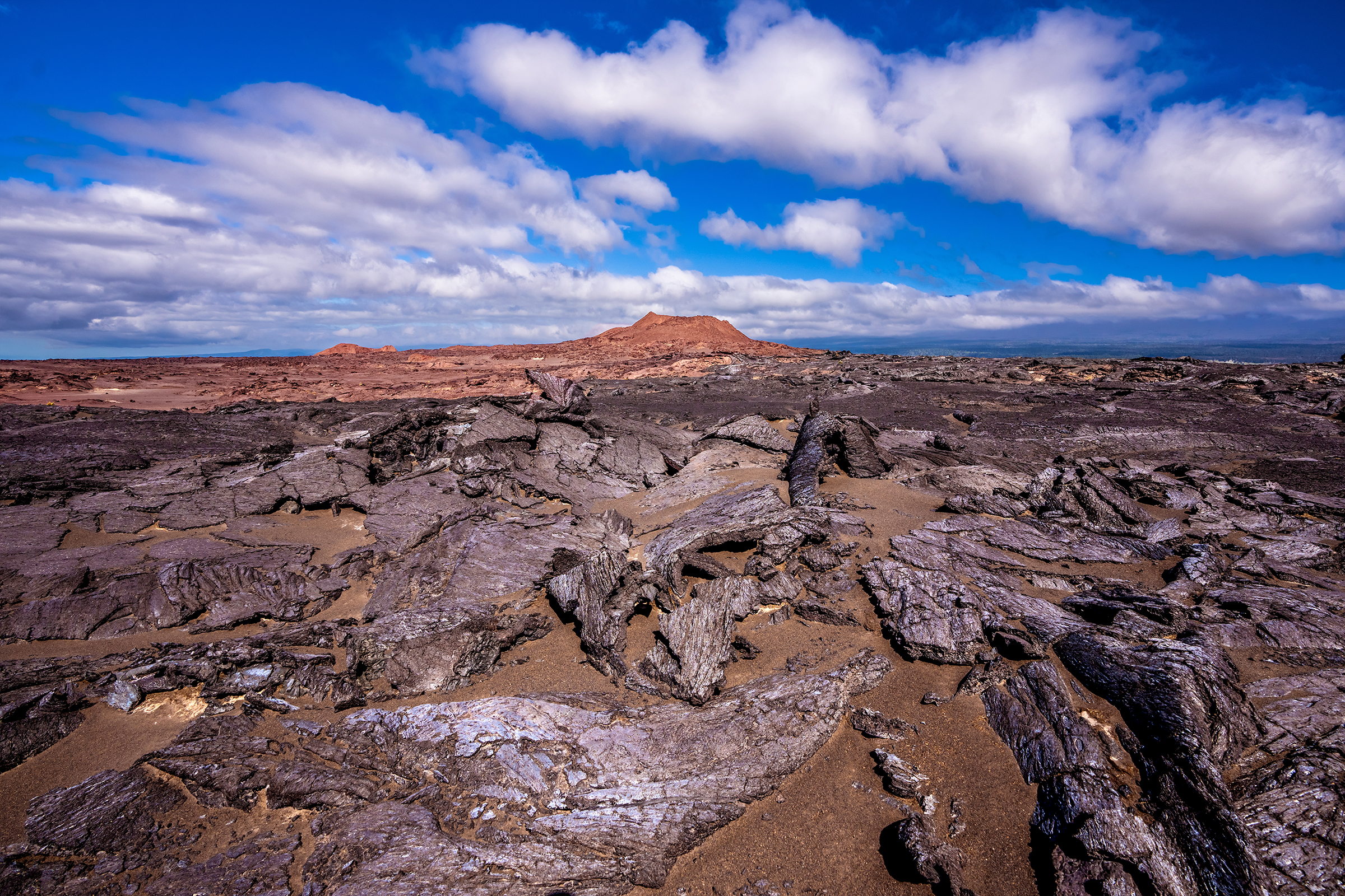
The Maunaiki Trail is a 16-mile one-way hike through lava fields to the Mauna Iki and Puʻu Koaʻe cones, showcasing the park's distinctive volcanic landscapes and ecosystems.