Home Parks jotr Places
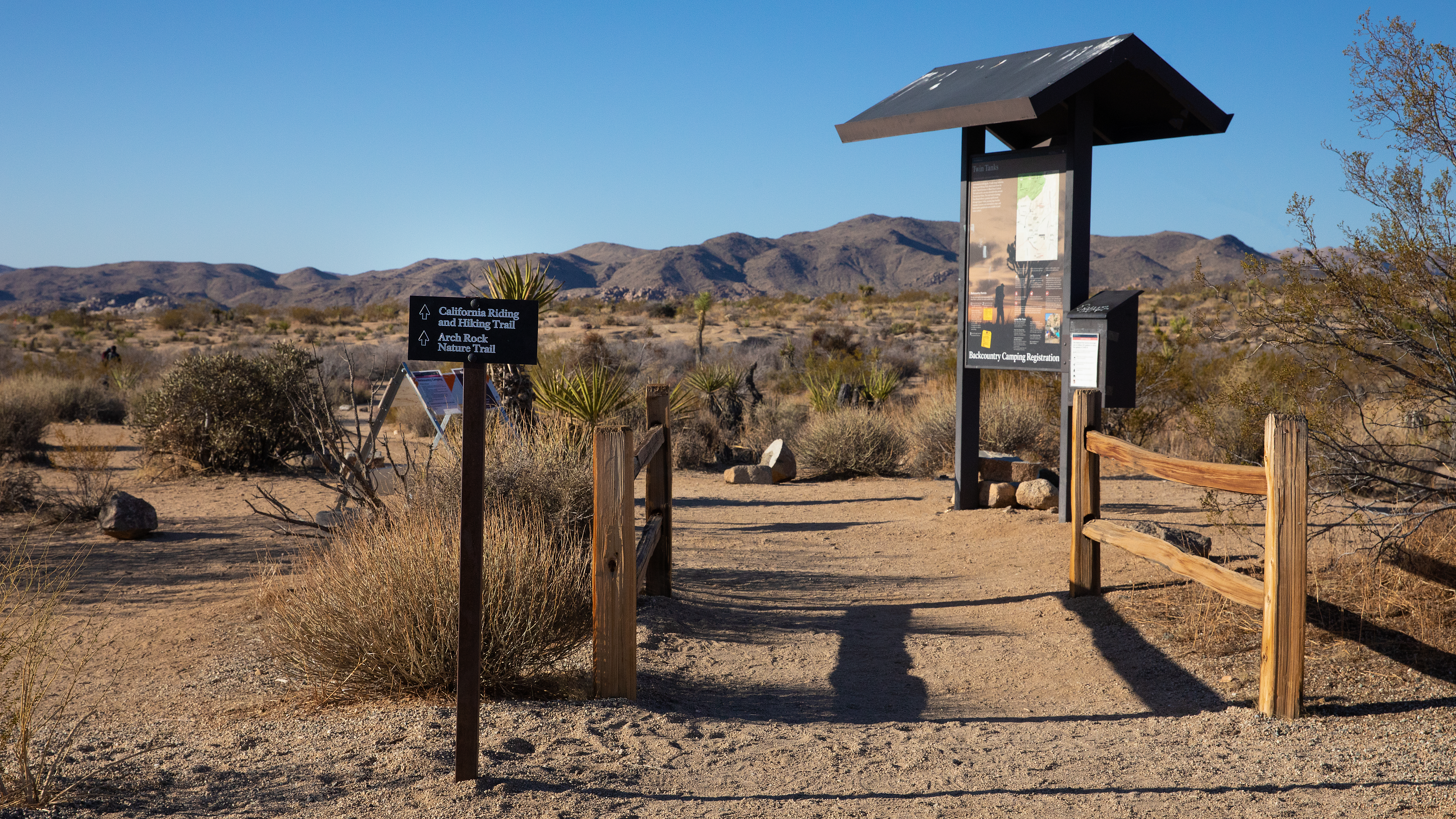
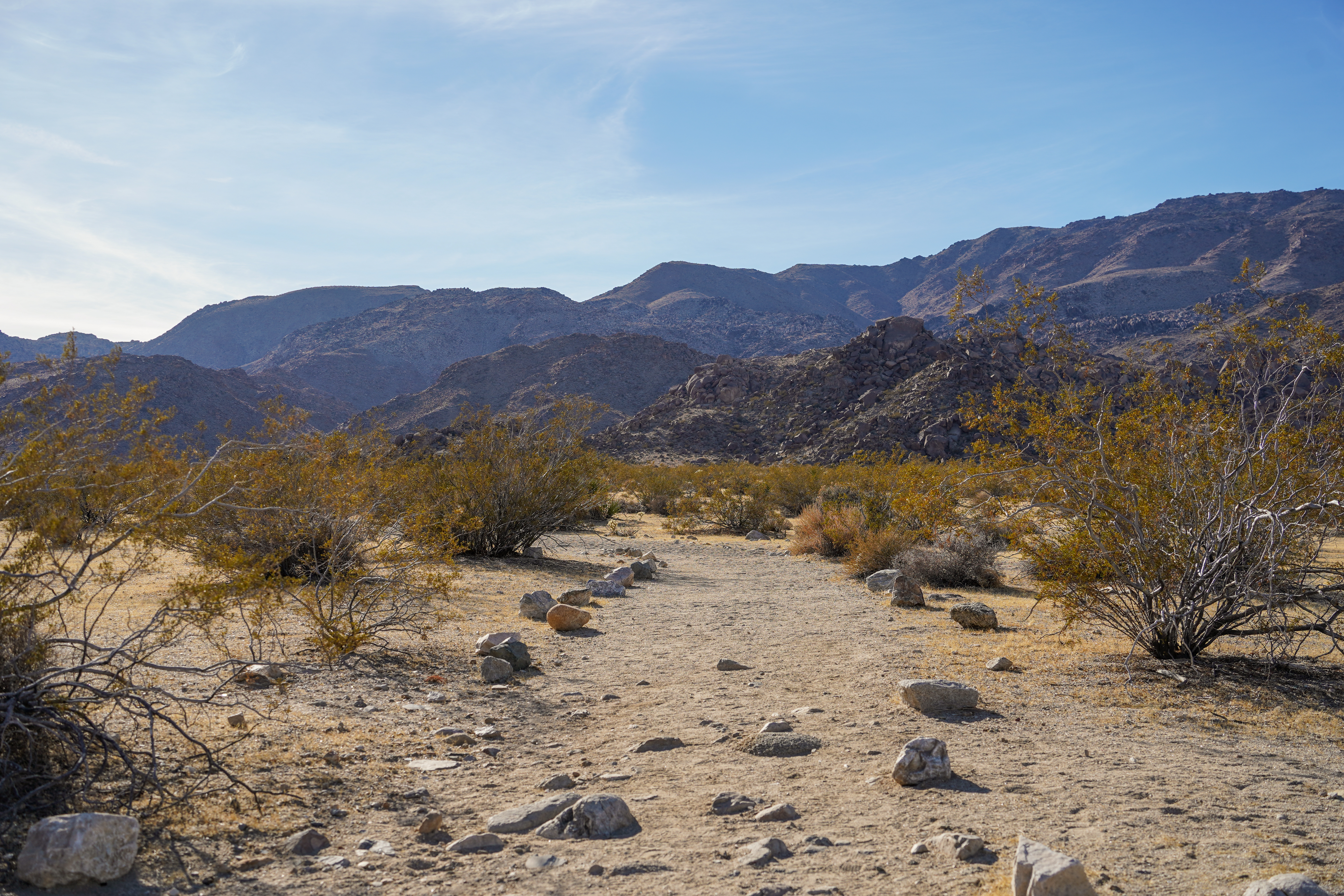
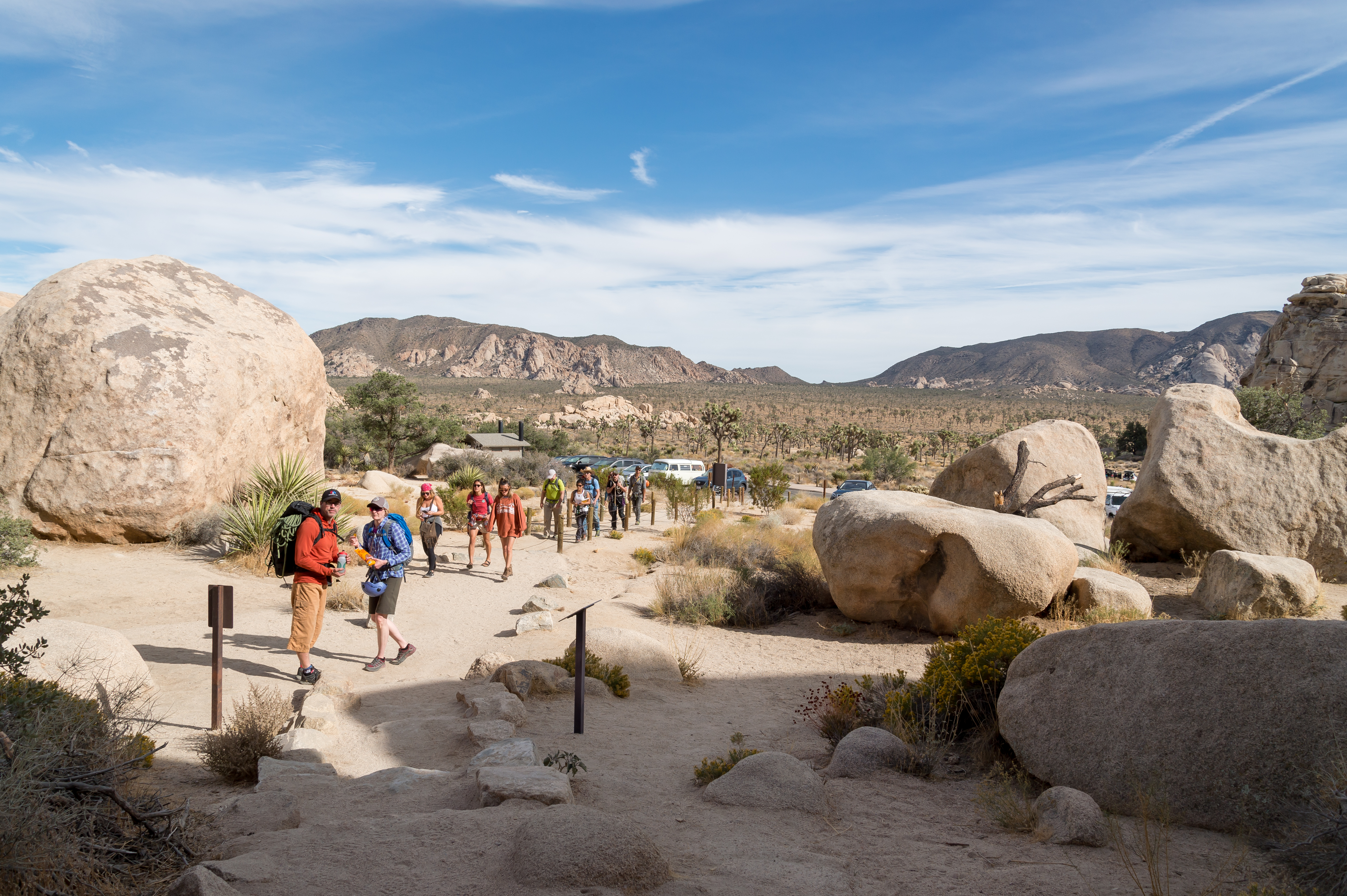
Arch Rock Nature Trailhead and the Twin Tanks Wilderness Backpacking Board.
Arch Rock Nature Trailhead and the Twin Tanks Wilderness Backpacking Board.
The Barker Damn Nature Trail Trailhead provides quick access to Barker Dam on a 1.1 mile hike.
Learn about Bighorn Sheep at this stop on the audio tour.
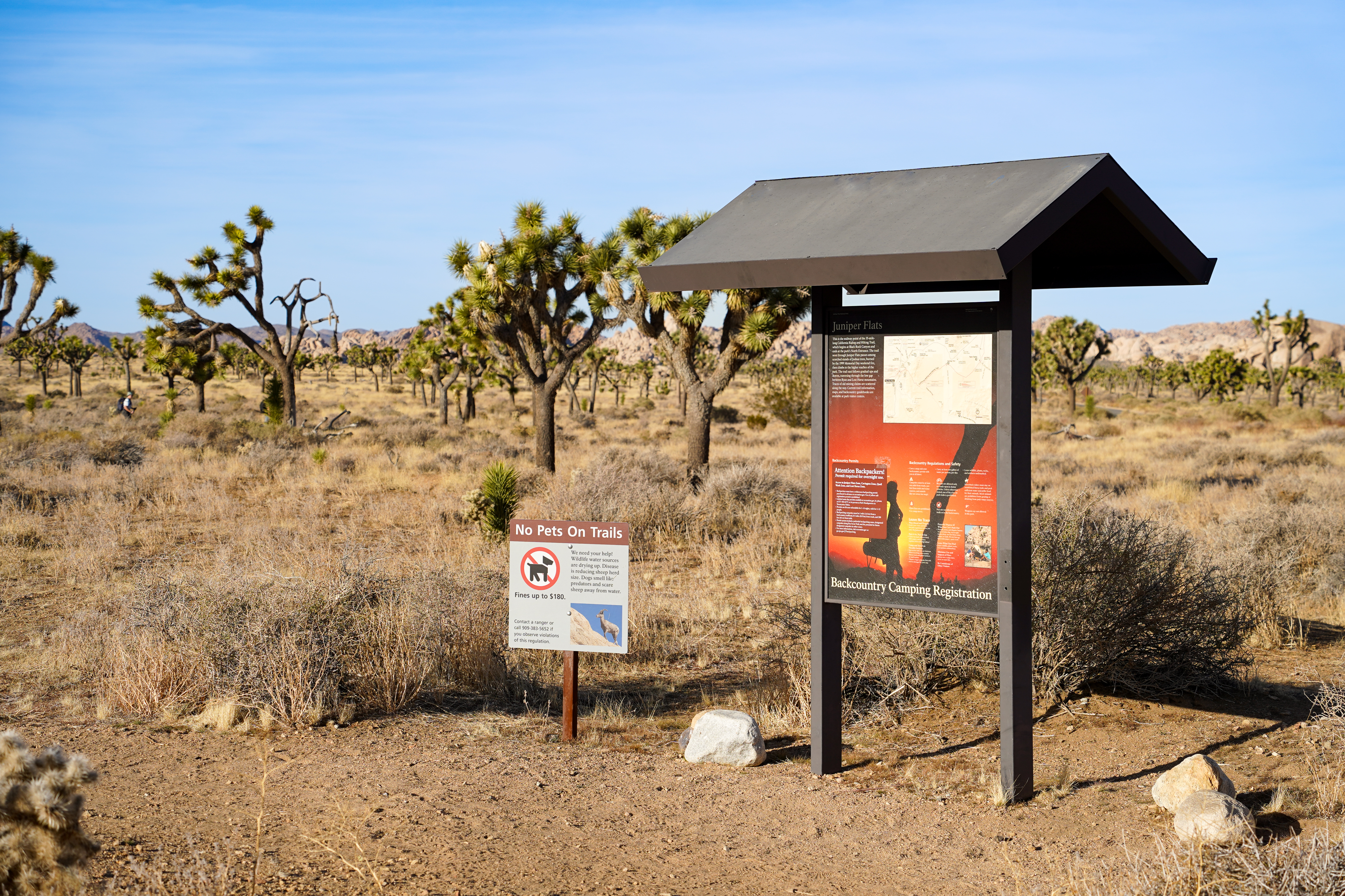
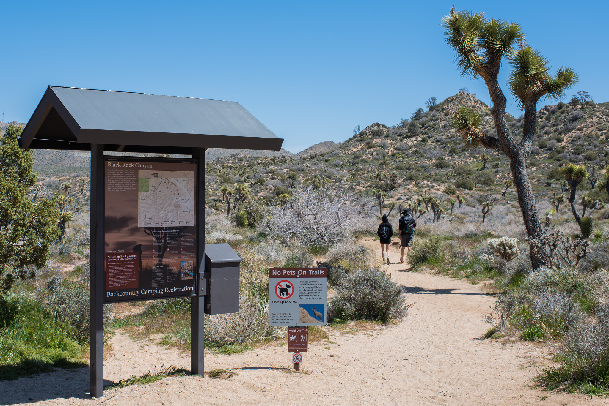
The trailhead for many hiking trails in the Black Rock area of Joshua Tree National Park.
Trailhead for Burnt Hill Loop Trail
Cap Rock is a popular centrally located rock formation.
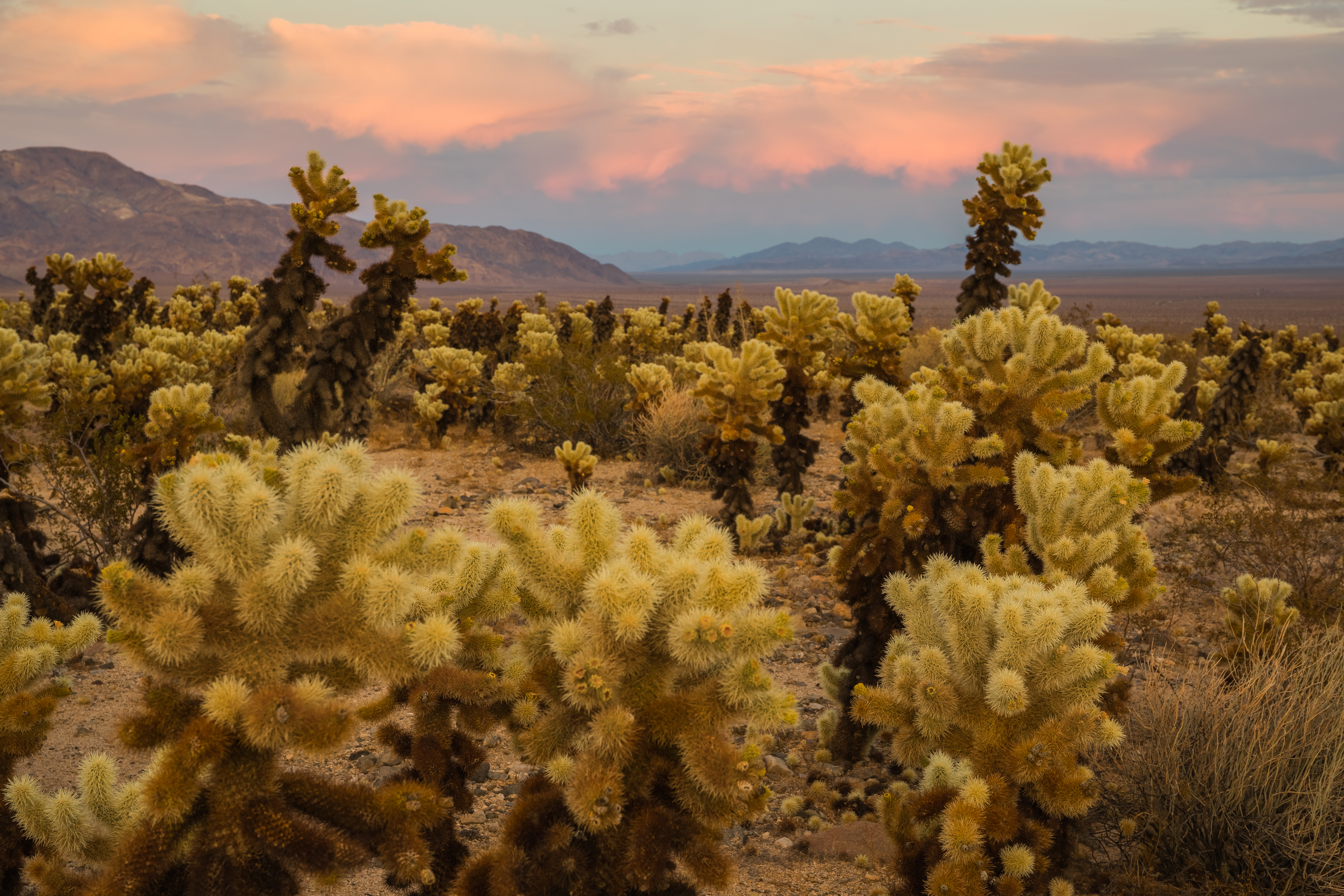
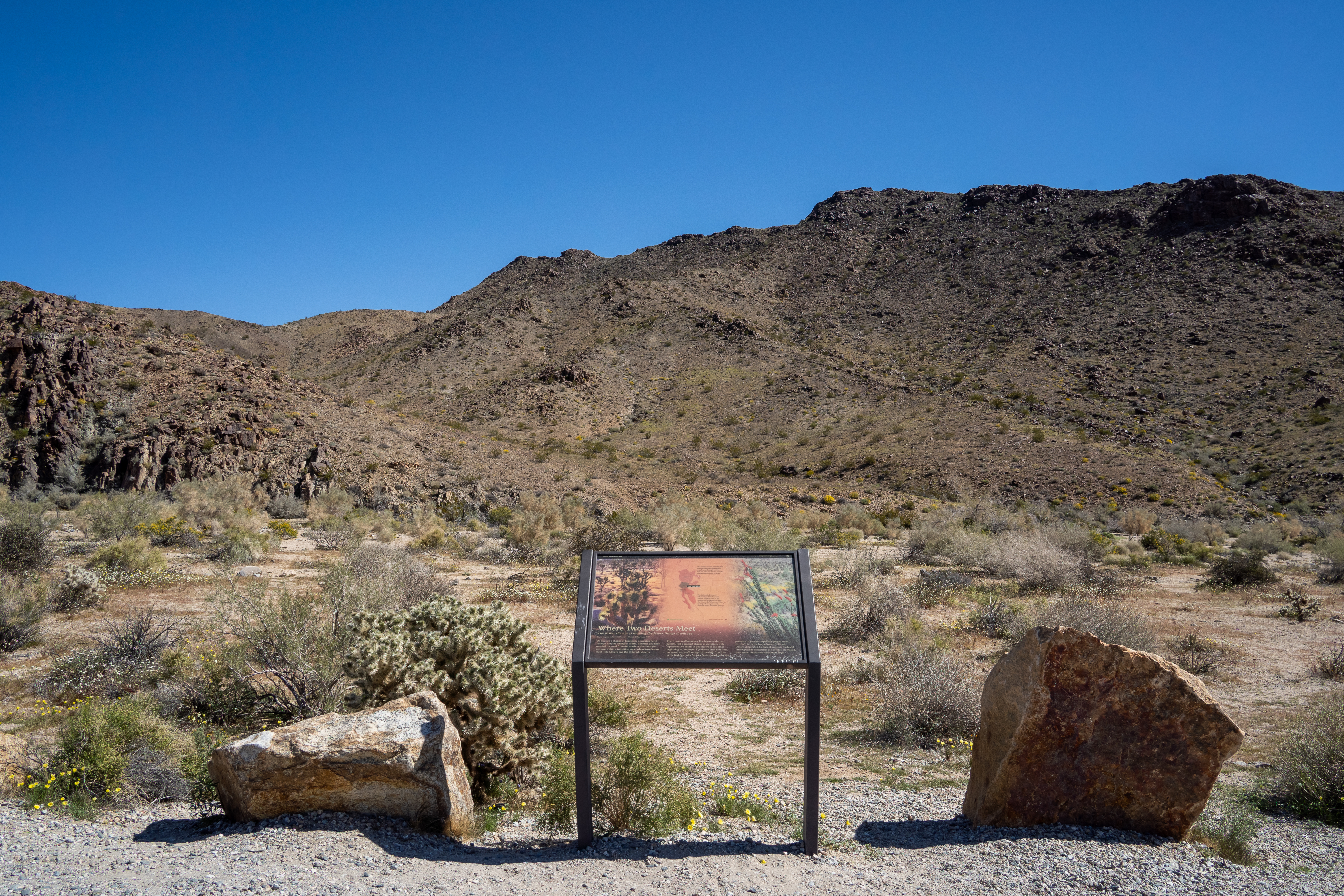
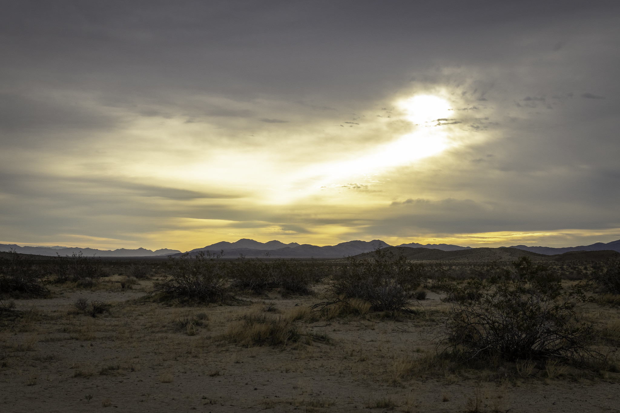
Enjoy scenic views of mountains and a large number of cholla growing along Pinto Basin Road.
Enjoy scenic views of mountains and a large number of cholla growing along Pinto Basin Road.
Trailhead for Contact Mine Trail
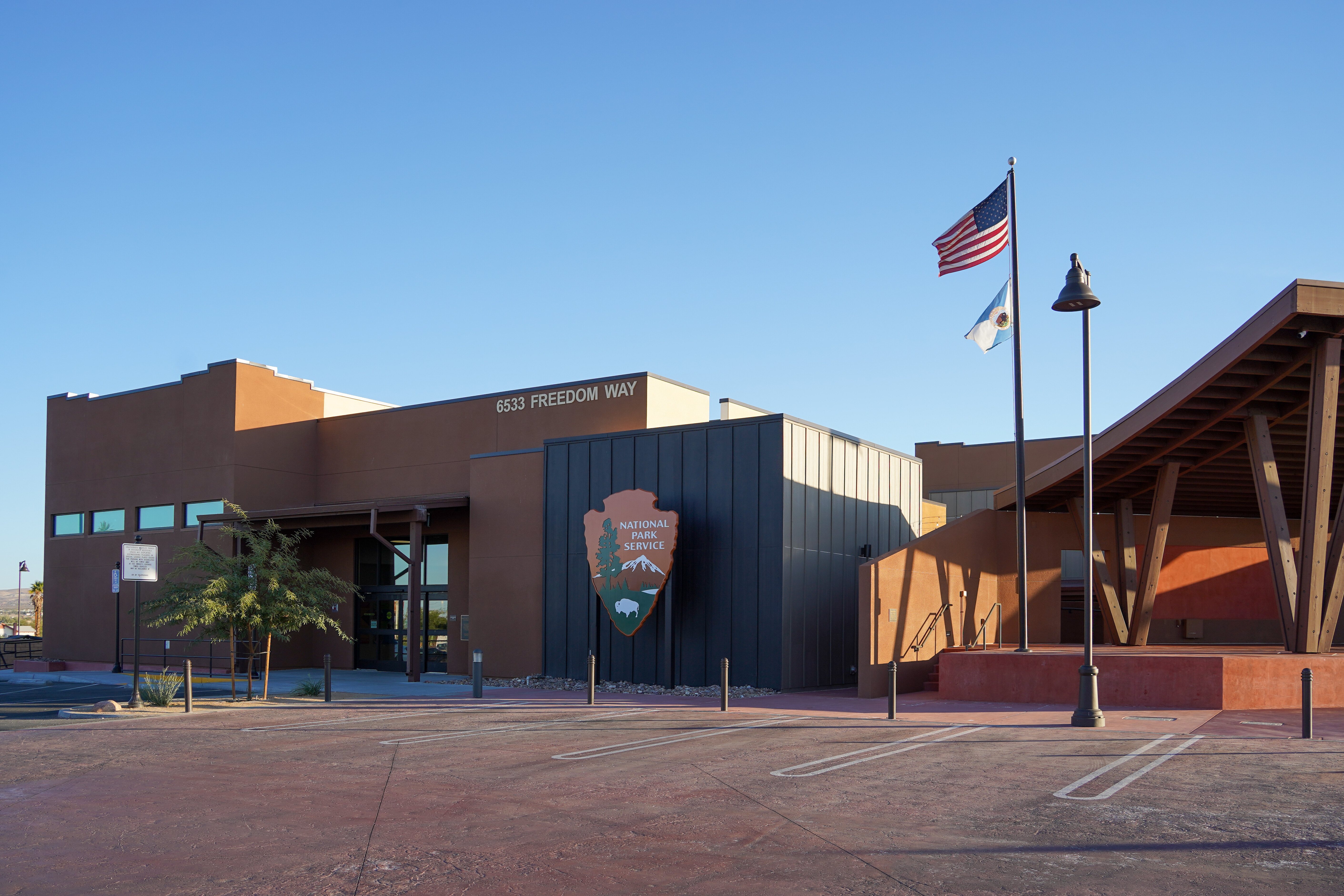
Joshua Tree National Park Visitor Center in Twentynine Palms, California
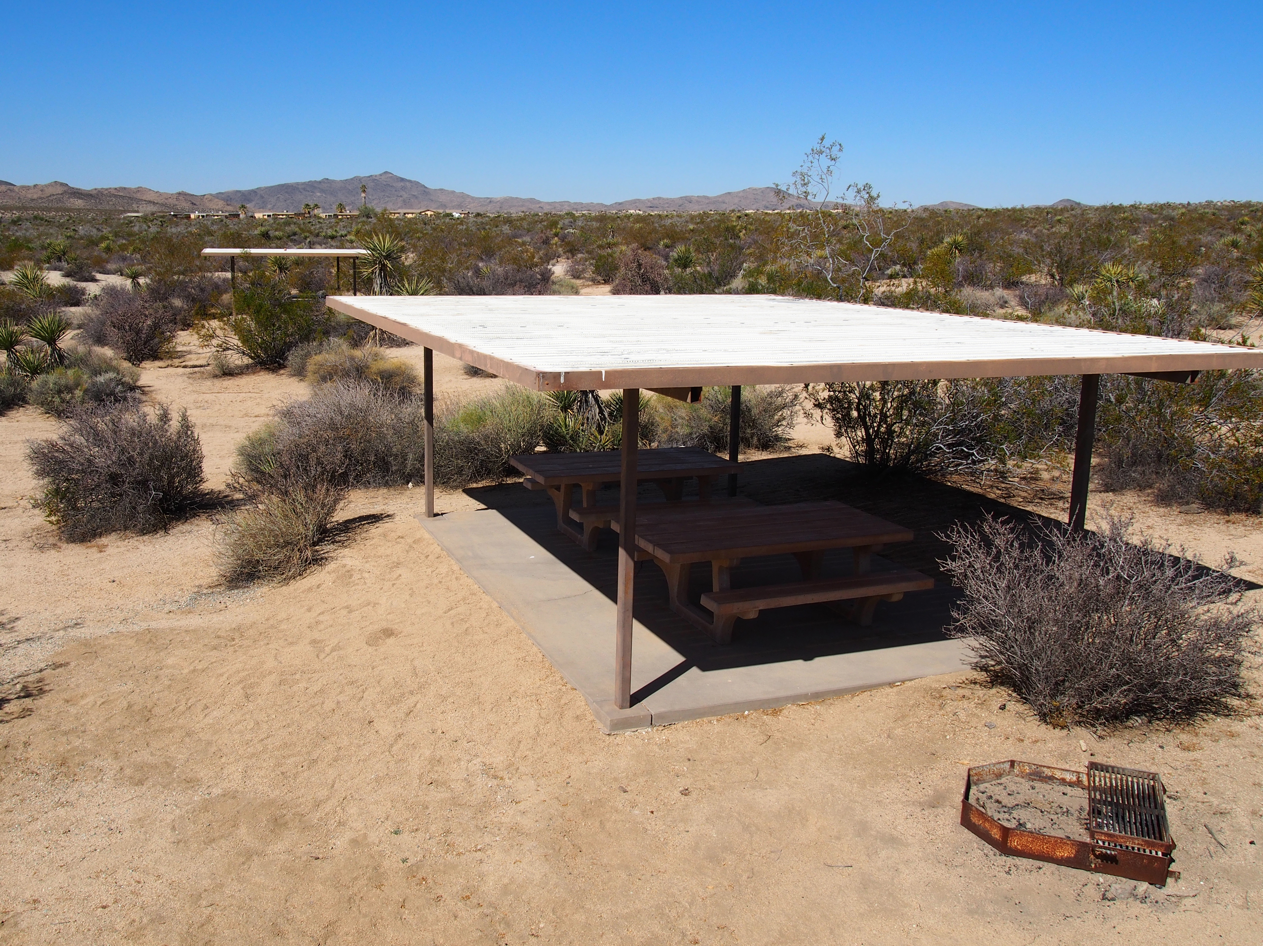
Picnic area in cottonwood campground.
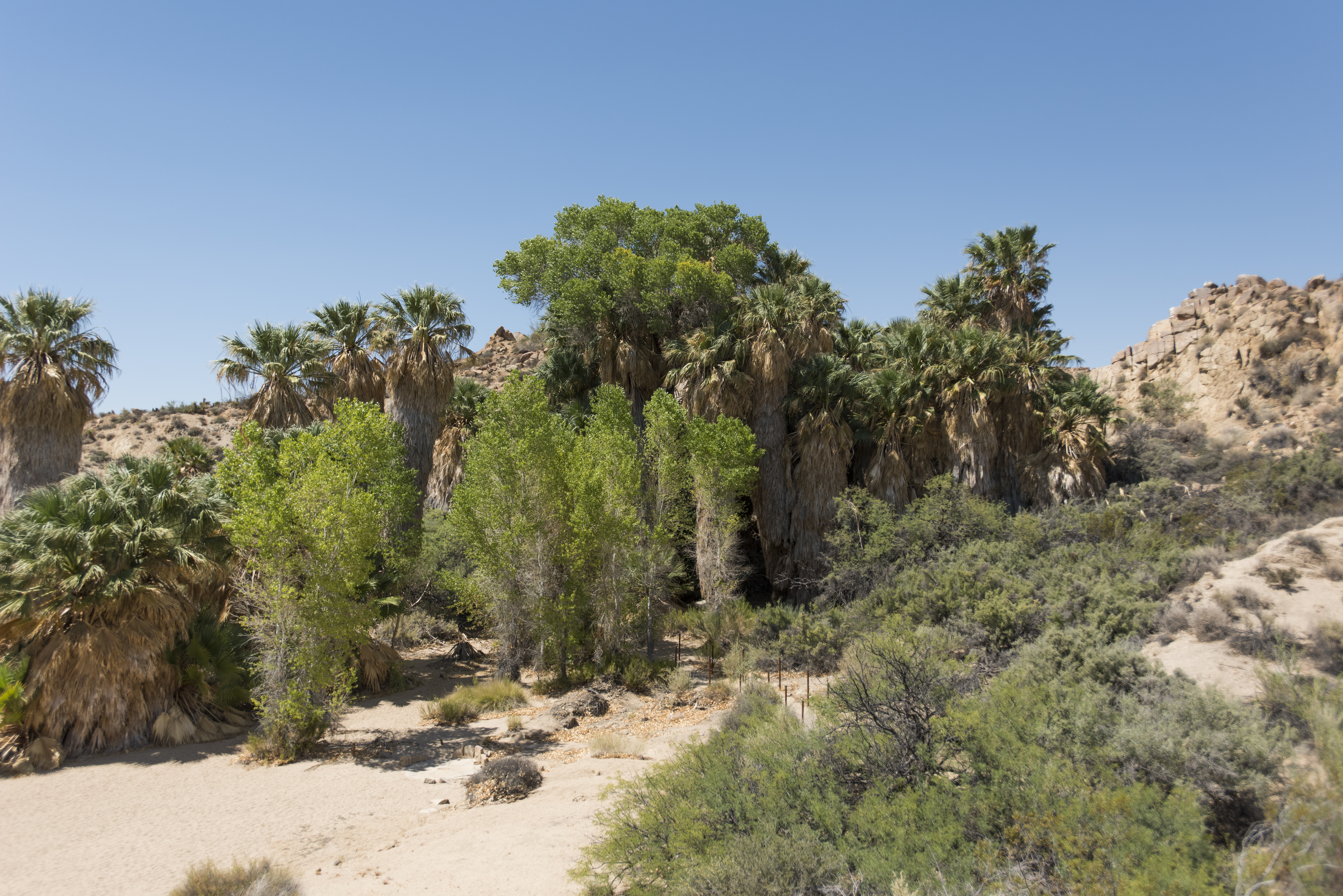
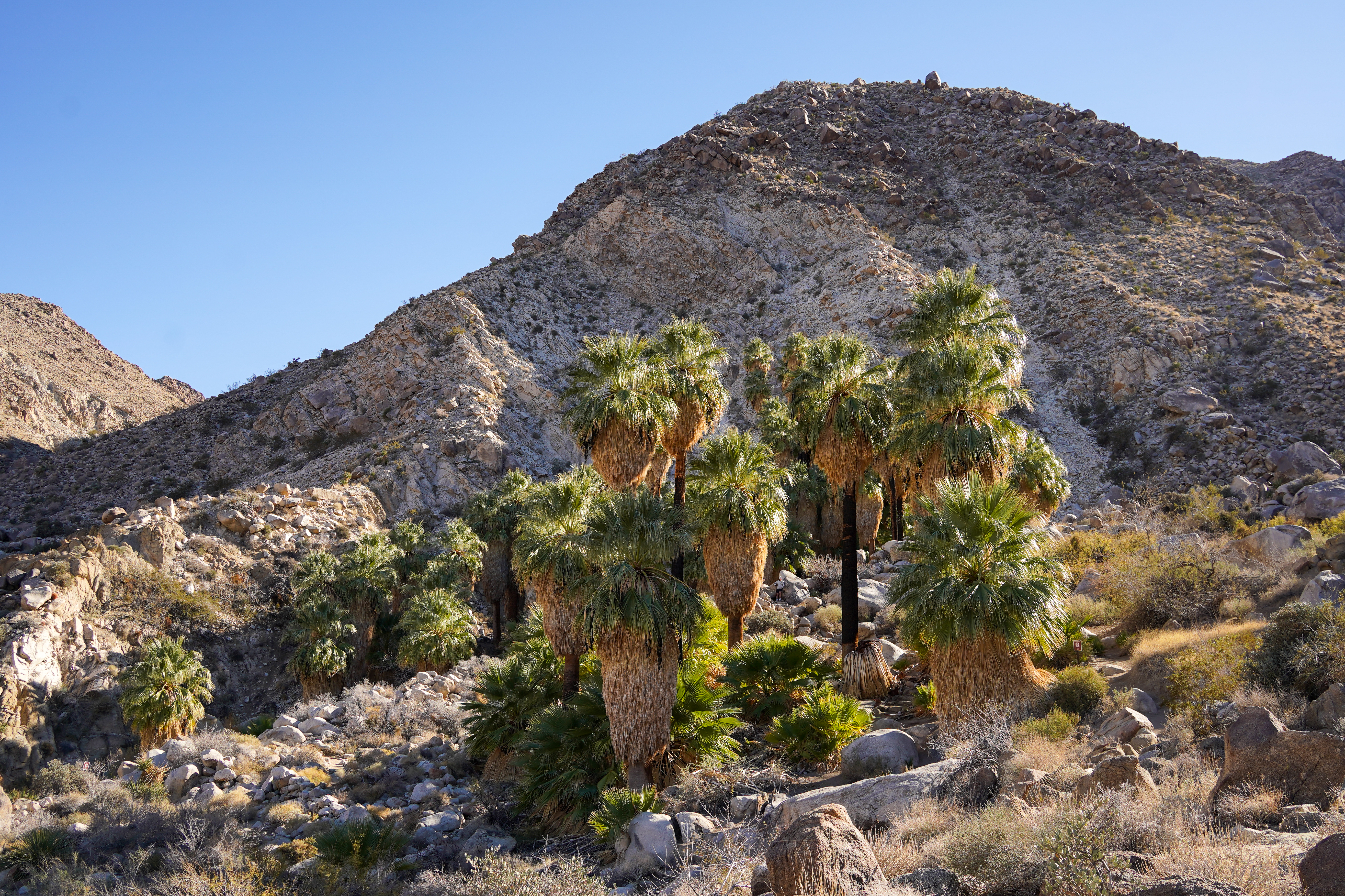
A lush desert oasis that also provides access to the Mastodon Peak Loop and Lost Palms Oasis Trail.
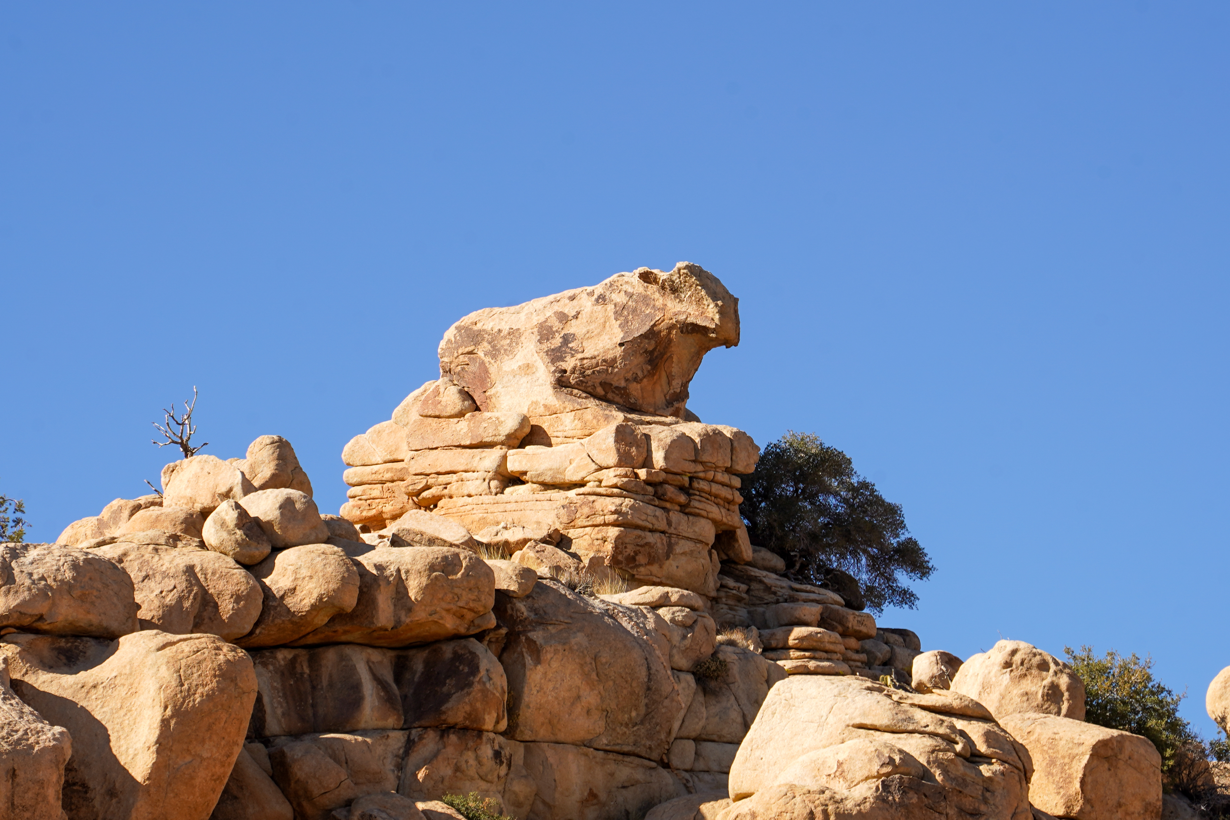
A cow shaped rock formation
Cyclops Rock, a large granite rock formation popular with climbers.
Trailhead for Contact Mine Trail and Desert Tortoise stop for the audio tour.
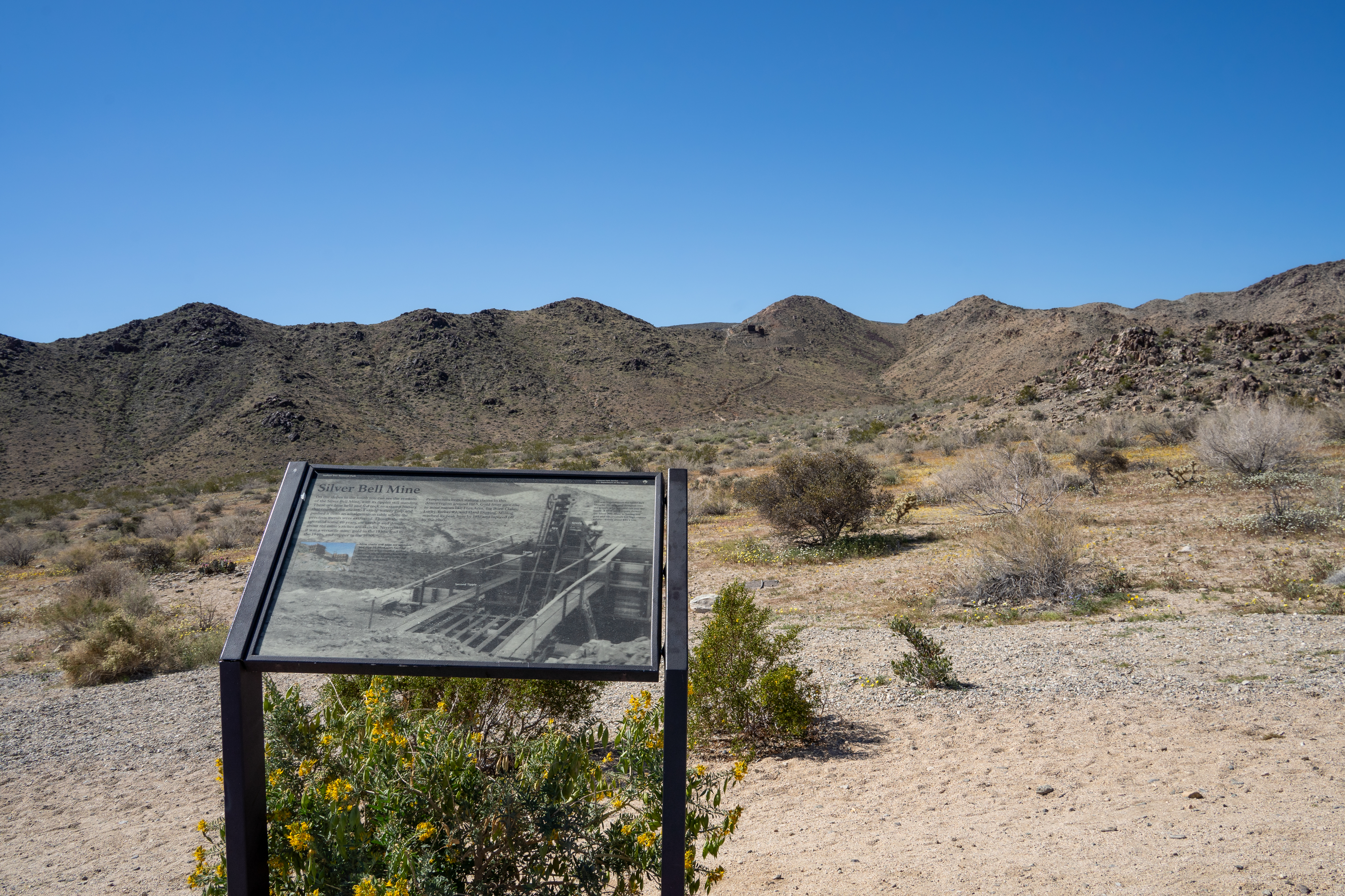
Silver Bell Mine Pullout is located on Pinto Basin Road.
The Wilson Canyon Pullout along Pinto Basin Road.
Quail Springs Picnic Area is a picnic area along Park Boulevard when entering from the west entrance.
Silver Bell Mine Pullout is along Pinto Basin Road.
Turkey Flats in Pinto Basin
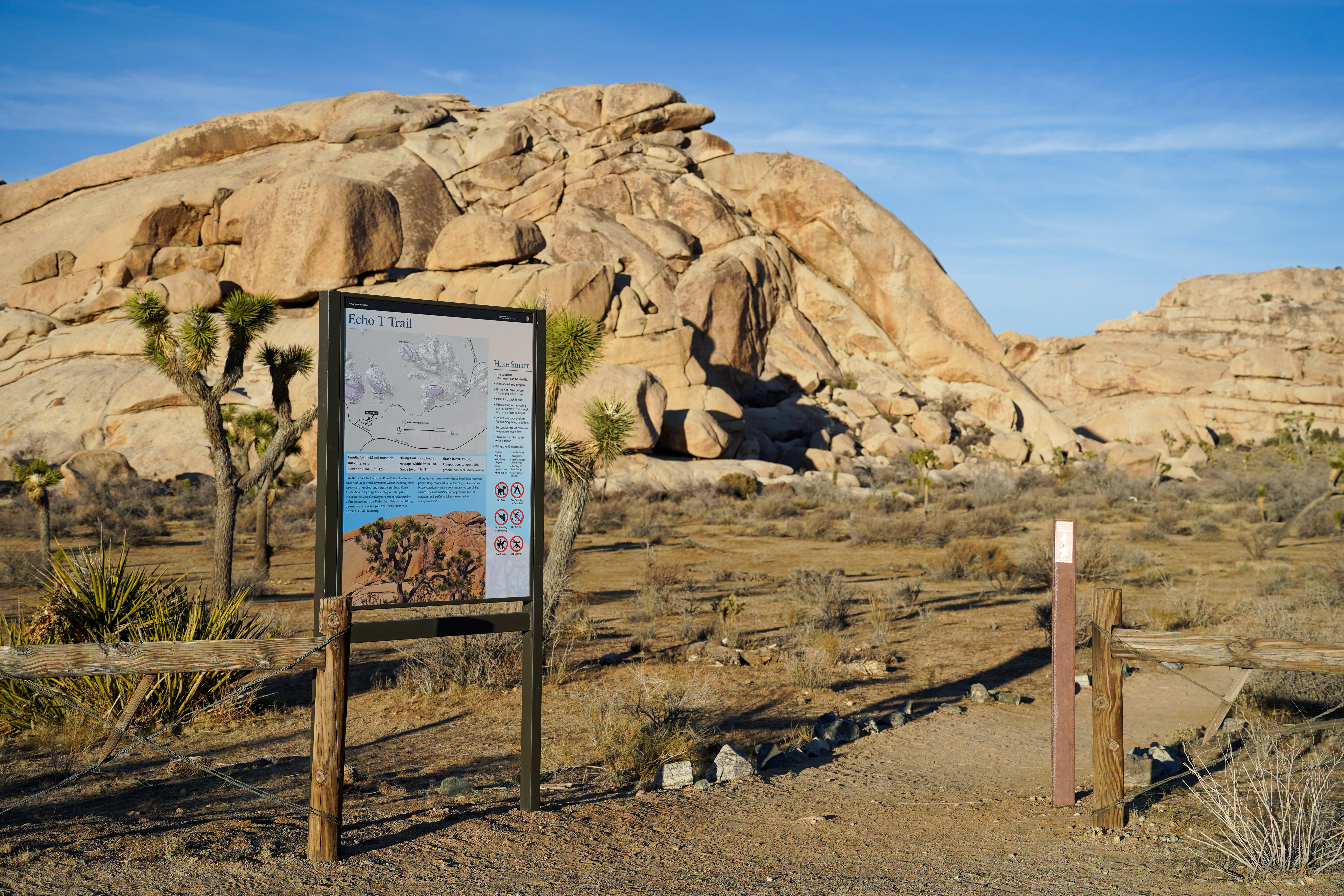
Hike the Echo T Trail and connect to the Barker Dam from this trailhead.
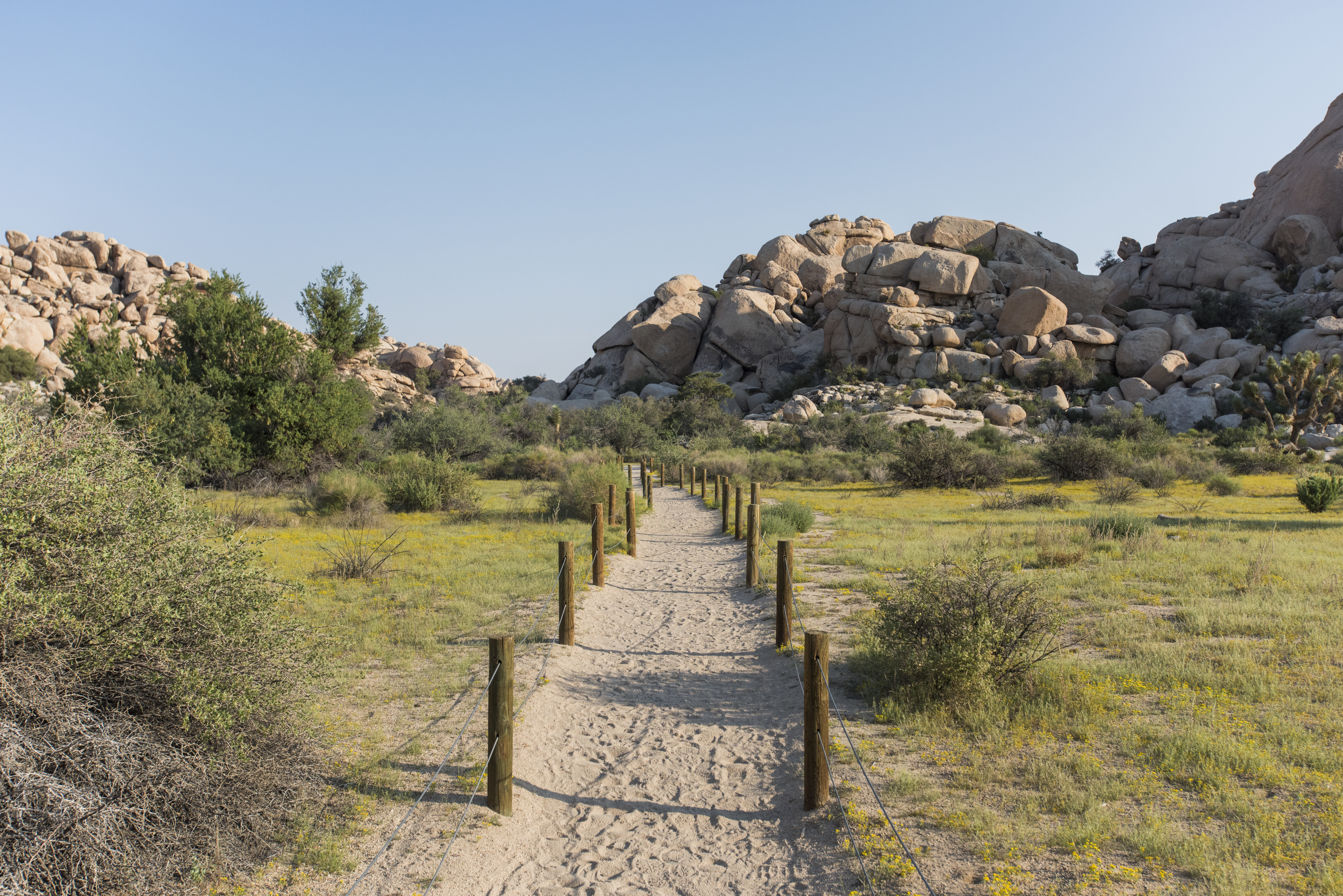
The Hidden Valley Trailhead provides access to explore Hidden Valley.
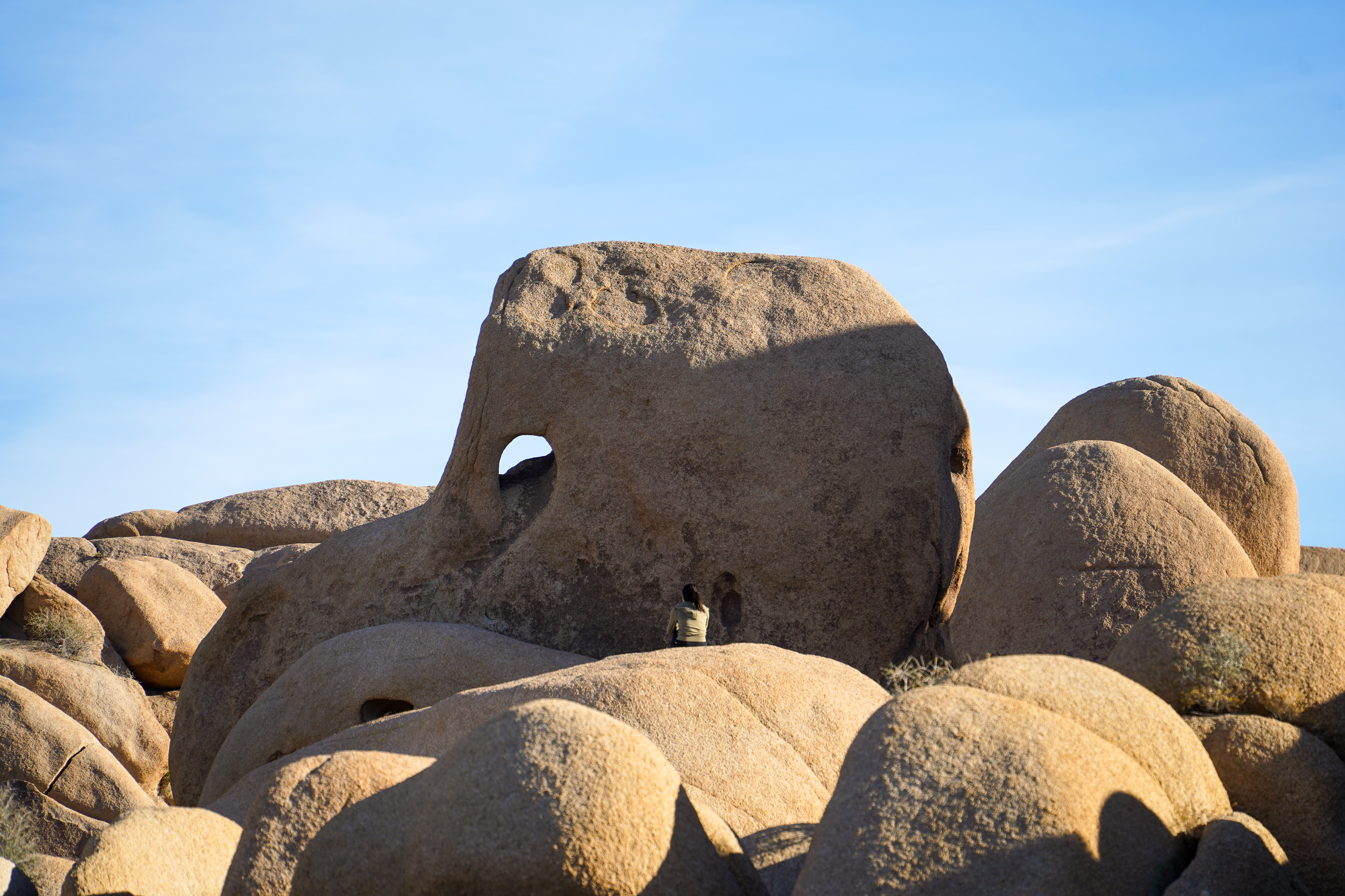
Elephant Rock, a granite rock formation shaped like an elephant. This rock formation can be seen from Park Boulevard in front of the Skull Rock and Discovery Trail Trailhead.
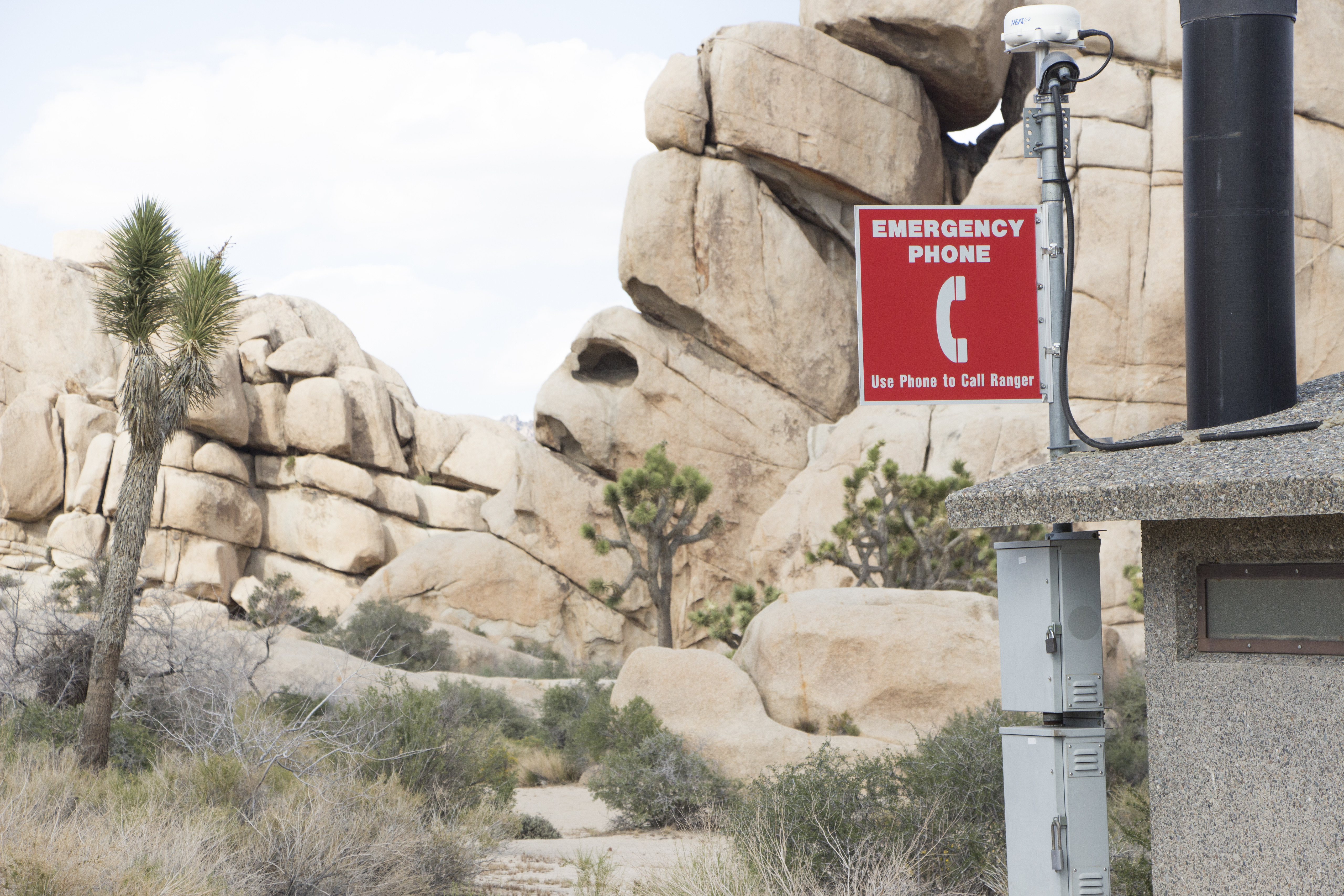
An emergency phone is available for requesting first aid and medical assistance.
Face Rock, located off spur trail along the Split Rock Trail
Porcupine Wash is located on Pinto Basin Road.
A desert oasis in the northern portions of Joshua Tree National Park.
Trailhead for Fortynine Palms Oasis.
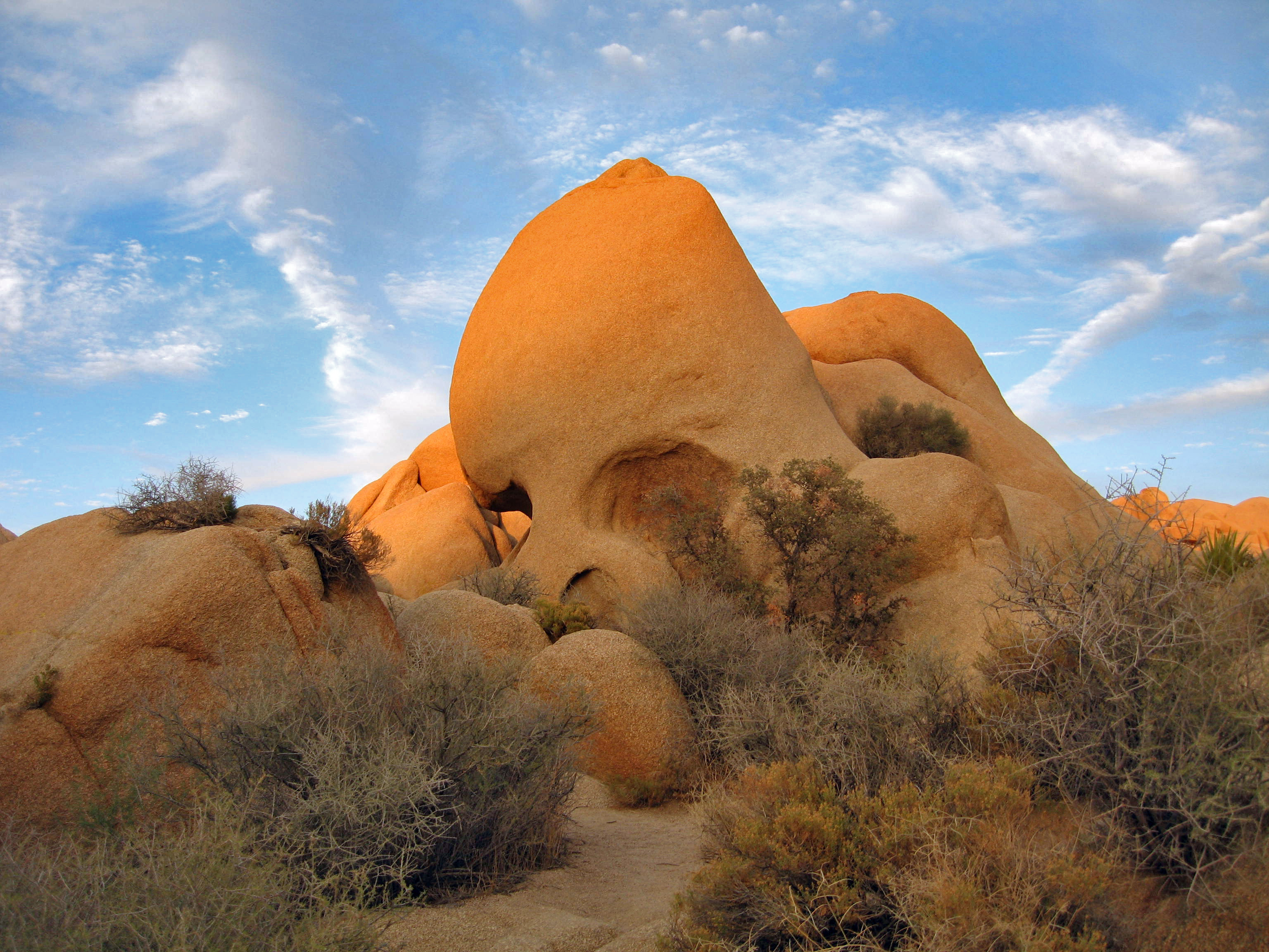
Learn about Geology at Skull Rock during the audio tour.
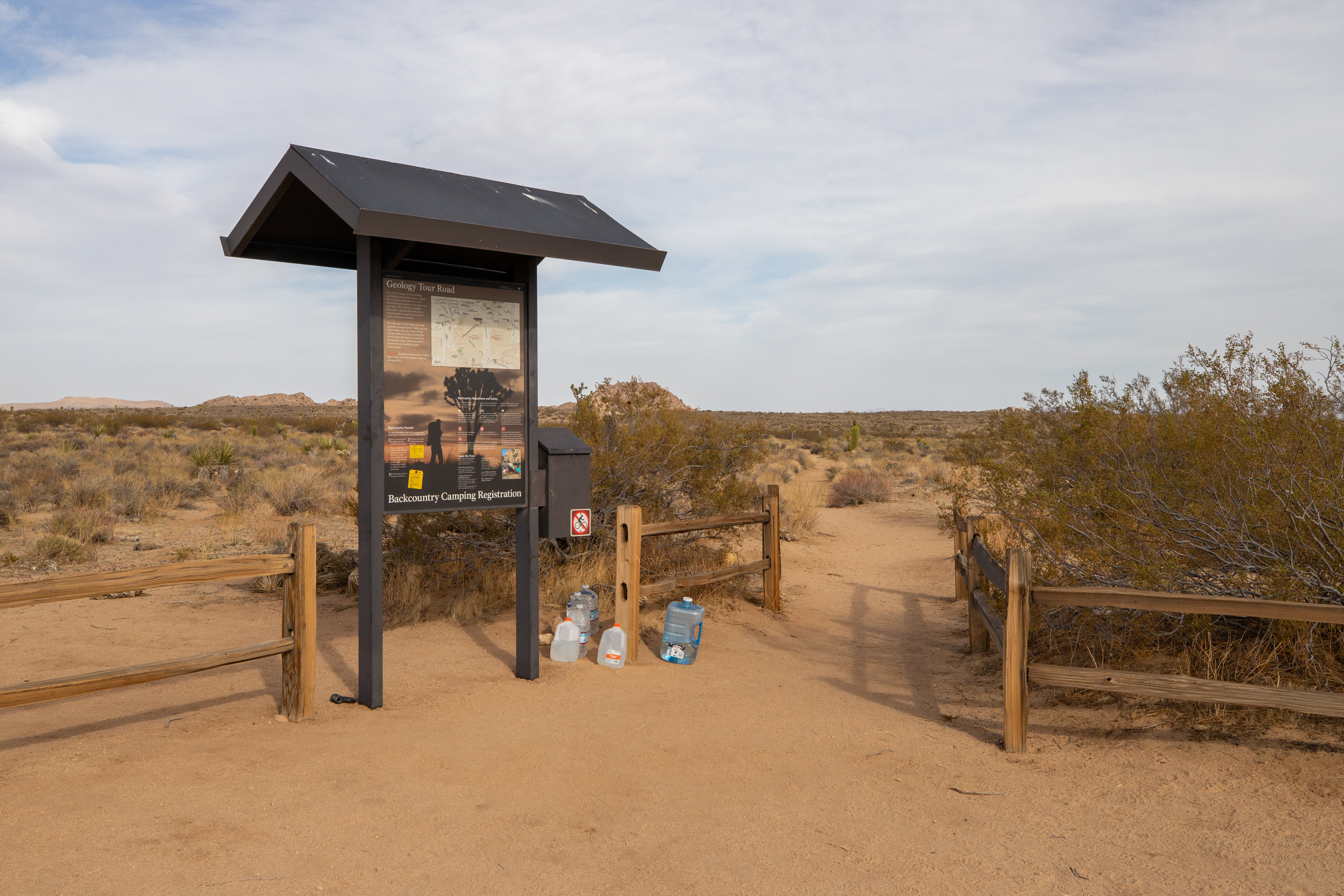
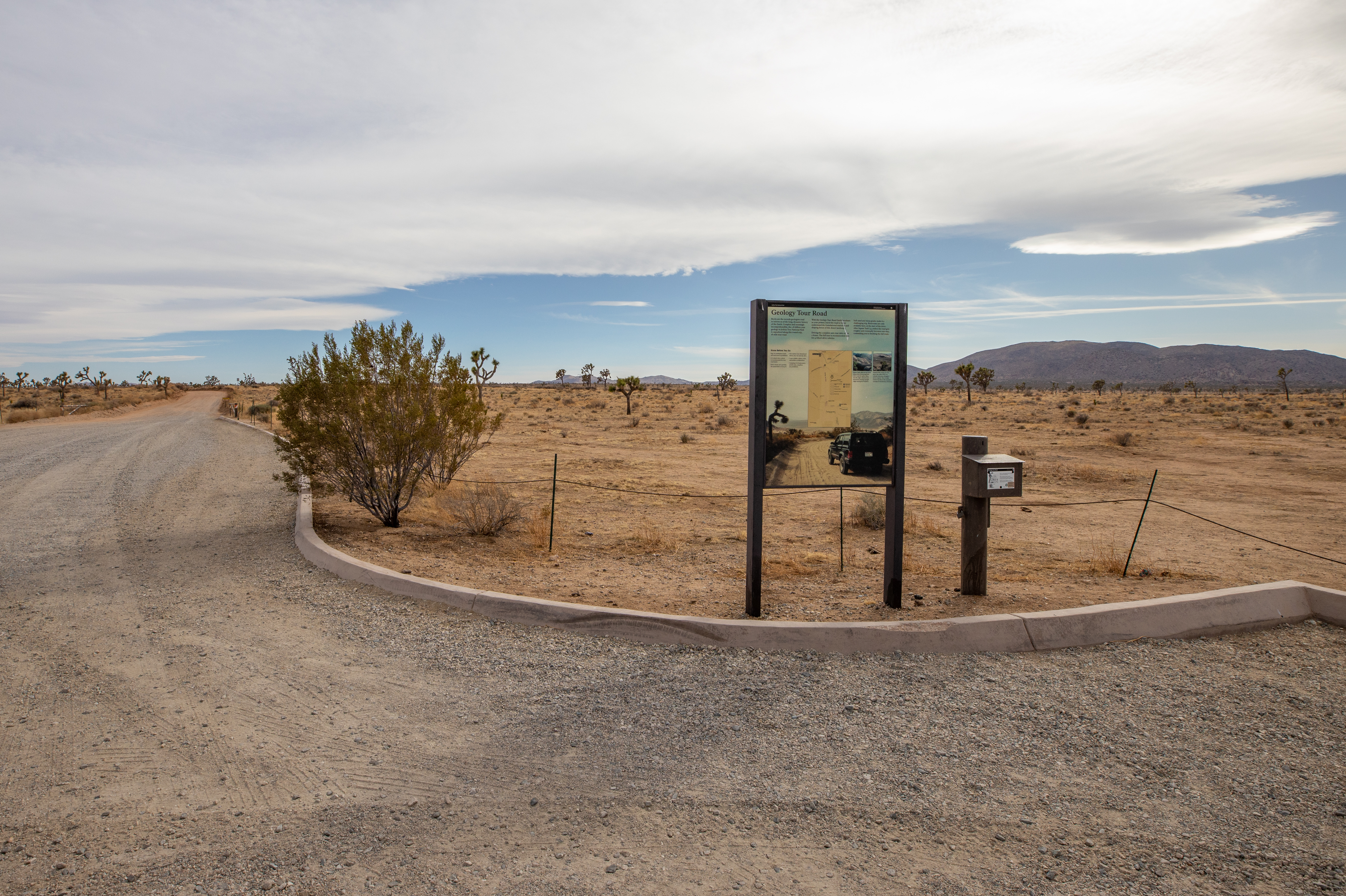
Geology Tour Road is an 18-mile motor tour leads through one of Joshua Tree National Park's most fascinating geological landscapes.
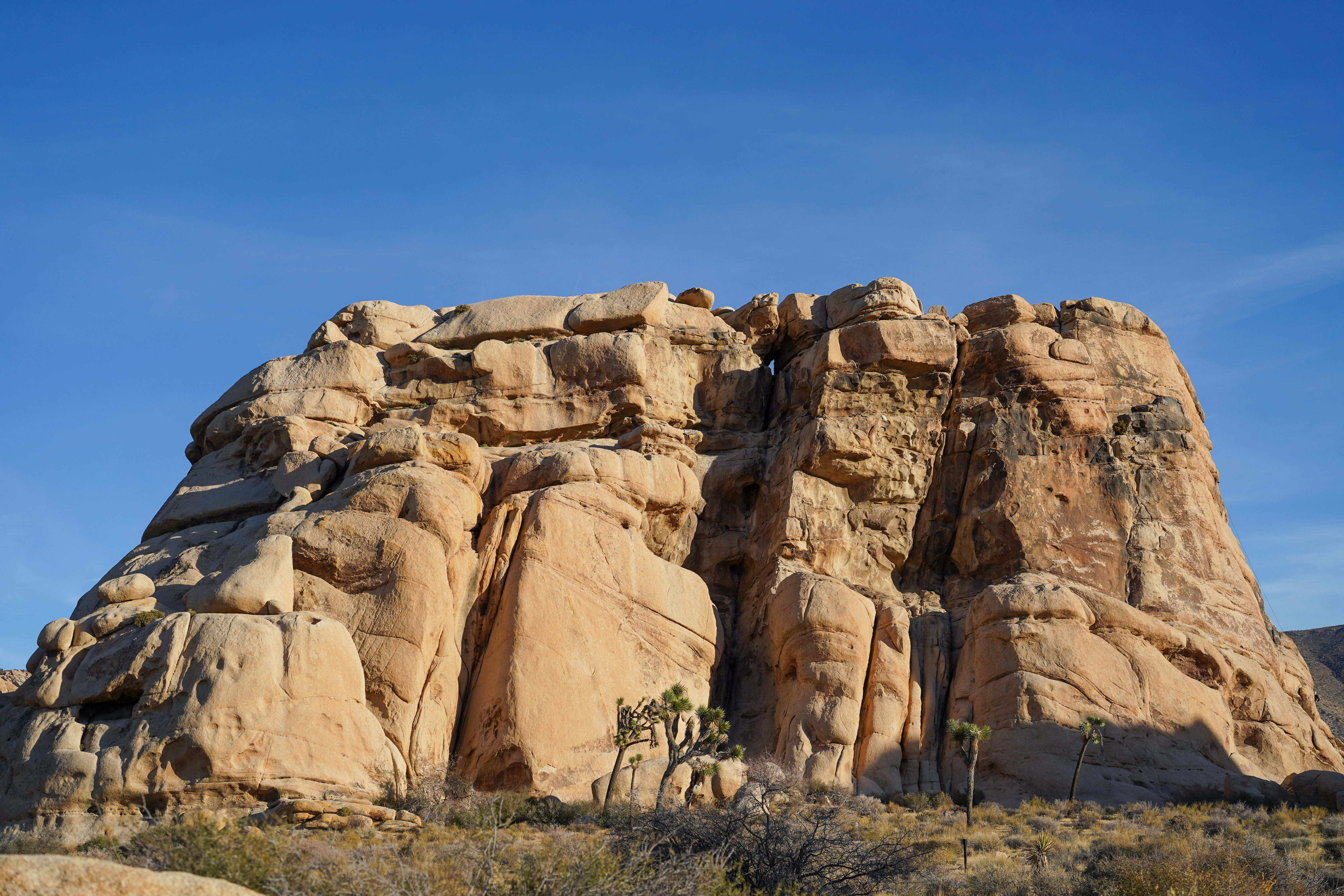
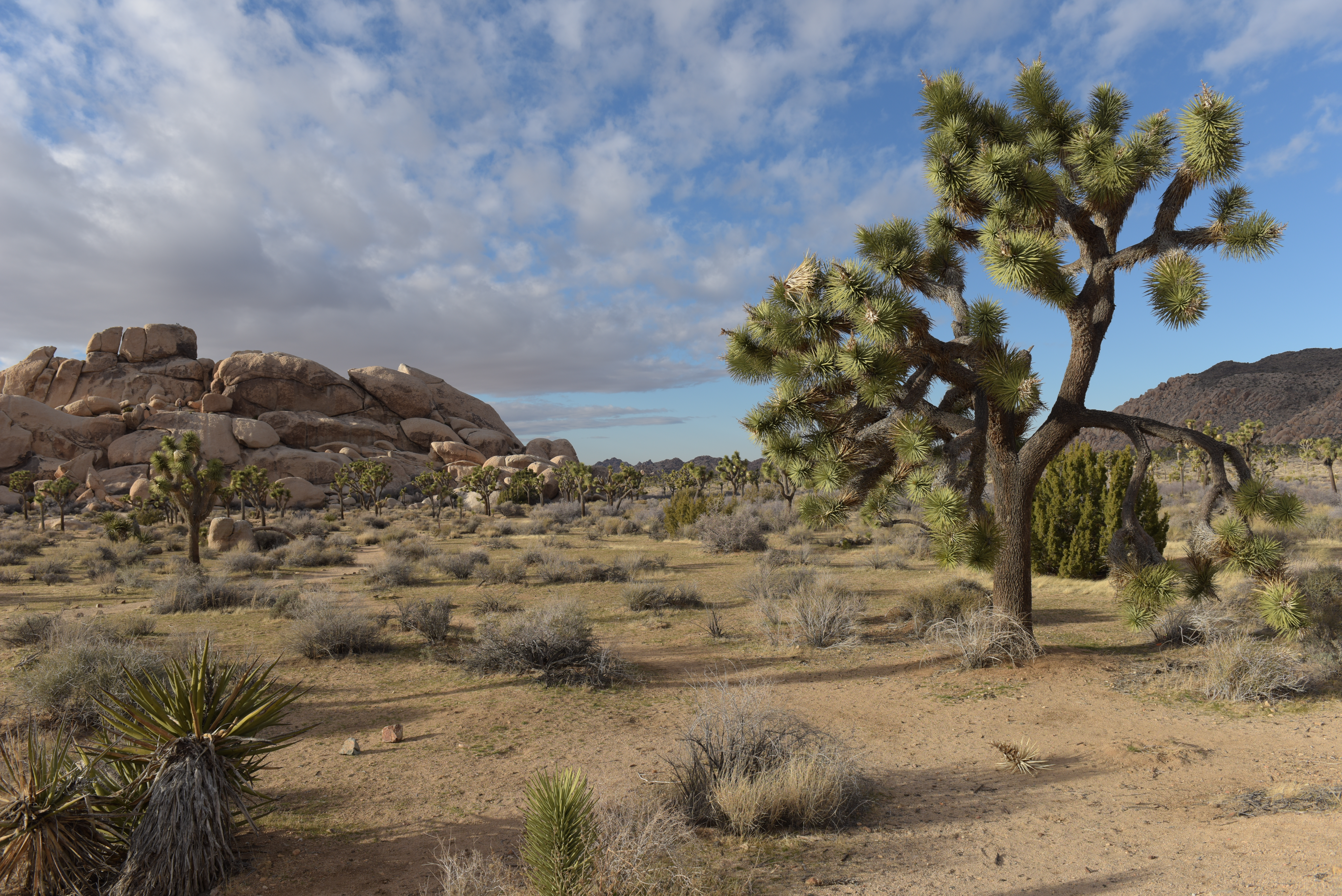
Popular rock formations with views for walks, scrambling, and rock climbing.
Heart shaped rock formation
A popular rock formation along Park Boulevard.
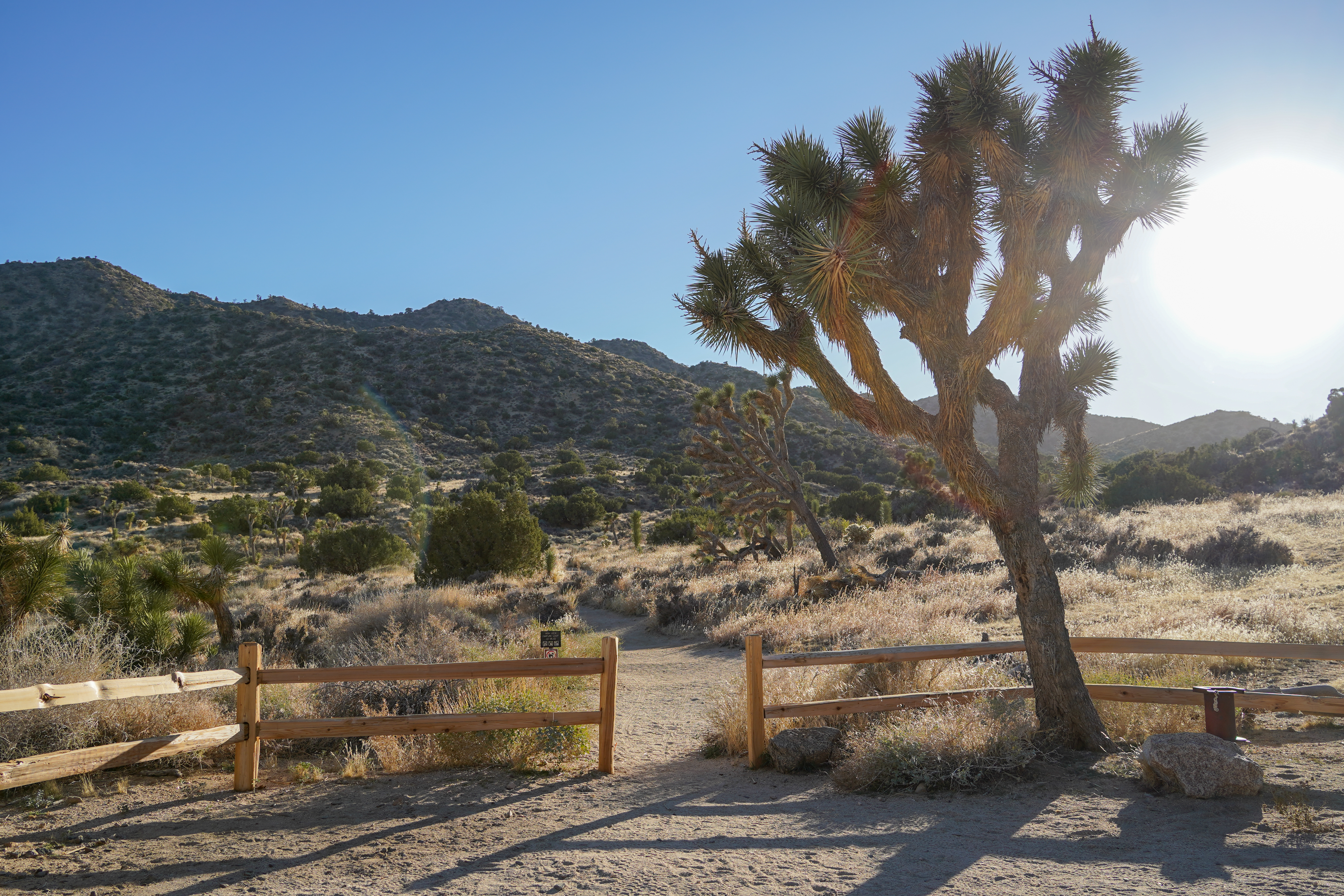
Trailhead for the Hi-View and West Side Loop Trails which meander through mountains and Joshua tree forests.
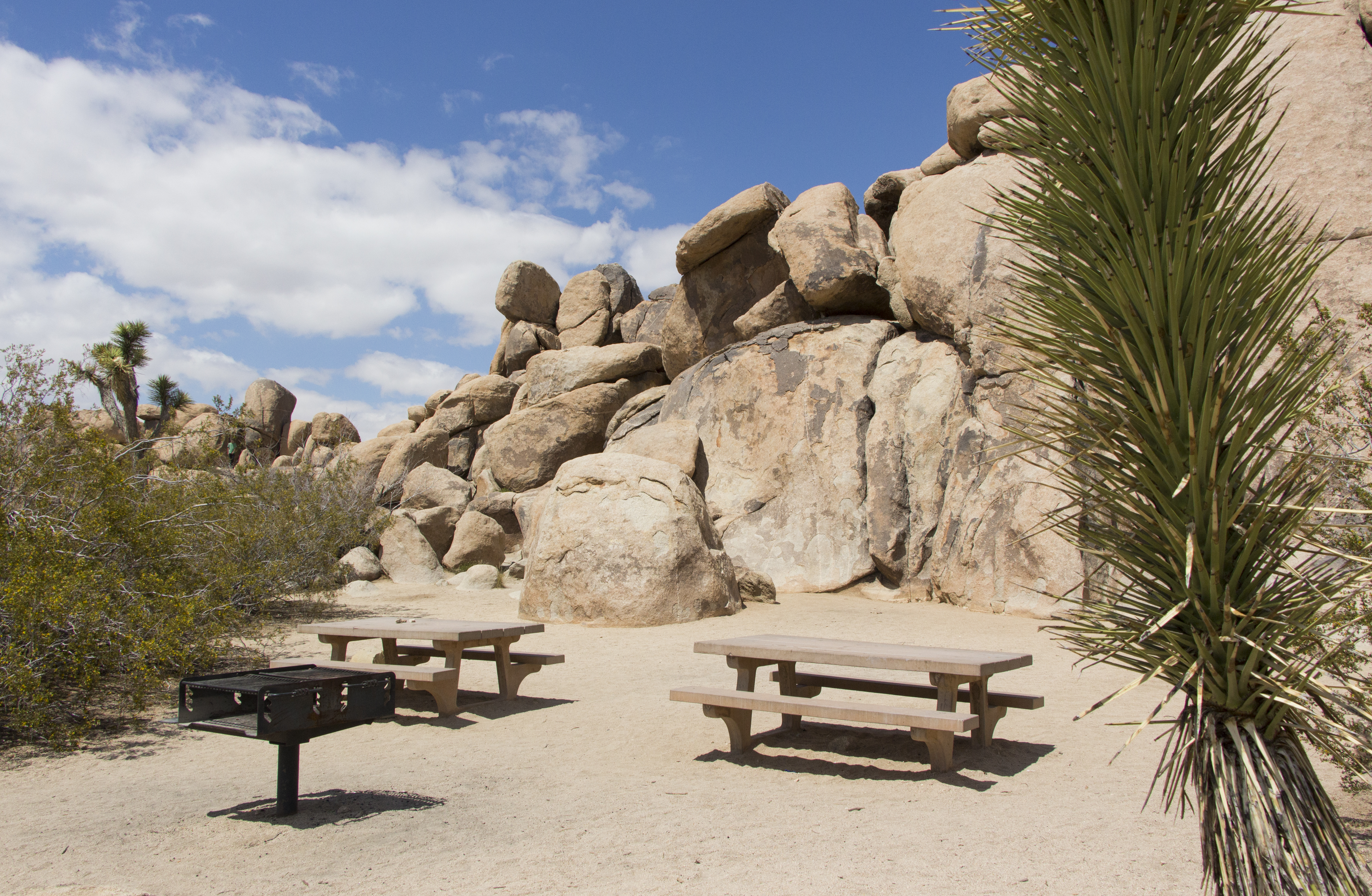
Hidden Valley Picnic Area is a large picnic area with picnic tables and grills among rock formations and Joshua Trees.
The Hidden Valley Trailhead provides access to explore Hidden Valley.
Trailhead for hiking to Ryan Ranch and the Homesteading stop on the audio tour.
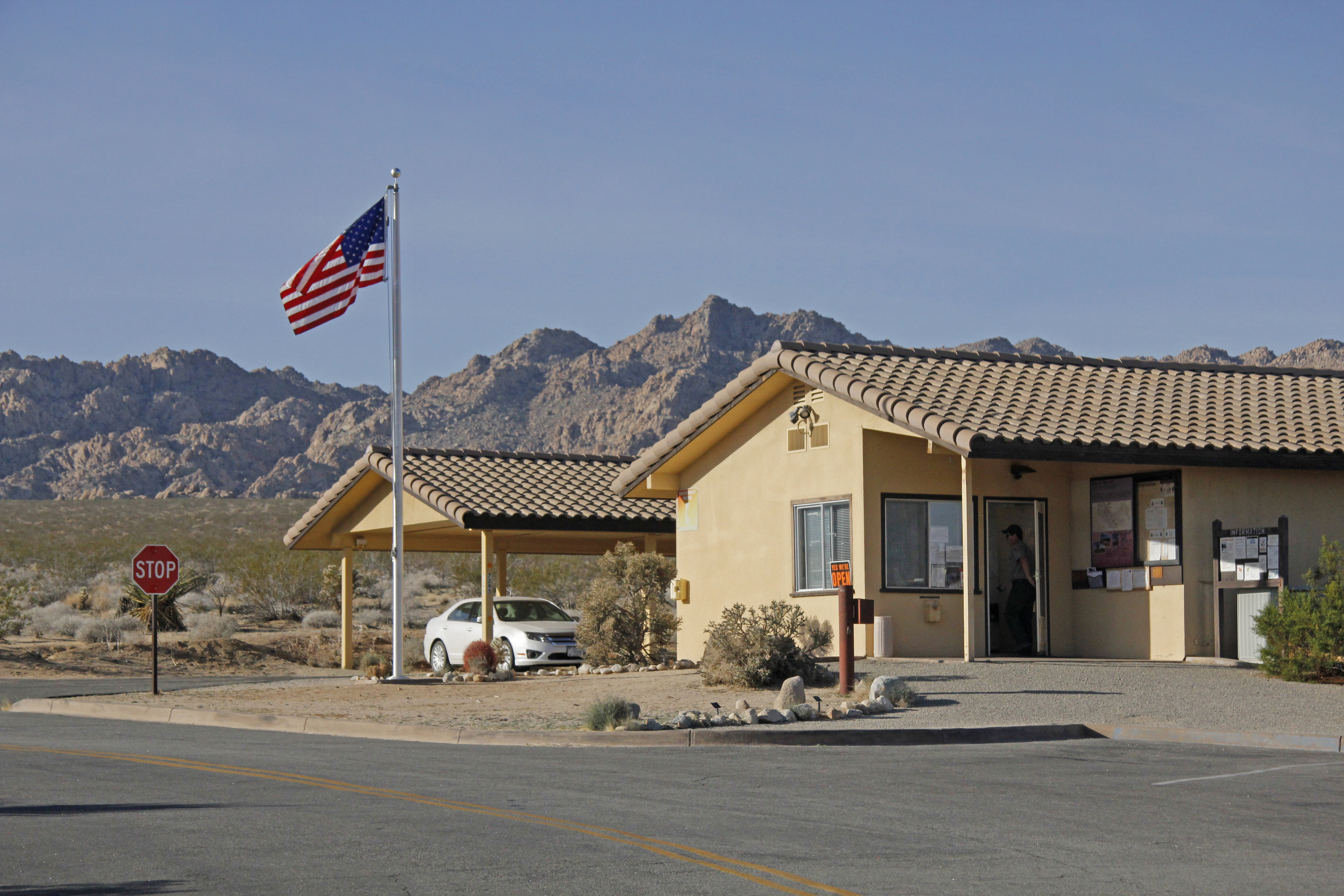
The Indian Cove Ranger Station provides information for the Indian Cove area.
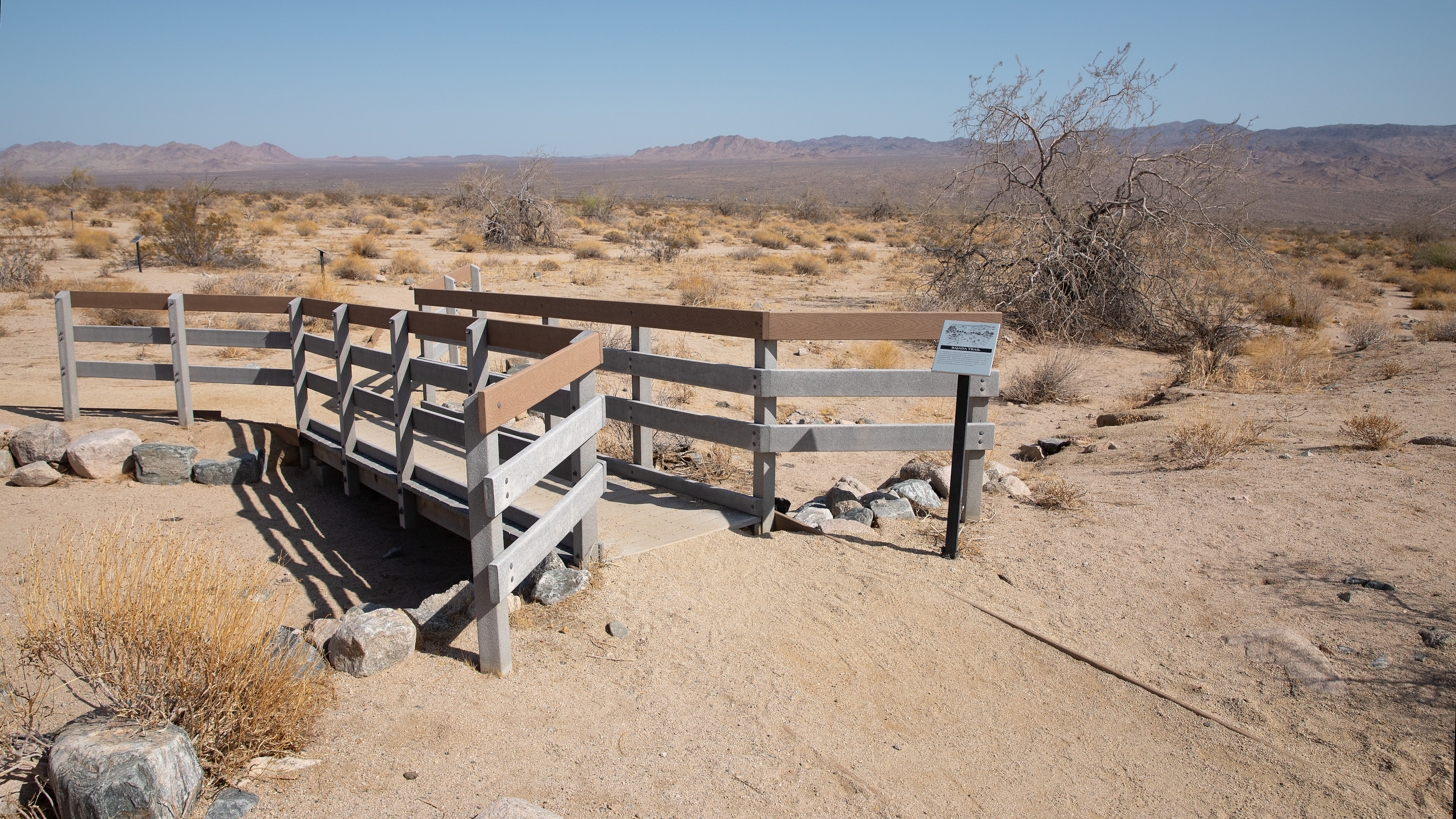
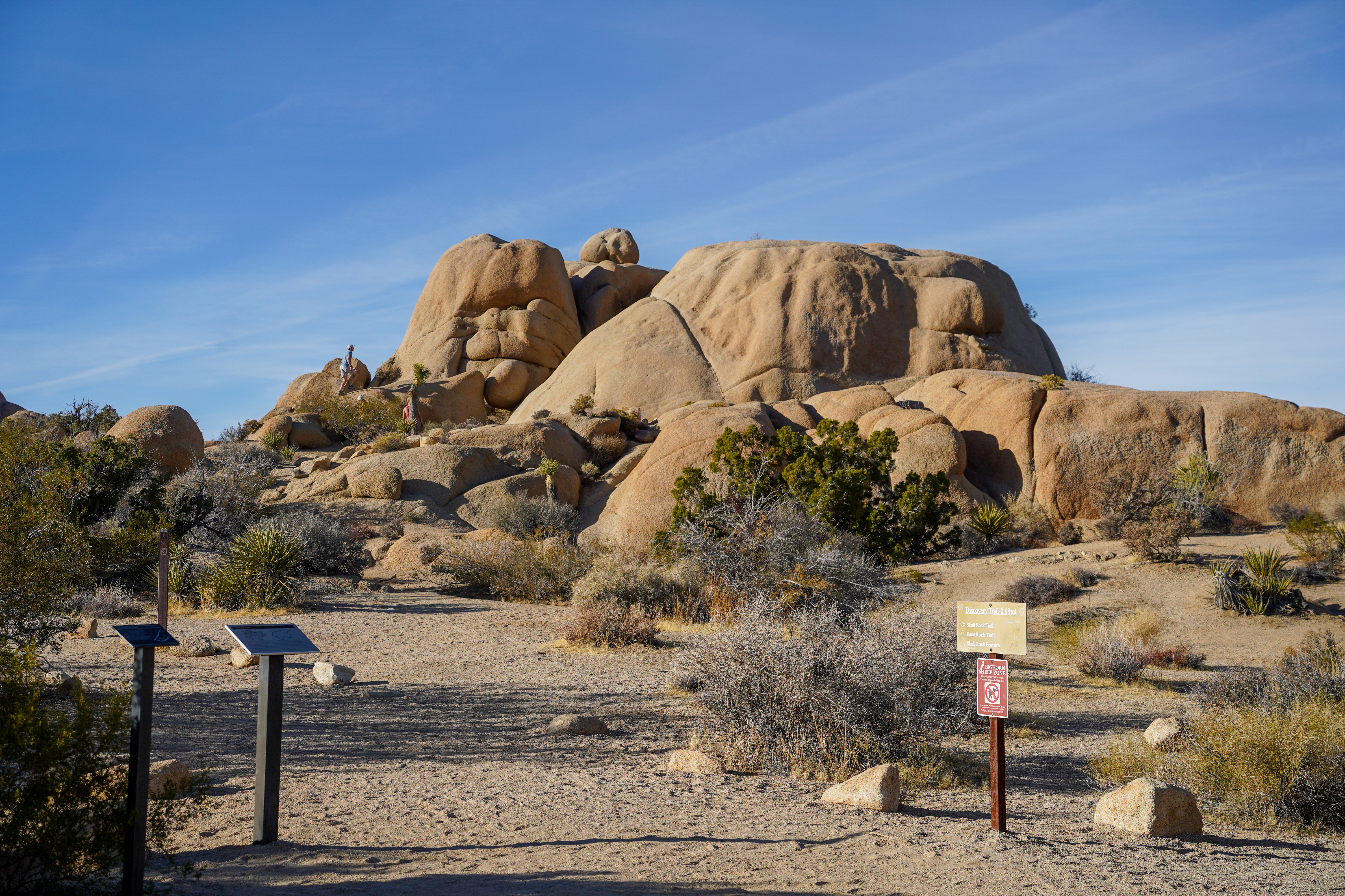
Trailhead for an easy .6 mile hike with interpretive signs along the way.
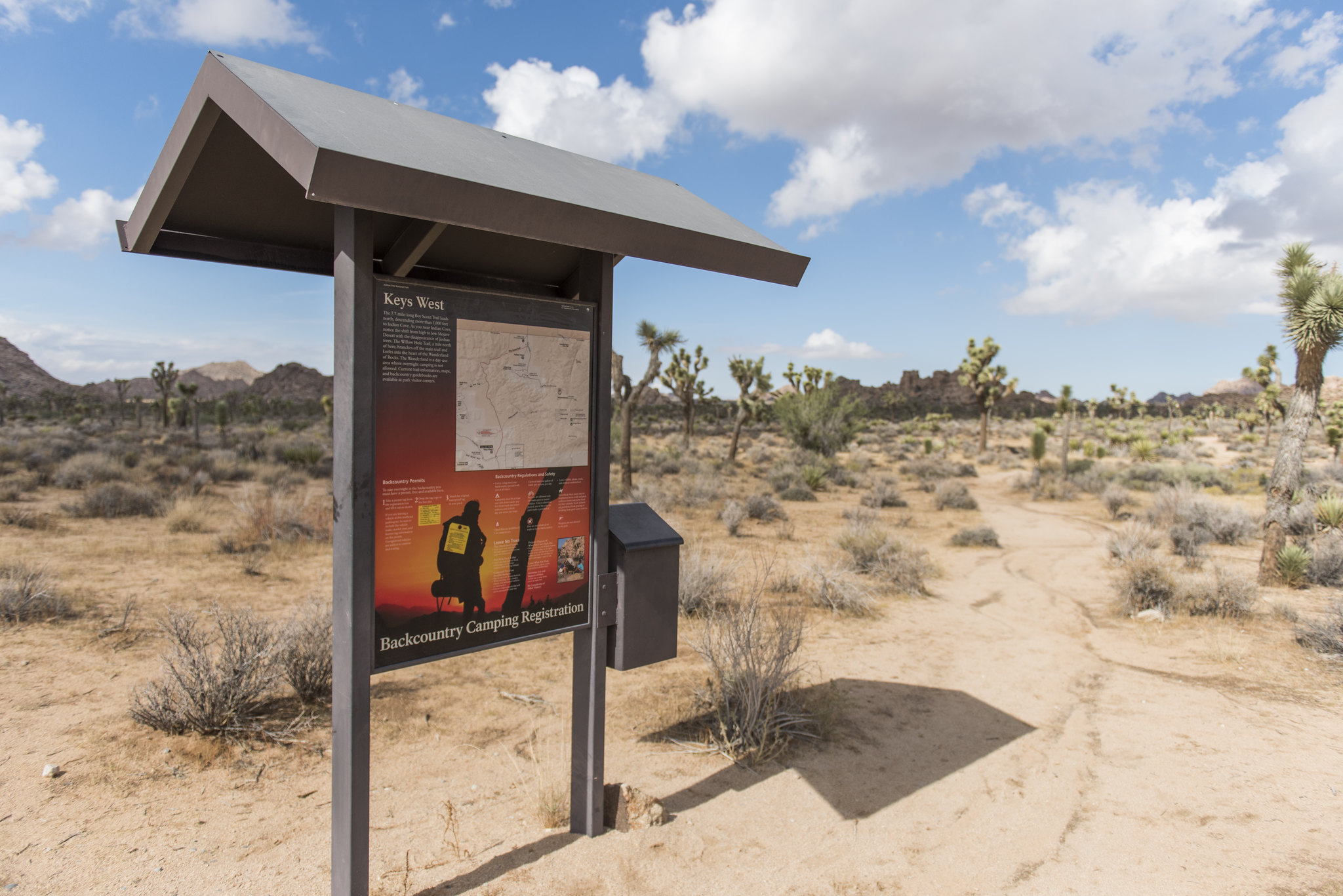
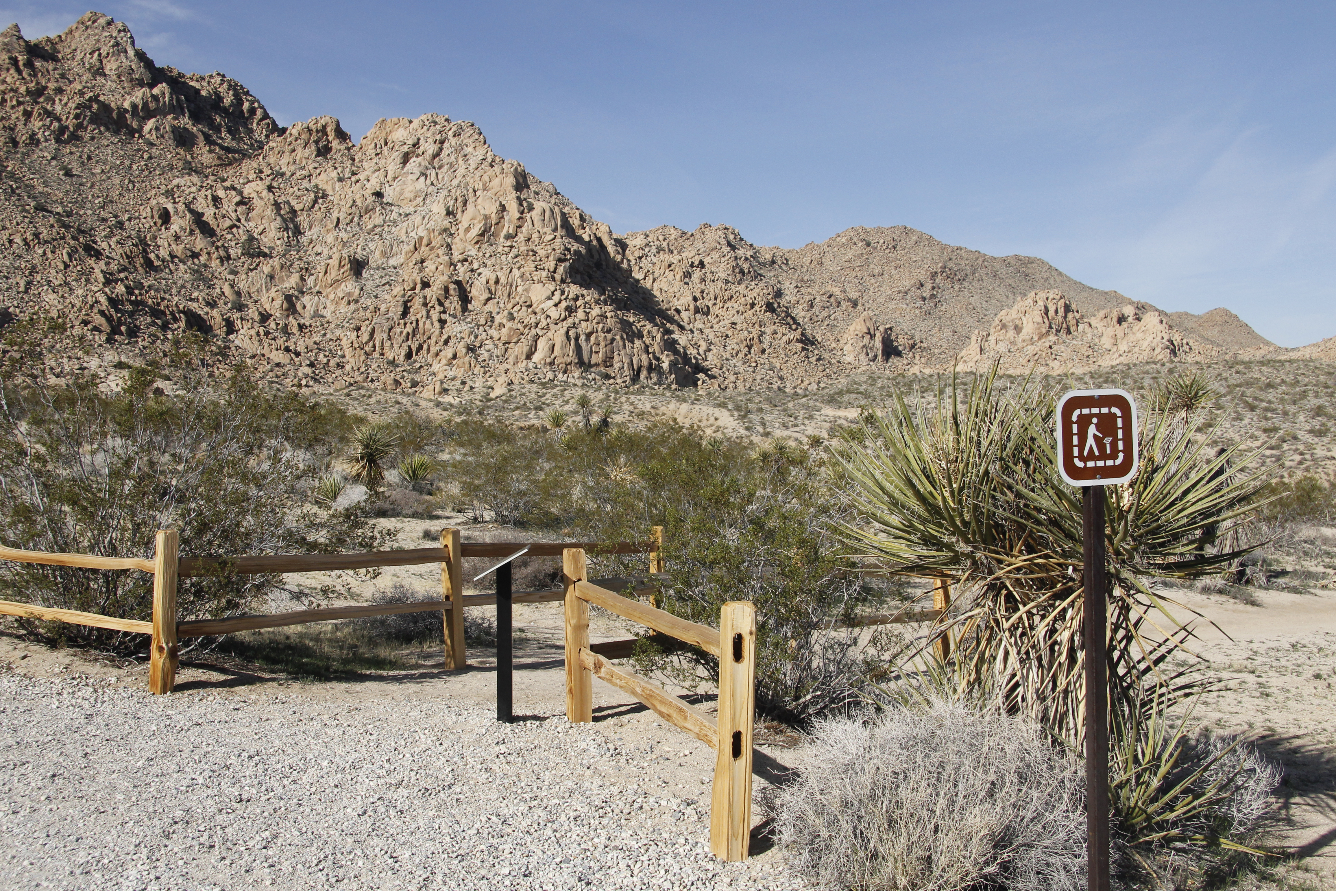
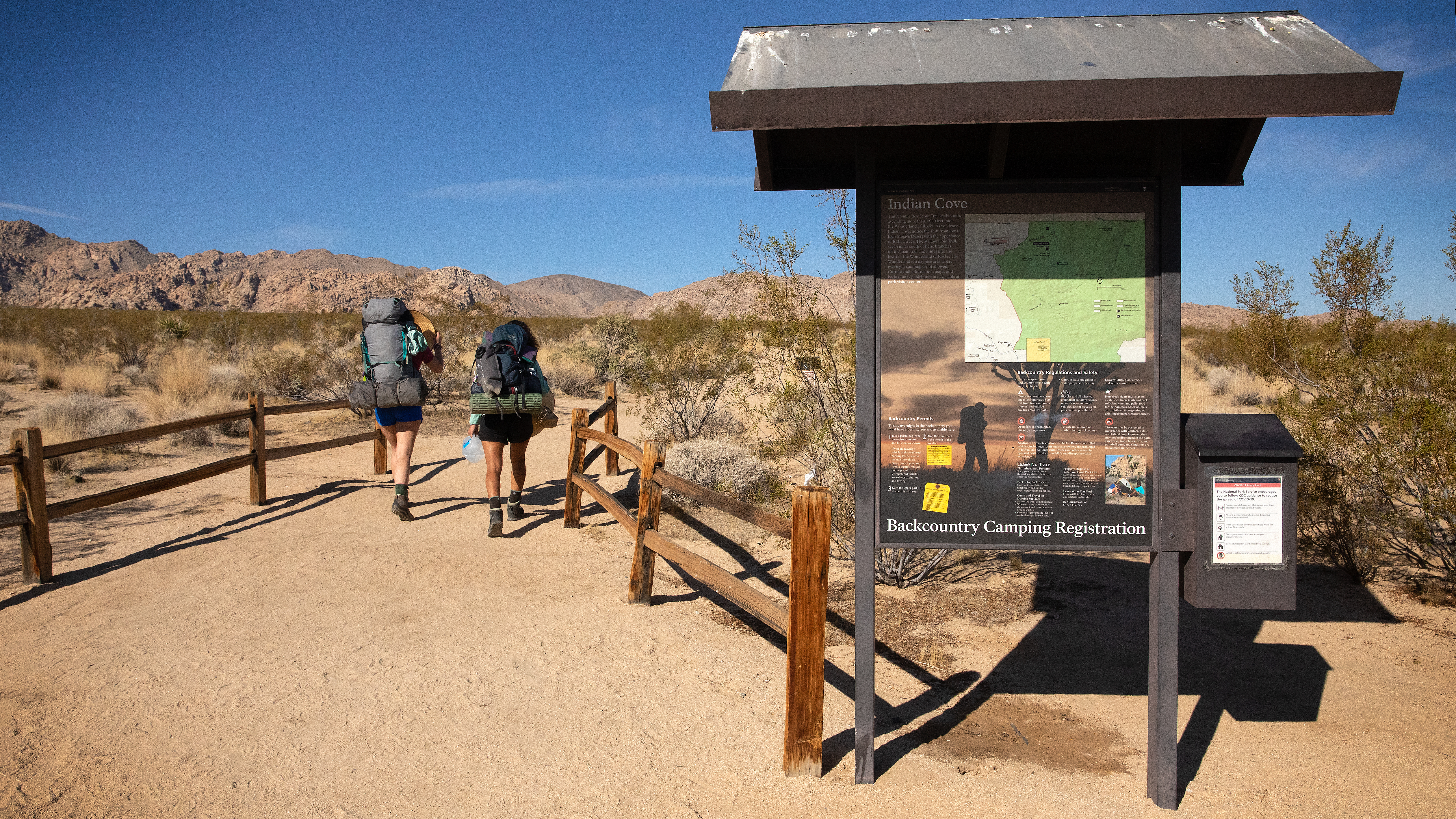
Backcountry board and trailhead for the north end of the Boy Scout Trail.
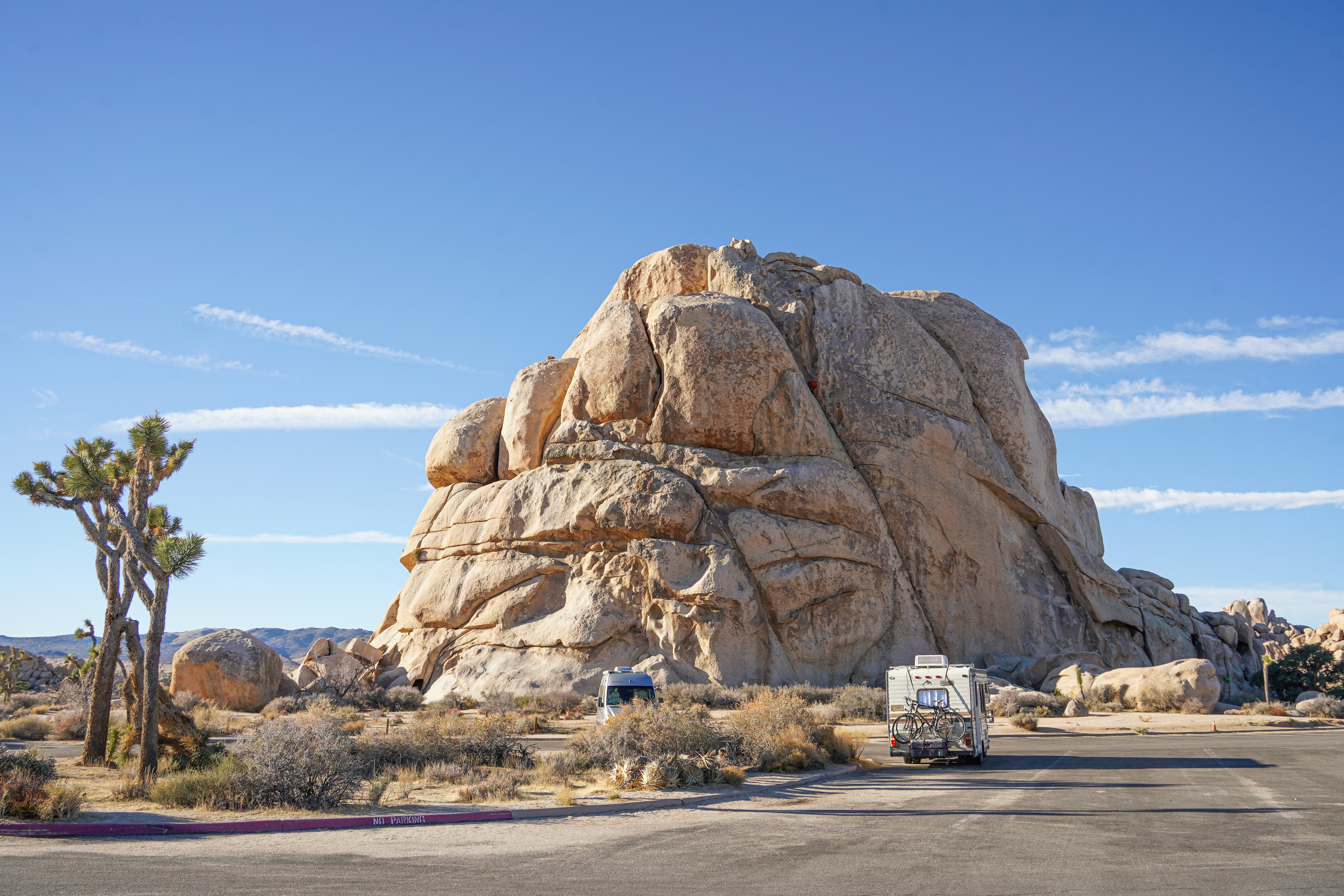
A large rock formation with over 40 climbing routes.