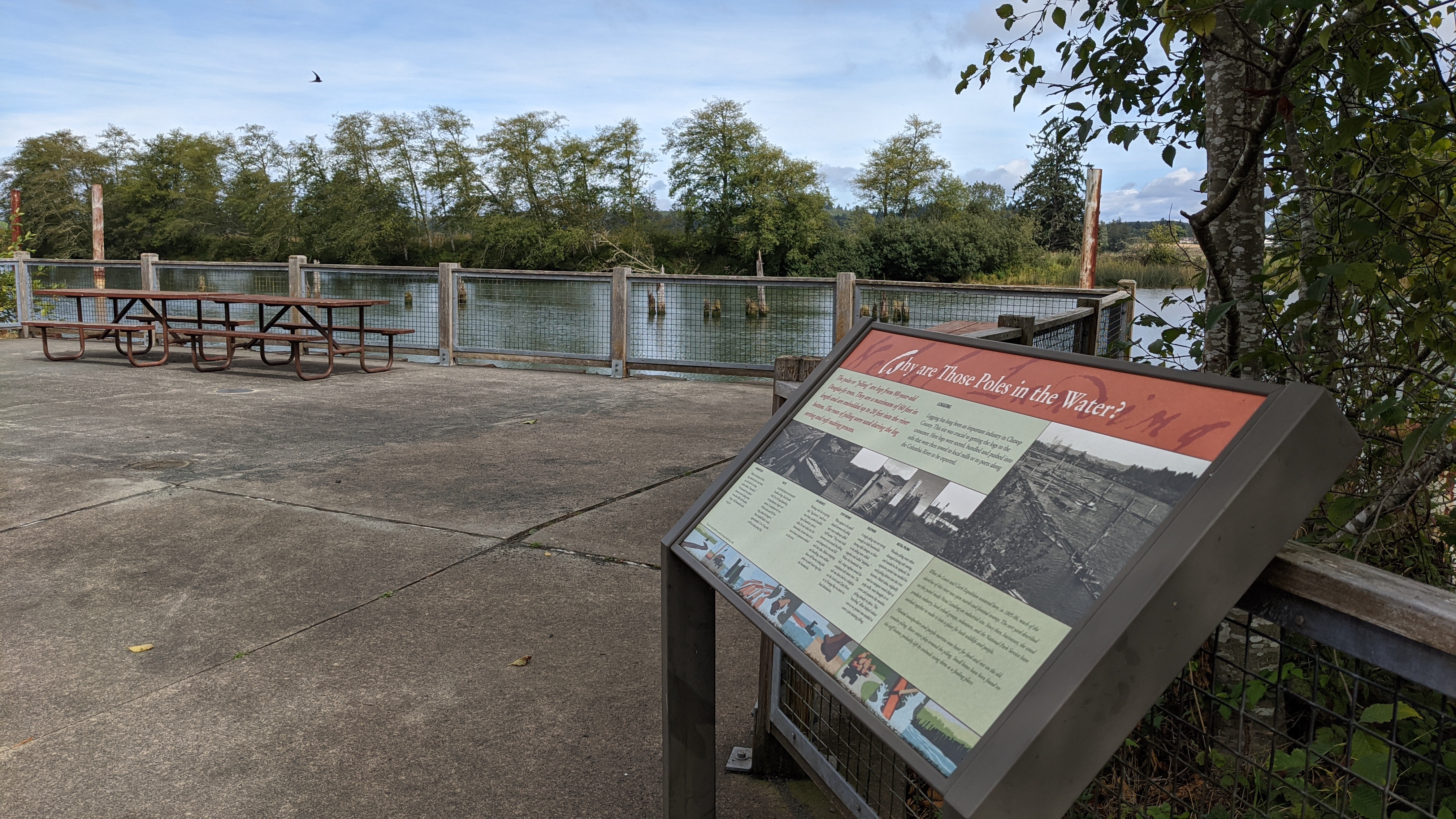
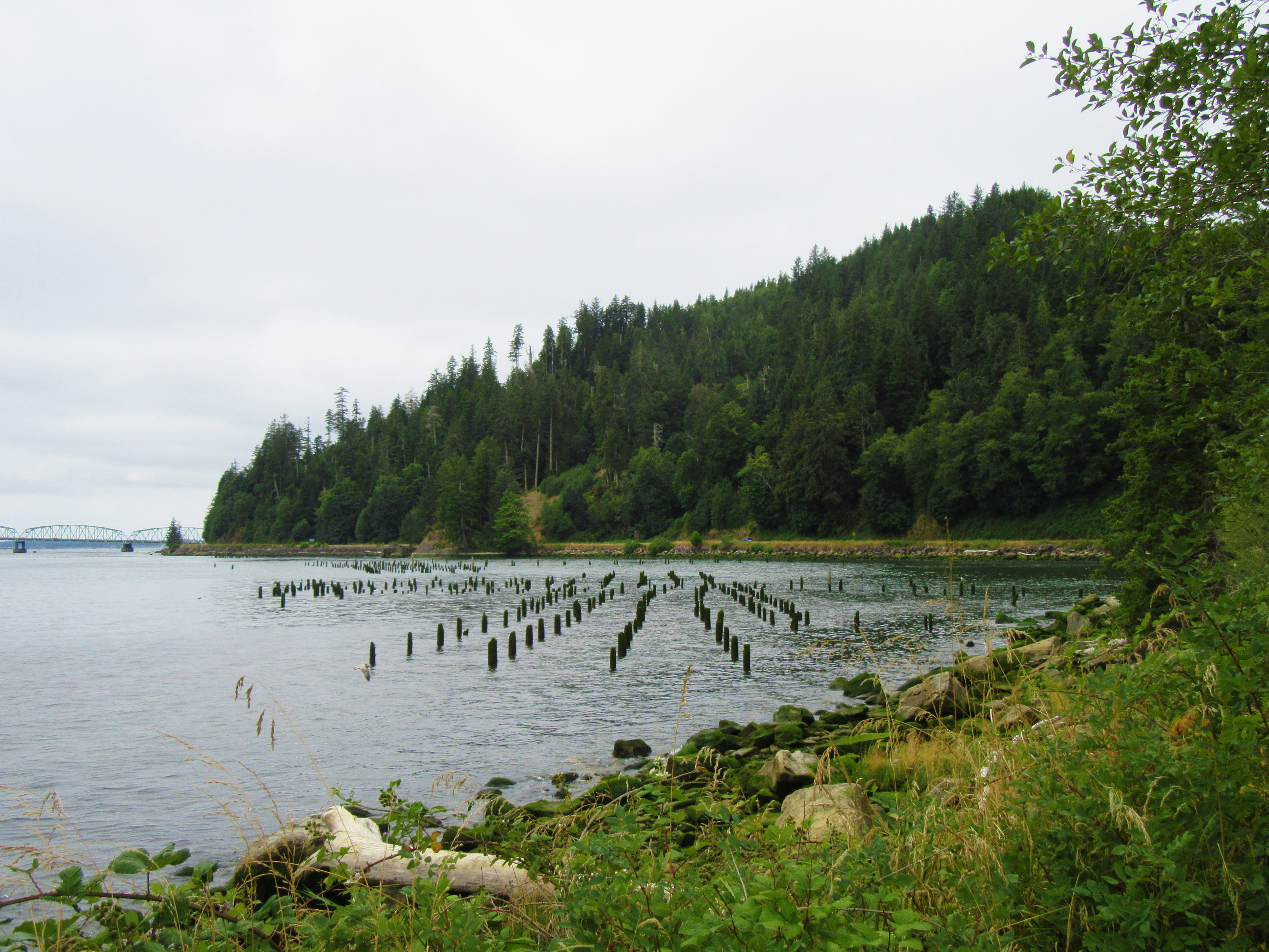
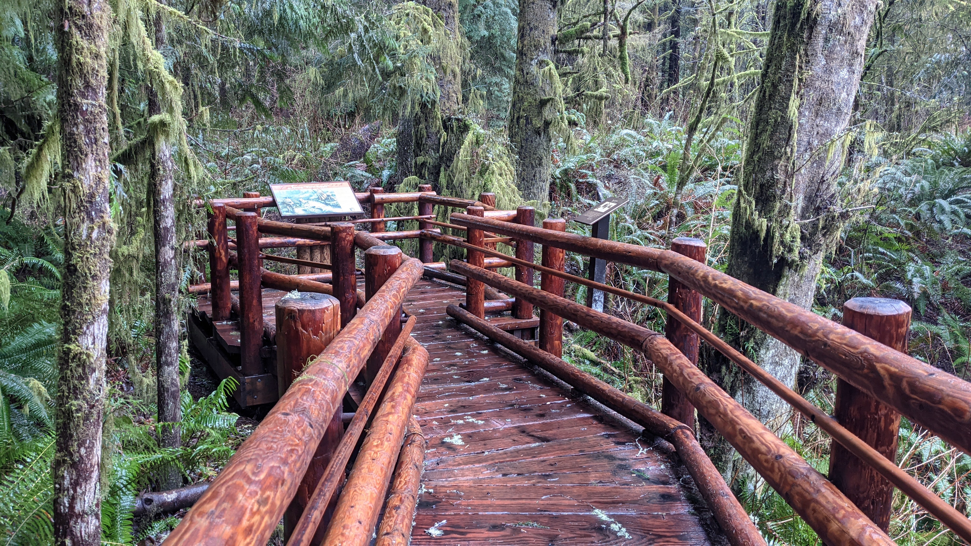
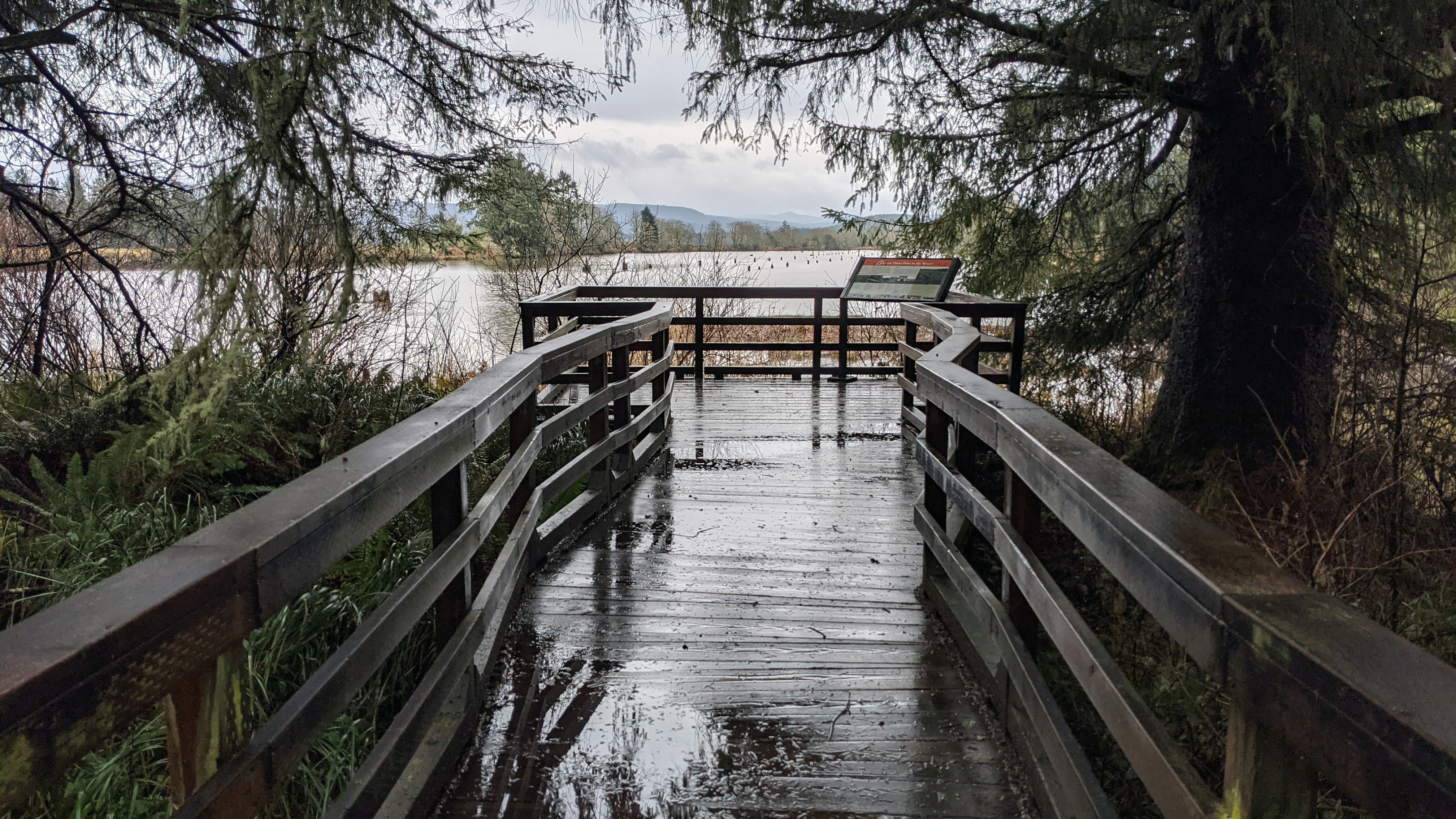
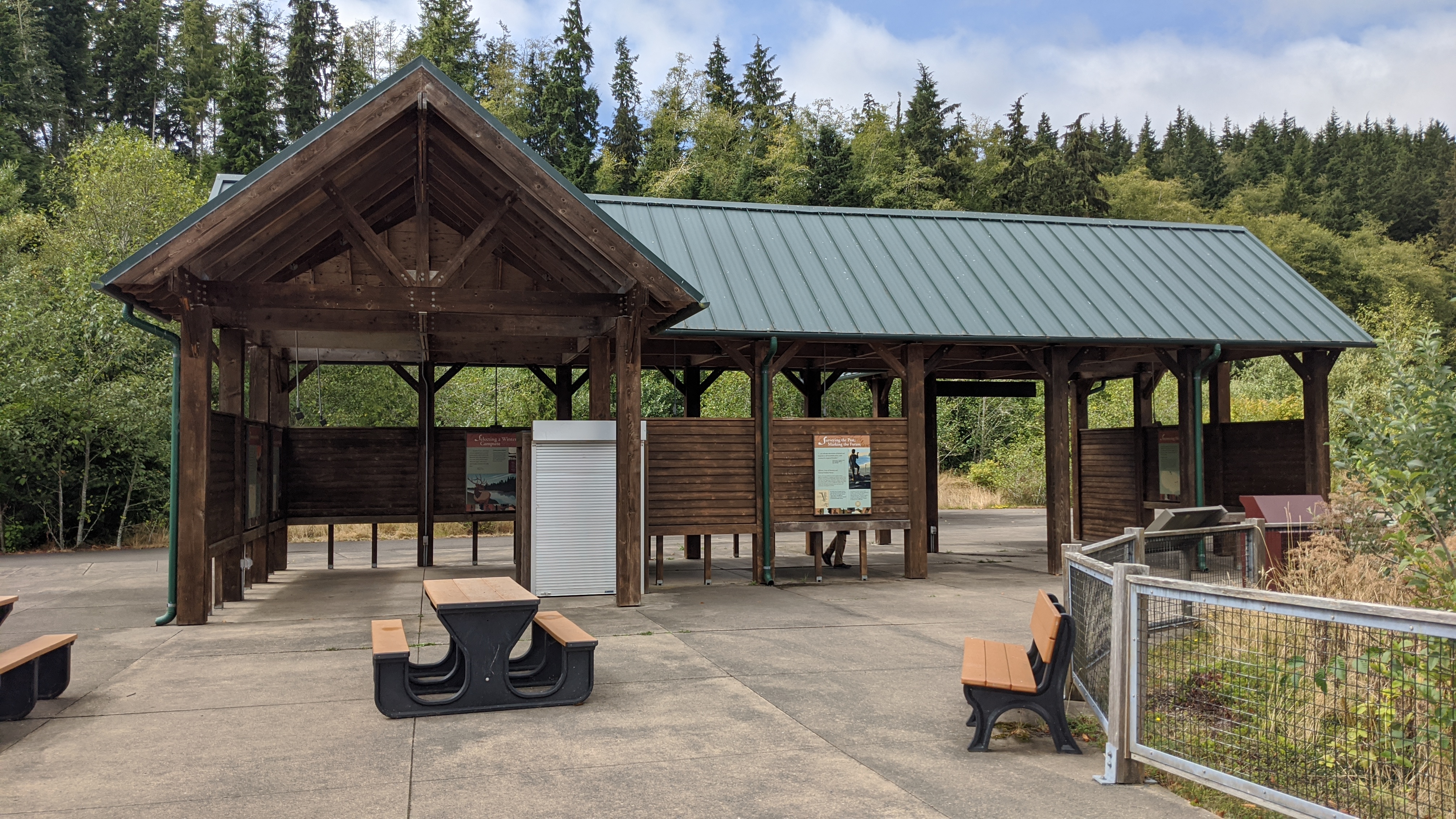
Located at Netul Landing, the "Why Are Those Poles in the Water?" sign tells about the logging industry in the region and why they put poles in the water.
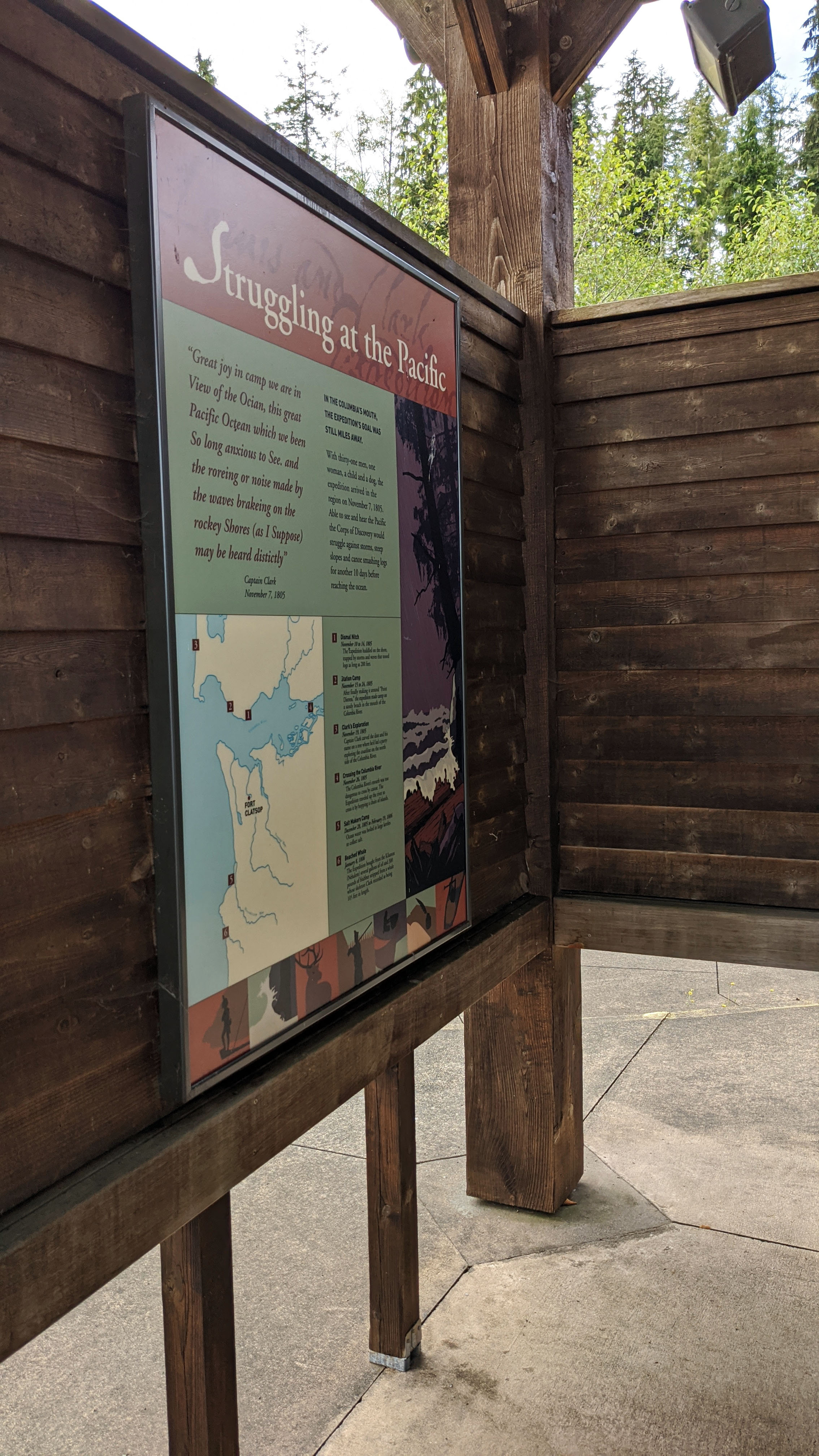
Cape Disappointment is a large headland forming the northern portion of the mouth of the Columbia River, as it opens to the Pacific Ocean. Most members of the Corps arrived here on November 15, 1805, where they first saw the Pacific Ocean. Clark camp near Chinook Point while Lewis scouted for a favorable site for a winter encampment.
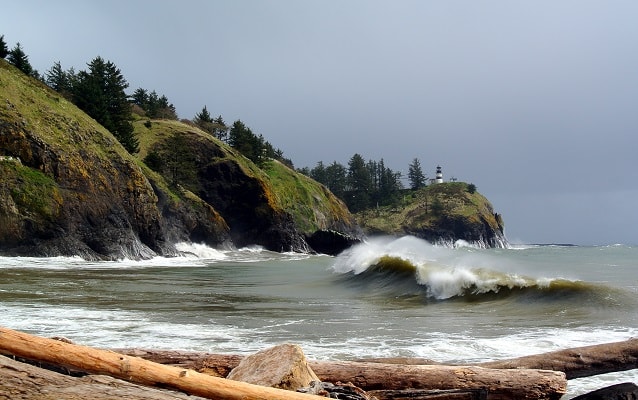
Located in Ilwaco, Washington, Cape Disappointment State Park was named for Captain John Meares’ first failed attempt to find the Columbia River in 1788. Meriwether Lewis and William Clark would later conduct reconnaissance of this area during their stay at Station Camp from November 15 to November 24, 1805.
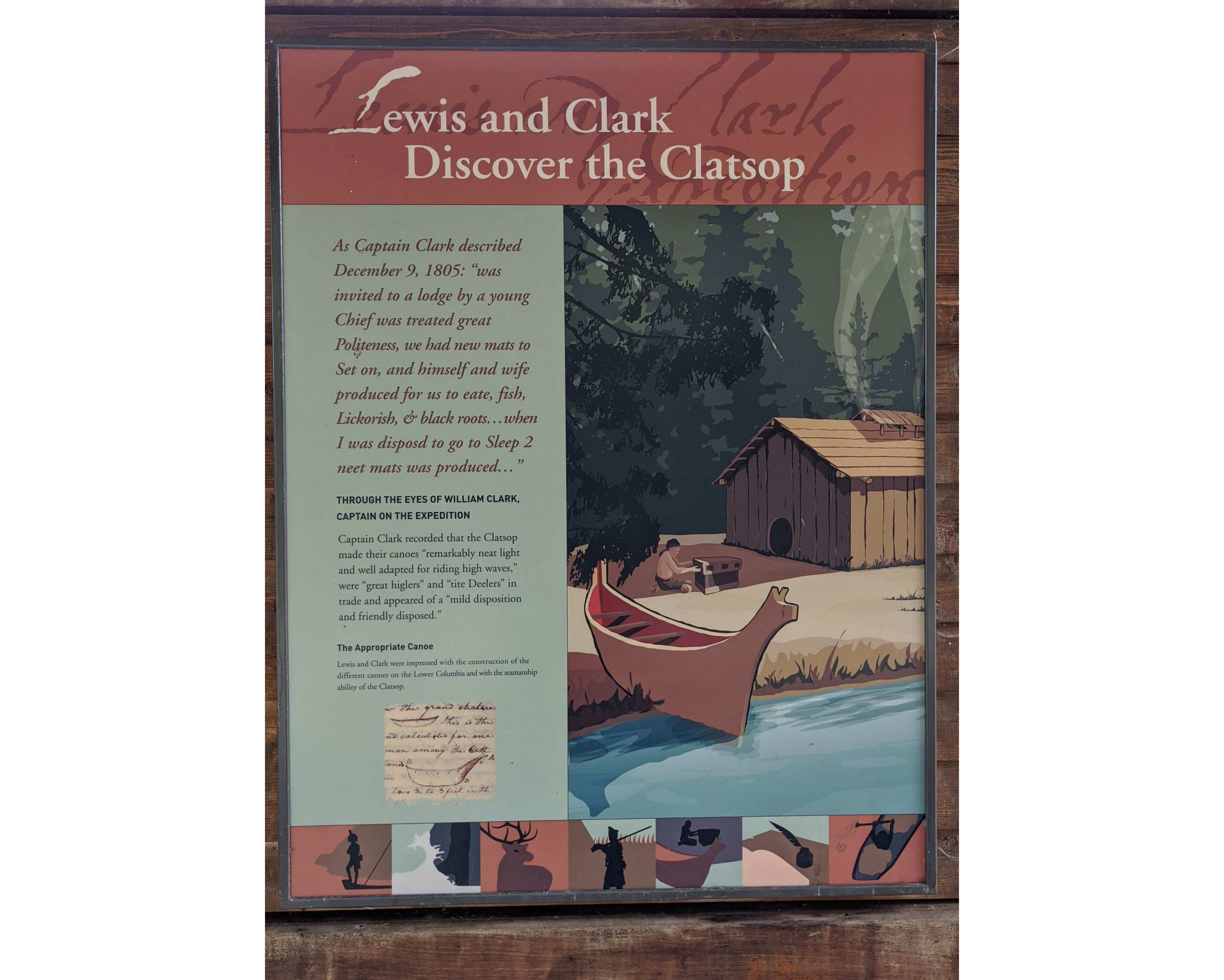
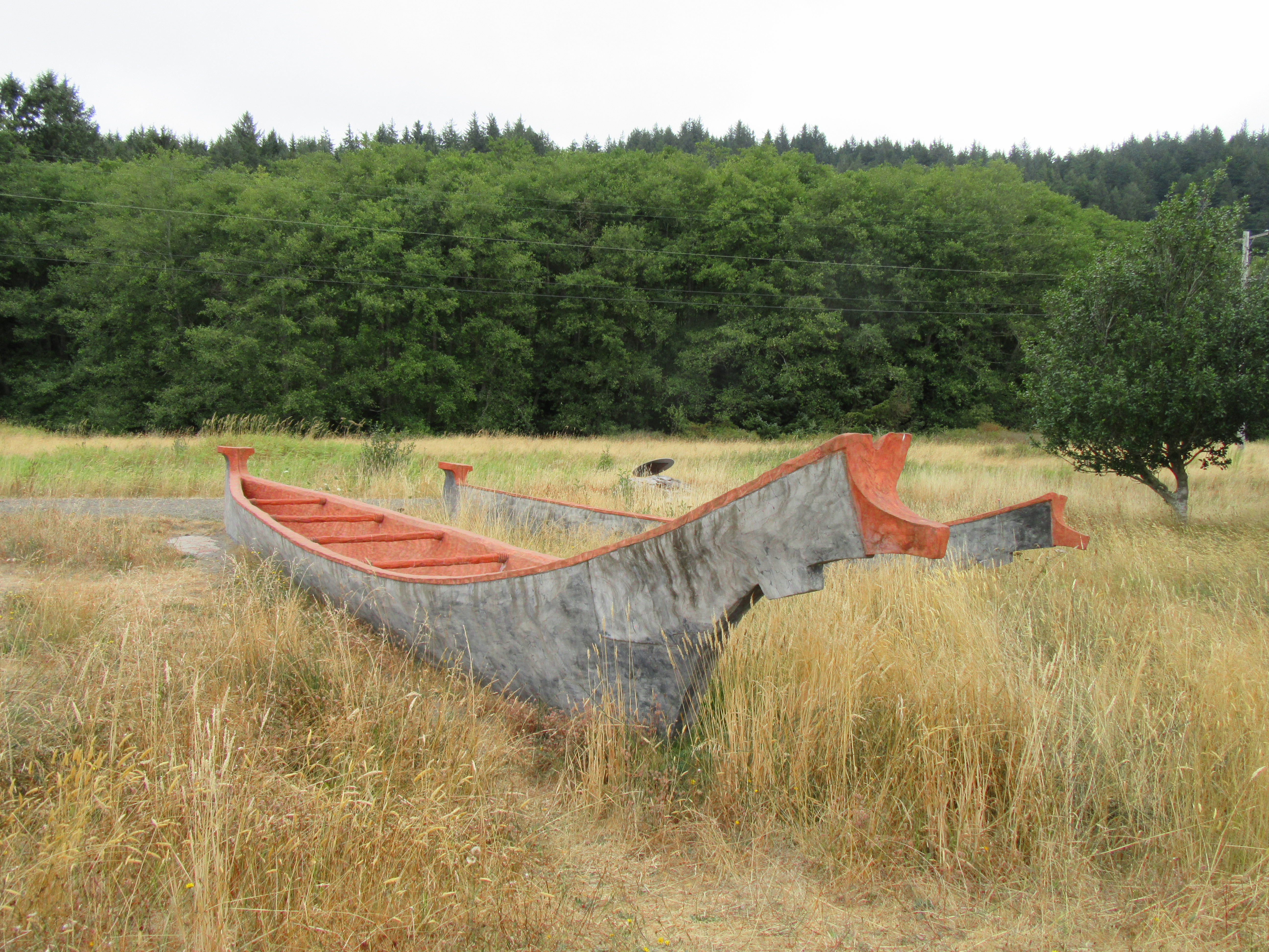
When Meriwether Lewis and William Clark reached the Pacific Ocean, they were in an area where Chinookan people controlled the extensive trade along the rivers, including trade from ocean-going European ships.
iserable and soaked to the skin, the men under Meriwether Lewis and William Clark’s command had followed the shoreline of Shallow Bay (now called Grays Bay) for two days in an attempt to round modern day Point Ellice (Point Distress in the journals) before the bad weather and rough waters forced them to turn back.They backtracked to the location they dubbed “Dismal Nitch” (Hungry Harbor) where they were able to unload their canoes and make camp.
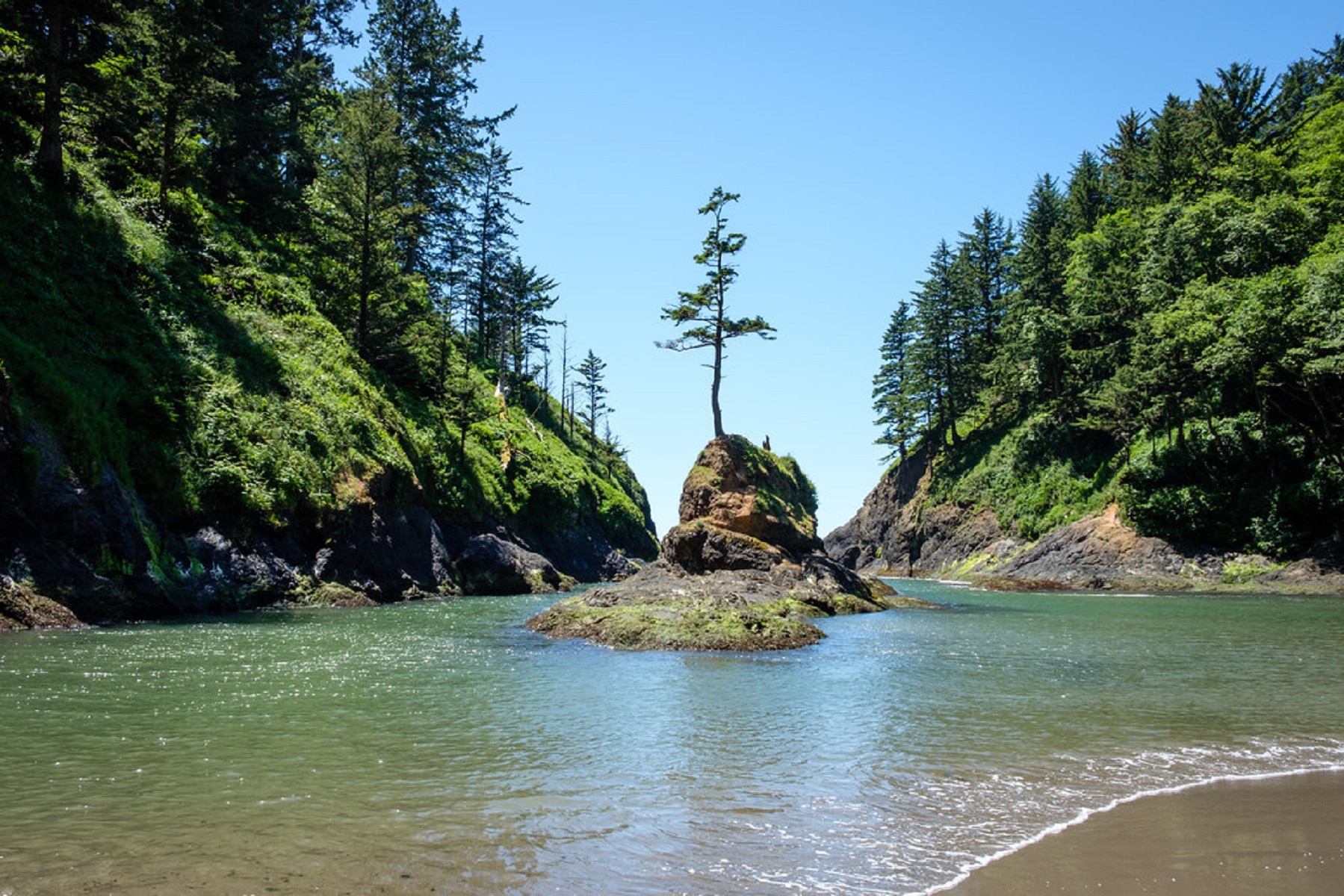
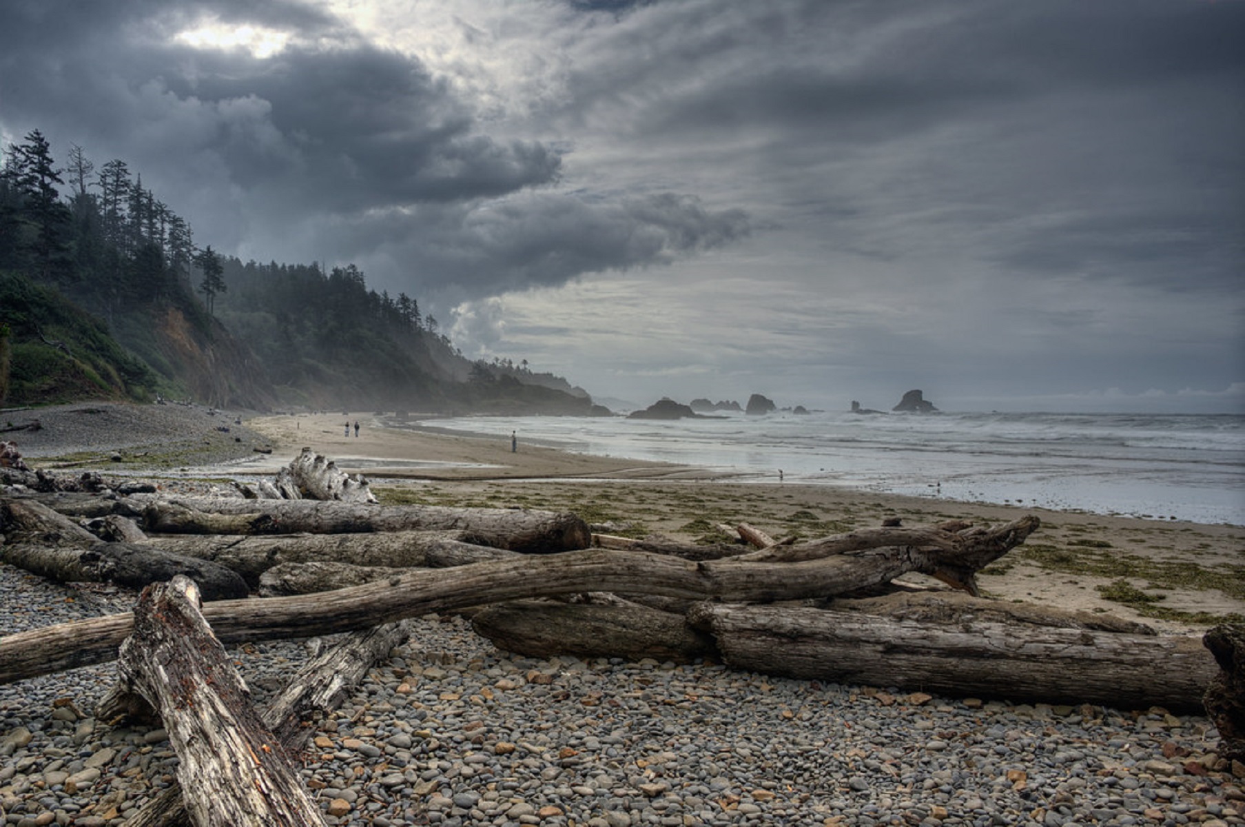
Located an hour west of Portland, Oregon, the strand of shoreline now called Indian Beach was once home to several Tillamook villages. When passing through on January 8, 1806, William Clark’s guide pointed out these village to the explorer as they searched for a whale carcass that was said to have washed ashore nearby.
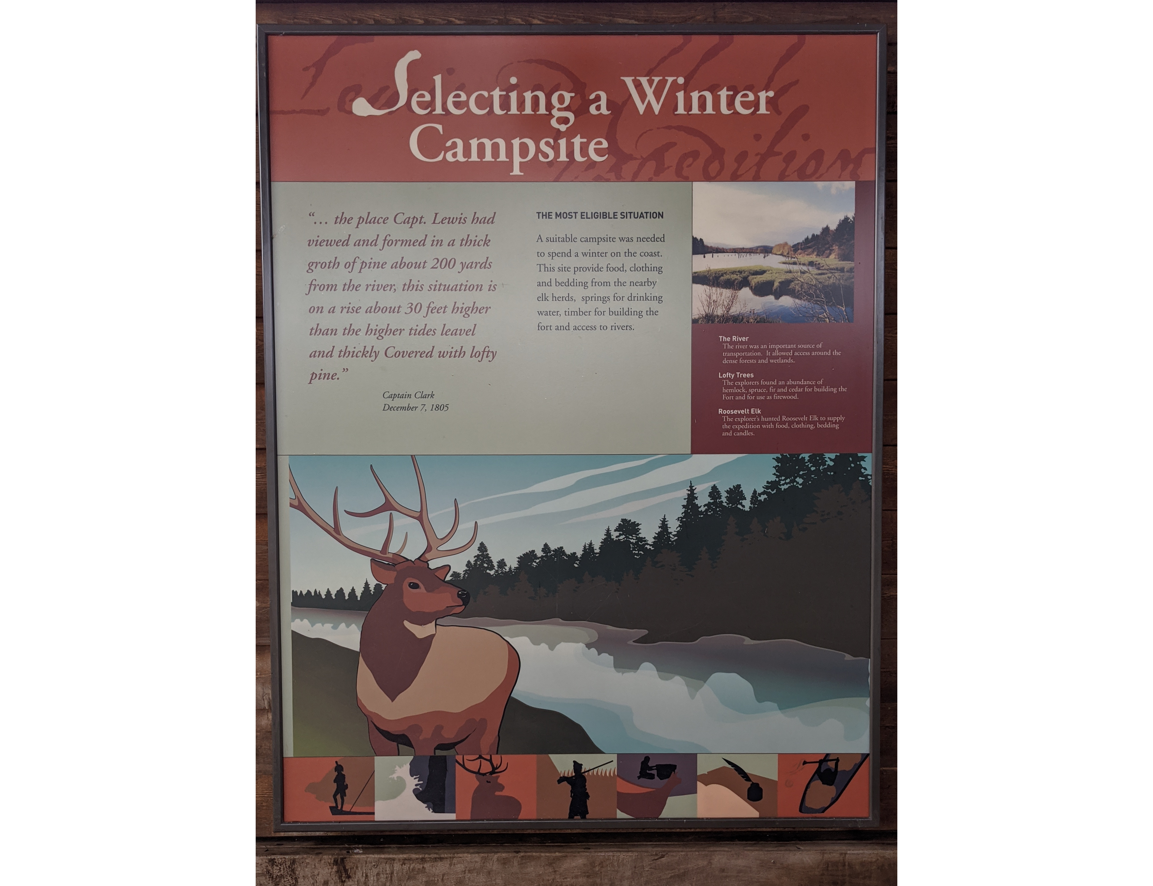
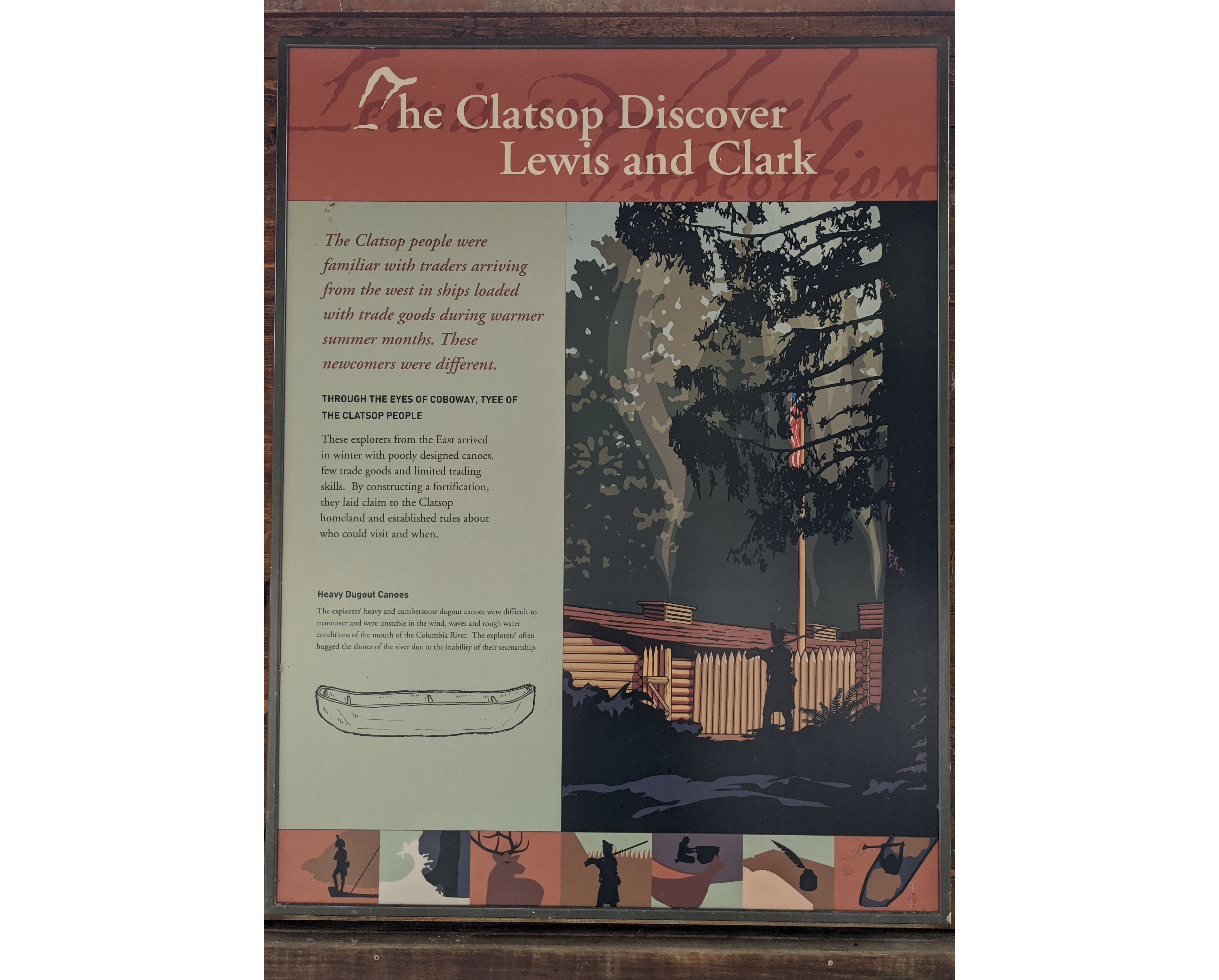
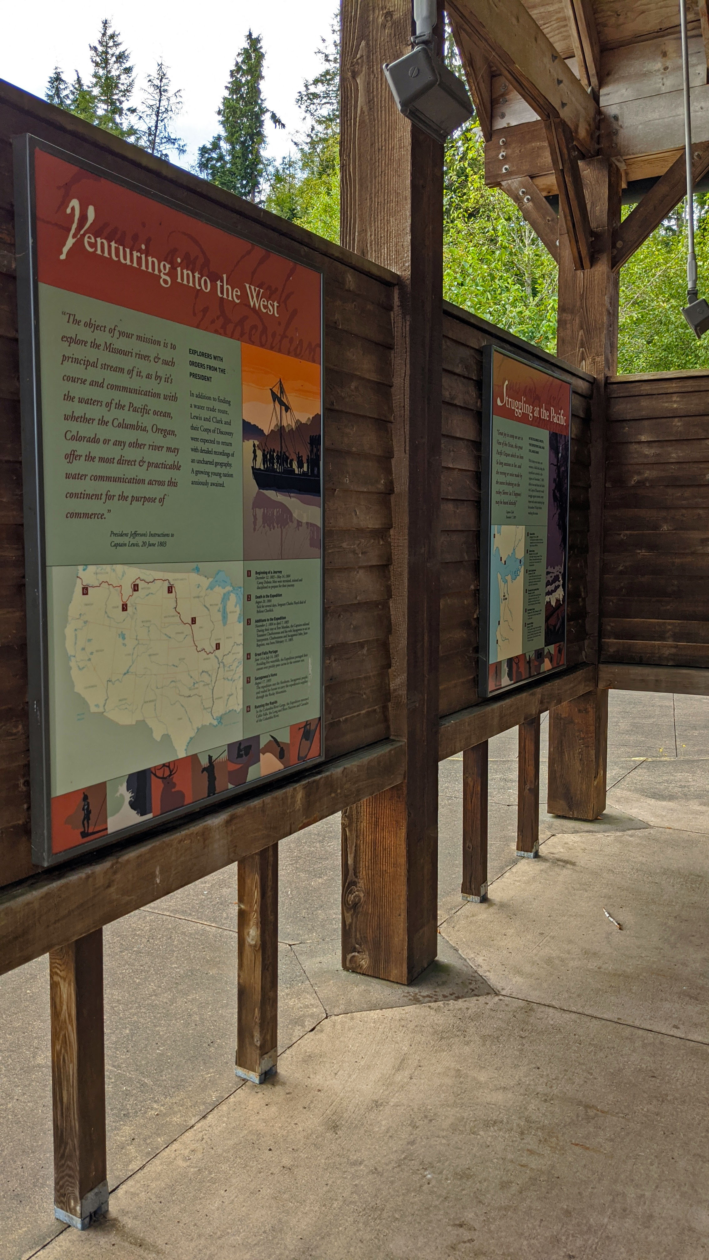
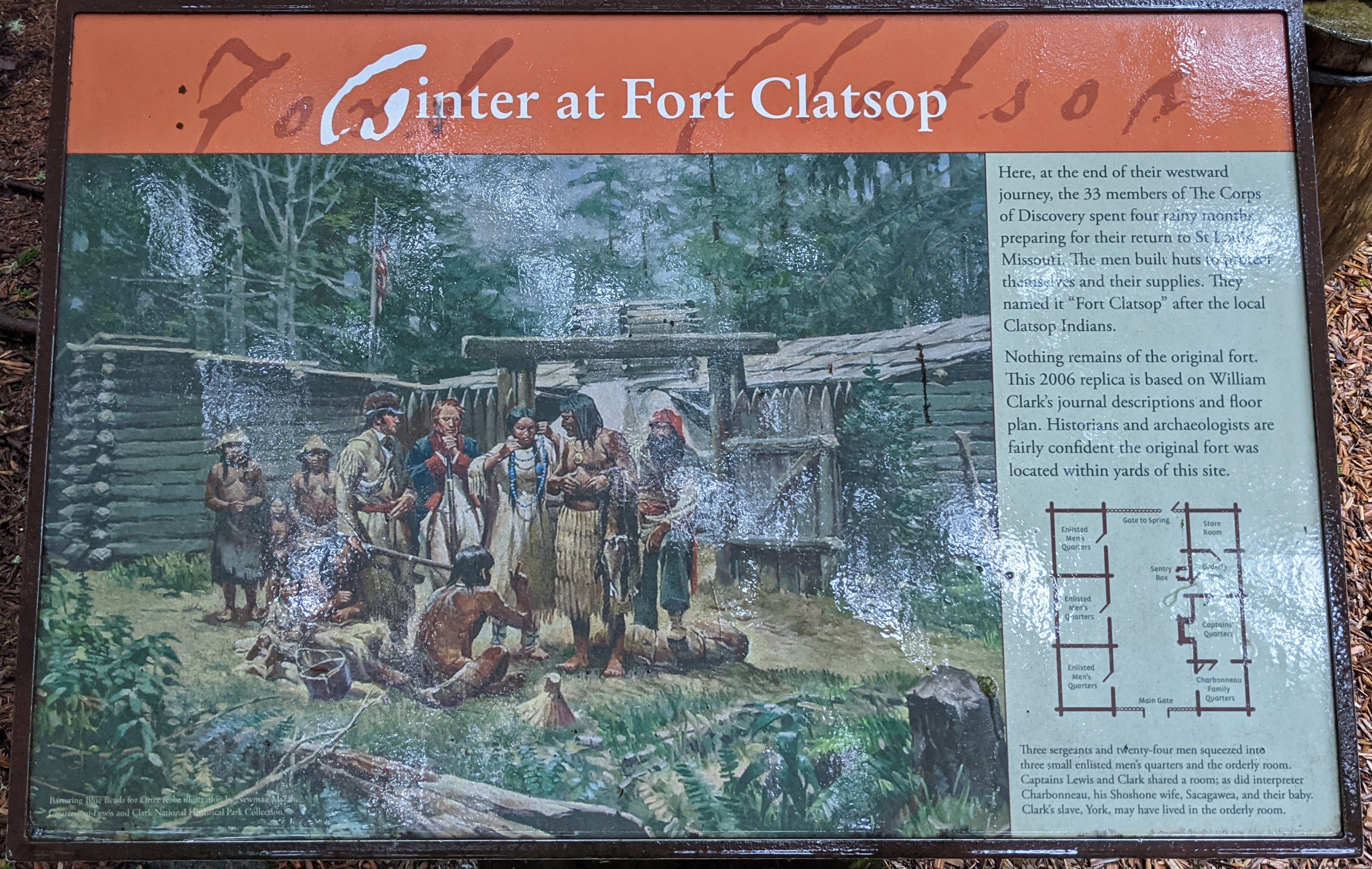
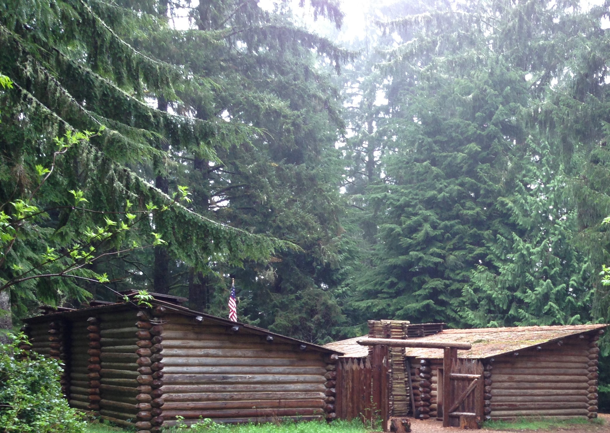
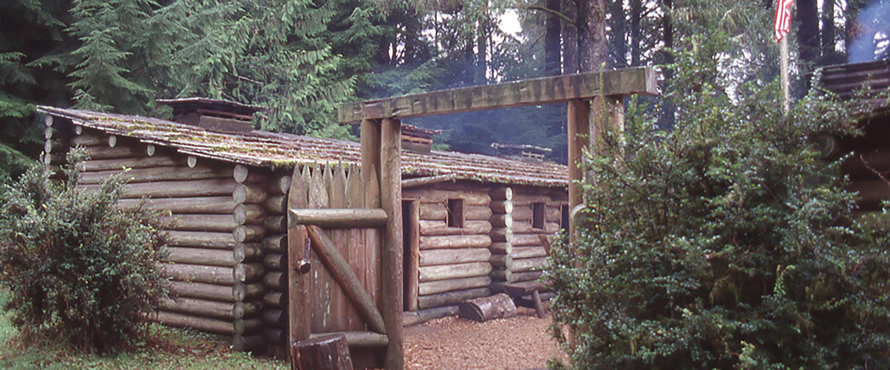
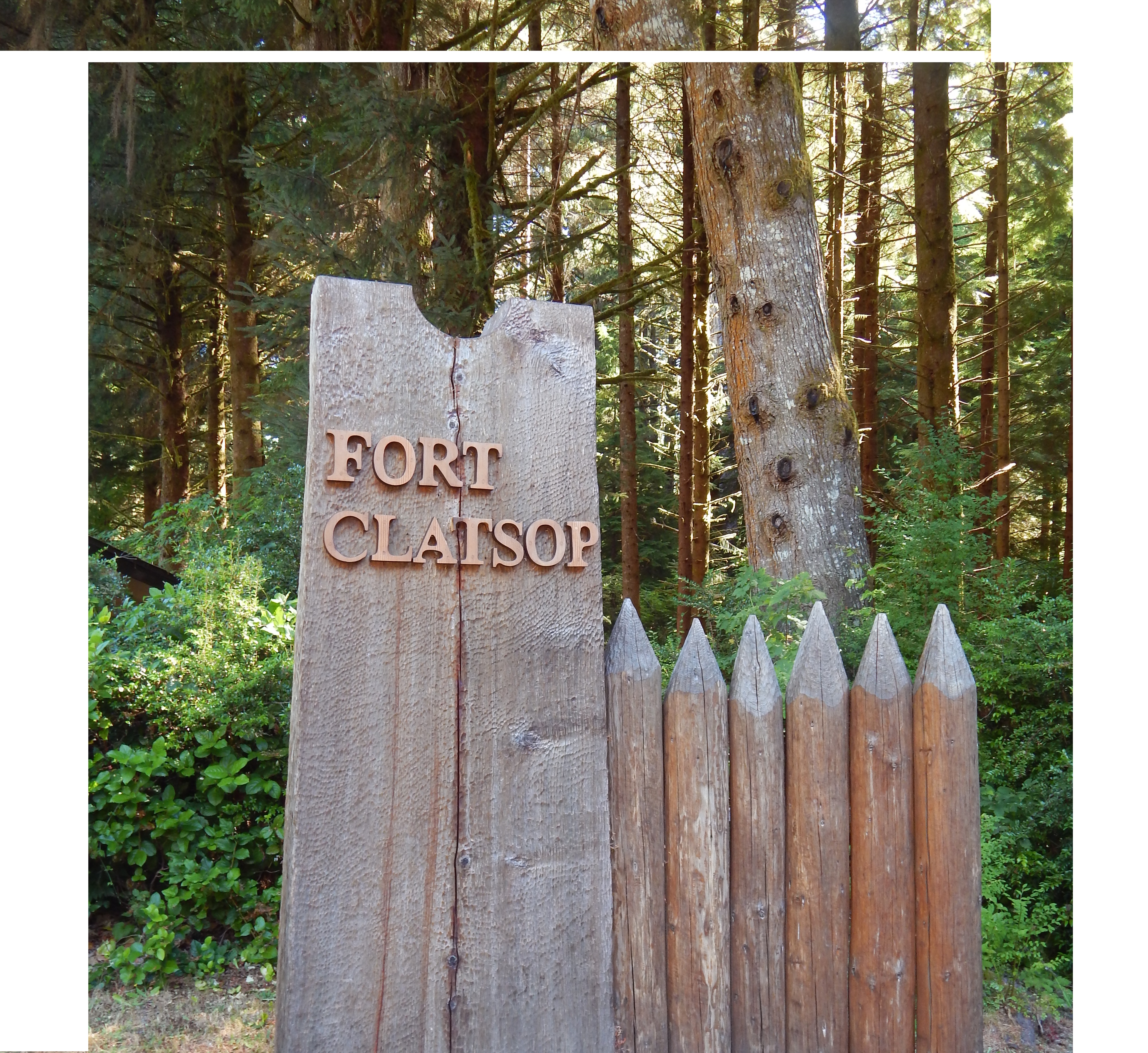
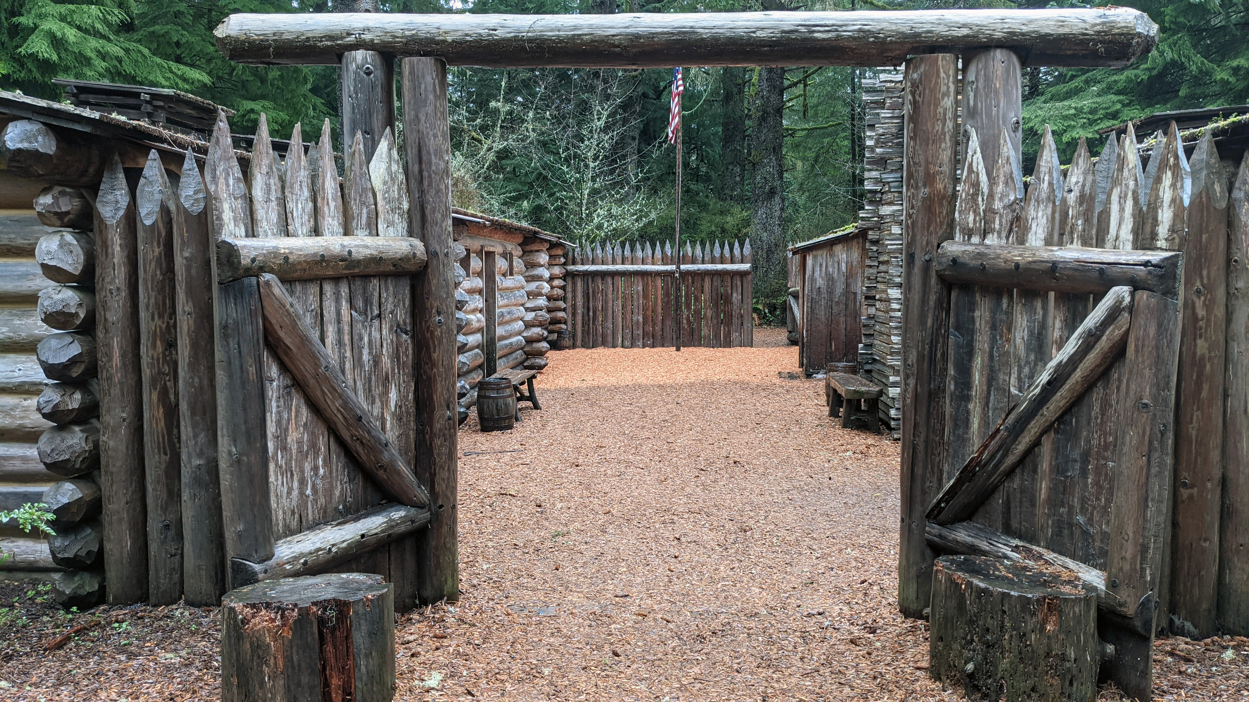
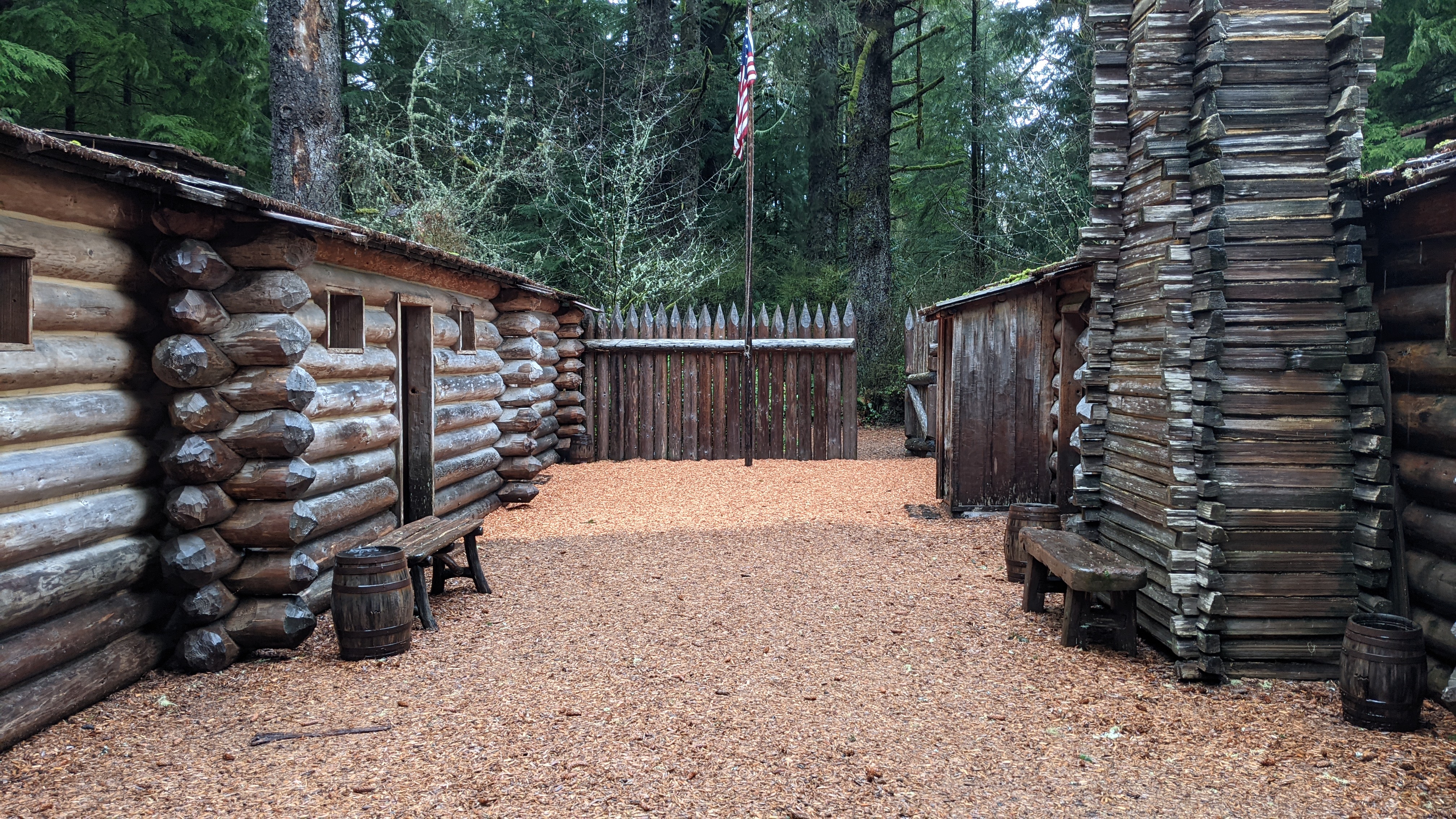
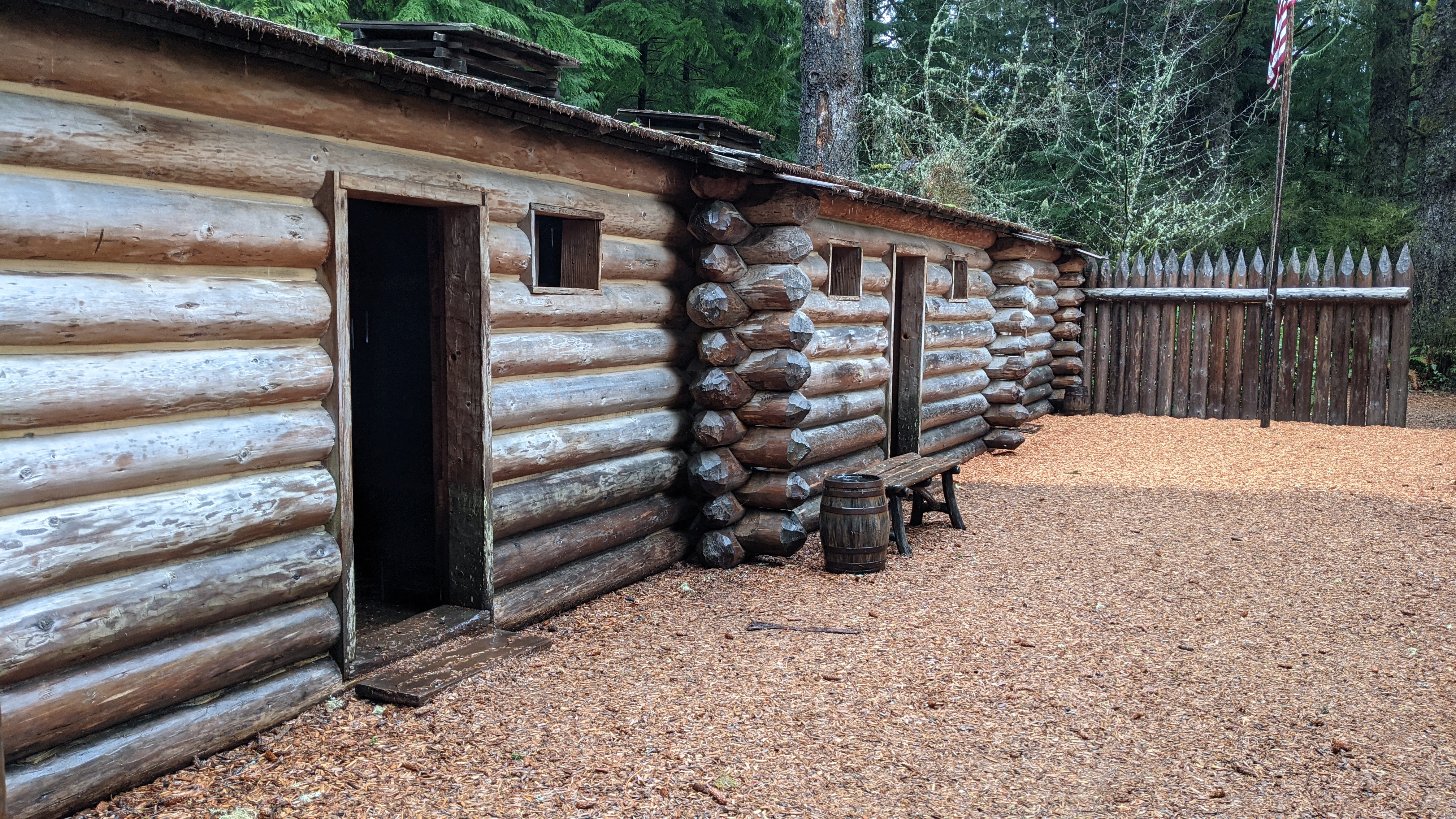
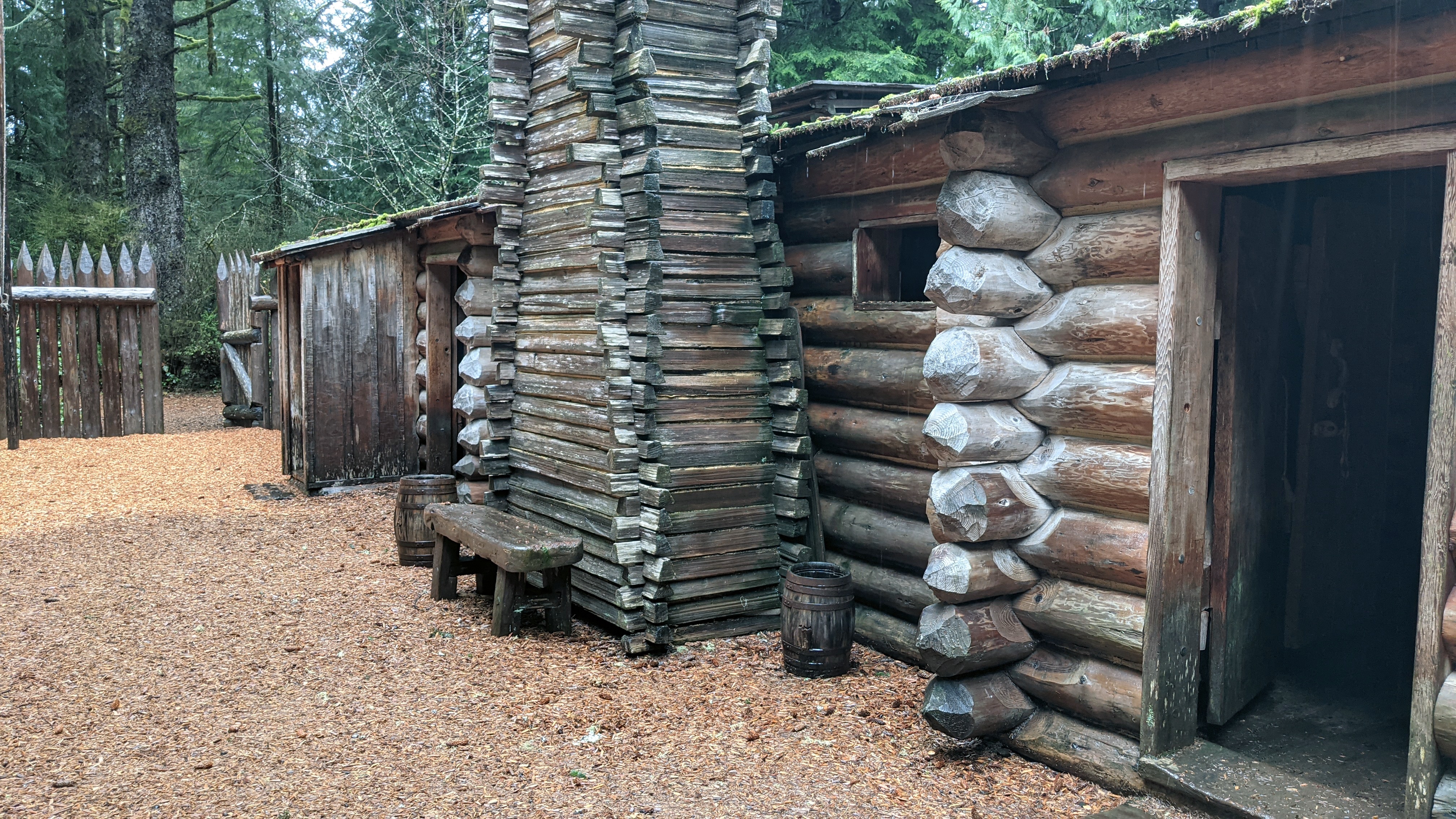
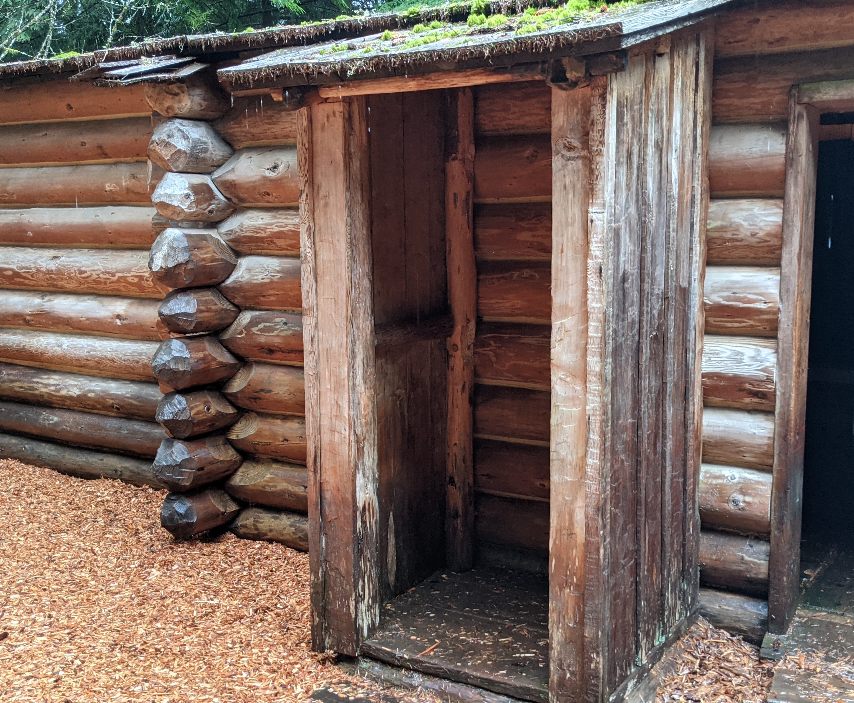
The Corps reached the Pacific Ocean over a year and a half after departing from Camp Wood, and settled in for the 1805-06 winter. They built Fort Clatsop, a reconstruction of which is found at its original site, located in Astoria, Oregon. The Corp's presence in this area strengthened the United States's claim to the Northwest. It also paved the way for the first American settlement--the Pacific Fur Company Post, established in 1811 by John Jacob Astor.
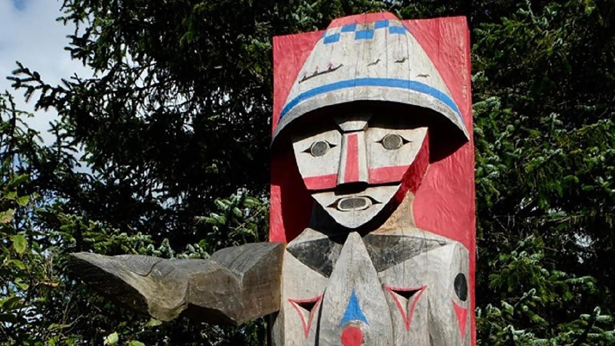
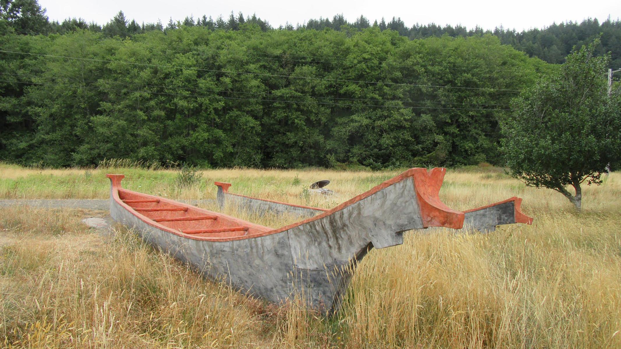
Clatsop leader Coboway was friendly and hospitable to the Lewis and Clark Expedition when they camped in Clatsop territory during the winter of 1805–1806.
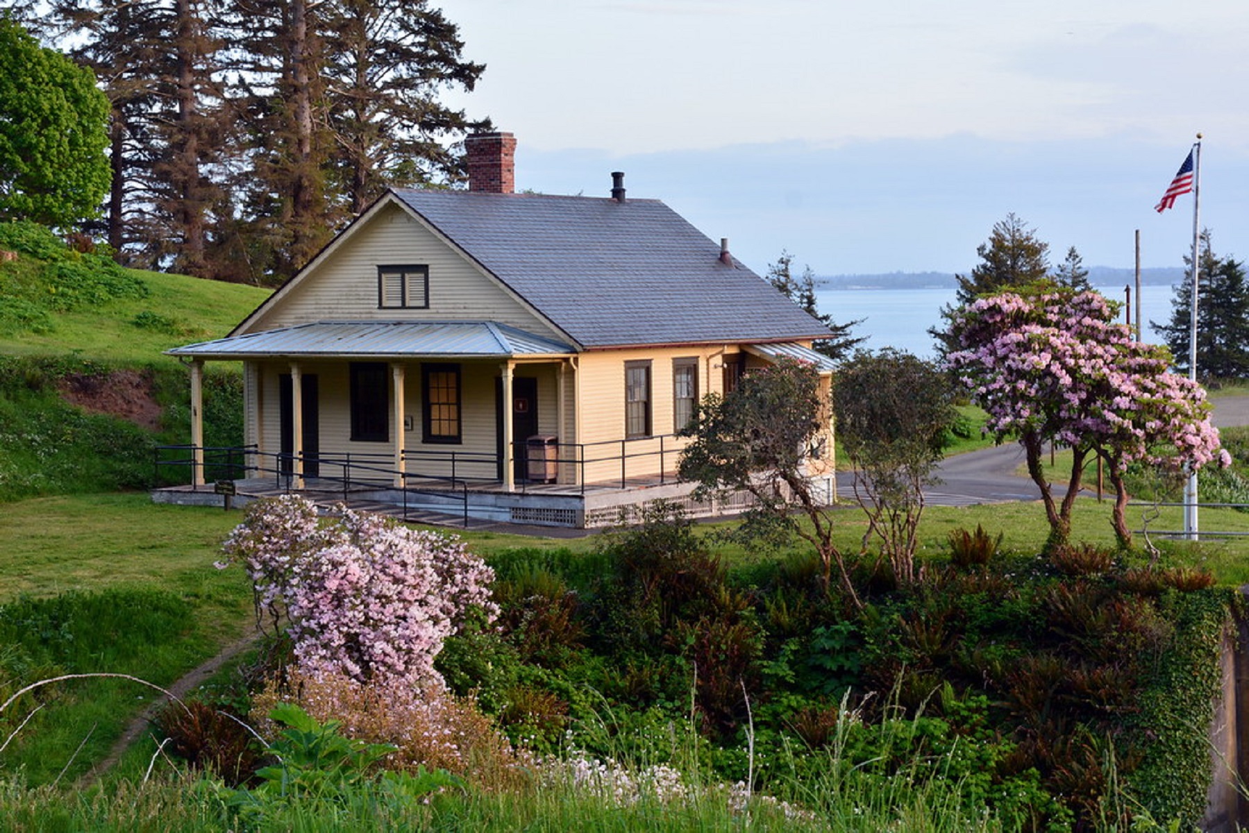
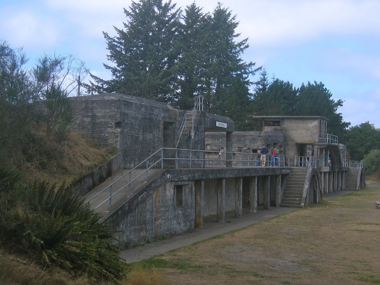
One of the most intact historic coastal defense sites in the United States, Fort Columbia is situated atop Chinook Point and was built between 1896 and 1903. It was finally de-commissioned in 1947. Today, this former military installation is a 618-acre state park that makes up part of the Lewis & Clark National and State Historical Park.
Situated inside Fort Stevens State Park at the mouth of the Columbia River, Point Adams has served as an important landmark for centuries. When Europeans first arrived in the area, it was the site of a large Clatsop settlement, and William Clark noted eight large houses on the site when they sailed past in 1805. The name of the landmark itself was coined on May 18, 1792, when Captain Robert Gray, a merchant mariner, sailed into the mouth of the Columbia River.
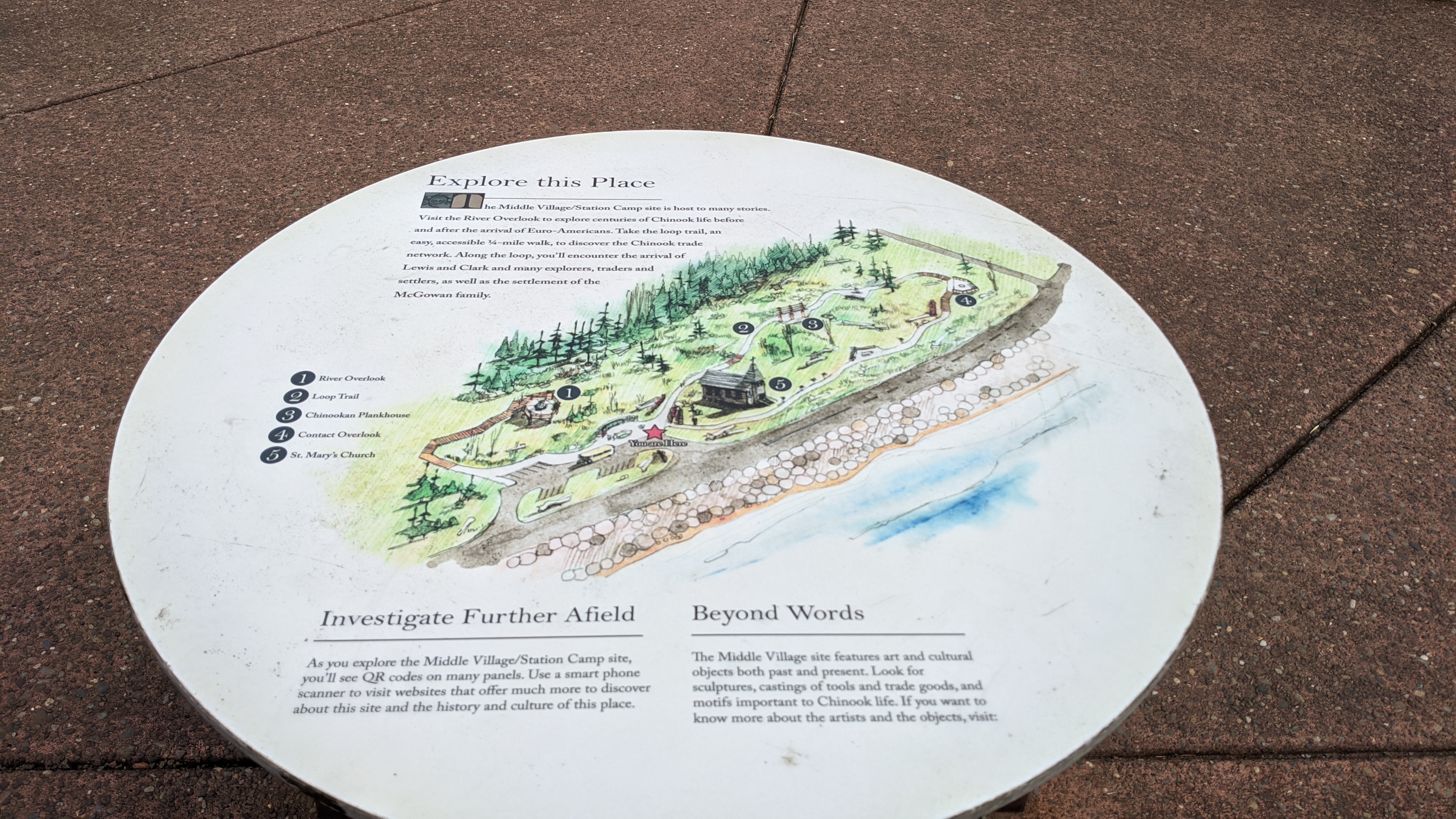
Middle Village - Station Camp is a High Potential Historic Site on the Lewis and Clark National Historic Trail. After leaving Dismal Nitch on November 15, 1805, Clark “found a butifull Sand beech thro which runs a Small [stream] below the mouth of this Stream is a village of 36 houses uninhabited by anything except flees […] this I could plainly See would be the extent of our journey by water, as the waves were too high at any Stage for our Canoes to proceed any further down
"To honor Lewis and Clark's contributions to mapping, NOAA’s National Geodetic Survey (NGS) is installing a series of commemorative markers along the route that Lewis and Clark traveled, beginning in Monticello in Virginia and ending at Fort Clatsop in Oregon." - NOAA NGS
In January 1806, a whale washed ashore near NeCus’, a Nehalem village. Everyone in the area was talking about it. William Clark and some of the crew went down to see what the fuss was all about.
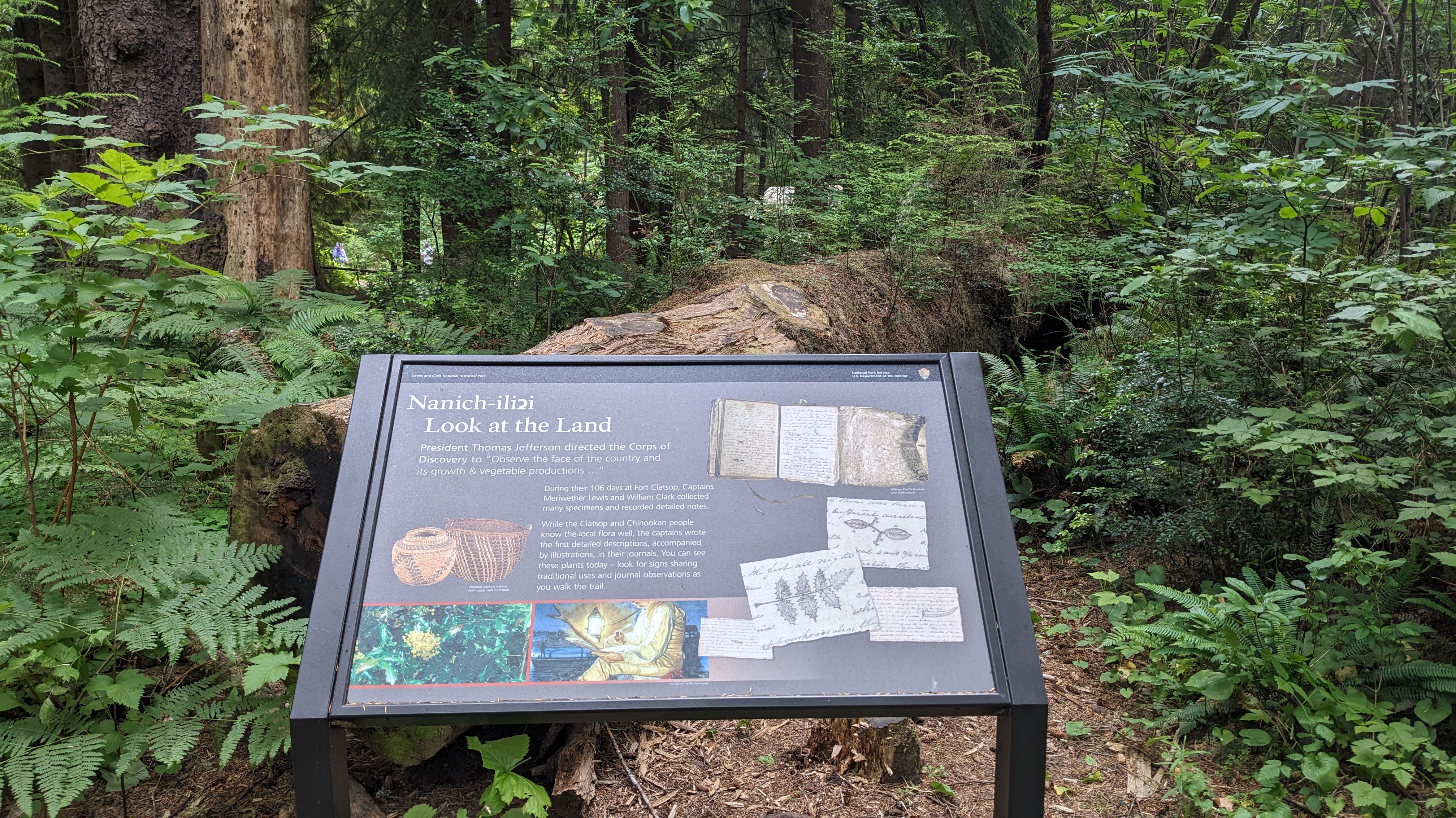
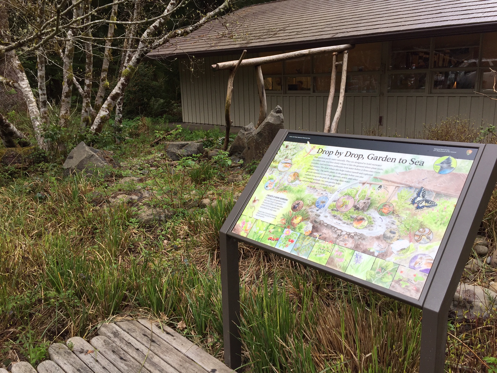
In 1805, Meriwether Lewis and William Clark, accompanied by their crew of explorers, paddled up a river that the local peoples called Netul, today called the Lewis and Clark River. On December 5, the expedition established their winter camp at a site on the riverbank that had been selected by Lewis.
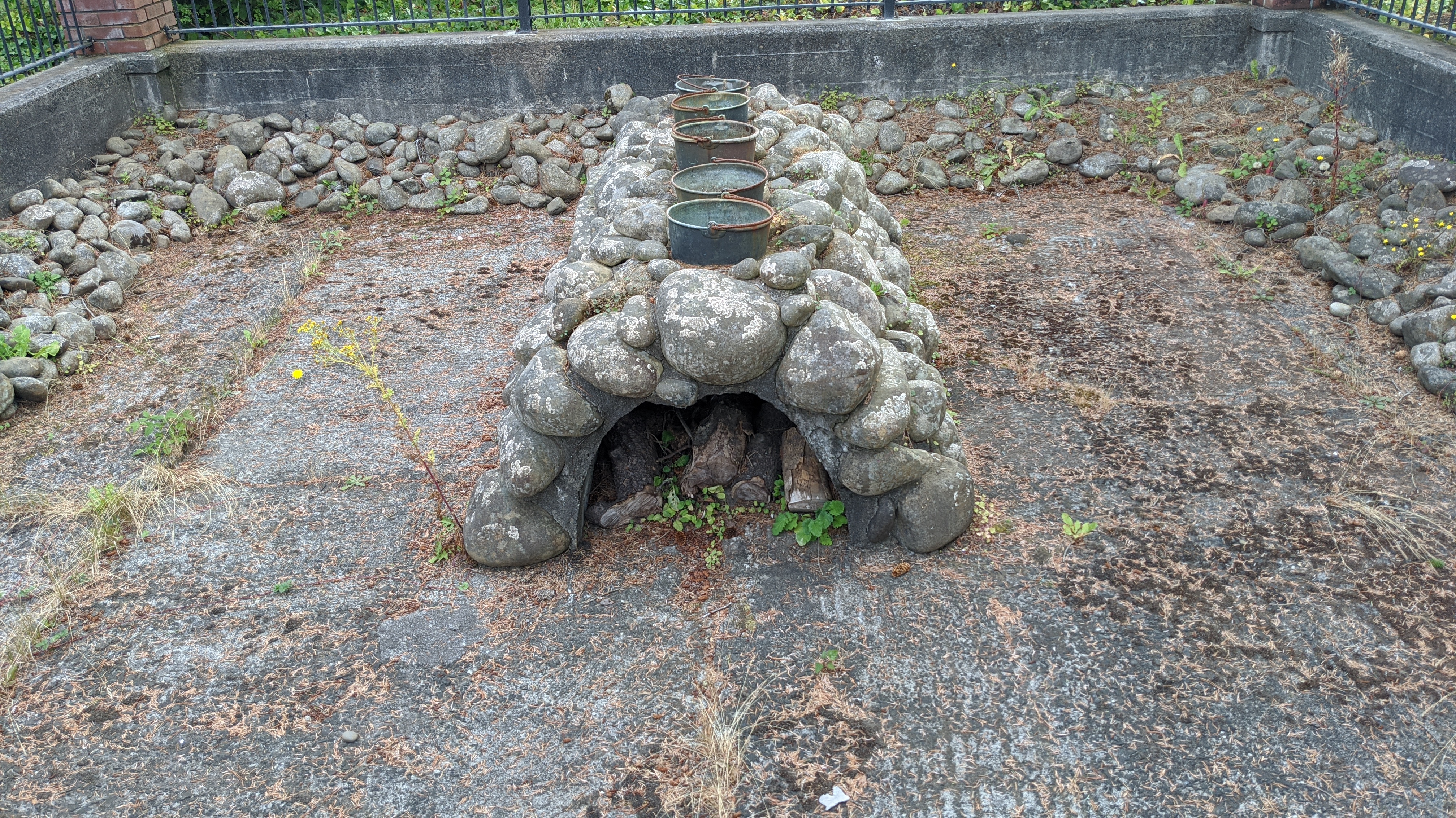
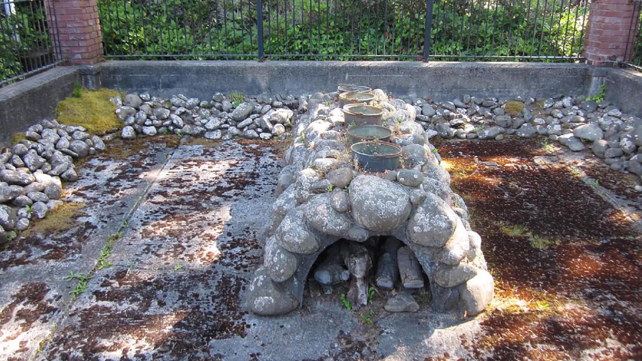
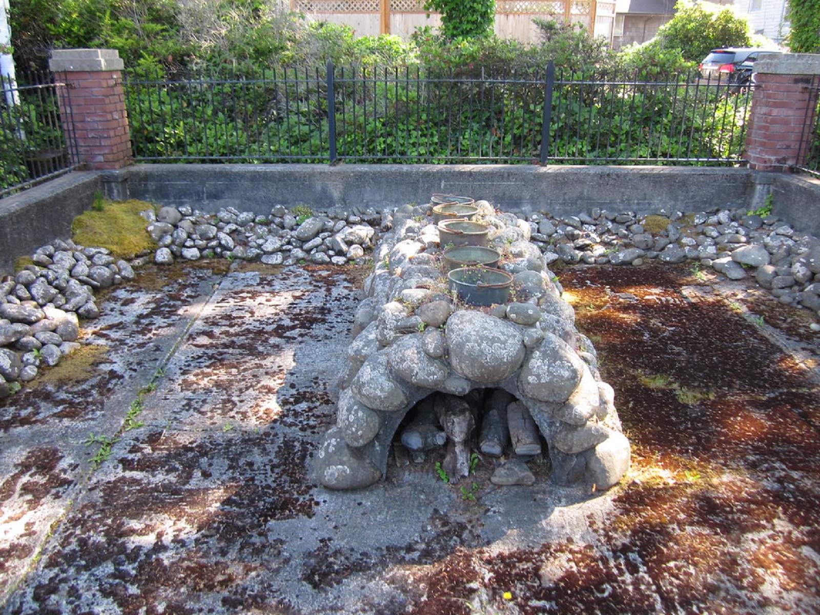
Several members of the Lewis and Clark Expedition spent the winter at a Clatsop-Nehalem Village near here, boiling ocean water to make salt for the return journey.
Sunset Beach State Recreation Site marks the west trailhead of the historic Fort-to-Sea Trail, which is a 6.5 mile route that recreates the experience of Lewis and Clark and the Corps of Discovery as they traveled between Fort Clatsop and the Pacific Ocean during the winter of 1805-6. Sunset Beach State Recreation Site is 120-acres, and provides visitors with direct access to the Pacific Ocean.
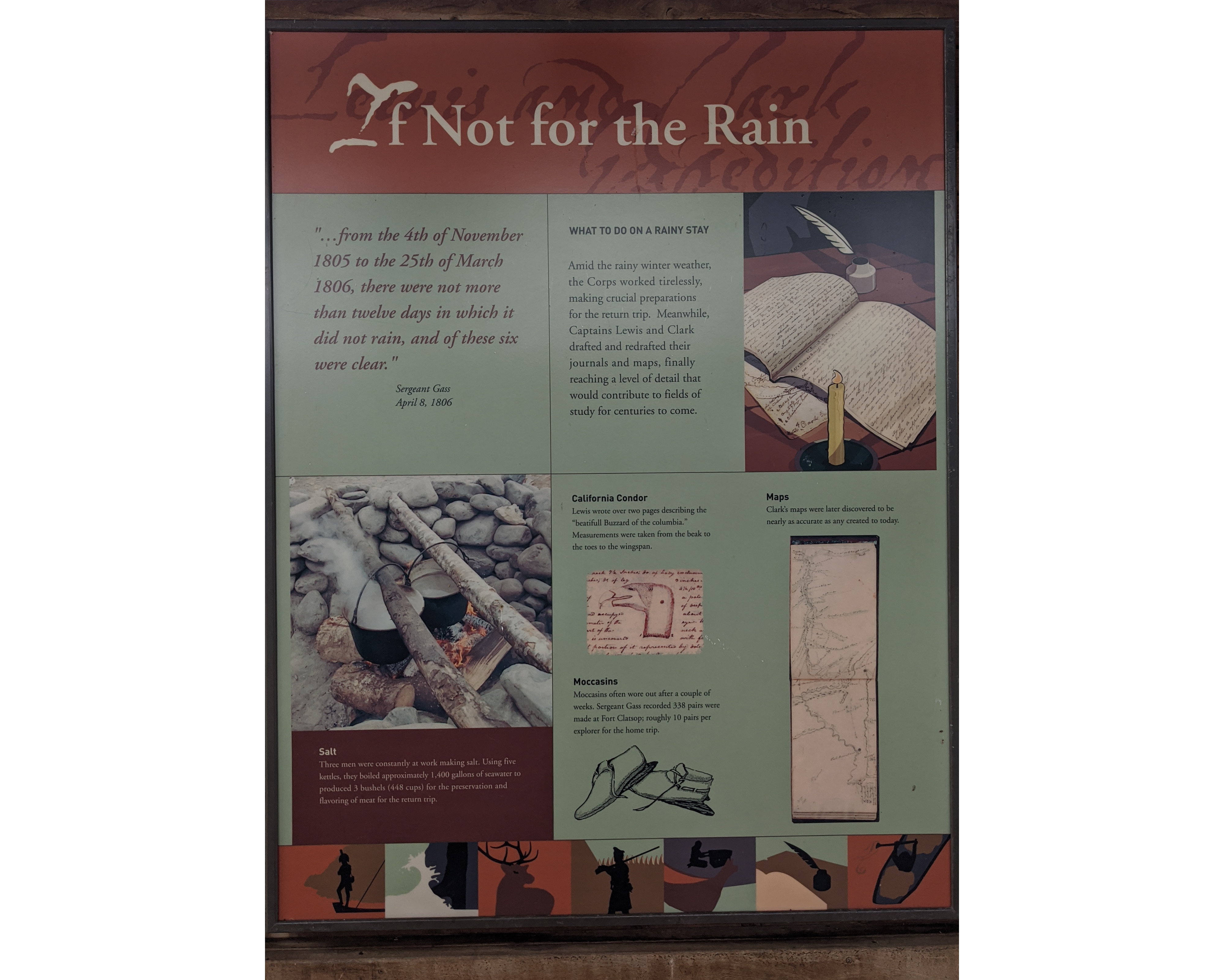
On December 28, 1805, the Lewis & Clark Expedition sent out a detachment of five men in search of a good place to make salt. The expedition, which had been wintering at Fort Clatsop, had run out and were in desperate need of more. Salt was important for meat preservation and thus for the crew’s survival on the trip back home. The rivers near the fort weren’t salty enough, and so better place had to be found.
On November 24, 1805, members of the Lewis and Clark Expedition voted on where to spend the winter. The opinions of Sacagawea (an Indigenous woman) and York (a Black man enslaved by William Clark) were recorded along with those of the other crew members.