Embark on a voyage of discovery as you learn about the historical homelands of the Clatsop people, and the winter that Lewis and Clark spent in the area. This self-guided audio tour will take you to the must-see sights around Fort Clatsop, beginning at the visitor center and ending back in the parking lot.
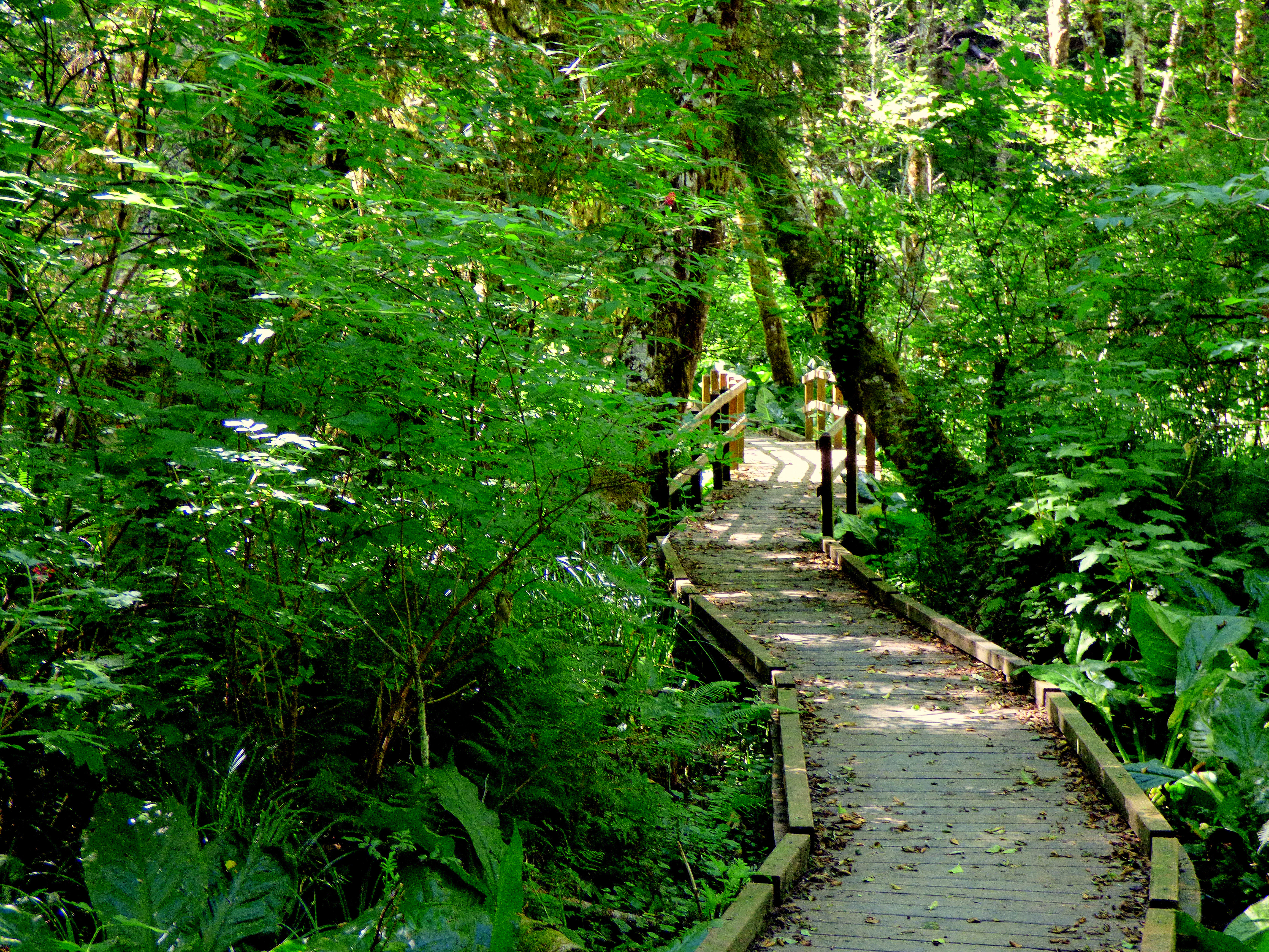
The South Slough Trail is a three mile loop that can be accessed from the Fort to Sea Trailhead or from near the North Netul Landing that features twist and turns and steep changes in elevation among large trees and a boardwalk over the Colewort Creek restoration area.
The Kwis Kwis Trail is a 3.6 miles one way trail that can be combined with the Fort to Sea to form loops. 2.7 miles - Fort to Sea west to 1st Kwis Kwis connector to Kwis Kwis to the Fort to Sea Trailhead. 5.3 miles - Fort to Sea west to 2nd Kwis Kwis connector (below Clatsop Ridge Overlook) to take Kwis Kwis to Trailhead. 6.5 miles - Fort to Sea west to Kwis Kwis Extension to Kwis Kwis to Trailhead. Kwis Kwis connectors and extensions will always be on the right.
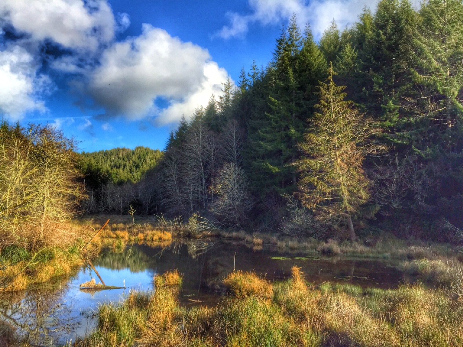
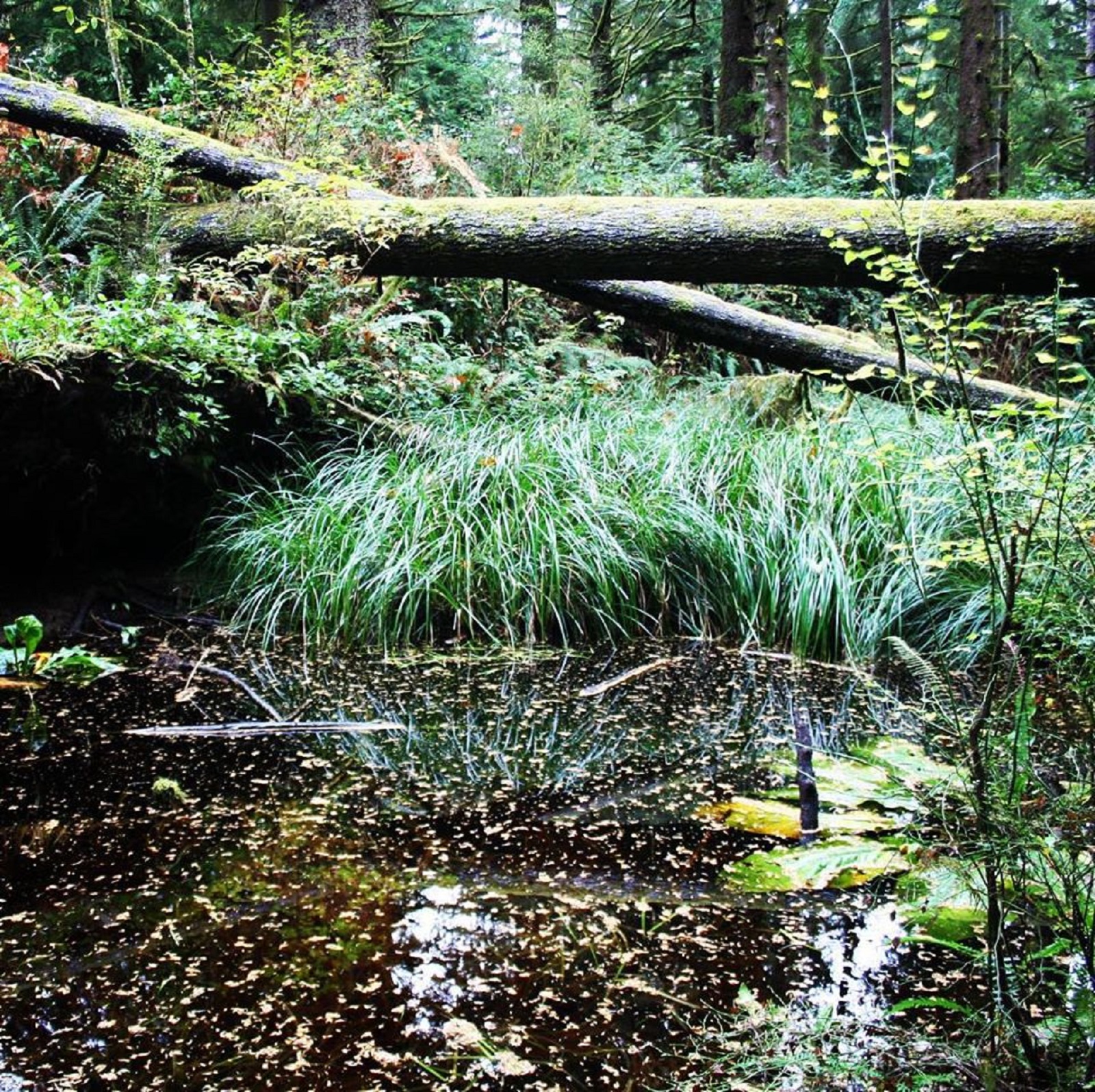
The Clay Pit Pond is a half mile loop primitive trail with access at the Fort Clatsop Visitor Center picnic area. It is a great trail for those looking for a short but dynamic hike. The trail features a vernal pond surrounded by skunk cabbage and sedges. There are steep steps and lots of trees growing close to the trail so watch out for roots and newts!
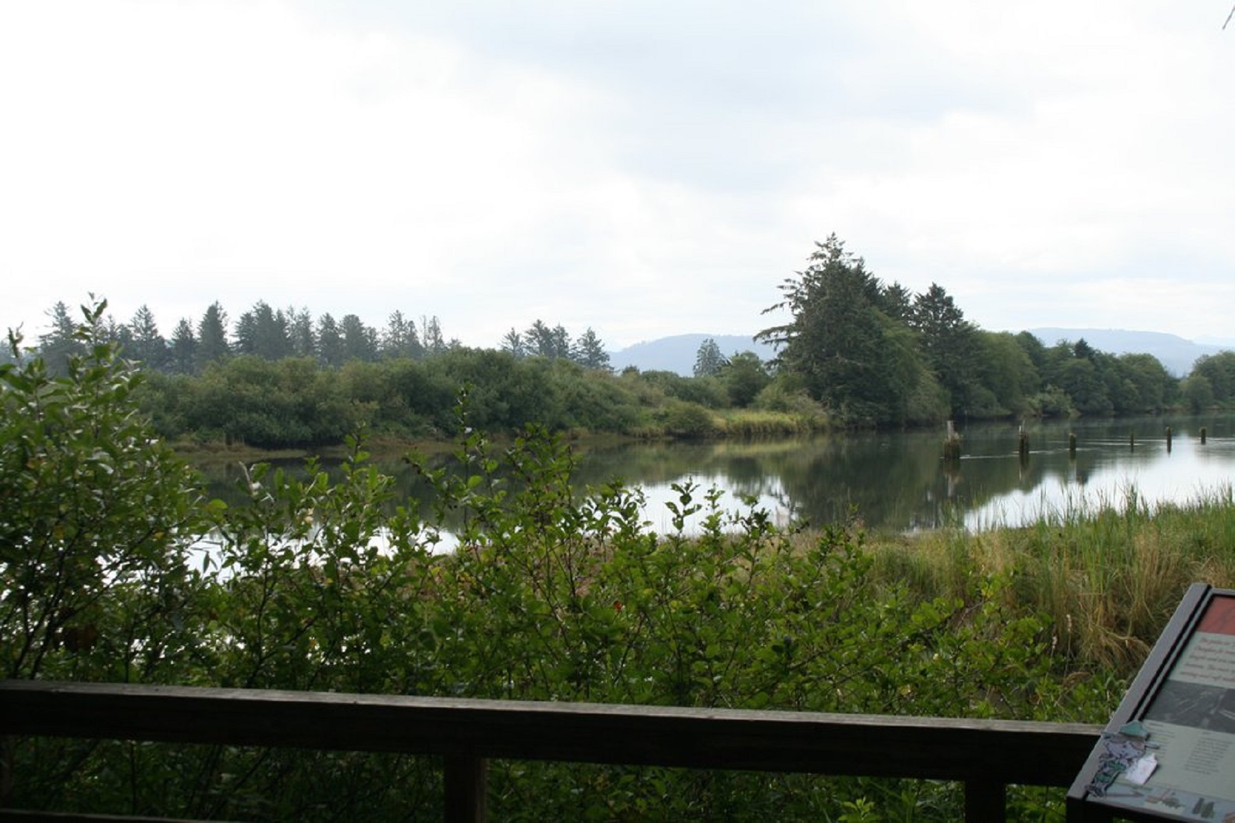
Take an easy approximately 1 mile stroll along the beautiful Netul River Trail. Watch for water birds, eagles and sometimes otters! Along the way you can learn about the history of logging and commerce along the Lewis and Clark River.
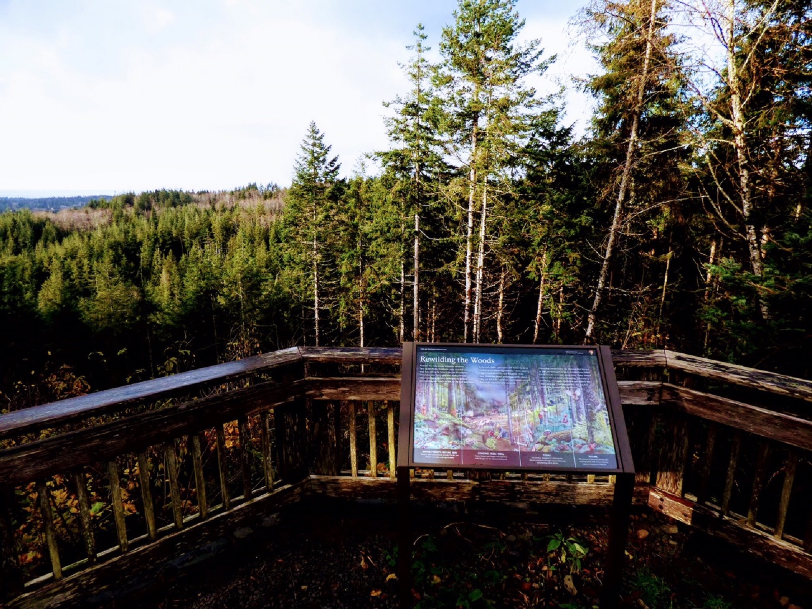
The Fort To Sea Trail starts at the Fort Clatsop Visitor Center then takes you up a gentle climb to the top of Clatsop Ridge, where on a clear day you can see to the Pacific Ocean. From there, descend through deep woods and reach wooded pasture dotted with small lakes. The wooded pasture leads to gentle dunes that lead you to the Sunset Beach/Fort to Sea Trail parking lot. From there, travel the 1-mile path to the beach.
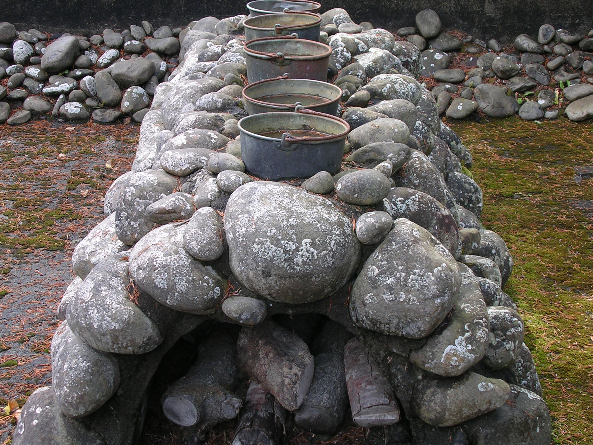
To make salt, the Corps had to find rocks to build a furnace, wood to burn, ocean water to boil, fresh water to drink and game animals. Nearby rivers weren't salty enough, but a site 15 miles southwest of Fort Clatsop proved perfect. What's more, there were homes of local Clatsop and Tillamook Indians nearby, local experts who could help the Corps members.
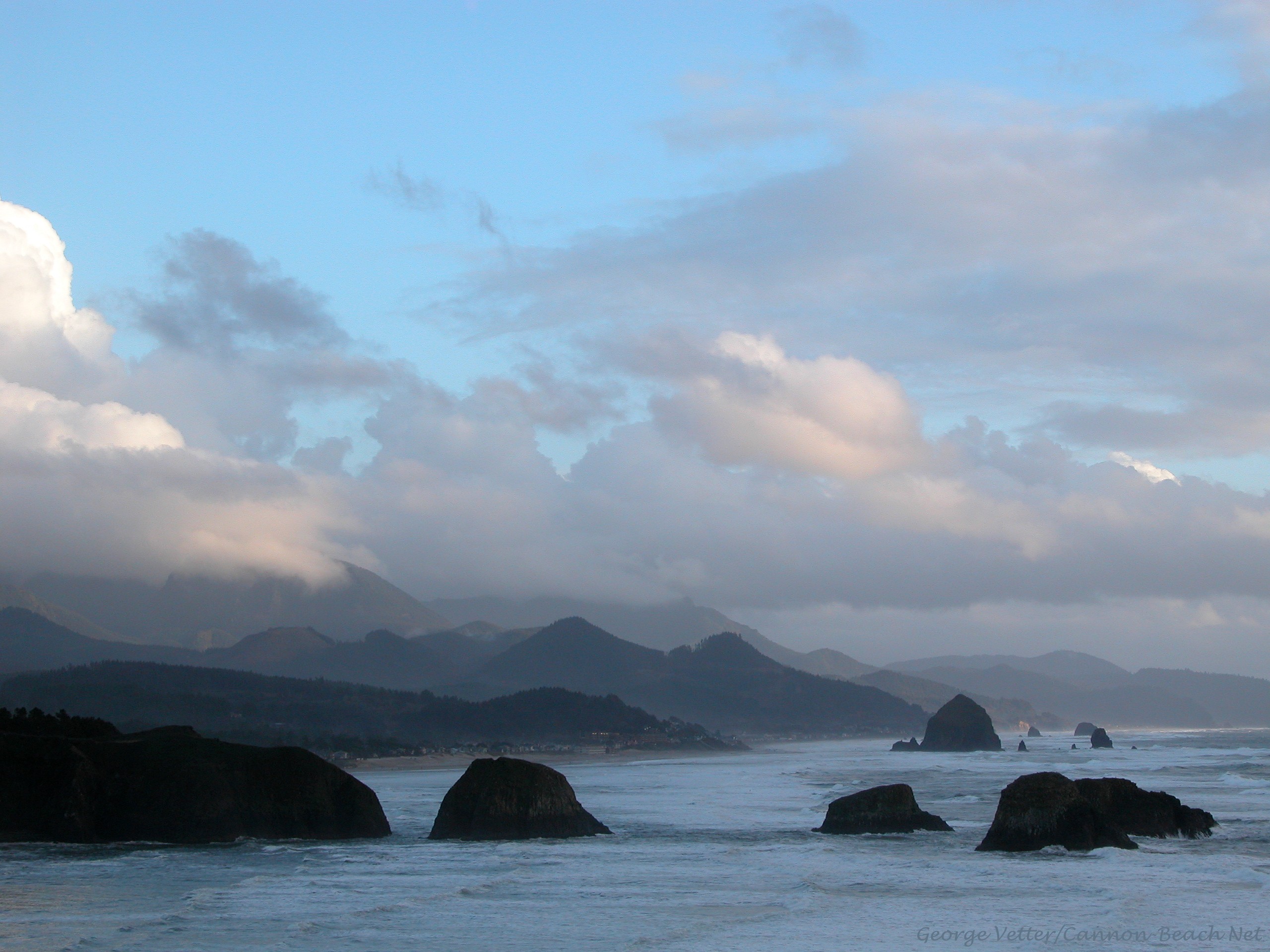
Wrapping around Tillamook Head, between Seaside and Cannon Beach, Ecola State Park stretches along 9 miles of coastline and offers outstanding sightseeing and recreation opportunities combined with a storied past. Though the scenic and hiking opportunities may be the main allure, the diversity of outdoor recreation including picnicking, tidepooling, surfing and wildlife observation make Ecola State park a destination year round.
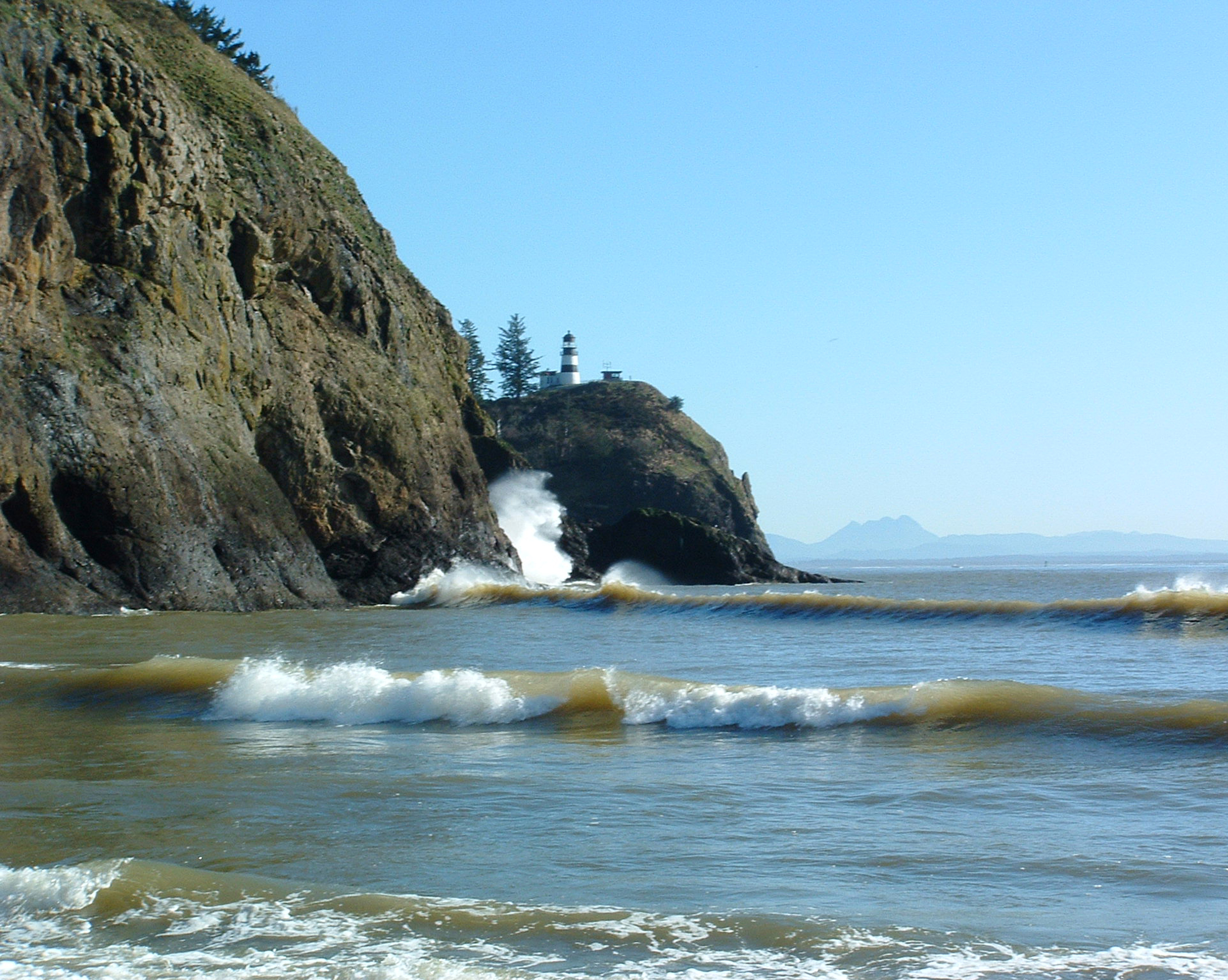
It was at the base of Cape Disappointment that the Corps of Discovery achieved their principal mission of traveling across the continent to the Pacific Ocean. Eleven expedition members led by William Clark surveyed the area, fulfilling President Jefferson’s instructions to the expedition.
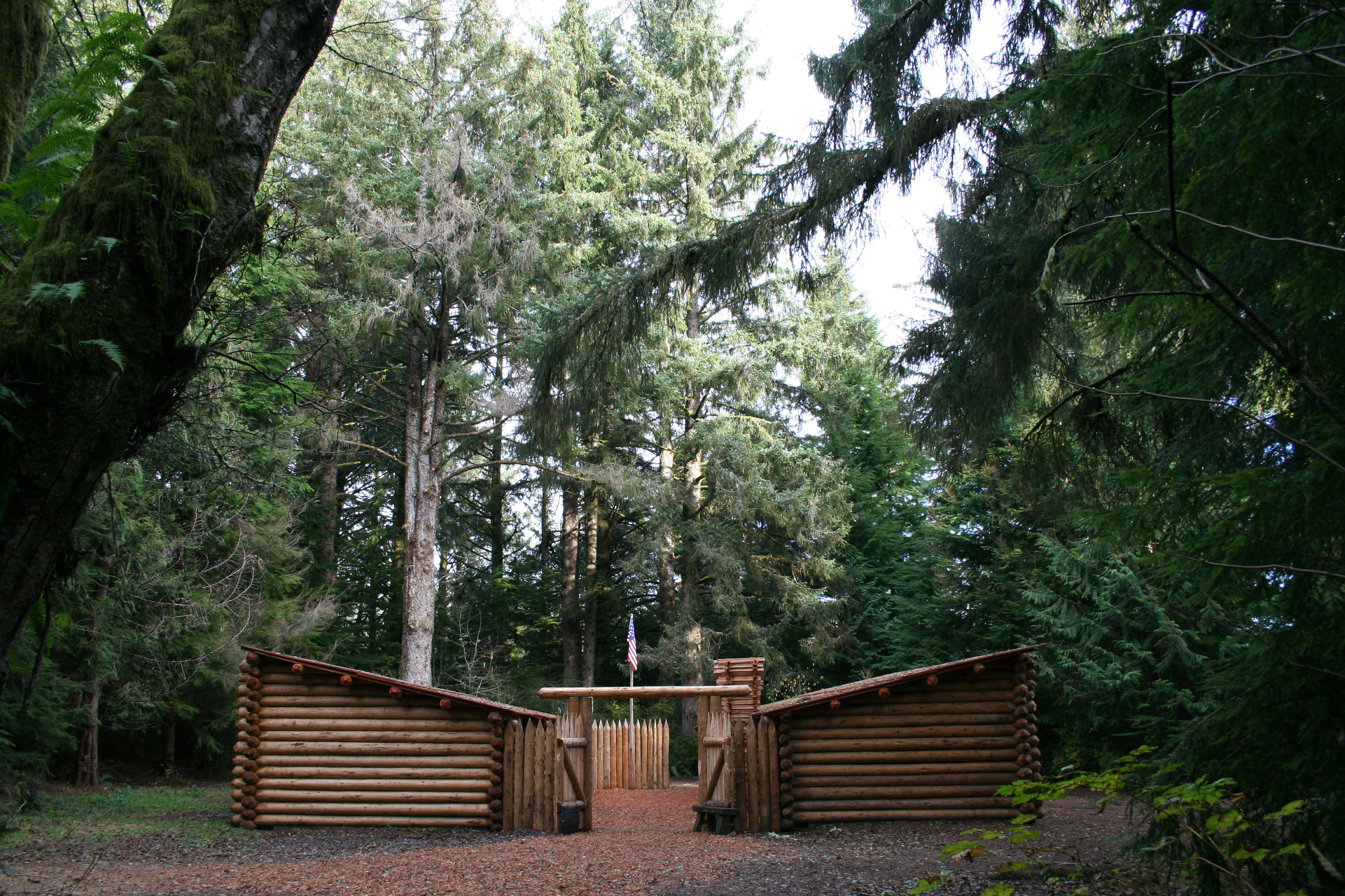
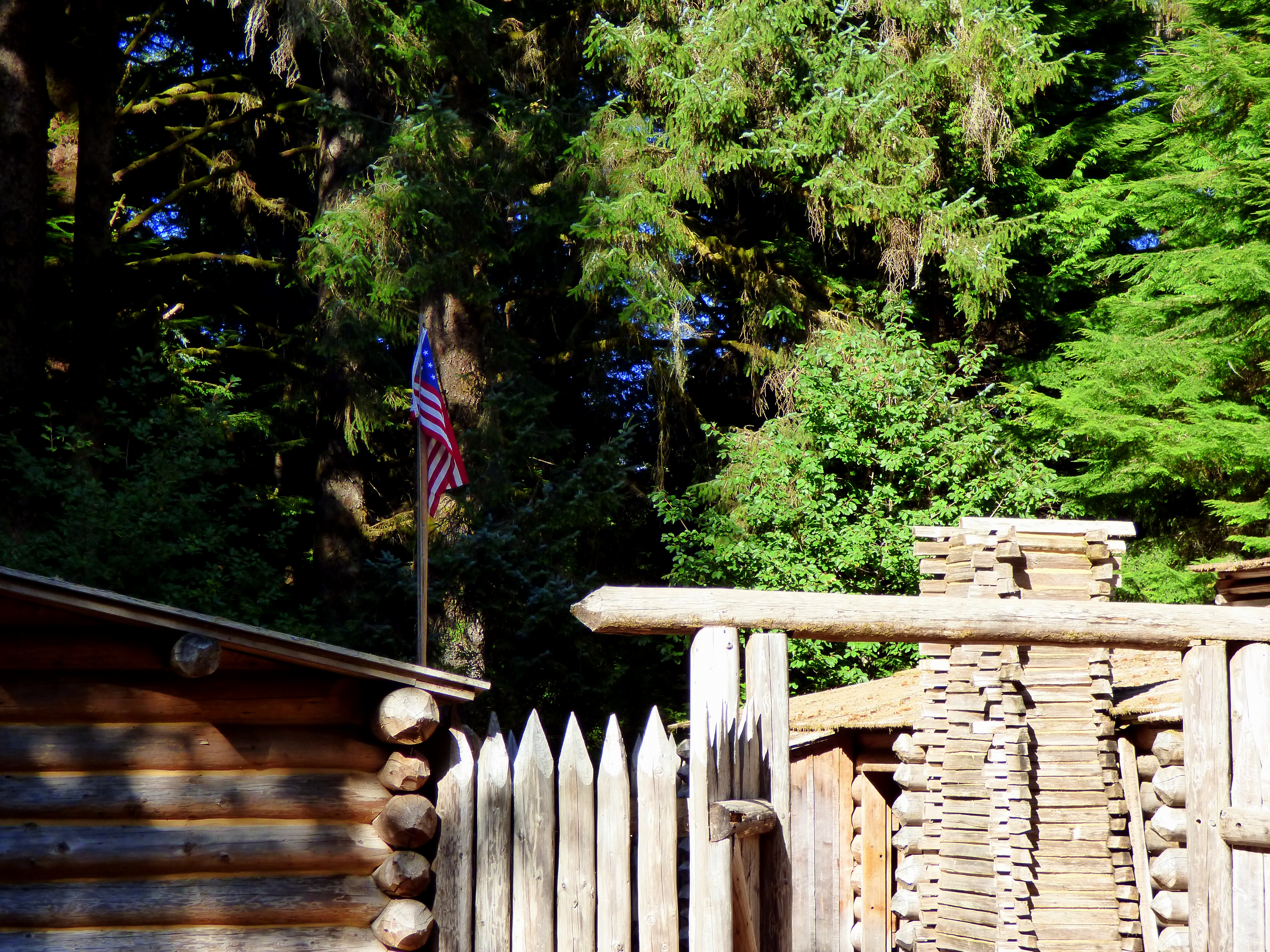
Visit the replica fort and visitor center to learn more about the Lewis & Clark expedition and local native culture. If you visit during our Summer or Winter programs you may even get to talk to rangers in costumes and try your hand at 19th century tasks. Experience this incredible story in a tangible way when you lay down on a bed in the fort or take a walk along the Netul river.
Middle Village - Station Camp, has interpretive panels to inform visitors on the Chinook Indian Nation history, as well as telling the story of early contact, the Corps of Discovery, and the town of McGowan.
Start your Lewis & Clark journey where the Corps of Discovery did. Captain William Clark named the spot “that dismal little nitch.” For six stormy days, the group was trapped by fierce wind and high waves at the rocky shoreline. Today the spot boasts a beautiful view of the Columbia river, interpretive panels, and a short walking path.