Reservations can be made online or by telephone 1-877-444-6777. Cougar Rock campsites tend to open in mid to late May as weather allows. From opening until the end of June, all open sites are first-come, first-serve. Reservations are accepted up to 6 months in advance.
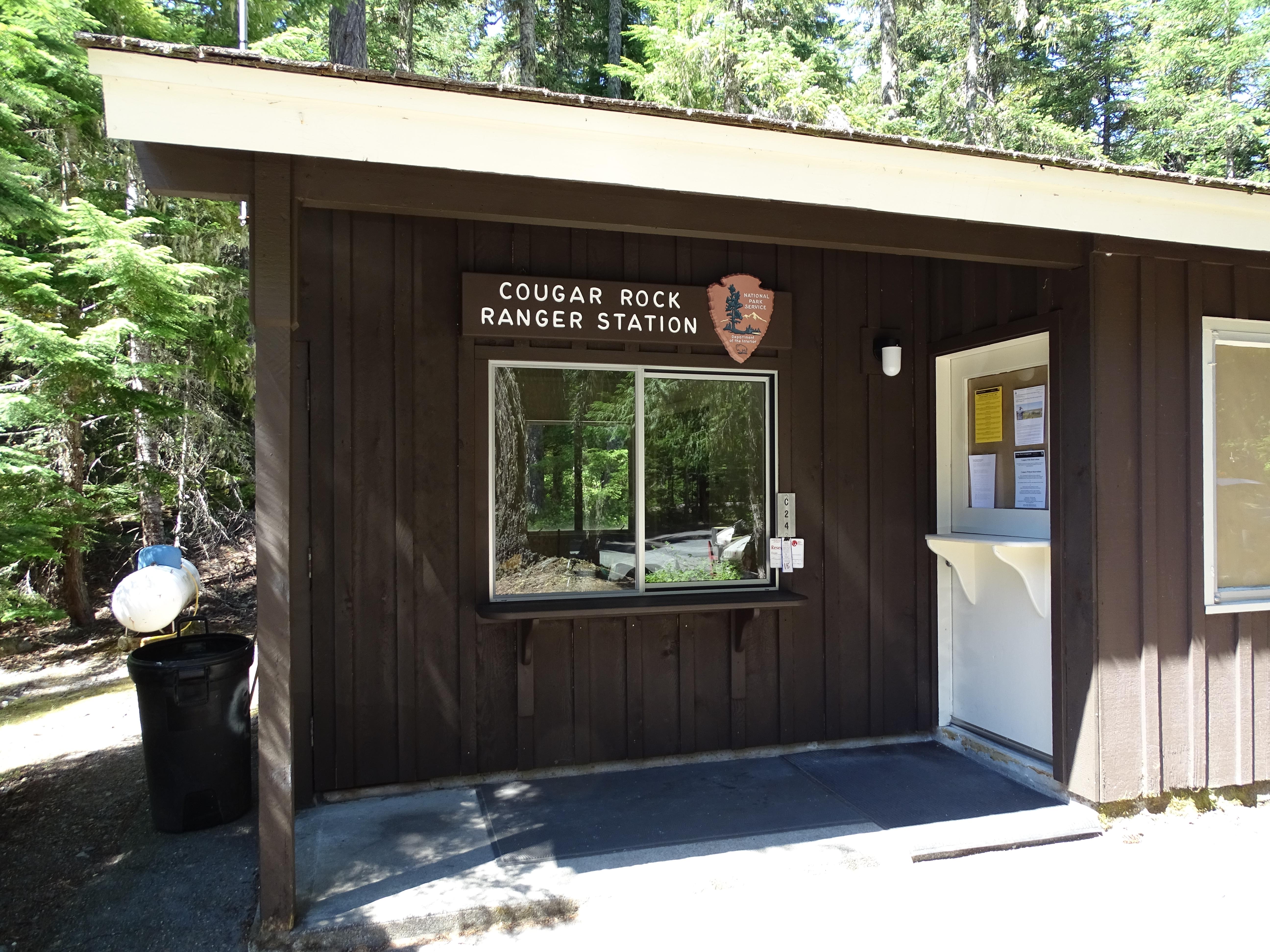
Cougar Rock Campground is located next to the Nisqually River above Longmire along the road to Paradise. The campground is set in a forest of evergreen trees. When you turn into the campground, the campground ranger station is to the right, with parking spots in front. To the left a small side loop provides access to the dump station. Past the ranger station the road continues into the campground loops. The campground has six campsite loops, labeled A through E. Loop A is the first loop to the right. Turnoffs for loops B-D continue in order on the right as you drive down the main road of the campground. A few individual campsites border the left side of the main road. After loop D, the main road curves to the right, with loop E branching off to the left before the main road terminates with loop F, which has 5 sets of parking areas for group camping. The campground amphitheater is located to the right of the main road between loops C and D. There are seven restrooms. One restroom is located between the middle of loop A and B, one is on either end of loop C, two are in between the main road and either end of loop D, one is between loop E and F, and finally one is on the left side of loop F. To access the Nisqually River from the campground, exit the campground via the main entrance and follow the road to the right to the Carter Fall trailhead. Or, a trail leading across the road starts from the main campground road where it starts to bend right after loop D.
Reservations can be made online or by telephone 1-877-444-6777. Ohanapecosh campsites tend to open in mid to late May as weather allows. From opening until the end of June, all open sites are first-come, first-serve. For summer dates June 23, 2016, through early September reservations can be made up to 6 months in advance. Reservations are highly recommended as this campground is very popular.
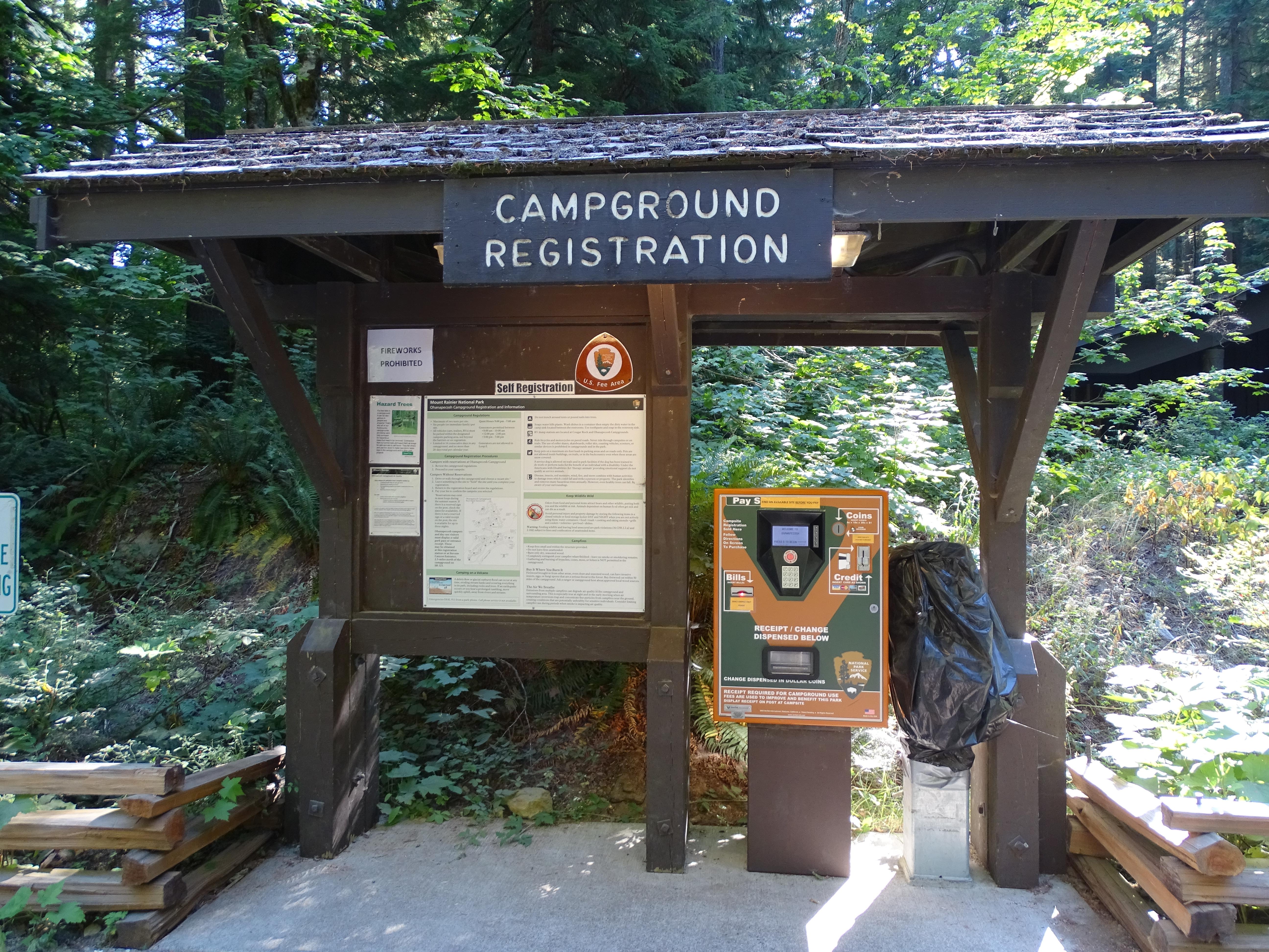
Ohanapecosh Campground is set in a narrow river valley surrounded by forested hillsides. Enter the campground off of State Route 123 and follow the road to the right (a turn off to the left leads to maintenance facilities and staff housing). The main campground road curves through the forest and reaches the visitor center on the right. The Ohanapecosh Visitor Center is a low building with an angled roof tucked among the trees. A small parking lot is in front of the building with a concrete walkway leading to the building's entrance, with restrooms located to the right of the door. In front of the visitor center parking area is an information kiosk with campground information and a place to register for a site. Across the road from the visitor center is Loop A. As you drive down the Loop A road, additional parking is to the left, with picnic tables and a restroom. From the visitor center continue on the main campground road. Loop B starts on the right, with additional day use parking and access to the Silver Falls Trail and the Hot Springs Nature Loop Trail. Loop C is on the left, with walk-in sites and an additional picnic area next to the Ohanapecosh River. Continuing past Loops B and C and the road crosses over the Ohanapecosh River on a concrete bridge. The river is bordered by forest and large rocks and is often a rich deep blue-green color. Past the bridge, there is additional parking along the road on the right with paved paths providing access to the campground amphitheater and the other end of the Silver Falls Trail. Loop D starts on the left. Past Loop D, the main road splits, with Loop F on the left, Loop E on the right. Continue straight to access Loop H on the right and finally Loop G at the end of the road, curving off to the left. Each loop has a restroom facility.
When open for the summer, all sites are first-come, first-serve. The campground does not take reservations.
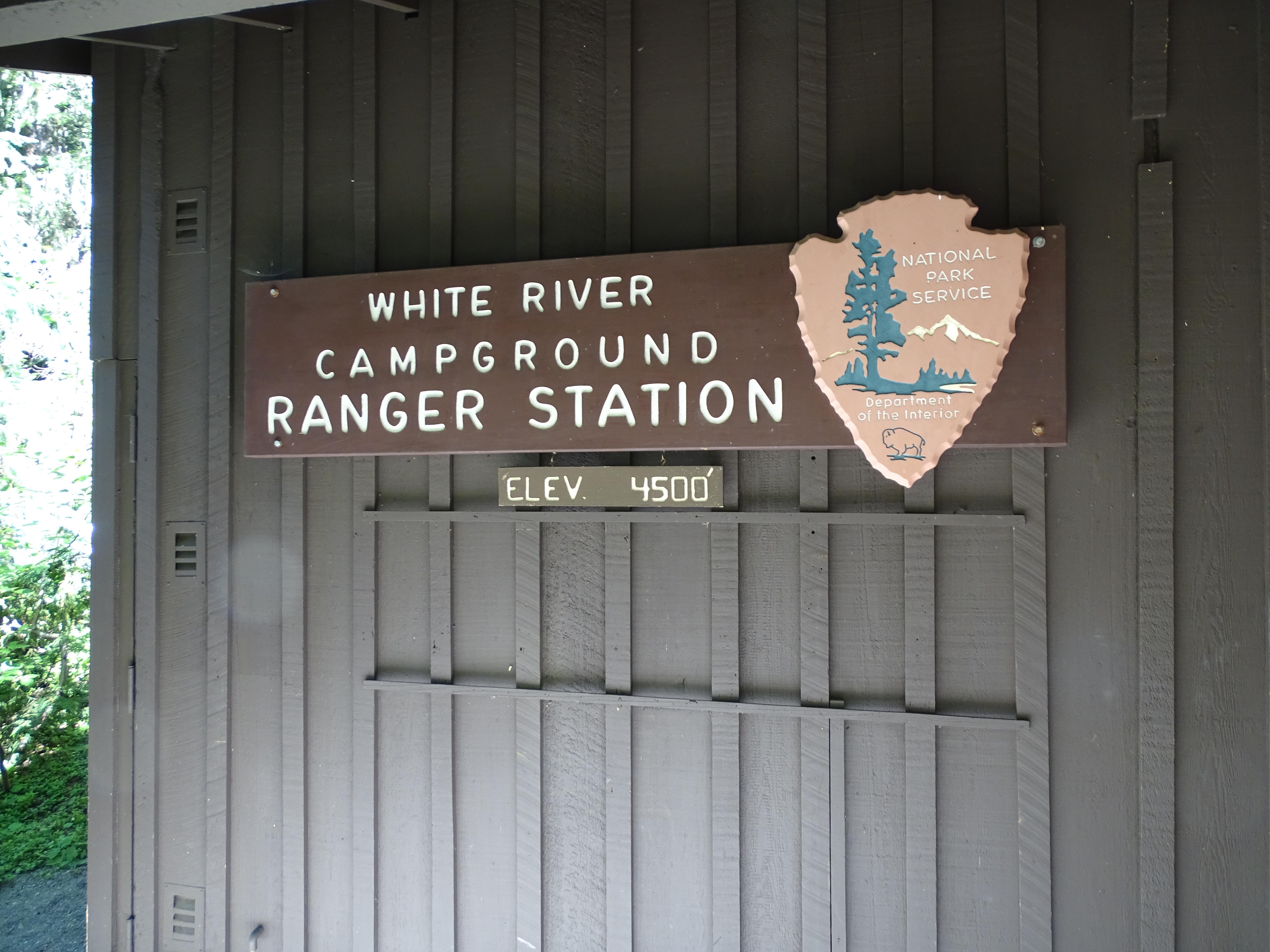
White River Campground is located at the end of White River Road next to the White River. The campground is in the bottom of a deep canyon in a forest of mid elevation evergreen trees. White River Road ends at the campground with the campground ranger station to the right on arrival with information boards and parking just beyond. Past the ranger station the road continues into the campground loops. The campground has four campsite loops, labeled A through D. Loop A is the first loop to the right. Turnoffs for loops B and C continue in order on the right as you drive down the main road of the campground. A few individual campsites border the right side of the main road. The entrance to the picnic area is located directly across from the entrance to Loop C. From the main road, continue straight past Loop C to Loop D which circles to the left and returns back to the main campground road across from Loop C. Campsites on the right side of the road on the farthest side of Loop D are situated next to the White River. A historic patrol cabin that has exhibits inside on the early use of a system of patrol cabins and the history of the round-the-mountain Wonderland Trail is to the right as you enter Loop D. The small amphitheater is located to the right just passed the patrol cabin. There are five restrooms. One restroom is located on the left side of the loop in Loop A, one is on the right near the entrance of Loop B, one is between the picnic area and Loop D, an accessible restroom is between Loop B and Loop C, and one is on the left side of Loop D across from the amphitheater. The Wonderland Trail runs through the campground and can be accessed to the right of the patrol cabin to head uphill toward Sunrise and next to the restroom in the picnic area to head south. Glacier Basin Trail is accessed across the road from the amphitheater or from the right side of farthest end of Loop D. The picnic area runs parallel to the road with parking spots on either side of the short picnic area road, picnic tables are on the far side of the picnic area from the road, a restroom is located to the right of the picnic tables, and a trail to access the river is accessed from the left end of the picnic tables.