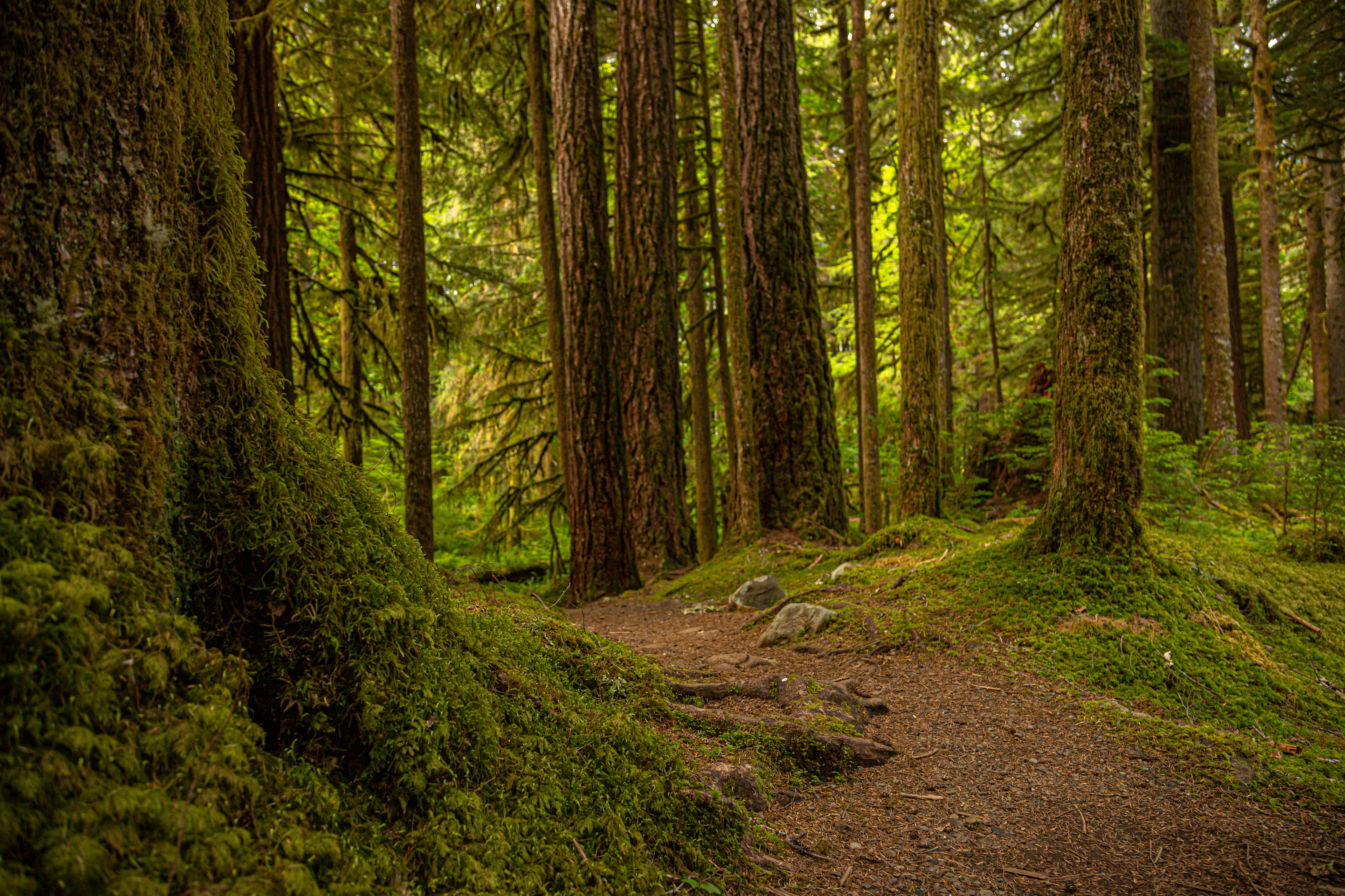
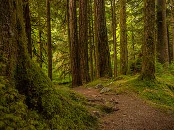
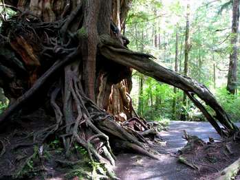
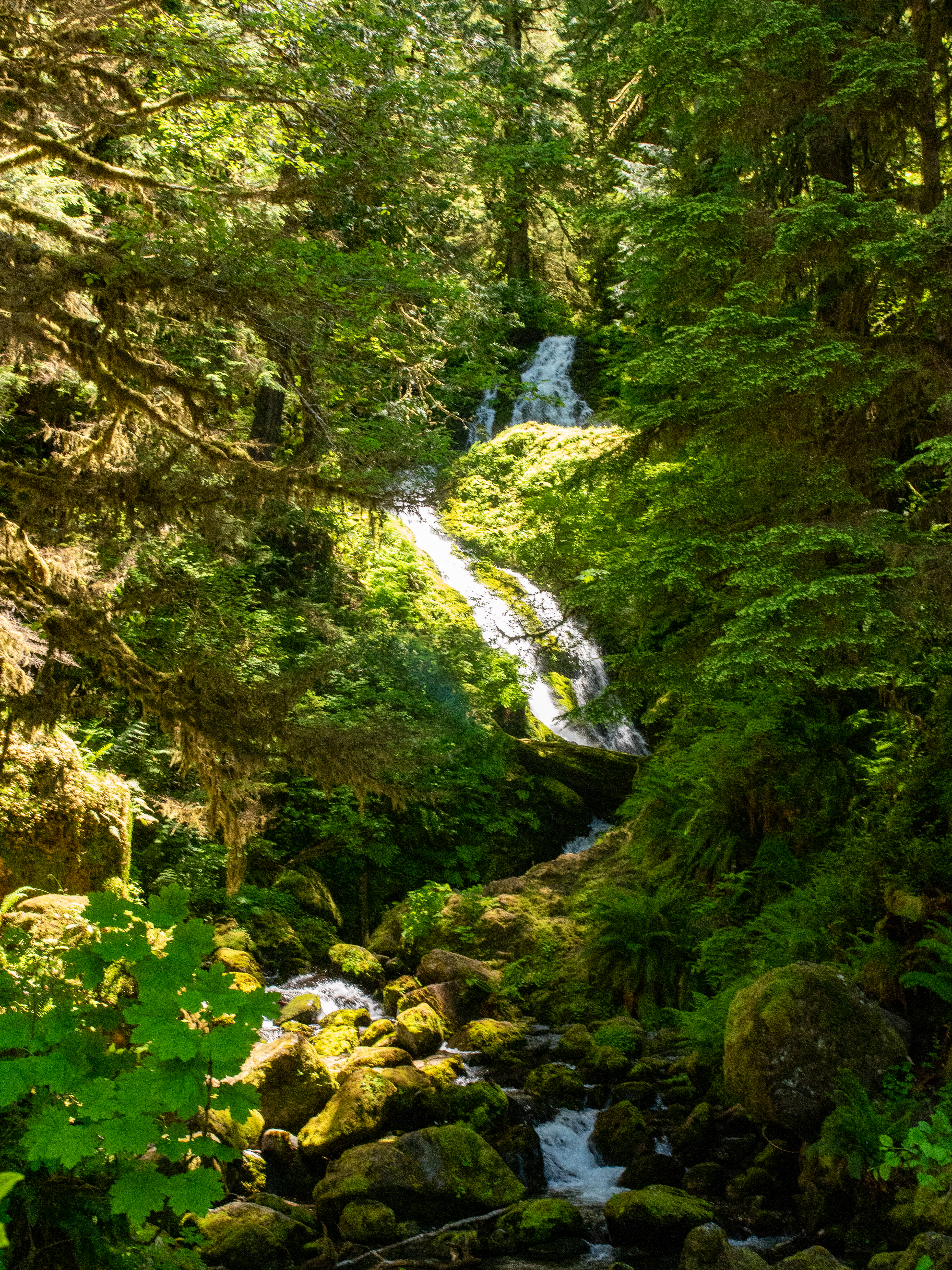
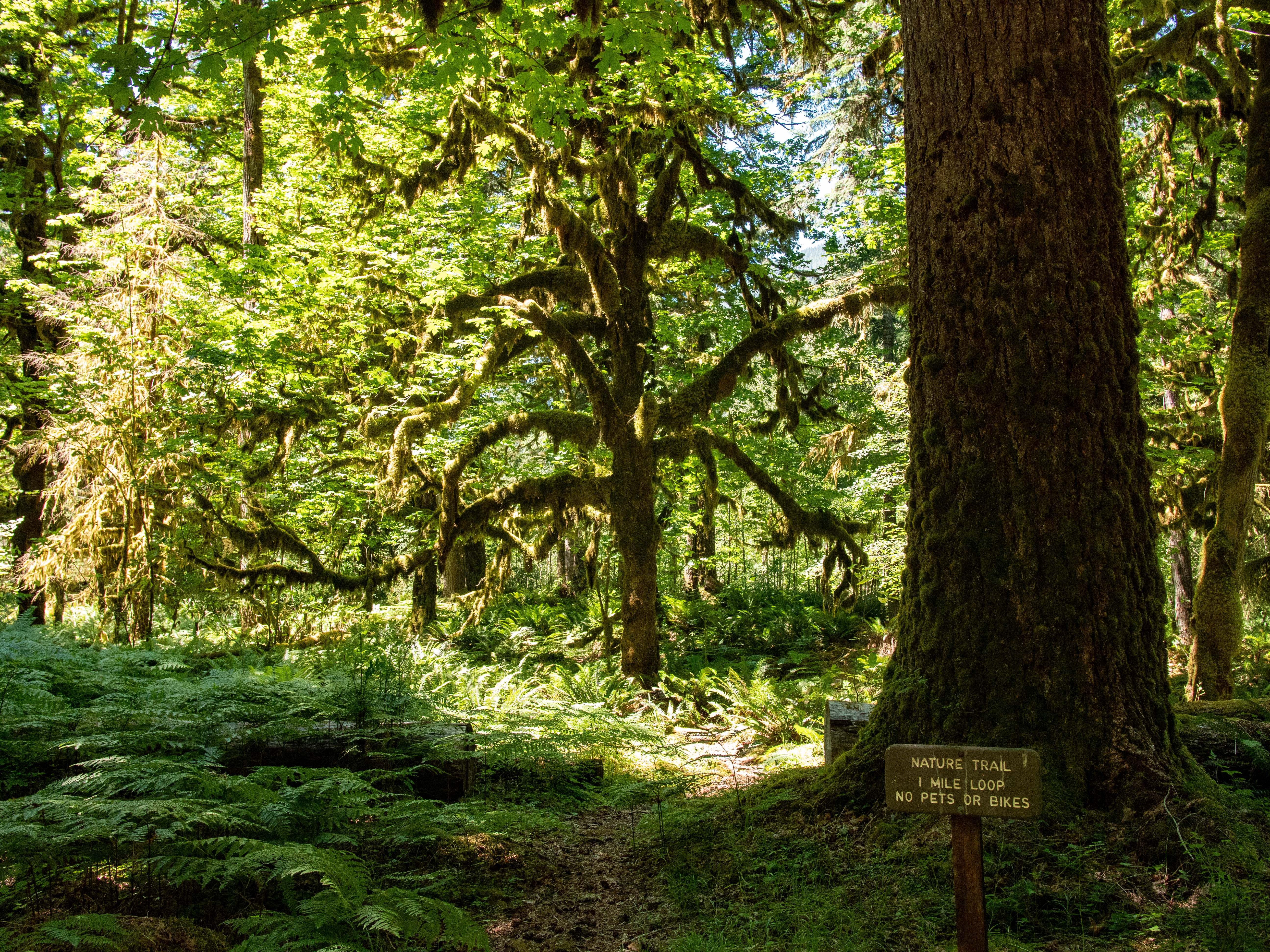
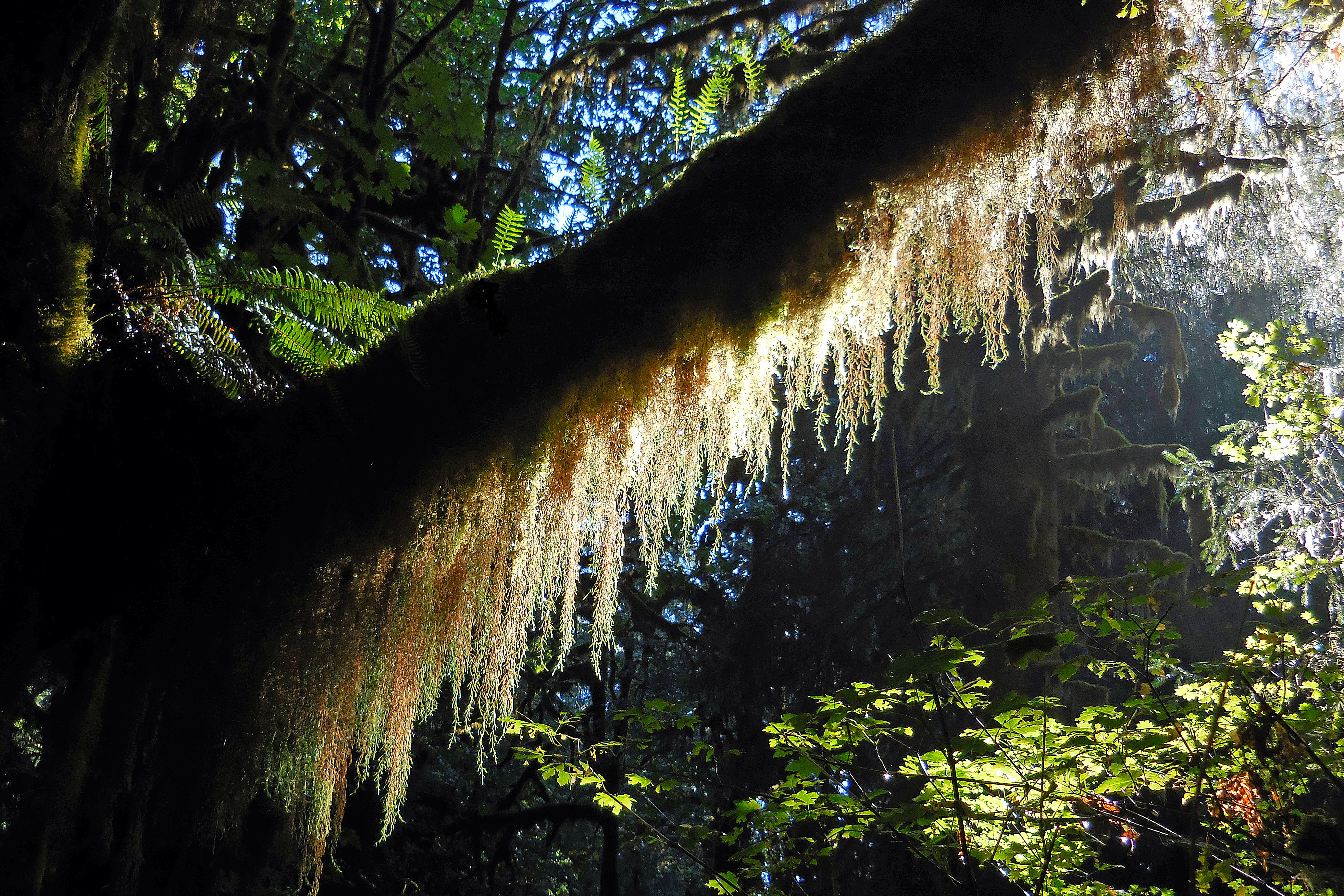
At just 0.6 miles (1 km), this lovely loop trail is a bit of peace just off the Sol Duc Hot Springs Road. Within moments, you are immersed in the deep green of classic Olympic Old Growth. The Olympic Peninsula lowlands, with their mild climate, deep soils and generous rainfall, grow giant trees. These old survivors record centuries of history in their massive trunks. When scientists use the term old growth, they are usually referring to Douglas-fir/western hemlock forests wi
At just 0.6 miles (1 km), this lovely loop trail is a bit of peace just off the Sol Duc Hot Springs Road. Within moments, you are immersed in the deep green of classic Olympic Old Growth. The Olympic Peninsula lowlands, with their mild climate, deep soils and generous rainfall, grow giant trees. These old survivors record centuries of history in their massive trunks. When scientists use the term old growth, they are usually referring to Douglas-fir/western hemlock forests wi
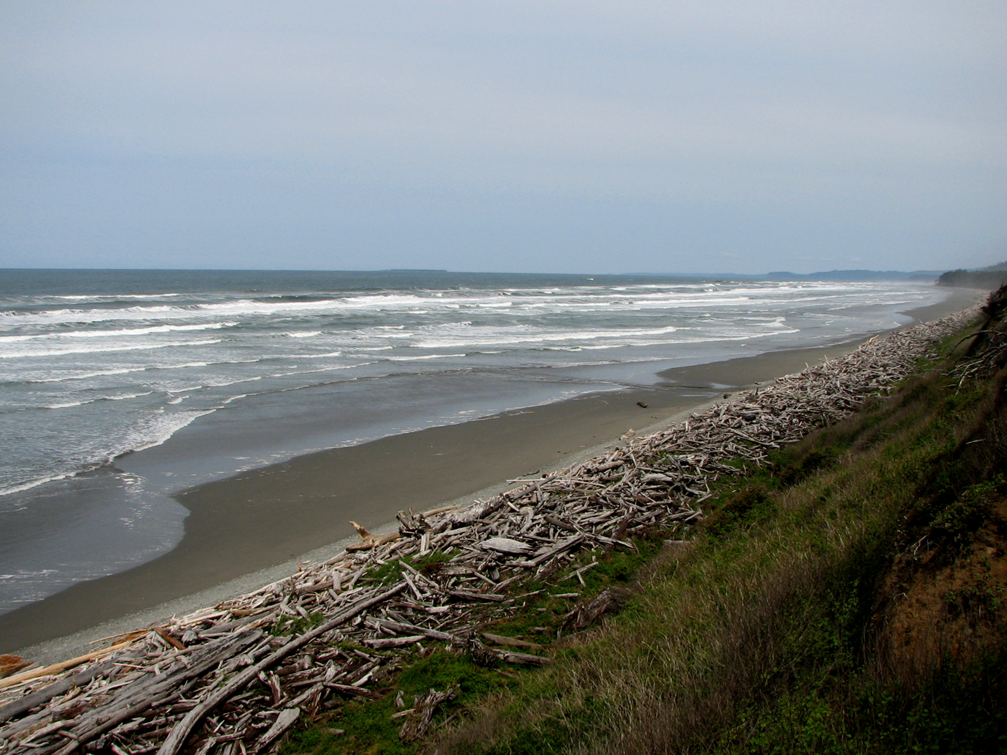
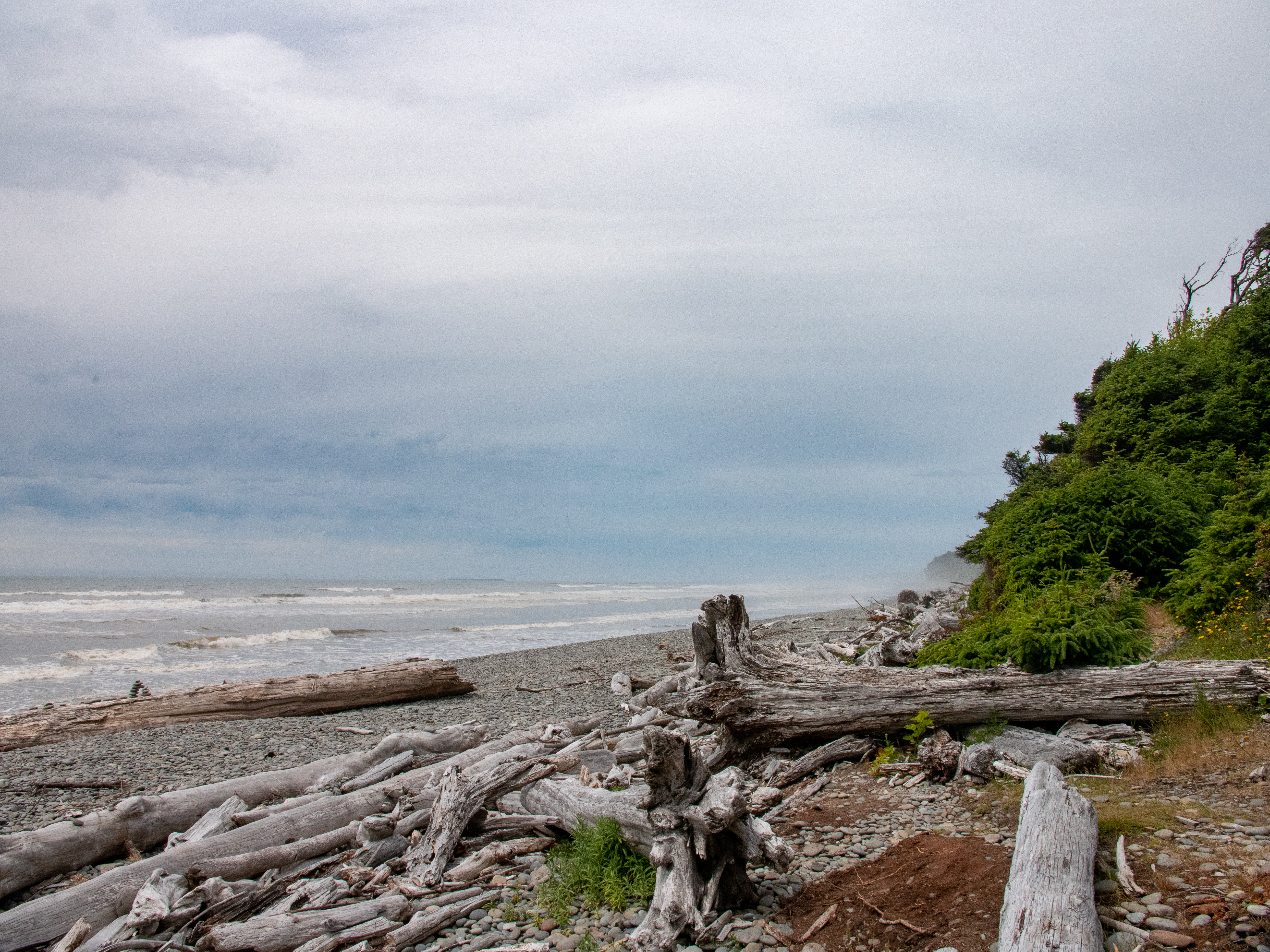
A trail through Sitka spruce trees, many of them with large, knobby burls, leads to this less-visited beach north of South Beach. The beach itself has countless massive drift-logs, weathered by their time at sea. Look for bald eagles nesting nearby!
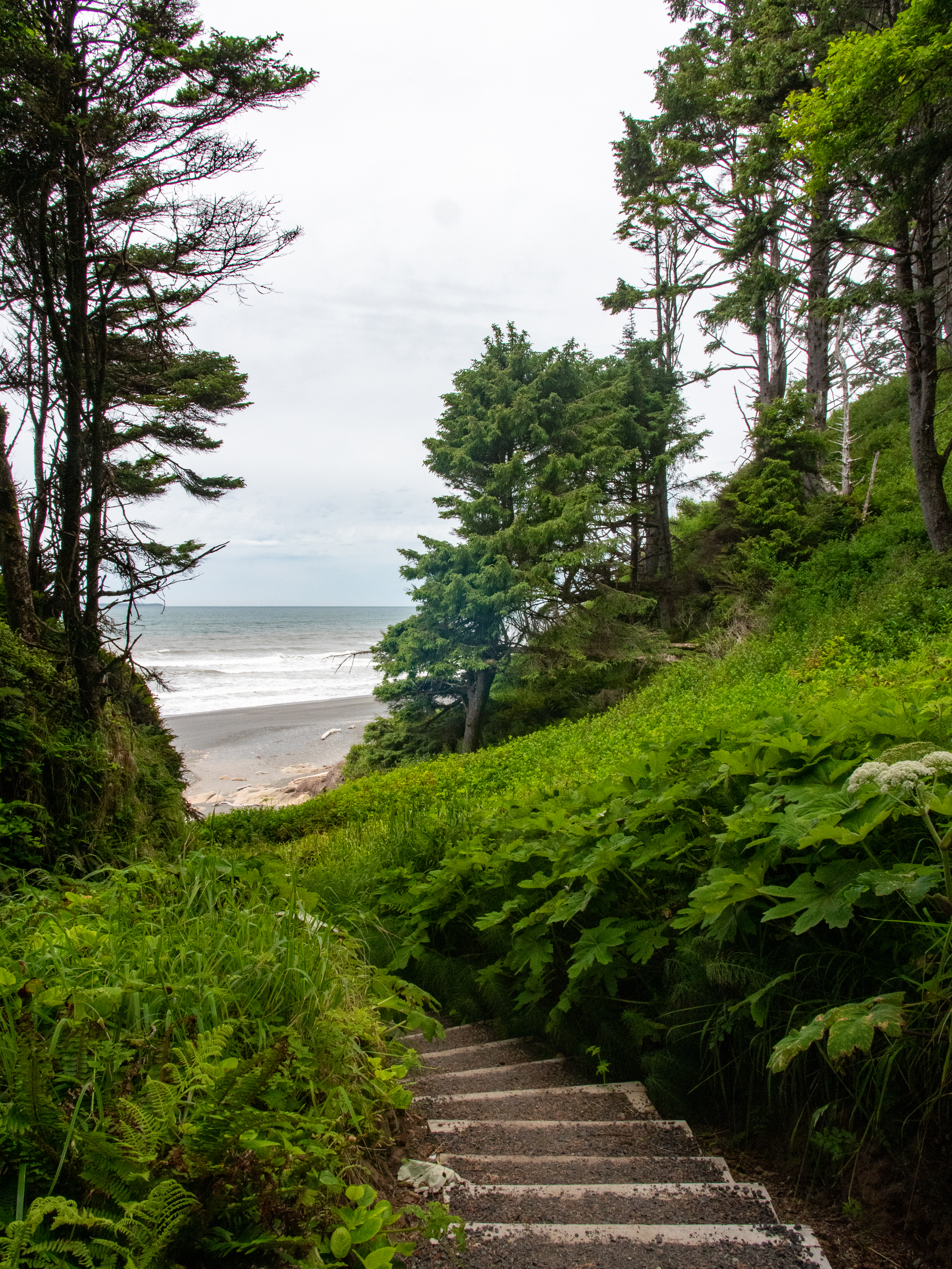
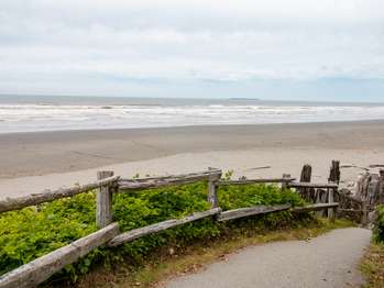
Parking is VERY limited for Beach 2, so if spaces are full, choose another beach rather than parking unsafely along Highway 101. The short trail to this beach features distinctive "burls" on the spruce trees.
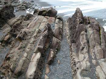
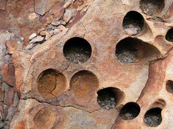
A short but rather steep trail through coastal forest leads to a lovely driftwood footbridge and Beach 4. A wonderful place to tidepool and look for seals, with particular treats for those interested in geology - Swiss cheese textured stone! The phenomenon is caused by piddock clams, which burrow into solid rock to protect themselves from the pounding surf.
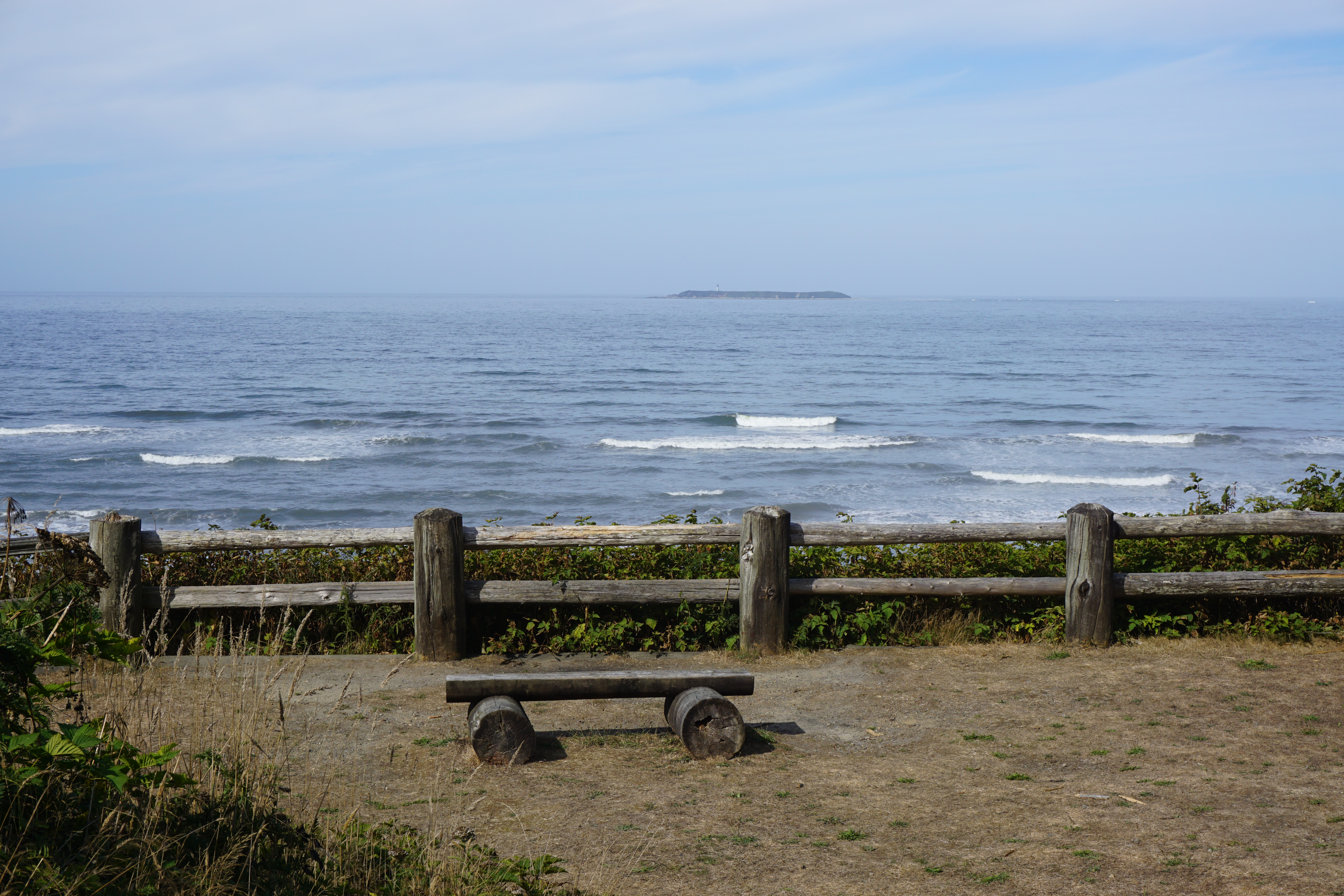
There is no trail at Beach 6, but it's perfect for a quick view of the Pacific. Pull off highway 101 to park safely at the overlook. Bring binoculars to look for sea otters and migrating whales!
This wide, sandy beach is very popular! The so-called Tree of Life is a beloved photo subject, but it is NOT a safe place to hang your hammock or practice your parallel bars routine. The creek has slowly eroded the earth beneath the tree's roots, and we hope it can hang in there for a long time.
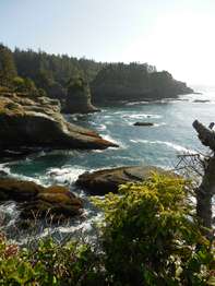
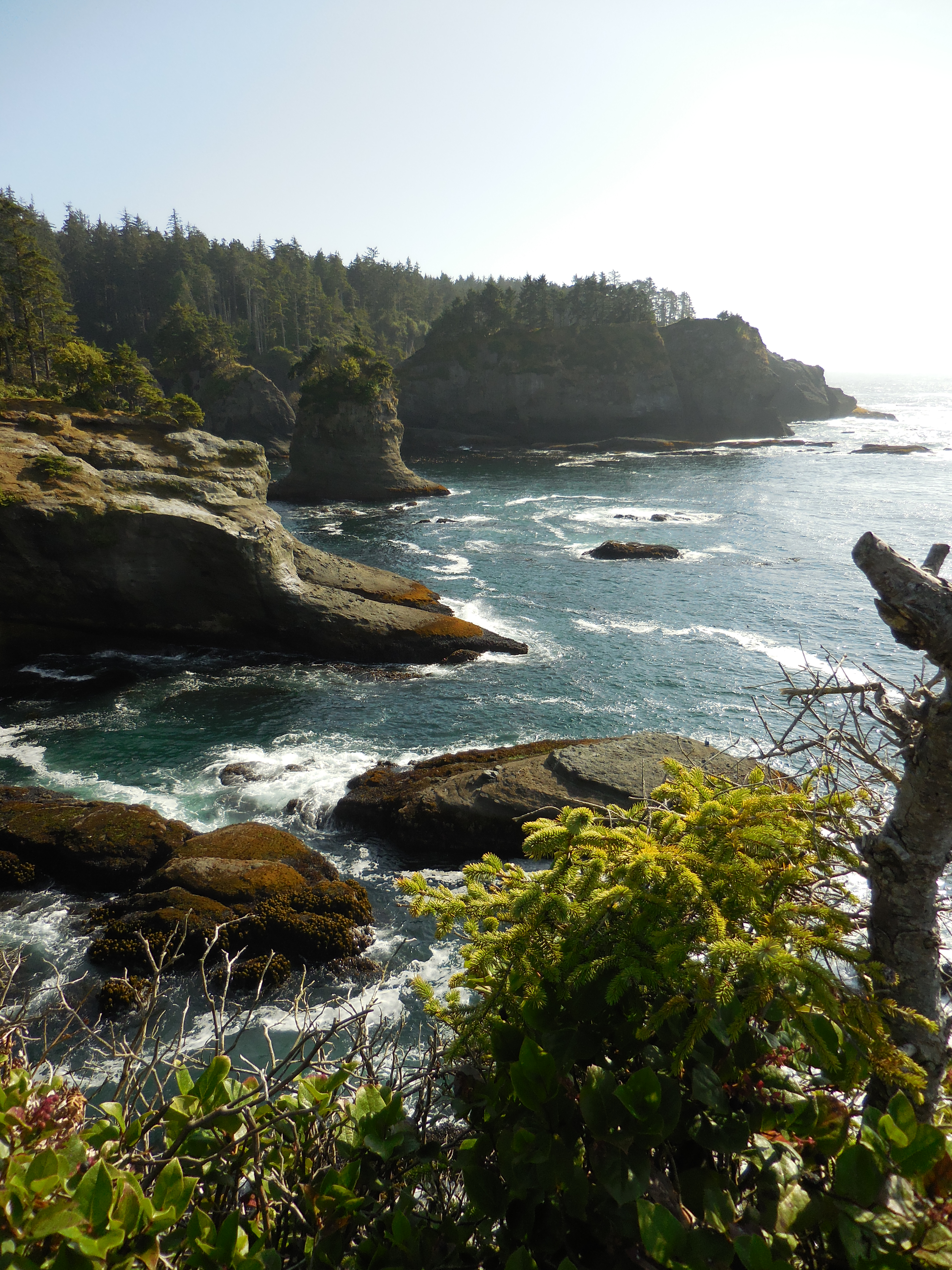
Located in the Makah Reservation, outside Olympic National Park near the town of Neah Bay. The short (¾ miles/1.2 km each way) trail leads through the forest to a viewing platform, perched on a cliff with a dramatic view overlooking the Pacific. Cape Flattery is the Northwest most point on the contiguous United States. To park at the trailhead, obtain a permit from the Makah Tribe. There is a restroom at the trailhead, and daytime parking for cars and RVs. Please pack out al
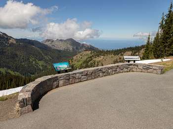
This half-mile (0.8 km), easy, paved trail has views of Port Angeles and the Strait of Juan de Fuca. While exploring the ridge please keep your distance from wildlife and stay on paved paths or snow to avoid damaging fragile meadows.
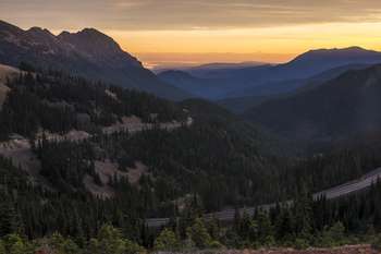
No longer accessible to vehicles, the first part of this trail is a former road that begins a trek into the wilderness of the Olympic Mountains. If you plan to make this the start of an overnight backpacking trip, check in with the Wilderness Information Center https://www.nps.gov/olym/planyourvisit/wic.htm
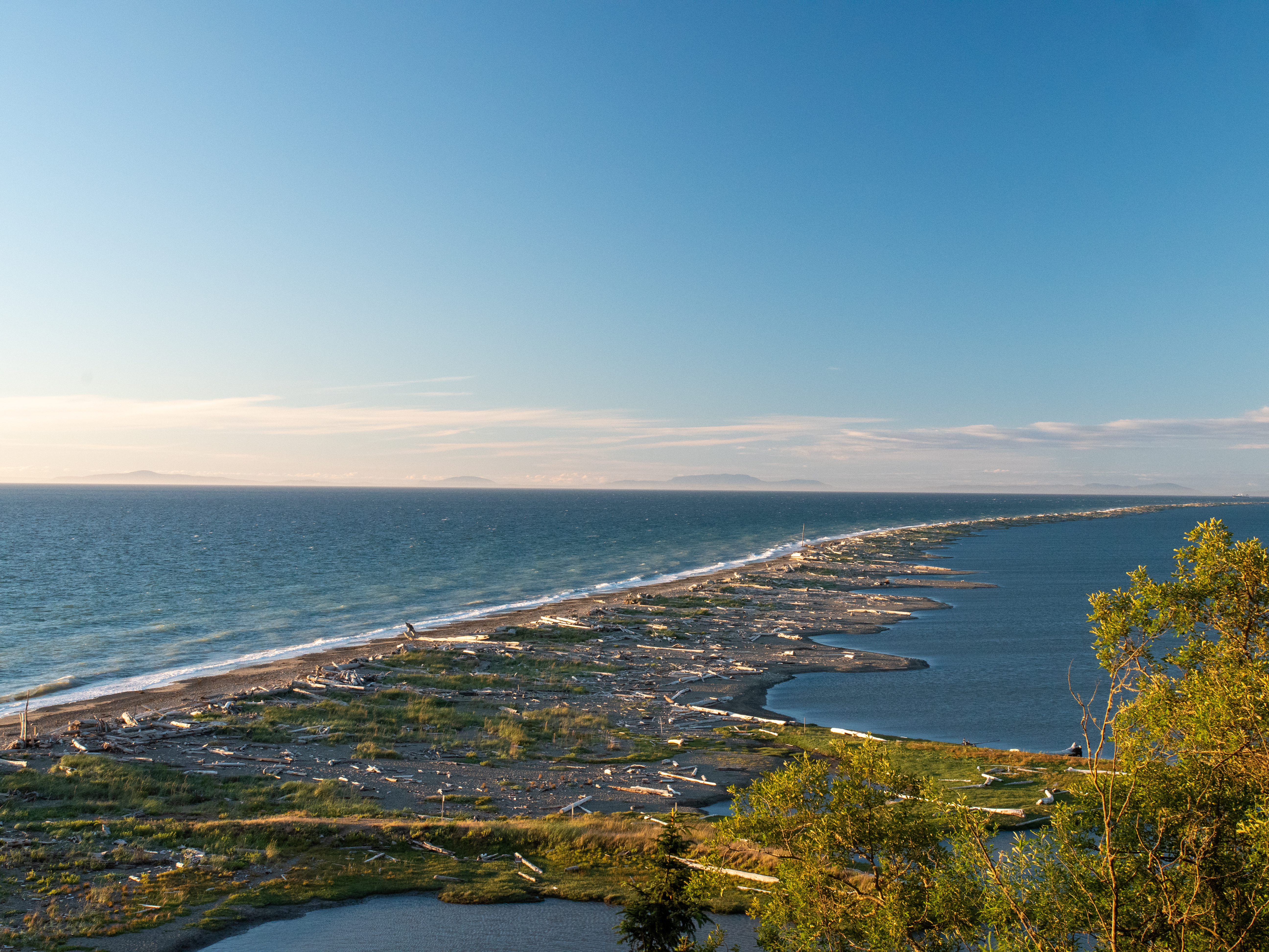
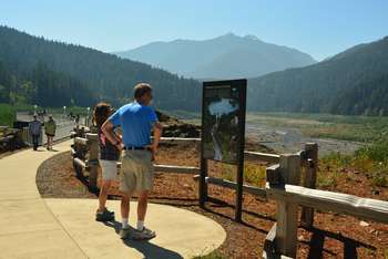
Located on the northern edge of the Olympic Peninsula, just outside of the town of Sequim, WA, Dungeness Spit offers a haven for wild birds and a historic lighthouse. While it is not a part of Olympic National Park, it is popular with locals and visitors alike for its hiking and bird-watching. From the refuge: "At Dungeness National Wildlife Refuge one of the world's longest natural sand spits softens the rough sea waves to form a tranquil bay, fertile tideflats, and beaches
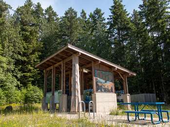
This set of exhibits is a great place to learn about the history of the Elwha River, its importance to the Klallam people, and the process of dam removal and river restoration.
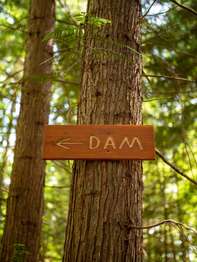
A short hike from the Elwha River Restoration Interpretive Center leads to the site of one of the former dams, where you can see just how much the river valley has changed in the ongoing restoration process. Depending on the time of year, foliage may make it difficult to see the site of the dam.
Artistic and cultural exhibits at the heritage center explore the Elwha River restoration and Ä,Ì•ixÊ·ÃcÉ™n village artifacts. (The name of the village site, Ä,Ì•ixÊ·ÃcÉ™n, which means inner harbor.) The building is also used for trainings, gatherings, and tribal offices. Learn more here: elwha.org/departments/elwha-klallam-heritage-center/
For those looking for longer hikes, you can continue from the High Ridge trail out toward Klahanne Ridge and Mount Angeles, where you may connect to other trails, or simply turn back to Hurricane Ridge.
La Push/First Beach is the home of the Quileute Nation. You can learn about the history of this area here: https://quileutenation.org/history/ While visiting the Quileute Nation, please observe proper ettiquette as follows (quoted from Quileute Nation website): "The Quileute Tribe is a Sovereign Nation which means they have their own government inside of the United States that consists of a Tribal Council. The Quileute Tribe makes decisions on how best to balance community a
Accessible via a 3.4 mile ( 5.5 km) hike on the road and bypass trail from the Madison Falls parking lot. Perched on what was once the spillway of the Glines Canyon Dam, visitors can enjoy expansive views of the wide valley that formerly held the Lake Mills reservoir. Lake Mills formed when the Glines Canyon Dam was built between 1925 and 1927, flooding an area known at the time as Smokey Bottom. The overlook also gives people the chance to look down and watch the Elwha's blu
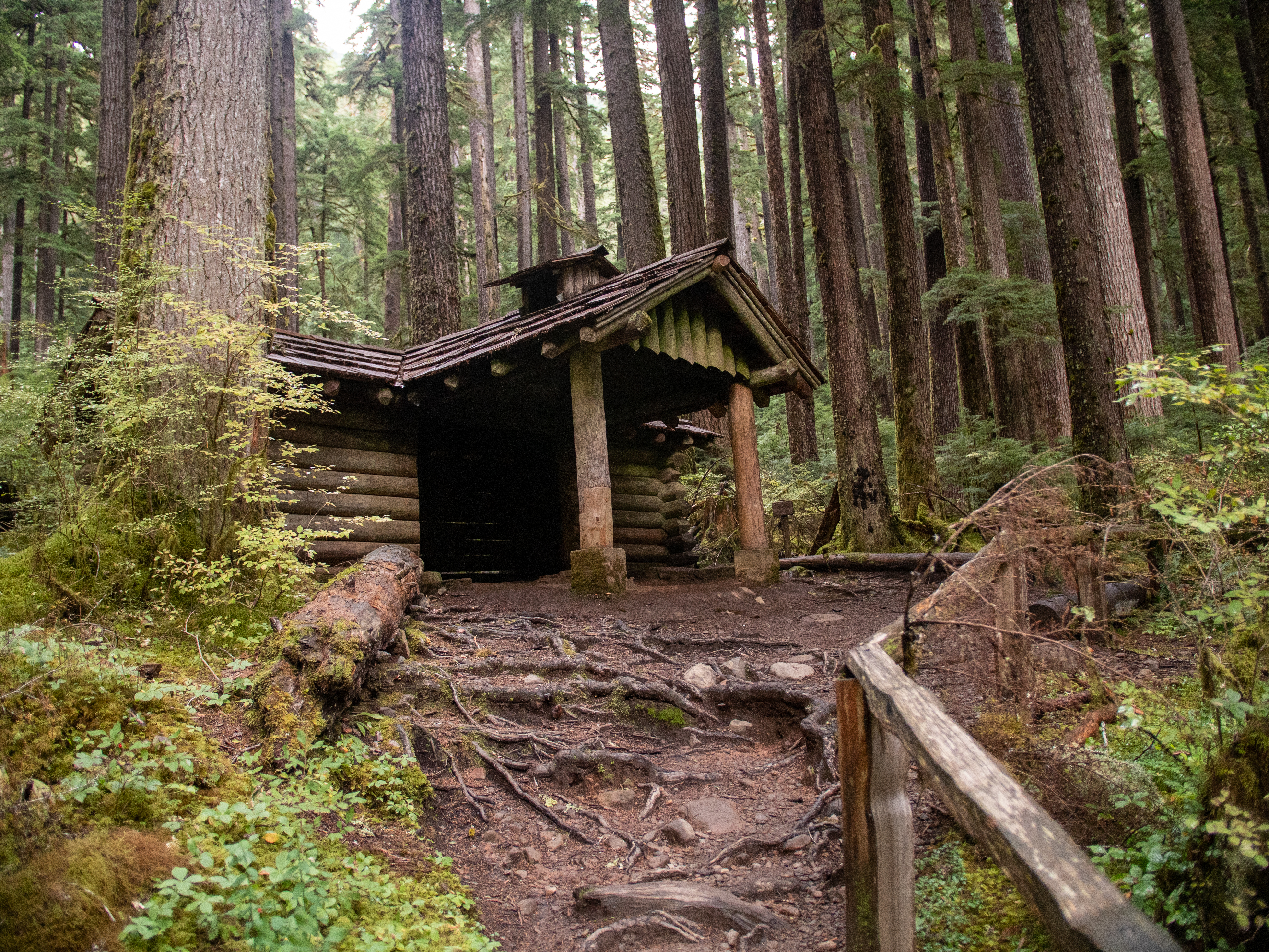
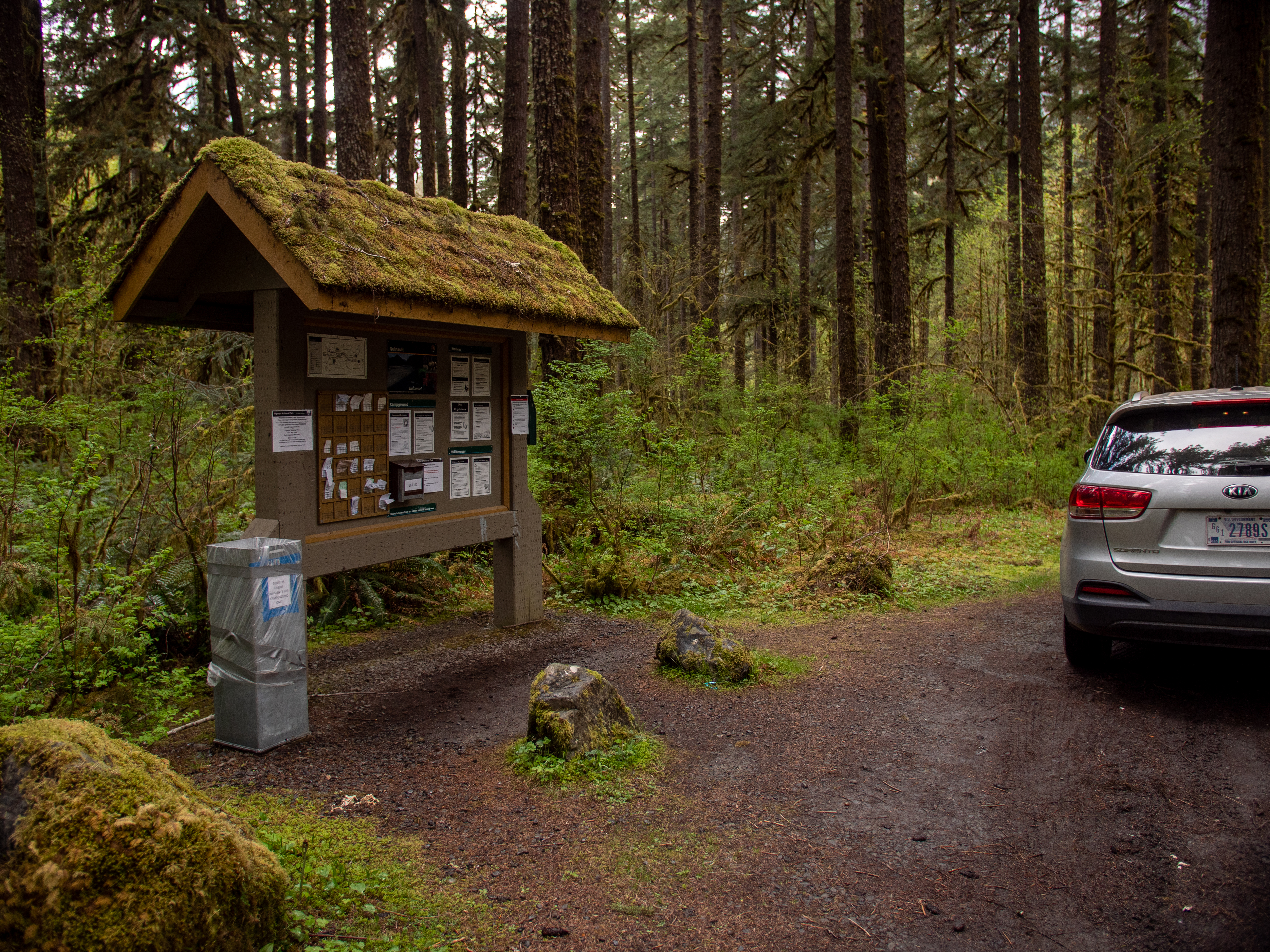
Graves Creek Trailhead is a gateway to the Wilderness, where many backpackers begin their journeys (to make your own backcountry plans, contact the Wilderness Information Center nps.gov/olym/planyourvisit/wilderness.htm. For more information on Wilderness Information Center locations and hours, go to nps.gov/olymp/planyourvisit/wic.htm.) Shorter day trips on this trail will take you over a high bridge above Graves Creek, the first of many creeks the trail traverses through th
A steep, 2.8 mile (4.5 km) each way trail, with views of the Elwha River. Due to road washout, park at Madison Falls and take the road and bypass trail to get to the trailhead, about 1.8 miles (2.9 km) down the road. The trail starts behind the (currently non-operational) Elwha Ranger Station.