Located within Pictured Rocks National Lakeshore, this picturesque lighthouse stands on Au Sable Point on the south shore of Lake Superior, approximately 12 miles west of Grand Marais, Michigan.
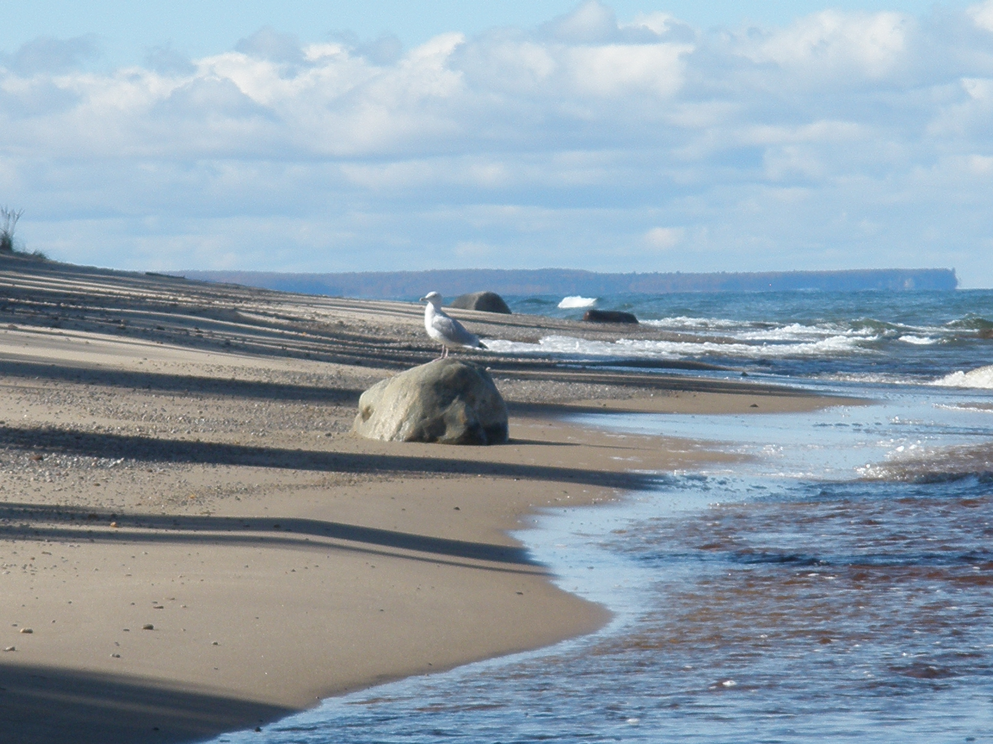
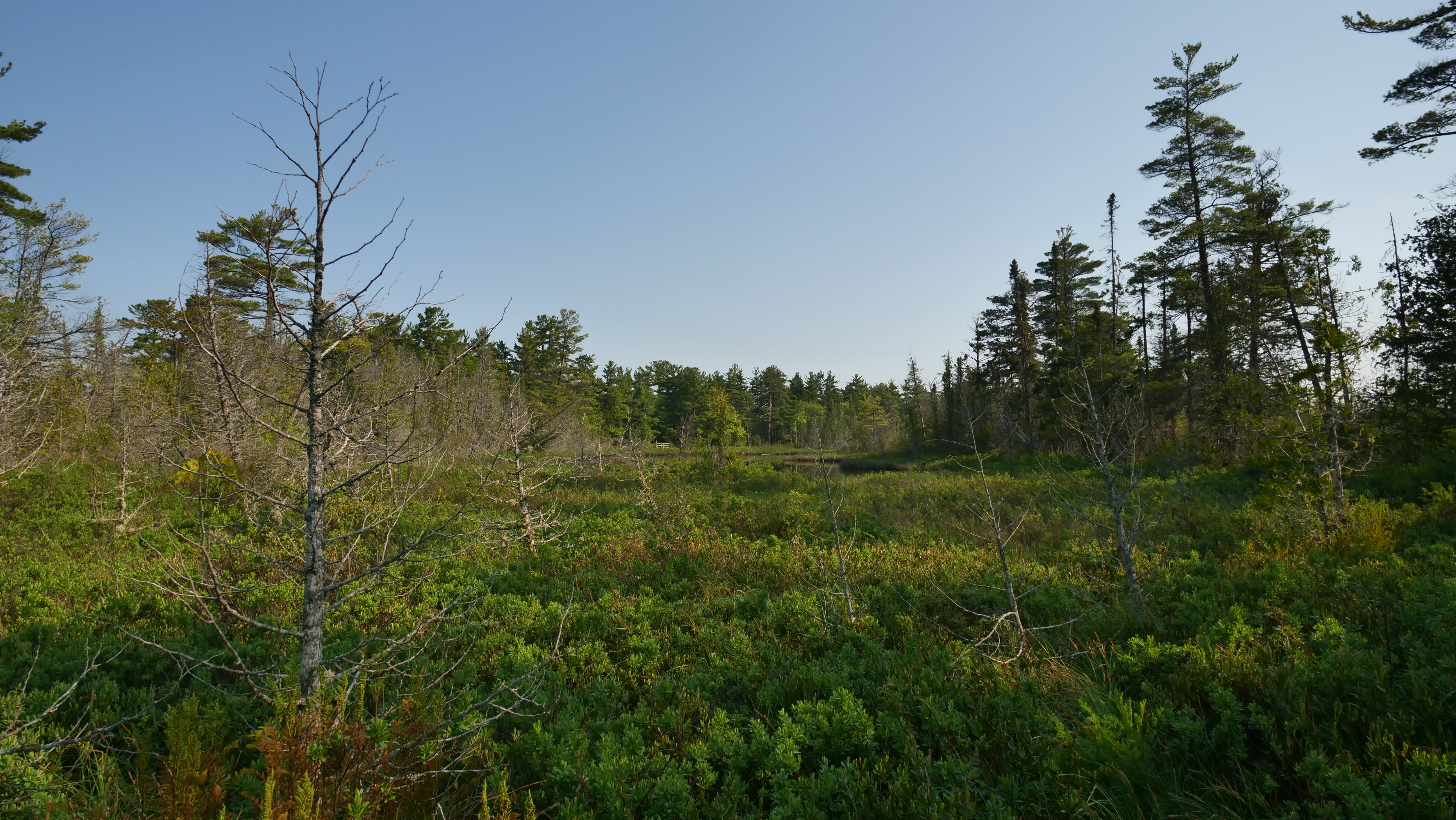
Those looking for solitude along a wild Lake Superior shoreline should hike out to the section of Twelvemile Beach that lies within the Beaver Basin Wilderness.
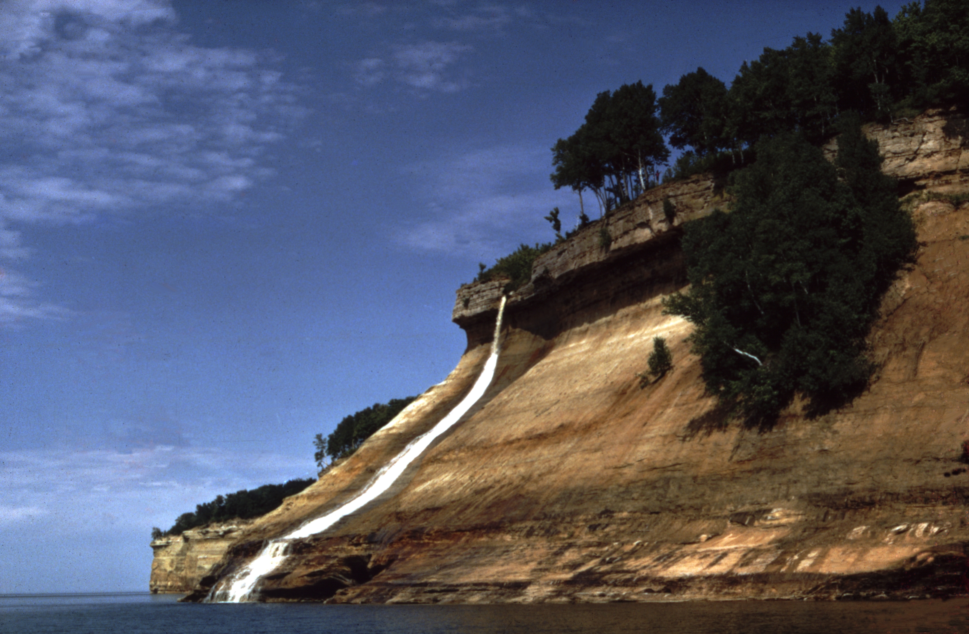
Bridalveil Falls is viewed best from the water but can be seen at a distance from the lower Miners Castle overlook or from the west end of Miners Beach.
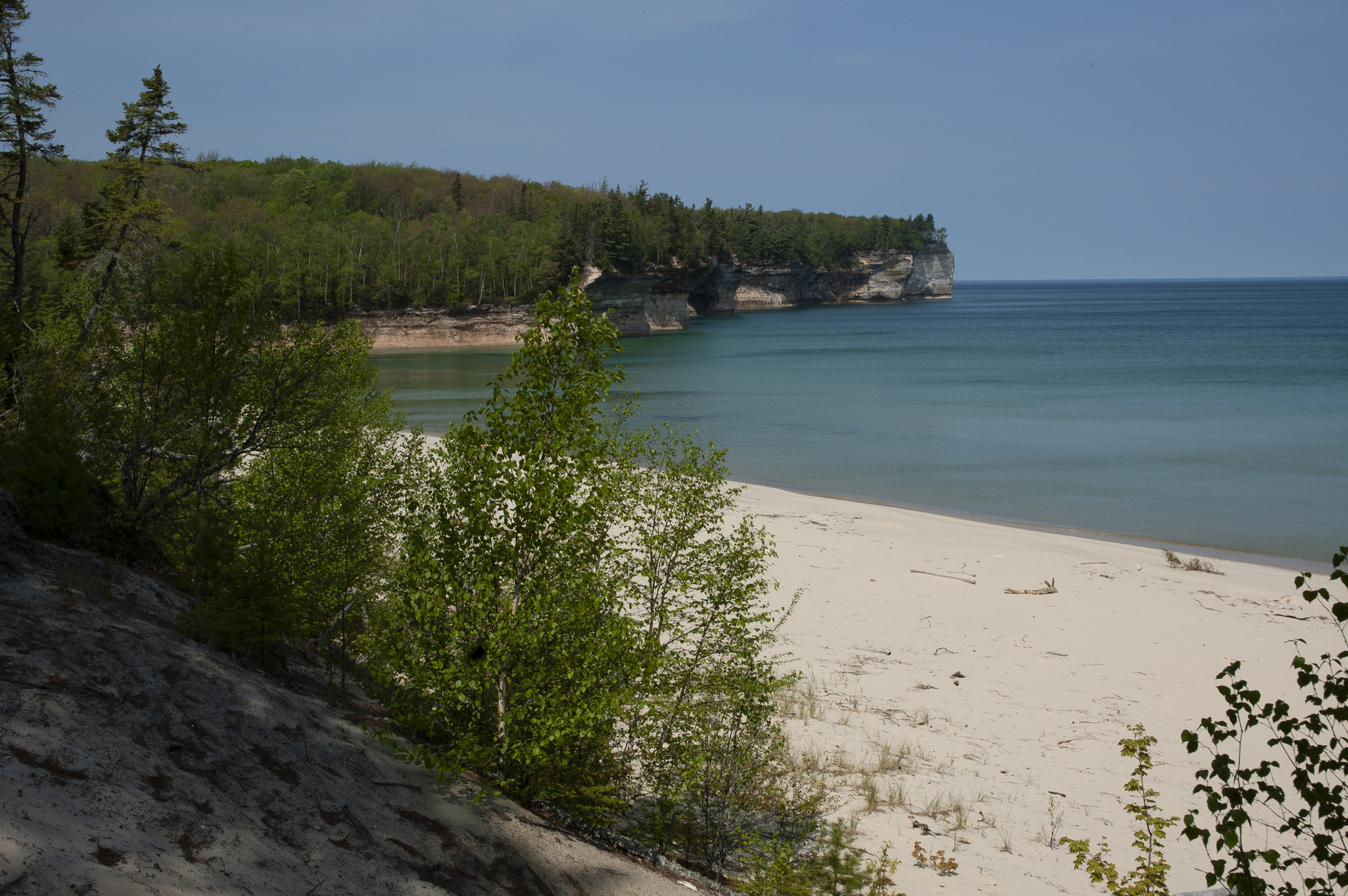
Drive about 15 miles east of Munising on Alger County Road H-58; turn left and drive 5 miles north on Chapel Road to the end. From the trailhead, hike 3 miles to Lake Superior to reach Chapel Rock and Beach.
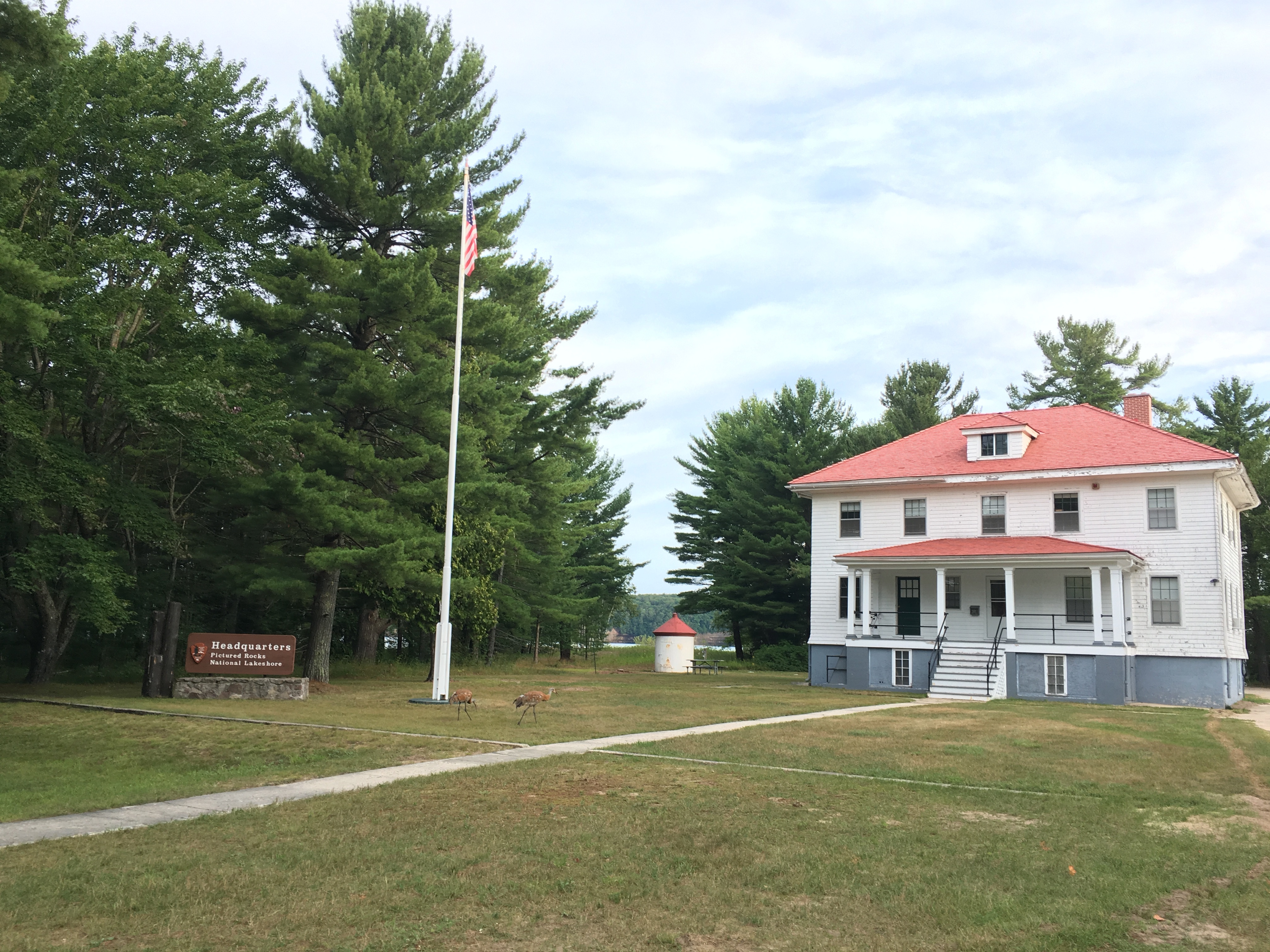
The old Coast Guard boathouse at Sand Point contains a surf boat, surf cart, Lyle gun, and other lifesaving equipment exhibits. The boathouse is open during the summer months.
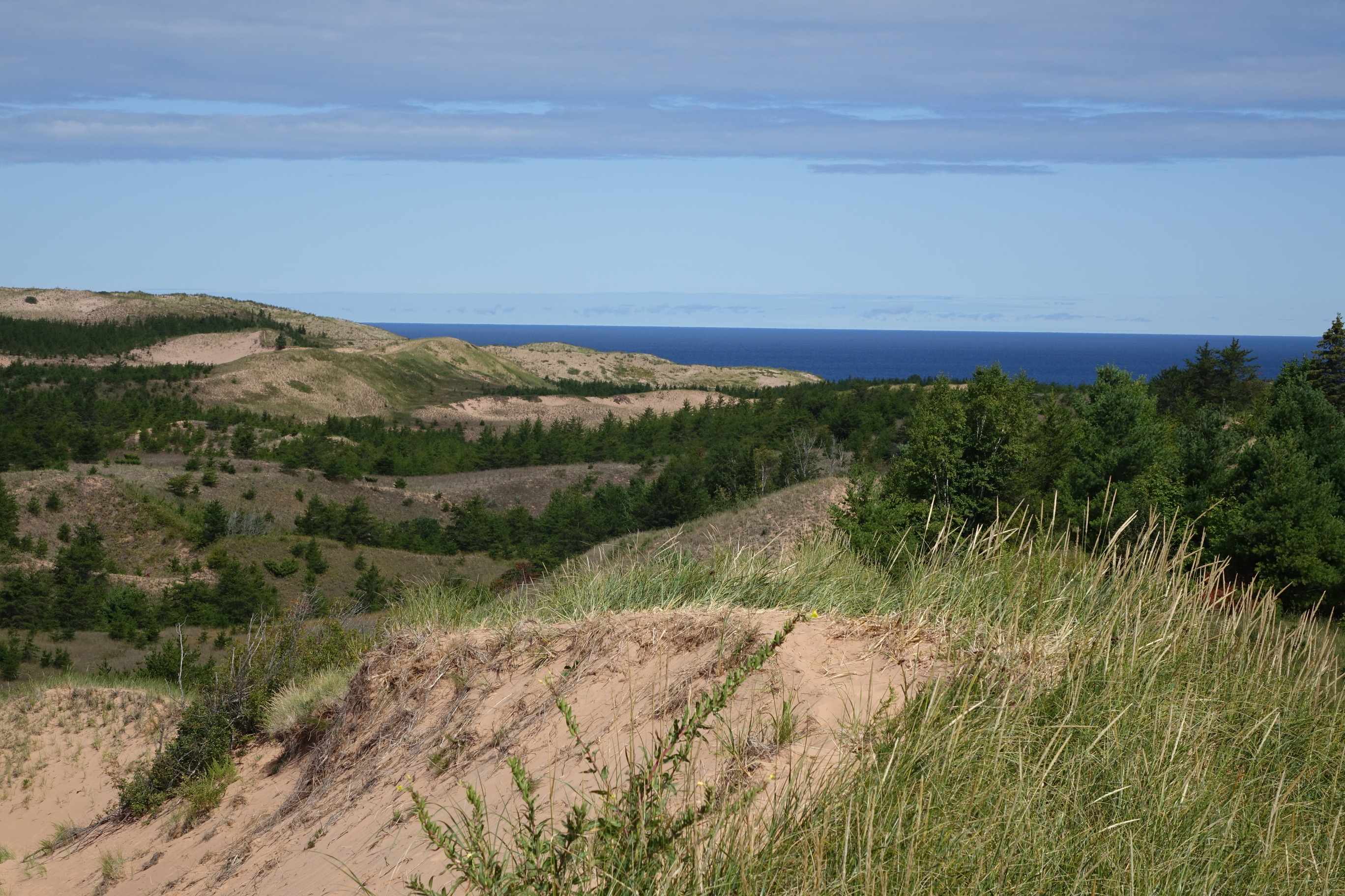
These enormous dunes left by glacial action are located at the eastern end of the park. Access via the 1/3 mile (one-way) Dune Trail beginning at the Sable Falls parking area, one mile west of Grand Marais along Alger County Road H-58. Be prepared to walk partly uphill in soft sand. Another access point with a steeper climb is from the small parking lot at the far eastern end of Grand Sable Lake on H-58.
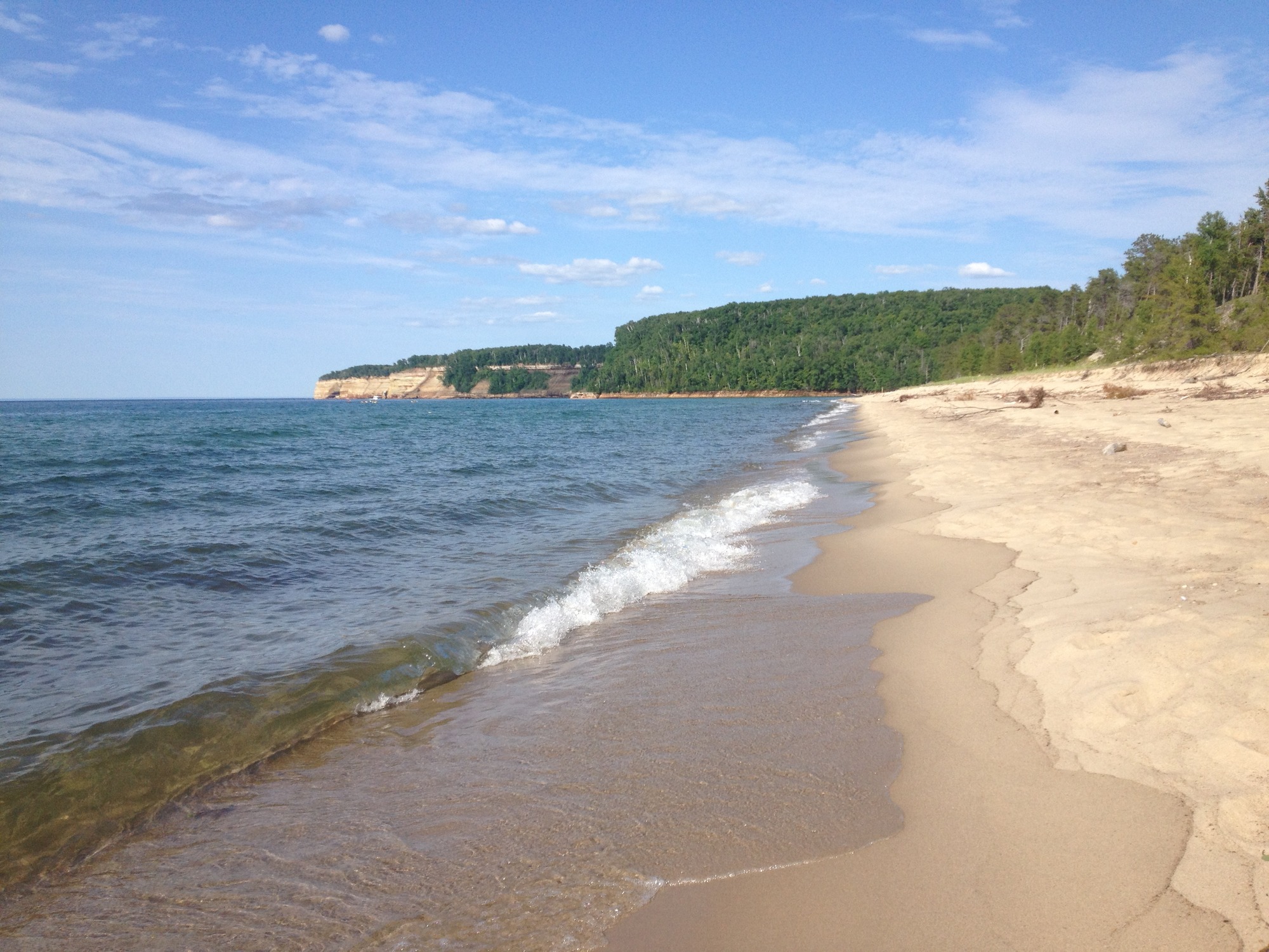
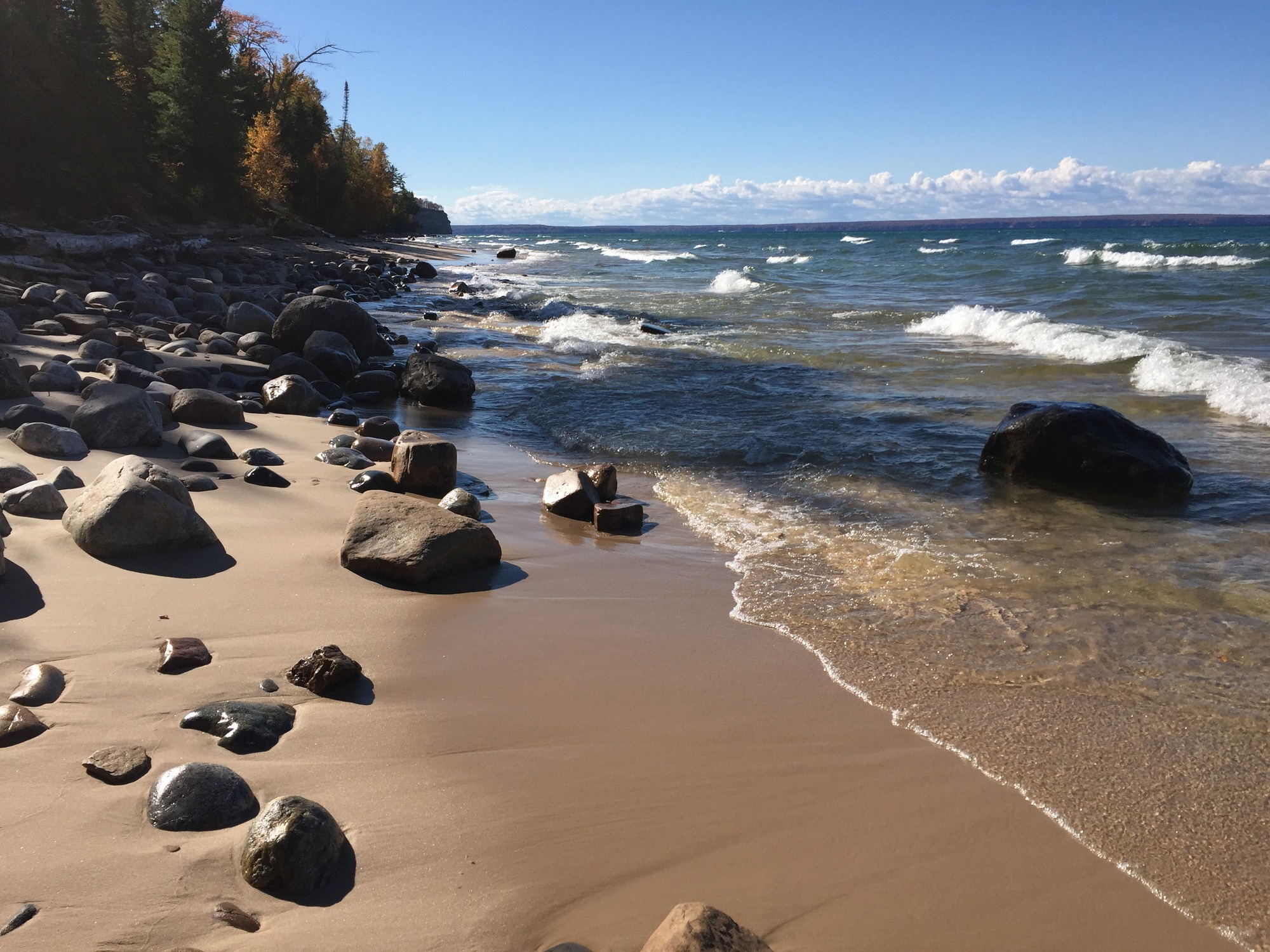
Just past Twelvemile Beach Campground heading east on Alger County Road H-58 is a day-use parking lot with a short staircase to the beach. Stop here for a quick swim and stroll along the shore.
Miners Beach is a beautiful, nearly mile-long stretch of sand and some rocks with the main parking area at the west end (with access to Miners River) and a small parking area at the east end.
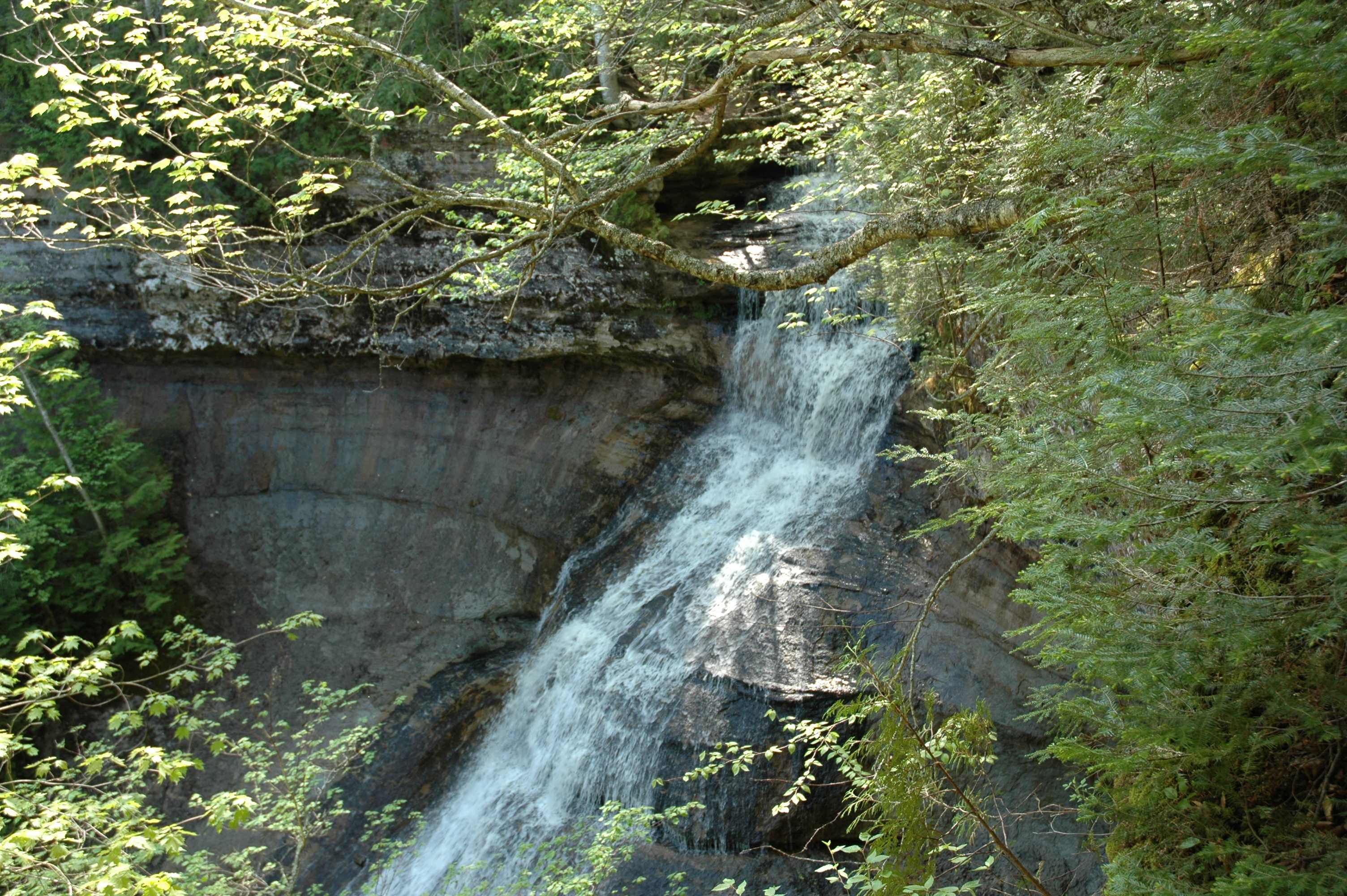
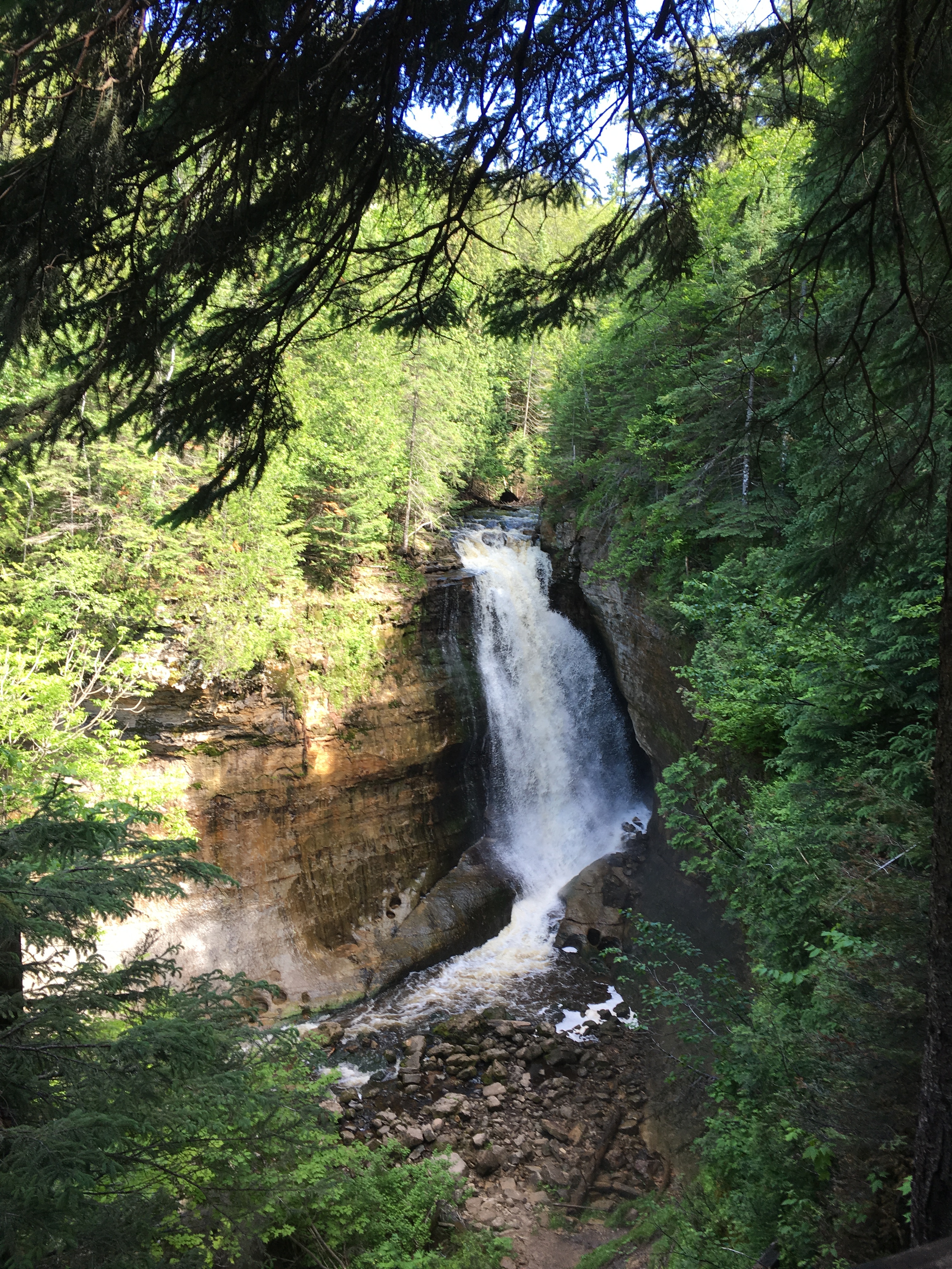
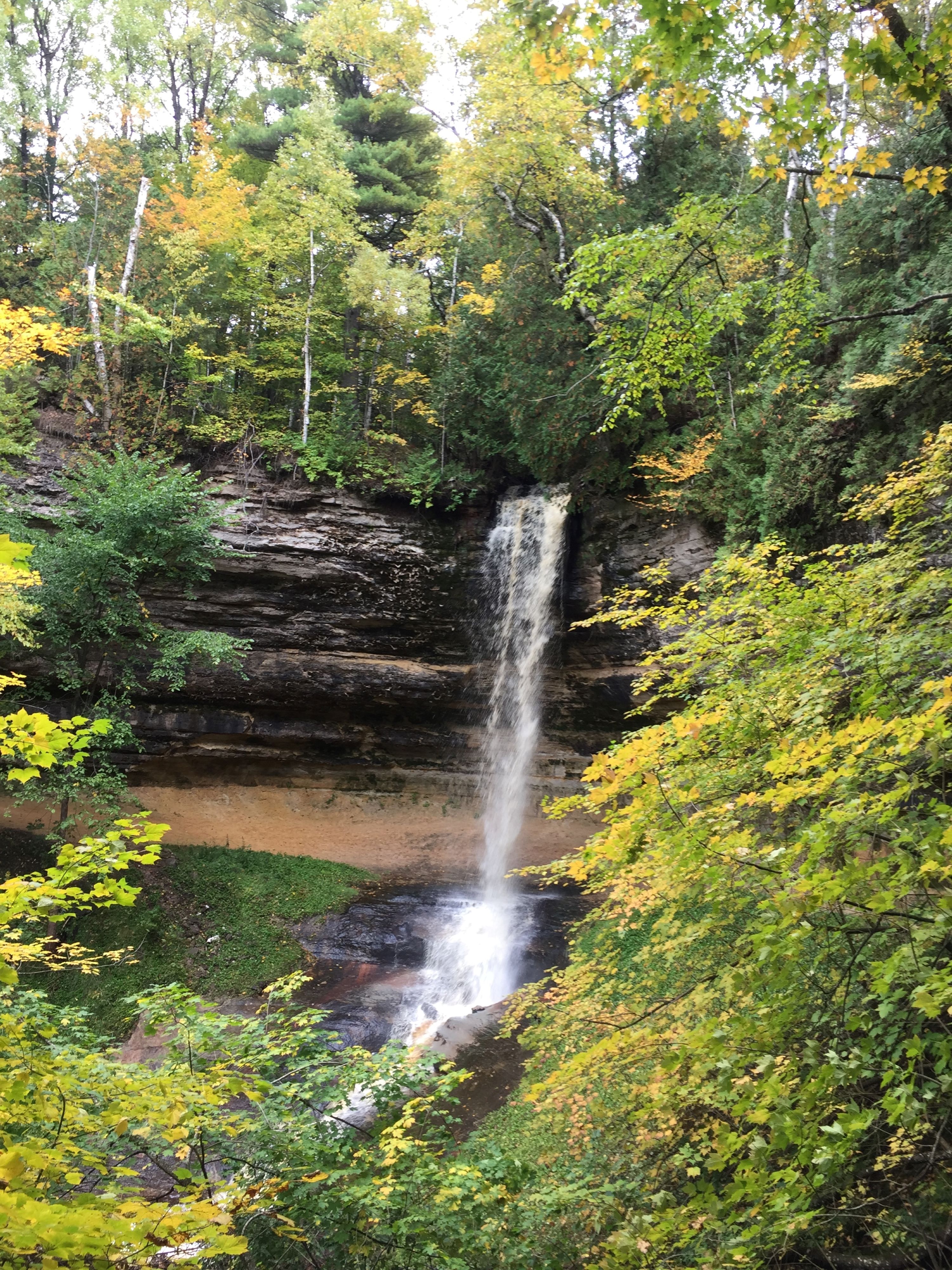
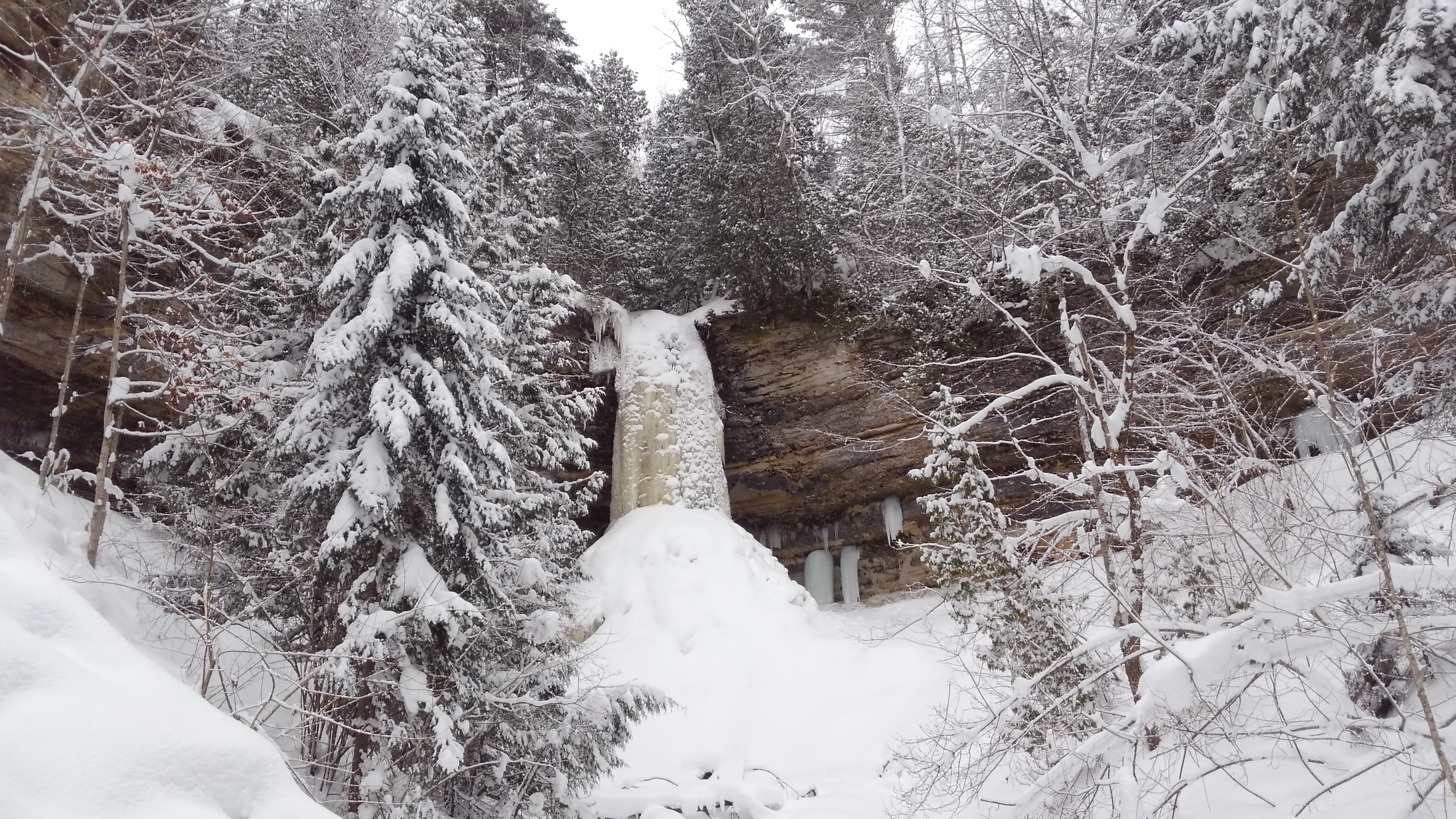
Walk the paved 800-foot trail up a cool shaded canyon along Munising Creek to the main falls viewing platform or climb the steps for a different view. This is a lovely waterfall in all seasons.
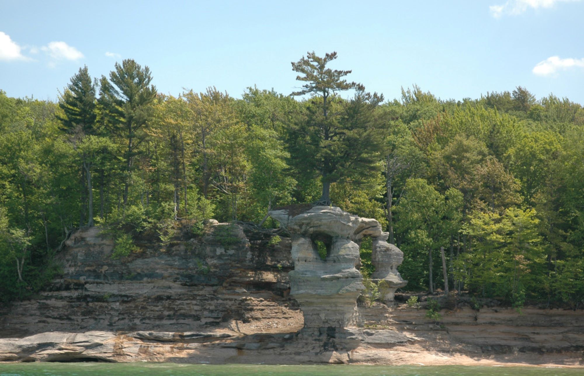
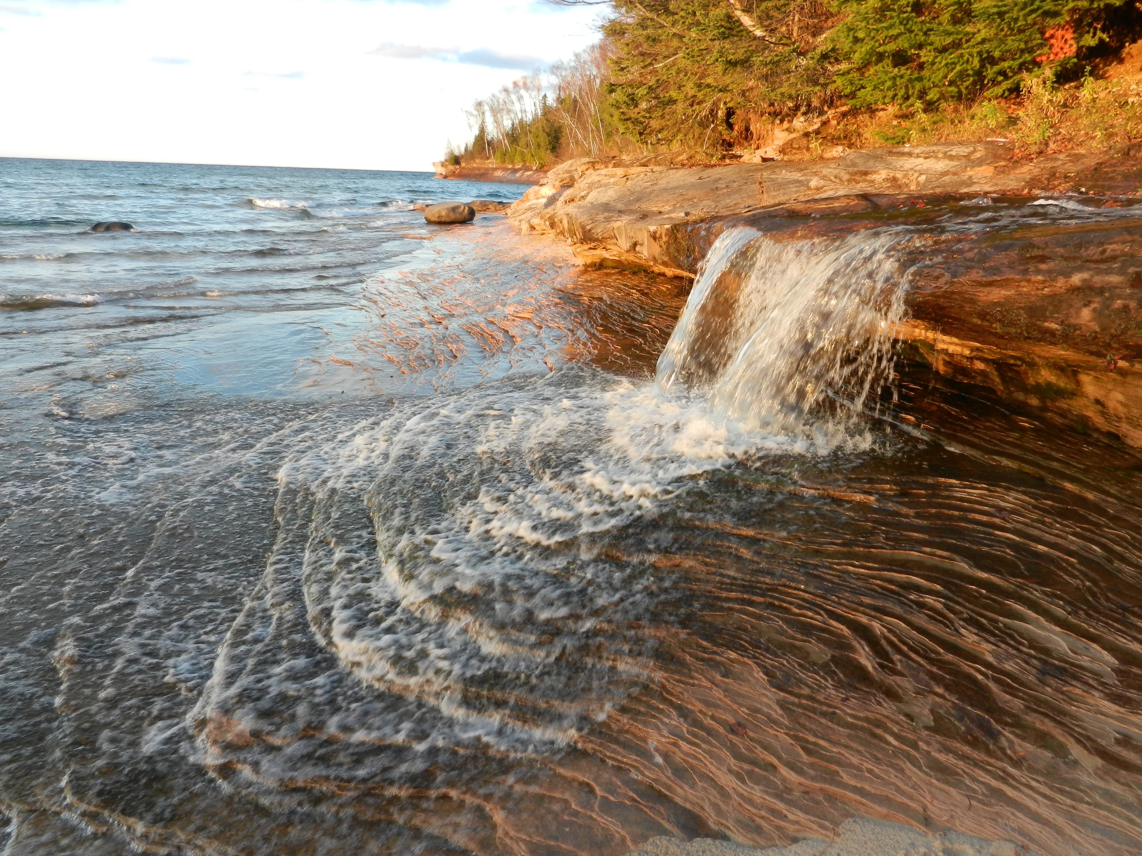
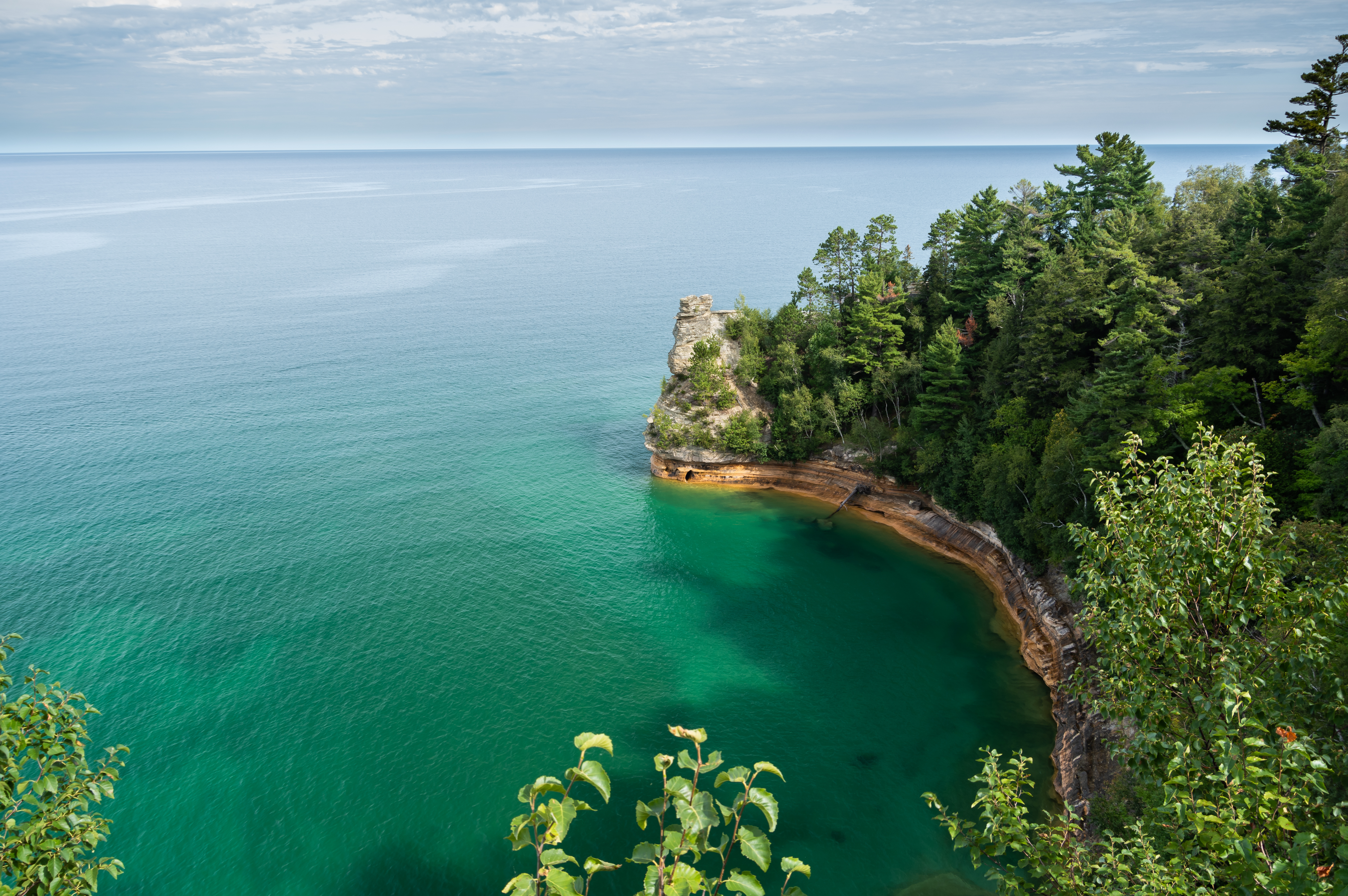
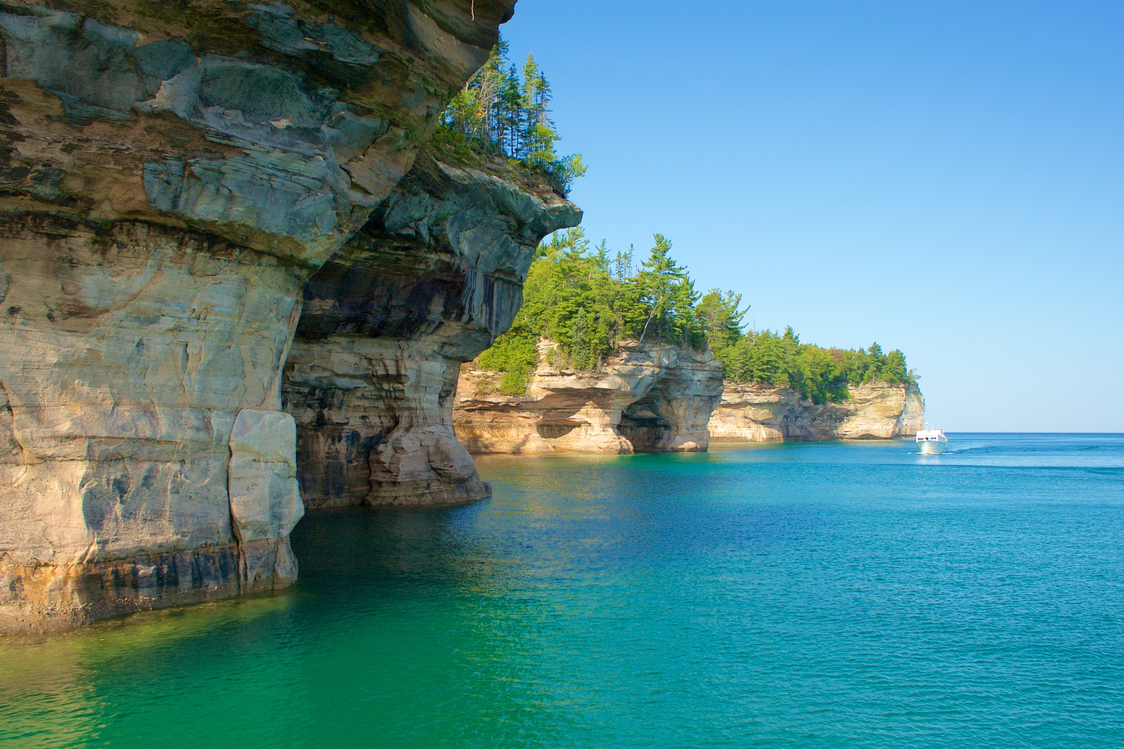
Colorful and bold, the Pictured Rocks cliffs tower 50 to 200 feet above Lake Superior. These sandstone cliffs stretch for about 15 miles along the lake from Sand Point on the west to just after Spray Falls on the east. The most colorful portion of the cliffs begins east of Miners Beach.