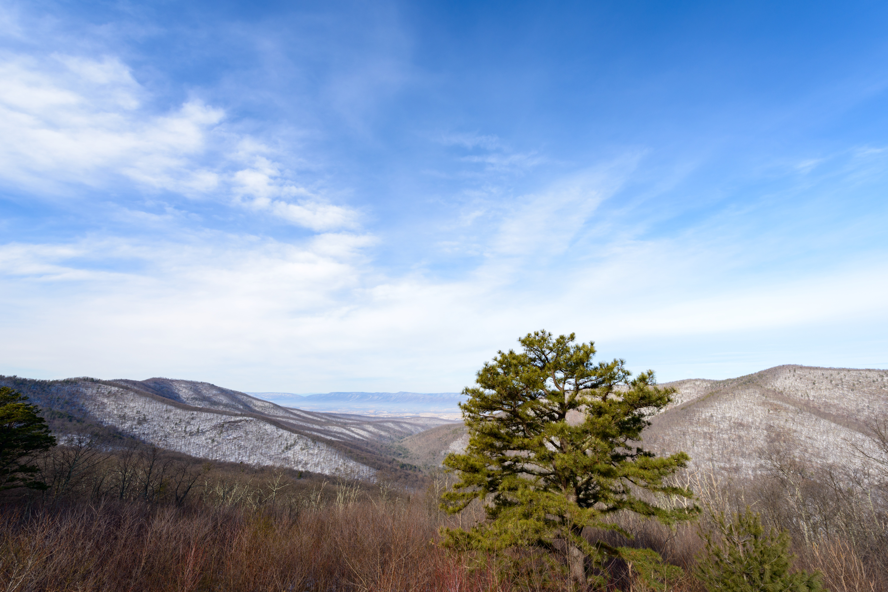
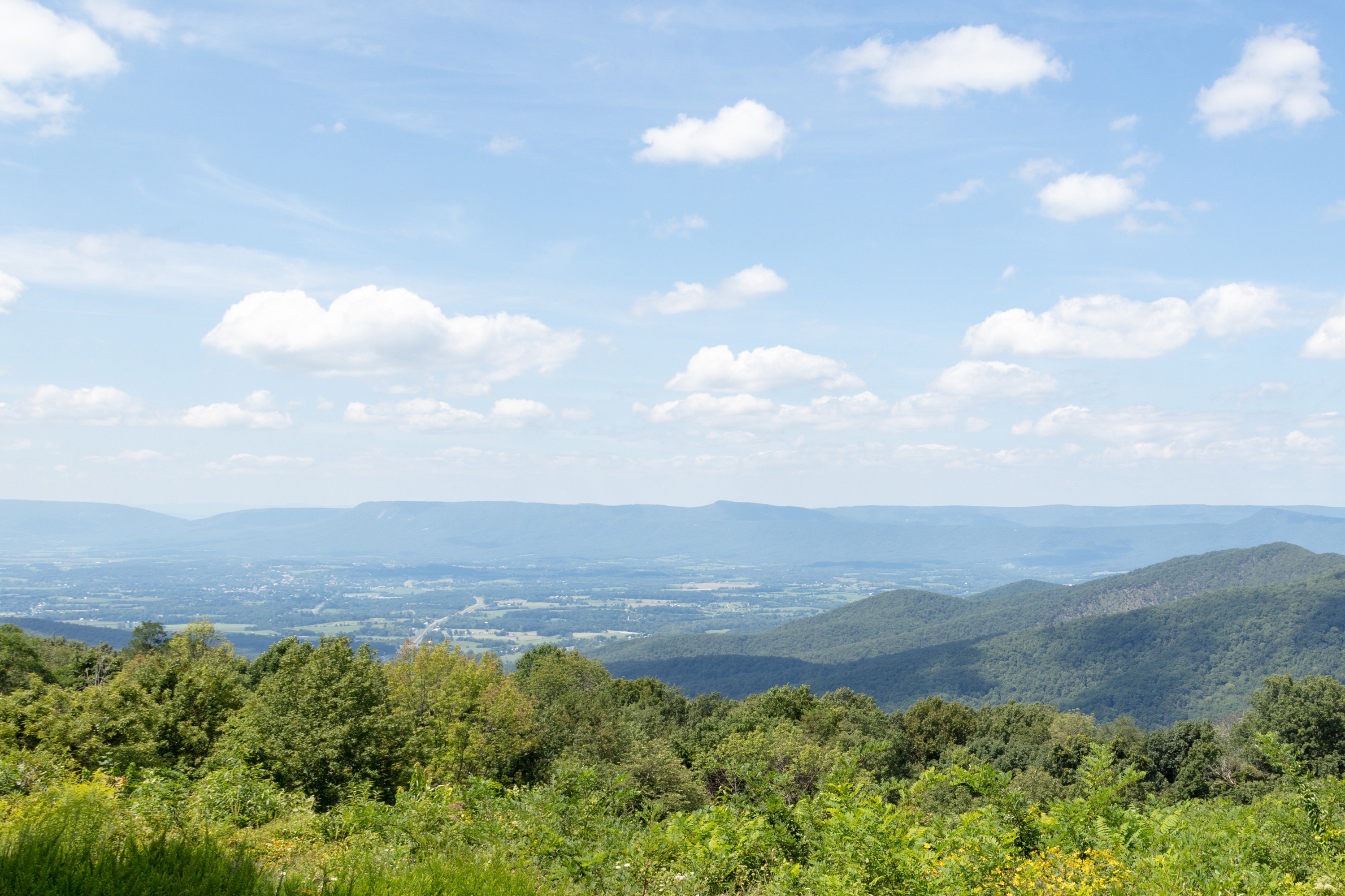
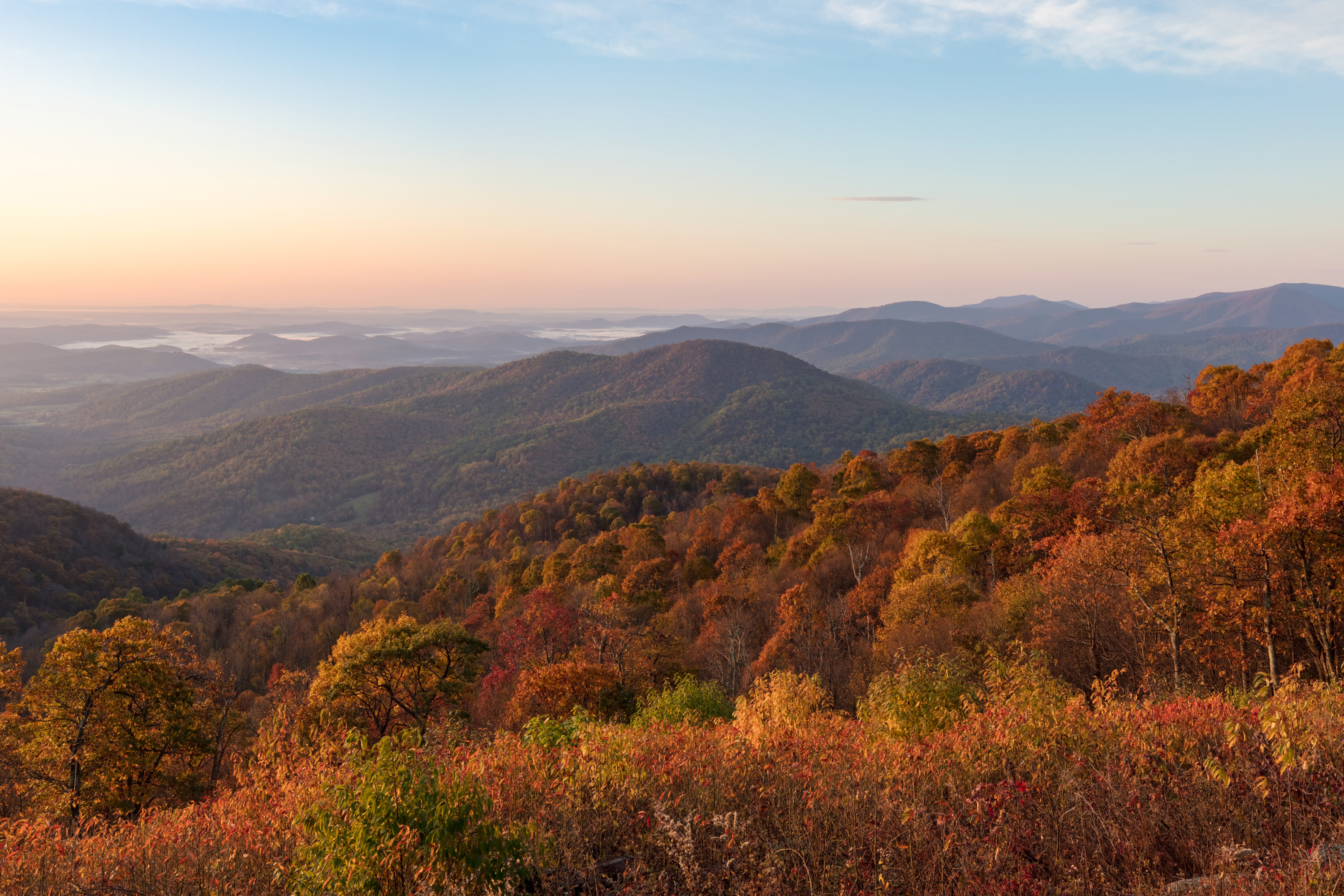
MILE 41.7 | Pets are not allowed on this hike. This enjoyable hike brings you to an outstanding view of the Shenandoah Valley, Massanutten Mountain, and beyond.
1-2 Hours
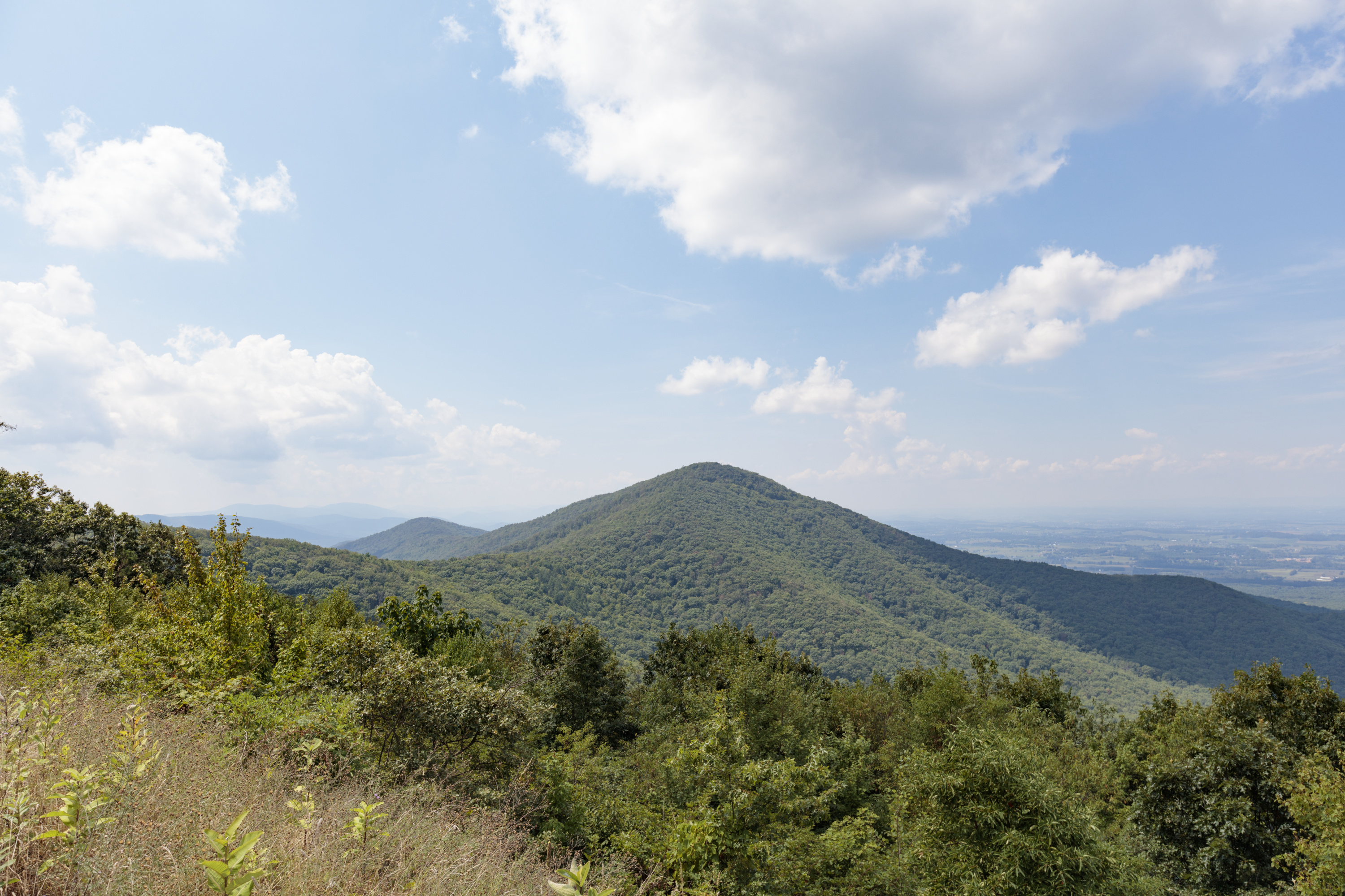
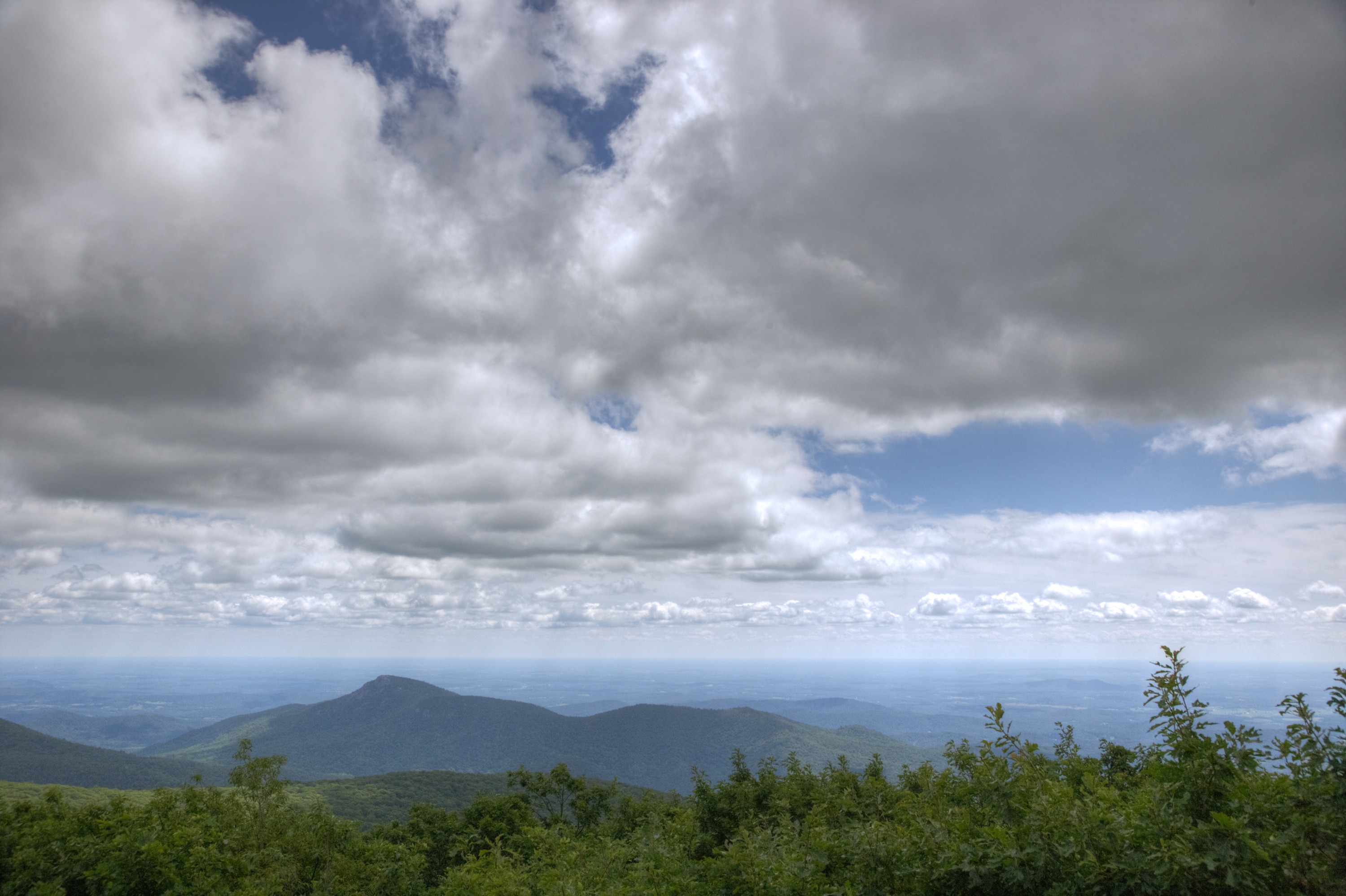
MILE 94.1 | A hike to the 2,981’ summit of Turk Mountain, located in the Shenandoah Wilderness, that provides a wonderful view to the west.
2-3 Hours
MILE 90 or 92.1 | This loop can be hiked from Riprap Parking or Wildcat Ridge Parking. It takes you through the forests of the Shenandoah Wilderness and over several stream crossings, while offering beautiful views of the hollows and valley to the west and north.
8-9 Hours
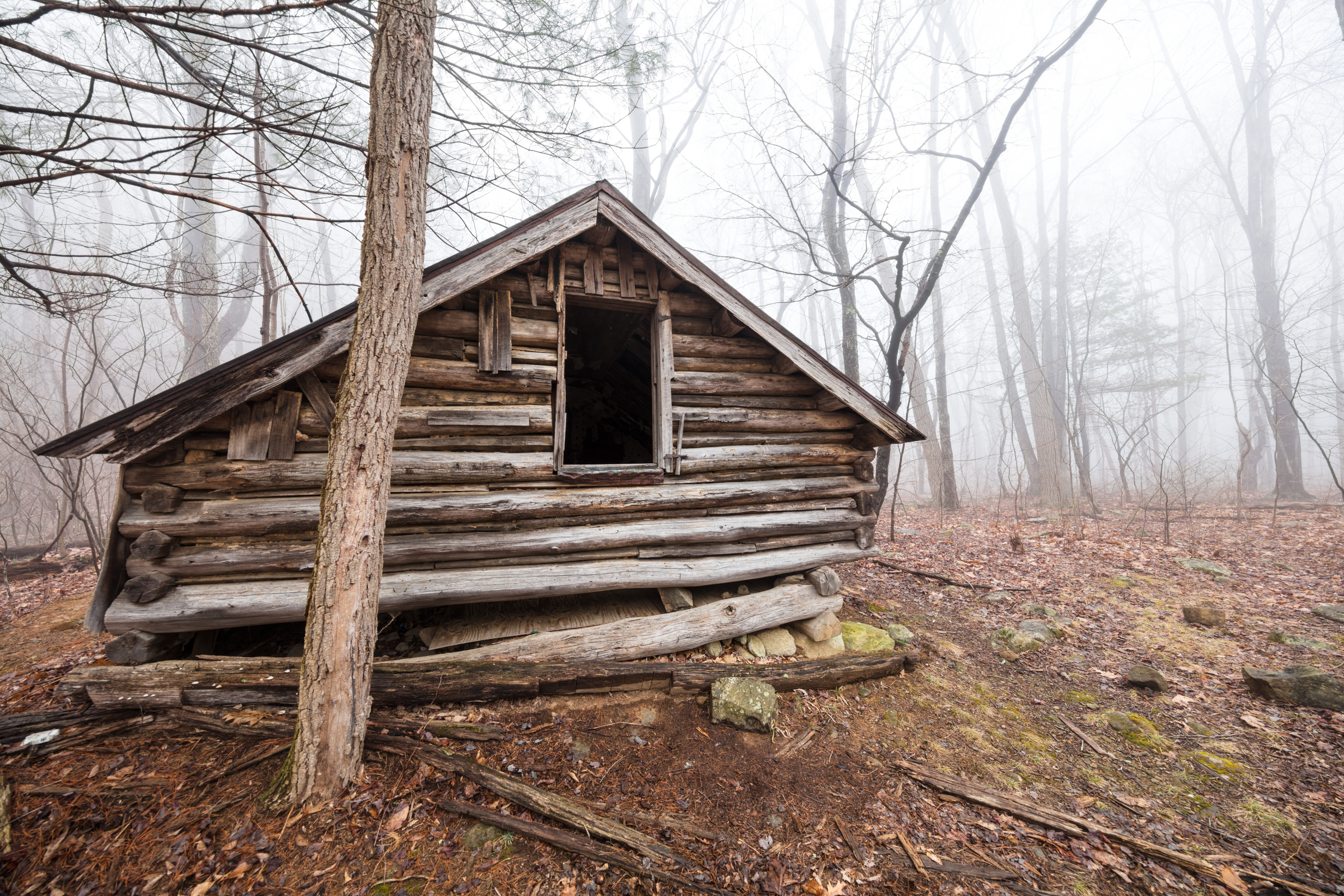
PARK BOUNDARY | An alternate option for visitors with pets who still wish to hike from the Old Rag parking area. This hike takes you through the Shenandoah Wilderness to Corbin Cabin, an old homesite built by a former resident, and features several stream crossings along the way.
6-7 Hours
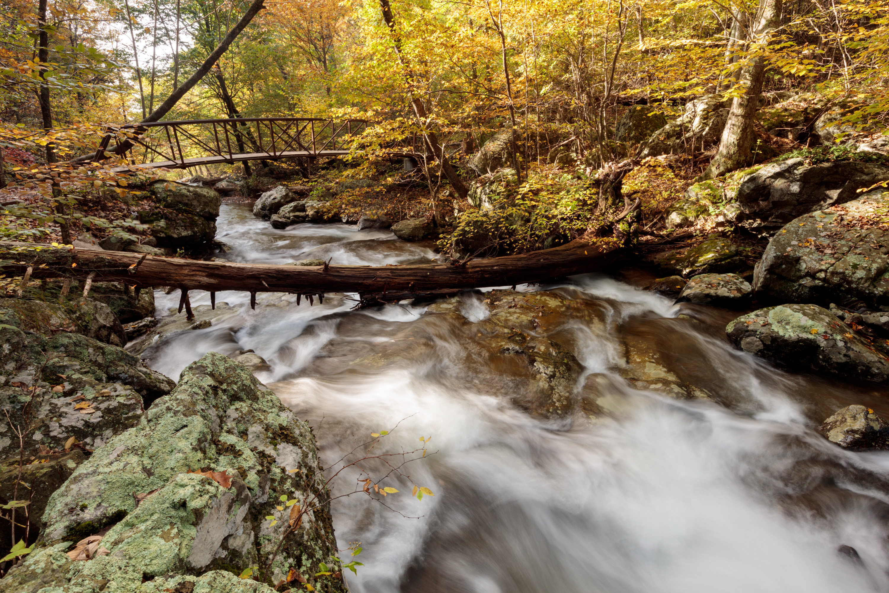
Elkwallow Wayside (mile 24) | This hike goes around a beautiful area of the Park featuring one of the most picturesque streams in Shenandoah. The majority of this hike is in the Shenandoah Wilderness.
7-8 Hours
Meadow Spring Parking Area (mile 33.5) | A trail that leads you into the Shenandoah Wilderness to an exceptional waterfall.
5-6 Hours
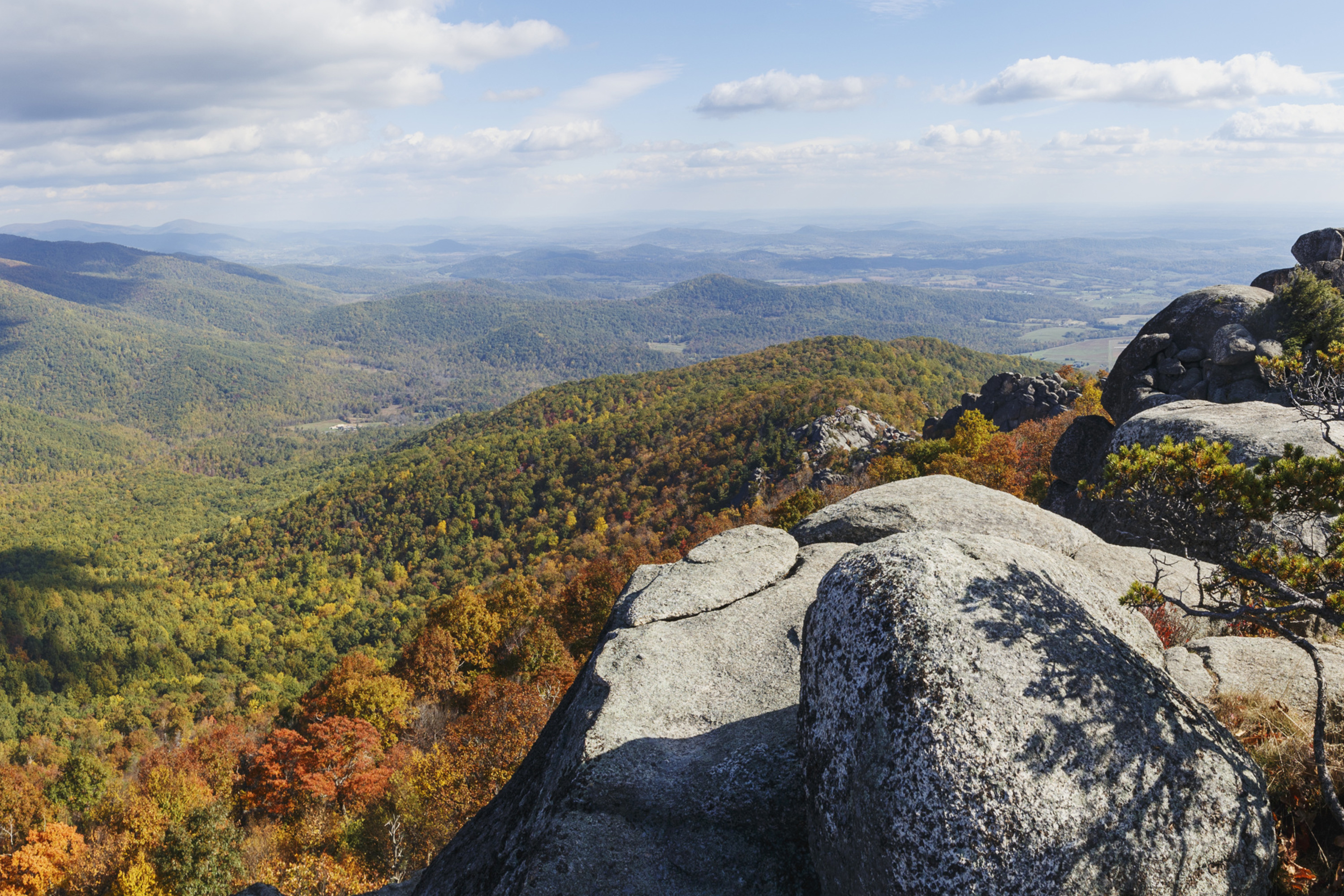
Riprap Parking Area (mile 90) | An out-and-back hike into the Shenandoah Wilderness ending at Chimney Rock, an excellent viewpoint with some very interesting geological features.
2-3 Hours
Hawksbill Gap Parking Area (mile 45.6) | This hike is very challenging, although those who do it are rewarded with exceptional cascades and waterfalls. You will also hike through the Shenandoah Wilderness along the Cedar Run Trail.
6-7 Hours
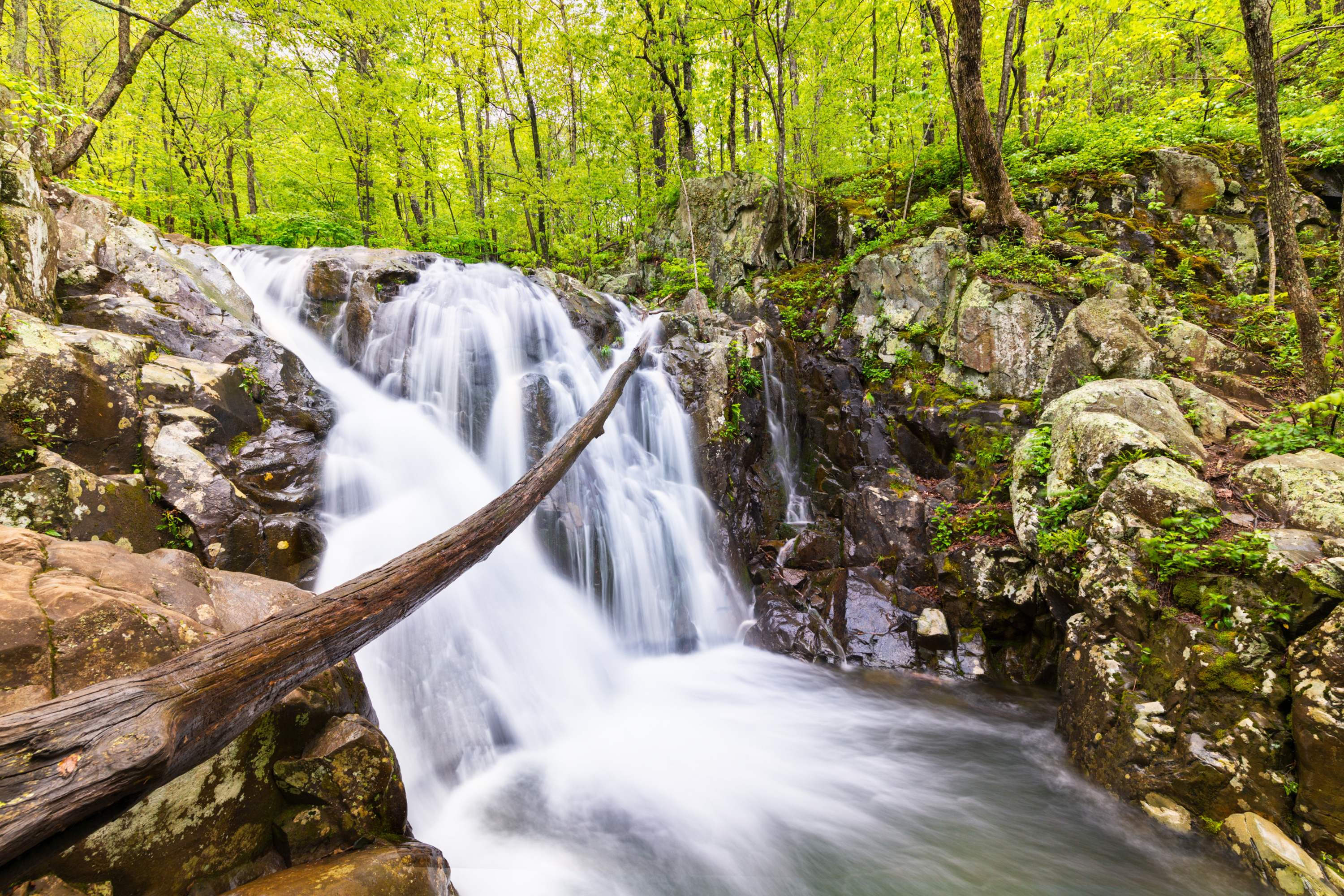
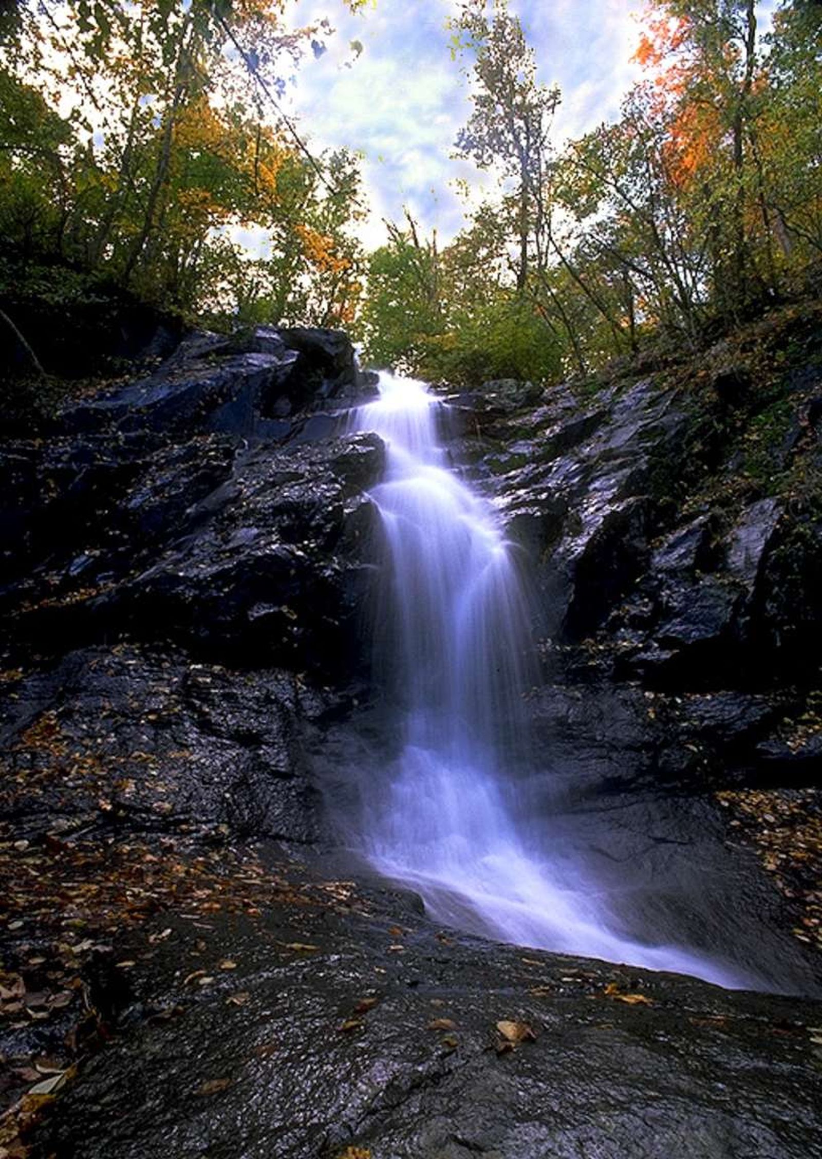
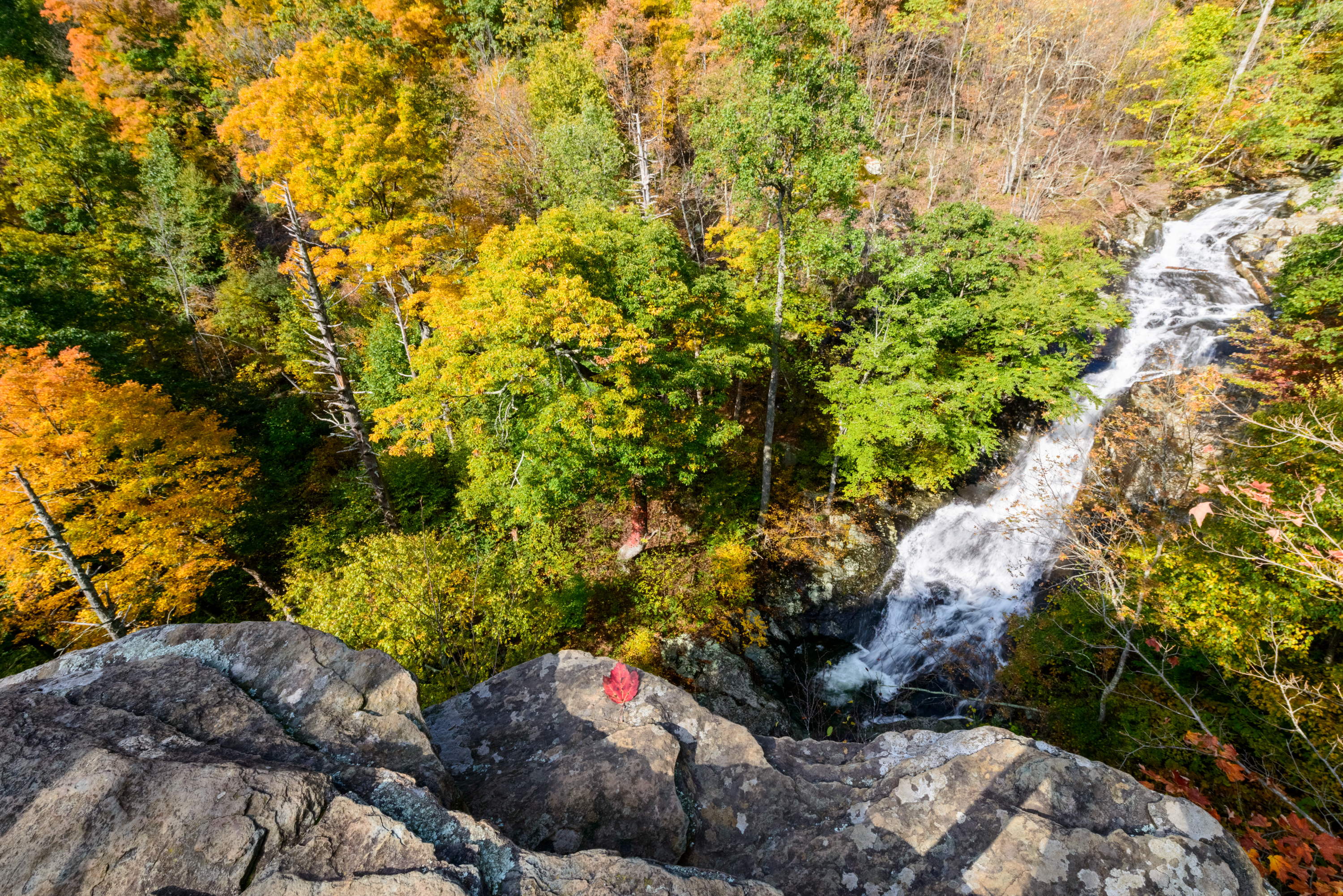
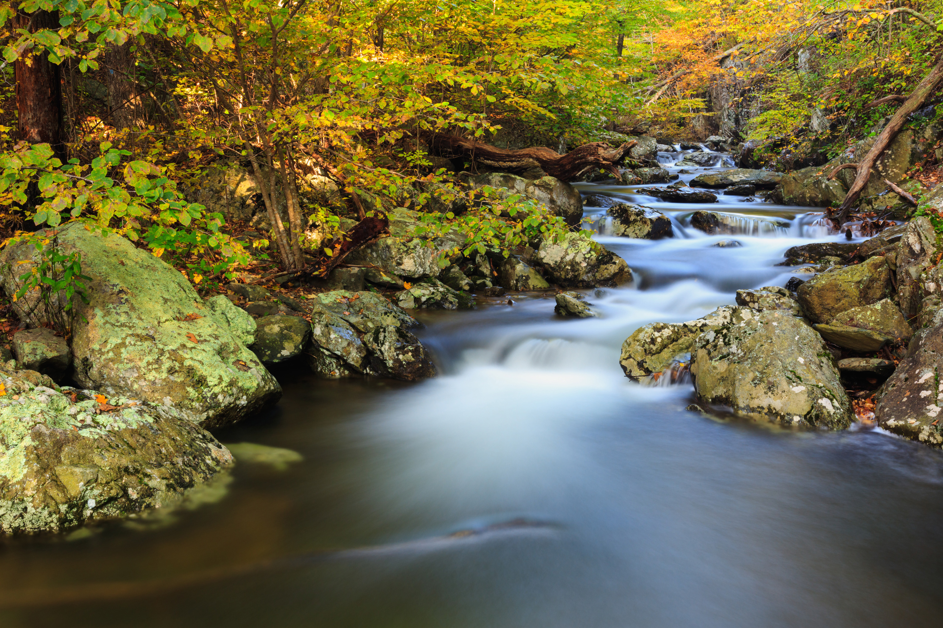
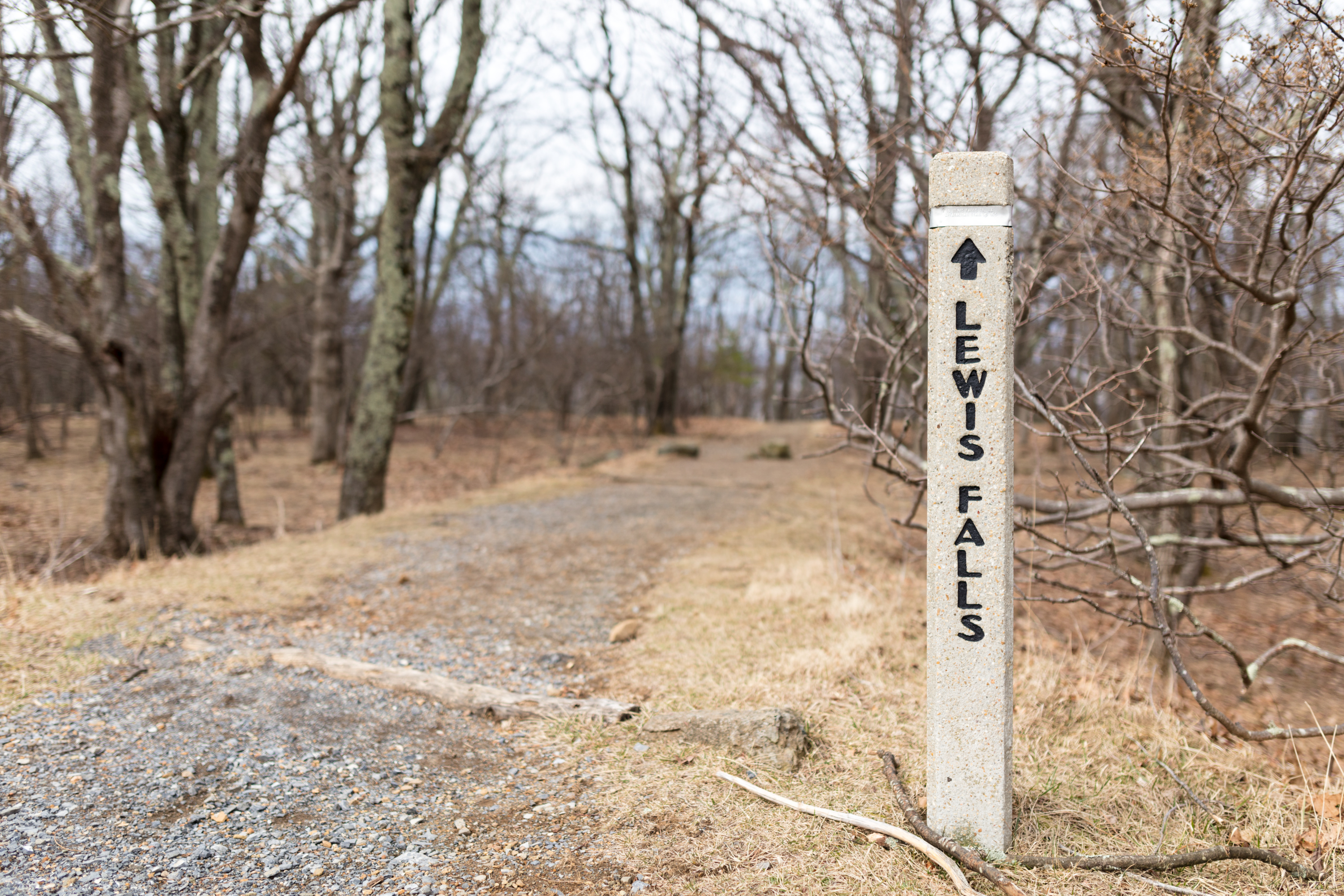
MILE 49.4 | A hike to a dazzling 67' waterfall. For most of this hike, you’ll be on a beautiful trail in the Shenandoah Wilderness.
4-5 Hours
MILE 22.2 | A hike into federally designated Wilderness to a view of the highest waterfall in the Park at 93 feet. Unless rain is plentiful, Overall Run Falls may have minimal to no water flow.
4-5 Hours

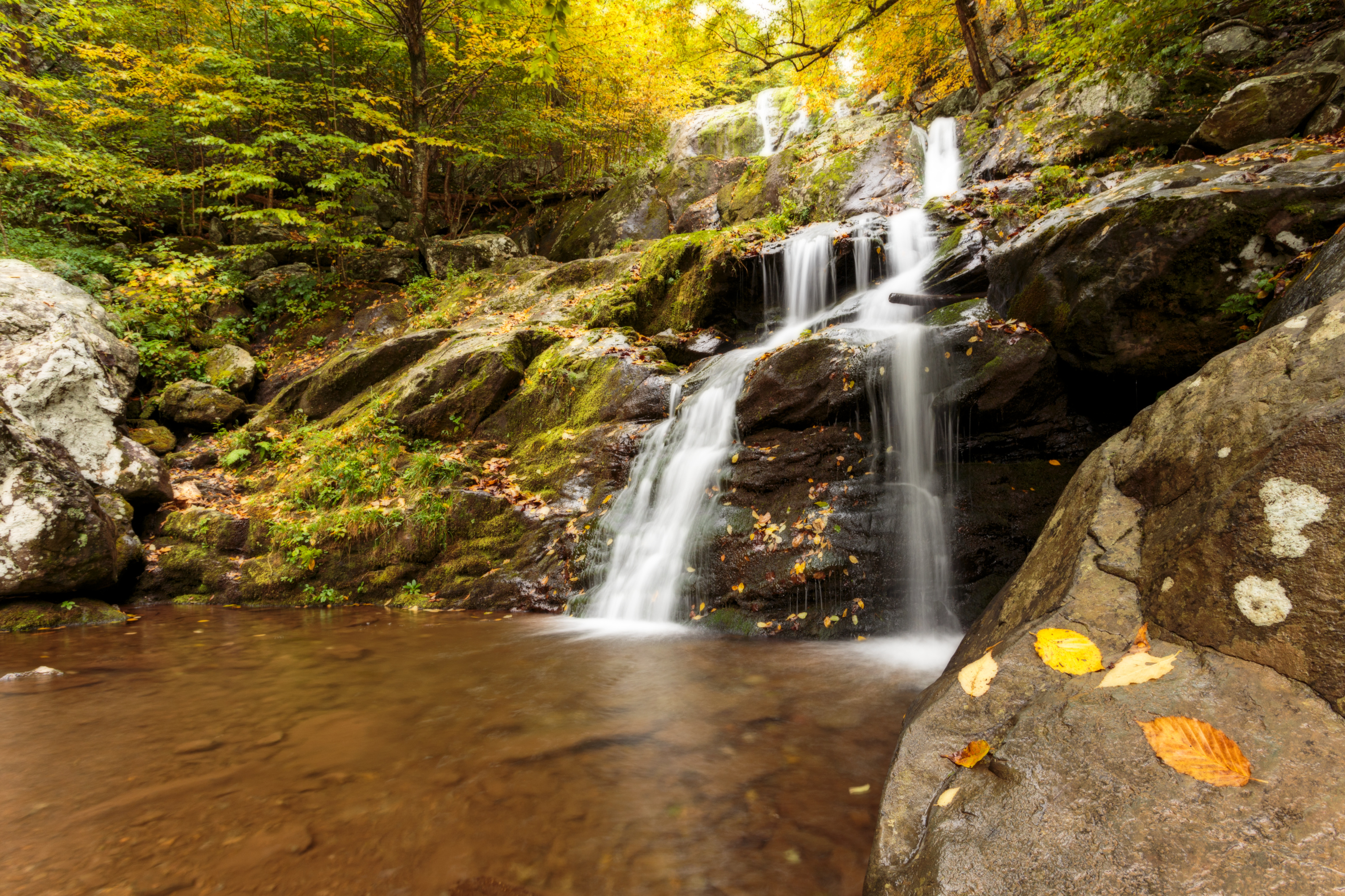
Doyles River Parking Area (mile 81.1) | This beautiful trek takes you along cool, clear mountain streams to two unique waterfalls.
2-3 Hours
Browns Gap Parking Area (mile 83) | This circuit hike leads you to Upper and Lower Doyles River Falls, as well as Jones Run Falls.
7-8 Hours
MILE 33.5 | This alternate route to Marys Rock Summit offers an easier and shorter trek to the same incredible westward views of the Shenandoah Valley. Along the way, hikers will pass by the remnants of the former Meadow Spring Shelter as well as beautiful azalea blooms in season.
2-3 Hours
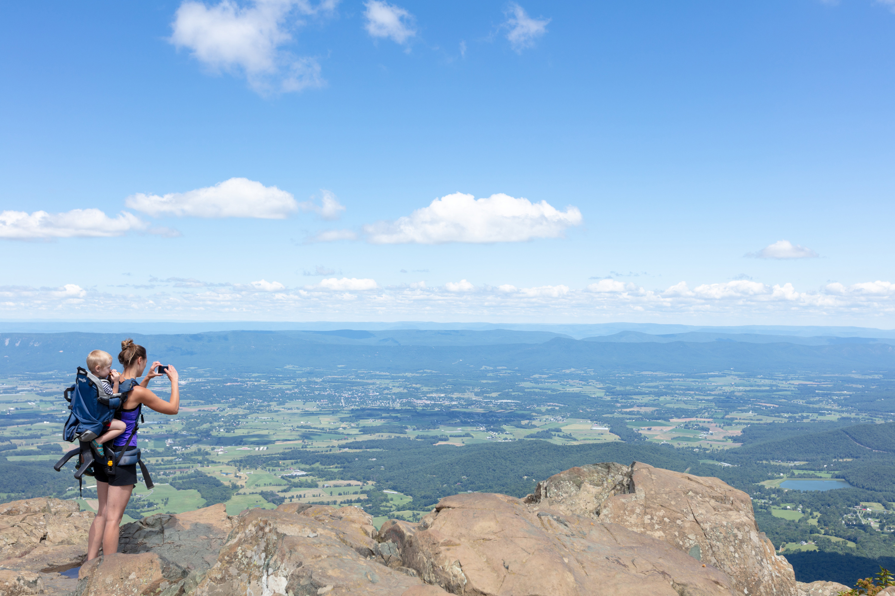
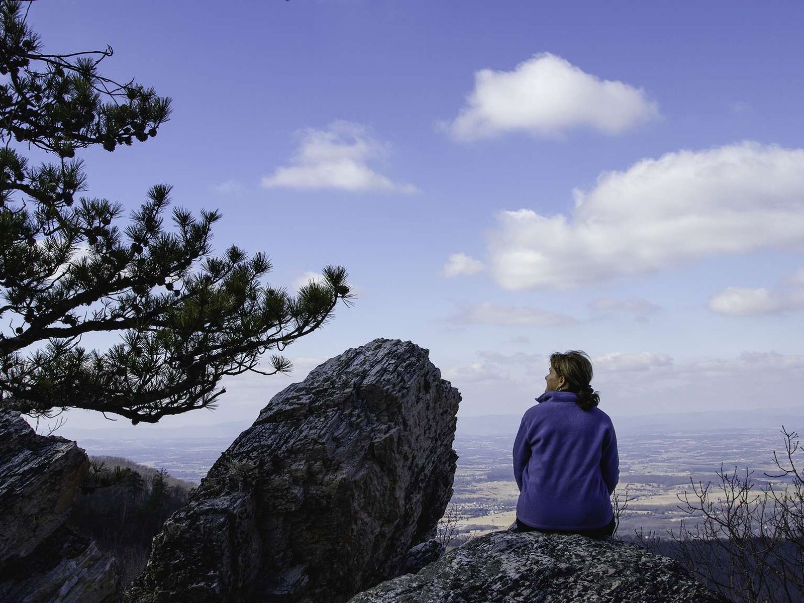
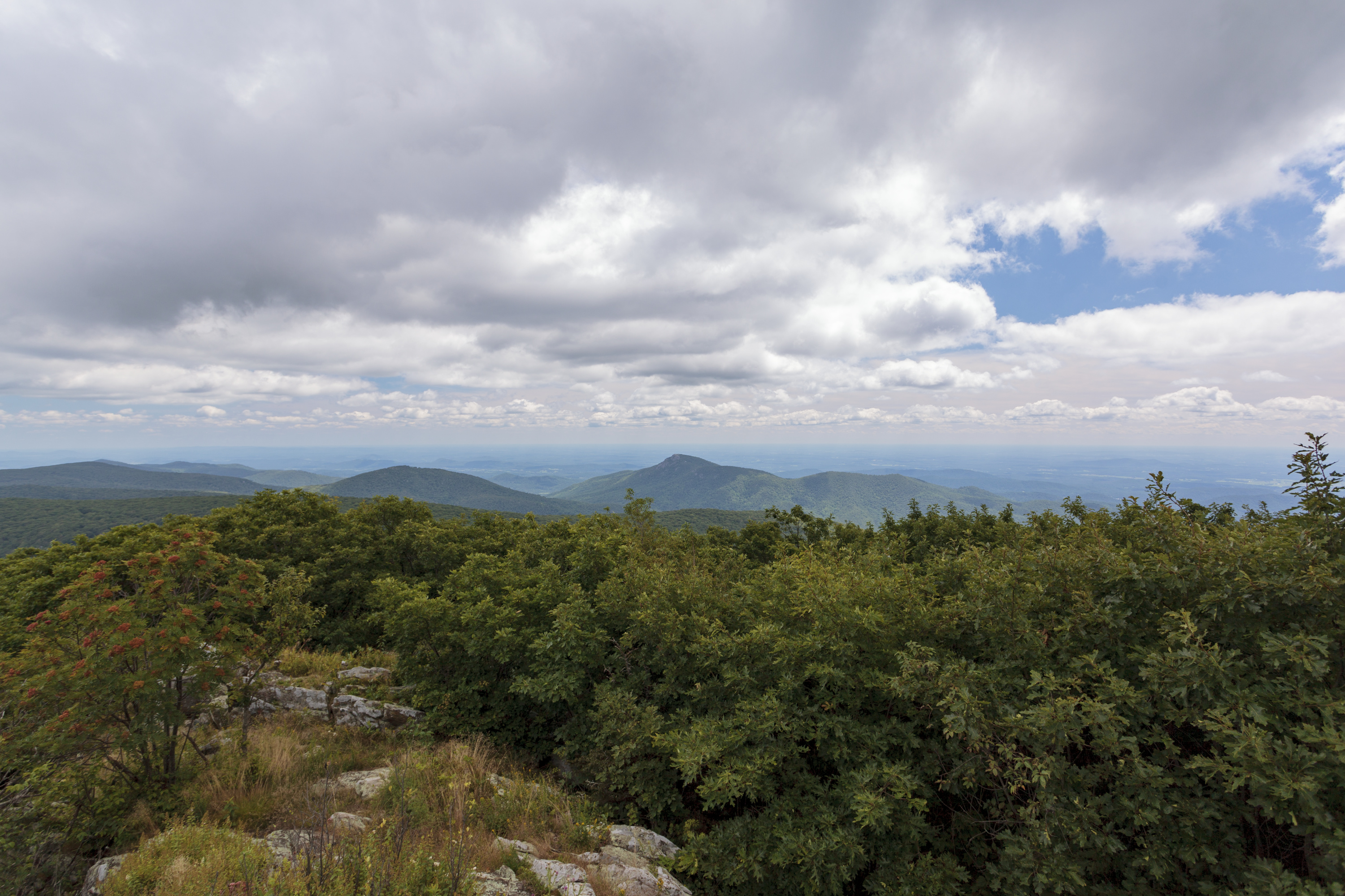
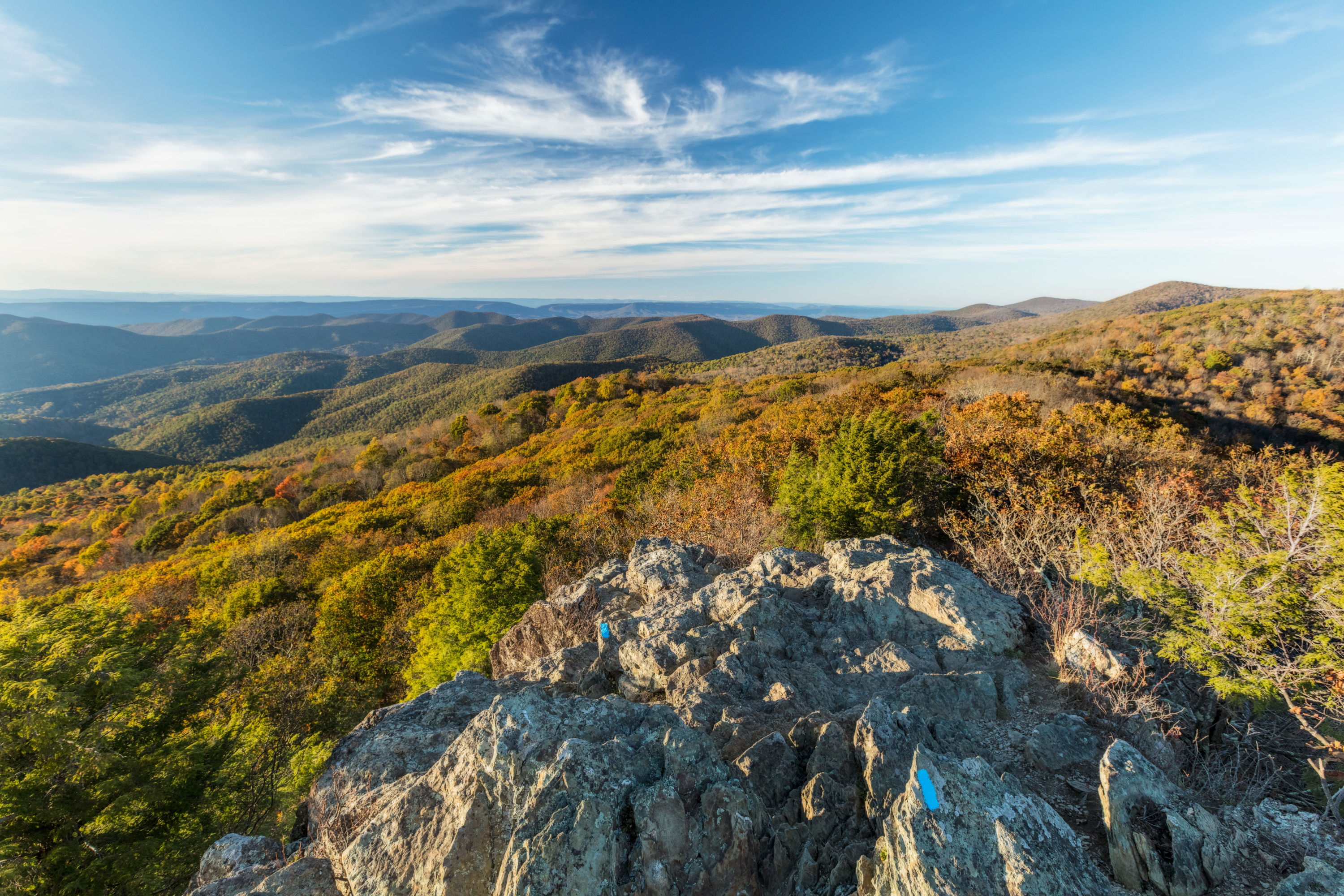
MILE 31.6 | Many legends surround the name of this hike, but there is no denying the beautiful westward views that it provides of the Shenandoah Valley and Massanutten Mountain.
3-4 Hours
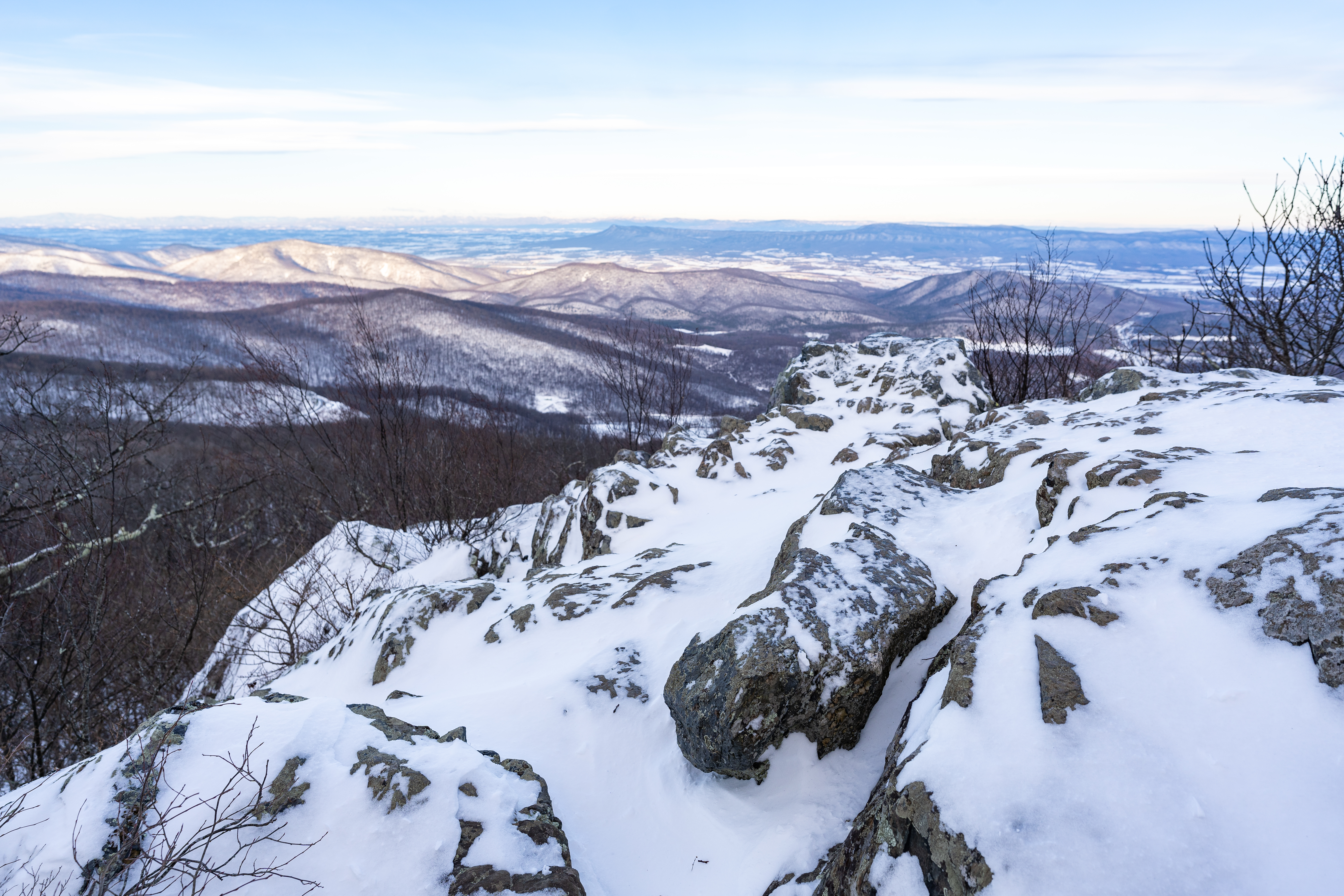
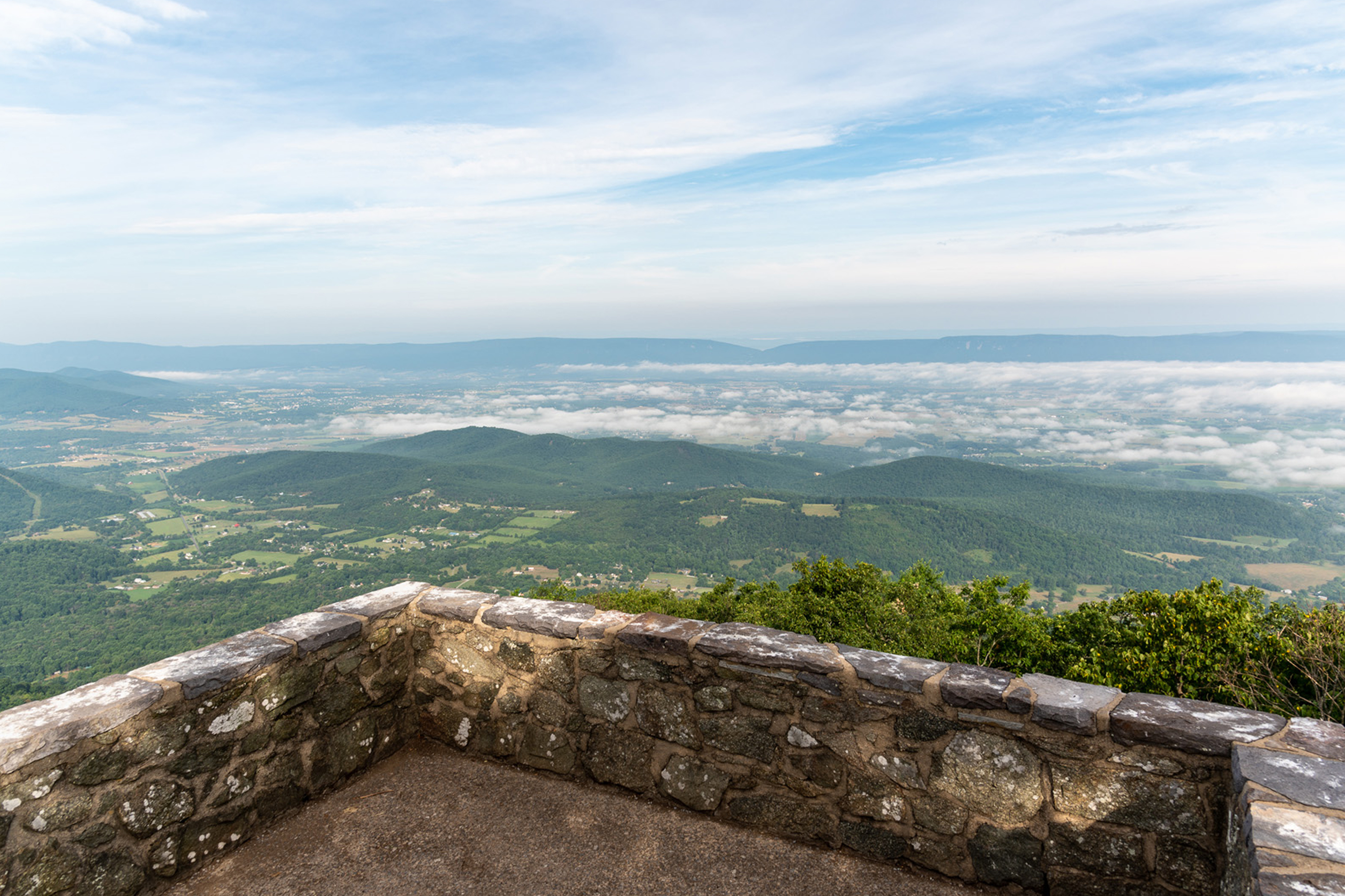
MILE 46.5 | A hike to the top of Shenandoah’s highest peak, offering 360-degree views of the Shenandoah Valley, the Blue Ridge Mountains, and the Virginia Piedmont.
1-2 Hours

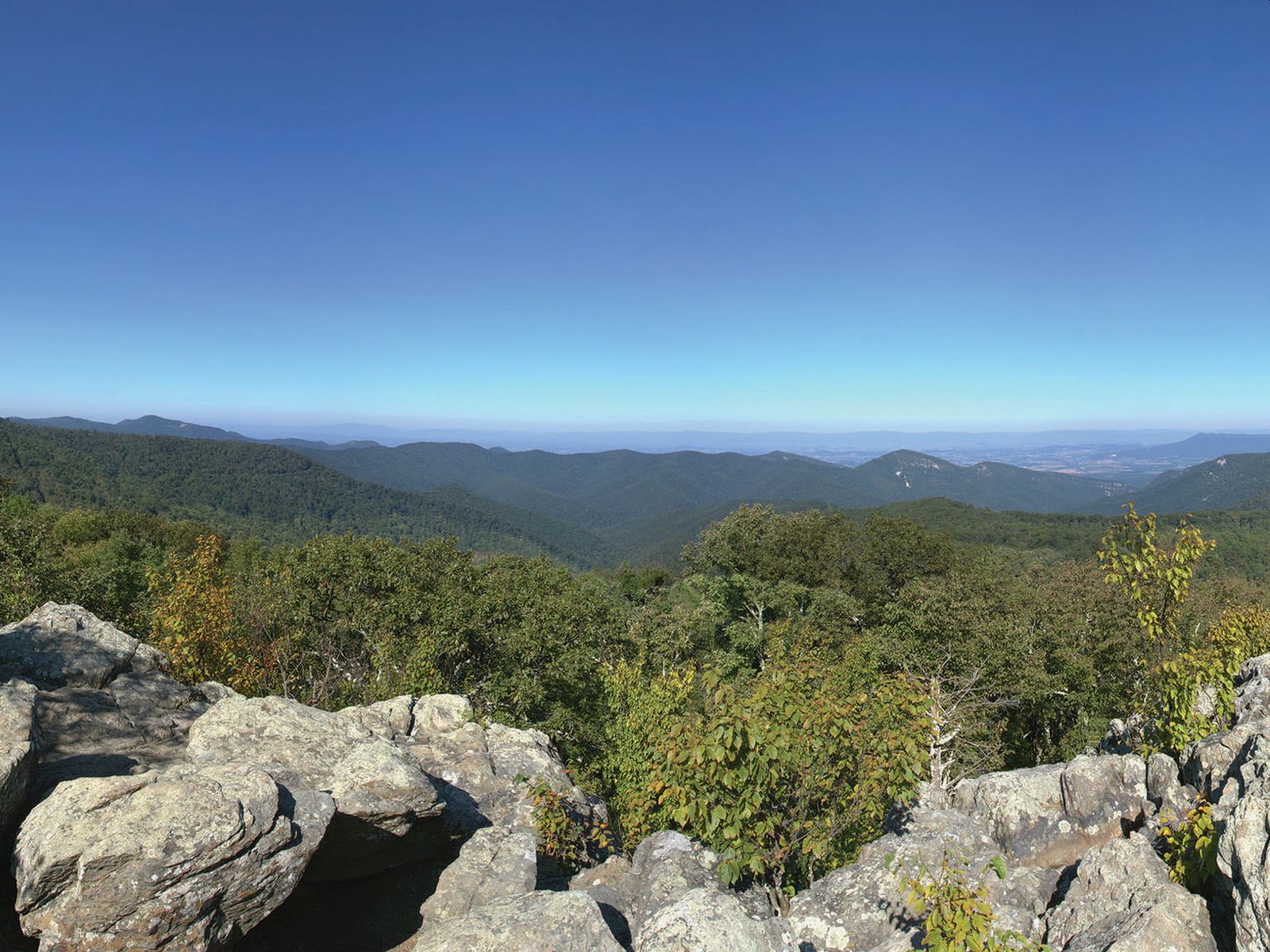
Hawksbill Gap Parking Area (mile 45.5) | A shorter, yet steeper route to Shenandoah’s highest peak. The viewing platform on top of Hawksbill offers a magnificent 360-degree panoramic view of the Shenandoah Valley, the Blue Ridge Mountains, and the Virginia Piedmont.
1-2 Hours
Hawksbill Gap Parking Area (mile 45.5) | A circuit hike to Shenandoah’s highest peak. The viewing platform on top of Hawksbill offers a magnificent 360-degree view of the Shenandoah Valley, the Blue Ridge Mountains, and the Virginia Piedmont.
2-3 Hours
Berry Hollow Parking Area (Park Boundary) | Visitors must obtain an Old Rag day-use ticket in advance of this hike. Pets are not allowed. Old Rag is a popular, strenuous hike with sweeping views. This route starts from the Berry Hollow parking area and allows you to get to the summit without having to navigate the rock scramble.
6-7 Hours
PARK BOUNDARY | Visitors must obtain an Old Rag day-use ticket in advance of this hike. Pets are not allowed. Old Rag is a popular, very strenuous hike with sweeping views and several scrambles across large rocks. This route starts from the Old Rag parking area on the boundary of the Park.
7-8 Hours
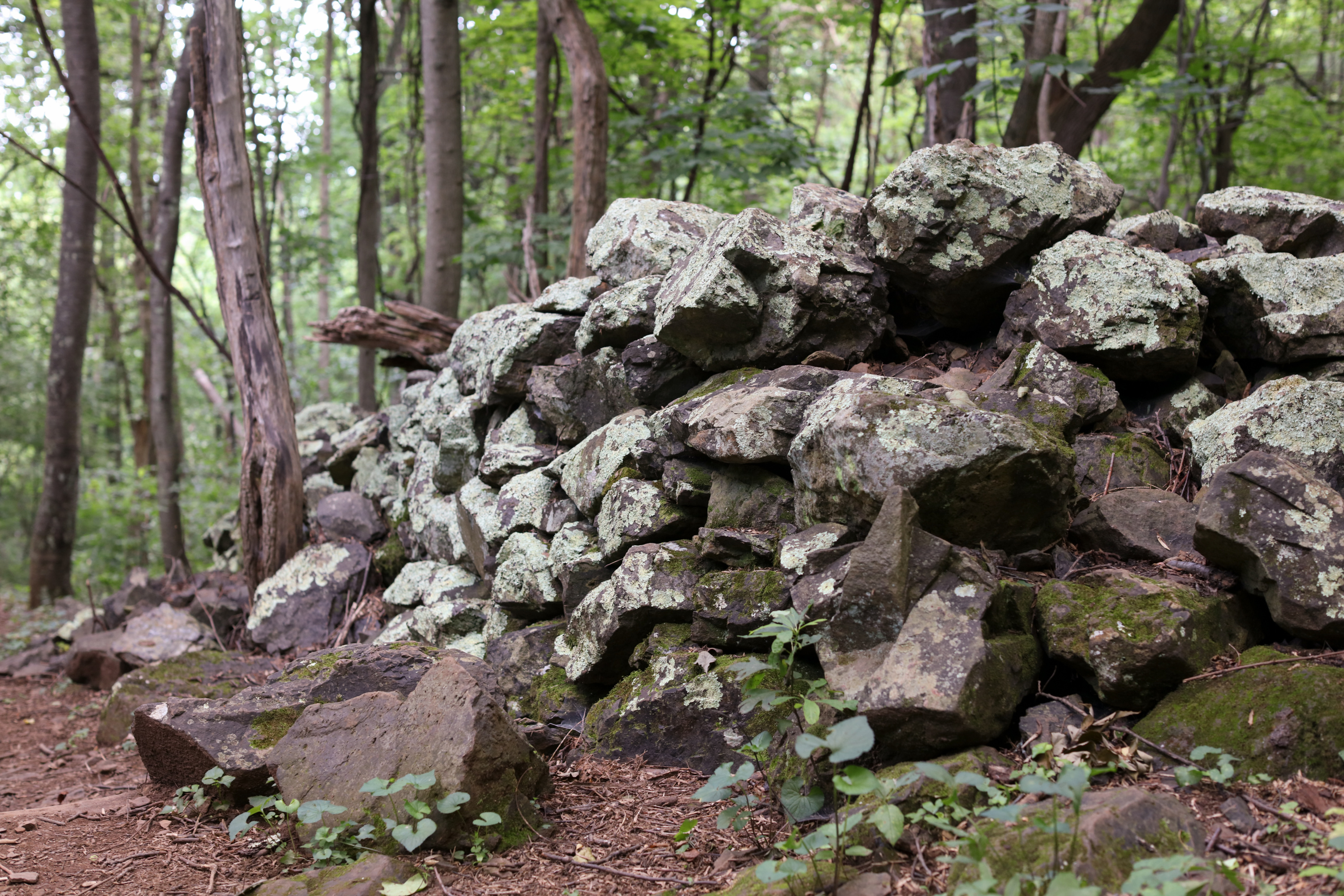
Dickey Ridge Visitor Center (Mile 4.6) | Pets are not allowed on this hike. Discover the cultural history of Shenandoah National Park as you pass by historic rock walls, a cemetery, and periwinkles planted by former residents. This hike is also a designated TRACK Trail, featuring a self-guided brochure designed for kids.
1 Hour
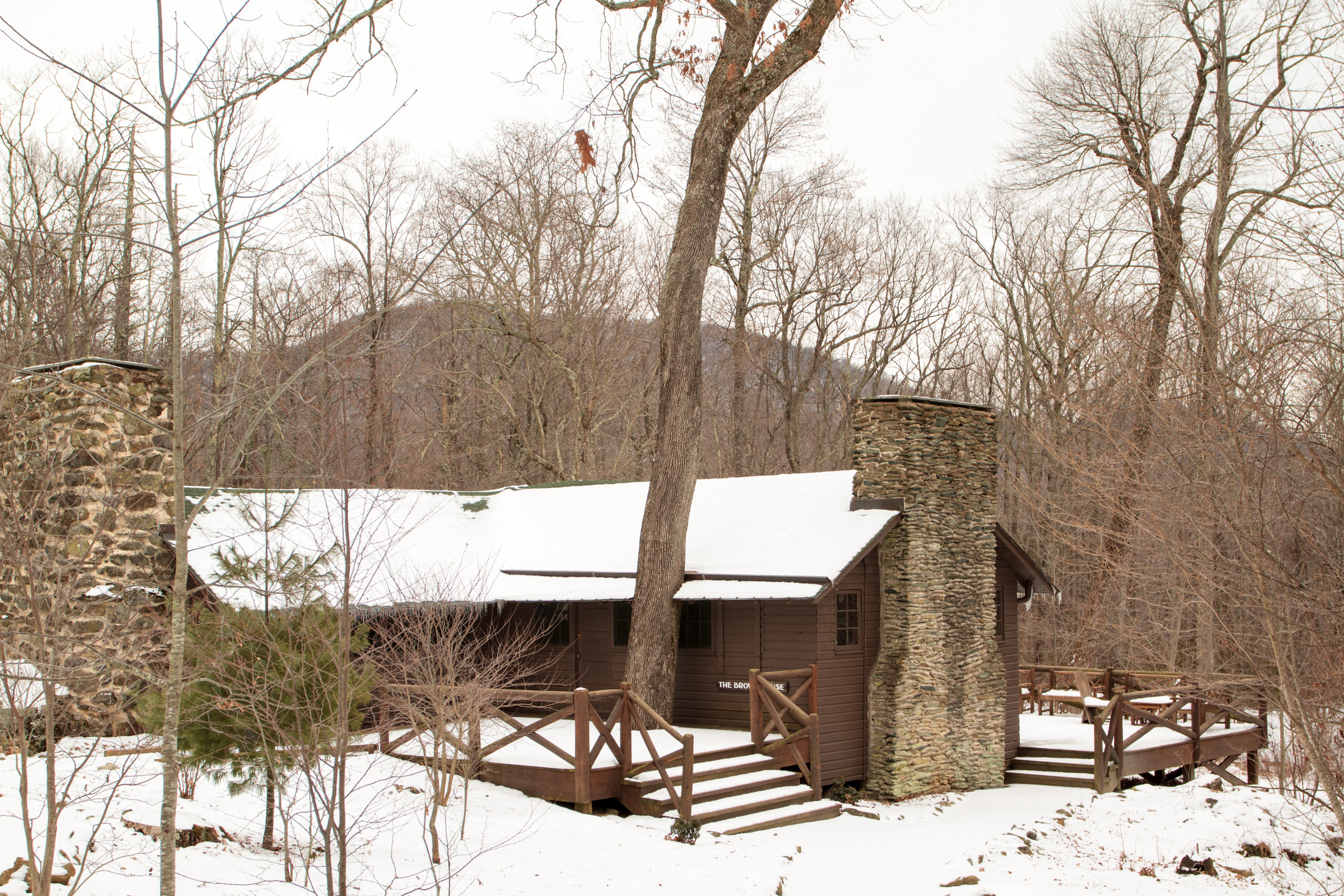
MILE 52.8 | A circuit hike to Camp Rapidan, the rustic getaway of President Herbert Hoover and First Lady Lou Henry Hoover. Today, this restful spot features exhibits on the First Couple and their perspectives.
7-8 Hours
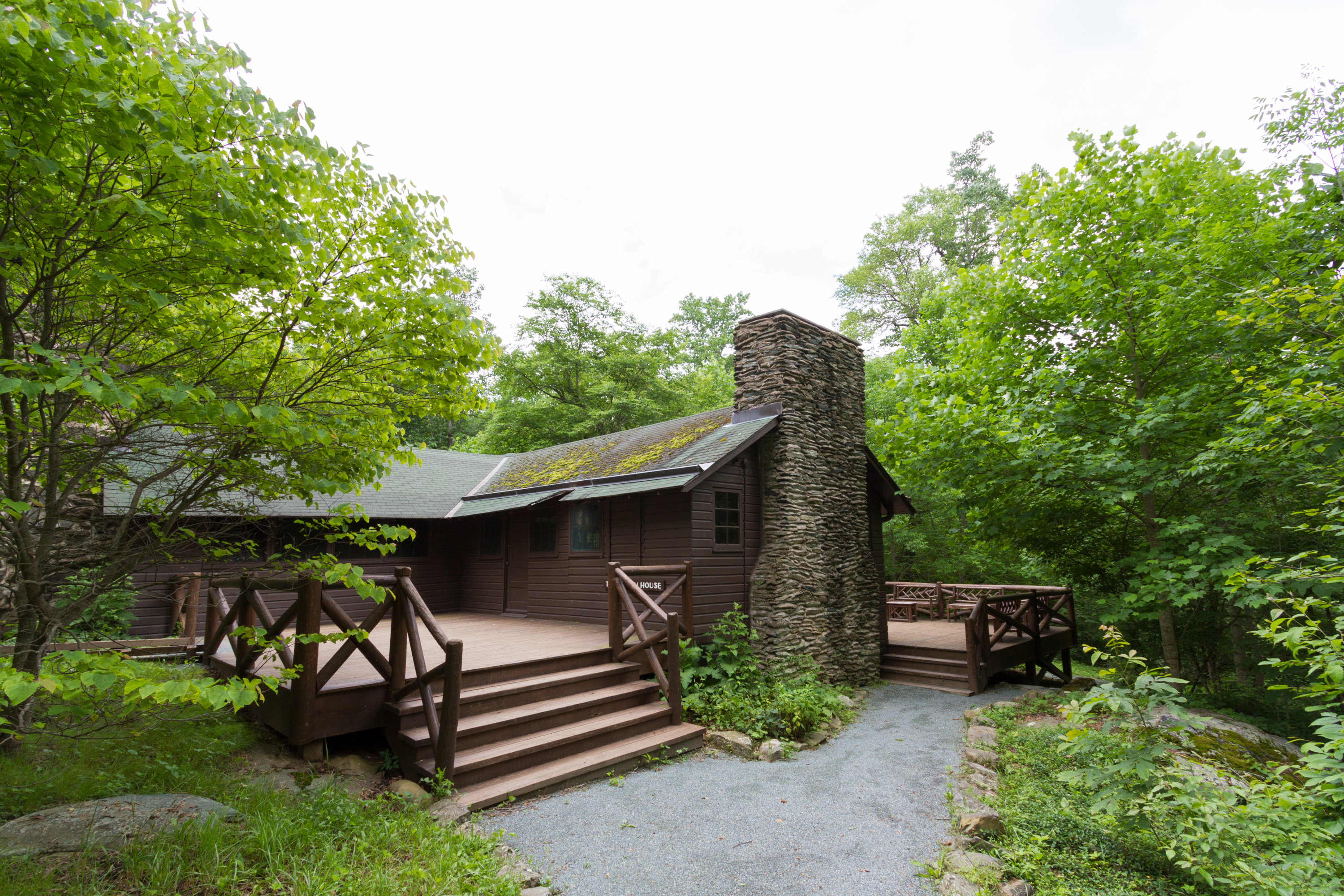
MILE 52.8 | A hike, featuring three stream crossings, to the rustic getaway of President Herbert Hoover and First Lady Lou Henry Hoover. Today, this restful spot features exhibits on the First Couple and their perspectives.
2-3 Hours
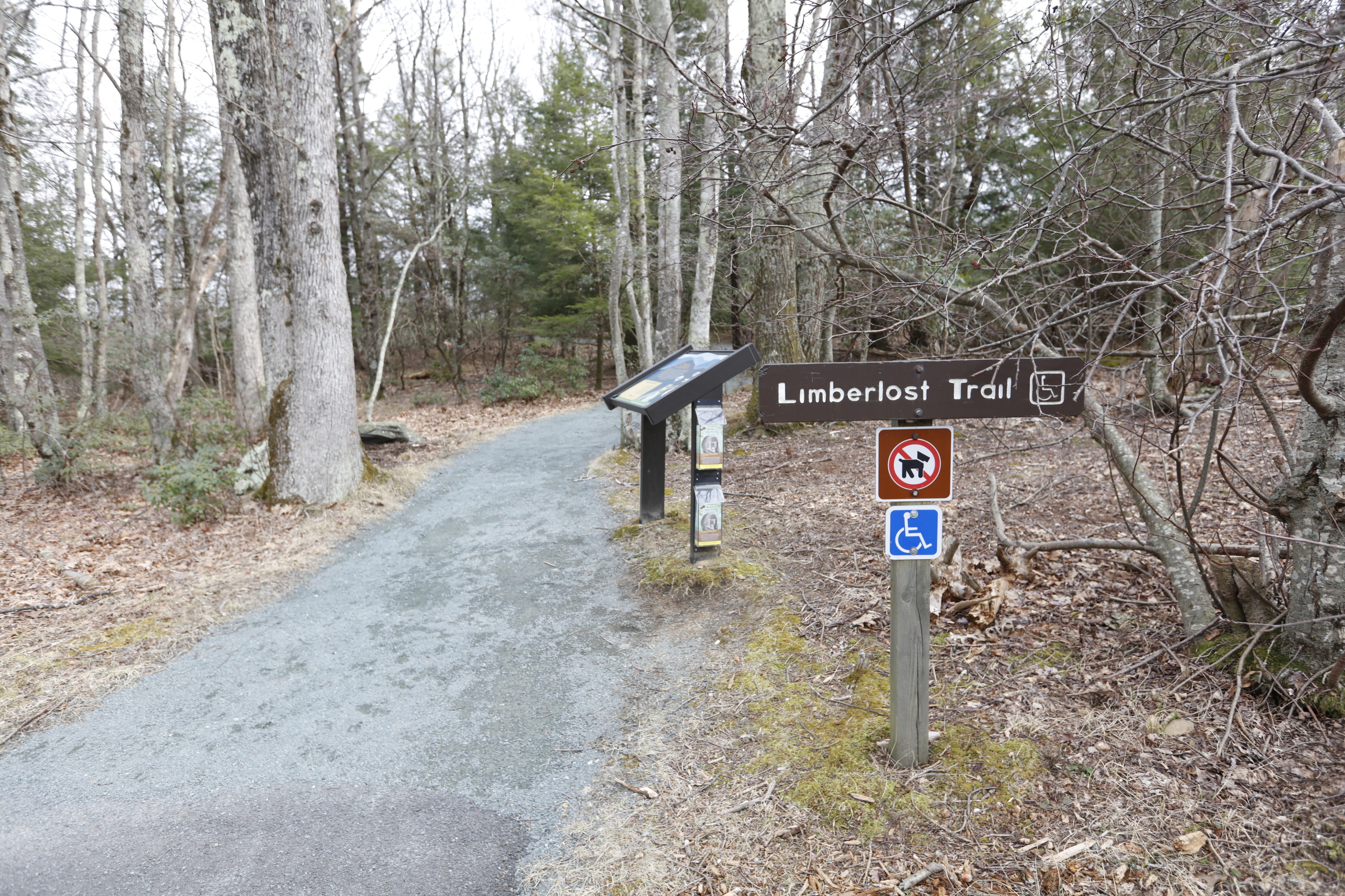
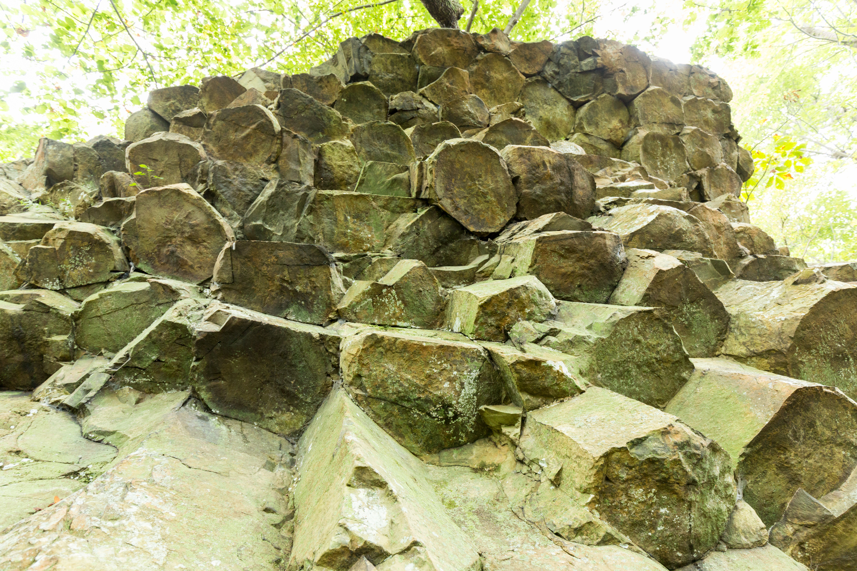
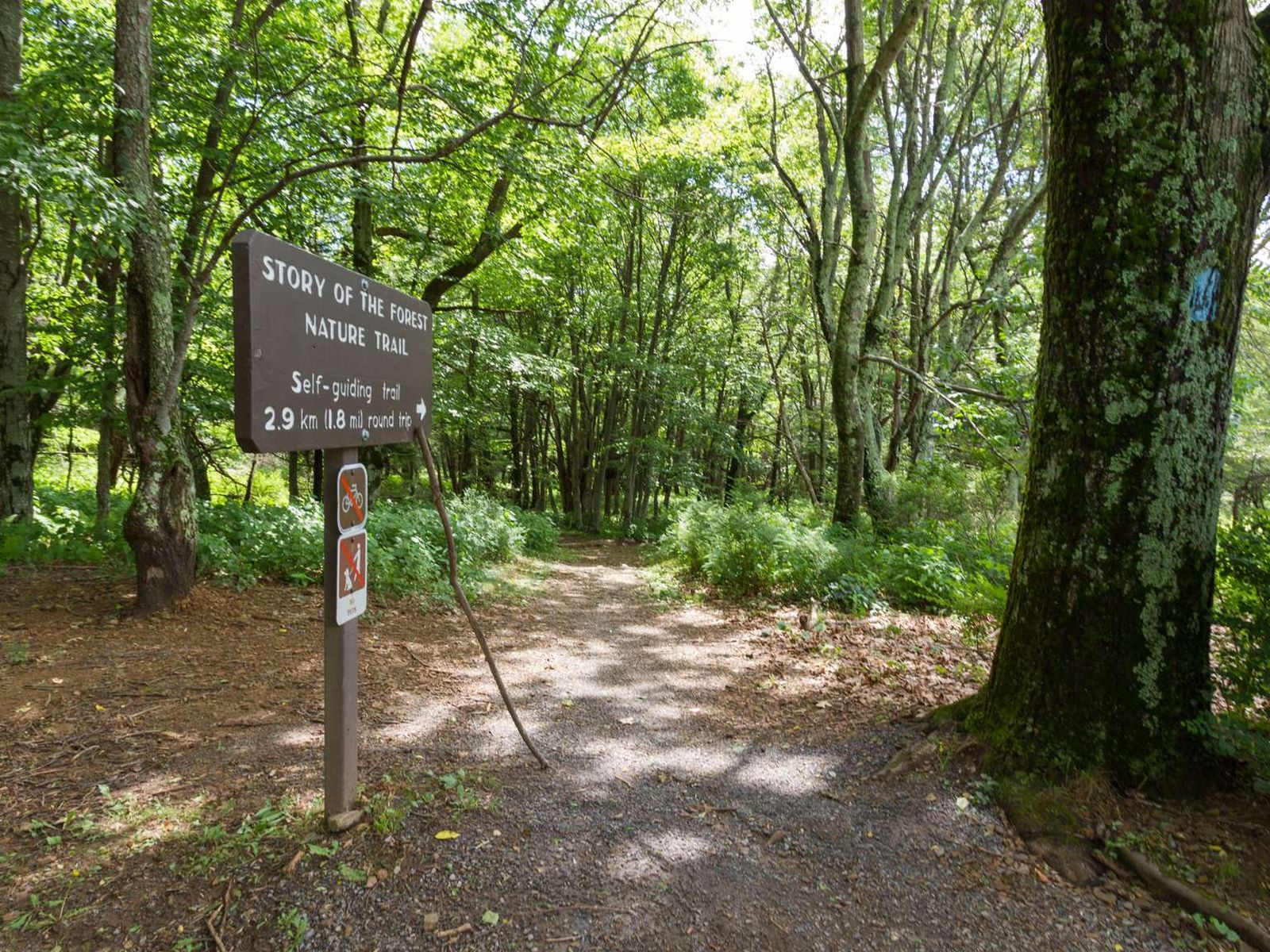
Limberlost Parking Area (mile 43) | An ADA accessible path through the forest with mountain laurel in the springtime and an example of a columnar jointing geological feature. This hike is also a designated TRACK Trail, featuring a self-guided brochure designed for kids.
1-2 Hours
Blackrock Parking Area (mile 84.4) | A short hike to a viewpoint on top of a rocky talus slope with incredible views of the Shenandoah Valley, Massanutten Mountain, and beyond. This hike is also a designated TRACK Trail, featuring a self-guided brochure designed for kids.
1 Hour
Shenandoah National Park has distinctly accessible night skies that make stargazing and astrophotography a fun and insightful activity for all ages.
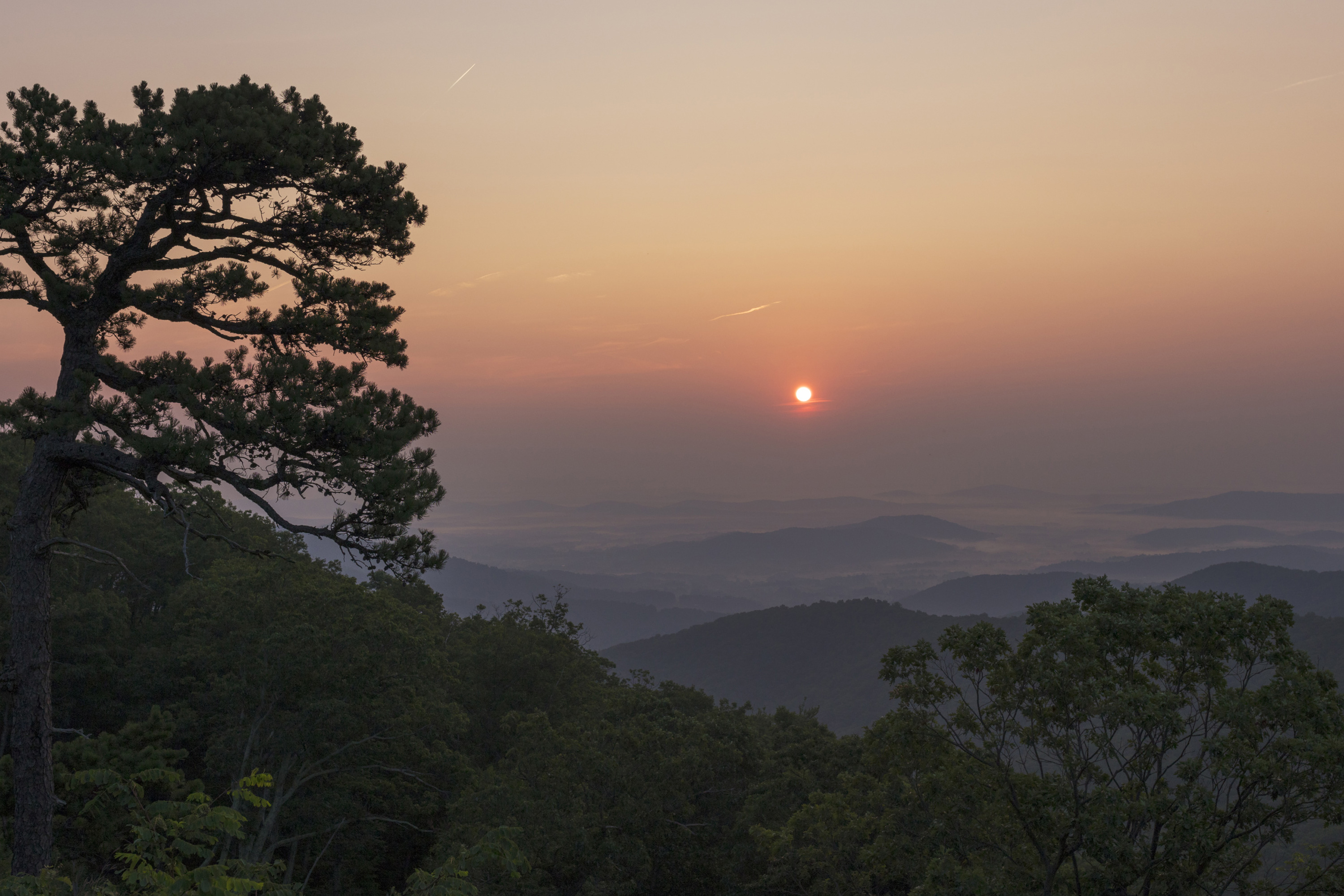
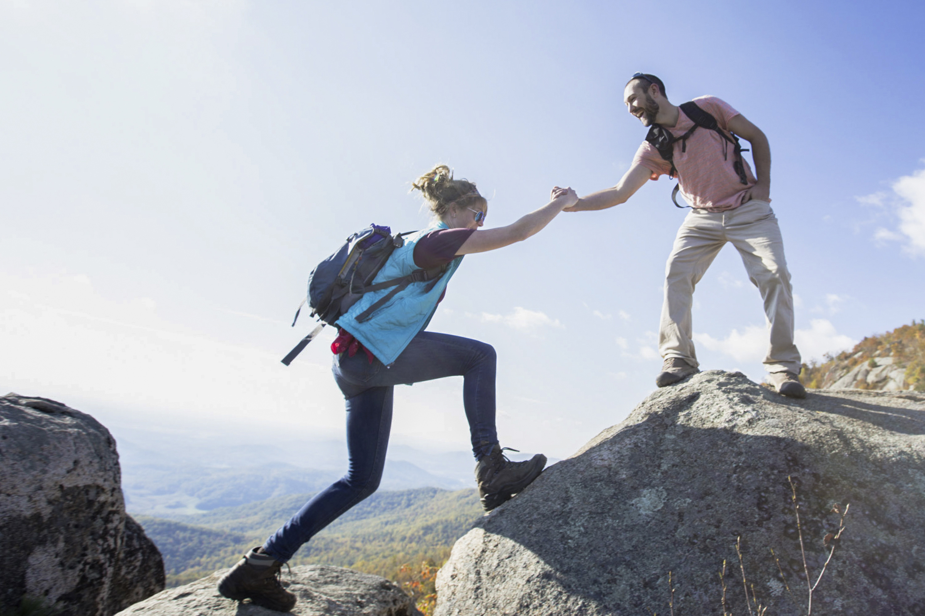
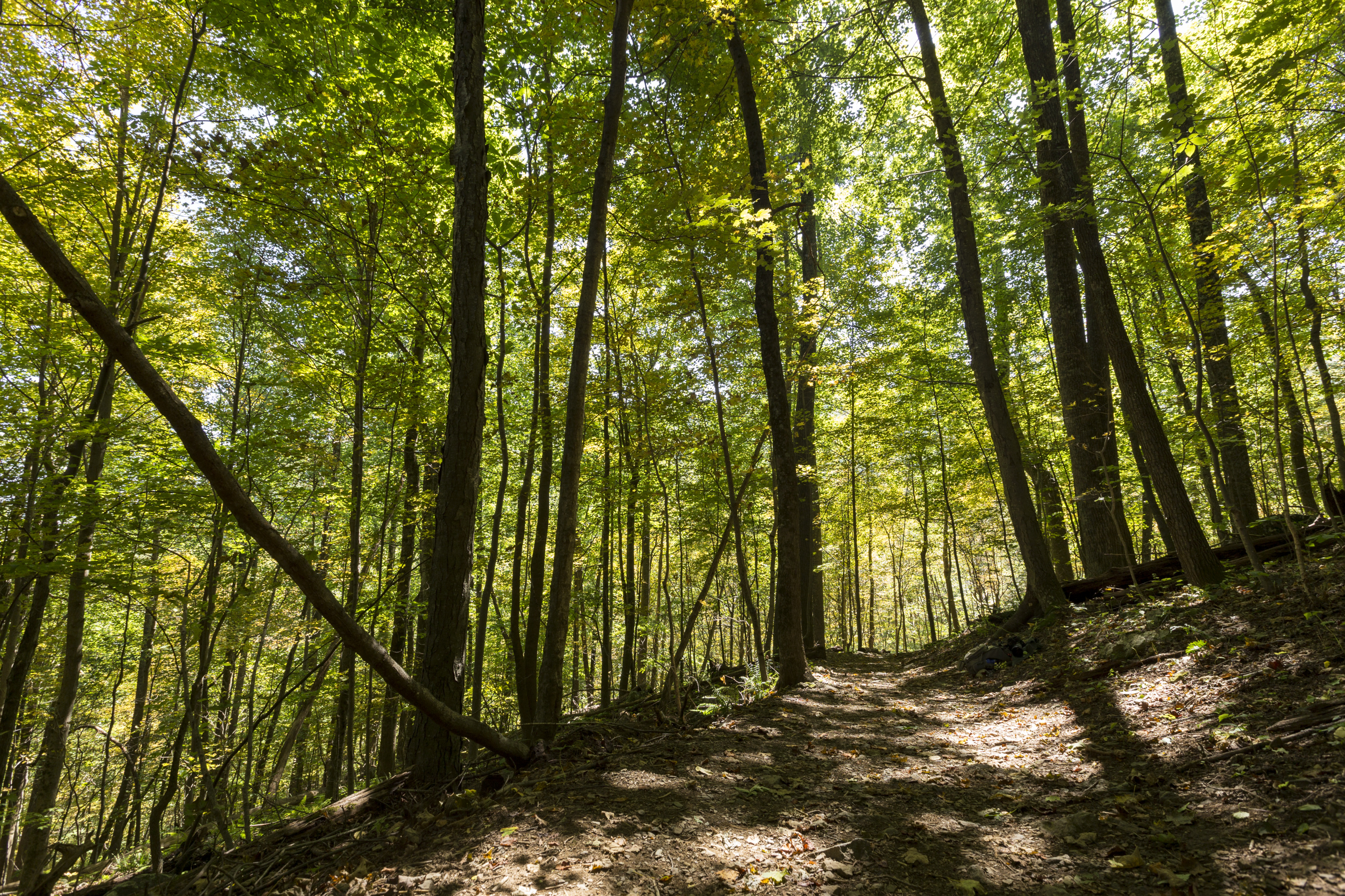
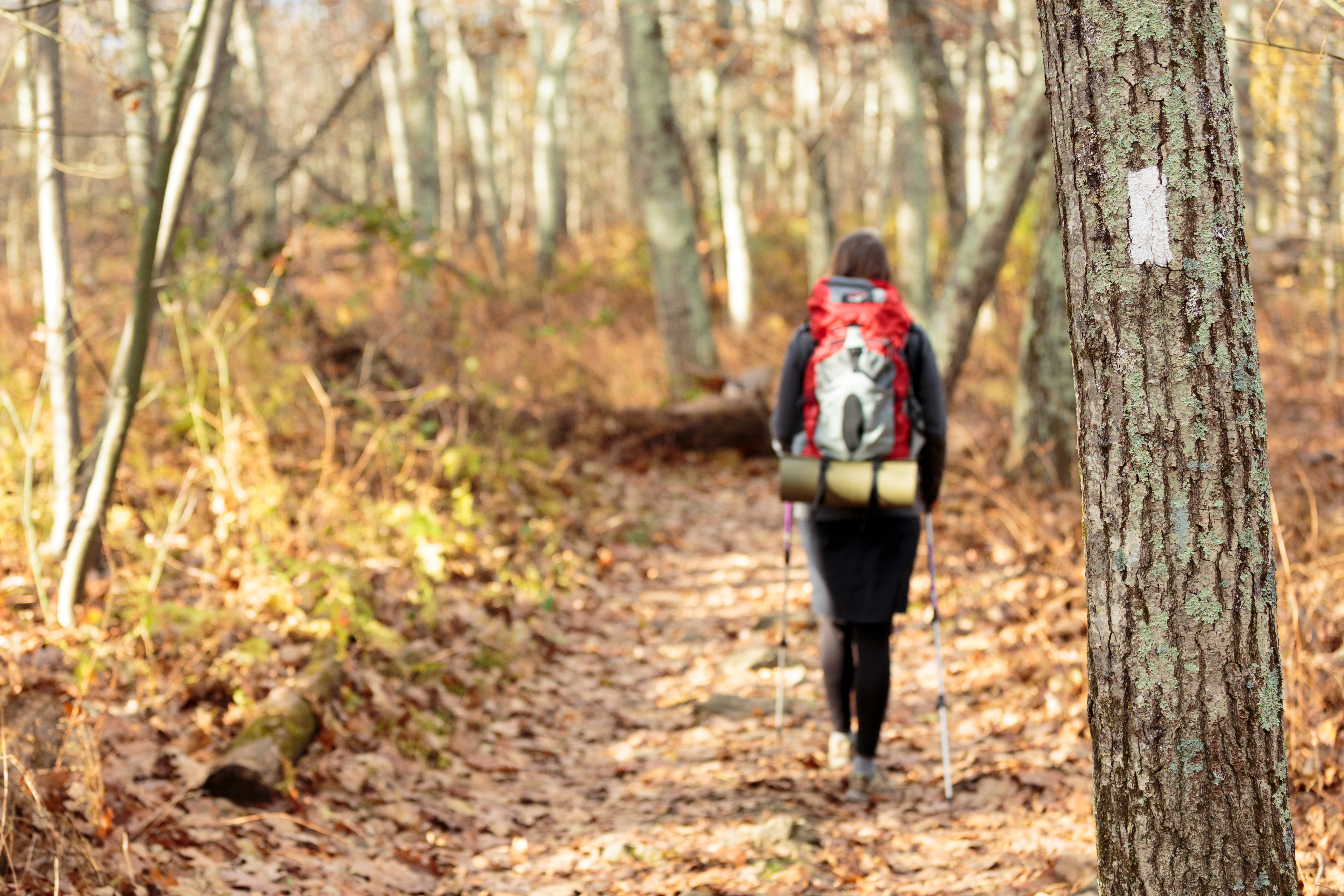
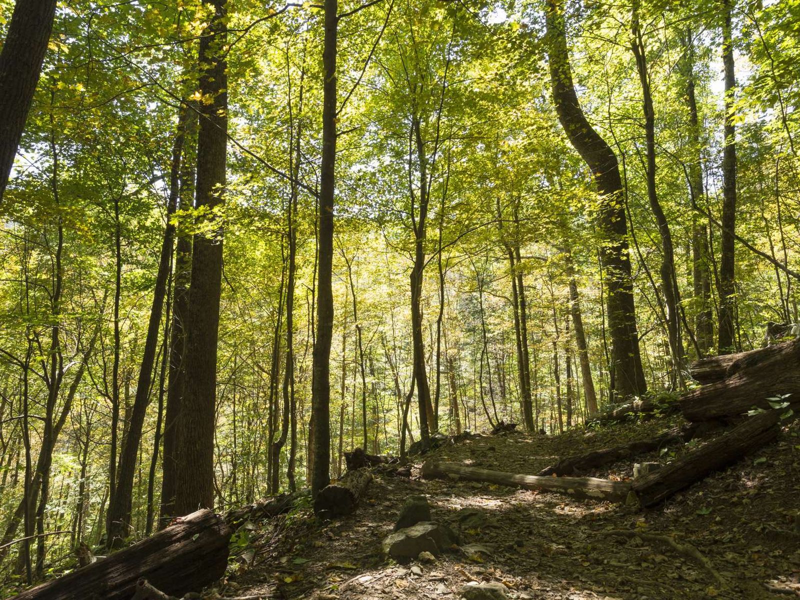
With over 500 miles of trails in Shenandoah National Park, chances are high that you'll be lacing up your hiking boots at some point on your next trip here.
MILE 22 | Follow the trail to a viewpoint. In the early summer, the showy white flowers of mountain laurel bloom in abundance here.
6-7 Hours
Jones Run Parking Area (mile 84.1) | This hike takes you over a mountain stream, through the forest, and beside a 42’ waterfall.
2-3 Hours
Hightop Mountain Parking Area (mile 66.7) | Wind your way up a ridge on this hike to a rocky viewpoint that stands at 3,296 feet.
3-4 Hours
Loft Mountain Wayside (mile 79.5) | Pets are not allowed on this hike. This hike features several picturesque overlooks as it passes through woodlands of varying ages on Loft Mountain.
1-2 Hours
Compton Gap Parking Area (mile 10.4) | A short hike along the Appalachian Trail that leads to an interesting geologic feature.
1 Hour
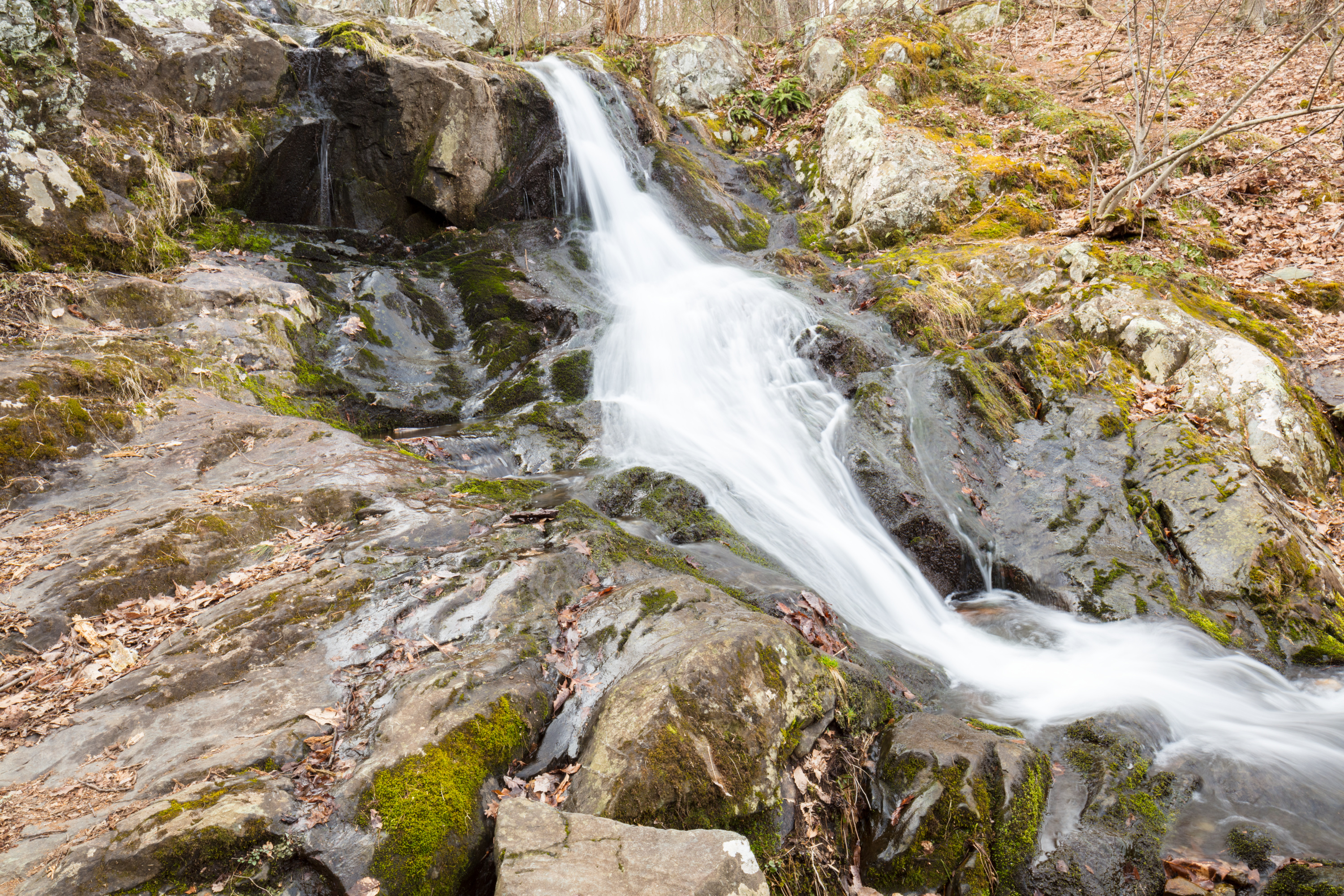
Dark Hollow Falls Parking Area (mile 50.7) | Pets are not allowed on this hike. This hike follows a stream to a beautiful waterfall, and is one of the Park’s most traveled trails. The trail is short, but very steep and rocky and the return hike is challenging!
1-2 Hours
Compton Gap Parking Area (mile 10.4) | A hike through the forest along the Appalachian Trail to a western view and a great look at columnar jointing, an exciting geologic feature.
1-2 Hours
MILE 56.4 | Pets are not allowed on this hike. This route takes you to a 180-degree view of the Shenandoah Valley without a rock scramble.
1 Hour
MILE 42.6 | This challenging hike to cascades and waterfalls has been popular since the early days of Skyland Resort. This particular hike goes to the upper falls before returning.
3-4 Hours
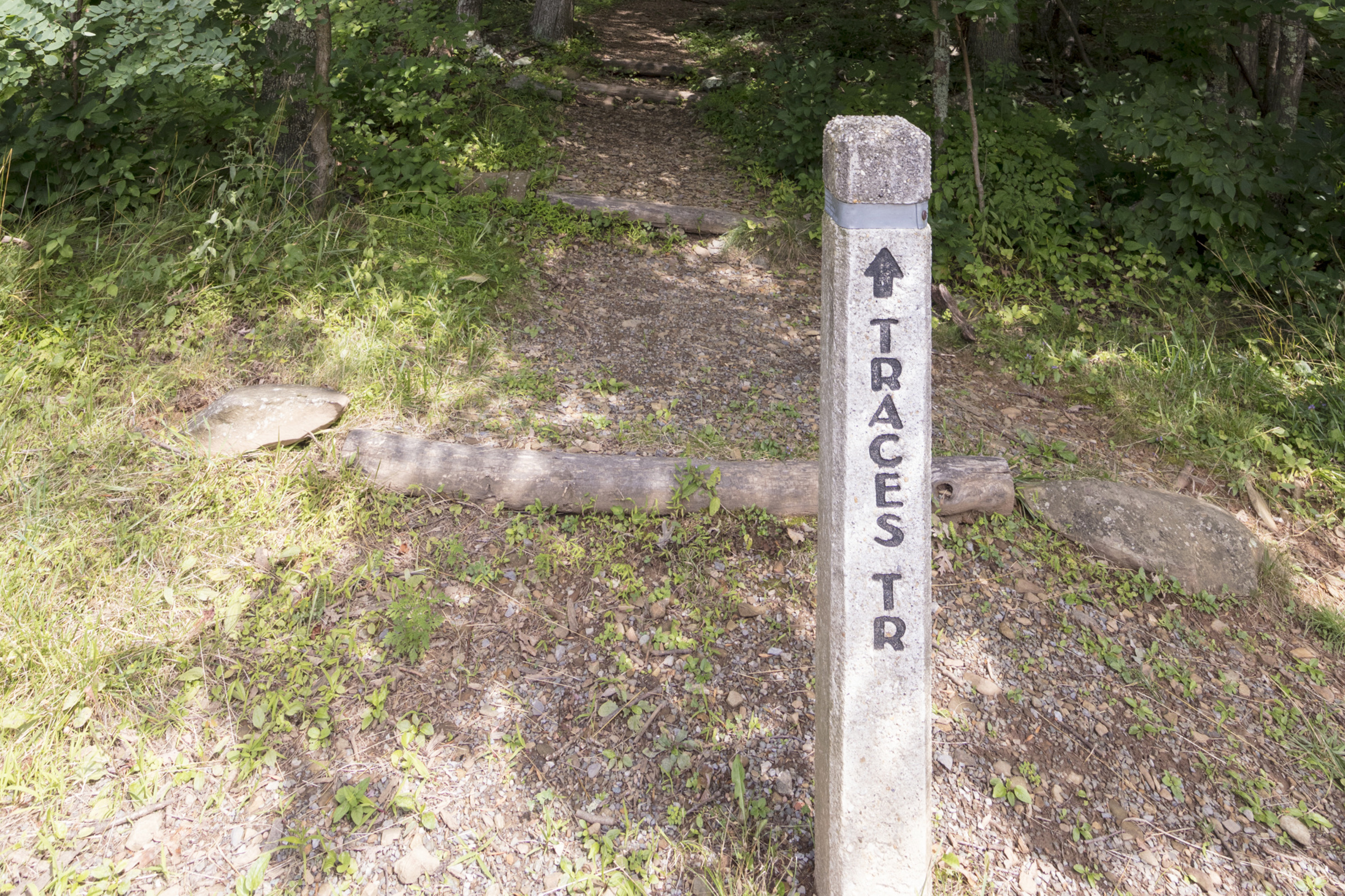
MILE 22.2 | A hike that follows a trail around Mathews Arm Campground. Along the way, you’ll see traces left behind by former residents of the area.
1-2 Hours
MILE 51 | Pets are not allowed on this hike. An easier stroll through the woods that passes next to the Big Meadows Air Quality Station, an important place for scientists and researchers to learn about air quality in Shenandoah.
1-2 Hours
MILE 62.7 | From the South River Picnic Grounds, this hike leads you through a verdant forest alive with a wide variety of plant and animal life to a stone-walled observation point overlooking an 83’ waterfall.
1-2 Hours
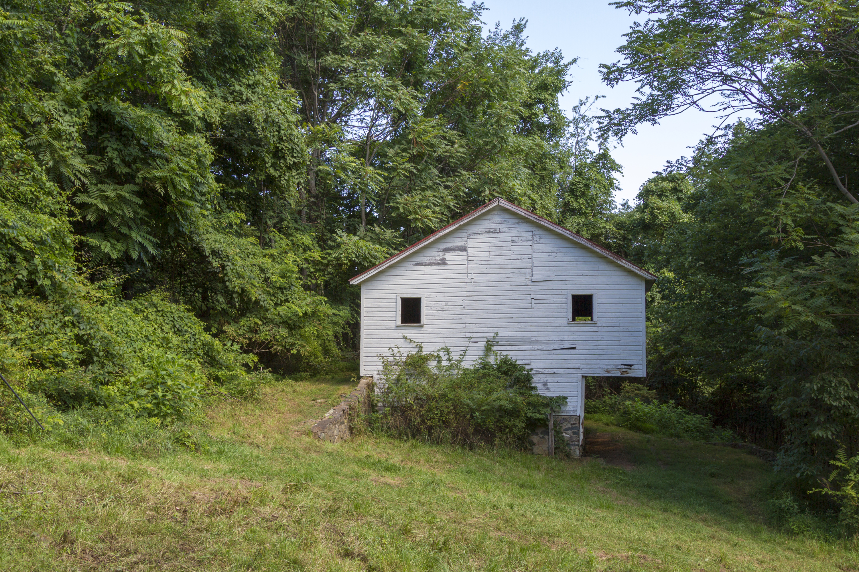
MILE 5.1 | Hike through old apple orchards and farmlands to an historic barn on the former Snead homesite.
2-3 Hours
MILE 31.6 | A hike along the Appalachian Trail to a shelter. Be on the lookout for wildflowers and birds through the fairly open woods along the trail!
2-3 Hours
MILE 42.5 | From the Skyland amphitheater, take this hike to a spectacular viewpoint at the site of a former fire tower.
2-3 Hours
PARK BOUNDARY | An easier hike to the base of the lower falls in Whiteoak Canyon. Note that a Park entrance fee is still required.
1-2 Hours
MILE 9.2 | A short hike down a fire road to a series of cascades that descend about 80 feet into a gorge. Note that it may not have water in dry seasons.
1-2 Hours
MILE 52.8 | A fairly level hike that takes you through a former homestead on the famous Appalachian Trail.
1-2 Hours
MILE 56.4 | Pets are not allowed on this hike. An exhilarating rock scramble leads to a magnificent 360-degree view of the Virginia Piedmont and Shenandoah Valley.
1-2 Hours
MILE 62.7 | From the South River Picnic Grounds, this route is a circuit hike that takes you to an observation point overlooking an 83’ waterfall. A great hike for wildflower and bird enthusiasts, alike!
2-3 Hours
MILE 19.4 | A journey into a rocky gorge with some very rewarding, yet steep, sections along a stream.
8-9 Hours
MILE 51.2 | Leaving from Big Meadows amphitheater, this hike leads to an observation point over a beautiful 81’ waterfall.
4-5 Hours
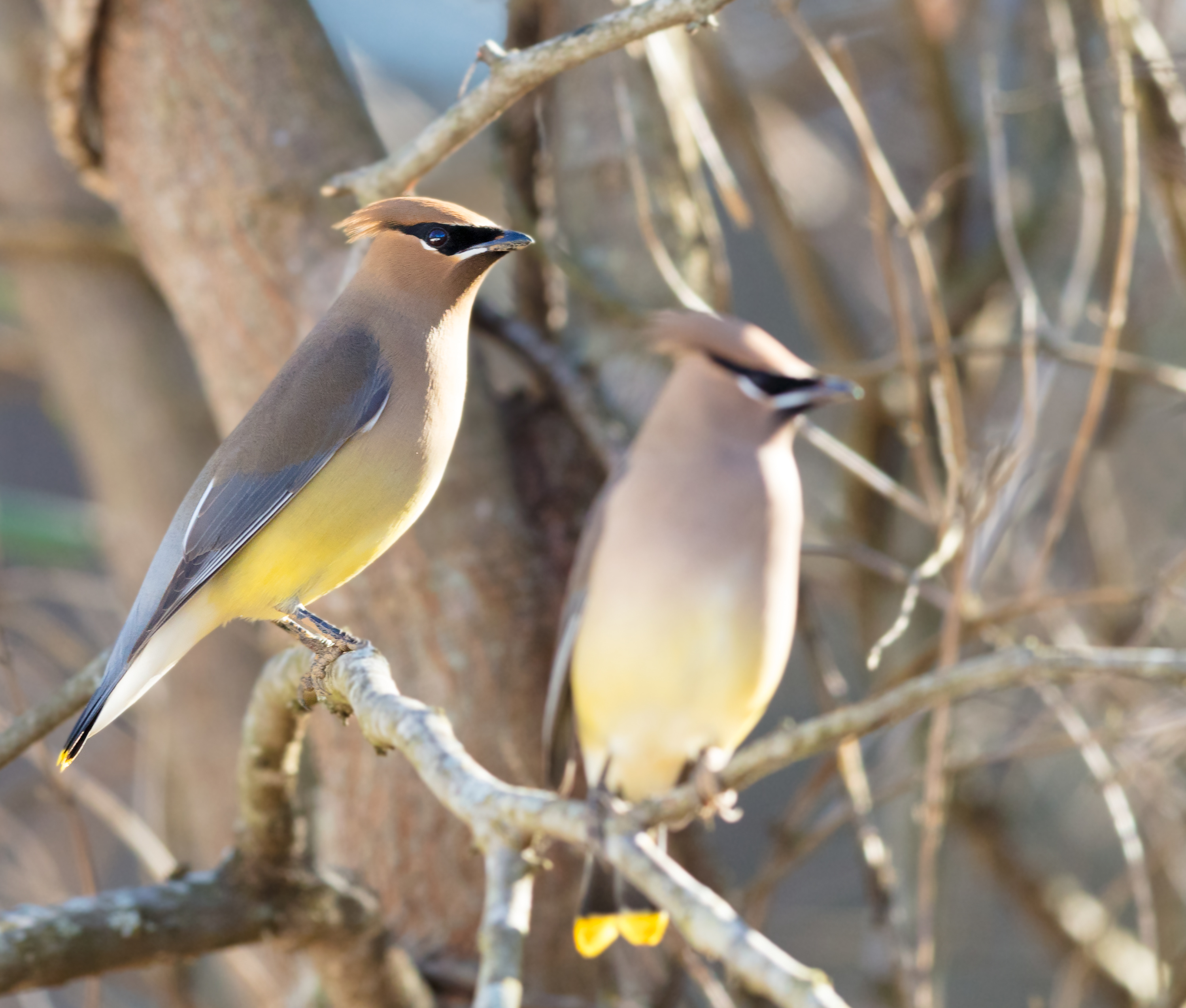
Birdwatching is a fun activity that the whole family can enjoy, and Shenandoah provides the perfect habitat to spot a variety of different species, including those colorful, neotropical migratory birds!