Trail closure for pipeline restoration project
The VC09/South Valle Toledo/Posos Trail from the Valle Toledo parking area to the eastern park boundary is closed for restoration. The NPS is working on a trail reroute for the 2025 season and will provide details as soon as possible.
| Title | Valles Caldera |
| Park Code | vall |
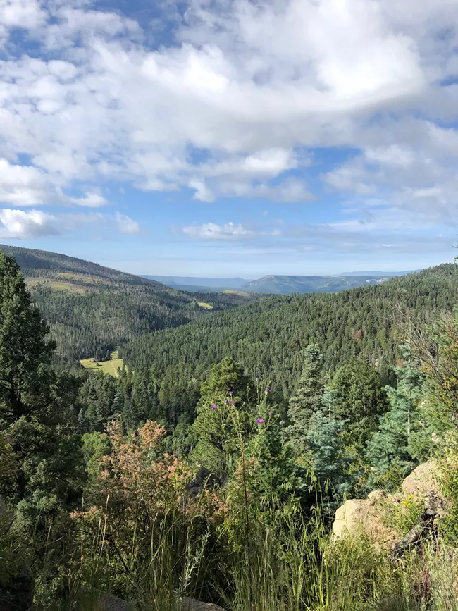
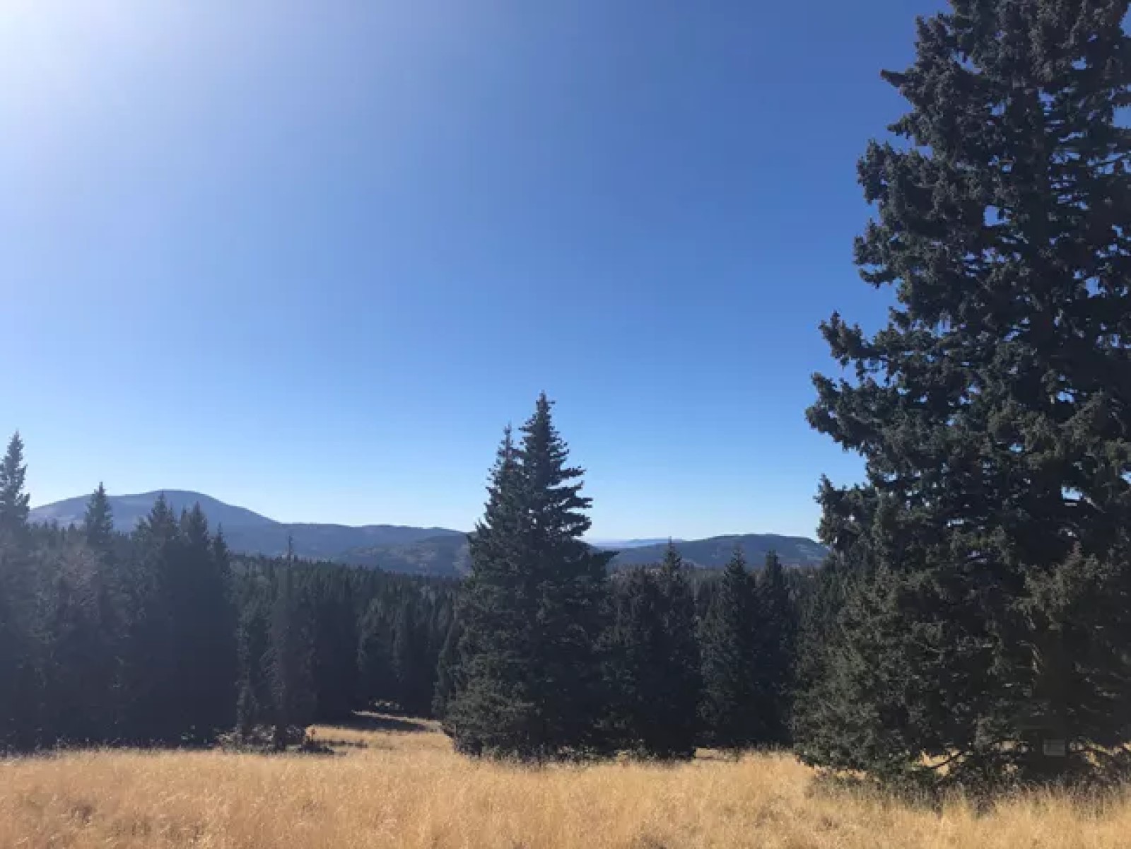
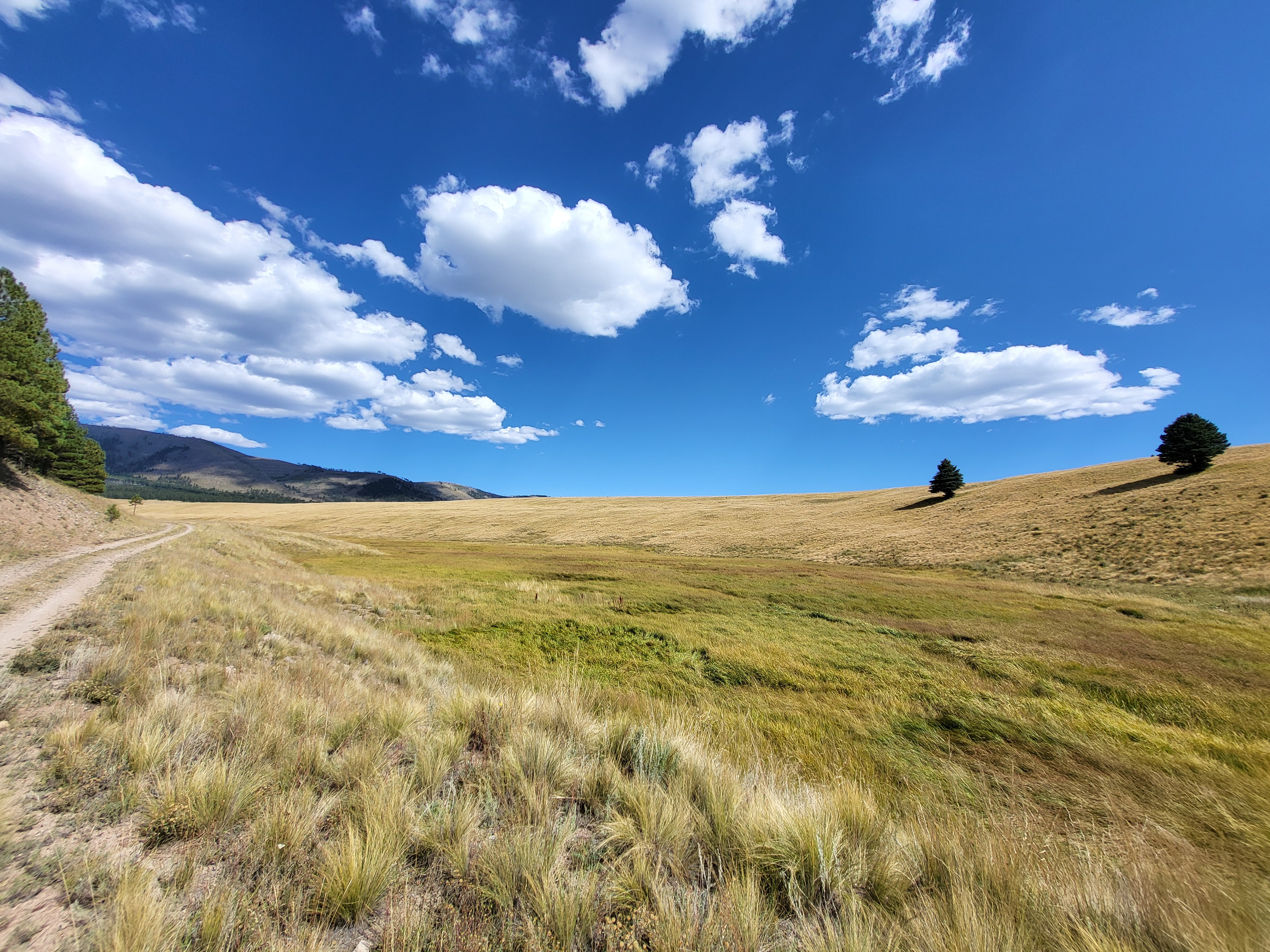
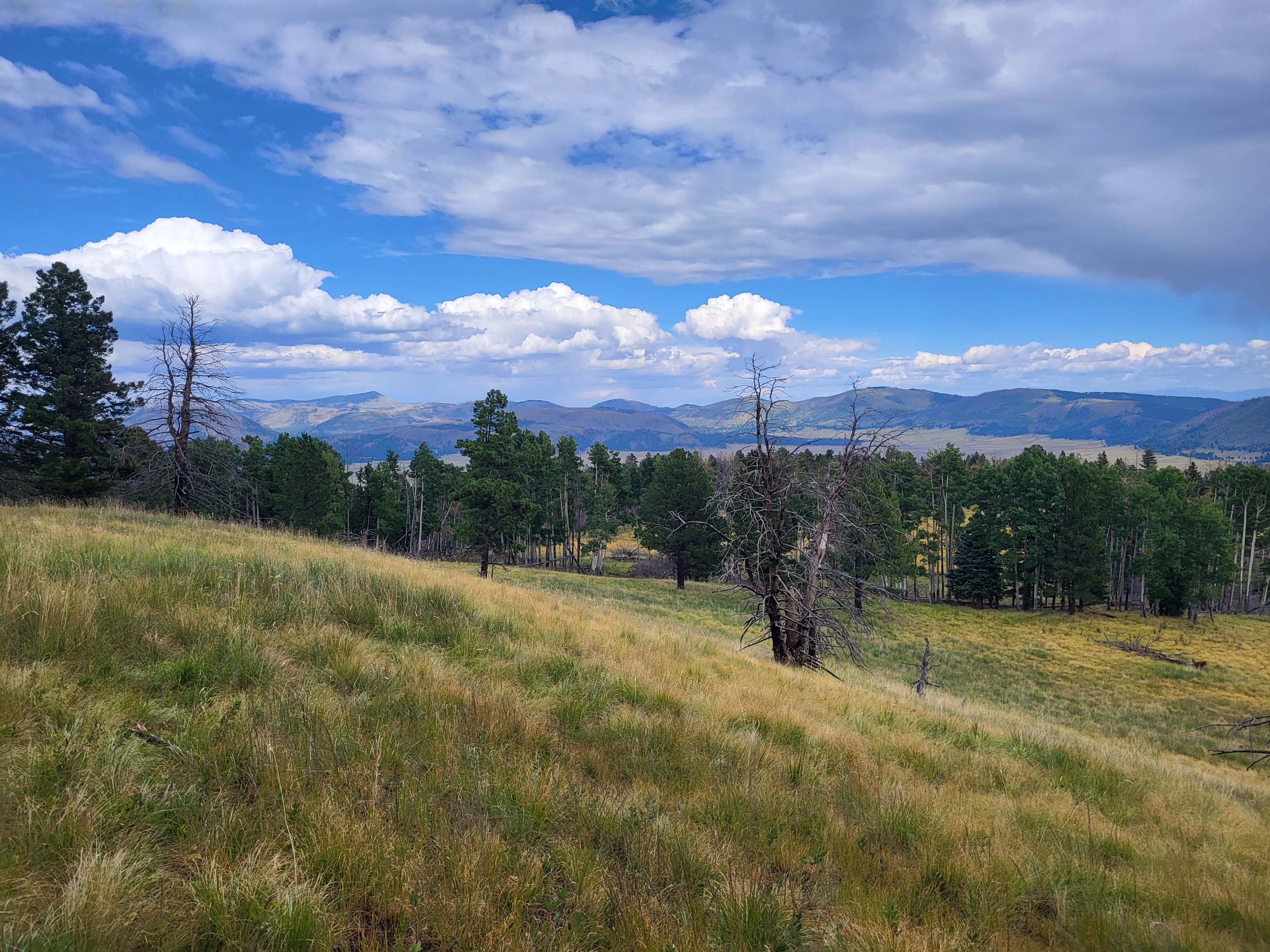
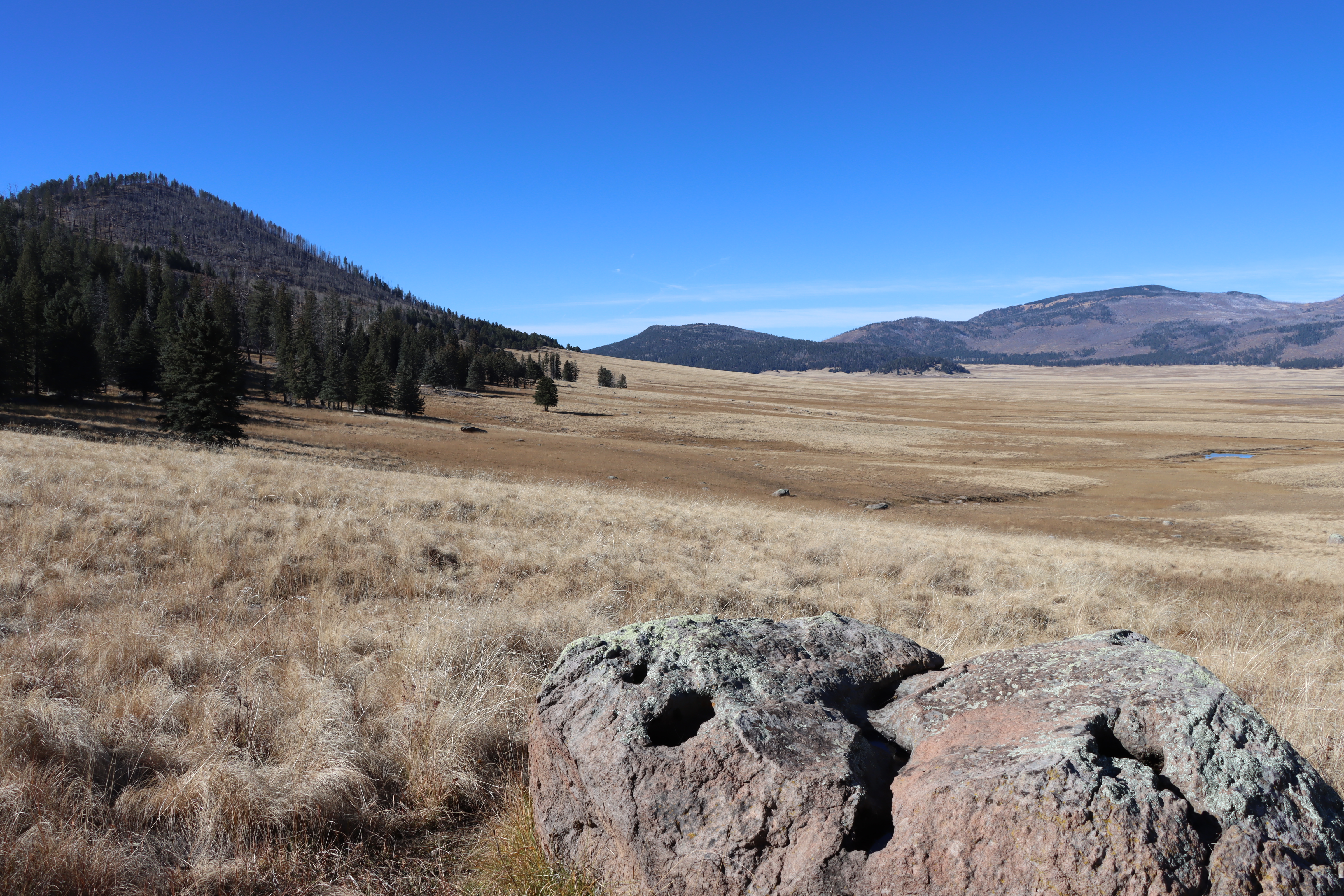
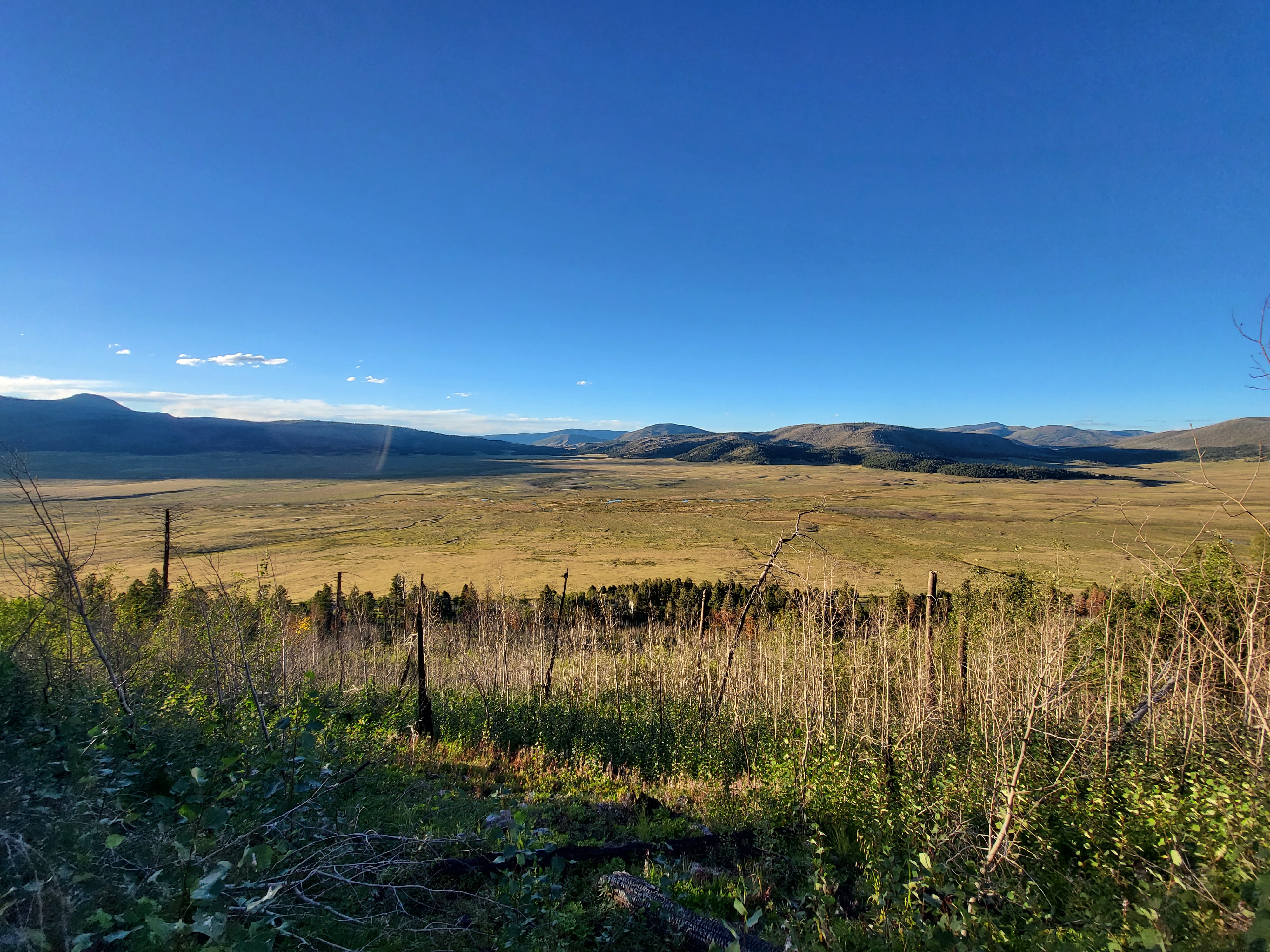
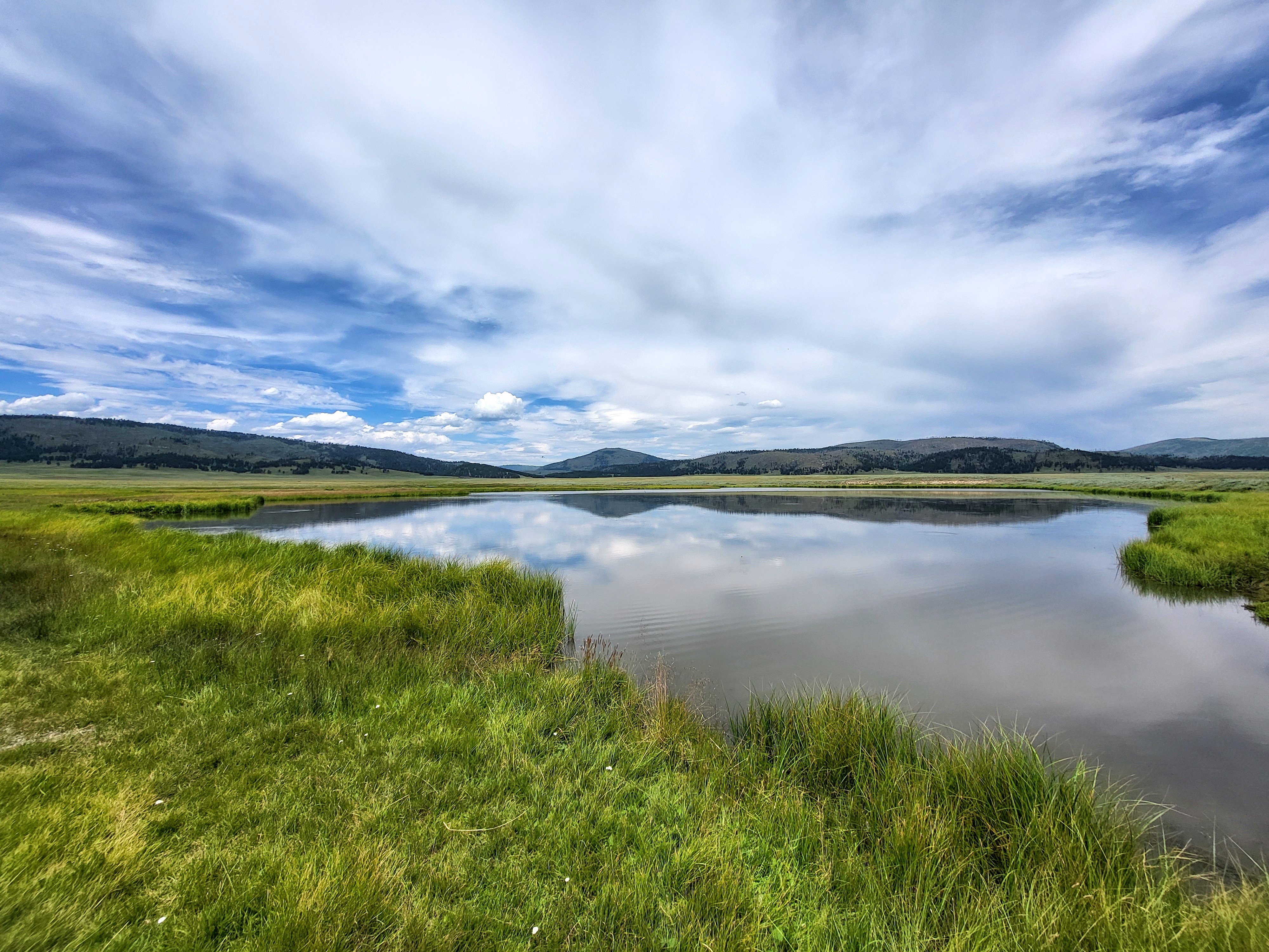
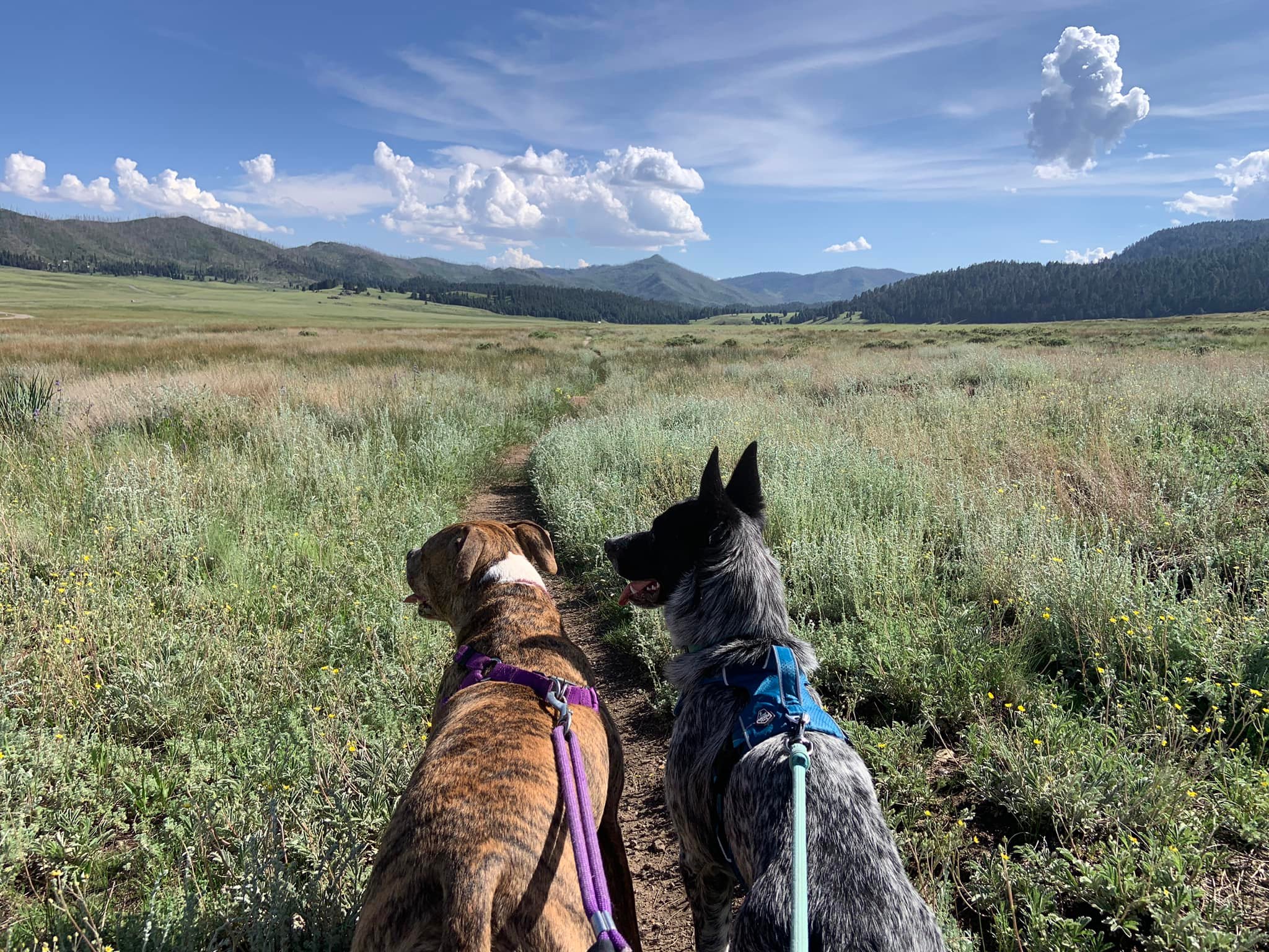
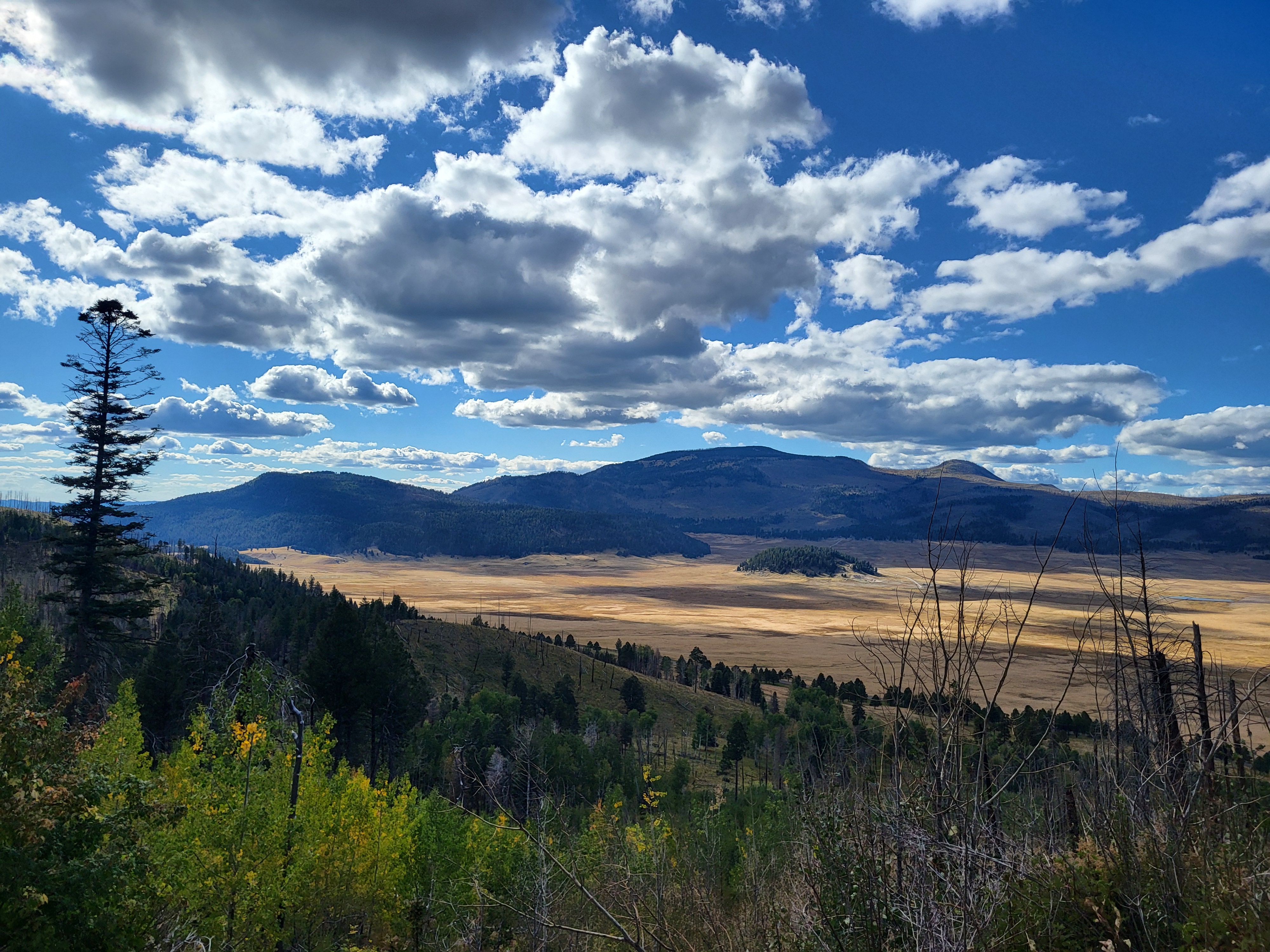
| Description | About 1.2 million years ago, a spectacular volcanic eruption created a 14-mile-wide circular depression in the earth now known as Valles Caldera. The preserve is known for its huge mountain meadows, abundant wildlife, and meandering streams. The ... |
| Location | |
| Contact | |
| Activities |
|
| Entrance fees |
Entrance - Private Vehicle
$25.00
The entrance fee for a private vehicle covers seven consecutive days of entrance to Valles Caldera National Preserve.
Entrance - Motorcycle
$20.00
The entrance fee for motorcycles covers seven consecutive days of entrance to Valles Caldera National Preserve.
Entrance - Per Person
$15.00
The per-person entrance fee covers seven consecutive days of entrance to Valles Caldera National Preserve.
|
| Campgrounds | Count: 0
|
| Places | Count: 50
Banco BonitoAccording to oral tradition, shortly after the Hemish people moved to the area, they established high altitude farming for corn, beans, and squash in the microclimates of Banco Bonito. To this day, this is the site of the highest elevation field houses ever discovered at approximately 8,000 feet. While archaeologists and visitors are amazed at this success, Chris Toya emphasizes that careful knowledge and stewardship enabled Hemish farming. 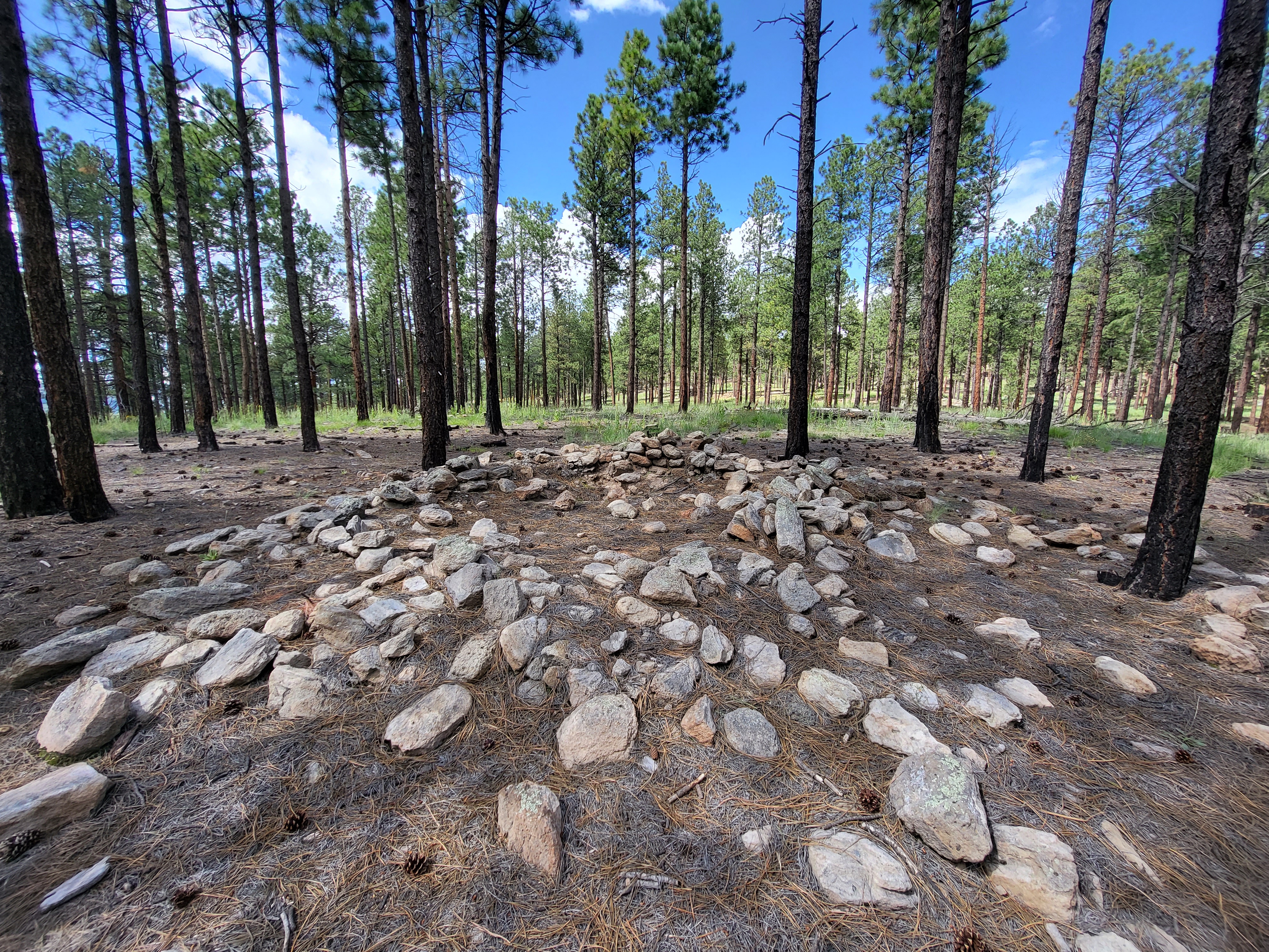
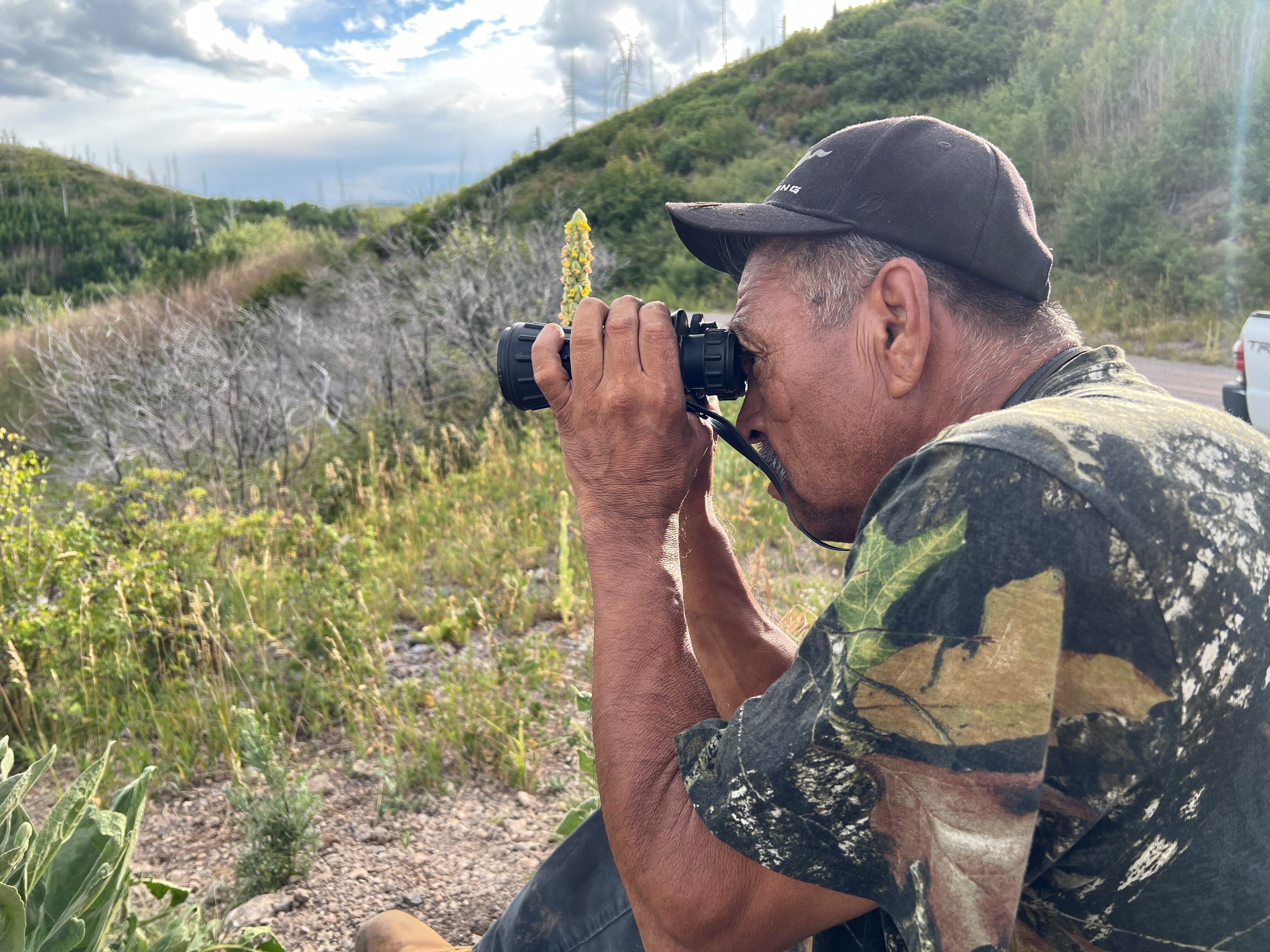
Birding By Car Stop 1This site, near the South Valle Grande Trailhead along NM State Route 4, is predominantly mixed conifer forest and woodland (both dry and moist mesic). Prevalent plant species include blue spruce and ponderosa pine, fox tail, wildflowers, and yarrow. Watch for these birds each season: Winter: Dark eyed junco Spring: Northern flicker Summer: Pine siskin Fall: House finch 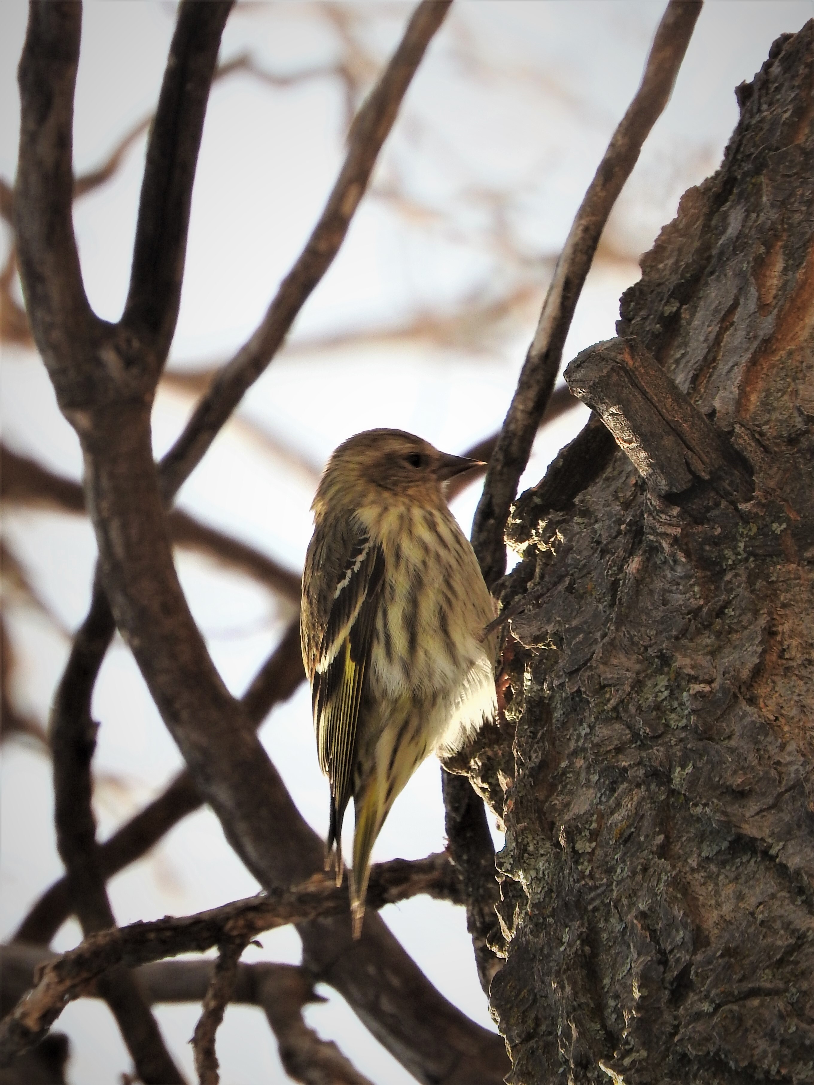
Birding By Car Stop 2This overlook along NM State Route 4 is very open, with amazing views into Valle Grande. We are near the transition zone between dry mixed conifer forest and the upper montane grasslands, which often means we'll have a great variety of bird species nearby. 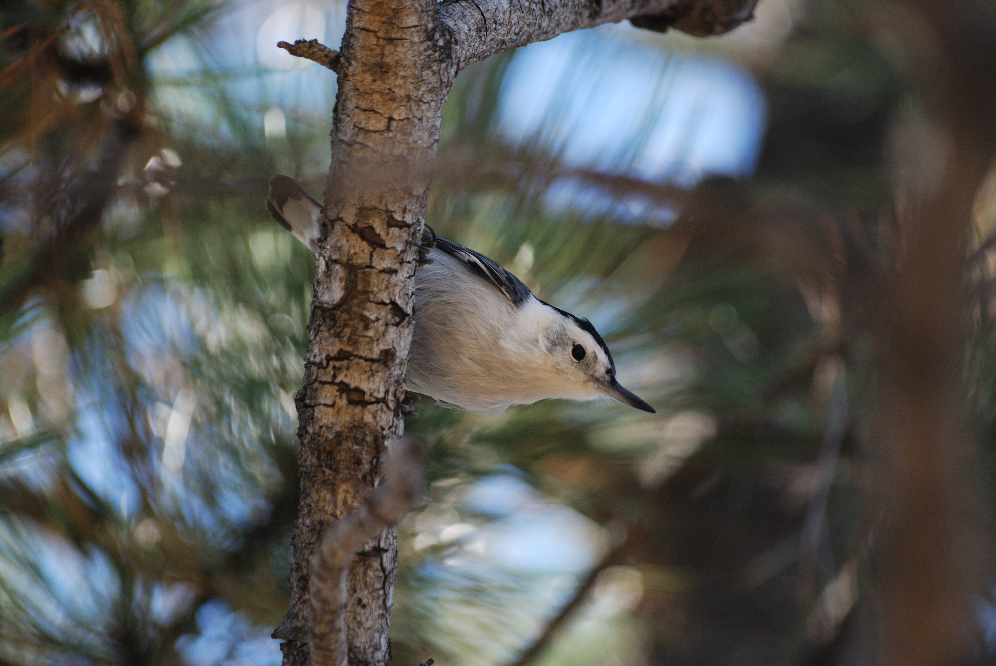
Birding By Car Stop 3This spot along Valles Caldera's entrance road showcases the East Fork Jemez River, its wetland, and surrounding montane grasslands. 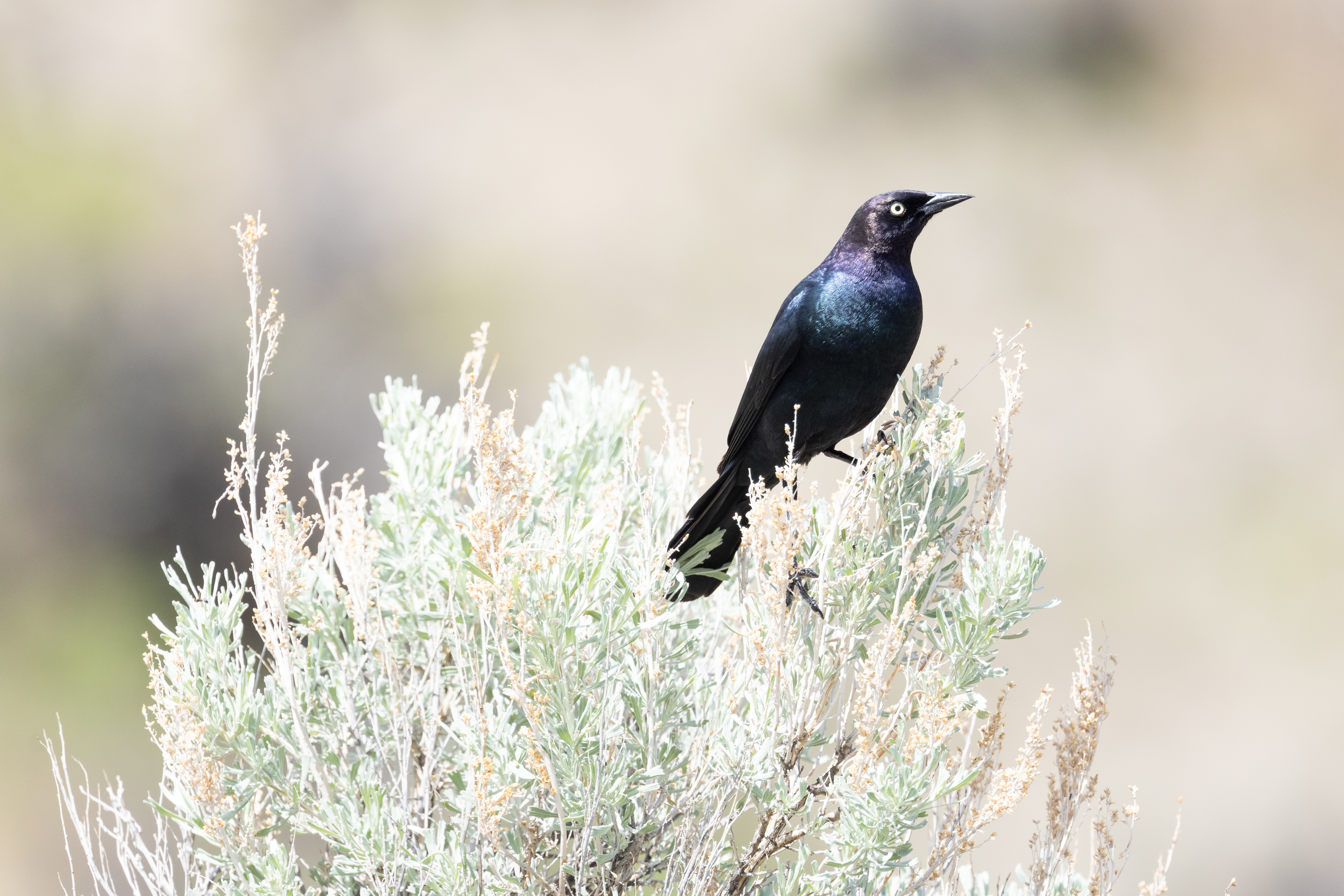
Birding By Car Stop 4At the entrance station, we are surrounded by montane grasslands. Across the road is a small, forested lava dome called Cerro La Jara. If you're looking for a short hike with lots of wildlife watching opportunities, there's a wonderful 1.4-mile loop trail around the lava dome. In the summer, these grasslands explode with wildflowers of all types. In the winter, they get covered up by several feet of snow. 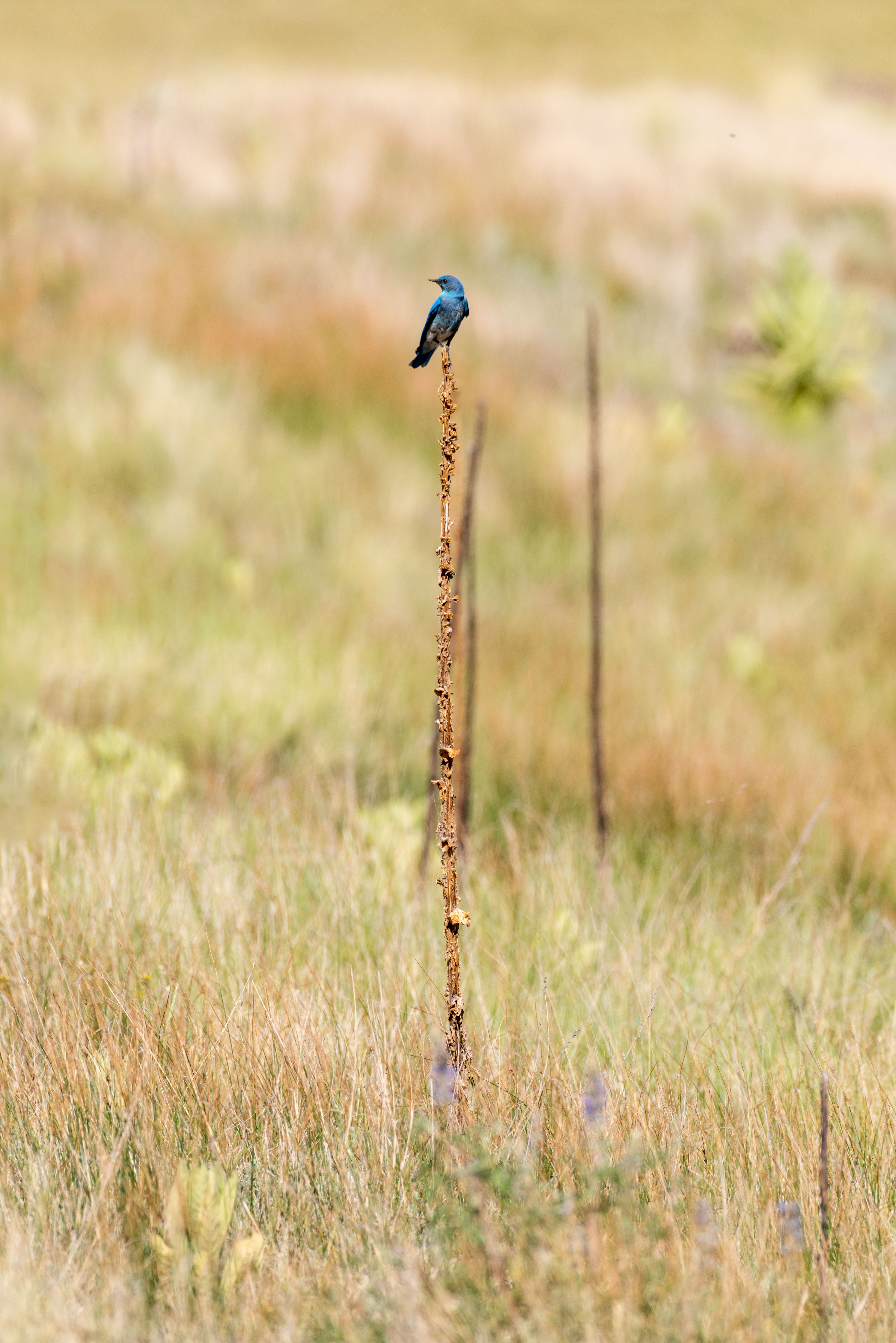
Birding By Car Stop 5At the Ranger Station, we are at the transition zone between old-growth ponderosa pine forest and montane grasslands. This is an outstanding area to watch for a variety of birds. 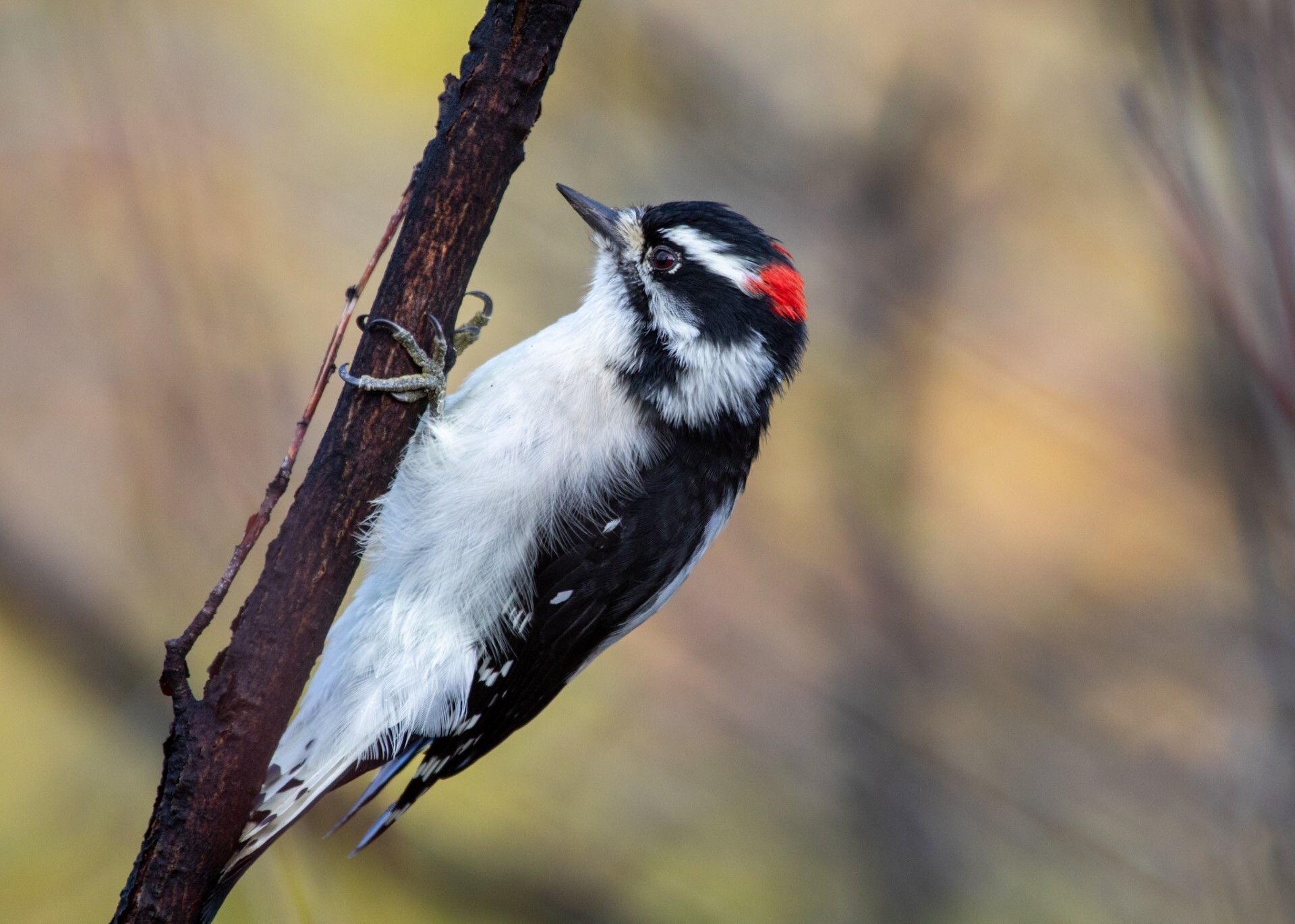
Bond CabinBuilt in 1918 and known as the "Big House," it served as a seasonal home for the Bond family and functioned as the official ranch headquarters. The living room fireplace and wood-burning stove heated the building, and the cooking was done mostly outdoors. An outhouse was used until the Dunigan family remodeled in the 1980s. 
Caretaker's CabinIt is unclear if this building was constructed or moved here in 1951, but it was used to house Ruby and Robert Hoolihan, employees of the Bond Family who owned the land from 1918 to 1963. 
Cerro Del MedioCerro del Medio began erupting approximately 1.1 million years ago and continued for about 25,000 years. Its lava flows created very high-quality obsidian for human use. A very sharp and shiny black rock, obsidian can be fashioned or “knapped” into tools, spear points, and arrowheads. It was also used as a form of currency, traded across long distances in the Americas. 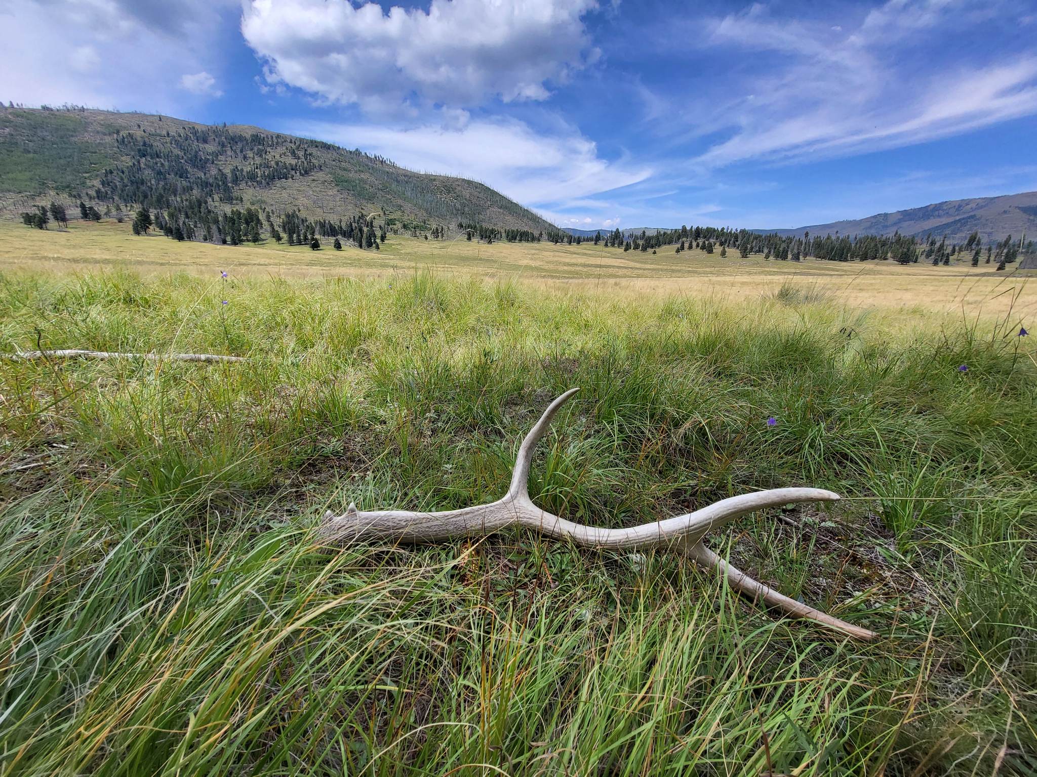
Cerro La Jara Stop 1Welcome to the Cerro la Jara Trail in Valles Caldera National Preserve. This trail is about 1.5 miles (2.4 km) long and will likely take 1 to 2 hours to complete. 
Cerro La Jara Stop 2You are walking in a volcanic caldera – a depression formed during a volcanic eruption. This caldera was formed as the result of a very large volcanic eruption about 1.2 million years ago. It is somewhat circular in shape and 12 to 15 miles across. 
Cerro La Jara Stop 3Alluvial fans get their name from their shape and what they are made of. Rocks, sand, and silt moved and deposited by running water is called alluvium. Alluvial fans are fan shaped deposits of alluvium. Water flowing downhill out of the mountains moves the sediment downhill and deposits it in the valley. 
Cerro La Jara Stop 4Volcanic domes are formed by the extrusion of lava that piles up in a dome shape. Cerro la Jara and South Mountain were formed about 700,000 years after the eruption that formed Valles Caldera. They are both made of a rock called rhyolite. 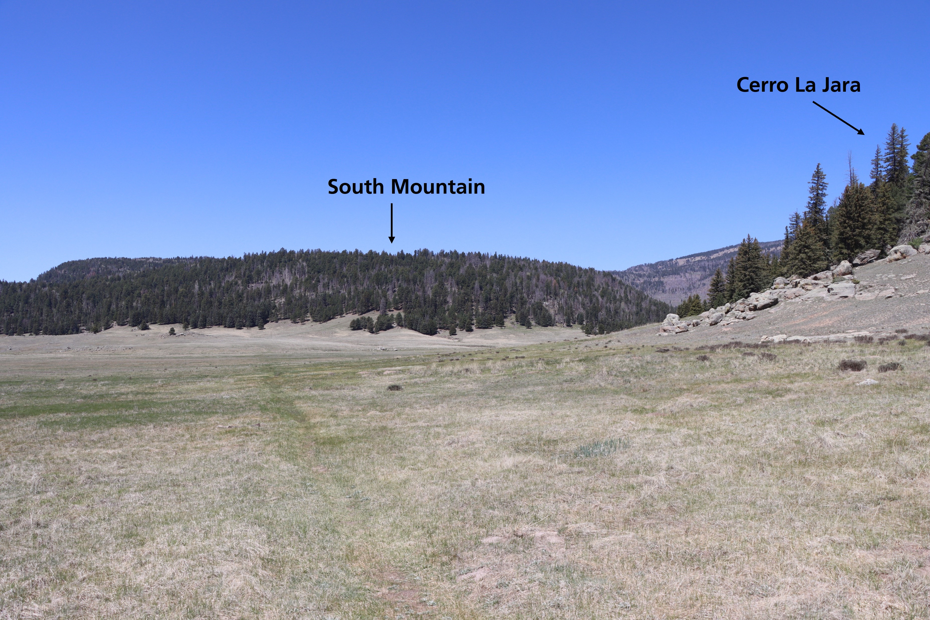
Cerro La Jara Stop 5A resurgent dome is different than a volcanic dome; it wasn’t extruded as lava. The resurgent dome was created as magma pushed part of the newly formed valley up from underneath. To understand this better, think of how the upper crust of an apple pie is lifted by the bubbling apples underneath it – the magma pushed the valley floor up, like the hot apples push up the upper pie crust. 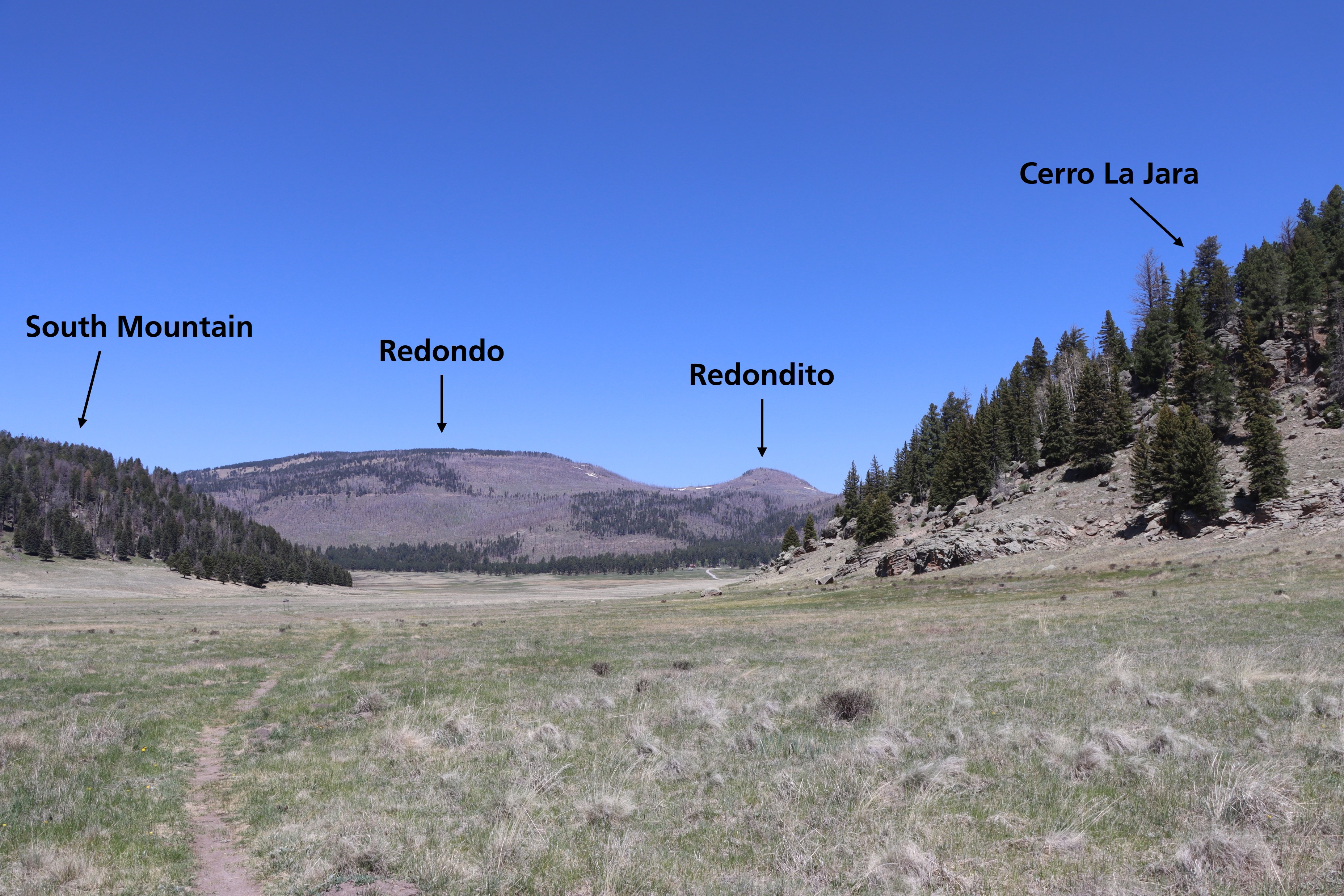
Cerro La Jara Stop 6The volcanic dome, Cerro La Jara is still to your right. This is a good place to see flow banding in the rocks. The banding looks like layers in the rock and indicates that either different lava flows or different lava composition, or both, made the rocks break down and weather differently. 
Cerro La Jara Stop 7Cerro del Medio is a volcanic dome that was formed a few tens of thousands of years after the caldera collapse, when a large lake partly filled Valle Grande. It was the first volcanic dome to erupt after formation of the caldera. The lava that formed the volcanic dome was very hot and contained a lot of silica. It cooled quickly, possibly because it was erupted underwater, and formed rocks called rhyolite and obsidian. 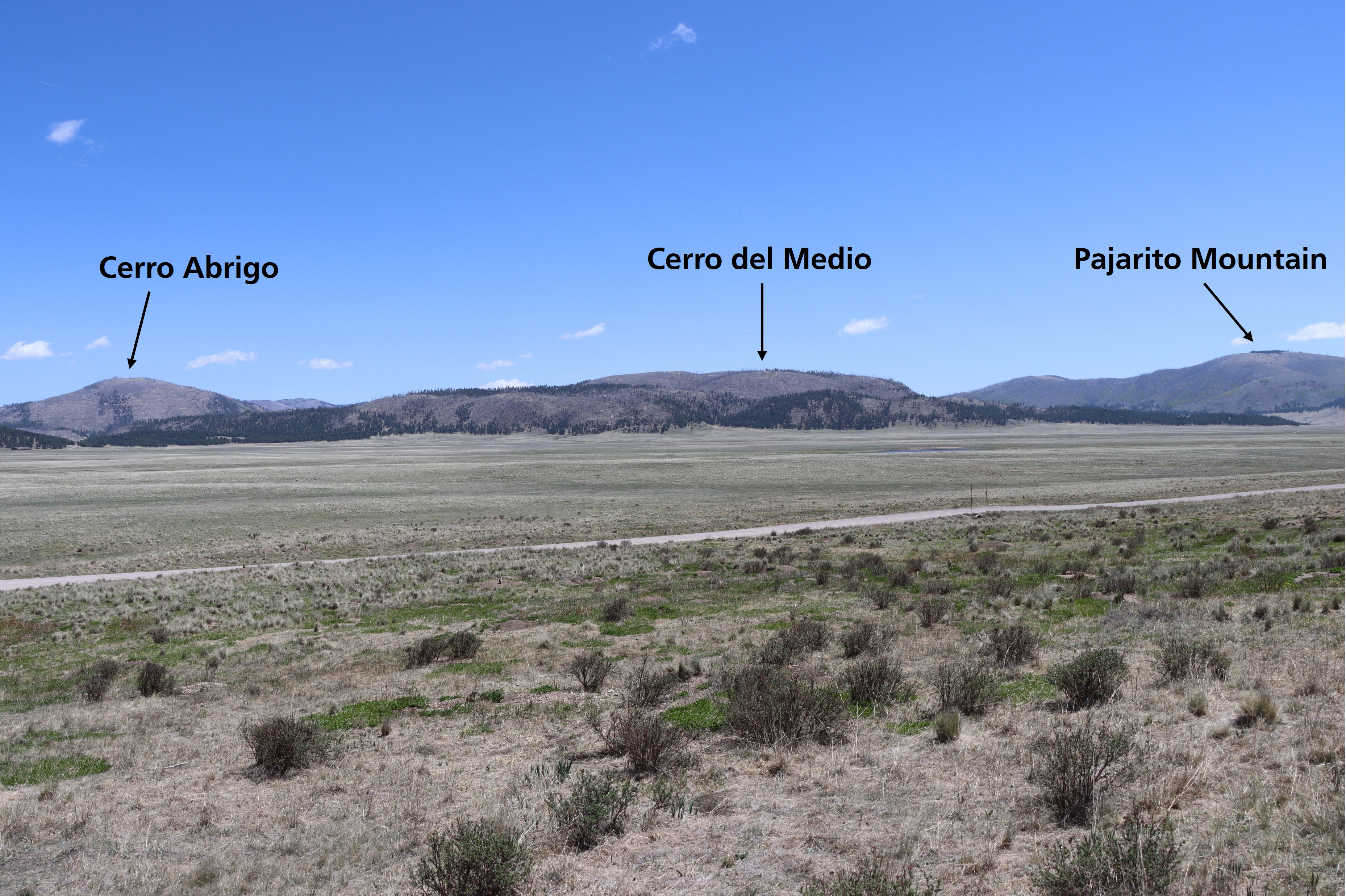
Cerro La Jara Stop 8So, will the volcano erupt again? When might it erupt? Good questions – what we do know is that there would be plenty of warning signs first. There would be lots of small earthquakes, and the ground temperature and the temperature of water in the springs would increase. 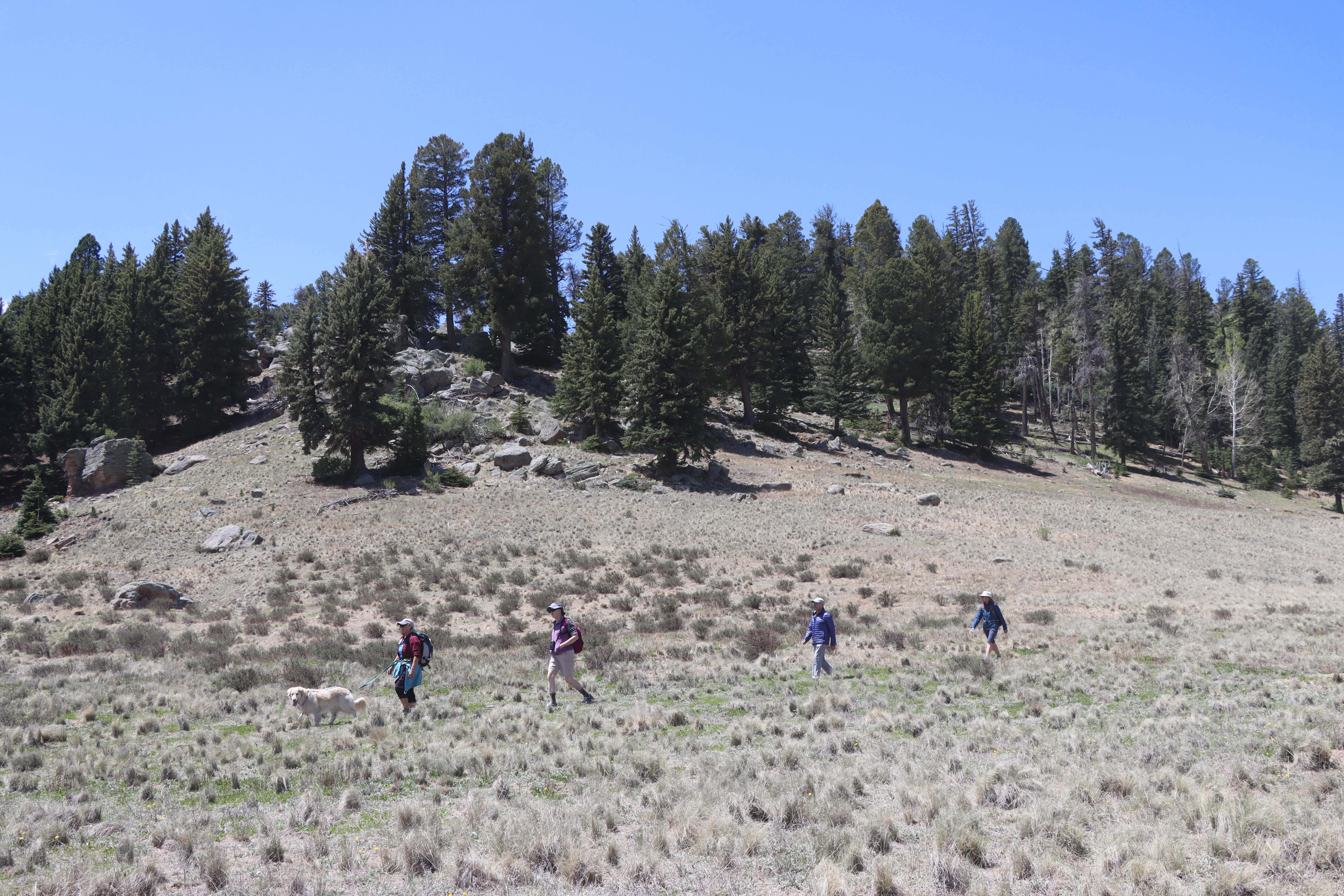
Cerro La Jara TrailheadThis 1.5-mile (2.4 km) loop trail circles Cerro La Jara, the smallest volcanic dome in the park, which formed about 500,000 years ago when lava oozed up and onto the caldera floor. South Mountain, to the west, and Cerro del Medio, on the opposite side of Valle Grande, are also volcanic domes and can be seen from this trail. 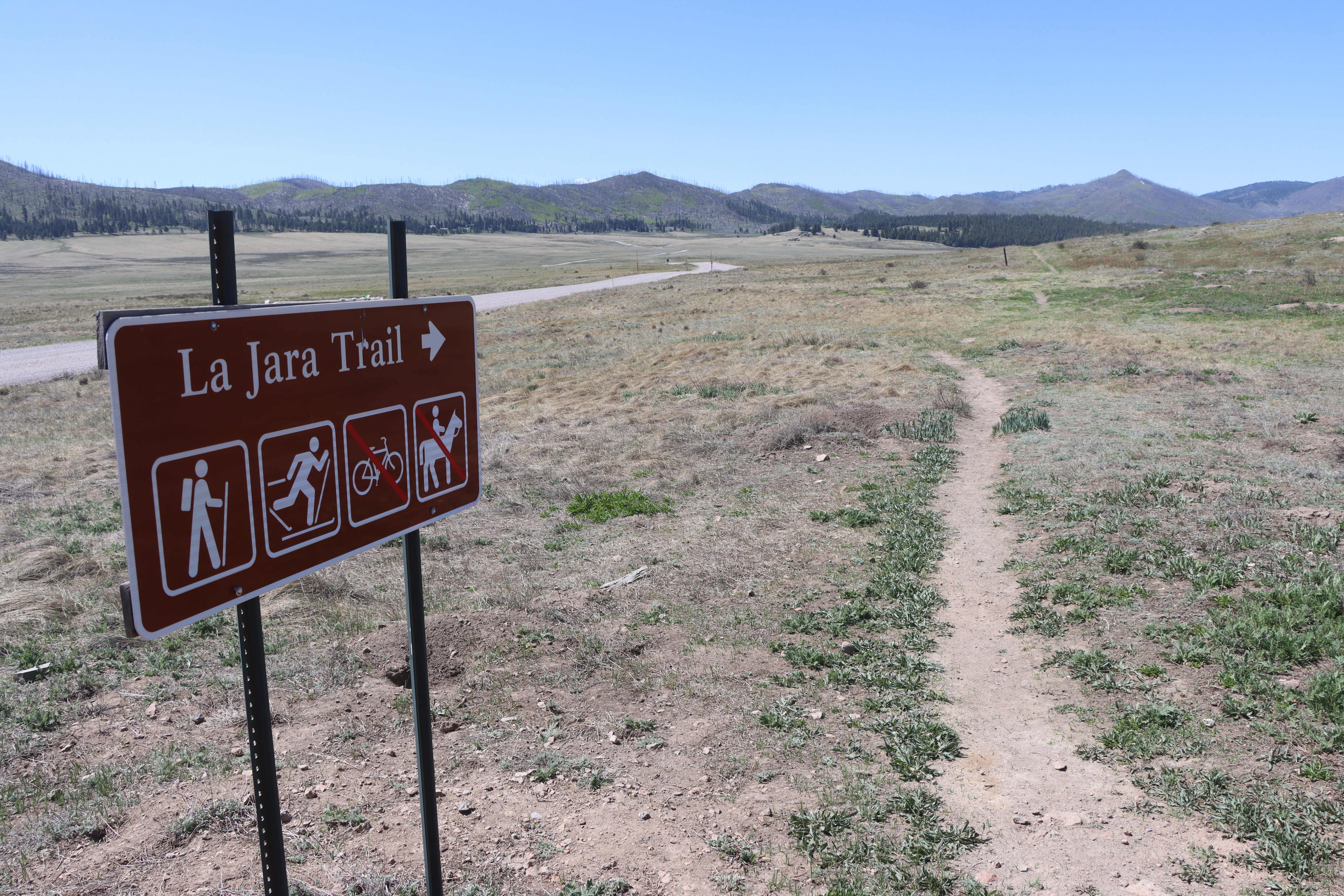
Cerros del AbrigoA popular area for elk hunters today and a frequented hiking area, Cerros del Abrigo was also the site of an important hunting camp for the Hemish people and positive spiritual energy. Keep an eye out for elk and black bear and listen for the distinctive cry of the pika. 
CommissaryThe commissary supplied basics like meat, potatoes, beans, and other canned goods for ranch workers and sheep camps. Sheepherders arriving on horseback, packed burros, and mules would stock up with weeks' worth of provisions and then return to their camps in the mountains. 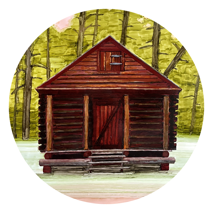
Cowboy CabinThe Bond Family built this house in 1951 for ranch employee Sam Hill, his wife Bertilla, and their two children after Sam complained about the building of the red cabin for the Hoolihans. 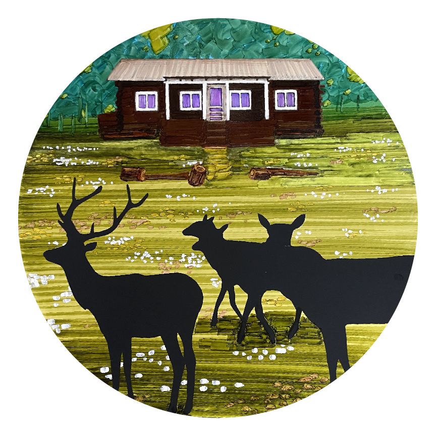
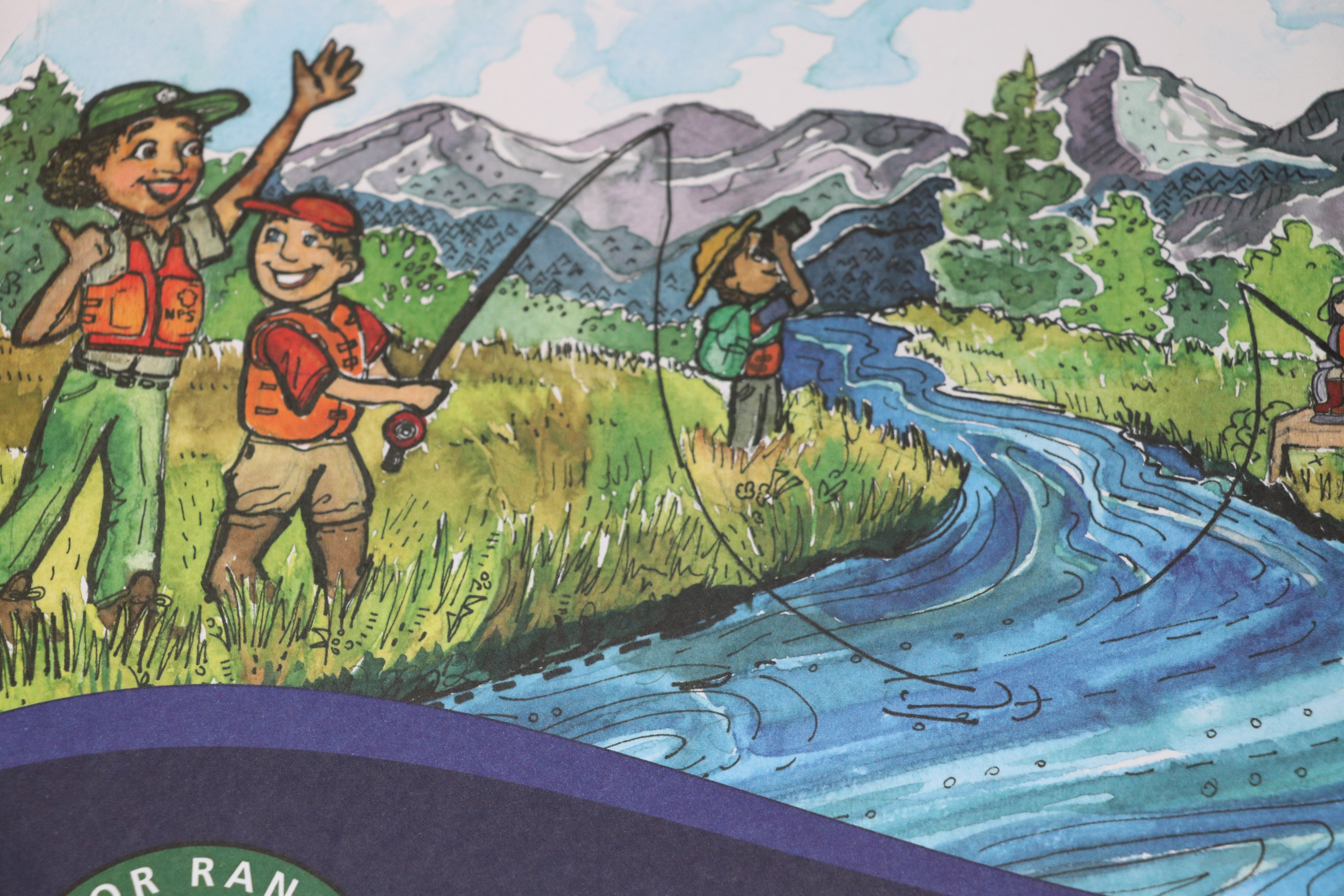
East Fork Jemez RiverExcellent views and fishing opportunities await you on the East Fork Jemez River. 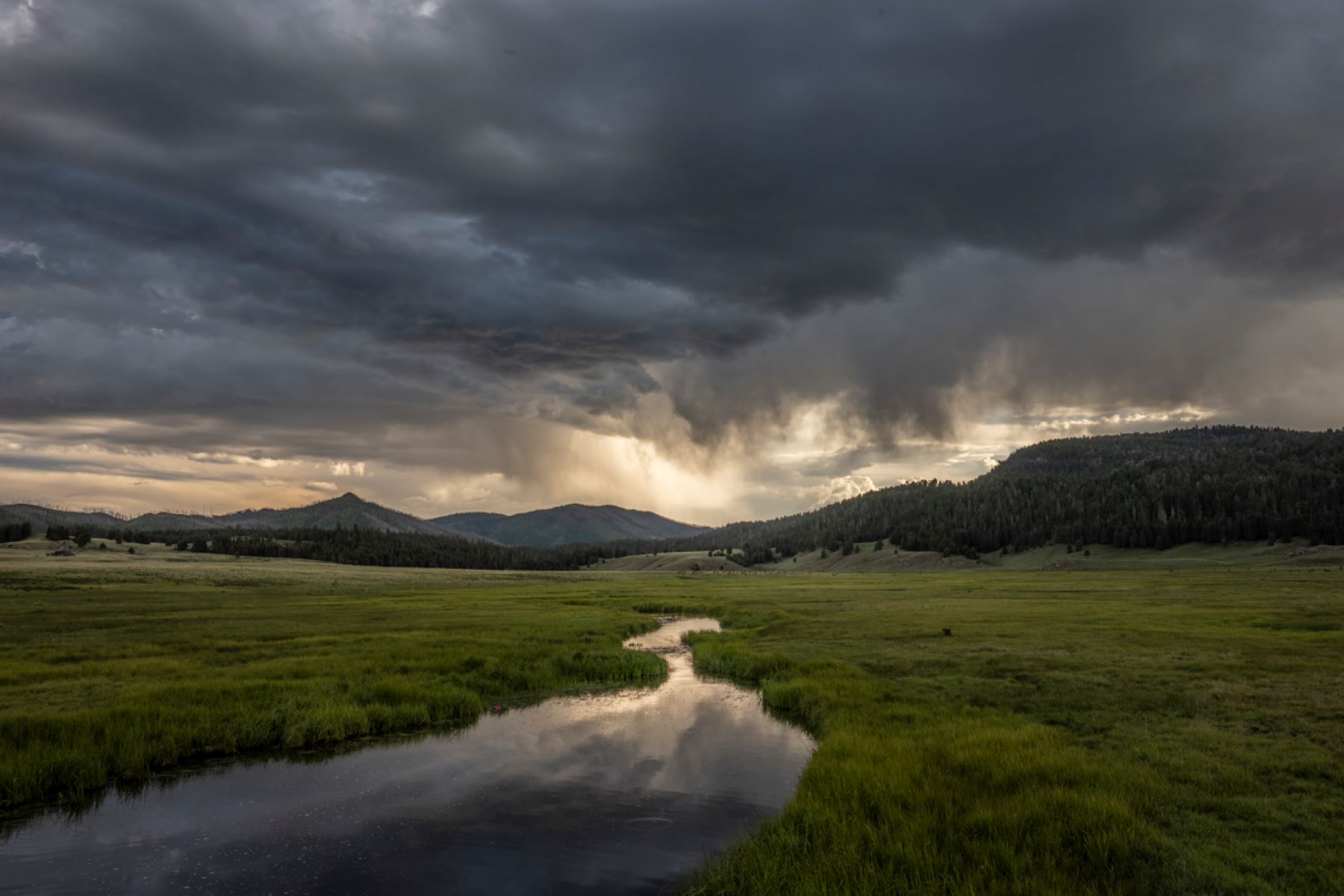
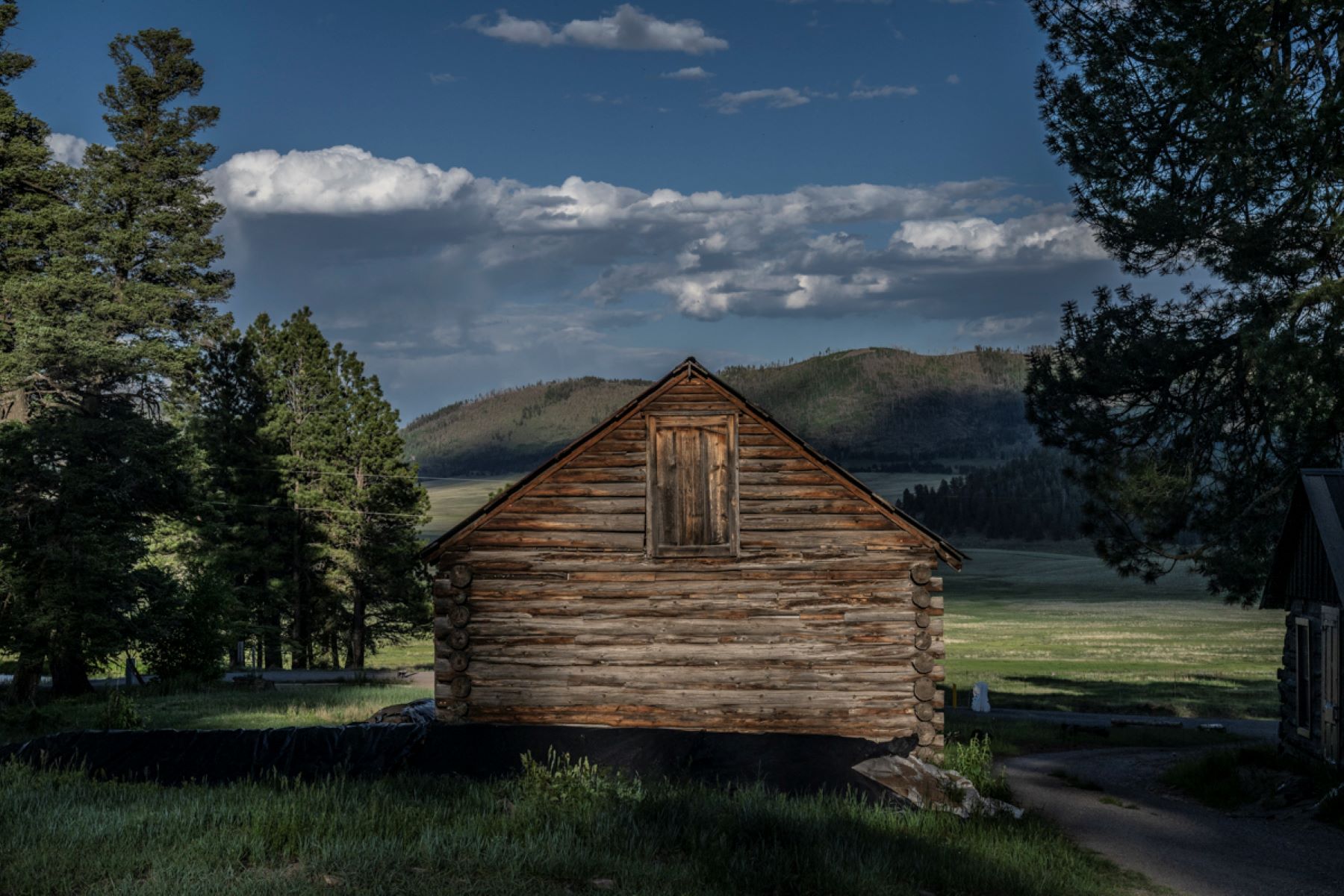
Historic Cabin District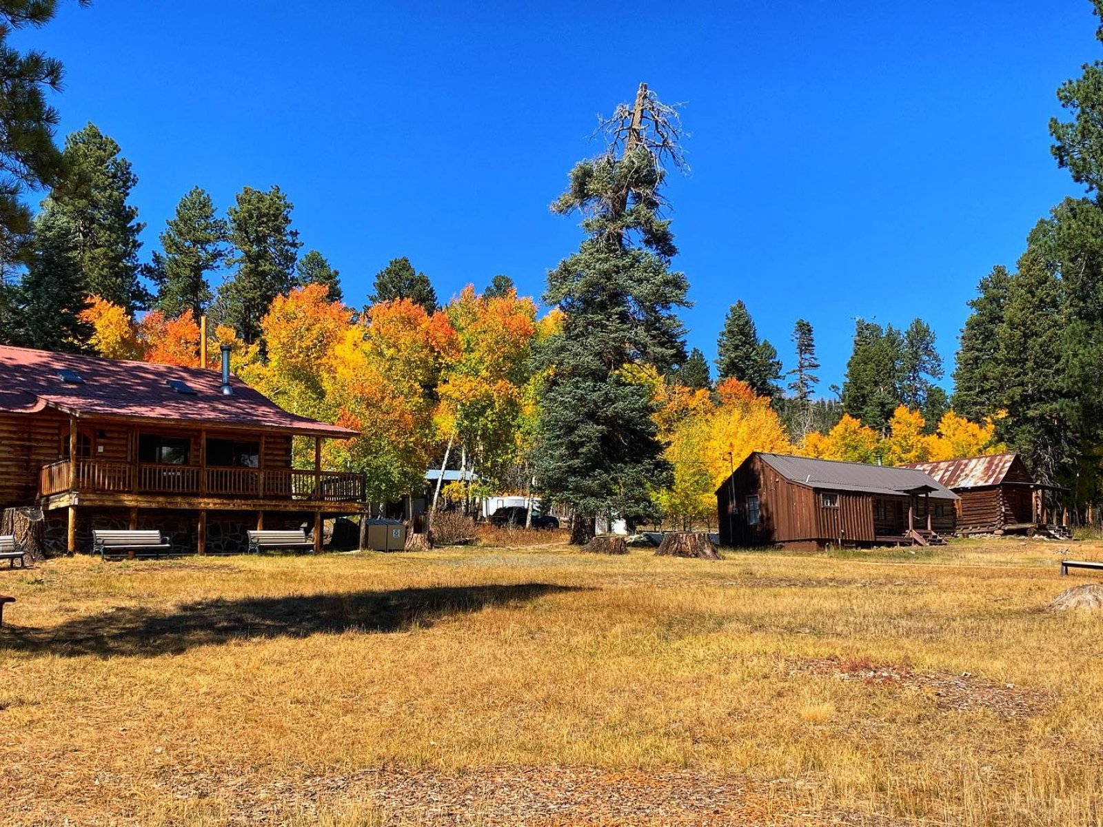
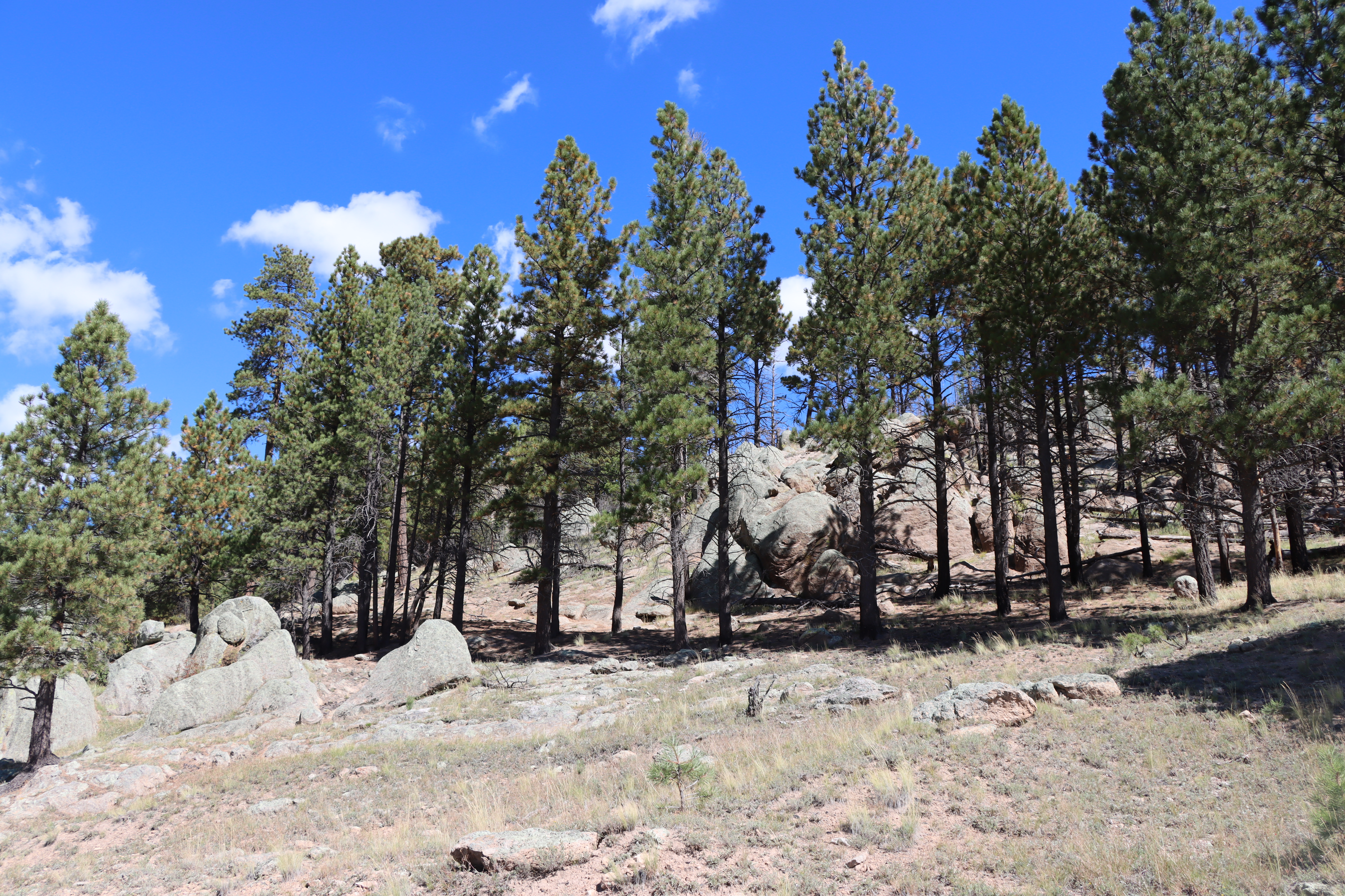
History GroveA pocket of remaining old-growth forest in Valles Caldera featuring 250-400 year old ponderosa pines and Douglas firs. 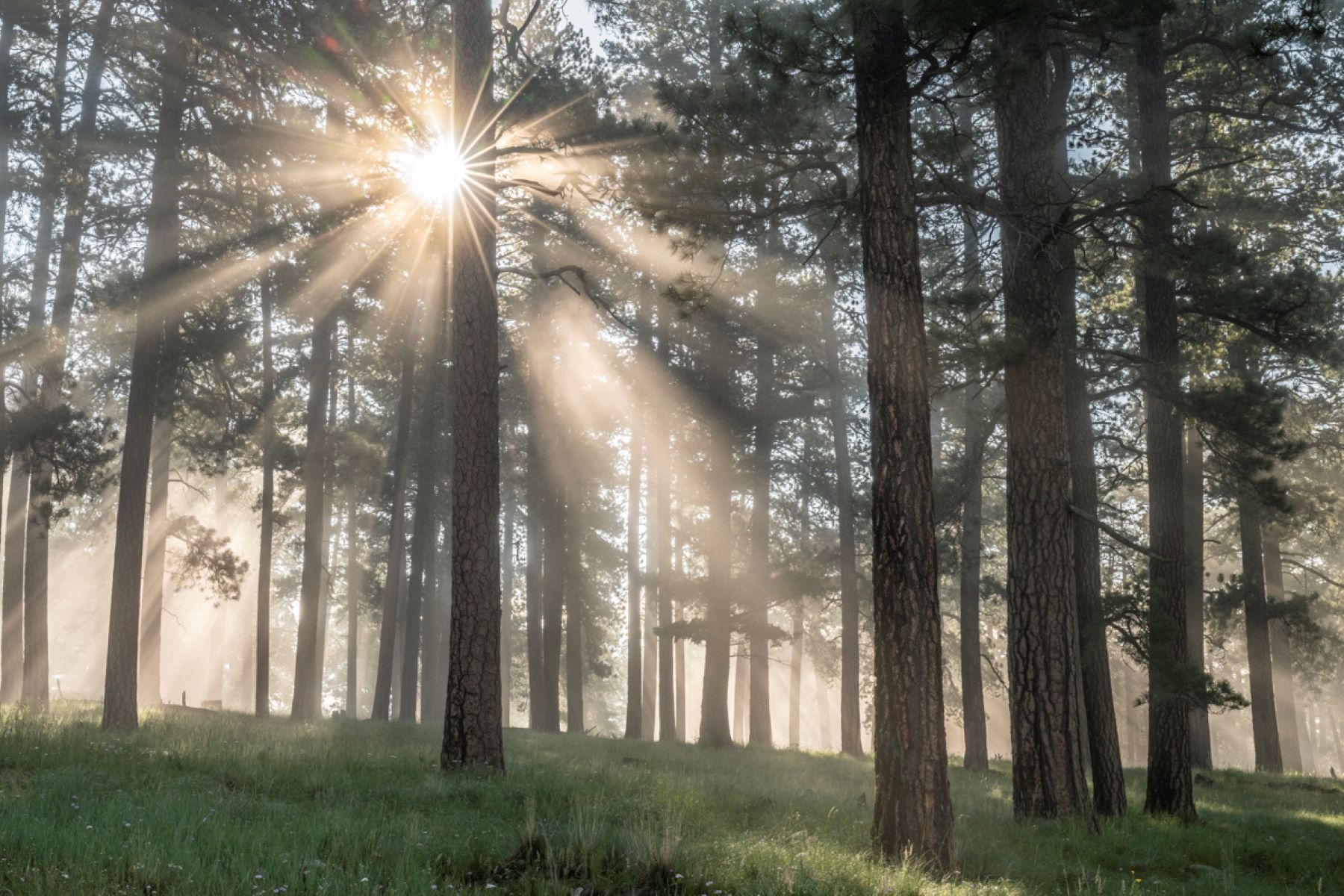
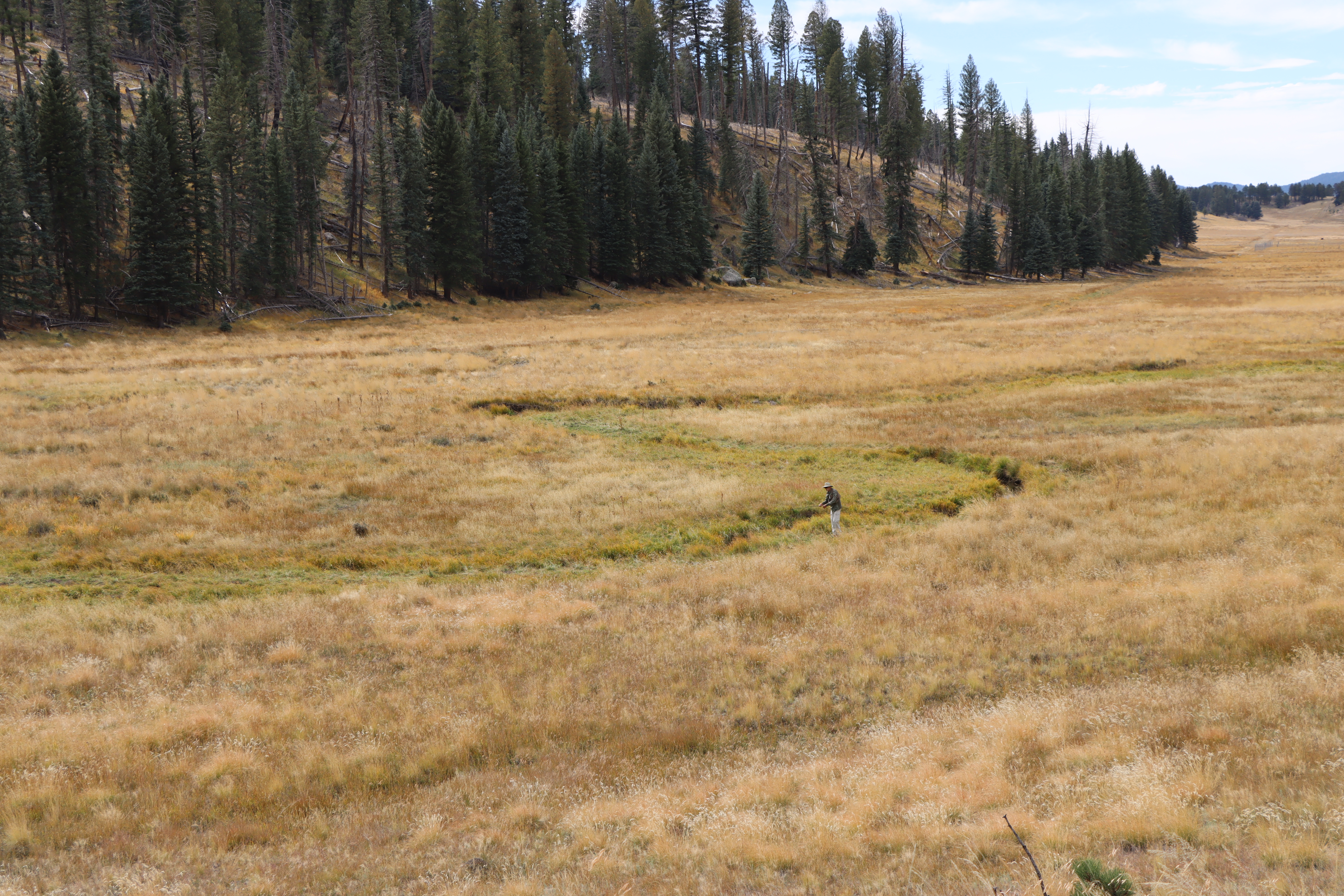
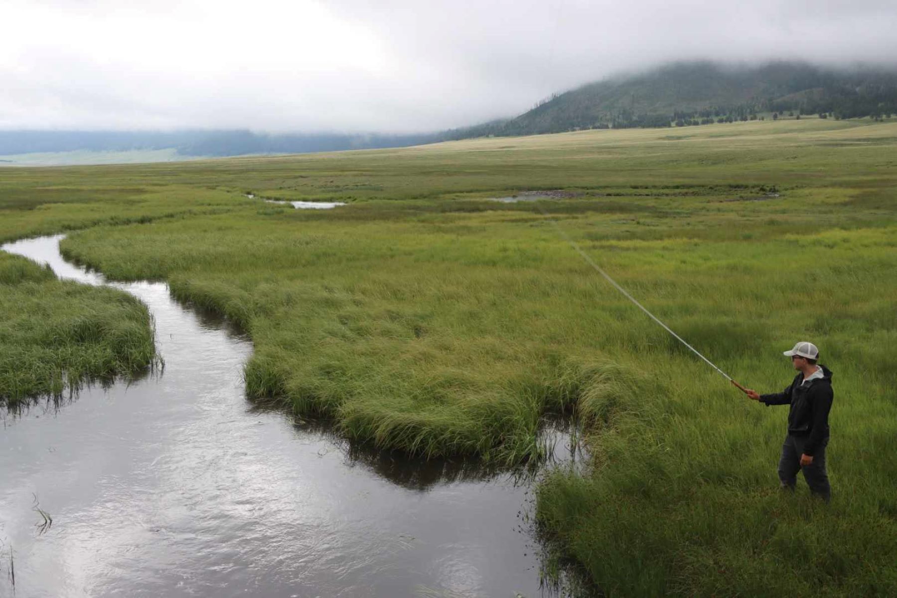
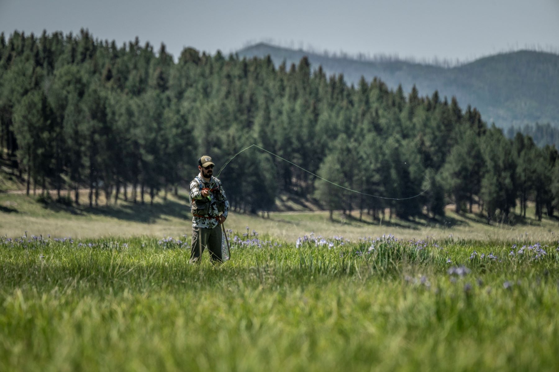
Jaramillo CreekSkilled anglers will delight in catching massive brown trout in this world-class flyfishing stream. 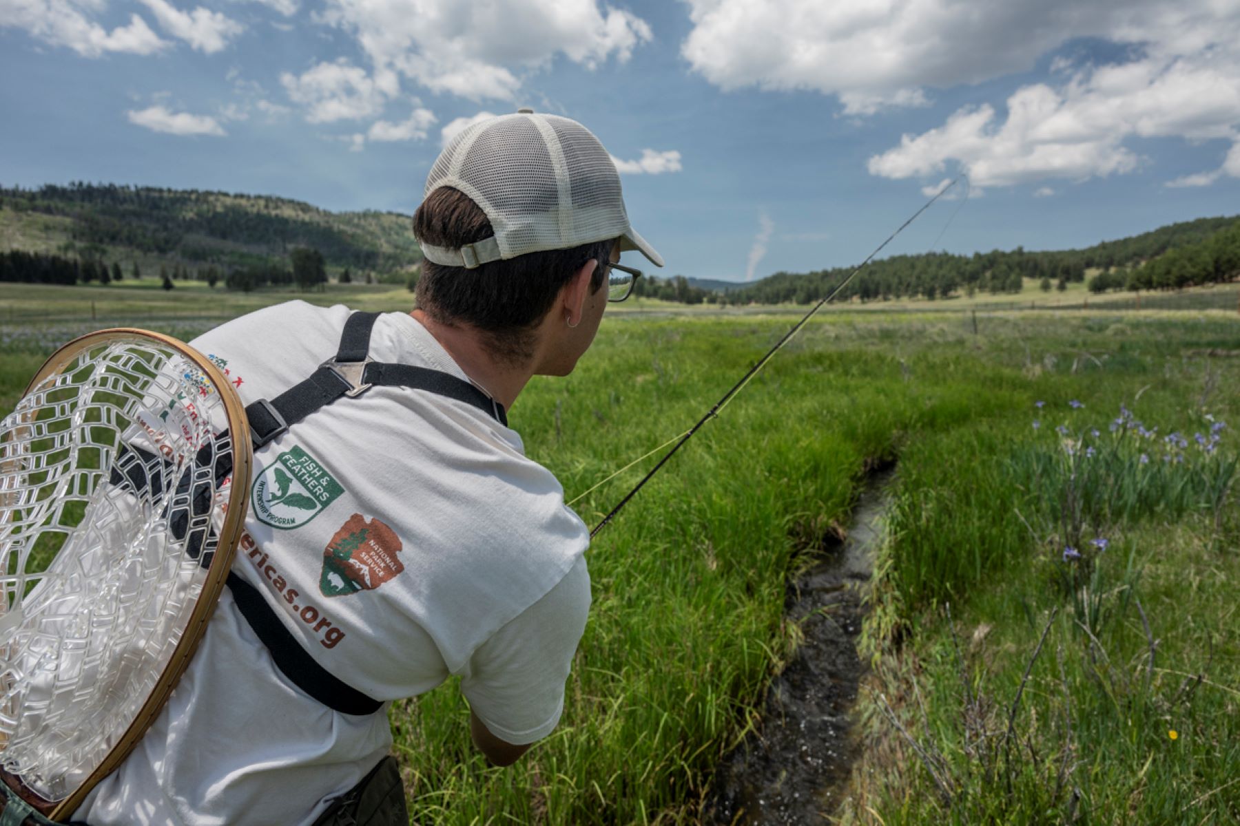
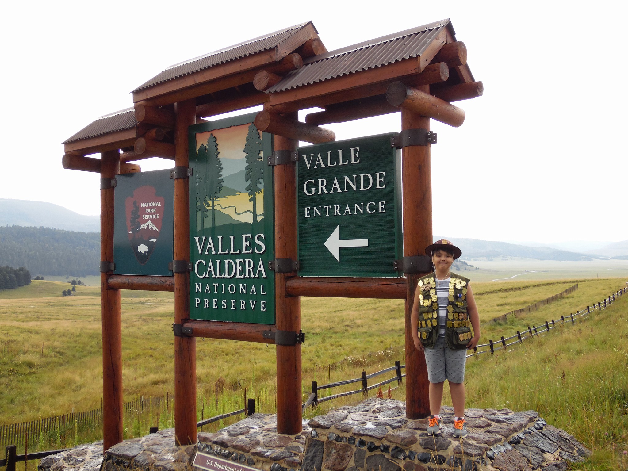
Main Park EntranceThe main entrance to Valles Caldera National Preserve, located along New Mexico State Route 4 between Los Alamos and Jemez Springs, is open daily from dawn to dusk for pedestrian traffic and from 9:00 am to 5:00 pm for vehicular traffic (8:00 am to 6:00 pm from Memorial Day to Labor Day). Learn more about our operating hours and alternative park entrances at https://www.nps.gov/vall/planyourvisit/hours.htm. 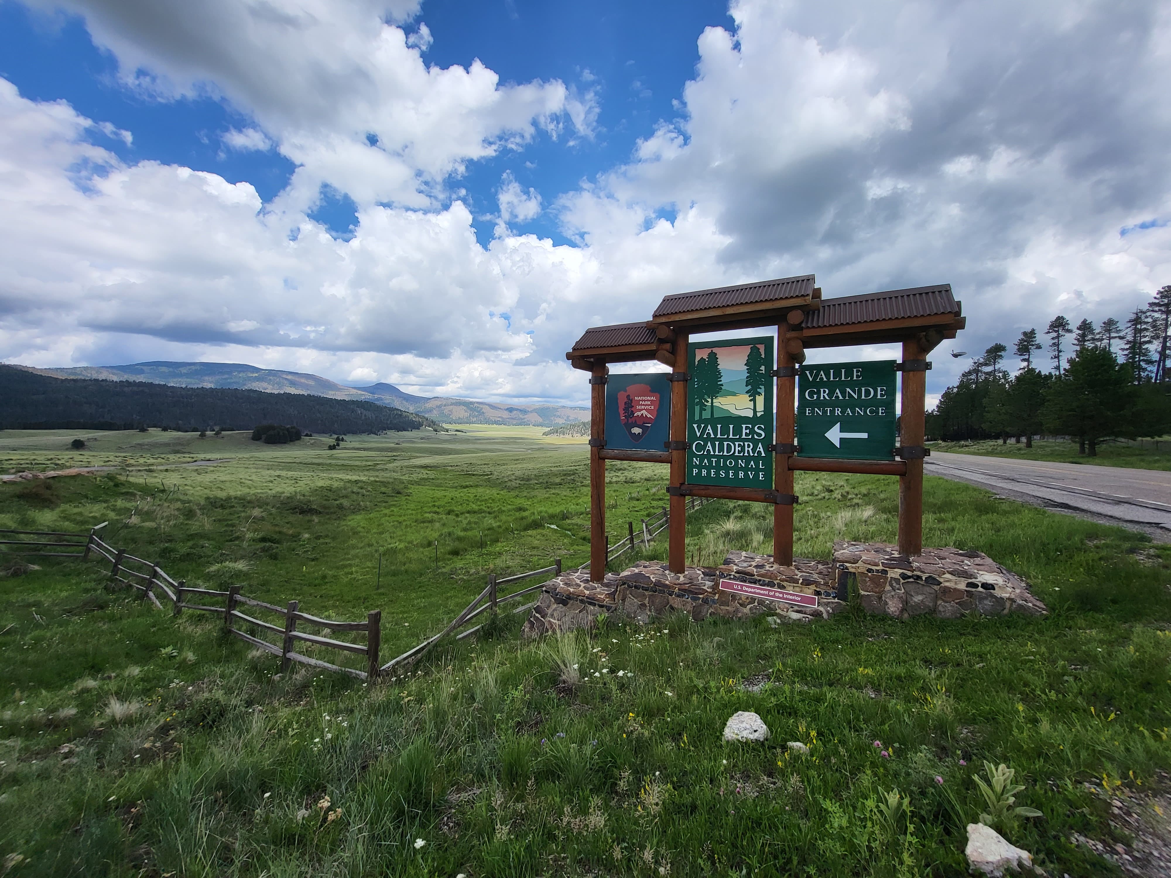
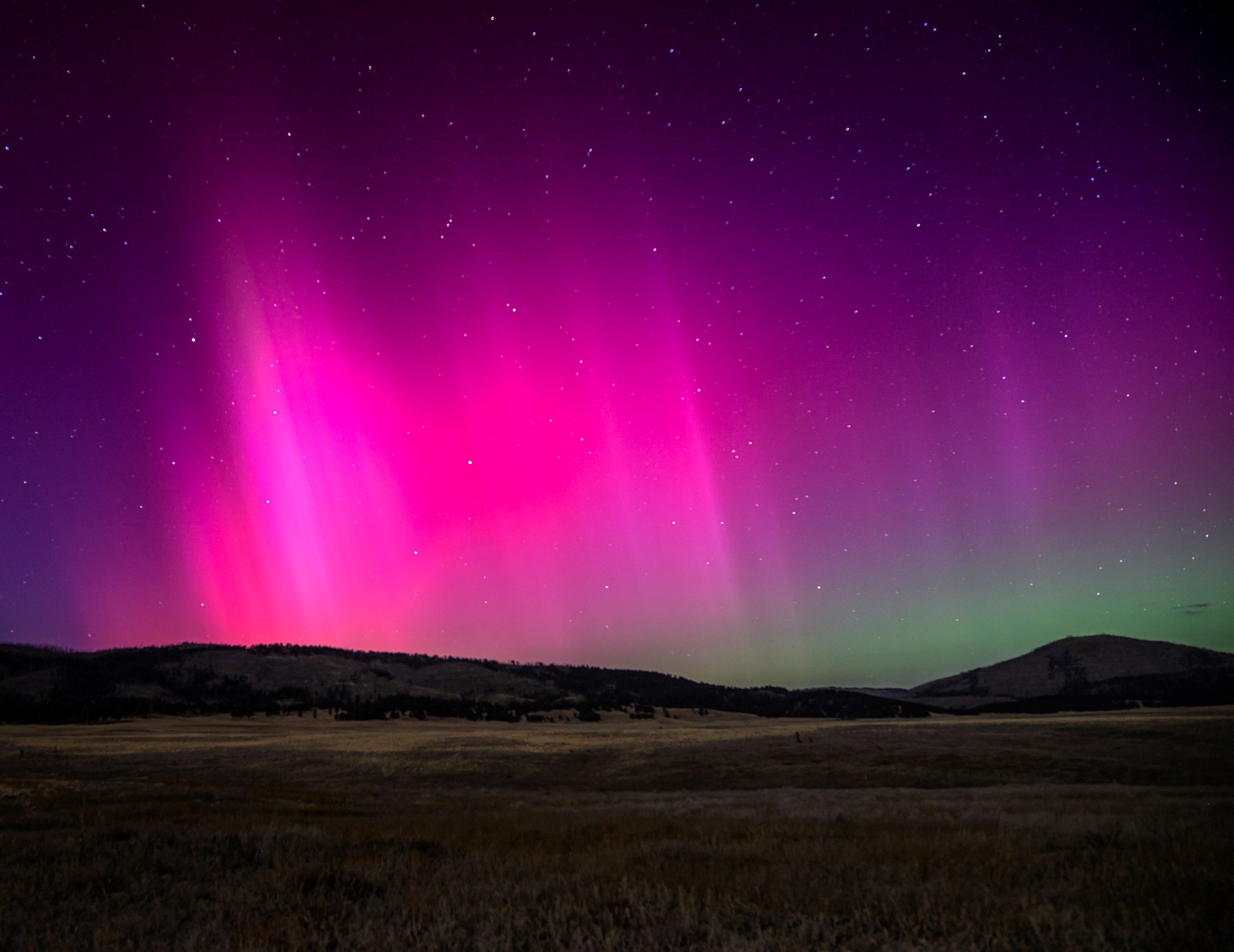
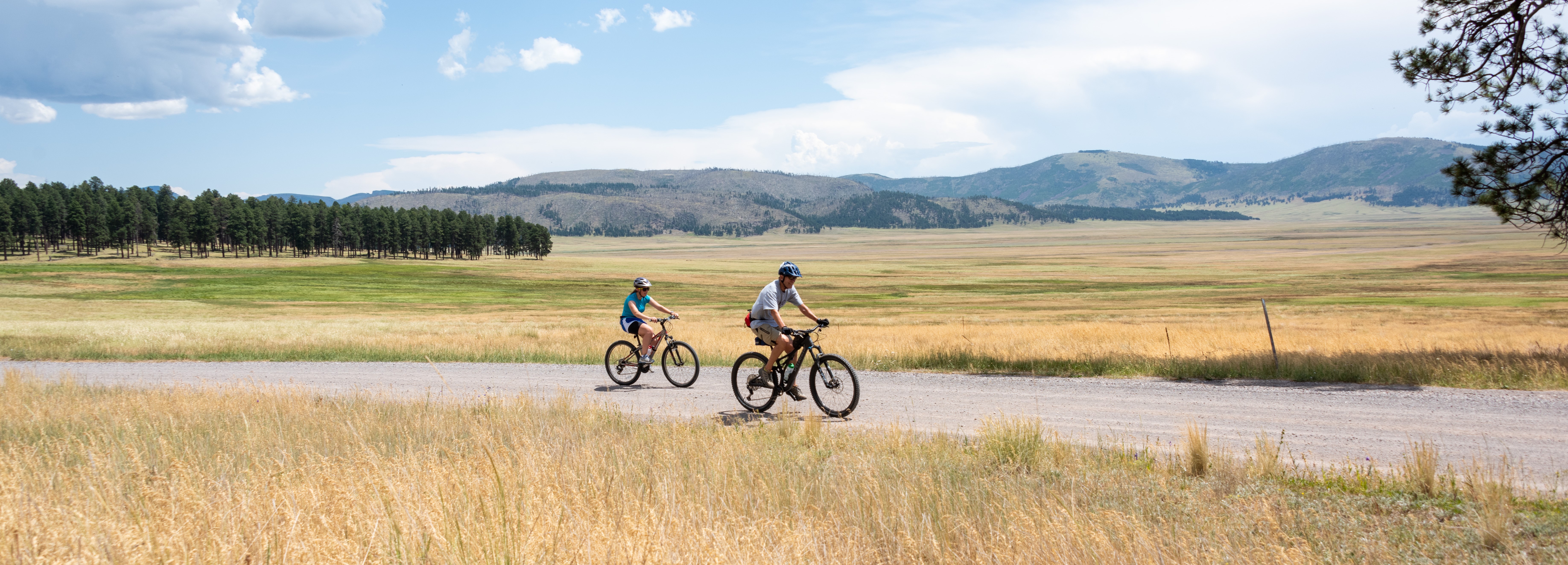
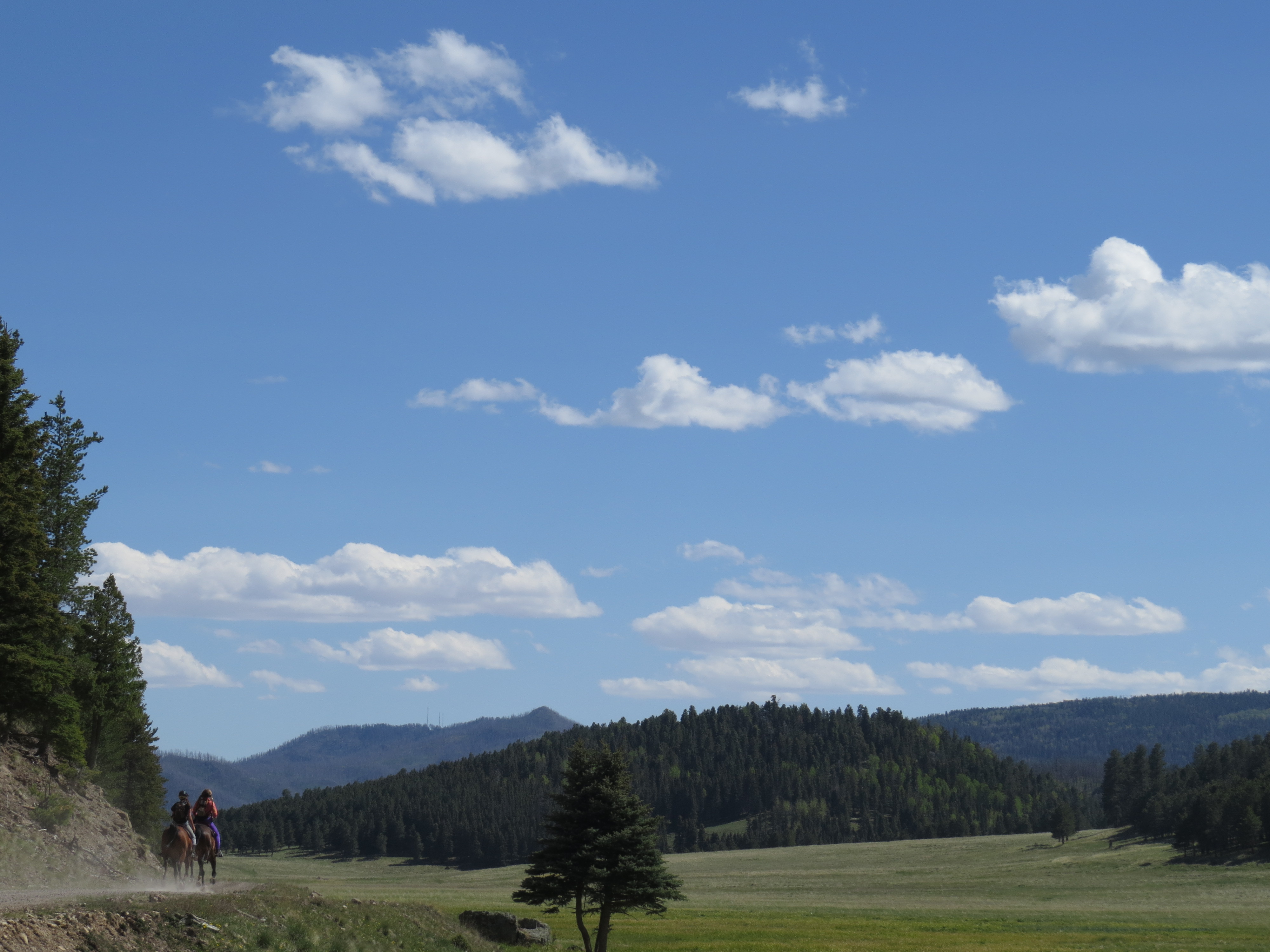
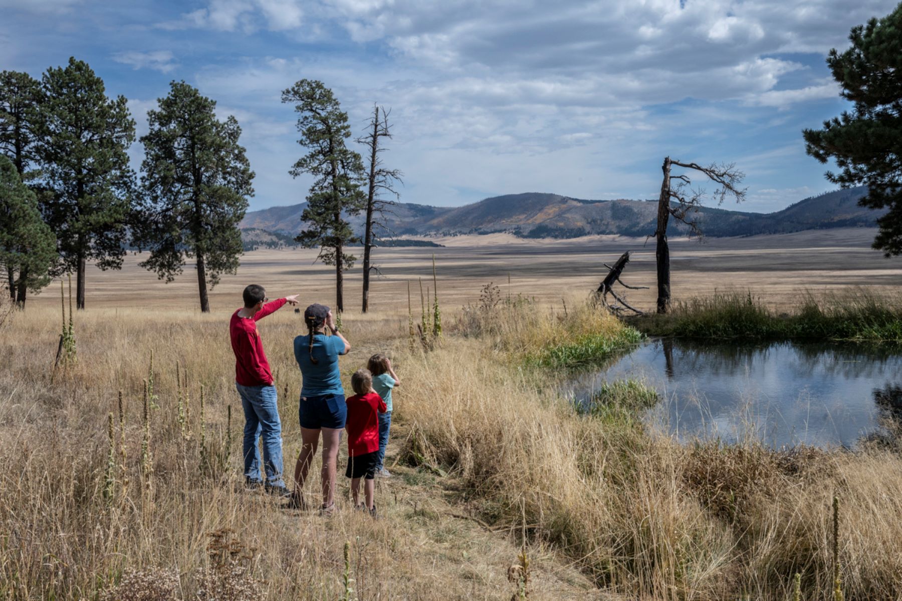
NM State Route 4 PulloutsThere are several pullouts along NM State Route 4 to stop and view wildlife, take photos, and enjoy expansive views of Valle Grande. These pullouts are open 24/7, so they may also be used for stargazing. 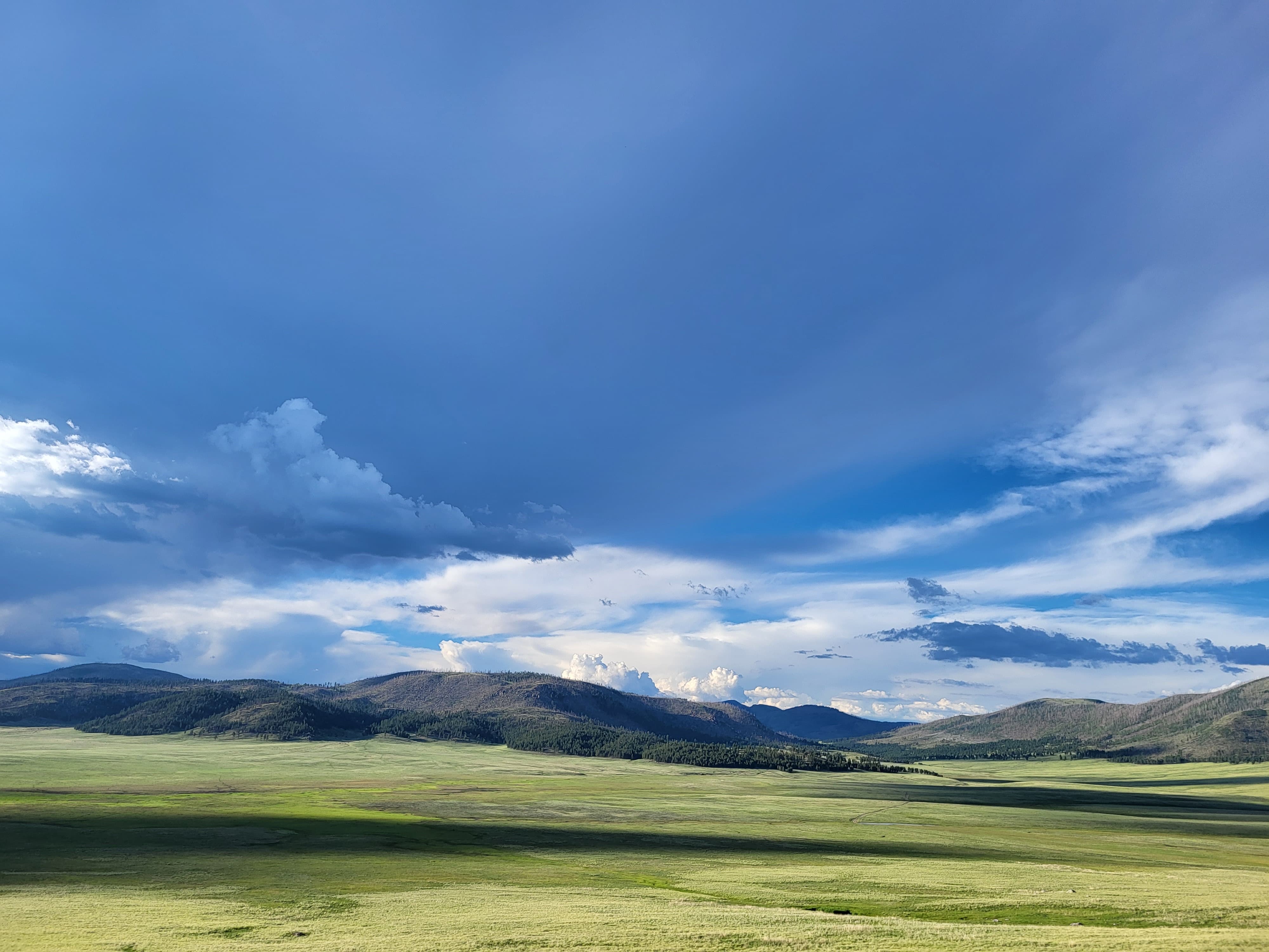
Old BarnBuilt in 1941, the Old Barn was used to store hay, straw, tack, and the "night horse." Every morning, the night horse and assigned ranch hand would be up before sunrise to bring the other horses from the field. The opening on the right was enlarged sometime prior to 1955. 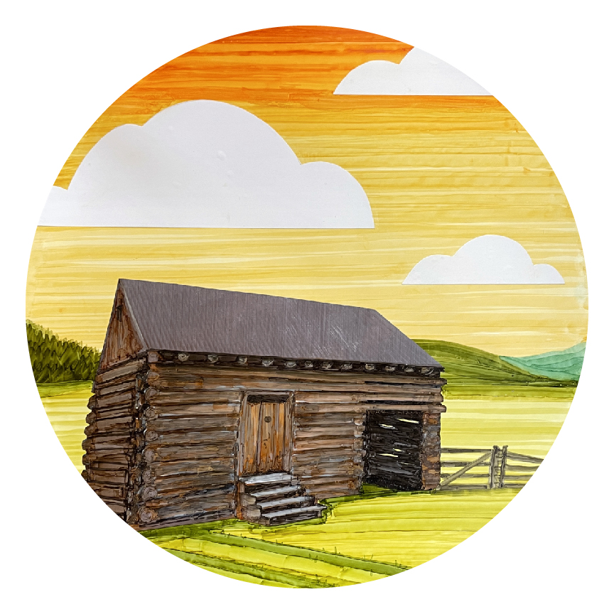
Otero CabinThe Otero (Cupit) Cabin is the oldest standing log structure in the park, built back in 1915. The Oteros, who owned the land from 1899 to 1918, grazed sheep on the mountains and cattle and horses in the valleys. Frederico Otero lived there until 1917, but later occupants included staff working seasonally on the ranch. Names carved over the door frame include Danny, Shawn, and Nathan Cupit and are dated 1967 and 1977. 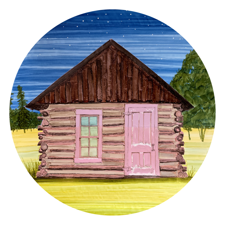
Ranch Foreman's CabinKnown as the "Little House," this cabin housed the ranch manager. Like the Bond Cabin, cooking was primarily done outdoors until the Dunigan family remodeled in the 1980s. In both cabins, the additions can be easily recognized because they used vertical board/batten framing instead of horizontal logs. This cabin had continual ranch management use from 1918 up until the early 2000s. It was featured in the show Longmire. 
Redondo Peak - Resurgent DomeRedondo Peak is not only a world-class example of caldera resurgence, but it is also a sacred peak to many indigenous cultures. In Hemish culture, for example, Redondo Peak is the center of the universe. It is the home of their deities and ancestors. Redondo is life for the people of the Pueblo of Jemez. 
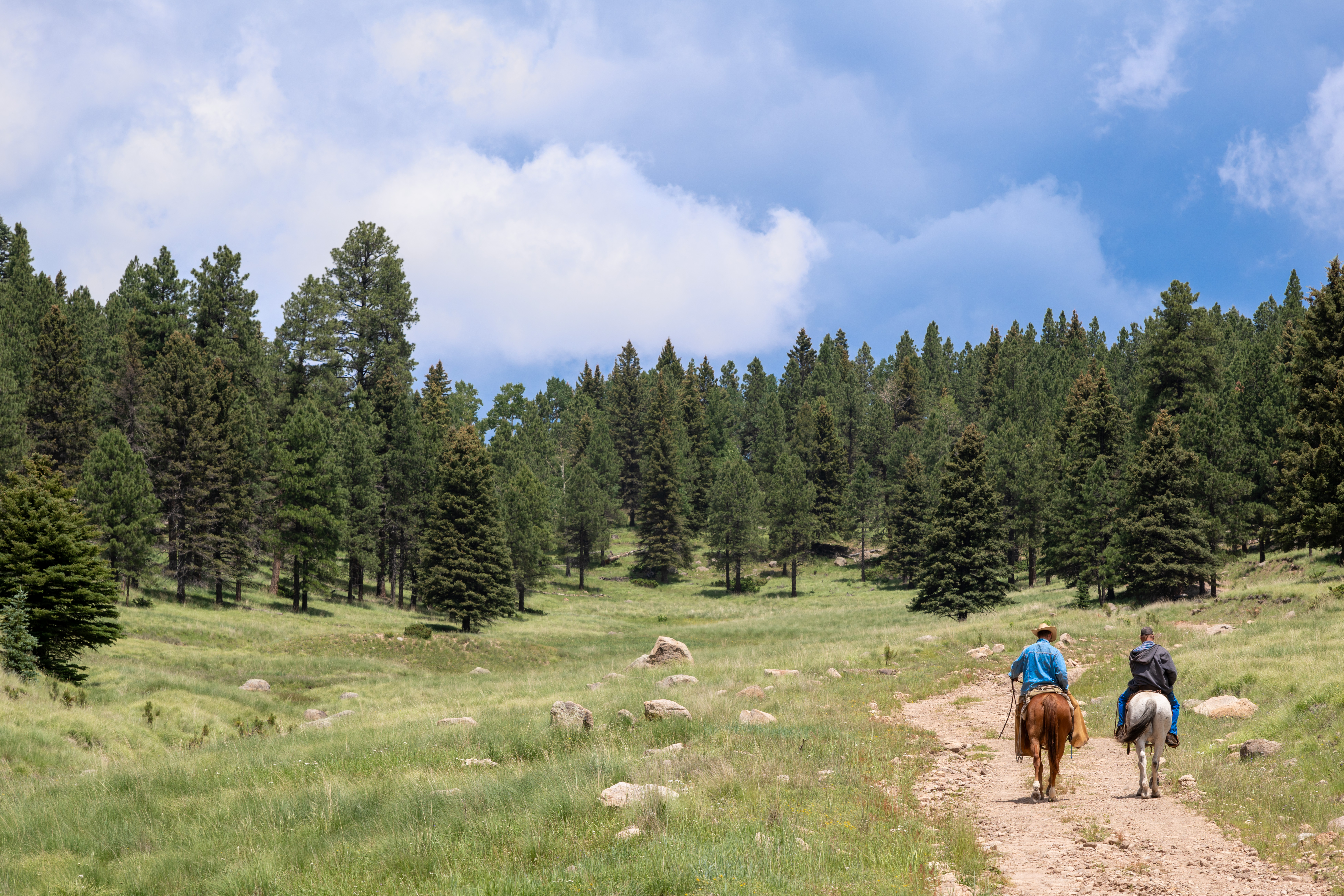
Saddle ShedThe saddle shed, also known as the tack shed, was built in 1963 to serve ranch operations. Ranch hands started their days here, grooming their horses and saddling up before sunrise. They would ride up to 20 miles a day, checking on livestock, inspecting fences, and tending to other chores throughout the 100,000-acre property. 
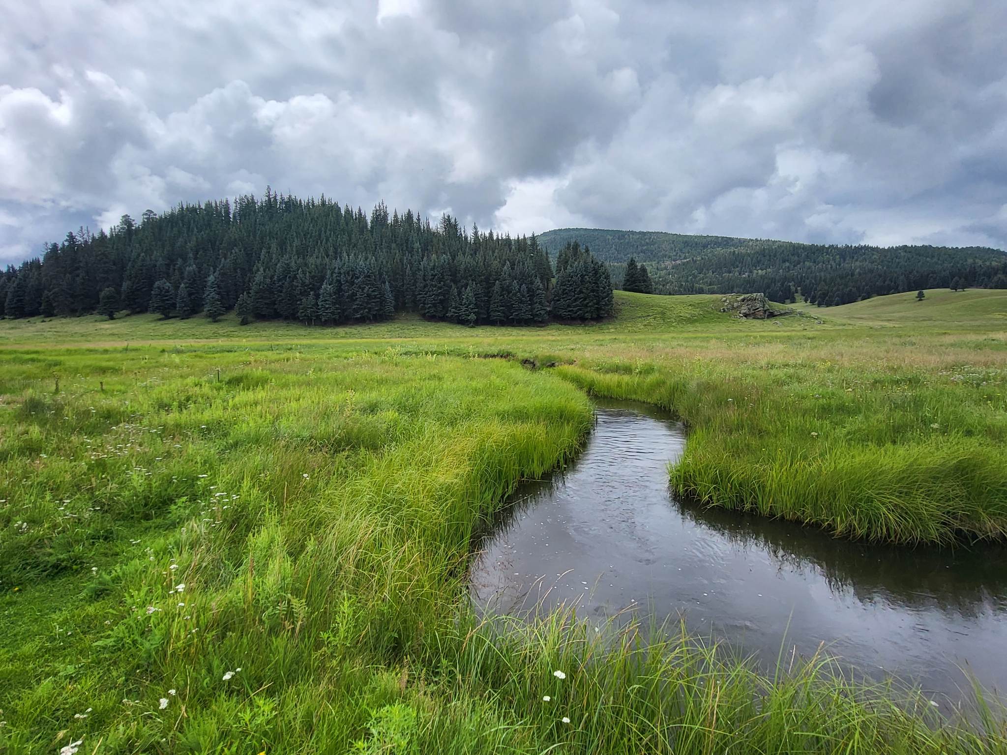
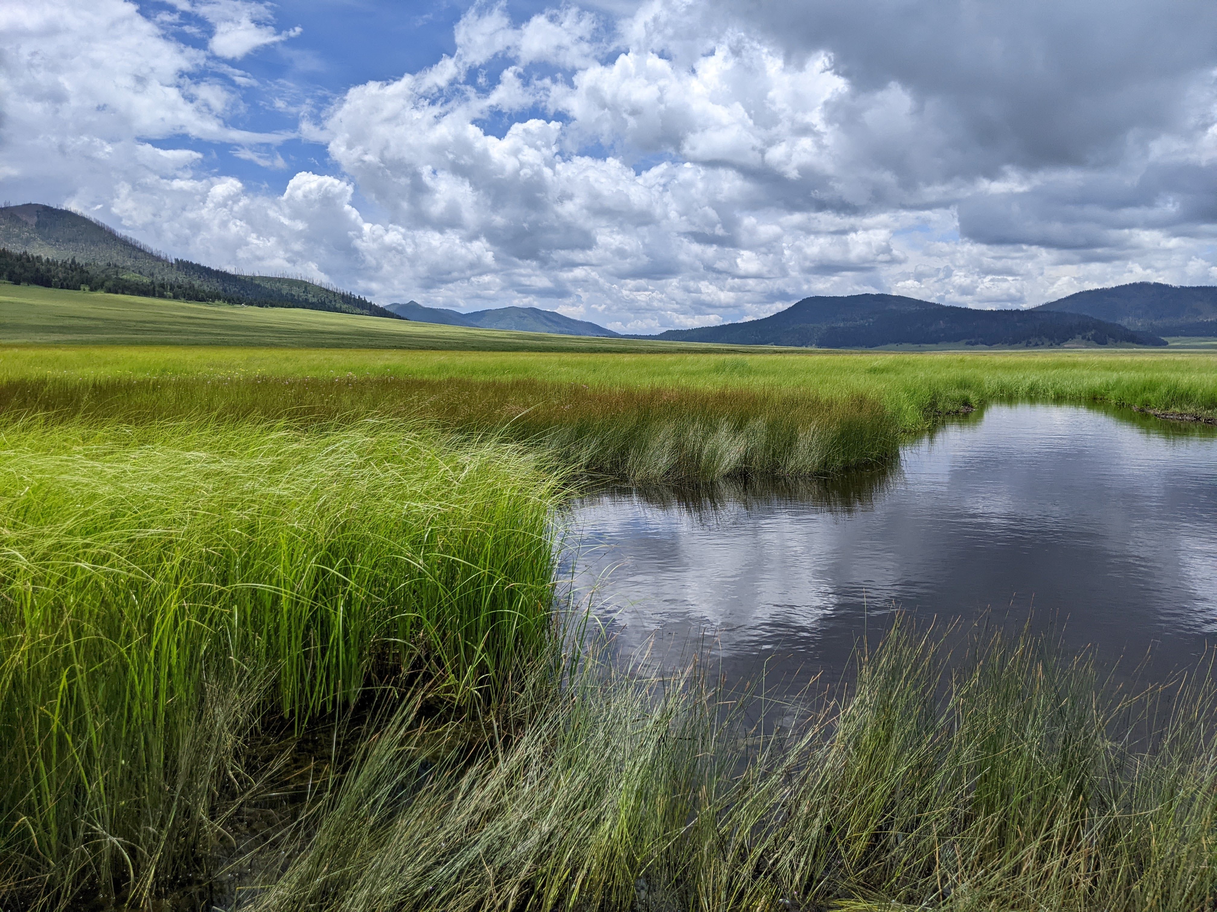
San Antonio CreekBelow the north rim of the volcanic caldera and about 12 miles from the Entrance Station, San Antonio Creek meanders through the lush mountain meadows of Valle San Antonio and is home to thousands of non-native brown trout. Elk, bear, coyote, and mountain bluebirds are often spotted along the banks of the creek. 
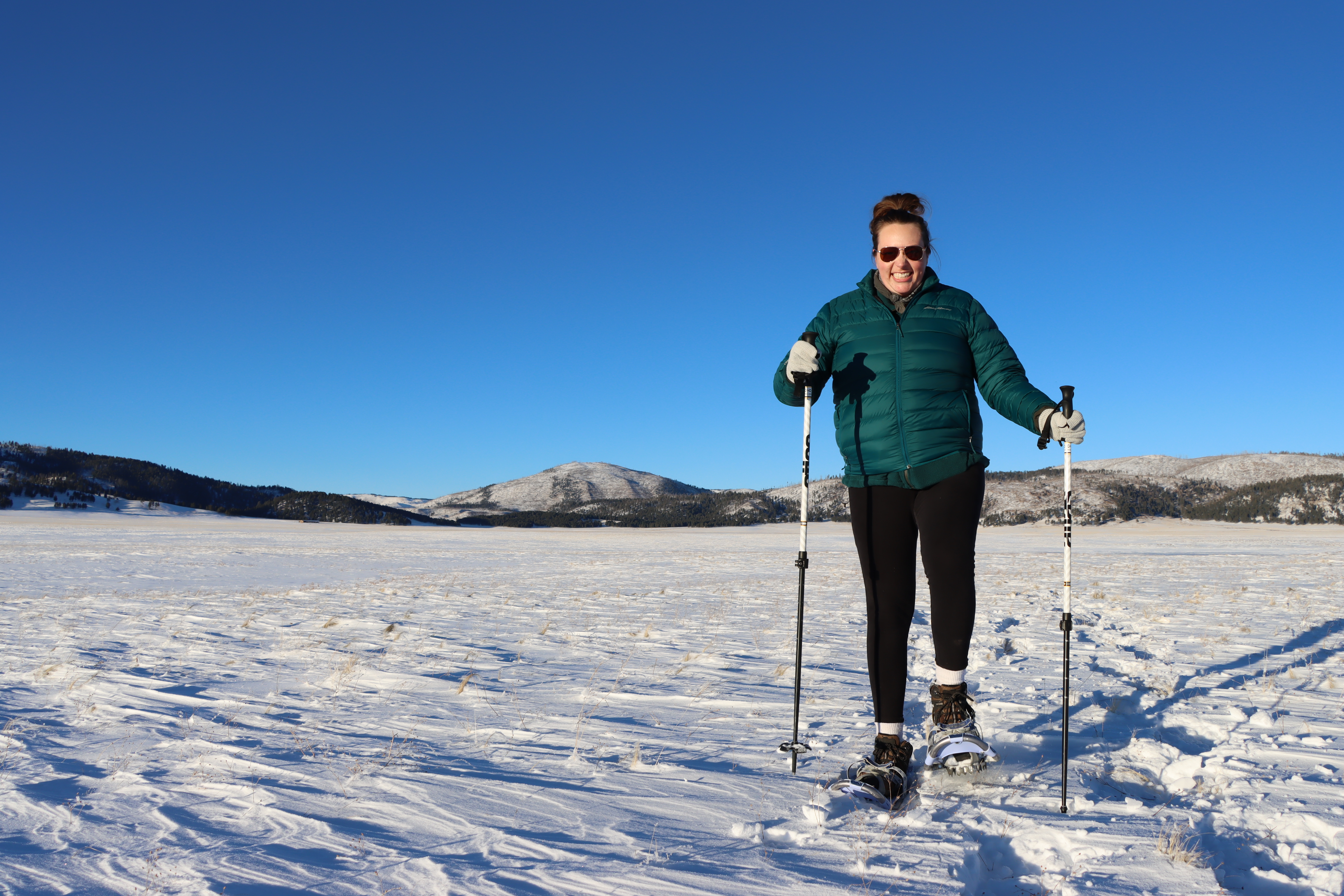
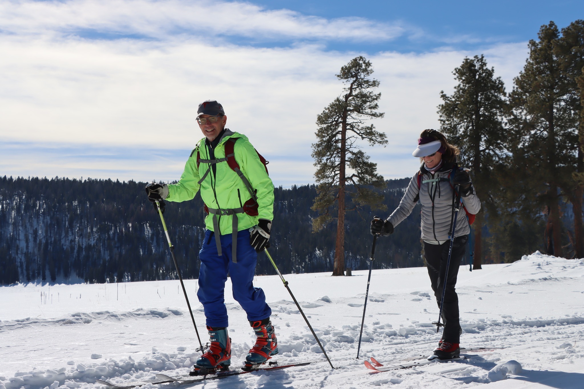
South MountainFor many visitors, South Mountain is a popular hiking, cross-country skiing, and snowshoeing destination. For indigenous cultures across the Southwest, including Hemish culture, South Mountain also holds spiritual and ceremonial importance. 
Stop 10: Cerro Del MedioCerro del Medio began erupting approximately 1.1 million years ago and continued for about 25,000 years. Its lava flows created very high-quality obsidian for human use. A very sharp and shiny black rock, obsidian can be fashioned or “knapped” into tools, spear points, and arrowheads. It was also used as a form of currency, traded across long distances in the Americas. 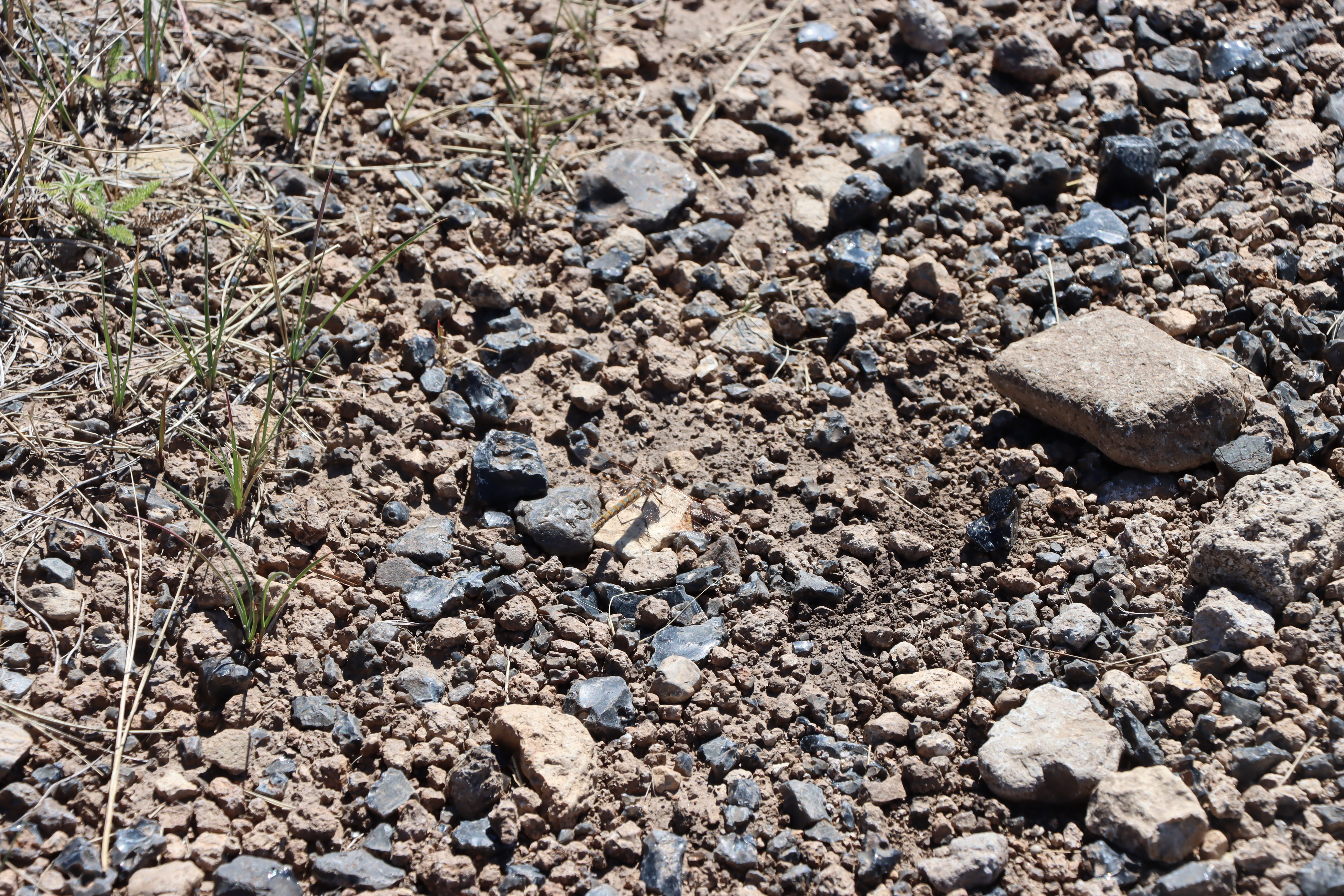
Stop 11: Cerros Del AbrigoA popular area for elk hunters today and a frequented hiking area, Cerros del Abrigo was also the site of an important hunting camp for the Hemish people and positive spiritual energy. Hear Chris Toya talk about the mindset and perspective you should have before hiking or hunting in the area. Keep an eye out for elk and black bear and listen for the distinctive cry of the pika. 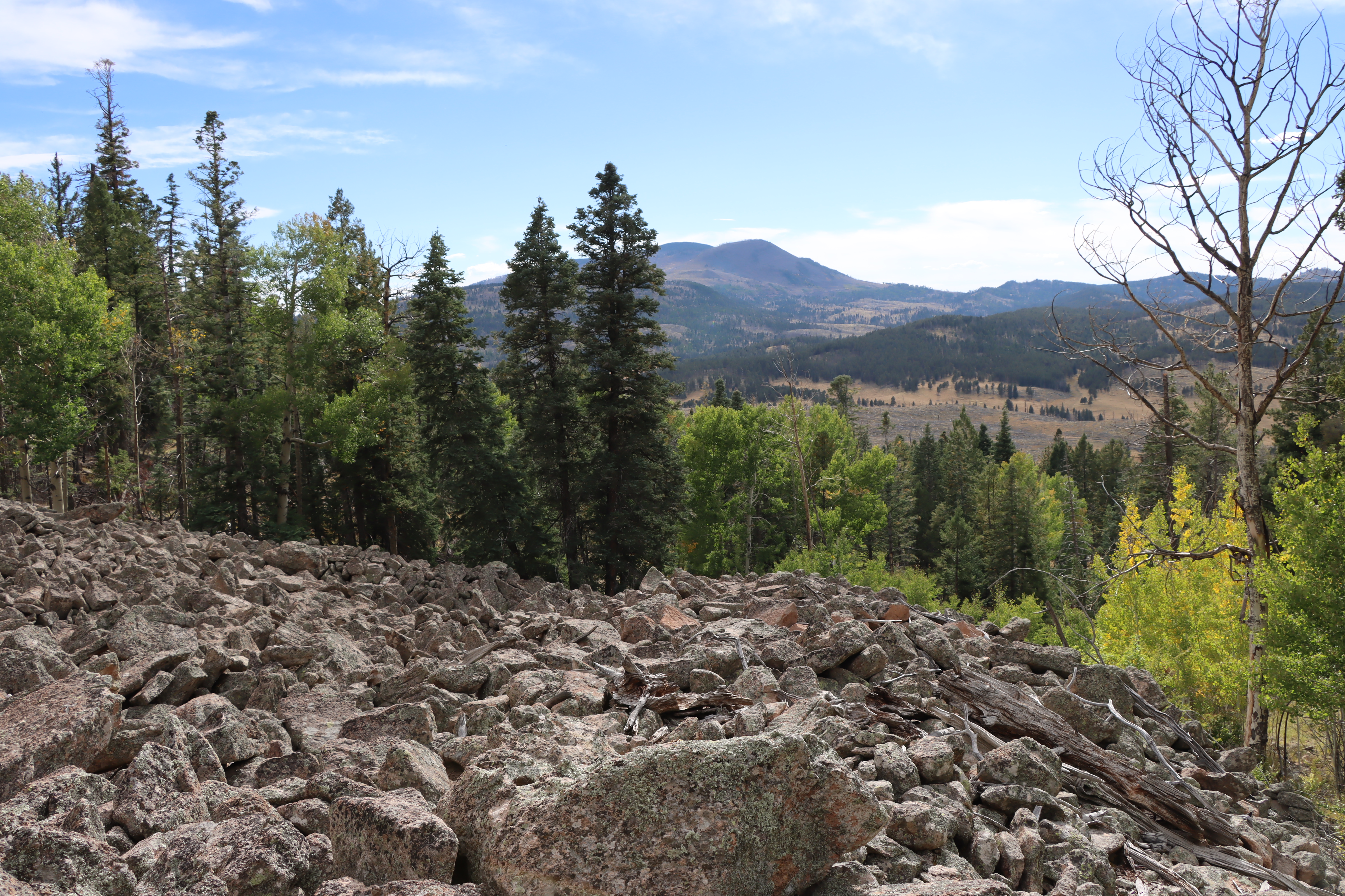
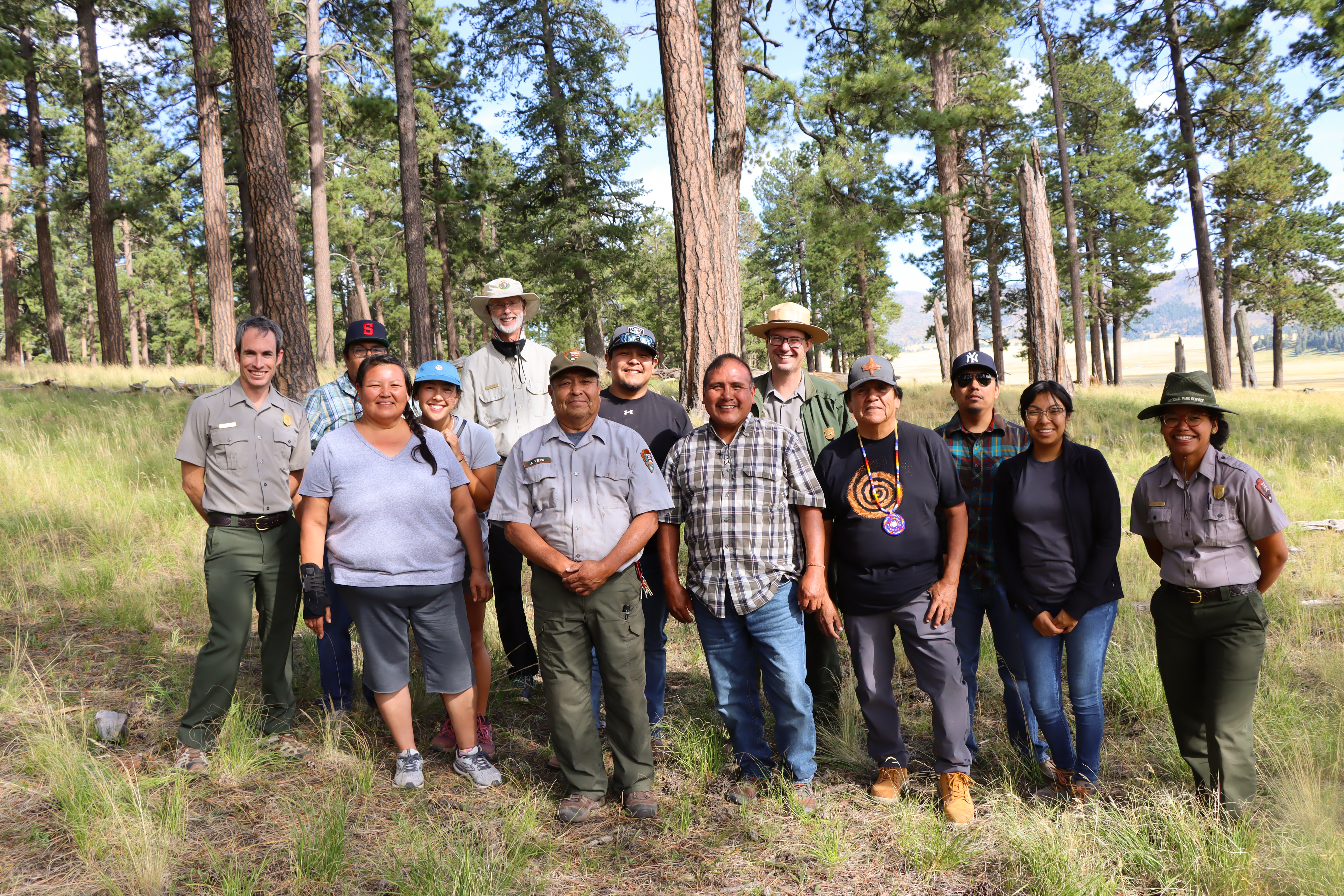
Stop 12: Other Tribal ConnectionsWhile this tour has focused on Hemish connections, Valles Caldera has 38 affiliated tribal nations including the Southern Ute nation. Hear Chris Toya discuss the long history of human occupation in Valles Caldera and the connections of the Southern Ute people to Valle Grande. 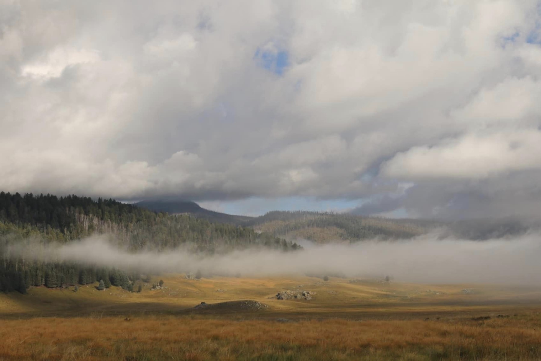
Stop 13: Banco BonitoAccording to oral tradition, shortly after the Hemish people moved to the area, they established high altitude farming for corn, beans, and squash in the microclimates of Banco Bonito. To this day, this is the site of the highest elevation field houses ever discovered at approximately 8,000 feet. While archaeologists and visitors are amazed at this success, Chris Toya emphasizes that careful knowledge and stewardship enabled Hemish farming. 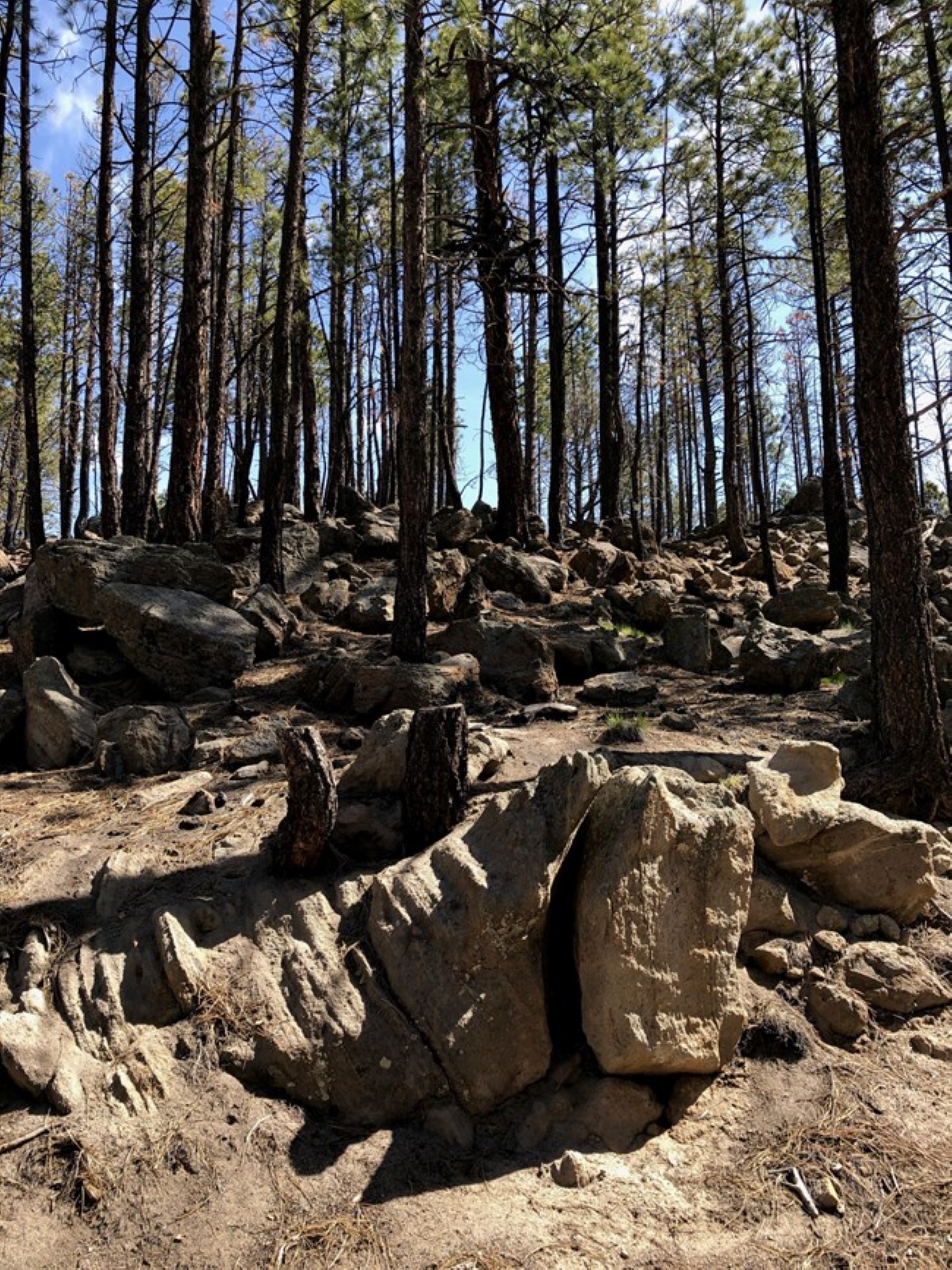
Stop 1: Entrance PlazaWelcome to Valles Caldera National Preserve! "Spanish Place Names & Origins" is a driving tour designed to explain the Spanish origins of some of the key landmarks of Valles Caldera National Preserve. The tour will guide you to roadside locations where you can observe each of the described landmarks from your car. Each stop will include a short history background and some pronunciation assistance. 
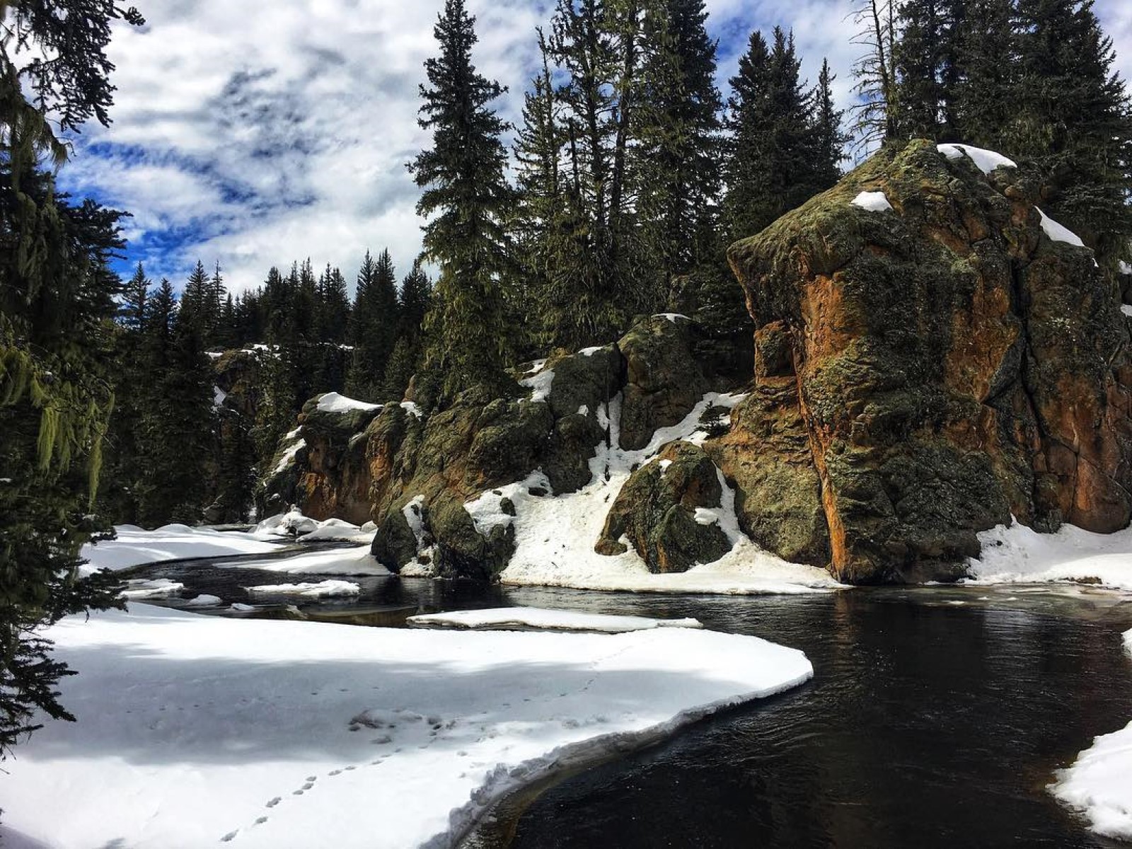
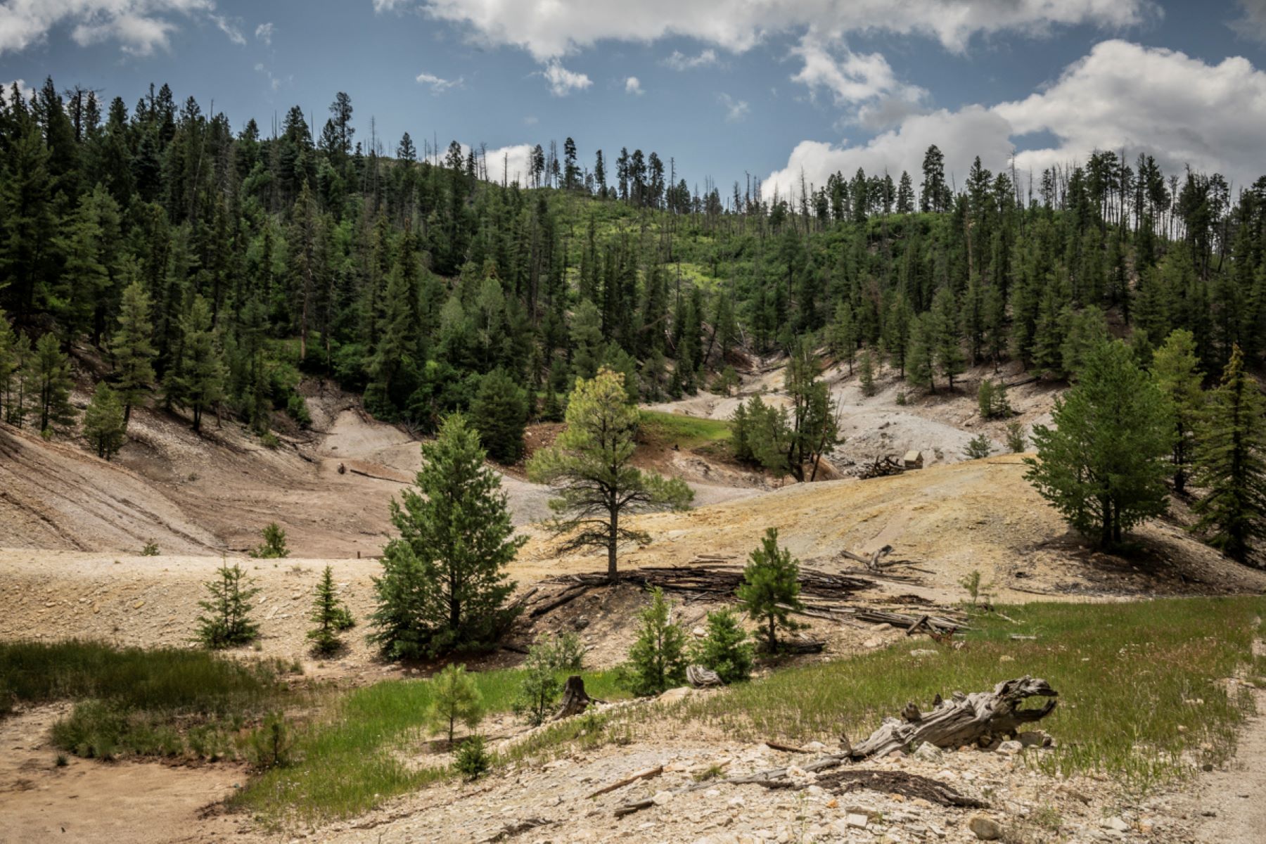
Stop 1: Sulphur Creek TrailheadWelcome to the Sulphur Creek Trailhead! Sulphur Springs is about 0.5 mile along the road after you pass through the entrance gate. The total hike, including the loop within Sulphur Springs, is about 1.5 miles. This area is off limits to pets due to safety concerns. Pets could be injured by the hot acidic water present. Please bring drinking water, use caution near hydrothermal features, and enjoy this unique part of Valles Caldera! 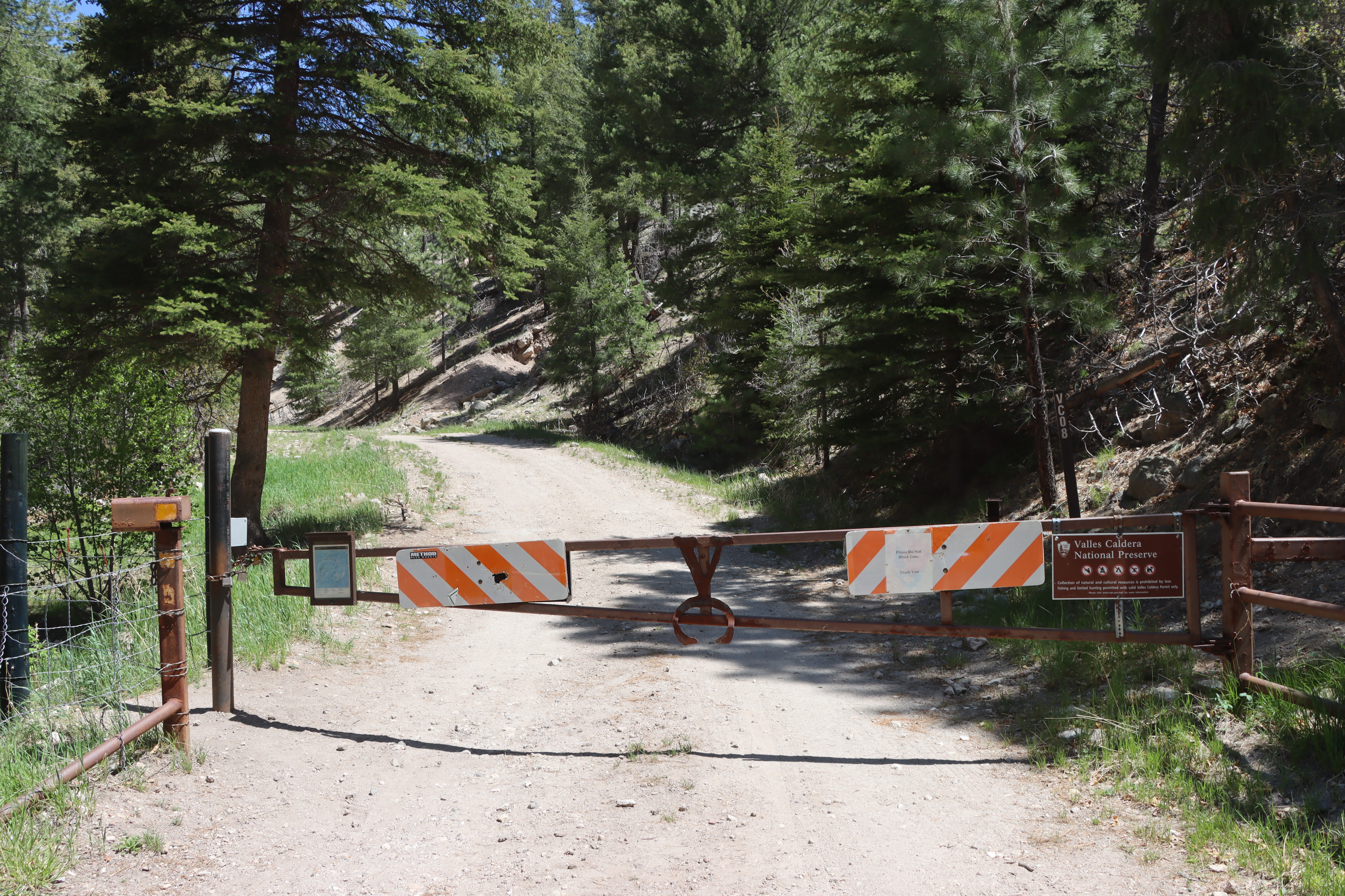
Stop 1: Welcome to the Park!Byron Andrew, Mark Magdalena, Brophy Toledo, and Chris Toya all belong to the Pueblo of Jemez. They introduce themselves both in Towa and English and explain their positions in Hemish society. During these introductions, you will hear a bit about the religious and social societies that most Hemish men and women are a part of. You will also hear about “power points,” places of special religious and spiritual significance to the Hemish. 
Stop 2: Entrance StationWhile this tour by design focuses on connections to specific places in Valles Caldera, the Hemish emphasize their ties to the entirety of Valles Caldera. From approximately 1100 C.E. to the 1600s C.E., the Hemish lived and practiced high elevation agriculture in the mountains without the megafires that have dominated the post-2000 landscape. 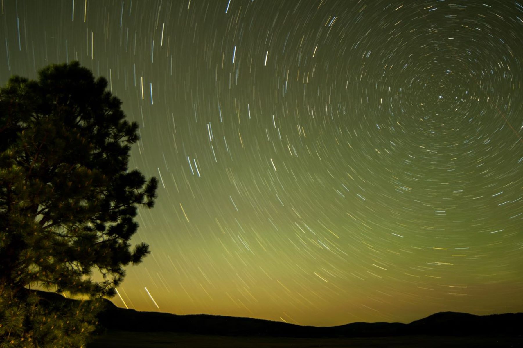
Stop 2: Tuff SpiresThe conical rock spires to your left are the 1.25-million-year-old Deer Canyon Member, which is made up of tuff and rhyolite. A tuff is a rock that is formed during and immediately after a violent volcanic eruption. This tuff is composed of rock crystals such as quartz and sanidine feldspar, chunks of pre-existing rock forced up during the explosion, and volcanic ash that either fell out of the air or was deposited by ground-hugging pyroclastic flows. 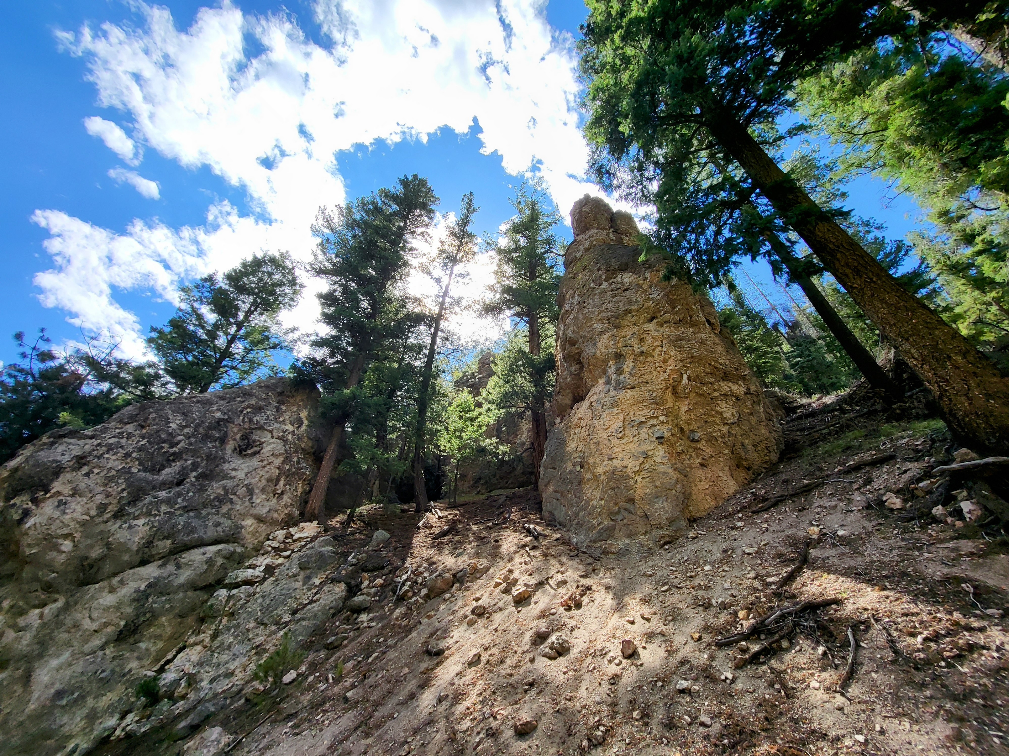
Stop 2: Valle GrandeThe valley you are looking at is called “Valle Grande” — this translates to ‘Big Valley’ in Spanish. Bernardo Miera y Pacheco completed one of the earliest remaining maps we have of the Northern New Mexico region, including the Valley you are looking at right now. 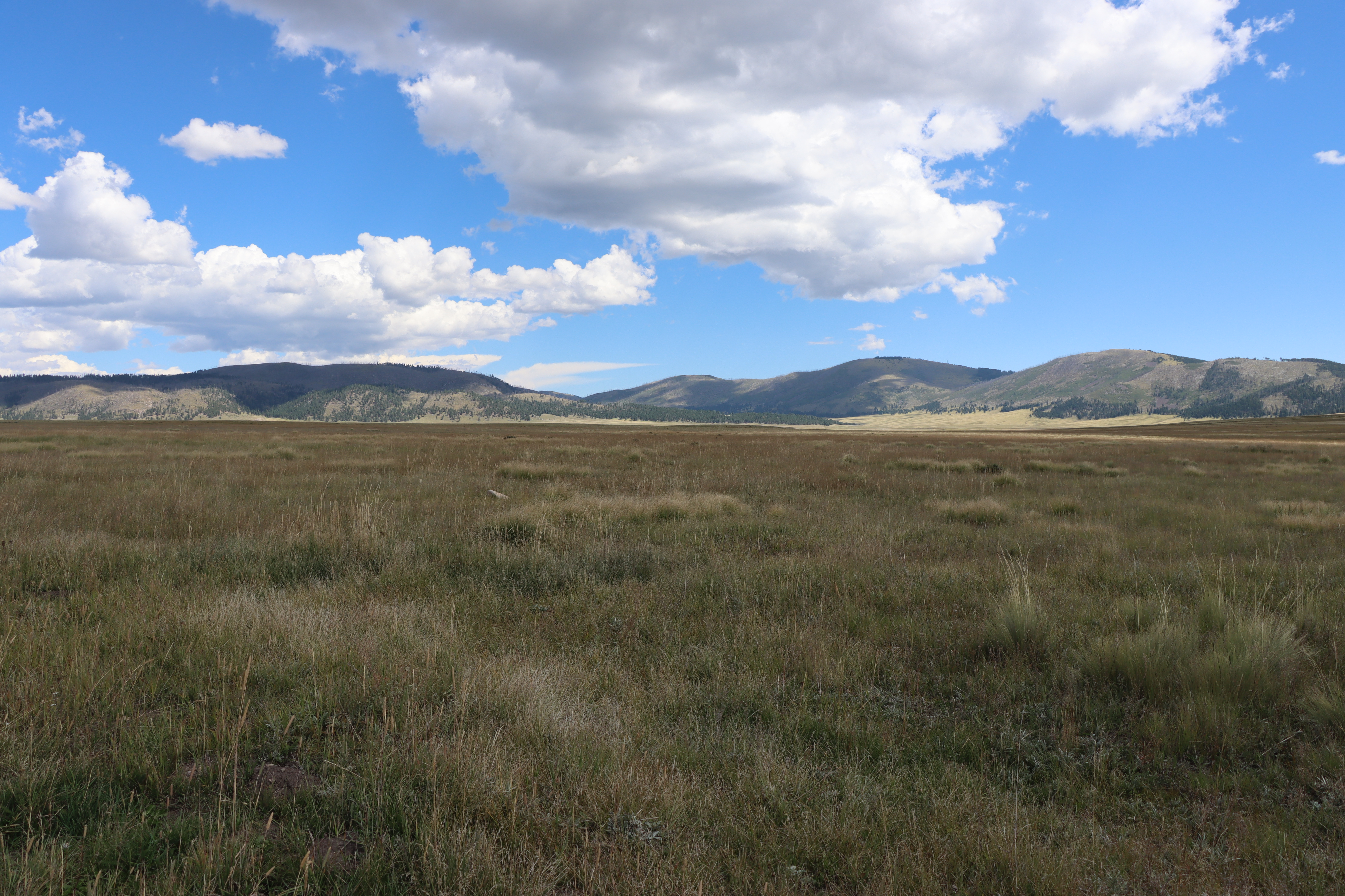
Stop 3: Cerro La JaraAcross the road from the Welcome Station is Cerro La Jara. The first recording of the name “La Jara” is found on a map from 1892. There are a few theories as to the origins of the name but the most likely origin comes from the trees of northern New Mexico. Jara is a New Mexico-Spanish name given to reed and willow, specifically the coyote willow plant. 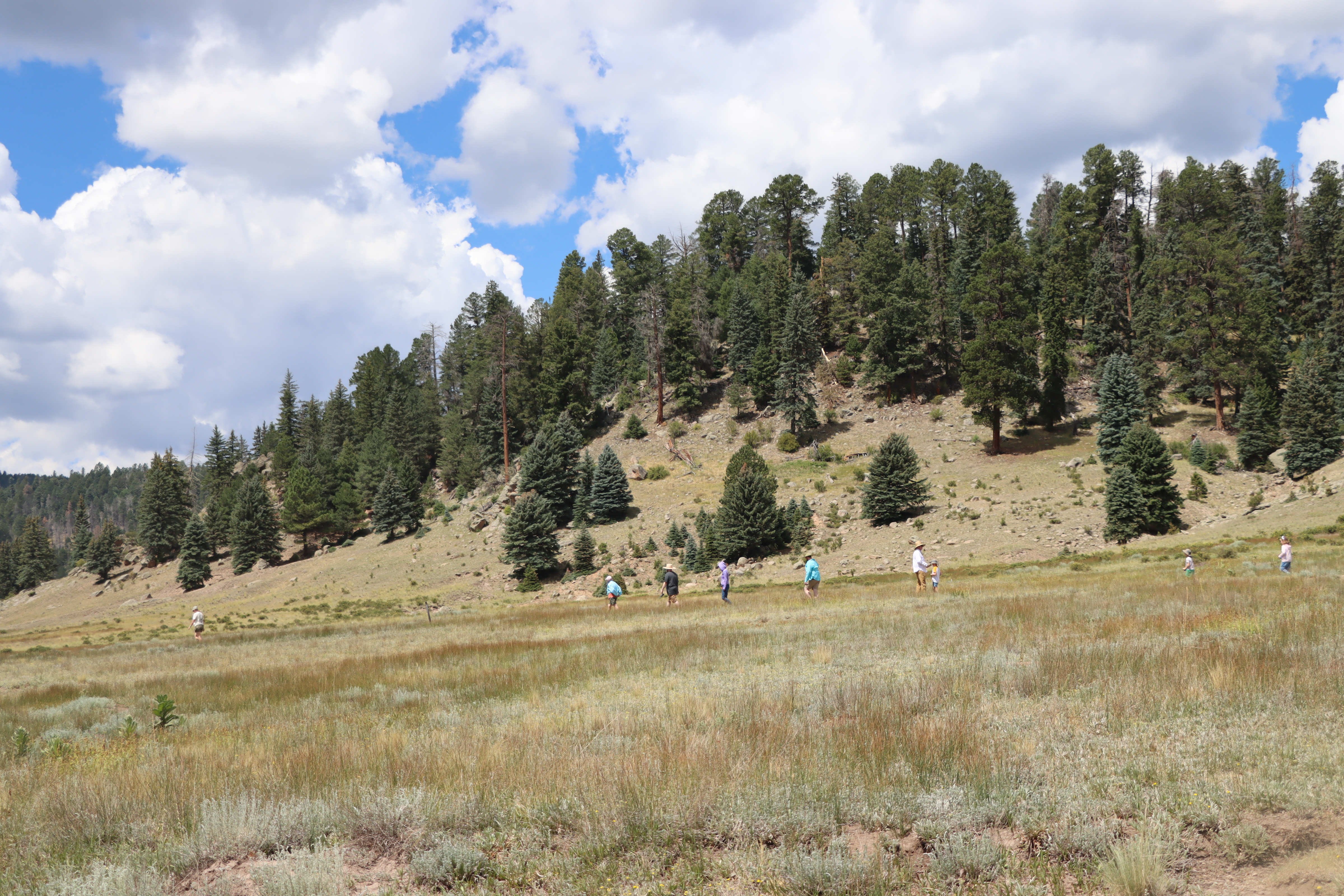
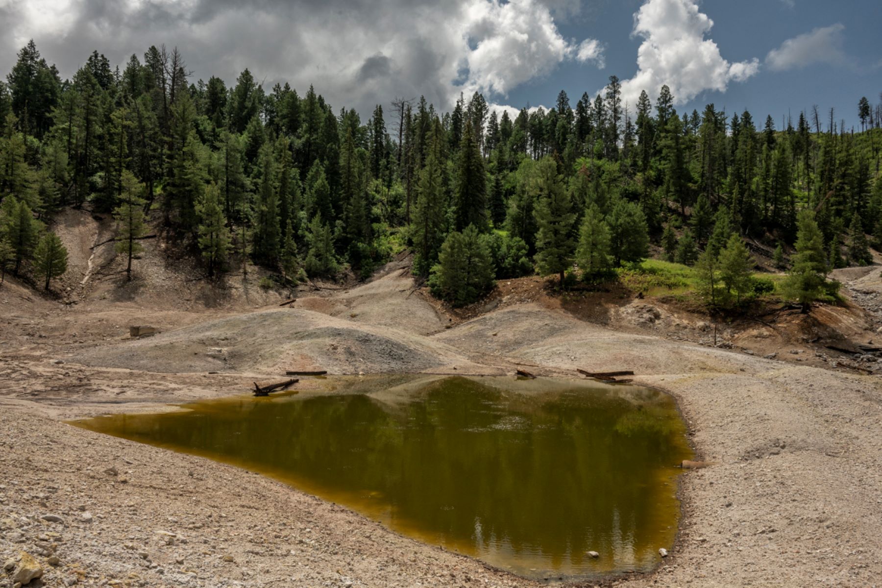
Stop 3: Sulphur SpringsYou have arrived at Sulphur Springs. You likely smell a “rotten egg” smell. This is hydrogen sulfide gas escaping from the springs, mudpots, and fumaroles. Valles Caldera is a dormant, but not extinct, volcano, and hydrogen sulfide and carbon dioxide gases escape from the partly crystallized magma that lies about 4 to 6 miles below the surface. You will see bubbles of gas escaping from the water or mud as you walk around the area. 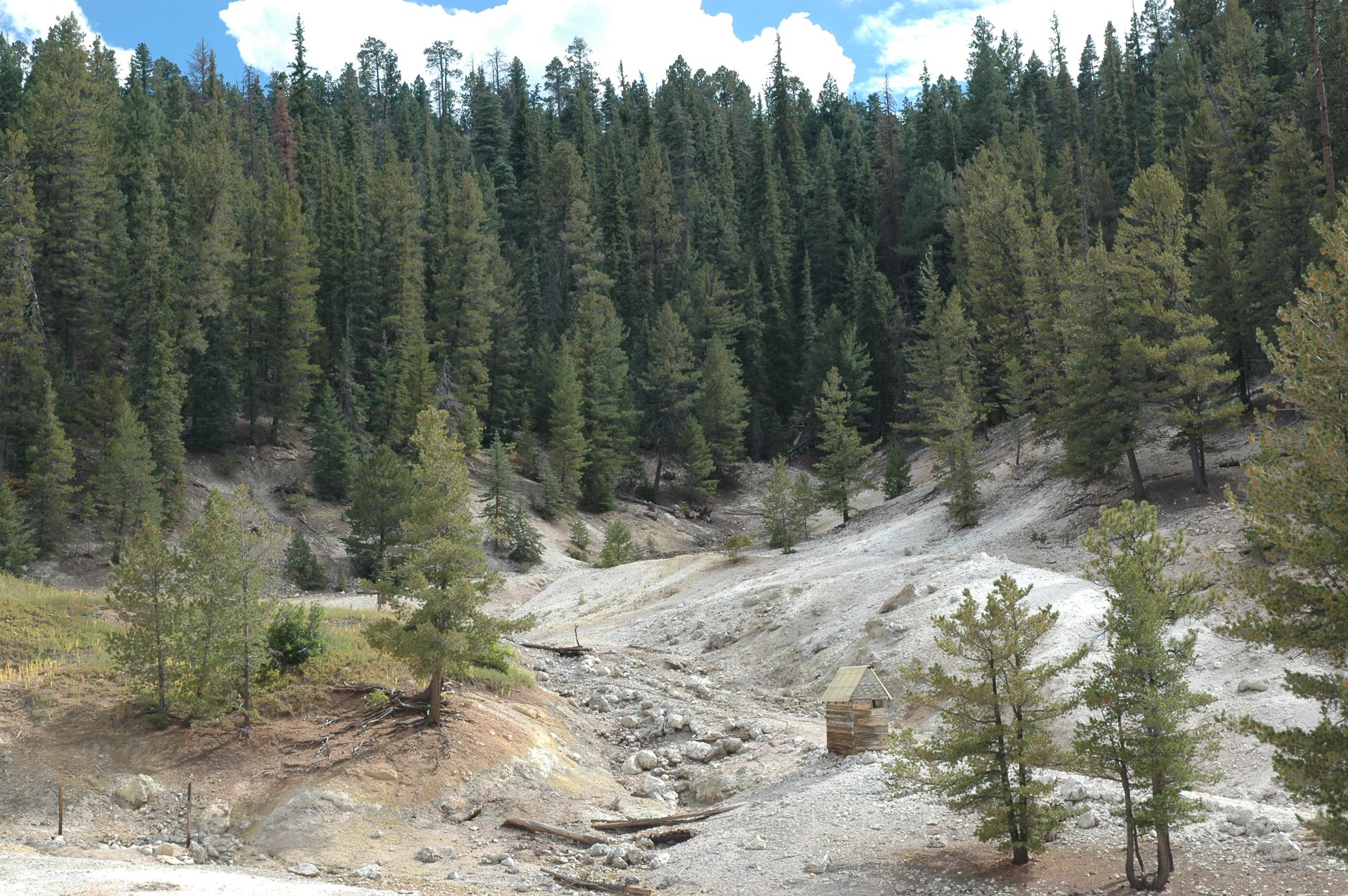
Stop 3: Valle GrandeThe visually stunning Valle Grande was once used and frequented by multiple indigenous nations. For the Hemish and other native peoples, land ownership did not follow European conceptions of rigid lines signifying complete control. Valle Grande was a traditional pasture for Hemish horses, a hunting area, and the site for important religious activities. Hear tribal historian Chris Toya discuss the ties both ancient and present between Jemez Pueblo and Valle Grande. 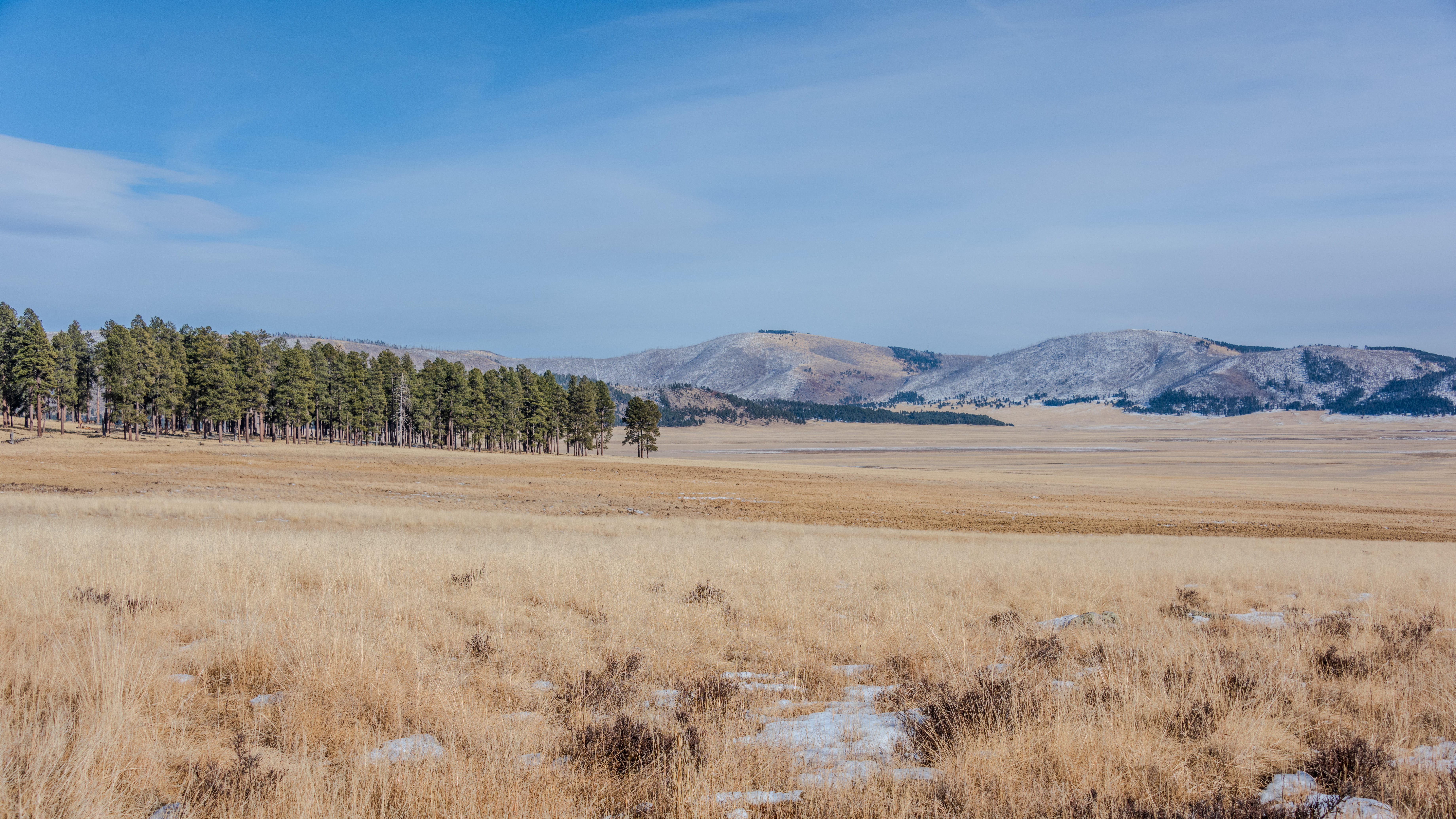
Stop 4: "Place of the Douglas Fir"Prominent in Valle Grande as a single, tree-covered mound rising from the surrounding grasslands, Cerro La Jara has significant cultural and religious importance to the Hemish people. Hear about the value of observing nature and the changing seasons at La Jara, the name of Douglas fir in the Towa language, and the history of Hemish horse grazing in the area. 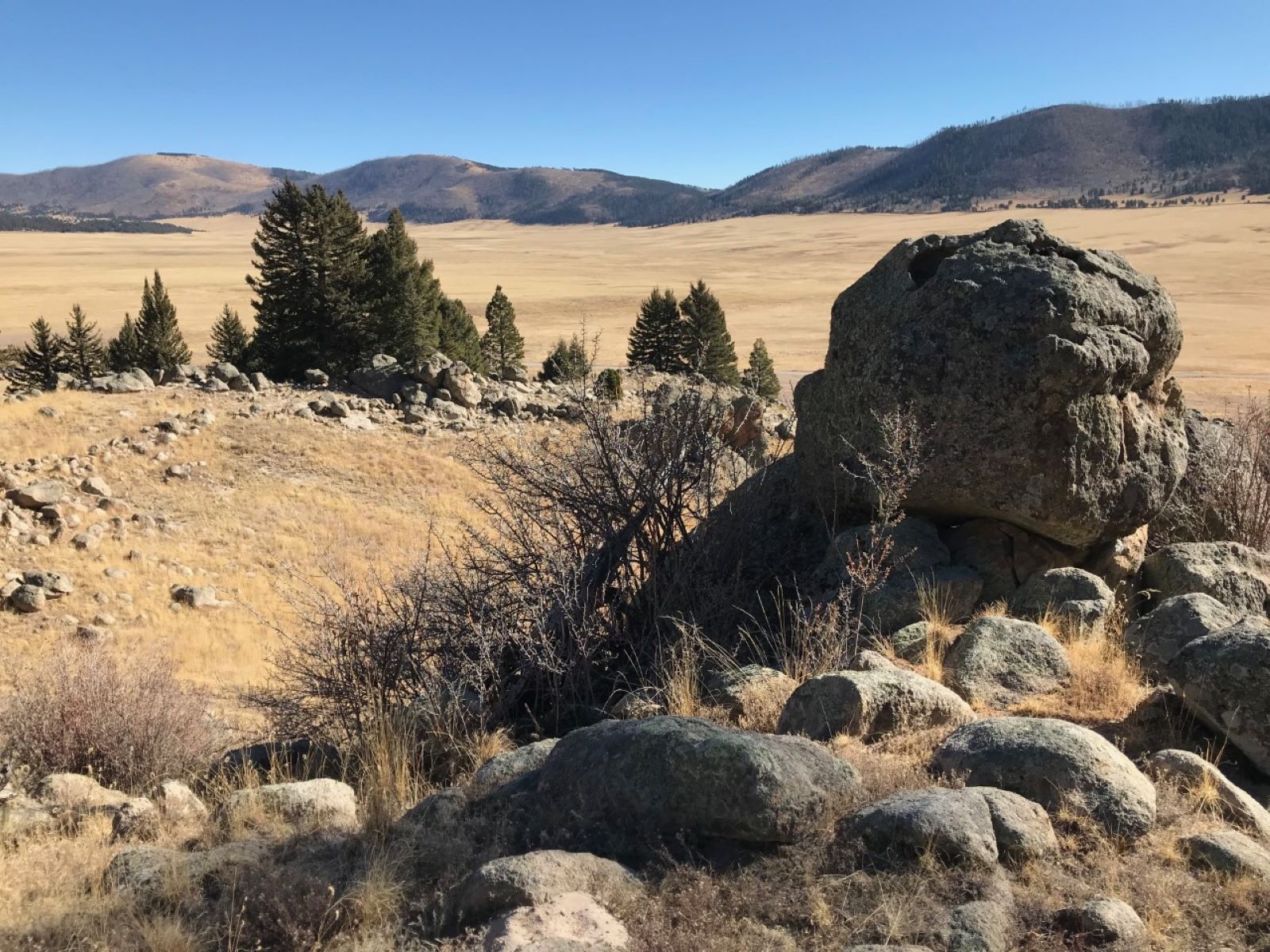
Stop 4: Footbath SpringFootbath Spring is quite acidic with a pH value of between 1.7 and 3. For comparison, lemon juice has a pH of 2.2, and battery acid has a pH of 1. The temperature of this spring has been measured at about 75 degrees F and at 103 degrees F only a few weeks apart. 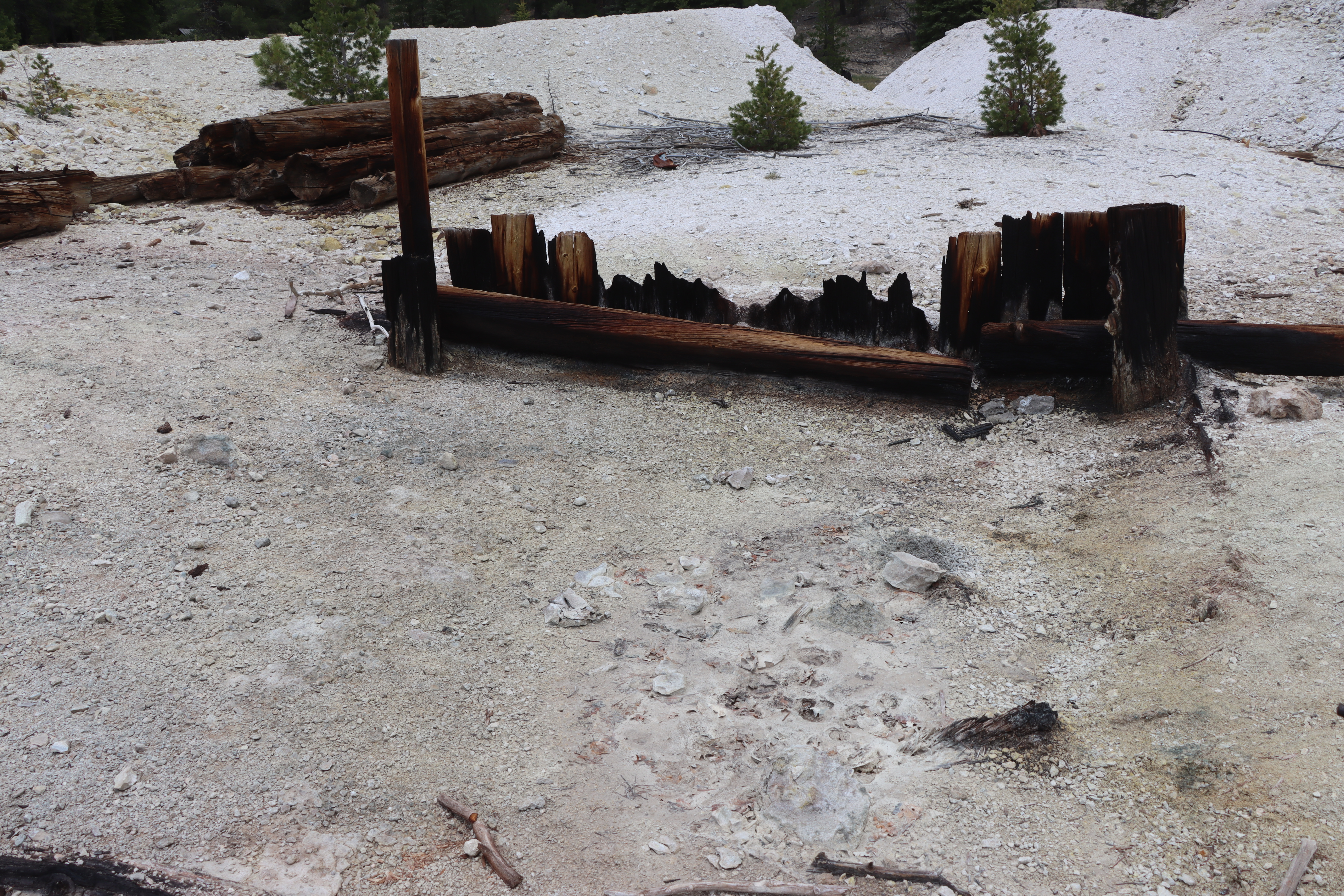
Stop 4: RedondoThe volcanic formation you are looking at now is called Redondo Peak. This name was first seen on maps in 1892. Before that, it was named Cerro Pelado, which translates to Bare Hill. This volcanic formation has had many variations of the same name including Sierra Redondo and Mt. Redondo. Although Redondo is Spanish for "round," there is no historical evidence suggesting that the name comes from its shape. 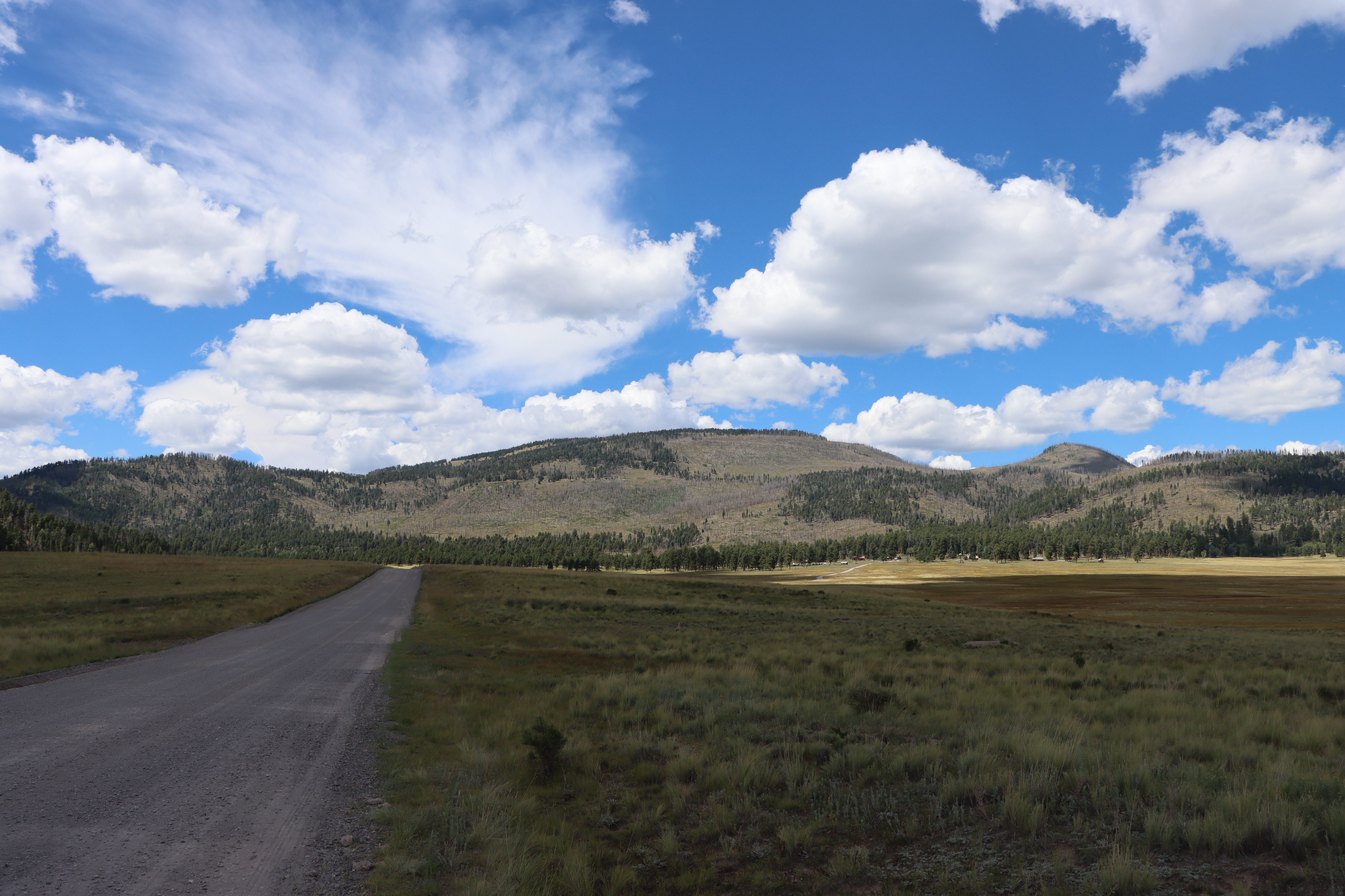
|
| Visitor Centers | Count: 2
Volcano Discovery Center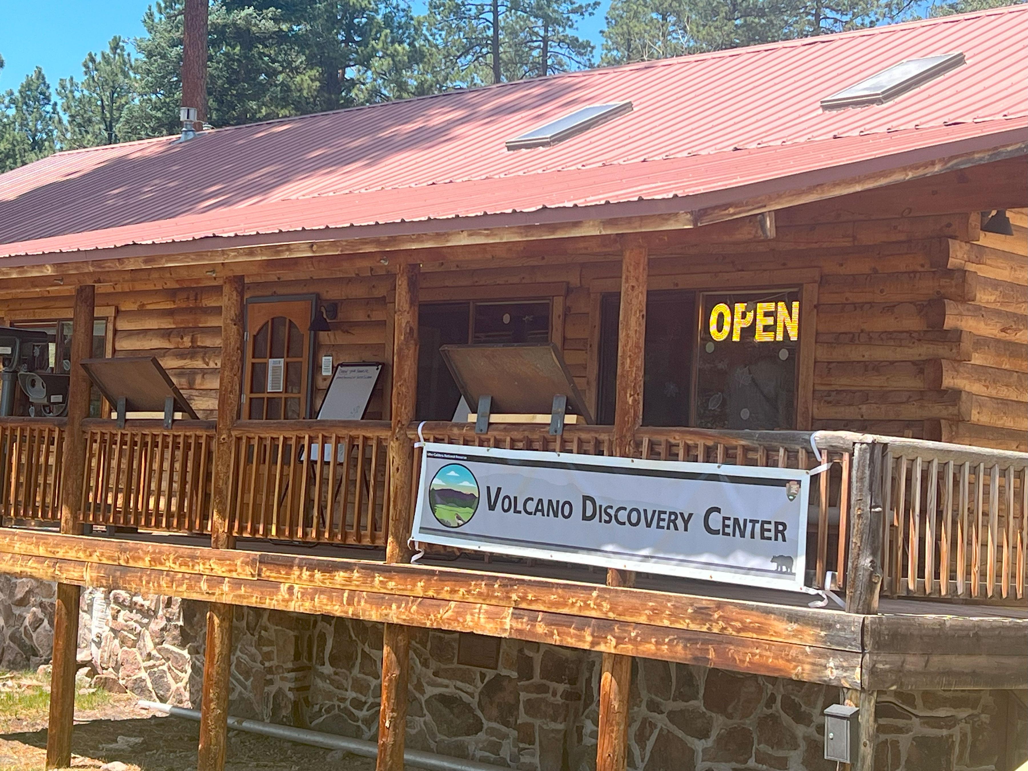
Welcome Station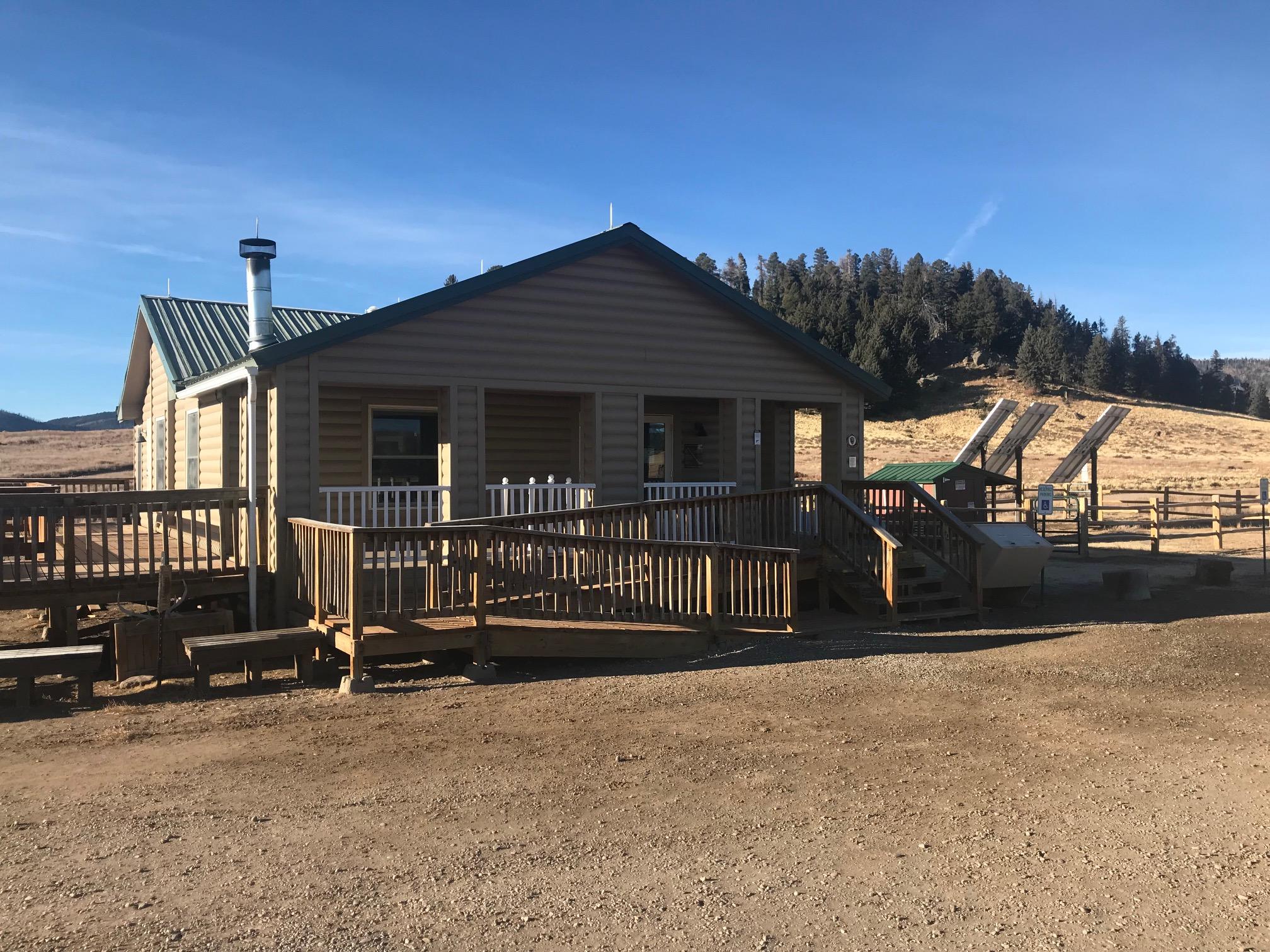
|
| Things to do | Count: 45


|
| Tours |
Count: 7
A Day on the Ranch: Cabin District TourThe cabin district stands as a reminder of the ranching past in Valles Caldera. This guided audio tour walks through the average day of a ranch worker, stopping by each historic structure, and explaining its significance to the preserve and the day in the life of a ranch worker. Birding by CarWelcome to Valles Caldera National Preserve! During this tour, you will be guided to roadside locations where you can observe birds and other wildlife from the comfort of your car. Each stop will include a short list of bird species that you may spot based on the season. Birding by car is accessible, weather-proof, and fun, so grab your binoculars, and let's get started! Cerro La Jara Geology TourWelcome to the Cerro La Jara Trail at Valles Caldera National Preserve. This trail is about 1.5 miles (2.4 km) long and will likely take 1 to 2 hours to complete. The elevation change is small – about 50 feet. Take some drinking water with you and as always, be aware of your surroundings and the weather. This tour will focus on the geology you see, and help you imagine some you can’t see. To begin, tap "Start Audio Tour" and turn on your location; then proceed to the trailhead. Hemish Connections Driving TourSince the 1100s CE, Valles Caldera has been at the center of Hemish (Pueblo of Jemez) religion, culture, and history. During this tour, you will hear about the special connections between Hemish people and the Valles Caldera landscape from Tribal Historic Preservation Officer Chris Toya, traditional religious leader Brophy Toledo, and cultural resources leaders Byron Andrew and Mark Magdalena. Spanish Place Names & OriginsWelcome to Valles Caldera National Preserve! "Spanish Place Names & Origins" is a driving tour that will explain the Spanish origins of key landmarks at Valles Caldera National Preserve. The tour will guide you to roadside locations where you can observe each of the described landmarks from your car. Each stop will include a short history background and some pronunciation assistance. Sulphur Springs Geology TourWelcome to the self-guided Sulphur Springs geology tour! Sulphur Springs is the premier location to witness geothermal activity at Valles Caldera National Preserve. Features like hot and cold springs, mudpots, and fumaroles are common here. During this tour, please watch your step and stay a safe distance from the features. The terrain is rough, and there is currently no designated trail to follow through Sulphur Springs. Valles Caldera Auto TourAn auto tour of Valles Caldera National Preserve's front-country and backcountry roads. All visitors are welcome to explore the park's front-country roads (from NM-4 to the Cabin District). Beyond the Cabin District, vehicular access requires a backcountry pass reservation via www.recreation.gov. Passes are limited, so if you wish to complete the backcountry portion of the auto tour, please reserve your backcountry pass in advance. |
| Articles |
|