Distance: 1 mile (1.6 km) round-trip Duration: 1 hour Pets: Not permitted Elevation: 8,069 - 8,147 feet
30-60 Minutes
Distance: 2.9 miles (4.7 km) round-trip Duration: 1-2 hours Pets: Permitted on loop only Elevation: 8,714 - 9,610 feet
1-2 Hours
Distance: 18.6 miles (29.9 km) round-trip Duration: 9-10 hours Pets: Not permitted Elevation: 8,343-10,189 feet
9-10 Hours
Distance: 3.4 miles (5.5 km) round-trip Duration: 1-2 hours Pets: Not permitted Elevation: 8,406 - 8,573 feet
2-3 Hours
Distance: 7.8 miles (12.6 km) round-trip Duration: 4 hours Pets: Not permitted Elevation: 8,568 - 9,494 feet
2-4 Hours
Distance: 7.6 miles (12.2 km) round-trip Duration: 3-4 hours Pets: Not permitted Elevation: 8,556 - 10,335 feet
3-5 Hours
Distance: 11.2 miles (18 km) round-trip Duration: 5-6 hours Pets: Not permitted Elevation: 8,394 - 9,706 feet
5-7 Hours
Distance: 1.4 miles (2.4 km) round-trip Duration: 1 hour Pets: Permitted on leash Elevation: 8,497 - 8,545 feet
1-2 Hours
Distance: 13.8-miles (22.2 km) round-trip Duration: 6-7 hours Pets: Not permitted Elevation: 8,563 - 9,016 feet
7-8 Hours
Distance: 7.2-miles (11.6 km) round-trip Duration: 3-4 hours Pets: Not permitted Elevation: 8,720 - 9,559 feet
3-4 Hours
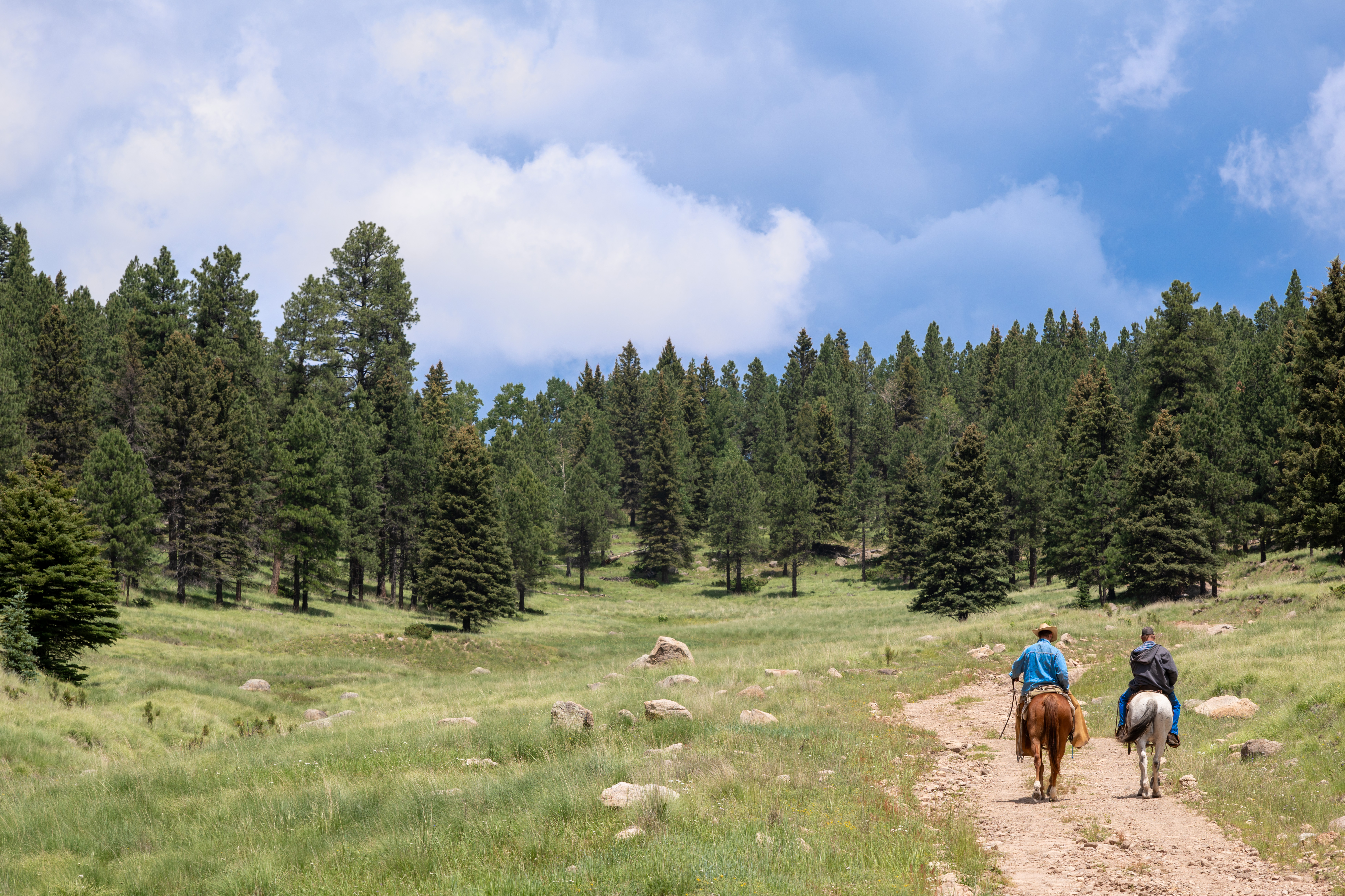
Enjoy the beauty of Valle Grande as you trek down the entrance road on your own horse.
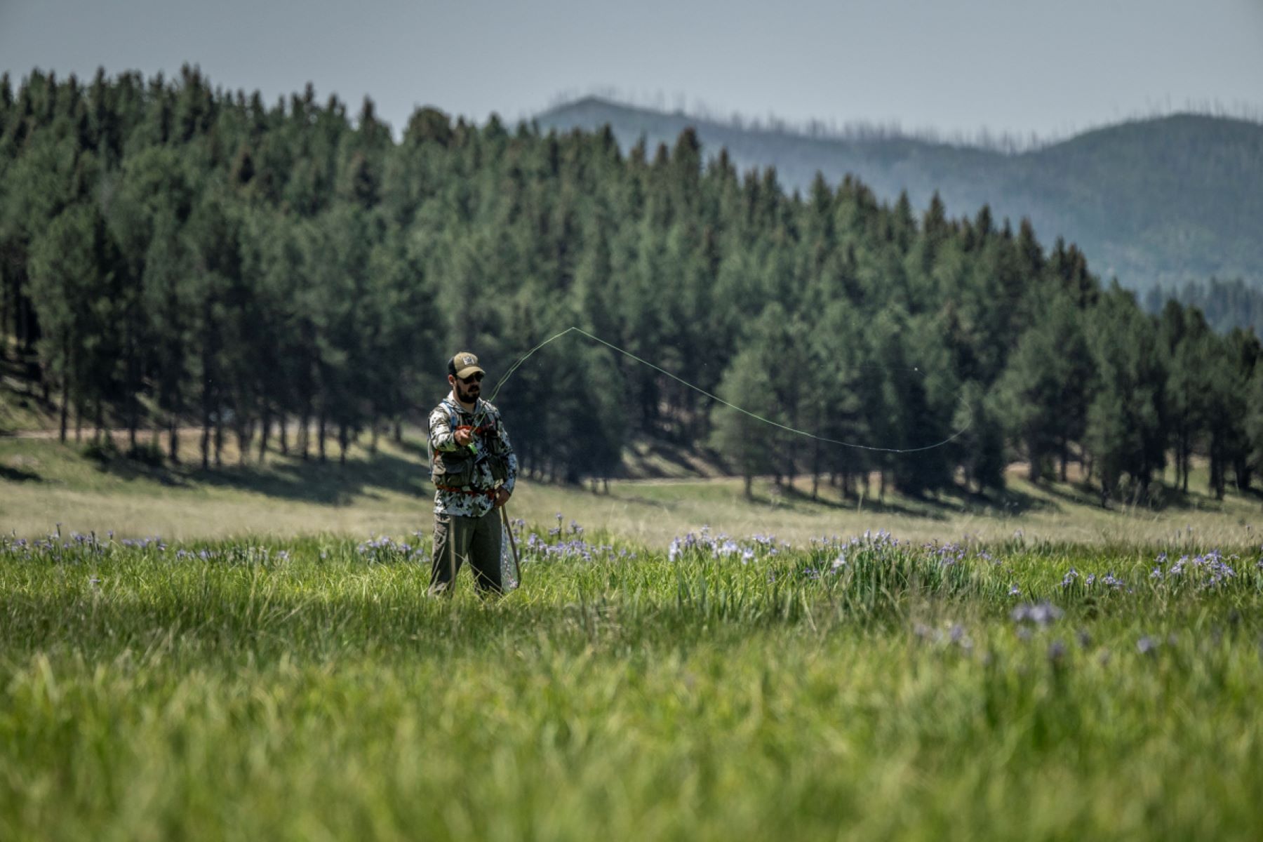
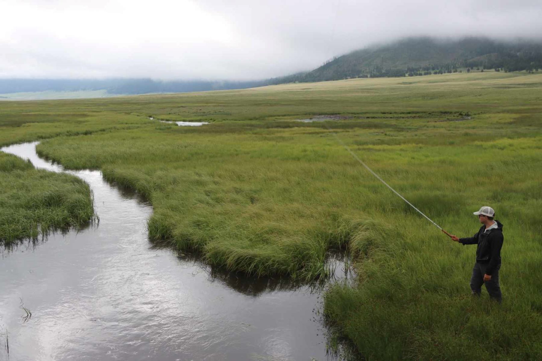
The upper stretch of Jaramillo Creek offers a challenge for anglers with the reward of catching some truly large brown trout. The creek meanders through the lush Valle Jaramillo, which creates pools and overhanging banks for trout to hide in.
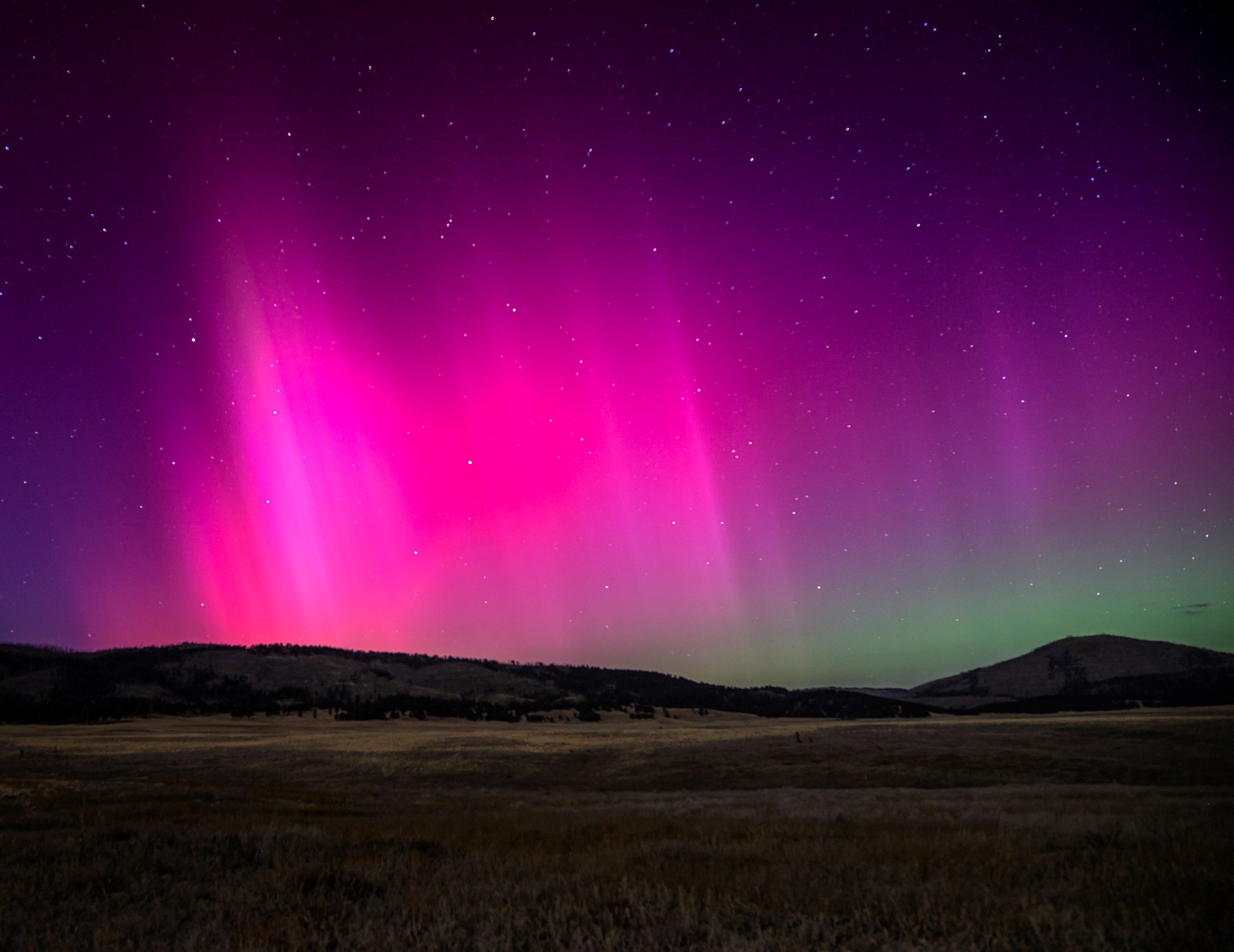
As an International Dark Sky Park, Valles Caldera National Preserve offers outstanding opportunities for night sky viewing. Visitors are also welcome to experience the night sky on their own at the Valle Grande overlooks along New Mexico State Route 4, which are open 24/7 for public sky viewing.
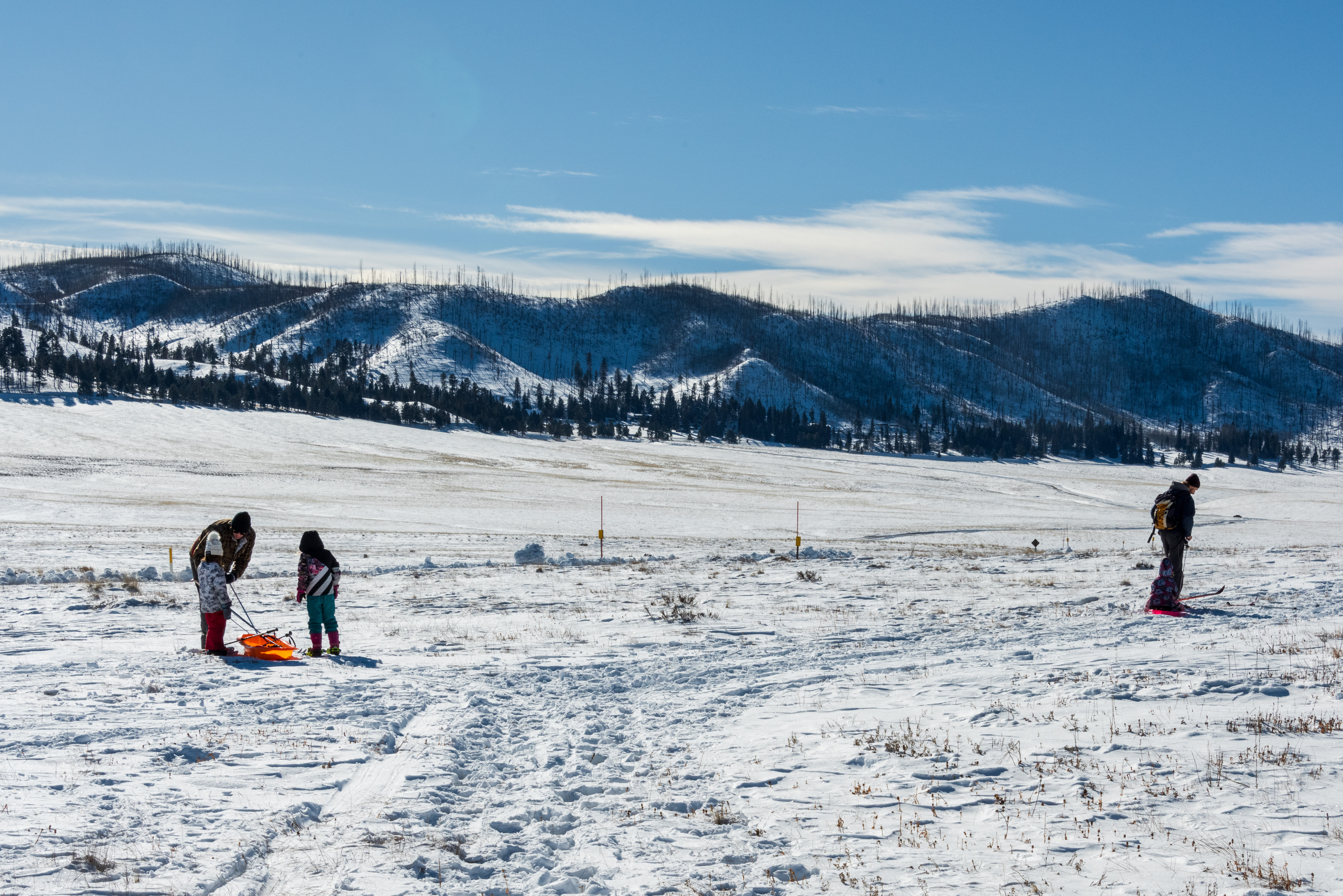
This 1.5-mile (2.4 km) ski loop circles Cerro La Jara, the smallest volcanic dome in the park, which formed about 500,000 years ago when lava oozed up and onto the caldera floor.
1-2 Hours
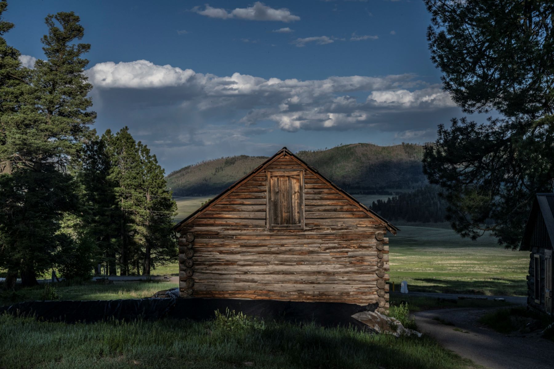
The Cabin District Interpretive Trail is a short and gentle route traversing the historic ranch headquarters for Baca Land & Cattle Company. Interpretive signs along the trail describe each building and its purpose in the ranching operation that persisted here for nearly a century.
30-60 Minutes
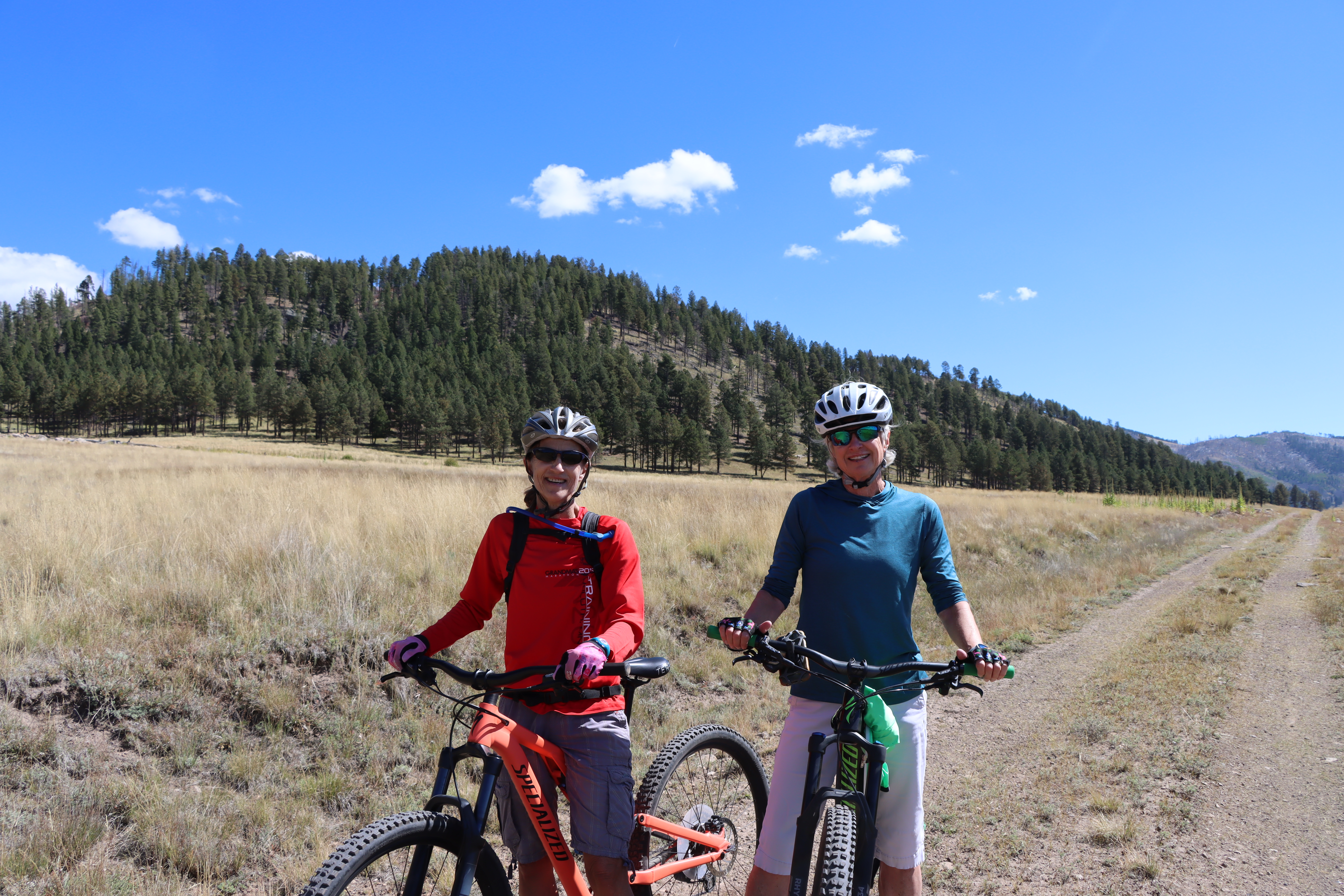
This bike route loops around Valle Grande, providing spectacular views along the entire route.
3-5 Hours

Jaramillo Creek is the middle of the three fishable streams in Valles Caldera. The middle section of the creek runs from Cerro Pinon upstream to the Cerro Abrigo Trailhead.
This self-guided driving tour leads visitors through Valles Caldera National Preserve's front-country and backcountry road system. As you go, your smartphone will recommend various stops at photo locations, geologic features, and historic structures, all while sharing interesting information about each stop.
3-4 Hours
Since the 1100s CE, Valles Caldera has been at the center of Hemish (Pueblo of Jemez) religion, culture, and history. During this self-guided tour, you will hear about the special connections between the Hemish people and the Valles Caldera landscape from Tribal Historic Preservation Officer Christopher Toya, traditional religious leader Brophy Toledo, and cultural resources leaders Byron Andrew and Mark Magdalena.
2-3 Hours
This self-guided tour in the National Park Service smartphone app leads hikers around Cerro La Jara, which is Valles Caldera's youngest and smallest lava dome. As you hike, geologist Dr. Linda Pickett will share snippets of fascinating information about the landscape around you and answer the most common questions about the park's geology.
1-2 Hours

The Cabin District stands as a reminder of the ranching legacy at Valles Caldera. This self-guided audio tour walks through a day in the life of a ranch worker, stopping by each historic structure and explaining its significance to the ranching operation that persisted here for nearly 100 years.
30-60 Minutes
This self-guided tour in the National Park Service smartphone app leads hikers to Sulphur Springs, a unique geothermal area at Valles Caldera National Preserve. As you hike, refer to your smartphone for recommended stops at mudpots, fumaroles, and hot springs that you may otherwise miss.
1-2 Hours
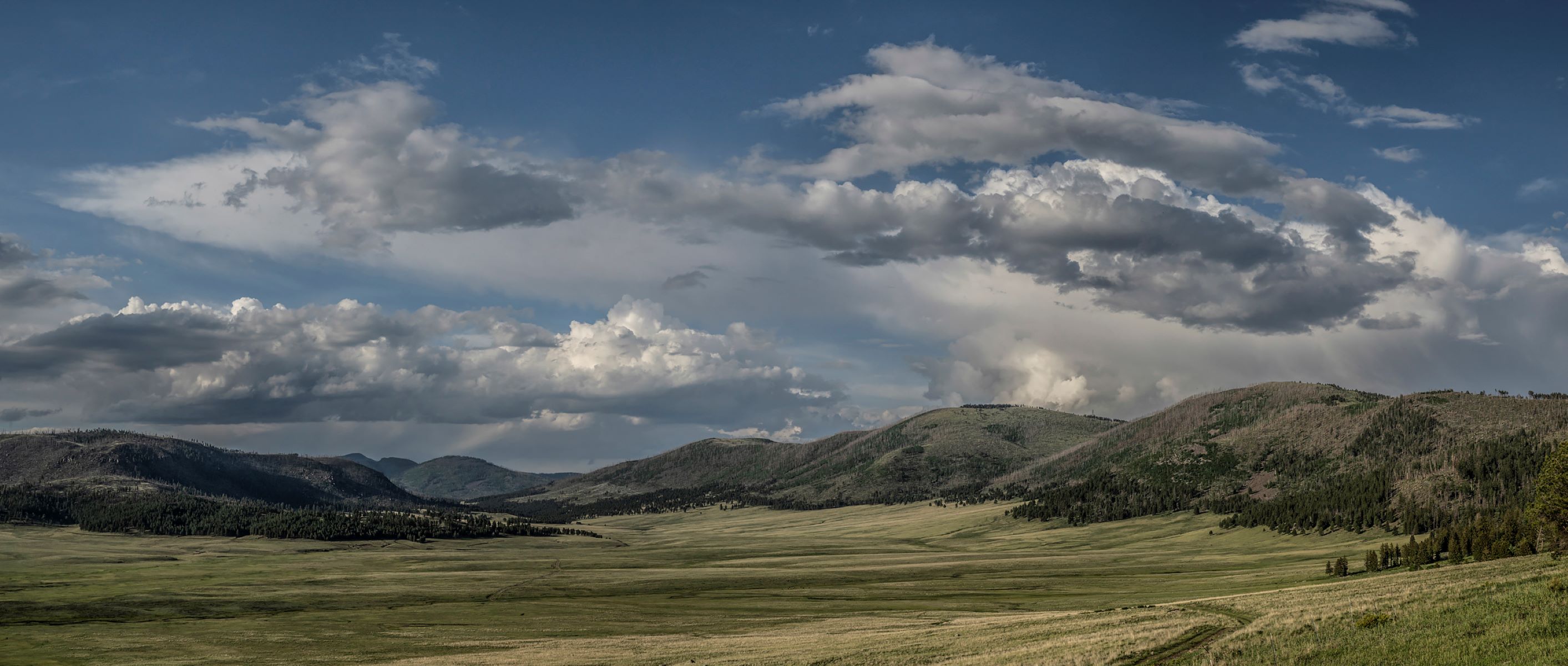
The Valles Caldera Entrance Road is a scenic, four-mile-long gravel road through the heart of Valle Grande. This drive offers outstanding wildlife viewing opportunities, volcanic vistas, and several places to get out and explore on foot.
30-90 Minutes
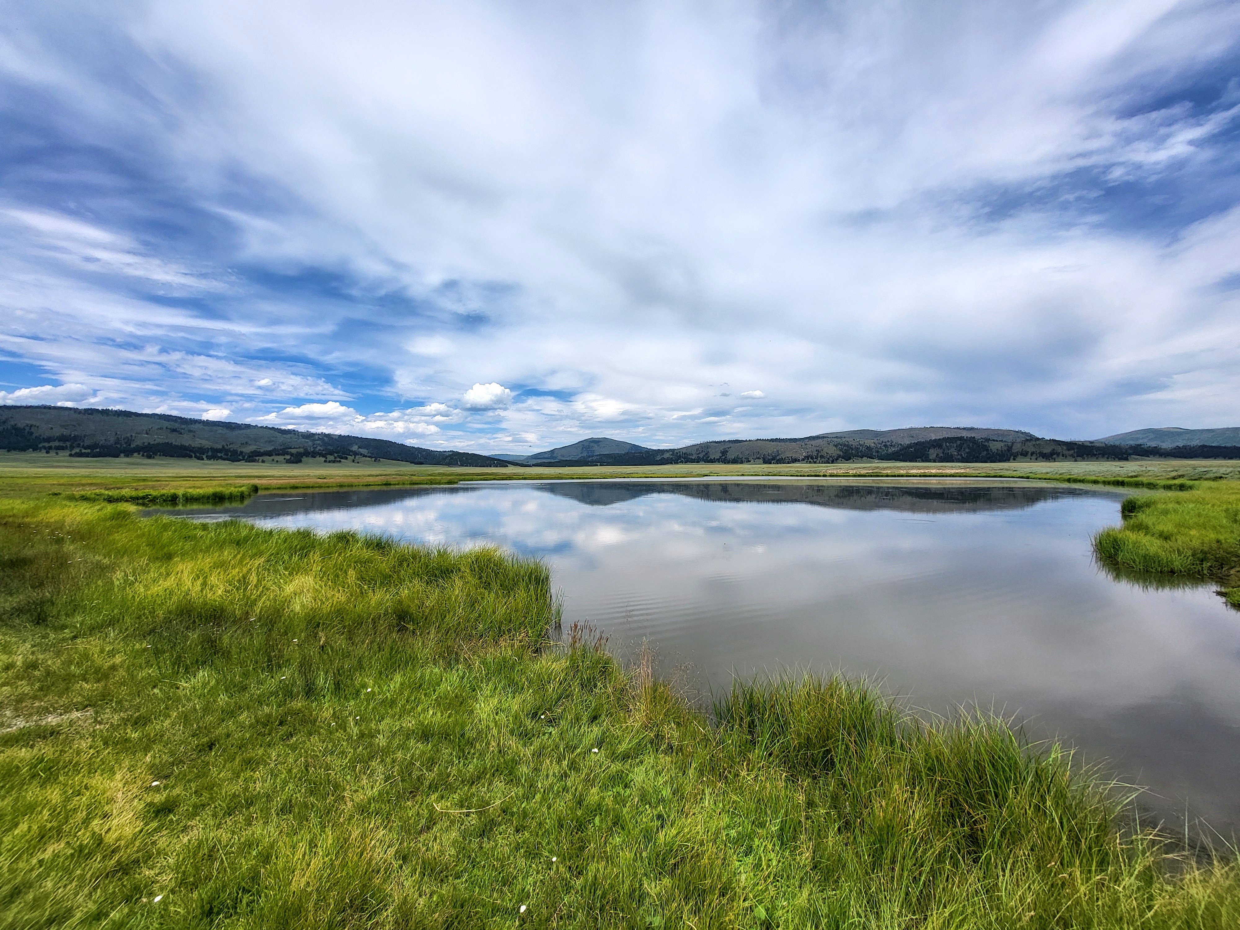
A 0.8-mile (1.3 km) out-and-back hike into the heart of Valle Grande and a pond on La Jara Creek.
30-60 Minutes
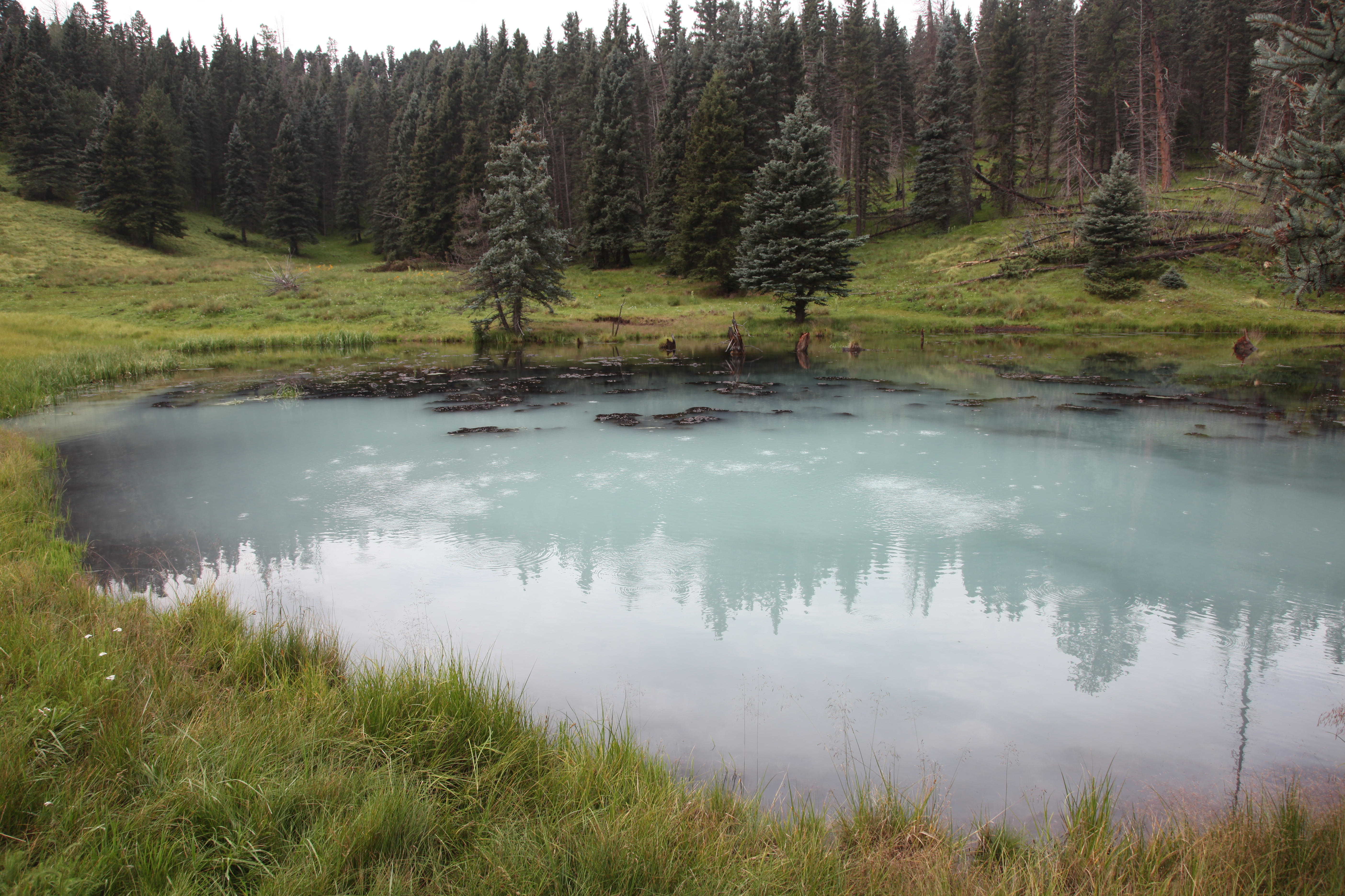
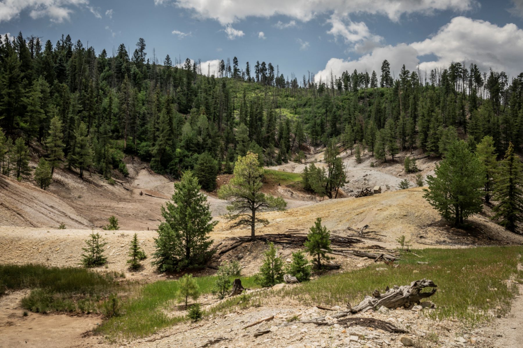
This strenuous, 12.2-mile (19.6 km) trail follows Sulphur Creek, passing through an old sulphur mining area, before turning eastward to skirt beautiful Valle Seco. It slowly climbs the ridge at the edge of Valle Seco before dropping back down Alamo Canyon, passing three geothermal ponds along the way. Best hiked clockwise. GPS required, especially for Alamo Canyon.
6-8 Hours
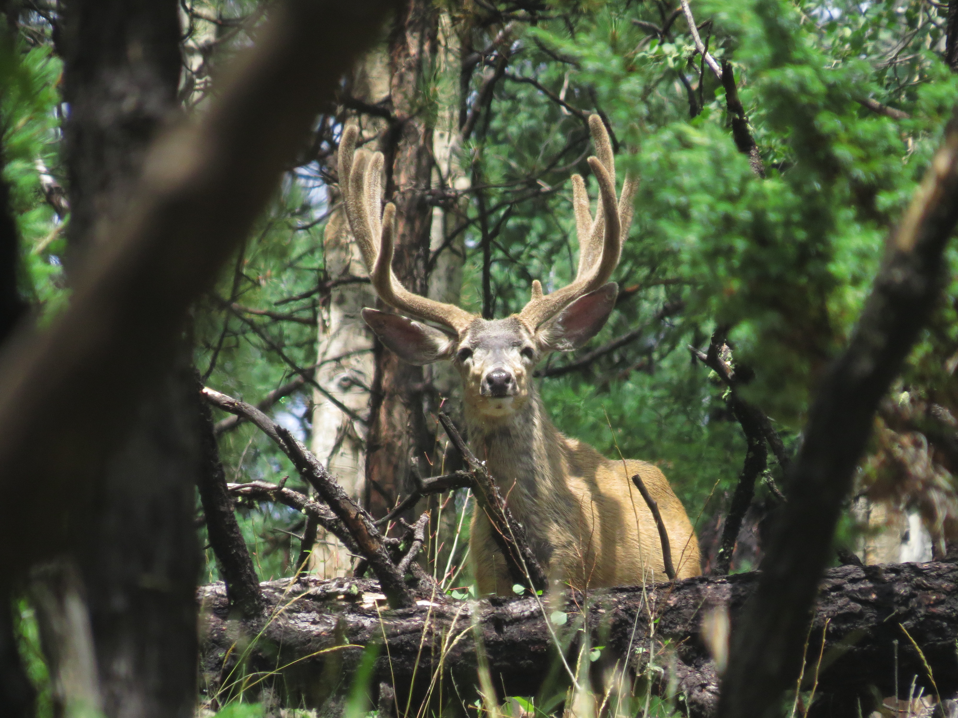
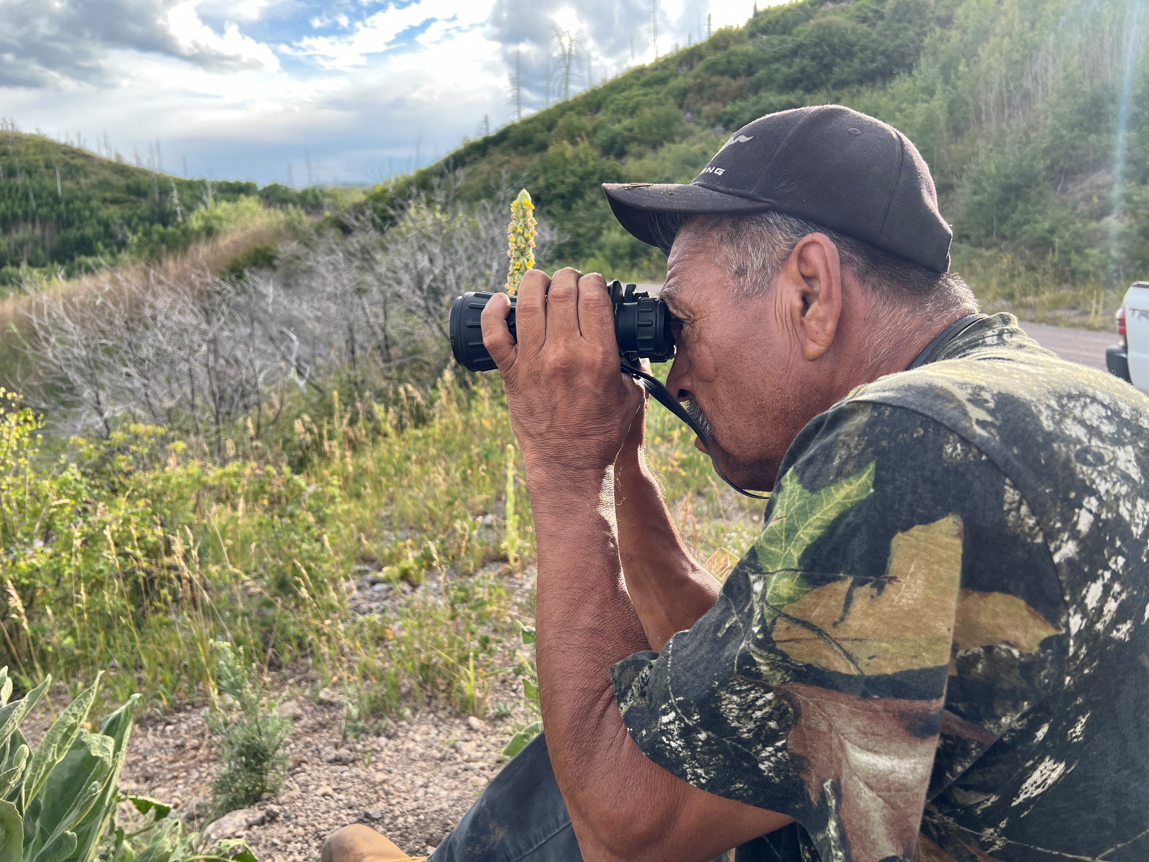
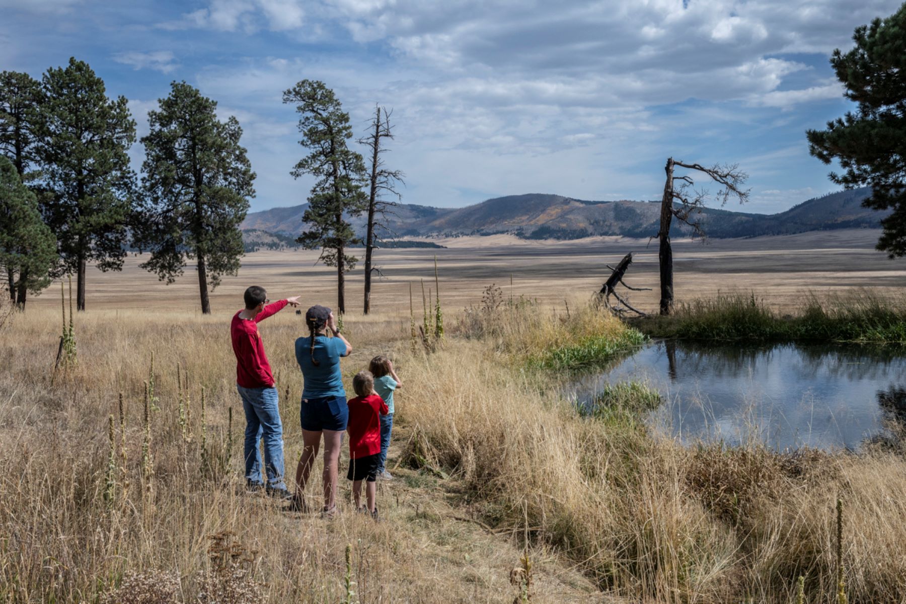
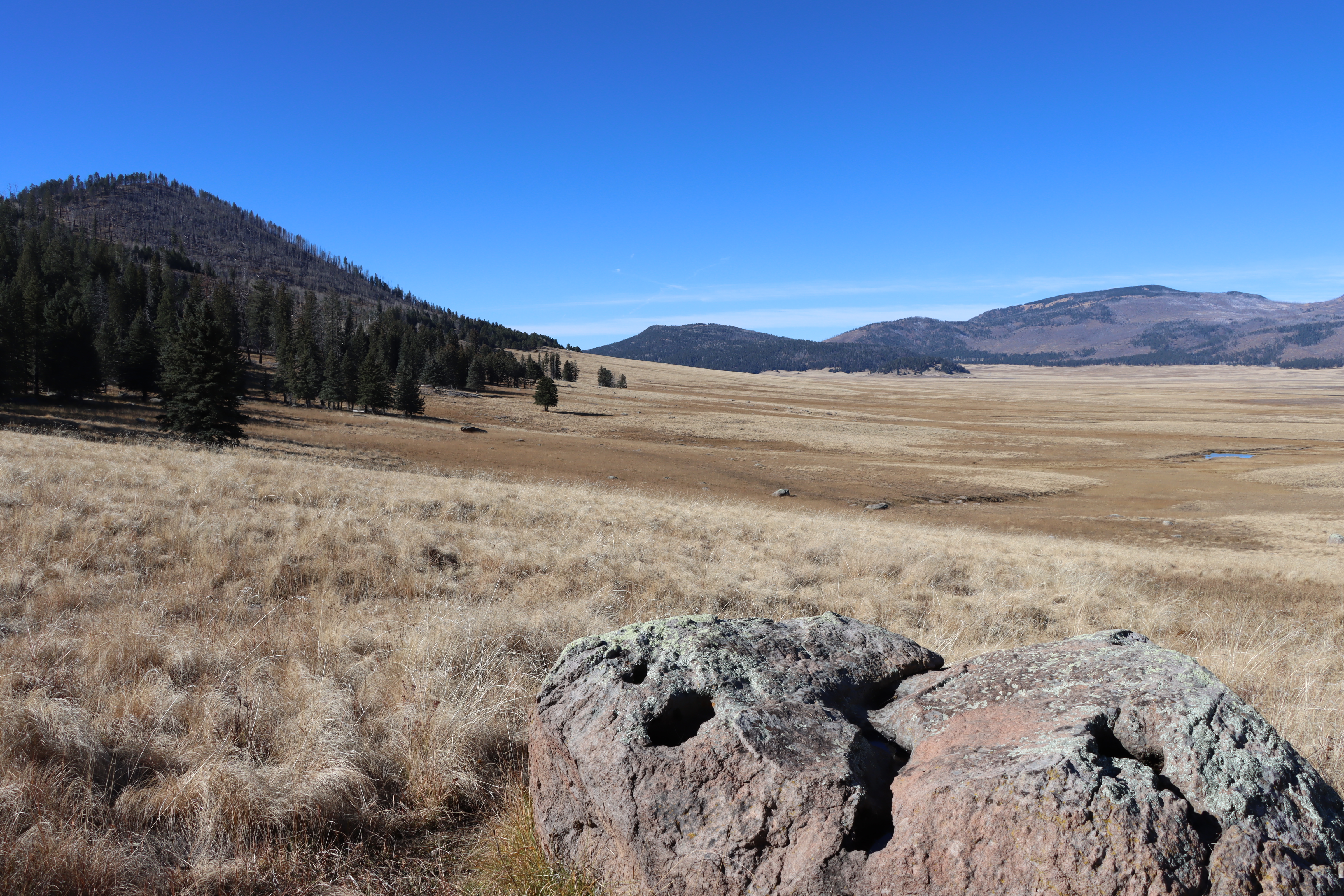
Valles Caldera provides excellent habitat for a wide variety of animals, and there are plenty of opportunities for viewing wildlife like elk, bears, prairie dogs, coyotes, and birds.
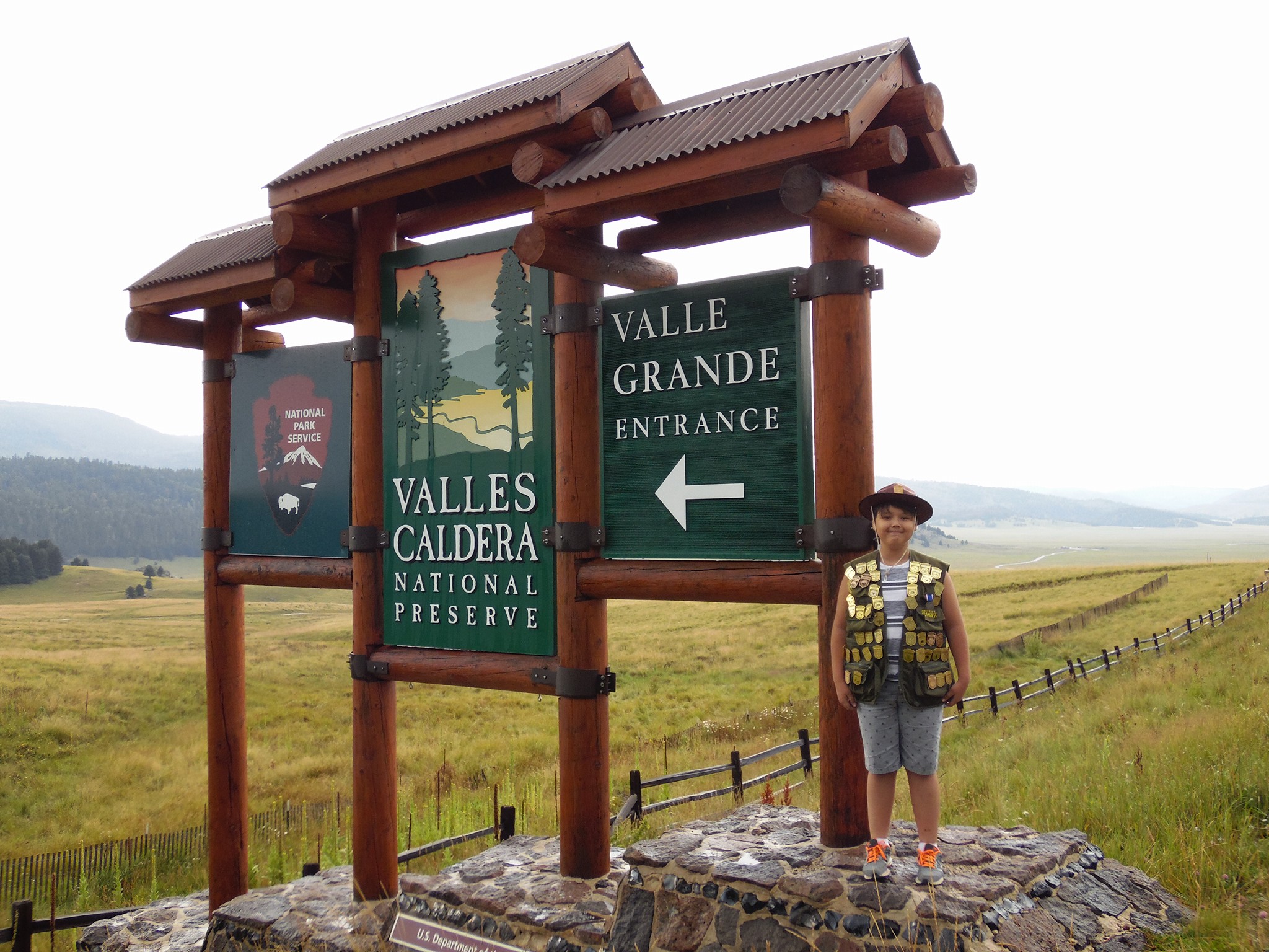
Valles Caldera National Preserve currently offers two versions of its Junior Ranger program: an experiential activity booklet designed for in-park completion, and an online program for kids who are unable to visit the park in-person.
30-90 Minutes
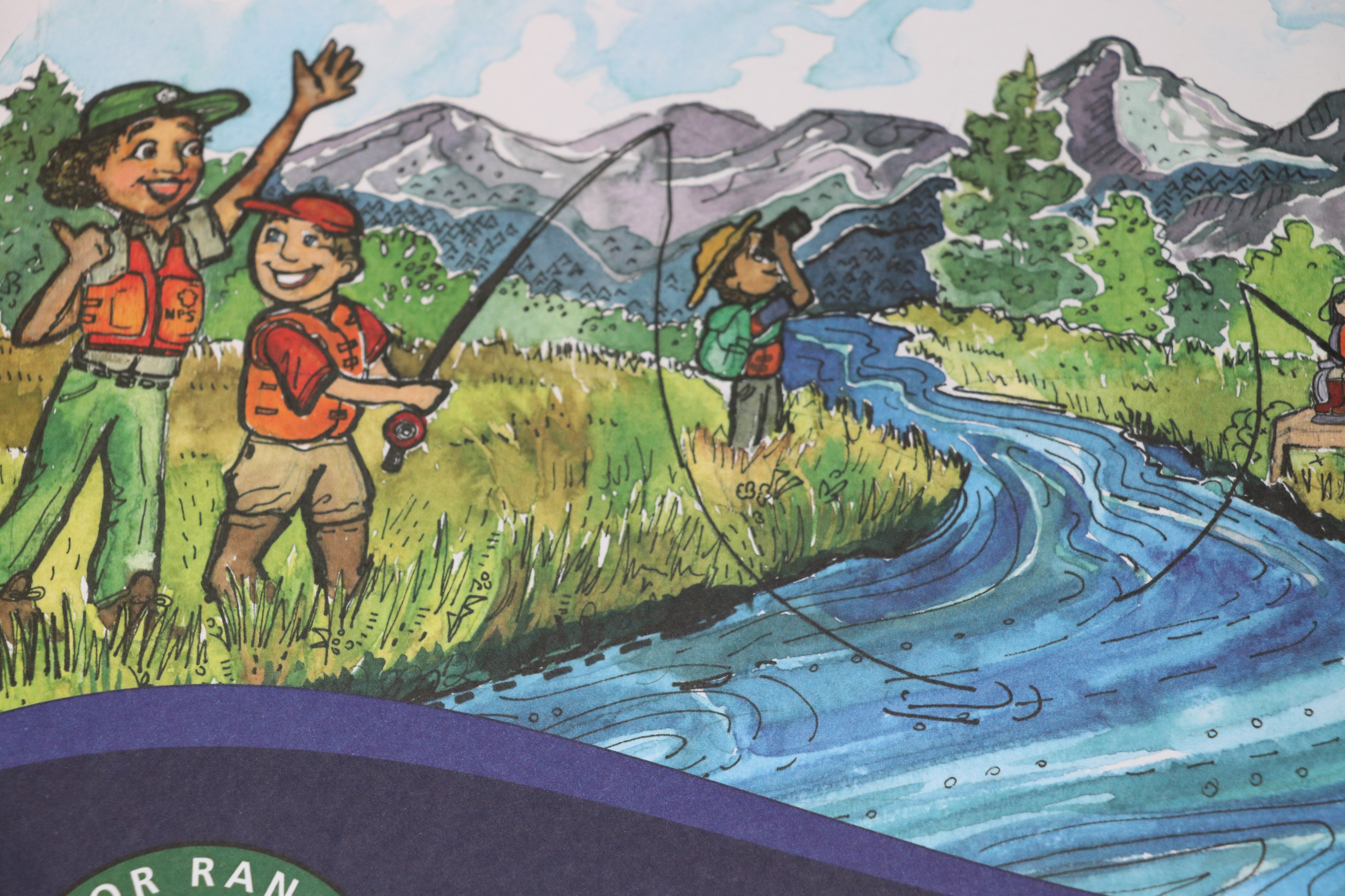
Get reeled into fishing with the Junior Ranger Let’s Go Fishing! Booklet.
30-90 Minutes
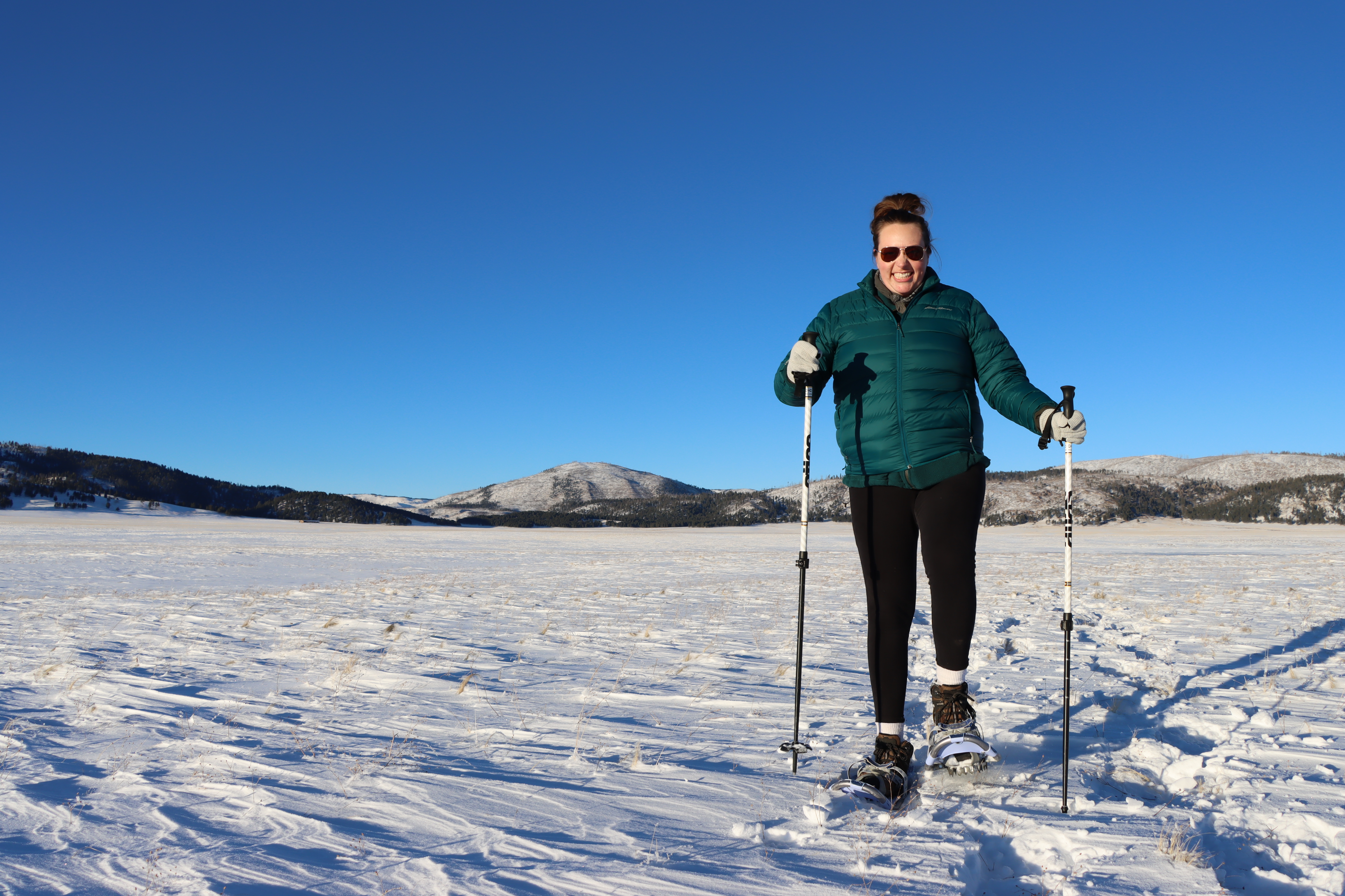
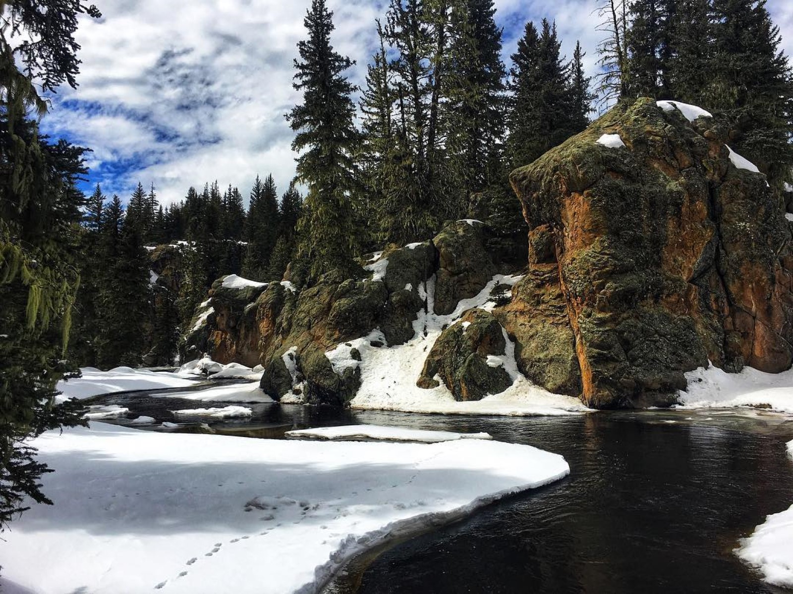
Winter is a spectacular time to visit Valles Caldera National Preserve. The park has miles of groomed and ungroomed trails for the adventurous snowshoer.
Hunting is a permitted use under the enabling legislation for Valles Caldera National Preserve (Public Law 113-231, Sec. 3043) and can be done in accordance with applicable Federal and State law. The legislation also provides for the designation of zones and periods when no hunting is permitted for reasons of public safety, administration, wildlife management, or public use and enjoyment.
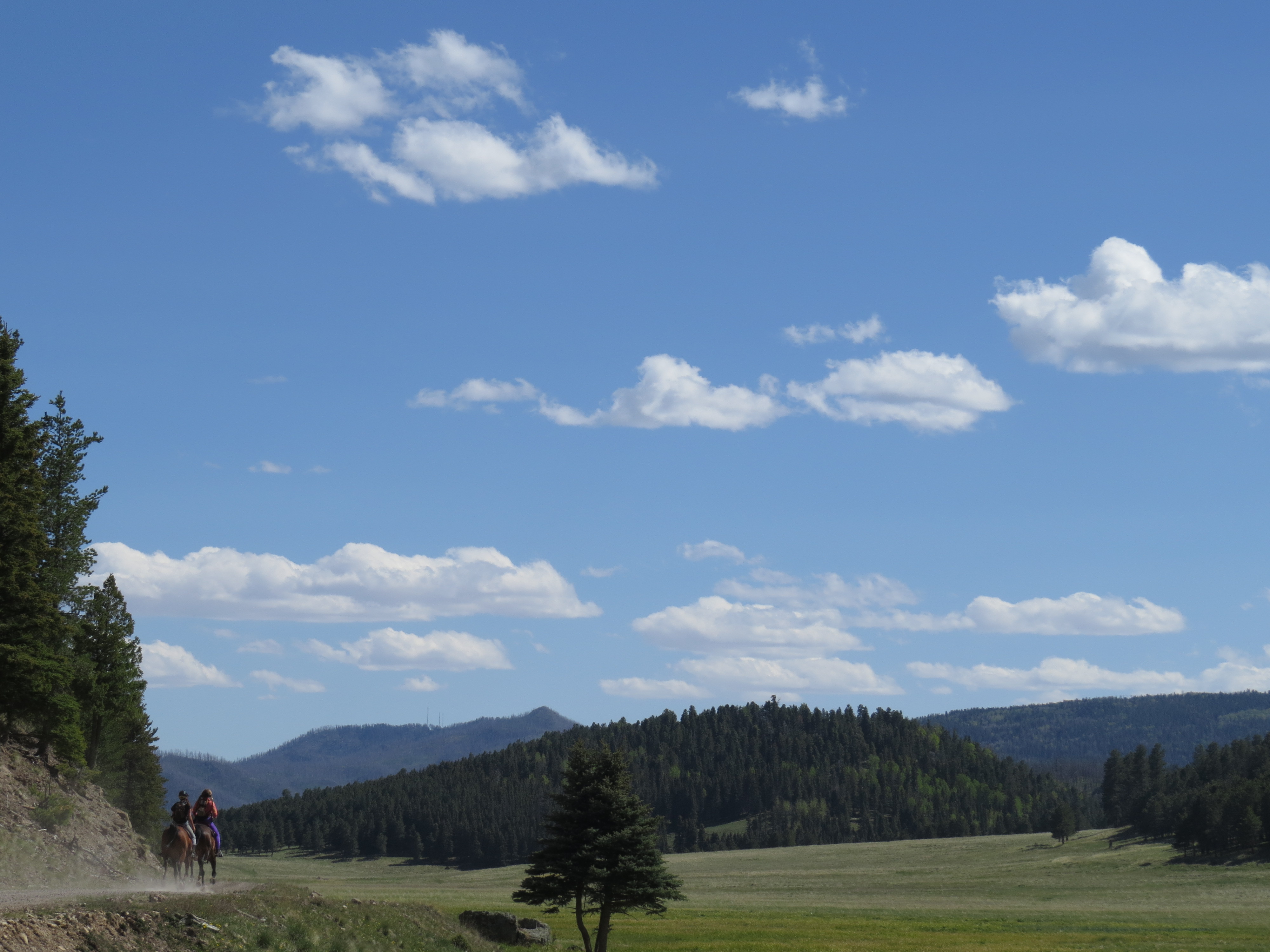
With Valles Caldera's rich ranching history, horses have been part of this landscape for over 100 years. Learn about how to participate in this legacy and ride your horse at Valles Caldera National Preserve today.
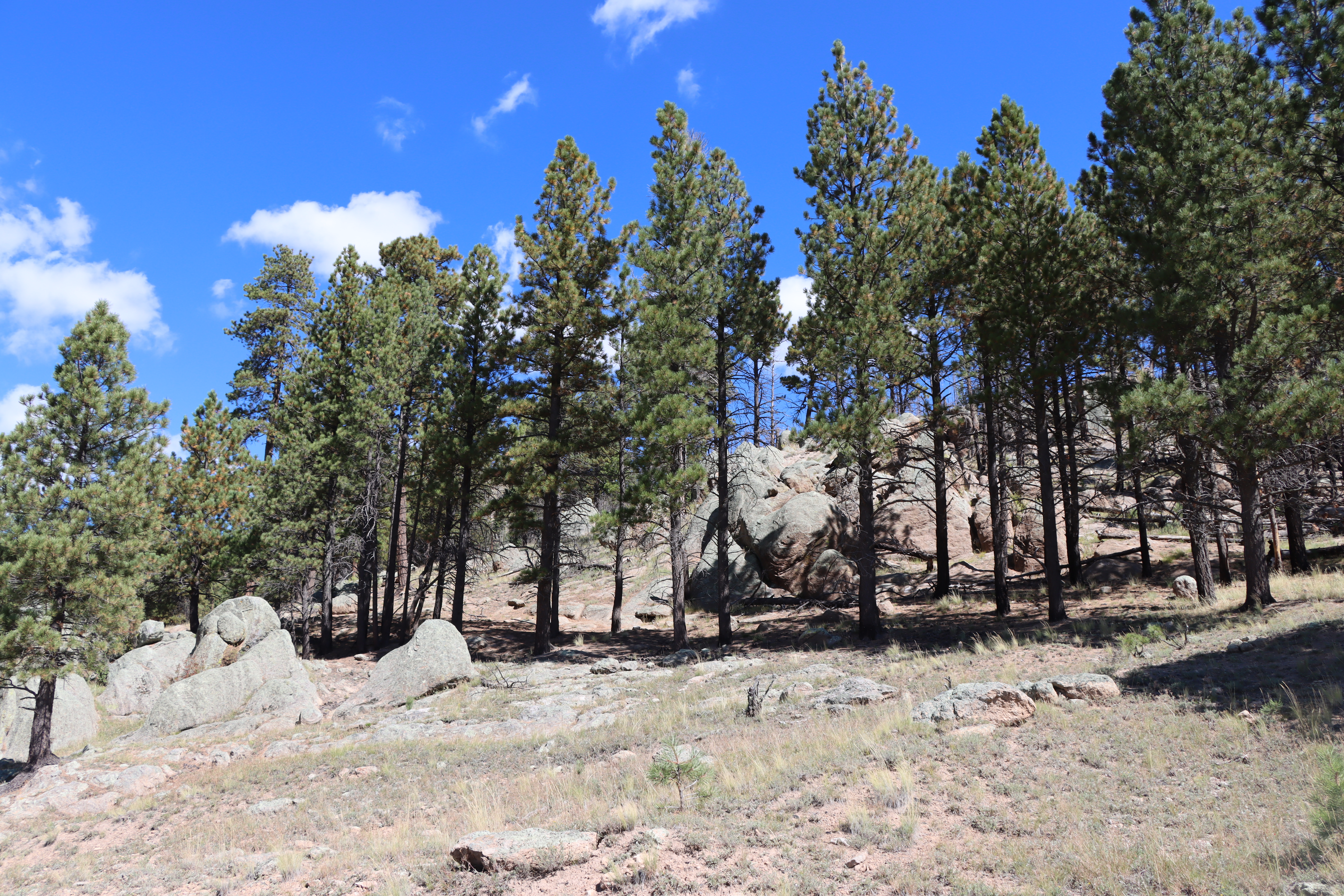
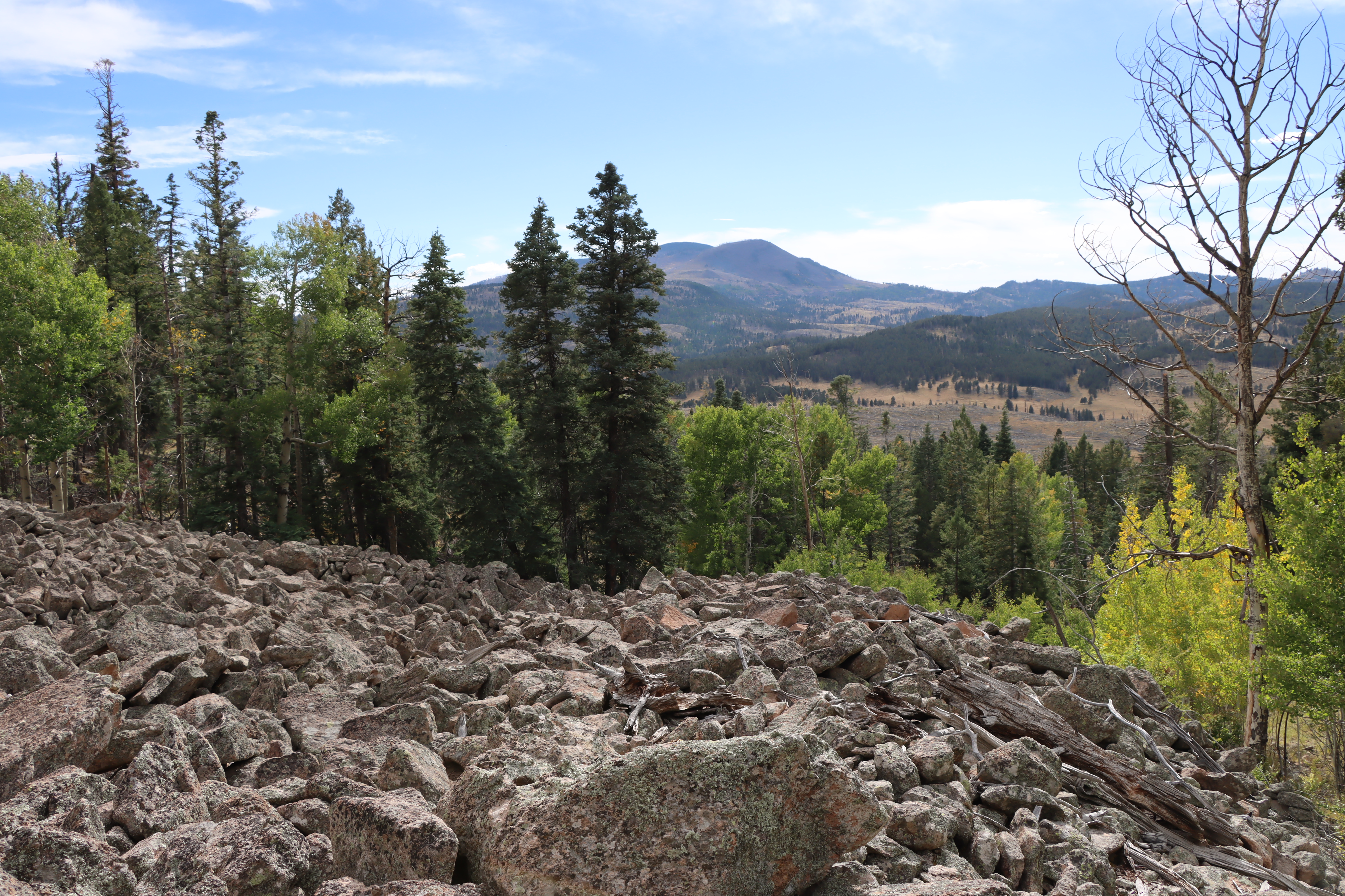
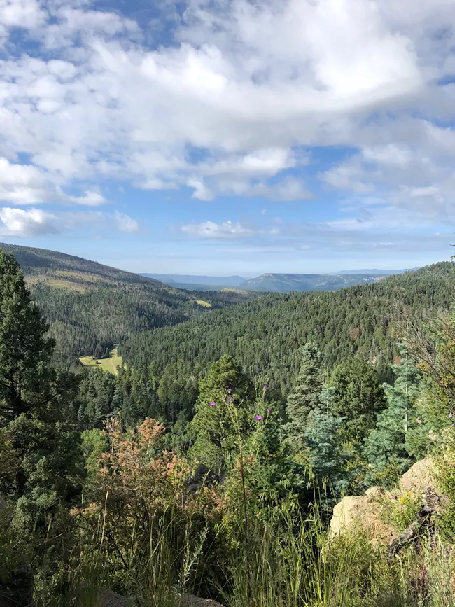
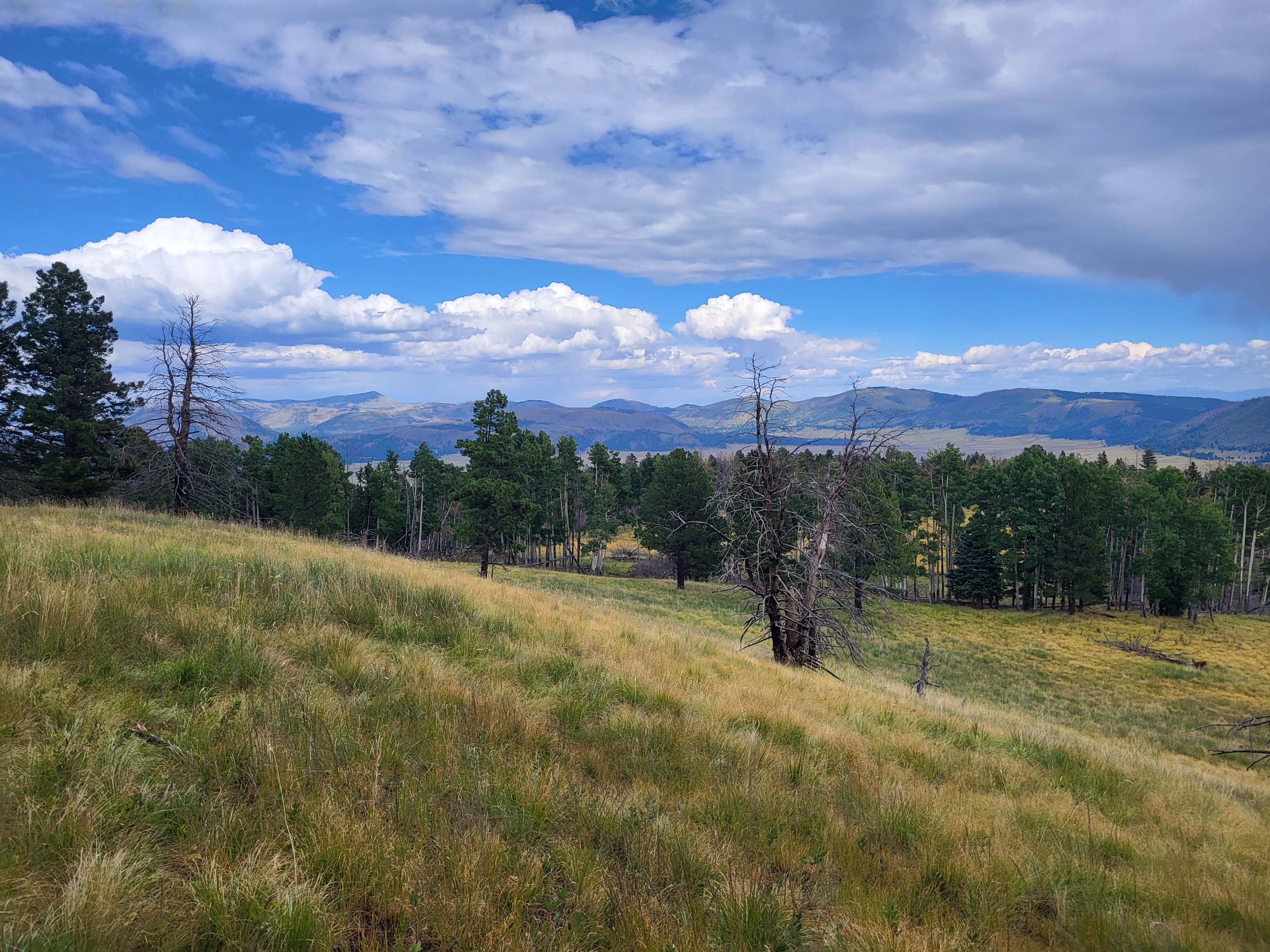
Hiking routes within Valles Caldera range from flat strolls through montane grasslands to steep climbs on forested lava domes. As this land was a private ranch for over 150 years, the majority of hiking routes follow old logging and ranching roads. Since Valles Caldera is a relatively new National Park Service site, trails are not well-marked, and most trailheads do not yet have signs. For this reason, it is important for hikers to carry a detailed park map and GPS.
This strenuous, 11-mile (17.7 km) out-and-back trail heads south from Valle San Antonio, up a narrow drainage, and then steadily climbs as it passes through several beautiful glades before terminating just below the summit of San Antonio Mountain. Good opportunities for wildflowers, especially in spring and fall.
5-6 Hours
Easy access to Valles Caldera's premier front-country stream, the East Fork Jemez River, allows anglers to enjoy fishing longer hours and longer seasons in the park.
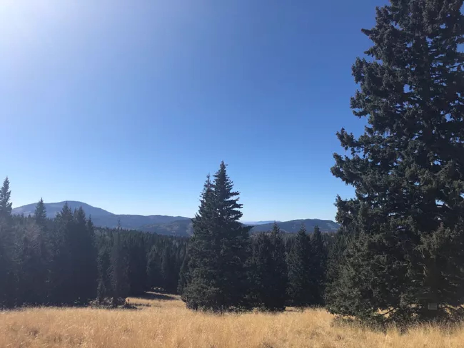
The South Mountain Trail is an 8.2-mile (13.2 km) out-and-back hike that heads up a narrow valley before climbing, sometimes steeply, up the north side of South Mountain. The trail passes through shady groves of trees before reaching a lovely meadow at the top. Some of the best views of Valle Grande can be had from the summit.
3-4 Hours
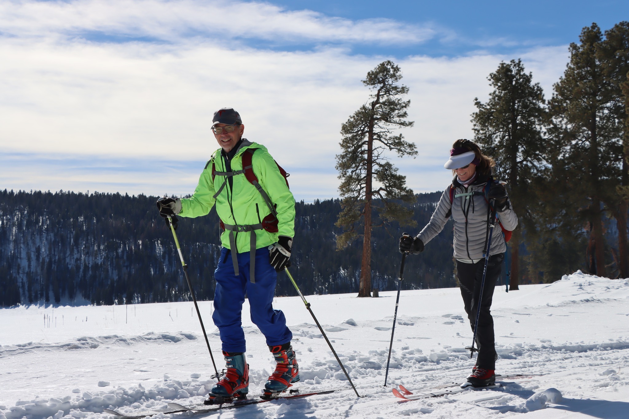
Winter is a spectacular time to visit Valles Caldera National Preserve. The park has miles of groomed trails for the adventurous skier.
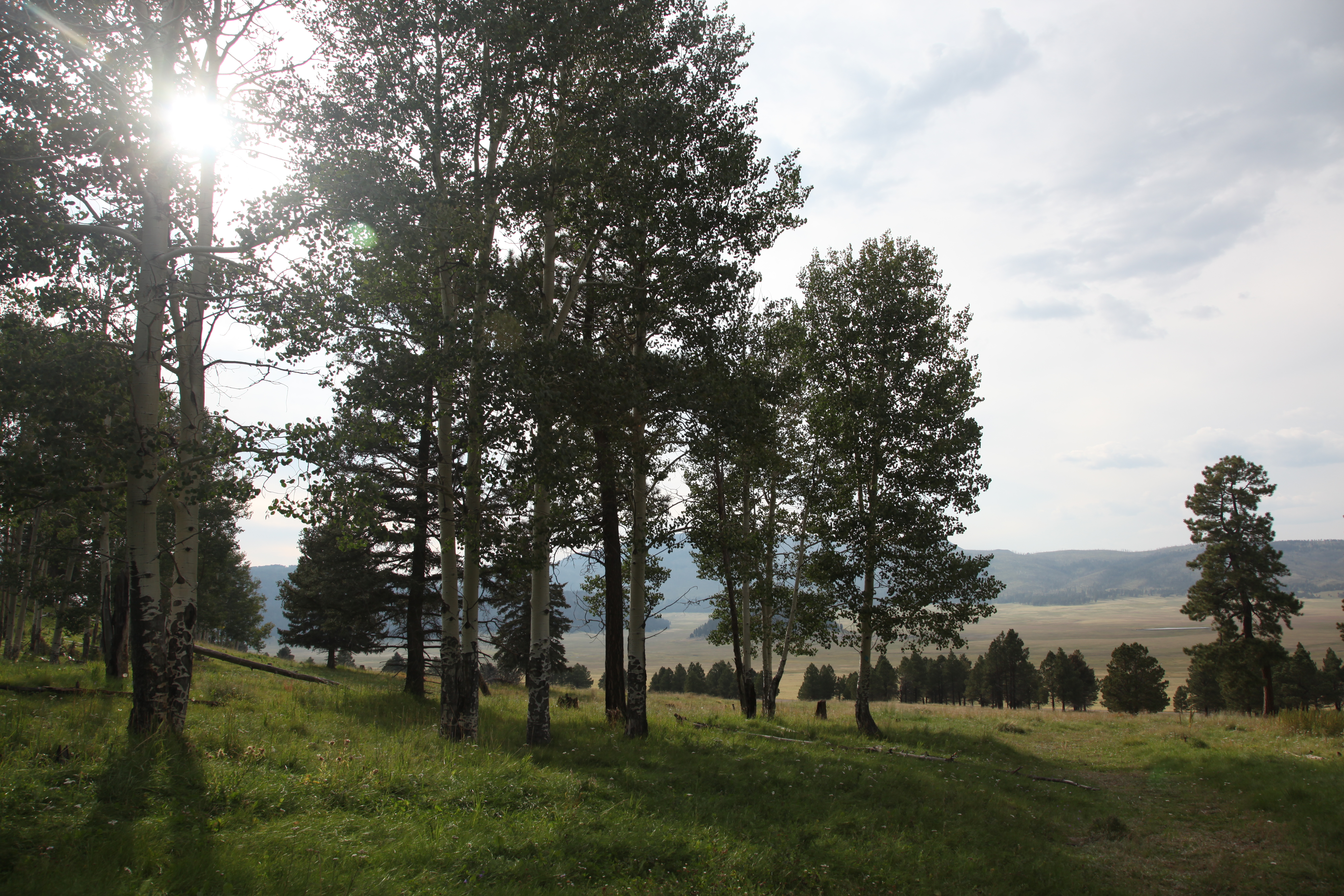
This pet-friendly, 2-mile (3.2 km) out-and-back trail quickly drops down the southeastern rim of the caldera to reach the edge of Valle Grande, offering sweeping views and excellent opportunities for elk viewing, especially early in the morning or late afternoon/early evening.
1-2 Hours