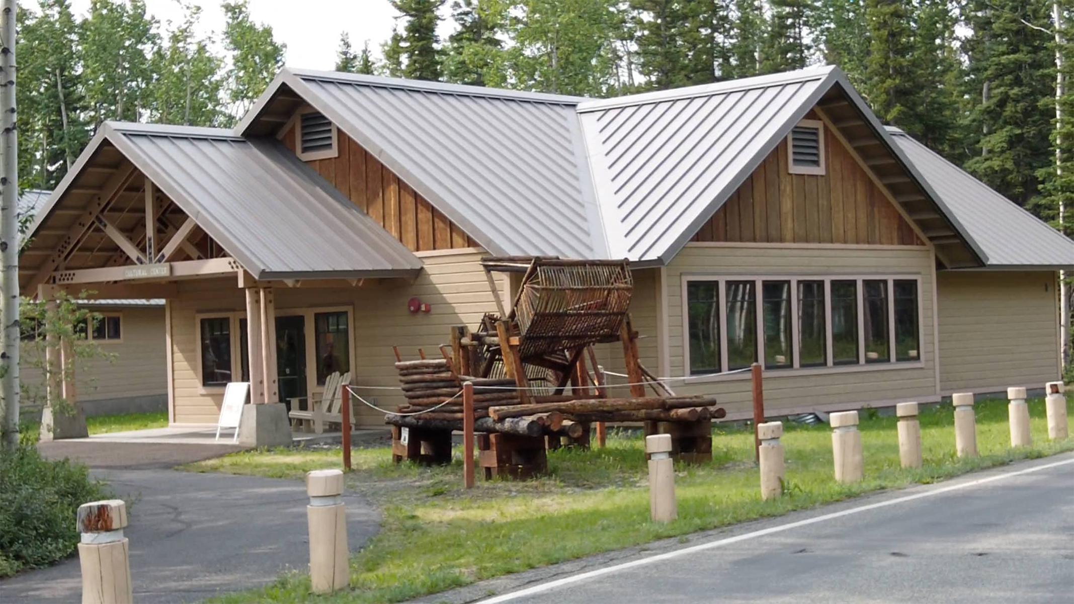
The Ahtna Cultural Center, C'ek'aedi Hwnax 'Legacy House', is located next to the Wrangell-St. Elias Visitor Center and is operated by Ahtna Inc. There are Alaska Native exhibits, a hand-built fish wheel, a food cache and museum staff available to answer questions. Hours of operation vary - call before visiting. (907) 822-5955.
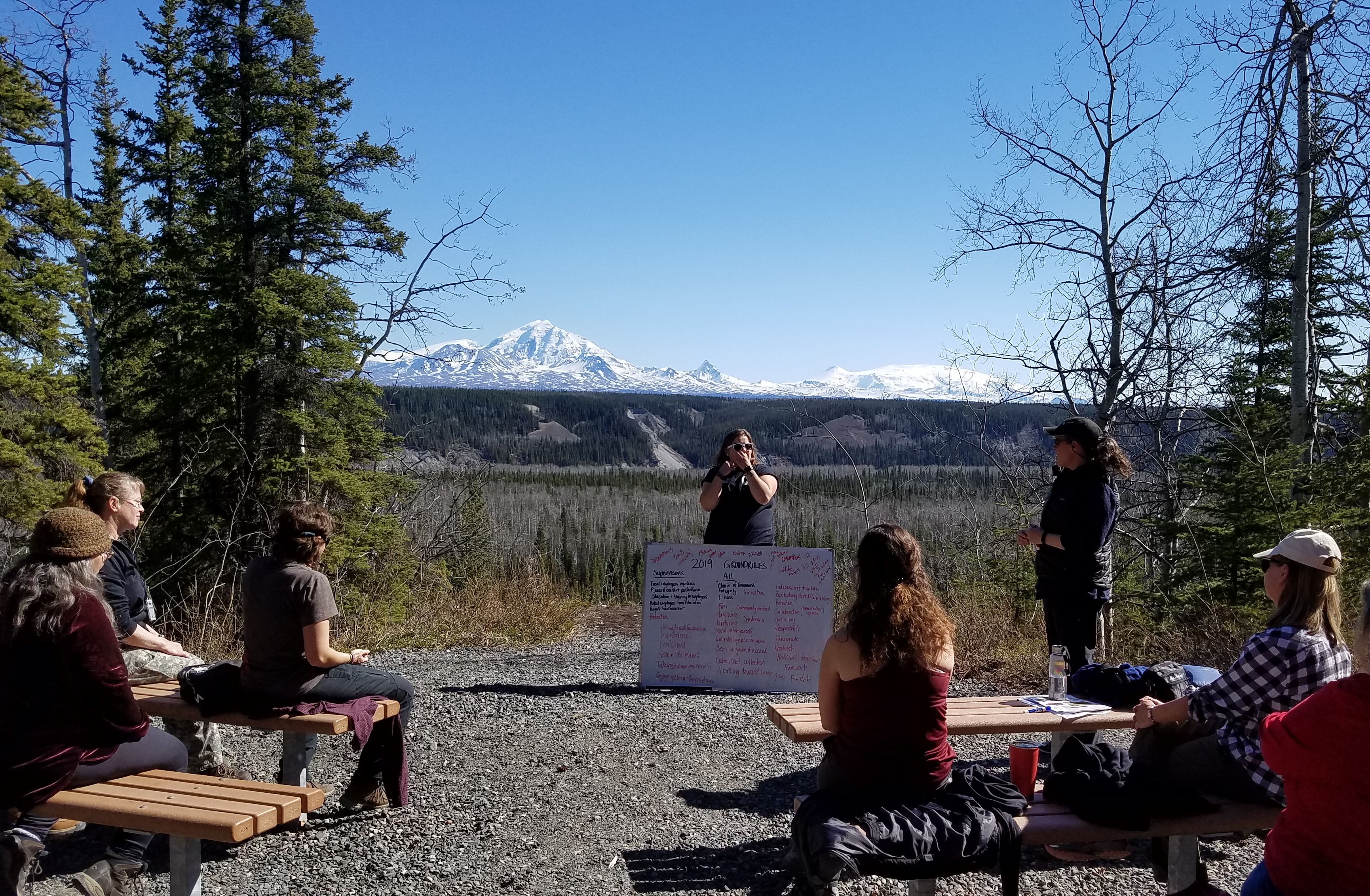
Rangers can present programs overlooking the bluff and view of the Wrangell Mountains (weather permitting) while the audience sits on benches arranged in a small outdoor amphitheater.
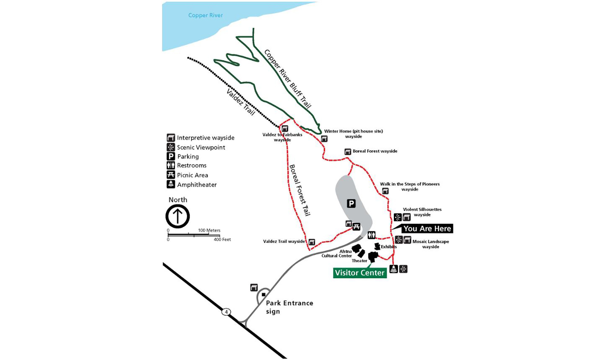
The 1/2-mile loop Boreal Forest Trail follows even terrain, though wheelchair-users may need assistance. The trail passes along the river bluff, then cuts through the forest, connecting to a section of the historic Valdez Trail, the first all-American route into interior Alaska. View interpretive panels along the bluff overlooks and through the forest.
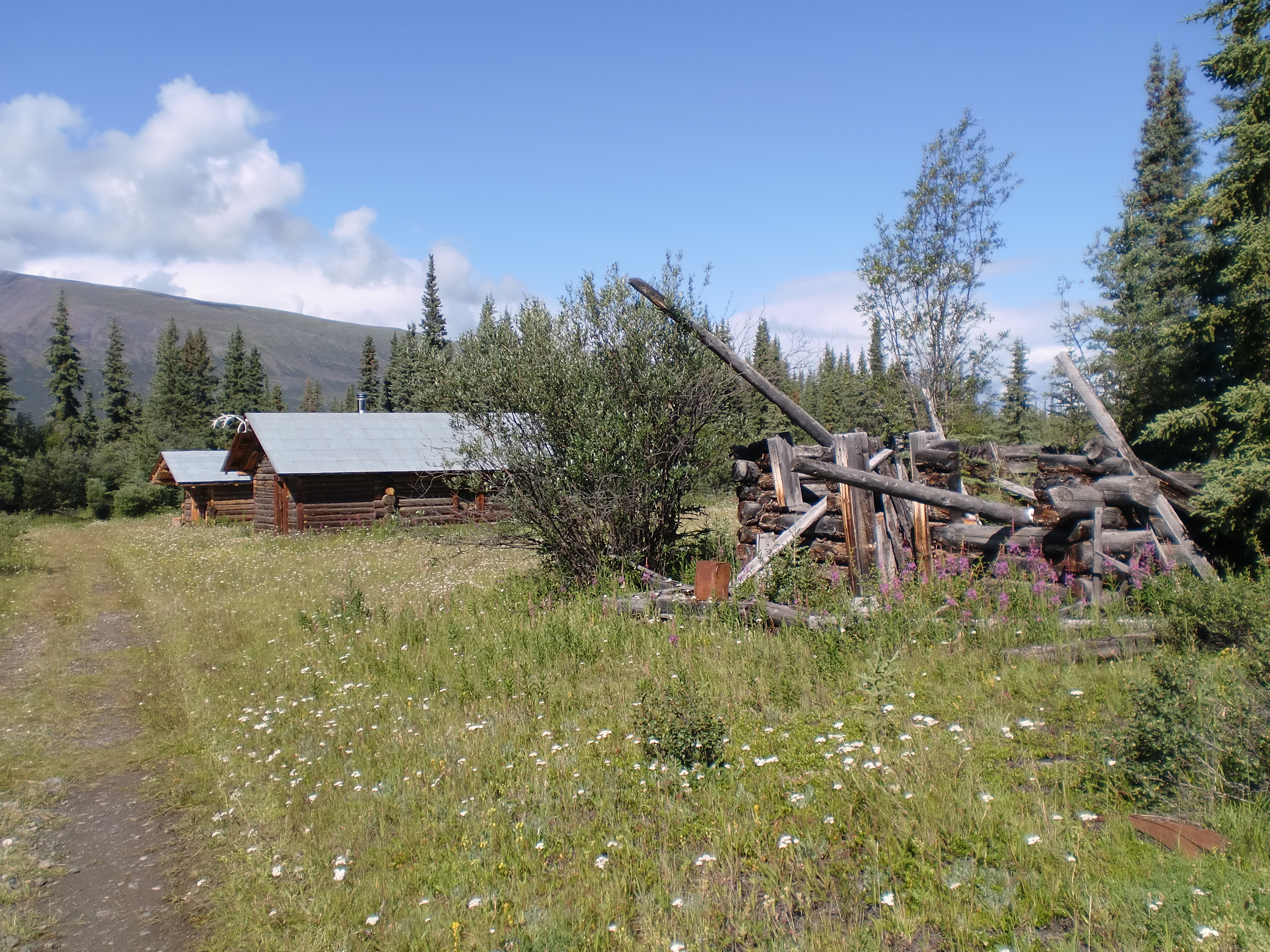
Bremner is a glacier, river and mining camp within Wrangell-St Elias National Park. It is named after John Bremner, who in 1884-1885 was the first non-native person to live in the area and who prospected for gold along the Bremner River. Located just to the north of the Bremner River, it was the scene of an important placer gold discovery in 1902, and played a key role in the history of the Copper River Basin.
Chisana (pronounced shoo-shana) is a small community inside Wrangell-St Elias National Park and Preserve, only accessible by plane or long snow machine ride in winter. It is located half-way between Nabesna and McCarthy, Alaska.
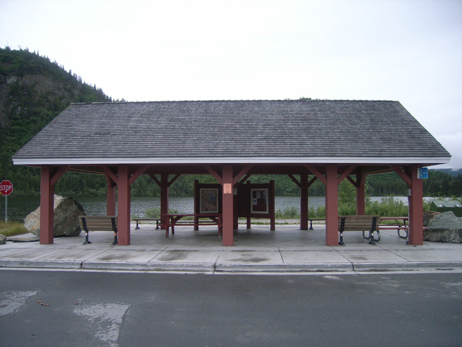
Pronounced "Chit-nah," this railroad town sprang to life in 1910 and was once a bustling stopover between Cordova and Kennecott. It is still busy during fishing season. Here at this wayside are restrooms and informational panels. Gas but not diesel is available 24 hours in town.<br />
The Copper River is the largest river in the park. At 290 miles long, the Copper River begins at the Copper Glacier on the northeast side of Mount Wrangell, in the Wrangell Mountains. It first flows north, then west and then south where it forms the park’s western boundary. As it flows further southeast through the Chugach National Forest, it eventually empties into the ocean in the Gulf of Alaska near Cordova. The Lat/Long. is represented at Copper Center, Alaska.
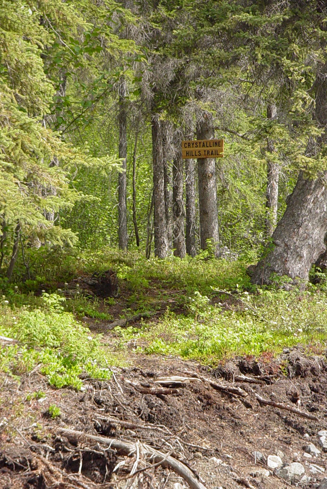
The Crystalline Hills north of McCarthy Road are composed mostly of gneiss and gabbro, but some of the lower slopes are made up of a light colored marble. These hills are an excellent place to see Dall Sheep up on the hills and hike up to nice scenic views.
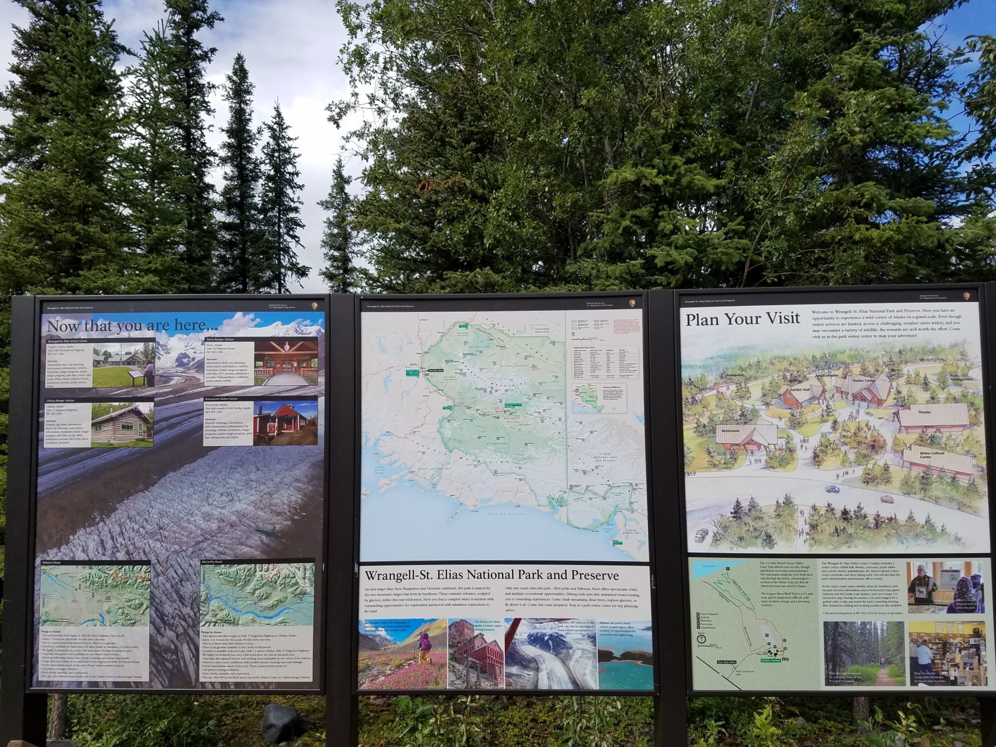
The Wrangell-St. Elias Entrance Loop Information Sign is located at the north end of the Headquarters driveway entrance loop, off the Richardson Hwy at mile 106.8 near Copper Center. There are three panels which include the park map, visitor center and ranger station locations, scenic images, map of the visitor center complex and map of the Bluff Overlook - Boreal Forest Trail.
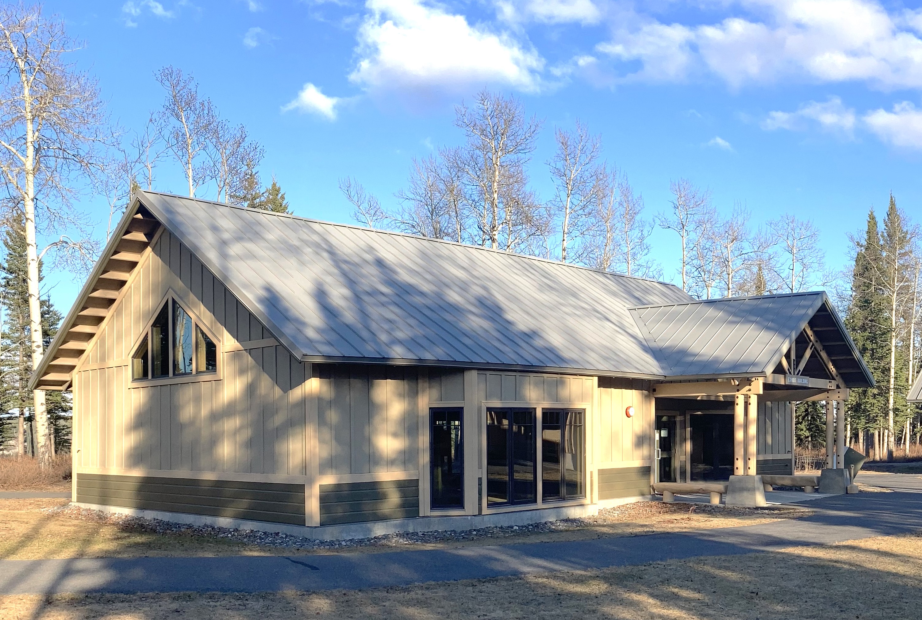
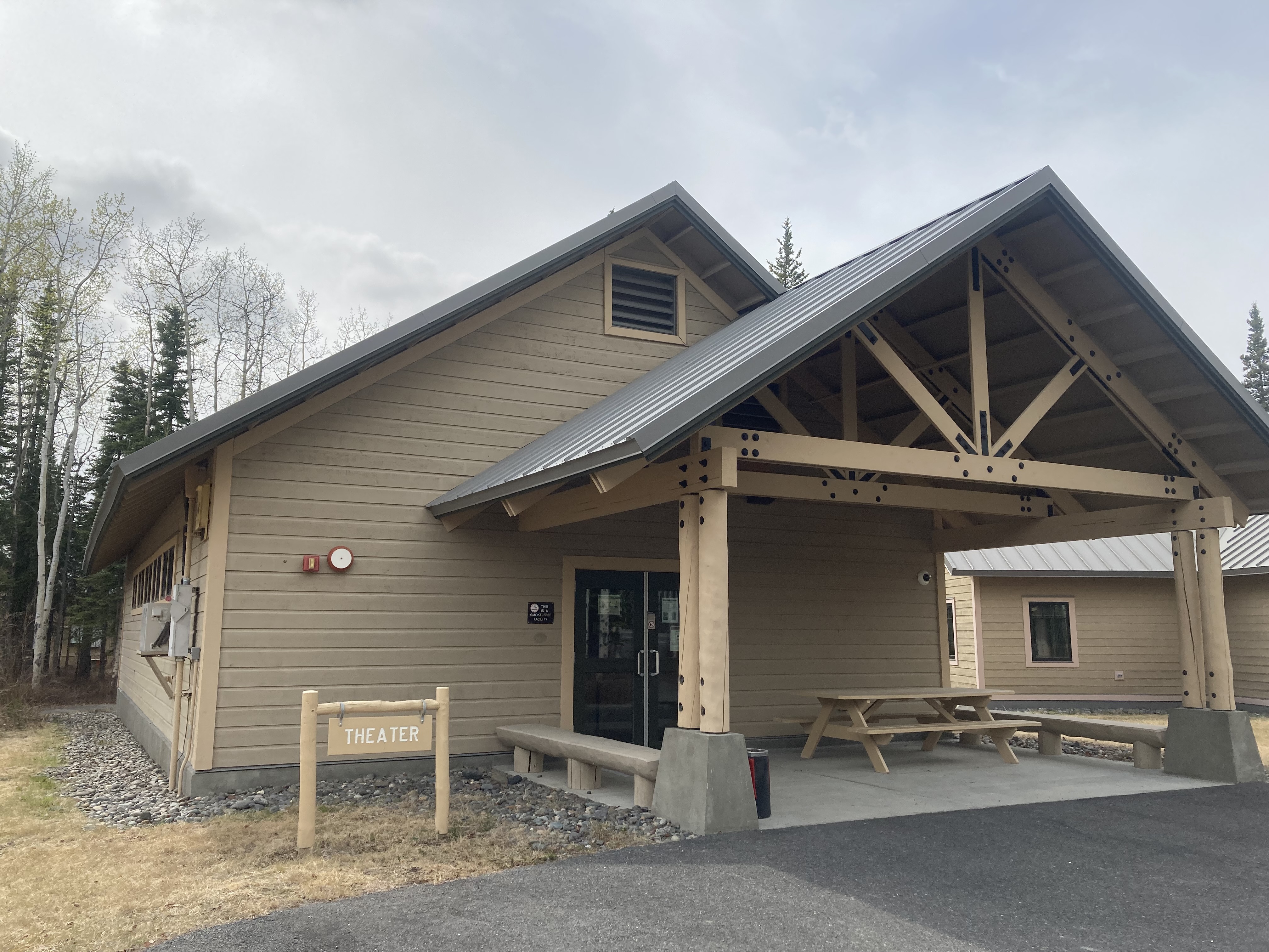
On this self-guided tour of the Exhibit Hall, view interpretive exhibits to learn about natural and cultural resources of the area, including gold and copper miners, bush pilots, explorers, Alaska Natives, volcanoes, glaciers and wildlife.
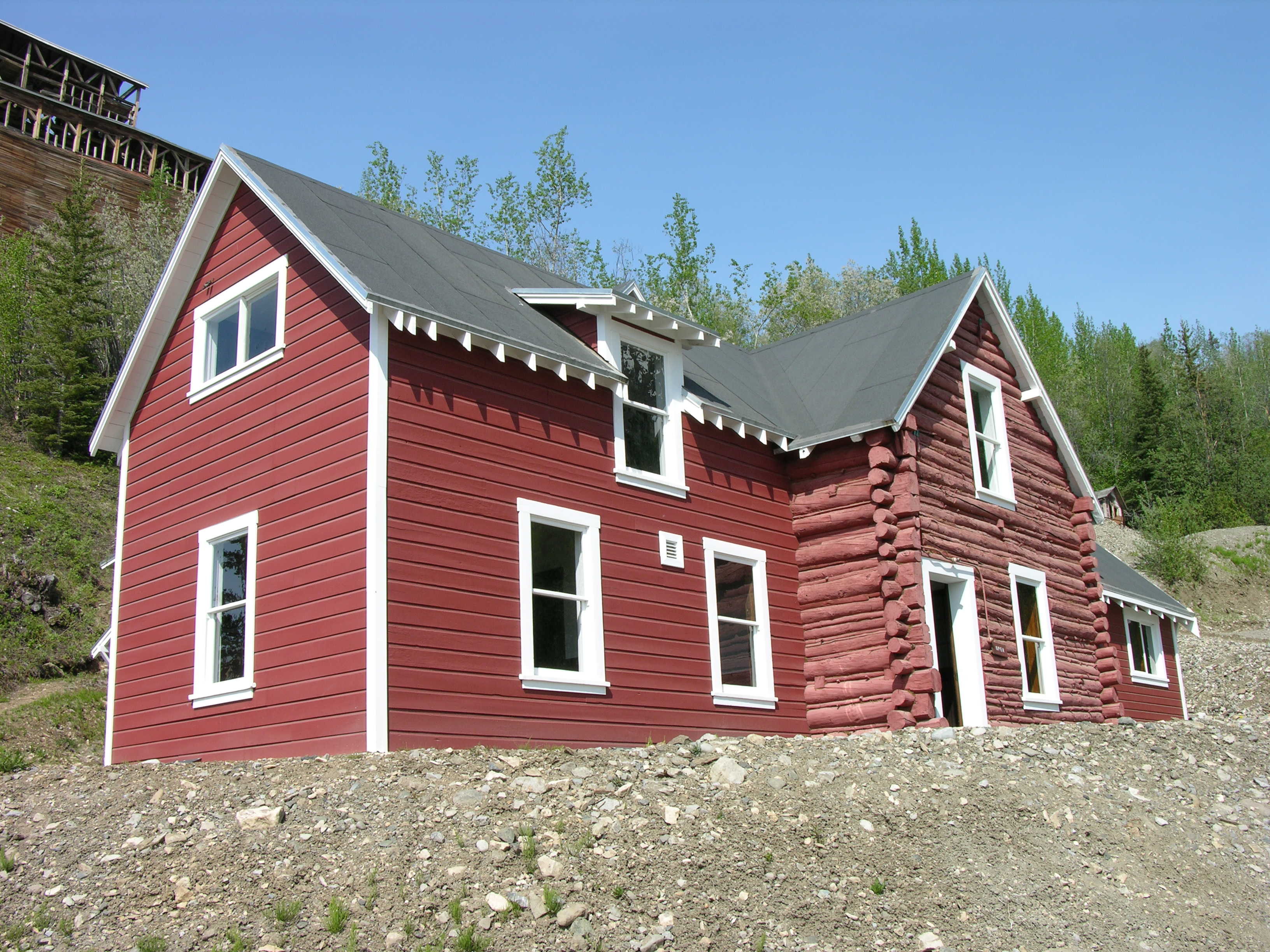
The GMO housed the heart of the Kennecott Copper Corporation: its management. Here are the offices of the superintendent, manager, engineers, secretary and draftsmen.<br />
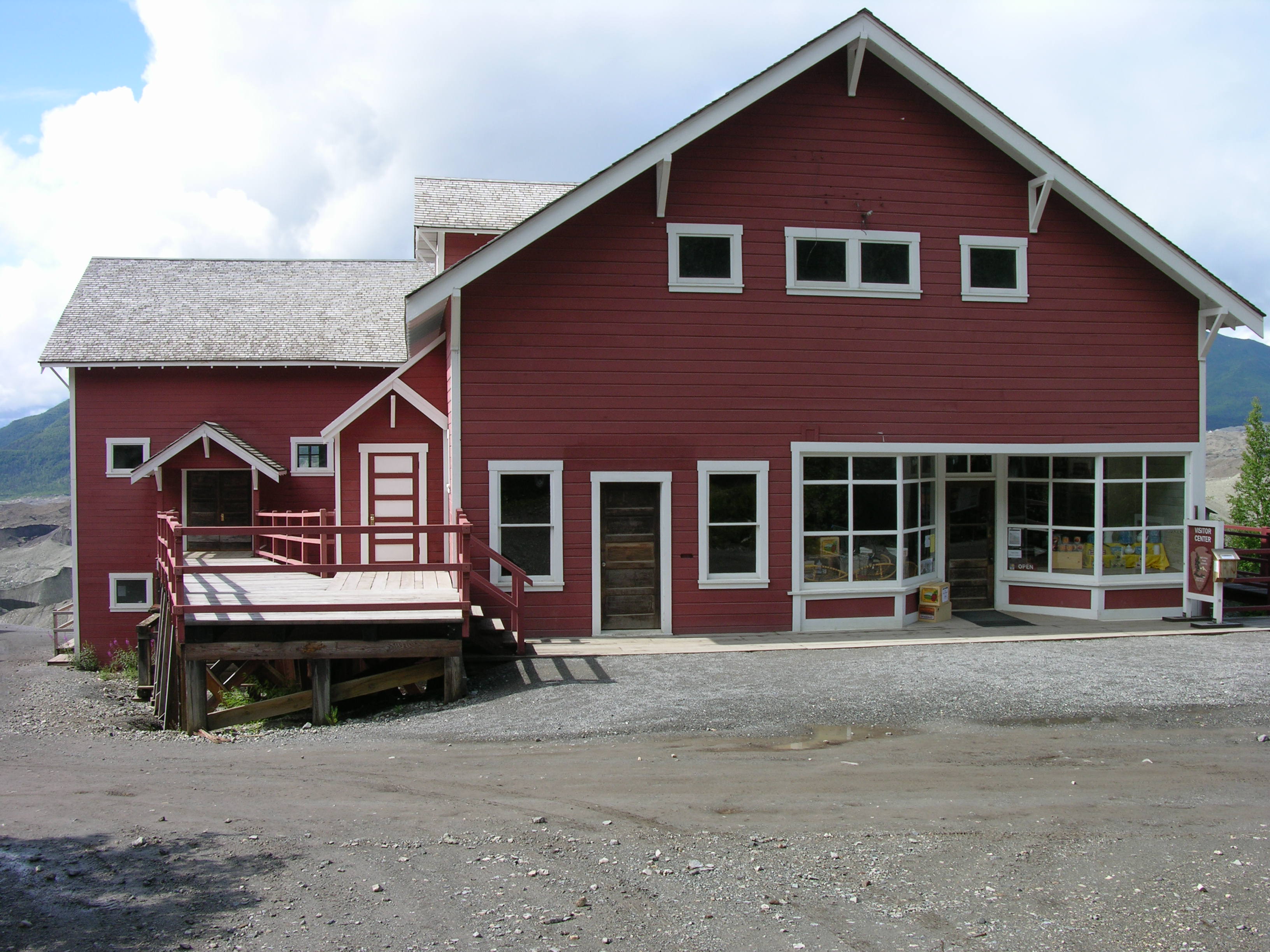
The company store sold just about anything you needed. If it didn't, you could order items through the Sears and Roebuck catalog and they would be delivered to the post office. The warehouse stored grocery items but most importantly, the nuts, bolts and spare parts needed in the mill and mines.<br />
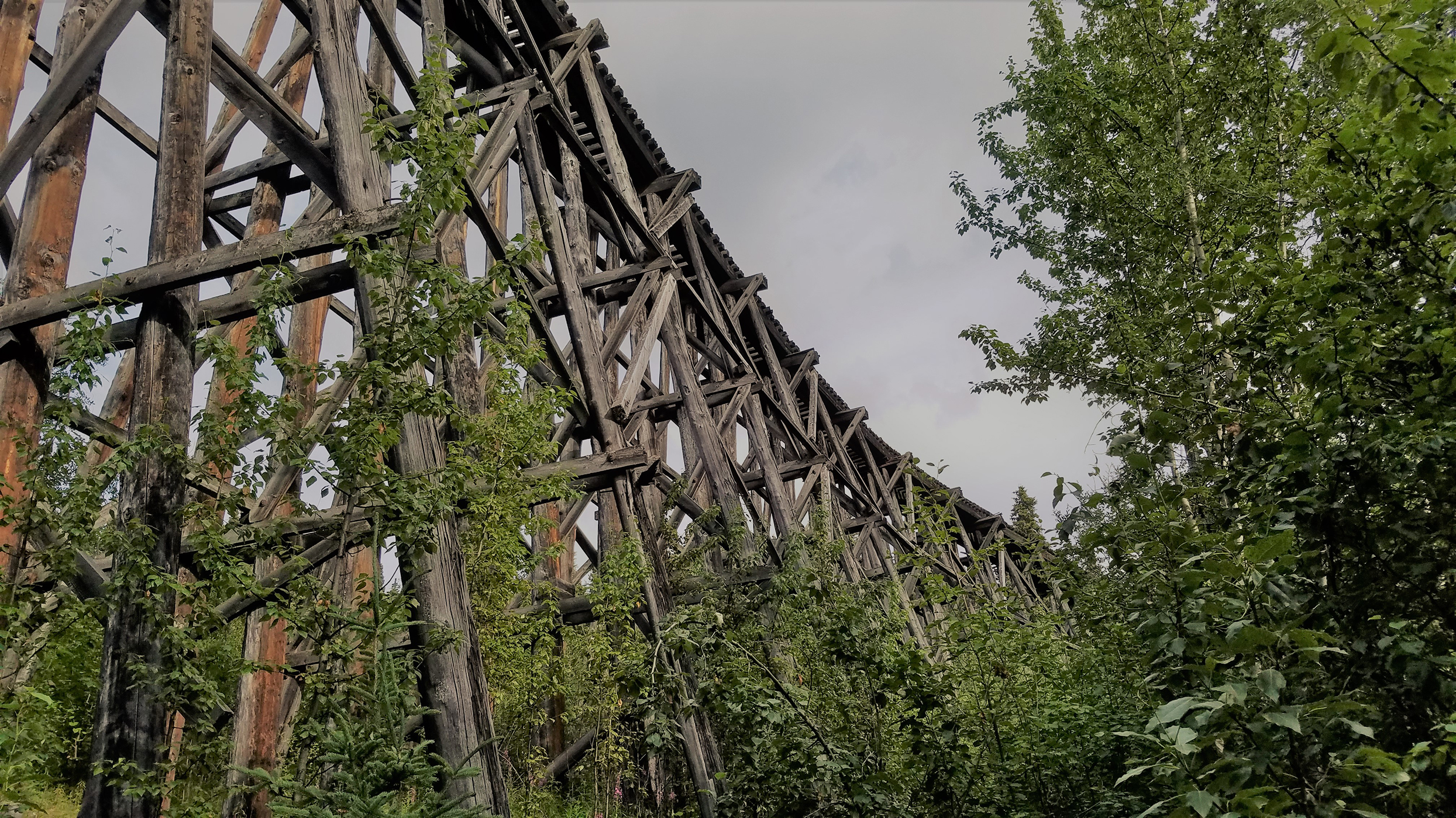
This wooden structure was originally 890 feet long and 90 feet high, required one-half million board feet of timber, and was completed in eight days in January of 1911. There are vault toilets and a 1/2 mile trail here that leads south from the toilets.<br />
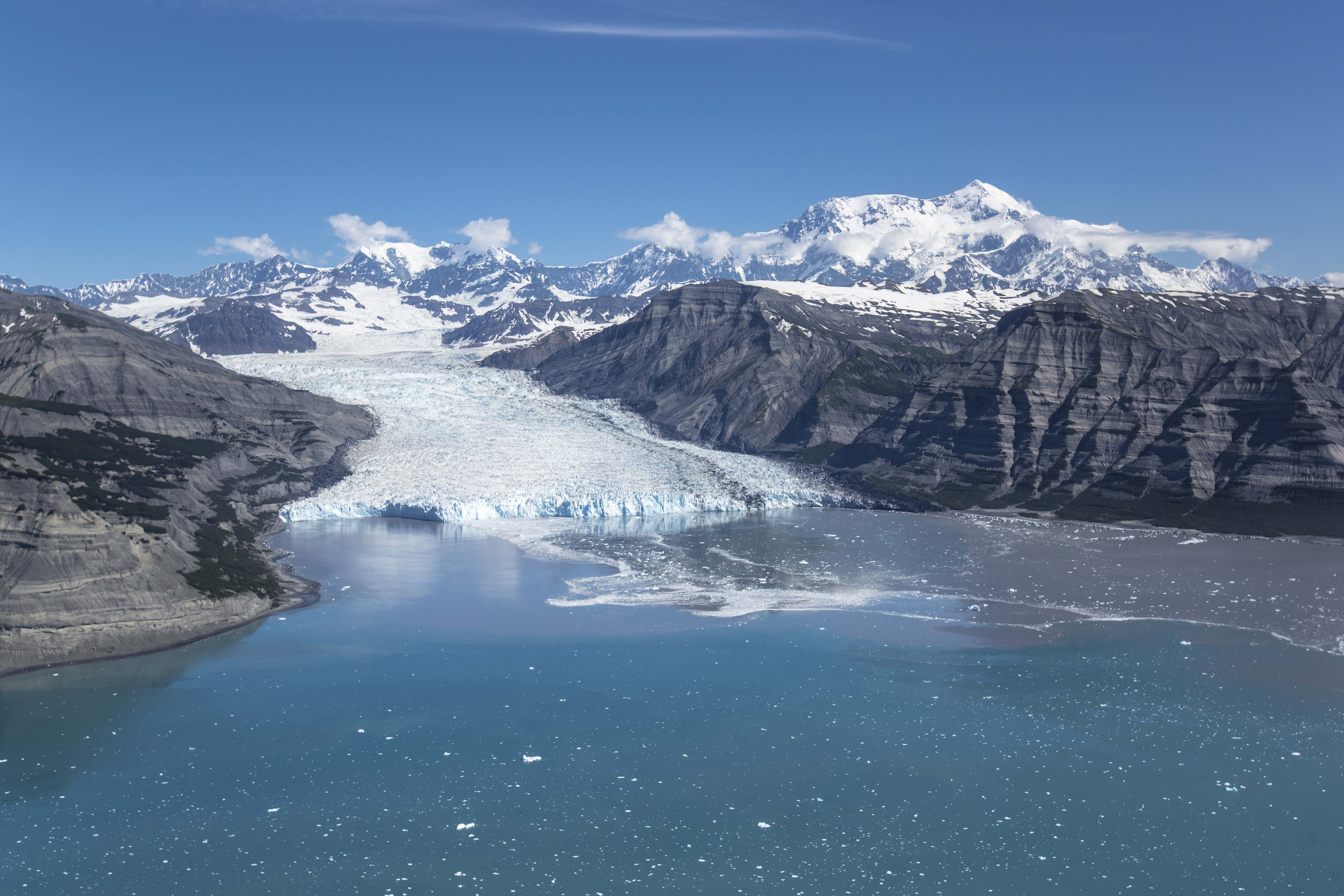
Icy Bay is along the coast in Wrangell-St Elias National Park and Preserve, part of the 155 miles of coastline in the park. The bay was formed in the last 100 years by the rapid retreat of the Guyot, Yahtse, and Tyndall Glaciers.
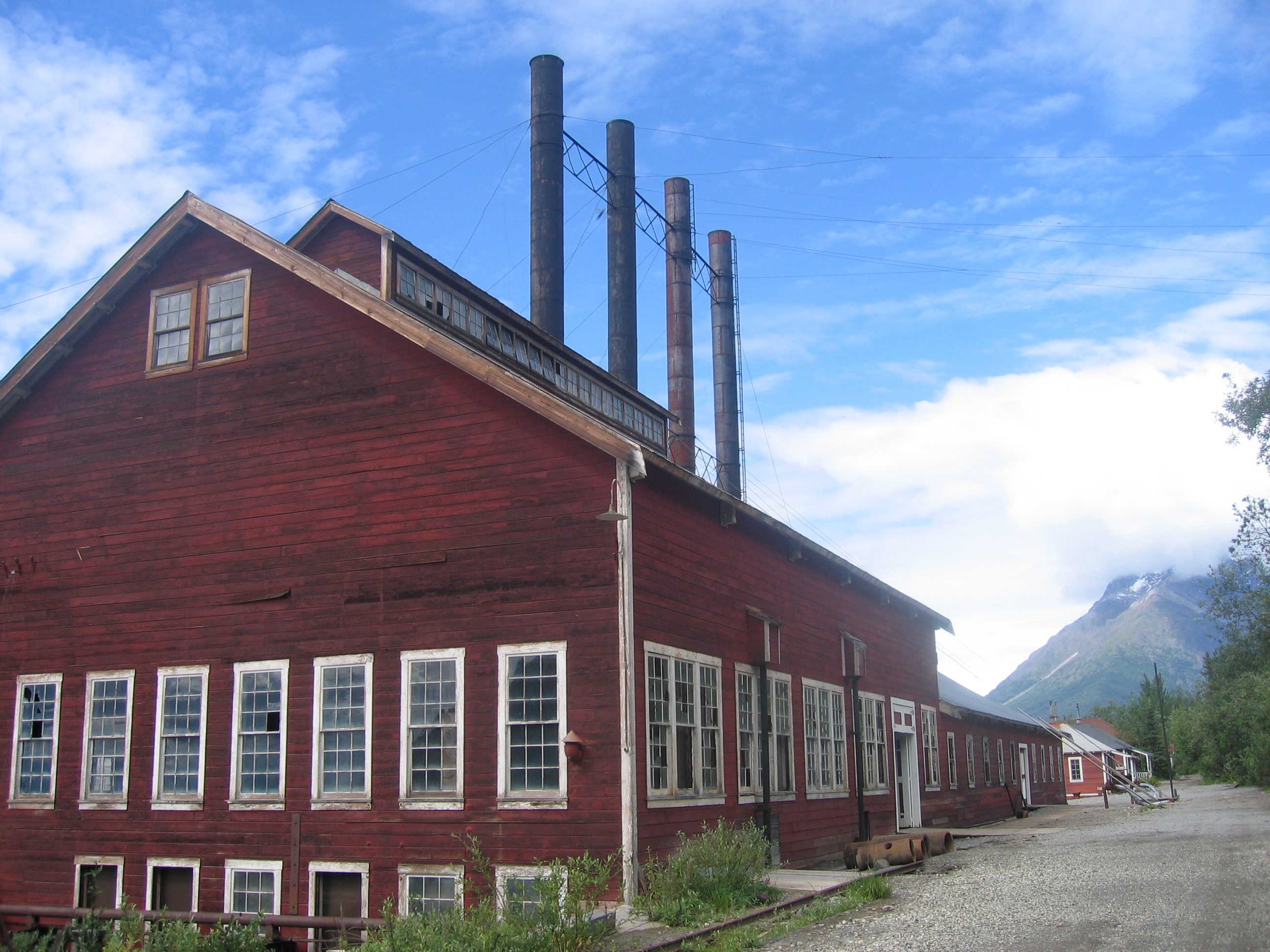
A vestige of an early 20th-century copper mining camp, Kennecott represents the mining techniques of the era. The mines here were among the nation's largest and contained the last of the great high-grade copper ore deposits of the American West.
Located in a historic building, this visitor center has ranger programs, maps, exhibits, an information desk, backcountry trip planning assistance, a bookstore, and a restroom. Get your bear cannisters for backcountry travel here.<br />
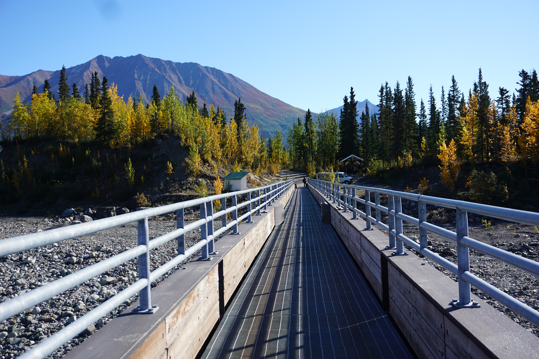
One of two bridges, which provides access to McCarthy town and Kennecott Mines National Historic Landmark. All visitors must park their vehicles at the end of the road and walk, bike, or take a shuttle into McCarthy and Kennecott. A seasonal private (non-NPS) shuttle to McCarthy (1/2 mile) and to Kennecott (5 miles) is available on the east side of the bridge. Summer hours of shuttle operation are posted in the weather shelter.
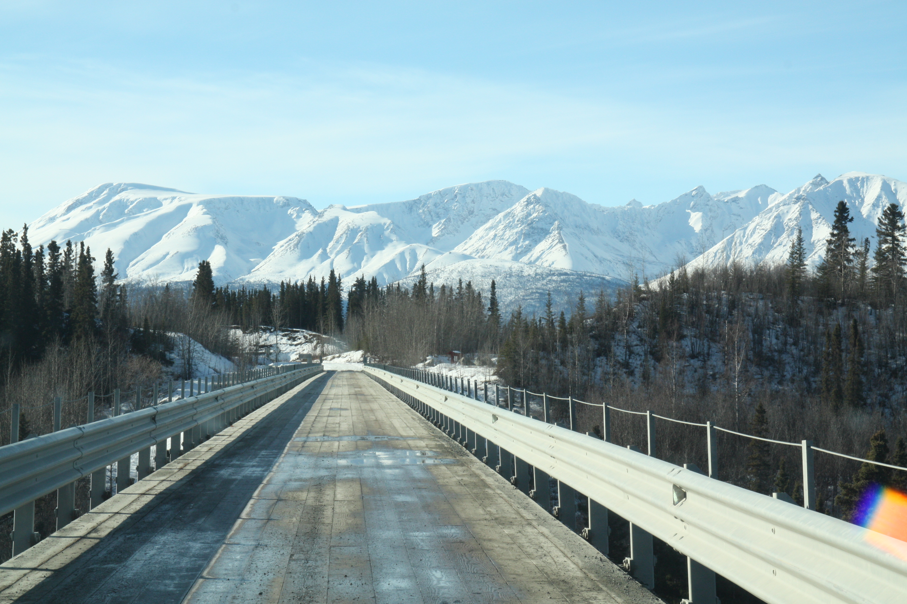
An engineering achievement this cantilevered bridge was constructed in two, brutally cold months in 1910. Perched 238 feet above the Kuskulana, this one lane bridge provides spectacular views but please park on either side of the bridge to explore further.<br />
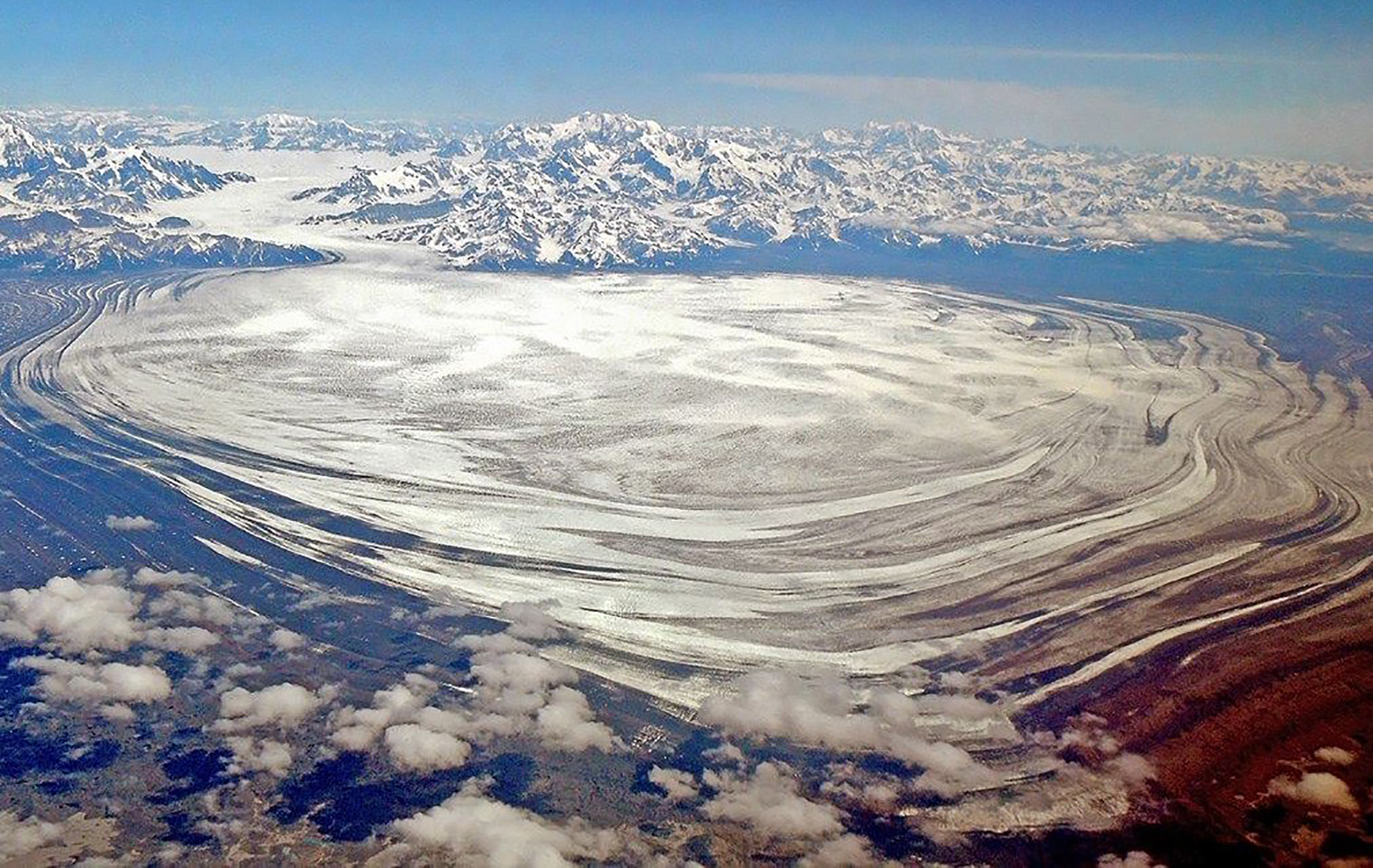
Malaspina Glacier, located primarily within Wrangell-St. Elias National Park on the coast, is the largest piedmont glacier in North America and one of the largest outside the ice cap regions of the world. Latitude: 59.971466064453125 Longitude: -140.52377319335938
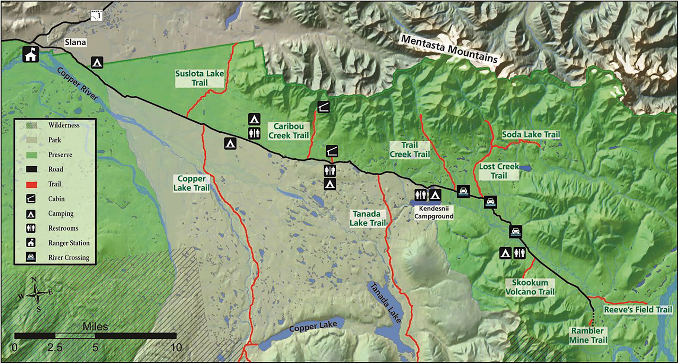
This area encompasses the Nabesna Road and nearby area. Starting at mile 60 of the Tok Cutoff Highway, the Nabesna Road starts at Slana and is nestled in a valley between two mountain ranges, the Alaska Range and the Wrangell Mountain Range. The scenic Mentasta Mountains are the foothills of the Alaska Range and there are several small lakes and rivers which offer endless opportunities for outdoor recreation. Drive, Hike, bike, picnic scenic views and wildlife viewing!
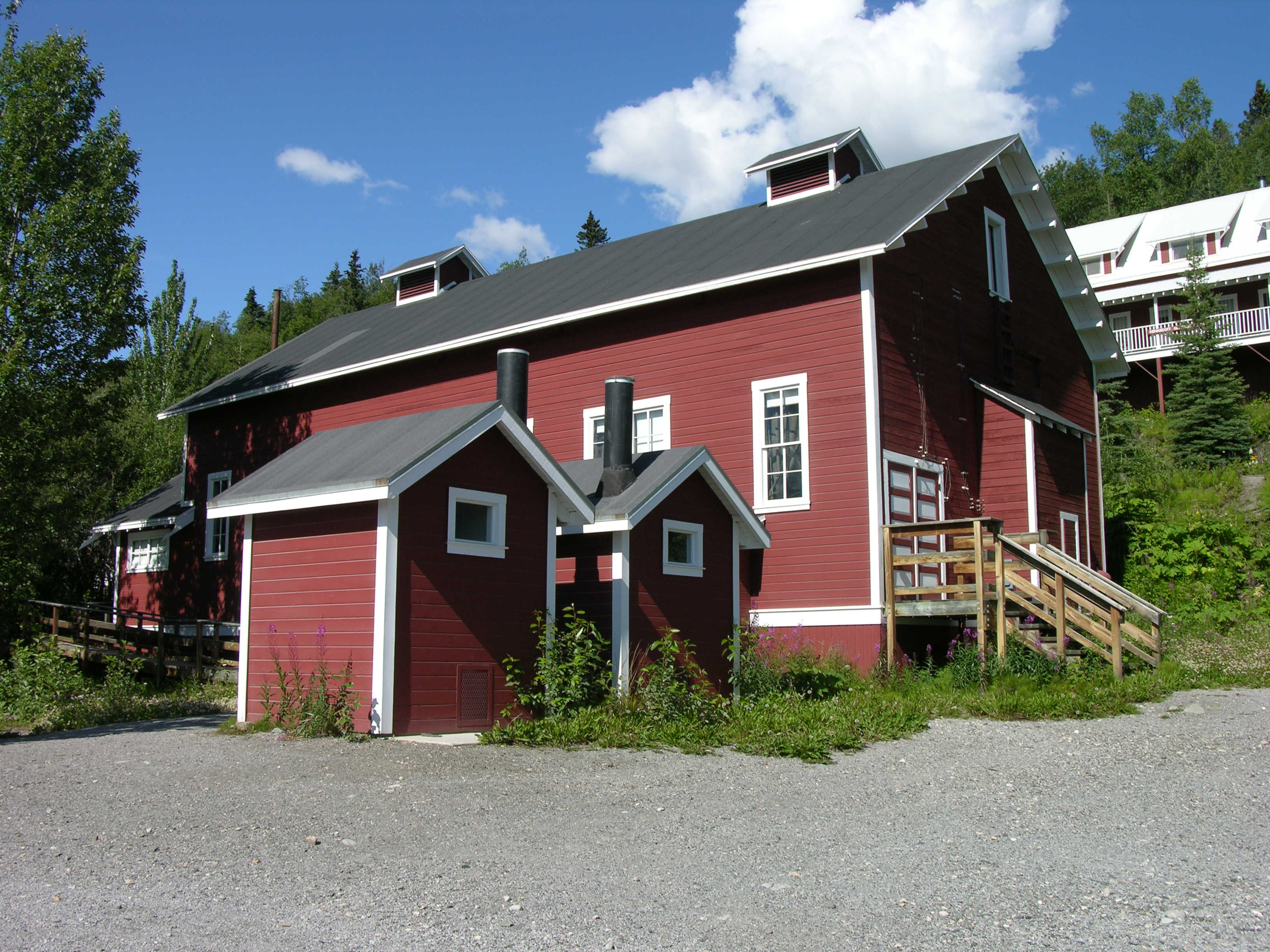
This building had three ways to generate electricity: diesel gas generators, steam generators, and a Pelton waterwheel. Steam for heating, electricity and compressed air moved from this plant through warm utilidoors built under the wooden, snow-free sidewalks found throughout the mill camp.<br />
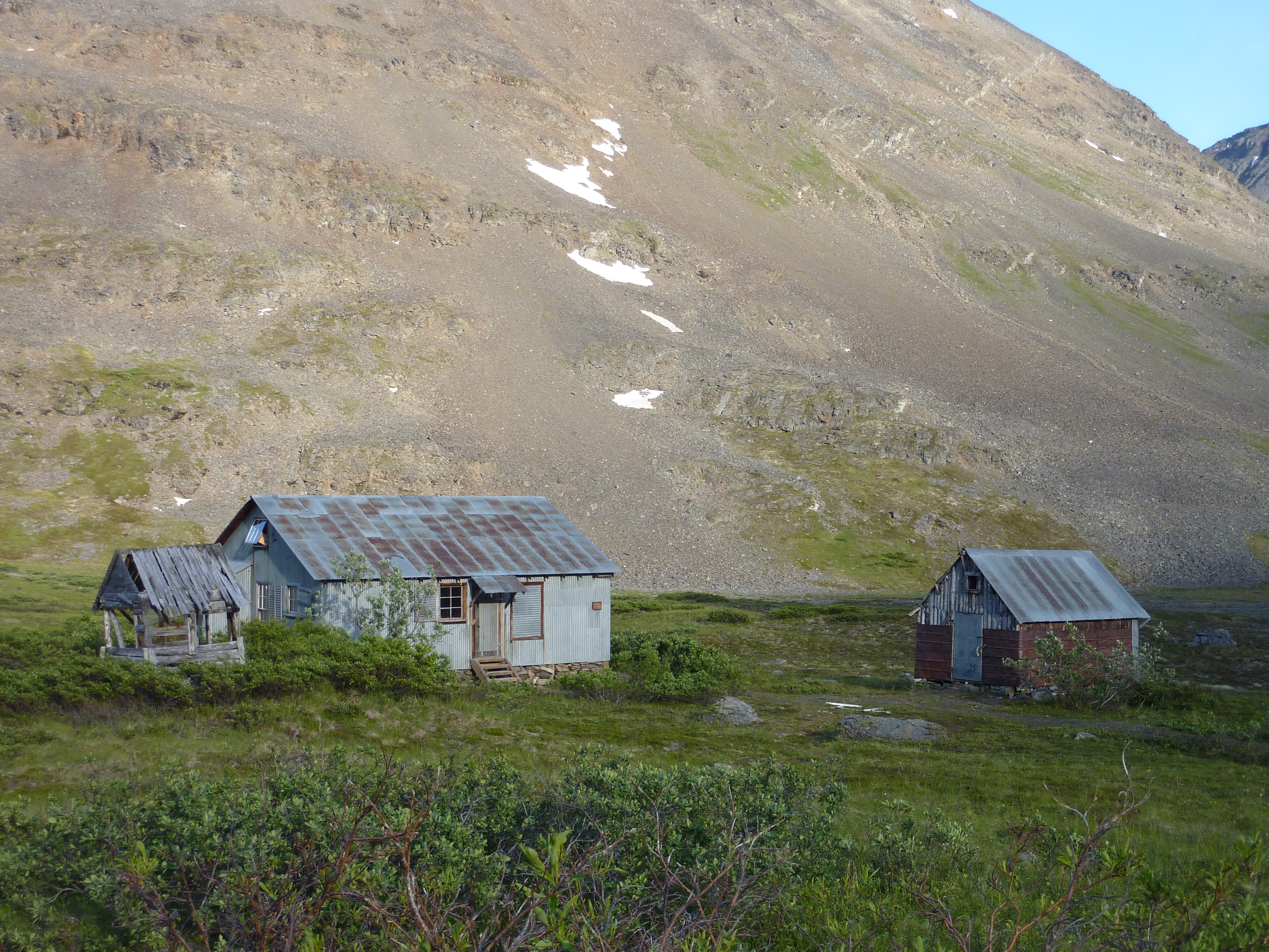
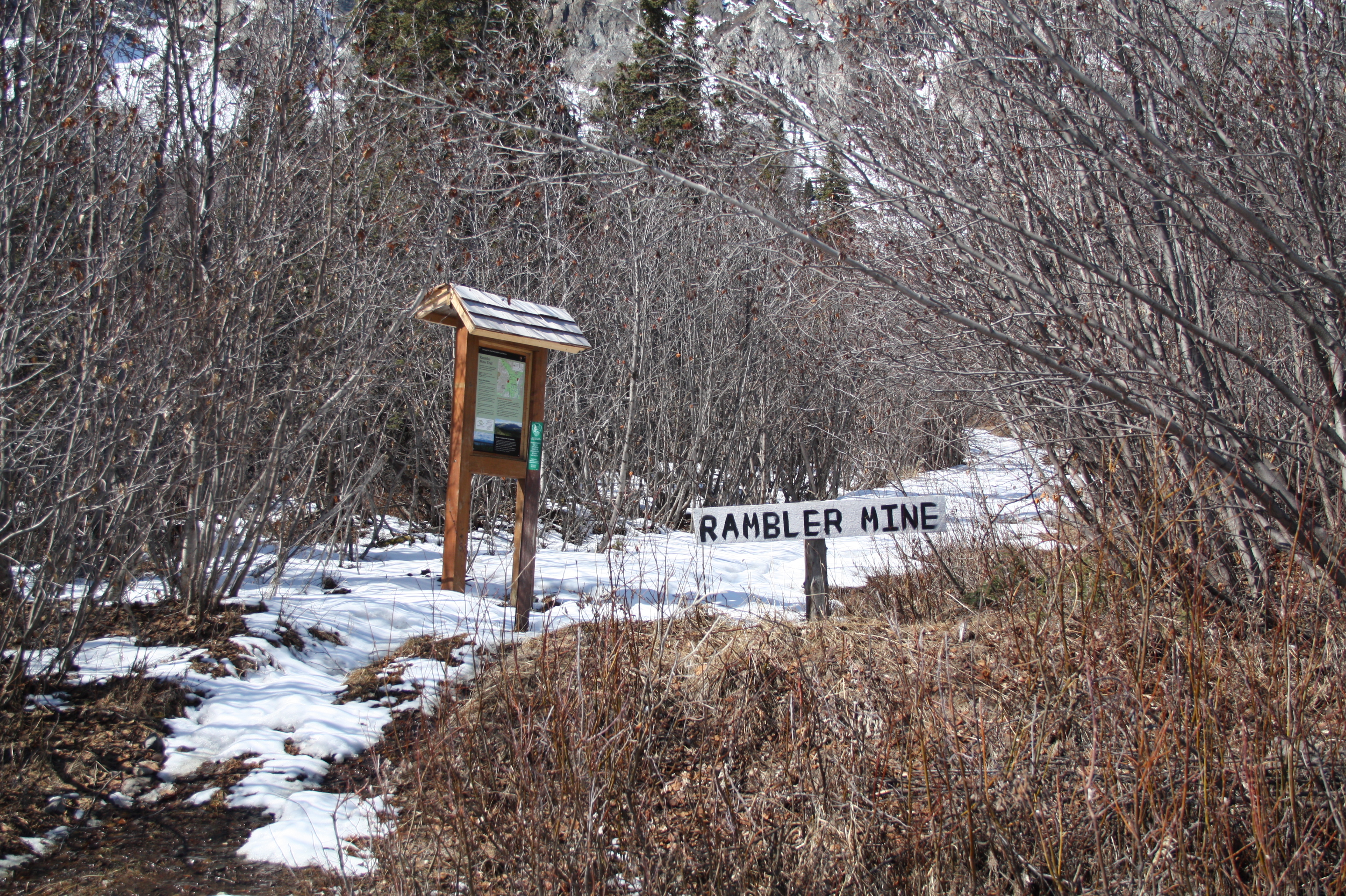
Mile 42.5 Nabesna Road. The maintained portion of the Nabesna Road ends at the Lodge, which is private property. Please respect this property and their privacy. Be careful not to park on the airstrip. Parking: Approximately a 1/4 mile beyond the lodge, there is a gravel parking area that is located on public land. Since the road is not maintained beyond this point, continue by foot to the Rambler Mine trailhead. The strenuous trail leads uphill (south) to the mine ruins.
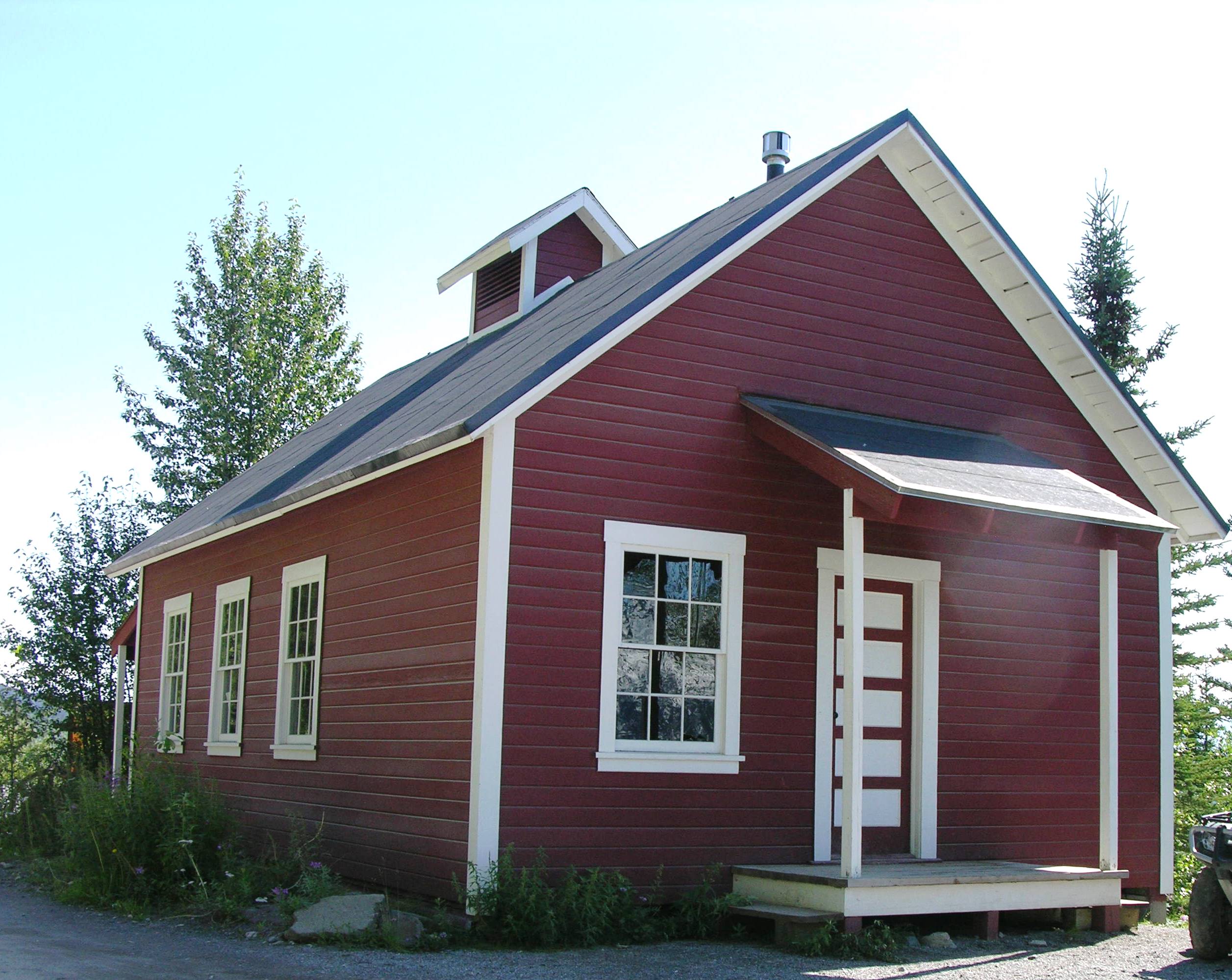
This 1916 building was the place for community recreation, entertainment and social gatherings. Here they had silent movies, holiday pageants, basketball and shuffleboard, fraternity meetings. It is still used today. There are two vault toilets behind it.<br />It can be rented out for events
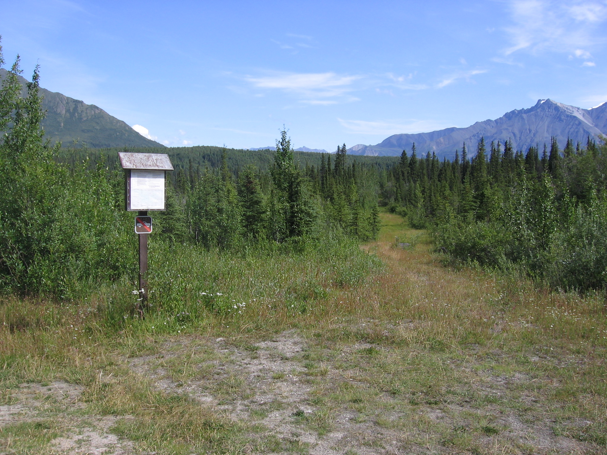
This 4.2 mile trail leads to the views of the Nabesna River. Though Reeve's Field airstrip is not longer here, this area is historically significant. During 1941, trucks hauled equipment from Valdez to a rustic airstrip along the river. Pilot Bob Reeve cut the equipment into pieces, loaded it into his Boeing Trimotor, flew them to Northway about 40 miles north and had them re-welded. This effort was to build the Northway Airport to defend Alaska during WWII.
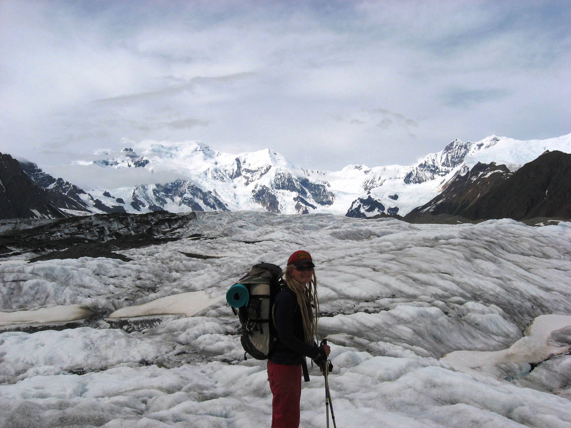
Of the 5,000 square miles of glacial ice in Wrangell-St. Elias, the Root Glacier is the most accessible. A moderate 1 ½ mile walk from the historic mining town of Kennecott along the Root Glacier Trail leads you onto the glacier. Be aware that glaciers can be dangerous. It is recommended to wear crampons or ice spikes on your shoes and go with an experienced guide.
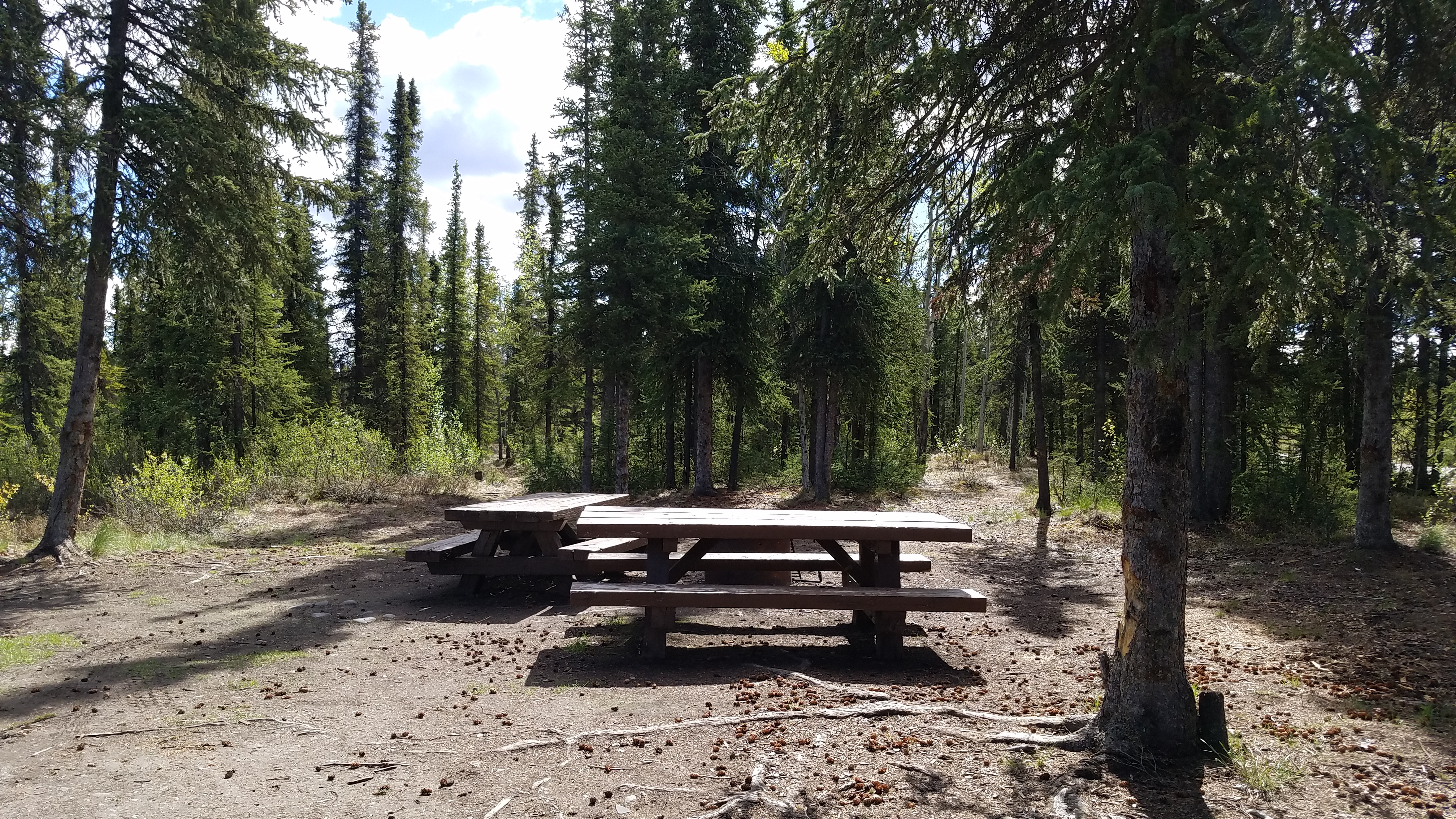
Rufus Creek primitive campsite for one group has a restroom, picnic table, Information board, and fishing in the nearby creek (Dolly Varden, Rainbow Trout). Gravel parking area has space for two regular sized vehicles or one small recreational camper vehicle (RV).
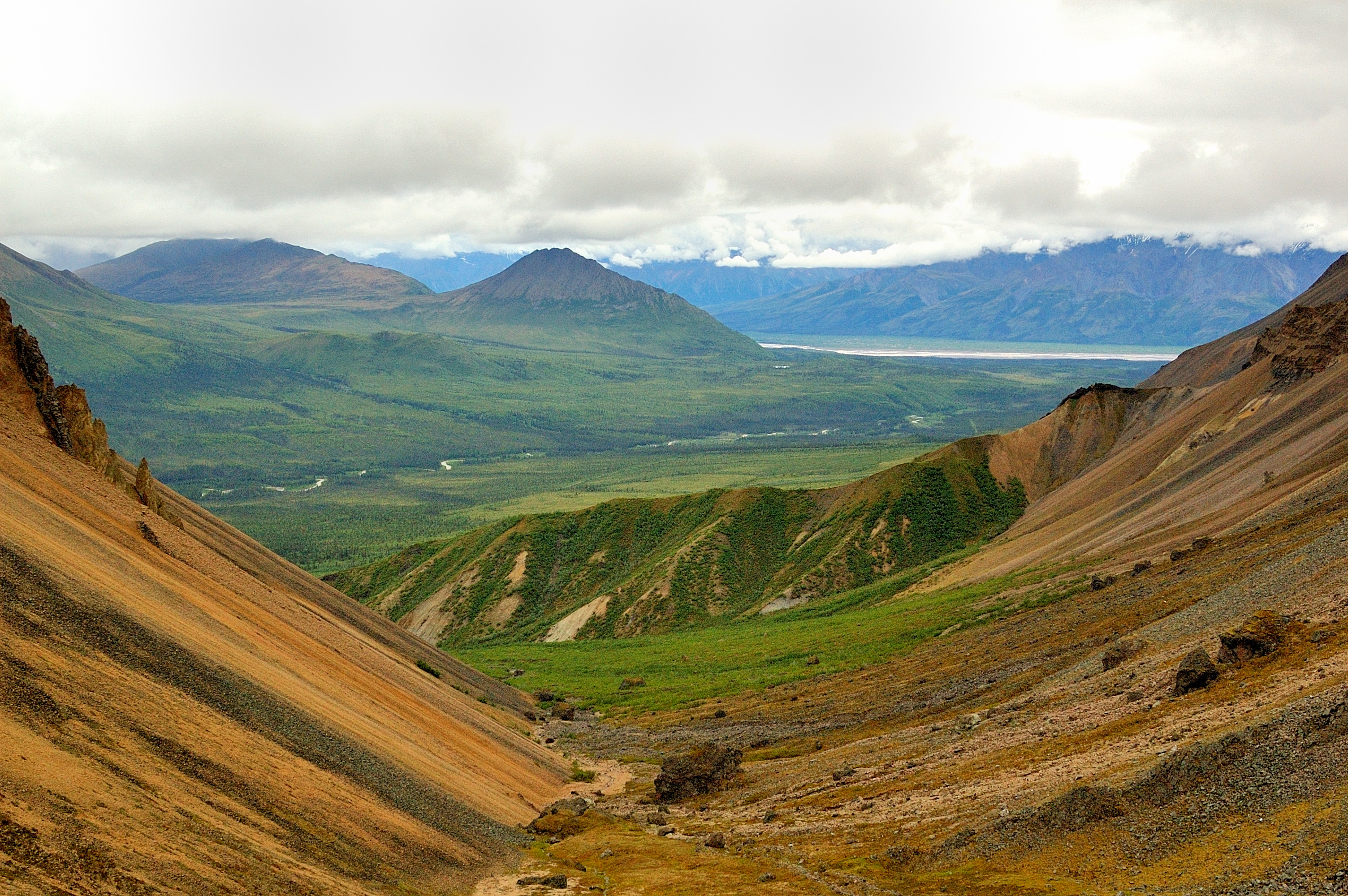
Mile 36.2 Nabesna Road. Skookum Volcano Trail is 2.5 miles one-way to a beautiful high pass. The trail leads through an extinct, deeply eroded volcanic system with fascinating geology two to four million years old. The elevation at the trailhead is 3,000' and rises to an elevation of 4,800' at the pass. Volcanic Ash and hot gasses formed a fiery cloud which flowed down the flanks of the volcano to produce the tan and light gray rocks. Lava formed the pink and rust colored roc
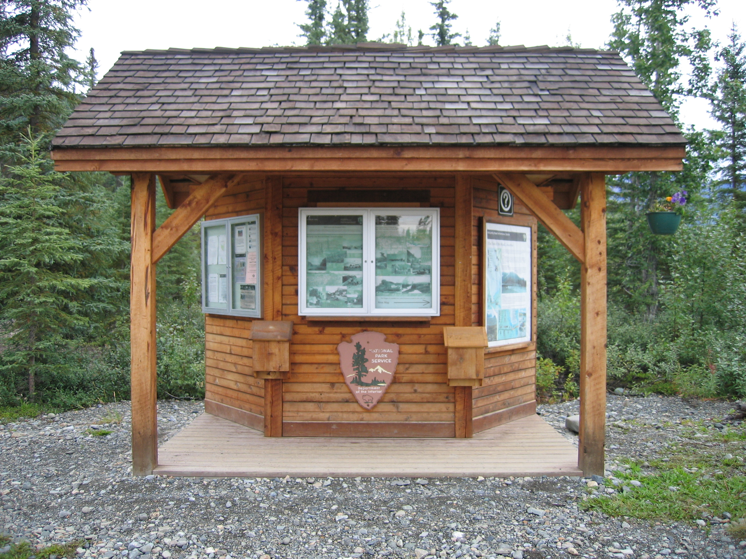
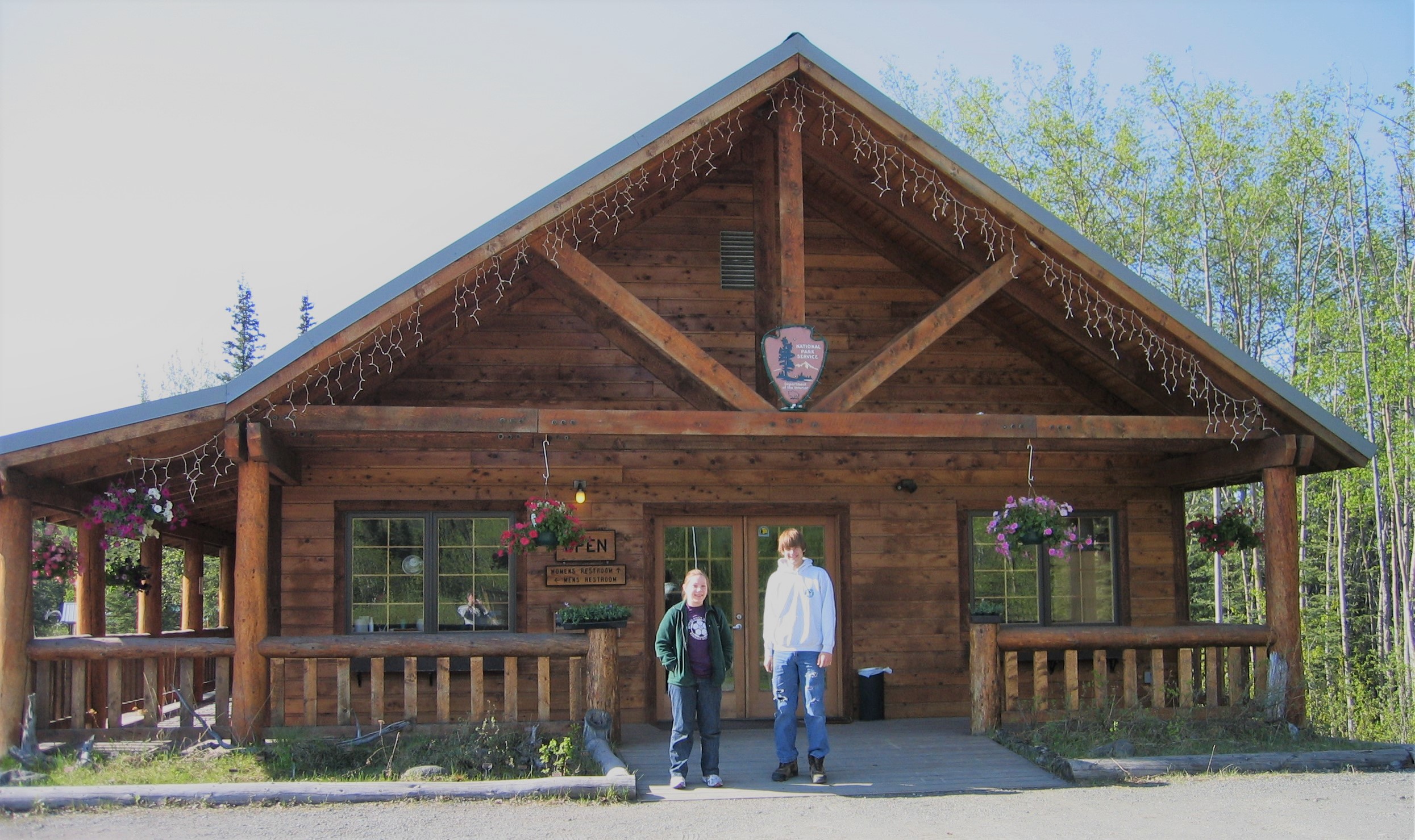
Located in the northern portion of the park, about two hours north of the Wrangell-St. Elias Visitor Center Complex. Slana is east of the Tok-Cutoff Hwy at mile 0.5 Nabesna Road. Call for season dates and hours of operation in Summer (907) 822-7401. The Slana Ranger Station provides information about the northern side of the park and the Nabesna Road as well as trip-planning, things to do, road conditions and subsistence ORV, fishing and hunting permits.
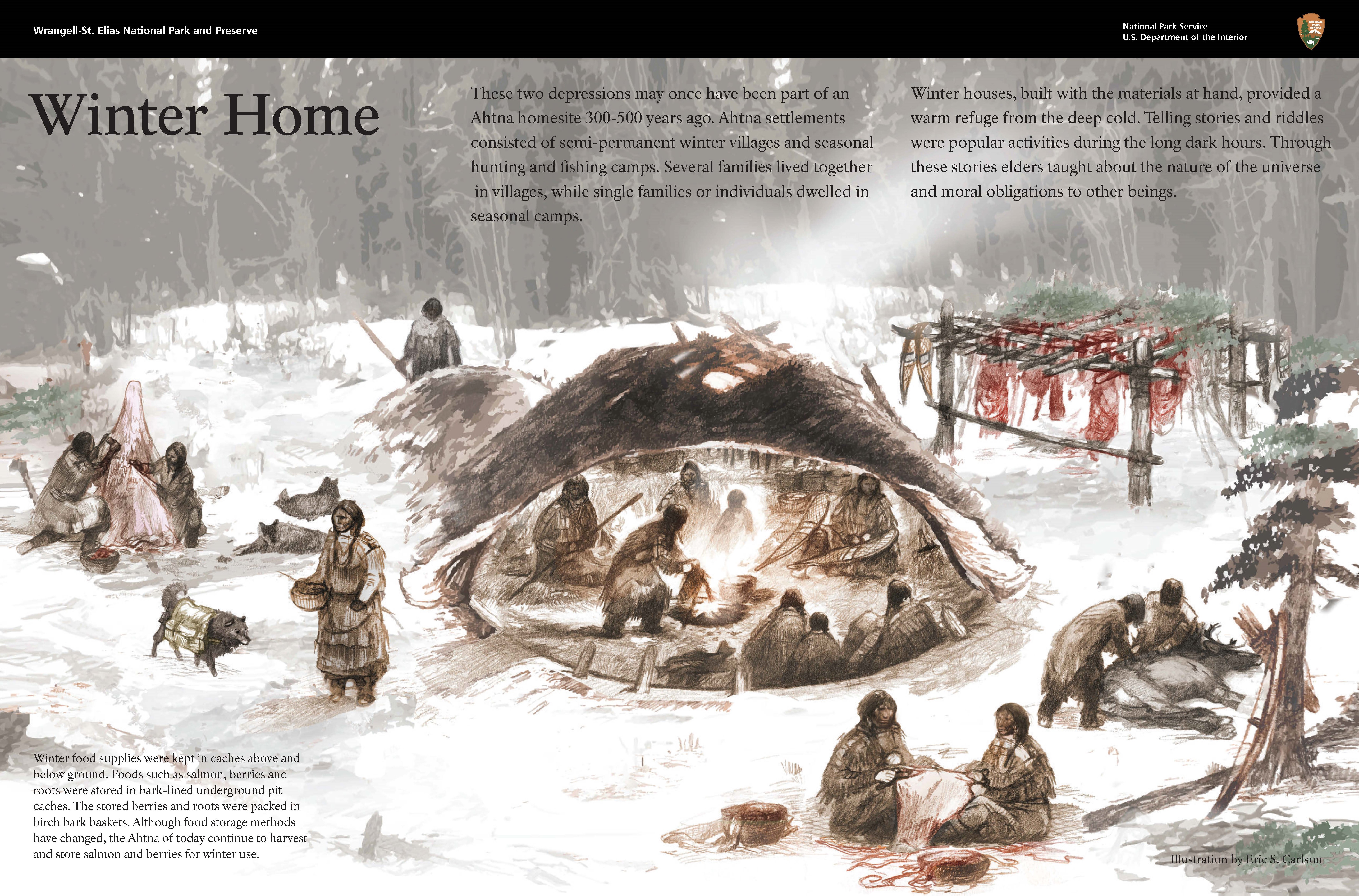
The two depressions on the west side of the trail may once have been part of an Ahtna homesite 300-500 years ago. Ahtna settlements consisted of semi-permanent winter villages and seasonal hunting and fishing camps. Several families lived together in villages, while single families or individuals dwelled in seasonal camps.
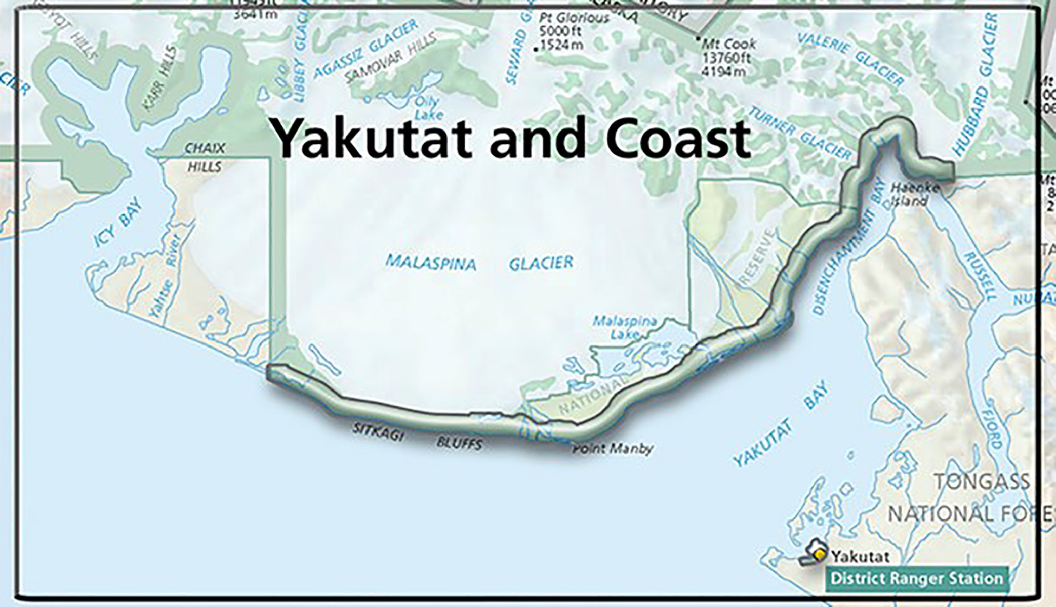
Accessible only by plane or boat, this area encompasses the park's coastal region, with 155 miles of little-known coastline. Here, huge mountains, enormous glaciers, and temperate rainforest meet the ocean. Visitor services are only found in the town of Yakutat, which is a plane or boat ride away from the park. https://www.nps.gov/wrst/planyourvisit/yakutat-and-coast.htm