This trailhead provides access to the upper end of the Upper Geyser Basin. Parking is available across the street in the Biscuit Basin parking lot. Use caution when crossing the road.
This trailhead starts at the eastern end of the Artist Point parking area. The trail leads to the popular Artist Point Overlook. East of the overlook where you can embark on the following trails:- Artist Point-Point Sublime Trail- Clear Lake-Ribbon Lake TrailThere is a large parking lot here, though it is often busy during the peak of the summer season. Vault toilets are located at the western end of the parking lot. Artist Point-Point Sublime Trail This 2.6-mile (4.2-km) the
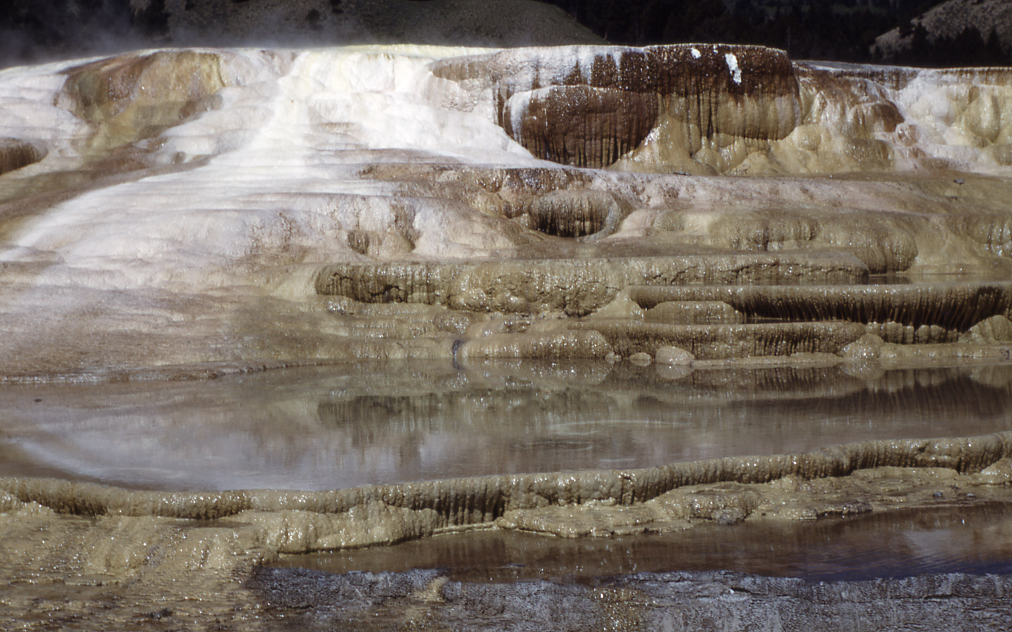
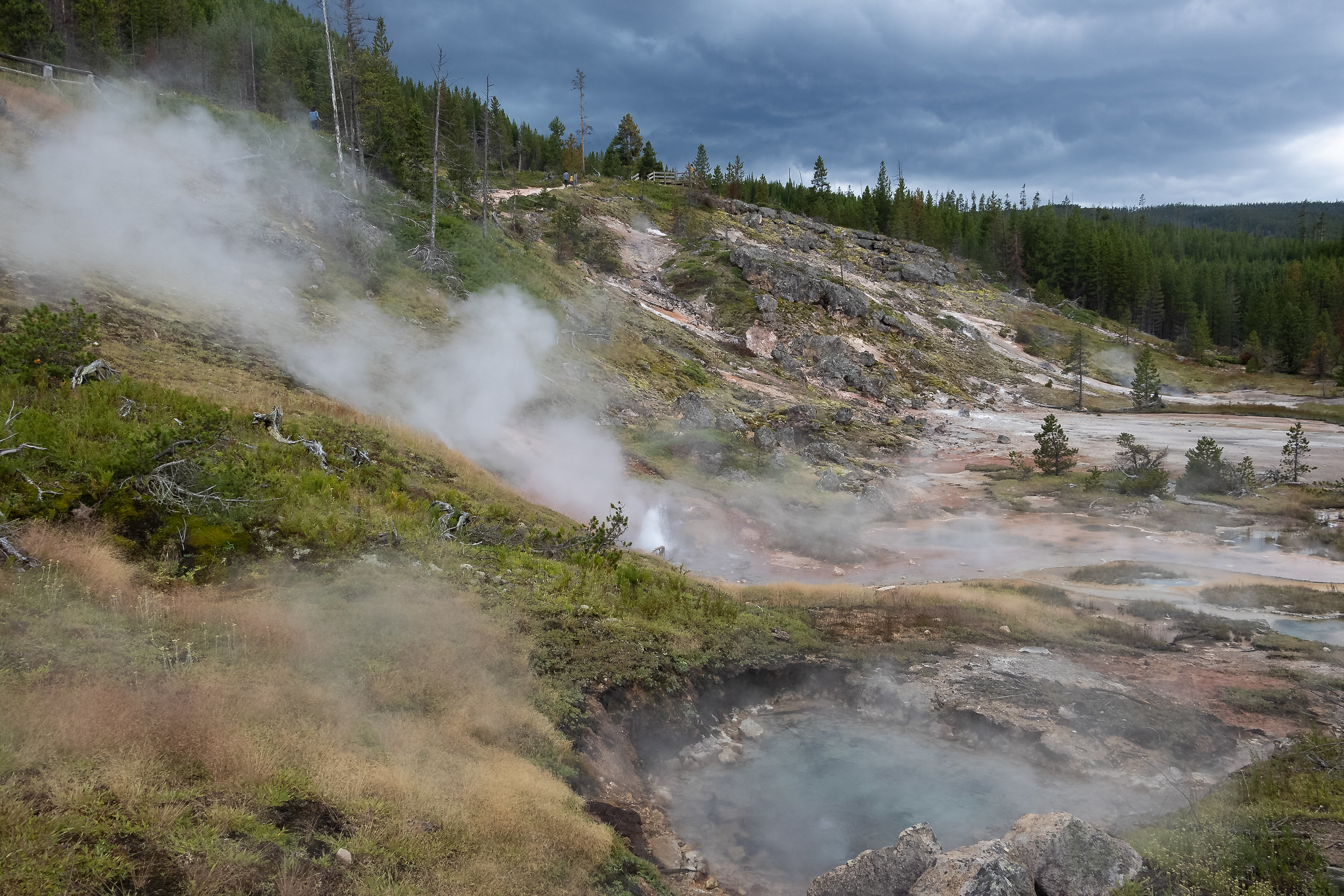
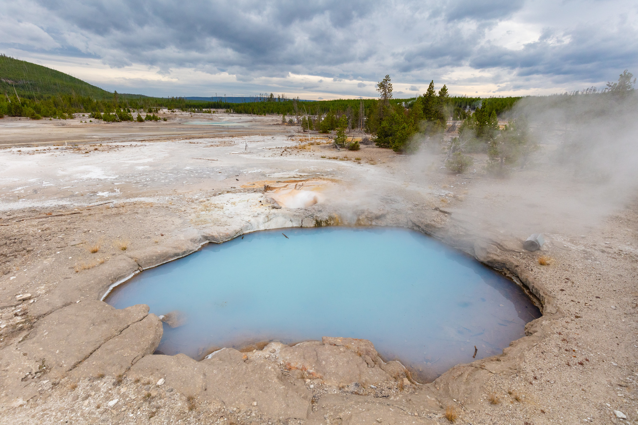
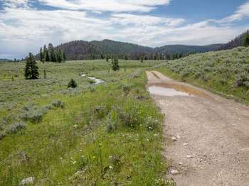
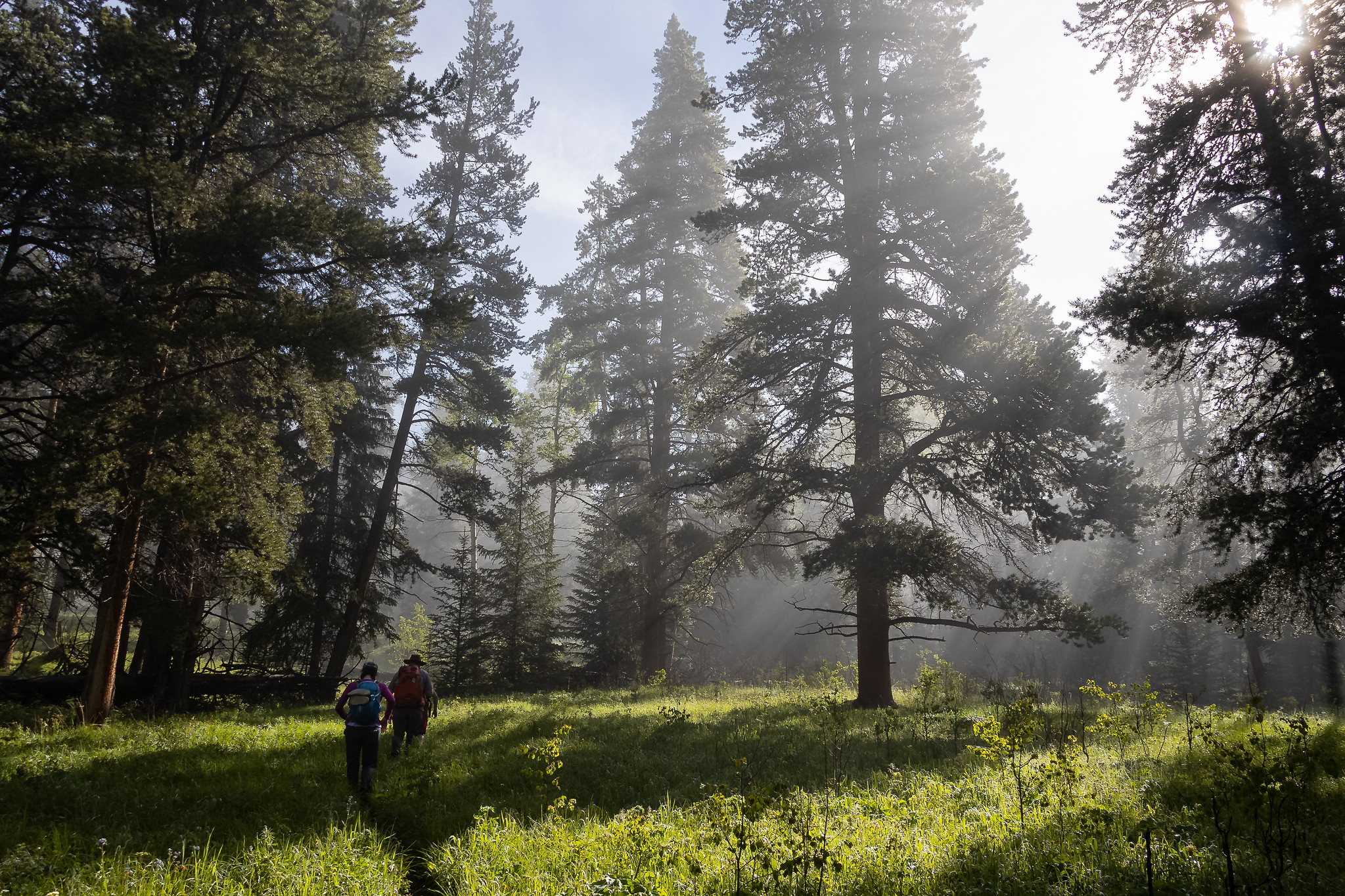
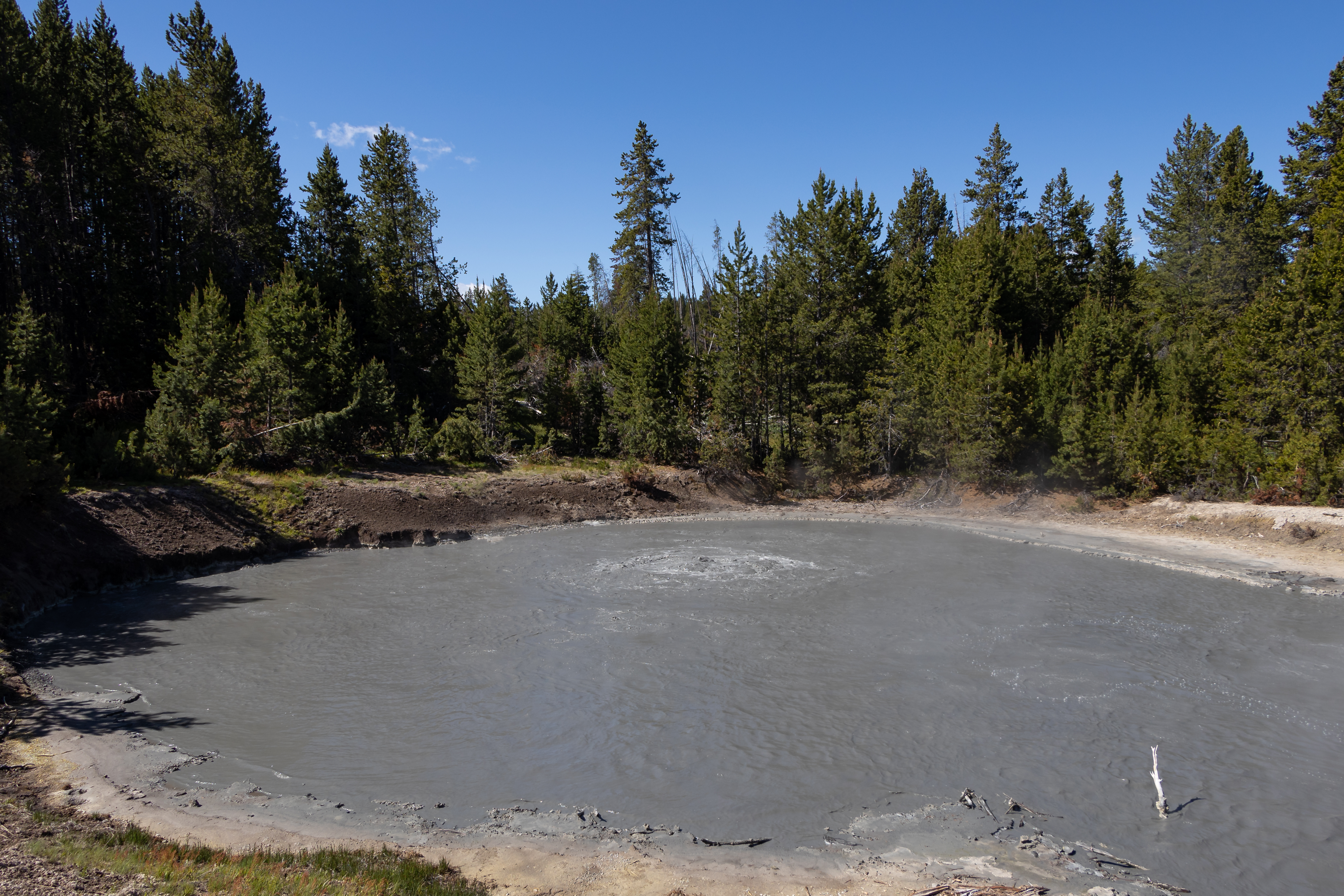
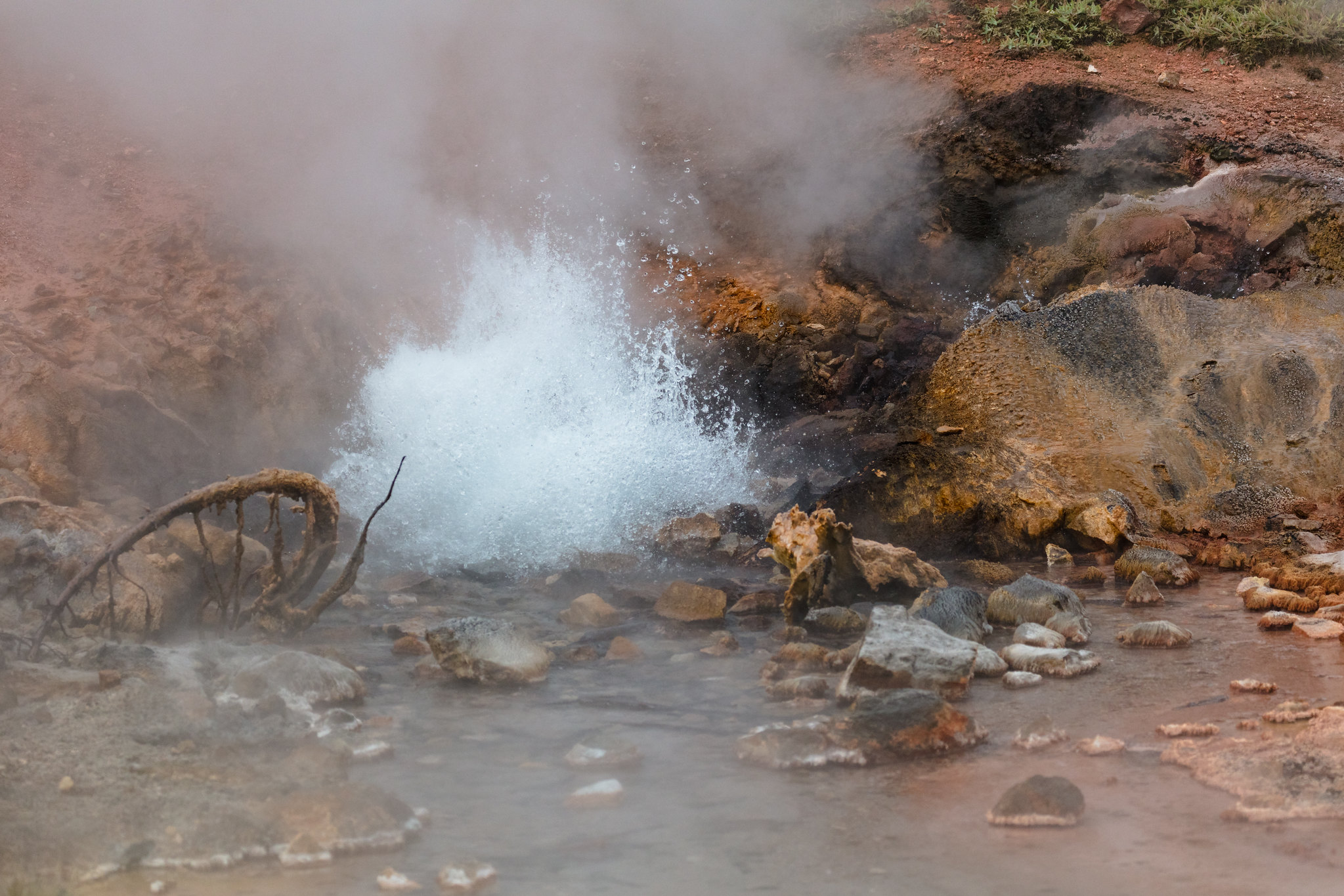
This is a one-mile (1.6 km) trail that enters a partially burned lodgepole pine forest, then winds across a wet meadow on a boardwalk. This trail is a short loop. The hydrothermal area has colorful hot springs, mudpots, and small geysers. Watch out for flying mud. Stay on the trail and boardwalks. AccessibilityThe trail is relatively flat from the parking lot to the hydrothermal features. The trail is over bare ground. There is a mixture of boardwalks and bare ground trails
This trailhead is located on the north side of the East Entrance Road and provides access to the following trail:- Avalanche Peak Trail Avalanche Peak Trail This trail is often snow-covered until early July. This strenuous, high elevation 4.4-mile (7.1-km) there-and-back trail is not recommended for people with heart and/or respiratory problems. Be aware of lightning above treeline. Even on warm summer days, bring rain gear, wool hats, and gloves. Burned trees may fall withou
The Bacon Rind trailhead is on the northwest side of Yellowstone near U.S. Highway 191. From this trailhead, you can embark on the following trail:- Bacon Rind Trail Bacon Rind Trail A strenuous 10.2-mile (16.4 km) there-and-back trail that climbs 2,400 feet (731 m) through forest (some burned in 2017) and meadow to high alpine meadows and views. CAUTION: Grizzly bears frequent this area. Backcountry RegulationsPermit required for fishing, boating, riding, and overnight cam
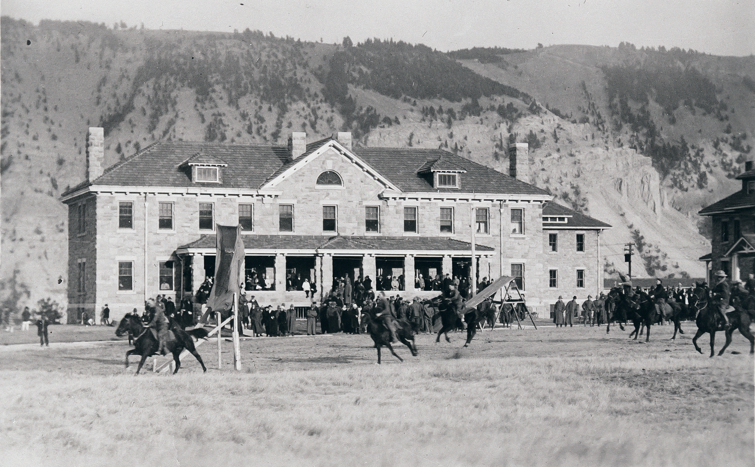
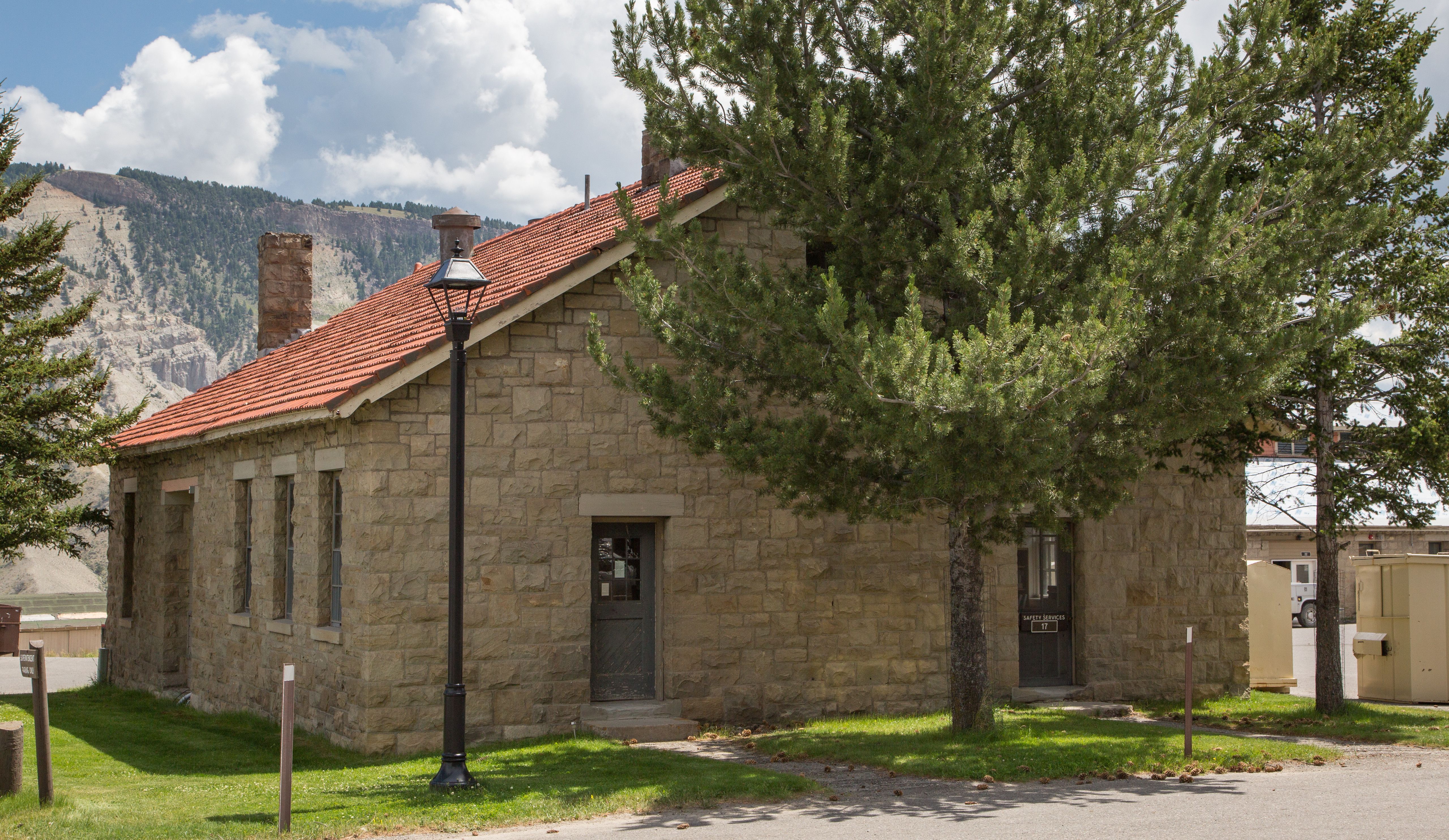
This trailhead is located behind the Mammoth Hot Springs Hotel, next to the start of the Old Gardiner Road. From this trailhead, you can access the following trails:- Beaver Ponds Trail- Selpulchar Mountain TrailThere is no parking at the trailhead. However, there is parking available nearby around the visitor center, hotel, and other nearby facilities. Beaver Ponds Trail A 5-mile (8.3-km) loop trail that begins and ends in the developed area of Mammoth Hot Springs. This mode
This trailhead is located along the Cave Falls Road, just north of the southern park boundary. This trailhead provides access to the following trails:- Boundary Creek- Bechler River Cutoff Trail- Bechler River Trail- South Boundary Trail: Bechler Ranger Station-Grassy Lake- Robinson Creek Trail Boundary Creek Trail A moderate 17.2-mile (27.7-km) one-way trail that travels across relative flat lands, through forests and meadows, and past several waterfalls around the middle se
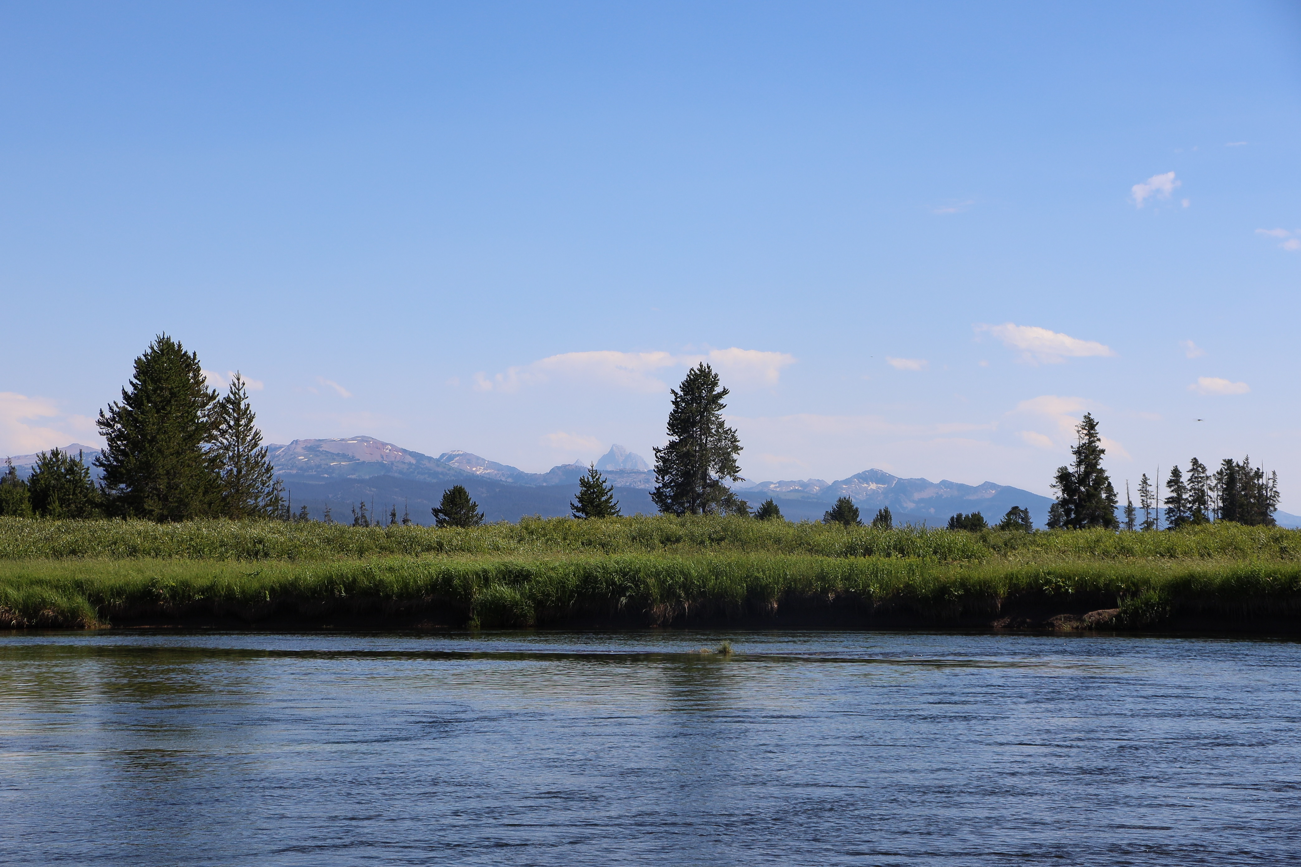
This more remote trailhead can be access by car and provides access to the following trail. The trailhead is at a steep pullout on the north side of the road at the east end of the reservoir.- Beula Lake Trail Beula Lake Trail This is a 5.2-mile (-km) there-and-back trail with a gentle climb at the start of the trail. Beula Lake covers about 107 acres (43 ha) and supports a population of Yellowstone cutthroat trout. If you are looking to fish here, remember to pick up a Yell
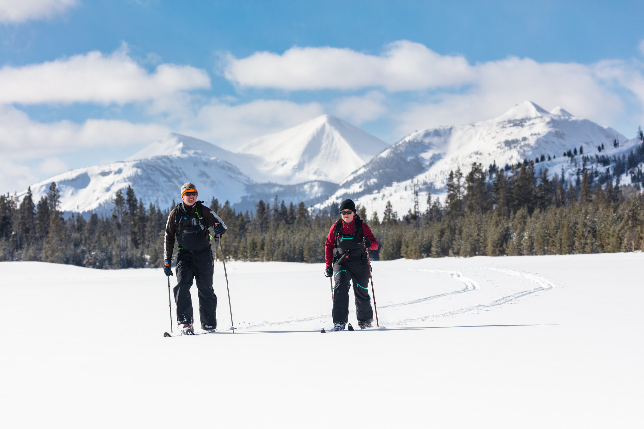
This trailhead is located at the small picnic area/winter warming hut just after thr turn-off from the Grand Loop Road. This trailhead provides access to these trails:- Bighorn Pass Trail- Bighorn Loop Ski Trail- Indian Creek Loop Ski Trail- Sheepeater Ski TrailParking is available near the vault toilets. Winter access is available via a snowcoach ride from the Mammoth Hot Springs Hotel. Bighorn Pass Trail A strenuous 19.4-mile (31.2 km) one-way trail with lot of open meadows
The Bighorn Pass trailhead is on the northwest side of Yellowstone near U.S. Highway 191. From this trailhead, you can embark on the following trail:- Bighorn Pass Trail Bighorn Pass Trail This trail can either be a there and back 21.2-mile (35 km) strenuous hike to the top of Bighorn Pass or a 19-mile (30 km) through hike ending at a different trailhead south of Mammoth Hot Springs. (Either plan on leaving a vehicle at one end or arrange a shuttle back to the trailhead.) Th
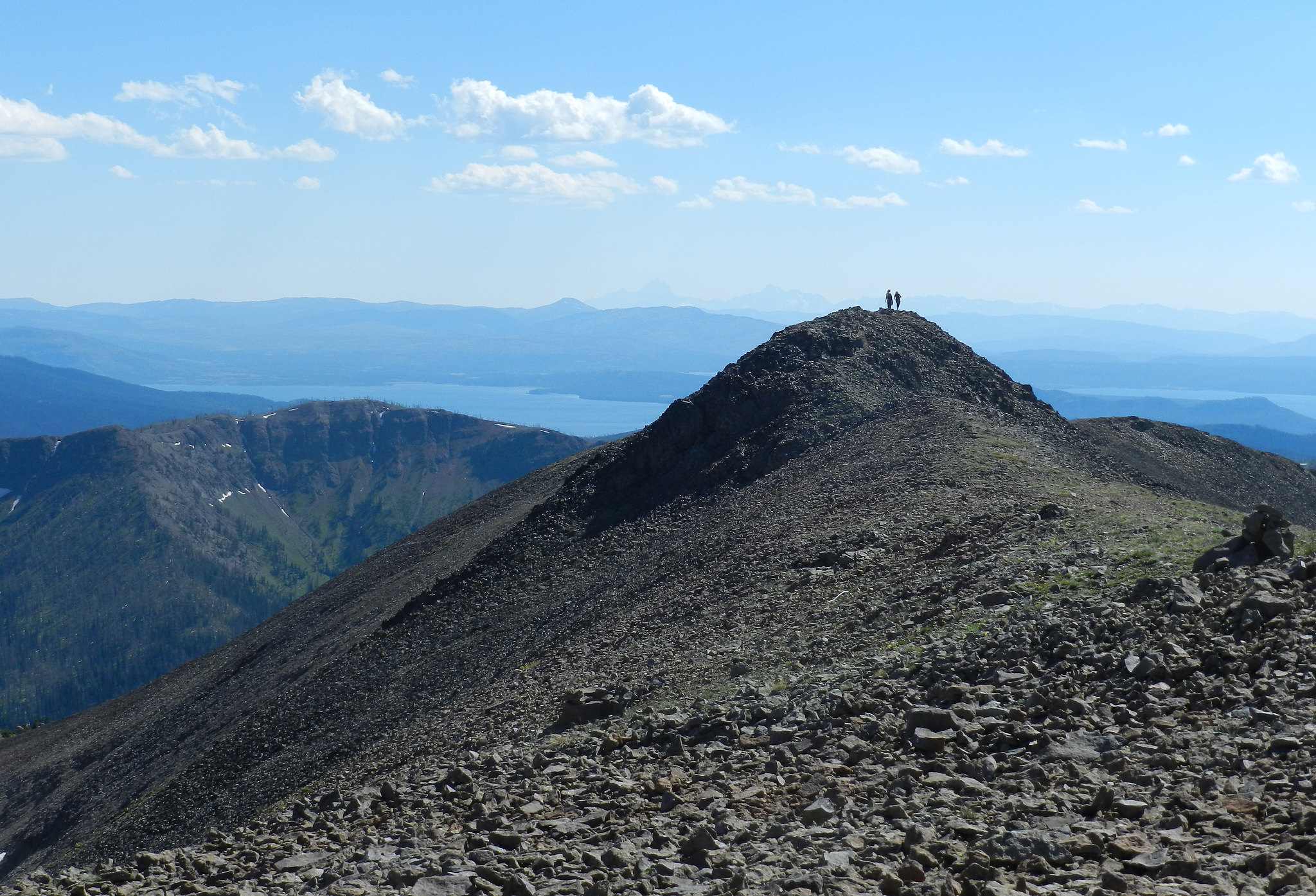
The Black Butte trailhead is on the northwest side of Yellowstone near US Highway 191. From this trailhead, you can embark on the following trail:- Black Butte Trail Black Butte Trail This is a strenuous 11.4-miles (18.3 km) there-and-back trail that climbs 3,100 feet (945 m) to the Sky Rim Trail and near Big Horn Peak. CAUTION: Grizzly bears frequent this area. Backcountry RegulationsPermit required for fishing, boating, riding, and overnight camping. More information at t
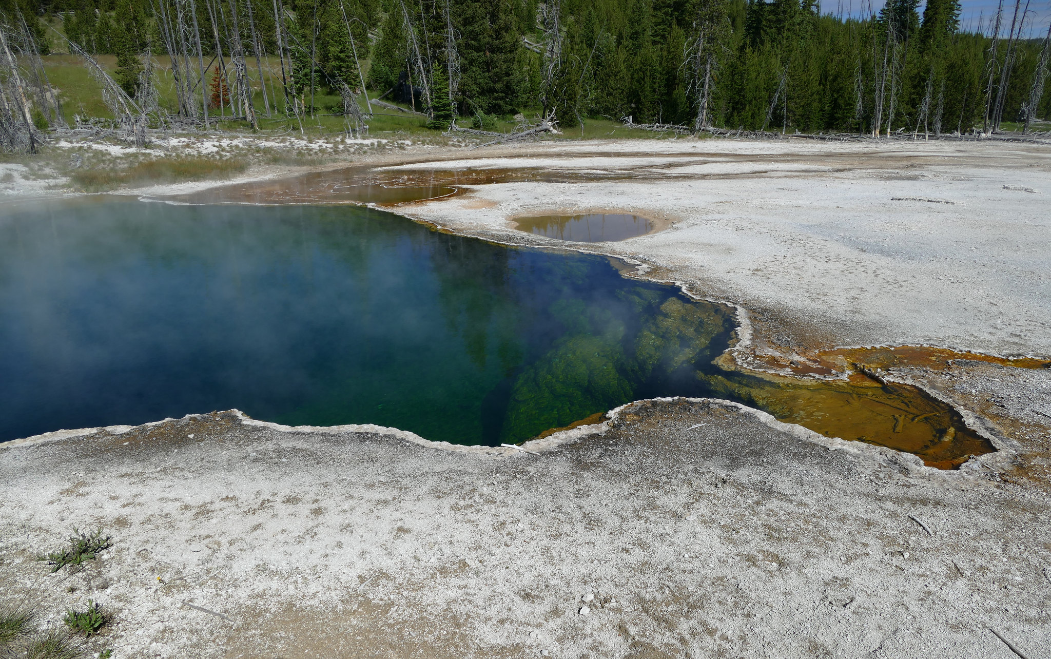
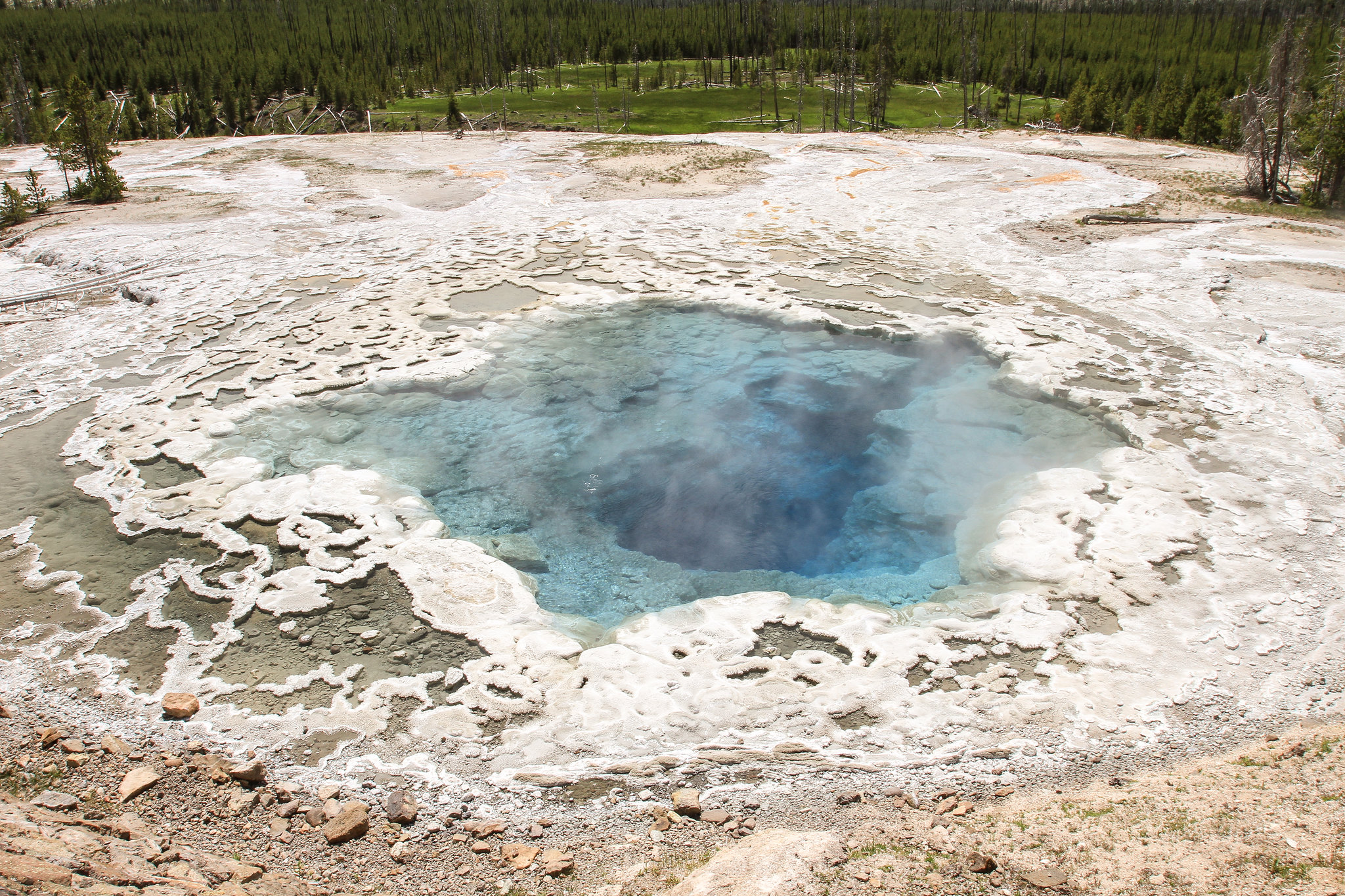
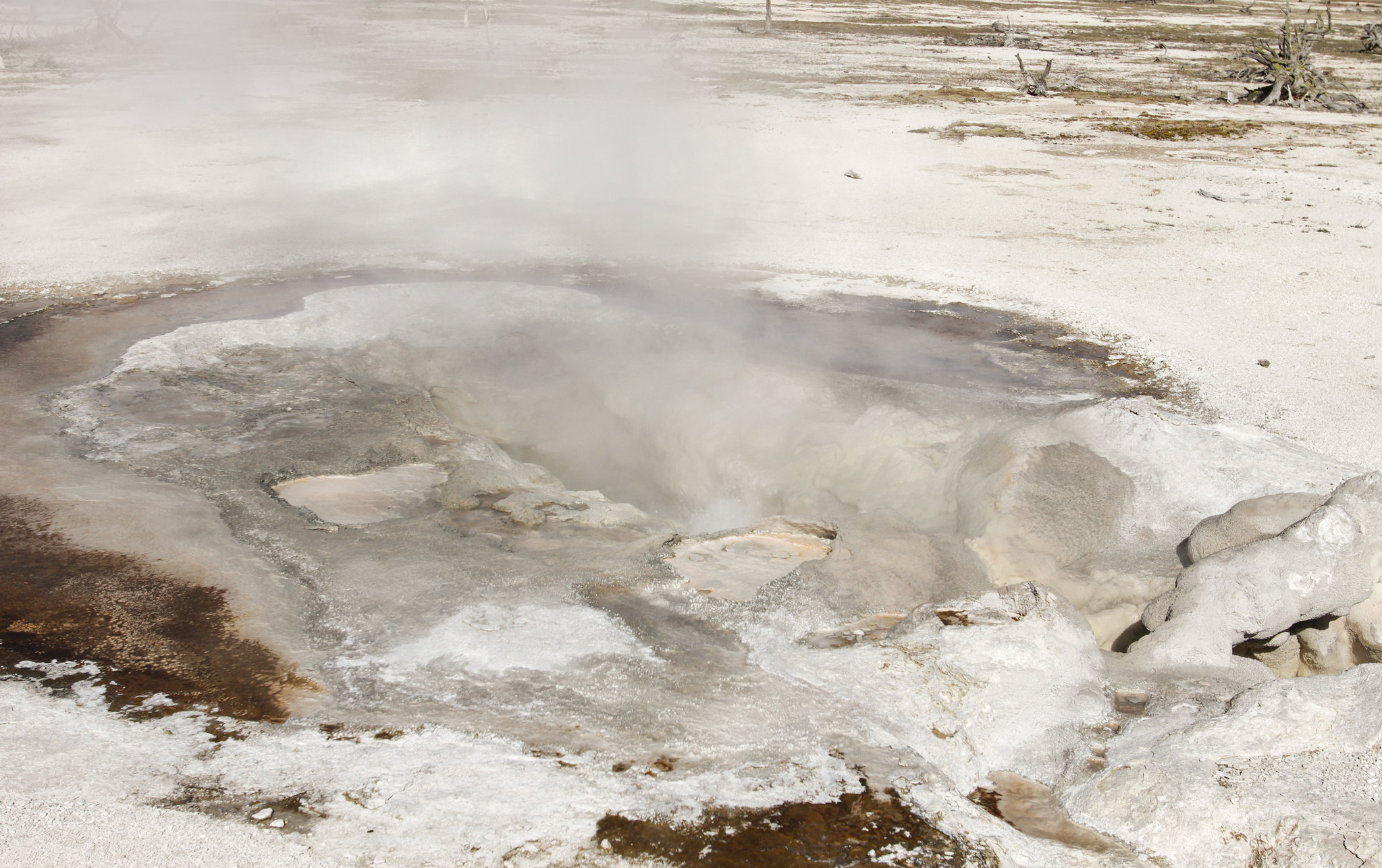
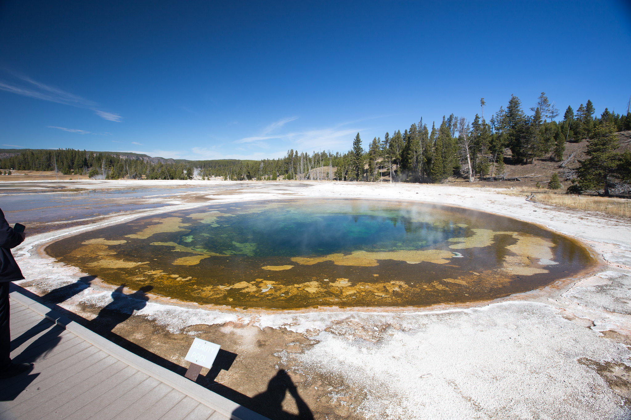
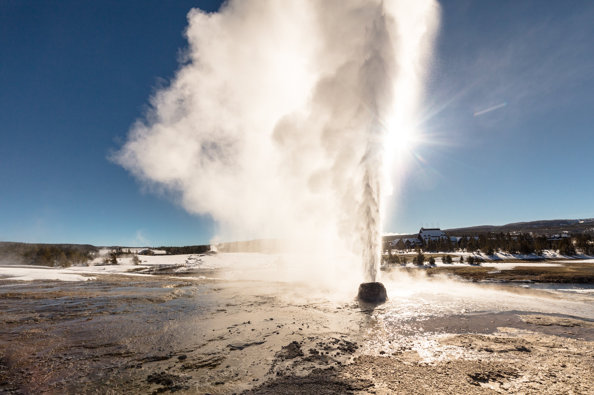
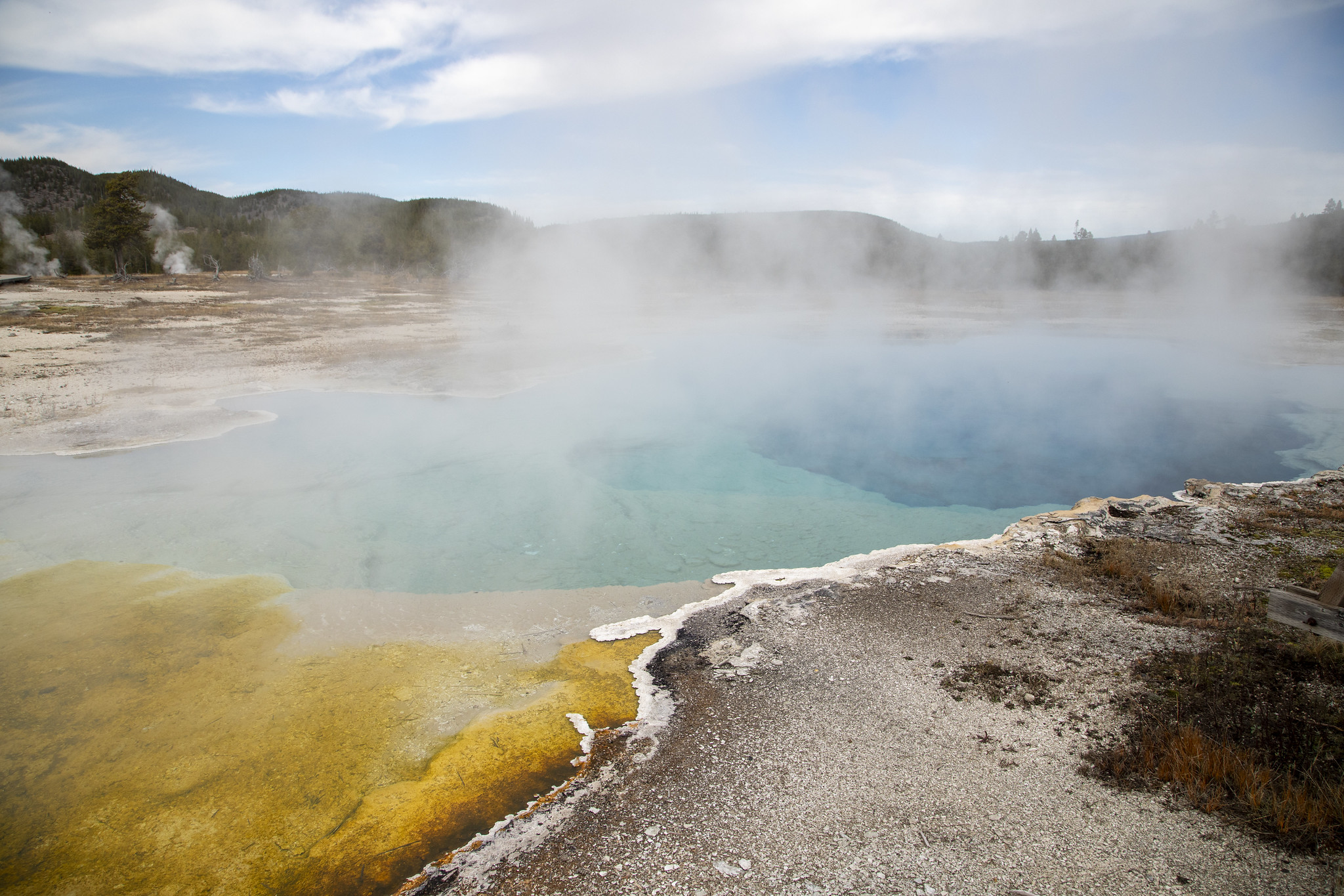
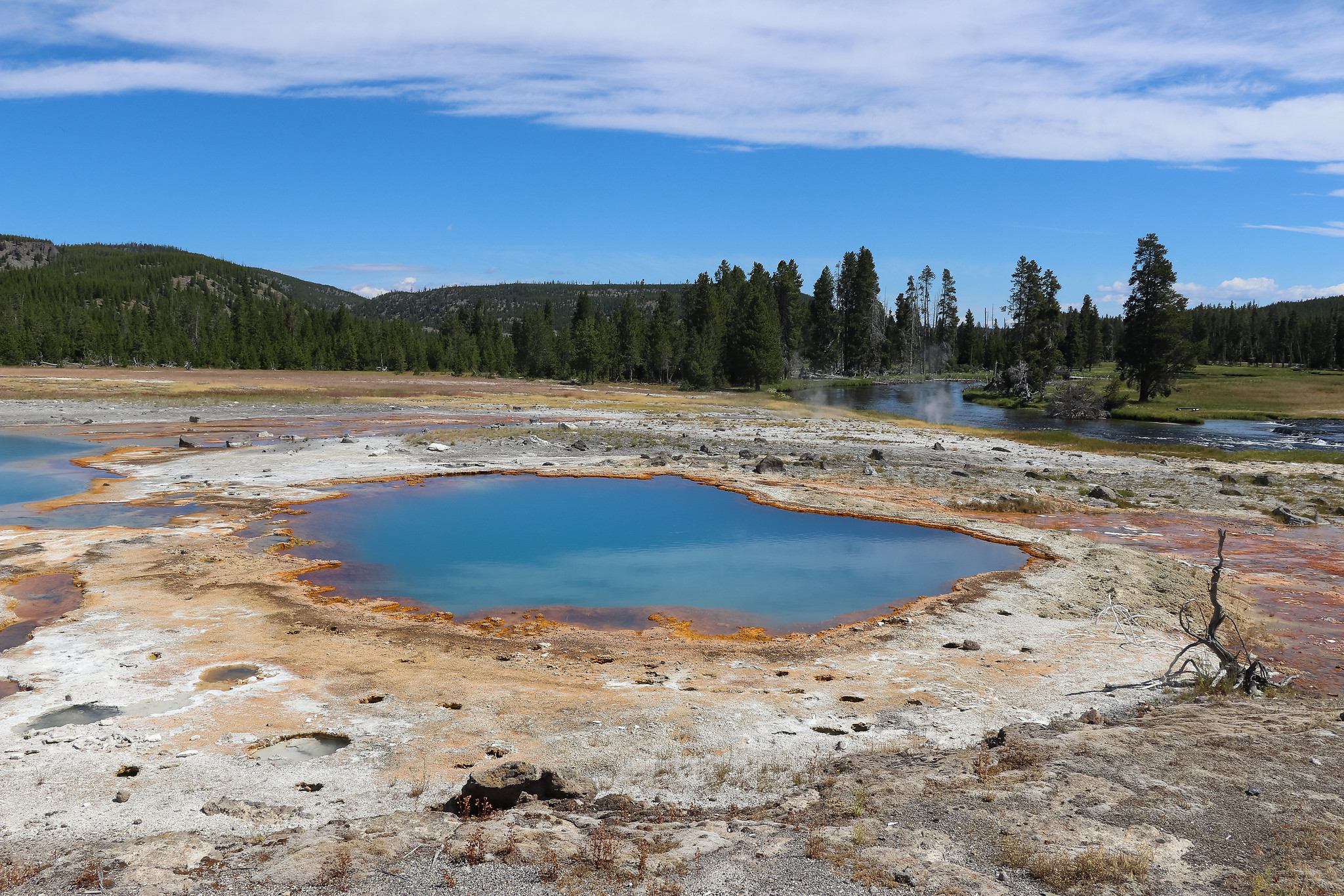
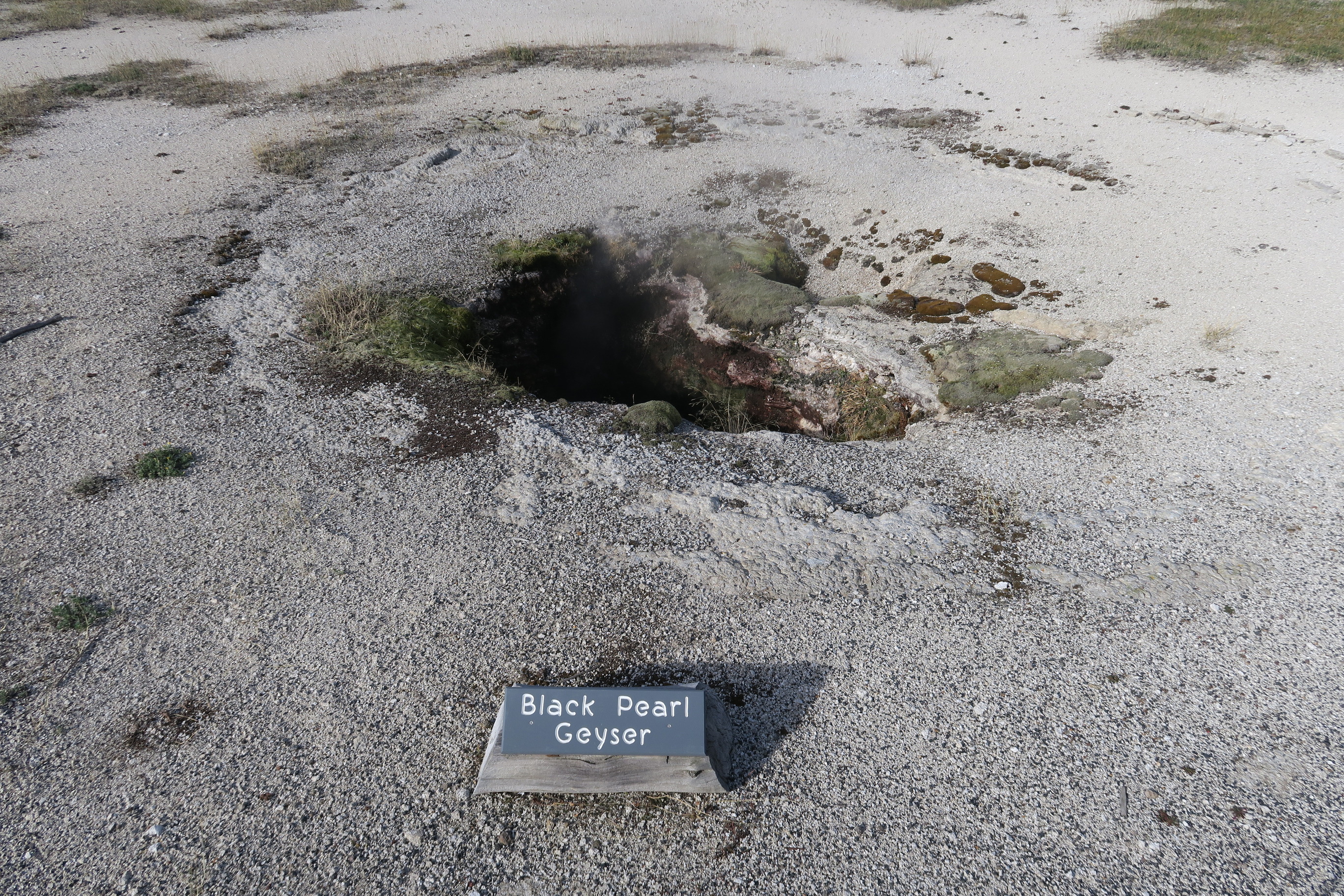
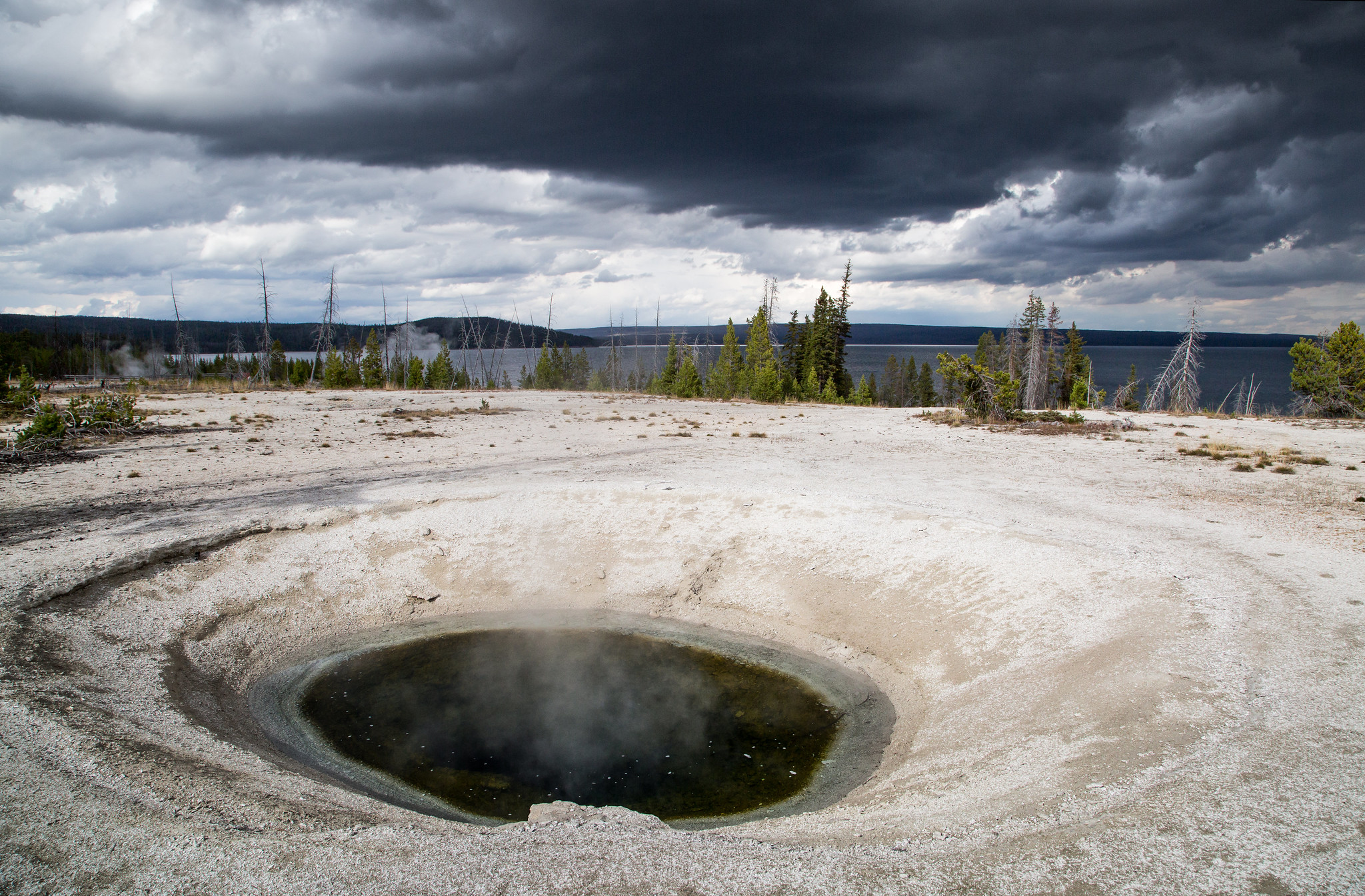
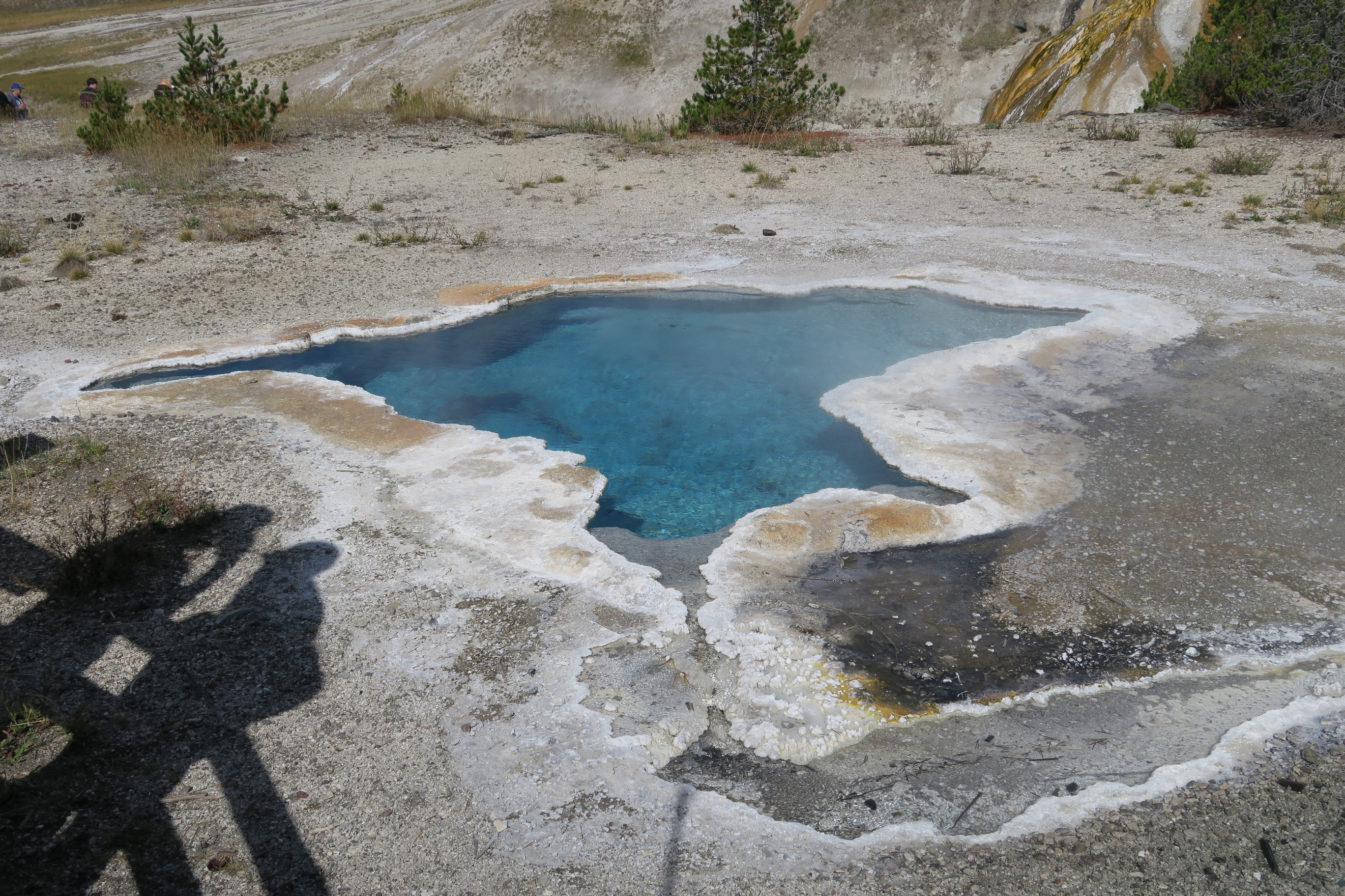
1 mile (1.6 km) walk to Black Sand Basin from Daisy Geyser or 1 mile (1.6 km) drive northwest of Old Faithful along the main road.Named for sand derived from black volcanic glass (obsidian), this basin features some of the most splendid hot springs in Yellowstone. Hydrothermal features here:- Emerald Pool- Rainbow Pool- Sunset Lake (actually a geyser, but its eruptions are infrequent and seldom noticed because of the heavy steam over the water)- Cliff Geyser, on the edge of I
This trailhead is located on the Grand Loop Road between Mammoth Hot Springs and Tower. From this trailhead, you can access the following trails:- Blacktail Deer Creek Trail- Blacktail Ponds Spur Trail- Rescue Creek Trail- Yellowstone River TrailParking at this trailhead can fill up quickly. There is additional parking nearby at the Blacktail Deer Creek Stock Trailhead. Blacktail Deer Creek Trail From the Blacktail Deer Creek trailhead it is moderate 11-mile (18-km) there-and